Trails near Villa Carcina
299 hikes starting within 15 km, nearest first.
Nearest first, page 5 of 7
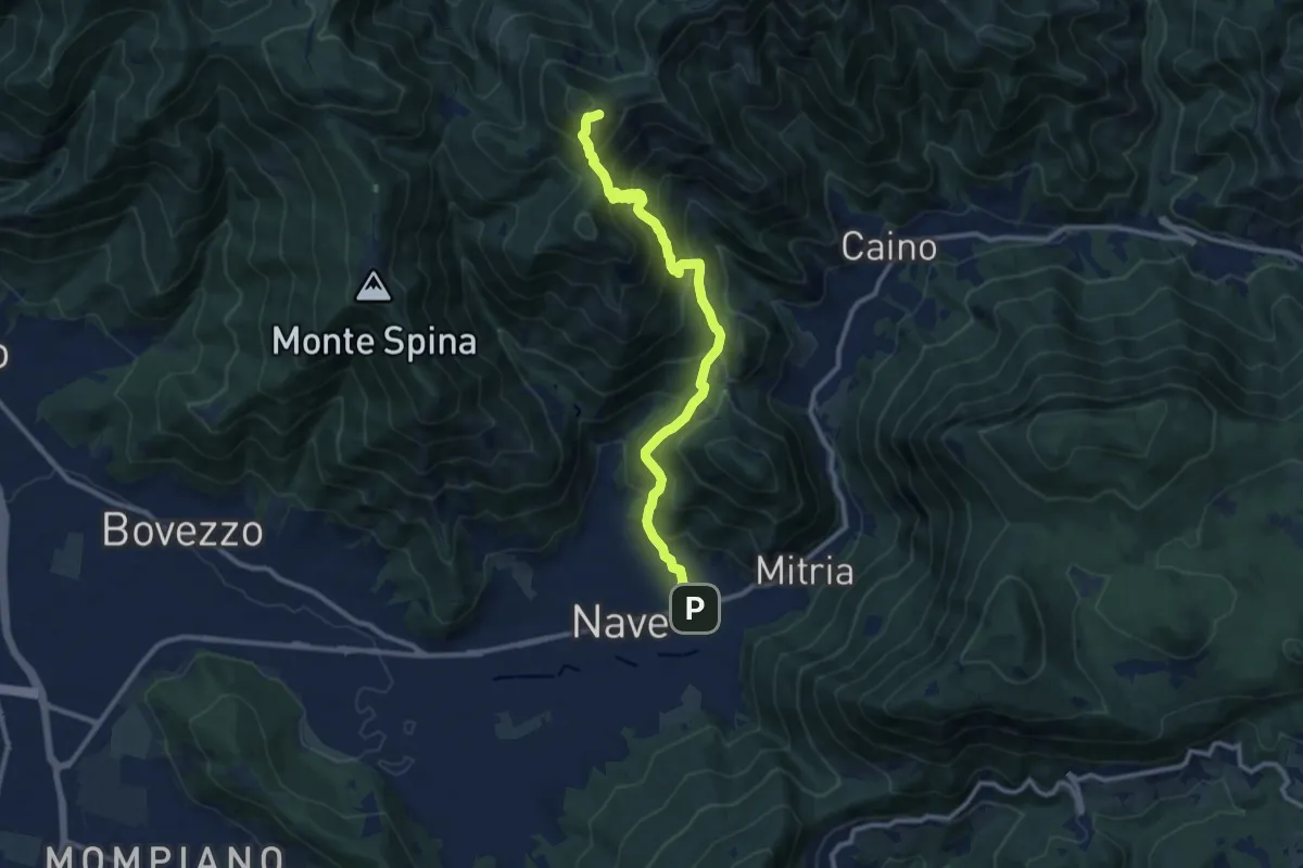
Demanding · Summit
Sentiero 3V - Tappa 1b
11.1 km · ↑ 932 m · 4 h 39 min · 9 km away
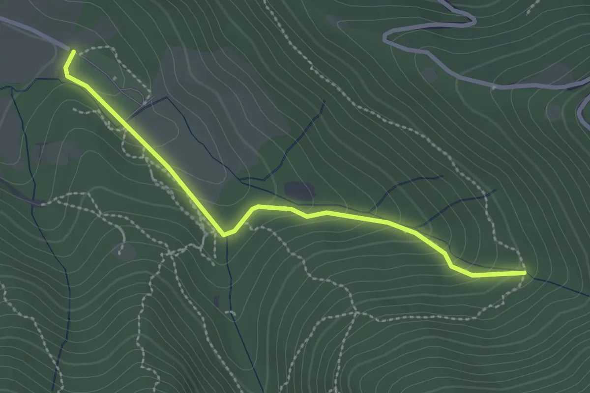
Easy · Trail
Sentiero Val Persane
2.6 km · ↑ 152 m · 57 min · 9 km away
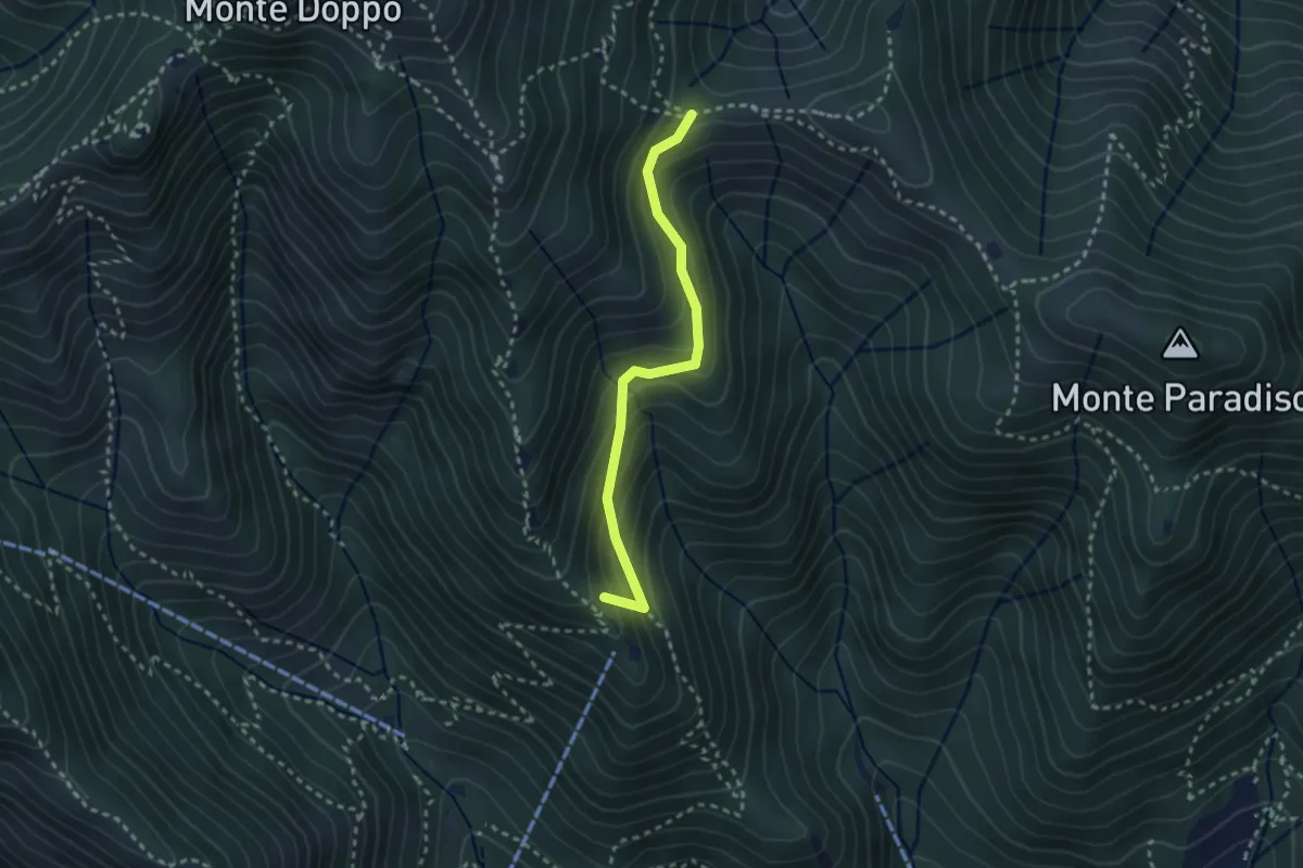
Medium · Summit
Caino (Pian delle Castagne) – Boatica (Innesto Sentiero 381)
2.6 km · ↑ 259 m · 1 h 10 min · 9 km away
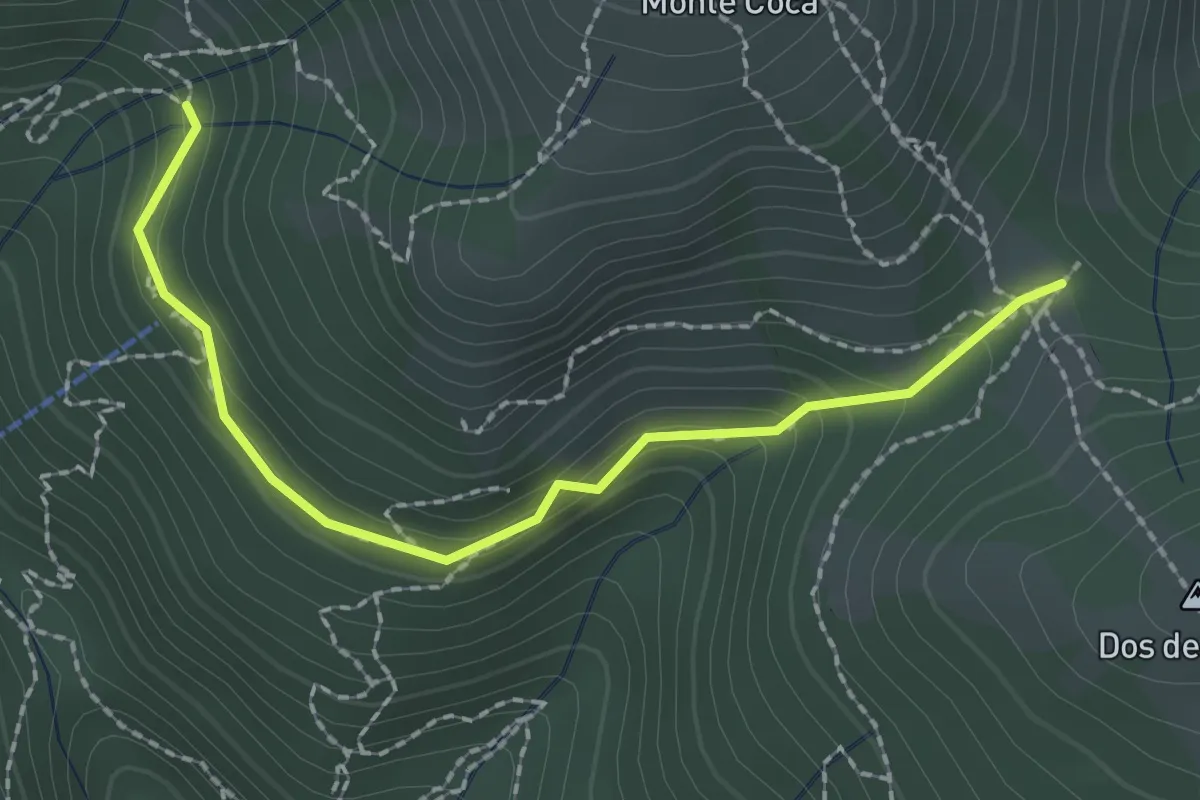
Medium · Trail
Lumezzane (Innesto sentiero 370) - Cocca di Bione
2.2 km · ↑ 106 m · 45 min · 10 km away
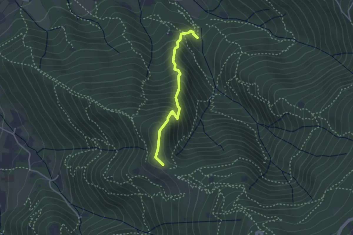
Medium · Trail
Sentiero dei Gnari
2.7 km · ↑ 330 m · 1 h 21 min · 10 km away
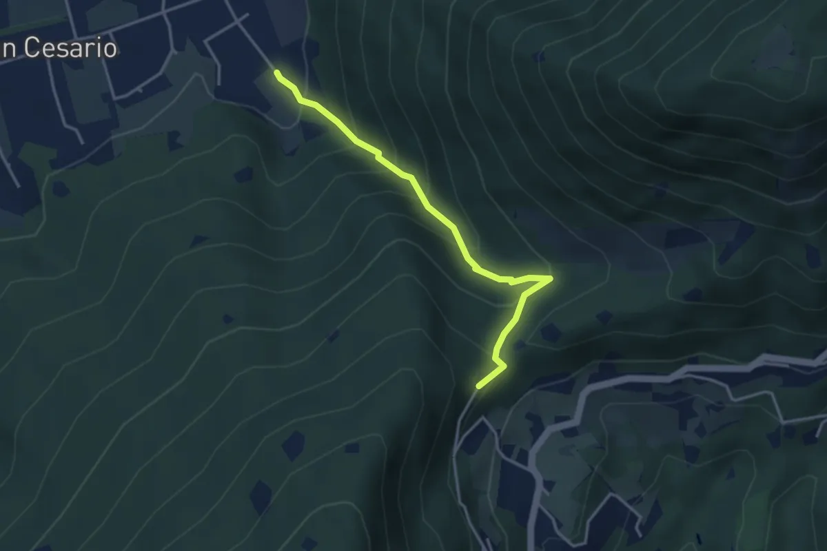
Demanding · Summit
Nave (Calasa) – Colle San Vito
3.4 km · ↑ 343 m · 1 h 32 min · 10 km away
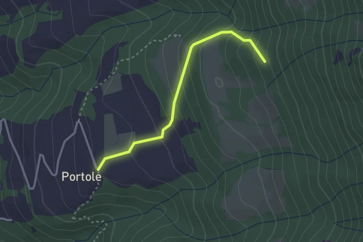
Easy · Trail
Portole – Percorso 238
2.4 km · ↑ 216 m · 1 h 2 min · 10 km away
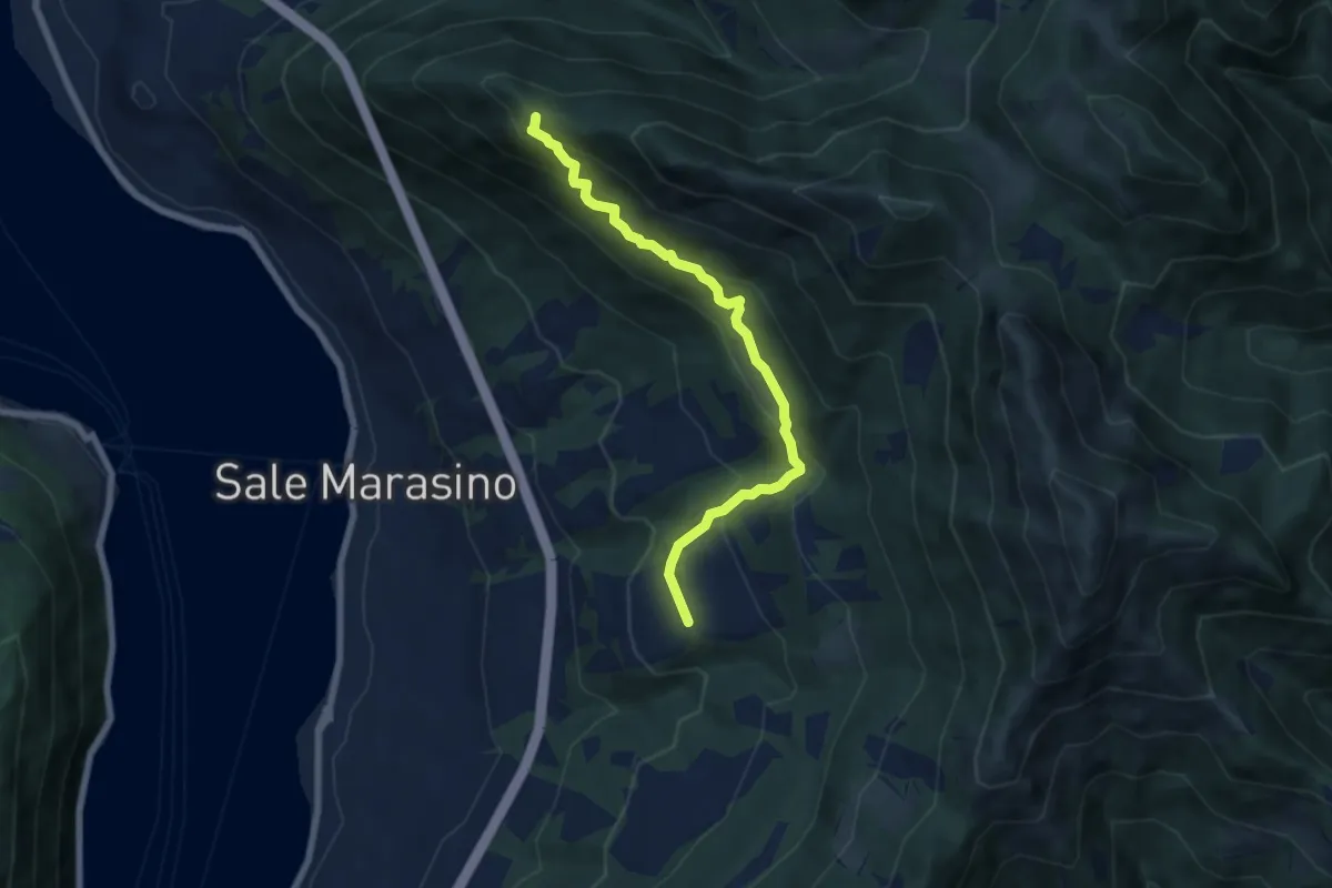
Medium · Summit
Portole – Punta dei Dossi
6.8 km · ↑ 576 m · 2 h 51 min · 10 km away
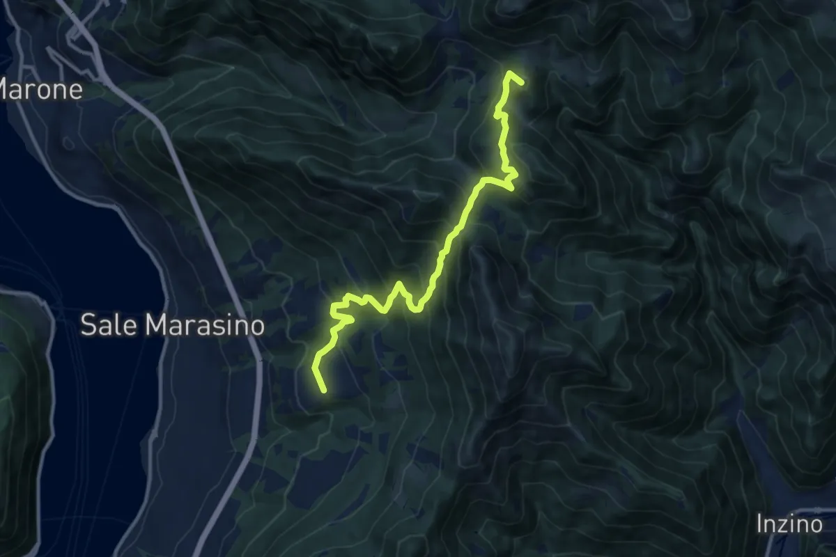
Demanding · Summit
Malghe in Rete - Trekking - Le Valli Tappa 2
11.5 km · ↑ 939 m · 4 h 45 min · 10 km away
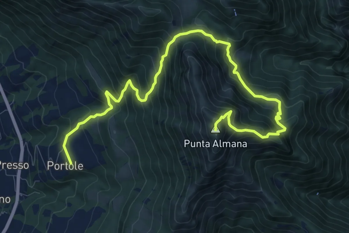
Demanding · Summit
Portole – Punta Almana
13.6 km · ↑ 1282 m · 5 h 59 min · 10 km away
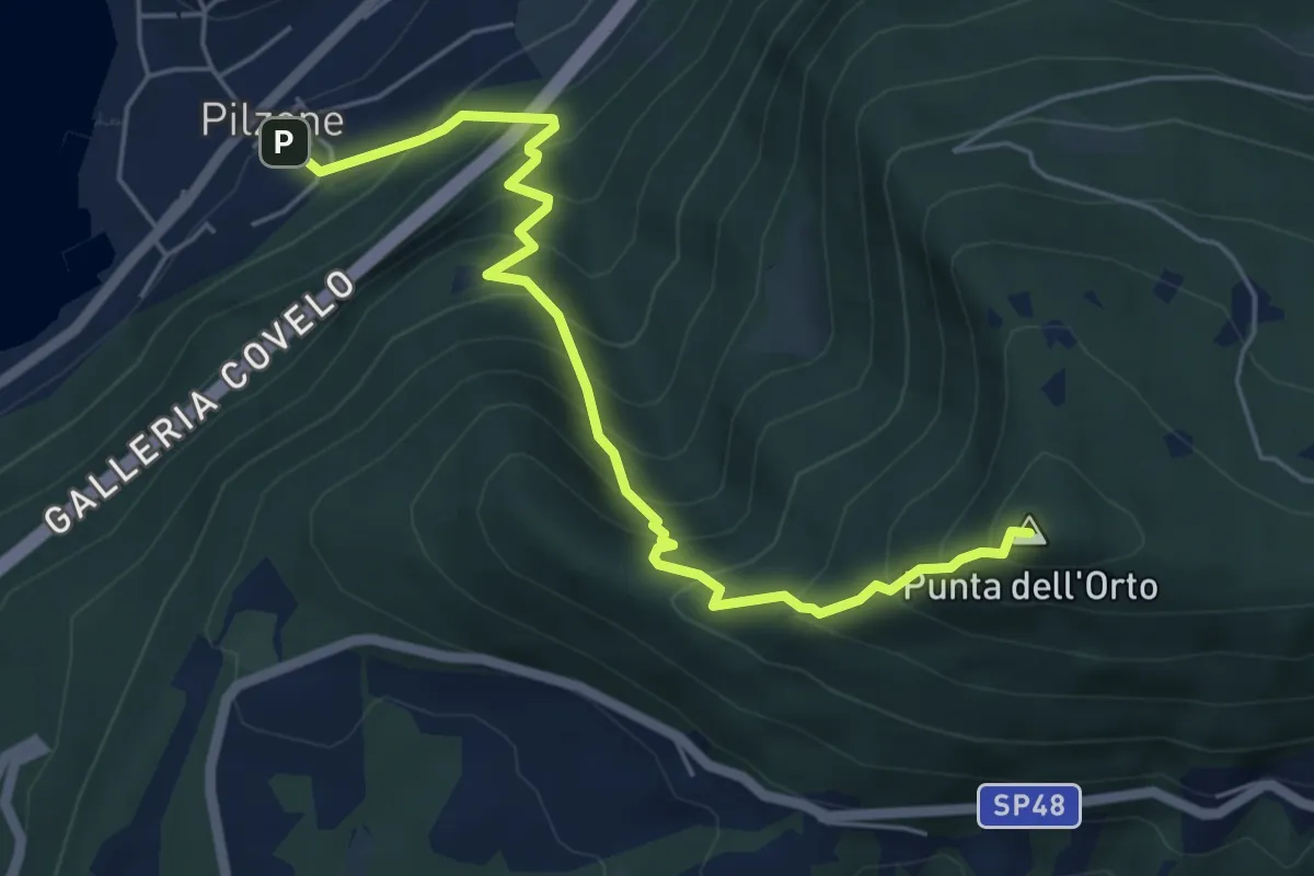
Medium · Summit
Pilzone – Punta dell'Orto
6.0 km · ↑ 762 m · 3 h 3 min · 10 km away
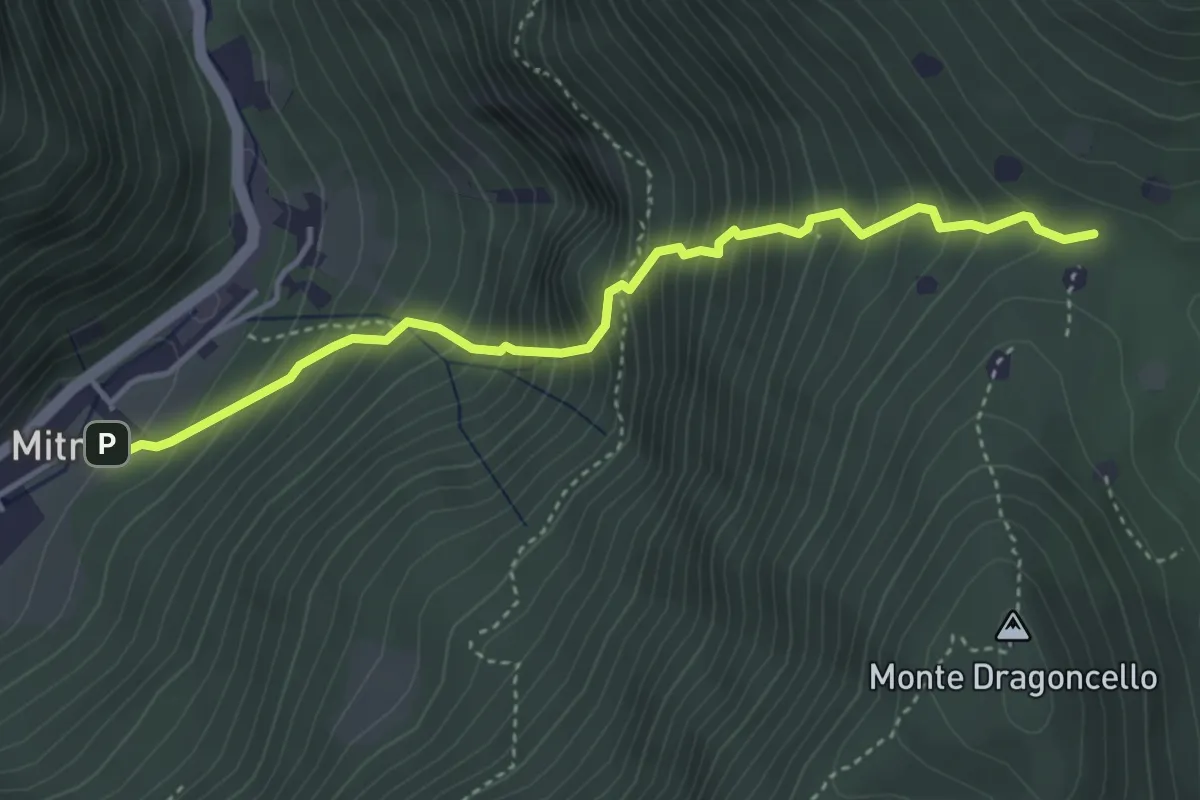
Demanding · Trail
Sentiero della dieta
4.1 km · ↑ 675 m · 2 h 26 min · 10 km away
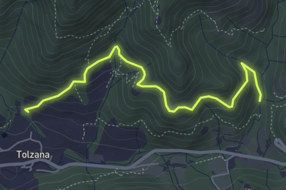
Medium · Trail
Caino (San Cap) – Val Bertone
4.9 km · ↑ 452 m · 2 h 9 min · 10 km away
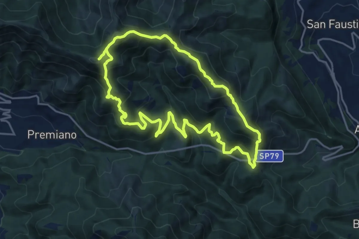
Demanding · Summit
Sentiero Tranquillo Bianchi e Caduti per la Libertà di Lumezzane - Tronco B
10.9 km · ↑ 840 m · 4 h 33 min · 10 km away
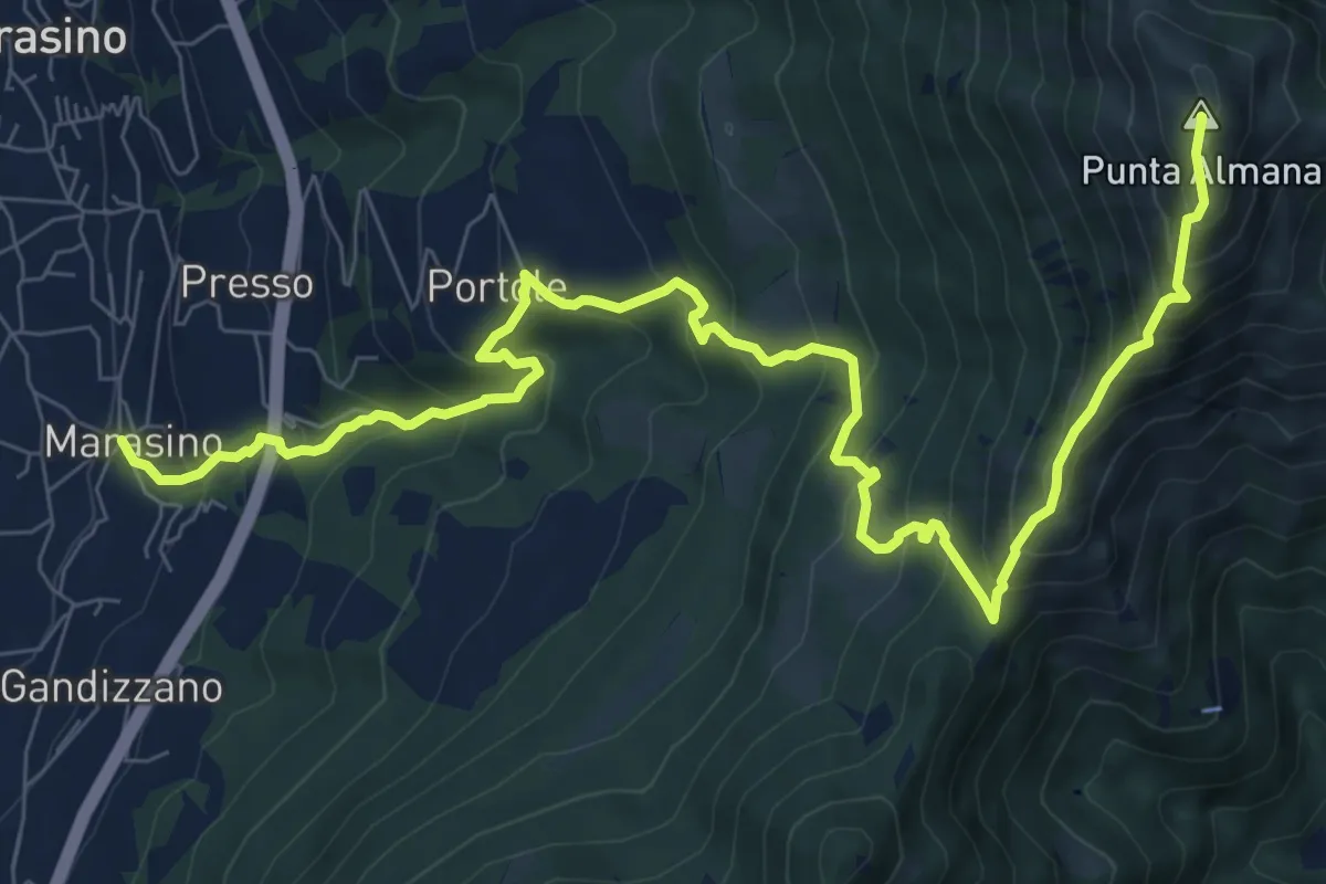
Demanding · Summit
Marasino – Punta Almana
11.4 km · ↑ 1126 m · 5 h 9 min · 10 km away
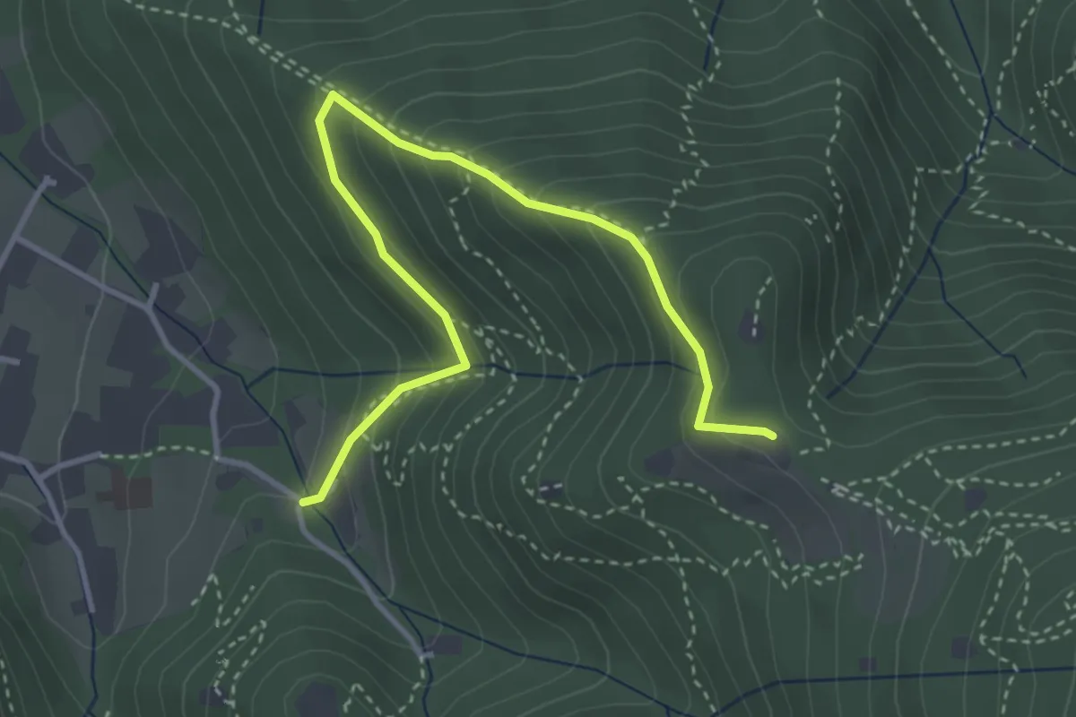
Medium · Trail
Brescia (Costalunga - Via Monte della Valle) – Monte Maddalena (Cascina Margherita - Innesto Sentiero 907)
4.0 km · ↑ 301 m · 1 h 36 min · 10 km away
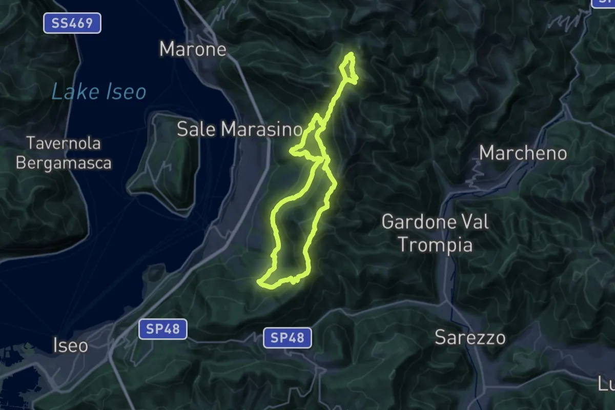
Demanding · Summit
Sentiero Brigata Giustizia e Libertà - Barnaba
18.2 km · ↑ 1346 m · 7 h 21 min · 10 km away
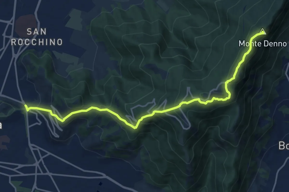
Medium · Summit
Sentiero 3V - Tappa 1a
13.1 km · ↑ 743 m · 4 h 42 min · 10 km away
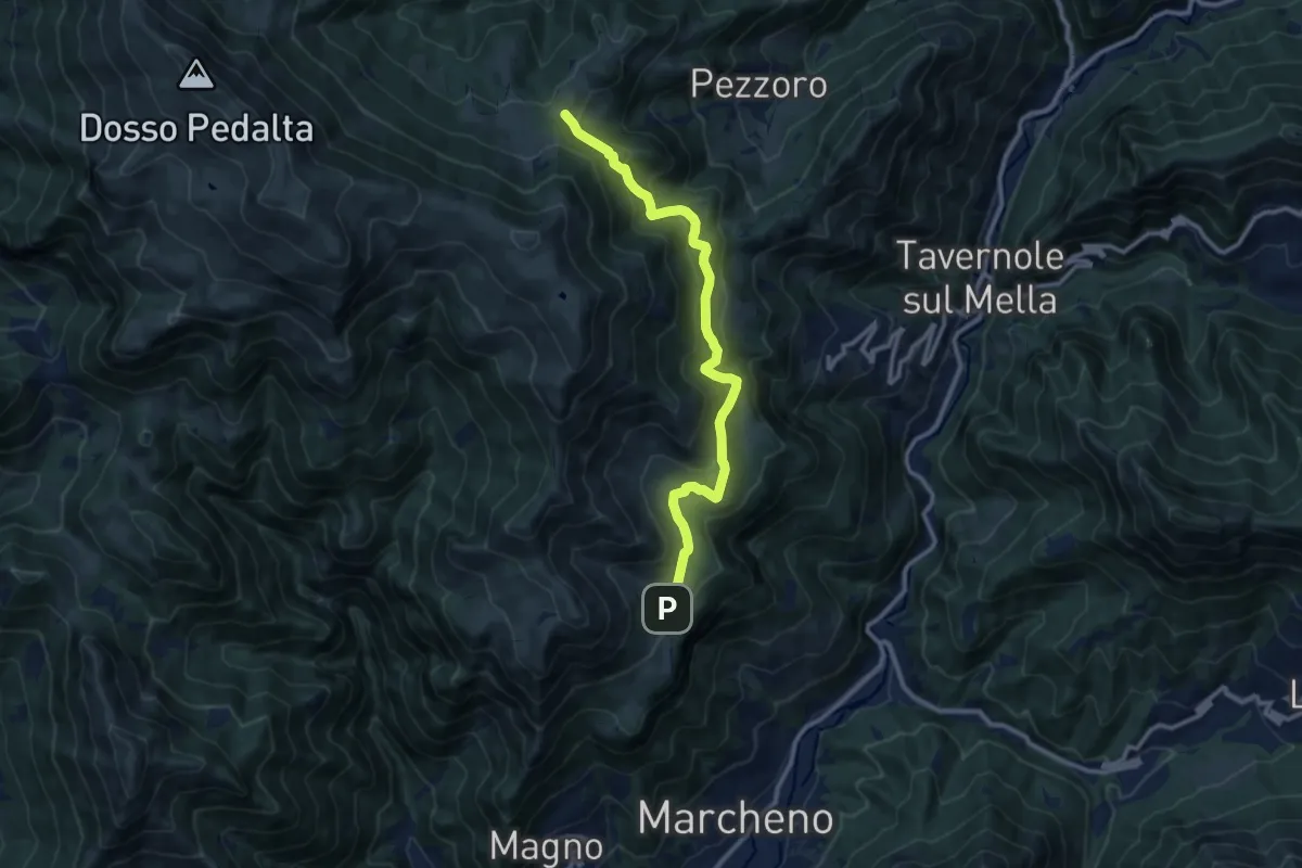
Medium · Cabin
Marcheno (Piani di Caregno) – Pozza Lavacolo (Bivio Sentiero 325)
10.9 km · ↑ 601 m · 3 h 53 min · 10 km away
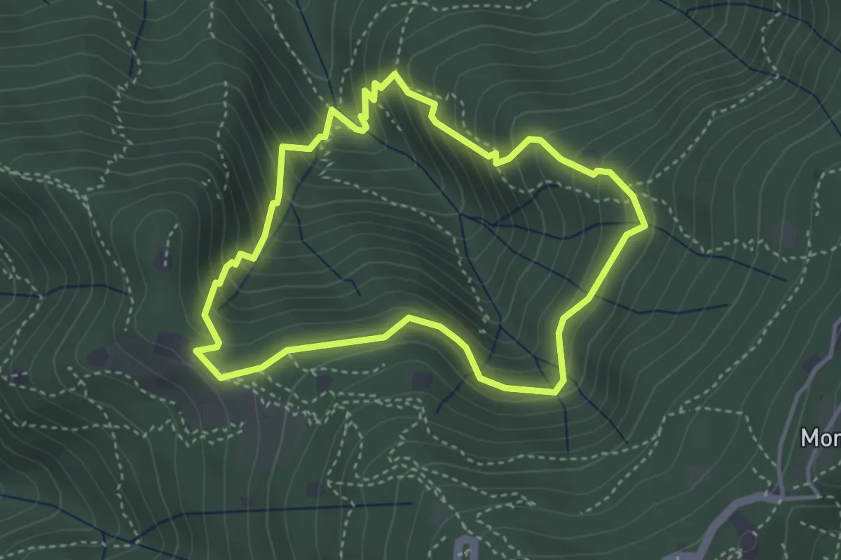
Medium · Cabin
Anello dei Brüsàcc
3.5 km · ↑ 335 m · 1 h 36 min · 10 km away
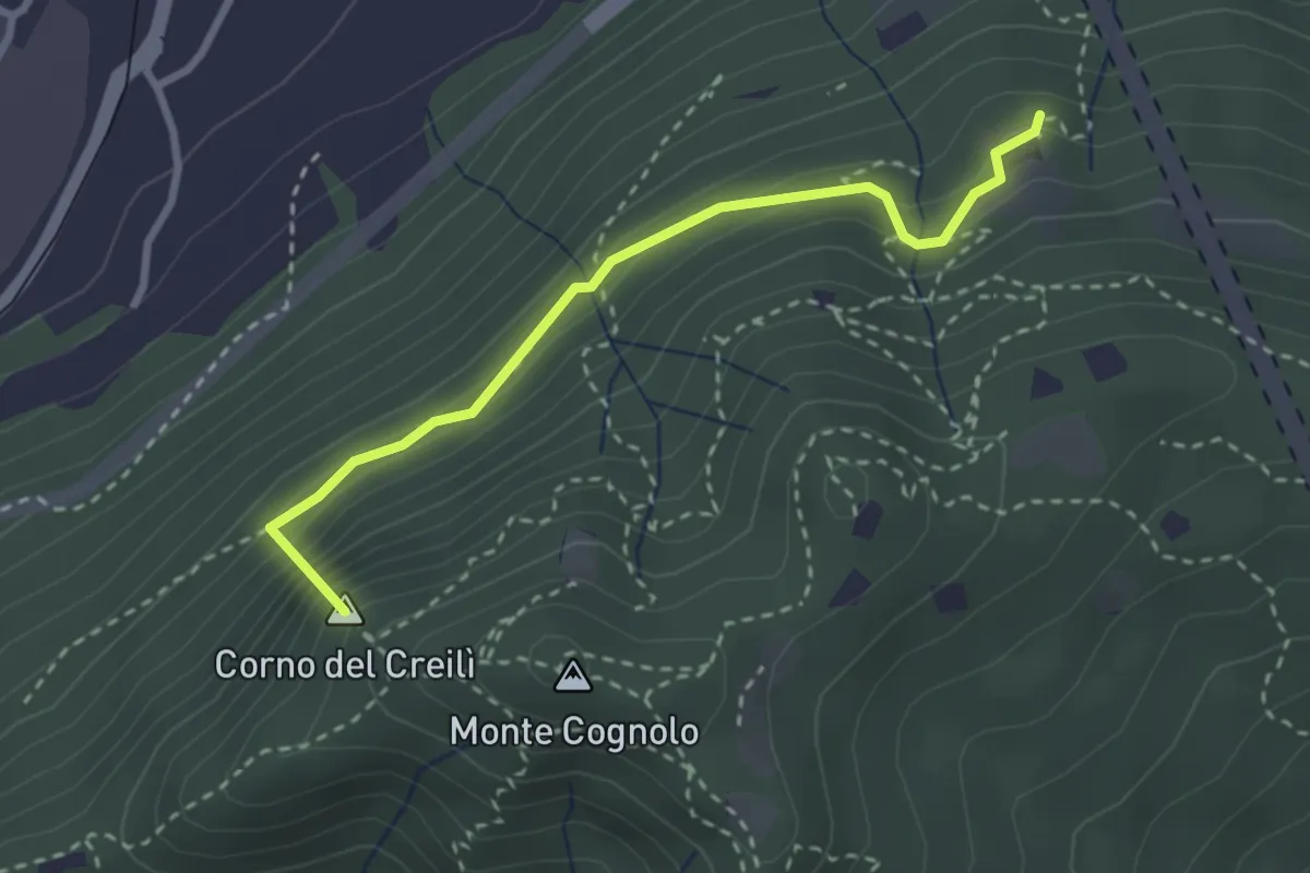
Easy · Summit
Senterù - Sentiero delle Terre Rosse
2.9 km · ↑ 284 m · 1 h 18 min · 10 km away
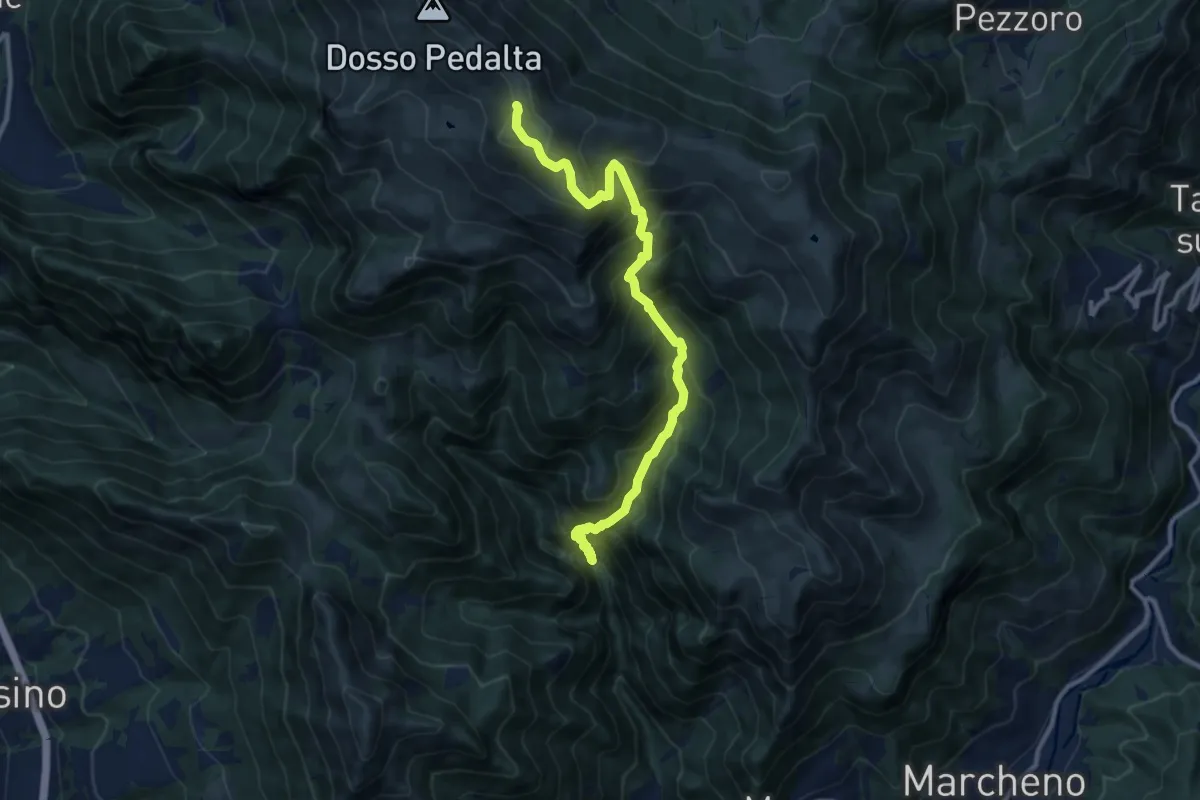
Demanding · Summit
Gardone Val Trompia (Valle di Inzino - Passo del Diavolo) – Monte Guglielmo
11.2 km · ↑ 1307 m · 5 h 28 min · 10 km away
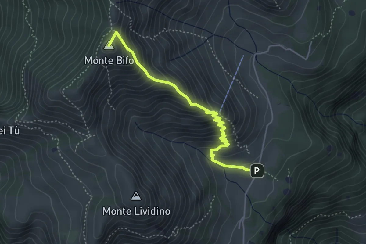
Medium · Summit
Marcheno (Piani di Caregno) – Malga Stalletti Alti (Bivio Sentiero 325)
4.1 km · ↑ 418 m · 1 h 53 min · 10 km away
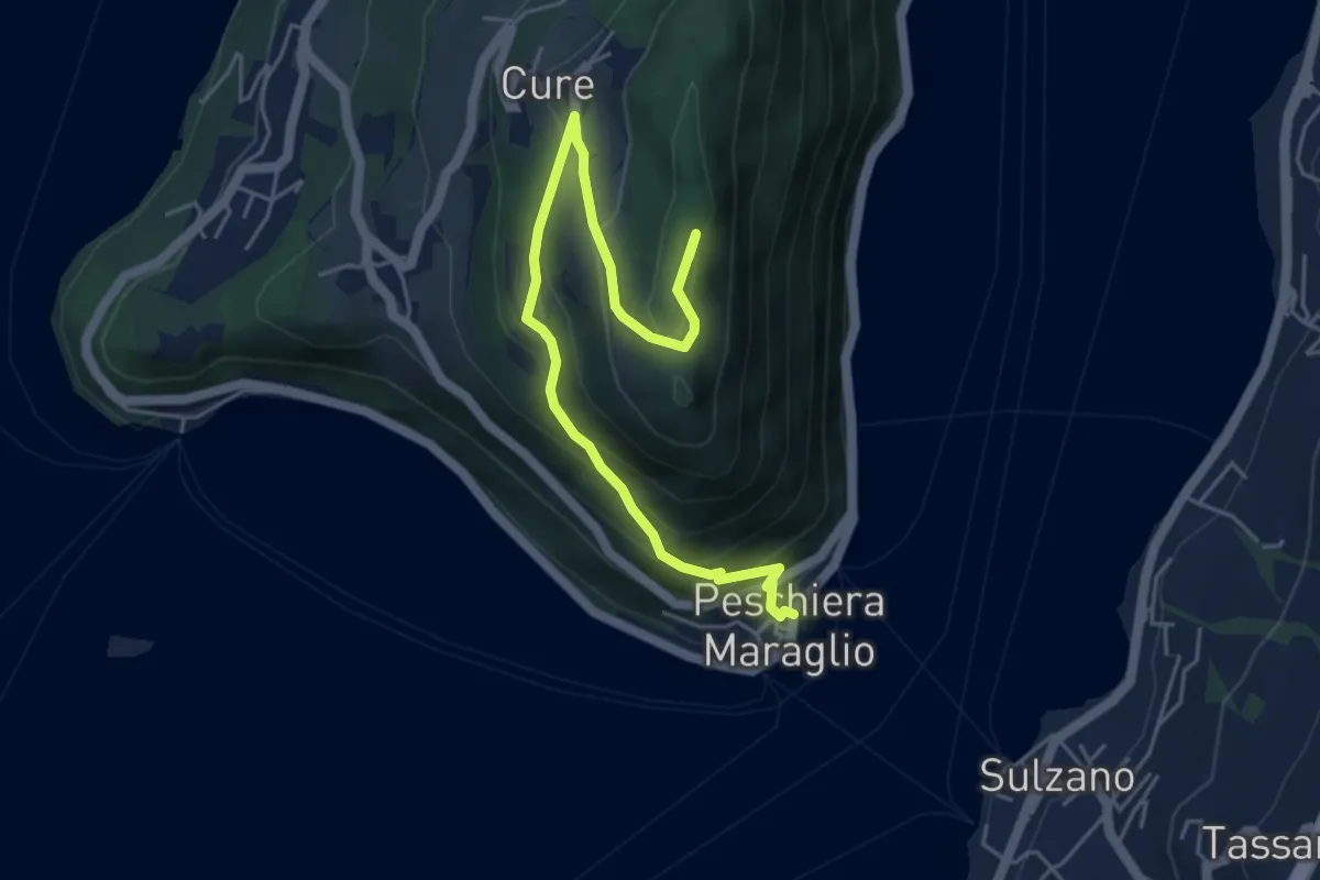
Medium · Summit
Pescheria Maraglio - Santuario della Ceriola
5.7 km · ↑ 392 m · 2 h 11 min · 10 km away
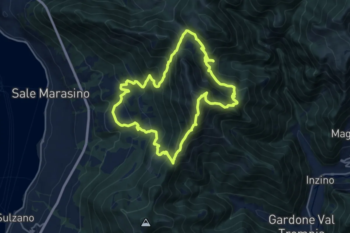
Demanding · Summit
Malghe in Rete - Anello 1 - Punta Almana
12.2 km · ↑ 1122 m · 5 h 30 min · 11 km away
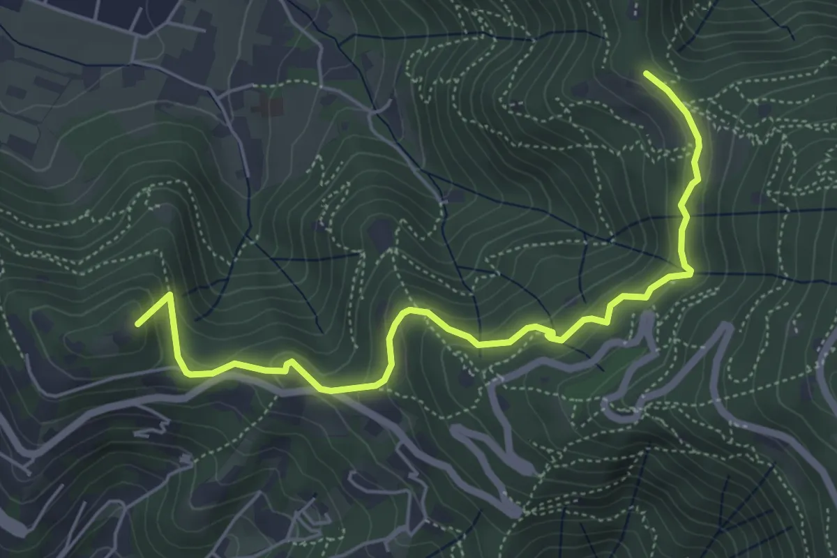
Medium · Summit
Brescia (Via del Goletto) – Cascina Margherita
5.9 km · ↑ 306 m · 2 h 3 min · 11 km away
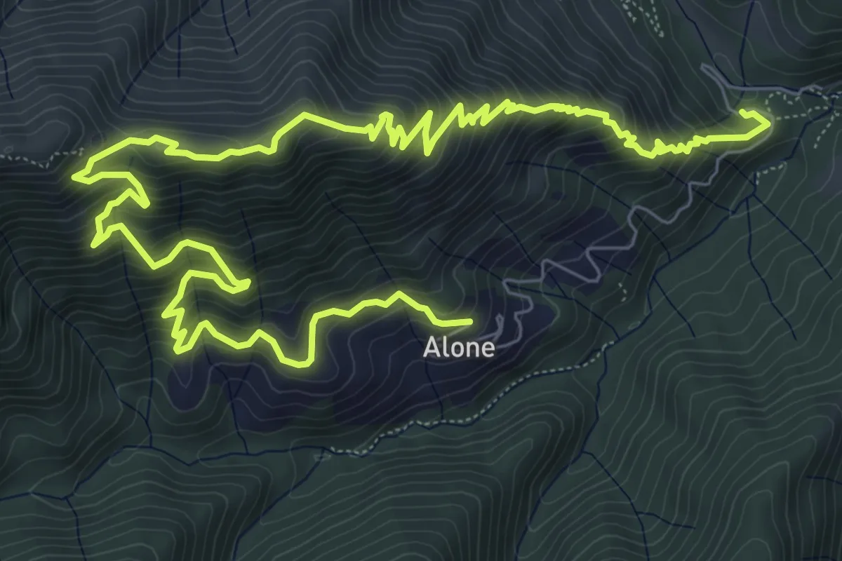
Medium · Trail
Sapei - Santa Caterina - Fo del Gal - San Rocco
6.4 km · ↑ 705 m · 3 h 4 min · 11 km away
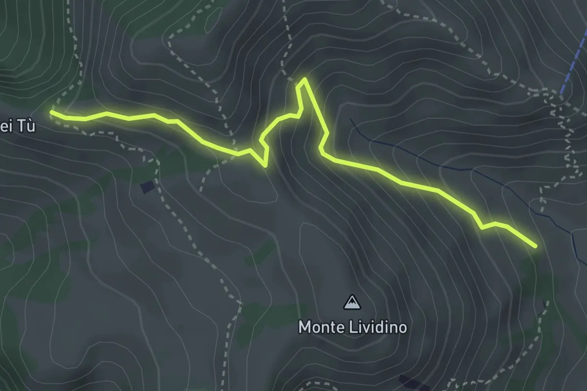
Medium · Trail
Marcheno (Piani di Caregno - Chiesetta degli Alpini) – Corni dei Tù (Bivio Sentiero 317)
3.5 km · ↑ 357 m · 1 h 37 min · 11 km away
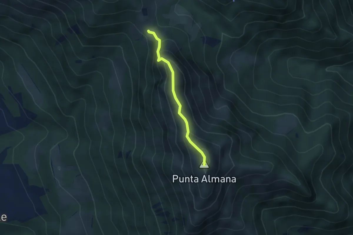
Expert · Summit
Sentiero Filippo Benedetti
2.8 km · ↑ 244 m · 1 h 12 min · 11 km away
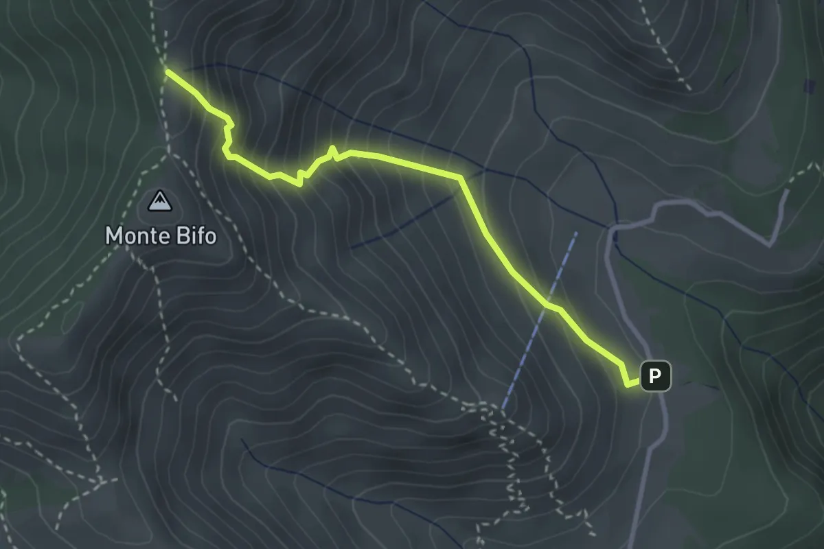
Medium · Trail
Marcheno (Piani di Caregno - Bivio Sentiero 320) – Passo dell Sabbione (Bivio Sentiero 318)
3.0 km · ↑ 387 m · 1 h 32 min · 11 km away
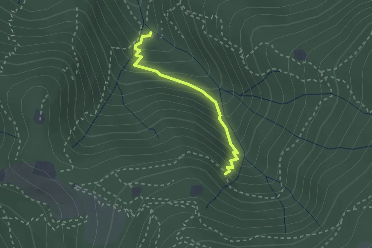
Medium · Cabin
Sentiero di Jago
1.9 km · ↑ 249 m · 59 min · 11 km away
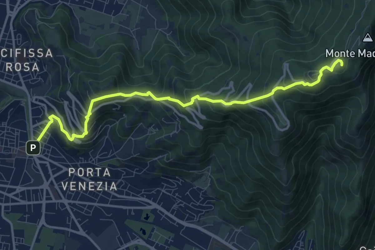
Medium · Trail
Brescia (Via Filippo Turati) – Chiesetta Monte Maddalena
10.7 km · ↑ 699 m · 4 h 2 min · 11 km away
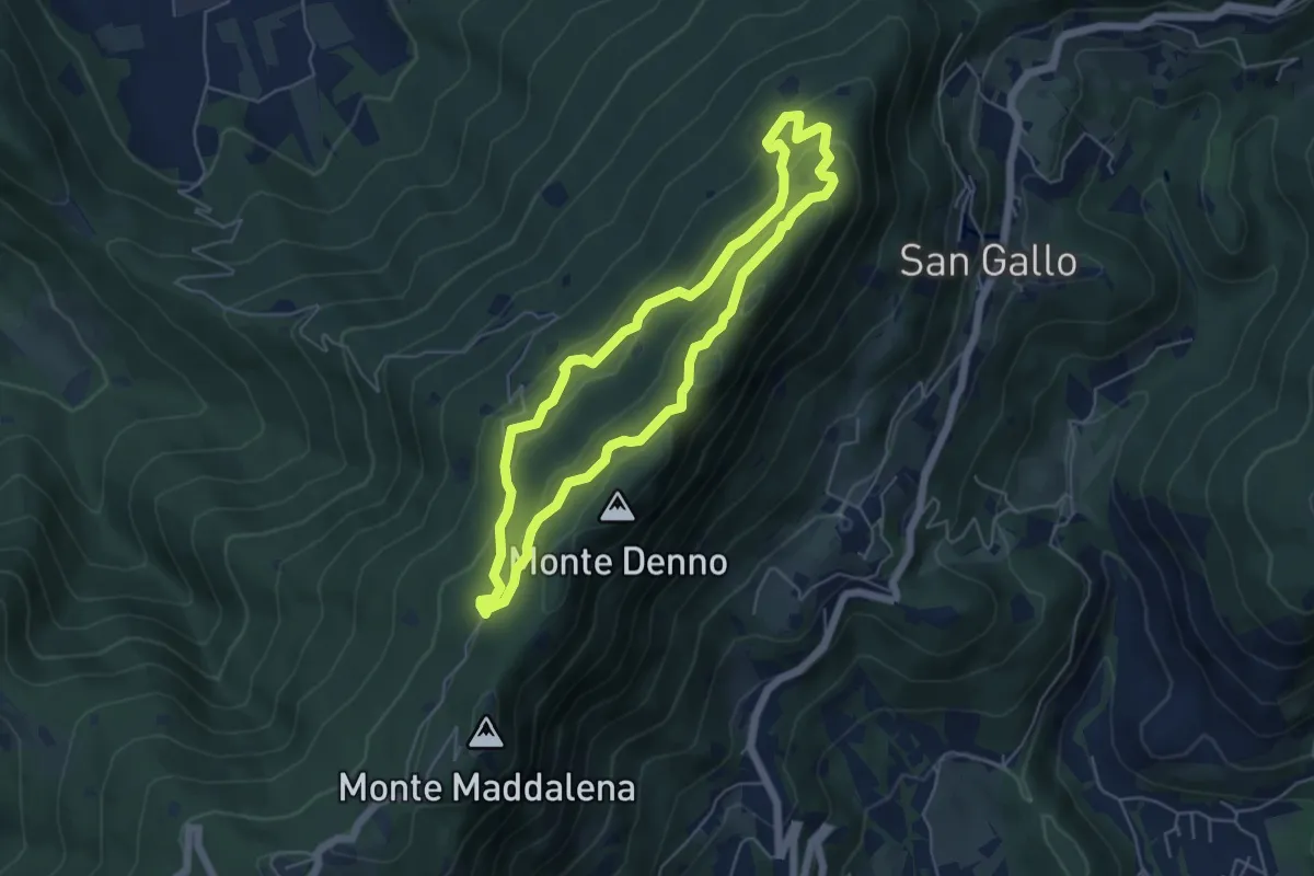
Medium · Summit
Sentiero Brigata Fiamme Verdi Dieci Giornate
5.0 km · ↑ 254 m · 1 h 48 min · 11 km away
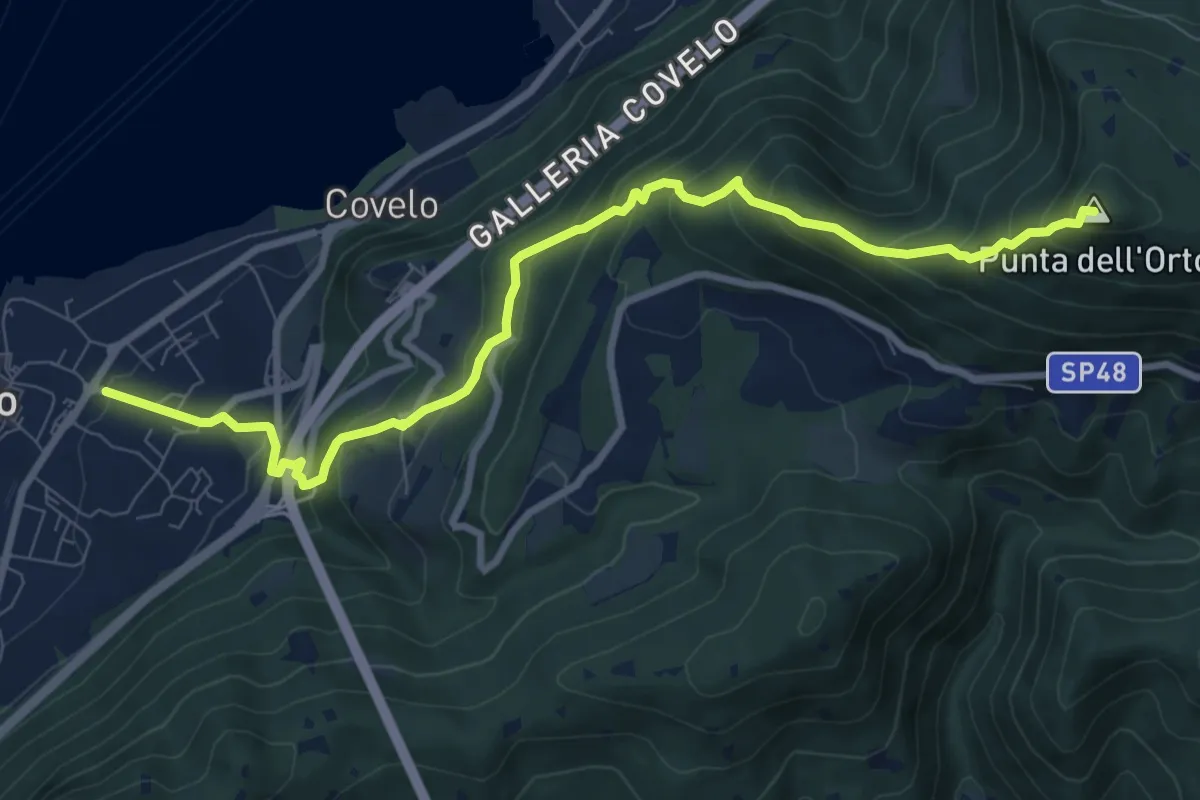
Medium · Summit
Iseo – Punta dell'Orto
9.6 km · ↑ 800 m · 4 h · 11 km away
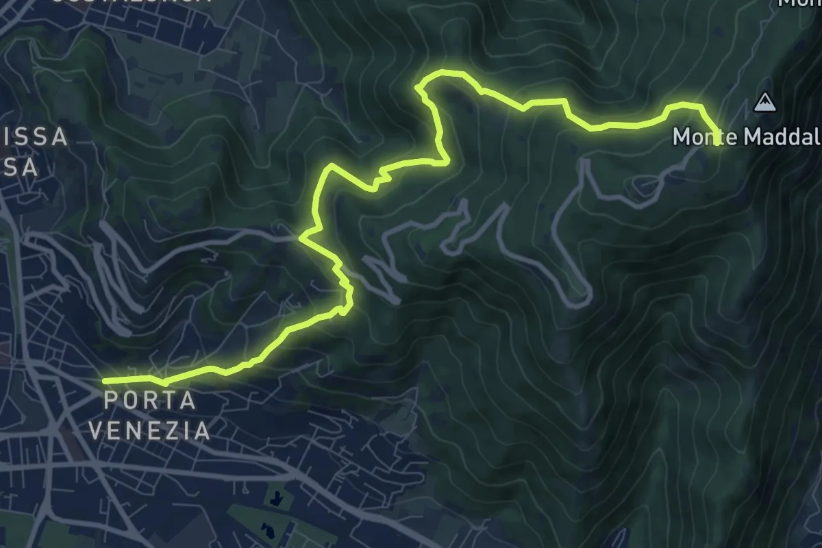
Demanding · Trail
Brescia (Via Amba d'Oro) – Monte Maddalena (Piazzale Ristorante Grillo)
12.1 km · ↑ 852 m · 4 h 42 min · 11 km away
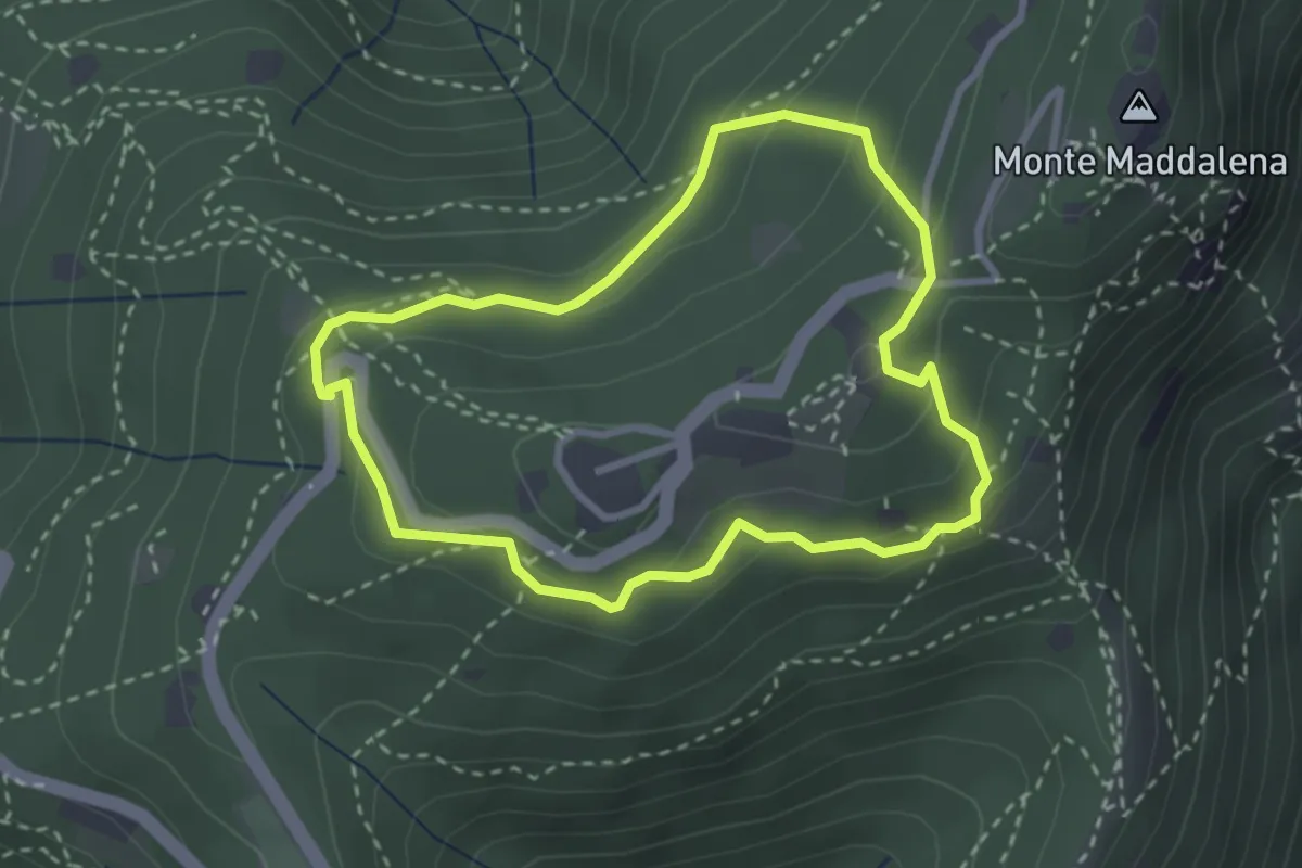
Medium · Trail
Anello della Maddalena
2.7 km · ↑ 144 m · 59 min · 11 km away
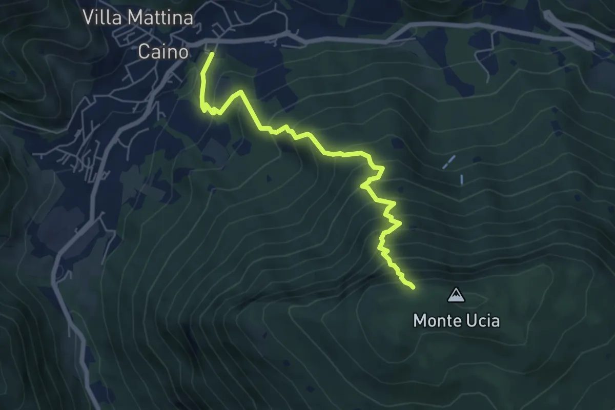
Demanding · Trail
Caino – Monte Ucia (Innesto Sentiero 391)
5.7 km · ↑ 736 m · 2 h 56 min · 11 km away
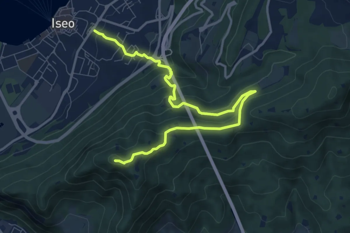
Medium · Summit
Giro delle Culme
9.9 km · ↑ 516 m · 3 h 28 min · 11 km away
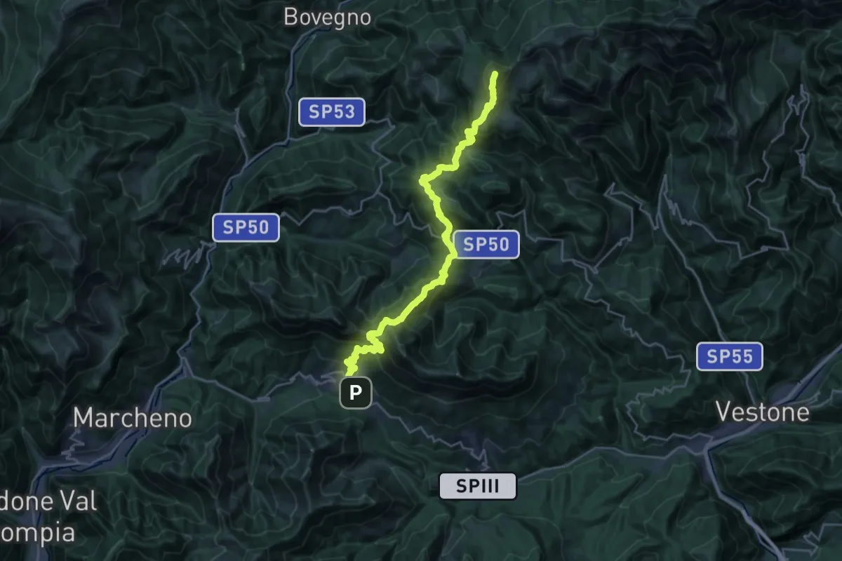
Demanding · Summit
Sentiero 3V - Tappa 3
25.5 km · ↑ 1895 m · 10 h 8 min · 11 km away
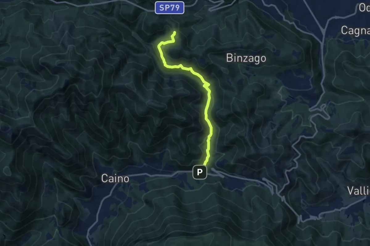
Medium · Trail
Caino (Val Bertone) – Passo Viglio
8.9 km · ↑ 525 m · 3 h 14 min · 11 km away
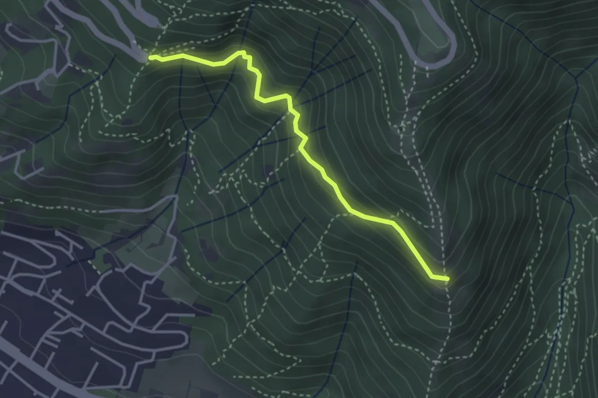
Medium · Trail
Innesto sentiero n. 902 – Innesto sentiero3V n.993
3.2 km · ↑ 233 m · 1 h 16 min · 12 km away
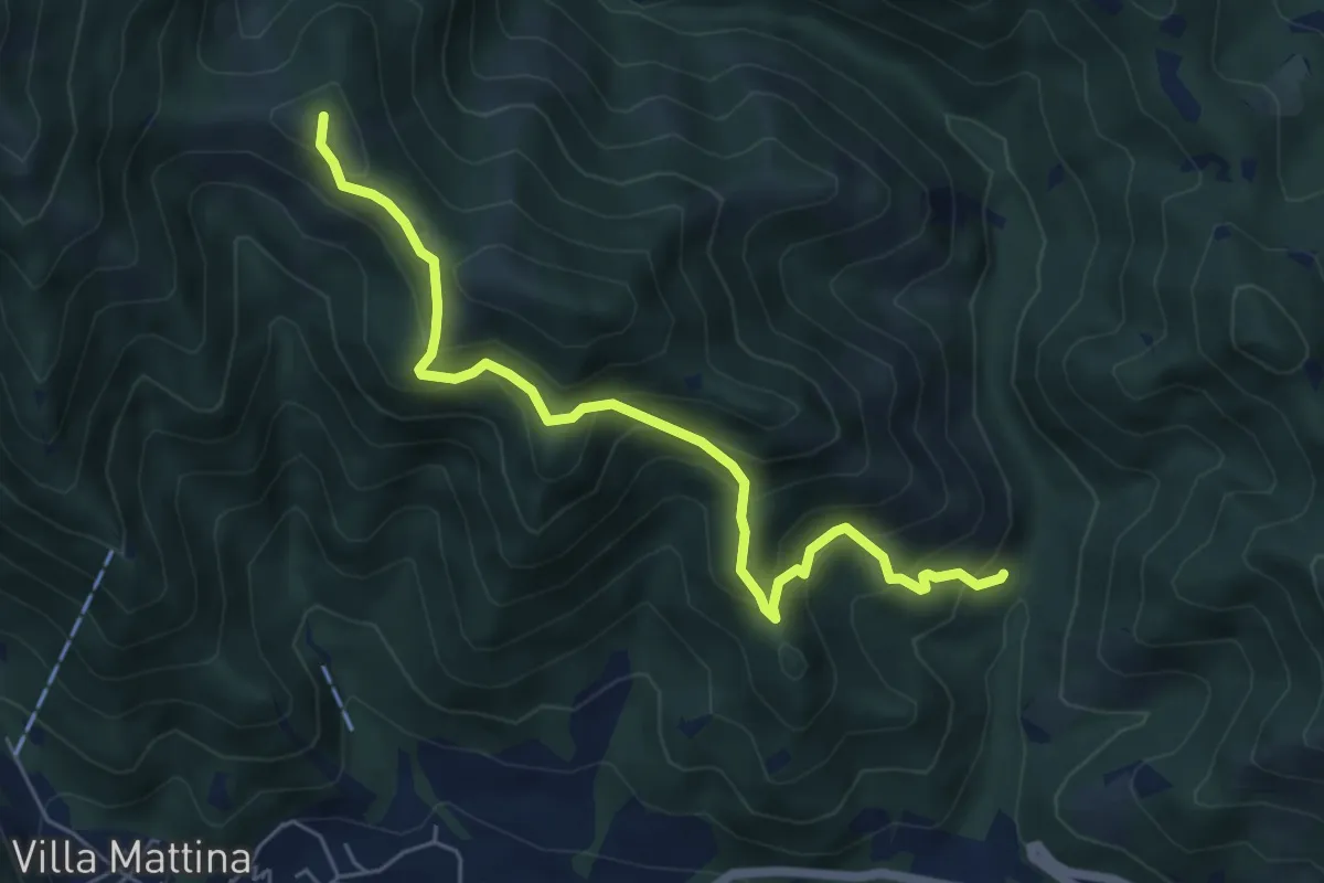
Medium · Summit
Caino (Val Bertone) – Boatica (Innesto Sentiero 381)
6.1 km · ↑ 507 m · 2 h 32 min · 12 km away
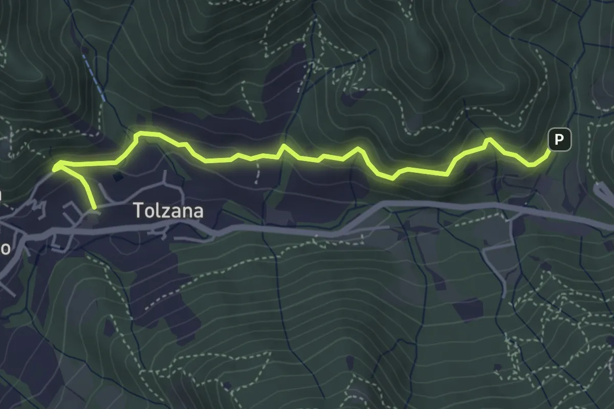
Easy · Trail
Caino – Val Bertone
4.7 km · ↑ 261 m · 1 h 41 min · 12 km away
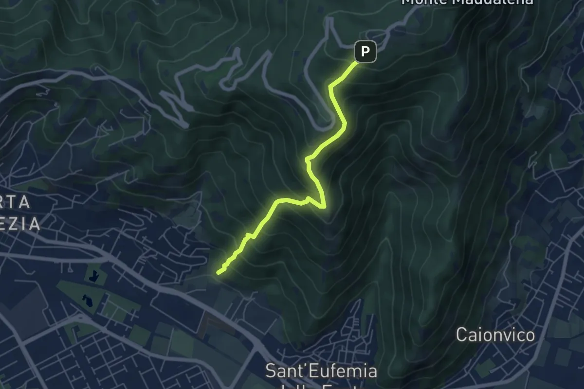
Medium · Trail
Sentiero Pastori 2
5.2 km · ↑ 637 m · 2 h 36 min · 12 km away
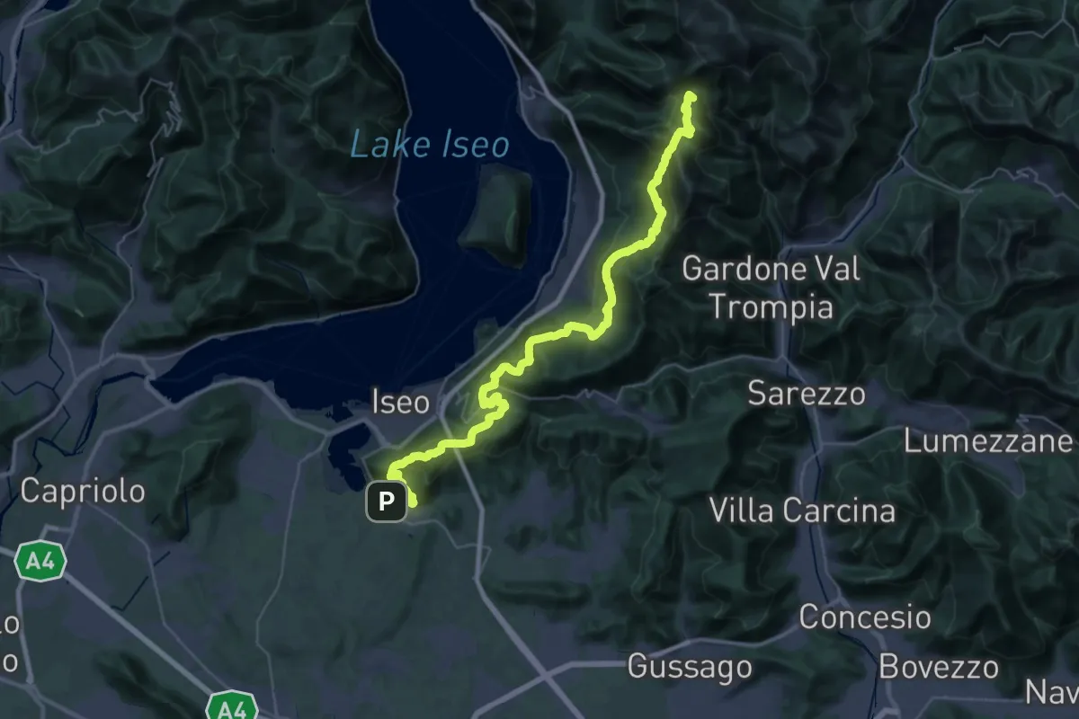
Demanding · Summit
Proai Gölem
44.7 km · ↑ 2342 m · 15 h 38 min · 12 km away
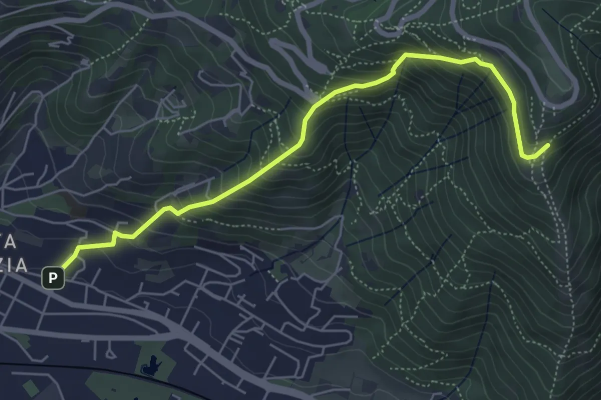
Medium · Trail
Brescia (Via del Canalotto) – Innesto Sentiero 902
5.7 km · ↑ 532 m · 2 h 29 min · 12 km away
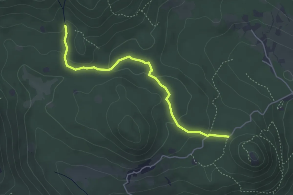
Easy · Trail
Serle (Santuario di San Bartolomeo) - Monte Ucia
4.1 km · ↑ 123 m · 1 h 14 min · 12 km away
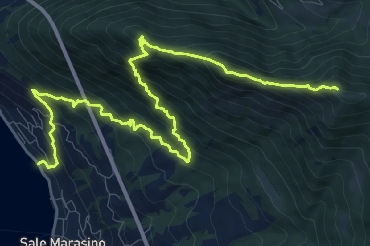
Demanding · Summit
Sale Marasino – Forcella di Sale
12.6 km · ↑ 1245 m · 5 h 40 min · 12 km away