Trails near Villa Carcina
299 hikes starting within 15 km, nearest first.
Nearest first, page 6 of 7
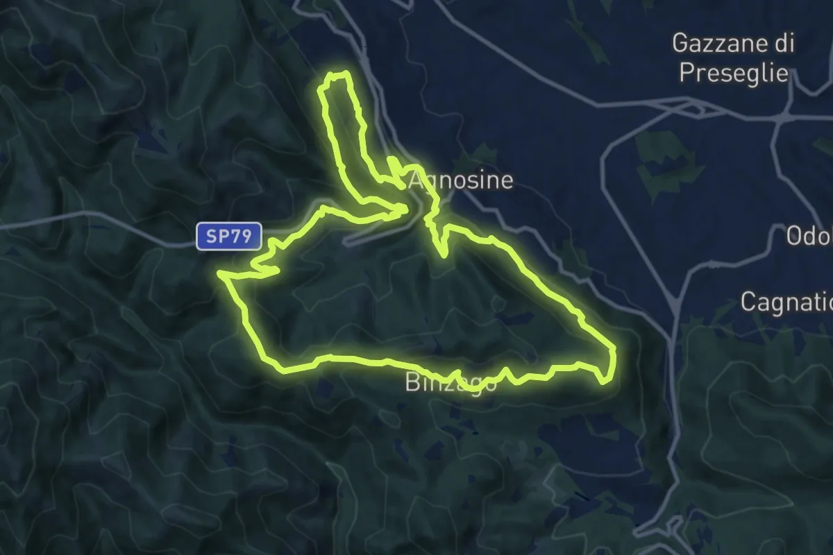
Medium · Summit
Sentiero Tranquillo Bianchi e Caduti per la Libertà di Lumezzane - Tronco A
12.3 km · ↑ 658 m · 4 h 31 min · 12 km away
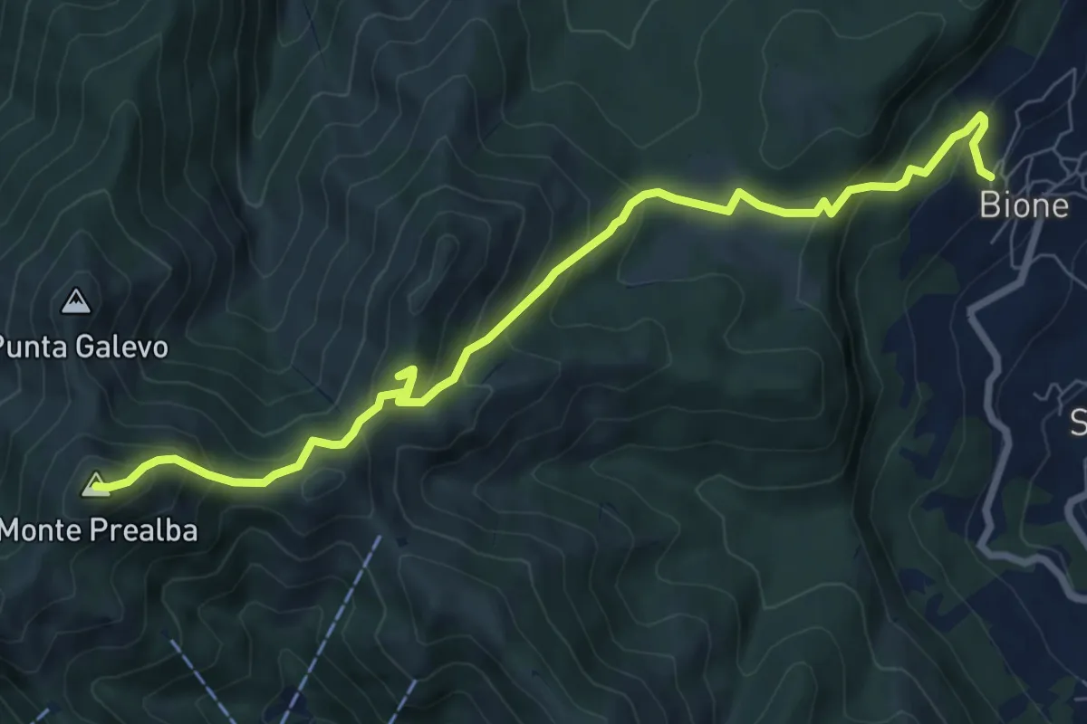
Medium · Summit
Bione (Pieve) - Eremo di San Vigilio - Monte Prealba
8.7 km · ↑ 716 m · 3 h 36 min · 12 km away
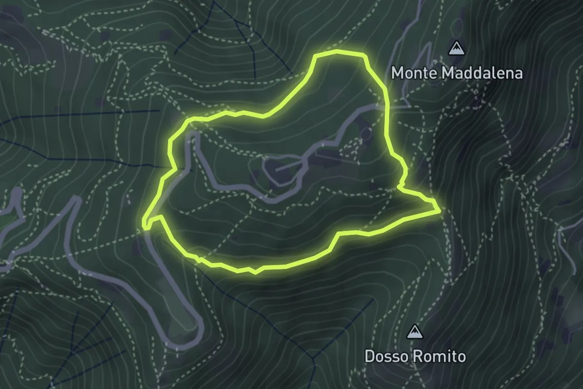
Demanding · Trail
Anello delle Pozze
3.4 km · ↑ 182 m · 1 h 15 min · 12 km away
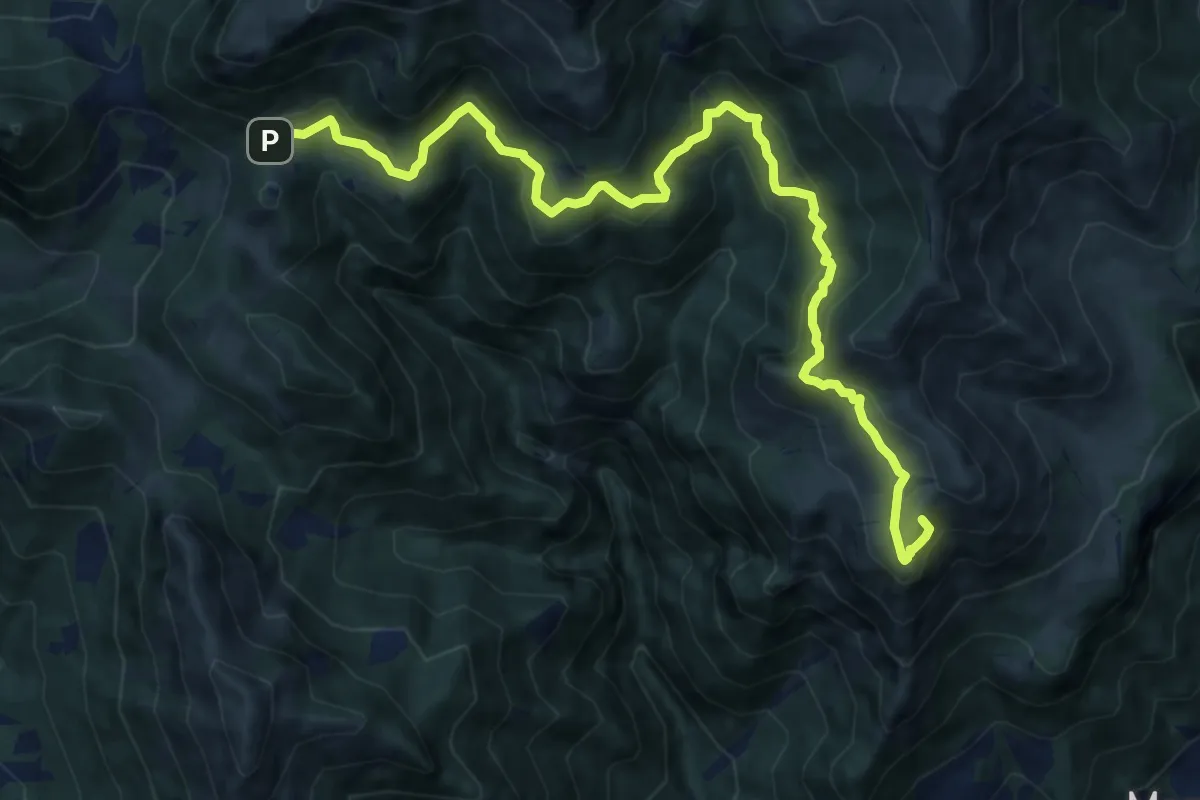
Demanding · Summit
Marcheno (Piani di Caregno) – Croce di Marone
13.2 km · ↑ 836 m · 4 h 56 min · 12 km away
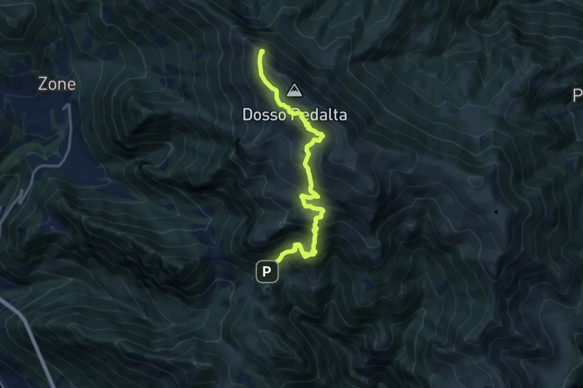
Demanding · Summit
Malghe in Rete - Trekking - Le Creste Tappa 2
11.3 km · ↑ 842 m · 4 h 29 min · 12 km away
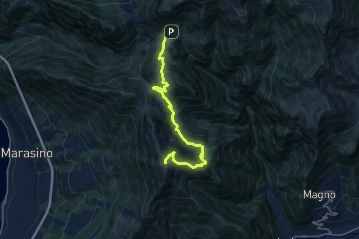
Demanding · Summit
Malghe in Rete - Trekking - Le Creste Tappa 1
11.5 km · ↑ 881 m · 4 h 37 min · 12 km away
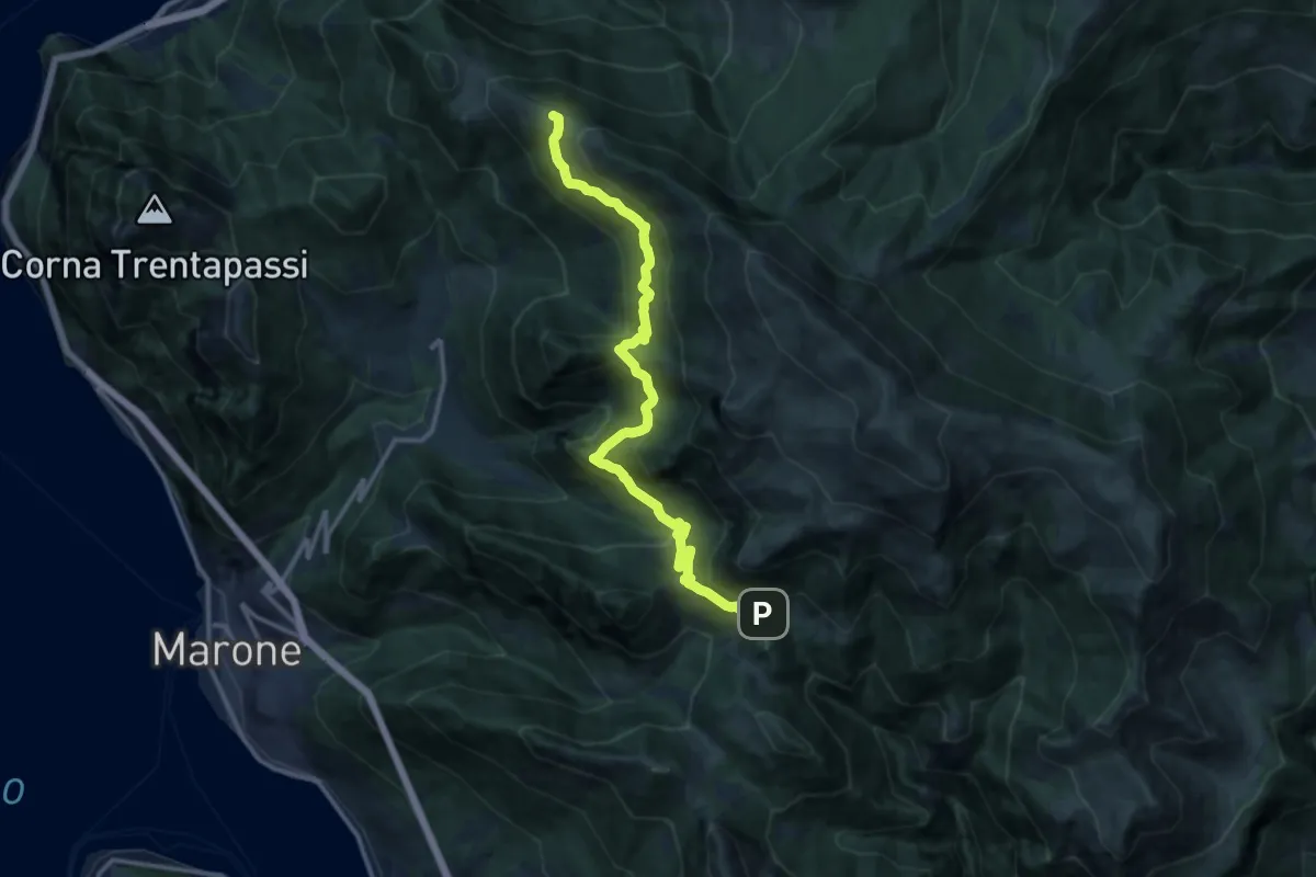
Expert · Summit
Sentiero dell'Uccellatore
14.4 km · ↑ 920 m · 5 h 24 min · 12 km away
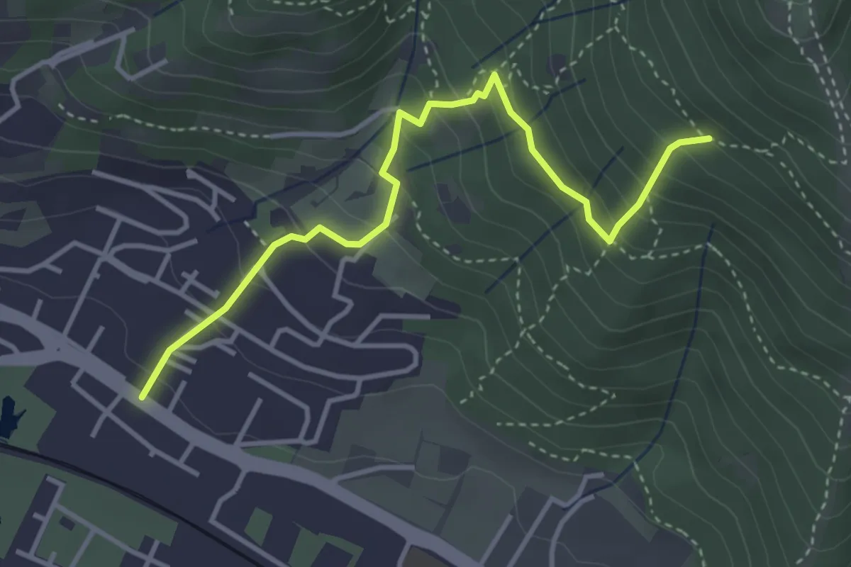
Medium · Trail
Brescia (Viale della Bornata) – Innesto Sentiero 912
3.9 km · ↑ 337 m · 1 h 39 min · 12 km away
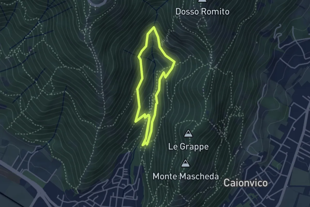
Medium · Trail
Sentiero dei Bucaneve
2.6 km · ↑ 240 m · 1 h 10 min · 12 km away
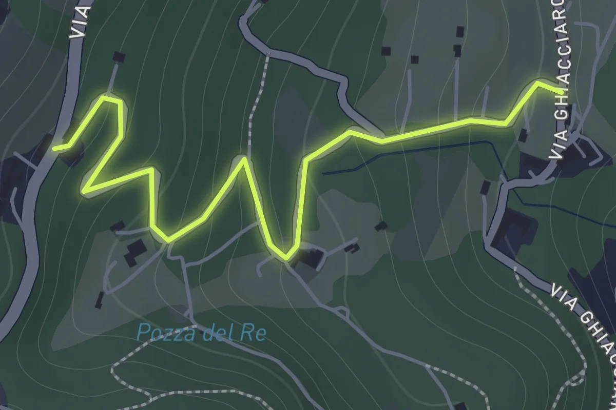
Easy · Trail
La Via del marmo - Botticino (San Gallo)
2.0 km · ↑ 147 m · 48 min · 12 km away
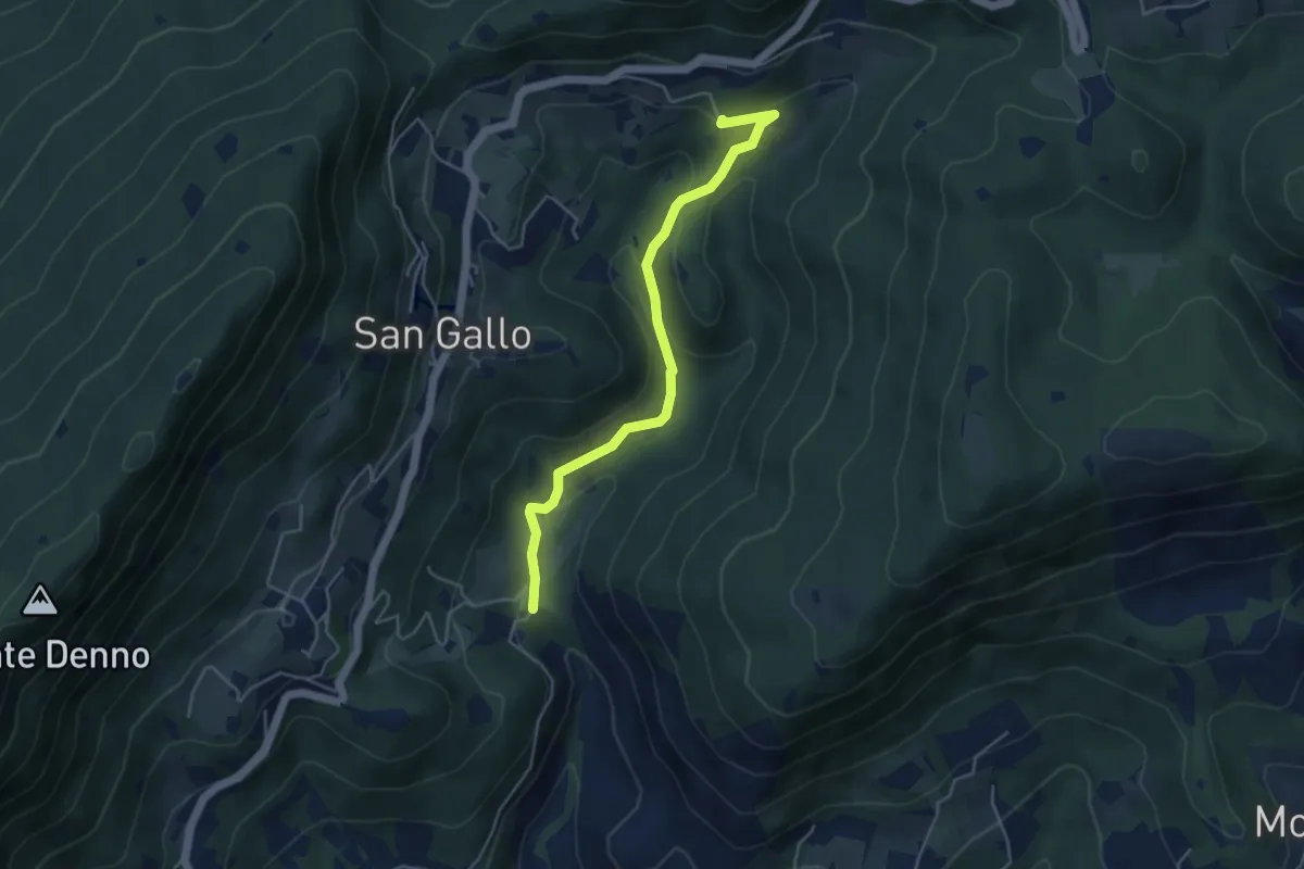
Medium · Summit
La Via del marmo - Botticino (Molino dell'Ora- Castello di Serle)
4.5 km · ↑ 178 m · 1 h 27 min · 12 km away
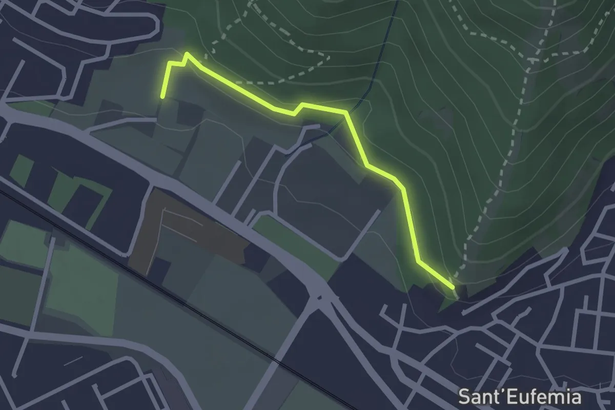
Medium · Trail
Sentiero della Memoria
2.2 km · ↑ 68 m · 39 min · 13 km away
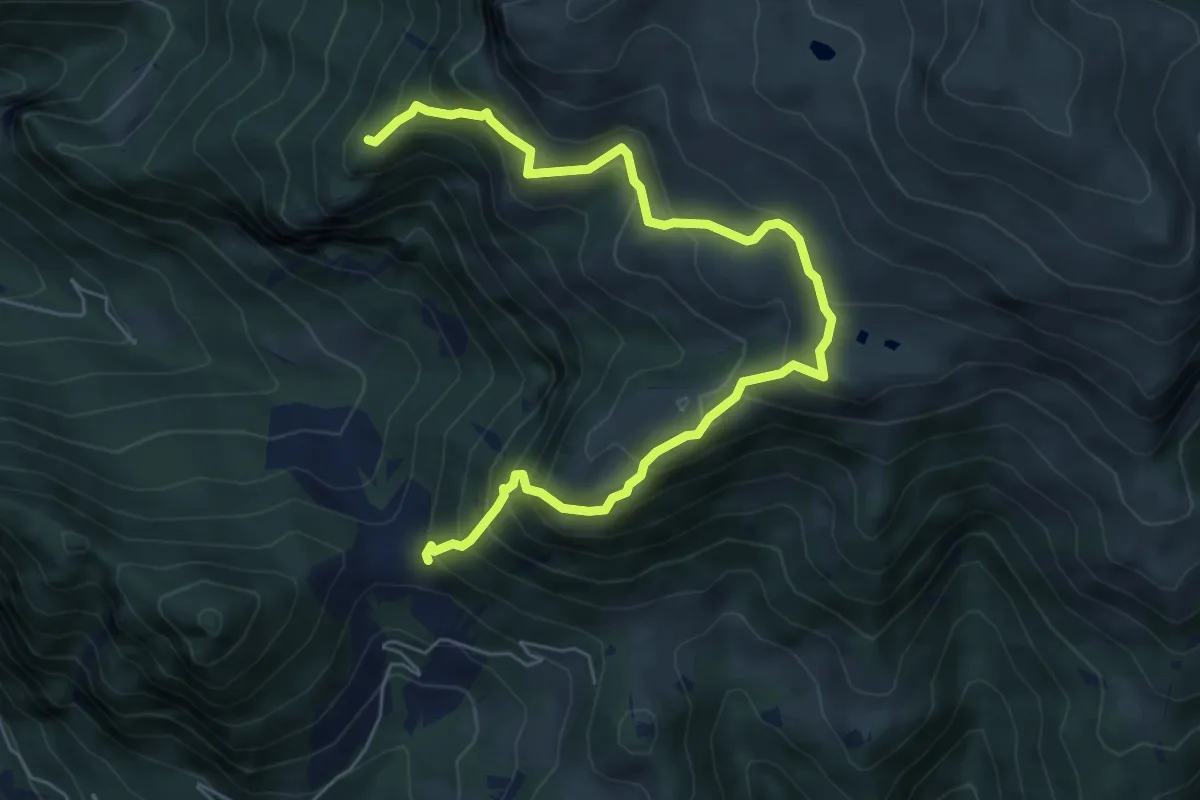
Demanding · Summit
Gasso – Rucca
7.3 km · ↑ 813 m · 3 h 30 min · 13 km away
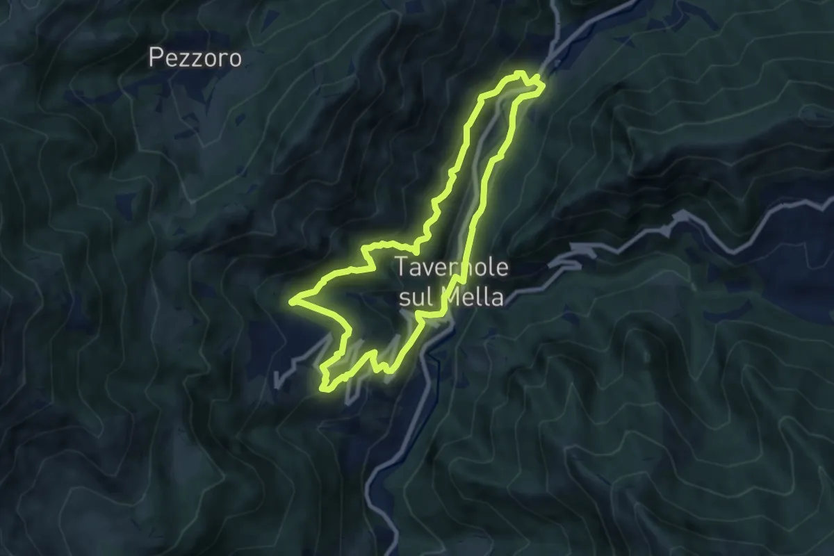
Medium · Trail
Sentiero 2 (La Pergua)
7.4 km · ↑ 437 m · 2 h 47 min · 13 km away
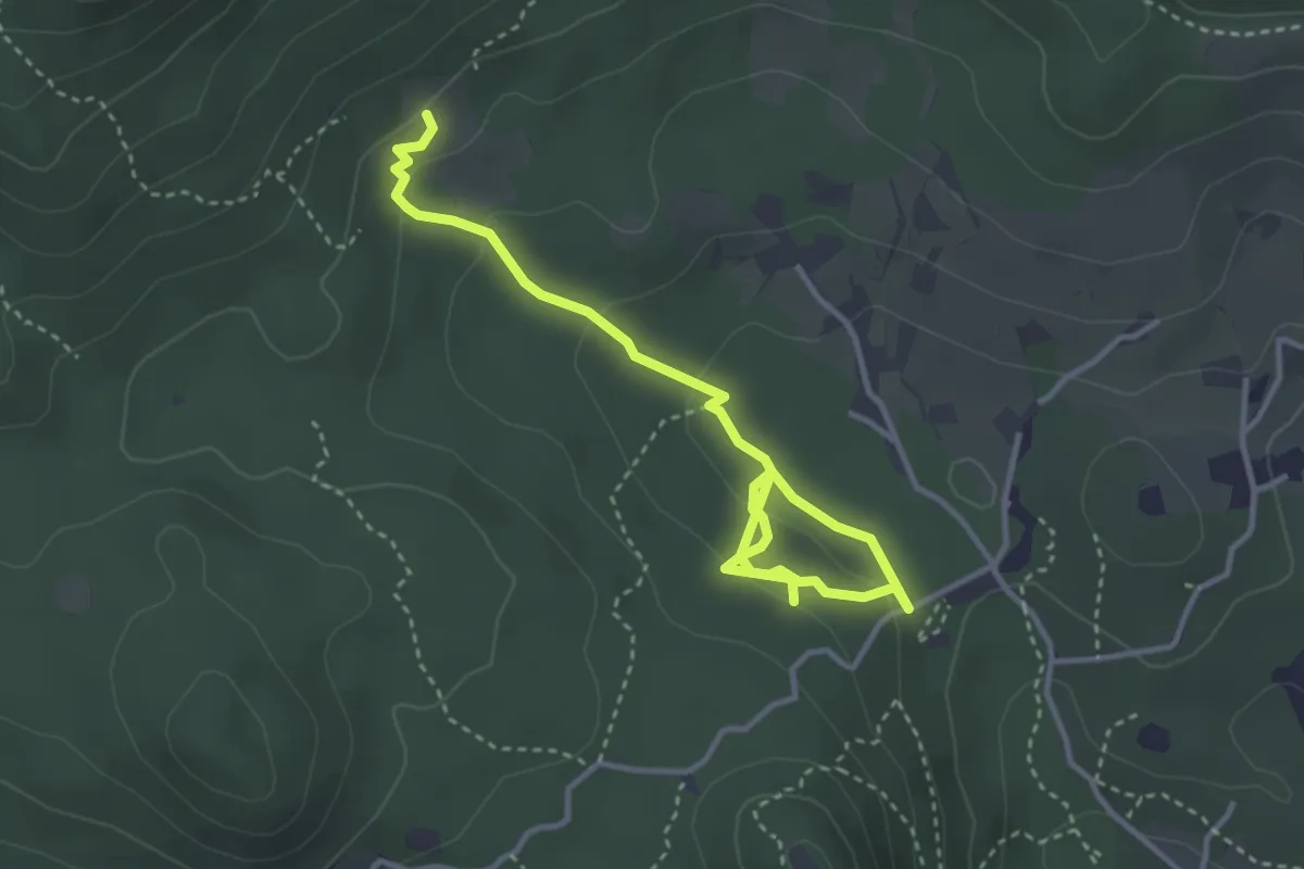
Easy · Trail
Sentiero degli Omber
2.2 km · ↑ 40 m · 40 min · 13 km away
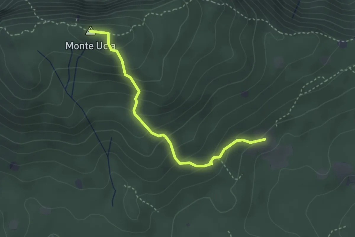
Easy · Summit
Serle (Cascina del Comune) - Corna di Caino
3.1 km · ↑ 265 m · 1 h 19 min · 13 km away
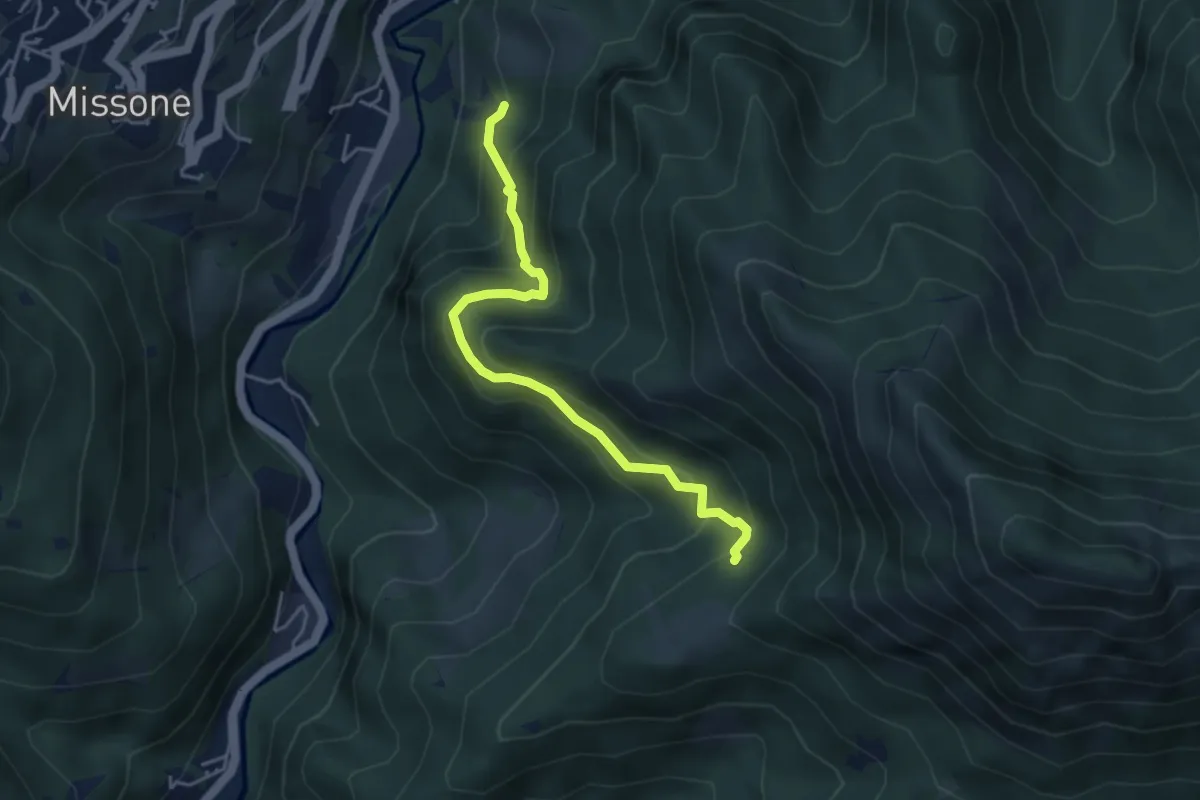
Medium · Trail
Antica Strada della Viola Alta
4.2 km · ↑ 367 m · 1 h 47 min · 13 km away
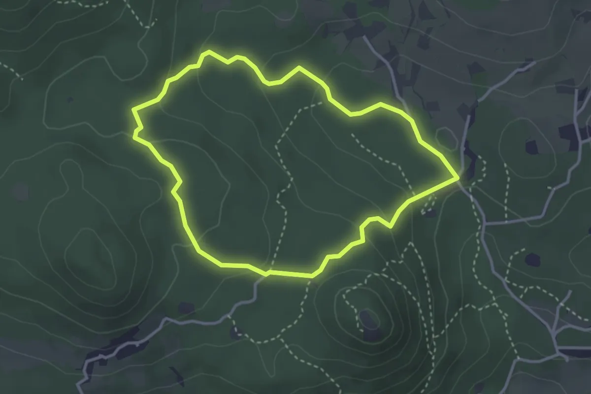
Easy · Trail
Serle (Grotta della Carbonella) - Büs de la Pocia
3.2 km · ↑ 108 m · 1 h 2 min · 13 km away
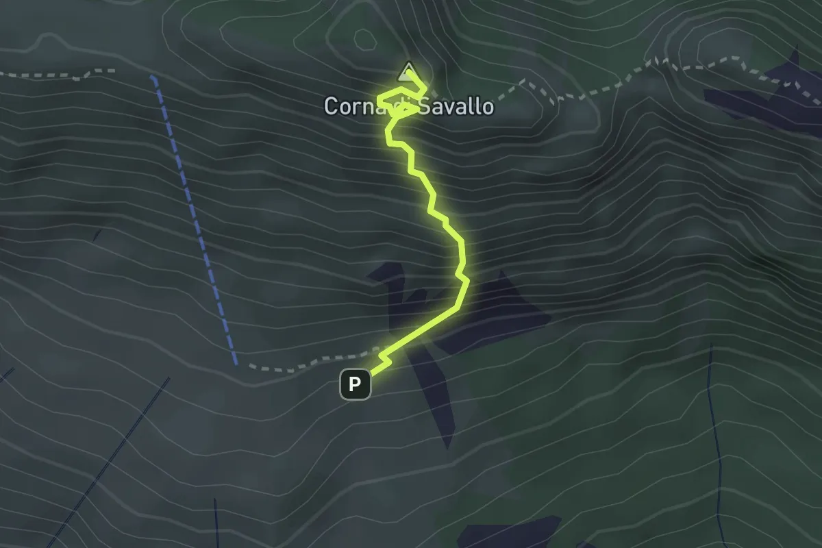
Medium · Summit
Sentiero Attrezzato Ferrata Nasego
2.1 km · ↑ 412 m · 1 h 23 min · 13 km away
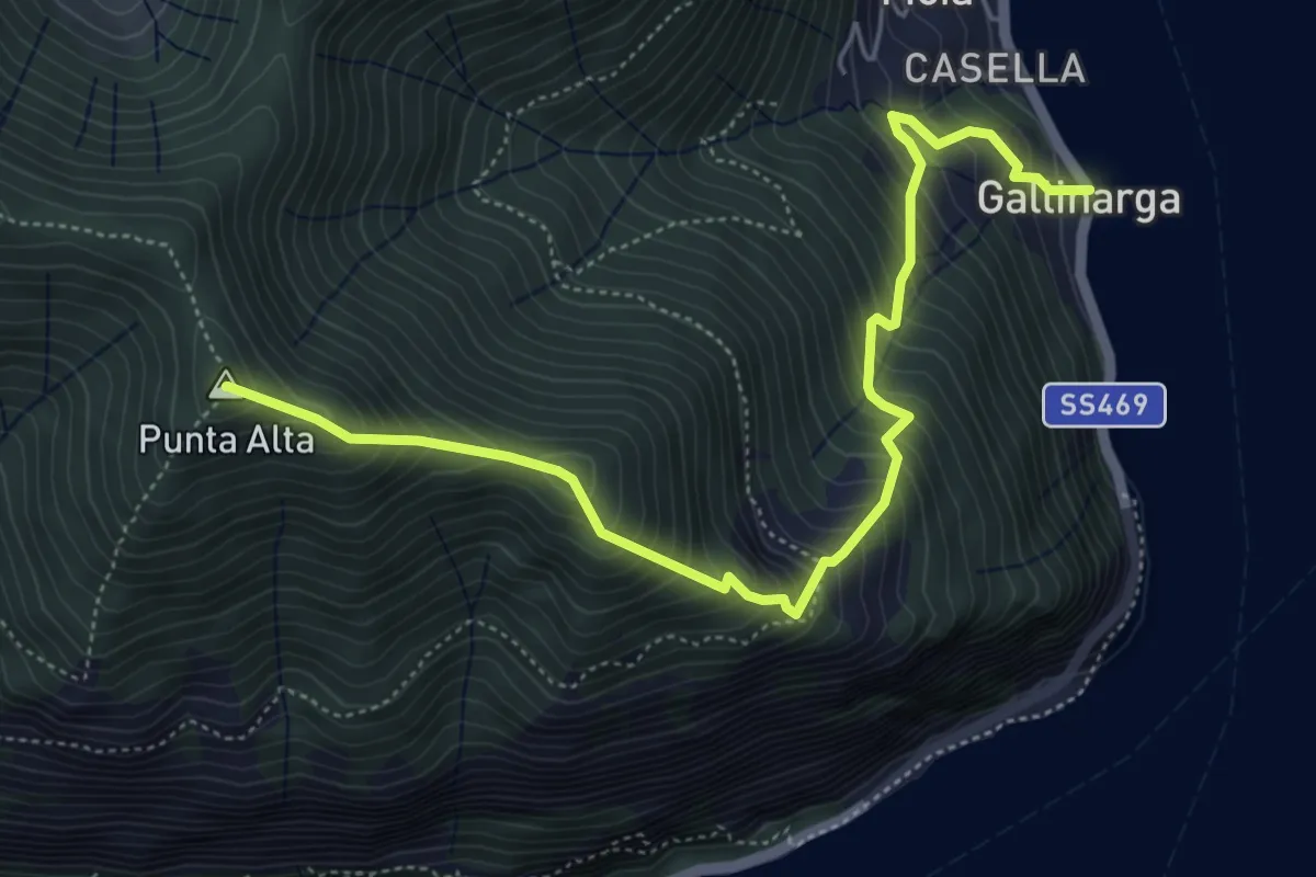
Demanding · Summit
Gallinarga – Colle del Giogo
5.9 km · ↑ 744 m · 3 h · 13 km away
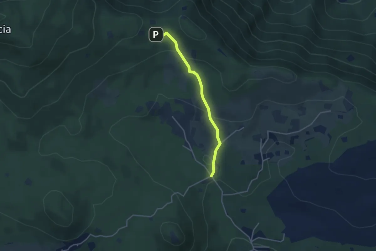
Easy · Cabin
Serle (Rifugio Alpini di Serle) - Monte Ucia - Corna di Caino
2.9 km · ↑ 122 m · 57 min · 13 km away
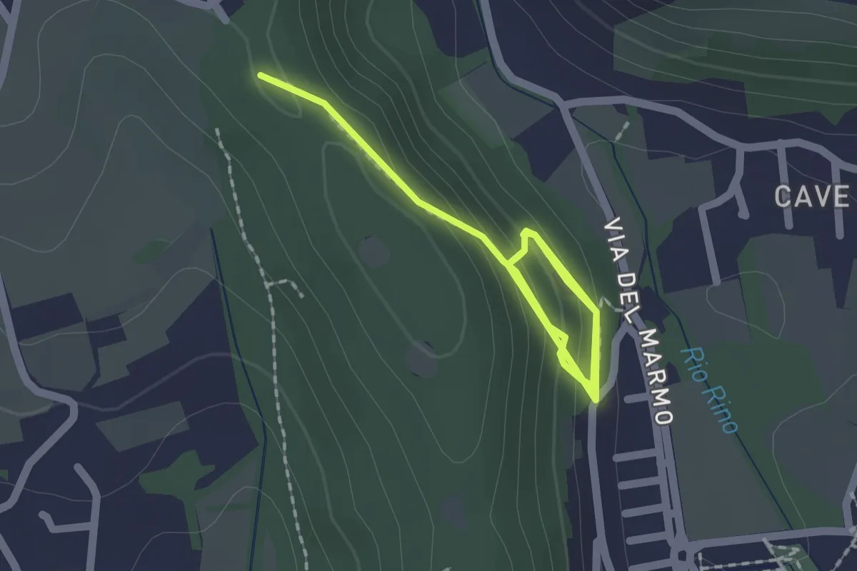
Demanding · Trail
La Via del marmo - Botticino (Castagneto)
2.5 km · ↑ 123 m · 52 min · 13 km away
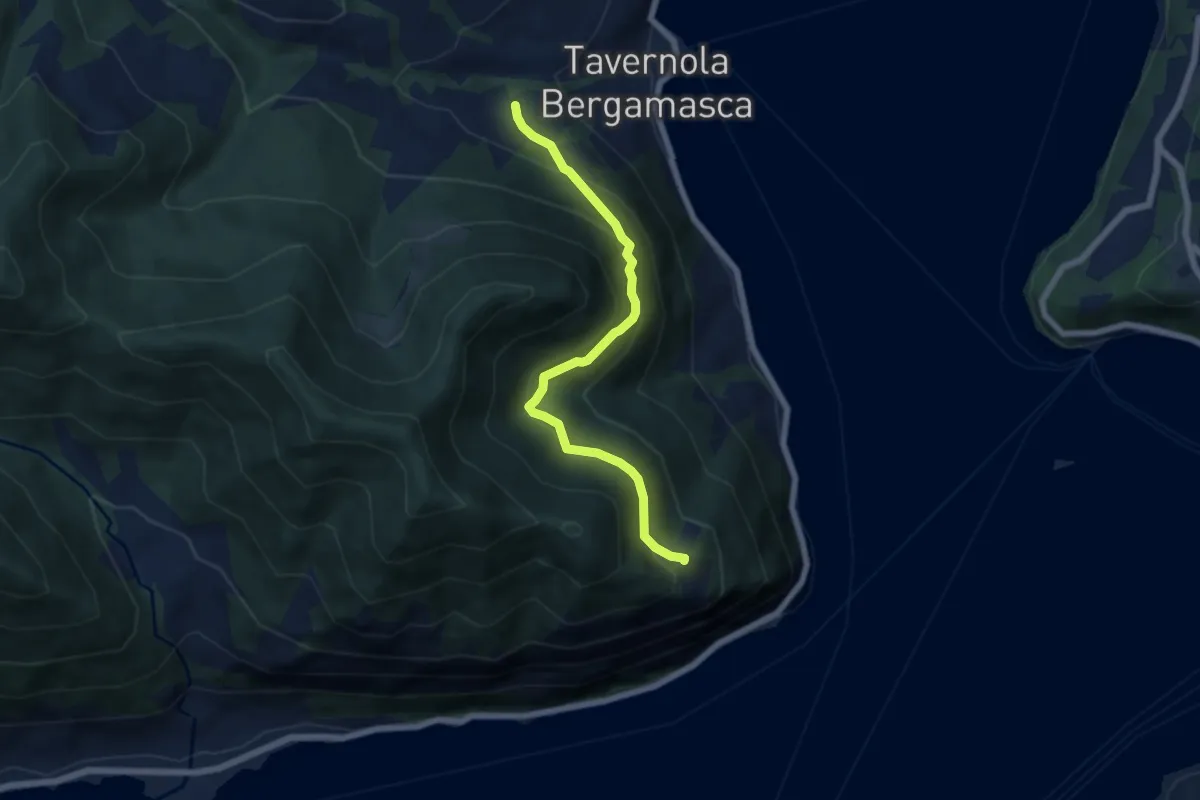
Demanding · Trail
Bianica – Case il Monte
6.1 km · ↑ 457 m · 2 h 26 min · 13 km away
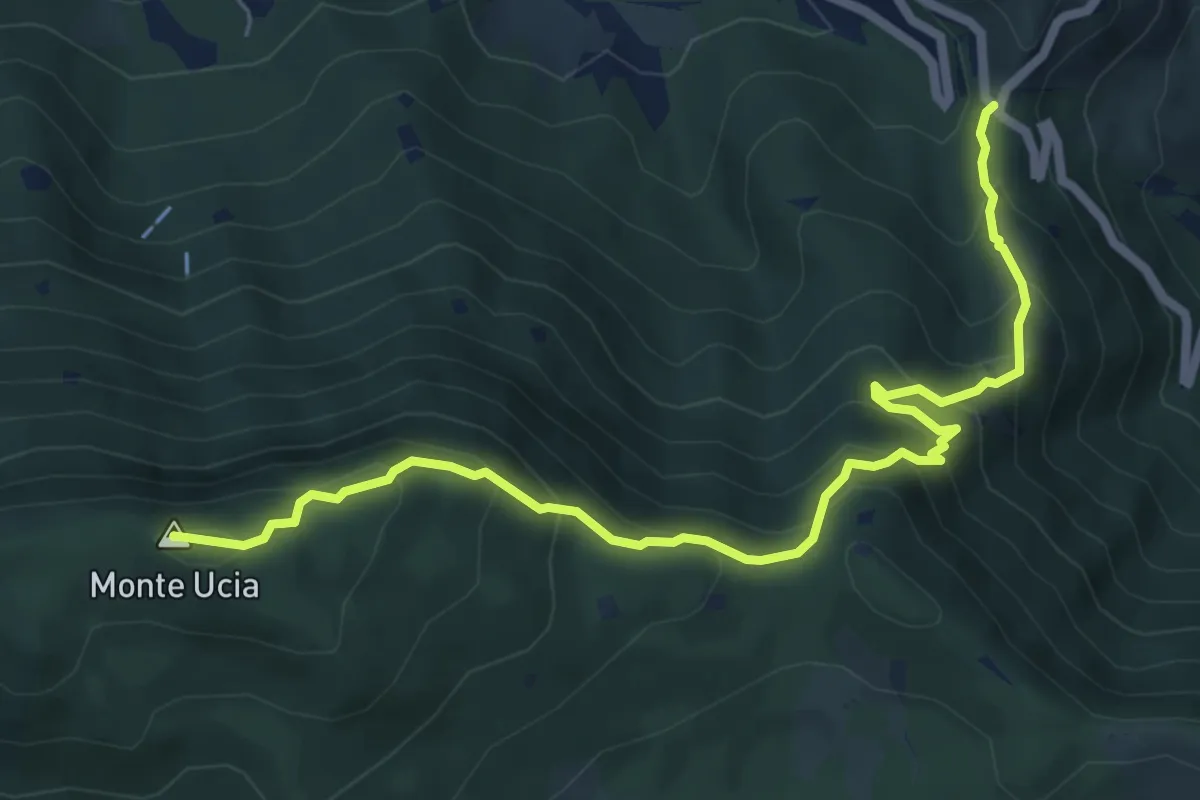
Medium · Summit
Sentiero Donna - Guarneri
7.2 km · ↑ 651 m · 3 h 7 min · 13 km away
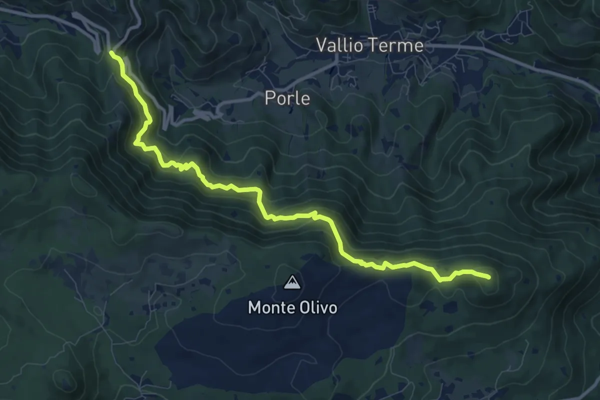
Medium · Summit
Sentér de mès
10.1 km · ↑ 629 m · 3 h 45 min · 13 km away
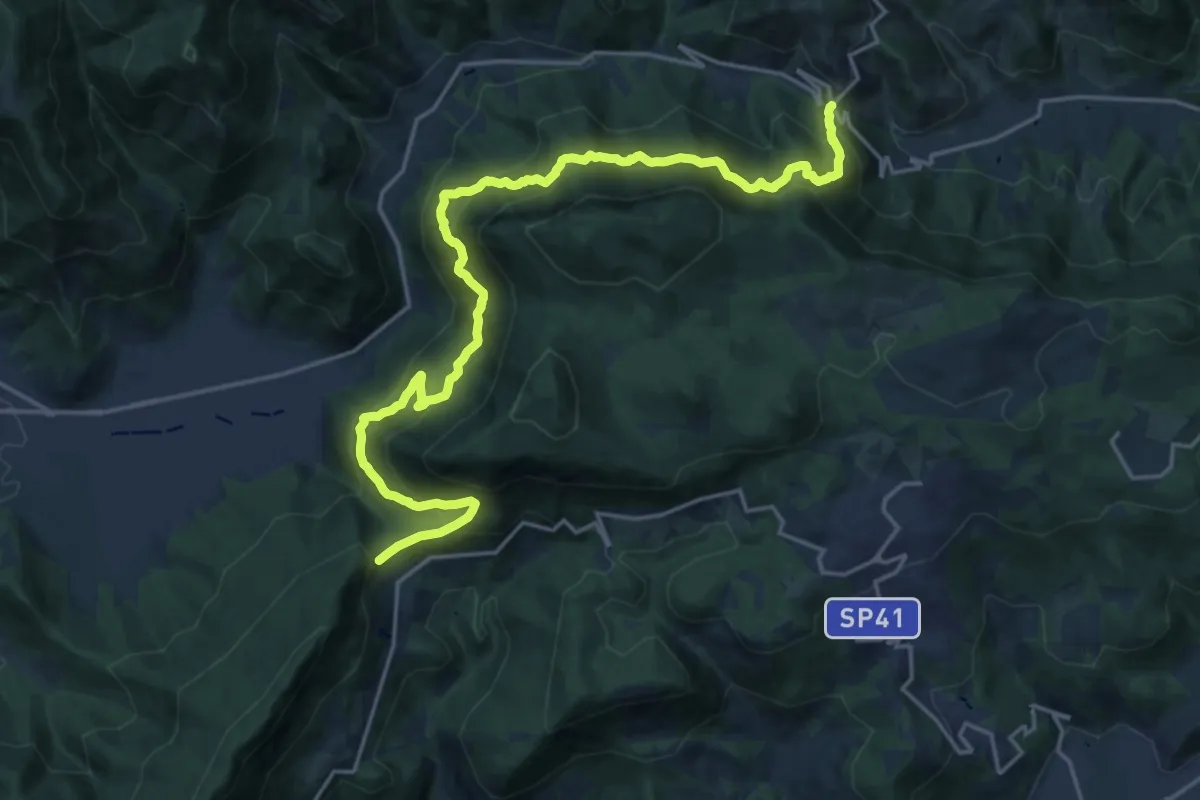
Demanding · Summit
Sentér Bandìt
22.8 km · ↑ 2084 m · 9 h 53 min · 13 km away
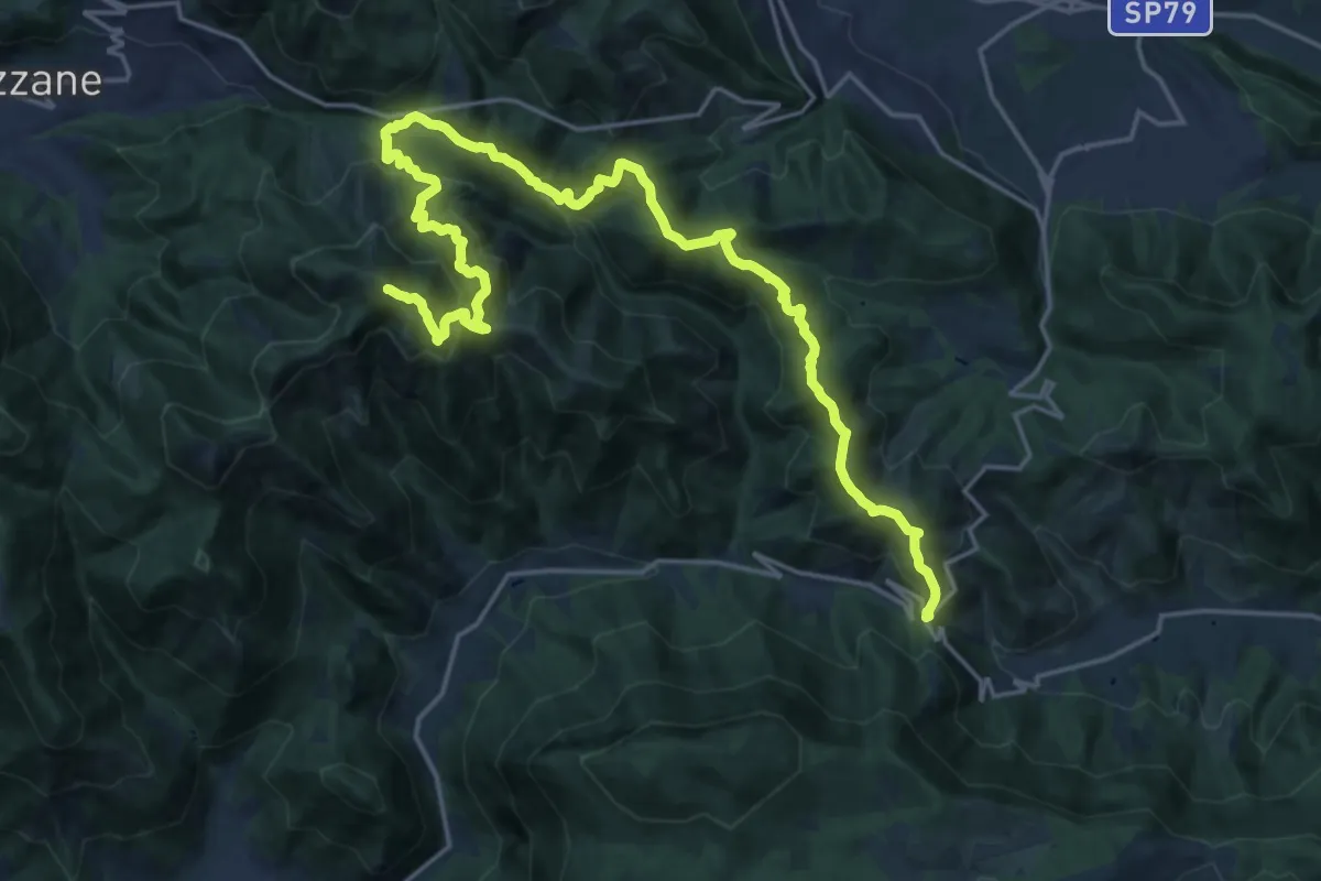
Expert · Summit
Caino (Villa Sera) – Colle di Sant'Eusebio
24.7 km · ↑ 1761 m · 9 h 39 min · 13 km away
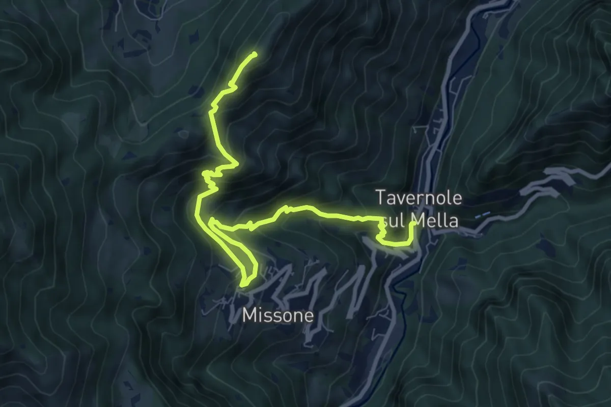
Demanding · Summit
Sentiero 1 (Monte Pergua)
9.5 km · ↑ 818 m · 4 h 1 min · 13 km away
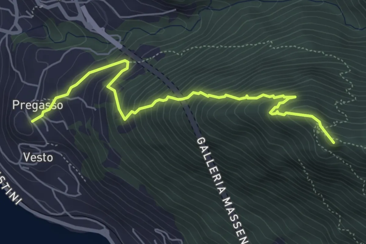
Demanding · Summit
Pregasso – Punta dei Dossi
5.8 km · ↑ 629 m · 2 h 43 min · 13 km away
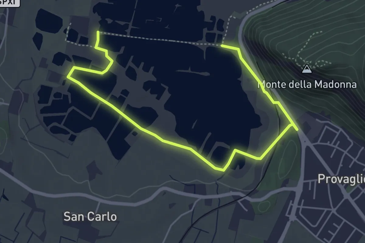
Easy · Trail
Percorso Pedonale Sud
6.4 km · ↑ 61 m · 1 h 39 min · 13 km away
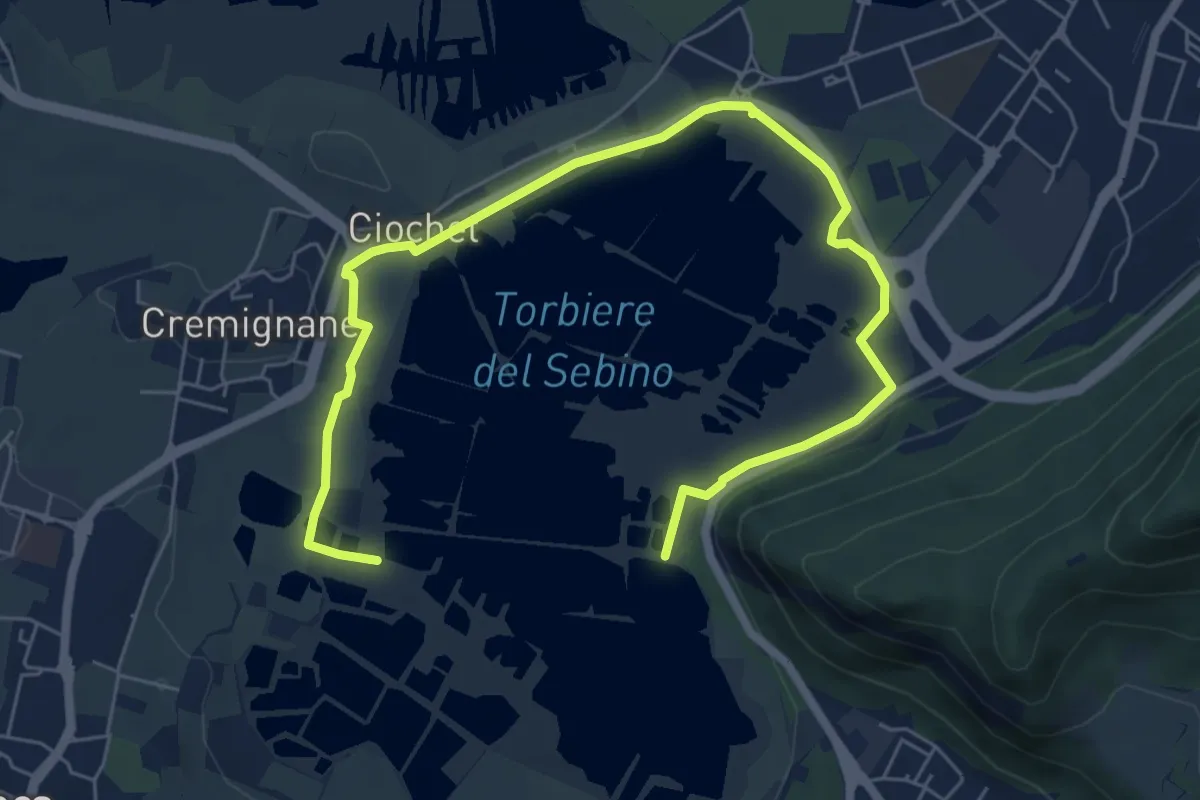
Medium · Trail
Percorso Pedonale Nord
8.5 km · ↑ 18 m · 2 h 3 min · 13 km away
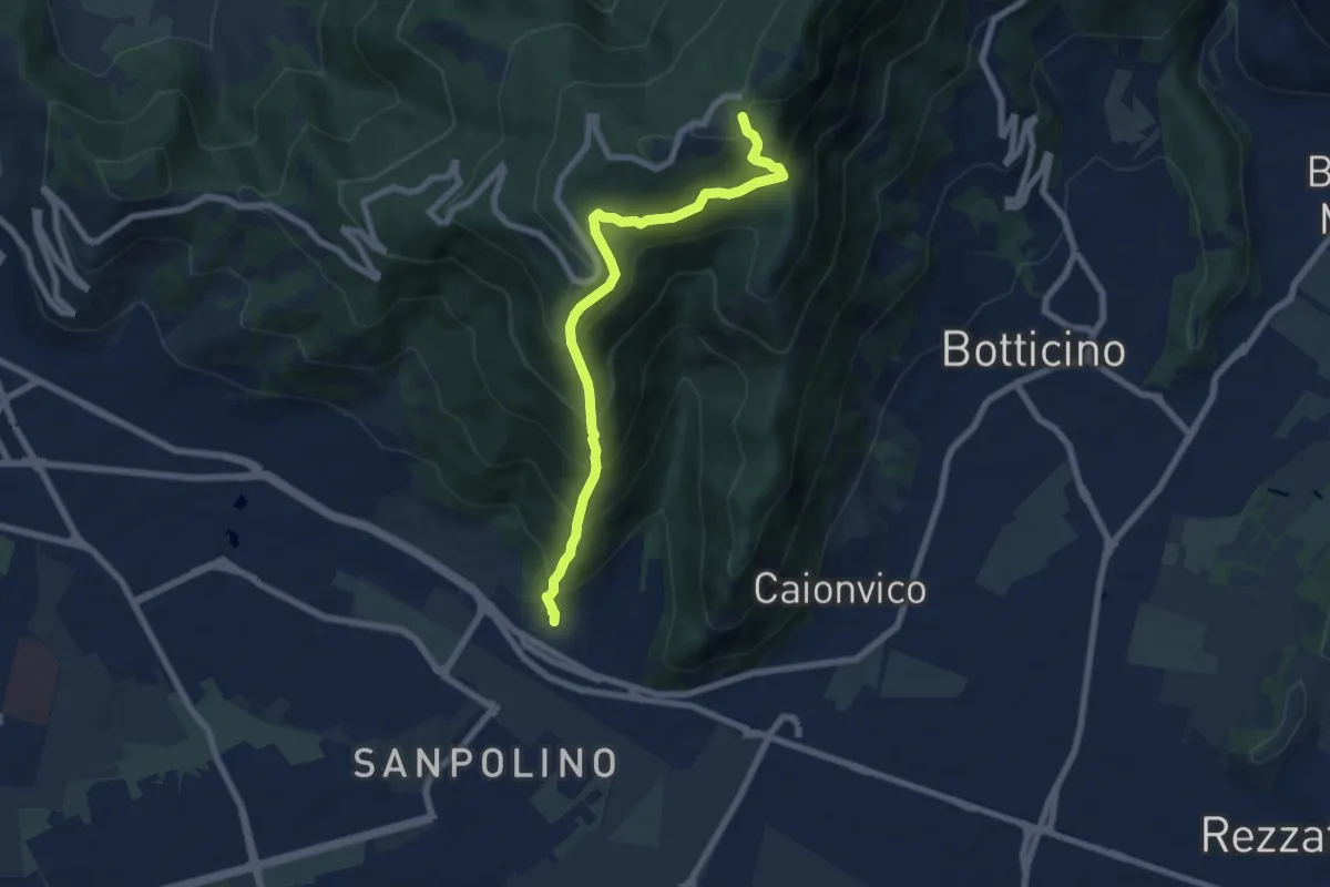
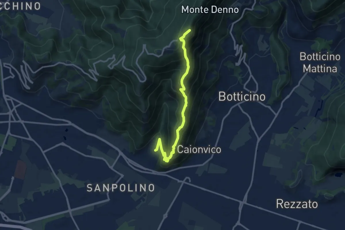
Demanding · Trail
Brescia (Via del Triinale) – Chiesetta della Maddalena
7.4 km · ↑ 760 m · 3 h 24 min · 13 km away
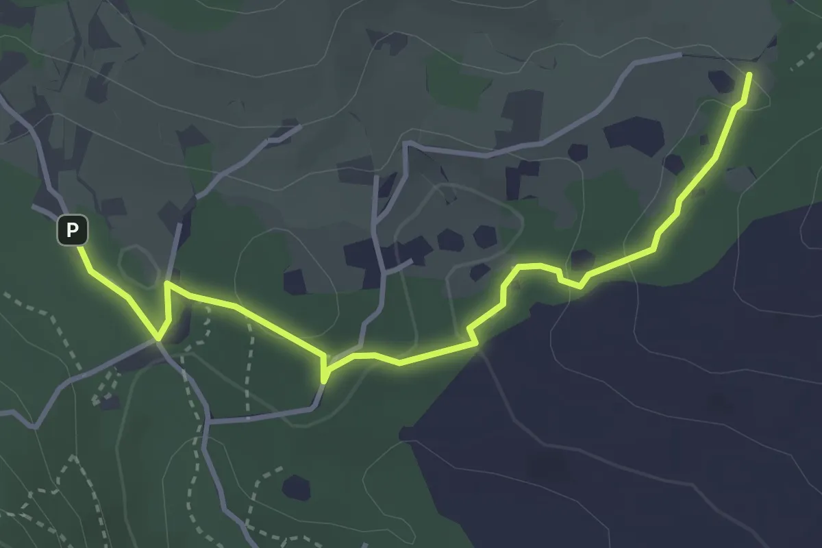
Demanding · Summit
Brescia (Sant'Eufemia - Via Cesare Noventa) – Ex Rifugio Monte Maddalena
9.1 km · ↑ 718 m · 3 h 42 min · 13 km away
Easy · Trail
Sentiero del Büs del Lat
3.9 km · ↑ 74 m · 1 h 4 min · 14 km away
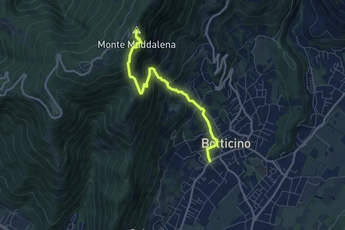
Medium · Summit
Botticino (Via Gioacchino Rossini) – Ex Rifugio Monte Maddalena
6.6 km · ↑ 756 m · 3 h 12 min · 14 km away
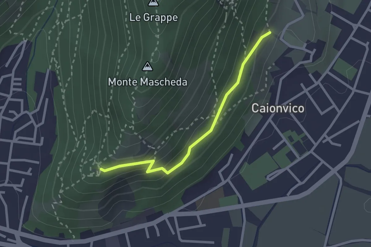
Medium · Trail
Sentiero della Ruta
2.1 km · ↑ 95 m · 42 min · 14 km away
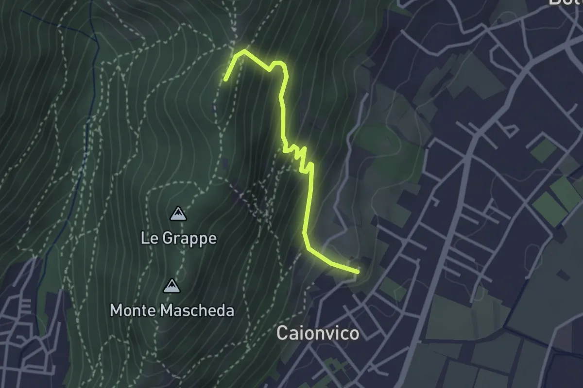
Demanding · Summit
Caionvico (Cimitero) – Sella della Poffa (Innesto Sentiero 901)
2.7 km · ↑ 293 m · 1 h 17 min · 14 km away
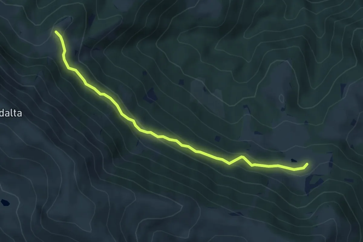
Easy · Trail
Tavernole Sul Mella (Malga Pontogna - Bivio Sentiero 325) – Malga Gale (Bivio Sentiero 393 3V)
5.4 km · ↑ 222 m · 1 h 46 min · 14 km away
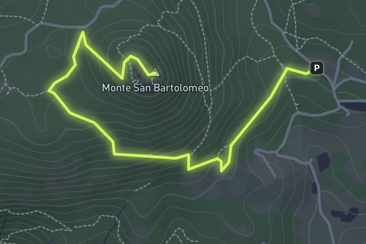
Medium · Summit
Serle (Parcheggio dei Fanti) - Monastero di San Bartolomeo
3.9 km · ↑ 164 m · 1 h 16 min · 14 km away
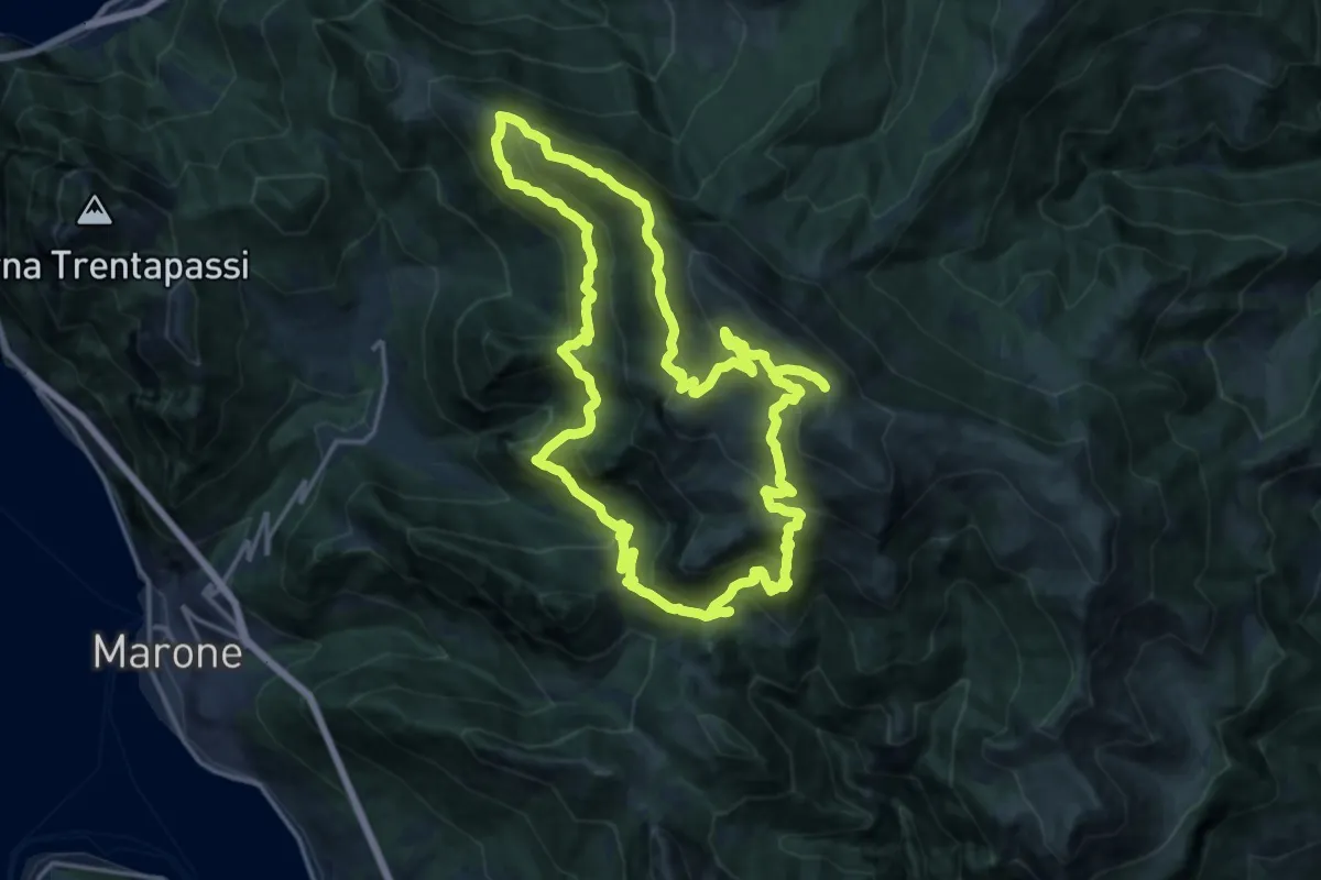
Demanding · Summit
Malghe in Rete - Anello 2 - Monte Guglielmo
18.2 km · ↑ 1257 m · 7 h 16 min · 14 km away
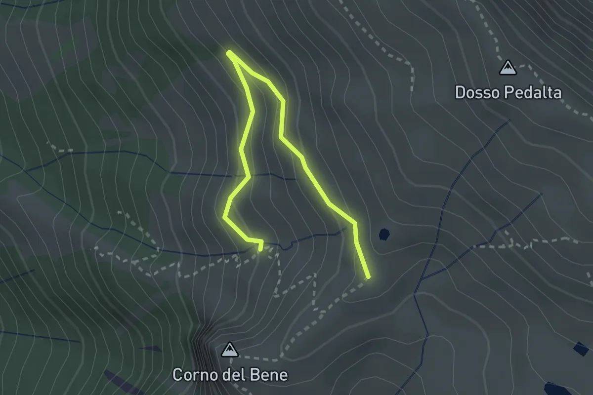
Easy · Cabin
Sentiero del Monte Guglielmo
2.8 km · ↑ 189 m · 1 h 4 min · 14 km away
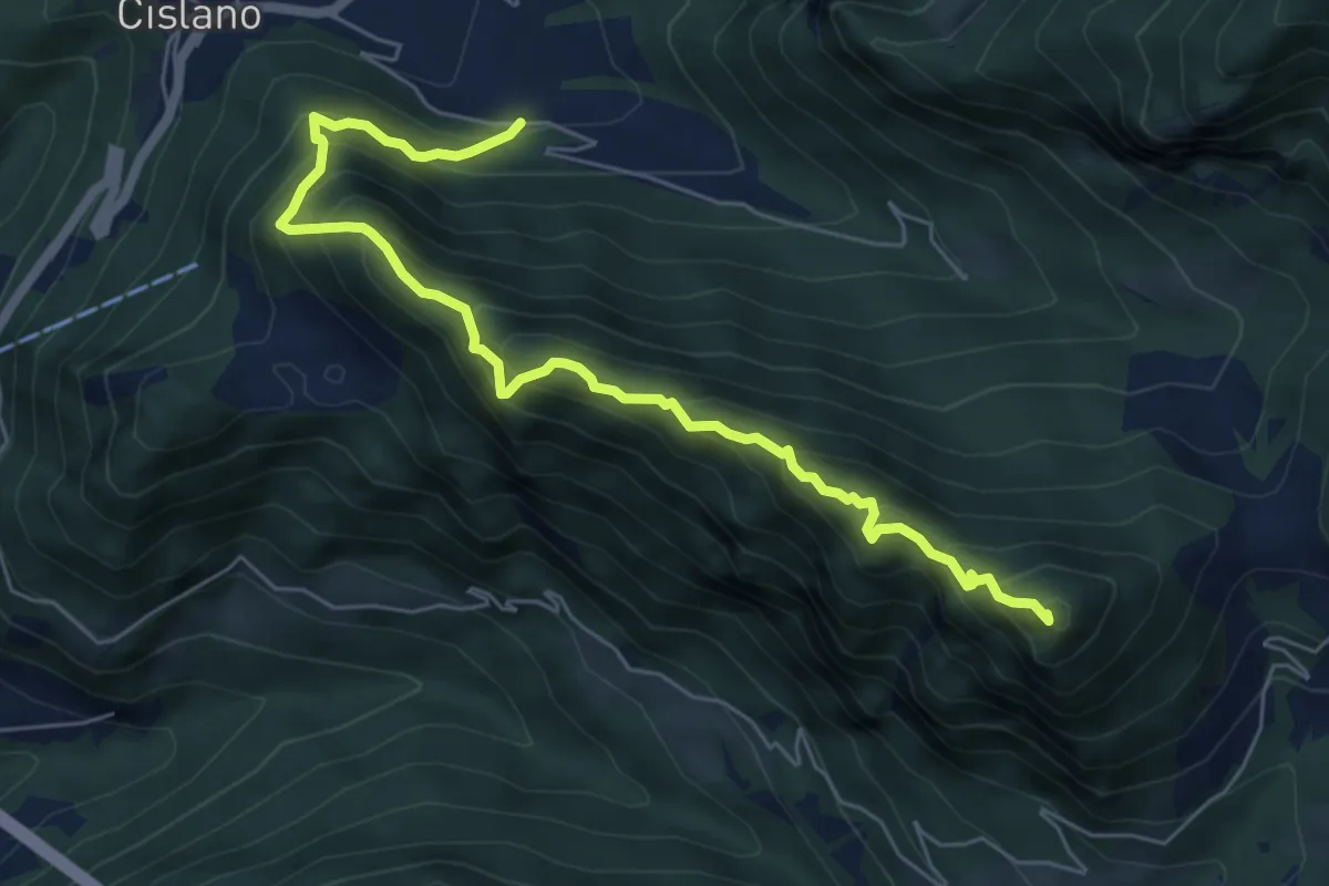
Medium · Summit
Sentiero di Monte Pura
6.9 km · ↑ 733 m · 3 h 13 min · 14 km away
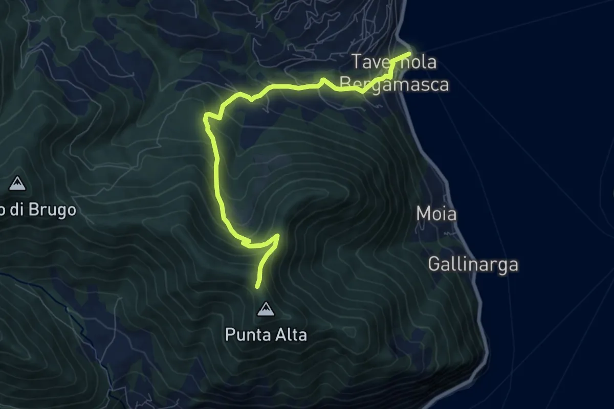
Medium · Trail
Tavernola Bergamasca – Punta Alta
7.9 km · ↑ 732 m · 3 h 28 min · 14 km away
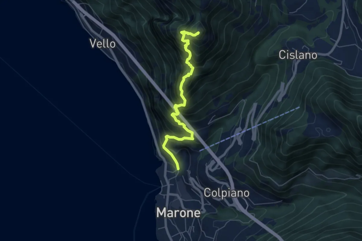
Expert · Summit
Sentiero Punta Cunicolo
5.8 km · ↑ 919 m · 3 h 22 min · 14 km away
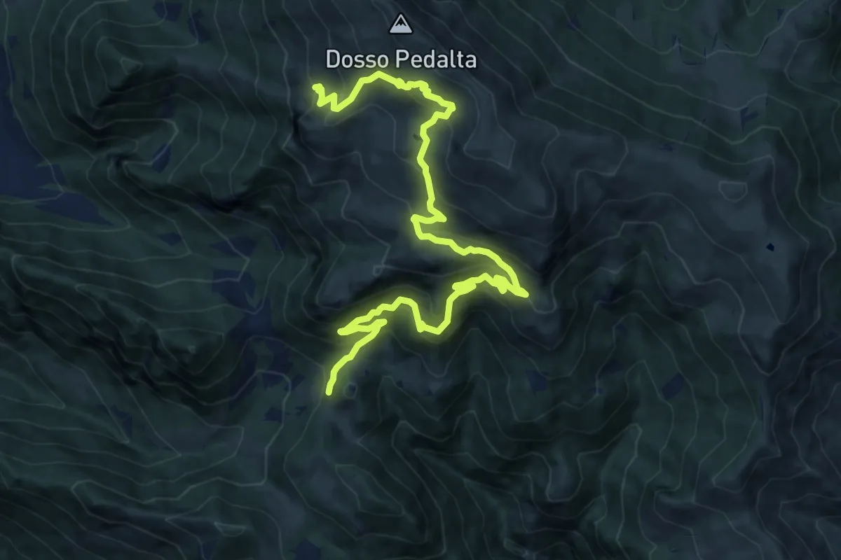
Medium · Summit
Sentiero naturalistico del Sebino
8.0 km · ↑ 356 m · 3 h 1 min · 14 km away
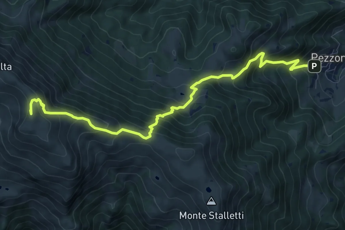
Demanding · Summit
Tavernole sul Mella (Pezzoro) – Monte Guglielmo
11.0 km · ↑ 1020 m · 4 h 48 min · 14 km away
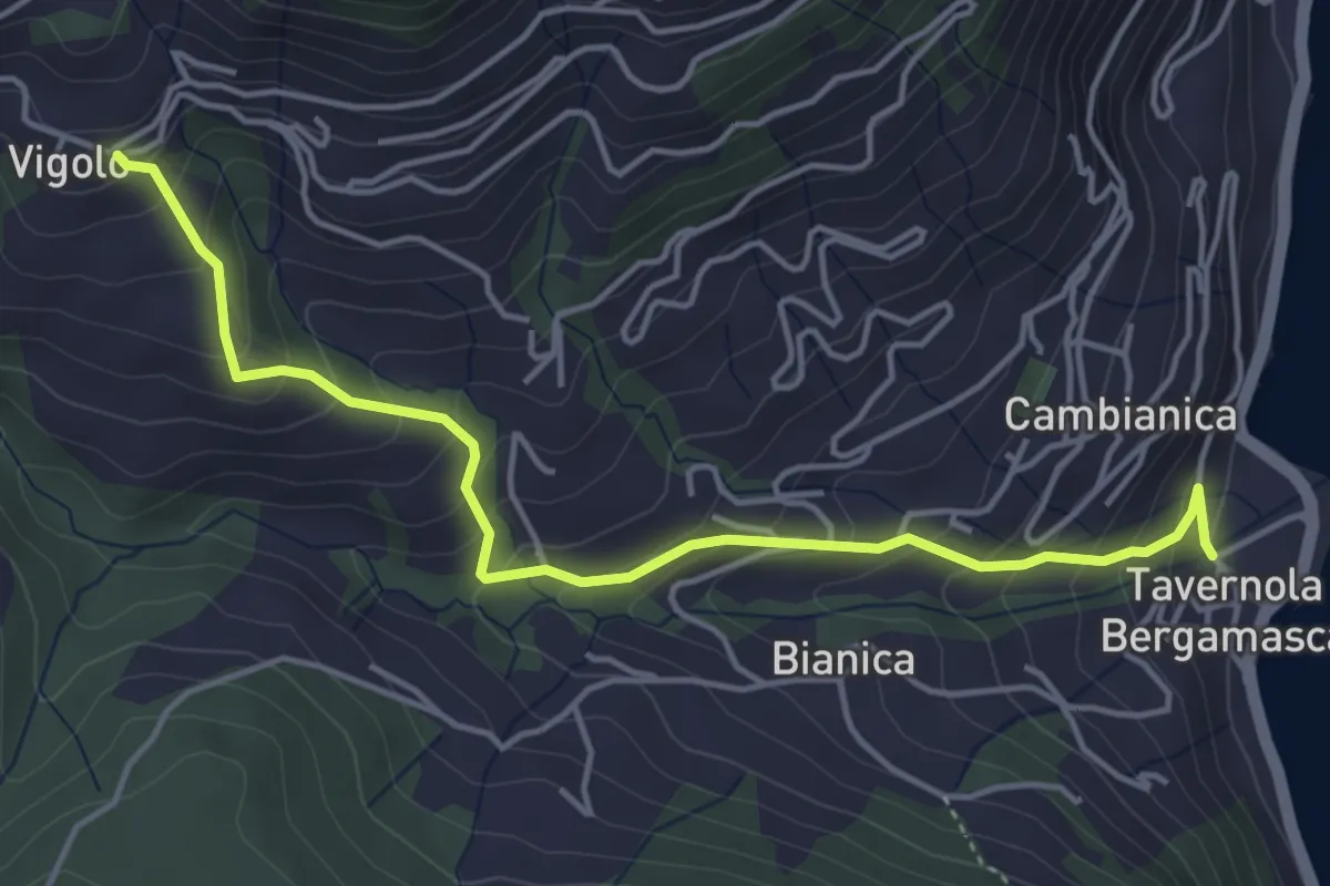
Medium · Trail
Tavernola – Vigolo
4.8 km · ↑ 407 m · 2 h 1 min · 14 km away
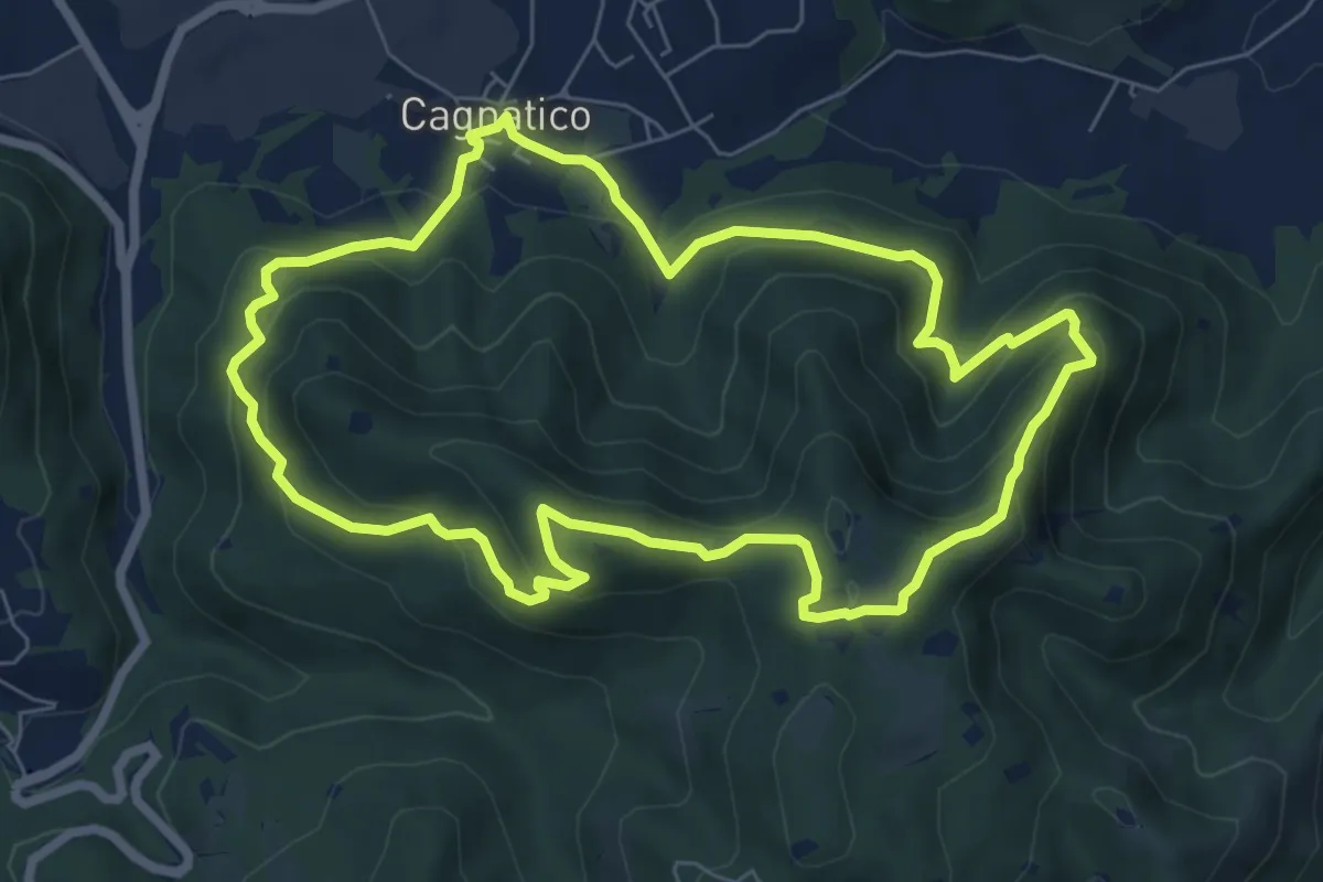
Medium · Summit
Odolo (Cagnatico) – Cagnatico
7.1 km · ↑ 405 m · 2 h 40 min · 14 km away