Trails near Villanova
65 hikes starting within 15 km, nearest first.
Nearest first, page 1 of 2
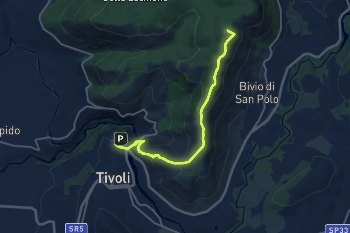
Medium · Summit
Cammino della Sibilla - Tappa 6
8.9 km · ↑ 459 m · 3 h 5 min · 4 km away
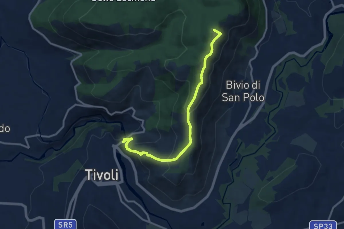
Medium · Summit
Via dei Lupi - Tappa 01
7.8 km · ↑ 414 m · 2 h 44 min · 4 km away
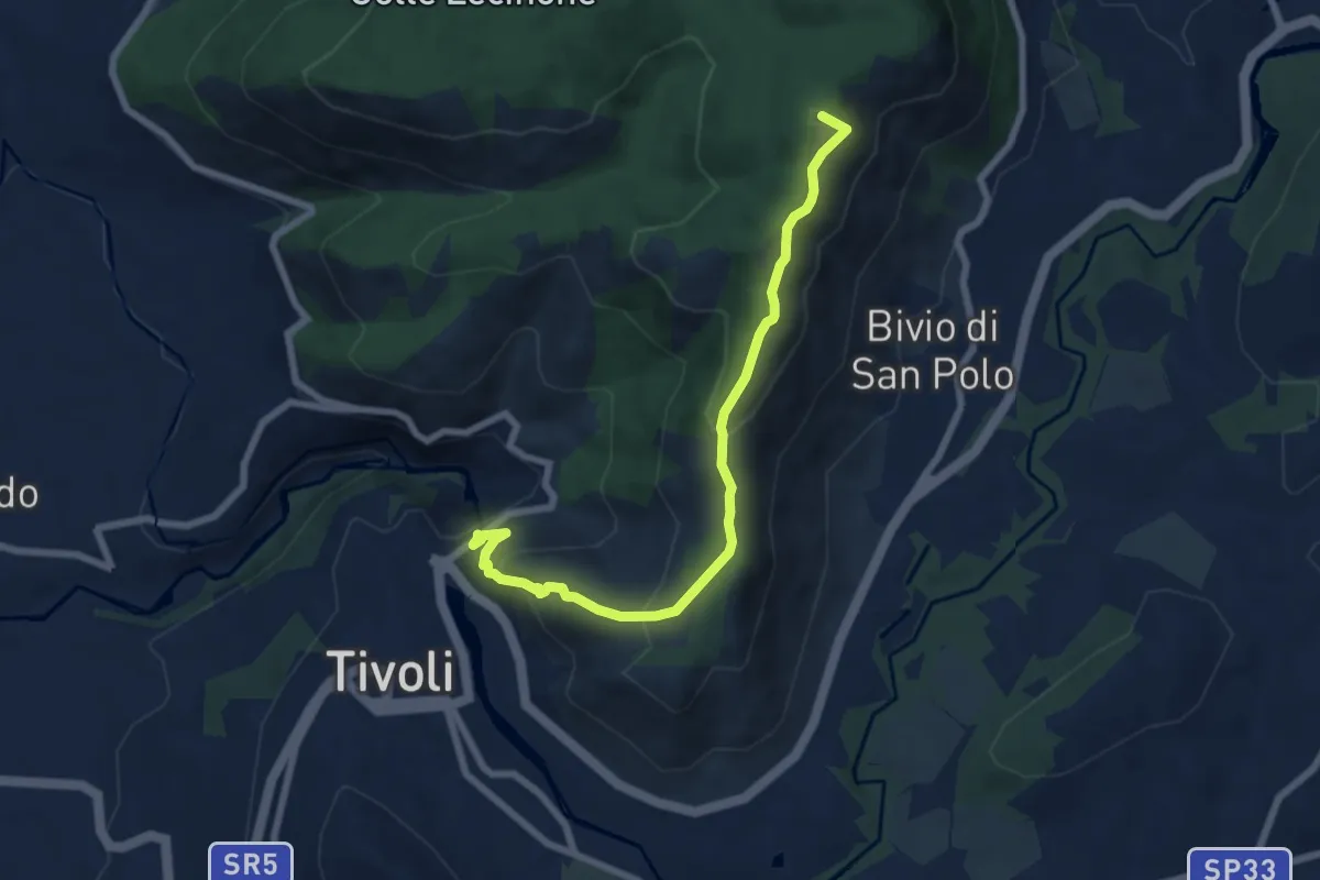
Medium · Summit
Tivoli-Colle Cucco
7.8 km · ↑ 414 m · 2 h 44 min · 4 km away
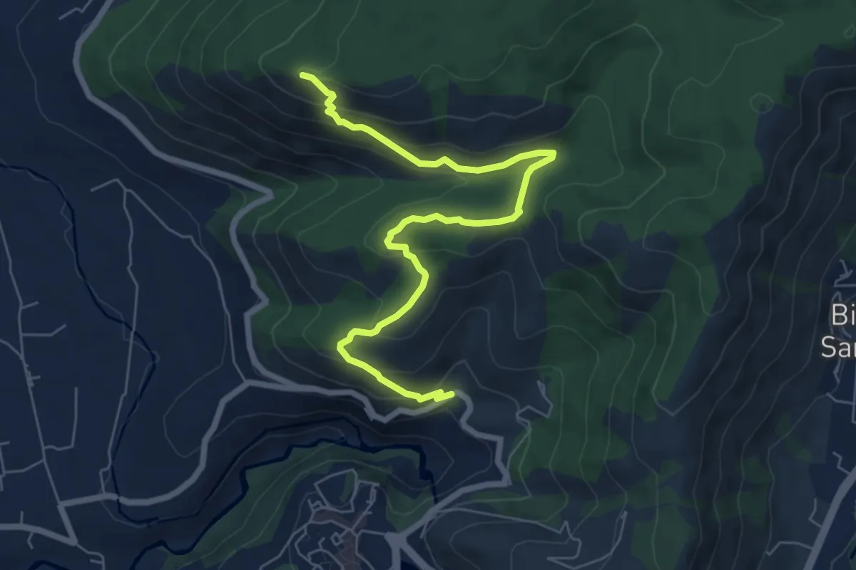
Medium · Summit
Sentiero Fantini St. SP30a Ex casello Ferroviario-Monte Sterparo
7.7 km · ↑ 411 m · 2 h 43 min · 4 km away
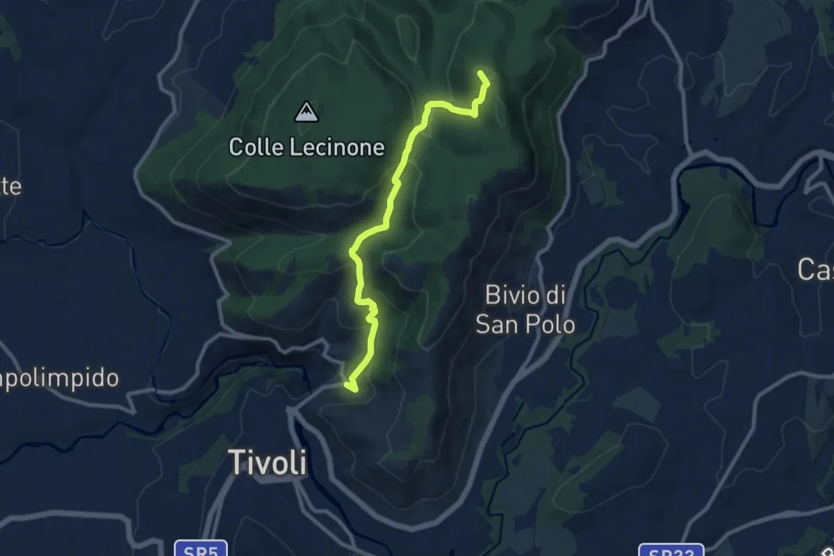
Medium · Summit
Bivio Hotel S. Angelo – San Polo dei Cavalieri
8.5 km · ↑ 425 m · 2 h 55 min · 4 km away
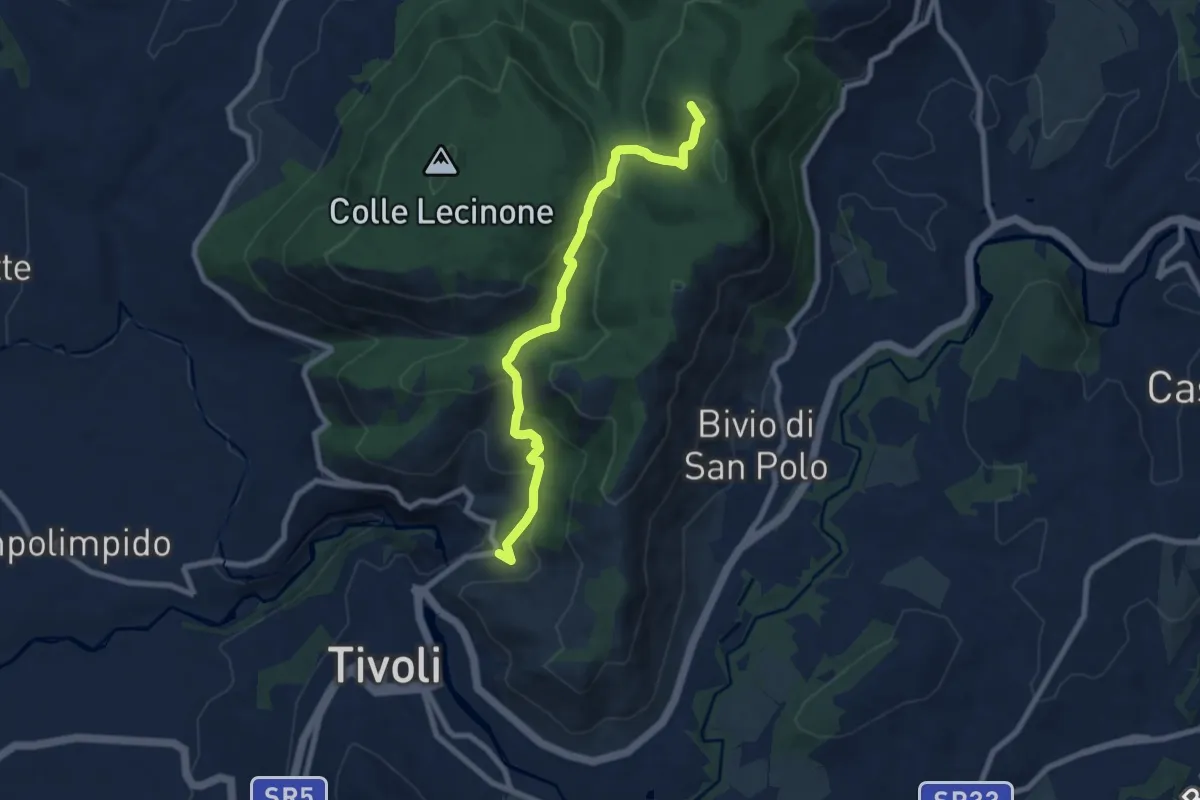
Medium · Summit
Sentiero Coleman - Tappa 7
8.5 km · ↑ 425 m · 2 h 55 min · 4 km away
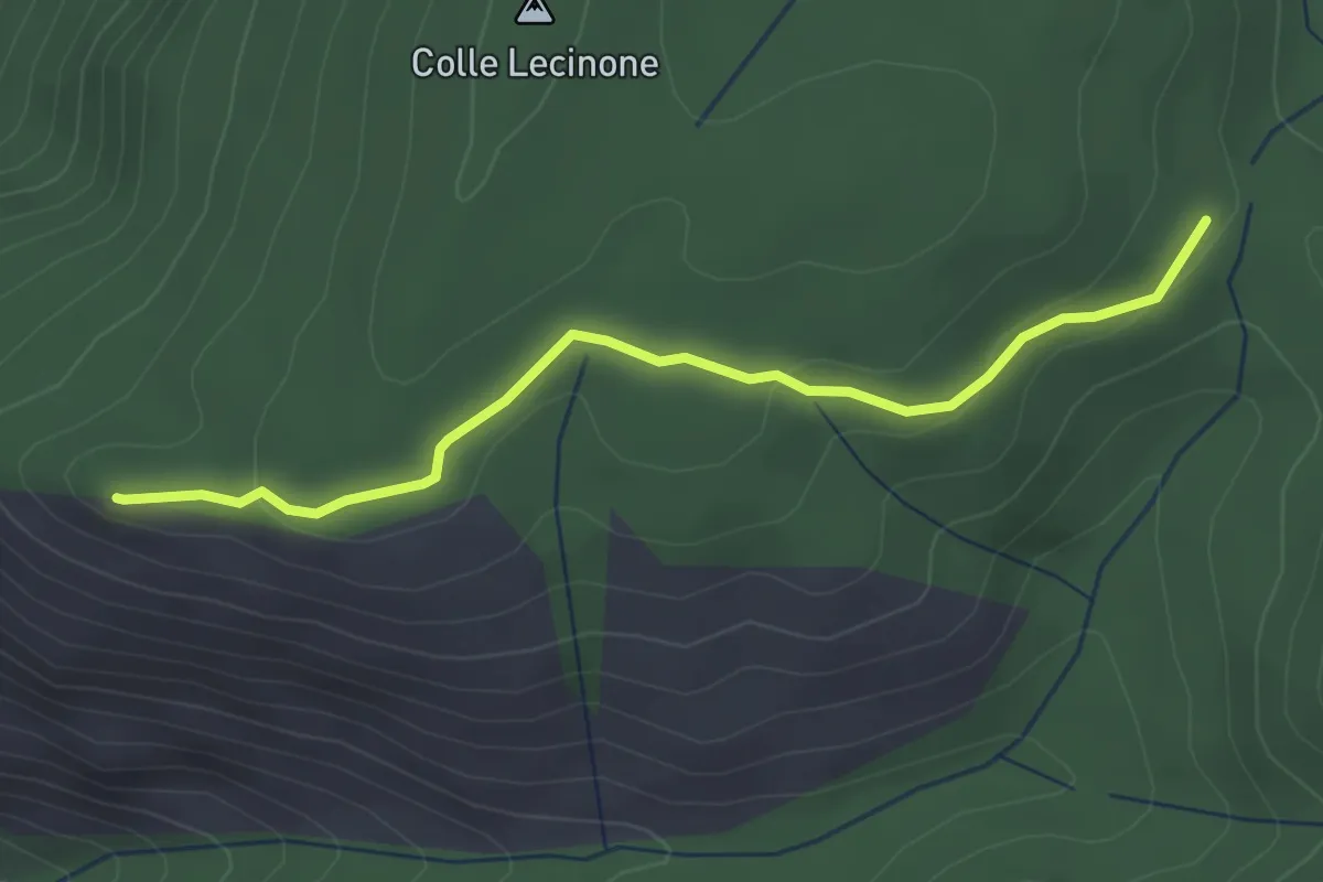
Easy · Summit
Quadrivio-Monte Sterparo
3.4 km · ↑ 82 m · 59 min · 6 km away
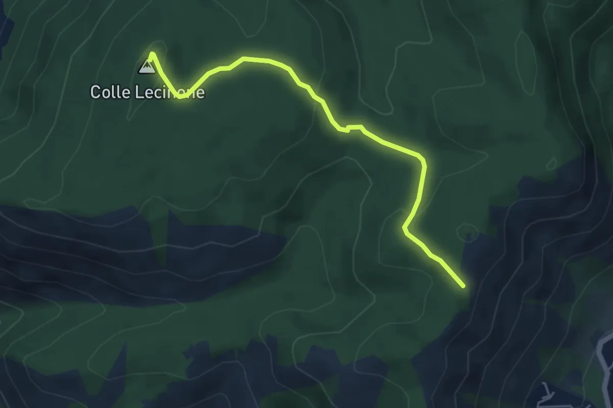
Easy · Summit
Colle Lecinone-Colle dei Travi
4.8 km · ↑ 165 m · 1 h 30 min · 6 km away
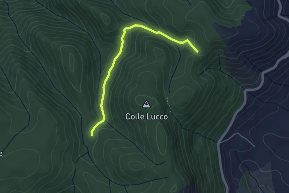
Easy · Cabin
Rifugio Fonte Bologna – Incr. Sentiero 331
3.8 km · ↑ 126 m · 1 h 11 min · 7 km away
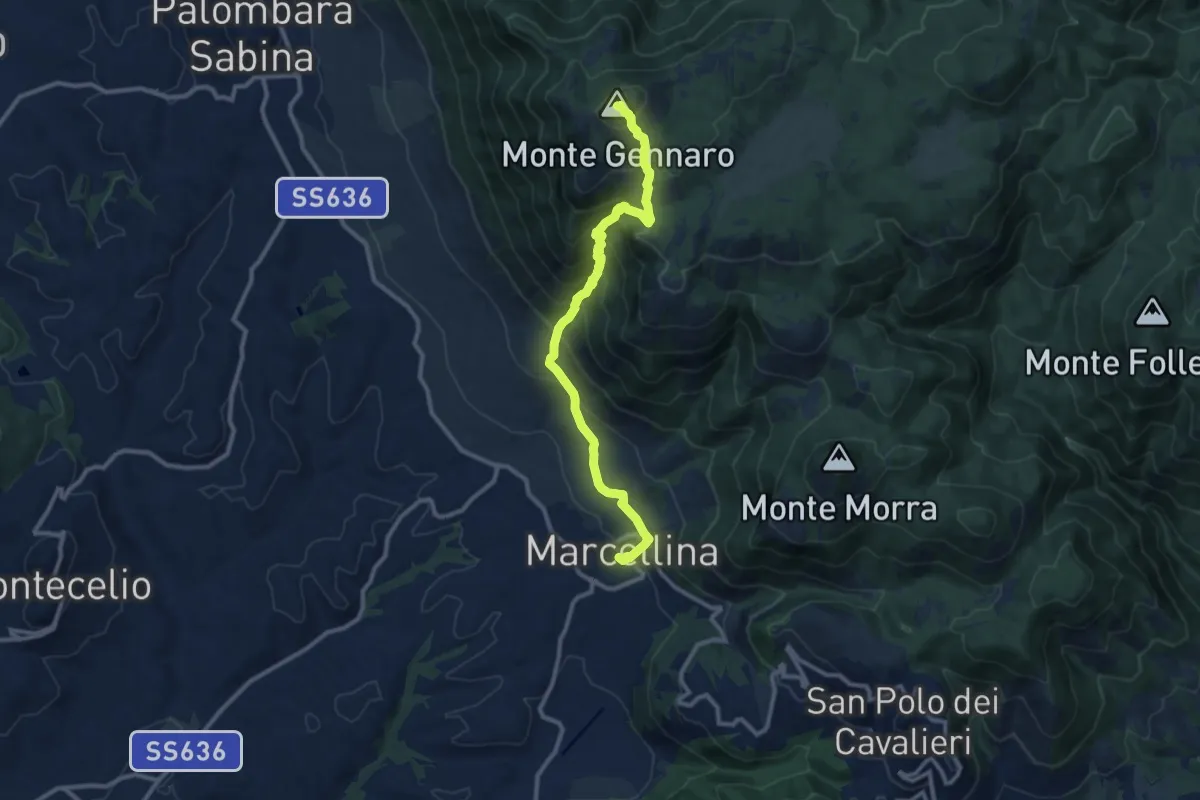
Demanding · Summit
La Scarpellata
11.8 km · ↑ 986 m · 4 h 56 min · 8 km away
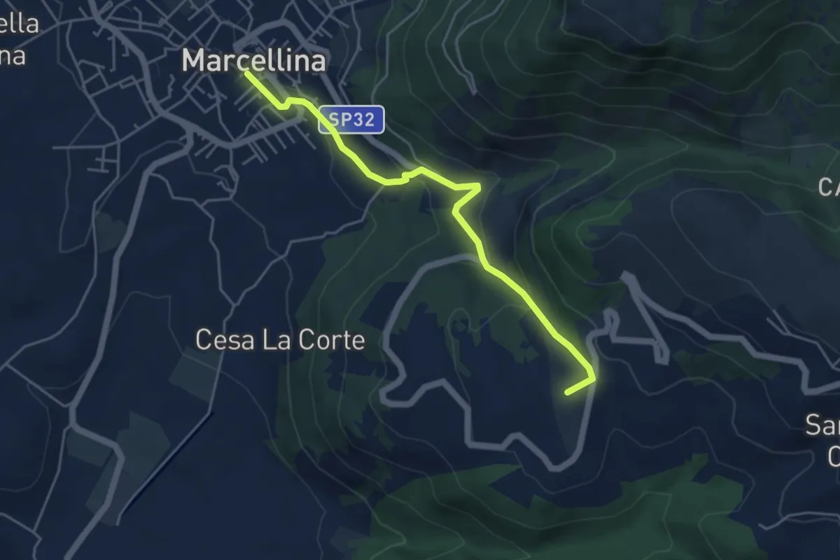
Easy · Summit
Marcellina-San Polo
4.8 km · ↑ 228 m · 1 h 38 min · 8 km away
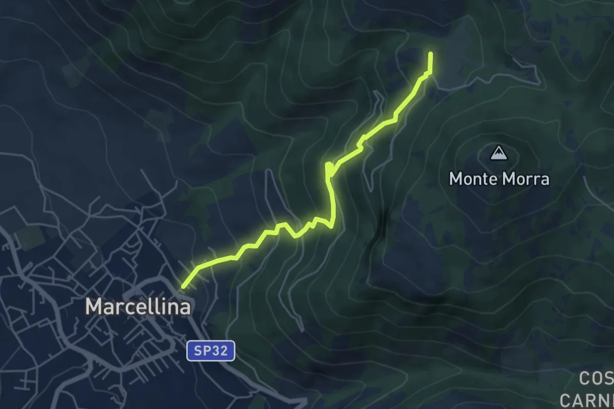
Expert · Summit
Marcellina-Prato Favale
5.0 km · ↑ 488 m · 2 h 14 min · 8 km away
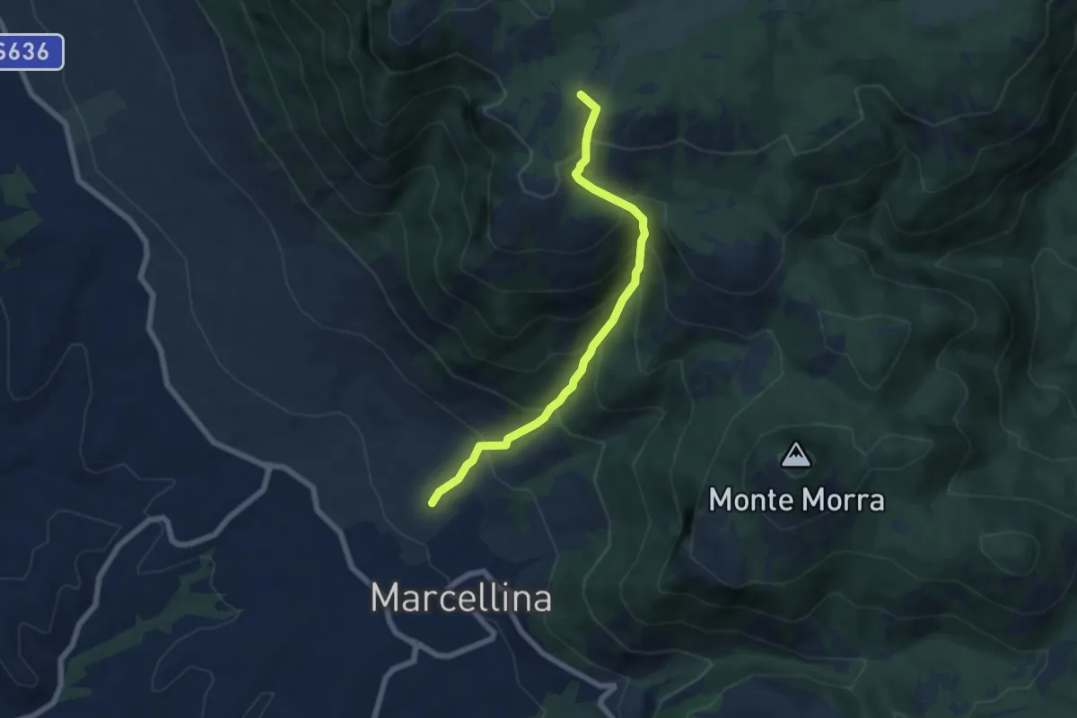
Medium · Summit
La Stretta
6.6 km · ↑ 719 m · 3 h 7 min · 8 km away
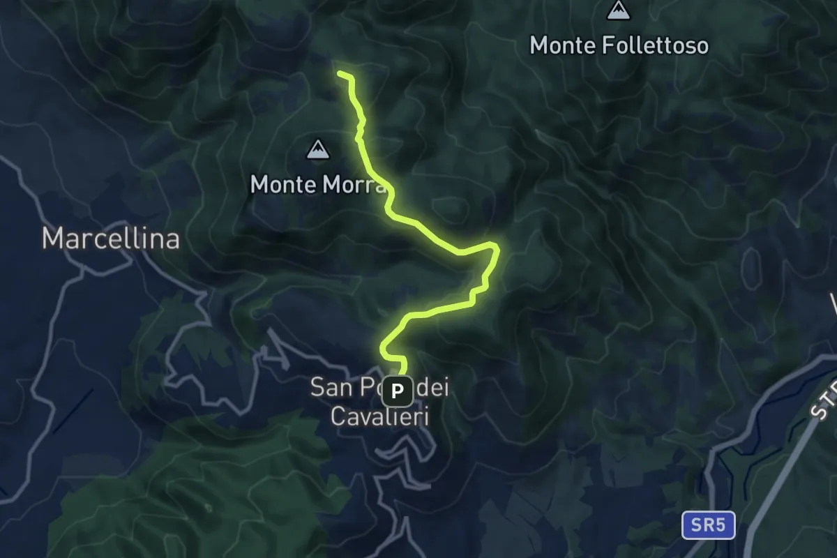
Medium · Summit
San Polo dei Cavalieri – Pratone
10.0 km · ↑ 356 m · 3 h 8 min · 9 km away
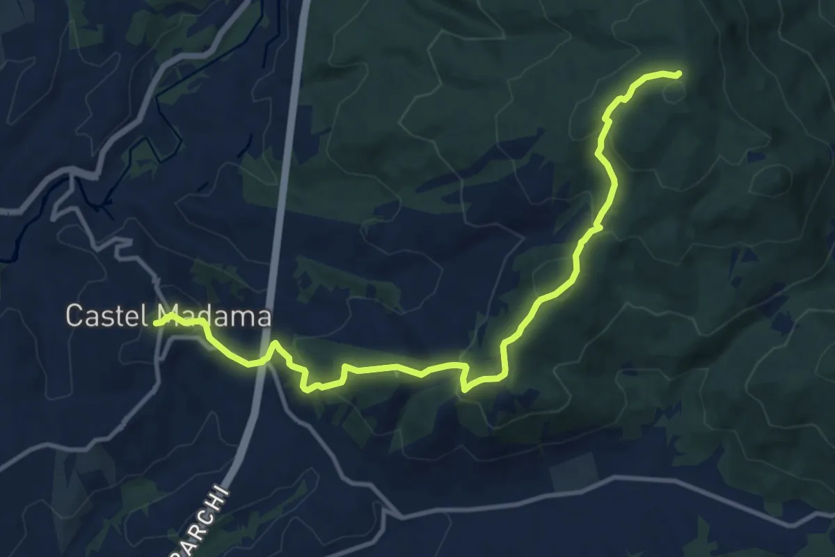
Medium · Summit
Piazza Dante Castel Madama – Colle Cerrito Piano
6.5 km · ↑ 521 m · 2 h 34 min · 10 km away
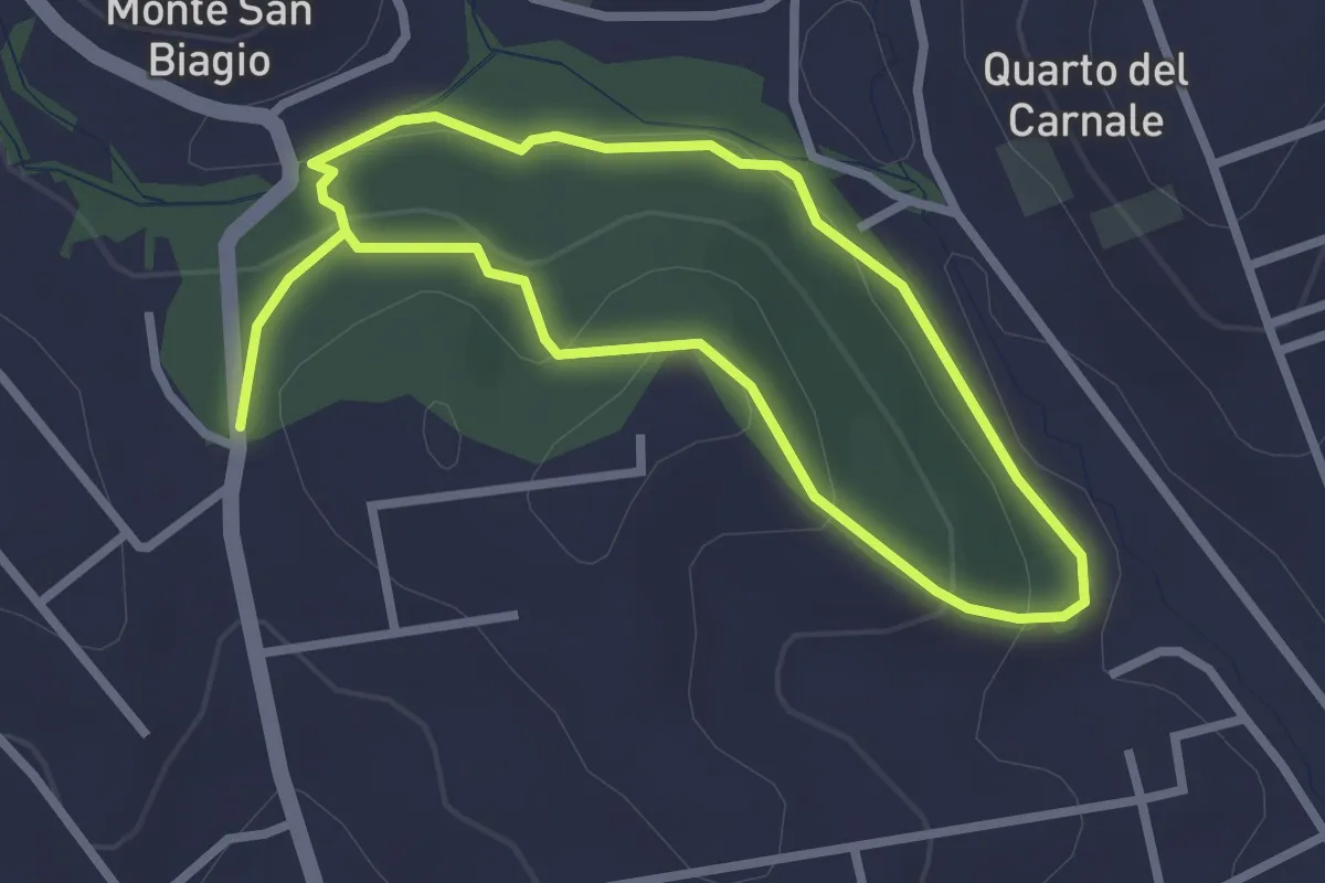
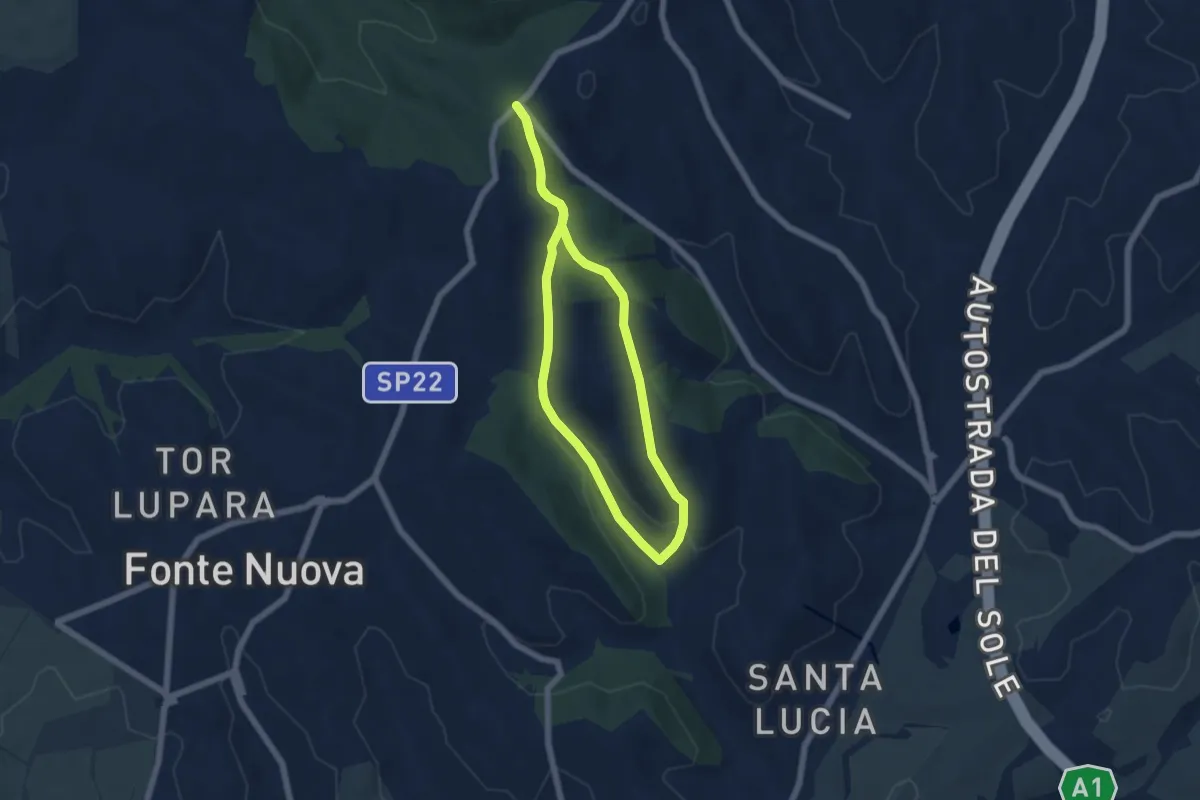
Easy · Trail
Via S. Lucia incrocio Via Lago di Scanno – Via S. Lucia incrocio Via Lago di Scanno
2.5 km · ↑ 71 m · 47 min · 10 km away
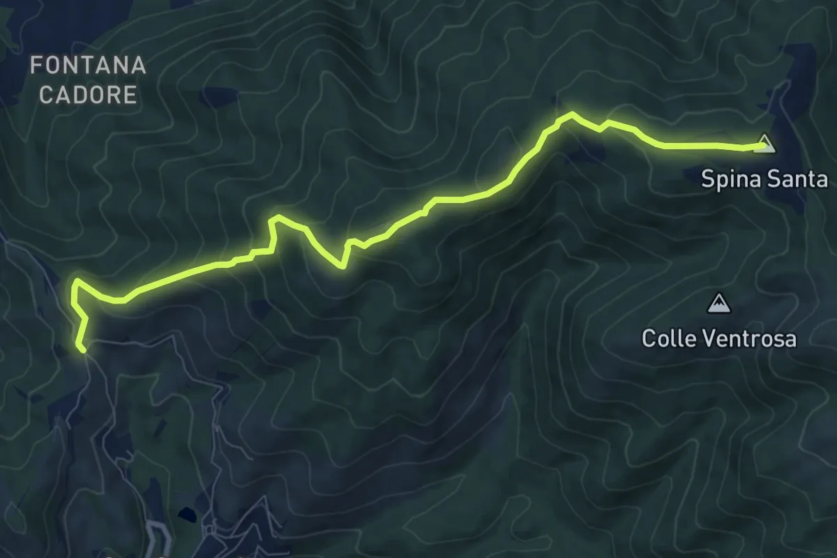
Easy · Trail
Via Nomentana di fronte Welcome Area – Via Nomentana di fronte Welcome Area
5.5 km · ↑ 130 m · 1 h 39 min · 10 km away
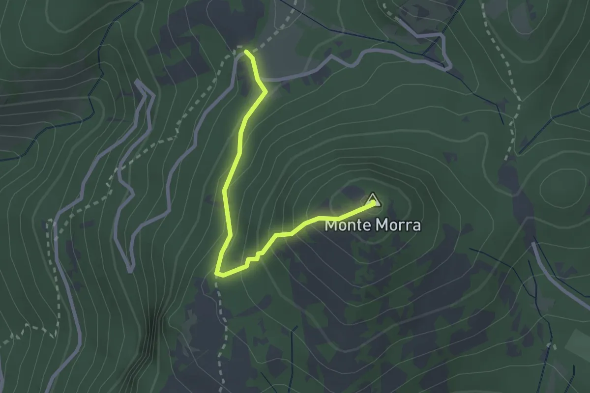
Medium · Summit
Santa Maria Nuova – Spina Santa innesto su sentiero 500
10.5 km · ↑ 587 m · 3 h 45 min · 10 km away
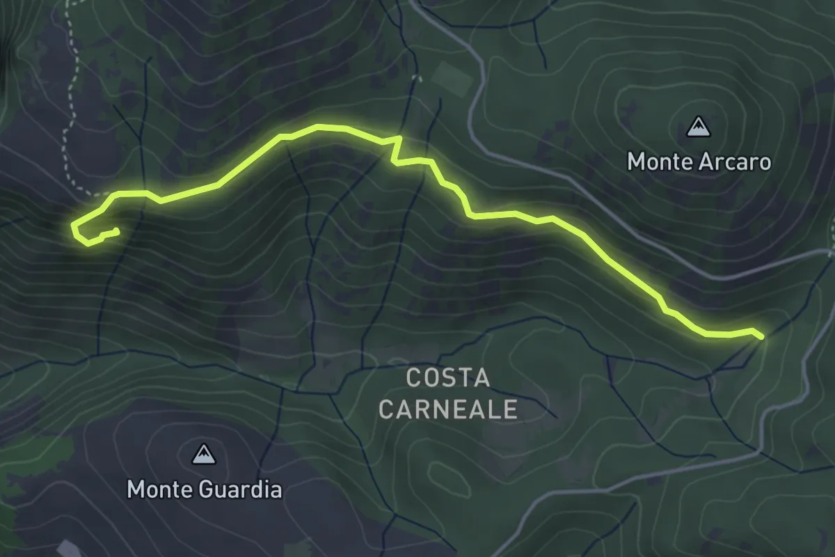
Expert · Summit
Prato Favale-Monte Morra
2.5 km · ↑ 219 m · 1 h 4 min · 10 km away
Expert · Trail
I Ghiacci-Conventillo
5.0 km · ↑ 217 m · 1 h 38 min · 10 km away
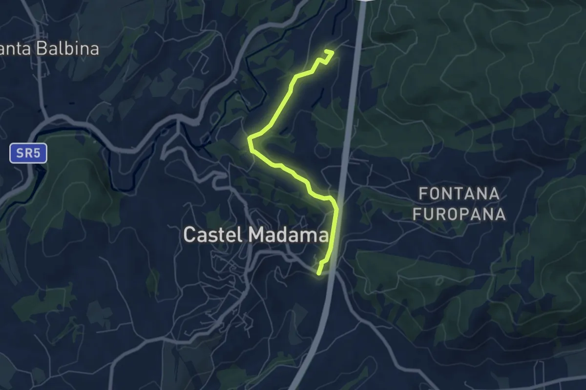
Easy · Summit
Castel Madama-Vicovaro
6.0 km · ↑ 144 m · 1 h 44 min · 10 km away
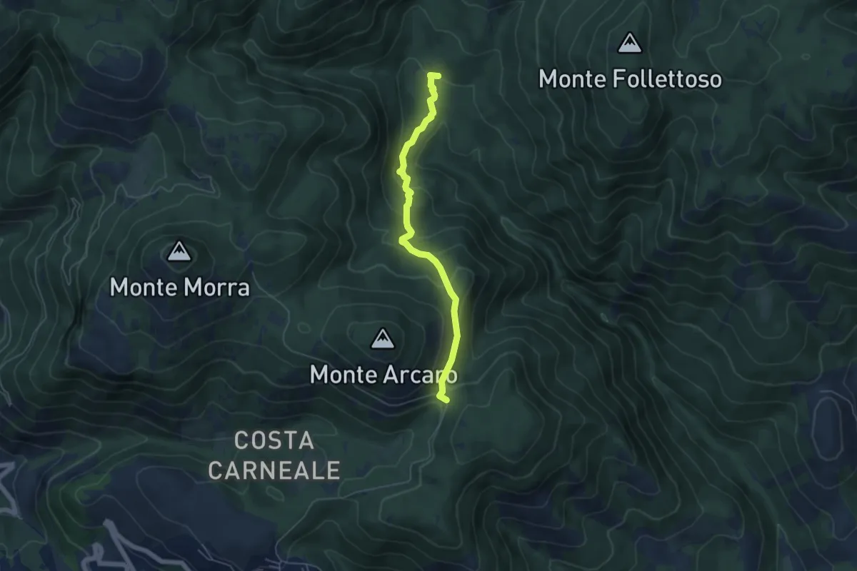
Easy · Trail
Fonte Longarina-Mad. dei Ronci
5.2 km · ↑ 282 m · 1 h 50 min · 10 km away
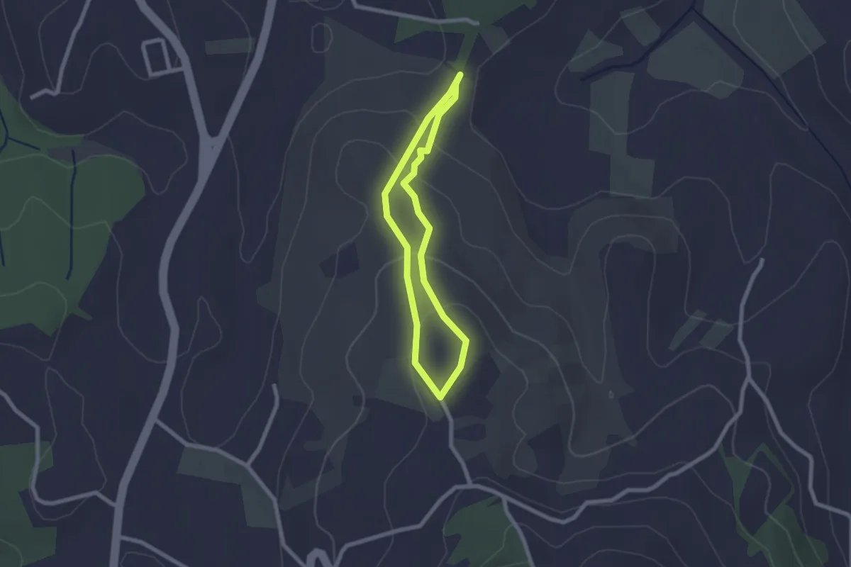
Easy · Trail
Sentiero Celeste
1.9 km · ↑ 91 m · 41 min · 10 km away
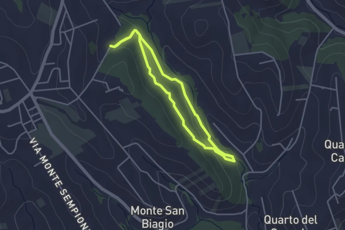
Easy · Trail
Anello Macchia Mancini
2.9 km · ↑ 55 m · 51 min · 11 km away
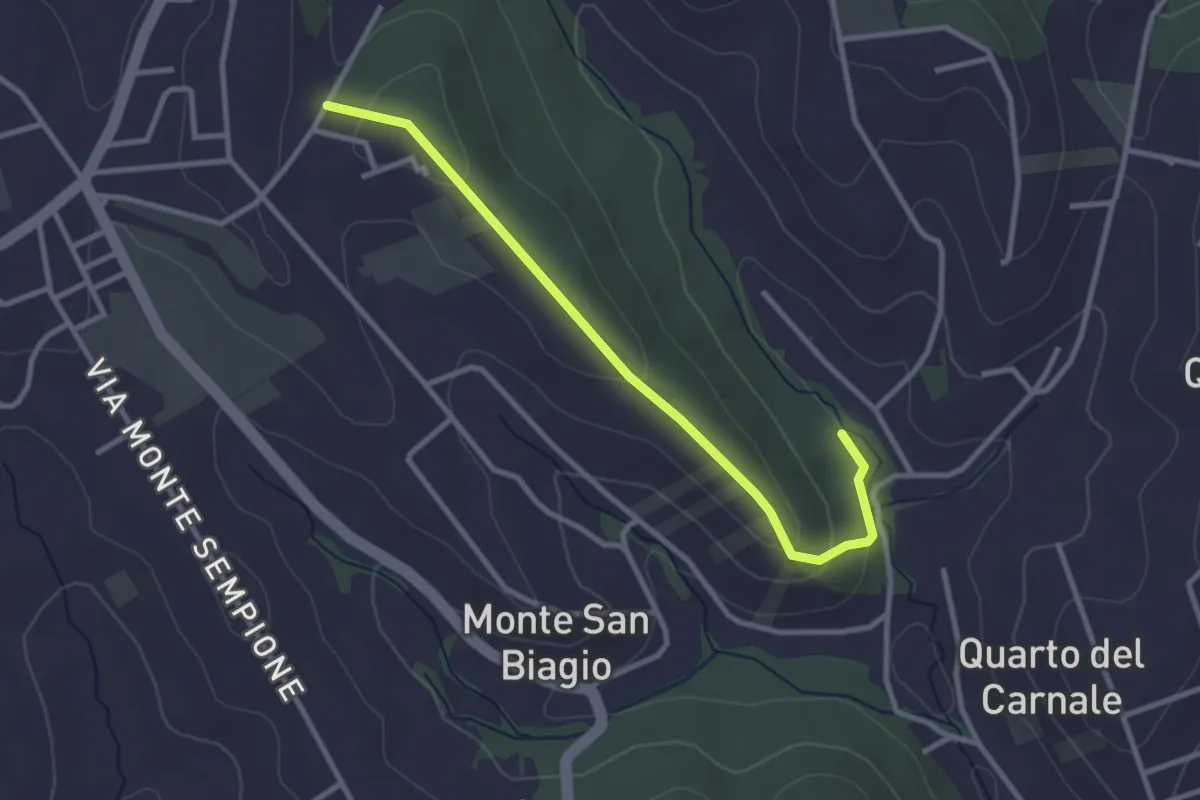
Easy · Trail
Via Alessandro Manzoni (Fontenuova) – Bivio sentiero anello 492
3.3 km · ↑ 82 m · 58 min · 11 km away
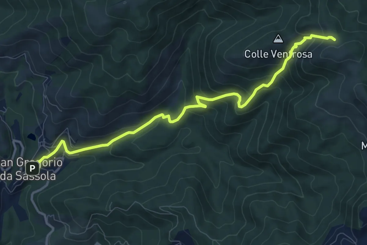
Medium · Trail
San Gregorio da Sassola – Innesto su sentiero 500
10.5 km · ↑ 657 m · 3 h 54 min · 11 km away
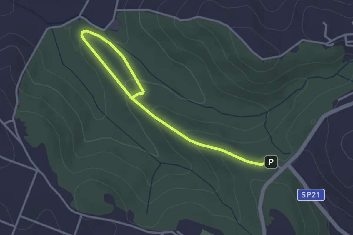
Easy · Trail
491 Sentiero di Collelungo
3.7 km · ↑ 131 m · 1 h 9 min · 11 km away
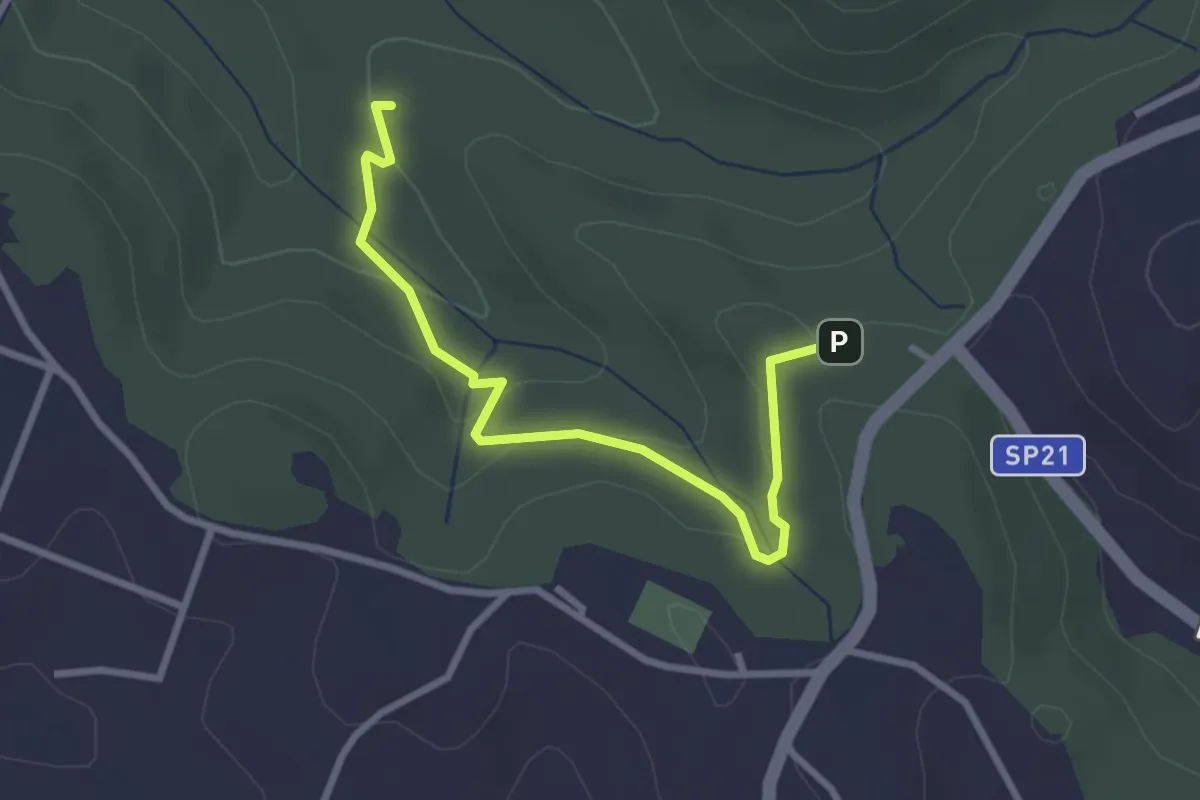
Easy · Trail
Incrocio sentiero 491 vicino ingresso Riserva – Fontanile di Collelungo
3.3 km · ↑ 96 m · 59 min · 11 km away
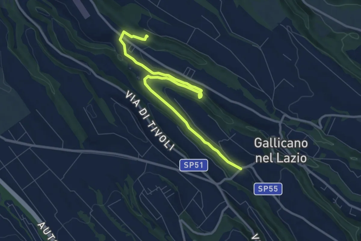
Medium · Trail
Acquedotti di Gallicano
9.7 km · ↑ 137 m · 2 h 35 min · 11 km away
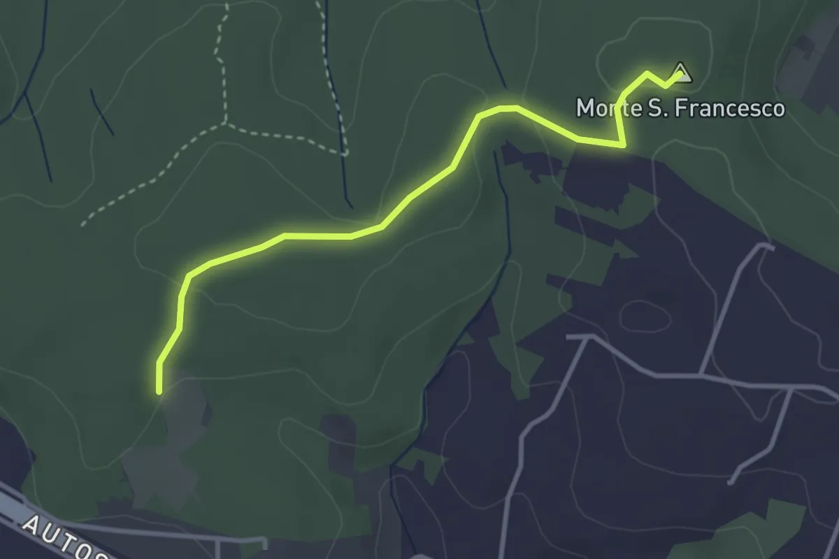
Easy · Summit
Sentiero Giallo
3.4 km · ↑ 57 m · 56 min · 11 km away
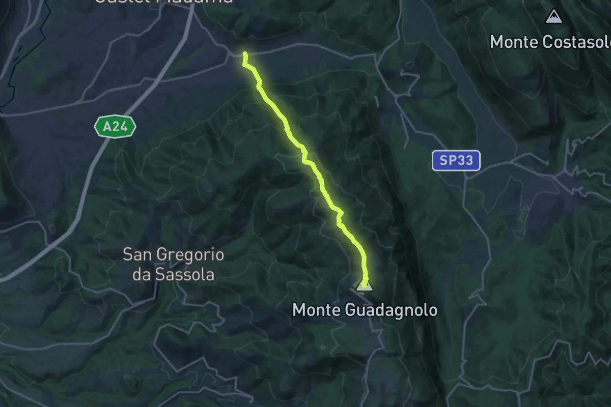
Demanding · Summit
Via Empolitana Km 9.6 – Guadagnolo
14.3 km · ↑ 1020 m · 5 h 35 min · 11 km away
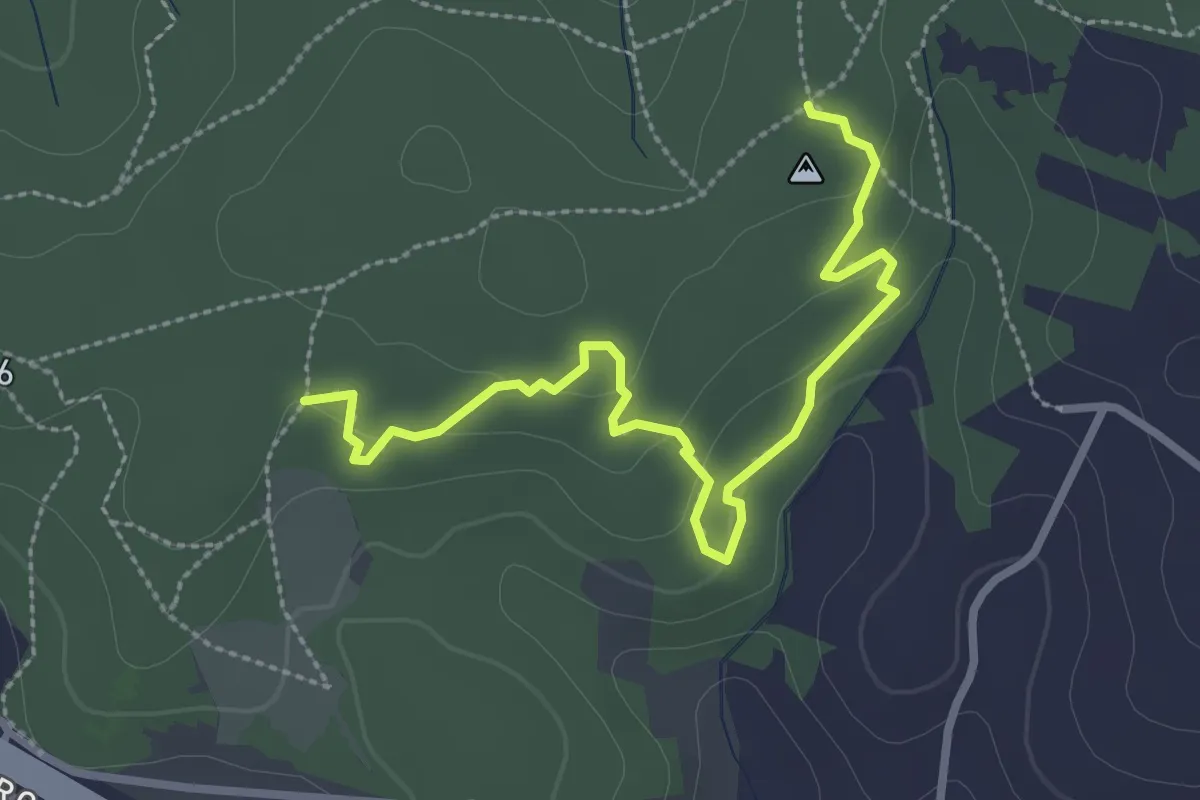
Easy · Trail
Sentiero delle Grotte
3.4 km · ↑ 94 m · 1 h 1 min · 12 km away
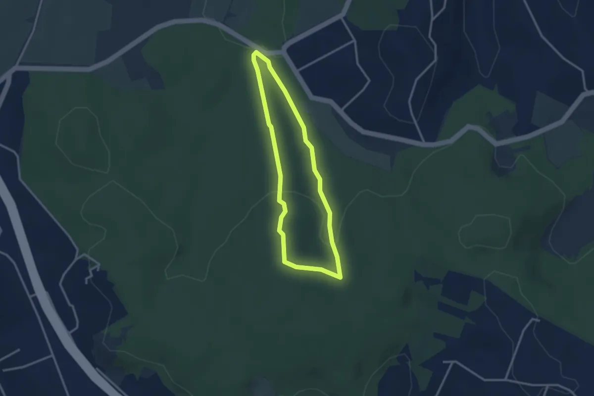
Easy · Trail
Sentiero Rosso (parte 2)
2.6 km · ↑ 73 m · 48 min · 12 km away
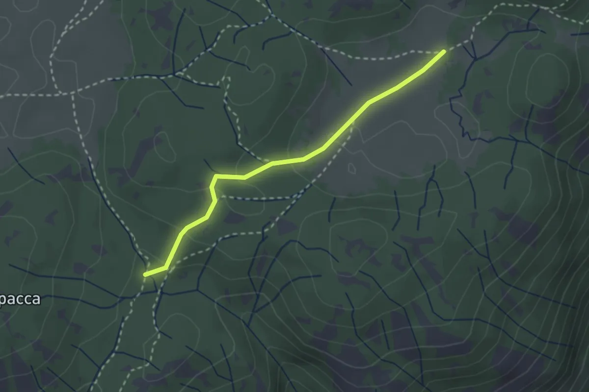
Easy · Trail
Valle Cavalera – Fonte Campitello
2.7 km · ↑ 88 m · 50 min · 12 km away
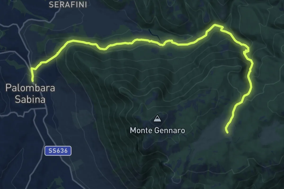
Expert · Cabin
Palombara S.-Pratone
20.0 km · ↑ 881 m · 6 h 38 min · 12 km away
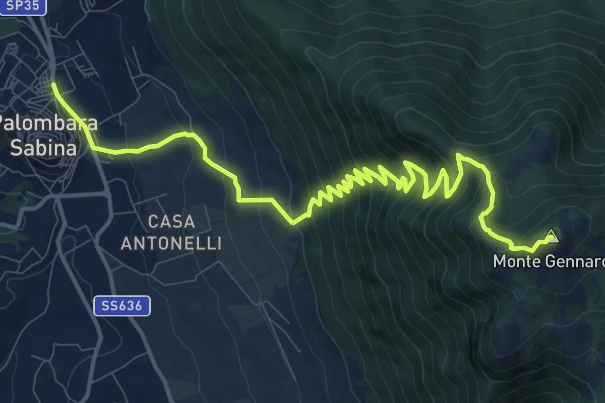
Demanding · Summit
Palombara-Monte Gennaro
13.5 km · ↑ 973 m · 5 h 17 min · 12 km away
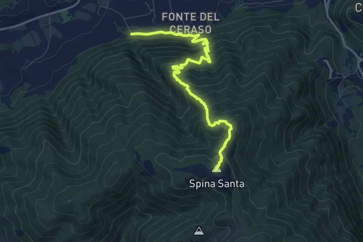
Medium · Summit
Innesto con 500 – Innesto sentiero 500
10.3 km · ↑ 780 m · 4 h 7 min · 12 km away
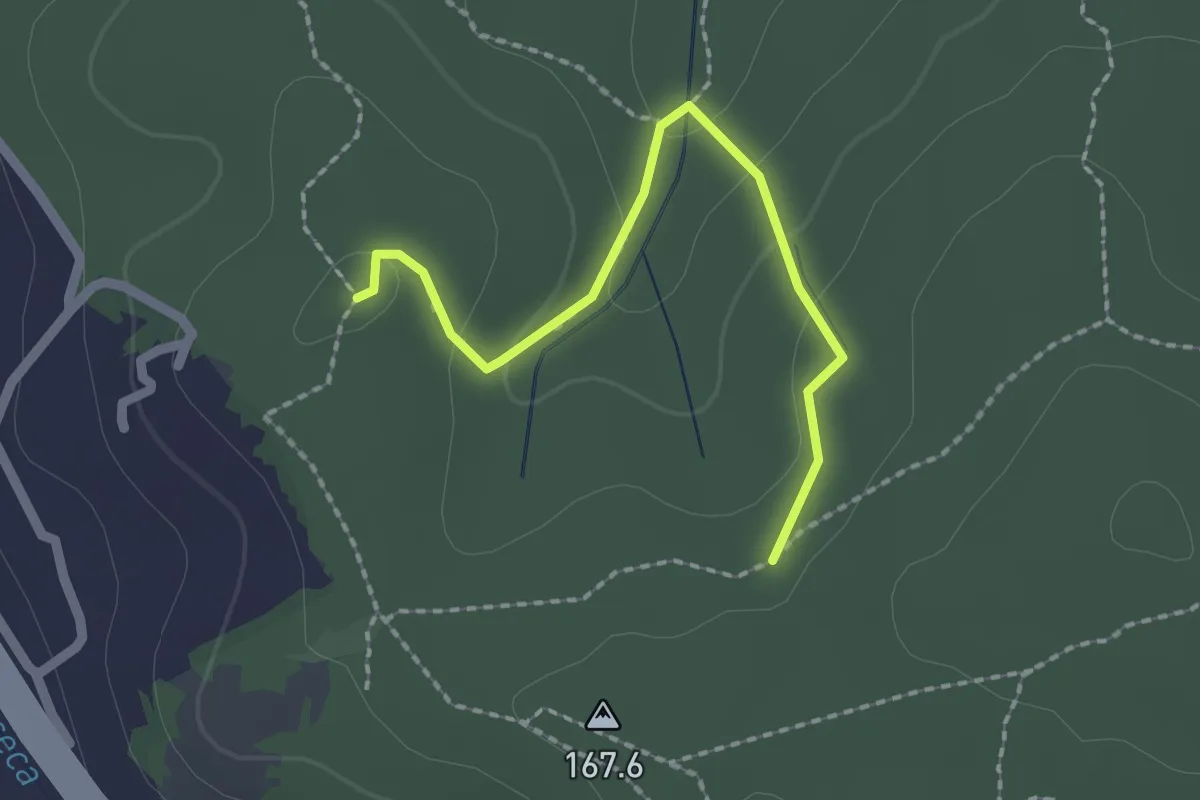
Easy · Trail
Bivio sentiero 439 – Bivio sentiero 438
2.2 km · ↑ 73 m · 40 min · 12 km away
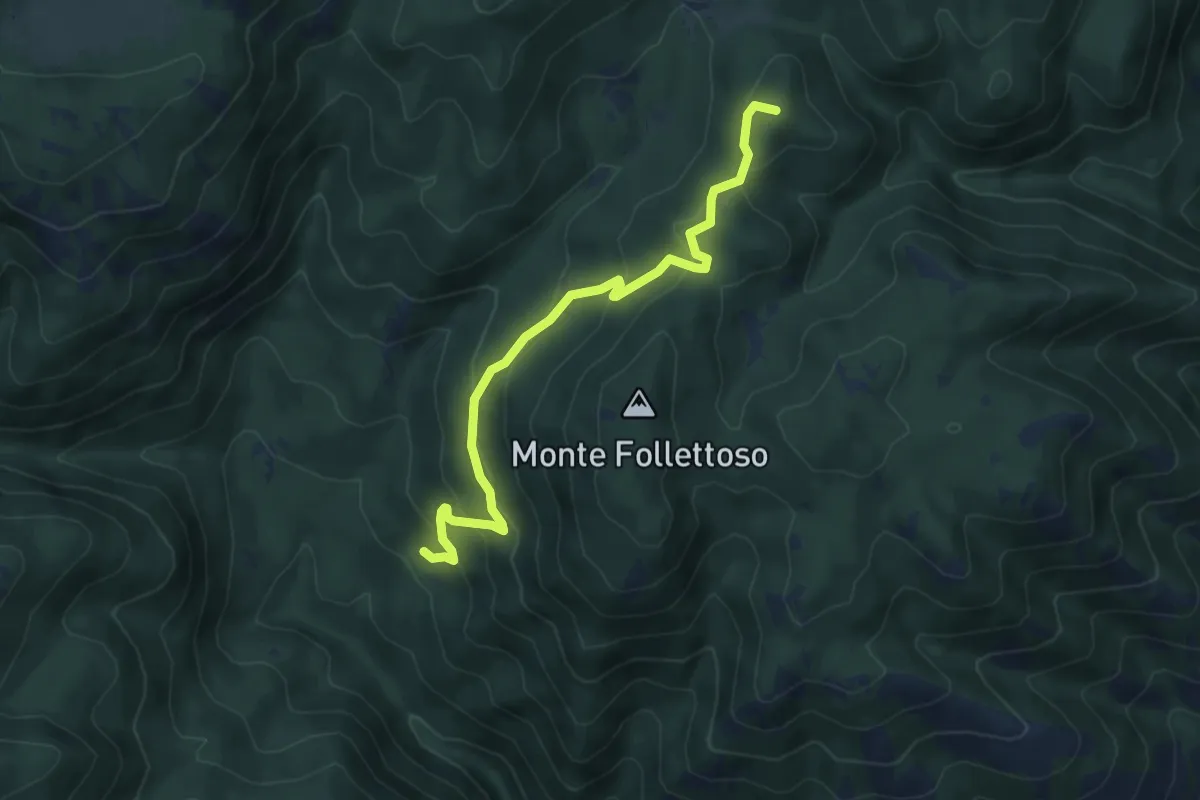
Medium · Summit
Fonte Fumiccia-Prato delle Forme
6.1 km · ↑ 337 m · 2 h 10 min · 12 km away
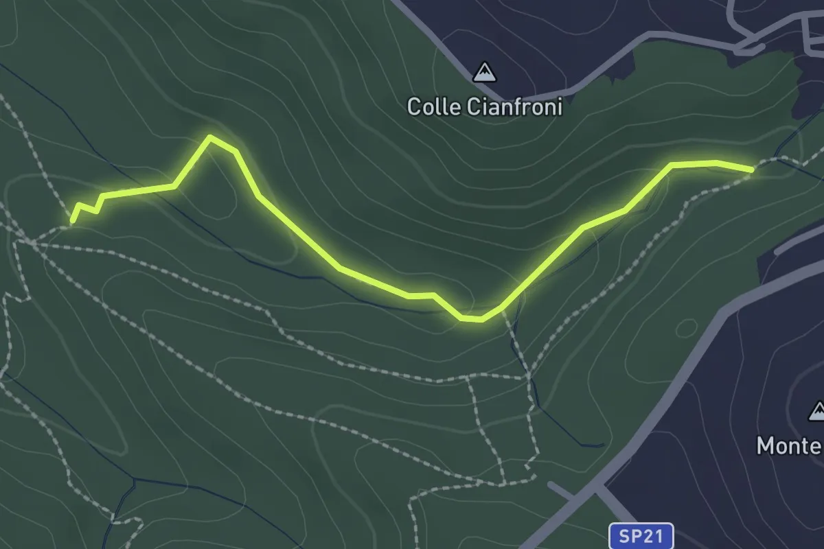
Easy · Trail
Sentiero di Casali variante 491C
2.5 km · ↑ 72 m · 45 min · 12 km away
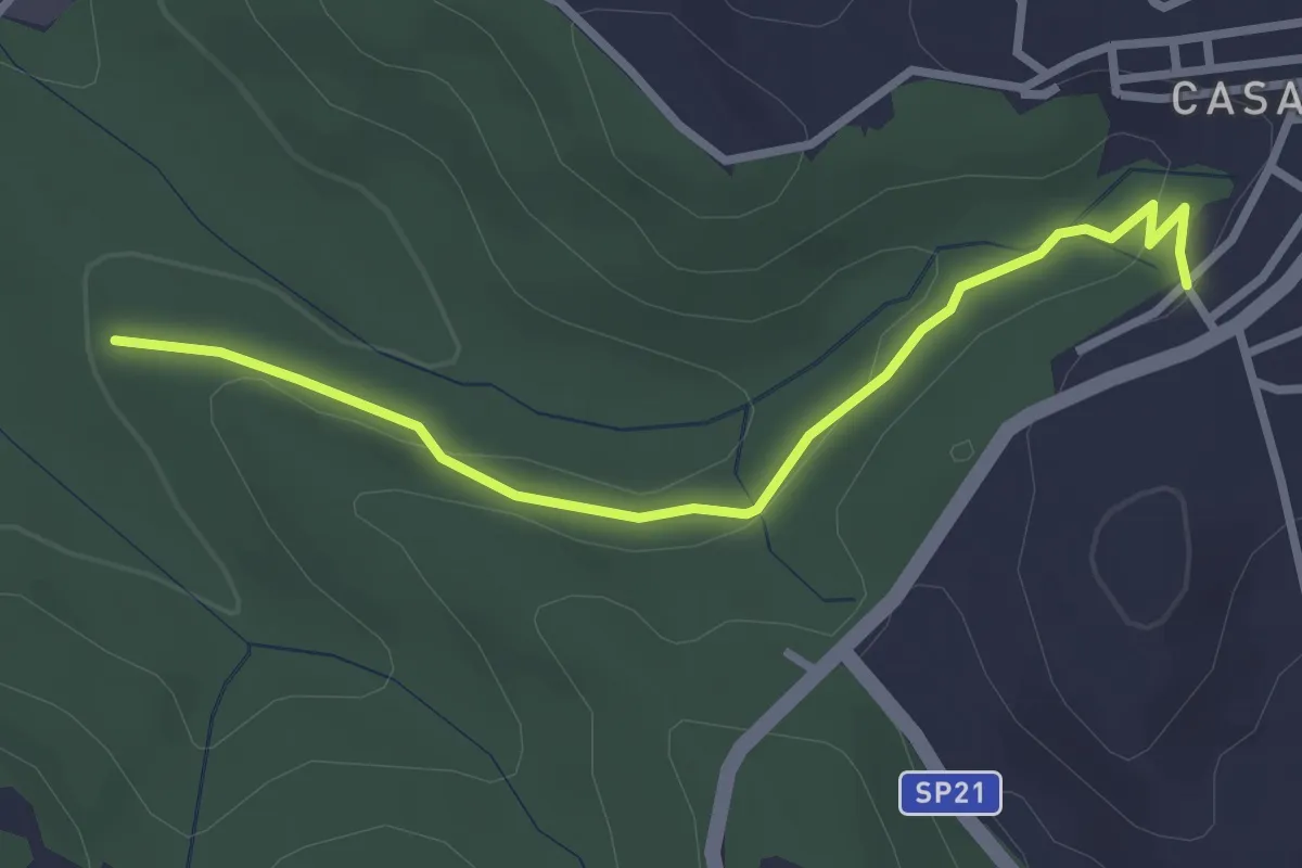
Easy · Trail
Fontanile di Collelungo – Località Romitorio Casali di Mentana
3.2 km · ↑ 74 m · 55 min · 12 km away
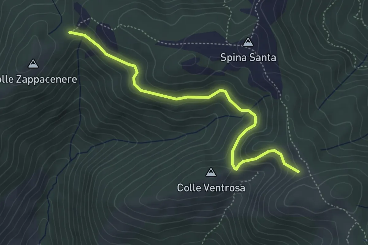
Easy · Trail
Forca Cerella (516) – 517
5.2 km · ↑ 214 m · 1 h 42 min · 12 km away
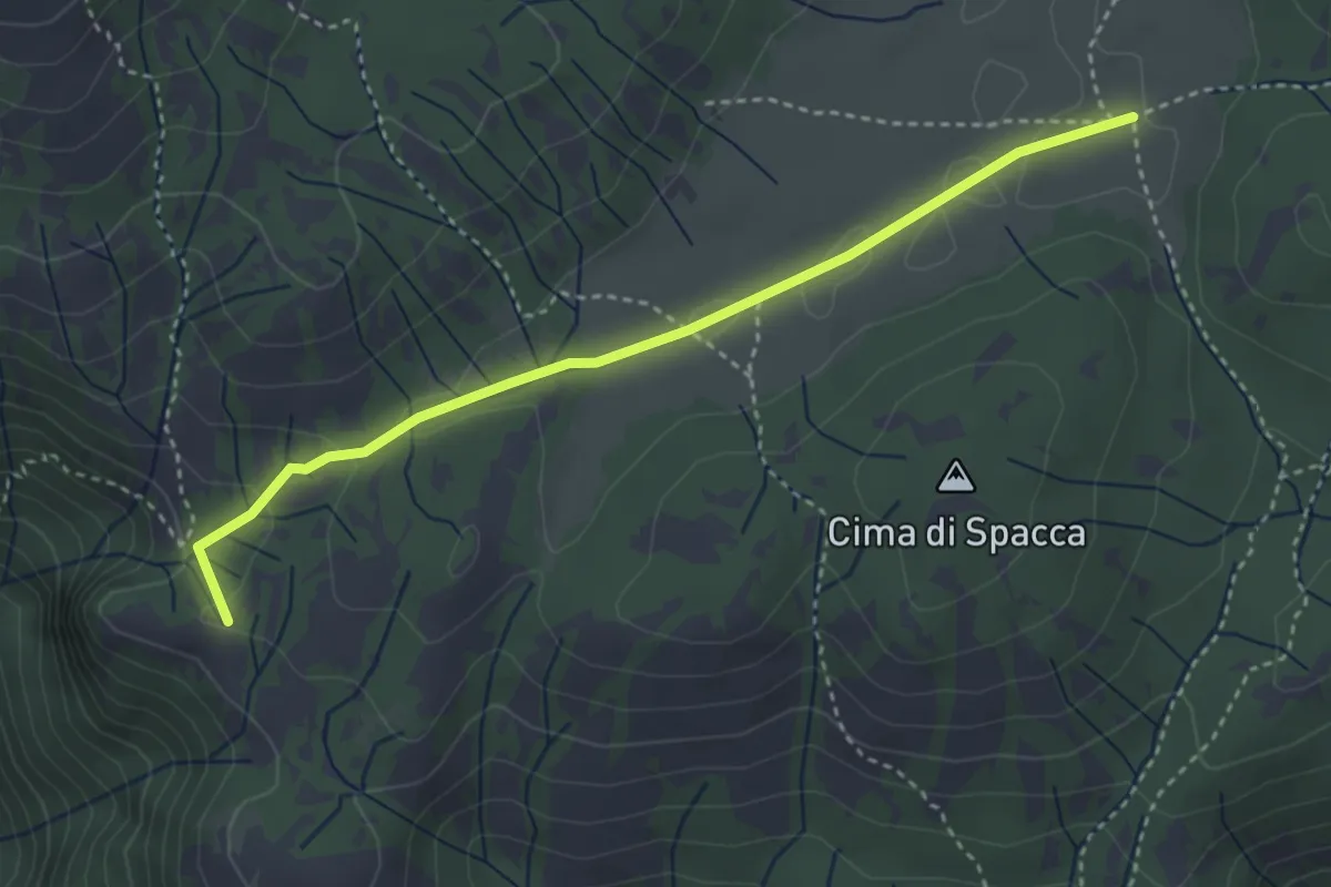
Easy · Summit
La Scalarola Scarpellata-Chiesetta del Pratone
3.8 km · ↑ 58 m · 1 h 1 min · 12 km away
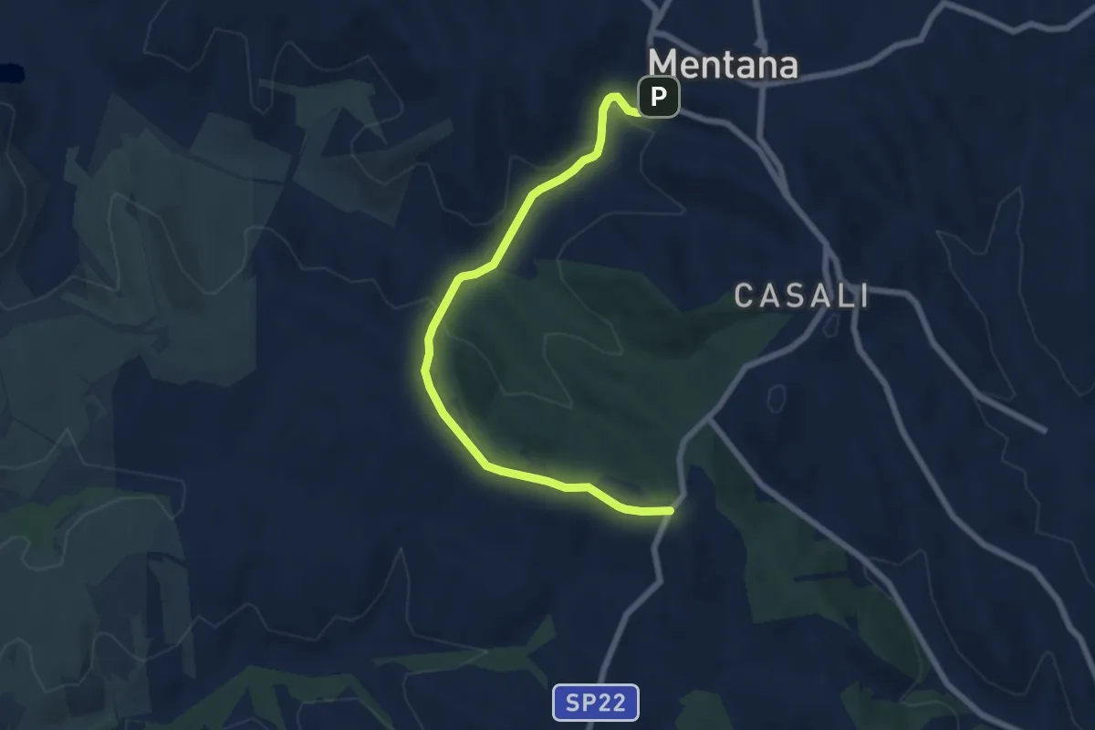
Easy · Trail
Piazzale Selva dei Cavalieri – Centro storico Mentana
7.5 km · ↑ 192 m · 2 h 11 min · 12 km away
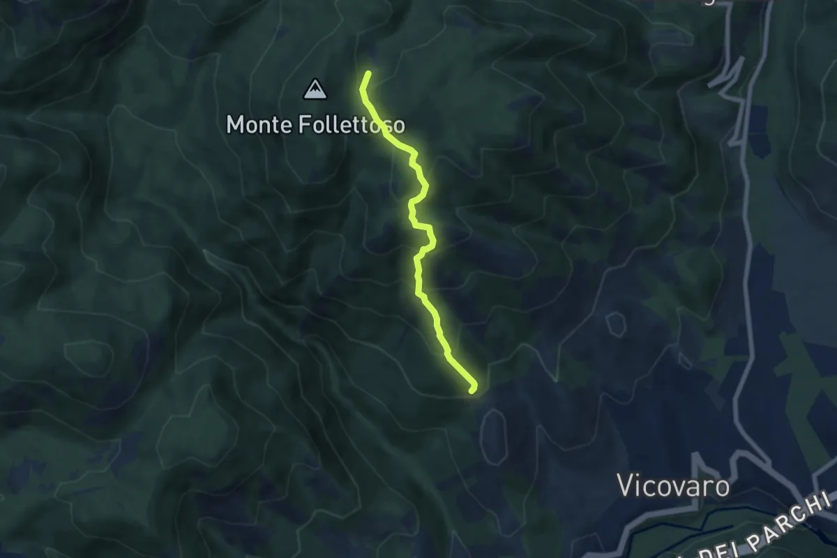
Medium · Trail
Sent. Anita
5.7 km · ↑ 486 m · 2 h 24 min · 12 km away
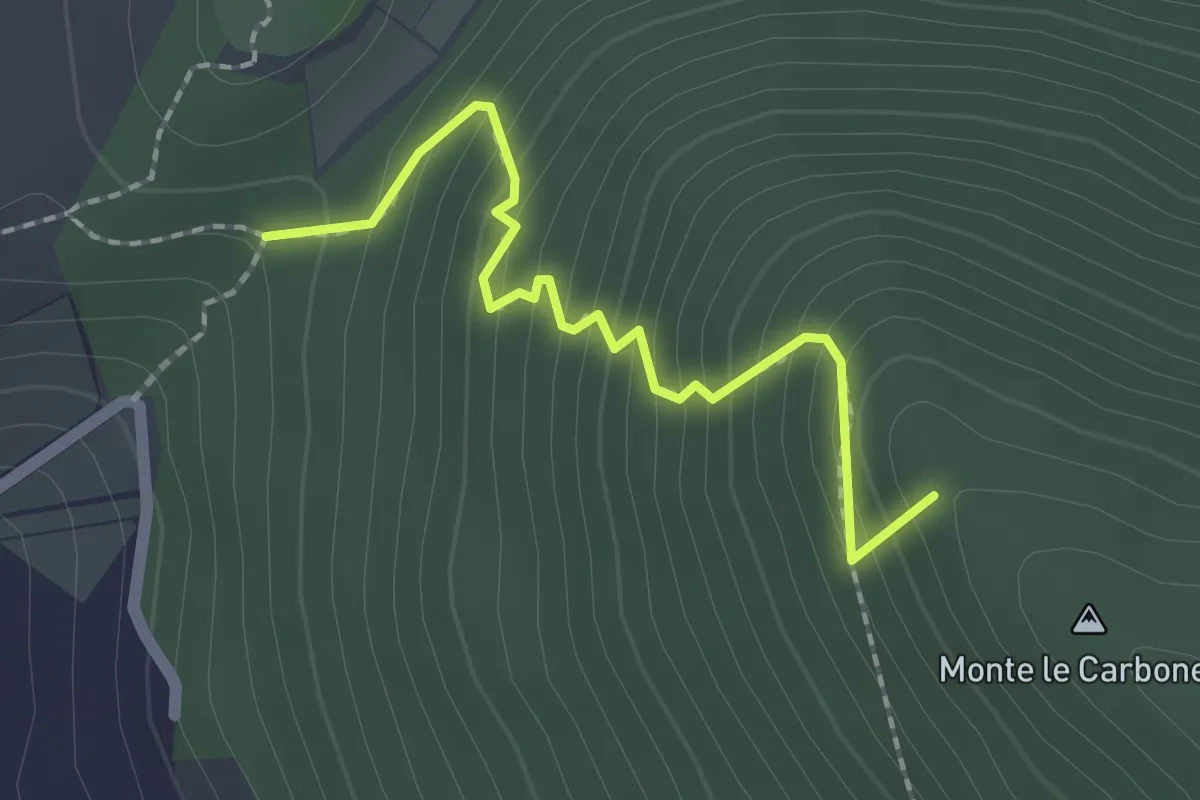
Easy · Summit
S. Nicola-Castiglione
2.1 km · ↑ 217 m · 58 min · 13 km away
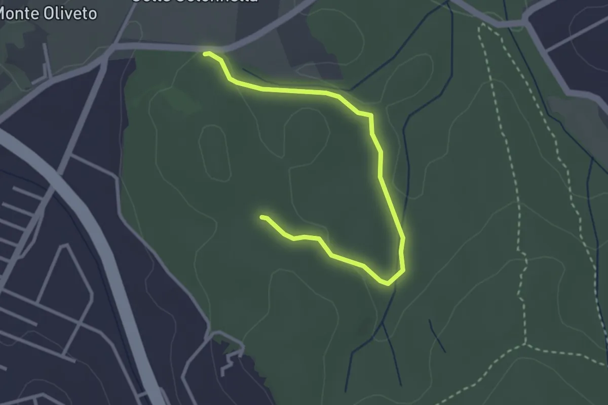
Easy · Trail
Ingresso Strada Provinciale – Incrocio con il sentiero 438
3.3 km · ↑ 49 m · 54 min · 13 km away
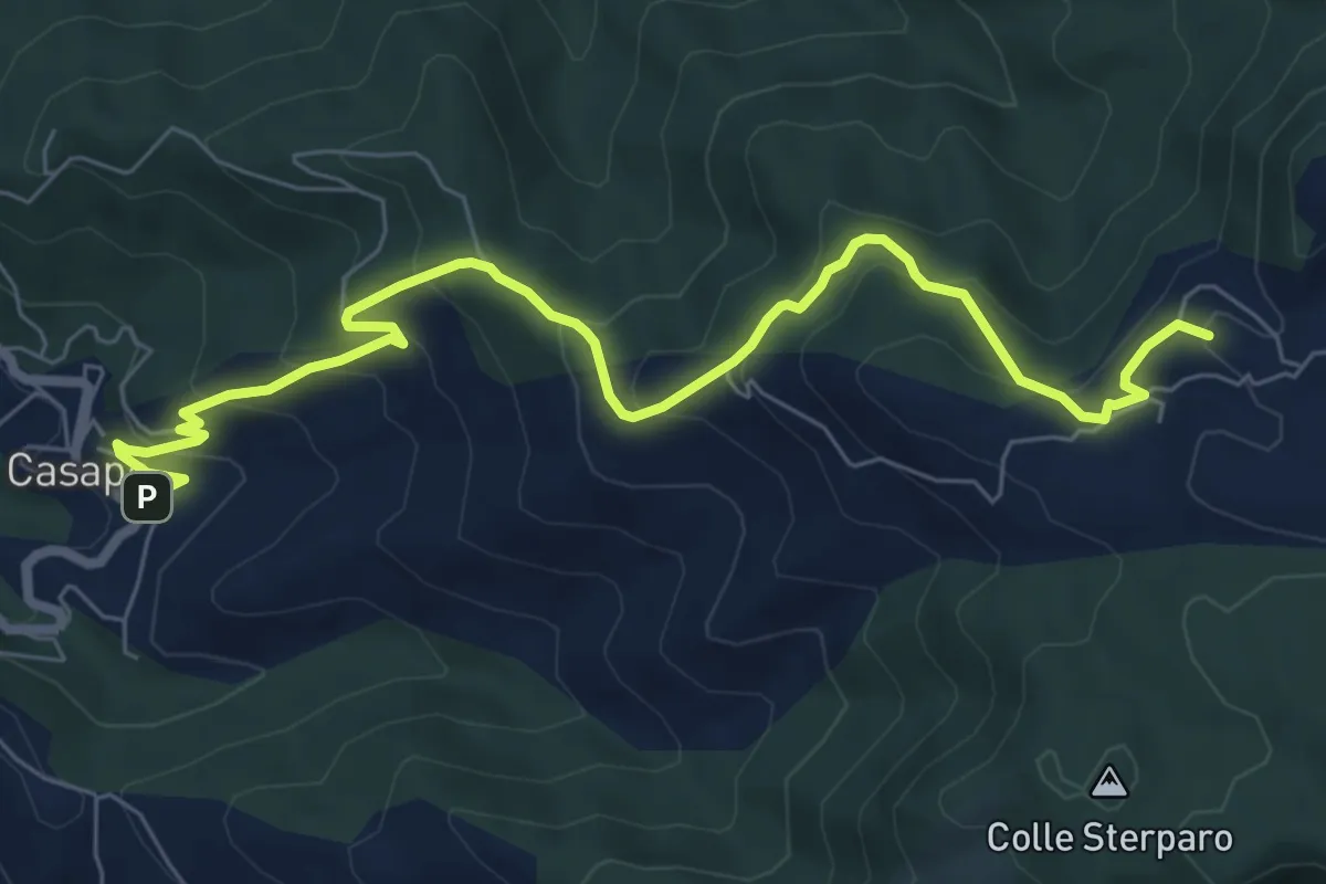
Medium · Summit
Casape – Guadagnolo
8.8 km · ↑ 548 m · 3 h 16 min · 13 km away