Trails near Villanova
65 hikes starting within 15 km, nearest first.
Nearest first, page 2 of 2
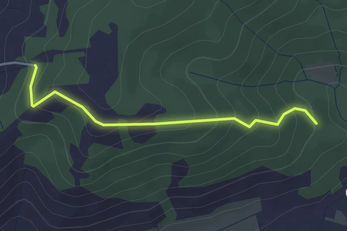
Easy · Trail
Colle Colubro- Fonte Taccone
3.0 km · ↑ 200 m · 1 h 9 min · 13 km away
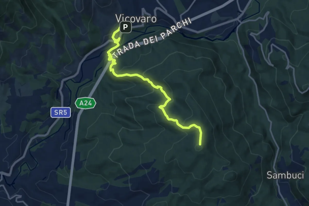
Medium · Summit
Vicovaro, largo Aldo Moro – Colle Cerrito Piano
11.1 km · ↑ 611 m · 3 h 57 min · 13 km away
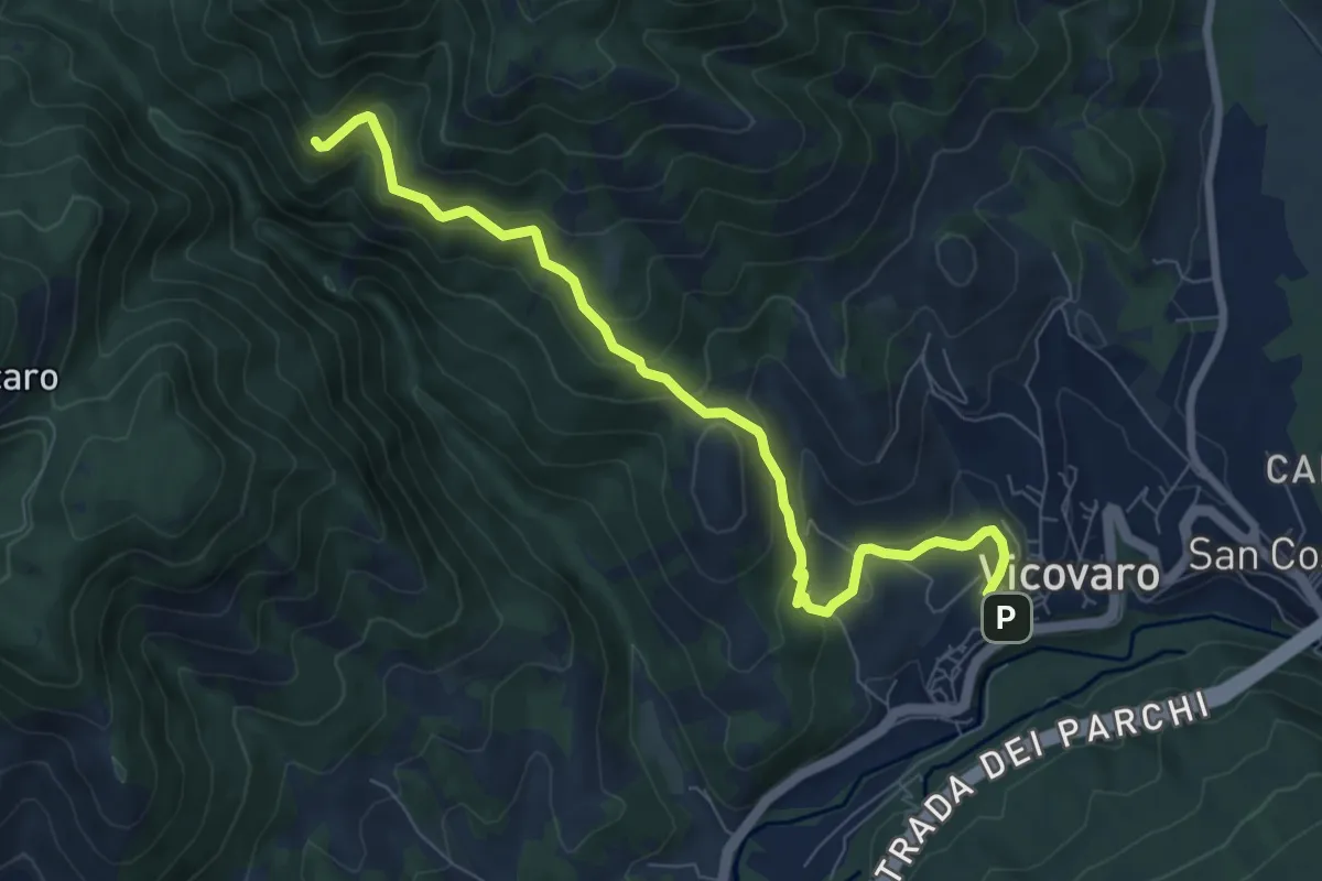
Medium · Trail
Vicovaro - Fosso di S. Martino
8.7 km · ↑ 464 m · 3 h 3 min · 13 km away
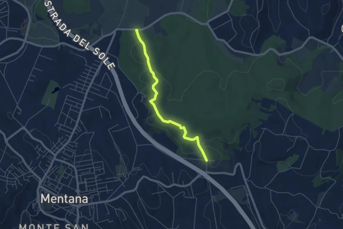
Easy · Trail
Percorso Blu
5.2 km · ↑ 58 m · 1 h 22 min · 13 km away
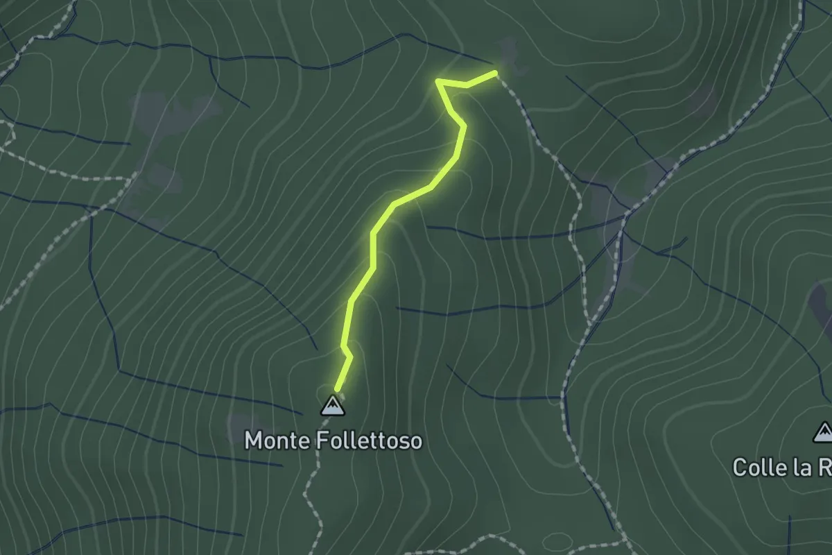
Easy · Summit
Monte Follettoso
1.3 km · ↑ 84 m · 29 min · 13 km away
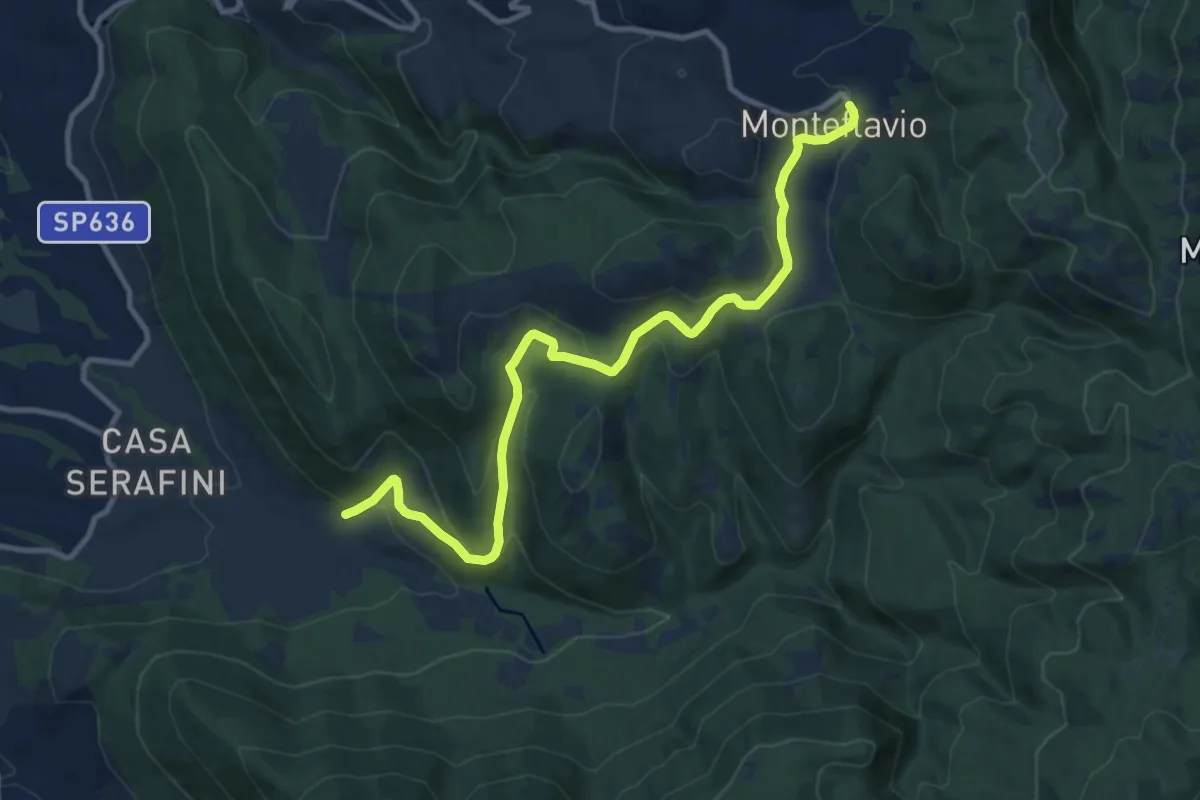
Medium · Trail
Fontanili – Monteflavio
12.6 km · ↑ 499 m · 4 h 3 min · 14 km away
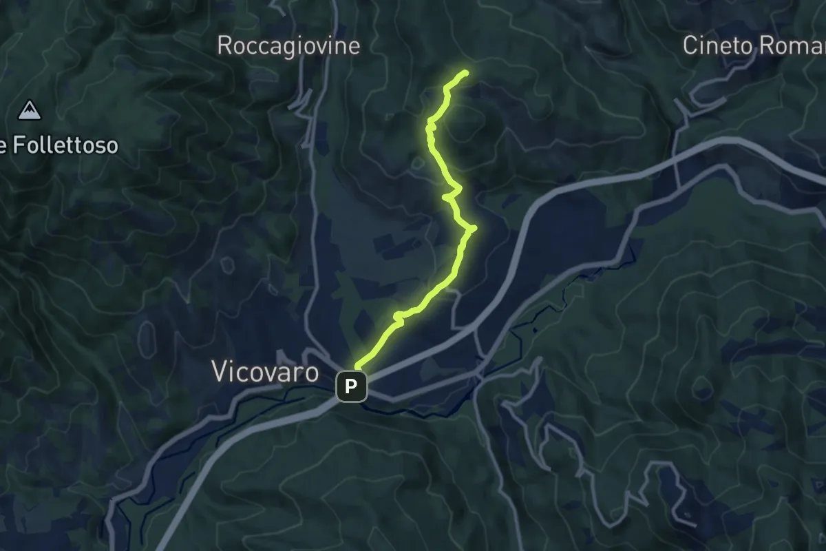
Medium · Summit
San Cosimato – Colle Prioni
9.6 km · ↑ 390 m · 3 h 7 min · 14 km away
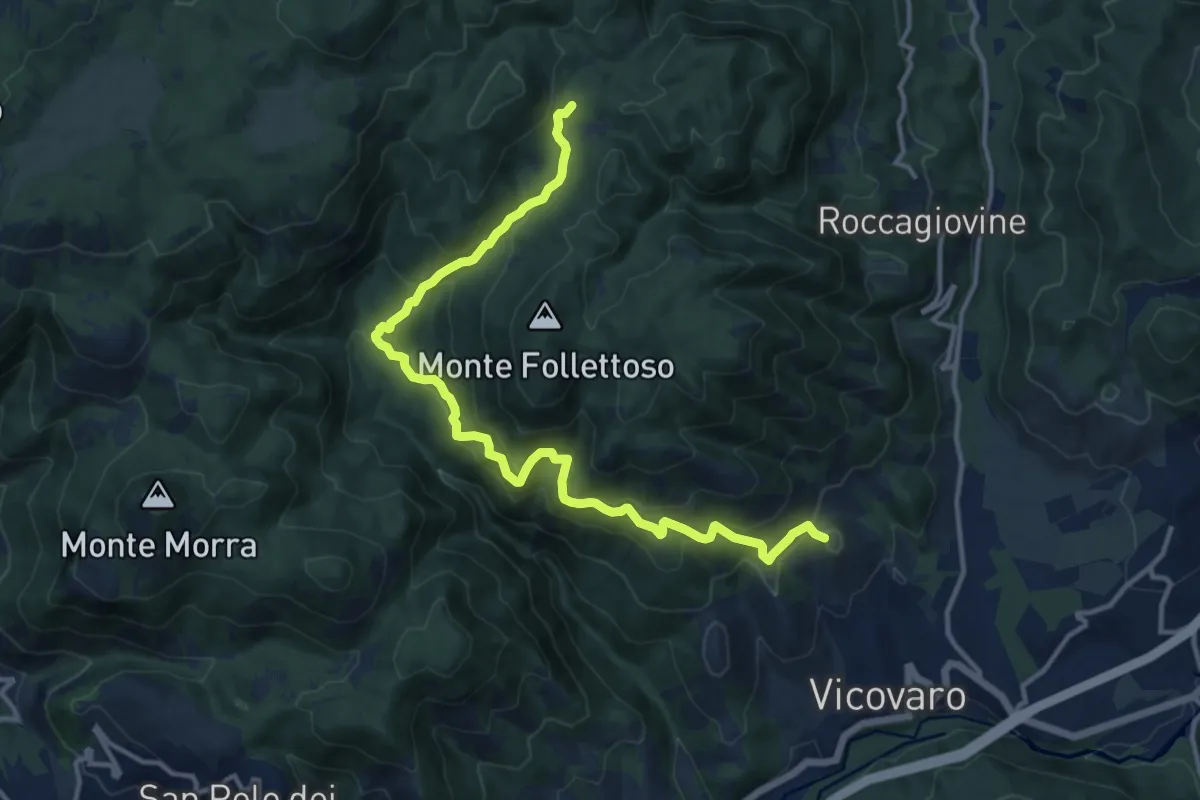
Demanding · Summit
Vicovaro - Mad. dei Ronci - Prato delle Forme
15.4 km · ↑ 864 m · 5 h 30 min · 14 km away
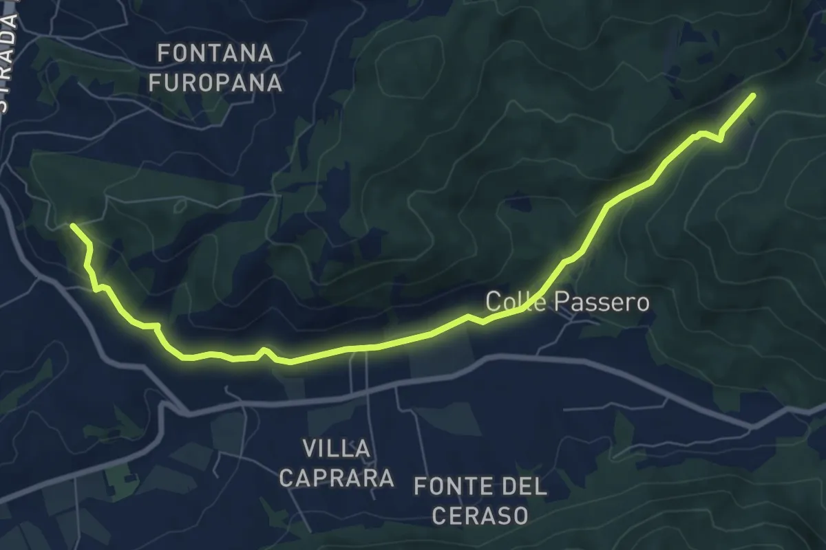
Medium · Trail
Castel Madama Boschetto – incrocio sentiero 518
9.0 km · ↑ 241 m · 2 h 39 min · 14 km away
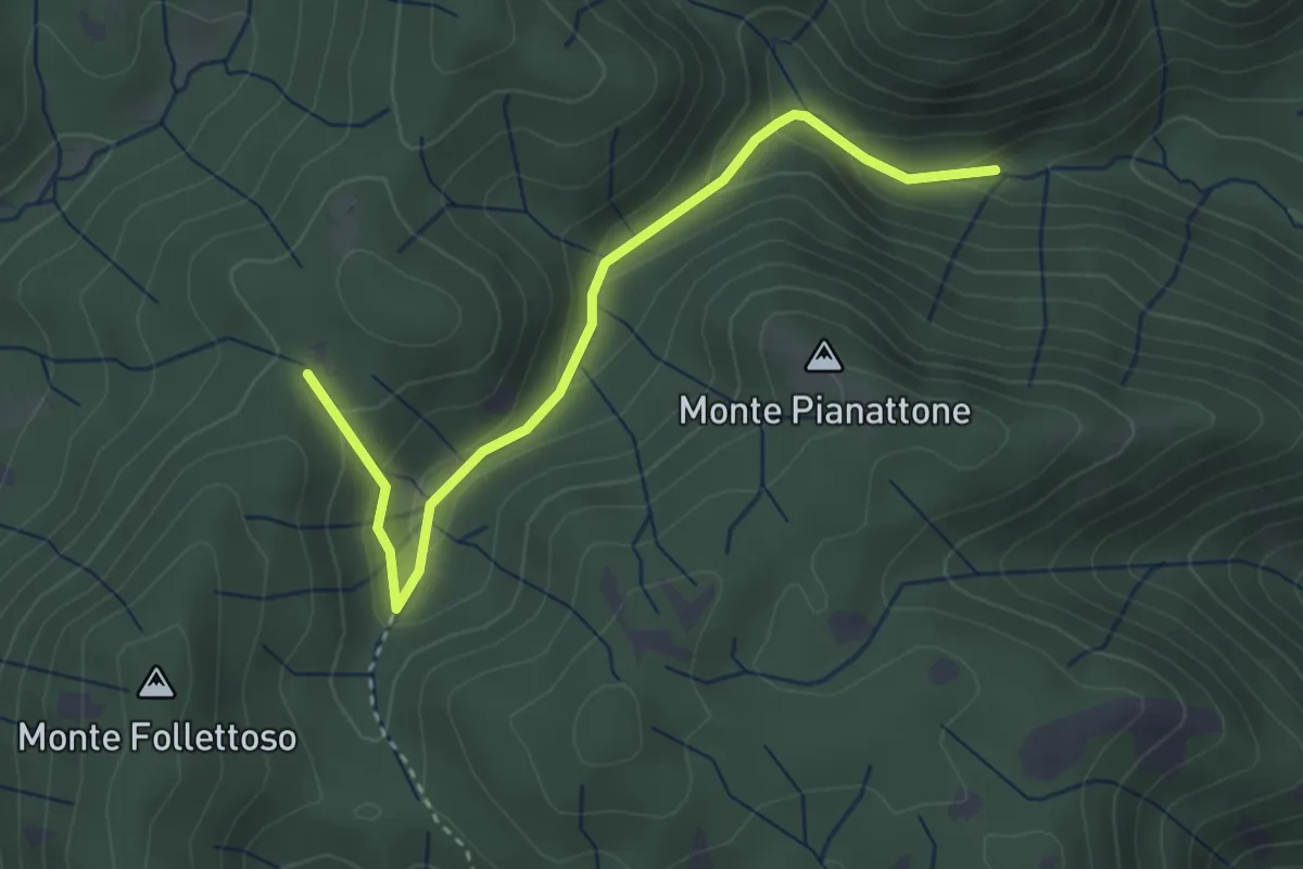
Easy · Trail
Stretta Vallicina
3.6 km · ↑ 167 m · 1 h 13 min · 14 km away
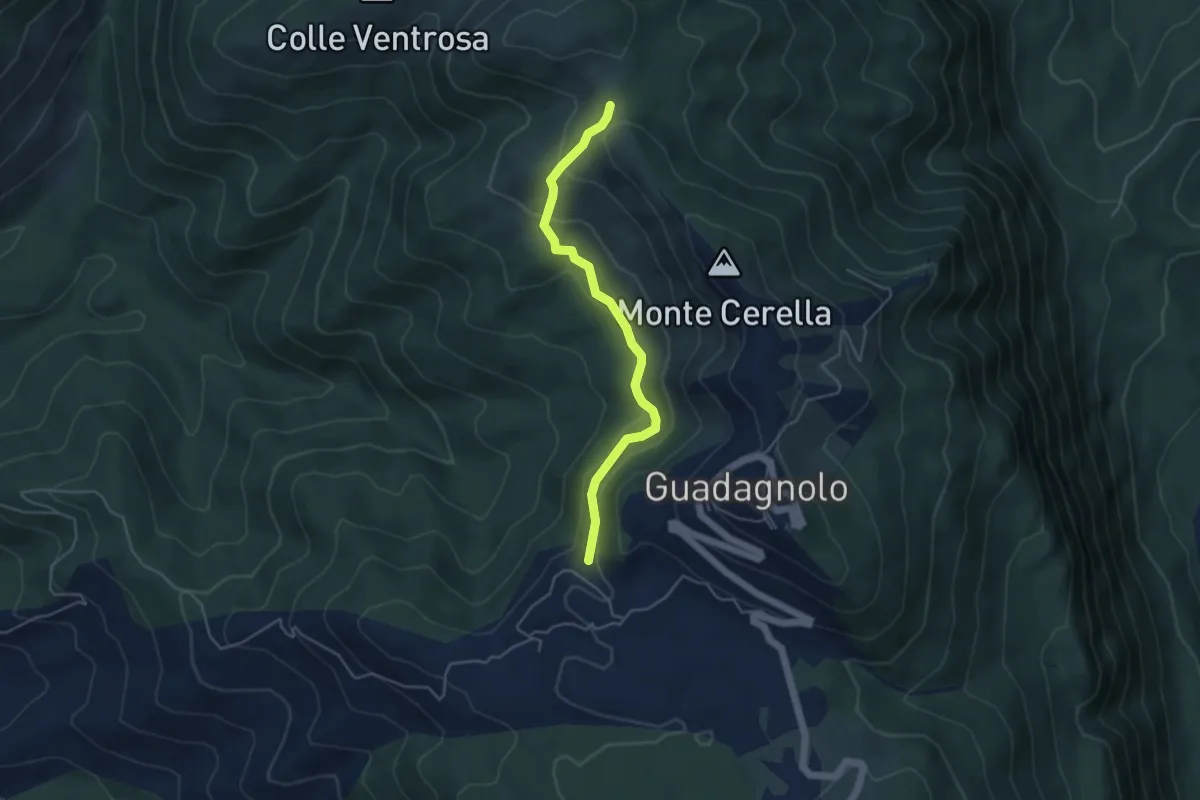
Easy · Trail
500 – 515 in direzione Guadagnolo
4.7 km · ↑ 217 m · 1 h 34 min · 14 km away
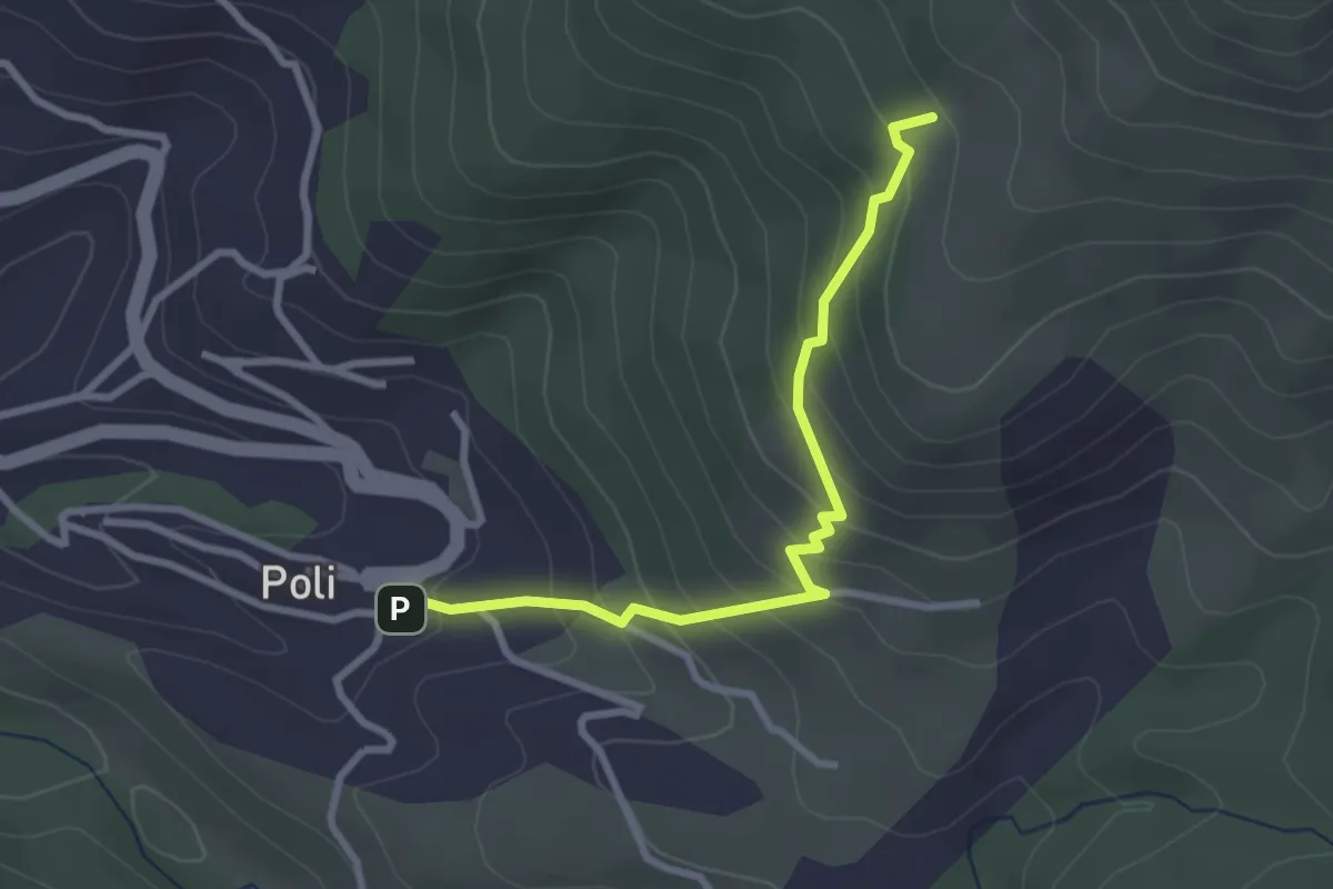
Medium · Summit
Poli – Loc. Le Prata su sent.515
3.1 km · ↑ 283 m · 1 h 21 min · 14 km away
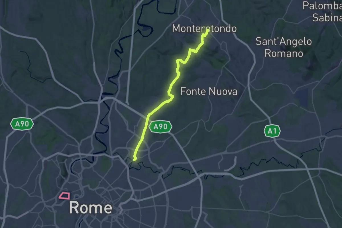
Medium · Trail
Via di Francesco - Tappa 21
17.9 km · ↑ 253 m · 5 h 5 min · 15 km away
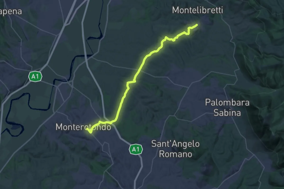
Medium · Trail
Montelibretti – Monterotondo
16.4 km · ↑ 287 m · 4 h 40 min · 15 km away
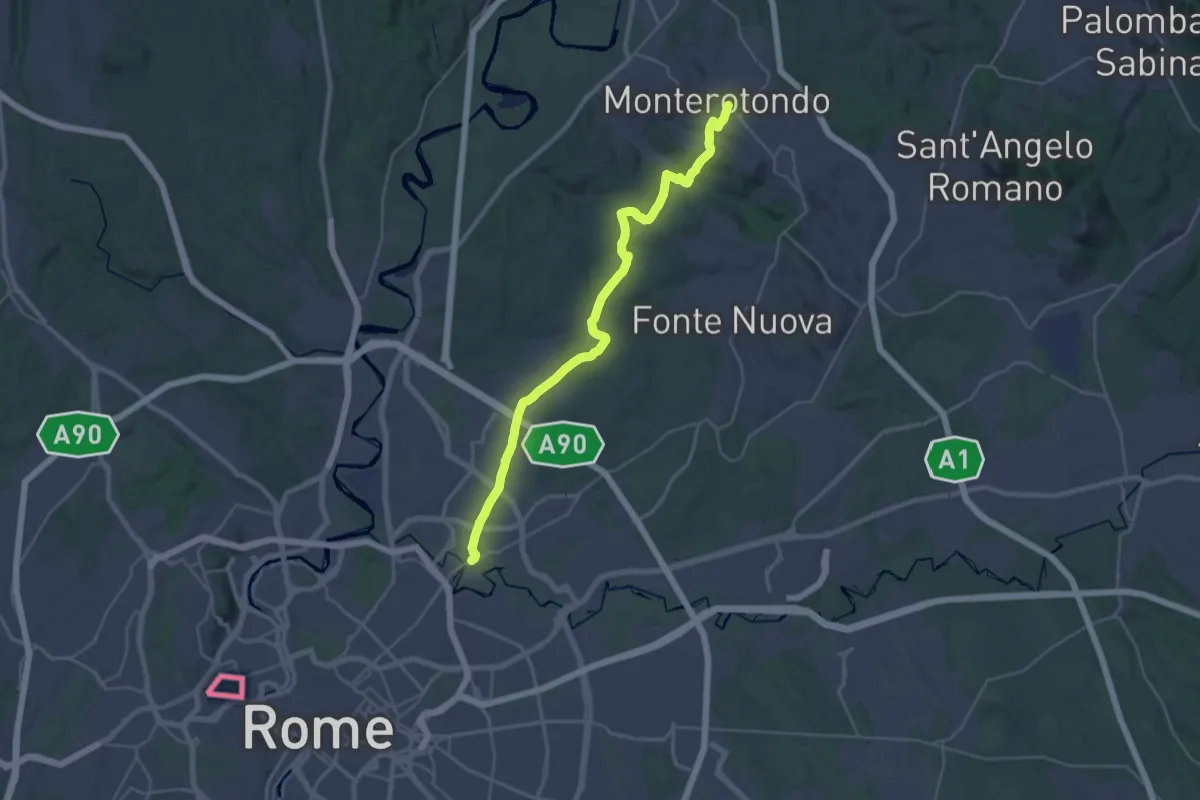
Medium · Trail
Monterotondo – Roma Monte Sacro
17.9 km · ↑ 259 m · 5 h 6 min · 15 km away
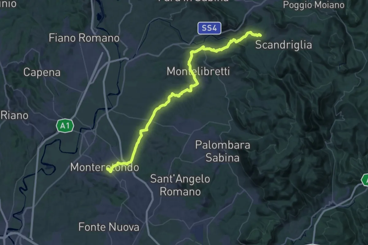
Demanding · Trail
Via di Francesco - Tappa 20
29.4 km · ↑ 691 m · 8 h 45 min · 15 km away
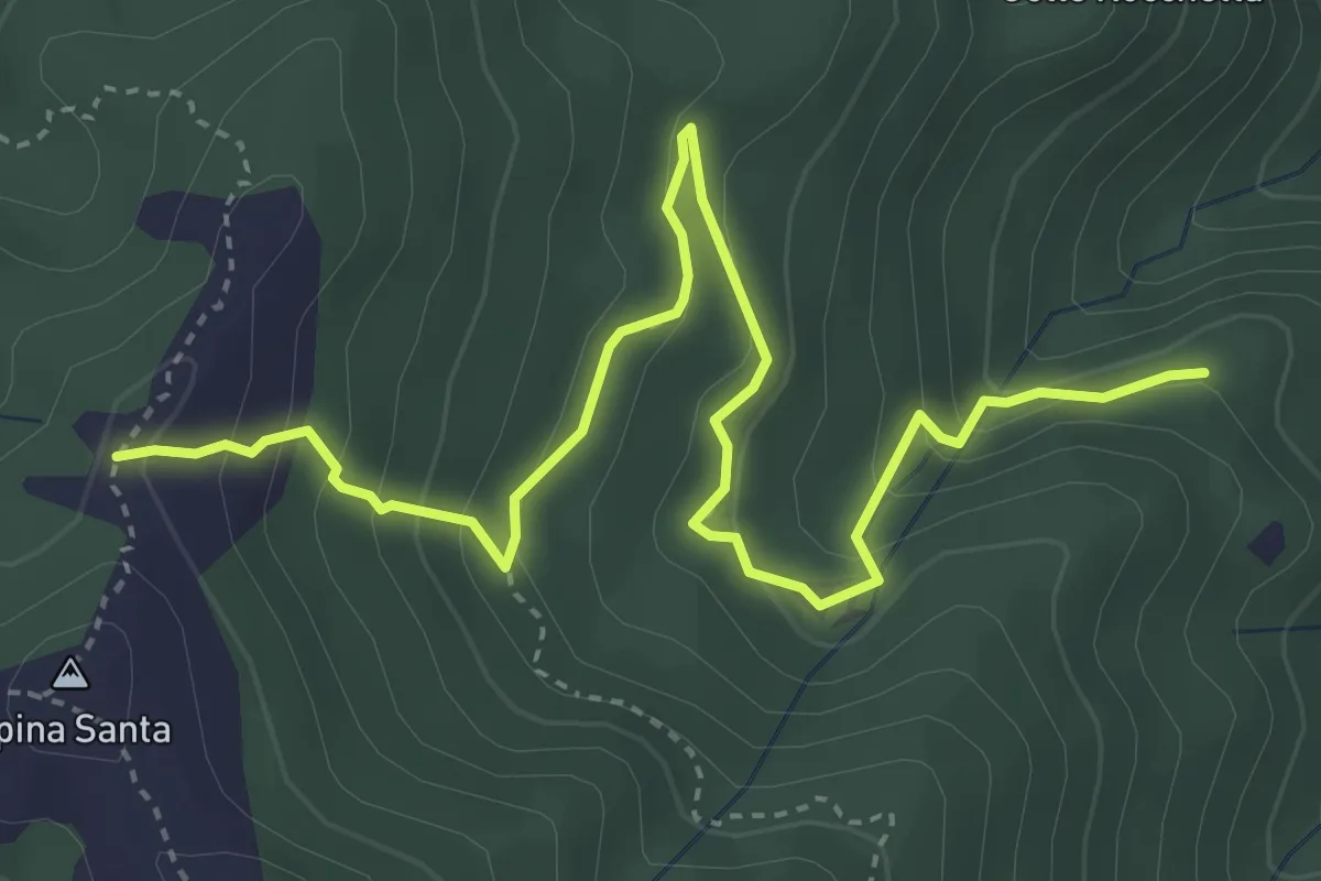
Medium · Trail
501 – 500B
5.2 km · ↑ 338 m · 1 h 58 min · 15 km away