Trails near Vittorio Veneto
96 hikes starting within 15 km, nearest first.
Nearest first, page 1 of 2
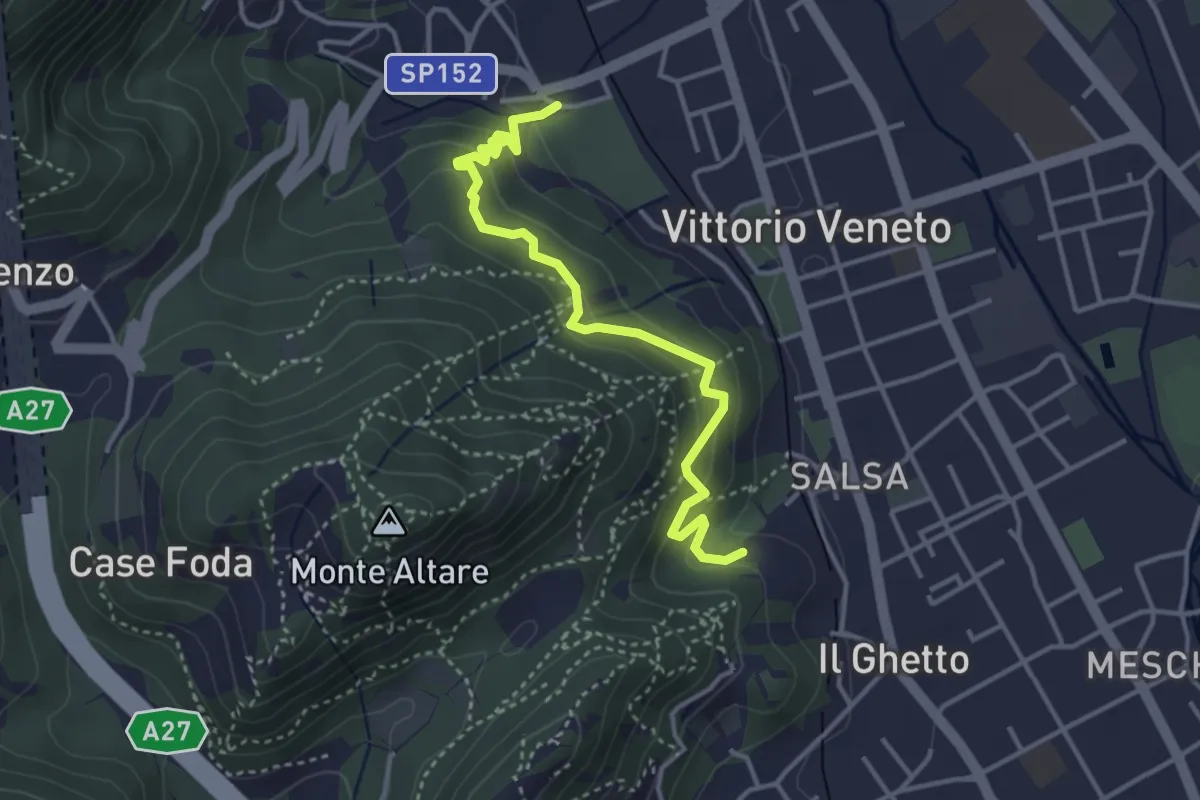
Easy · Trail
Sentiero del Monte Altare
3.8 km · ↑ 254 m · 1 h 27 min · 1 km away
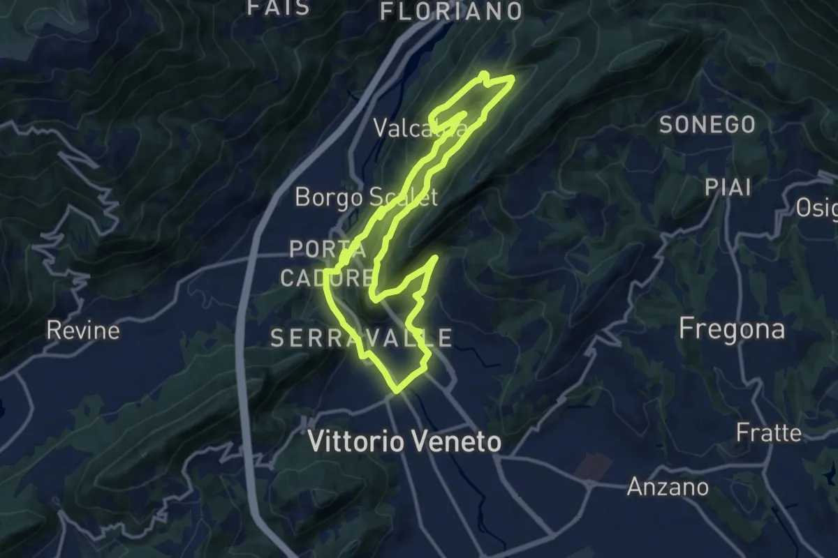
Medium · Trail
L'Anello di Santa Augusta
11.3 km · ↑ 434 m · 3 h 45 min · 1 km away
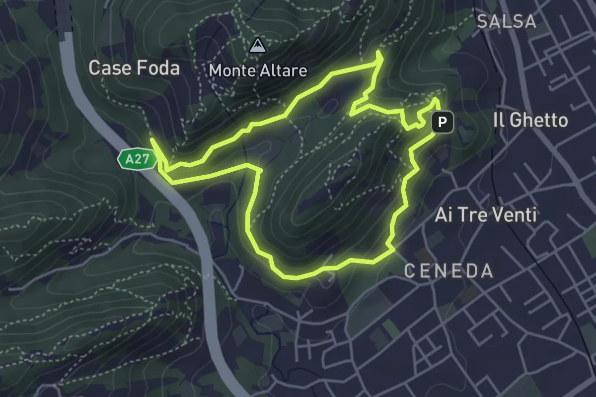
Easy · Summit
Ceneda - San Rocco - Case Posoccon - Castello di San Martino
4.0 km · ↑ 209 m · 1 h 27 min · 1 km away
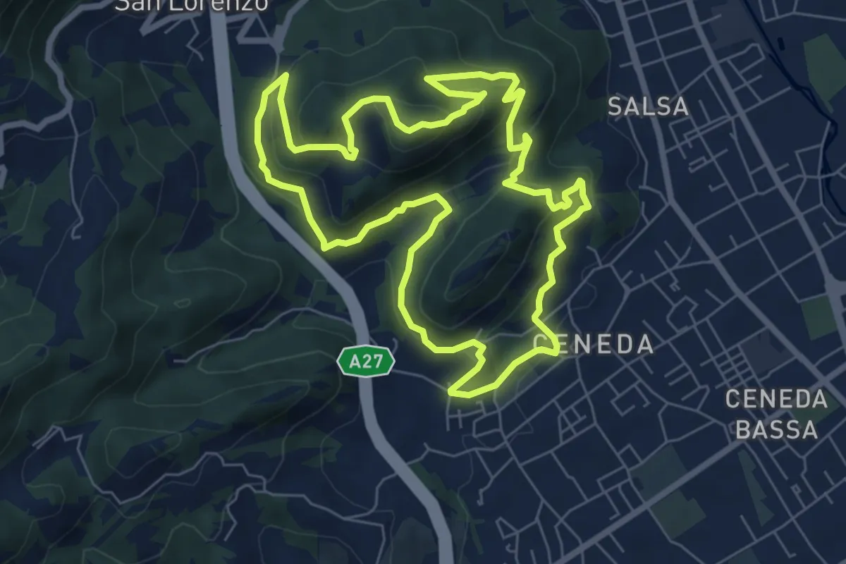
Medium · Summit
Ceneda - Piazza Giovanni Paolo I – Ceneda - Piazza Giovanni Paolo I
7.0 km · ↑ 416 m · 2 h 40 min · 1 km away
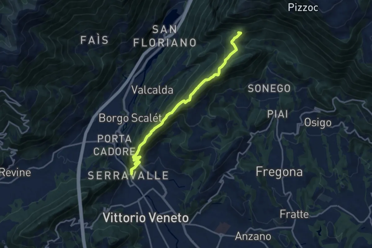
Medium · Summit
Vittorio Veneto - Santuario Santa Augusta – Casera Prese (Farra d'Alpago)
11.5 km · ↑ 786 m · 4 h 25 min · 1 km away
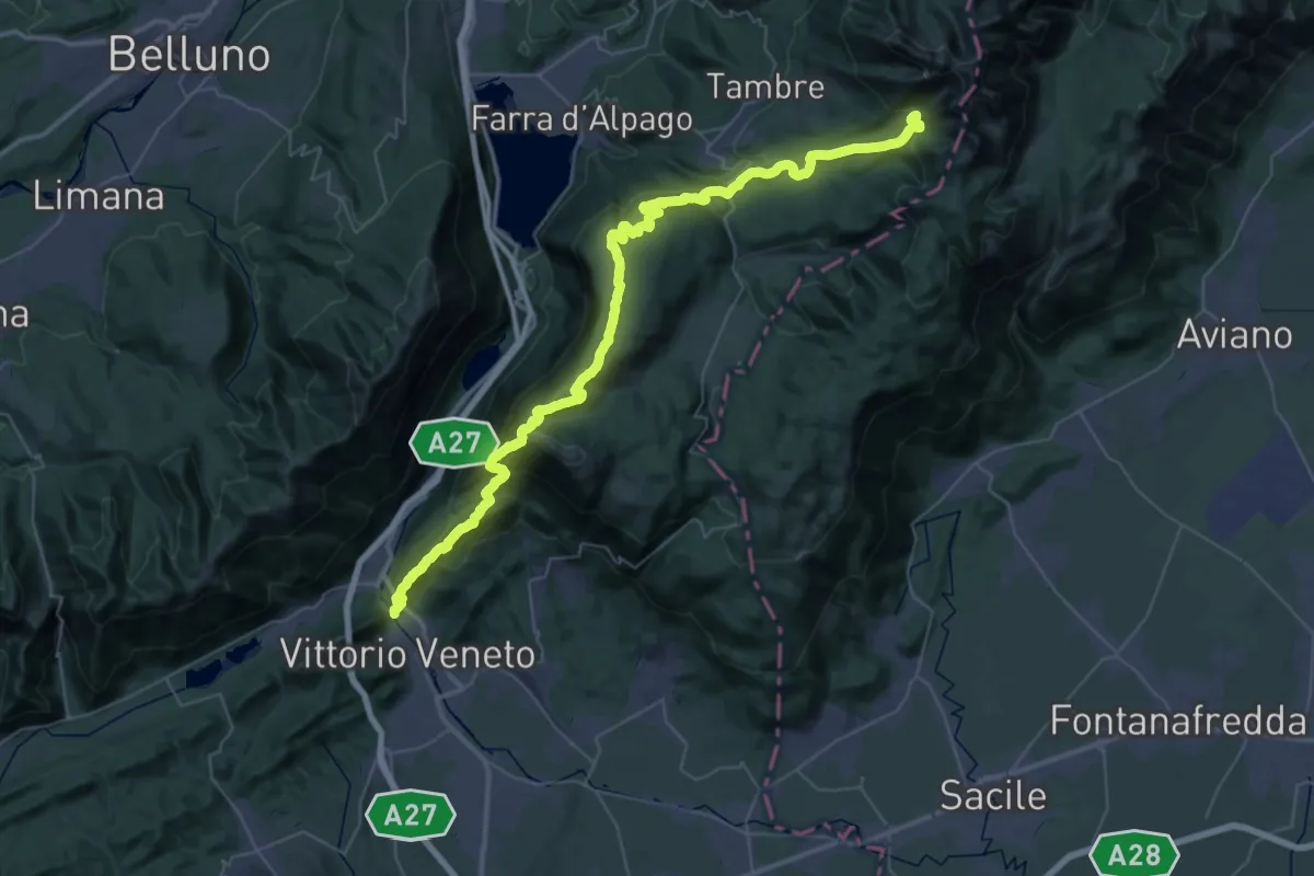
Demanding · Summit
Alta via n. 6 delle Dolomiti - XI tappa
56.9 km · ↑ 3078 m · 20 h 7 min · 1 km away
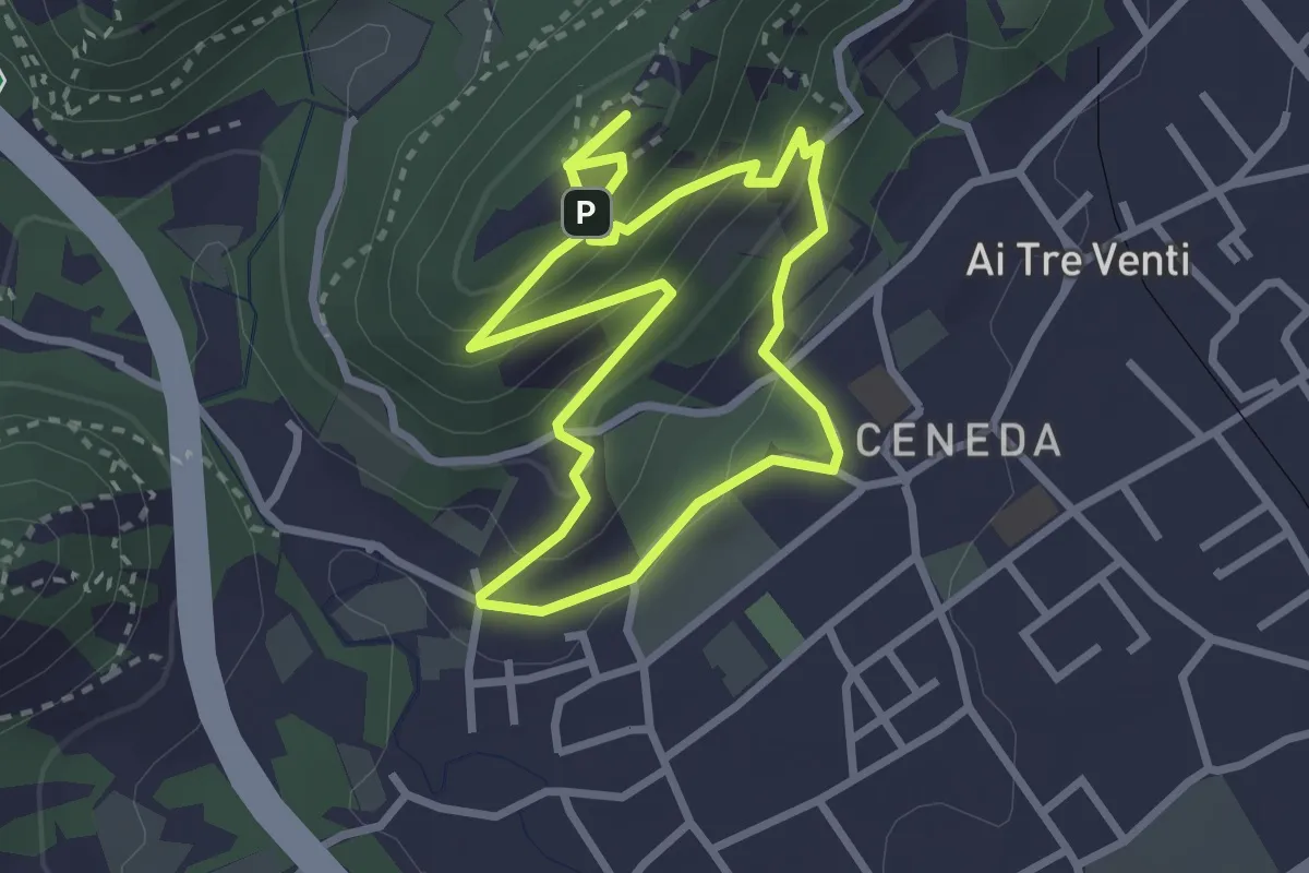
Easy · Summit
V11 - Colle San Paolo
2.7 km · ↑ 152 m · 1 h 1 min · 1 km away
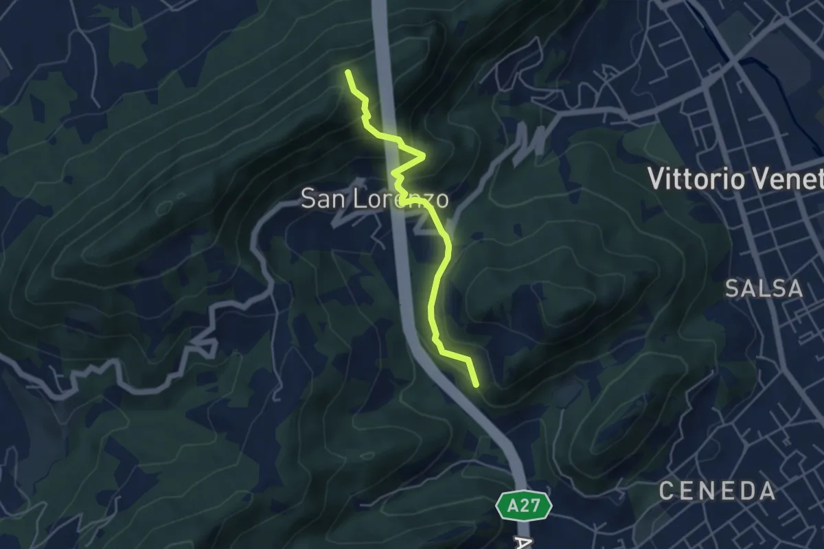
Medium · Trail
Raccordi sent. 1041 / 1042 – Borgo Vignola - Loc. S. Lorenzo
4.1 km · ↑ 325 m · 1 h 40 min · 2 km away
Medium · Summit
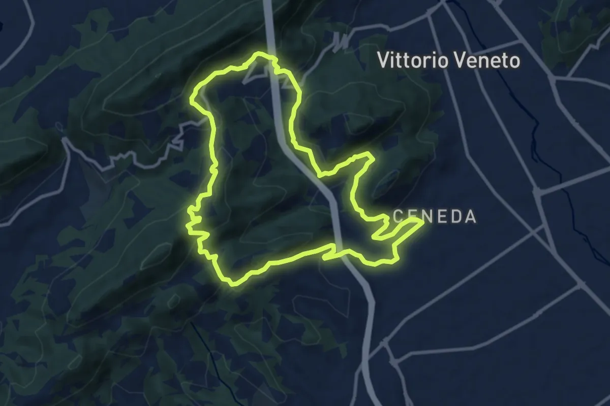
V13 - Perdonanzestellung
9.5 km · ↑ 496 m · 3 h 27 min · 2 km away
Medium · Trail
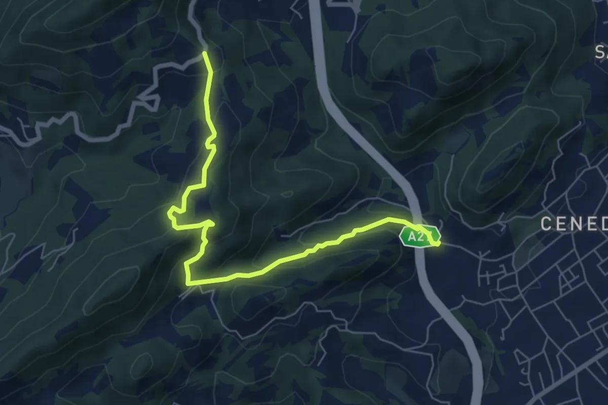
Montebello - Borgo Castagnè - Monte Baldo - Borgo Vignola
6.6 km · ↑ 398 m · 2 h 26 min · 2 km away
Medium · Summit
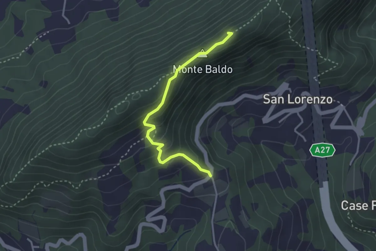
Monte Baldo
2.9 km · ↑ 190 m · 1 h 5 min · 2 km away
Medium · Trail
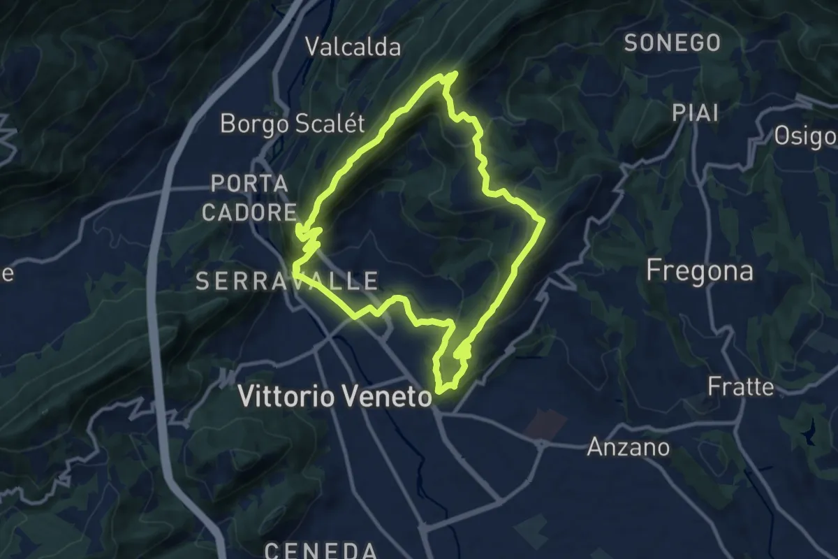
V2 - Il Giro delle Due Coste
10.1 km · ↑ 670 m · 3 h 59 min · 3 km away
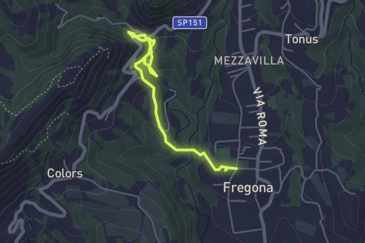
Easy · Trail
Grotte del Caglieron
4.2 km · ↑ 184 m · 1 h 23 min · 3 km away
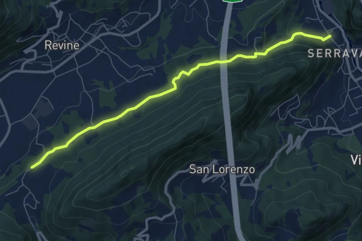
Easy · Trail
Via dell'acqua
7.0 km · ↑ 230 m · 2 h 10 min · 4 km away
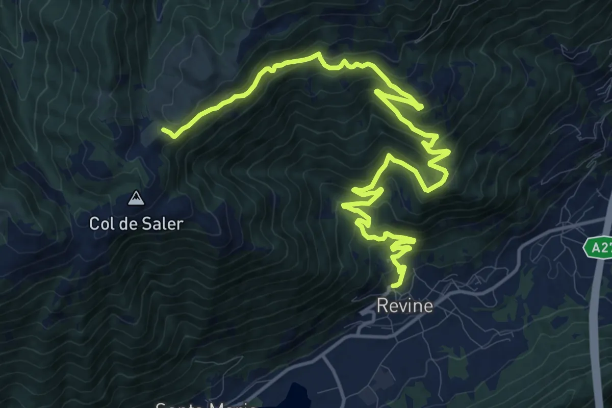
Demanding · Trail
Tag 24 V2 Traumpfad München Venedig
16.8 km · ↑ 994 m · 6 h 7 min · 4 km away
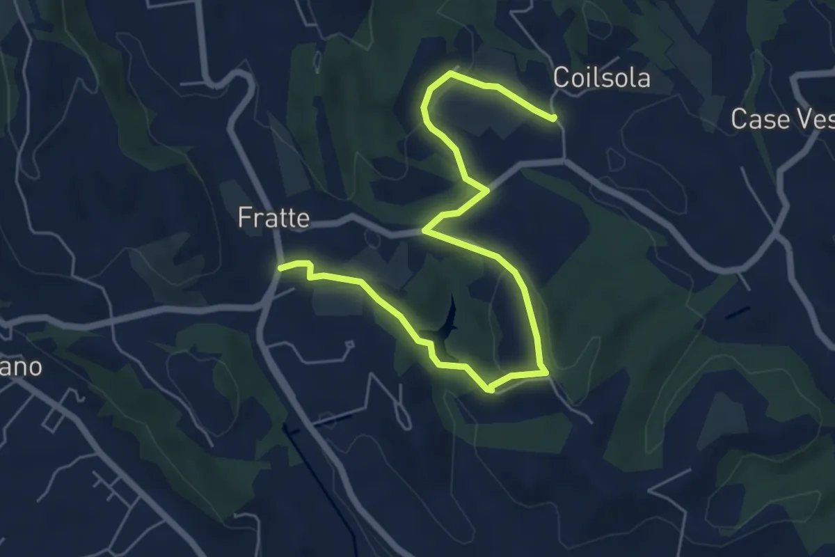
Easy · Trail
Sentiero del Torchiato
6.6 km · ↑ 221 m · 2 h 2 min · 4 km away
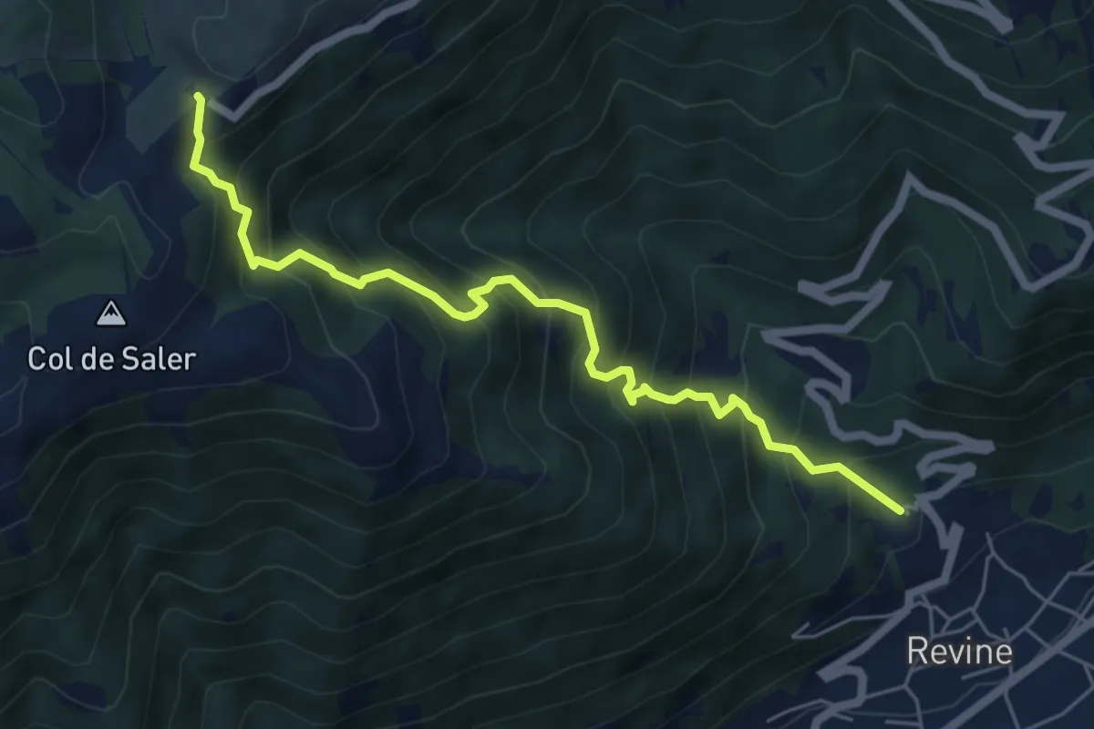
Medium · Trail
Revine Lago – Pian de le Femene
6.0 km · ↑ 788 m · 3 h 7 min · 4 km away
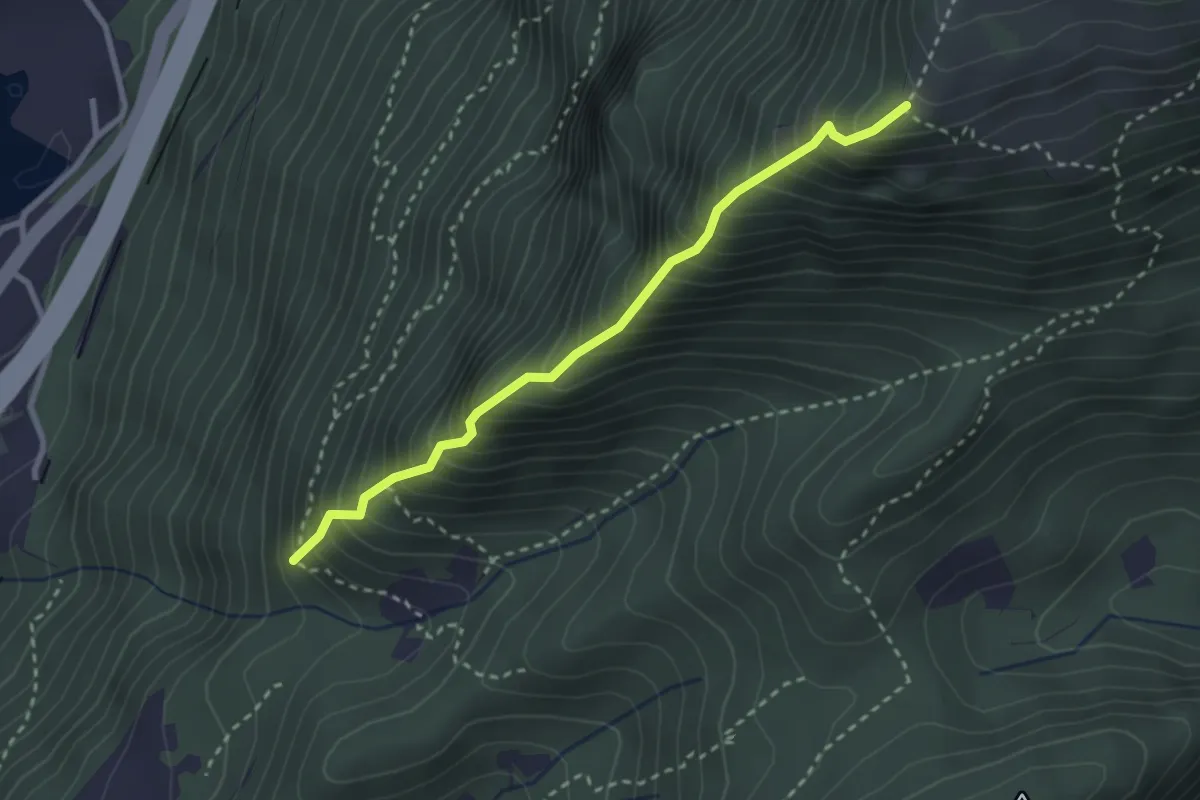
Expert · Trail
La Costiera
2.8 km · ↑ 568 m · 1 h 53 min · 5 km away
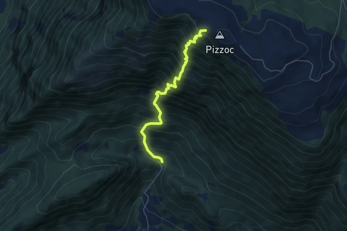
Demanding · Cabin
La Direttissima
4.9 km · ↑ 909 m · 3 h 8 min · 5 km away
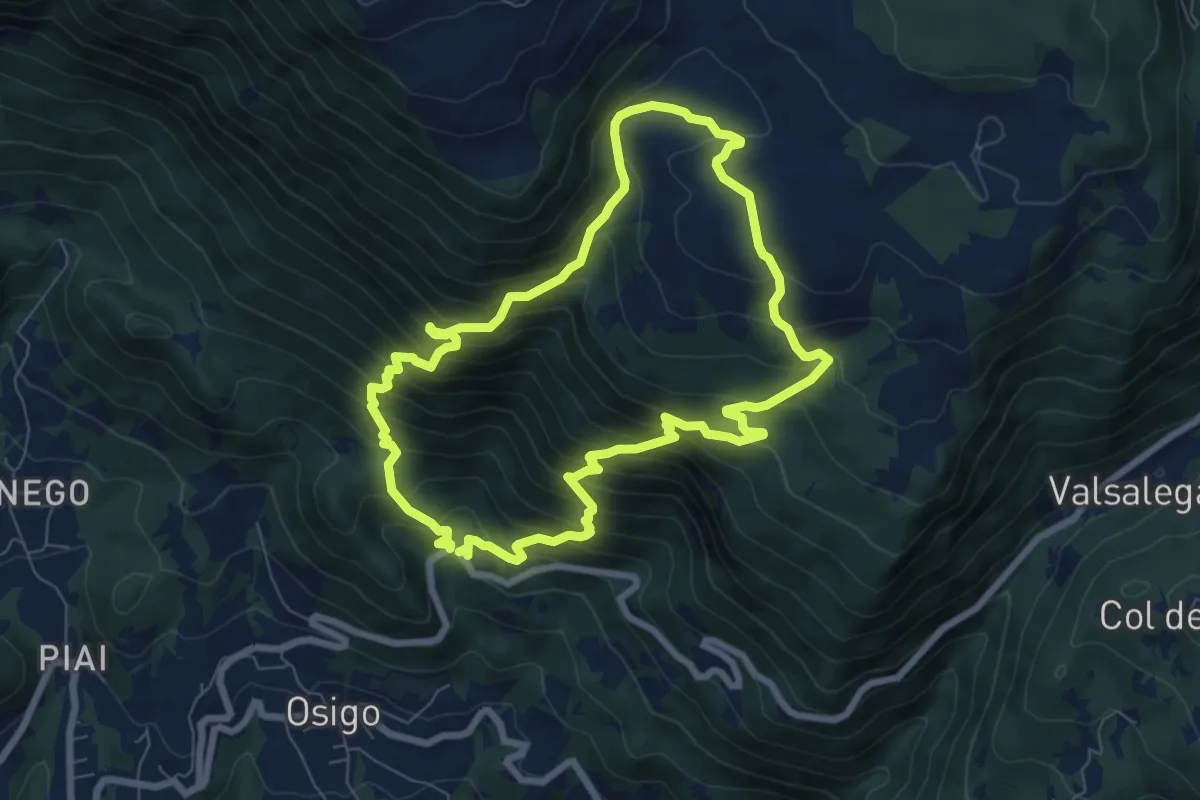
Demanding · Trail
Sentiero Nino Lot
7.3 km · ↑ 768 m · 3 h 29 min · 6 km away
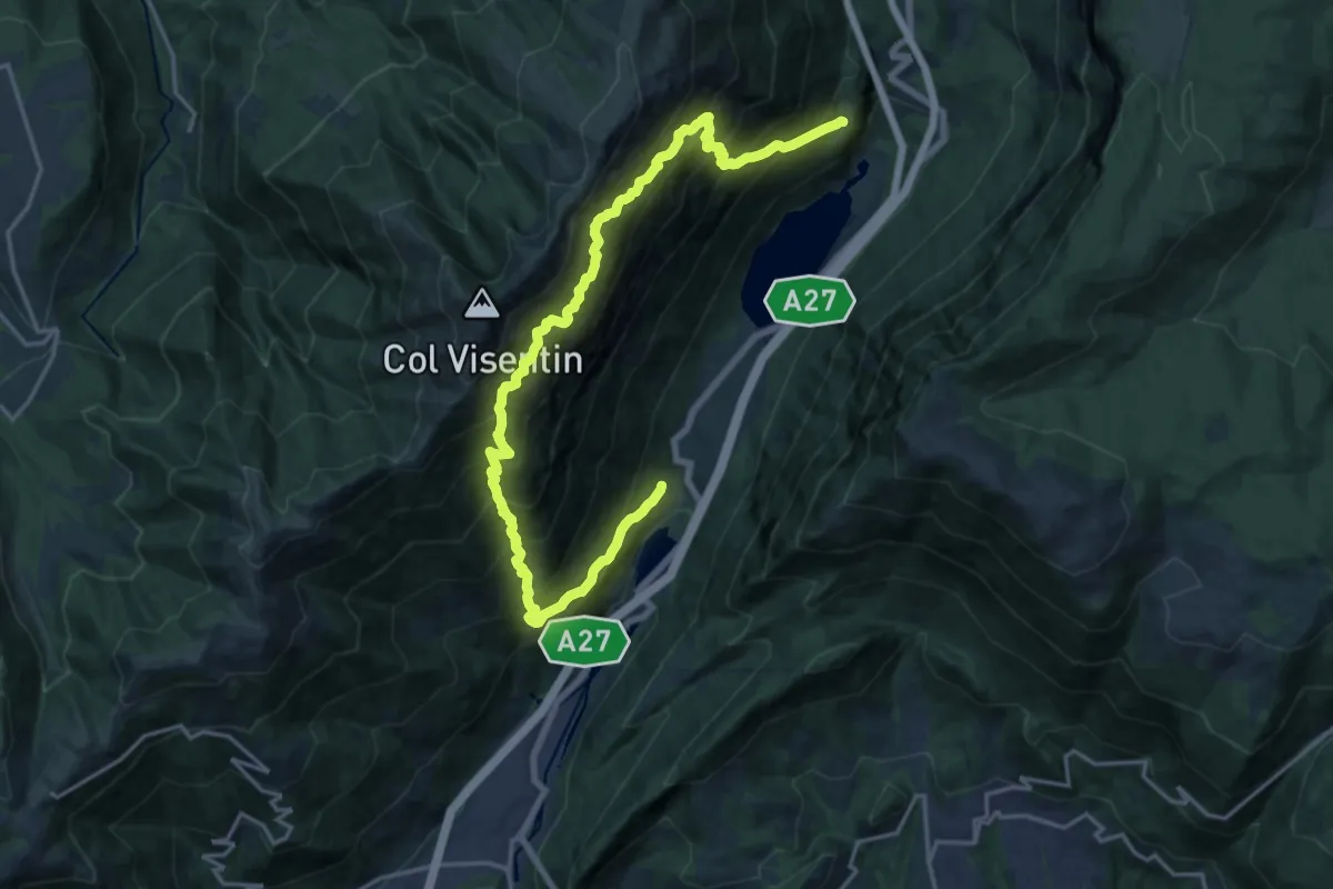
Demanding · Trail
Troi de Medo
11.0 km · ↑ 1448 m · 5 h 45 min · 6 km away
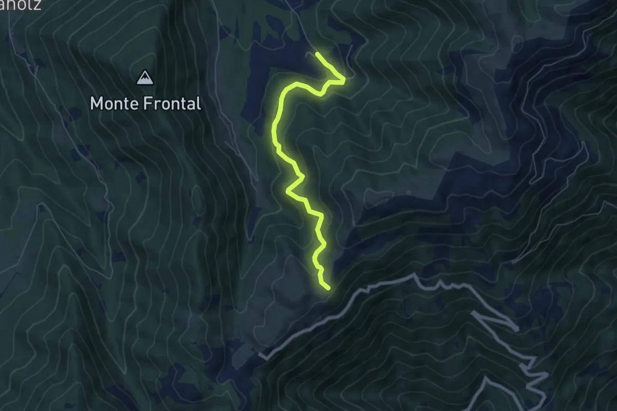
Medium · Trail
Malga Montegal – Casere Frascon
5.9 km · ↑ 352 m · 2 h 10 min · 6 km away
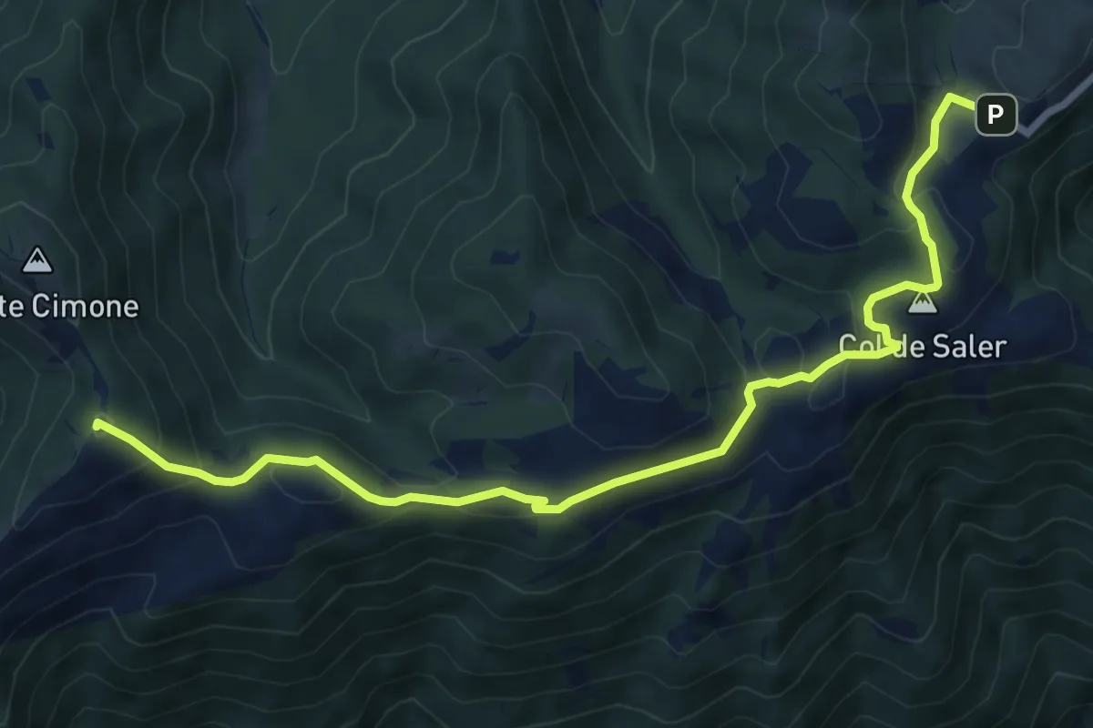
Medium · Summit
Passo S. Boldo - Fontana da Bafa – Pian de le Femene
8.3 km · ↑ 326 m · 2 h 40 min · 6 km away
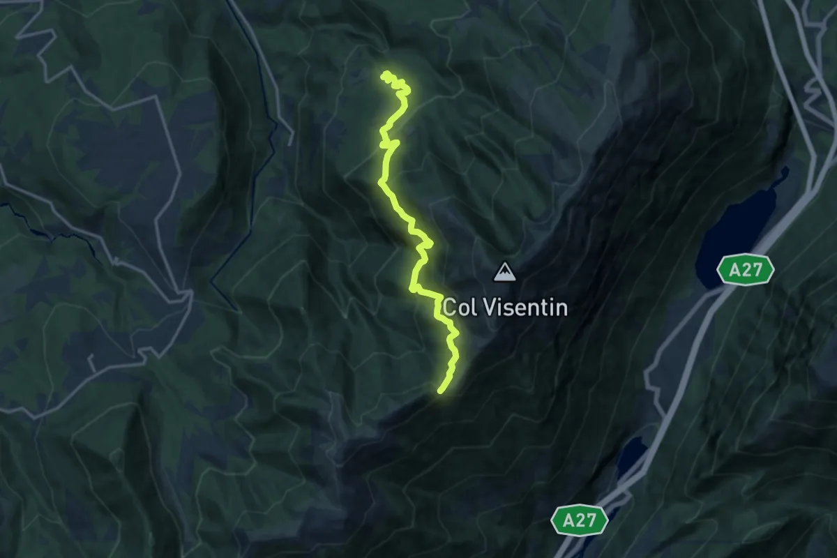
Demanding · Trail
Case Caviola – Forcella Zopei
12.9 km · ↑ 951 m · 5 h 6 min · 6 km away
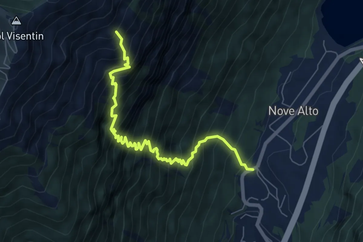
Demanding · Trail
Troi de la Montagna
7.1 km · ↑ 1156 m · 4 h 10 min · 6 km away
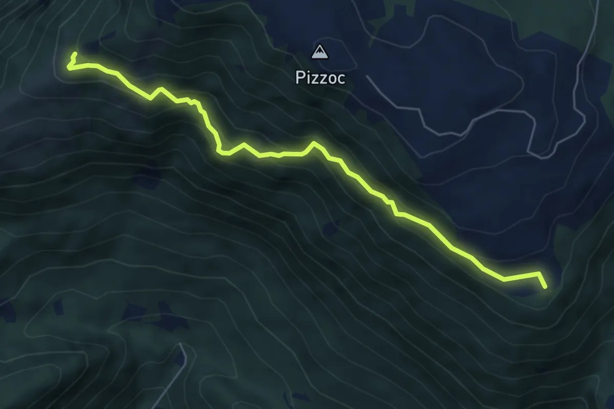
Medium · Summit
Sentiero del Bracconiere
6.0 km · ↑ 505 m · 2 h 31 min · 6 km away
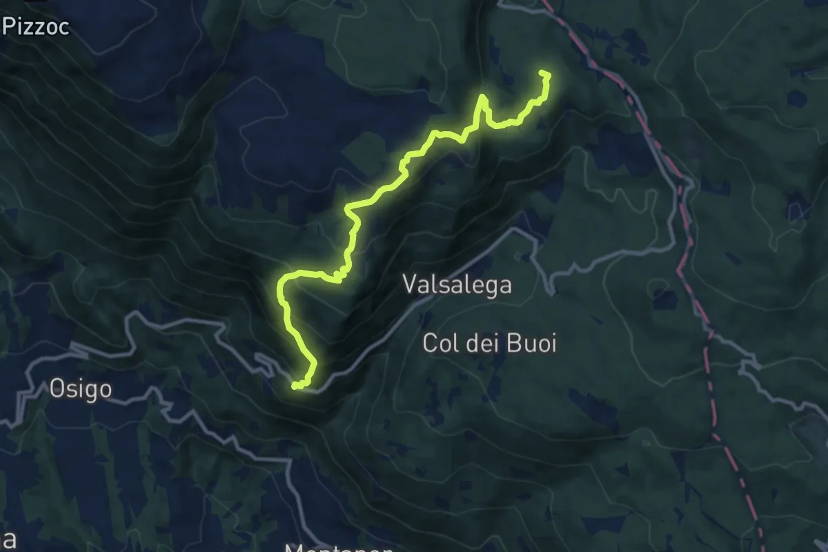
Medium · Summit
S.Antonio - da S.P. 422 – La Crosetta
10.4 km · ↑ 775 m · 4 h 8 min · 7 km away
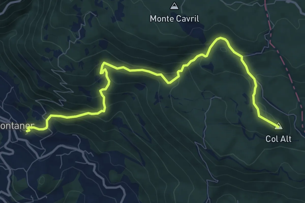
Medium · Summit
Sentiero Pagnoca
10.2 km · ↑ 694 m · 3 h 55 min · 7 km away
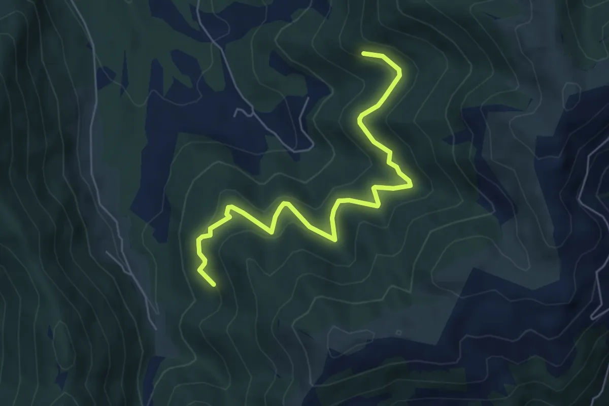
Medium · Trail
da sentiero 2202 quota 1108 – innesto sentiero 2204
6.1 km · ↑ 415 m · 2 h 20 min · 7 km away
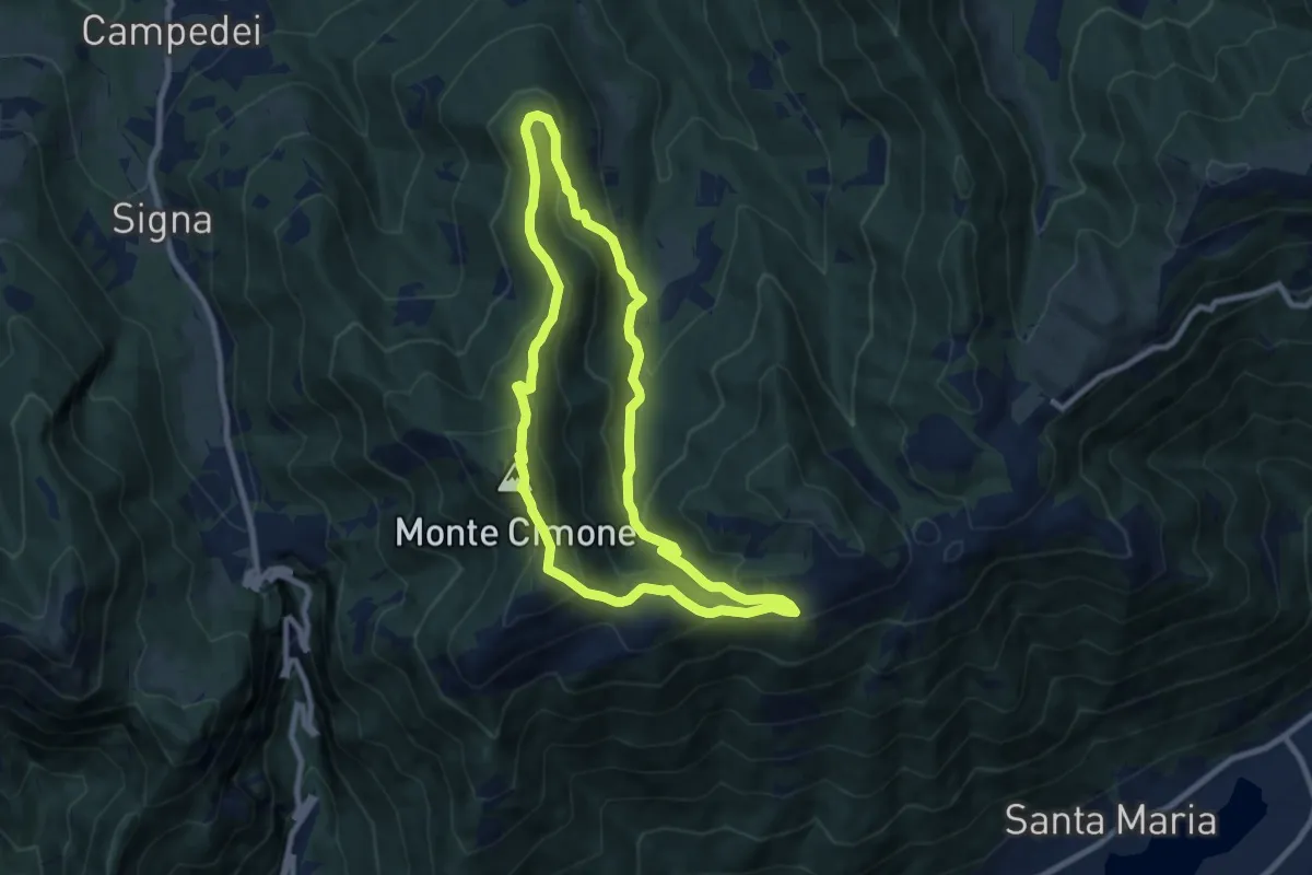
Medium · Summit
Anello Col dei Gai - Monte Cimone - Posa
8.3 km · ↑ 460 m · 3 h 4 min · 7 km away
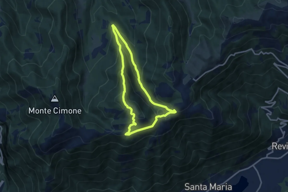
Medium · Summit
Anello del Monte Boral
6.6 km · ↑ 375 m · 2 h 28 min · 7 km away
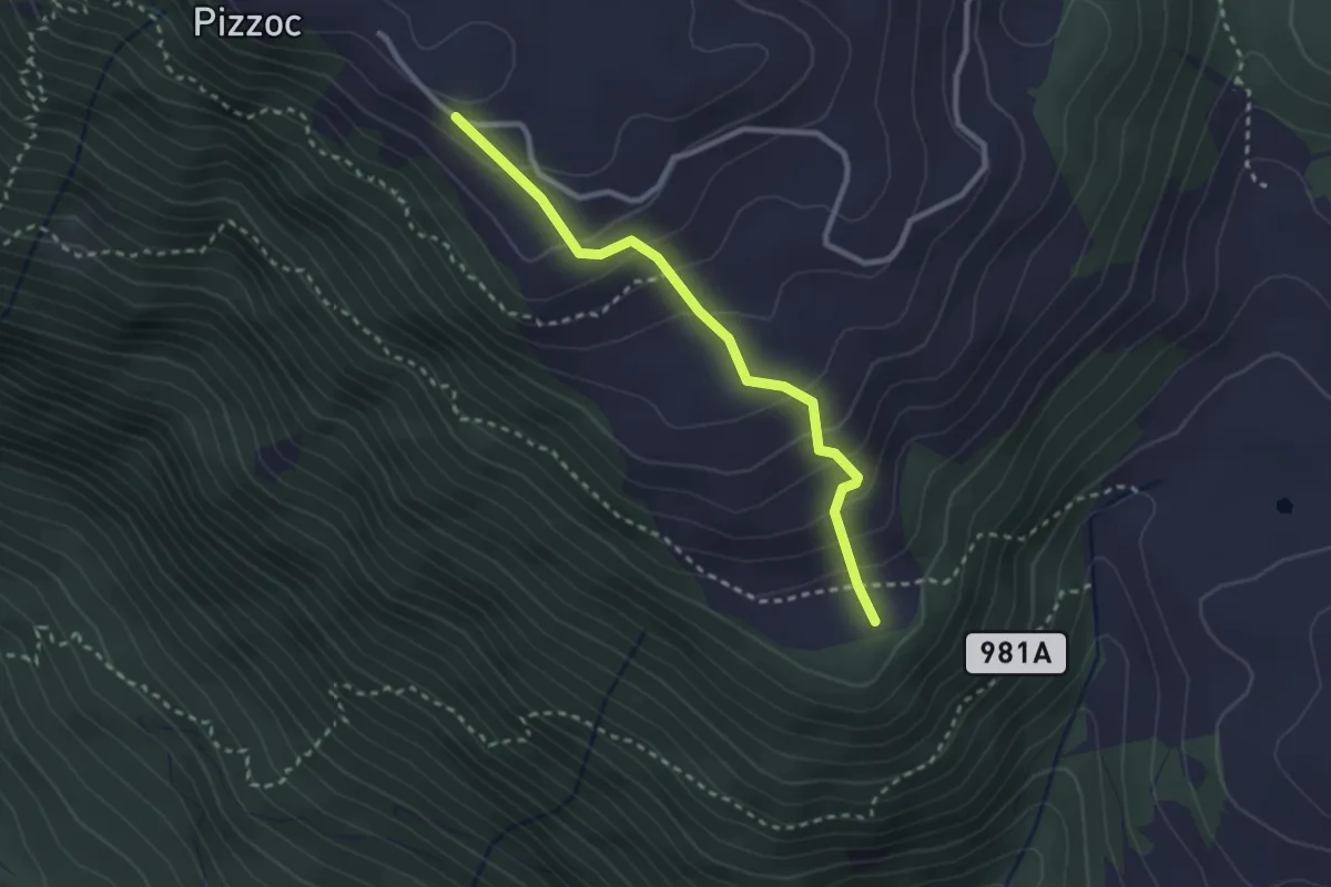
Easy · Summit
Sentiero Tenente Berry
2.6 km · ↑ 224 m · 1 h 7 min · 7 km away
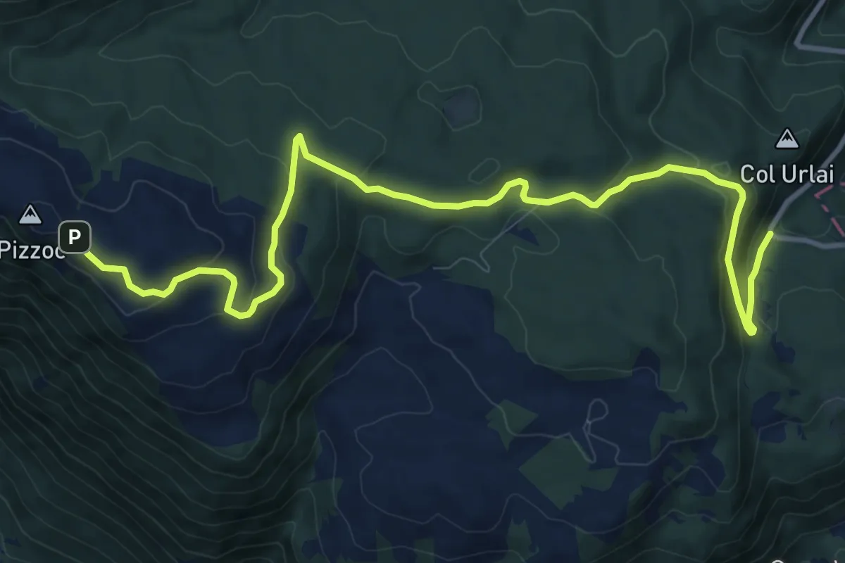
Medium · Trail
Sentiero Naturalistico H
12.6 km · ↑ 435 m · 3 h 55 min · 7 km away
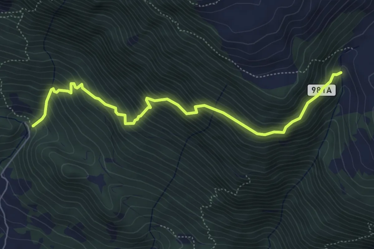
Medium · Trail
Sentiero della Terra Nera
6.1 km · ↑ 683 m · 2 h 55 min · 7 km away
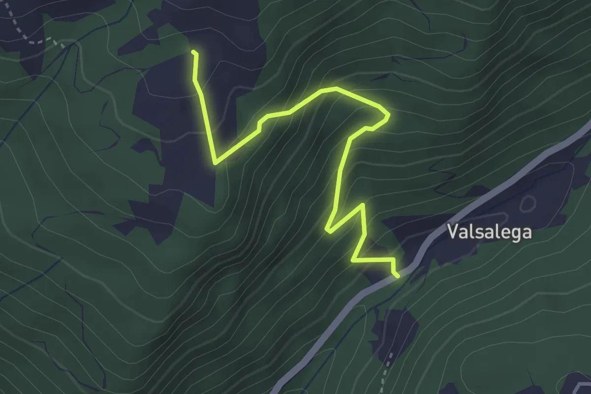
Medium · Trail
Valsalega - da S.P. 422 – Pian della Loc - inn. sent. 982
3.5 km · ↑ 337 m · 1 h 33 min · 8 km away
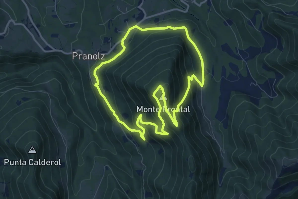
Medium · Summit
Anello Spelonca di Frontal
8.0 km · ↑ 496 m · 3 h 5 min · 8 km away
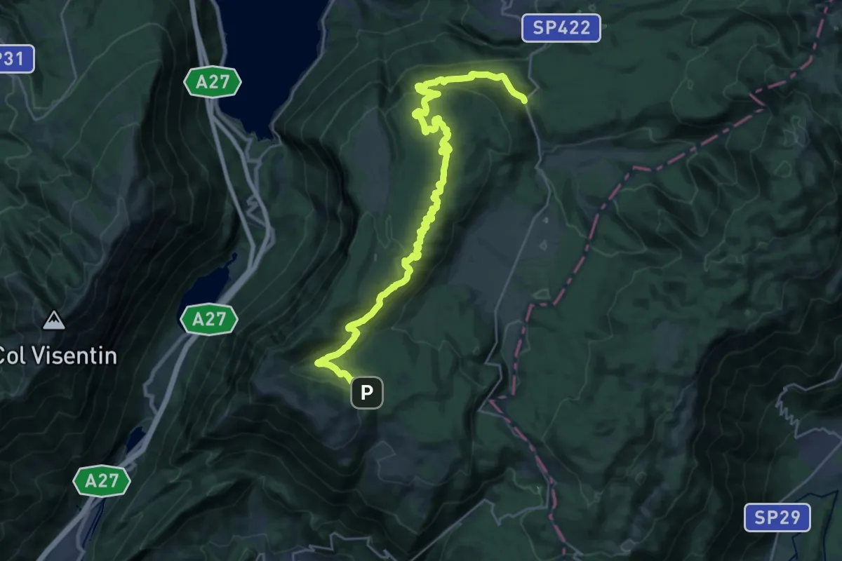
Medium · Trail
Sentiero naturalistico F - Strada del Taffarel
14.3 km · ↑ 255 m · 4 h 17 min · 8 km away
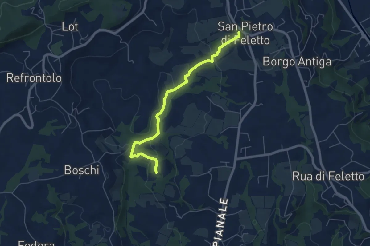
Easy · Trail
Val Trippera
5.2 km · ↑ 168 m · 1 h 36 min · 8 km away
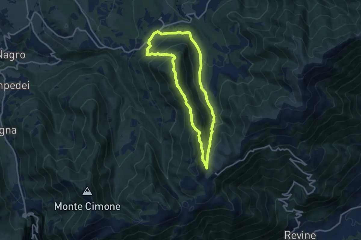
Medium · Summit
Anello Monte Frontal del "Cacciatore"
8.5 km · ↑ 463 m · 3 h 8 min · 8 km away
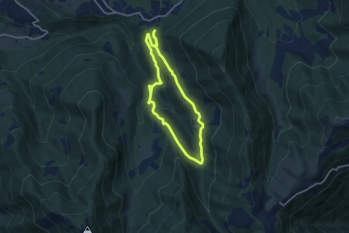
Medium · Trail
Anello Cascata del Bognon
5.9 km · ↑ 255 m · 2 h 3 min · 8 km away
Medium · Trail
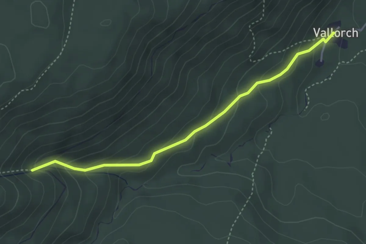
Sentiero naturalistico F1
3.9 km · ↑ 219 m · 1 h 23 min · 9 km away
Medium · Trail
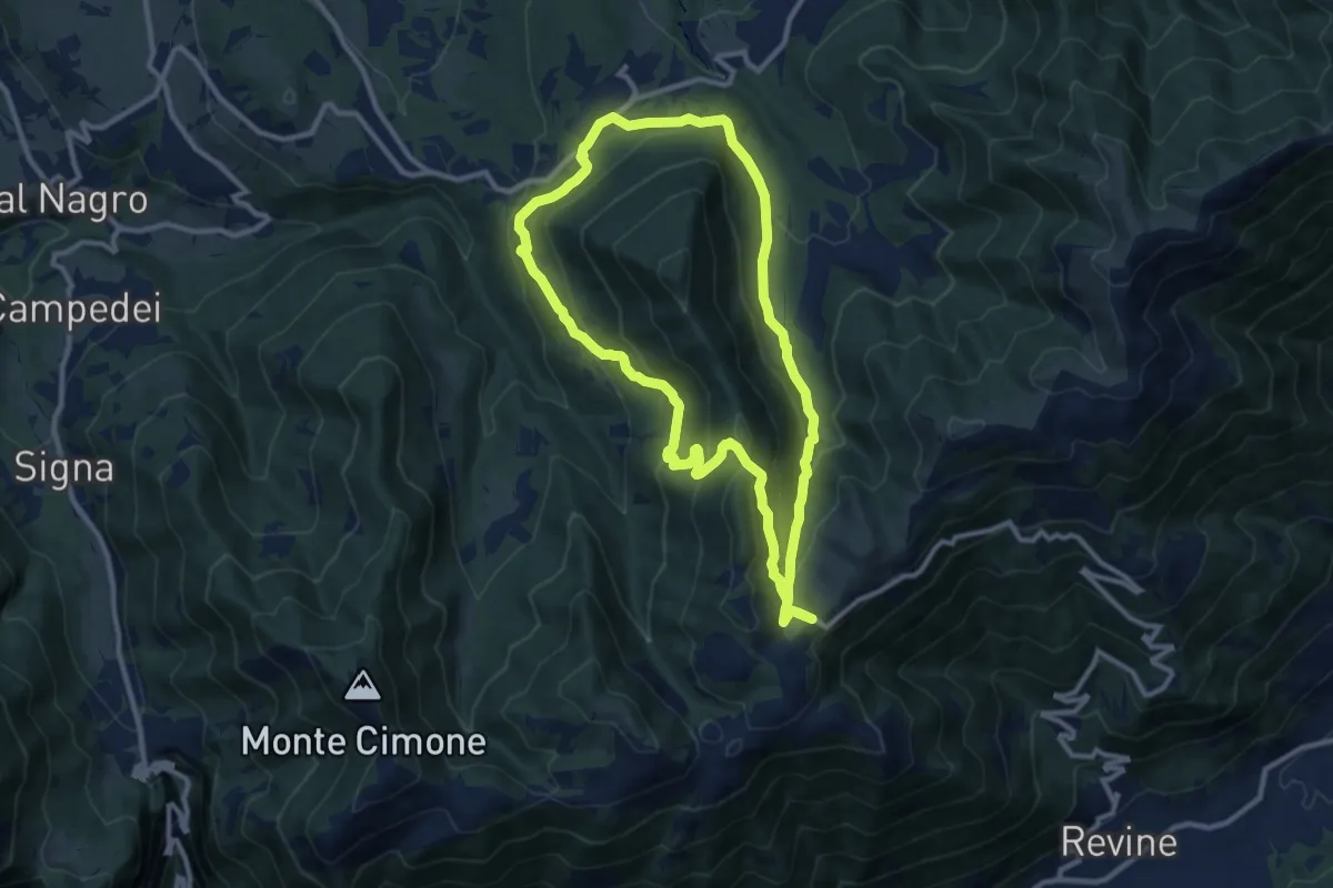
Anello sui luoghi della Resistenza
10.2 km · ↑ 457 m · 3 h 33 min · 9 km away
Easy · Trail
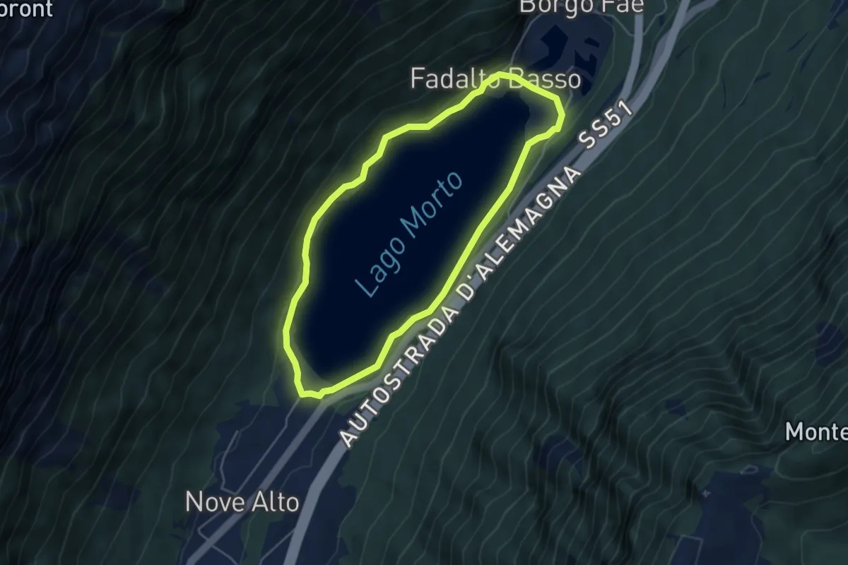
Sentiero del Lago Morto
4.2 km · ↑ 84 m · 1 h 14 min · 9 km away
Medium · Summit
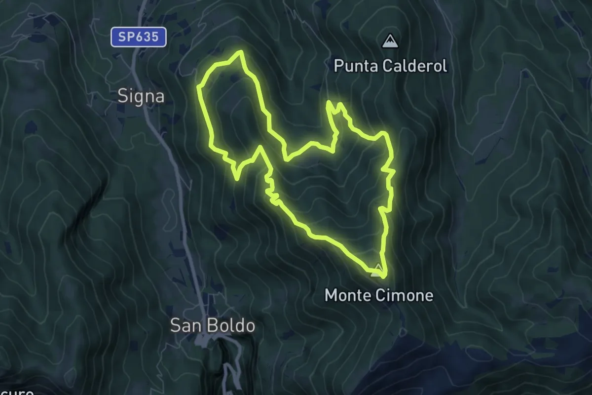
Anello Monte Cimone - Val de Scroa
7.7 km · ↑ 573 m · 3 h 10 min · 9 km away
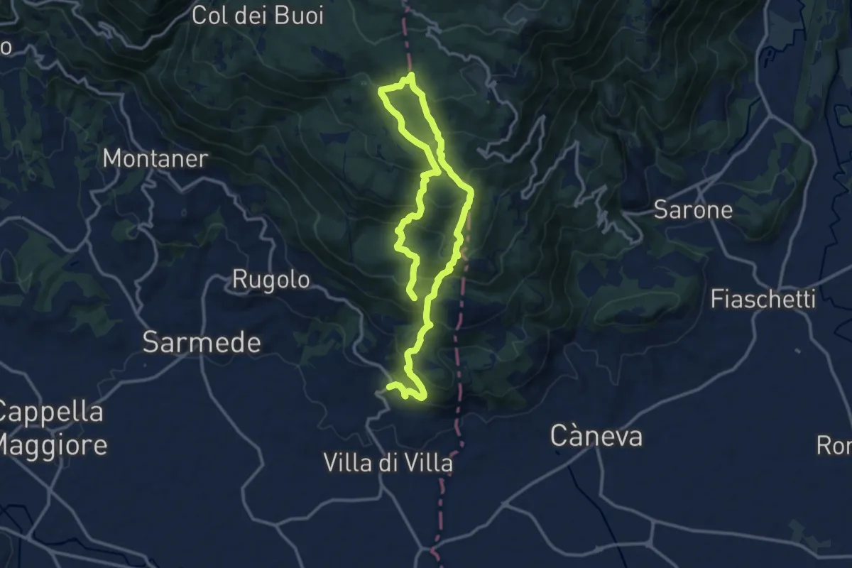
Demanding · Summit
Strada del Patriarca
18.4 km · ↑ 1210 m · 6 h 58 min · 9 km away
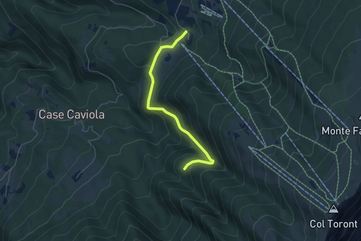
Easy · Trail
Villaggio Olimpo – Costa Degner
4.6 km · ↑ 249 m · 1 h 38 min · 10 km away
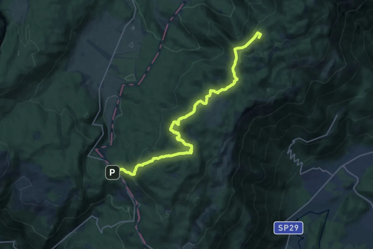
Demanding · Summit
La Crosetta – Bivio sentiero n.984 Valle Friz
19.2 km · ↑ 799 m · 6 h 16 min · 10 km away
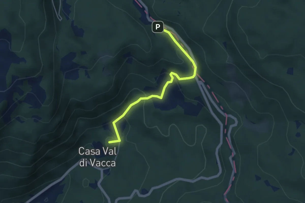
Easy · Summit
Villa Natalia – Passo Crosetta
4.0 km · ↑ 199 m · 1 h 23 min · 10 km away