Trails near Vittorio Veneto
96 hikes starting within 15 km, nearest first.
Nearest first, page 2 of 2
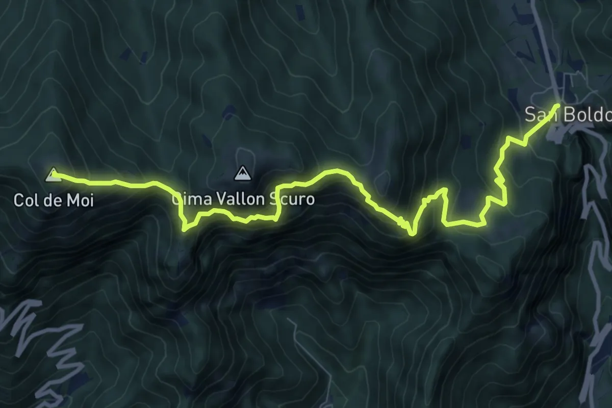
Demanding · Summit
Passo Praderadego – Passo Scaletta (Passo S. Boldo)
10.5 km · ↑ 1004 m · 4 h 40 min · 10 km away
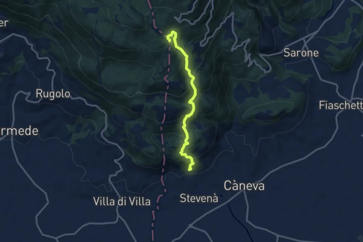
Medium · Trail
Sentiero della Madonna dei Scalin
7.9 km · ↑ 576 m · 3 h 6 min · 10 km away
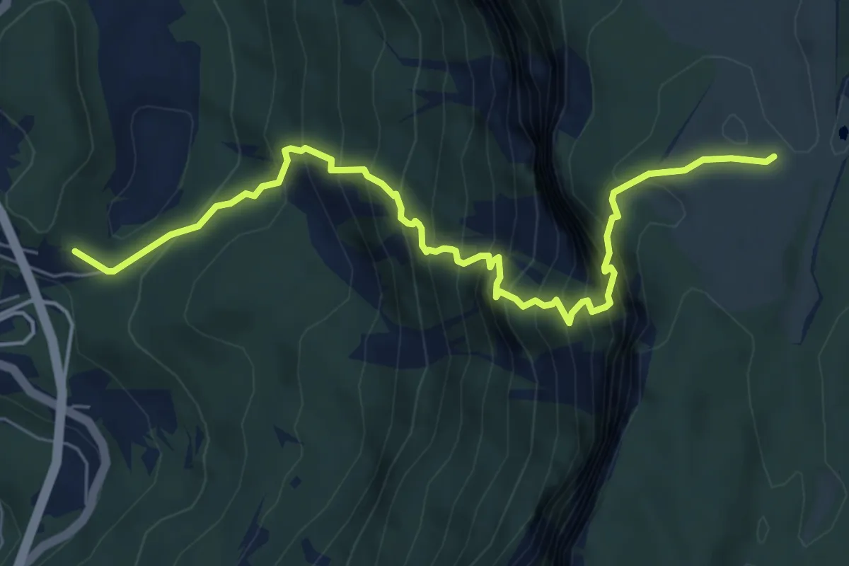
Demanding · Trail
Sella Fadalto - Gaviol – Casera Prese
6.9 km · ↑ 960 m · 3 h 43 min · 10 km away
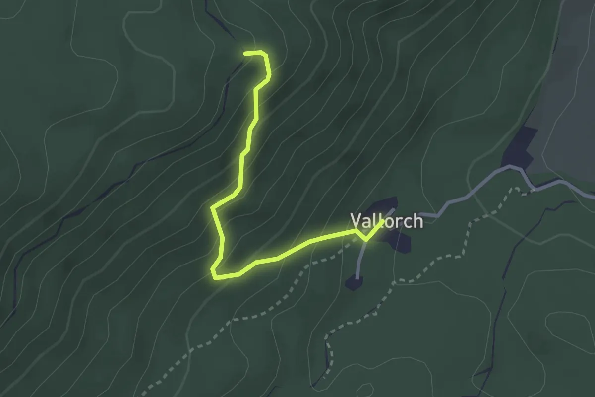
Medium · Trail
Sentiero naturalistico S
2.5 km · ↑ 233 m · 1 h 5 min · 10 km away
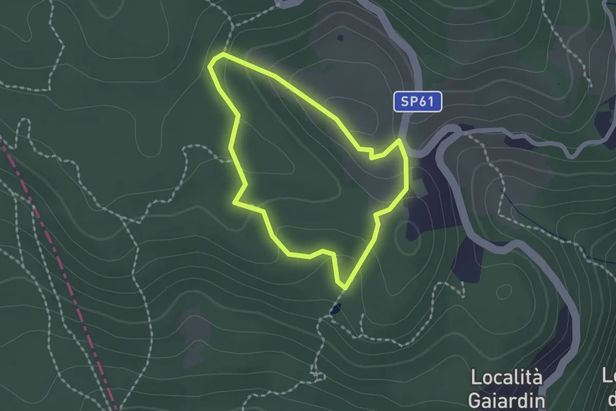
Easy · Trail
Itinerario 4 - Acqua preziosa
1.5 km · ↑ 53 m · 30 min · 11 km away
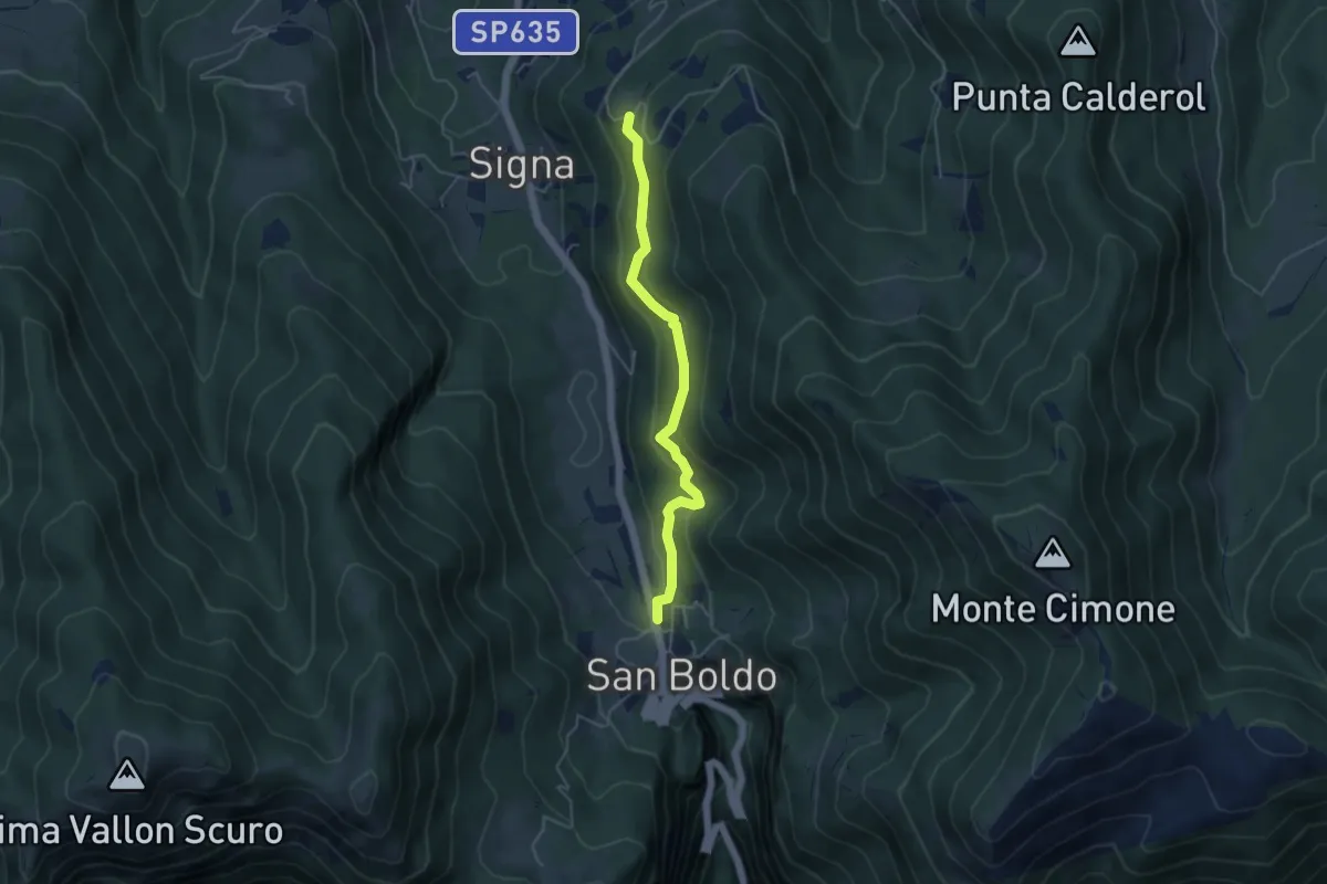
Easy · Trail
Troi de Lont
4.5 km · ↑ 230 m · 1 h 33 min · 11 km away
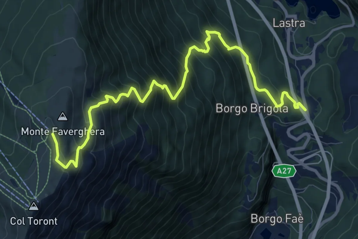
Demanding · Cabin
Santa Croce - Lastra – Monte Faverghera (Casera)
11.6 km · ↑ 1136 m · 5 h 12 min · 11 km away
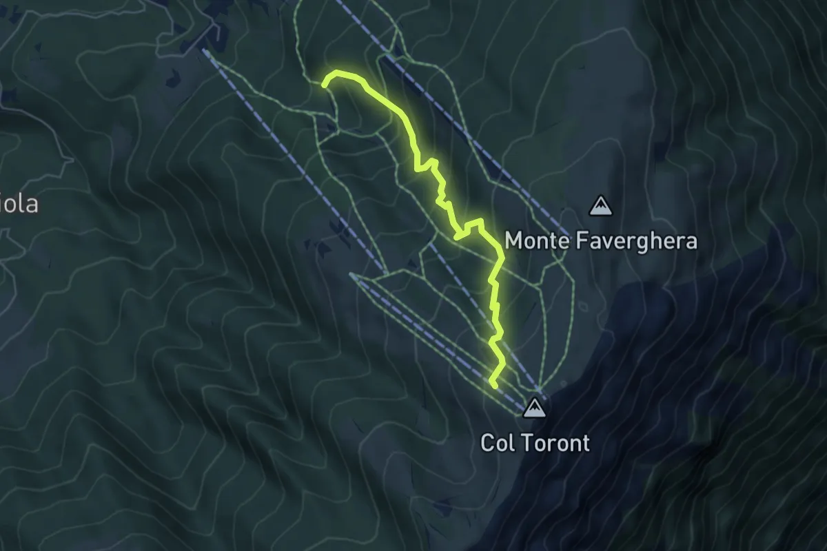
Medium · Cabin
2005
4.9 km · ↑ 446 m · 2 h 7 min · 11 km away
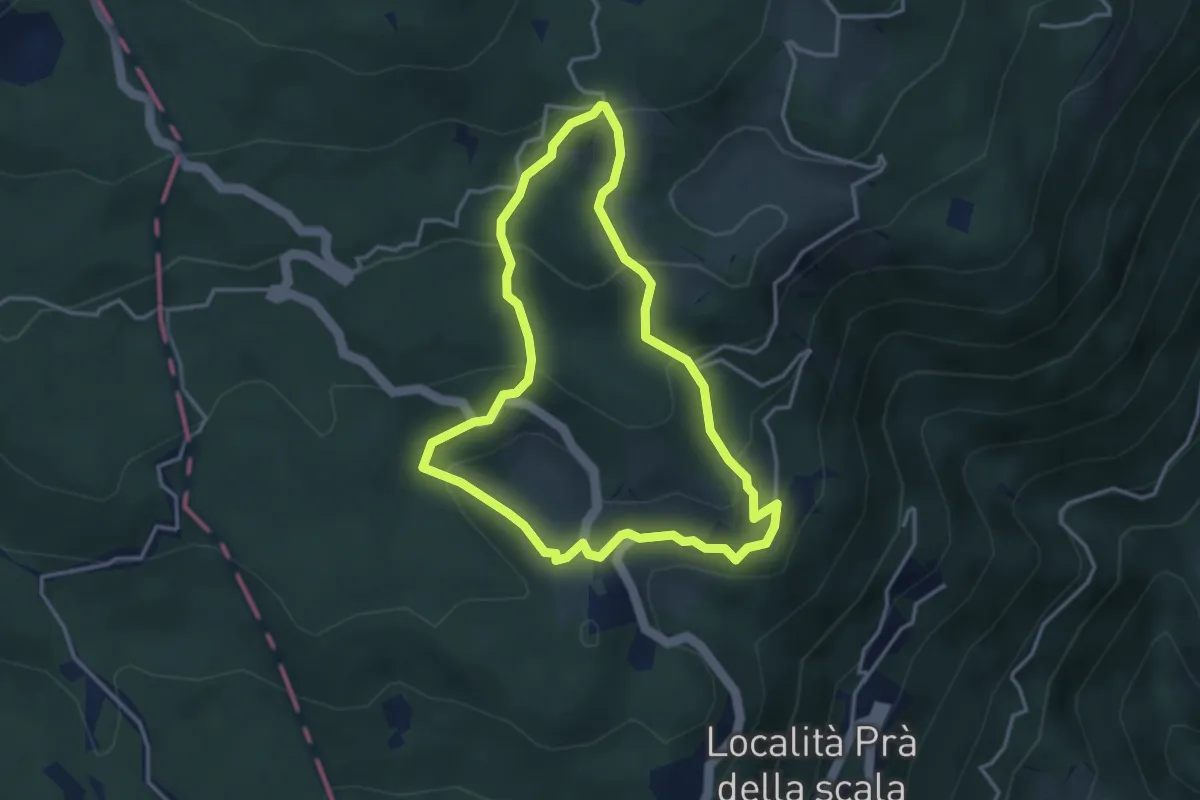
Medium · Trail
Itinerario 5 - Seguendo pascoli e masiere
3.4 km · ↑ 186 m · 1 h 16 min · 11 km away
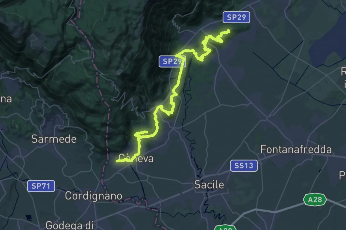
Demanding · Summit
Cammino di San Cristoforo - Tappa 1
42.8 km · ↑ 1171 m · 12 h 39 min · 11 km away
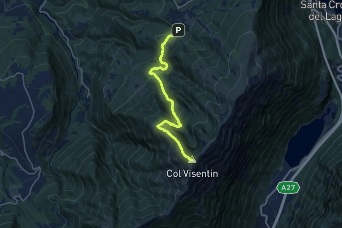
Demanding · Summit
Villaggio Olimpo – Col Visentin
11.8 km · ↑ 931 m · 4 h 48 min · 11 km away
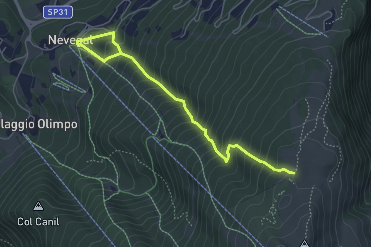
Medium · Trail
2004
5.0 km · ↑ 538 m · 2 h 21 min · 11 km away
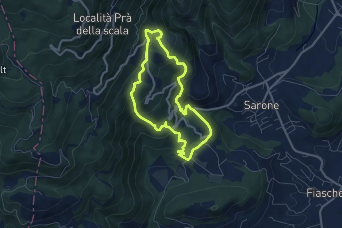
Medium · Trail
Sentiero degli alpini di Caneva
11.2 km · ↑ 668 m · 4 h 5 min · 11 km away
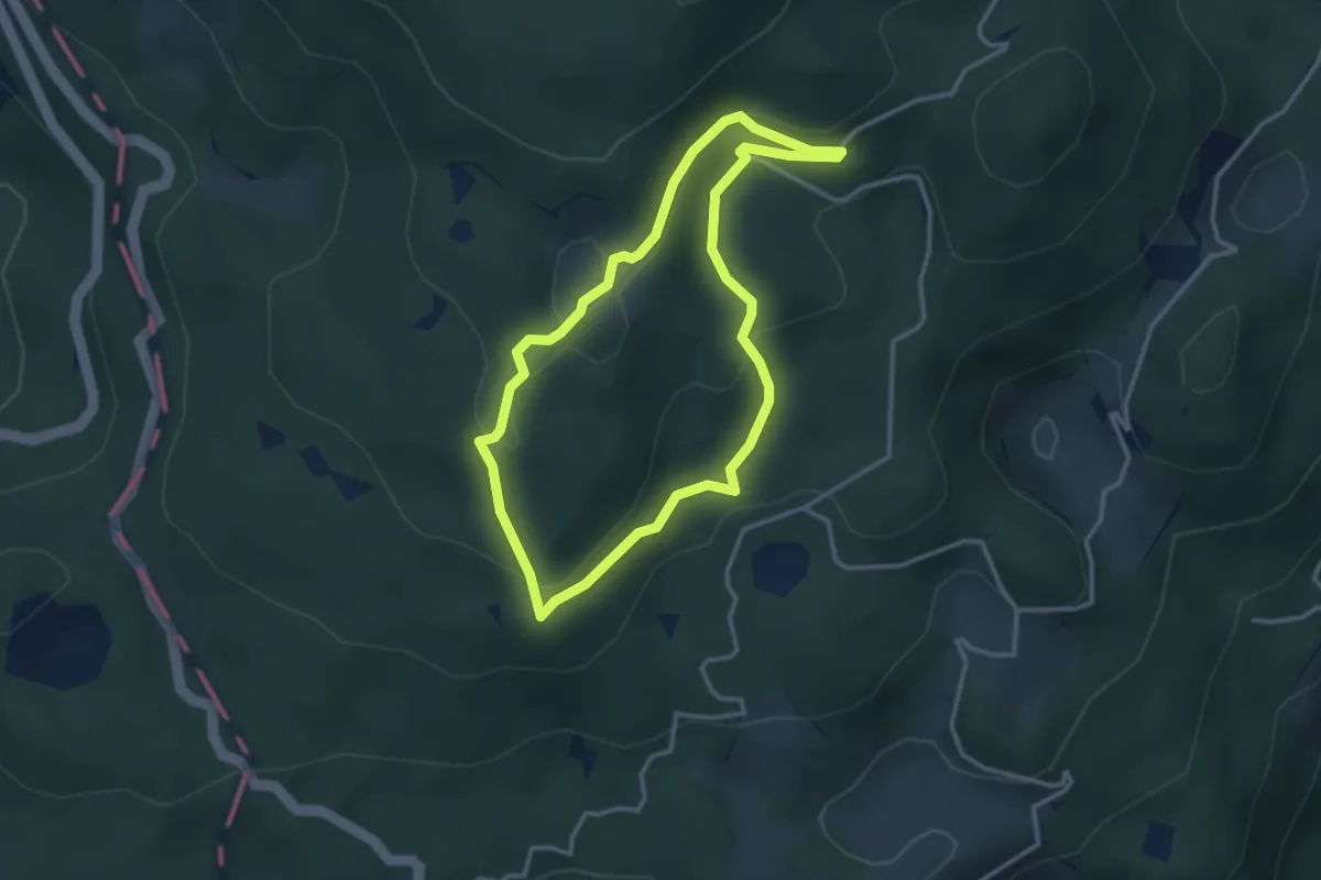
Medium · Trail
Itinerario 1 - Uno sguardo dall'alto
3.0 km · ↑ 129 m · 1 h 2 min · 11 km away
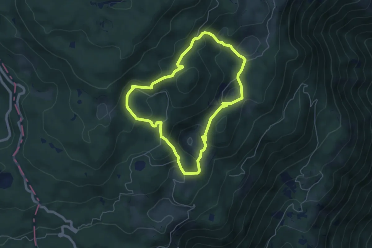
Medium · Summit
Itinerario 2 - Attorno al Col Major
4.9 km · ↑ 210 m · 1 h 40 min · 11 km away
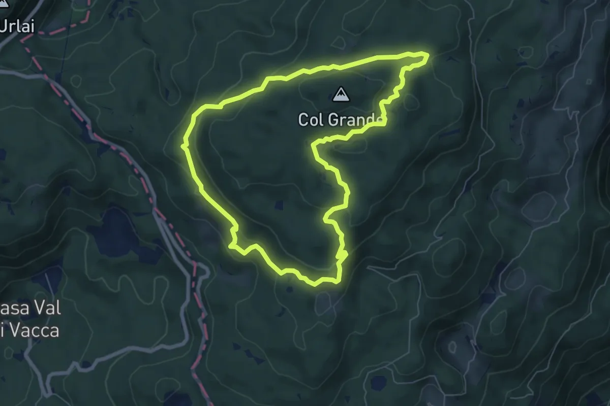
Medium · Summit
Itinerario 3 - Ai confini della Serenissima
6.7 km · ↑ 246 m · 2 h 12 min · 11 km away
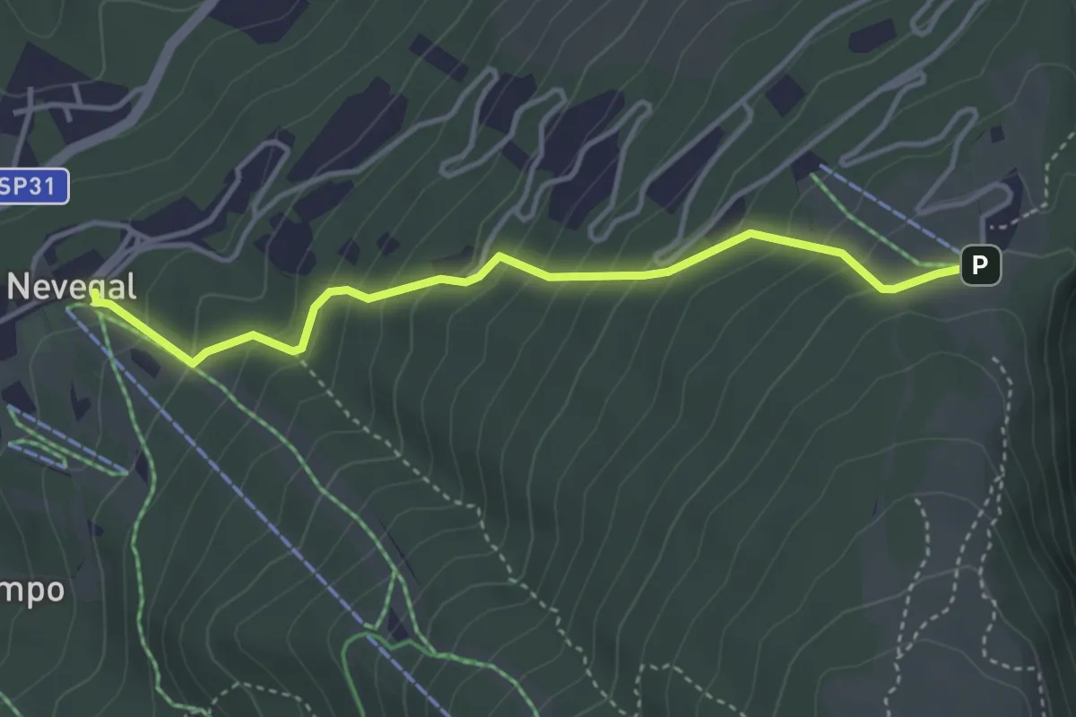
Medium · Trail
2003
3.8 km · ↑ 340 m · 1 h 39 min · 11 km away
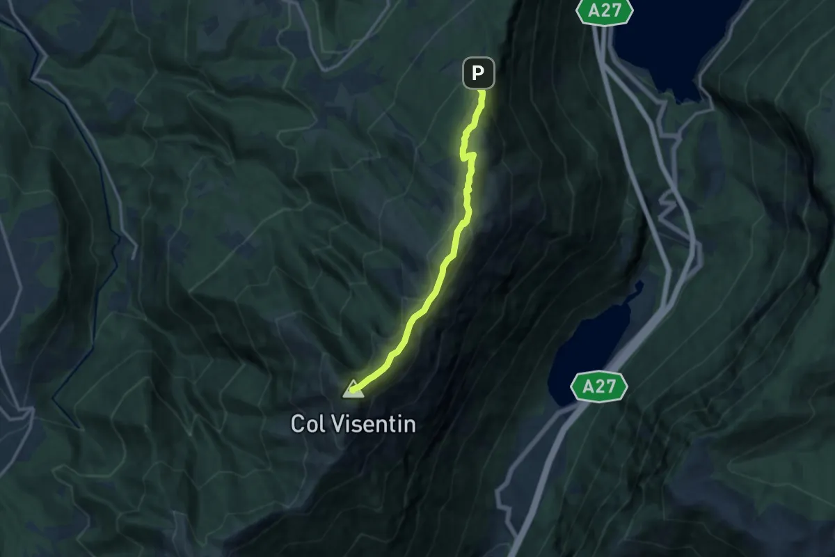
Medium · Summit
2000creste
10.2 km · ↑ 515 m · 3 h 31 min · 12 km away
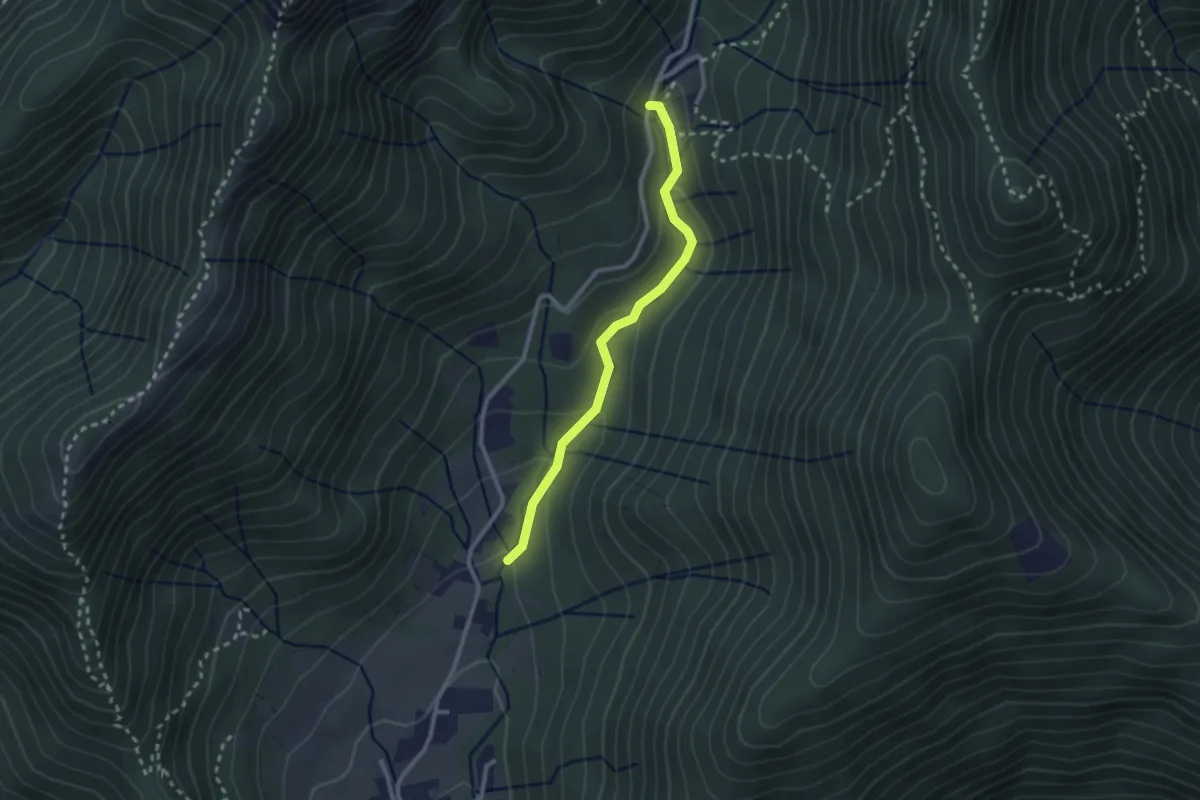
Easy · Trail
Sentiero Bujon del gal
2.4 km · ↑ 109 m · 48 min · 12 km away
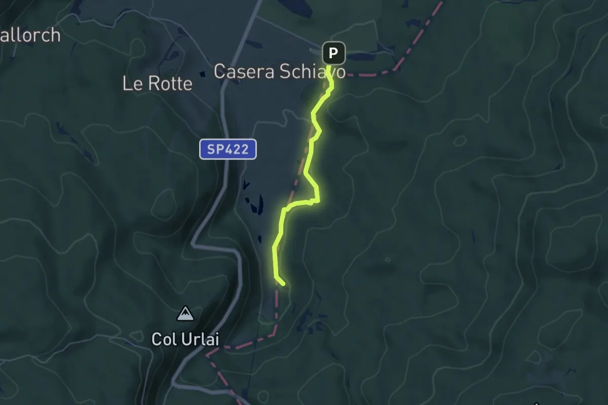
Medium · Trail
Sentiero naturalistico M
4.0 km · ↑ 90 m · 1 h 8 min · 12 km away
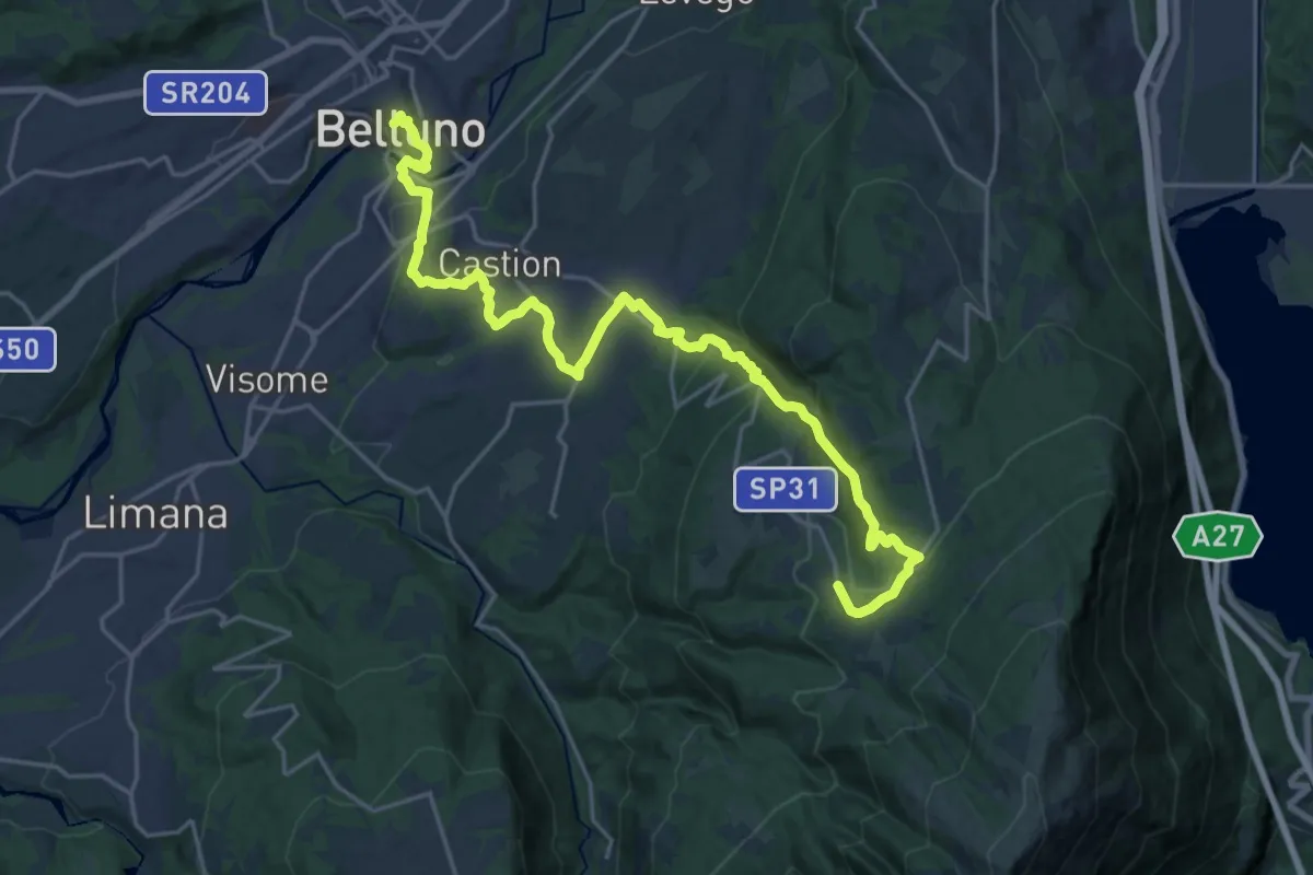
Medium · Pilgrim path
Cammino delle Dolomiti - Tappa 28
12.4 km · ↑ 196 m · 3 h 50 min · 12 km away
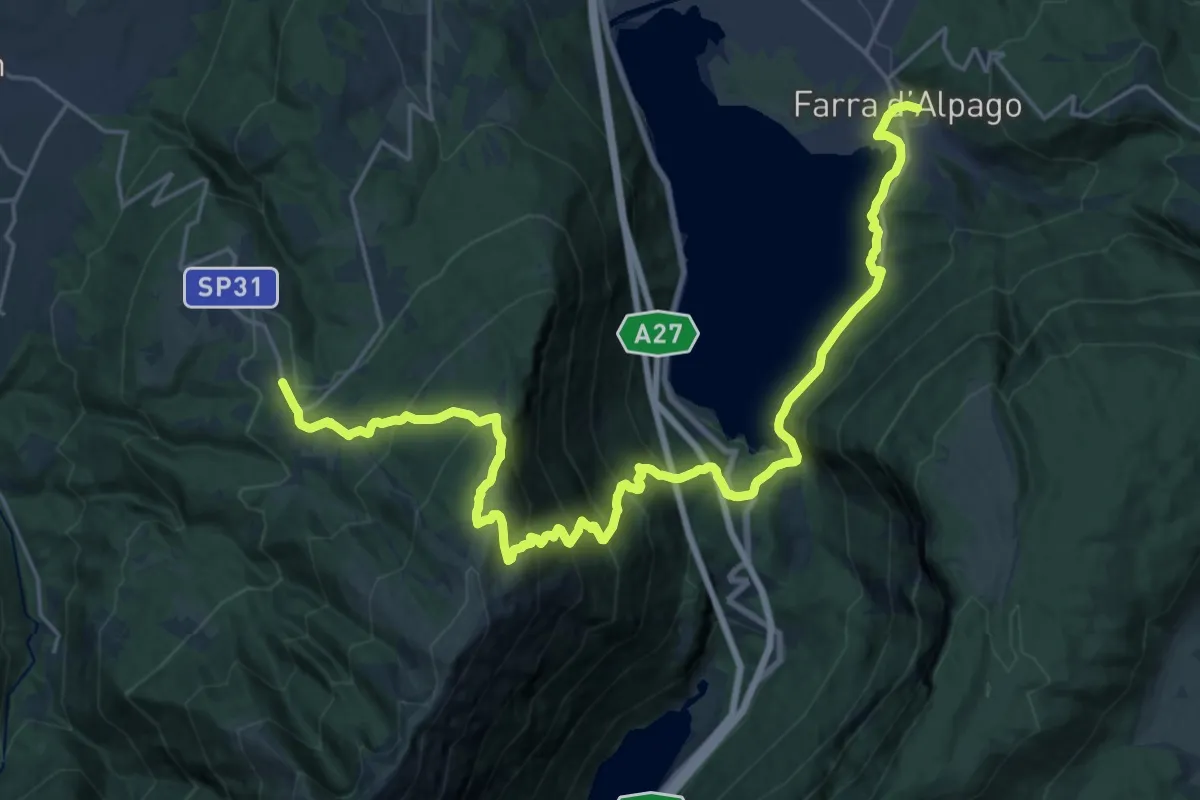
Medium · Pilgrim path
Cammino delle Dolomiti - Tappa 27
14.1 km · ↑ 581 m · 5 h 5 min · 12 km away
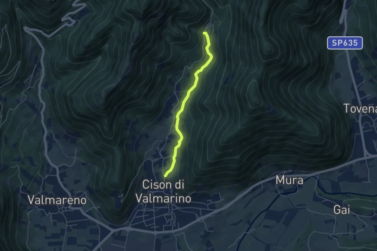
Easy · Trail
Via dell'Acqua
4.2 km · ↑ 160 m · 1 h 20 min · 12 km away
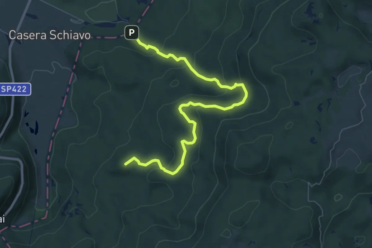
Medium · Summit
Sentiero naturalistico O
7.7 km · ↑ 323 m · 2 h 31 min · 12 km away
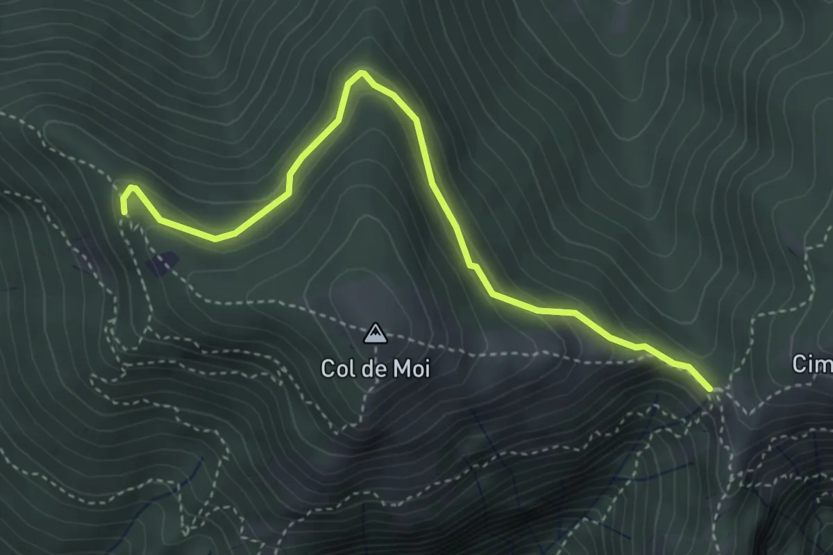
Easy · Trail
Anello Col De Moi (variante)
4.1 km · ↑ 187 m · 1 h 22 min · 12 km away
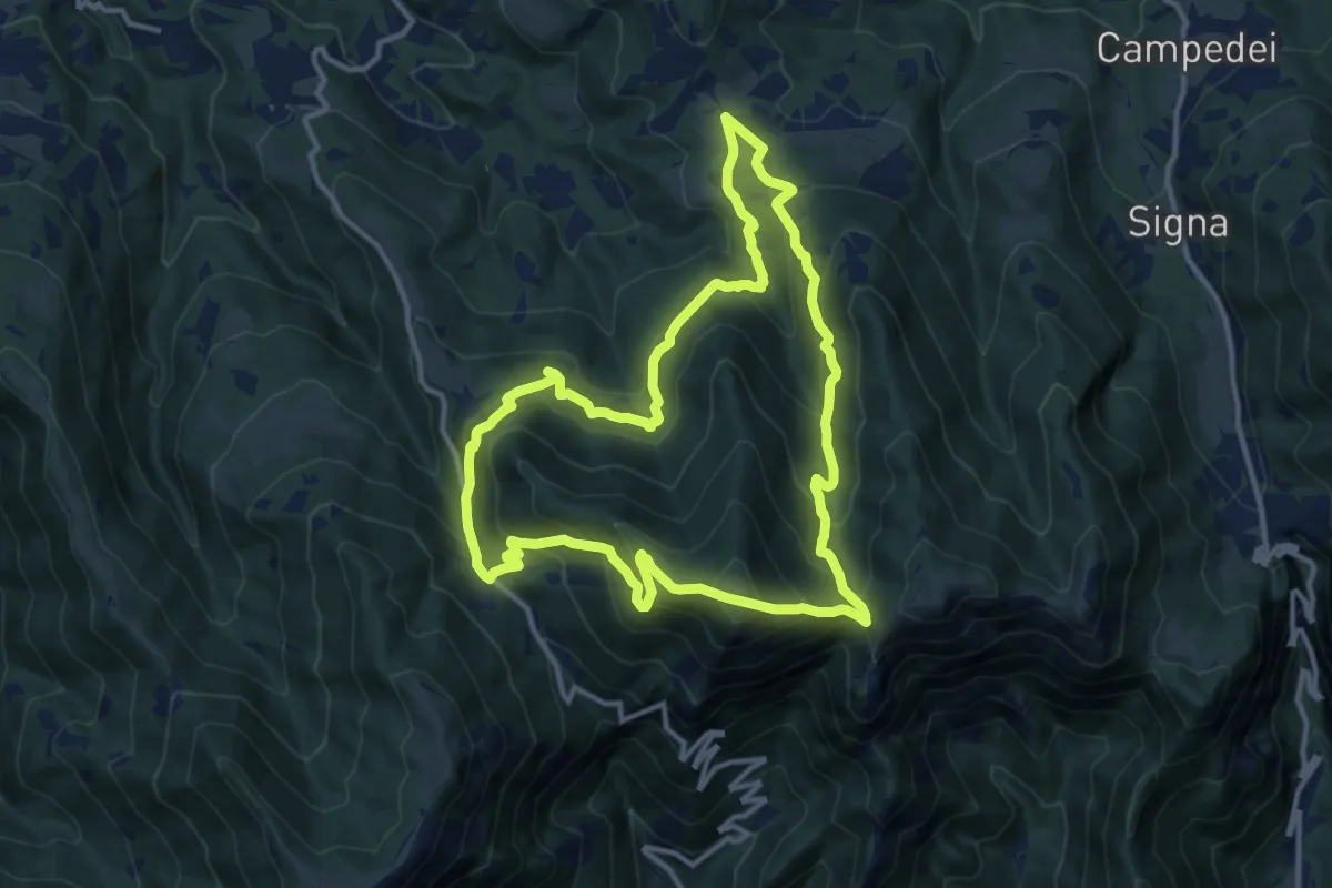
Medium · Summit
Anello di Col De Moi
12.2 km · ↑ 786 m · 4 h 45 min · 12 km away
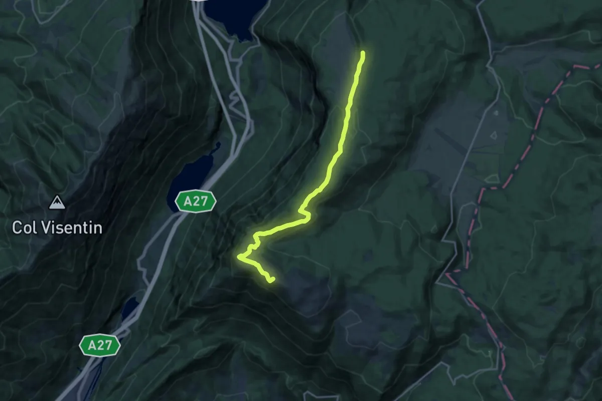
Medium · Summit
Sentiero Naturalistico H3
15.2 km · ↑ 516 m · 4 h 43 min · 12 km away
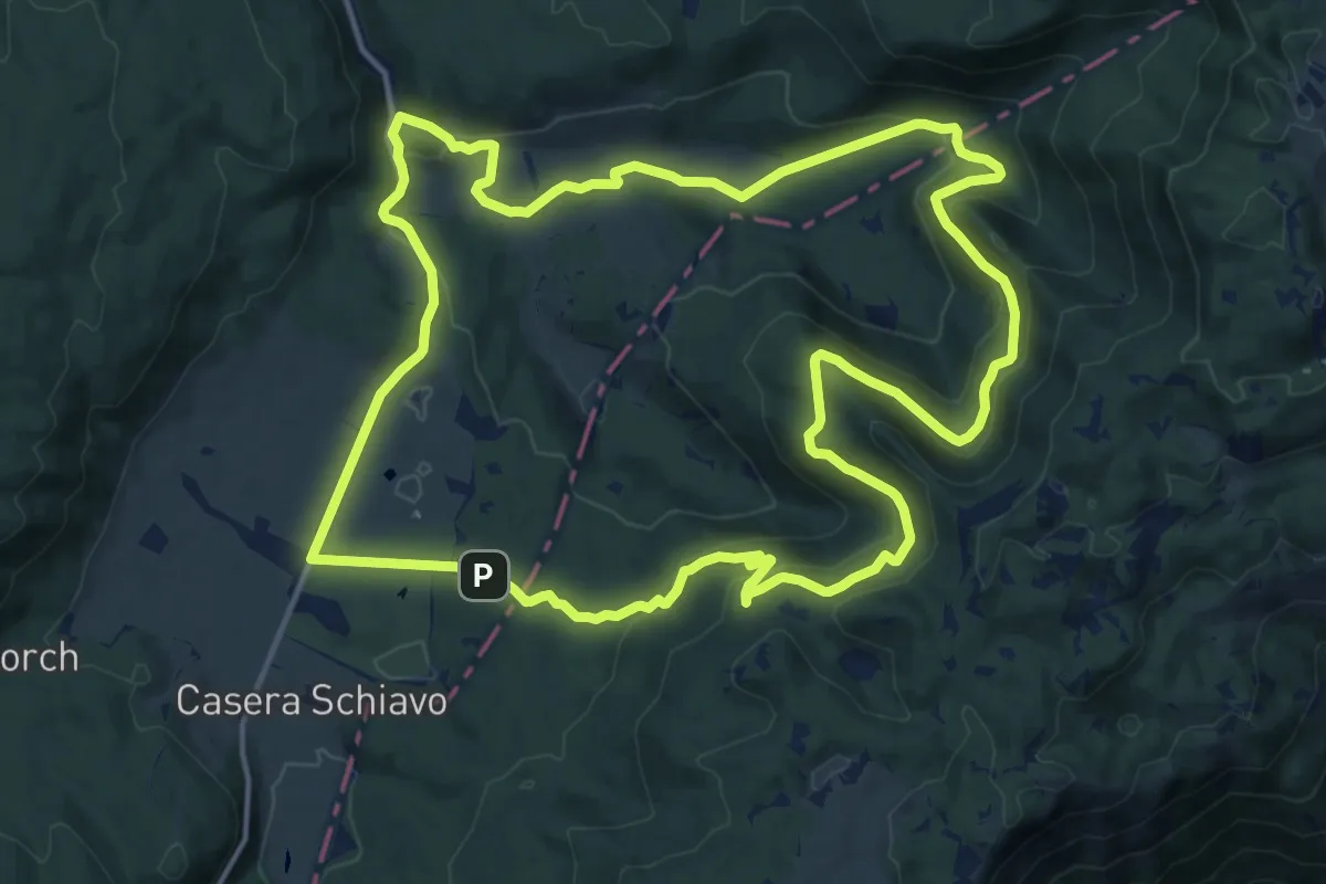
Medium · Summit
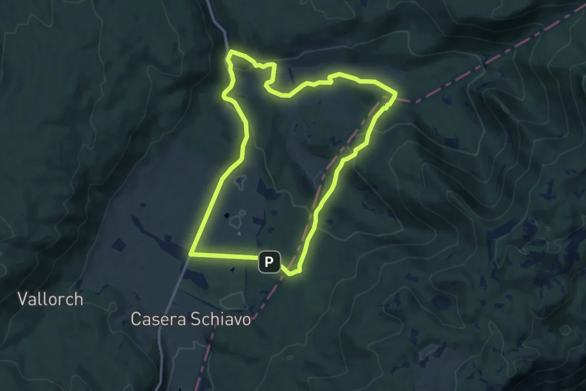
Sentiero naturalistico B
16.6 km · ↑ 475 m · 5 h 11 min · 13 km away
Medium · Summit
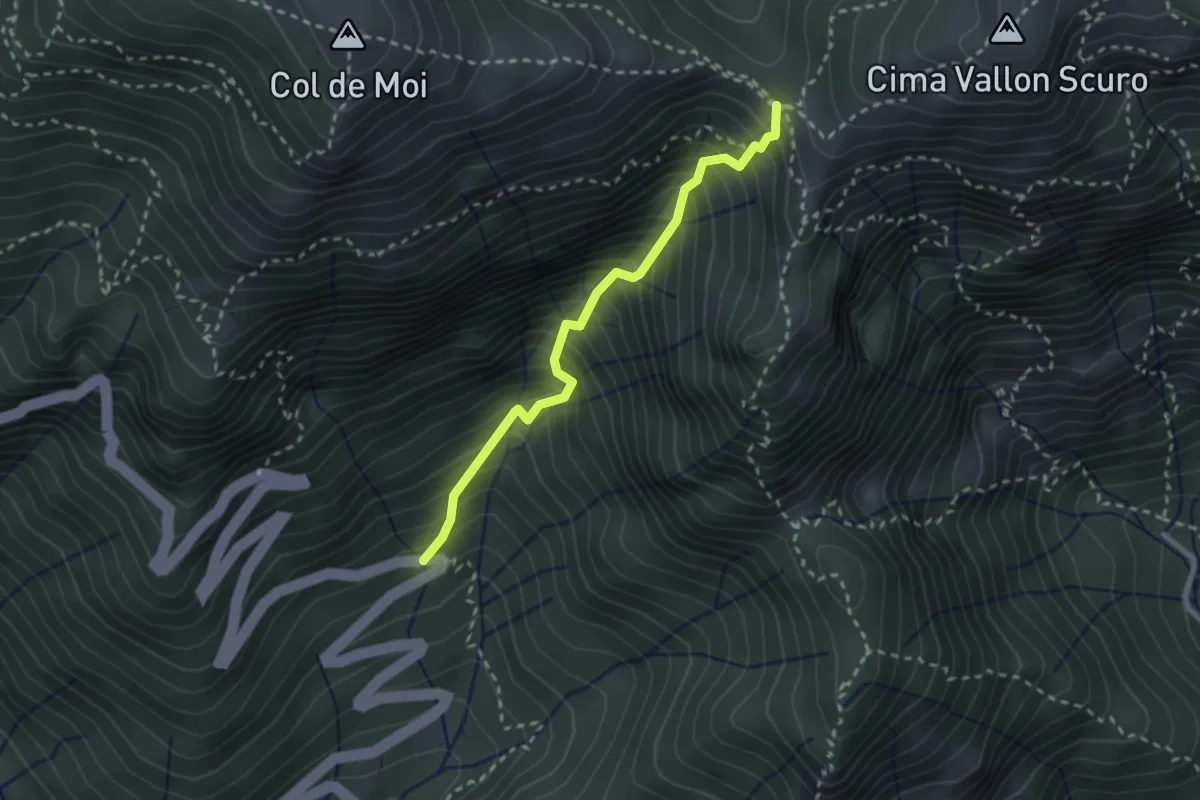
Sentiero naturalistico A
10.0 km · ↑ 287 m · 3 h 7 min · 13 km away
Medium · Trail
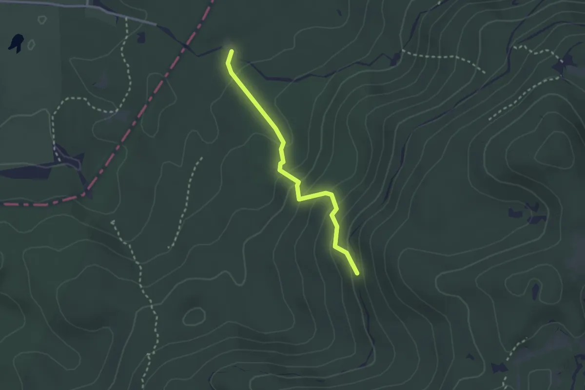
Via Corin (settimo tornante) – Forcella Foran
2.5 km · ↑ 499 m · 1 h 40 min · 13 km away
Medium · Trail
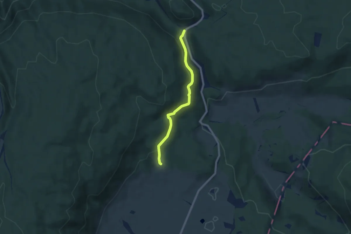
Sentiero Pian De le Stele
2.5 km · ↑ 177 m · 58 min · 13 km away
Easy · Trail
Sentiero naturalistico E2
4.8 km · ↑ 205 m · 1 h 35 min · 13 km away
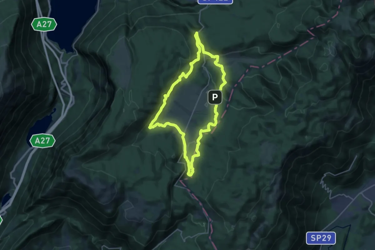
Medium · Summit
Anello del Cansiglio
17.4 km · ↑ 496 m · 5 h 25 min · 13 km away
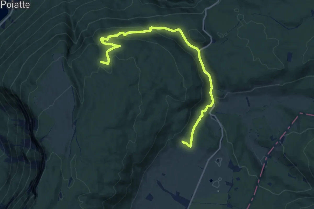
Medium · Trail
Sentiero naturalistico E
13.1 km · ↑ 437 m · 4 h 2 min · 13 km away
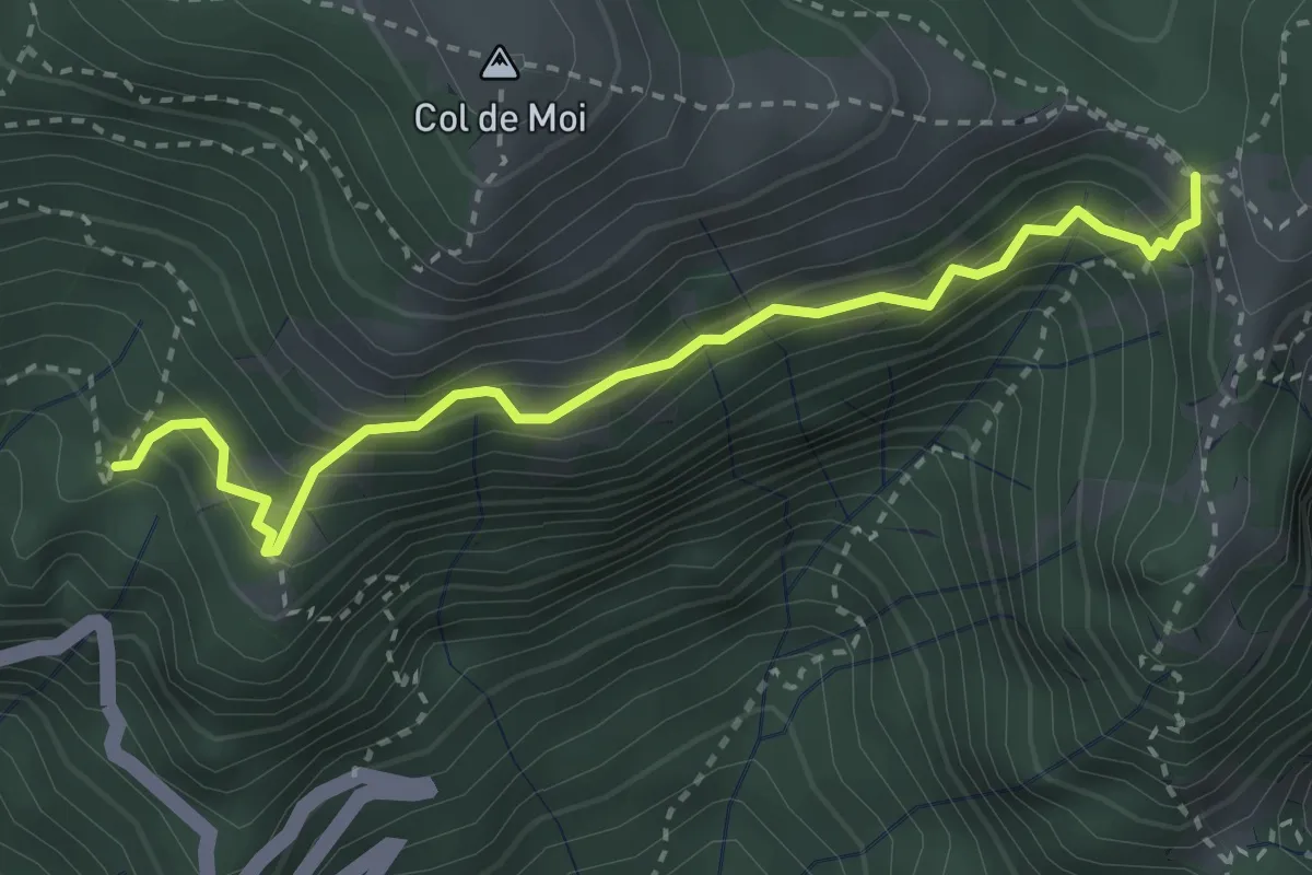
Medium · Trail
Sentiero CAI 991 presso "La Panchina" – Forcella Foran
3.3 km · ↑ 452 m · 1 h 45 min · 13 km away
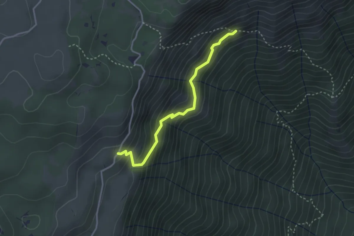
Easy · Trail
Sentiero della Risena
2.8 km · ↑ 275 m · 1 h 16 min · 14 km away
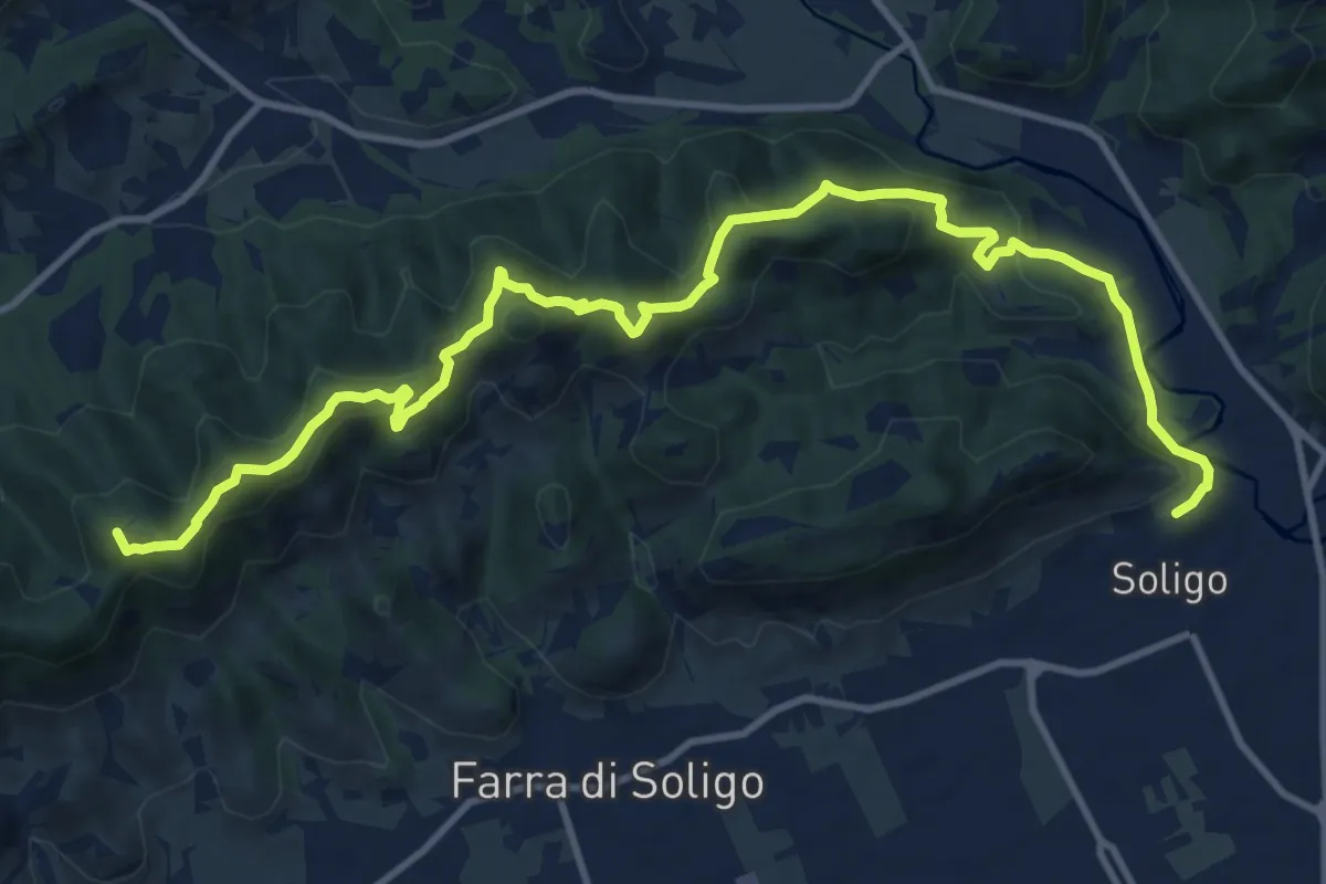
Medium · Summit
Sentiero delle Vedette
14.5 km · ↑ 664 m · 4 h 51 min · 14 km away
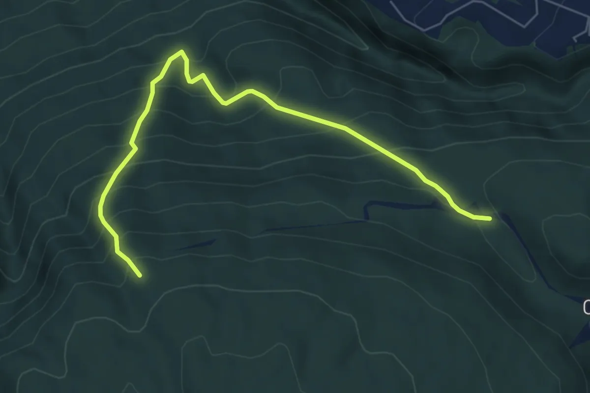
Medium · Trail
Sentiero naturalistico E1
6.2 km · ↑ 676 m · 2 h 56 min · 14 km away
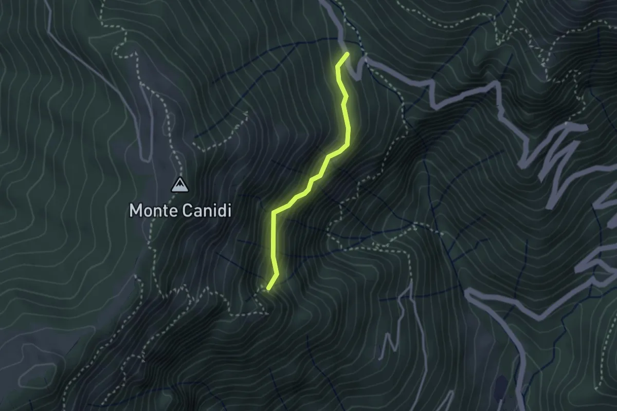
Medium · Trail
Troi del Pindol
2.3 km · ↑ 262 m · 1 h 7 min · 14 km away
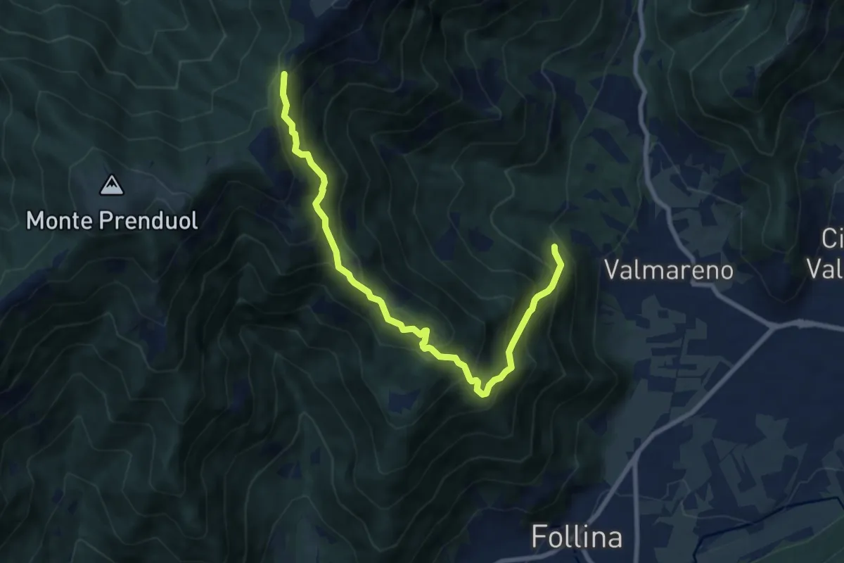
Demanding · Trail
Valle Fornacetta da sentiero 1070 quota 400 – Forcella Val portole innesto sentiero 1023
8.4 km · ↑ 879 m · 3 h 53 min · 14 km away
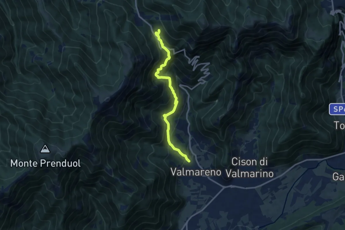
Demanding · Trail
Valmareno Località Peroz – Praderadego
9.1 km · ↑ 841 m · 3 h 58 min · 14 km away
Medium · Trail
Sentiero naturalistico B1
4.7 km · ↑ 183 m · 1 h 31 min · 14 km away
Medium · Trail
Sentiero naturalistico A1
5.0 km · ↑ 132 m · 1 h 28 min · 14 km away
Medium · Summit
Sentiero del Motore alpino
6.2 km · ↑ 347 m · 2 h 13 min · 14 km away
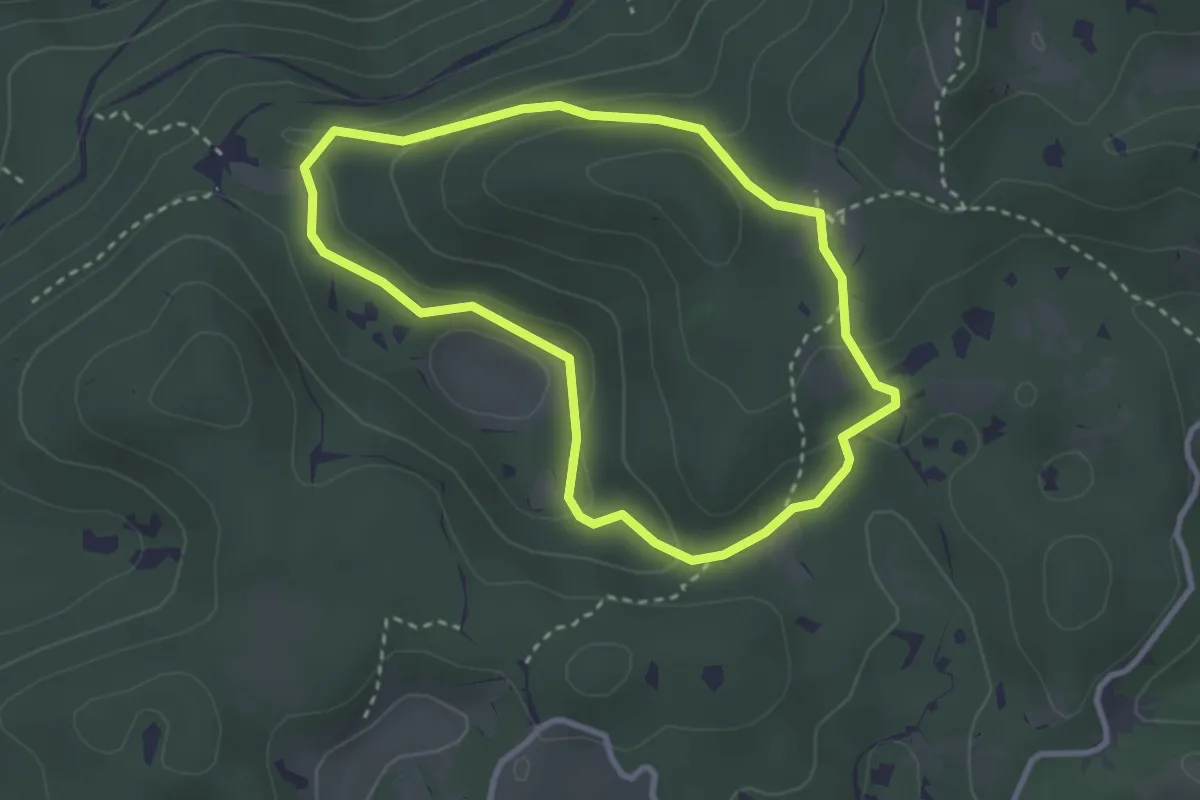
Medium · Summit
Sentiero Raimondo Lacchin "Chirurgo"
2.8 km · ↑ 86 m · 53 min · 15 km away
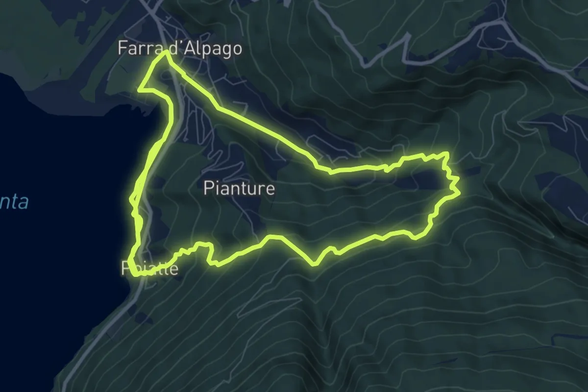
Demanding · Trail
sentiero per il Nordic Walking
21.8 km · ↑ 906 m · 7 h 7 min · 15 km away
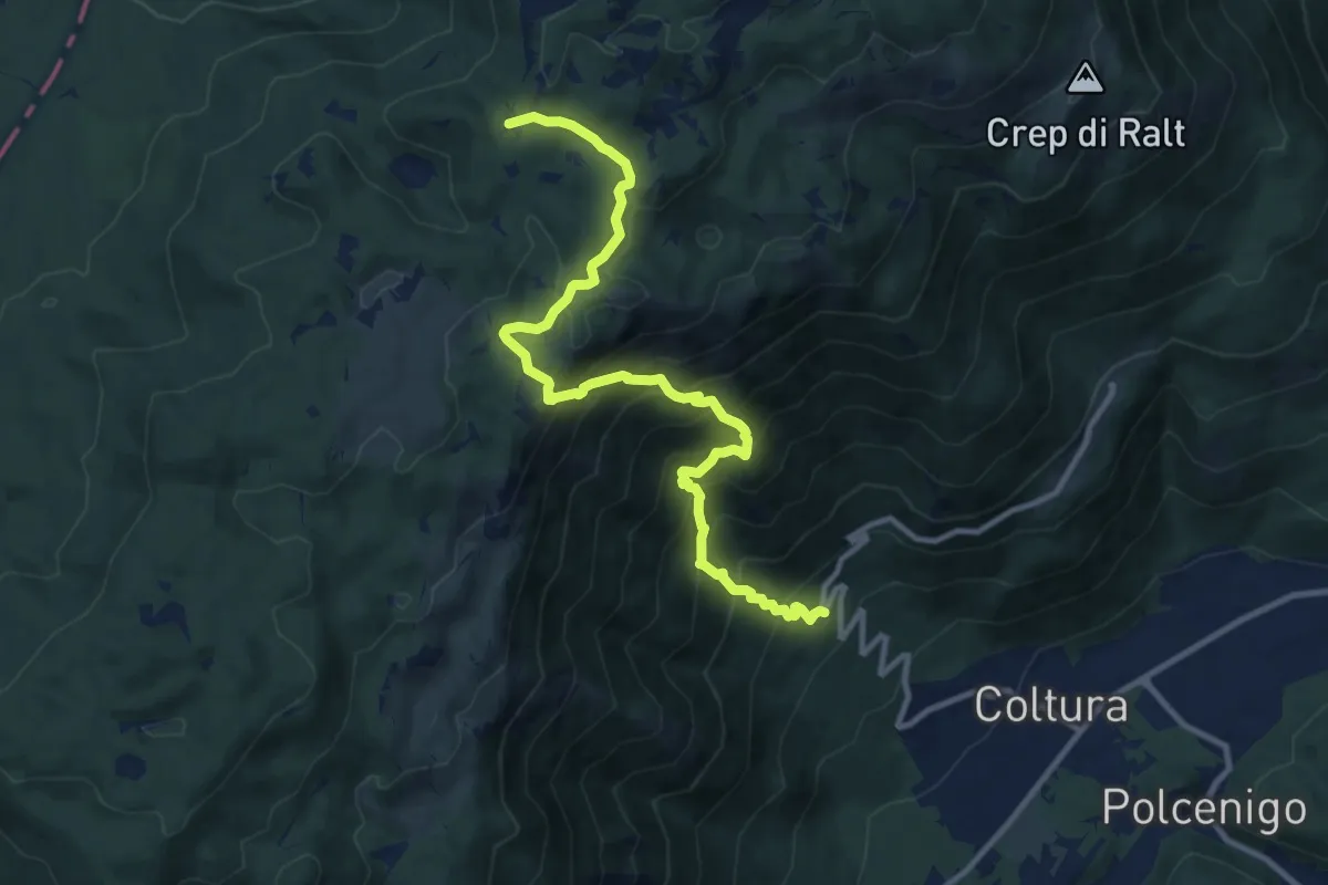
Demanding · Cabin
Ristorante da Stale (quota 342 m) – Casera Ceresera (quota 1347 m)
11.8 km · ↑ 1106 m · 5 h 11 min · 15 km away
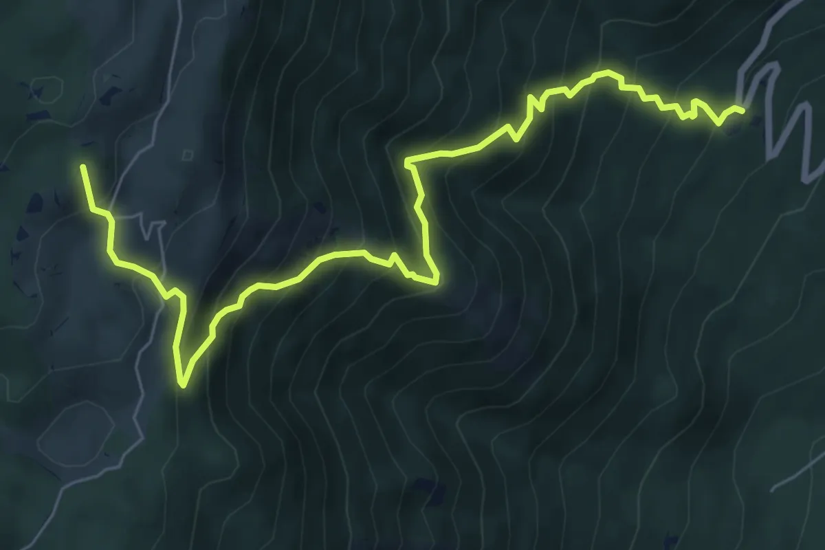
Demanding · Summit
Ristorante da Stae – Bivio sentiero n. 991
8.0 km · ↑ 872 m · 3 h 47 min · 15 km away