Trails in Italy
25,211 hiking trails, each with its route, climb, walking time and grade.
All trails, page 10 of 526
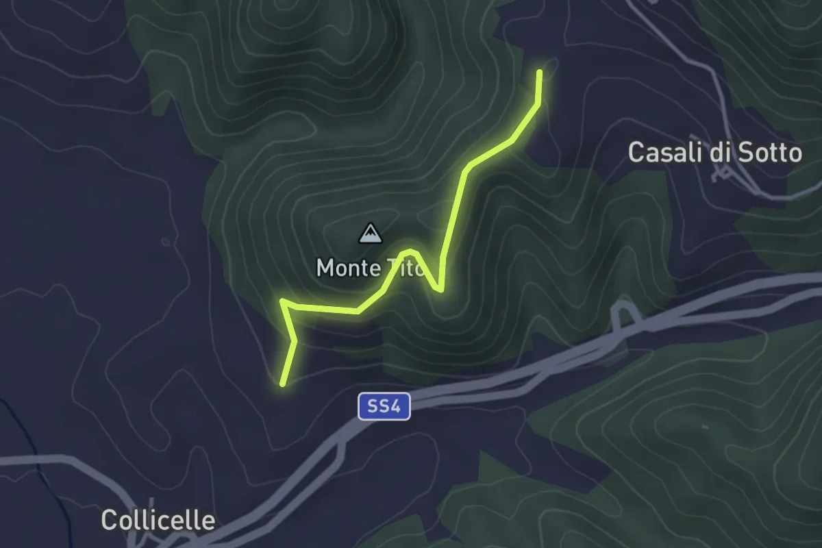
Easy · Trail
Amatrice - Lago Scandarello - Torrita - Cittareale
3.0 km · ↑ 198 m · 1 h 8 min
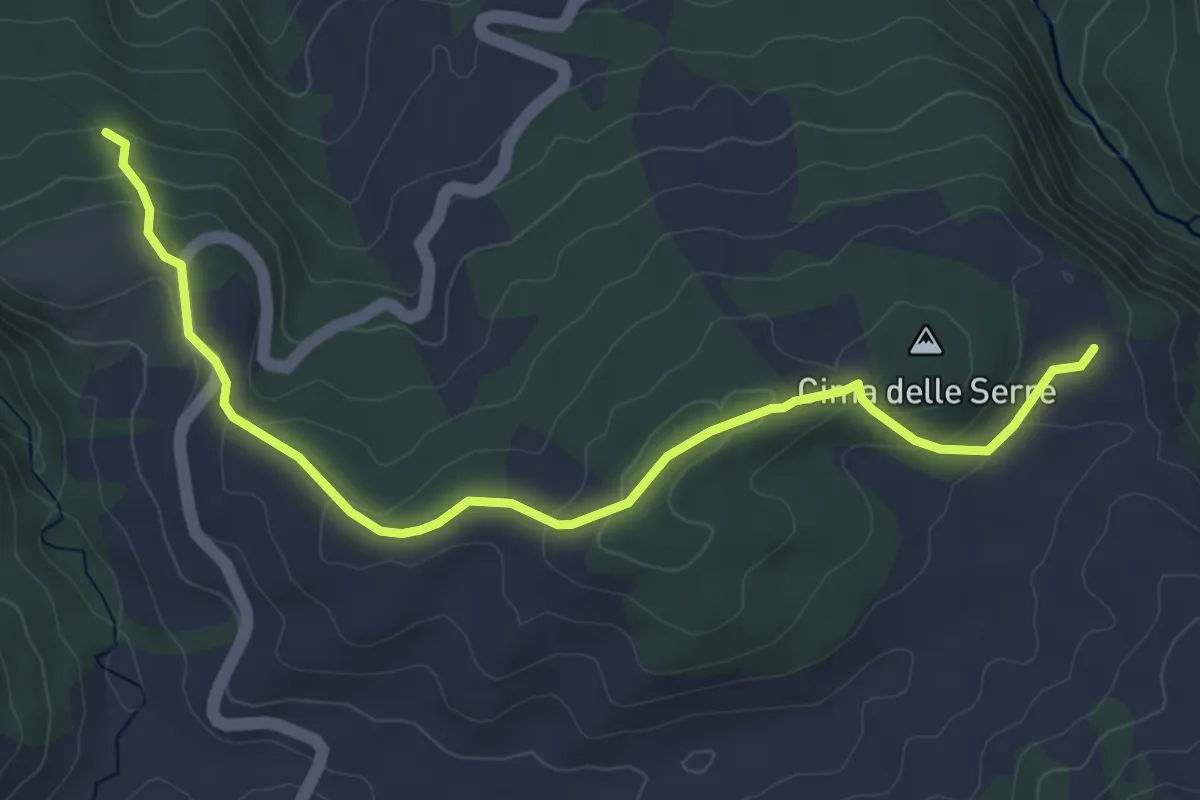
Easy · Cabin
Amatrice - Ponte a Tre Occhi - San Lorenzo - rif. le Serre
6.3 km · ↑ 192 m · 1 h 55 min
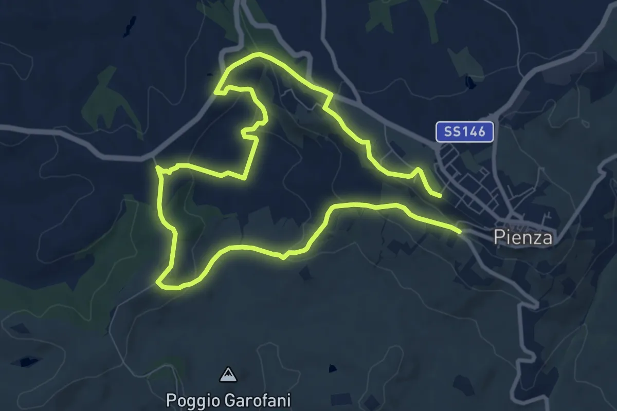
Medium · Trail
Ammannati
15.4 km · ↑ 430 m · 4 h 33 min
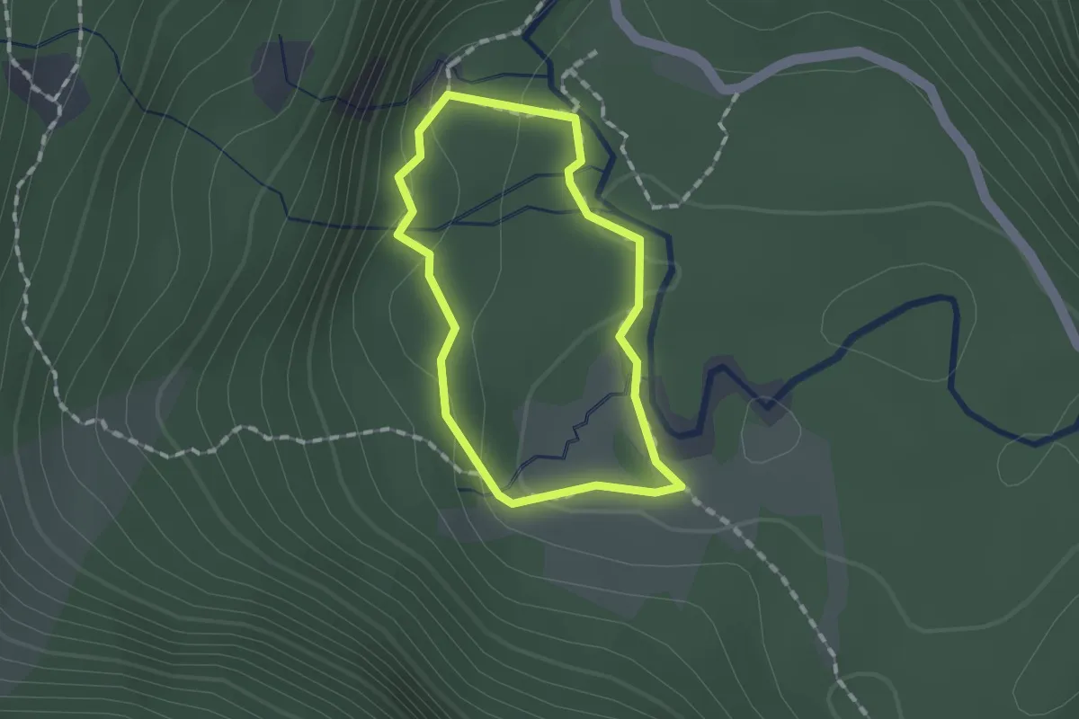
Easy · Trail
Amolacqua
1.1 km · ↑ 39 m · 22 min
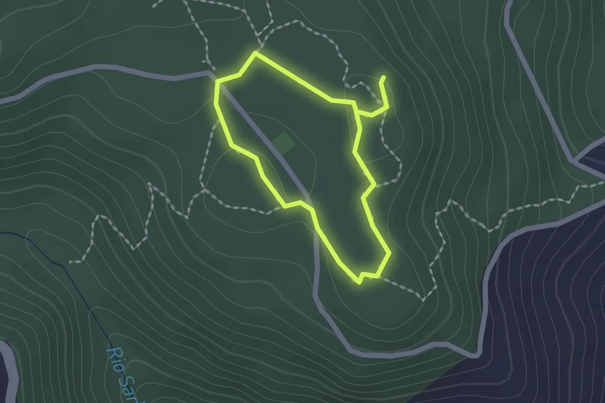
Easy · Trail
Àndala Segura - Sentiero accessibile di Seleni
1.4 km · ↑ 10 m · 23 min
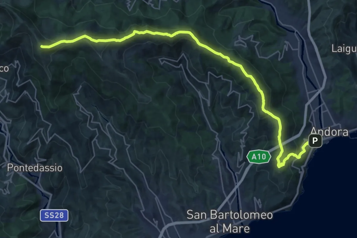
Demanding · Summit
Andora - Pizzo d'Evigno - Passo del Ginestro
29.5 km · ↑ 1471 m · 10 h 9 min
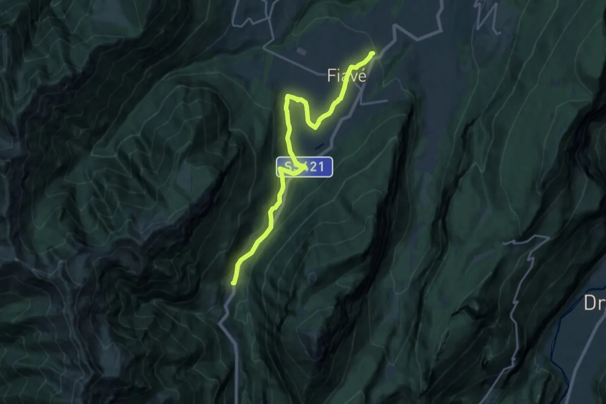
Medium · Trail
Andreas Hofer Weg
16.5 km · ↑ 353 m · 4 h 40 min
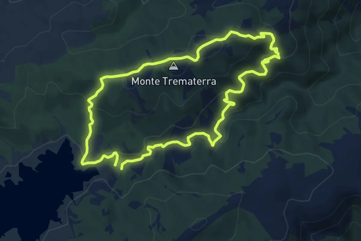
Medium · Summit
Anelli sul Alaco
11.6 km · ↑ 531 m · 4 h 3 min
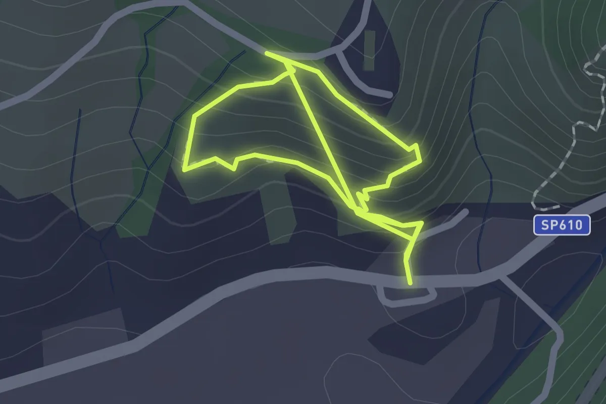
Easy · Trail
Anello 023 i Balzi
1.5 km · ↑ 191 m · 45 min
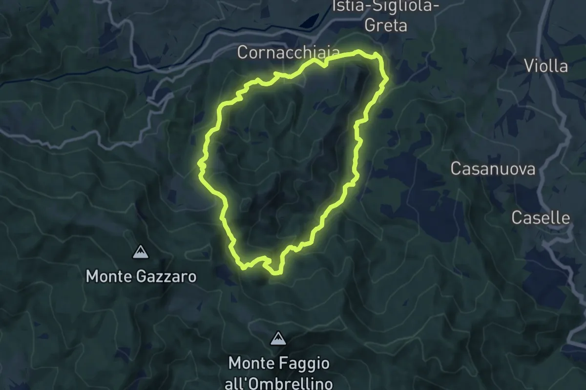
Medium · Trail
Anello 053 di Cornacchiaia
9.8 km · ↑ 576 m · 3 h 43 min
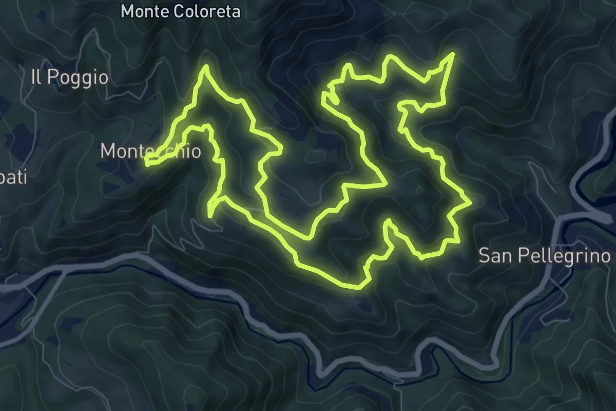
Medium · Trail
Anello 057 di Brento Sanico
10.7 km · ↑ 677 m · 4 h 9 min
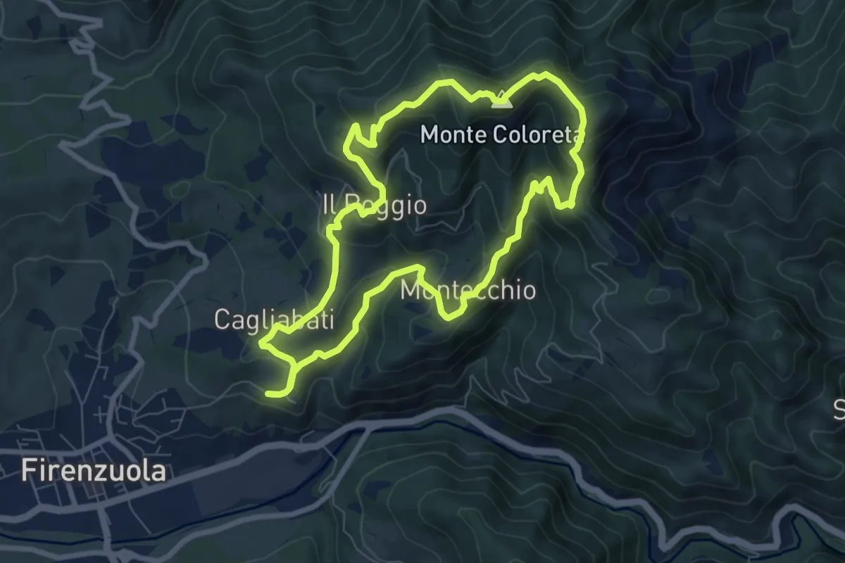
Medium · Summit
Anello 059 del Monte Coloreta
7.4 km · ↑ 451 m · 2 h 50 min
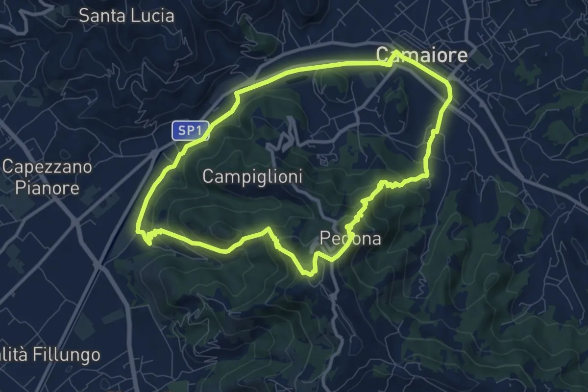
Medium · Trail
ANELLO 10 - CAMAIORE - PEDONA - CAMAIORE
8.7 km · ↑ 327 m · 2 h 53 min
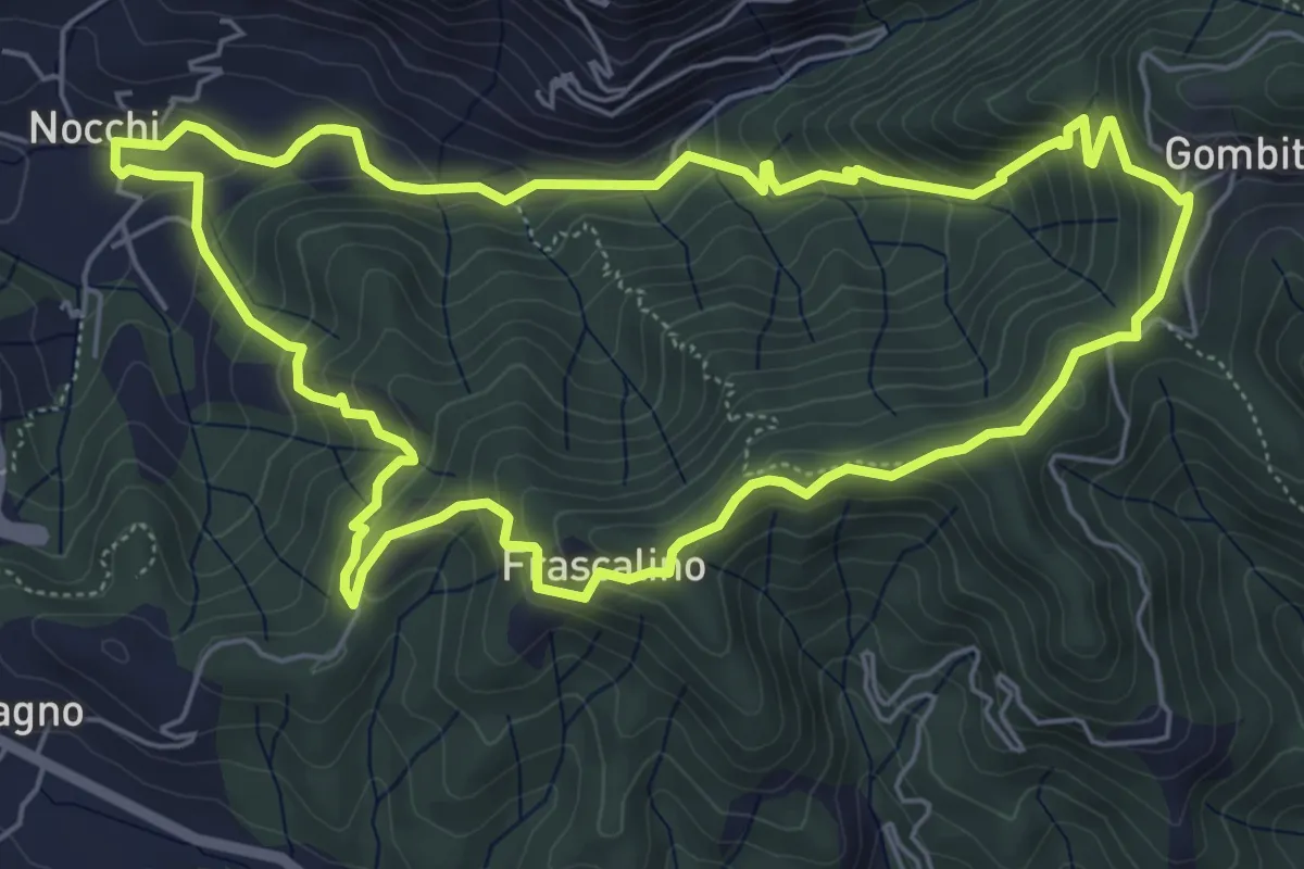
Medium · Trail
ANELLO 11 - NOCCHI - GOMBITELLI - MONTEMAGNO - NOCCHI
6.6 km · ↑ 420 m · 2 h 34 min
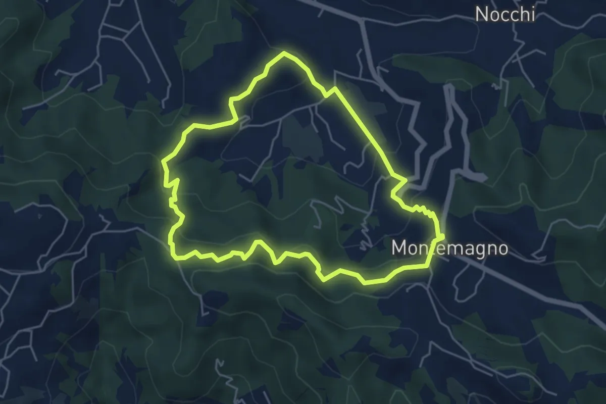
Easy · Trail
ANELLO 12 - PONTEMAZZORI - MONTEMAGNO - PONTEMAZZORI
4.8 km · ↑ 275 m · 1 h 48 min
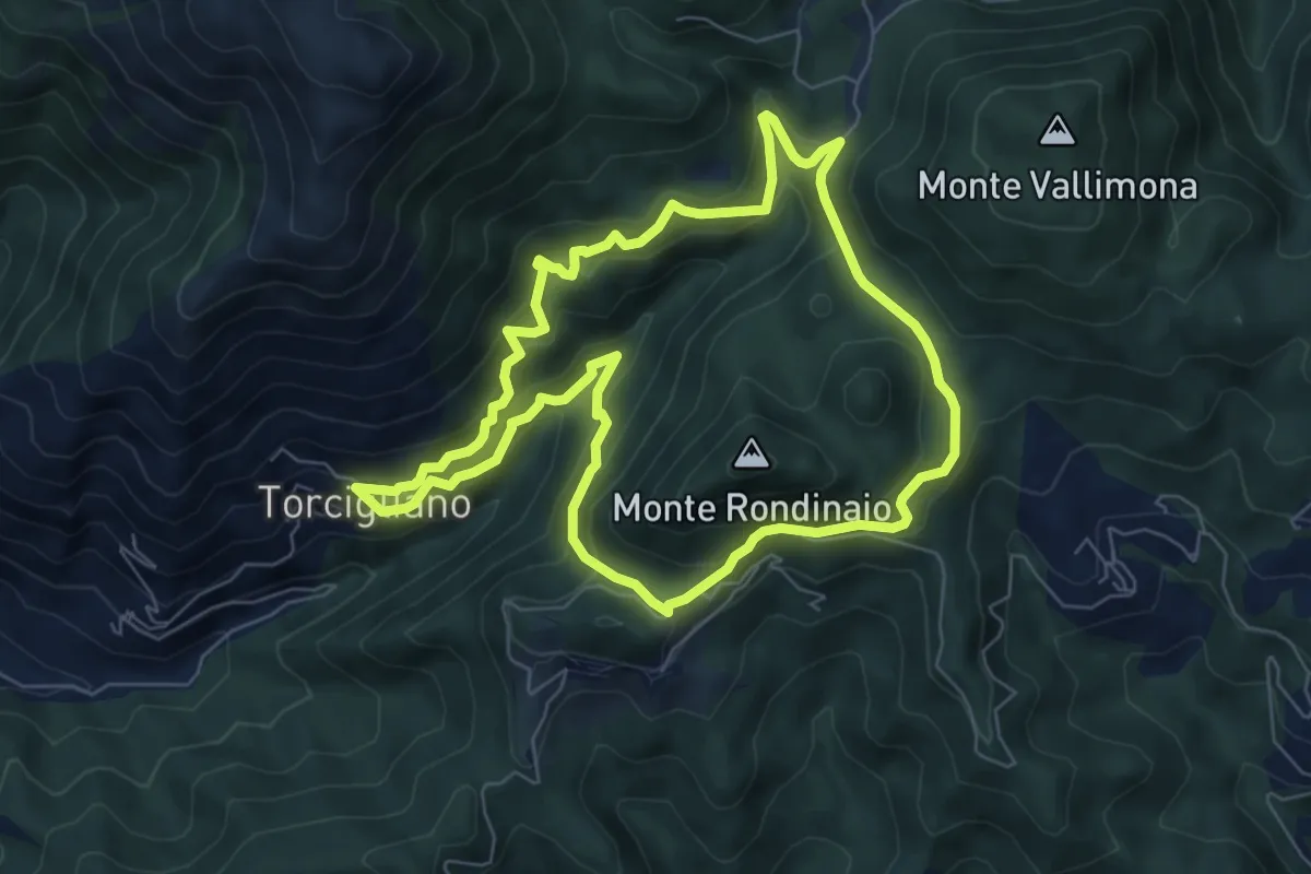
Medium · Trail
ANELLO 13 - TORCIGLIANO - PASSO DEL LUCESE - BUCA DEL CORNO - TORCIGLIANO
7.1 km · ↑ 510 m · 2 h 52 min
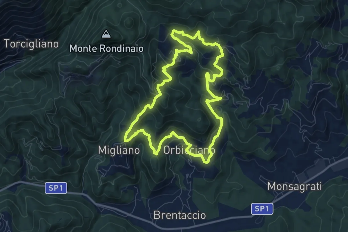
Medium · Trail
ANELLO 14 - ORBICCIANO - ANTICIANA - FIBBIANO - MIGLIANO - ORBICCIANO
9.0 km · ↑ 491 m · 3 h 19 min
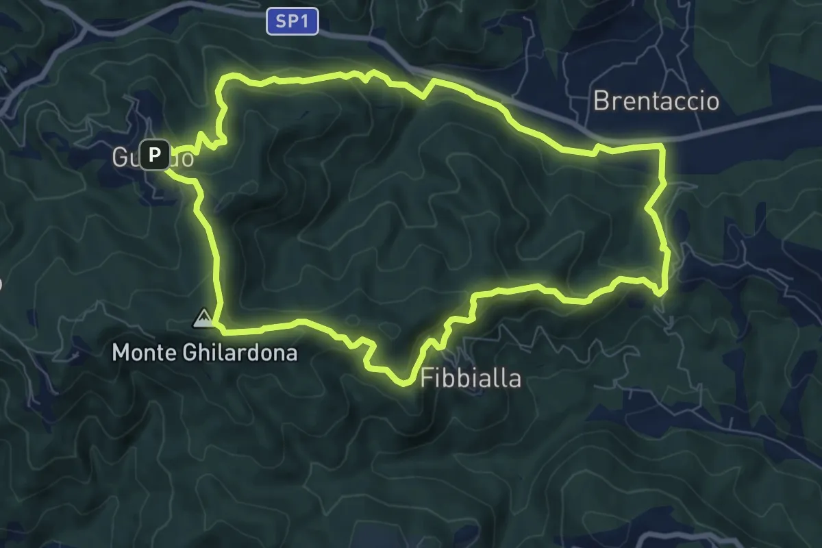
Medium · Summit
ANELLO 15 - VALPROMARO - GUALDO - FIBBIALLA - VALPROMARO
8.8 km · ↑ 454 m · 3 h 12 min
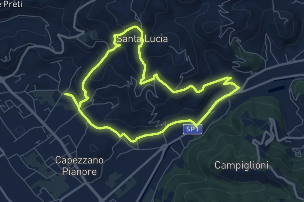
Easy · Trail
ANELLO 1 - CAPEZZANO - S. LUCIA - CAPEZZANO
6.3 km · ↑ 271 m · 2 h 10 min
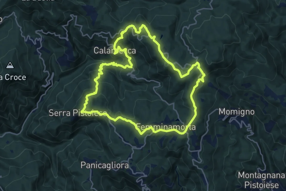
Medium · Summit
Anello 1 - Sentiero dei borghi
15.3 km · ↑ 689 m · 5 h 19 min
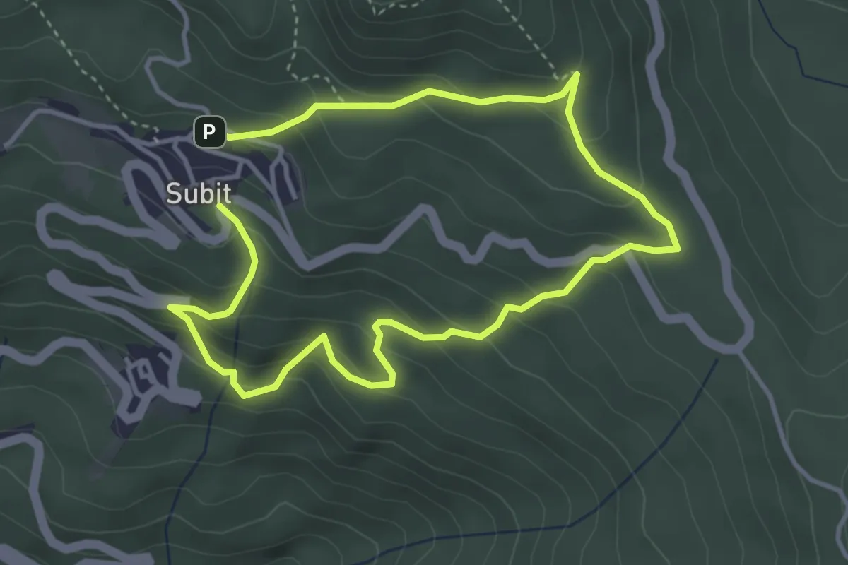
Medium · Trail
Anello 1: Sentiero dei Folletti-Piante Medicinali
6.4 km · ↑ 499 m · 2 h 35 min
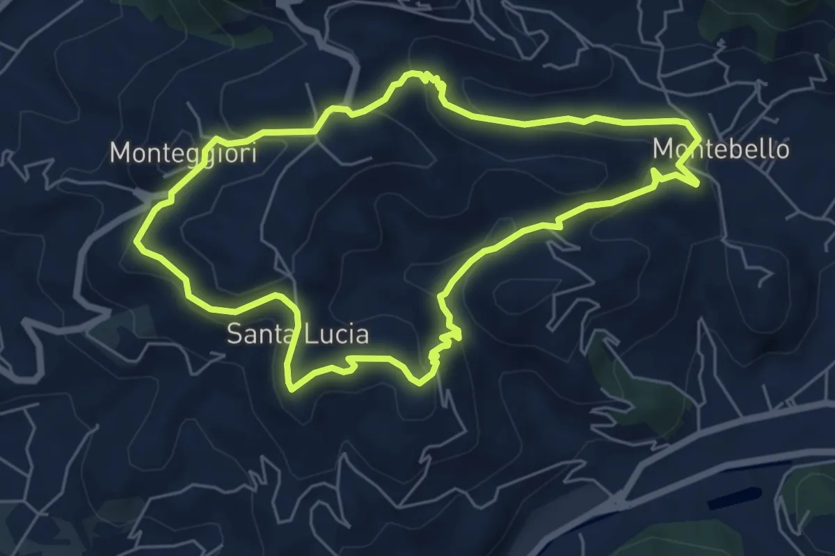
Medium · Trail
ANELLO 2 - MONTEBELLO - S. LUCIA - MONTEGGIORI - MONTEBELLO
5.8 km · ↑ 248 m · 1 h 59 min
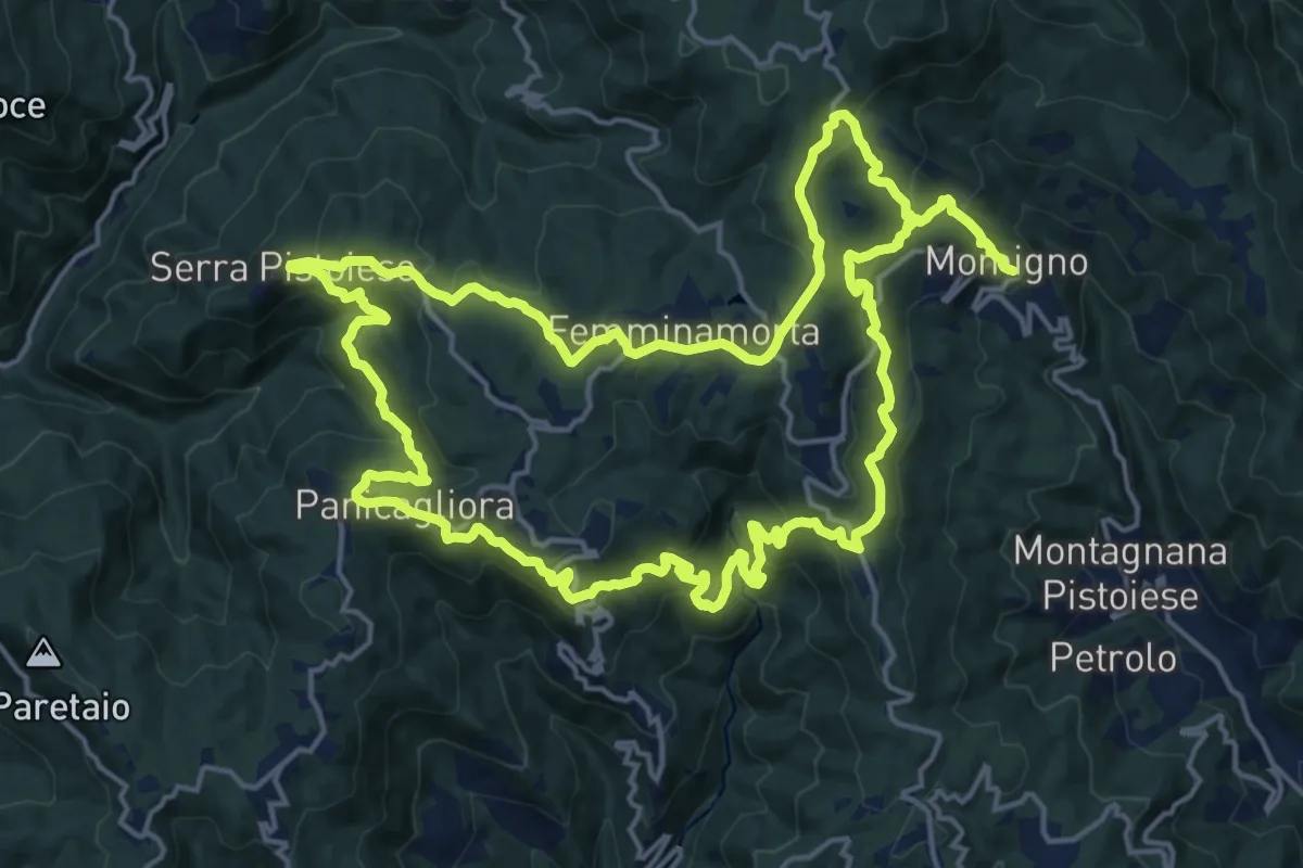
Demanding · Summit
Anello 2 - Sentiero della pietra
19.2 km · ↑ 977 m · 6 h 51 min
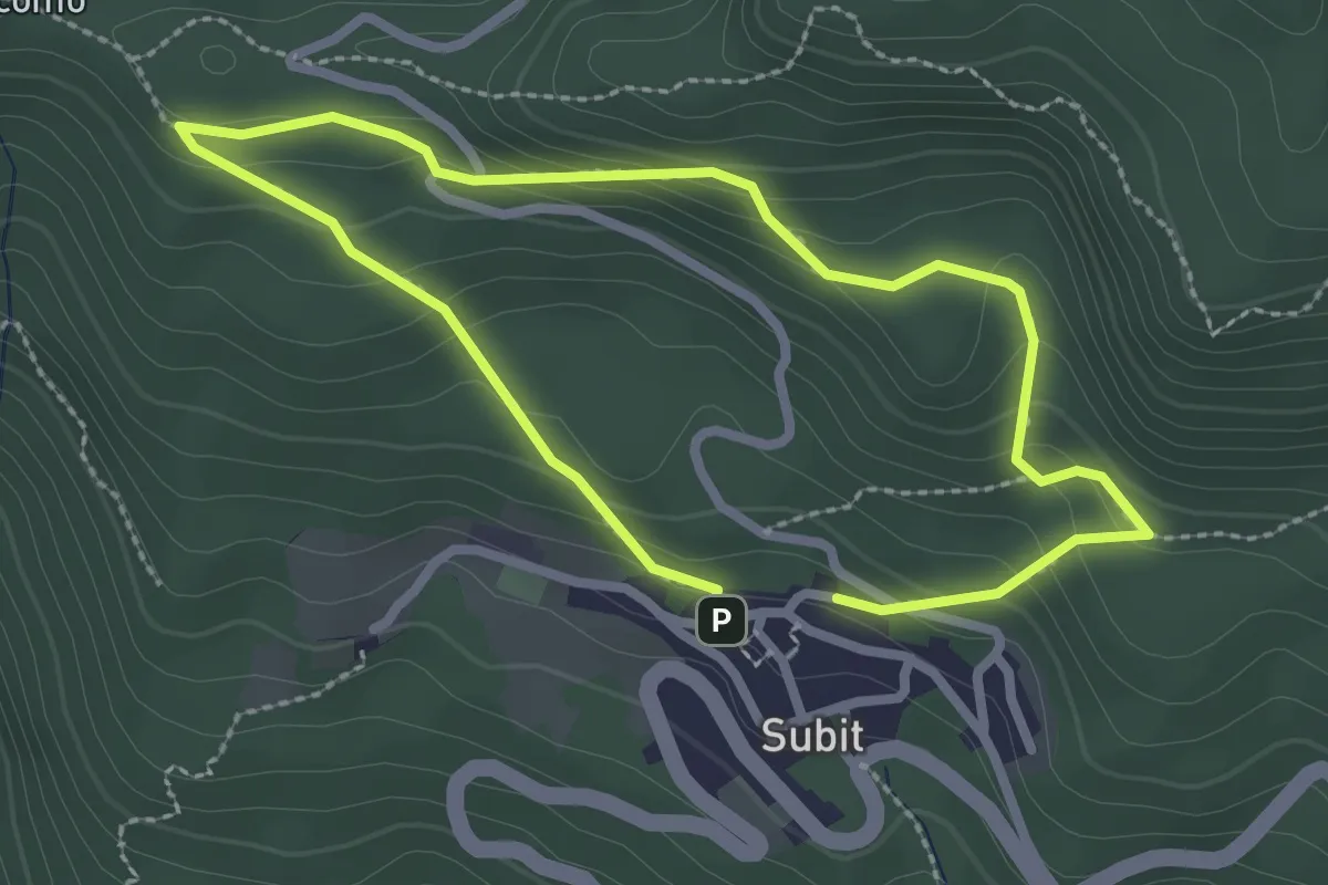
Easy · Trail
Anello 2: Sentiero della Strega - Piante Tossiche
2.2 km · ↑ 142 m · 51 min
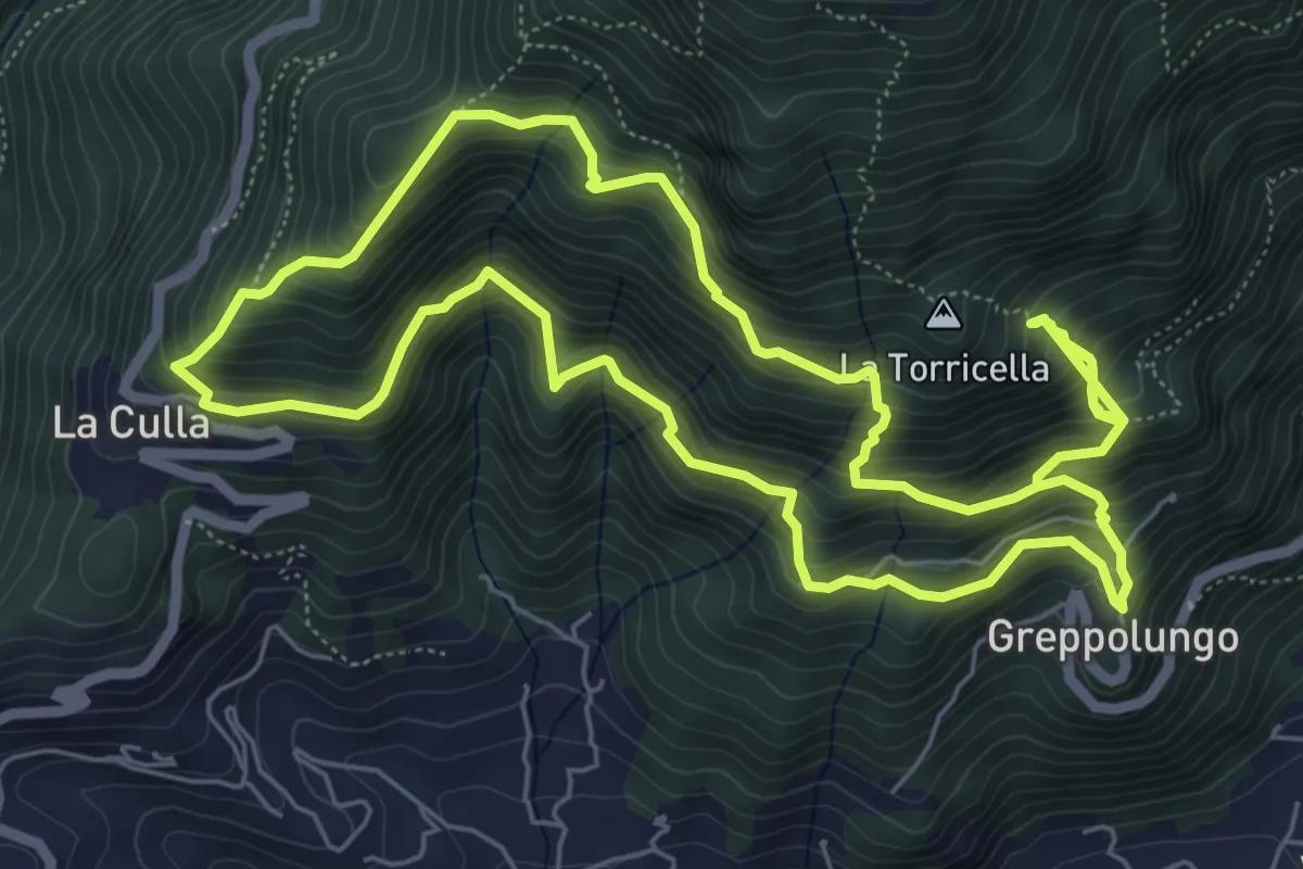
Demanding · Trail
ANELLO 3 - GREPPOLUNGO - LA CULLA - ROCCIA DEI PENNATI - GREPPOLUNGO
14.0 km · ↑ 1572 m · 6 h 43 min
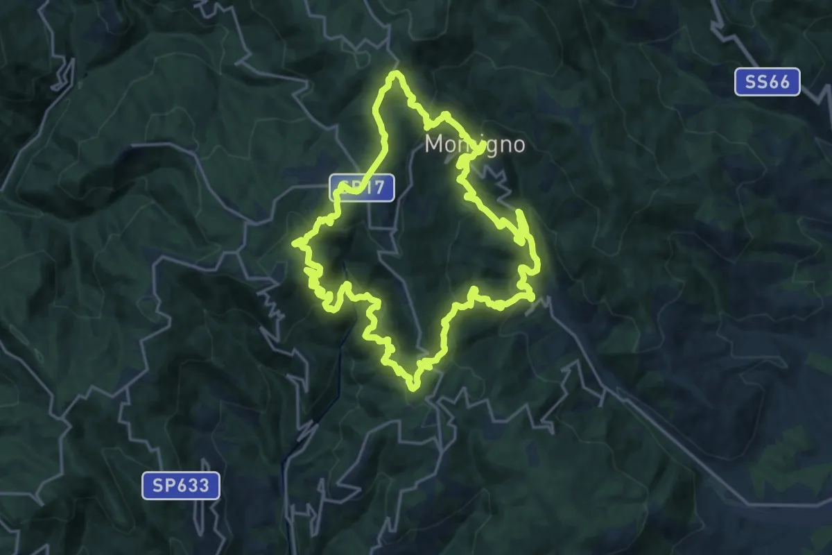
Demanding · Summit
Anello 3 - Sentiero della castagna
19.0 km · ↑ 995 m · 6 h 55 min
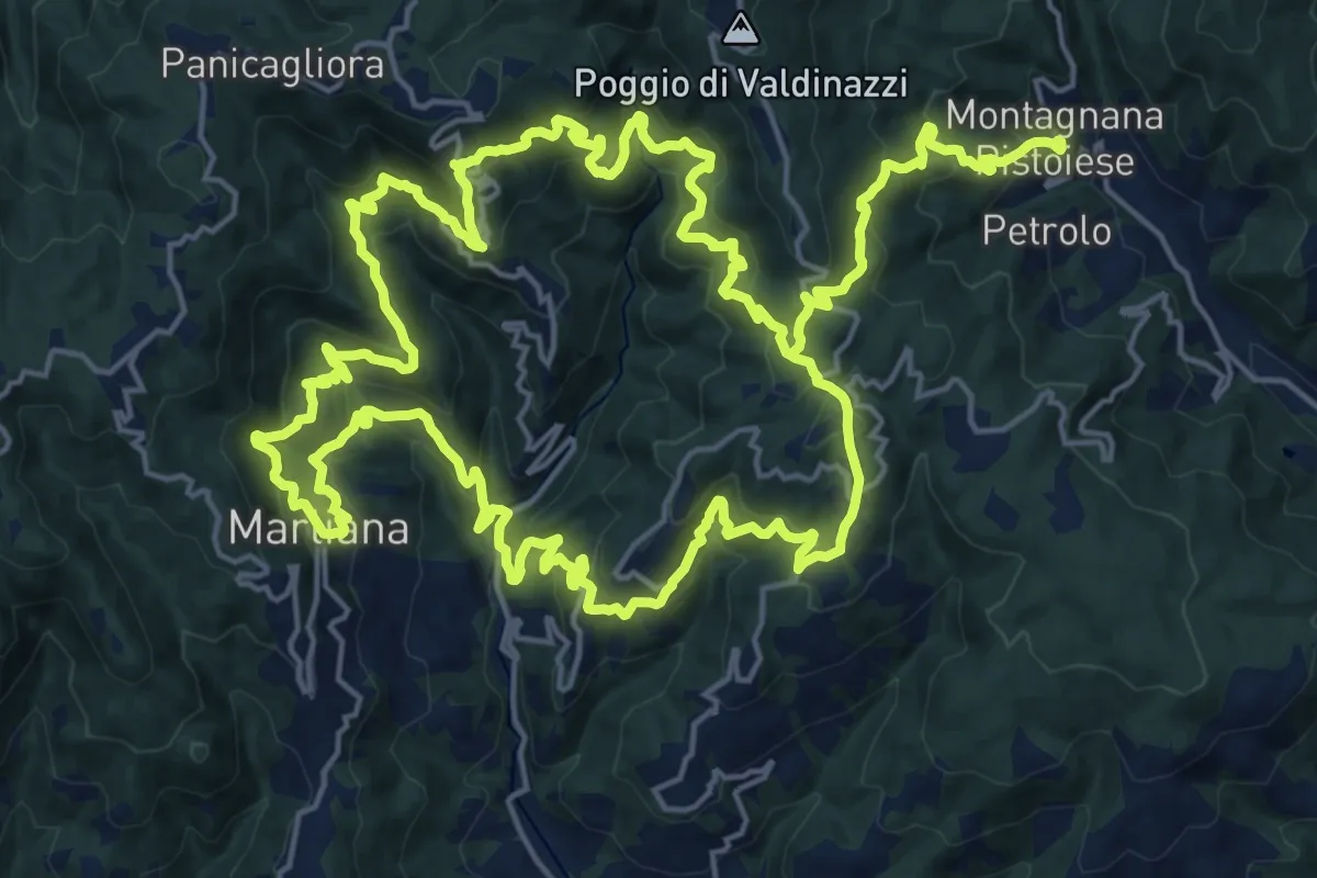
Demanding · Summit
Anello 4 - Sentiero del pane
22.6 km · ↑ 1495 m · 8 h 46 min
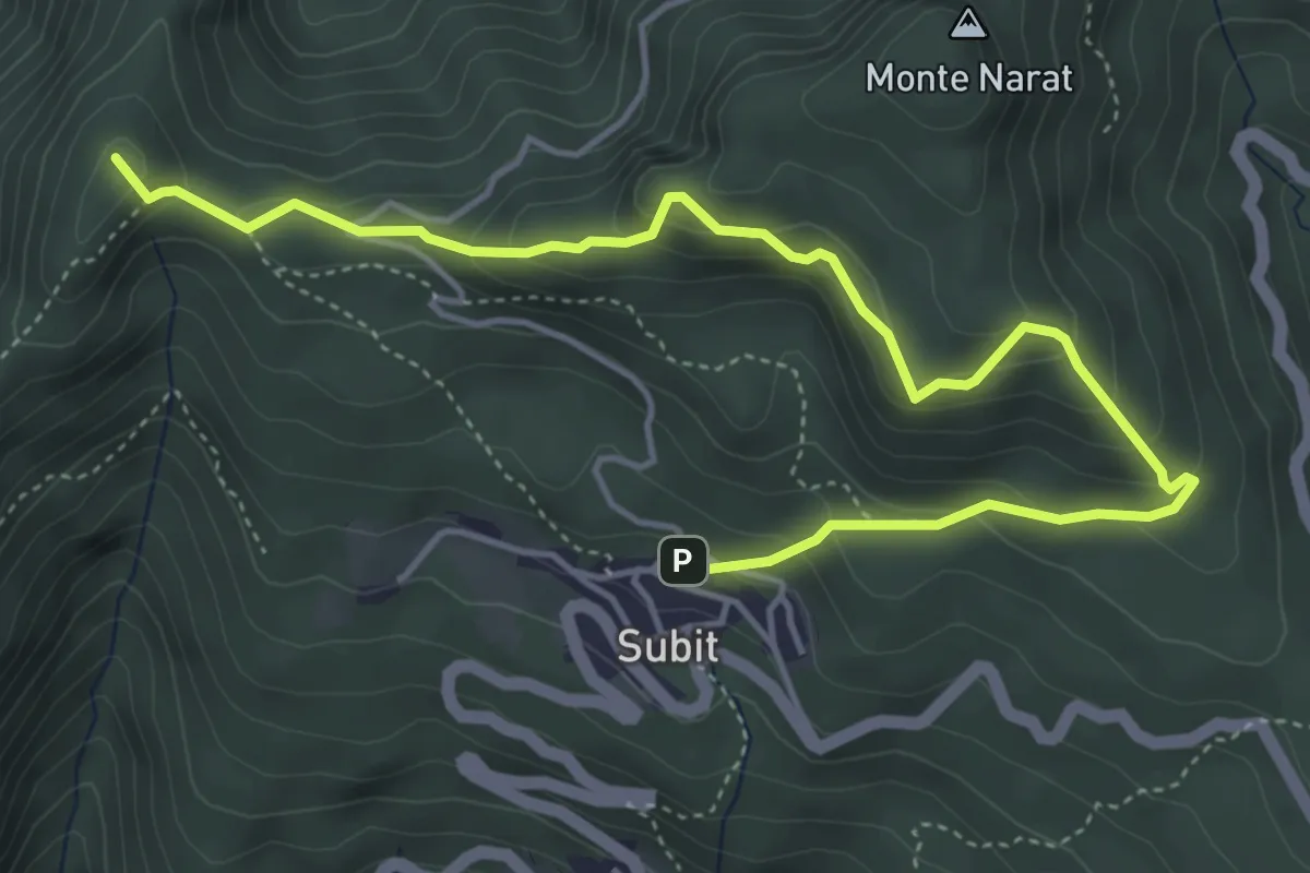
Medium · Summit
Anello 4: Sentiero Panoramico delle Cime
5.8 km · ↑ 349 m · 2 h 7 min
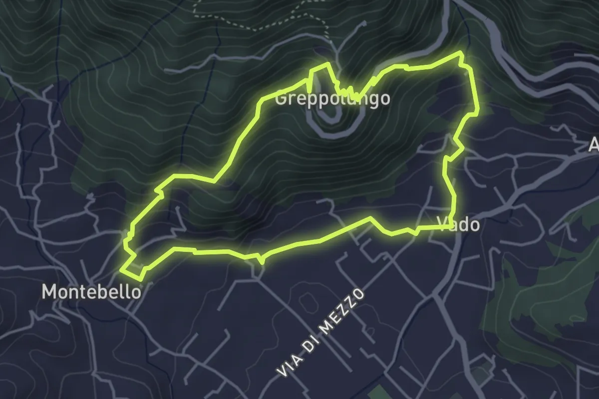
Easy · Trail
ANELLO 4 - VADO - GREPPOLUNGO - MONTEBELLO - VADO
4.4 km · ↑ 304 m · 1 h 46 min
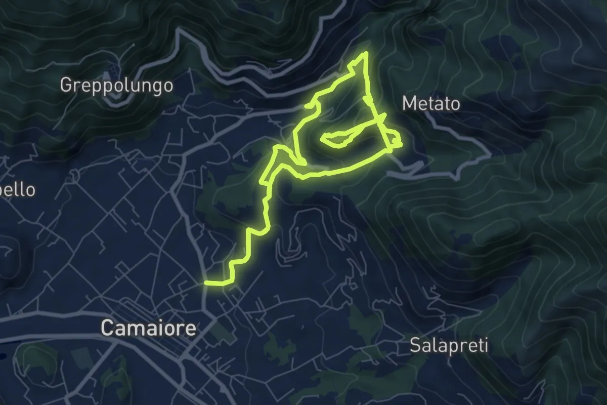
Demanding · Trail
ANELLO 5 - BADIA - MONTECASTRESE - BADIA
14.9 km · ↑ 825 m · 5 h 18 min
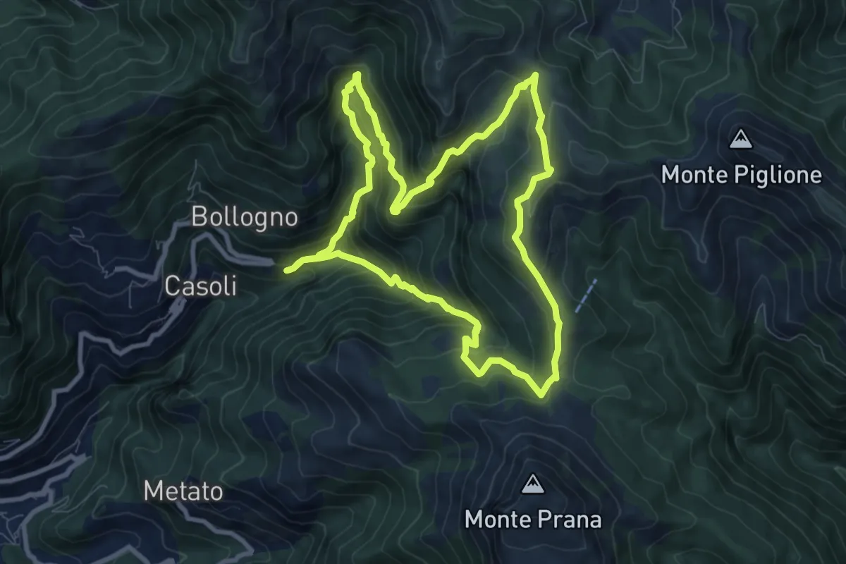
Medium · Summit
ANELLO 6 - CASOLI - FOCE DEL PALLONE - CASOLI
8.5 km · ↑ 746 m · 3 h 45 min
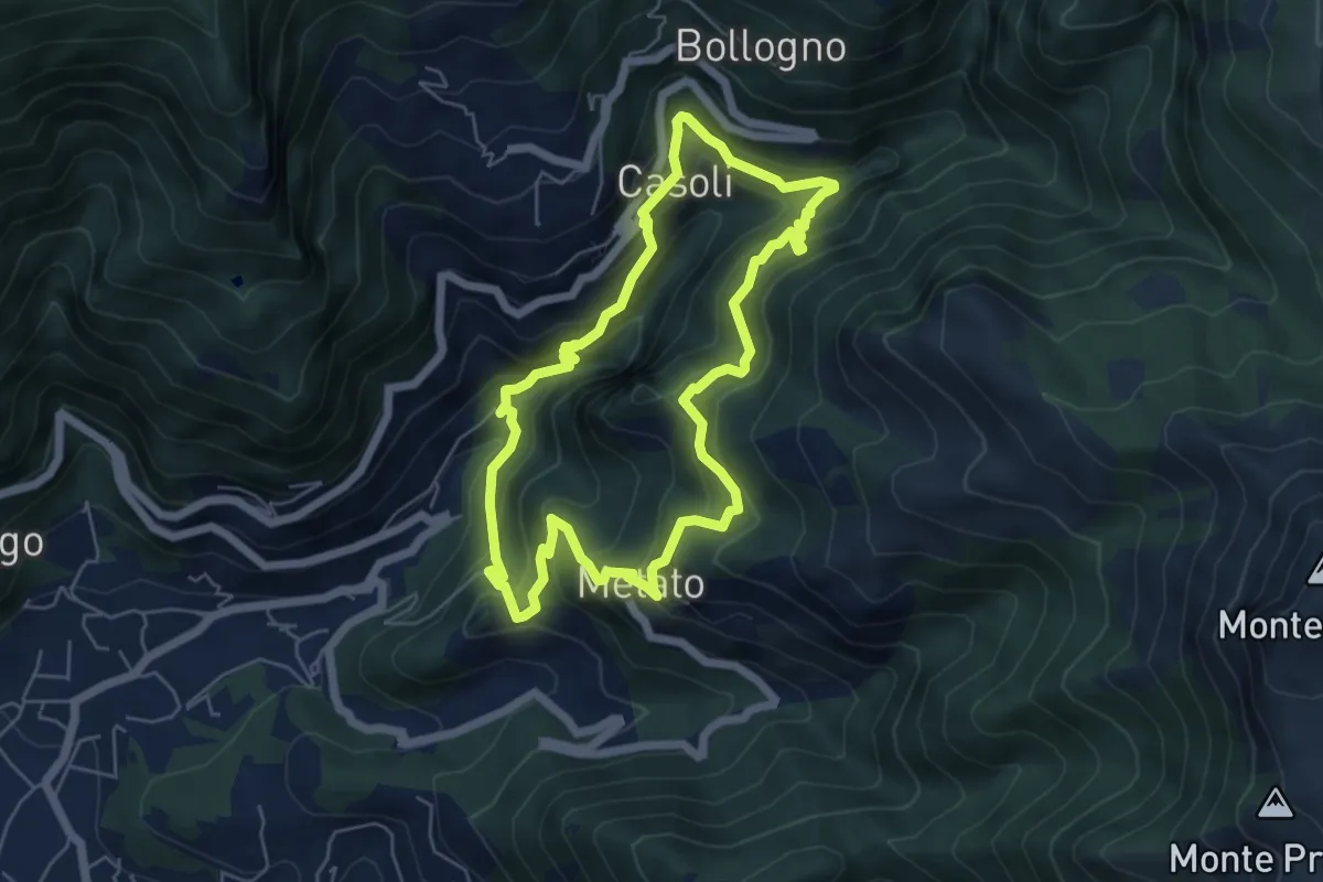
Medium · Summit
ANELLO 7 - CANDALLA - CASOLI - METATO - CANDALLA
5.7 km · ↑ 487 m · 2 h 28 min
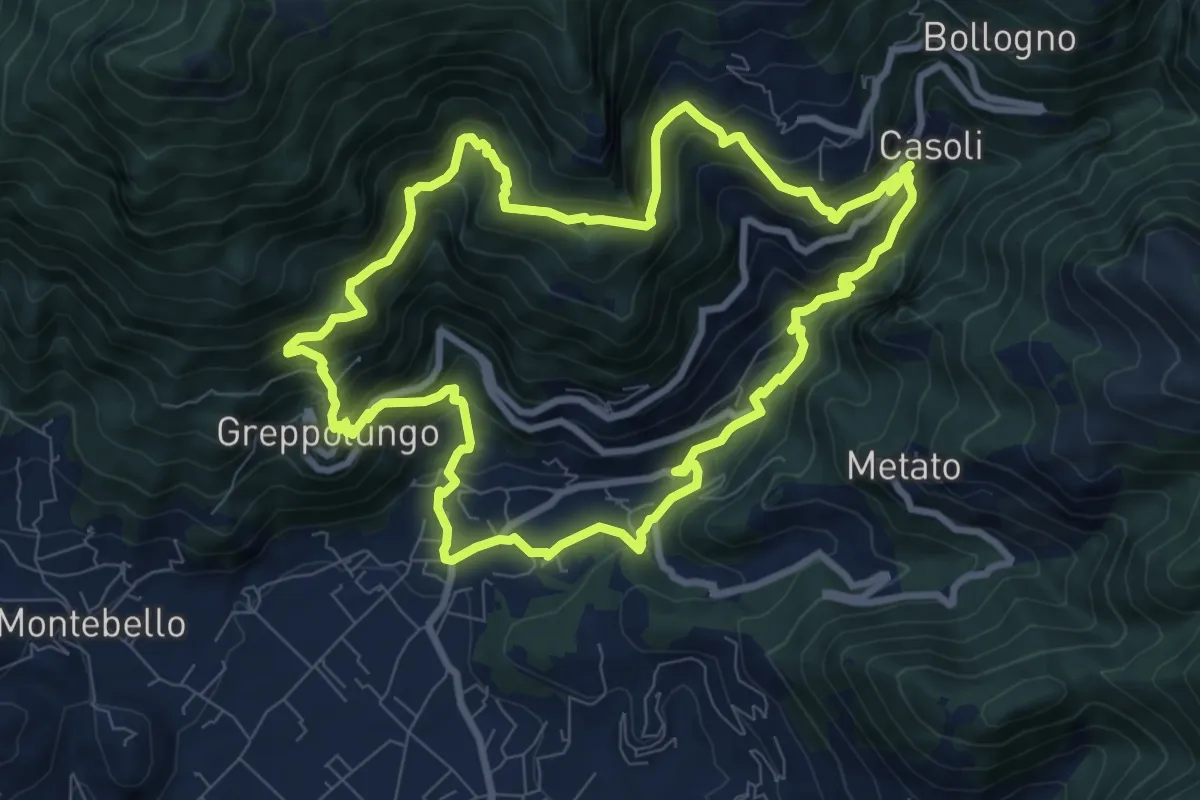
Medium · Trail
ANELLO 8 - CASOLI - BACINO DI SETRIANA - GREPPOLUNGO - CASOLI
9.4 km · ↑ 709 m · 3 h 53 min
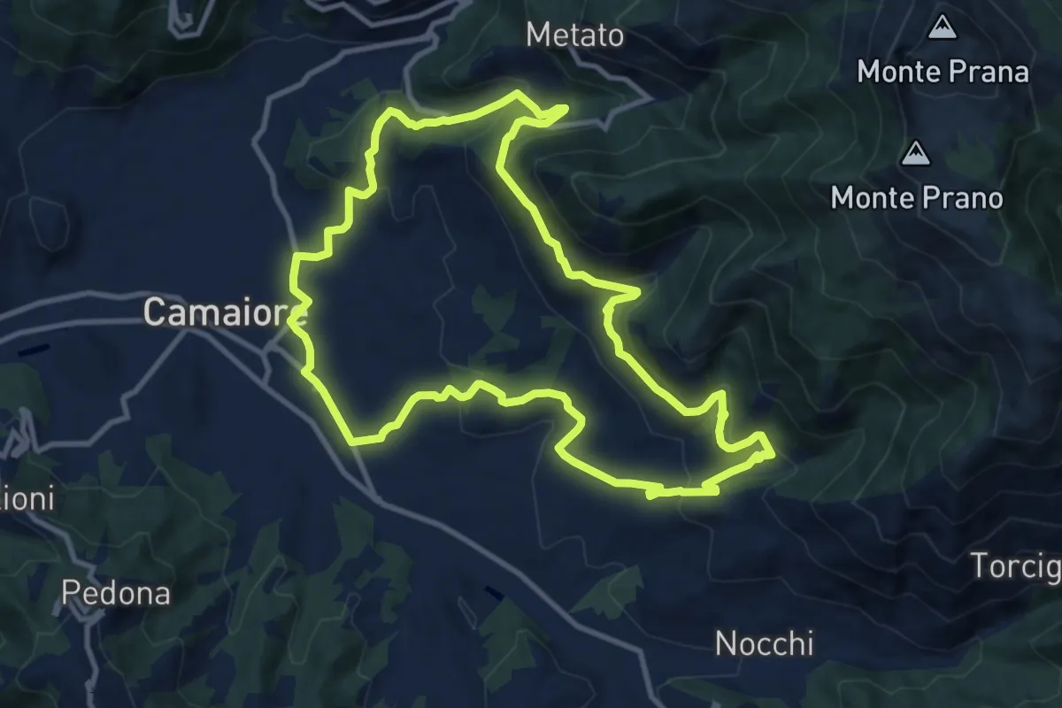
Medium · Trail
ANELLO 9 - BADIA DI CAMAIORE - PERALLA - PIEVE - BADIA DI CAMAIORE
11.0 km · ↑ 487 m · 3 h 49 min
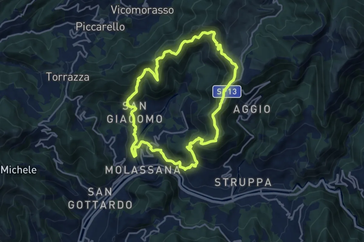
Demanding · Summit
Anello Acquedotto Storico di Genova (AQ2)
12.1 km · ↑ 844 m · 4 h 51 min
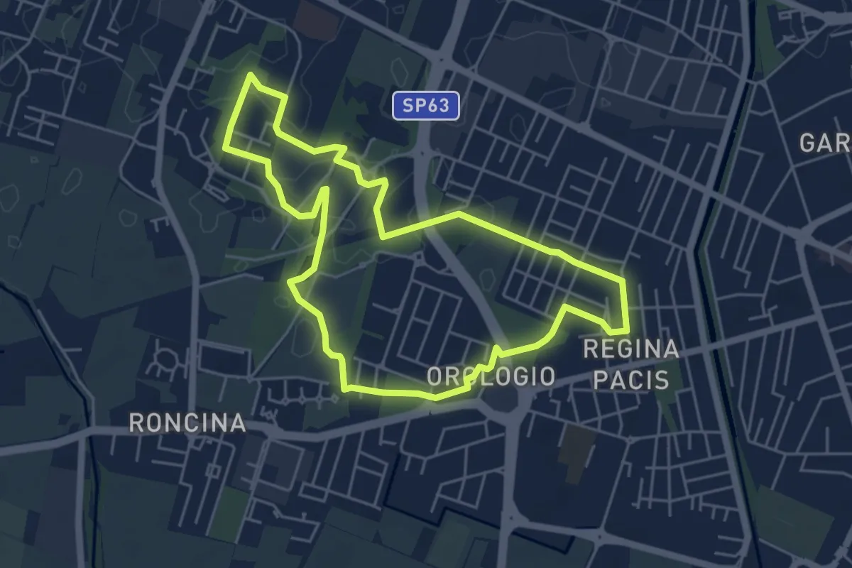
Easy · Trail
Anello Alex Langer
5.0 km · ↑ 12 m · 1 h 17 min
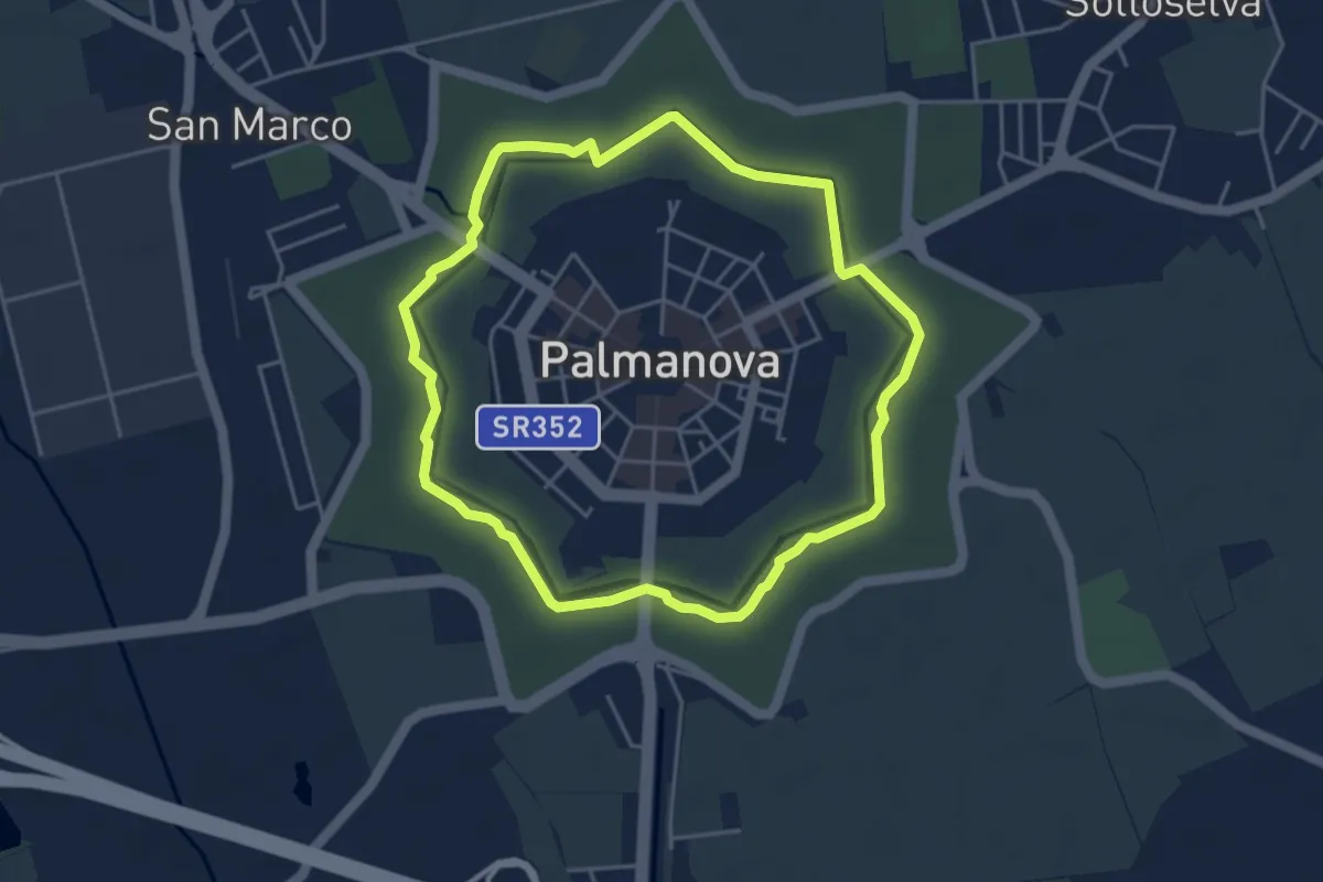
Easy · Trail
Anello alto dei Rivellini
4.2 km · ↑ 0 m · 1 h 4 min
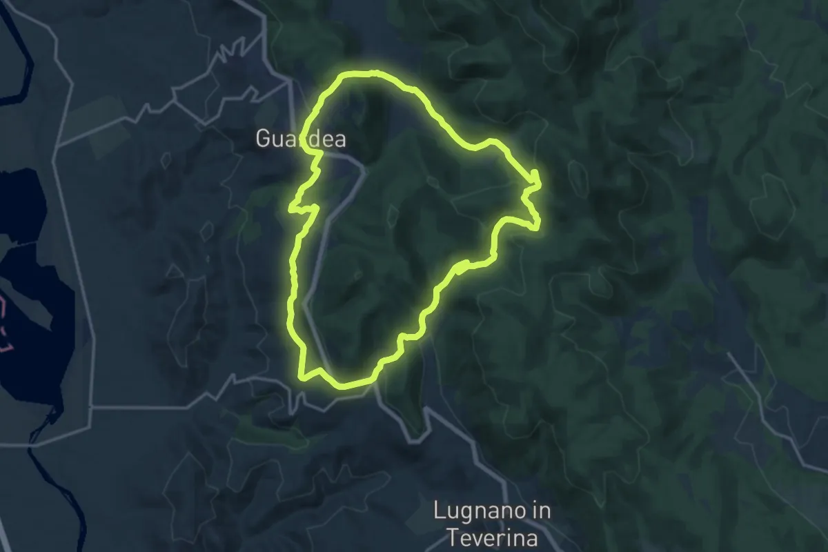
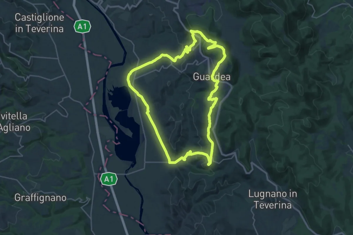
Medium · Trail
Anello Alviano - Guardea
15.4 km · ↑ 510 m · 4 h 58 min
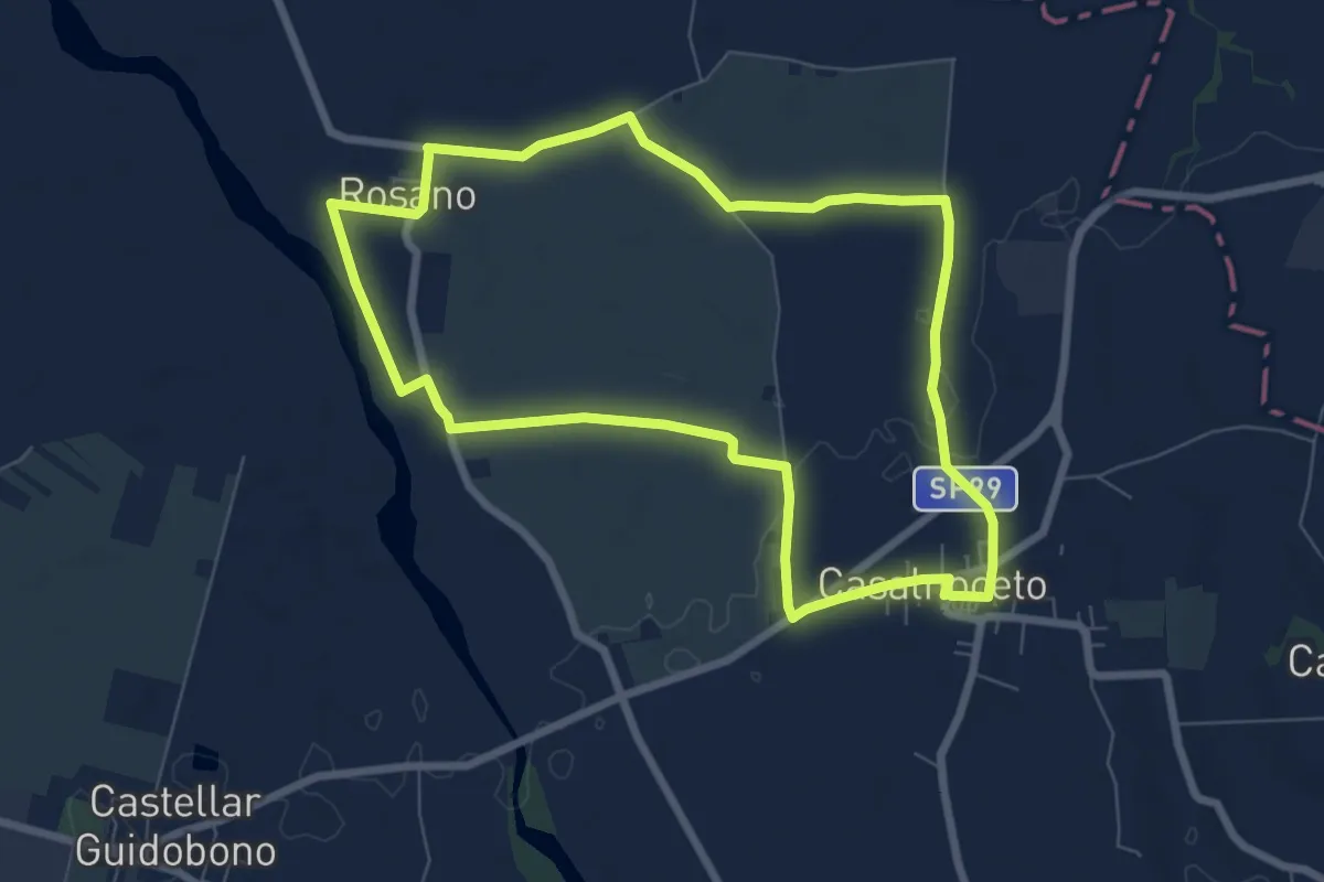
Demanding · Trail
Anello Alviano - Madonna del Porto
21.2 km · ↑ 515 m · 6 h 25 min
Easy · Trail
Anello Ambrogio Spinola
7.4 km · ↑ 30 m · 1 h 54 min
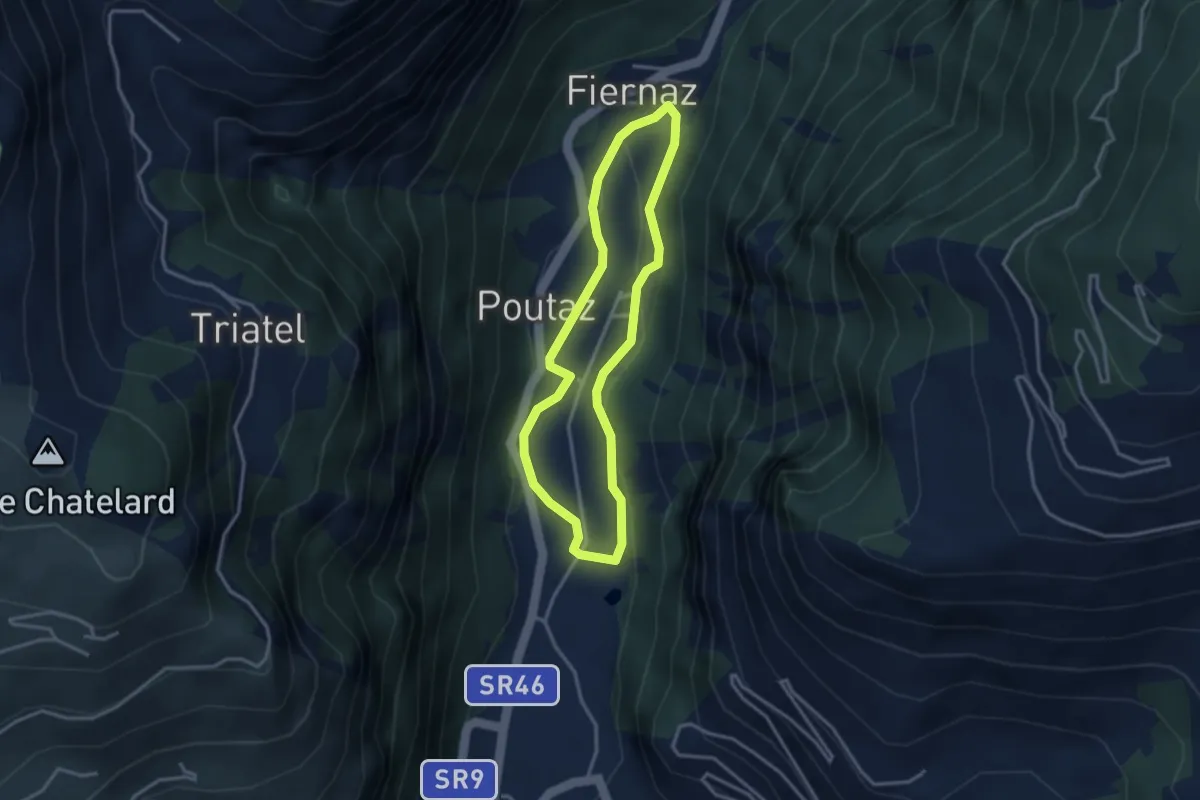
Medium · Trail
Anello Area sportiva-Fiernaz-Area sportiva
2.9 km · ↑ 34 m · 48 min
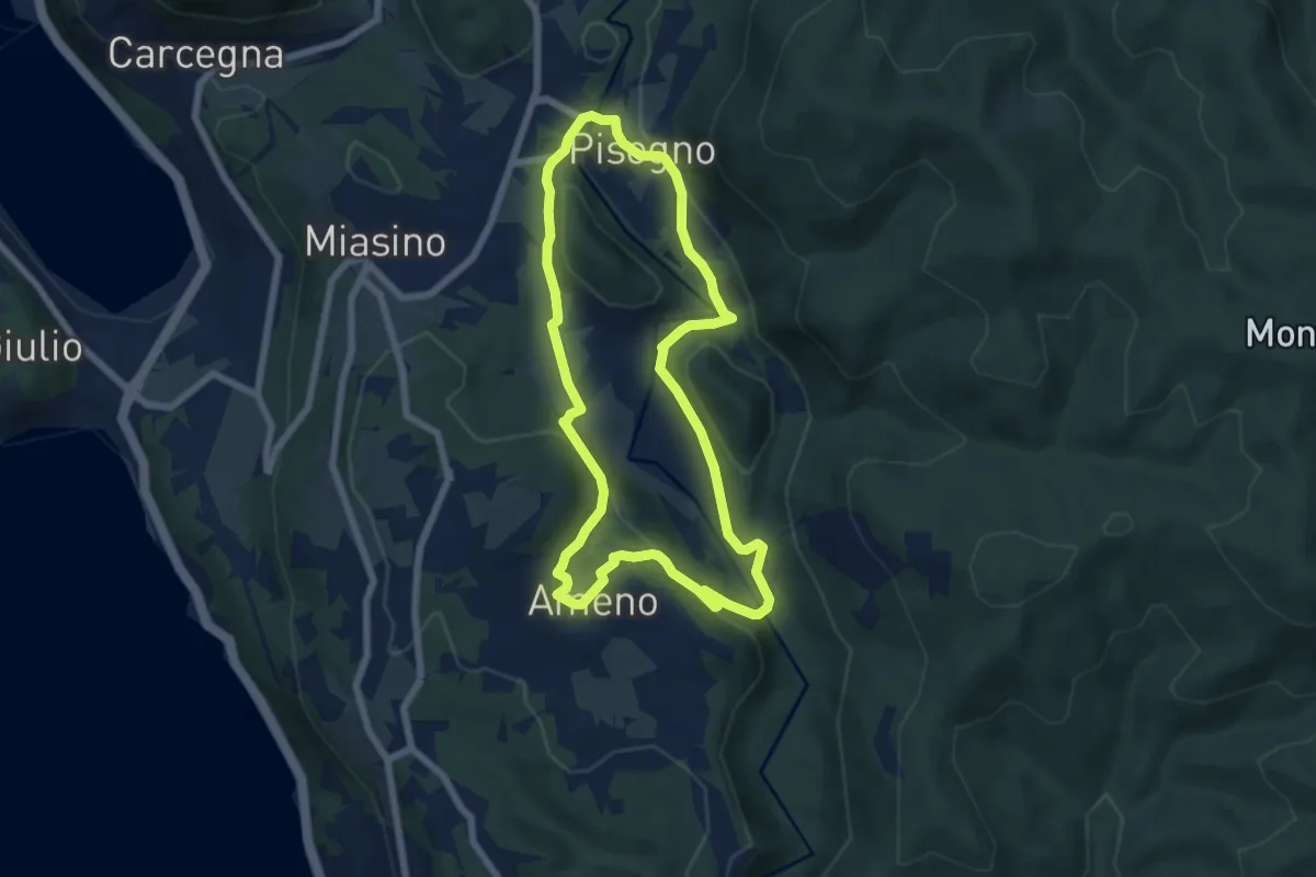
Easy · Trail
Anello Azzurro
6.3 km · ↑ 179 m · 1 h 58 min
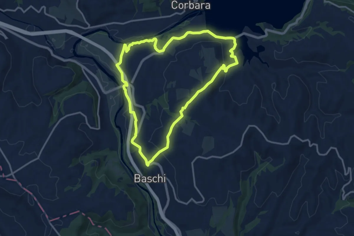
Medium · Trail
Anello Baschi - Diga di Corbara
10.4 km · ↑ 257 m · 3 h 10 min
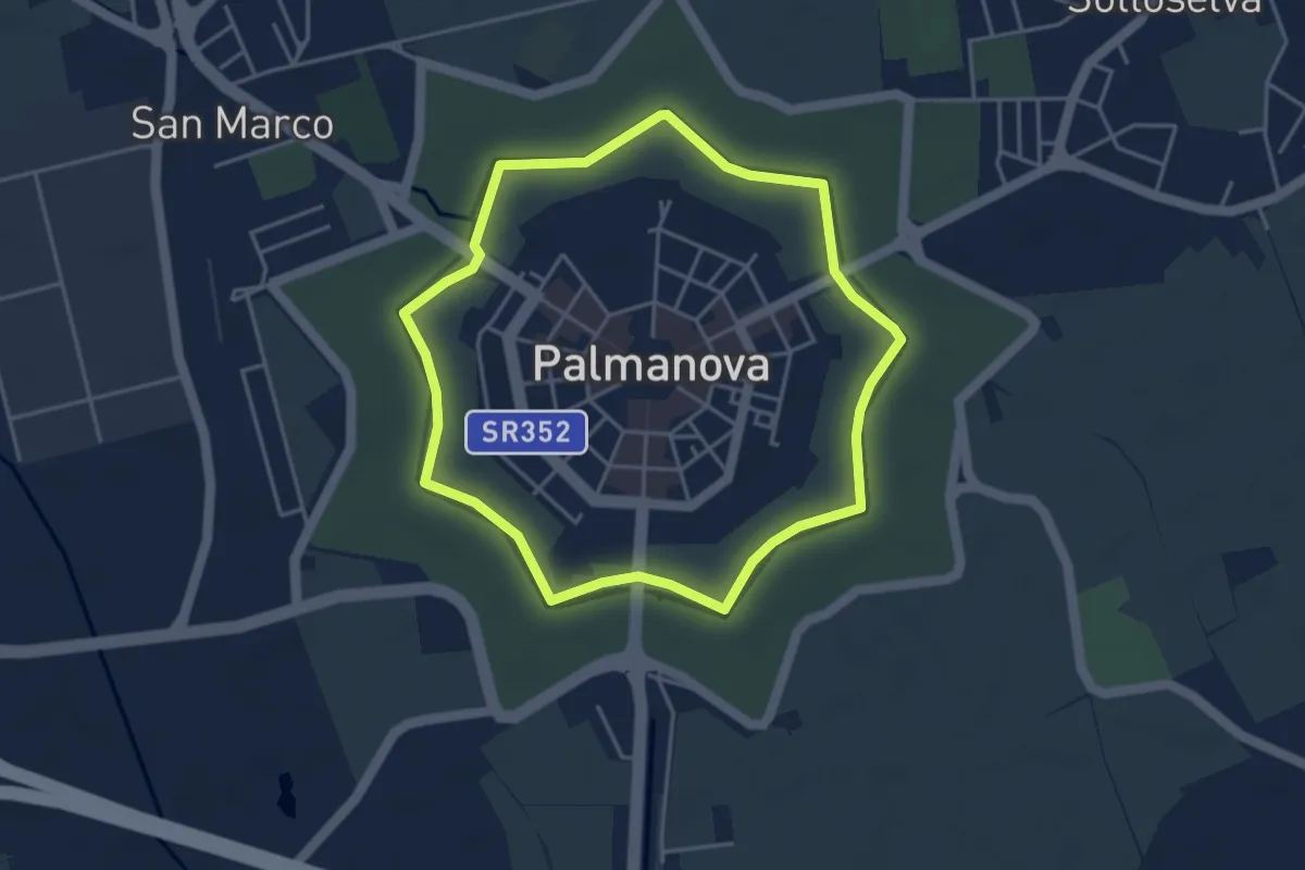
Easy · Trail
Anello basso del Fossato
3.9 km · ↑ 0 m · 59 min
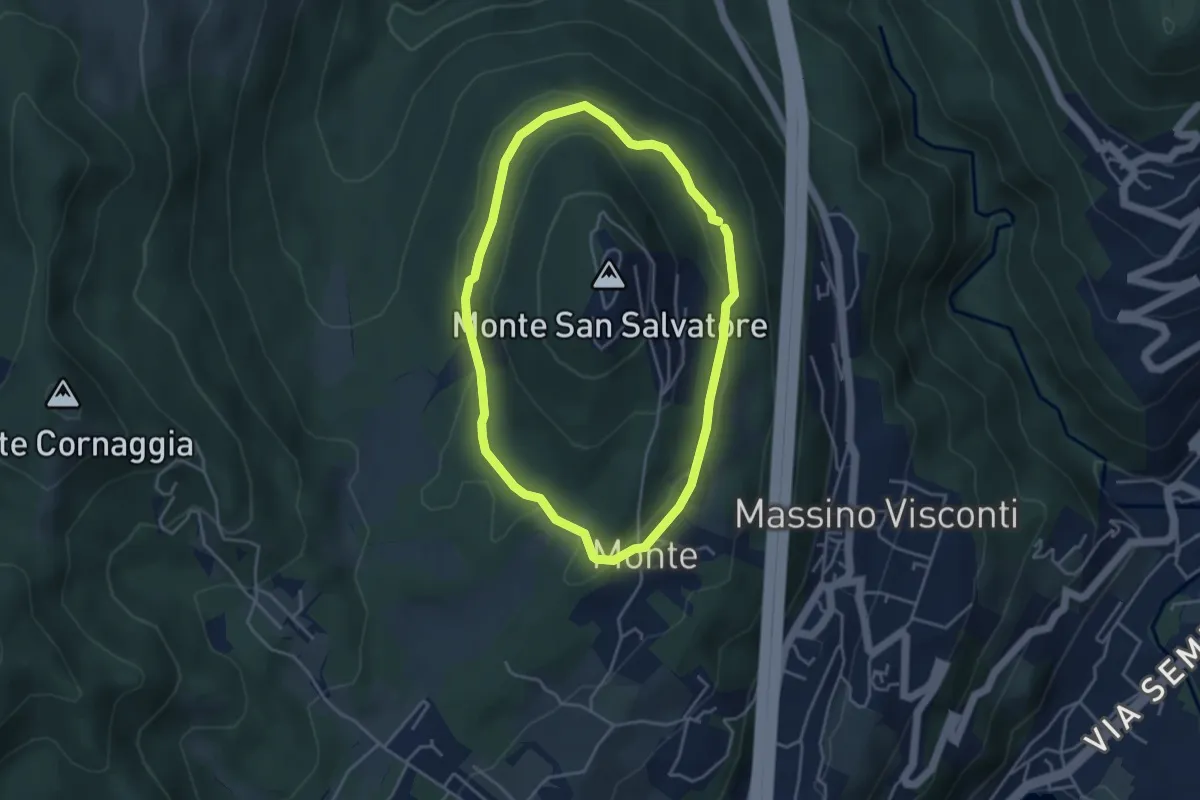
Easy · Trail
Anello basso di San Salvatore
3.7 km · ↑ 85 m · 1 h 7 min
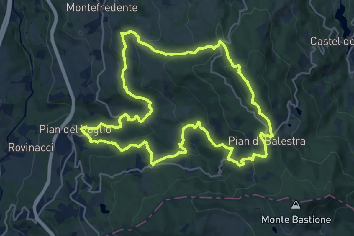
Medium · Trail
Anello blu
14.1 km · ↑ 653 m · 4 h 57 min
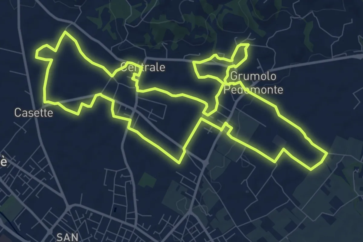
Medium · Trail
Anello Blu Zugliano
11.6 km · ↑ 95 m · 3 h 7 min
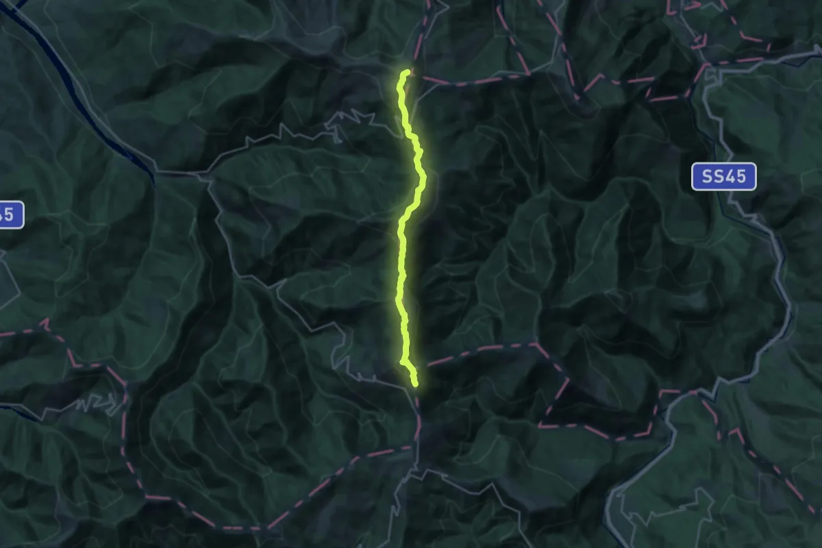
Demanding · Summit
Anello Borbera - Spinti
19.4 km · ↑ 1110 m · 6 h 59 min