Trails in Italy
25,211 hiking trails, each with its route, climb, walking time and grade.
All trails, page 11 of 526
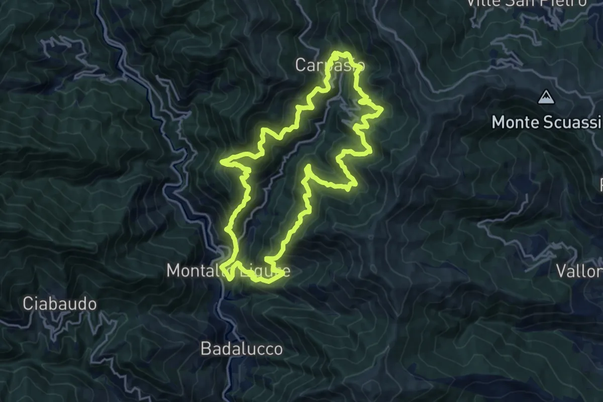
Demanding · Trail
Anello Borghi Valle Carpasina
17.0 km · ↑ 1524 m · 7 h 32 min
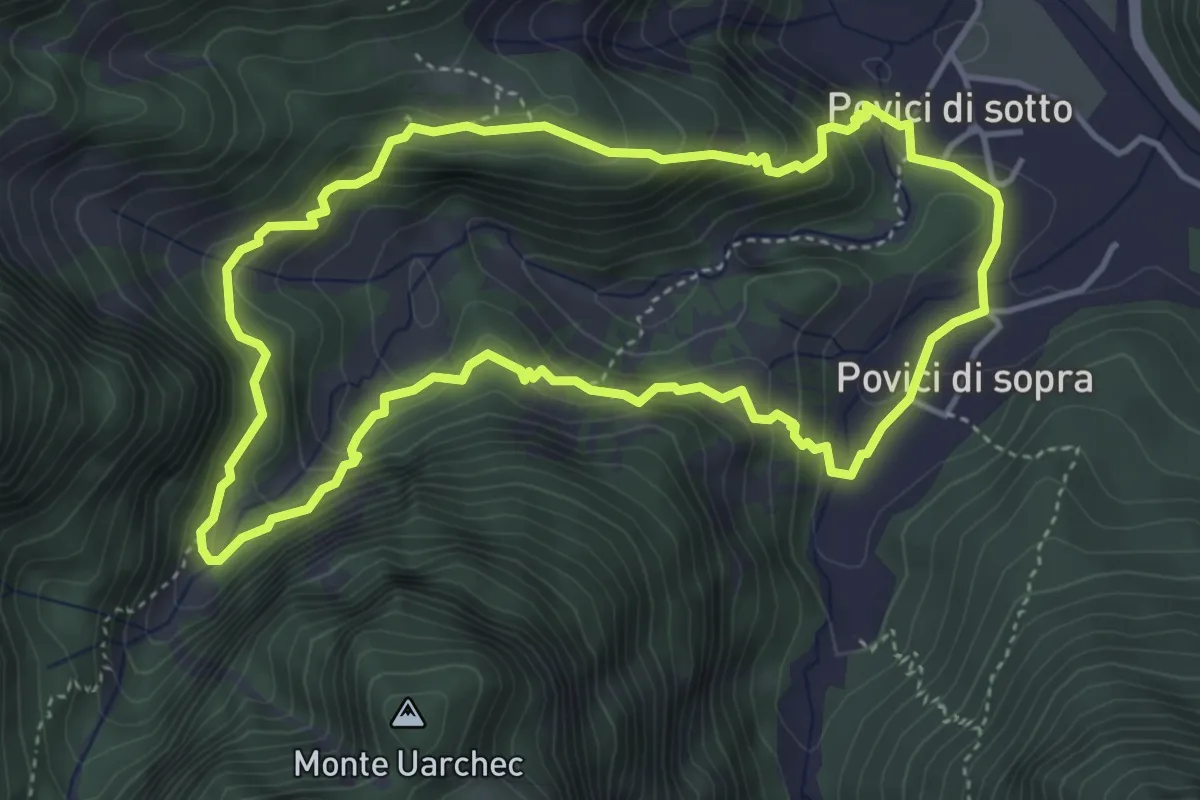
Medium · Trail
Anello borgo Cros - rio Serai
4.3 km · ↑ 331 m · 1 h 47 min
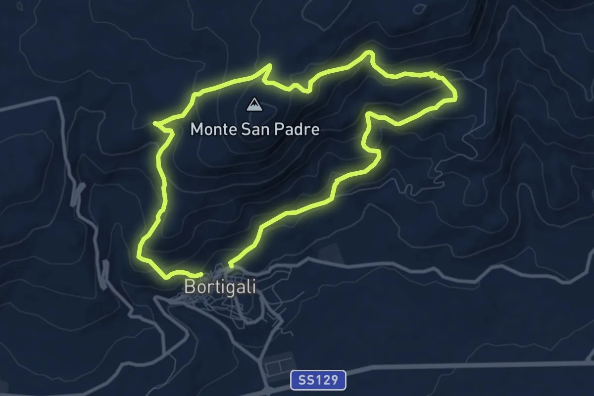
Demanding · Trail
Anello Bortigali - Monte Santu Padre
18.1 km · ↑ 924 m · 6 h 17 min
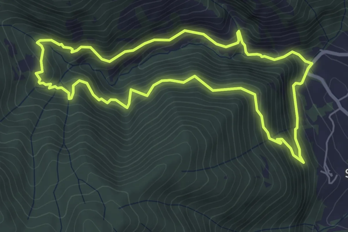
Medium · Trail
Anello Bruno Grossi
5.8 km · ↑ 554 m · 2 h 38 min
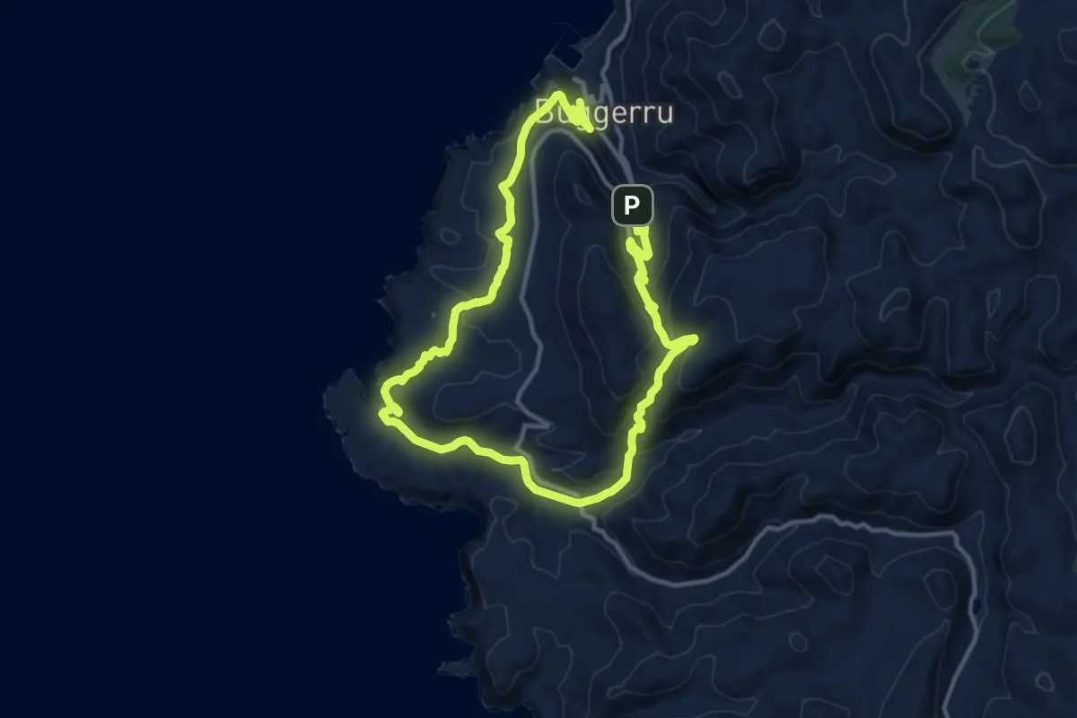
Medium · Trail
Anello Buggerru
11.5 km · ↑ 364 m · 3 h 42 min
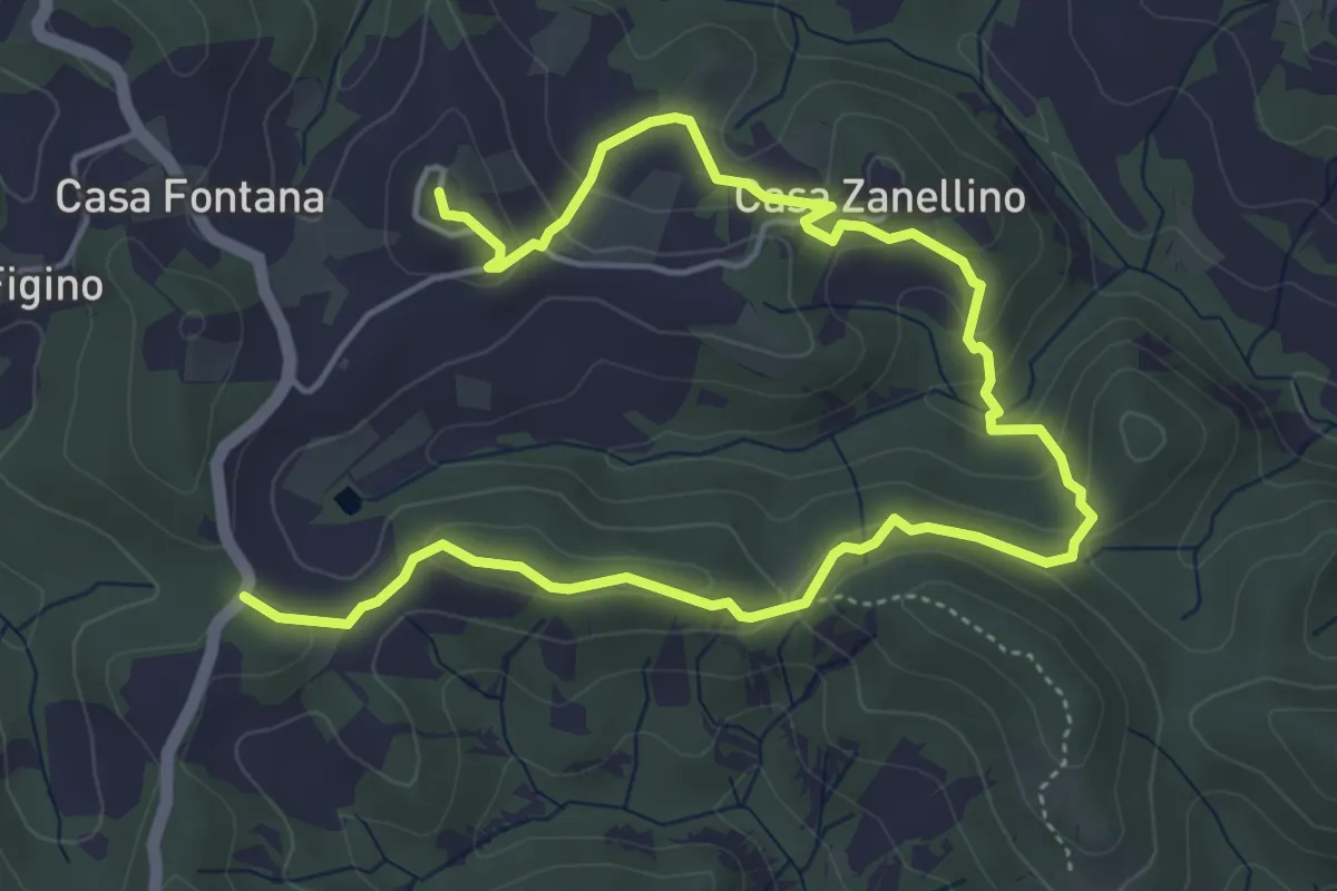
Easy · Trail
Anello Cà d'Agosto
7.2 km · ↑ 259 m · 2 h 16 min
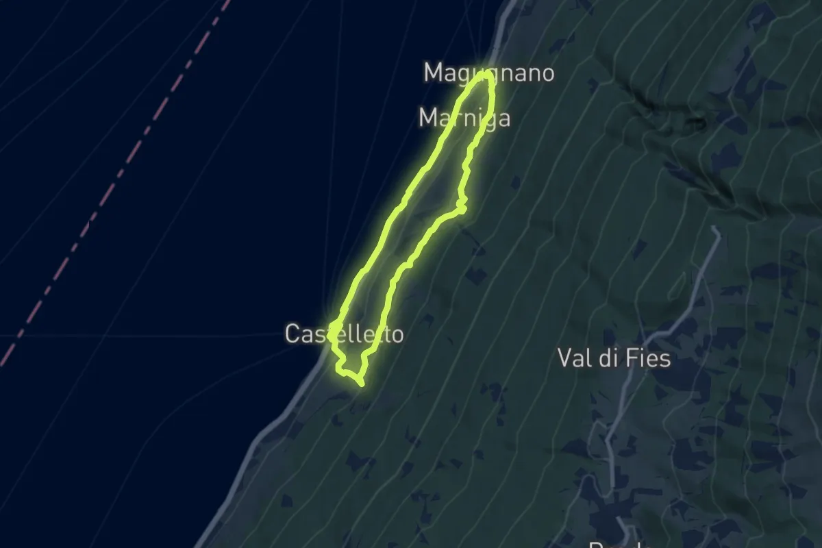
Medium · Trail
Anello Campo - 3 Nordic Walking Park
6.9 km · ↑ 250 m · 2 h 16 min
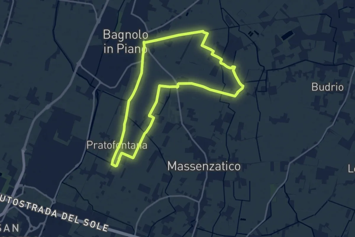
Medium · Trail
Anello Canale Ronchi e Rifugio Sgabo
12.0 km · ↑ 8 m · 3 h 2 min
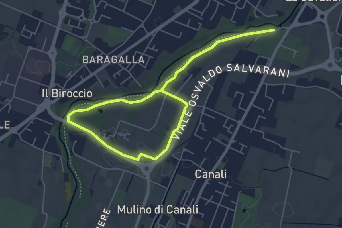
Easy · Trail
Anello Canali 1
6.8 km · ↑ 12 m · 1 h 38 min
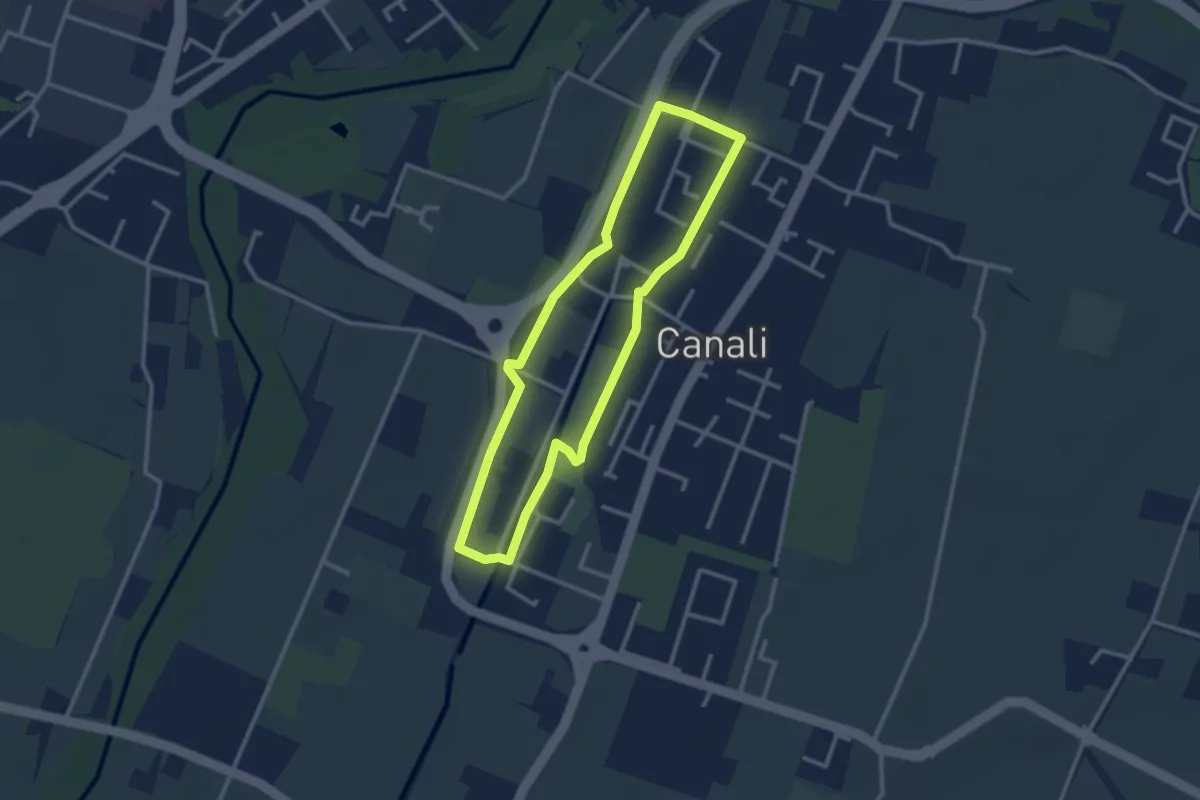
Easy · Trail
Anello Canali 2
2.7 km · ↑ 9 m · 42 min
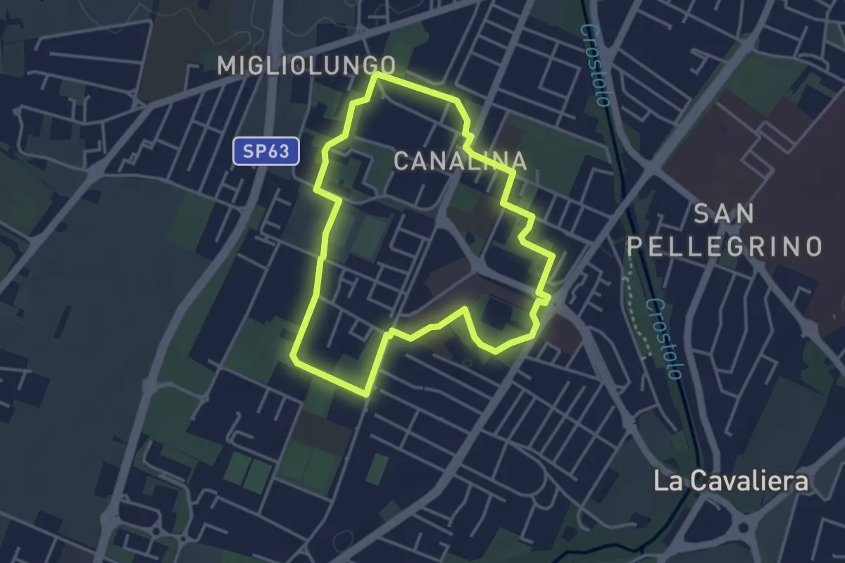
Easy · Trail
Anello Canalina 1
3.5 km · ↑ 9 m · 53 min
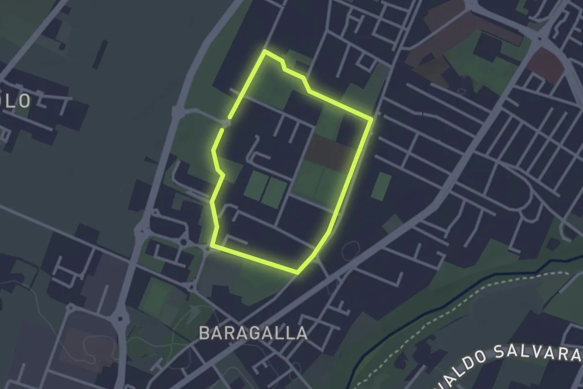
Easy · Trail
Anello Canalina 2
2.1 km · ↑ 4 m · 32 min
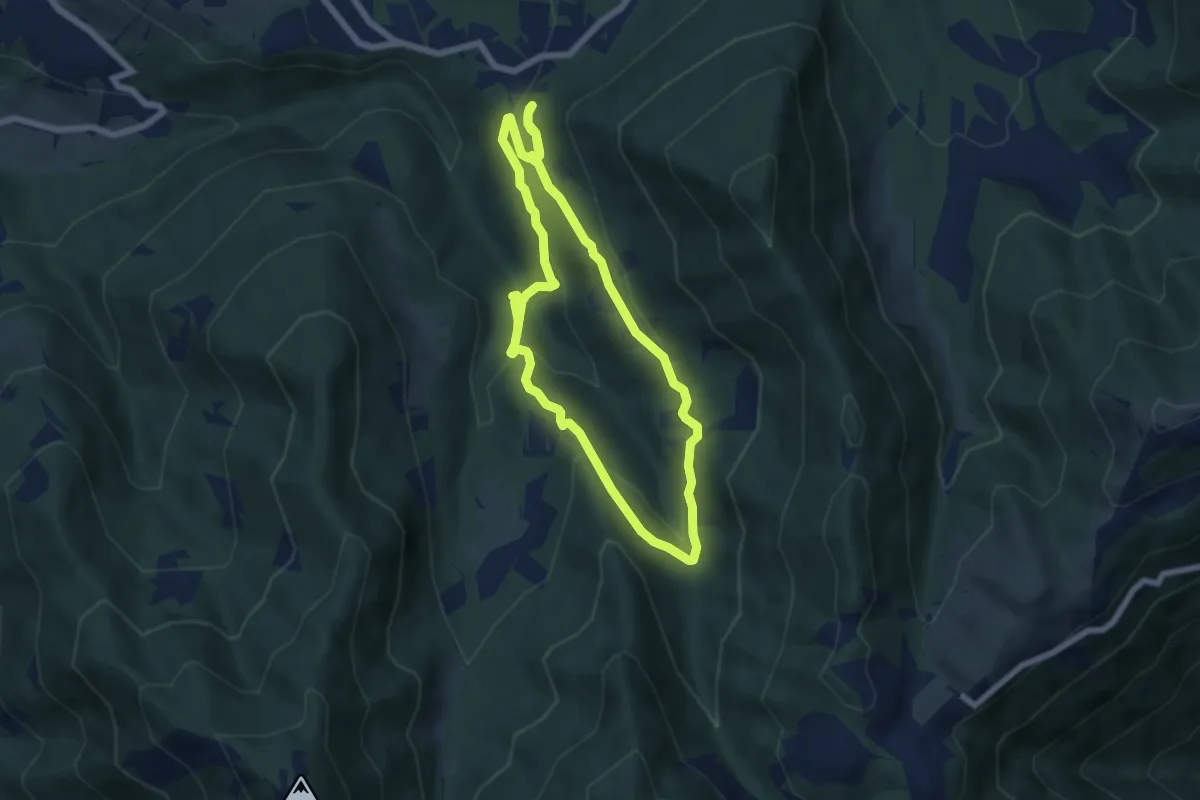
Medium · Trail
Anello Cascata del Bognon
5.9 km · ↑ 255 m · 2 h 3 min
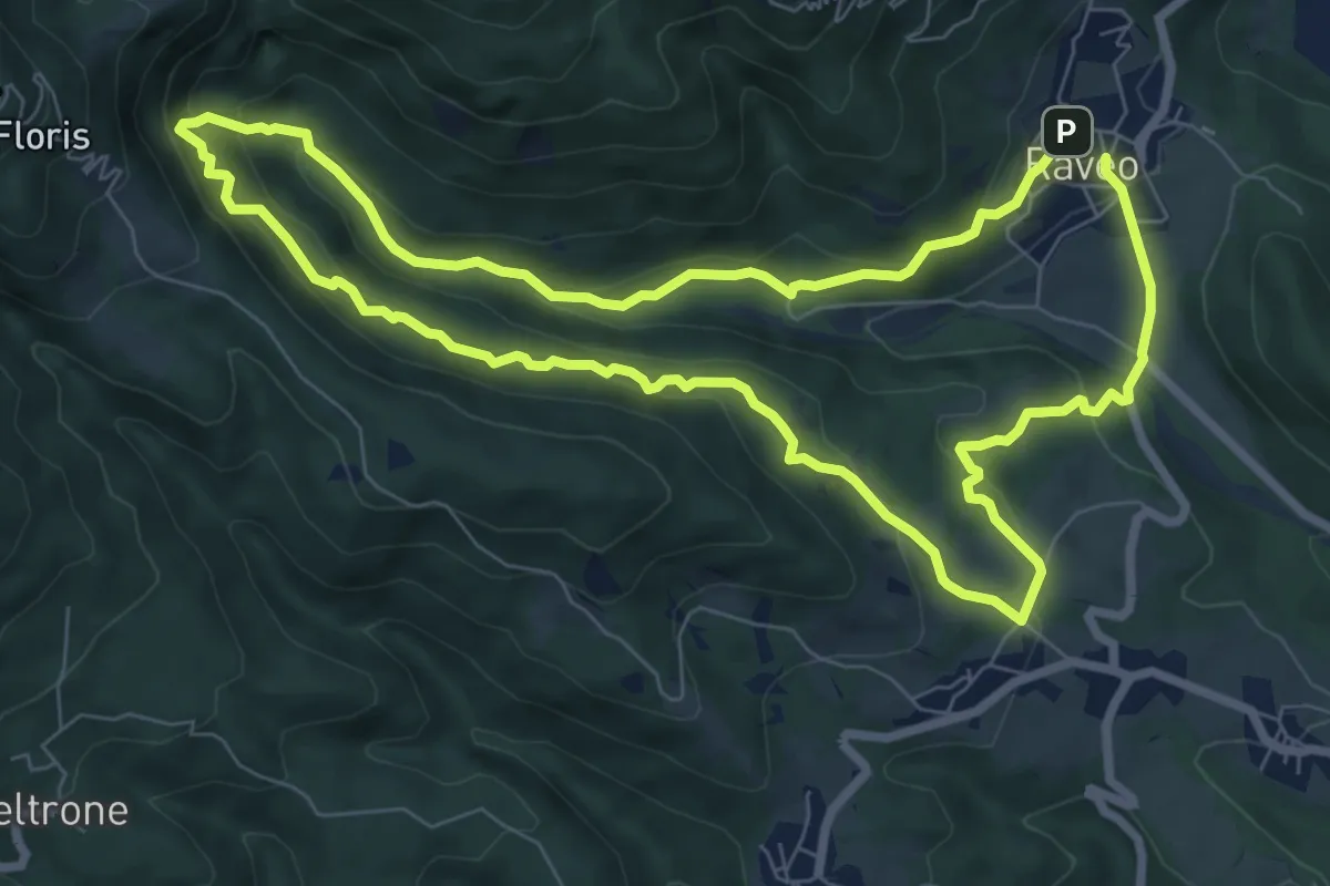
Medium · Trail
Anello Cascate - Cite di Cladonde
7.7 km · ↑ 416 m · 2 h 50 min
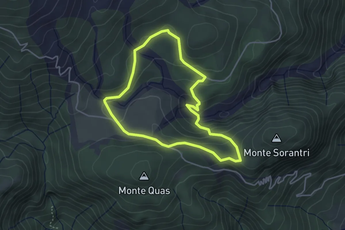
Easy · Trail
Anello Cascate di Mulignòn
3.4 km · ↑ 126 m · 1 h 7 min
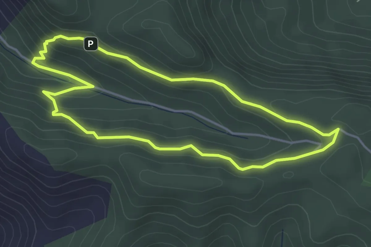
Easy · Summit
Anello "Case Marganai"
4.1 km · ↑ 199 m · 1 h 28 min
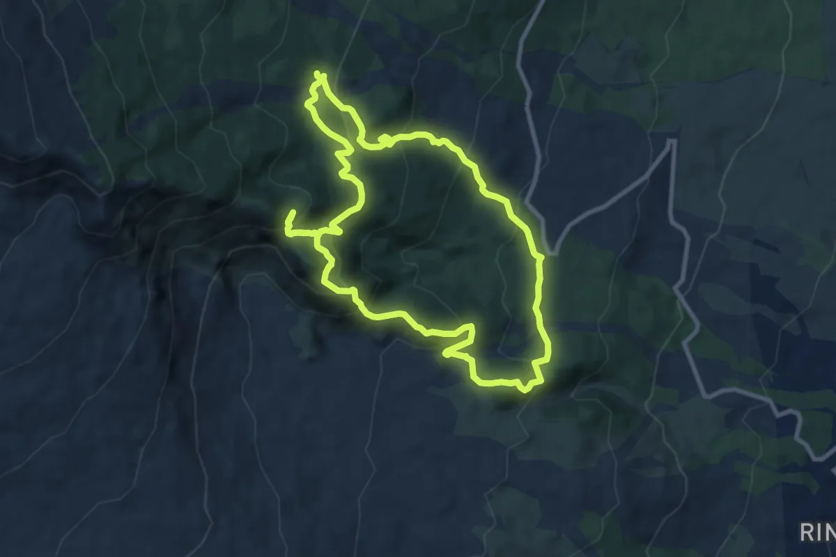
Medium · Summit
Anello Case Pietracannone-Alberi Monumentali
9.4 km · ↑ 635 m · 3 h 44 min
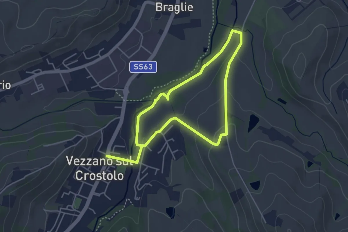
Easy · Trail
Anello Casone di sotto
3.4 km · ↑ 52 m · 58 min
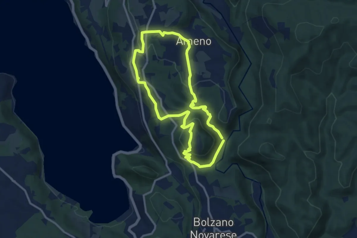
Easy · Trail
Anello Celeste
7.1 km · ↑ 230 m · 2 h 17 min
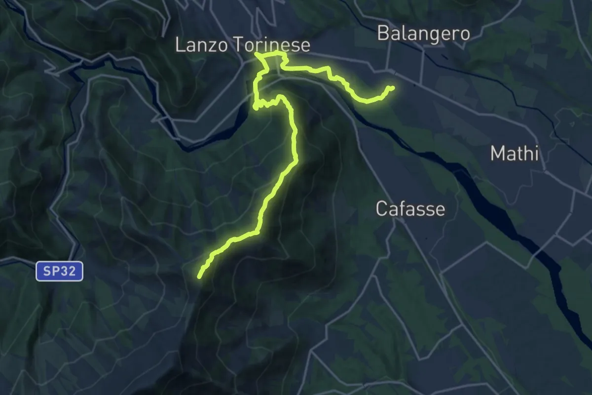
Demanding · Summit
Anello Ceronda - Tappa 1
20.0 km · ↑ 1111 m · 7 h 7 min
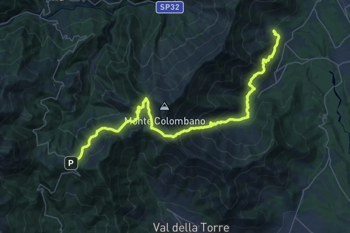
Medium · Trail
Anello Ceronda - Tappa 2
16.1 km · ↑ 763 m · 6 h 1 min
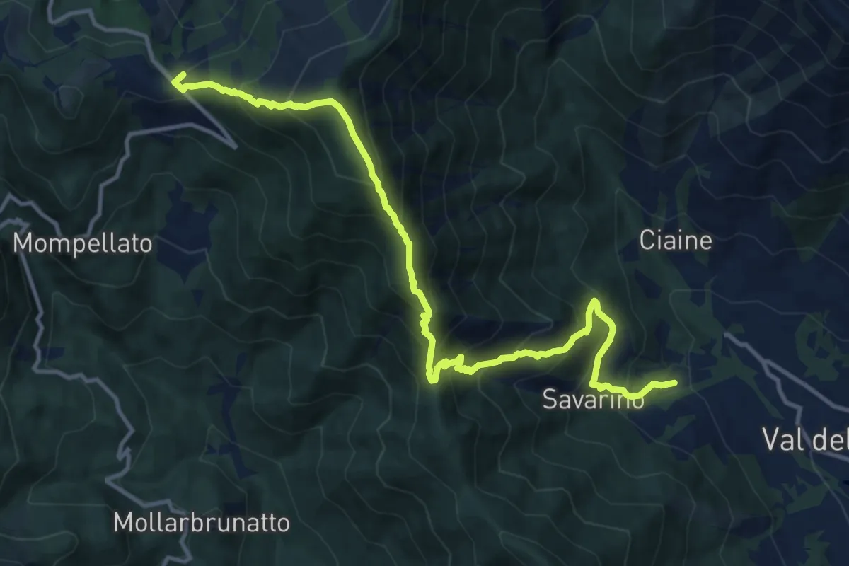
Demanding · Trail
Anello Ceronda - Tappa 3
13.6 km · ↑ 1265 m · 5 h 57 min
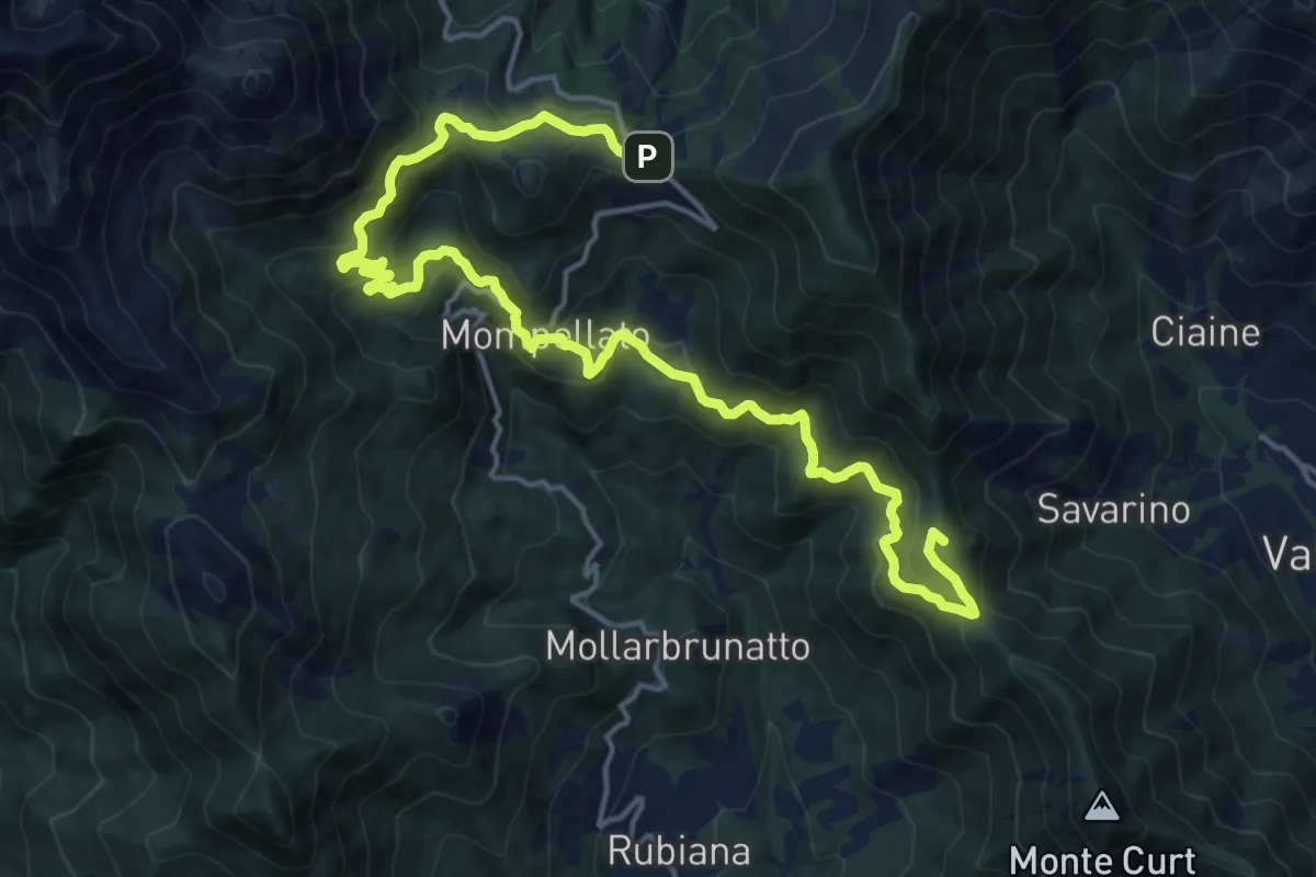
Demanding · Summit
Anello Ceronda - Tappa 3 variante Mompellato
21.8 km · ↑ 1201 m · 7 h 45 min
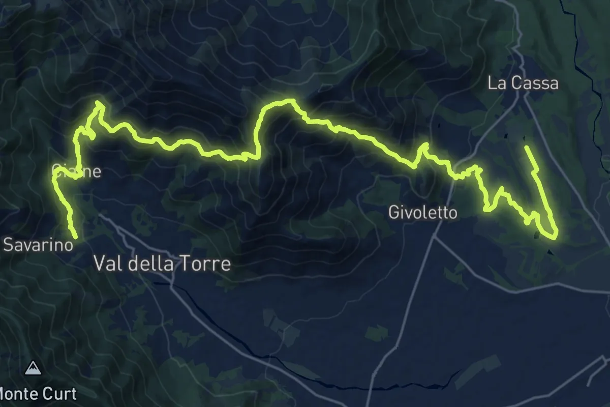
Demanding · Trail
Anello Ceronda - Tappa 4
16.6 km · ↑ 1065 m · 6 h 20 min
Medium · Trail
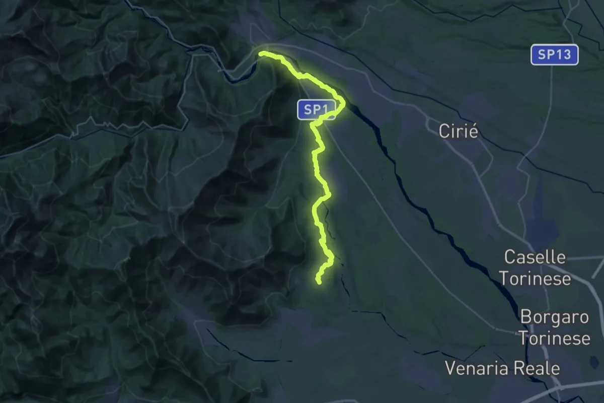
Anello Ceronda - Tappa 5
17.7 km · ↑ 358 m · 5 h 9 min
Medium · Trail
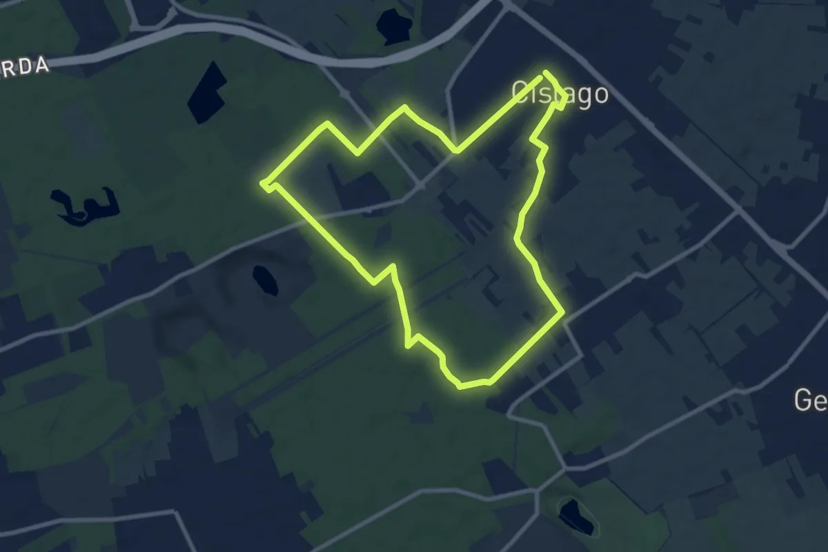
Anello Cislago
8.3 km · ↑ 25 m · 2 h 8 min
Medium · Summit
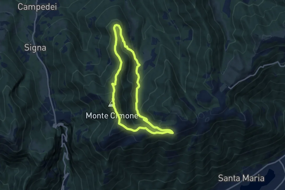
Anello Col dei Gai - Monte Cimone - Posa
8.3 km · ↑ 460 m · 3 h 4 min
Easy · Trail
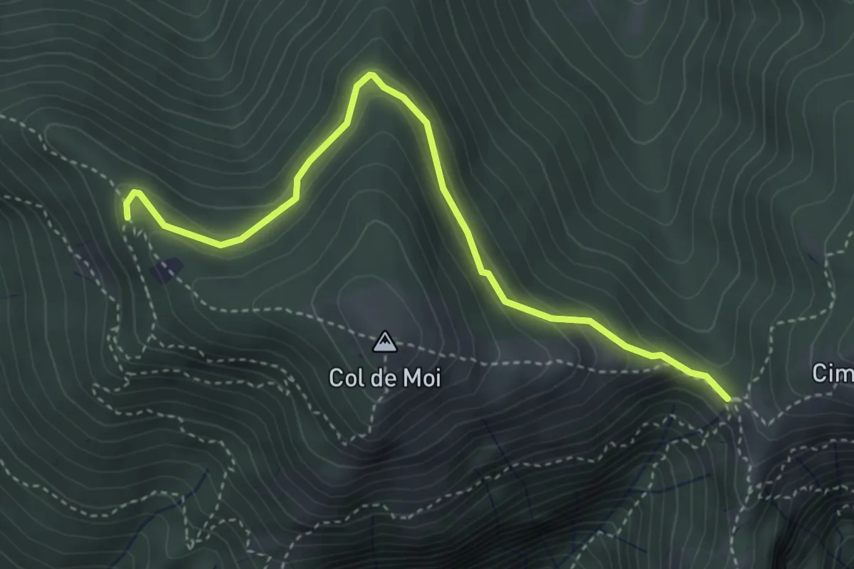
Anello Col De Moi (variante)
4.1 km · ↑ 187 m · 1 h 22 min
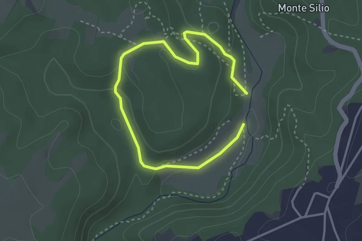
Easy · Trail
Anello Collina ARSIAL
2.1 km · ↑ 56 m · 39 min
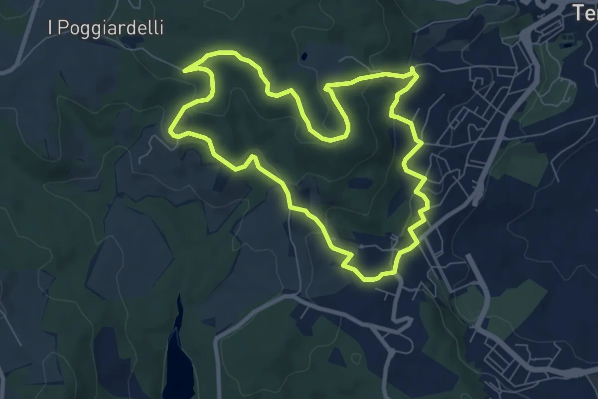
Easy · Trail
Anello corto
7.0 km · ↑ 251 m · 2 h 18 min
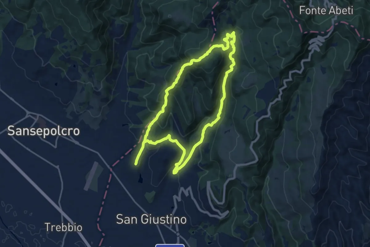
Medium · Summit
Anello Cospaia (Sentiero del Contrabbandiere)
12.7 km · ↑ 574 m · 4 h 26 min
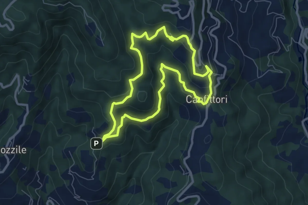
Easy · Summit
Anello Croci Marliana
6.1 km · ↑ 305 m · 2 h 11 min
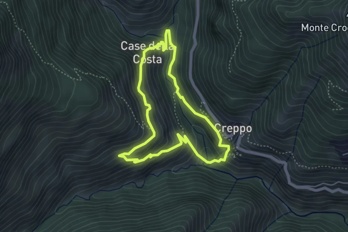
Medium · Trail
Anello degli antichi ponti di Creppo e Drondo
3.9 km · ↑ 257 m · 1 h 32 min
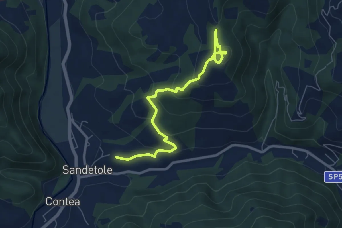
Easy · Trail
Anello degli etruschi
6.4 km · ↑ 290 m · 2 h 9 min
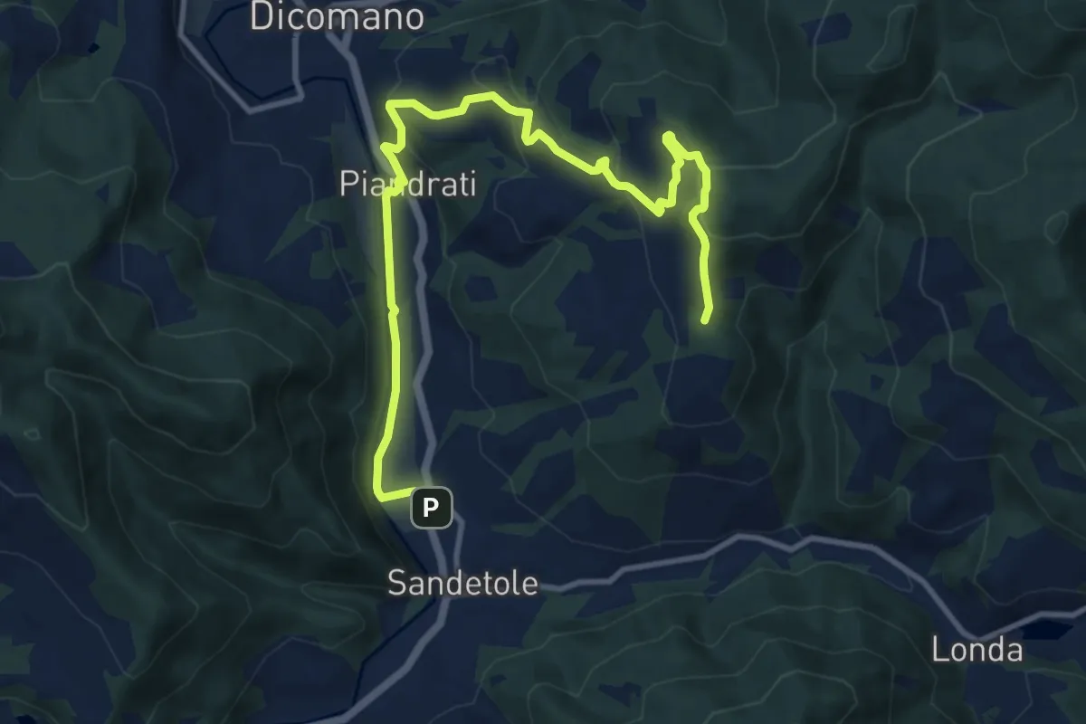
Medium · Trail
Anello degli Etruschi
12.9 km · ↑ 473 m · 4 h 5 min
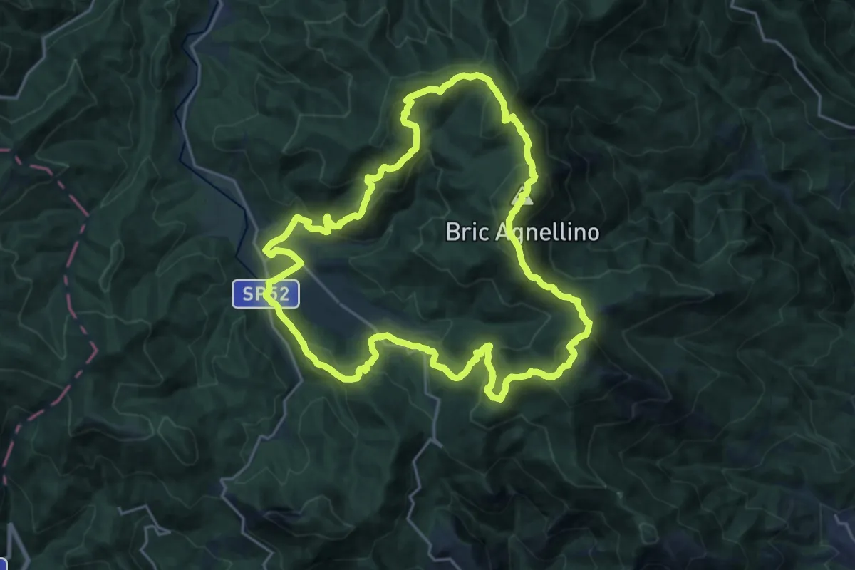
Demanding · Summit
Anello dei Balzi Rossi
20.8 km · ↑ 1169 m · 7 h 44 min
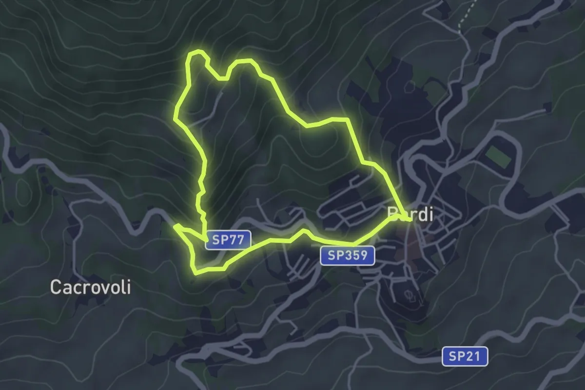
Easy · Trail
Anello dei Boioni
3.7 km · ↑ 252 m · 1 h 28 min
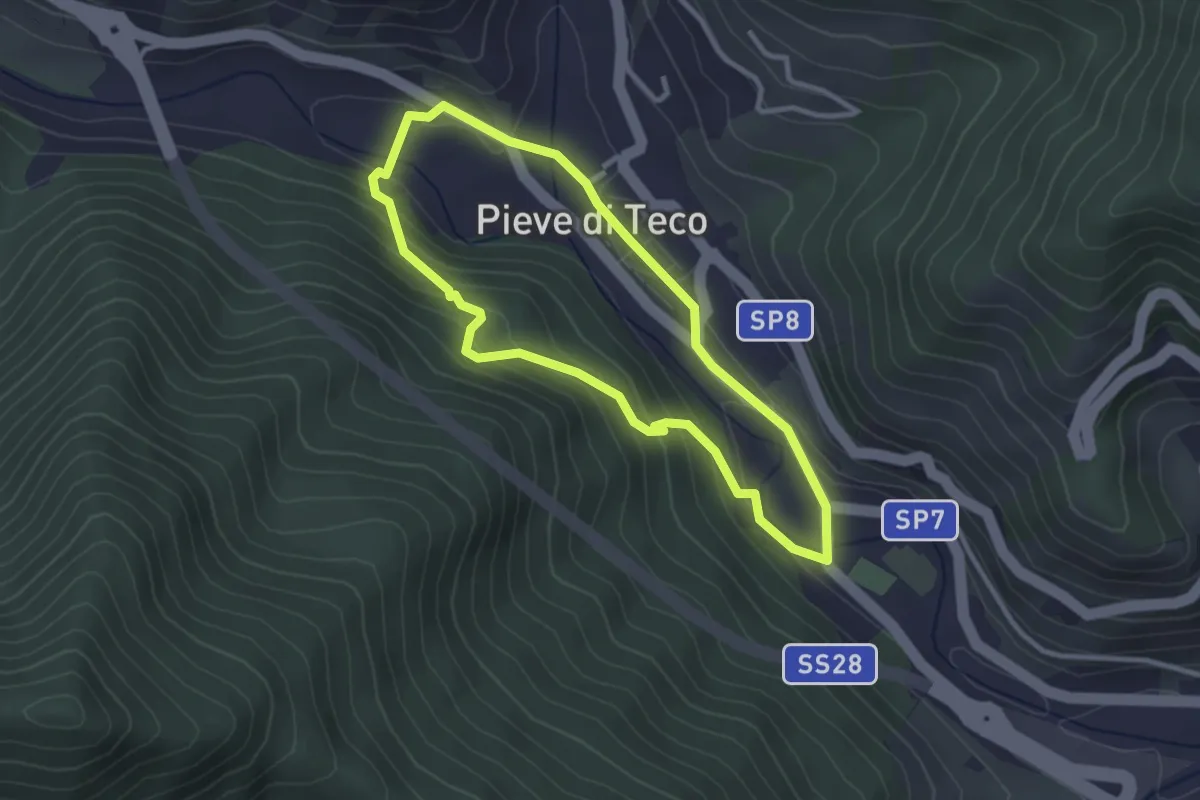
Easy · Trail
Anello dei Borghi di Pieve di Teco
2.8 km · ↑ 154 m · 1 h 2 min
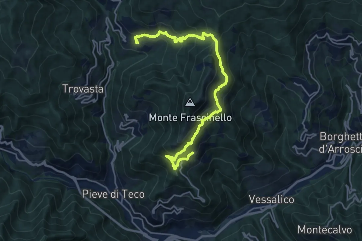
Demanding · Trail
Anello dei Borghi di Pieve di Teco
15.4 km · ↑ 1006 m · 5 h 48 min
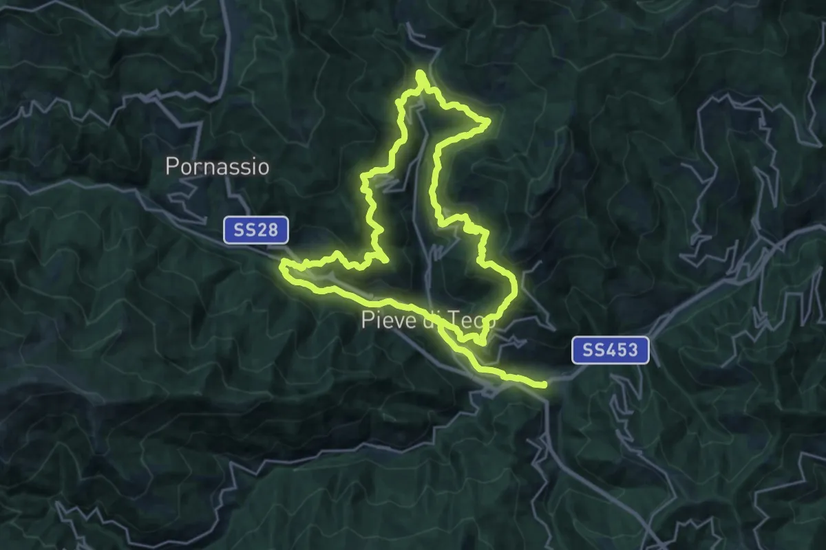
Demanding · Trail
Anello dei Borghi di Pieve di Teco
21.2 km · ↑ 1127 m · 7 h 46 min
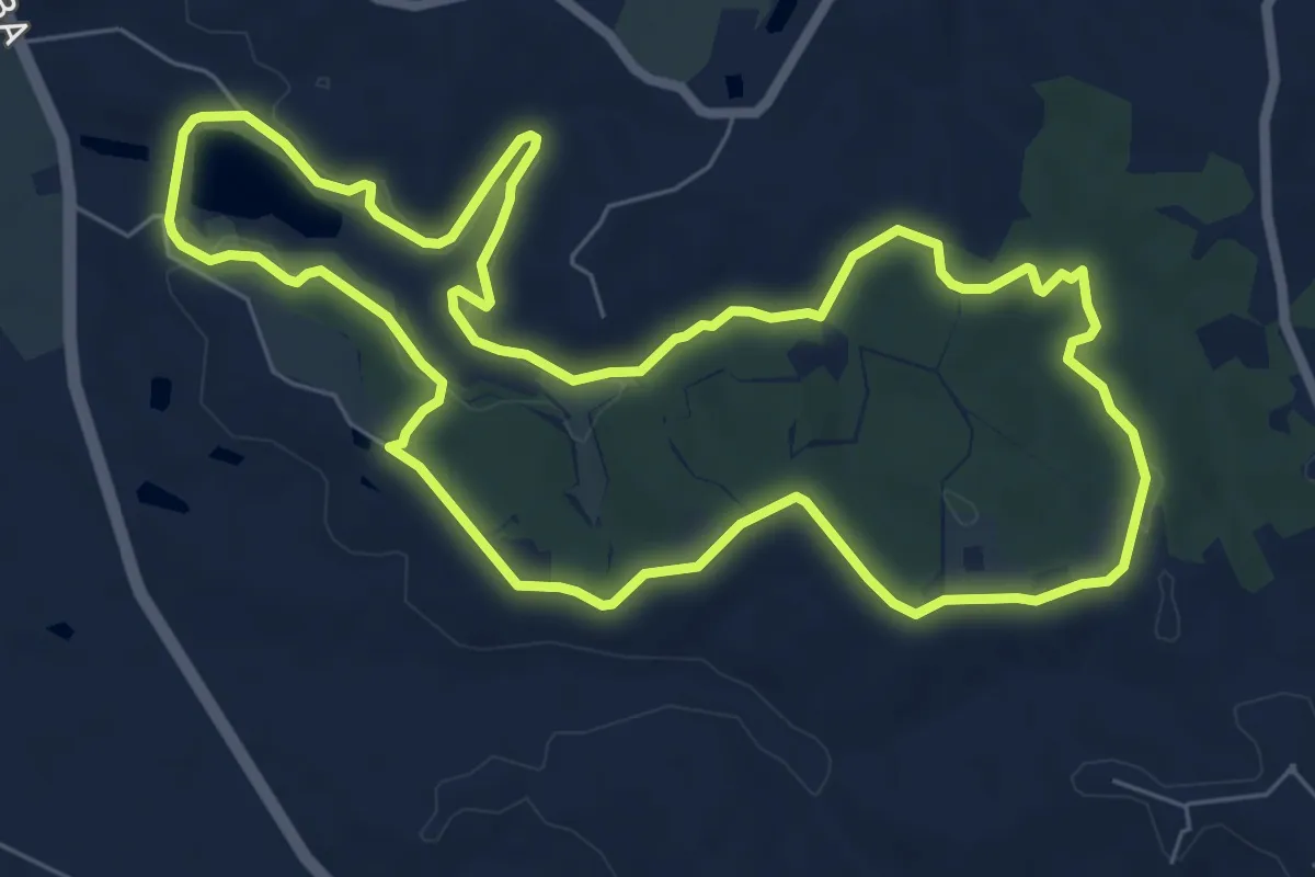
Easy · Trail
Anello dei Boschi
7.8 km · ↑ 108 m · 2 h 11 min
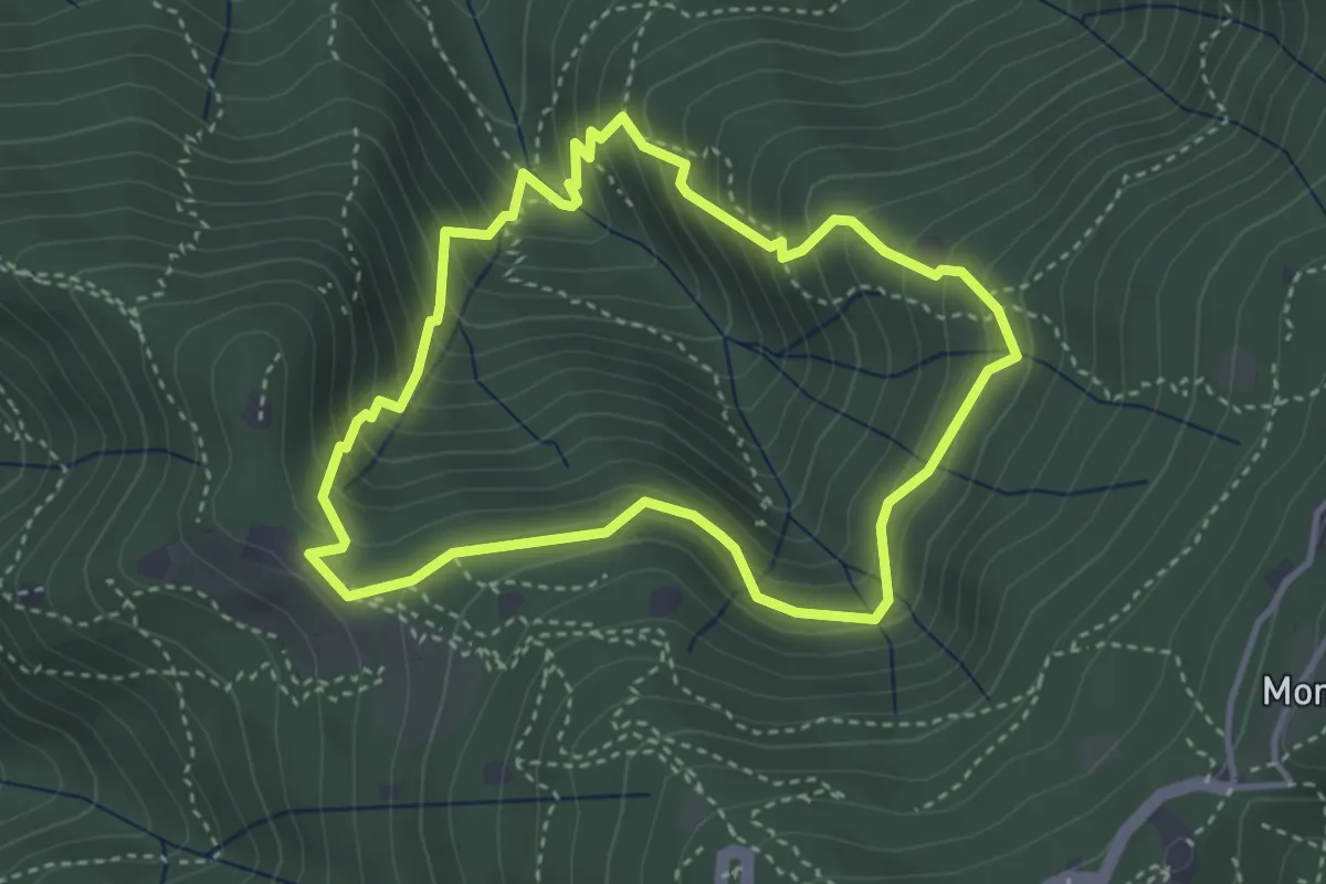
Medium · Cabin
Anello dei Brüsàcc
3.5 km · ↑ 335 m · 1 h 36 min
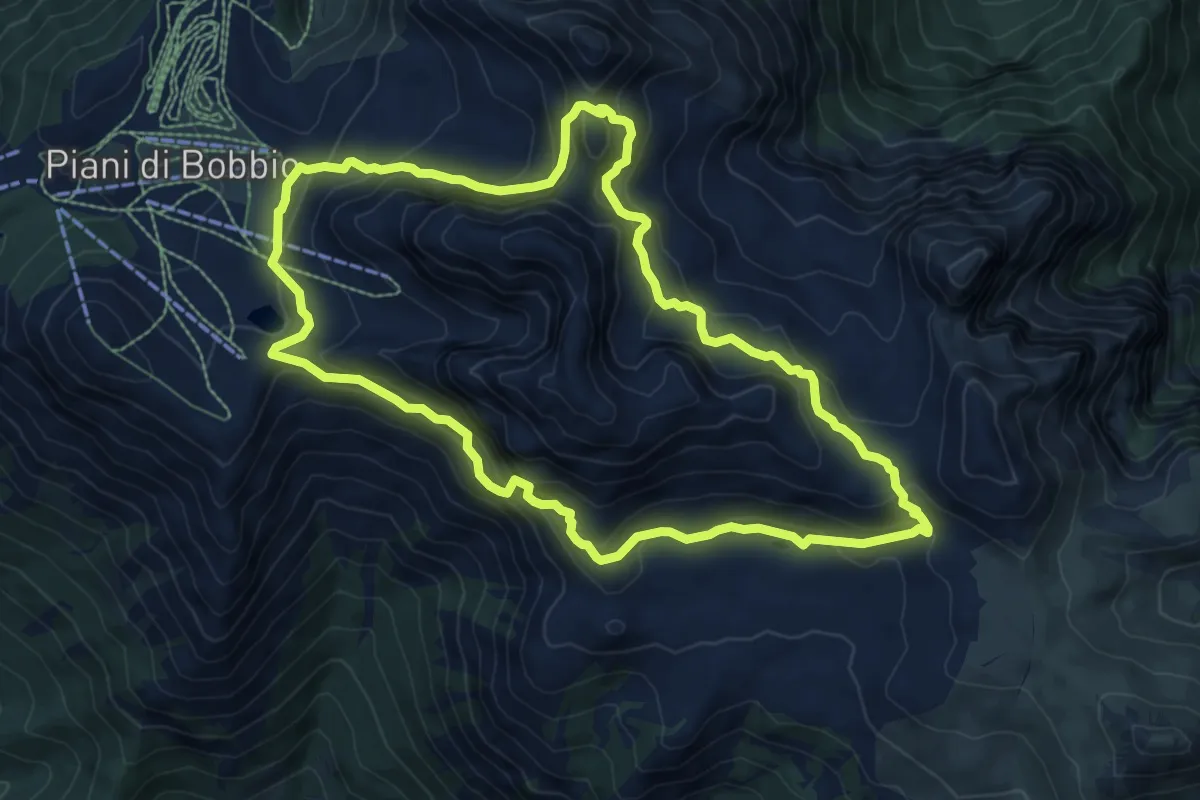
Expert · Trail
Anello dei Campelli
8.4 km · ↑ 569 m · 3 h 20 min
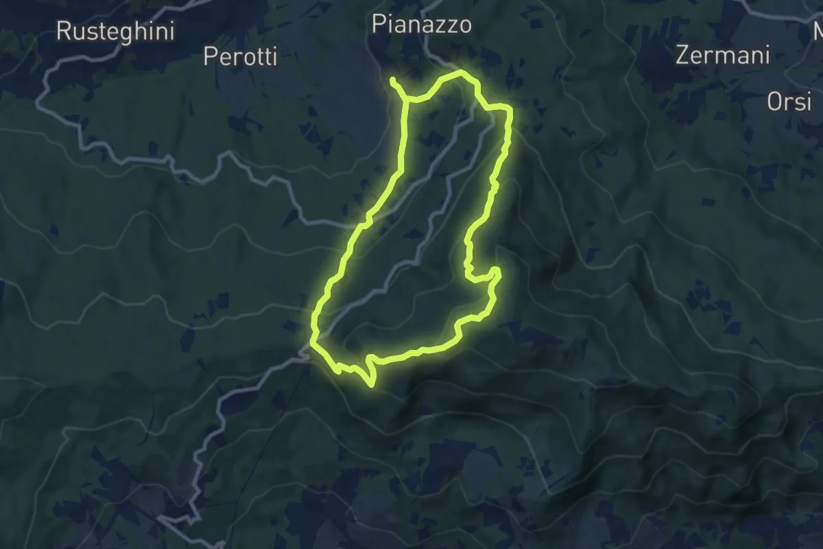
Medium · Summit
Anello dei Casali
8.4 km · ↑ 441 m · 3 h 3 min
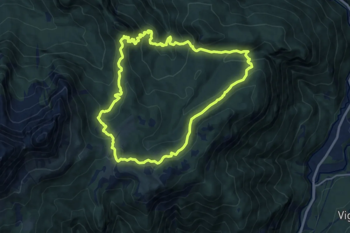
Medium · Trail
Anello dei Casoni
11.5 km · ↑ 741 m · 4 h 29 min
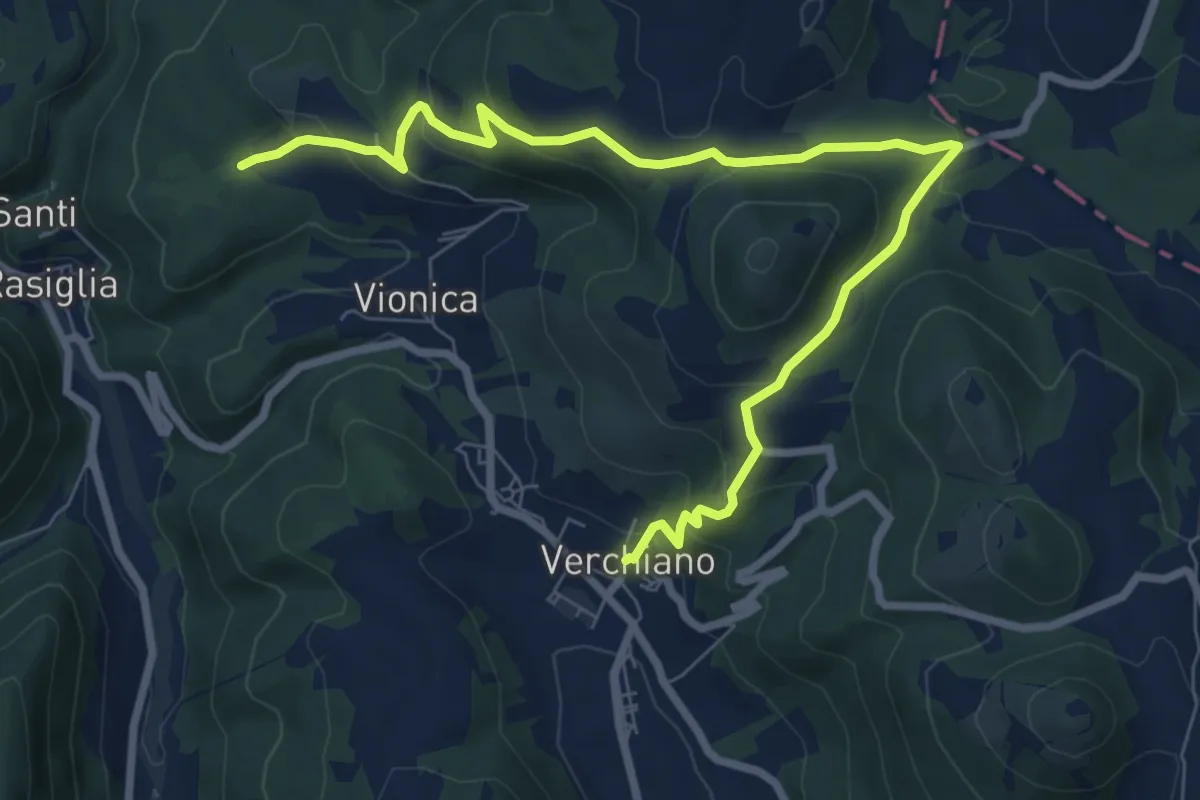
Medium · Trail
Anello dei Castelli
9.9 km · ↑ 425 m · 3 h 16 min
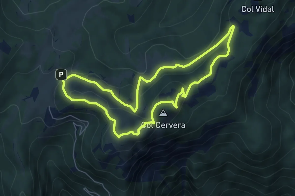
Medium · Summit
Anello dei Colli
5.2 km · ↑ 237 m · 1 h 49 min
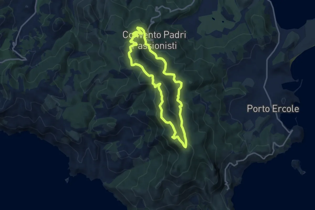
Medium · Summit
Anello dei Crinali
10.1 km · ↑ 371 m · 3 h 20 min