Trails in Italy
25,221 hiking trails, each with its route, climb, walking time and grade.
All trails, page 100 of 526
Medium · Summit
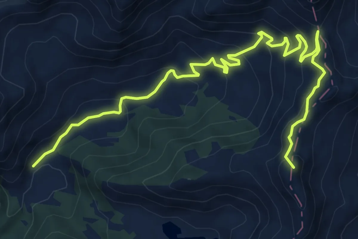
Malga Bruffione - Passo Brealone
11.4 km · ↑ 608 m · 4 h 1 min
Medium · Summit
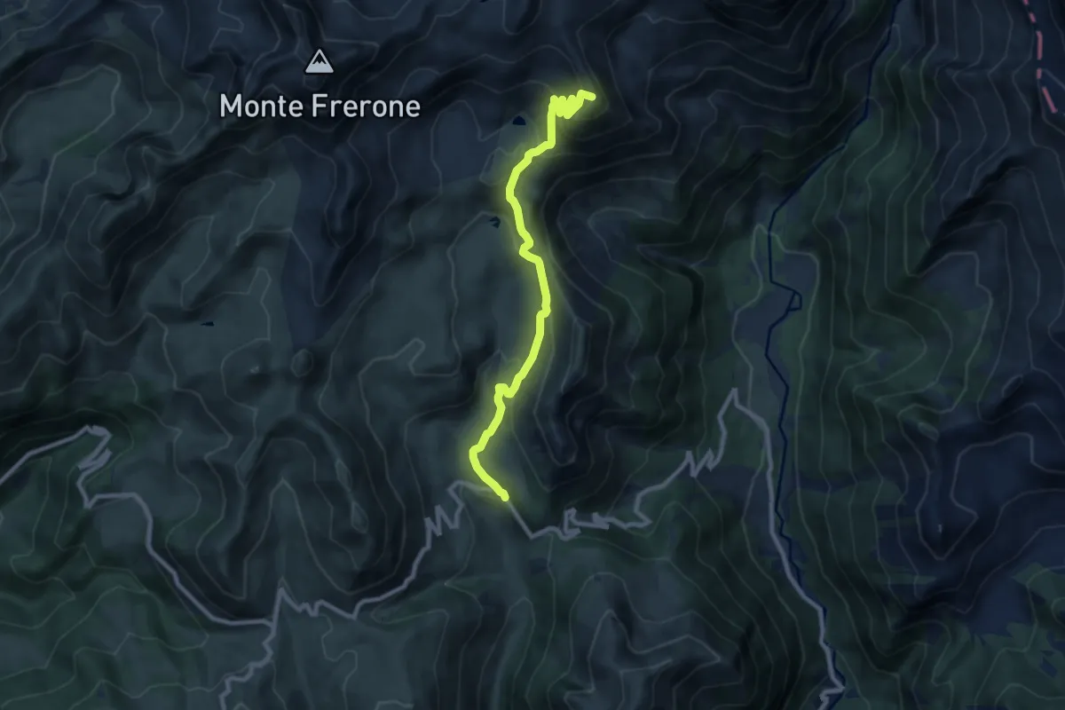
Malga Cadino - Lago della Vacca
9.2 km · ↑ 566 m · 3 h 24 min
Medium · Trail
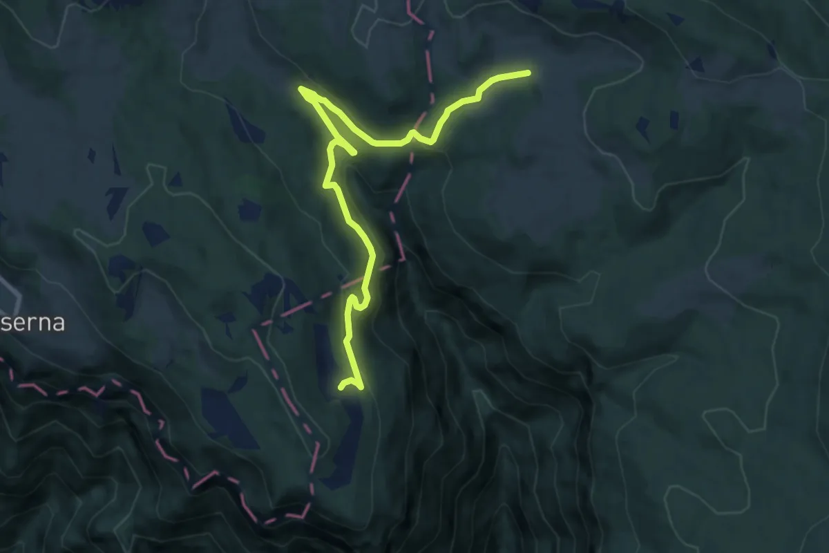
Malga Camporosà – Contrà Bisele di Sotto – Ponte Rossato – Malga Crojer
9.8 km · ↑ 340 m · 3 h 2 min
Medium · Summit
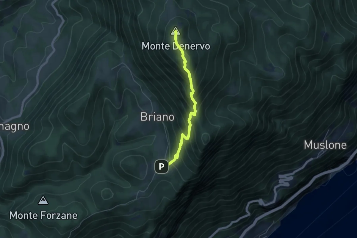
Malga Denervo
4.8 km · ↑ 466 m · 2 h 8 min
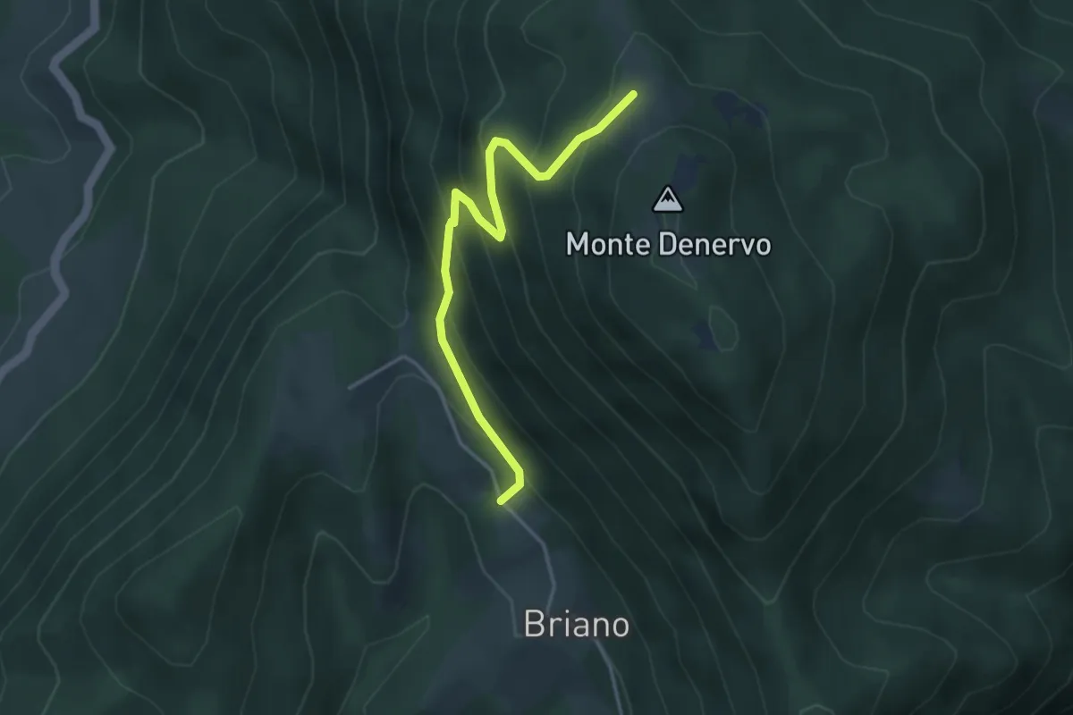
Medium · Trail
Malga Denervo - Bocchetta di Lovere
3.7 km · ↑ 328 m · 1 h 35 min
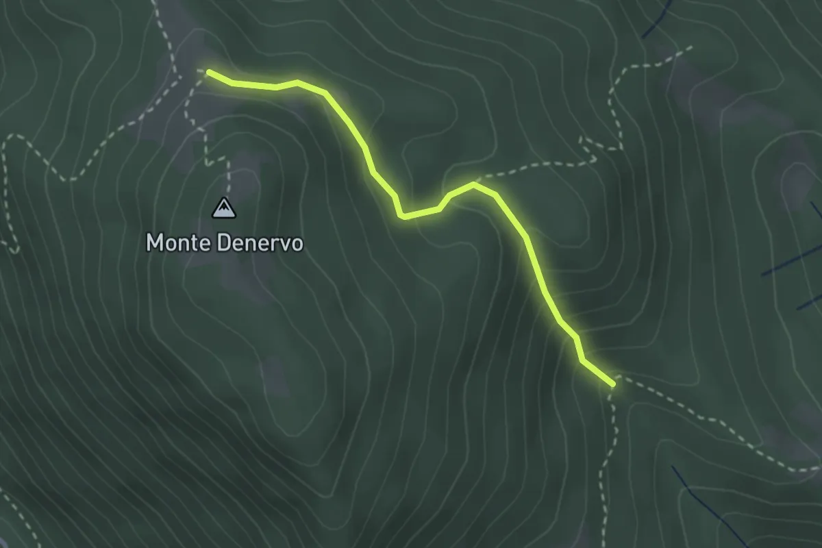
Easy · Trail
Malga Denervo , Malga Premaur
2.6 km · ↑ 210 m · 1 h 4 min
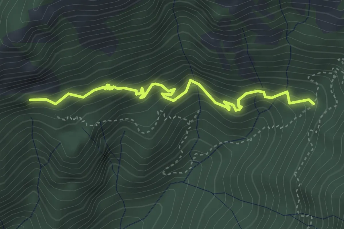
Medium · Trail
Malga di Fobia, Pra Pia
3.9 km · ↑ 464 m · 1 h 55 min
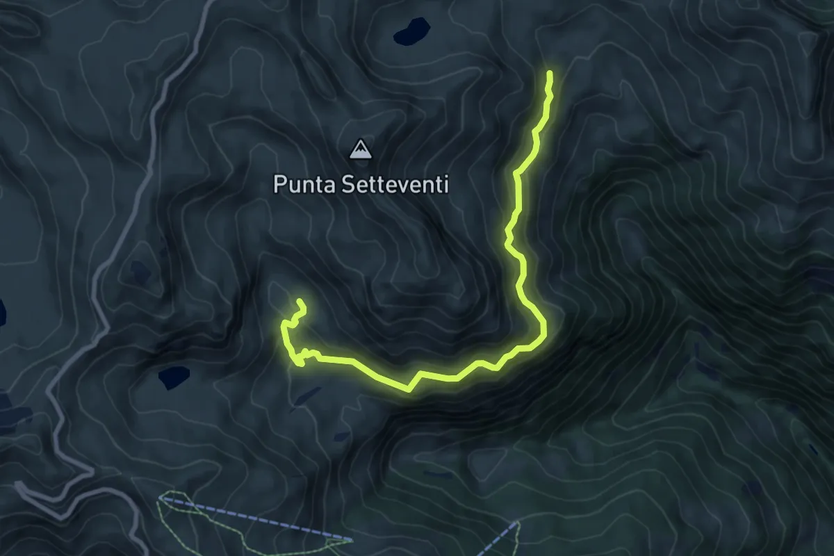
Medium · Trail
Malga di Fondo Vaia - Malga Dasdana
8.4 km · ↑ 515 m · 3 h 5 min
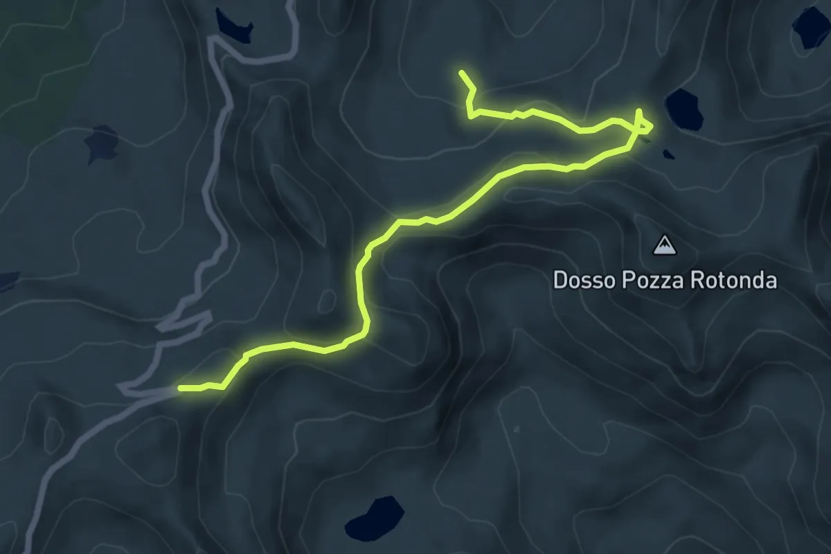
Medium · Trail
Malga Mignolino - Grapa di Vaia
6.8 km · ↑ 312 m · 2 h 17 min
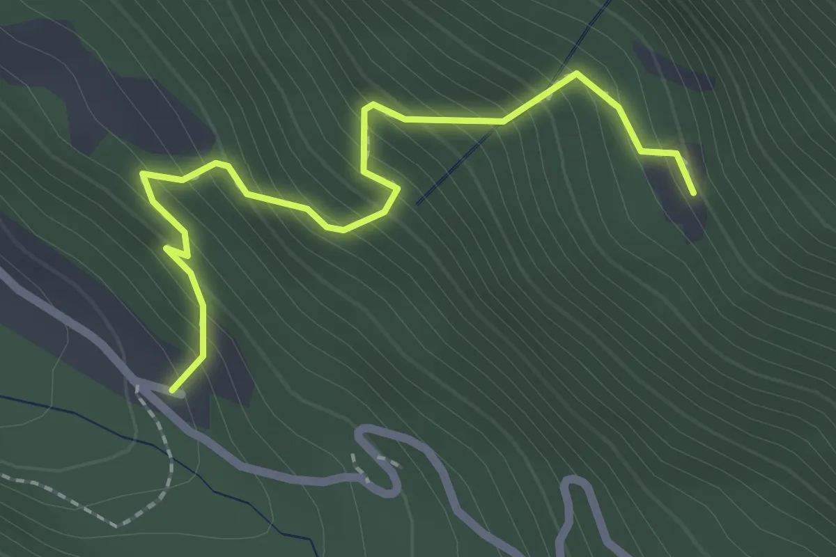
Easy · Trail
Malga Montoffo
2.3 km · ↑ 287 m · 1 h 10 min
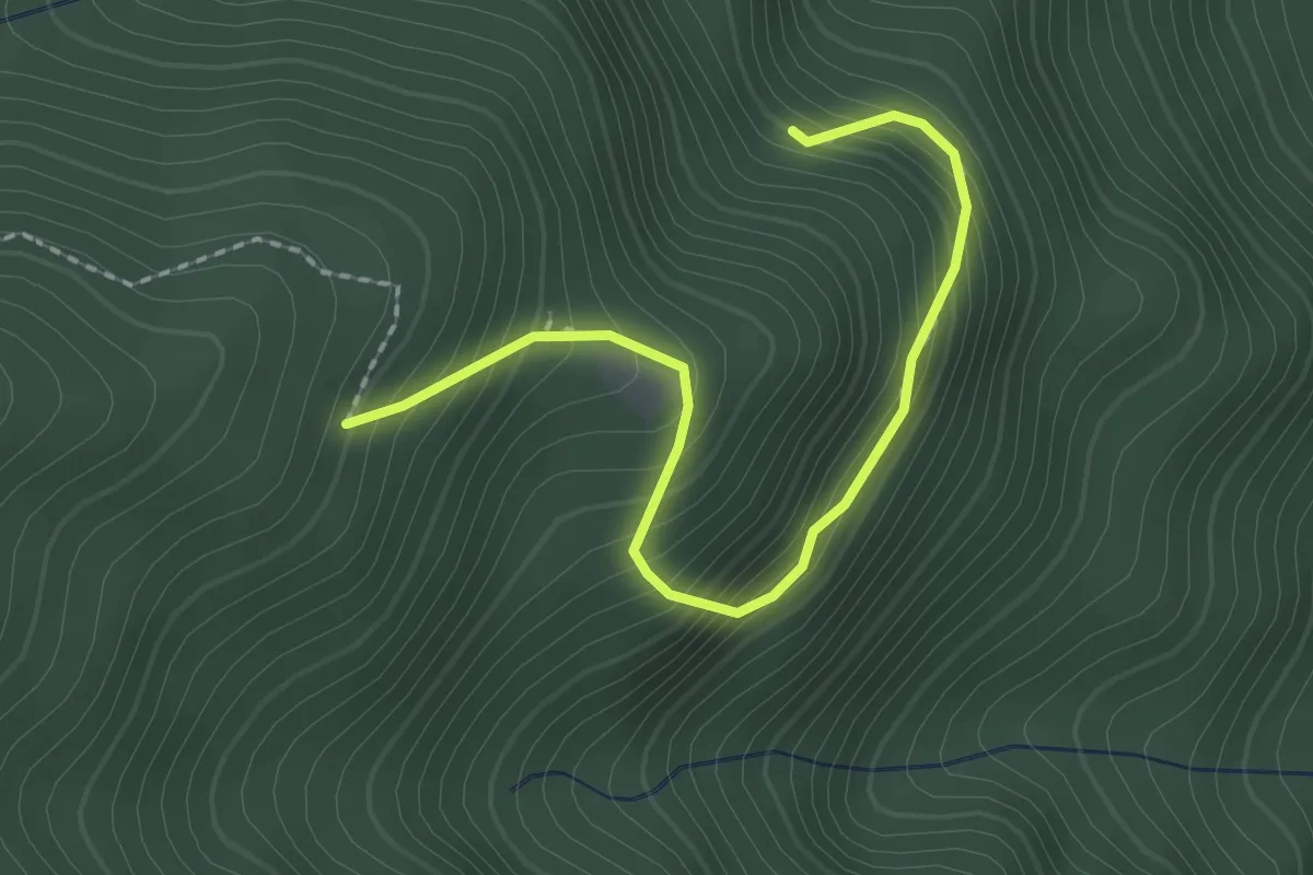
Easy · Trail
Malga Prà di Toni
2.2 km · ↑ 293 m · 1 h 10 min
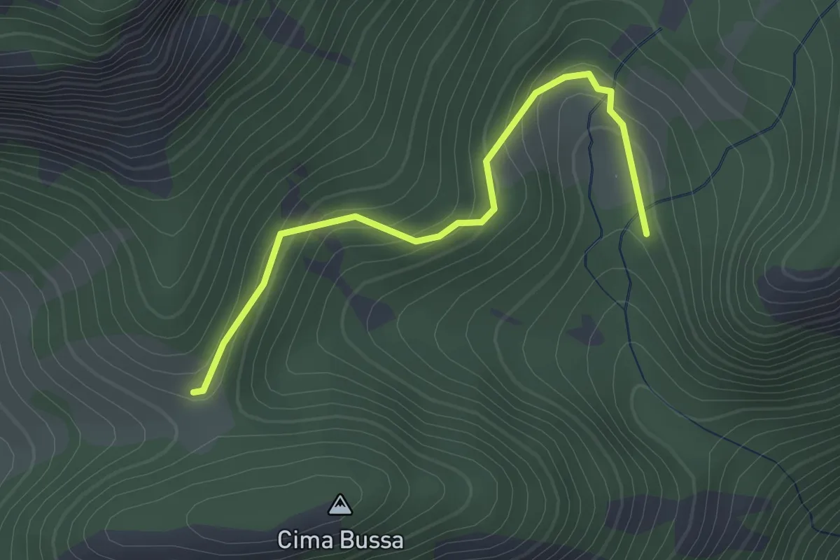
Easy · Trail
Malga Prà Pia
2.1 km · ↑ 131 m · 47 min
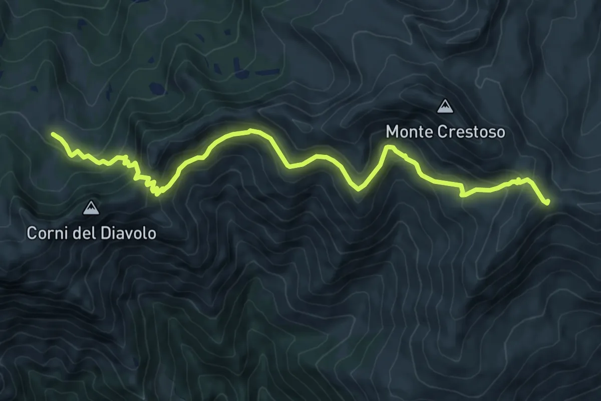
Medium · Cabin
Malga Rosello di Sopra - Passo Sette Crocette
10.8 km · ↑ 630 m · 3 h 55 min
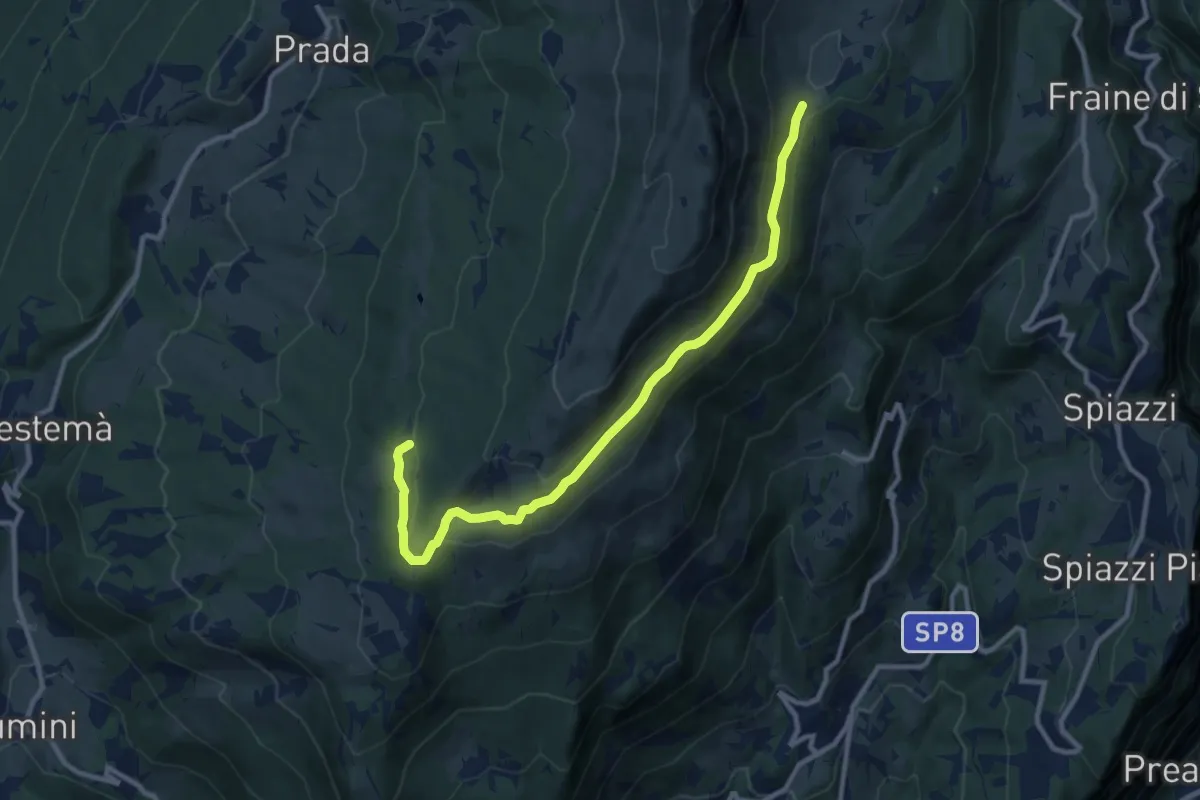
Medium · Summit
Malga Valfredda - Pozze di Pralongo
11.0 km · ↑ 274 m · 3 h 12 min
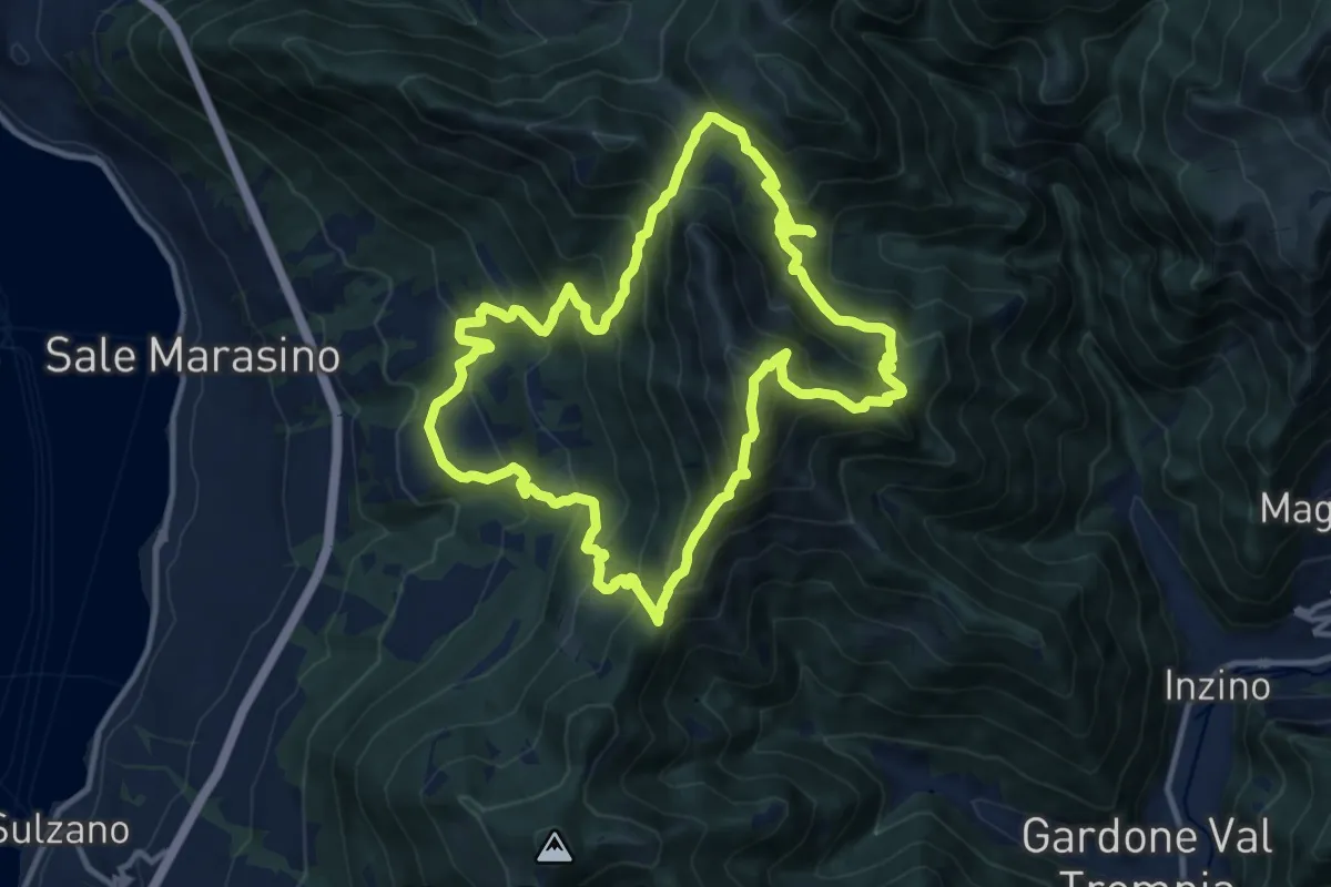
Demanding · Summit
Malghe in Rete - Anello 1 - Punta Almana
12.2 km · ↑ 1122 m · 5 h 30 min
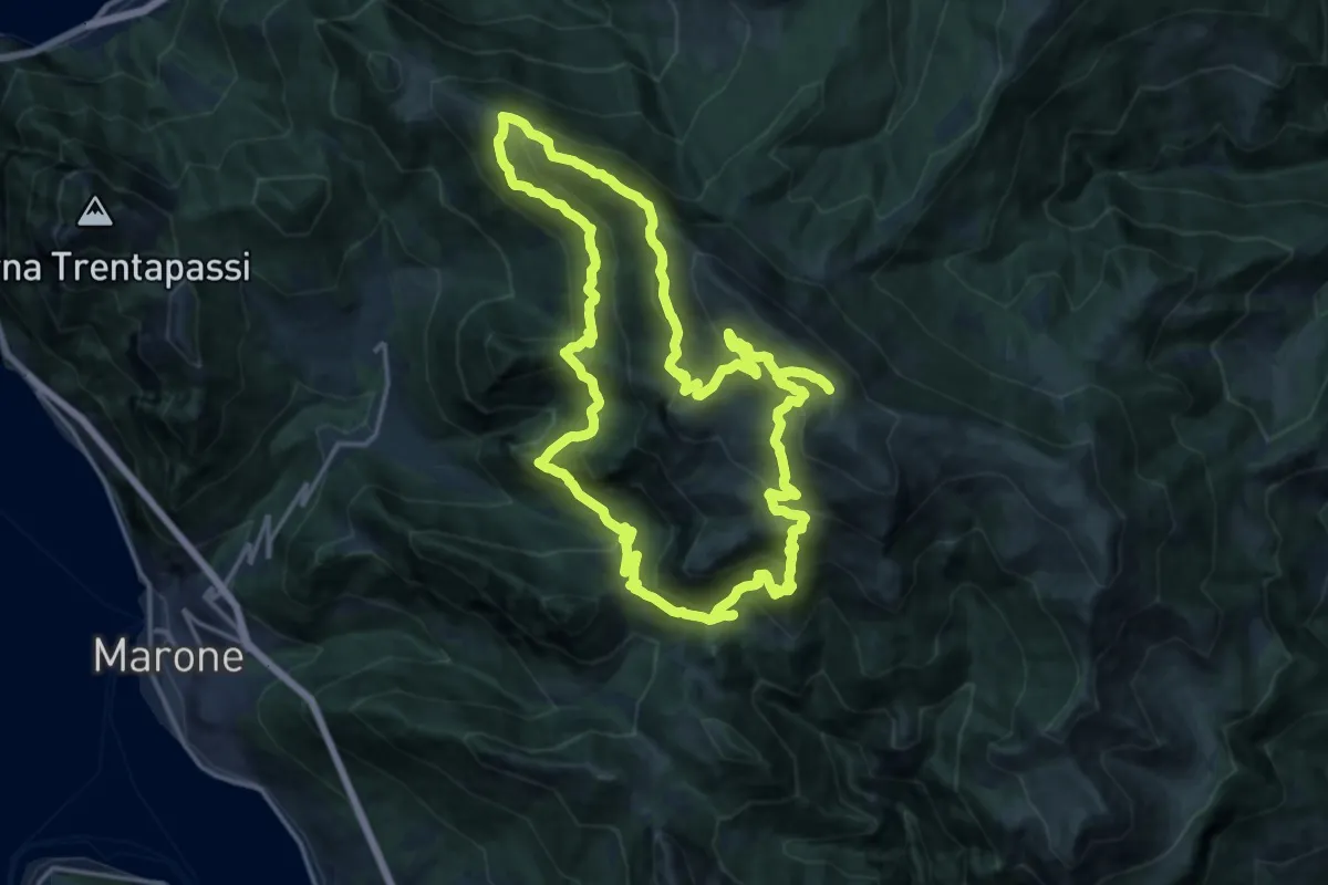
Demanding · Summit
Malghe in Rete - Anello 2 - Monte Guglielmo
18.2 km · ↑ 1257 m · 7 h 16 min
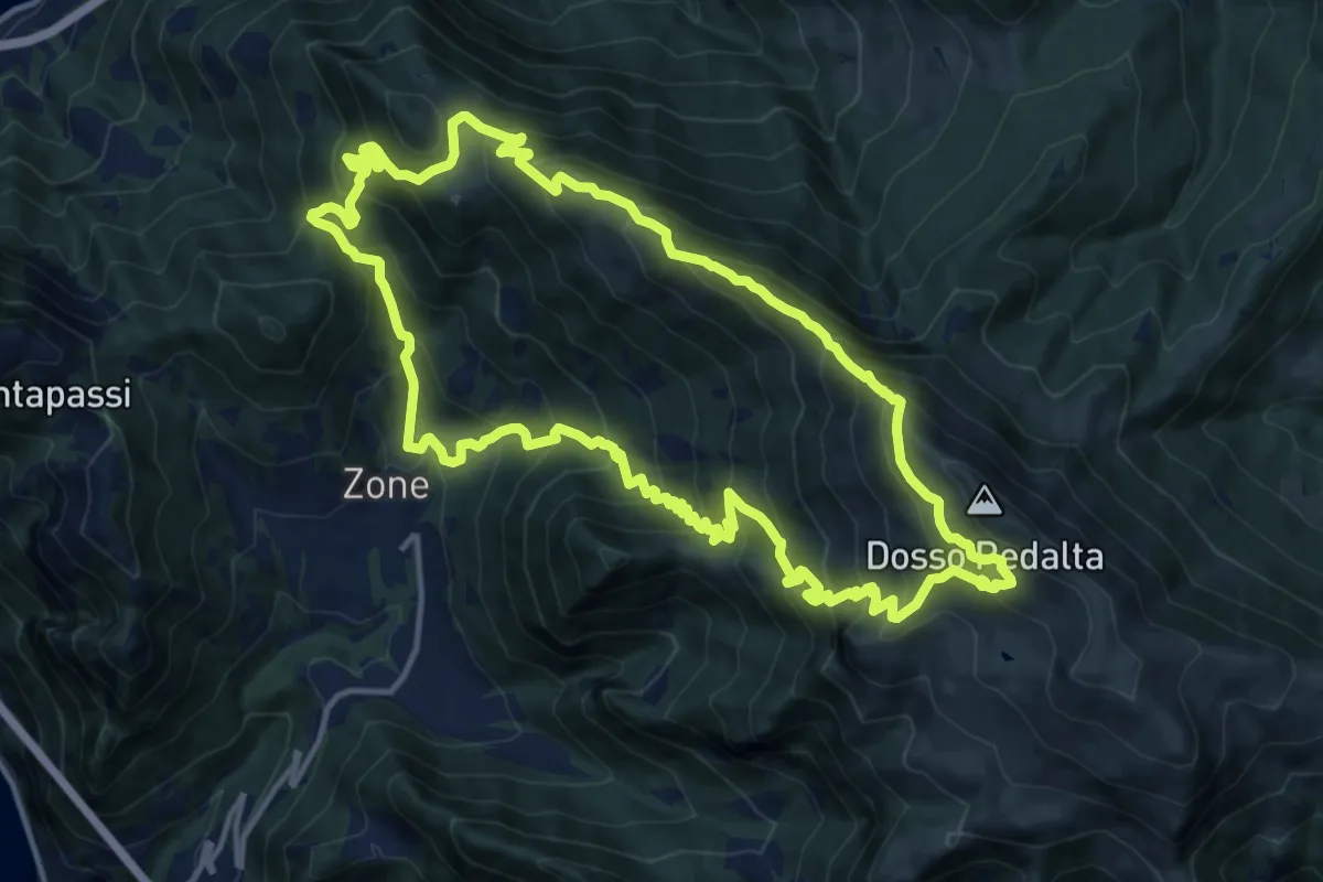
Demanding · Summit
Malghe in Rete - Anello 3 - Tredici Piante
15.1 km · ↑ 1310 m · 6 h 36 min
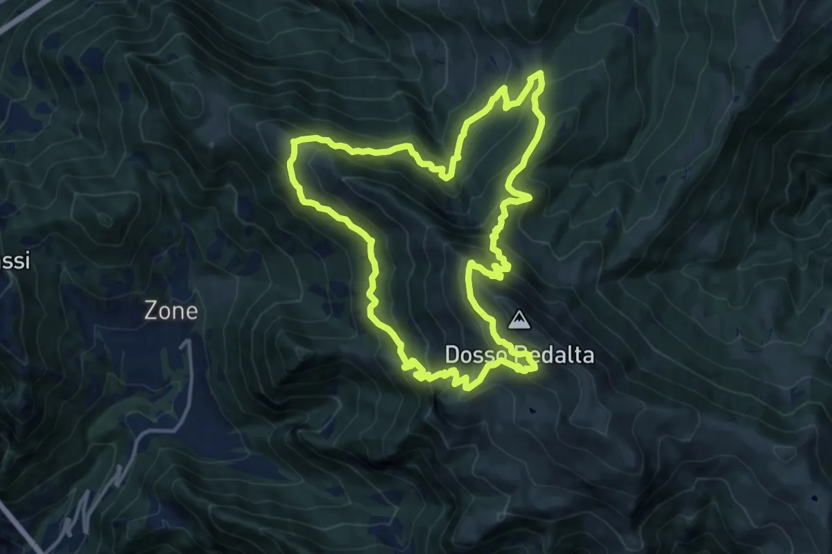
Demanding · Summit
Malghe in Rete - Anello 4 - Punta Caravina
13.5 km · ↑ 1036 m · 5 h 37 min
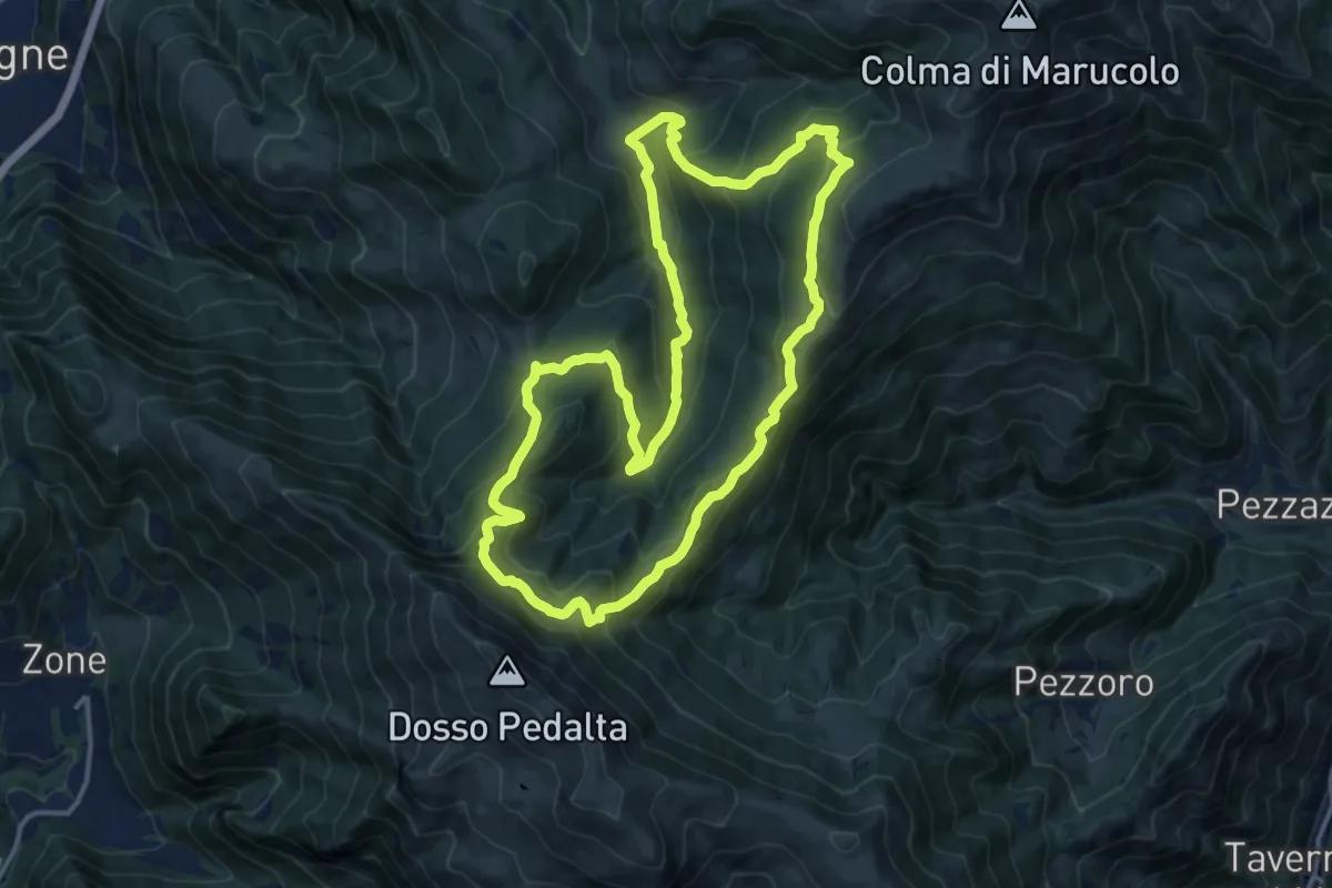
Medium · Summit
Malghe in Rete - Anello 5 - Val Palot
14.9 km · ↑ 756 m · 5 h 22 min
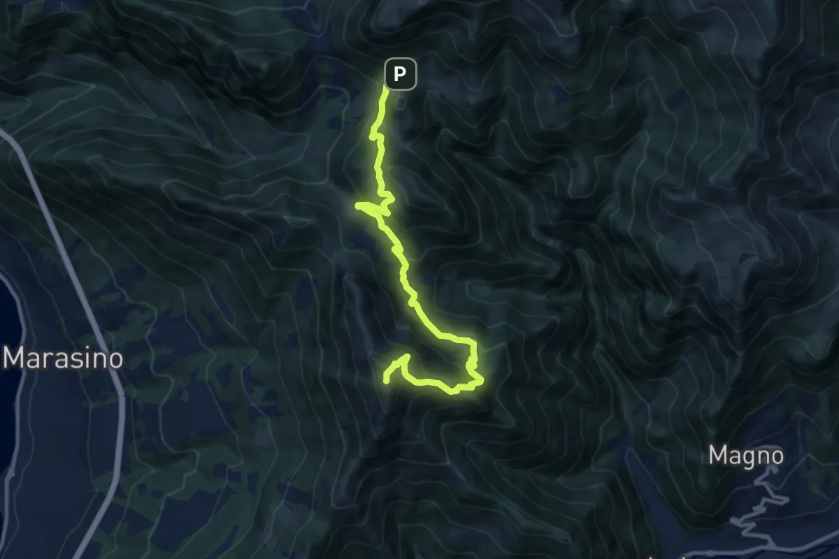
Demanding · Summit
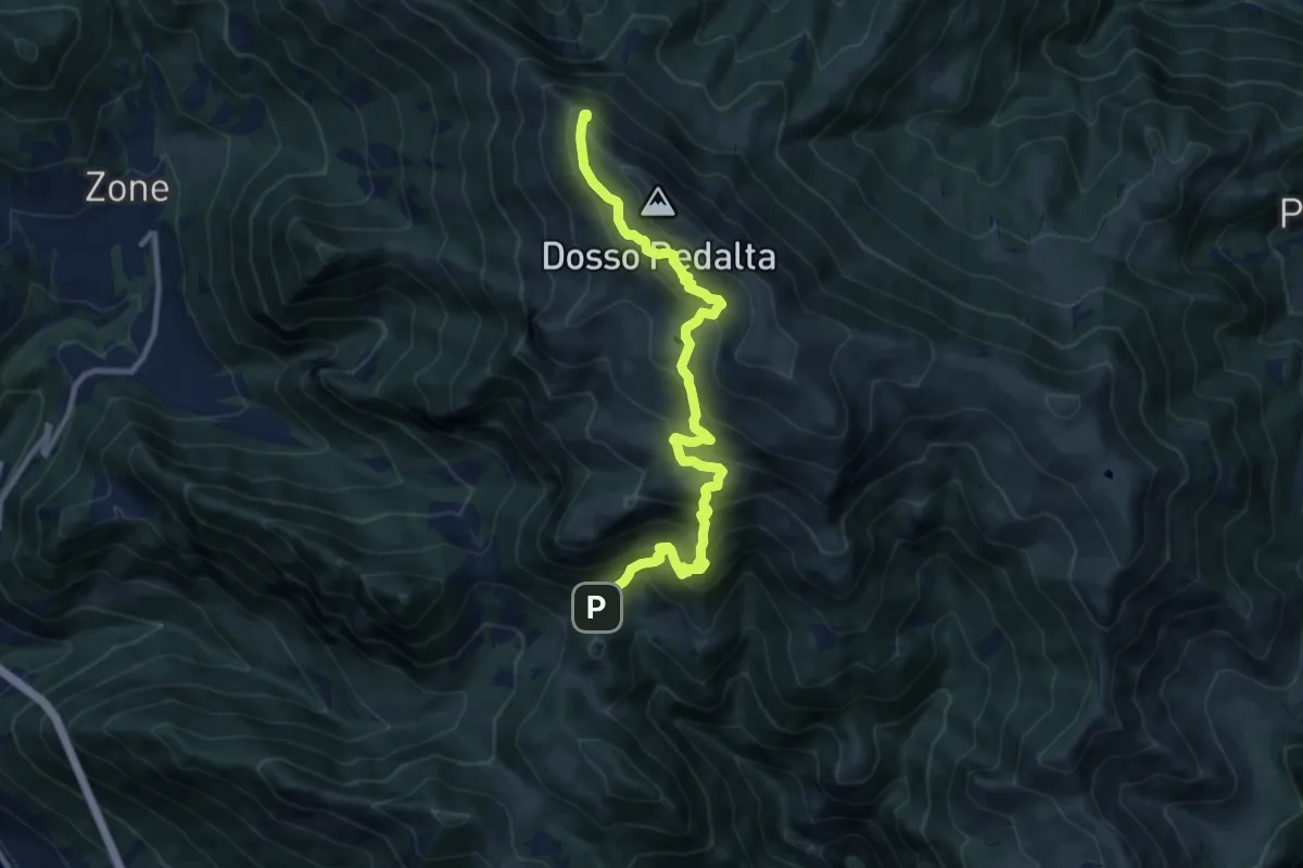
Malghe in Rete - Trekking - Le Creste Tappa 1
11.5 km · ↑ 881 m · 4 h 37 min
Demanding · Summit
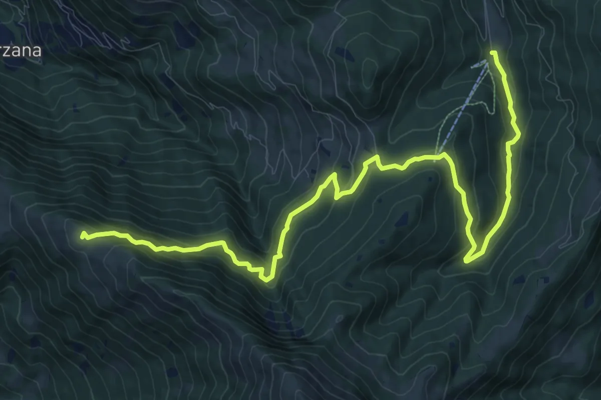
Malghe in Rete - Trekking - Le Creste Tappa 2
11.3 km · ↑ 842 m · 4 h 29 min
Medium · Summit
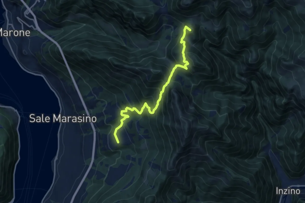
Malghe in Rete - Trekking - Le Valli Tappa 1
14.9 km · ↑ 754 m · 5 h 9 min
Demanding · Summit
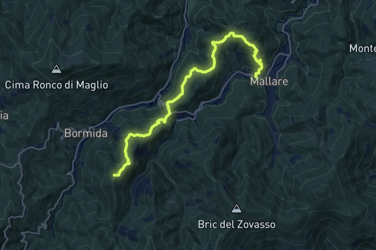
Malghe in Rete - Trekking - Le Valli Tappa 2
11.5 km · ↑ 939 m · 4 h 45 min
Demanding · Summit
Mallare - Colla del Bresca - Madonna della Neve
17.4 km · ↑ 864 m · 5 h 59 min
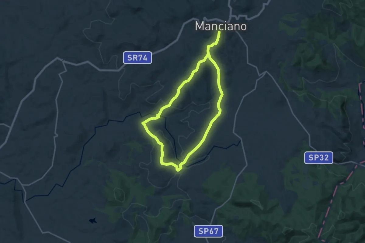
Demanding · Trail
Manciano percorso breve
25.3 km · ↑ 632 m · 7 h 20 min
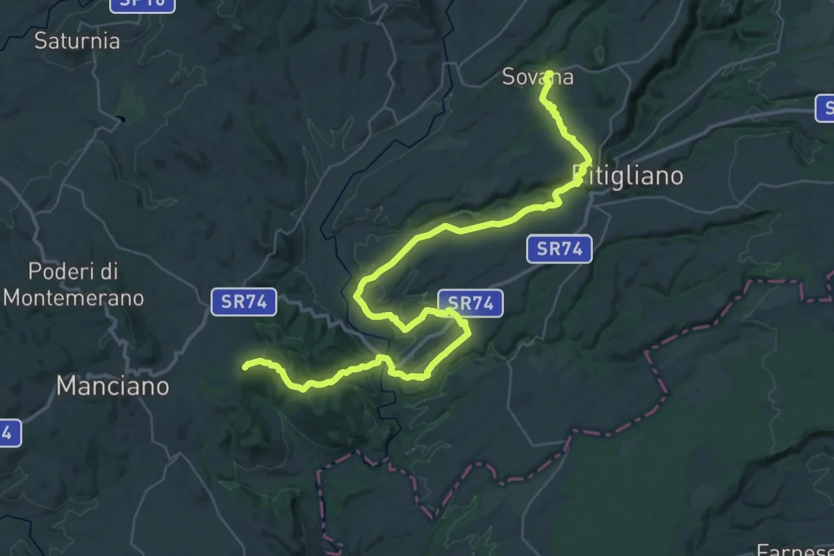
Demanding · Summit
Manciano - Sovana
44.1 km · ↑ 898 m · 12 h 22 min
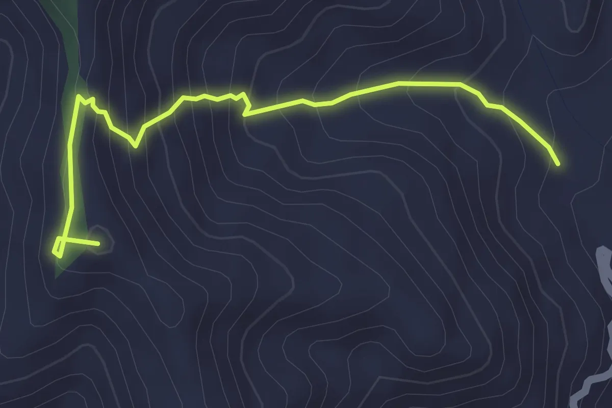
Medium · Summit
Mandanici Caserma Brugnola
4.1 km · ↑ 348 m · 1 h 43 min
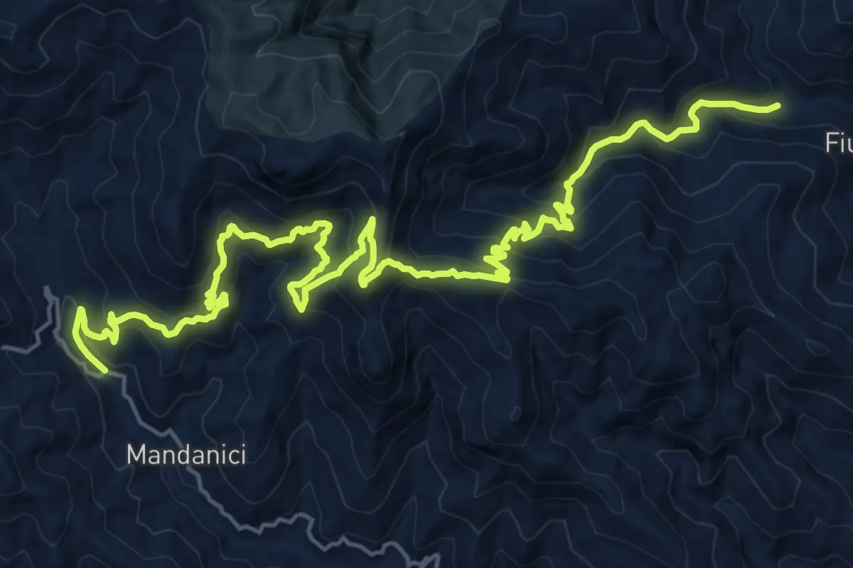
Demanding · Trail
Mandanici Fiumedinisi
13.1 km · ↑ 810 m · 5 h 8 min
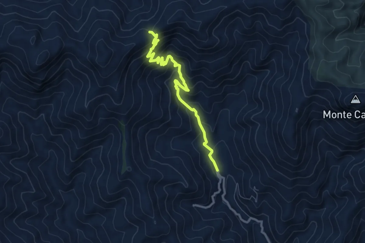
Medium · Trail
Mandanici Sentiero Italia
8.0 km · ↑ 576 m · 3 h 9 min
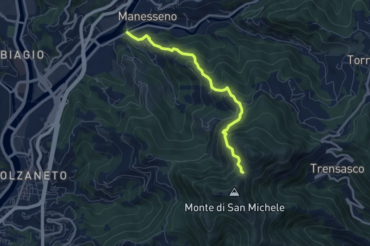
Medium · Trail
Manesseno - Colletto del Diamante
6.7 km · ↑ 519 m · 2 h 42 min
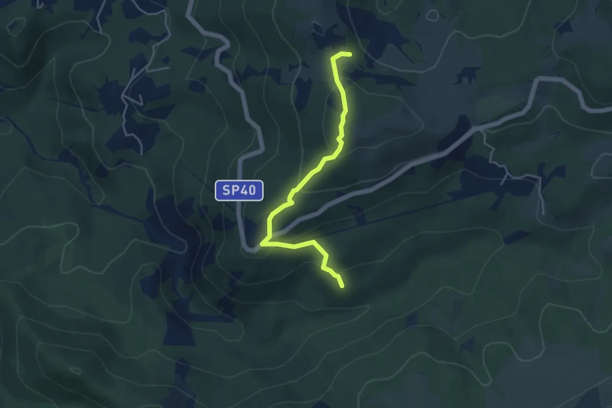
Easy · Summit
Manfrei - Fossa Grande
3.9 km · ↑ 231 m · 1 h 25 min
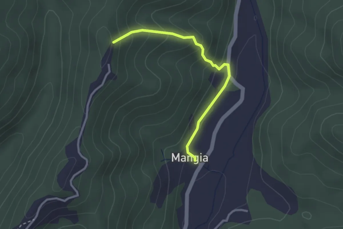
Medium · Trail
Mangia - Bivio 149
2.5 km · ↑ 197 m · 1 h 2 min
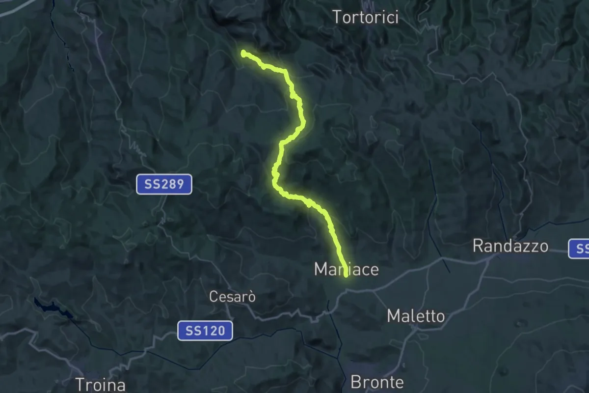
Demanding · Trail
Maniace - Eremo di San Nicolò Politi
27.0 km · ↑ 1078 m · 9 h 2 min
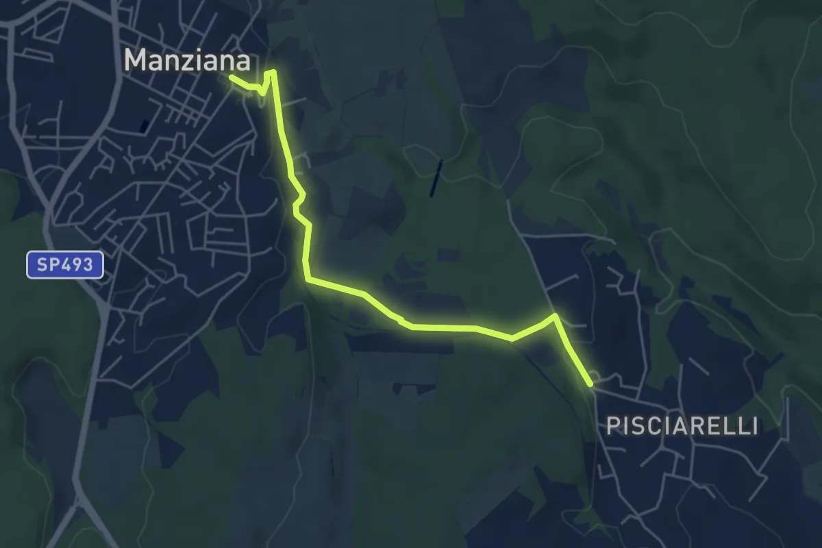
Easy · Trail
Manziana - Pisciarelli
5.4 km · ↑ 106 m · 1 h 30 min
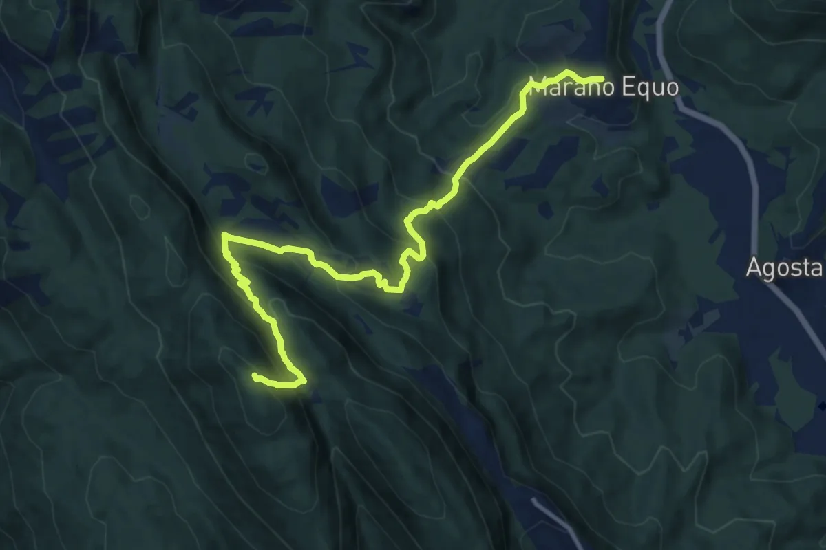
Demanding · Trail
Marano Equo - Monte Costasole
12.9 km · ↑ 860 m · 4 h 54 min
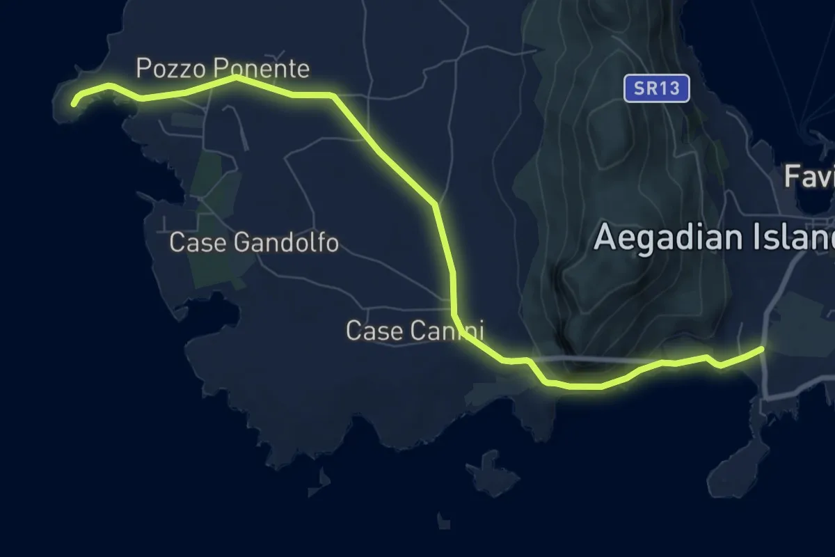
Medium · Trail
Marasolo - Punta Sottile
10.9 km · ↑ 72 m · 2 h 44 min
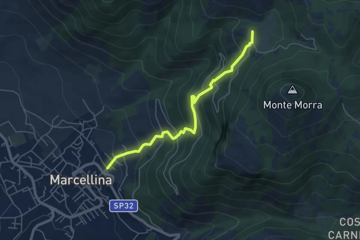
Expert · Summit
Marcellina-Prato Favale
5.0 km · ↑ 488 m · 2 h 14 min
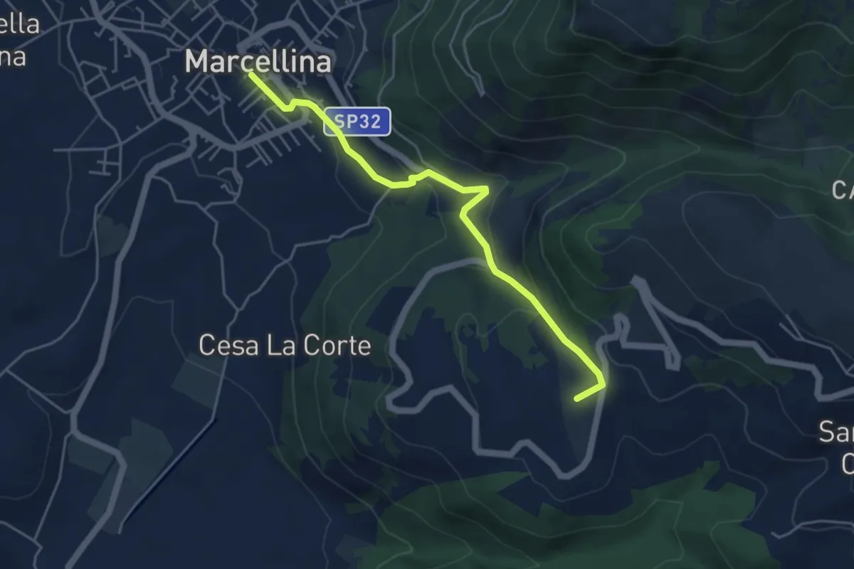
Easy · Summit
Marcellina-San Polo
4.8 km · ↑ 228 m · 1 h 38 min
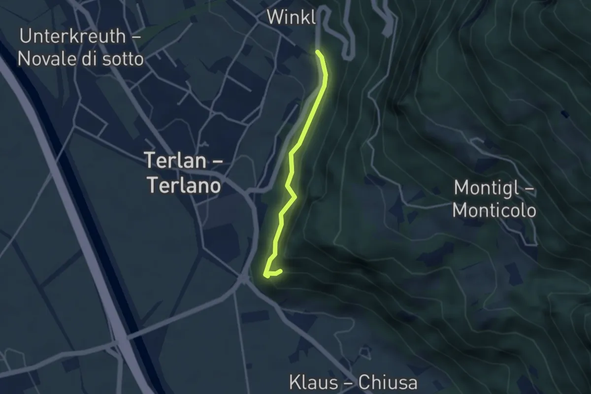
Easy · Trail
Margarethenpromenade
2.5 km · ↑ 166 m · 57 min
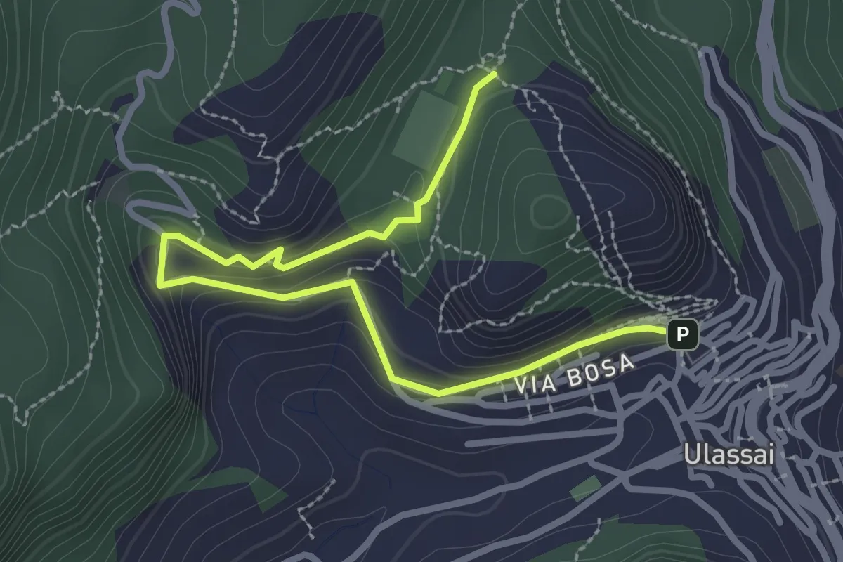
Easy · Trail
Maria Lai
3.5 km · ↑ 139 m · 1 h 8 min
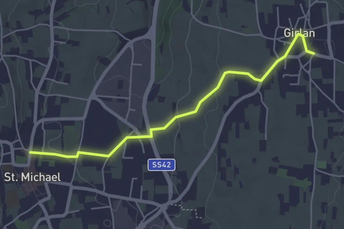
Easy · Trail
Maria Rast Weg
4.5 km · ↑ 82 m · 1 h 15 min
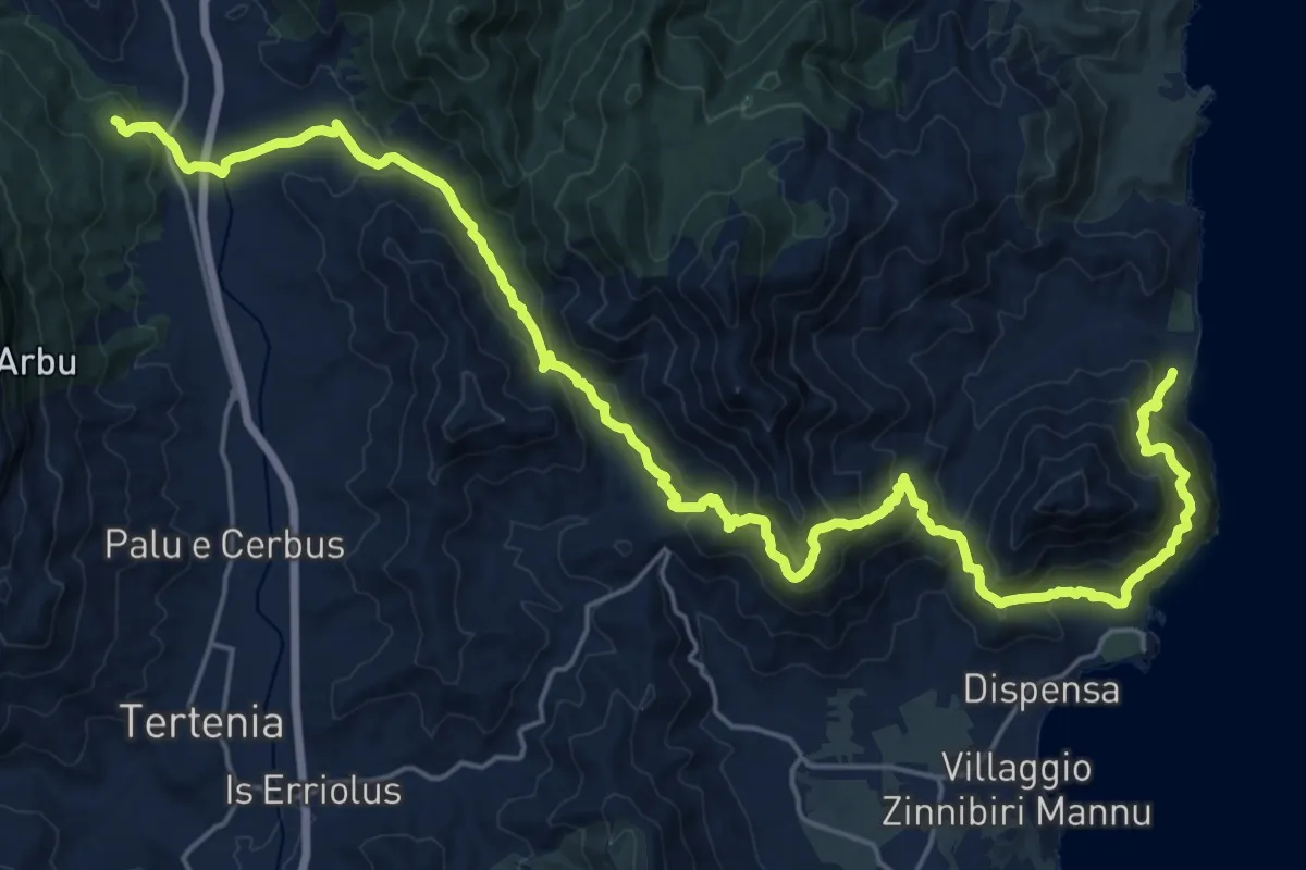
Expert · Trail
Marina di Tertenia
15.9 km · ↑ 1102 m · 6 h 16 min
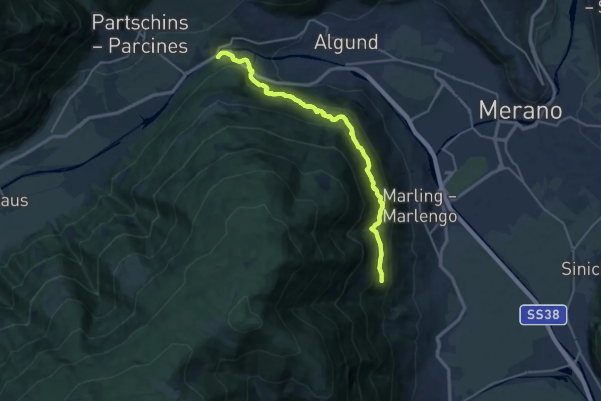
Demanding · Trail
Marlinger Höhenweg
13.2 km · ↑ 1037 m · 5 h 22 min
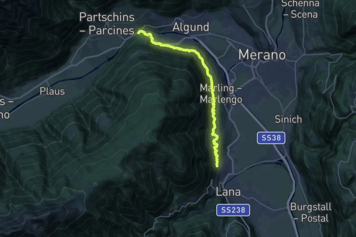
Demanding · Trail
Marlinger Waalweg
19.2 km · ↑ 1209 m · 7 h 9 min
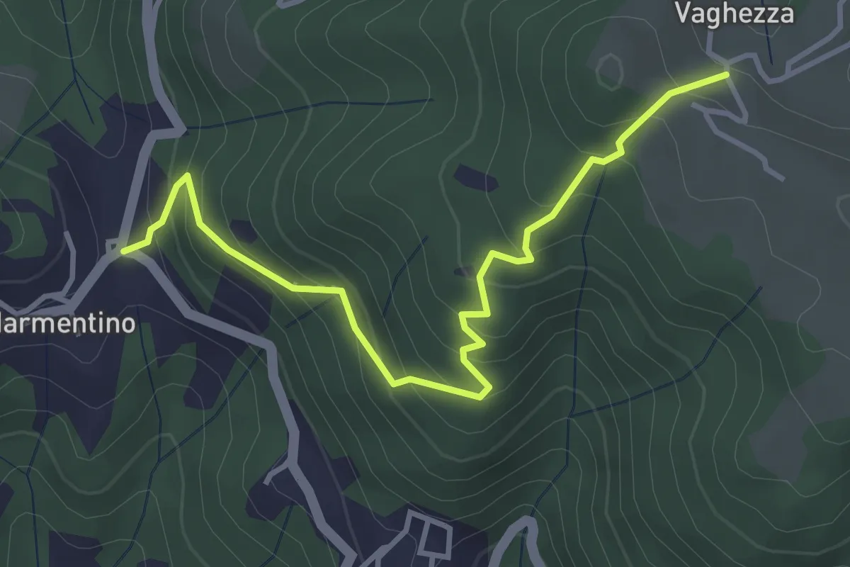
Medium · Trail
Marmentino (Dosso) - Vaghezza
3.8 km · ↑ 329 m · 1 h 36 min
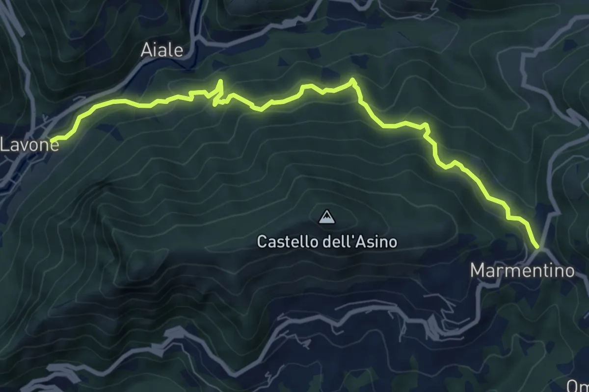
Medium · Trail
Marmentino - Lavone
8.2 km · ↑ 547 m · 3 h 8 min
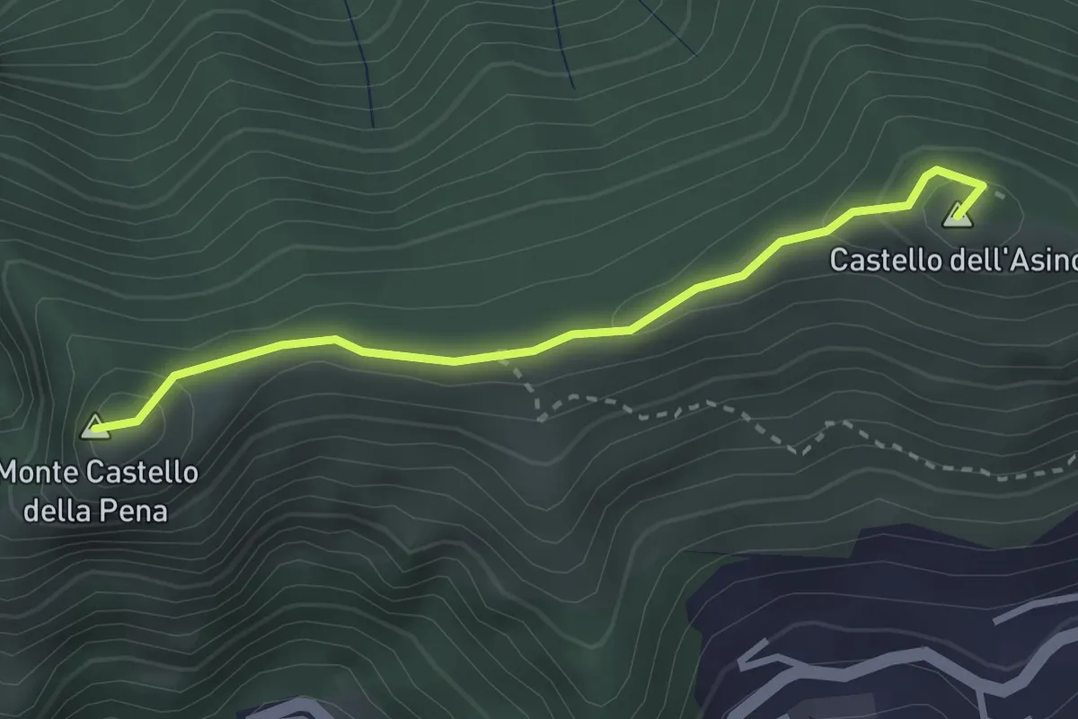
Medium · Summit
Marmentino - Monte Castello della Pena
2.7 km · ↑ 143 m · 57 min
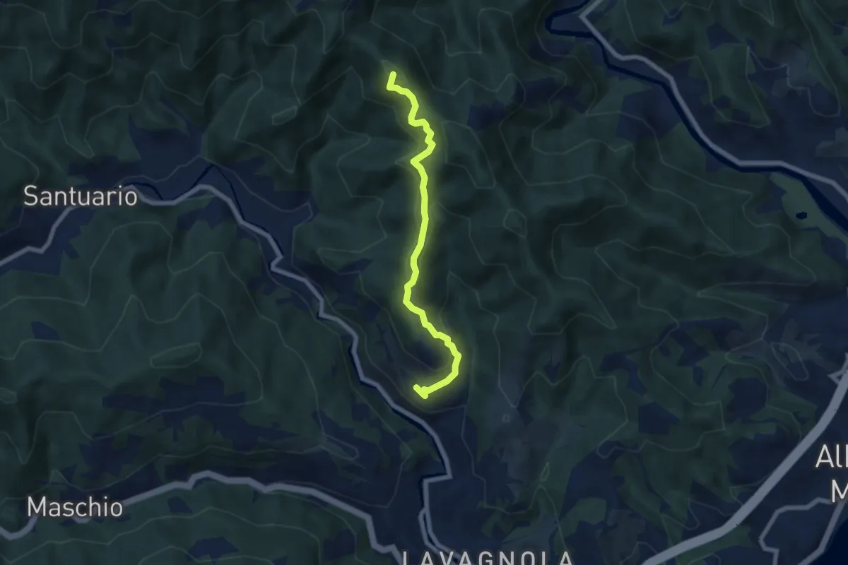
Medium · Summit
Marmorassi - Case Monte Paggio - Bric Schivà
6.1 km · ↑ 351 m · 2 h 12 min