Trails in Italy
25,221 hiking trails, each with its route, climb, walking time and grade.
All trails, page 101 of 526
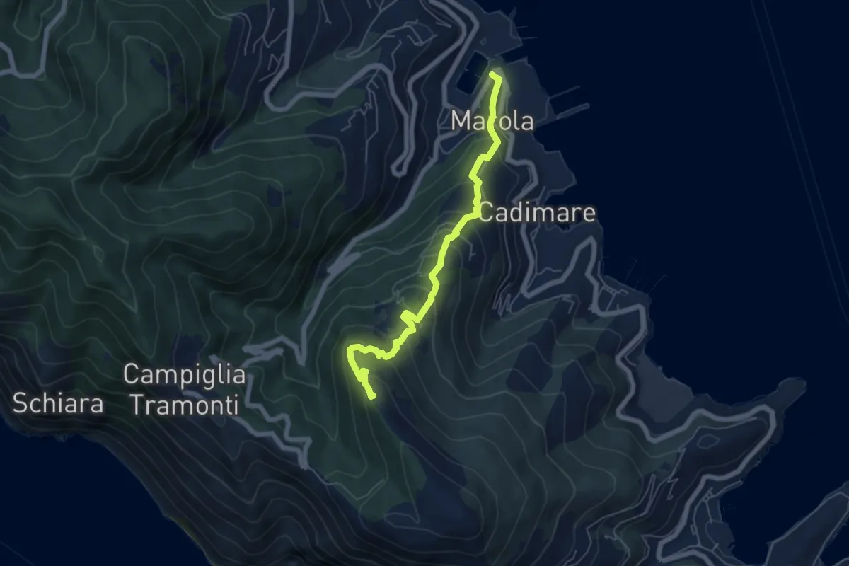
Medium · Trail
Marola – Il Piano – Cave del Piano
5.9 km · ↑ 437 m · 2 h 20 min
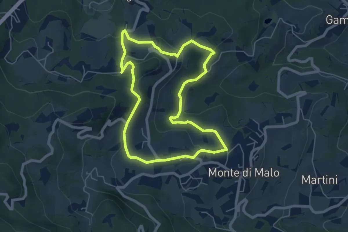
Easy · Trail
Maronari Corto
4.7 km · ↑ 163 m · 1 h 32 min
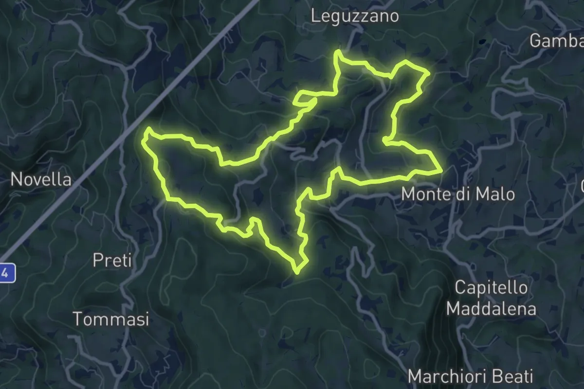
Medium · Trail
Maronari Lungo
10.2 km · ↑ 433 m · 3 h 29 min
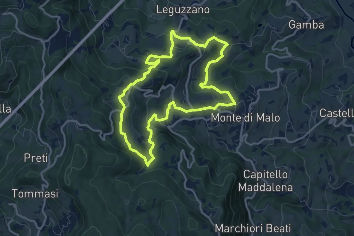
Easy · Trail
Maronari Medio
7.9 km · ↑ 318 m · 2 h 39 min
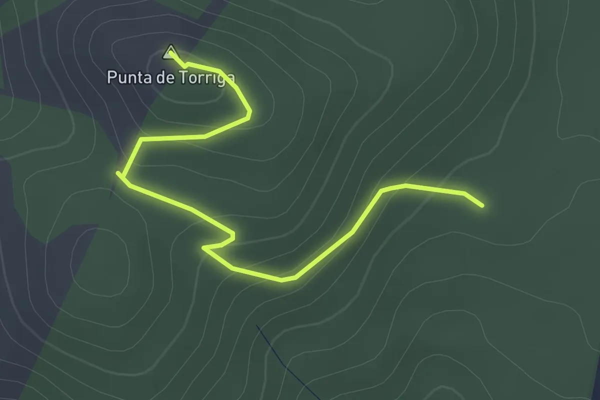
Easy · Summit
Marongiu, ex vivaio - Punta Turriga
2.6 km · ↑ 104 m · 50 min
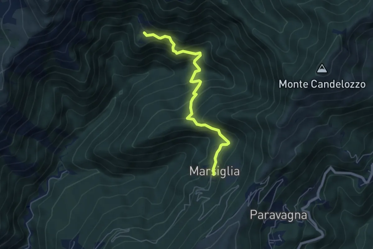
Medium · Trail
Marsiglia - Canate
5.3 km · ↑ 560 m · 2 h 29 min
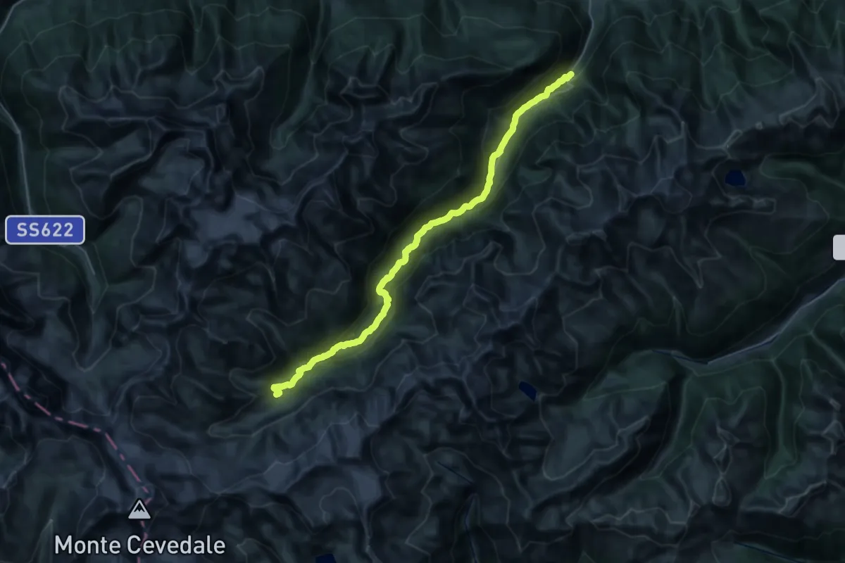
Demanding · Cabin
Marteller Talweg
18.1 km · ↑ 1460 m · 7 h 3 min
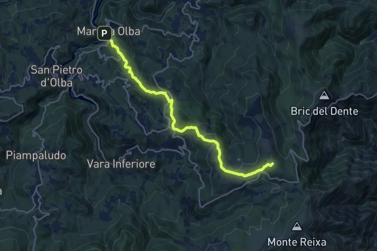
Medium · Summit
Martina Olba - Passo del Faiallo
14.9 km · ↑ 656 m · 4 h 56 min
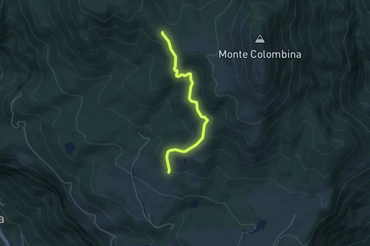
Easy · Trail
Martinel
3.9 km · ↑ 215 m · 1 h 24 min
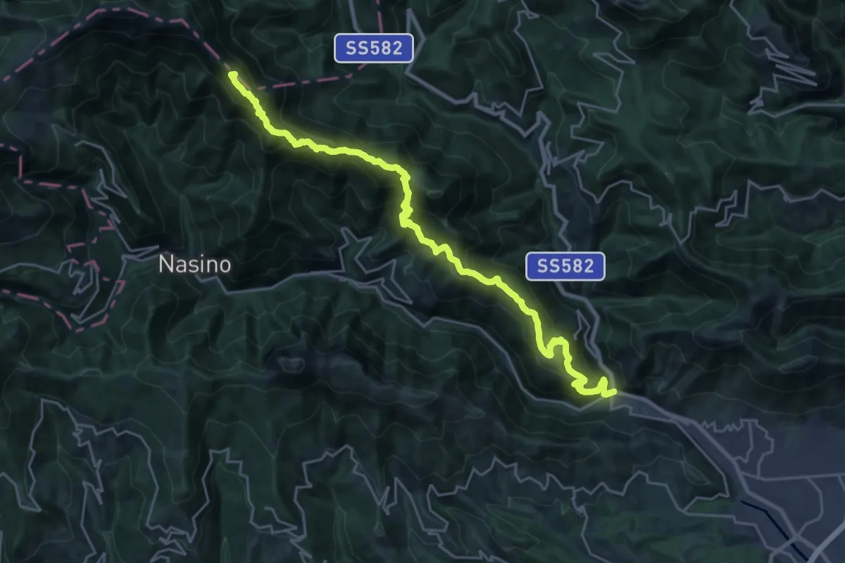
Demanding · Summit
Martinetto - Sella d'Alpe - Passo delle Caranche
26.3 km · ↑ 2010 m · 10 h 34 min
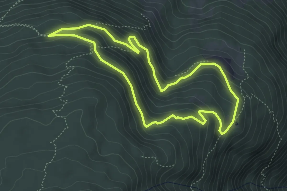
Medium · Trail
Martinsweg
4.5 km · ↑ 272 m · 1 h 43 min
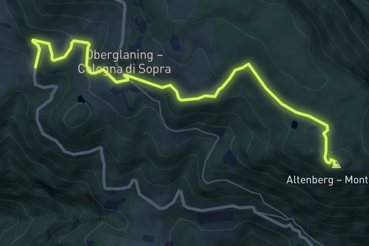
Medium · Summit
Martinsweg - Sentiero di San Martino
7.3 km · ↑ 344 m · 2 h 28 min
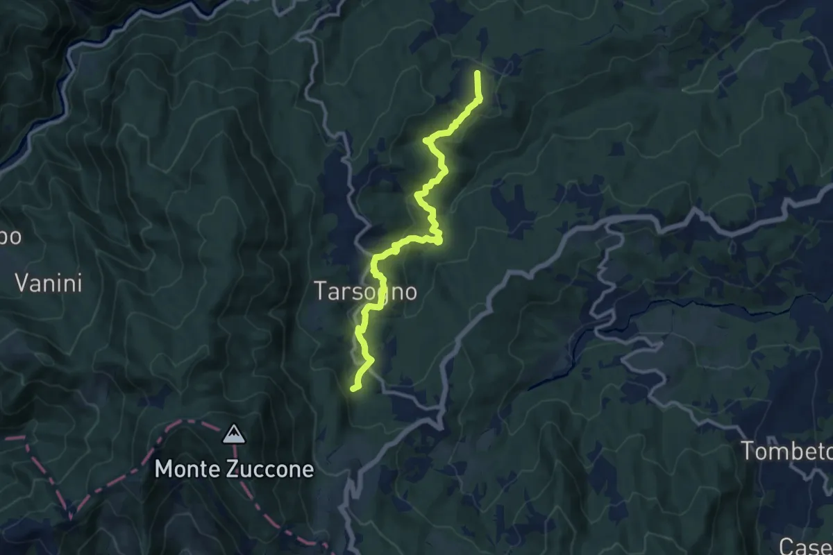
Medium · Trail
Marzuola Tarsogno (Località La Breva)
11.0 km · ↑ 459 m · 3 h 36 min
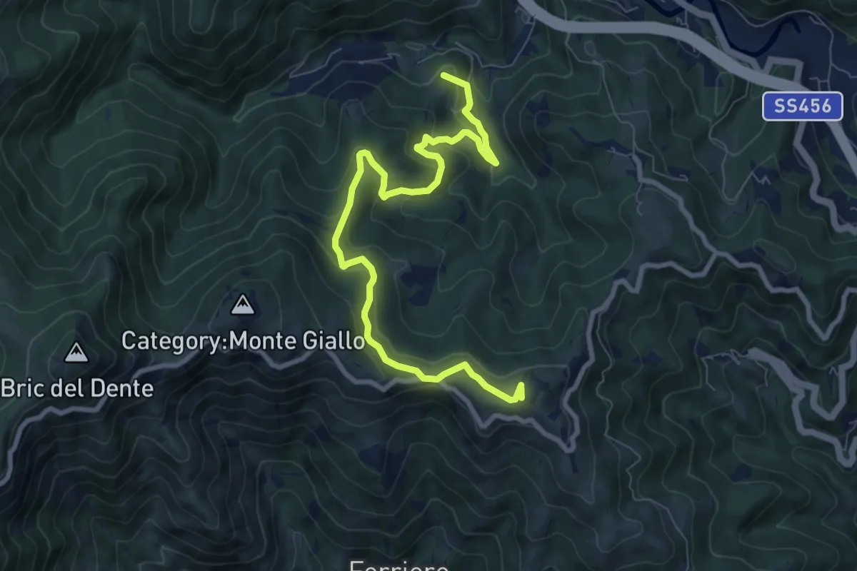
Medium · Summit
Masone-Bric Geremia
9.4 km · ↑ 476 m · 3 h 15 min
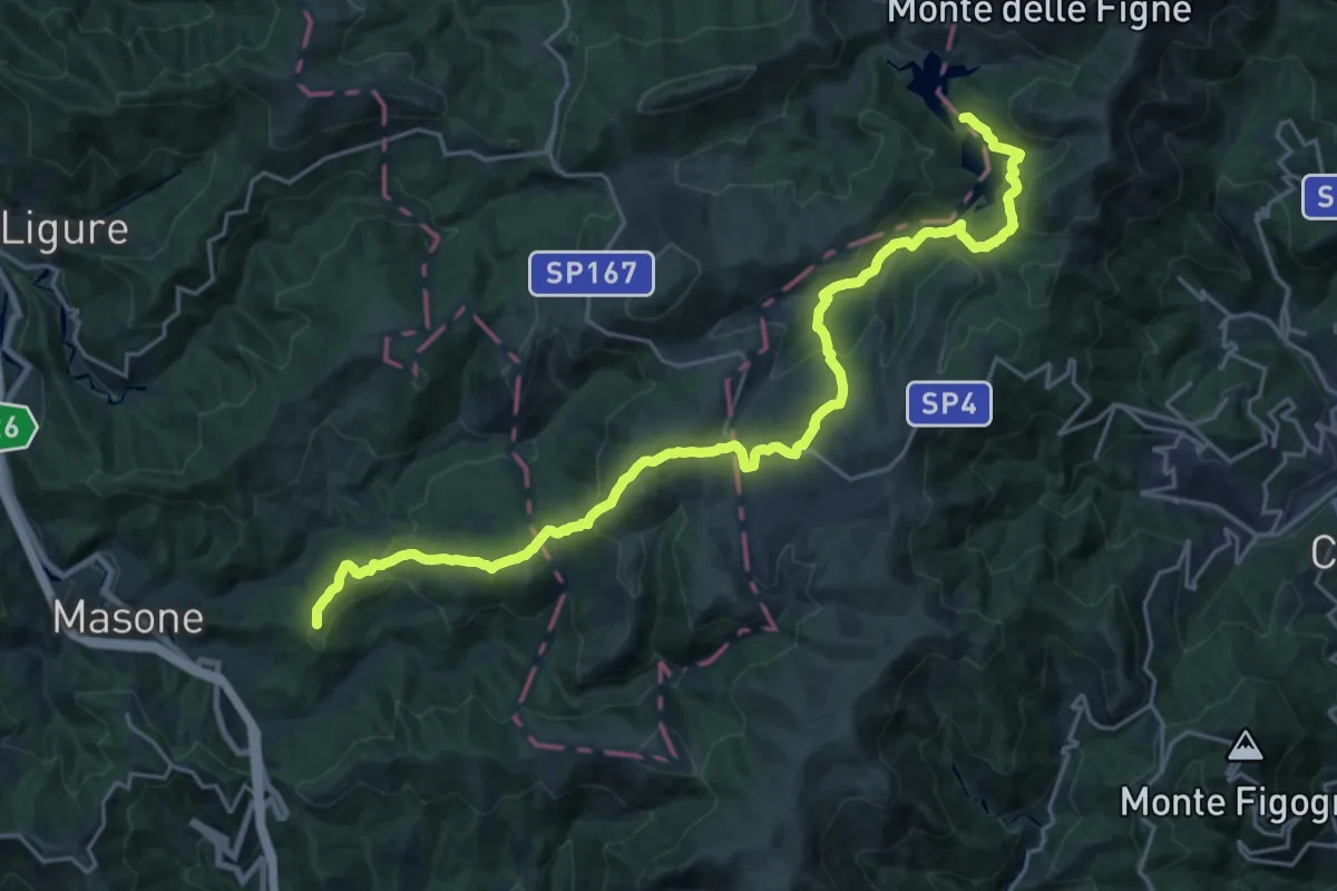
Demanding · Summit
Masone - Piani di Praglia - Laghi del Gorzente
25.4 km · ↑ 977 m · 8 h 6 min
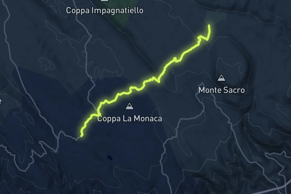
Medium · Trail
Masseria Granatieri - Piscina La Signora
16.1 km · ↑ 352 m · 4 h 34 min
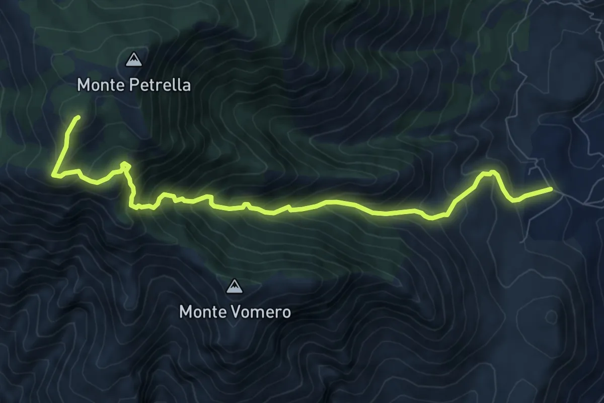
Demanding · Summit
Masseria Santilli-Monte Petrella
10.4 km · ↑ 1065 m · 4 h 46 min
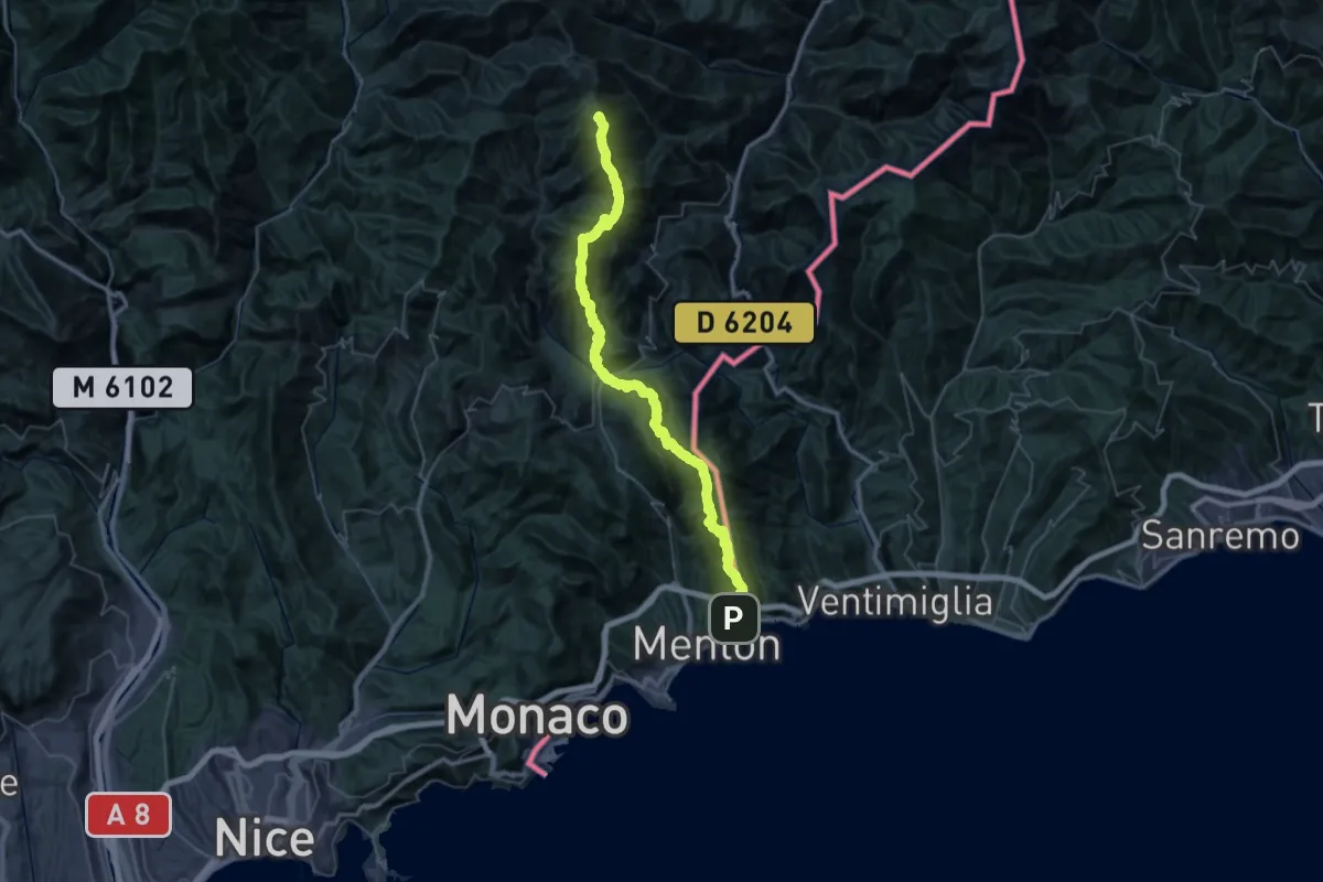
Demanding · Summit
Massif de l'Authion - Menton
63.0 km · ↑ 4840 m · 25 h 22 min
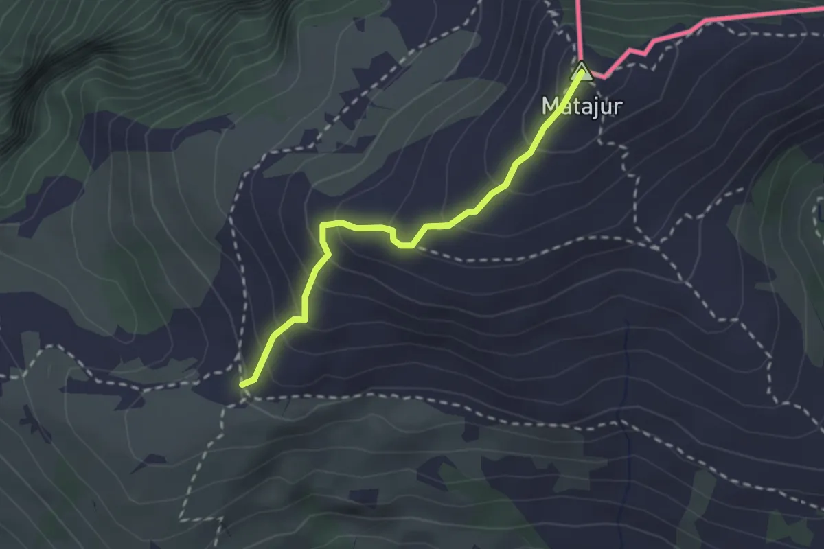
Medium · Summit
Matadown
2.2 km · ↑ 225 m · 1 h 1 min
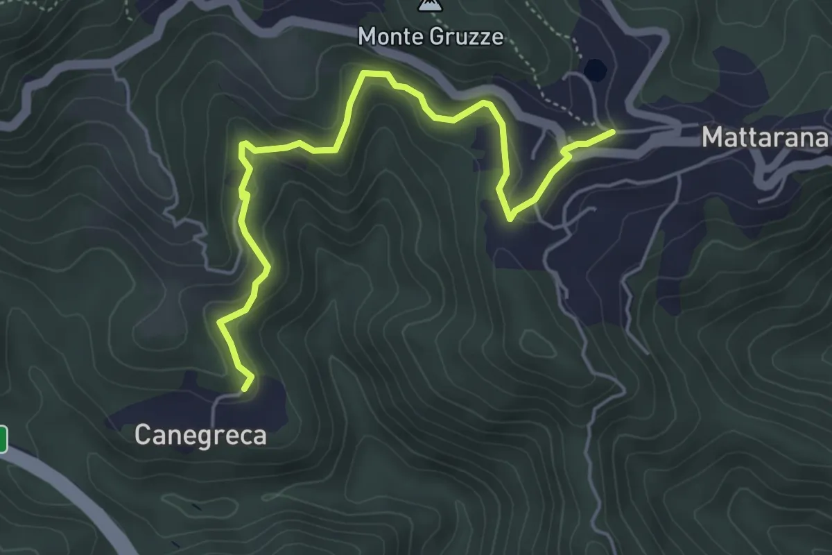
Easy · Trail
Mattarana - La Costa - Canegreca
5.3 km · ↑ 236 m · 1 h 46 min
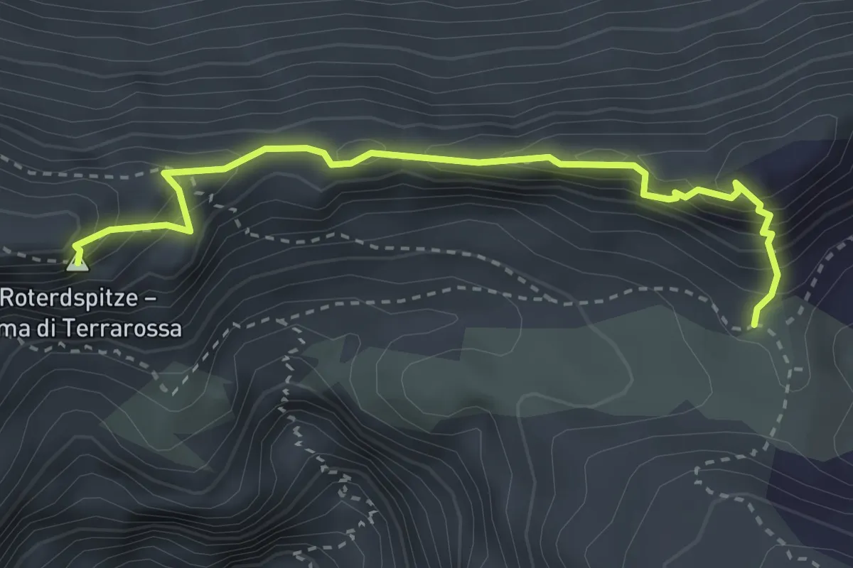
Expert · Summit
Maximiliansteig
3.3 km · ↑ 300 m · 1 h 26 min
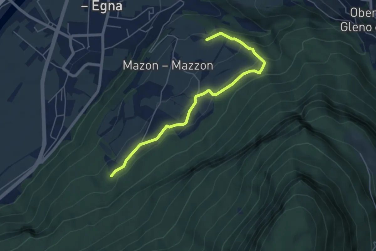
Easy · Trail
Mazoner Hochweg
4.8 km · ↑ 241 m · 1 h 40 min
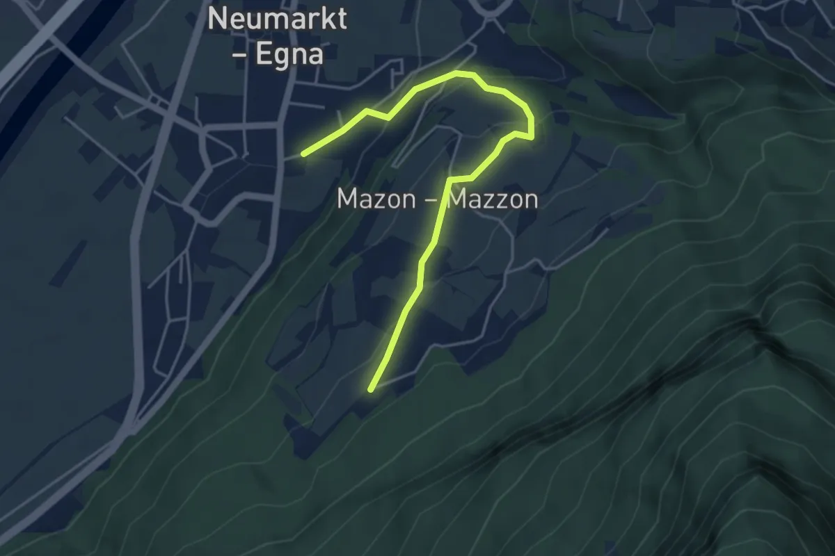
Easy · Trail
Mazoner Spazierweg
4.4 km · ↑ 196 m · 1 h 28 min
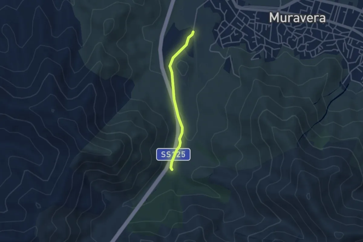
Easy · Trail
MCP
3.1 km · ↑ 46 m · 51 min
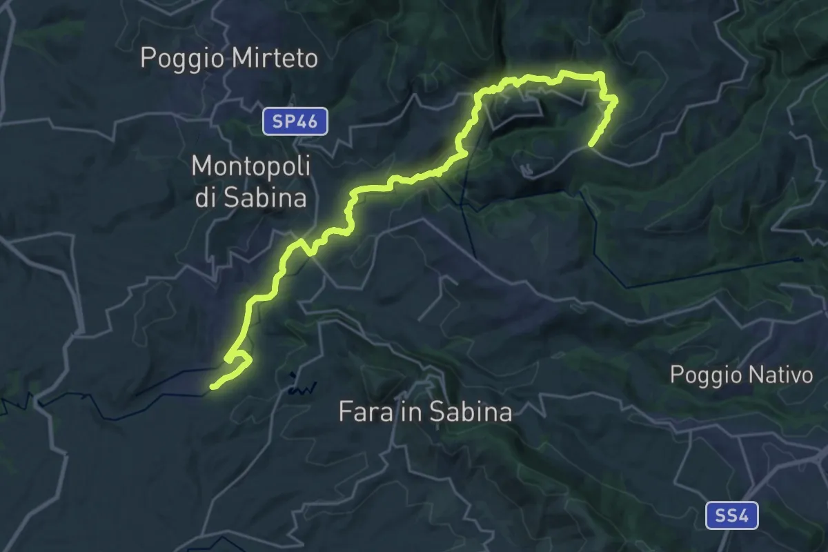
Medium · Trail
Media Valle del Farfa
14.1 km · ↑ 503 m · 4 h 29 min
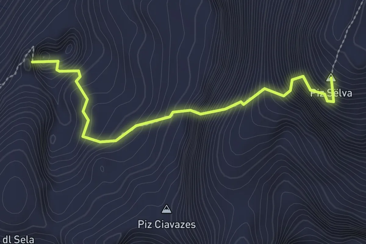
Expert · Summit
Meisules - Pößnecker
2.6 km · ↑ 666 m · 2 h 3 min
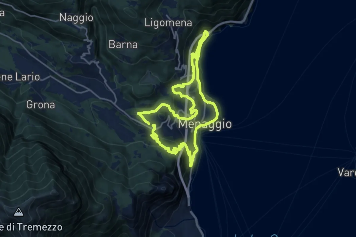
Medium · Trail
Menaggio e i suoi borghi
11.5 km · ↑ 593 m · 4 h 10 min
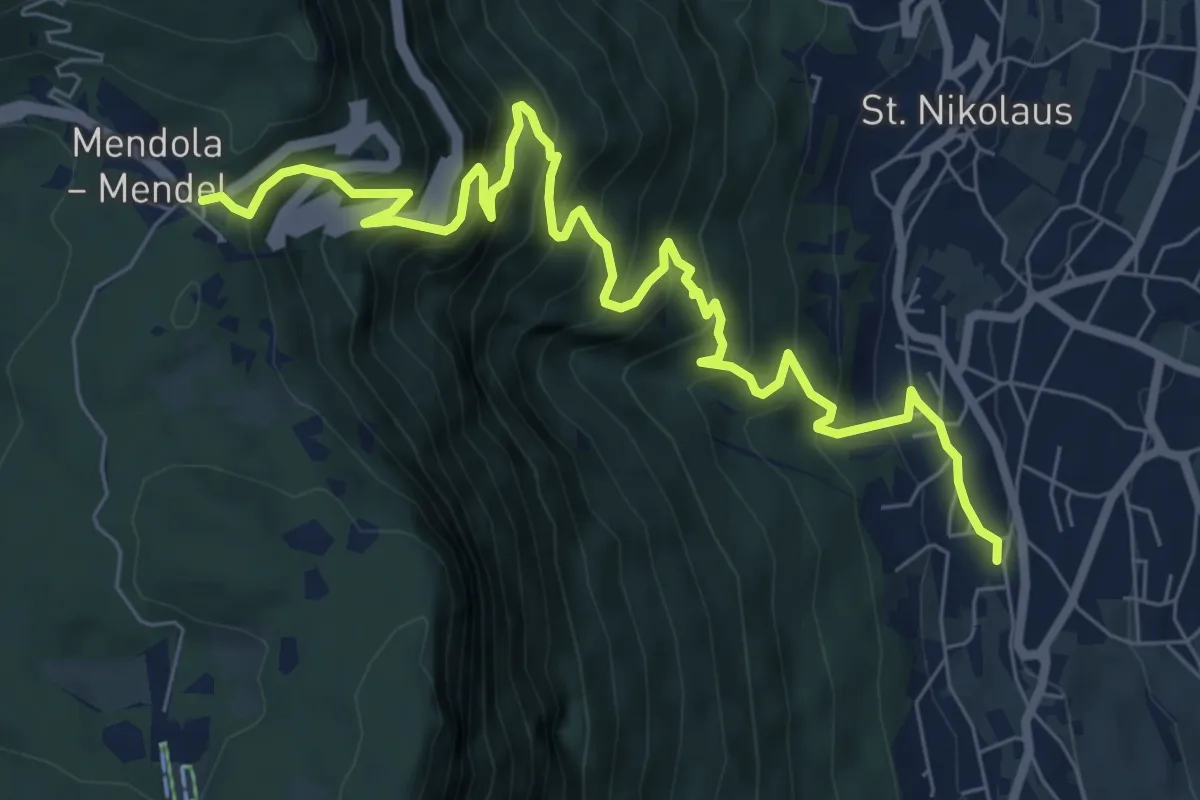
Demanding · Trail
Mendelsteig - Sentiero della Mendola
9.1 km · ↑ 969 m · 4 h 15 min
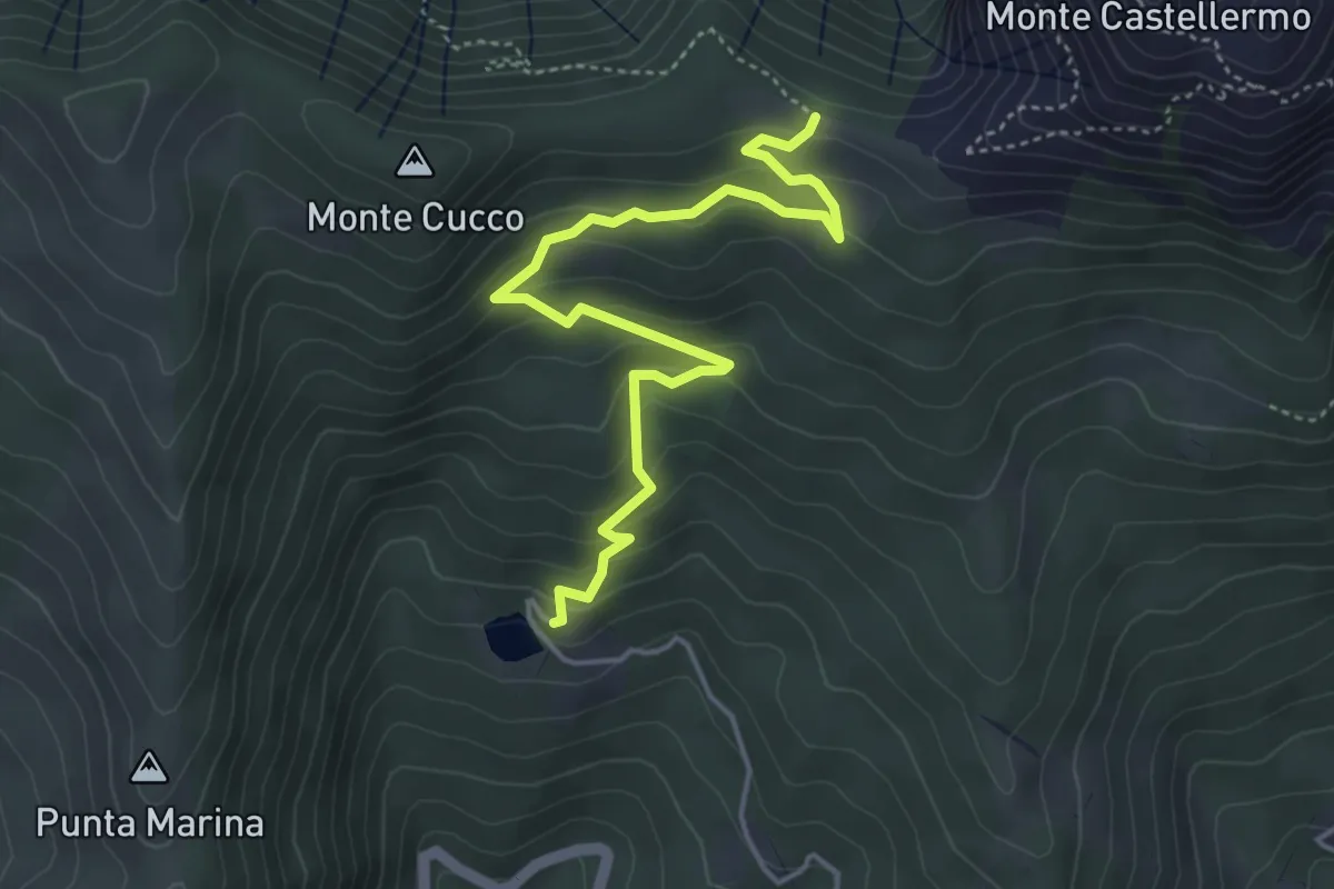
Medium · Trail
Menezzo - Colla d'Onzo
5.1 km · ↑ 321 m · 1 h 54 min
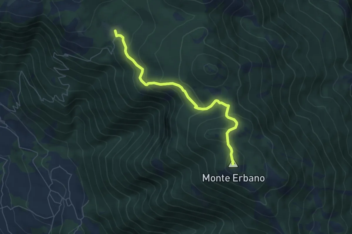
Medium · Summit
M.Erbano
6.2 km · ↑ 342 m · 2 h 13 min
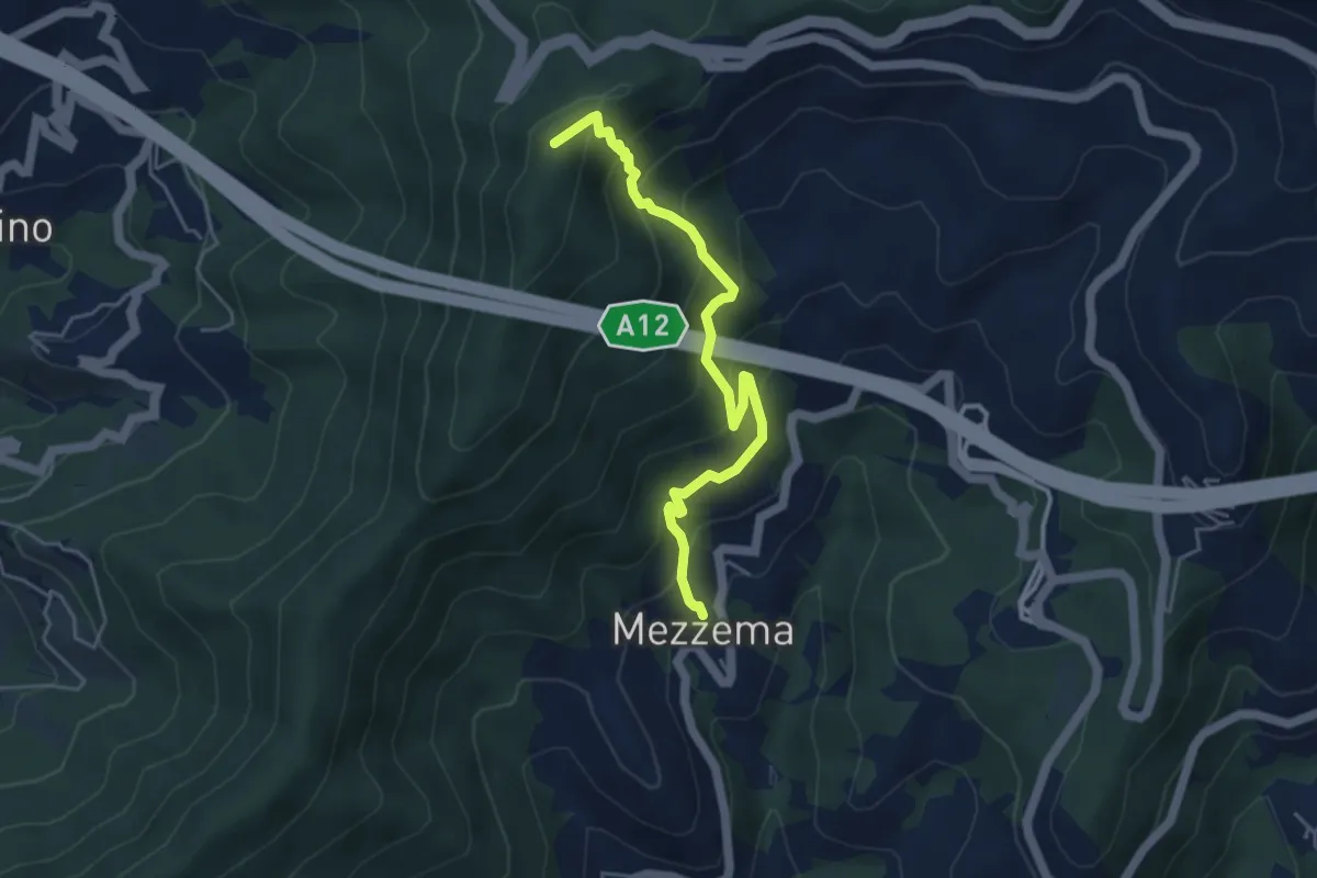
Medium · Summit
Mezzema – Casa Rollina – Monte Salto del Cavallo
4.9 km · ↑ 518 m · 2 h 16 min
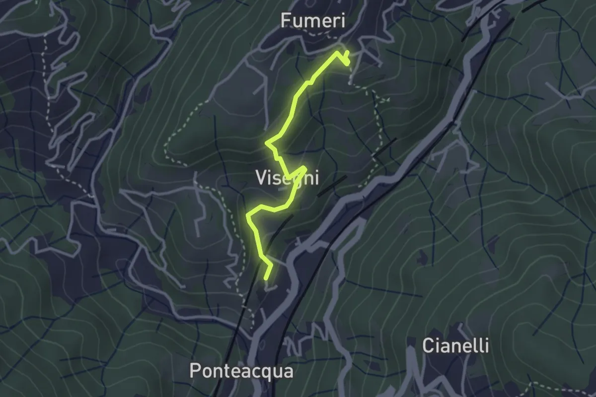
Medium · Trail
Mignanego - Visegni - Fumeri
2.7 km · ↑ 148 m · 58 min
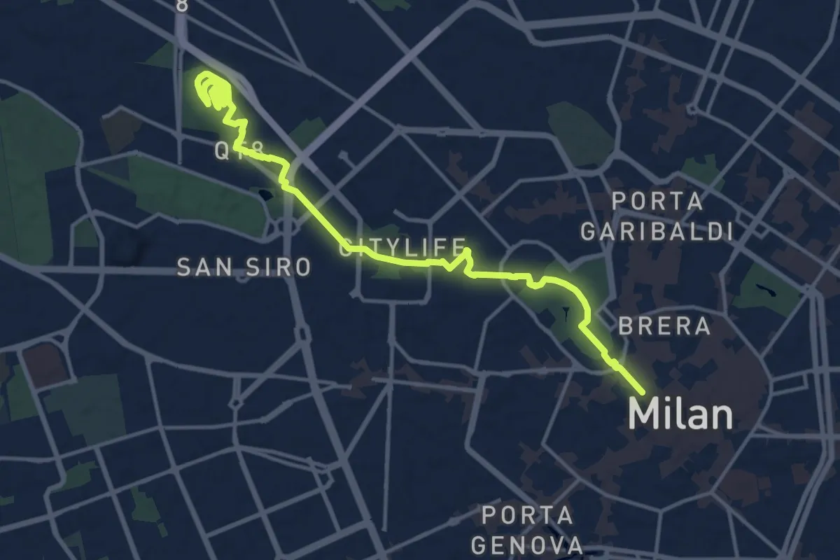
Medium · Summit
MilanoInCima
16.0 km · ↑ 76 m · 3 h 57 min
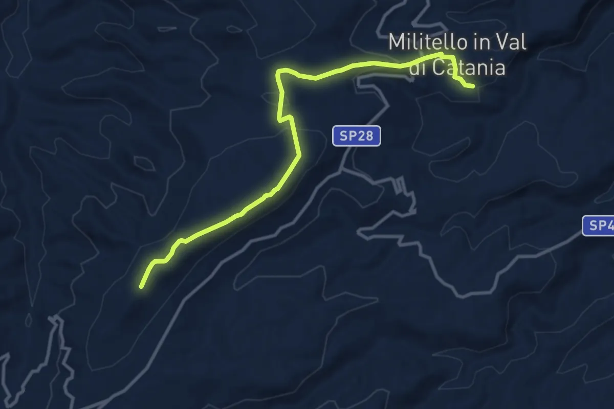
Medium · Trail
Militello Val di Catania - Santa Croce
11.6 km · ↑ 290 m · 3 h 22 min
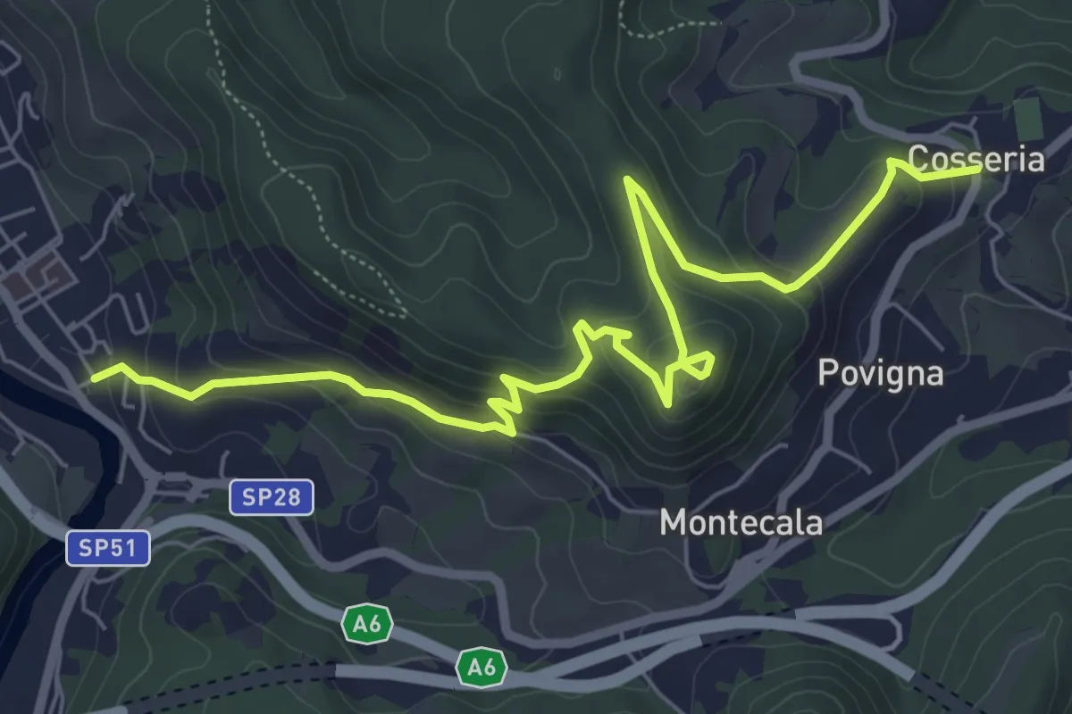
Medium · Trail
Millesimo - Castello di Cosseria - Cosseria
7.8 km · ↑ 399 m · 2 h 43 min
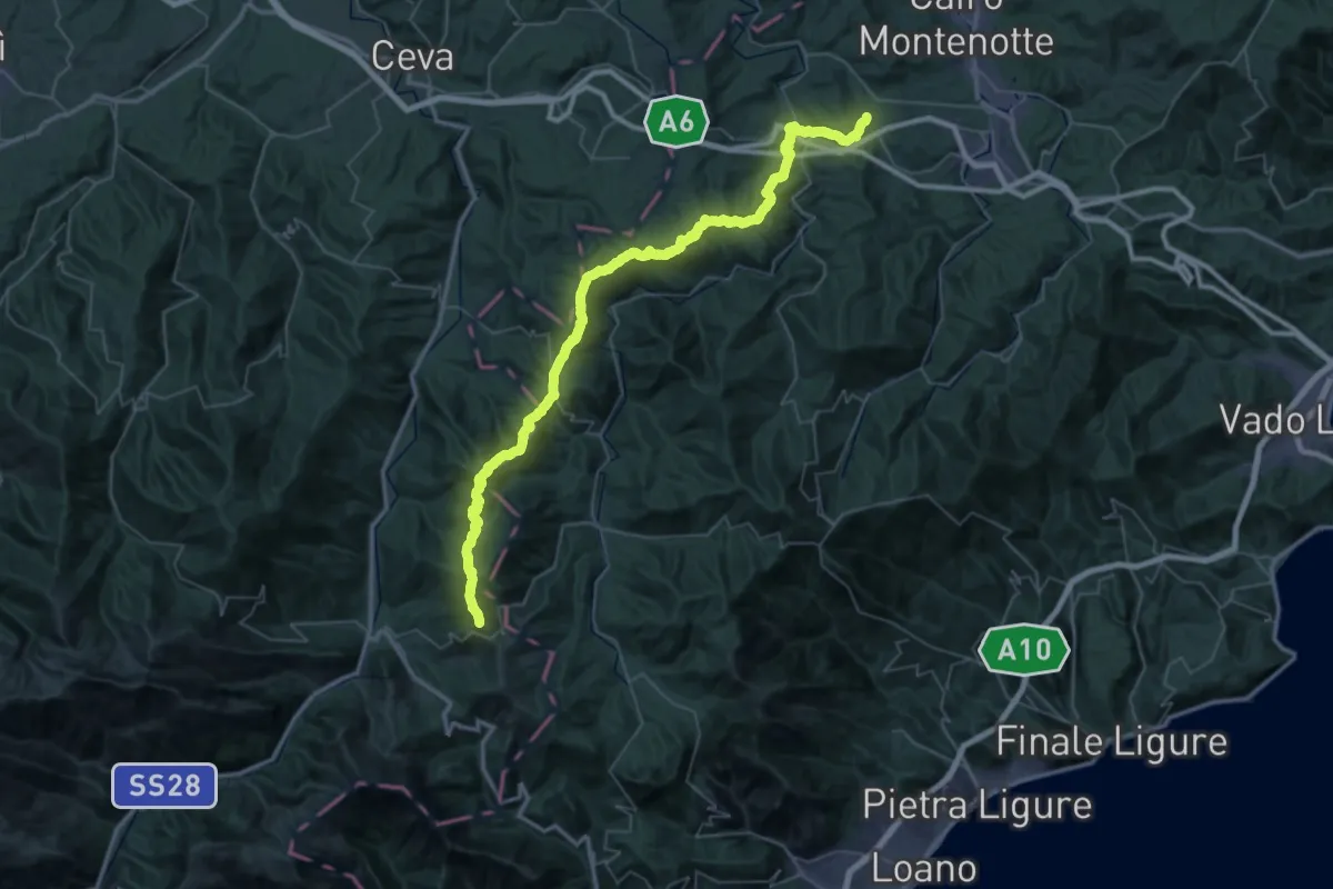
Demanding · Summit
Millesimo - Colle Quazzo
61.4 km · ↑ 2307 m · 19 h 30 min
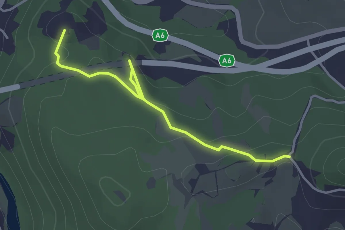
Easy · Summit
Millesimo - Tana dell'Orpe - la Colla
3.2 km · ↑ 93 m · 57 min
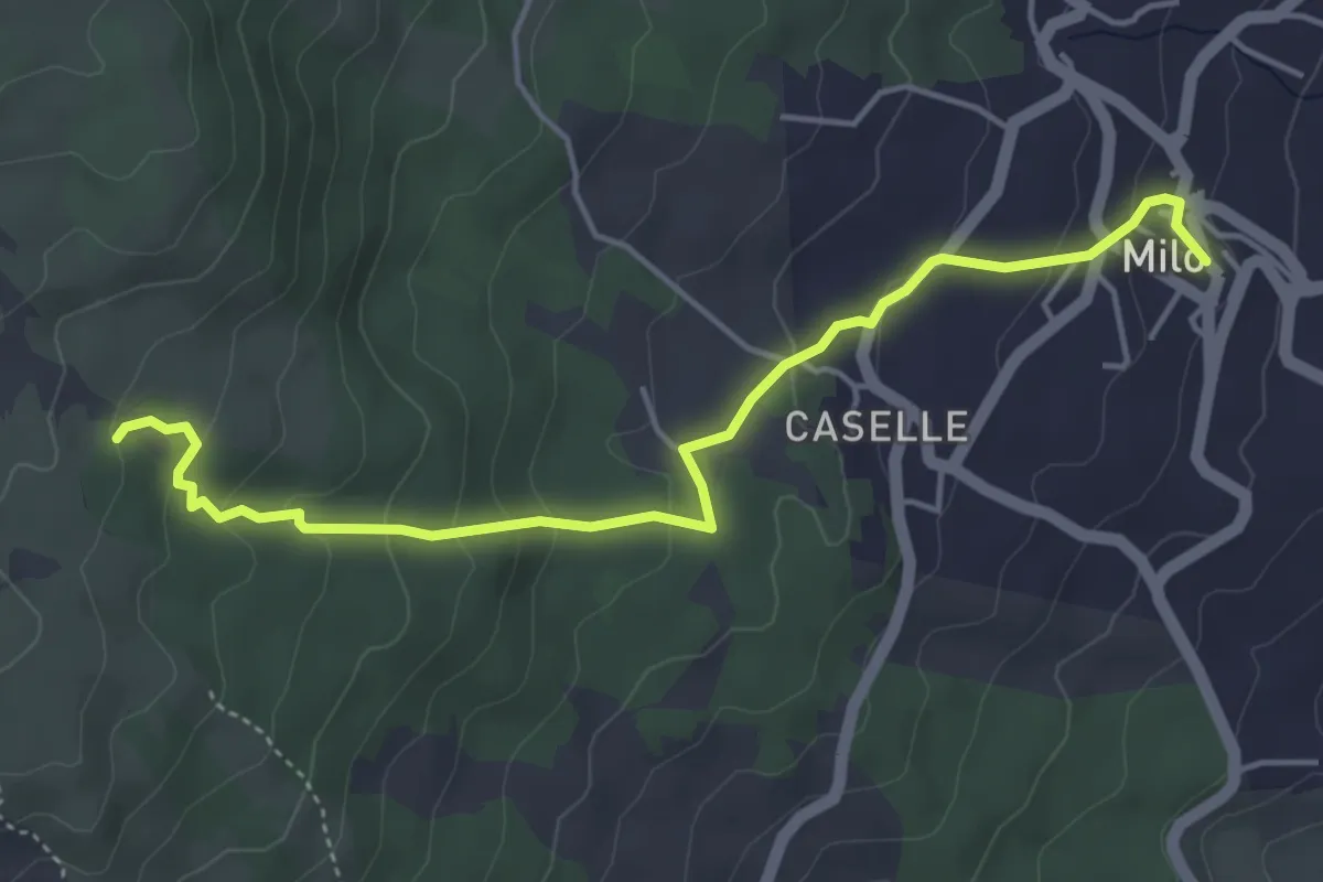
Easy · Trail
Milo - Sentiero 724
5.5 km · ↑ 251 m · 1 h 51 min
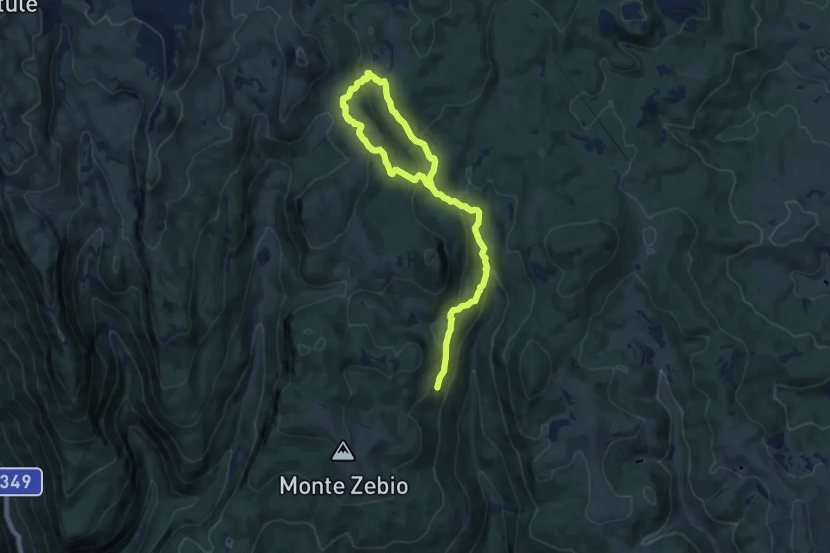
Medium · Trail
Mina della Botte
7.6 km · ↑ 327 m · 2 h 38 min
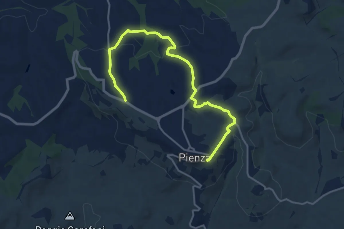
Medium · Trail
Miniera
11.1 km · ↑ 310 m · 3 h 18 min
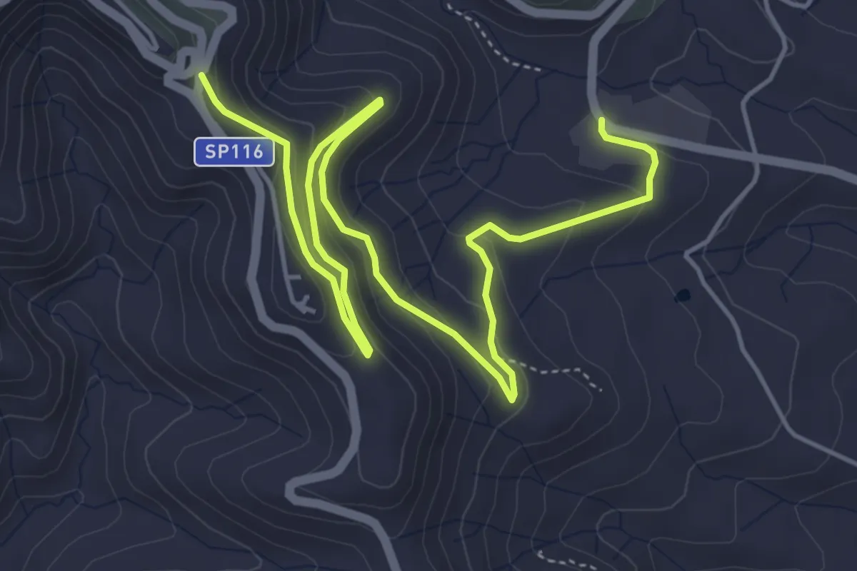
Medium · Trail
Miniere Marmora
7.9 km · ↑ 346 m · 2 h 36 min
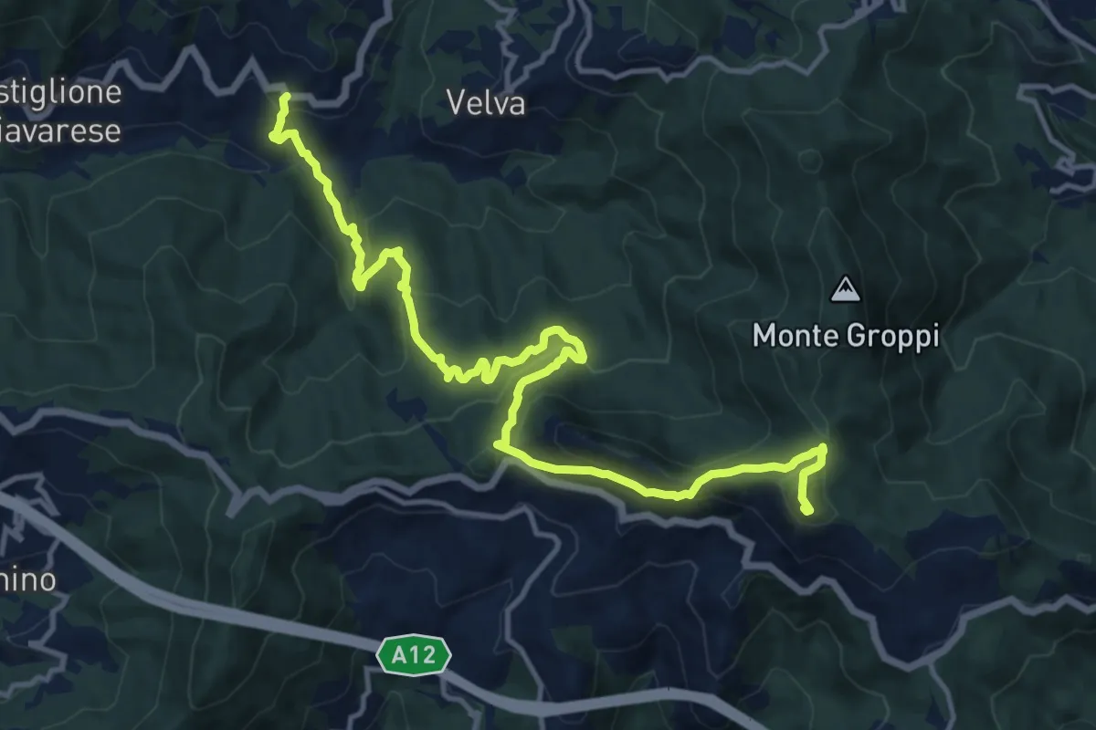
Demanding · Summit
Missano - Monte San Nicolao
15.3 km · ↑ 801 m · 5 h 21 min
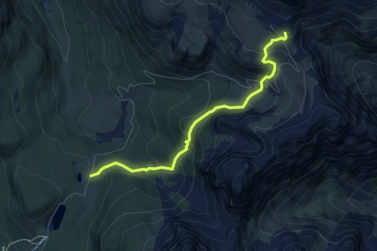
Medium · Cabin
Misurina Casello - Rifugio Auronzo
6.5 km · ↑ 471 m · 2 h 33 min
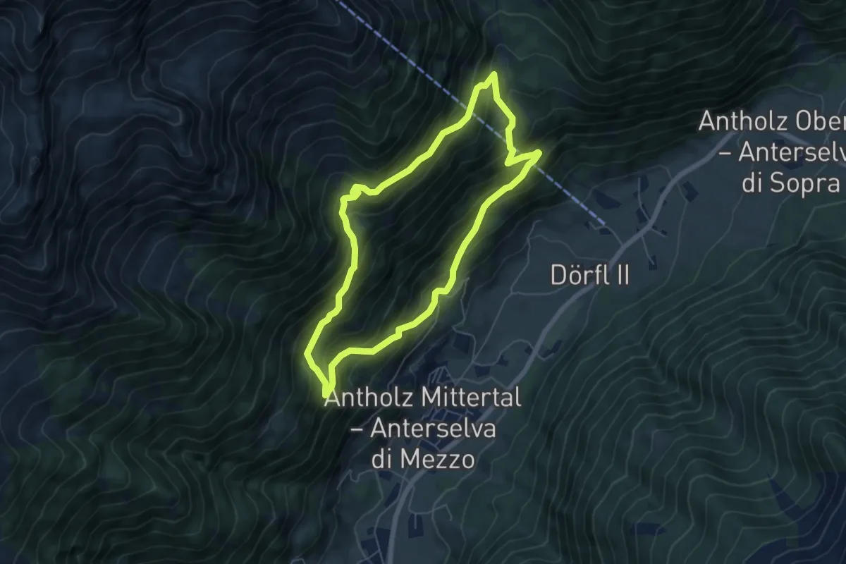
Medium · Trail
Mittertaler Höhenweg
5.4 km · ↑ 495 m · 2 h 26 min
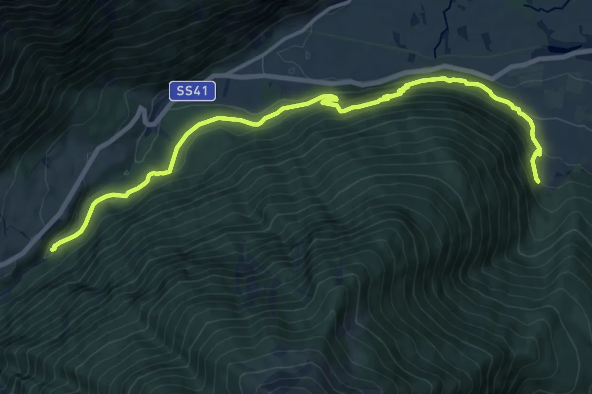
Medium · Trail
Mitterwaal
10.9 km · ↑ 623 m · 3 h 56 min
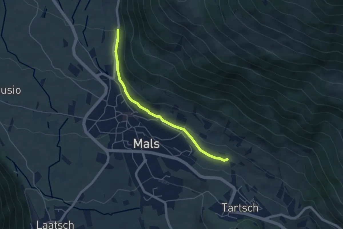
Easy · Trail
Mitterwaal
4.2 km · ↑ 78 m · 1 h 10 min
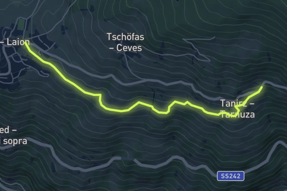
Easy · Trail
Mitterweg
5.6 km · ↑ 219 m · 1 h 47 min
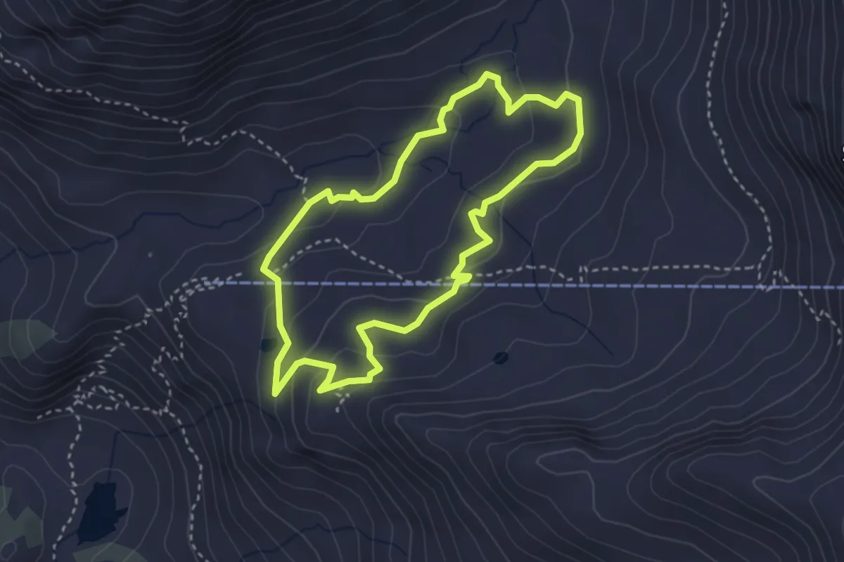
Demanding · Trail
Mittlerer Erlebnispfad
3.0 km · ↑ 116 m · 1 h