Trails in Italy
25,221 hiking trails, each with its route, climb, walking time and grade.
All trails, page 102 of 526
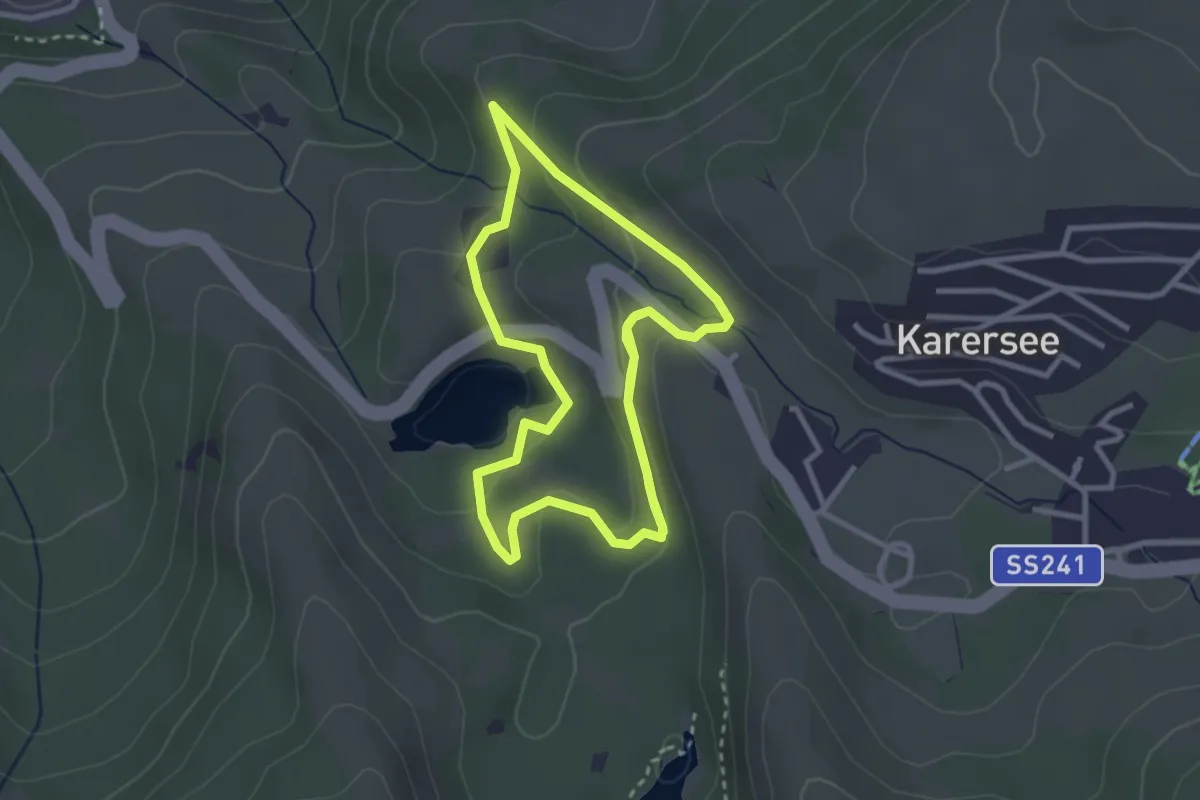
Easy · Trail
Mittlerer Rundweg am Karer See
6.1 km · ↑ 161 m · 1 h 47 min
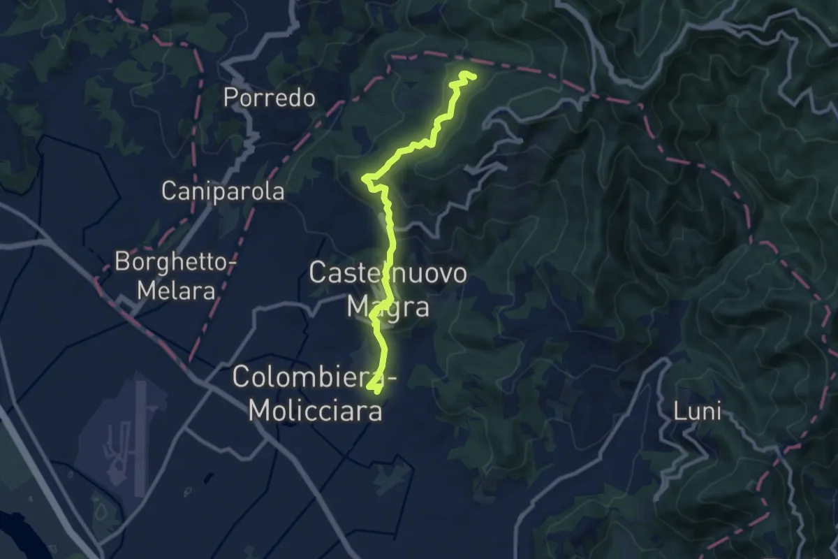
Medium · Trail
M.no del Piano - Castelnuovo Magra - Casala
9.1 km · ↑ 572 m · 3 h 23 min
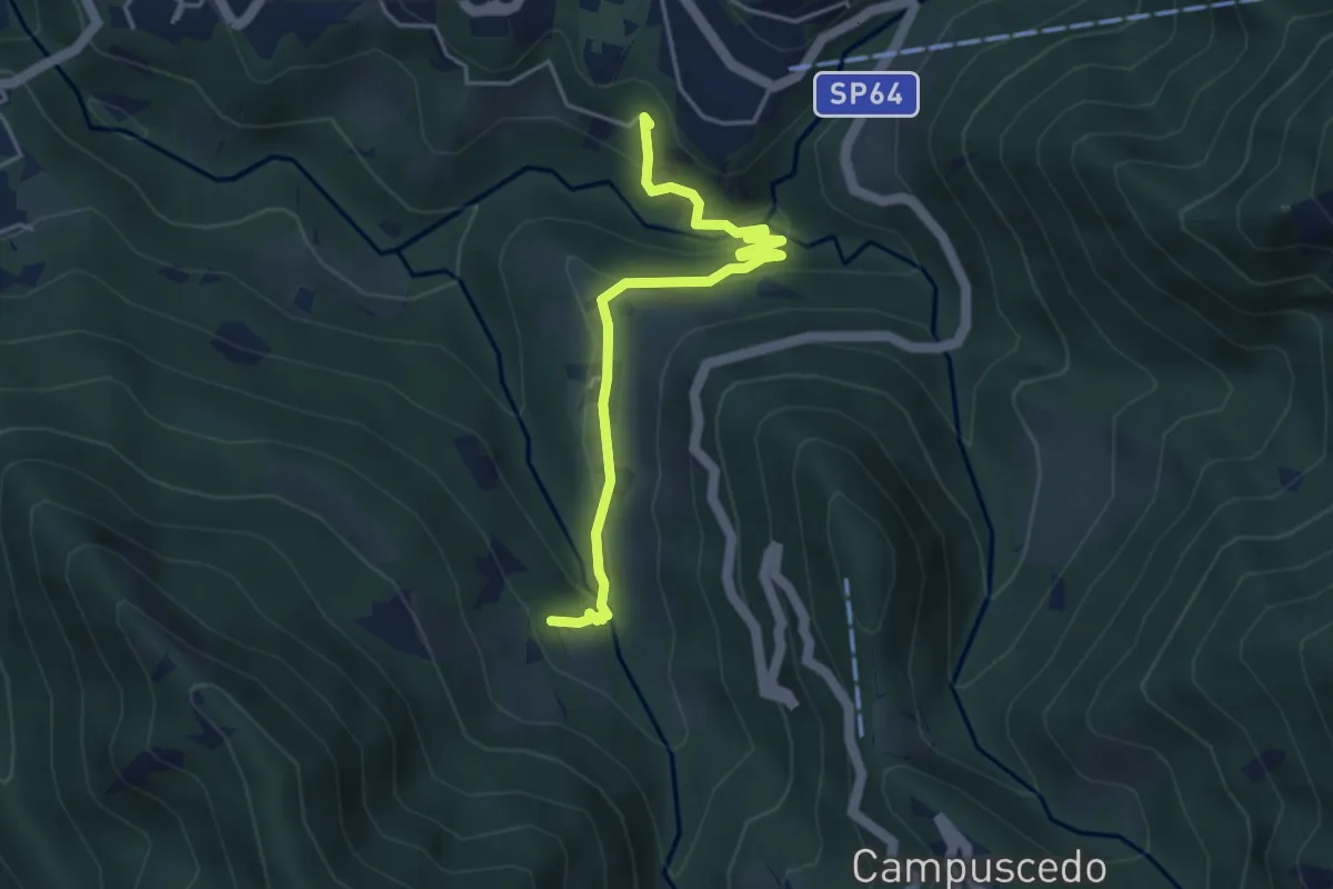
Easy · Trail
Moggio - Ussola
4.5 km · ↑ 162 m · 1 h 24 min
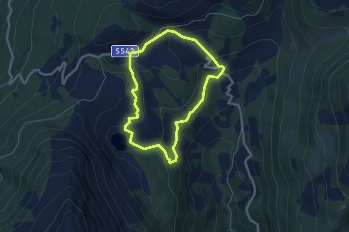
Easy · Trail
Moiàc
4.2 km · ↑ 194 m · 1 h 27 min
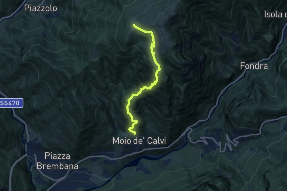
Demanding · Trail
Moio de' Calvi - Monte Torcola
8.3 km · ↑ 973 m · 4 h 4 min
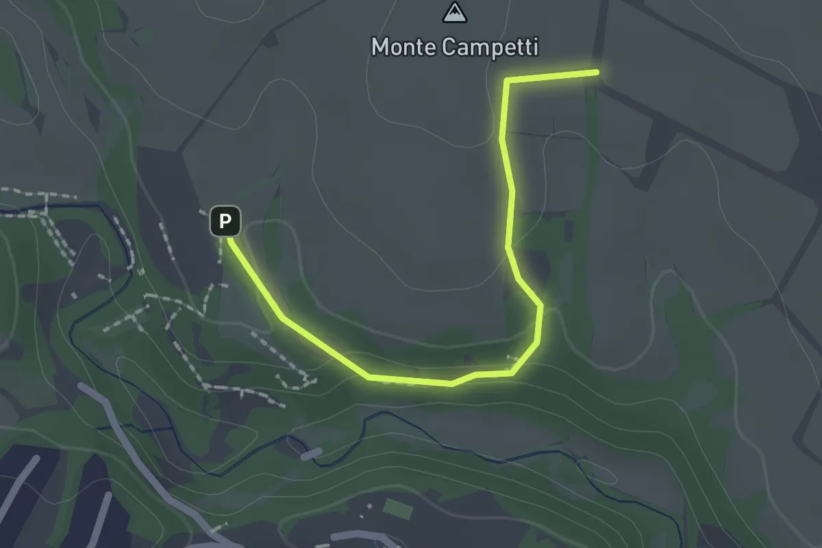
Easy · Summit
Mola di Farnese - Campetti
1.0 km · ↑ 25 m · 18 min
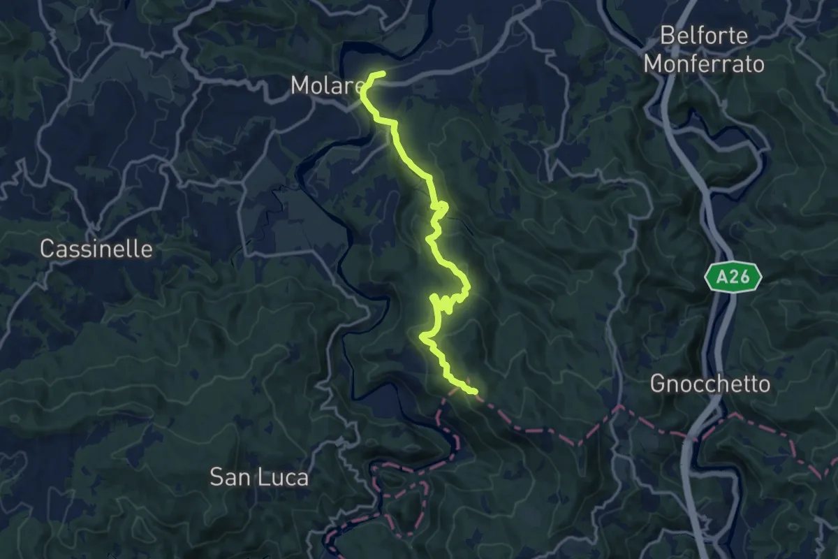
Medium · Summit
Molare (FS) - Varanzana - Pendici Ovest Bric del Love e del Termo - Le Ciazze - Rossiglione (FS)
13.8 km · ↑ 593 m · 4 h 32 min
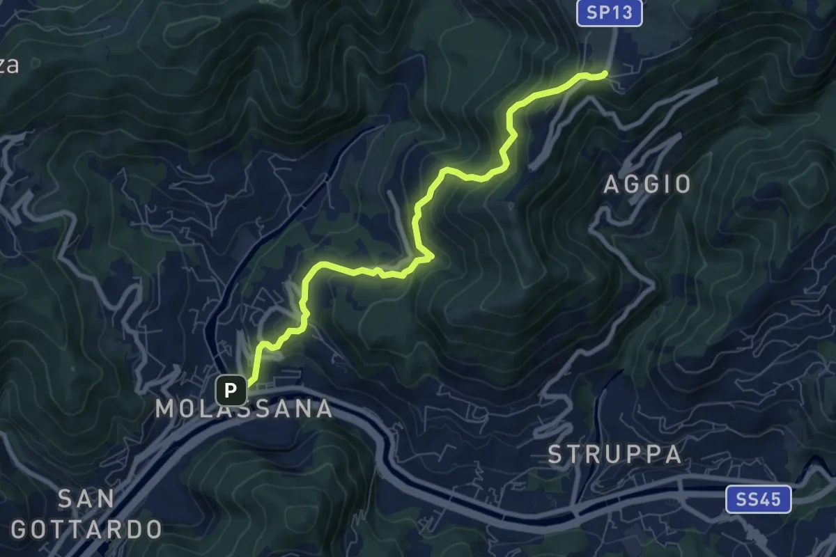
Medium · Trail
Molassana - Creto
8.1 km · ↑ 641 m · 3 h 18 min
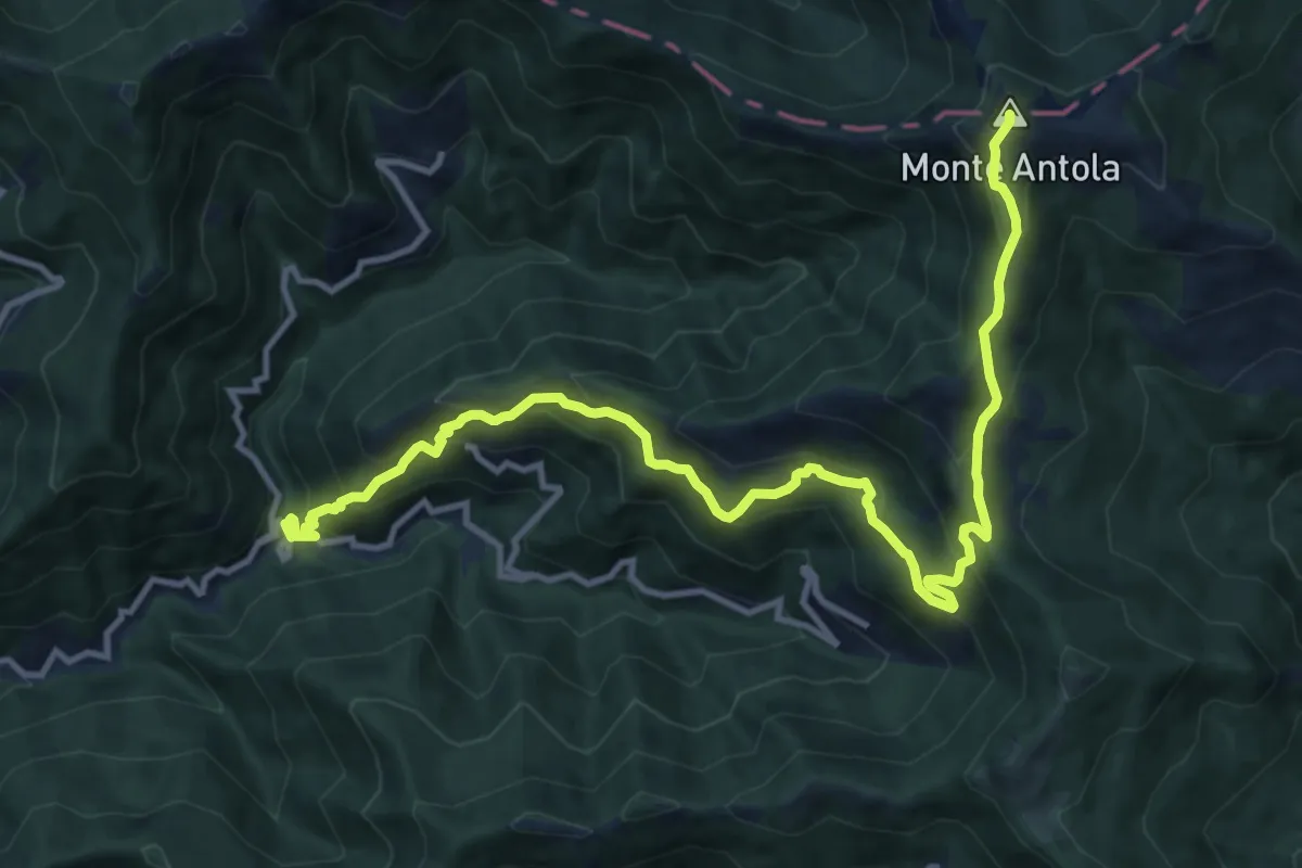
Demanding · Summit
Molino del Fullo - Monte Antola
14.3 km · ↑ 1154 m · 5 h 53 min
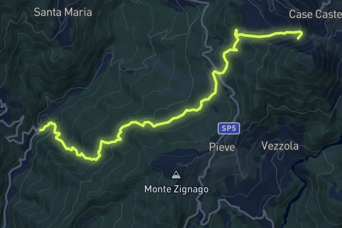
Medium · Trail
Molino I Boschi - Prainà - Debbio - Vezzanelli (Bivio 141)
12.3 km · ↑ 704 m · 4 h 26 min
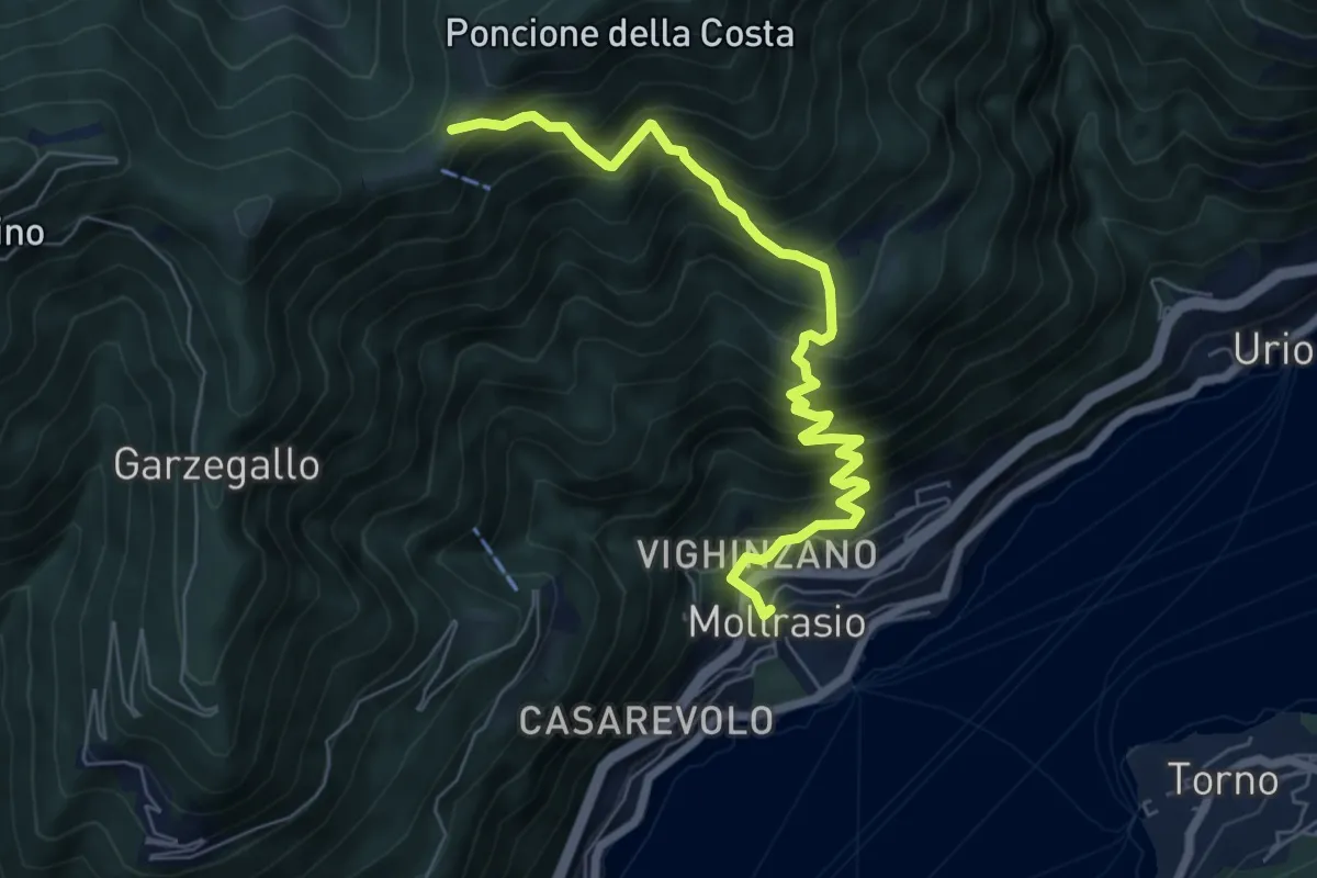
Demanding · Cabin
Moltrasio - Rifugio Bugone
7.1 km · ↑ 891 m · 3 h 36 min
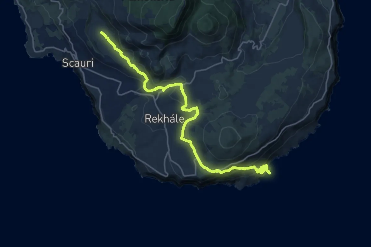
Demanding · Trail
Monastero - Raháli - Punta Limársi
19.6 km · ↑ 893 m · 6 h 34 min
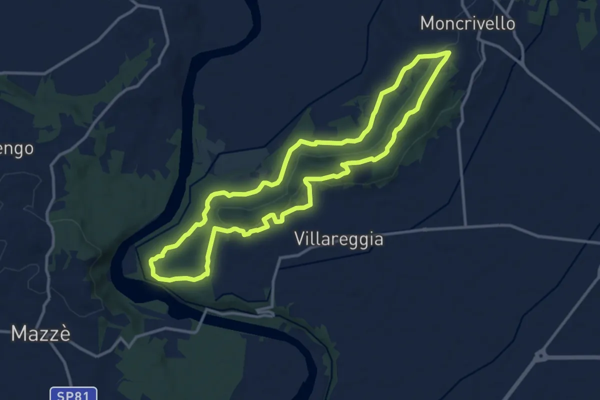
Medium · Trail
MoncriVilla Trail BLU
10.5 km · ↑ 172 m · 3 h
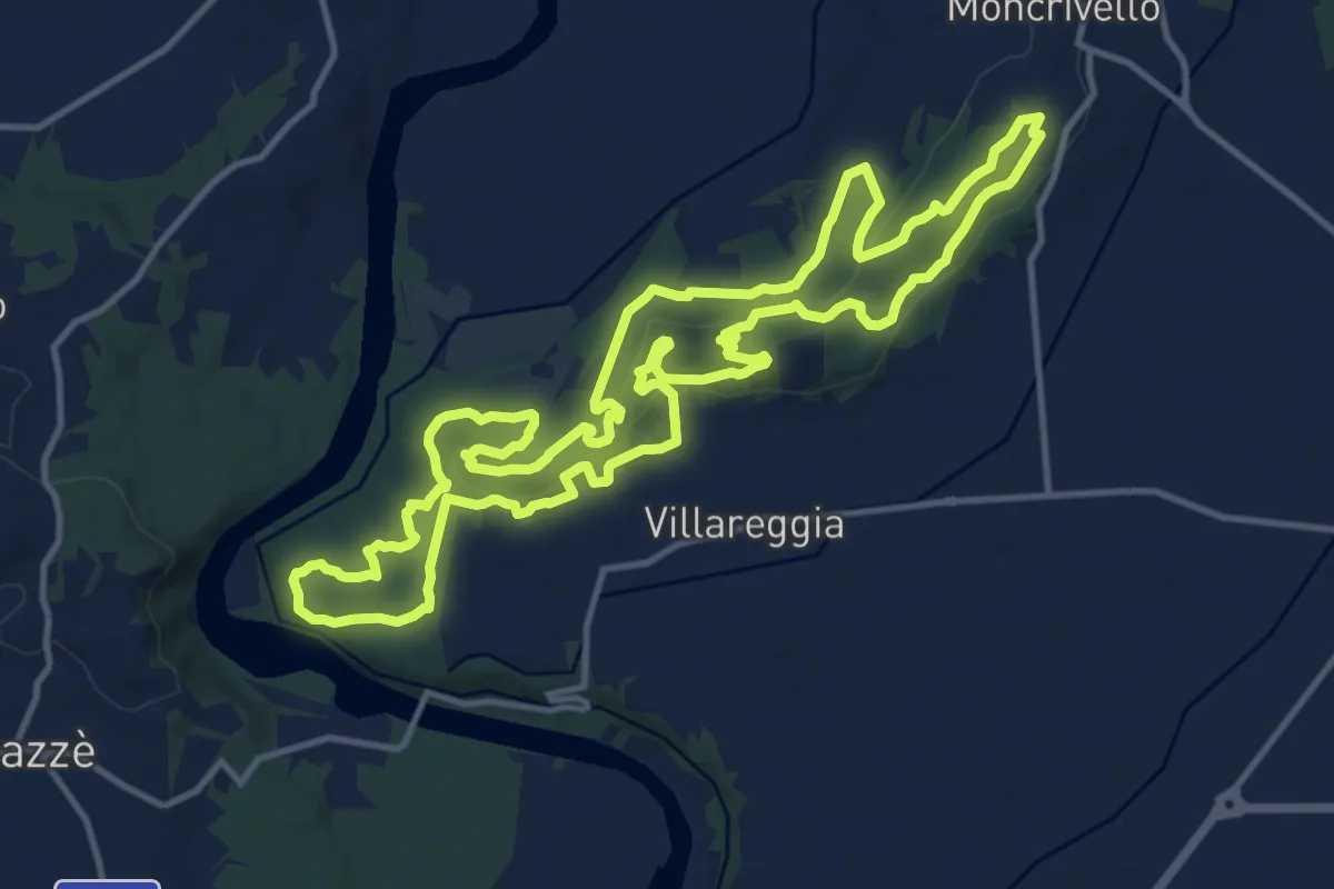
Medium · Trail
MoncriVilla Trail ROSSO
14.7 km · ↑ 356 m · 4 h 26 min
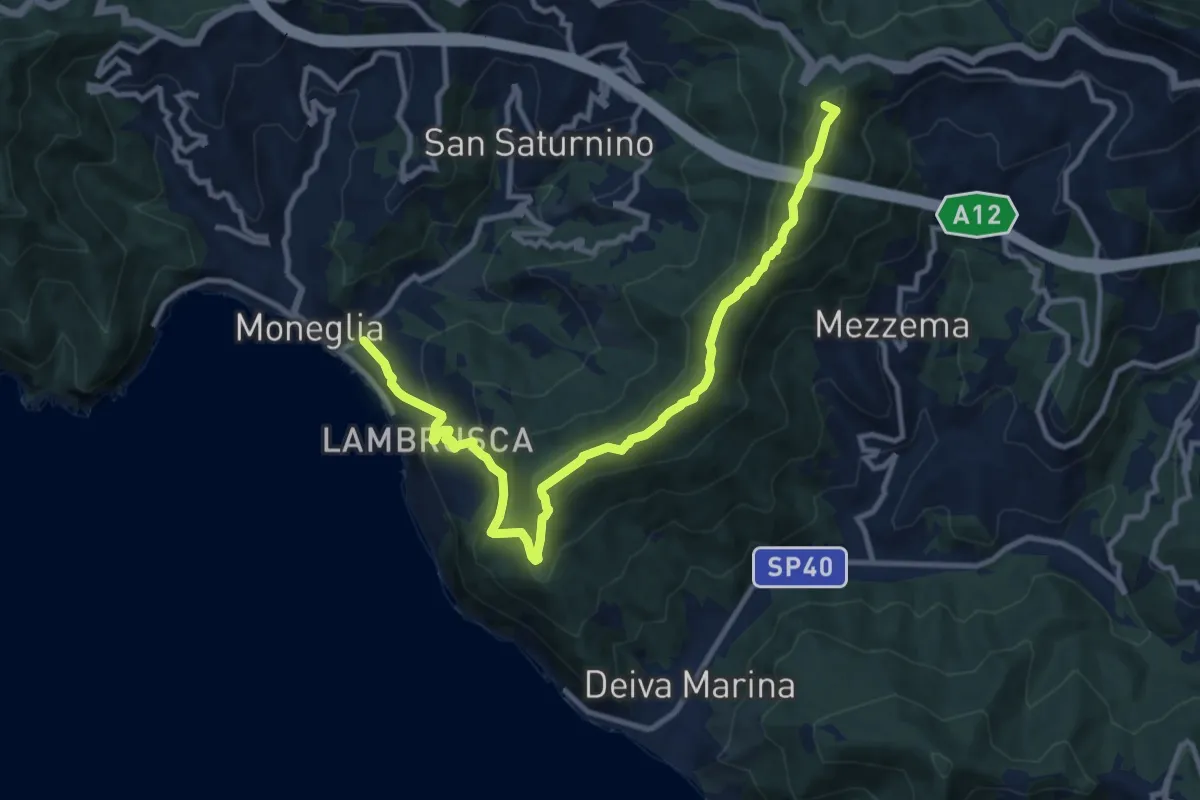
Medium · Summit
Moneglia - Baracchino
12.5 km · ↑ 752 m · 4 h 35 min
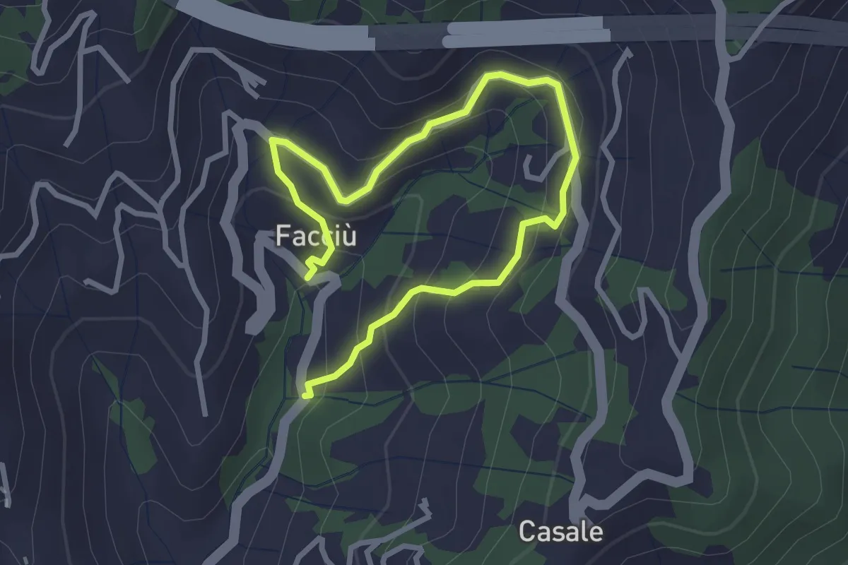
Easy · Trail
Moneglia - Camposoprano - Facciù
3.8 km · ↑ 274 m · 1 h 30 min
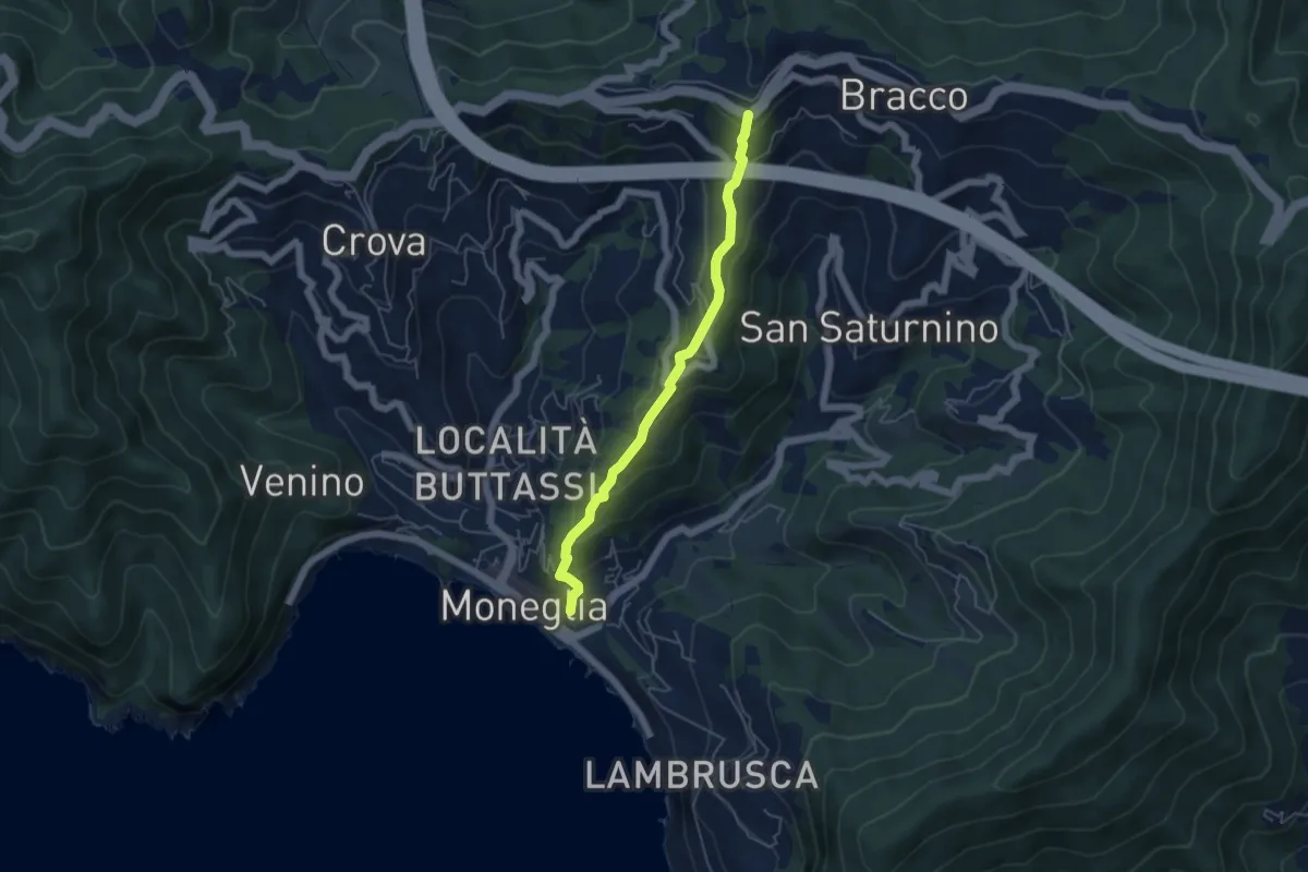
Medium · Trail
Moneglia - Casale - Bracco
4.9 km · ↑ 350 m · 1 h 55 min
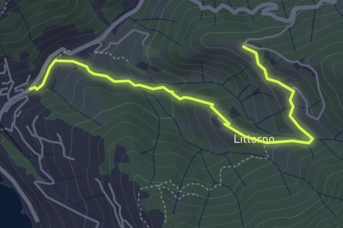
Easy · Trail
Moneglia - Littorno - Stozio
4.8 km · ↑ 255 m · 1 h 41 min
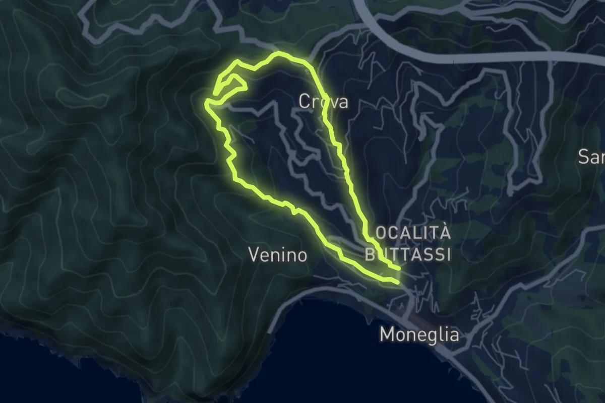
Medium · Trail
Moneglia - Montelugo - Moneglia
5.0 km · ↑ 374 m · 2 h 3 min
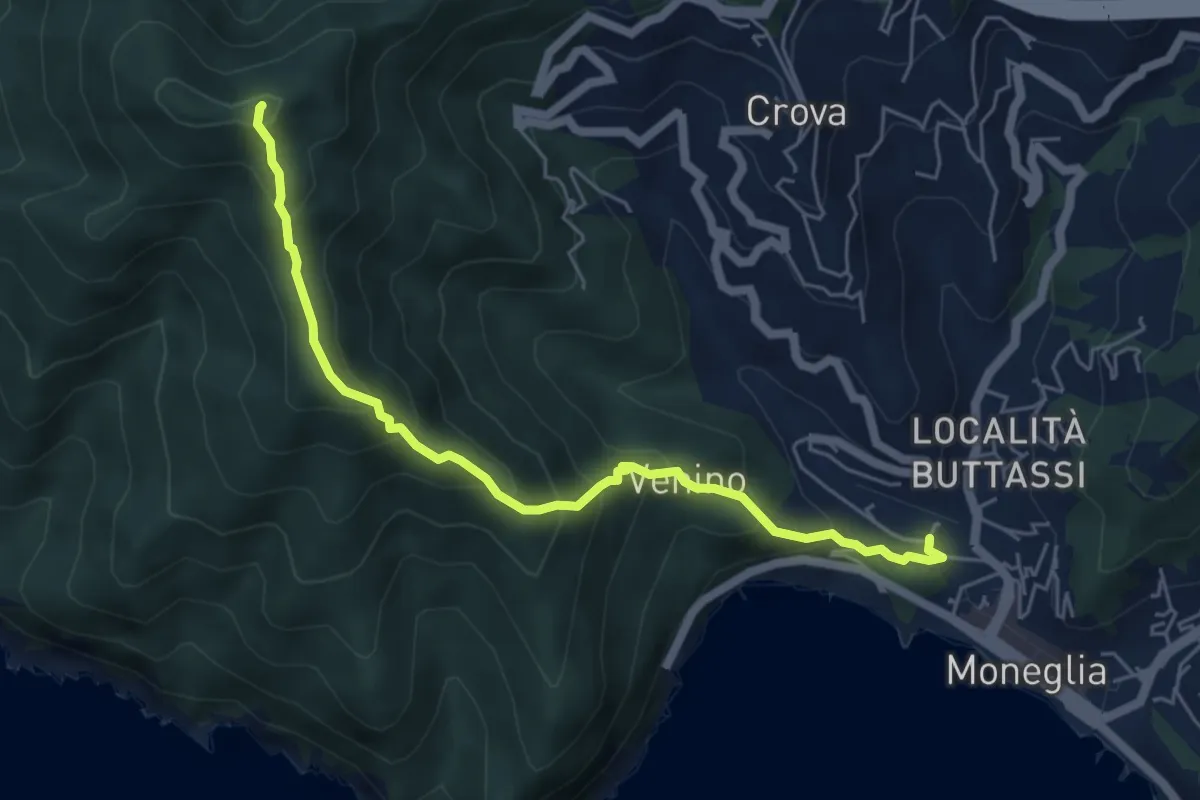
Expert · Summit
Moneglia - Monte Moneglia
5.8 km · ↑ 478 m · 2 h 24 min
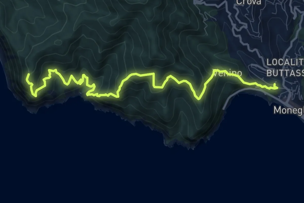
Expert · Trail
Moneglia-Punta Baffe
12.3 km · ↑ 1123 m · 5 h 20 min
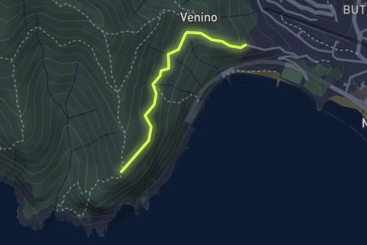
Easy · Trail
Moneglia - Recroso
2.3 km · ↑ 151 m · 52 min
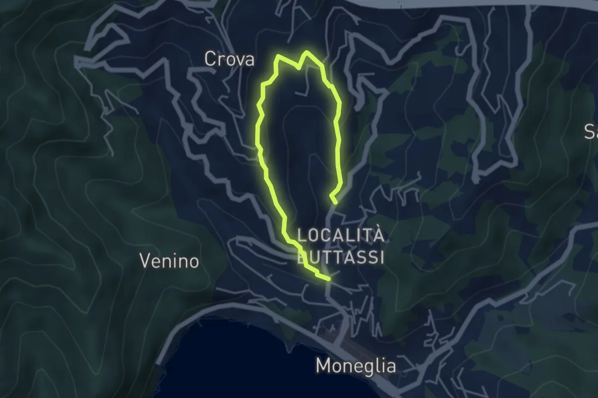
Medium · Trail
Moneglia - S. Lorenzo - Moneglia
4.7 km · ↑ 367 m · 1 h 54 min
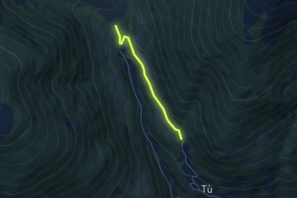
Easy · Trail
Monno (Mortirolo) - Villa Dalegno
3.3 km · ↑ 109 m · 1 h 1 min
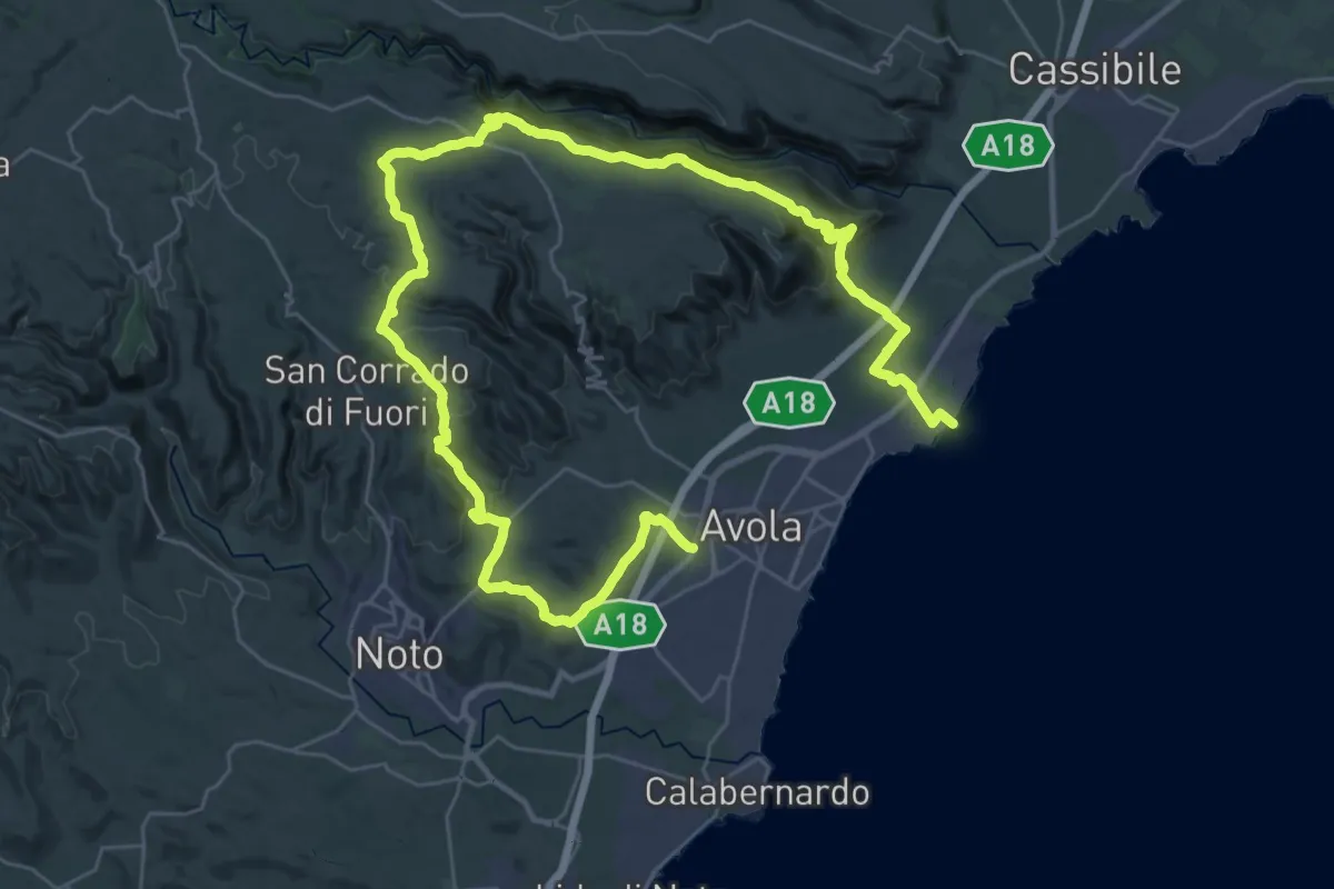
Demanding · Trail
Montagna d'Avola
28.5 km · ↑ 887 m · 9 h 1 min
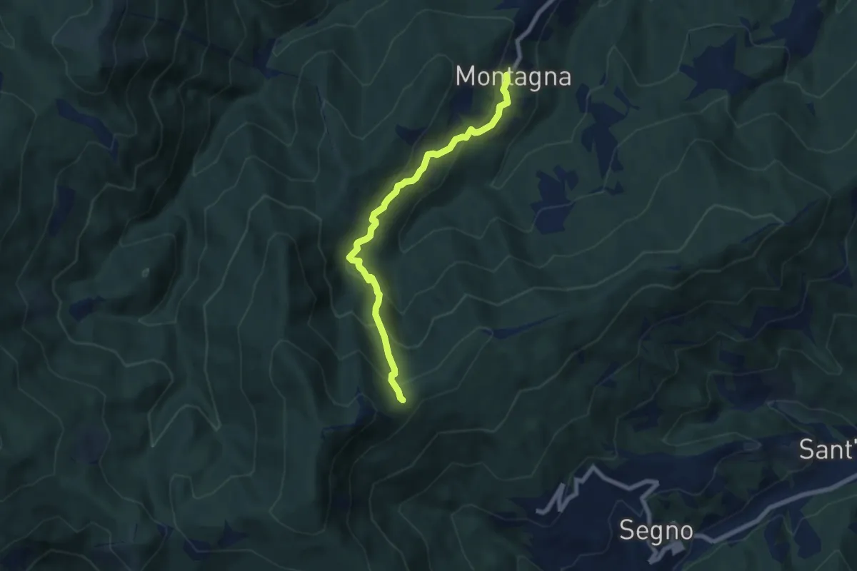
Medium · Trail
Montagna - Rocca dei Corvi
6.6 km · ↑ 498 m · 2 h 39 min
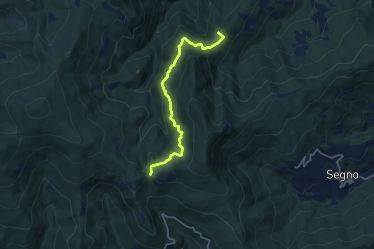
Medium · Summit
Montagna - Rocche Bianche (diretta)
8.7 km · ↑ 419 m · 2 h 58 min
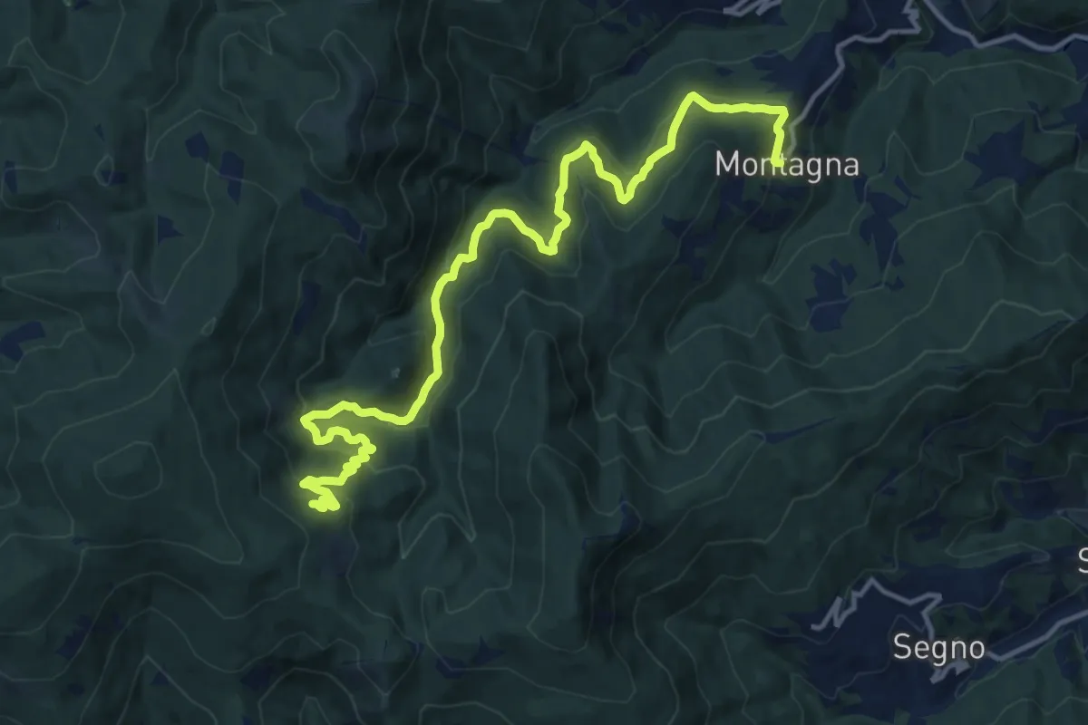
Demanding · Trail
Montagna - Torrente Trexenda - Rocche Bianche
16.7 km · ↑ 879 m · 5 h 51 min
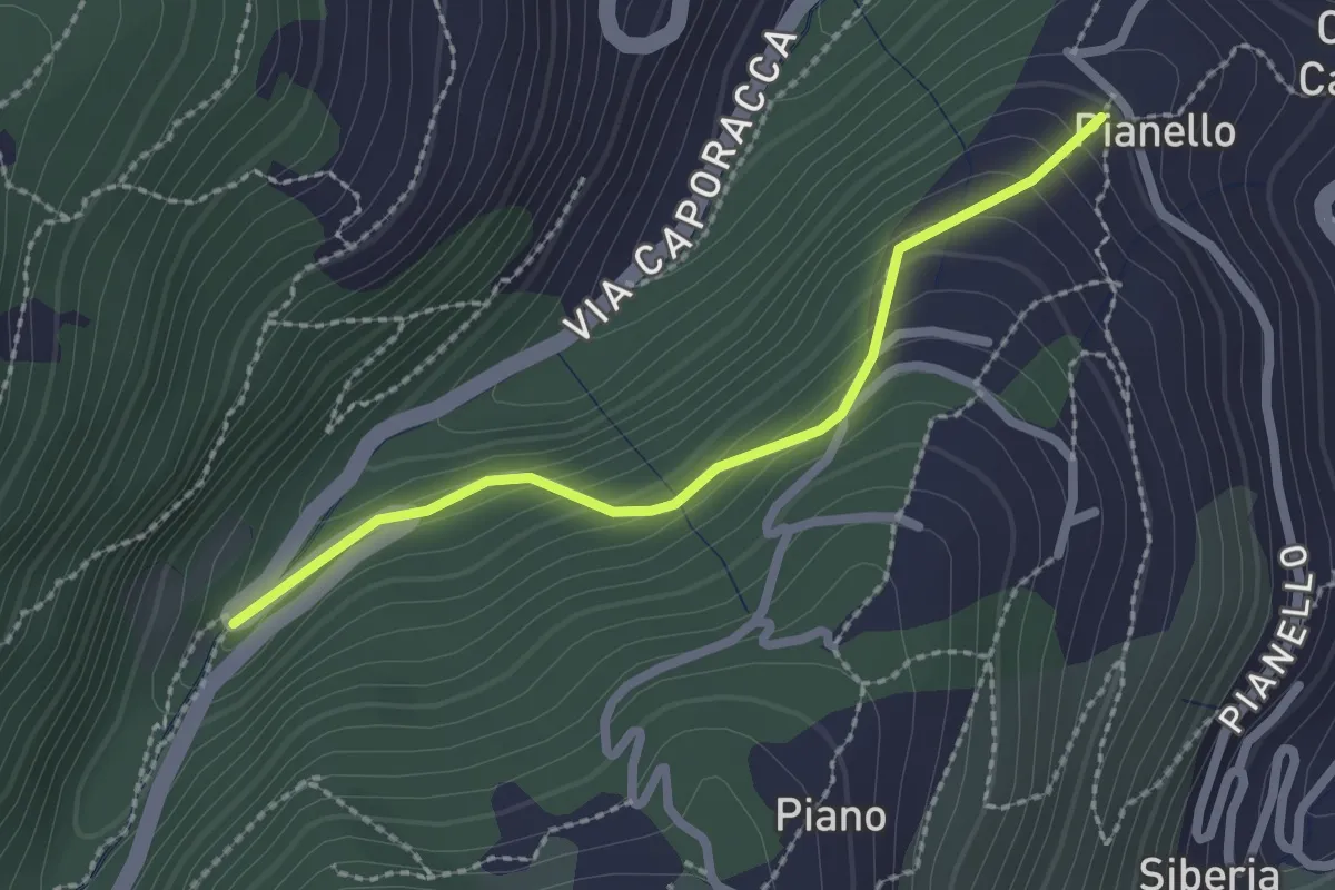
Easy · Trail
Montale – innesto sent. 528
2.2 km · ↑ 140 m · 50 min
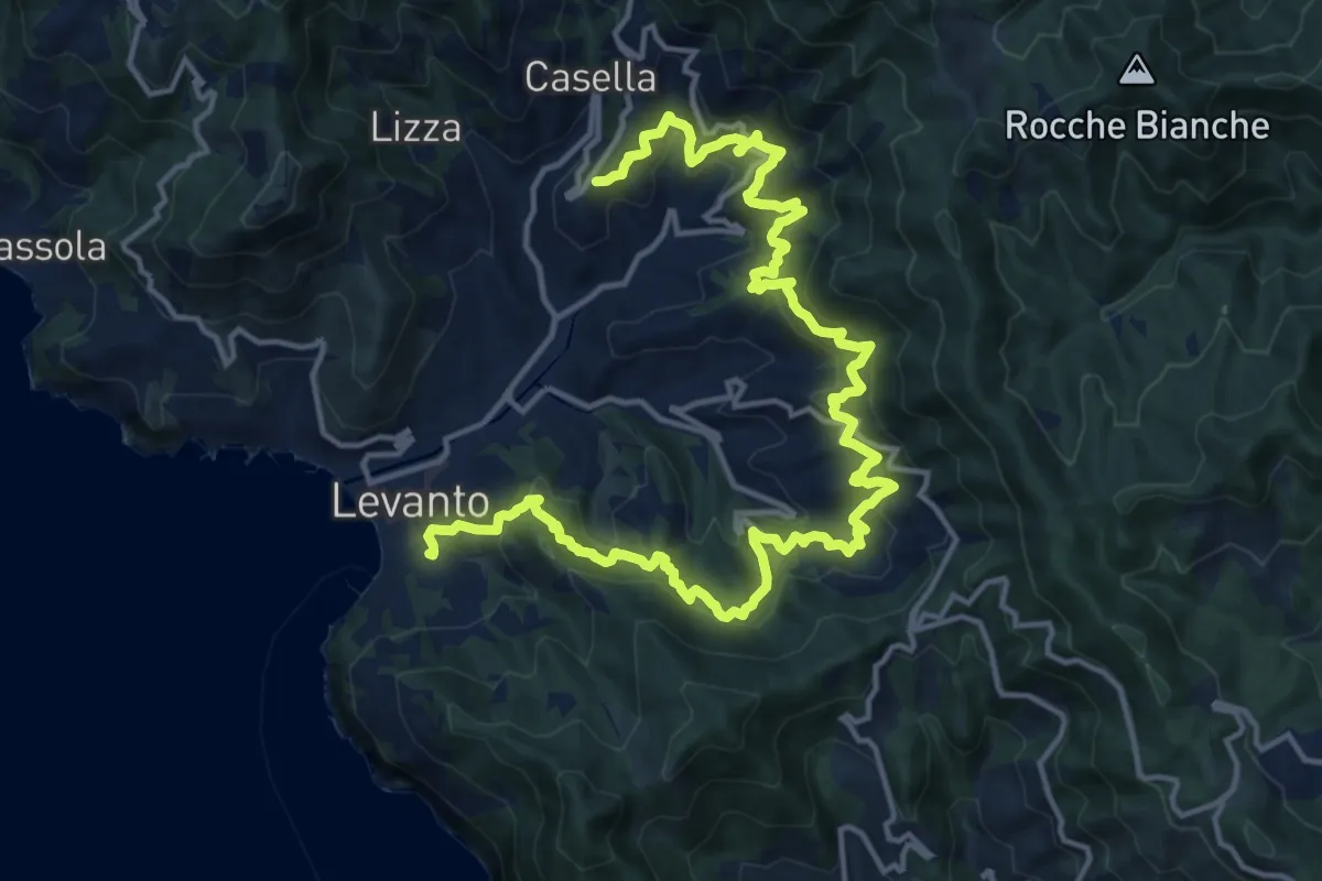
Demanding · Trail
Montale – Pastine – Legnaro – Chiesanova - Fontona - Levanto
10.8 km · ↑ 885 m · 4 h 33 min
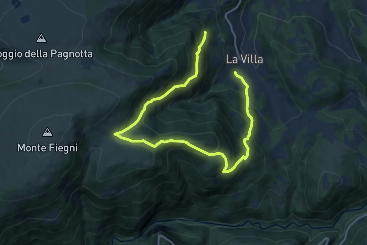
Demanding · Trail
Montalto di Cessapalombo/La Villa
13.2 km · ↑ 1034 m · 5 h 22 min
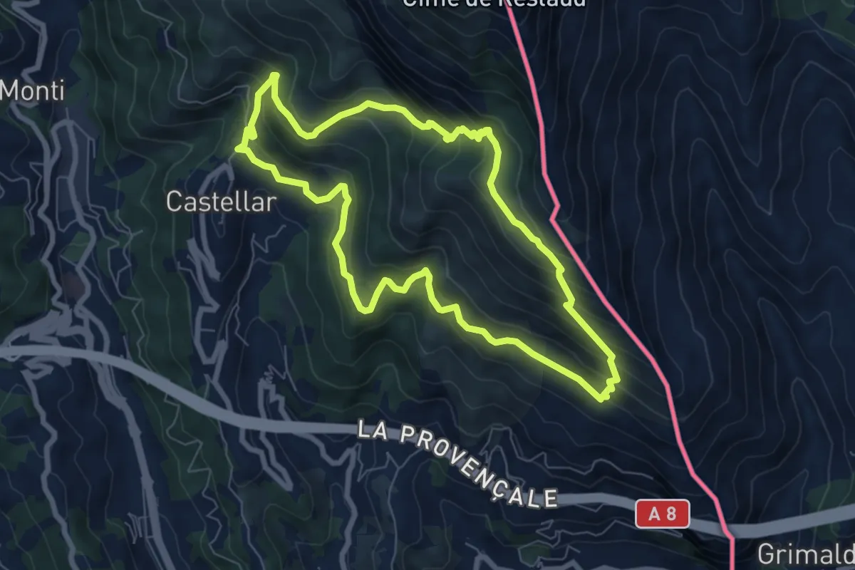
Medium · Summit
Mont Carpano
7.1 km · ↑ 512 m · 2 h 53 min
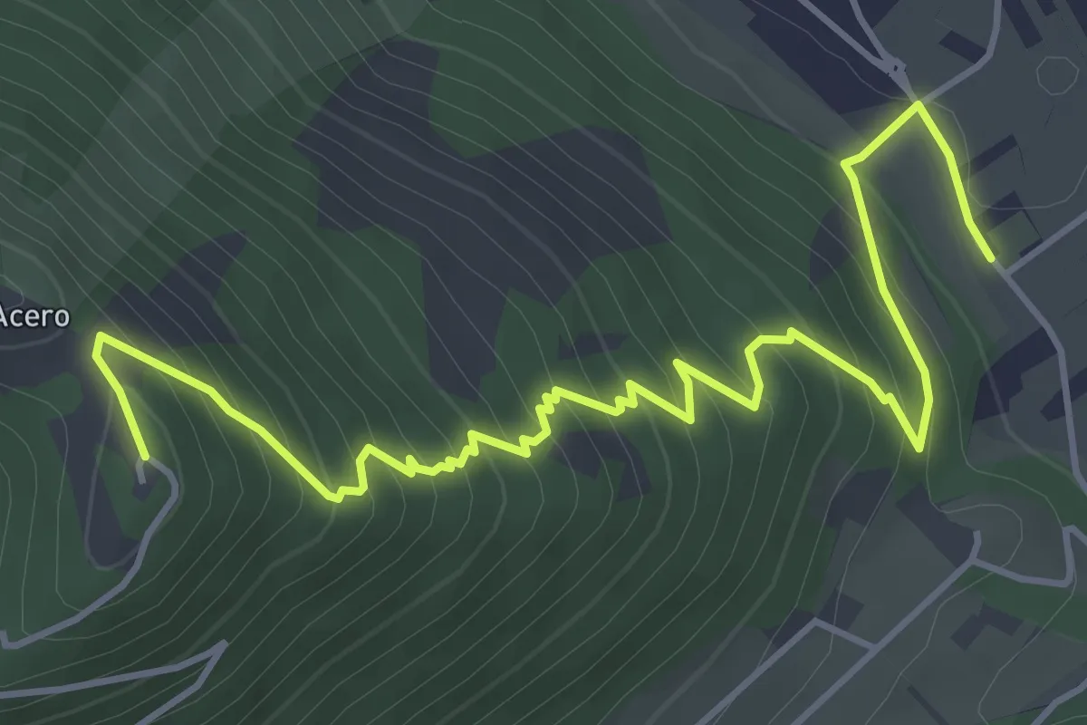
Medium · Trail
Monte Acero 18A
6.3 km · ↑ 527 m · 2 h 37 min
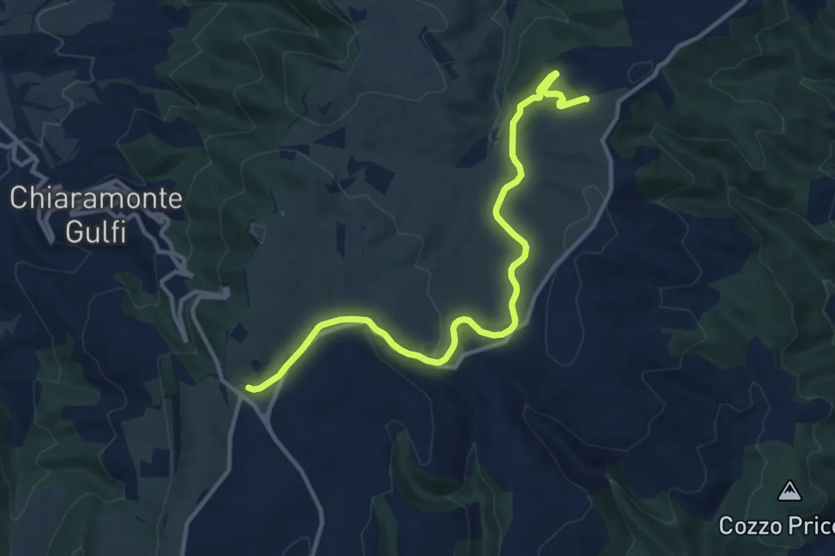
Demanding · Trail
Monte Arcibessi e Contrada Corulla
6.2 km · ↑ 132 m · 1 h 48 min
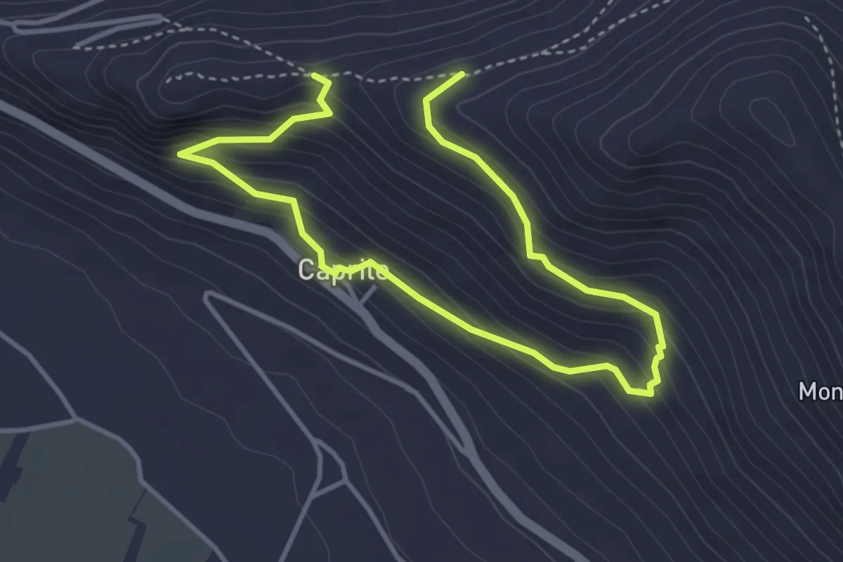
Medium · Trail
Monte Asprano - Caprile SB5
5.7 km · ↑ 459 m · 2 h 20 min
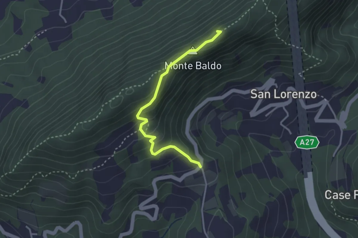
Medium · Summit
Monte Baldo
2.9 km · ↑ 190 m · 1 h 5 min
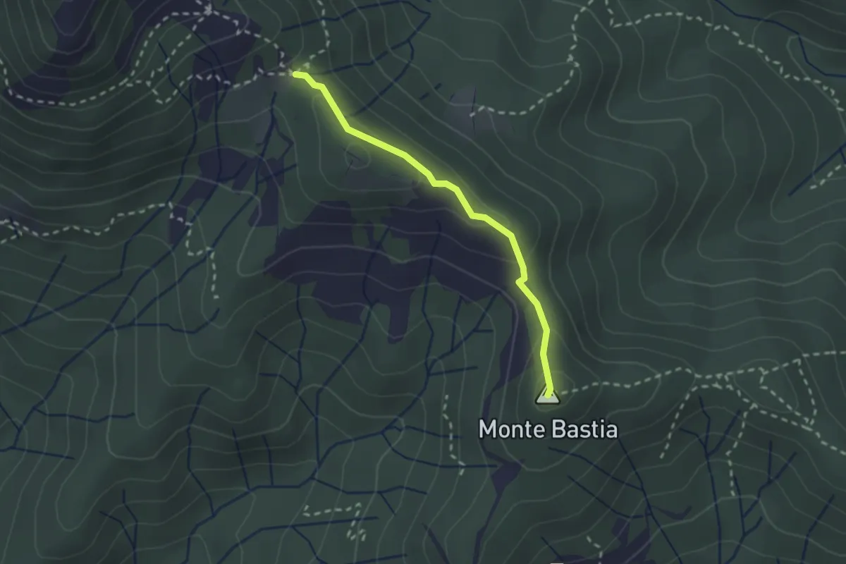
Medium · Summit
Monte Bastia - Monte Colello
2.2 km · ↑ 105 m · 45 min
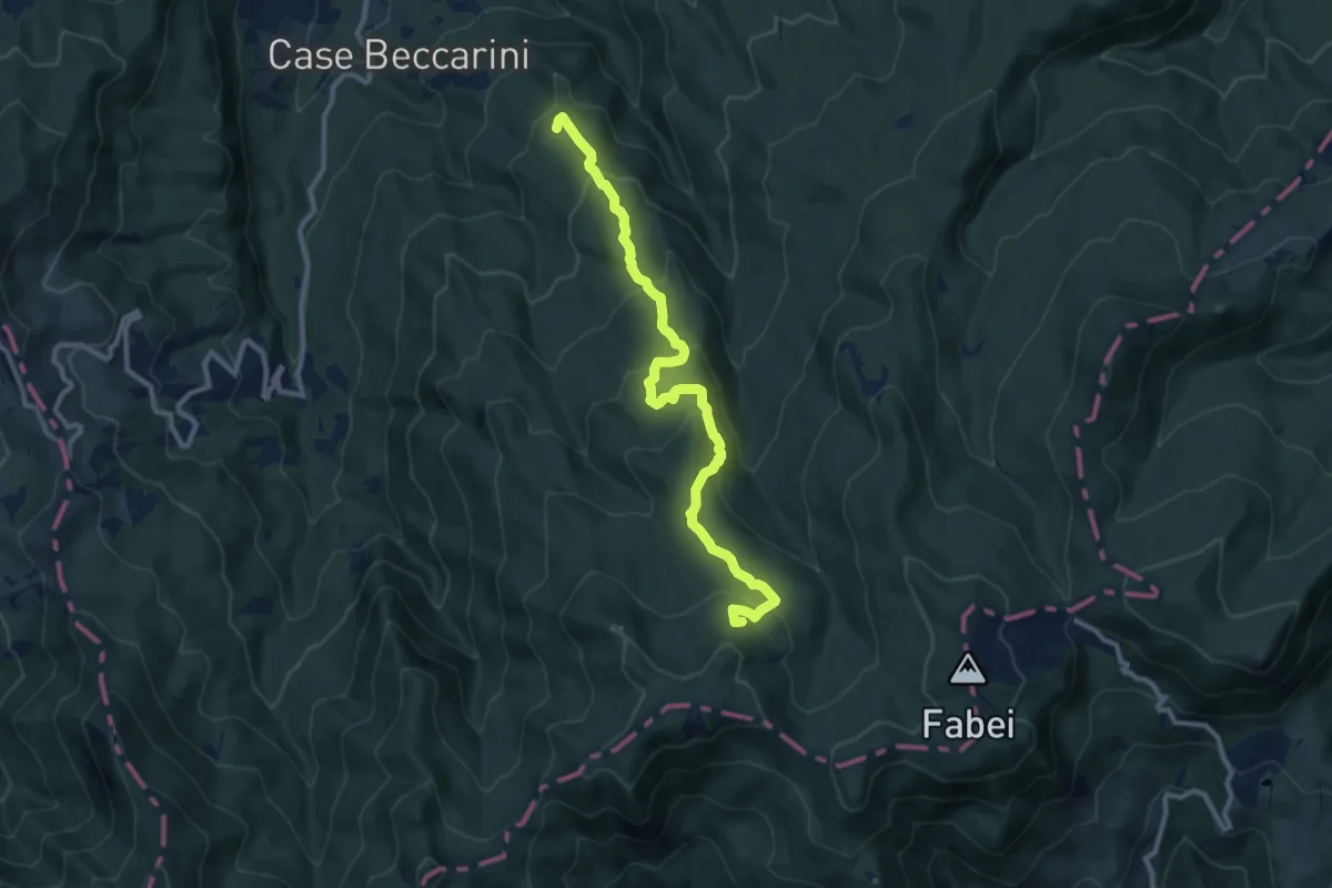
Medium · Summit
Monte Becco Mozzo-Castello Tondo-Fontana delle Piane
11.0 km · ↑ 605 m · 3 h 54 min
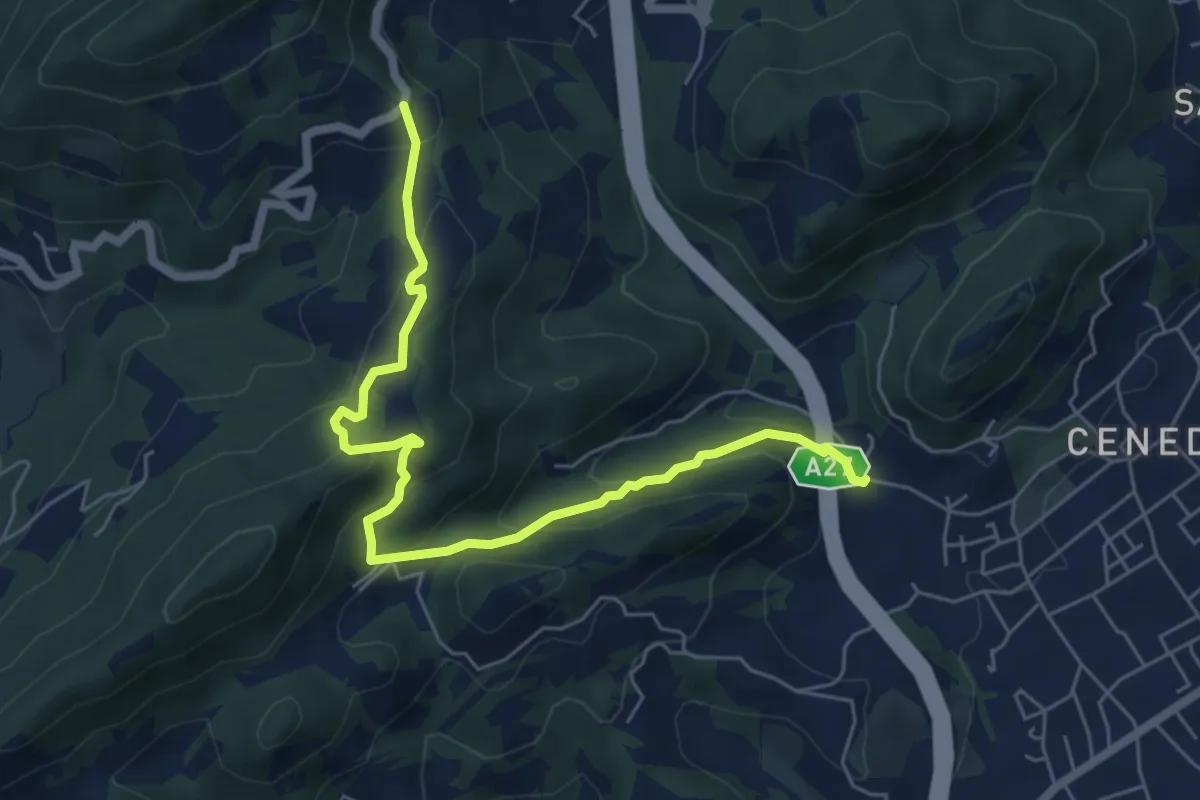
Medium · Trail
Montebello - Borgo Castagnè - Monte Baldo - Borgo Vignola
6.6 km · ↑ 398 m · 2 h 26 min
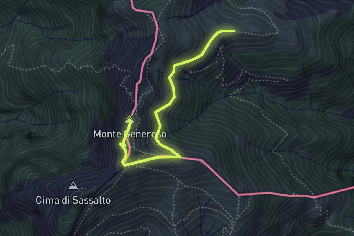
Medium · Summit
Monte Bisbino-Monte Generoso
4.3 km · ↑ 357 m · 1 h 48 min
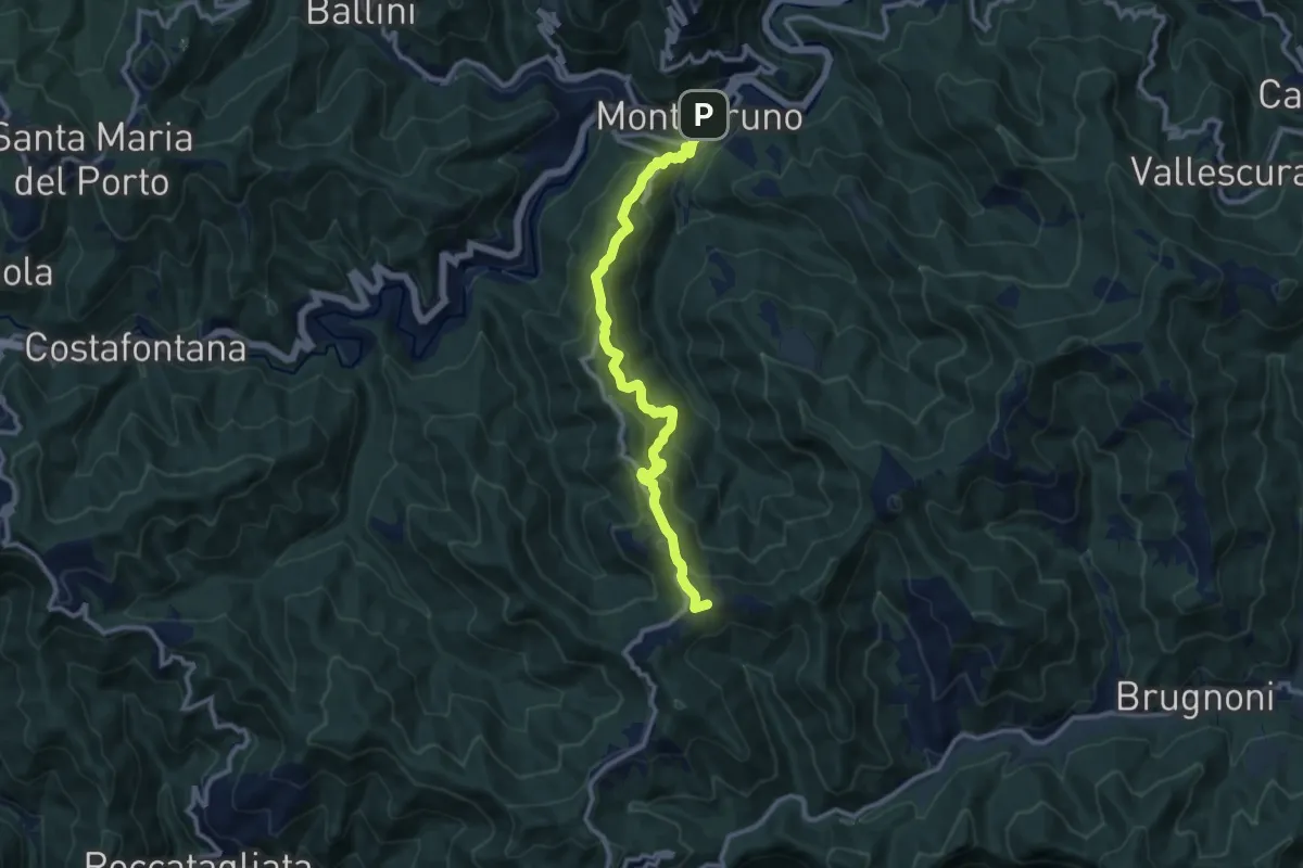
Medium · Summit
Montebruno - Cà Rossa - Barbagelata
11.2 km · ↑ 791 m · 4 h 21 min
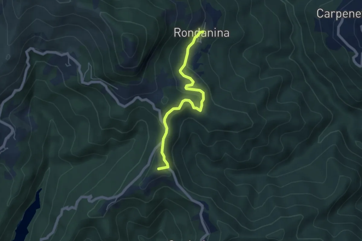
Medium · Summit
Montebruno - Rondanina
4.6 km · ↑ 201 m · 1 h 32 min
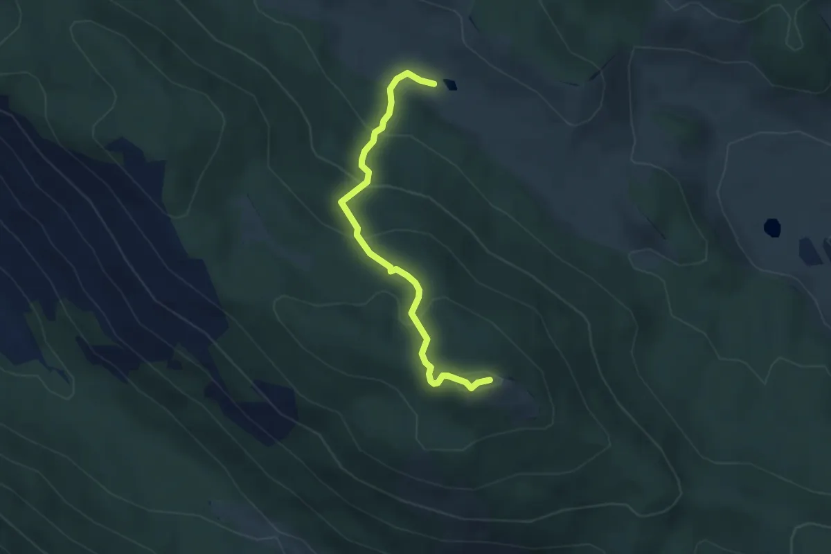
Easy · Summit
Monte Cacume
3.8 km · ↑ 238 m · 1 h 24 min
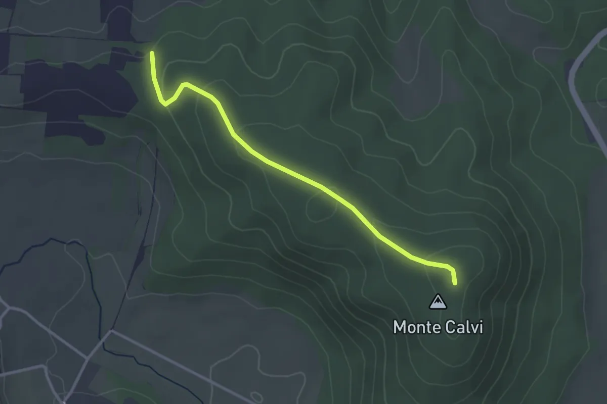
Easy · Summit
Monte Calvi
3.3 km · ↑ 104 m · 1 h
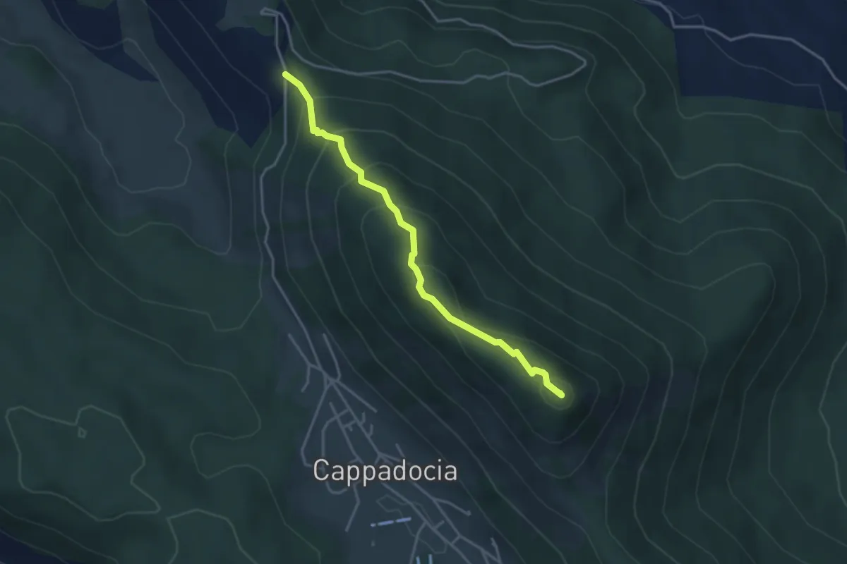
Easy · Summit
Monte Camiciola
3.7 km · ↑ 272 m · 1 h 28 min
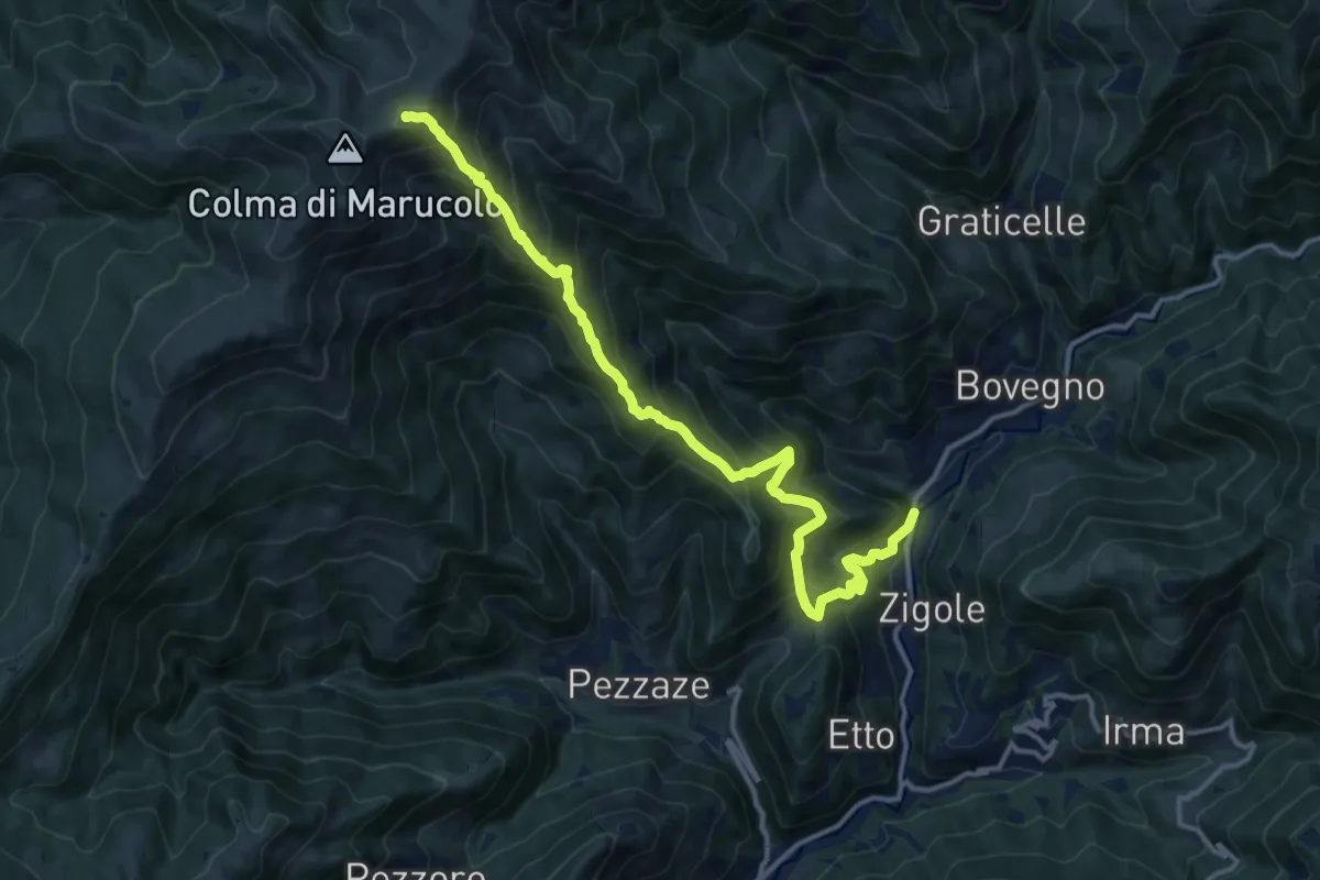
Demanding · Summit
Montecampione
14.9 km · ↑ 1354 m · 6 h 27 min
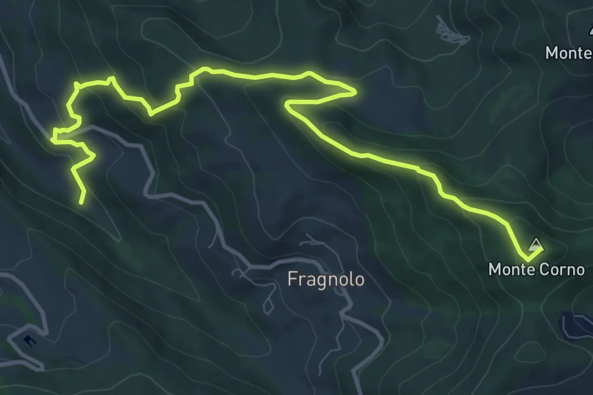
Medium · Summit
Monte Castellaro;Jano
11.6 km · ↑ 611 m · 4 h 3 min
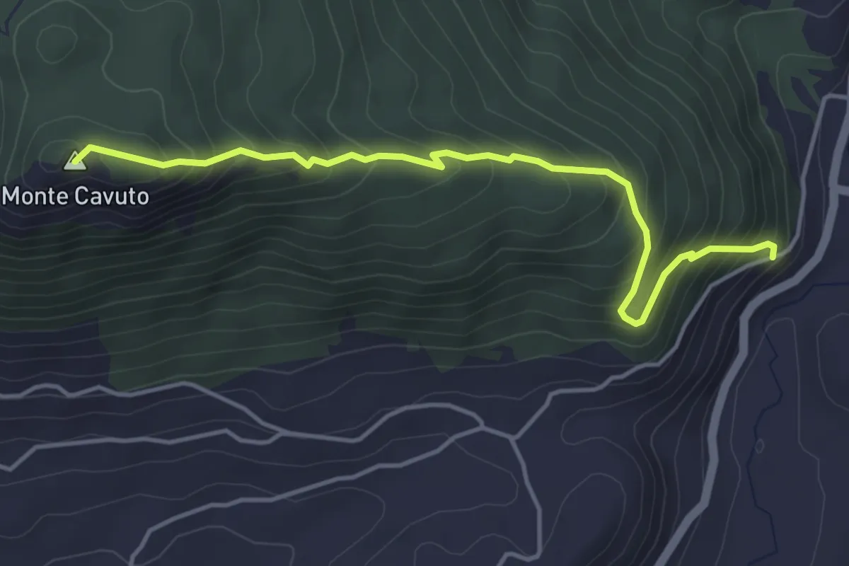
Medium · Summit
Monte Cavuto
4.8 km · ↑ 444 m · 2 h 6 min