Trails in Italy
25,221 hiking trails, each with its route, climb, walking time and grade.
All trails, page 104 of 526
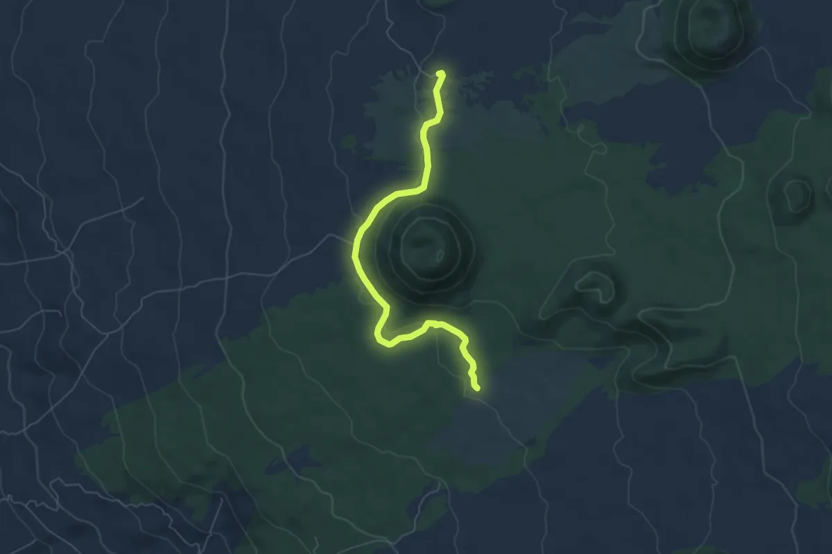
Easy · Cabin
Monte Minardo
6.8 km · ↑ 127 m · 1 h 53 min
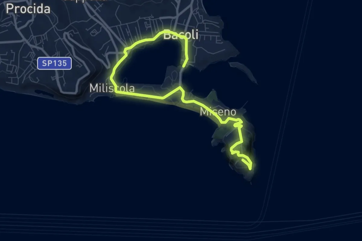
Medium · Trail
Monte Miseno
11.2 km · ↑ 352 m · 3 h 24 min
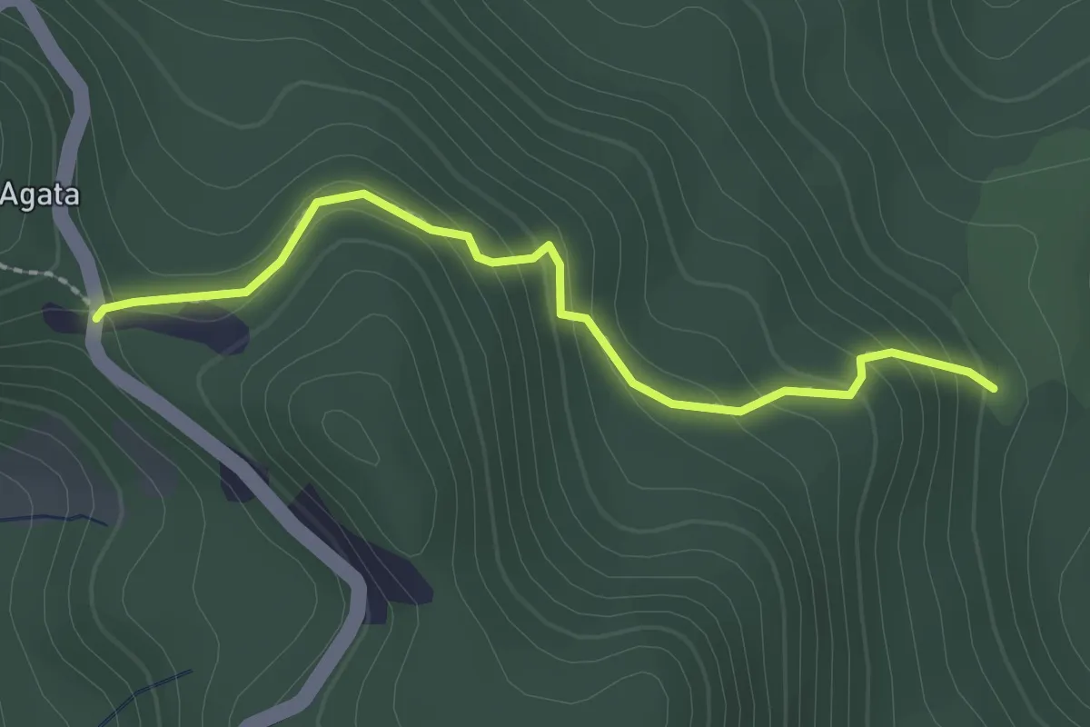
Easy · Trail
Monte Mogge - Boscaccio (Bivio 631)
2.3 km · ↑ 157 m · 53 min
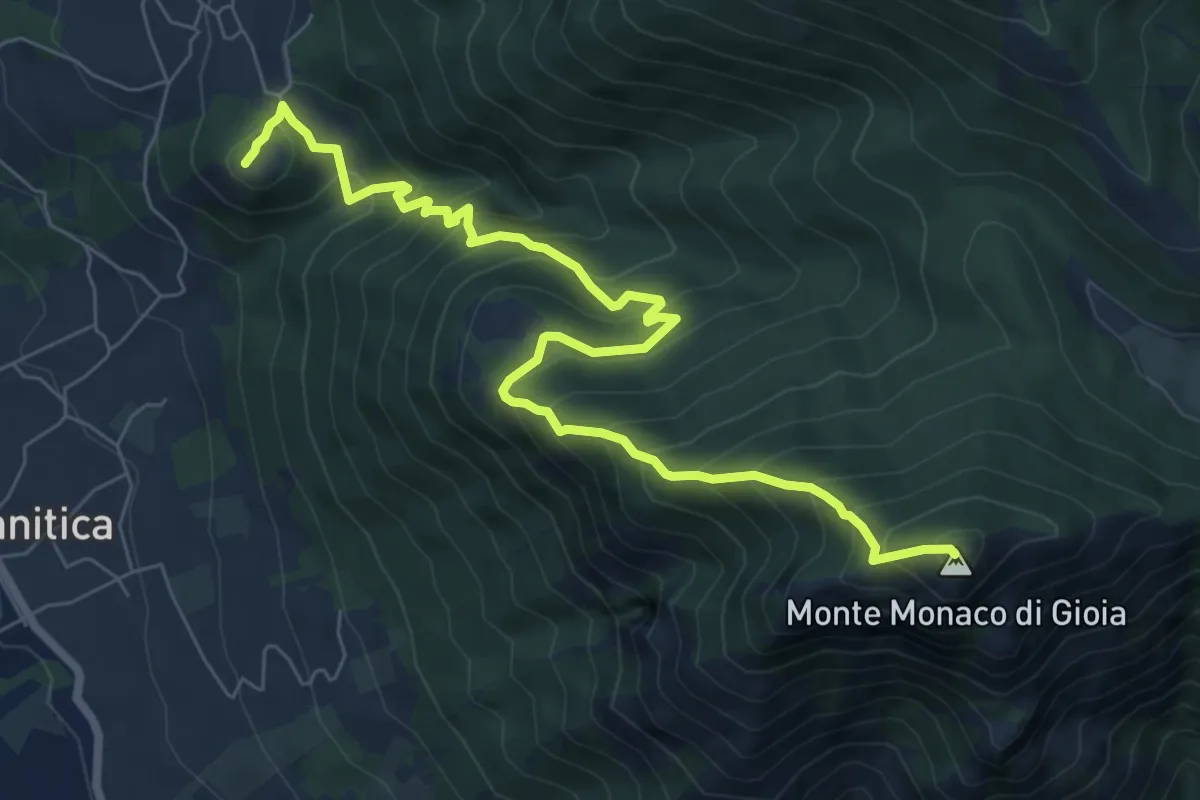
Demanding · Summit
Monte Monaco
9.0 km · ↑ 946 m · 4 h 11 min
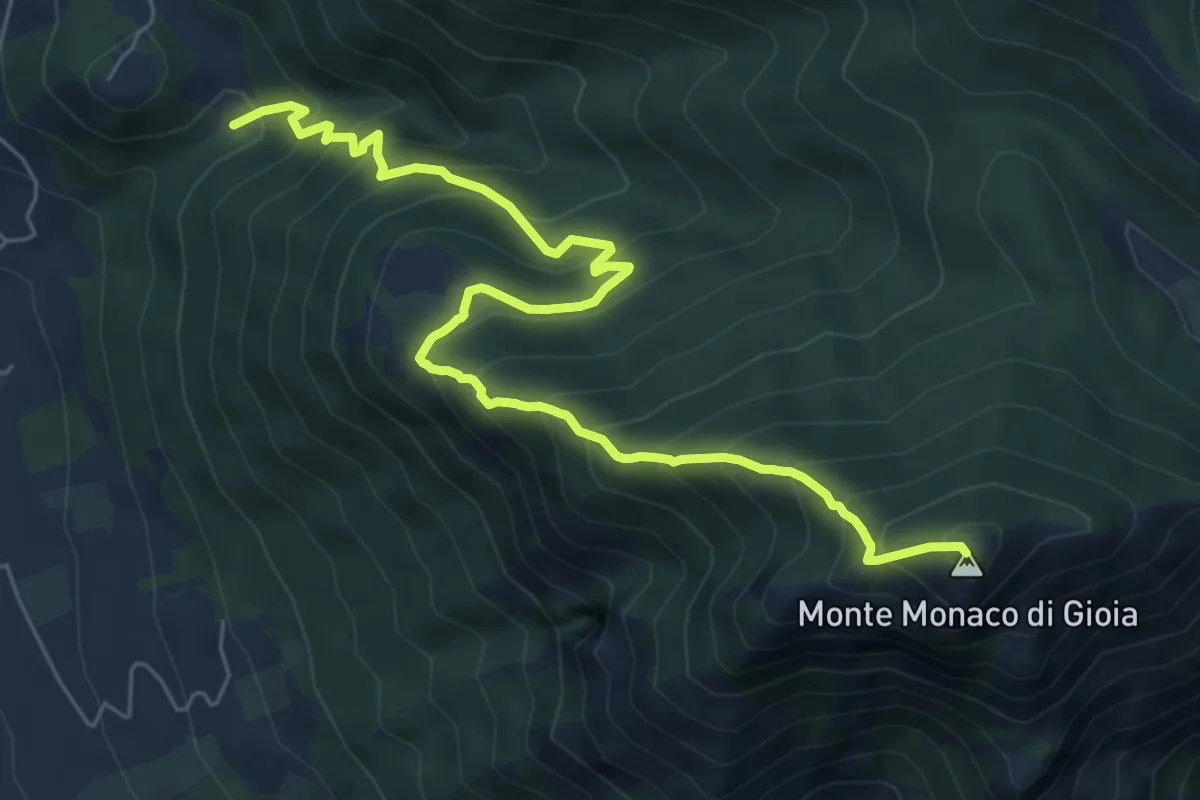
Demanding · Summit
Monte Monaco
7.8 km · ↑ 885 m · 3 h 46 min
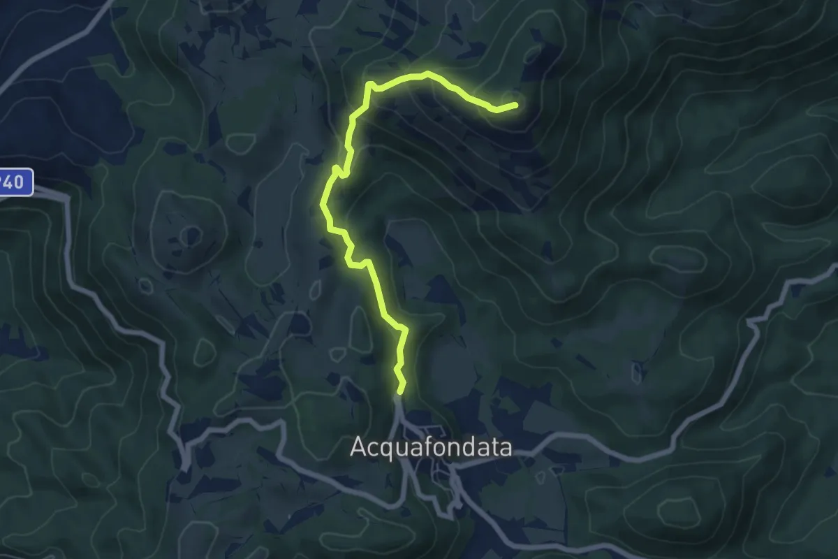
Medium · Summit
Monte Monna Acquafondata
6.4 km · ↑ 433 m · 2 h 27 min
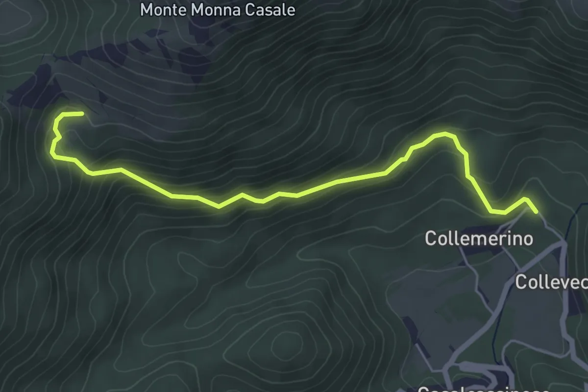
Medium · Trail
Monte Monna Casale
5.5 km · ↑ 354 m · 2 h 4 min
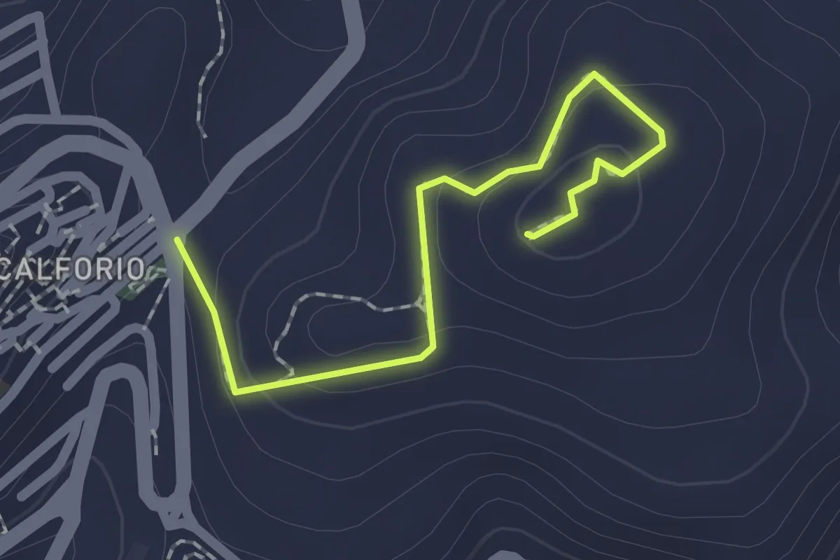
Easy · Summit
Monte Muganà
2.1 km · ↑ 104 m · 44 min
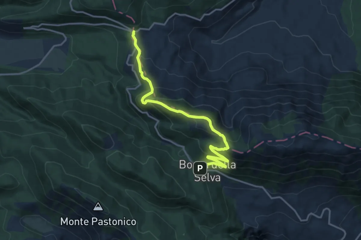
Medium · Cabin
Monte Mutria
12.0 km · ↑ 662 m · 4 h 16 min
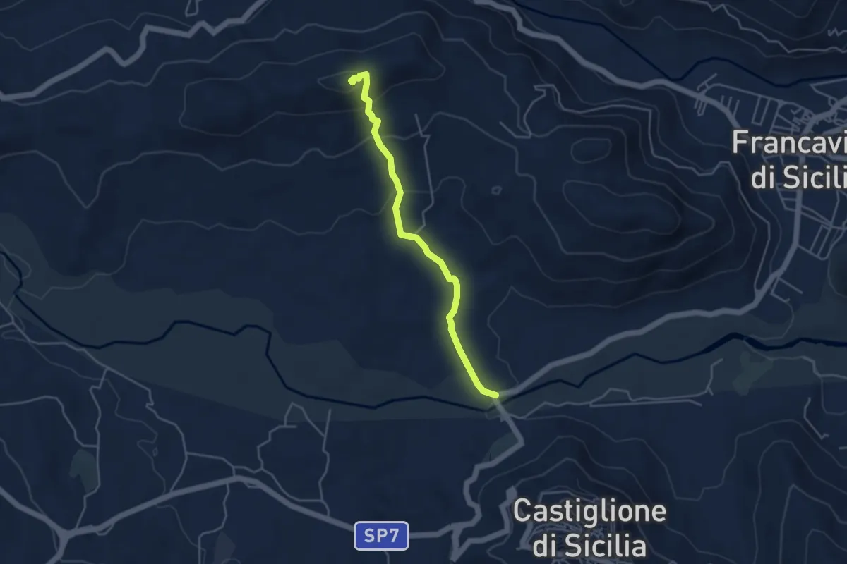
Demanding · Summit
Monte Olgari
4.5 km · ↑ 197 m · 1 h 30 min
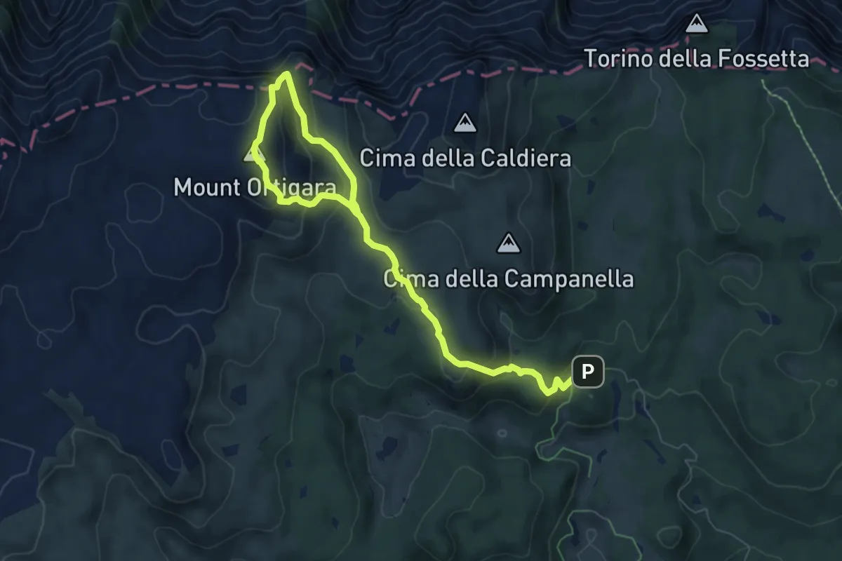
Medium · Summit
Monte Ortigara
4.4 km · ↑ 339 m · 1 h 45 min
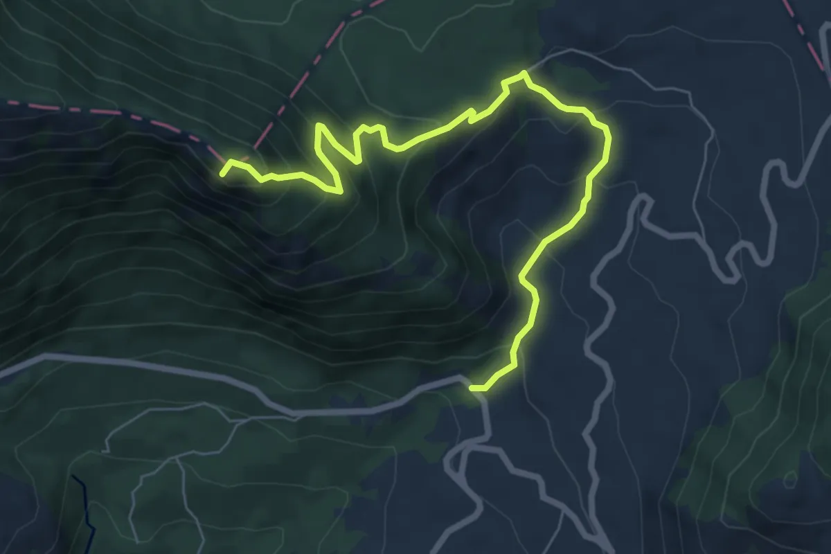
Demanding · Summit
Monte Palumbaro
8.0 km · ↑ 560 m · 3 h 6 min
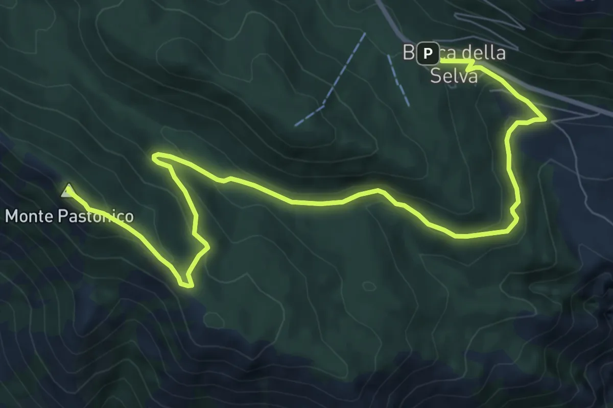
Medium · Summit
Monte Pastonico
11.2 km · ↑ 467 m · 3 h 40 min
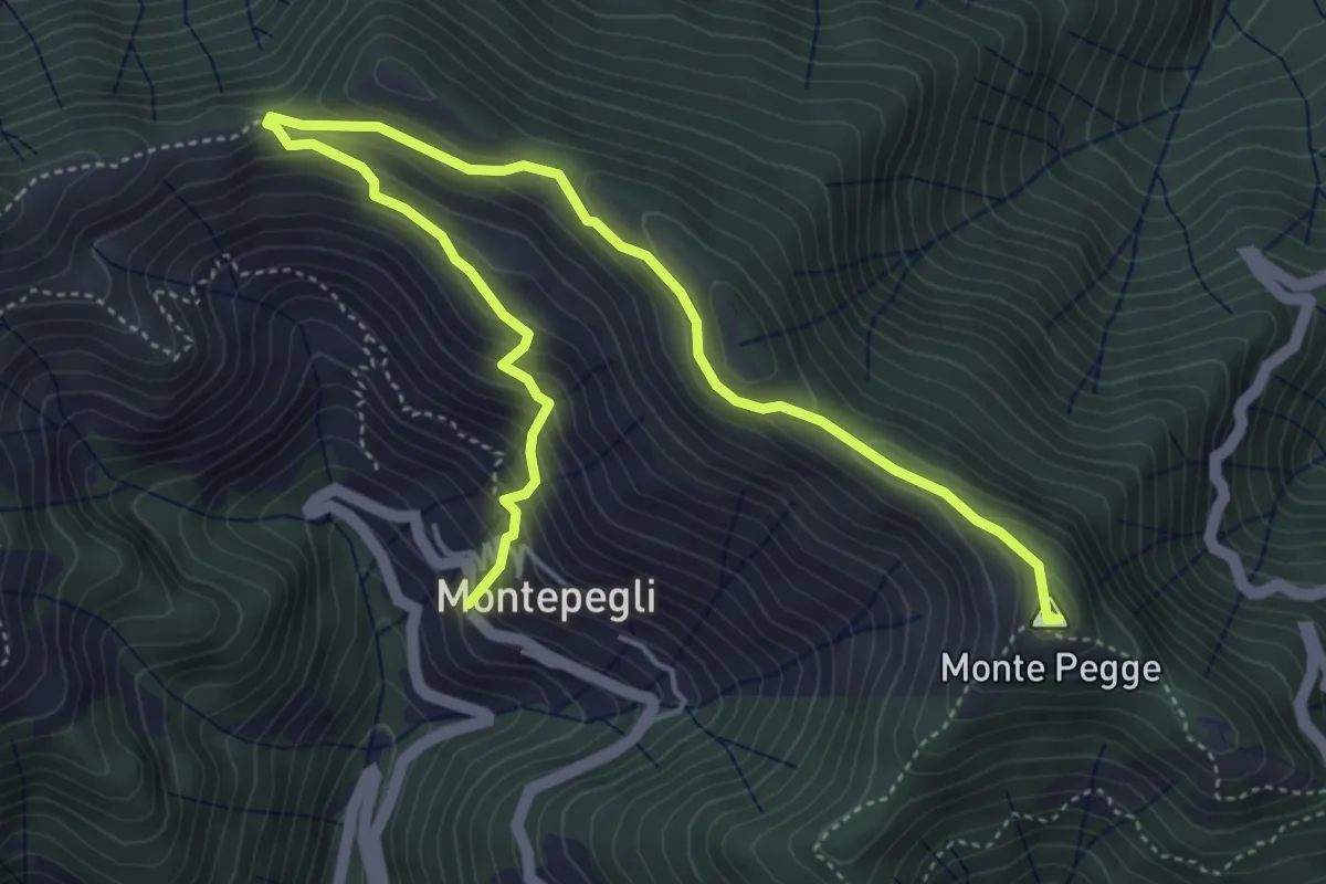
Medium · Summit
Montepegli - Monte Pegge
6.4 km · ↑ 423 m · 2 h 26 min
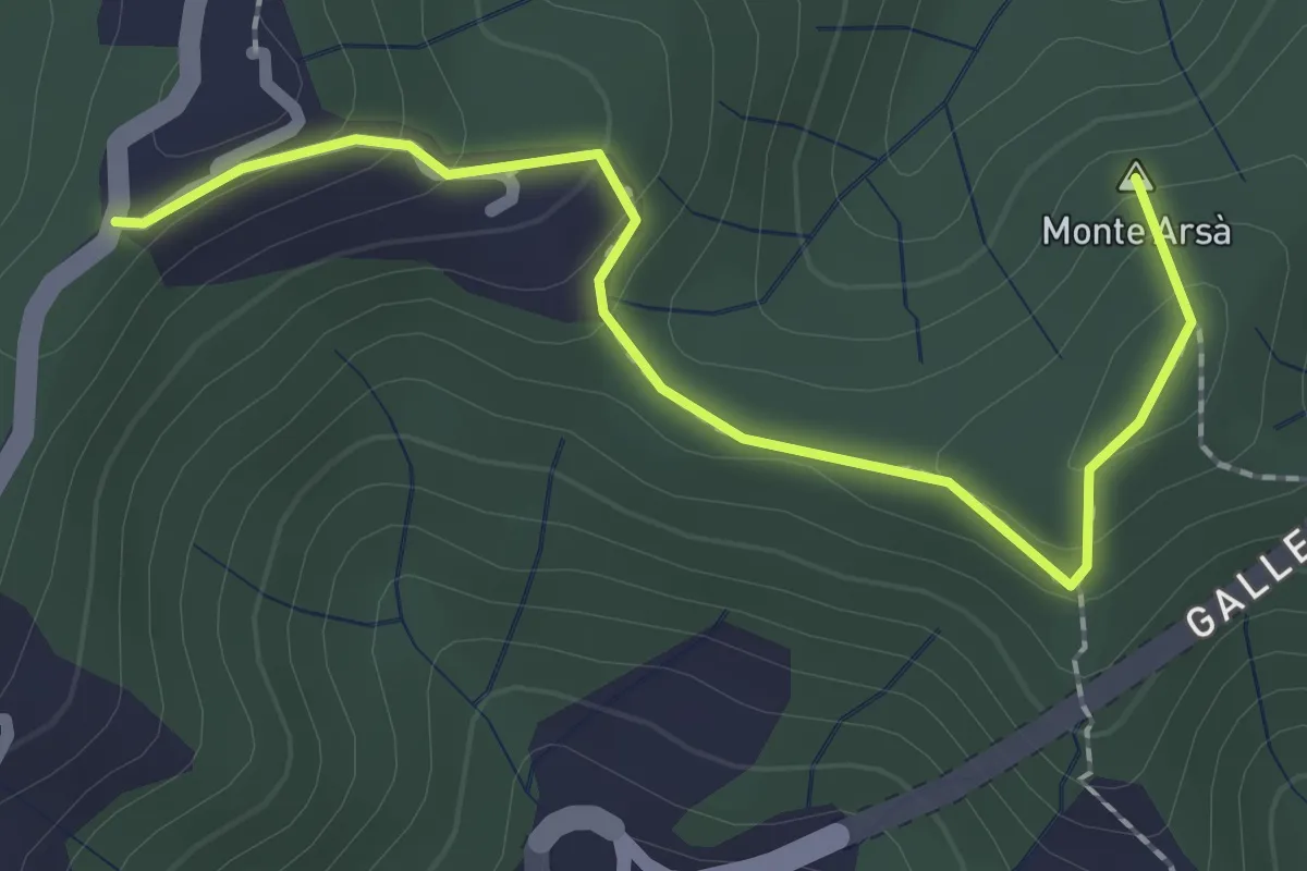
Easy · Summit
Montepertico – M. Arsà – La Moggia – innesto AVG
2.4 km · ↑ 122 m · 49 min
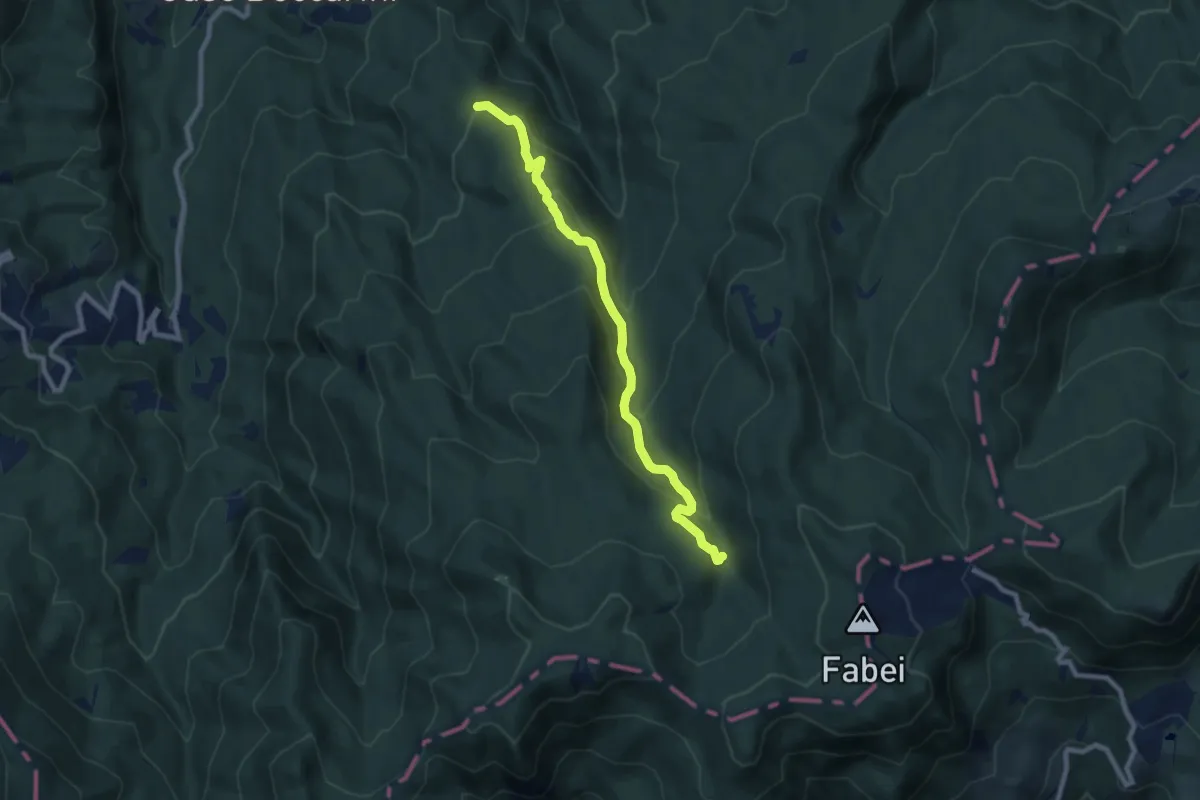
Medium · Trail
Monte Pianazzi-Torrente Lecora-Castello Tondo
8.5 km · ↑ 455 m · 3 h
Medium · Summit
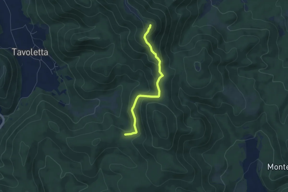
Monte Pianicel Grande
5.9 km · ↑ 265 m · 1 h 58 min
Easy · Summit
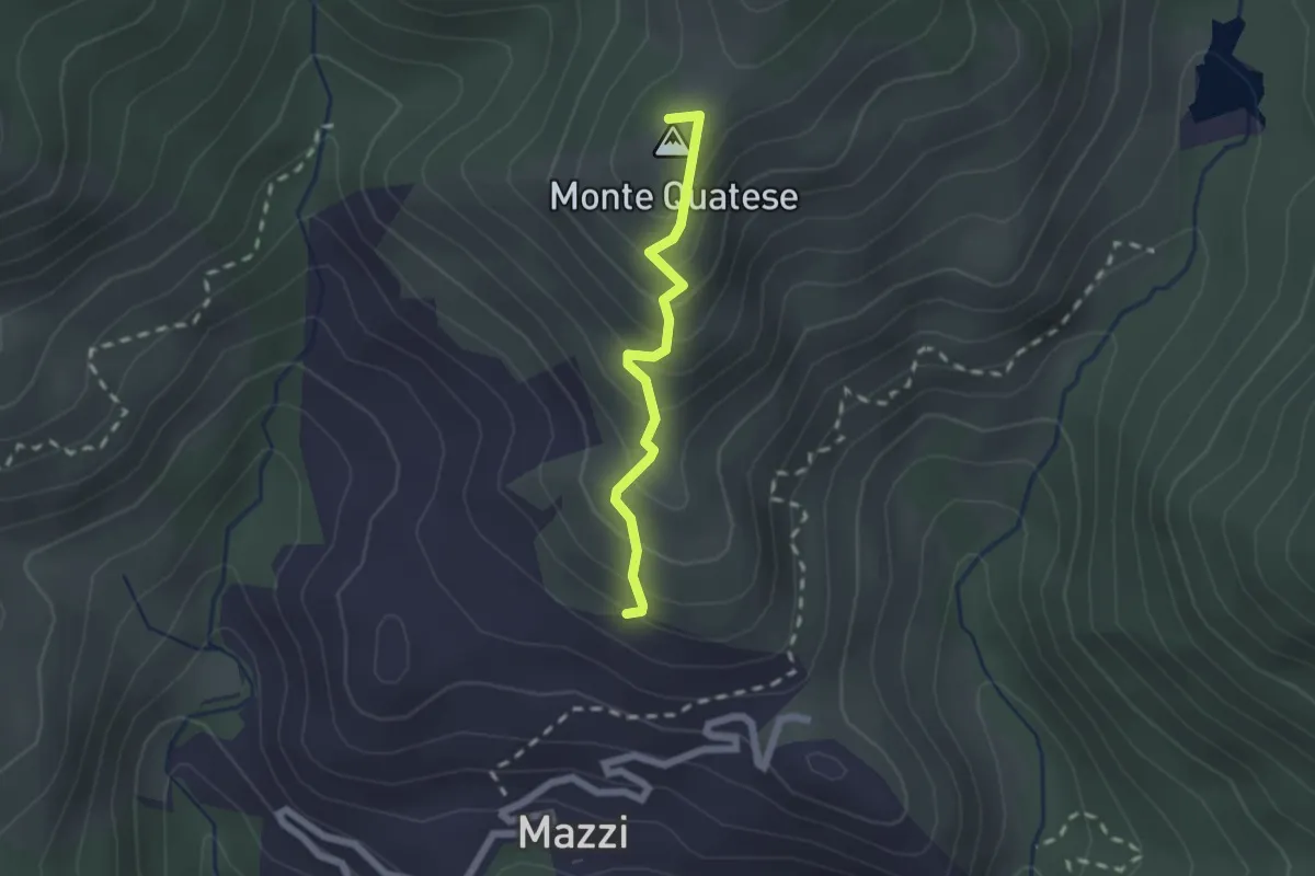
Monte Quatese;Il pianello
1.8 km · ↑ 203 m · 52 min
Easy · Summit
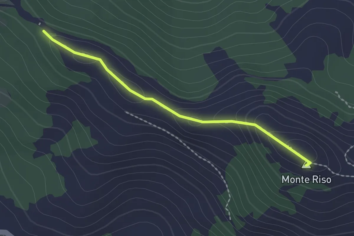
Monte Riso – Castello della Novasina
2.0 km · ↑ 90 m · 40 min
Medium · Trail
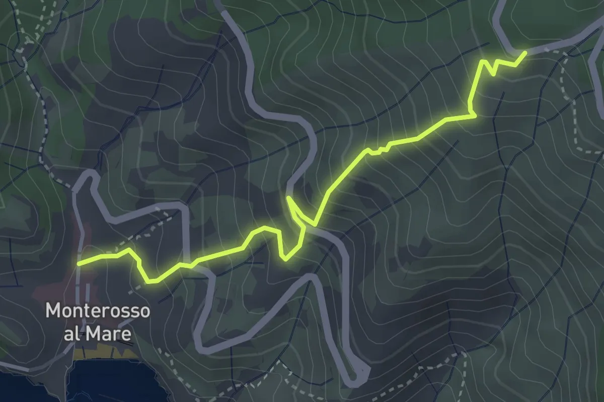
Monterosso - Begasti - Termine
3.8 km · ↑ 528 m · 2 h 3 min
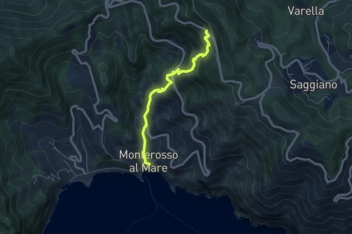
Medium · Trail
Monterosso – Mad. di Soviore
5.1 km · ↑ 528 m · 2 h 21 min
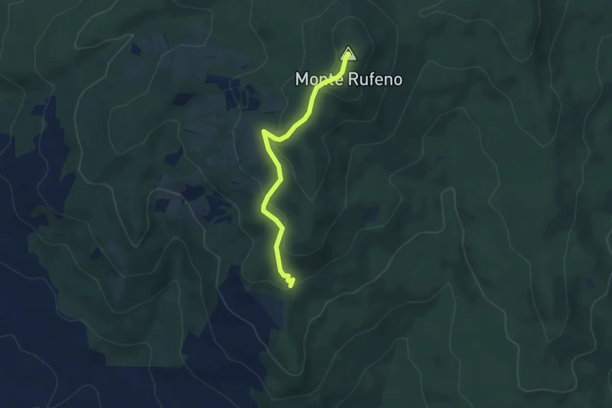
Easy · Summit
Monte Rufeno
3.9 km · ↑ 160 m · 1 h 16 min
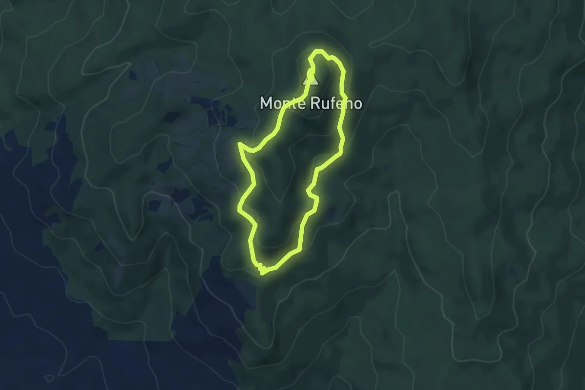
Easy · Summit
Monte Rufeno
4.4 km · ↑ 177 m · 1 h 29 min
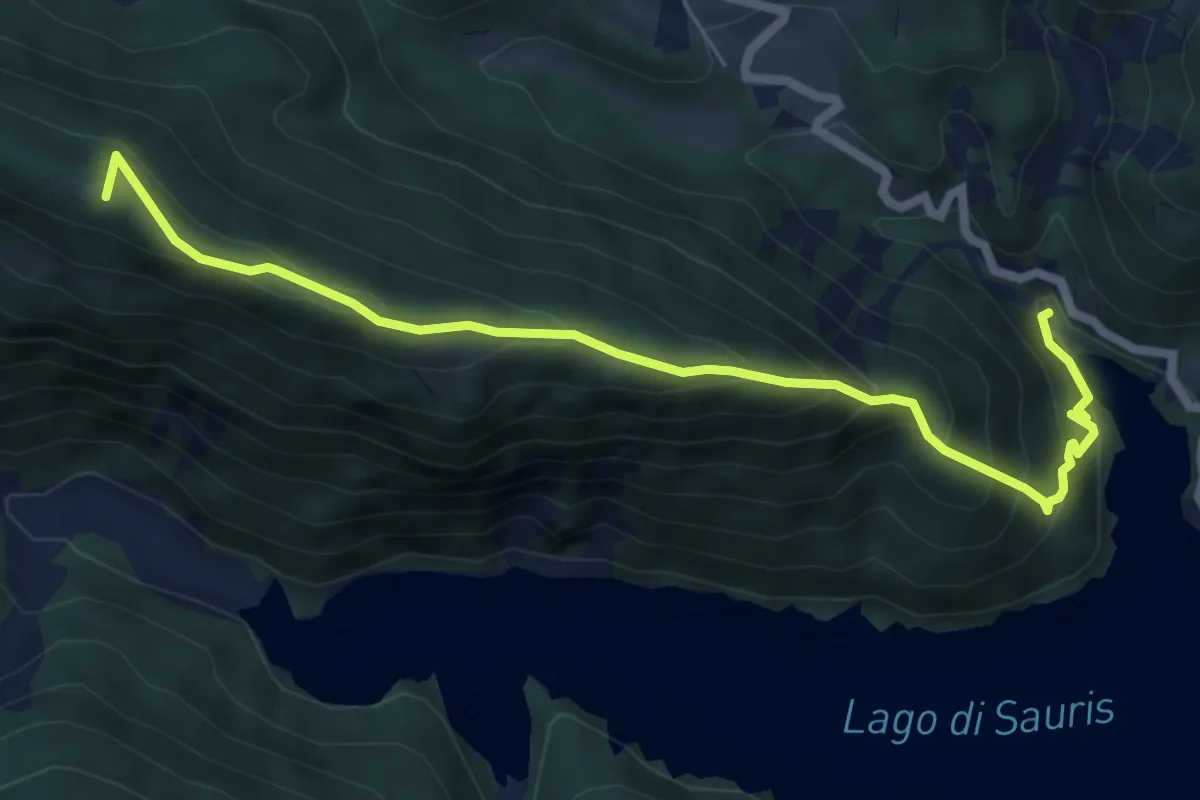
Medium · Summit
Monte Ruke
6.8 km · ↑ 531 m · 2 h 45 min
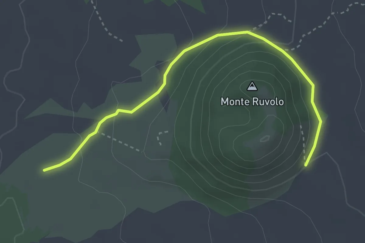
Easy · Trail
Monte Ruvolo
3.9 km · ↑ 119 m · 1 h 11 min
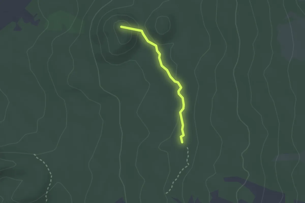
Easy · Summit
Monte Ruvolo - Case Zampini
2.1 km · ↑ 35 m · 35 min
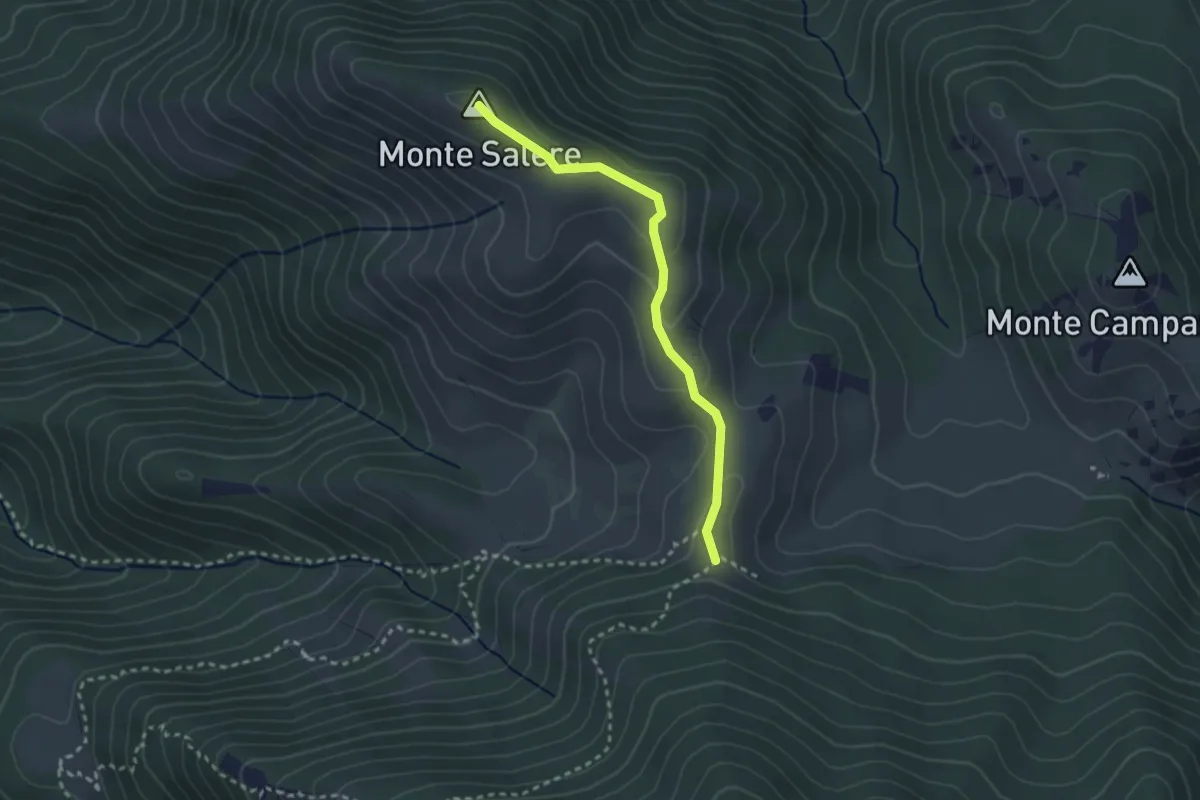
Easy · Summit
Monte Salere
2.8 km · ↑ 94 m · 52 min
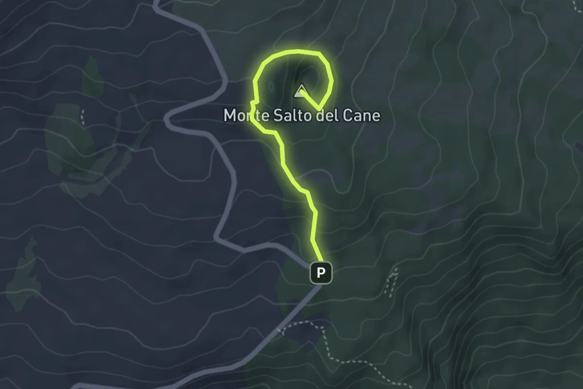
Easy · Summit
Monte Salto del Cane
3.8 km · ↑ 206 m · 1 h 21 min
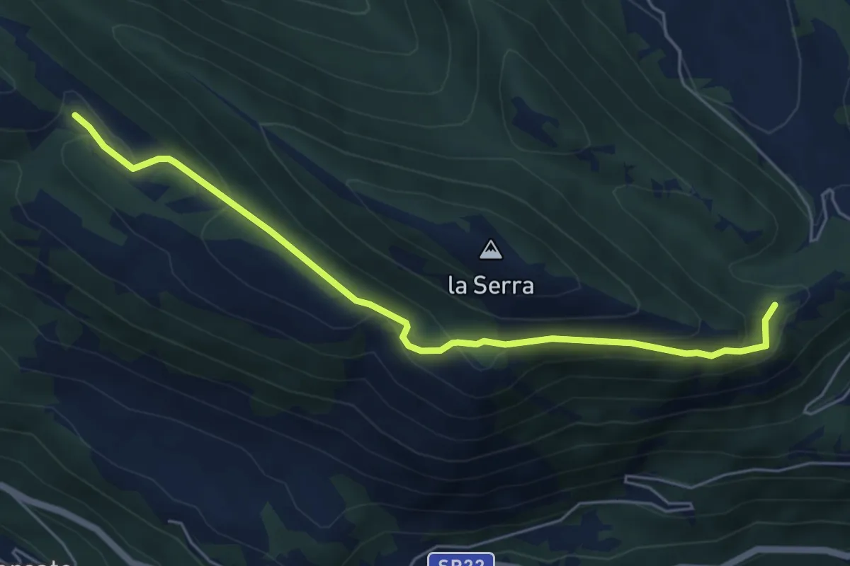
Easy · Trail
Monte S.Angelo-Colle Tinello
5.9 km · ↑ 290 m · 2 h 2 min
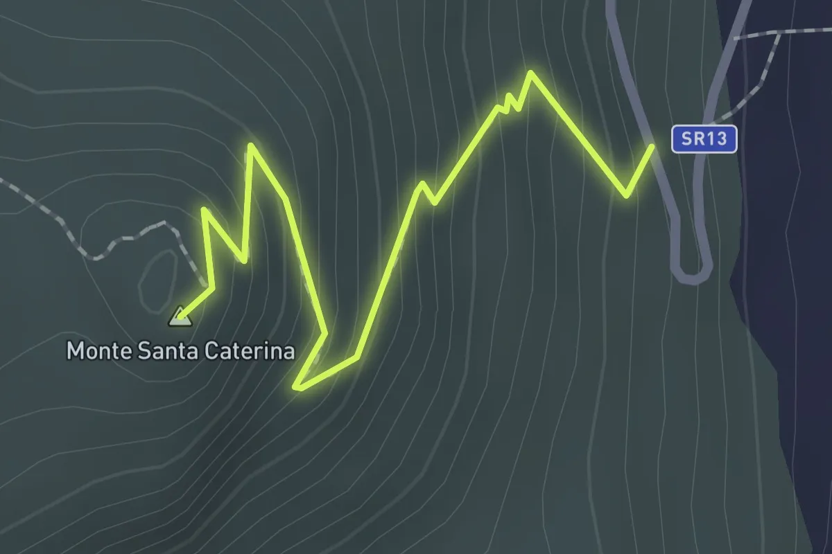
Easy · Summit
Monte Santa Caterina
2.3 km · ↑ 209 m · 1 h
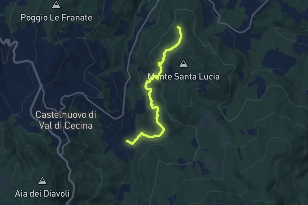
Easy · Trail
Monte Santa Lucia
4.6 km · ↑ 285 m · 1 h 41 min
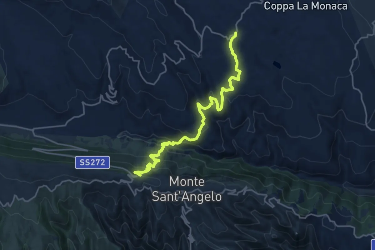
Medium · Trail
Monte Sant'Angelo - Masseria Granatieri
16.0 km · ↑ 752 m · 5 h 24 min
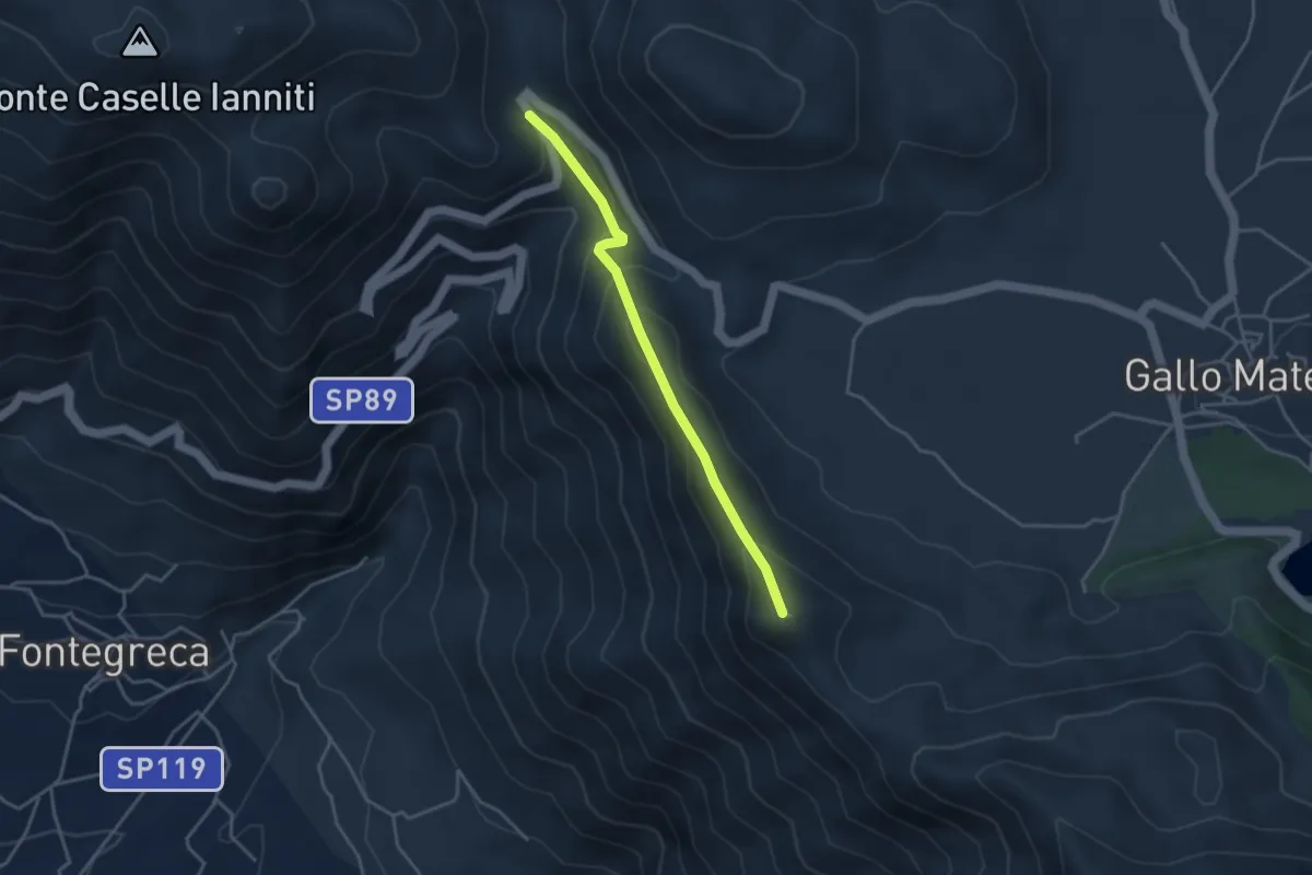
Easy · Summit
Monte Scoltrone
3.8 km · ↑ 268 m · 1 h 28 min
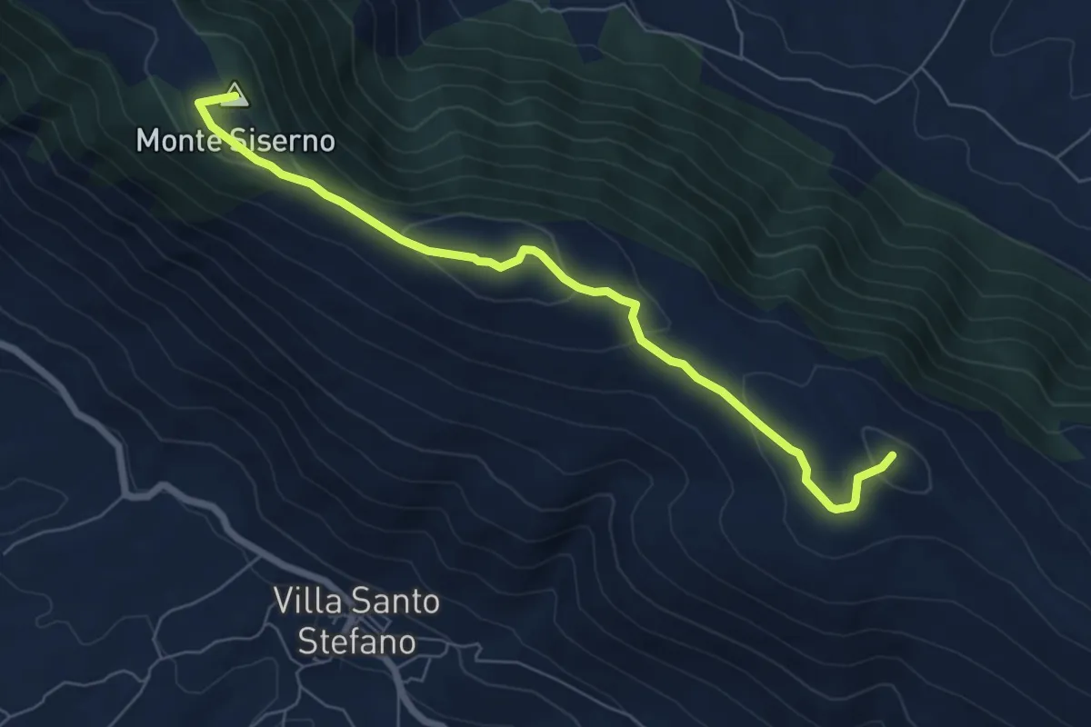
Easy · Summit
Monte Siserno - Punta la Lenza
7.5 km · ↑ 282 m · 2 h 23 min
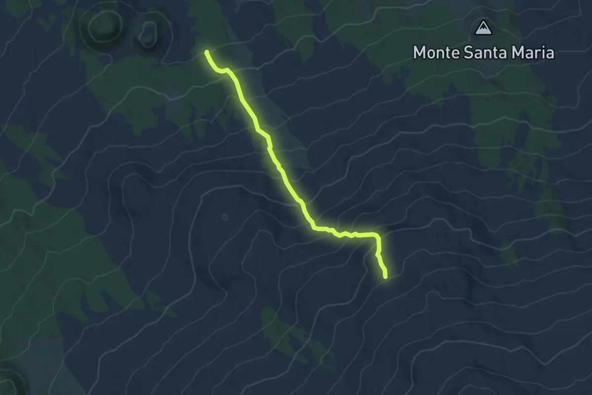
Demanding · Trail
Monte Spagnolo -Grotta del Gelo
6.4 km · ↑ 592 m · 2 h 47 min
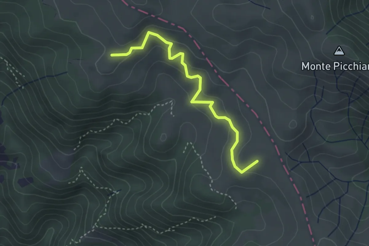
Easy · Summit
Monte Stronzo - Monte Seghe (Variante AVML)
3.4 km · ↑ 192 m · 1 h 14 min
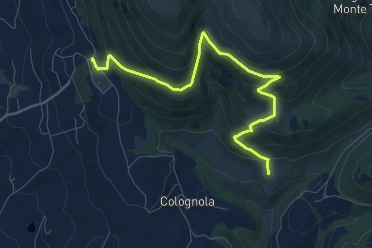
Medium · Trail
Monte Tezio Belvedere - Romitorio
9.1 km · ↑ 577 m · 3 h 24 min
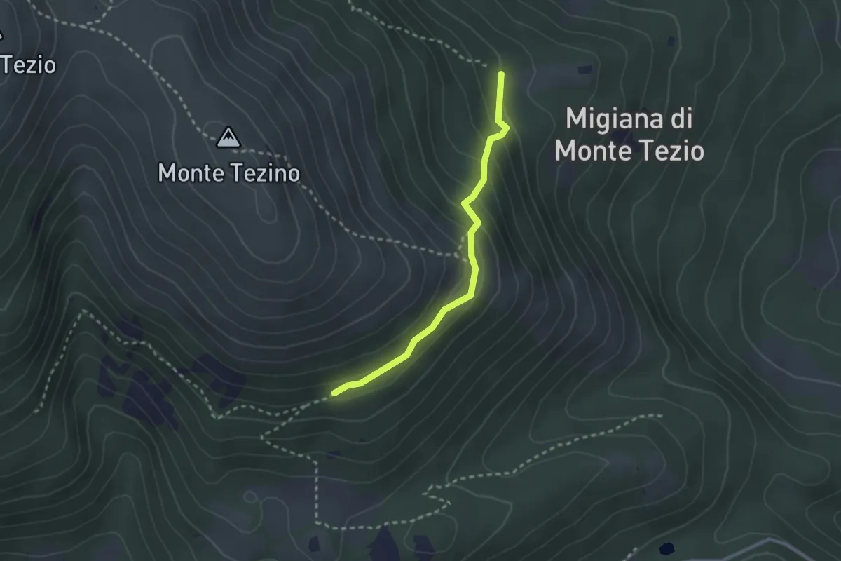
Easy · Trail
Monte Tezio Castel Procoio
2.5 km · ↑ 152 m · 56 min
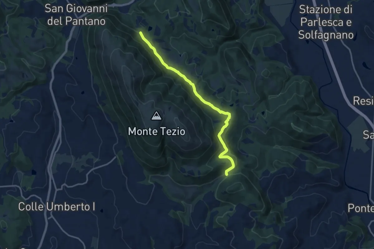
Medium · Trail
Monte Tezio - C. Pavia
11.7 km · ↑ 390 m · 3 h 37 min
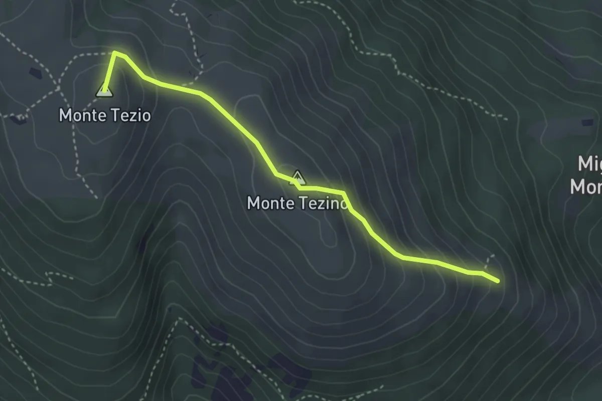
Medium · Summit
Monte Tezio Croce Fontenuova
3.8 km · ↑ 300 m · 1 h 32 min
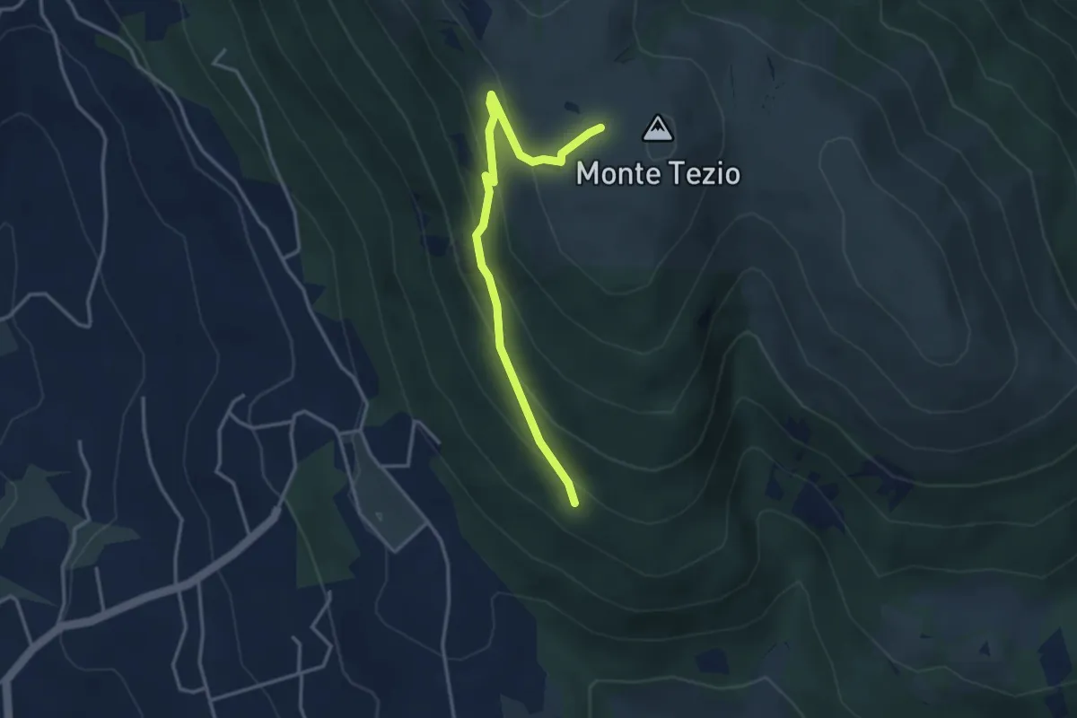
Easy · Trail
Monte Tezio Le Neviere
3.7 km · ↑ 252 m · 1 h 25 min
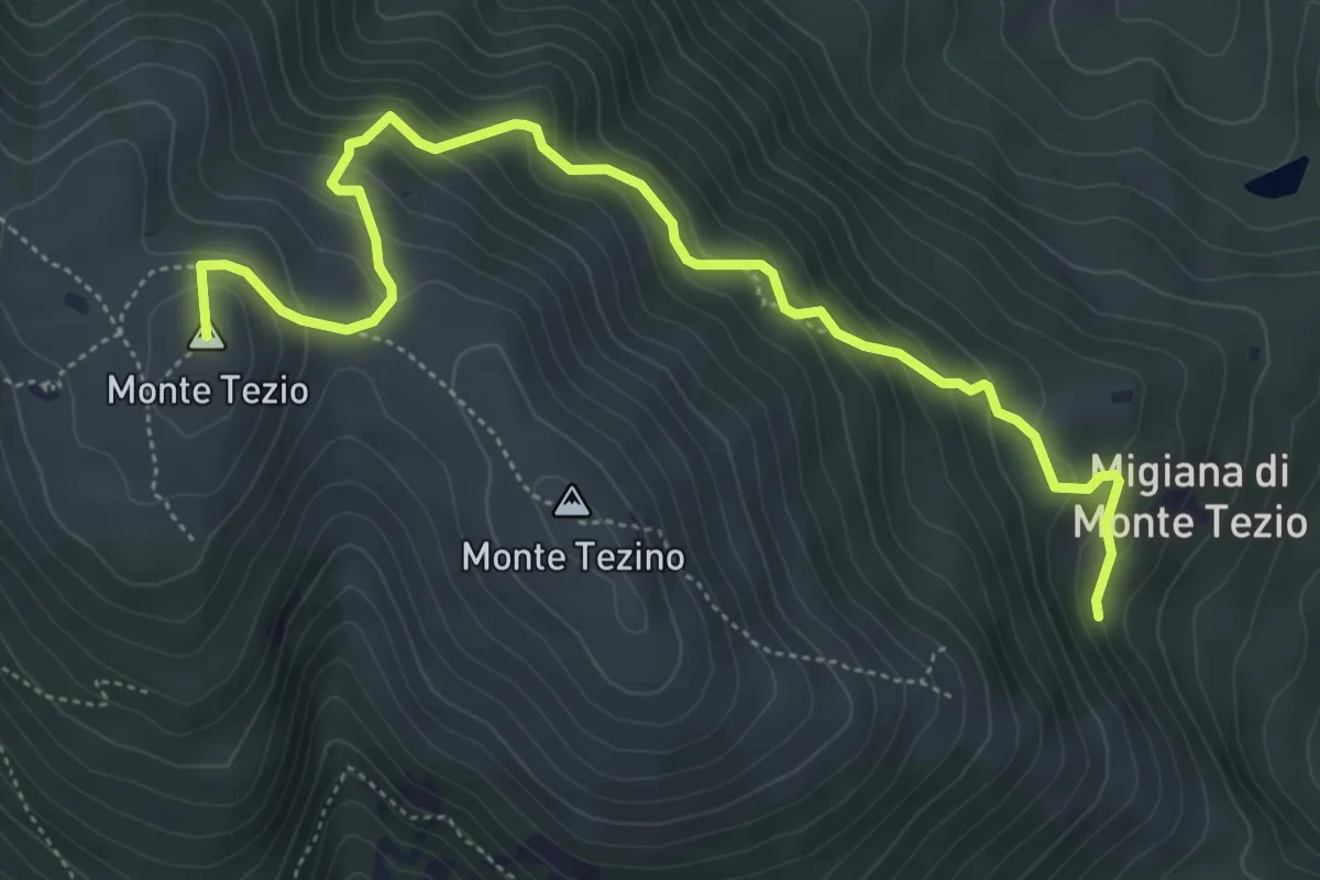
Medium · Summit
Monte Tezio Migiana
6.3 km · ↑ 448 m · 2 h 27 min
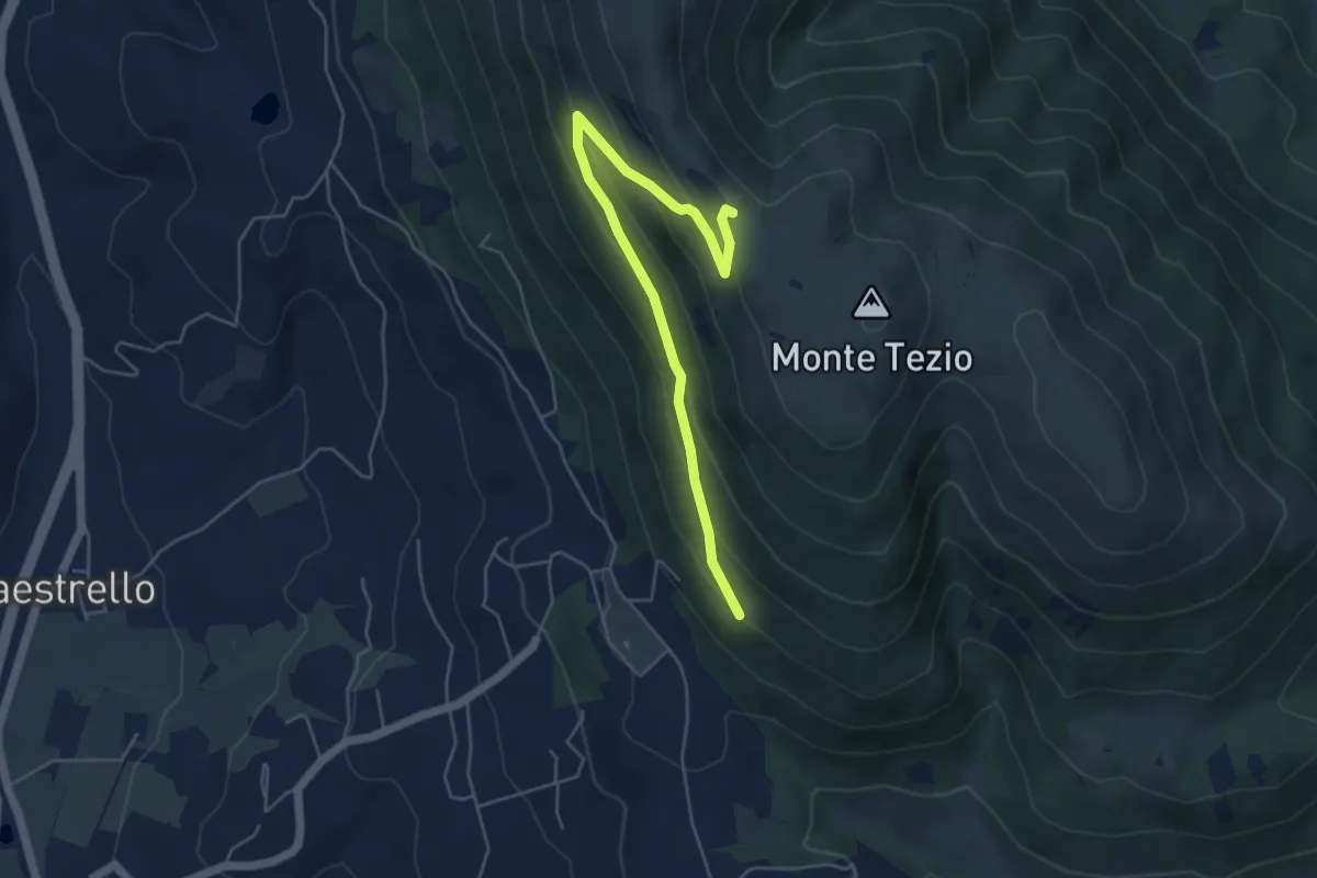
Medium · Trail
Monte Tezio Miralago
5.6 km · ↑ 291 m · 1 h 57 min
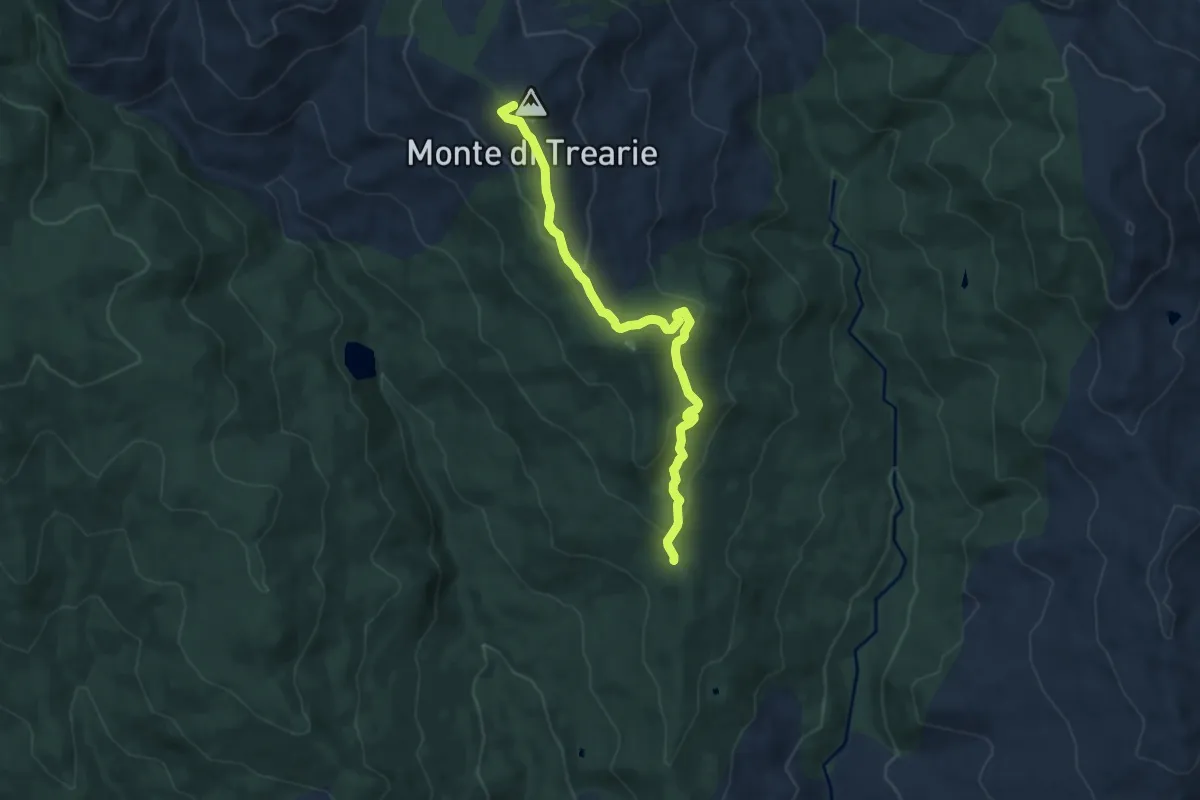
Medium · Summit
Monte Trearie
10.2 km · ↑ 382 m · 3 h 14 min
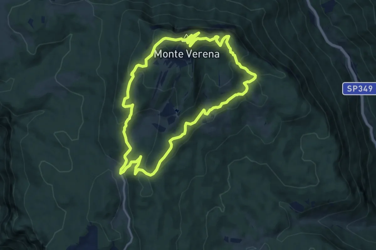
Medium · Summit
Monte Verena
10.4 km · ↑ 528 m · 3 h 44 min
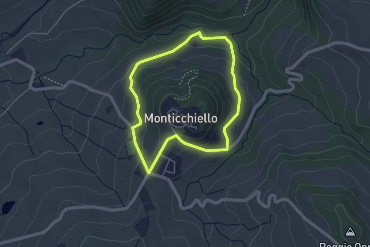
Easy · Trail
Monticchiello
3.3 km · ↑ 132 m · 1 h 6 min
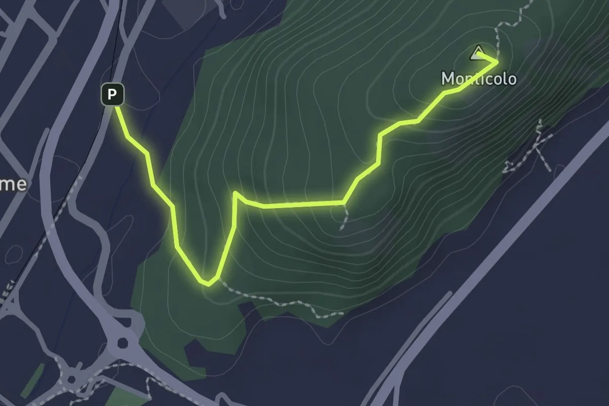
Easy · Summit
Monticolo
2.6 km · ↑ 159 m · 57 min
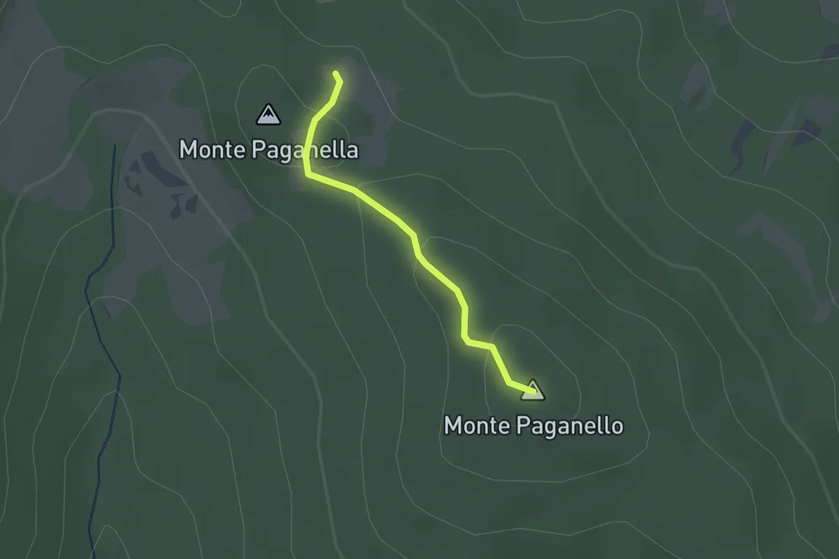
Easy · Summit
Monti Paganelli
1.7 km · ↑ 56 m · 31 min