Trails in Italy
25,221 hiking trails, each with its route, climb, walking time and grade.
All trails, page 105 of 526
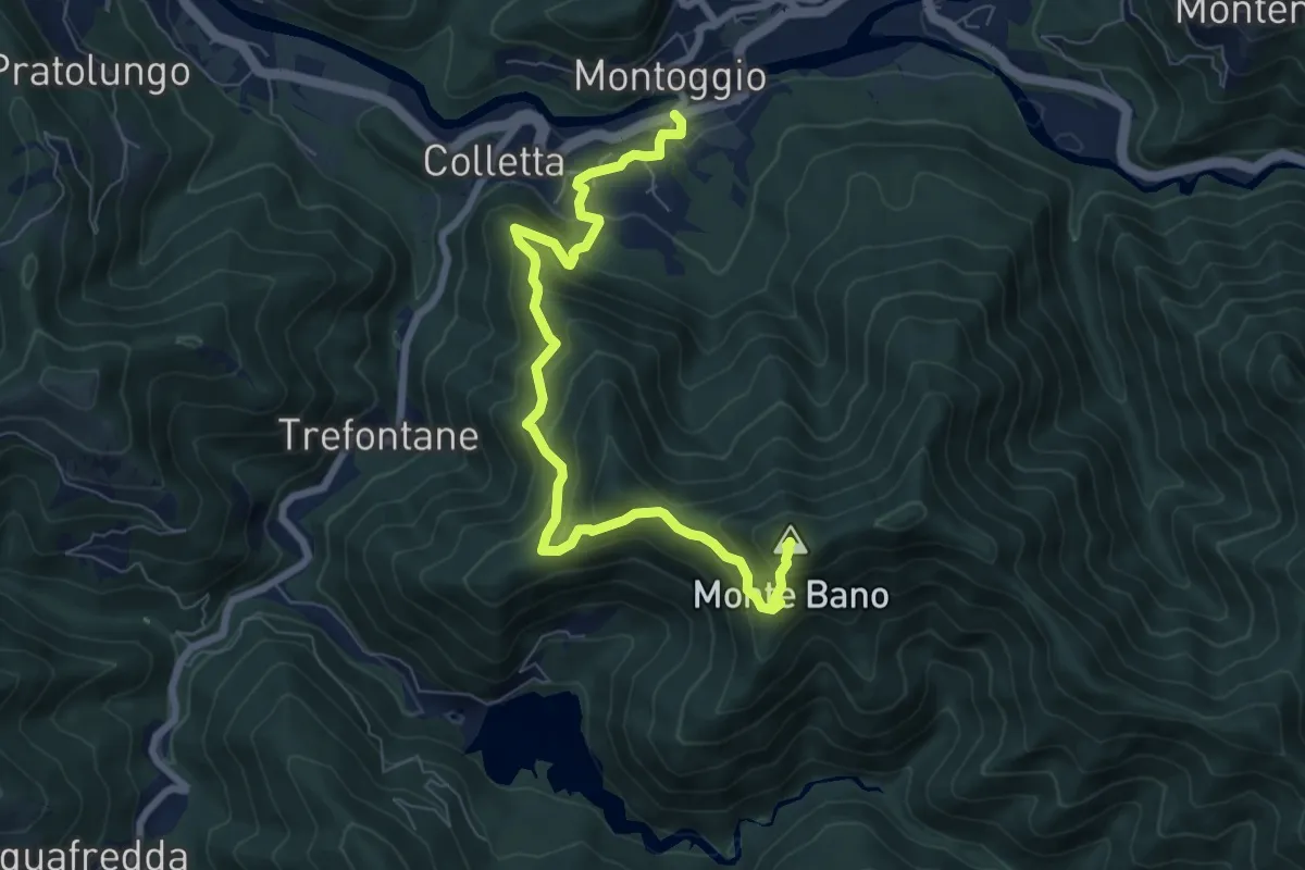
Medium · Summit
Montoggio - La Ca' - Case Montebano - Monte Bano
8.2 km · ↑ 681 m · 3 h 25 min
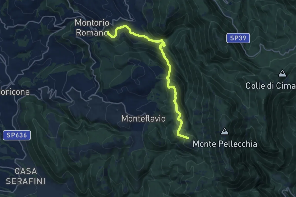
Medium · Summit
Montorio Romano-Colle della Caparnassa
14.9 km · ↑ 753 m · 5 h 8 min
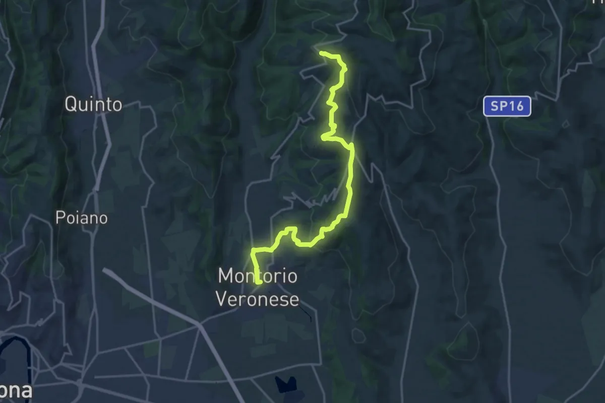
Medium · Trail
Montorio - Trezzolano
17.5 km · ↑ 613 m · 5 h 28 min
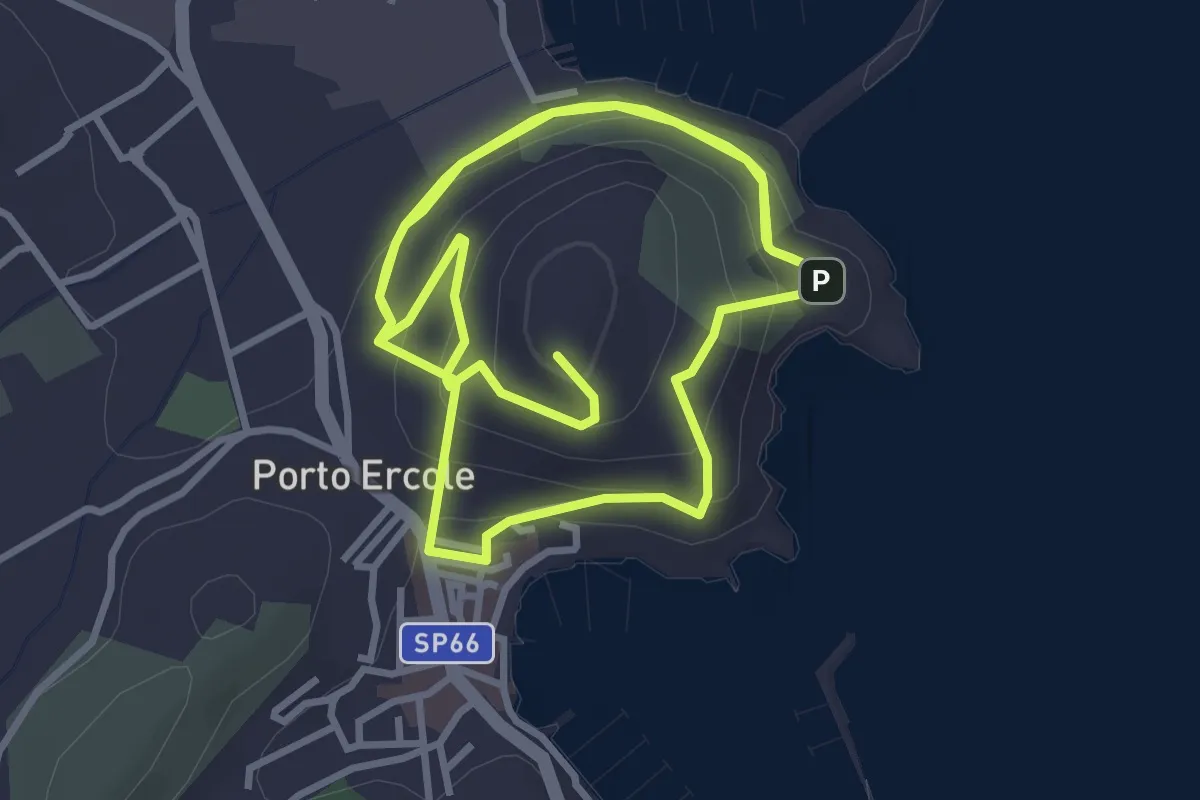
Medium · Summit
Monumento a Caravaggio - Santa Caterina
7.9 km · ↑ 370 m · 2 h 41 min
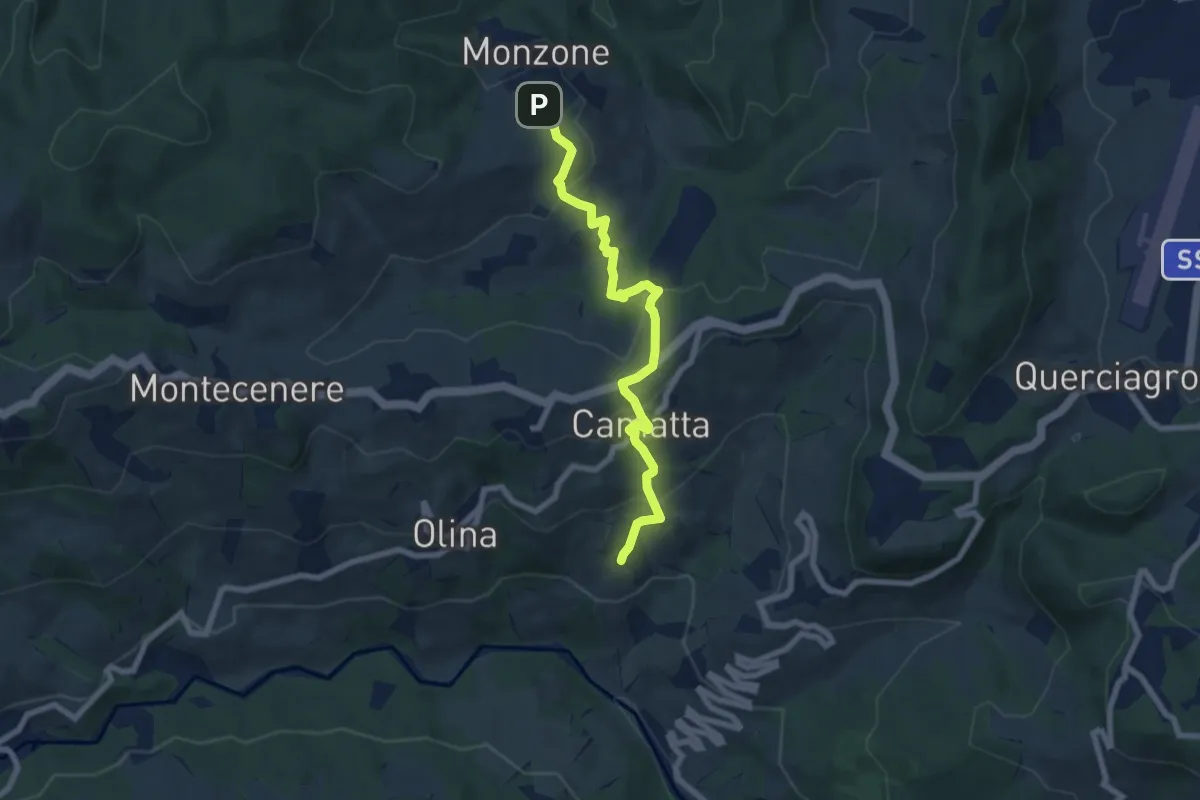
Medium · Trail
Monzone - Camatta
7.4 km · ↑ 364 m · 2 h 32 min
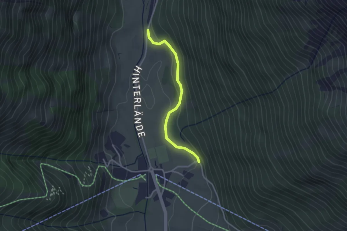
Easy · Trail
Moosweg
2.4 km · ↑ 61 m · 41 min
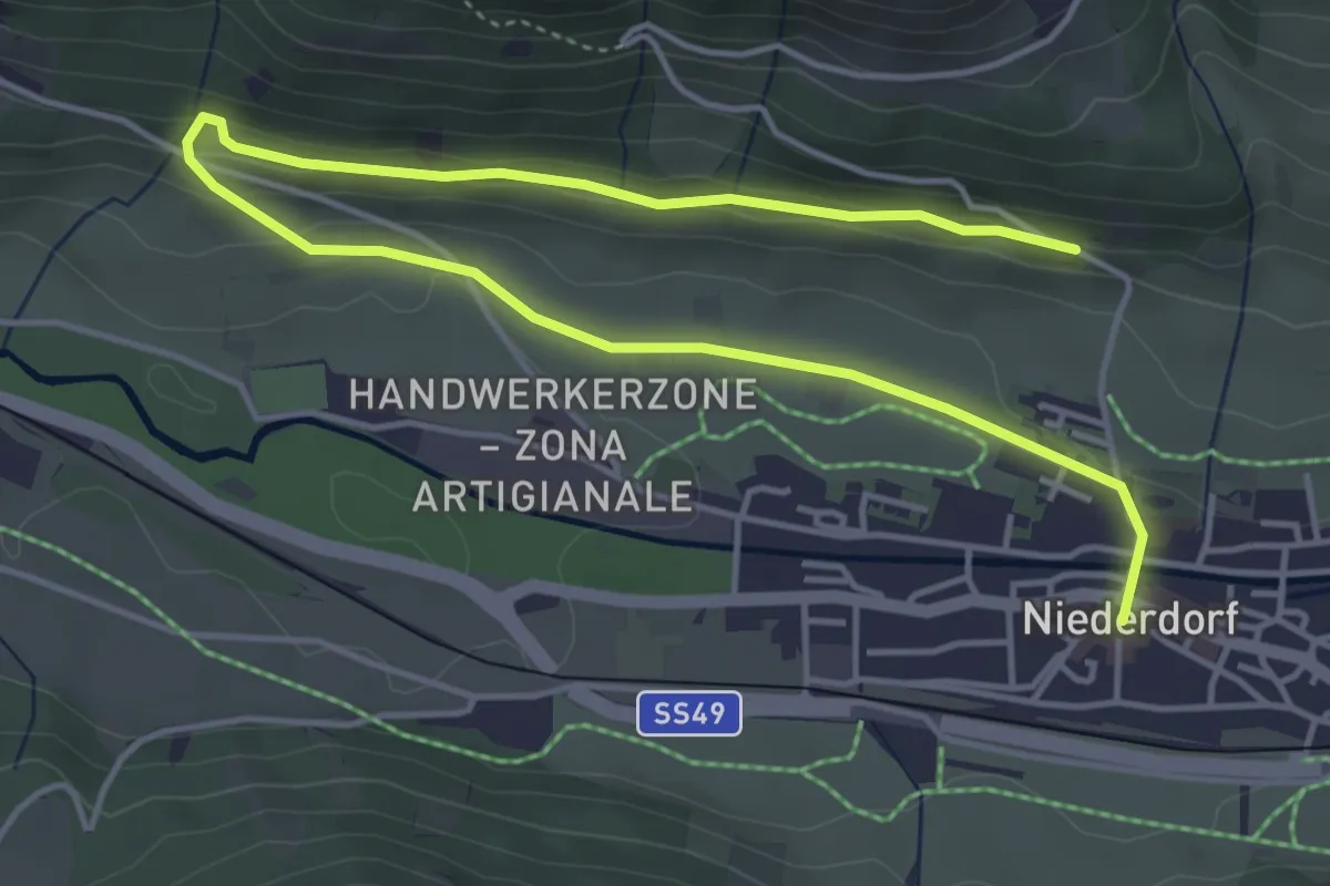
Easy · Trail
Moosweg
6.3 km · ↑ 124 m · 1 h 46 min
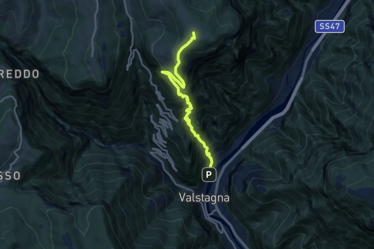
Demanding · Summit
Mori (Valstagna) - Monte Cornone - Sasso Rosso
8.5 km · ↑ 1324 m · 4 h 53 min
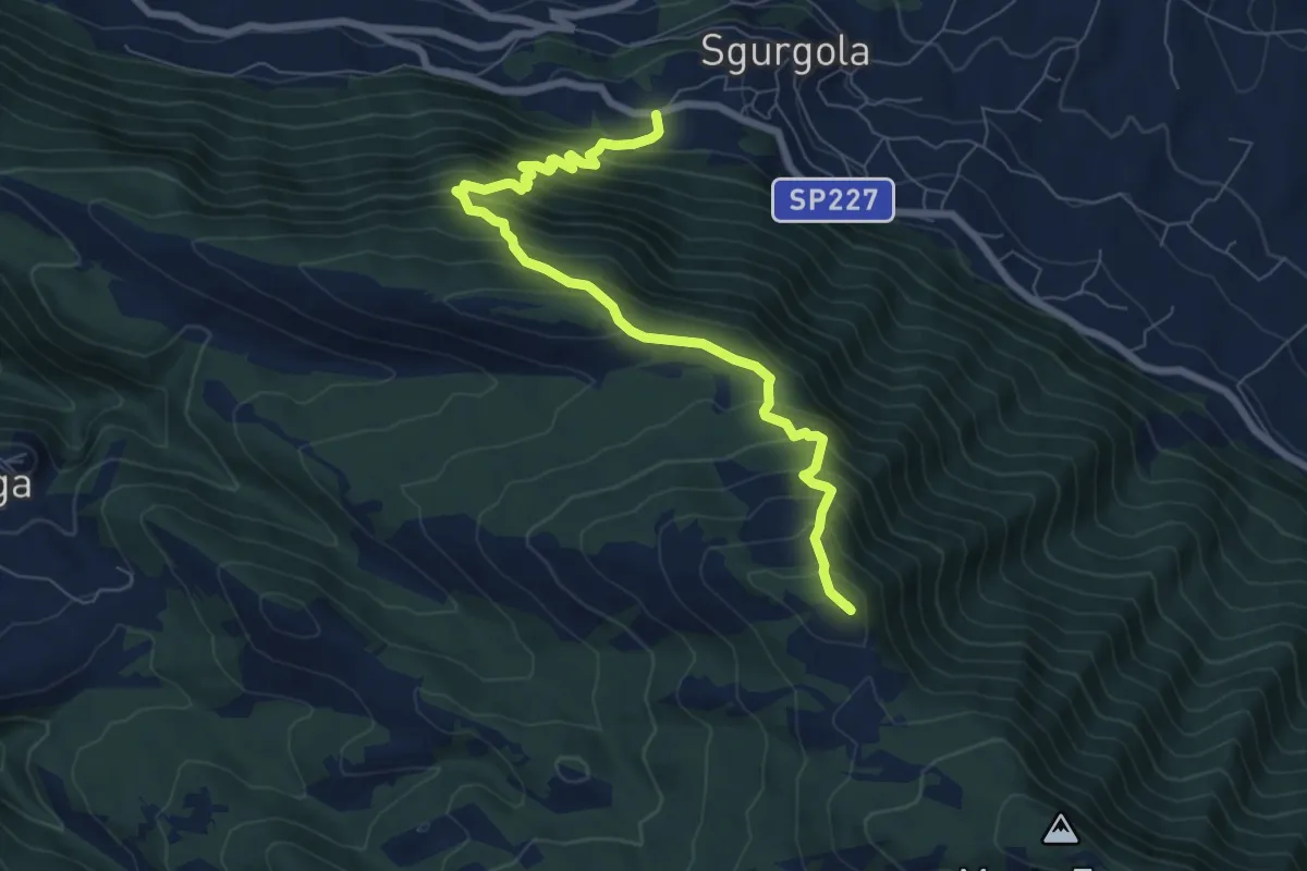
Demanding · Summit
Morolo-Sprone Maraoni-Sgurgola
8.6 km · ↑ 911 m · 4 h
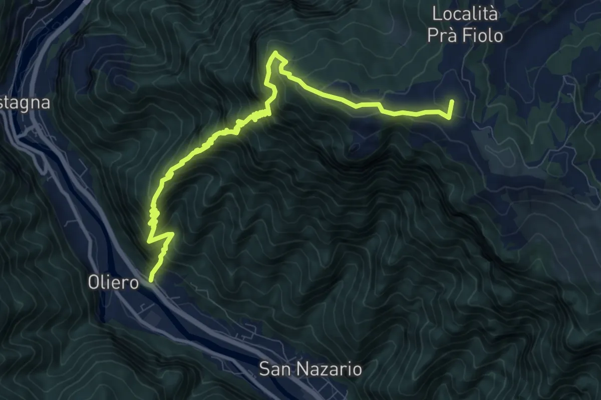
Demanding · Summit
Moschina
11.5 km · ↑ 1326 m · 5 h 35 min
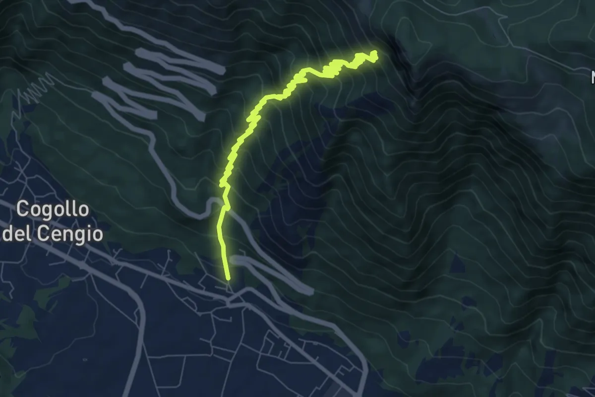
Demanding · Trail
Mosso - Bocchetta Paù per la Val Terragna
9.2 km · ↑ 1127 m · 4 h 37 min
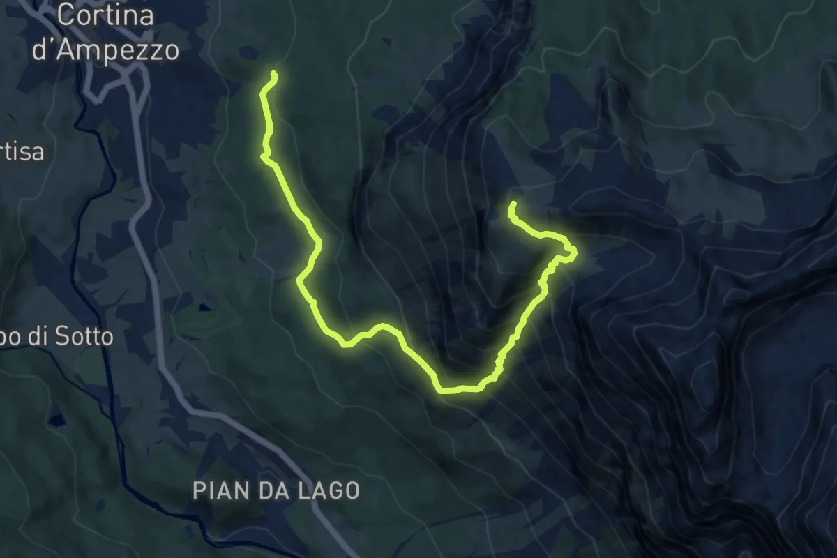
Demanding · Trail
Motel - Cojana - Fraina - Valle Orita - Tondi Faloria
11.1 km · ↑ 998 m · 4 h 47 min
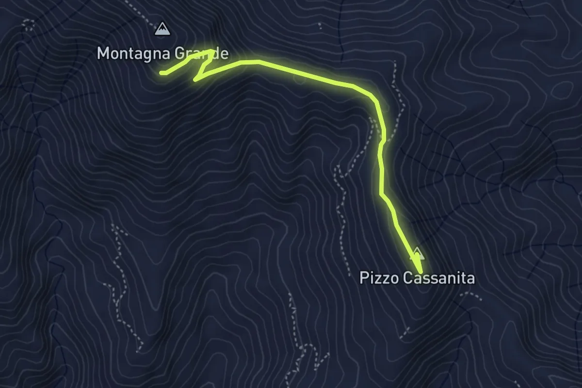
Easy · Summit
Motta Camastra Montagna Grande Variante Est per Pizzo Cassanita
4.9 km · ↑ 227 m · 1 h 39 min
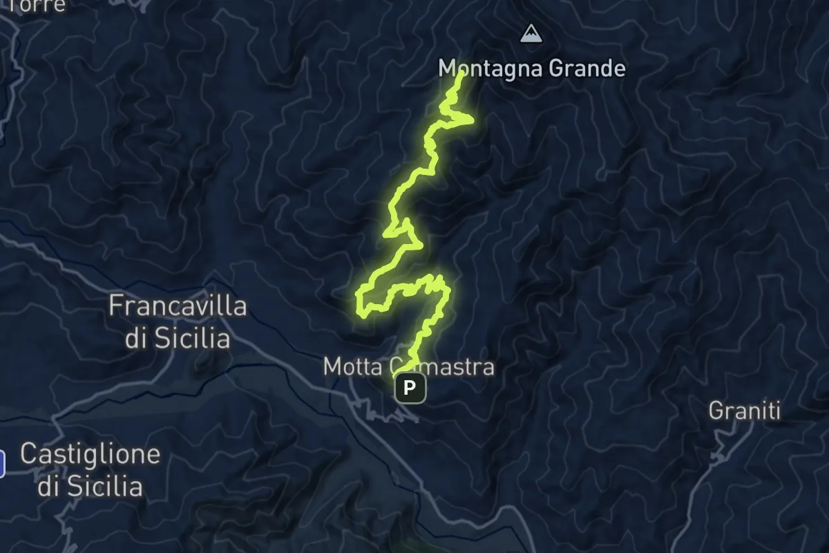
Demanding · Summit
Motta Camastra Montagna Grande Variante Ovest
22.9 km · ↑ 1395 m · 8 h 26 min
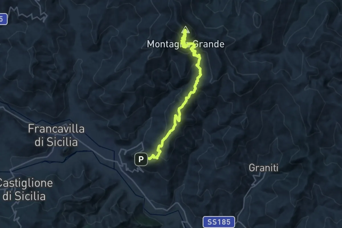
Demanding · Summit
Motta Camastra-Portella Tre Fontane-Chiesa
19.0 km · ↑ 1284 m · 7 h 16 min
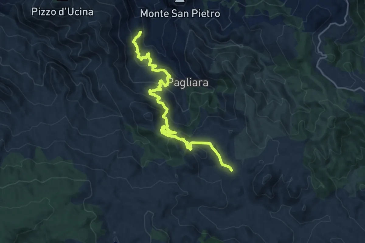
Demanding · Trail
MPB Marù-Passo della Busica
16.3 km · ↑ 831 m · 5 h 39 min
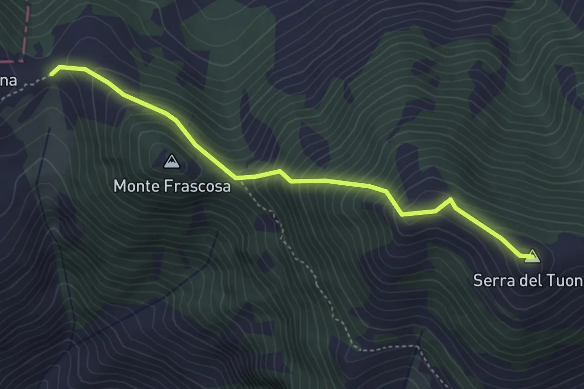
Medium · Summit
MSK Maratea Skyline
4.6 km · ↑ 492 m · 2 h 9 min
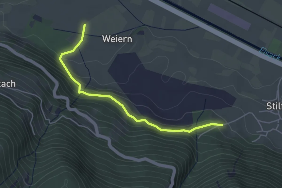
Easy · Trail
Mückensteig
4.0 km · ↑ 201 m · 1 h 22 min
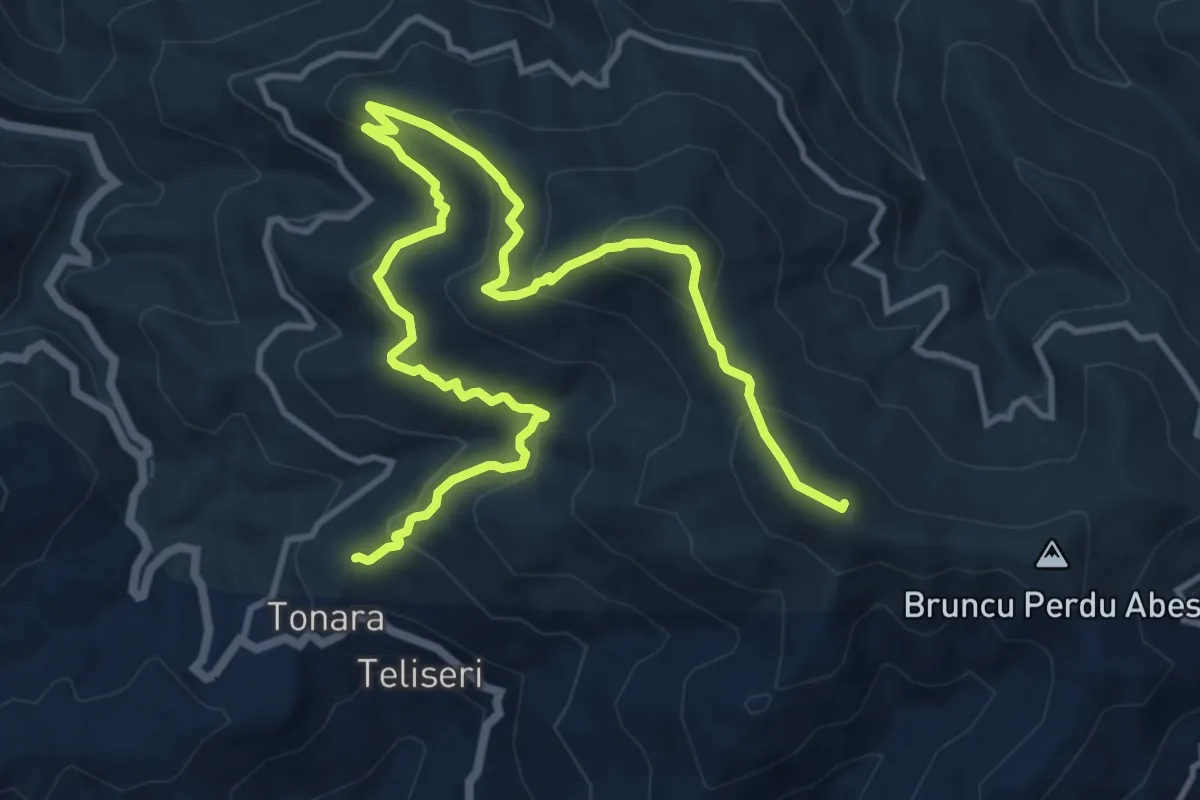
Demanding · Summit
Muggianeddu
17.4 km · ↑ 994 m · 6 h 16 min
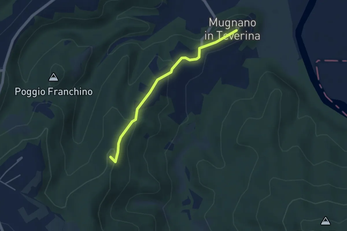
Easy · Summit
Mugnano-Bomarzo
3.9 km · ↑ 149 m · 1 h 14 min
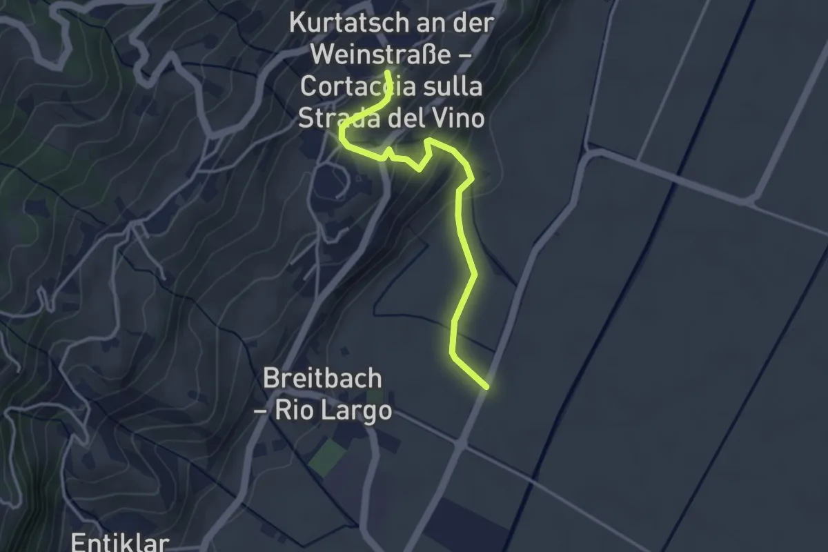
Easy · Trail
Mühlastiege
3.2 km · ↑ 149 m · 1 h 4 min
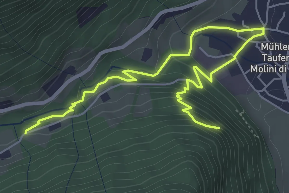
Medium · Trail
Mühlener Klamme
5.7 km · ↑ 366 m · 2 h 9 min
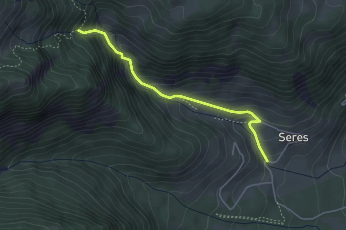
Medium · Trail
Mühlenweg
3.5 km · ↑ 321 m · 1 h 31 min
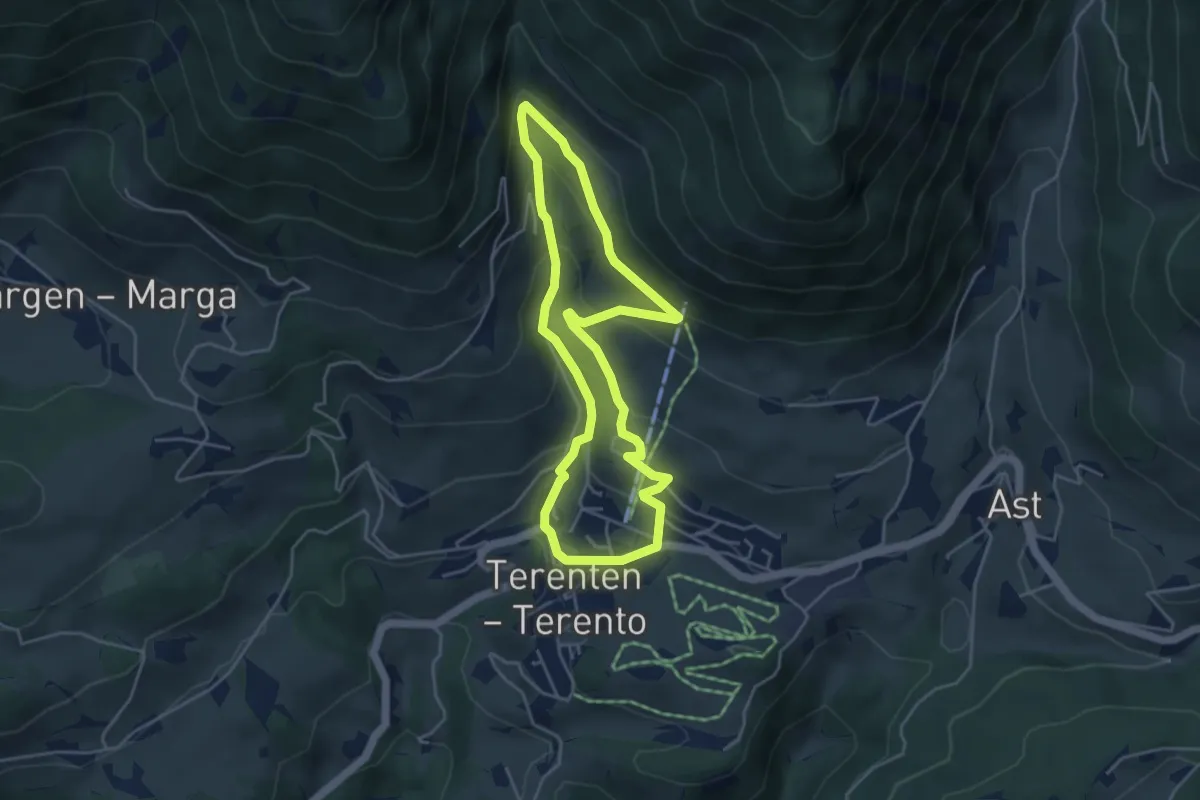
Medium · Trail
Mühlenweg
4.2 km · ↑ 251 m · 1 h 35 min
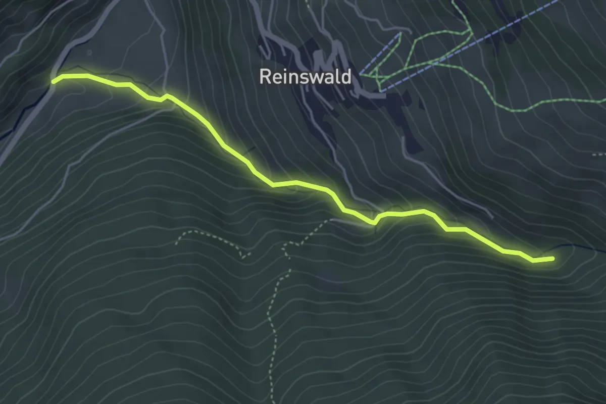
Medium · Trail
Mühlenweg
4.5 km · ↑ 335 m · 1 h 47 min
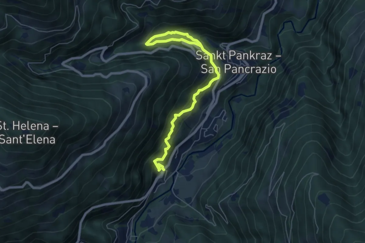
Medium · Trail
Mühlenweg
6.6 km · ↑ 527 m · 2 h 42 min
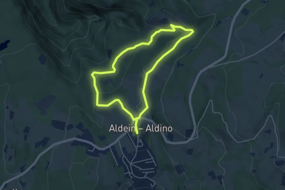
Easy · Trail
Mühlenweg - Sentiero dei Mulini
3.6 km · ↑ 107 m · 1 h 8 min
Medium · Summit
Mühlwalder Almenweg
8.6 km · ↑ 618 m · 3 h 22 min
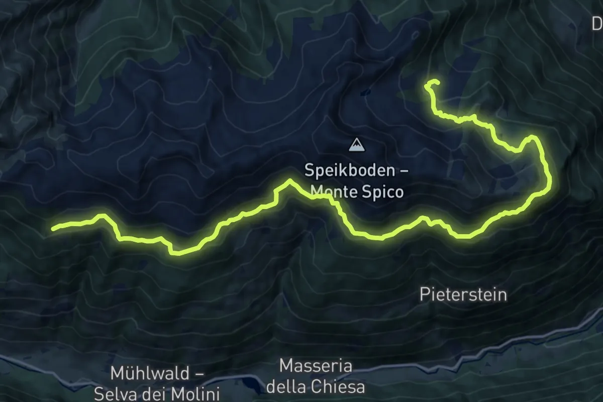
Medium · Trail
Mühlwalder Almweg
11.0 km · ↑ 634 m · 4 h 9 min
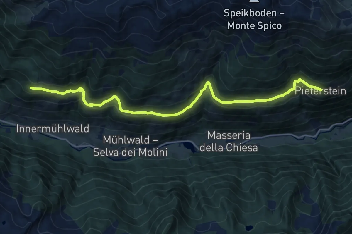
Medium · Trail
Mühlwalder Höfeweg
15.2 km · ↑ 717 m · 5 h 9 min
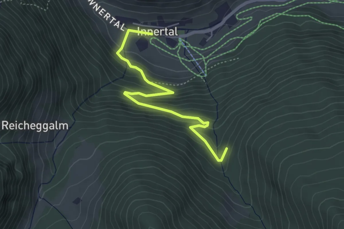
Easy · Trail
Mühlwalder Jöchl
4.5 km · ↑ 264 m · 1 h 39 min
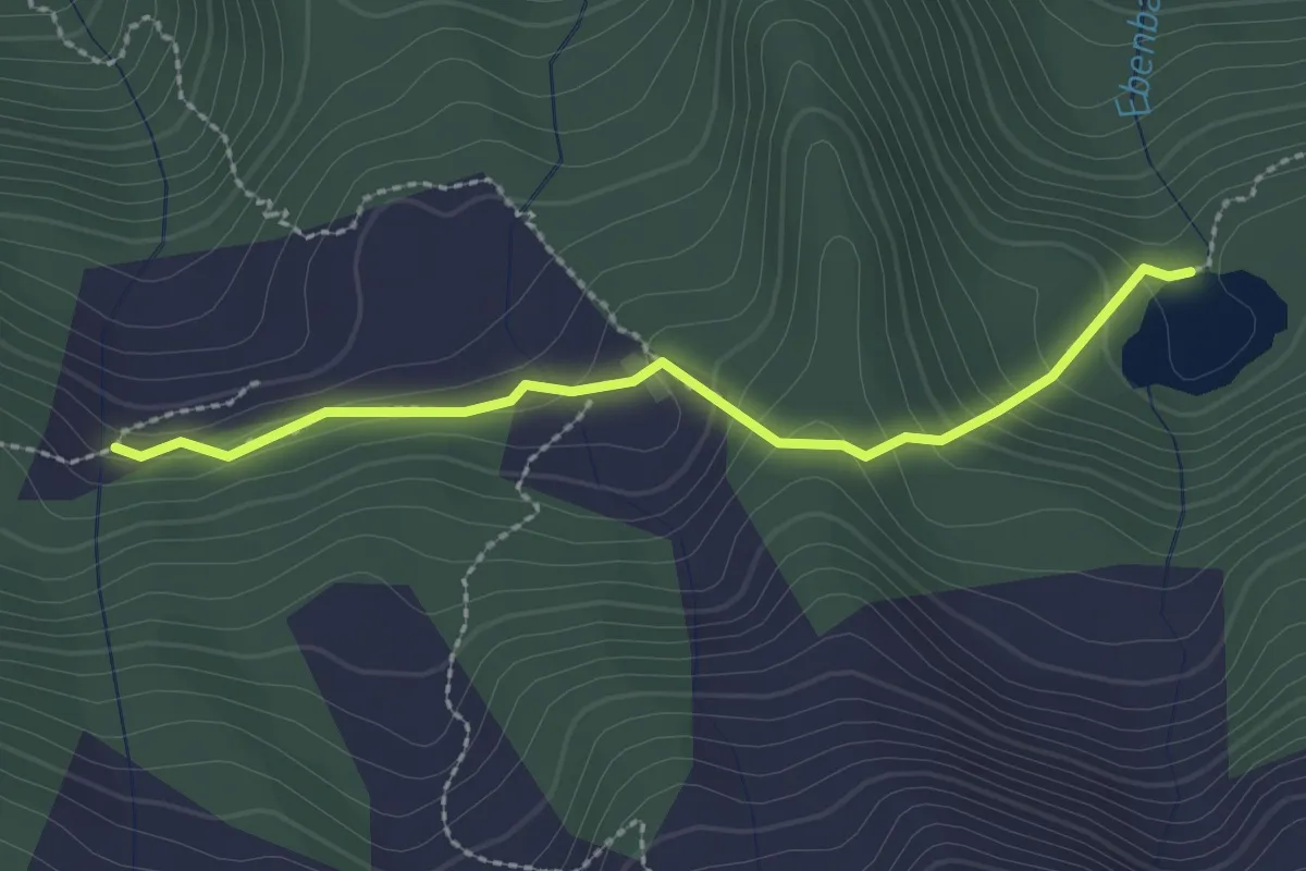
Medium · Trail
Mühlwald/Selva dei Molini AVS 2A
2.4 km · ↑ 155 m · 54 min
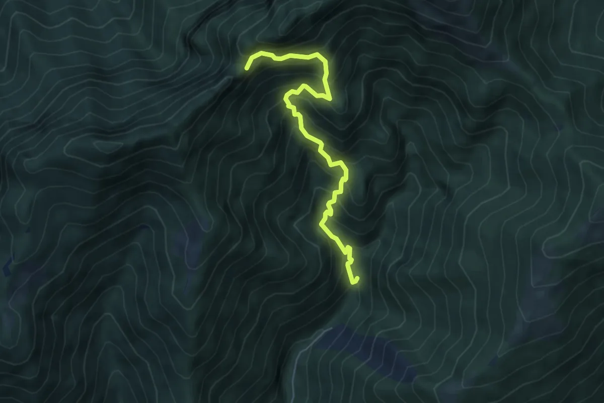
Demanding · Trail
Mulattiera dei Carbonai
5.6 km · ↑ 675 m · 2 h 46 min
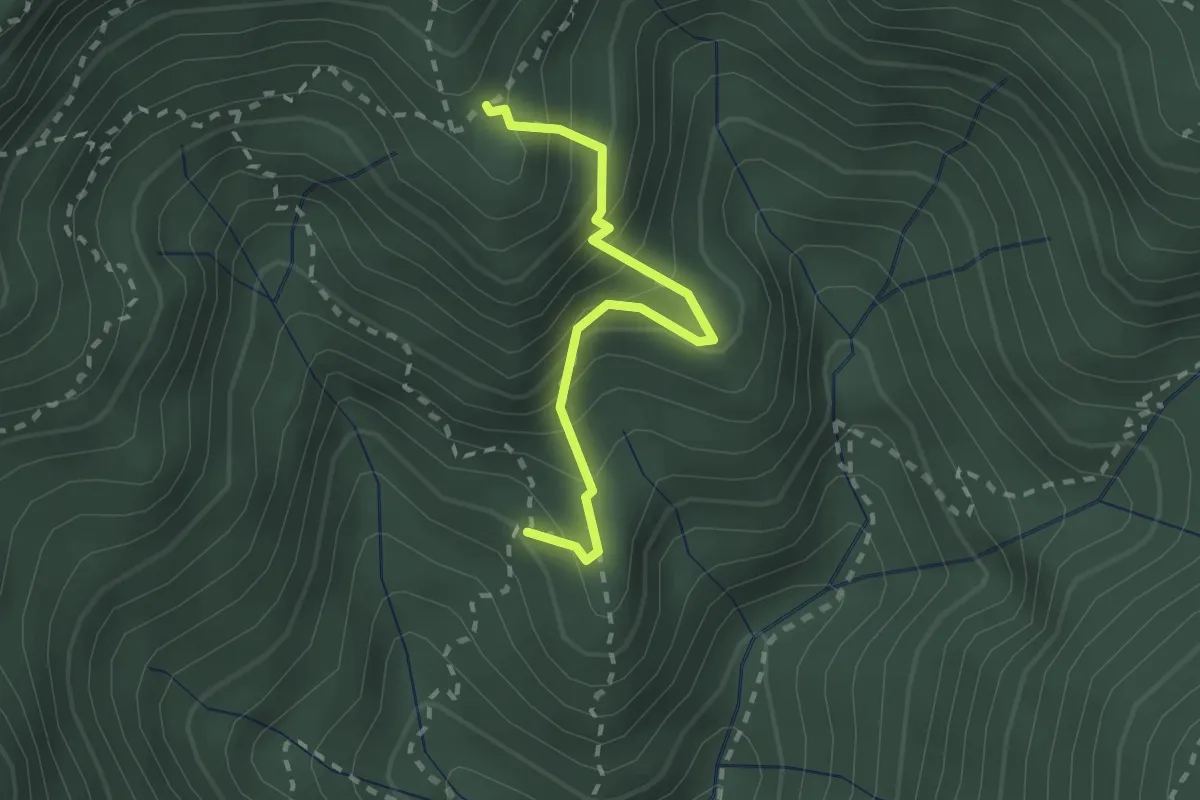
Medium · Trail
Mulattiera dei Carbonai - Est
2.1 km · ↑ 314 m · 1 h 11 min
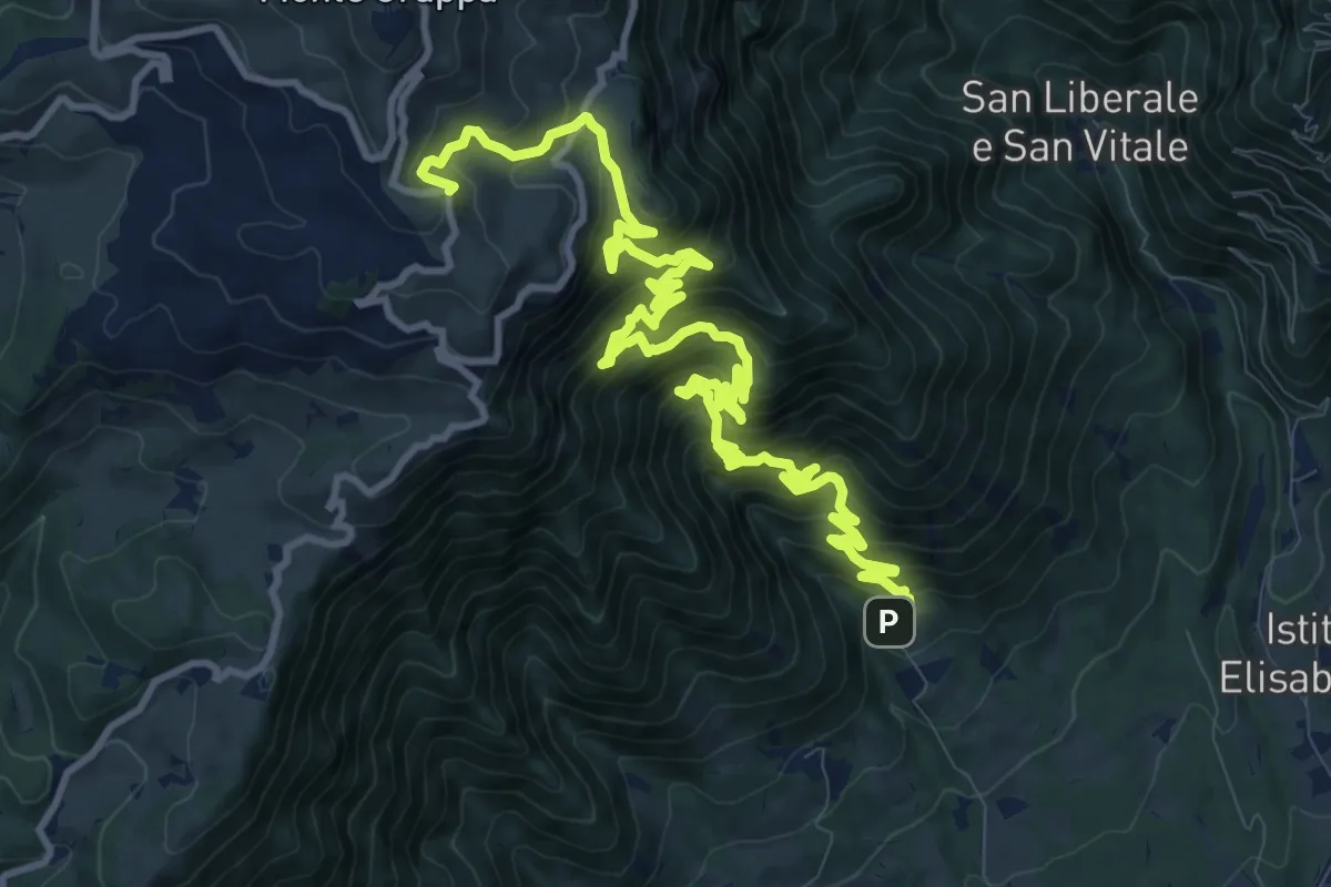
Demanding · Trail
Mulattiera del Covolo
16.1 km · ↑ 1752 m · 7 h 36 min
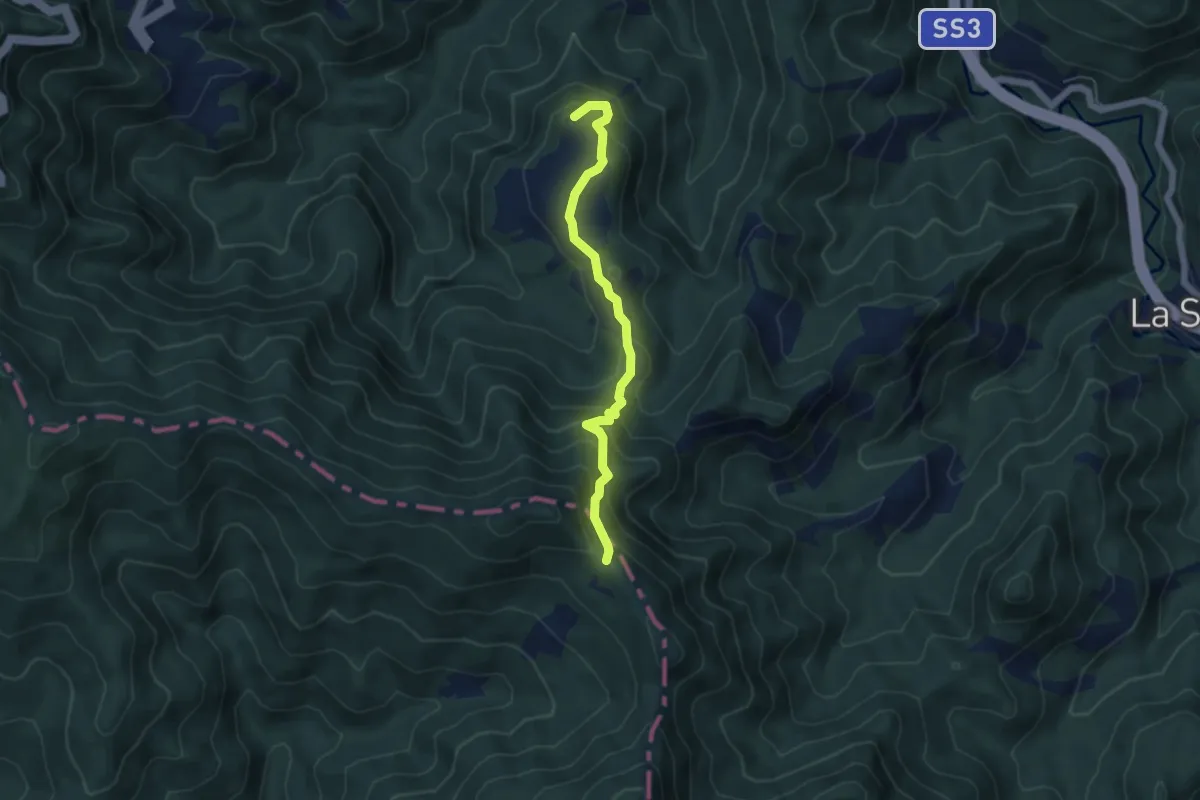
Medium · Summit
Mulattiera del Granduca
5.0 km · ↑ 401 m · 2 h 4 min
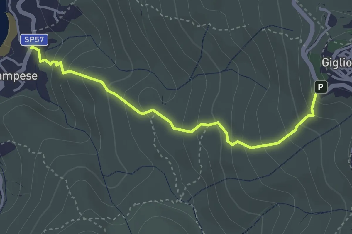
Medium · Trail
Mulattiera della Costa – Giglio Castello – Giglio Campese
3.4 km · ↑ 336 m · 1 h 32 min
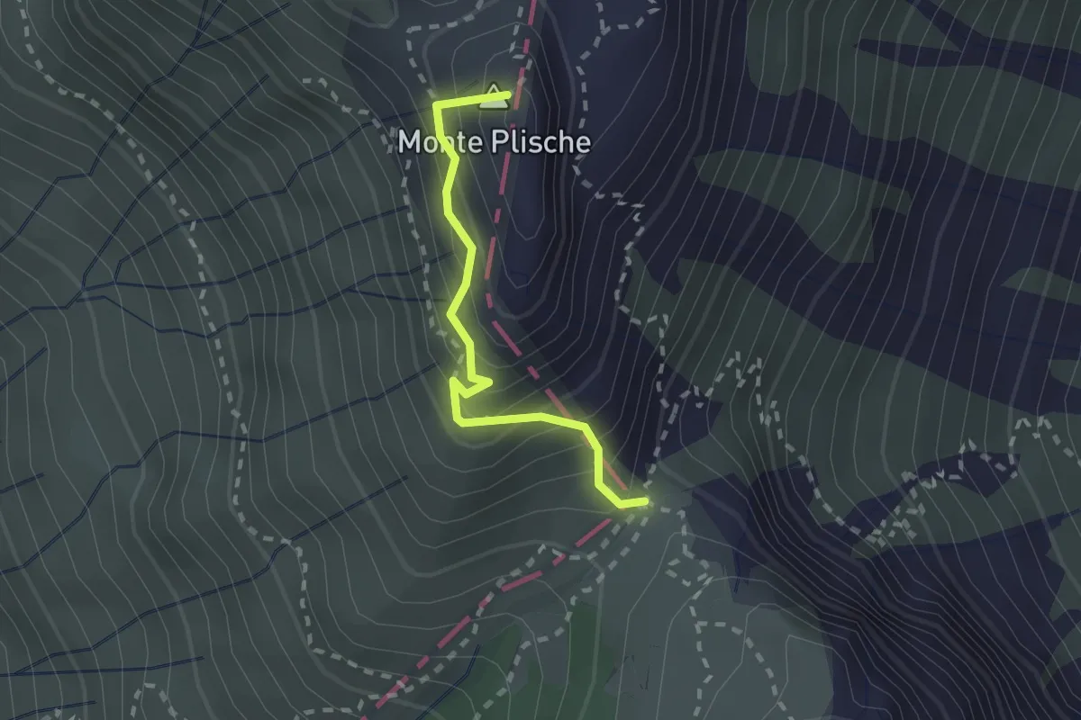
Demanding · Summit
Mulattiera del Plische
2.0 km · ↑ 245 m · 1 h
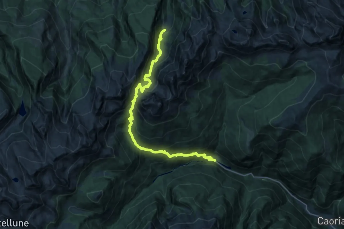
Medium · Cabin
Mulattiera di Sadole
10.4 km · ↑ 558 m · 4 h 4 min
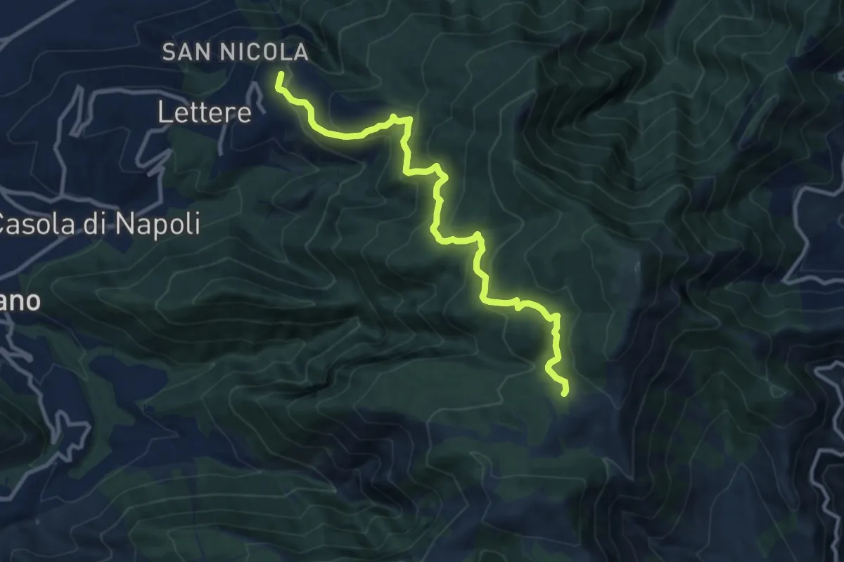
Medium · Trail
Mulattiera Orsano-Megano
11.5 km · ↑ 734 m · 4 h 18 min
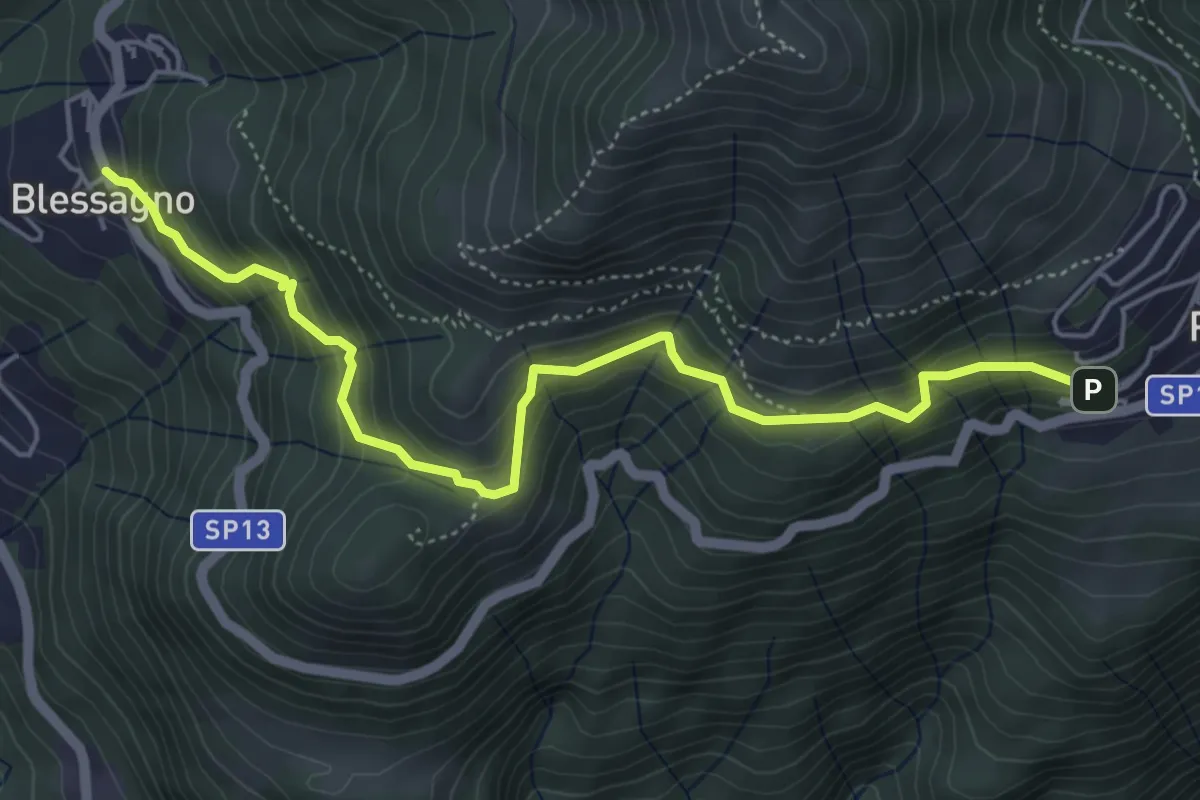
Medium · Trail
Mulattiera Pigra - Blessagno
5.6 km · ↑ 465 m · 2 h 20 min
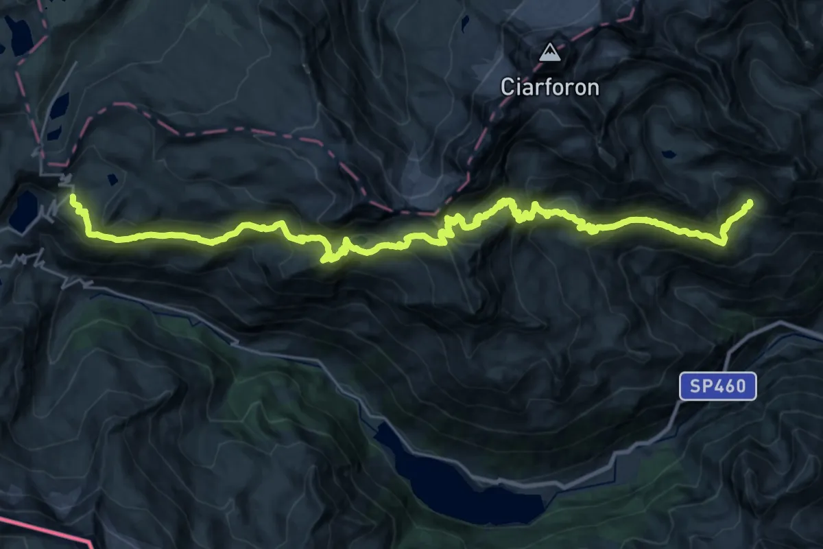
Demanding · Cabin
Mulattiera reale
17.3 km · ↑ 941 m · 6 h 29 min
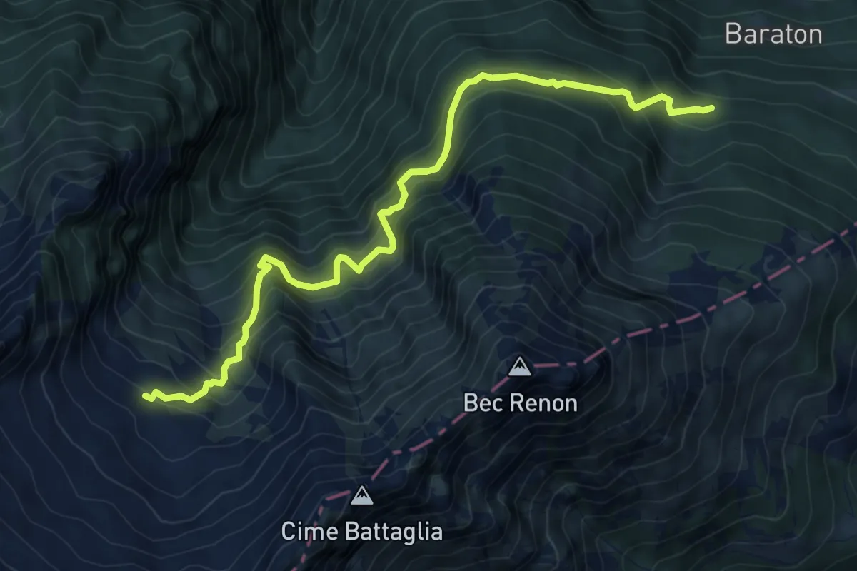
Demanding · Cabin
Mulattiera Rifugio Bonze
8.7 km · ↑ 961 m · 4 h 8 min
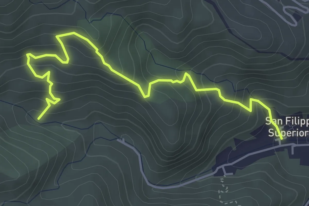
Medium · Trail
Mulattiera San Filippo Bosco Chiesa
5.4 km · ↑ 504 m · 2 h 22 min
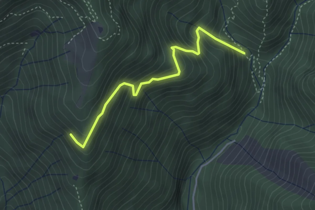
Medium · Trail
Mulattiera variante Senter Lonc
3.4 km · ↑ 399 m · 1 h 41 min
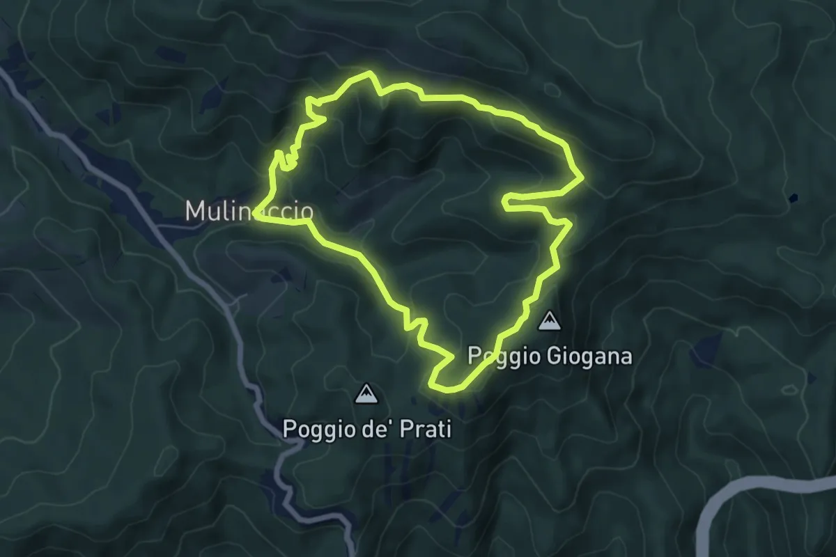
Medium · Summit
Mulinaccio – Fonte al Canale – Fonte Vascona
6.4 km · ↑ 357 m · 2 h 22 min
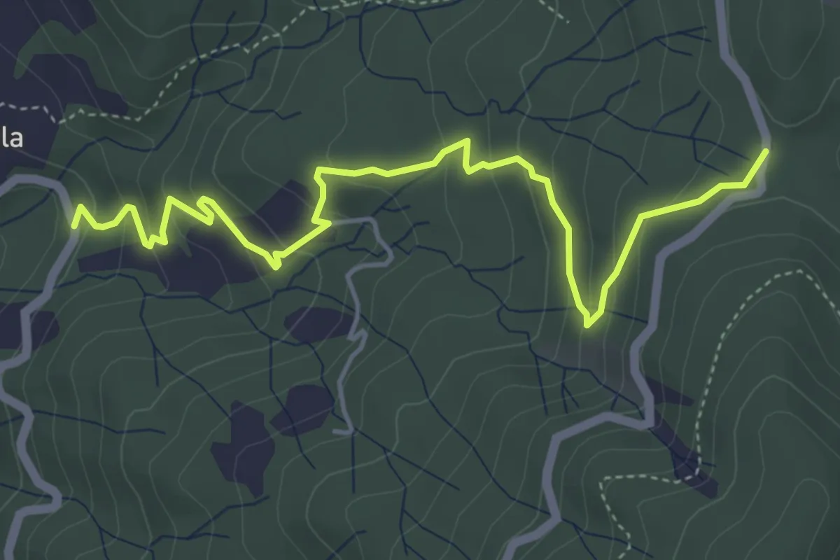
Easy · Trail
Mulino Bellolio - Laghello - Marselesso - Foce di Vaggi
5.5 km · ↑ 311 m · 1 h 58 min
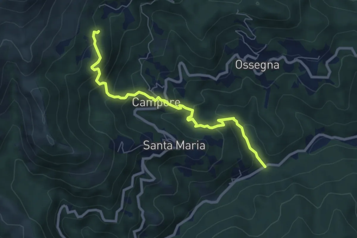
Medium · Trail
Mulino dei Bulli - Campore - San Bernardo
6.6 km · ↑ 522 m · 2 h 41 min