Trails in Italy
25,221 hiking trails, each with its route, climb, walking time and grade.
All trails, page 106 of 526
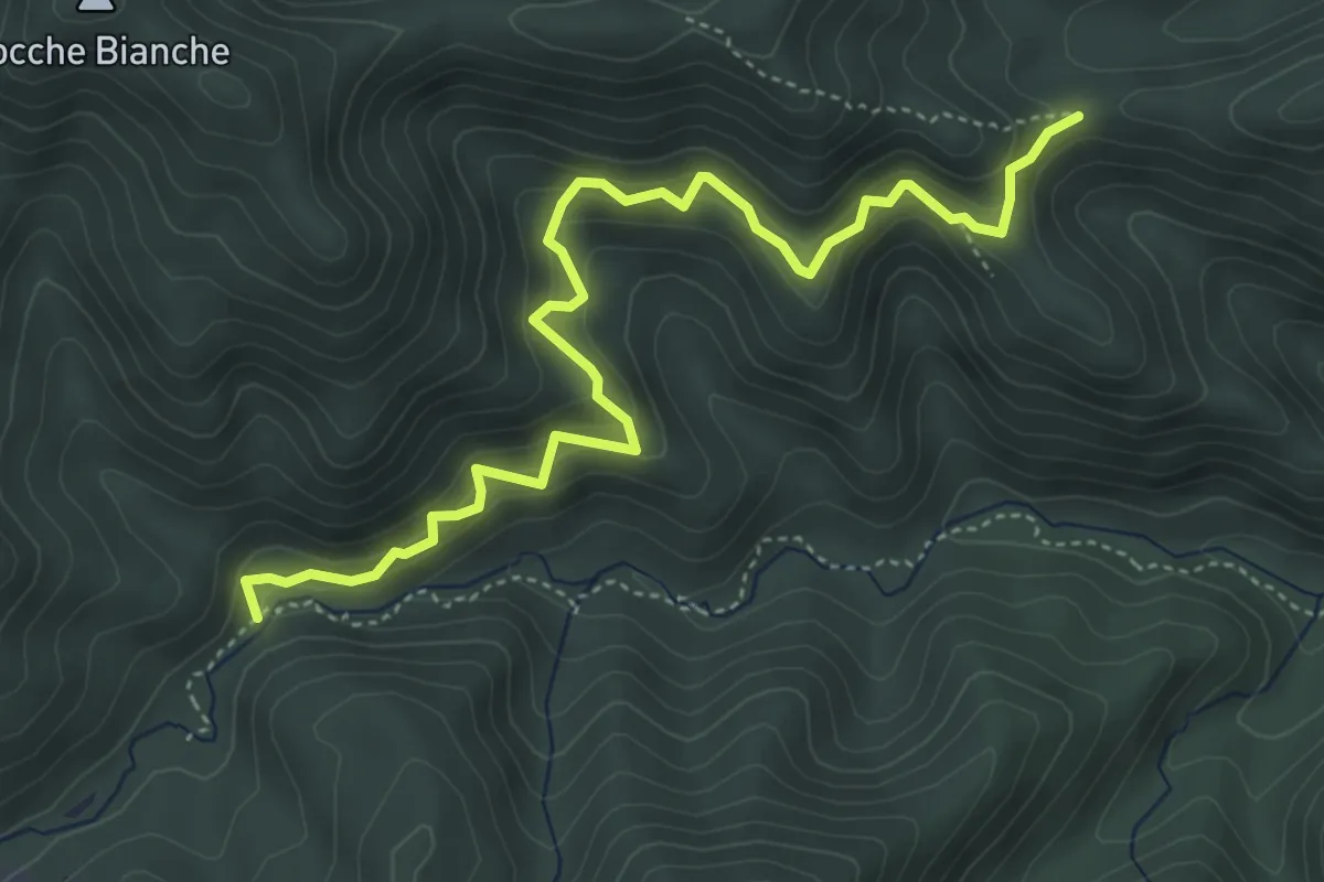
Medium · Trail
Mulino di Michelino - Case Cantini
5.4 km · ↑ 457 m · 2 h 16 min
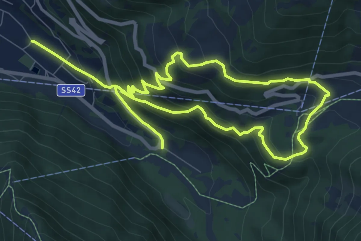
Medium · Trail
Muràcc
6.7 km · ↑ 496 m · 2 h 43 min
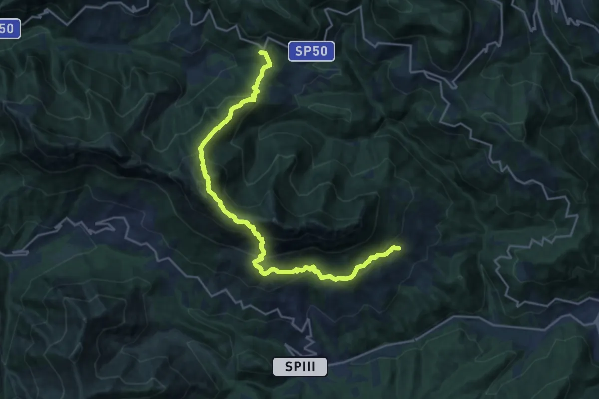
Demanding · Summit
Mura - Nasego - Passo del Termine
17.4 km · ↑ 1334 m · 7 h
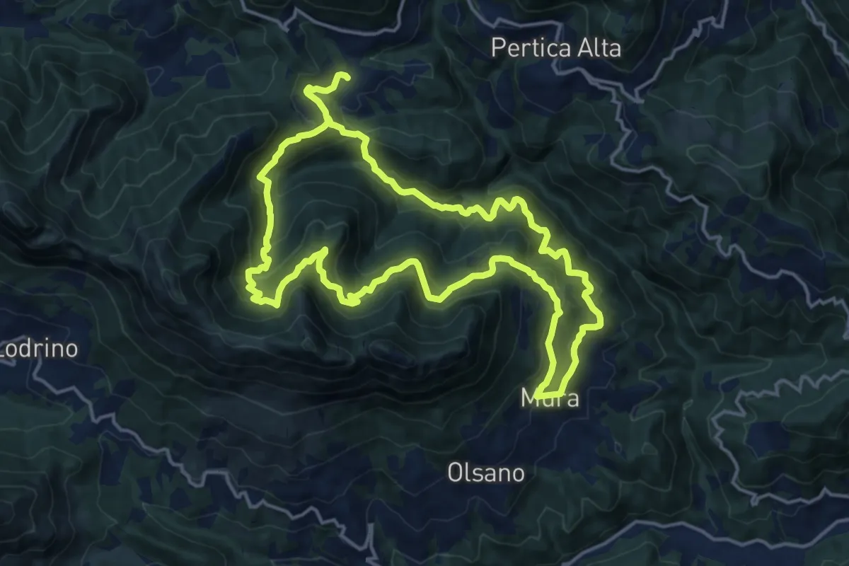
Demanding · Trail
Mura - Noffo - Nasego - Mura
14.7 km · ↑ 1109 m · 6 h 4 min
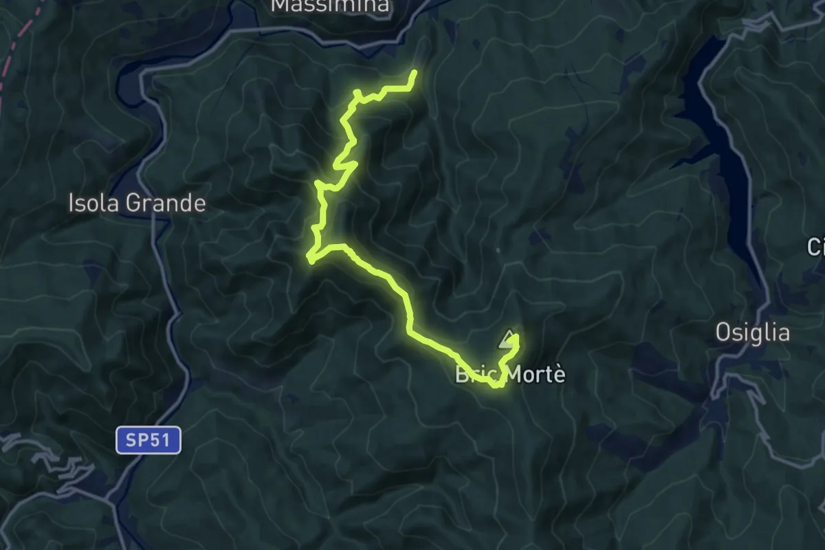
Demanding · Summit
Murialdo - Monte Camulera - Bric Mortè
14.2 km · ↑ 951 m · 5 h 25 min
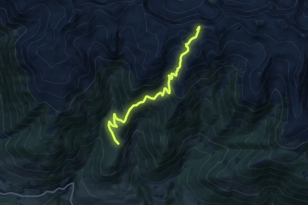
Demanding · Summit
Murmeltierweg
11.2 km · ↑ 894 m · 4 h 35 min
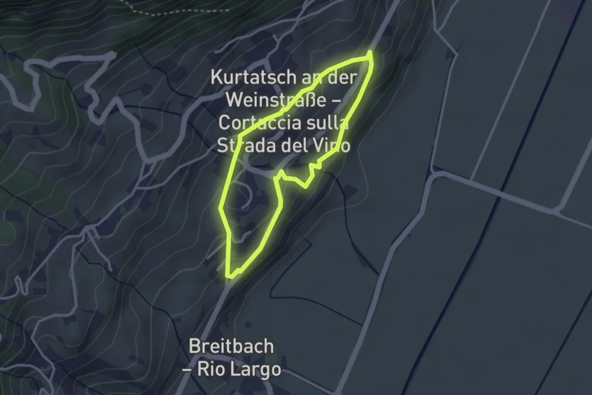
Easy · Trail
Murundum 1
2.5 km · ↑ 114 m · 53 min
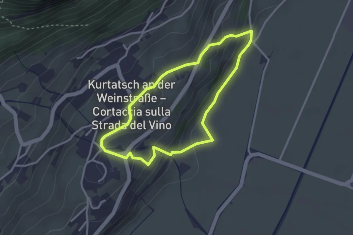
Easy · Trail
Murundum 2
2.4 km · ↑ 150 m · 56 min
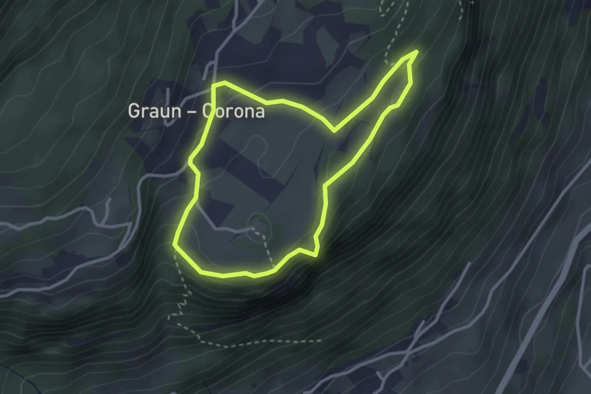
Easy · Trail
Murundum 3
2.6 km · ↑ 108 m · 54 min
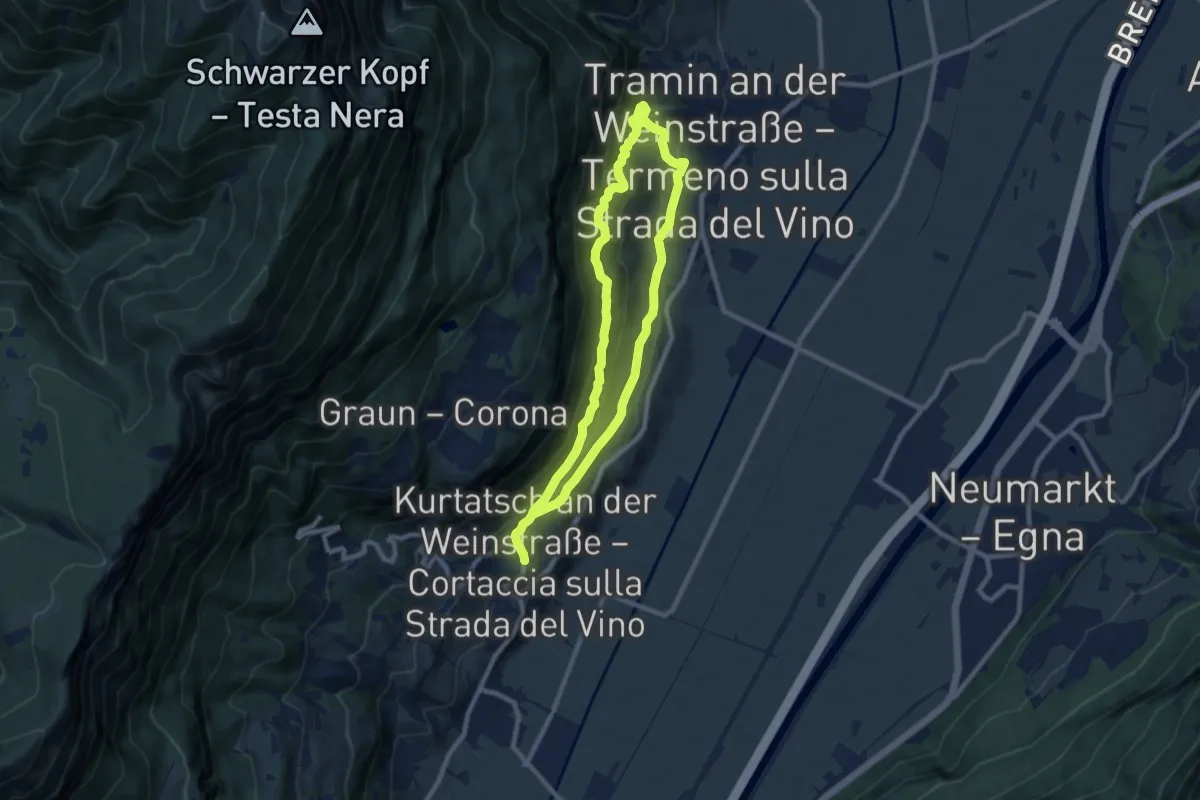
Medium · Trail
Murundum 4
15.7 km · ↑ 728 m · 5 h 17 min
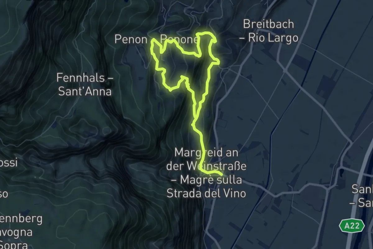
Demanding · Trail
Murundum 5
11.7 km · ↑ 880 m · 4 h 40 min
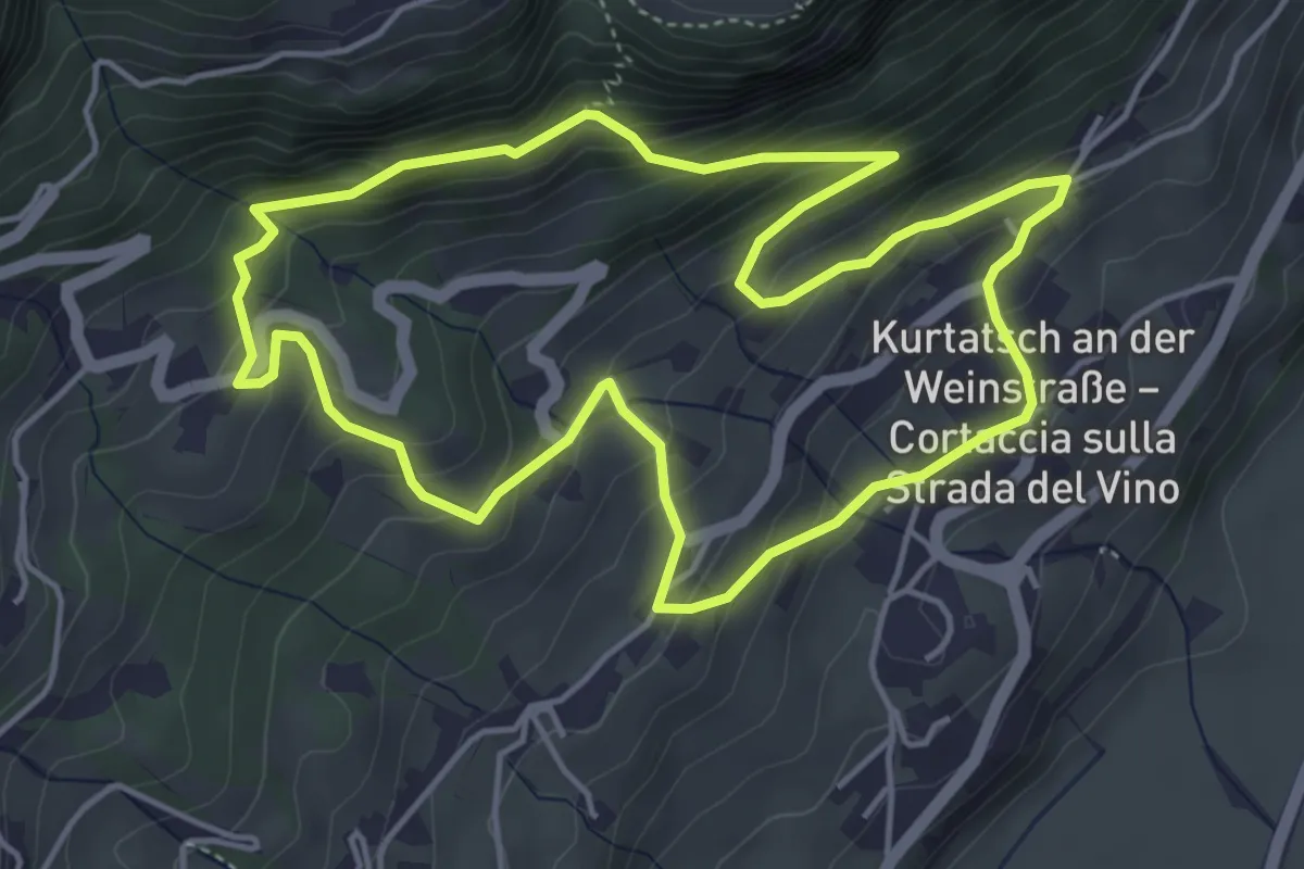
Medium · Trail
Murundum 6
4.7 km · ↑ 350 m · 1 h 56 min
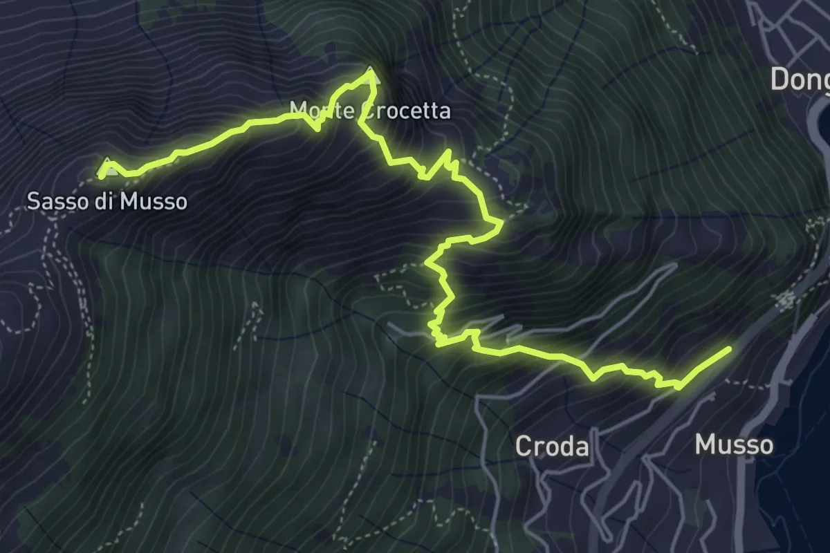
Demanding · Summit
Musso - San Bernardo
6.5 km · ↑ 877 m · 3 h 26 min
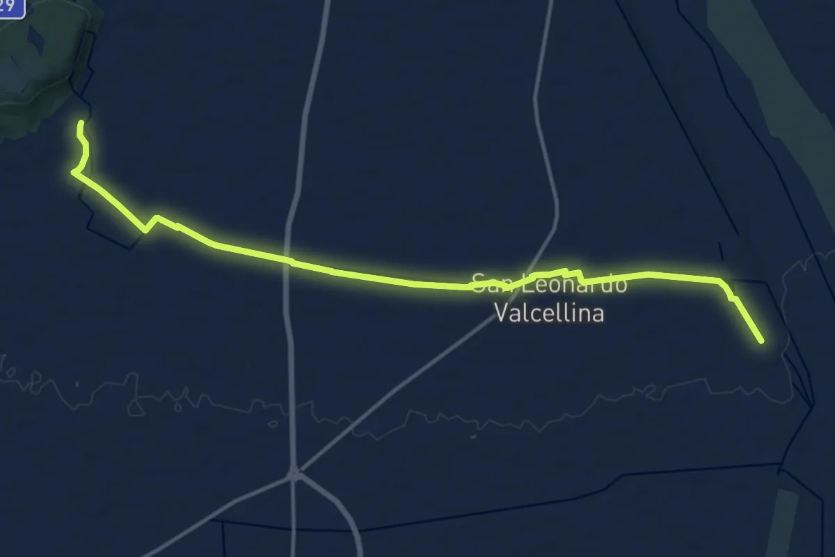
Medium · Trail
MV10 - Montereale Valcellina 10
15.1 km · ↑ 30 m · 3 h 37 min
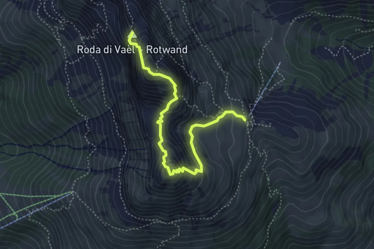
Expert · Summit
N01
4.8 km · ↑ 546 m · 2 h 19 min
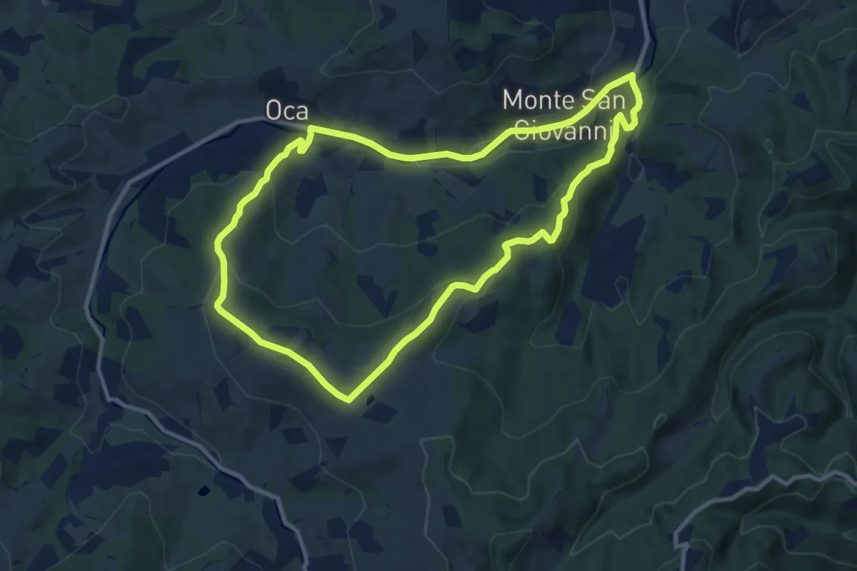
Medium · Trail
N1 - L'uomo che era e l'uomo che verrà
9.1 km · ↑ 295 m · 2 h 54 min
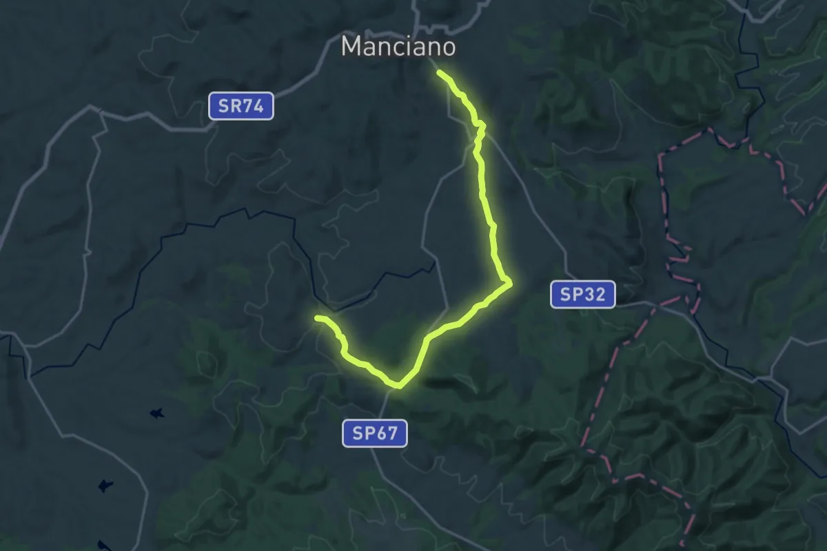
Medium · Summit
n.1 Manciano percorso medio
10.3 km · ↑ 250 m · 3 h 3 min
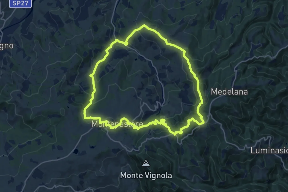
Medium · Summit
N3 - Le case nelle torri
15.4 km · ↑ 770 m · 5 h 32 min
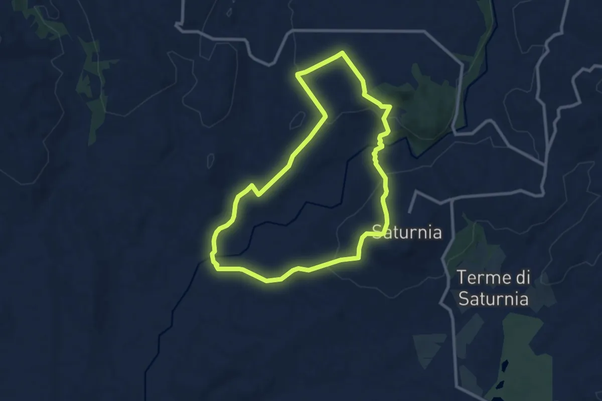
Medium · Trail
n.5 anello della Necropoli del Puntone
8.4 km · ↑ 206 m · 2 h 33 min
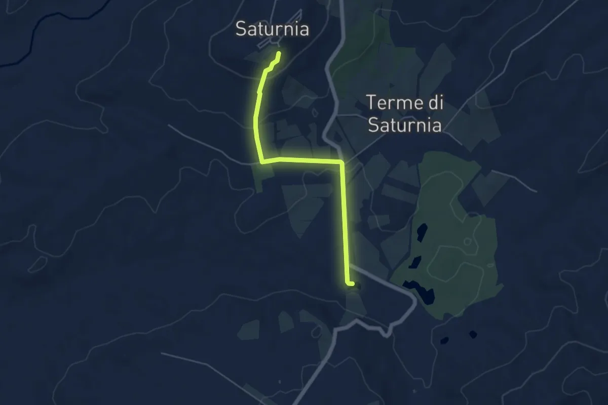
Easy · Trail
n.6 Saturnia-cascatelle
4.8 km · ↑ 148 m · 1 h 27 min
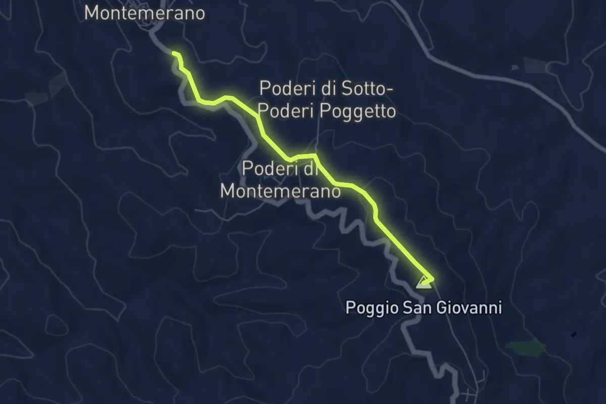
Easy · Summit
n.7 Manciano - Montemerano
5.9 km · ↑ 178 m · 1 h 47 min
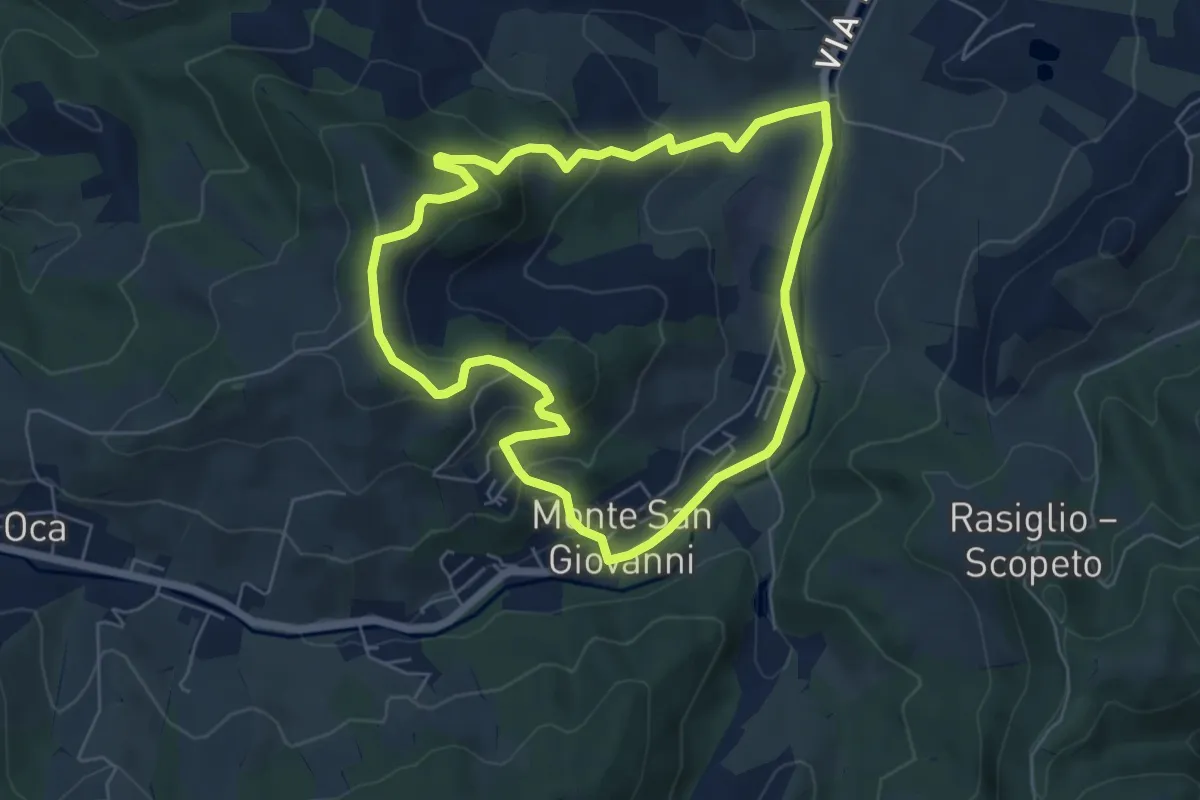
Easy · Trail
N7 - Tra Colline e Calanchi
6.0 km · ↑ 223 m · 1 h 59 min
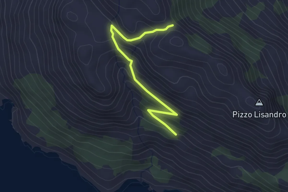
Easy · Trail
Naca Passio
3.8 km · ↑ 249 m · 1 h 27 min
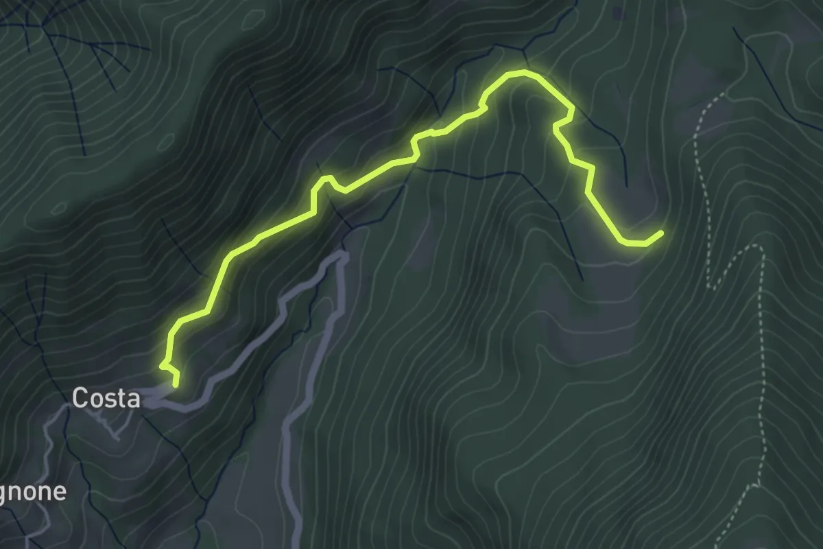
Medium · Trail
Nangui-Costa
5.0 km · ↑ 378 m · 2 h
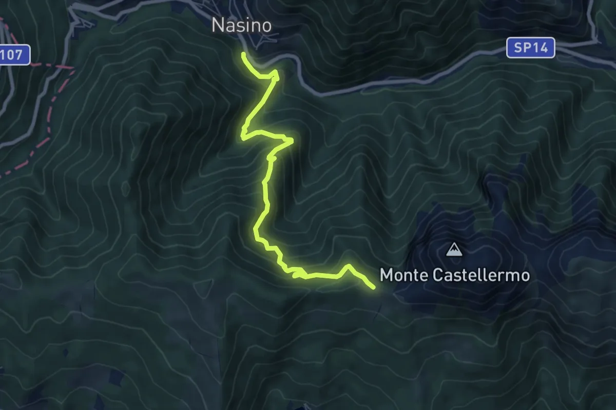
Medium · Trail
Nasino - Colla d'Onzo
7.5 km · ↑ 676 m · 3 h 14 min
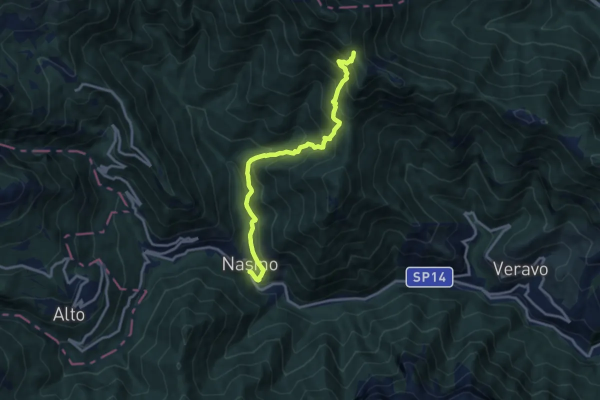
Demanding · Trail
Nasino - Madonna della Neve - Passo Cerisola
9.1 km · ↑ 931 m · 4 h 10 min
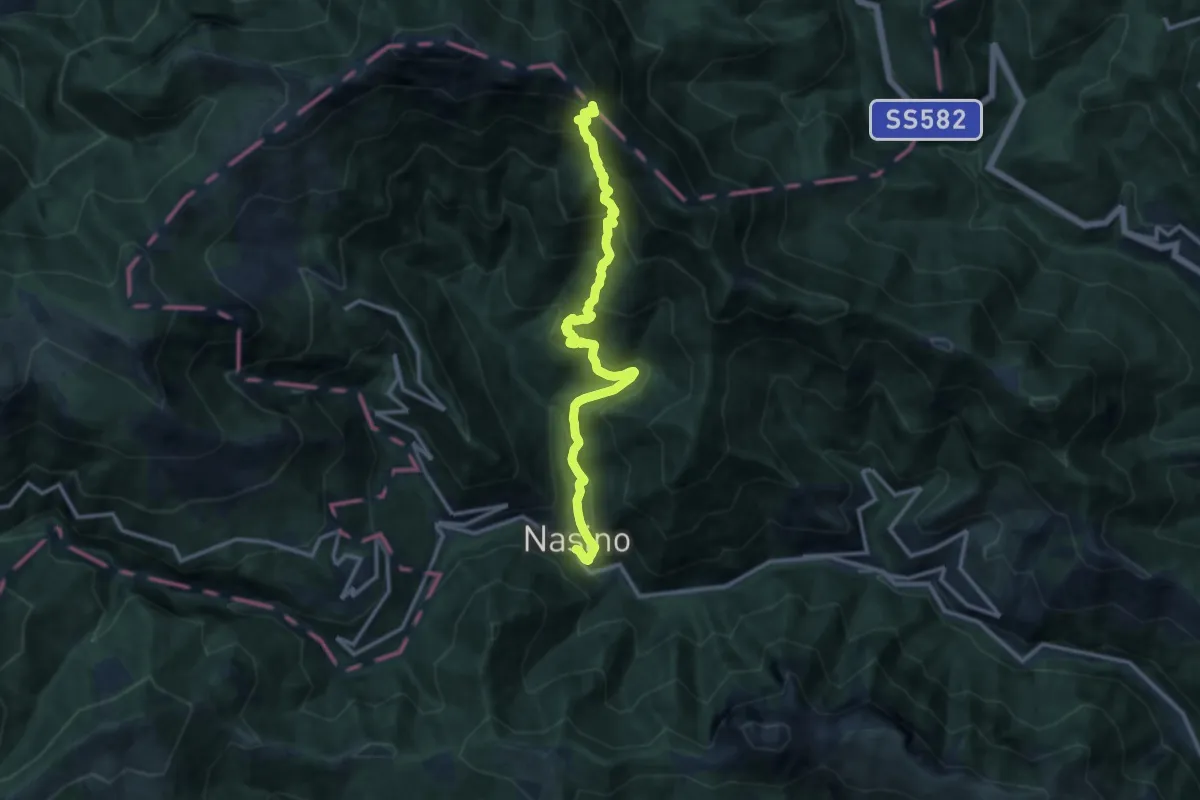
Demanding · Trail
Nasino - Madonna della Neve - Passo delle Caranche
13.1 km · ↑ 1133 m · 5 h 33 min
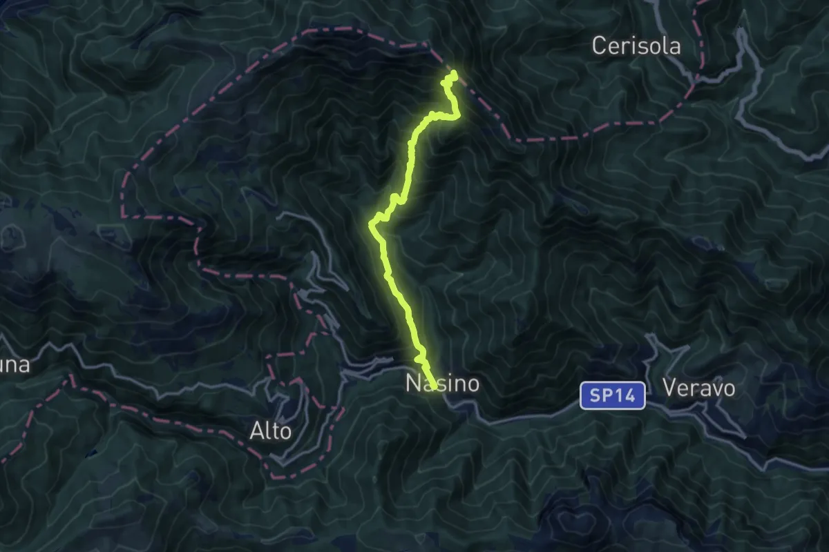
Demanding · Trail
Nasino - Vignoletto - Passo delle Caranche
12.2 km · ↑ 1182 m · 5 h 27 min
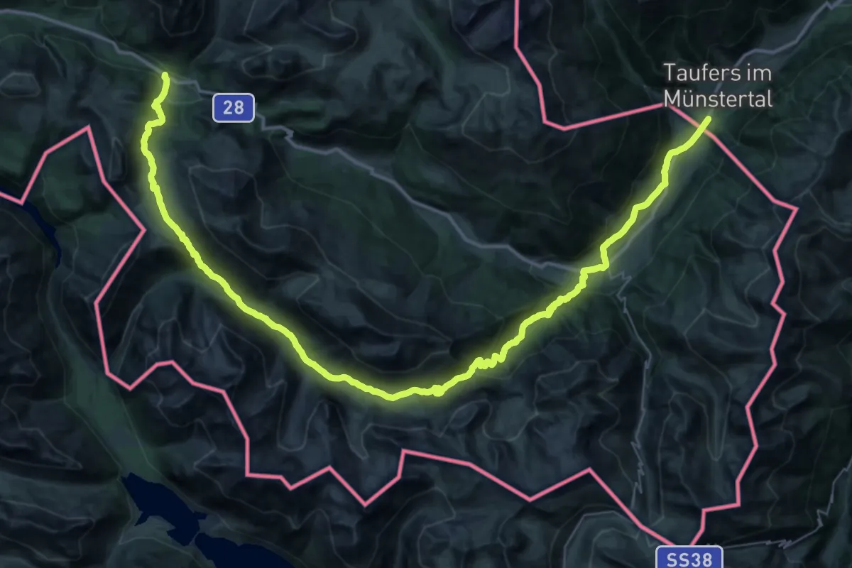
Demanding · Trail
Nationalpark Panoramaweg
27.7 km · ↑ 1359 m · 9 h 30 min
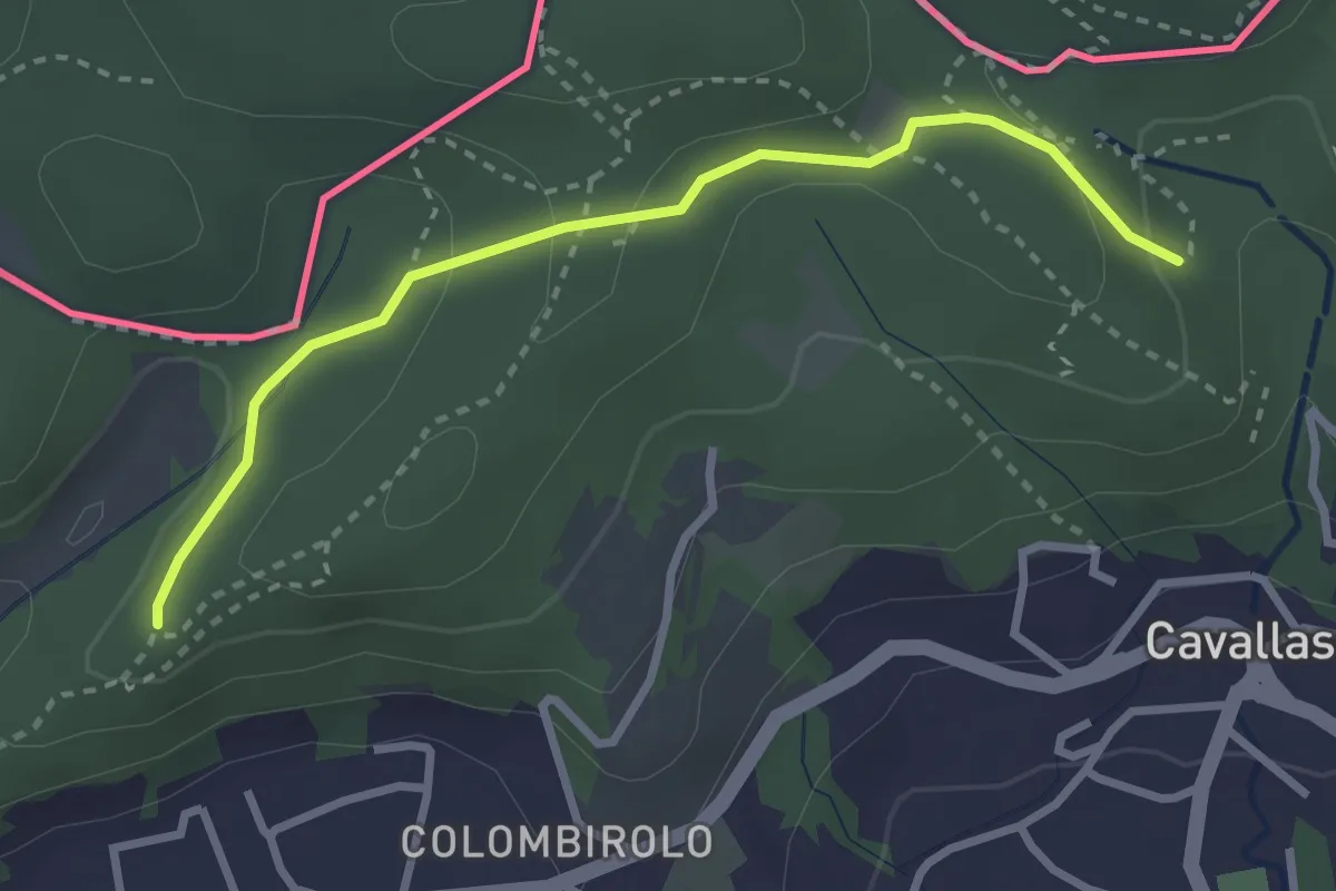
Easy · Trail
Naturalistico di Parè
3.0 km · ↑ 71 m · 51 min
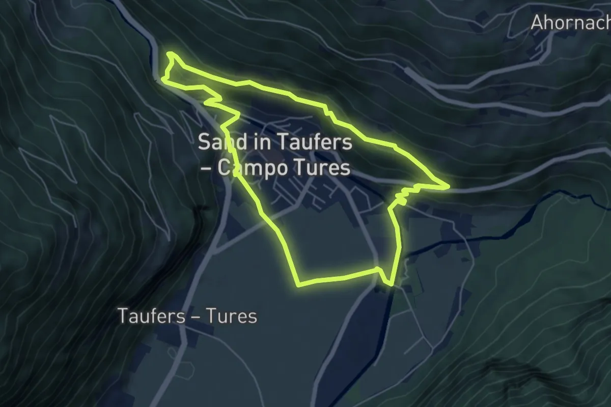
Easy · Trail
Naturerlebnispfad
5.4 km · ↑ 225 m · 1 h 50 min
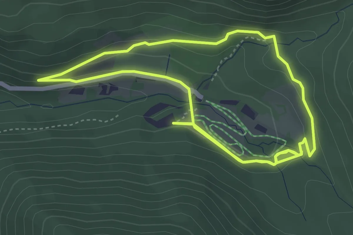
Easy · Trail
Naturerlebnispfad Zans
3.9 km · ↑ 102 m · 1 h 11 min
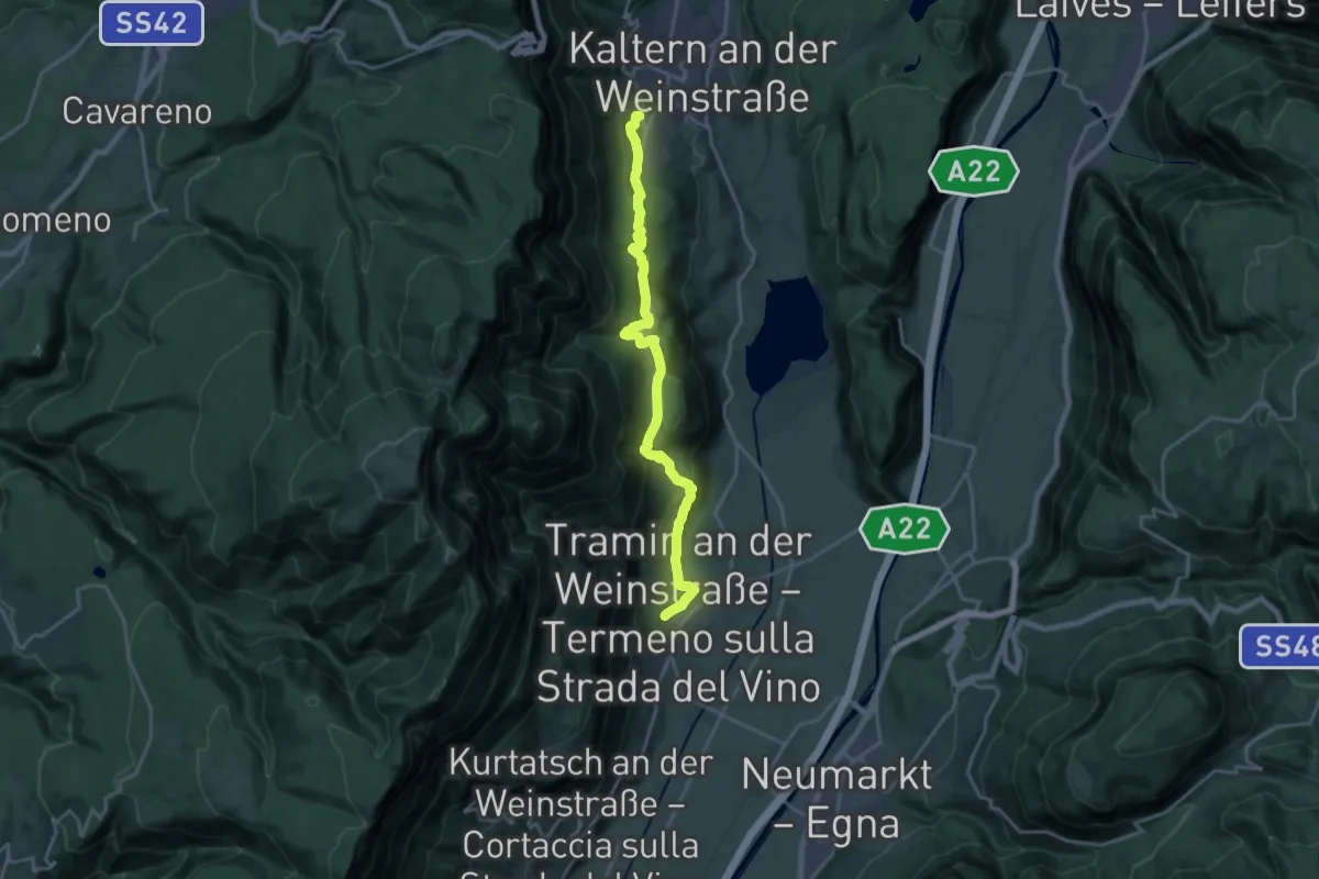
Demanding · Trail
Naturerlebnisweg
19.2 km · ↑ 671 m · 6 h
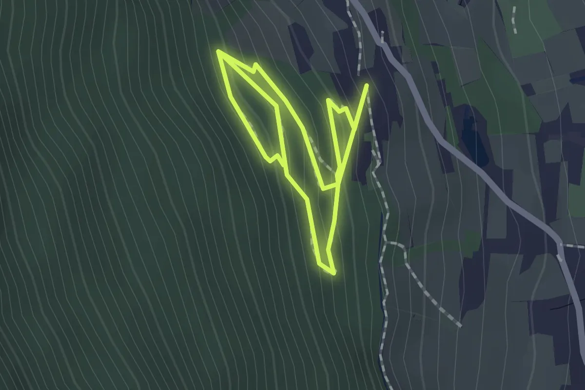
Easy · Trail
Natur & Erlebnisweg
2.7 km · ↑ 188 m · 1 h 3 min
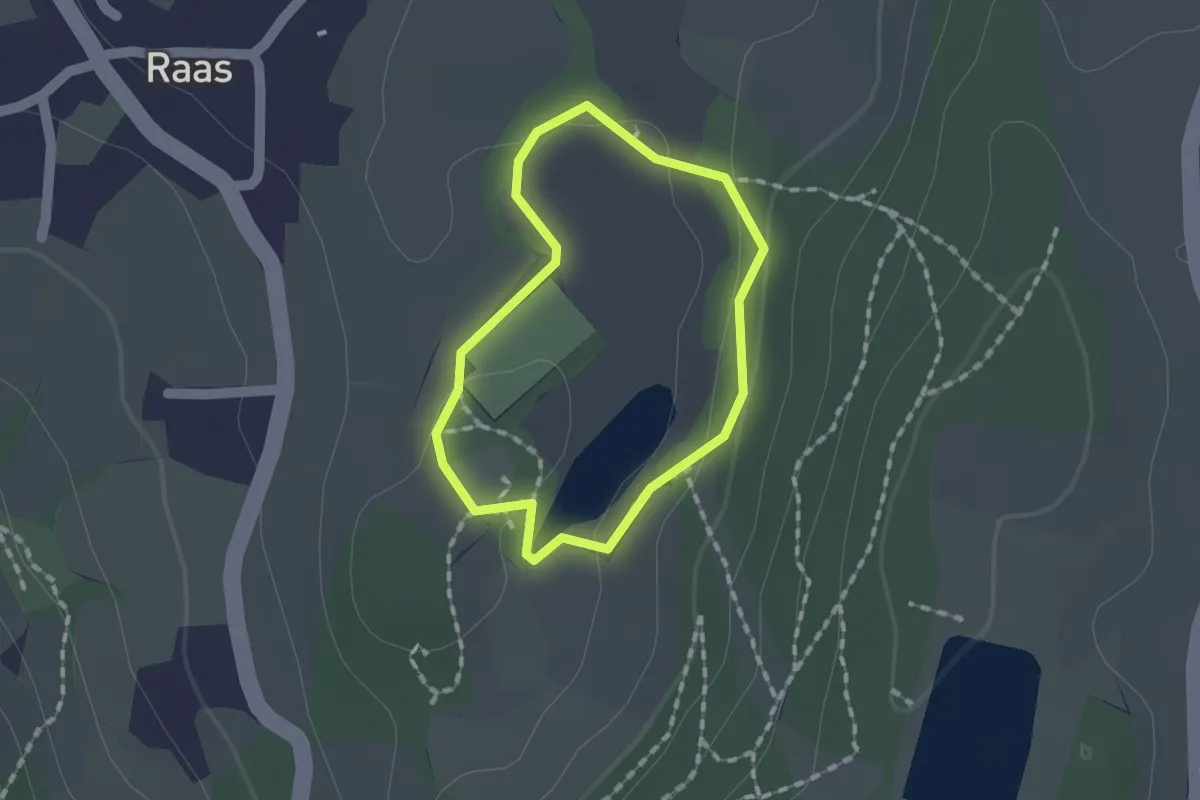
Easy · Trail
Naturerlebnisweg Raier Moos
1.2 km · ↑ 10 m · 19 min
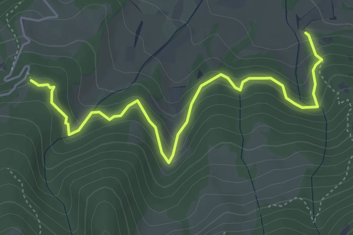
Medium · Trail
Naturlehrpfad
4.7 km · ↑ 454 m · 2 h 6 min
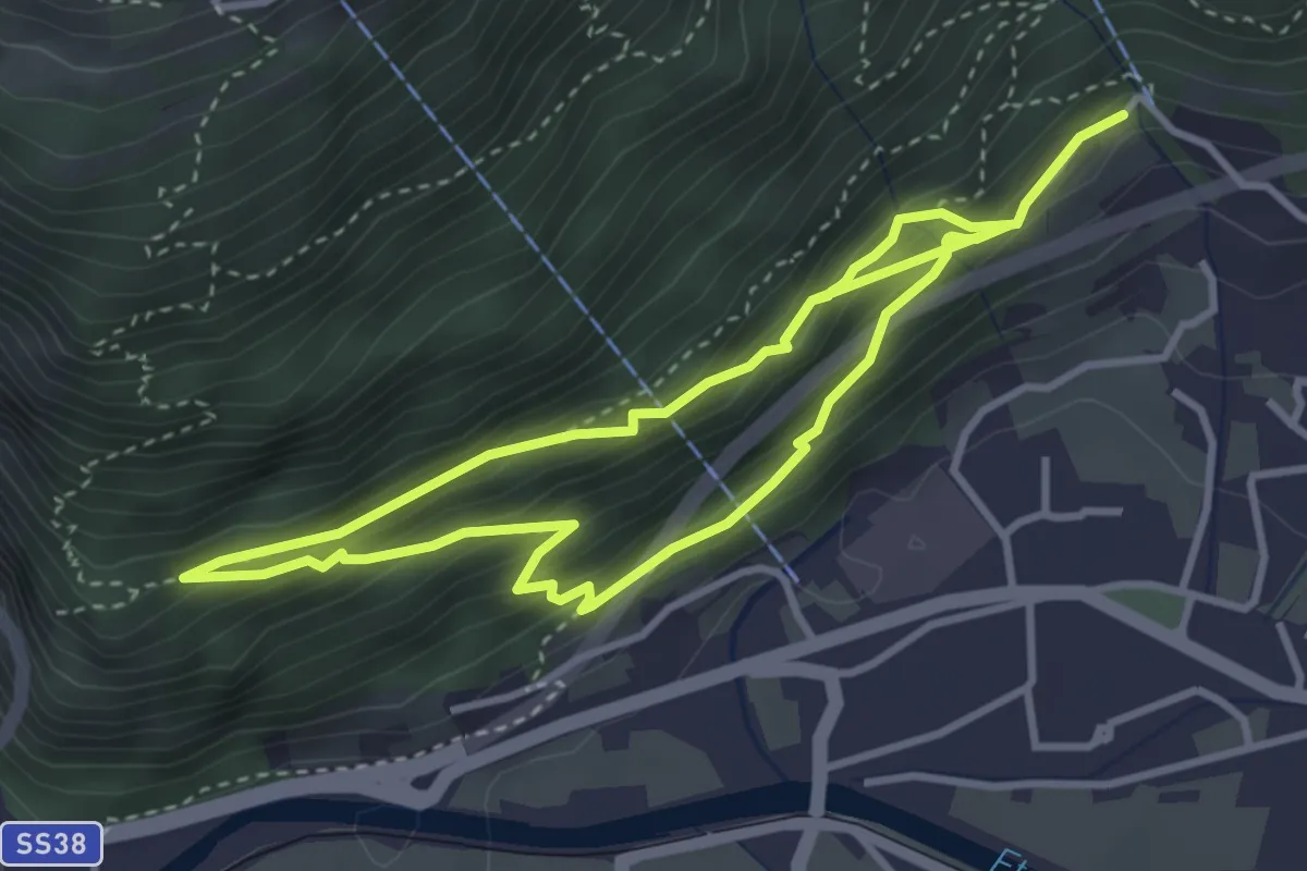
Medium · Trail
Naturlehrpfad
3.2 km · ↑ 252 m · 1 h 23 min
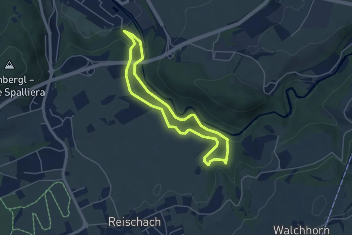
Easy · Trail
Naturlehrpfad
3.5 km · ↑ 117 m · 1 h 8 min
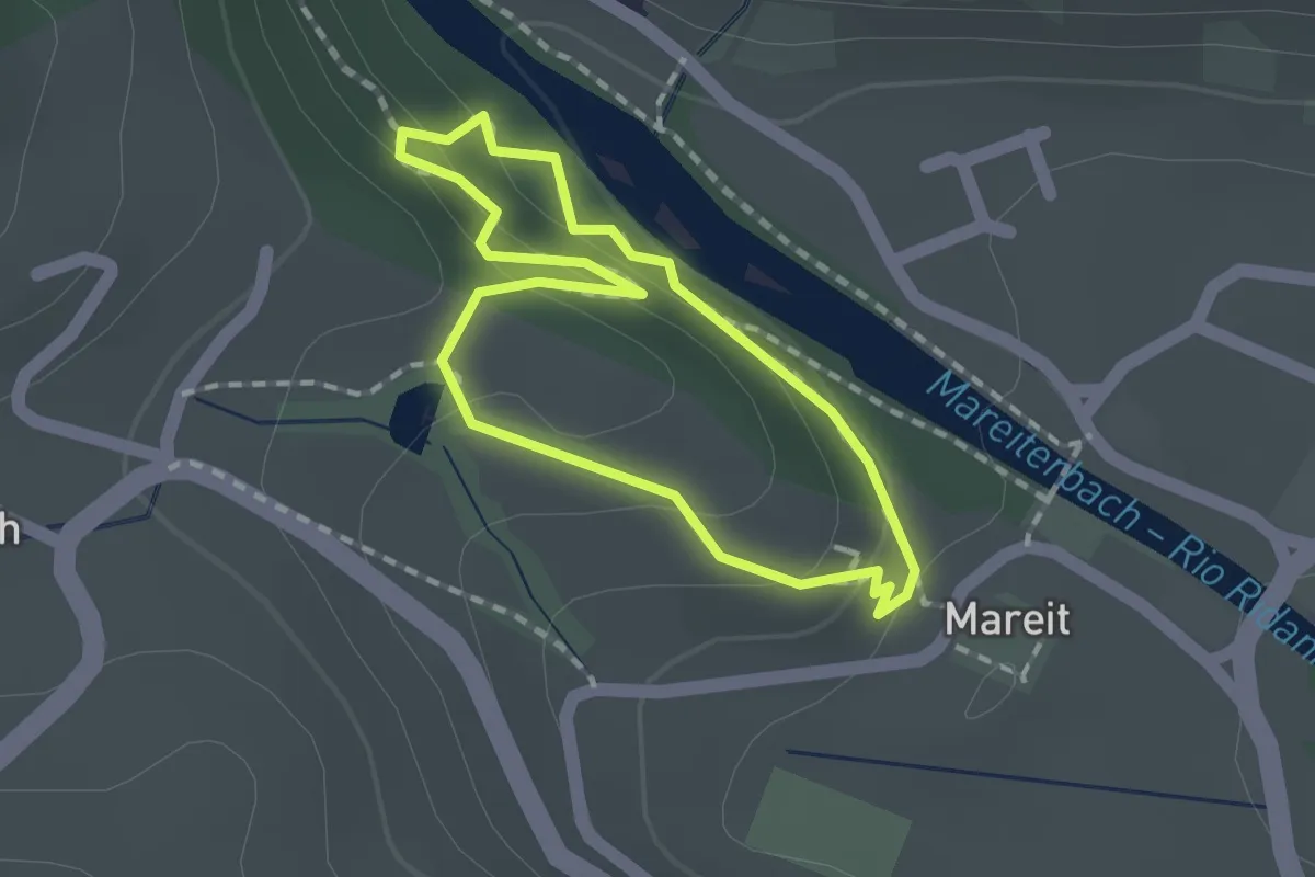
Easy · Trail
Naturlehrpfad
1.3 km · ↑ 38 m · 24 min
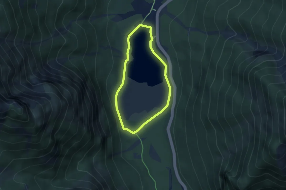
Easy · Trail
Naturlehrpfad
2.5 km · ↑ 38 m · 43 min
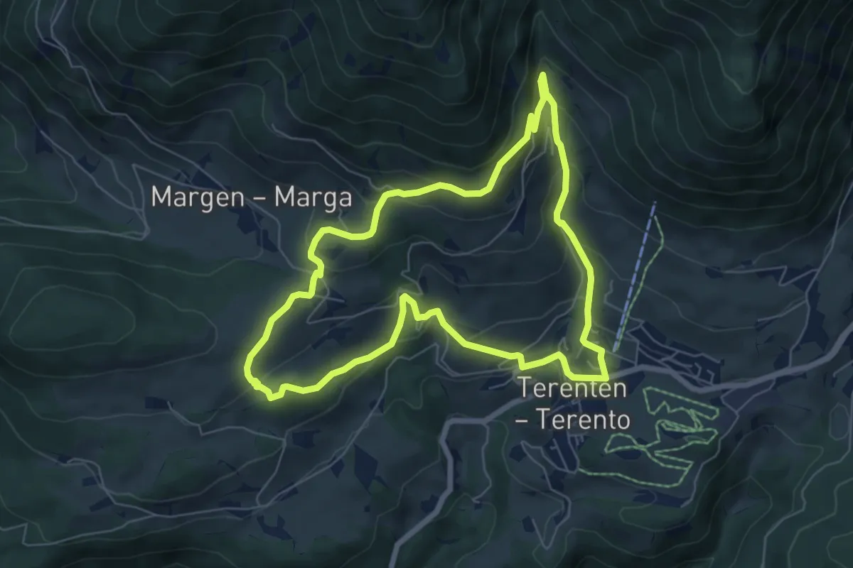
Medium · Trail
Natur- und Kulturweg
6.4 km · ↑ 319 m · 2 h 17 min
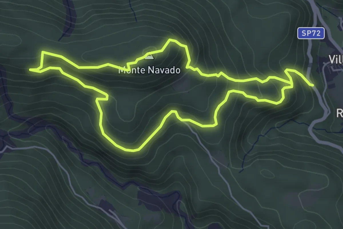
Easy · Summit
Navado Trail
4.8 km · ↑ 285 m · 1 h 50 min
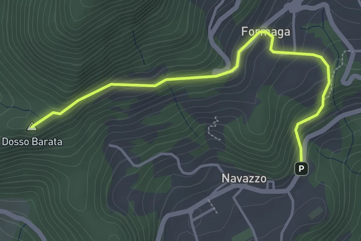
Easy · Summit
Navazzo - Primo ponte Valvestino
3.4 km · ↑ 230 m · 1 h 18 min
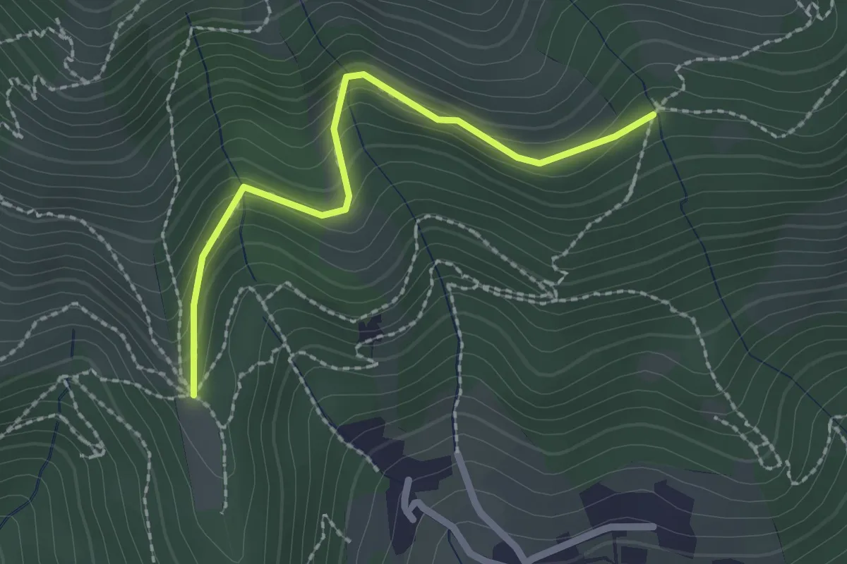
Easy · Trail
Nave (Cascina Mezzana) - Pozza Cà del Lì (Innesto Sentiero 392)
2.1 km · ↑ 177 m · 53 min
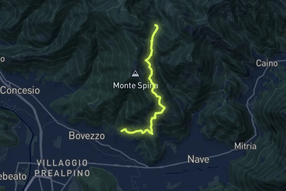
Demanding · Trail
Nave (Cortine) - Cascina Cocca
10.8 km · ↑ 913 m · 4 h 32 min
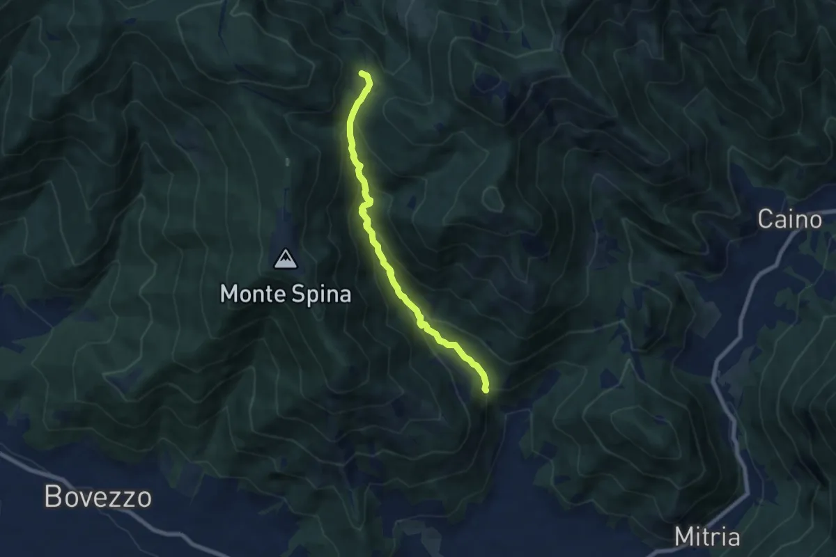
Demanding · Trail
Nave (La Corna) - Cascina Cocca
6.6 km · ↑ 417 m · 2 h 27 min
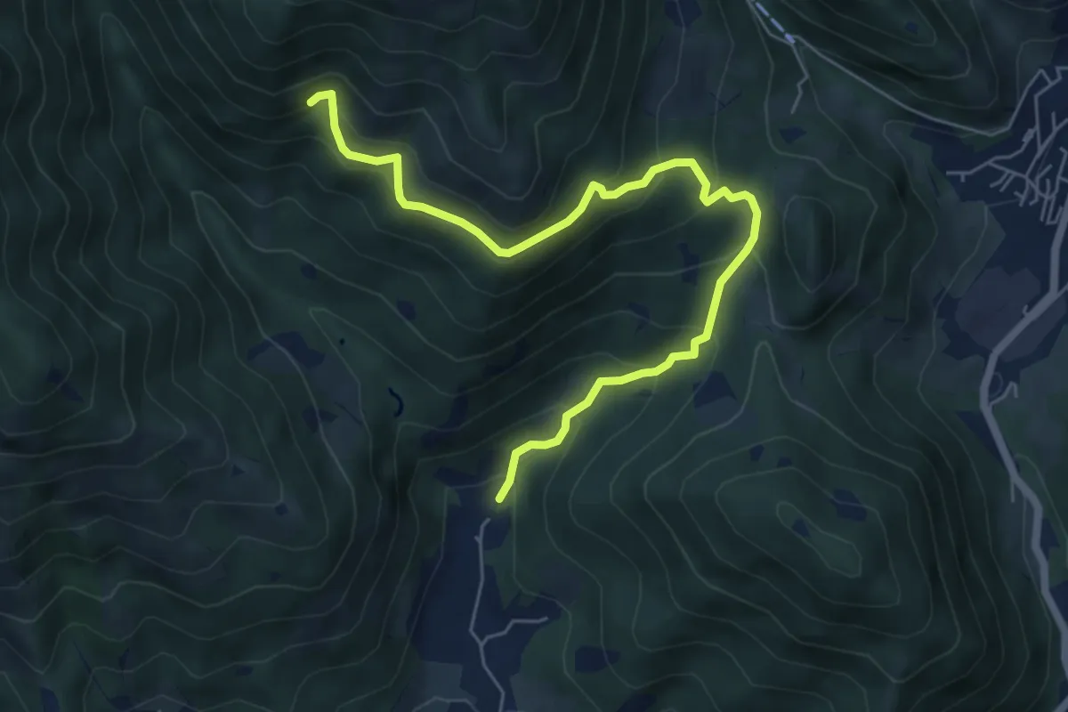
Medium · Trail
Nave (Piezze) - Sant'Antonio - Innesto Sentiero 354
6.7 km · ↑ 527 m · 2 h 44 min
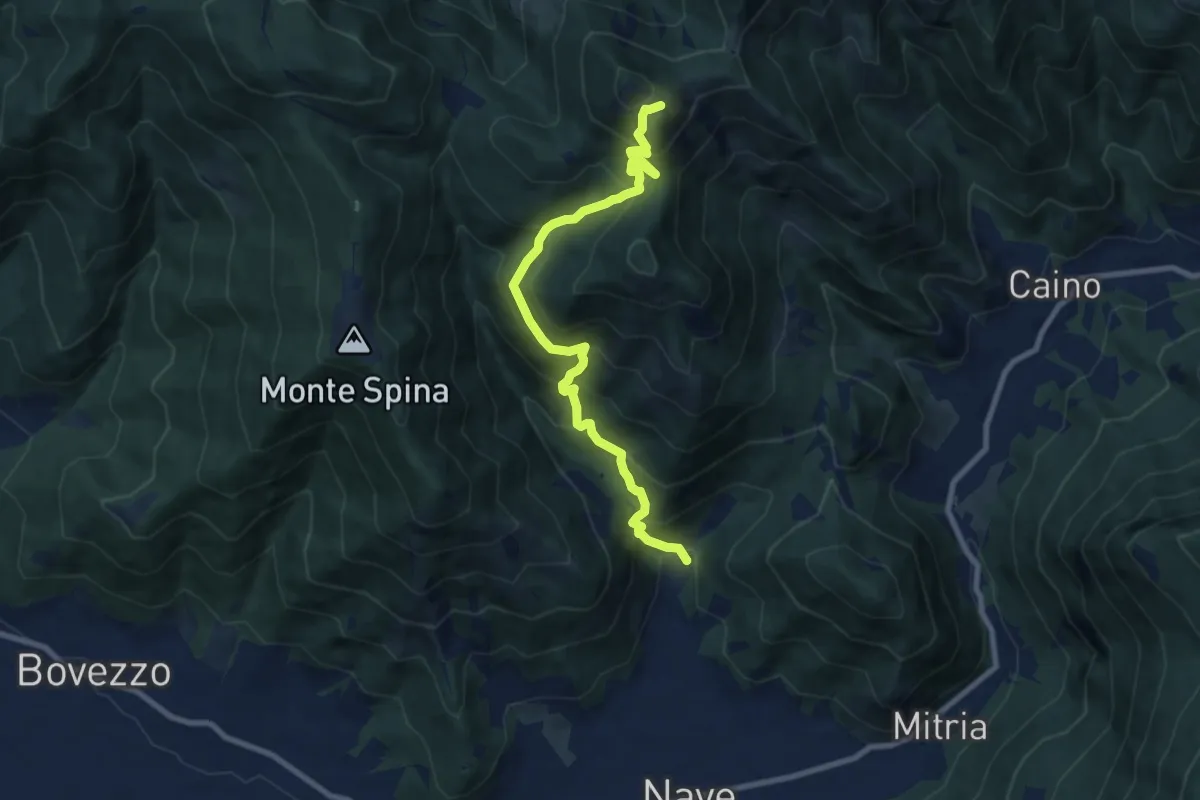
Demanding · Summit
Nave (Piezze) - Santuario di Conche
9.1 km · ↑ 901 m · 4 h 6 min