Trails in Italy
25,221 hiking trails, each with its route, climb, walking time and grade.
All trails, page 107 of 526
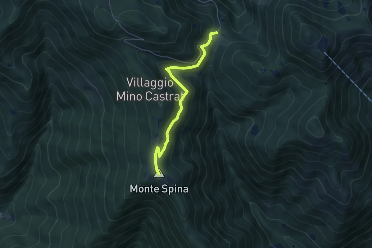
Medium · Summit
Nave (Sacca) - Cascina Cocca
4.7 km · ↑ 209 m · 1 h 33 min
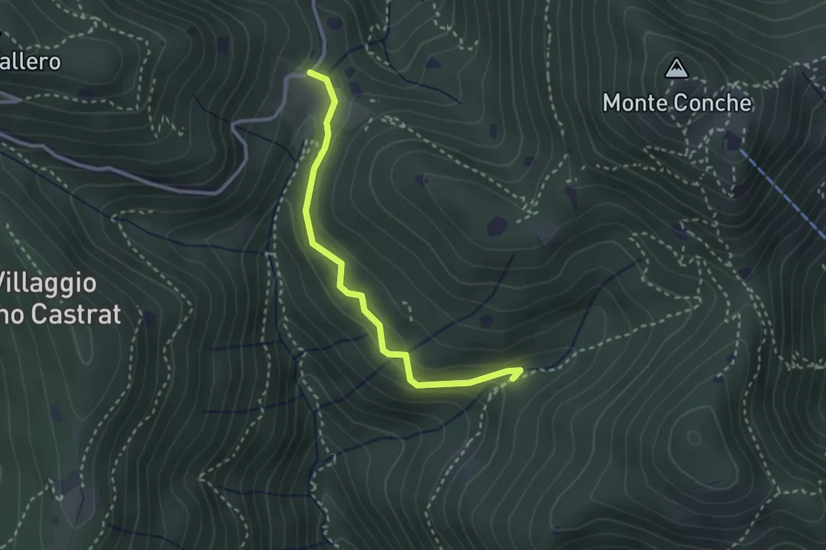
Medium · Trail
Nave (Valle delle Monache) - Cascina Cocca
2.7 km · ↑ 112 m · 53 min
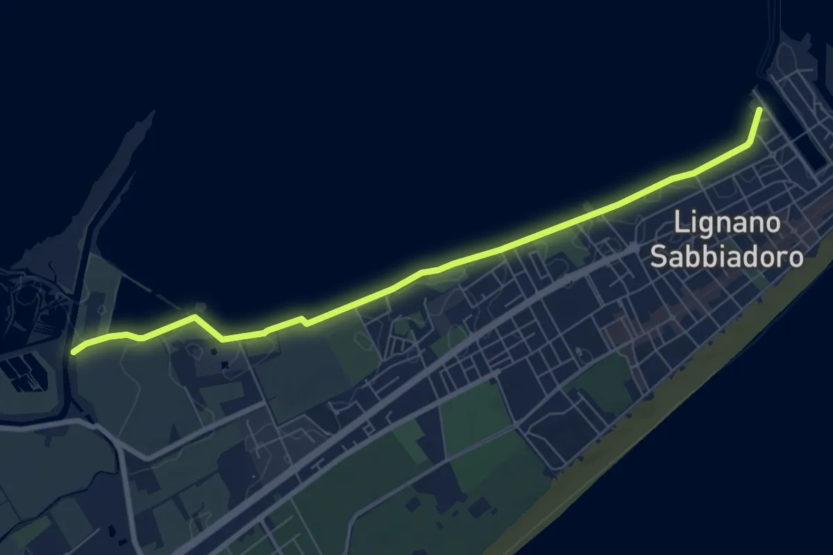
Easy · Trail
Nei colori del tramonto
7.9 km · ↑ 0 m · 1 h 52 min
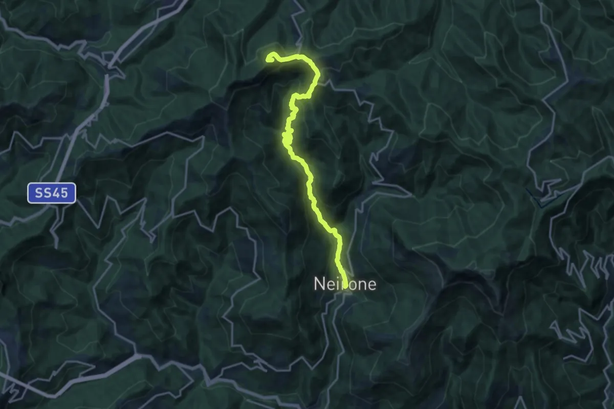
Demanding · Summit
Neirone - Passo del Portello - Monte Lavagnola
15.1 km · ↑ 959 m · 5 h 38 min
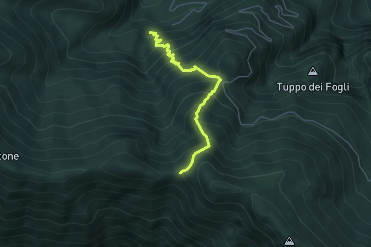
Expert · Trail
Nella valle dell'inferno
4.3 km · ↑ 595 m · 2 h 19 min
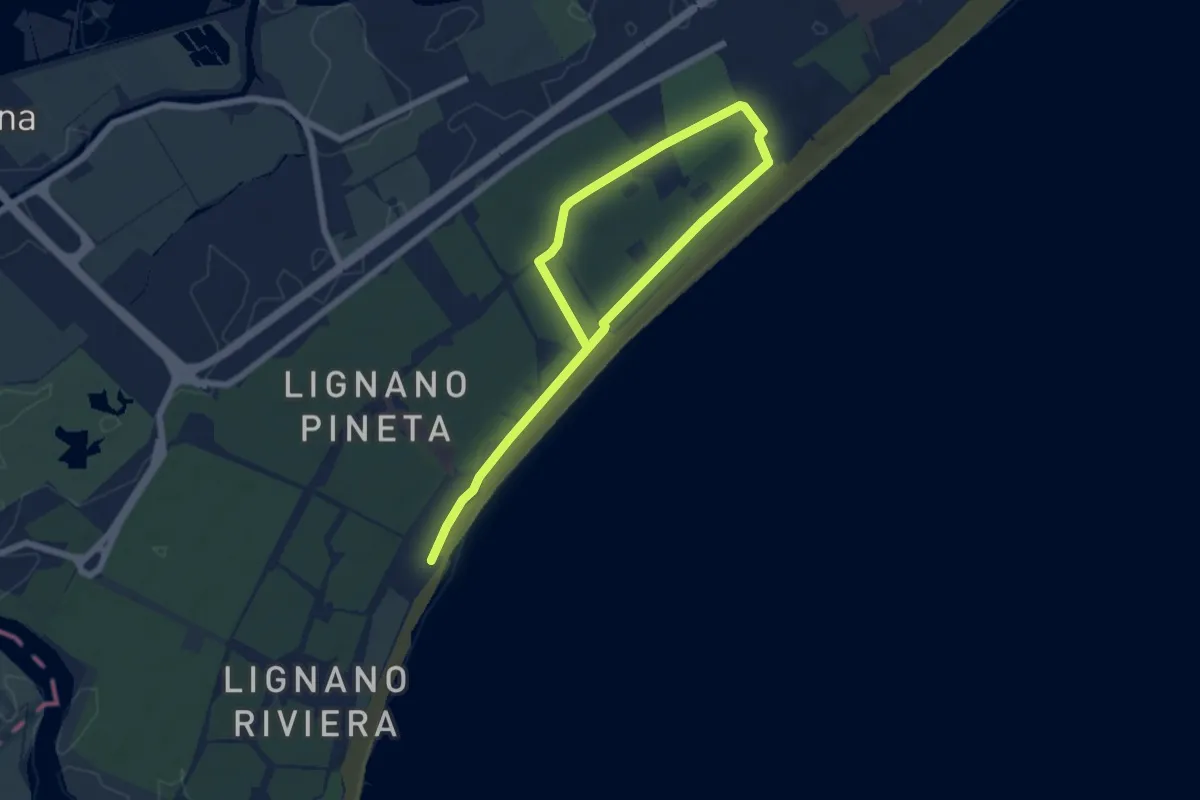
Medium · Trail
Nel profumo di resina
9.1 km · ↑ 13 m · 2 h 10 min
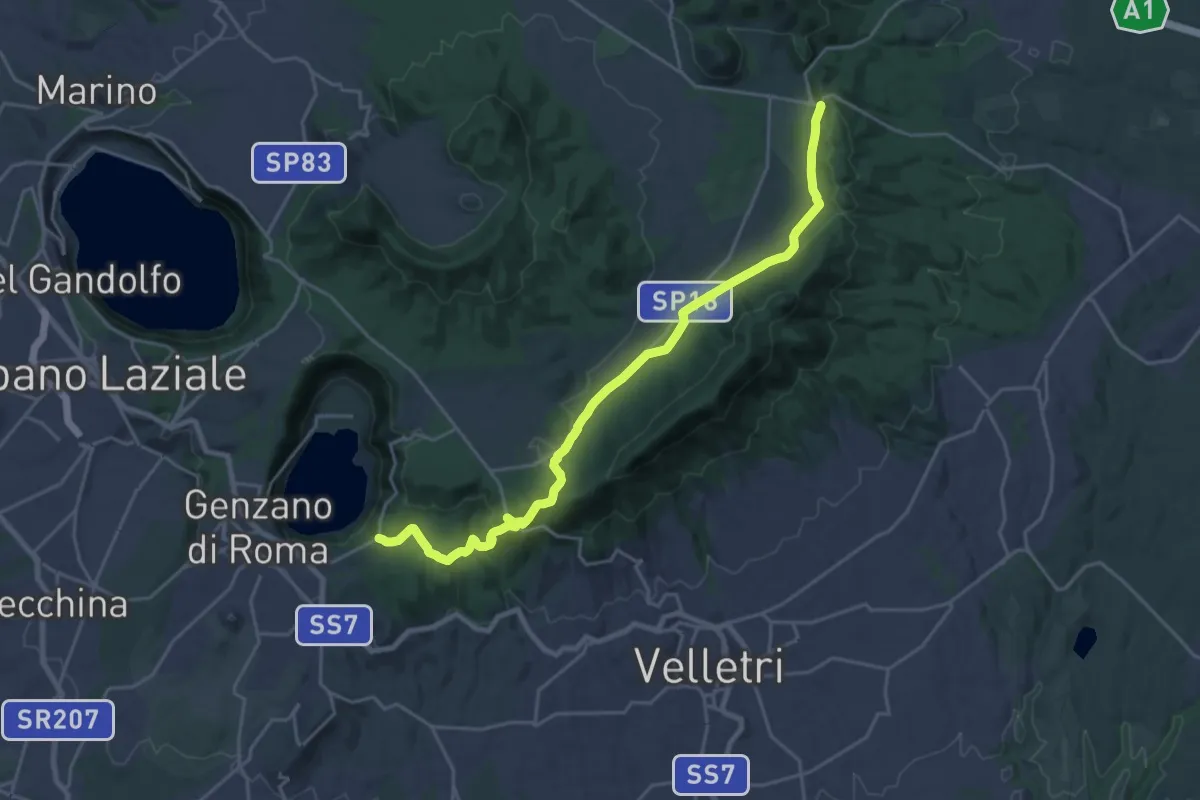
Demanding · Trail
Nemi-Doganella
25.5 km · ↑ 552 m · 7 h 13 min
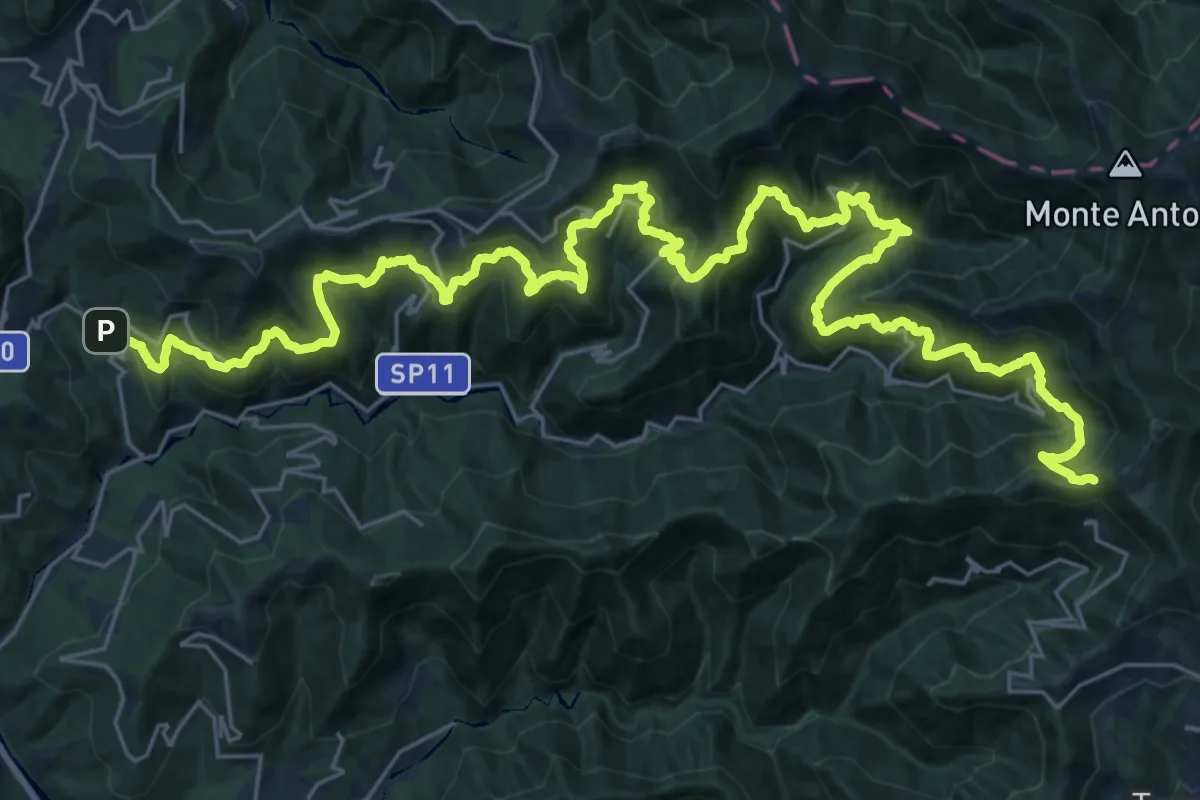
Demanding · Trail
Nenno - Cappelletta del Colletto
20.1 km · ↑ 1855 m · 8 h 43 min
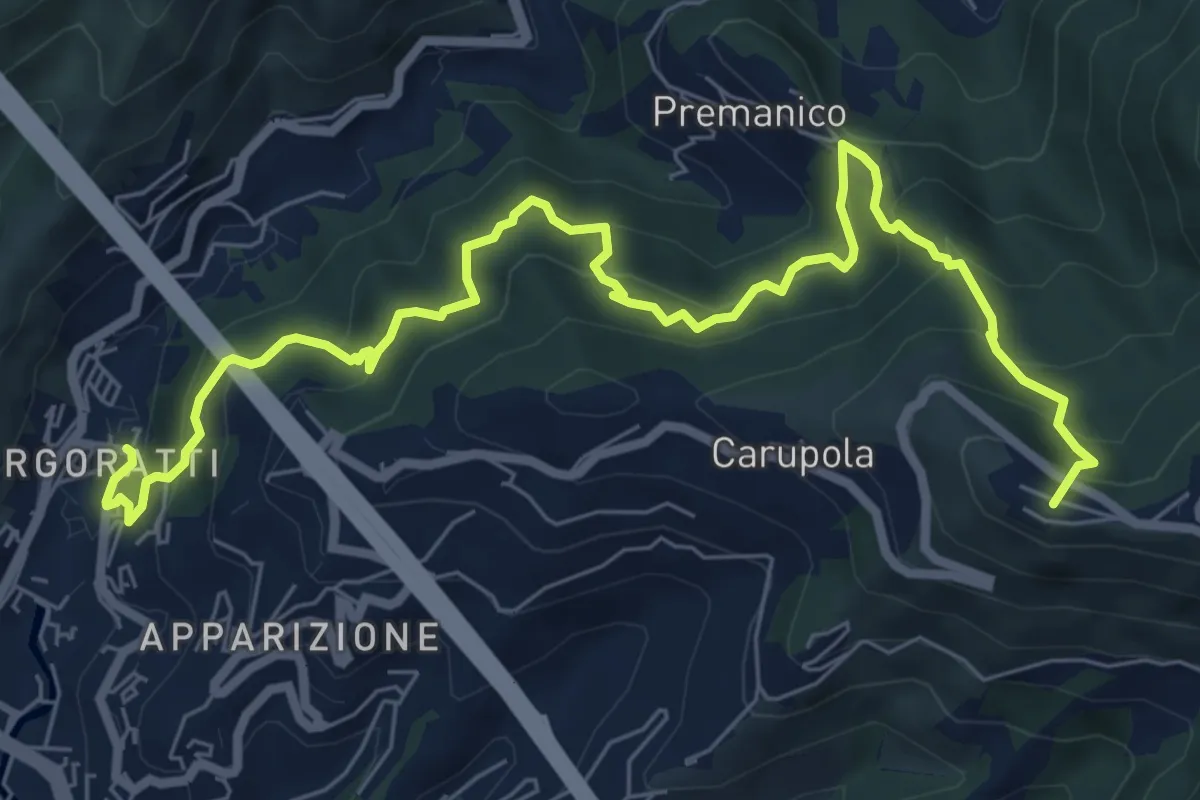
Demanding · Summit
Nervi - Monte Fasce - Premanico - Borgoratti
9.3 km · ↑ 848 m · 4 h 2 min
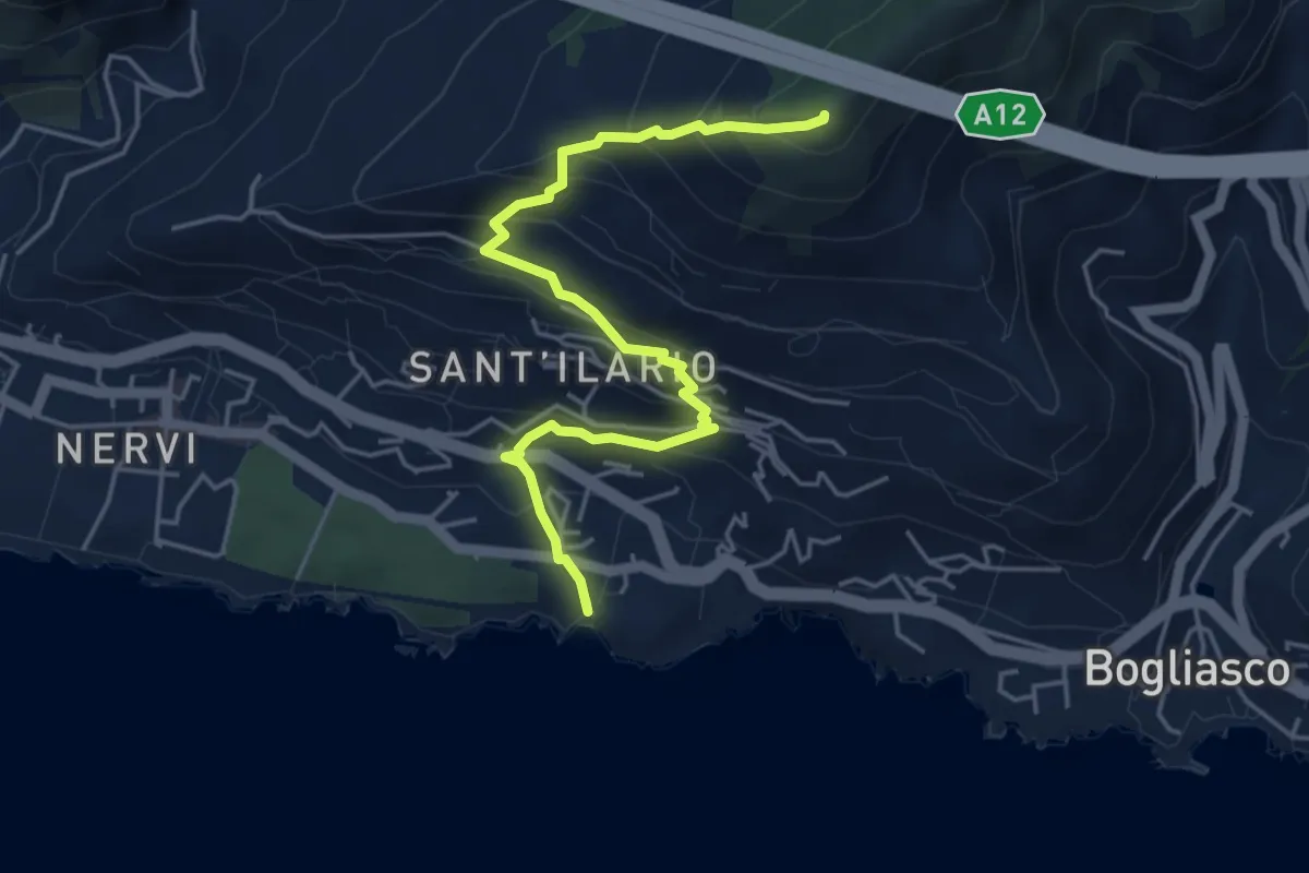
Medium · Summit
Nervi - Monte Giugo
5.3 km · ↑ 472 m · 2 h 16 min
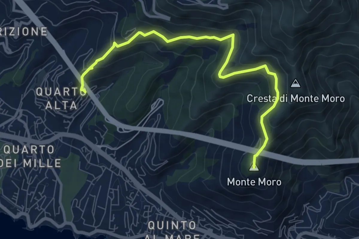
Medium · Summit
Nervi - Quarto Alta
8.4 km · ↑ 481 m · 3 h 2 min
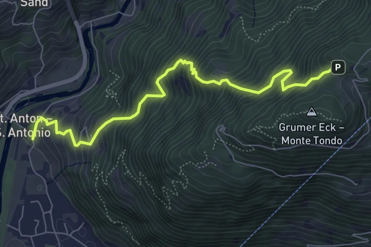
Medium · Trail
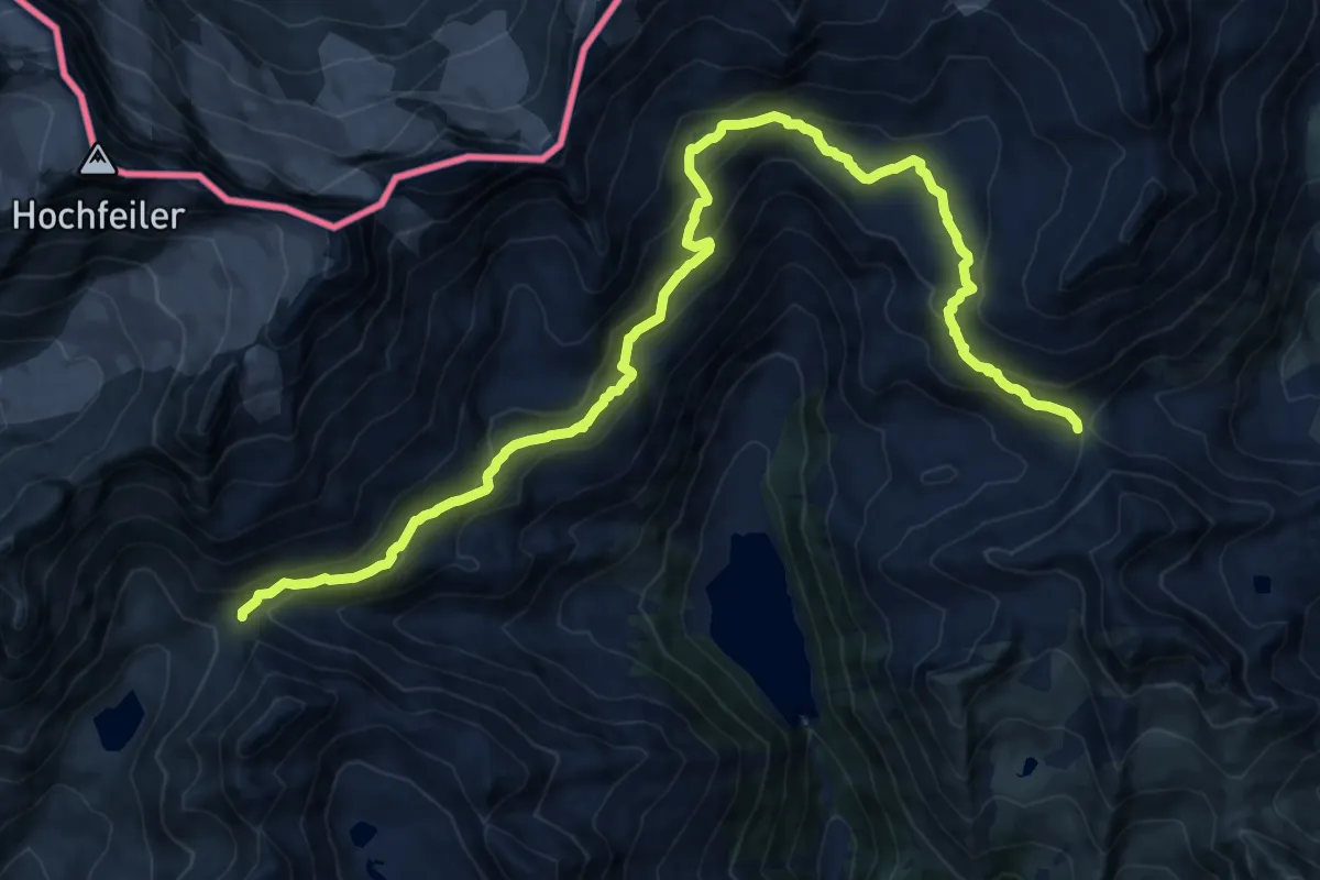
Nesselbrunnsteig
6.5 km · ↑ 786 m · 3 h 15 min
Demanding · Cabin
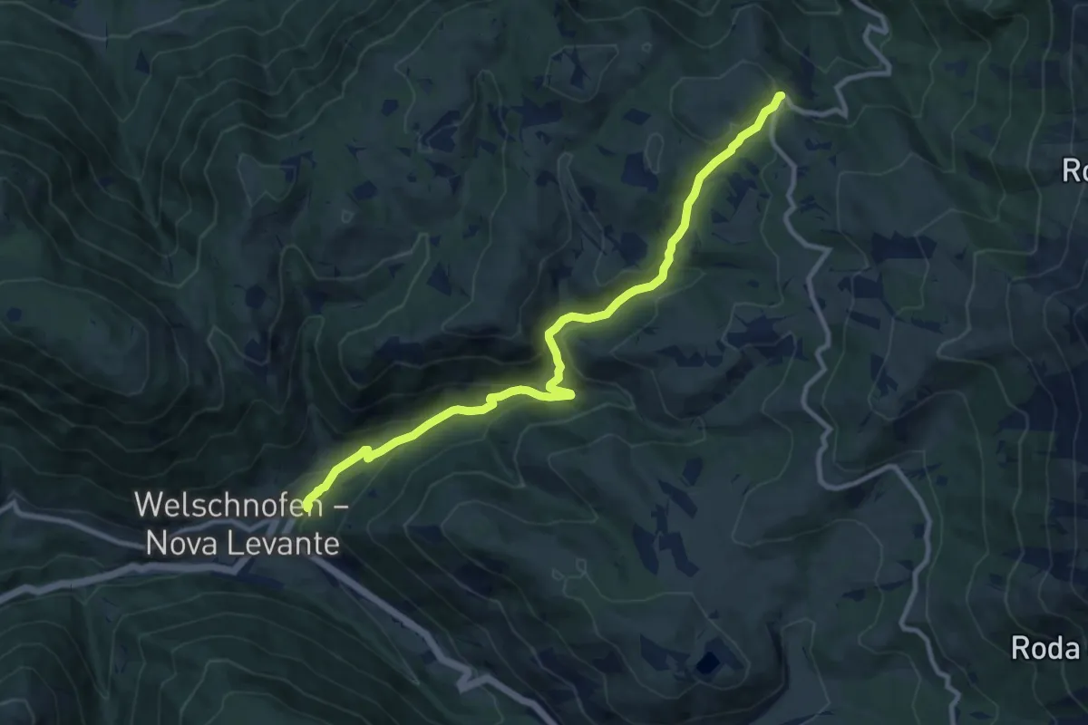
Neveser Höhenweg - Alta Via di Neves
18.4 km · ↑ 1043 m · 6 h 36 min
Medium · Trail
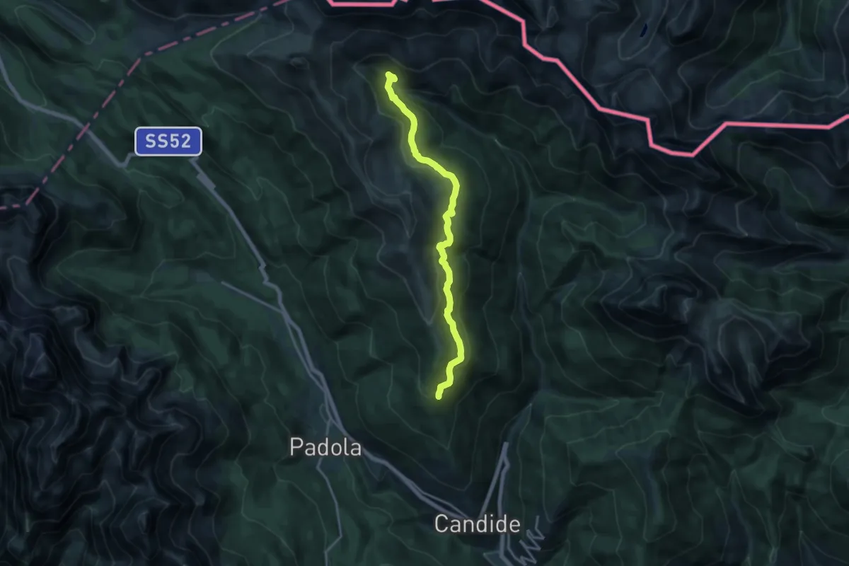
Nigertalweg
10.4 km · ↑ 547 m · 3 h 39 min
Medium · Trail
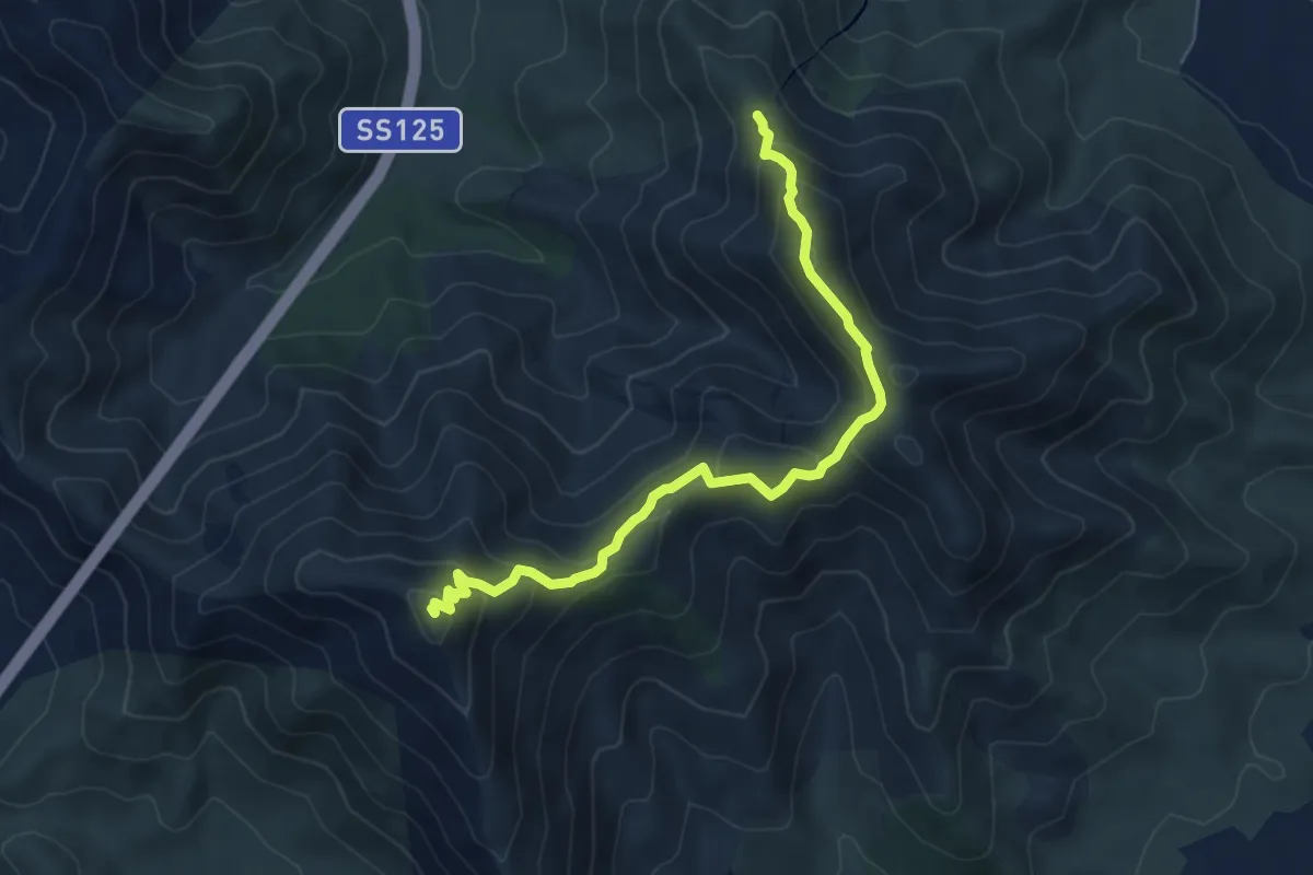
Nik Trail
15.2 km · ↑ 629 m · 4 h 58 min
Medium · Summit
NM
6.9 km · ↑ 409 m · 2 h 31 min
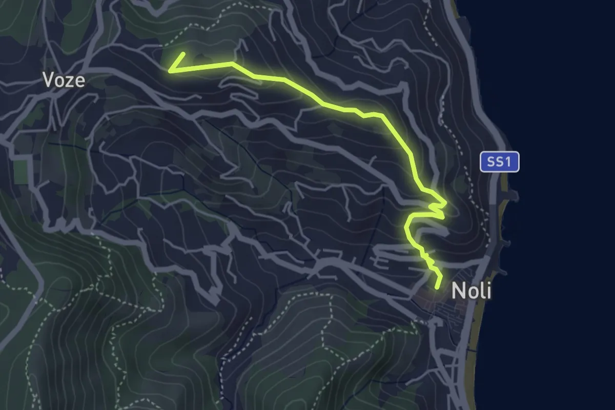
Easy · Summit
Noli, Castello, Bric Groppino, Voze
4.3 km · ↑ 225 m · 1 h 30 min
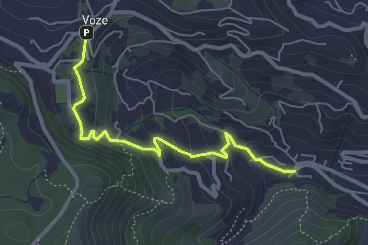
Easy · Trail
Noli - Luminella - Voze
4.5 km · ↑ 227 m · 1 h 33 min
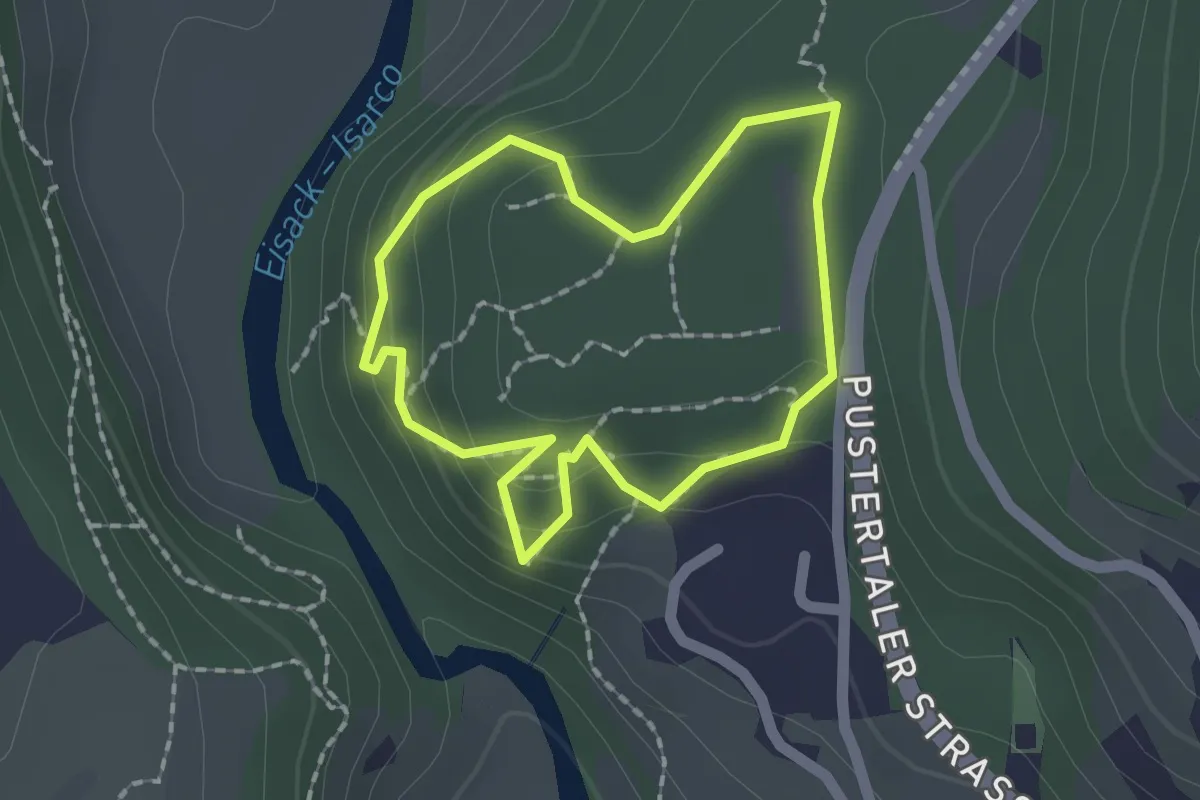
Easy · Trail
Nössingbühel
1.5 km · ↑ 82 m · 33 min
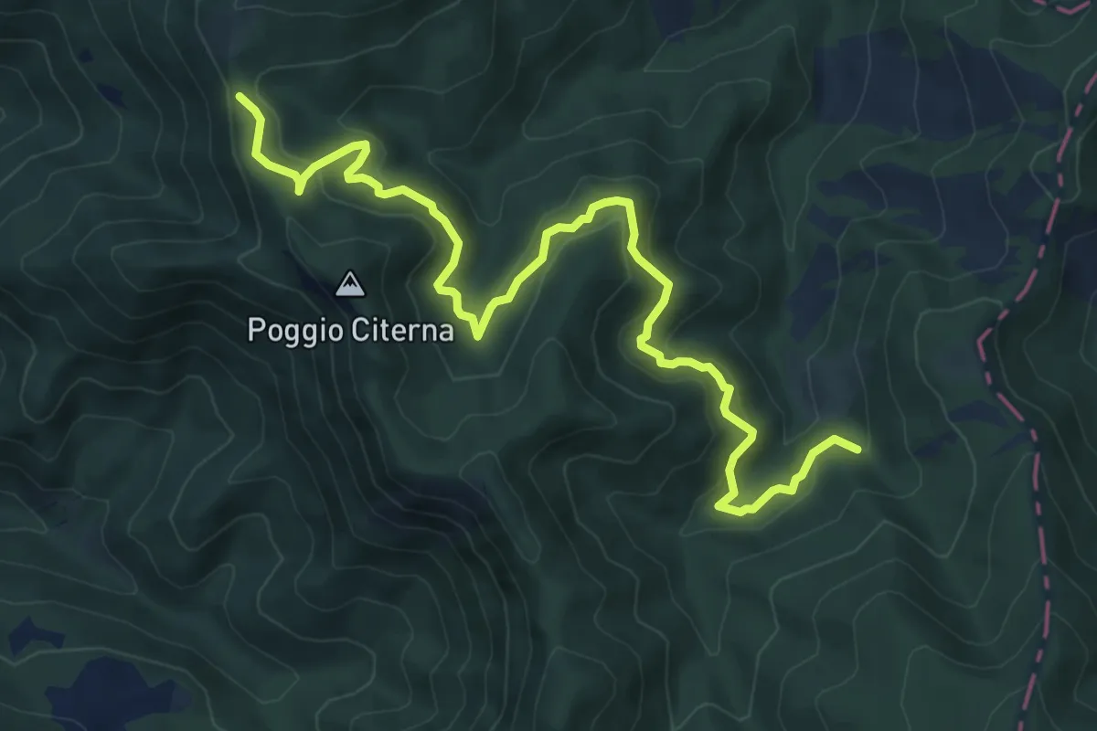
Medium · Trail
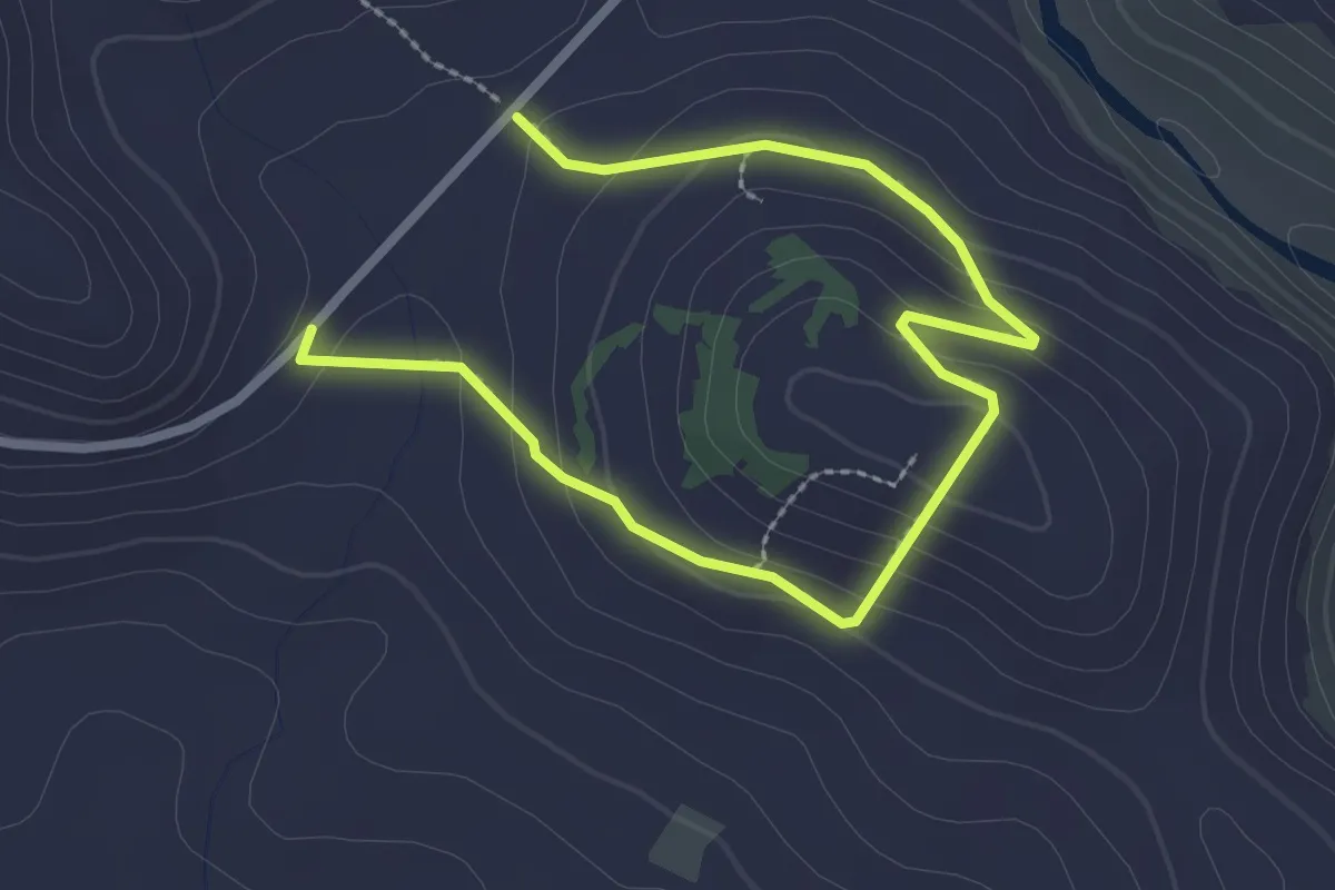
Nuovo sentiero del Sassello
9.0 km · ↑ 557 m · 3 h 20 min
Easy · Trail
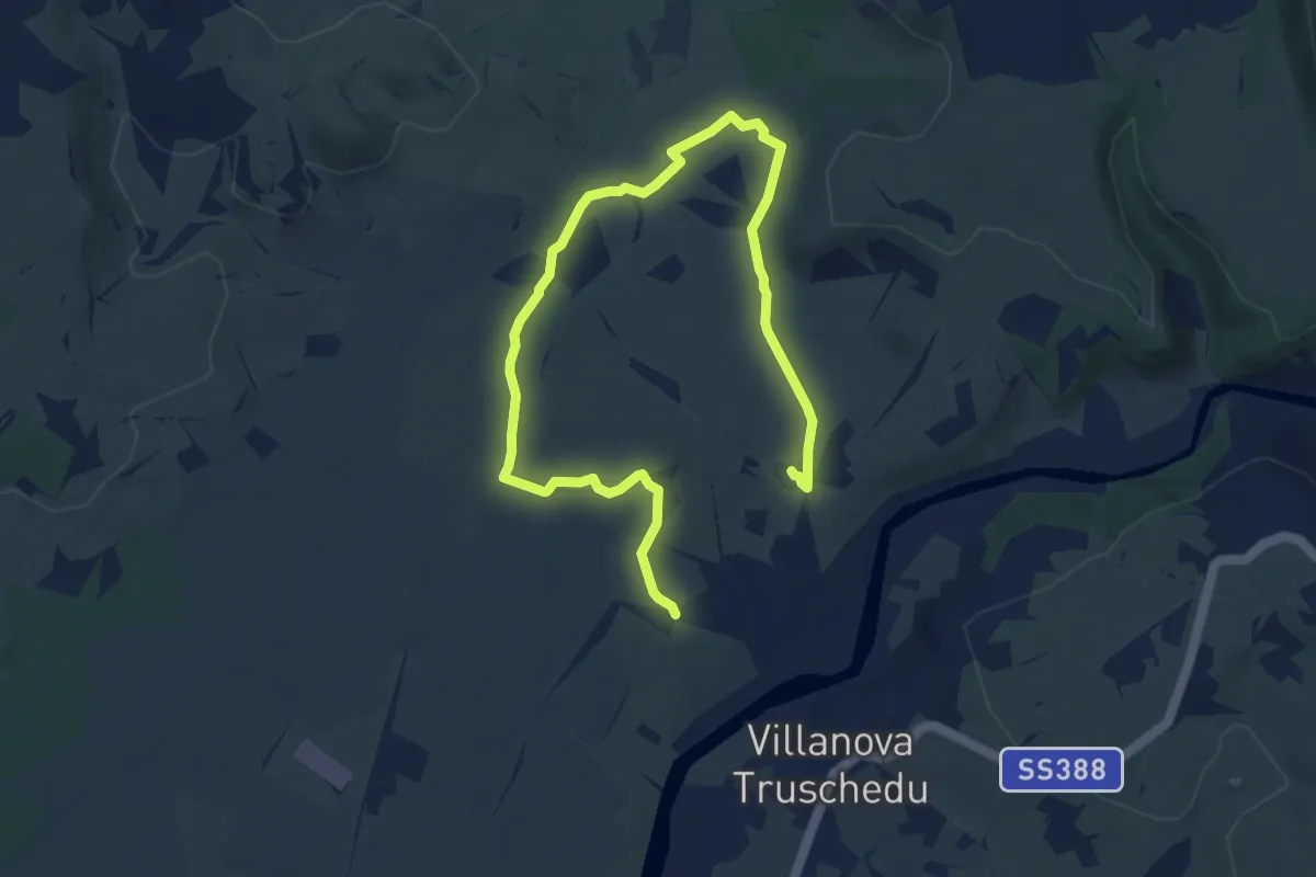
Nuraghe Busurtei
3.9 km · ↑ 150 m · 1 h 14 min
Medium · Trail
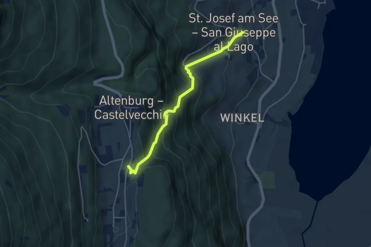
Nuraghe Santa Barbara
11.7 km · ↑ 65 m · 2 h 53 min
Medium · Trail
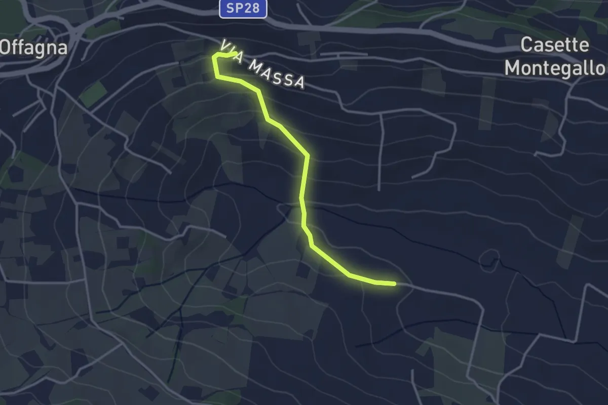
Nussentalweg
3.5 km · ↑ 339 m · 1 h 34 min
Easy · Trail
NwPark
3.1 km · ↑ 157 m · 1 h 4 min
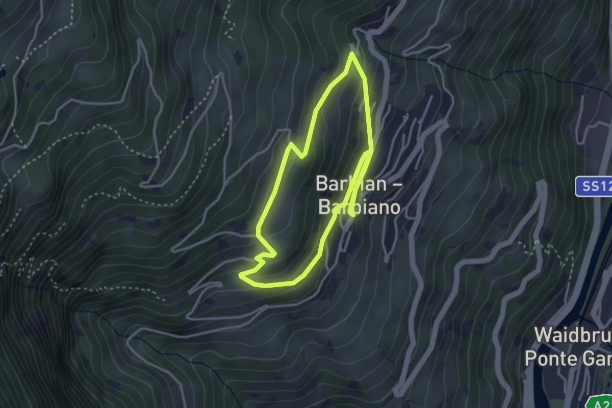
Easy · Trail
Oberdorf-Rundweg
3.0 km · ↑ 147 m · 1 h 4 min
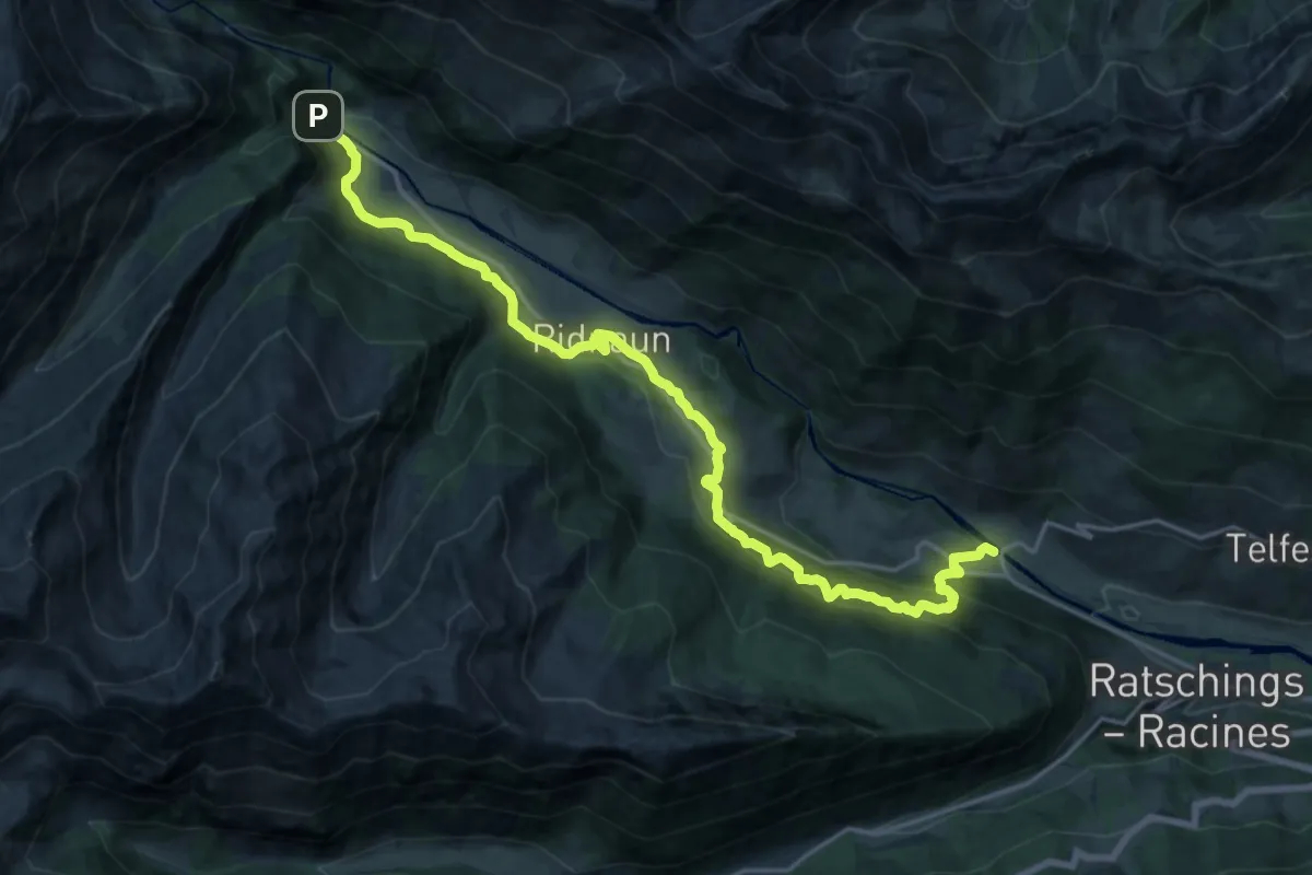
Demanding · Trail
Obere Erzstraße
20.9 km · ↑ 1250 m · 7 h 39 min
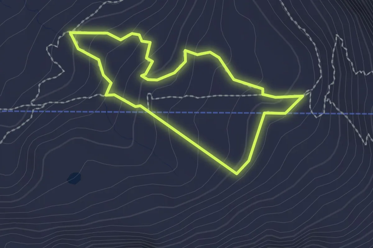
Demanding · Trail
Oberer Erlebnispfad
1.8 km · ↑ 121 m · 42 min
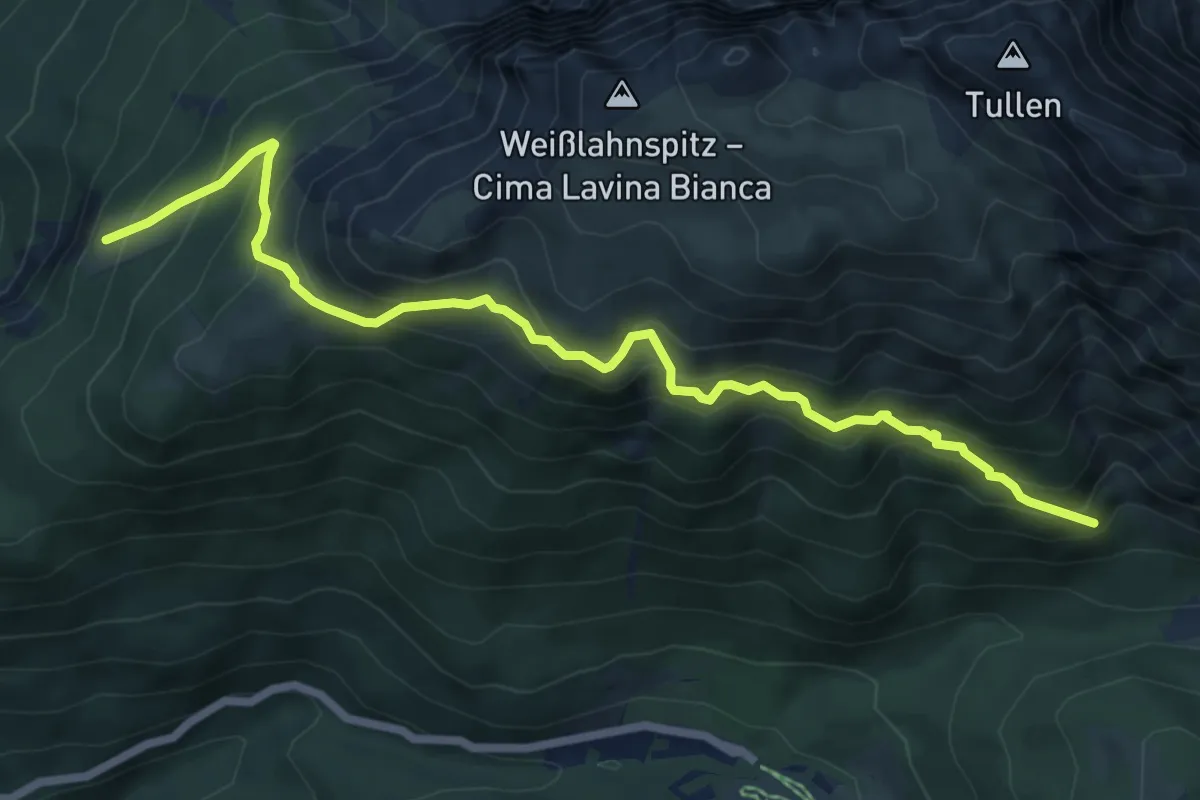
Medium · Trail
Oberer Herrensteig
7.5 km · ↑ 791 m · 3 h 30 min
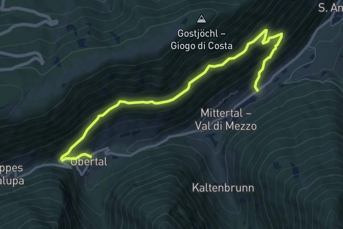
Medium · Trail
Oberer Panoramaweg
8.4 km · ↑ 718 m · 3 h 33 min
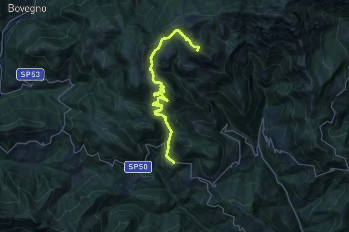
Demanding · Summit
Odeno - Passo Pezzeda
18.0 km · ↑ 1105 m · 6 h 38 min
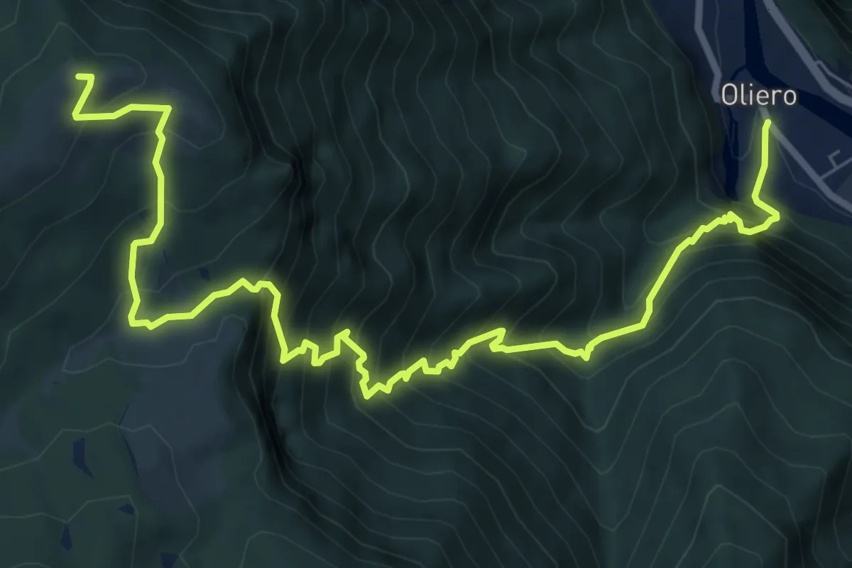
Demanding · Summit
Oliero di Sotto - Le Pozzette - Col d'Astiago
9.9 km · ↑ 1165 m · 4 h 52 min
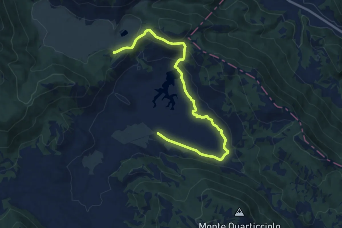
Medium · Trail
Ollanette-Monte Vignole- Fonte Asello-Uscertu
14.0 km · ↑ 451 m · 4 h 17 min
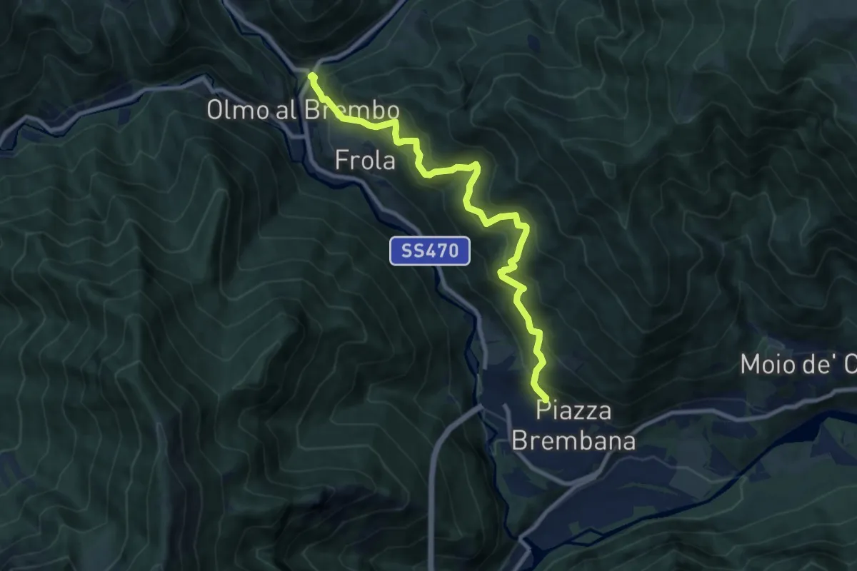
Demanding · Trail
Olmo al Brembo – Piazza Brembana
9.1 km · ↑ 891 m · 4 h 5 min
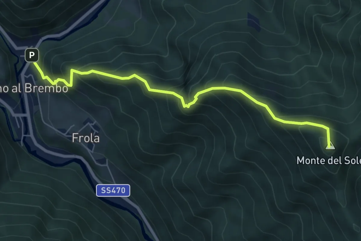
Medium · Summit
Olmo al Brembo – Roccolo di Calche
6.1 km · ↑ 727 m · 3 h 1 min
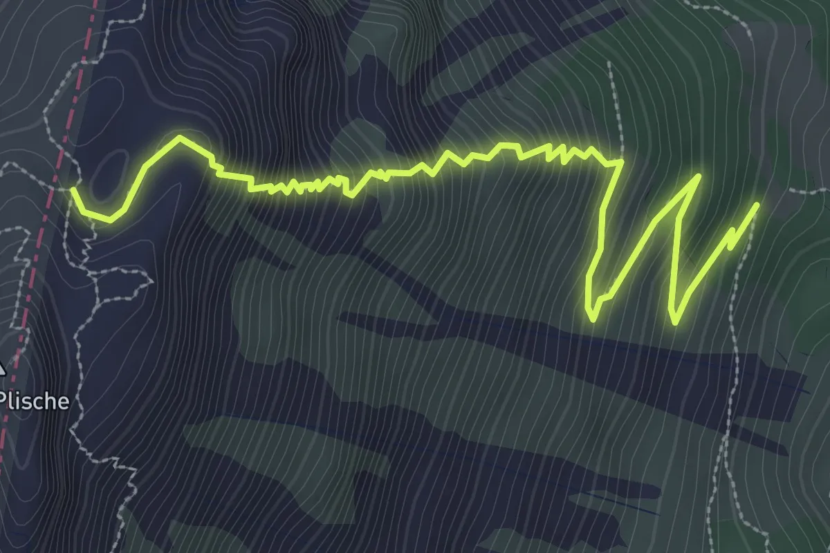
Demanding · Trail
Omo e Dona
4.4 km · ↑ 628 m · 2 h 24 min
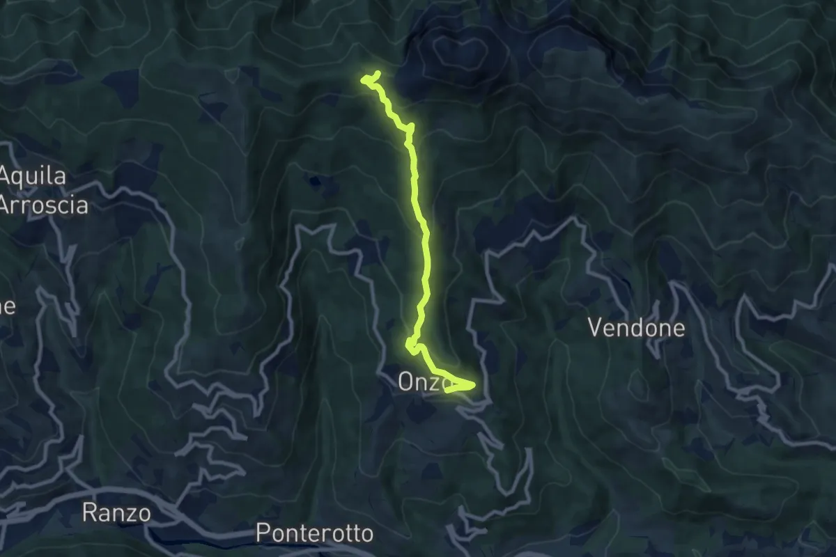
Medium · Trail
Onzo - Colla d'Onzo
8.2 km · ↑ 434 m · 2 h 52 min
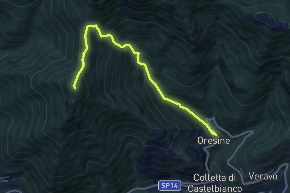
Medium · Summit
Oresine - Monte Lapeu
6.4 km · ↑ 683 m · 2 h 59 min
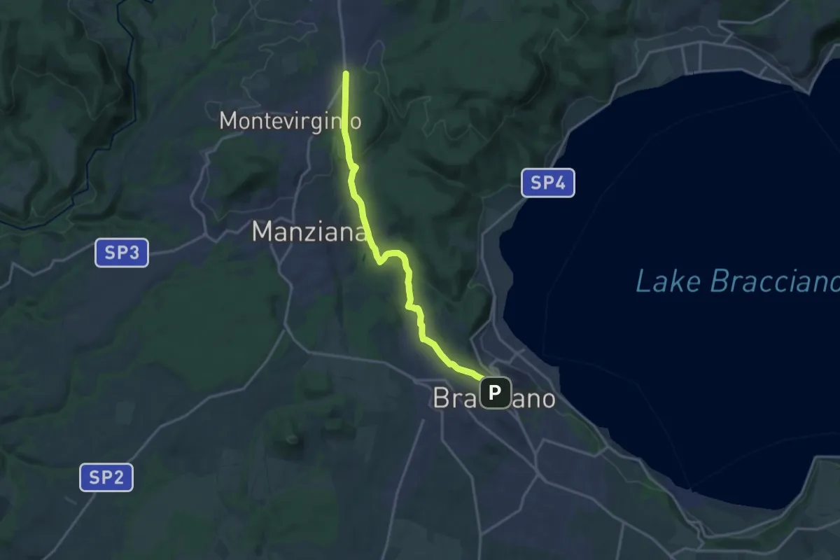
Medium · Trail
Oriolo Romano - Pisciarelli - Bracciano
16.3 km · ↑ 328 m · 4 h 33 min
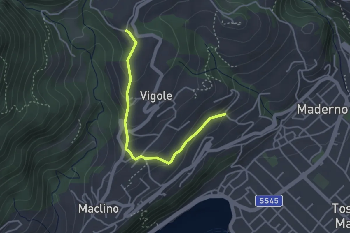
Easy · Trail
Oriolo - Rosei
3.2 km · ↑ 159 m · 1 h 5 min
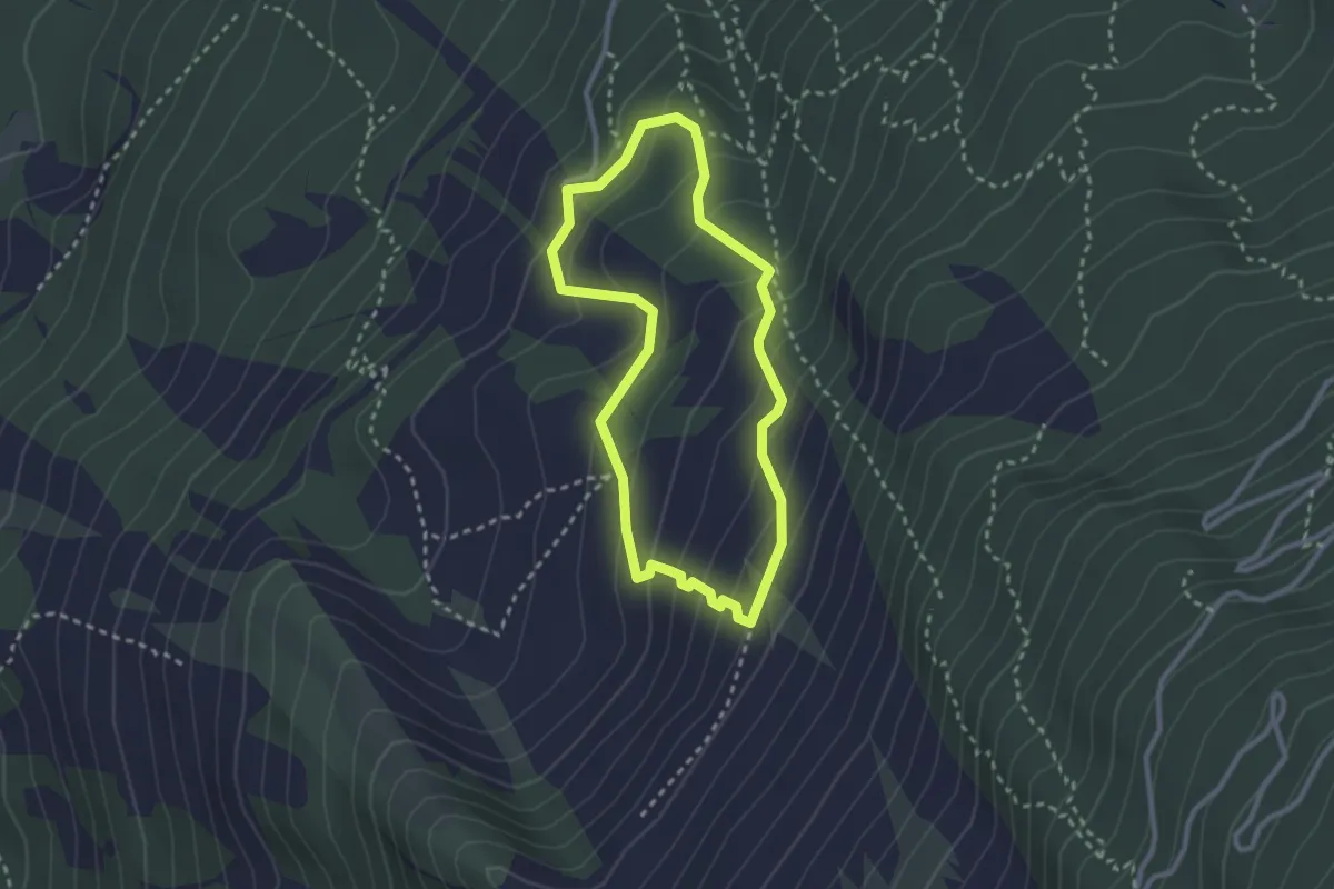
Medium · Trail
Orme dei Dinosauri
2.5 km · ↑ 183 m · 1 h 1 min
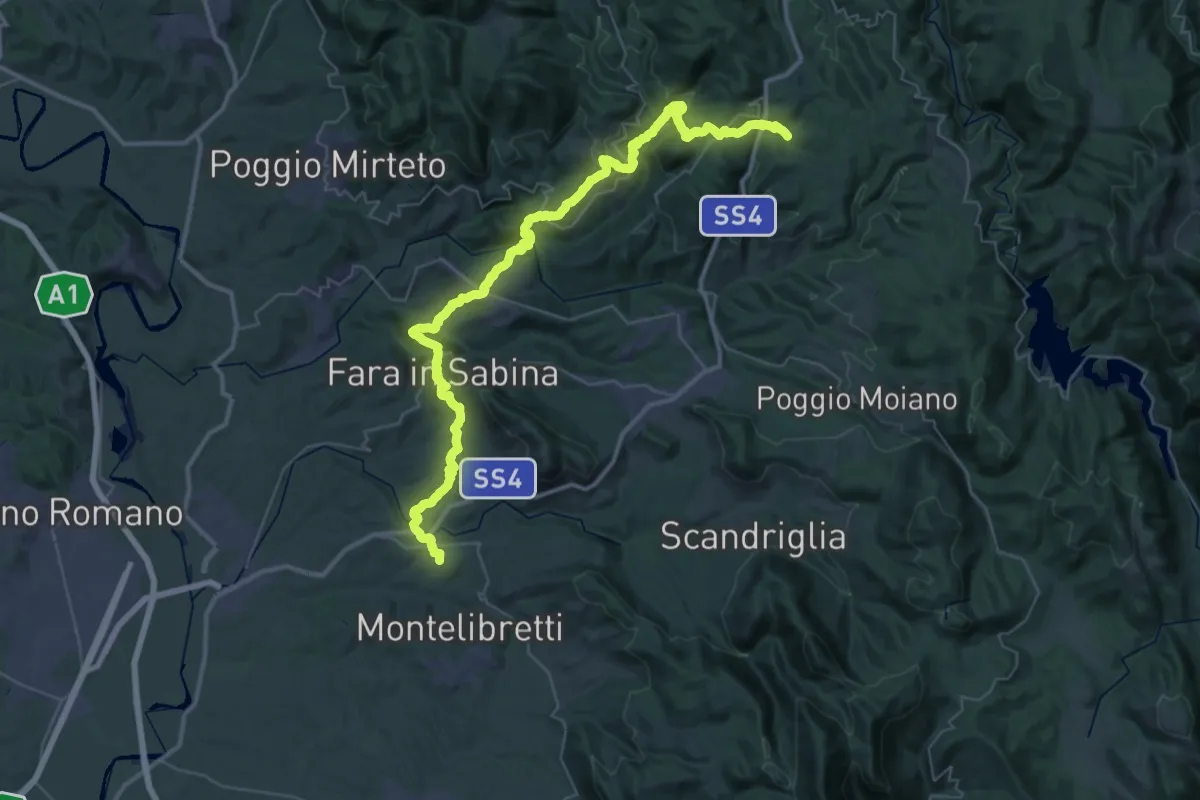
Demanding · Trail
Ornaro Alto - Montenero Sabino - Gole del Farfa - Castelnuovo di Farfa - Abbazia di Farfa - Fara Sabina - Sterparelle
29.0 km · ↑ 1138 m · 9 h 54 min
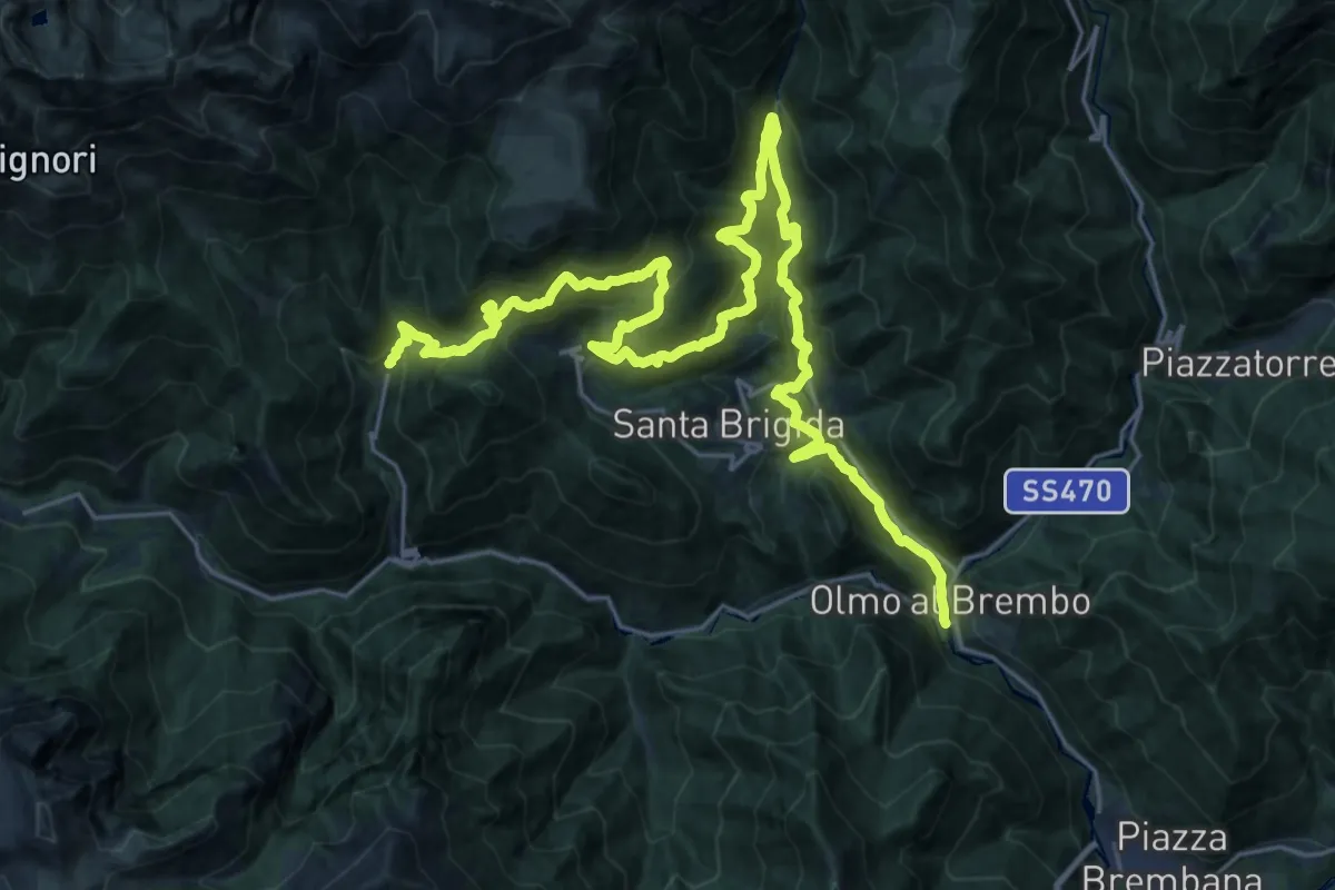
Demanding · Trail
Ornica – Colle Maddalena – Caprile Superiore – Losc – Averara
16.8 km · ↑ 937 m · 6 h 26 min
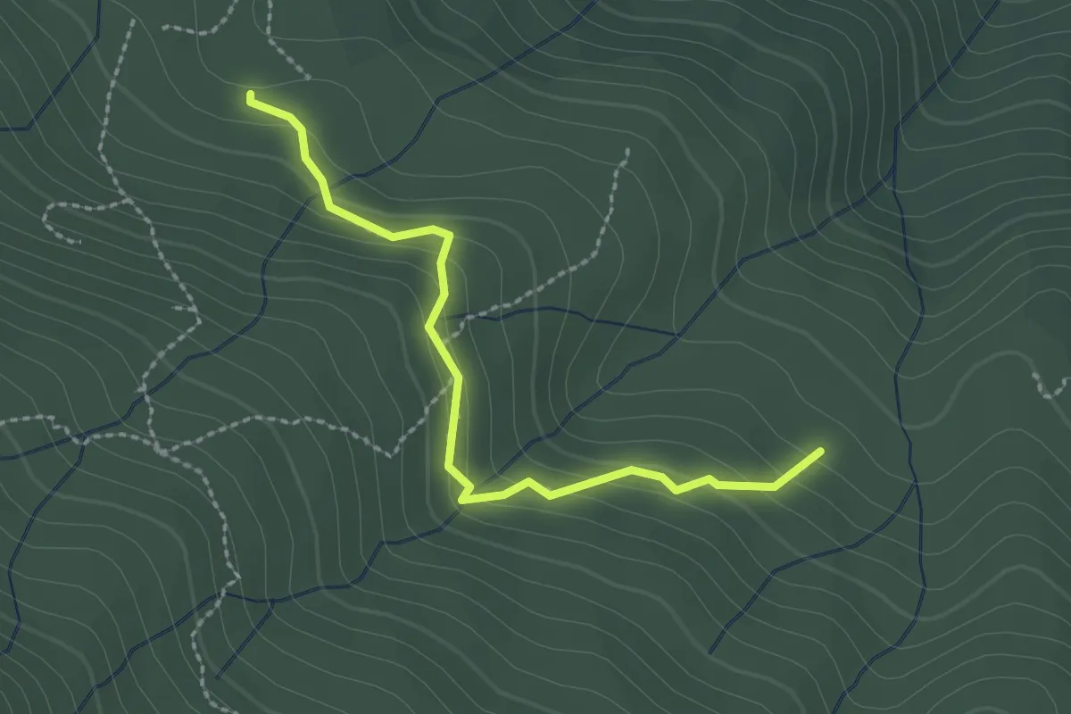
Easy · Trail
Orto di Giovannino - Lagacciolo
2.4 km · ↑ 154 m · 54 min
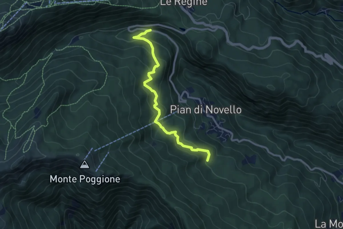
Medium · Trail
Orto di Giovannino - Ponte della Sega
7.0 km · ↑ 326 m · 2 h 22 min
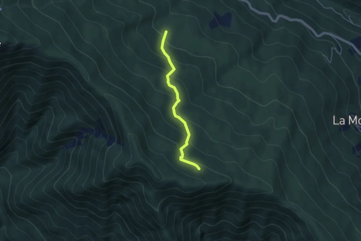
Easy · Trail
Orto di Giovannino - Traverseto
3.5 km · ↑ 277 m · 1 h 26 min
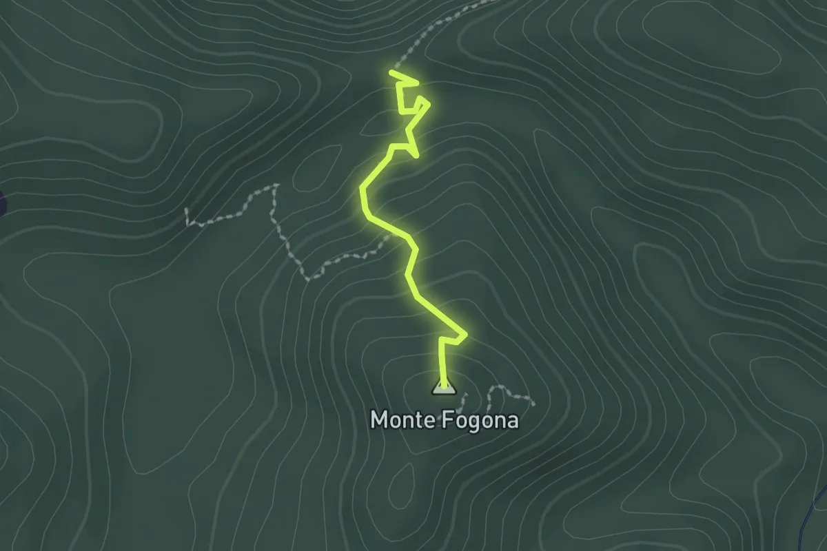
Easy · Summit
Ortogrillo - Monte Pigain - Casa Fogona - Monte Fogona - La Rocca (Bivio 626)
1.7 km · ↑ 116 m · 39 min
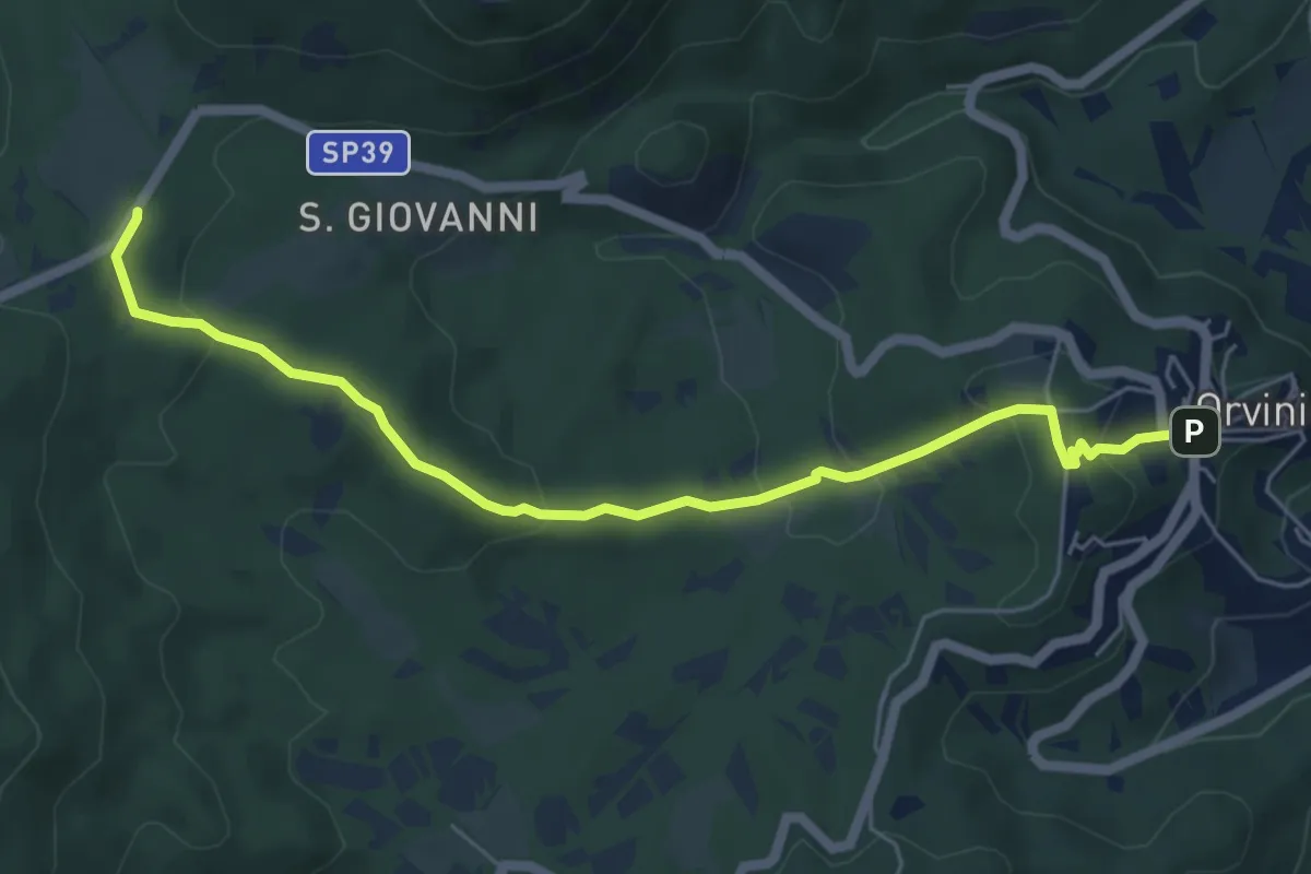
Easy · Trail
Orvinio-Pratarelle
6.5 km · ↑ 235 m · 2 h 3 min
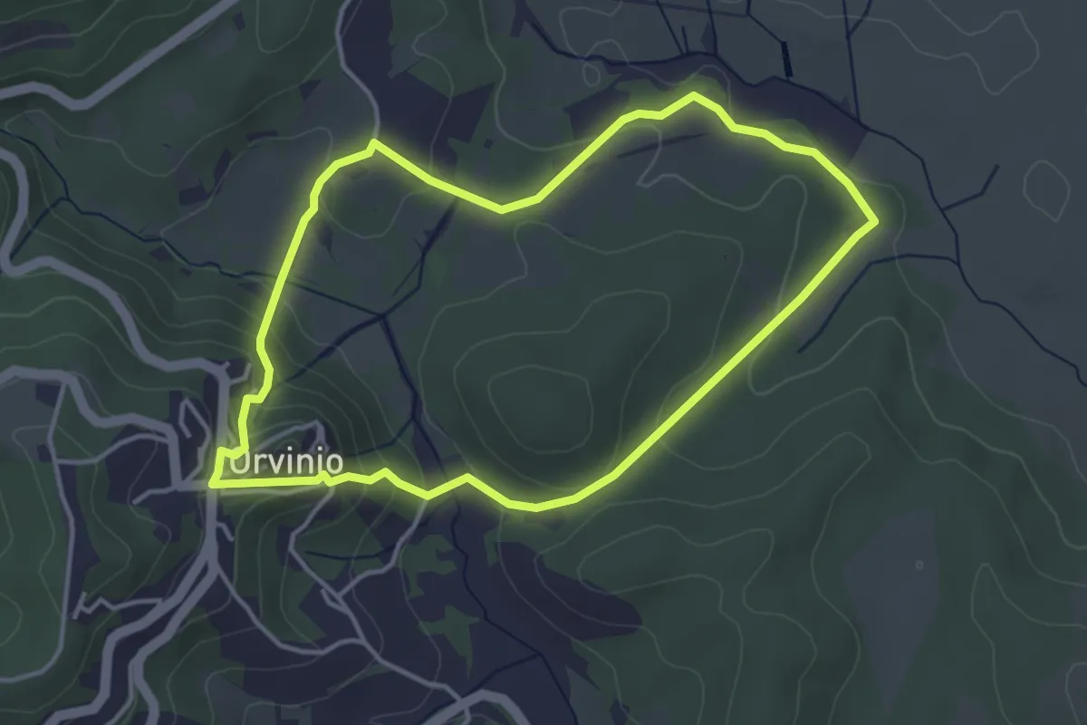
Easy · Trail
Orvinio-Santa Maria del Piano
4.1 km · ↑ 169 m · 1 h 23 min