Trails in Italy
25,221 hiking trails, each with its route, climb, walking time and grade.
All trails, page 108 of 526
Demanding · Summit
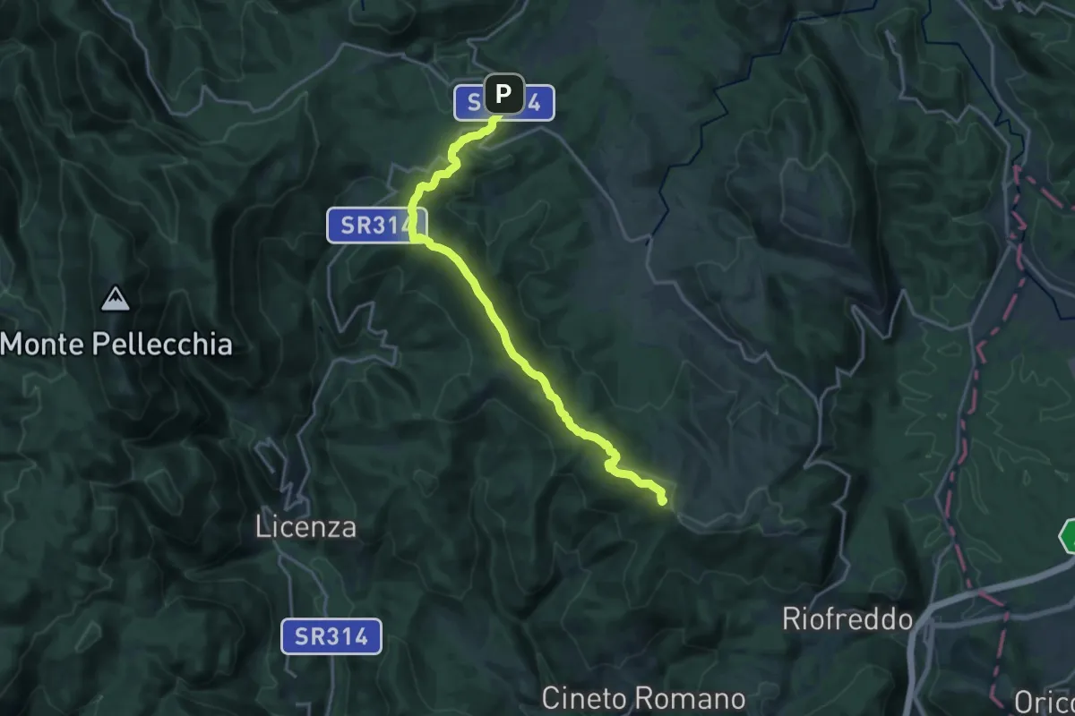
Orvinio-Serre D'Accia
18.5 km · ↑ 542 m · 5 h 33 min
Medium · Summit
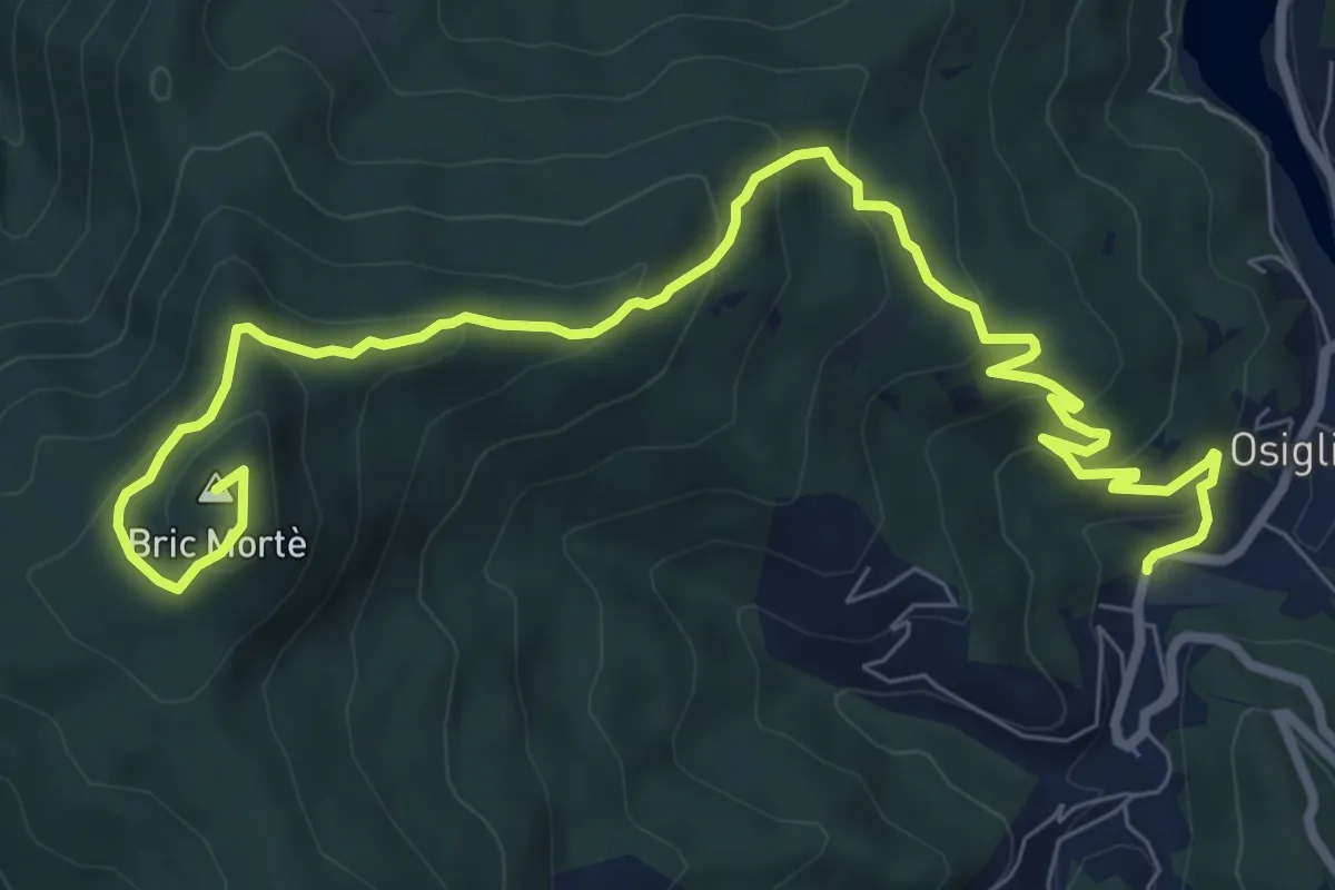
Osiglia - Bric Mortè
10.8 km · ↑ 599 m · 3 h 50 min
Medium · Summit
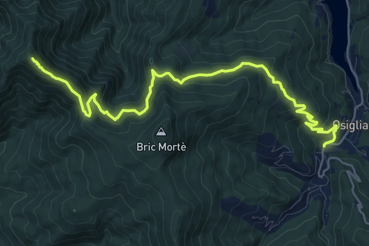
Osiglia - Colle della Barossa - Monte Camulera
14.8 km · ↑ 787 m · 5 h 12 min
Medium · Trail
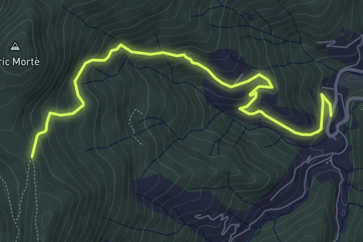
Osiglia - Colle del Prà Soprana
7.6 km · ↑ 476 m · 2 h 49 min
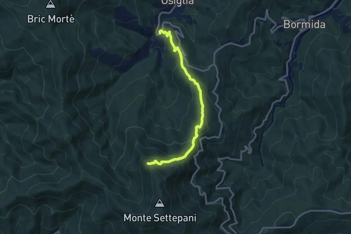
Medium · Summit
Osiglia - Colletta - Rocca dei Francesi
8.6 km · ↑ 640 m · 3 h 25 min
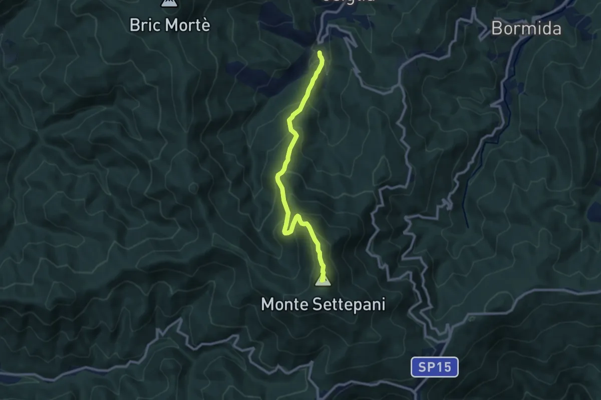
Medium · Summit
Osiglia - Monte Settepani
8.7 km · ↑ 689 m · 3 h 32 min
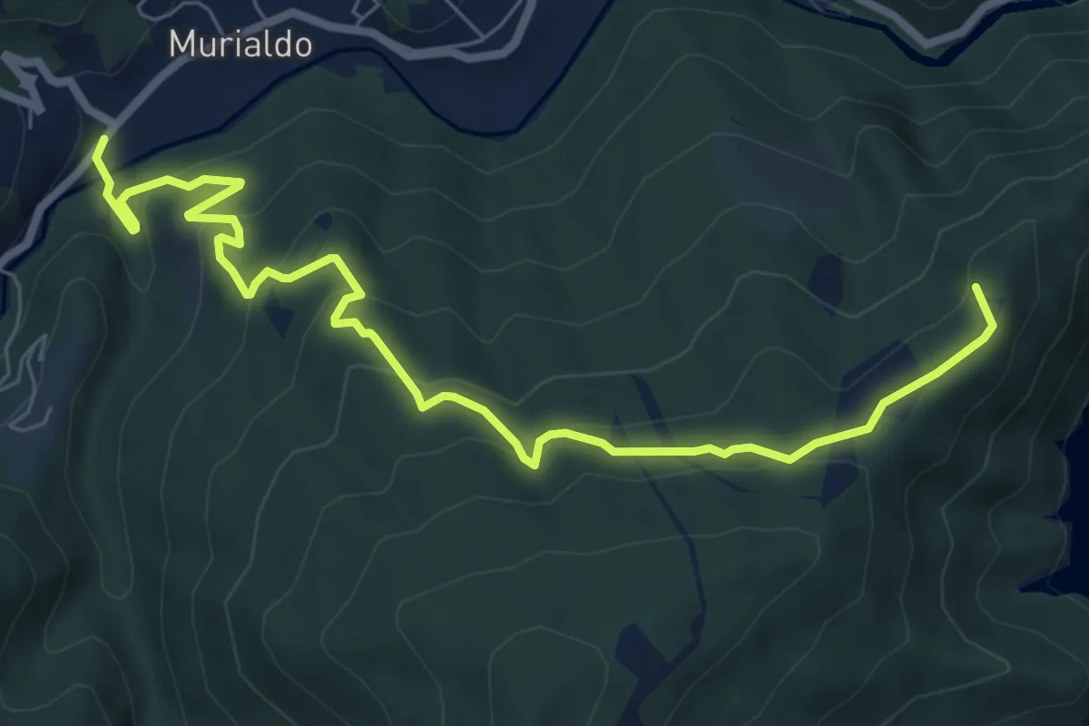
Medium · Summit
Osiglia - Murialdo
8.6 km · ↑ 473 m · 3 h 3 min
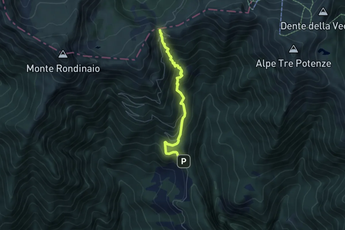
Medium · Trail
OSPEDALETTO - RIFUGIO MERCATELLO - FOCE A GIOVO
5.2 km · ↑ 541 m · 2 h 23 min
Medium · Trail
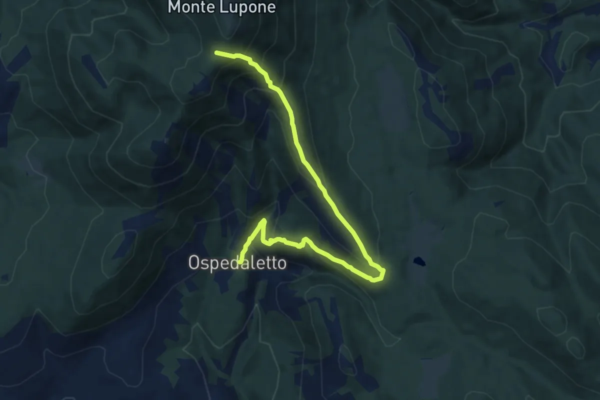
Ospedaletto-Sella Dell'Ardigheta (M. Lupone)
11.0 km · ↑ 675 m · 4 h 4 min
Medium · Trail
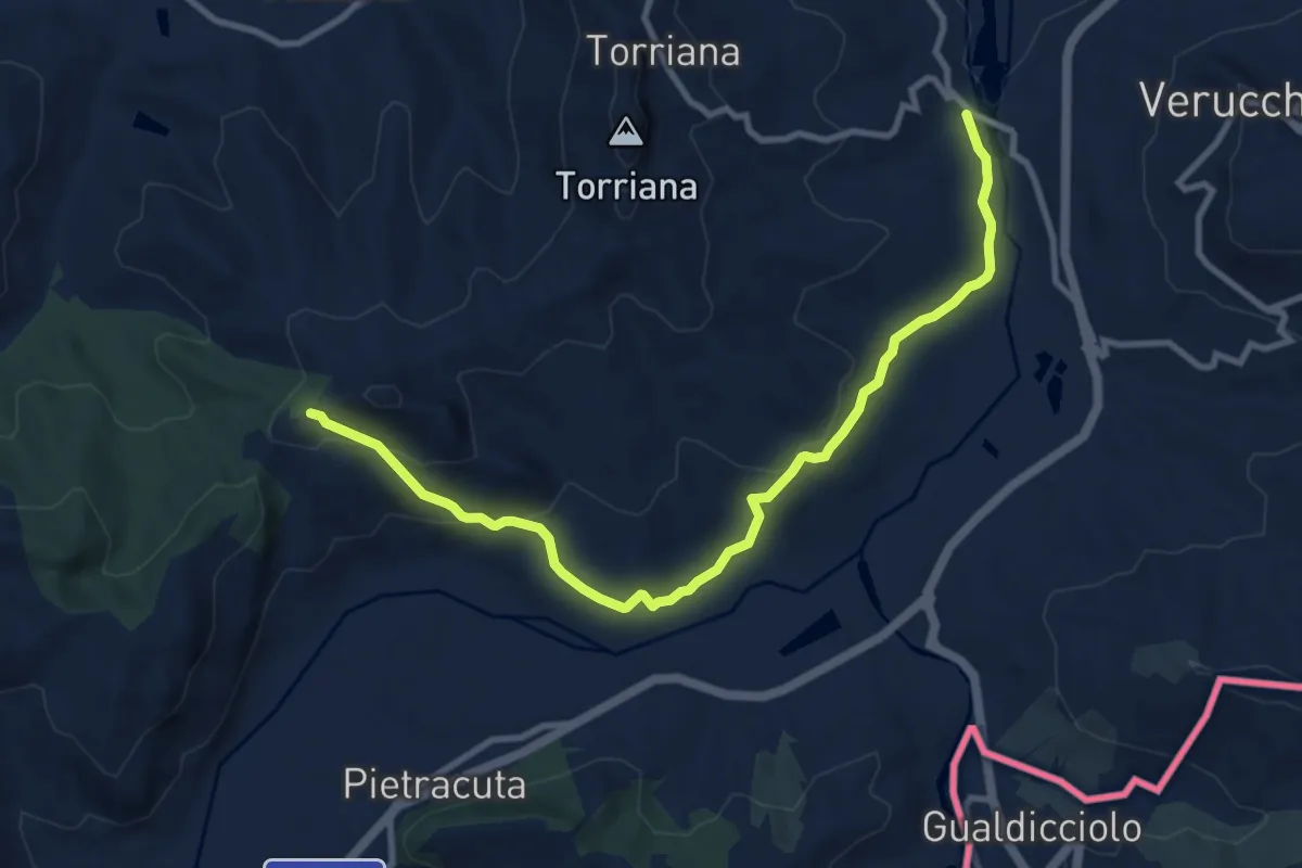
Osteriaccia - Montebello
11.1 km · ↑ 358 m · 3 h 23 min
Medium · Trail
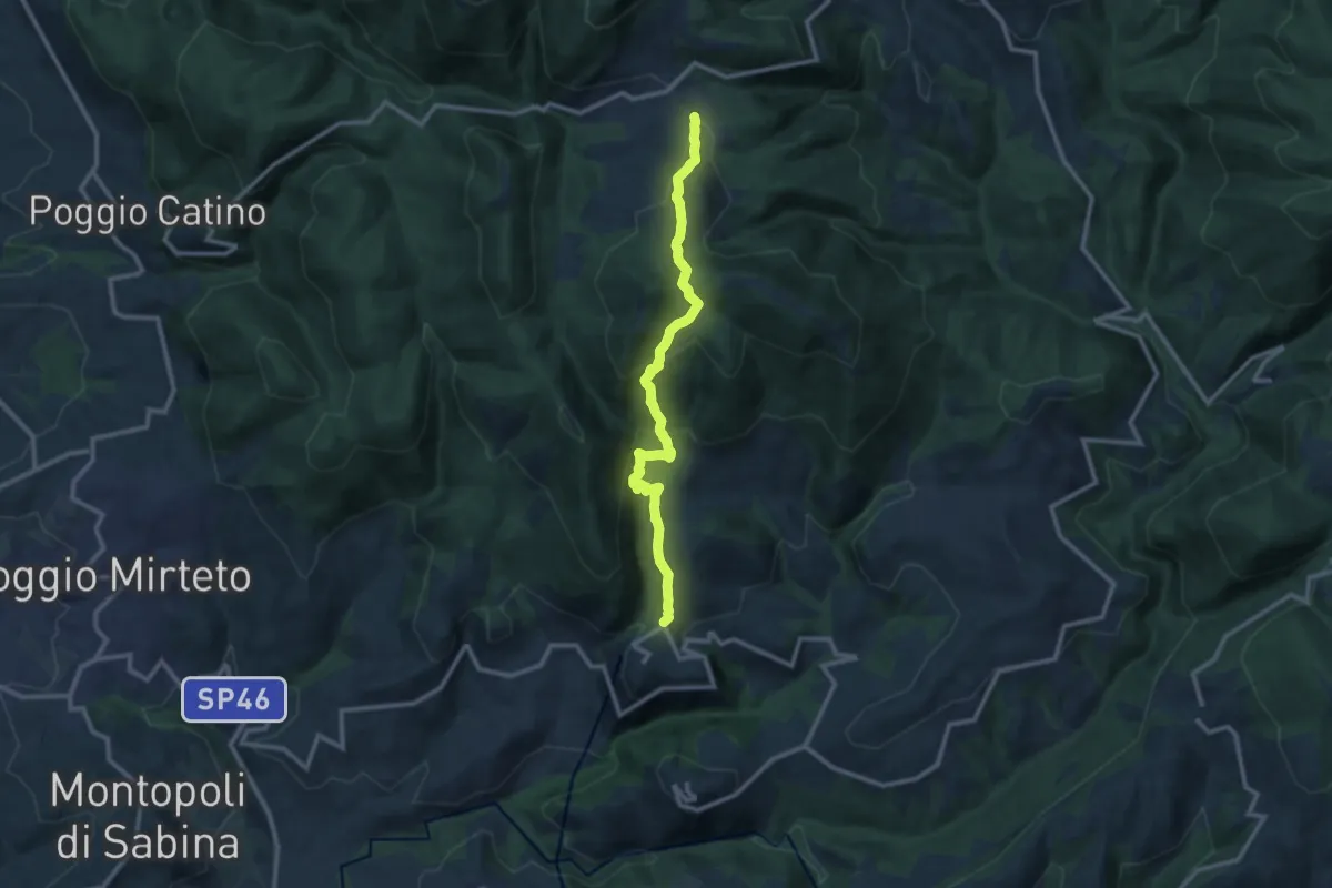
Osteria di Tancia-Salisano
11.7 km · ↑ 585 m · 4 h 2 min
Easy · Trail
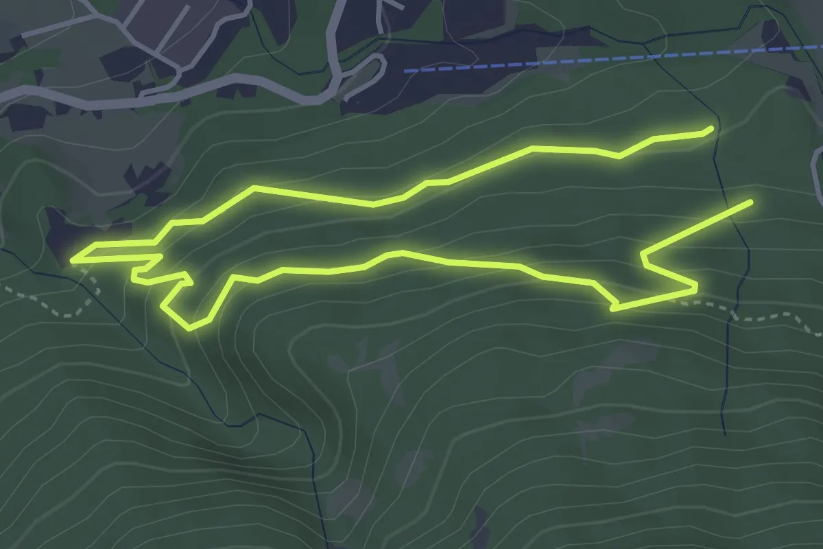
Oswald-von-Wolkenstein-Weg
3.2 km · ↑ 225 m · 1 h 16 min
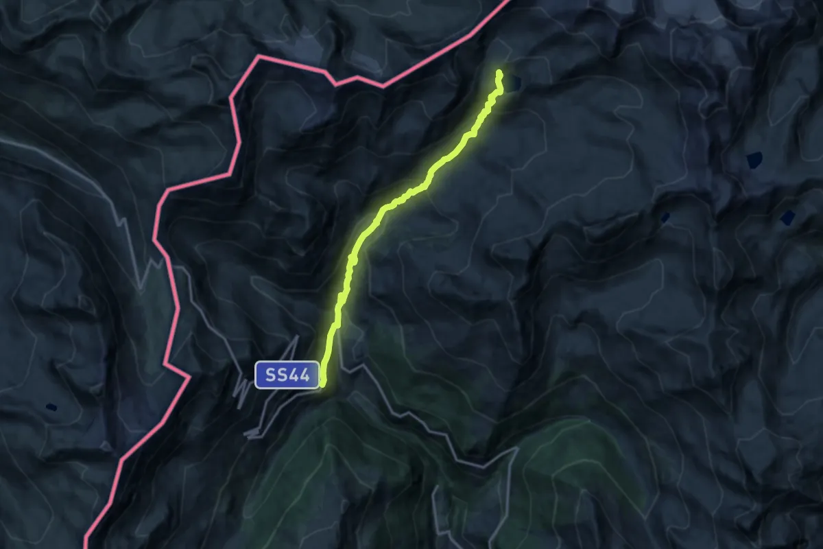
Expert · Trail
Ötztal Trek Etappe 08
12.6 km · ↑ 896 m · 4 h 55 min
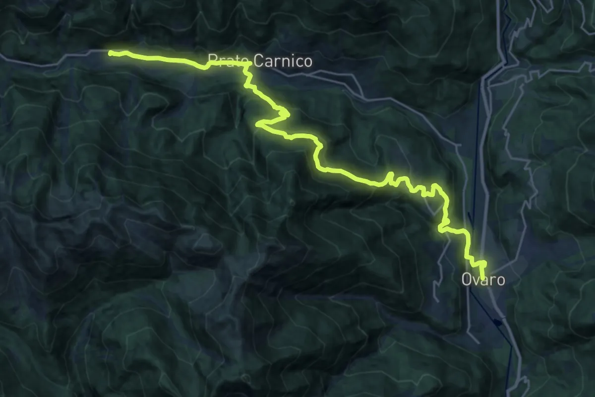
Medium · Trail
Ovaro-Ovasta-Prato Carnico-Pesarïs
13.3 km · ↑ 769 m · 4 h 52 min
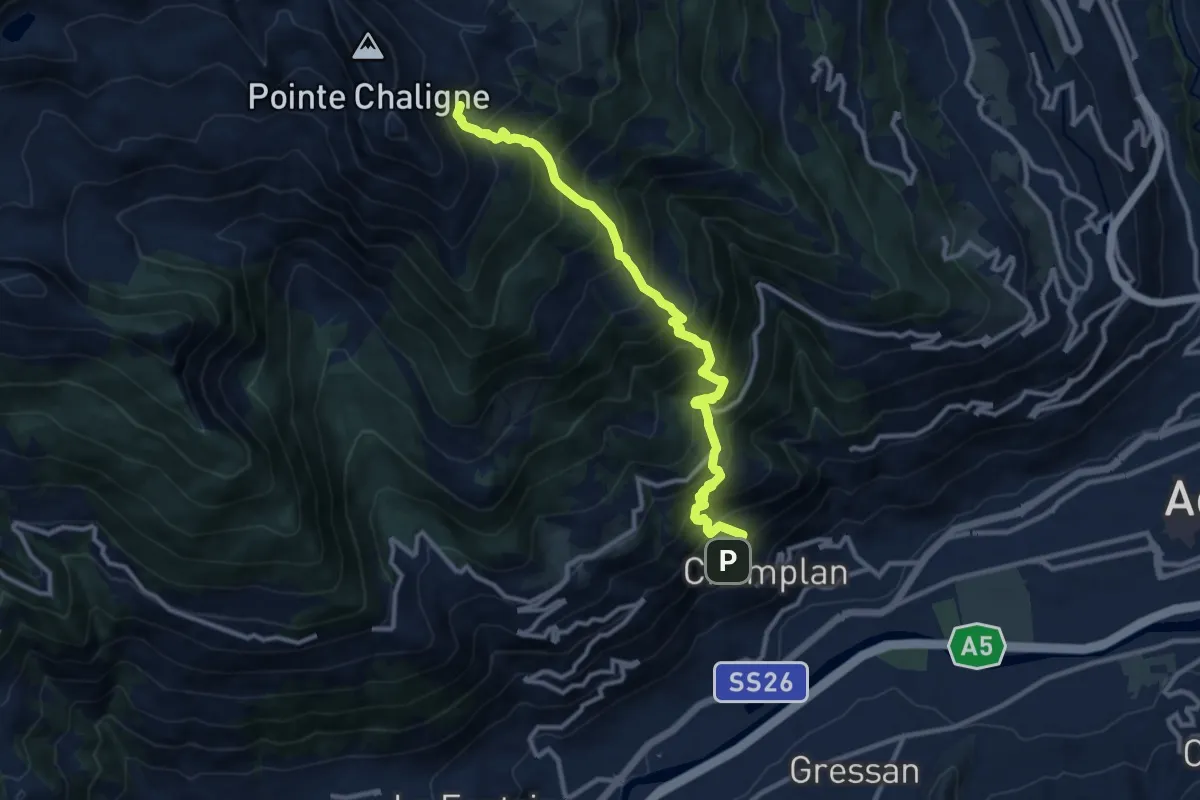
Demanding · Trail
Oveillan - Tsa de Metz
11.4 km · ↑ 1399 m · 5 h 43 min
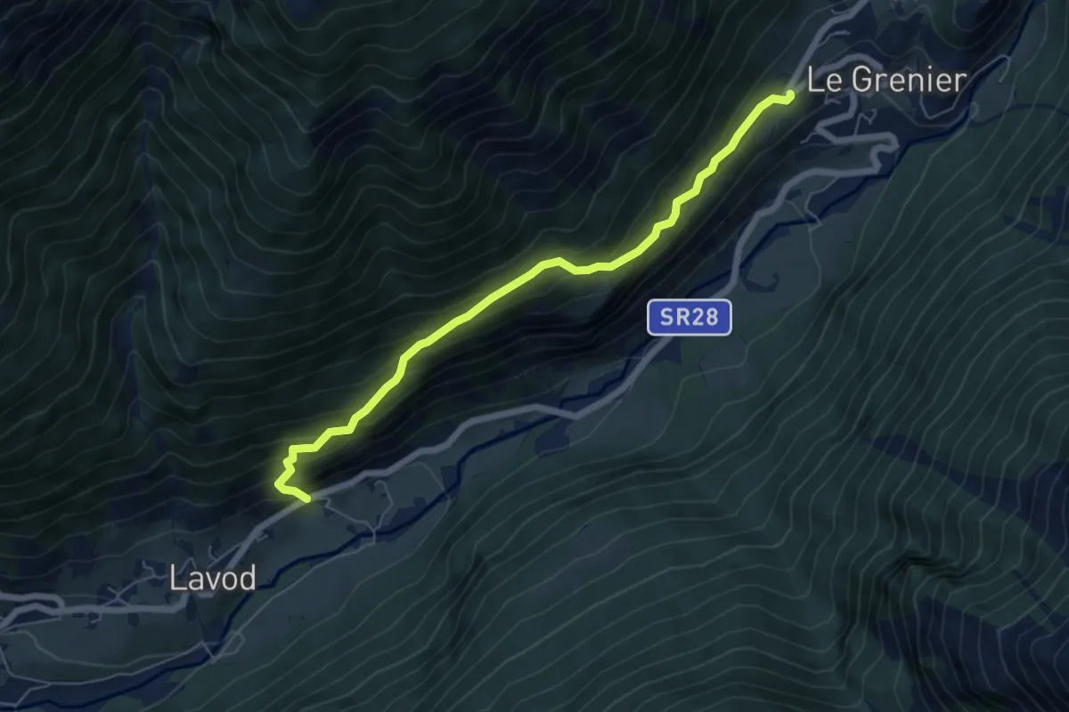
Medium · Trail
Oyace - Valpelline
6.1 km · ↑ 611 m · 2 h 46 min
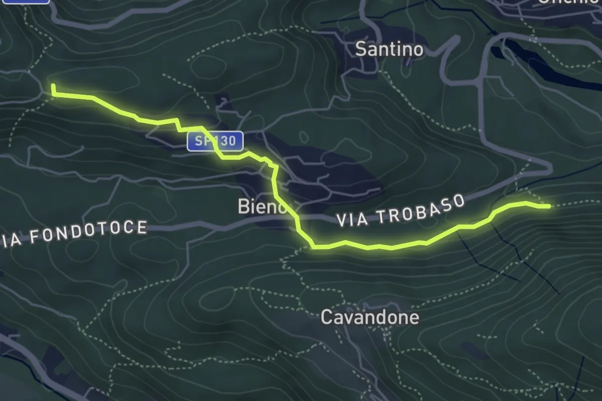
Easy · Trail
P00c - Nord Monterosso - Bieno - Oratorio Santino
5.3 km · ↑ 155 m · 1 h 35 min
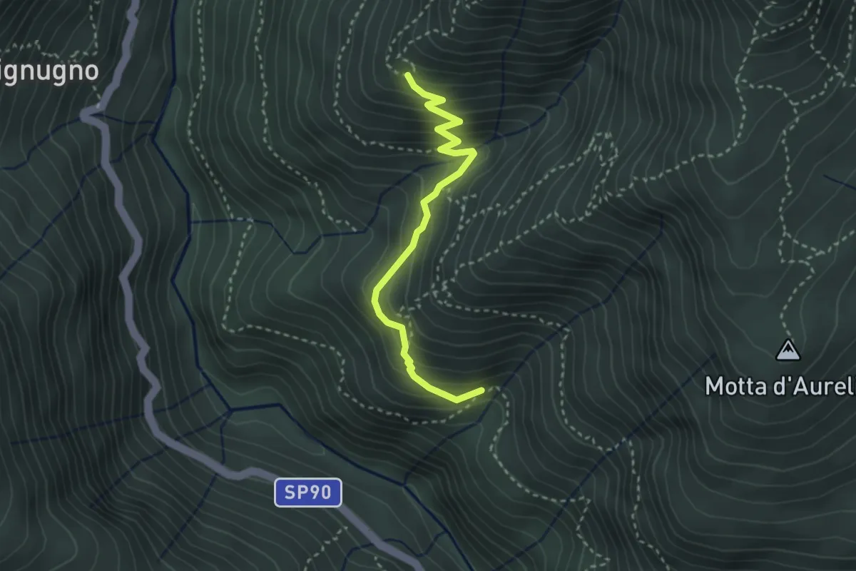
Medium · Trail
P00d - Alpe Miunchio - Nolezzo
3.0 km · ↑ 265 m · 1 h 16 min
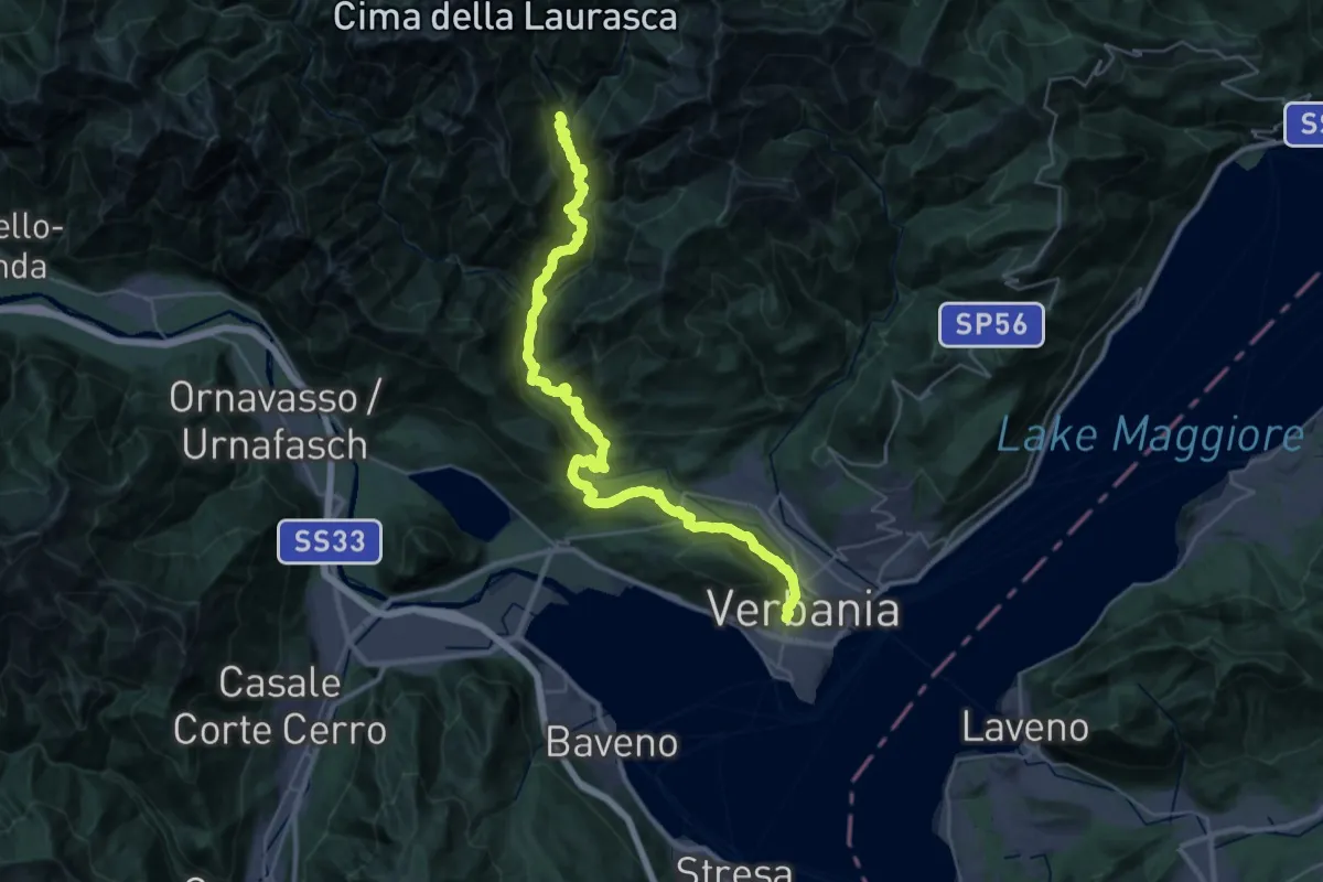
Demanding · Trail
P00 - Madonna di Campagna - Santino - Rovegro- Cossogno- Cicogna - Pogallo
19.8 km · ↑ 1822 m · 8 h 37 min
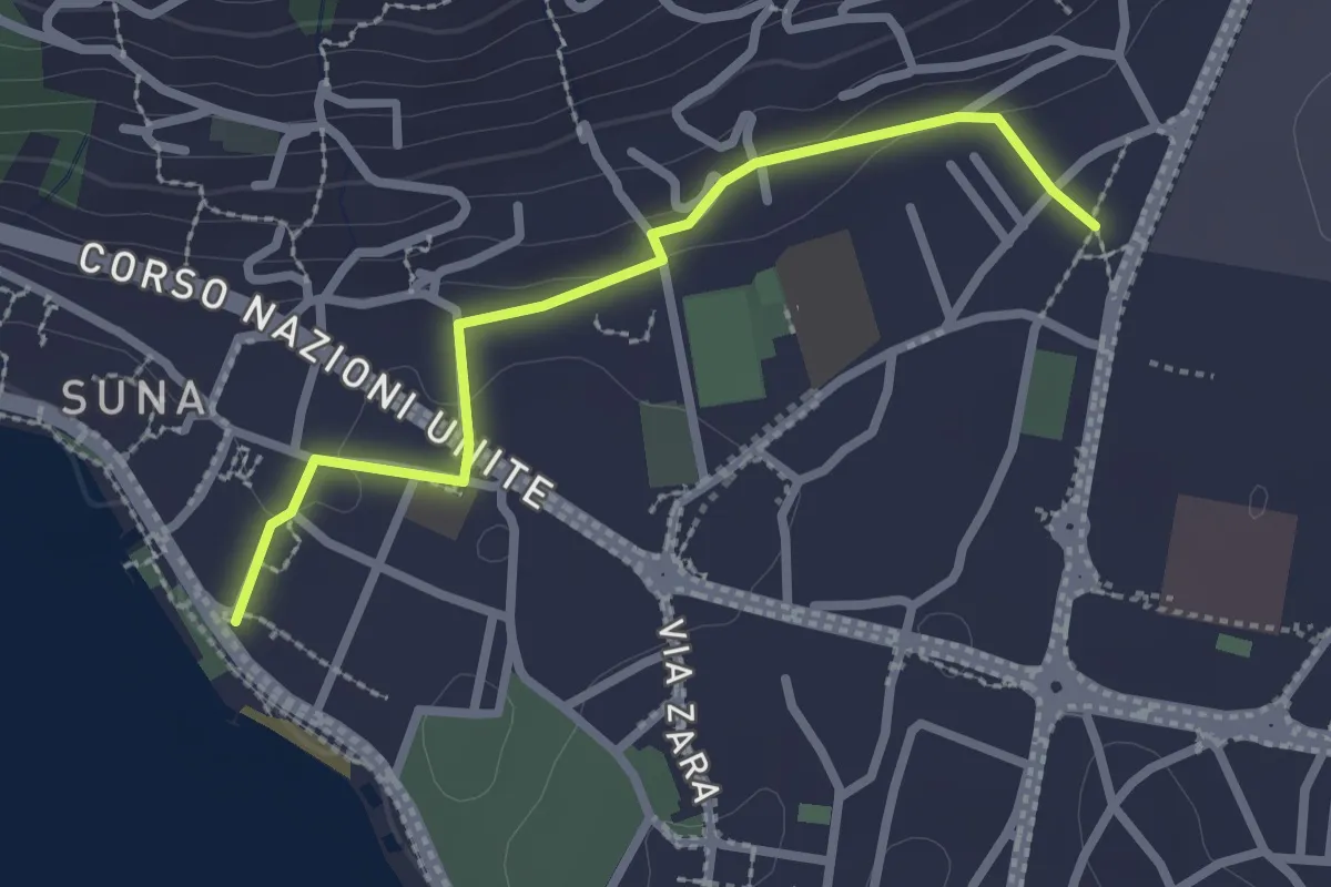
Easy · Trail
P00r - Raccordo pedemontano tra A00 e P00
2.5 km · ↑ 51 m · 42 min
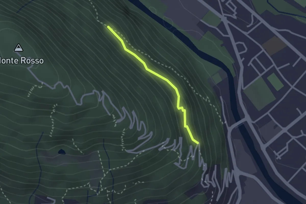
Medium · Trail
P01a - raccordo tra P01 e P00
2.0 km · ↑ 143 m · 47 min
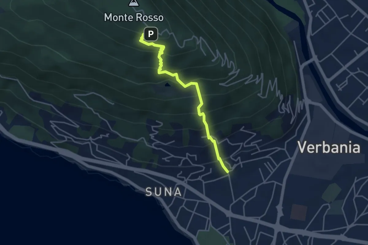
Medium · Trail
P01b - Suna - Chiesetta Pellegrino
3.8 km · ↑ 451 m · 1 h 53 min
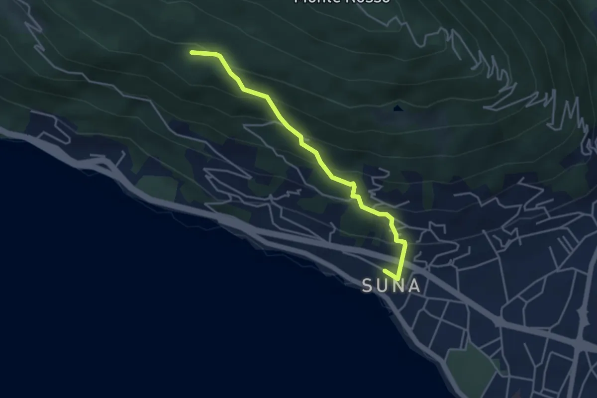
Medium · Trail
P01c - Sentiero della Bergamina
3.6 km · ↑ 295 m · 1 h 29 min
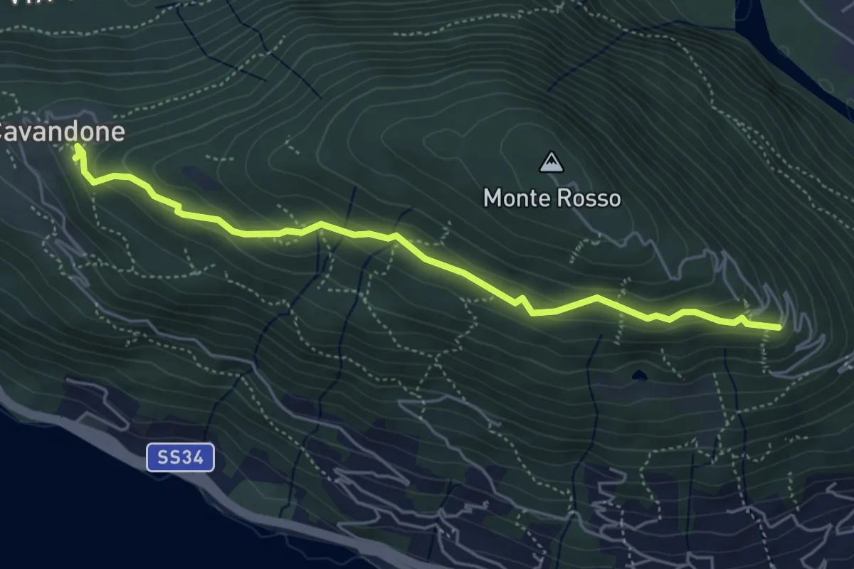
Easy · Trail
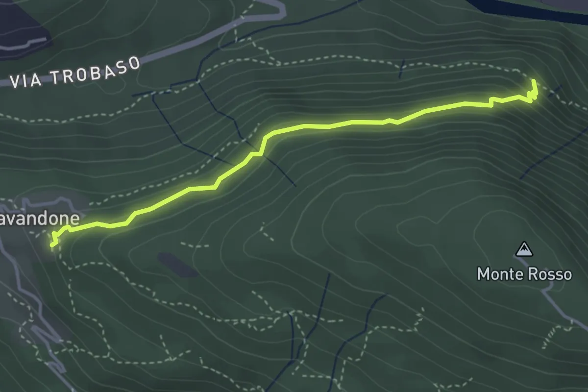
P01d - Cavandone - bivio Via al Monterosso
5.0 km · ↑ 212 m · 1 h 39 min
Medium · Trail
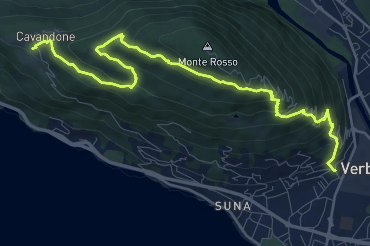
P01e - Cavandone - Cascina Monterosso
3.6 km · ↑ 229 m · 1 h 21 min
Medium · Trail
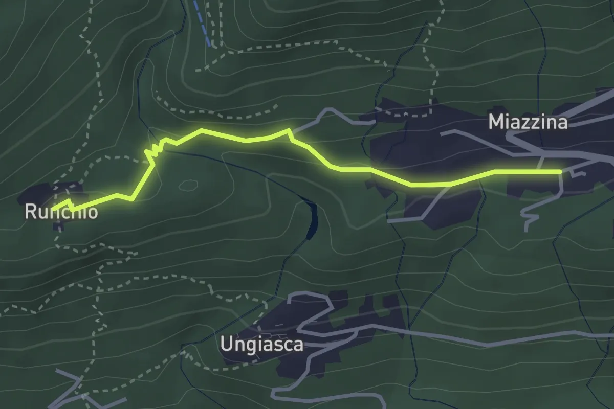
P01 - Madonna di campagna - Monterosso - Cavandone
11.1 km · ↑ 704 m · 4 h 9 min
Medium · Trail
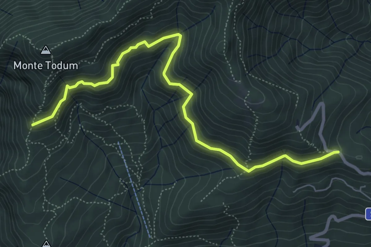
P02b - Miazzina - Alpe Runchio
3.1 km · ↑ 92 m · 56 min
Medium · Trail
P02c - Memoriale Alpini - Alpe della Chiesa
6.8 km · ↑ 379 m · 2 h 25 min
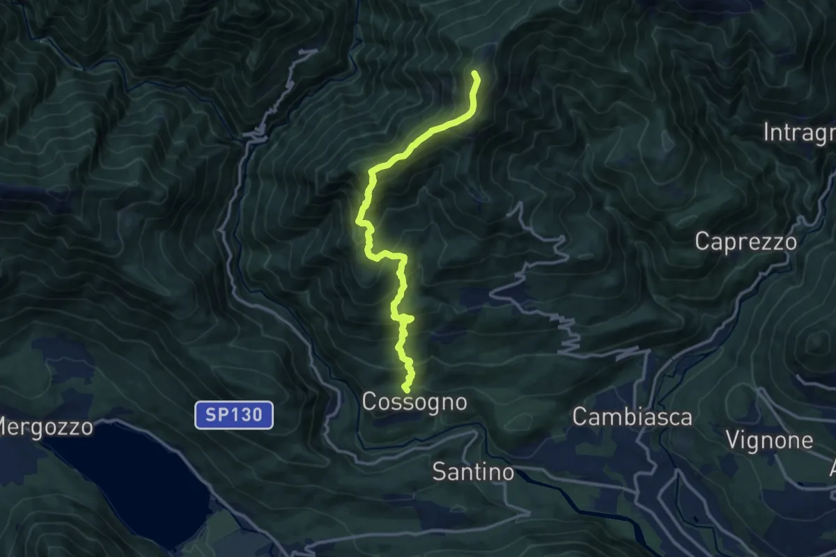
Demanding · Summit
P02 - Cossogno - Pizzo Pernice
12.3 km · ↑ 1162 m · 5 h 25 min
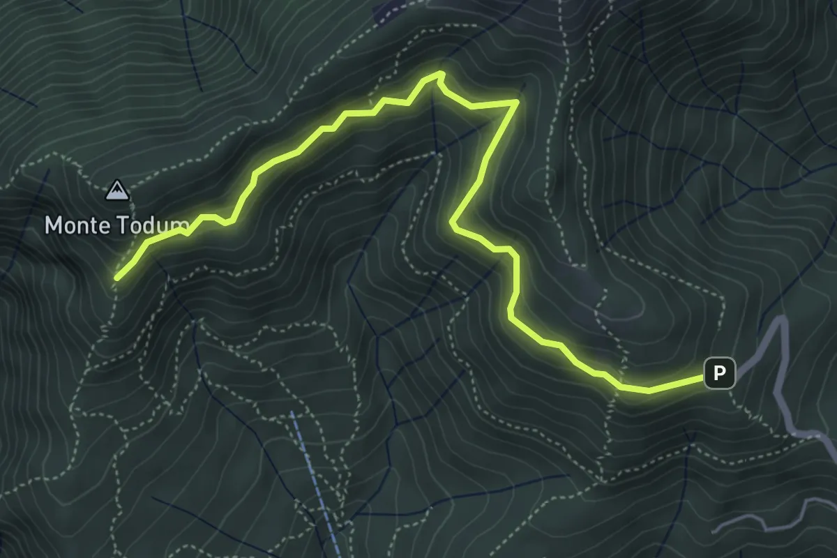
Medium · Trail
P02d - Cappella Fina - bivio P02 sotto Monte Todun
5.8 km · ↑ 511 m · 2 h 29 min
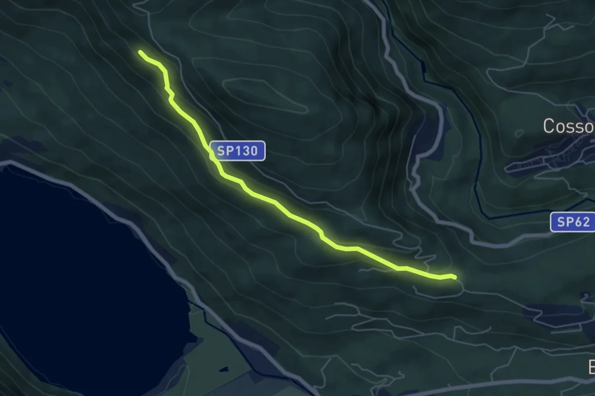
Medium · Trail
P03 - Oratorio di Santino - bivio A54 nei pressi Cappella di Erfo
5.4 km · ↑ 235 m · 1 h 47 min
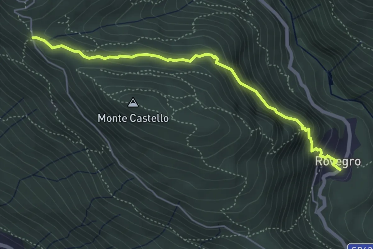
Medium · Trail
P05 - Cappella di Erfo - Rovegro
4.7 km · ↑ 341 m · 1 h 51 min
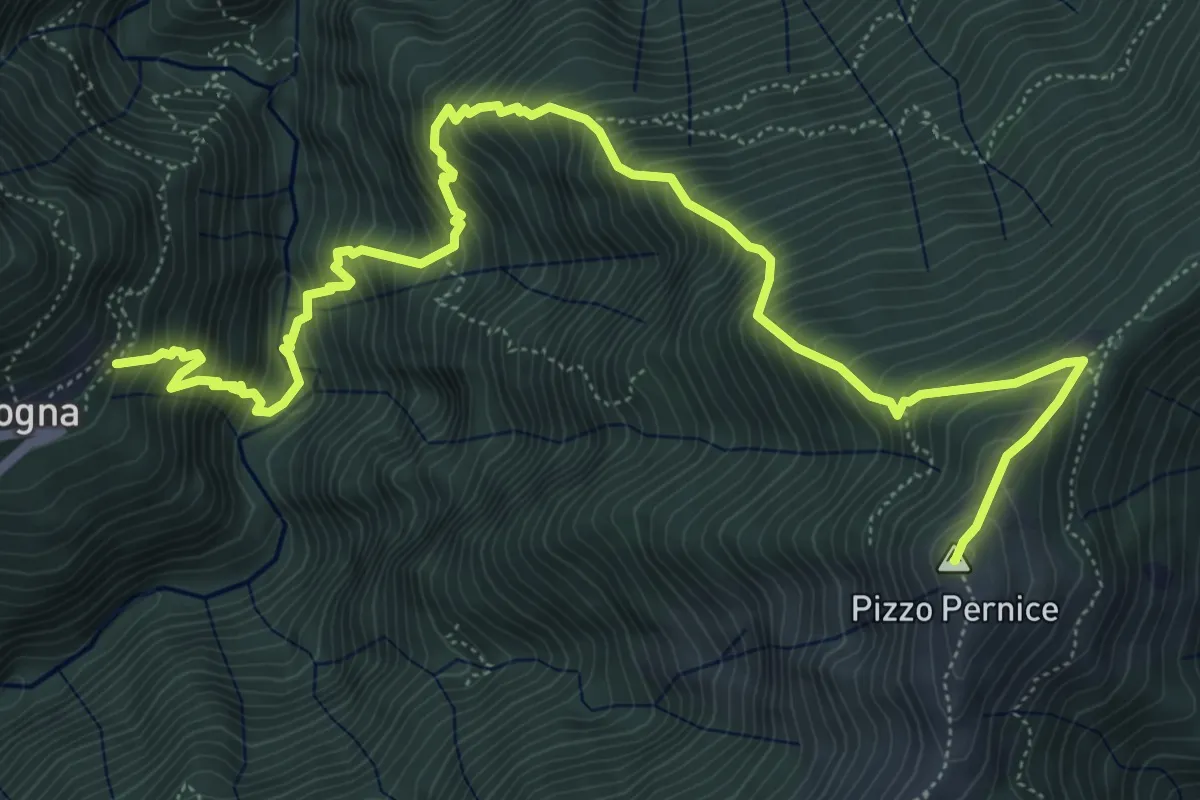
Demanding · Summit
P06 - Cicogna - Varola - Curgei - Pizzo Pernice
8.4 km · ↑ 1301 m · 4 h 49 min
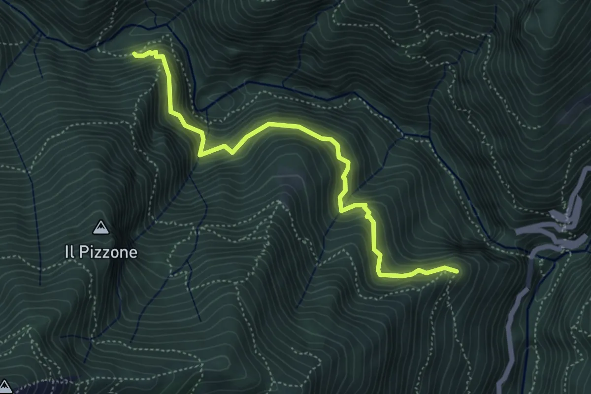
Demanding · Trail
P07a - Cappella Or Vergugn - Ponte Velina
5.1 km · ↑ 523 m · 2 h 20 min
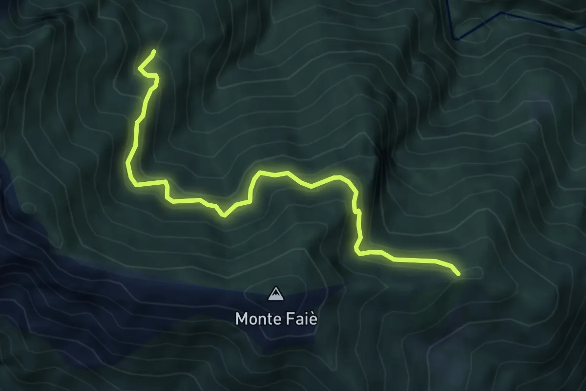
Medium · Trail
P07b - bivio A54 in località La Croce (Ompio) - Corte Buè
5.9 km · ↑ 534 m · 2 h 34 min
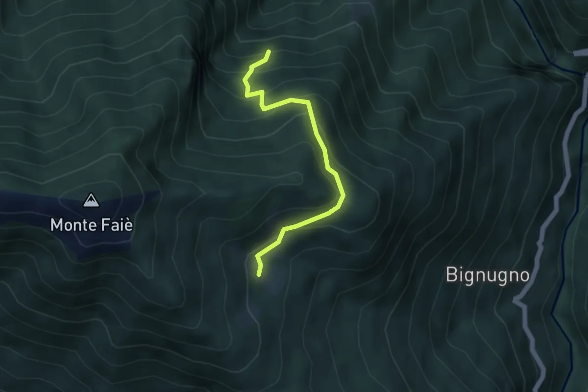
Medium · Cabin
P07d - Bivio P07 sotto Alpe Basseno - Alpe Ompio
3.5 km · ↑ 338 m · 1 h 33 min
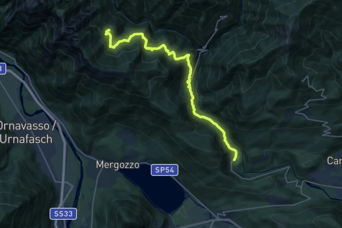
Demanding · Cabin
P07 - Rovegro - Alpe Buè
17.4 km · ↑ 1423 m · 7 h 12 min
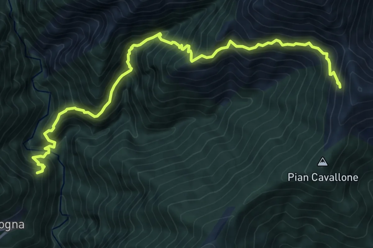
Demanding · Trail
P08 - Cicogna -Tregugno - la Soliva - Pian Cavallone
11.1 km · ↑ 1374 m · 5 h 36 min
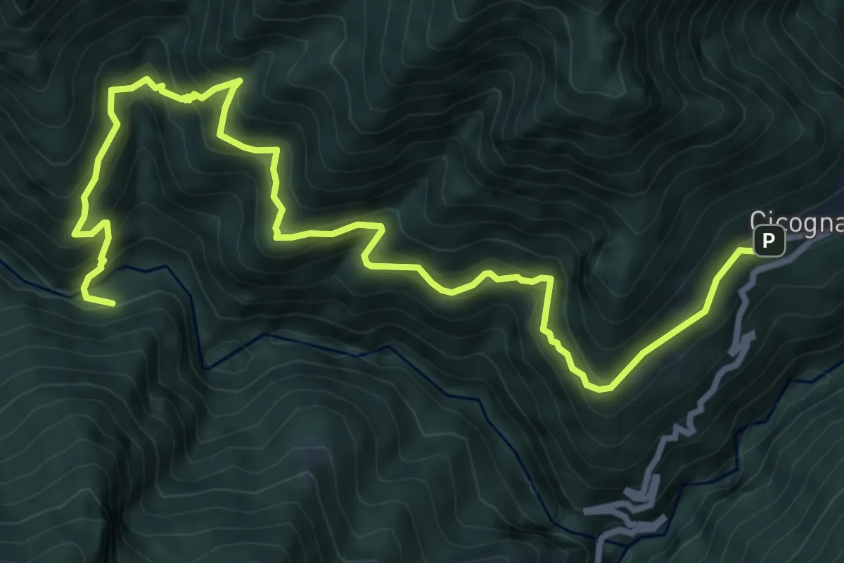
Demanding · Trail
P09 - Cicogna - Ponte Velina
10.6 km · ↑ 1038 m · 4 h 45 min
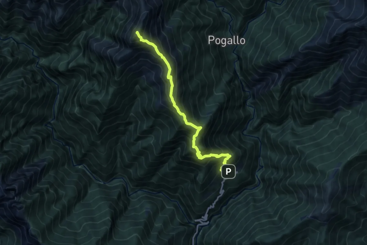
Demanding · Summit
P11 - Cicogna - Cima Sasso
10.6 km · ↑ 1259 m · 5 h 13 min
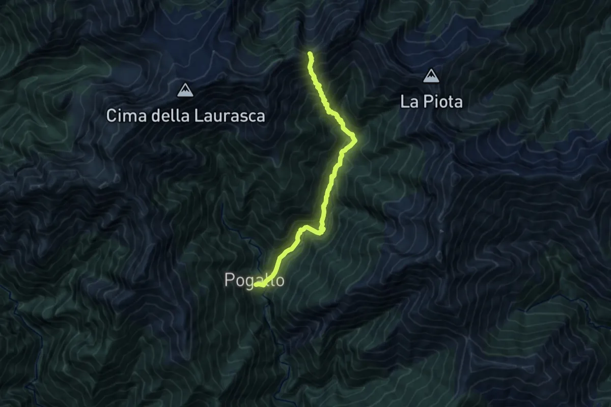
Demanding · Trail
P12 - Pogallo - Bocchetta di Terza
11.4 km · ↑ 1261 m · 5 h 25 min
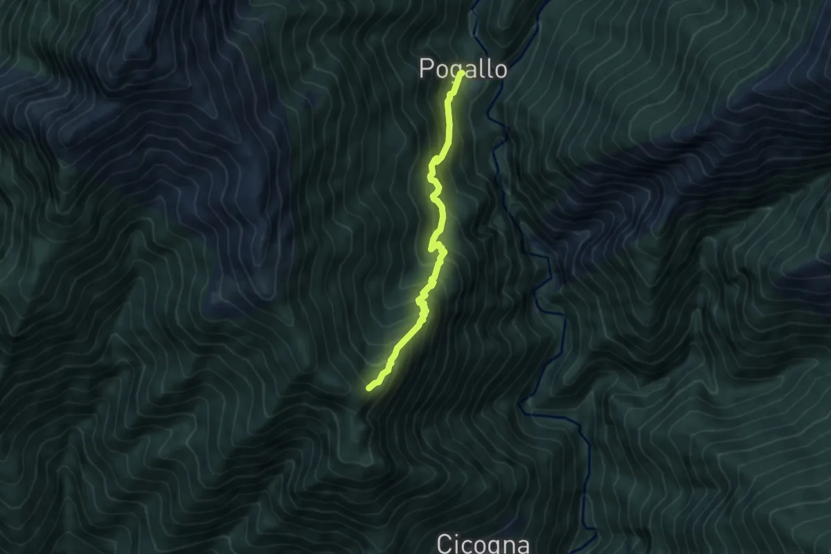
Medium · Trail
P13 - Alpe Pogallo - Alpe Leciurt
5.0 km · ↑ 607 m · 2 h 30 min
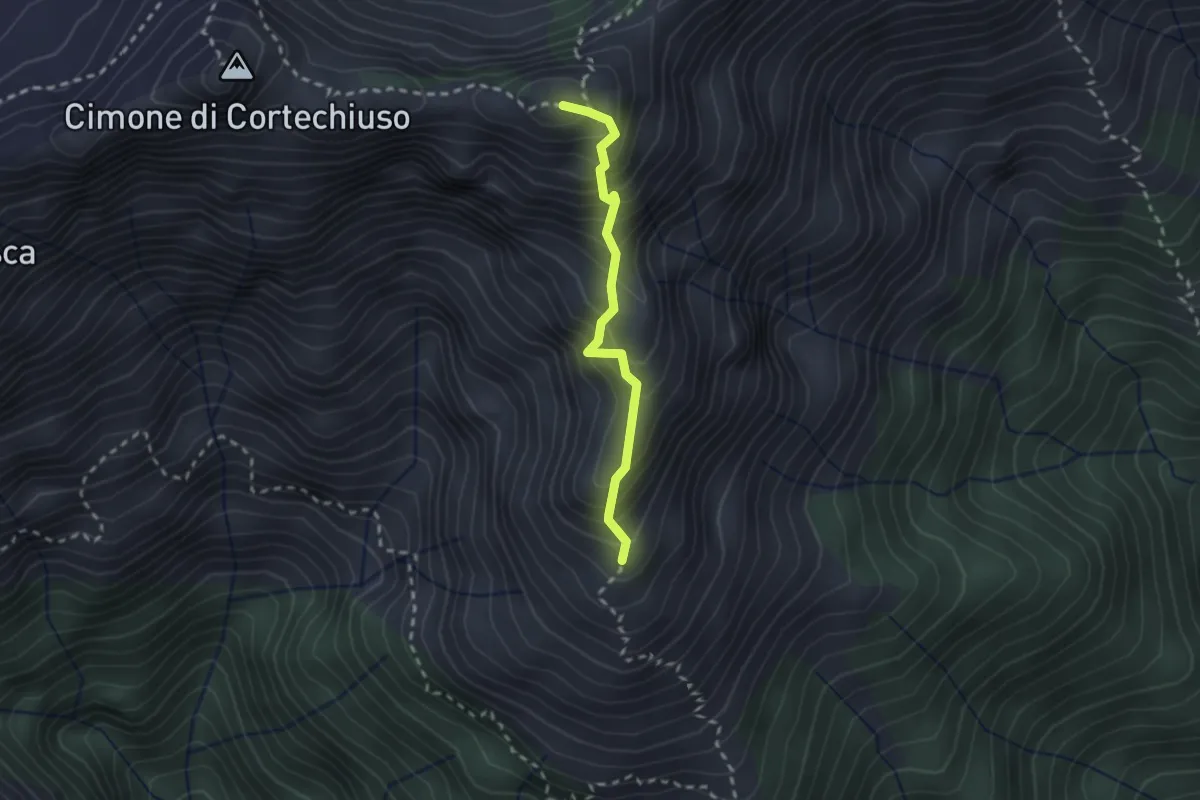
Expert · Summit
P14NS - Cima Marsicce: la cresta in discesa fino al prato alla base
2.1 km · ↑ 321 m · 1 h 12 min
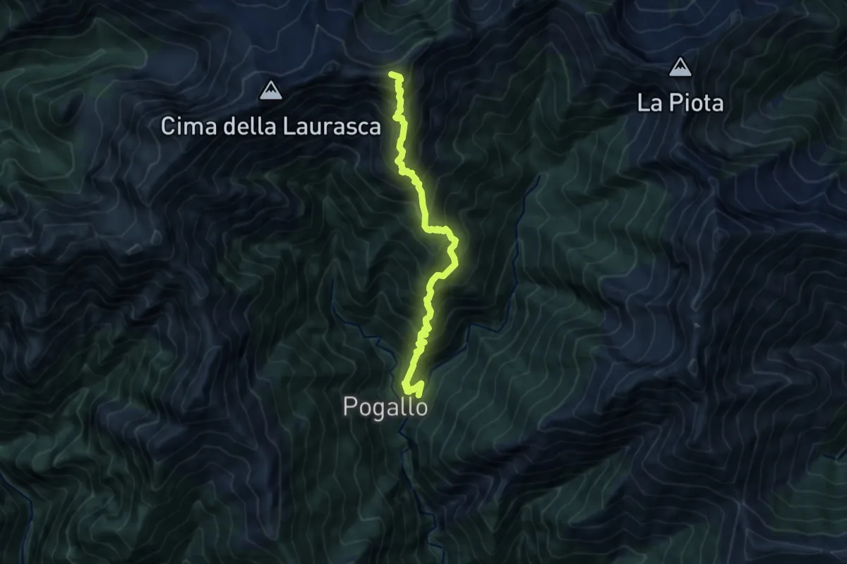
Expert · Summit
P14 - Pogallo - Cima Marsicce
9.9 km · ↑ 1379 m · 5 h 19 min
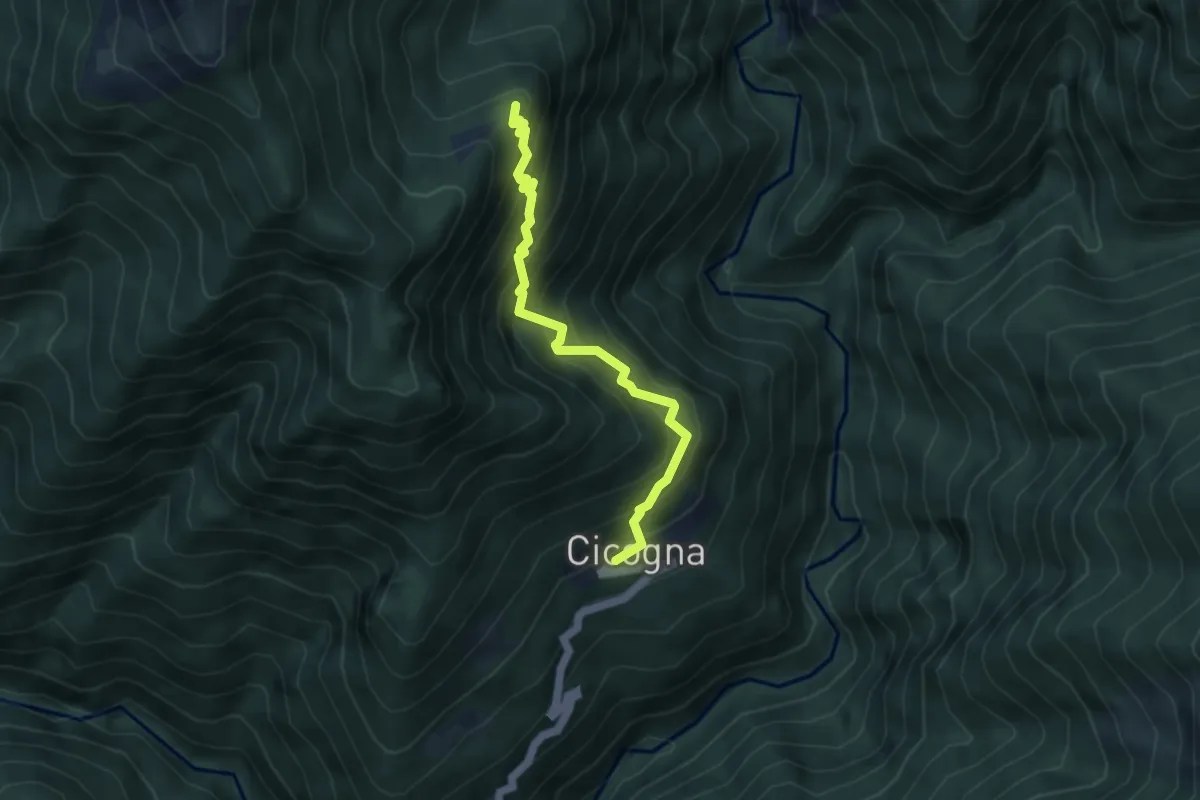
Medium · Trail
P15 - Cicogna - Cima Selva
4.2 km · ↑ 559 m · 2 h 12 min
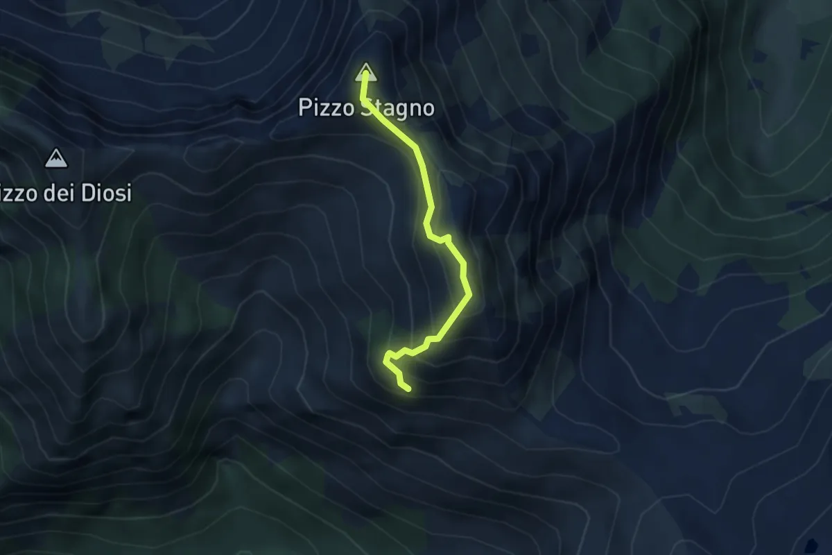
Demanding · Summit
P16a - Bivio P16 - Bivio P16 presso Pizzo Stagno
3.0 km · ↑ 349 m · 1 h 29 min
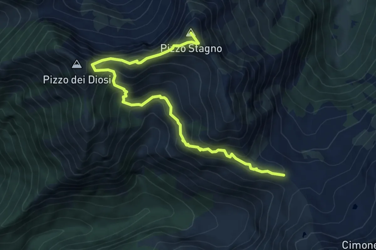
Demanding · Summit
P16 - Alpe Scaredi - Pizzo Stagno
8.0 km · ↑ 832 m · 3 h 41 min
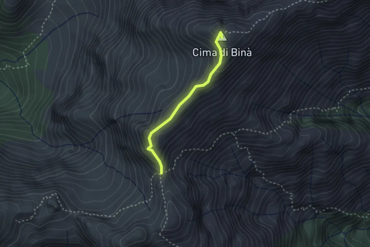
Demanding · Summit
P17 - Bivio M14 presso Cima della Laurasca - Rifugio Bta di Campo
2.2 km · ↑ 176 m · 54 min