Trails in Italy
25,221 hiking trails, each with its route, climb, walking time and grade.
All trails, page 109 of 526
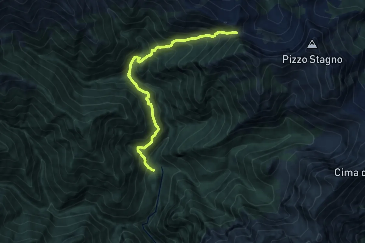
Demanding · Cabin
P18 - Alpe in la Piana - Bocchetta di Vald
10.3 km · ↑ 1229 m · 5 h 6 min
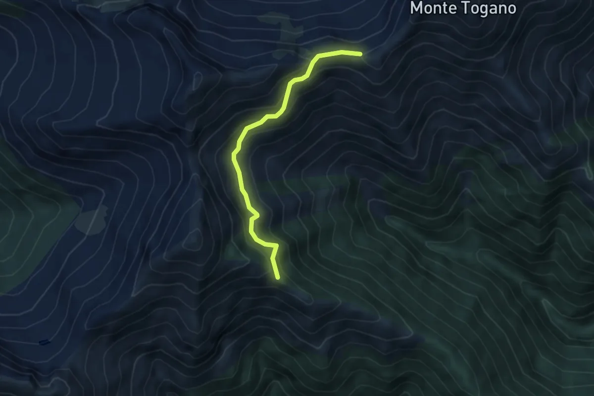
Medium · Trail
P20a - Bivio P20 sopra Alpe Curtin - Passo di Basagrana
4.1 km · ↑ 318 m · 1 h 39 min
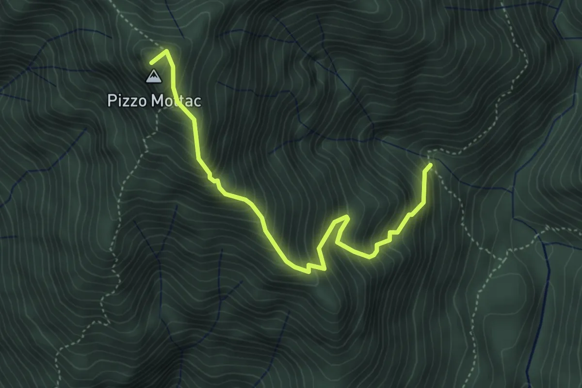
Demanding · Summit
P20 - Bivio P18 sopra In La Piana - Passo del Ragozzale
4.5 km · ↑ 703 m · 2 h 36 min
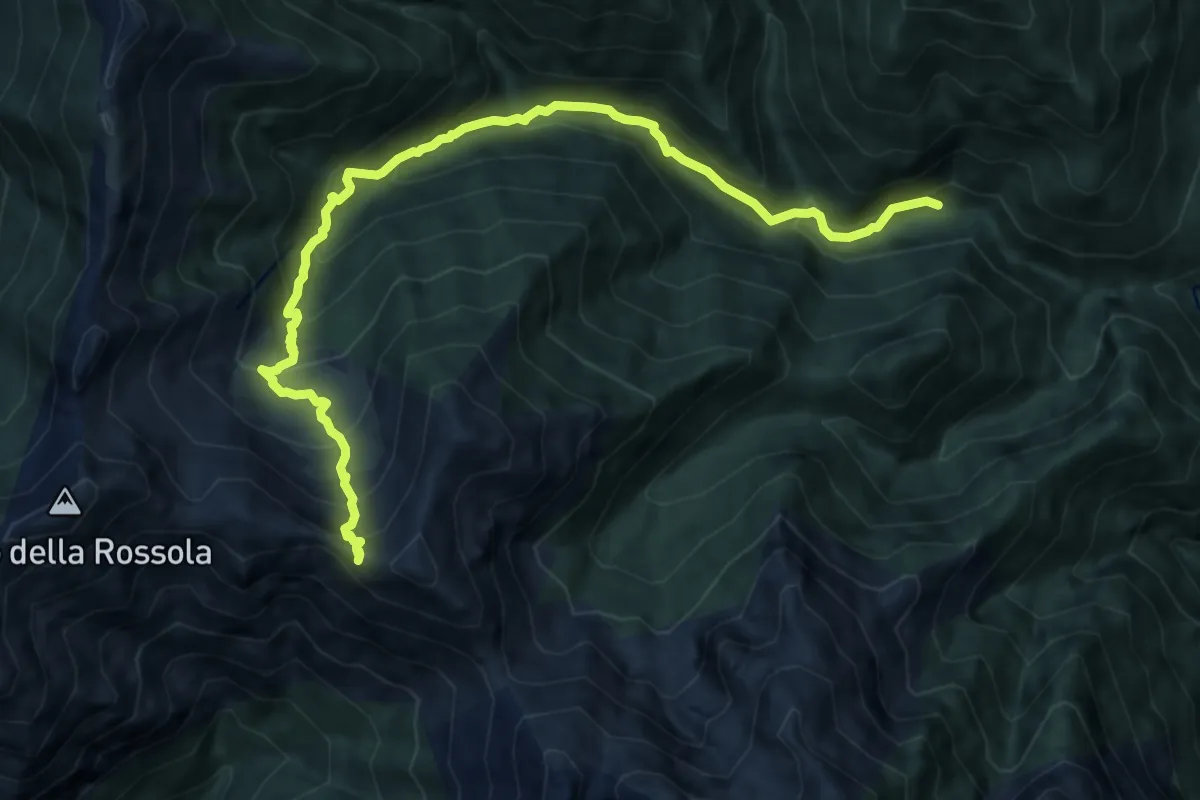
Demanding · Trail
P22 - Ponte Val Gabbio - Bocchetta dell'Usciolo
11.2 km · ↑ 1019 m · 4 h 51 min
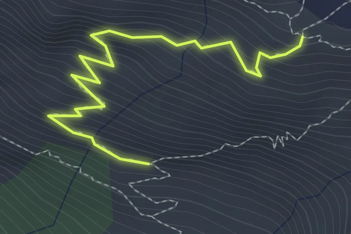
Easy · Trail
P30a - Bivio P30 - Cappella di Terza
2.5 km · ↑ 242 m · 1 h 8 min
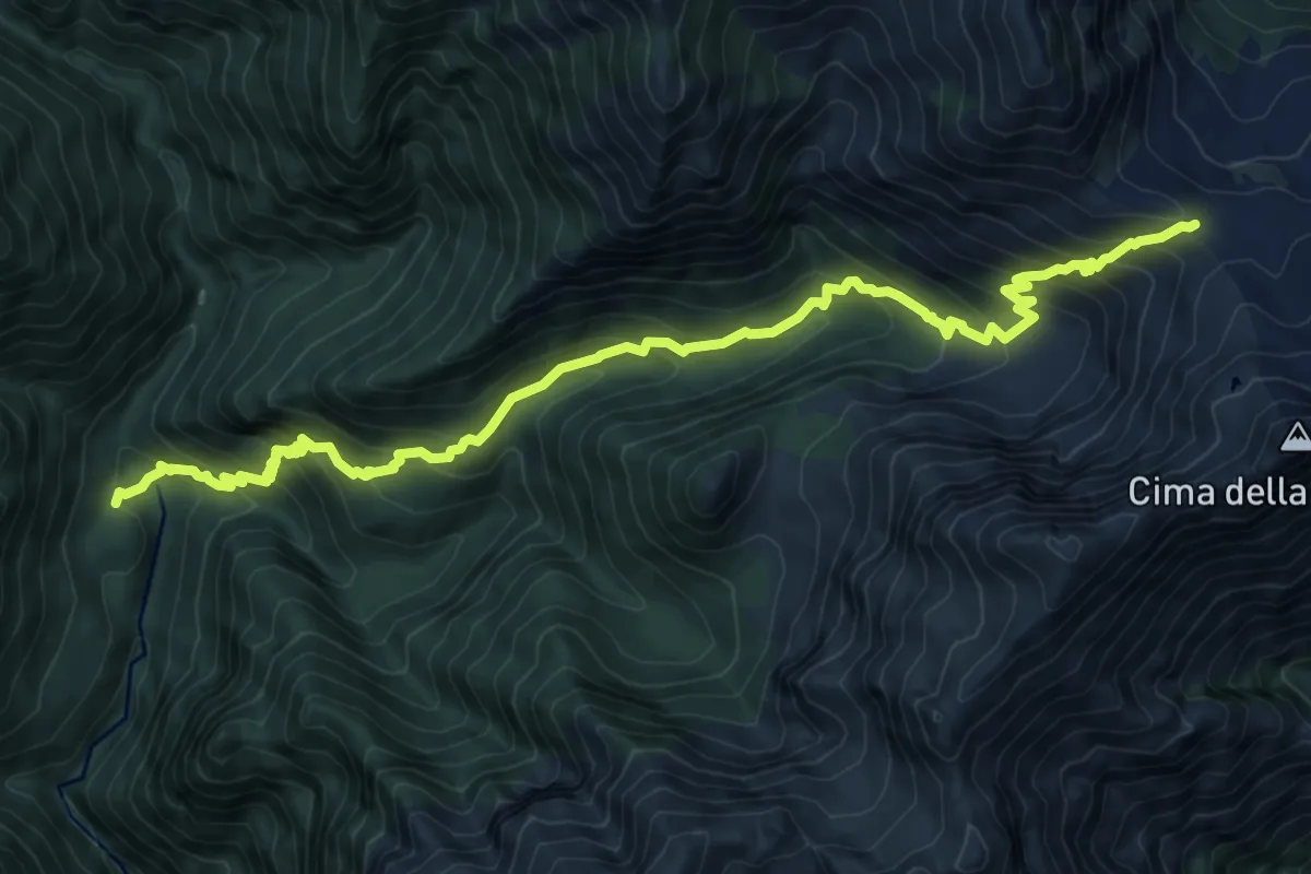
Demanding · Cabin
P30 - Alpe in La Piana - Alpe Scaredi
11.5 km · ↑ 1021 m · 4 h 56 min
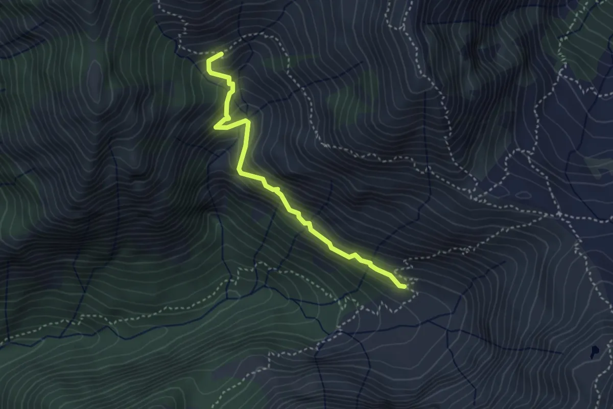
Medium · Cabin
P30b - Bivio P30 - Alpe Straolgio
3.4 km · ↑ 285 m · 1 h 26 min
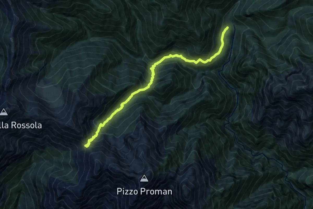
Demanding · Cabin
P40 - Alpe in La Piana - Alpe della Colma
11.7 km · ↑ 1207 m · 5 h 23 min
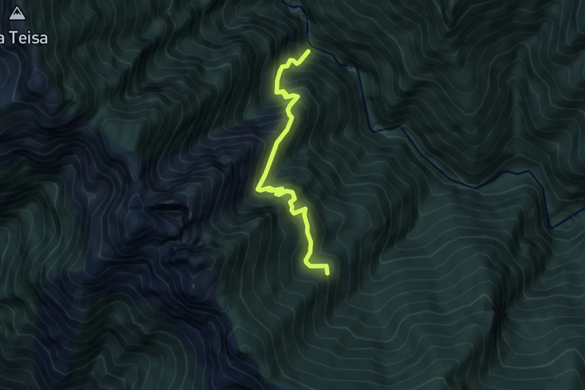
Demanding · Trail
P50b - Orfalecchio - Val Foiera - Corte Buè
5.2 km · ↑ 720 m · 2 h 47 min
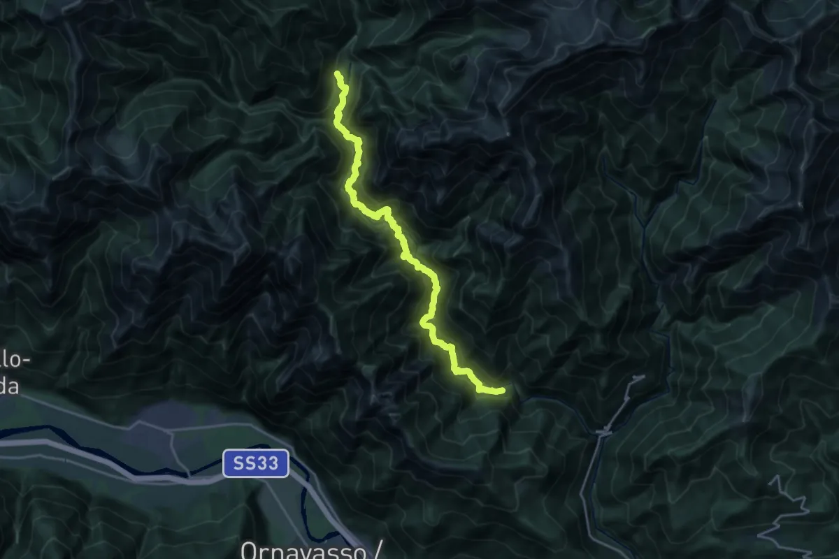
Expert · Trail
P50 - Ponte Velina - in La Piana (Ferrata Selvaggio Verde)
19.2 km · ↑ 1574 m · 7 h 56 min
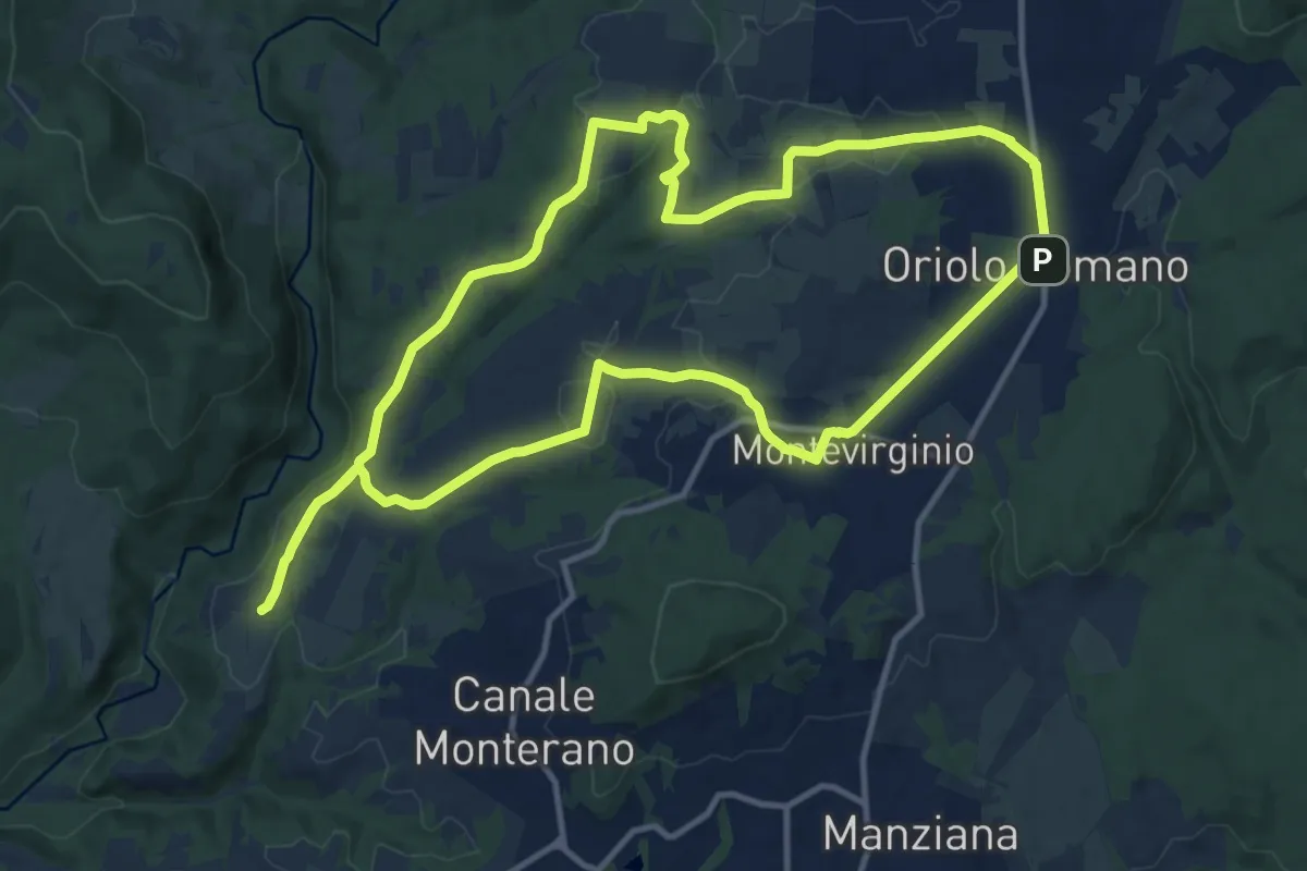
Medium · Trail
Paesaggi di Borghi - Anello sud
14.0 km · ↑ 202 m · 3 h 56 min
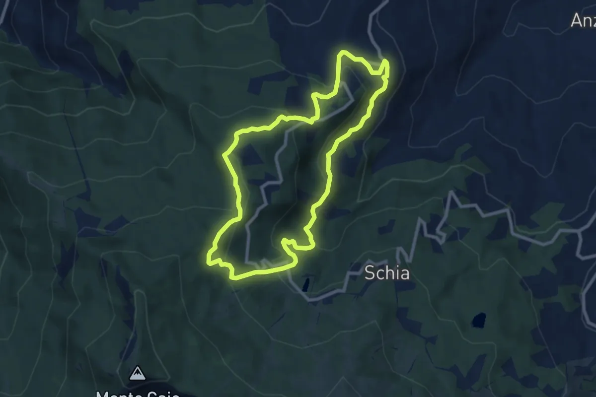
Medium · Summit
Paesaggi di Uomini e Natura
7.3 km · ↑ 367 m · 2 h 37 min
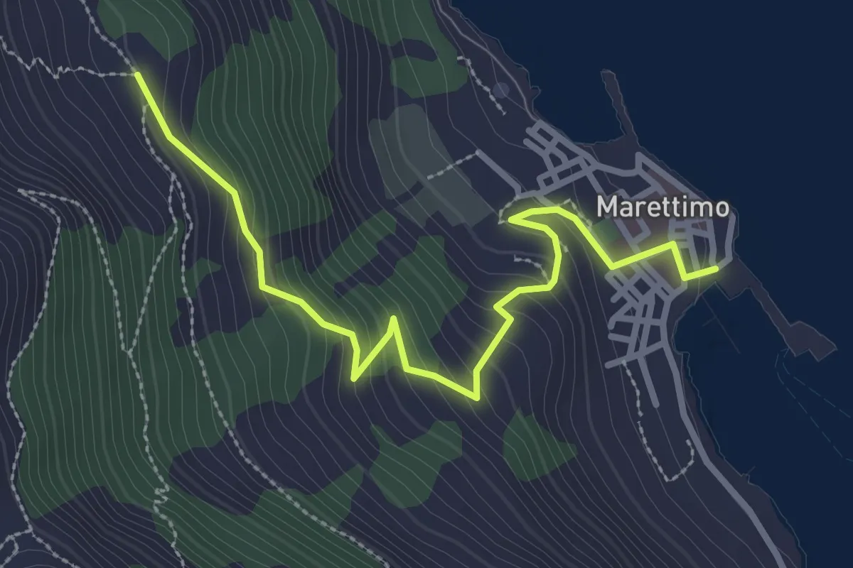
Easy · Trail
Paese - Case romane
3.7 km · ↑ 274 m · 1 h 27 min
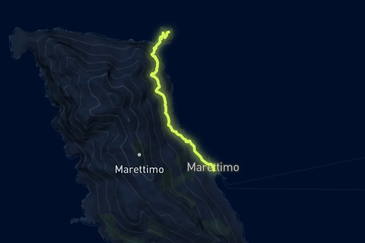
Demanding · Trail
Paese Castello di Punta Troia
8.2 km · ↑ 801 m · 3 h 40 min
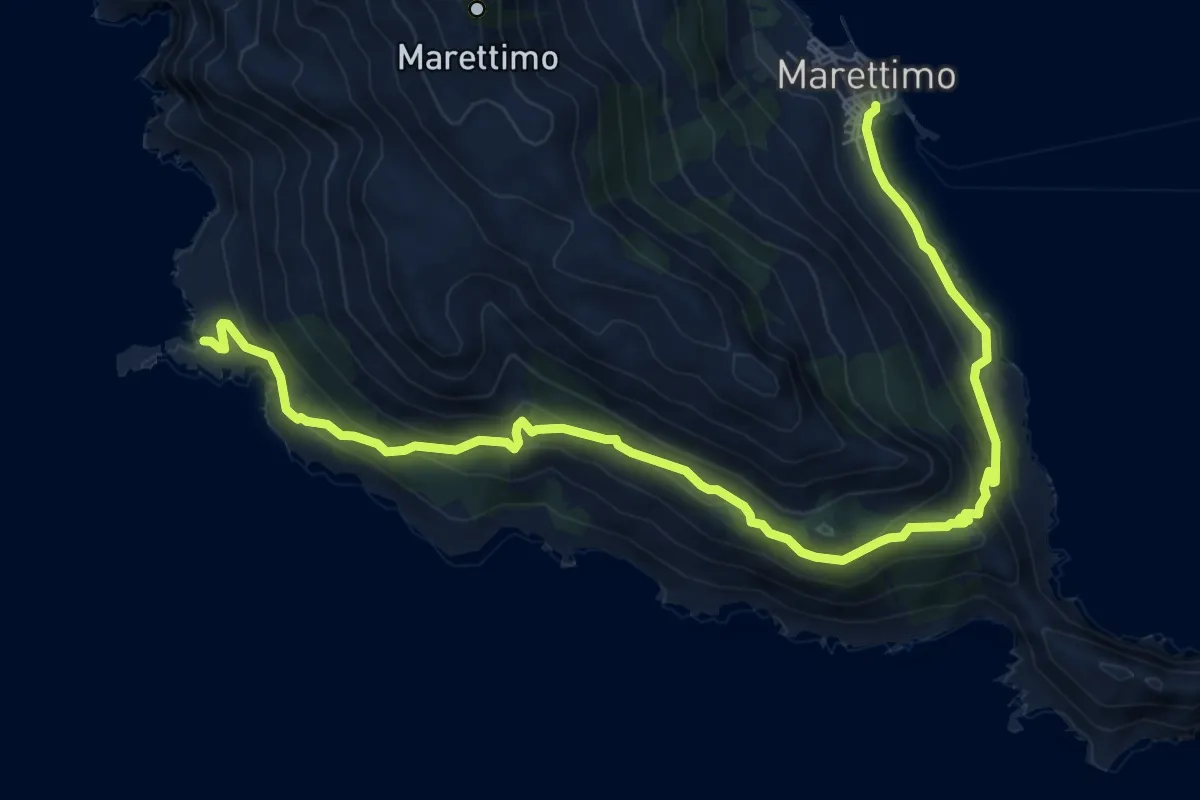
Medium · Trail
Paese Punta Libeccio
10.9 km · ↑ 584 m · 3 h 51 min
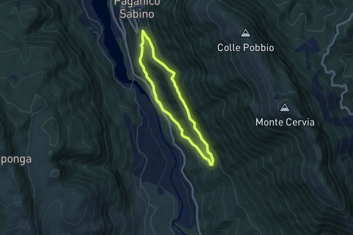
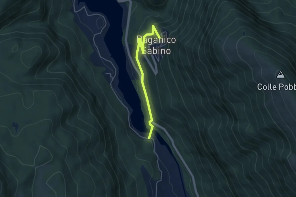
Easy · Trail
Paganico – F.te Palumbo – Le Grotte
4.5 km · ↑ 279 m · 1 h 44 min
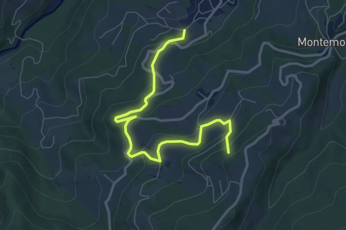
Easy · Trail
Paganico-ponte di Paganico
4.0 km · ↑ 197 m · 1 h 23 min
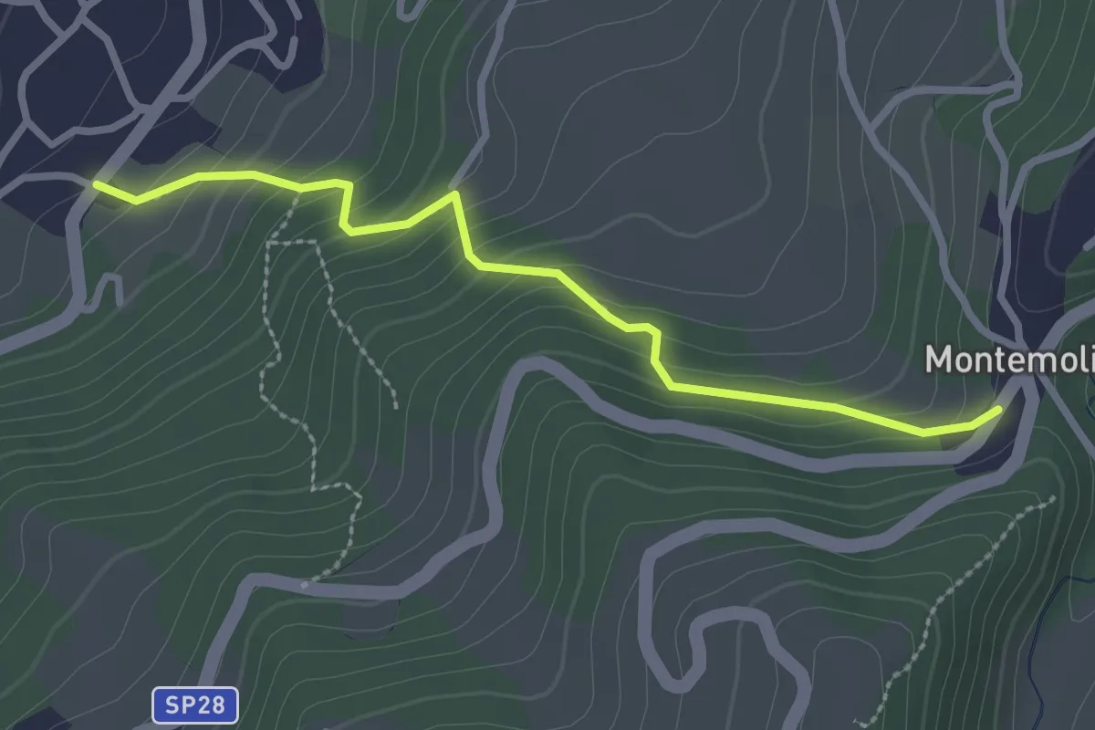
Medium · Summit
Palagano - Ca' del Nobile - Poggio Caparione
7.1 km · ↑ 371 m · 2 h 29 min
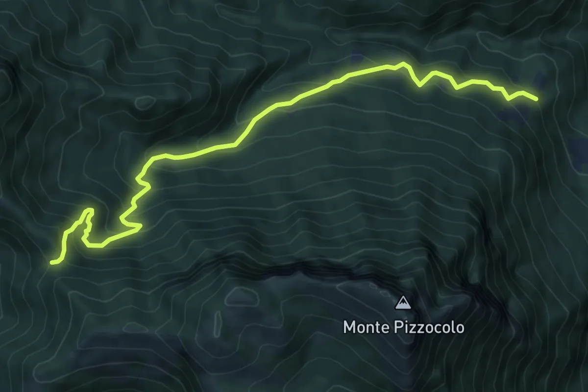
Easy · Trail
Palagano - Montemolino
2.7 km · ↑ 207 m · 1 h 6 min
Medium · Trail
Palazzo Archesane - Passo Spino
9.3 km · ↑ 737 m · 3 h 48 min
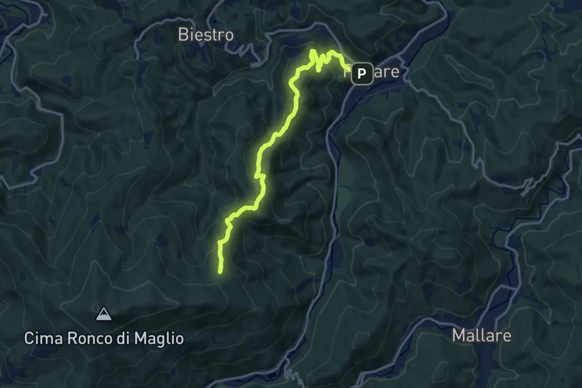
Medium · Summit
Pallare - Ronco di Maglio
12.2 km · ↑ 667 m · 4 h 20 min
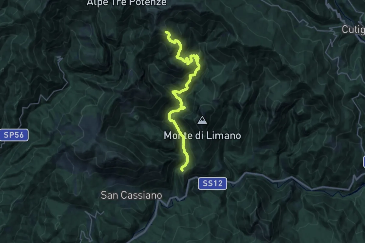
Demanding · Summit
PALLEGGIO - COCCIGLIA - SIVIGLIOLI
20.4 km · ↑ 1628 m · 8 h 21 min
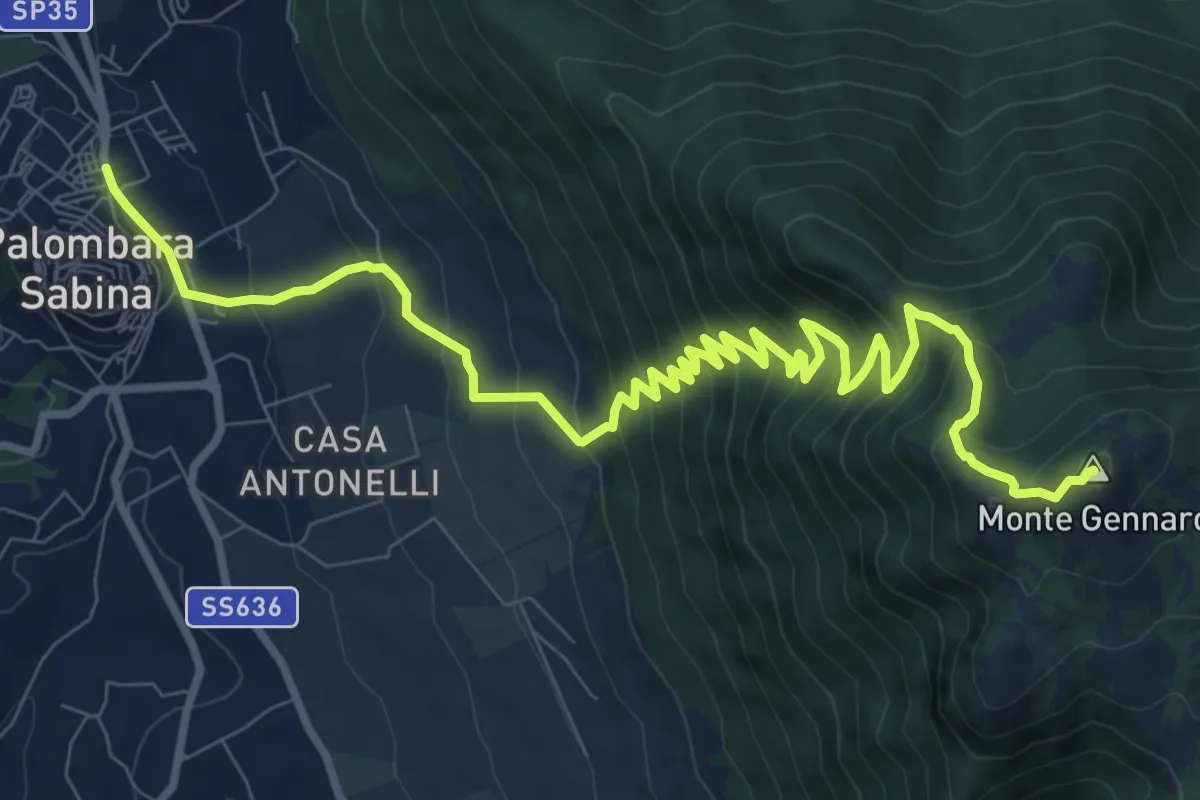
Demanding · Summit
Palombara-Monte Gennaro
13.5 km · ↑ 973 m · 5 h 17 min
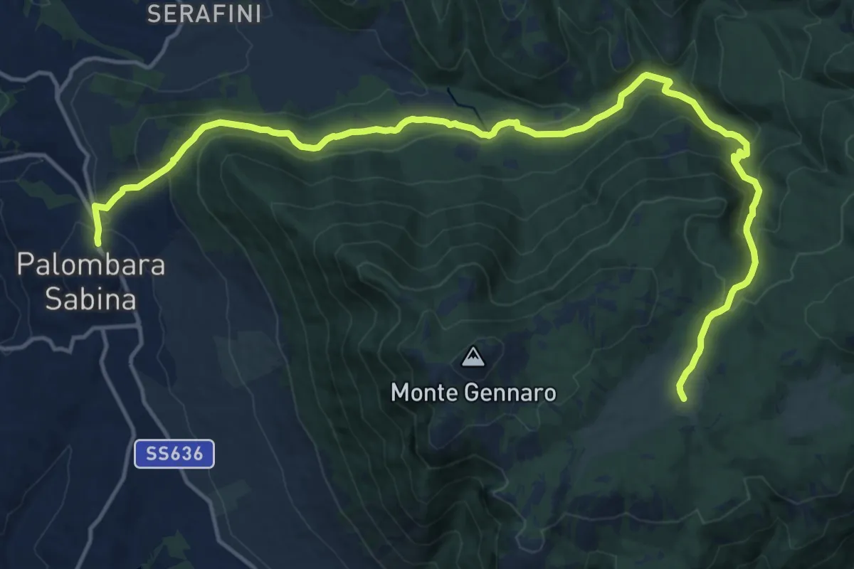
Expert · Cabin
Palombara S.-Pratone
20.0 km · ↑ 881 m · 6 h 38 min
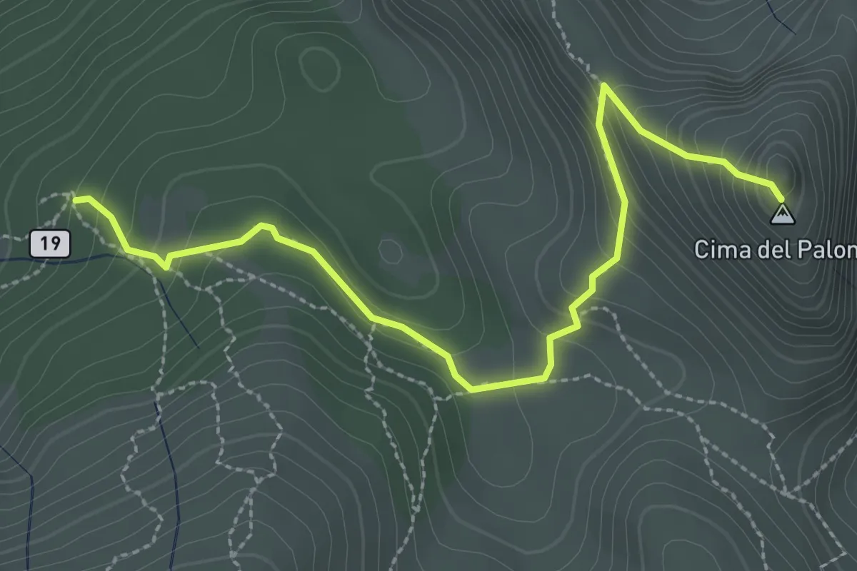
Expert · Summit
Palone Vallori
3.0 km · ↑ 231 m · 1 h 13 min
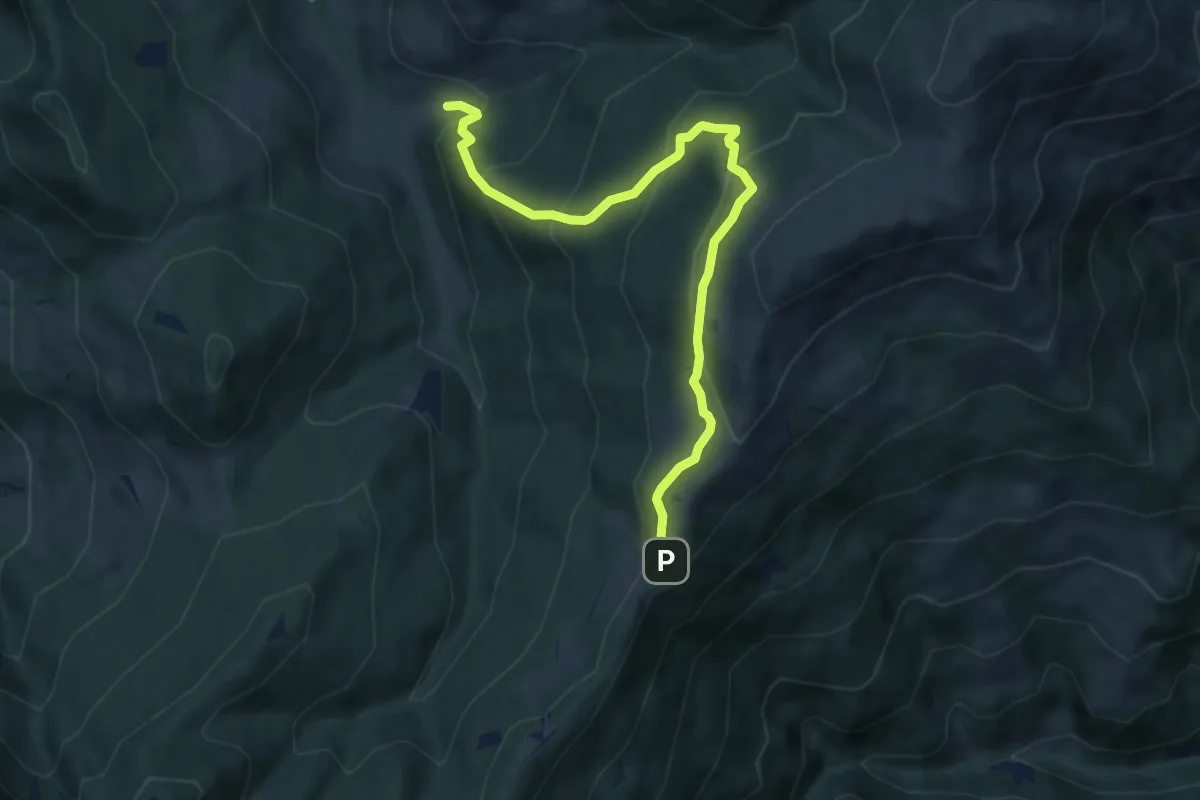
Medium · Trail
Palot - Colle di San Zeno
8.5 km · ↑ 588 m · 3 h 17 min
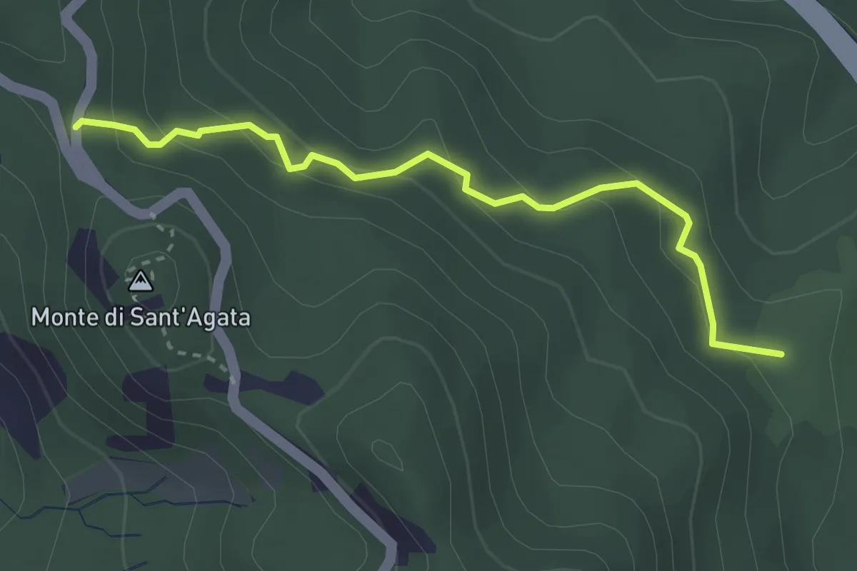
Easy · Trail
Panaceto - Boscaccio (Bivio 631)
3.2 km · ↑ 169 m · 1 h 7 min
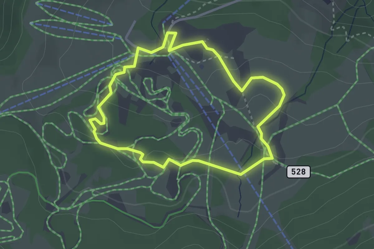
Easy · Trail
Pana Raida
2.6 km · ↑ 62 m · 47 min
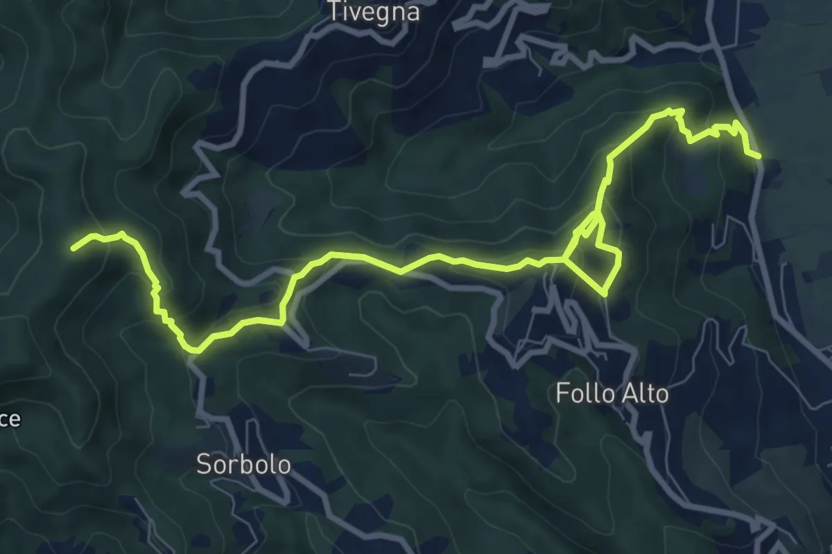
Medium · Summit
Panigara – Follo – Madonna del Carmine – Monte Termi Dritti
10.5 km · ↑ 787 m · 4 h 12 min
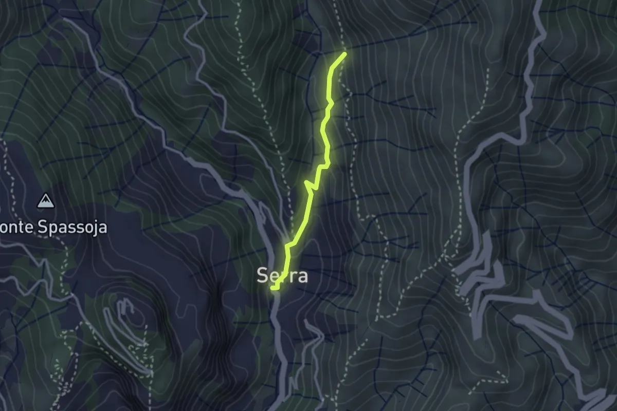
Easy · Trail
Panigaro - Serra di Panigaro - Bivio sentiero per Cassinelle
2.3 km · ↑ 157 m · 52 min
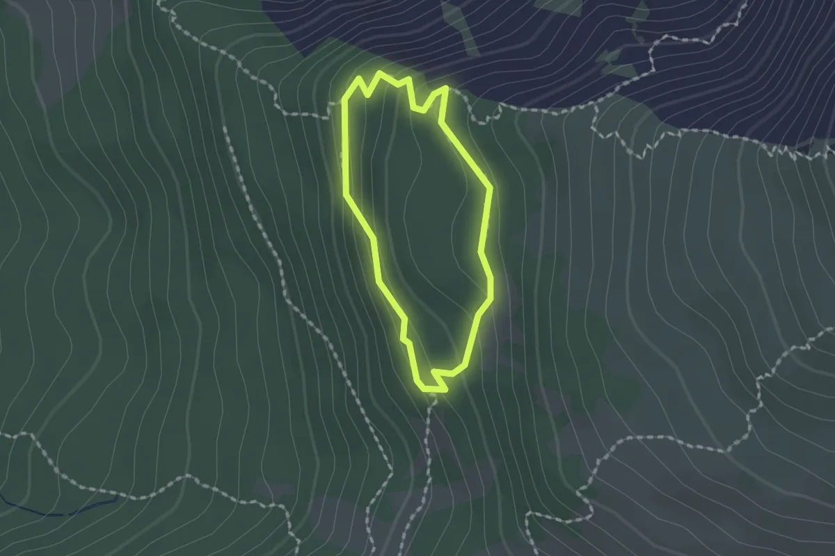
Medium · Trail
Panoramarundweg
1.3 km · ↑ 69 m · 28 min
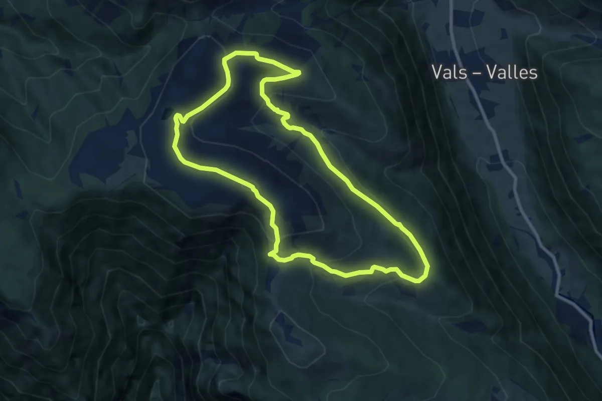
Medium · Summit
Panoramarundweg
7.8 km · ↑ 357 m · 2 h 43 min
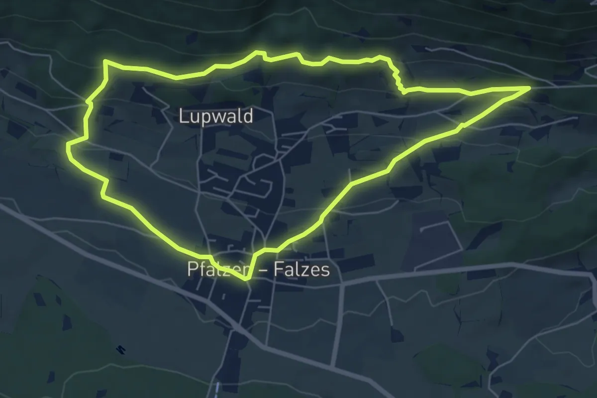
Easy · Trail
Panoramasteig
6.0 km · ↑ 230 m · 1 h 59 min
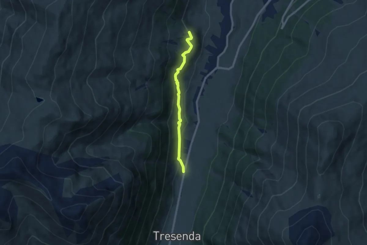
Easy · Trail
Panorama weg
5.3 km · ↑ 218 m · 1 h 43 min
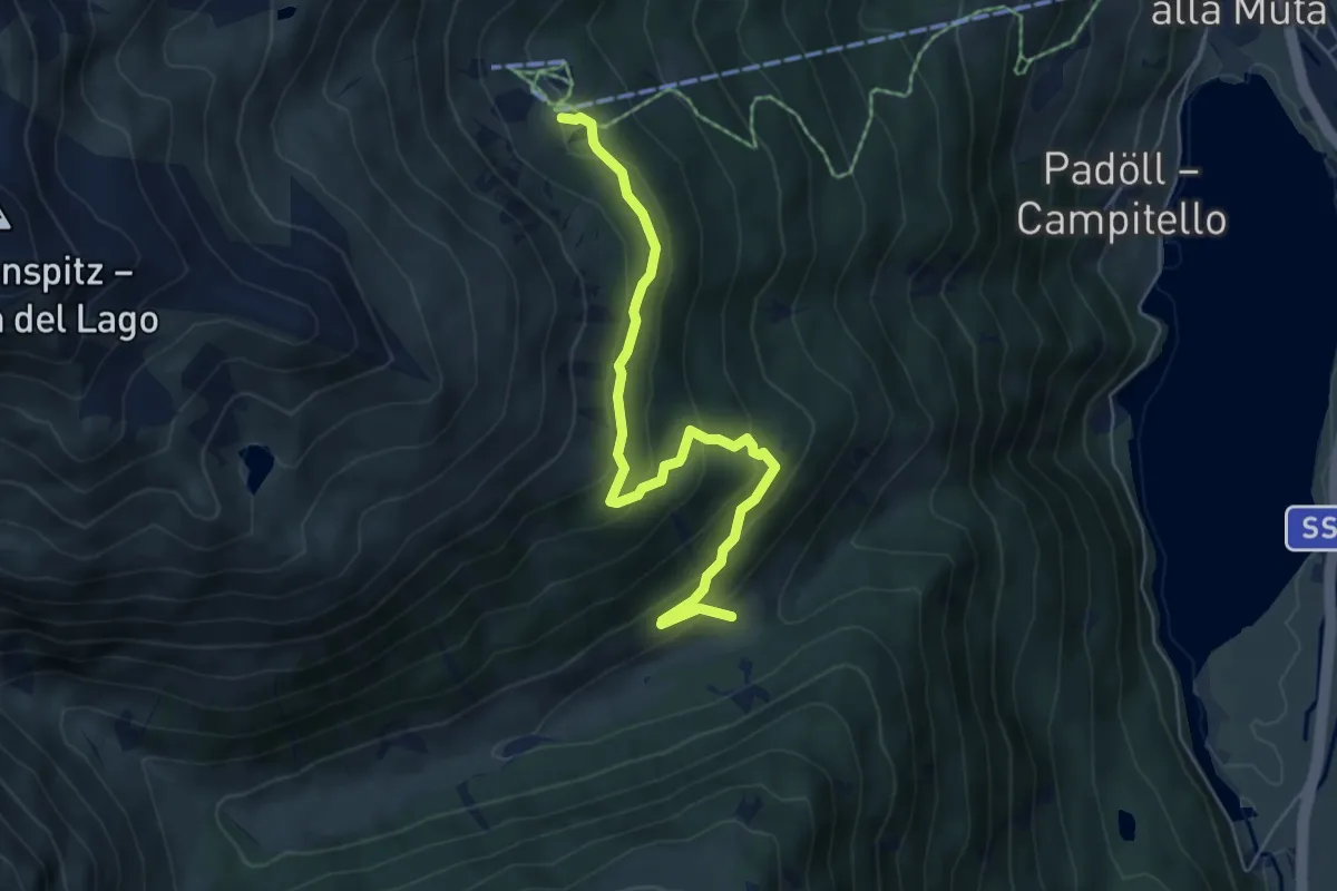
Medium · Trail
Panoramaweg
5.8 km · ↑ 362 m · 2 h 10 min
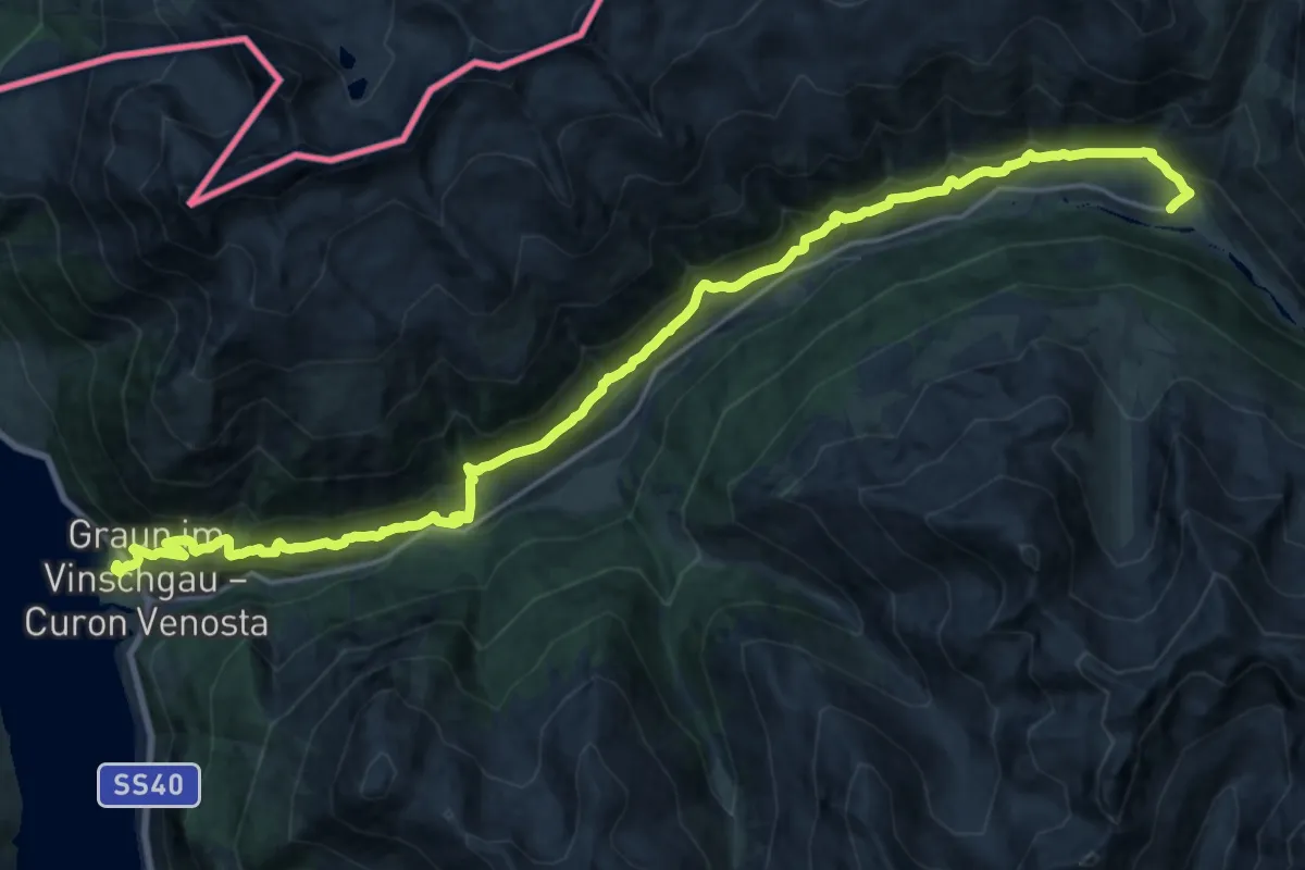
Medium · Trail
Panoramaweg
12.4 km · ↑ 512 m · 4 h 25 min
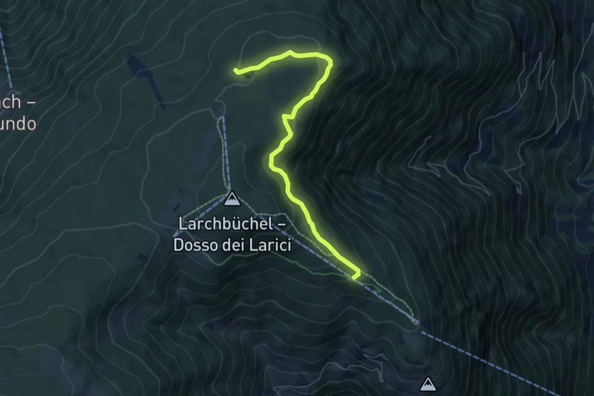
Medium · Trail
Panoramaweg
6.2 km · ↑ 305 m · 2 h 7 min
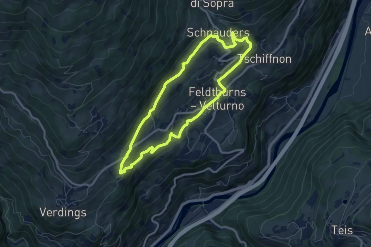
Easy · Trail
Panoramaweg
6.3 km · ↑ 259 m · 2 h 7 min
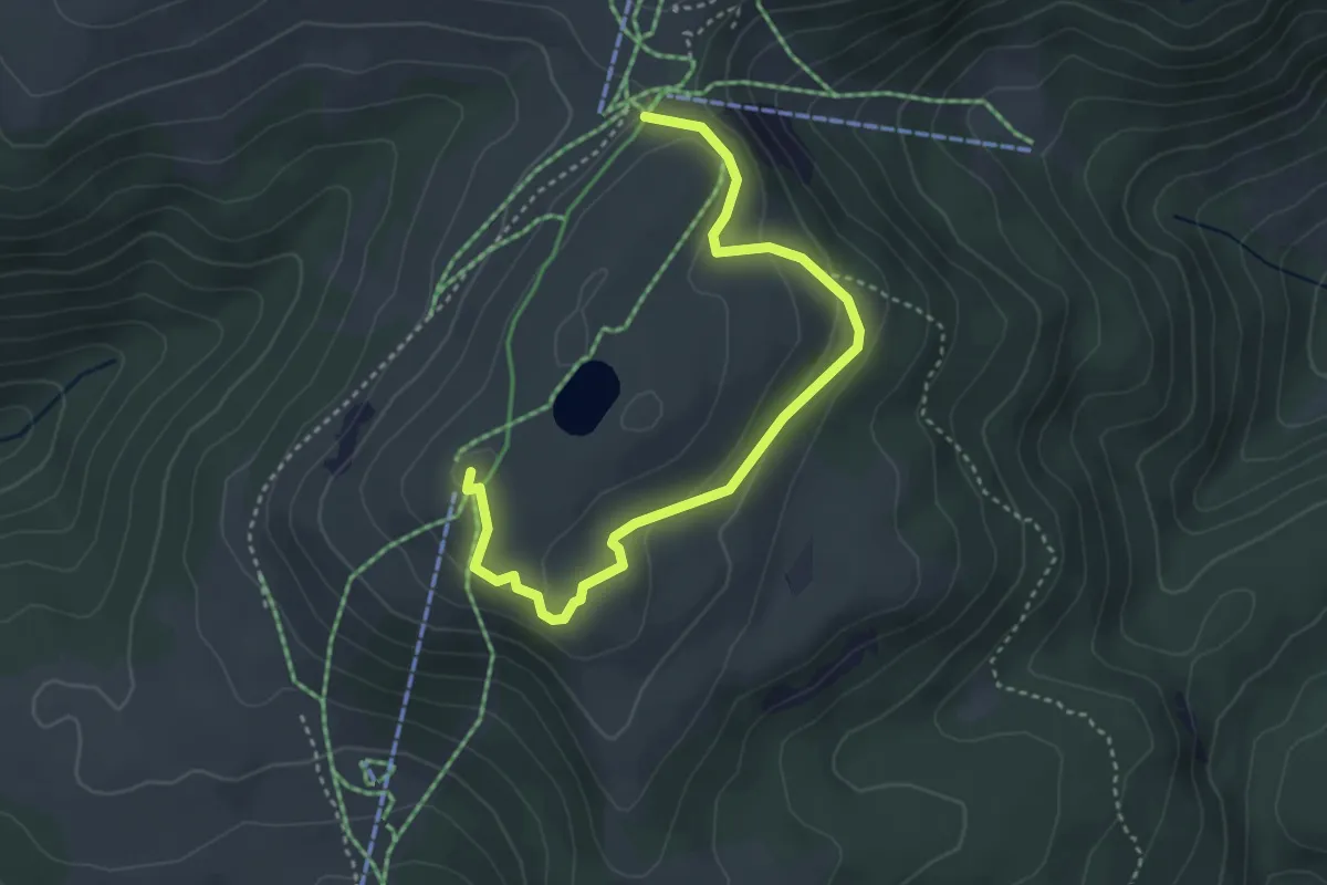
Medium · Summit
Panoramaweg
4.1 km · ↑ 155 m · 1 h 18 min
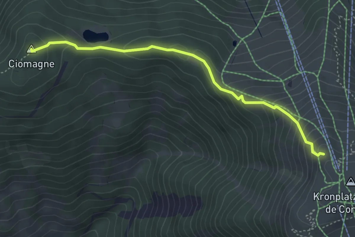
Medium · Summit
Panoramaweg
4.2 km · ↑ 296 m · 1 h 38 min
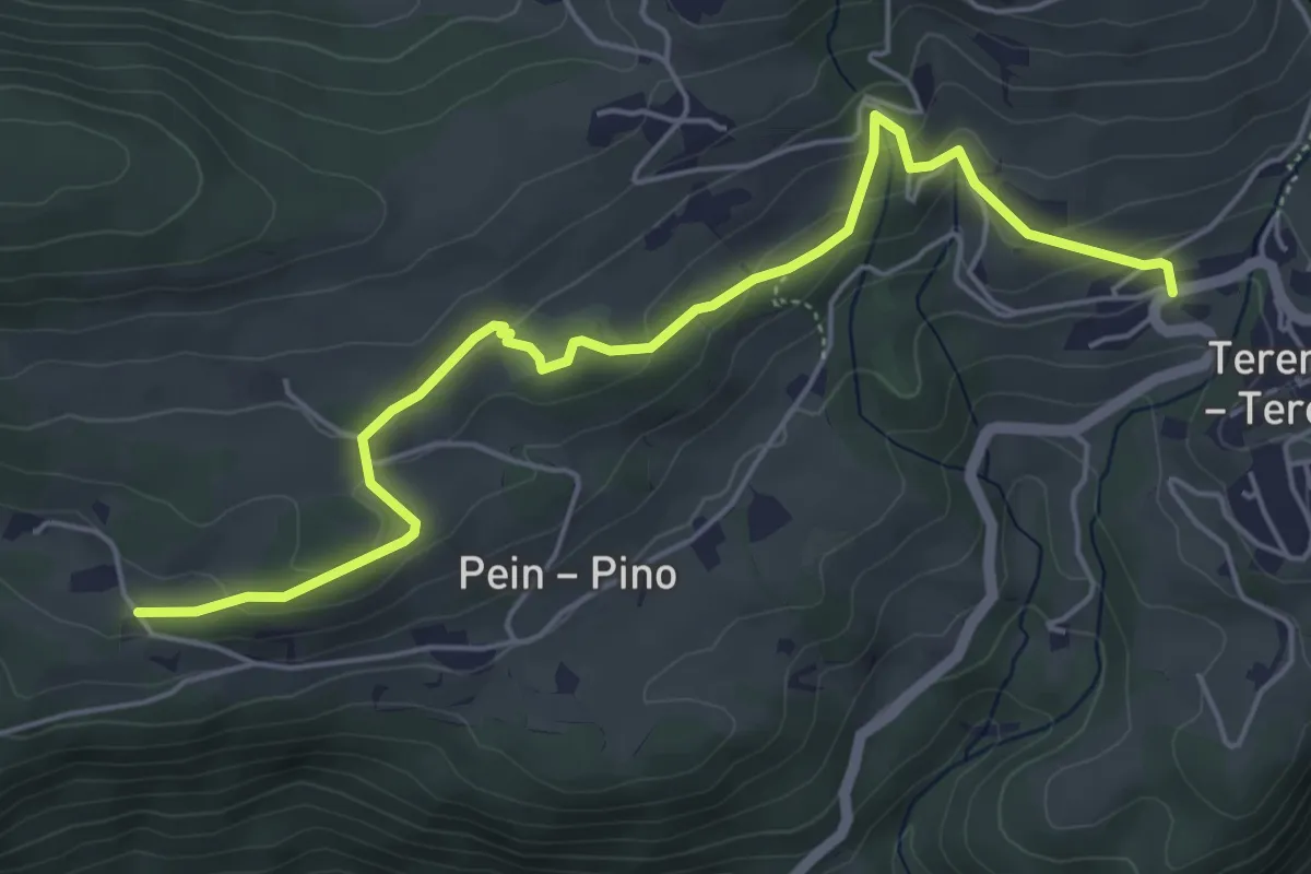
Easy · Trail
Panoramaweg
5.7 km · ↑ 218 m · 1 h 49 min
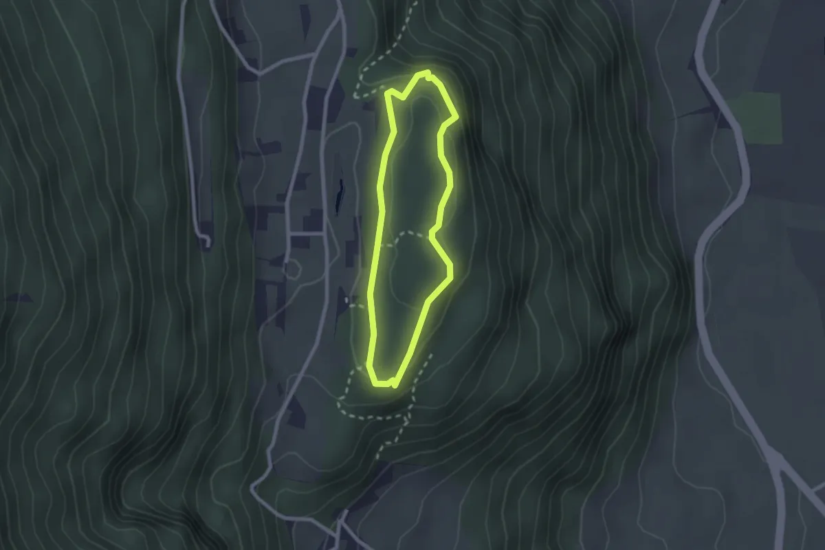
Easy · Trail
Panoramaweg
1.9 km · ↑ 54 m · 36 min
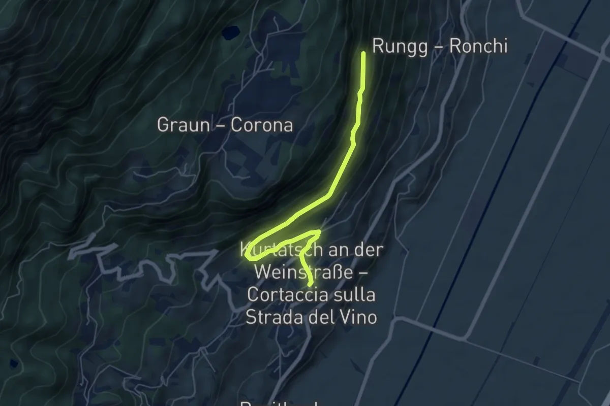
Medium · Trail
Panoramaweg
5.7 km · ↑ 349 m · 2 h 6 min
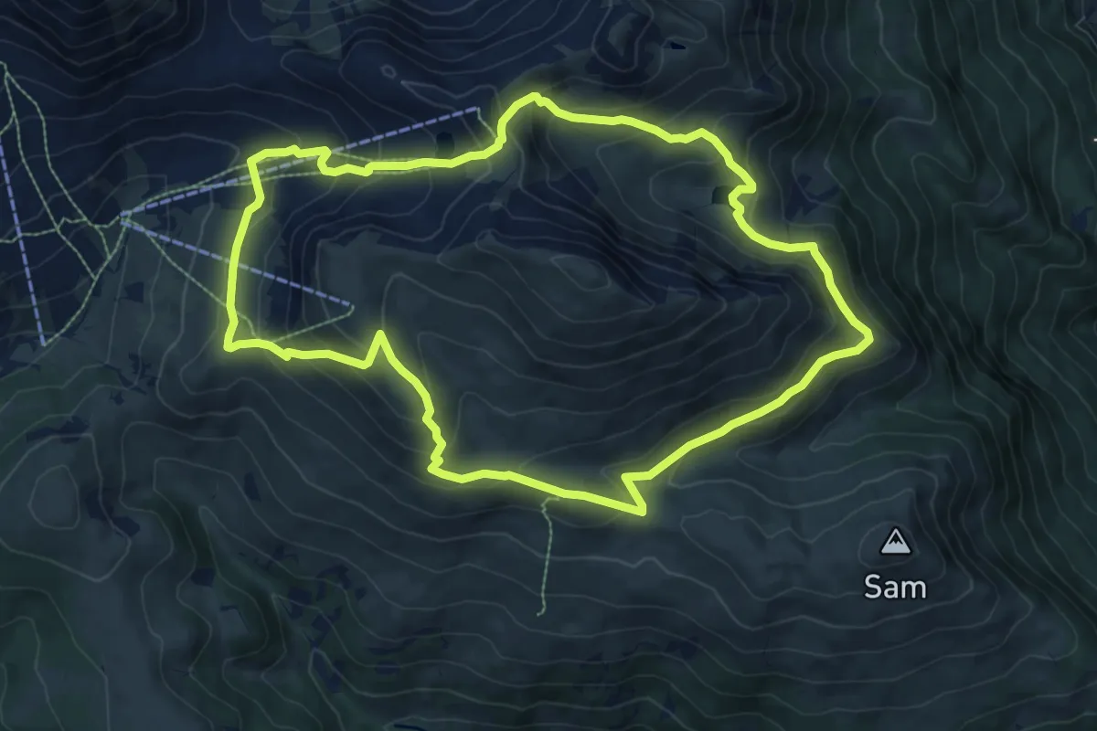
Medium · Summit
Panoramaweg
9.2 km · ↑ 581 m · 3 h 34 min
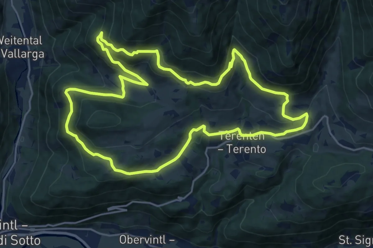
Medium · Trail
Panoramaweg
14.3 km · ↑ 585 m · 4 h 51 min
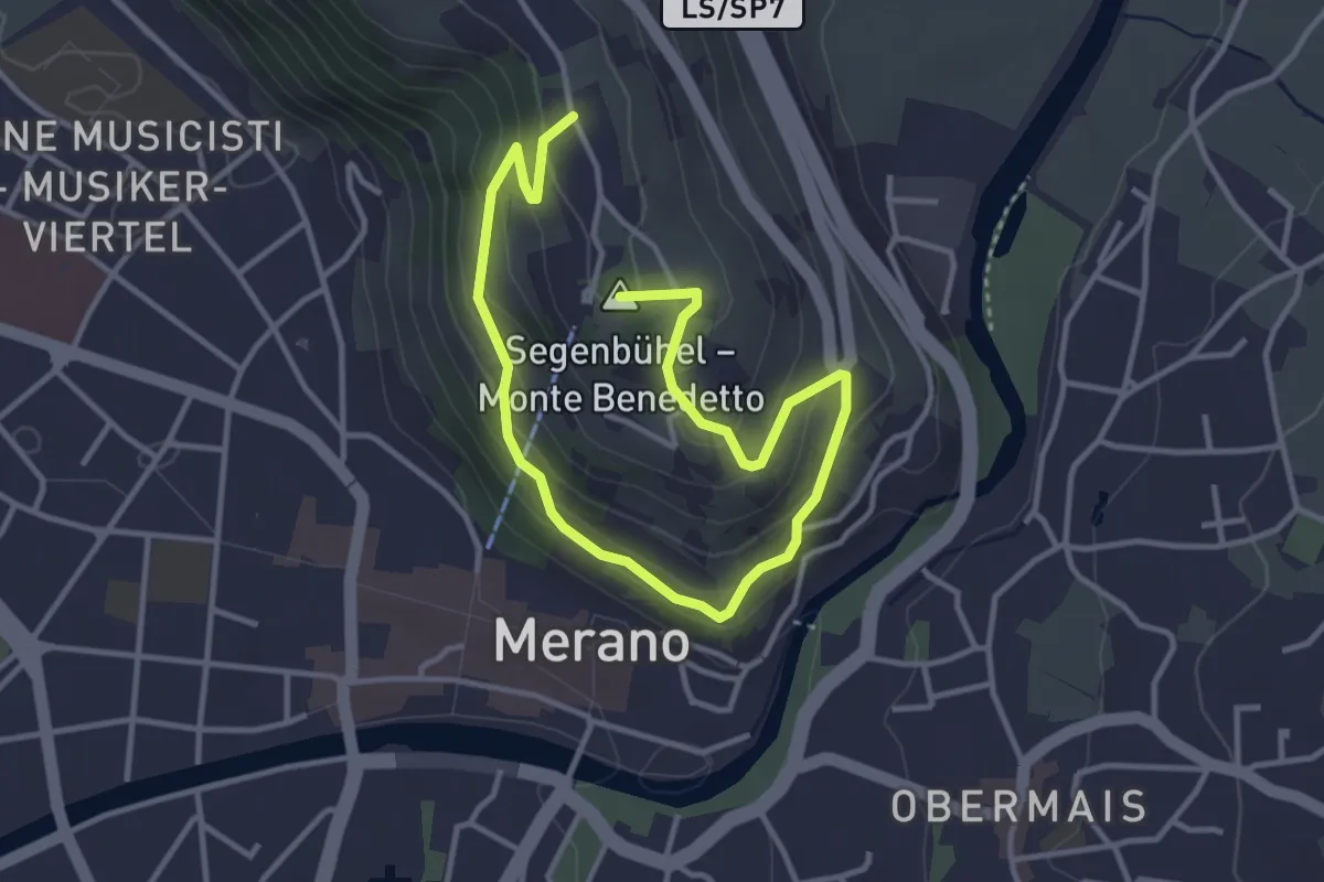
Easy · Summit
Panoramaweg
4.9 km · ↑ 289 m · 1 h 47 min
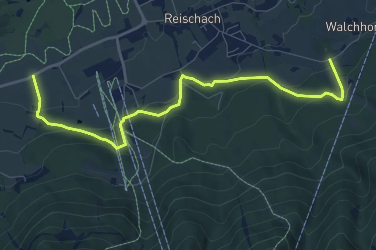
Medium · Trail
Panoramaweg
7.8 km · ↑ 391 m · 2 h 42 min
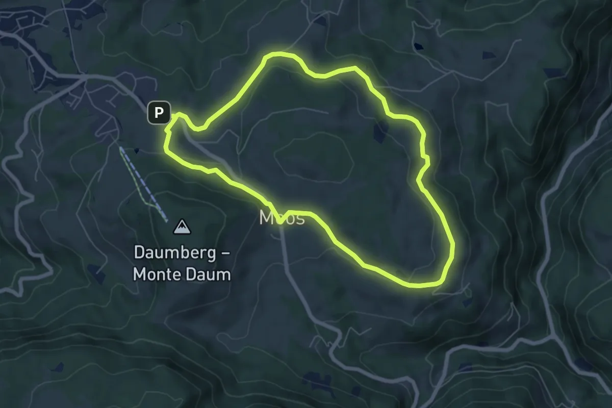
Easy · Trail
Panoramaweg
6.1 km · ↑ 109 m · 1 h 45 min