Trails in Italy
25,221 hiking trails, each with its route, climb, walking time and grade.
All trails, page 110 of 526
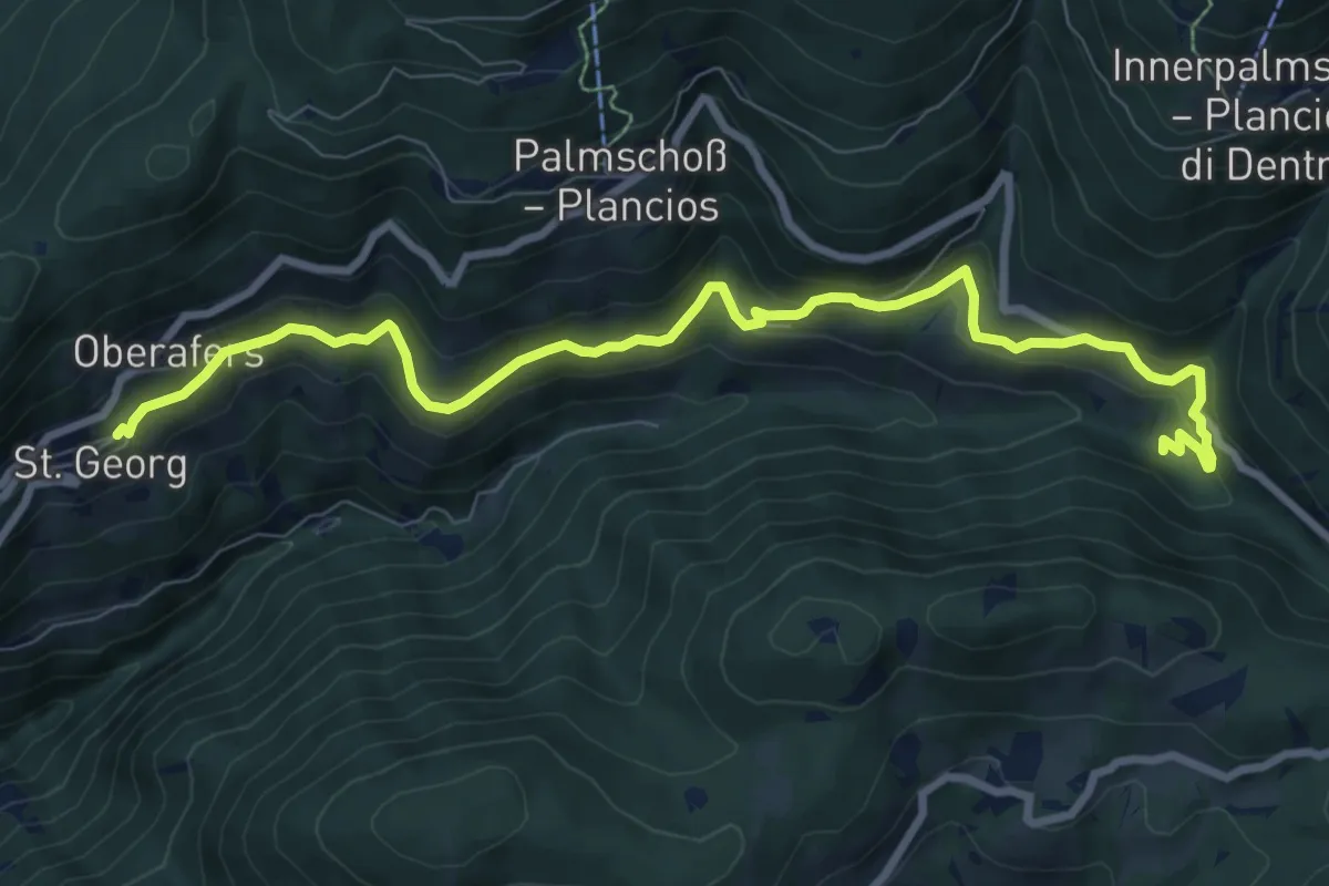
Medium · Trail
Panoramaweg (Afers)
9.6 km · ↑ 427 m · 3 h 12 min
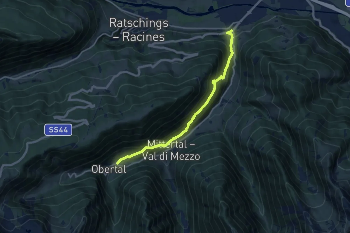
Demanding · Trail
Panoramaweg Jaufental
10.0 km · ↑ 801 m · 4 h 6 min
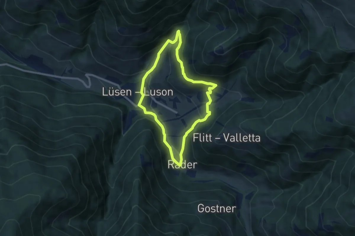
Medium · Trail
Panoramaweg (Lüsen) - Sentiero Panorama (Luson)
5.5 km · ↑ 263 m · 1 h 57 min
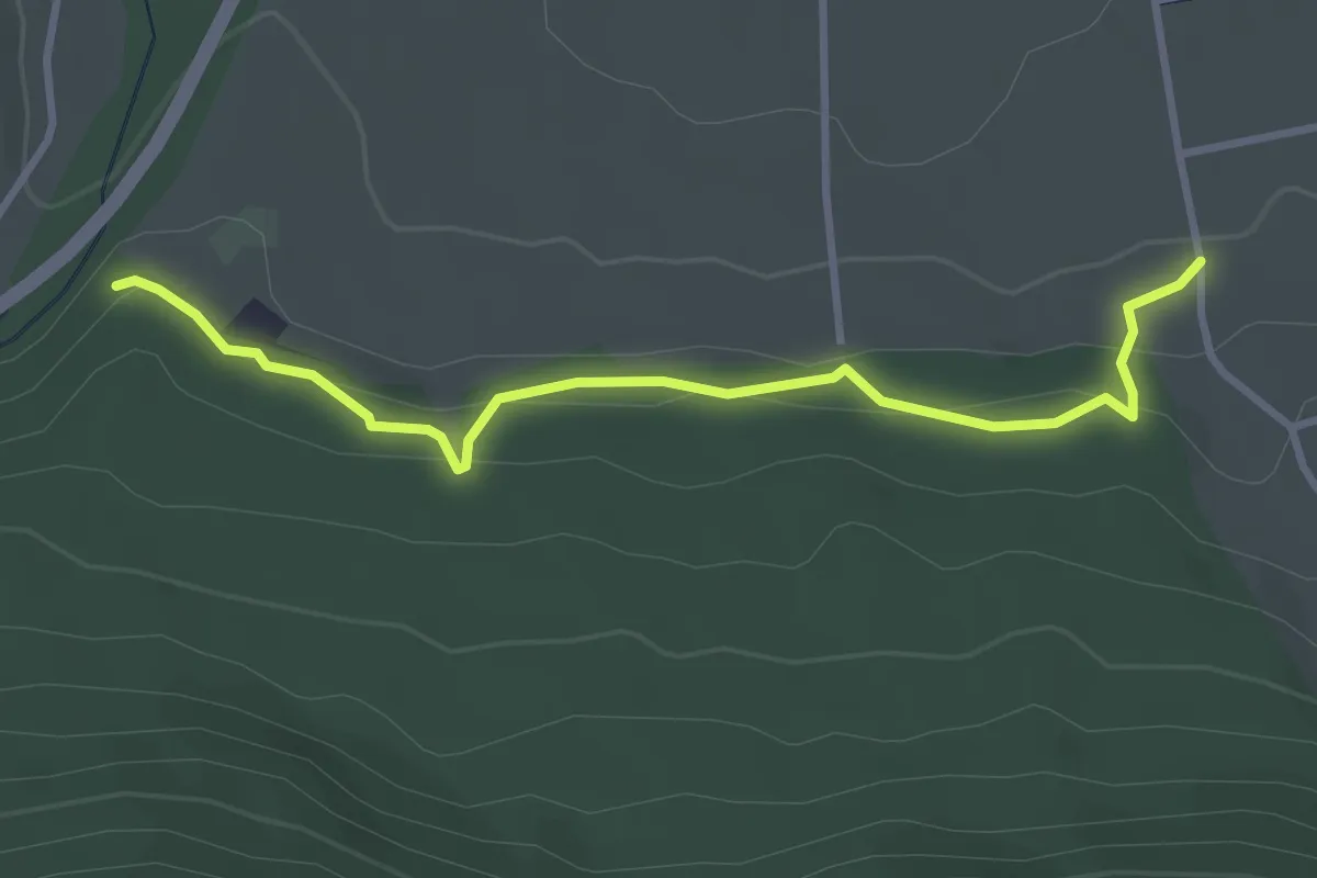
Easy · Trail
Panoramaweg (Olang)
3.4 km · ↑ 100 m · 1 h 1 min
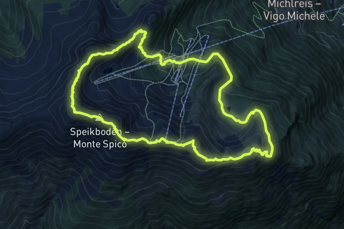
Medium · Summit
Panoramaweg Speikboden
9.7 km · ↑ 639 m · 3 h 49 min
Easy · Trail
Panoramaweg Stramentizzo
2.2 km · ↑ 128 m · 48 min
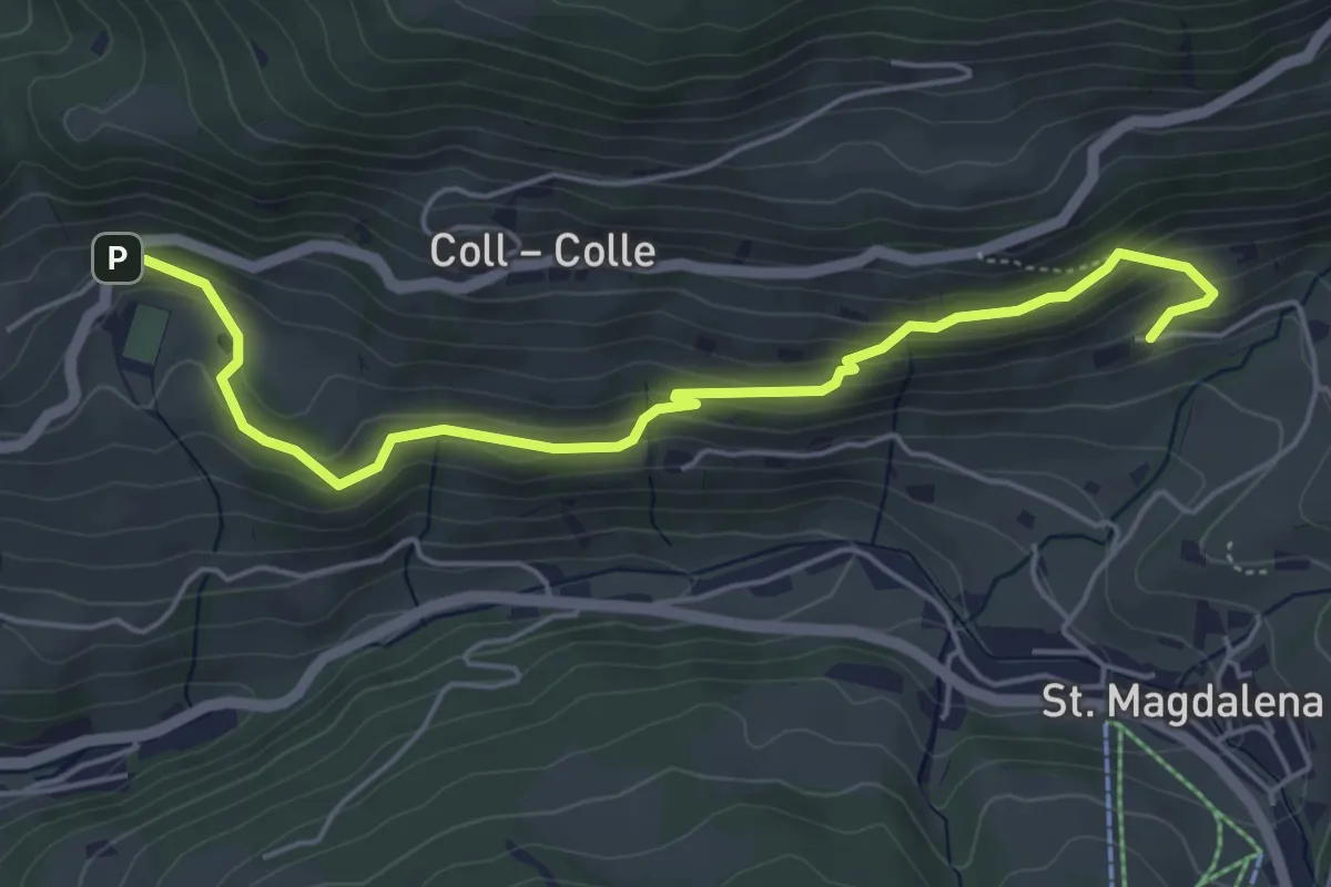
Easy · Trail
Panoramaweg (Villnöß) - Sentiero Panorama (Funes)
5.5 km · ↑ 308 m · 1 h 58 min
Easy · Trail
Panoramica
2.6 km · ↑ 131 m · 54 min
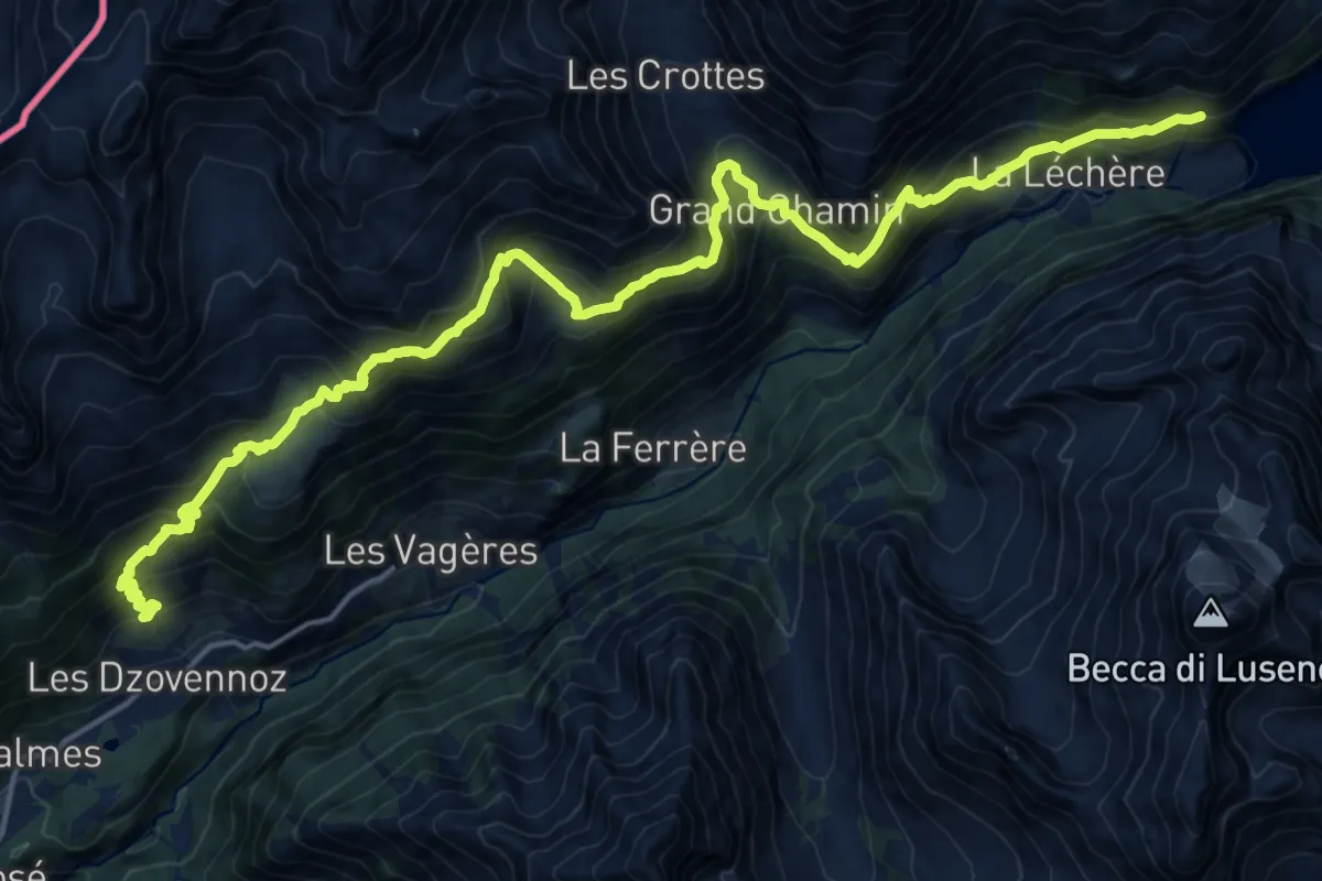
Demanding · Trail
Panoramica: Ru - Berrié - Place Moulin
11.3 km · ↑ 1148 m · 5 h 10 min
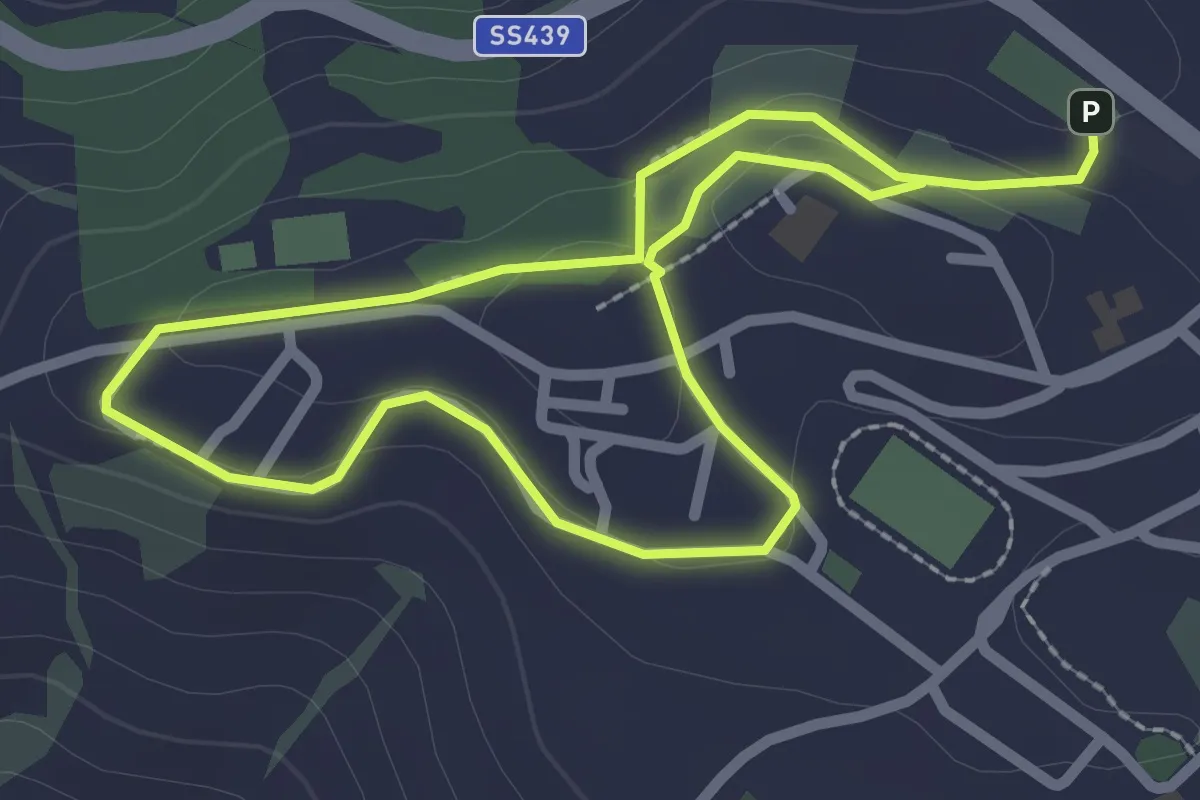
Easy · Trail
Panorami da Pomarance
2.3 km · ↑ 45 m · 39 min
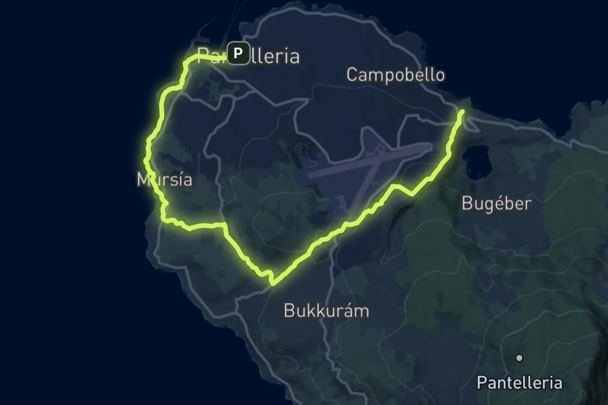
Demanding · Trail
Pantelleria (paese) - Mursía - Via dei Sési - Madonna delle Grazie - San Vincenzo
22.4 km · ↑ 480 m · 6 h 20 min
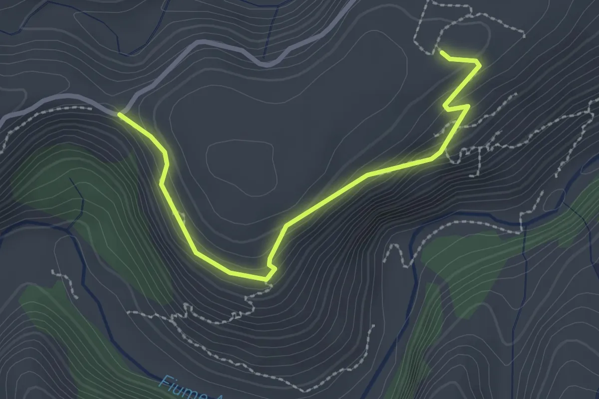
Medium · Trail
Paolo Orsi
3.0 km · ↑ 219 m · 1 h 11 min
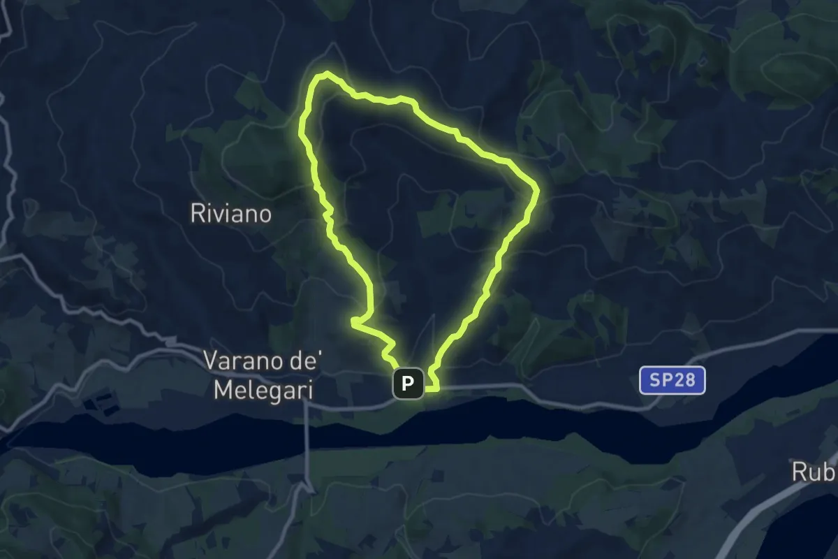
Medium · Summit
Parcheggio Dallara - Gallichiano - Pietra Corva - Castello di Roccalanzona - Parcheggio Dallara
8.4 km · ↑ 417 m · 3 h
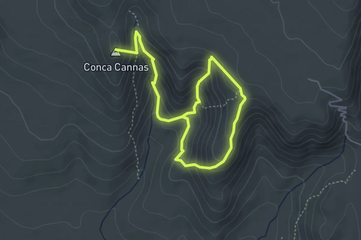
Demanding · Summit
Parco dell'ossidiana "Conca Cannas"
6.3 km · ↑ 483 m · 2 h 32 min
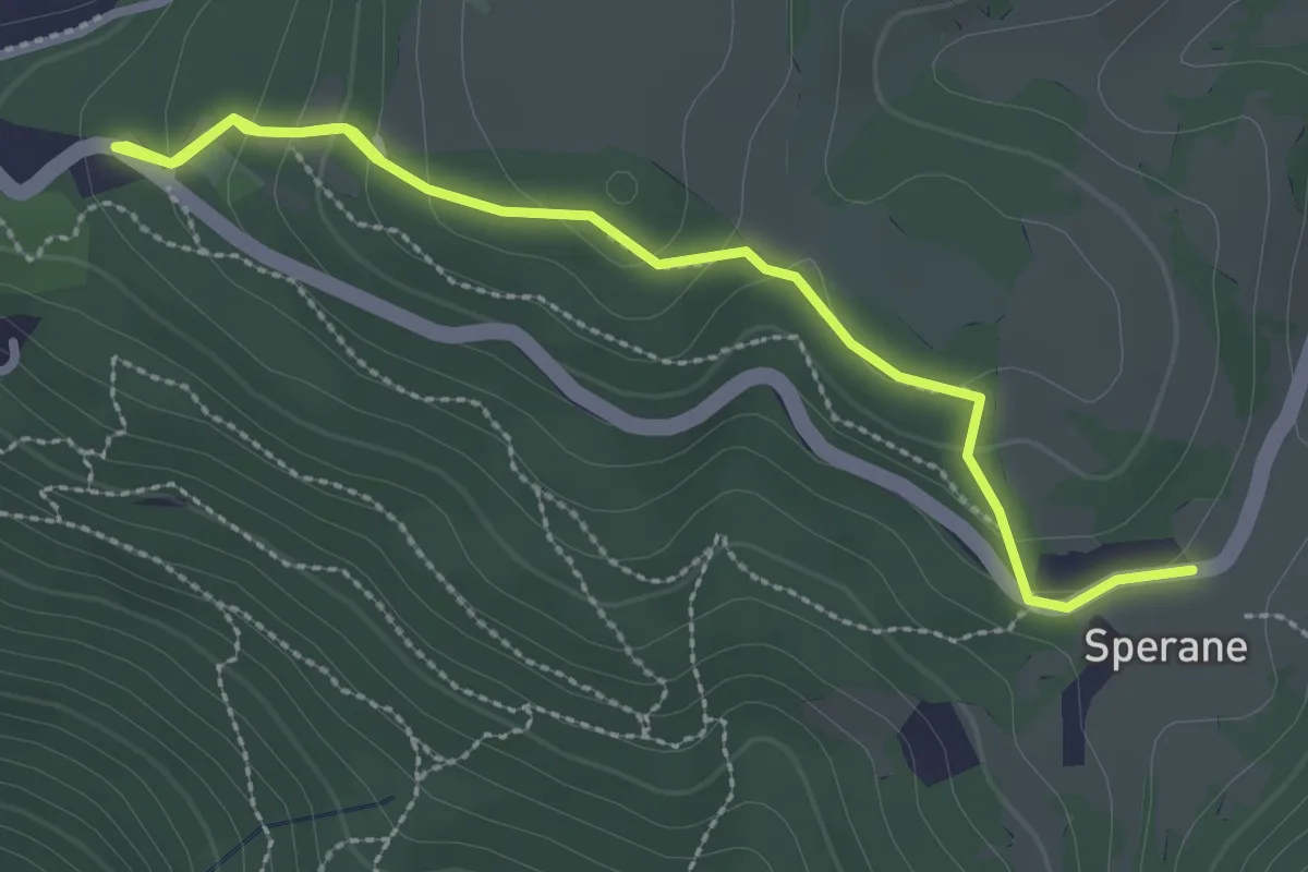
Medium · Trail
Parco Pineta Sperane - Le Fittanze - Sperane
3.3 km · ↑ 163 m · 1 h 9 min
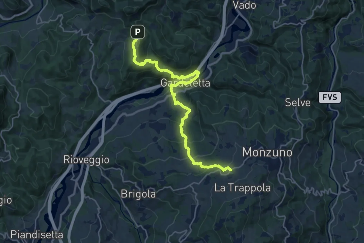
Demanding · Trail
Parcorso CAI 055
17.7 km · ↑ 865 m · 6 h 4 min
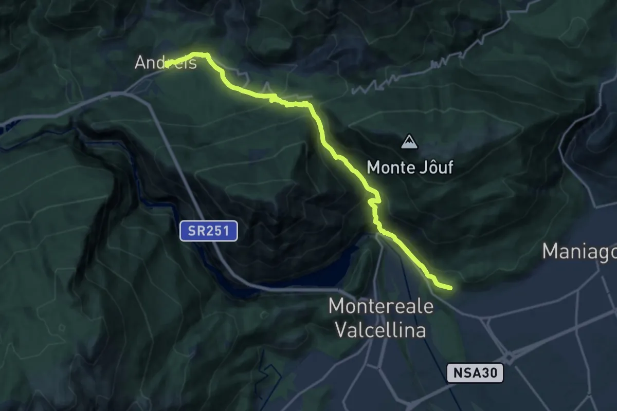
Demanding · Trail
Par Crous
15.7 km · ↑ 943 m · 5 h 45 min
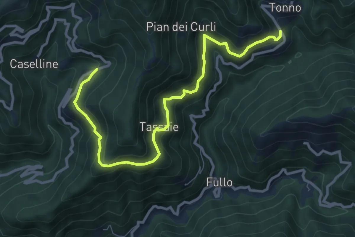
Medium · Trail
Pareto - Casareggio
8.3 km · ↑ 582 m · 3 h 12 min
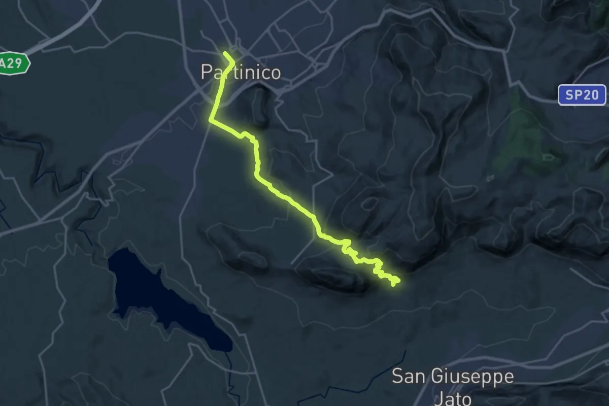
Demanding · Trail
Partinico - Masseria Signora S.I.
21.2 km · ↑ 866 m · 6 h 54 min
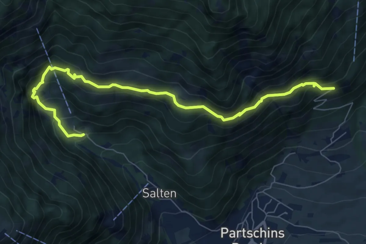
Medium · Trail
Partschinser Höhenweg
7.6 km · ↑ 696 m · 3 h 18 min
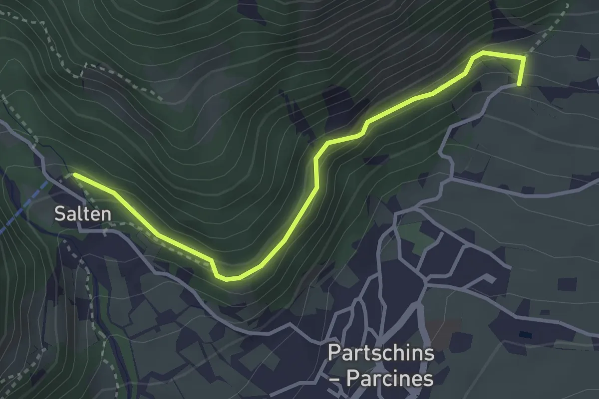
Medium · Trail
Partschinser Waalweg
3.3 km · ↑ 204 m · 1 h 13 min
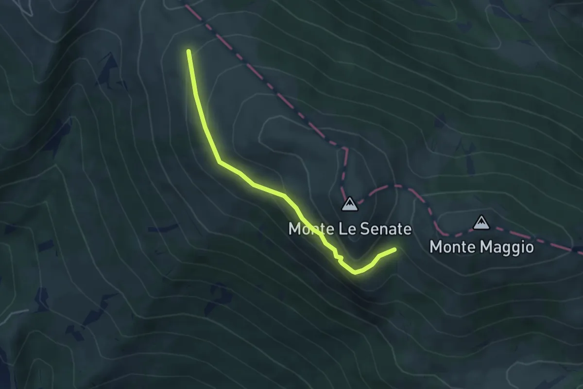
Expert · Trail
Passaiola alta
4.1 km · ↑ 190 m · 1 h 22 min
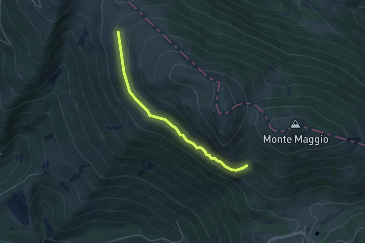
Expert · Trail
Passaiola bassa
4.4 km · ↑ 243 m · 1 h 34 min
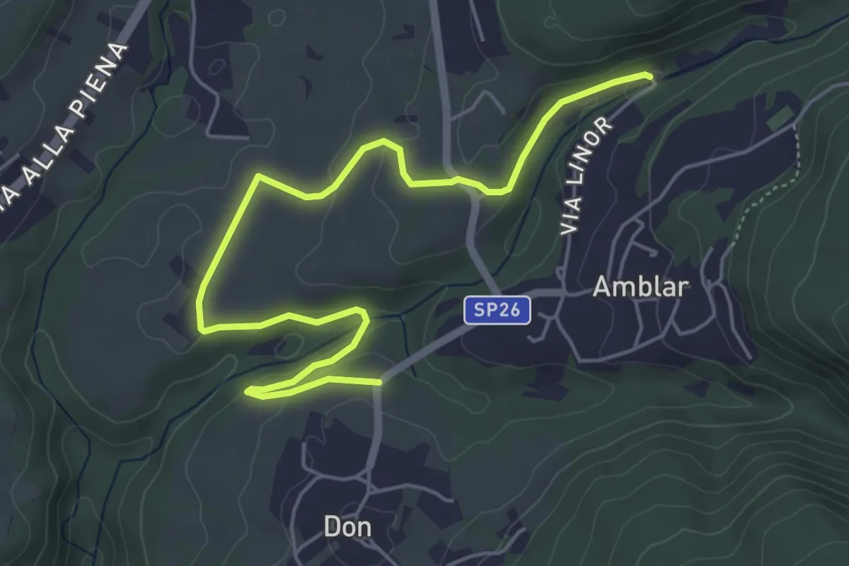
Easy · Trail
Passeggiata 3 Molini
6.0 km · ↑ 128 m · 1 h 42 min
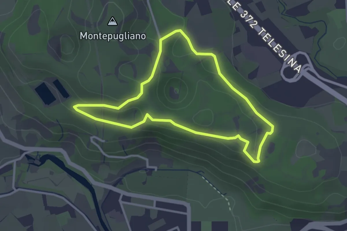
Easy · Summit
Passeggiata Alex&Pier
2.9 km · ↑ 70 m · 52 min
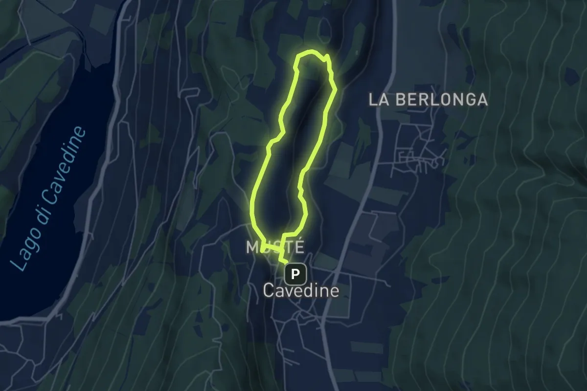
Easy · Trail
Passeggiata archeologica di Cavedine
3.8 km · ↑ 129 m · 1 h 12 min
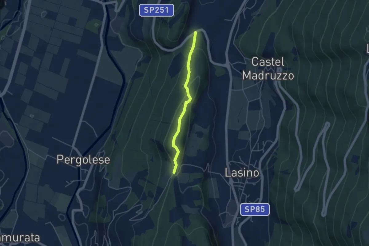
Easy · Trail
Passeggiata Calavino
3.5 km · ↑ 137 m · 1 h 8 min
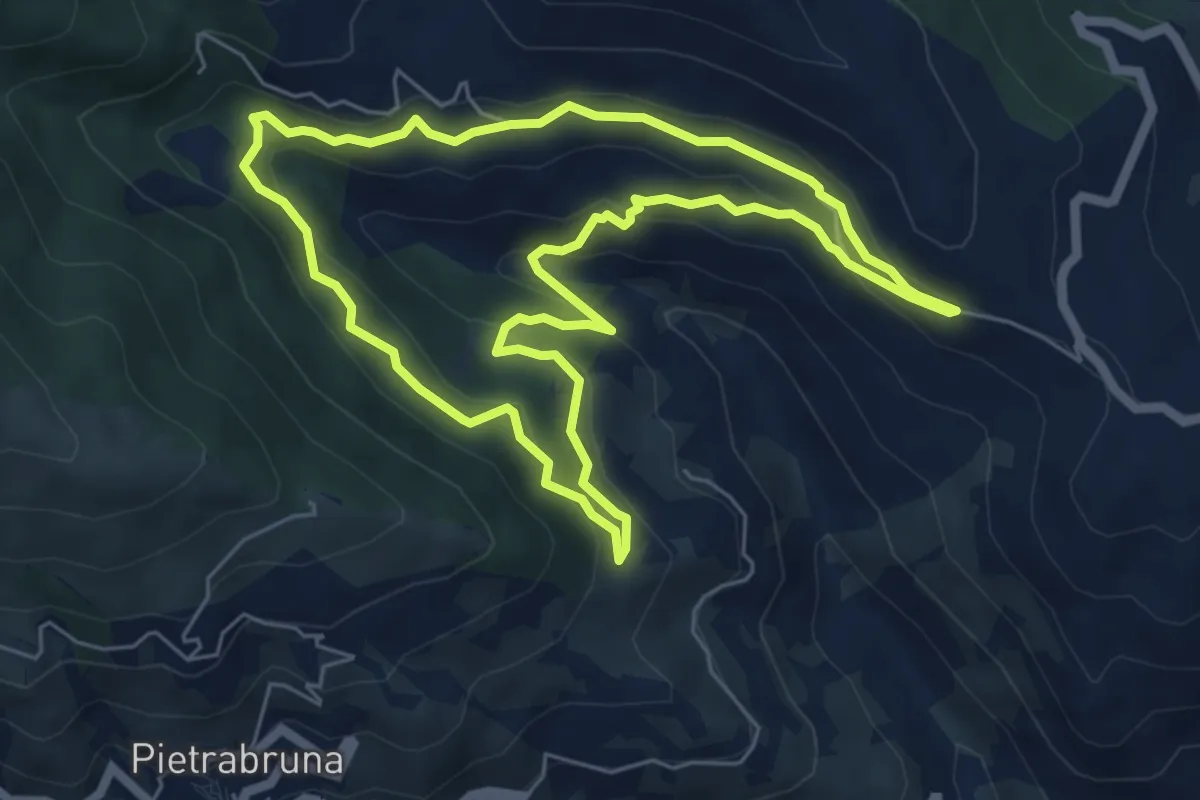
Demanding · Trail
Passeggiata dei Ponti
6.3 km · ↑ 317 m · 2 h 15 min
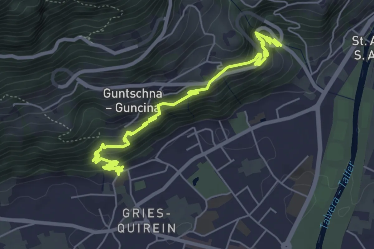
Medium · Trail
Passeggiata del Guncina - Guntschnapromenade
6.5 km · ↑ 448 m · 2 h 30 min
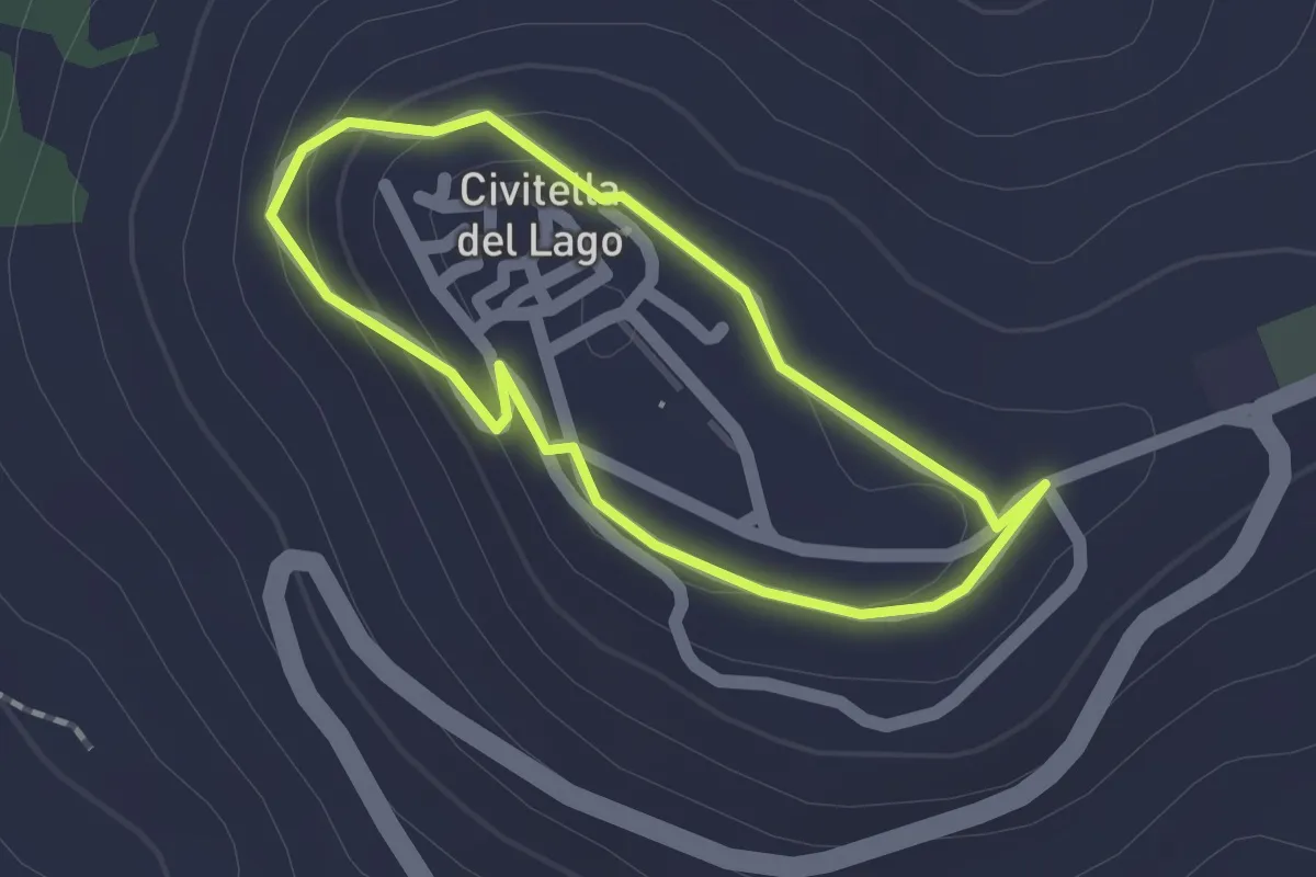
Easy · Trail
Passeggiata delle cinque fontane
1.5 km · ↑ 35 m · 26 min
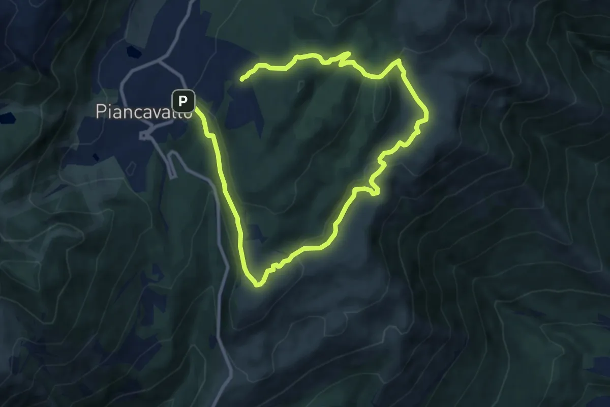
Medium · Trail
Passeggiata delle Malghe
14.0 km · ↑ 422 m · 4 h 13 min
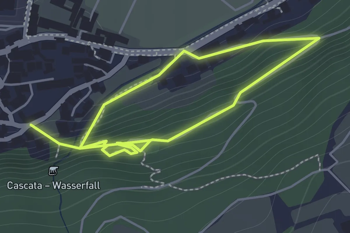
Medium · Trail
Passeggiata delle Sorgenti - Quellenpromenade
2.5 km · ↑ 187 m · 1 h
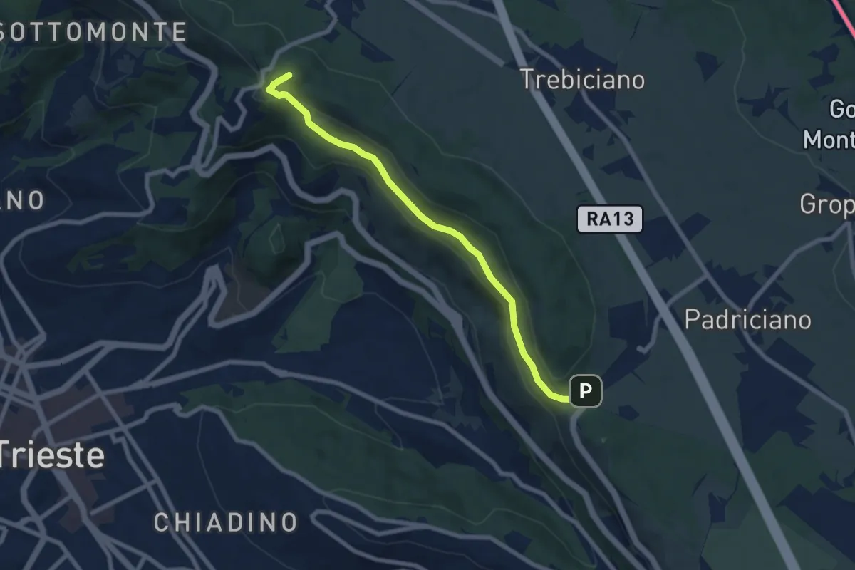
Easy · Summit
Passeggiata De Rin
7.0 km · ↑ 241 m · 2 h 10 min
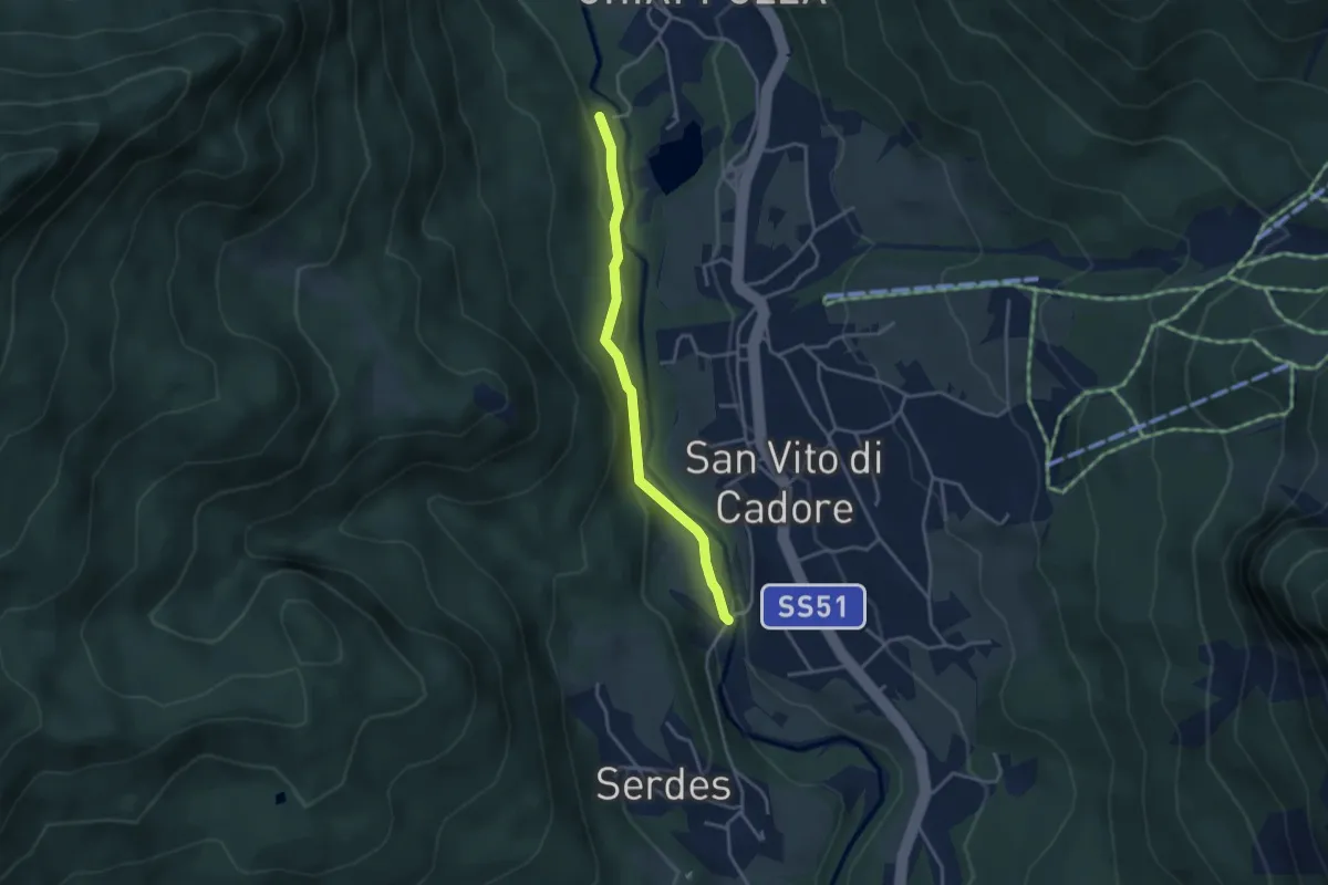
Easy · Trail
Passeggiata Lungoboite
3.3 km · ↑ 105 m · 1 h
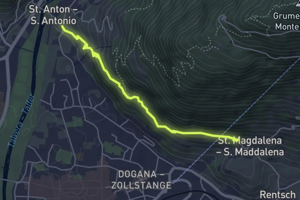
Easy · Trail
Passeggiata S. Osvaldo - Oswaldpromenade
4.7 km · ↑ 278 m · 1 h 43 min
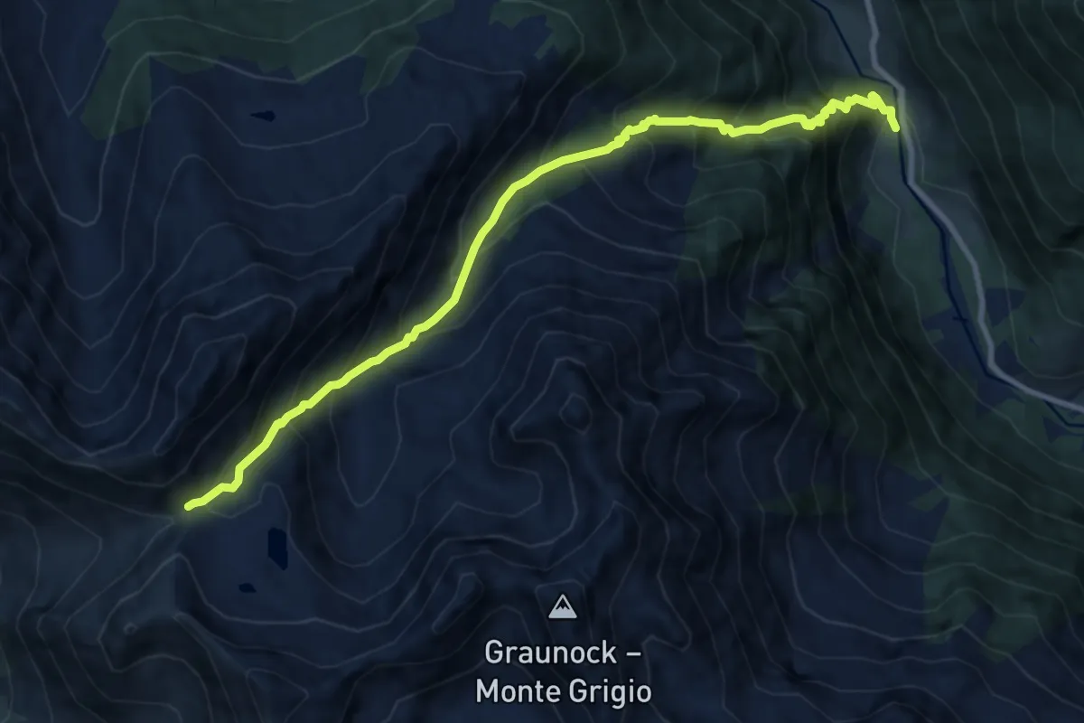
Demanding · Trail
Passental
9.8 km · ↑ 1189 m · 4 h 54 min
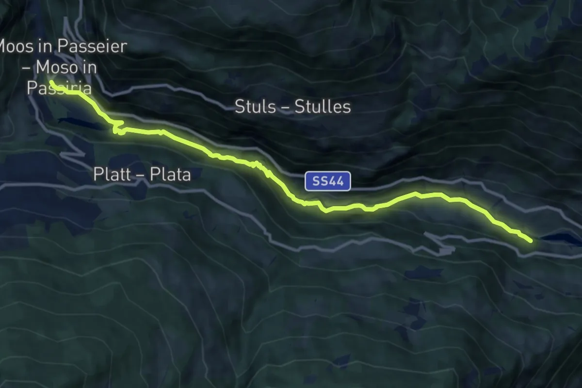
Medium · Trail
Passerschluchtenweg - Sentiero Gola del Passirio
11.3 km · ↑ 400 m · 3 h 32 min
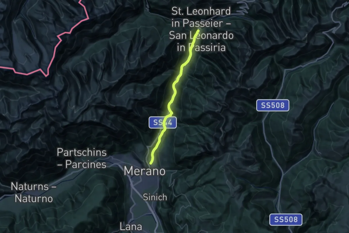
Medium · Trail
Passerweg
16.9 km · ↑ 158 m · 4 h 43 min
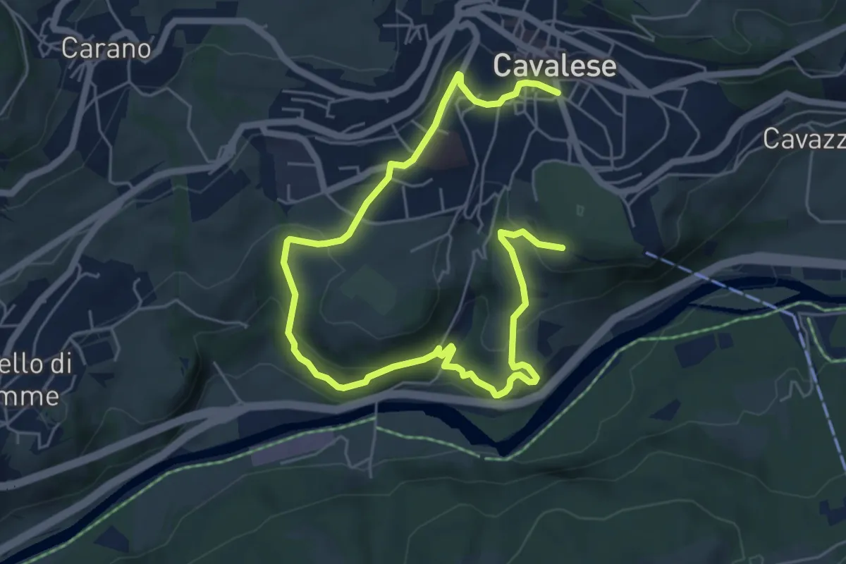
Medium · Trail
Passi nel tempo
7.8 km · ↑ 338 m · 2 h 34 min
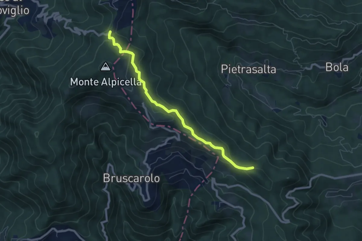
Easy · Trail
Passo Alpicella - Valico dei Solini
6.5 km · ↑ 254 m · 2 h 5 min
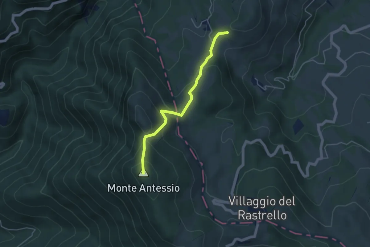
Medium · Summit
Passo Calzavitello - Passo del Rastello
3.7 km · ↑ 268 m · 1 h 28 min
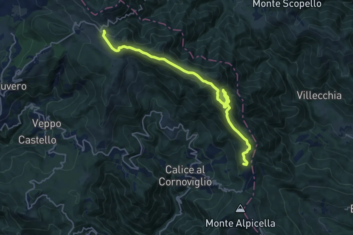
Medium · Summit
Passo dei Casoni - Passo Alpicella
15.1 km · ↑ 532 m · 4 h 43 min
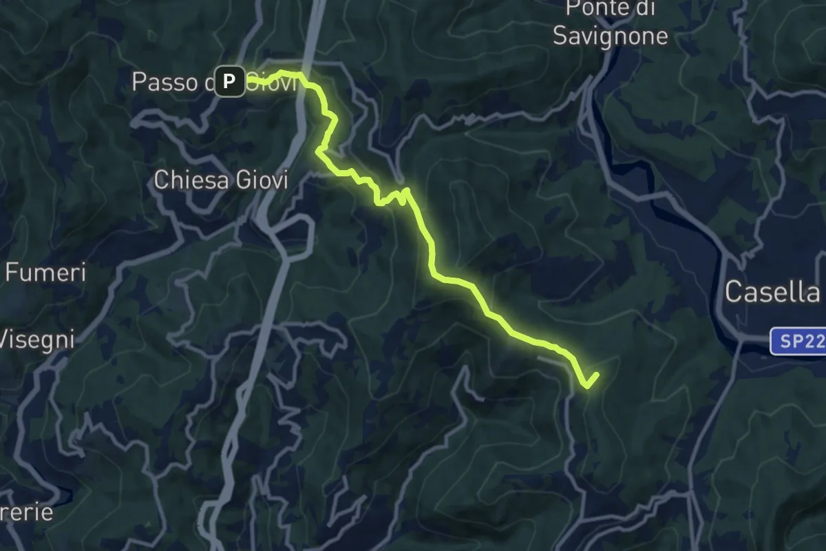
Medium · Summit
Passo dei Giovi - Crocetta d'Orero
11.1 km · ↑ 556 m · 3 h 49 min
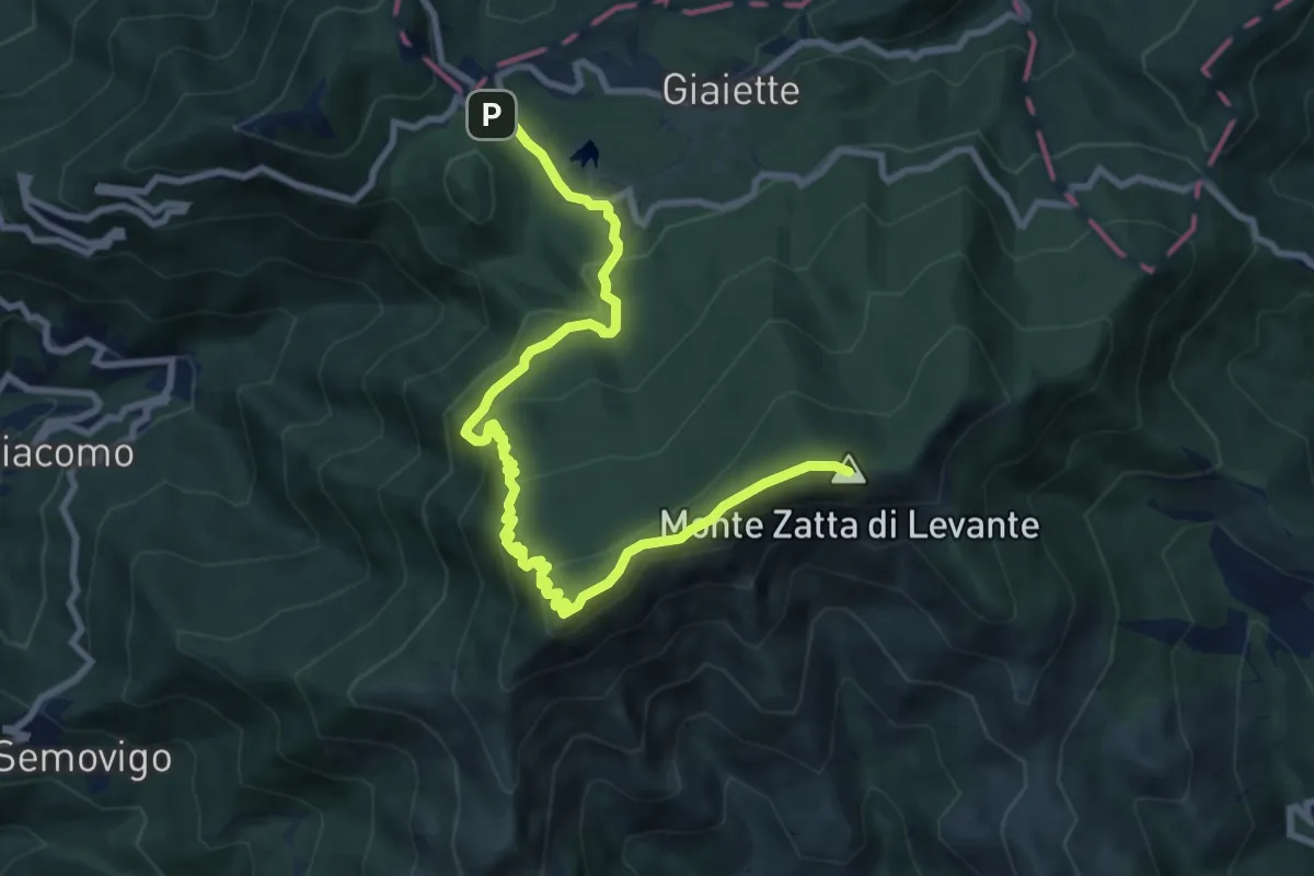
Medium · Summit
Passo del Bocco - Colla Craiolo
10.5 km · ↑ 594 m · 3 h 45 min
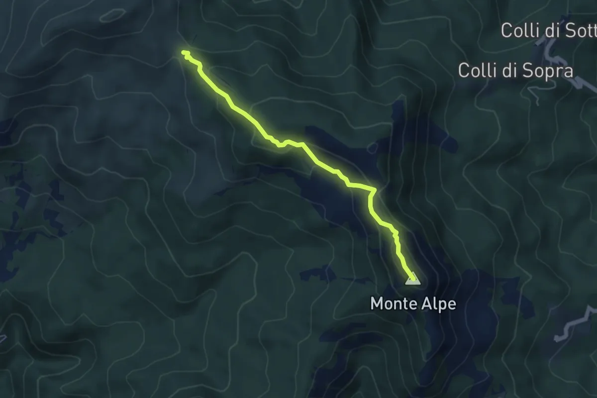
Medium · Summit
Passo del Bocco di Bargone - Monte Alpe di Maissana
5.0 km · ↑ 294 m · 1 h 49 min
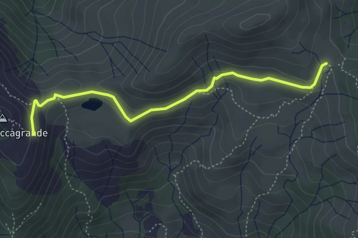
Easy · Trail
Passo del Bocco di Bargone - Pendici Roccagrande
4.4 km · ↑ 149 m · 1 h 22 min
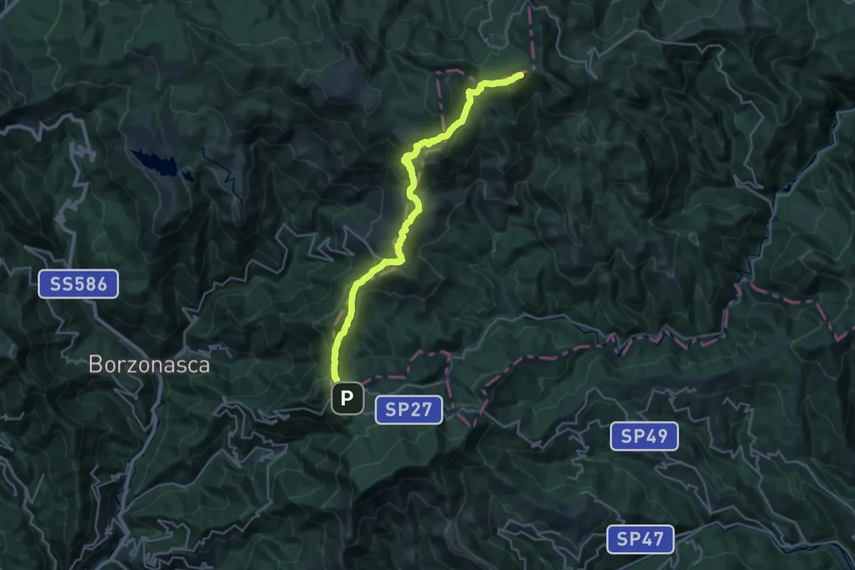
Demanding · Summit
Passo del Bocco - Passo dell'Incisa - Monte Penna
22.4 km · ↑ 1193 m · 7 h 53 min
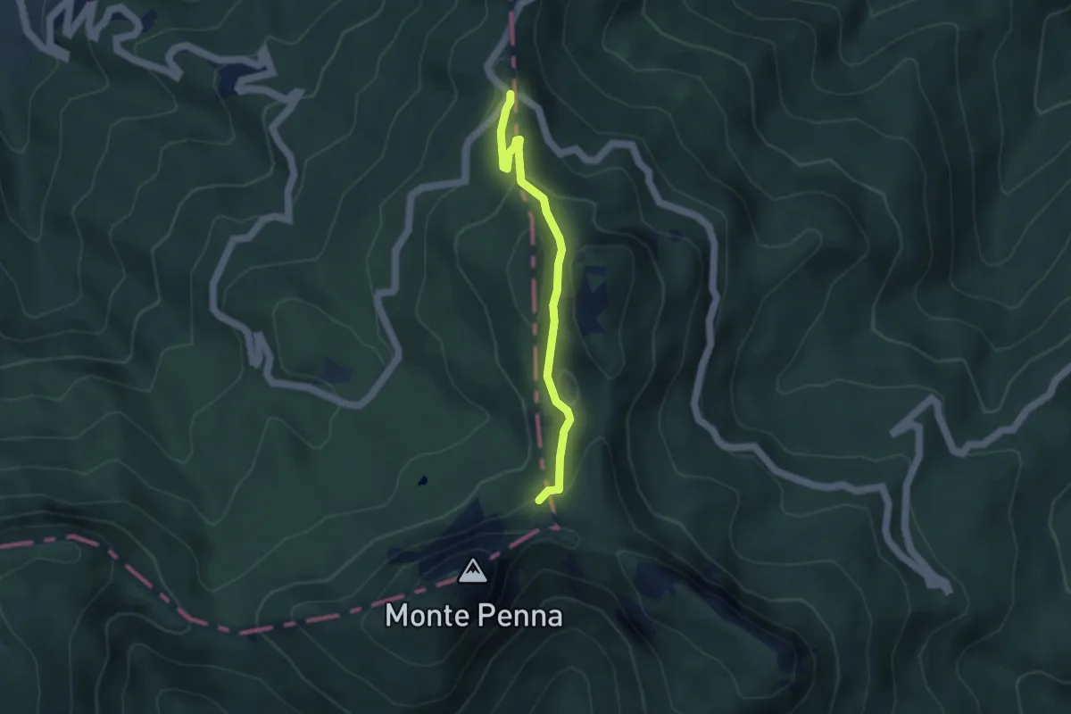
Medium · Trail
Passo del Chiodo - Sopra la Nave
3.7 km · ↑ 201 m · 1 h 19 min