Trails in Italy
25,221 hiking trails, each with its route, climb, walking time and grade.
All trails, page 120 of 526
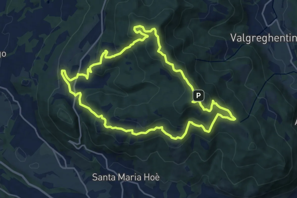
Medium · Summit
Percorso geologico naturalistico
12.1 km · ↑ 526 m · 4 h 11 min
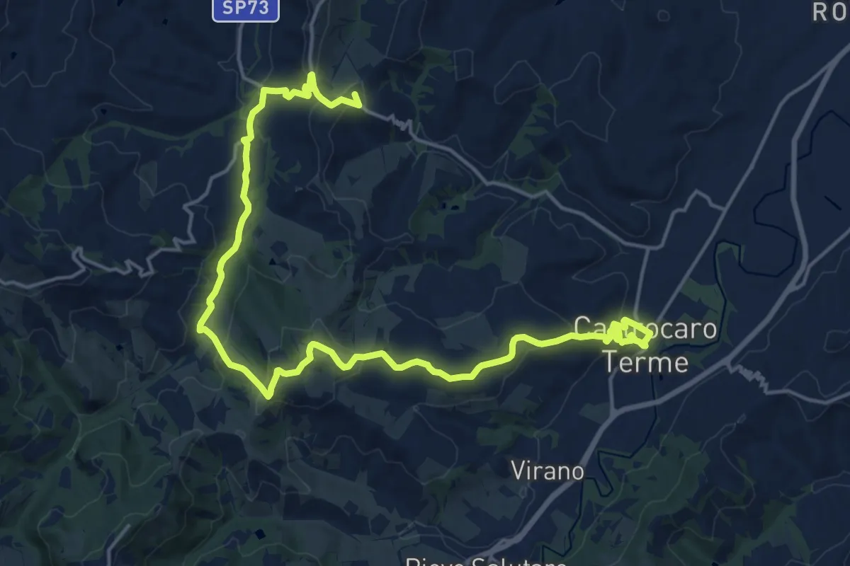
Demanding · Summit
Percorso Geositi "Lo Spungone"
23.1 km · ↑ 720 m · 7 h
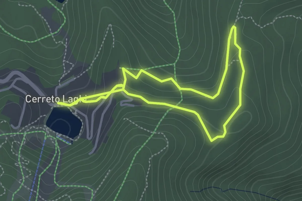
Easy · Trail
Percorso Giallo
5.8 km · ↑ 203 m · 1 h 48 min
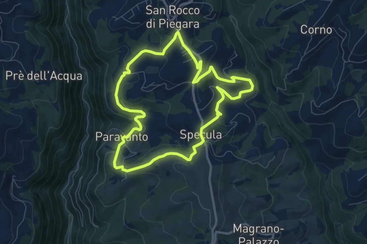
Easy · Trail
Percorso Giallo
7.3 km · ↑ 239 m · 2 h 20 min
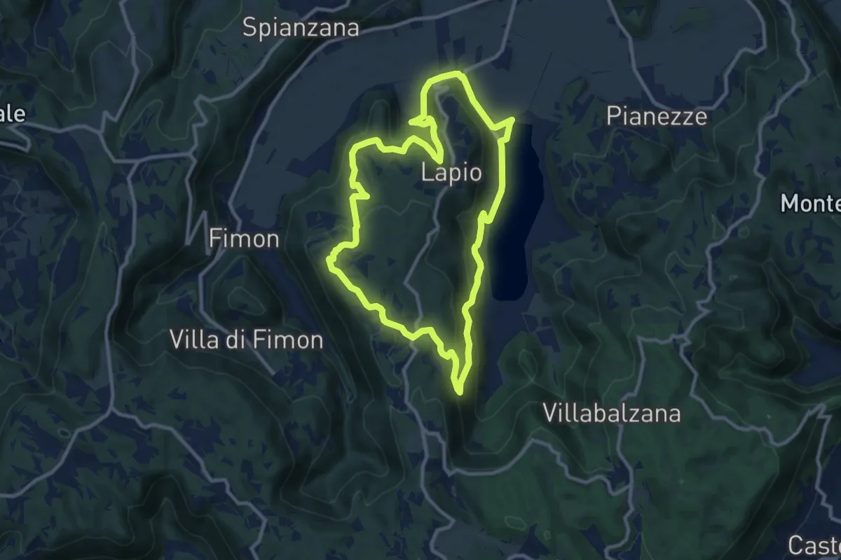
Medium · Trail
Percorso GIALLO - Lapio
9.8 km · ↑ 355 m · 3 h 13 min
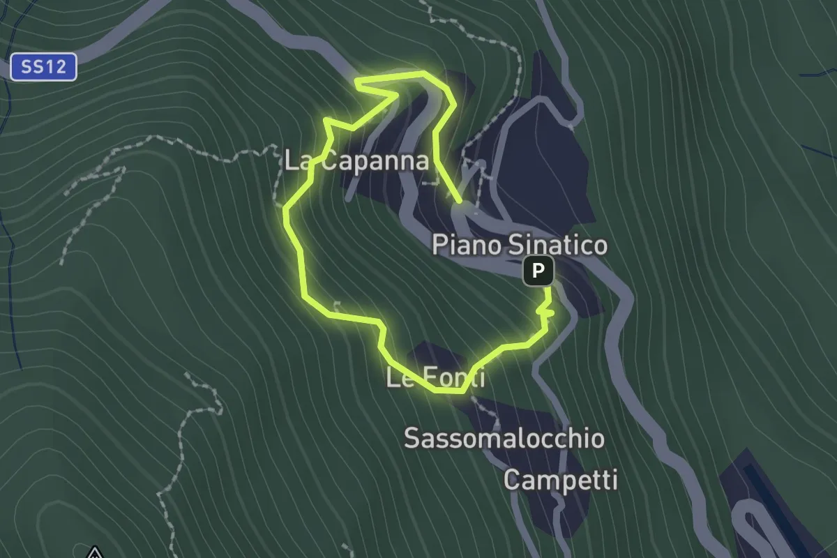
Easy · Trail
Percorso Giallo - Museo Linea Gotica Pianosinatico
1.3 km · ↑ 162 m · 40 min
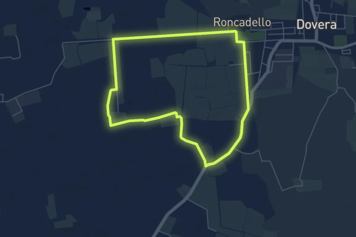
Easy · Trail
Percorso Giancarlo Votta
5.2 km · ↑ 0 m · 1 h 18 min
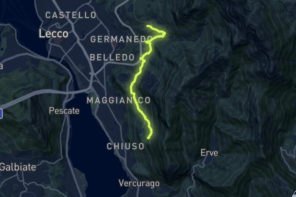
Medium · Trail
Percorso Giorgio Combi
10.5 km · ↑ 564 m · 3 h 43 min
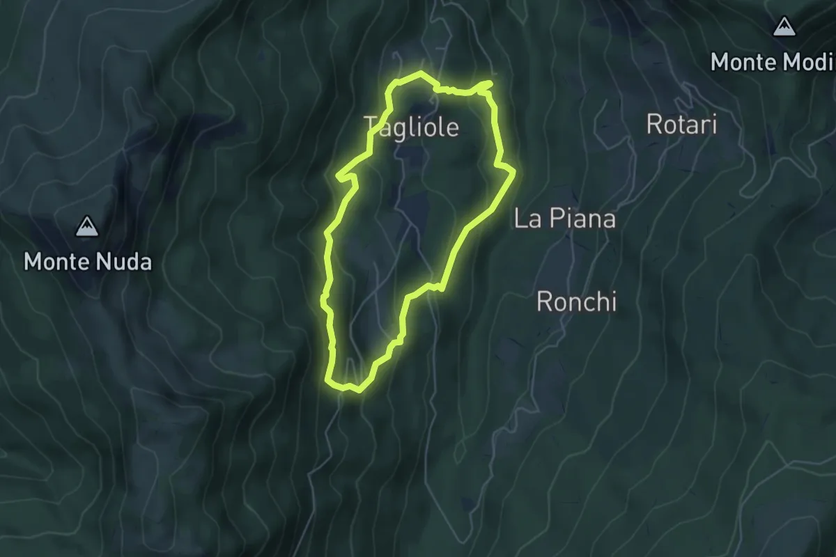
Medium · Trail
Percorso Le Antiche Orme
4.7 km · ↑ 319 m · 1 h 52 min
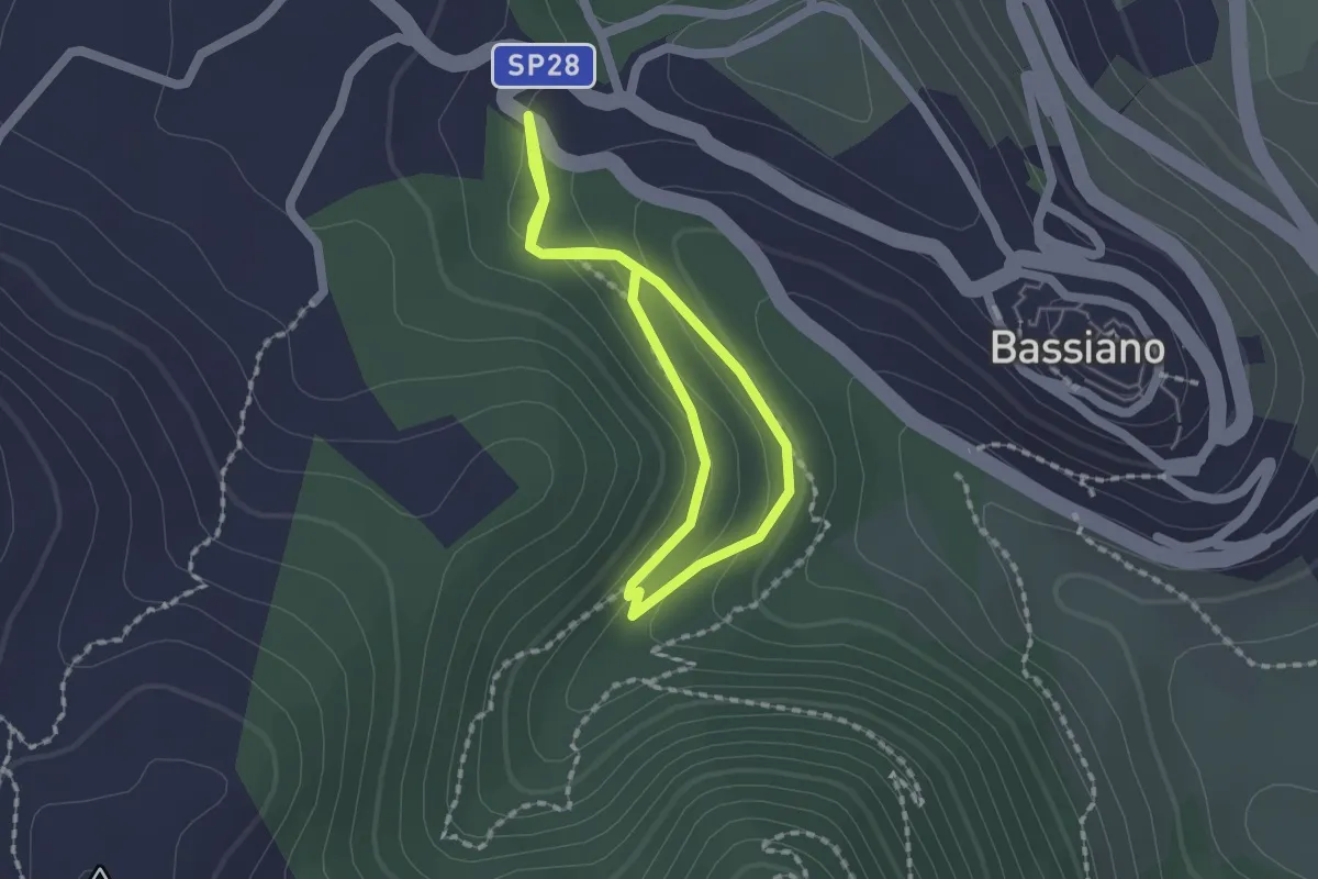
Easy · Trail
Percorso LH12 Bassiano
1.5 km · ↑ 59 m · 30 min
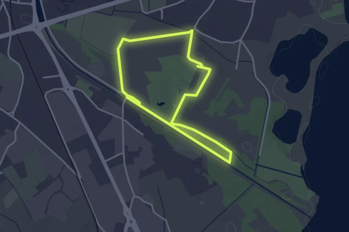
Easy · Trail
Percorso maggiore
2.8 km · ↑ 9 m · 44 min
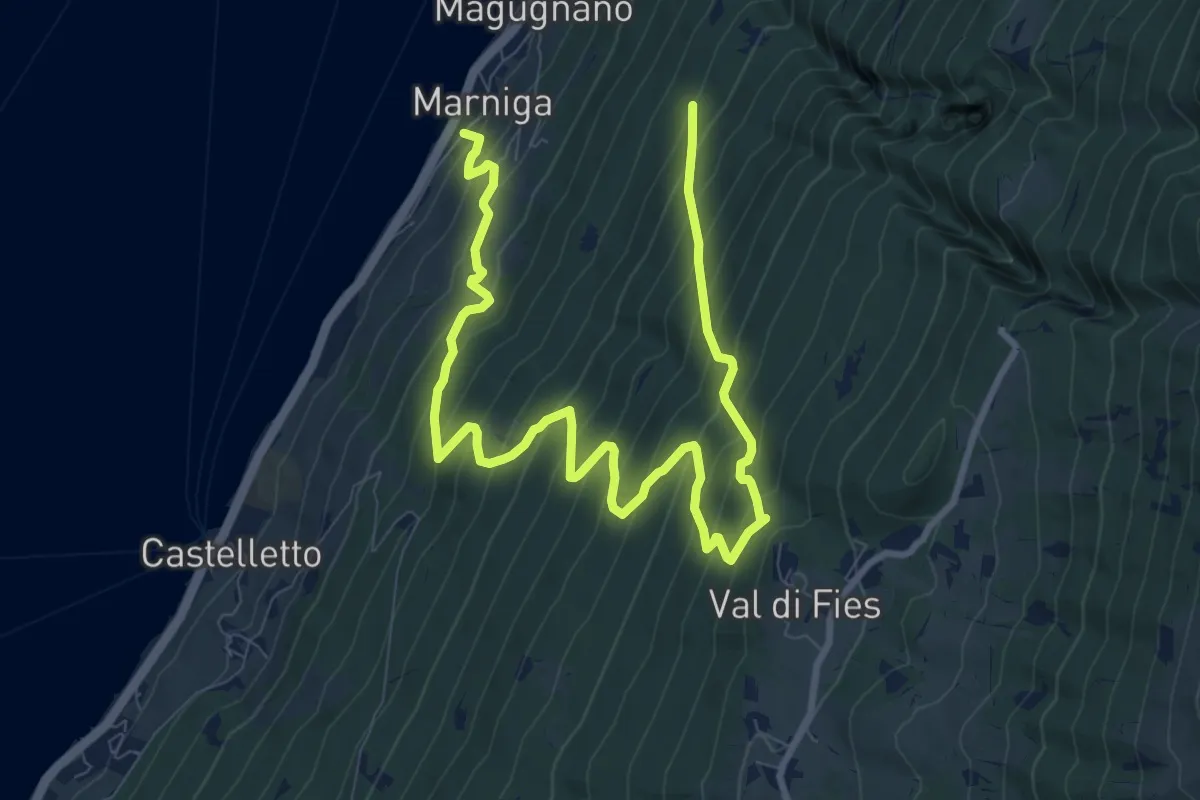
Demanding · Trail
Percorso Marniga - Campo - Prada di Monte Baldo
13.1 km · ↑ 1337 m · 5 h 59 min
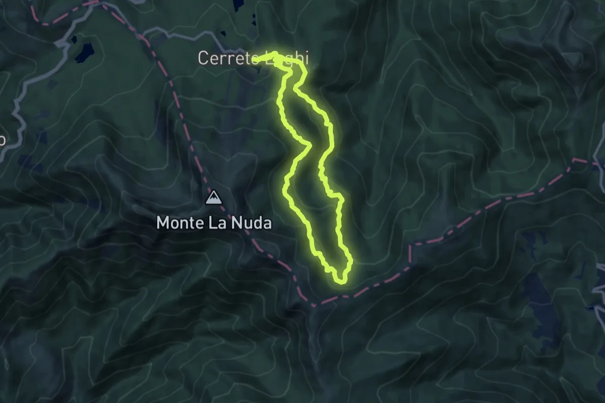
Demanding · Trail
Percorso Marrone
18.7 km · ↑ 940 m · 6 h 27 min
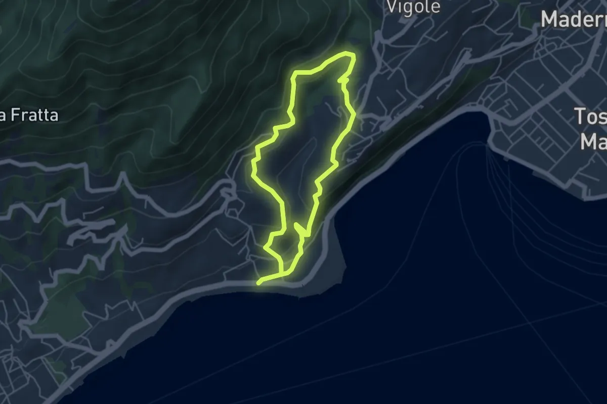
Easy · Trail
Percorso Marrone Gardone Riviera
3.9 km · ↑ 227 m · 1 h 28 min
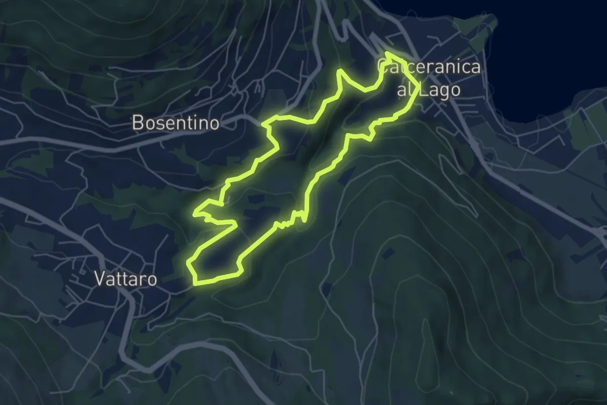
Easy · Trail
Percorso Minatore
5.5 km · ↑ 269 m · 1 h 57 min
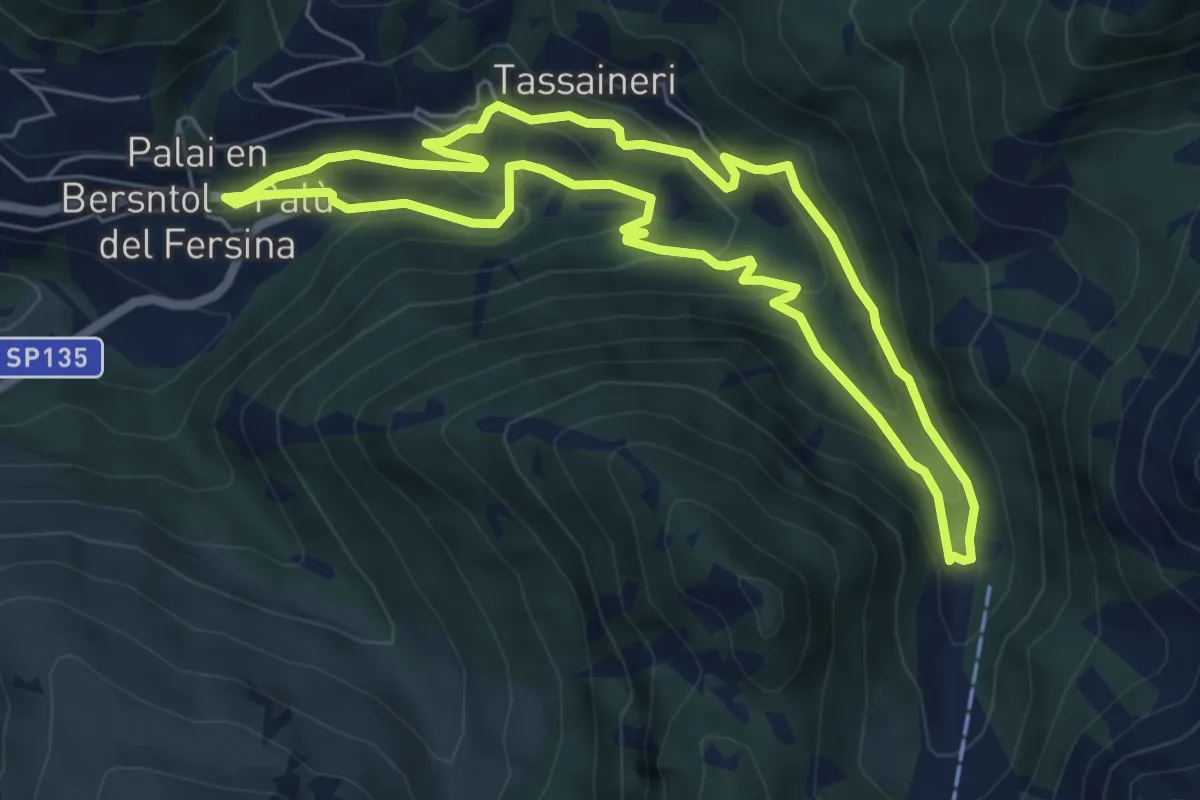
Medium · Trail
Percorso Miniera Palu
6.1 km · ↑ 350 m · 2 h 17 min
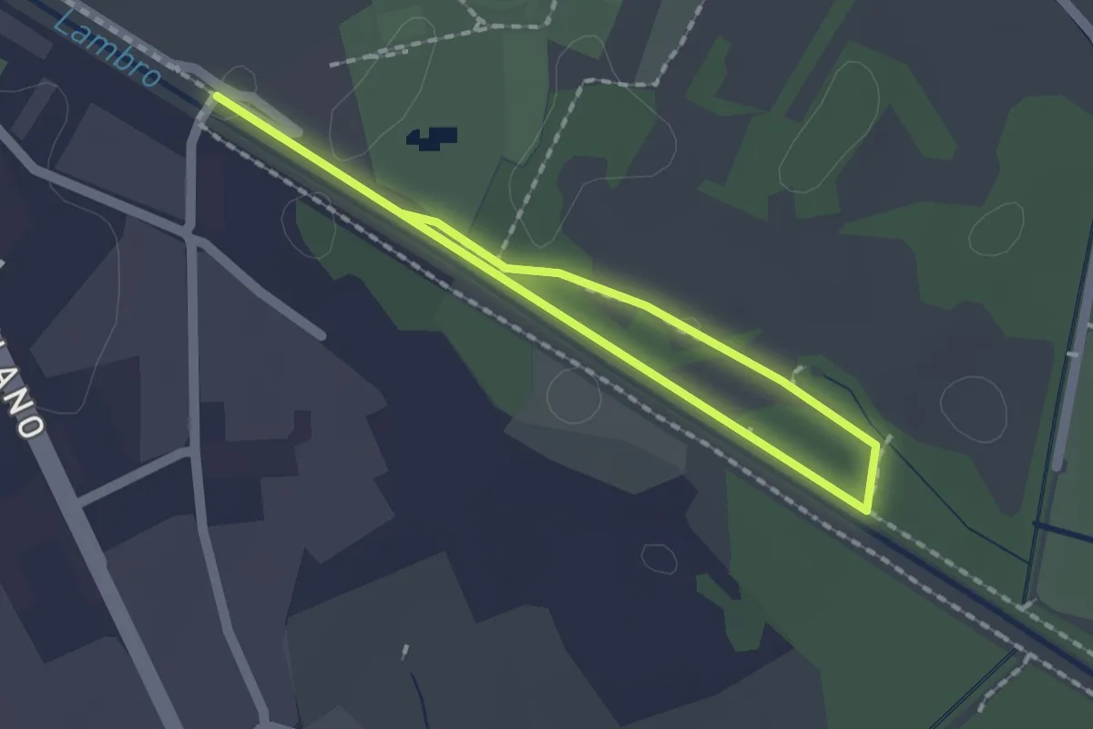
Easy · Trail
Percorso minore
1.3 km · ↑ 0 m · 20 min
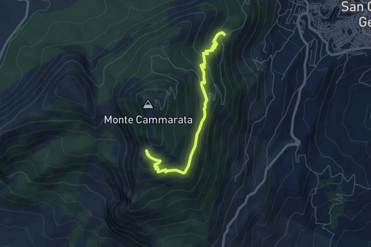
Medium · Cabin
Percorso Monte Cammarata Fontana di Rose
6.6 km · ↑ 351 m · 2 h 19 min
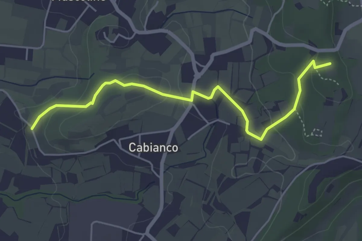
Easy · Summit
Percorso Muscoline Blu1
4.8 km · ↑ 103 m · 1 h 22 min
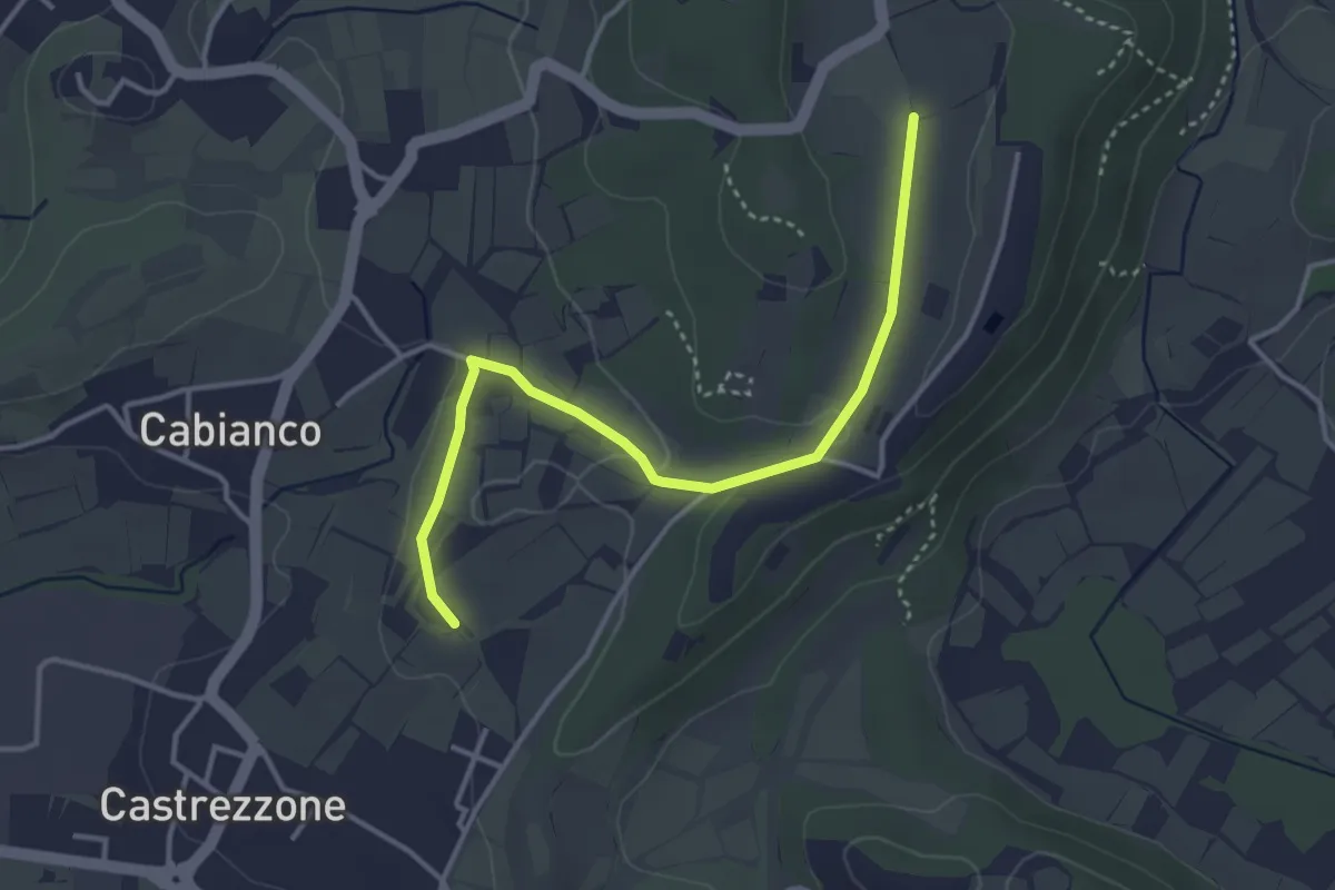
Easy · Trail
Percorso Muscoline Blu2
3.8 km · ↑ 58 m · 1 h 2 min
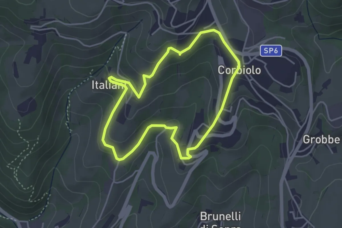
Easy · Trail
Percorso n. 10
3.4 km · ↑ 143 m · 1 h 10 min
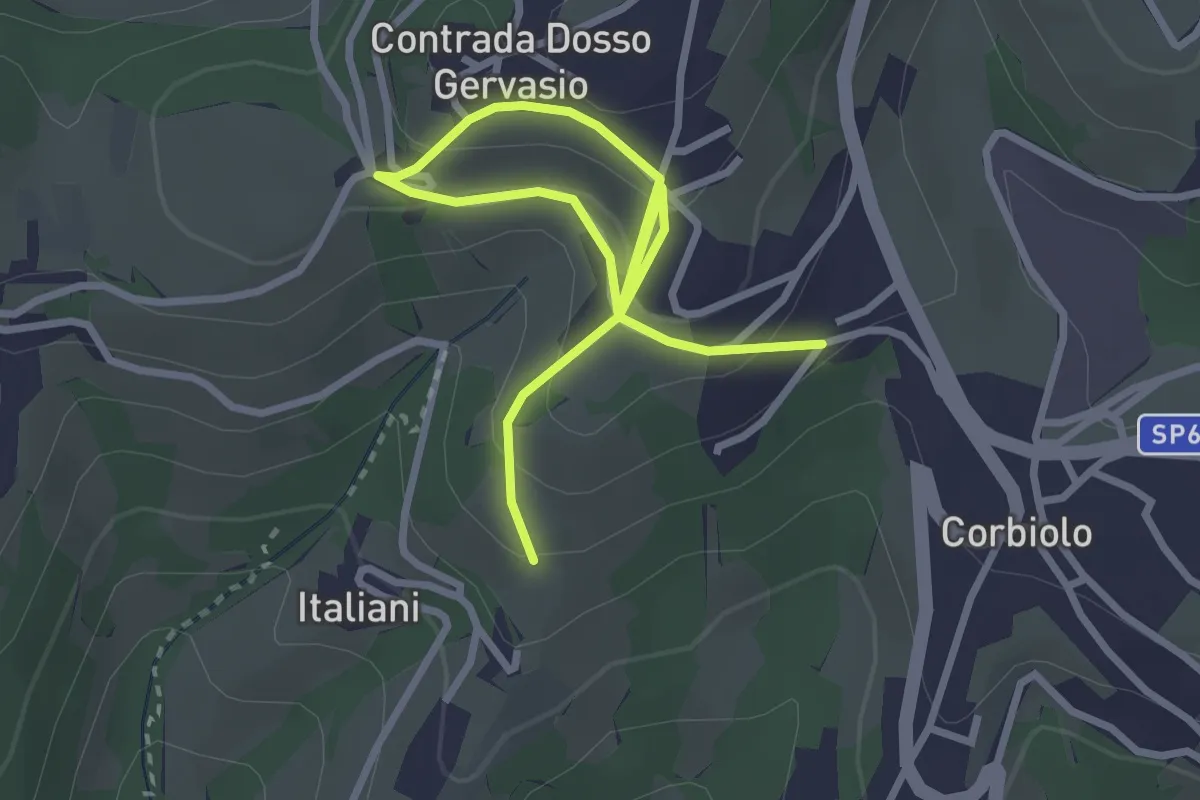
Easy · Trail
Percorso n. 10 variante
4.0 km · ↑ 221 m · 1 h 25 min
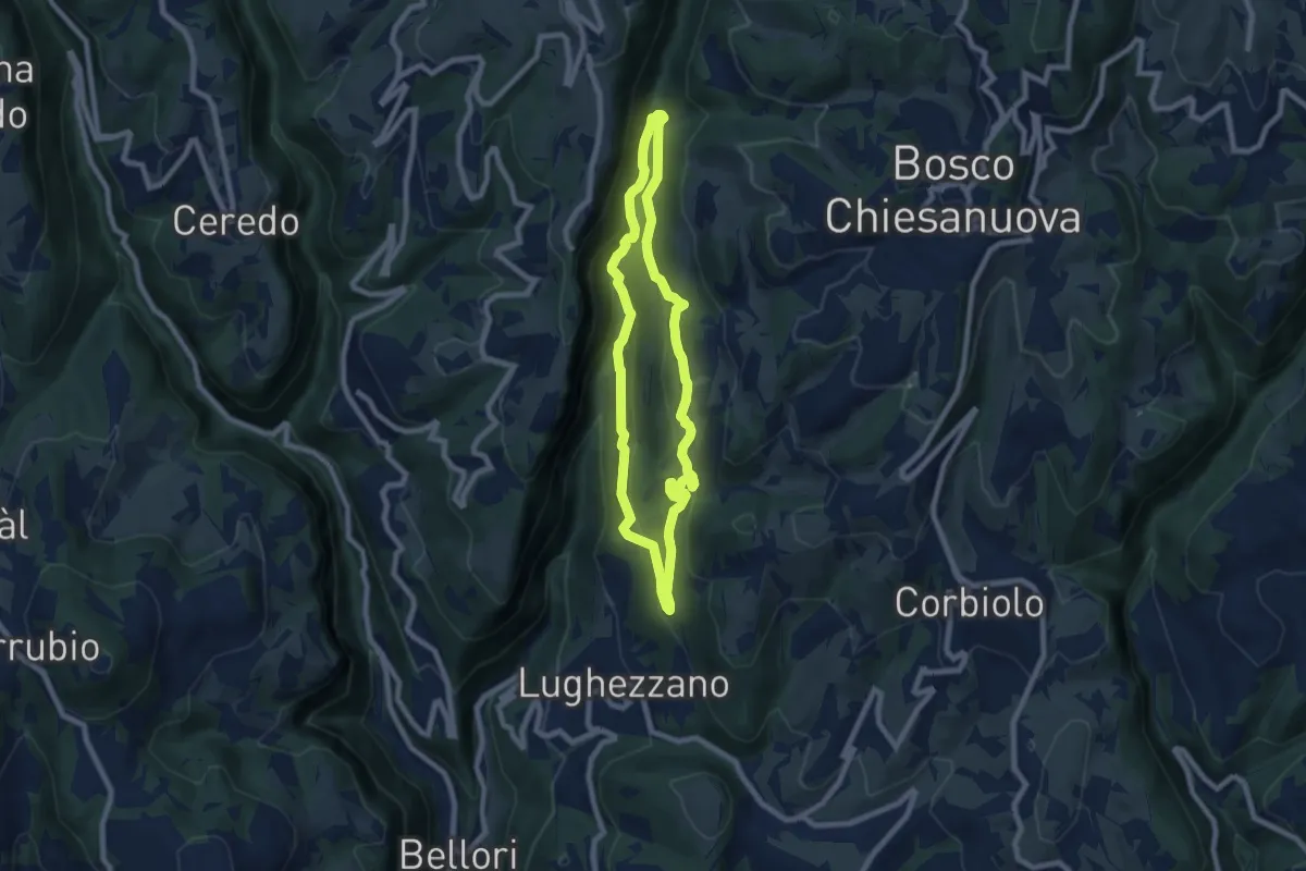
Demanding · Trail
Percorso n. 11
7.0 km · ↑ 291 m · 2 h 23 min
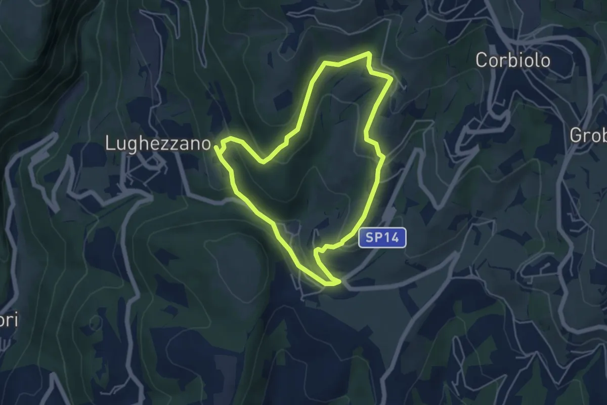
Easy · Trail
Percorso n. 12
4.3 km · ↑ 184 m · 1 h 28 min
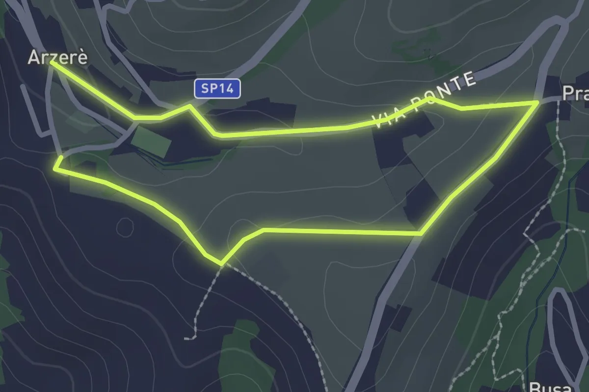
Easy · Trail
Percorso n. 13
4.0 km · ↑ 58 m · 1 h 5 min
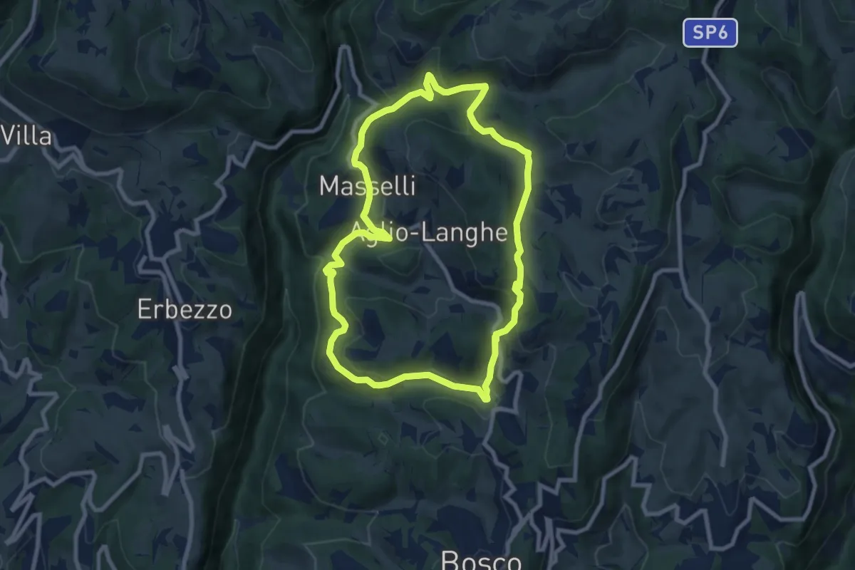
Medium · Trail
Percorso n. 2
7.8 km · ↑ 337 m · 2 h 41 min
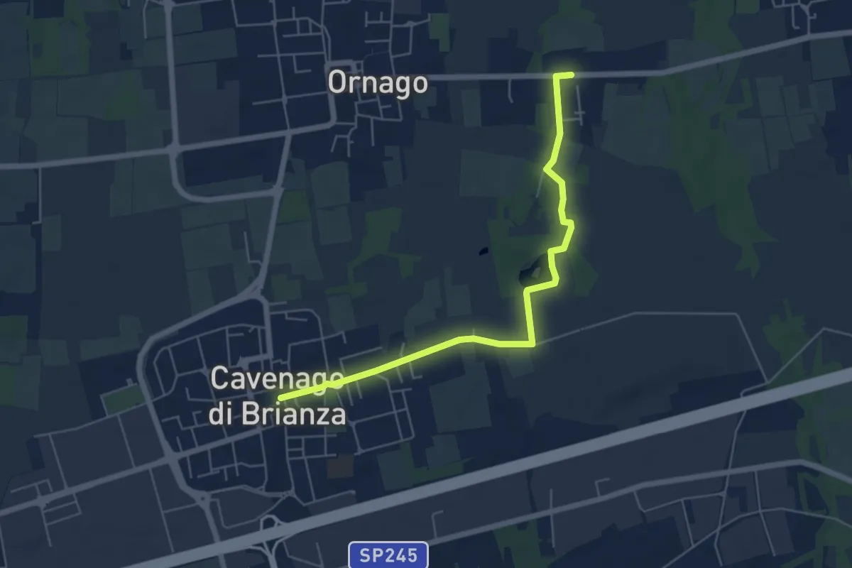
Easy · Trail
Percorso n° 2
5.7 km · ↑ 18 m · 1 h 23 min
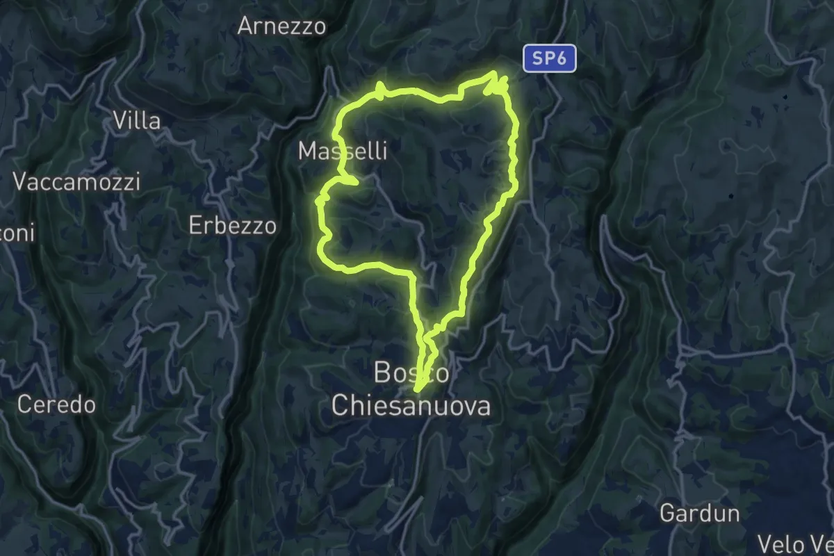
Medium · Trail
Percorso n. 3
12.9 km · ↑ 480 m · 4 h 17 min
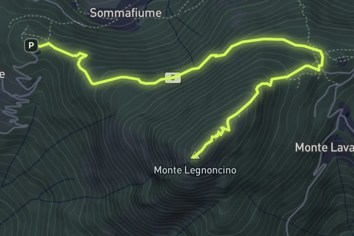
Medium · Summit
Percorso n.3 "VIE ALTE": Roccolo d'Artesso - Roccoli Lorla - M. Legnoncino
6.9 km · ↑ 496 m · 2 h 42 min
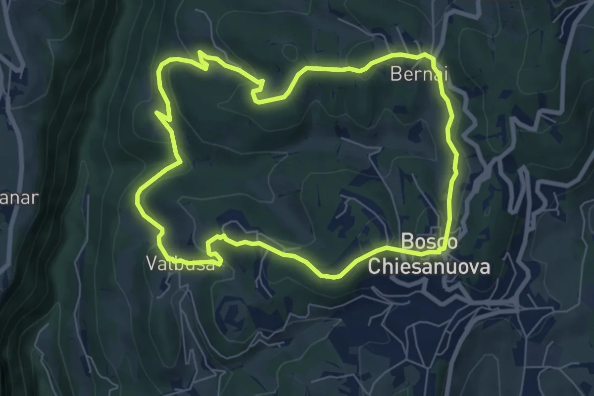
Medium · Trail
Percorso n. 4
6.1 km · ↑ 256 m · 2 h 5 min
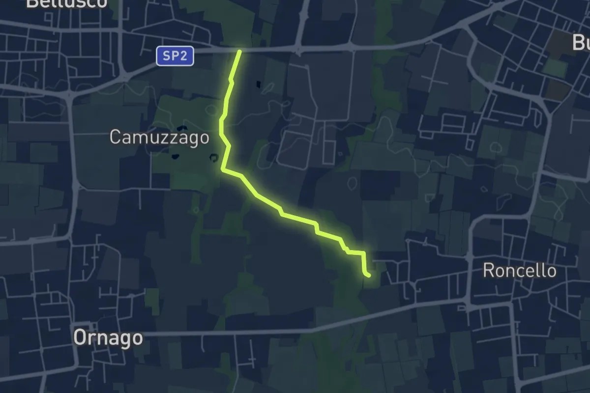
Easy · Trail
Percorso n° 4
4.3 km · ↑ 14 m · 1 h 3 min
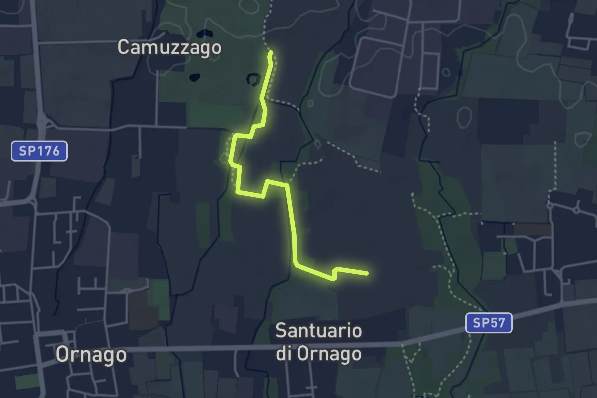
Easy · Trail
Percorso n° 4/A
3.4 km · ↑ 4 m · 49 min
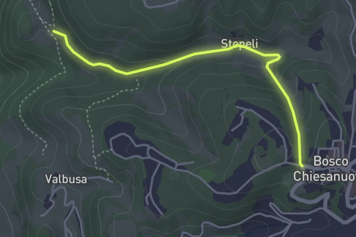
Medium · Trail
Percorso n. 4a
3.7 km · ↑ 135 m · 1 h 9 min
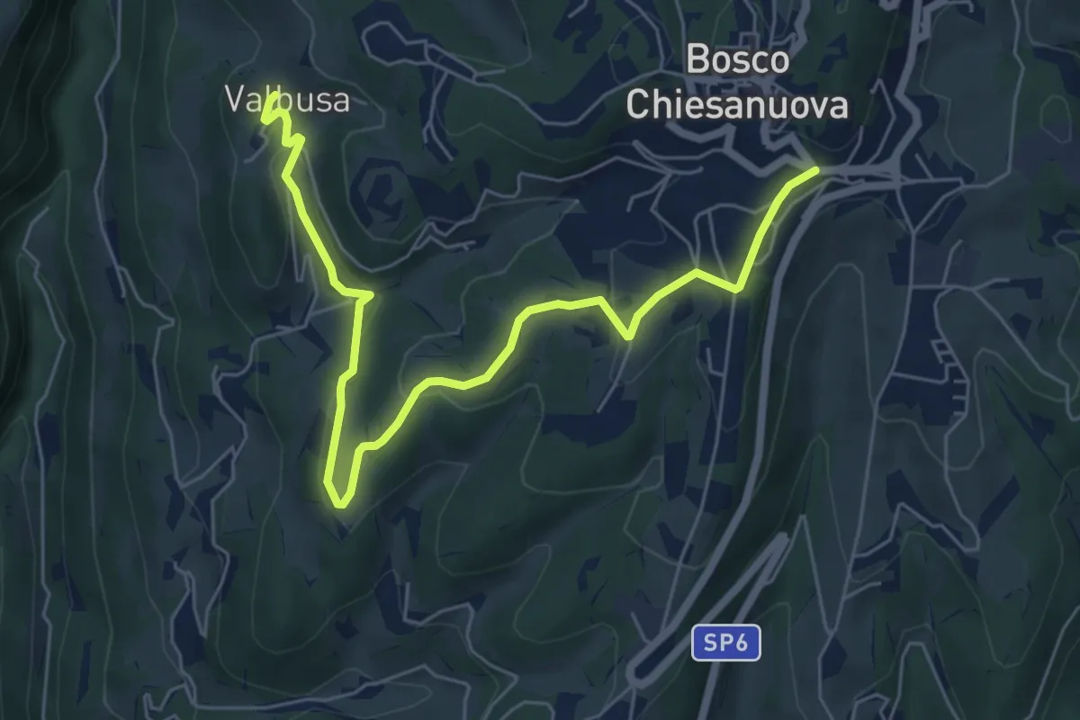
Easy · Trail
Percorso n. 4b
7.1 km · ↑ 199 m · 2 h 6 min
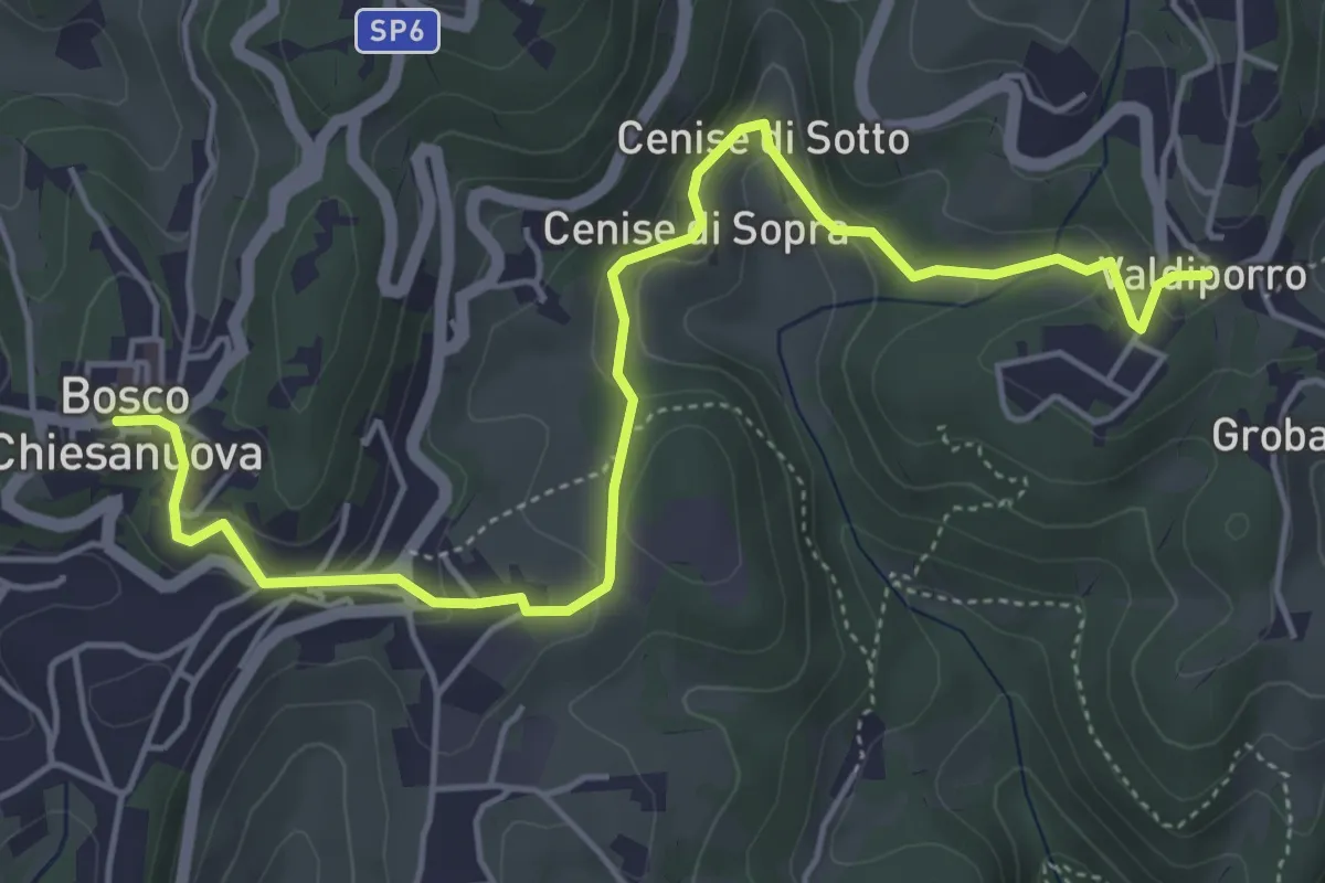
Medium · Trail
Percorso n. 5
5.9 km · ↑ 263 m · 1 h 58 min
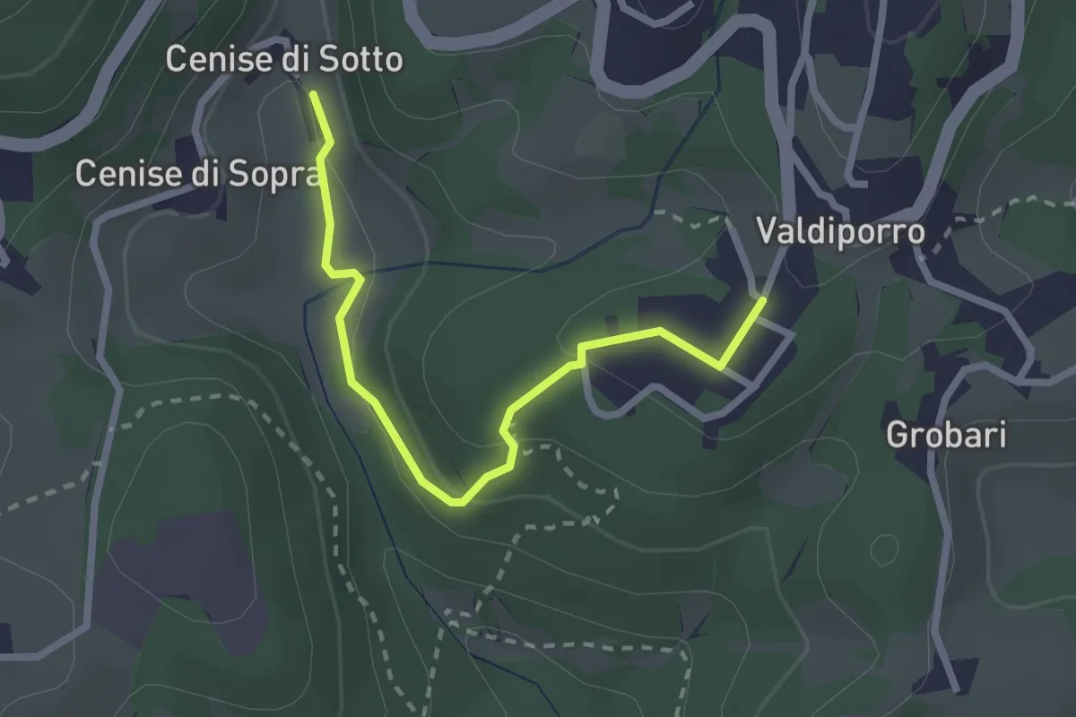
Medium · Trail
Percorso n. 5a
2.4 km · ↑ 95 m · 47 min
Medium · Trail
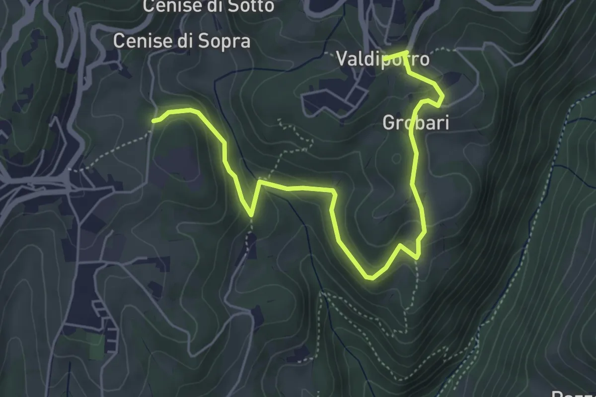
Percorso n. 5b
5.9 km · ↑ 276 m · 1 h 59 min
Medium · Trail
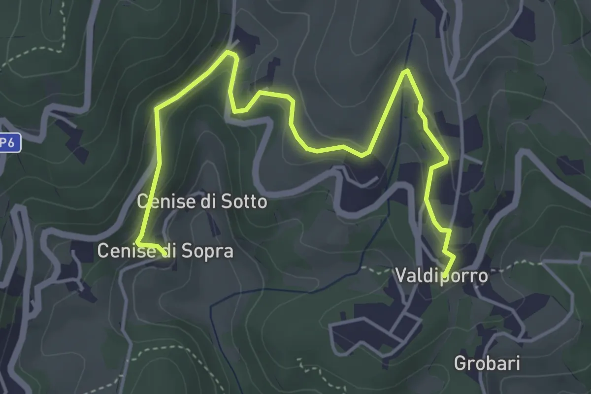
Percorso n. 5c
5.1 km · ↑ 238 m · 1 h 42 min
Medium · Trail
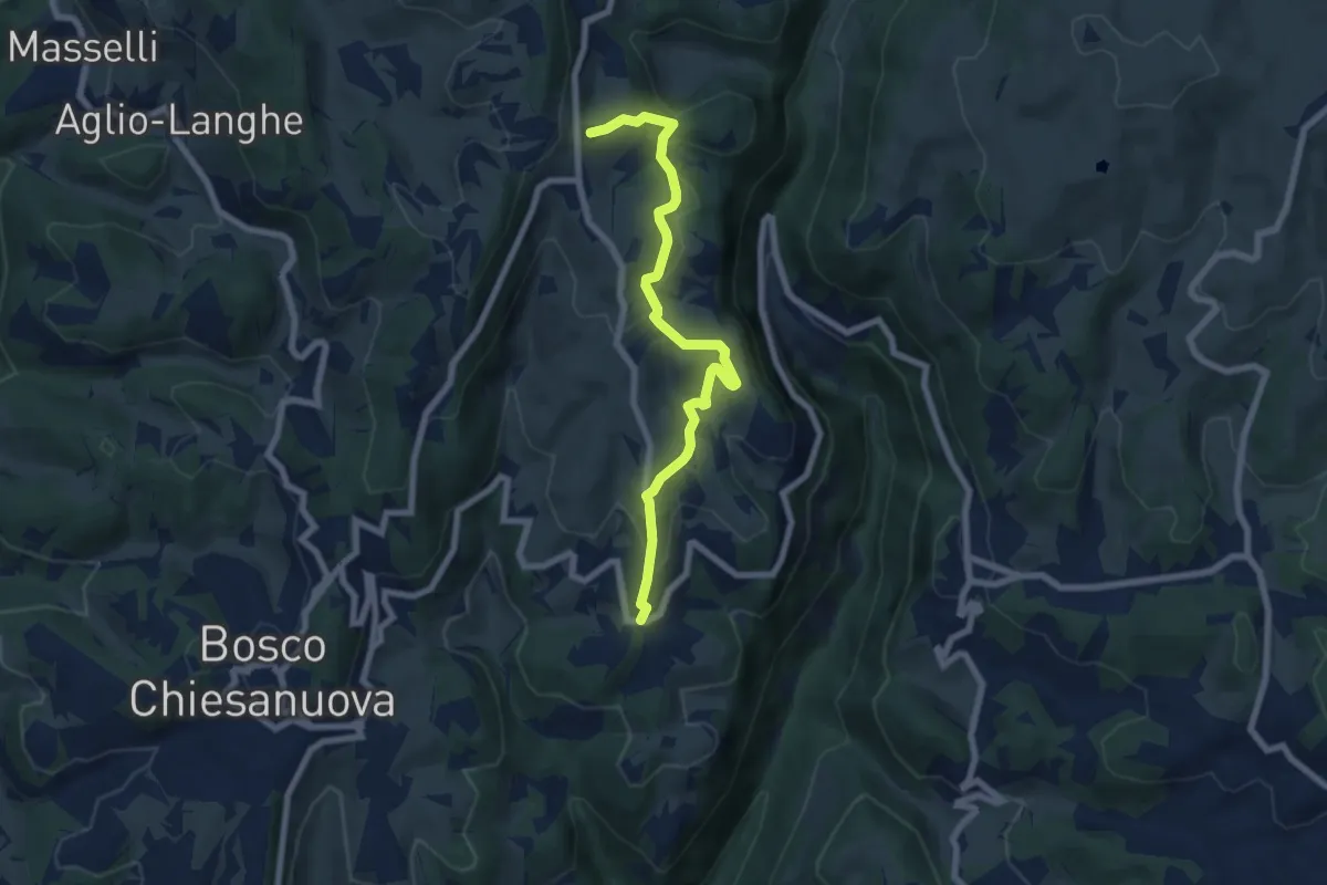
Percorso n. 6
7.1 km · ↑ 321 m · 2 h 22 min
Easy · Trail
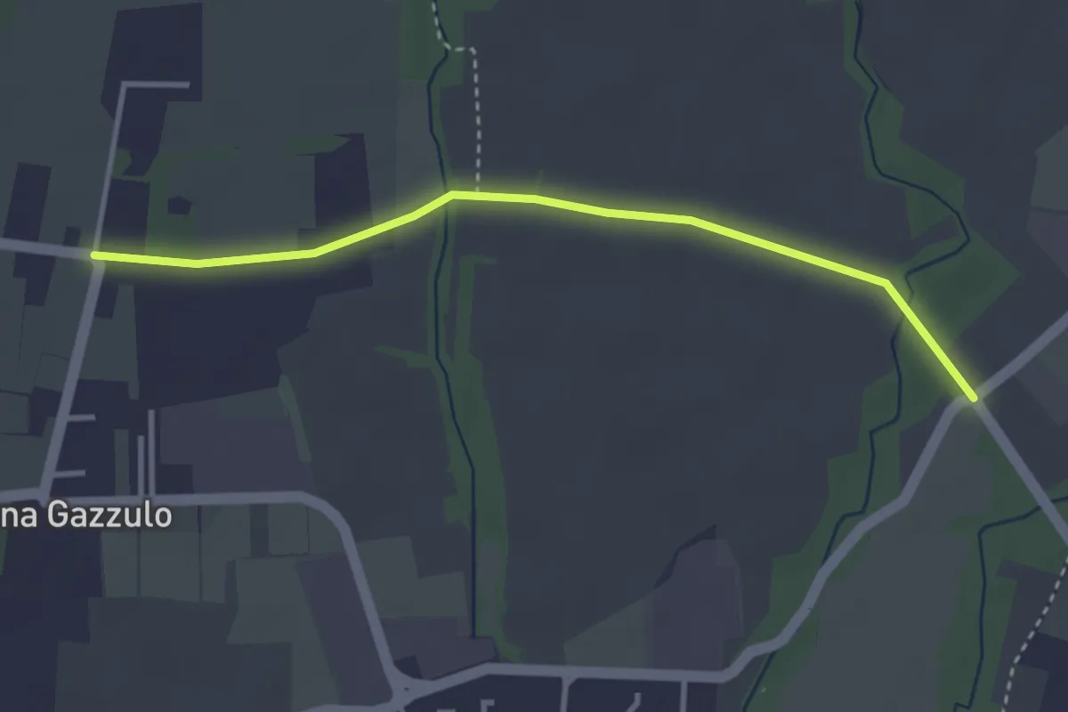
Percorso n° 6
3.4 km · ↑ 5 m · 49 min
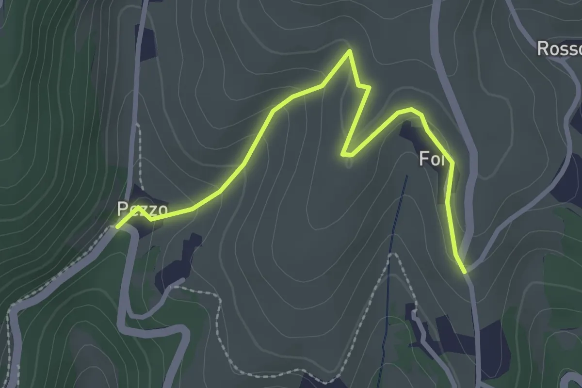
Medium · Trail
Percorso n. 6a variante Pezzo
2.7 km · ↑ 115 m · 54 min
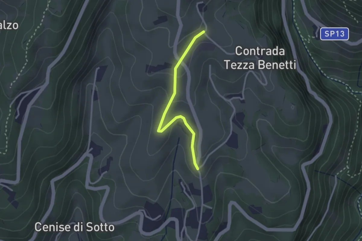
Medium · Trail
Percorso n. 6b variante Truffa
2.4 km · ↑ 78 m · 44 min
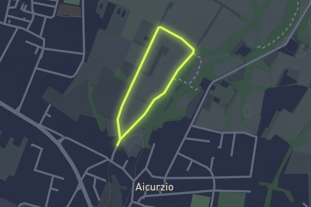
Easy · Trail
Percorso n° 8
1.2 km · ↑ 4 m · 19 min
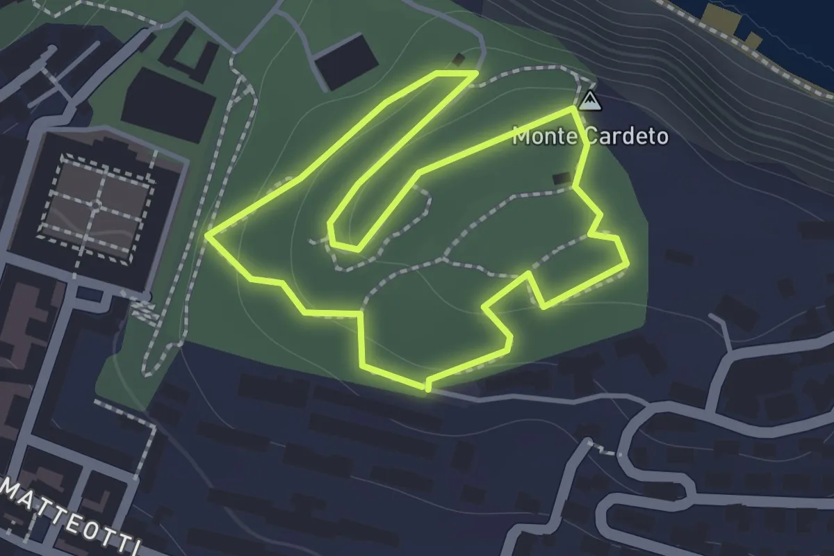
Easy · Summit
Percorso natura
1.3 km · ↑ 48 m · 26 min
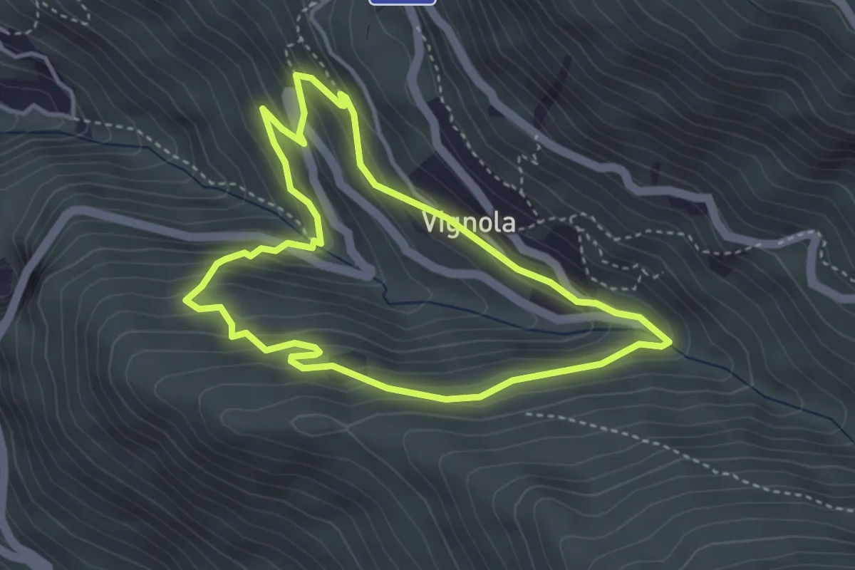
Easy · Trail
Percorso Natura
3.6 km · ↑ 264 m · 1 h 28 min
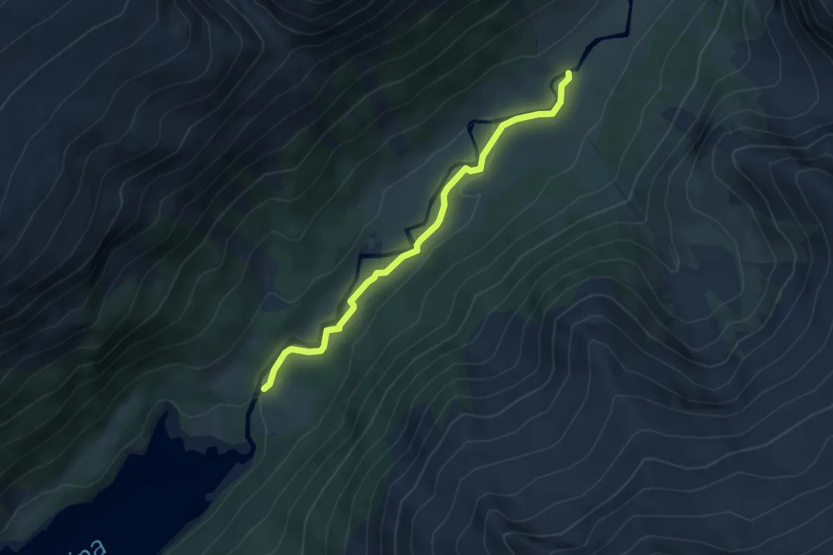
Medium · Trail
Percorso Naturalistico del Chiese
4.3 km · ↑ 74 m · 1 h 11 min
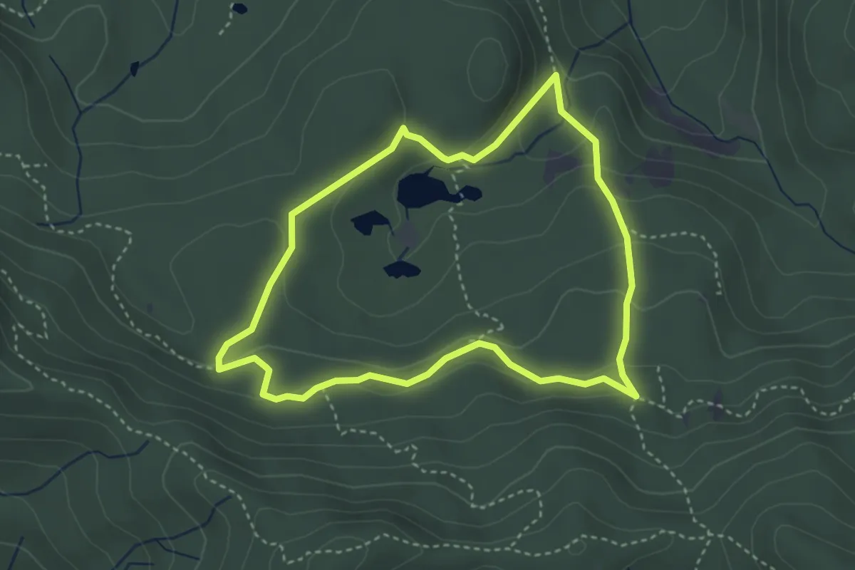
Medium · Trail
Percorso Naturalistico delle Agoraie
3.4 km · ↑ 137 m · 1 h 9 min
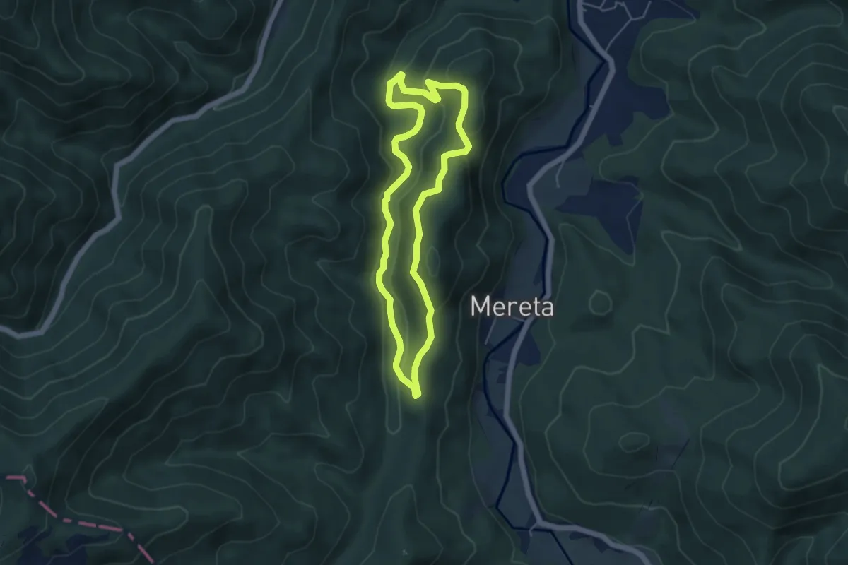
Easy · Summit
Percorso Naturalistico del Rio Nero
4.6 km · ↑ 163 m · 1 h 31 min