Trails in Italy
25,221 hiking trails, each with its route, climb, walking time and grade.
All trails, page 121 of 526
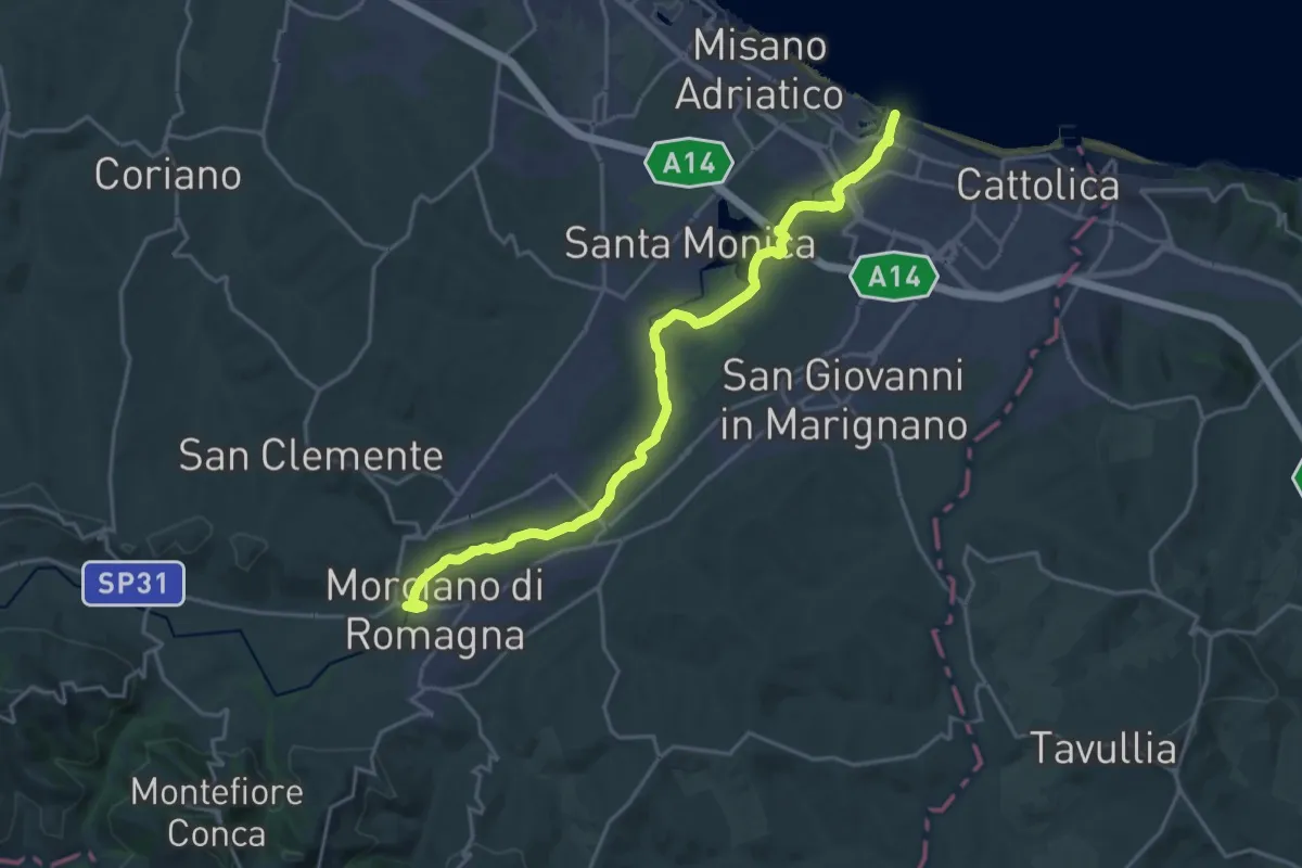
Demanding · Trail
Percorso naturalistico destra Fiume Conca
22.8 km · ↑ 104 m · 5 h 36 min
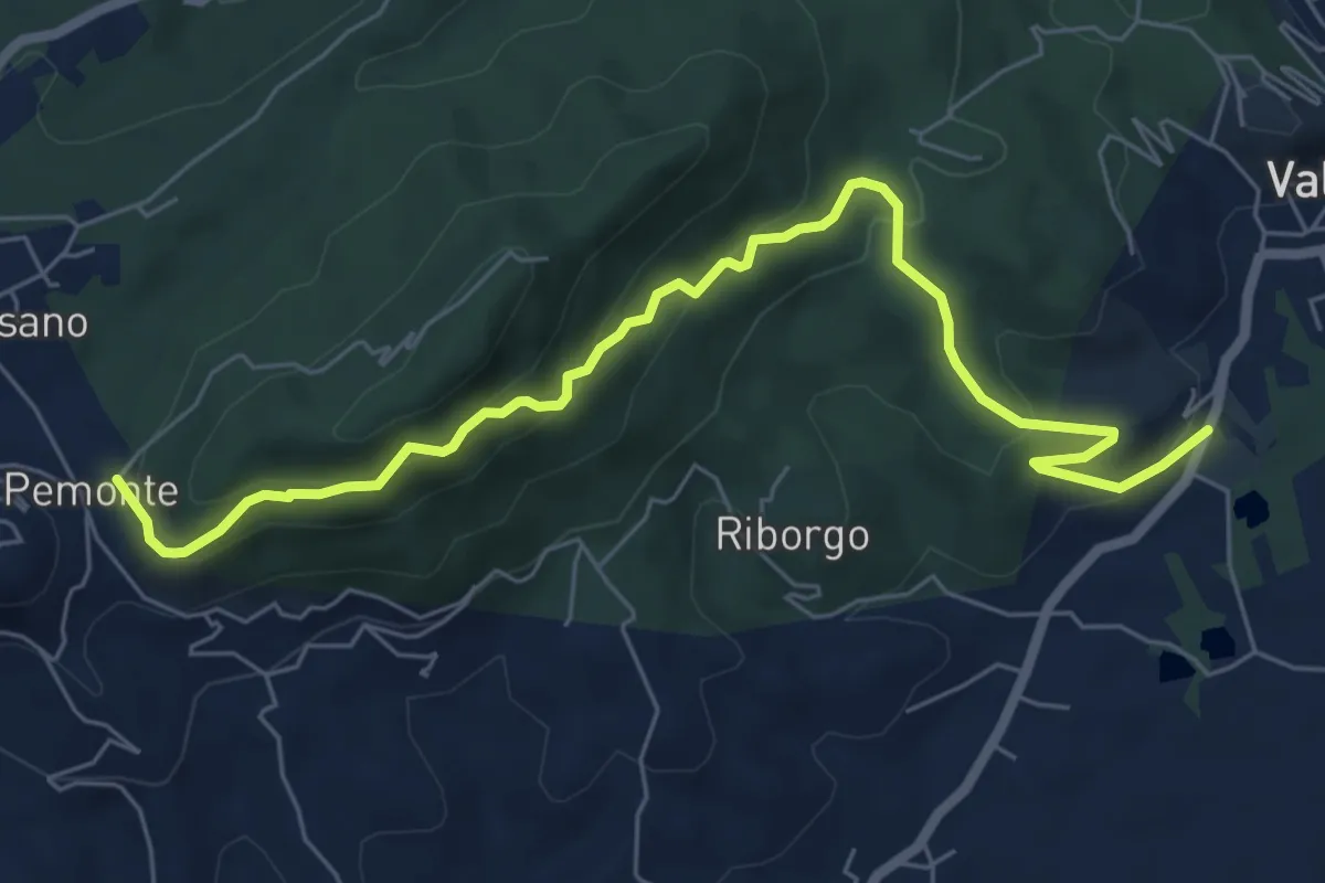
Medium · Trail
Percorso Naturalistico La Felce Reale
7.5 km · ↑ 426 m · 2 h 41 min
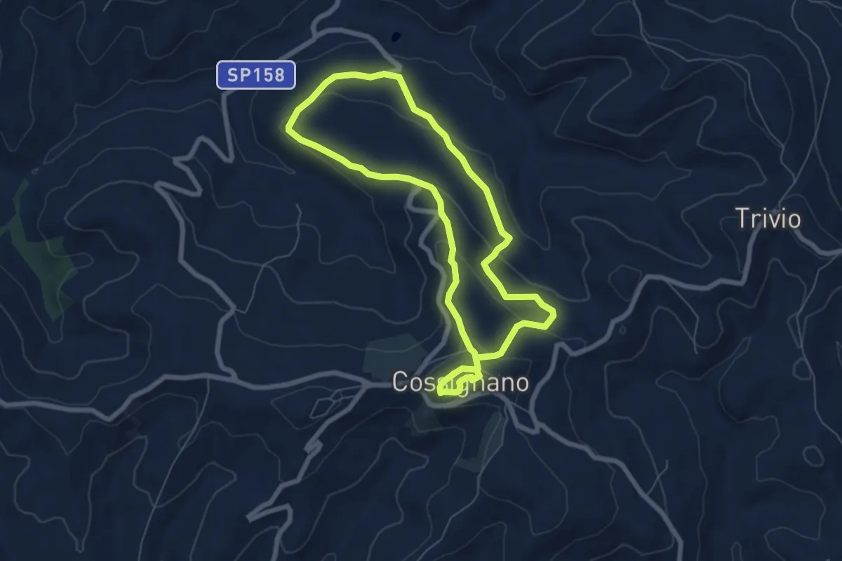
Easy · Trail
Percorso Naturalistico "Le Cese"
6.4 km · ↑ 226 m · 2 h 6 min
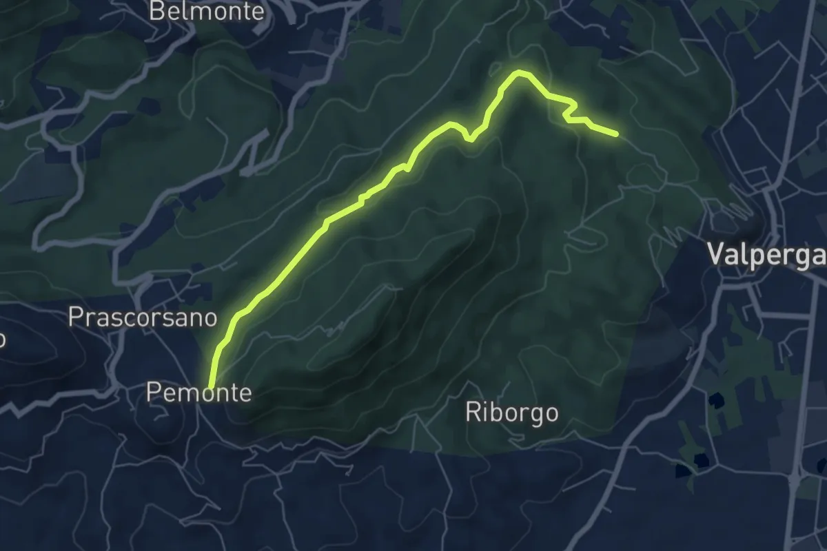
Easy · Trail
Percorso Naturalistico Le Sabbionere
6.3 km · ↑ 156 m · 1 h 49 min
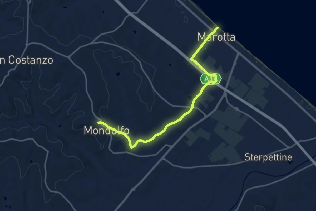
Medium · Trail
Percorso Naturalistico Marotta ⇆ Mondolfo
11.8 km · ↑ 163 m · 3 h 8 min
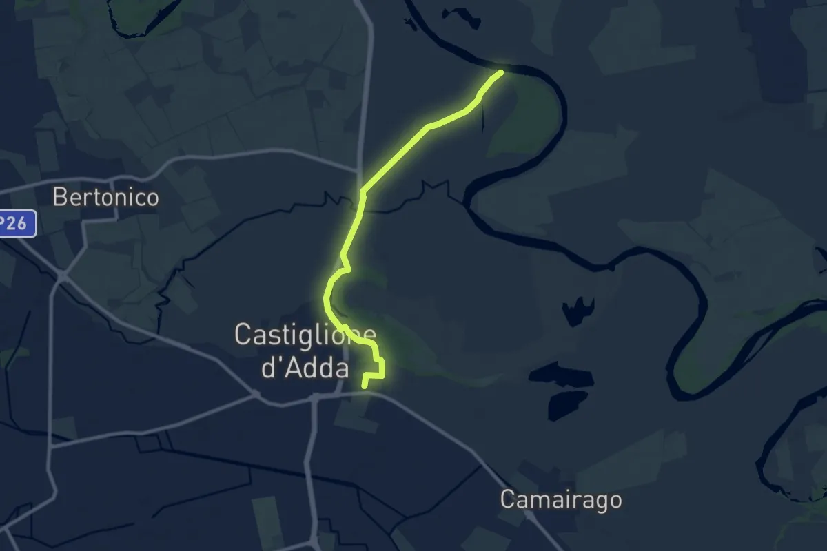
Medium · Trail
Percorso naturalistico Rosa Canina
9.1 km · ↑ 17 m · 2 h 11 min
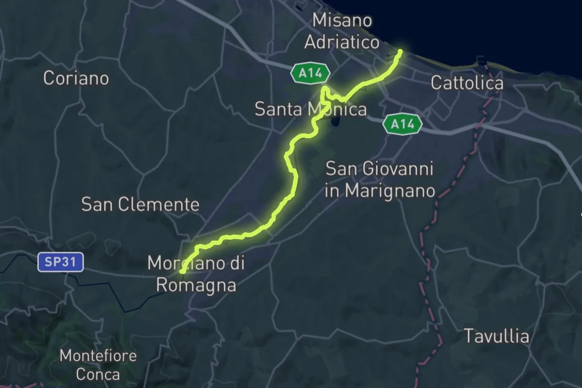
Demanding · Trail
Percorso naturalistico sinistra Fiume Conca
23.9 km · ↑ 86 m · 5 h 50 min
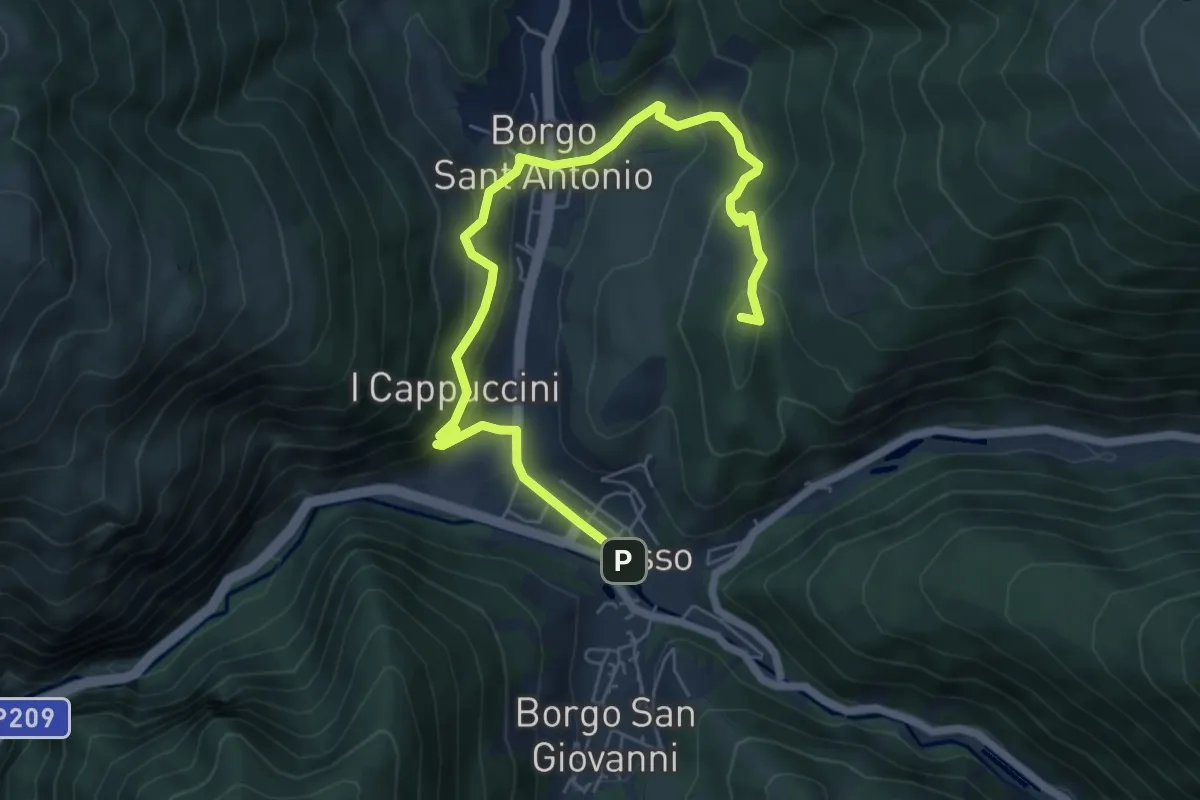
Medium · Summit
Percorso Natura N1
7.9 km · ↑ 447 m · 2 h 50 min
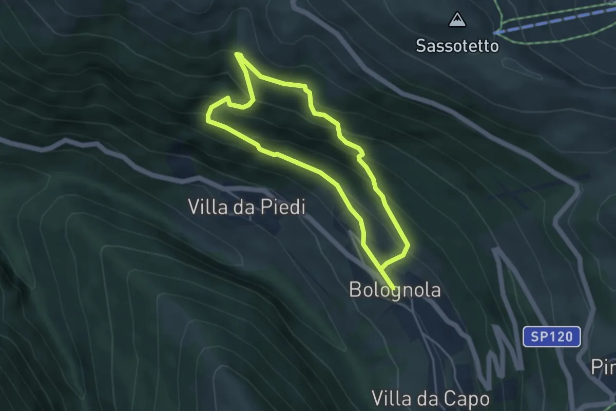
Easy · Trail
Percorso Natura N14
3.4 km · ↑ 284 m · 1 h 28 min
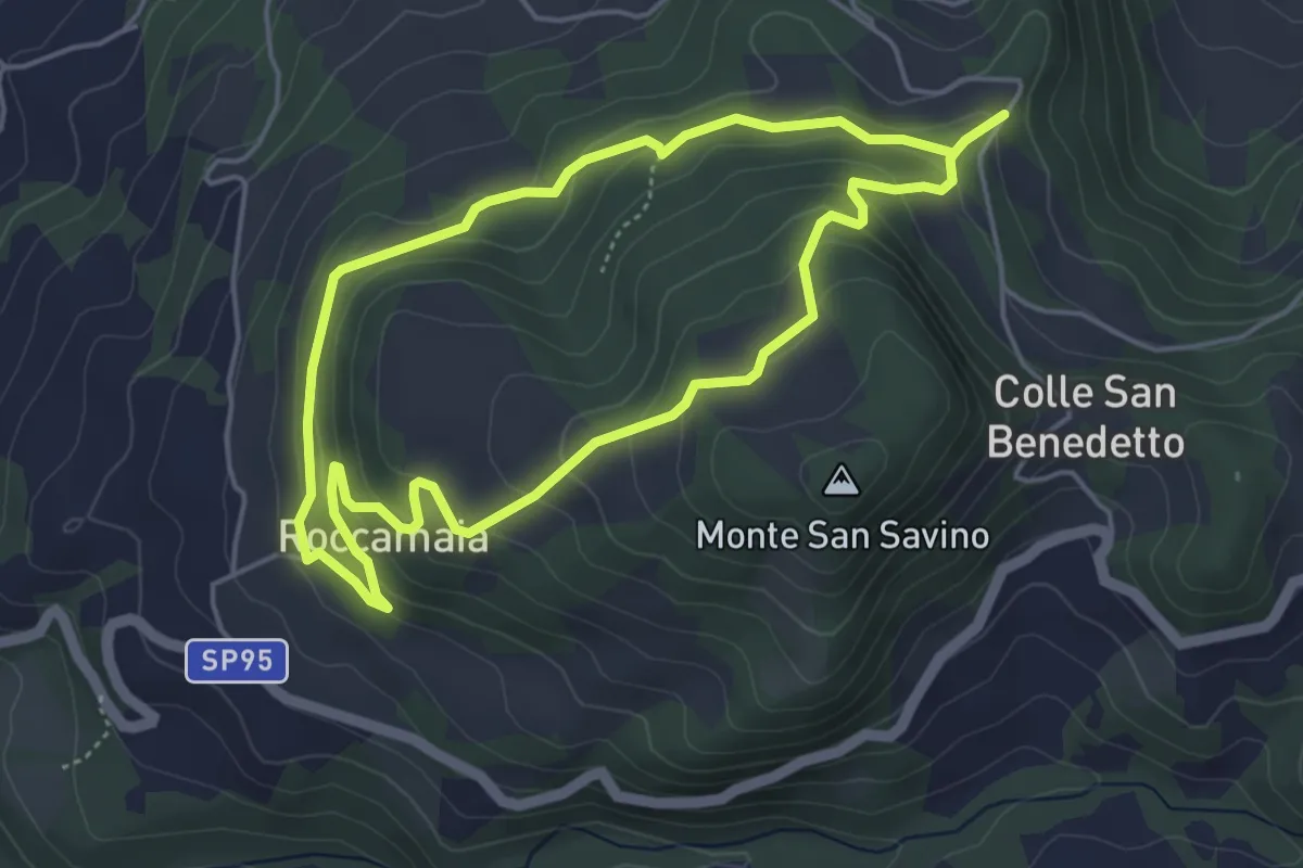
Easy · Trail
Percorso Natura N2
4.6 km · ↑ 202 m · 1 h 36 min
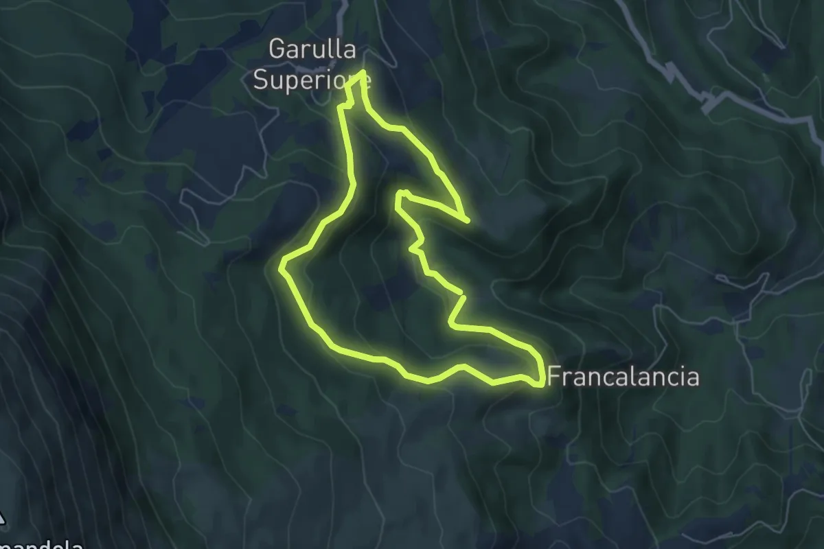
Easy · Trail
Percorso Natura N4
5.6 km · ↑ 260 m · 1 h 58 min
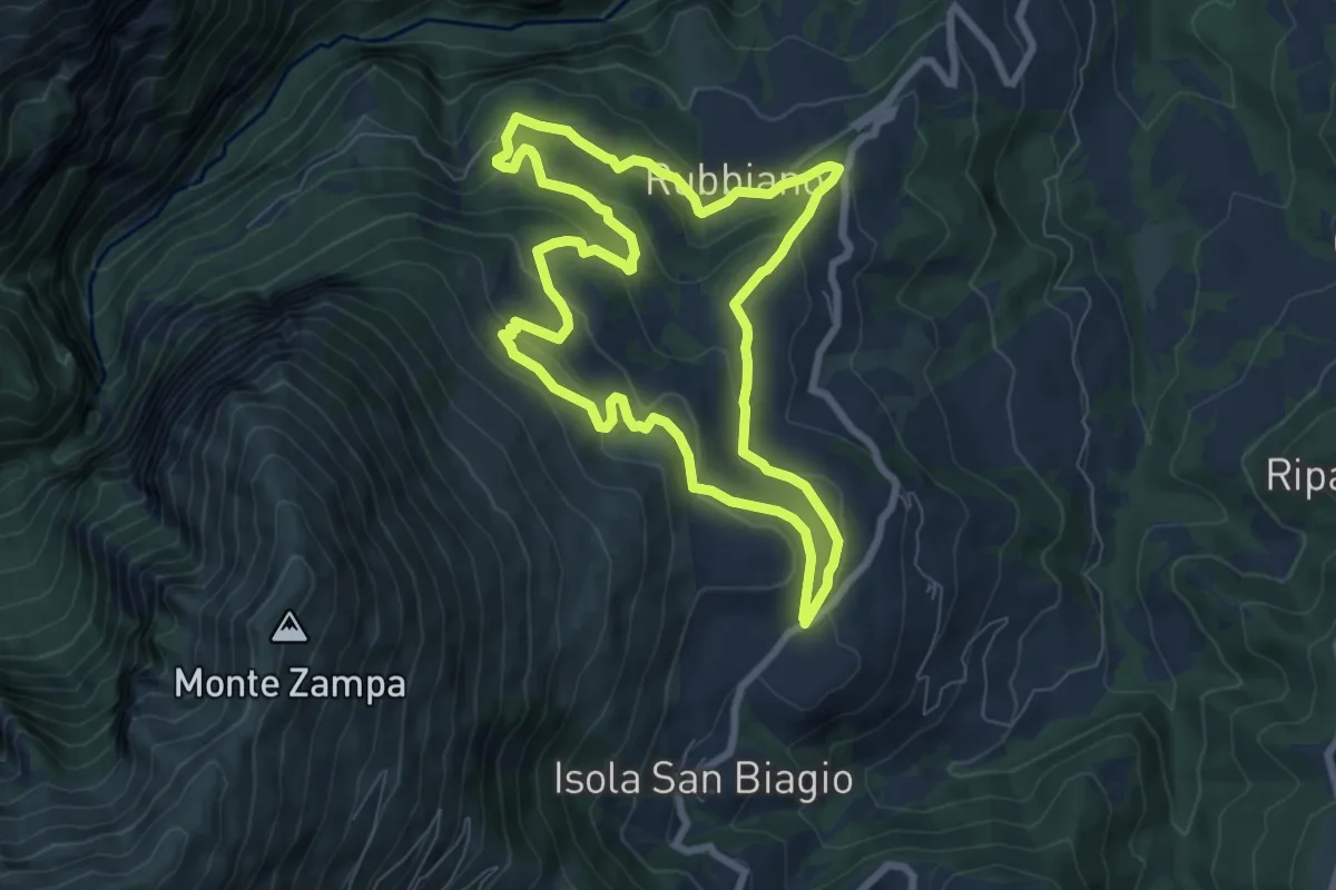
Easy · Trail
Percorso Natura N5
7.8 km · ↑ 314 m · 2 h 38 min
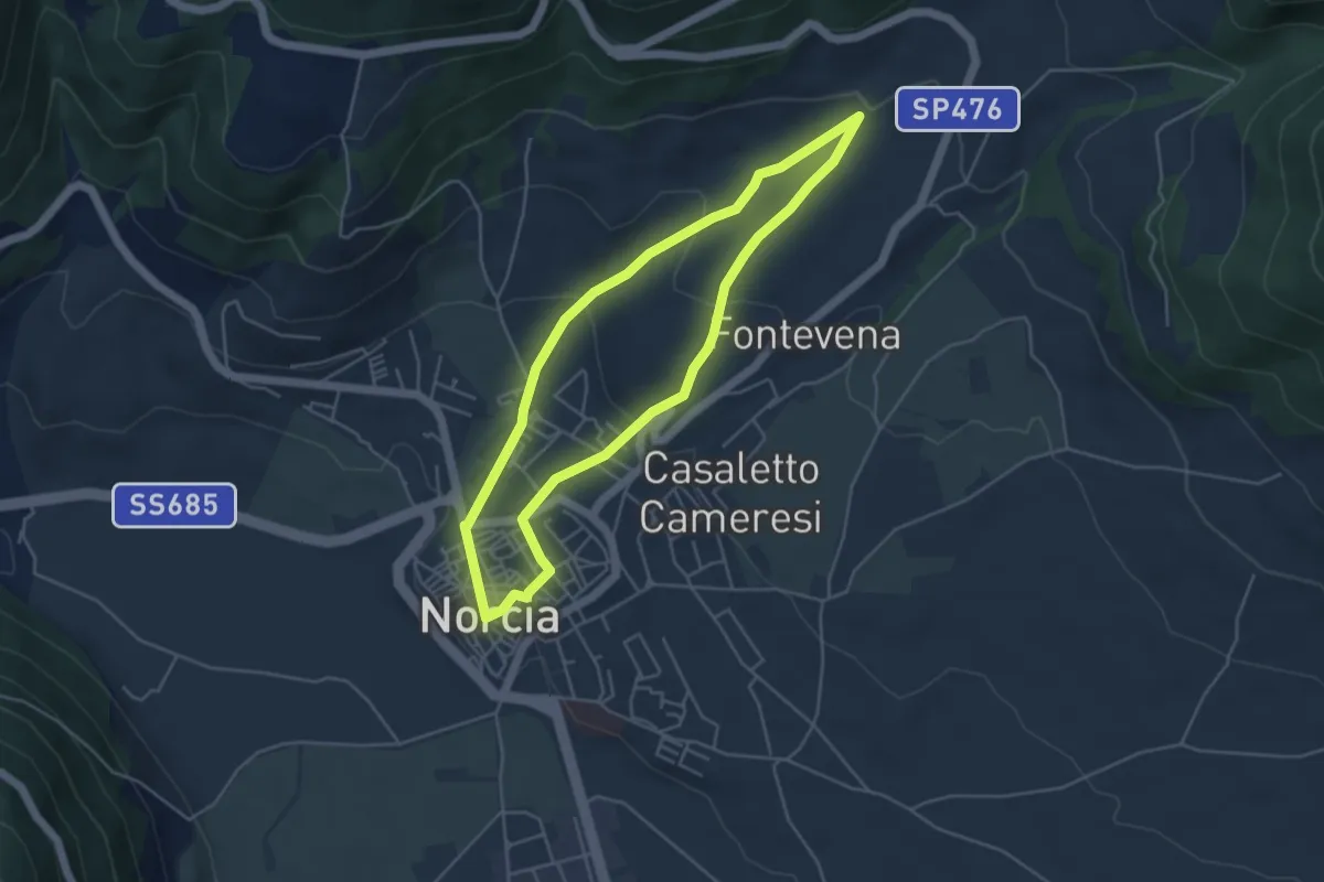
Easy · Trail
Percorso Natura N9
4.6 km · ↑ 147 m · 1 h 27 min
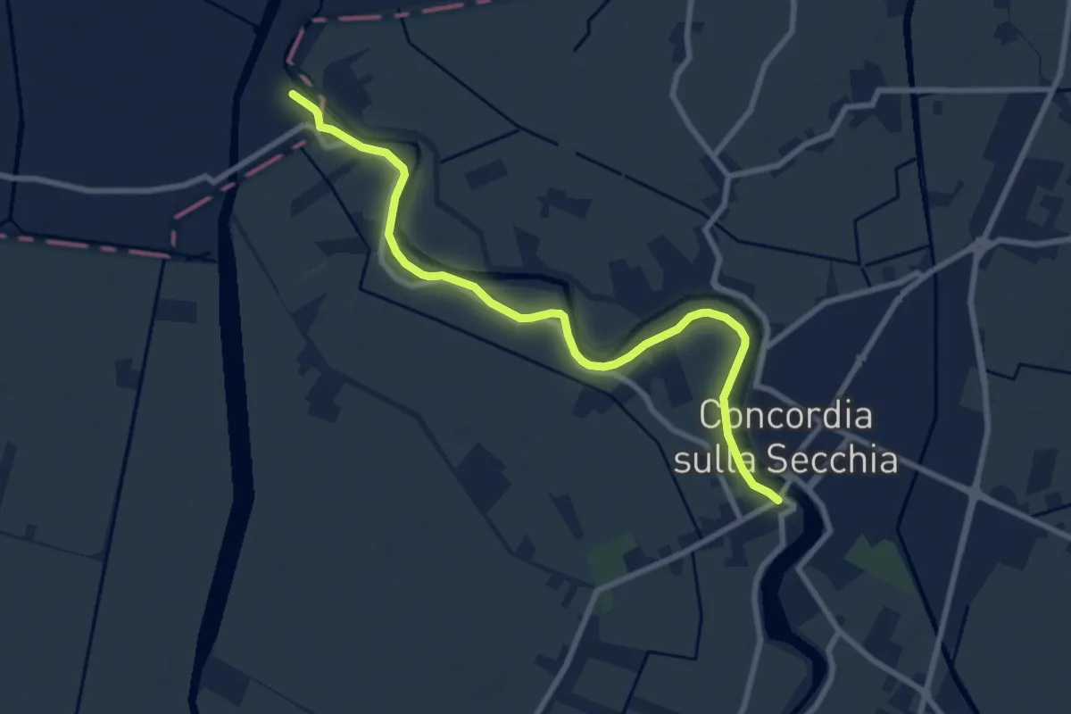
Medium · Trail
Percorso Natura Secchia
9.1 km · ↑ 4 m · 2 h 9 min
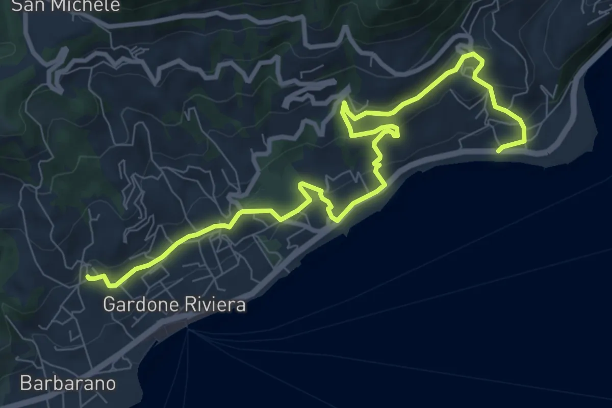
Medium · Trail
Percorso Nero Gardone Riviera
9.6 km · ↑ 415 m · 3 h 9 min
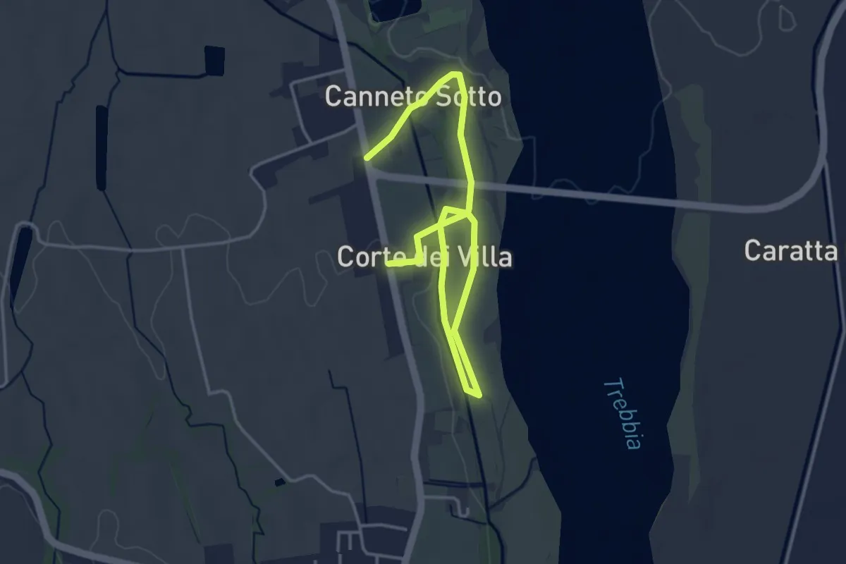
Easy · Trail
Percorso Orchidea
5.0 km · ↑ 35 m · 1 h 15 min
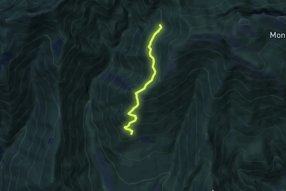
Medium · Trail
Percorso Ossero Ruche
5.5 km · ↑ 462 m · 2 h 18 min
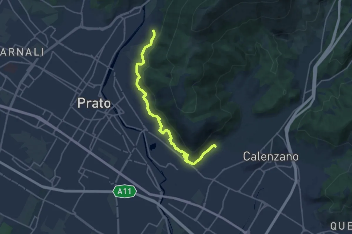
Medium · Trail
Percorso pedecollinare
15.0 km · ↑ 490 m · 4 h 36 min
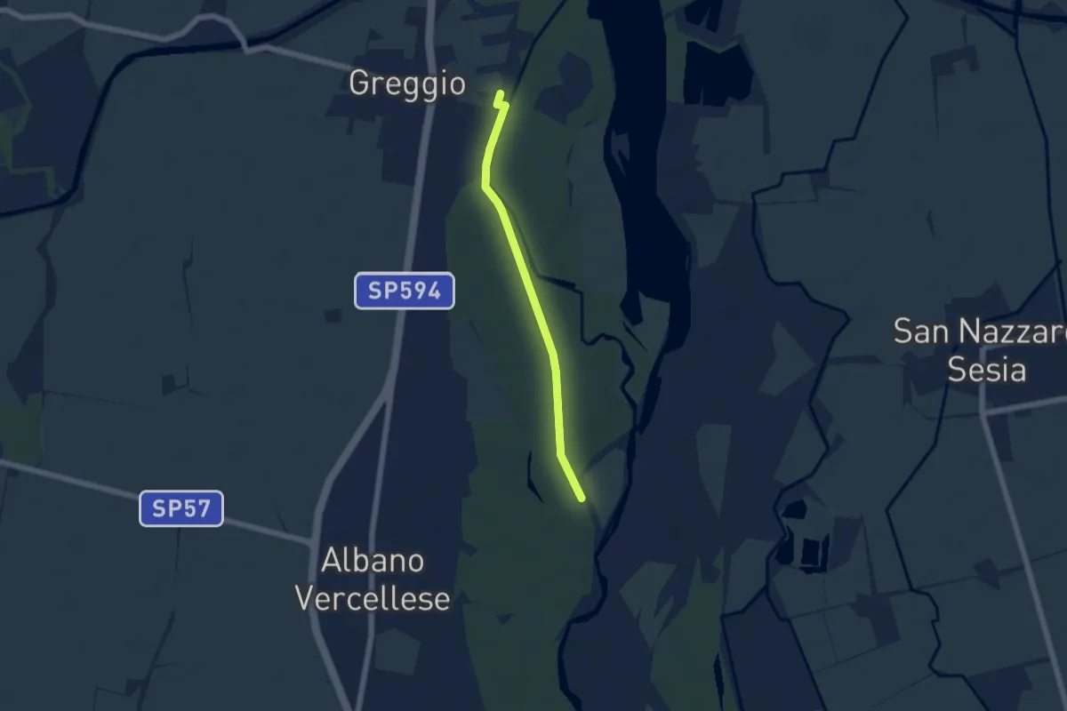
Easy · Trail
Percorso pedonale Greggio-Albano Vercellese
4.7 km · ↑ 14 m · 1 h 9 min
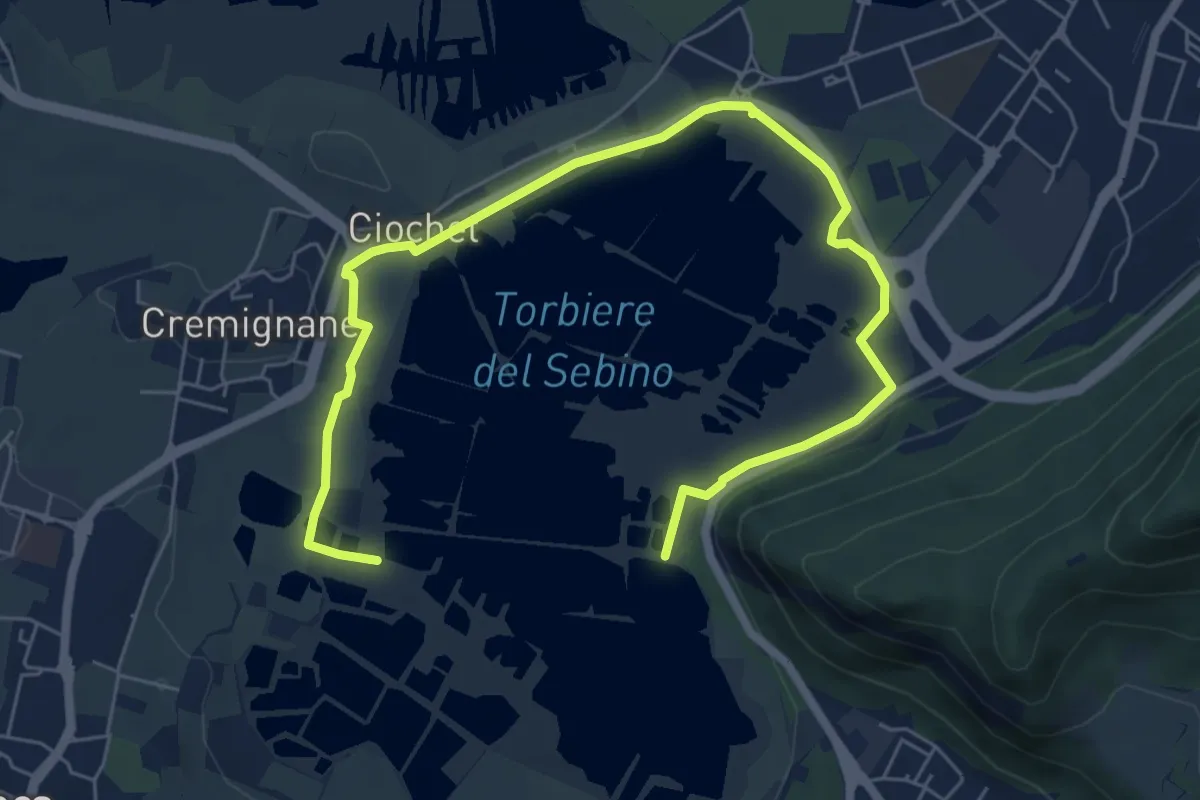
Medium · Trail
Percorso Pedonale Nord
8.5 km · ↑ 18 m · 2 h 3 min
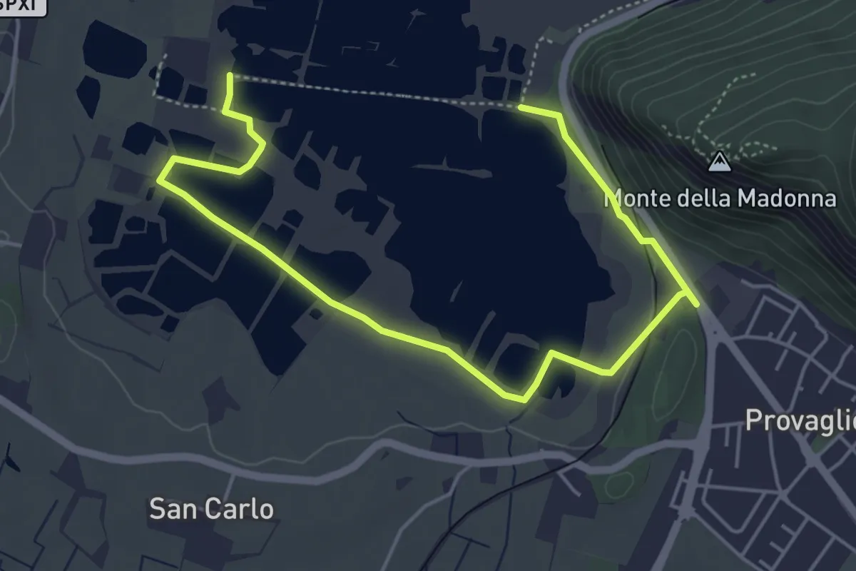
Easy · Trail
Percorso Pedonale Sud
6.4 km · ↑ 61 m · 1 h 39 min
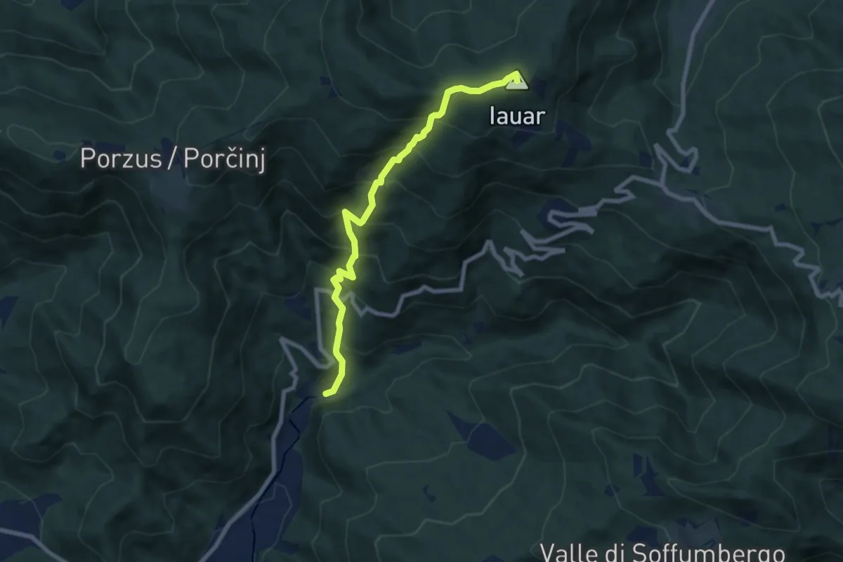
Medium · Summit
Percorso per le Malghe di Porzus
7.1 km · ↑ 753 m · 3 h 18 min
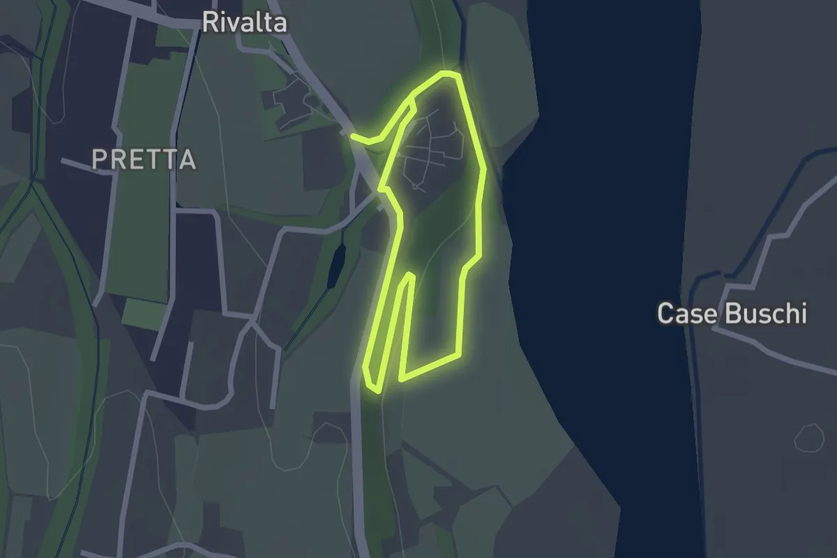
Easy · Trail
Percorso Picchio
1.9 km · ↑ 24 m · 31 min
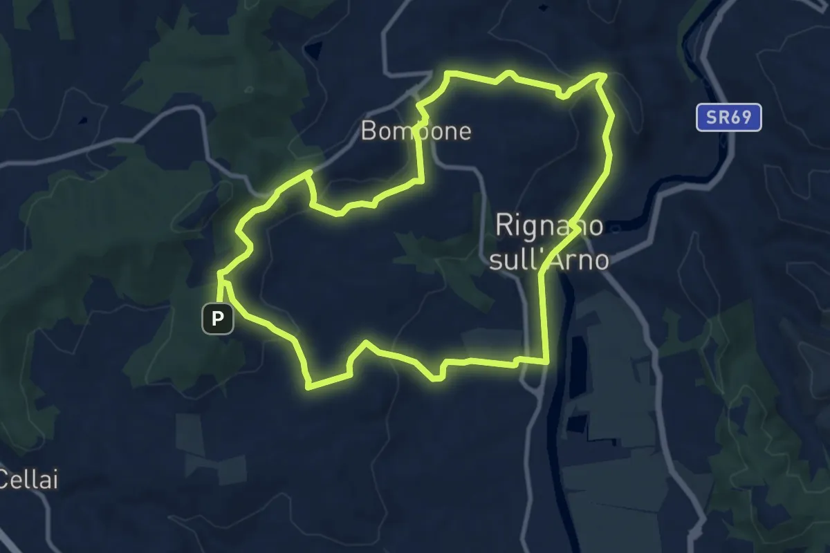
Medium · Trail
Percorso "Pievi, Chiese e Castelli"
10.6 km · ↑ 279 m · 3 h 16 min
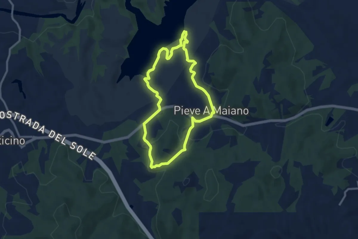
Easy · Trail
Percorso PINETA
6.4 km · ↑ 164 m · 1 h 58 min
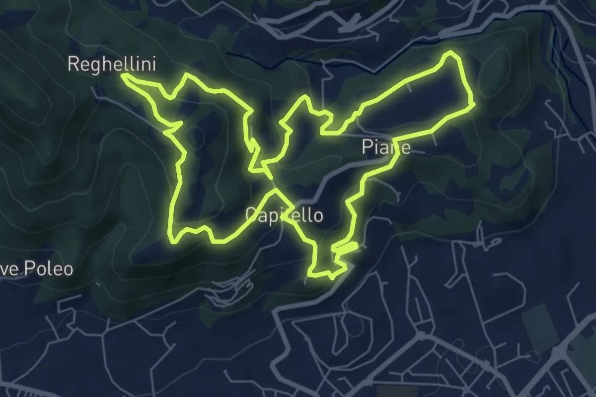
Medium · Trail
Percorso Pio Penzo
7.1 km · ↑ 383 m · 2 h 36 min
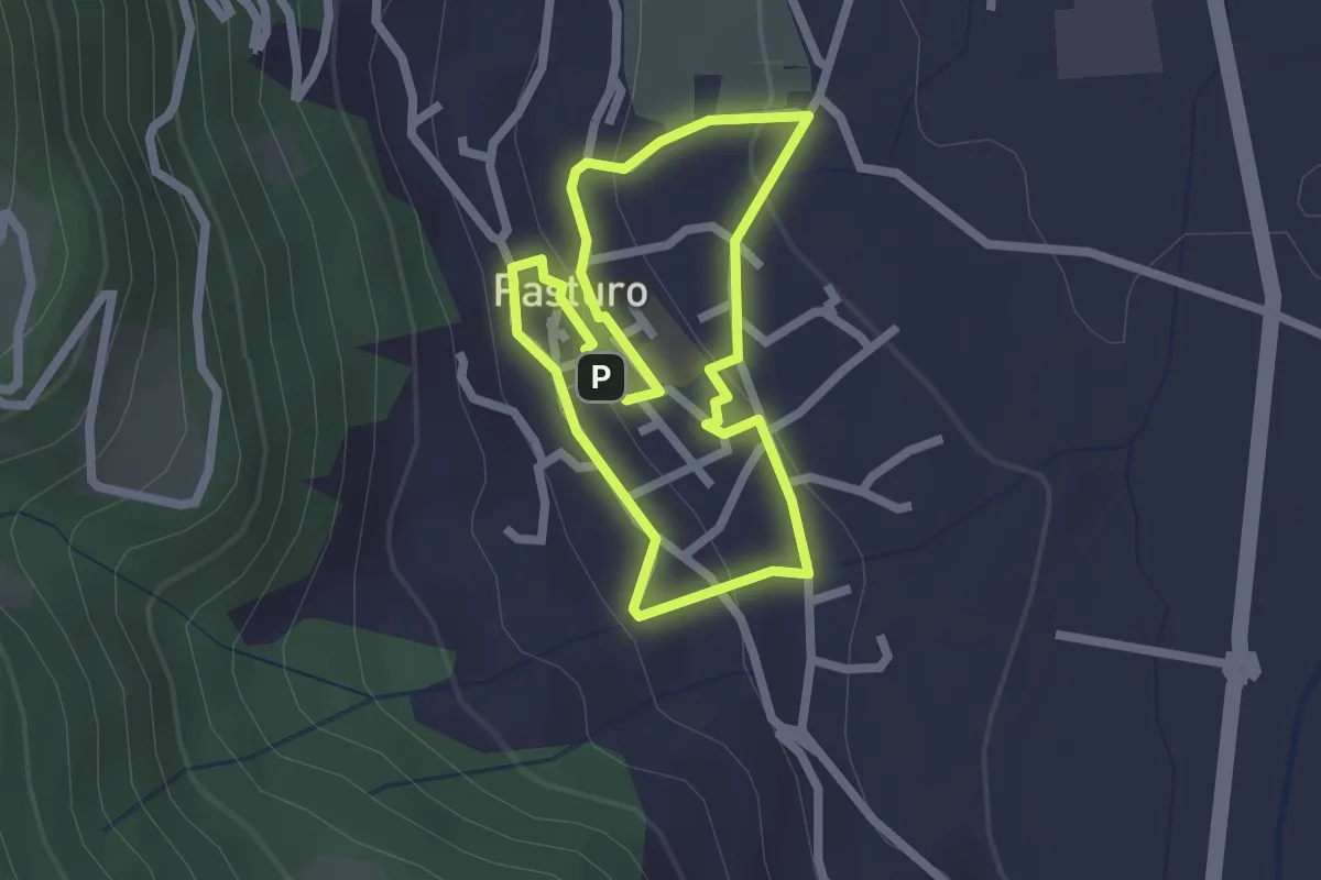
Easy · Trail
Percorso poetico di Antonia Pozzi
2.0 km · ↑ 69 m · 39 min
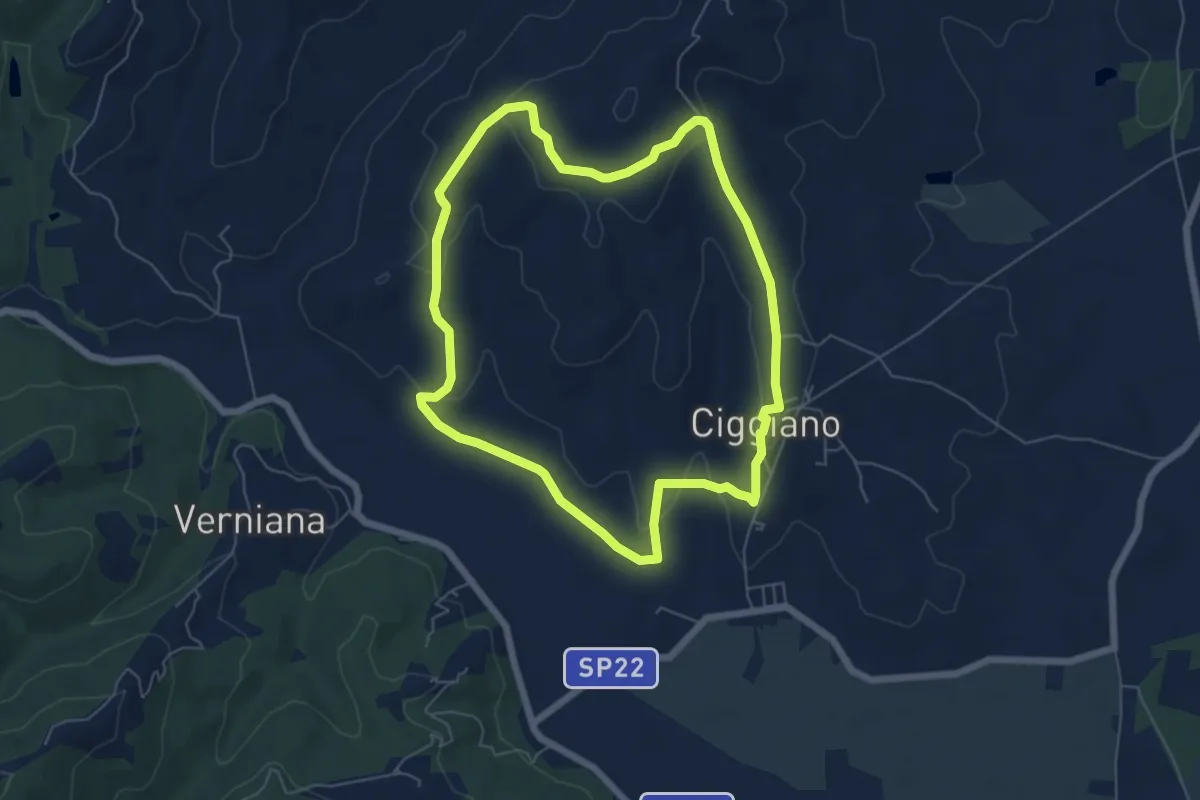
Easy · Trail
Percorso POGGILUNGHI
6.2 km · ↑ 151 m · 1 h 53 min
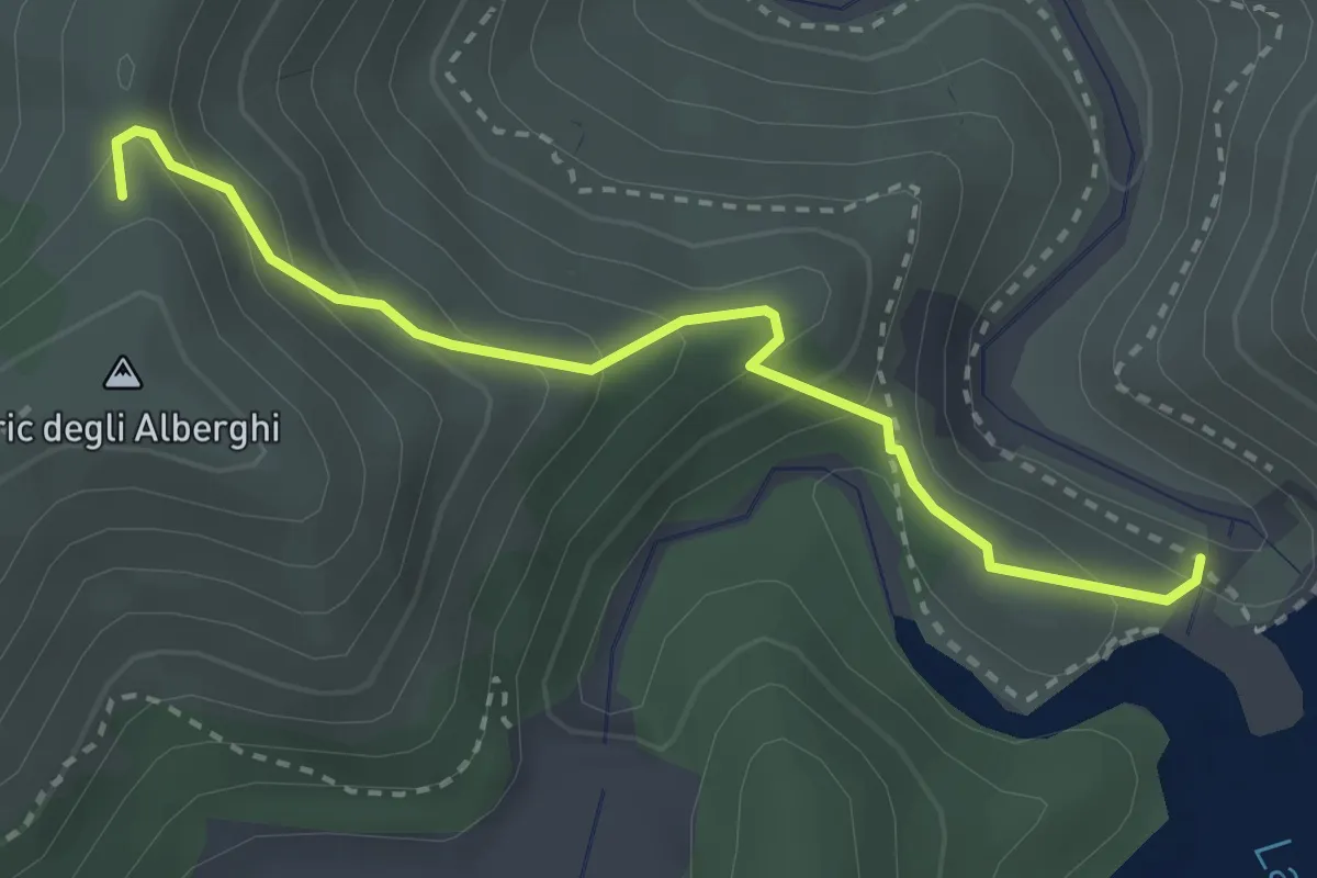
Easy · Trail
Percorso provvisorio Lago Bruno
3.1 km · ↑ 227 m · 1 h 13 min
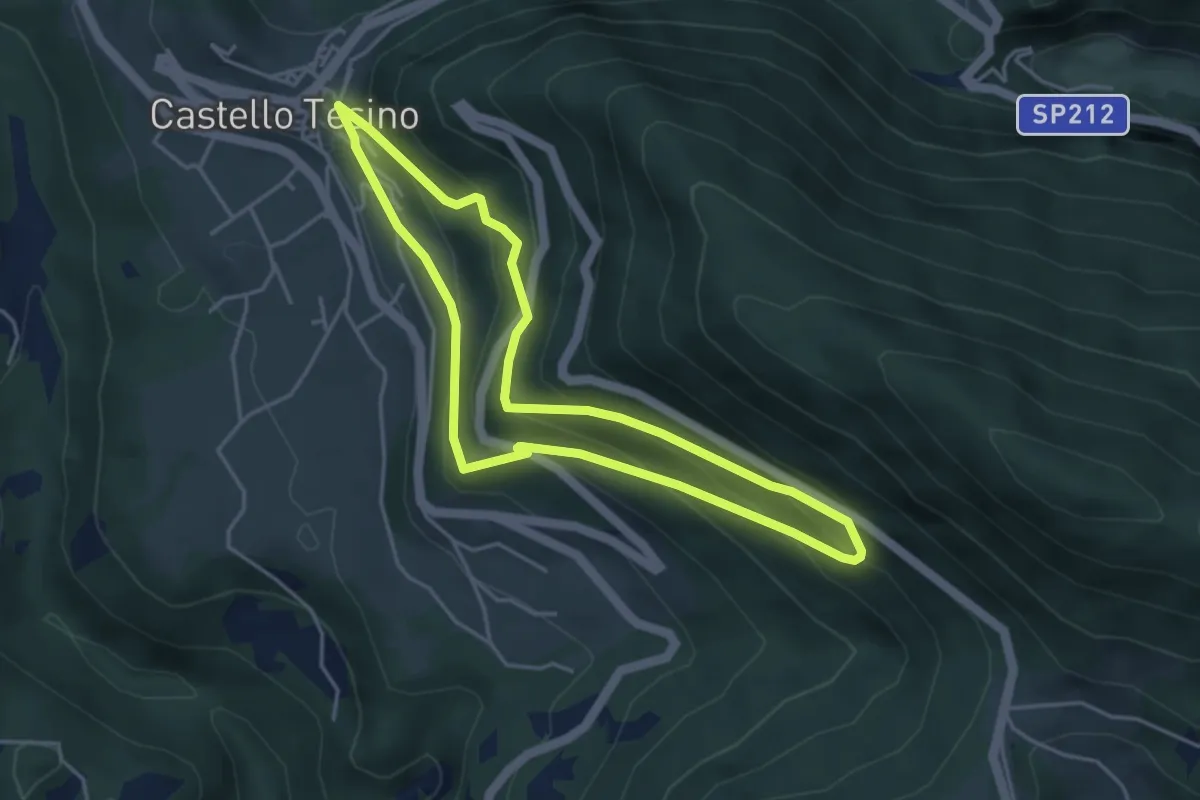
Easy · Trail
Percorso Ronche
4.0 km · ↑ 265 m · 1 h 35 min
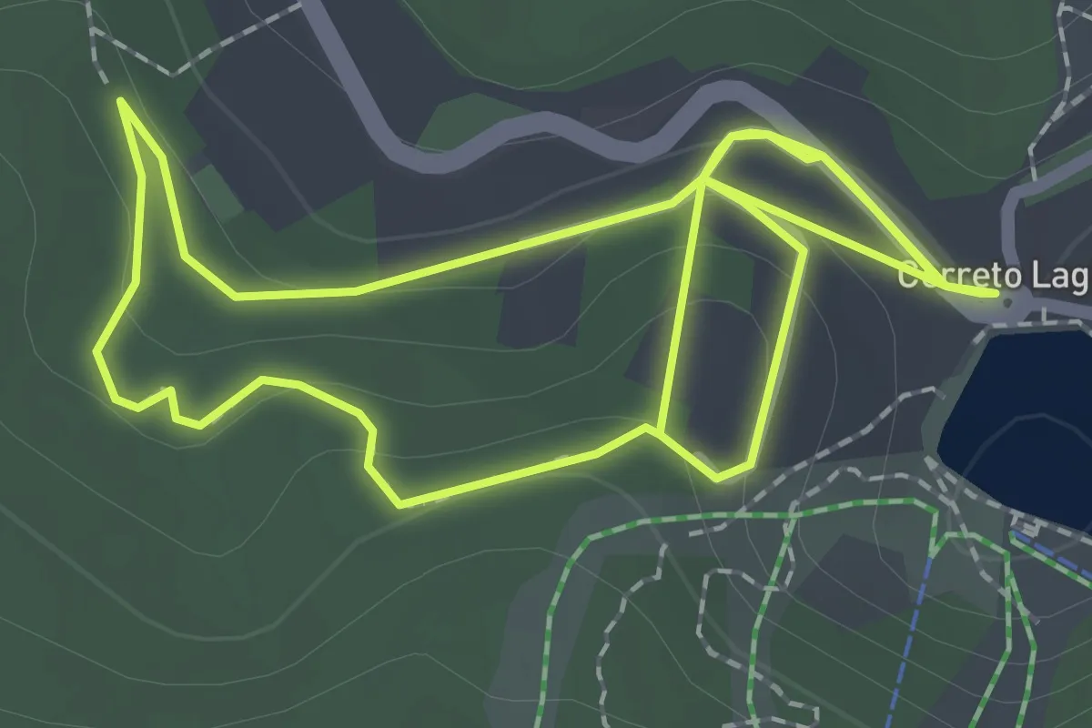
Easy · Trail
Percorso Rosa
4.4 km · ↑ 140 m · 1 h 20 min
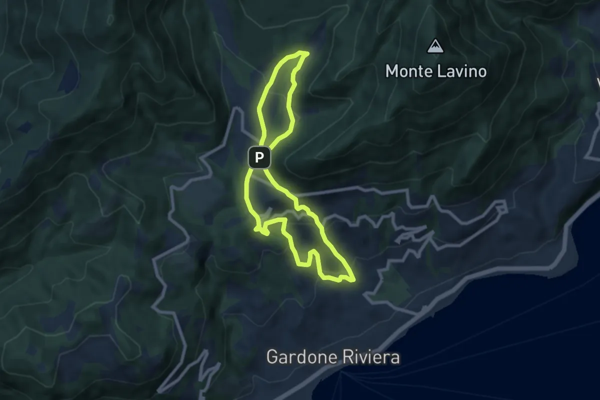
Medium · Trail
Percorso Rosa Gardone Riviera
6.3 km · ↑ 310 m · 2 h 16 min
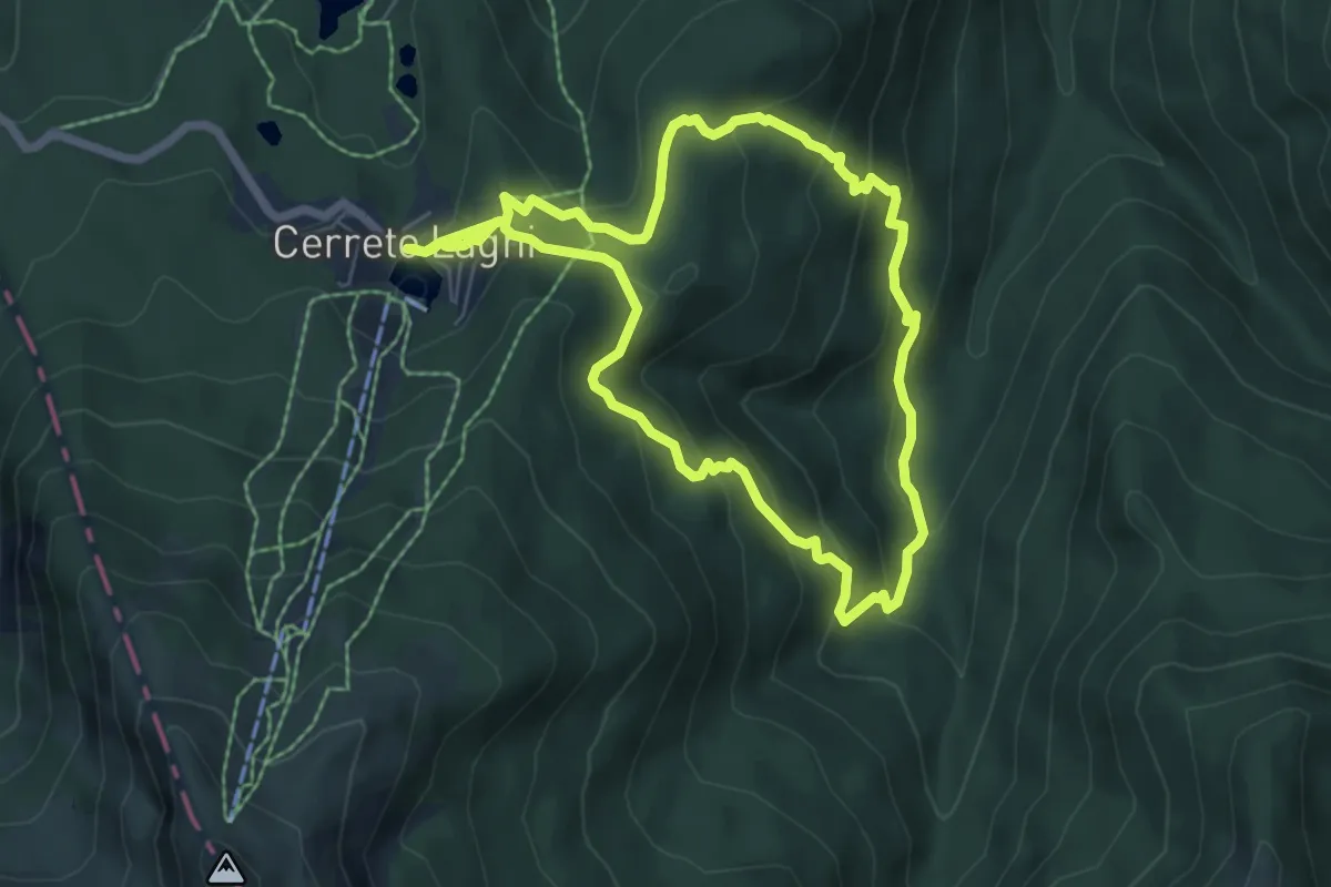
Medium · Trail
Percorso Rosso
12.6 km · ↑ 689 m · 4 h 28 min
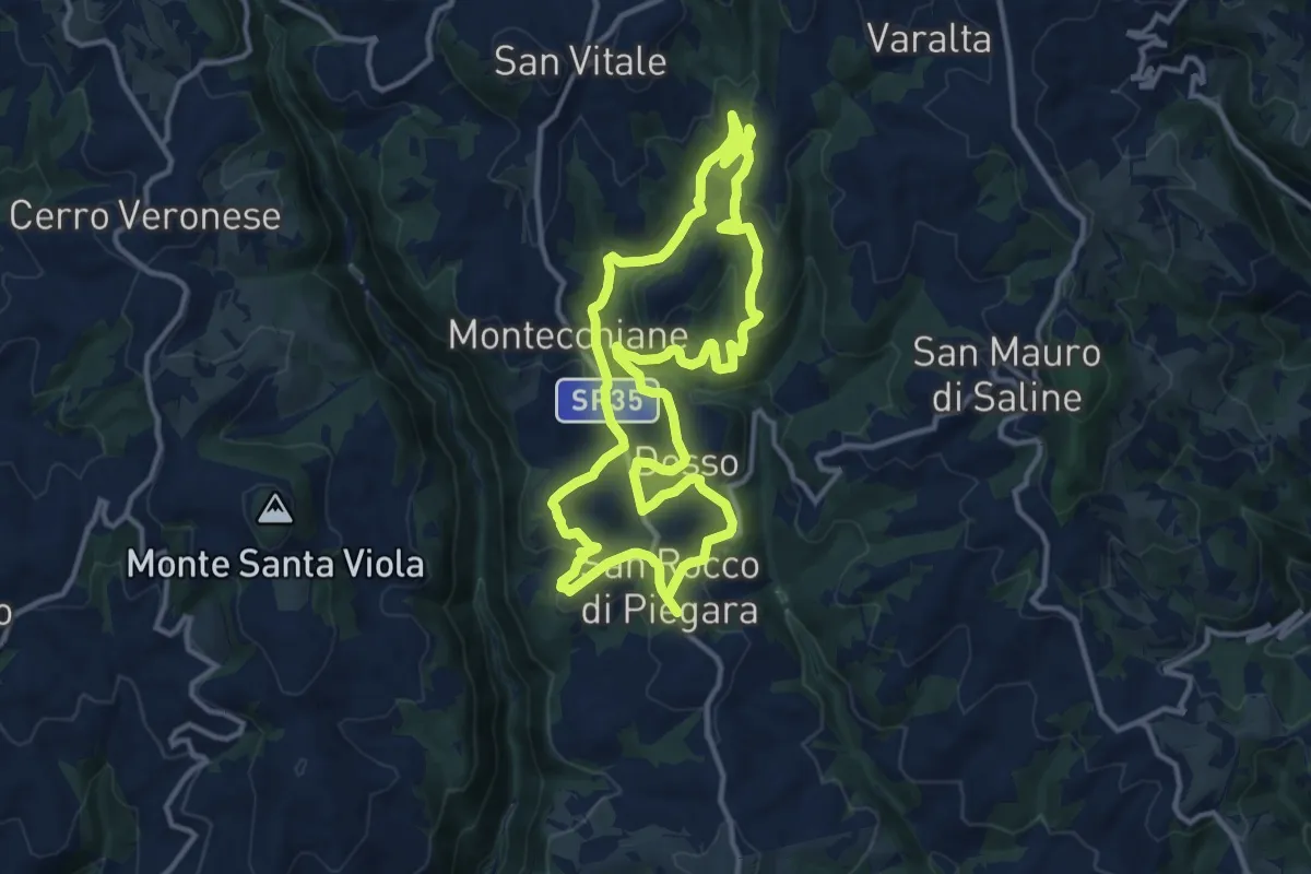
Medium · Summit
Percorso Rosso
12.5 km · ↑ 402 m · 4 h
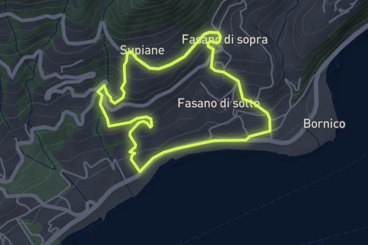
Easy · Trail
Percorso Rosso Gardone Riviera
3.8 km · ↑ 246 m · 1 h 28 min
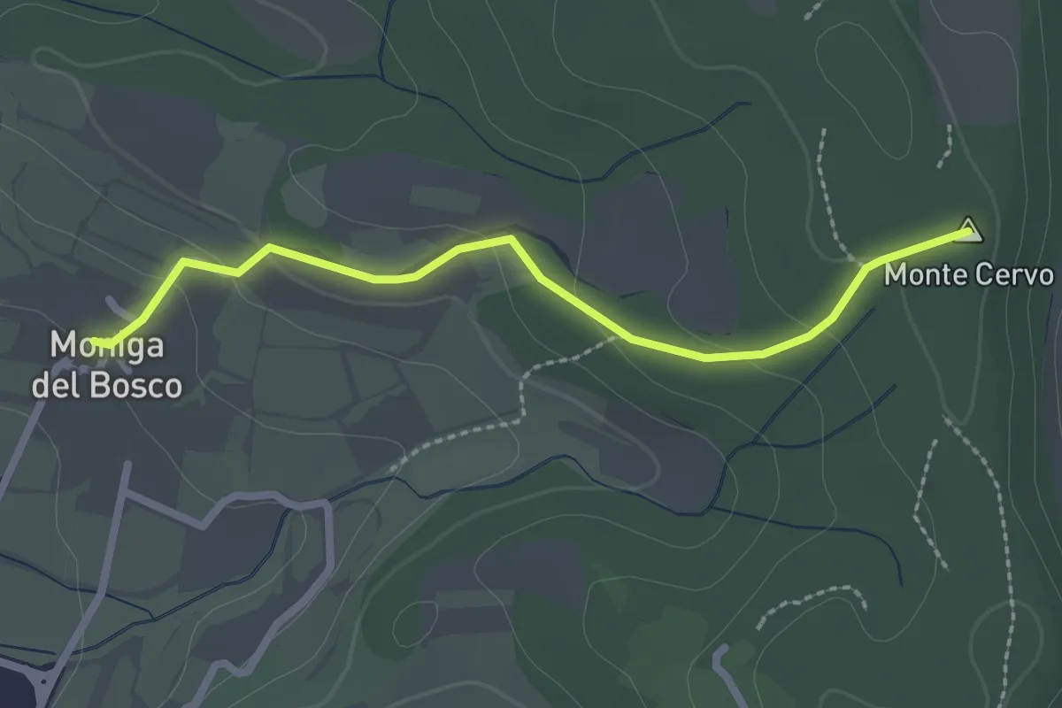
Easy · Summit
Percorso Rosso Muscoline
2.4 km · ↑ 81 m · 45 min
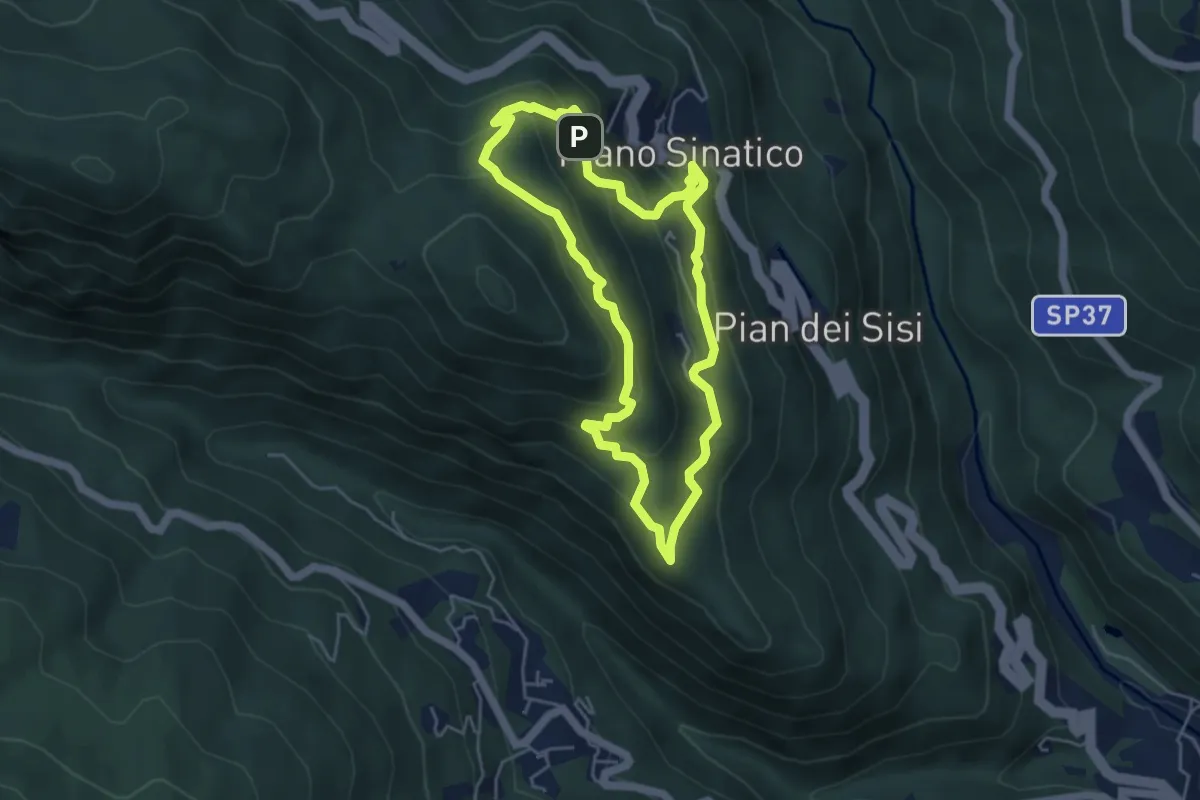
Medium · Trail
Percorso Rosso - Museo Linea Gotica Pianosinatico
4.6 km · ↑ 337 m · 1 h 52 min
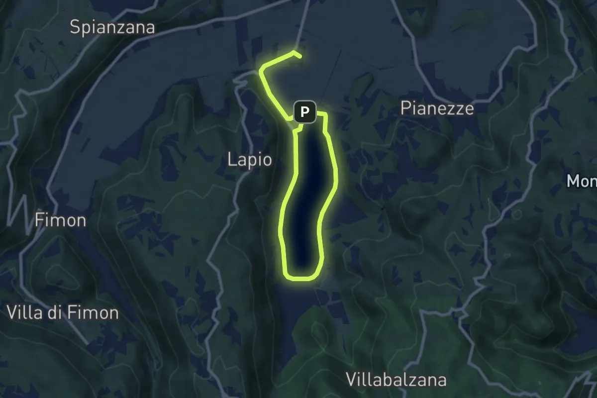
Medium · Summit
Percorso ROSSO - Torri di Arcugnano
10.6 km · ↑ 46 m · 2 h 37 min
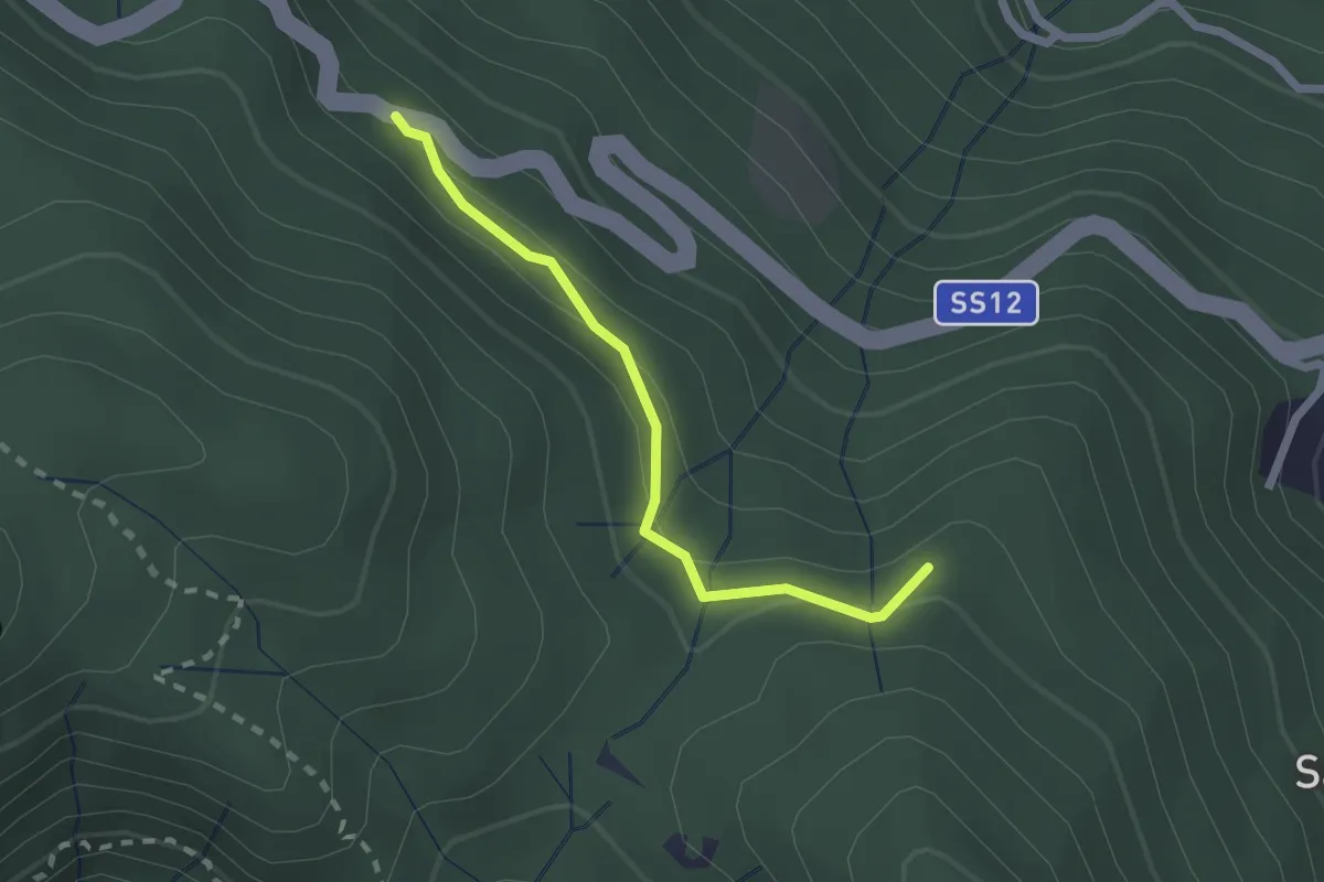
Easy · Trail
Percorso Rosso - Variante E-Bike
2.0 km · ↑ 91 m · 41 min
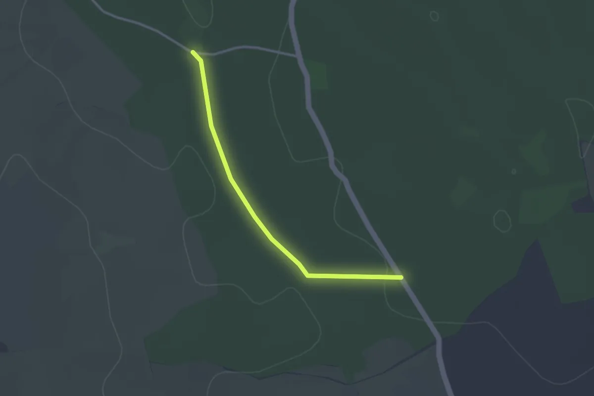
Easy · Trail
Percorso salute
3.1 km · ↑ 18 m · 46 min
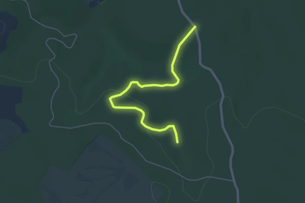
Easy · Trail
Percorso salute 2
4.8 km · ↑ 62 m · 1 h 16 min
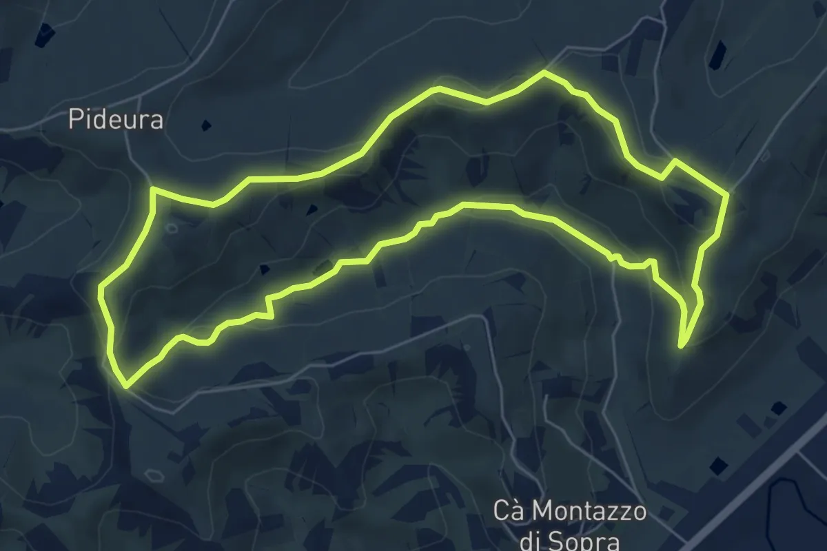
Easy · Trail
Percorso Sangiovese
6.8 km · ↑ 170 m · 2 h 5 min
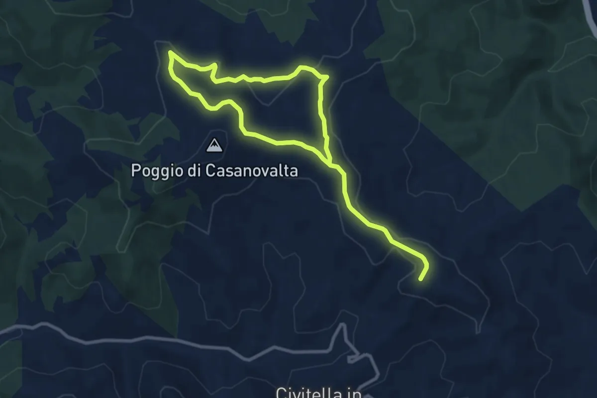
Easy · Summit
Percorso SAN MARTINO IN POGGIO
6.5 km · ↑ 139 m · 1 h 55 min
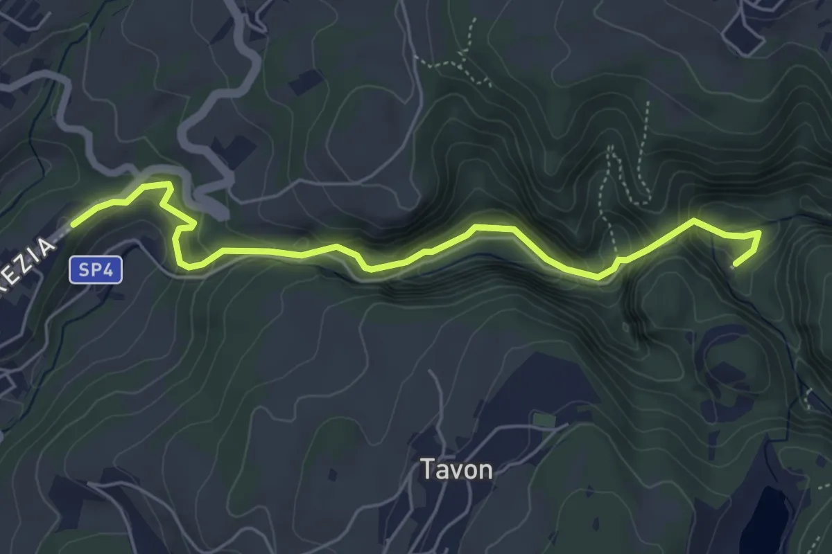
Medium · Trail
Percorso San Romedio
5.4 km · ↑ 354 m · 2 h 3 min
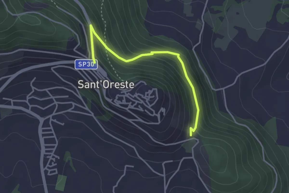
Easy · Trail
Percorso Sant'Edisto - Santo Stefano – Sant’Uberto
3.4 km · ↑ 244 m · 1 h 20 min
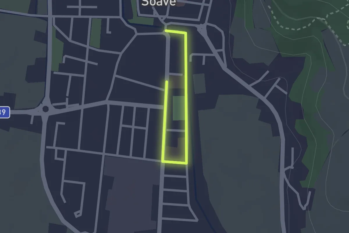
Easy · Trail
Percorso Scuole di Soave
2.2 km · ↑ 0 m · 31 min
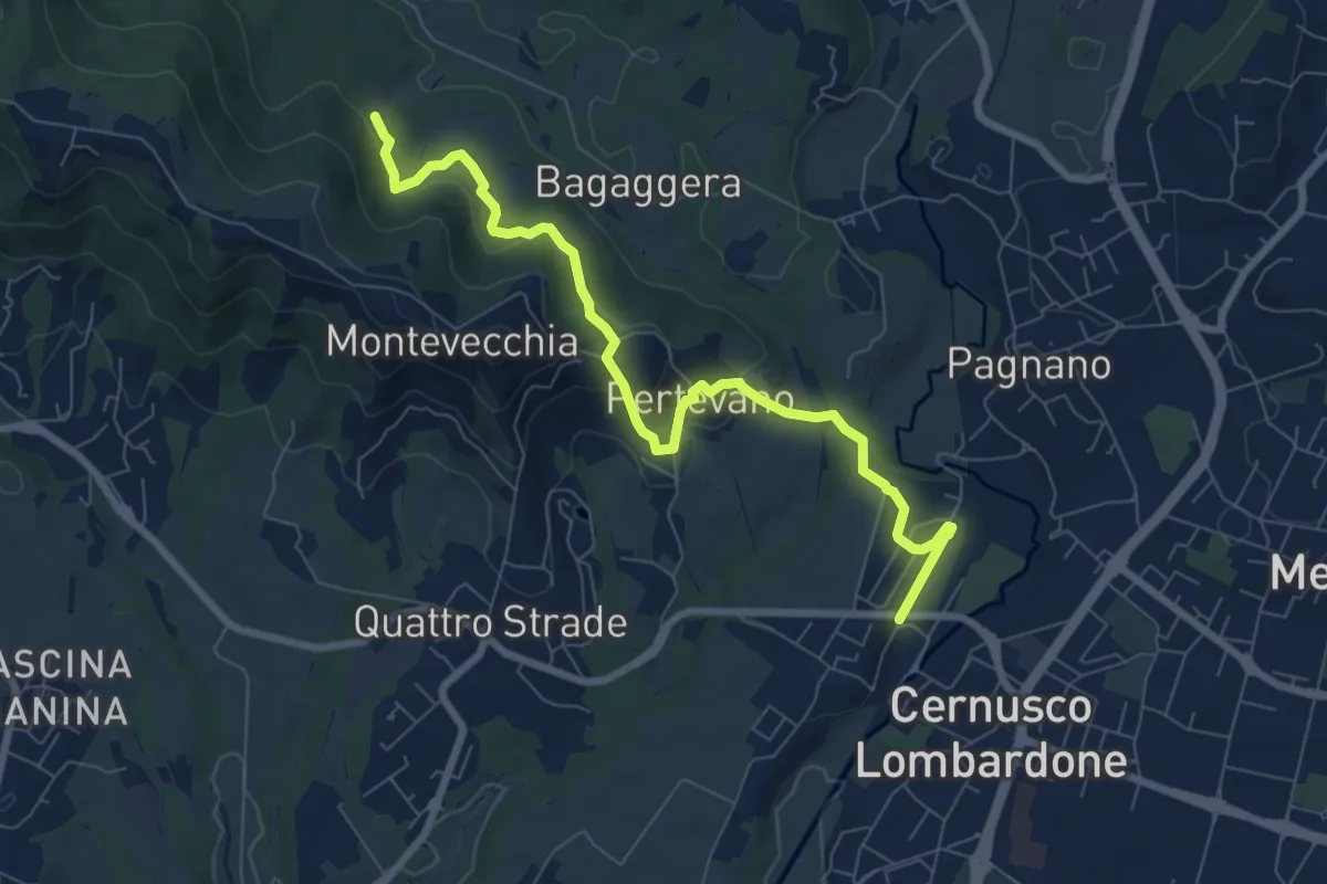
Medium · Trail
Percorso stazione
8.4 km · ↑ 261 m · 2 h 32 min
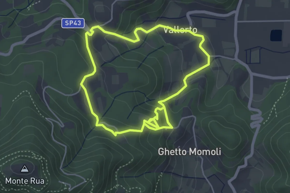
Medium · Trail
Percorso storico naturalistico del Roccolo Bonato
8.0 km · ↑ 383 m · 2 h 43 min