Trails in Italy
25,221 hiking trails, each with its route, climb, walking time and grade.
All trails, page 122 of 526
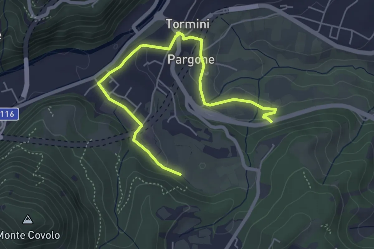
Easy · Trail
Percorso Sud-Ovest Roè Volciano
5.5 km · ↑ 141 m · 1 h 36 min
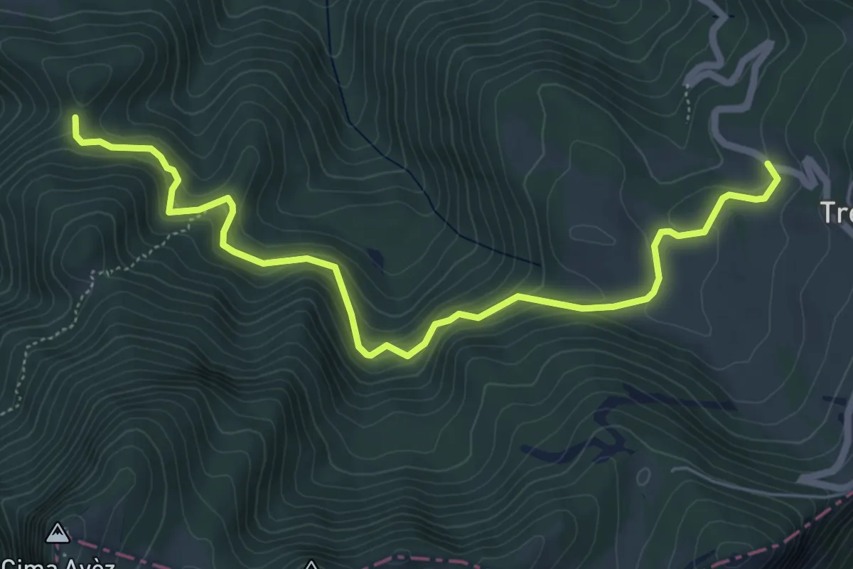
Medium · Cabin
Percorso tra le Malghe
6.5 km · ↑ 328 m · 2 h 15 min
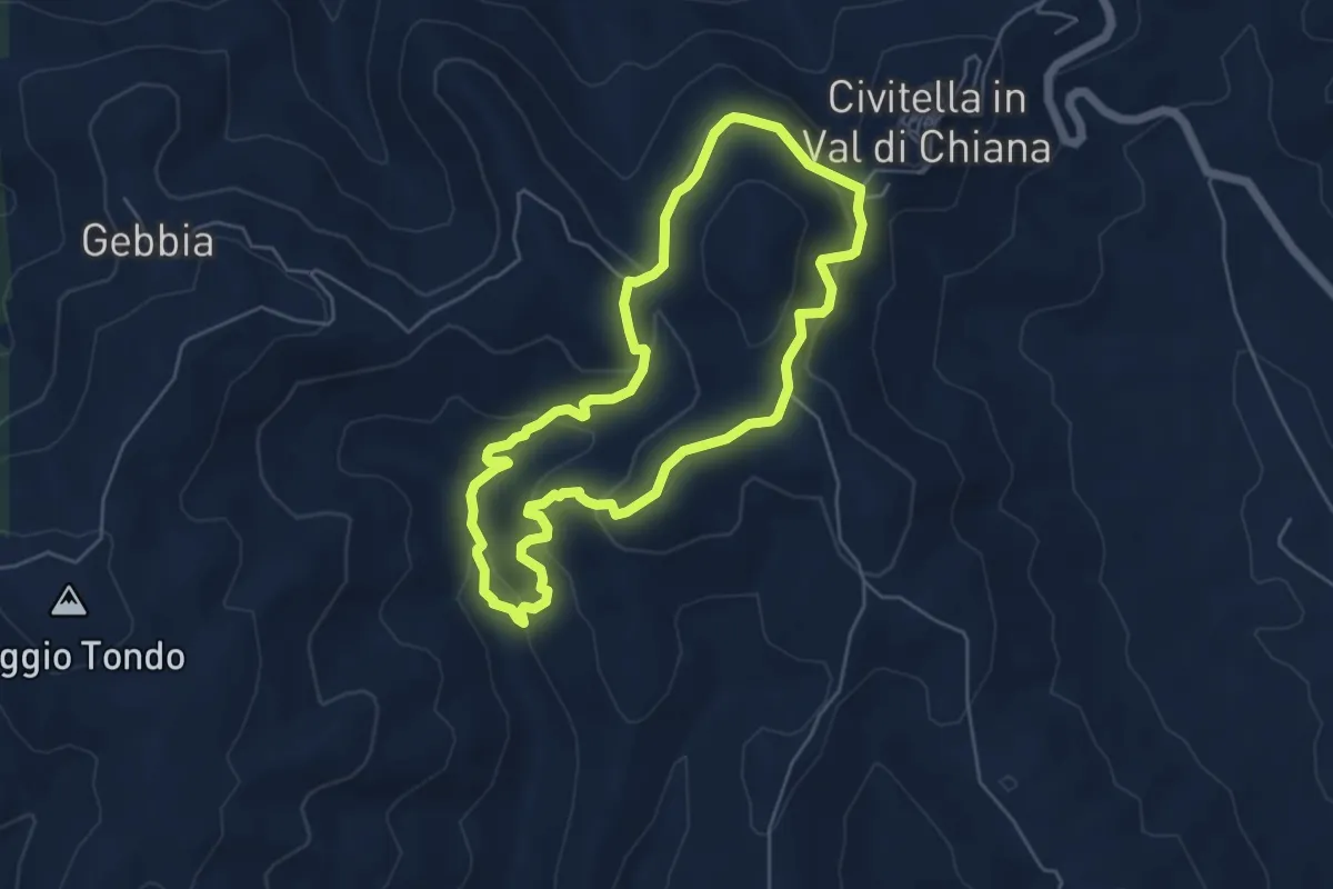
Easy · Trail
Percorso TROVE
5.2 km · ↑ 227 m · 1 h 48 min
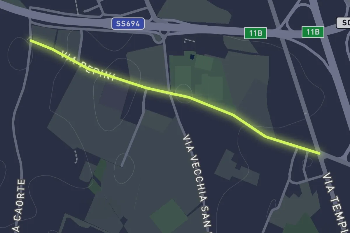
Easy · Trail
Percorso turistico Valle della Cupa
2.6 km · ↑ 4 m · 37 min
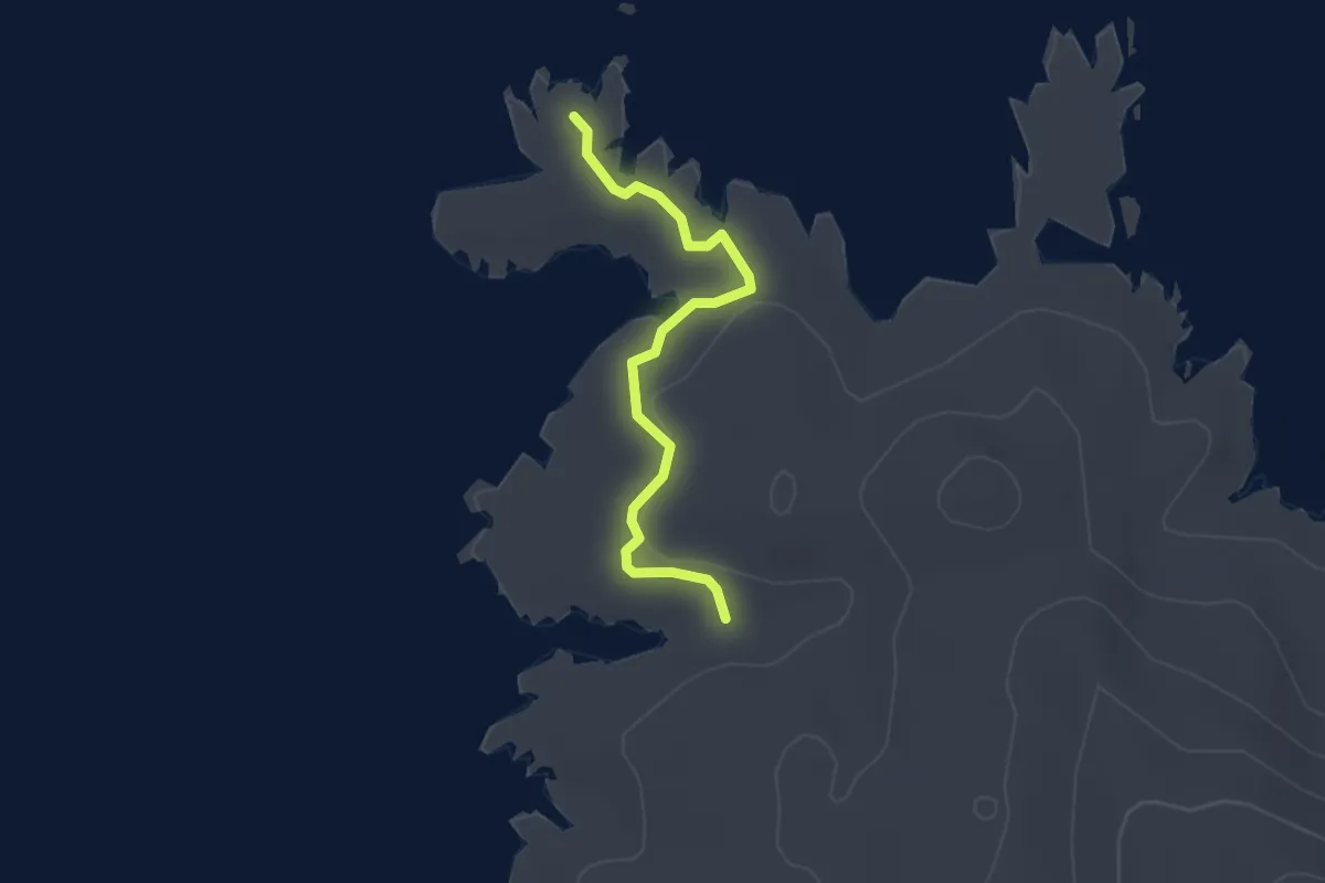
Easy · Trail
Percorso Variante
2.4 km · ↑ 30 m · 38 min
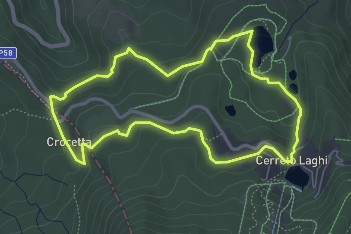
Medium · Trail
Percorso Verde
5.1 km · ↑ 153 m · 1 h 36 min
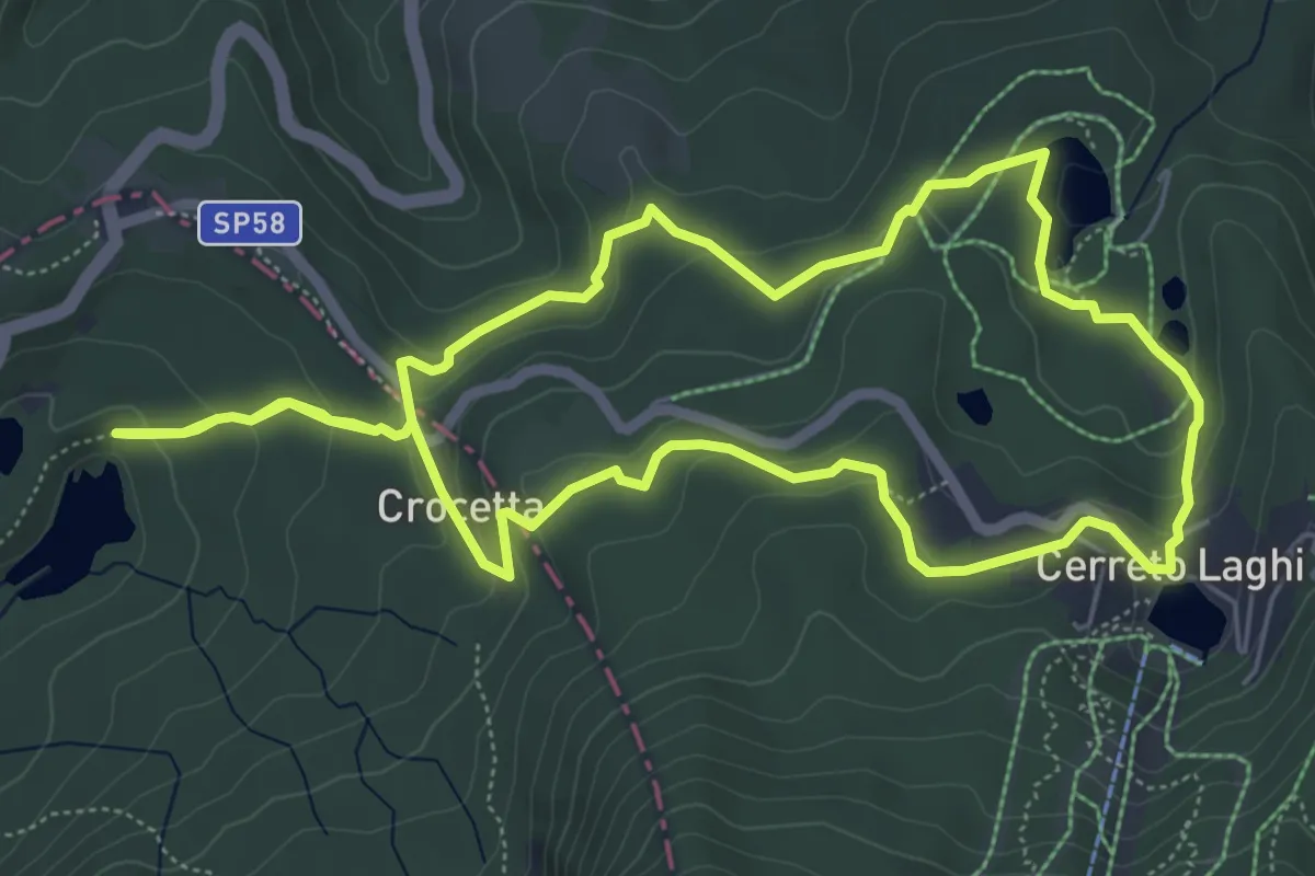
Medium · Trail
Percorso Verde Chiaro
6.3 km · ↑ 219 m · 2 h 3 min
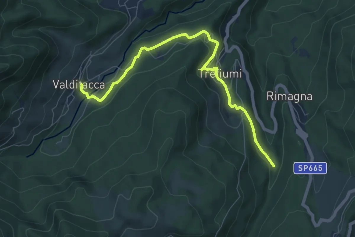
Medium · Trail
Percorso Verde delle Frazioni
8.0 km · ↑ 221 m · 2 h 22 min
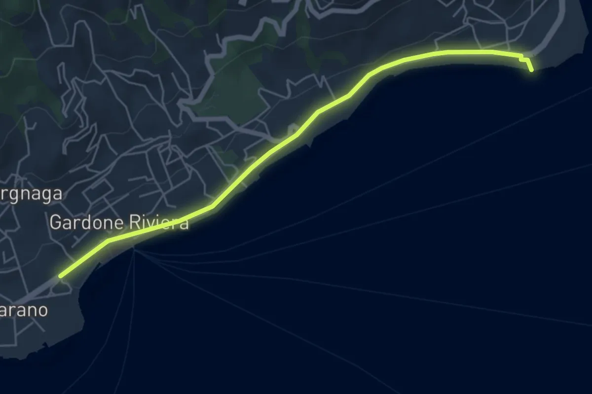
Easy · Trail
Percorso Verde Gardone Riviera
5.3 km · ↑ 47 m · 1 h 22 min
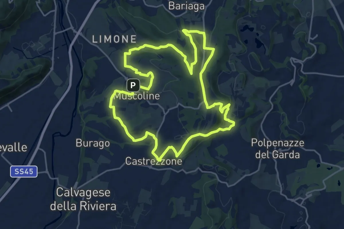
Medium · Summit
Percorso Verde Muscoline
15.1 km · ↑ 297 m · 4 h 24 min
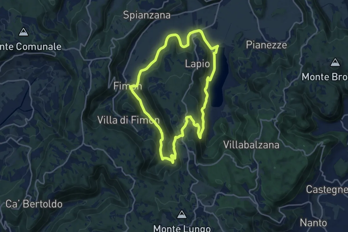
Medium · Trail
Percorso VERDE - Valle dei Molini
12.5 km · ↑ 347 m · 3 h 53 min
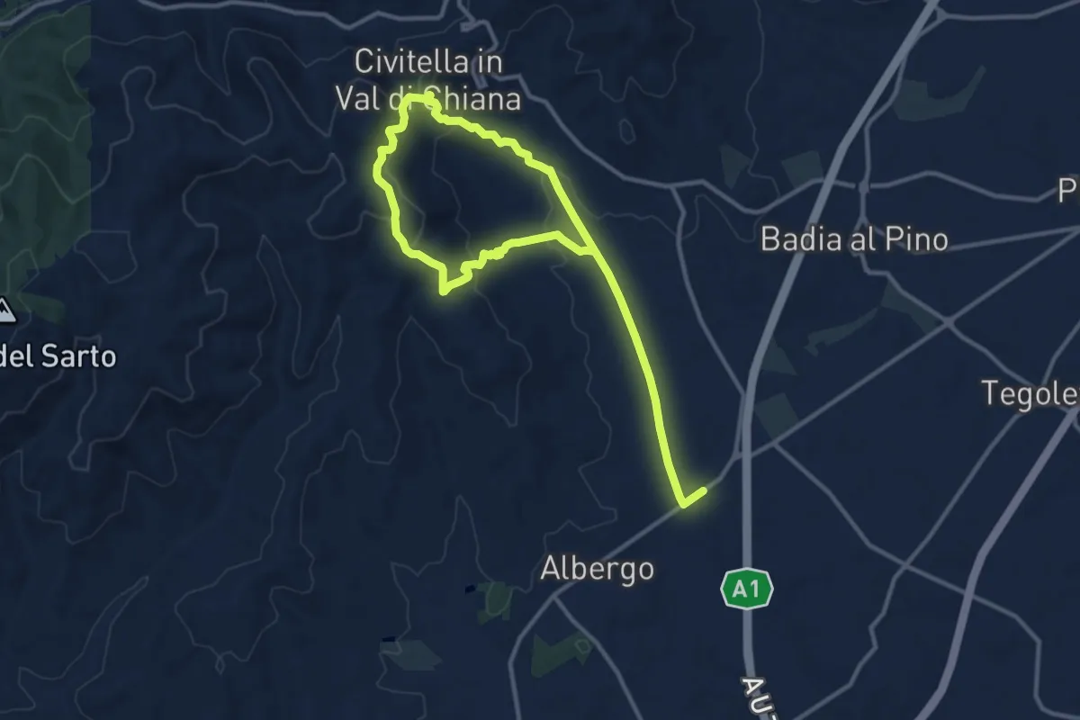
Medium · Trail
Percorso VIA DEI MERCANTI
8.7 km · ↑ 282 m · 2 h 48 min
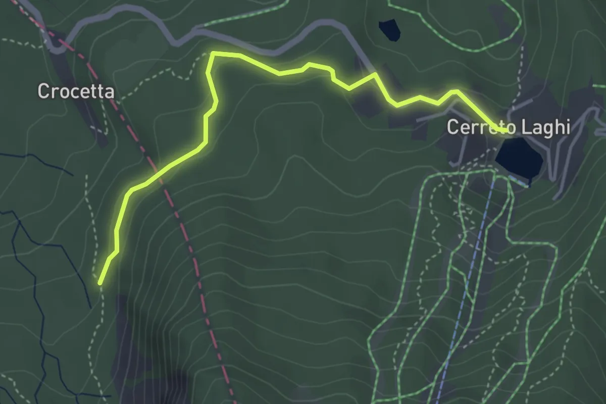
Easy · Trail
Percorso Viola
4.2 km · ↑ 128 m · 1 h 16 min
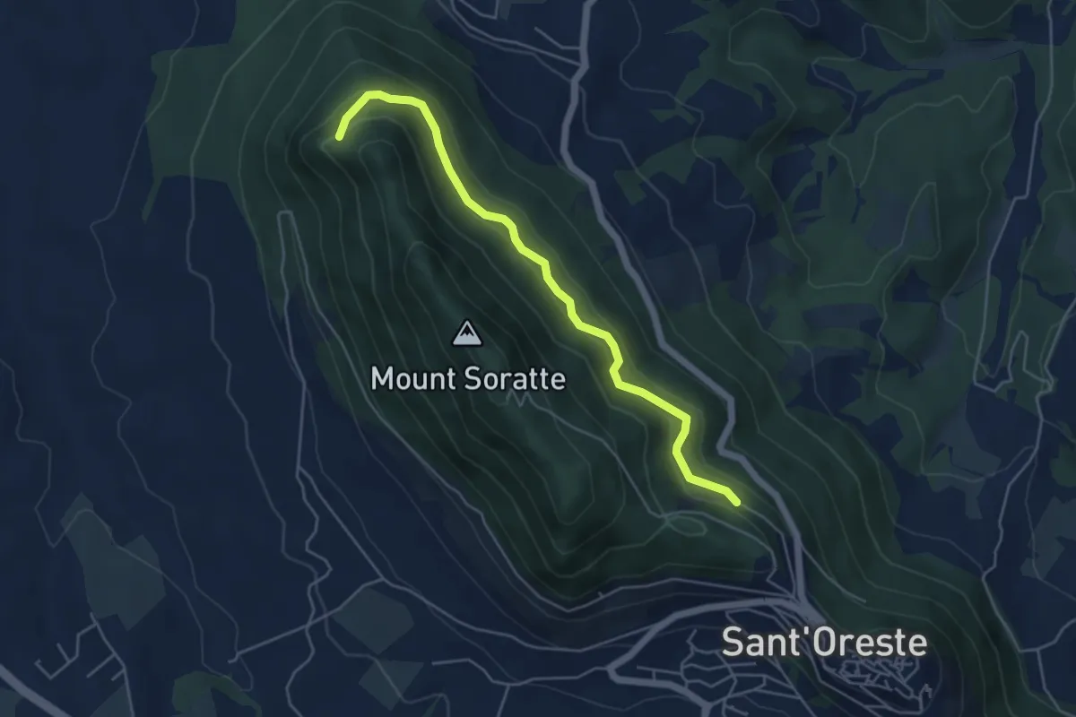
Expert · Trail
Percorso Vita
5.3 km · ↑ 198 m · 1 h 40 min
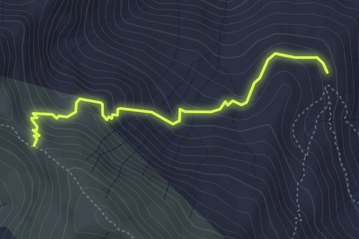
Medium · Trail
Per il Monte Marnotto
4.0 km · ↑ 346 m · 1 h 41 min
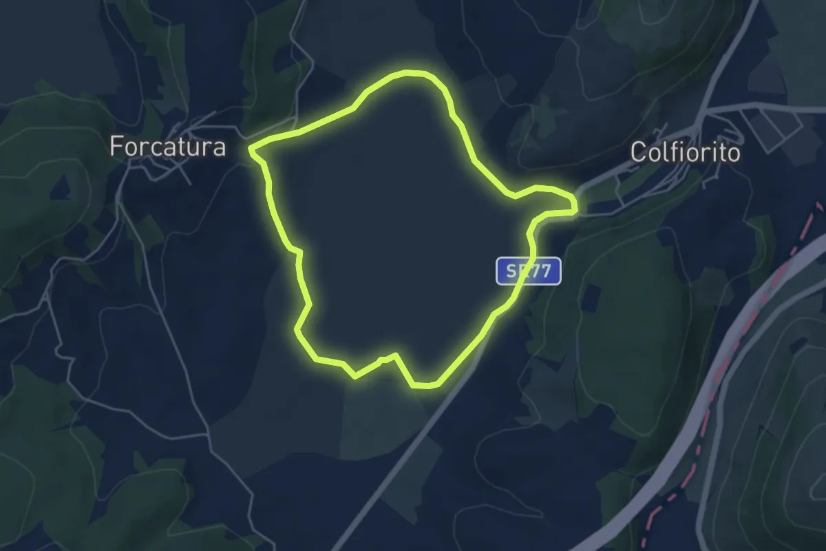
Easy · Trail
Perimetro Palude di Colfiorito
4.8 km · ↑ 62 m · 1 h 20 min
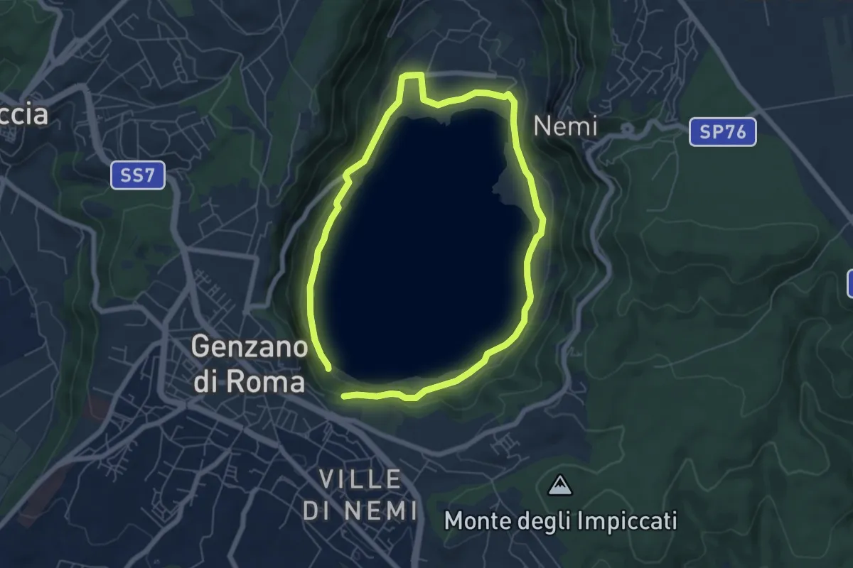
Medium · Trail
Periplo del Lago di Nemi
5.6 km · ↑ 154 m · 1 h 43 min
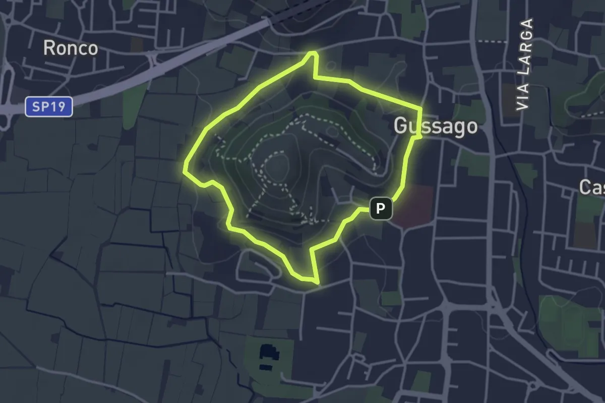
Easy · Trail
Periplo della Santissima
3.0 km · ↑ 70 m · 54 min
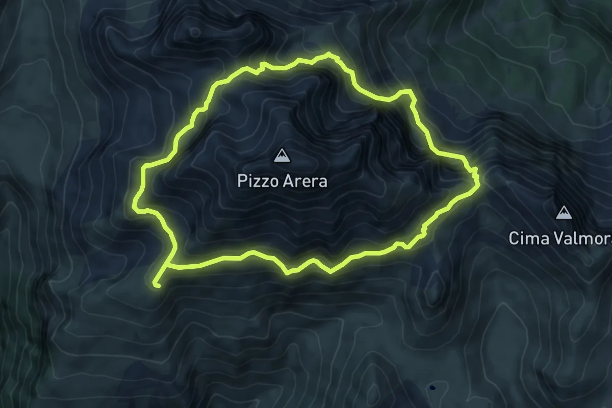
Expert · Cabin
Periplo del Pizzo Arera
7.3 km · ↑ 746 m · 3 h 27 min
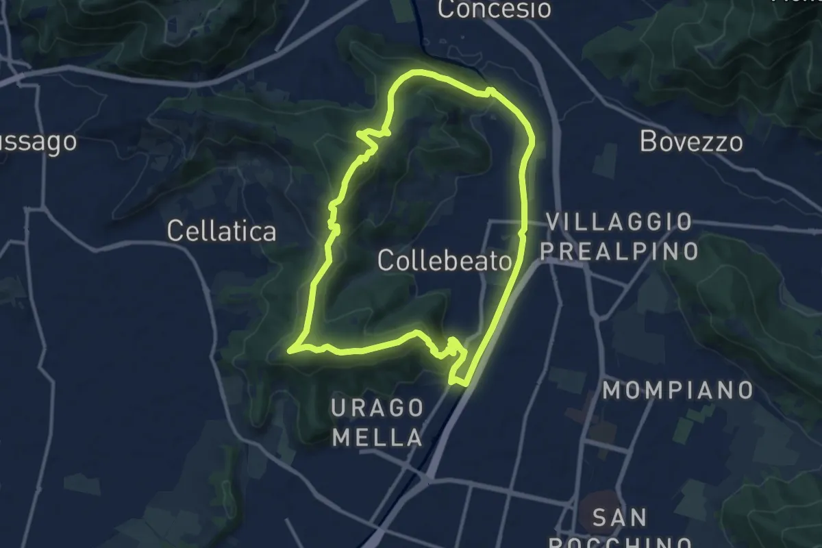
Demanding · Summit
Periplo di Collebeato - Sentiero del Gian (Gianpietro Nicolini)
11.3 km · ↑ 415 m · 3 h 44 min
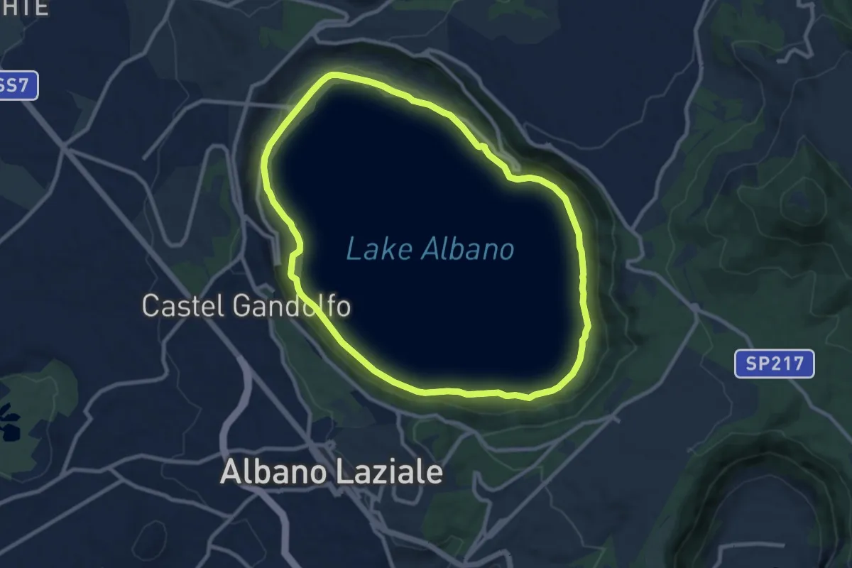
Medium · Trail
Periplo Lago Albano
9.5 km · ↑ 101 m · 2 h 36 min
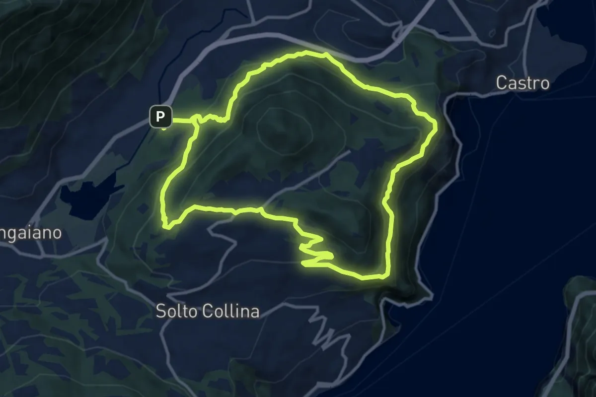
Medium · Trail
Periplo Monte Clemo
10.7 km · ↑ 549 m · 3 h 50 min
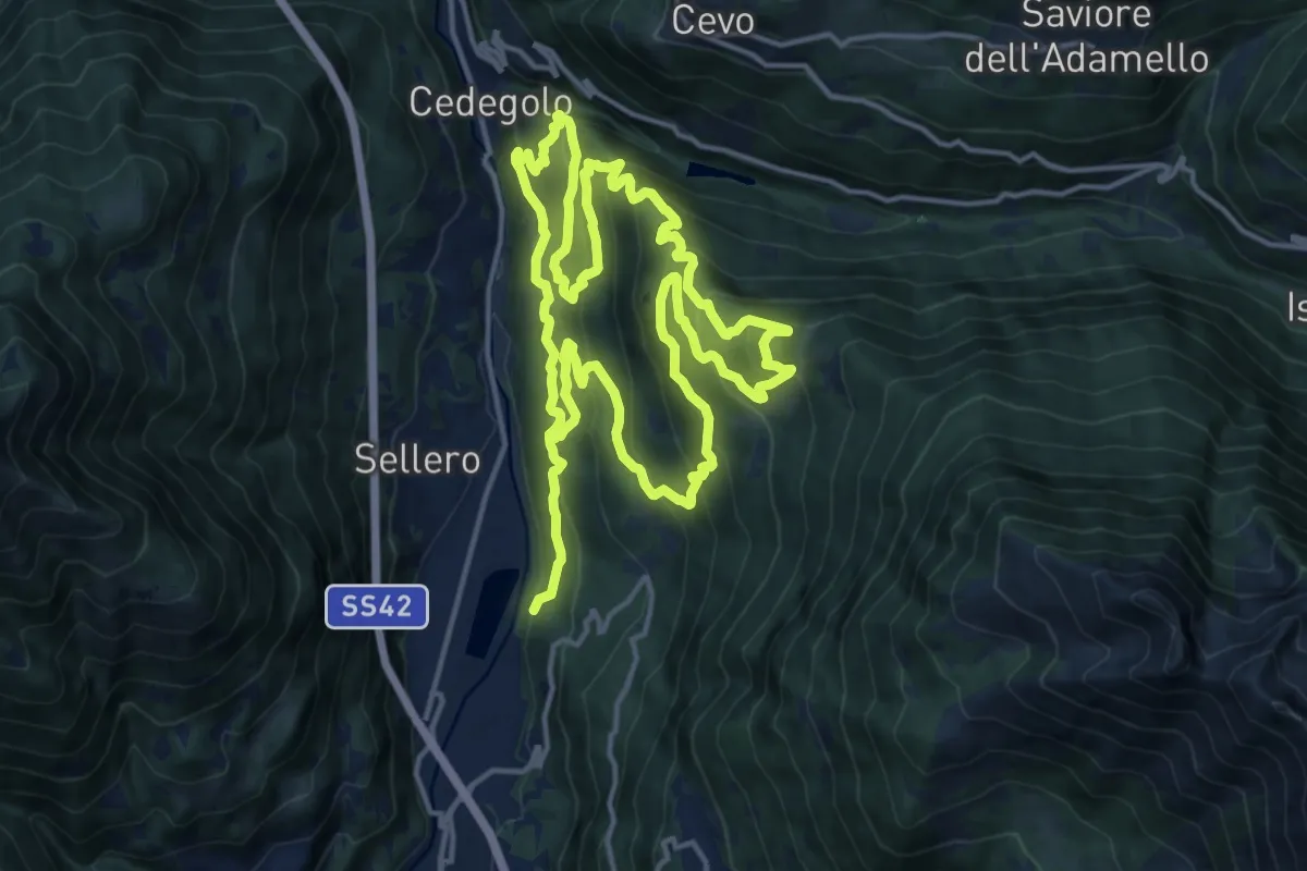
Demanding · Summit
Persech Trail
15.3 km · ↑ 964 m · 5 h 58 min
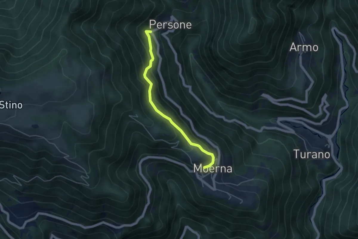
Easy · Trail
Persone. Moerna
4.1 km · ↑ 255 m · 1 h 31 min
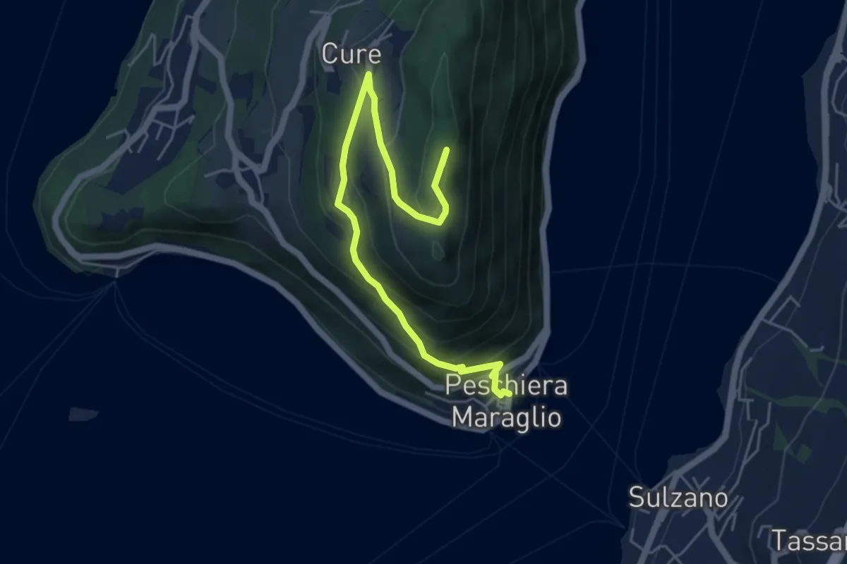
Medium · Summit
Pescheria Maraglio - Santuario della Ceriola
5.7 km · ↑ 392 m · 2 h 11 min
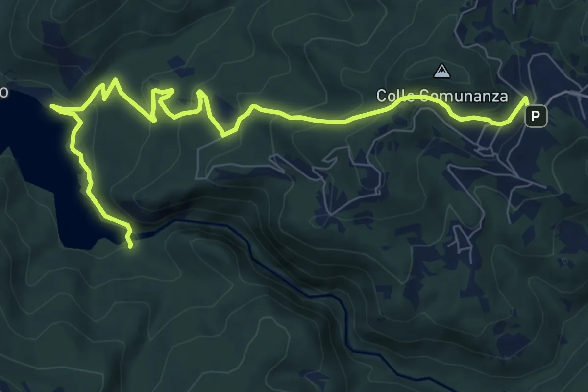
Medium · Trail
Peschieta-Lago del Salto
10.3 km · ↑ 453 m · 3 h 24 min
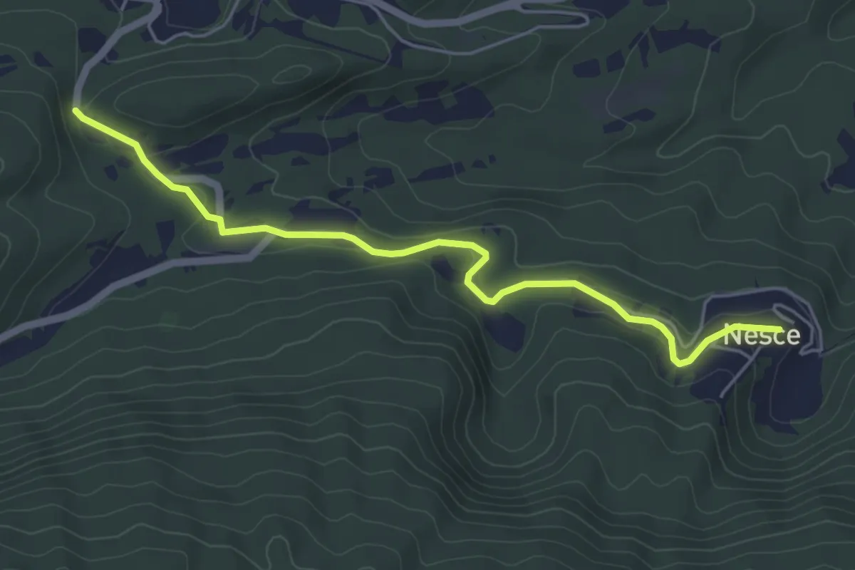
Easy · Trail
Pescorocchiano - Nesce
5.5 km · ↑ 125 m · 1 h 34 min
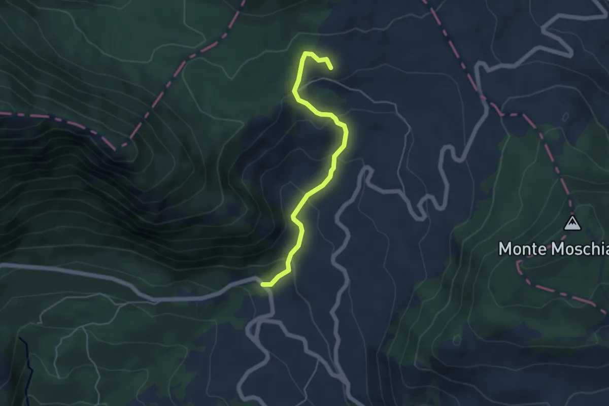
Easy · Summit
Pesco Rosito
4.6 km · ↑ 264 m · 1 h 40 min
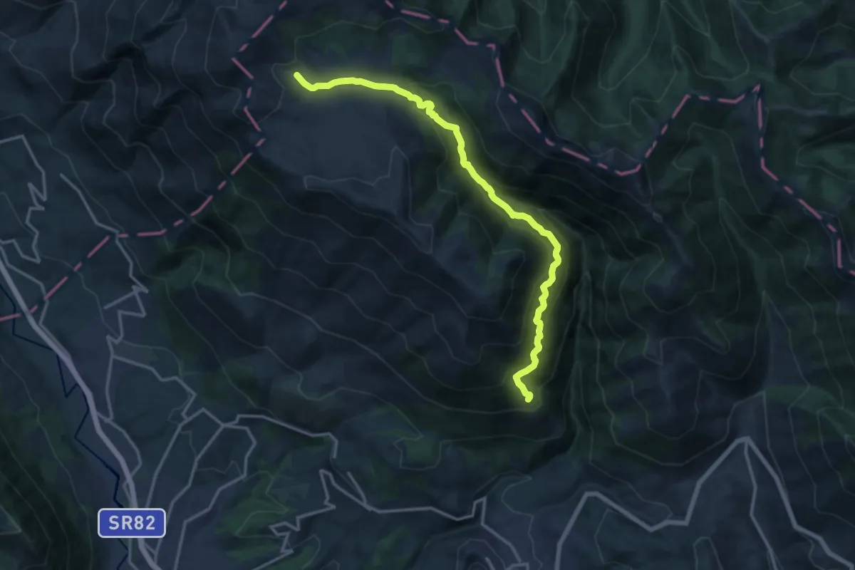
Demanding · Trail
Pescosolido - Vallone Lacerno - Rifugio Campo di Grano
16.1 km · ↑ 1229 m · 6 h 27 min
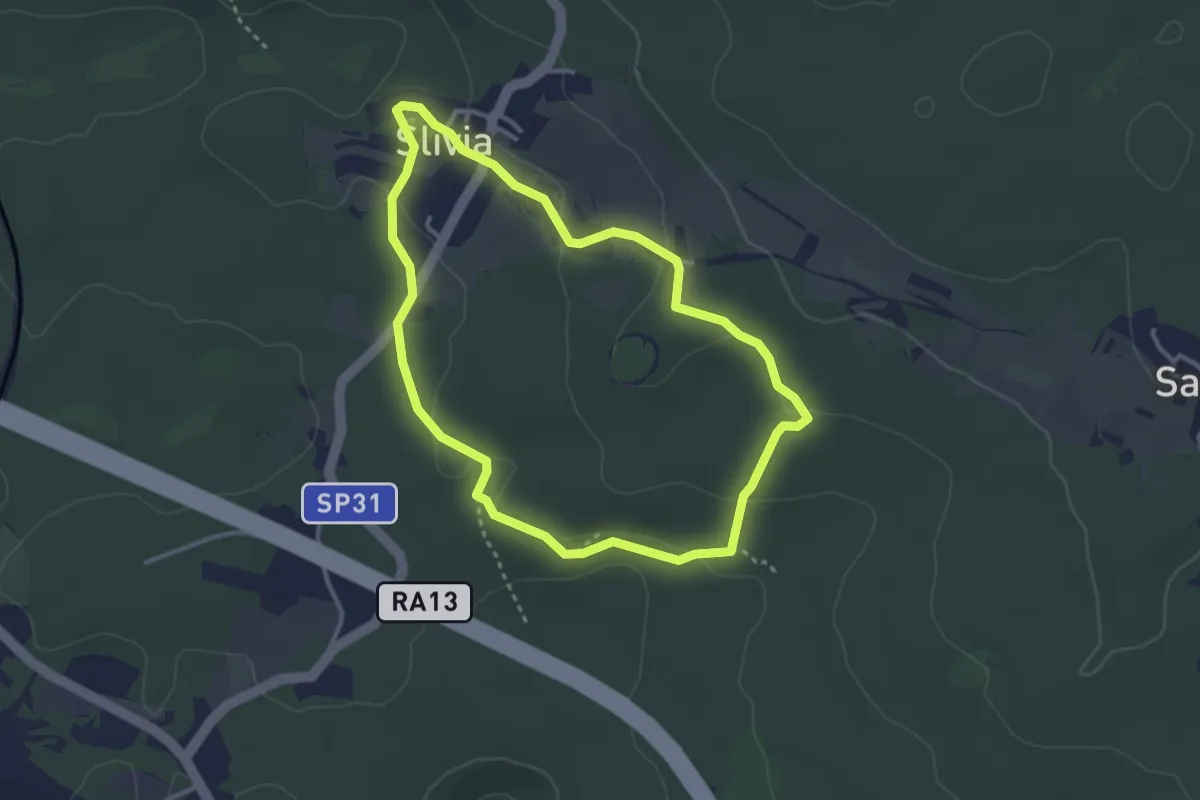
Easy · Trail
Pešpot Slivno / Sentiero Slivia
3.1 km · ↑ 52 m · 53 min
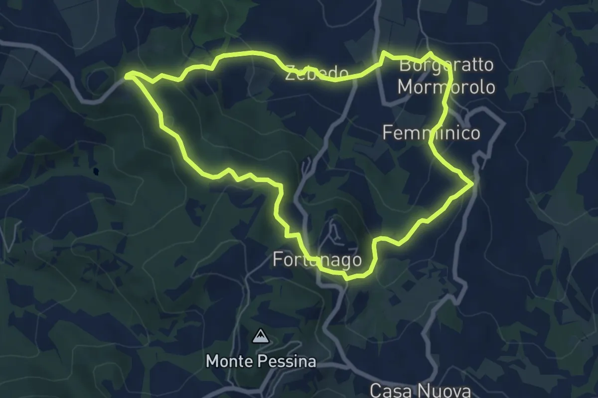
Easy · Trail
Petalo 4 Fiore di Borgoratto
6.1 km · ↑ 255 m · 2 h 4 min
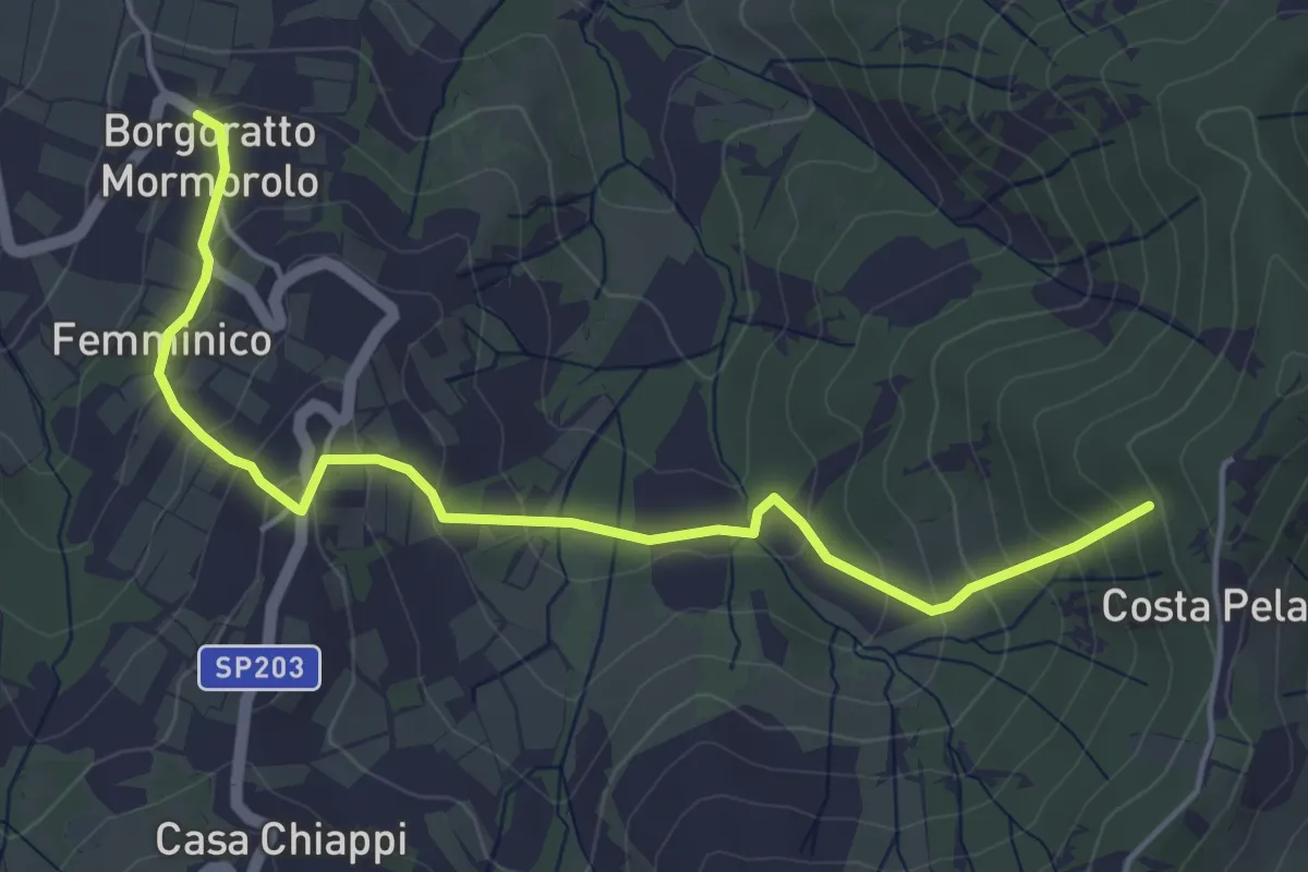
Easy · Trail
Petalo 5 Fiore di Borgoratto
5.3 km · ↑ 305 m · 1 h 55 min
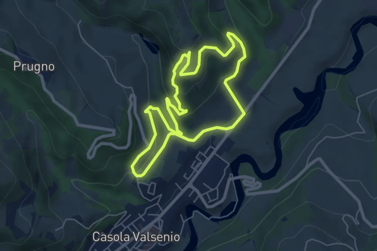
Easy · Trail
Petalo del Giardino delle Erbe e del Cardello
4.8 km · ↑ 239 m · 1 h 43 min
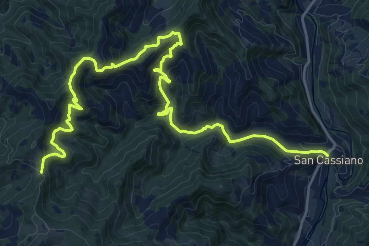
Demanding · Trail
Petalo della Memoria
19.8 km · ↑ 1234 m · 7 h 21 min
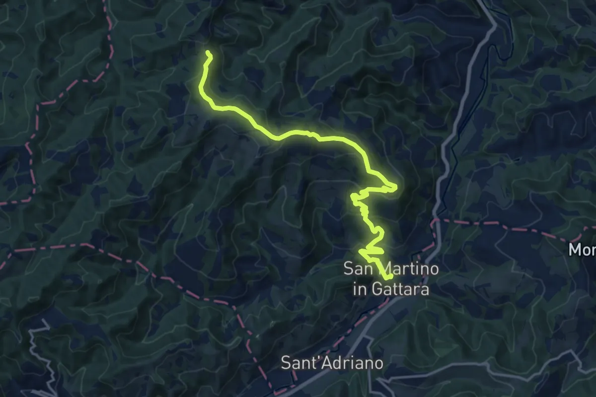
Medium · Trail
Petalo delle Stelle
15.8 km · ↑ 594 m · 5 h 2 min
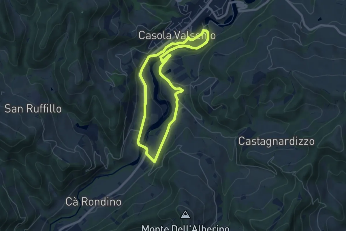
Easy · Trail
Petalo del Parco Fluviale
5.3 km · ↑ 123 m · 1 h 36 min
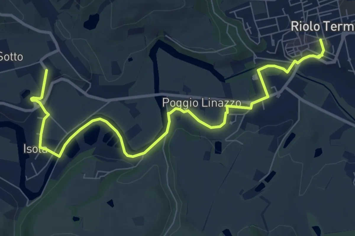
Easy · Trail
Petalo di Gallisterna
4.5 km · ↑ 50 m · 1 h 14 min
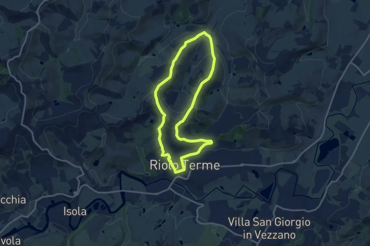
Medium · Trail
Petalo di Mazzolano
8.6 km · ↑ 284 m · 2 h 46 min
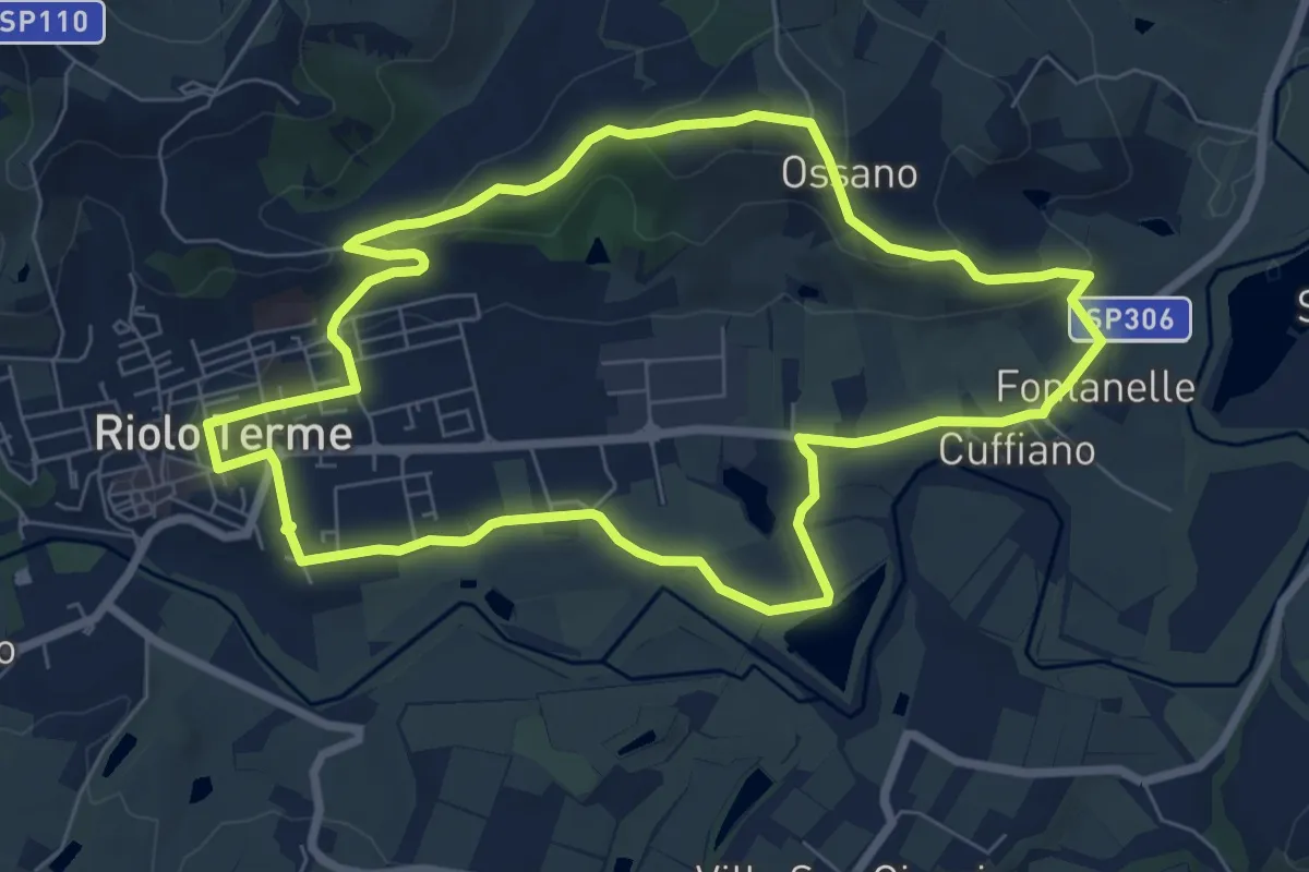
Easy · Summit
Petalo di Monte Ghebbio
7.9 km · ↑ 180 m · 2 h 22 min
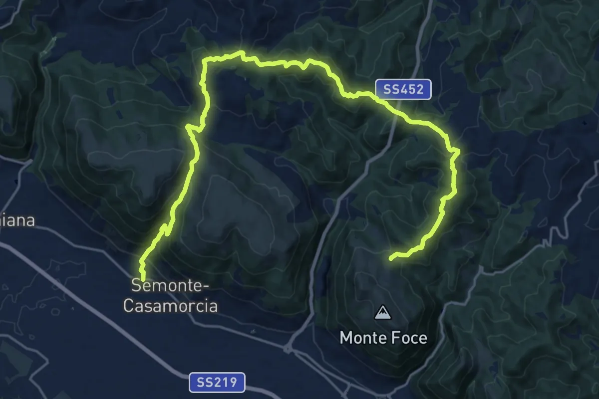
Demanding · Trail
Petazzano
11.7 km · ↑ 828 m · 4 h 33 min
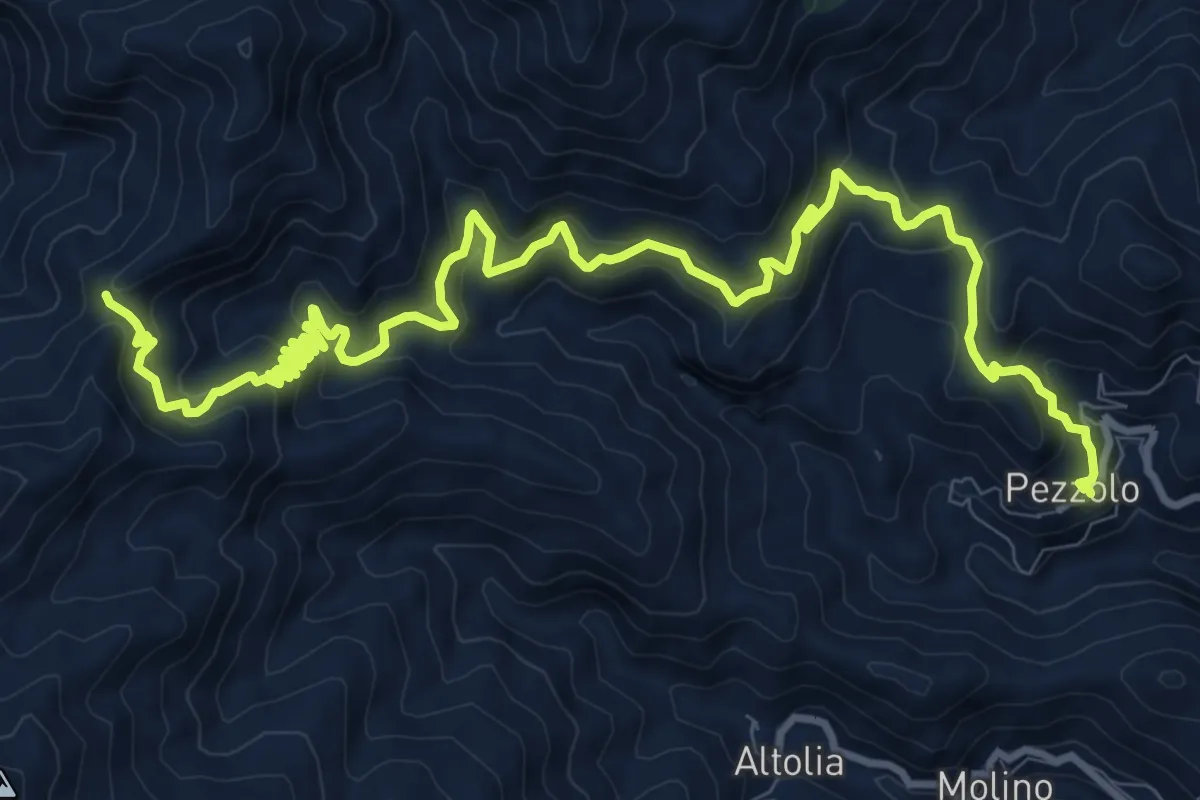
Demanding · Trail
Pezzolo Portella Griole
16.3 km · ↑ 991 m · 6 h
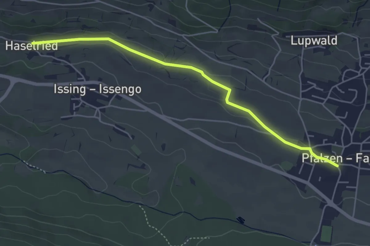
Easy · Trail
Pfaffensteig
4.6 km · ↑ 38 m · 1 h 11 min
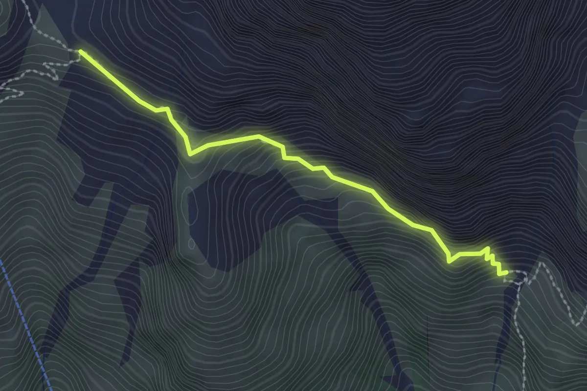
Demanding · Trail
Pflerscher Höhenweg - Alta Via di Fleres
2.4 km · ↑ 525 m · 1 h 42 min
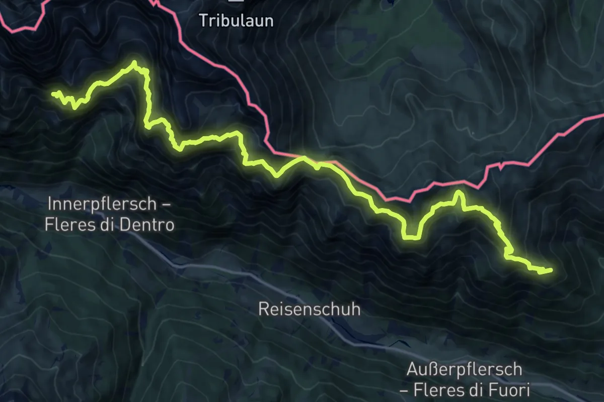
Expert · Trail
Pflerscher Höhenweg - Alta Via di Fleres
11.3 km · ↑ 1200 m · 5 h 18 min
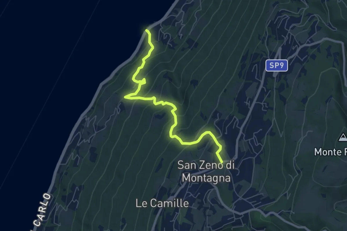
Medium · Trail
Piaghen - Crero - San Zeno di Montagna
7.0 km · ↑ 563 m · 2 h 52 min
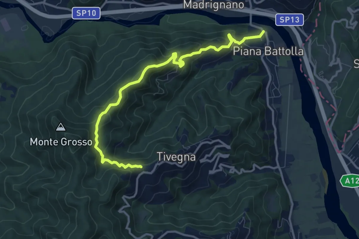
Expert · Trail
Piana Battolla - Torenco – Monte Lama Ebreo
9.9 km · ↑ 618 m · 3 h 41 min
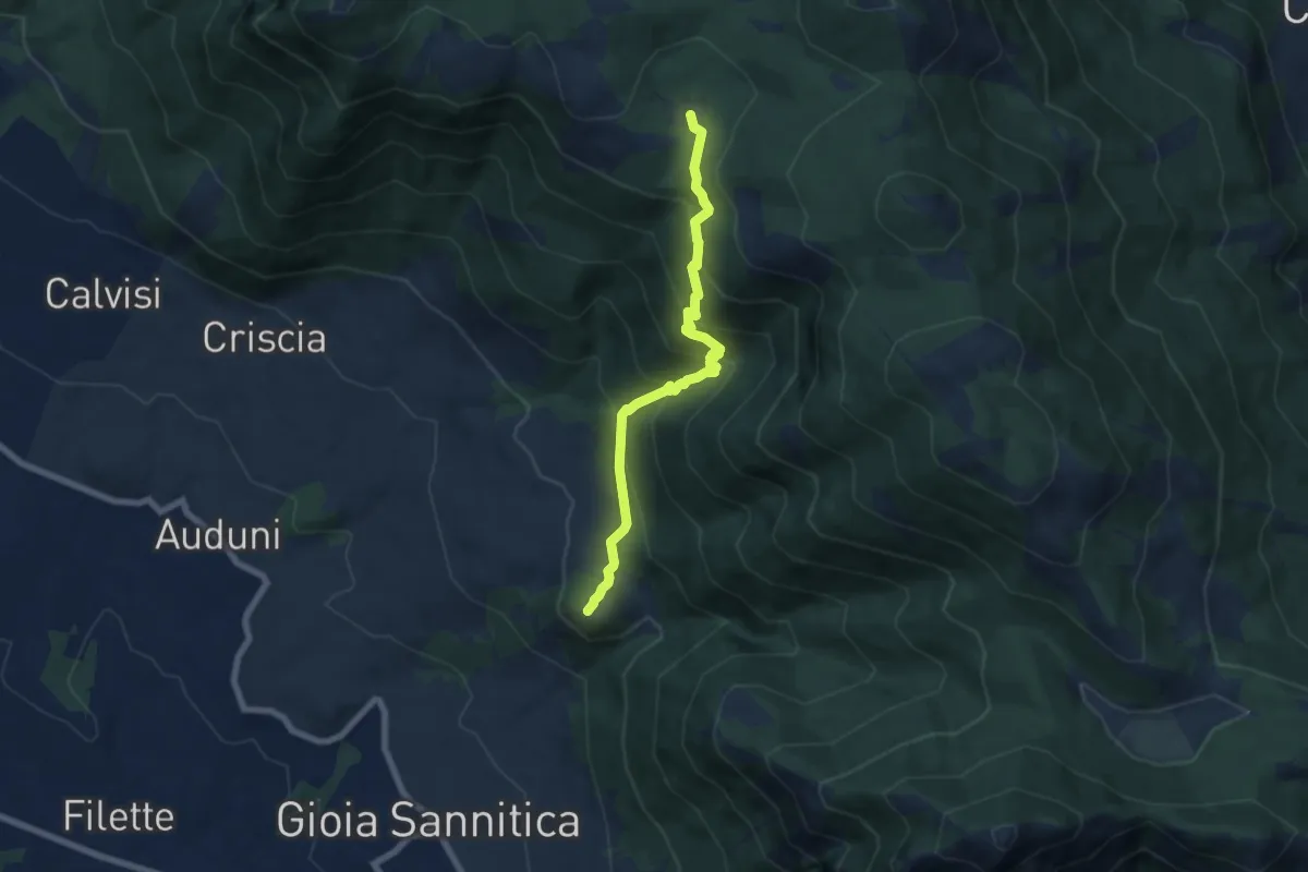
Demanding · Trail
Piana delle Pesche
7.3 km · ↑ 568 m · 2 h 57 min
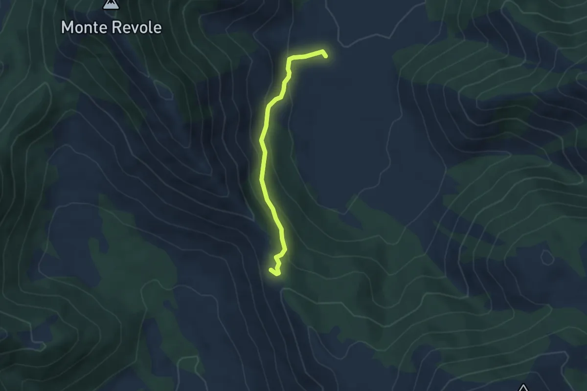
Easy · Trail
Piana di Polleca-Forcella del Fraile
3.9 km · ↑ 216 m · 1 h 23 min