Trails in Italy
25,221 hiking trails, each with its route, climb, walking time and grade.
All trails, page 125 of 526
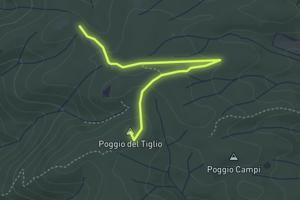
Easy · Summit
Poggio dei Crognoli – Le Quattro Strade
3.7 km · ↑ 92 m · 1 h 5 min
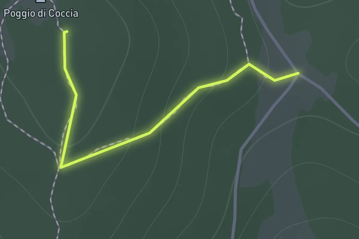
Easy · Summit
Poggio di Coccia
1.0 km · ↑ 45 m · 20 min
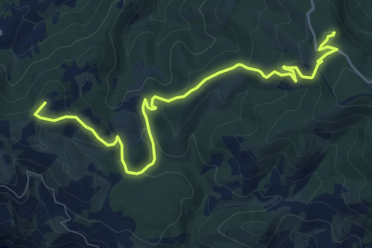
Medium · Summit
Poggio Fornacelle - Croce del Predicatore
11.3 km · ↑ 413 m · 3 h 34 min
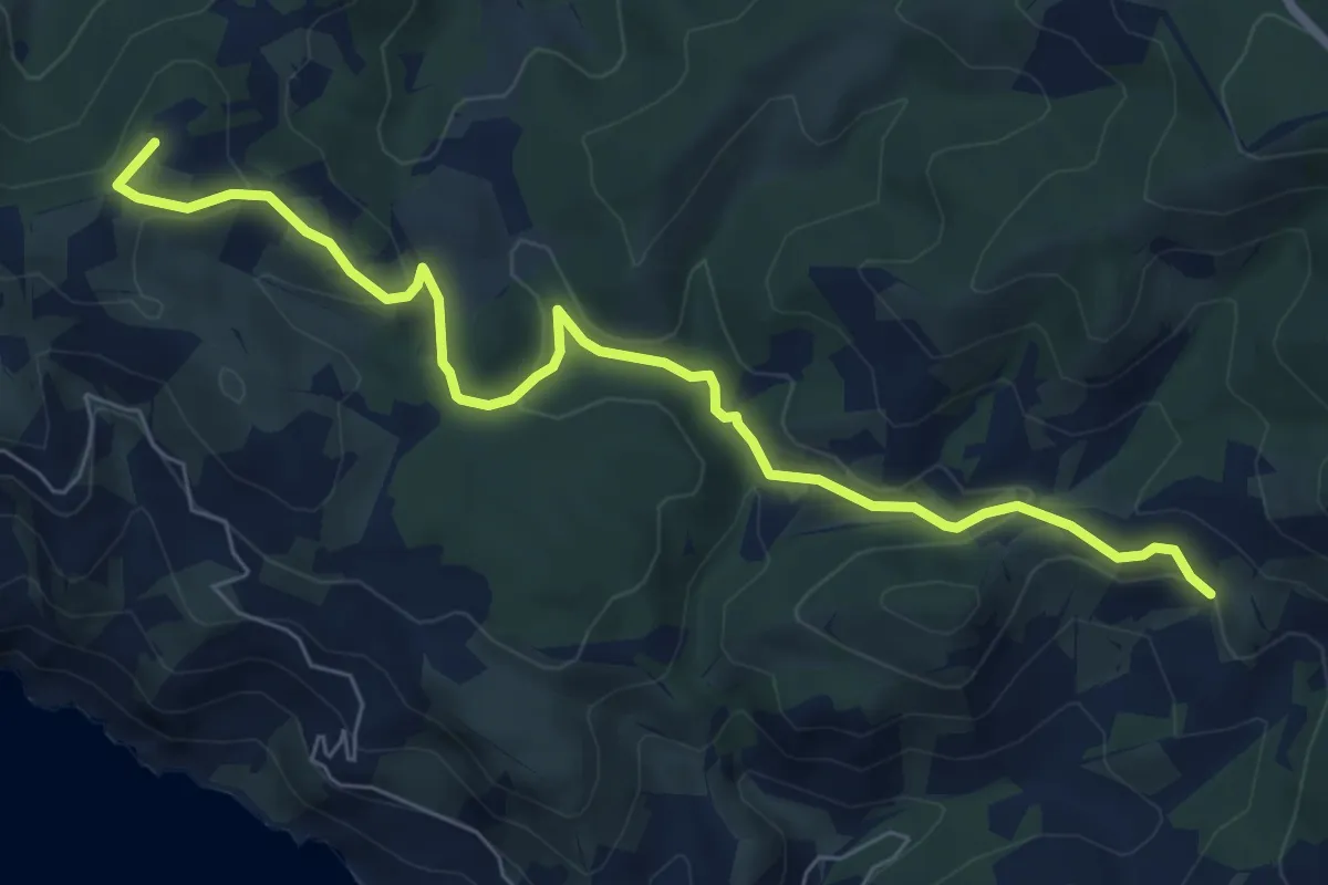
Easy · Summit
Poggio Fornacelle - Fonte del Romito
8.0 km · ↑ 290 m · 2 h 31 min
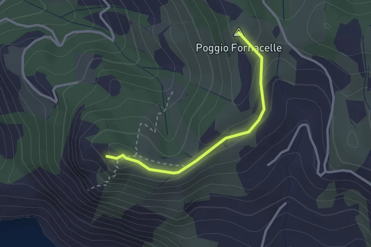
Easy · Summit
Poggio Fornacelle - Torre di Capo D'Uomo
2.3 km · ↑ 172 m · 55 min
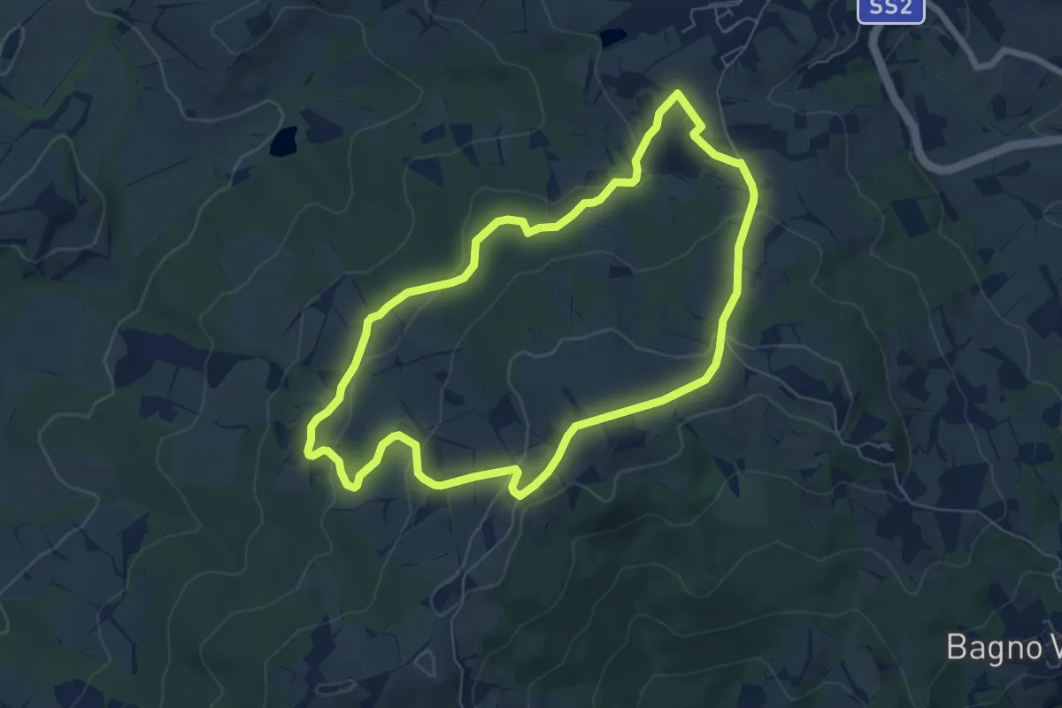
Easy · Trail
Poggio Grande
6.9 km · ↑ 193 m · 2 h 9 min
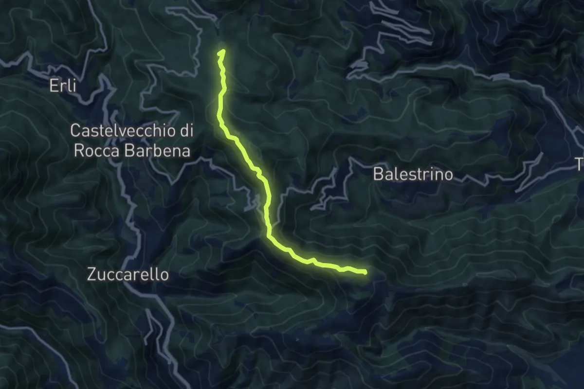
Medium · Summit
Poggio Grande - Monte Guardiola - Colle Scravaion
10.2 km · ↑ 408 m · 3 h 18 min
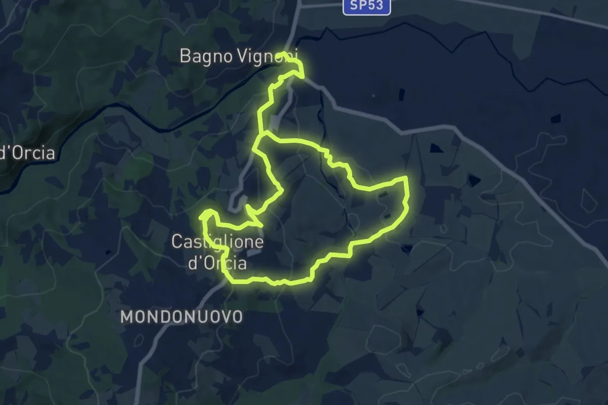
Demanding · Trail
Poggio Istiano
21.0 km · ↑ 812 m · 6 h 43 min
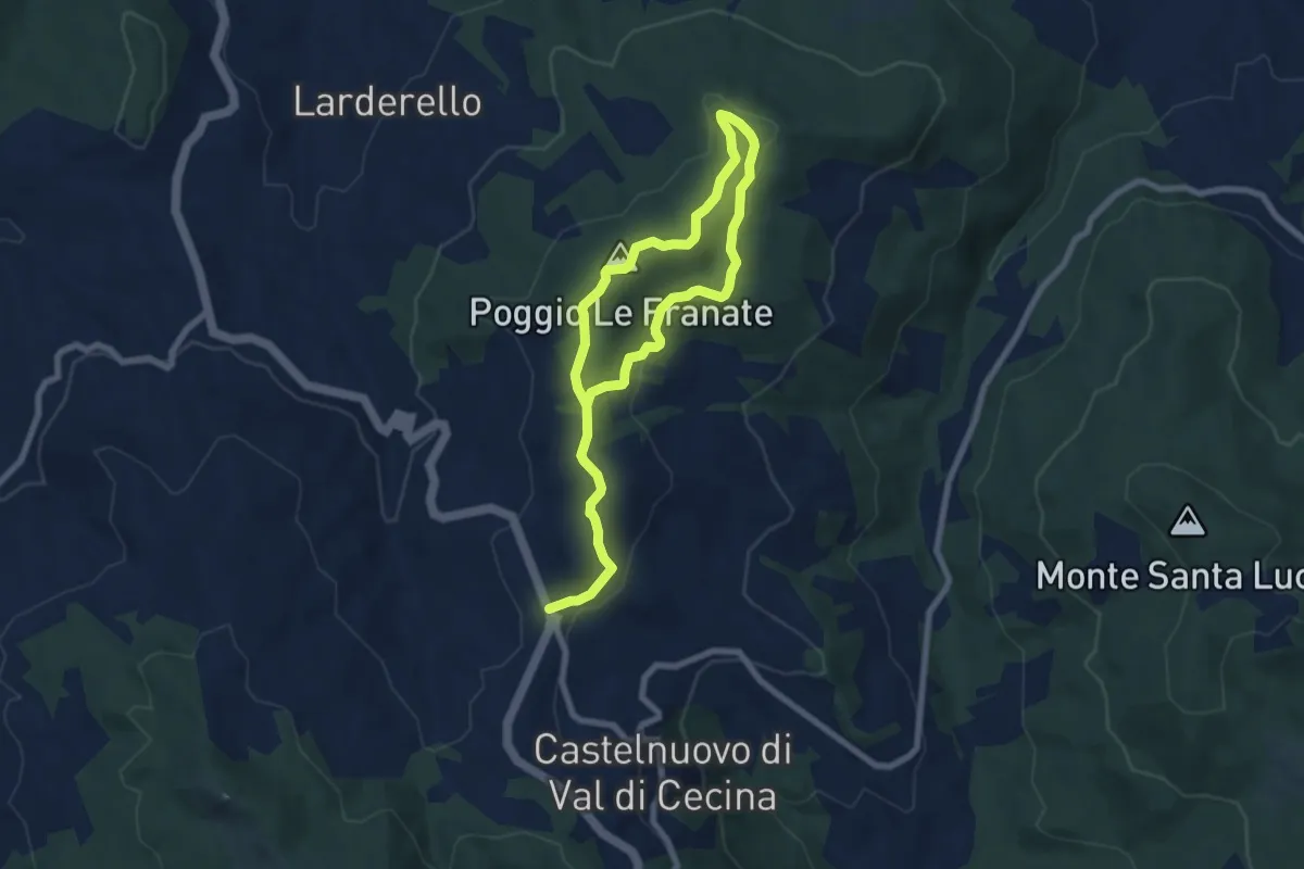
Easy · Summit
Poggio le Franate
5.7 km · ↑ 150 m · 1 h 45 min
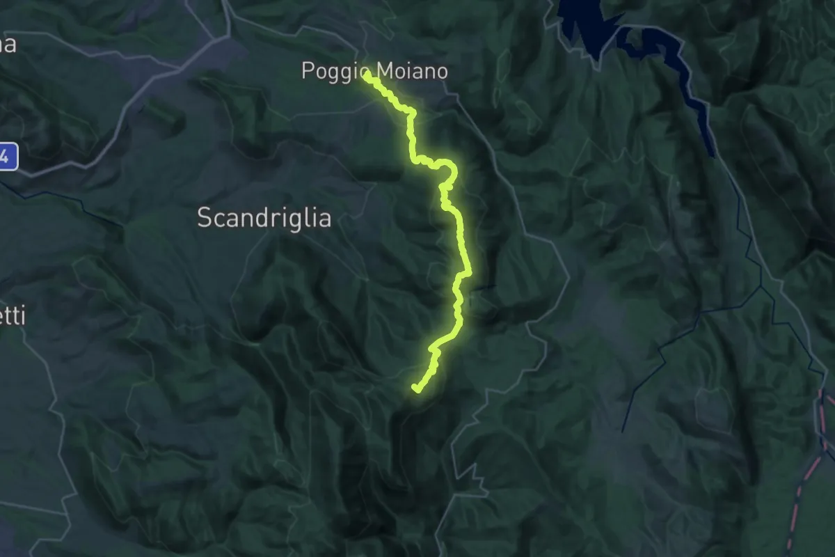
Demanding · Summit
Poggio Moiano-Monte Pellecchia
27.9 km · ↑ 1475 m · 9 h 47 min
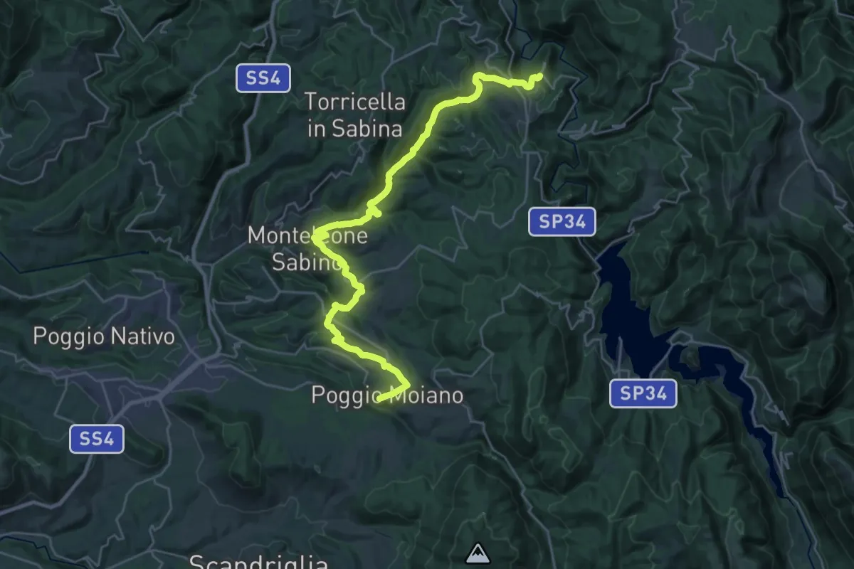
Medium · Trail
Poggio Moiano - Rocca Sinibalda
16.1 km · ↑ 567 m · 5 h 13 min
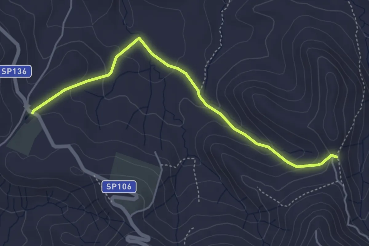
Easy · Trail
Poggio Pellegrino
5.0 km · ↑ 204 m · 1 h 37 min
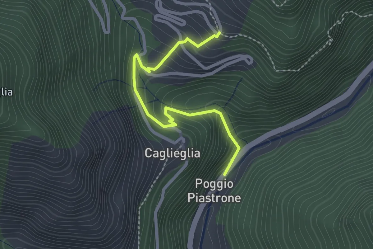
Easy · Trail
Poggio Piastrone - Casette
2.4 km · ↑ 224 m · 1 h 2 min
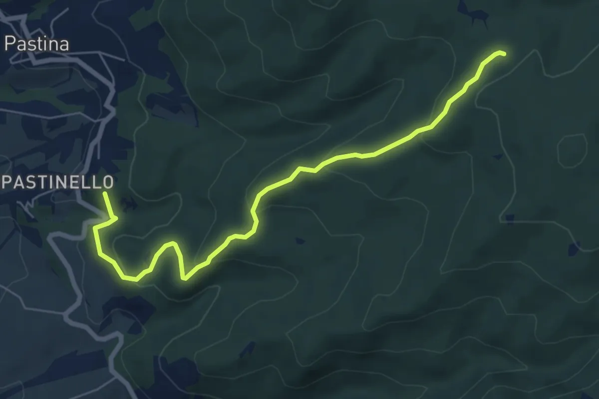
Easy · Summit
Poggio Querciolo – Le Prunicce
6.5 km · ↑ 309 m · 2 h 13 min
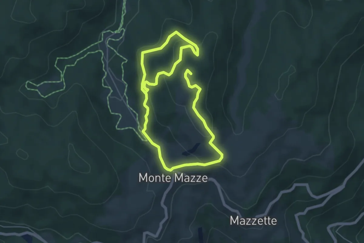
Medium · Summit
Poilus Anello A
8.8 km · ↑ 330 m · 2 h 47 min
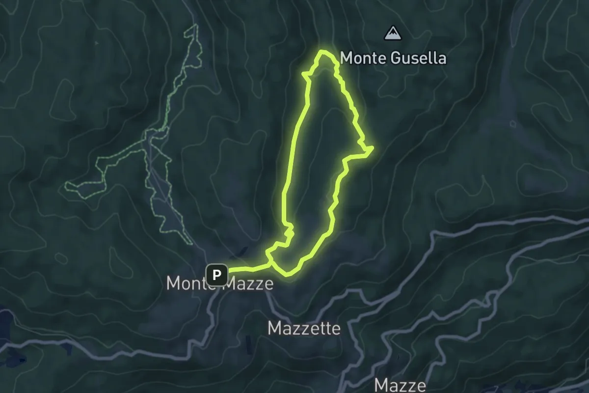
Medium · Trail
Poilus Anello B
11.1 km · ↑ 429 m · 3 h 33 min
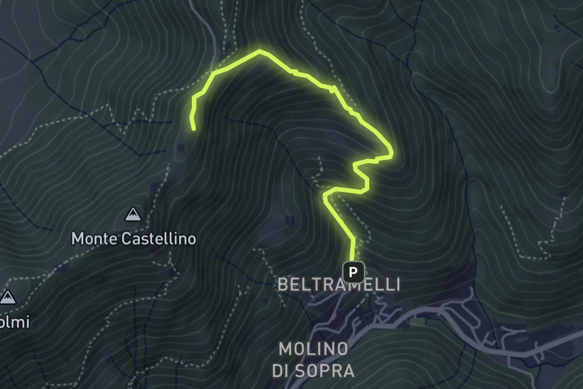
Medium · Cabin
Polaveno (Gombio) - Santa Maria del Giogo
4.3 km · ↑ 452 m · 2 h
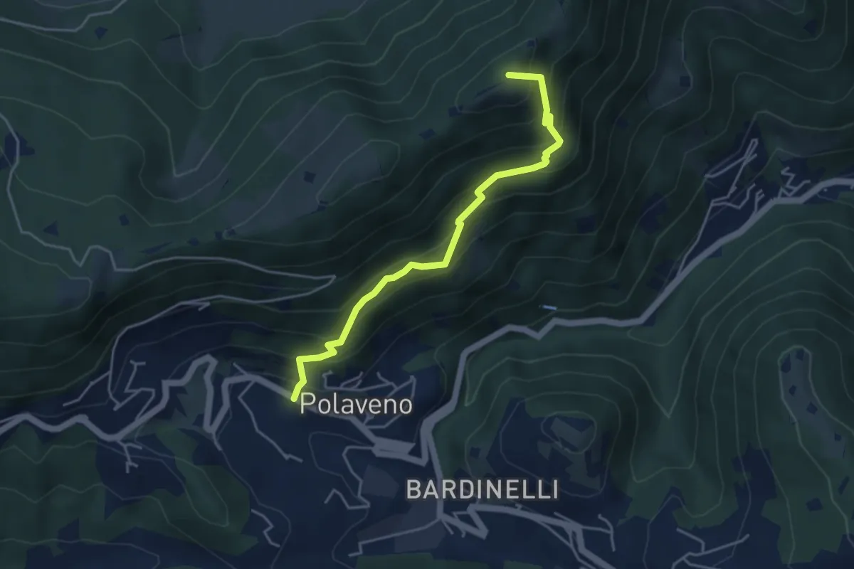
Medium · Summit
Polaveno - Santa Maria del Giogo
4.2 km · ↑ 463 m · 2 h
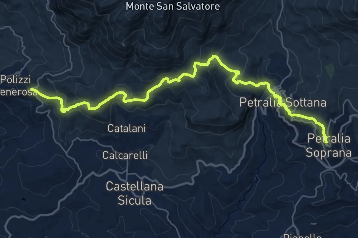
Medium · Trail
Polizzi Petralia Soprana
13.8 km · ↑ 476 m · 4 h 36 min
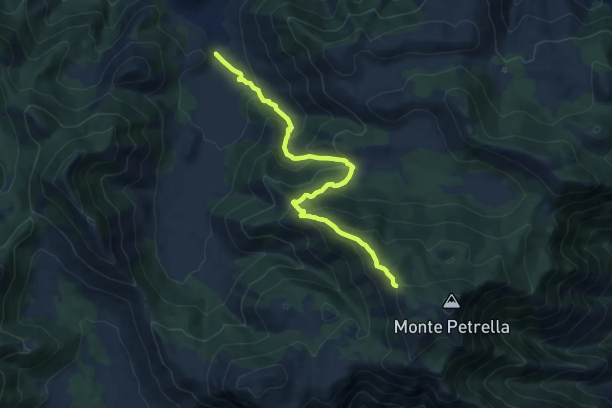
Demanding · Trail
Polleca-Monte Petrella
12.0 km · ↑ 822 m · 4 h 37 min
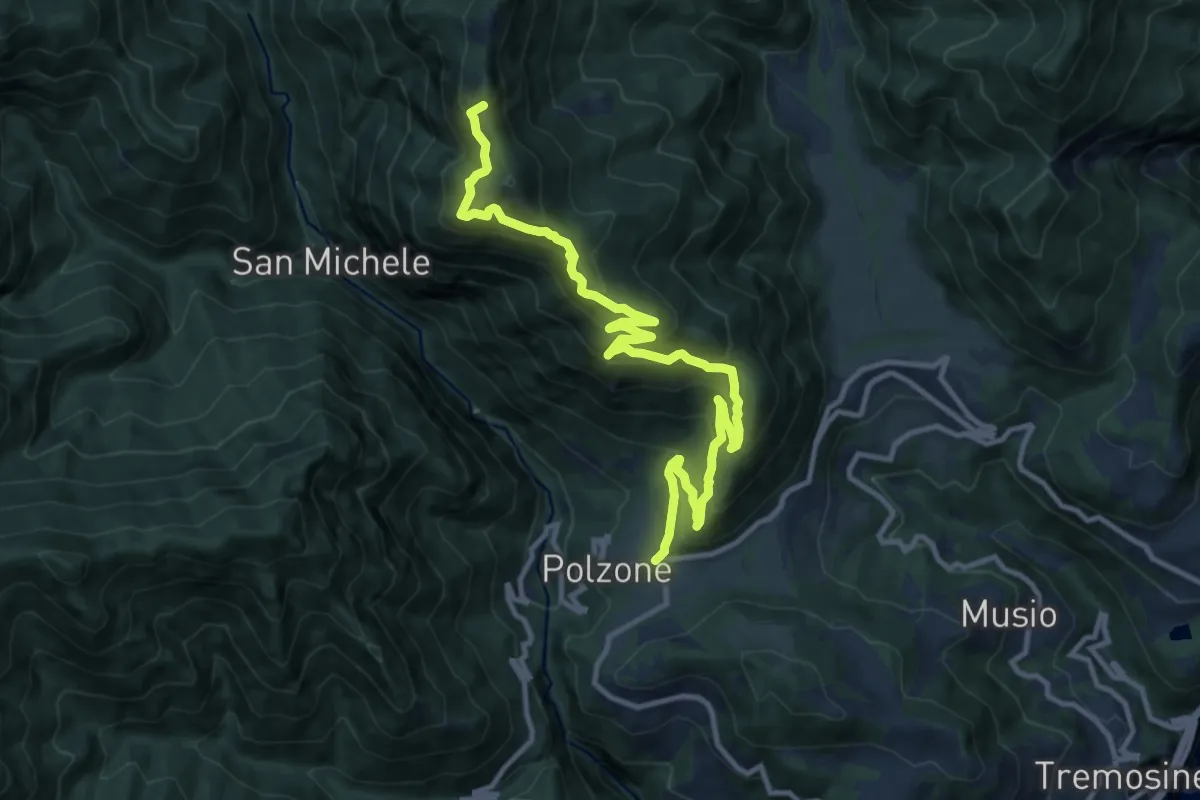
Demanding · Summit
Polsone, Malga Ciapa
13.6 km · ↑ 1080 m · 5 h 33 min
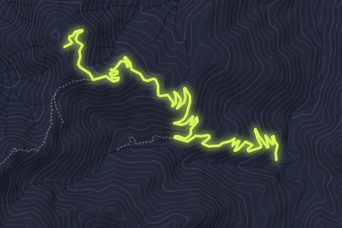
Medium · Summit
Pomaro Rocca Timogna
11.0 km · ↑ 678 m · 4 h 3 min
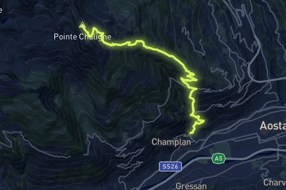
Demanding · Summit
Pont Avisod - Chacotteyes - Tsa de Metz - Pointe Chaligne
19.6 km · ↑ 1925 m · 8 h 48 min
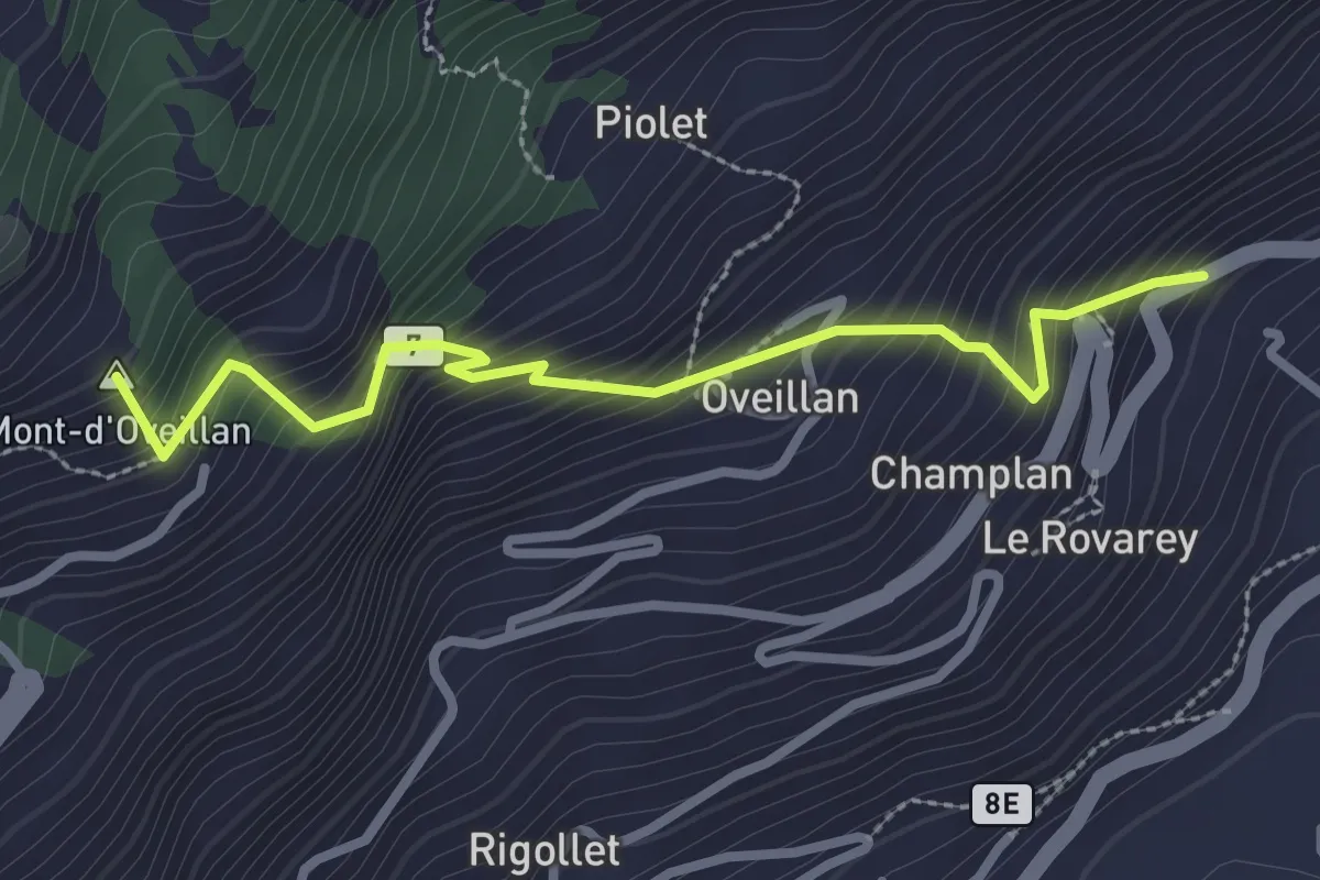
Medium · Summit
Pont-Avisod - Ville-Sur-Sarre
2.9 km · ↑ 425 m · 1 h 36 min
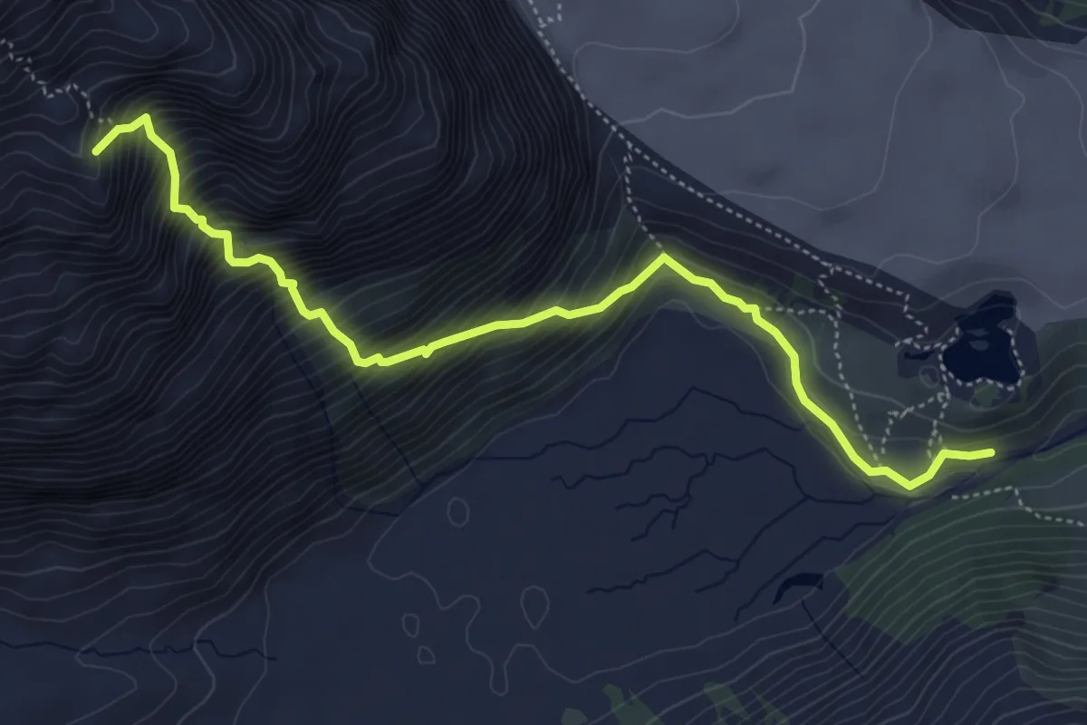
Expert · Summit
Pont Combal - Bivacco Rainetto
5.7 km · ↑ 843 m · 3 h 11 min
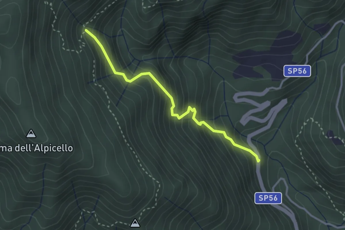
Medium · Trail
Ponte a Gaio - Rifugiani
2.9 km · ↑ 373 m · 1 h 30 min
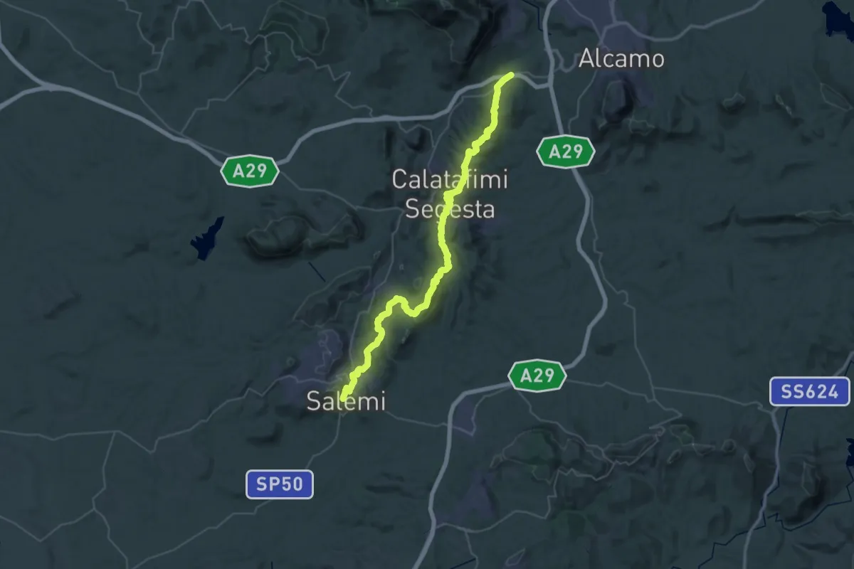
Demanding · Trail
Ponte Bagni - Calatafimi - Salemi
25.7 km · ↑ 656 m · 8 h 2 min
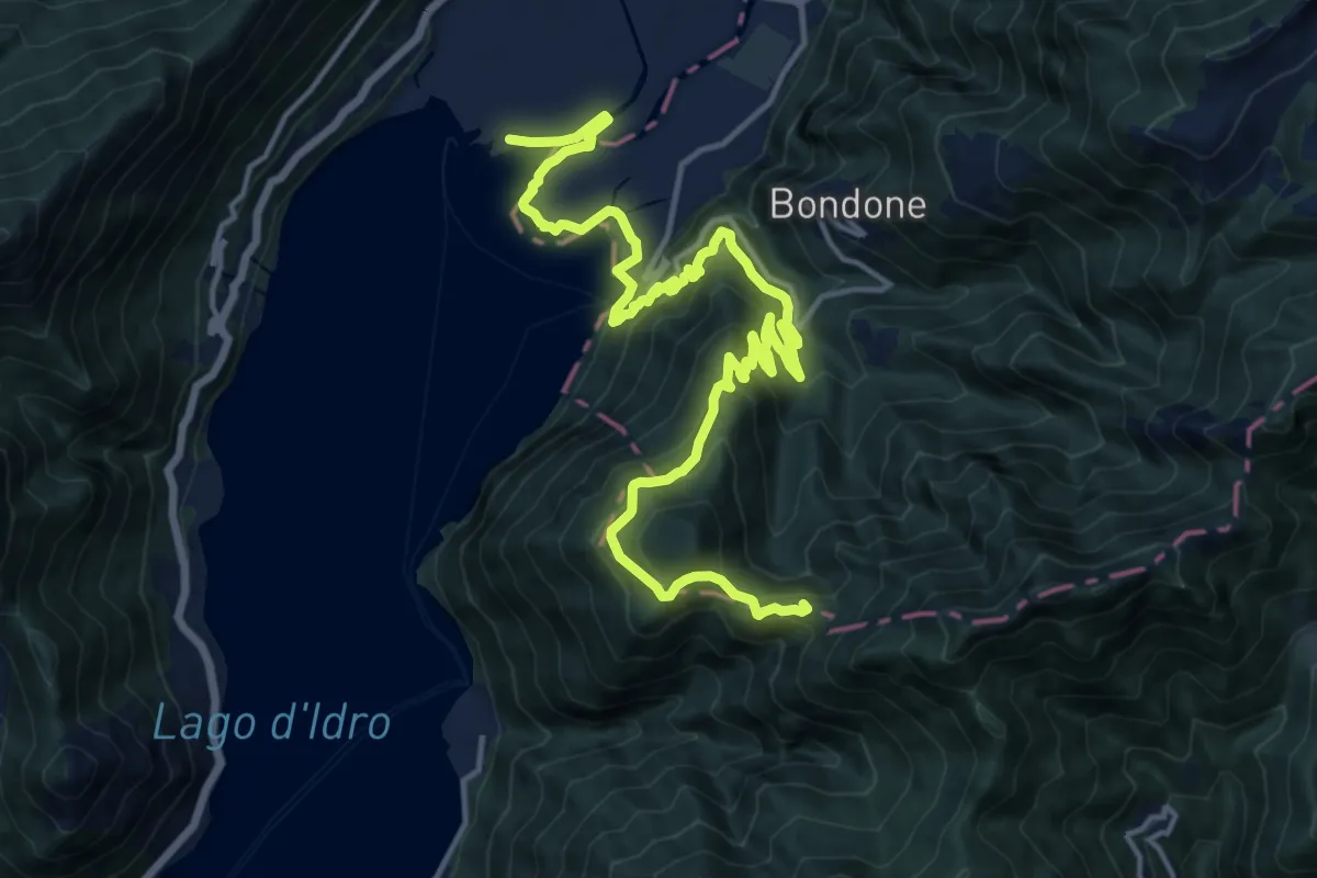
Demanding · Summit
Ponte Caffaro - Rifugio Stino
20.2 km · ↑ 1187 m · 7 h 20 min
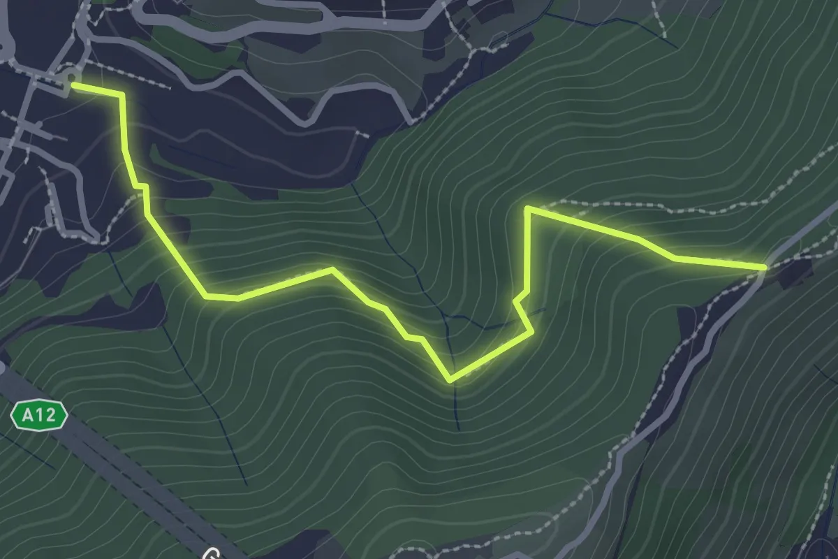
Medium · Trail
Ponte Carrega - Leamara
3.1 km · ↑ 269 m · 1 h 19 min
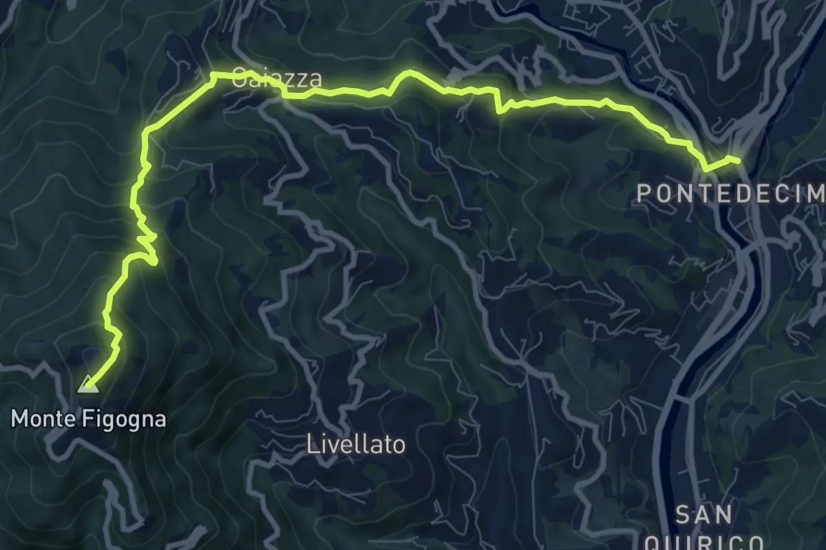
Medium · Summit
Pontedecimo - Gaiazza - Santuario Madonna della Guardia
10.7 km · ↑ 752 m · 4 h 9 min
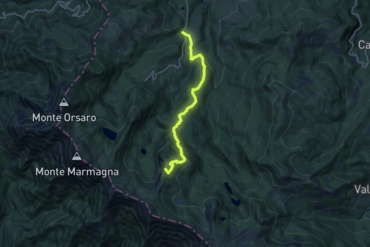
Demanding · Summit
Ponte del Cogno-Strada Lagoni-Roccabiasca-Capanne di Badignana
11.1 km · ↑ 858 m · 4 h 29 min
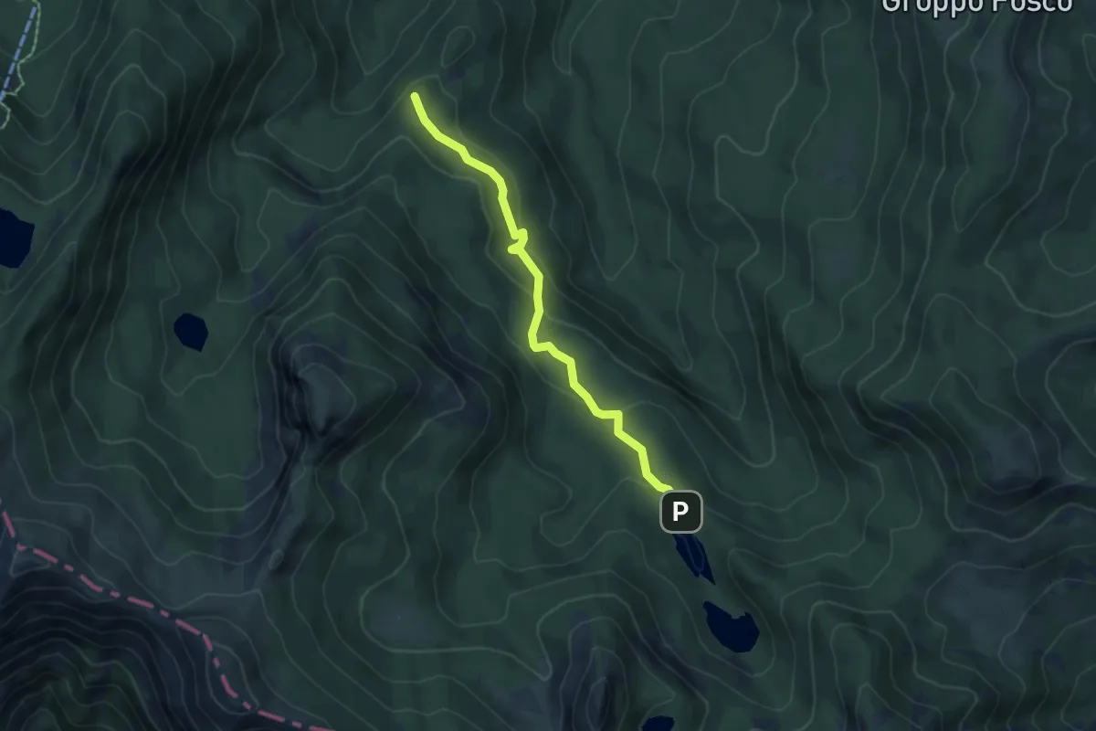
Easy · Summit
Ponte dell'Aereo Caduto- Borello dello Sbirro - Lagoni
5.3 km · ↑ 233 m · 1 h 45 min
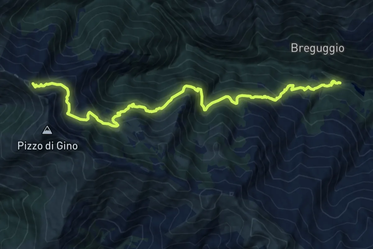
Demanding · Trail
Ponte delle Seghe - Sommafiume
17.8 km · ↑ 1674 m · 7 h 50 min
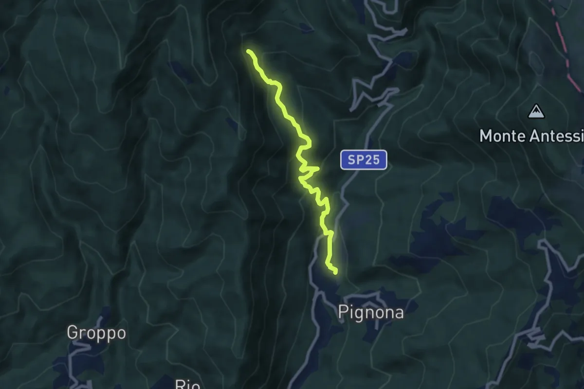
Medium · Trail
Ponte delle Serre - La Villa - Giandì - Scogliera Casarino - Bivio 121C
6.9 km · ↑ 454 m · 2 h 37 min
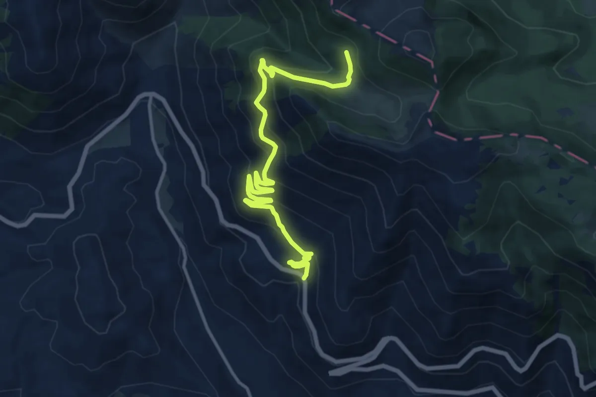
Medium · Trail
Ponte del Nibbio - Valle Lattara
12.4 km · ↑ 689 m · 4 h 25 min
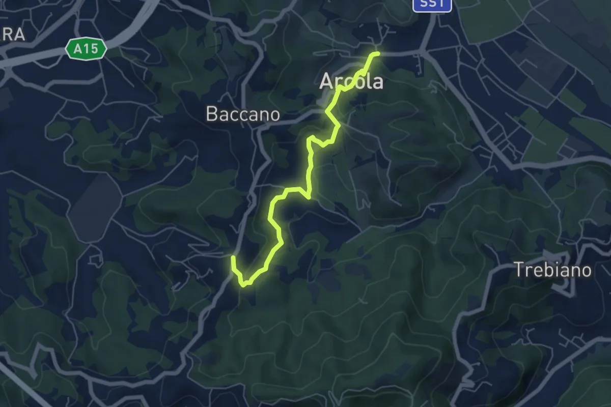
Medium · Trail
Ponte di Arcola – Pietralba
5.5 km · ↑ 234 m · 1 h 48 min
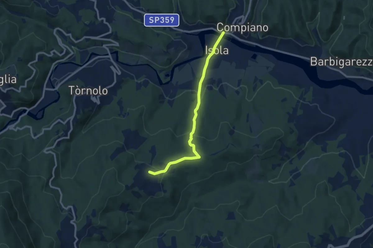
Easy · Trail
Ponte di Compiano-Marzuola
7.4 km · ↑ 255 m · 2 h 17 min
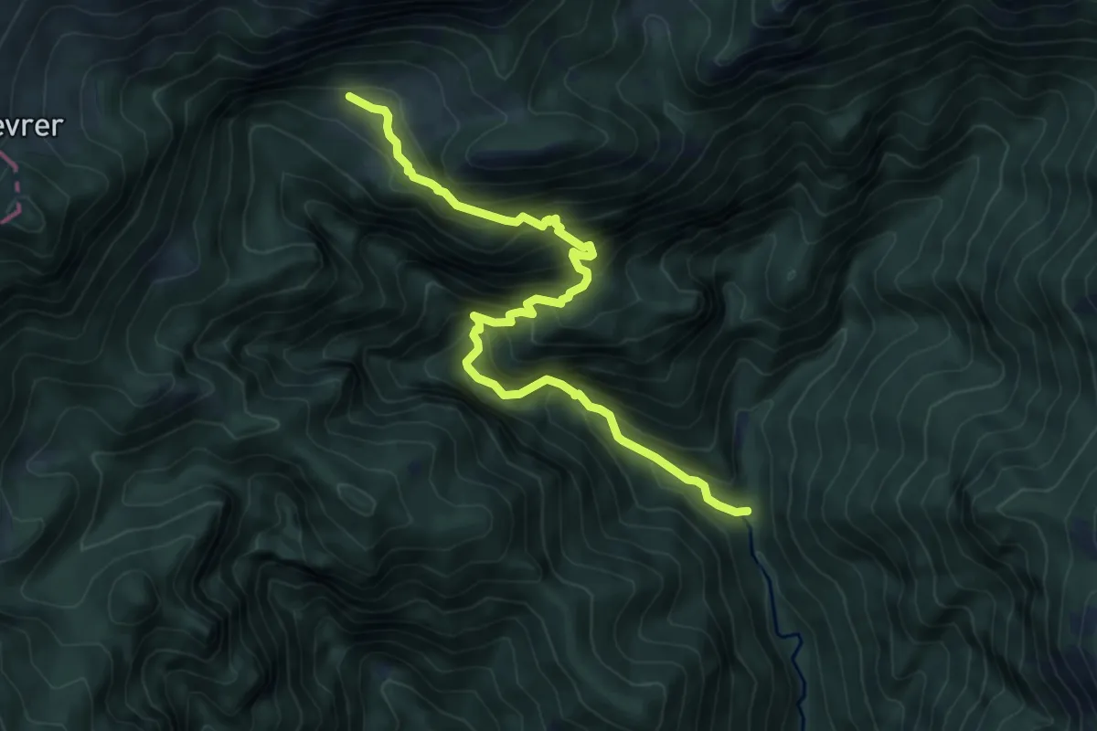
Demanding · Trail
Ponte di Corvà - Malga Cà dell'ERa
7.6 km · ↑ 885 m · 3 h 43 min
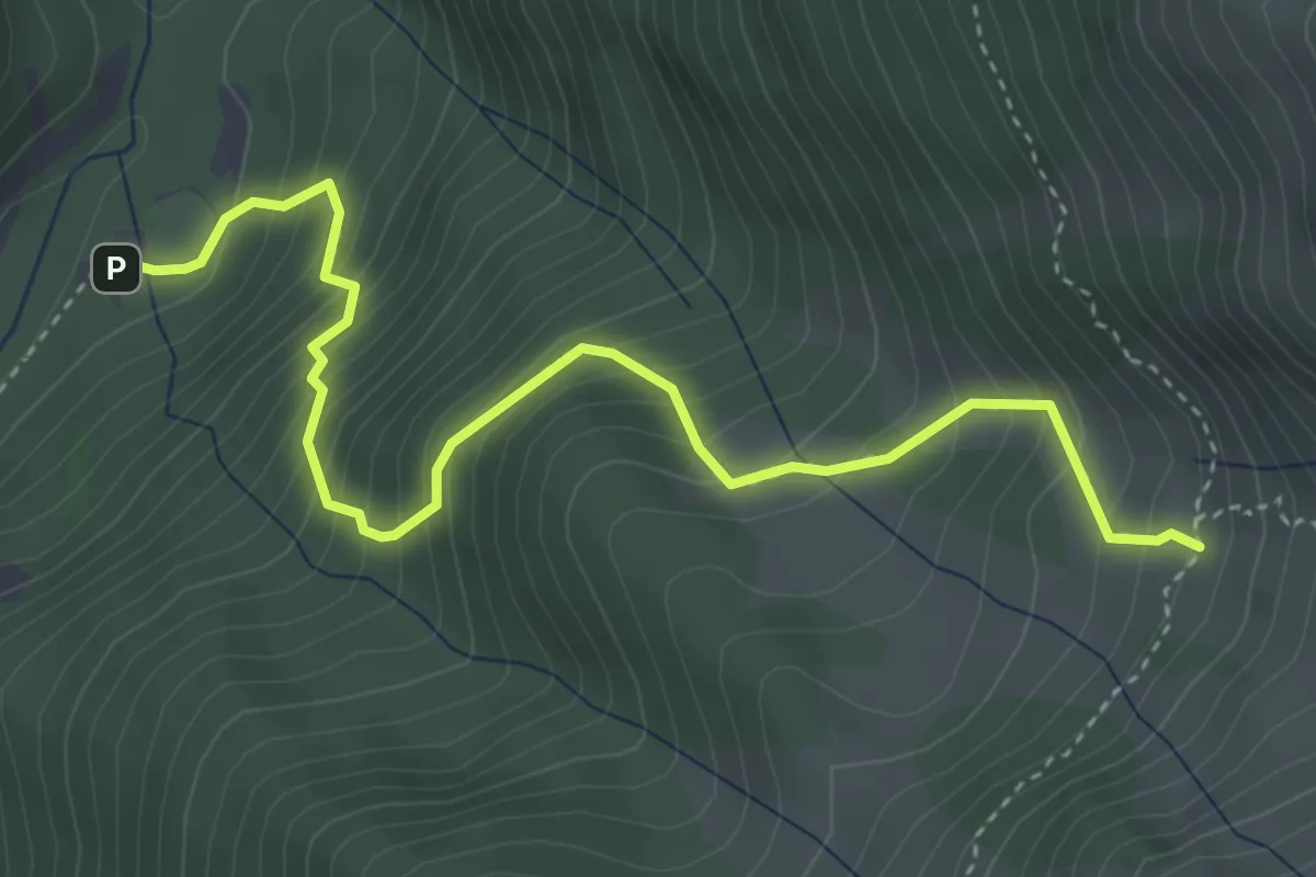
Demanding · Trail
Ponte di Frera - Malga Nembra
4.5 km · ↑ 604 m · 2 h 22 min
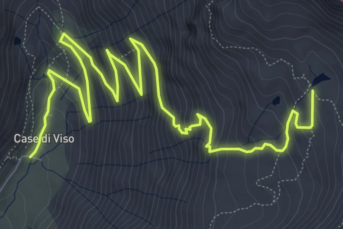
Medium · Cabin
Ponte di Legno (Case di Viso) - Rifugio Angelino Bozzi
10.5 km · ↑ 762 m · 4 h 8 min
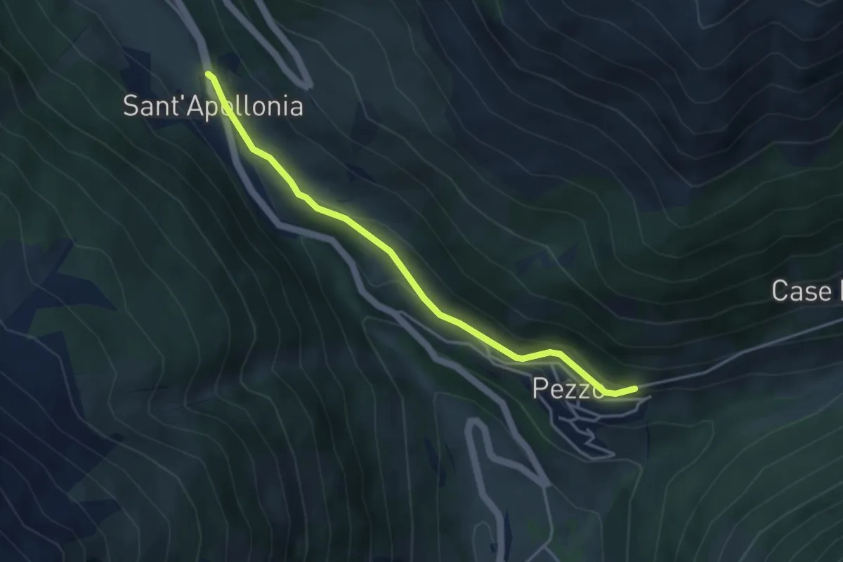
Easy · Trail
Ponte di Legno (Pezzo) - Sant'Apollonia
3.7 km · ↑ 135 m · 1 h 10 min
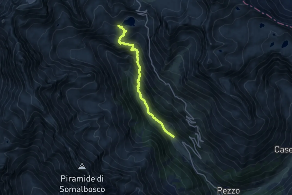
Demanding · Trail
Ponte di Legno (Sant'Apollonia) - Lago Nero
10.3 km · ↑ 827 m · 4 h 13 min
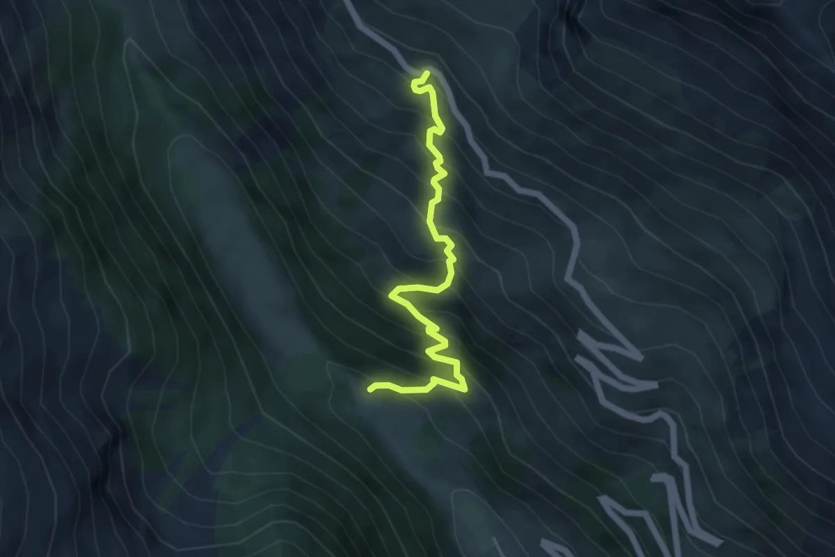
Medium · Trail
Ponte di Legno (Sant'Apollonia) - Ristoro Caione
4.8 km · ↑ 599 m · 2 h 26 min
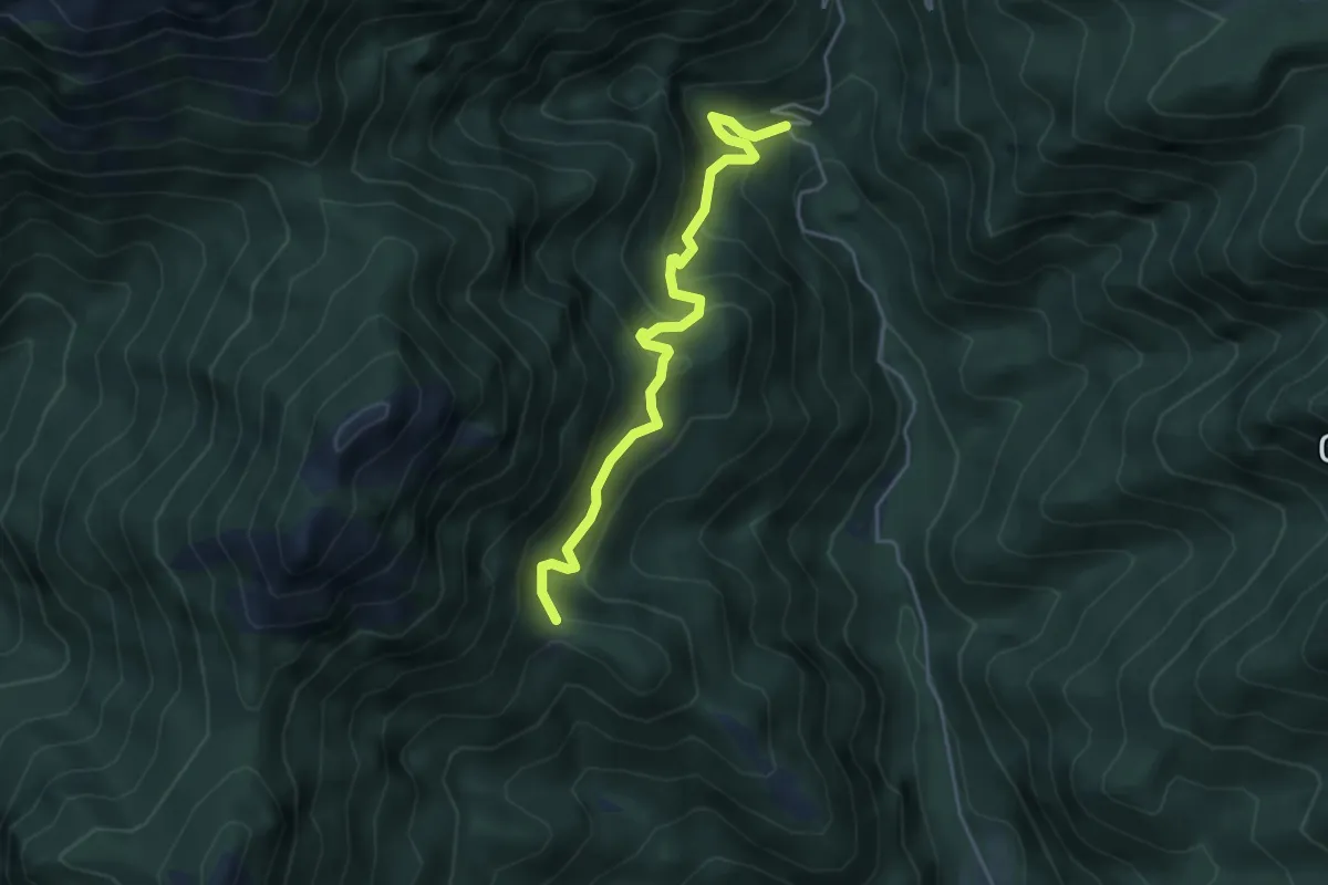
Medium · Trail
Ponte di Nalbo, La Colma
4.5 km · ↑ 473 m · 2 h 5 min
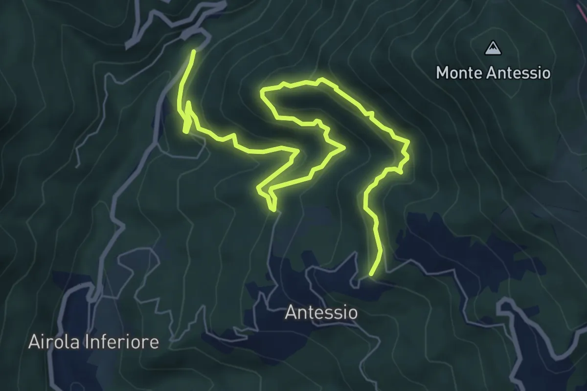
Medium · Trail
Ponte Garolo-Monte Fenocchia-Antessio
9.5 km · ↑ 592 m · 3 h 32 min
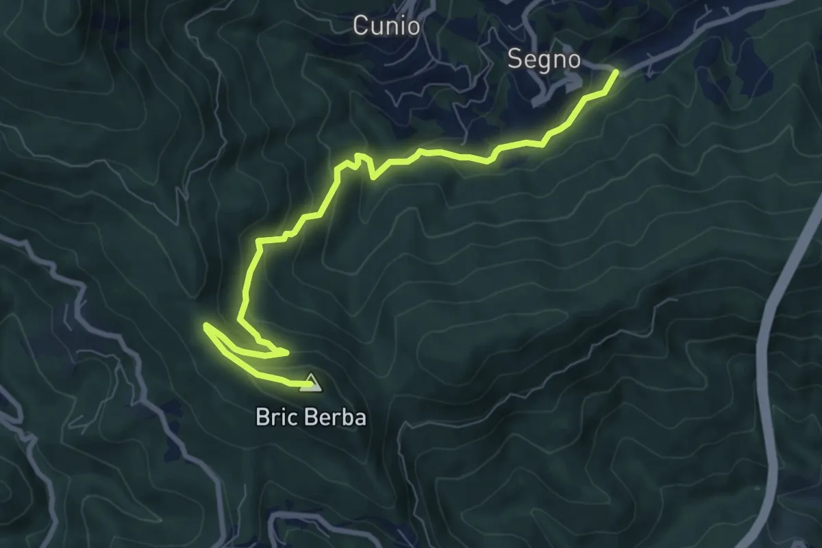
Medium · Summit
Ponte Isola - Bric Berba
8.9 km · ↑ 462 m · 3 h 5 min
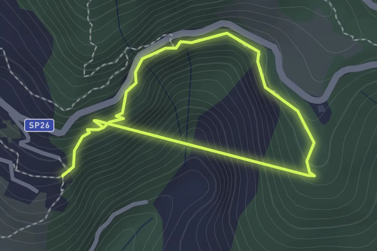
Easy · Trail
Ponte nel Sole
1.5 km · ↑ 160 m · 45 min
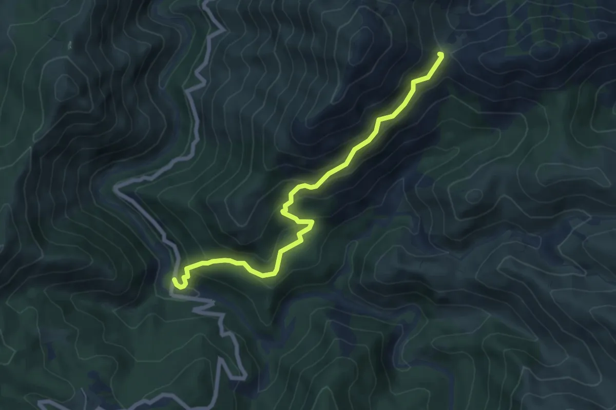
Medium · Trail
Ponte Nespolo - Passo della Dagliola
6.5 km · ↑ 464 m · 2 h 32 min