Trails in Italy
25,221 hiking trails, each with its route, climb, walking time and grade.
All trails, page 126 of 526
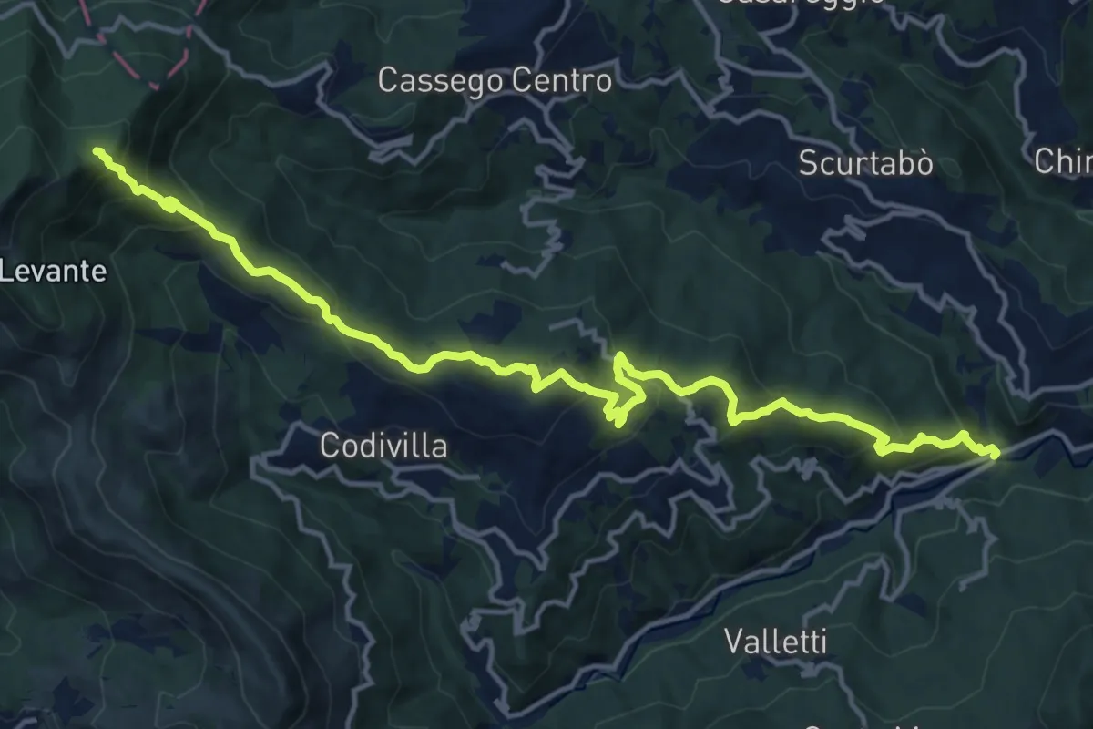
Demanding · Trail
Ponte Parano – Cadonica – Passo del Cavallo – Sorgenti del Vara - Bivio AVML
16.7 km · ↑ 978 m · 6 h 4 min
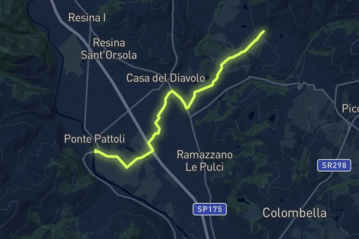
Medium · Trail
Ponte Pattoli
13.9 km · ↑ 177 m · 3 h 40 min
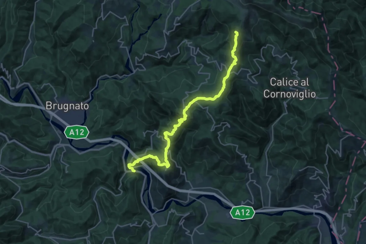
Demanding · Summit
Ponte Ramello – Quattro Strade – Beverone – Casoni
22.0 km · ↑ 1173 m · 7 h 44 min
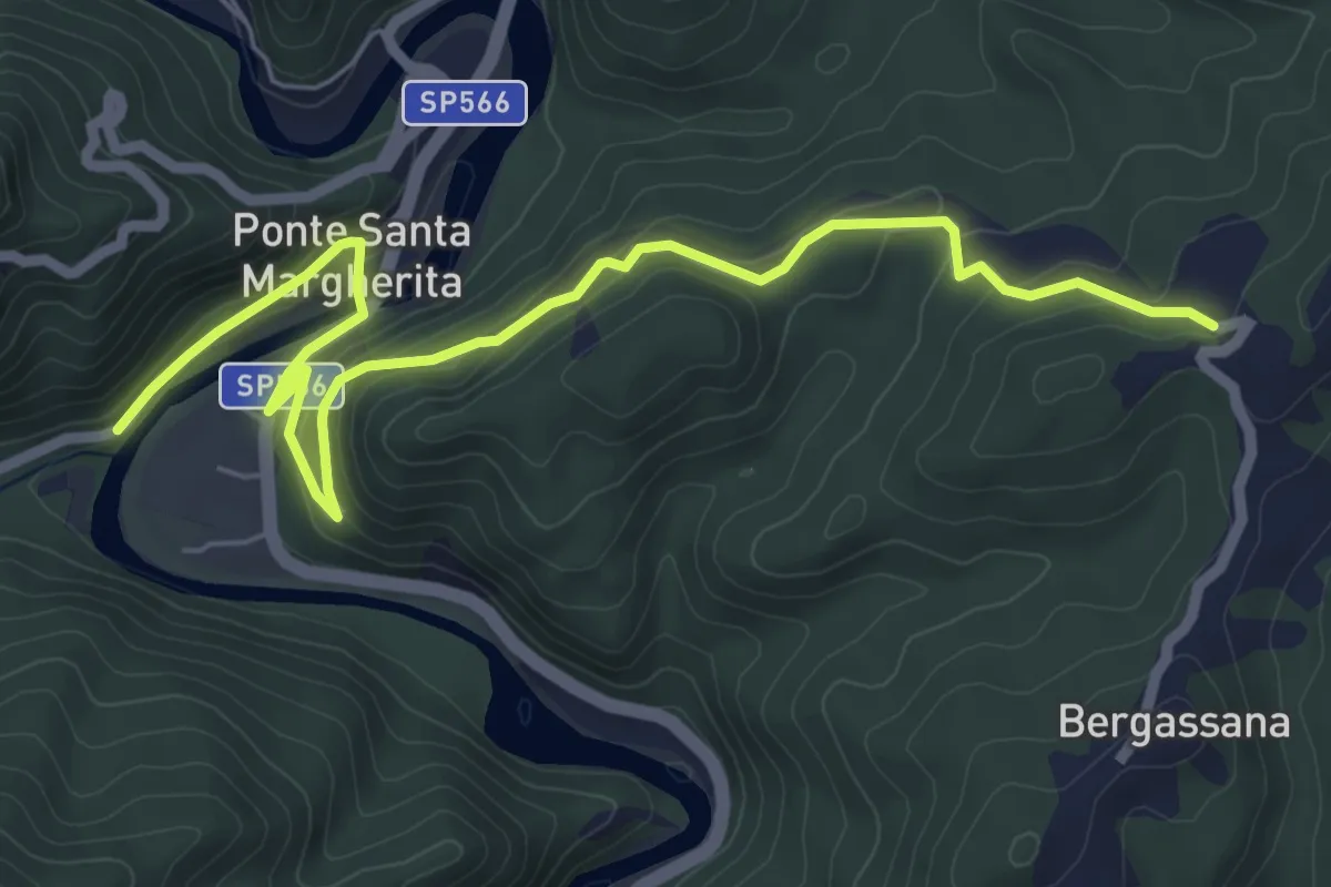
Easy · Trail
Ponte Santa Margherita - Santuario di San Rocco
7.5 km · ↑ 255 m · 2 h 19 min
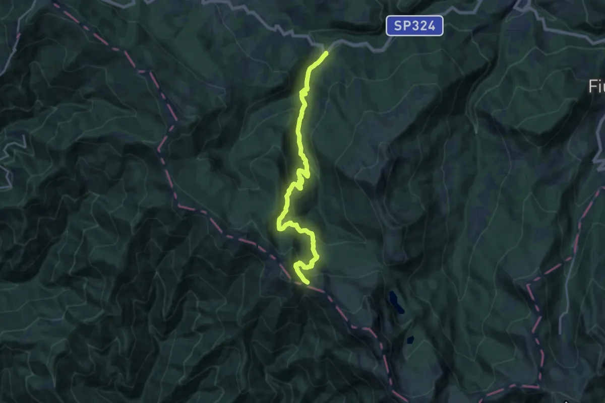
Demanding · Trail
Ponte Sant'Anna - Colle Bruciata
15.8 km · ↑ 962 m · 5 h 49 min
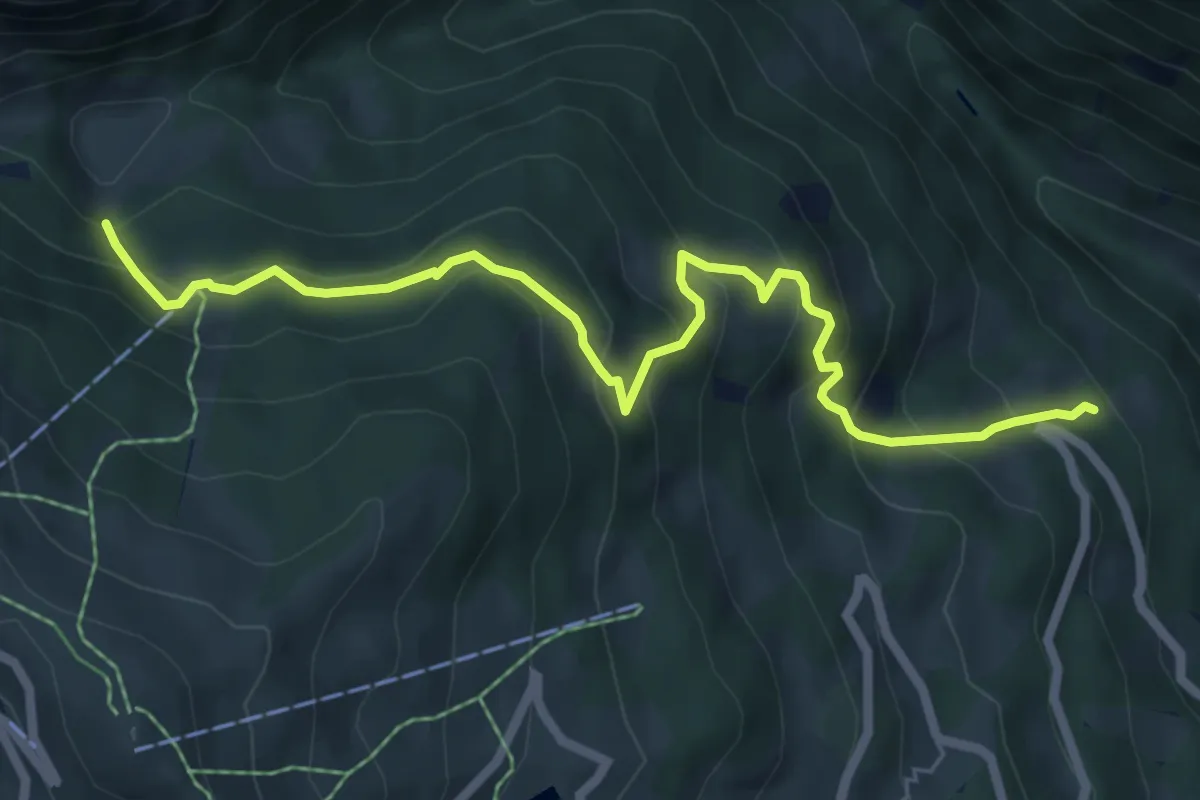
Medium · Trail
Ponte Selva - La Plagna
7.1 km · ↑ 595 m · 2 h 57 min
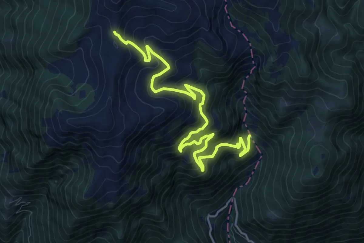
Demanding · Trail
Ponte Squadrone - Santella dell'Arciprete
13.2 km · ↑ 1038 m · 5 h 22 min
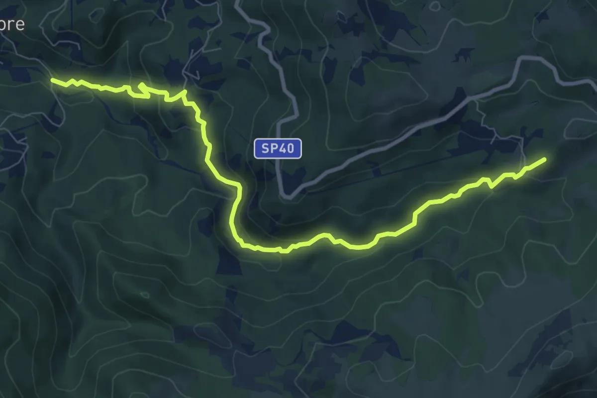
Demanding · Summit
Ponte sull'Orba - Albergo Faiallo
9.7 km · ↑ 482 m · 3 h 20 min
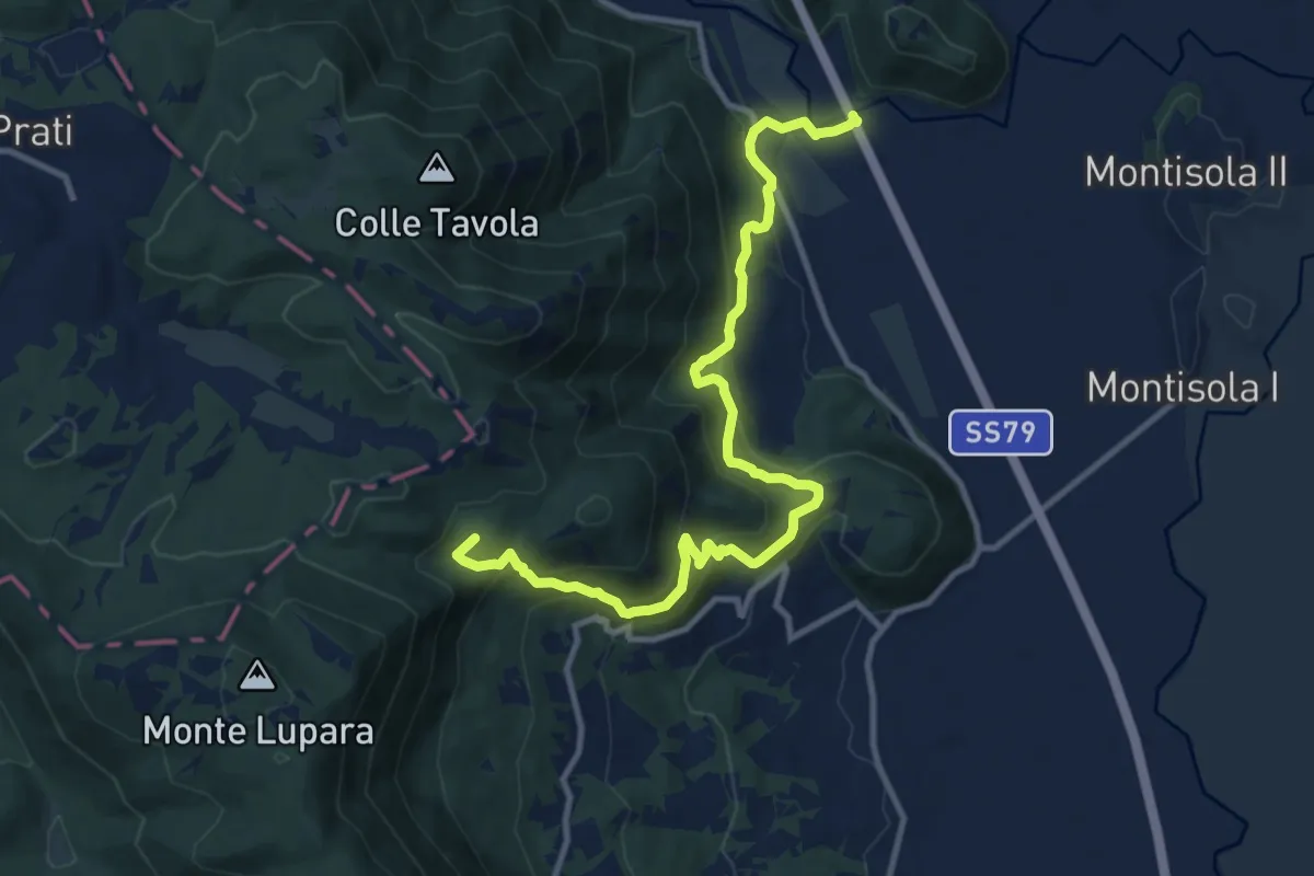
Demanding · Summit
Ponte sul Velino-Macchia Lupara
13.3 km · ↑ 807 m · 4 h 54 min
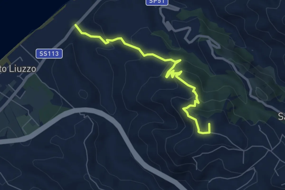
Medium · Summit
Ponte Tarantonio Salice
6.6 km · ↑ 359 m · 2 h 20 min
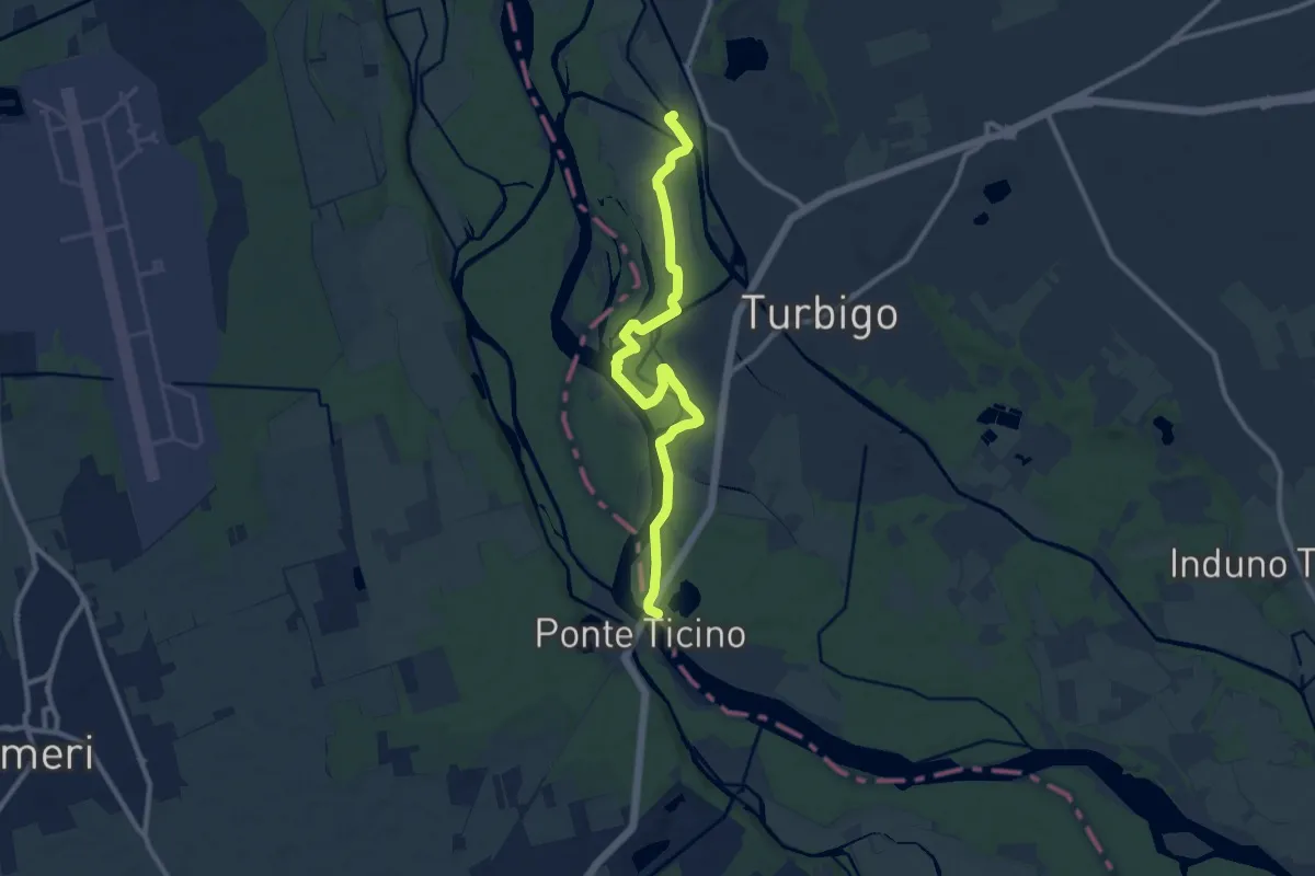
Medium · Trail
Ponte tibetano
10.9 km · ↑ 39 m · 2 h 40 min
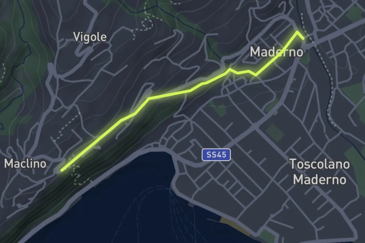
Easy · Trail
Ponte Vecchio - Montemaderno
3.3 km · ↑ 111 m · 1 h 1 min
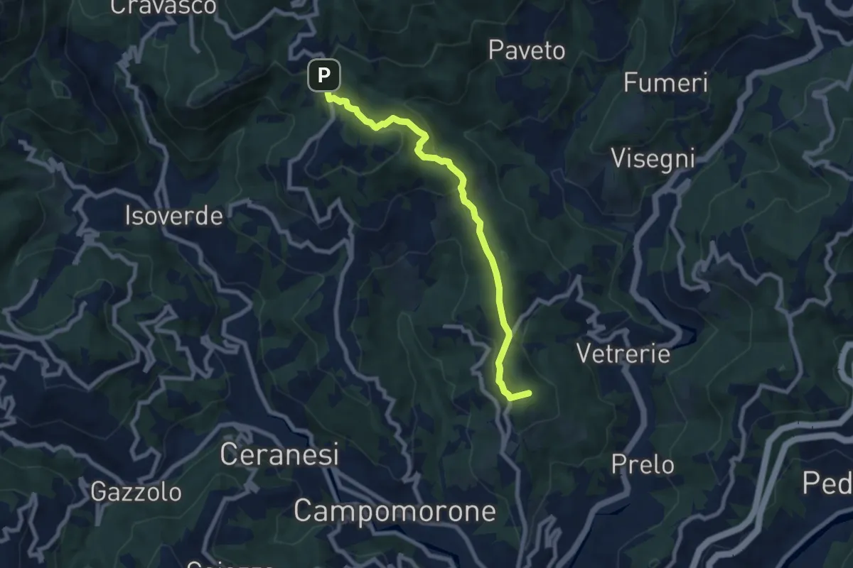
Medium · Summit
Ponte X - Pietra Lavezzara
7.4 km · ↑ 412 m · 2 h 38 min
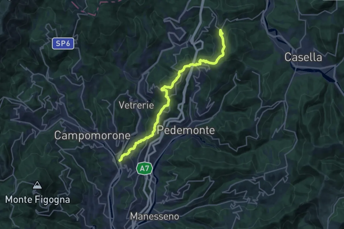
Demanding · Trail
Ponte X - Serra Riccò - Santuario della Vittoria
18.1 km · ↑ 817 m · 6 h 2 min
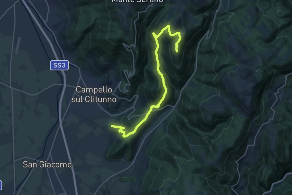
Demanding · Summit
Poreta - Spina Nuova
20.0 km · ↑ 1125 m · 7 h 9 min
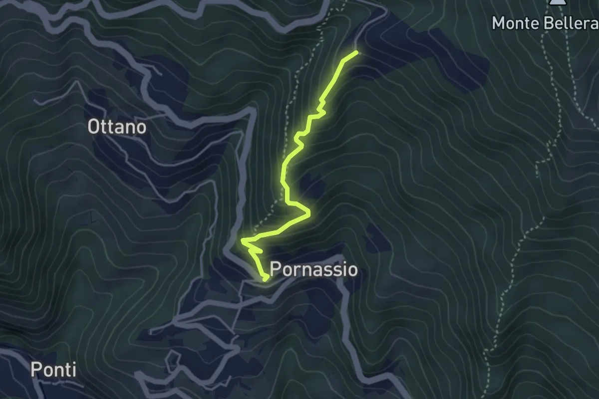
Easy · Trail
Pornassio - Forte Bellarasco (AVML)
3.3 km · ↑ 302 m · 1 h 26 min
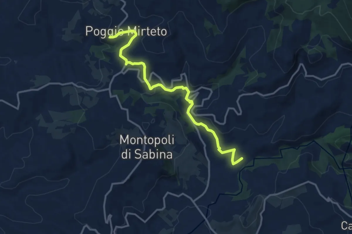
Medium · Trail
Porta Farnese-Ferriere
10.7 km · ↑ 225 m · 3 h
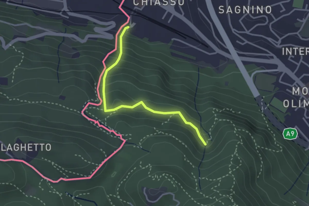
Medium · Trail
Porta Sasso (o del ponte tibetano)
2.8 km · ↑ 294 m · 1 h 17 min
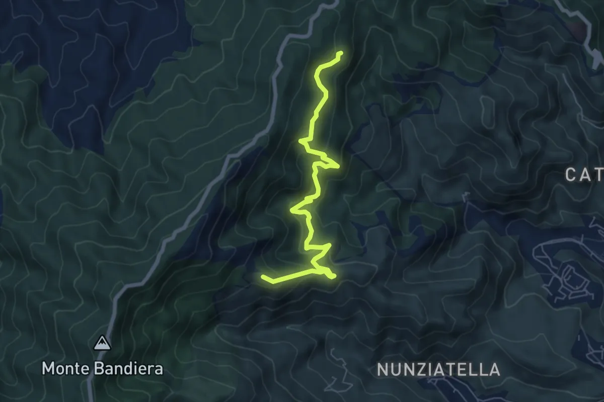
Medium · Summit
Portella Chiarino Foresta di Camaro
7.4 km · ↑ 479 m · 2 h 46 min
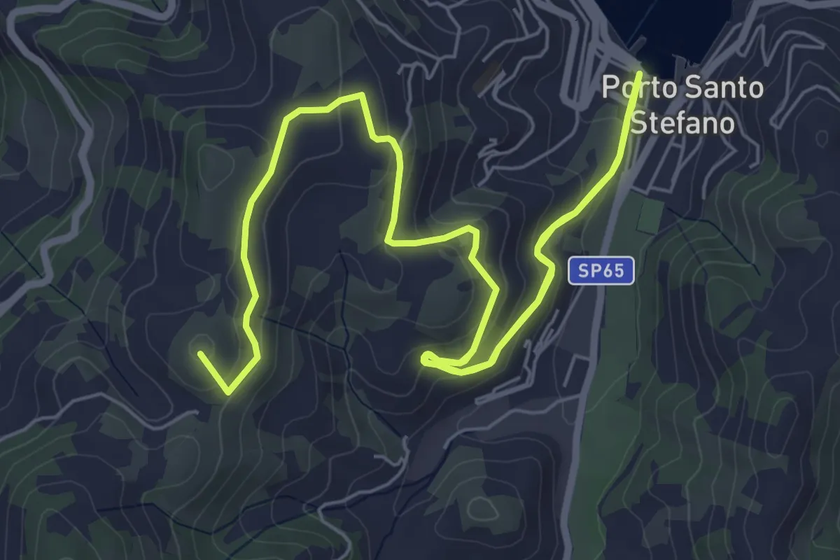
Medium · Summit
Porto della Valle - Capo D'Uomo
11.1 km · ↑ 461 m · 3 h 37 min
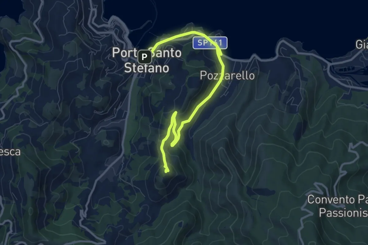
Medium · Trail
Porto Santo Stefano - Argentiera
9.9 km · ↑ 367 m · 3 h 8 min
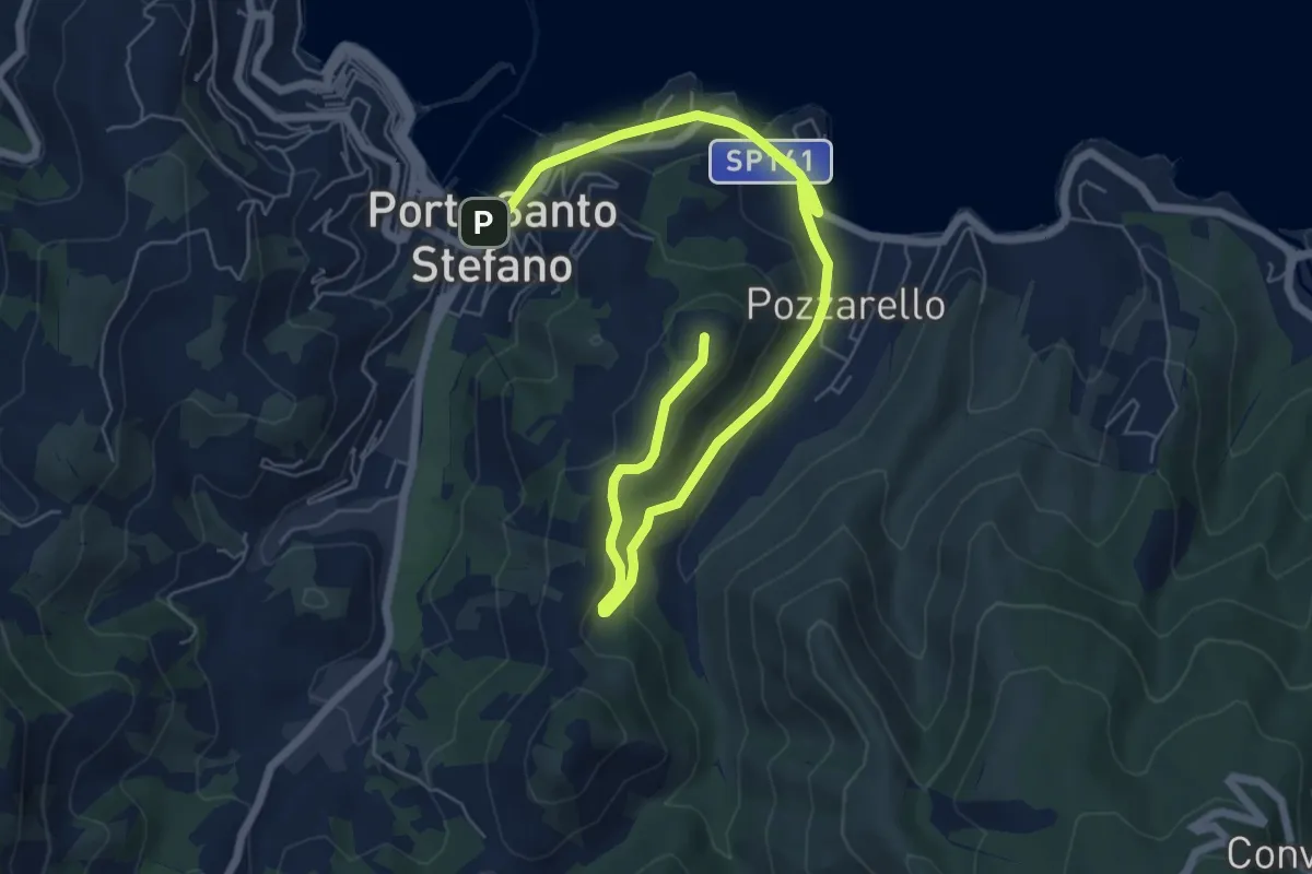
Medium · Summit
Porto Santo Stefano - Forte del Pozzarello
9.1 km · ↑ 277 m · 2 h 44 min
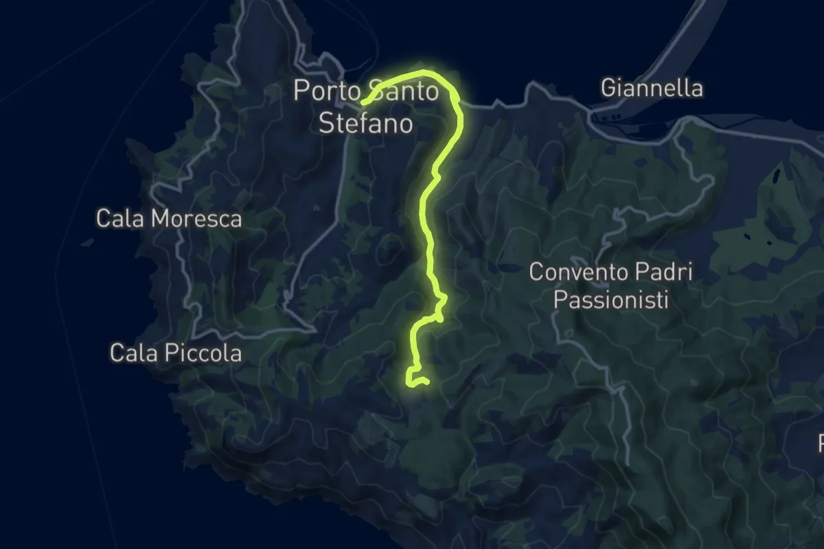
Medium · Trail
Porto Santo Stefano - Olmo
12.4 km · ↑ 337 m · 3 h 40 min
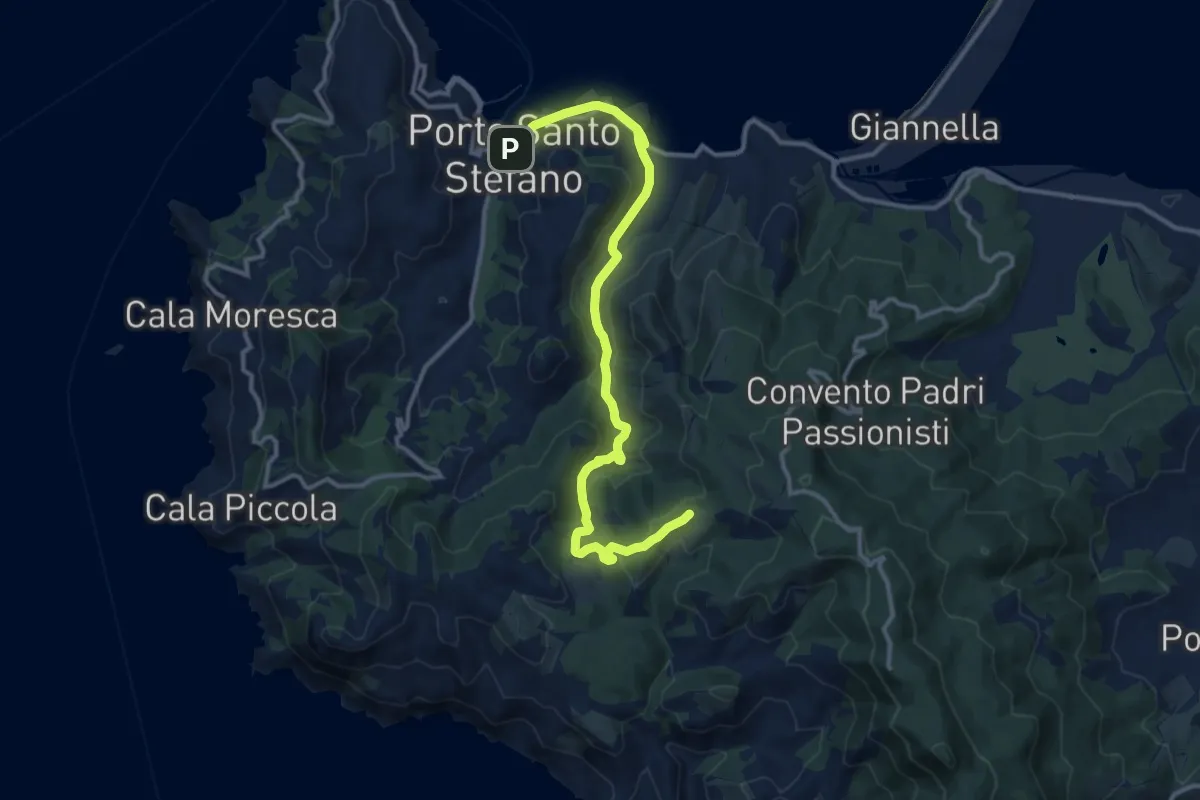
Medium · Summit
Porto Santo Stefano - Olmo - Croce del Predicatore
14.6 km · ↑ 423 m · 4 h 22 min
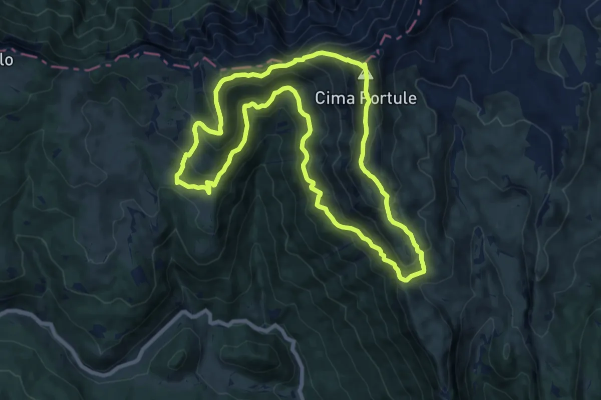
Demanding · Summit
Portule
13.5 km · ↑ 942 m · 5 h 25 min
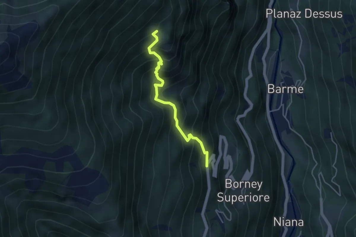
Medium · Trail
Posa - Saroun
3.4 km · ↑ 494 m · 1 h 52 min
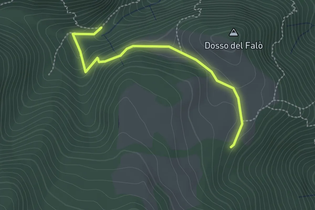
Easy · Trail
Possimo - Scale
2.6 km · ↑ 99 m · 49 min
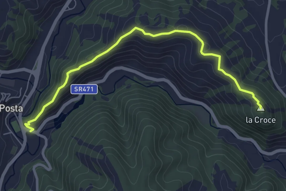
Easy · Summit
Posta-Borbona
6.3 km · ↑ 249 m · 2 h 1 min
Medium · Trail
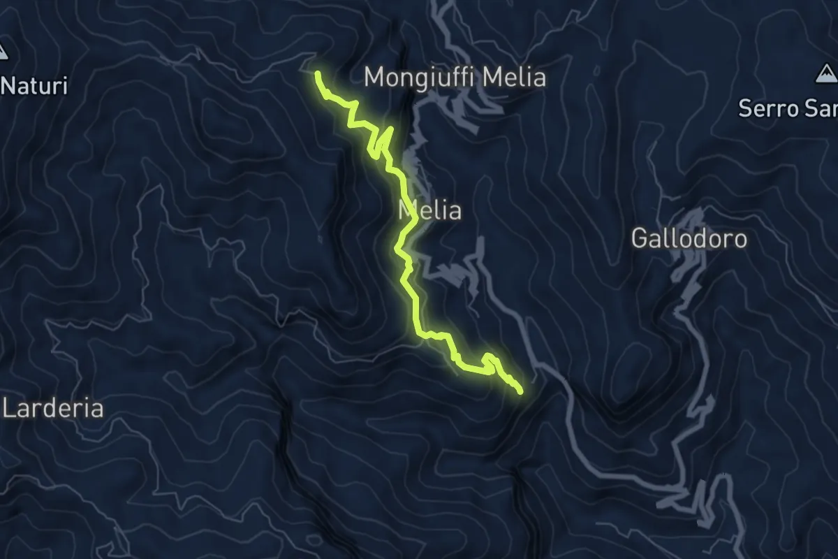
Postoleone libera melia Santuario Catena
7.4 km · ↑ 526 m · 2 h 54 min
Demanding · Trail
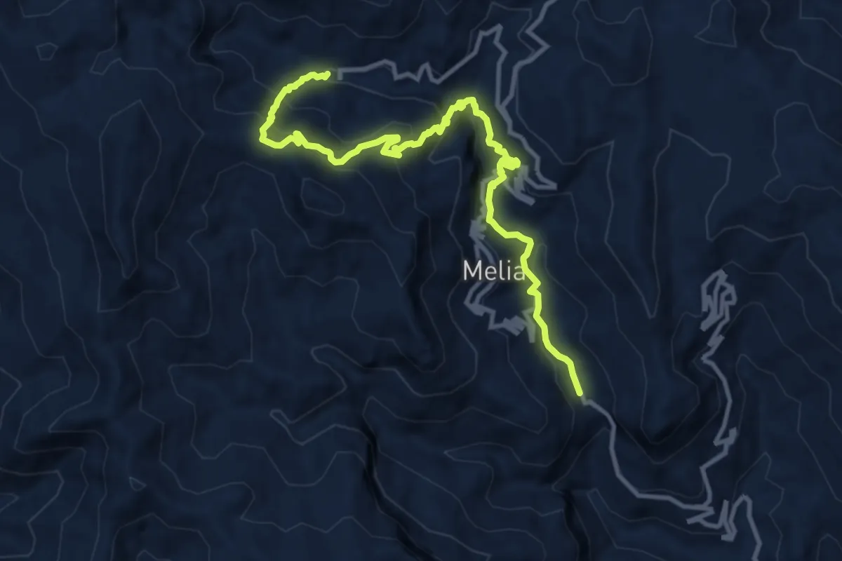
Postoleone Mongiuffi scala saracena santuario della Catena
12.9 km · ↑ 978 m · 5 h 10 min
Medium · Trail
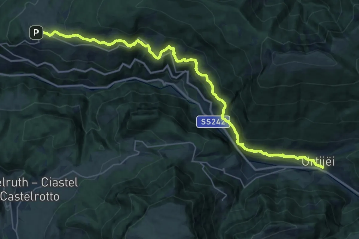
Poststeig
12.1 km · ↑ 763 m · 4 h 37 min
Demanding · Summit
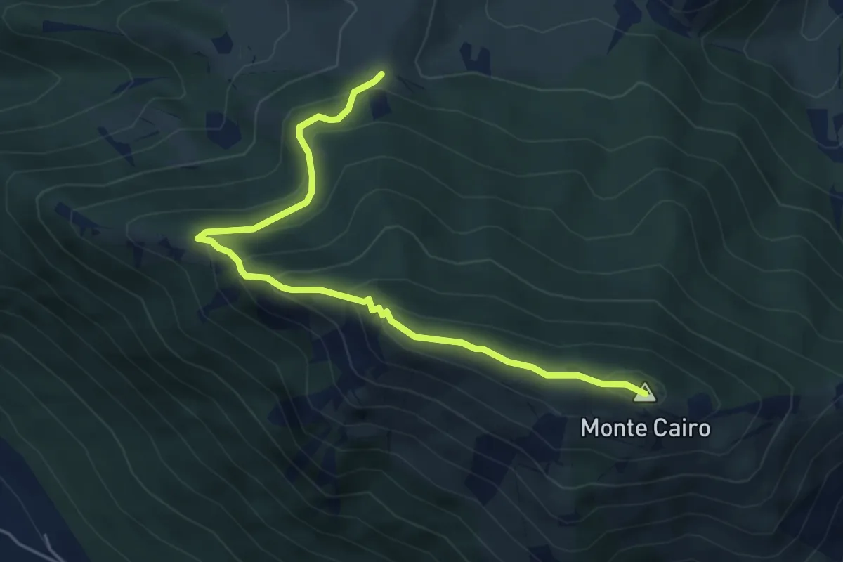
Pozzacone - Monte Cairo
5.8 km · ↑ 382 m · 2 h 11 min
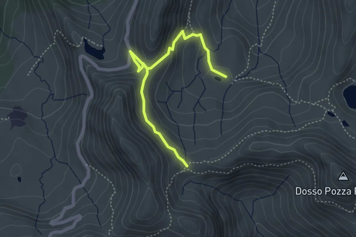
Medium · Trail
Pozza Val di Corni - Malga Mignolino
4.2 km · ↑ 258 m · 1 h 33 min
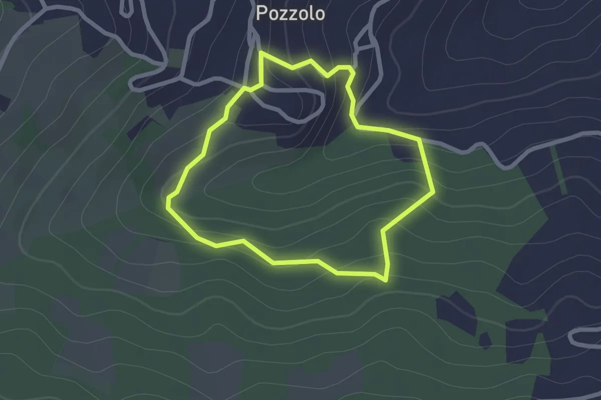
Easy · Trail
Pozzolo - Rio delle Tane - Torrente Stirone - Pozzolo
1.9 km · ↑ 95 m · 40 min
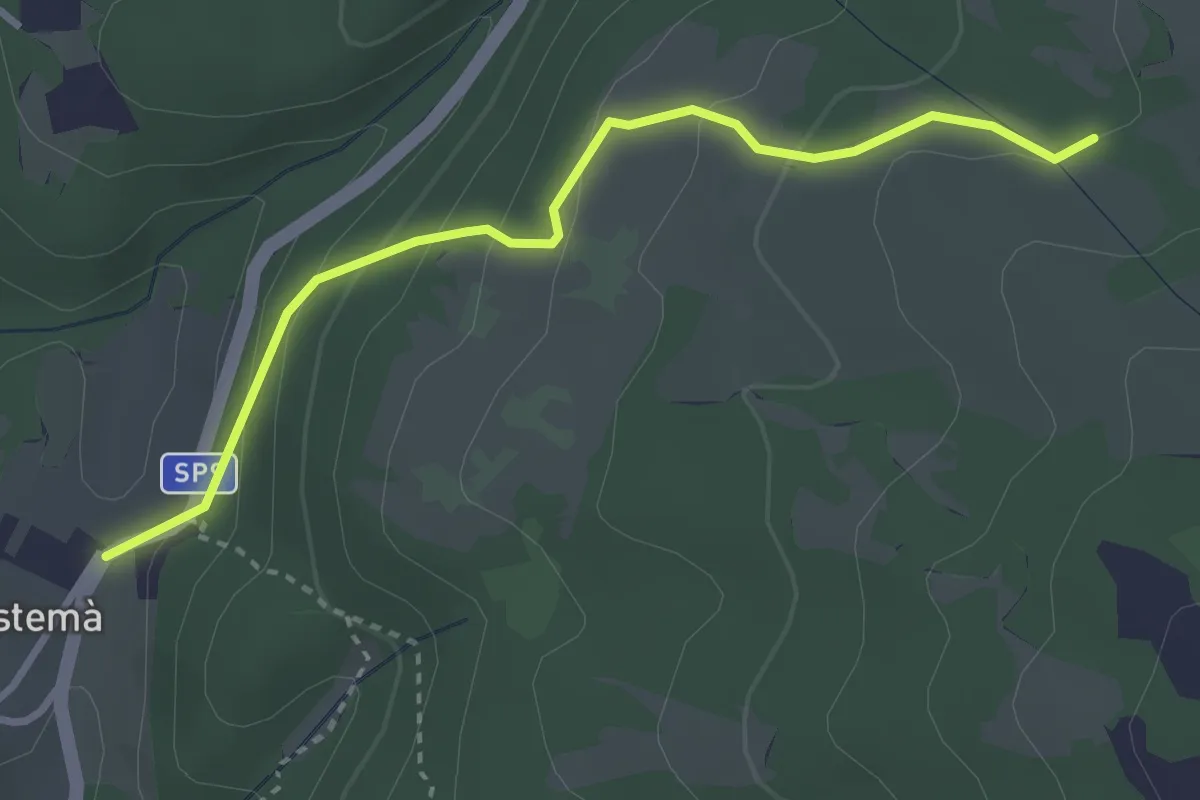
Easy · Trail
Prà Bestemà - Baito dei Santi - Prada Bassa
3.3 km · ↑ 185 m · 1 h 10 min
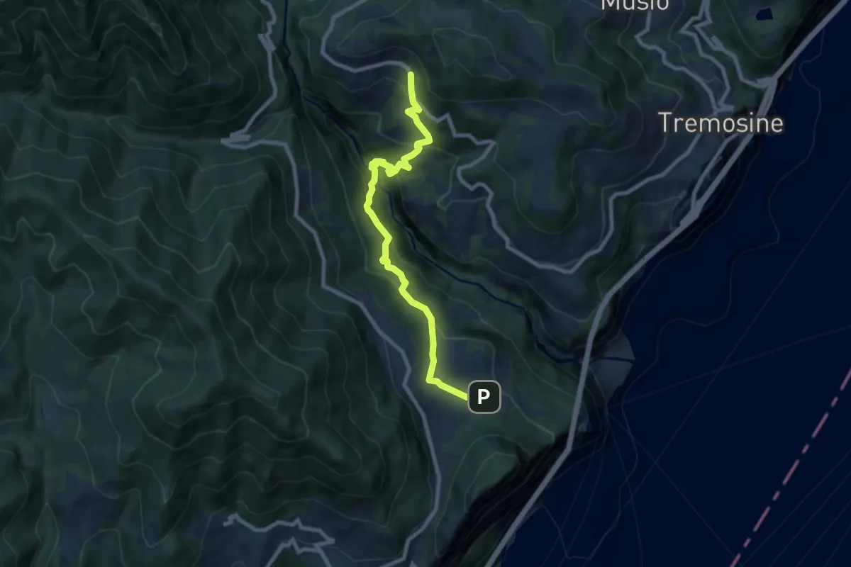
Medium · Trail
Prabione - Sermerio
8.1 km · ↑ 638 m · 3 h 17 min
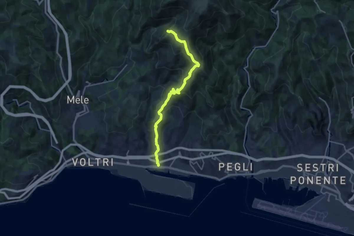
Demanding · Summit
Prà - Cappellina Baiarda
13.6 km · ↑ 899 m · 5 h 10 min
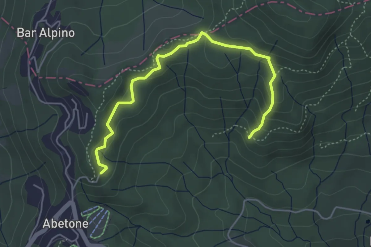
Easy · Trail
Pracchia - Abetone
4.8 km · ↑ 232 m · 1 h 38 min
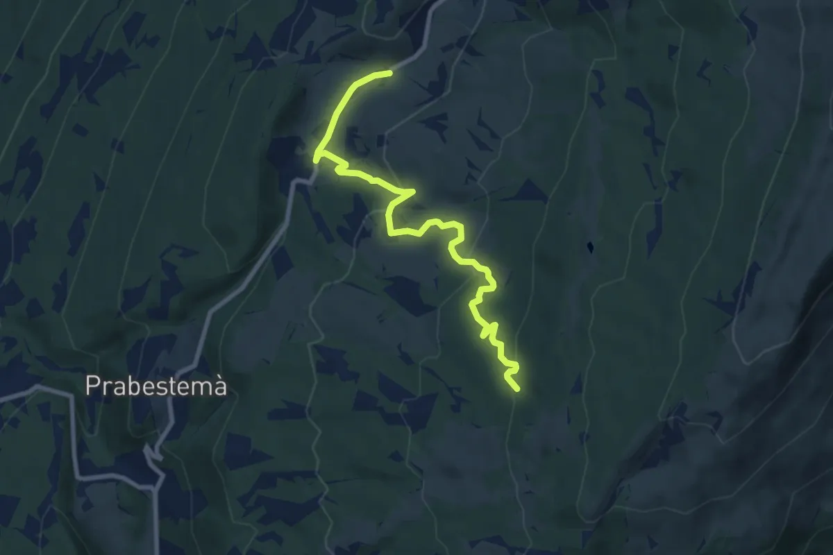
Medium · Trail
Prada Bassa - Naole - Rifugio Fiori del Baldo
8.3 km · ↑ 372 m · 2 h 46 min
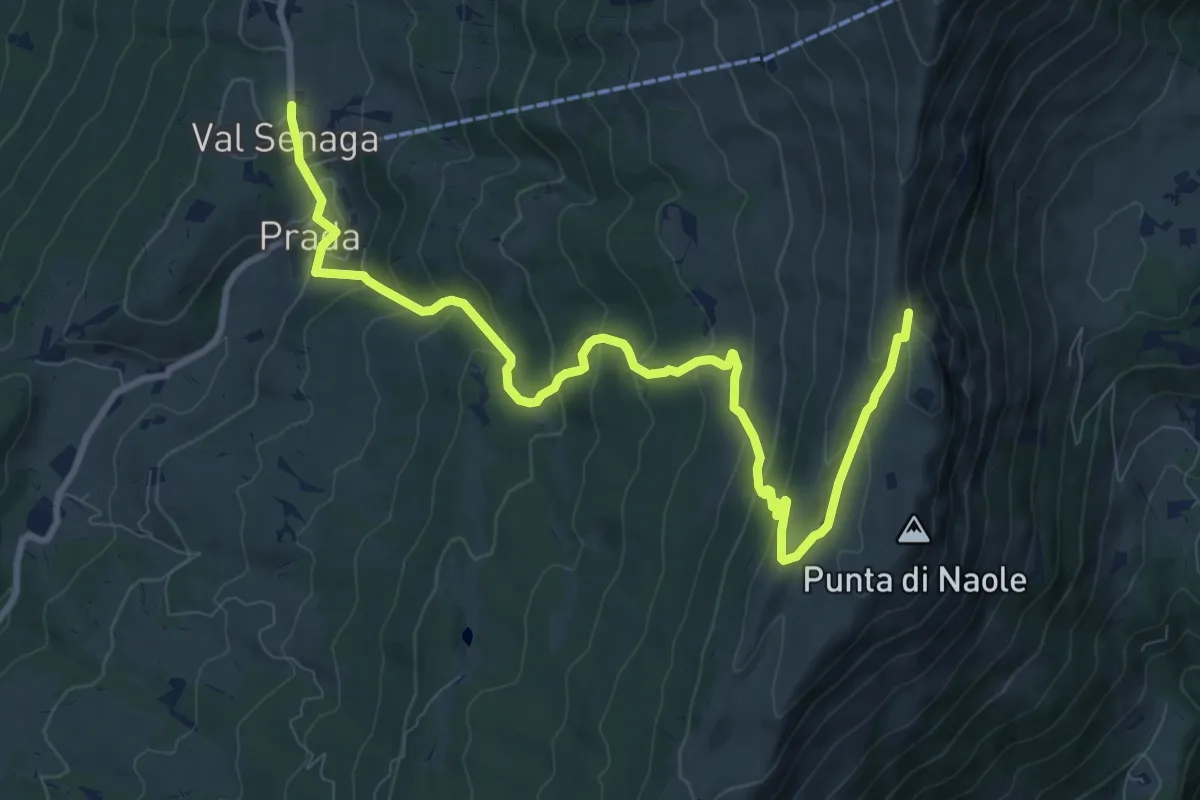
Medium · Trail
Prada - Bocchetta di Naole
11.4 km · ↑ 678 m · 4 h 9 min
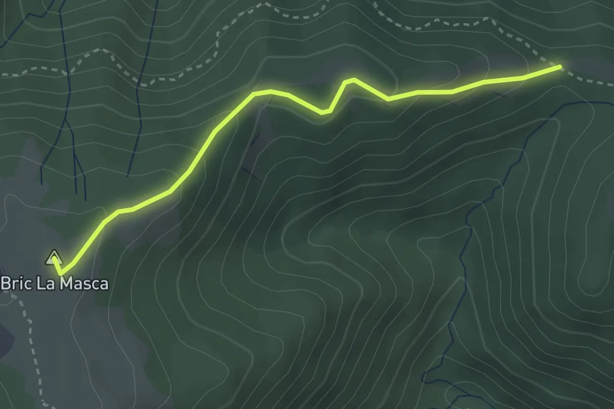
Easy · Summit
Pra d'bura – Foi
3.1 km · ↑ 180 m · 1 h 7 min
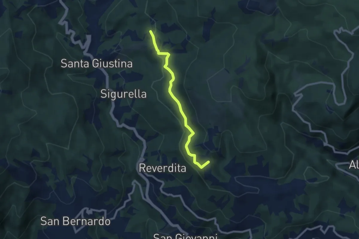
Easy · Summit
Prati del Prezzemolo
5.5 km · ↑ 190 m · 1 h 43 min
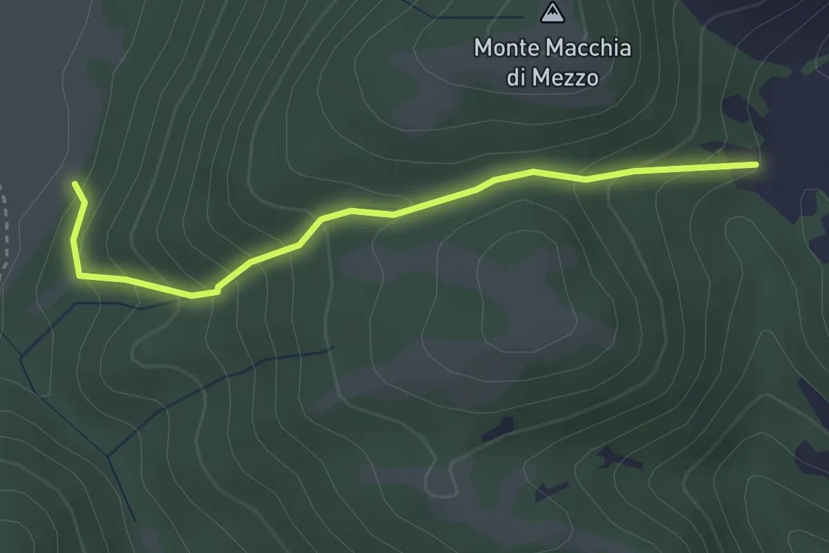
Easy · Trail
Prati di Sopra-Valle Ceresola
3.2 km · ↑ 282 m · 1 h 23 min
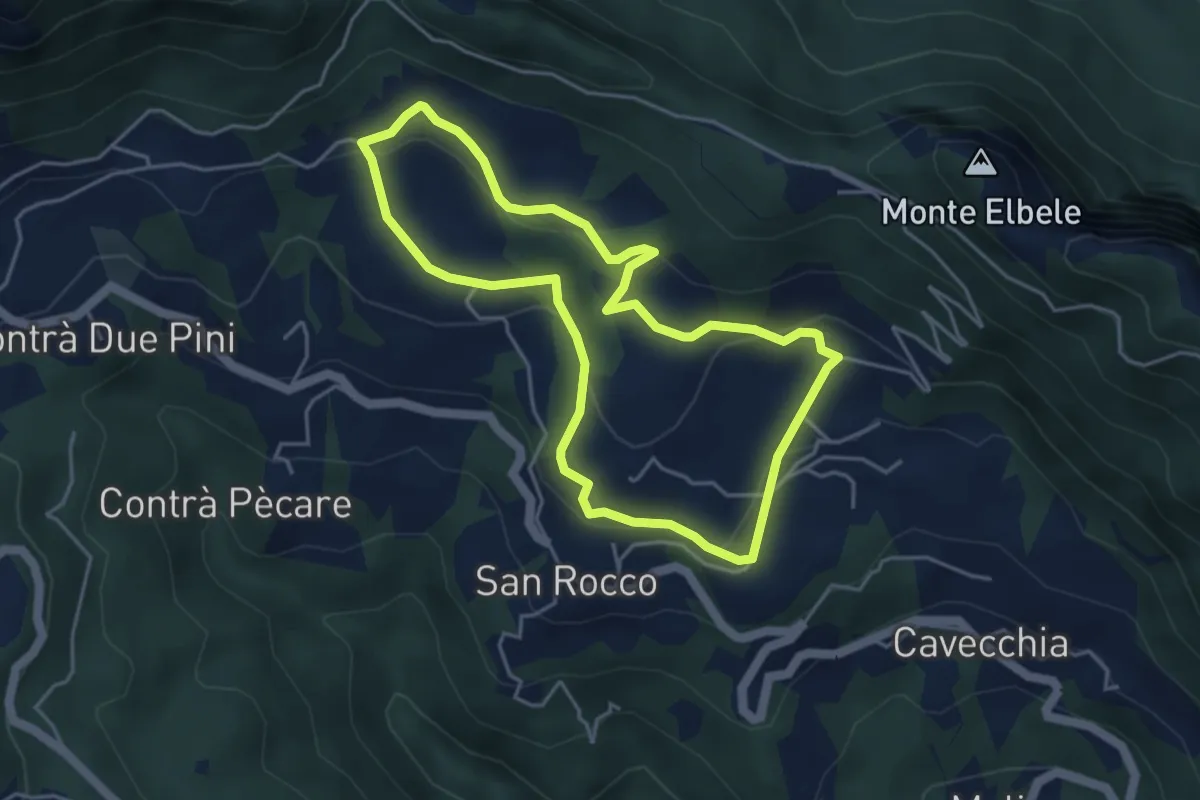
Easy · Trail
Prati di S. Rocco
4.2 km · ↑ 144 m · 1 h 22 min
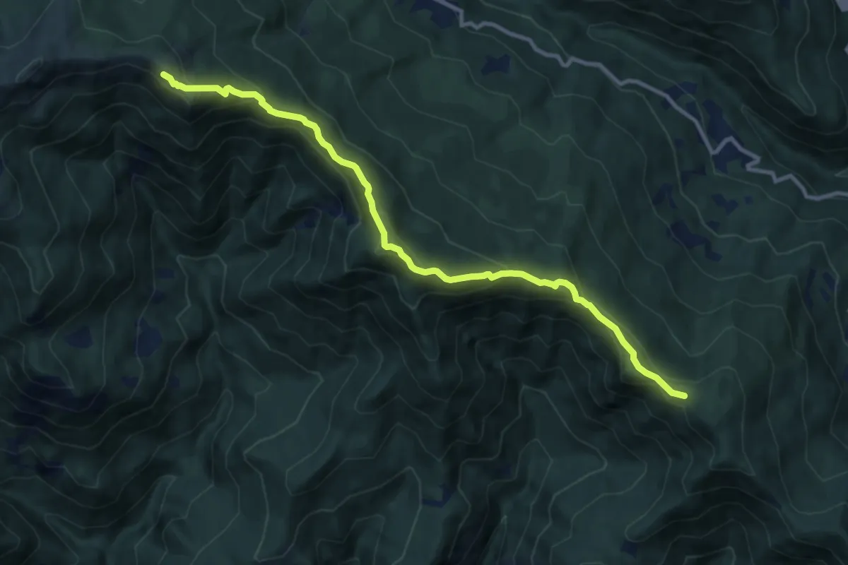
Medium · Summit
Prato Bellincioni - Monte Poggione
11.1 km · ↑ 554 m · 3 h 49 min
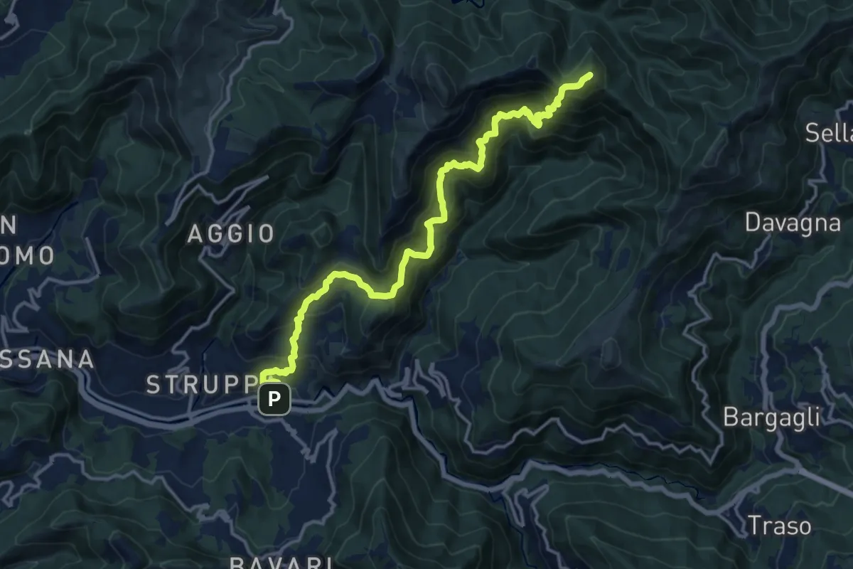
Demanding · Summit
Prato- Canate di Marsiglia - Capenardo
15.5 km · ↑ 1439 m · 6 h 47 min
Medium · Trail
Prato delle Noci, Bocchetta di Nansesa
7.7 km · ↑ 624 m · 3 h 10 min
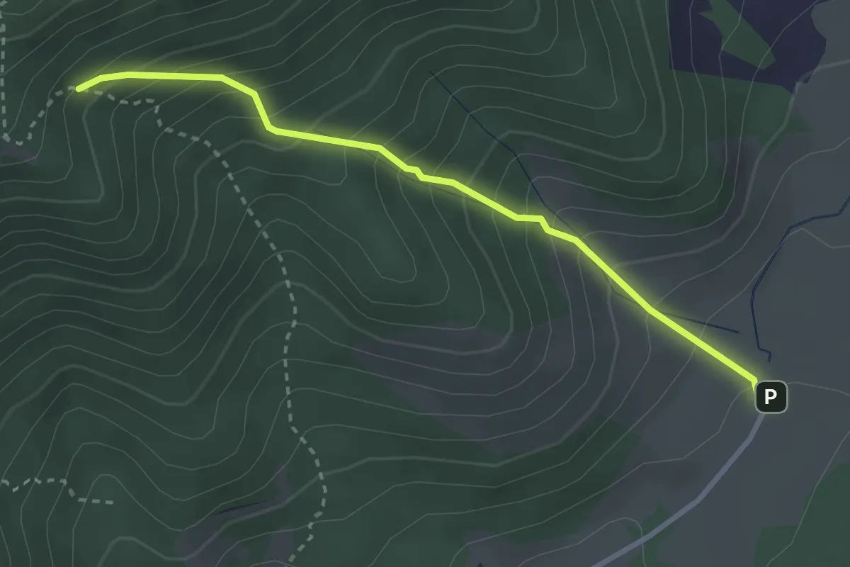
Medium · Trail
Prato Di Campoli - Forca Palomba - Salita per la Valle delle Vacche
3.2 km · ↑ 391 m · 1 h 36 min