Trails in Italy
25,221 hiking trails, each with its route, climb, walking time and grade.
All trails, page 127 of 526
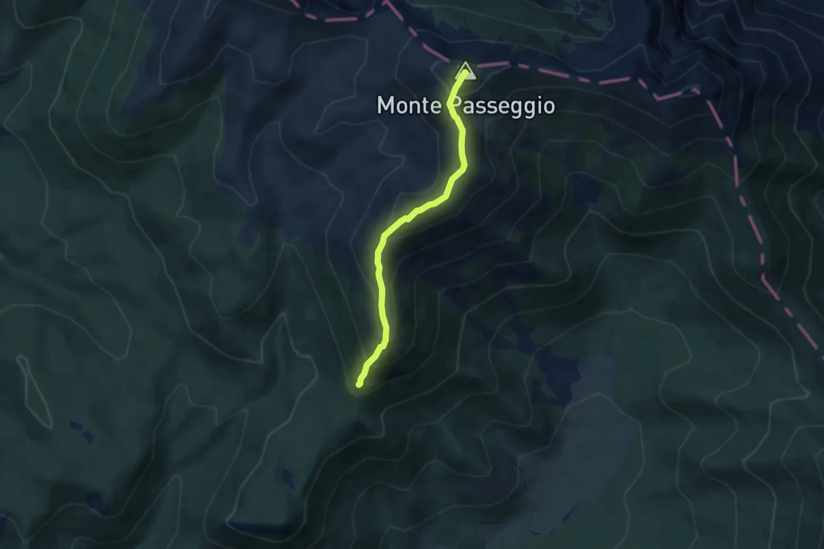
Medium · Summit
Prato di Campoli-Monte del Passeggio
5.6 km · ↑ 461 m · 2 h 20 min
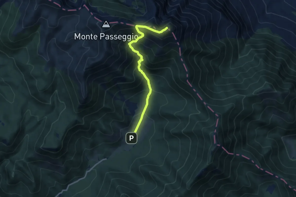
Demanding · Summit
Prato Di Campoli - Pizzo Deta
9.7 km · ↑ 919 m · 4 h 17 min
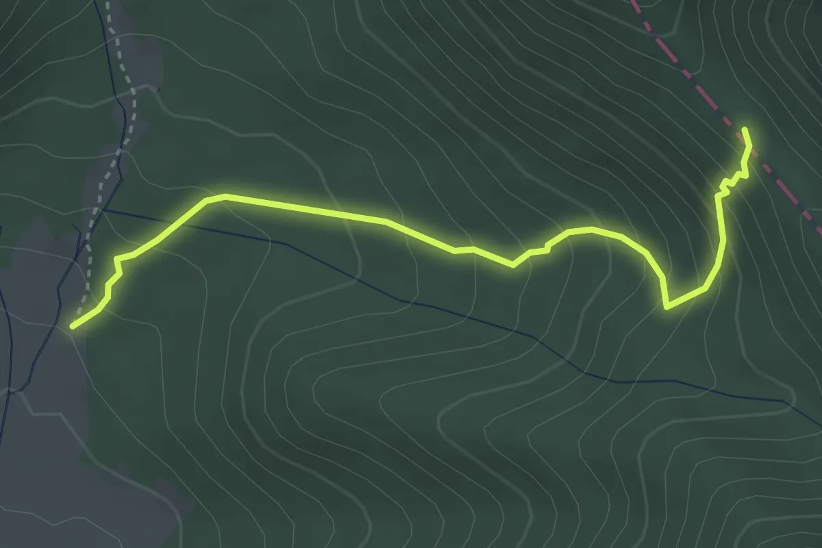
Medium · Trail
Prato di Campoli - Vado della Rocca
4.0 km · ↑ 349 m · 1 h 42 min
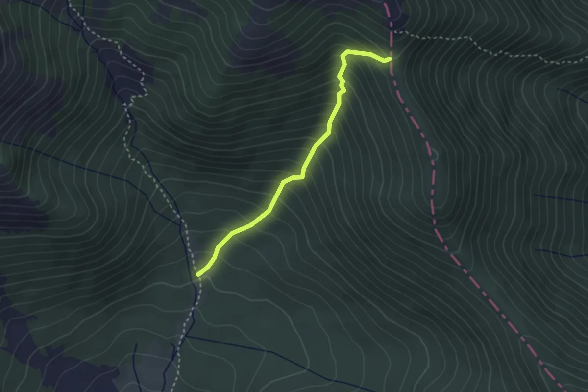
Medium · Trail
Prato Di Campoli - Vado di Veroli
2.9 km · ↑ 390 m · 1 h 32 min
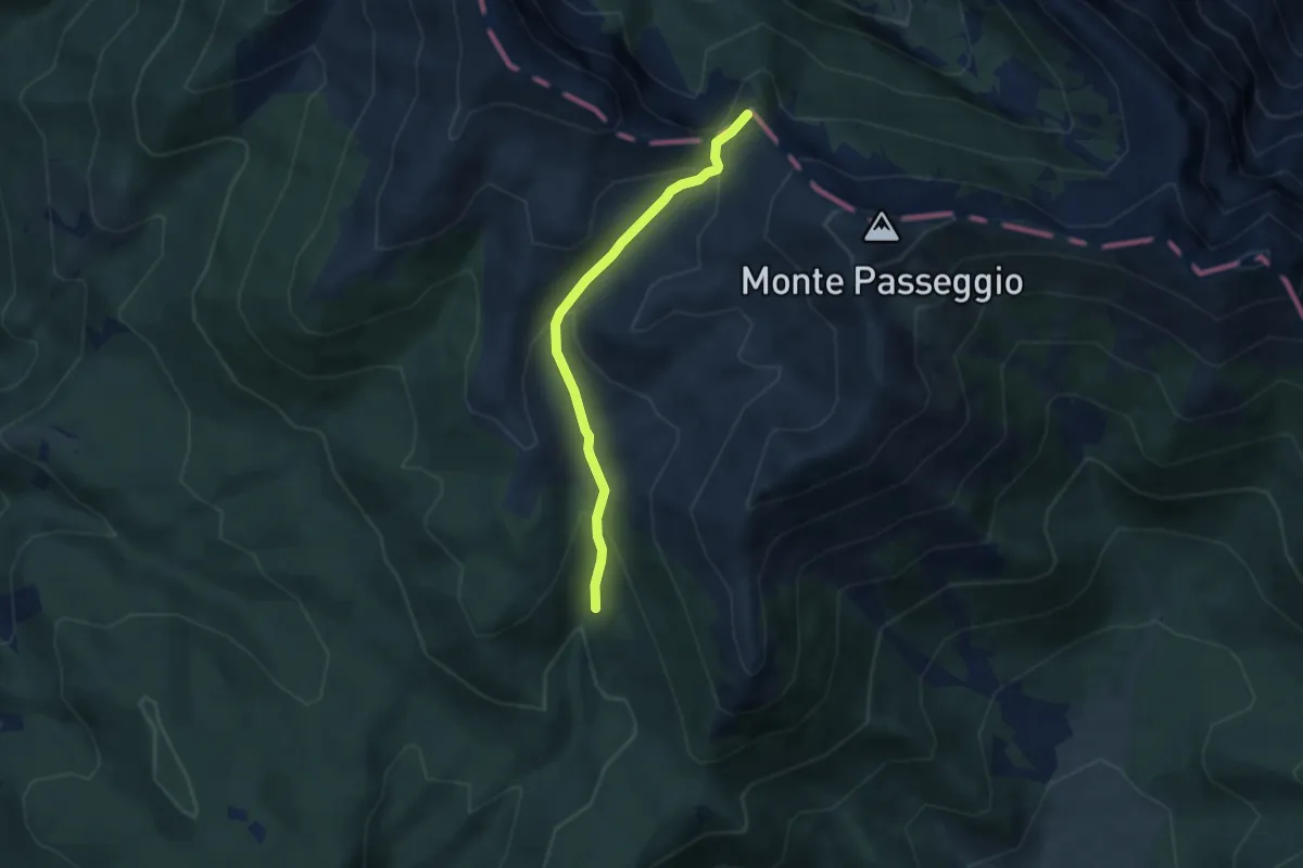
Easy · Summit
Prato di Campoli - Valle di Femminamorta - Monte Brecciaro
5.4 km · ↑ 295 m · 1 h 55 min
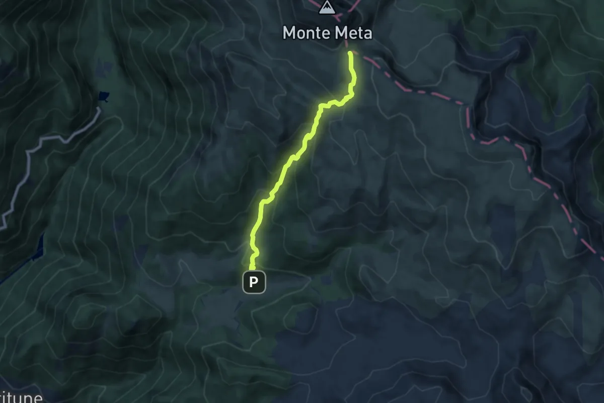
Medium · Trail
Prato di Mezzo - Passo dei Monaci
7.2 km · ↑ 548 m · 2 h 53 min
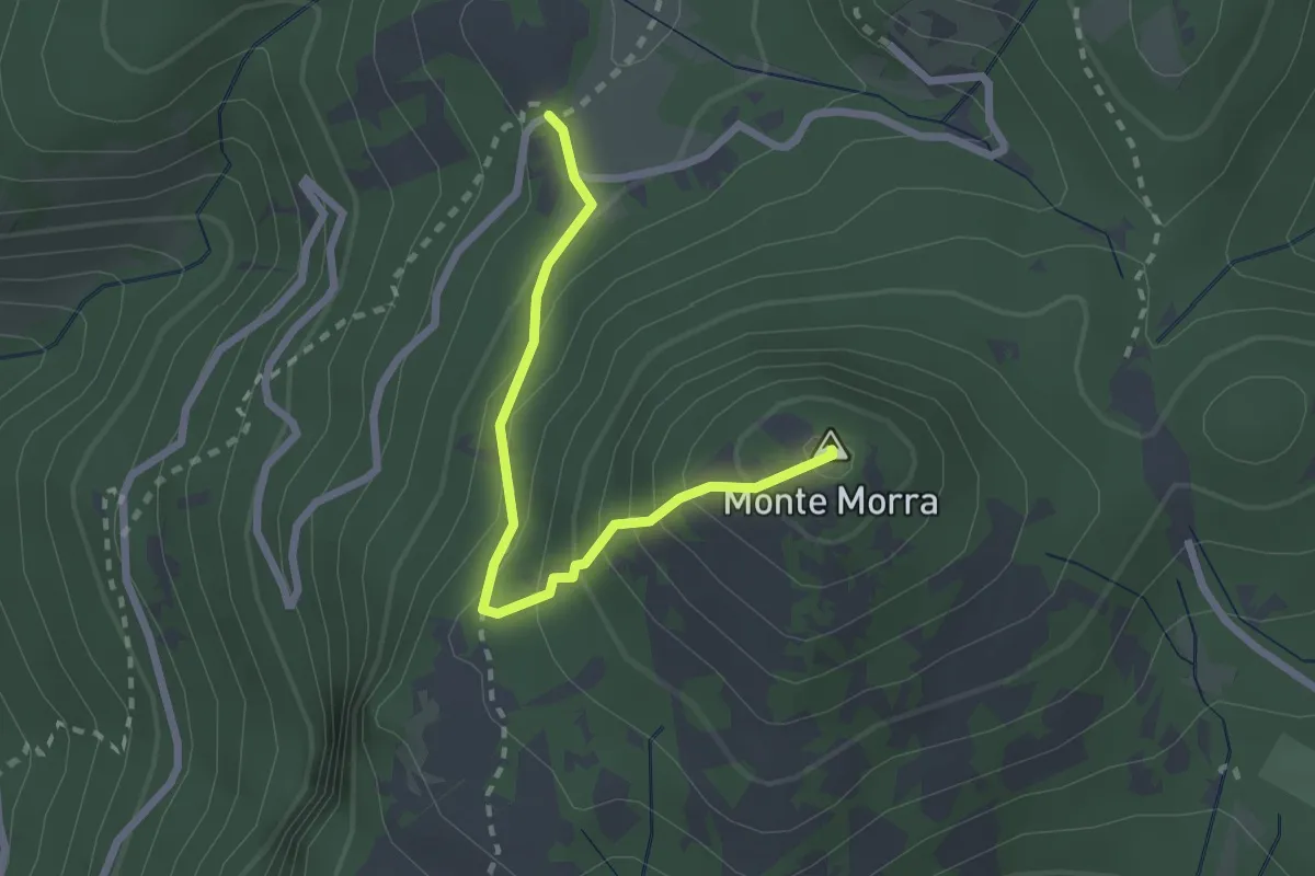
Expert · Summit
Prato Favale-Monte Morra
2.5 km · ↑ 219 m · 1 h 4 min
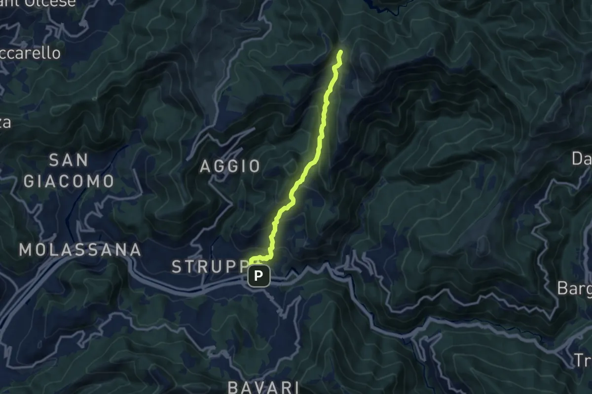
Medium · Trail
Prato - Gola di Sisa - Tre Fontane
9.6 km · ↑ 671 m · 3 h 44 min
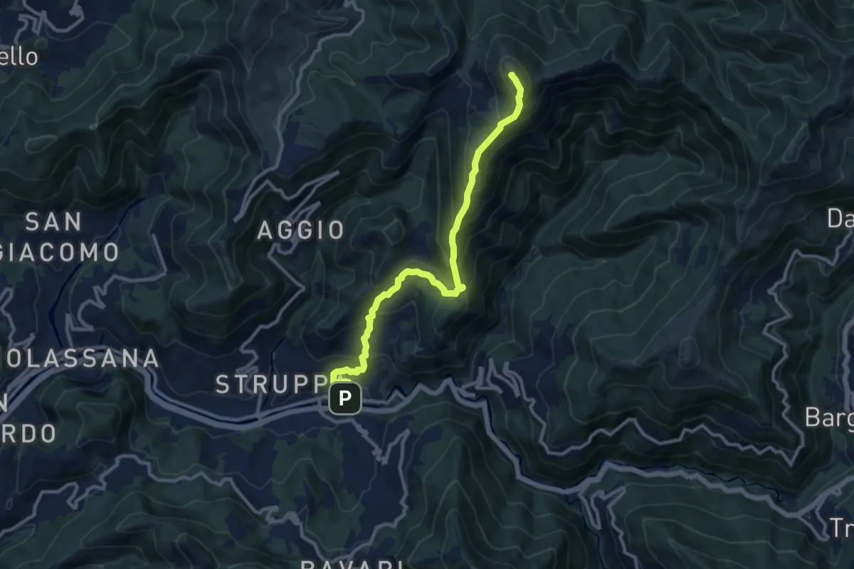
Demanding · Summit
Prato - Monte Alpesisa
11.1 km · ↑ 877 m · 4 h 31 min
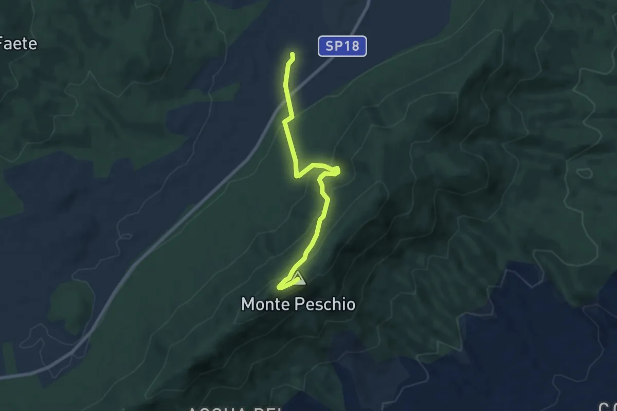
Medium · Summit
Pratoni del Vivaro - Fontana Marcaccio
7.0 km · ↑ 360 m · 2 h 26 min
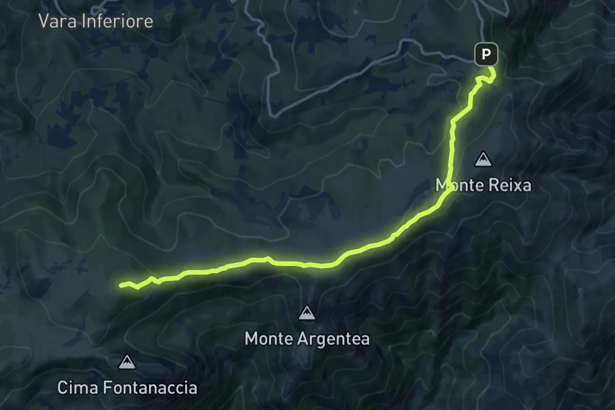
Medium · Summit
Prato Rotondo - Passo del Faiallo
13.0 km · ↑ 493 m · 4 h 9 min
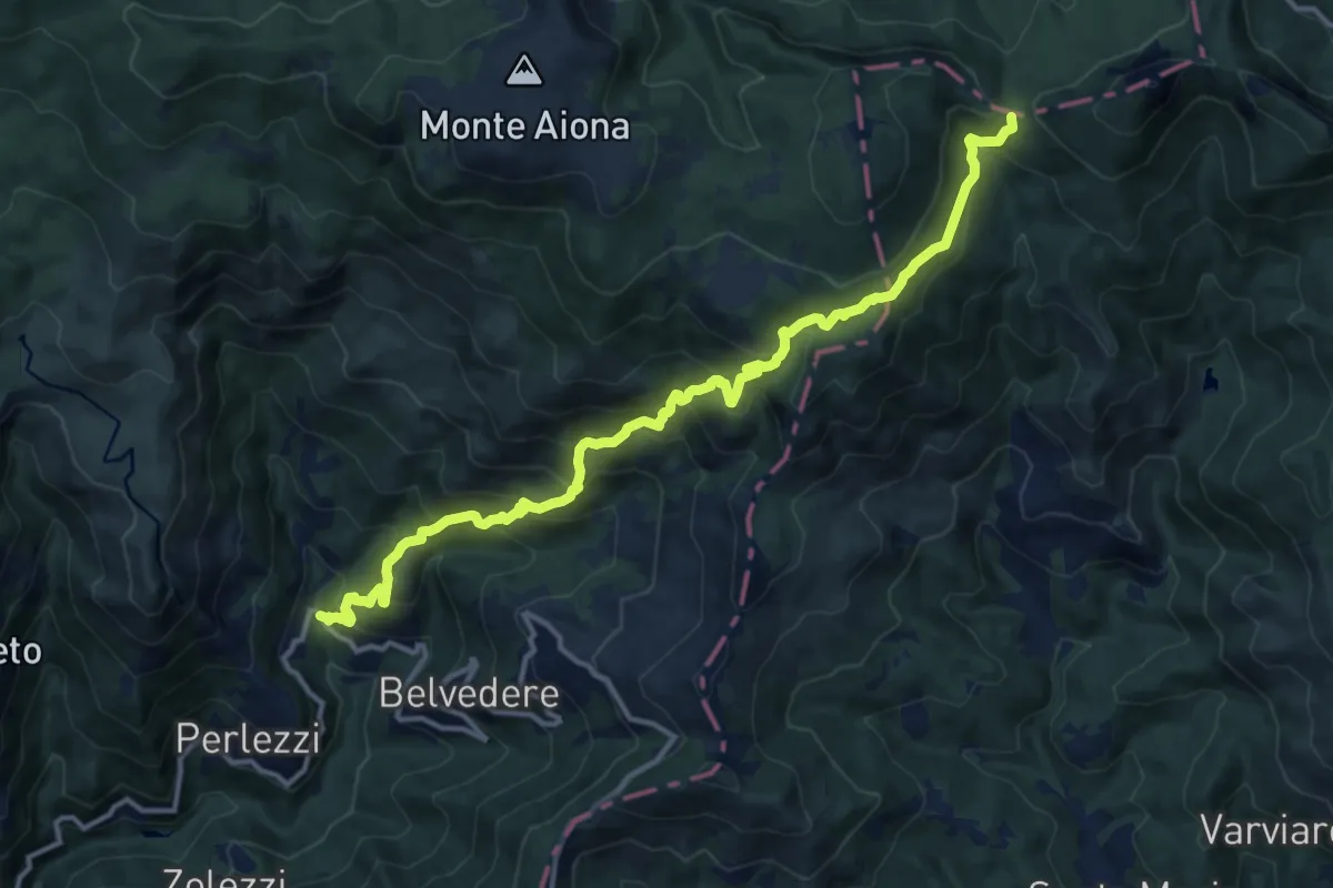
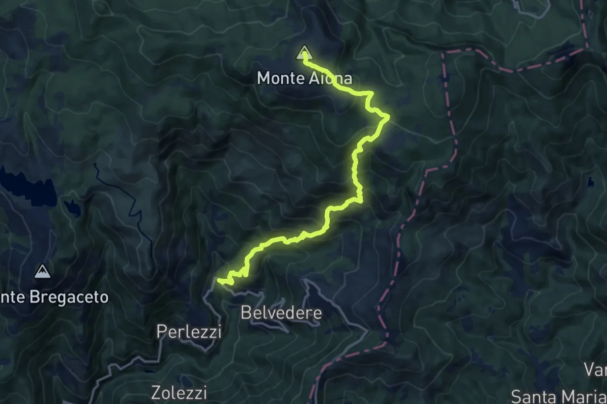
Demanding · Trail
Prato Sopralacroce - Passo dell'Incisa
14.9 km · ↑ 1224 m · 6 h 11 min
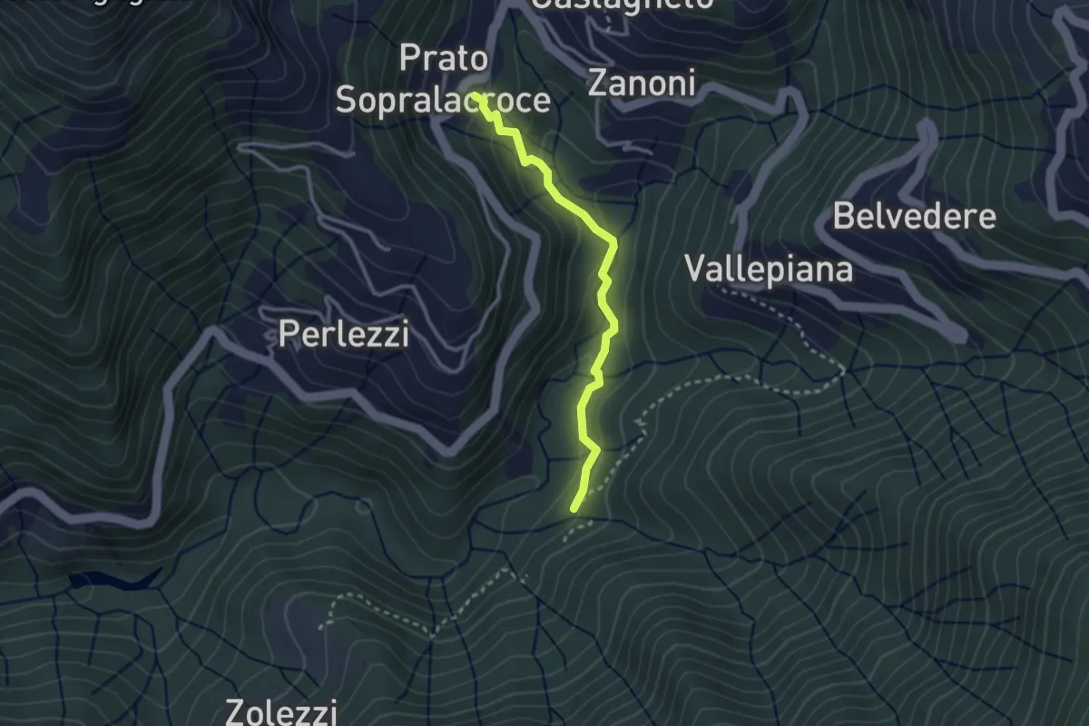
Demanding · Summit
Prato Sopralacroce - Prato Mollo - Monte Aiona
14.2 km · ↑ 1280 m · 6 h 8 min
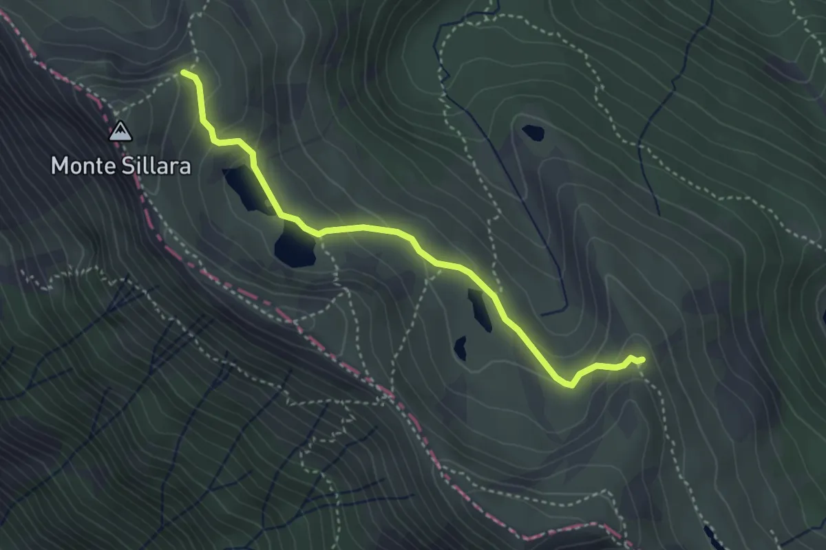
Medium · Trail
Prato Sopralacroce - San Martino di Licciorno
2.6 km · ↑ 129 m · 54 min
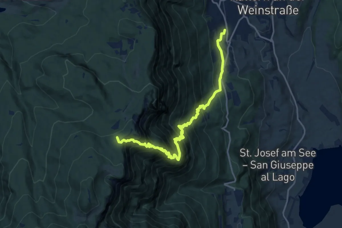
Medium · Summit
Prato Spilla - Rocca dei Frasconi - Laghi del Sillara - percorso 711C
3.7 km · ↑ 160 m · 1 h 13 min
Demanding · Summit
Prazollsteig
12.7 km · ↑ 1205 m · 5 h 37 min
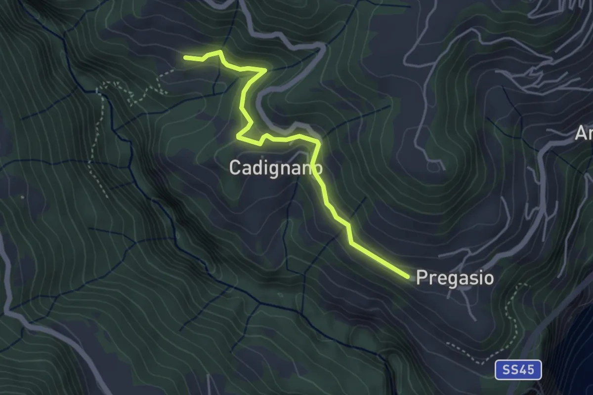
Easy · Trail
Pregasio - Prione
3.8 km · ↑ 255 m · 1 h 26 min
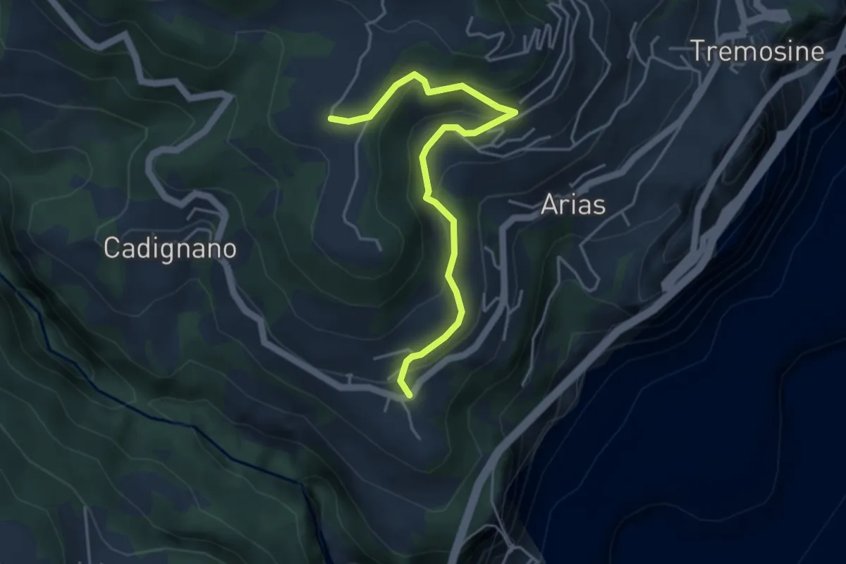
Easy · Trail
Pregasio, Volpera, BVG
4.2 km · ↑ 206 m · 1 h 27 min
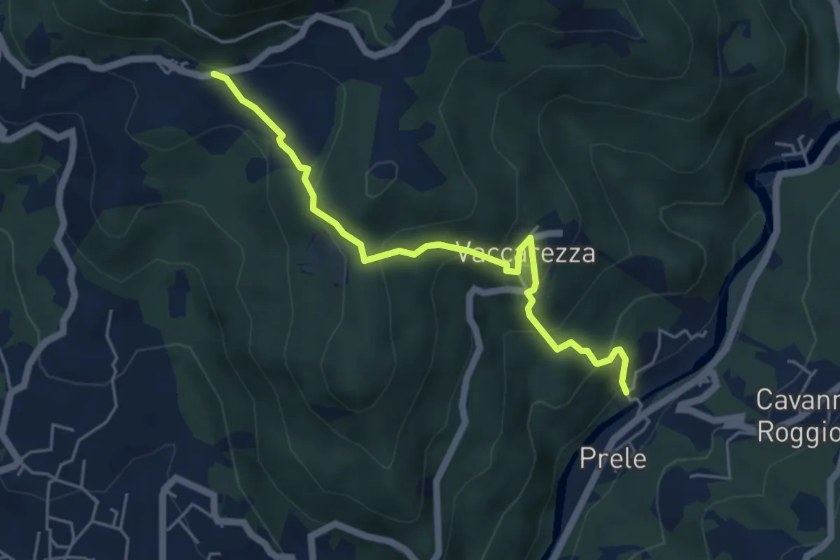
Medium · Trail
Prele - Montemaggio
4.8 km · ↑ 336 m · 1 h 52 min
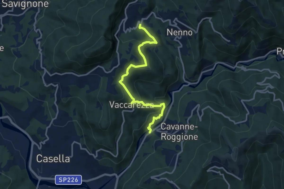
Medium · Trail
Prele - Olmi
8.5 km · ↑ 528 m · 3 h 9 min
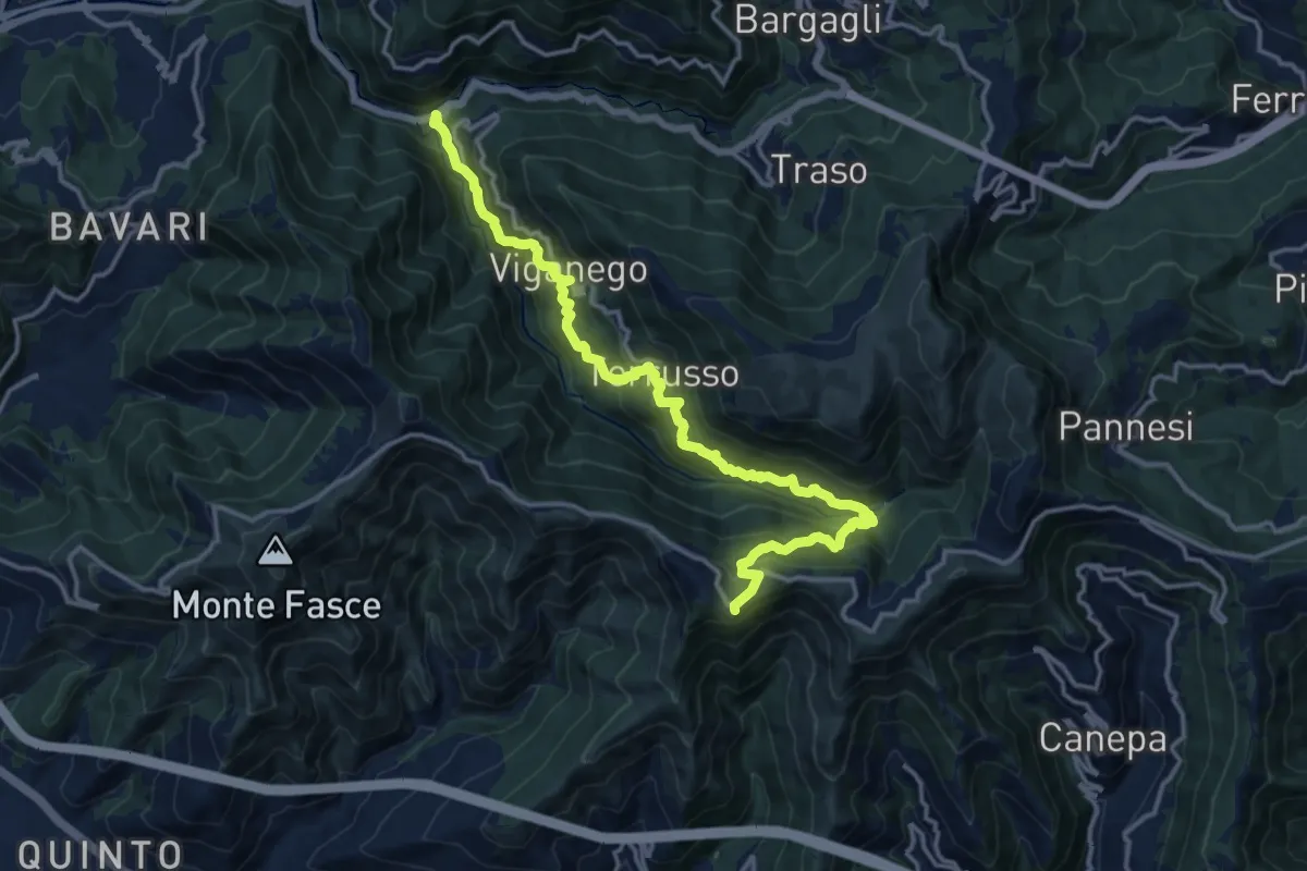
Demanding · Trail
Preli - Passo Cordona
16.5 km · ↑ 1290 m · 6 h 42 min
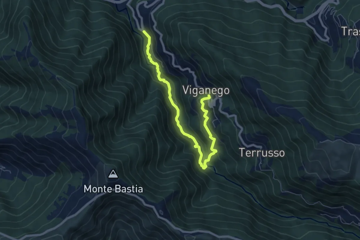
Medium · Trail
Preli - Viganego
7.3 km · ↑ 413 m · 2 h 37 min
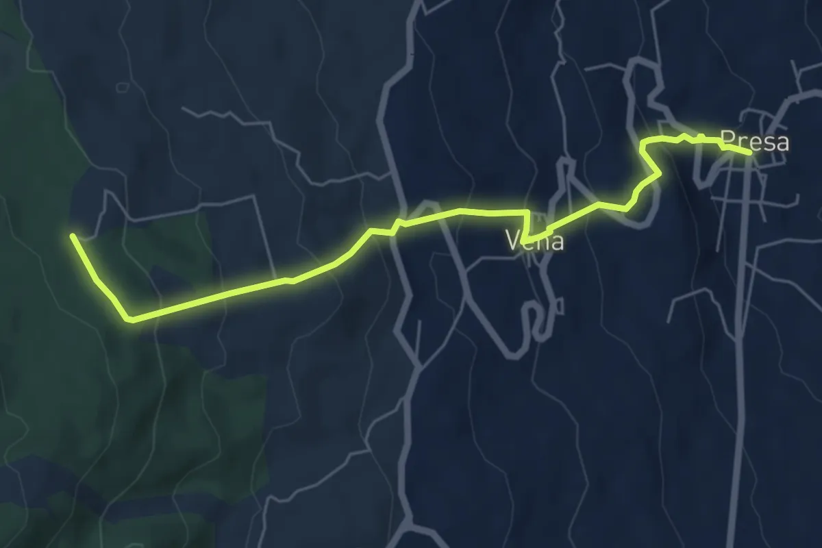
Medium · Trail
Presa - Case Bevacqua
6.6 km · ↑ 443 m · 2 h 32 min
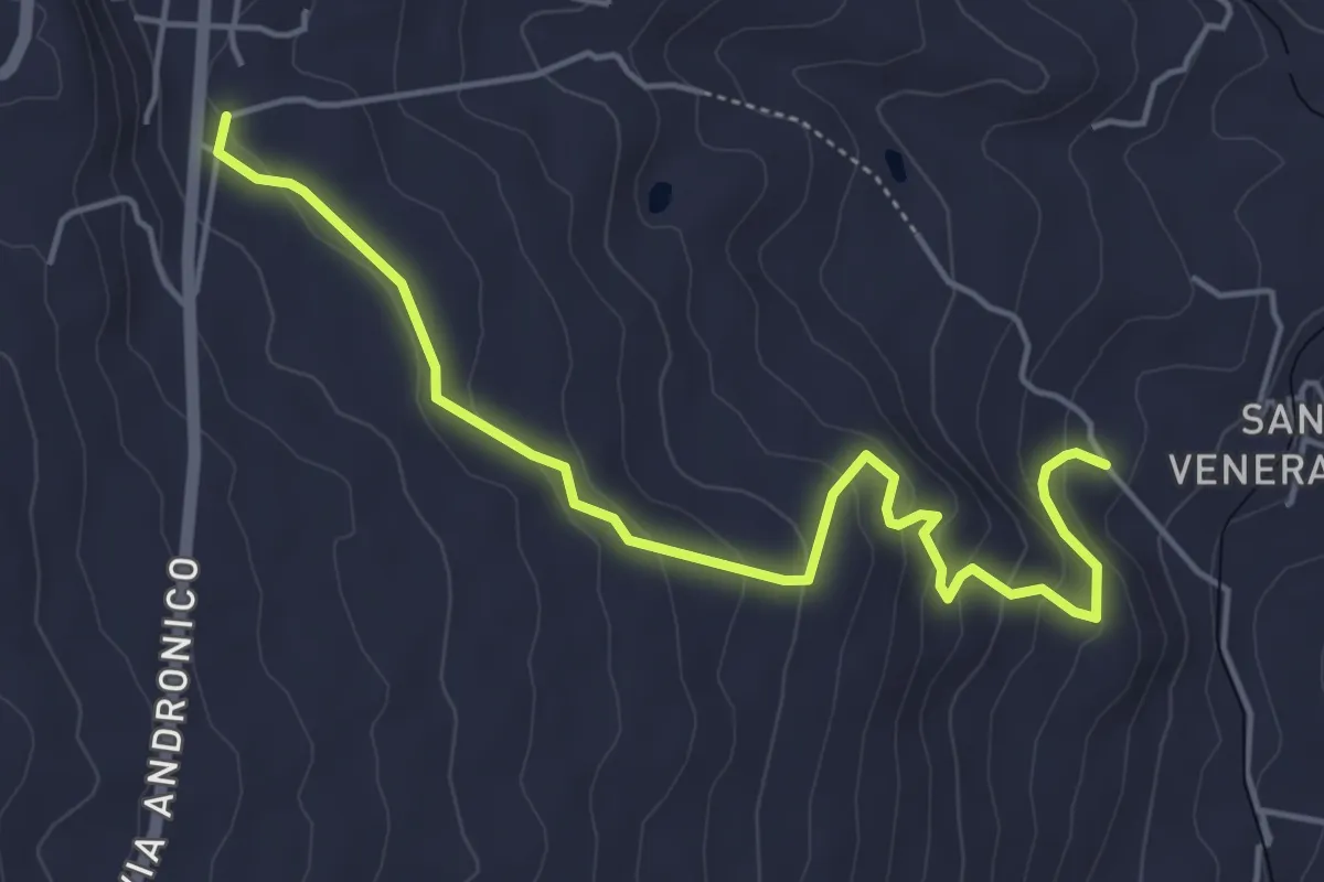
Easy · Trail
Presa - Santa Venera variante Bagolaro
6.1 km · ↑ 293 m · 2 h 5 min
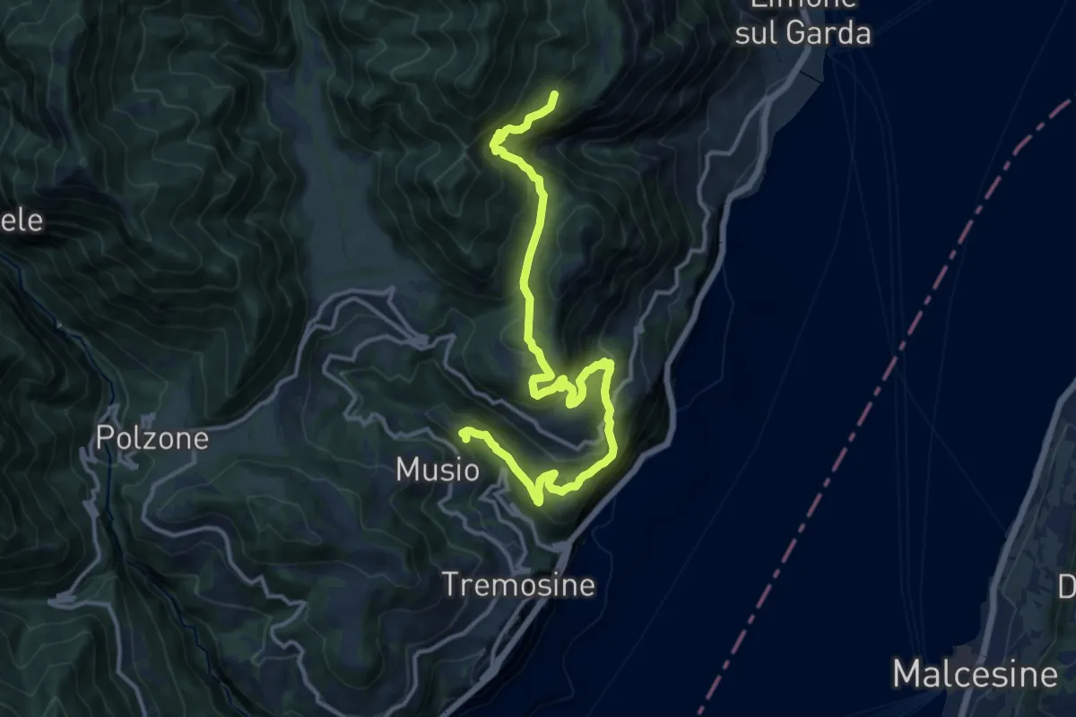
Demanding · Summit
Priezzo (Tremosine) - Malga Dalco (Limone sul Garda)
15.1 km · ↑ 880 m · 5 h 29 min
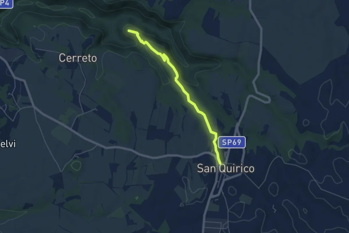
Easy · Summit
Primitivo
4.9 km · ↑ 110 m · 1 h 23 min
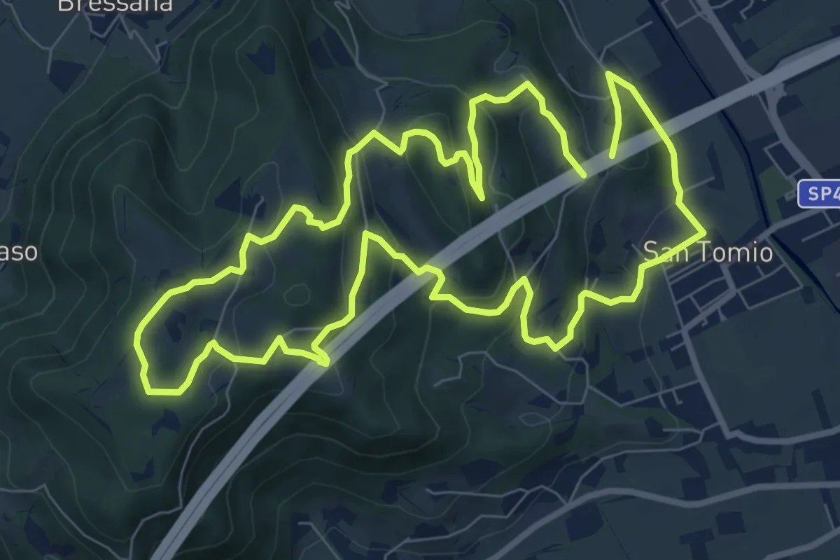
Medium · Trail
Primo sentiero della Memoria (o Dei Capitelli)
8.4 km · ↑ 358 m · 2 h 51 min
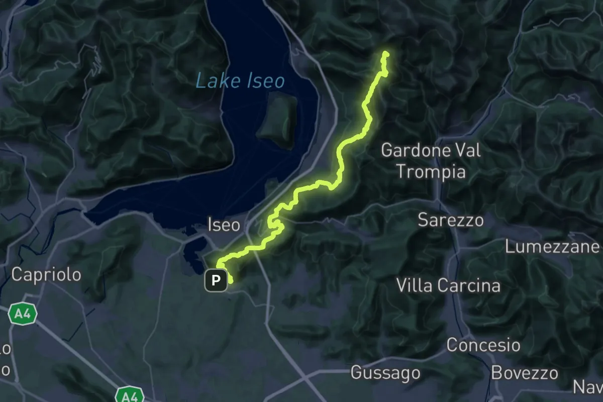
Demanding · Summit
Proai Gölem
44.7 km · ↑ 2342 m · 15 h 38 min
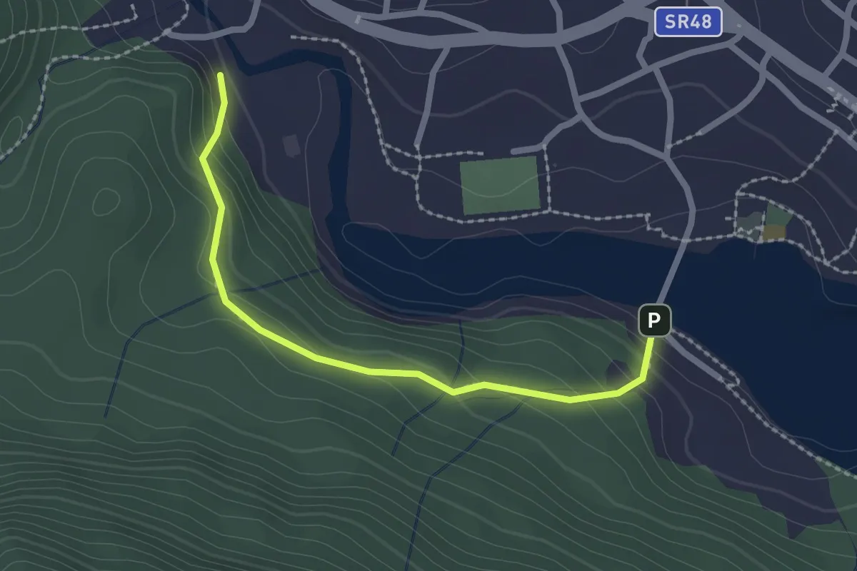
Easy · Trail
Proazei
2.2 km · ↑ 147 m · 50 min
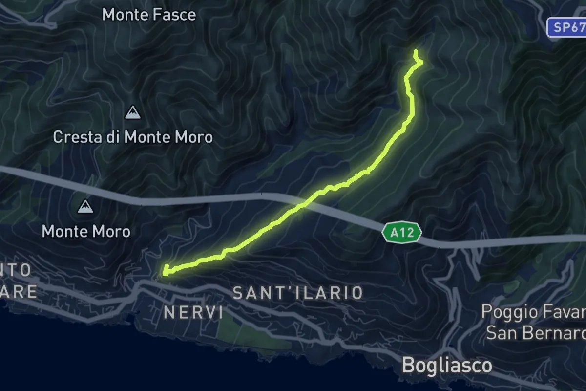
Medium · Trail
Pro Canyon - Torrente Nervi
7.2 km · ↑ 386 m · 2 h 32 min
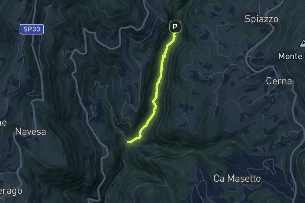
Medium · Trail
Progno di Breonio
4.5 km · ↑ 157 m · 1 h 24 min
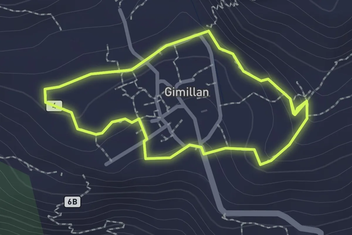
Medium · Trail
Promenade Gimillan 270°
1.8 km · ↑ 60 m · 35 min
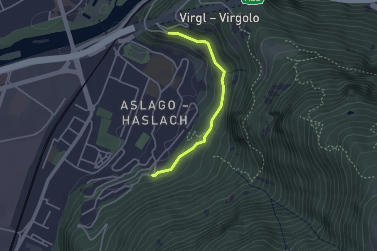
Easy · Trail
Promenade Haslach Virgl
2.6 km · ↑ 108 m · 50 min
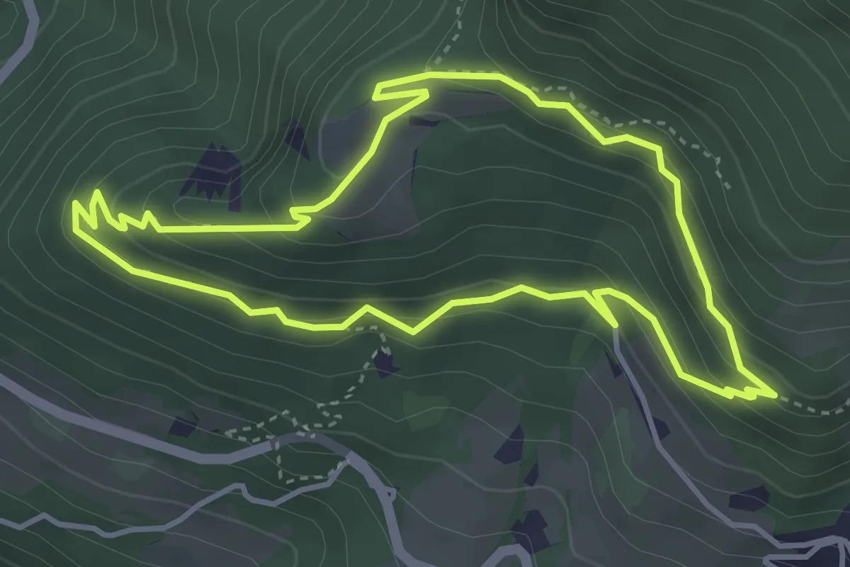
Easy · Trail
Promenadenweg (Tiers)
3.7 km · ↑ 247 m · 1 h 27 min
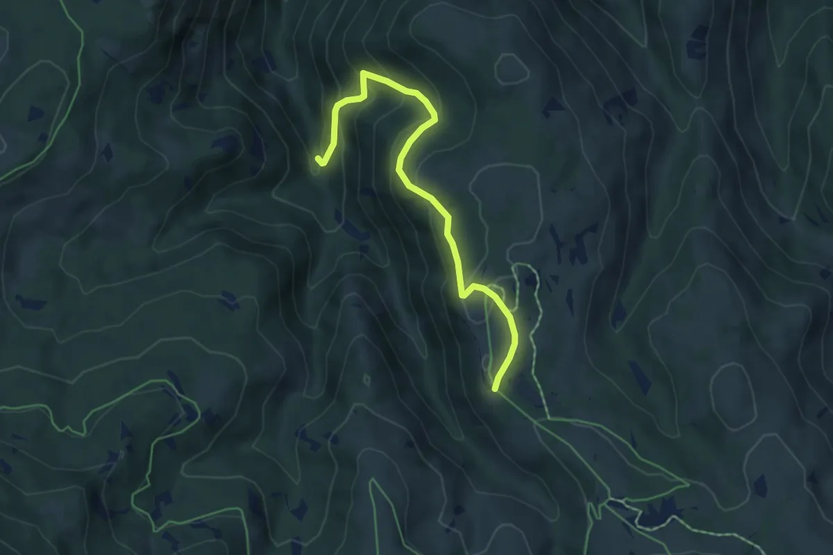
Medium · Trail
Protzleitweg
5.2 km · ↑ 324 m · 1 h 57 min
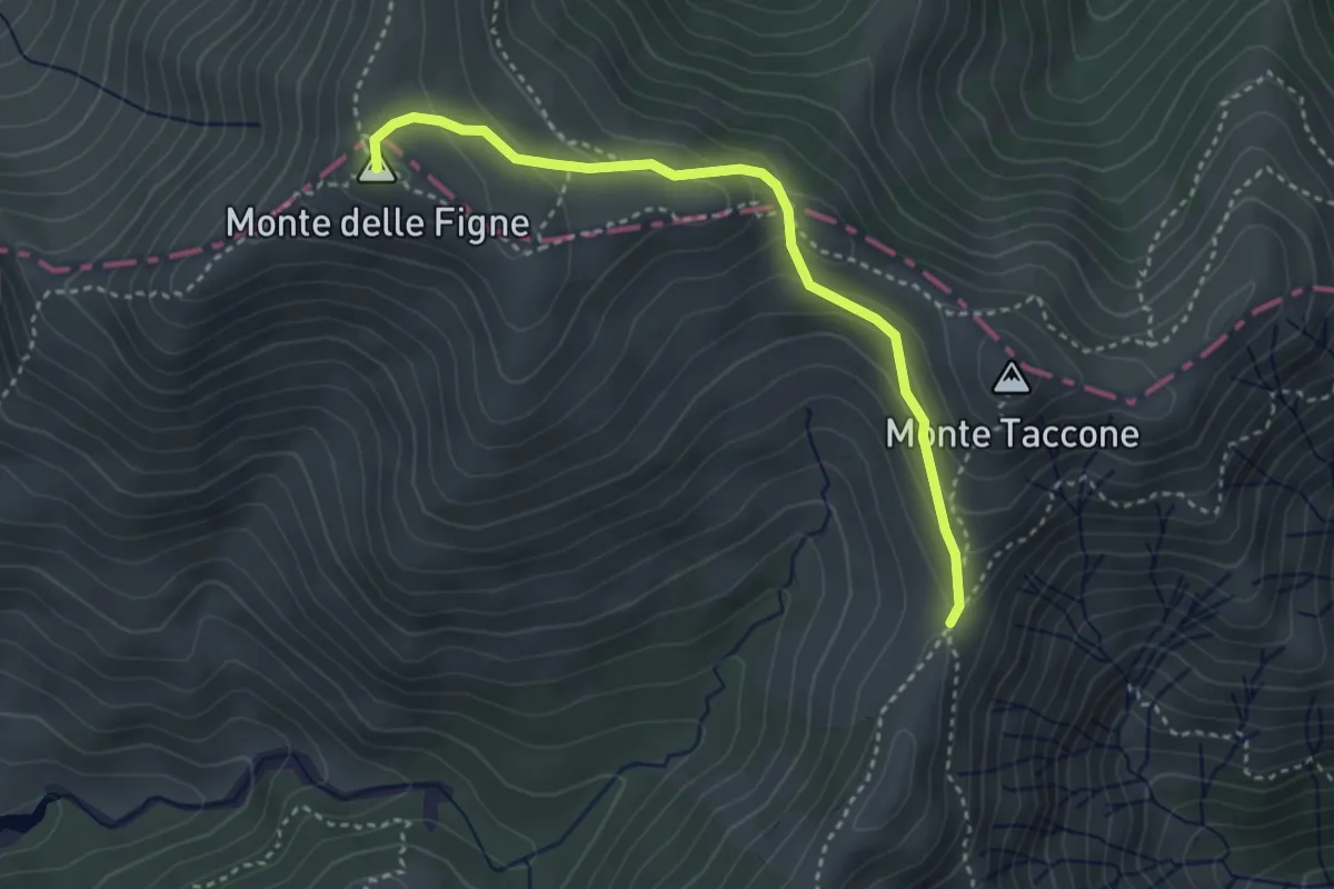
Medium · Summit
Prou Perseghin - Casa Carrosina
3.5 km · ↑ 211 m · 1 h 18 min
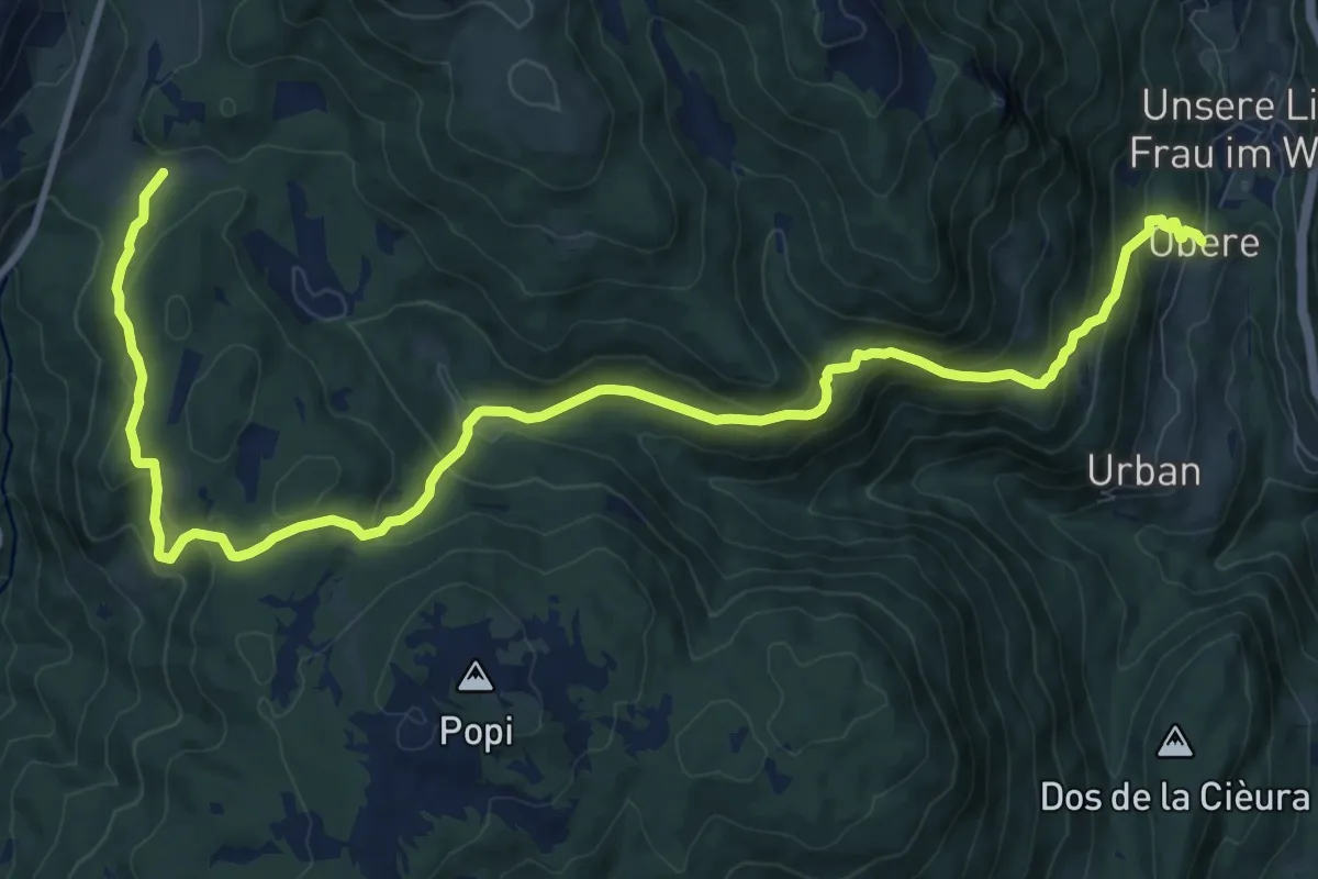
Demanding · Trail
Proveiser Steig
14.0 km · ↑ 841 m · 5 h 8 min
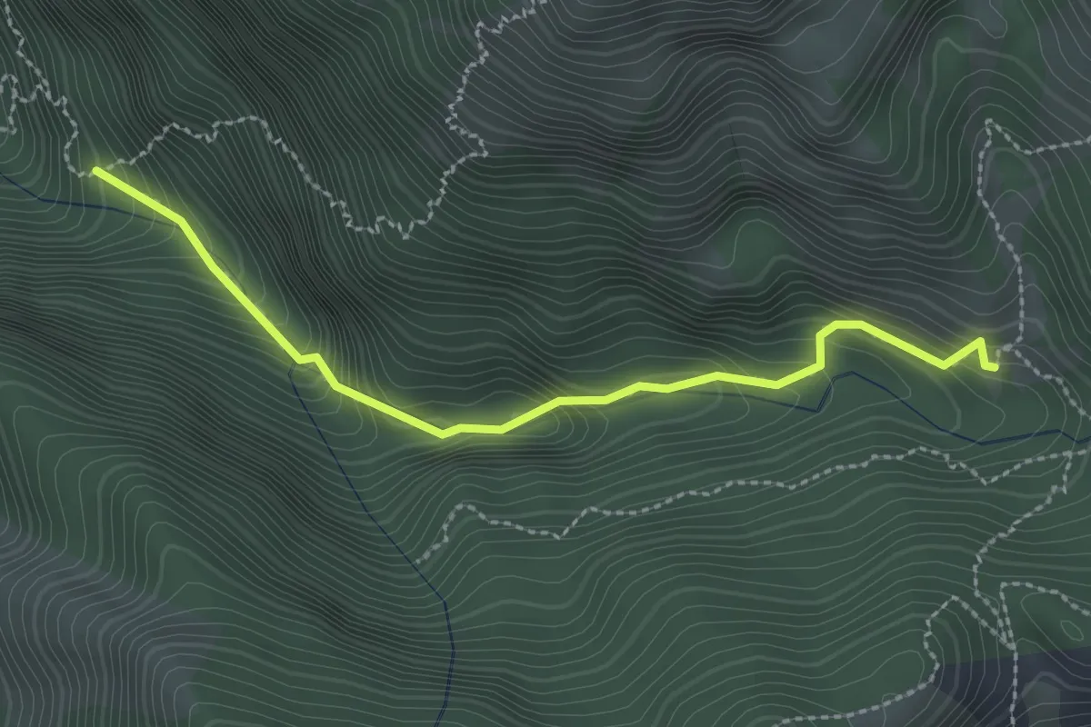
Medium · Trail
Prügelsteig - Sentiero dei tronchi
2.6 km · ↑ 305 m · 1 h 16 min
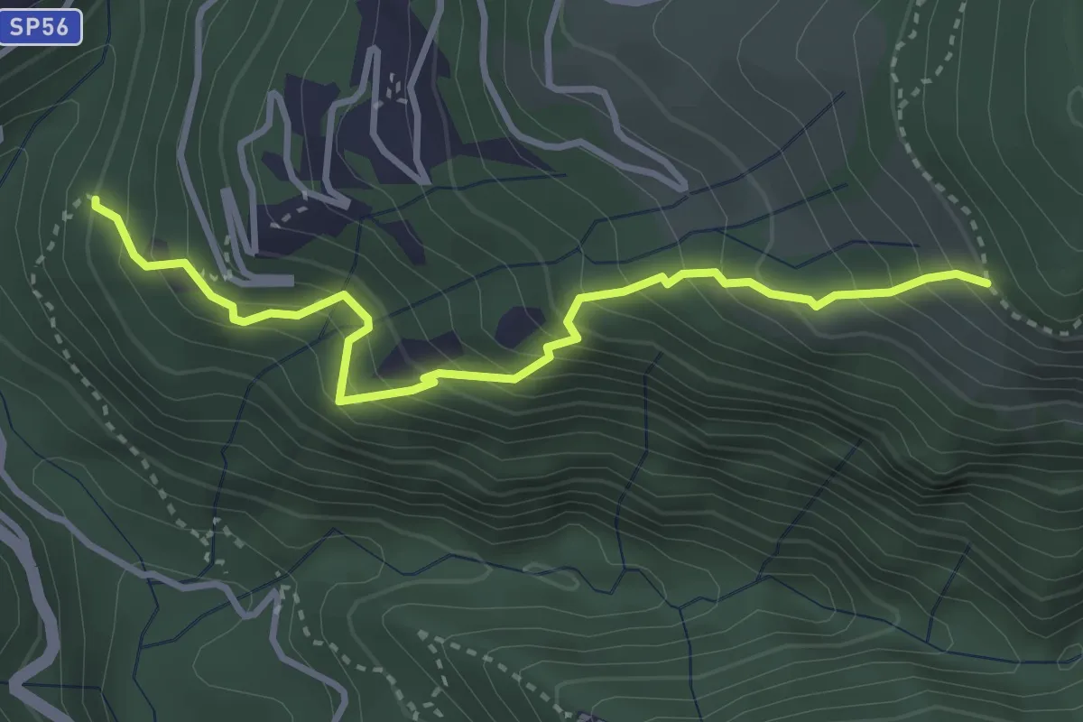
Medium · Trail
Pruglio - Anello del Belvedere
3.6 km · ↑ 531 m · 2 h 1 min
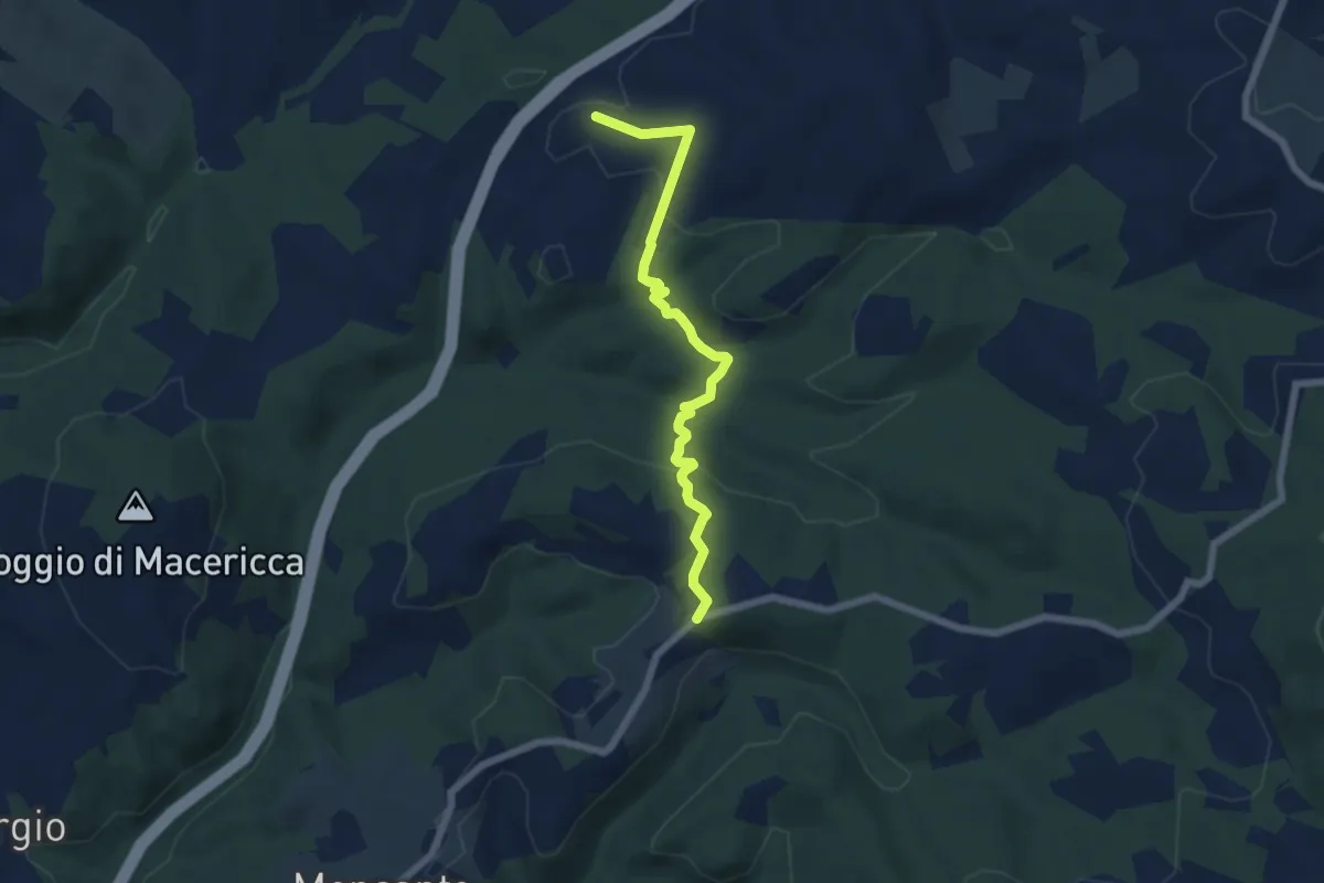
Easy · Trail
Prumiano - bivio strada Paneretta (Le Cantine)
6.4 km · ↑ 172 m · 1 h 53 min
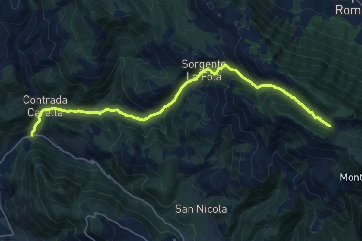
Demanding · Trail
P.te Vado La Mola-Sella dell'Ardicara
18.2 km · ↑ 1195 m · 6 h 53 min
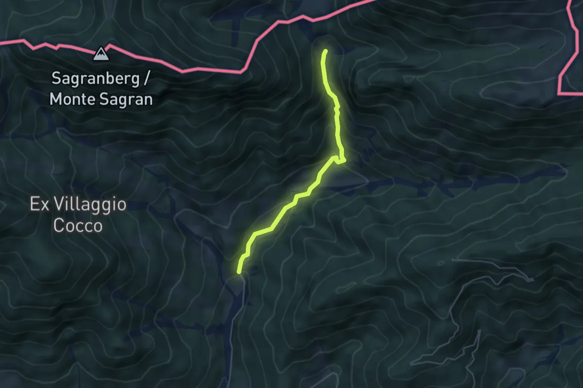
Easy · Cabin
Puanina Tour (E1)
4.3 km · ↑ 273 m · 1 h 36 min
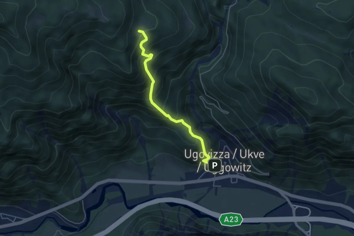
Medium · Cabin
Puanina Tour (T1)
4.0 km · ↑ 491 m · 2 h
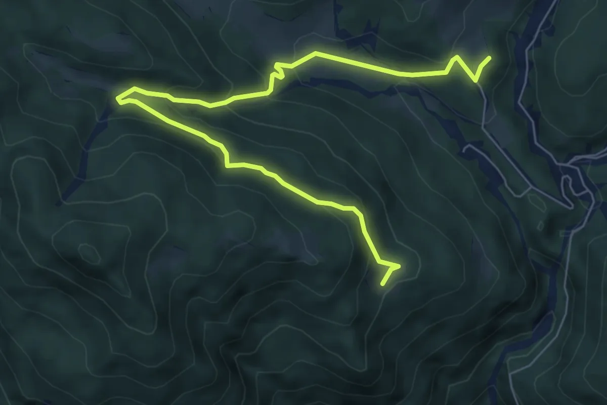
Demanding · Cabin
Puanina Tour (T2)
7.9 km · ↑ 462 m · 2 h 52 min
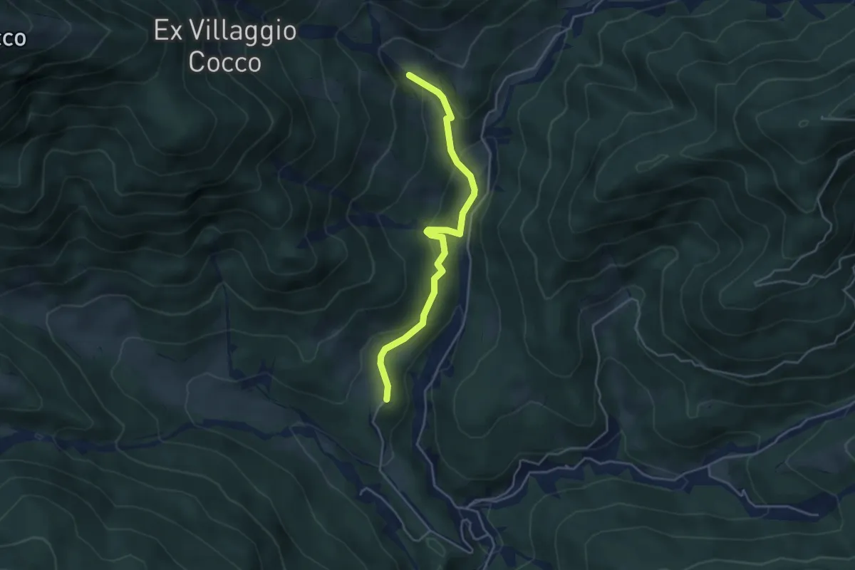
Easy · Cabin
Puanina Tour (T3)
4.1 km · ↑ 202 m · 1 h 24 min
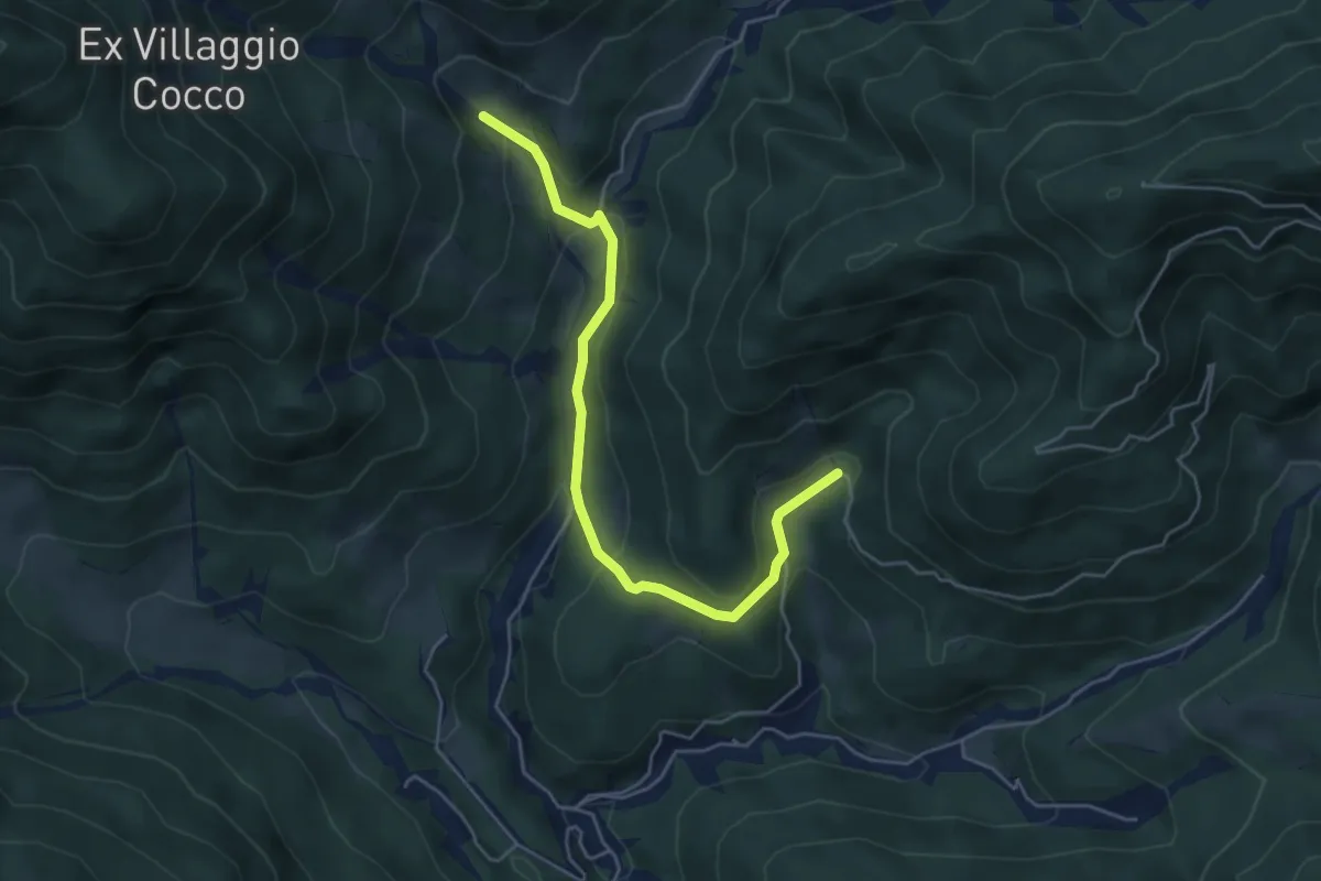
Medium · Trail
Puanina Tour (T4)
5.1 km · ↑ 272 m · 1 h 48 min
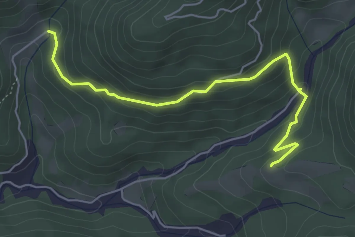
Medium · Trail
Puanina Tour (T5)
4.7 km · ↑ 268 m · 1 h 41 min
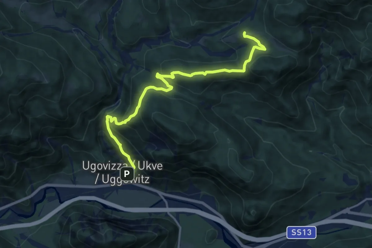
Medium · Trail
Puanina Tour (T6)
11.0 km · ↑ 692 m · 4 h 7 min