Trails in Italy
25,221 hiking trails, each with its route, climb, walking time and grade.
All trails, page 128 of 526
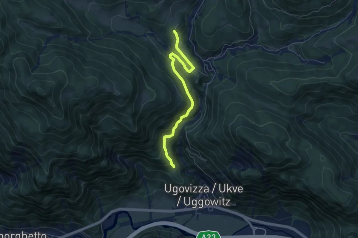
Medium · Cabin
Puanina Tour (V1)
5.9 km · ↑ 408 m · 2 h 16 min
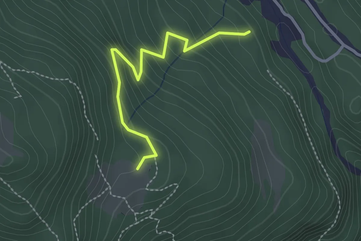
Easy · Cabin
Puanina Tour (V2)
2.3 km · ↑ 224 m · 1 h 1 min
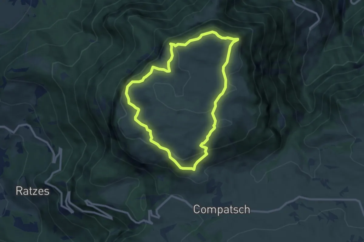
Easy · Summit
Puflatschumrundung - Giro del Bulacia
6.7 km · ↑ 288 m · 2 h 17 min
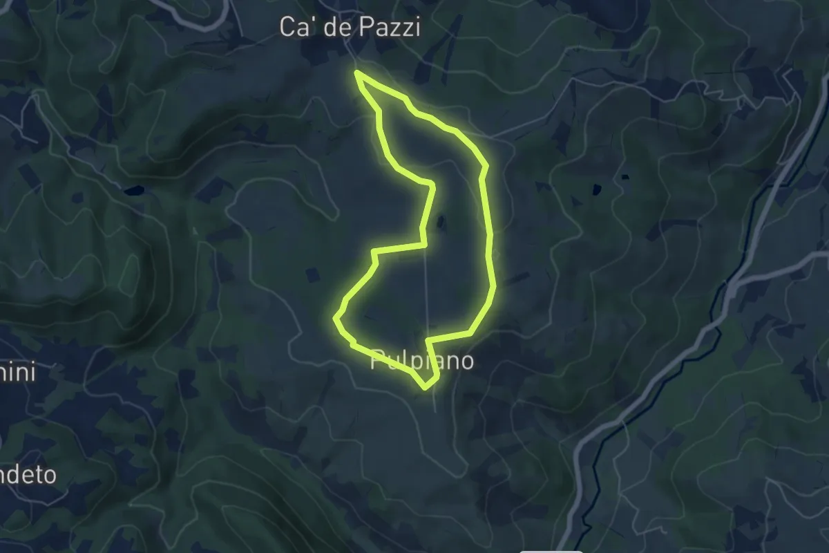
Easy · Trail
Pulpiano – Colombara – Cà de Pazzi – Pulpiano
5.0 km · ↑ 42 m · 1 h 20 min
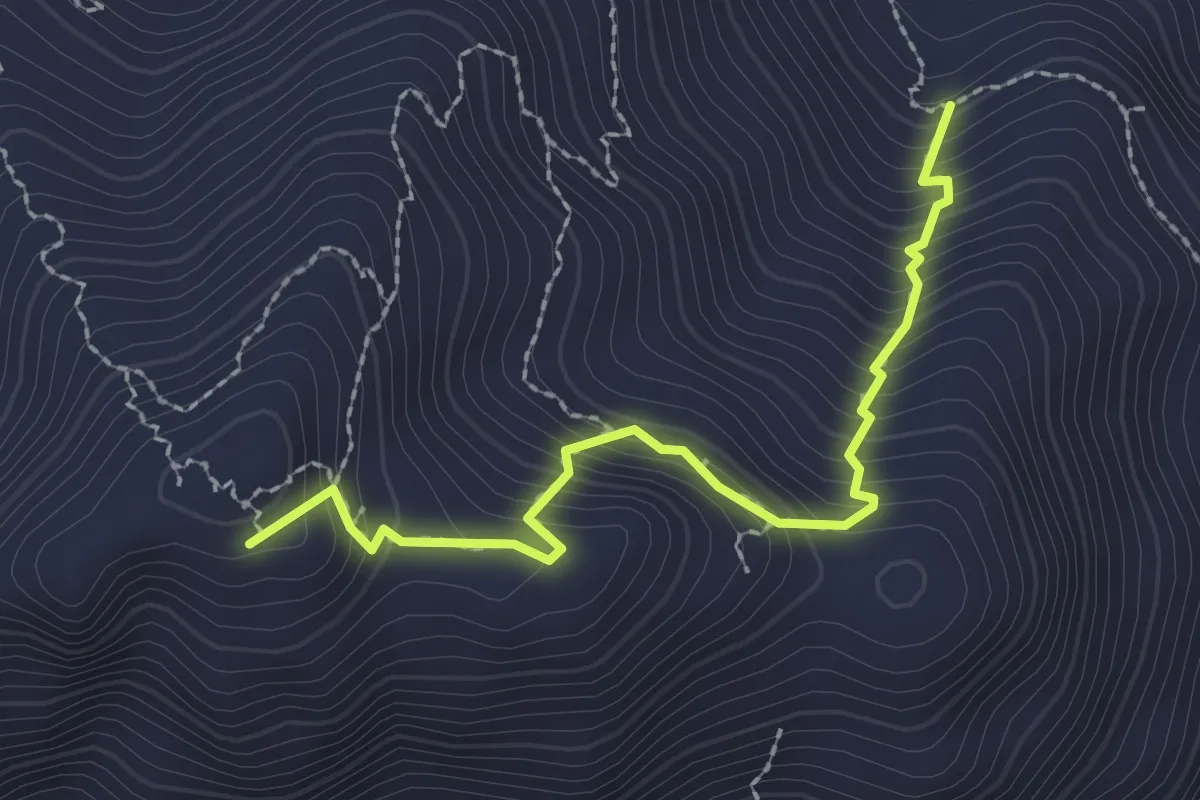
Medium · Summit
Punta Cartucceddu climb
2.6 km · ↑ 342 m · 1 h 22 min
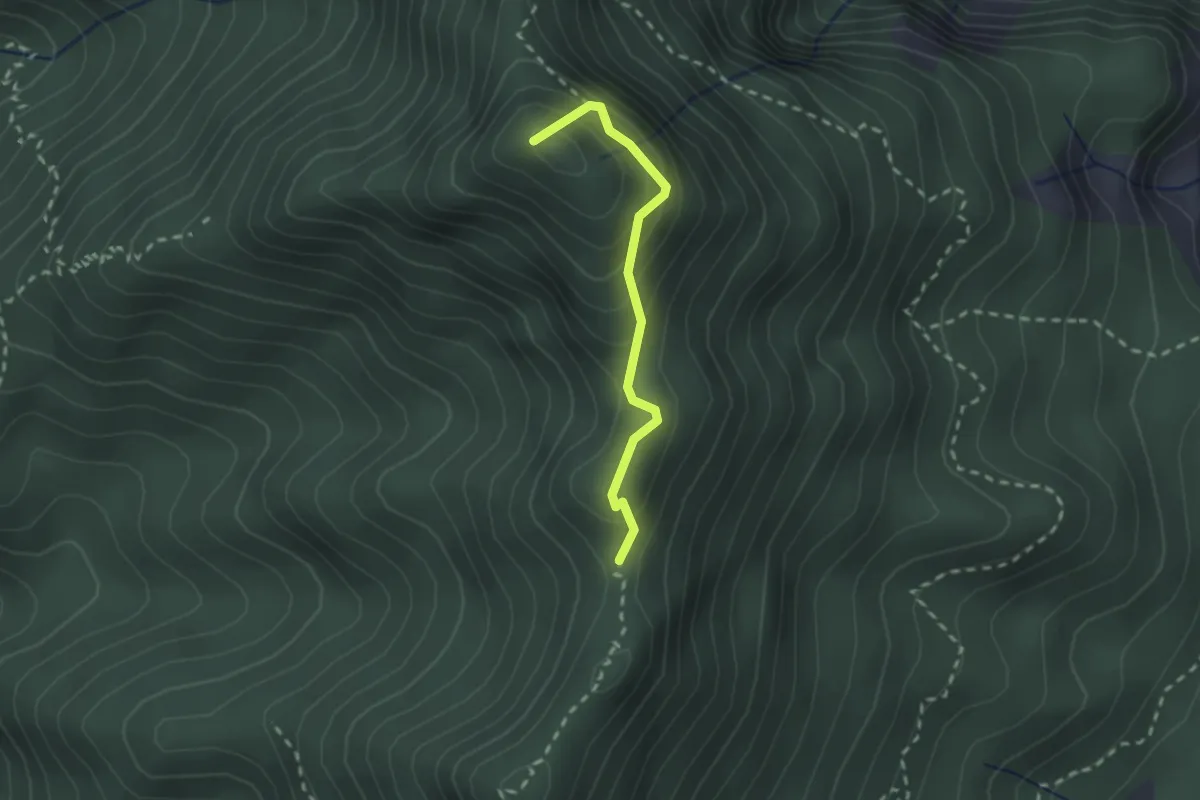
Demanding · Summit
Punta della Brosa - Corna Vecchia
2.0 km · ↑ 177 m · 51 min
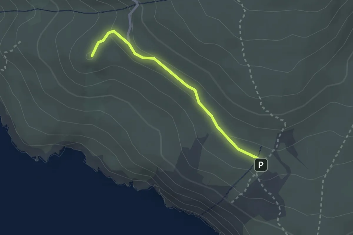
Medium · Summit
Punta del Serrone
2.2 km · ↑ 54 m · 38 min
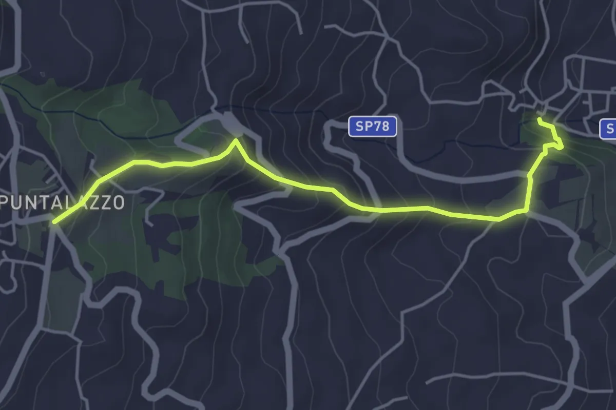
Medium · Trail
Puntalazzo Nunziata
4.9 km · ↑ 340 m · 1 h 54 min
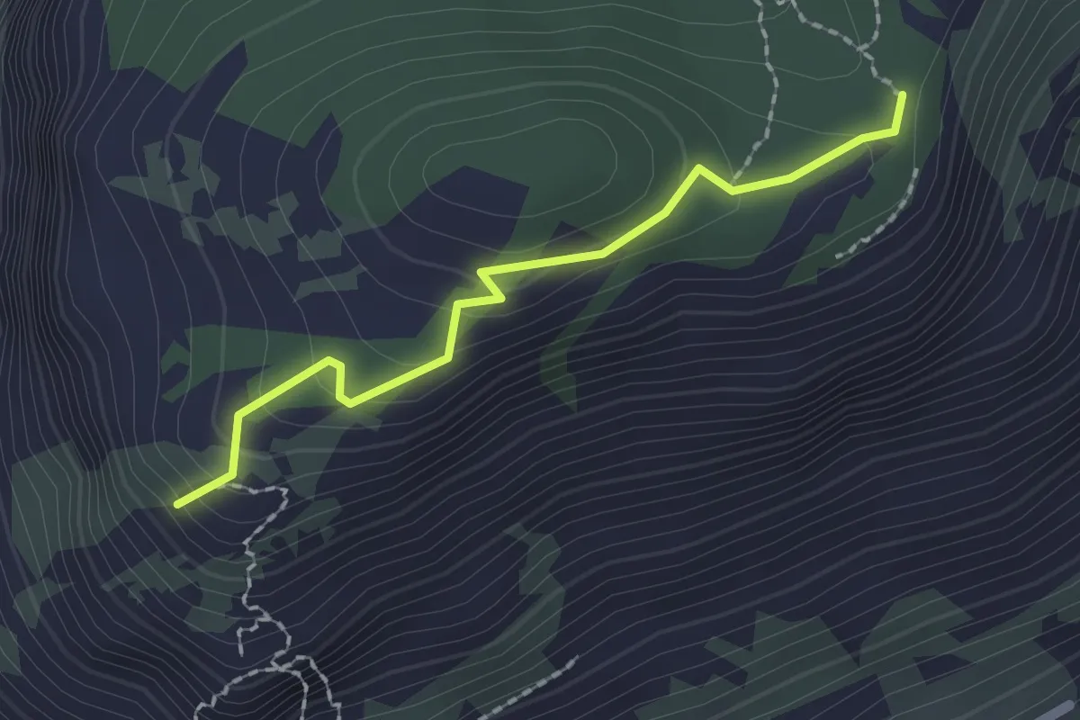
Easy · Trail
Punta Leano
2.0 km · ↑ 123 m · 44 min
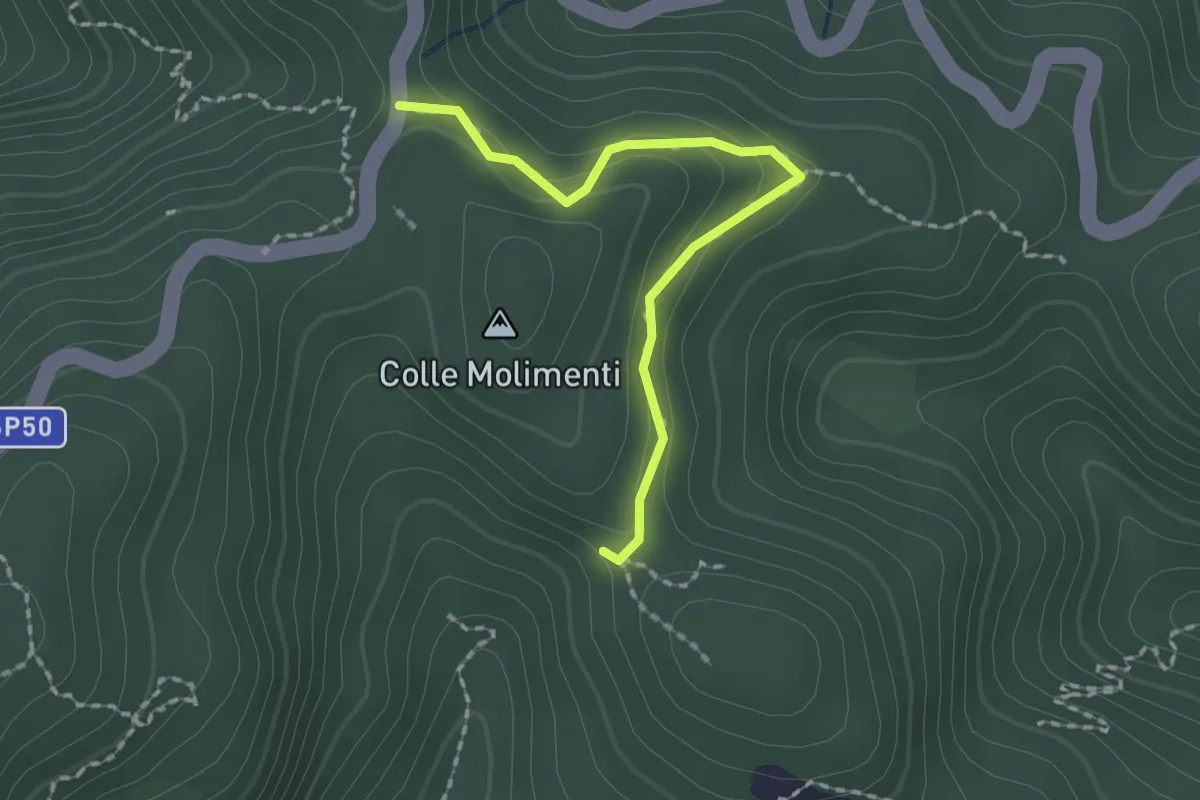
Easy · Trail
Puntale Ferraro ABC Madunnuzza
2.1 km · ↑ 87 m · 41 min
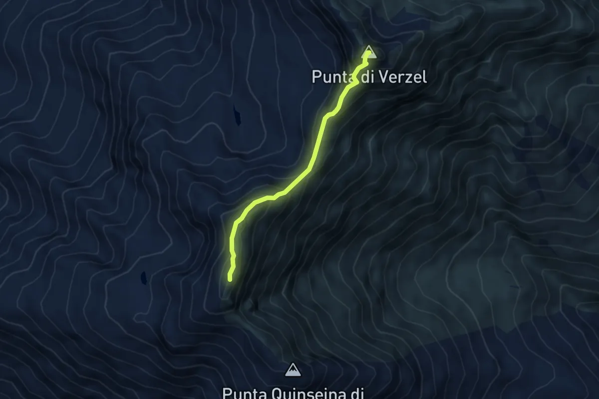
Expert · Summit
Punta Quinseina Nord - Punta di Verzel
4.0 km · ↑ 394 m · 1 h 48 min
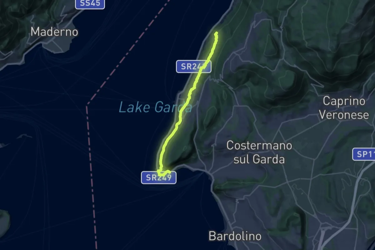
Demanding · Trail
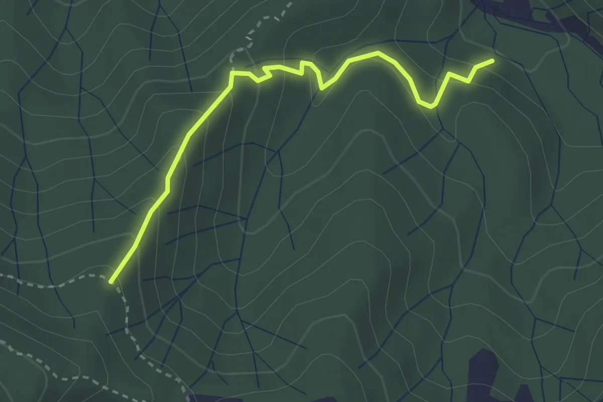
Punta San Vigilio - Crero
18.1 km · ↑ 572 m · 5 h 31 min
Easy · Trail
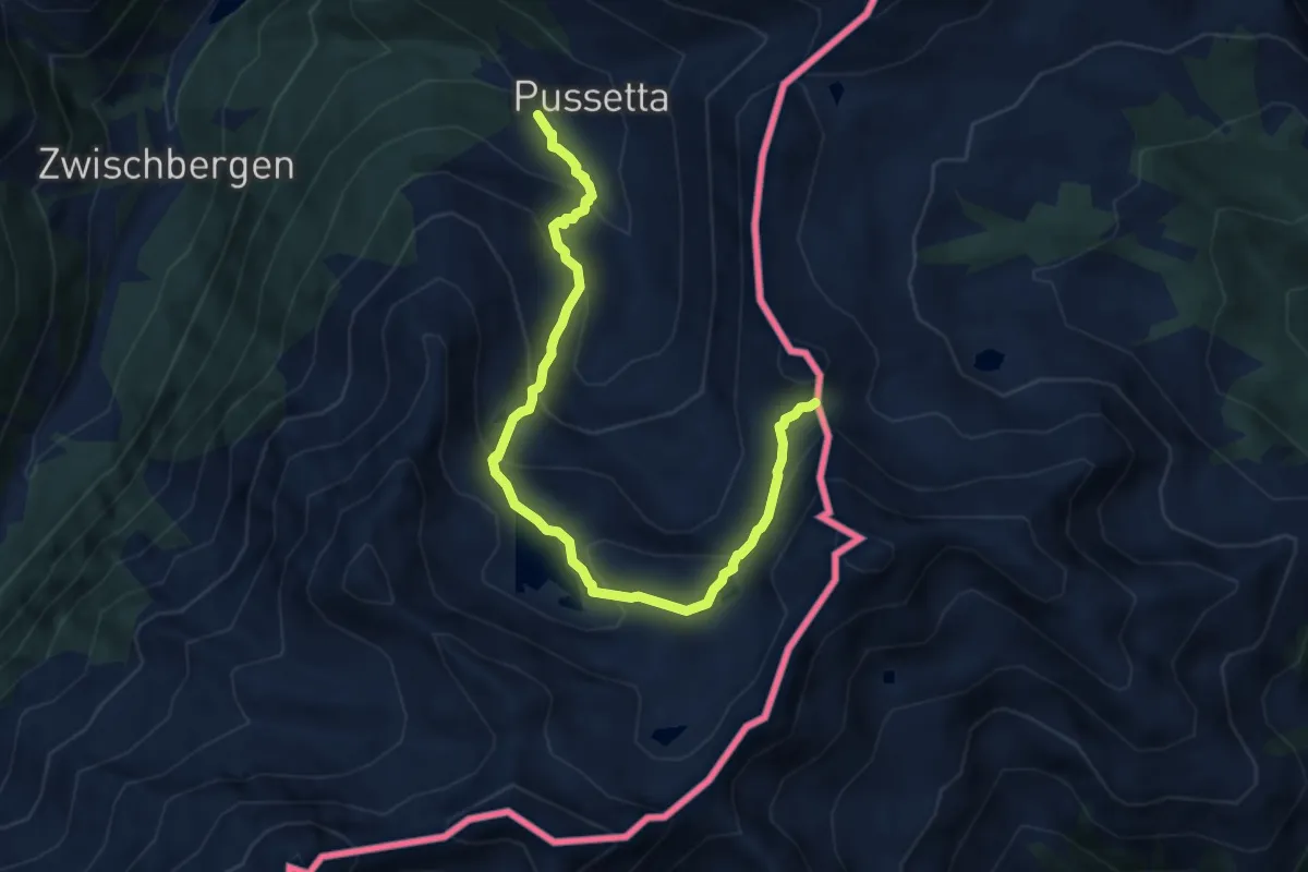
Puntaschi - Case Vigo - Cava Serin
3.0 km · ↑ 221 m · 1 h 11 min
Medium · Trail
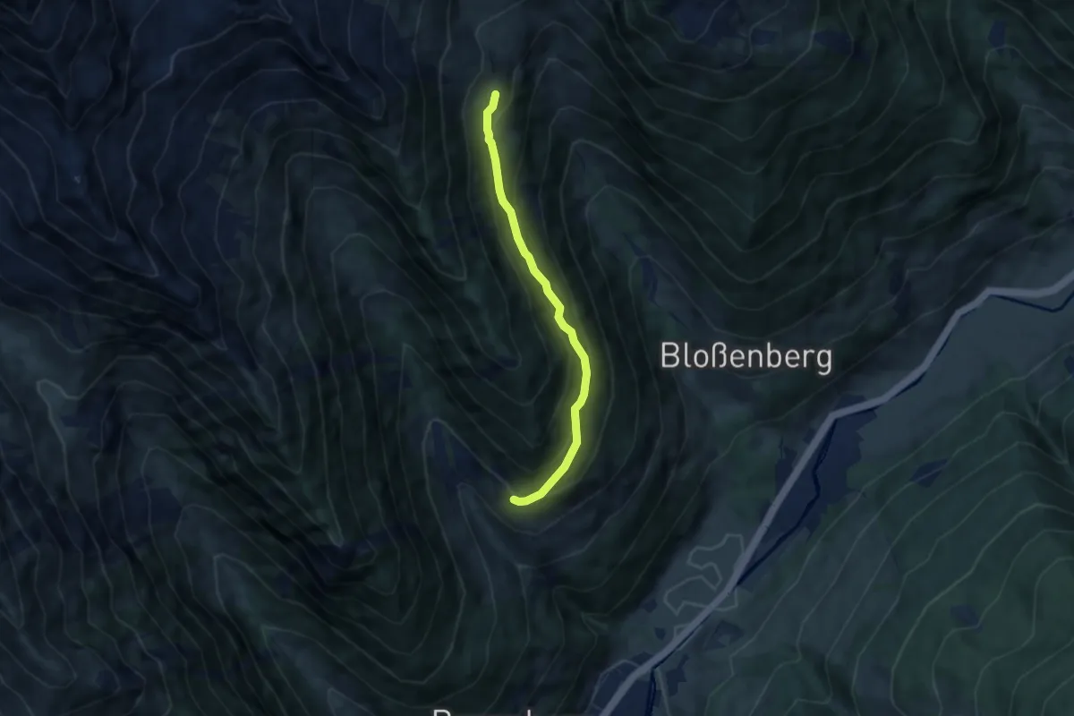
Pussetta - Bocchetta di Gattascosa
8.5 km · ↑ 619 m · 3 h 21 min
Medium · Trail
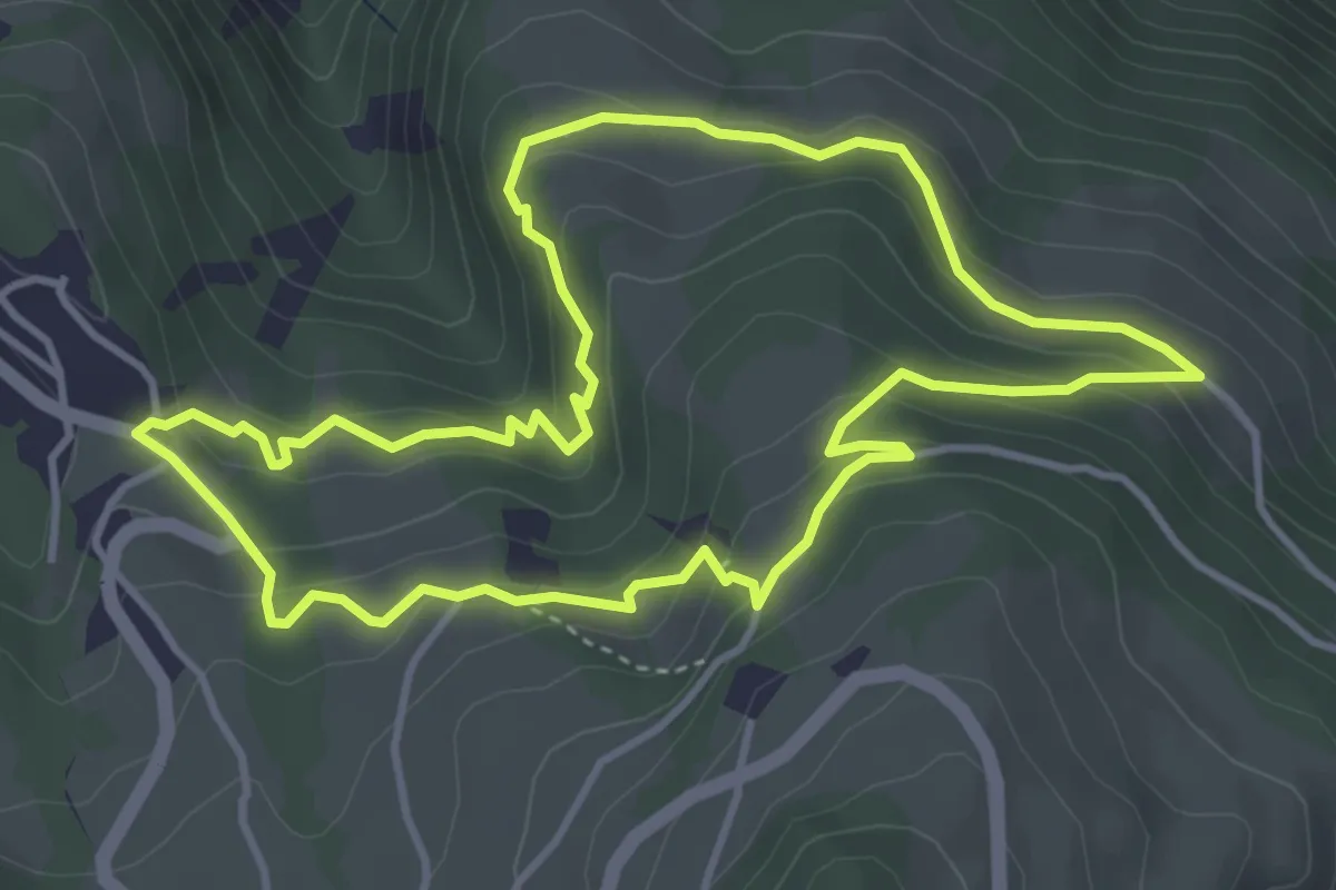
Putzweg
5.7 km · ↑ 448 m · 2 h 19 min
Medium · Trail
Pyramidenrundweg
4.1 km · ↑ 230 m · 1 h 32 min
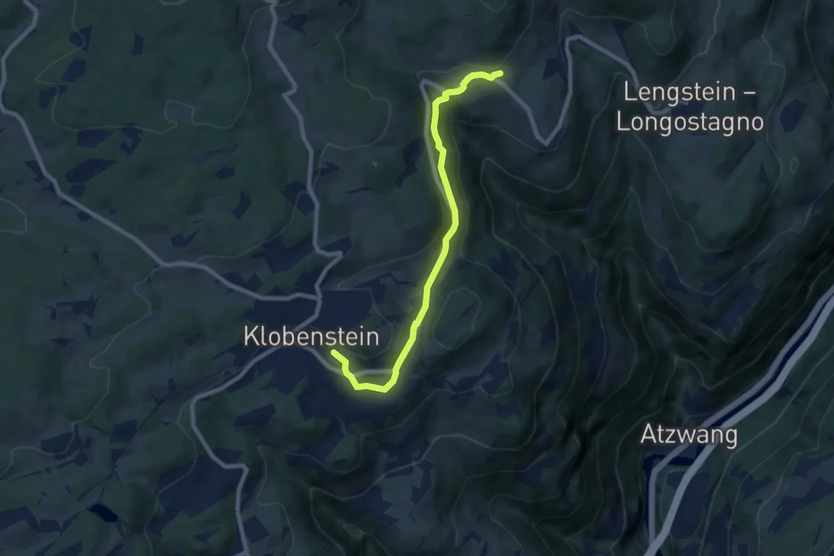
Easy · Trail
Pyramidenweg
6.6 km · ↑ 177 m · 1 h 57 min
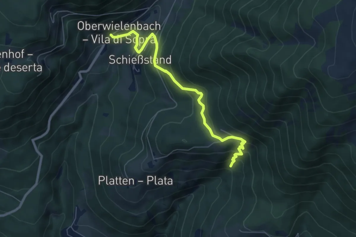
Medium · Trail
Pyramidenweg
6.3 km · ↑ 426 m · 2 h 25 min
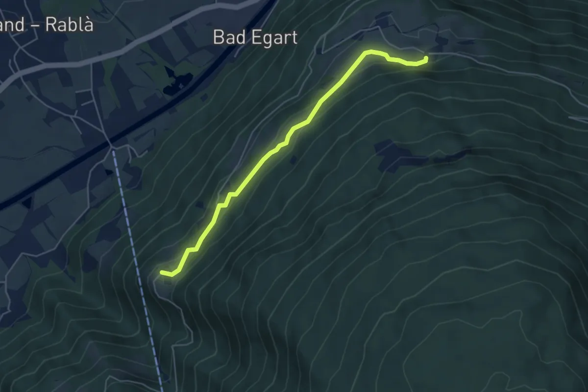
Medium · Trail
Quadrater Höfe-Runde
5.0 km · ↑ 214 m · 1 h 38 min
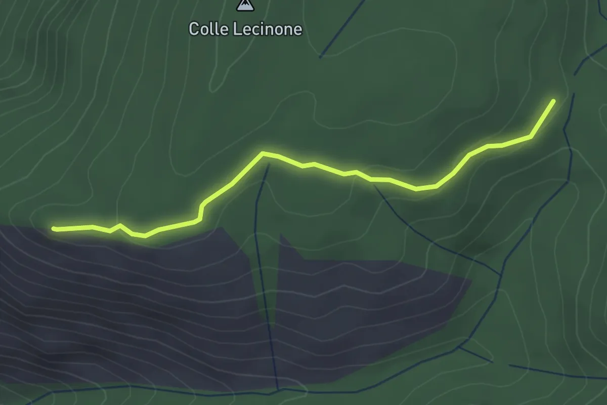
Easy · Summit
Quadrivio-Monte Sterparo
3.4 km · ↑ 82 m · 59 min
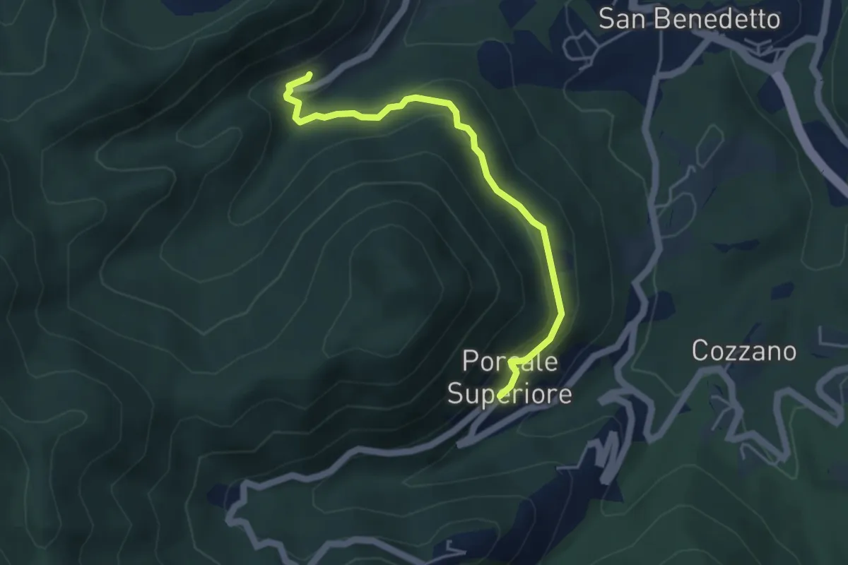
Medium · Trail
Quaratica – Porcale Superiore
4.2 km · ↑ 167 m · 1 h 22 min
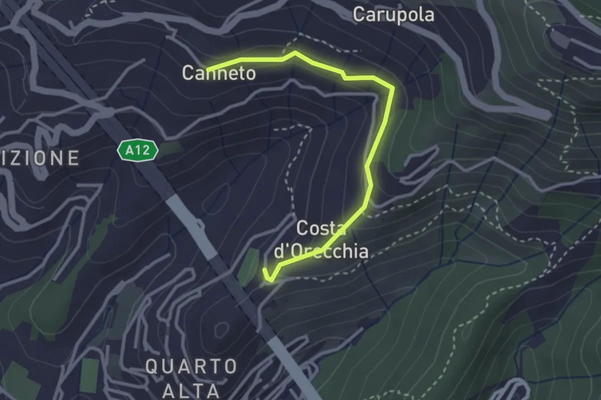
Easy · Trail
Quarto Alta - Canneto di Apparizione
2.8 km · ↑ 136 m · 58 min
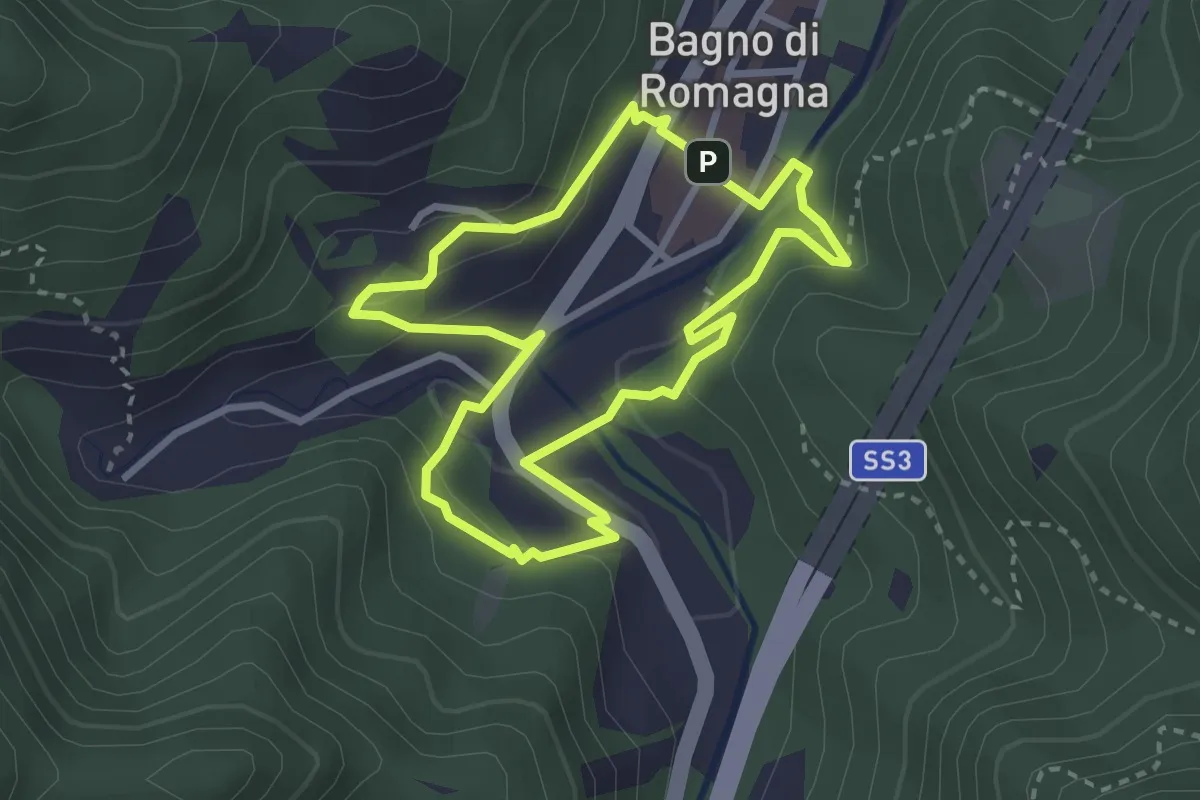
Demanding · Trail
quattropassi attorno a Bagno
2.9 km · ↑ 127 m · 1 h
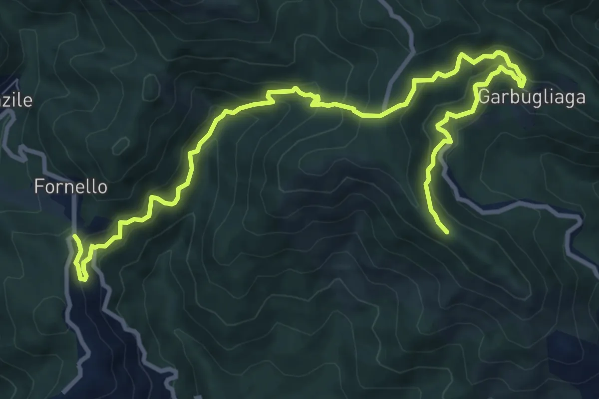
Demanding · Trail
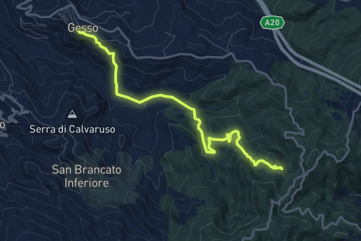
Quattro Strade – Garbugliaga - Monte Gruzzo
11.4 km · ↑ 809 m · 4 h 26 min
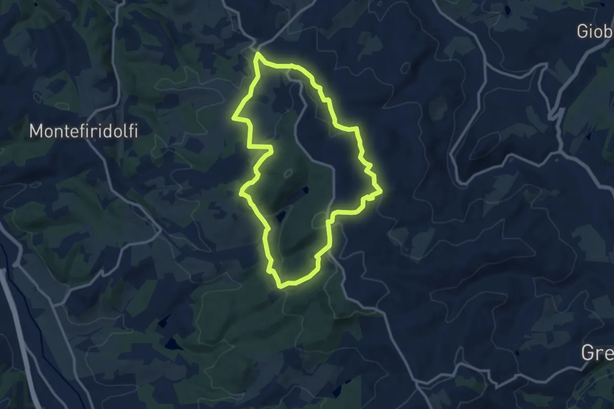
Medium · Trail
Quattro Strade Gesso
10.4 km · ↑ 535 m · 3 h 36 min
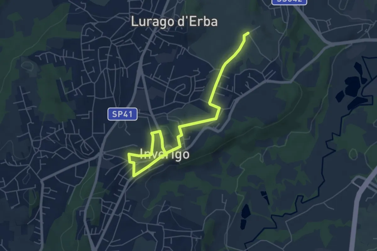
Medium · Trail
Quattro Strade Valigondoli Torre Luciana
10.2 km · ↑ 315 m · 3 h 14 min
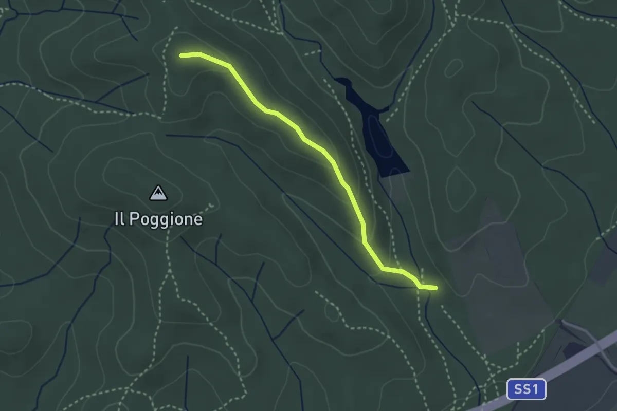
Easy · Trail
Quel viale percorso
6.7 km · ↑ 116 m · 1 h 51 min
Easy · Trail
Querciolina
3.0 km · ↑ 96 m · 55 min
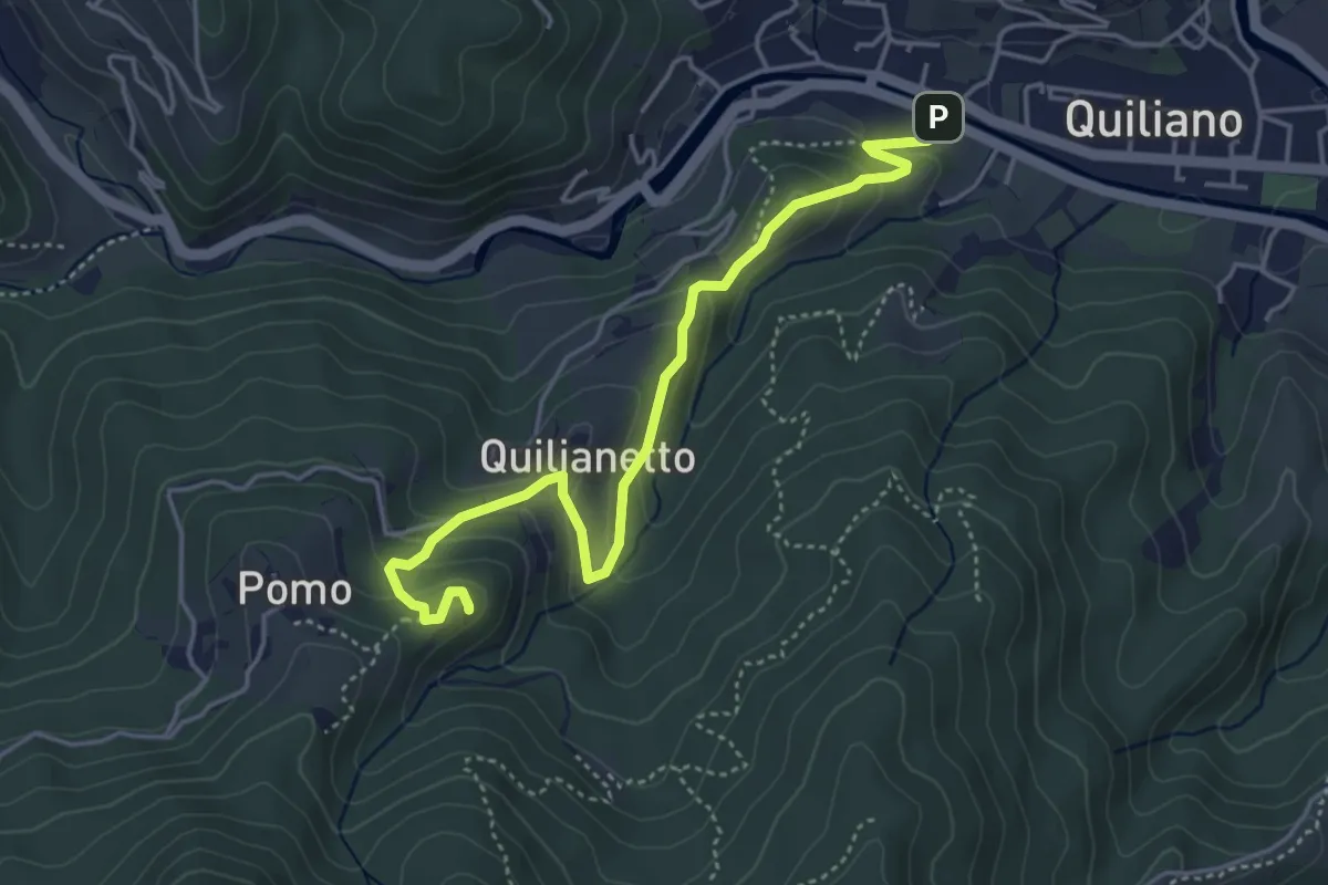
Medium · Summit
Quiliano - Rocche del Castello
4.8 km · ↑ 236 m · 1 h 39 min
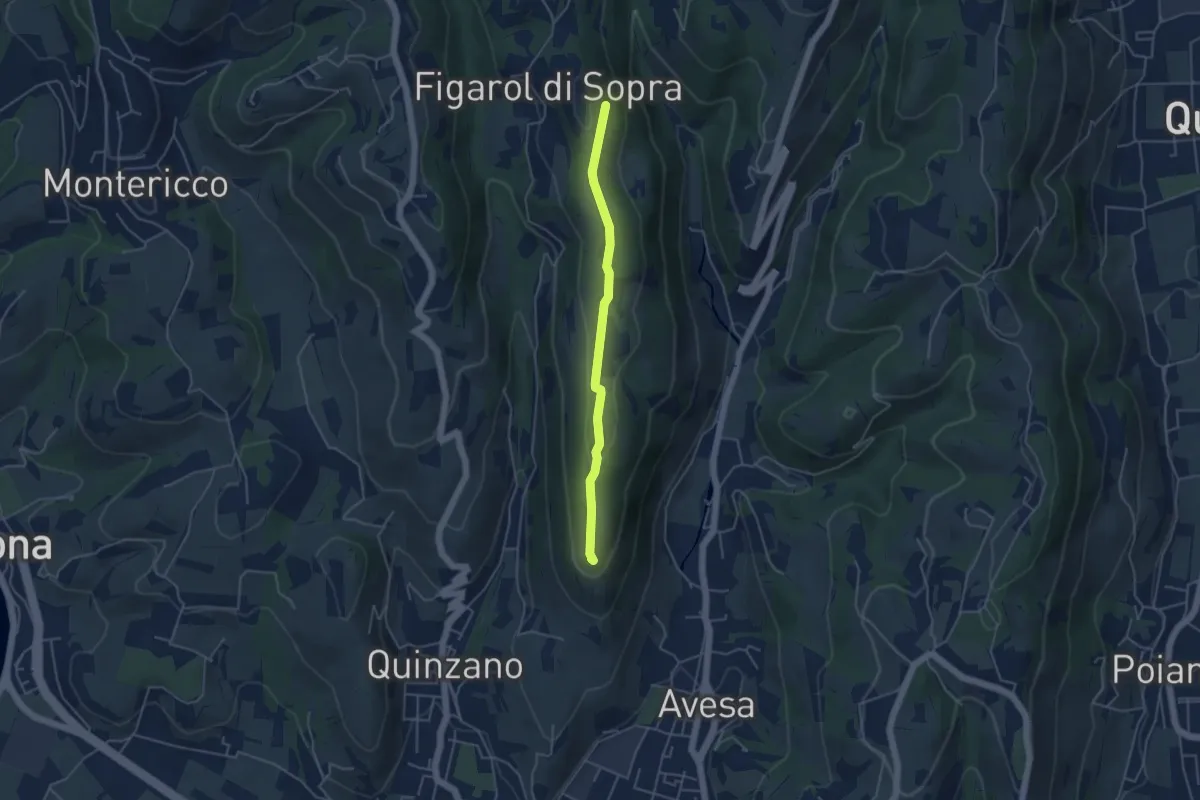
Medium · Summit
Quinzano - Montecchio
4.2 km · ↑ 78 m · 1 h 9 min
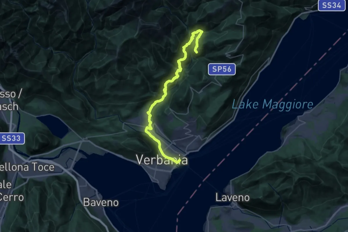
Medium · Trail
R00 Verbania Intra P.le Flaim - Trobaso - Cambiasca - Caprezzo - Intragna - Aurano
16.0 km · ↑ 602 m · 5 h 33 min
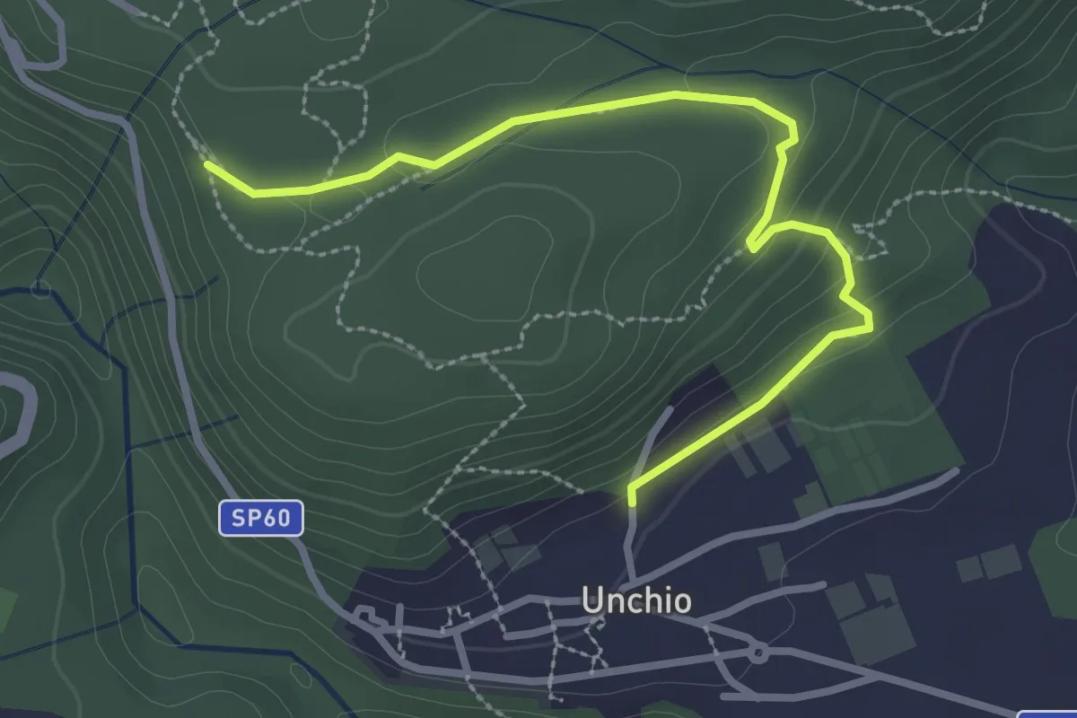
Easy · Trail
R01b Bivio R01 sotto Motto di Unchio - Bivio R01 a Pian di Les (Giro del Motto di Unchio)
3.1 km · ↑ 112 m · 58 min
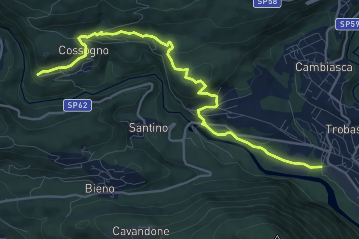
Medium · Trail
R01 Verbania Trobaso - Unchio - Motto di Unchio - Pian di Les - Cossogno
10.4 km · ↑ 370 m · 3 h 16 min
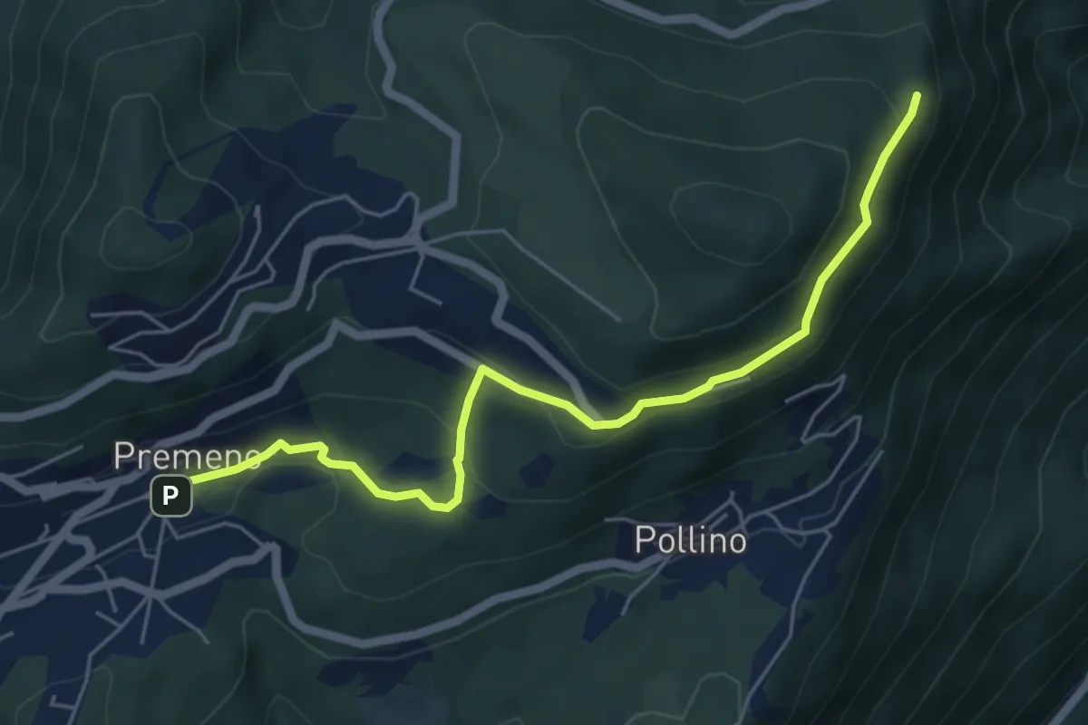
Easy · Trail
R02a Premeno - Pizzo d'Omo (bivio R10)
5.8 km · ↑ 291 m · 1 h 59 min
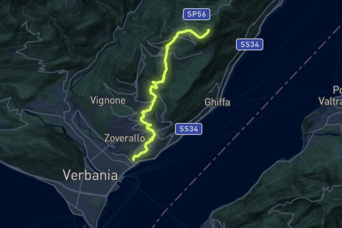
Demanding · Summit
R02 Verbania Intra bivio R30 Via Selasca - Arizzano - Albagnano - Premeno - Pizzo d'Omo
17.8 km · ↑ 902 m · 6 h 9 min
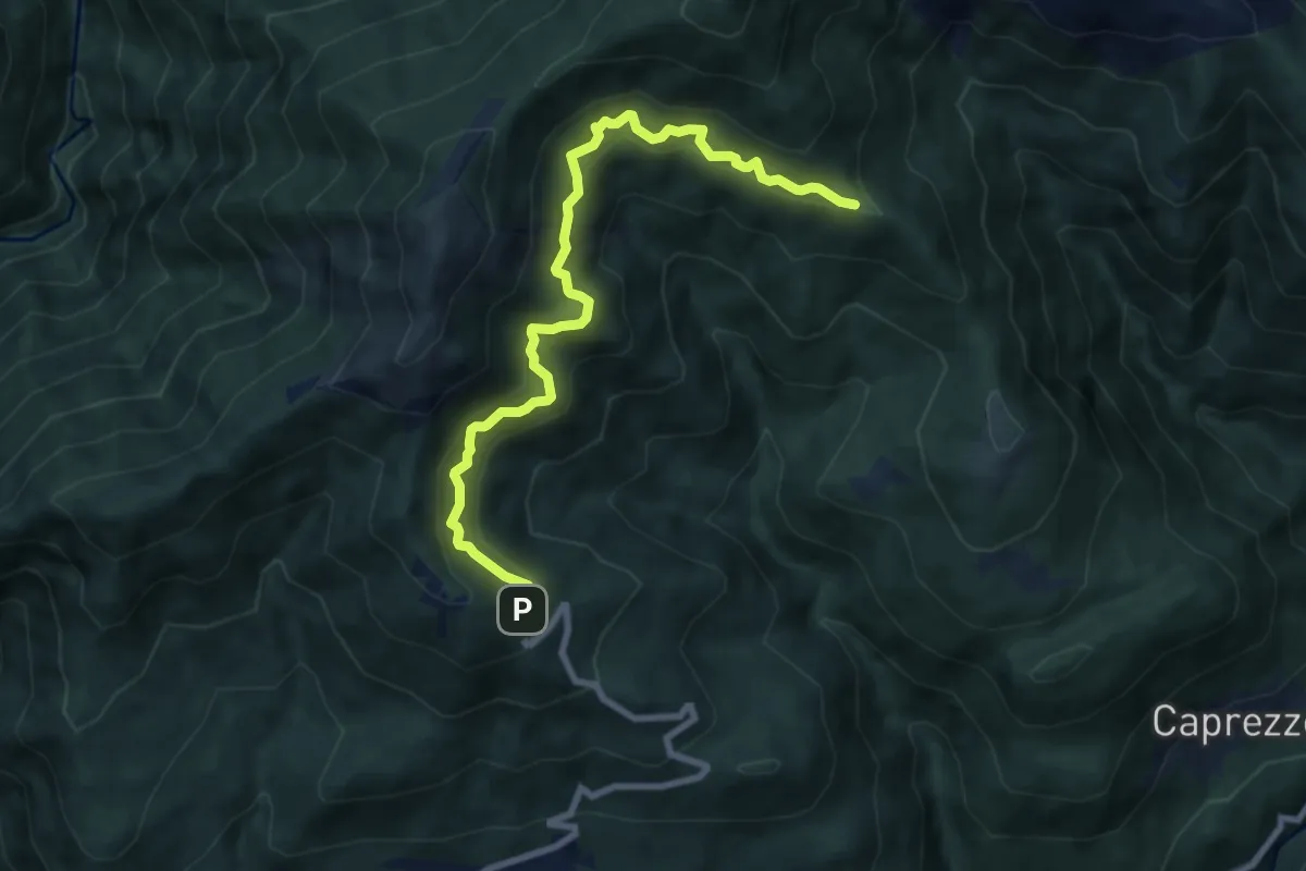
Medium · Trail
R03a Cappella Fina bivio R03 - Bivio R05 tra Cappella Porta e Cornala
8.6 km · ↑ 755 m · 3 h 40 min
Medium · Trail
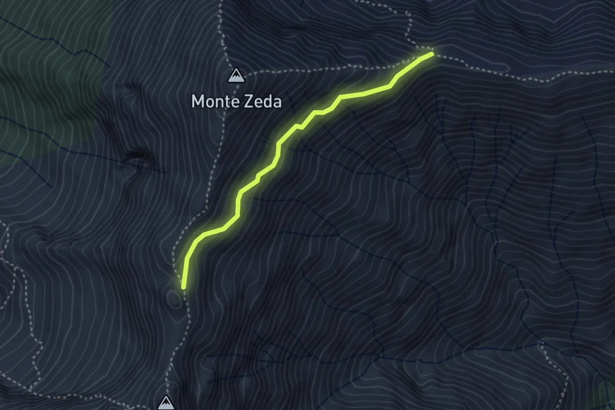
R03b Piè di Zeda - Costa Monte Zeda (bivio R03)
3.1 km · ↑ 308 m · 1 h 24 min
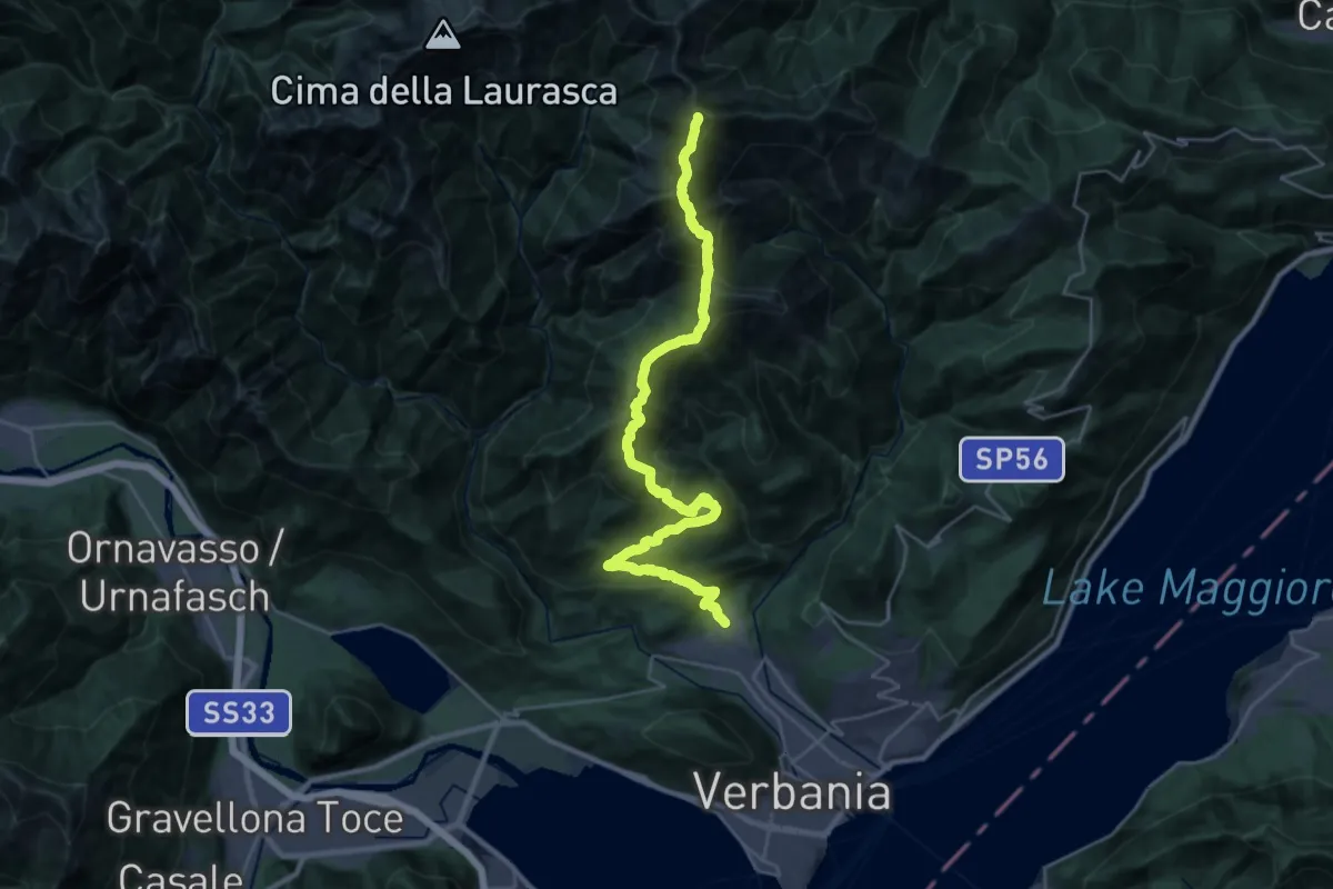
Demanding · Summit
R03 Cambiasca - Pian Cavallone - Pizzo Marona - Monte Zeda
31.8 km · ↑ 2306 m · 12 h 31 min
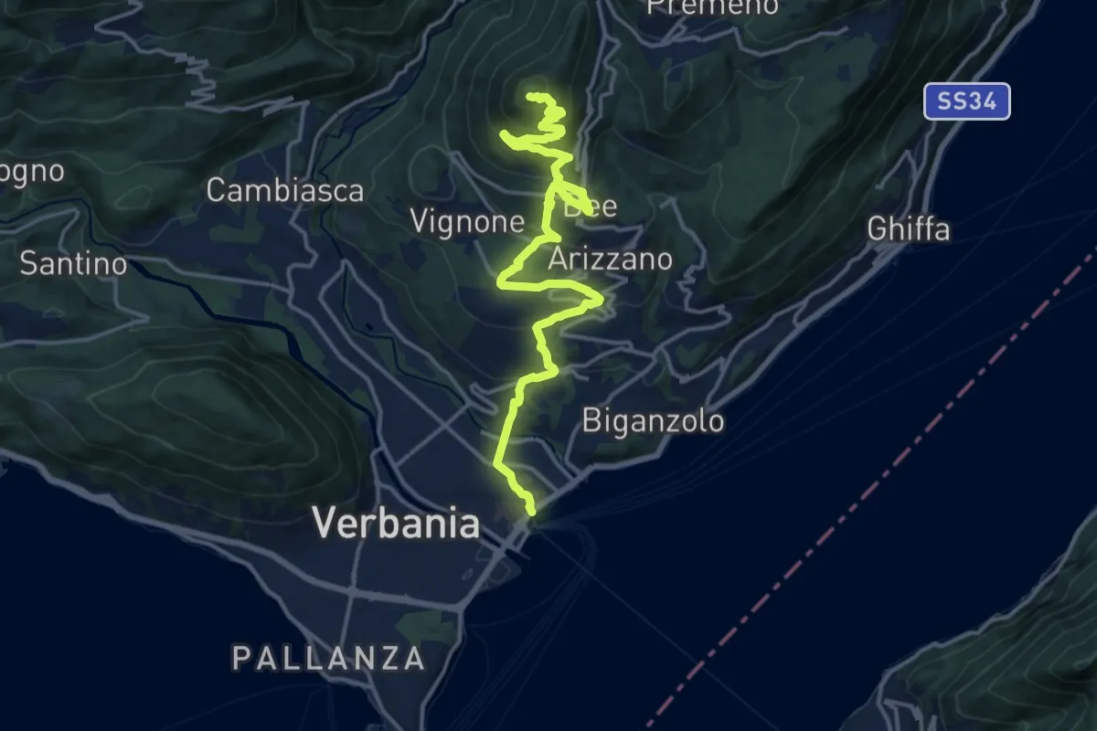
Medium · Summit
R04 Verbania Intra - Zoverallo - San Martino - Bèe - Monte Cimolo - Pian Nava
17.7 km · ↑ 765 m · 5 h 50 min
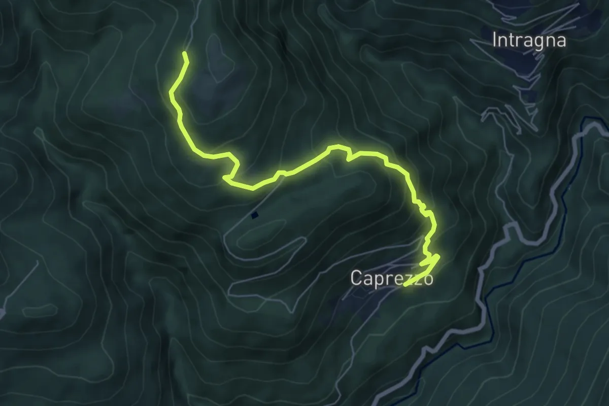
Medium · Trail
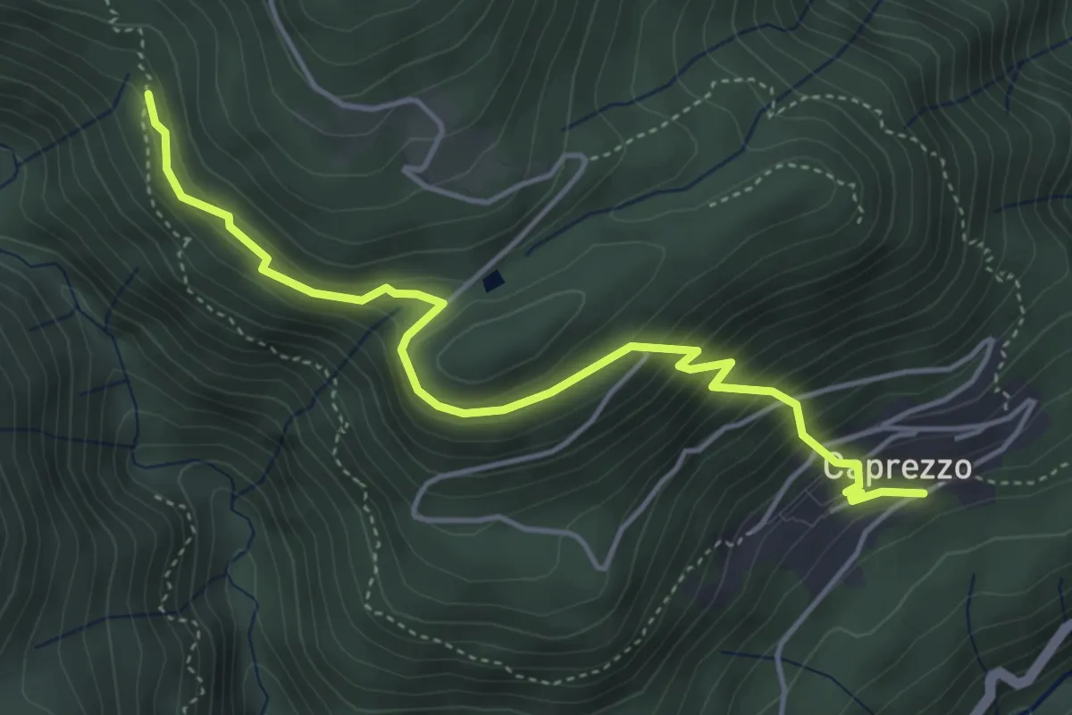
R05a Caprezzo - Tremesino - Alpe a Pönt - Bivio R05 sotto Cappella Porta
6.6 km · ↑ 588 m · 2 h 50 min
Medium · Trail
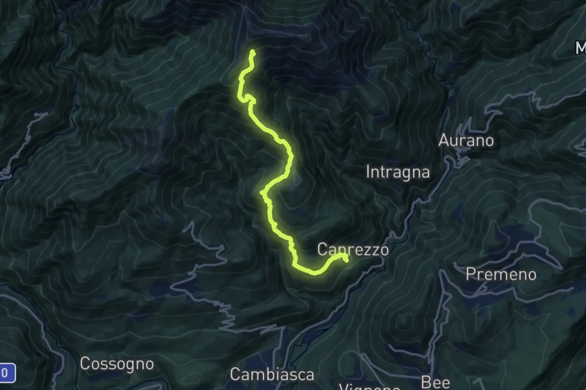
R05b Caprezzo - Alpe Mon Rous (Ôr dal Ruś)
4.9 km · ↑ 414 m · 2 h 3 min
Demanding · Cabin
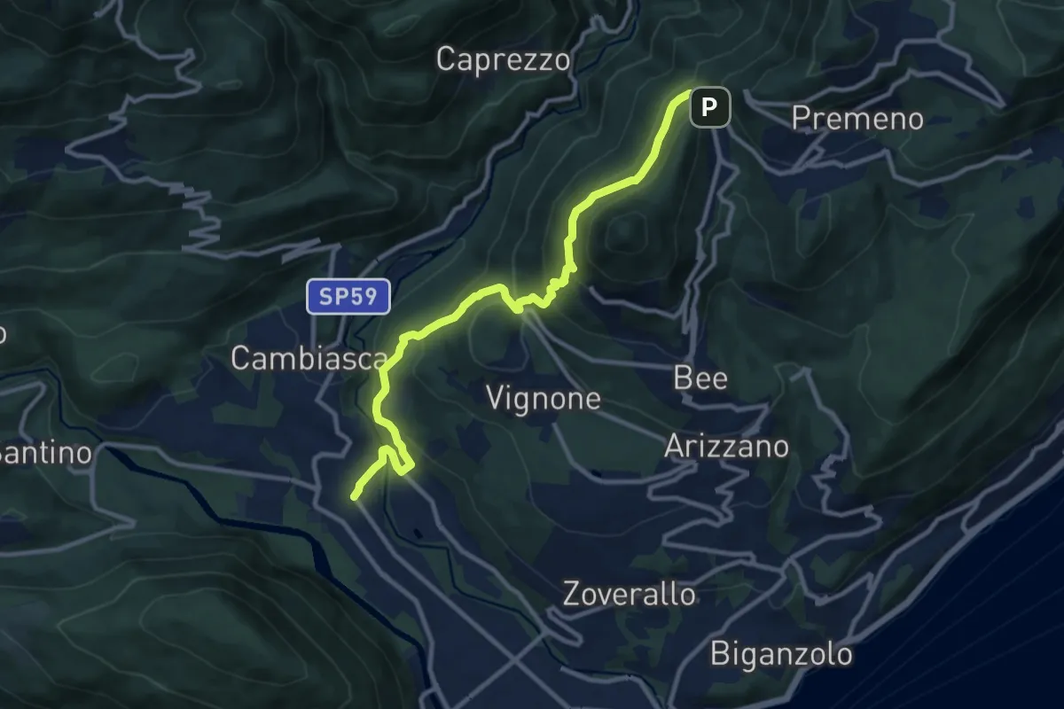
R05 Caprezzo - Pian Cavallone bivio R07
12.9 km · ↑ 1182 m · 5 h 36 min
Medium · Trail
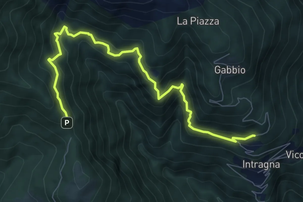
R06 Trobaso - Pian Nava
11.0 km · ↑ 697 m · 4 h 7 min
Demanding · Trail
R07a Cambiesso - Cappella Porta
8.4 km · ↑ 755 m · 3 h 37 min
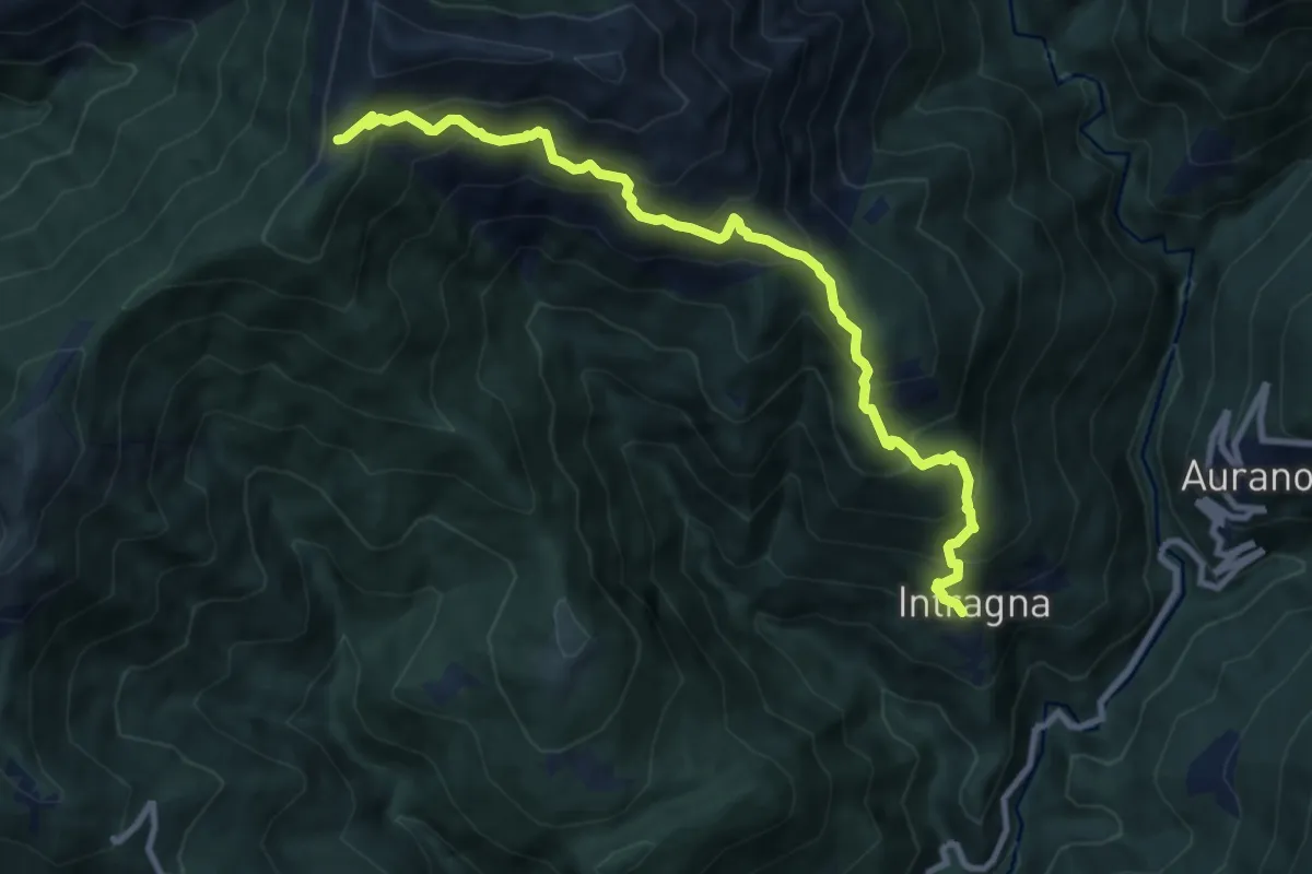
Demanding · Trail
R07 Intragna - Cappella del Pian Cavallone
9.8 km · ↑ 1005 m · 4 h 29 min
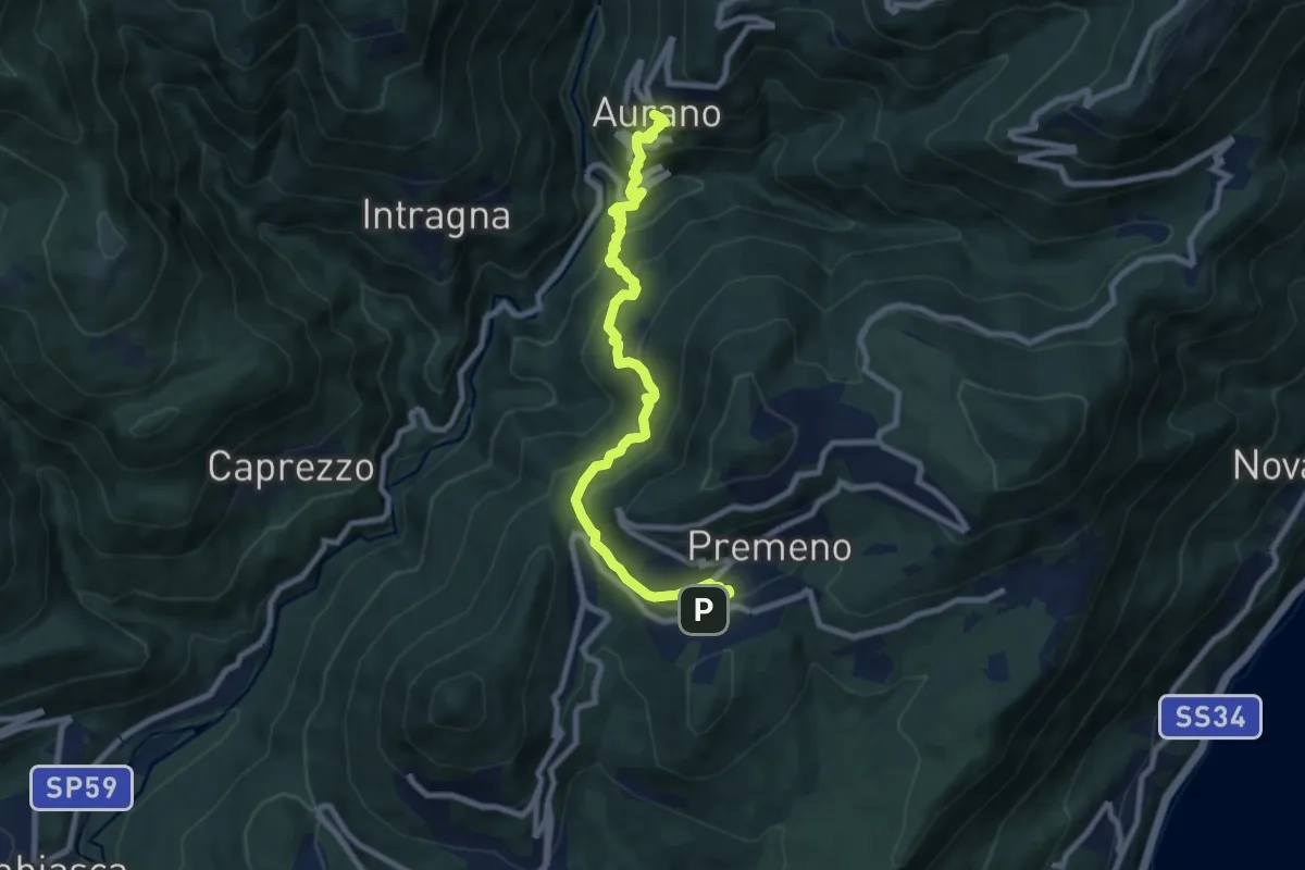
Medium · Trail
R08 Aurano - Esio - Premeno
9.2 km · ↑ 797 m · 3 h 55 min
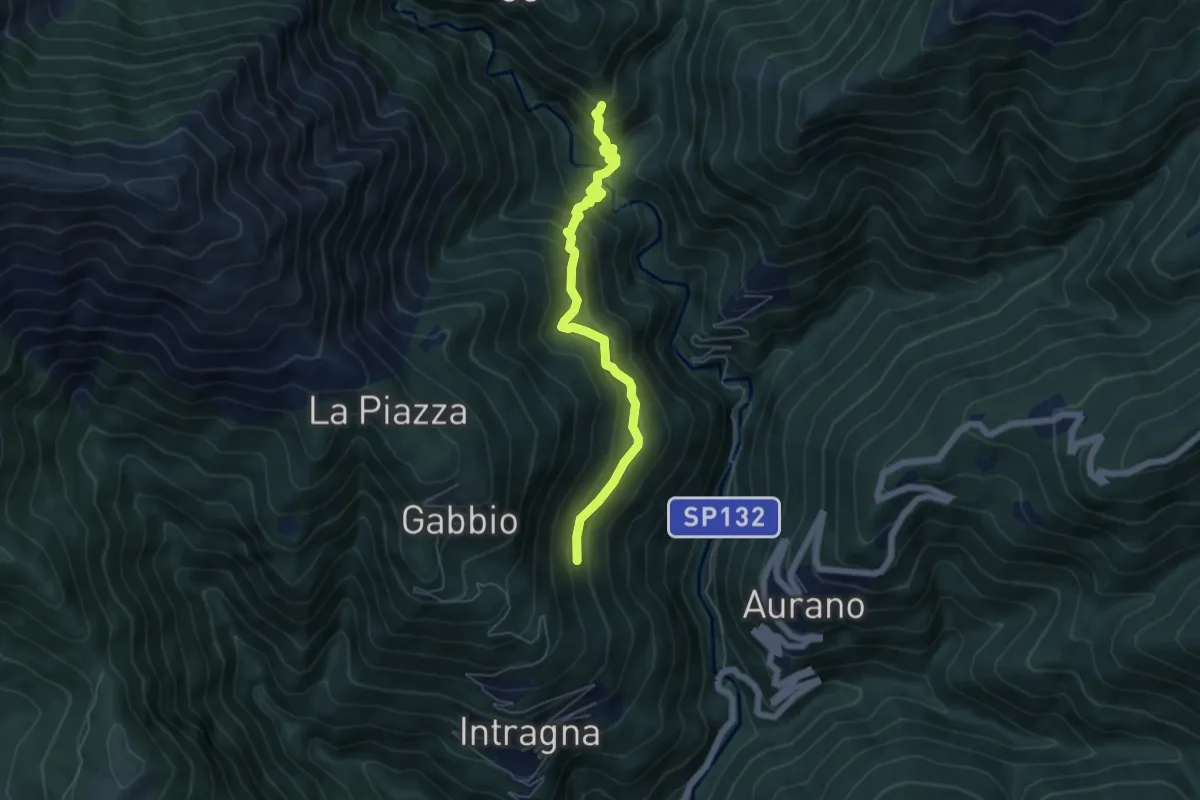
Medium · Trail
R09a Corpetto - Bivio R11 Cappella sopra Ponte del Dragone
5.4 km · ↑ 549 m · 2 h 27 min
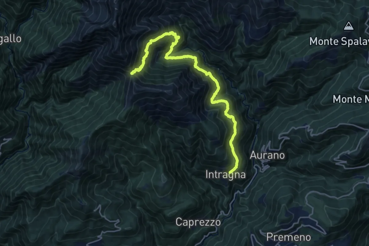
Demanding · Trail
R09 Intragna - Onunchio - Colle della Forcola
17.7 km · ↑ 1565 m · 7 h 34 min