Trails in Italy
25,221 hiking trails, each with its route, climb, walking time and grade.
All trails, page 129 of 526
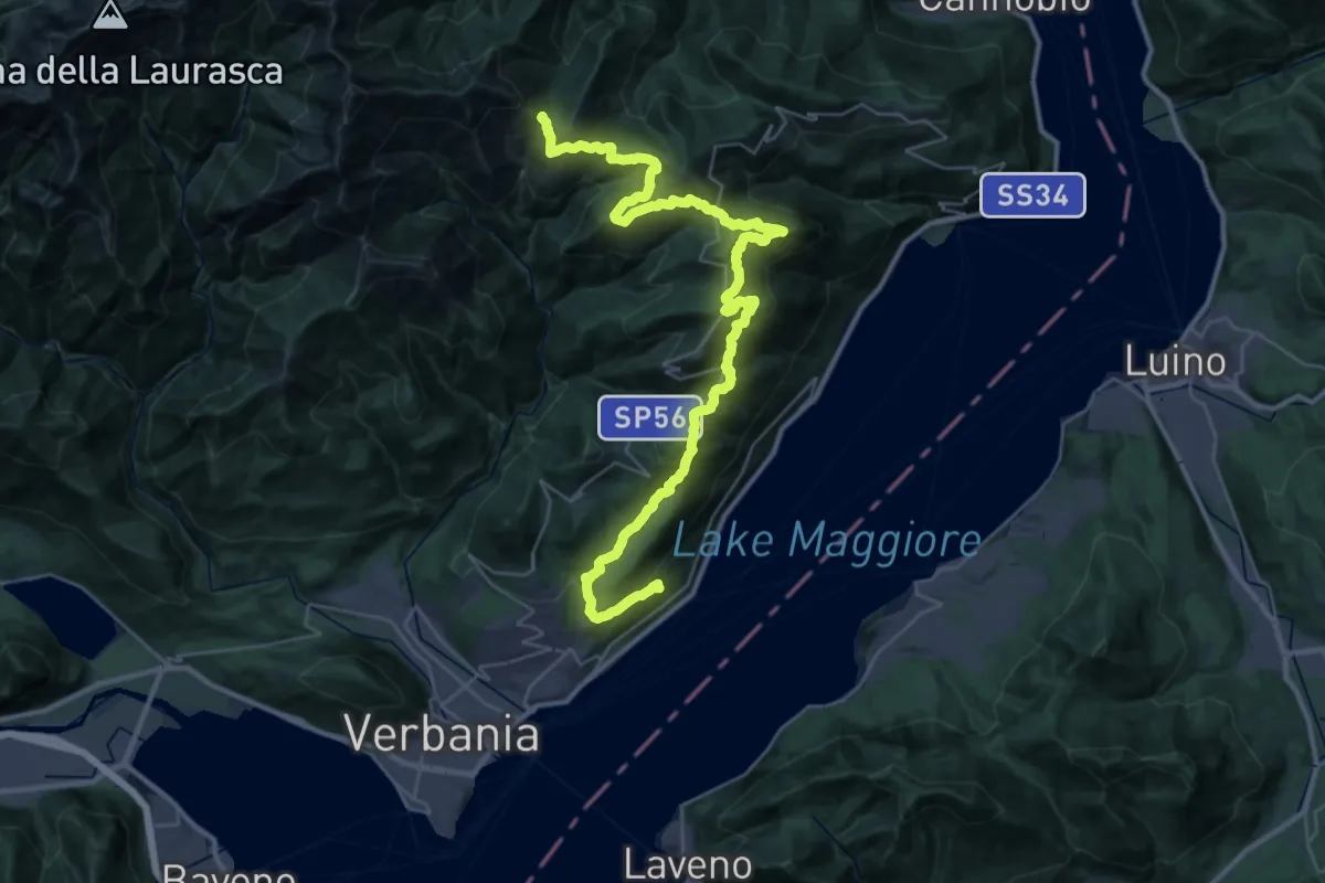
Demanding · Trail
R10 Sacro Monte S.S.Trinità di Ghiffa - Pollino - Piancavallo - Colle - Passo Folungo
21.7 km · ↑ 795 m · 7 h 37 min
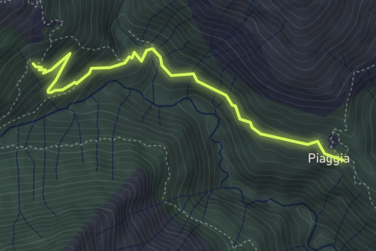
Medium · Trail
R11a Piaggia - Onunchio
4.5 km · ↑ 407 m · 1 h 56 min
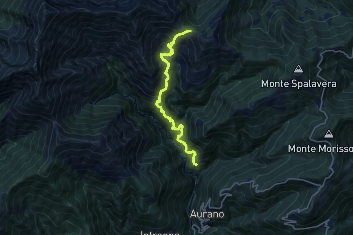
Demanding · Trail
R11 Scareno - Alpe Piaggia - Passo Folungo
11.8 km · ↑ 1167 m · 5 h 18 min
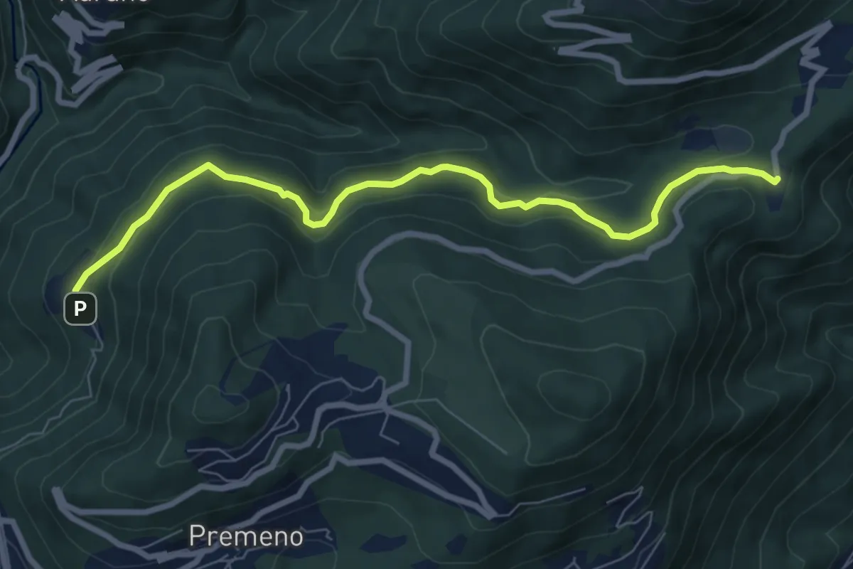
Medium · Trail
R12 - Esio - Luera
7.7 km · ↑ 376 m · 2 h 38 min
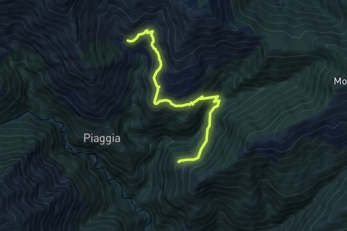
Medium · Trail
R13a Sassello - Corte Bavarone
7.6 km · ↑ 623 m · 3 h 9 min
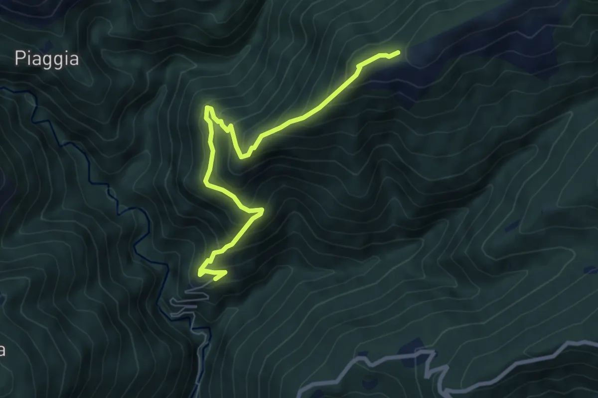
Medium · Trail
R13 Scareno - Pian d'Arla
7.1 km · ↑ 719 m · 3 h 14 min
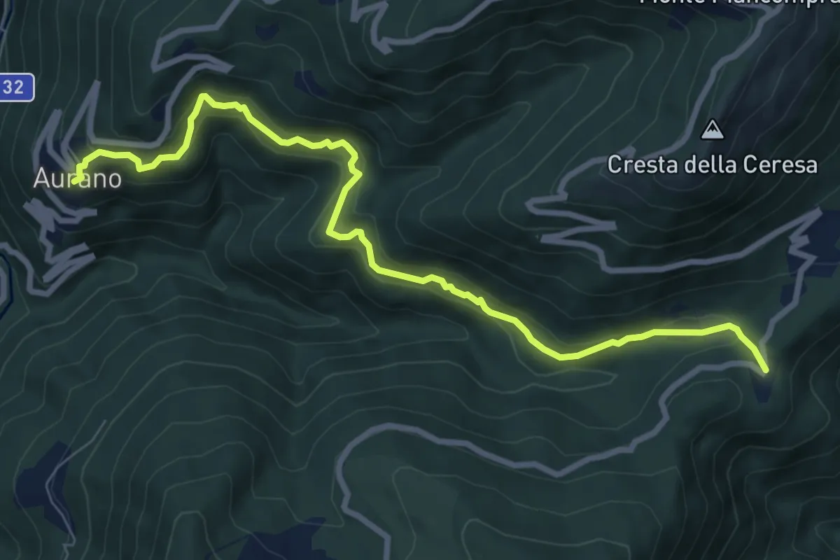
Medium · Trail
R14 Aurano - Luera
8.4 km · ↑ 436 m · 2 h 56 min
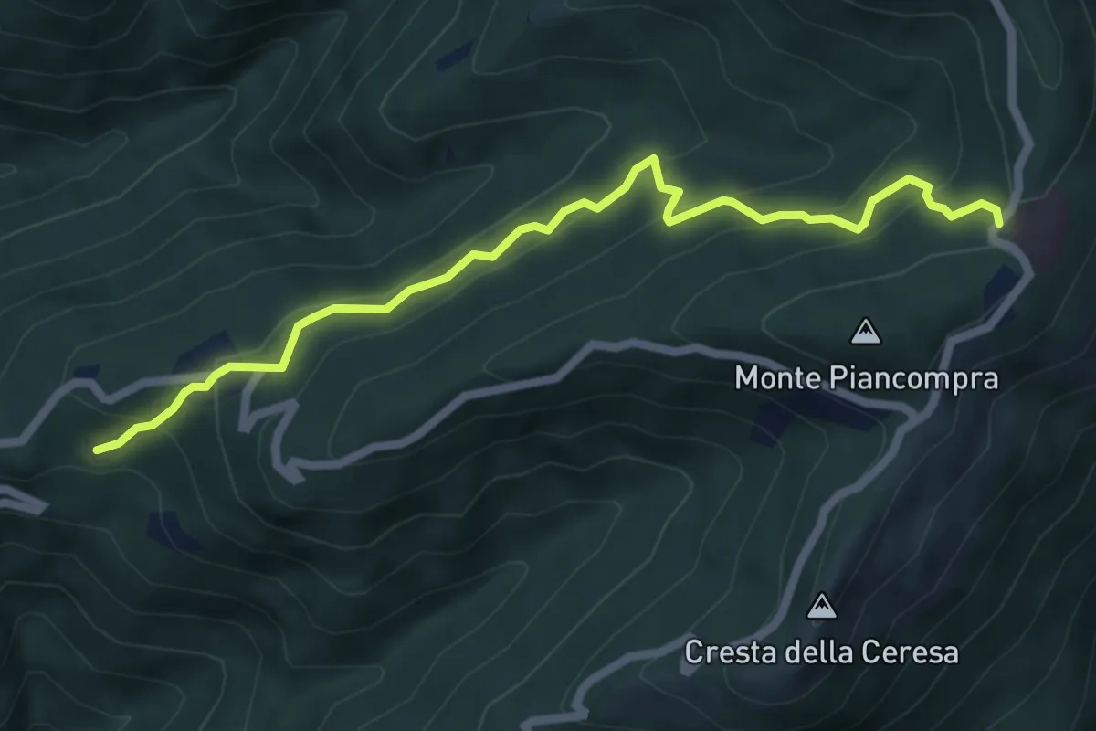
Medium · Trail
R15a Bivio R15 Alpe Segletta - Piancavallo
6.1 km · ↑ 461 m · 2 h 26 min
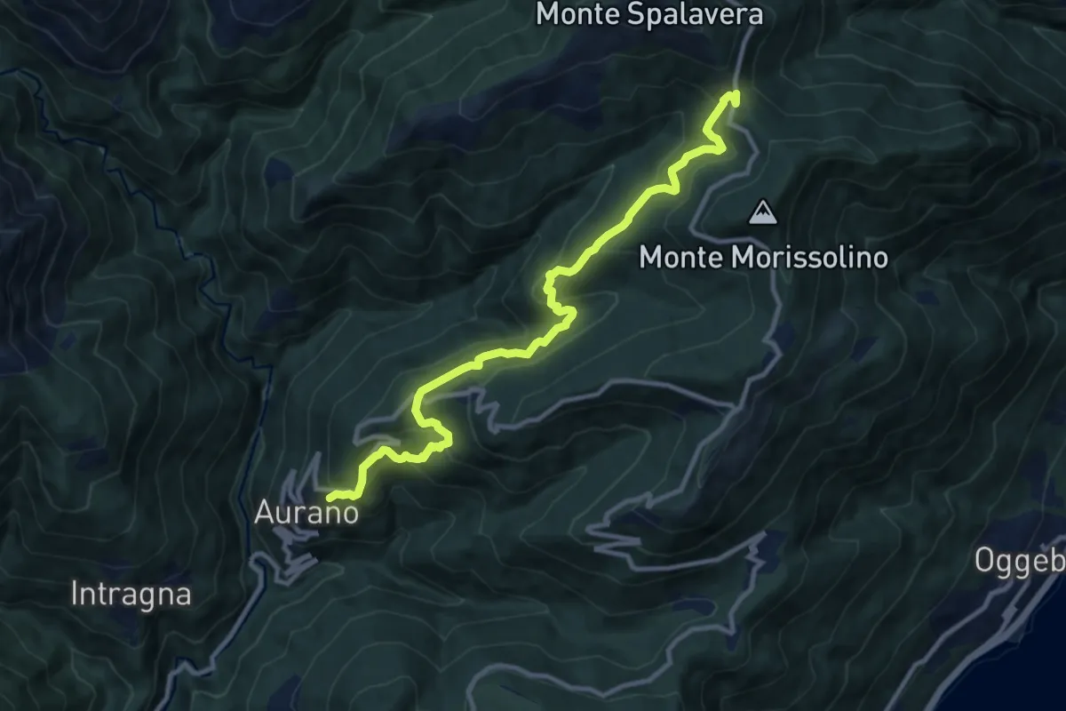
Medium · Trail
R15 Aurano - Calpera - il Colle
11.2 km · ↑ 750 m · 4 h 16 min
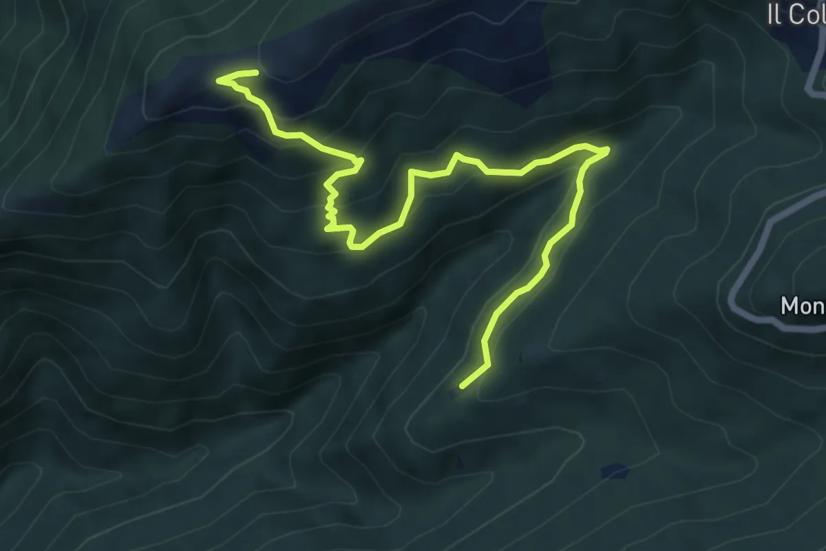
Medium · Trail
R15b Calpera - Pian d'Arla
6.7 km · ↑ 502 m · 2 h 40 min
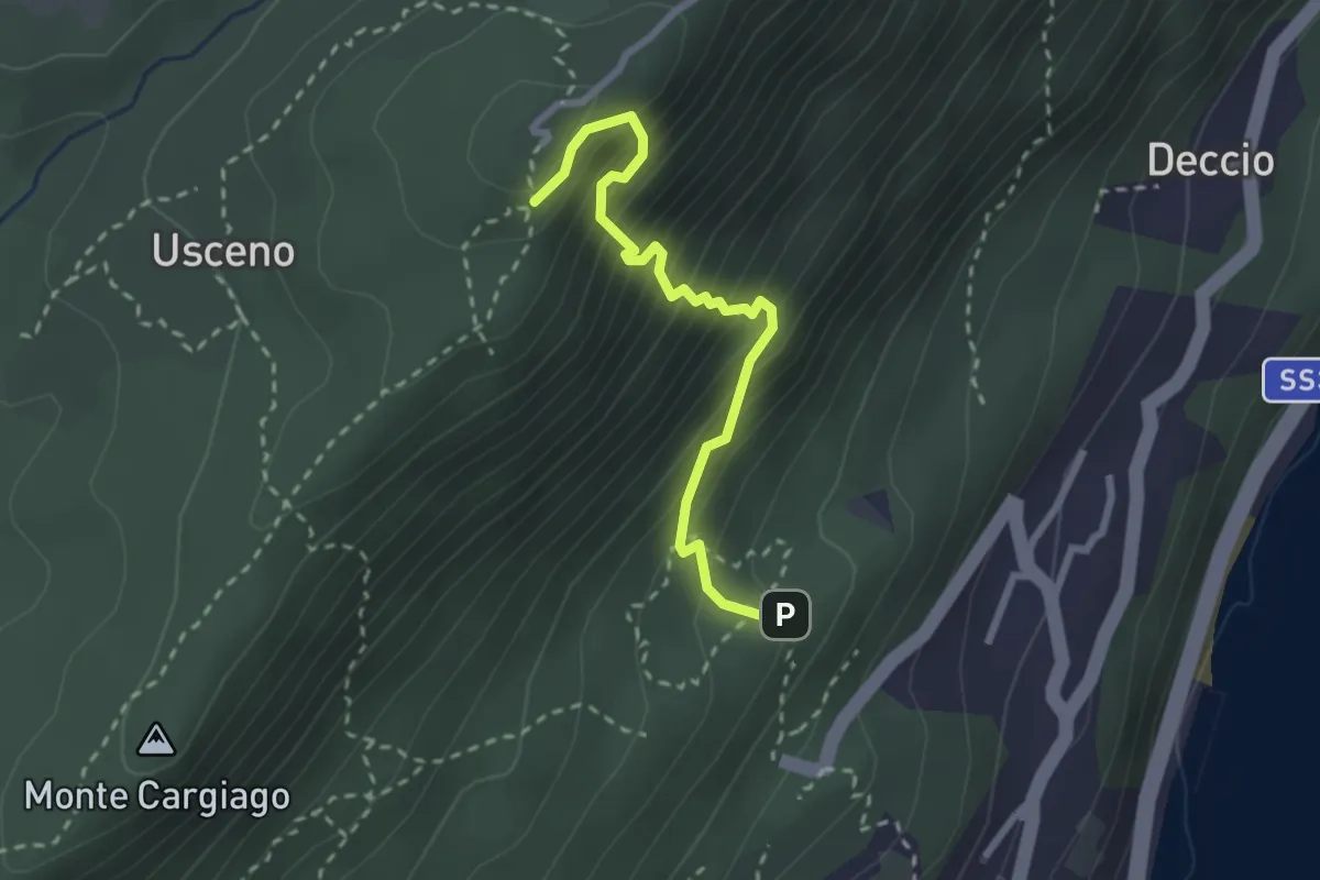
Demanding · Trail
R16a Diramazione R16 Sacro Monte di Ghiffa - Diramazione R16 Laghetto delle Streghe (Pollino)
2.6 km · ↑ 374 m · 1 h 25 min
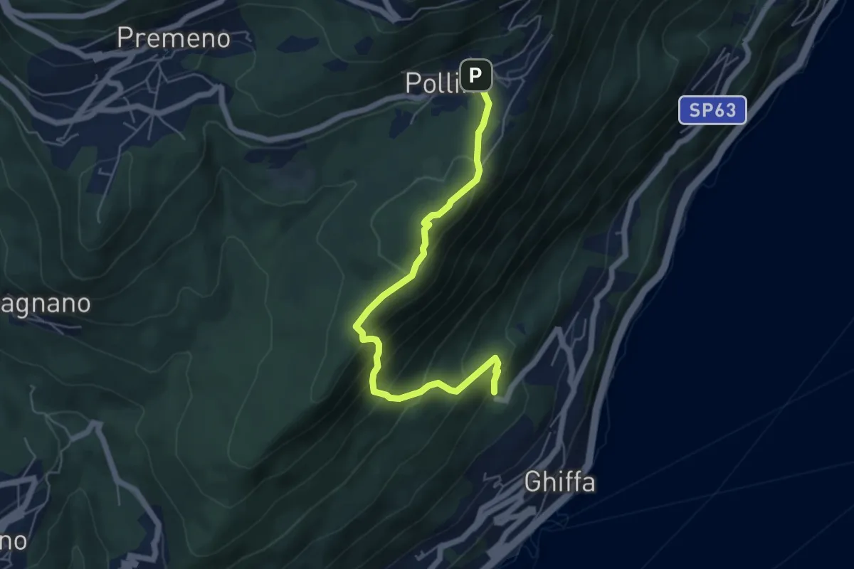
Medium · Trail
R16 Sacro Monte SS.Trinità di Ghiffa - Pollino
5.5 km · ↑ 436 m · 2 h 15 min
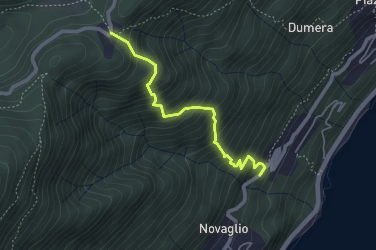
Medium · Trail
R18 Camogno - Luera
3.5 km · ↑ 485 m · 1 h 53 min
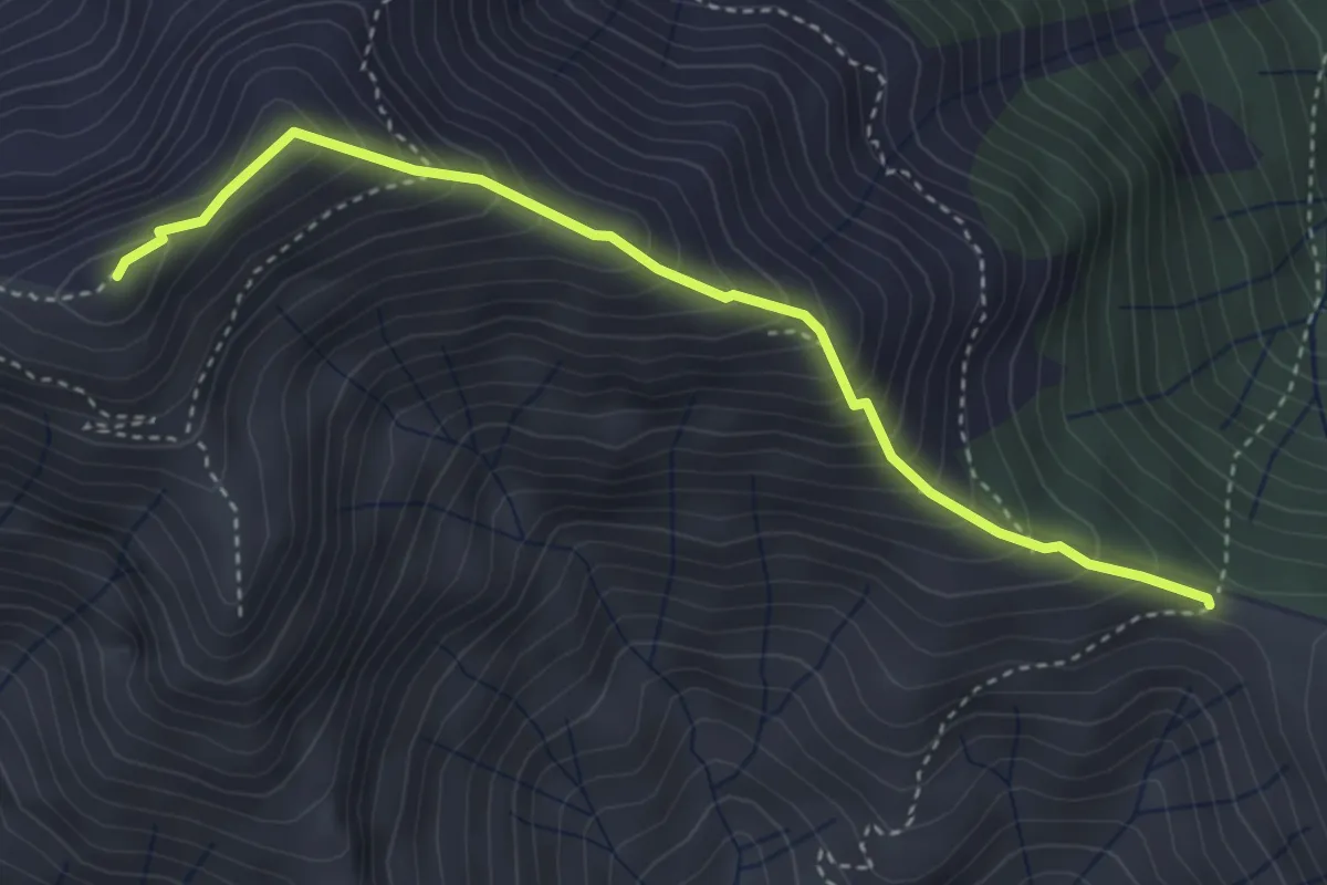
Expert · Summit
R19 Passo Folungo - Monte Vadà - Bivio R20 al Pian Vadà
3.8 km · ↑ 446 m · 1 h 51 min
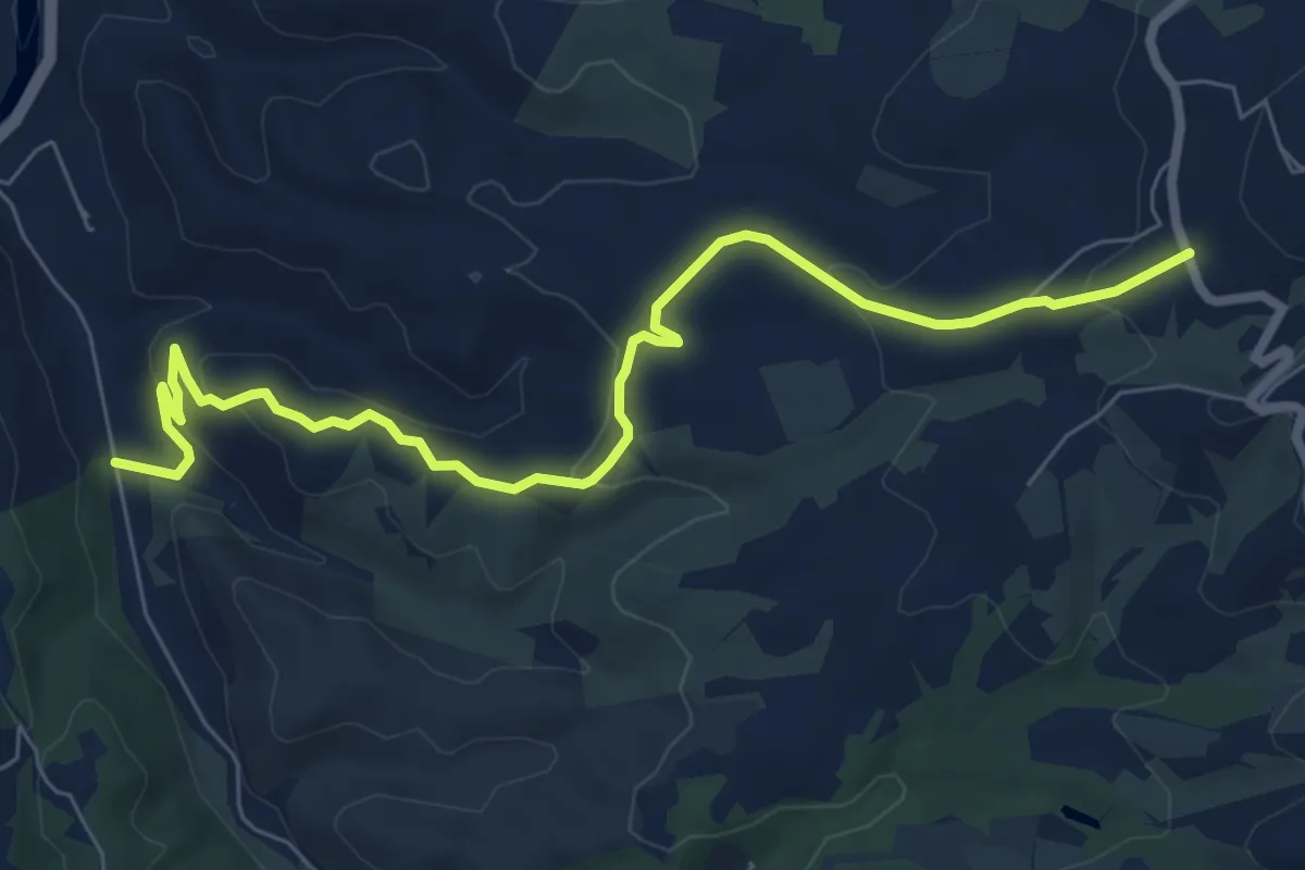
Medium · Trail
R20
8.6 km · ↑ 289 m · 2 h 40 min
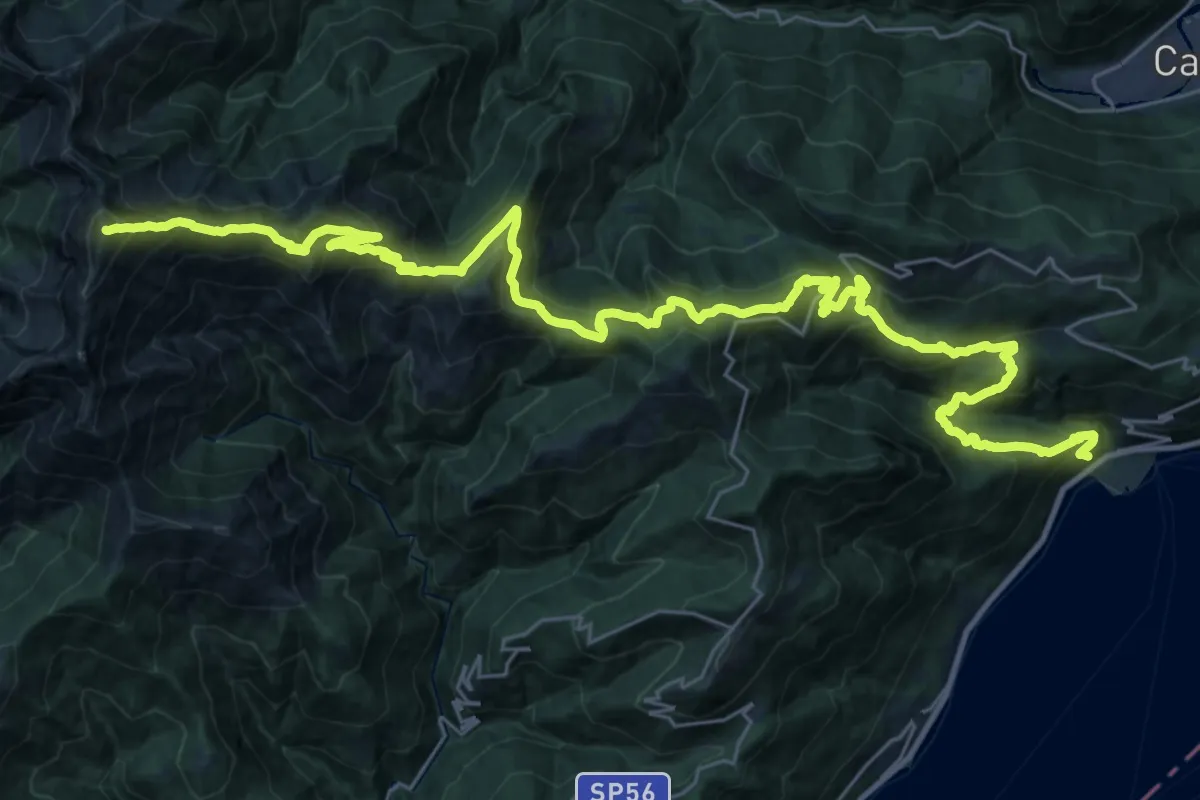
Demanding · Summit
R20 Cannero - Oggiogno - Trarego - Cima l'Alpe - Monte Spalavera - Pian Puzz - Archia - Passo Folungo - Monte Zeda
41.4 km · ↑ 2801 m · 15 h 50 min
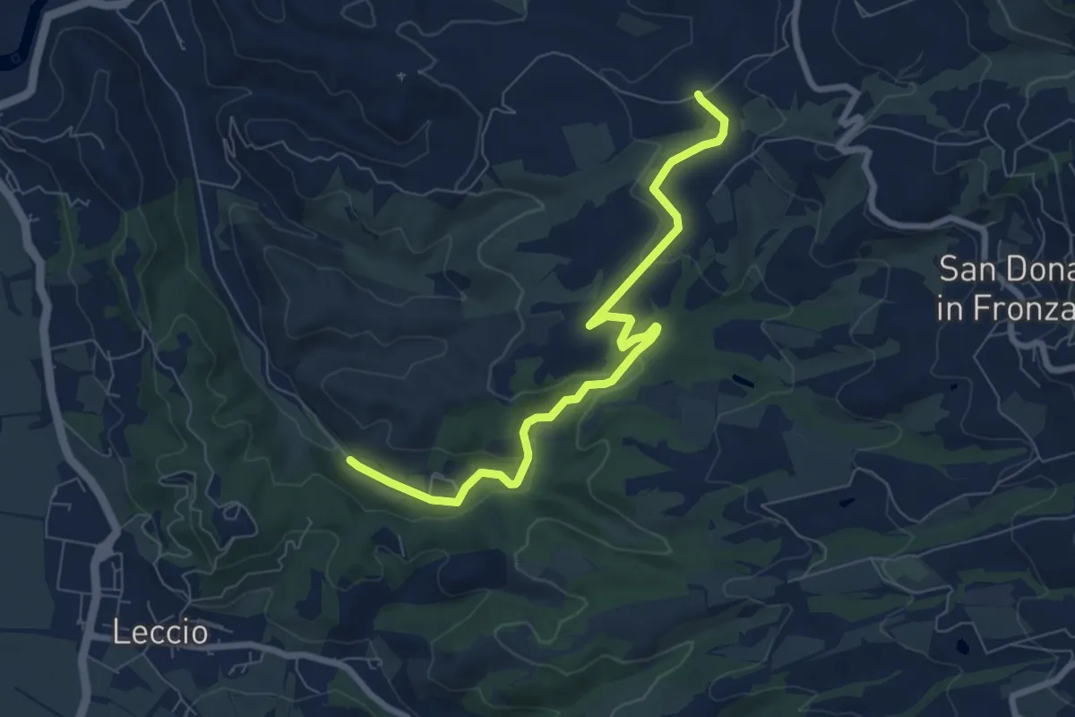
Medium · Trail
R22
8.1 km · ↑ 192 m · 2 h 20 min
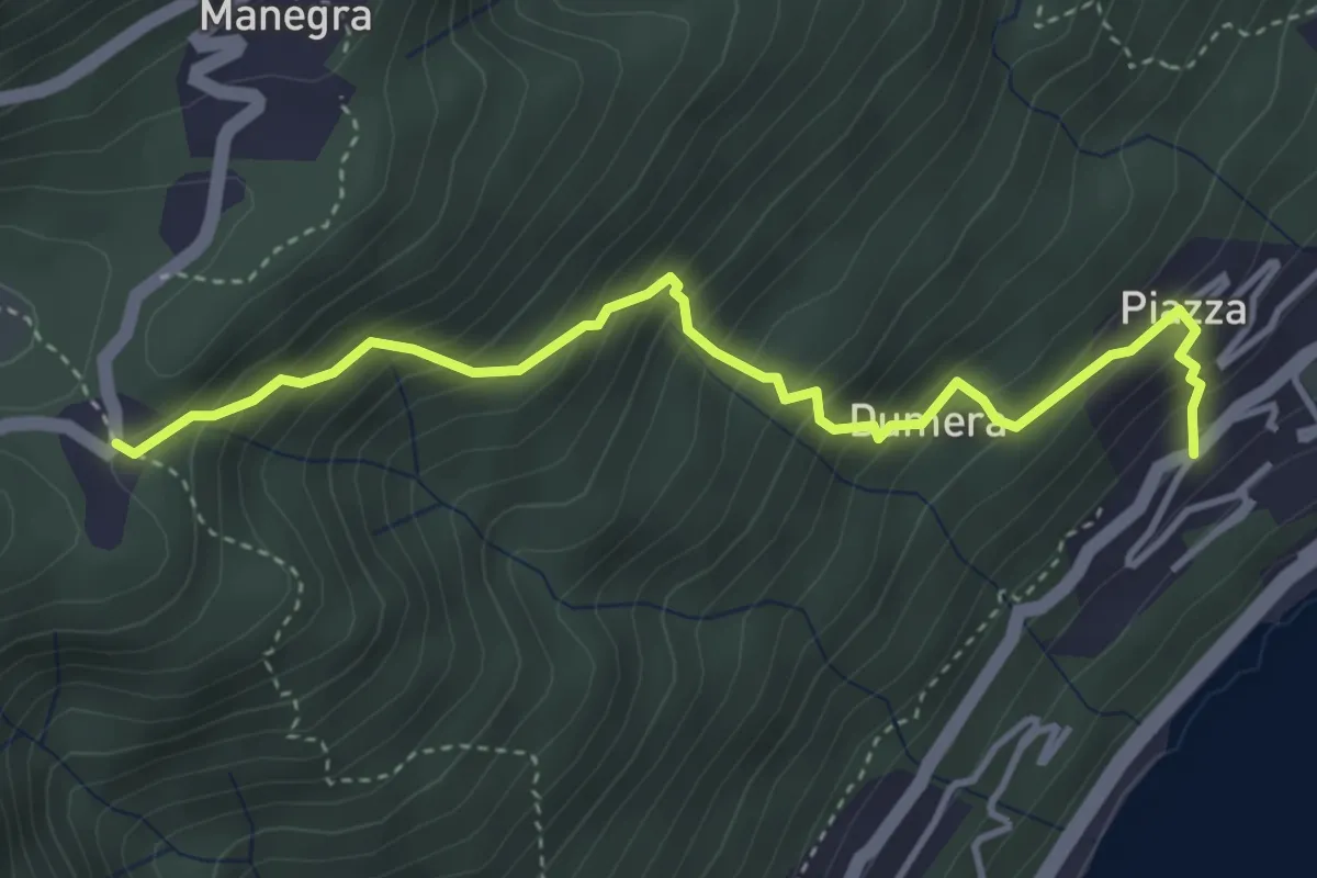
Medium · Trail
R22 Travallino di Oggebbio - Luera
4.1 km · ↑ 515 m · 2 h 5 min
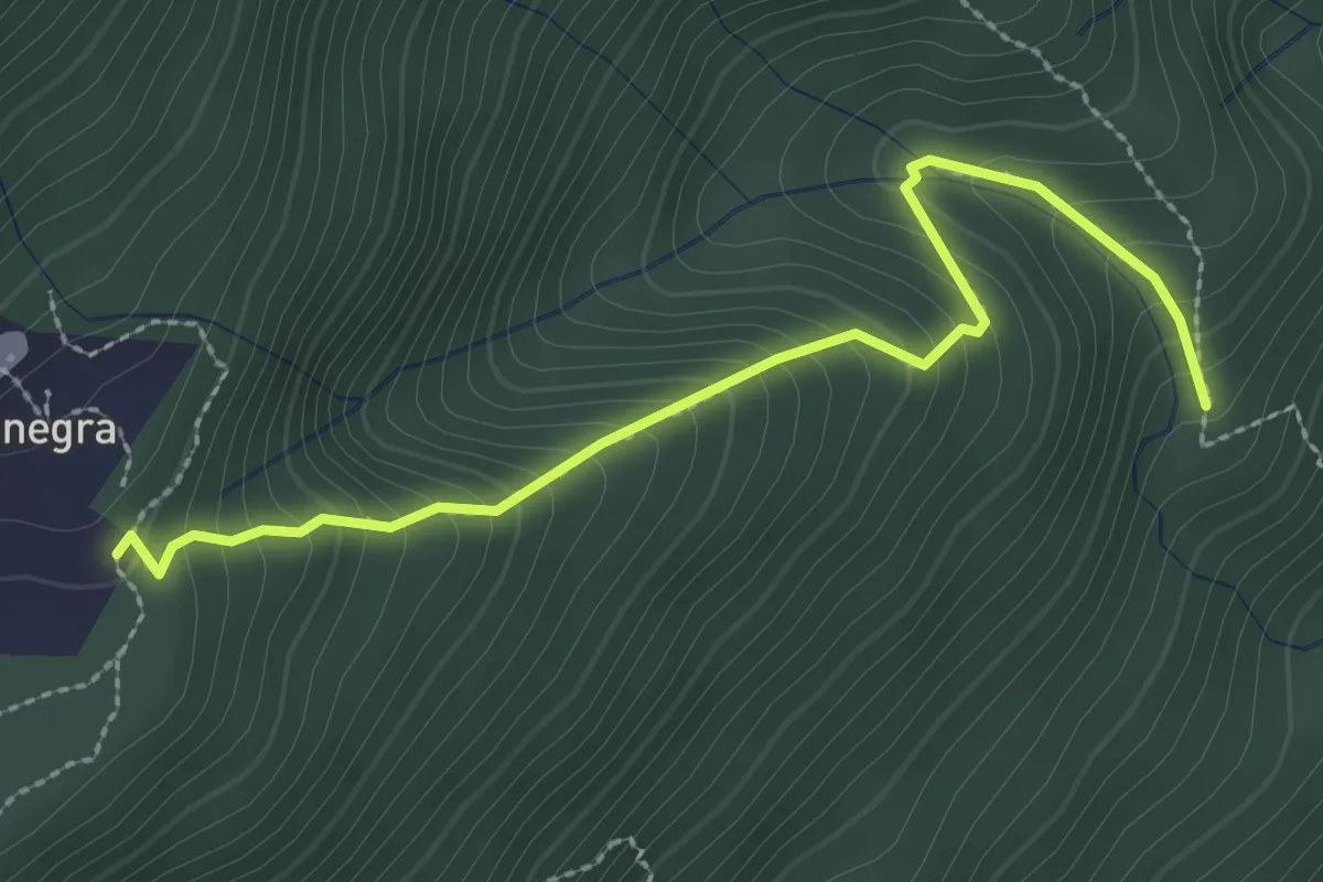
Medium · Trail
R24b Cappella S.Maria bivio R24 - Manegra bivio R10
2.8 km · ↑ 303 m · 1 h 19 min
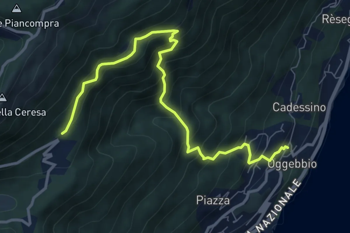
Demanding · Trail
R24 Gonte - Casola - Manegra
7.7 km · ↑ 820 m · 3 h 36 min
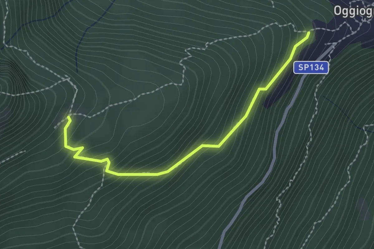
Easy · Trail
R26a Oggiogno bivio R26 - Alpe Ronno
2.4 km · ↑ 226 m · 1 h 3 min
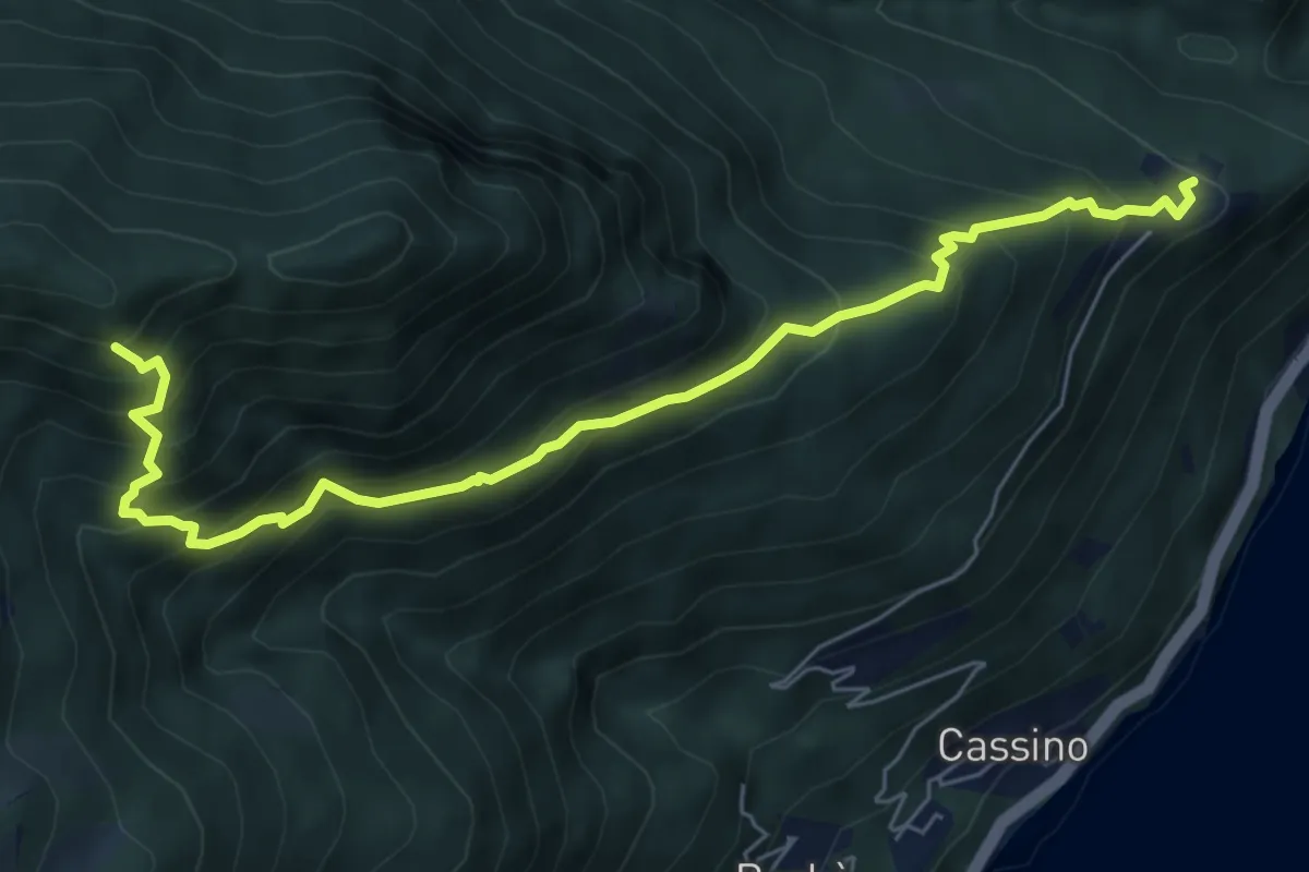
Medium · Trail
R26 Oggiogno - Alpe Morissolo
7.1 km · ↑ 786 m · 3 h 23 min
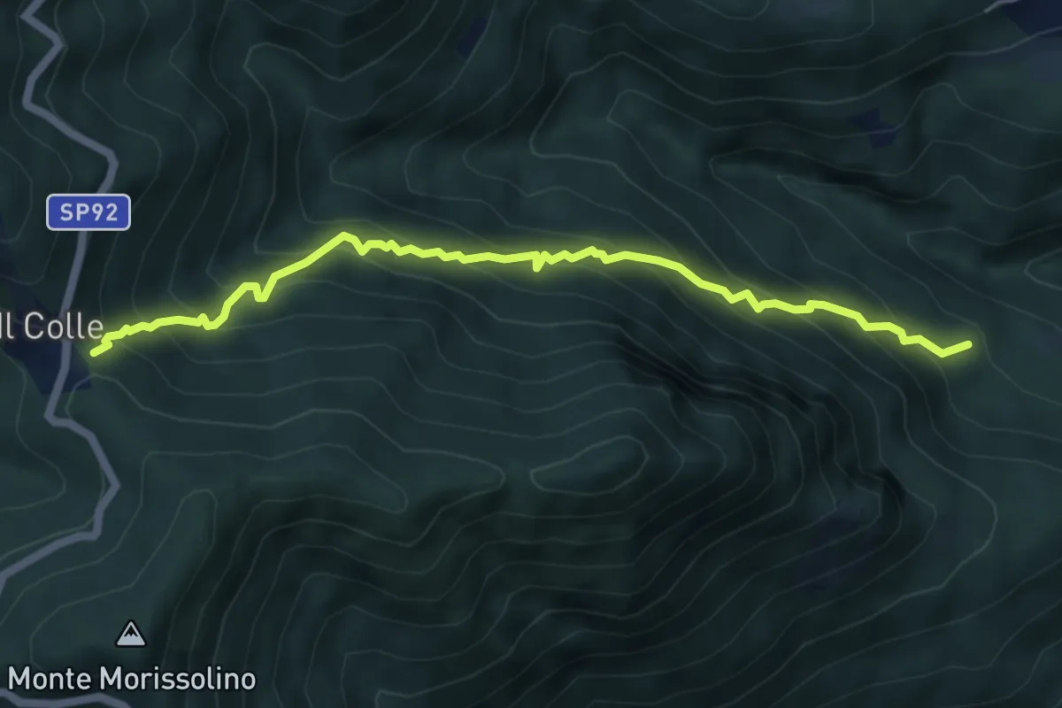
Medium · Trail
R28 Malpensata (Oggiogno) - Colle
5.9 km · ↑ 783 m · 3 h 5 min
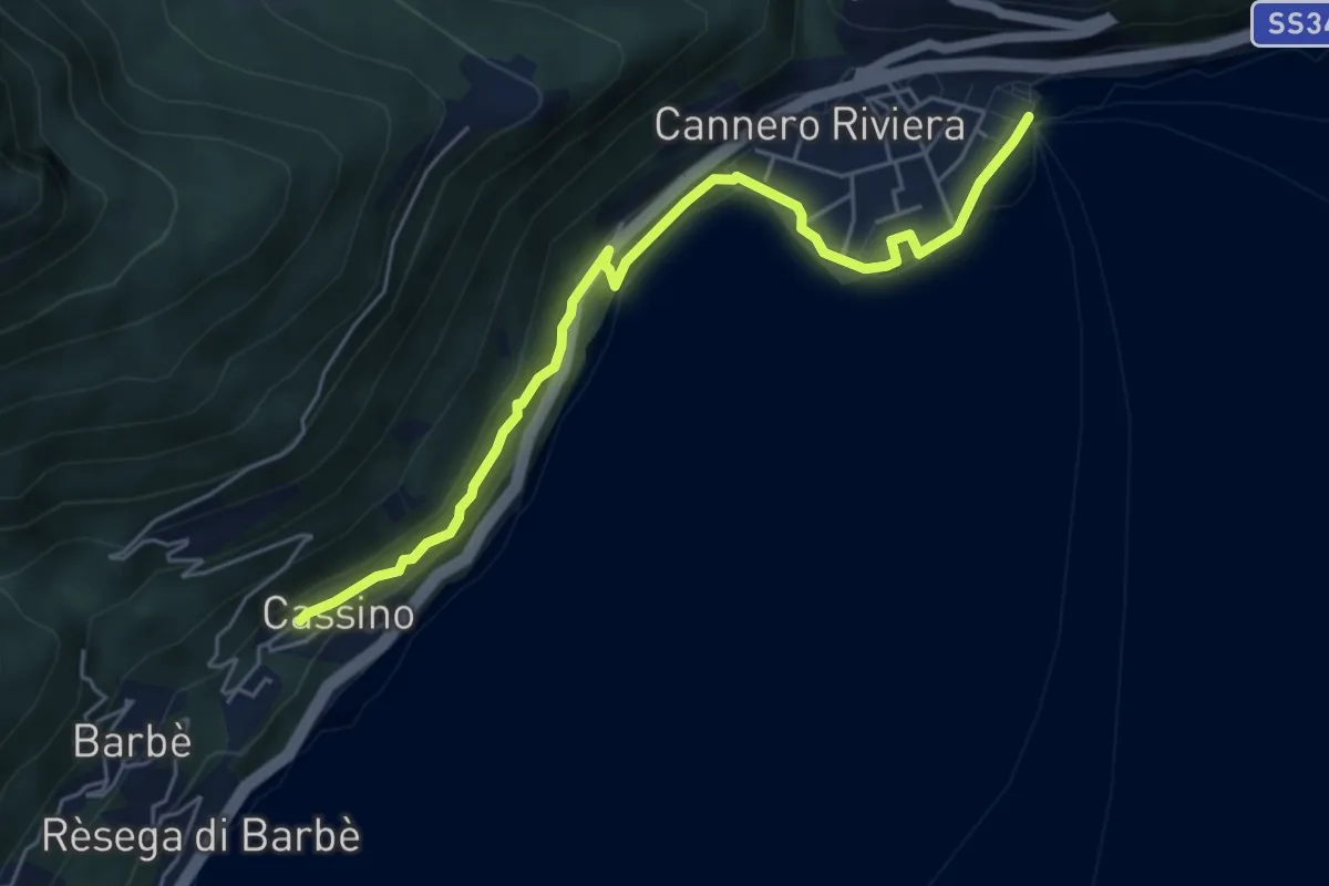
Easy · Trail
R30a Cannero - Cassino
5.6 km · ↑ 170 m · 1 h 42 min
Easy · Trail
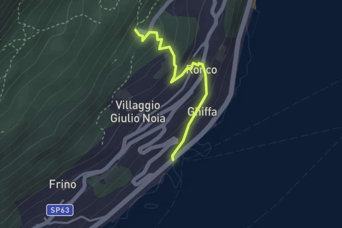
R30e Ghiffa - Sacro Monte SS.Trinità di Ghiffa
2.4 km · ↑ 192 m · 59 min
Demanding · Trail
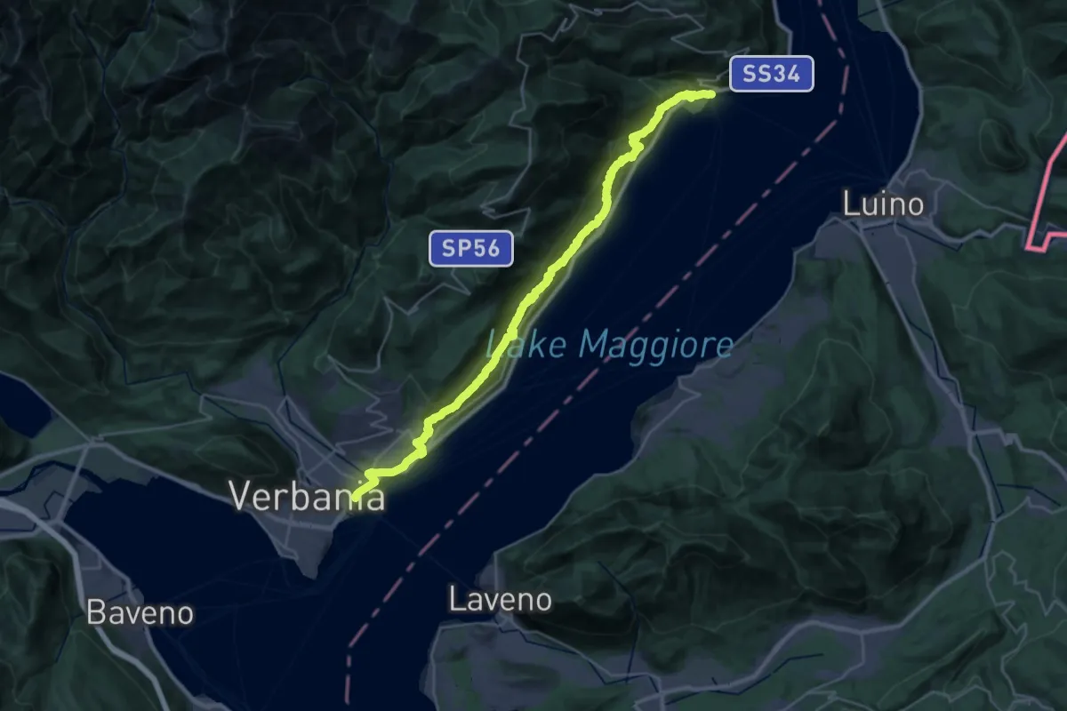
R30 'Via delle Genti': tratto Cannero - Oggebbio - Sacro Monte SS.Trinità di Ghiffa - Verbania Intra
16.7 km · ↑ 839 m · 5 h 59 min
Medium · Trail
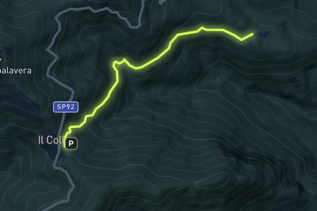
R32 Fodrasca - Colle
5.5 km · ↑ 424 m · 2 h 13 min
Medium · Summit
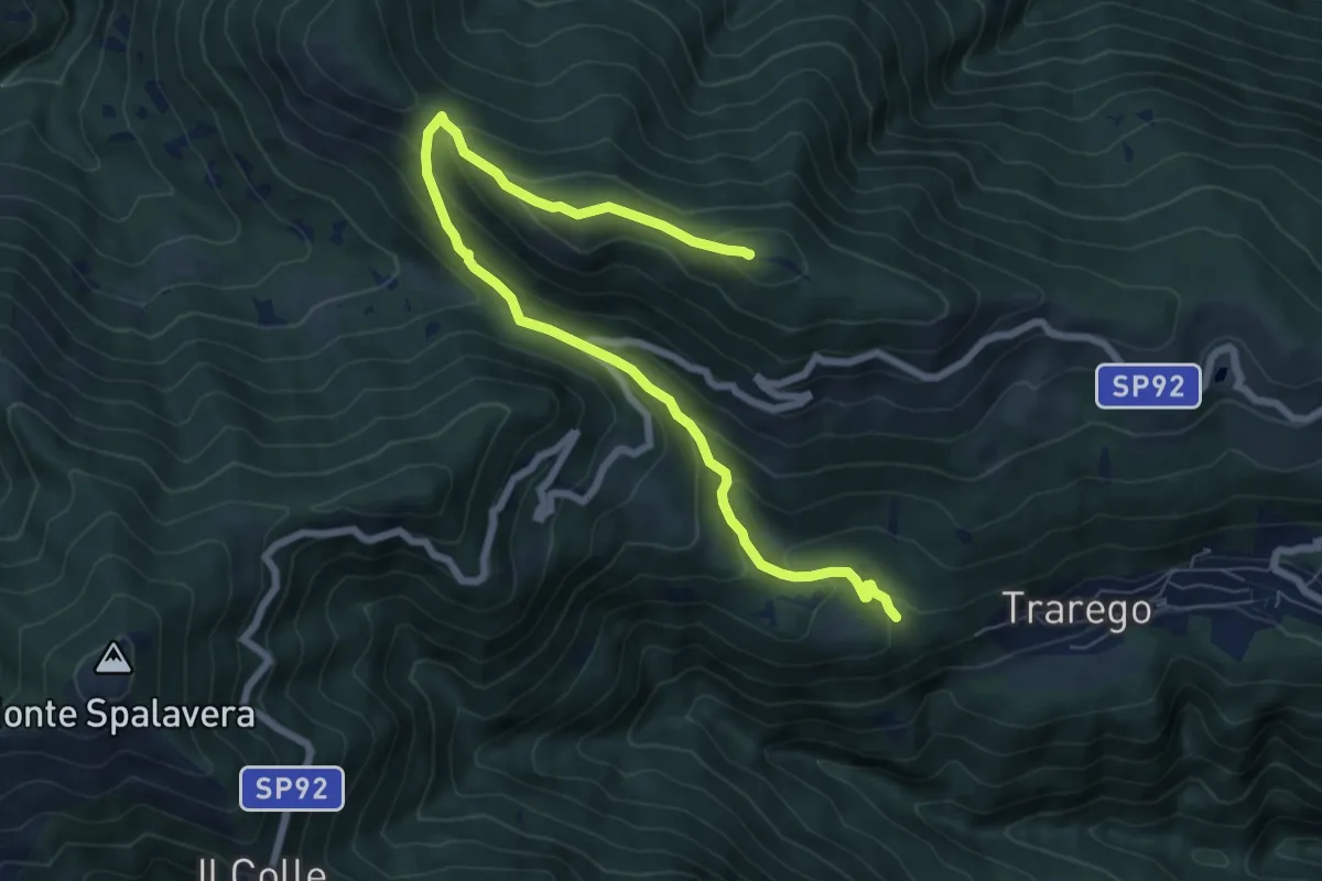
R36 Fudrasca - Monte Pian Bello
8.4 km · ↑ 484 m · 3 h 2 min
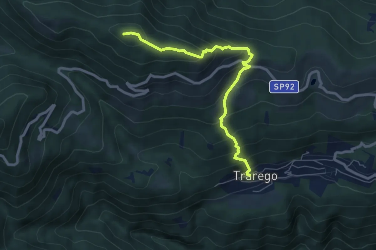
Medium · Summit
R38 Trarego - Monte Pian Bello
5.7 km · ↑ 527 m · 2 h 30 min
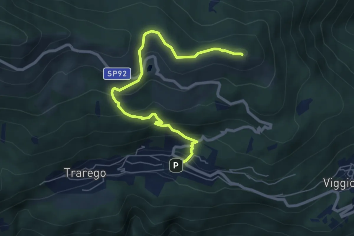
Medium · Summit
R40 Cheglio - Monte Carza
5.9 km · ↑ 360 m · 2 h 10 min
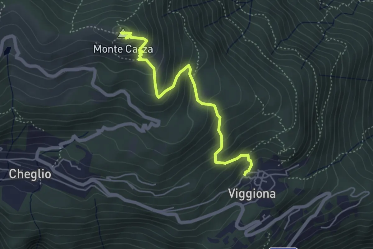
Medium · Summit
R42 Viggiona - Monte Carza
4.4 km · ↑ 382 m · 1 h 52 min
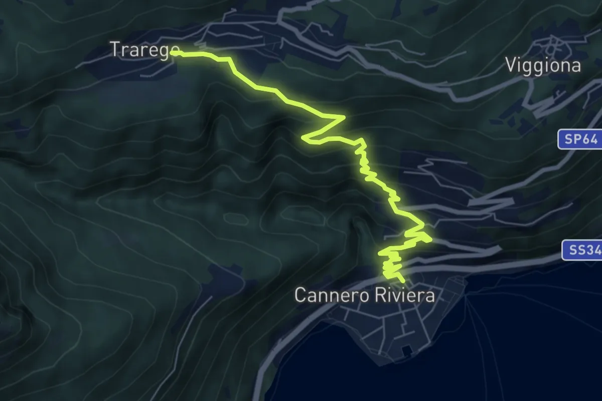
Medium · Trail
R44 Cannero - Trarego
7.6 km · ↑ 542 m · 2 h 58 min
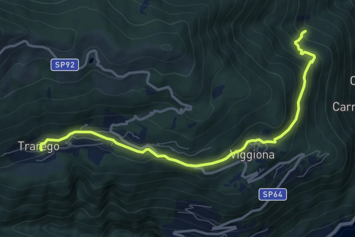
Medium · Trail
R46 Molineggi - Viggiona - Trarego
8.2 km · ↑ 403 m · 2 h 48 min
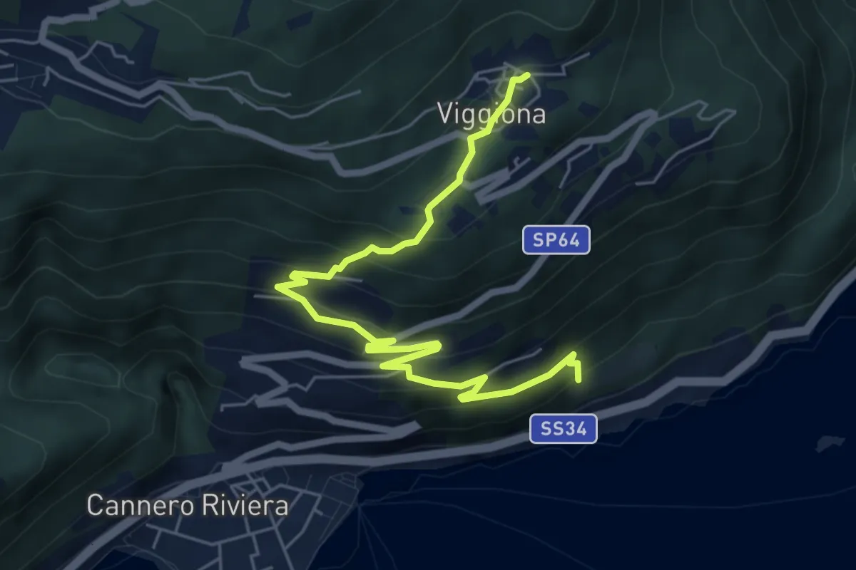
Medium · Trail
R48 Cannero bivio S03 - Viggiona
6.3 km · ↑ 420 m · 2 h 24 min
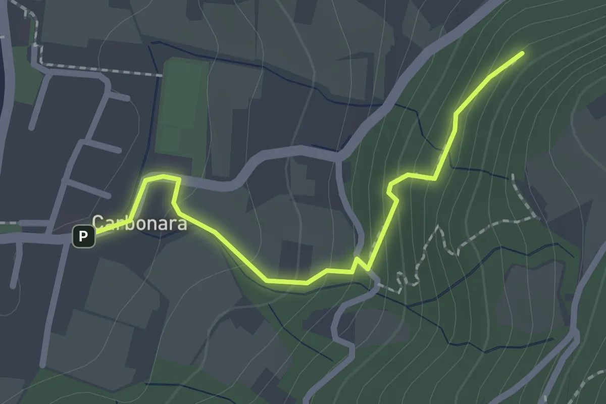
Easy · Trail
R6A - Sentiero di San Pietro variante da Carbonara
2.0 km · ↑ 111 m · 42 min
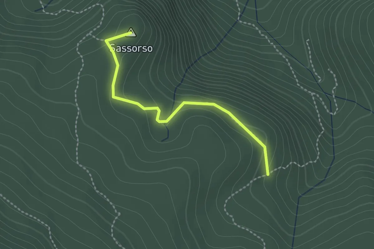
Easy · Summit
Raccordo
2.1 km · ↑ 102 m · 44 min
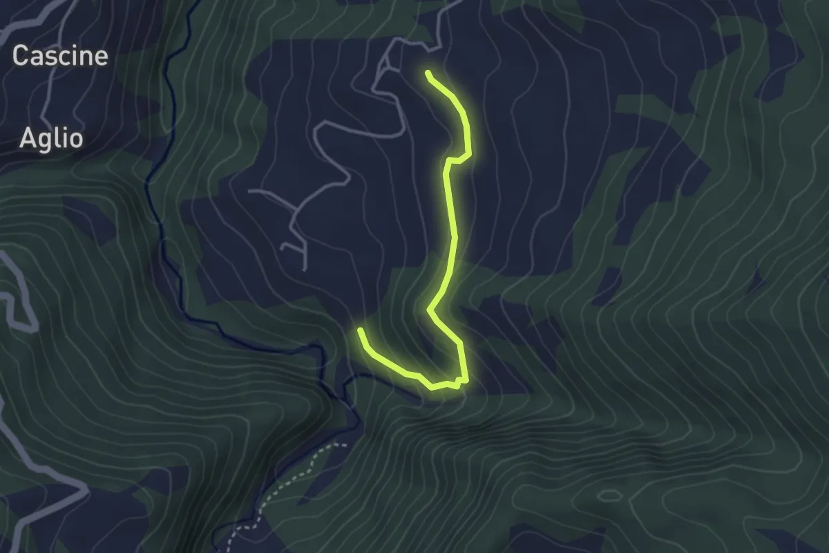
Medium · Trail
Raccordo
3.1 km · ↑ 172 m · 1 h 6 min
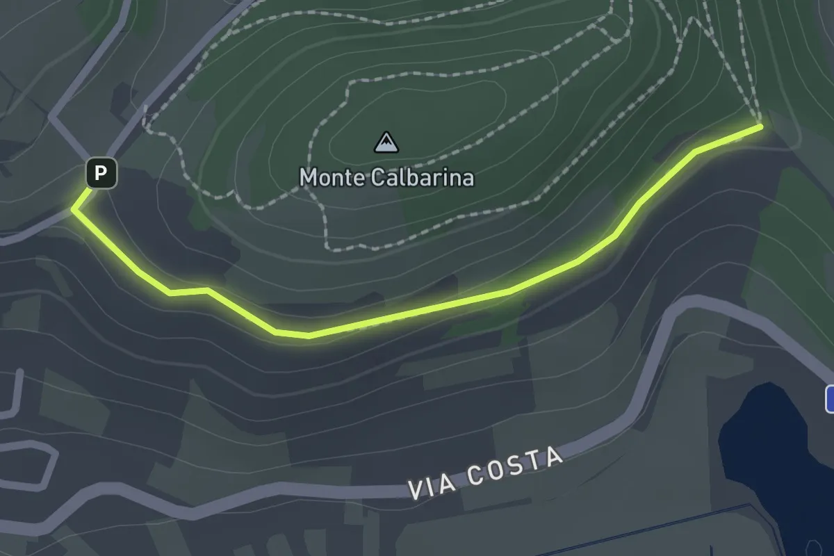
Easy · Trail
Raccordo
2.0 km · ↑ 34 m · 33 min
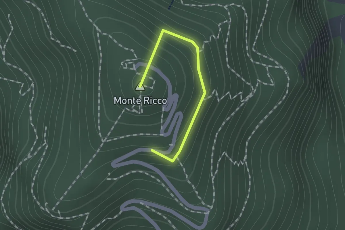
Easy · Summit
Raccordo
1.2 km · ↑ 84 m · 27 min
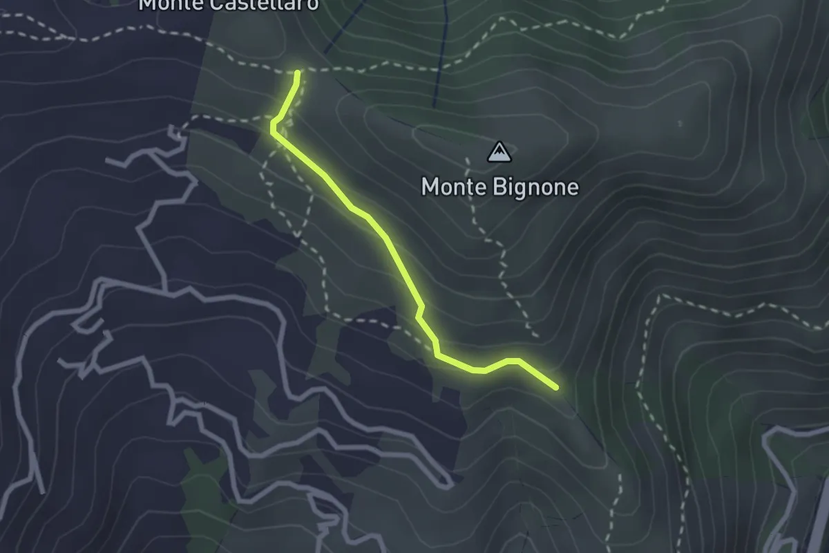
Easy · Trail
Raccordo AVBS
2.0 km · ↑ 151 m · 48 min
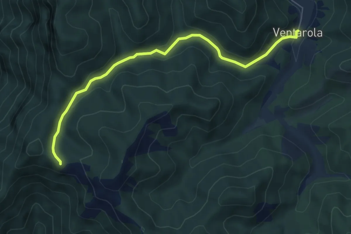
Medium · Cabin
Raccordo AVML: Ventarola - Passo della Ventarola Nord
6.2 km · ↑ 151 m · 1 h 48 min
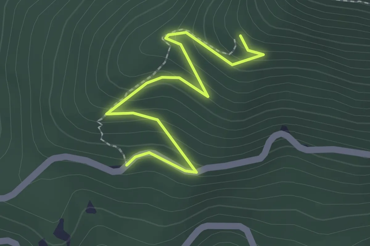
Easy · Trail
Raccordo Borgo S.Pietro 497--Grotta di S.Filippa 497
2.5 km · ↑ 167 m · 56 min
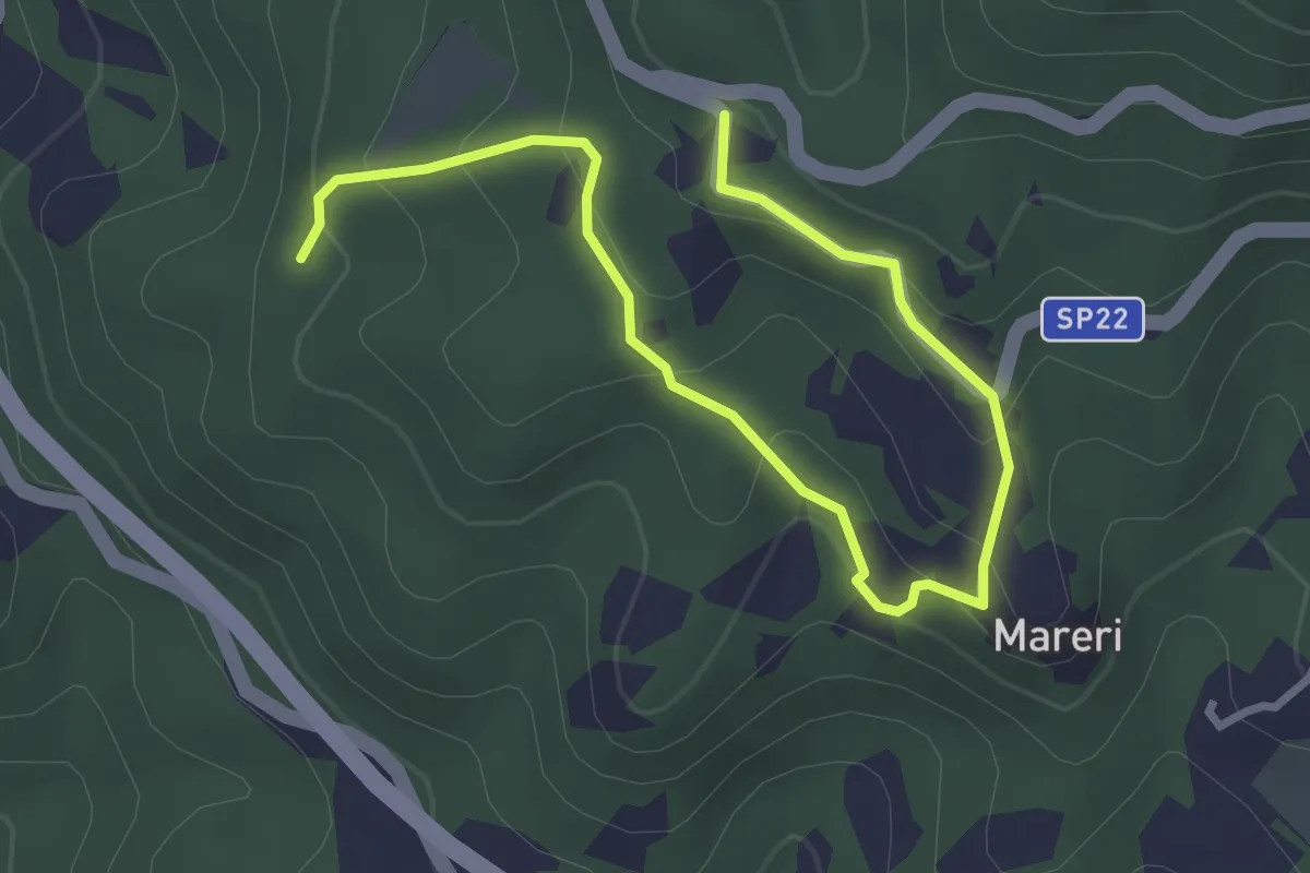
Easy · Trail
Raccordo Borgo S.Pietro 497- Mareri-Grotta di S.Filippa 497
4.2 km · ↑ 238 m · 1 h 30 min
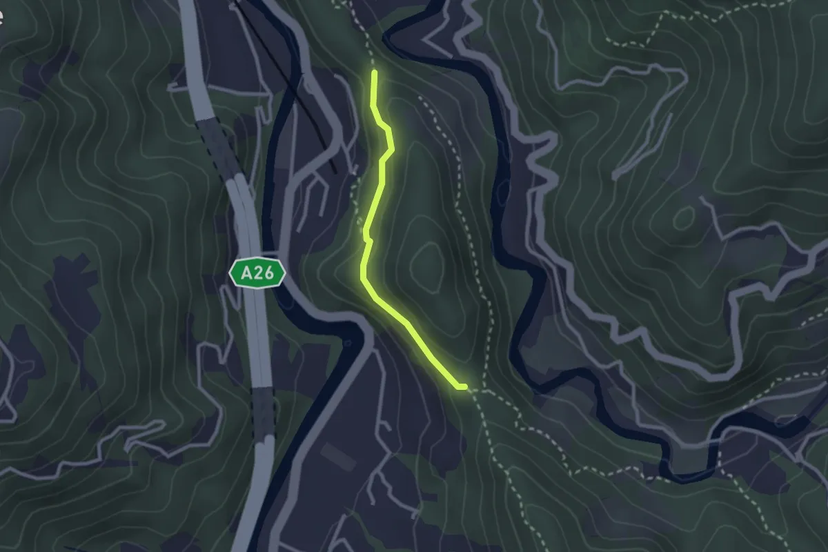
Medium · Trail
Raccordo Colle Maddalena
2.1 km · ↑ 70 m · 39 min
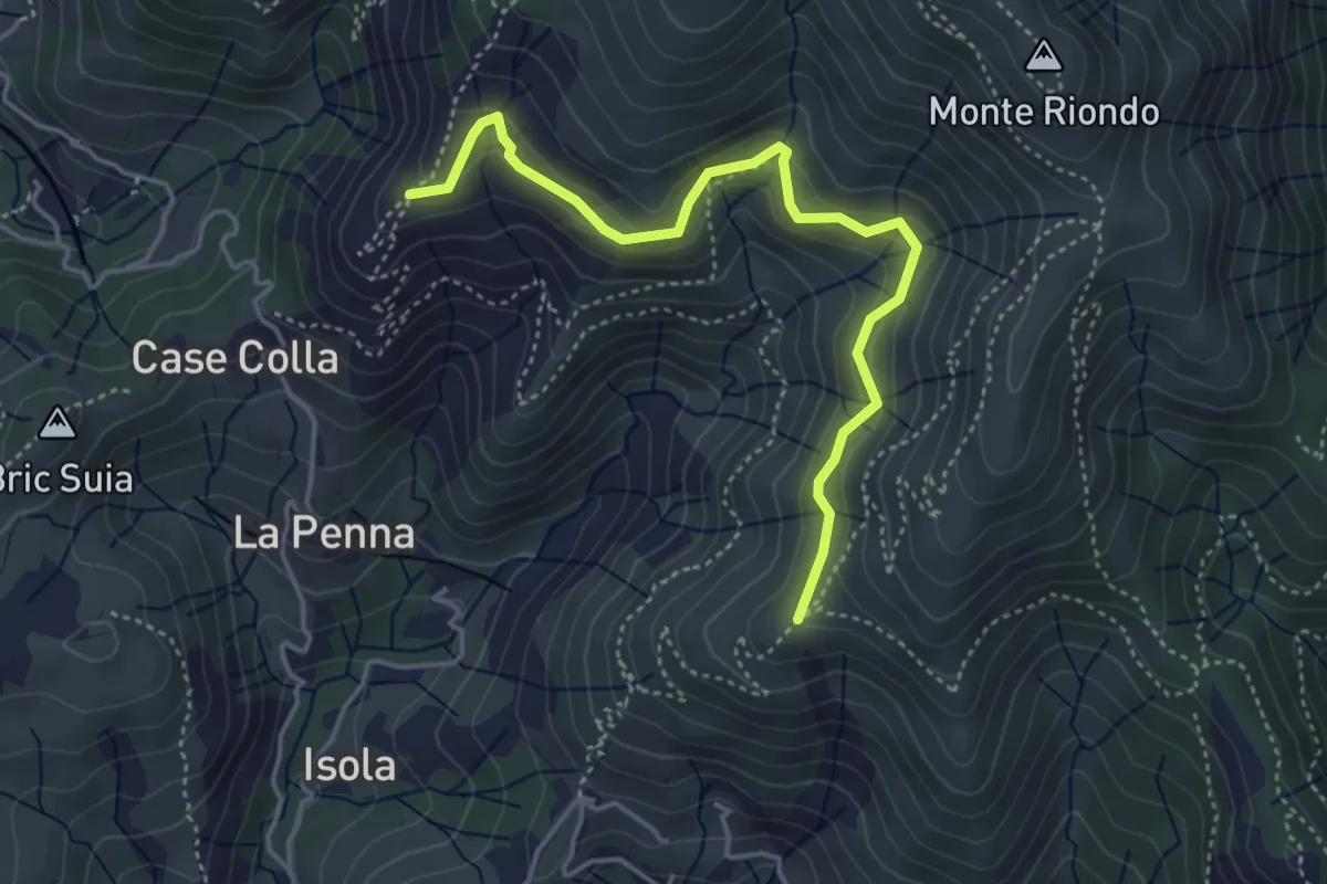
Medium · Trail
Raccordo Lische Alte
4.5 km · ↑ 326 m · 1 h 47 min
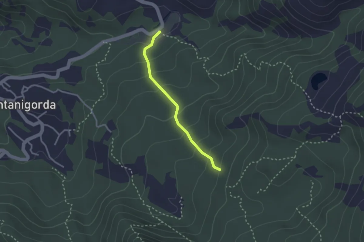
Medium · Trail
Raccordo - Mulino di Casanova - Bocchetta delle Mogliazze
2.2 km · ↑ 159 m · 52 min
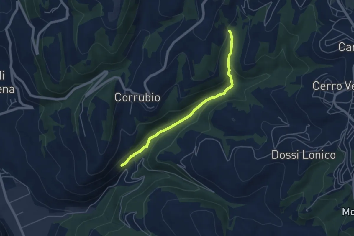
Easy · Trail
Raccordo Sentiero n. 1
4.1 km · ↑ 169 m · 1 h 21 min
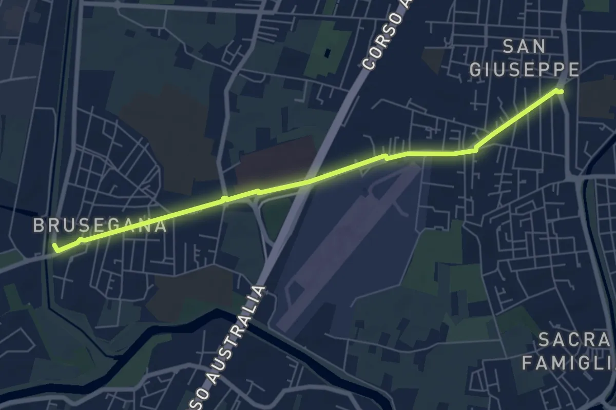
Easy · Trail
Radiale Colli
6.5 km · ↑ 0 m · 1 h 32 min