Trails in Italy
25,221 hiking trails, each with its route, climb, walking time and grade.
All trails, page 130 of 526
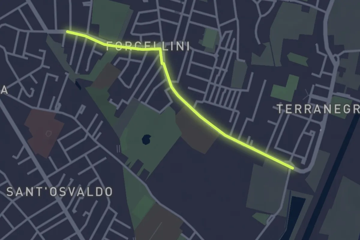
Easy · Trail
Radiale Forcellini
2.7 km · ↑ 0 m · 39 min
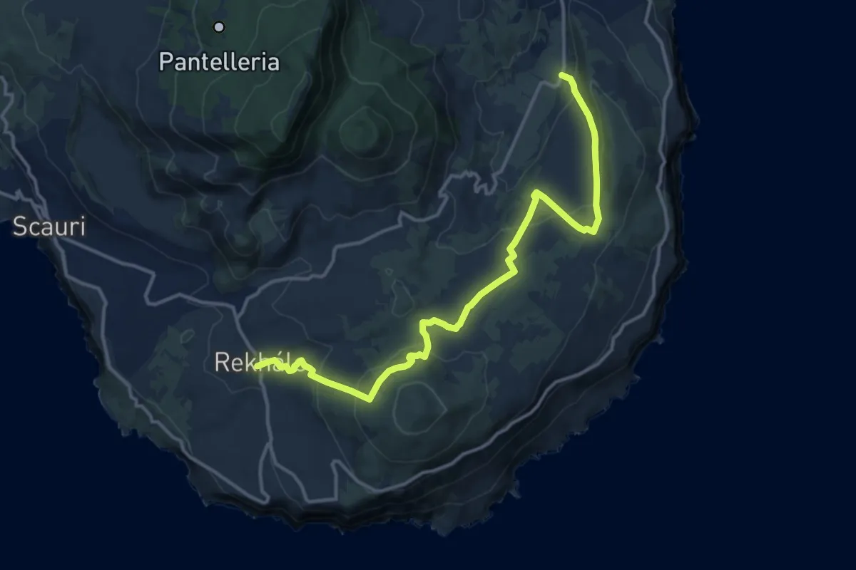
Medium · Trail
Raháli - Contrada Barone - Piana della Ghirlanda
16.5 km · ↑ 572 m · 5 h 8 min
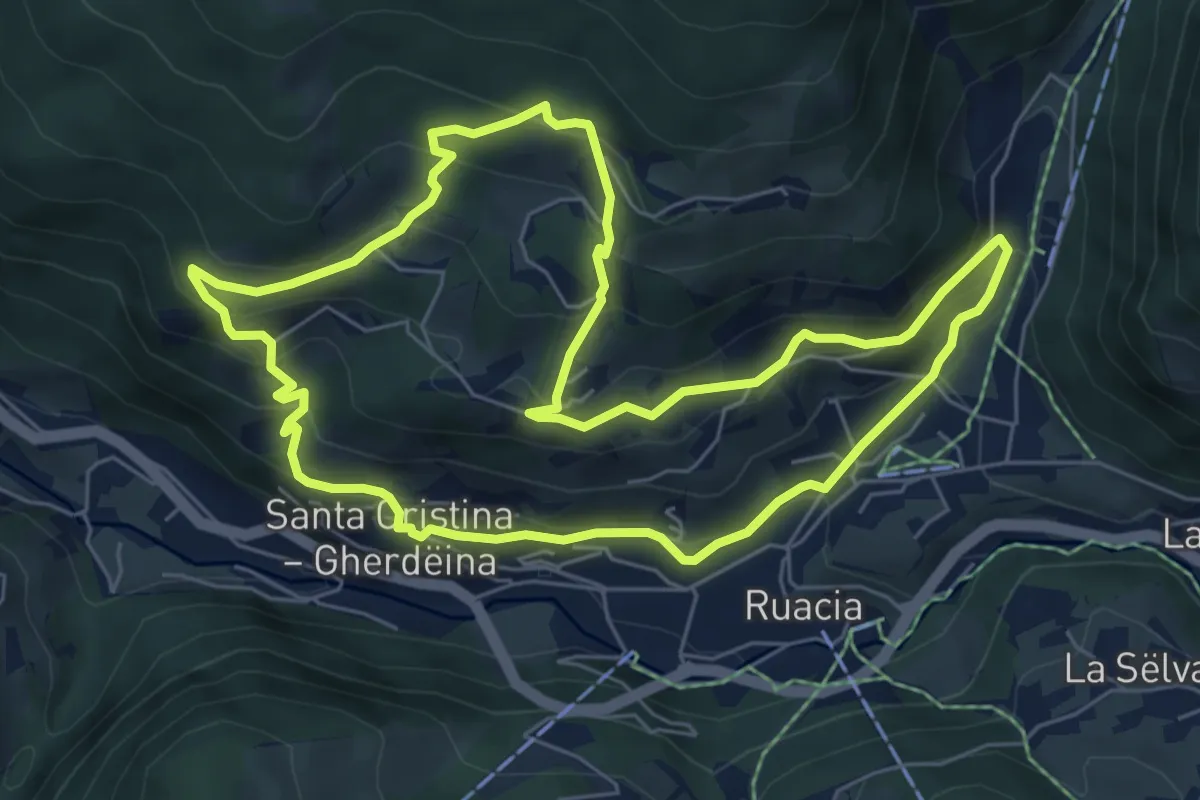
Medium · Trail
Raida di Mejes
6.7 km · ↑ 417 m · 2 h 34 min
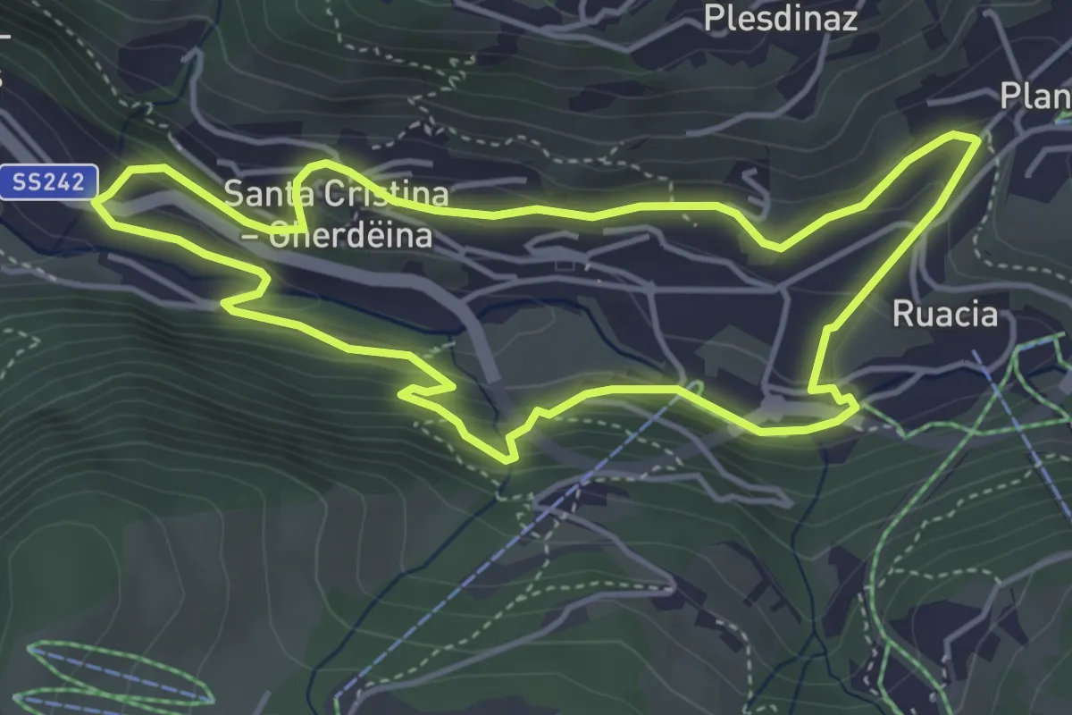
Easy · Trail
Raida dl luech
4.2 km · ↑ 248 m · 1 h 35 min
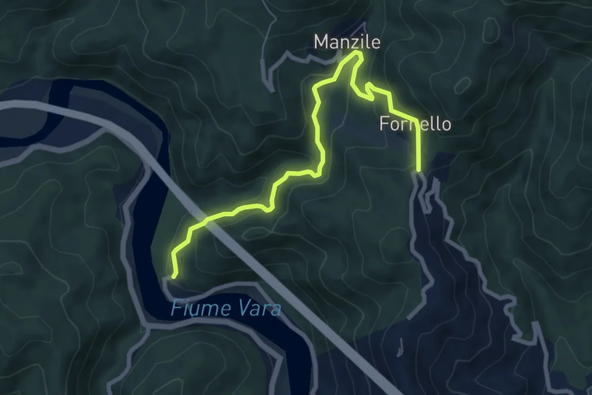
Medium · Trail
Ramello - Quattro Strade
6.8 km · ↑ 365 m · 2 h 24 min
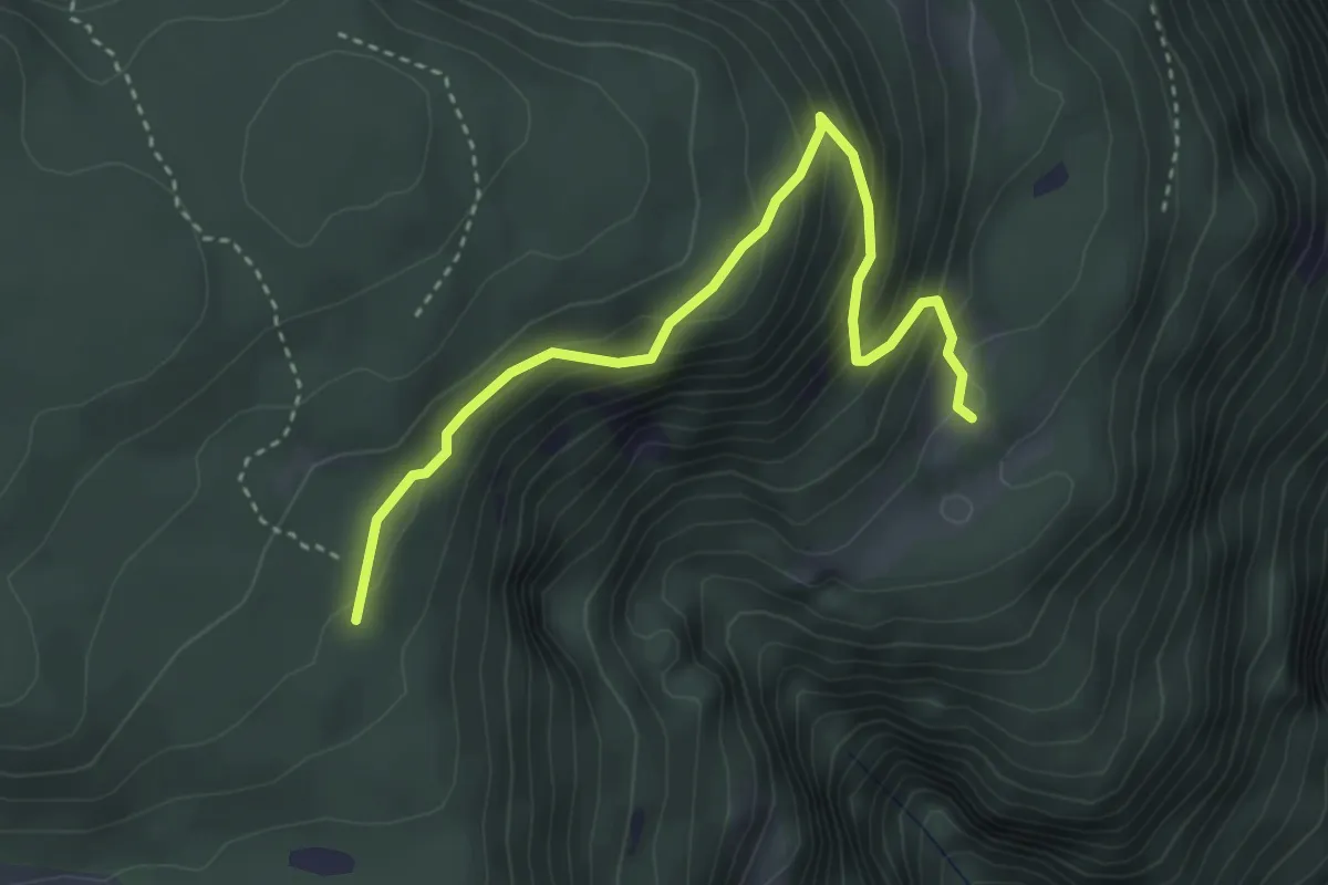
Medium · Trail
Rampoltsteig
3.7 km · ↑ 383 m · 1 h 42 min
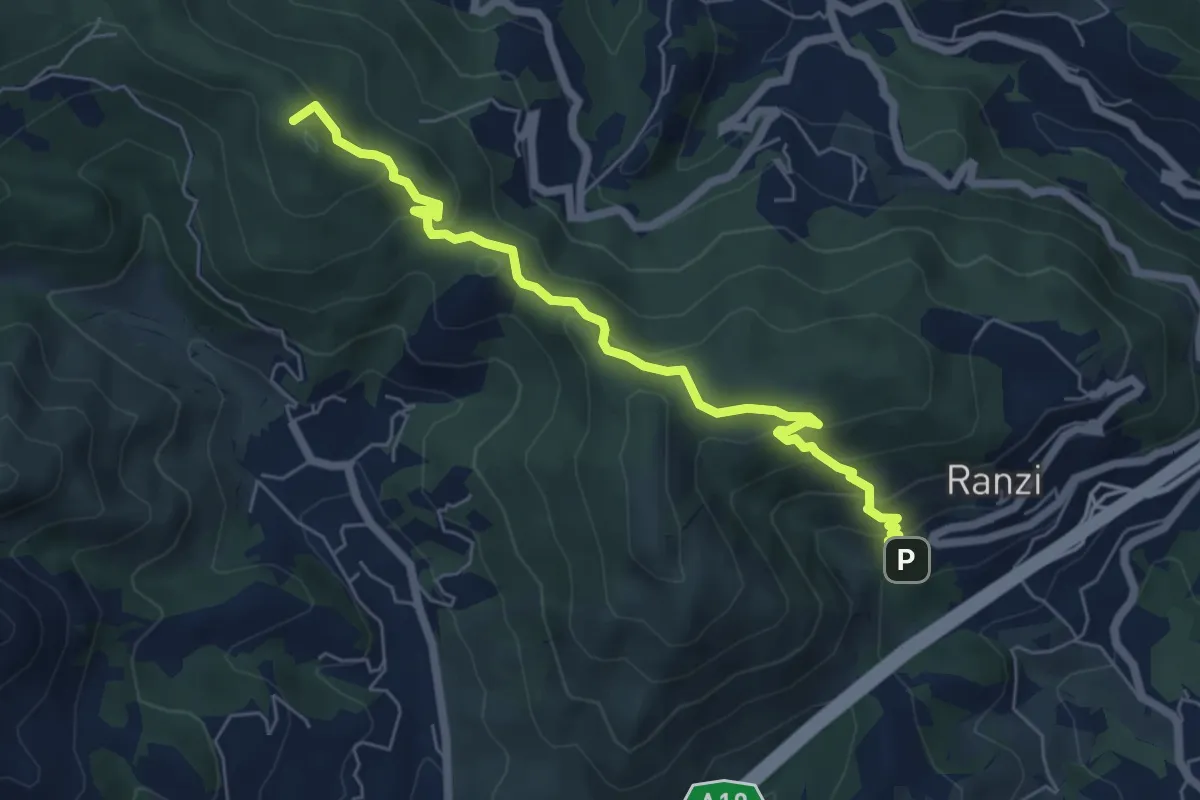
Medium · Summit
Ranzi - Rifugio Pian delle Bosse - Giogo di Giustenice
6.6 km · ↑ 402 m · 2 h 25 min
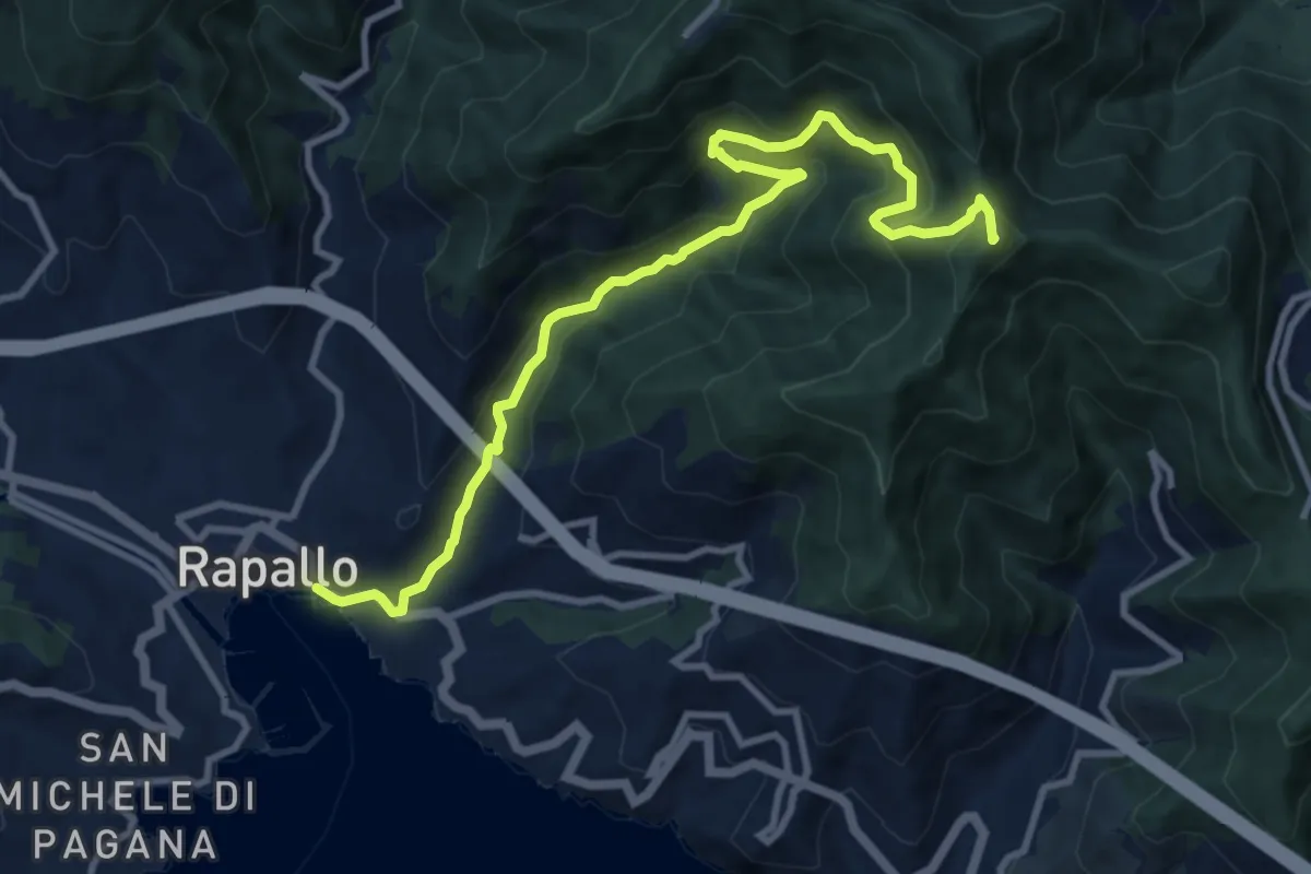
Medium · Summit
Rapallo - Rio Tuja - M. Castello
11.4 km · ↑ 733 m · 4 h 17 min
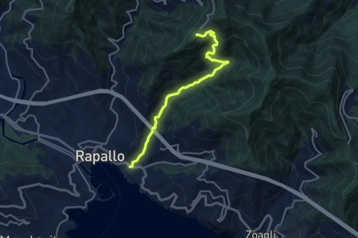
Medium · Trail
Rapallo - Santuario di Montallegro
8.6 km · ↑ 624 m · 3 h 22 min
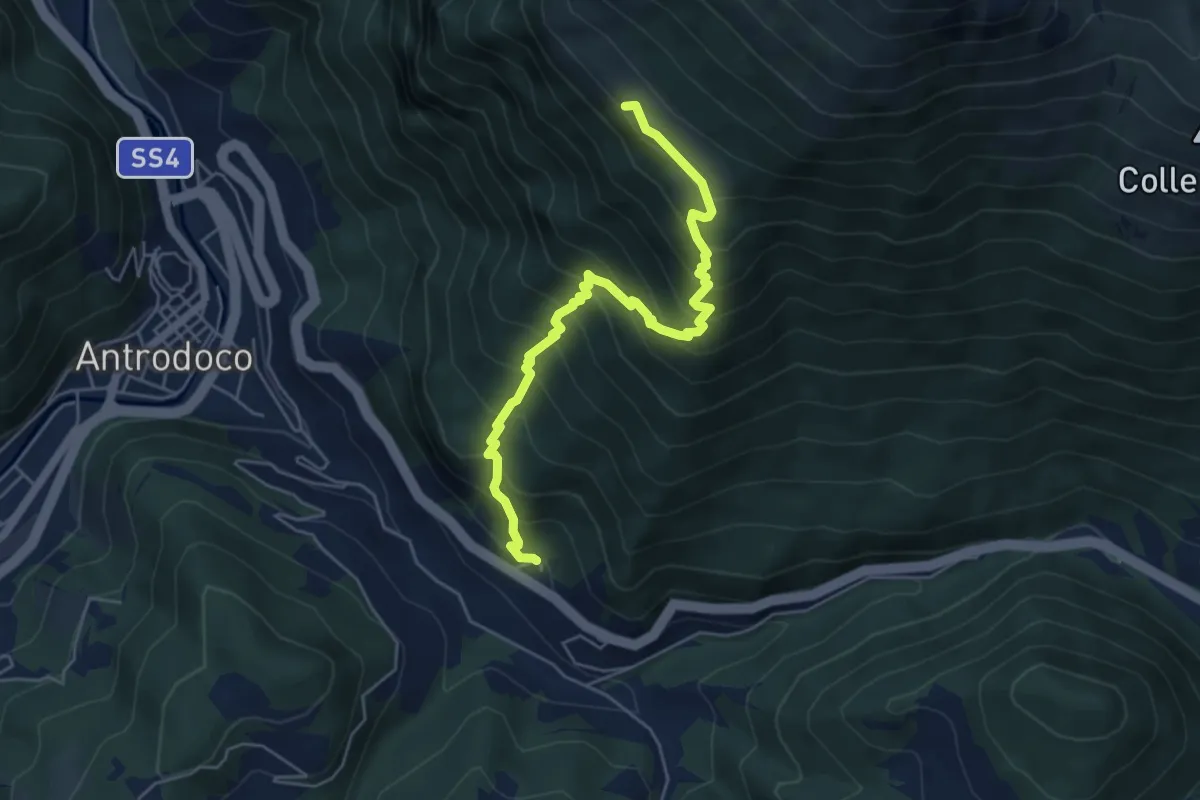
Medium · Cabin
Rapelle-chiesetta degli alpini
6.0 km · ↑ 691 m · 2 h 55 min
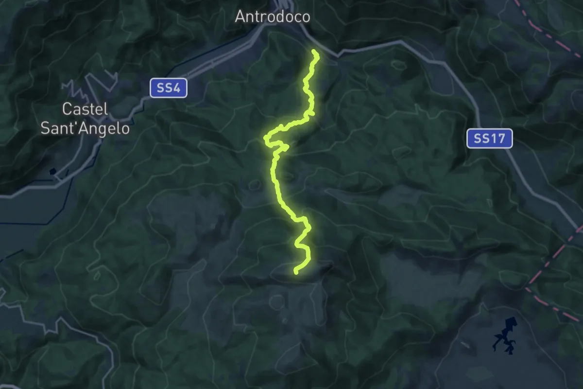
Demanding · Summit
Rapelle - Monte Nuria
17.4 km · ↑ 1393 m · 7 h 7 min
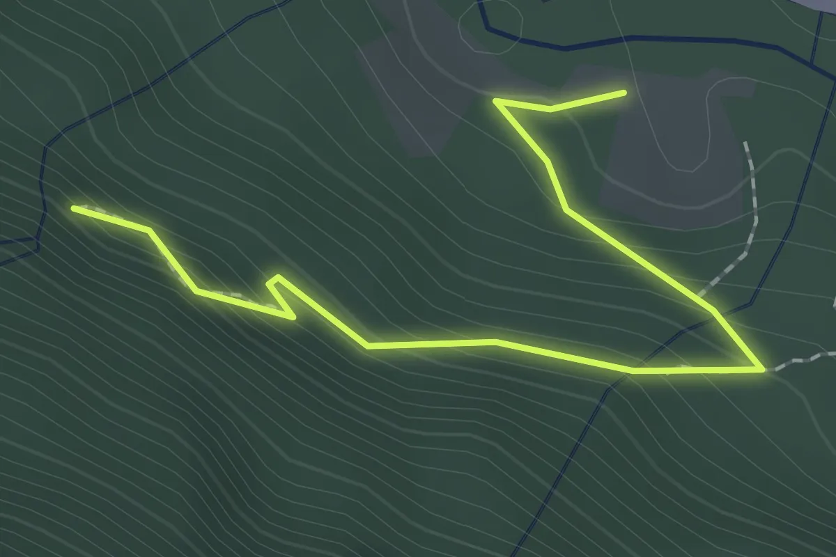
Easy · Trail
Raschtl Wasserfälle
2.2 km · ↑ 170 m · 53 min
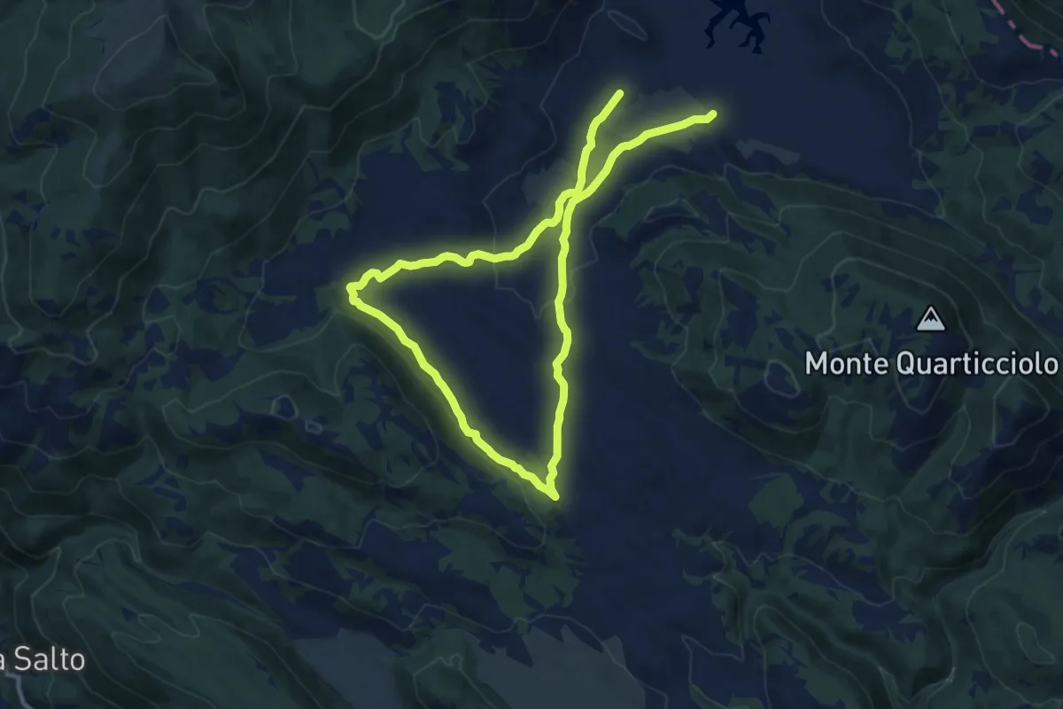
Medium · Trail
Rascino-Lago della Petrella-Uscertu
10.3 km · ↑ 159 m · 2 h 55 min
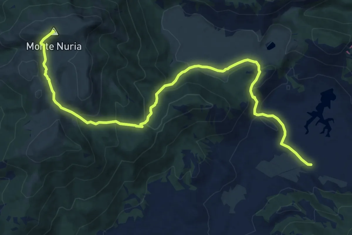
Demanding · Summit
Rascino-Monte Nuria
18.3 km · ↑ 843 m · 6 h 9 min
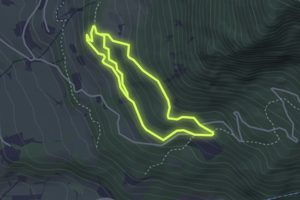
Medium · Trail
Rasteinweg
5.7 km · ↑ 325 m · 2 h 3 min
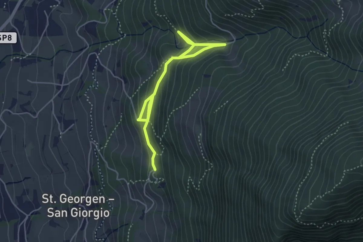
Medium · Trail
Ratscheidweg
4.7 km · ↑ 343 m · 1 h 51 min
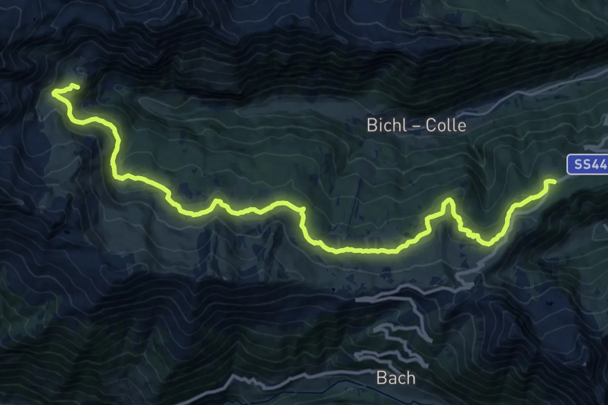
Demanding · Summit
Ratschinger Almenweg
26.8 km · ↑ 949 m · 8 h 22 min
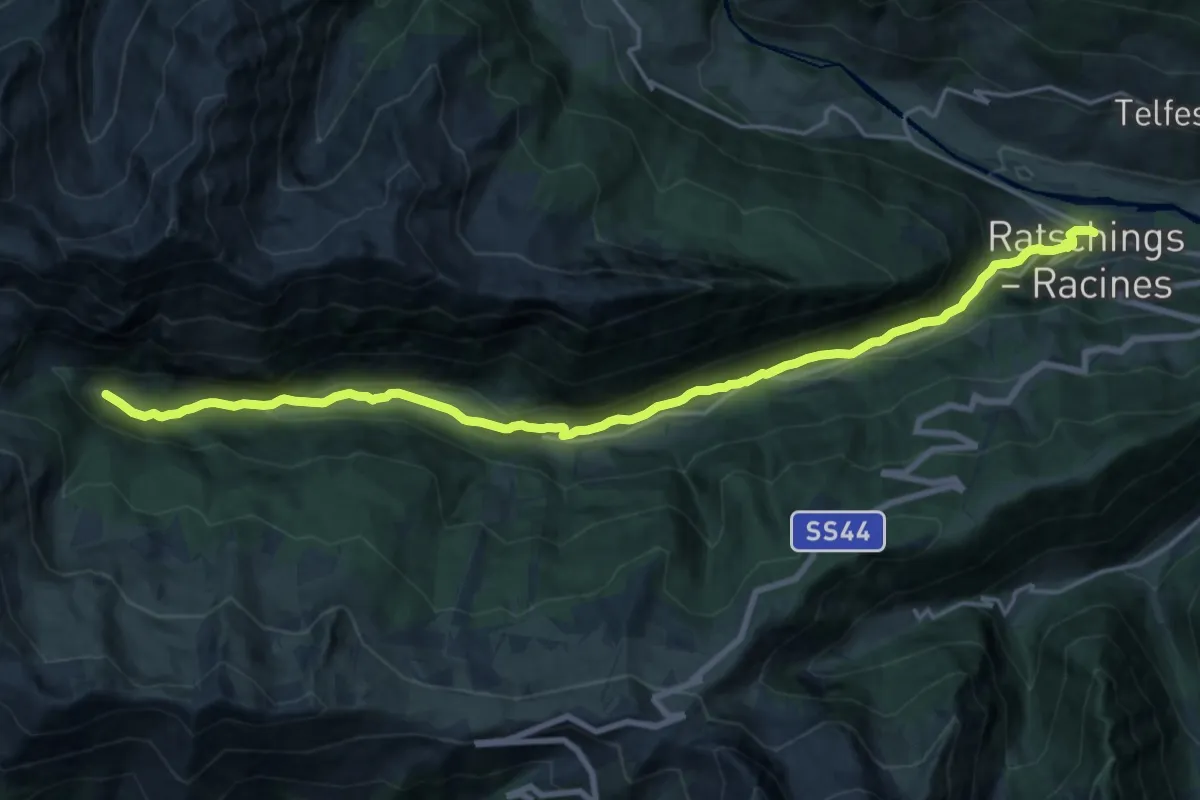
Demanding · Trail
Ratschinger Talweg
21.3 km · ↑ 610 m · 6 h 22 min
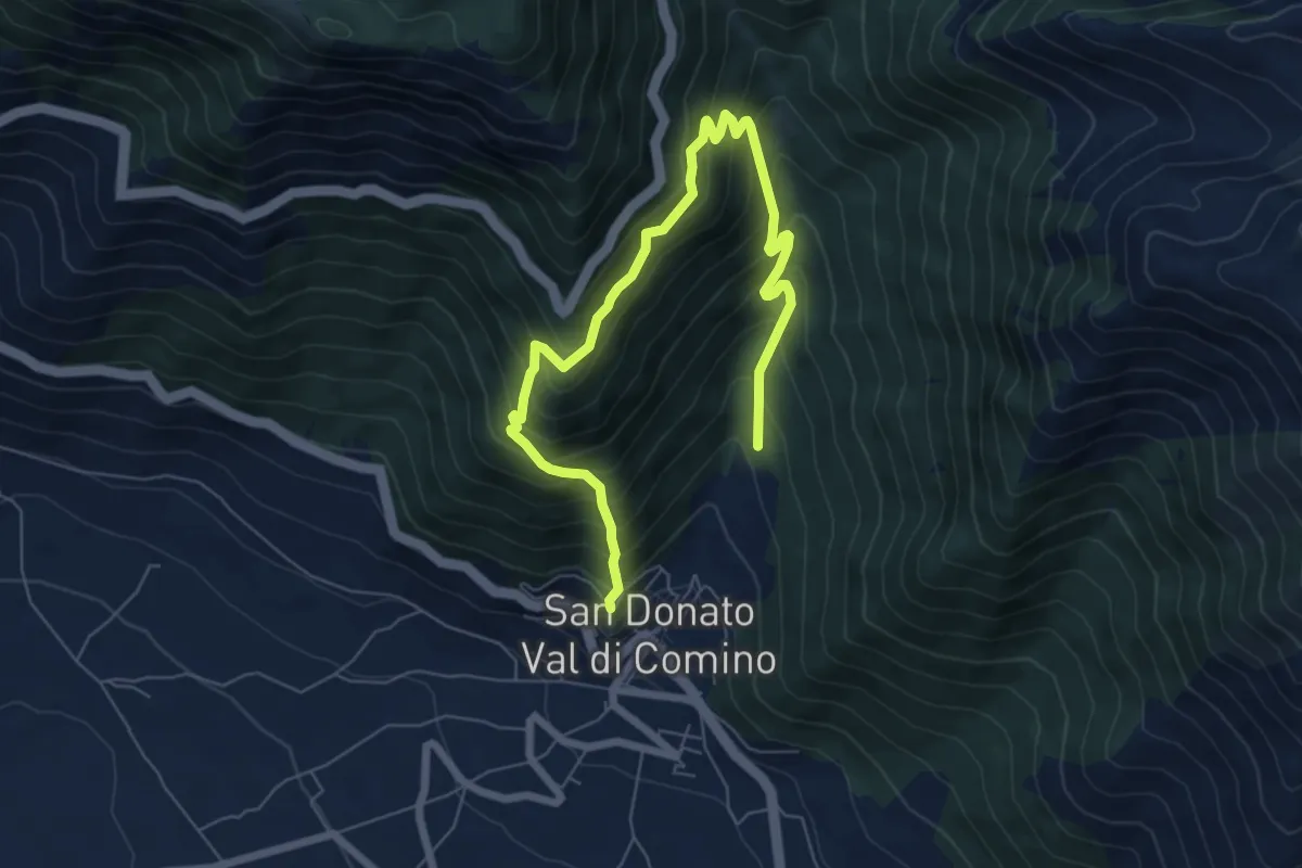
Medium · Summit
Rave Rosse - Roccia dei Tedeschi - M. Pizzuto
4.5 km · ↑ 455 m · 2 h 9 min
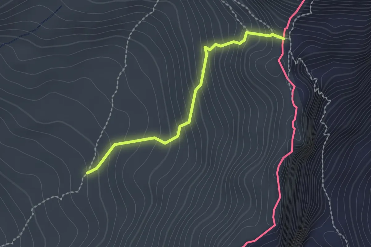
Medium · Cabin
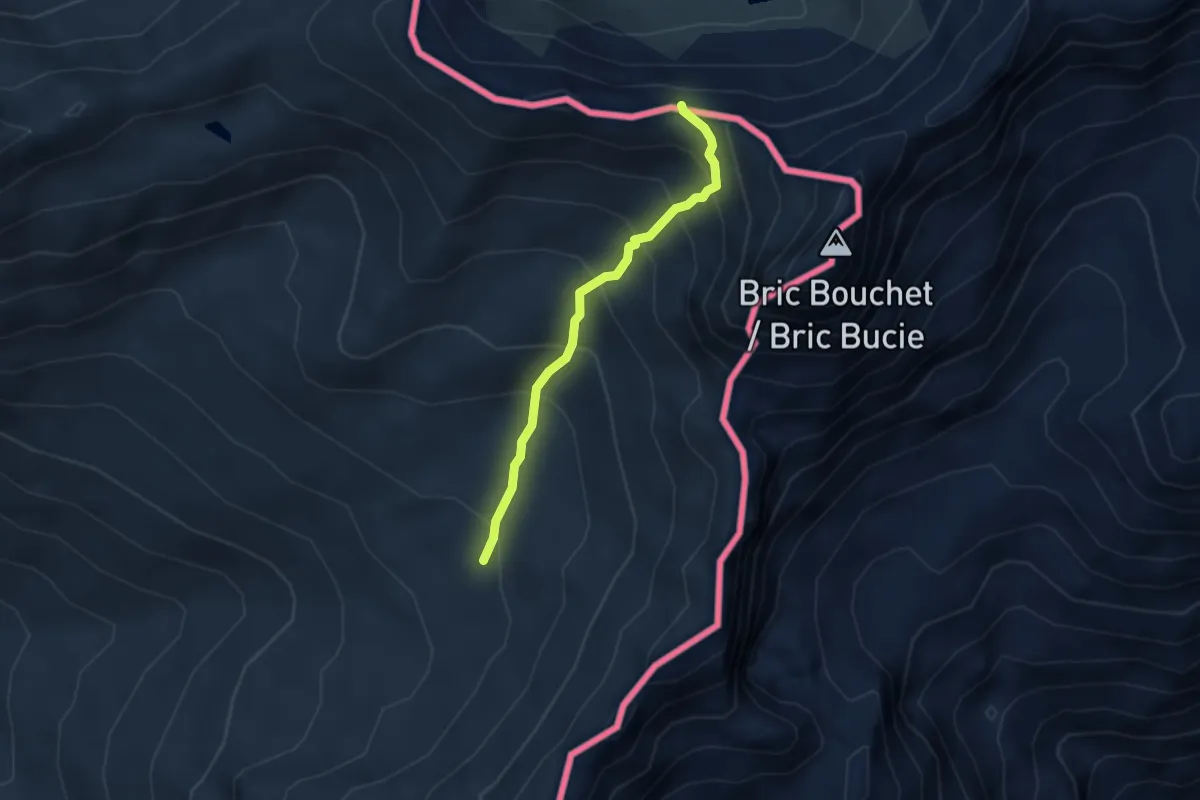
Ravin du Bouchet - Col de Bouchet
1.9 km · ↑ 222 m · 56 min
Medium · Trail
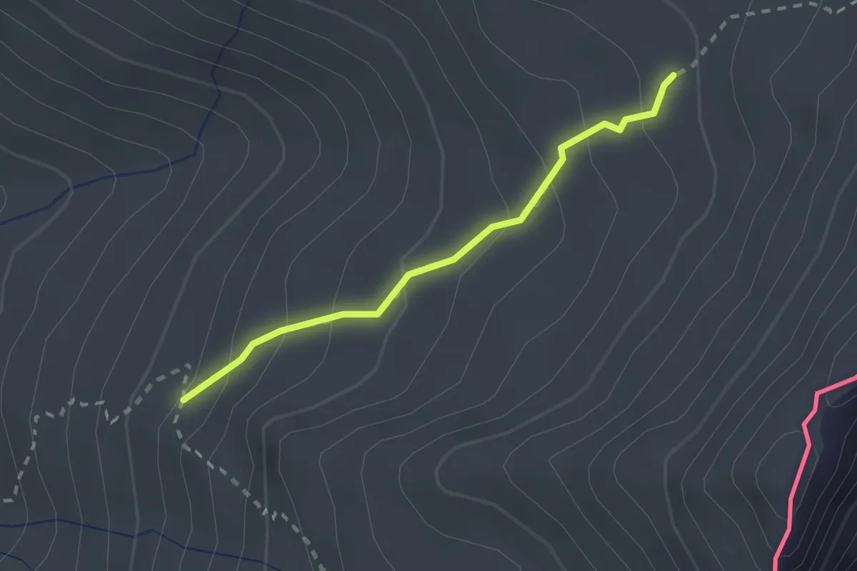
Ravin du Bouchet - Col de Valpréveyre
3.0 km · ↑ 335 m · 1 h 27 min
Medium · Trail
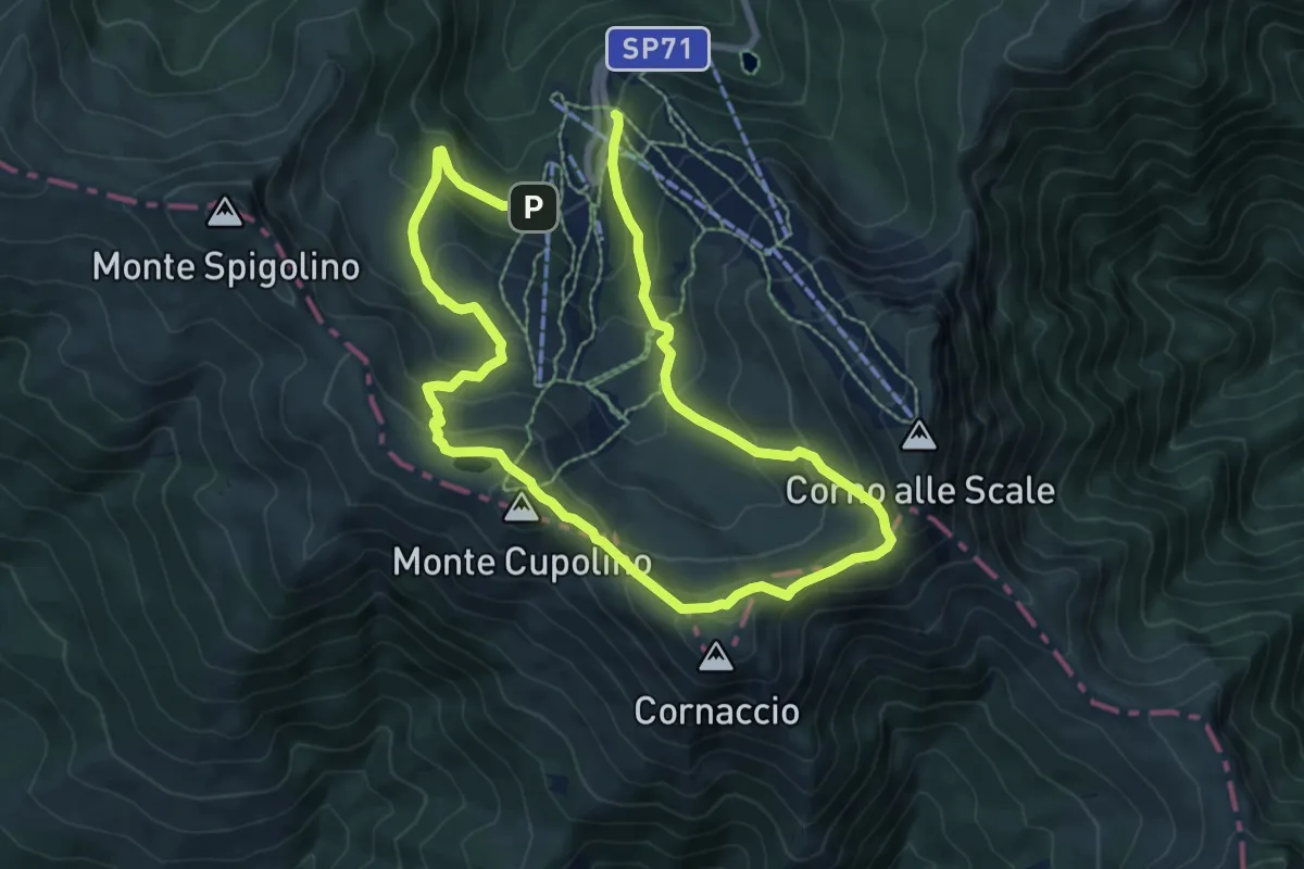
Ravin du Bouchet - Malaure
2.0 km · ↑ 162 m · 50 min
Medium · Summit
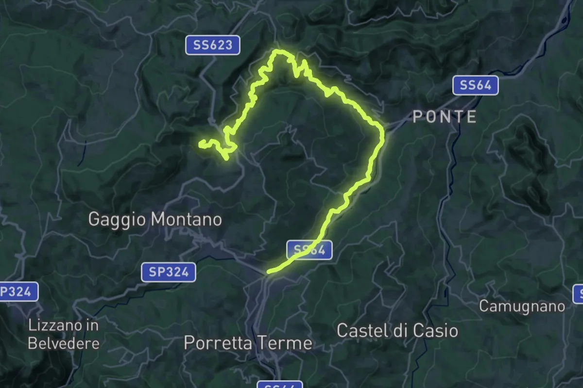
RDM-Cammino Radio Dimensione Musica
6.7 km · ↑ 401 m · 2 h 33 min
Demanding · Summit
RDMV_Cammino Radio Dimensione Musica (Variante Pietracolora)
21.6 km · ↑ 1107 m · 7 h 29 min
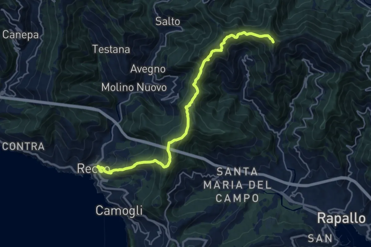
Demanding · Summit
Recco - M. Manico del Lume
17.6 km · ↑ 1195 m · 6 h 45 min
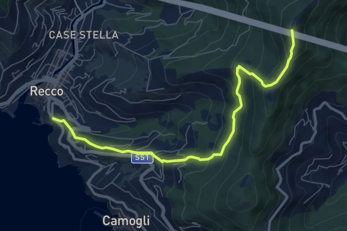
Medium · Summit
Recco - Monte Ampola
7.1 km · ↑ 529 m · 2 h 50 min
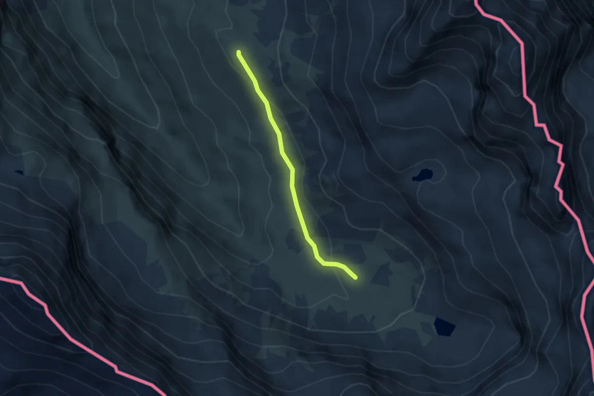
Medium · Cabin
Refuge du Viso - Montagne du Viso
2.8 km · ↑ 79 m · 51 min
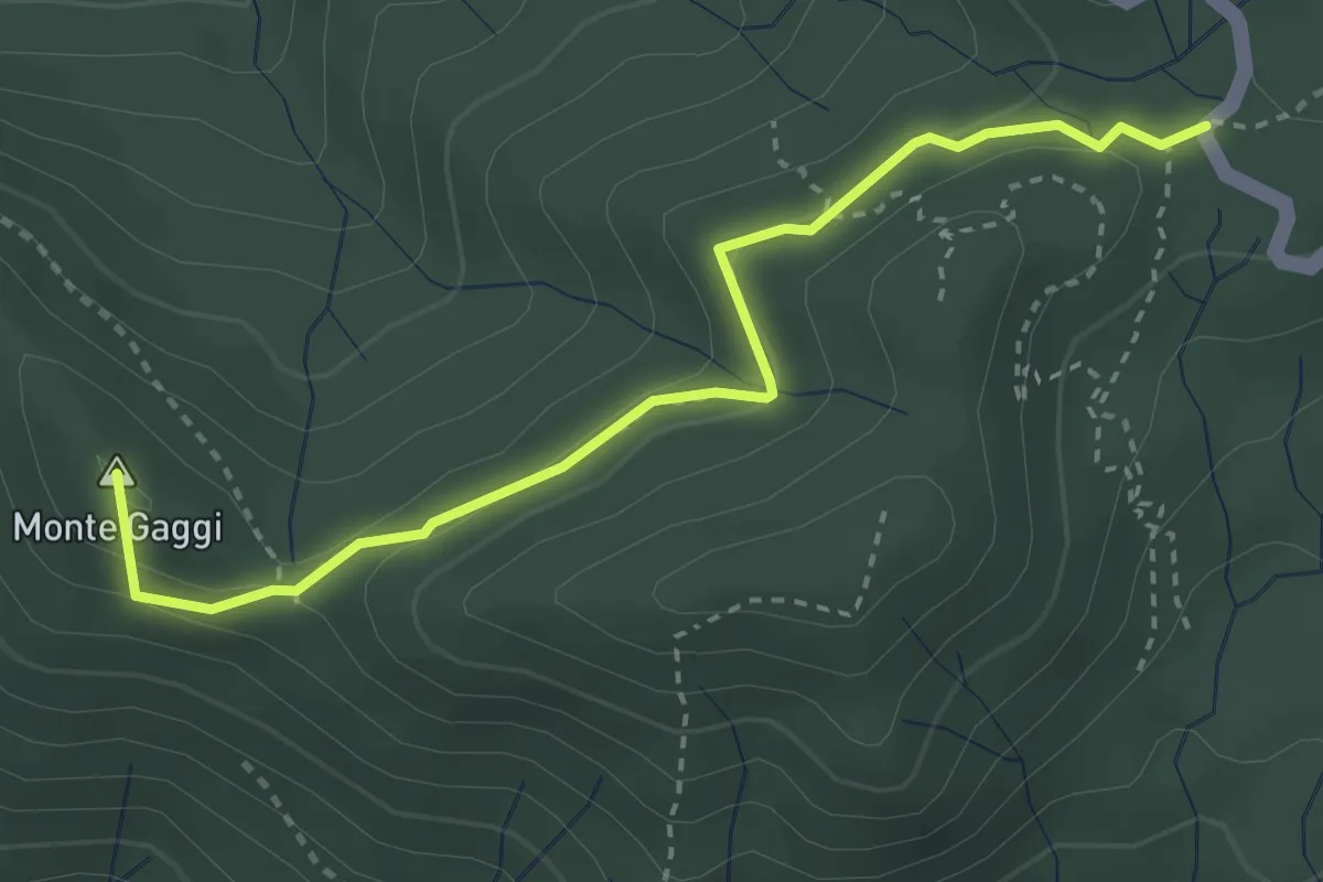
Medium · Summit
Reggimonti - Monte Gaggi - S.P. 64 - Monte Grumo
3.5 km · ↑ 124 m · 1 h 6 min
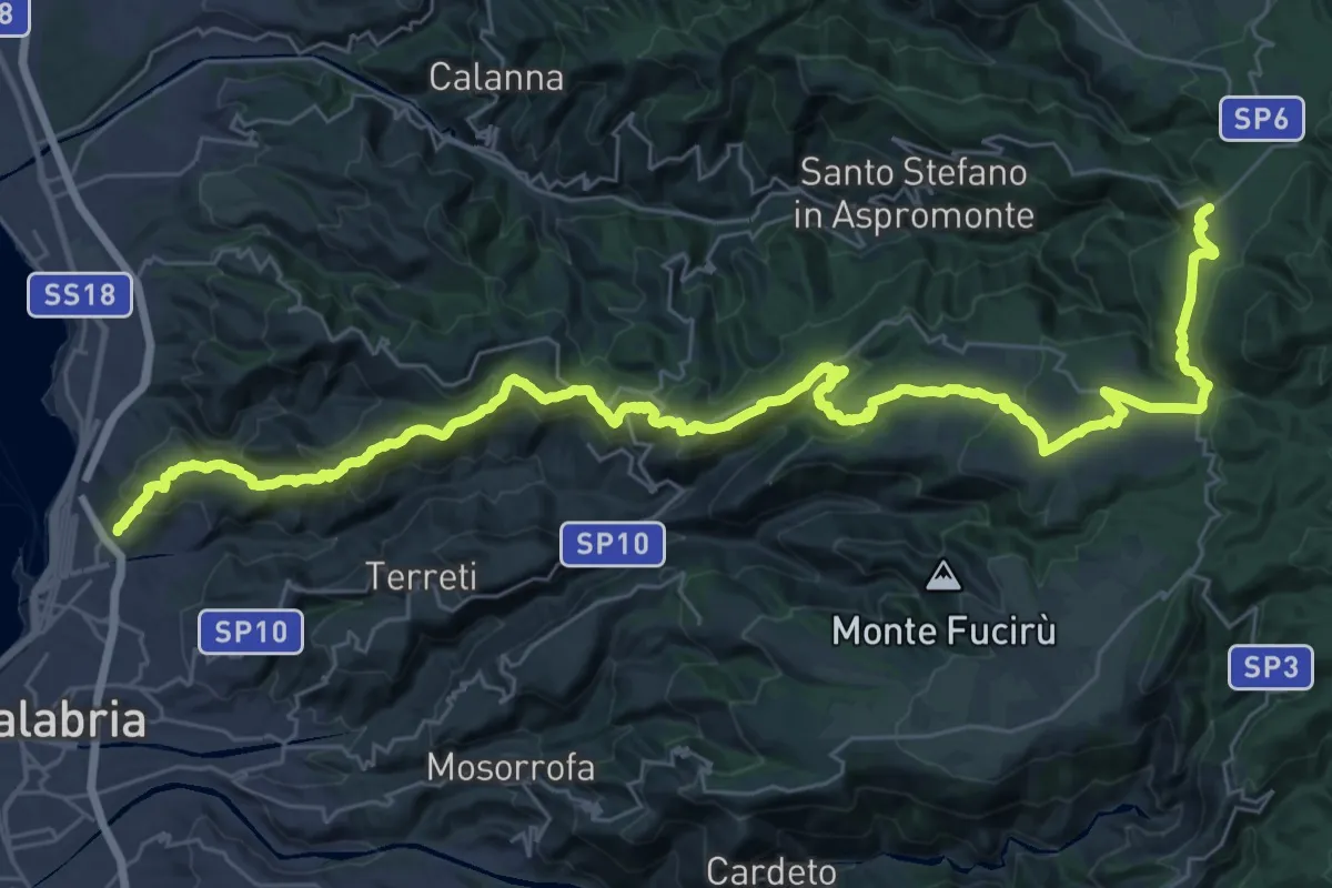
Demanding · Trail
Reggio Calabria - Passo Di Orti' - Gambarie
24.5 km · ↑ 1586 m · 8 h 57 min
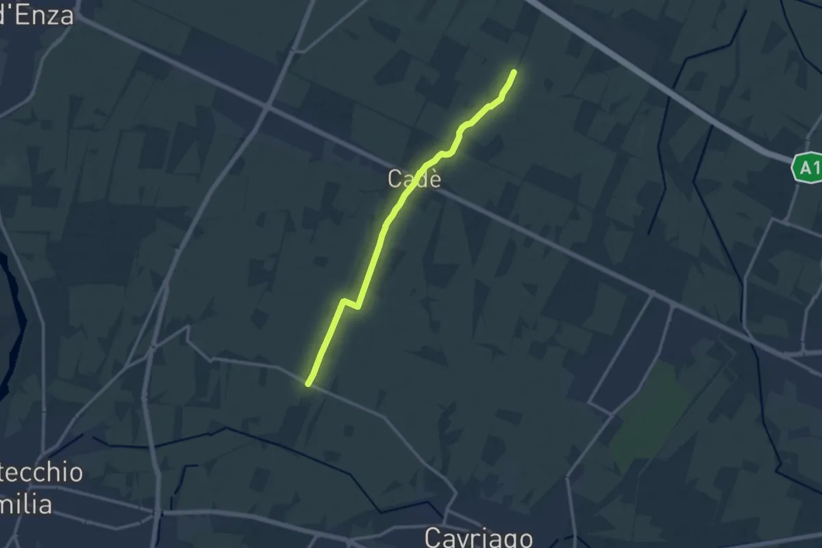
Medium · Trail
Reggiolo-Paverazzi
10.9 km · ↑ 34 m · 2 h 40 min
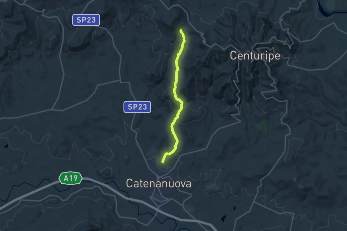
Medium · Trail
Regia Trazzera delle Vacche
14.0 km · ↑ 459 m · 4 h 18 min
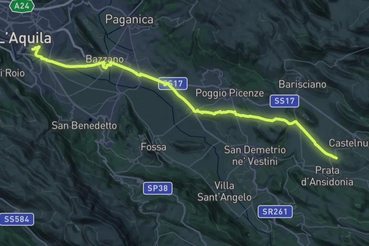
Demanding · Trail
Regio Tratturo Magno - tappa 1
21.7 km · ↑ 377 m · 6 h 10 min
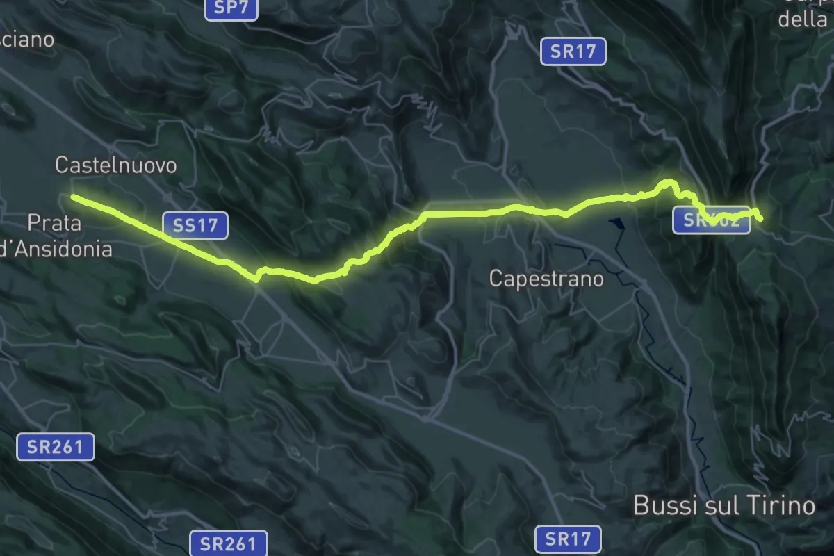
Demanding · Trail
Regio Tratturo Magno - tappa 2
22.0 km · ↑ 806 m · 7 h 18 min
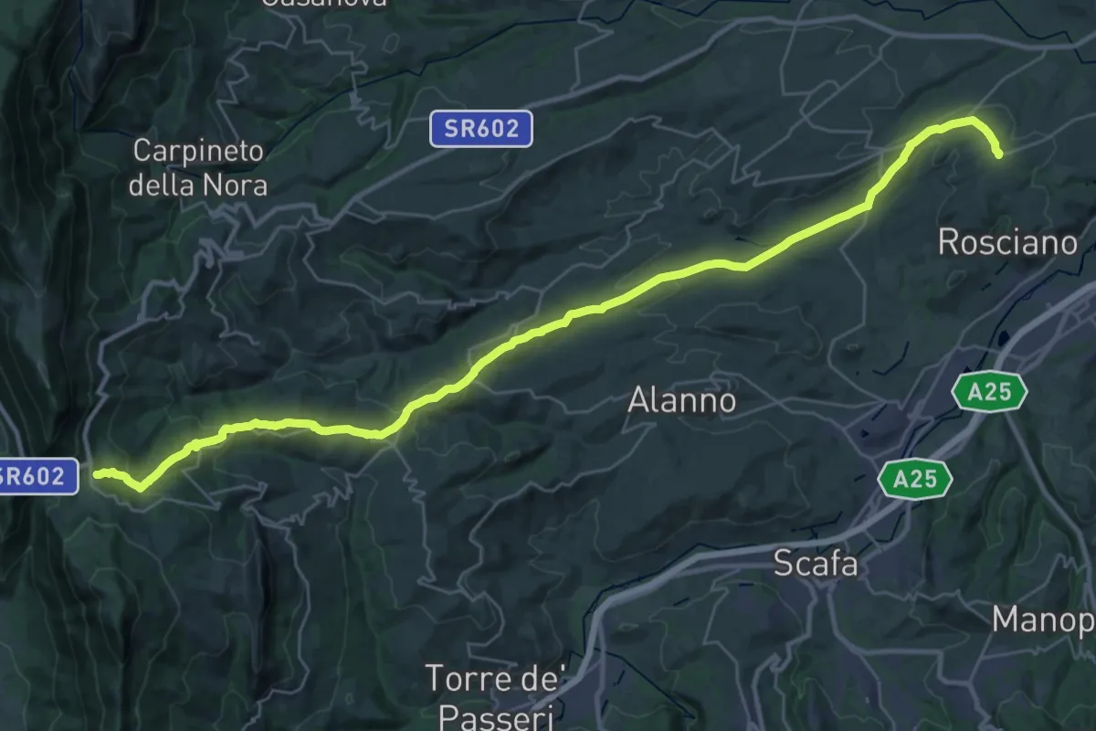
Demanding · Trail
Regio Tratturo Magno - tappa 3
20.0 km · ↑ 861 m · 6 h 31 min
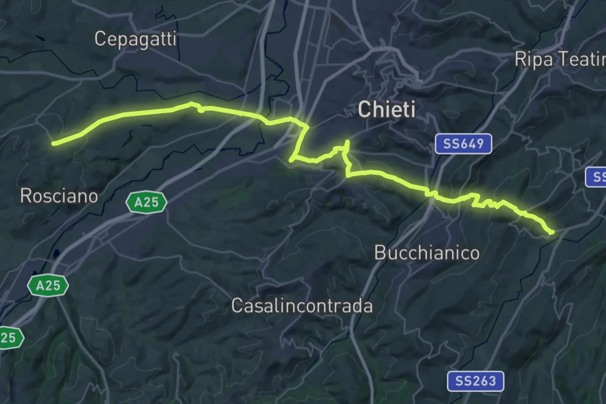
Demanding · Trail
Regio Tratturo Magno - tappa 4
20.8 km · ↑ 708 m · 6 h 42 min
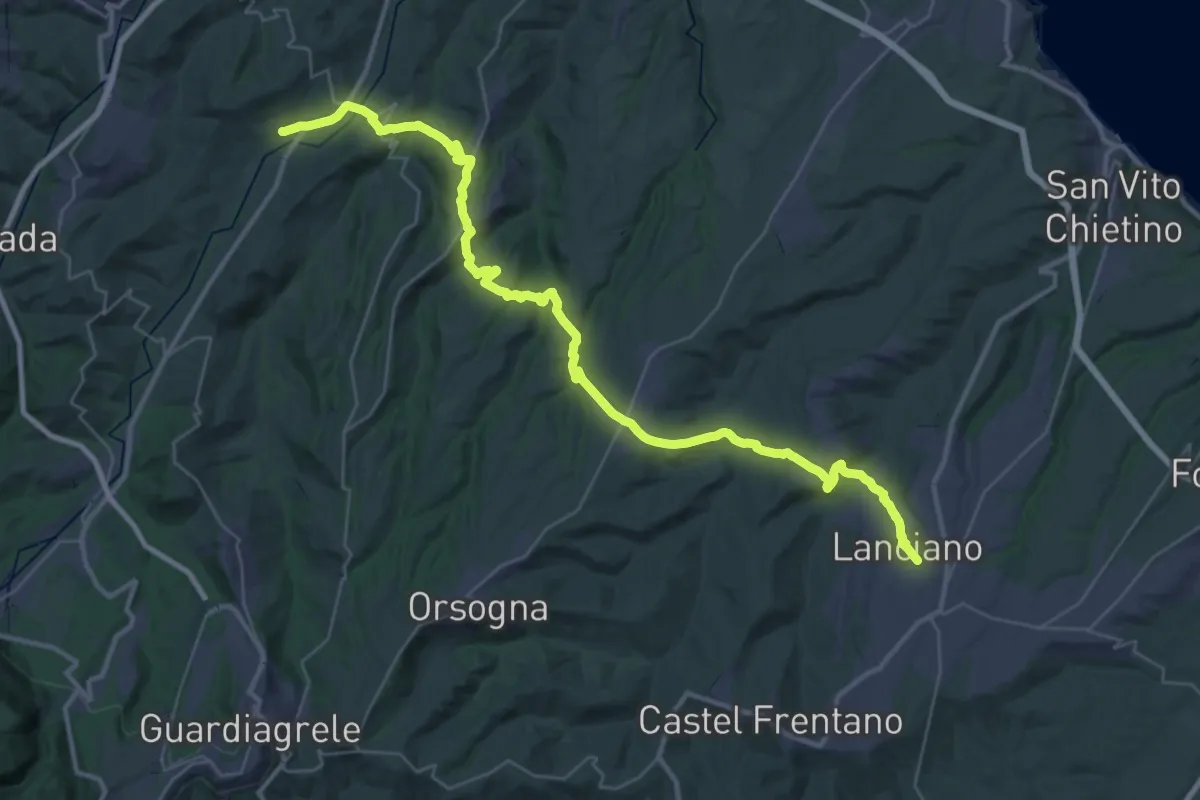
Demanding · Trail
Regio Tratturo Magno - tappa 5
23.6 km · ↑ 710 m · 7 h 31 min
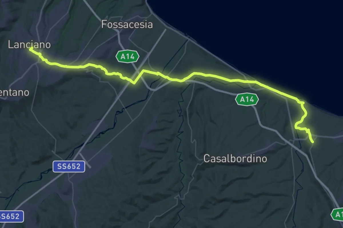
Demanding · Trail
Regio Tratturo Magno - tappa 6
29.2 km · ↑ 448 m · 8 h 11 min
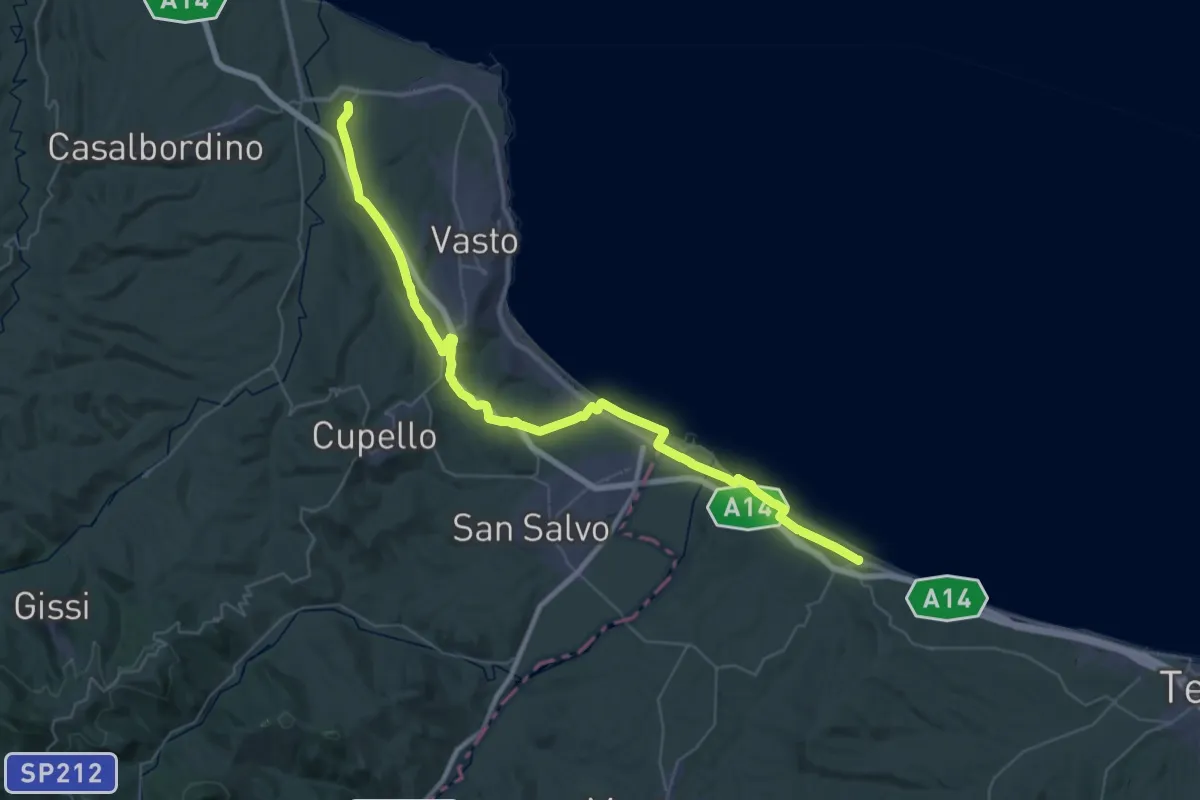
Demanding · Trail
Regio Tratturo Magno - tappa 7
27.0 km · ↑ 288 m · 7 h 20 min
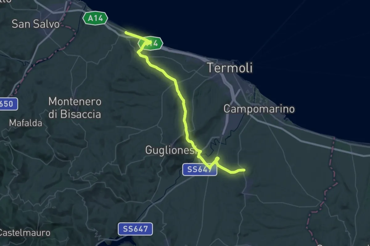
Demanding · Trail
Regio Tratturo Magno - Tappa 8
28.3 km · ↑ 399 m · 8 h 2 min
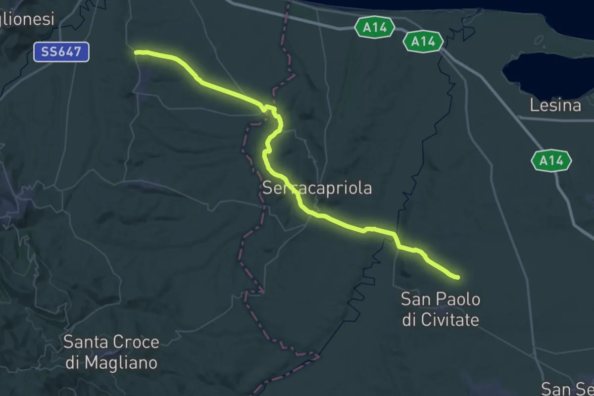
Demanding · Trail
Regio Tratturo Magno - tappa 9
31.4 km · ↑ 542 m · 9 h
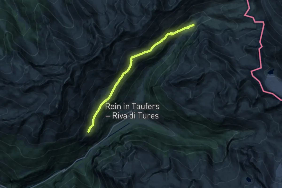
Expert · Trail
Reiner Höhenweg
14.1 km · ↑ 753 m · 4 h 57 min
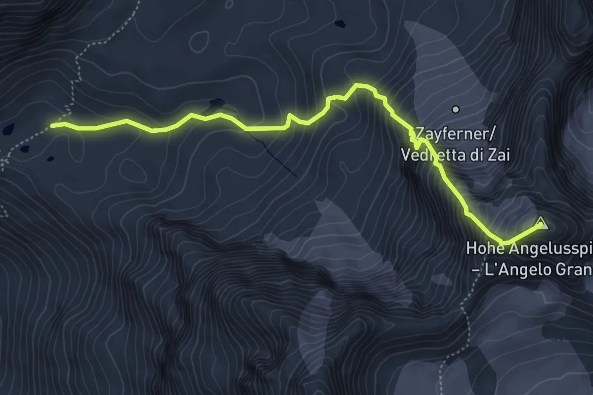
Expert · Summit
Reinstadlerroute
5.6 km · ↑ 746 m · 2 h 57 min
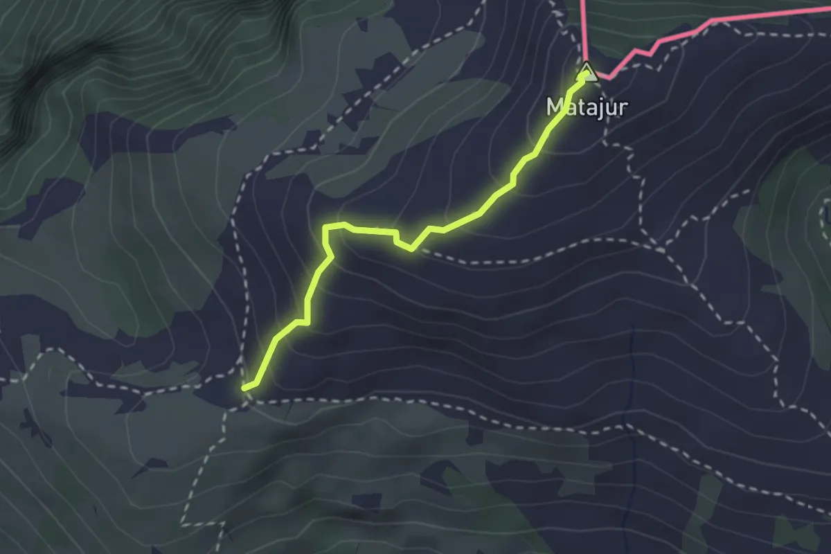
Medium · Summit
Renato Qualizza
2.2 km · ↑ 224 m · 1 h 1 min
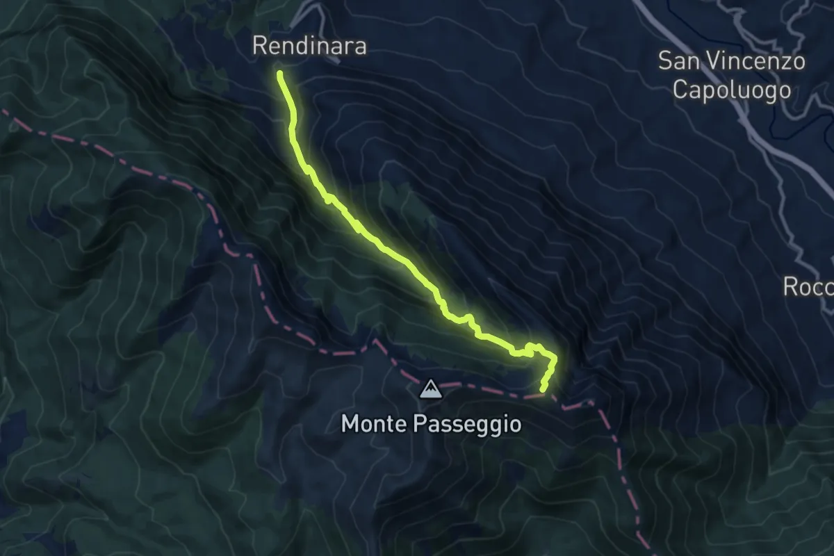
Demanding · Summit
Rendinara - Vallone del Rio - Sella di Peschiomacello
11.5 km · ↑ 1114 m · 5 h 8 min
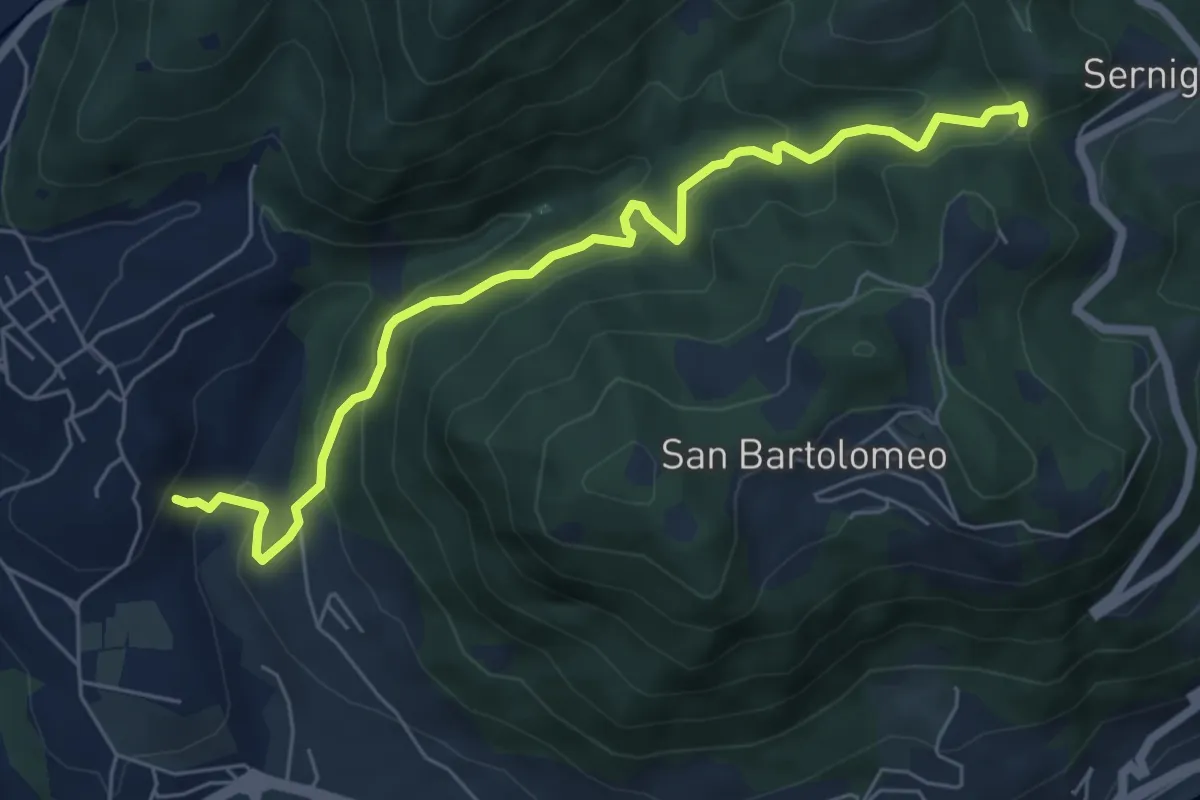
Medium · Trail
Renzano - Passo della Stacca
6.7 km · ↑ 469 m · 2 h 35 min
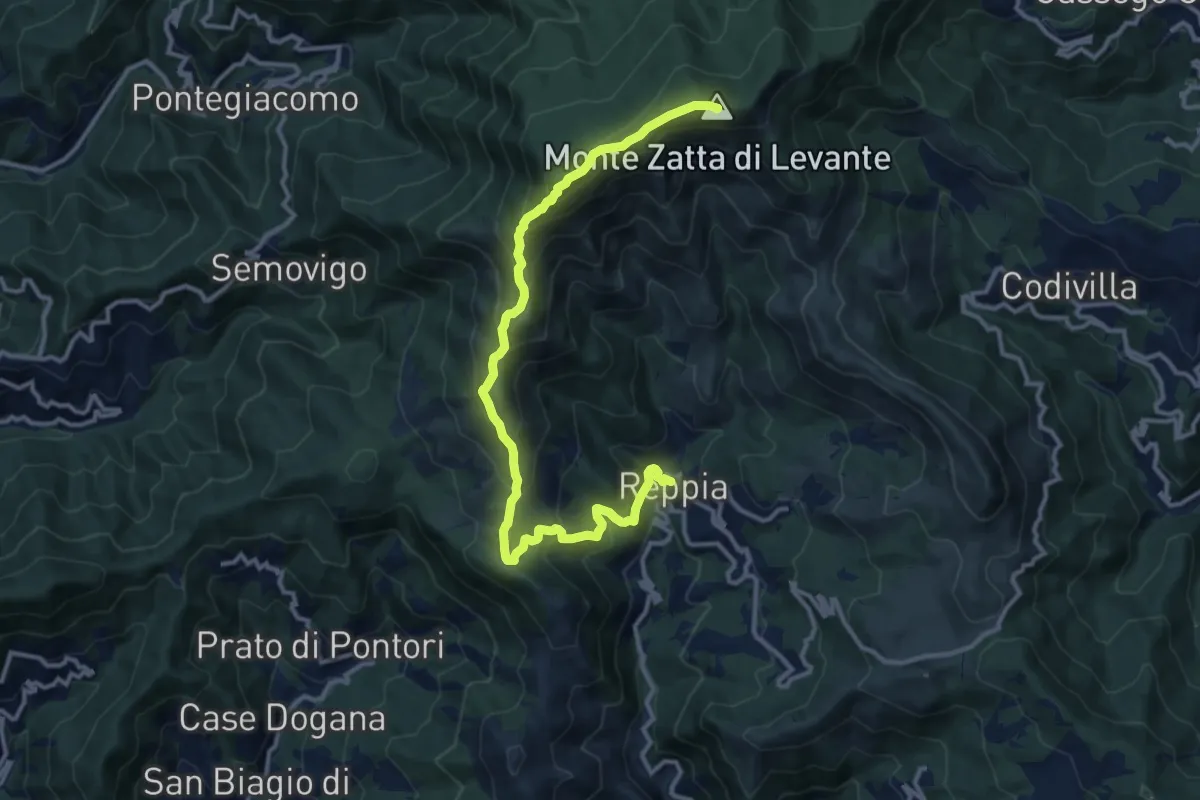
Demanding · Summit
Reppia - Monte Zatta
14.0 km · ↑ 985 m · 5 h 26 min
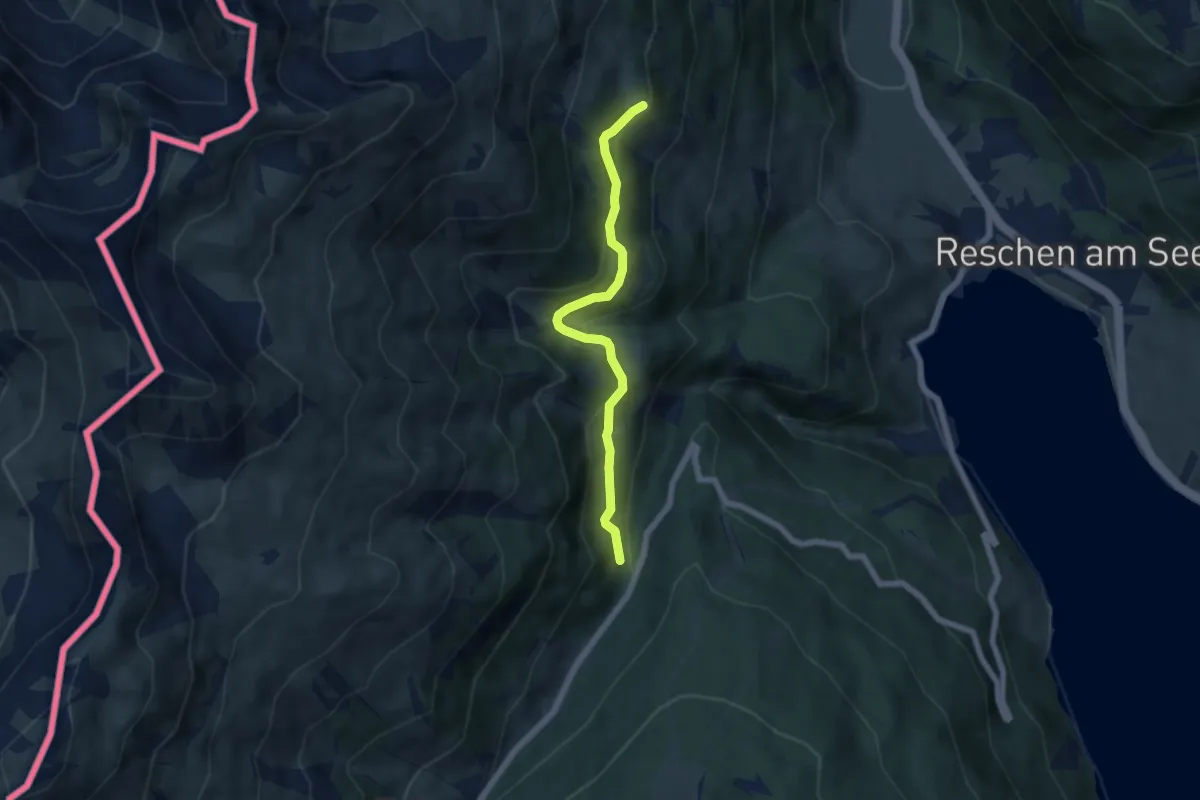
Easy · Trail
Rescher Almweg
5.5 km · ↑ 291 m · 1 h 56 min
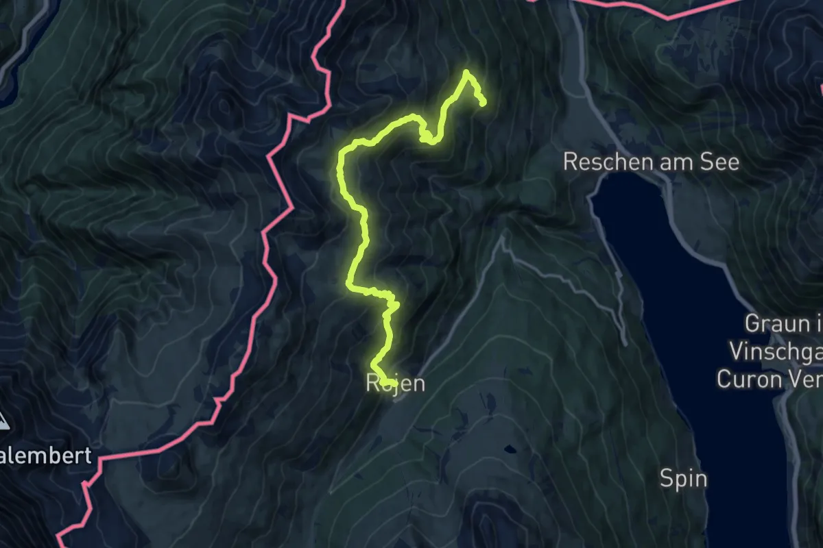
Demanding · Trail
Rescher Höhenweg
14.7 km · ↑ 1059 m · 5 h 46 min