Trails in Italy
25,221 hiking trails, each with its route, climb, walking time and grade.
All trails, page 131 of 526
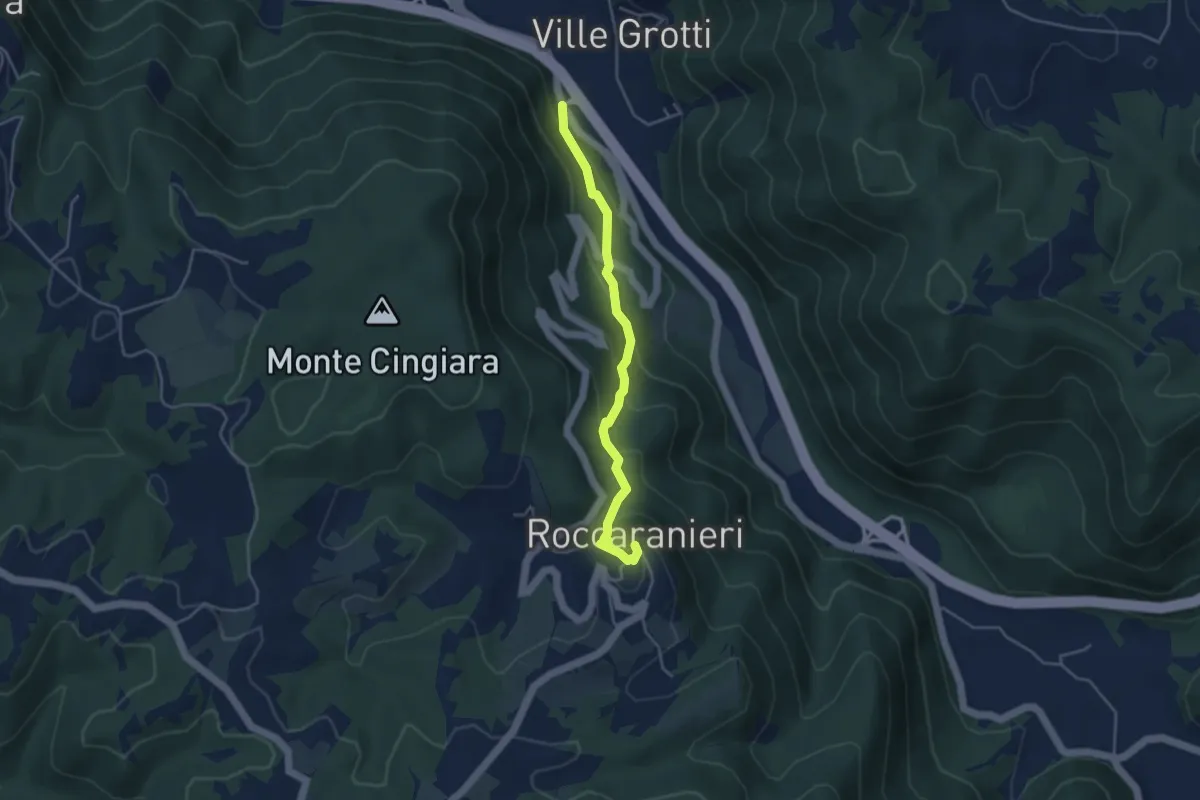
Easy · Trail
Rete Sentieristica Abbazia San Salvatore Maggiore
4.2 km · ↑ 284 m · 1 h 37 min
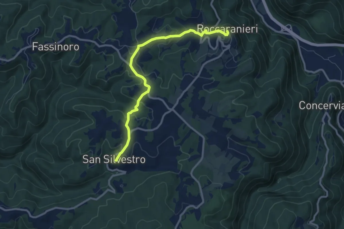
Easy · Trail
Rete Sentieristica Abbazia San Salvatore Maggiore
8.0 km · ↑ 248 m · 2 h 26 min
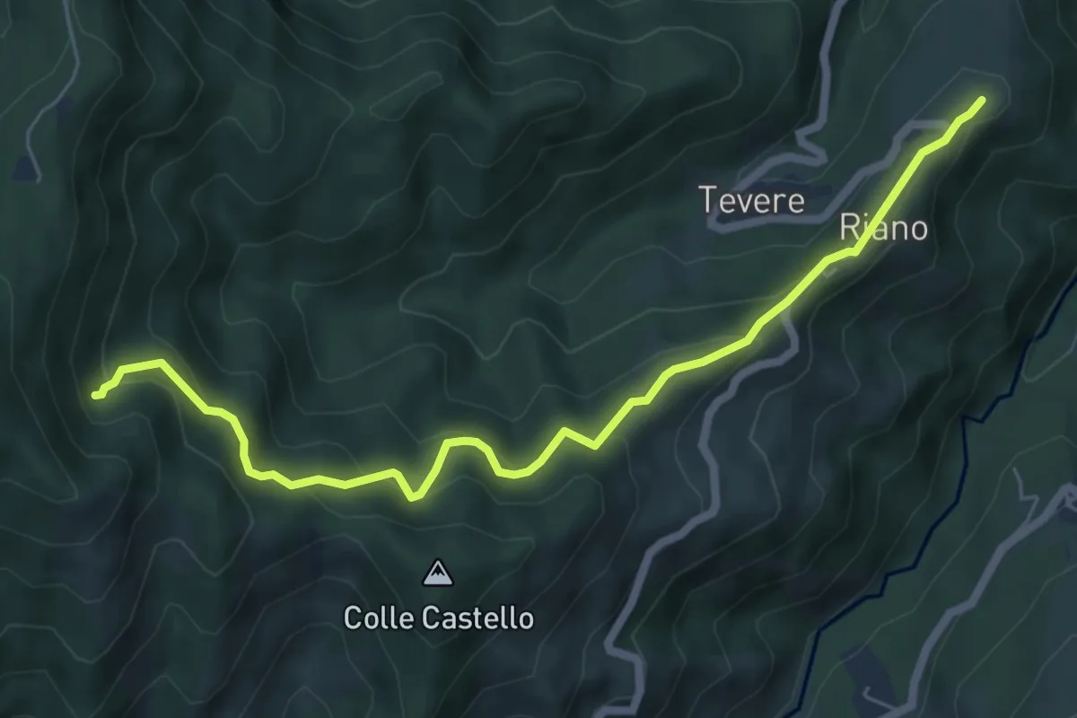
Medium · Trail
Riano - Sentiero N332
6.8 km · ↑ 506 m · 2 h 43 min
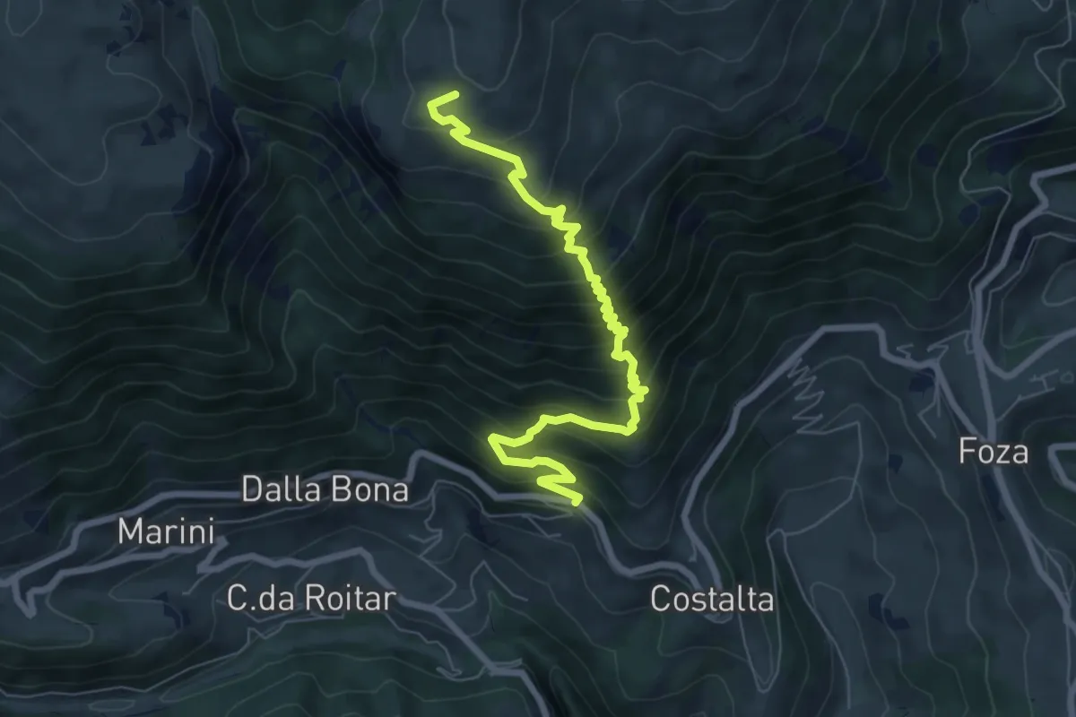
Medium · Trail
Ribenach-Montagna Nova
7.6 km · ↑ 730 m · 3 h 23 min
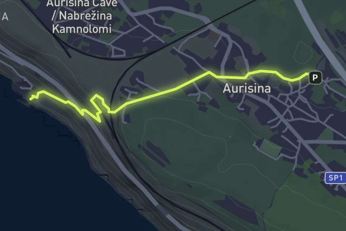
Easy · Trail
Ribiška pot / Sentiero dei pescatori
4.1 km · ↑ 179 m · 1 h 21 min
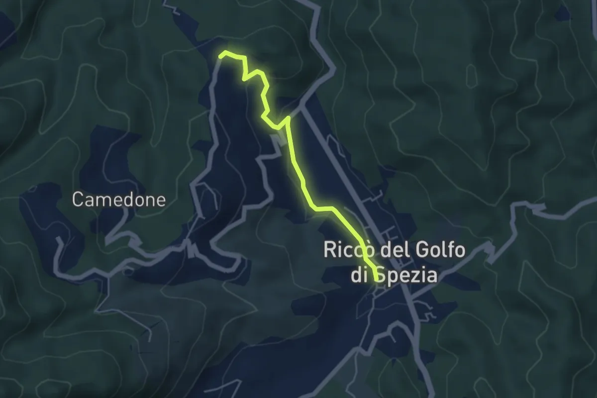
Easy · Trail
Riccò del Golfo – Pizzo Cuchelone
3.9 km · ↑ 138 m · 1 h 14 min
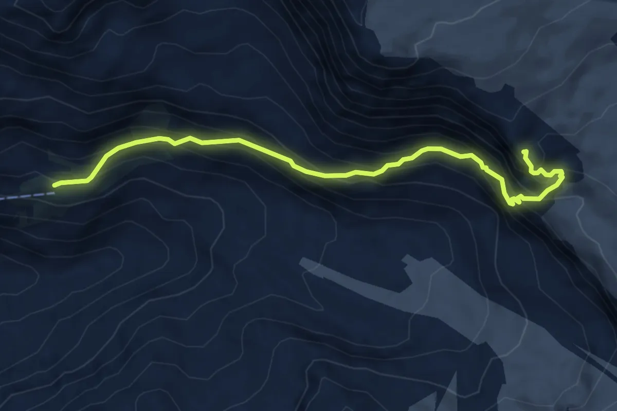
Demanding · Cabin
Richtersteig
6.6 km · ↑ 637 m · 2 h 56 min
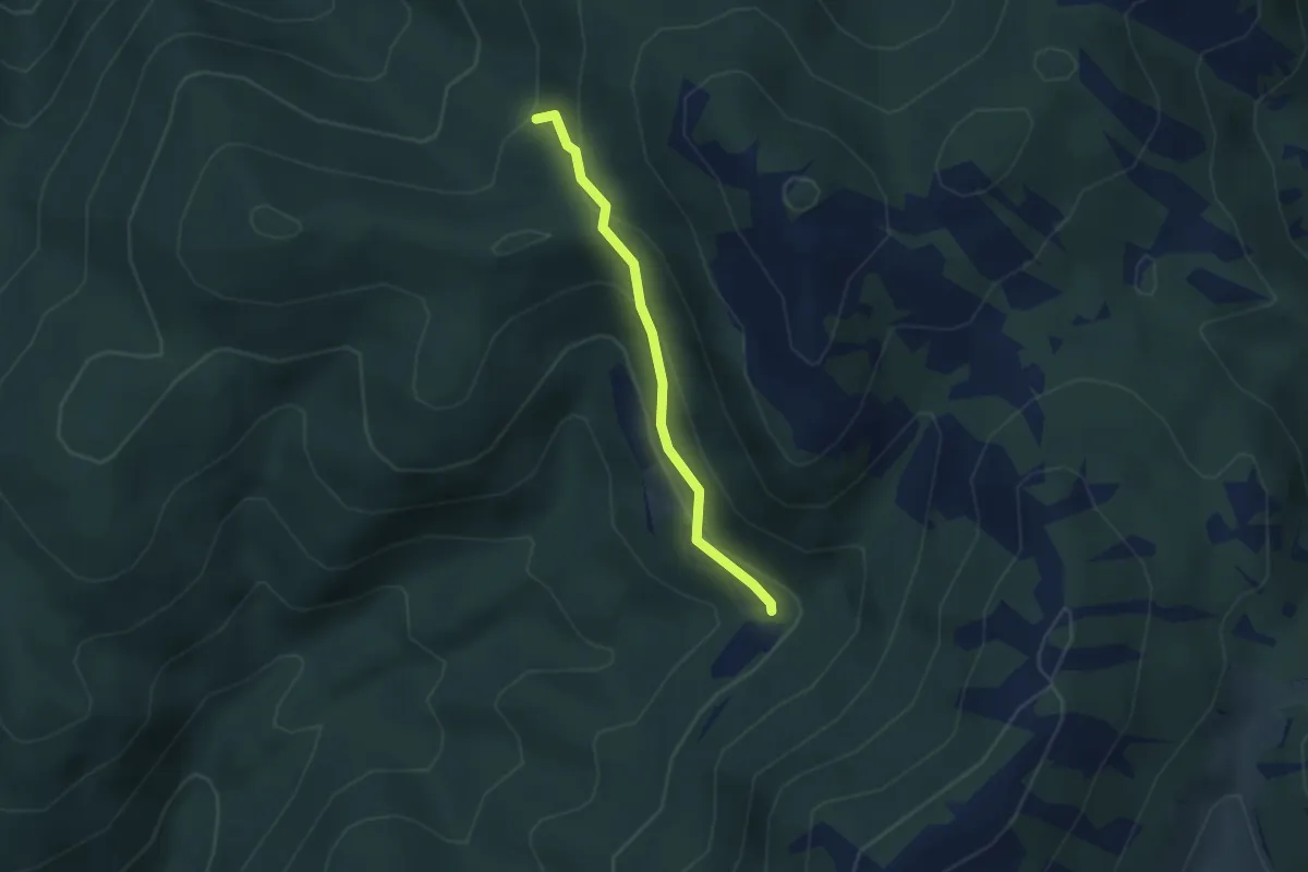
Easy · Cabin
Ricovero Le Pratelle - Fonte Cognolo
2.7 km · ↑ 157 m · 58 min
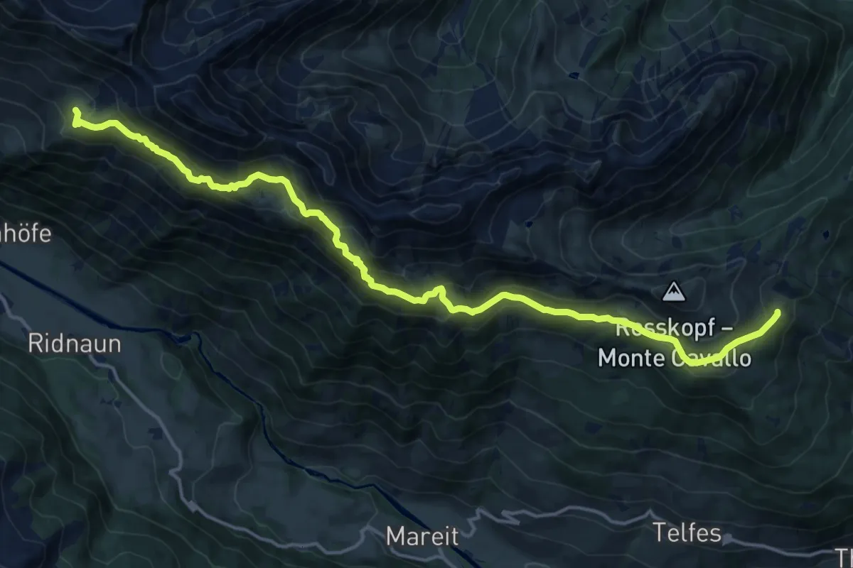
Demanding · Trail
Ridnauner Höhenweg
18.0 km · ↑ 1256 m · 6 h 59 min
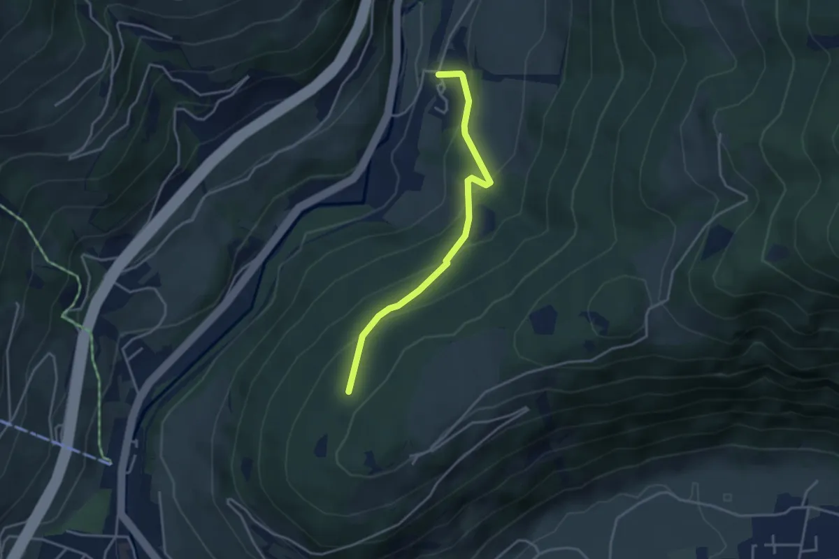
Easy · Trail
Ried Freiwiese Platte
3.3 km · ↑ 275 m · 1 h 23 min
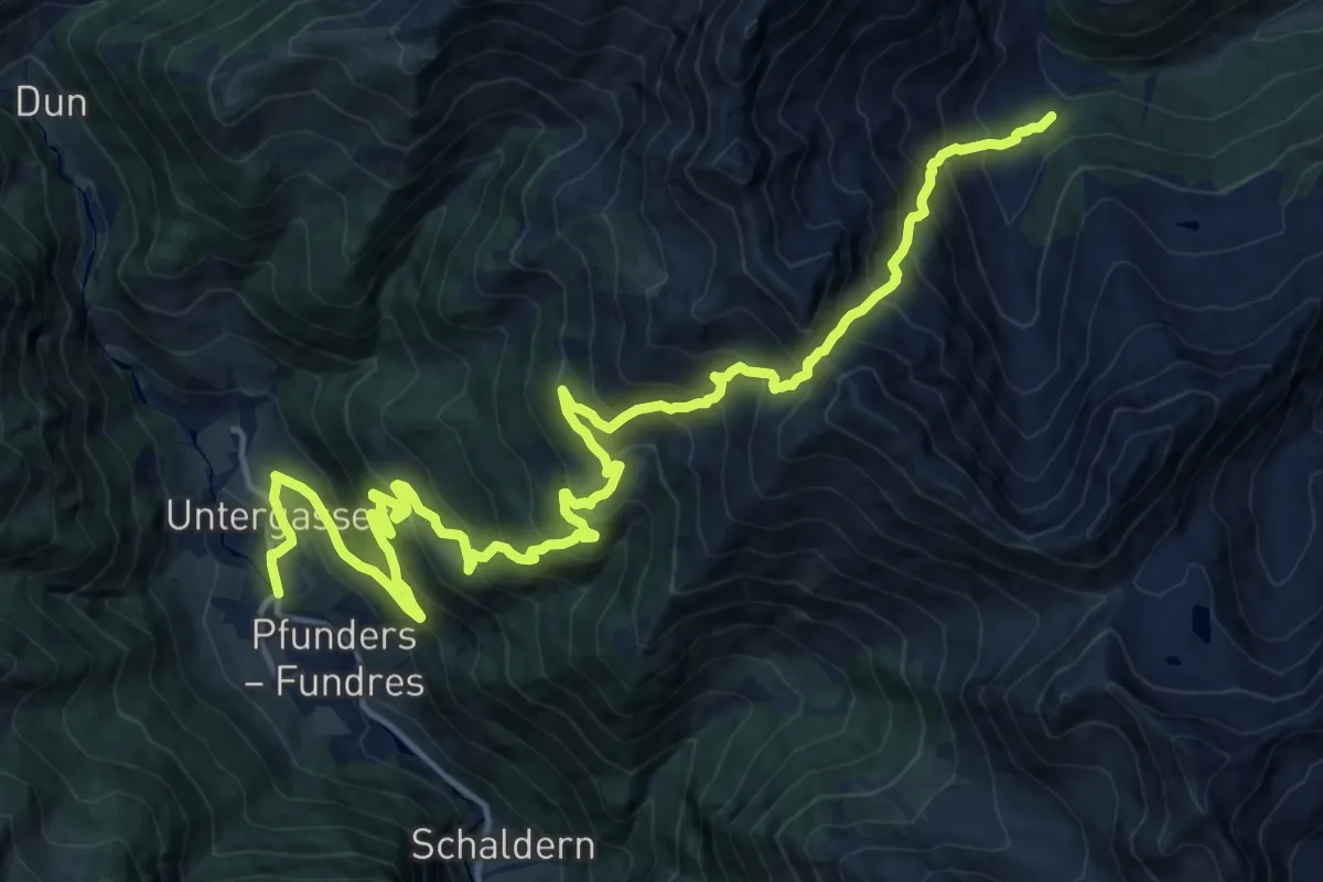
Demanding · Trail
Rieglerjoch
10.3 km · ↑ 1353 m · 5 h 9 min
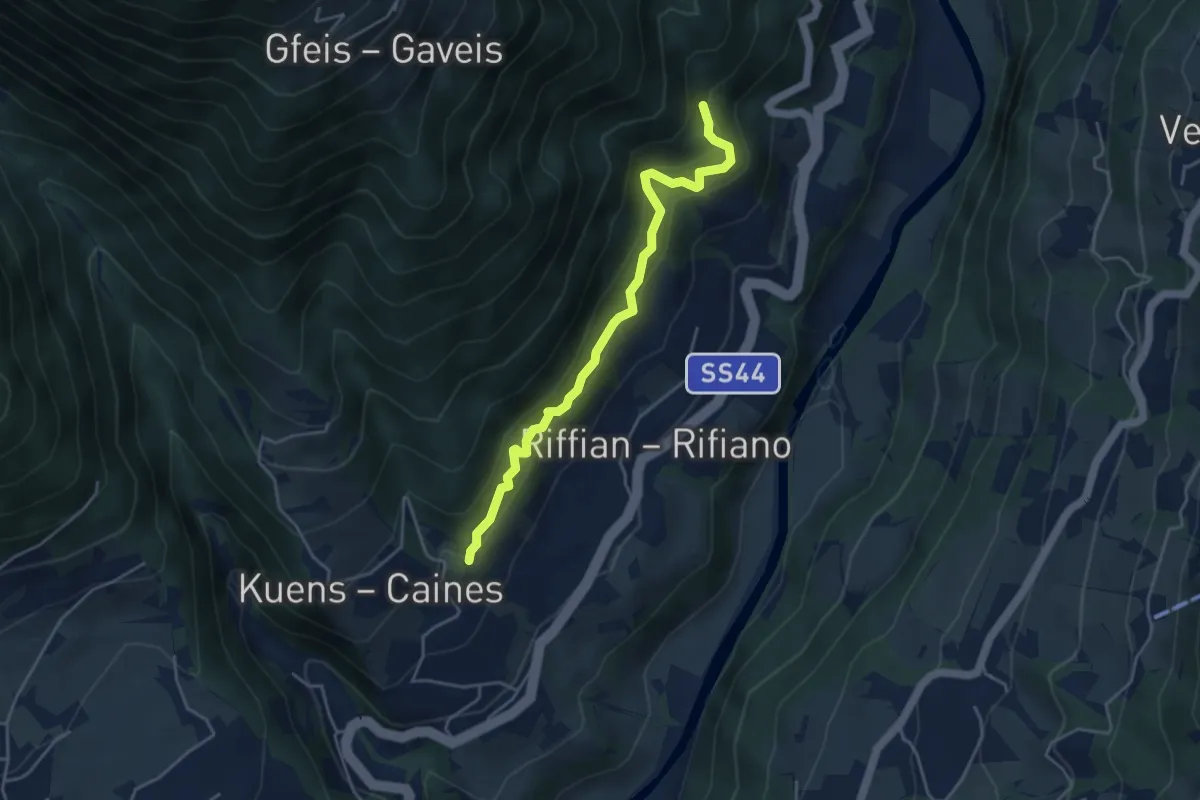
Easy · Trail
Riffianer Waalweg
4.2 km · ↑ 302 m · 1 h 39 min
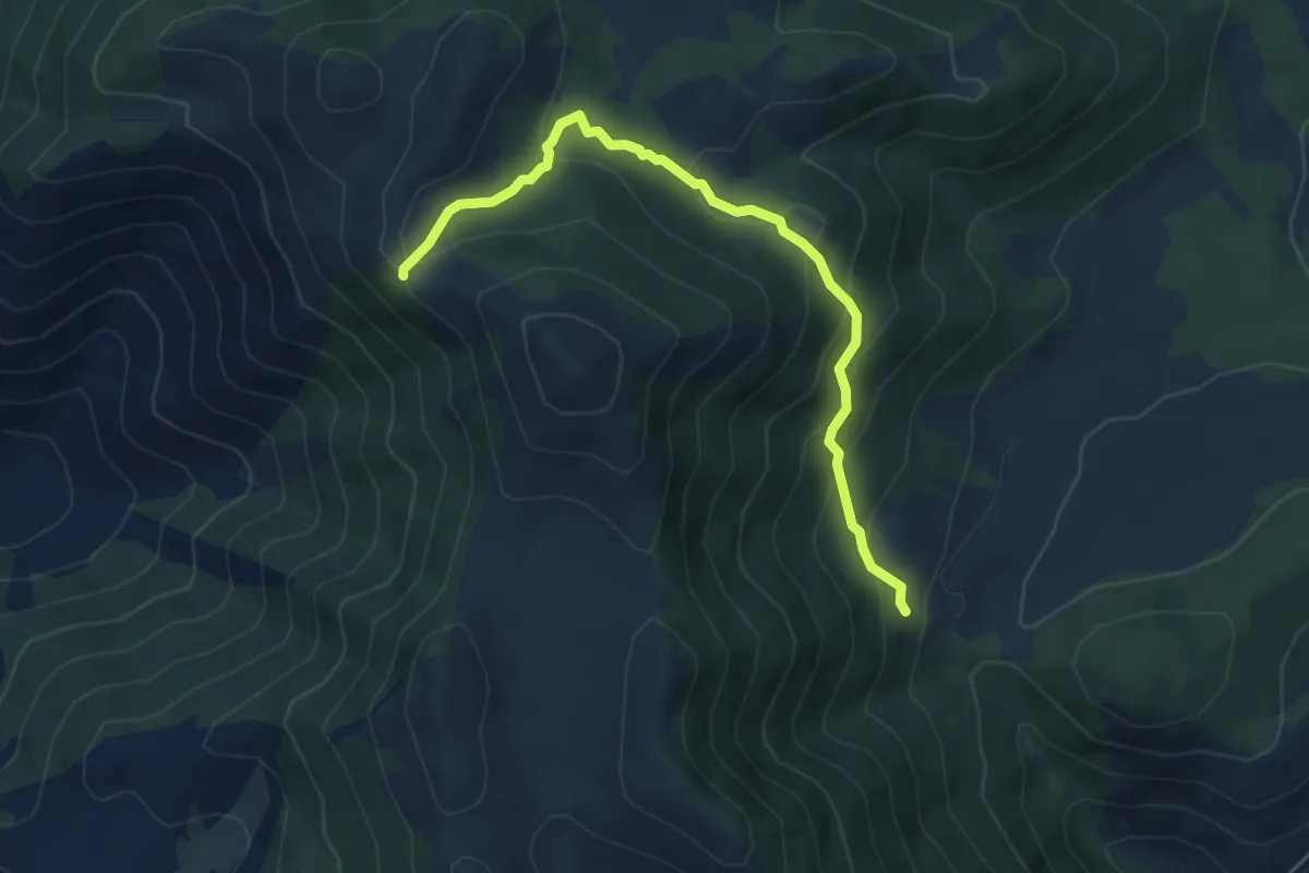
Medium · Cabin
Rifugio Acquaviva-Monte Ruazzo
5.6 km · ↑ 356 m · 2 h 5 min
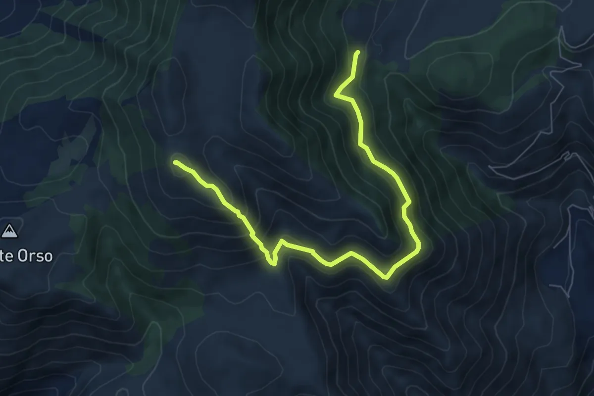
Demanding · Summit
Rifugio Acquaviva-Monte Tuonaco per Piano Terruto
8.2 km · ↑ 634 m · 3 h 19 min
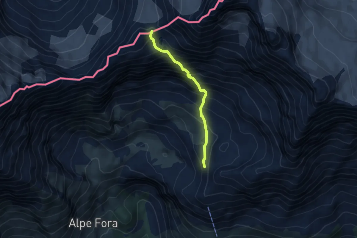
Demanding · Trail
Rifugio Antonio ed Elia Longoni - Passo Tremogge
4.0 km · ↑ 563 m · 2 h 10 min
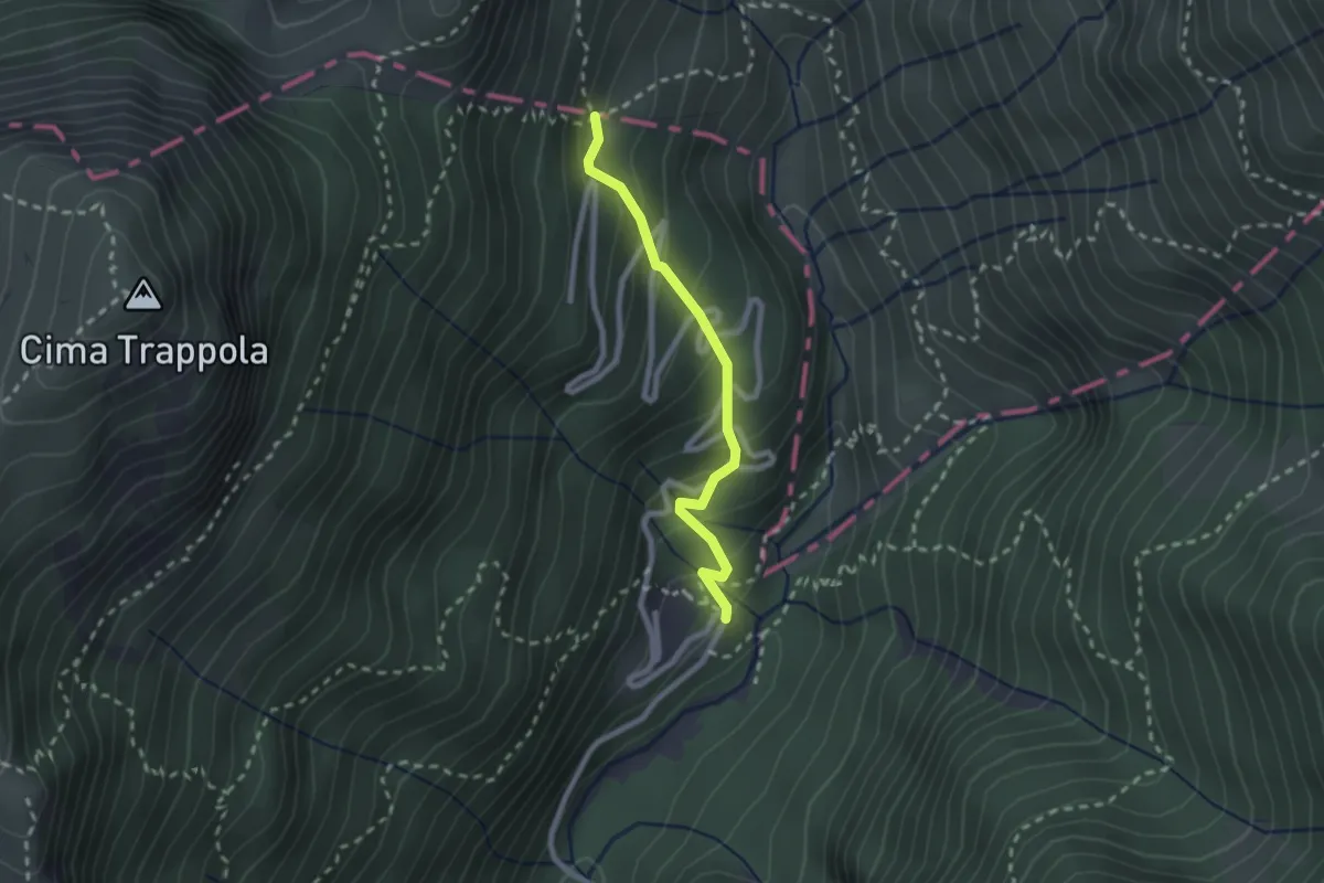
Medium · Cabin
Rifugio Boschetto - Rifugio Revolto - confine Regione
2.1 km · ↑ 230 m · 1 h
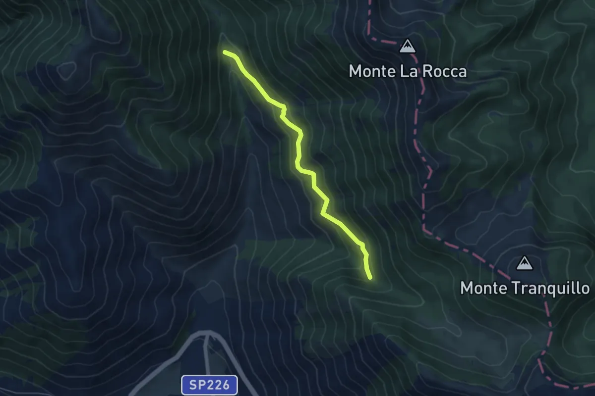
Easy · Cabin
Rifugio Capo d'Acqua - Valle Lattara
5.1 km · ↑ 294 m · 1 h 51 min
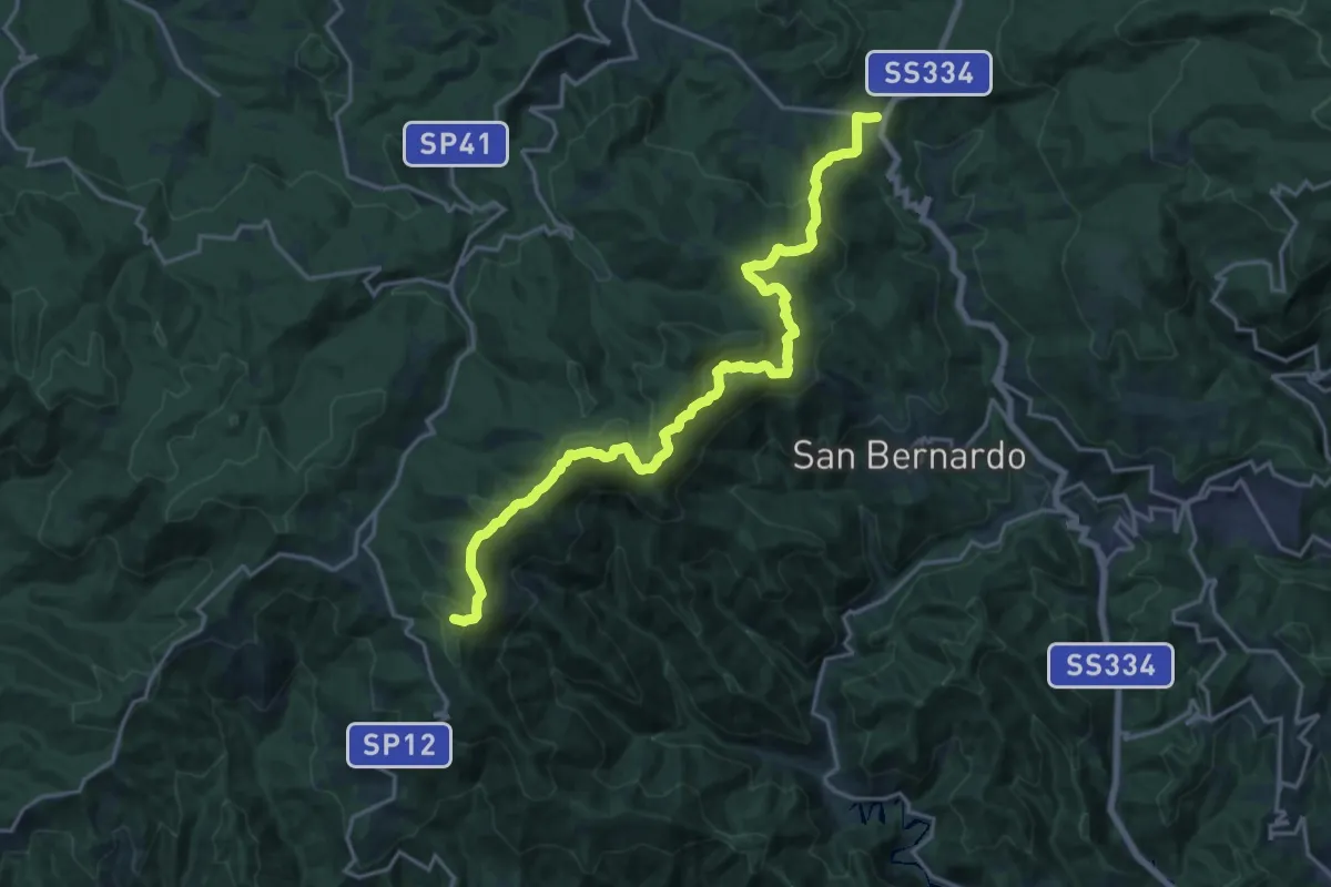
Demanding · Summit
Rifugio Cascina Miera - Il Giovo
21.1 km · ↑ 847 m · 6 h 49 min
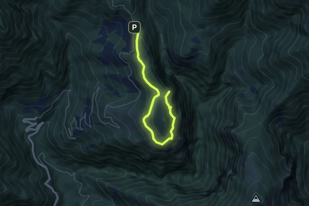
Demanding · Summit
Rifugio Casentini - La Mandria - Cornice Orrido di Botri - Rifugio Casentini
5.6 km · ↑ 345 m · 2 h 4 min
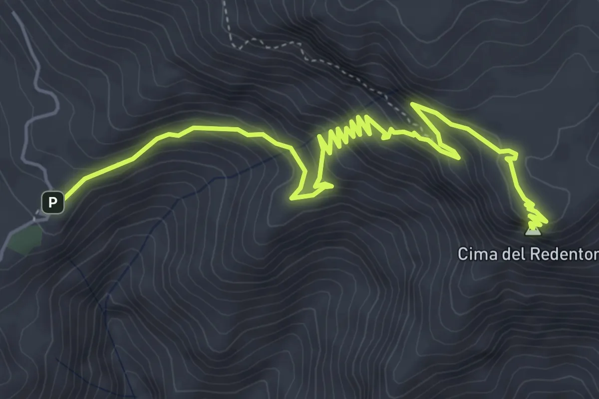
Medium · Summit
Rifugio di Pornito-Cima del Redentore
7.2 km · ↑ 553 m · 2 h 54 min
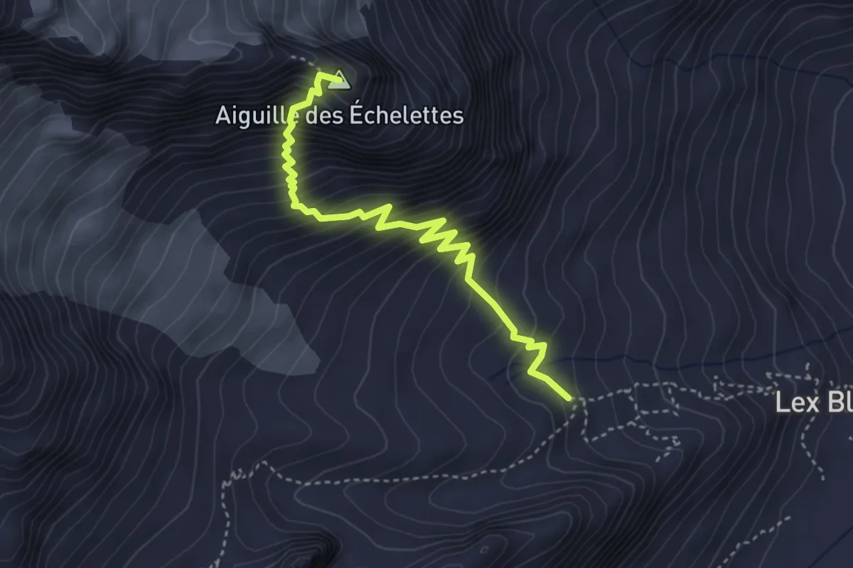
Expert · Summit
Rifugio Elisabetta - Bivacco Hess
3.9 km · ↑ 552 m · 2 h 7 min
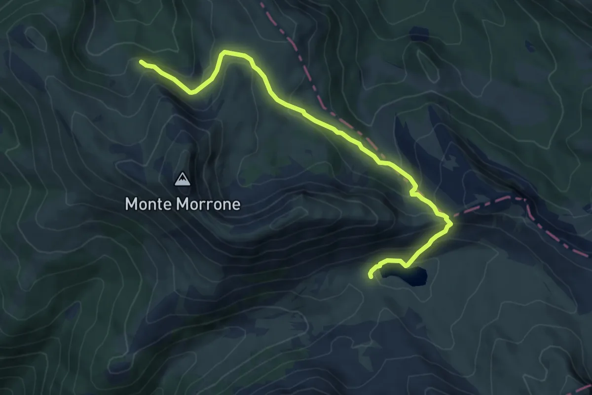
Demanding · Trail
Rifugio Fonte La Vena – Lago della Duchessa
8.2 km · ↑ 457 m · 2 h 56 min
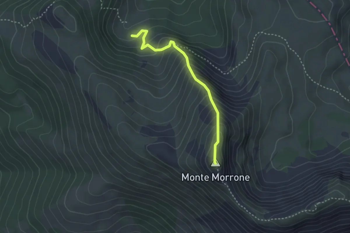
Demanding · Summit
Rifugio Fonte La Vena – Monte Morrone
3.2 km · ↑ 360 m · 1 h 32 min
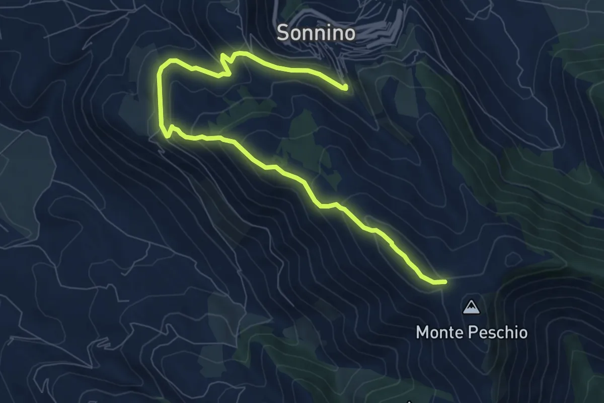
Medium · Cabin
Rifugio Gasperone-Ponte dei Ladri
10.6 km · ↑ 562 m · 3 h 43 min
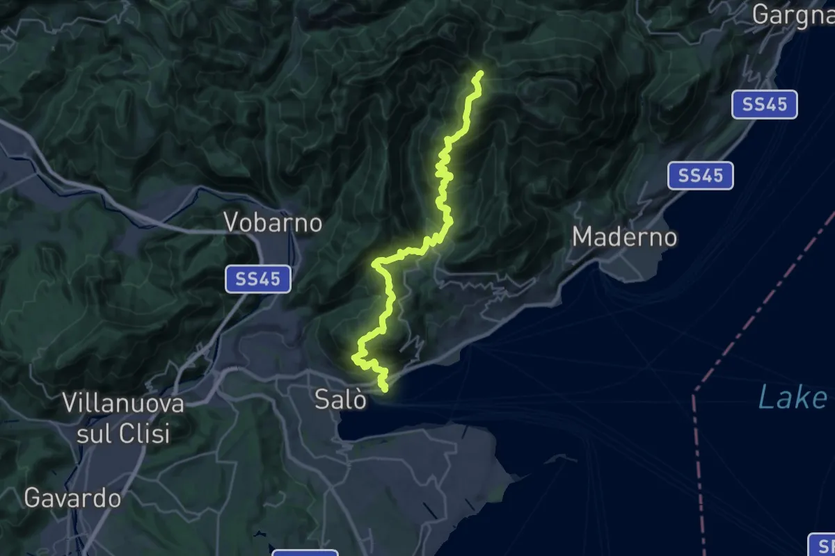
Demanding · Trail
Rifugio G. Pirlo allo Spino - Salò
13.2 km · ↑ 1434 m · 5 h 53 min
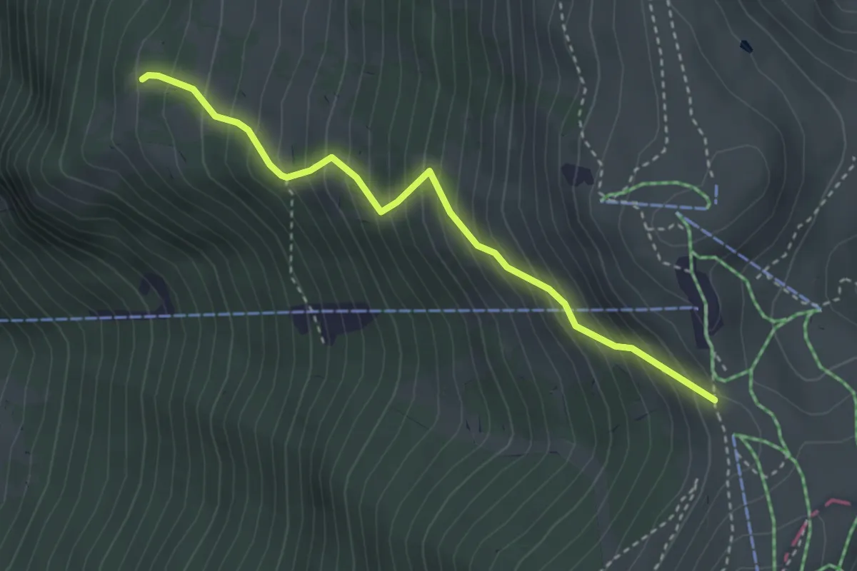
Medium · Trail
Rifugio Kira - Bocca Tratto Spino
3.4 km · ↑ 455 m · 1 h 47 min
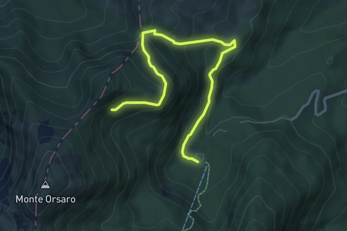
Medium · Cabin
Rifugio Lagdei-Bocchetta del Tavola-Percorso 725A
6.8 km · ↑ 465 m · 2 h 37 min
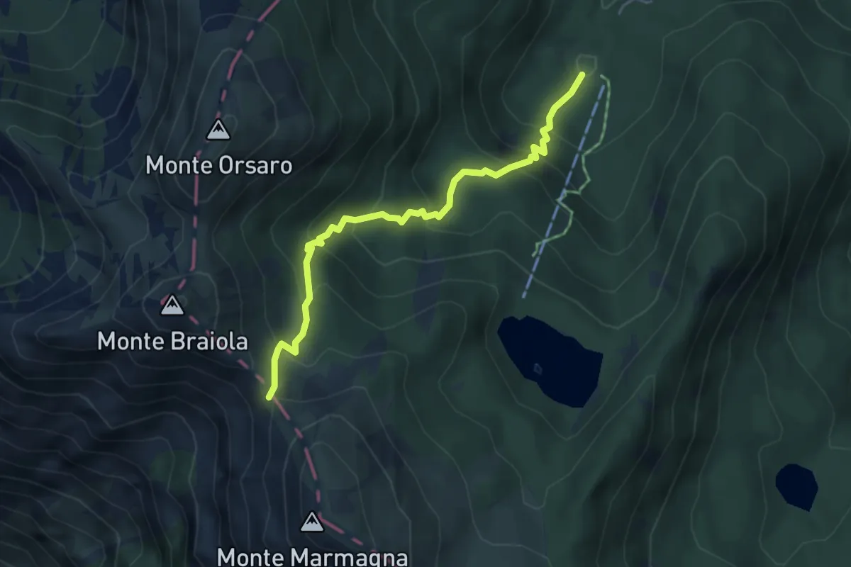
Medium · Cabin
Rifugio Lagdei - Capanna Schiaffino (Capanna del Braiola) - Sella del Braiola
4.5 km · ↑ 429 m · 2 h
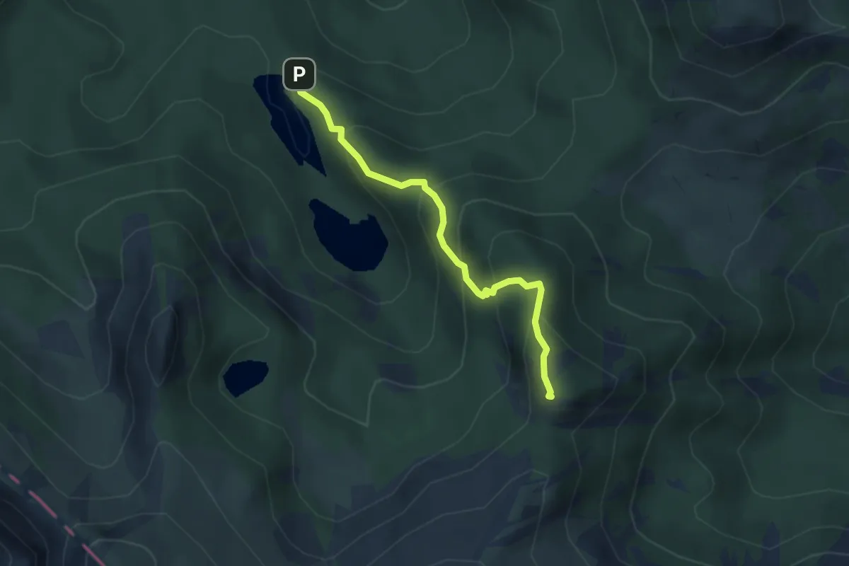
Easy · Summit
Rifugio Lagoni - Rocca Pumaccioletto
3.4 km · ↑ 285 m · 1 h 25 min
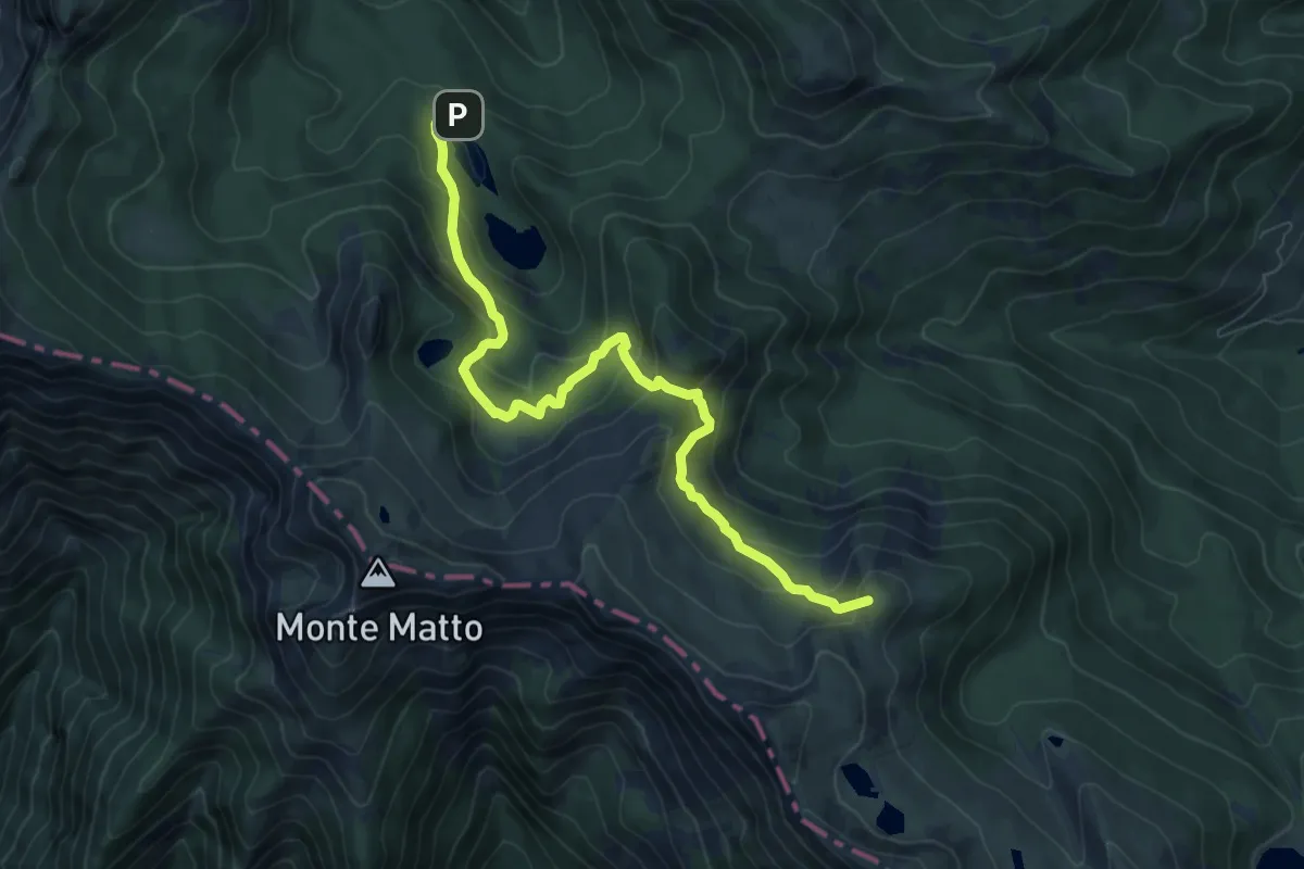
Medium · Summit
Rifugio Lagoni-Sella di Rocca Pumacciolo-Lago Verde
8.5 km · ↑ 561 m · 3 h 14 min
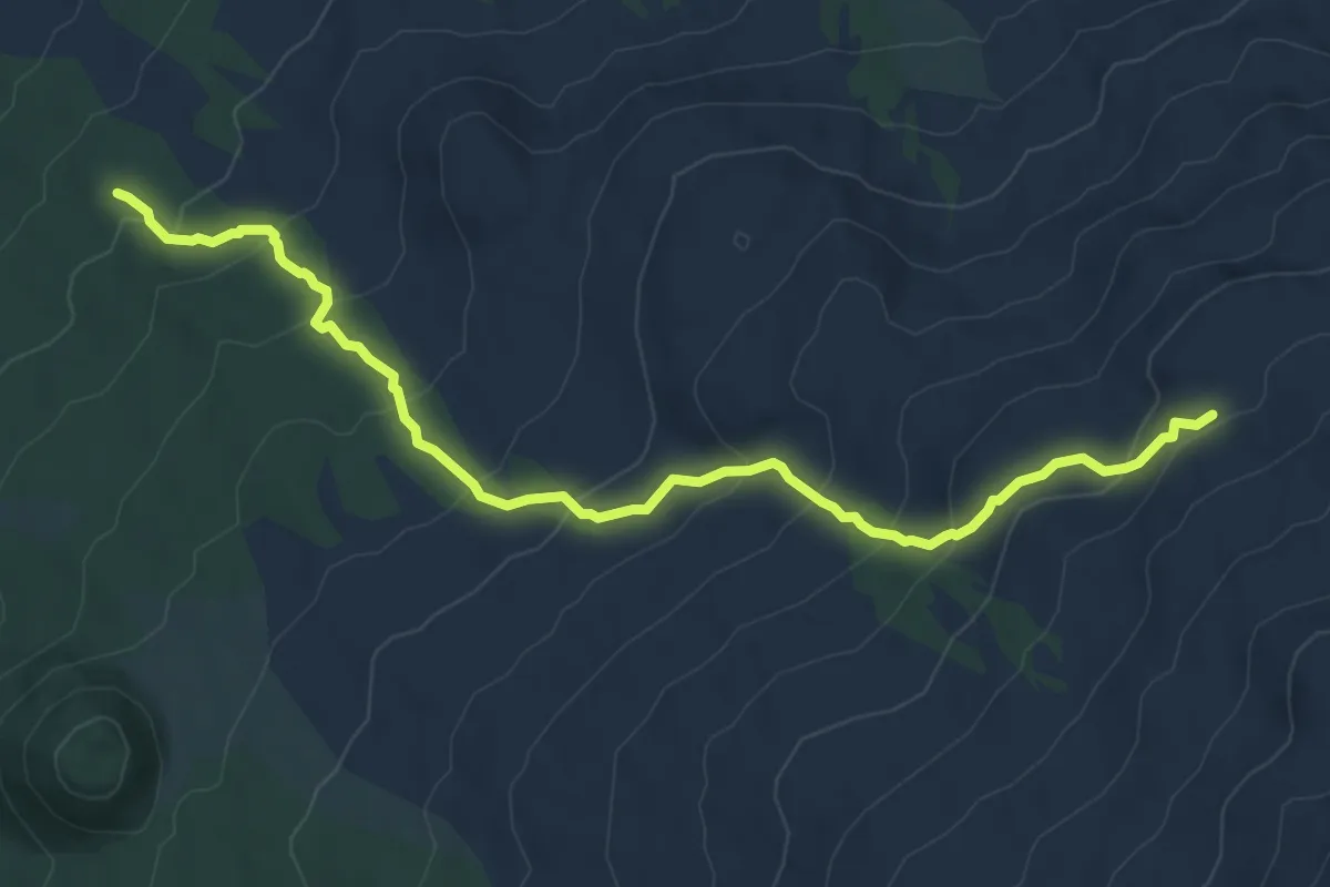
Medium · Trail
Rifugio Monte La Nave - Grotta del Gelo
9.4 km · ↑ 588 m · 3 h 30 min
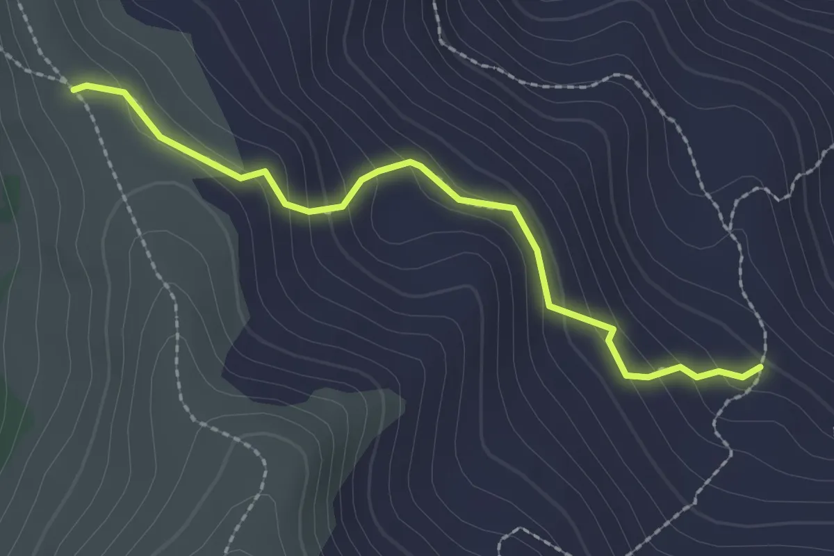
Easy · Cabin
Rifugio Orsi – Monte Pana’
2.3 km · ↑ 152 m · 53 min
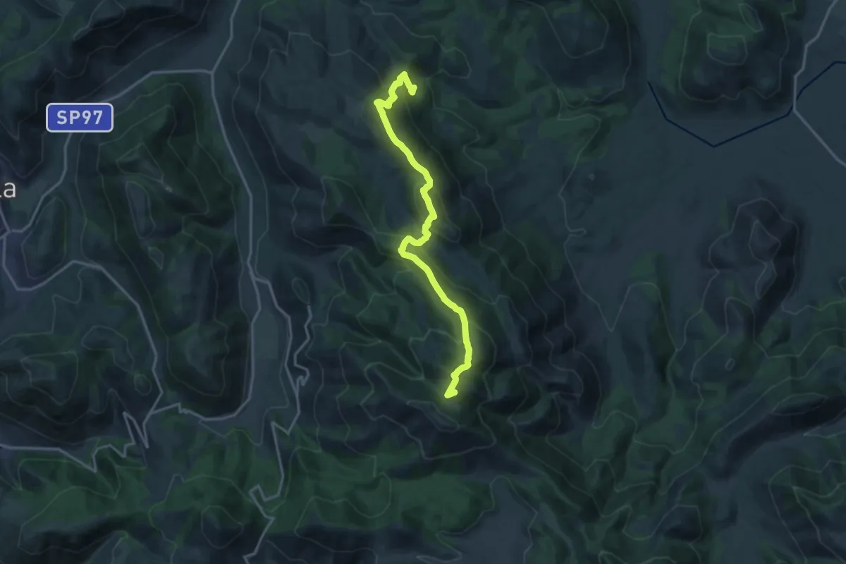
Demanding · Summit
Rifugio Ranucci-Monte Faggeto
17.4 km · ↑ 1075 m · 6 h 27 min
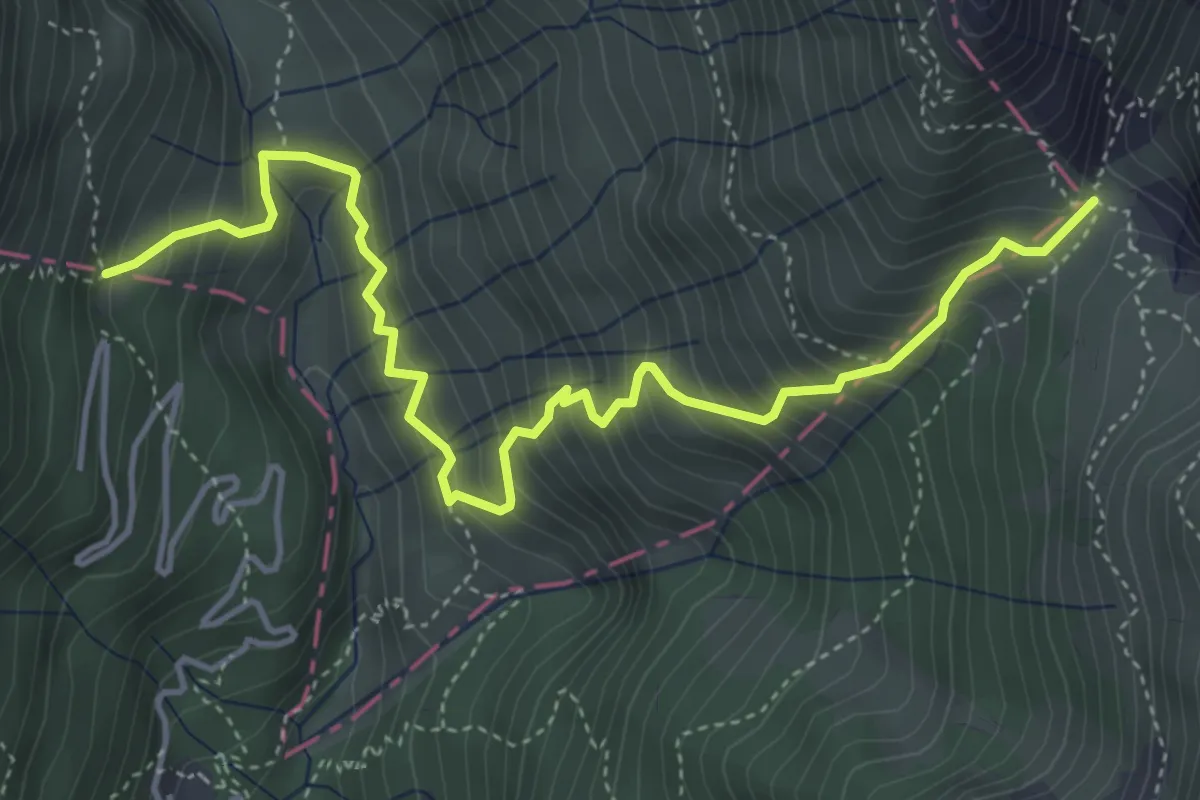
Medium · Cabin
Rifugio Revolto - Passo Tre Croci
5.3 km · ↑ 687 m · 2 h 45 min
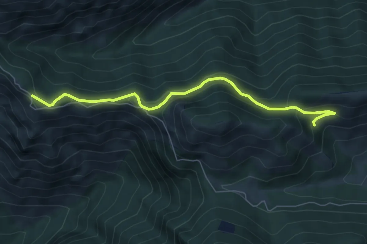
Easy · Trail
Rifugio Rosa di Baremone - Passo della Berga
5.8 km · ↑ 276 m · 1 h 58 min
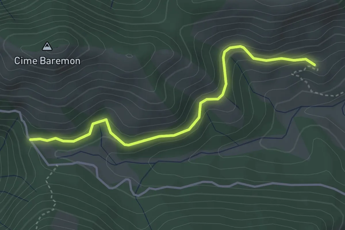
Easy · Trail
Rifugio Rosa di Baremone - Passo Spina
3.6 km · ↑ 178 m · 1 h 14 min
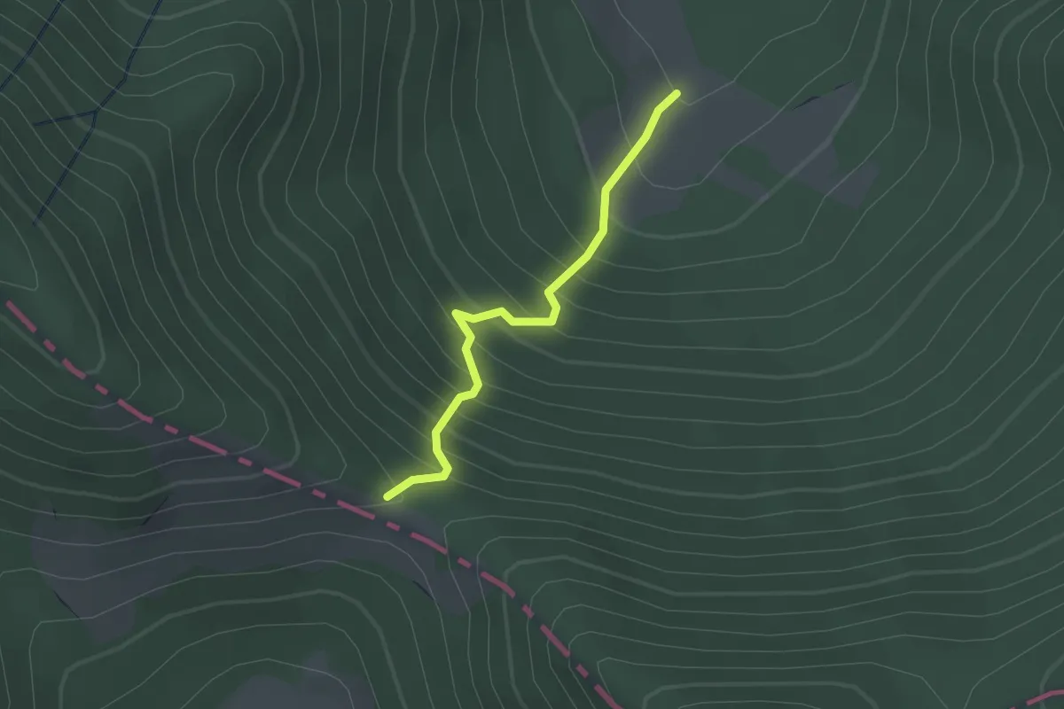
Easy · Cabin
Rifugio Sambucito - Linguaggio della Forca
2.0 km · ↑ 292 m · 1 h 6 min
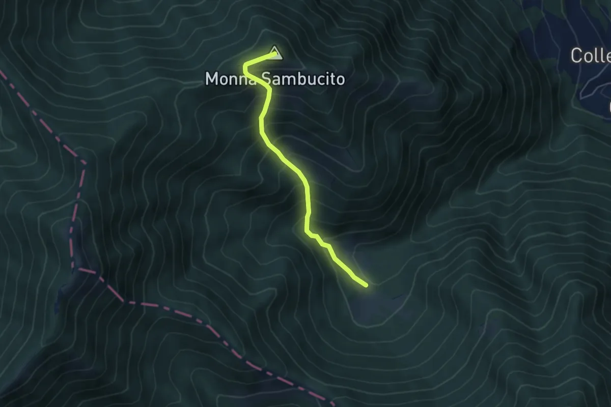
Medium · Summit
Rifugio Sambucito - Monna Sambucito
4.6 km · ↑ 589 m · 2 h 21 min
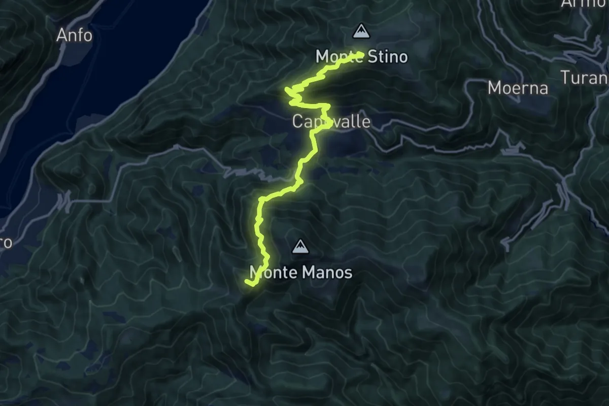
Demanding · Summit
Rifugio Stino - Cavallino della Fobbia
14.4 km · ↑ 1118 m · 5 h 49 min
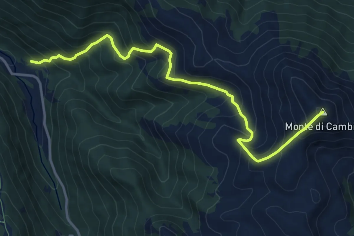
Demanding · Summit
Rifugio Vallonina - Monte di Cambio
9.2 km · ↑ 937 m · 4 h 13 min
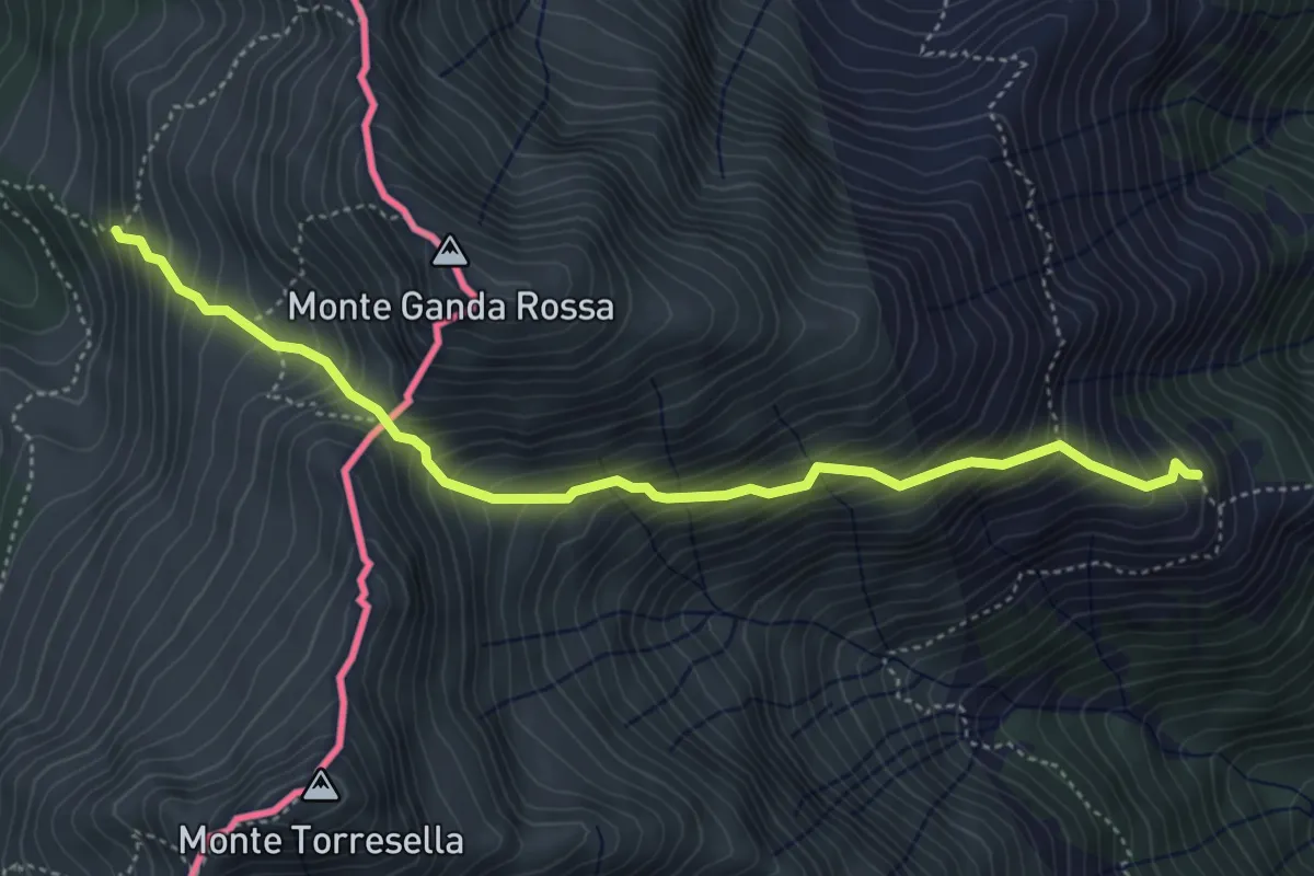
Medium · Trail
Rifugio Vincino-Alta Via del Lario
4.8 km · ↑ 672 m · 2 h 36 min
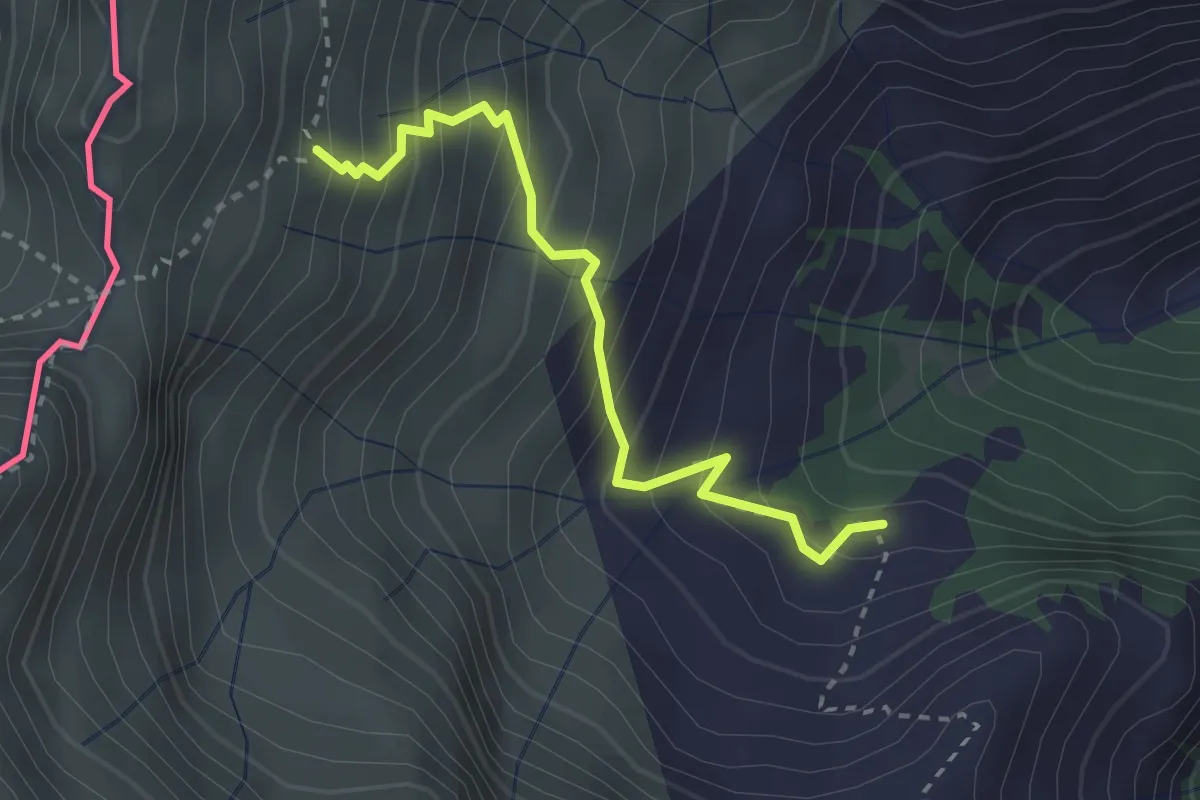
Medium · Trail
RIfugio Vincino - Camedo
2.7 km · ↑ 358 m · 1 h 25 min
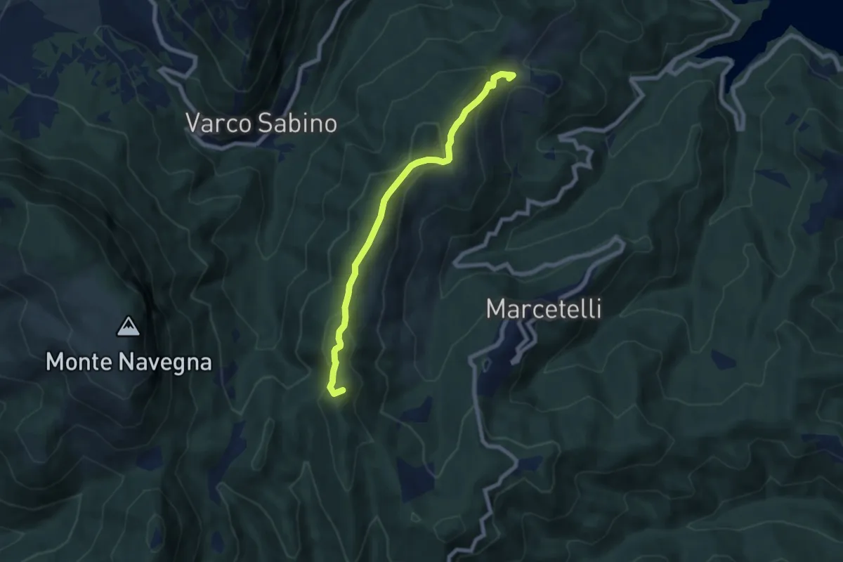
Medium · Summit
Rigatti-La Cimata
6.8 km · ↑ 350 m · 2 h 22 min
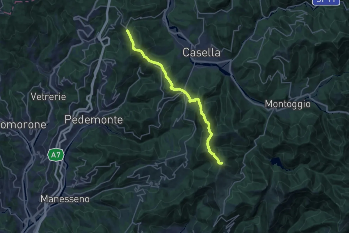
Demanding · Summit
Righi - Santuario N.S. della Vittoria
17.3 km · ↑ 990 m · 6 h 14 min
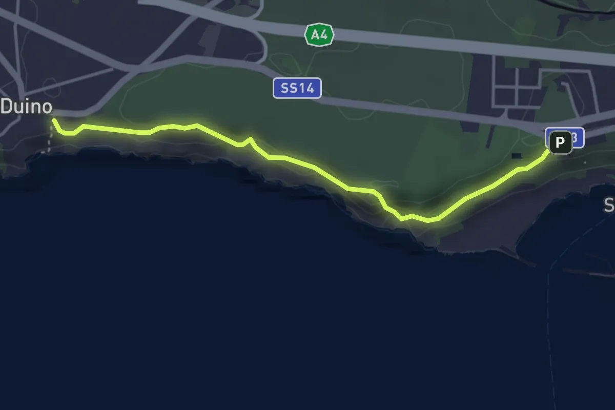
Easy · Trail
Rilke
3.9 km · ↑ 164 m · 1 h 16 min
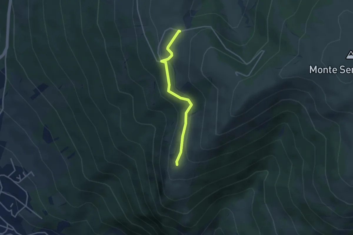
Easy · Trail
Rimboschimento
2.8 km · ↑ 98 m · 52 min
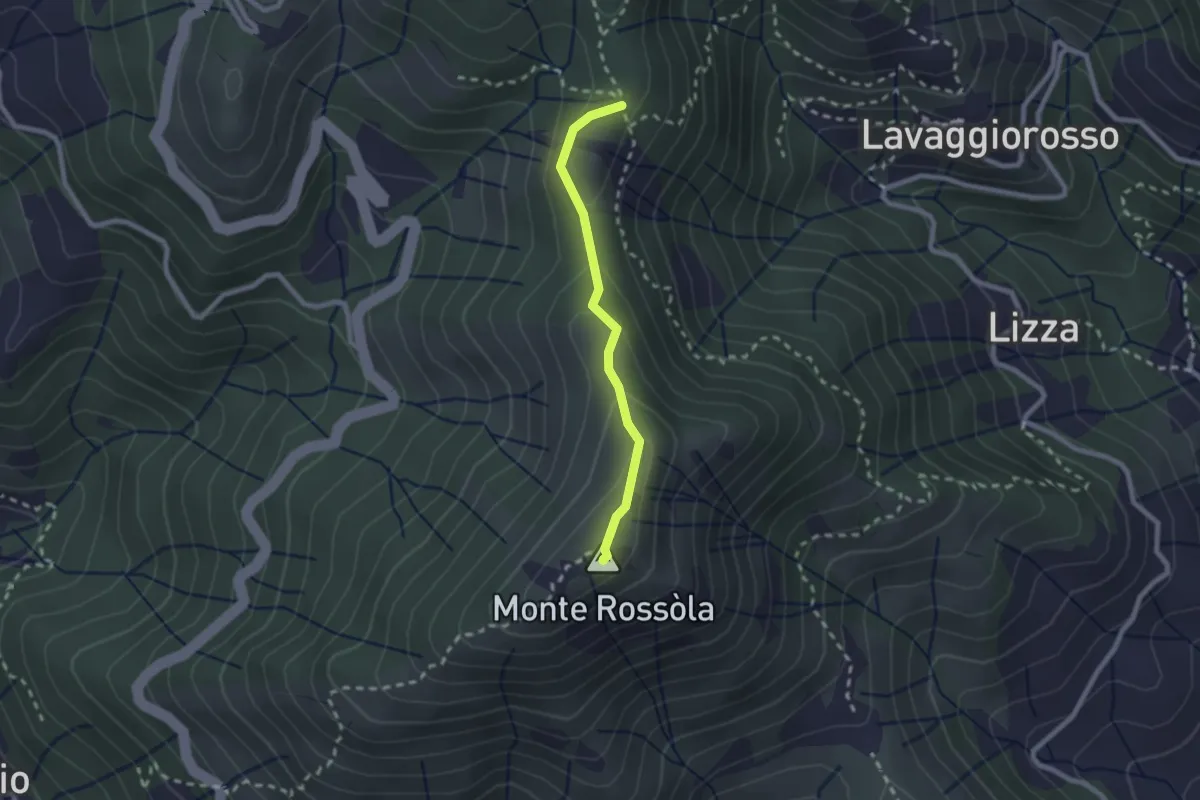
Medium · Summit
Rimessa - Monte Rossola - Rocca Galbana - Passo del Colletto
2.0 km · ↑ 94 m · 41 min
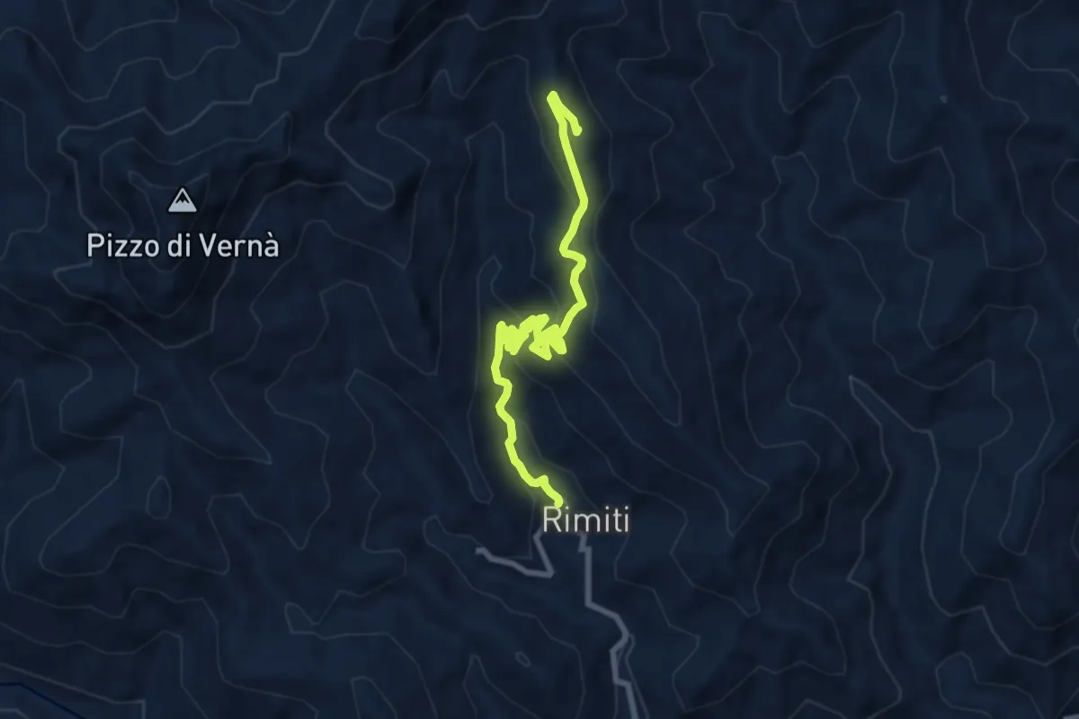
Medium · Summit
Rimiti Pizzo Cretazzo
9.8 km · ↑ 572 m · 3 h 33 min