Trails in Italy
25,221 hiking trails, each with its route, climb, walking time and grade.
All trails, page 132 of 526
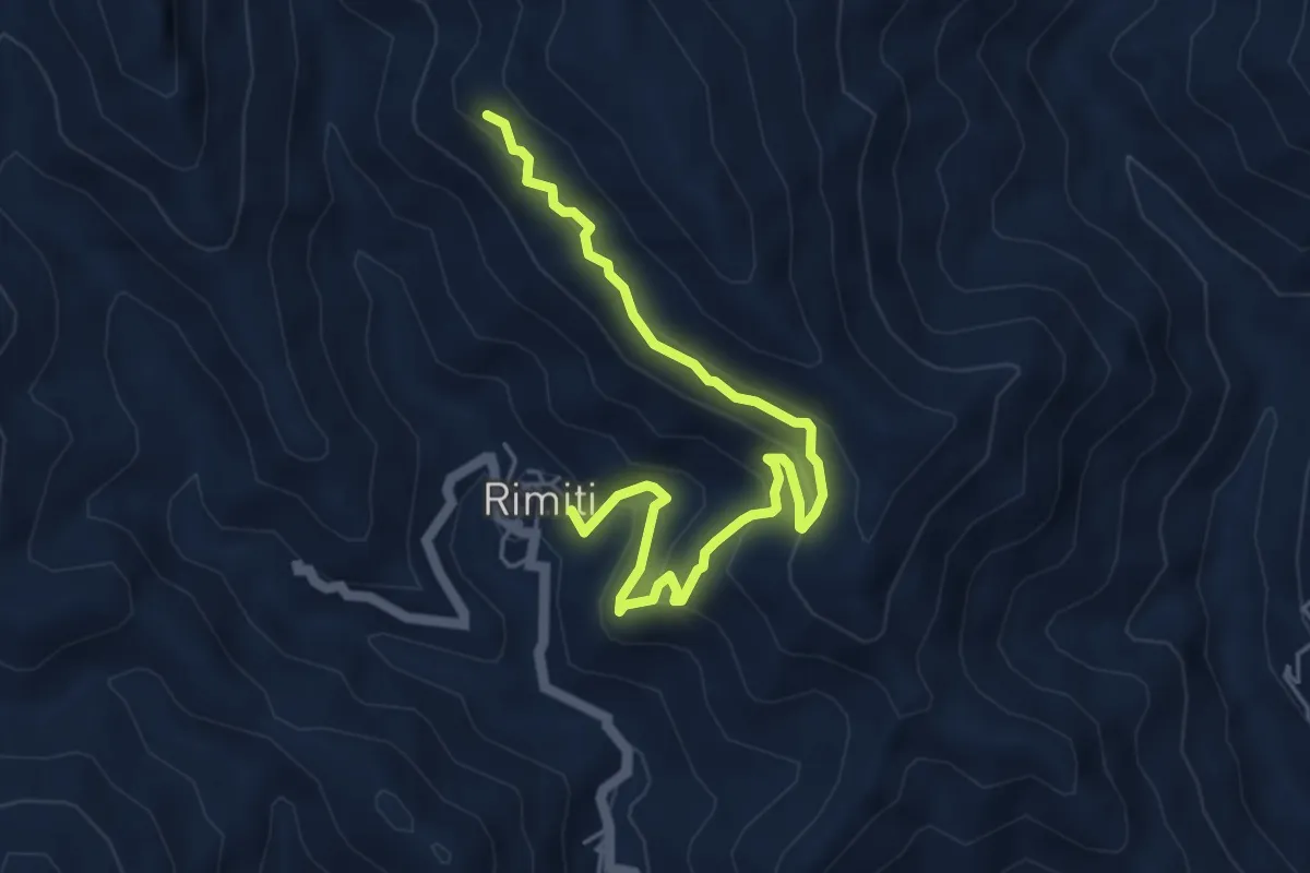
Medium · Trail
Rimiti pizzo Cretazzo Variante
6.3 km · ↑ 370 m · 2 h 17 min
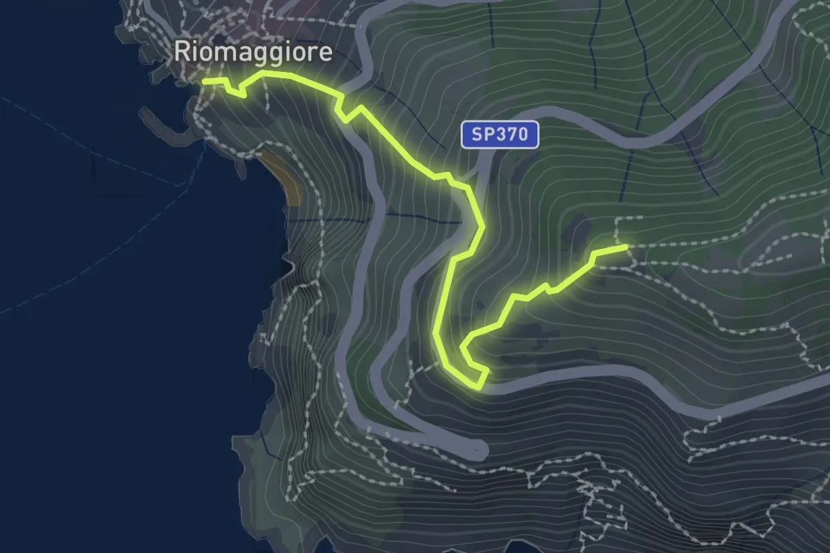
Easy · Trail
Riomaggiore – Mad. di Montenero
2.6 km · ↑ 316 m · 1 h 18 min
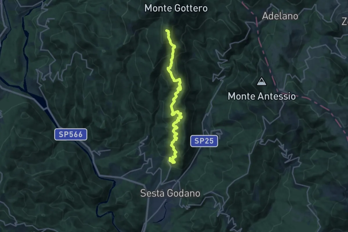
Demanding · Summit
Rio - Monte Gottero
16.2 km · ↑ 1216 m · 6 h 27 min
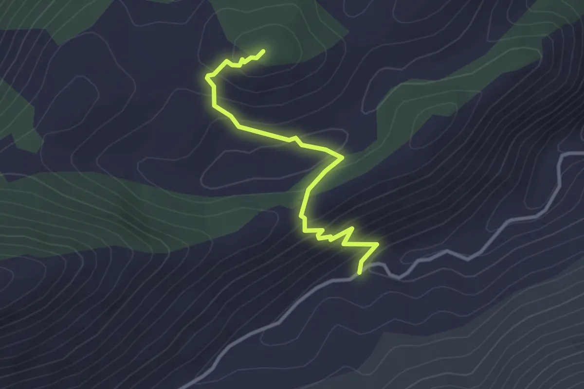
Easy · Trail
Rio Polleca-Monte Lago
3.1 km · ↑ 243 m · 1 h 16 min
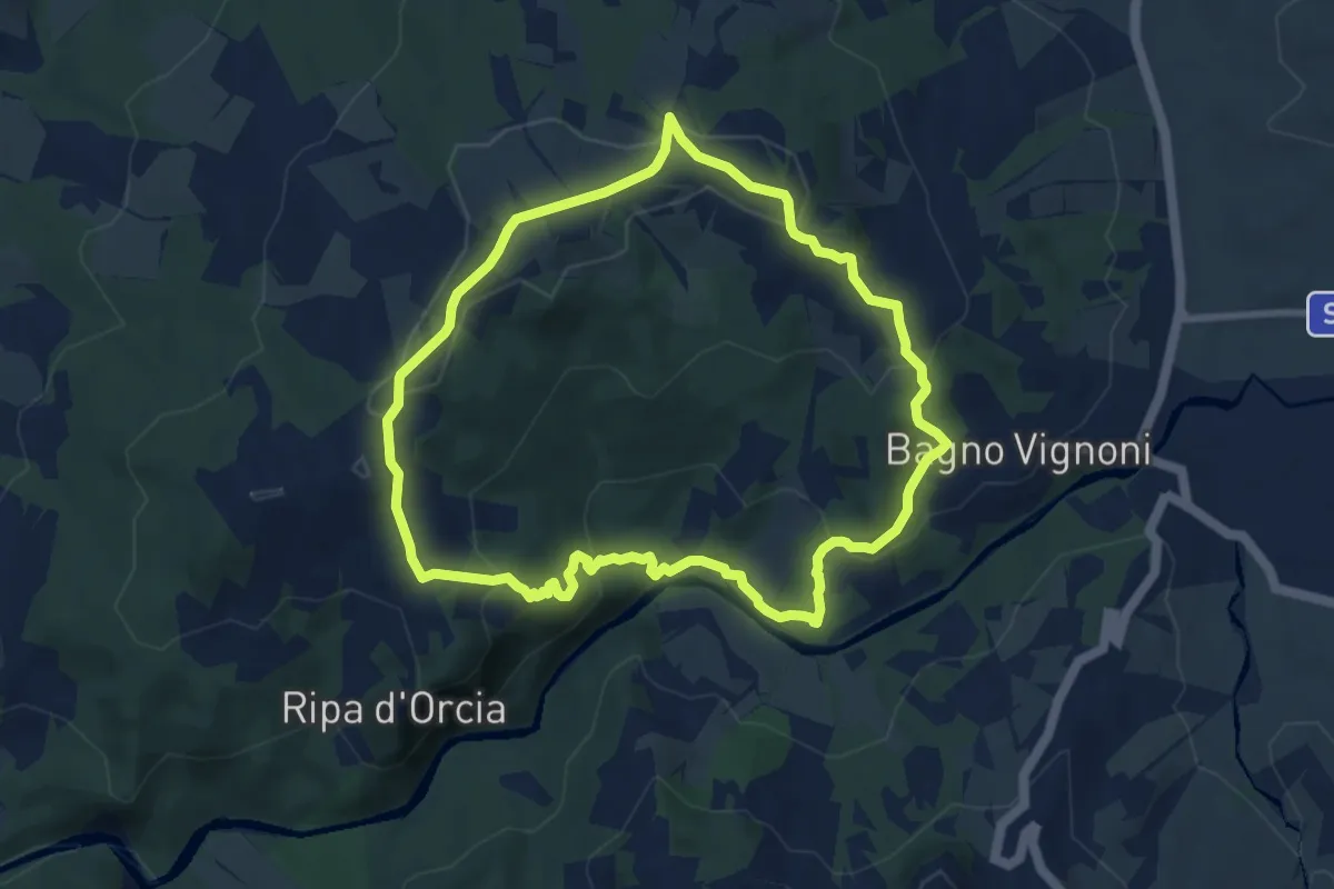
Medium · Trail
Ripa d'Orcia
8.5 km · ↑ 312 m · 2 h 48 min
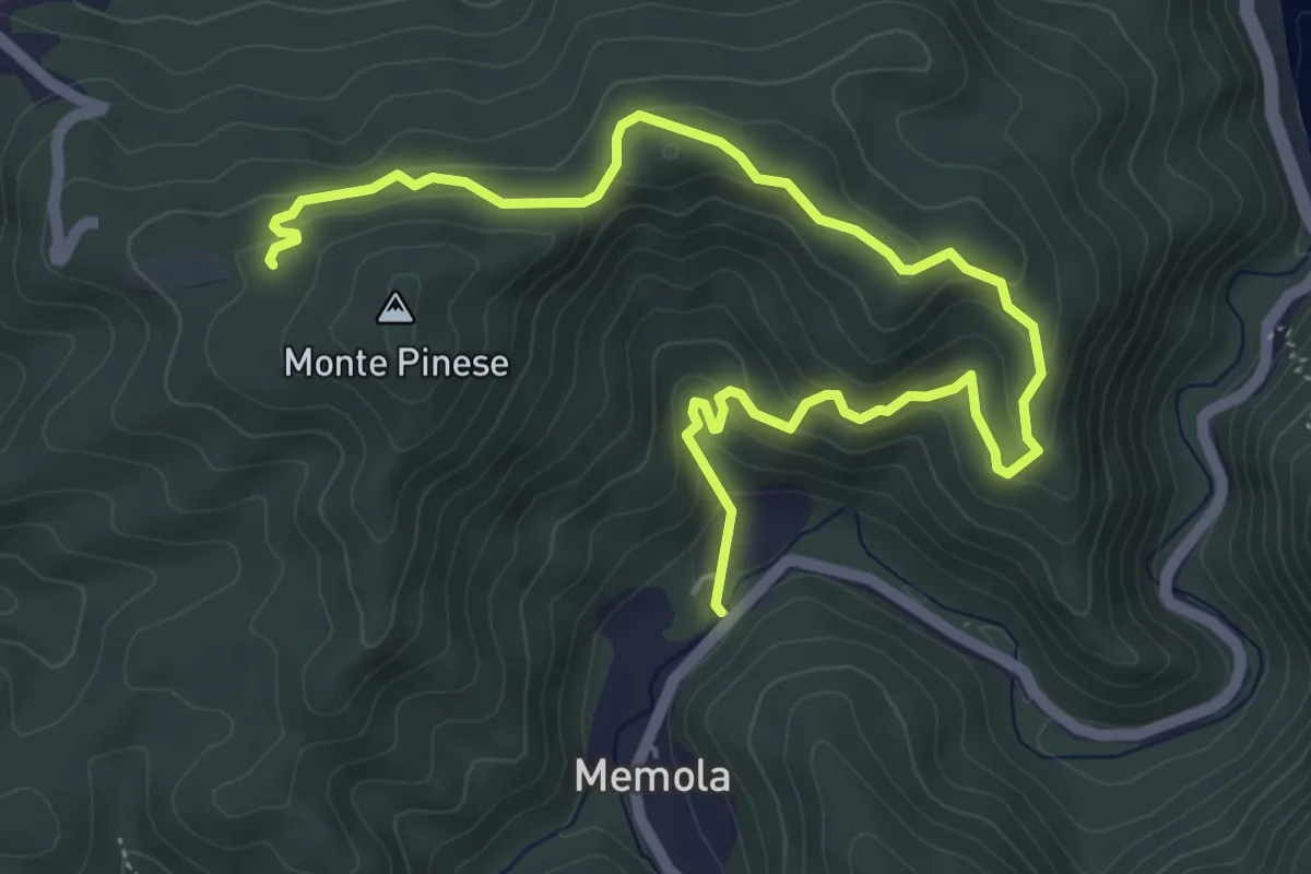
Easy · Trail
Ripalta – Pranovo
7.3 km · ↑ 292 m · 2 h 21 min
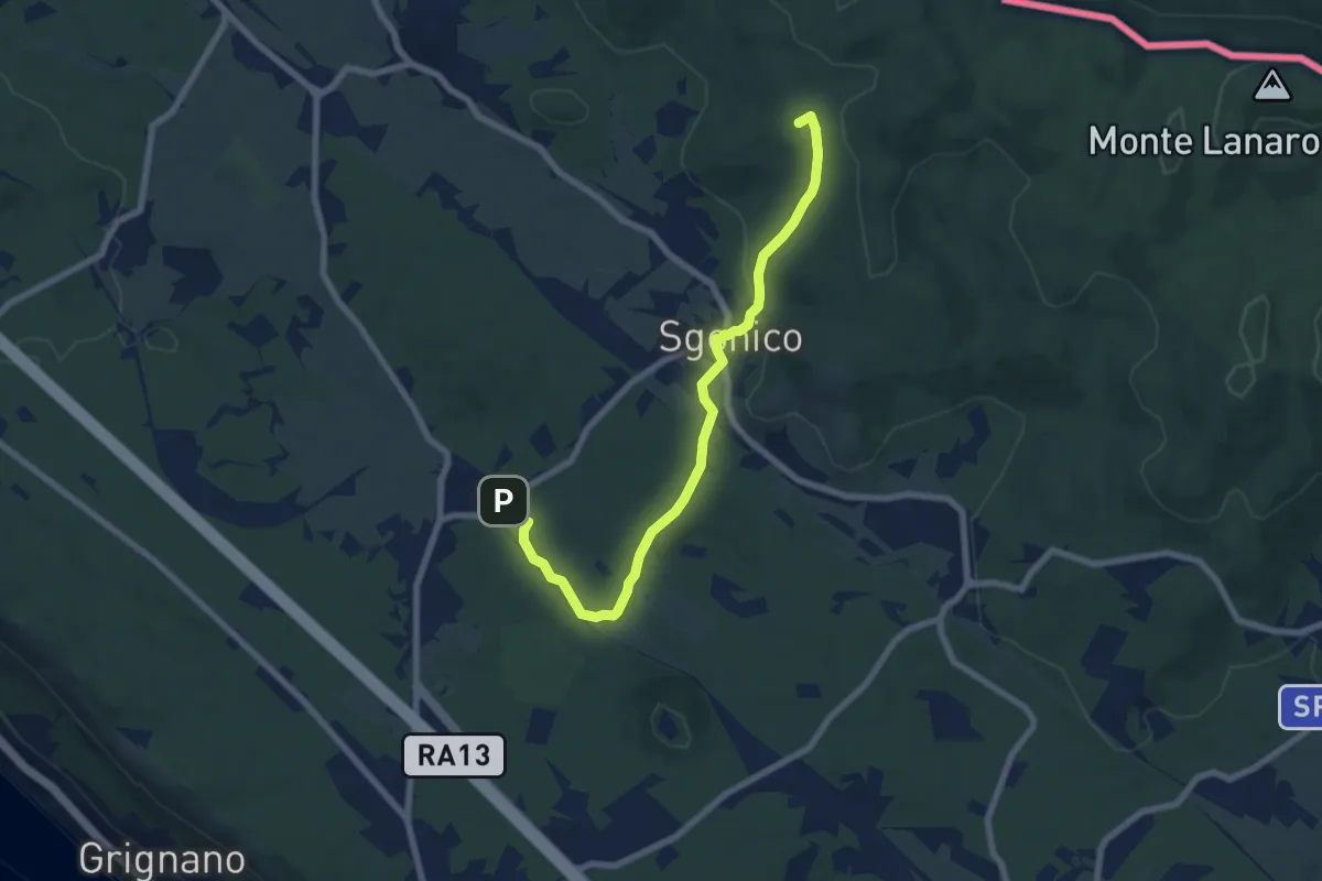
Easy · Summit
Riselce (tratto)
7.7 km · ↑ 151 m · 2 h 9 min
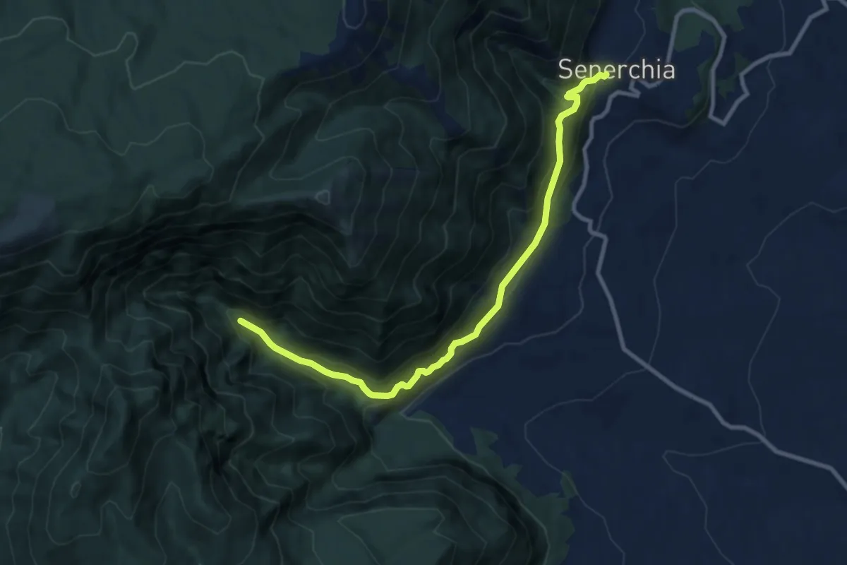
Medium · Trail
Riserva di Valle della Caccia
10.0 km · ↑ 764 m · 4 h 1 min
Easy · Trail
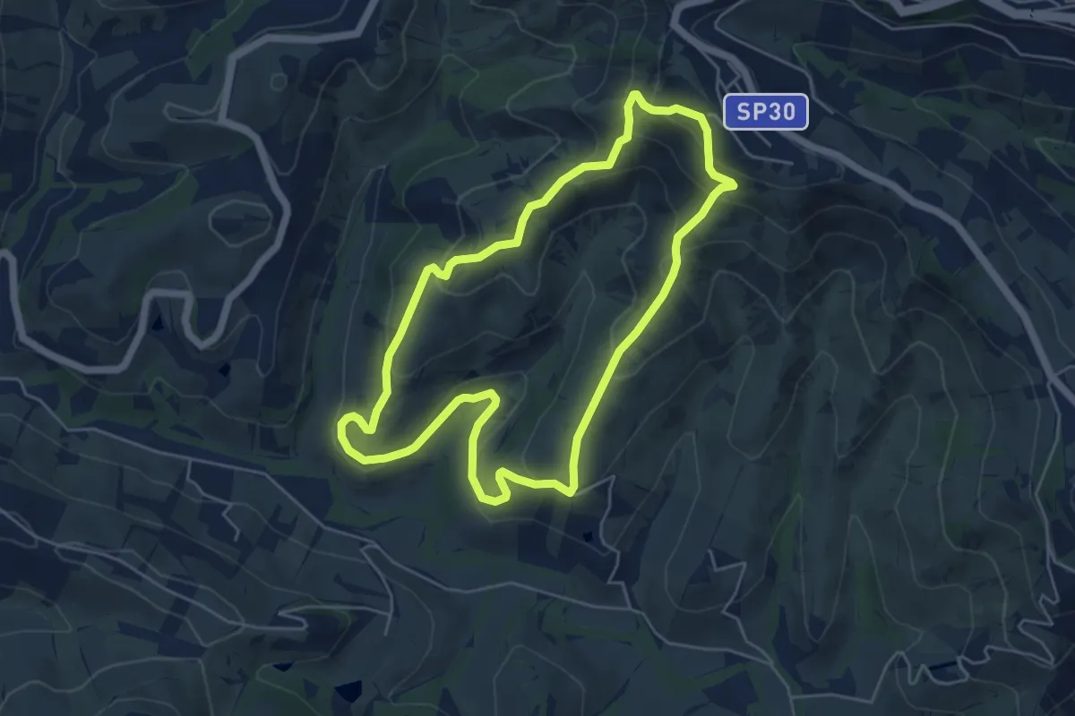
Riserva Naturale Regionale Oasi WWF Calanchi di Atri
5.4 km · ↑ 288 m · 1 h 58 min
Demanding · Trail
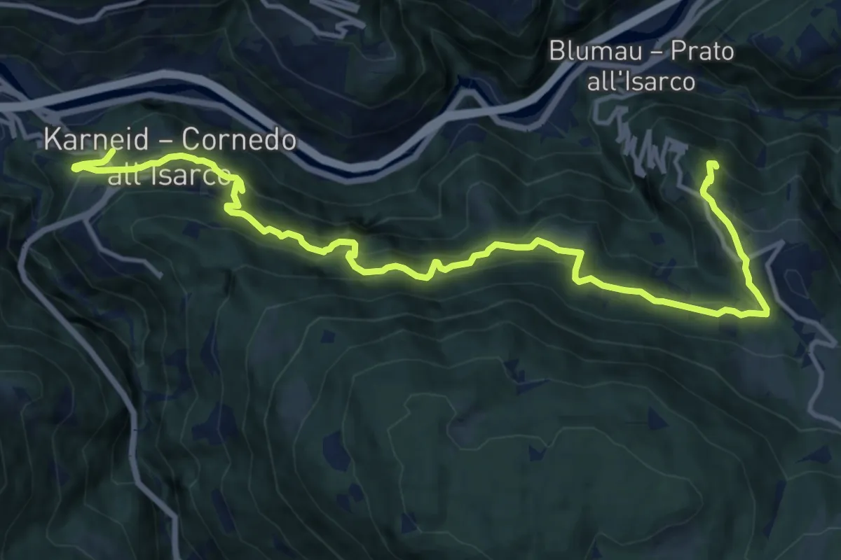
Rittersteig
14.5 km · ↑ 1184 m · 6 h
Medium · Trail
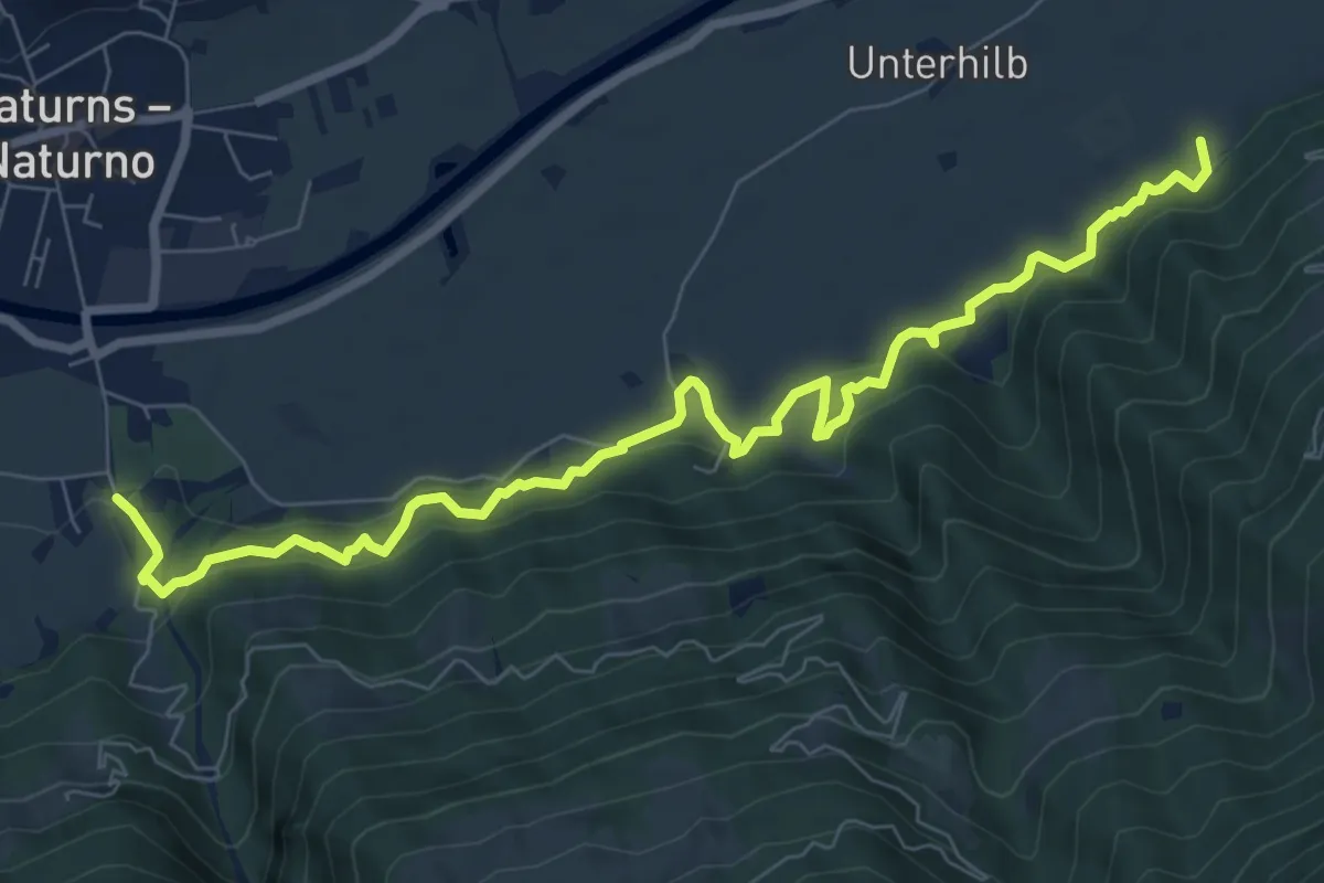
Rittersteig
9.3 km · ↑ 438 m · 3 h 8 min
Medium · Trail
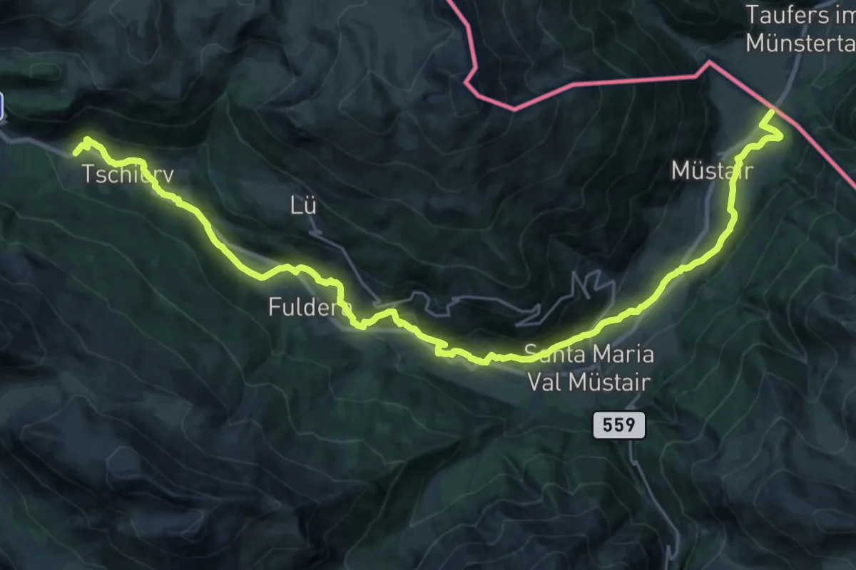
Riva dal Rom
15.4 km · ↑ 619 m · 4 h 56 min
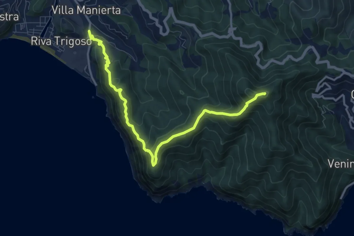
Medium · Summit
Riva Trigoso - Costa di Punta Baffe - Monte Moneglia
9.9 km · ↑ 556 m · 3 h 33 min
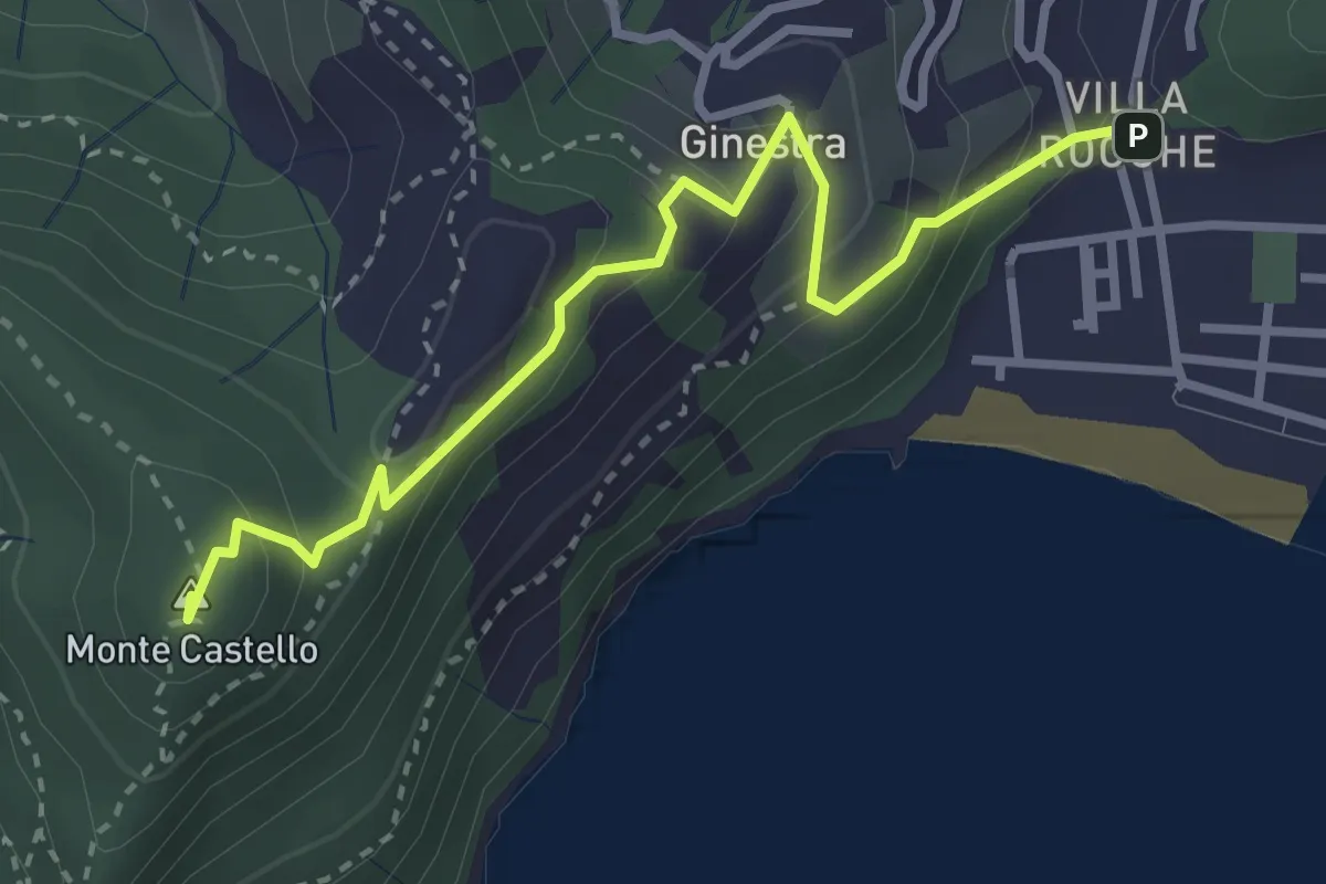
Medium · Summit
Riva Trigoso - Monte Castello
3.4 km · ↑ 226 m · 1 h 18 min
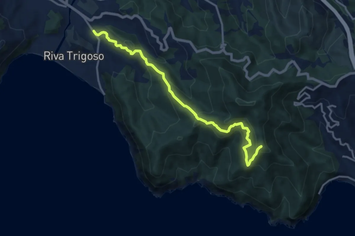
Medium · Summit
Riva Trigoso - Monte Comunaglia
9.5 km · ↑ 681 m · 3 h 44 min
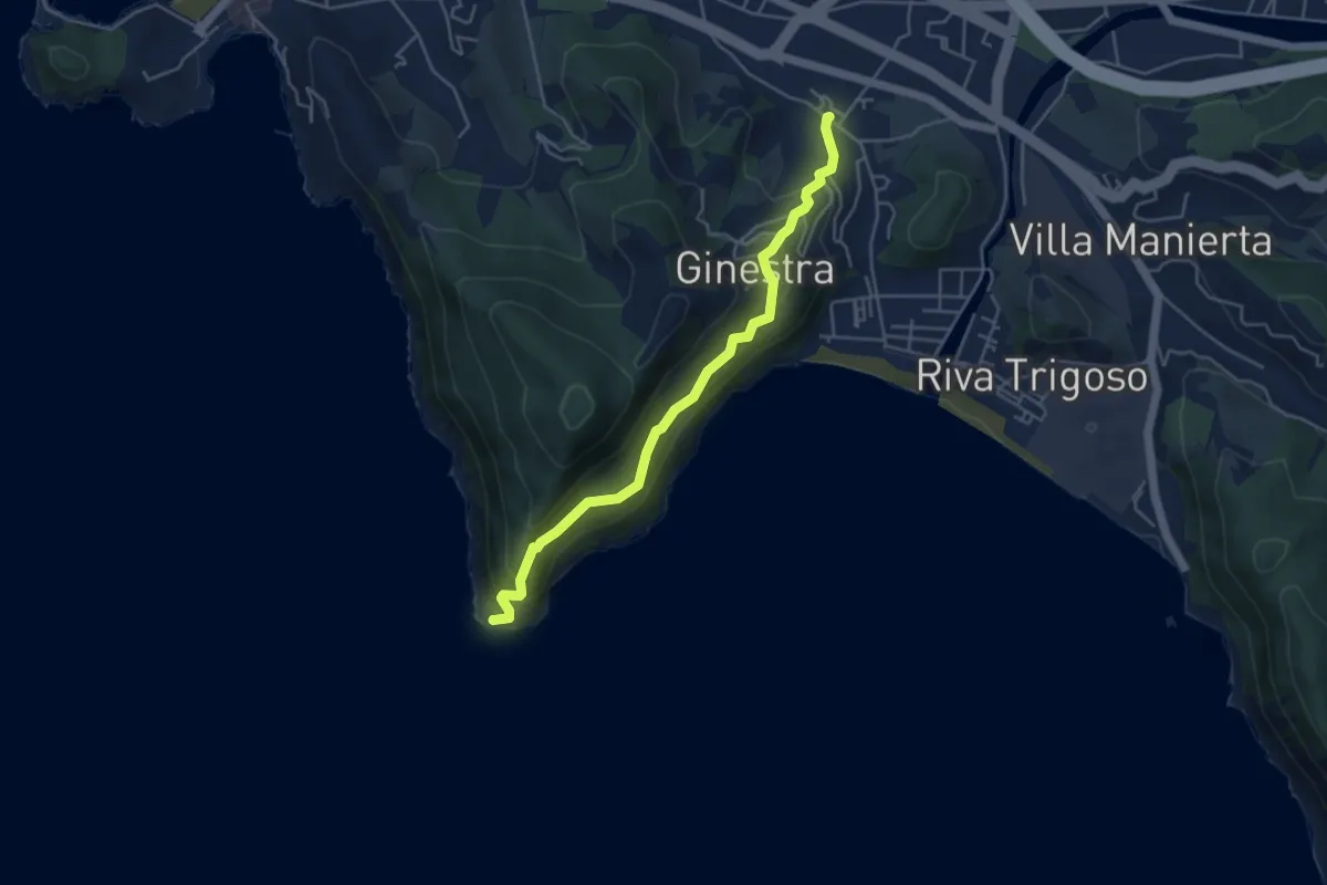
Expert · Trail
Riva Trigoso - Punta Manara
4.7 km · ↑ 398 m · 1 h 58 min
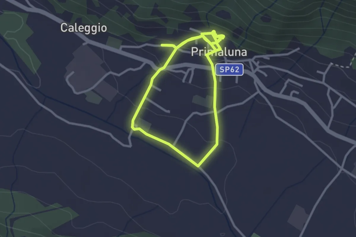
Easy · Trail
Ri-vivi Primaluna
2.5 km · ↑ 109 m · 52 min
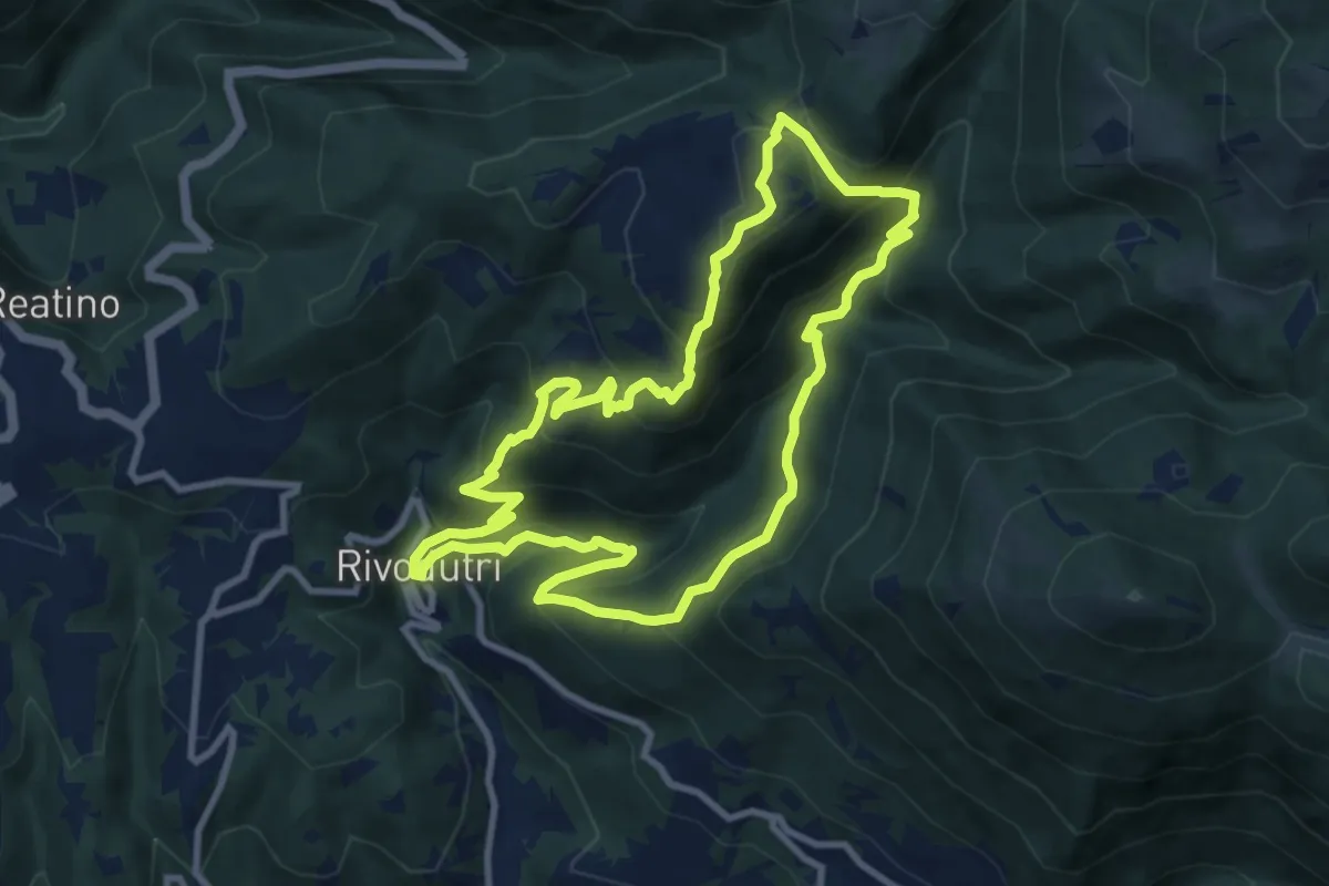
Medium · Trail
Rivodutri-Faggio di S.Francesco-Rivodutri
9.7 km · ↑ 679 m · 3 h 54 min
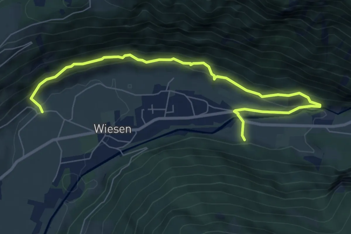
Medium · Trail
Roanderweg
7.5 km · ↑ 437 m · 2 h 44 min
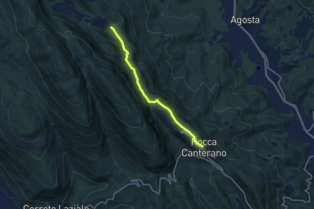
Easy · Trail
Rocca Canterano-Rocca di Mezzo-Prato Marano
7.2 km · ↑ 303 m · 2 h 21 min
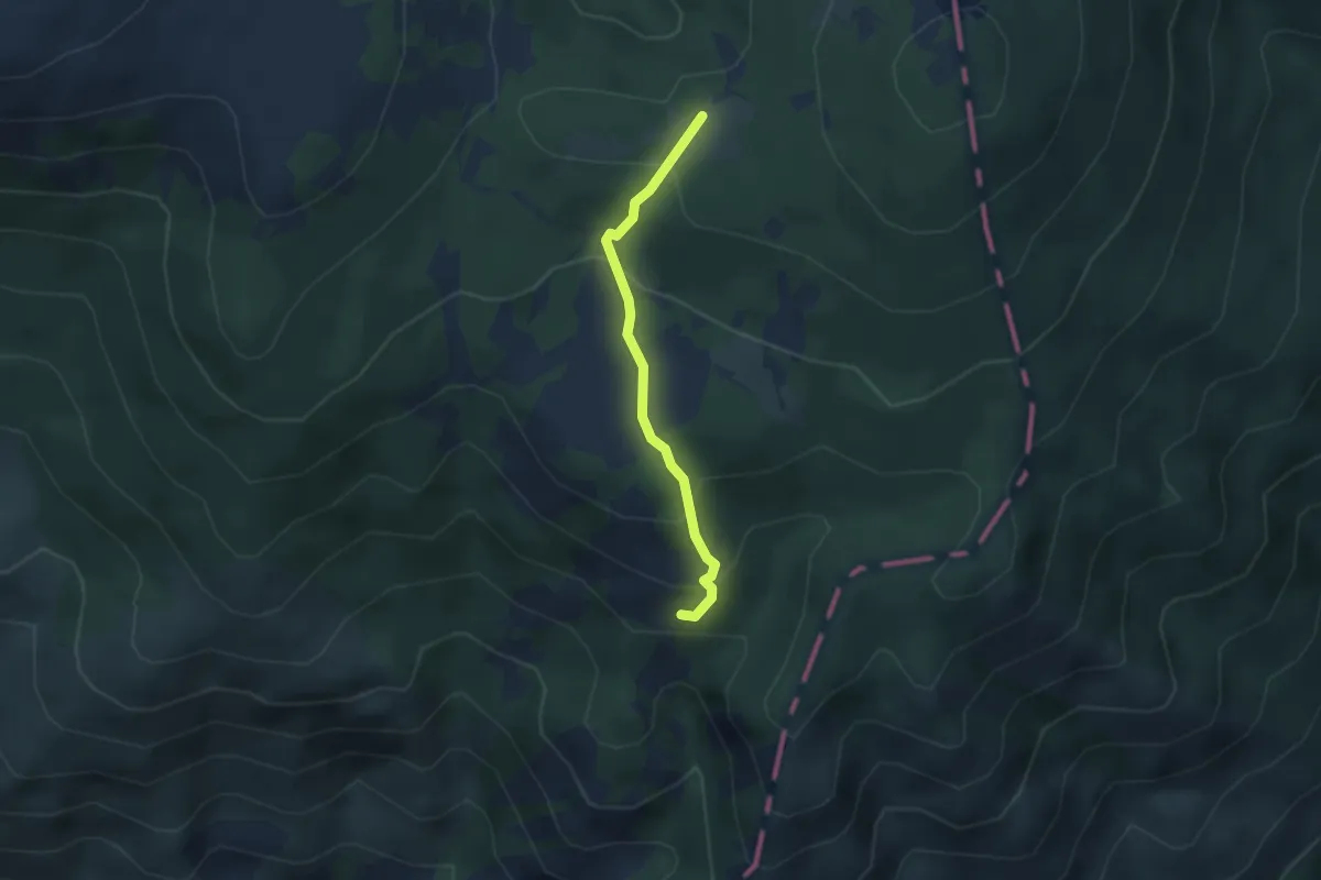
Medium · Trail
Rocca dei Porcelletti - Prato Mollo - Prati di Monte Nero
2.9 km · ↑ 182 m · 1 h 4 min
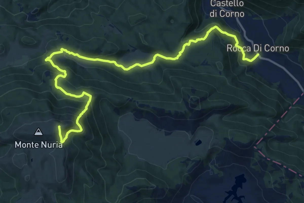
Demanding · Summit
Rocca di corno-Monte Nuria
23.1 km · ↑ 1265 m · 8 h 12 min
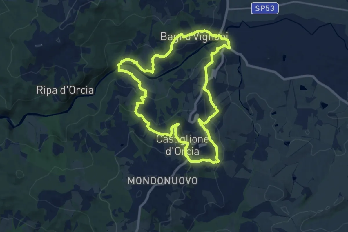
Medium · Trail
Rocca d'Orcia
11.8 km · ↑ 441 m · 3 h 54 min
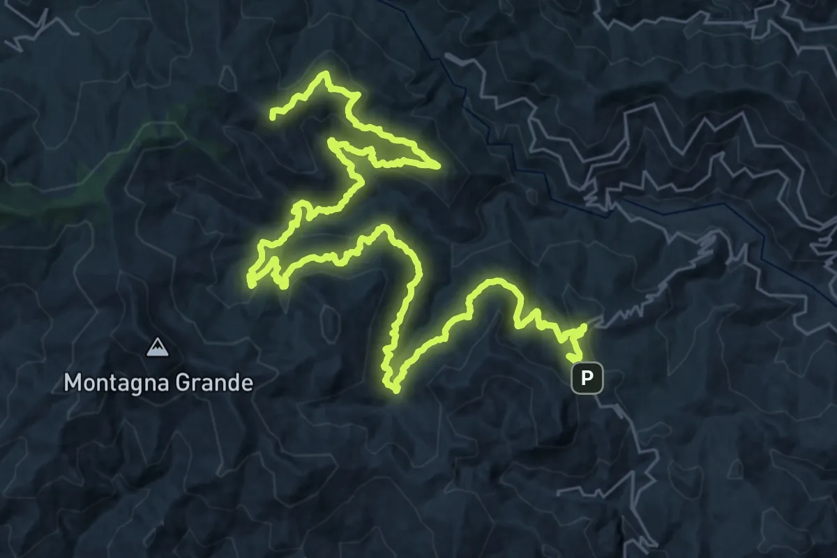
Demanding · Summit
Roccafiorita Sentiero Italia
49.0 km · ↑ 2414 m · 16 h 48 min
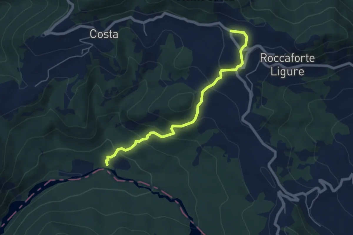
Easy · Trail
Roccaforte Ligure – Mulino Serventino
4.9 km · ↑ 319 m · 1 h 50 min
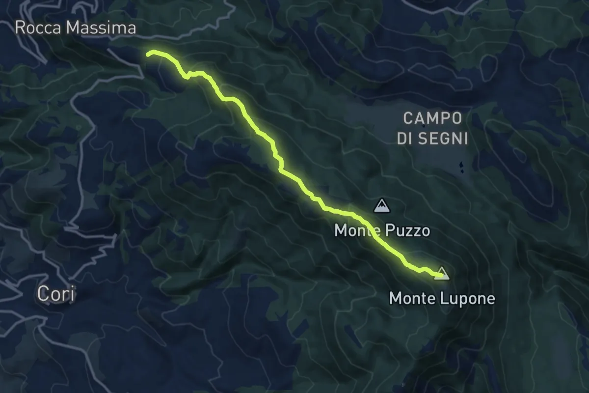
Medium · Summit
Rocca Massima - Monte Lupone
12.5 km · ↑ 697 m · 4 h 27 min
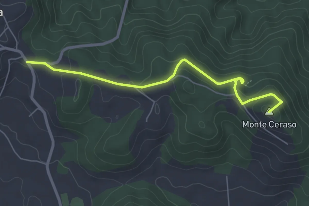
Easy · Summit
Rocca Priora - Bosco del Cerquone
5.4 km · ↑ 171 m · 1 h 38 min
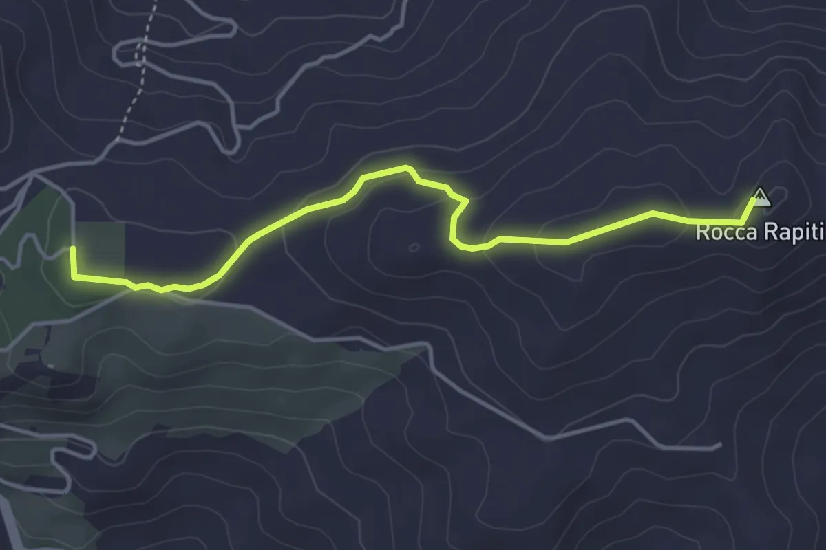
Easy · Summit
Rocca Rapiti
4.6 km · ↑ 92 m · 1 h 17 min
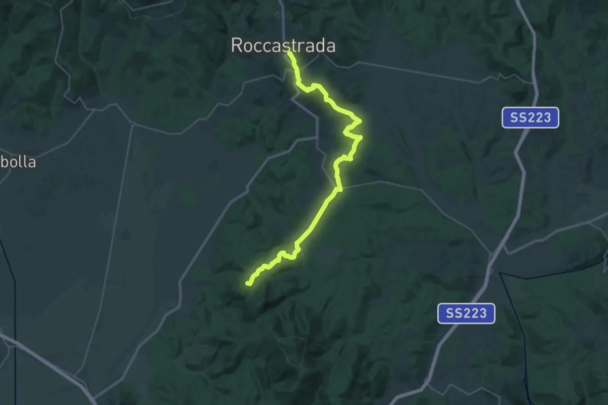
Demanding · Summit
Roccastrada Trekking
30.2 km · ↑ 906 m · 9 h 6 min
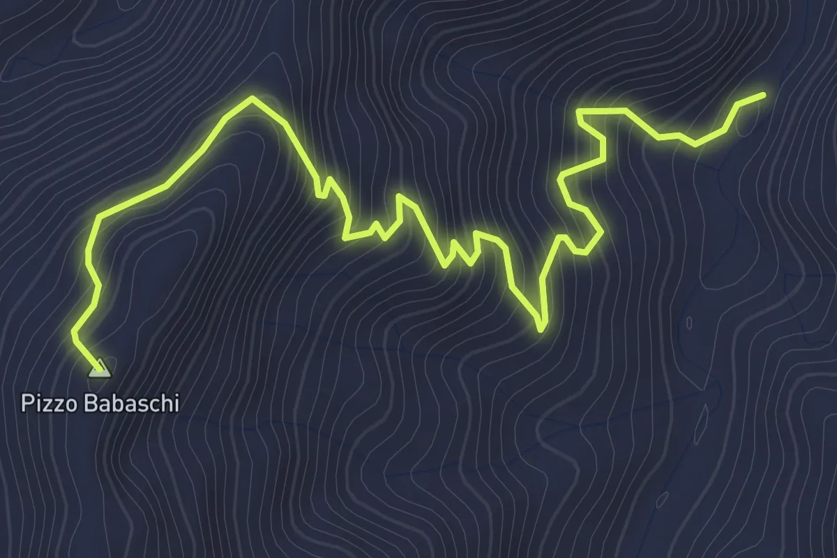
Medium · Summit
Rocca Timogna variante
5.0 km · ↑ 422 m · 2 h 5 min
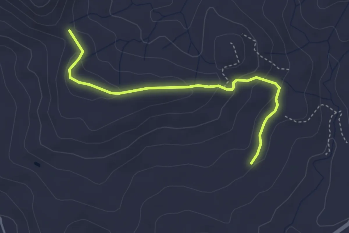
Easy · Trail
Rocce Salinà
4.1 km · ↑ 132 m · 1 h 16 min
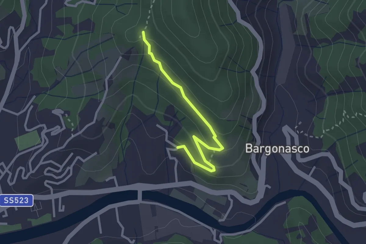
Easy · Trail
Rocce - S. Antonio
2.5 km · ↑ 112 m · 50 min
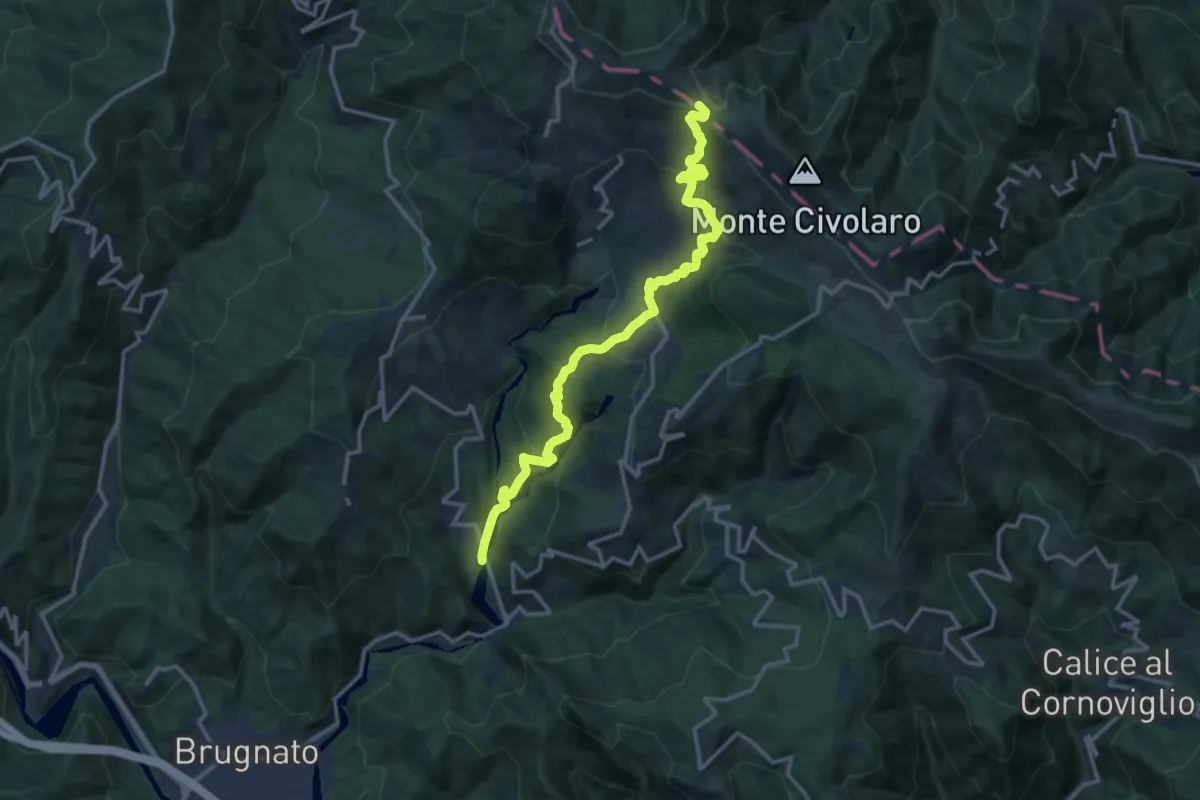
Demanding · Summit
Rocchetta - La Debbia - Molino Rotato - Casa Fontana Fredda - Foce Termine
16.3 km · ↑ 909 m · 5 h 49 min
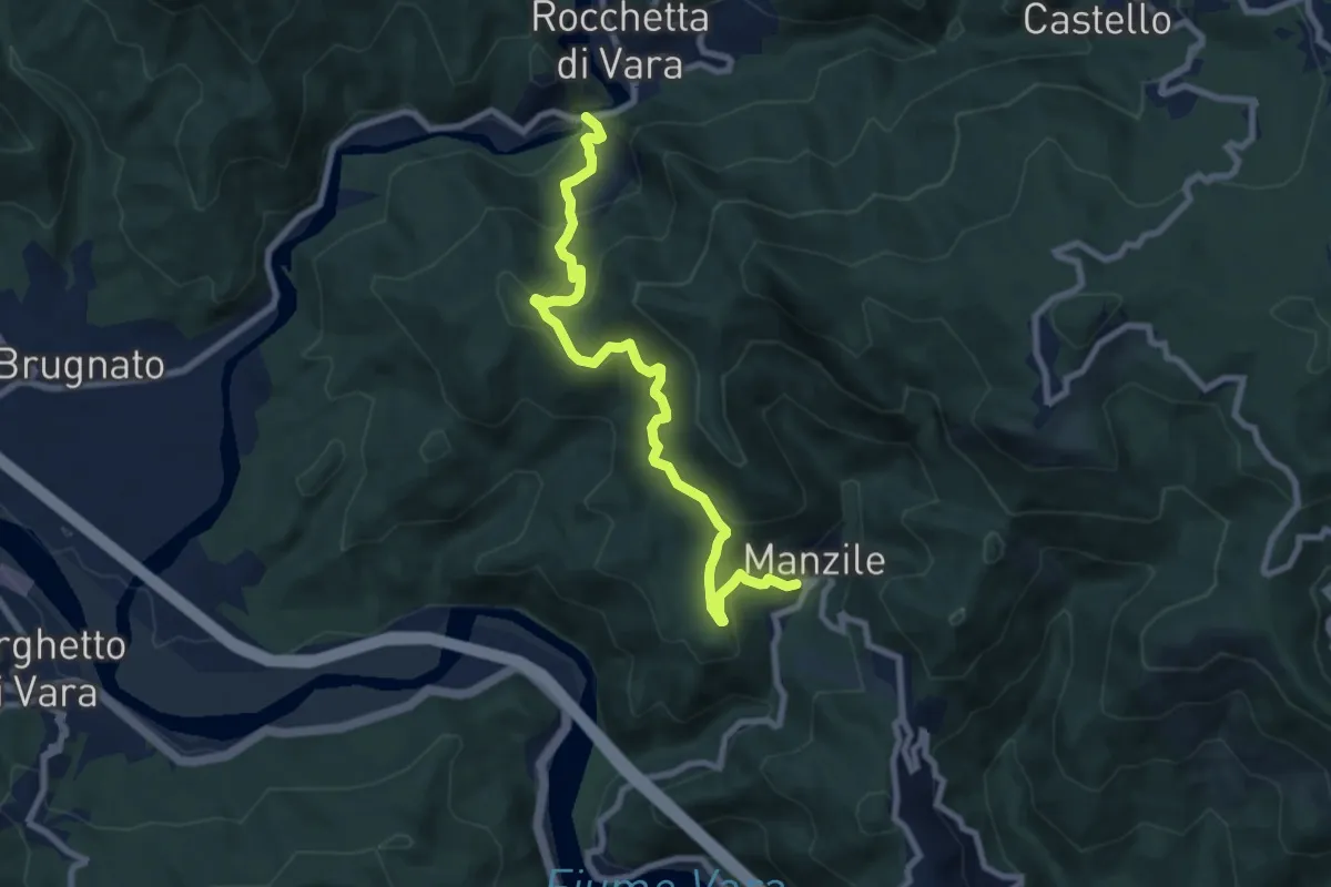
Medium · Trail
Rocchetta - Manzile
8.9 km · ↑ 552 m · 3 h 18 min
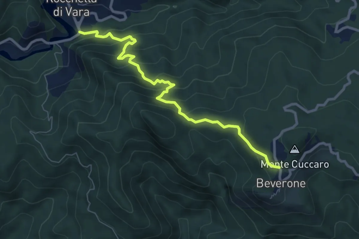
Medium · Trail
Rocchetta - Monte Nero - Beverone
7.2 km · ↑ 479 m · 2 h 44 min
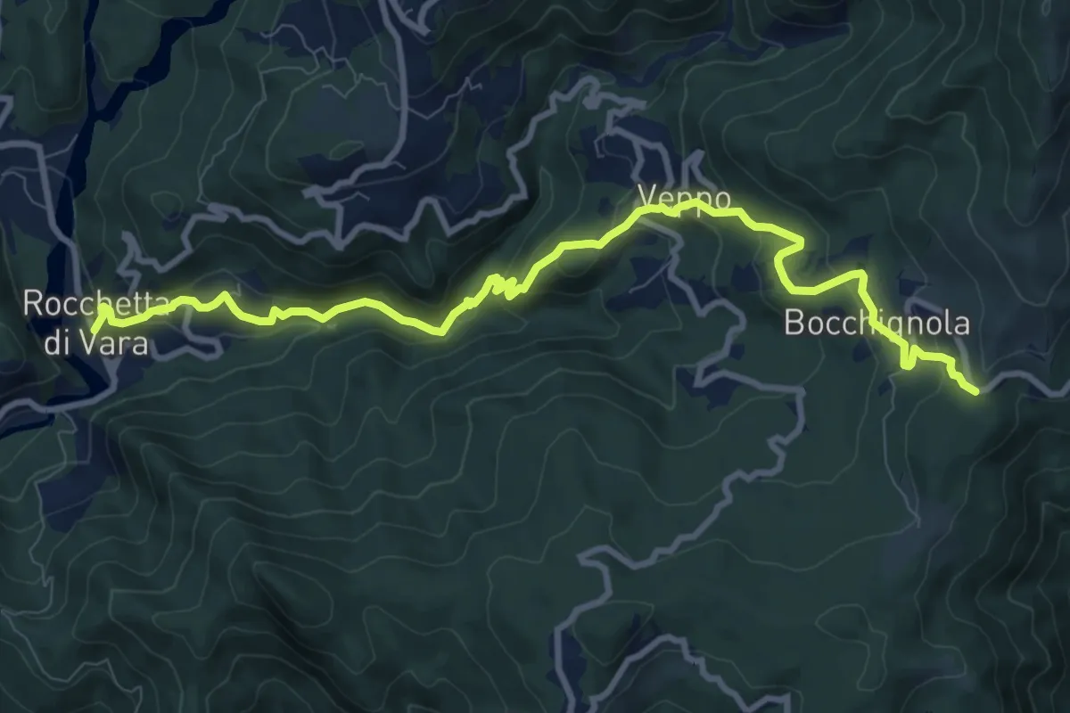
Medium · Trail
Rocchetta - Veppo - Foce Veppo
11.3 km · ↑ 612 m · 3 h 59 min
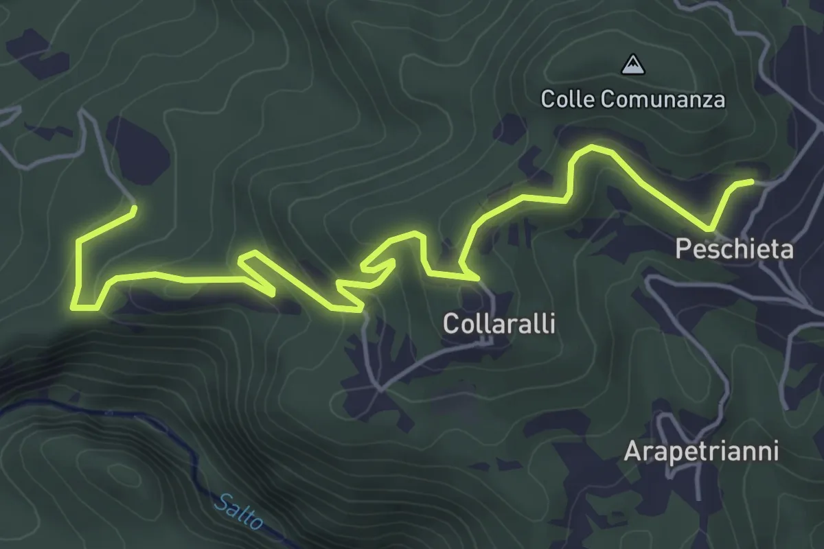
Easy · Trail
Rocchette- Peschieta
6.4 km · ↑ 292 m · 2 h 9 min
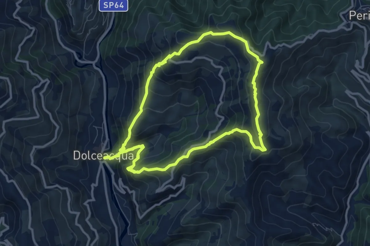
Medium · Summit
Rochin
8.2 km · ↑ 650 m · 3 h 25 min
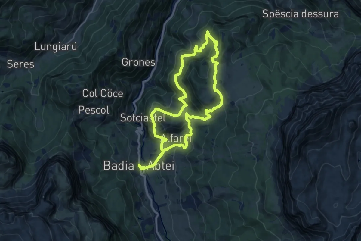
Demanding · Trail
Roda de Armentara
15.2 km · ↑ 850 m · 5 h 36 min
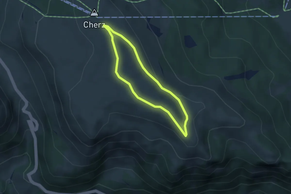
Easy · Summit
Roda de Cherz
2.7 km · ↑ 44 m · 46 min
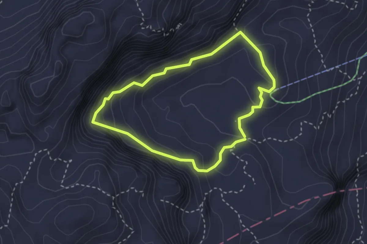
Medium · Trail
Roda de Valun - Valun Rundweg - Giro del Valun
2.3 km · ↑ 353 m · 1 h 21 min
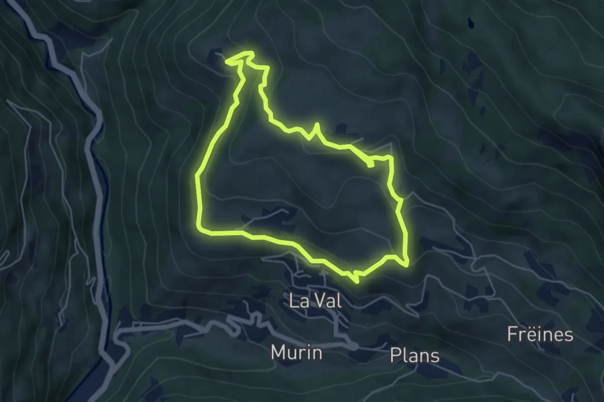
Easy · Trail
Roda dles Viles
4.7 km · ↑ 262 m · 1 h 45 min
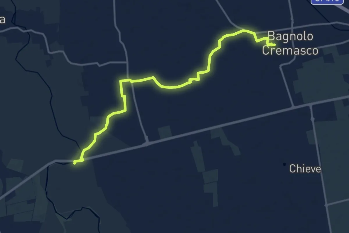
Medium · Trail
Roggia Vedria - Tormo
12.1 km · ↑ 12 m · 2 h 53 min
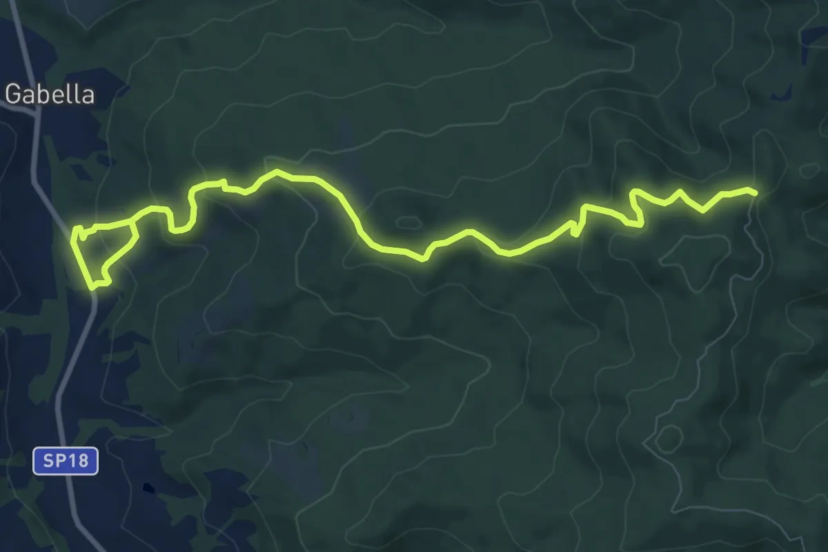
Medium · Trail
Rogheta
11.4 km · ↑ 530 m · 3 h 50 min
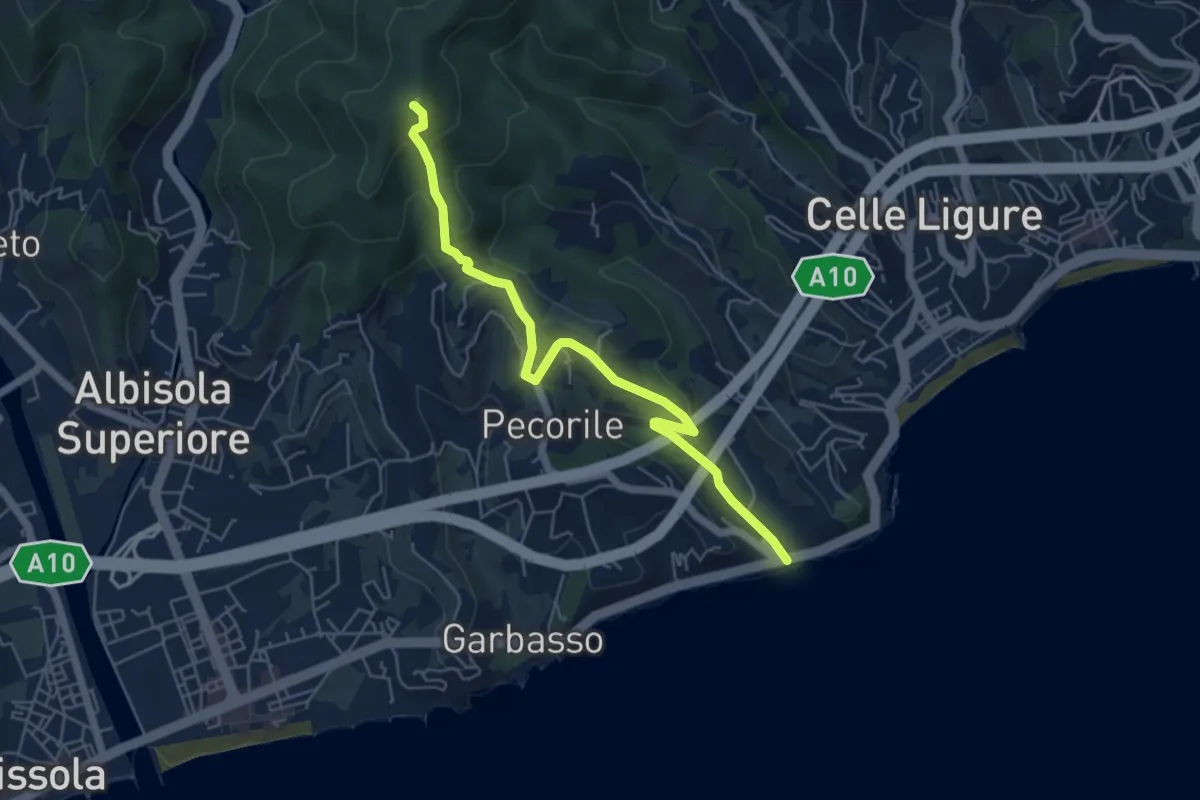
Demanding · Summit
Roglio - Torre del Bregalla
5.8 km · ↑ 254 m · 1 h 55 min
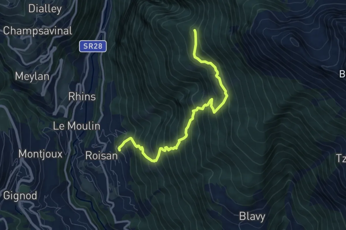
Demanding · Trail
Roisan - Praperia - Alpe Riond
8.5 km · ↑ 964 m · 4 h 6 min
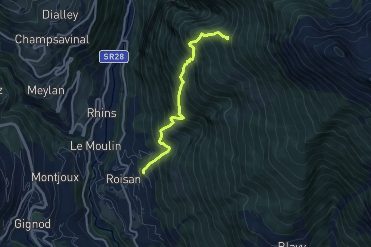
Demanding · Trail
Roisan - Riond
6.2 km · ↑ 866 m · 3 h 21 min
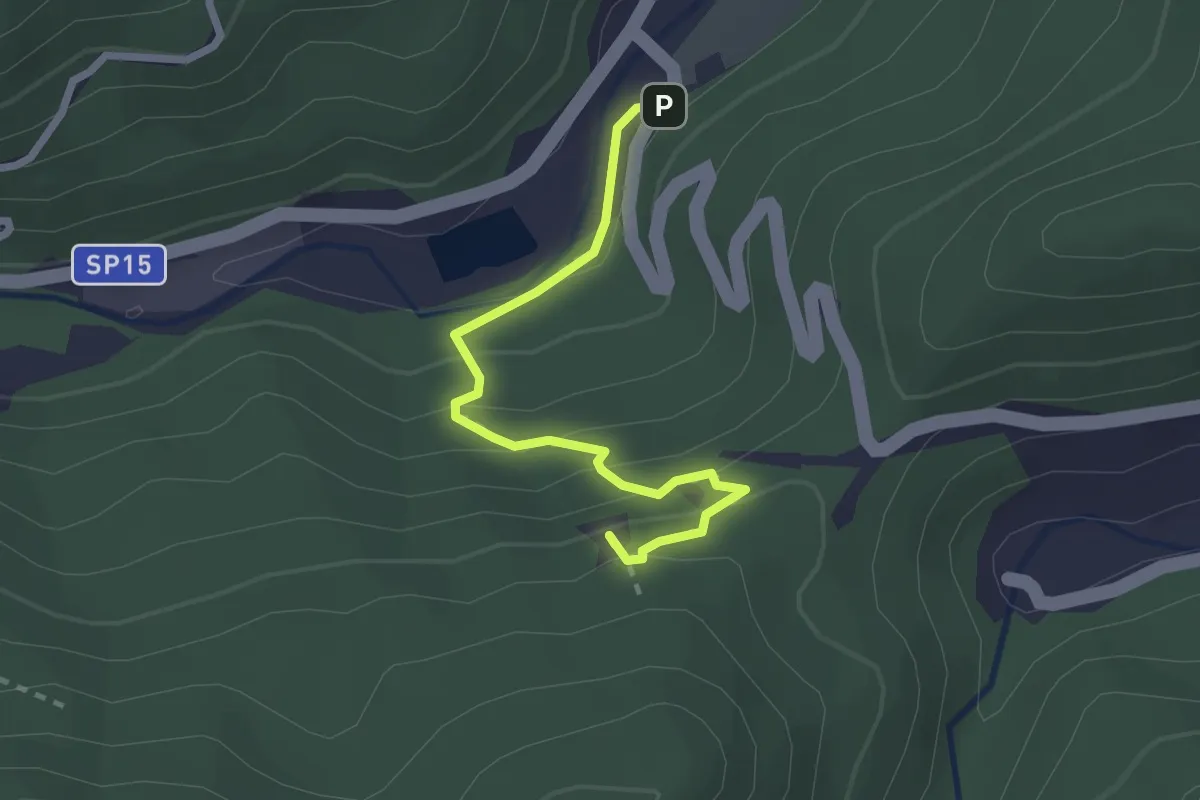
Demanding · Summit
Romana - Rocca Tavana
2.5 km · ↑ 154 m · 56 min