Trails in Italy
25,221 hiking trails, each with its route, climb, walking time and grade.
All trails, page 133 of 526
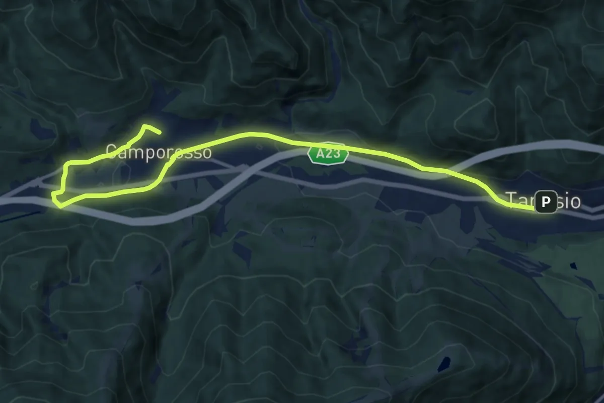
Medium · Trail
Romea Strata in Italia - Tappa RSIT01
12.7 km · ↑ 115 m · 3 h 15 min
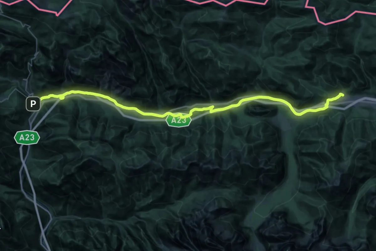
Demanding · Trail
Romea Strata in Italia - Tappa RSIT02
20.9 km · ↑ 390 m · 5 h 56 min
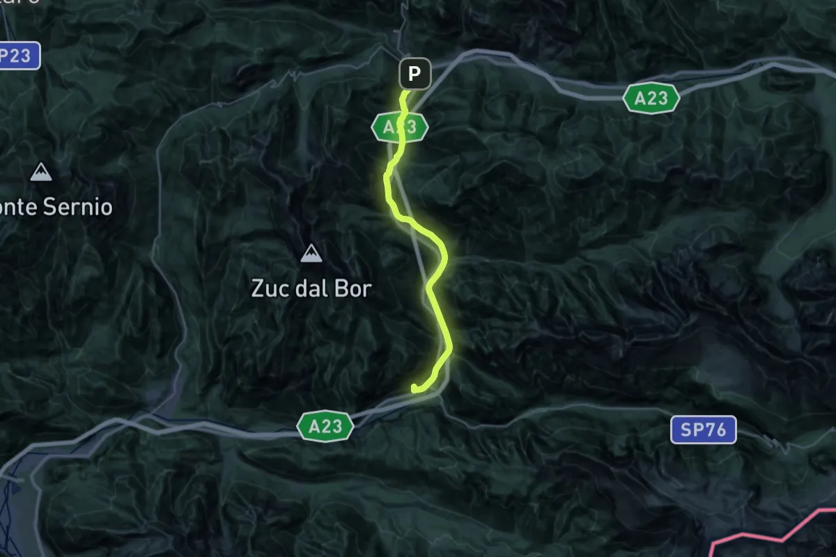
Demanding · Summit
Romea Strata in Italia - Tappa RSIT03
26.6 km · ↑ 838 m · 8 h 6 min
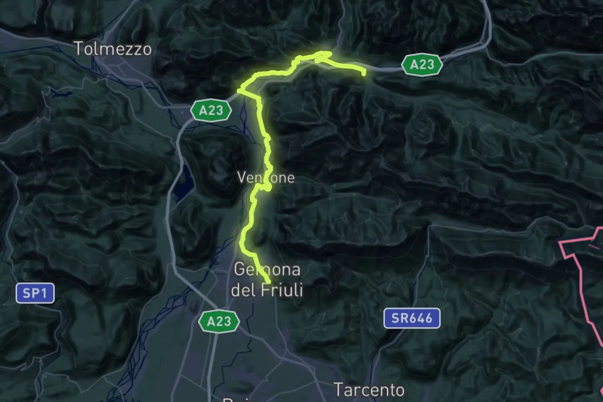
Demanding · Trail
Romea Strata in Italia - Tappa RSIT04
27.4 km · ↑ 478 m · 7 h 52 min
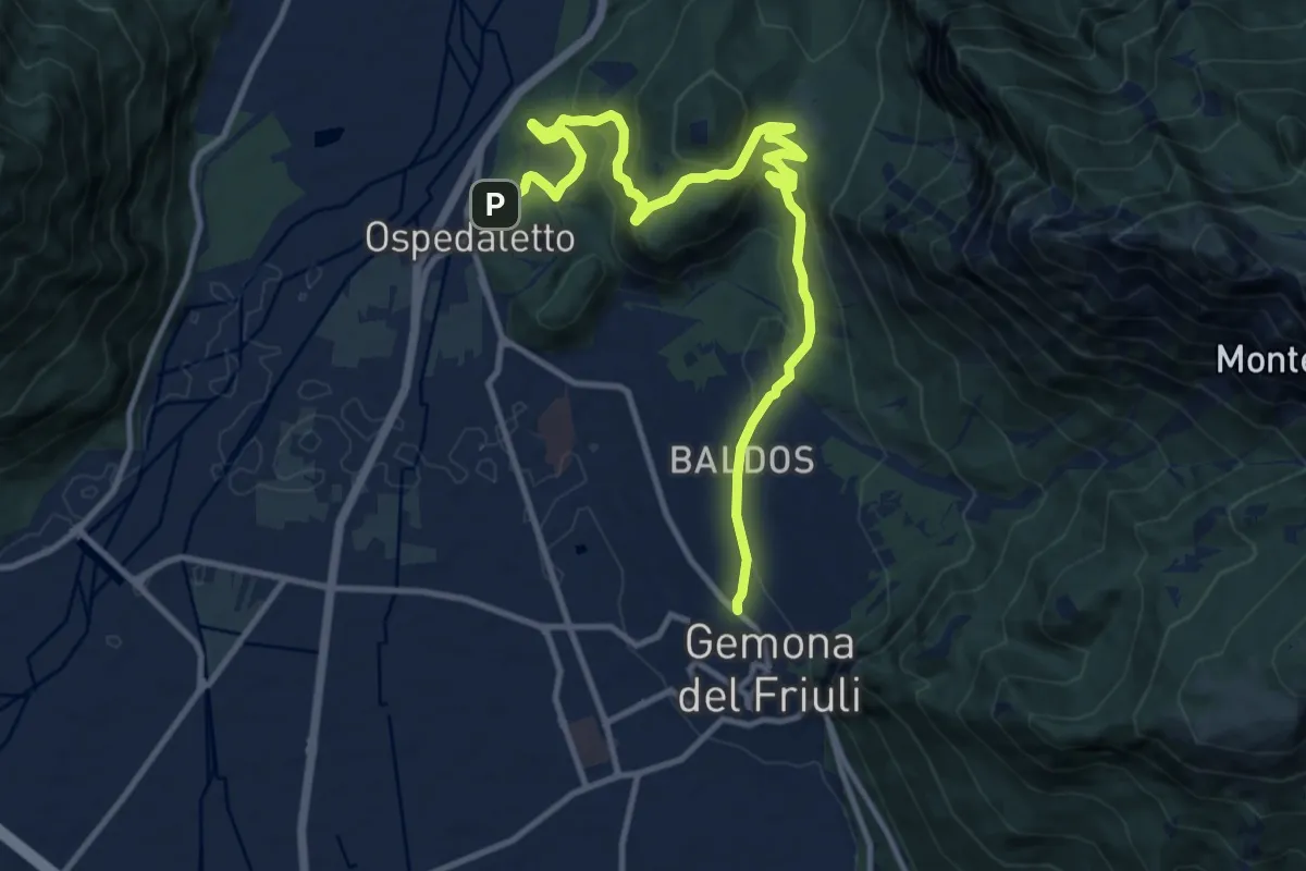
Medium · Trail
Romea Strata in Italia - Tappa RSIT04var
13.8 km · ↑ 607 m · 4 h 34 min
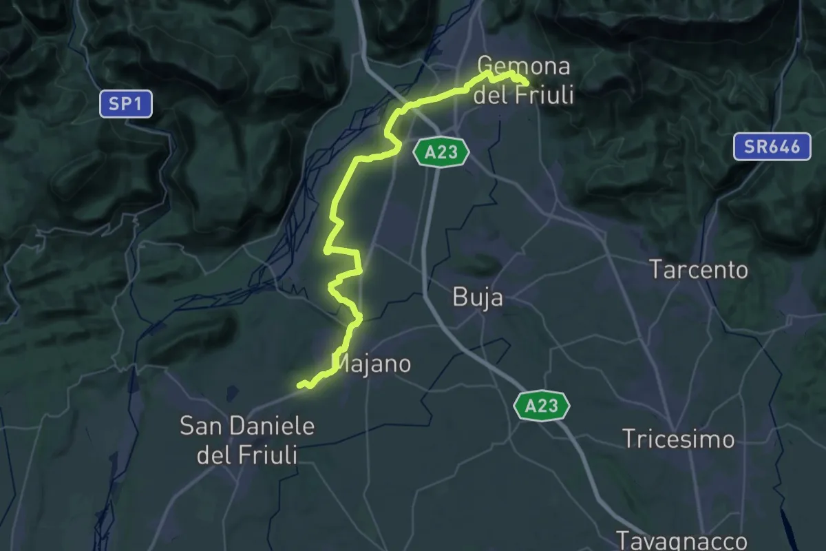
Demanding · Trail
Romea Strata in Italia - Tappa RSIT05
21.6 km · ↑ 92 m · 5 h 38 min
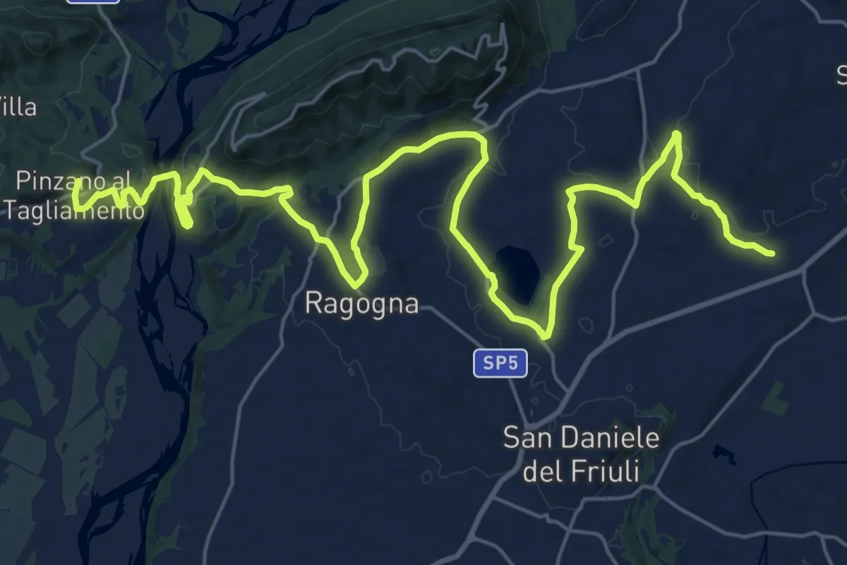
Demanding · Summit
Romea Strata in Italia - Tappa RSIT06
30.6 km · ↑ 435 m · 8 h 10 min
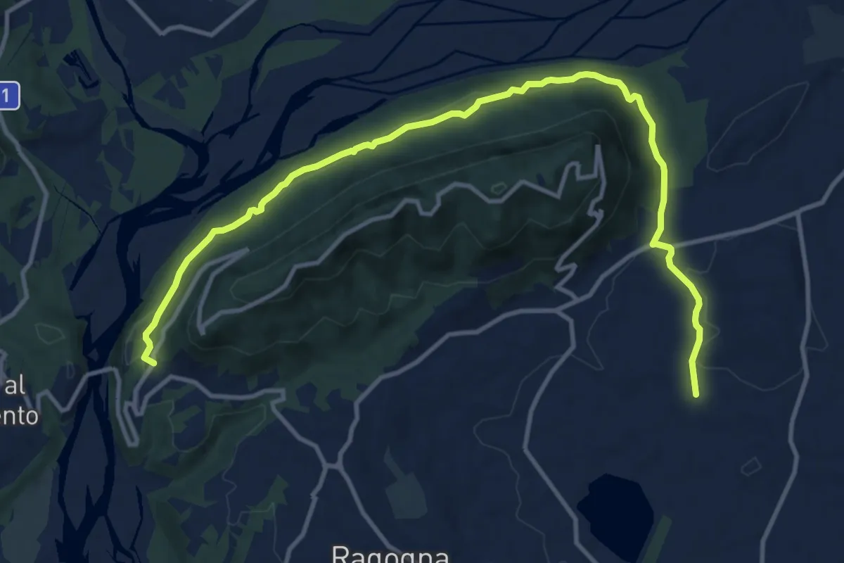
Medium · Trail
Romea Strata in Italia - Tappa RSIT06var
13.3 km · ↑ 335 m · 3 h 52 min
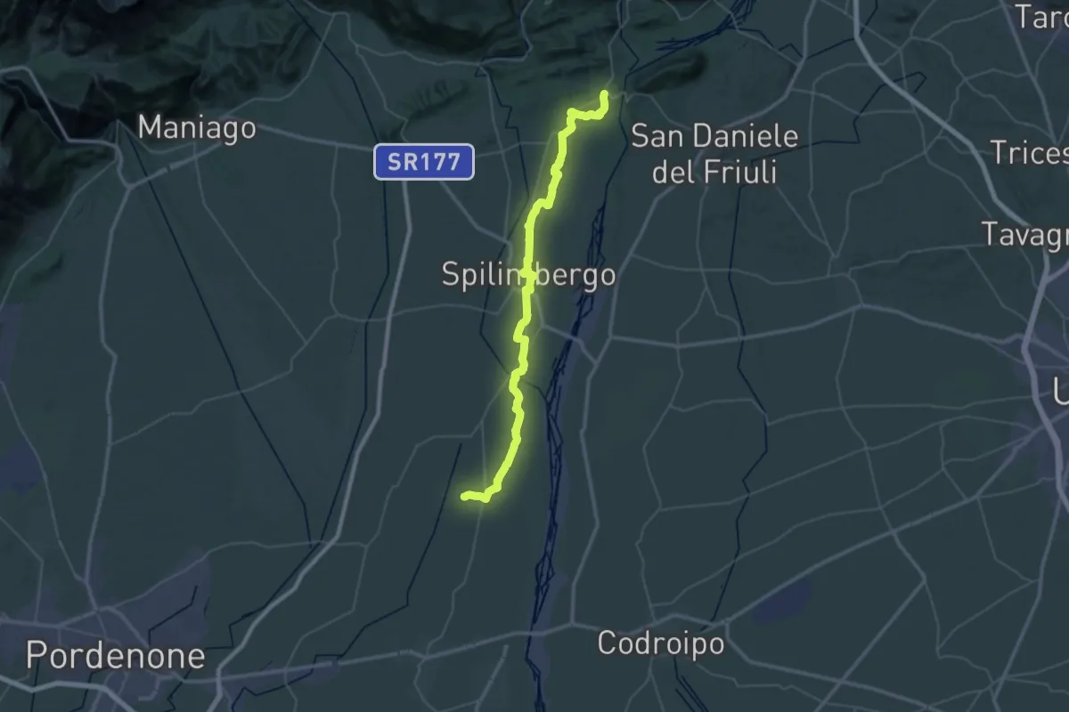
Demanding · Summit
Romea Strata in Italia - Tappa RSIT07
49.9 km · ↑ 335 m · 12 h 31 min
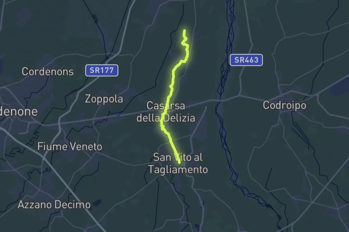
Demanding · Trail
Romea Strata in Italia - Tappa RSIT08
29.0 km · ↑ 37 m · 6 h 55 min
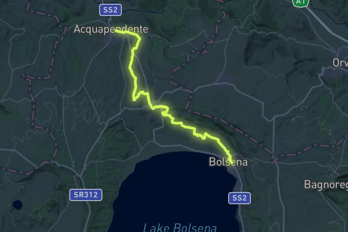
Demanding · Trail
Romea Strata in Italia - Tappa RSIT41
22.8 km · ↑ 266 m · 6 h 18 min
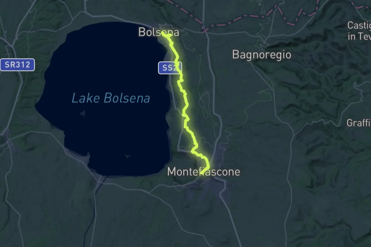
Demanding · Summit
Romea Strata in Italia - Tappa RSIT42
33.6 km · ↑ 788 m · 9 h 38 min
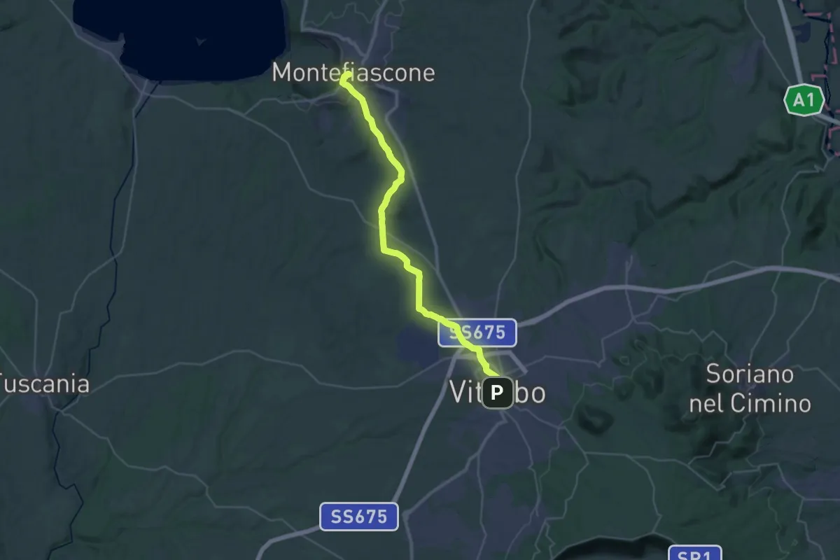
Demanding · Summit
Romea Strata in Italia - Tappa RSIT43
35.8 km · ↑ 537 m · 9 h 37 min
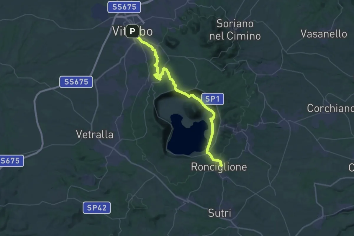
Demanding · Trail
Romea Strata in Italia - Tappa RSIT44
23.2 km · ↑ 618 m · 7 h 6 min
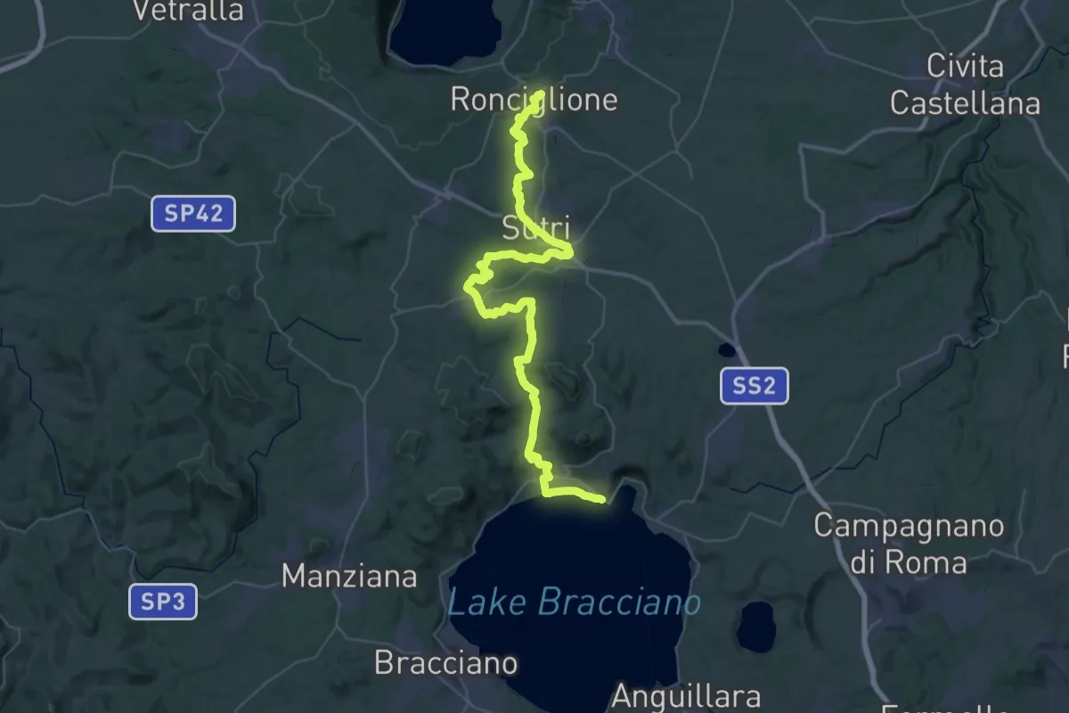
Demanding · Trail
Romea Strata in Italia - Tappa RSIT45
29.3 km · ↑ 372 m · 8 h 16 min
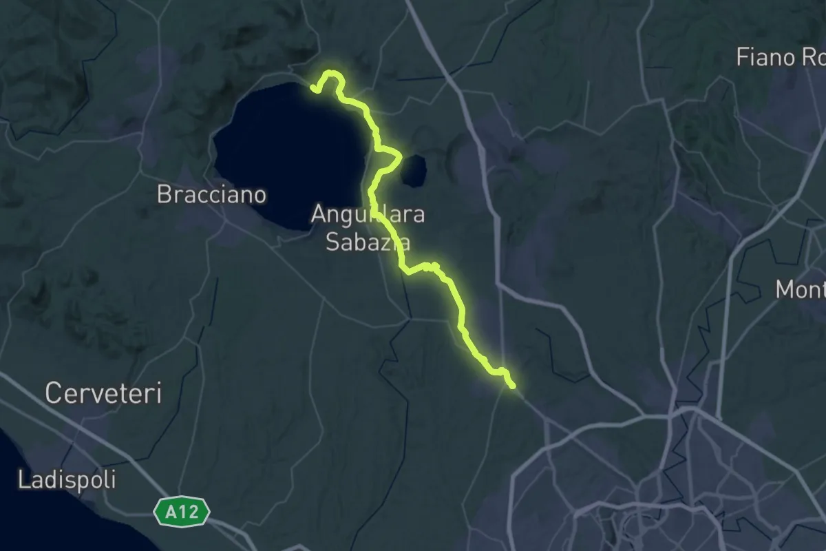
Demanding · Trail
Romea Strata in Italia - Tappa RSIT46
29.5 km · ↑ 189 m · 7 h 47 min
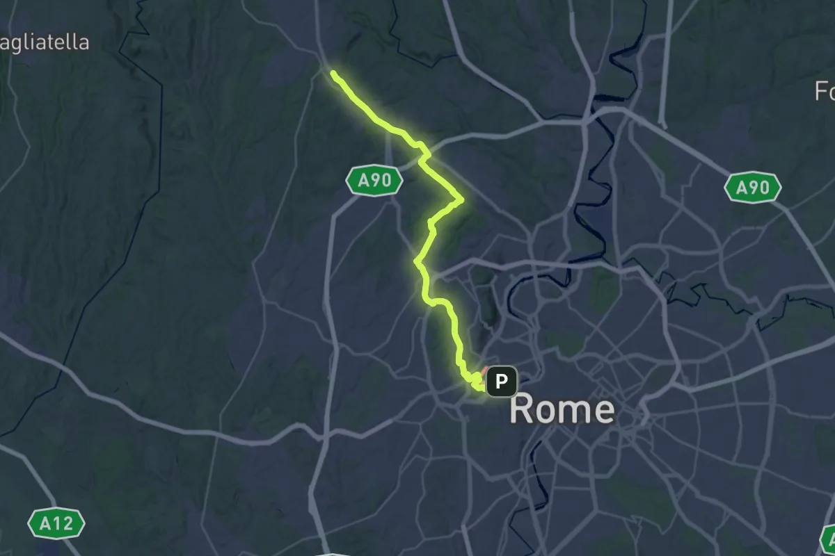
Demanding · Trail
Romea Strata in Italia - Tappa RSIT47
18.6 km · ↑ 291 m · 5 h 12 min
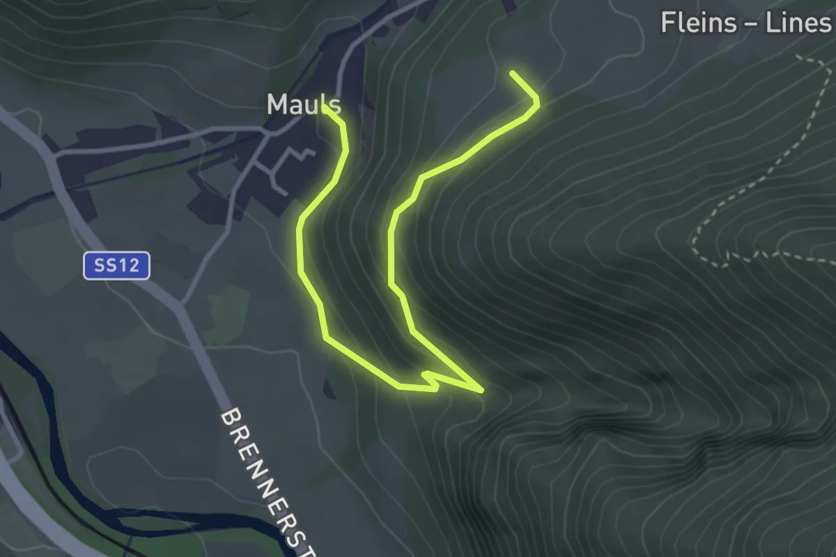
Easy · Trail
Romedisteig
3.7 km · ↑ 242 m · 1 h 24 min
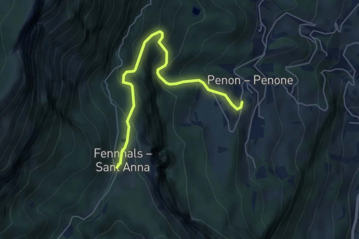
Medium · Trail
Römerweg
4.9 km · ↑ 480 m · 2 h 12 min
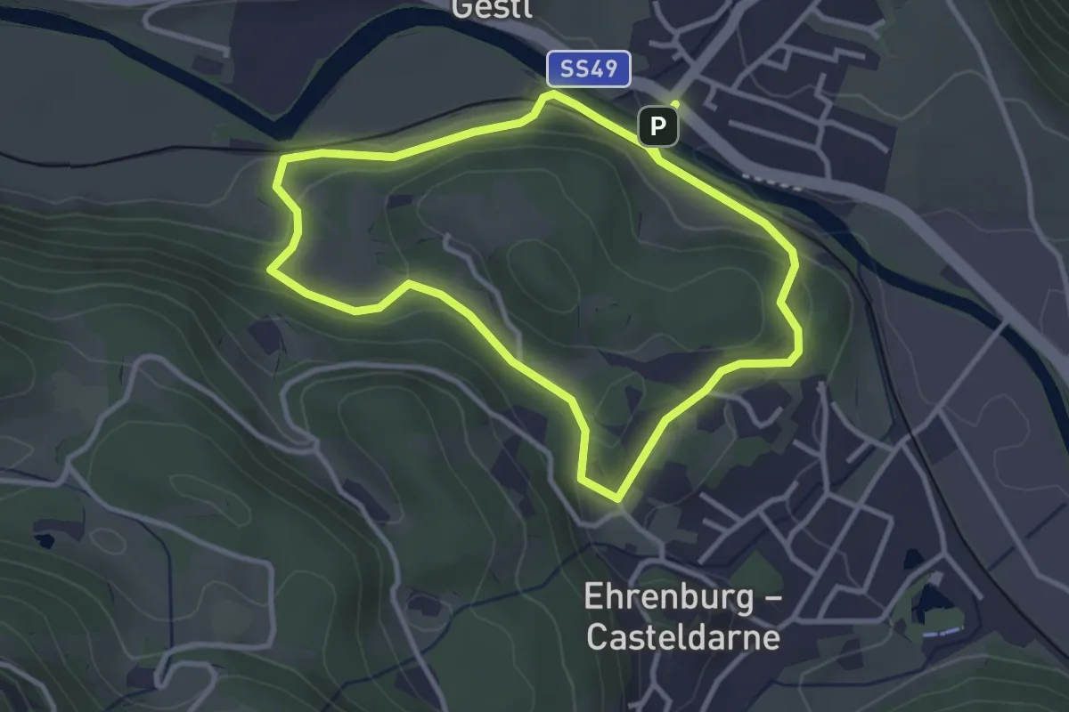
Easy · Trail
Römerweg
3.1 km · ↑ 80 m · 57 min
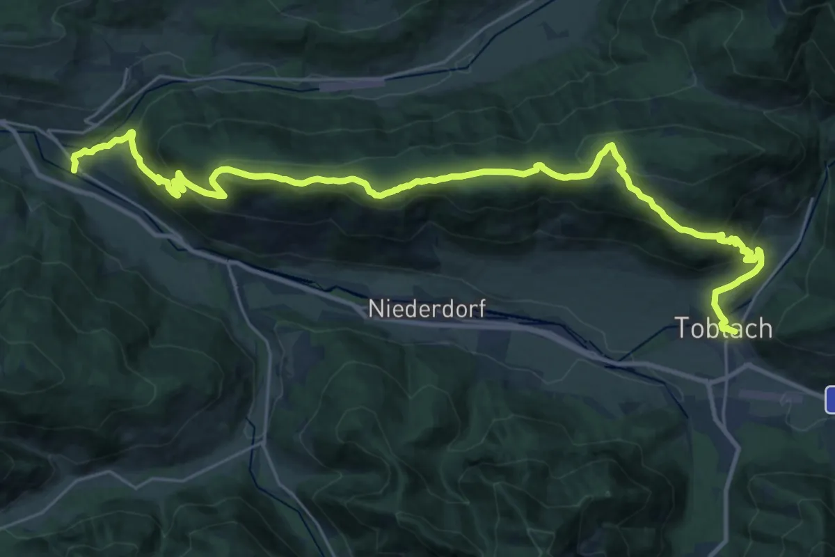
Demanding · Trail
Römerweg - Via Romana
15.4 km · ↑ 823 m · 5 h 34 min
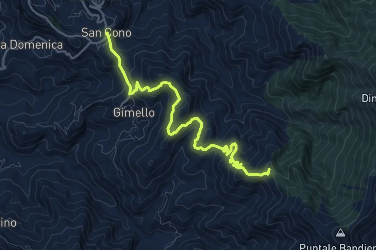
Medium · Summit
Rometta Portella Larderia SI
12.2 km · ↑ 572 m · 4 h 7 min
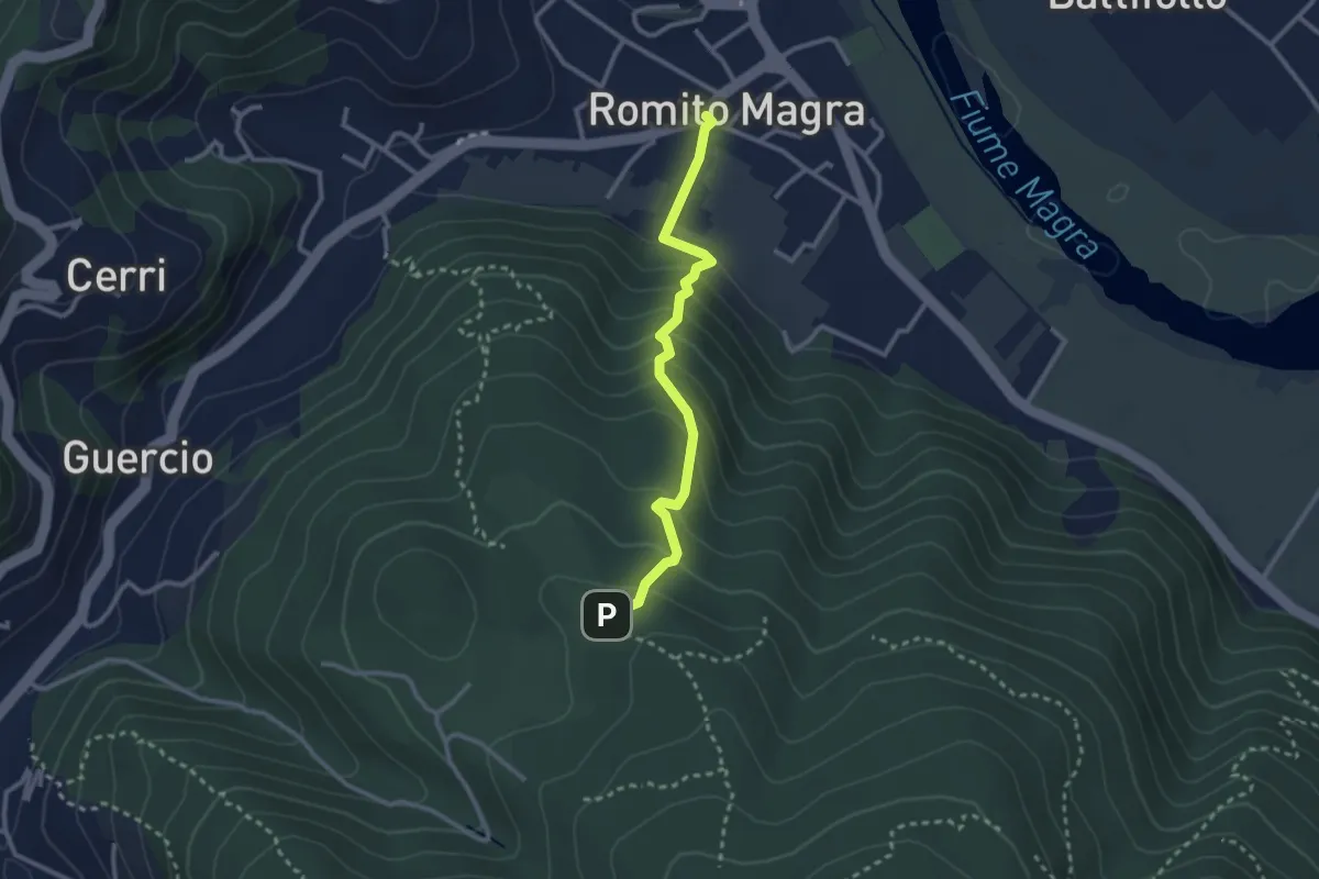
Easy · Trail
Romito Magra – S. Lorenzo
2.7 km · ↑ 214 m · 1 h 7 min
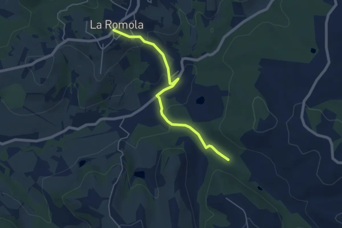
Easy · Trail
Romola Sequoia Sugana
4.2 km · ↑ 141 m · 1 h 18 min
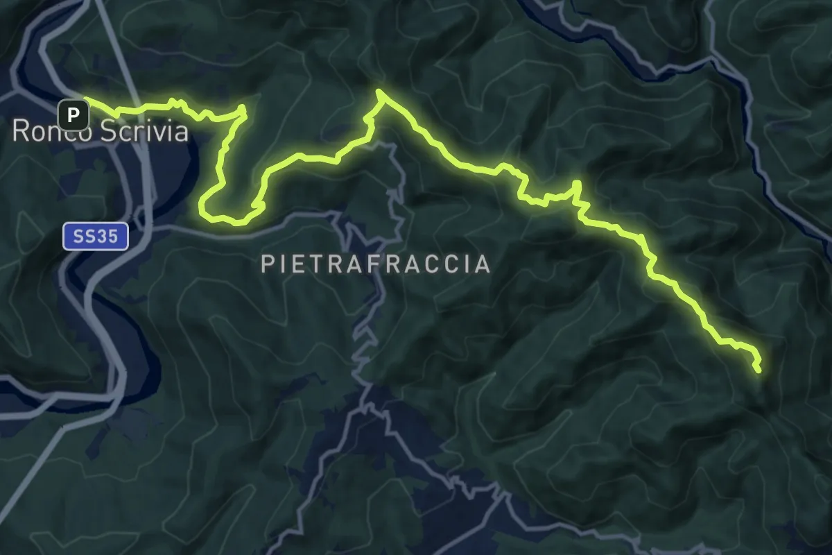
Expert · Summit
Ronco - Minceto - Reopasso
18.7 km · ↑ 1057 m · 6 h 43 min
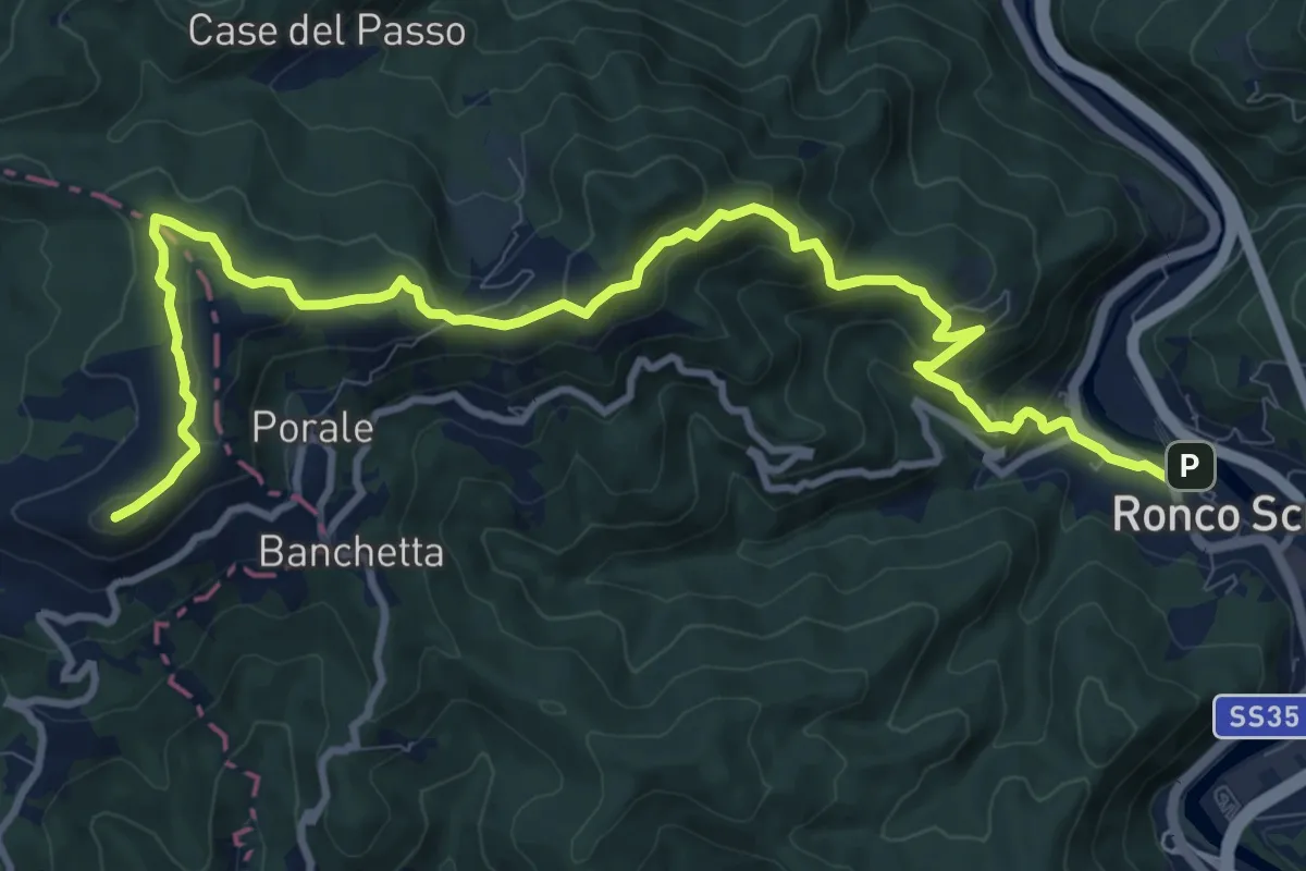
Medium · Summit
Ronco Scrivia - Monte Alpe
13.4 km · ↑ 665 m · 4 h 36 min
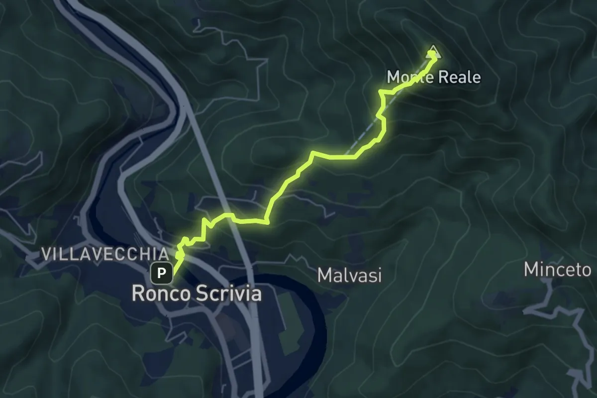
Medium · Summit
Ronco Scrivia - Monte Reale
5.6 km · ↑ 544 m · 2 h 30 min
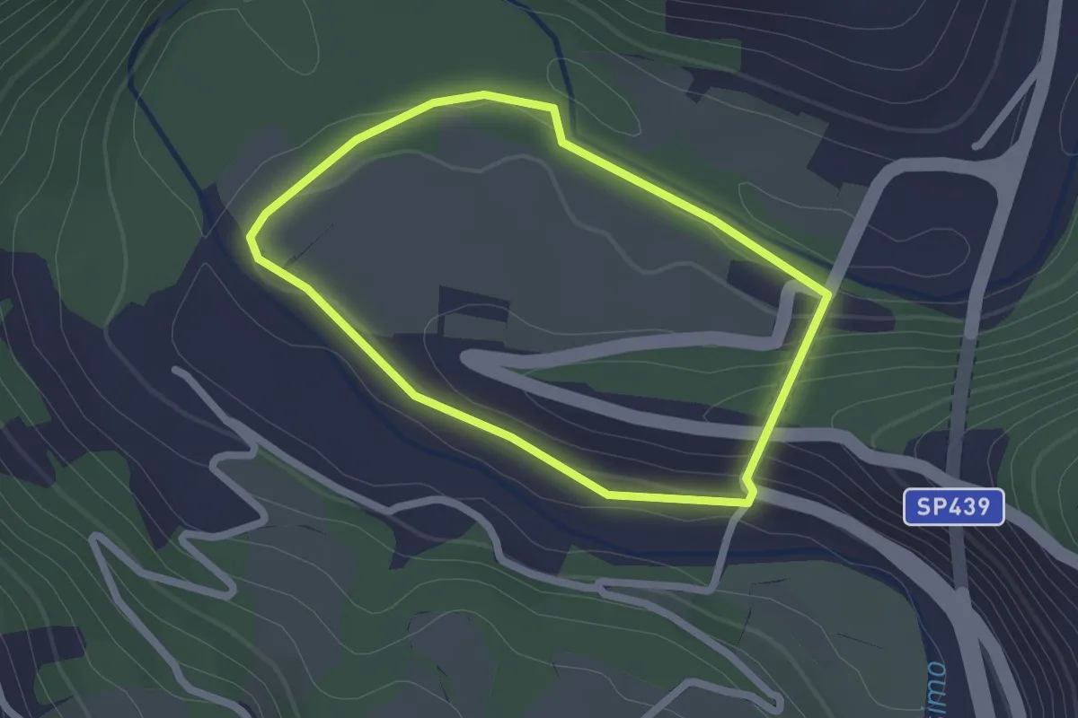
Easy · Trail
Rondini sul Bormida
1.9 km · ↑ 54 m · 35 min
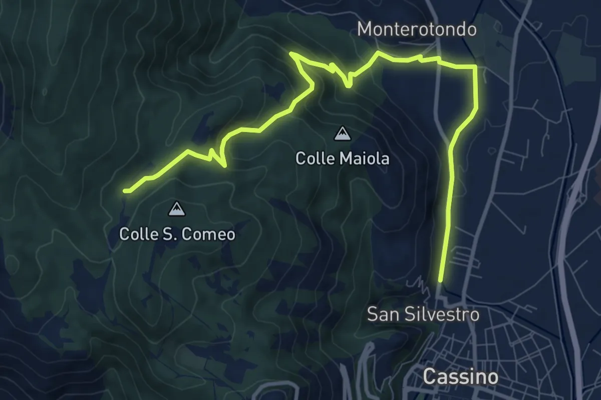
Medium · Trail
Roorkee Road
11.2 km · ↑ 472 m · 3 h 40 min
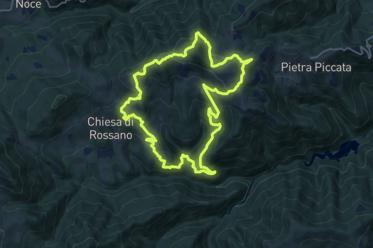
Medium · Summit
Rossano No 1
11.9 km · ↑ 714 m · 4 h 31 min
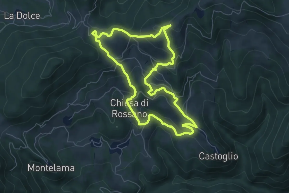
Medium · Trail
Rossano No 2
6.2 km · ↑ 355 m · 2 h 18 min
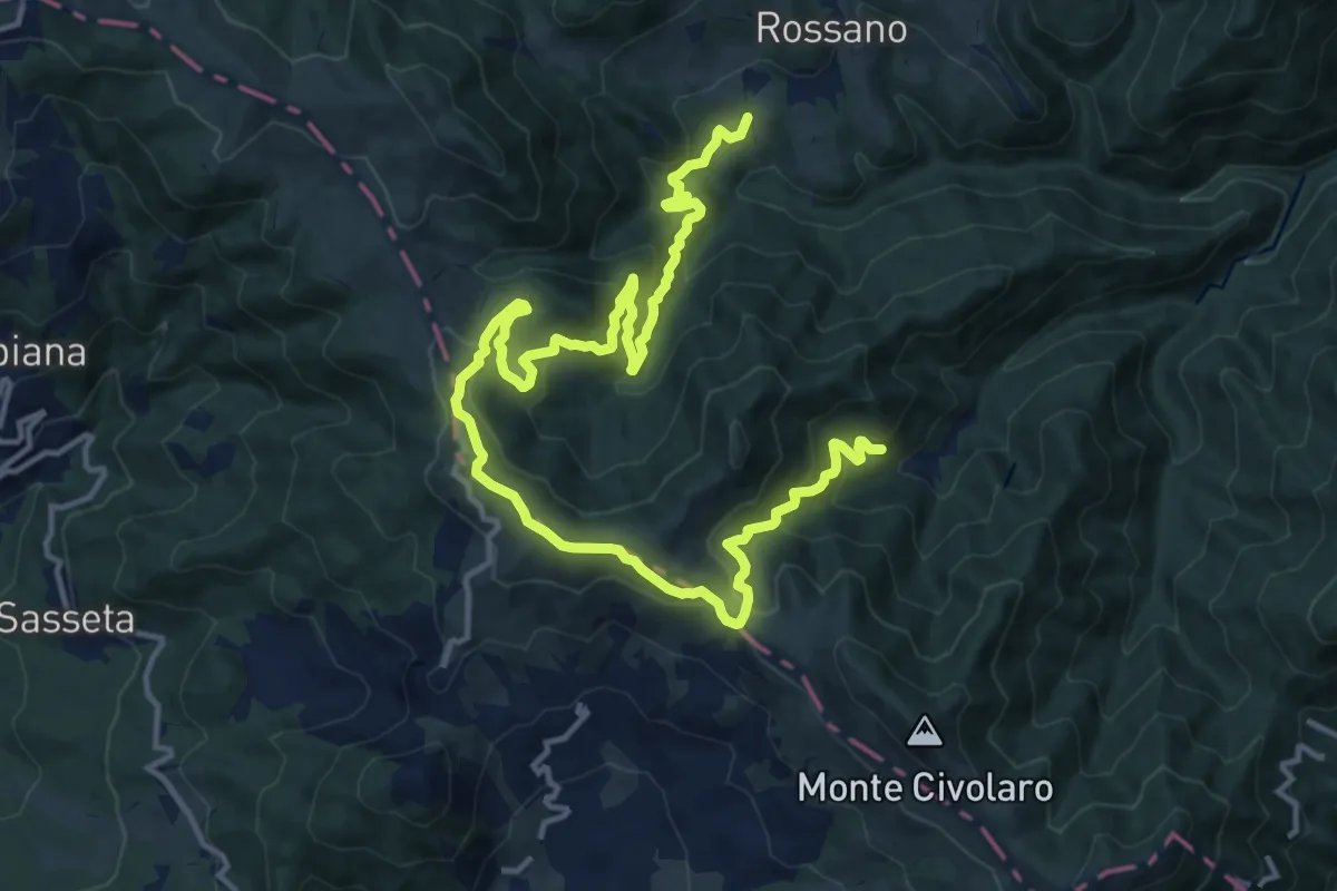
Medium · Summit
Rossano No 3
9.6 km · ↑ 591 m · 3 h 39 min
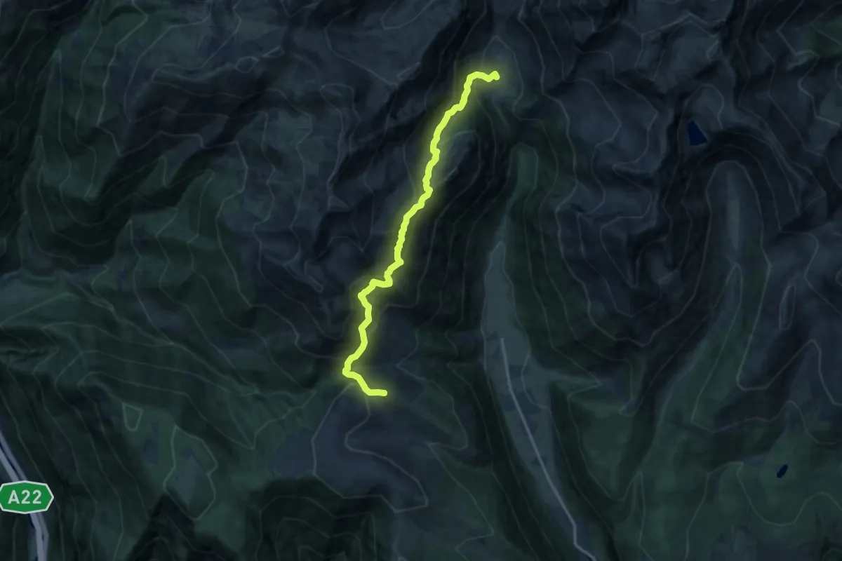
Demanding · Trail
Rotenstein-Höhenweg
13.0 km · ↑ 1057 m · 5 h 21 min
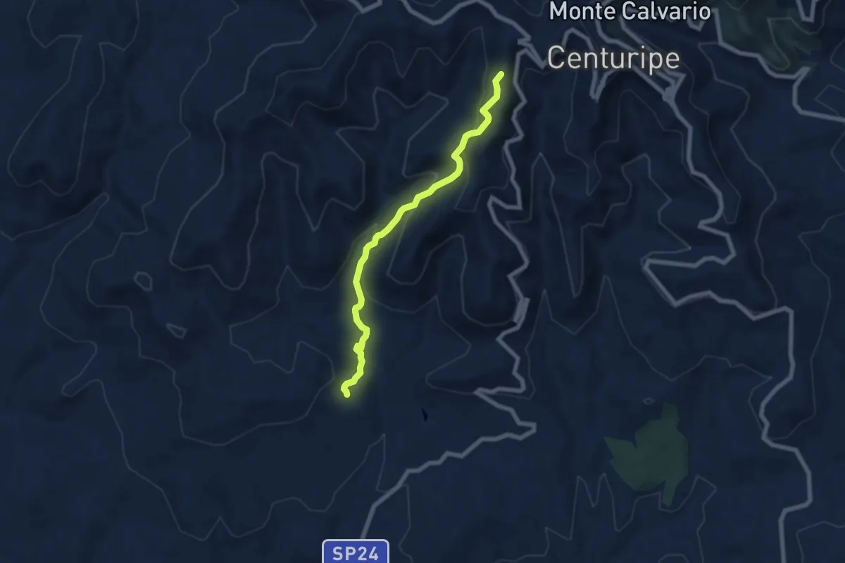
Medium · Trail
R.T. Centuripe Catenanuova
7.0 km · ↑ 450 m · 2 h 37 min
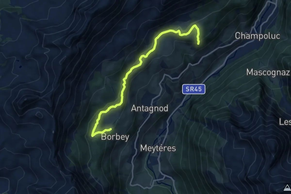
Medium · Trail
Ru Courtaud
11.7 km · ↑ 450 m · 3 h 45 min
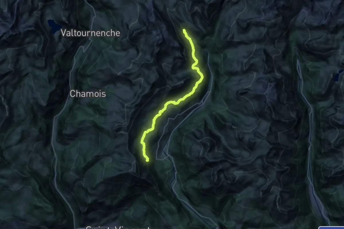
Medium · Trail
Ru Courtod
13.2 km · ↑ 536 m · 4 h 24 min
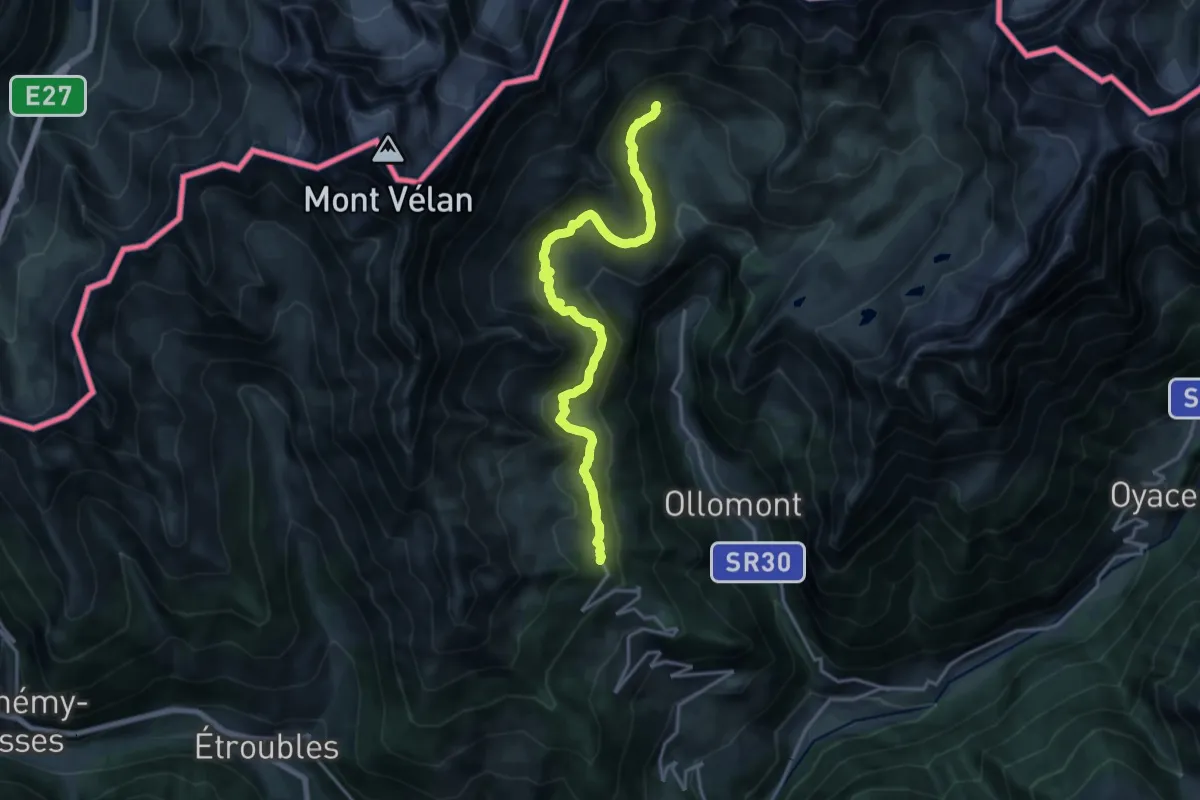
Demanding · Trail
Ru de By
18.7 km · ↑ 772 m · 6 h 6 min
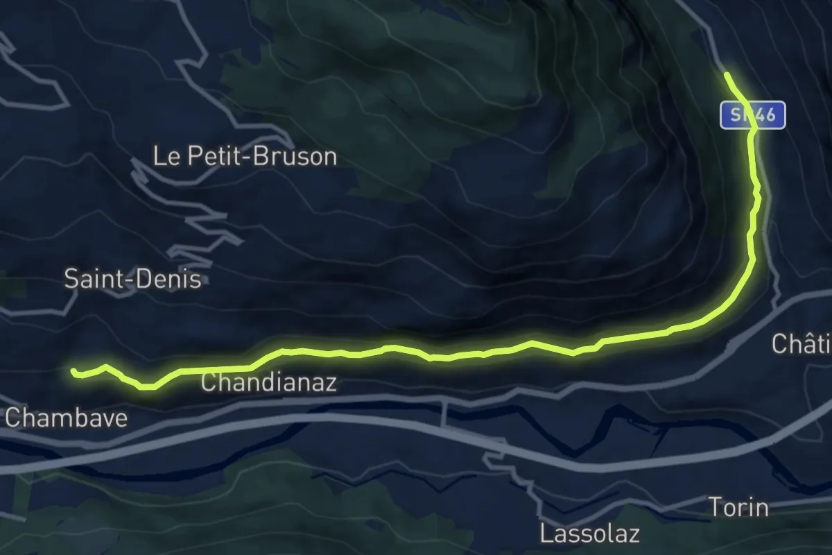
Medium · Trail
Ru de Chandianaz
12.1 km · ↑ 375 m · 3 h 40 min
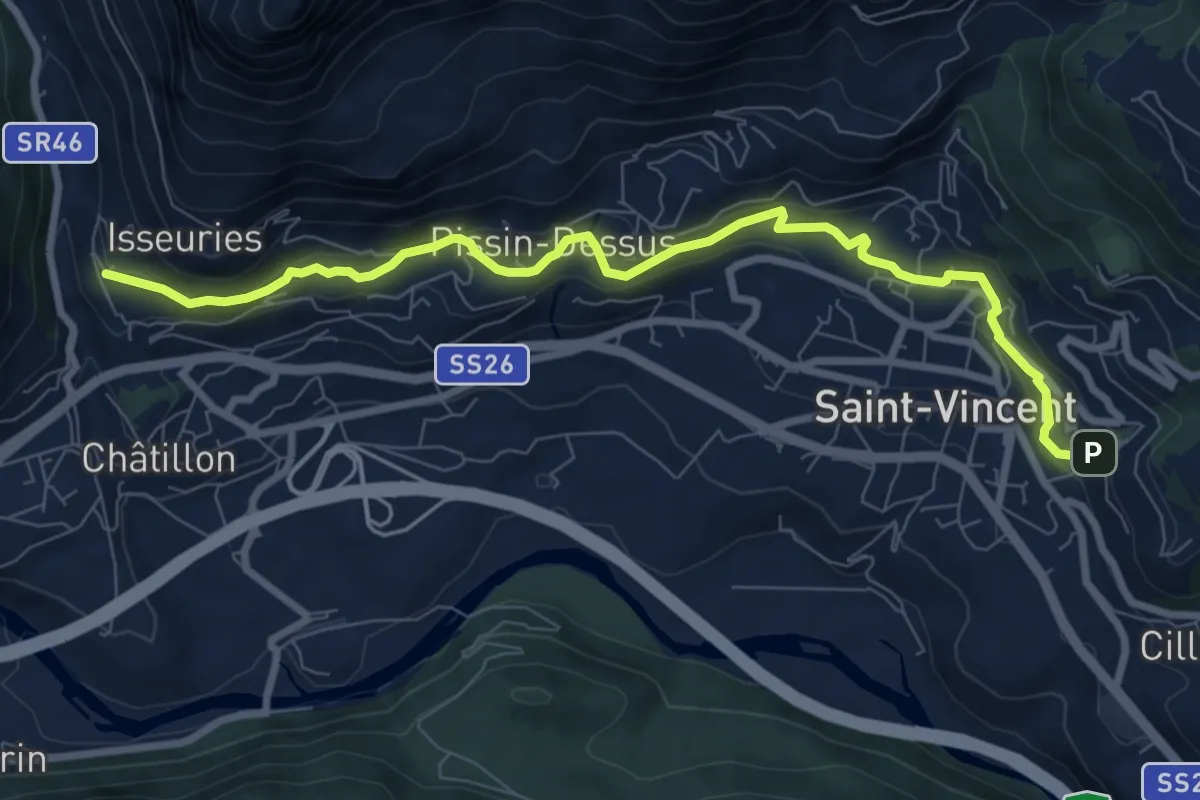
Medium · Trail
Rû de la Plaine - km.4,6 - 1h20'
9.0 km · ↑ 281 m · 2 h 43 min
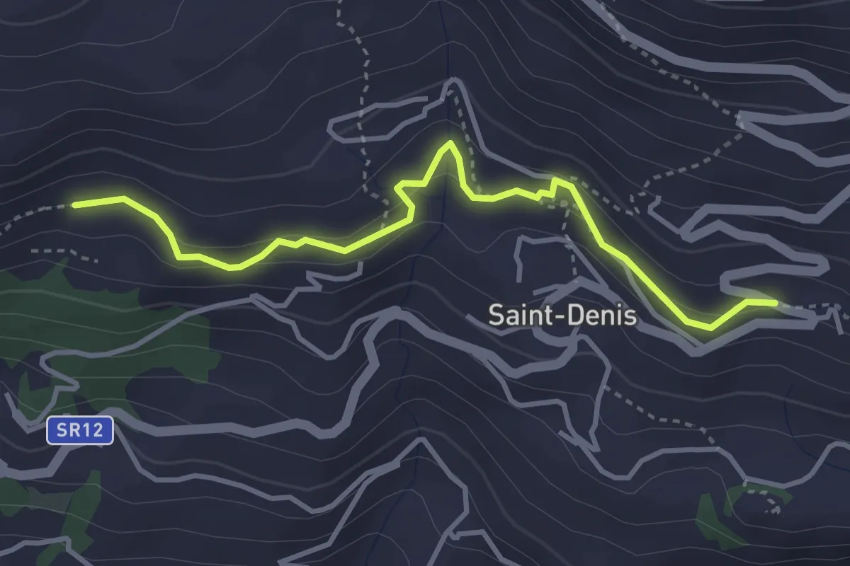
Medium · Trail
Ru de Marseiller
3.7 km · ↑ 164 m · 1 h 13 min
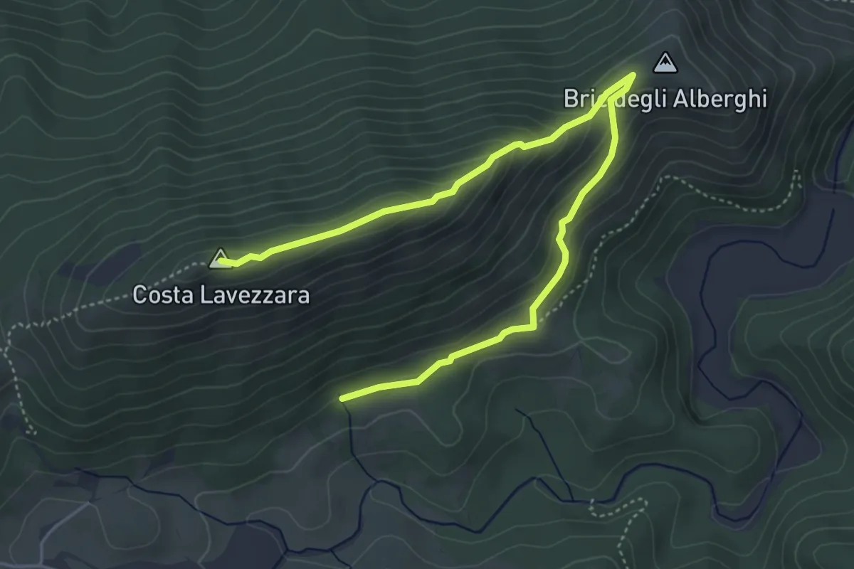
Medium · Summit
Ruderi Cascina Menta II - Costa Lavezzara
5.9 km · ↑ 277 m · 1 h 59 min
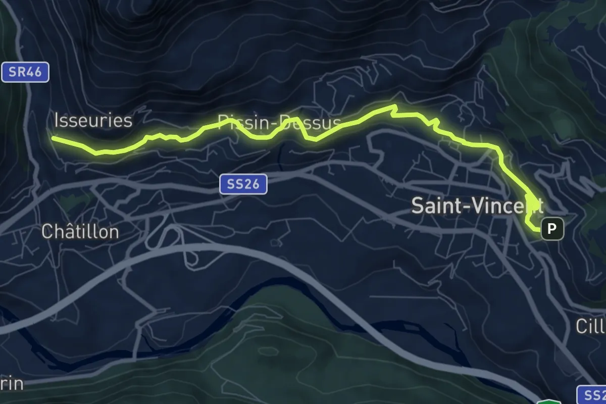
Medium · Trail
Ru de Verdetta
9.3 km · ↑ 274 m · 2 h 47 min
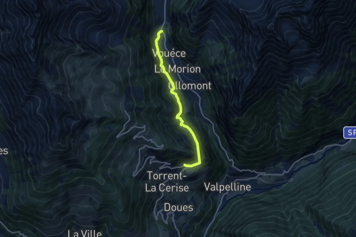
Medium · Trail
Ru du Mont: da Vaud a Chatelair (Doues)
9.6 km · ↑ 772 m · 3 h 57 min
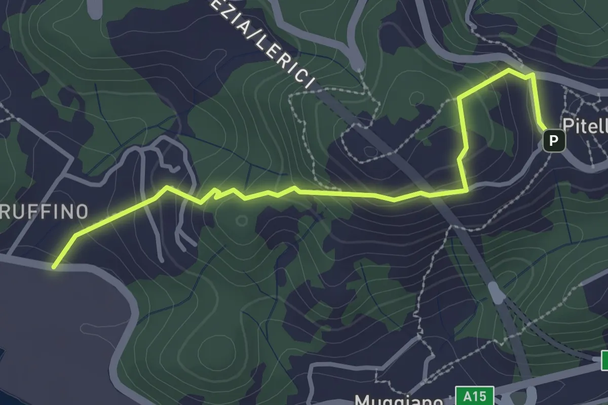
Easy · Trail
Ruffino – Pitelli
3.2 km · ↑ 224 m · 1 h 14 min
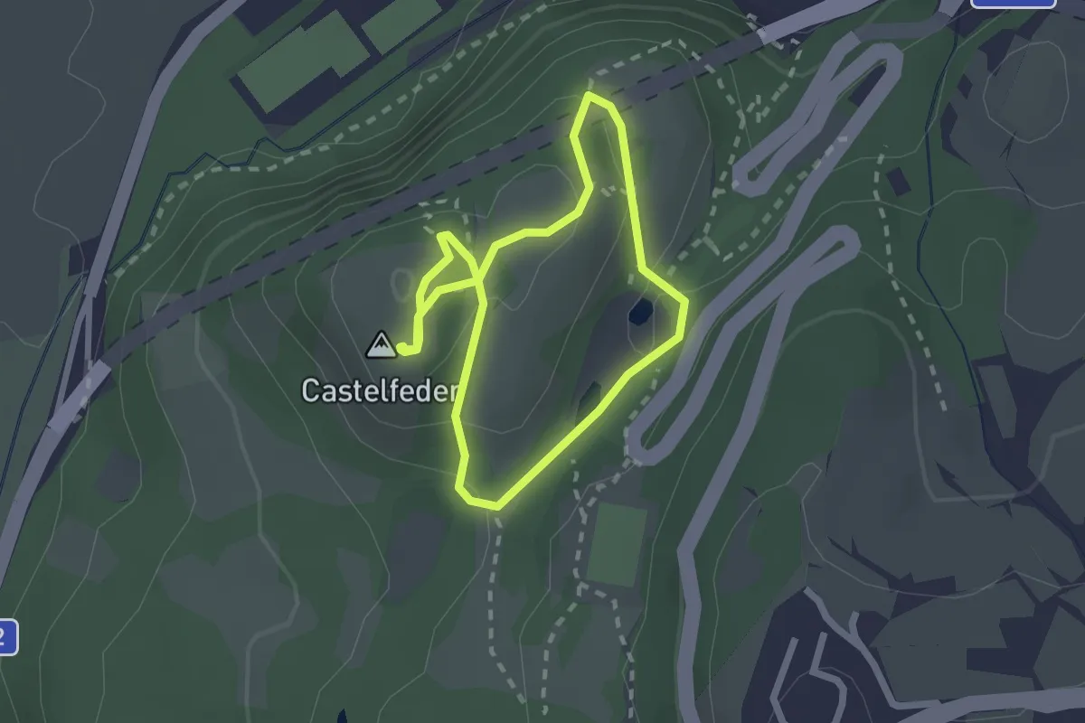
Medium · Summit
Ruine Castelfeder - Rovine Castelfeder
1.9 km · ↑ 62 m · 36 min
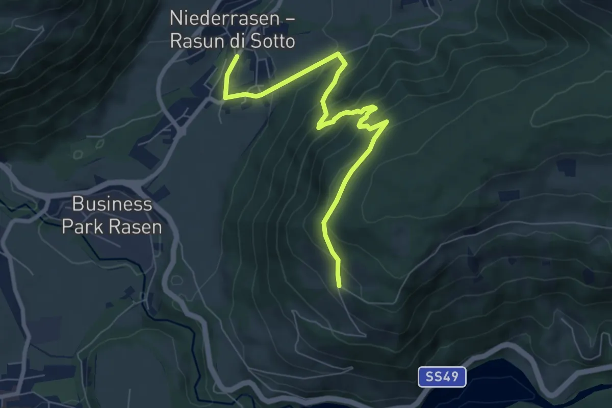
Medium · Trail
Ruinenweg Altrasen
7.0 km · ↑ 503 m · 2 h 44 min
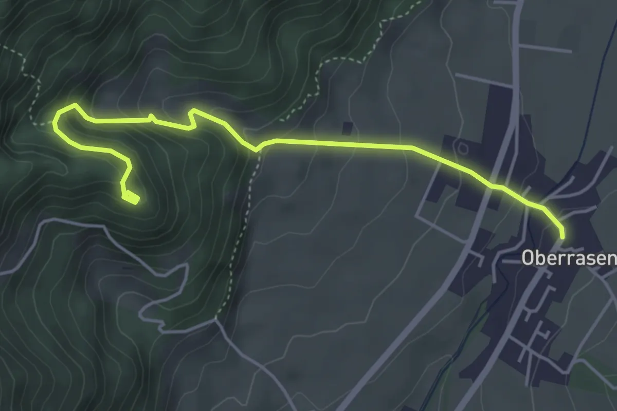
Medium · Trail
Ruinenweg Neurasen
4.7 km · ↑ 346 m · 1 h 52 min
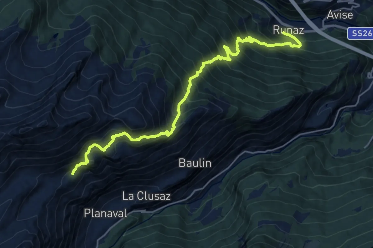
Demanding · Trail
Runaz - Alpage du Glacier
8.2 km · ↑ 1647 m · 4 h 57 min