Trails in Italy
25,221 hiking trails, each with its route, climb, walking time and grade.
All trails, page 135 of 526
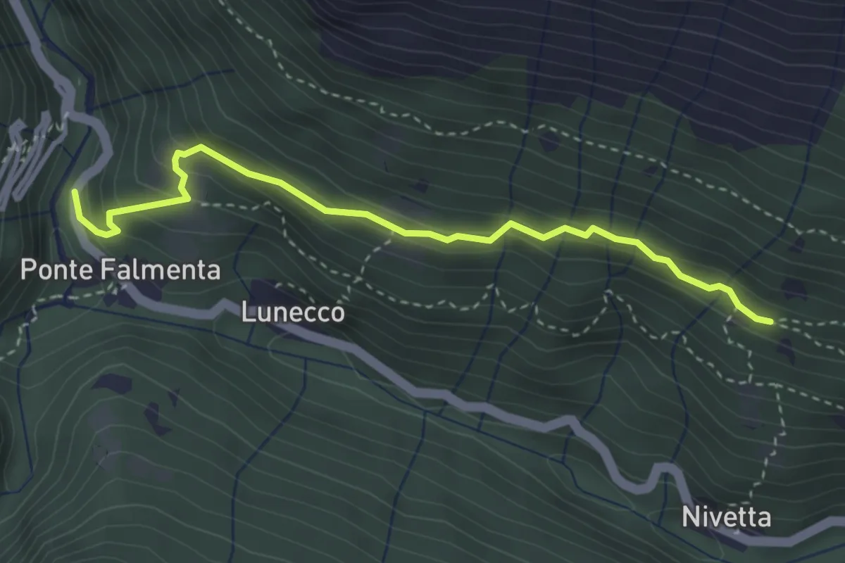
Easy · Trail
S00a Ponte Falmenta - Bivio S00 Drignago
3.4 km · ↑ 277 m · 1 h 25 min
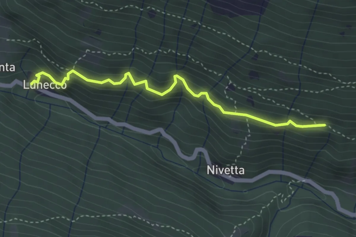
Medium · Trail
S00b - Lunecco - Bivio S00 (vicinanze Drignago)
3.5 km · ↑ 362 m · 1 h 37 min
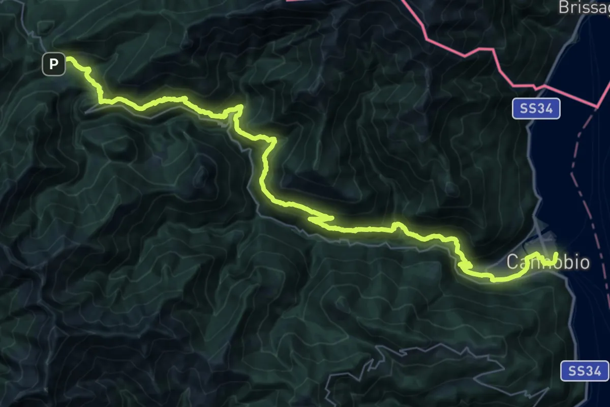
Demanding · Trail
S00 Cannobio - Finero
21.2 km · ↑ 956 m · 7 h 44 min
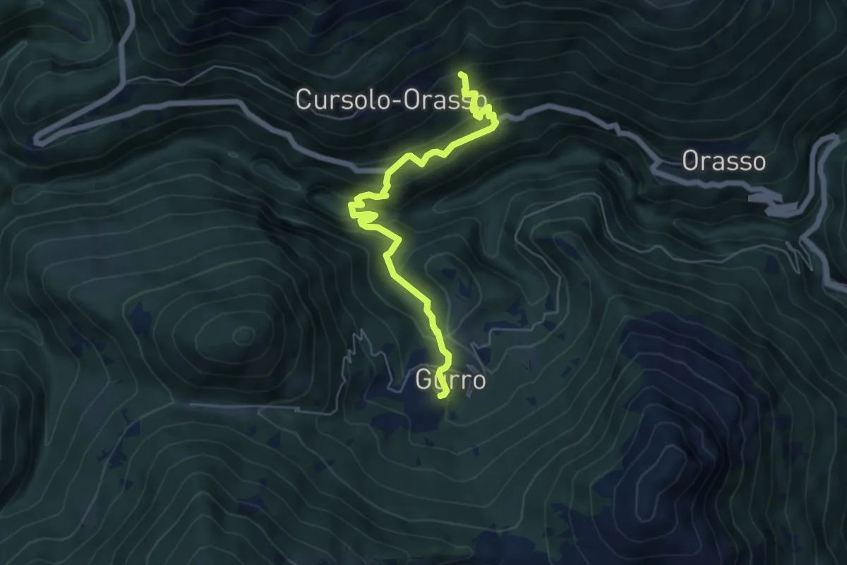
Medium · Trail
S00e Cursolo - Airetta - Ponte Teia - Gurro
5.7 km · ↑ 431 m · 2 h 16 min
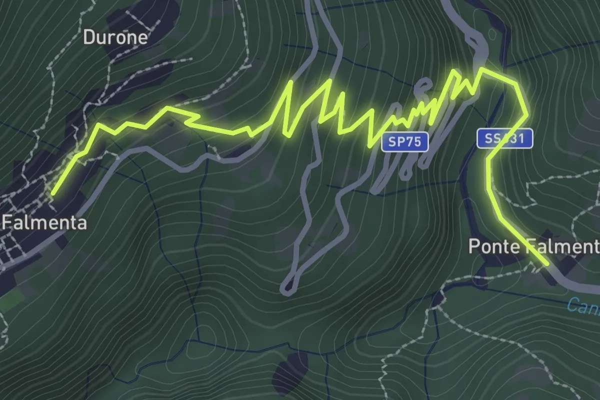
Easy · Trail
S01c Ponte Falmenta - Falmenta
4.2 km · ↑ 281 m · 1 h 36 min
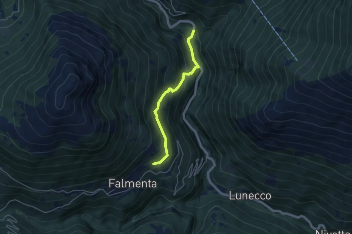
Easy · Trail
S01d Ponte Spoccia - Falmenta
3.6 km · ↑ 250 m · 1 h 24 min
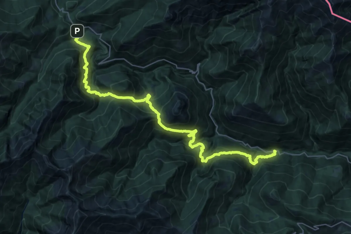
Demanding · Trail
S01 Socraggiolo - Finero
15.2 km · ↑ 1153 m · 6 h 34 min
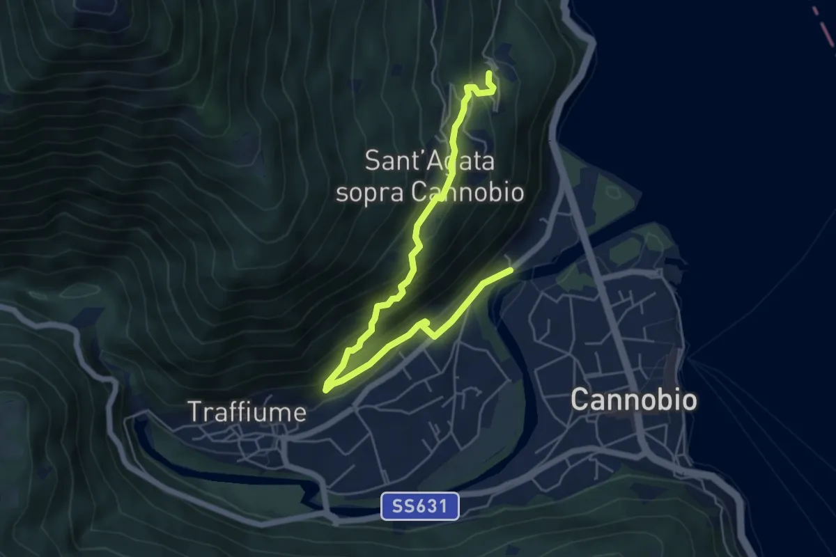
Medium · Trail
S02b Cannobio Lignago - Sant'Agata - Campeglio
6.0 km · ↑ 393 m · 2 h 17 min
Demanding · Trail
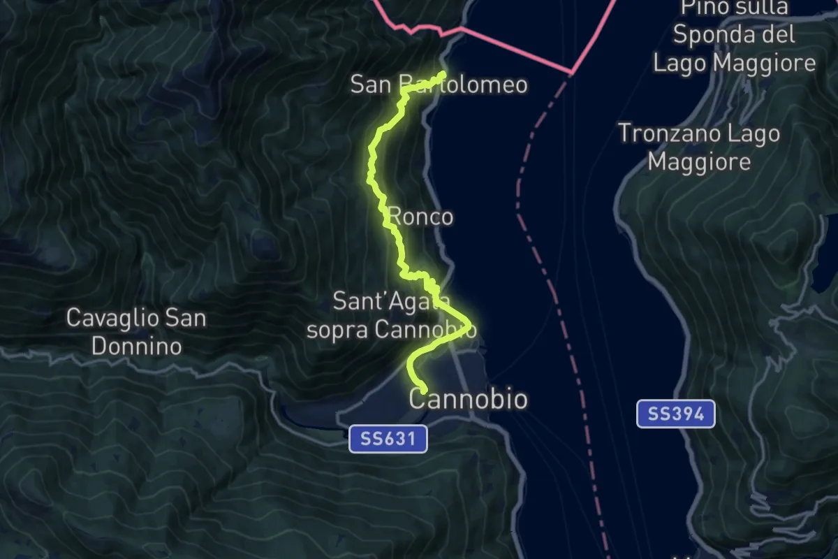
S02 Cannobio - San Bartolomeo Valmara
13.0 km · ↑ 845 m · 4 h 54 min
Medium · Trail
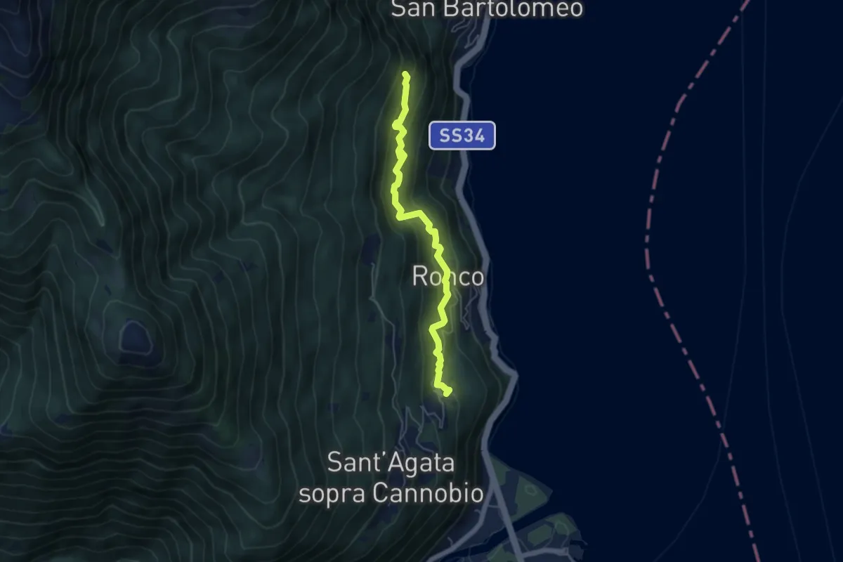
S02c Campeglio - Ronco - Formine
5.0 km · ↑ 434 m · 2 h 7 min
Demanding · Trail
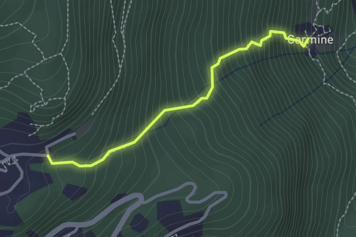
S03b Carmine Superiore - Viggiona
2.1 km · ↑ 378 m · 1 h 19 min
Demanding · Trail
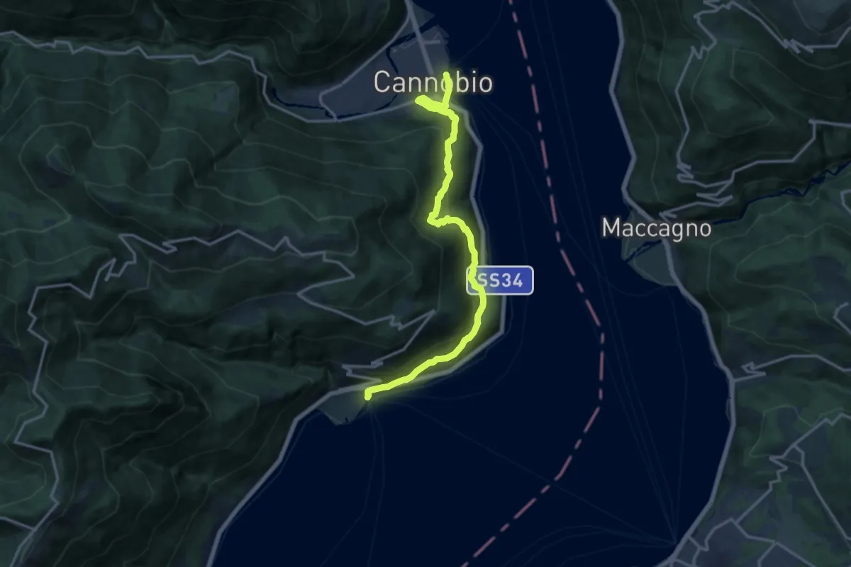
S03 'Via delle Genti': tratto Cannobio - Cannero Riviera
14.5 km · ↑ 911 m · 5 h 24 min
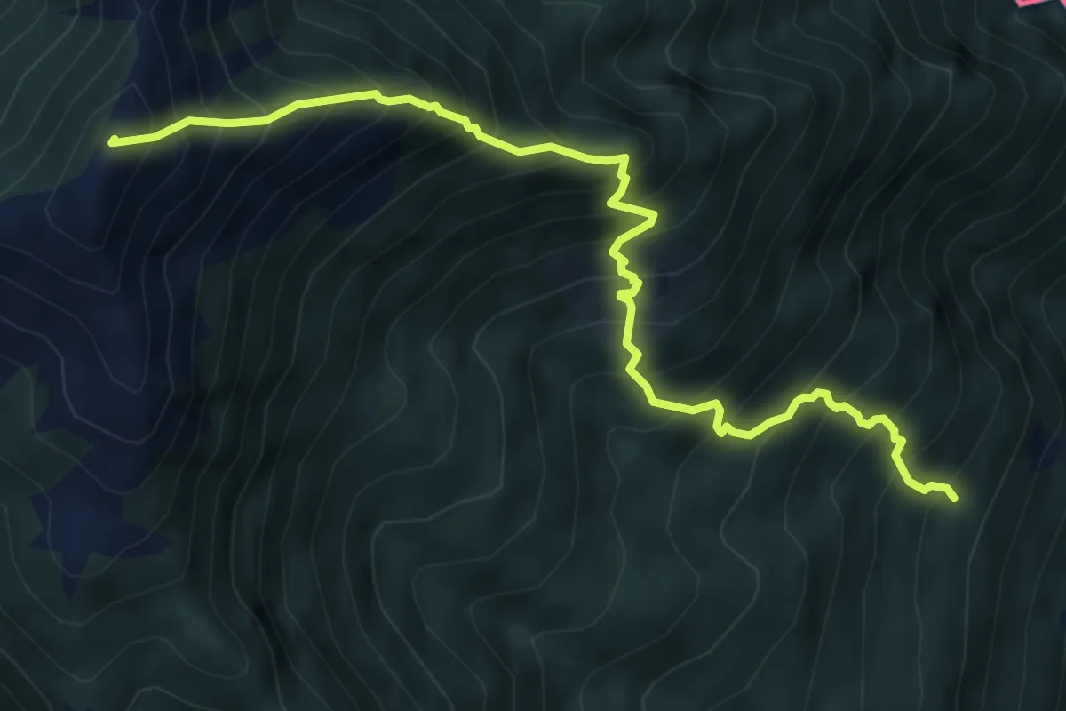
Demanding · Summit
S04 Bivio S02 S.Bartolomeo in Montibus - Monte Faierone
6.7 km · ↑ 1142 m · 4 h 3 min
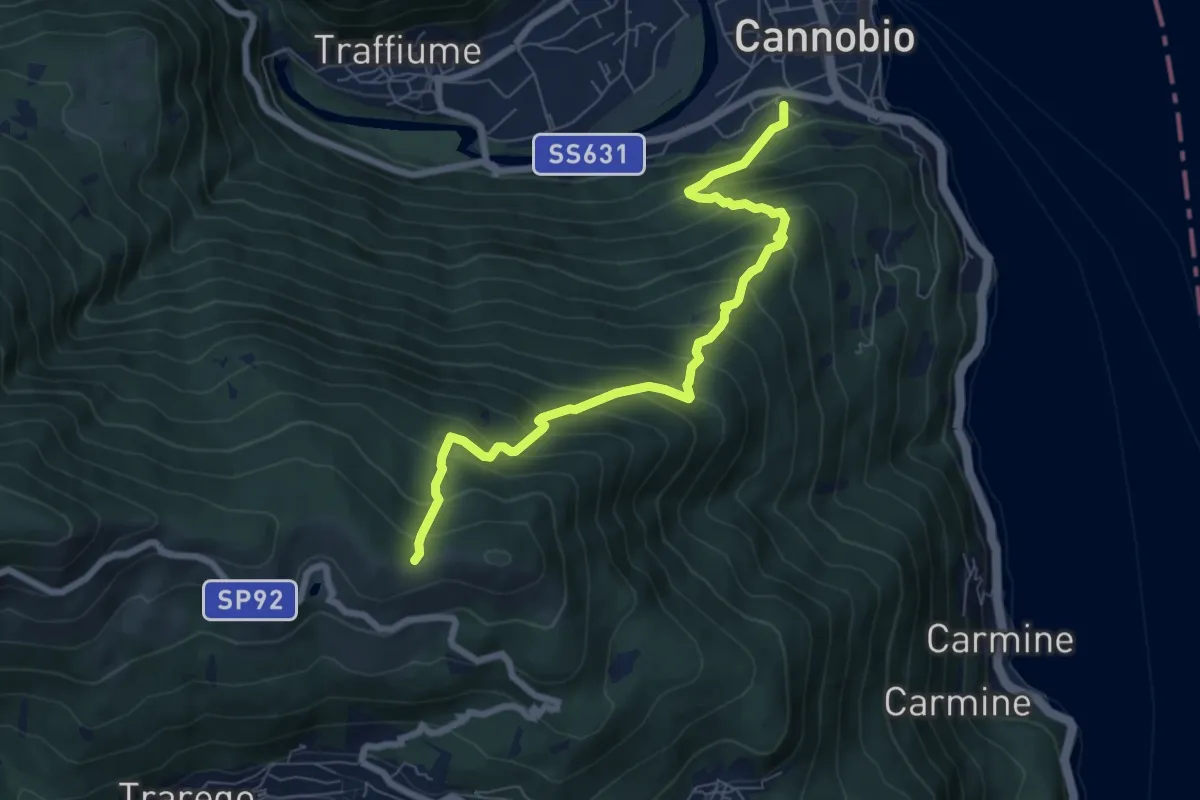
Demanding · Trail
S05 Cannobio - Monte Carza
7.4 km · ↑ 844 m · 3 h 35 min
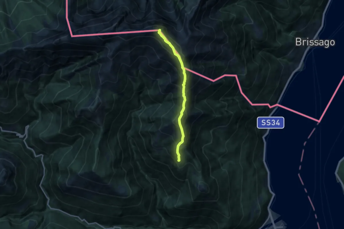
Demanding · Summit
S06 Sant'Agata - Faierone - Monte Limidario
9.4 km · ↑ 1178 m · 4 h 46 min
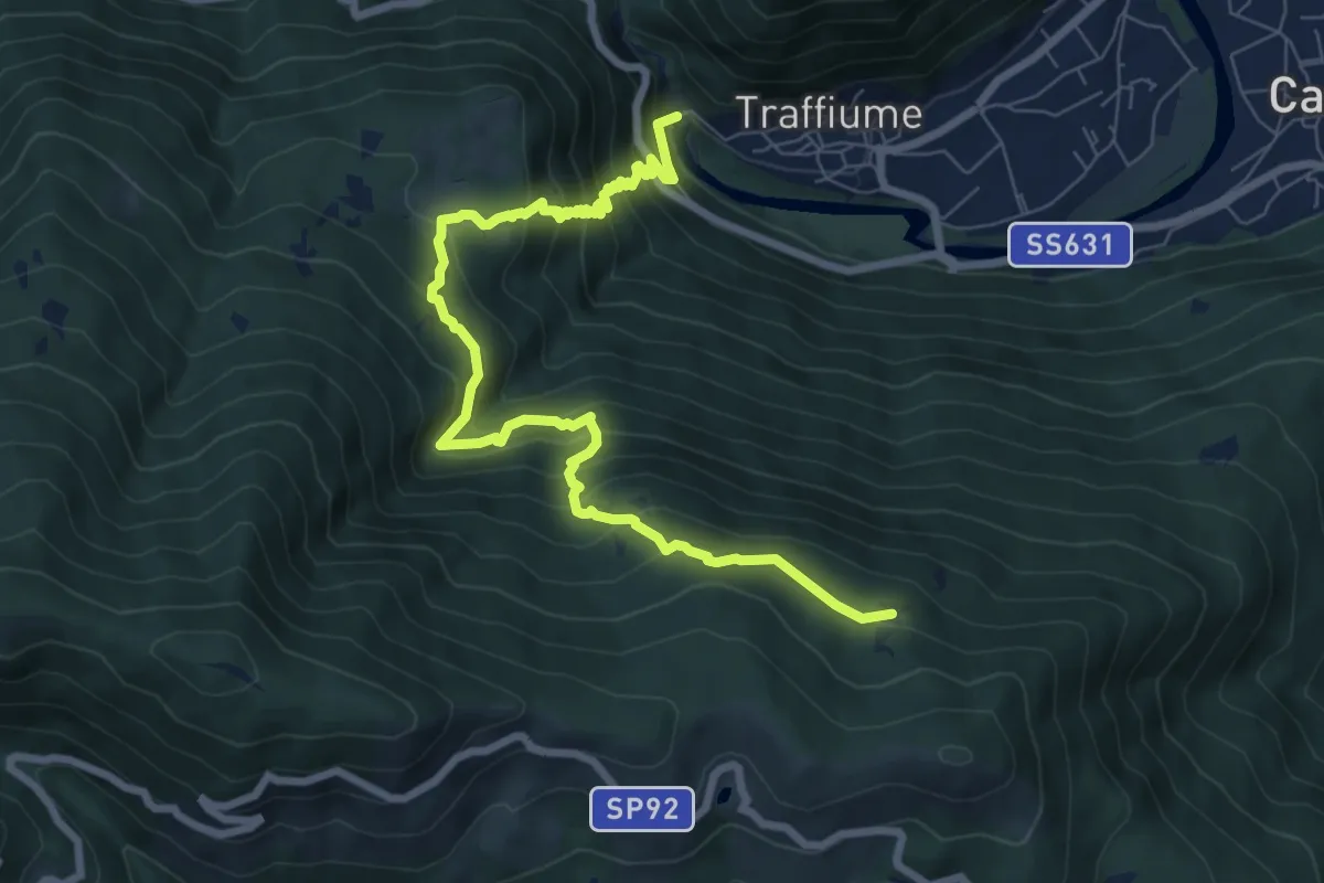
Demanding · Trail
S07 Sant'Anna (Traffiume) - Pro Redond
9.1 km · ↑ 912 m · 4 h 7 min
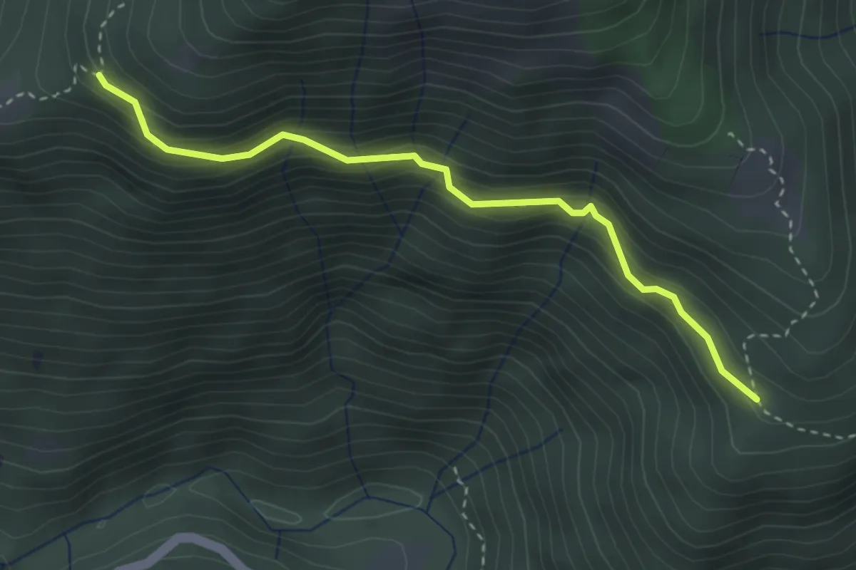
Medium · Trail
S08a Monti Biessen - Bivio S06 Alpe Scesel
3.3 km · ↑ 292 m · 1 h 24 min
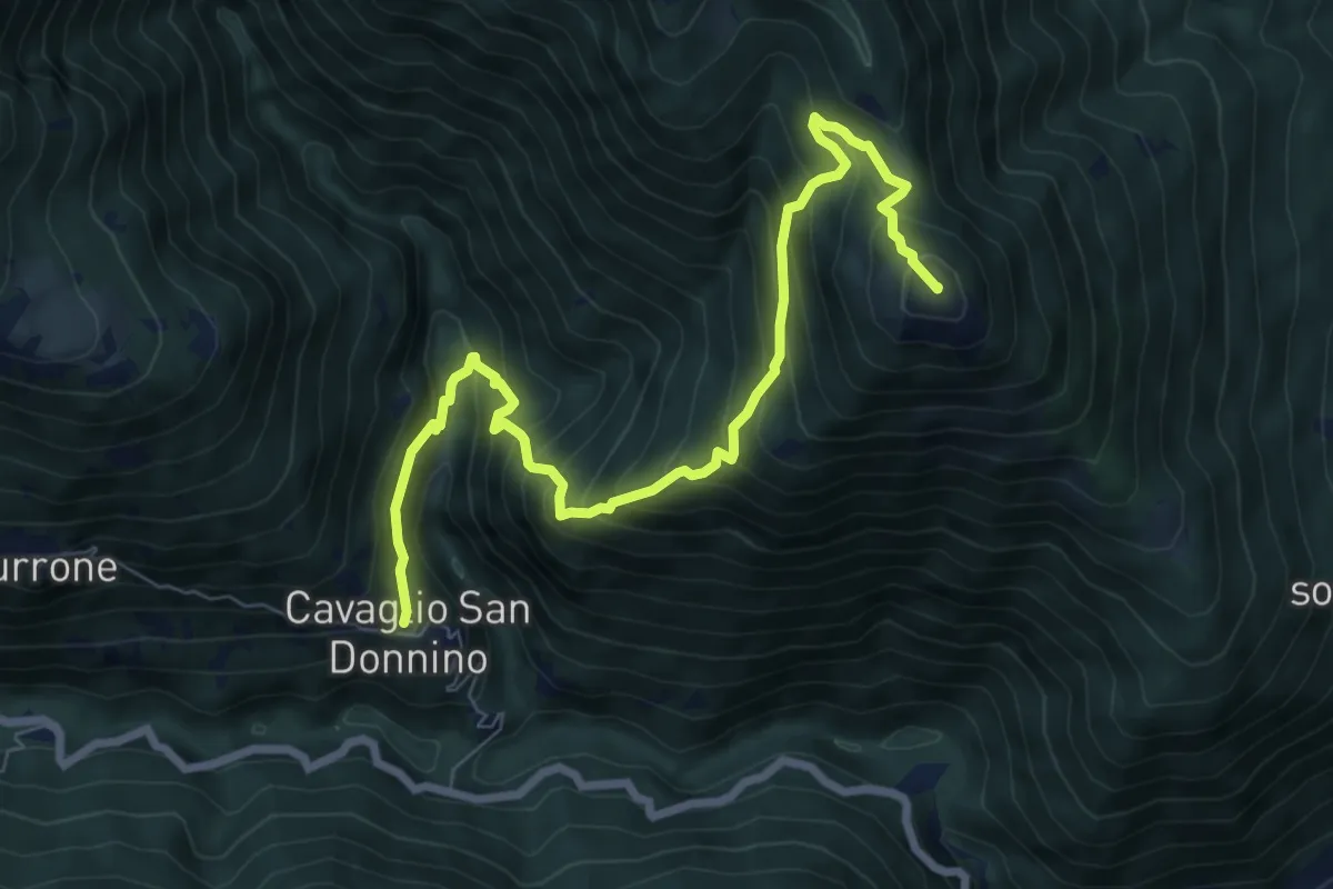
Demanding · Summit
S08 Cavaglio - Monte Giove
8.5 km · ↑ 854 m · 3 h 52 min
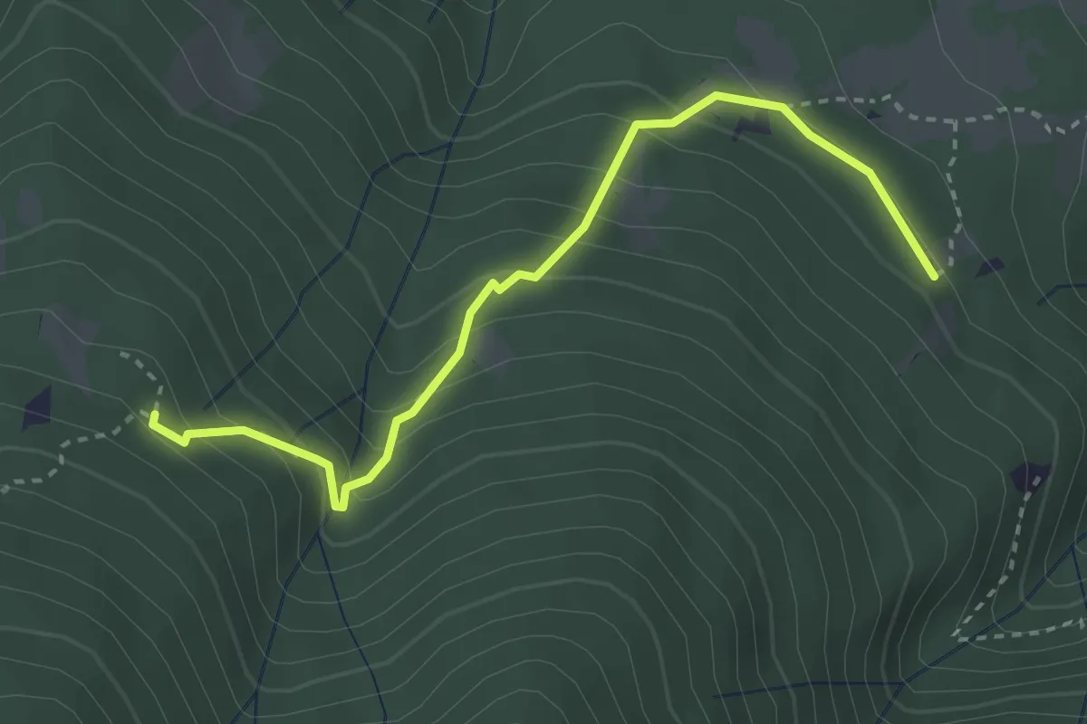
Medium · Trail
S09a Monti Sommalemna - Monti Pianoni
3.3 km · ↑ 283 m · 1 h 23 min
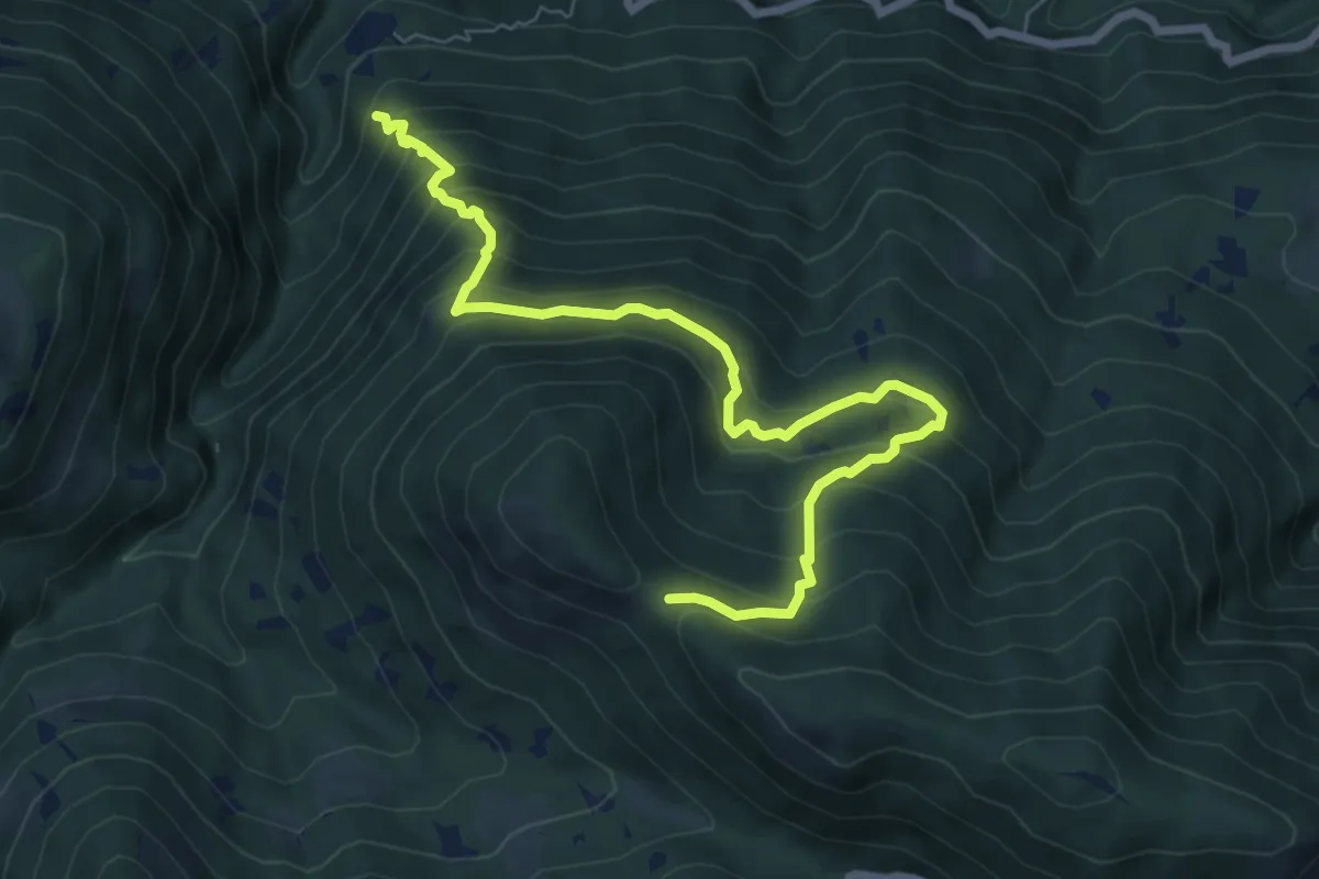
Medium · Trail
S09 Bivio S11 sopra Socraggio - Bocchetta del Tondone
8.1 km · ↑ 767 m · 3 h 35 min
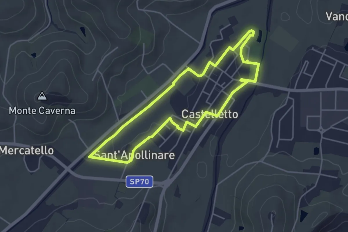
Easy · Trail
S1
3.9 km · ↑ 29 m · 1 h 2 min
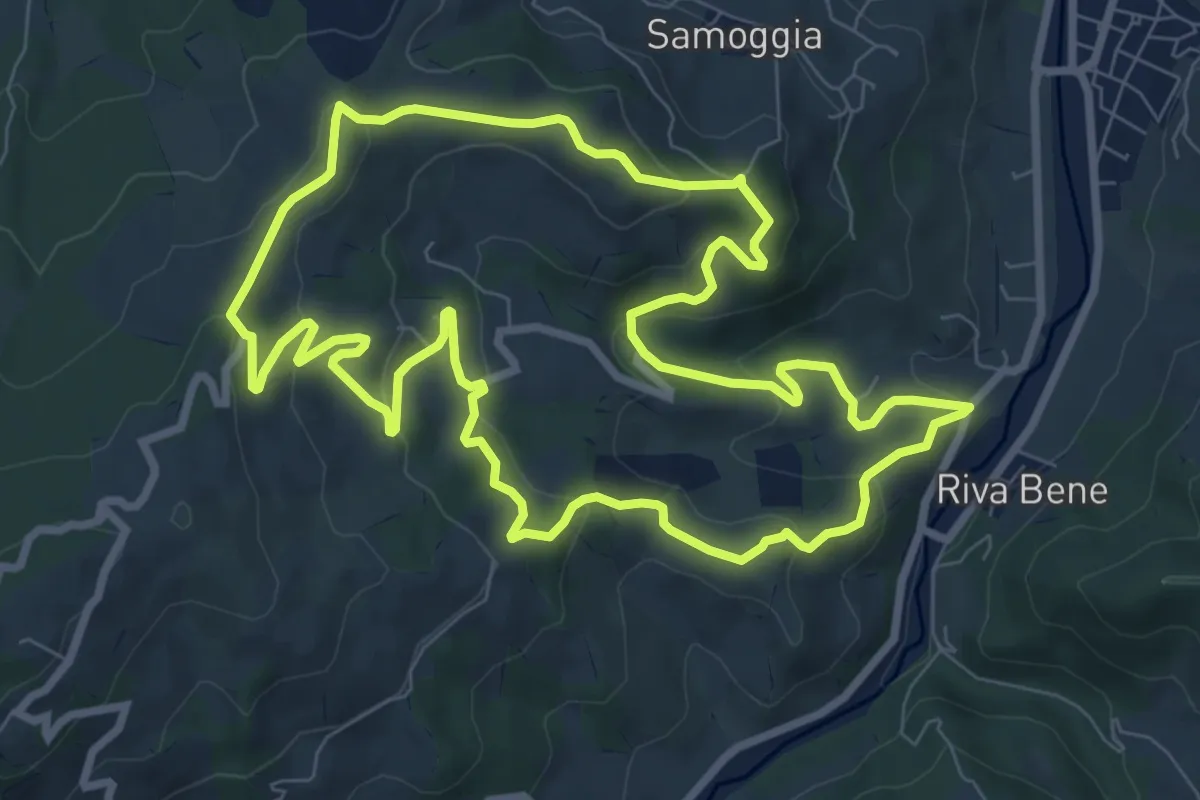
Medium · Trail
S10
9.1 km · ↑ 376 m · 3 h 5 min
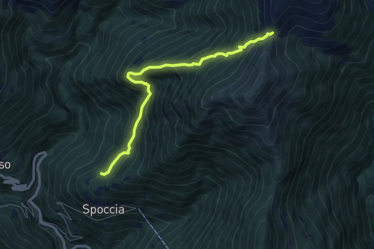
Expert · Trail
S10b Spoccia bivio S12 - Catta Margugna
6.1 km · ↑ 903 m · 3 h 23 min
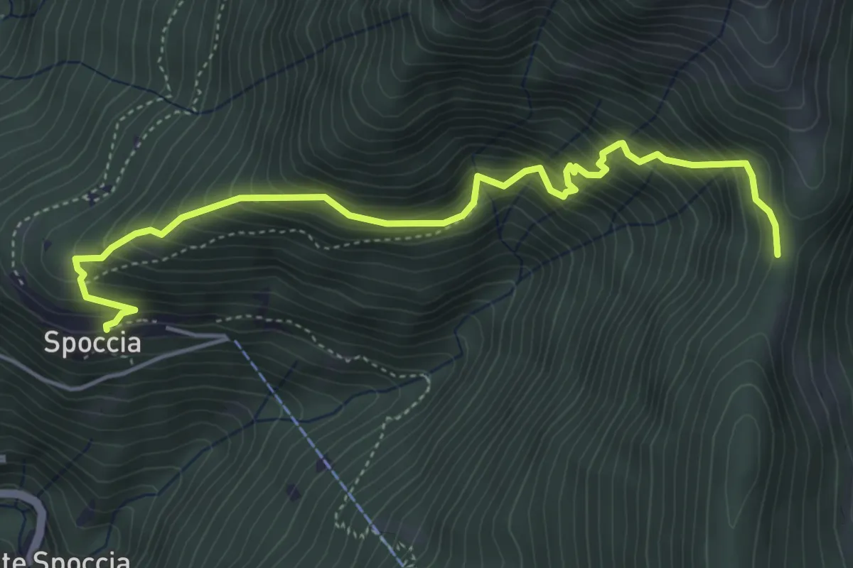
Medium · Trail
S10c Spoccia bivio S10d (S12) - Cappella di Lego - Tre Confini
5.2 km · ↑ 749 m · 2 h 51 min
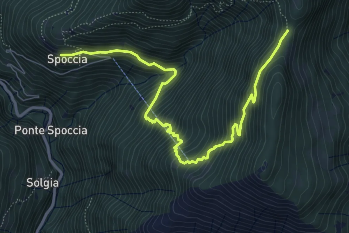
Medium · Trail
S10d Spoccia - Bronte - Tre Confini
7.6 km · ↑ 739 m · 3 h 24 min
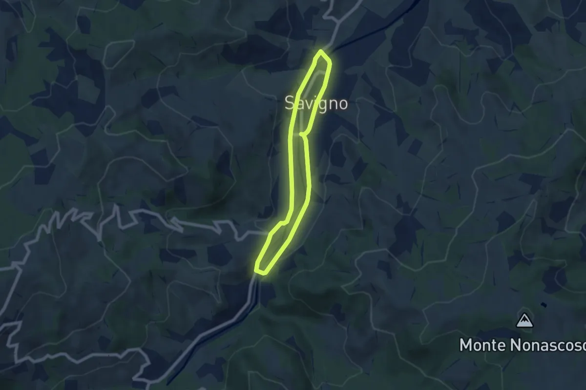
Easy · Trail
S11
5.1 km · ↑ 70 m · 1 h 26 min
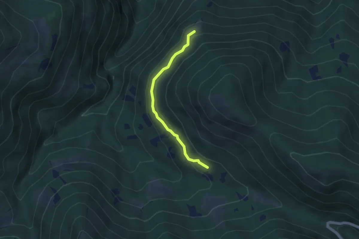
Easy · Trail
S11a Aurasco - Alpe Graggio
3.2 km · ↑ 151 m · 1 h 4 min
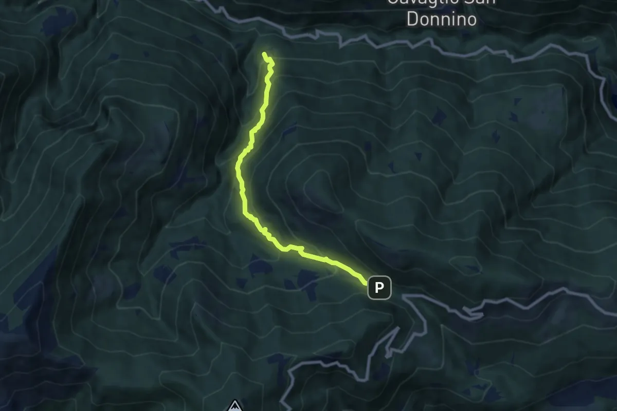
Medium · Trail
S11 Socraggio - Piazza S.Eurosia
7.4 km · ↑ 682 m · 3 h 13 min
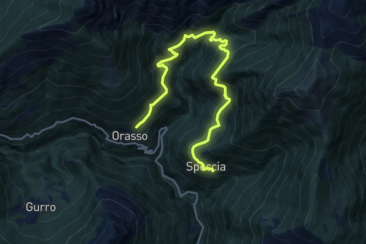
Demanding · Trail
S12 Orasso - Bugnago - Spoccia
11.5 km · ↑ 1078 m · 5 h 3 min
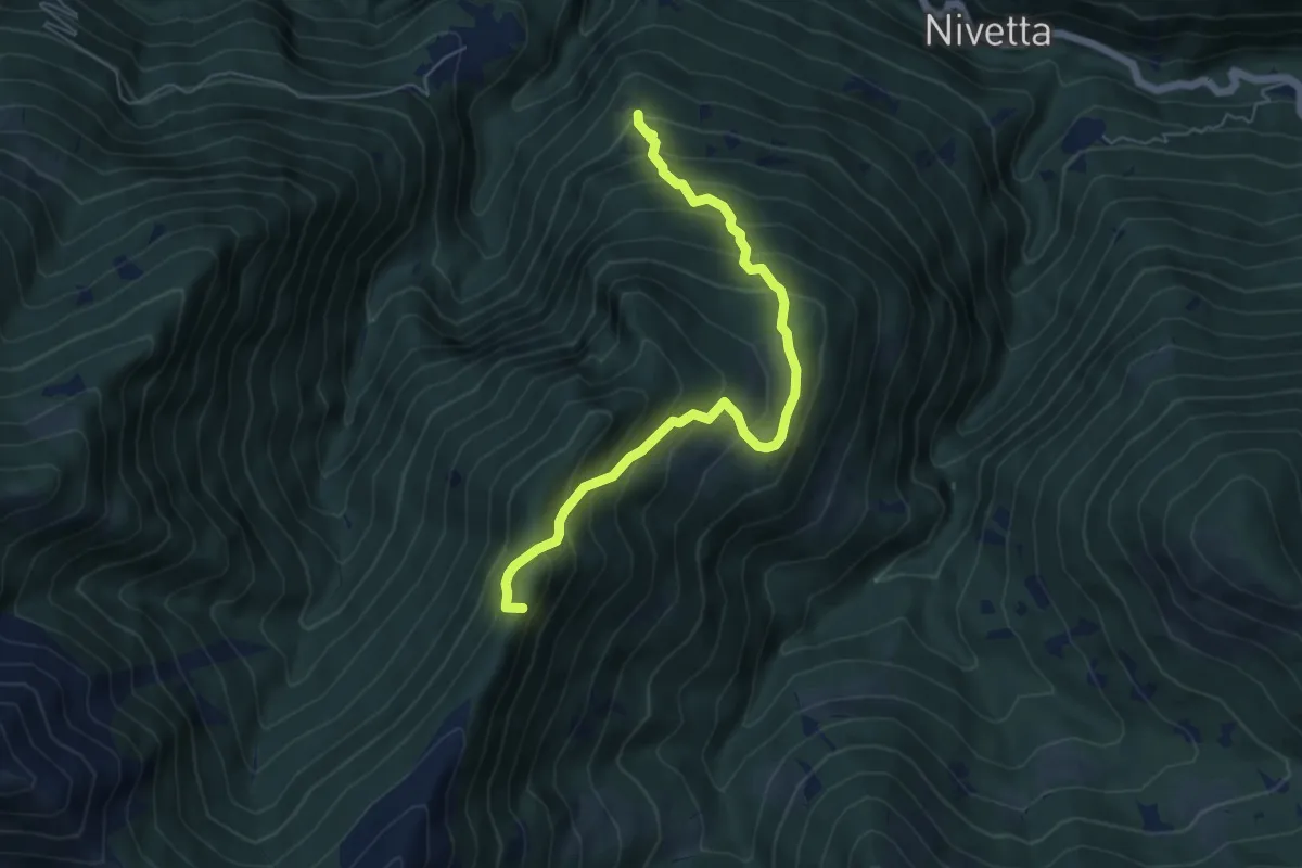
Medium · Summit
S13 Luera - Archia
5.9 km · ↑ 635 m · 2 h 47 min
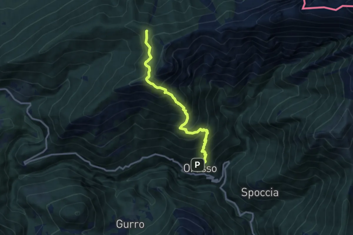
Demanding · Trail
S14 Orasso - Alpe Pluni
8.2 km · ↑ 1010 m · 4 h 7 min
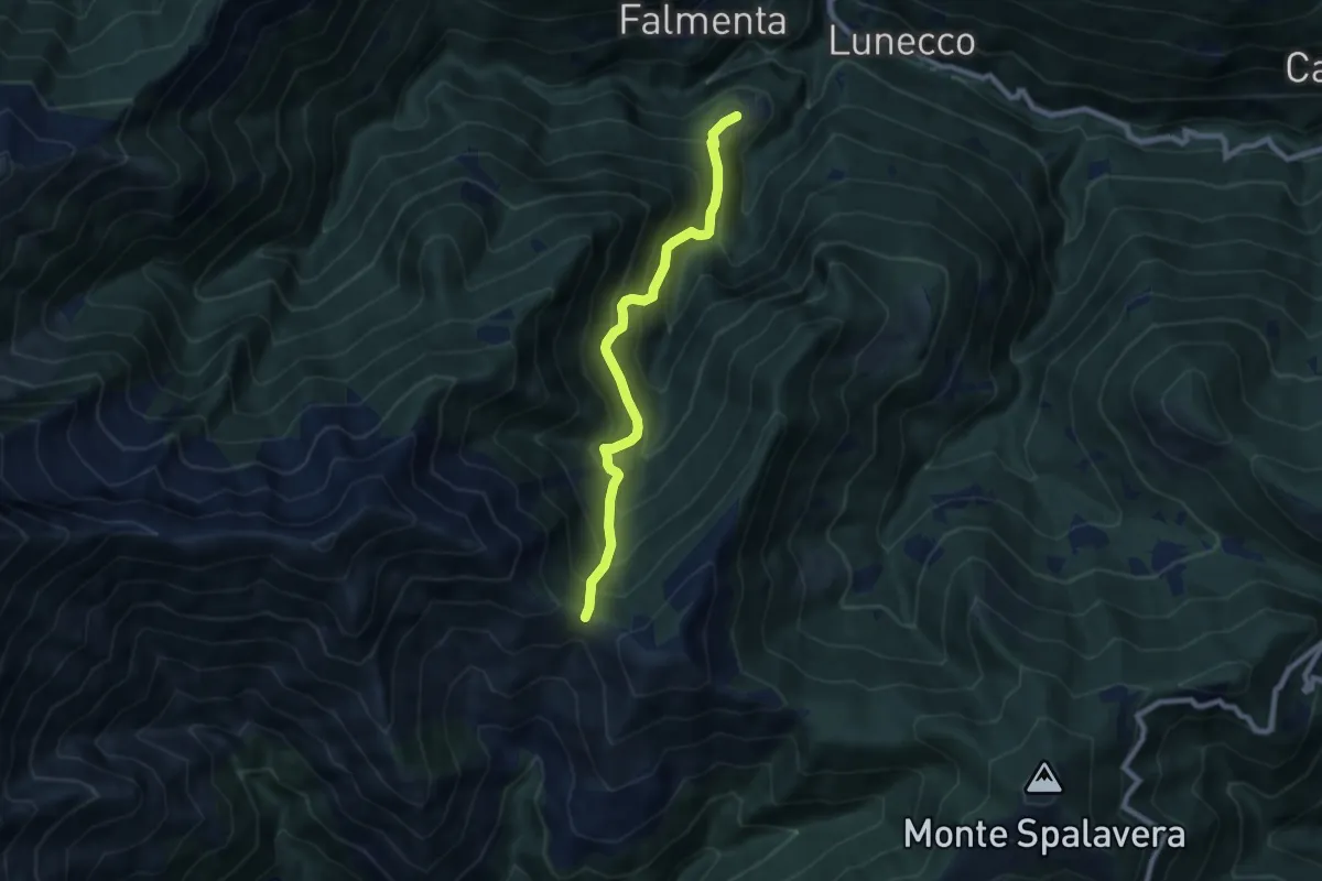
Demanding · Trail
S15 Crealla - Passo Folungo
7.6 km · ↑ 878 m · 3 h 41 min
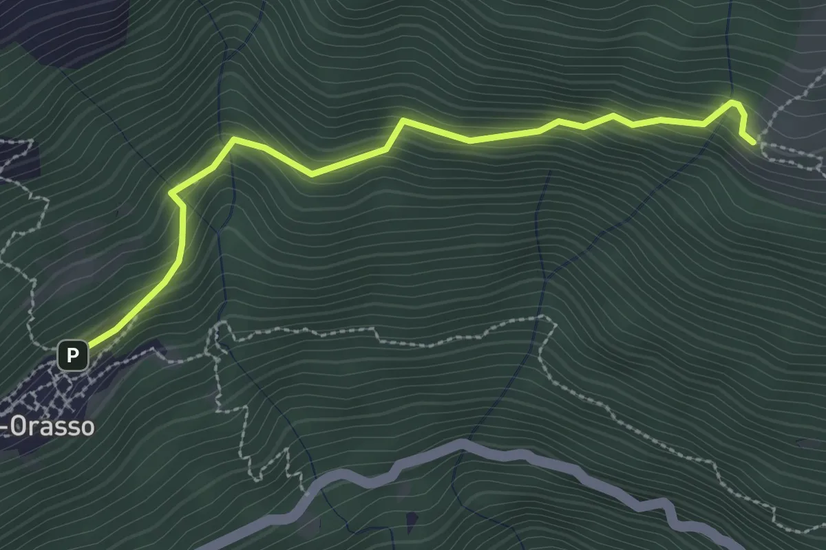
Easy · Cabin
S16a Cursolo - Monte Vecchio
2.9 km · ↑ 226 m · 1 h 10 min
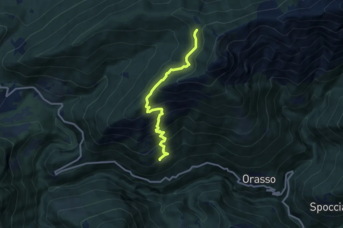
Medium · Trail
S16 Cursolo - Alpe Pluni
6.9 km · ↑ 672 m · 3 h 5 min
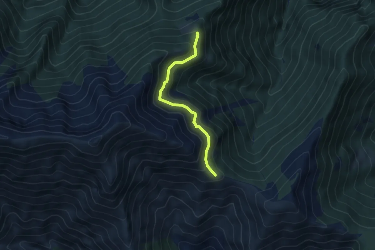
Medium · Trail
S17a Monti Ortighedo - Passo Folungo
4.3 km · ↑ 334 m · 1 h 45 min
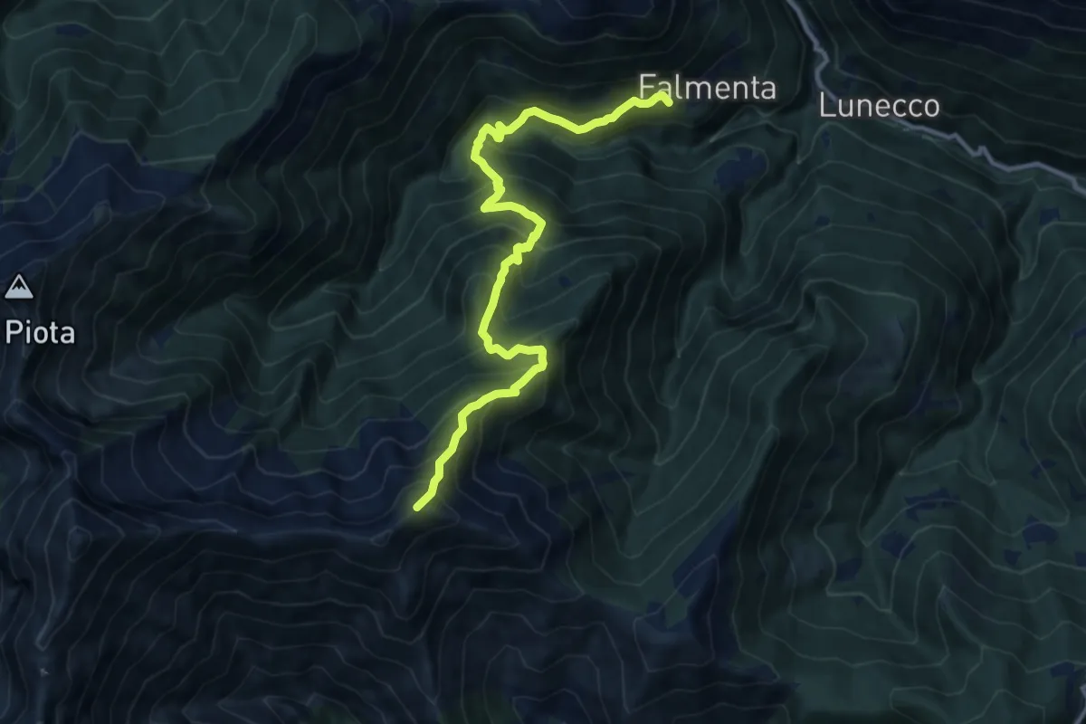
Demanding · Summit
S17 Falmenta - Cresta est Monte Vadà bivio R19
11.7 km · ↑ 1375 m · 5 h 45 min
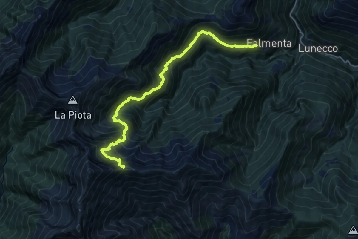
Demanding · Trail
S19 Falmenta - Alpe Fornà - Piè di Zeda
15.0 km · ↑ 1594 m · 6 h 59 min
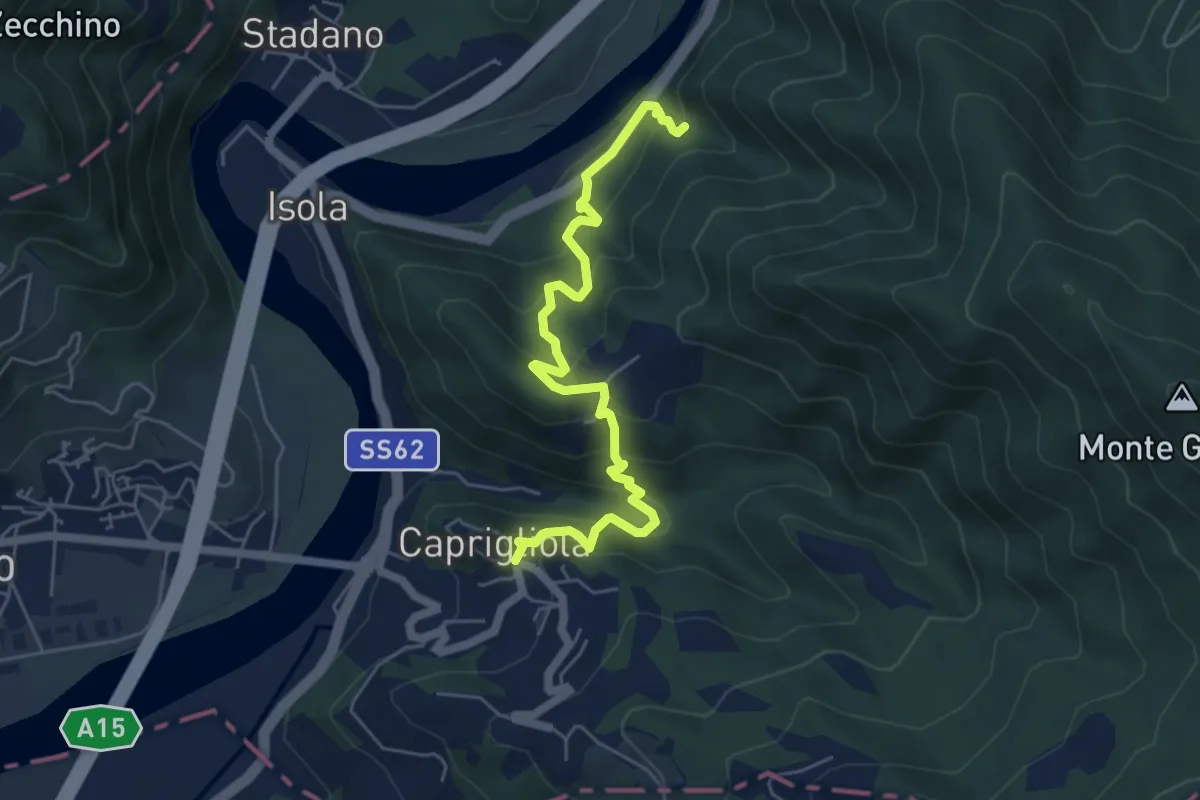
Demanding · Trail
S1 Caprigliola - Chiamici - Santuario Madonna del Ponte
6.1 km · ↑ 492 m · 2 h 30 min
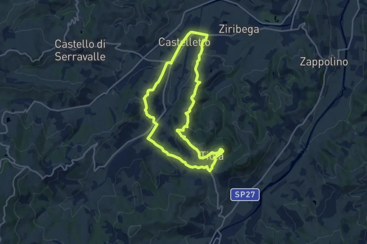
Medium · Trail
S2
11.2 km · ↑ 427 m · 3 h 44 min
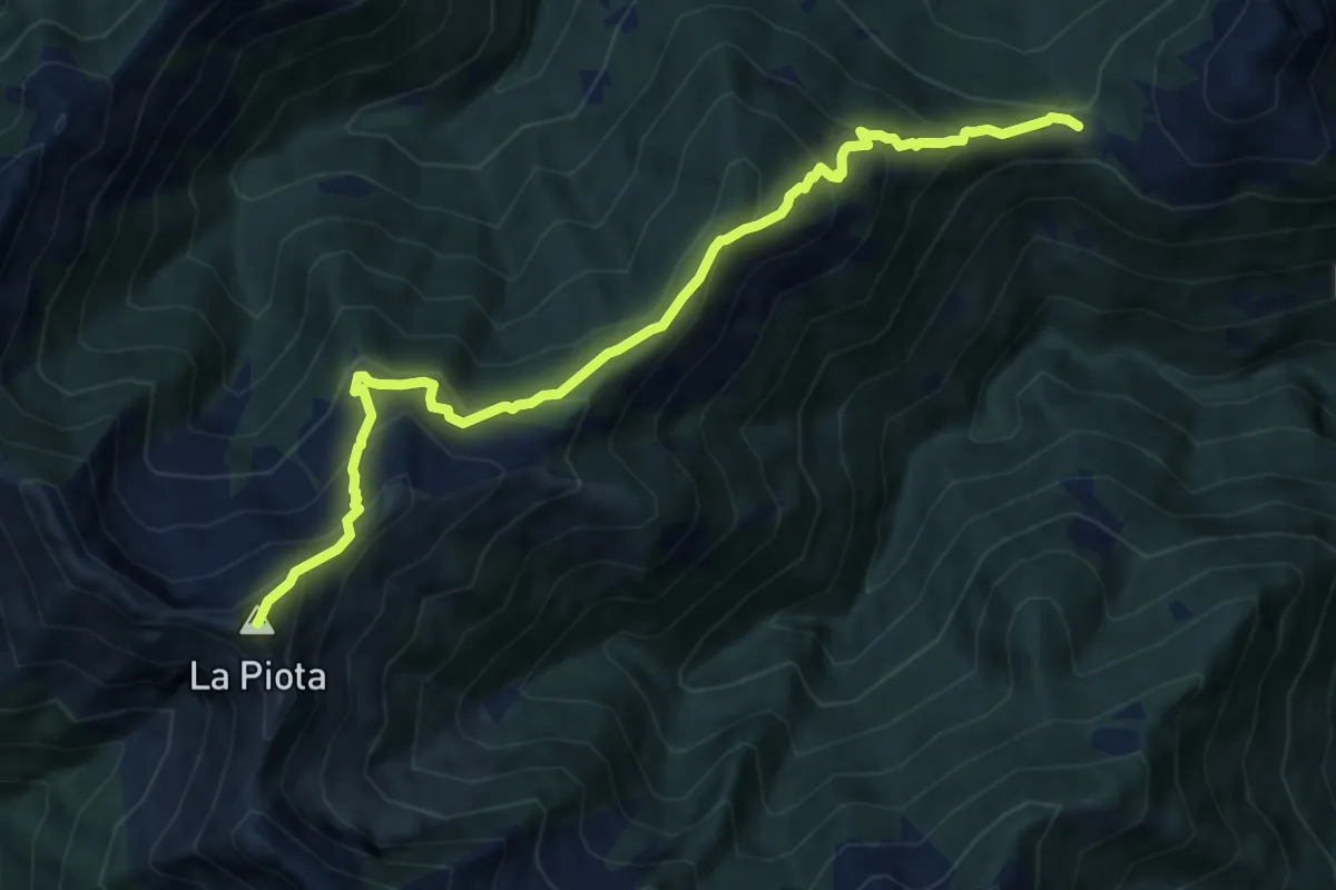
Demanding · Summit
S21 Gurro loc. Tresco, bivio S01 - La Piota
10.3 km · ↑ 934 m · 4 h 27 min
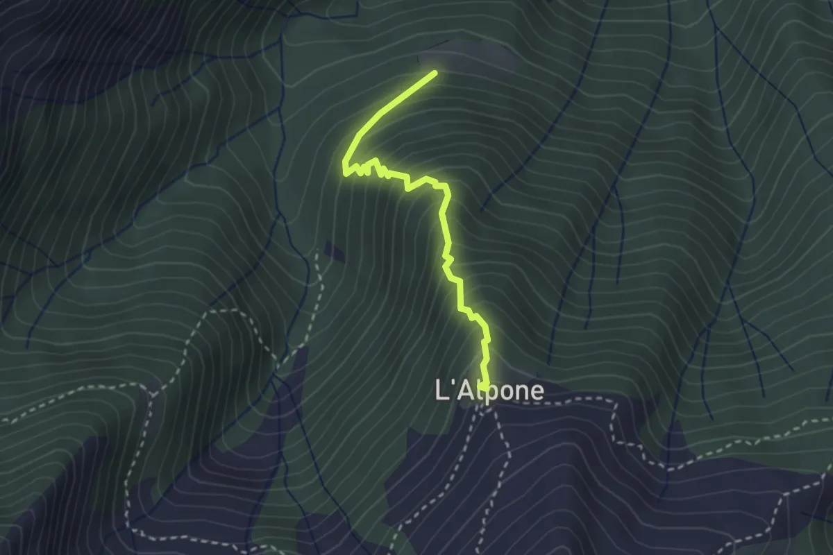
Medium · Trail
S23a Pra del Ru - Alpone
2.6 km · ↑ 379 m · 1 h 26 min
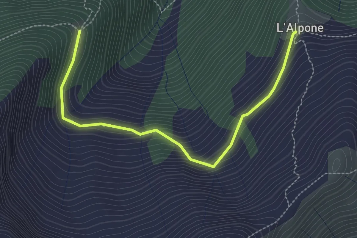
Medium · Trail
S23b Vandra - Alpone
3.0 km · ↑ 204 m · 1 h 9 min
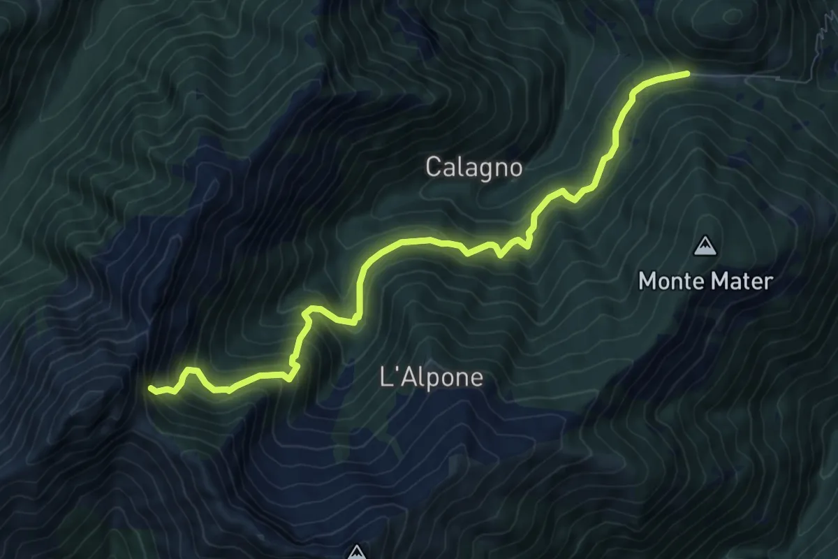
Demanding · Trail
S23 La Piazza -Passo delle Crocette
9.2 km · ↑ 902 m · 4 h 8 min
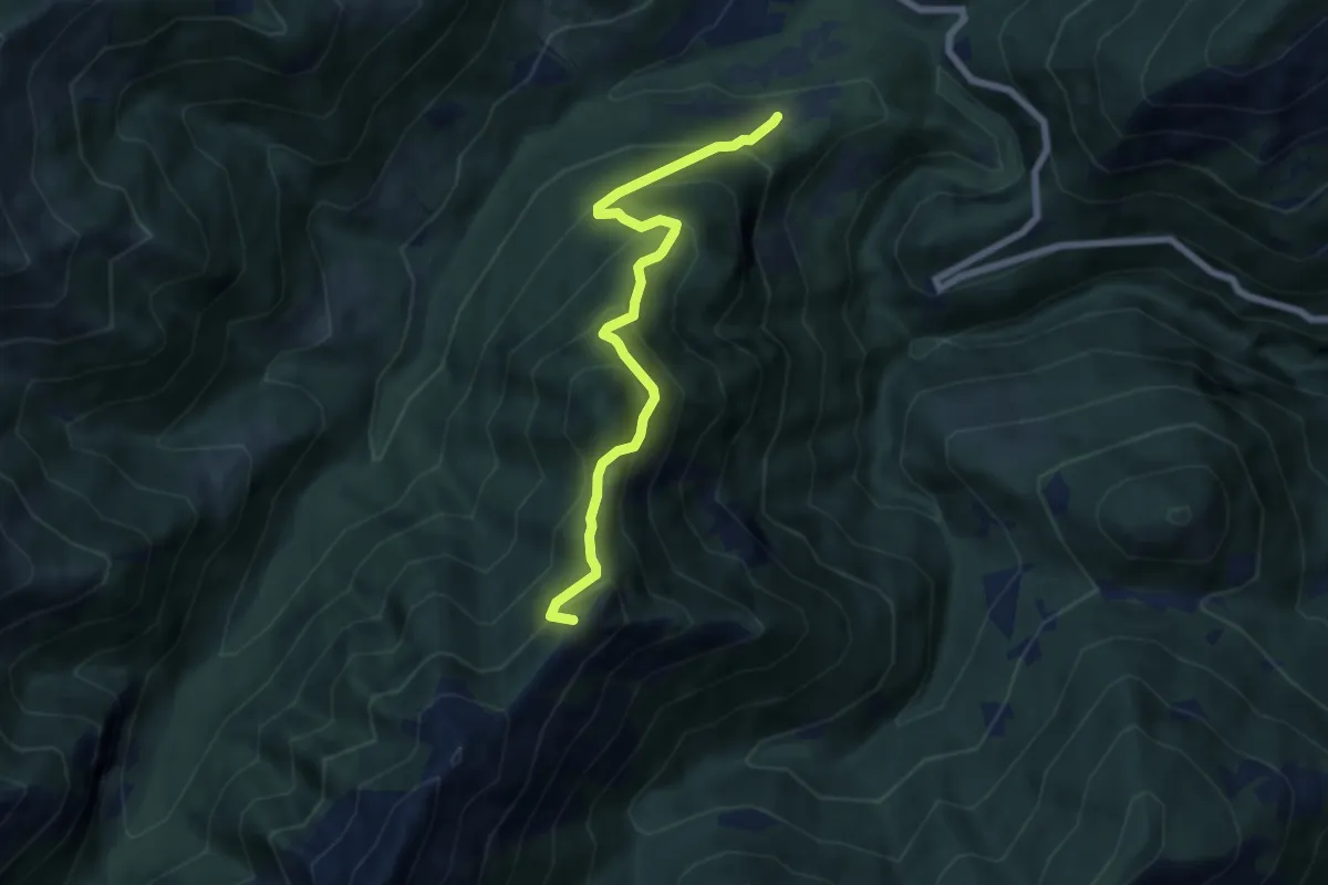
Medium · Summit
S25 - Provola di Finero - Passo delle Crocette
6.6 km · ↑ 670 m · 3 h 1 min
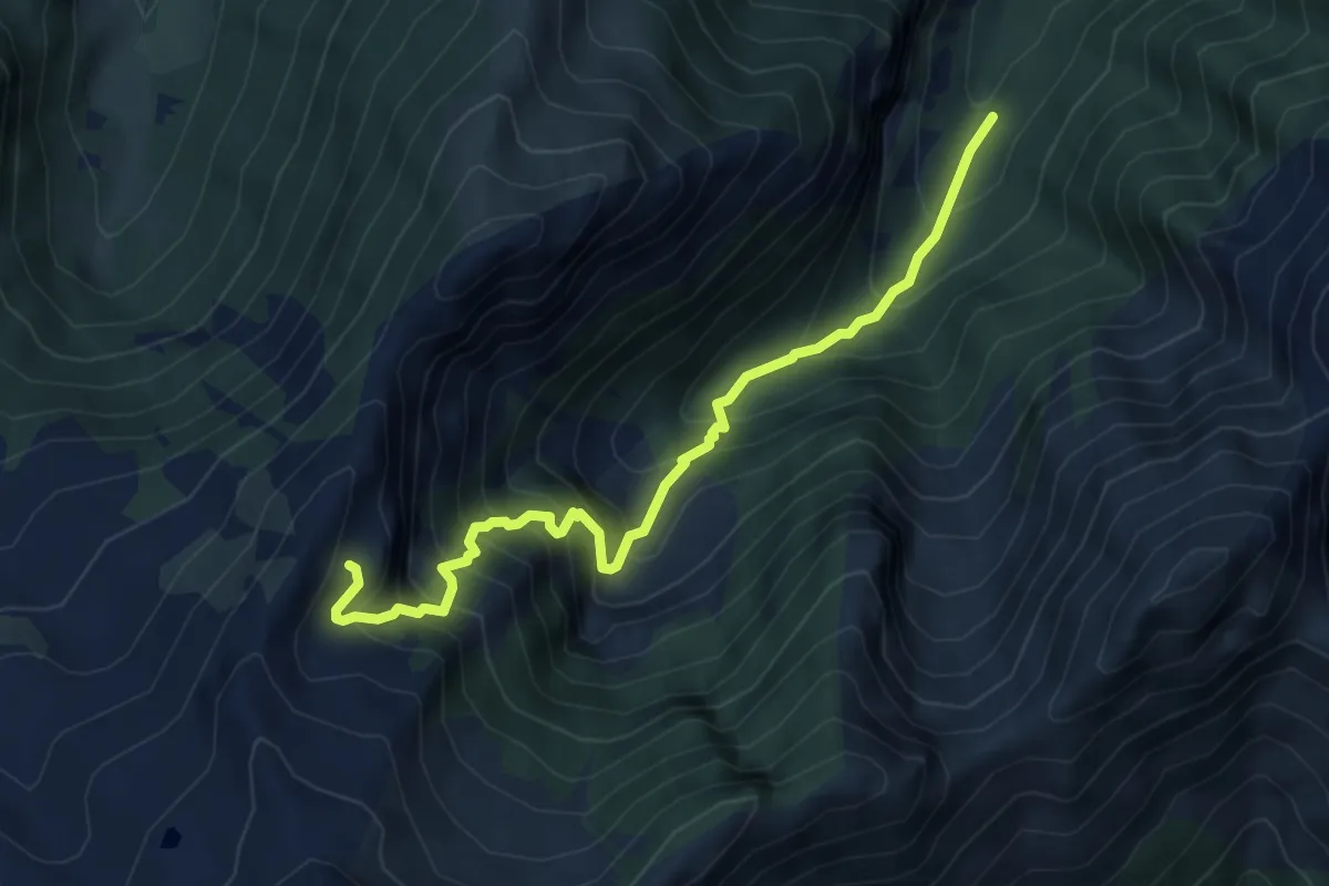
Medium · Cabin
S27a - Alpe Prebusa - Alpe Cortechiuso
5.6 km · ↑ 734 m · 2 h 54 min
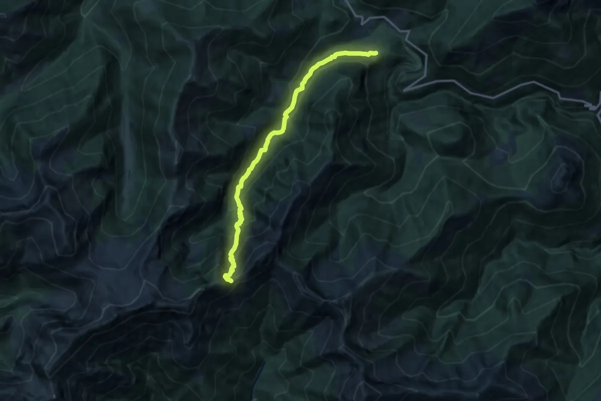
Demanding · Trail
S27 - Finero - Bocchetta di Terza
12.9 km · ↑ 1087 m · 5 h 24 min
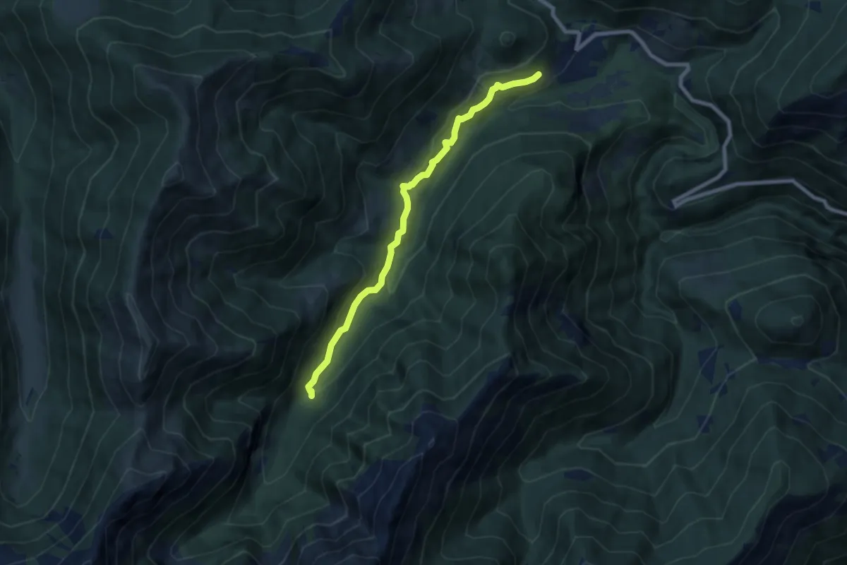
Easy · Trail
S29a - Finero - Ponte del Pilin
7.2 km · ↑ 301 m · 2 h 21 min
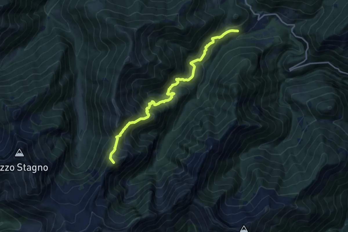
Demanding · Summit
S29 - Finero - Bocchetta di Cortechiuso
12.3 km · ↑ 1186 m · 5 h 28 min