Trails in Italy
25,221 hiking trails, each with its route, climb, walking time and grade.
All trails, page 136 of 526
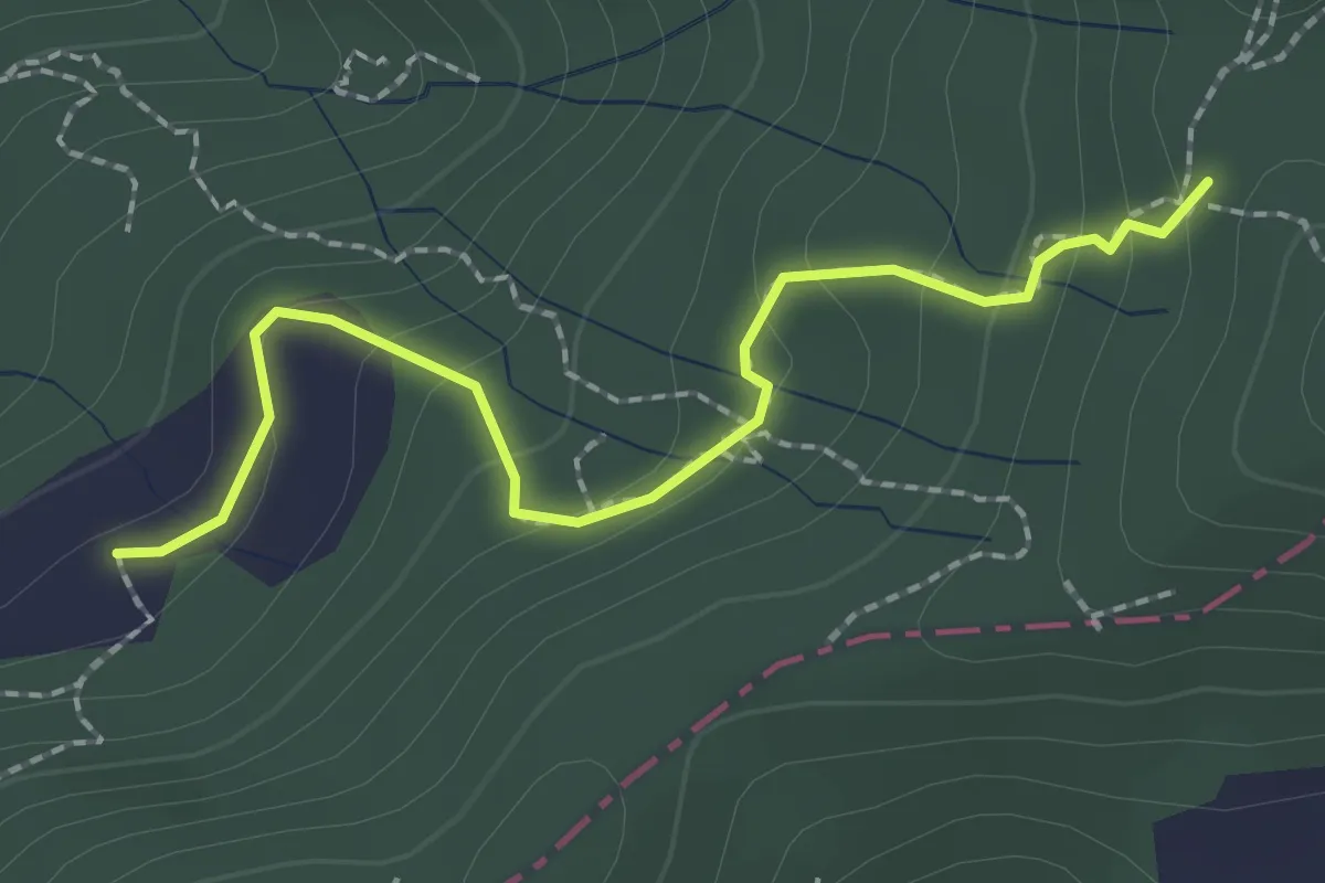
Easy · Trail
S2/bis Sentiero La bronzina - Quattro strade
2.2 km · ↑ 131 m · 49 min
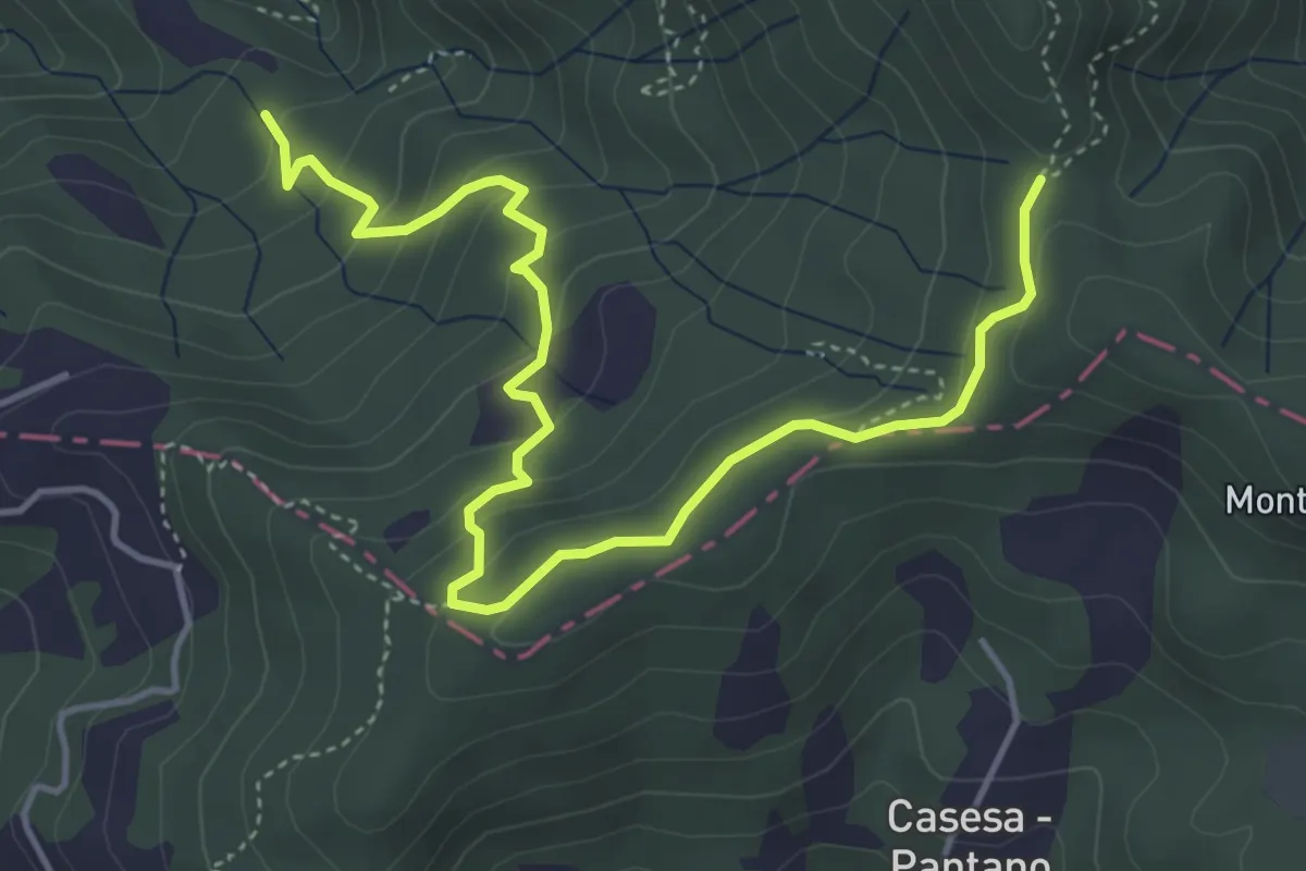
Easy · Trail
S2 Sentiero Valle dei Mulini- Quattro Strade
5.6 km · ↑ 305 m · 1 h 59 min
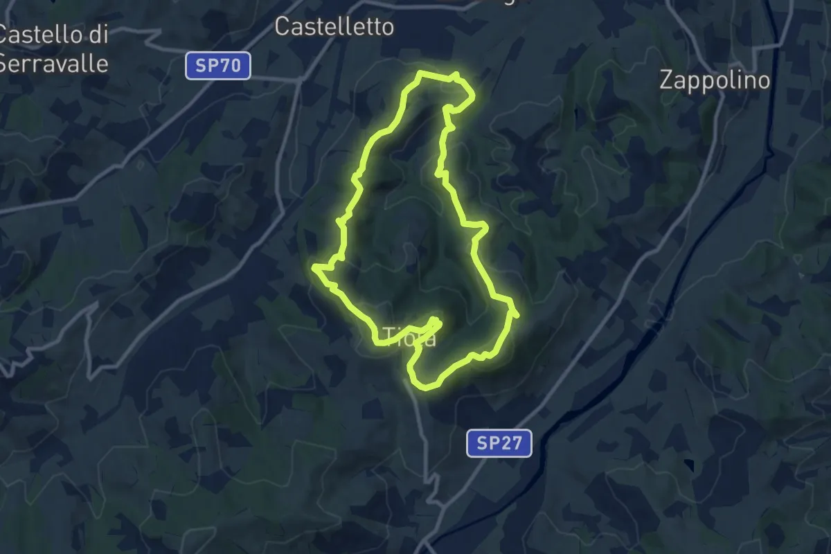
Medium · Trail
S3
9.7 km · ↑ 407 m · 3 h 19 min
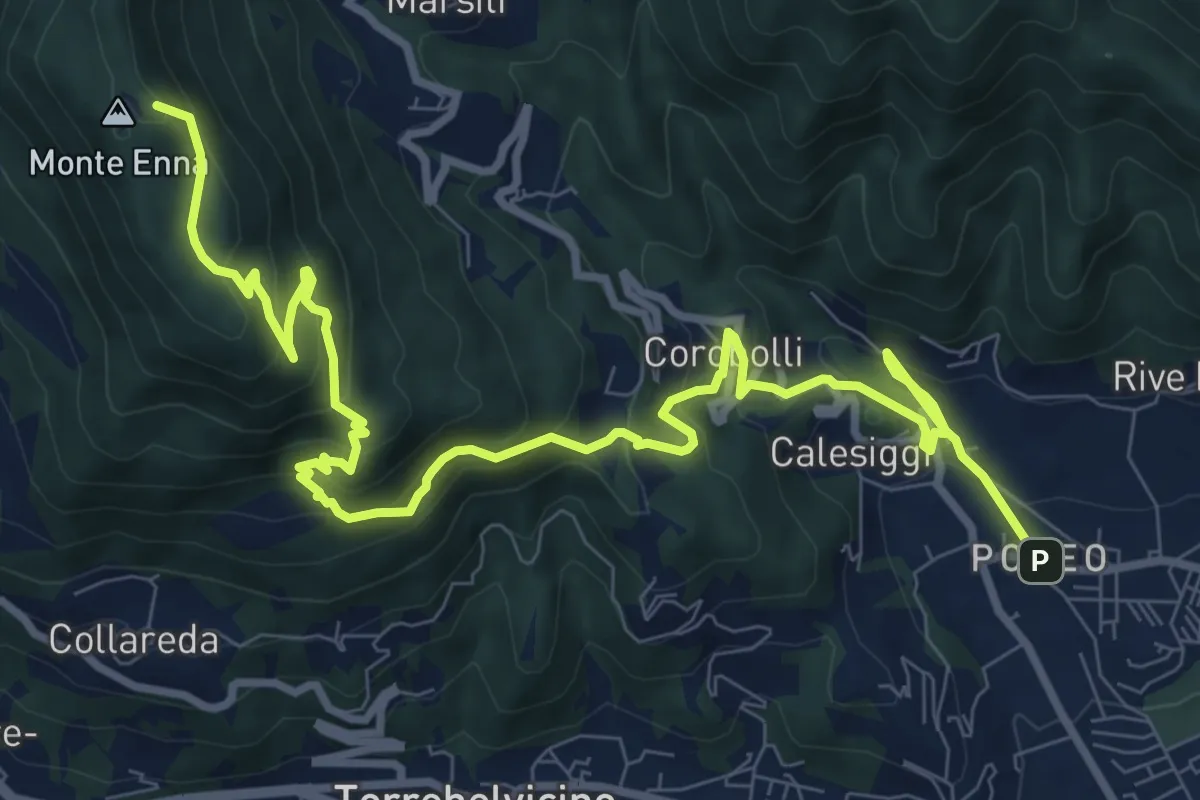
Demanding · Summit
S3
12.8 km · ↑ 901 m · 4 h 58 min
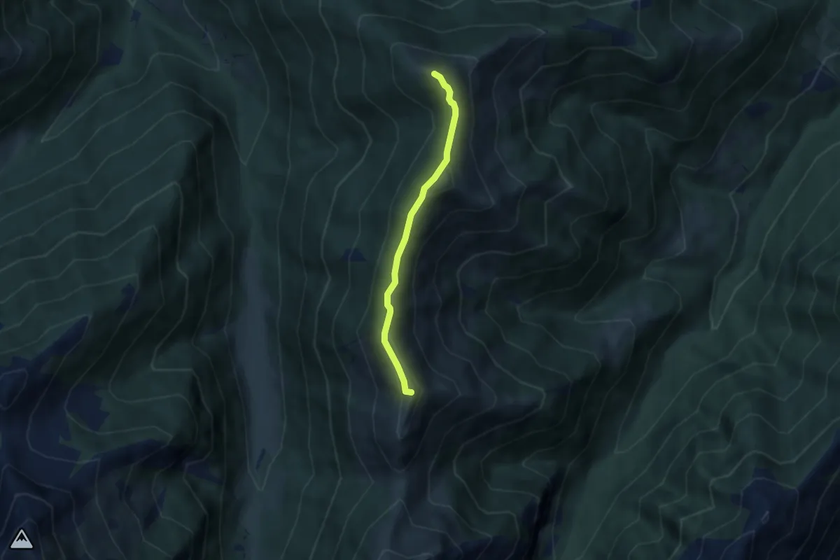
Demanding · Summit
S31a - La Cima - Passo Forcola
4.5 km · ↑ 245 m · 1 h 36 min
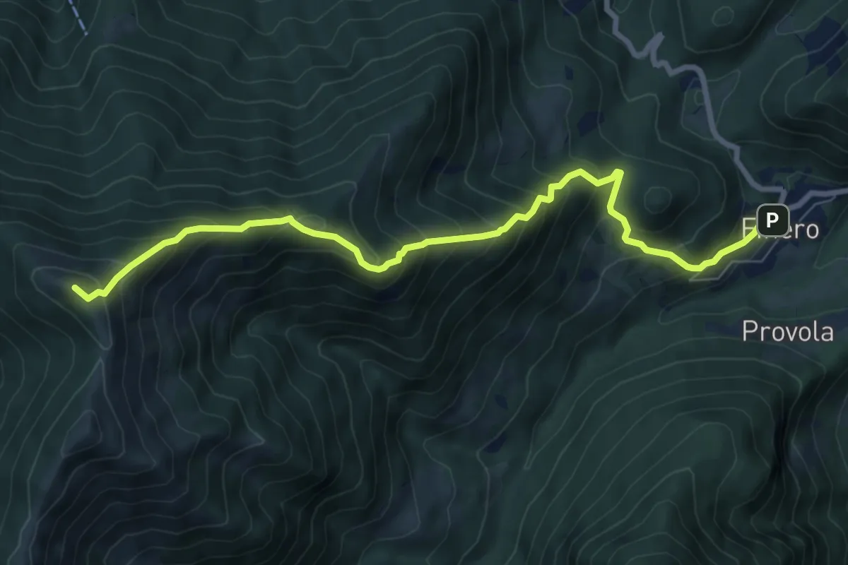
Demanding · Summit
S31 - Finero - La Cima
8.4 km · ↑ 896 m · 3 h 55 min
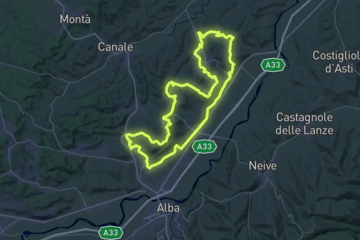
Demanding · Summit
S3 - Roero Orientale
37.0 km · ↑ 761 m · 10 h 54 min
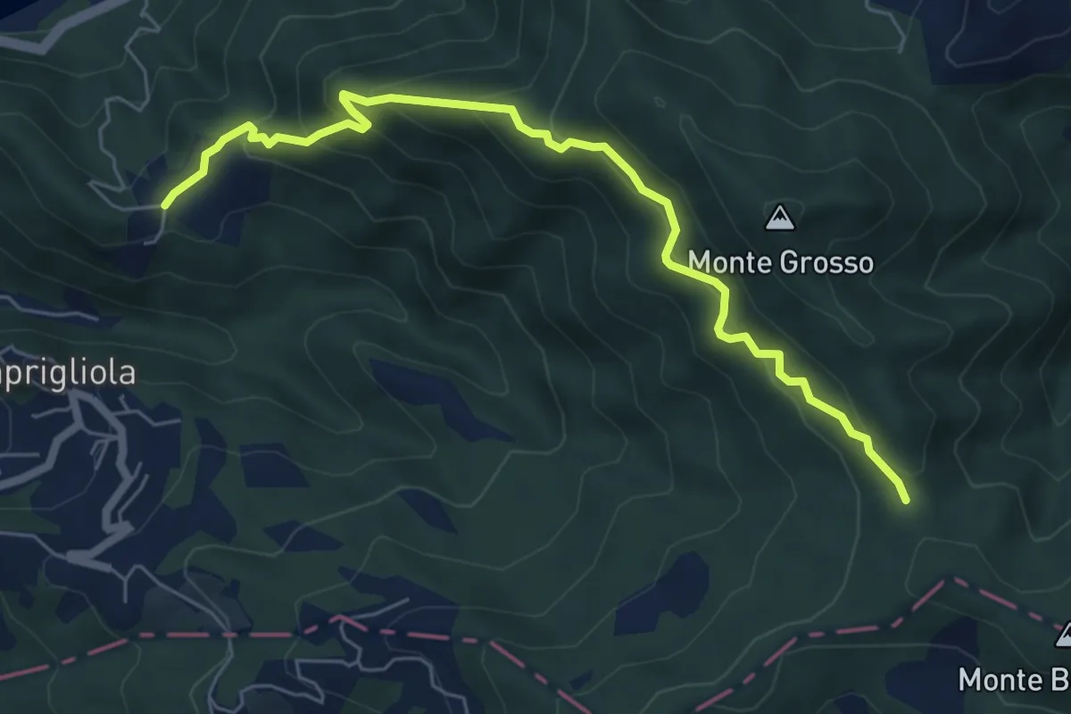
Medium · Trail
S3 Sentiero della Tira: Chiamici - Quattro strade
6.8 km · ↑ 538 m · 2 h 46 min
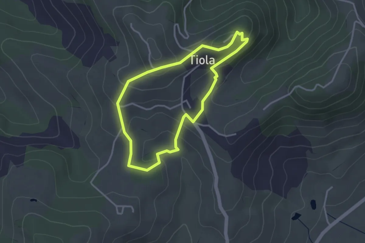
Easy · Trail
S4
2.8 km · ↑ 120 m · 58 min
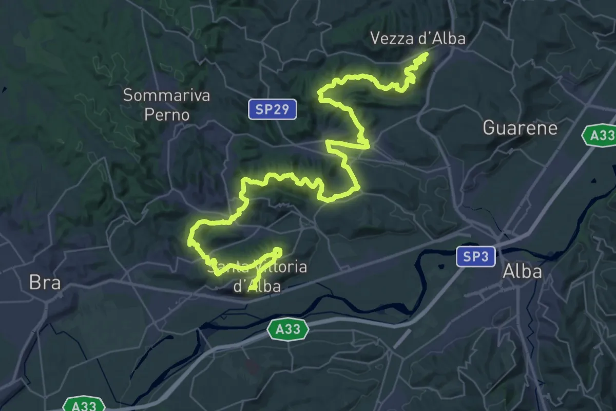
Demanding · Trail
S4 Roero Centrale
25.8 km · ↑ 787 m · 8 h 14 min
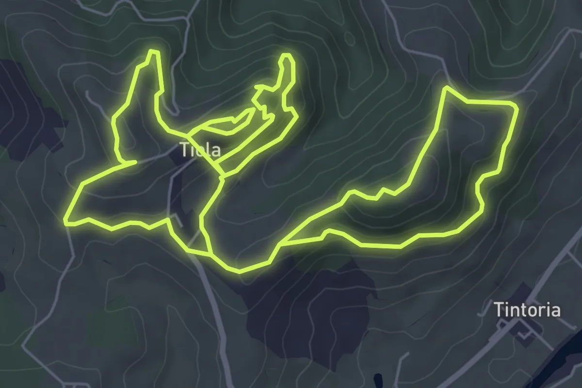
Medium · Trail
S5
15.0 km · ↑ 708 m · 5 h 5 min
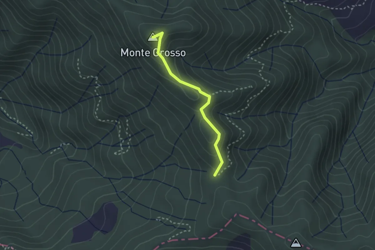
Easy · Summit
S5: Quattro Strade - Monte Grosso - La Tira
2.3 km · ↑ 113 m · 48 min
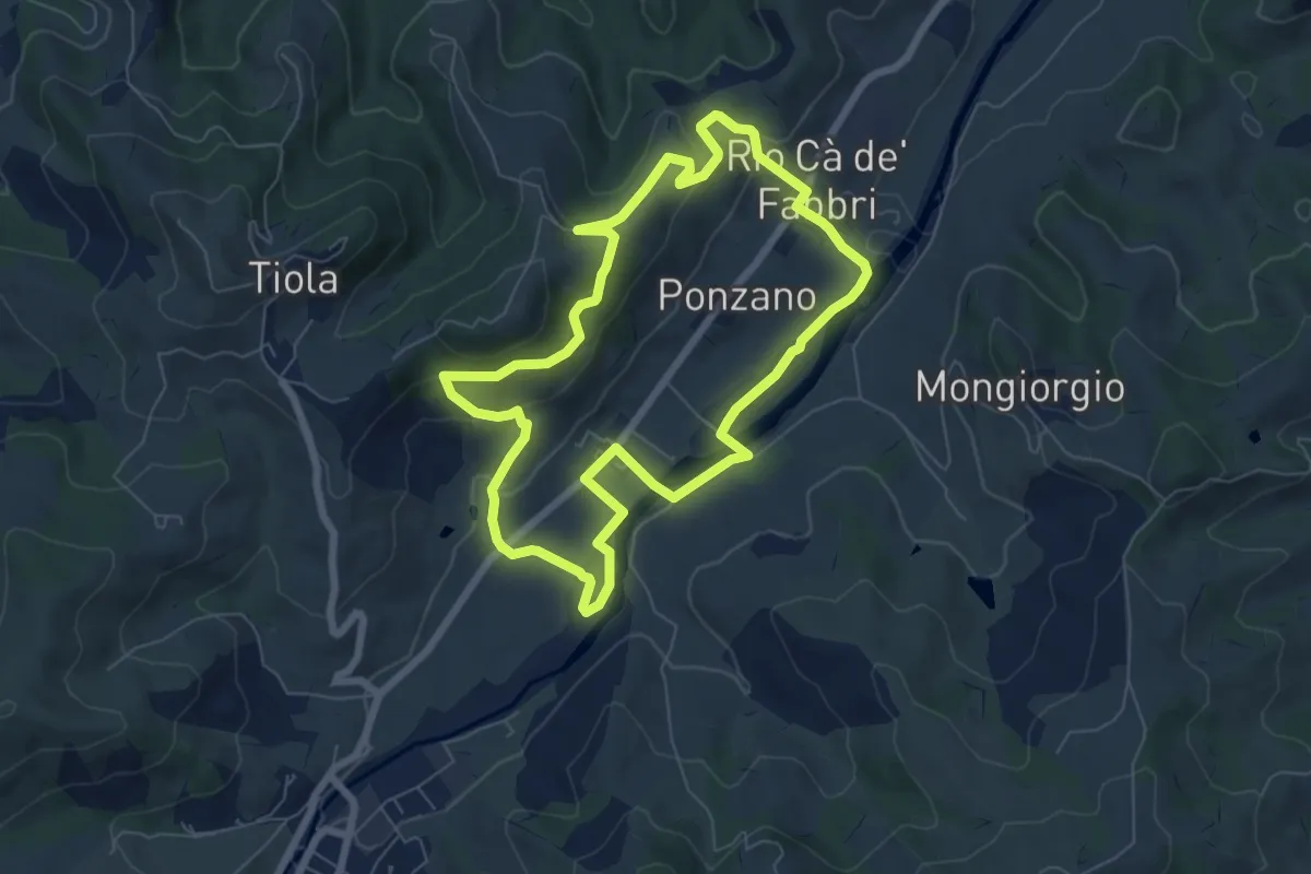
Easy · Trail
S6
7.0 km · ↑ 218 m · 2 h 13 min
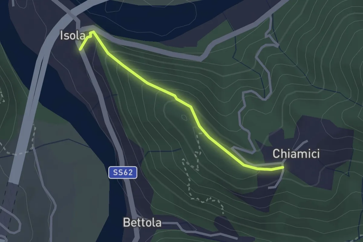
Easy · Trail
S6 Chiamici - Isola
2.4 km · ↑ 172 m · 57 min
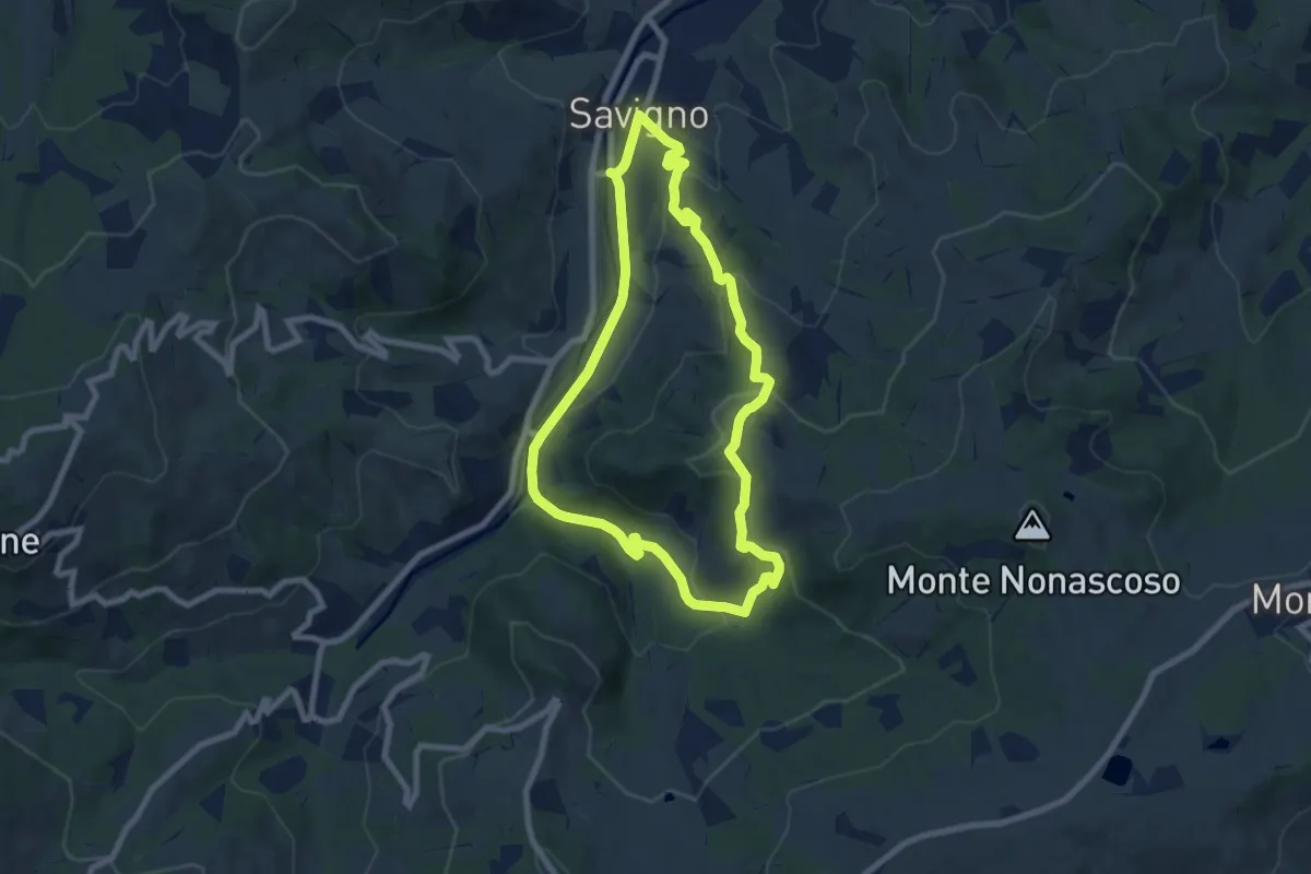
Easy · Trail
S8
7.7 km · ↑ 269 m · 2 h 31 min
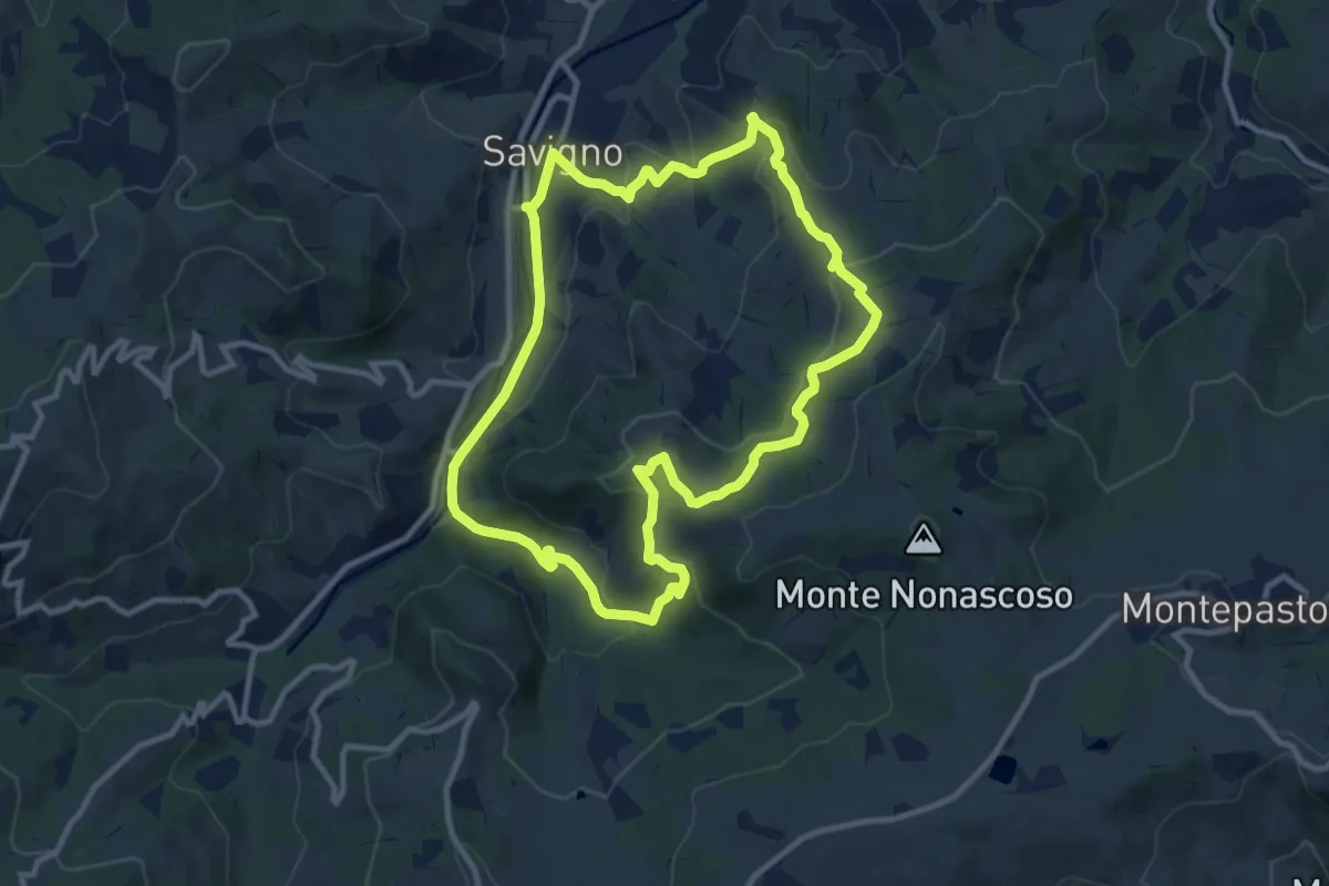
Medium · Trail
S9
10.6 km · ↑ 354 m · 3 h 24 min
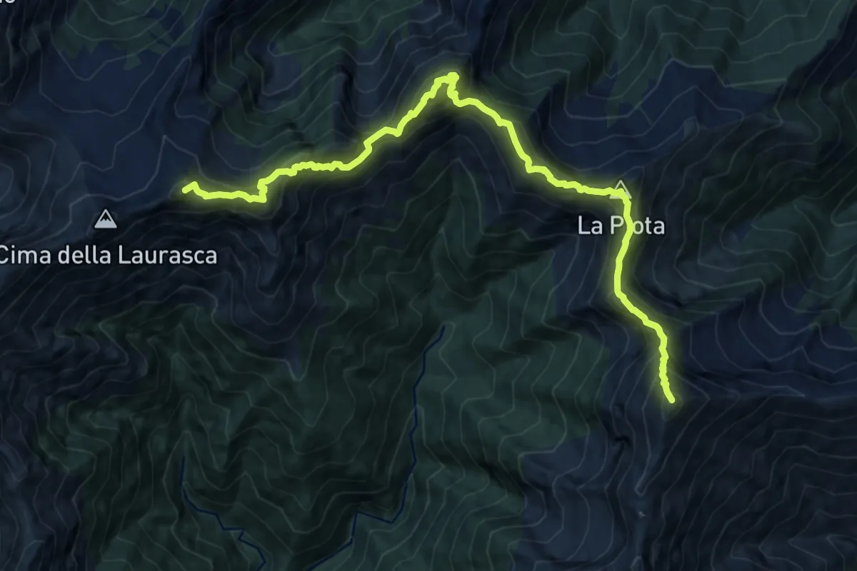
Expert · Summit
S99 Bocchetta di Cortechiuso - Monte Zeda
14.5 km · ↑ 1678 m · 7 h 4 min
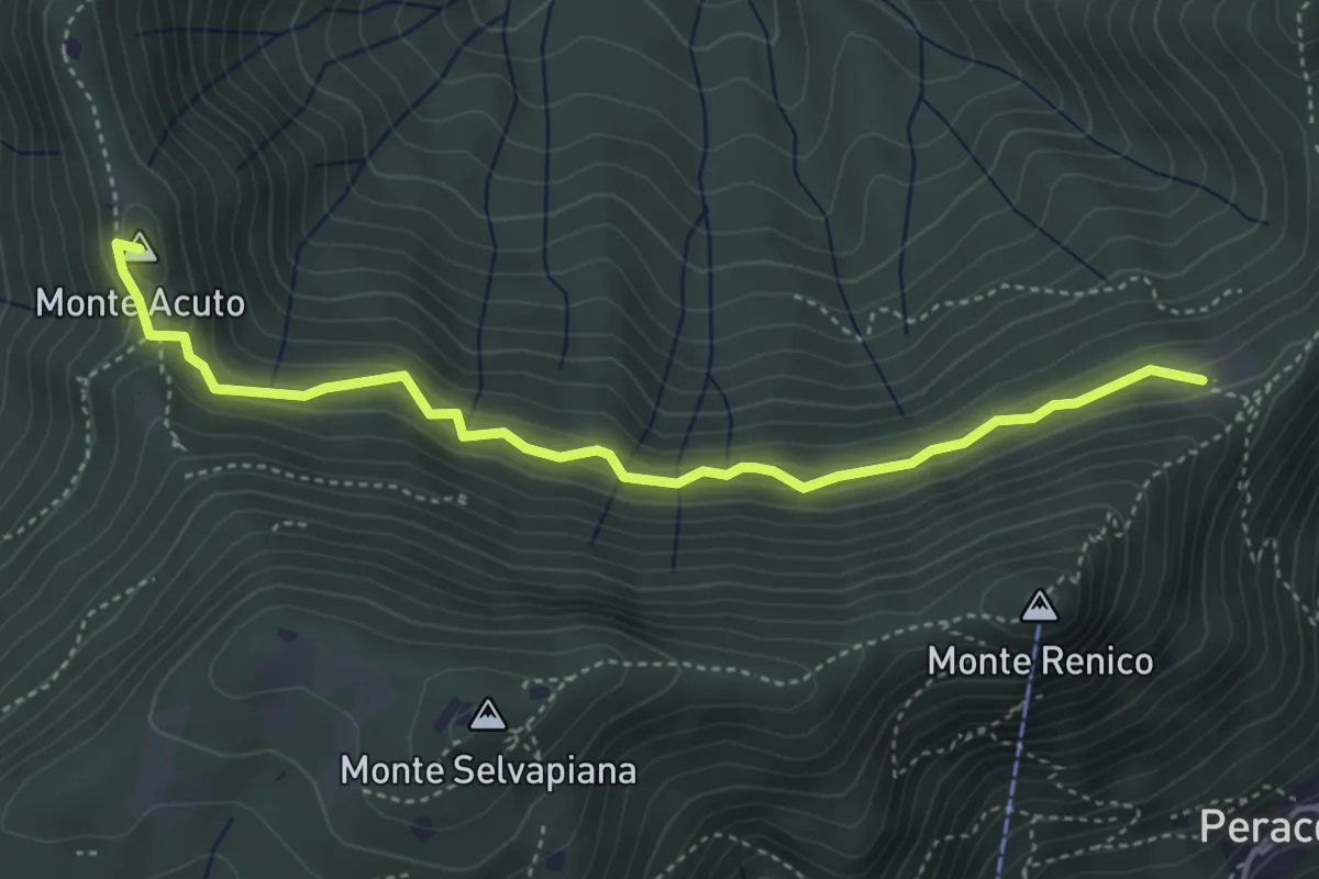
Medium · Summit
Sabbio Chiese (Clibbio) - Cascina Ronchi
4.4 km · ↑ 260 m · 1 h 37 min
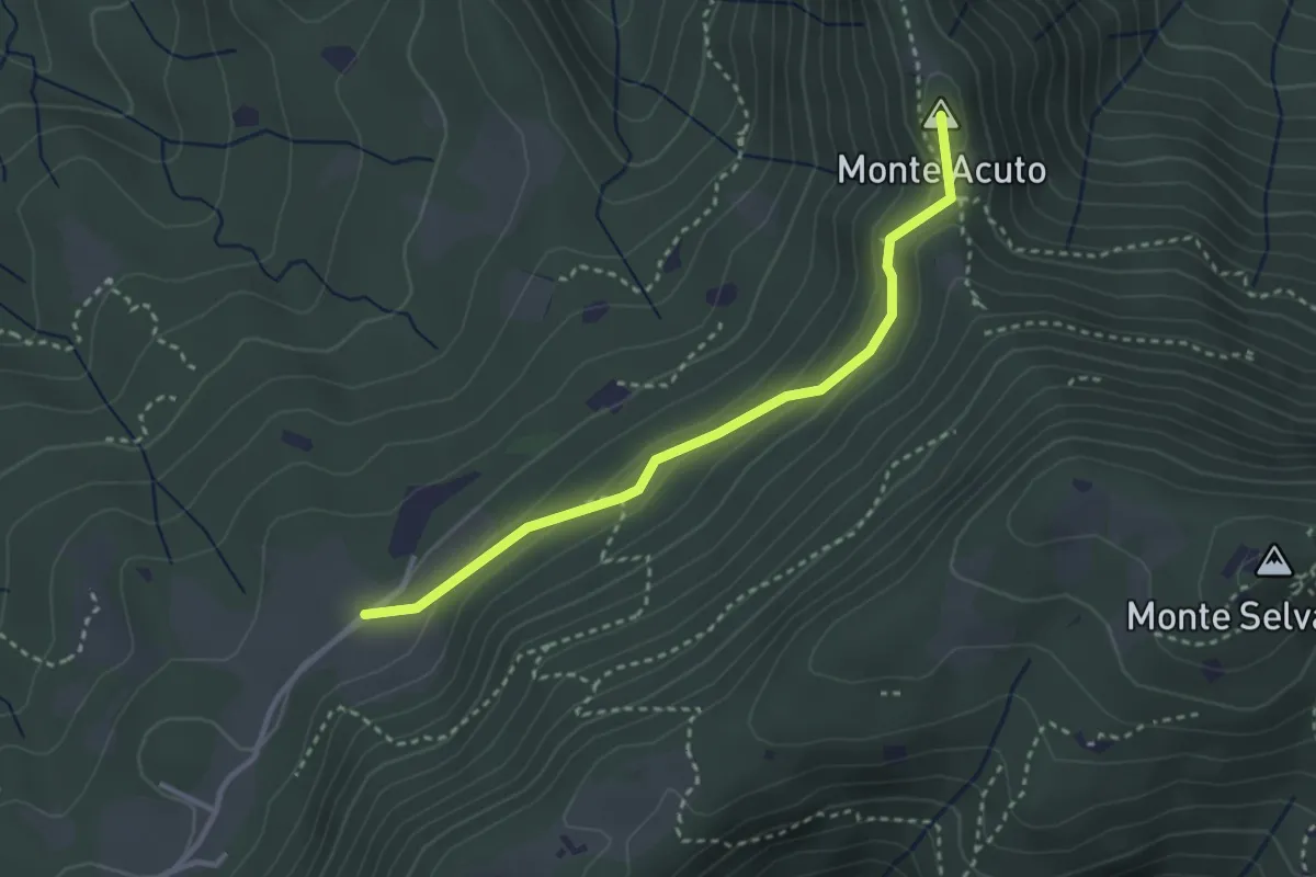
Medium · Summit
Sabbio Chiese (Monte Acuto - Innesto Sentiero 495) - Monte Magno
3.1 km · ↑ 162 m · 1 h 4 min
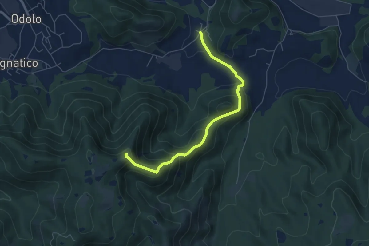
Medium · Summit
Sabbio Chiese (Ponte della Fame) - Monte Corvino
5.7 km · ↑ 397 m · 2 h 13 min
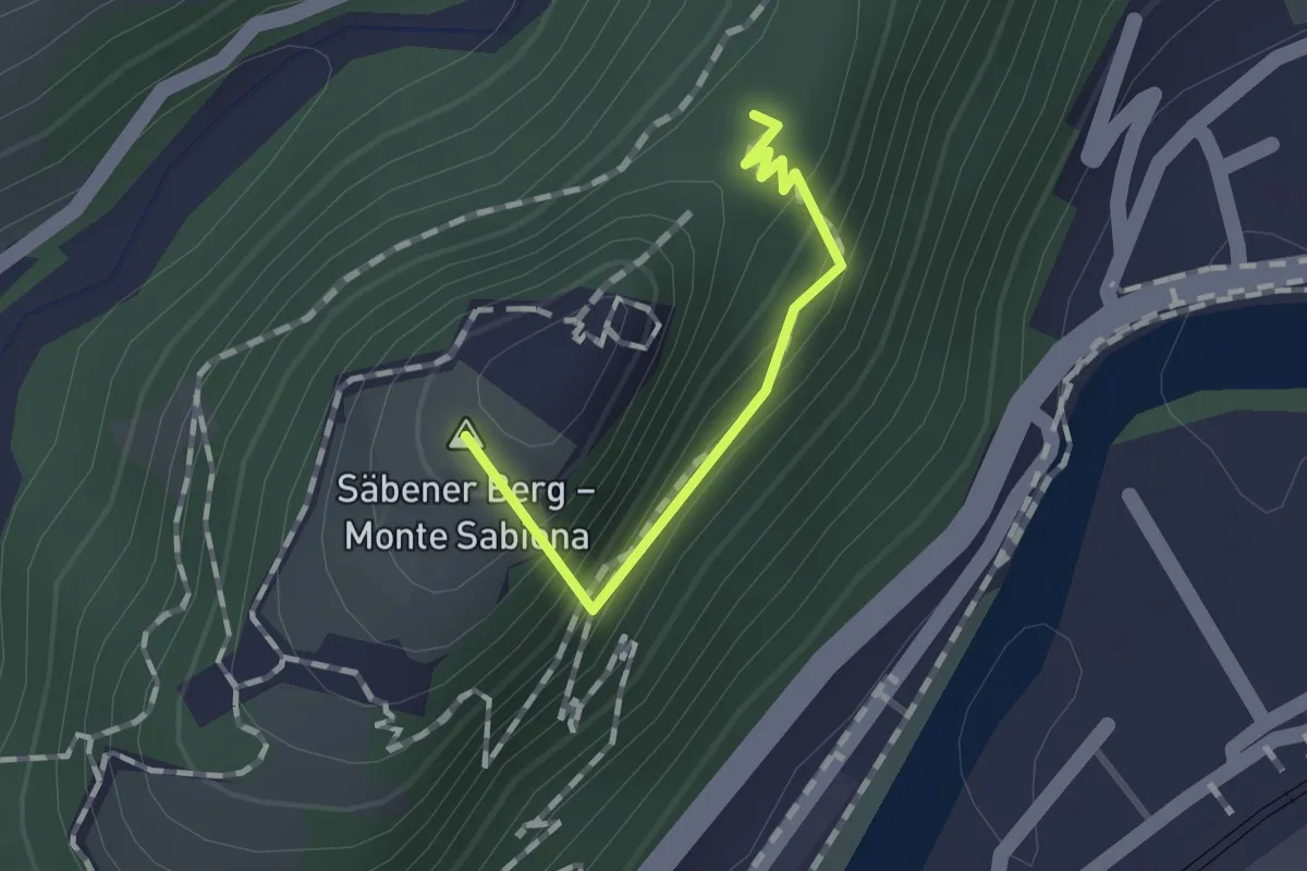
Easy · Summit
Säbener Promenade - Passeggiata Sabiona
1.0 km · ↑ 78 m · 24 min
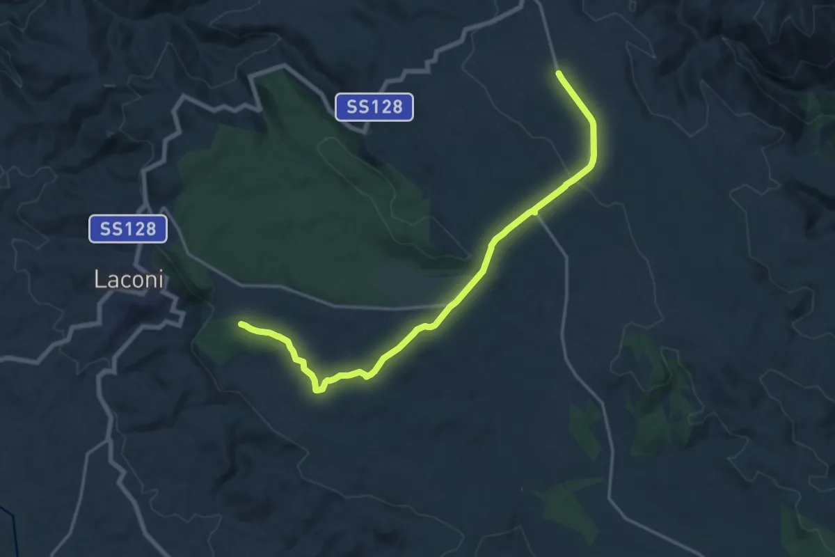
Medium · Trail
Sa Bia de is Caminantis
17.6 km · ↑ 293 m · 4 h 48 min
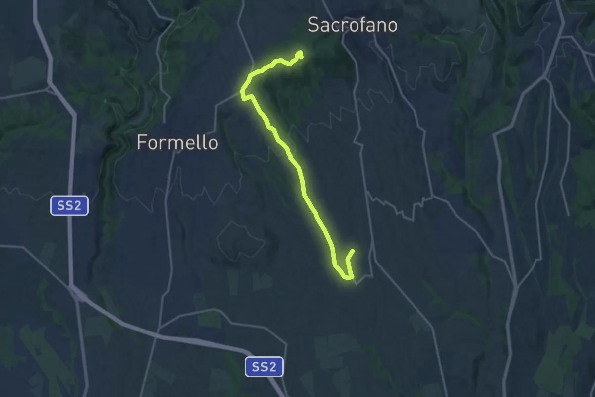
Medium · Summit
Sacrofano-Pacifico
14.7 km · ↑ 308 m · 4 h 8 min
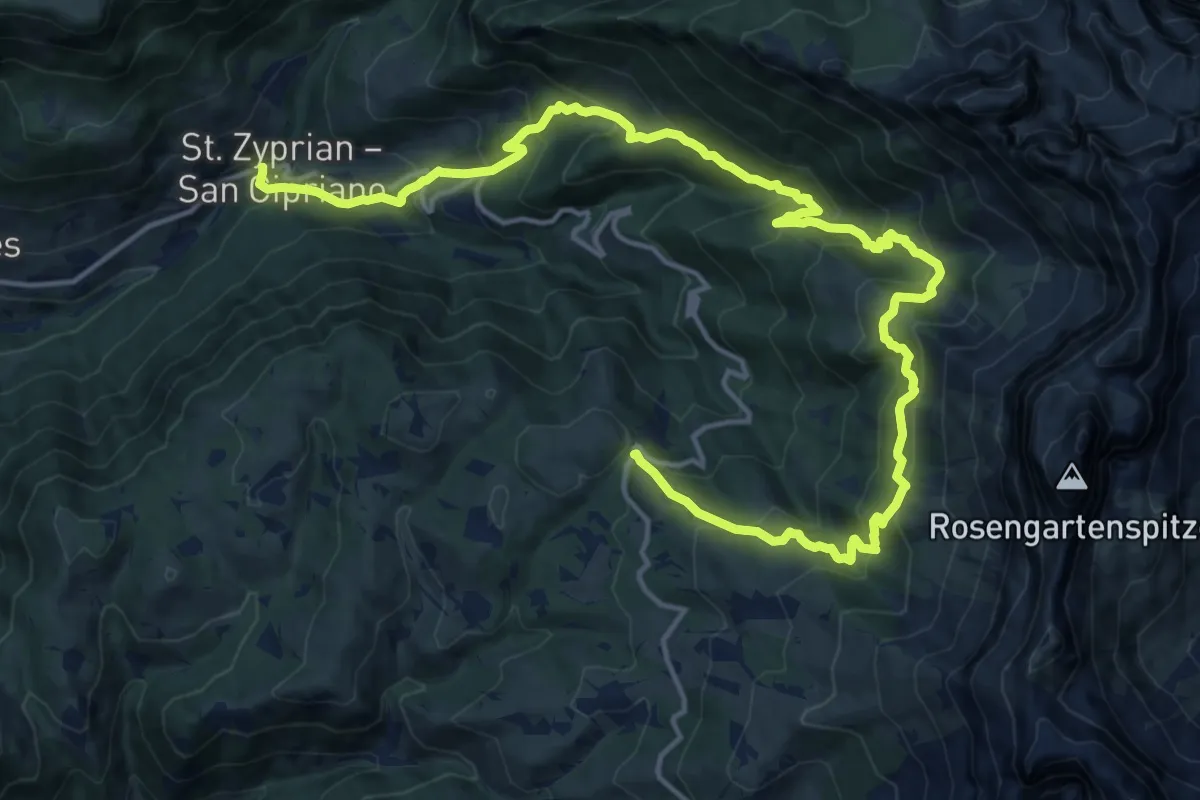
Medium · Trail
Sagenweg
10.4 km · ↑ 442 m · 3 h 52 min
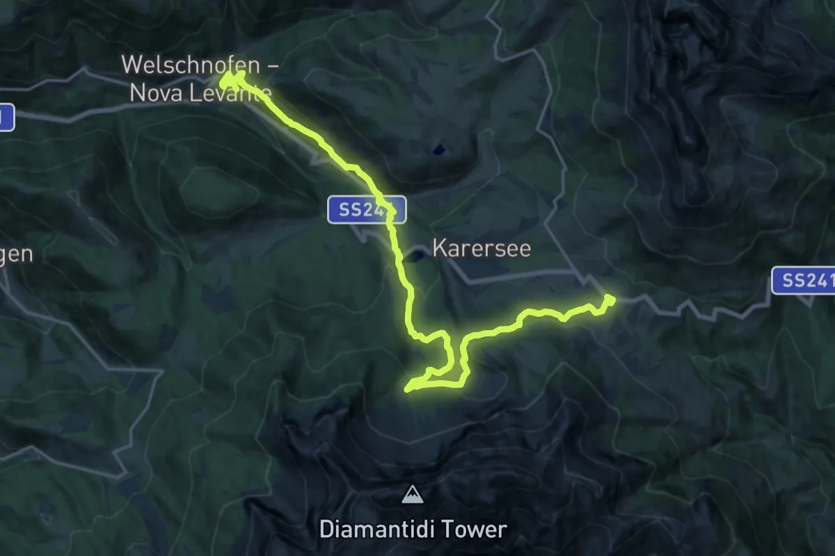
Demanding · Trail
Sagenweg
22.0 km · ↑ 956 m · 7 h 16 min
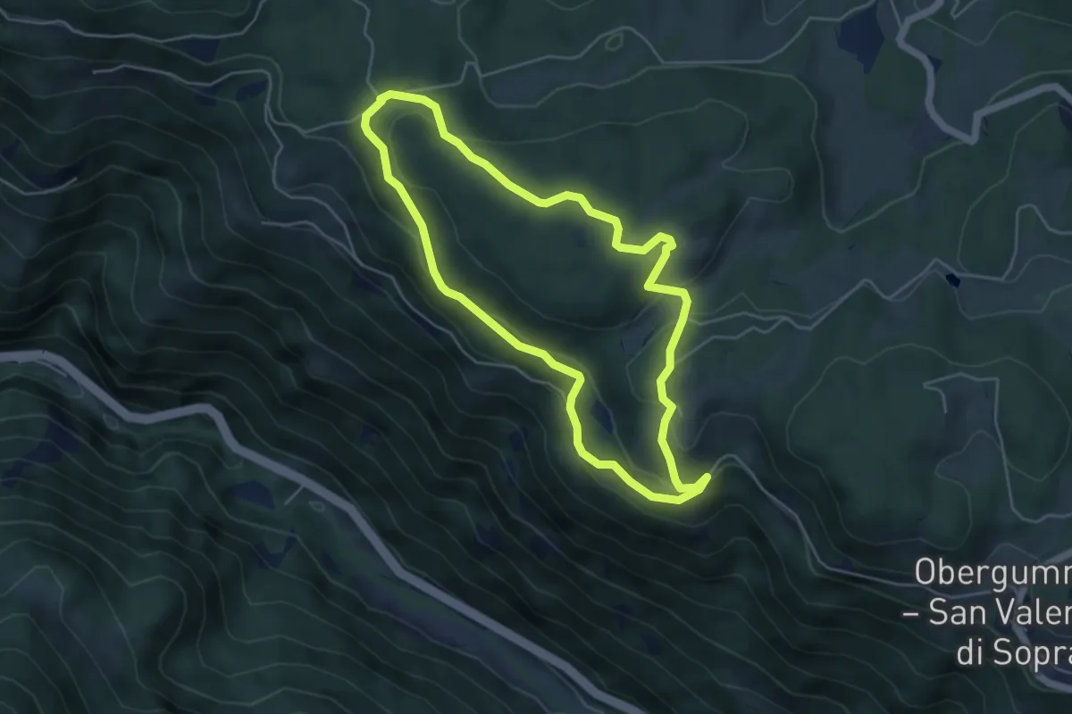
Easy · Summit
Sagenweg
4.6 km · ↑ 177 m · 1 h 32 min
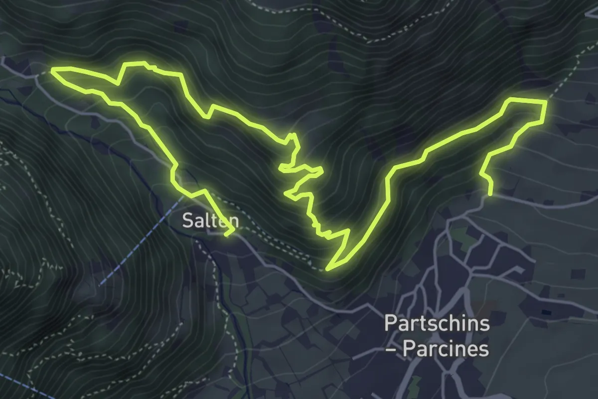
Demanding · Trail
Sagenweg
9.1 km · ↑ 820 m · 3 h 55 min
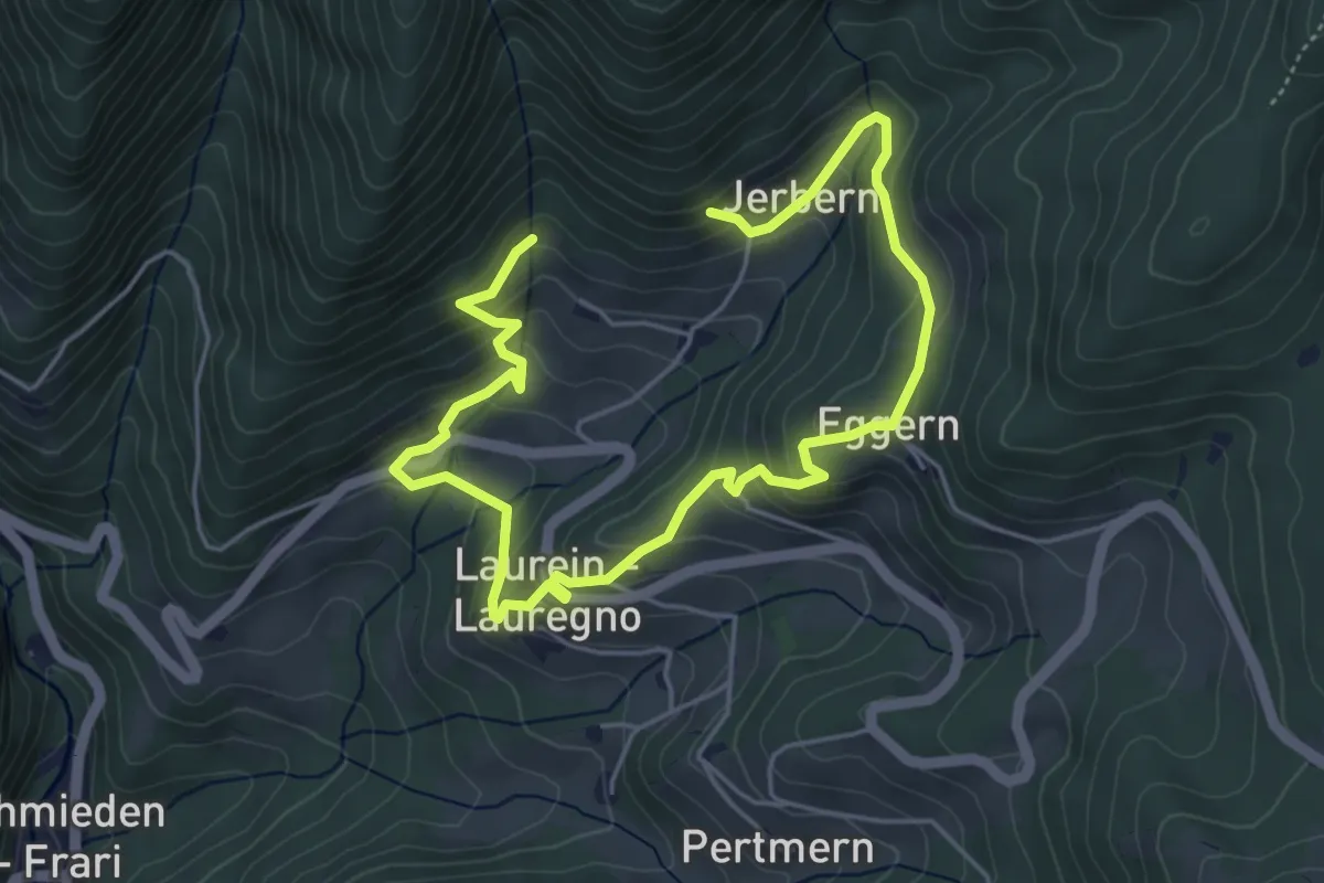
Easy · Trail
Sagenweg Laurein
3.6 km · ↑ 258 m · 1 h 26 min
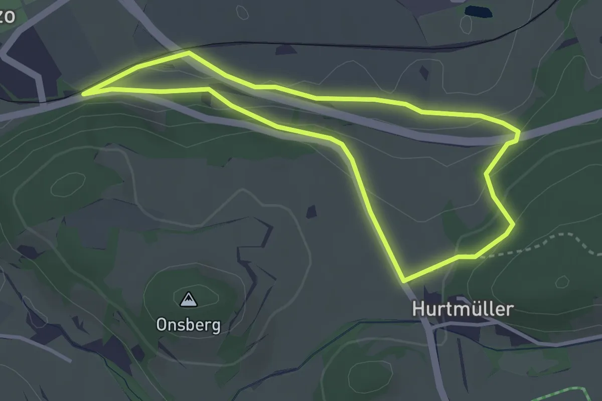
Easy · Trail
Sagenweg - Sentiero delle leggende
3.0 km · ↑ 98 m · 58 min
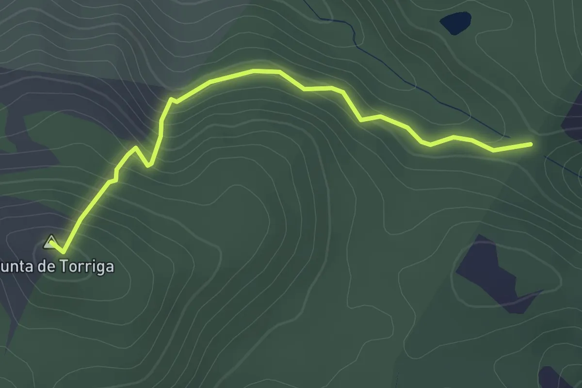
Easy · Summit
Sa Janna de su Tassu - Turriga
2.8 km · ↑ 185 m · 1 h 4 min
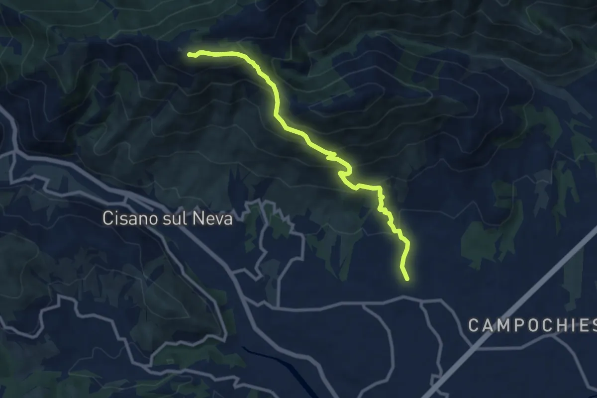
Medium · Summit
Salea - San Giacomo - Poggio Ceresa
8.4 km · ↑ 632 m · 3 h 21 min
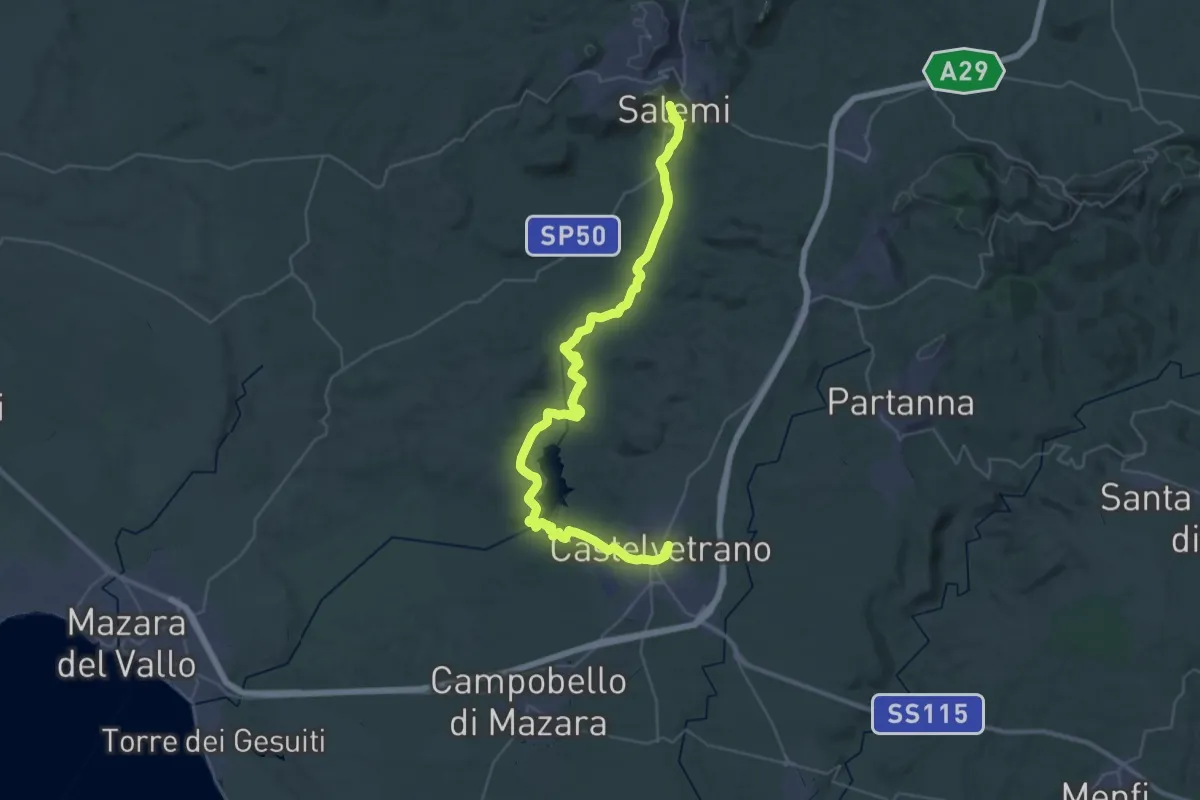
Demanding · Trail
Salemi - Castelvetrano
26.7 km · ↑ 279 m · 7 h 24 min
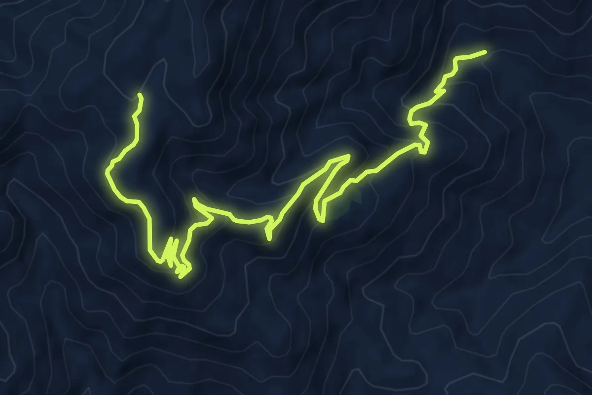
Medium · Summit
Salemi San Calorio 26
5.7 km · ↑ 675 m · 2 h 35 min
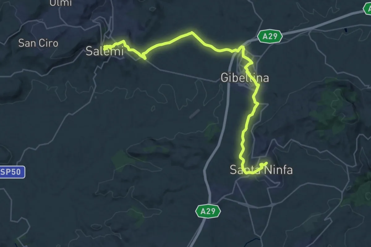
Medium · Trail
Salemi - Santa Ninfa
15.7 km · ↑ 261 m · 4 h 30 min
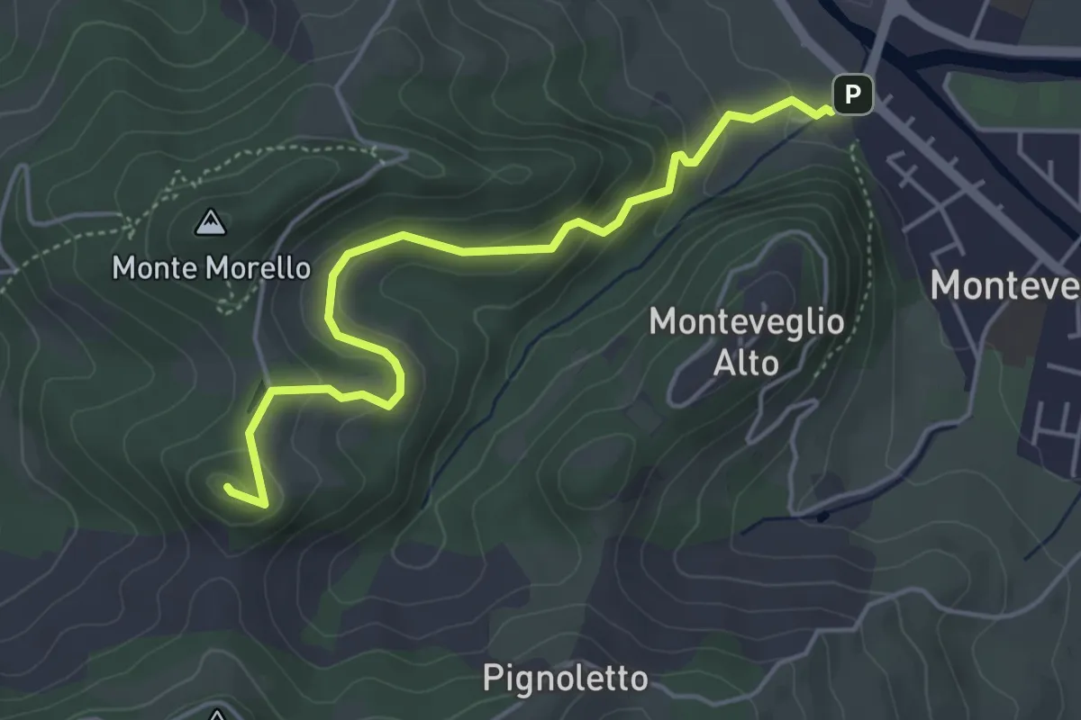
Easy · Summit
Salita al Monte Gennaro
4.8 km · ↑ 215 m · 1 h 36 min
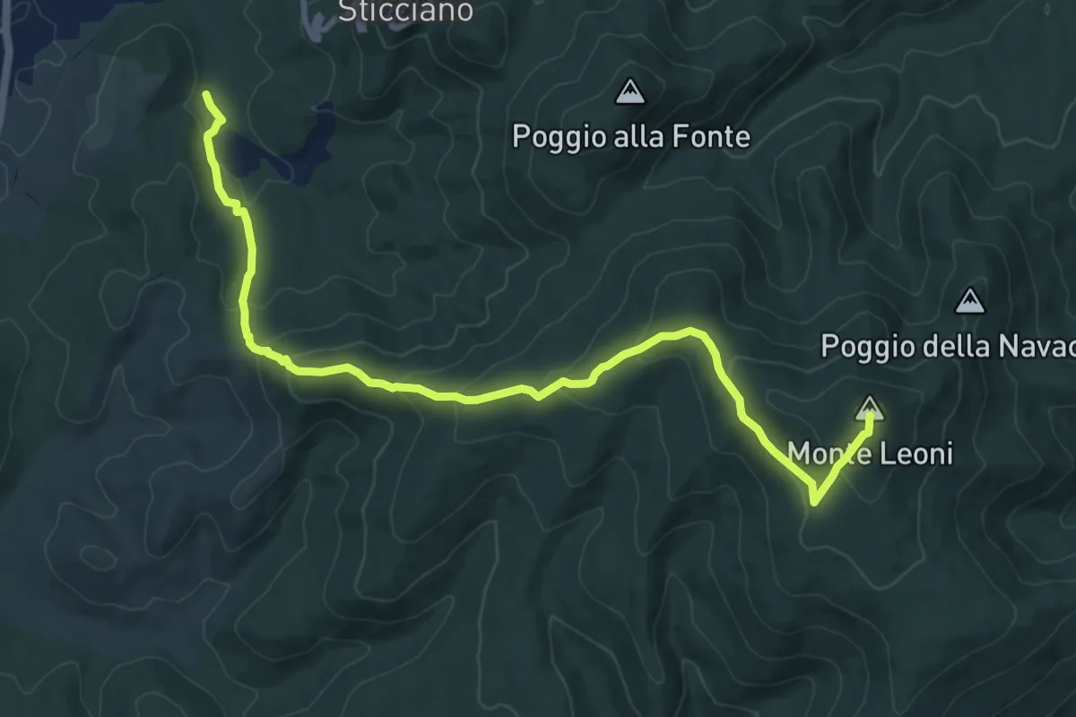
Medium · Summit
Salita al Monte Leone
11.5 km · ↑ 542 m · 3 h 53 min
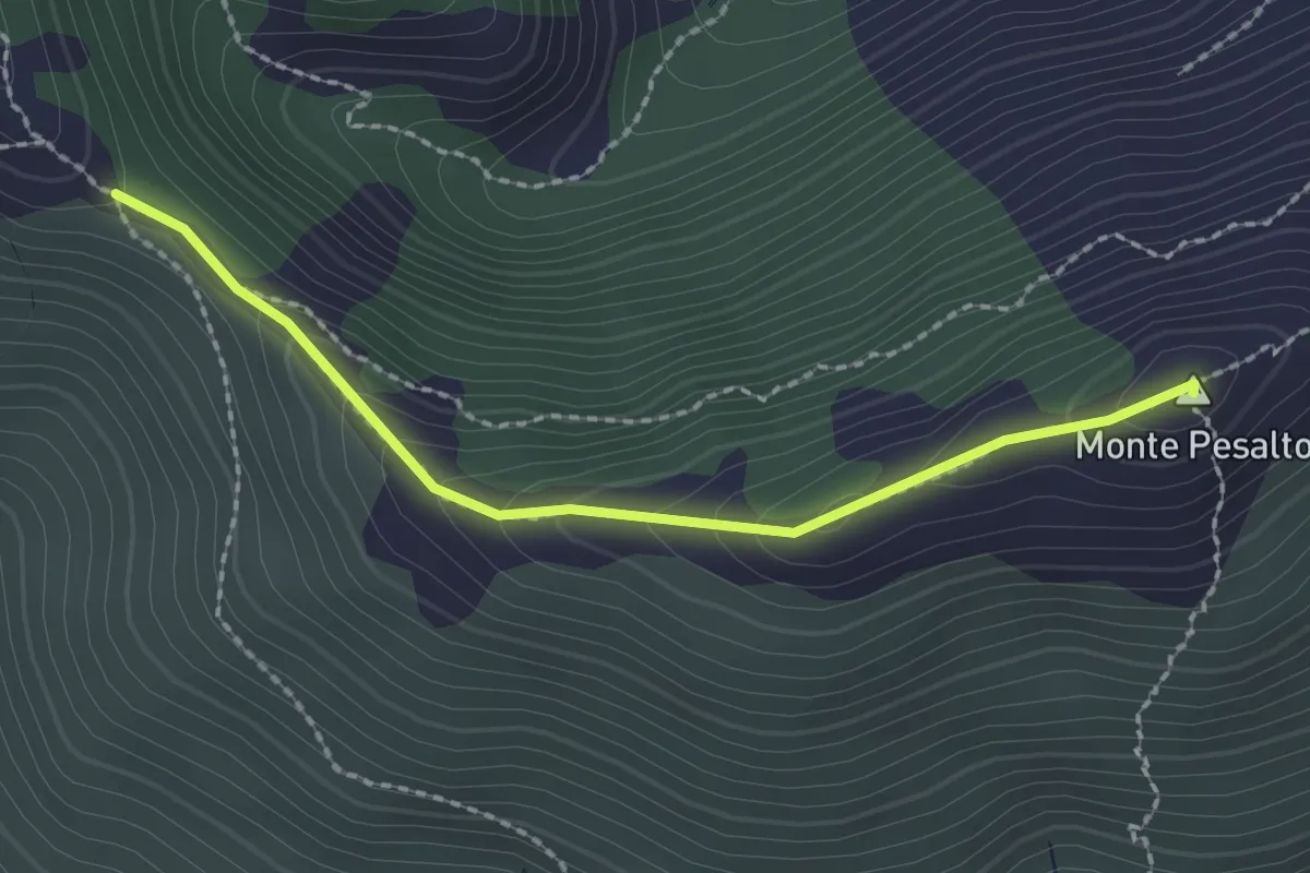
Medium · Summit
Salita al Pesalto
2.2 km · ↑ 147 m · 50 min
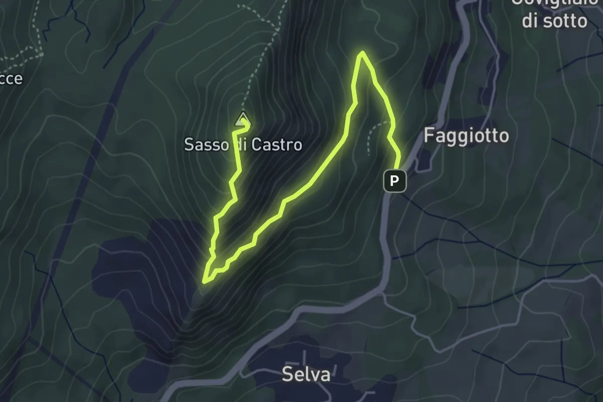
Medium · Summit
Salita al Sasso di Castro
5.3 km · ↑ 374 m · 2 h 4 min
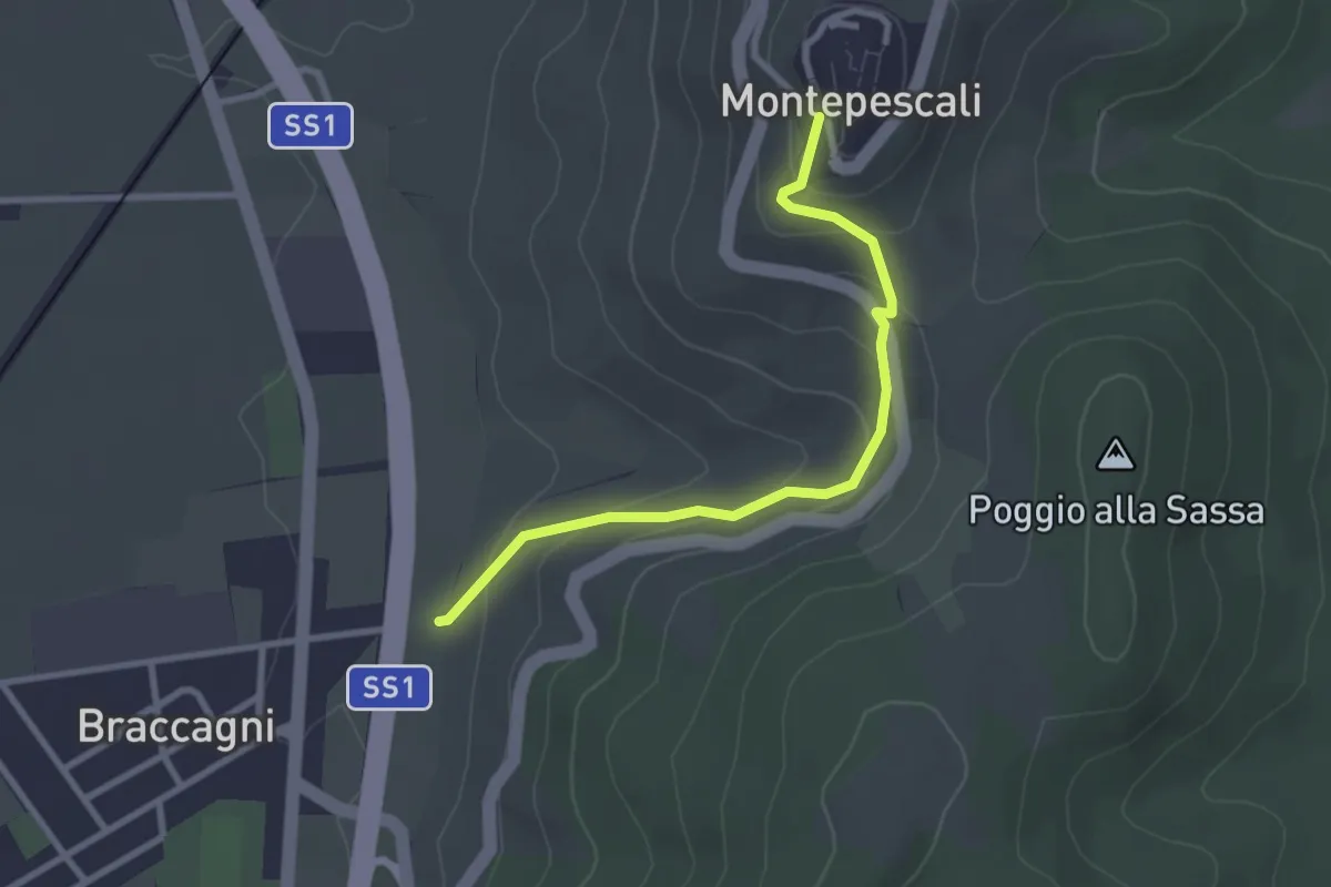
Easy · Trail
Salita a Montepescali
2.9 km · ↑ 165 m · 1 h 3 min
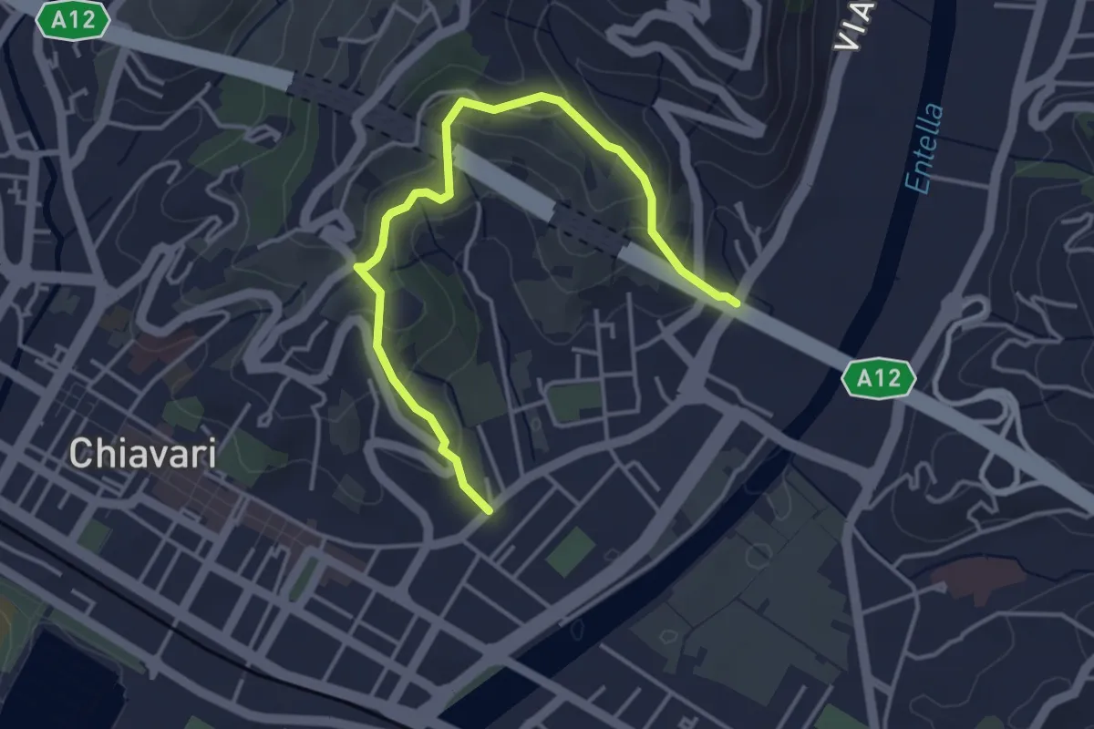
Easy · Trail
Salita Ceive - C. di Ri - Salita San Michele
4.3 km · ↑ 233 m · 1 h 32 min
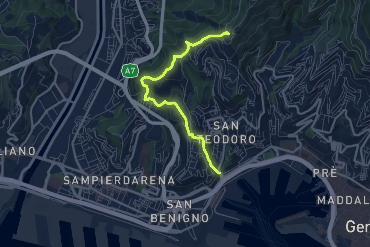
Medium · Trail
Salita degli Angeli - Porta di Granarolo
7.1 km · ↑ 397 m · 2 h 32 min
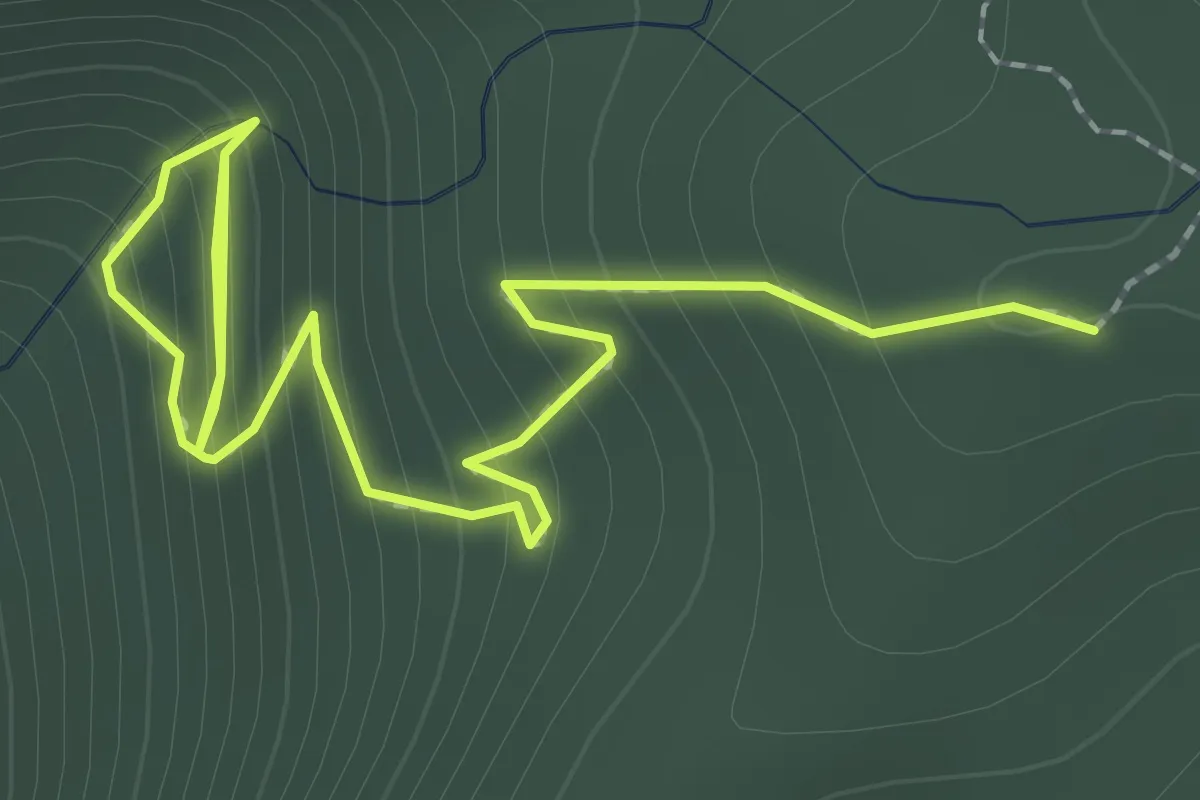
Medium · Trail
Salita della cascata del Paradiso
3.6 km · ↑ 373 m · 1 h 40 min
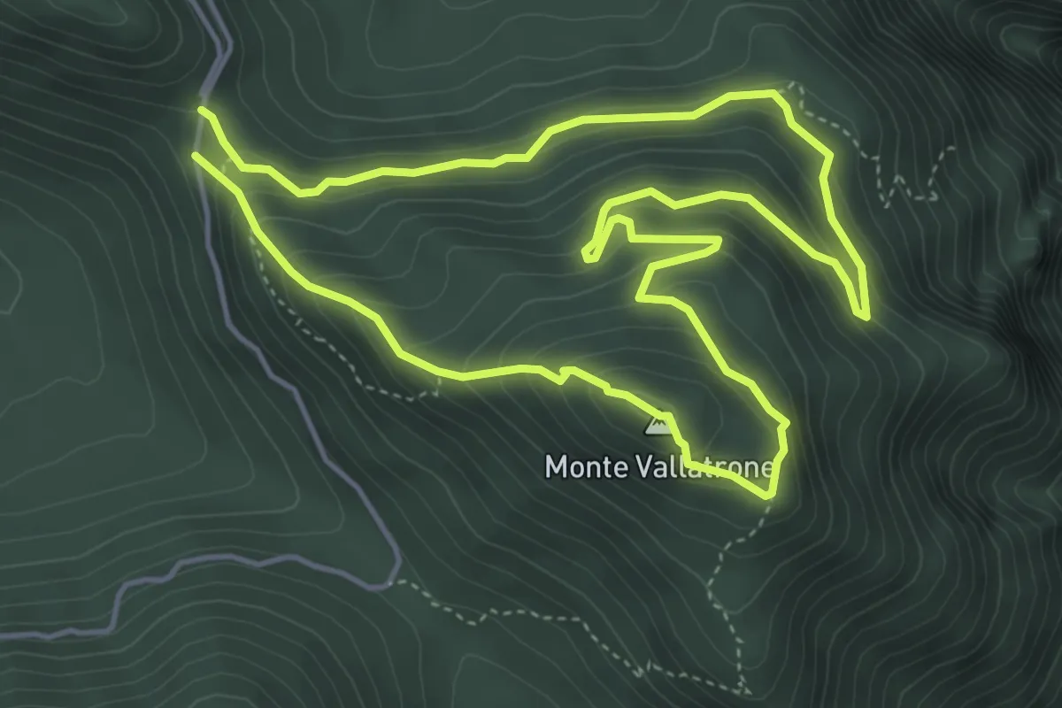
Demanding · Summit
Salita del Vallatrone
5.0 km · ↑ 341 m · 2 h
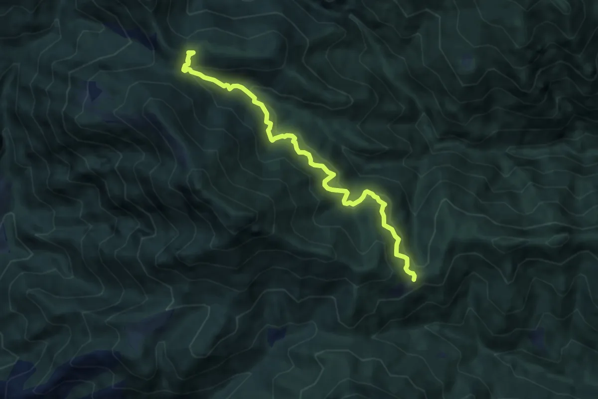
Medium · Cabin
Salò, Cavallino della Fobbia
8.7 km · ↑ 625 m · 3 h 24 min
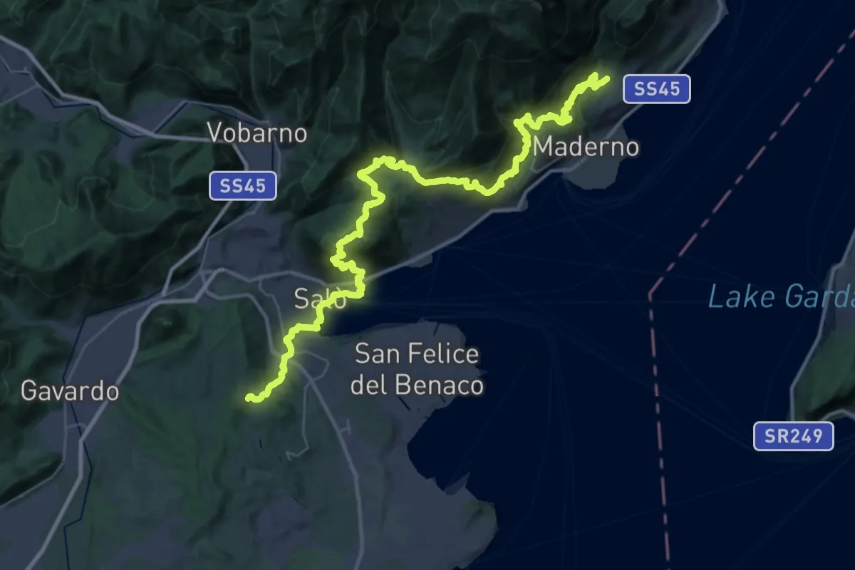
Demanding · Trail
Salò - Gaino
22.9 km · ↑ 1118 m · 8 h 8 min
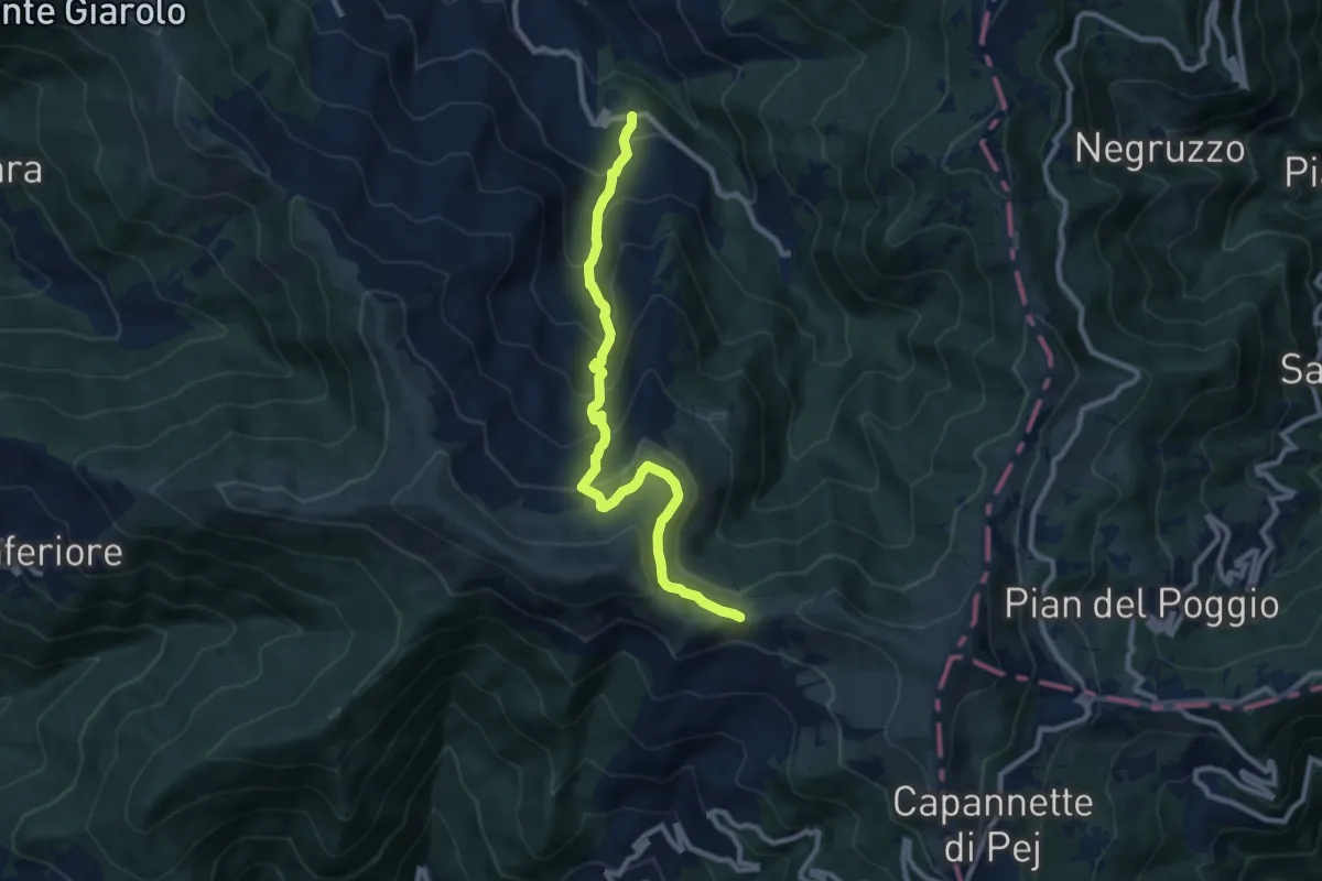
Medium · Trail
Salogni – Monte Chiappo
9.6 km · ↑ 623 m · 3 h 37 min
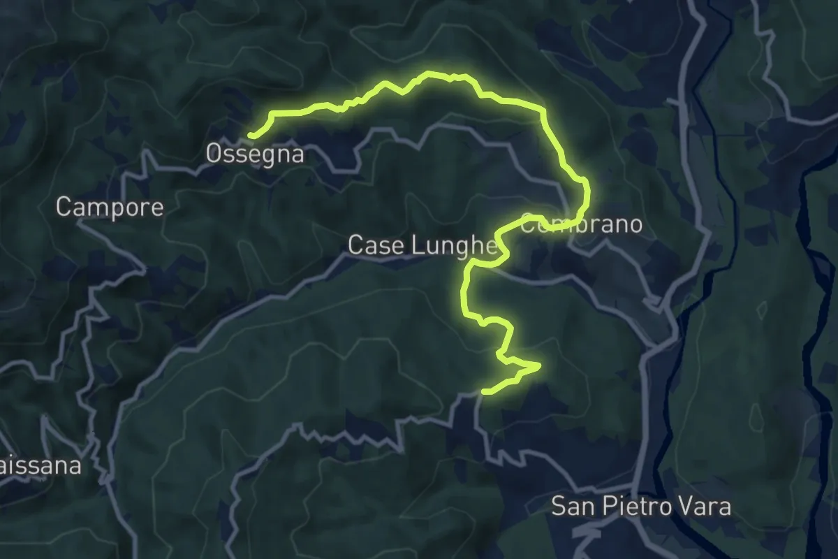
Medium · Trail
Salterana - Cembrano - Poggio della Mogia - Ossegna
12.1 km · ↑ 474 m · 3 h 54 min
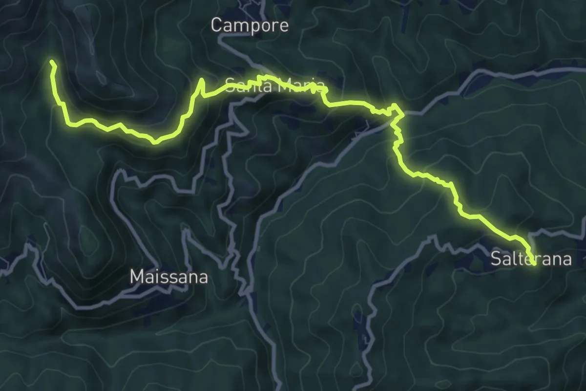
Demanding · Trail
Salterana - Mulino dei Bulli - Santa Maria - Lagorara
11.4 km · ↑ 864 m · 4 h 33 min