Trails in Italy
25,221 hiking trails, each with its route, climb, walking time and grade.
All trails, page 137 of 526
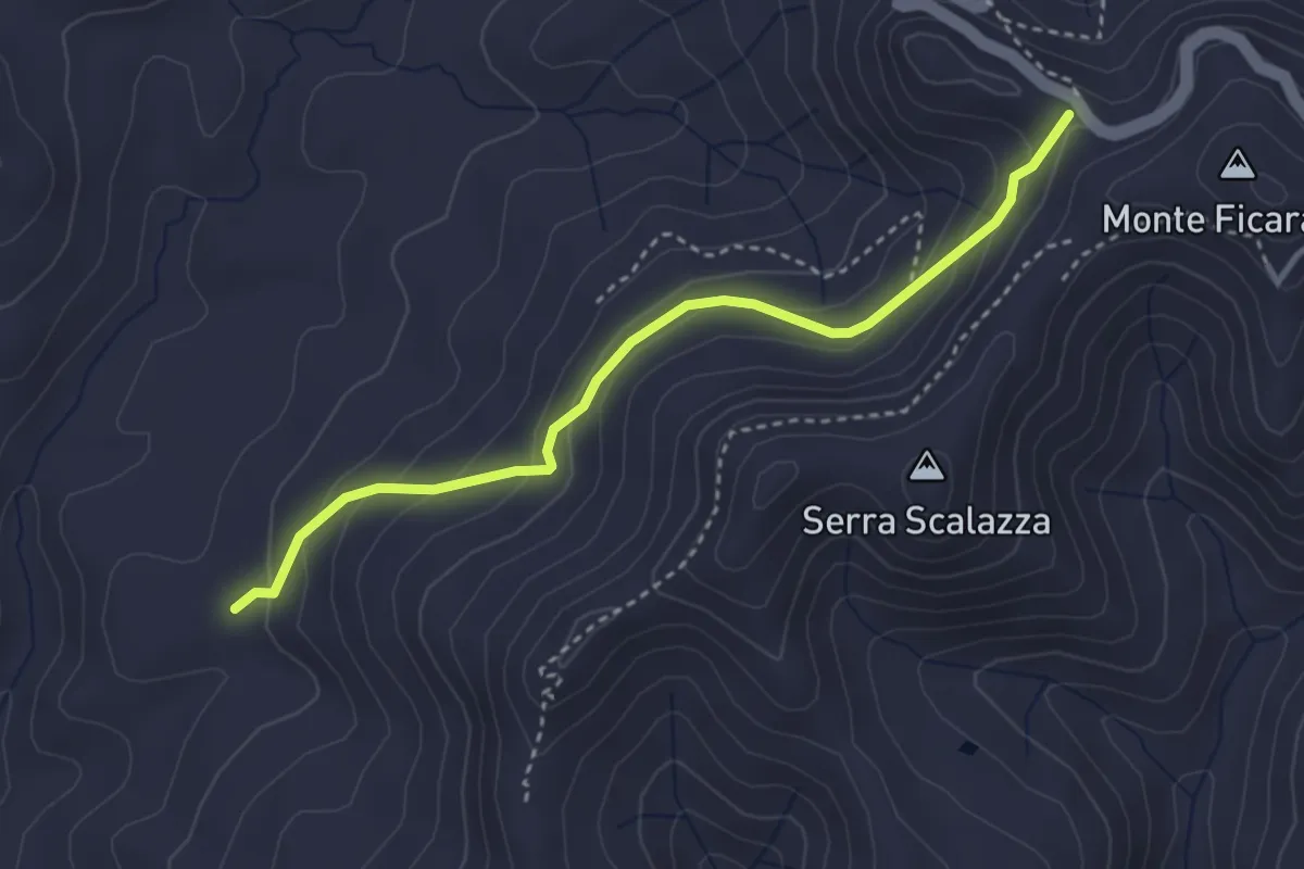
Easy · Trail
Salto
3.9 km · ↑ 207 m · 1 h 22 min
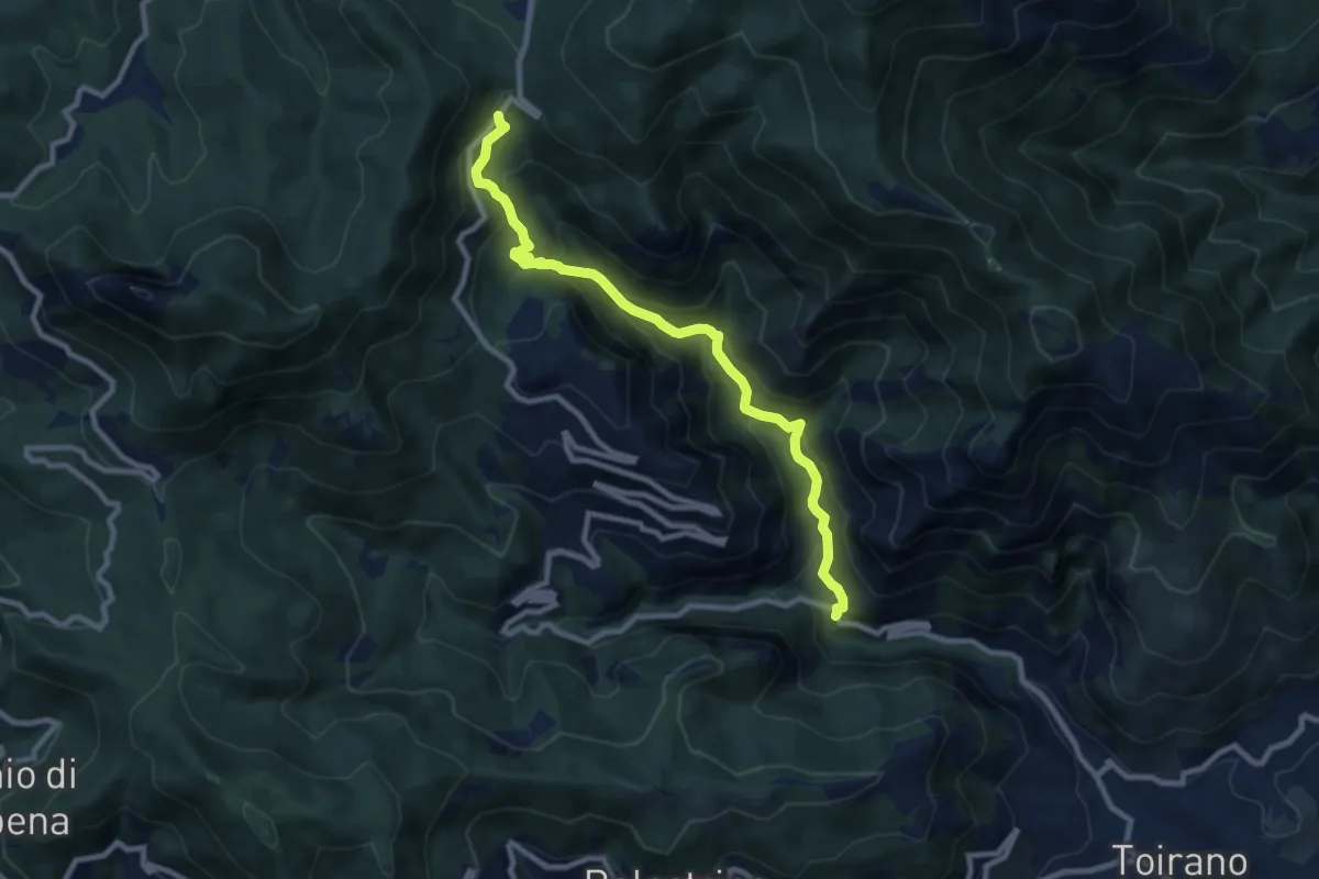
Medium · Trail
Salto del Lupo - Giogo di Toirano
9.5 km · ↑ 673 m · 3 h 43 min
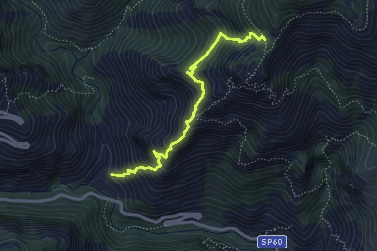
Demanding · Trail
Salto del Lupo - San Pietro dei Monti
4.7 km · ↑ 716 m · 2 h 40 min
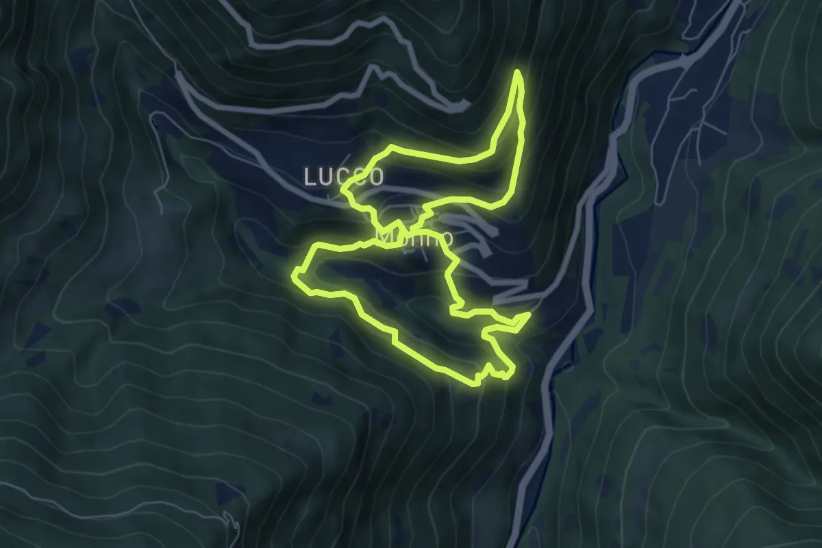
Medium · Trail
Sambùcc
6.3 km · ↑ 480 m · 2 h 36 min
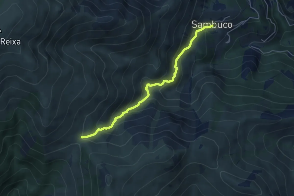
Medium · Trail
Sambuco - Passo della Gava
4.3 km · ↑ 360 m · 1 h 48 min
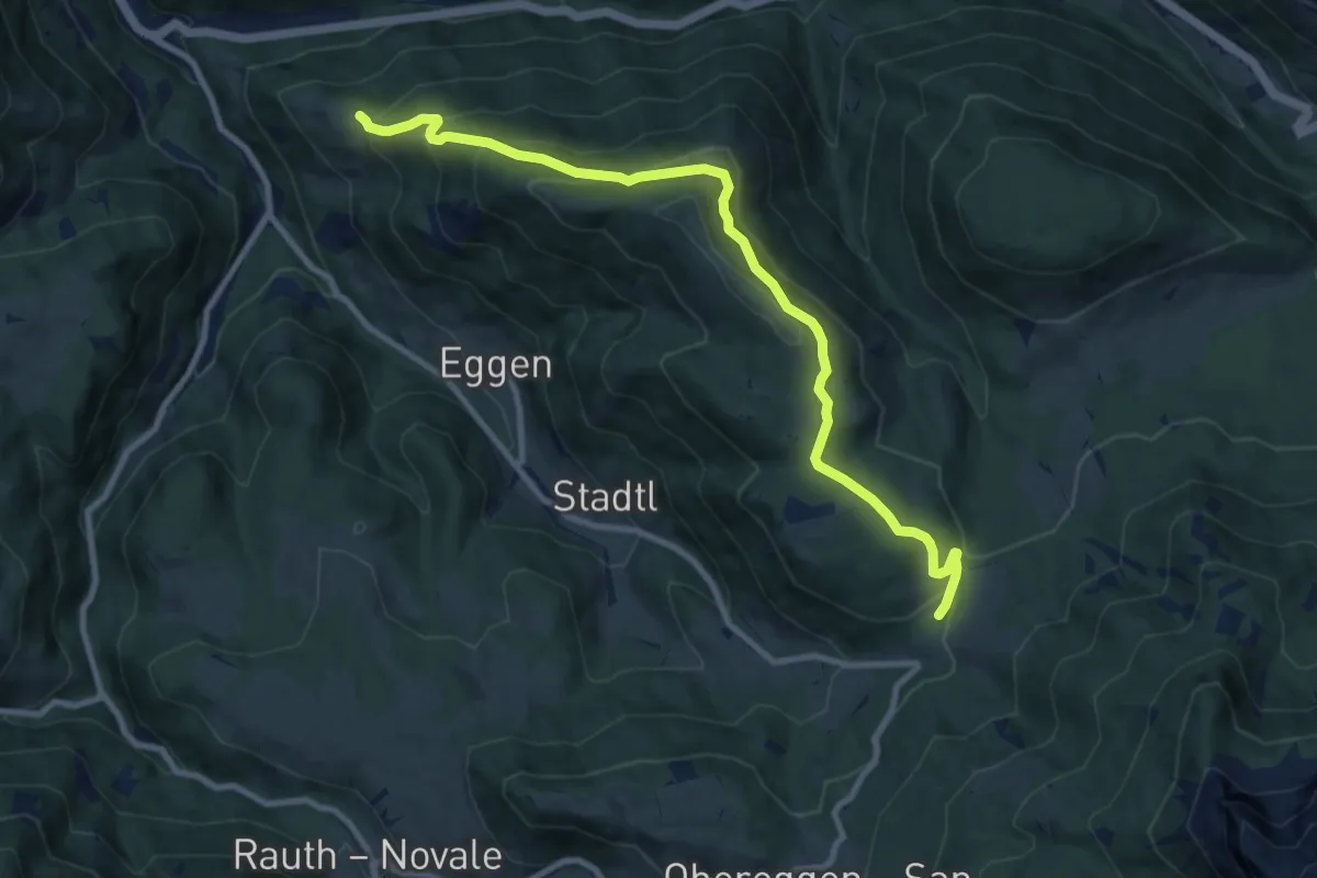
Medium · Trail
Samweg
10.5 km · ↑ 548 m · 3 h 39 min
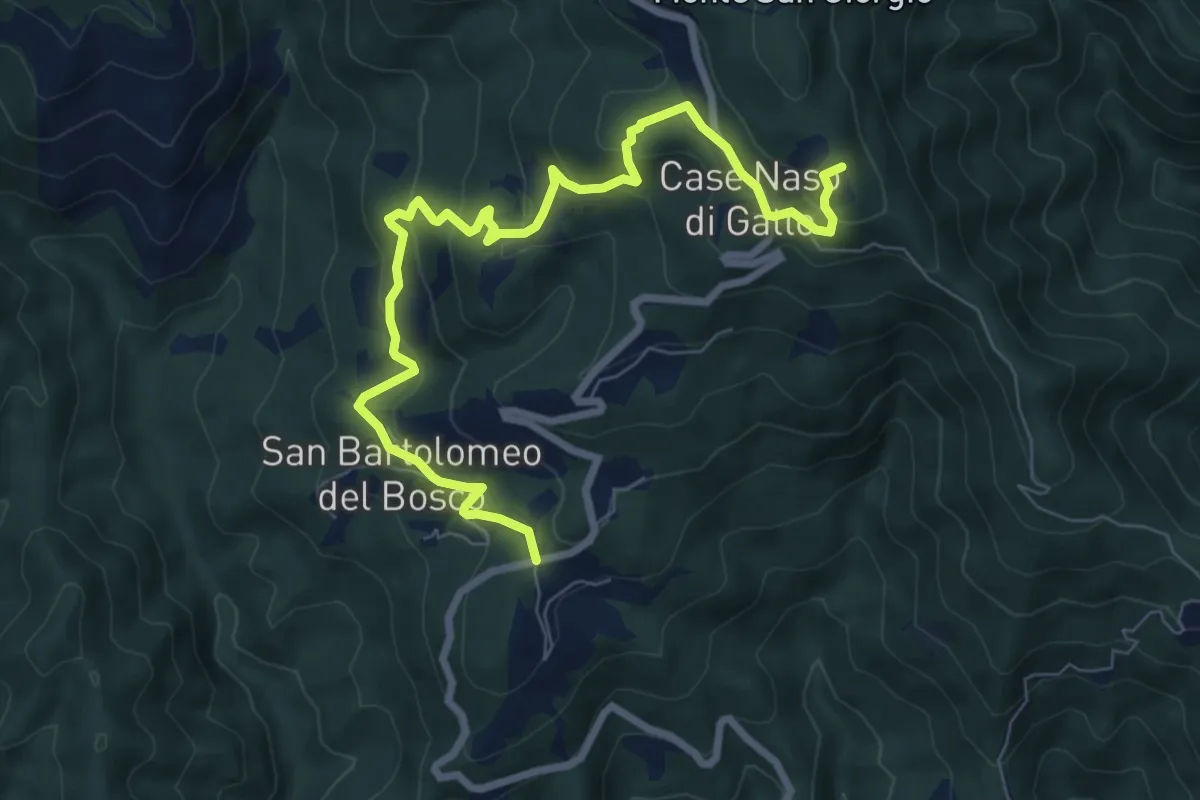
Medium · Summit
San Bartolomeo del Bosco - Naso di Gatto - Monte San Giorgio
9.0 km · ↑ 443 m · 3 h 4 min
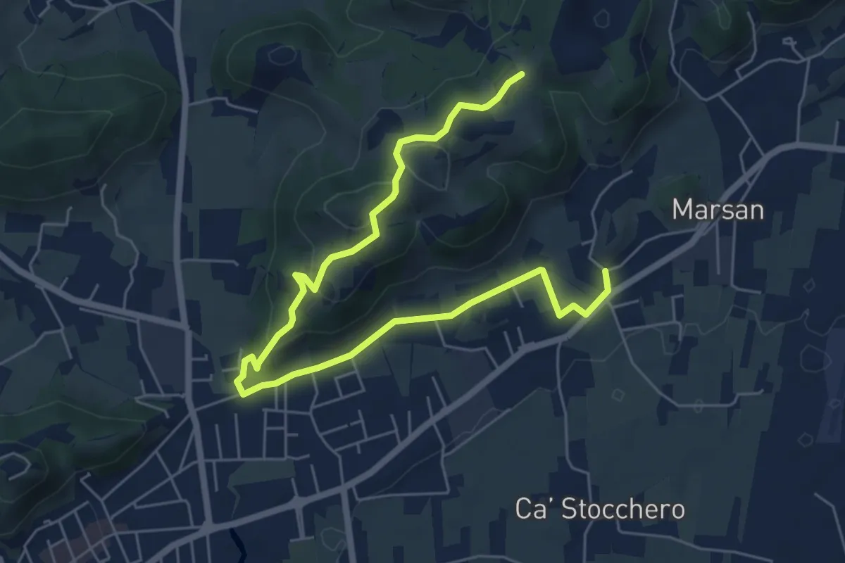
Easy · Trail
San Benedetto
7.5 km · ↑ 248 m · 2 h 18 min
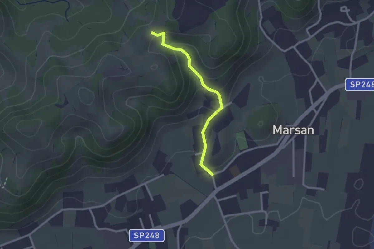
Easy · Trail
San Benedetto - 2A
2.1 km · ↑ 100 m · 42 min
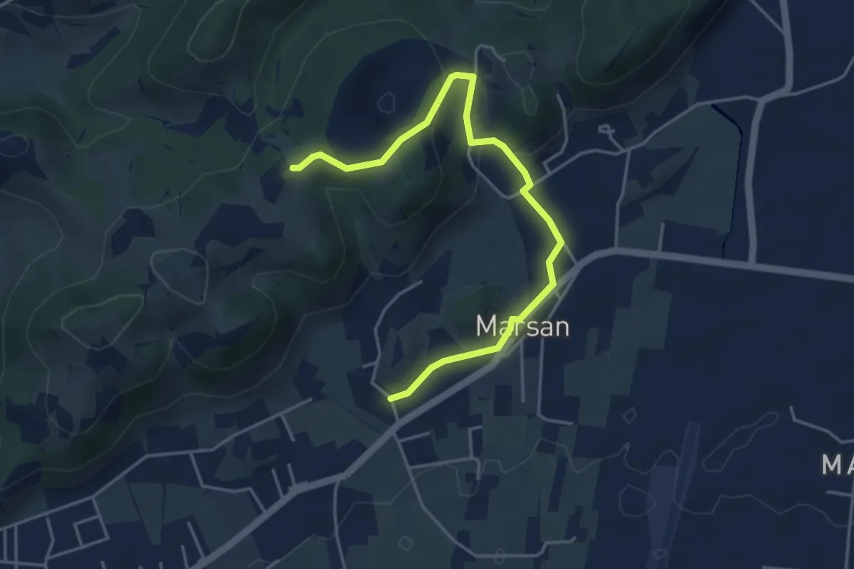
Easy · Trail
San Benedetto - 2B
4.5 km · ↑ 138 m · 1 h 22 min
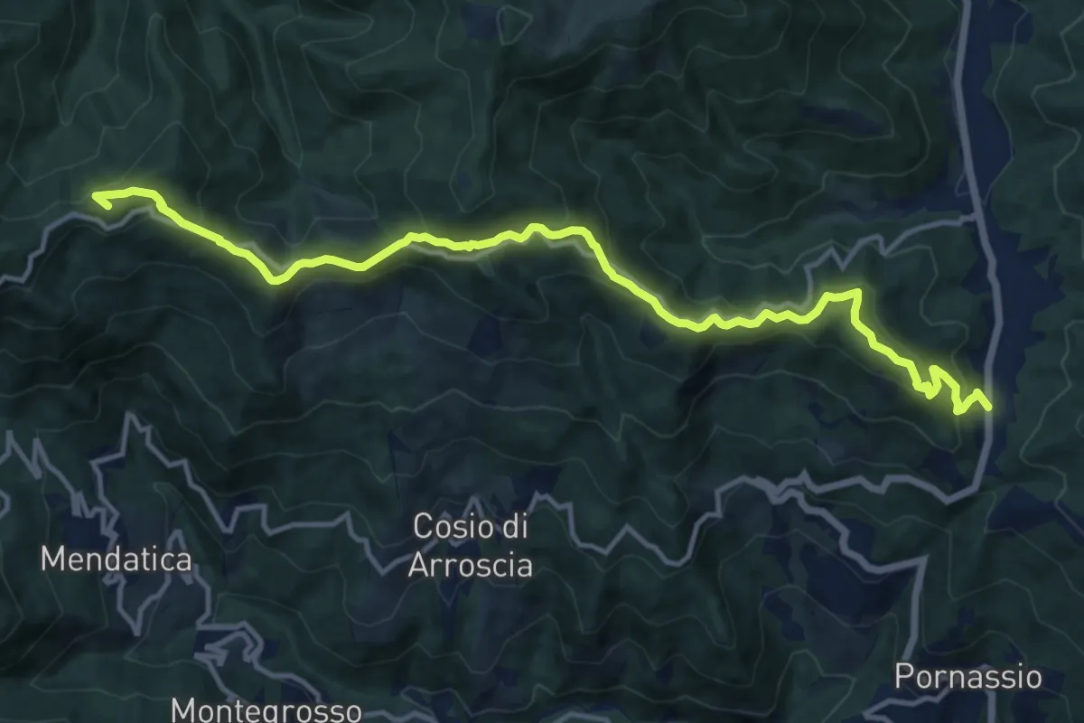
Medium · Summit
San Bernardo di Mendatica - Colle di Nava
14.8 km · ↑ 766 m · 5 h 9 min
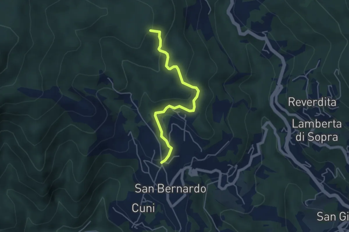
Easy · Summit
San Bernardo - Giovo
4.1 km · ↑ 177 m · 1 h 22 min
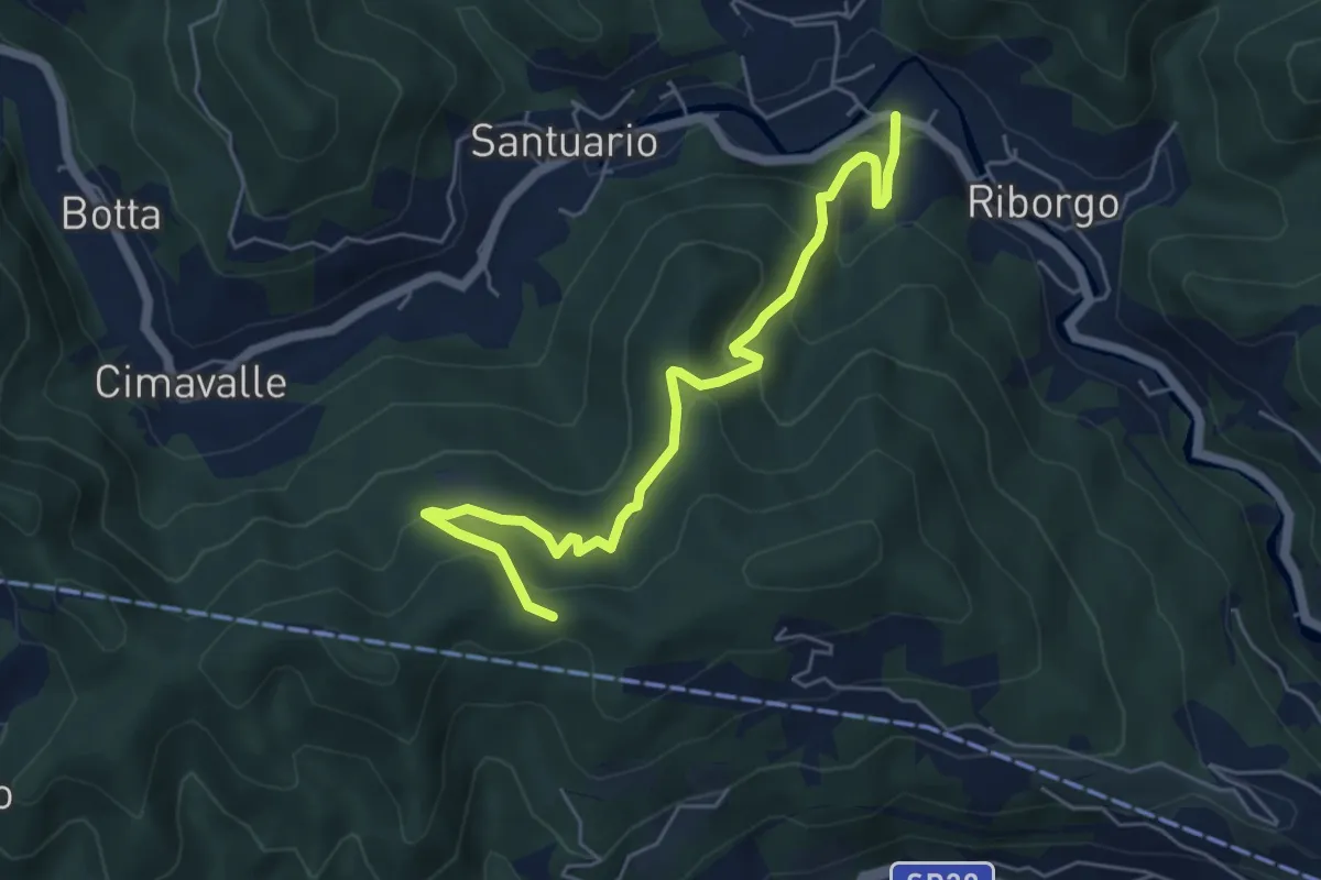
Medium · Trail
San Bernardo in Valle - Case Pietra Selvatica - Passo Perdoni
6.0 km · ↑ 447 m · 2 h 23 min
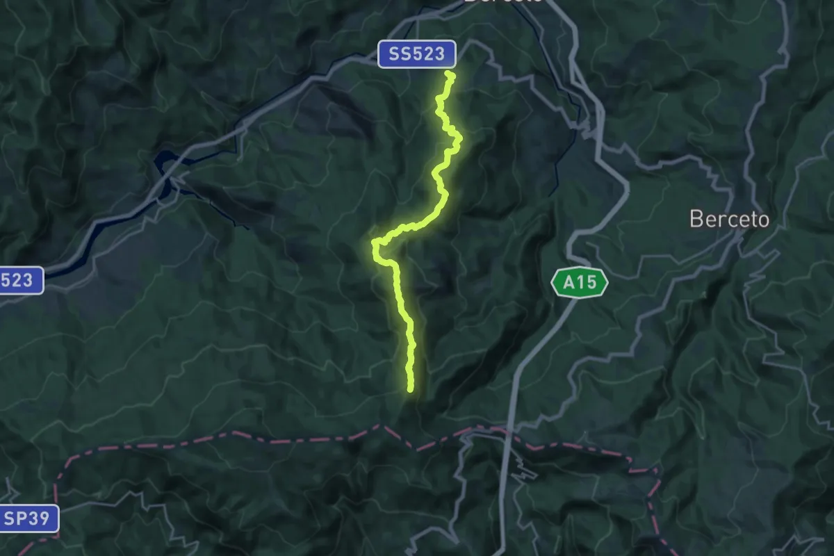
Demanding · Summit
San Bernardo;Monte Binaghe;La Cala';Termine del Gatto
18.5 km · ↑ 1095 m · 6 h 44 min
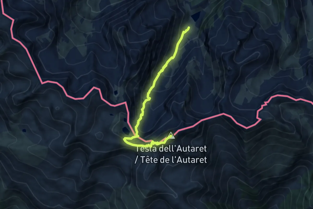
Medium · Summit
San Bernolfo-Testa dell'Autaret
9.2 km · ↑ 793 m · 3 h 53 min
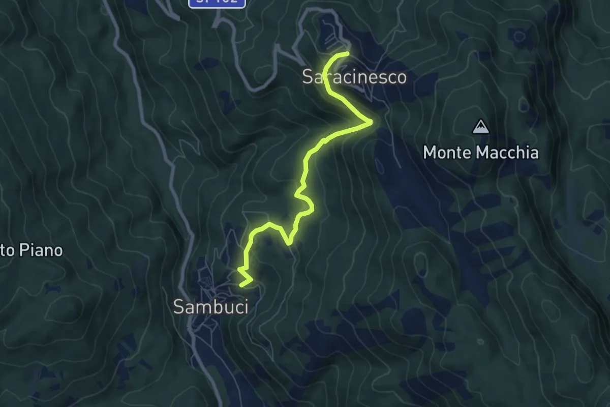
Medium · Trail
Sanbuci - Saracinesco
7.0 km · ↑ 430 m · 2 h 35 min
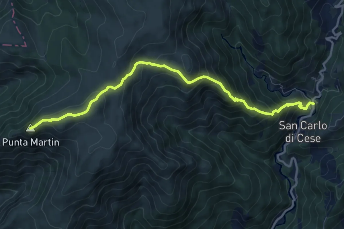
Medium · Summit
San Carlo di Cese - Punta Martin
9.5 km · ↑ 703 m · 3 h 46 min
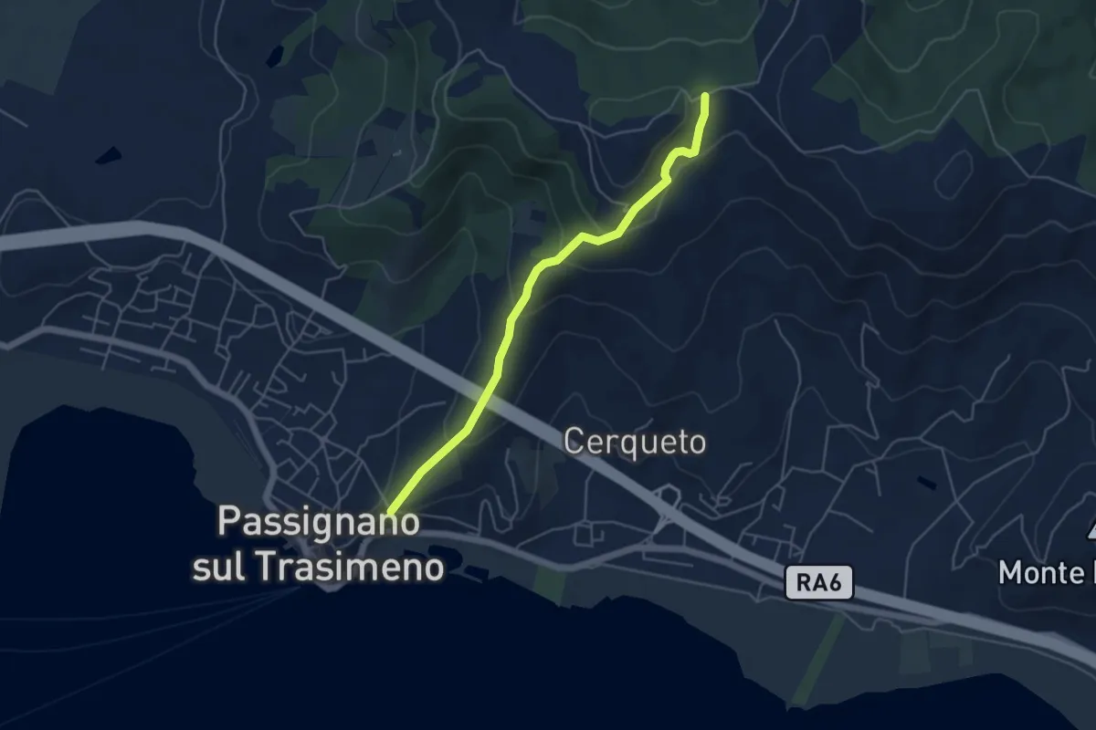
Easy · Trail
San Crispolto
5.0 km · ↑ 258 m · 1 h 44 min
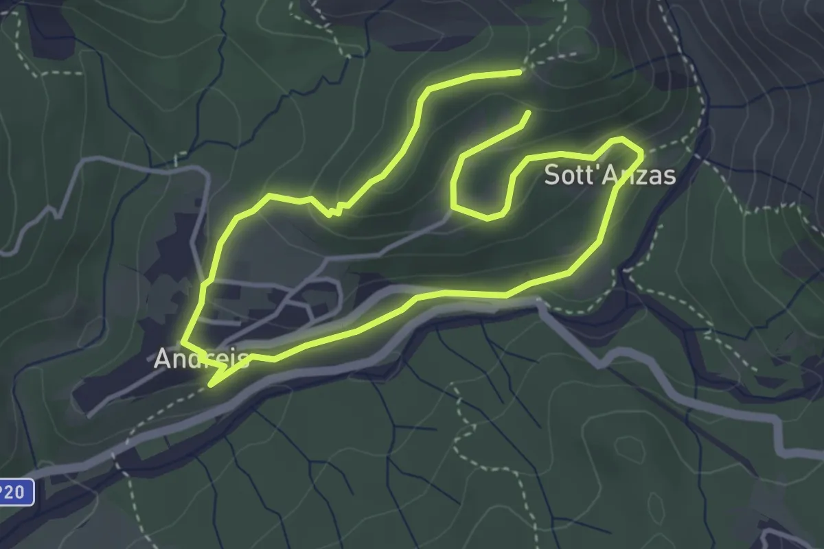
Easy · Trail
San Daniele
3.2 km · ↑ 132 m · 1 h 5 min
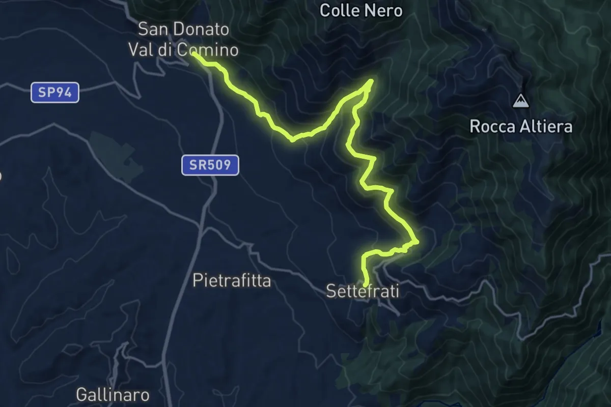
Demanding · Trail
San Donato Va dil Comino - Valle Fischia - Settefrati
19.9 km · ↑ 1162 m · 7 h 13 min
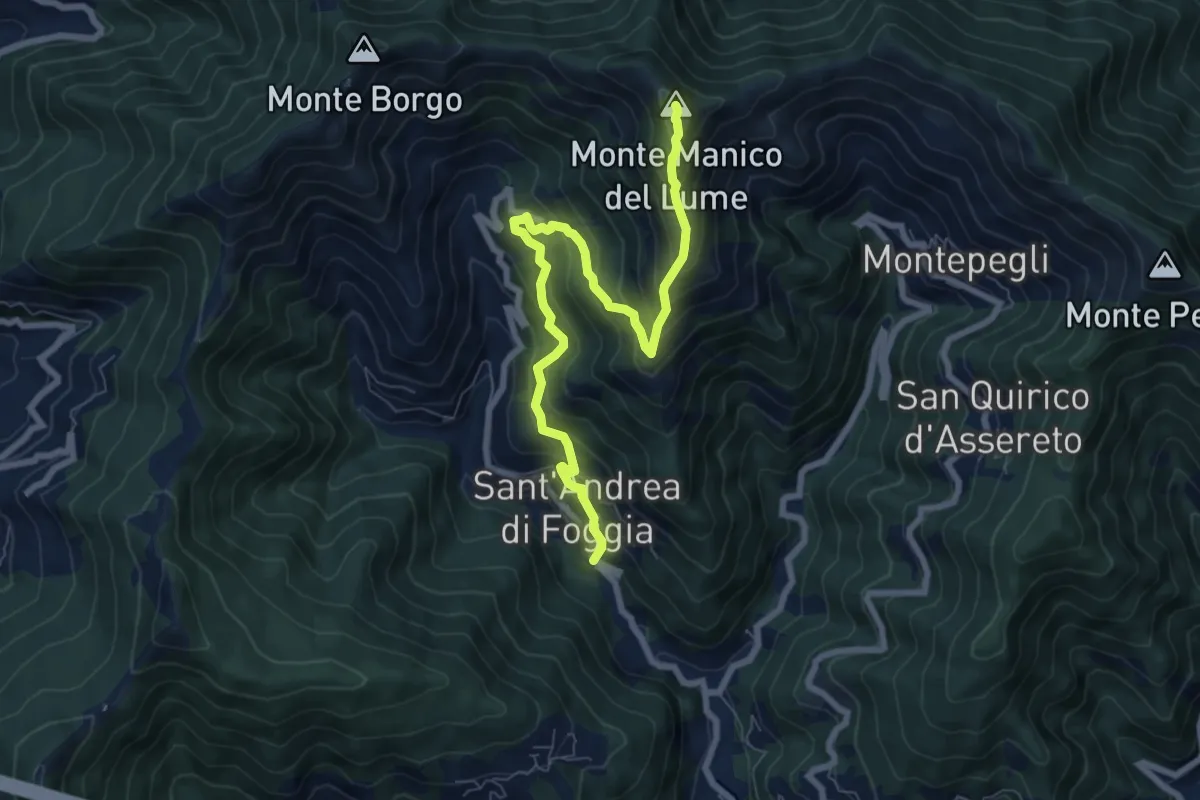
Demanding · Summit
S. Andrea di Foggia - Monte Manico del Lume
8.4 km · ↑ 768 m · 3 h 39 min
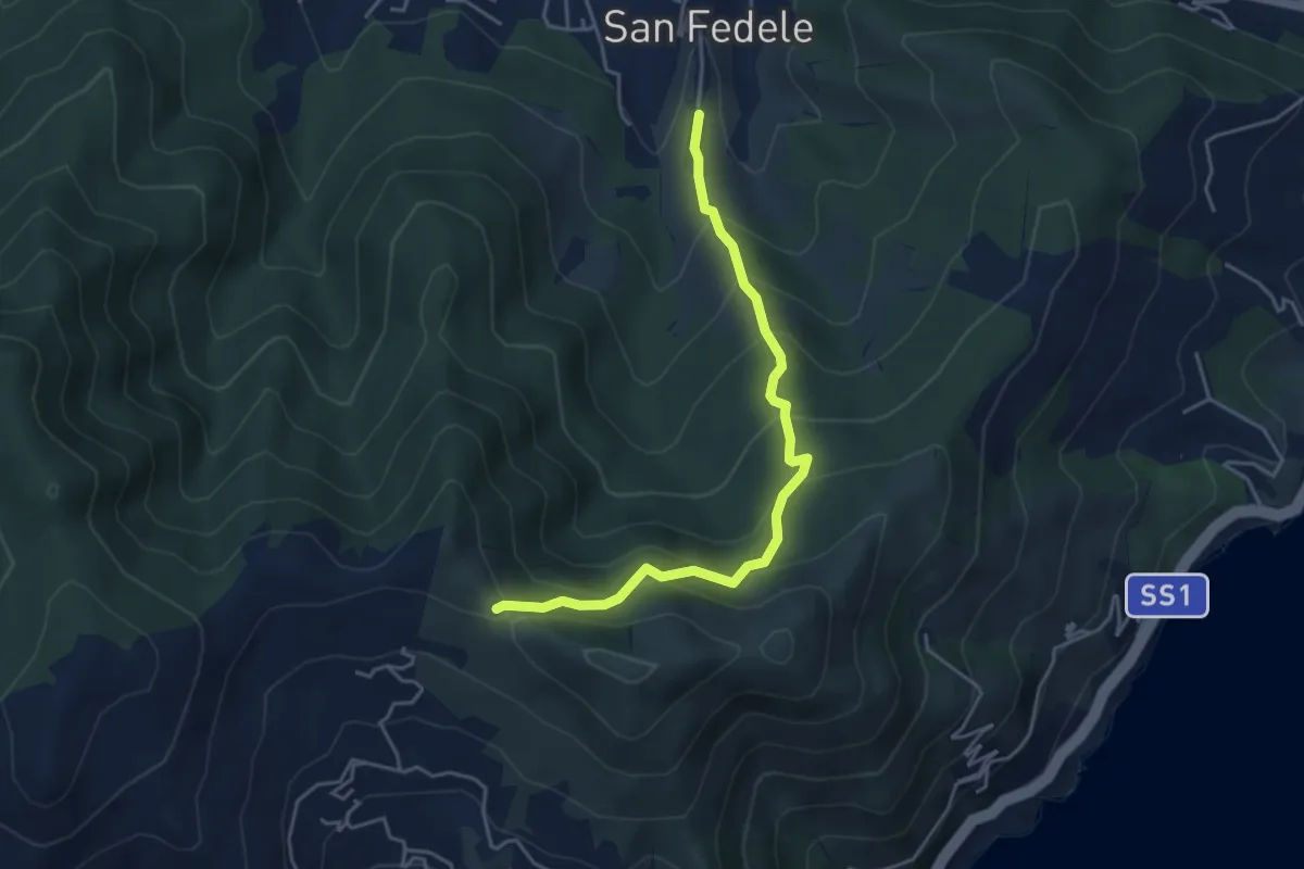
Medium · Trail
San Fedele - Monte Bignone
4.6 km · ↑ 403 m · 1 h 58 min
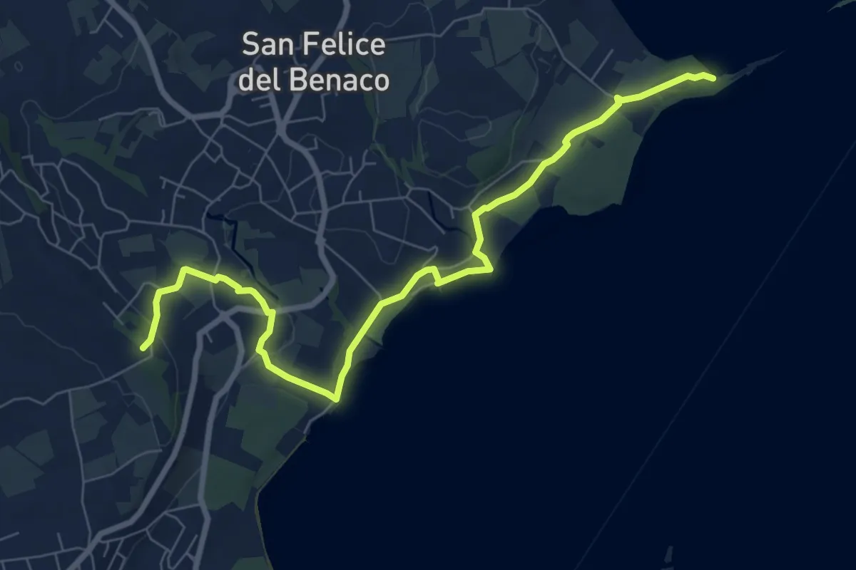
Medium · Summit
San Fermo - Monte Forca
8.5 km · ↑ 171 m · 2 h 23 min
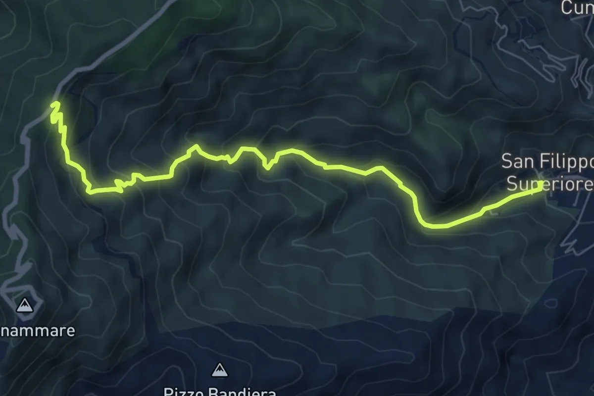
Medium · Trail
San Filippo Cascata Piano Verde
8.6 km · ↑ 659 m · 3 h 27 min
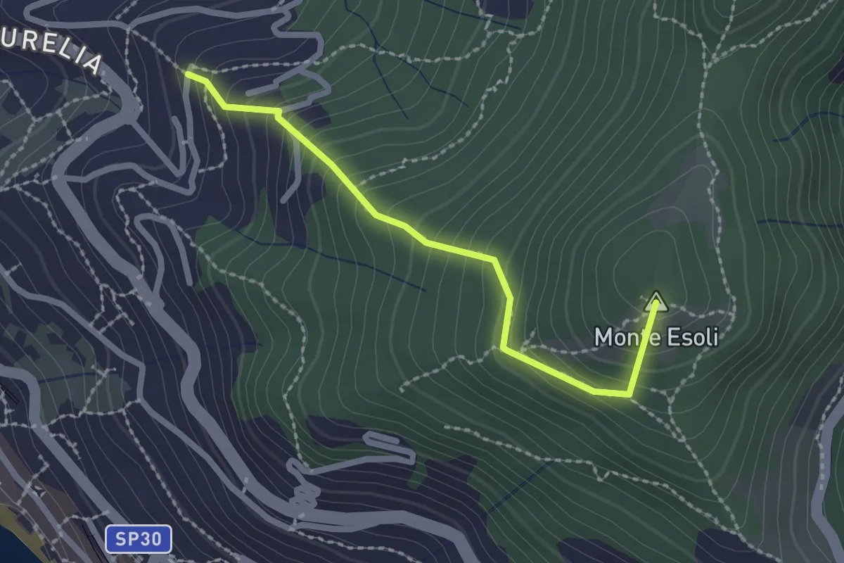
Easy · Summit
San Giacomo - Colle di Monte Esoli
2.2 km · ↑ 273 m · 1 h 6 min
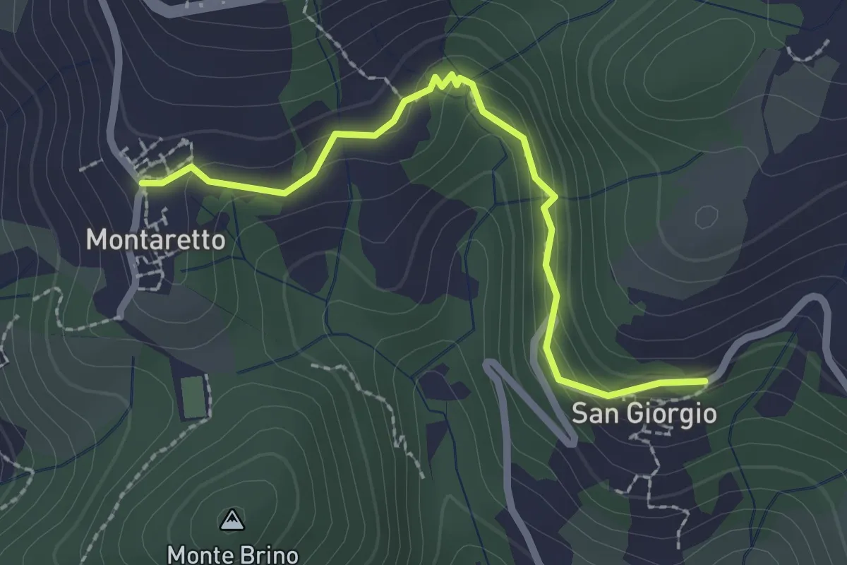
Easy · Trail
San Giorgio – Montaretto
2.4 km · ↑ 131 m · 50 min
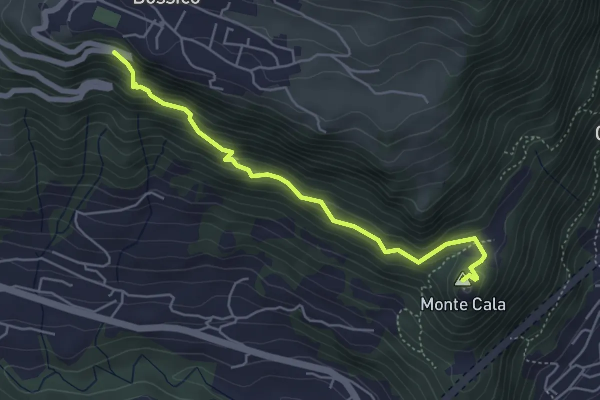
Demanding · Summit
San Giovanni
4.4 km · ↑ 380 m · 1 h 51 min
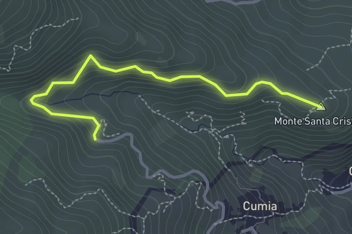
Easy · Summit
San Giuseppe Chioppazzo
3.0 km · ↑ 224 m · 1 h 11 min
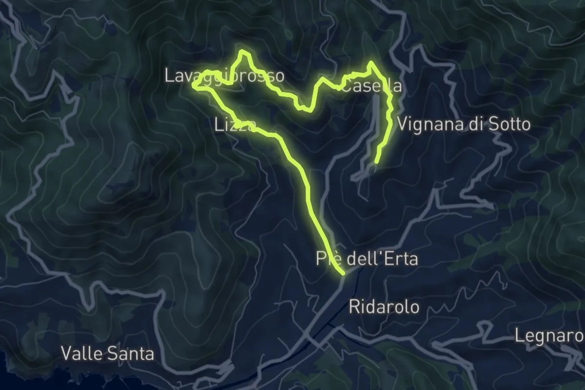
Medium · Trail
San Gottardo - Lavaggiorosso - Groppo - Dosso - Montale
10.6 km · ↑ 662 m · 3 h 56 min
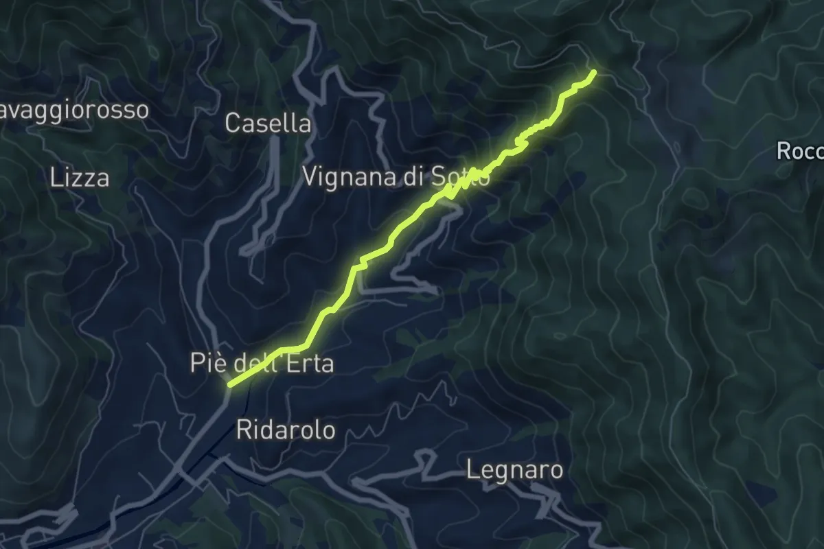
Medium · Trail
San Gottardo - Le Ghiare - Lerici - Bivio AV5T
6.5 km · ↑ 618 m · 2 h 52 min
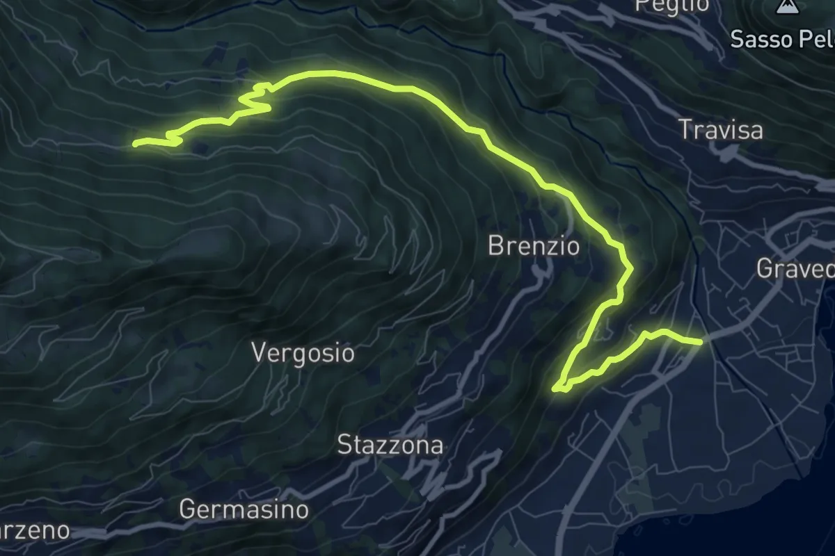
Medium · Trail
San Gregorio - Sciee
11.1 km · ↑ 696 m · 4 h 8 min
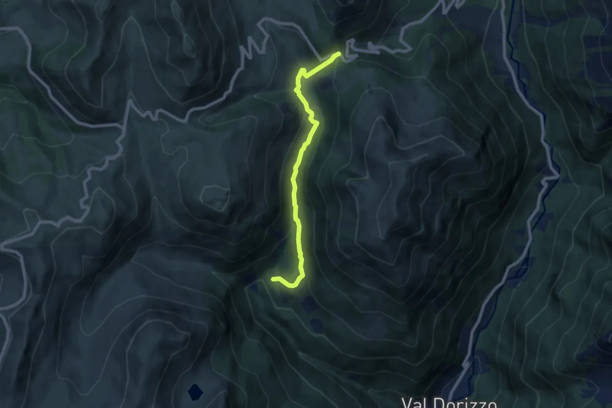
Easy · Trail
Sanguinera - Goletto di Gaver
6.2 km · ↑ 301 m · 2 h 7 min
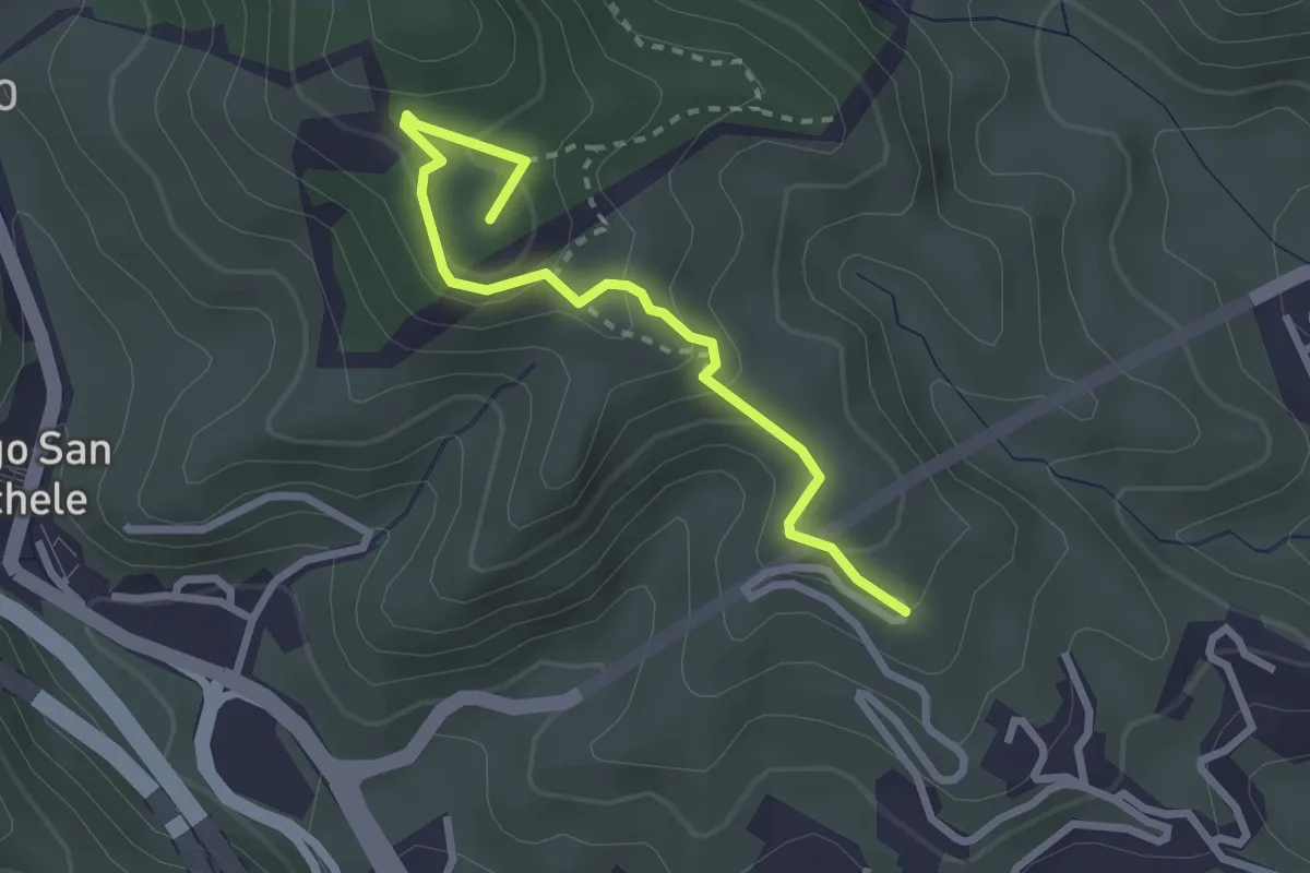
Easy · Summit
San Jachiddu Ciaramita
3.0 km · ↑ 198 m · 1 h 9 min
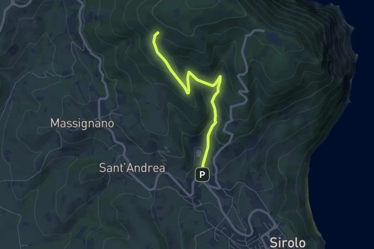
Easy · Trail
San Lorenzo
5.7 km · ↑ 288 m · 1 h 59 min
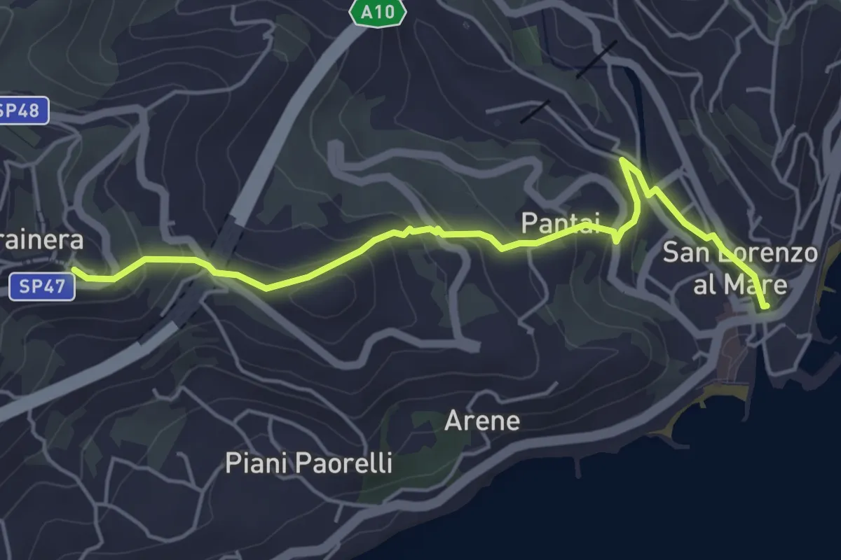
Easy · Trail
San Lorenzo al Mare-Costarainera
5.0 km · ↑ 224 m · 1 h 40 min
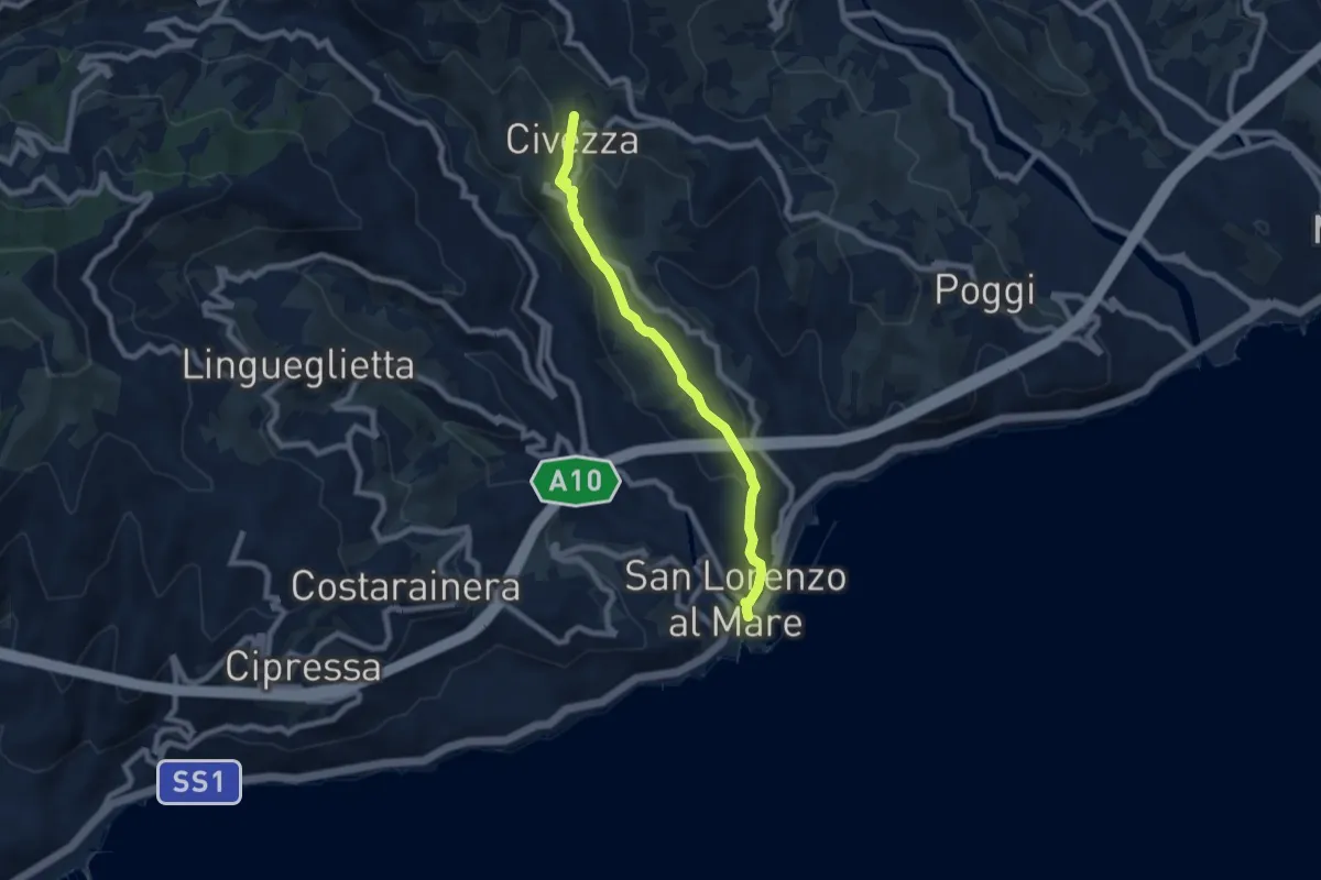
Easy · Trail
San Lorenzo - Civezza
7.3 km · ↑ 272 m · 2 h 18 min
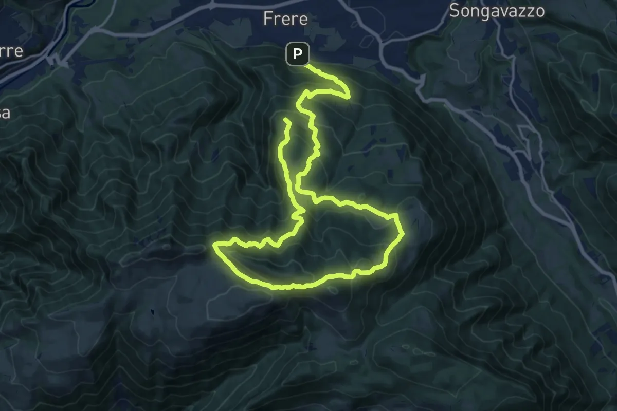
Demanding · Trail
San Lucio - Forcella Larga - Fogarol - San Lucio
13.2 km · ↑ 1092 m · 5 h 27 min
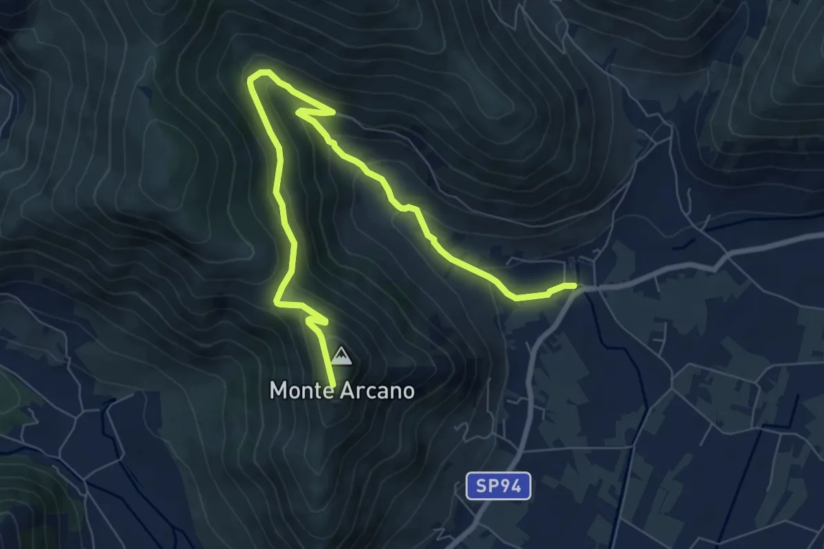
Expert · Trail
San Magno-Santuario di Madonna della Rocca
10.0 km · ↑ 533 m · 3 h 31 min
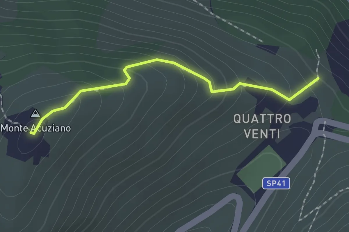
Easy · Summit
San Martino
1.7 km · ↑ 132 m · 41 min
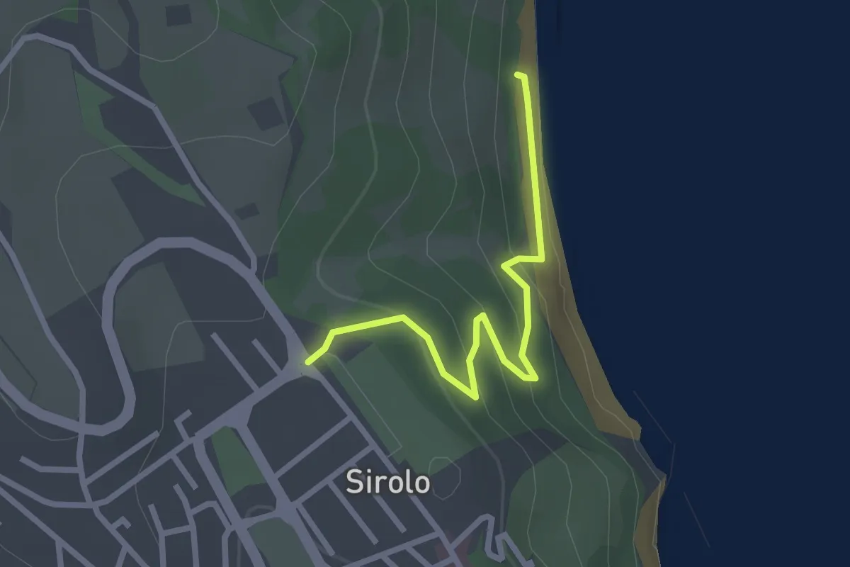
Easy · Trail
San Michele
2.5 km · ↑ 115 m · 50 min
Medium · Cabin
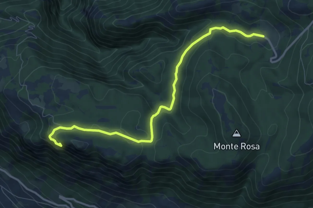
San Michele in Camposcuro
9.6 km · ↑ 261 m · 2 h 50 min
Medium · Trail
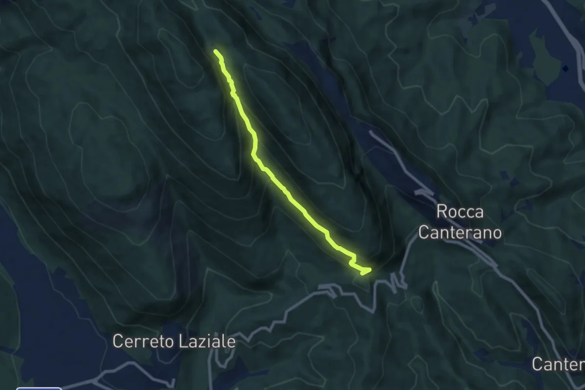
San Michele - Retommella
6.8 km · ↑ 516 m · 2 h 43 min
Demanding · Trail
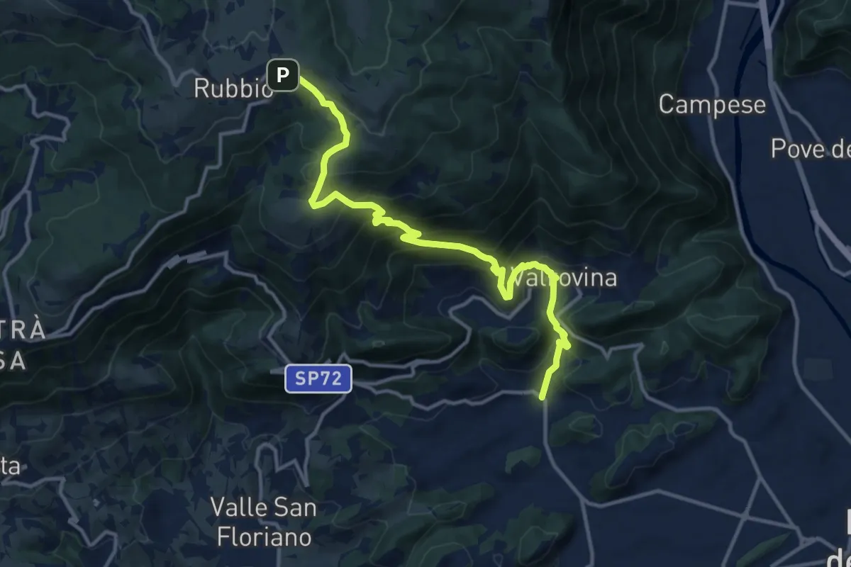
San Michele - Valrovina - Rubbio
13.2 km · ↑ 900 m · 5 h 4 min
Medium · Summit
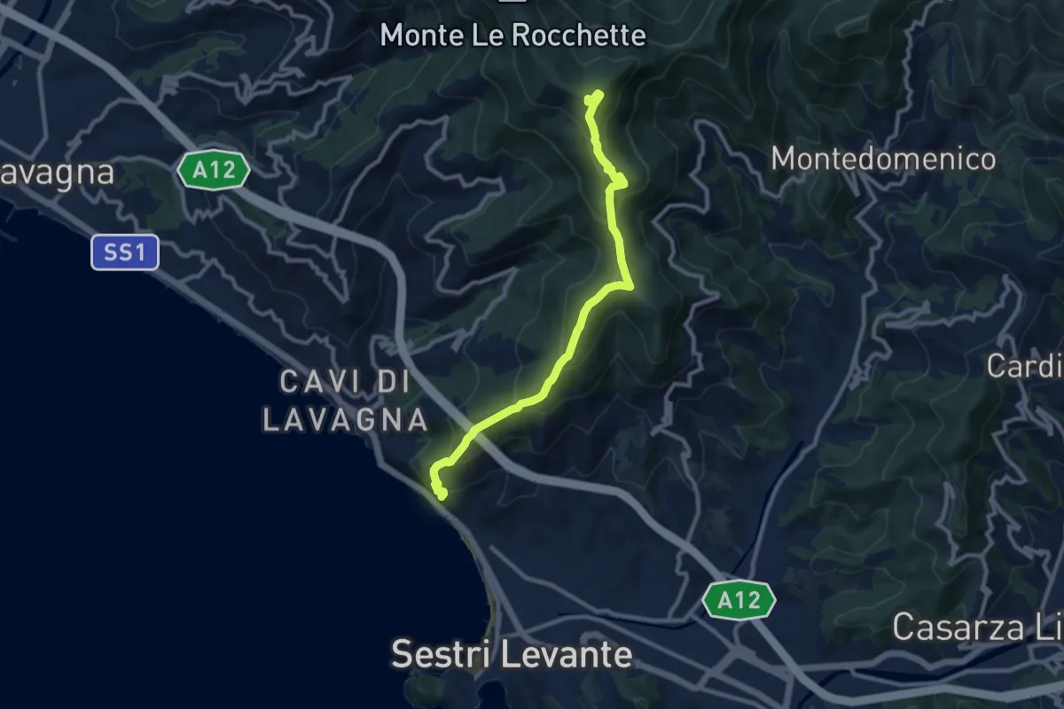
S. Anna - Monte Capenardo
9.8 km · ↑ 679 m · 3 h 47 min
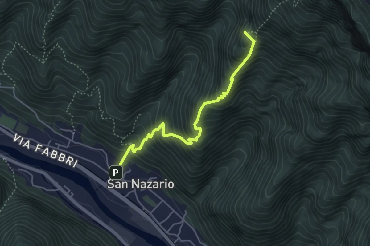
Medium · Summit
Sannazara
4.0 km · ↑ 548 m · 2 h 8 min
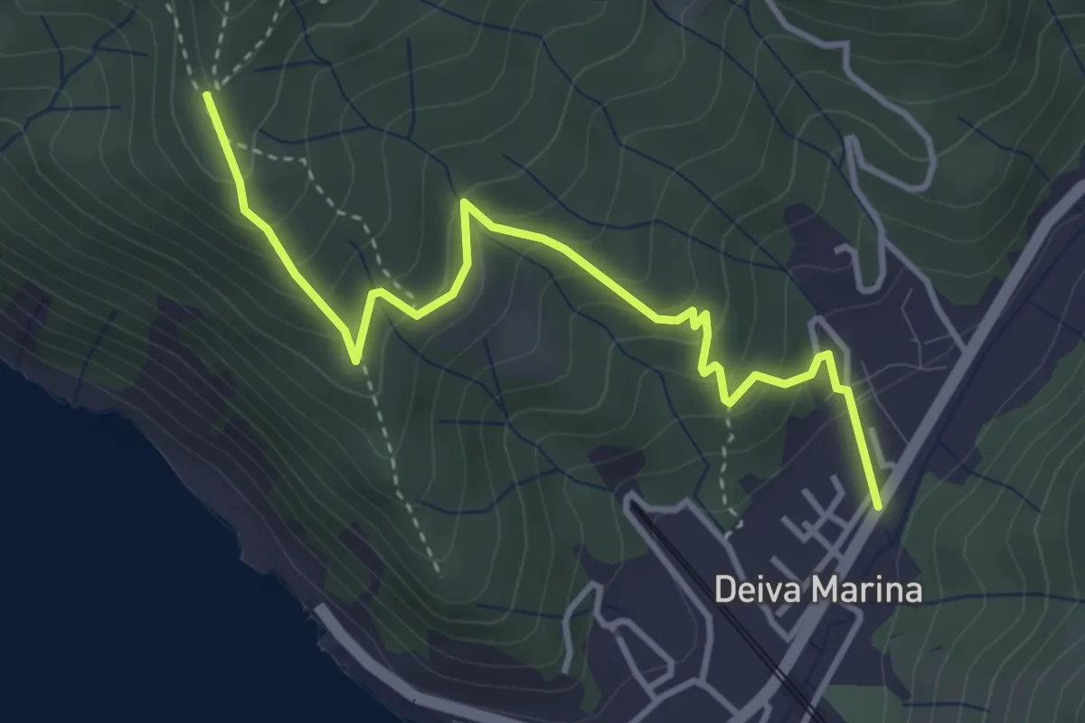
Medium · Trail
San Pantaleo - Deiva Marina
4.1 km · ↑ 359 m · 1 h 44 min
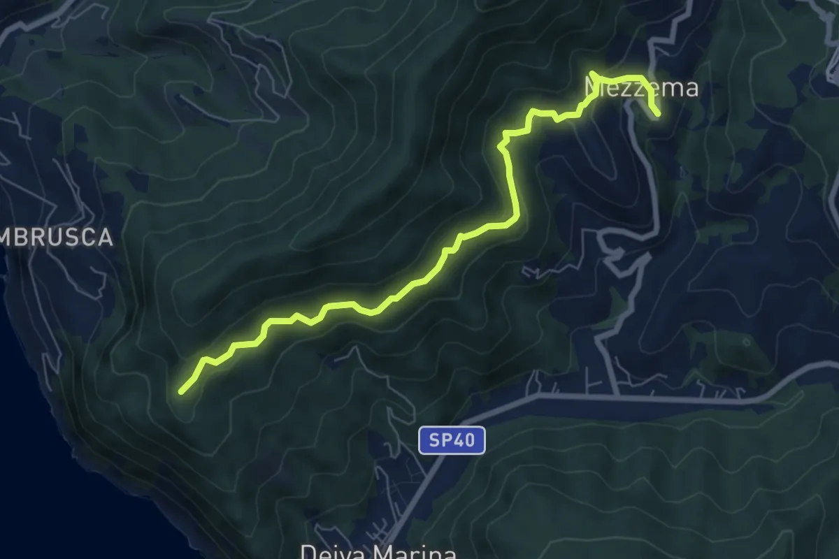
Medium · Trail
San Pantaleo - Mezzema
7.3 km · ↑ 447 m · 2 h 42 min
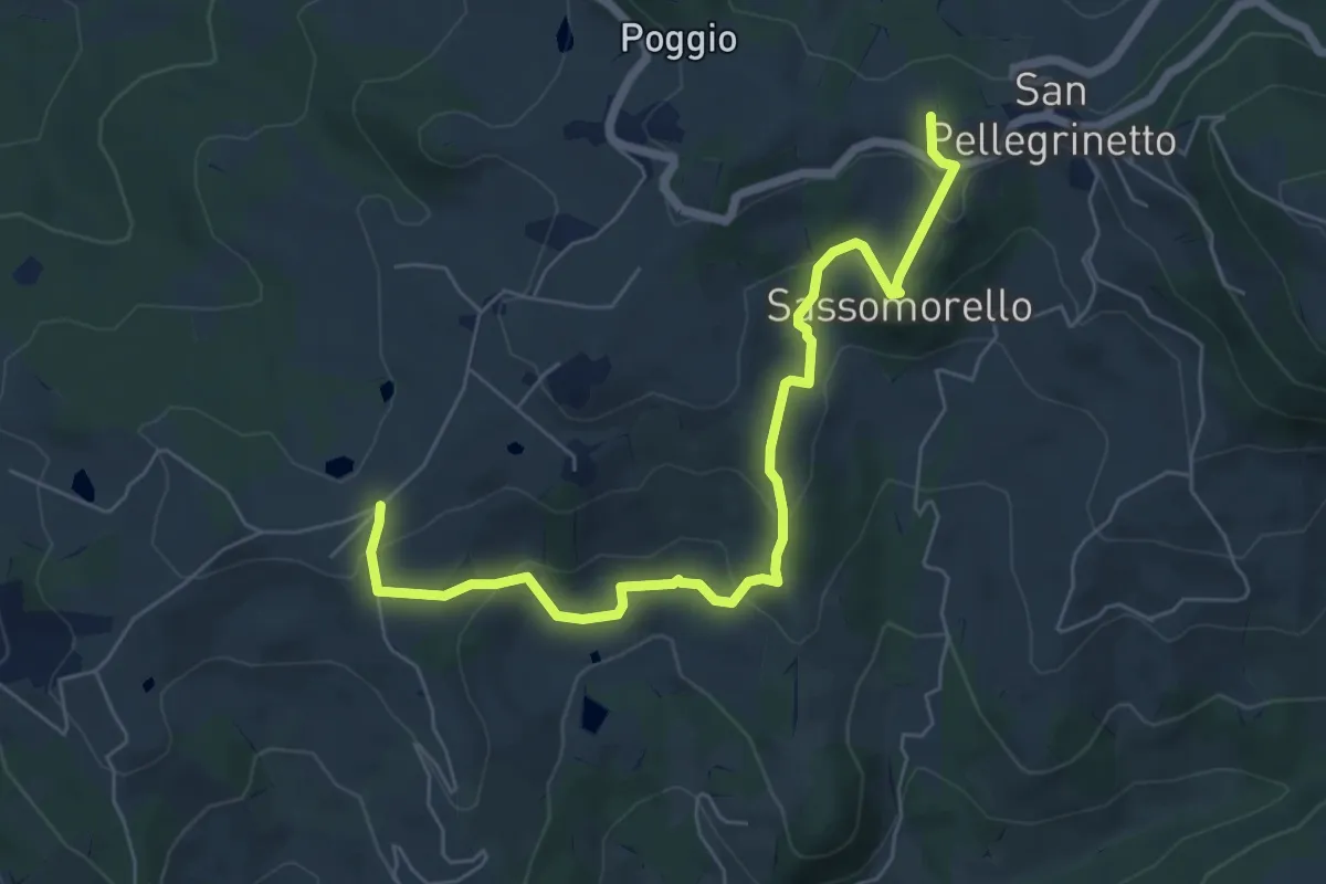
Medium · Trail
San Pellegrinetto - Sassomorello - La Canalina - Casa Matteazzi
7.2 km · ↑ 334 m · 2 h 25 min