Trails in Italy
25,221 hiking trails, each with its route, climb, walking time and grade.
All trails, page 138 of 526
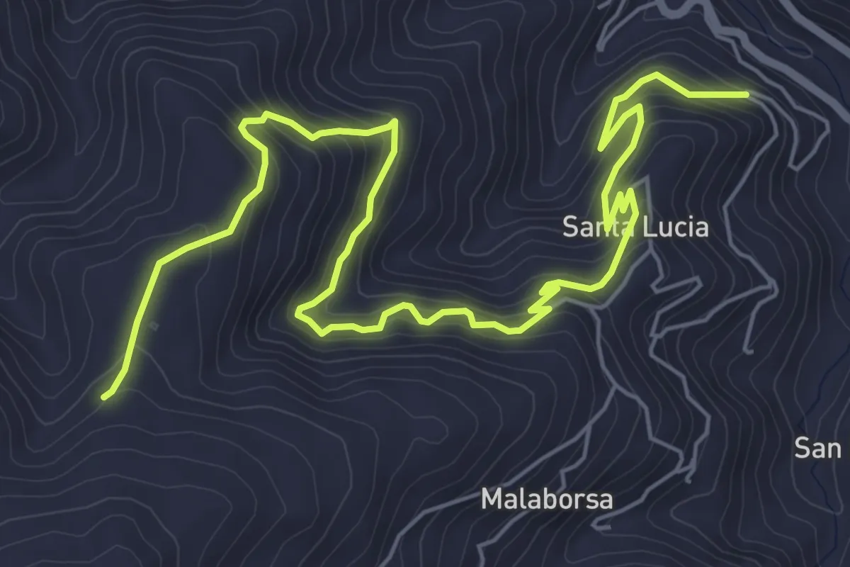
Medium · Trail
San Piero Patti Pietra Altare
9.6 km · ↑ 742 m · 3 h 52 min
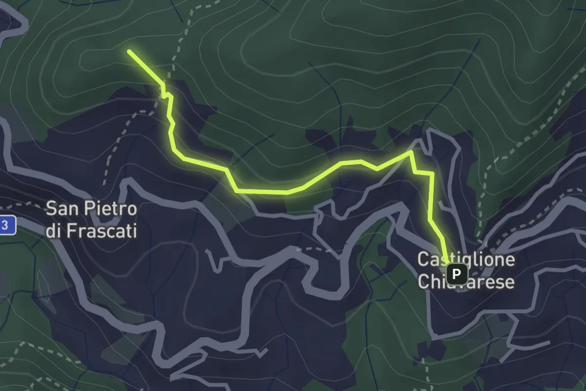
Easy · Summit
San Pietro di Frascati - Castiglione Chiavarese
2.8 km · ↑ 217 m · 1 h 8 min
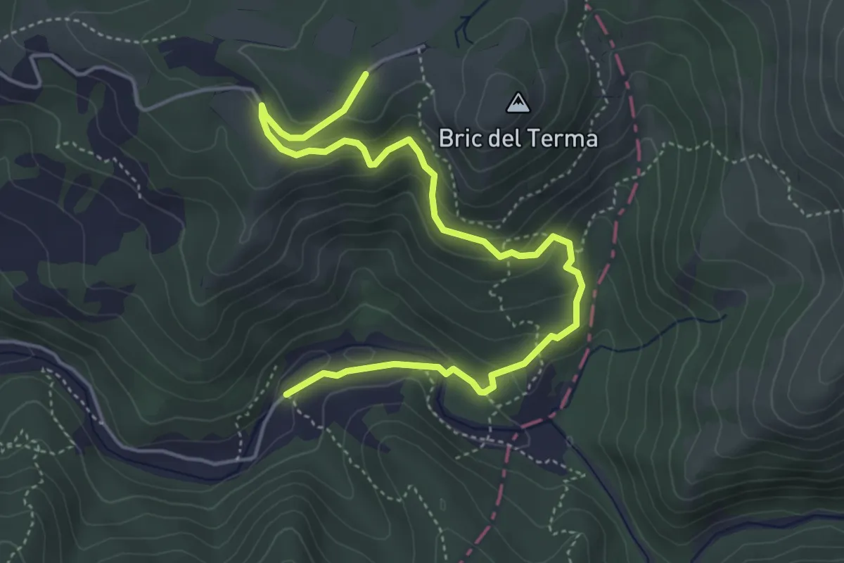
Medium · Trail
San Pietro di Masone - Sella Ovest Bric del Terma
5.8 km · ↑ 285 m · 1 h 59 min
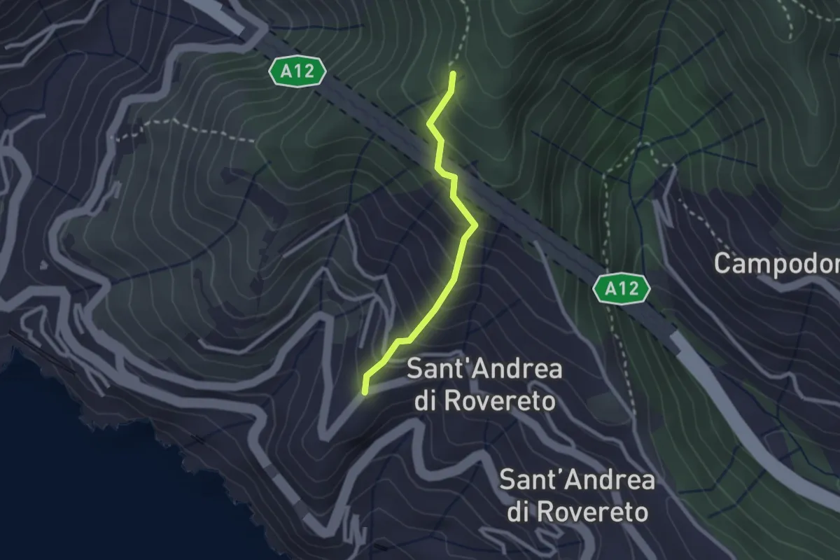
Easy · Trail
San Pietro - Madonnetta
2.0 km · ↑ 275 m · 1 h 5 min
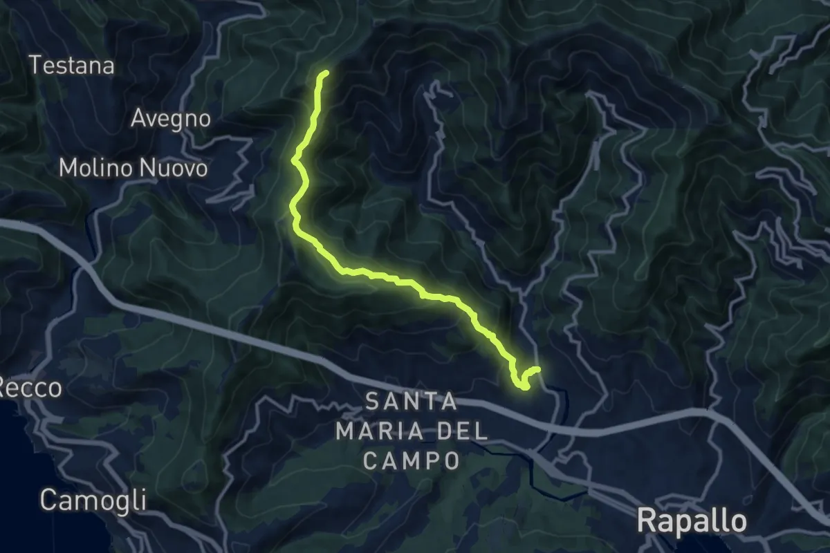
Demanding · Summit
San Pietro Novella - Monte Bello
11.1 km · ↑ 828 m · 4 h 24 min
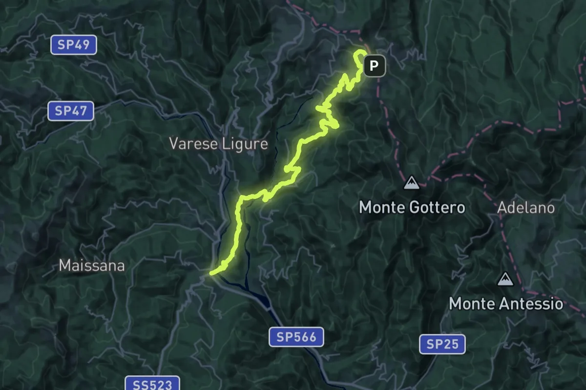
Medium · Trail
San Pietro – Teviggio – Casa Capriola – Gaspagino – Passo della Cappelletta
17.1 km · ↑ 303 m · 5 h 20 min
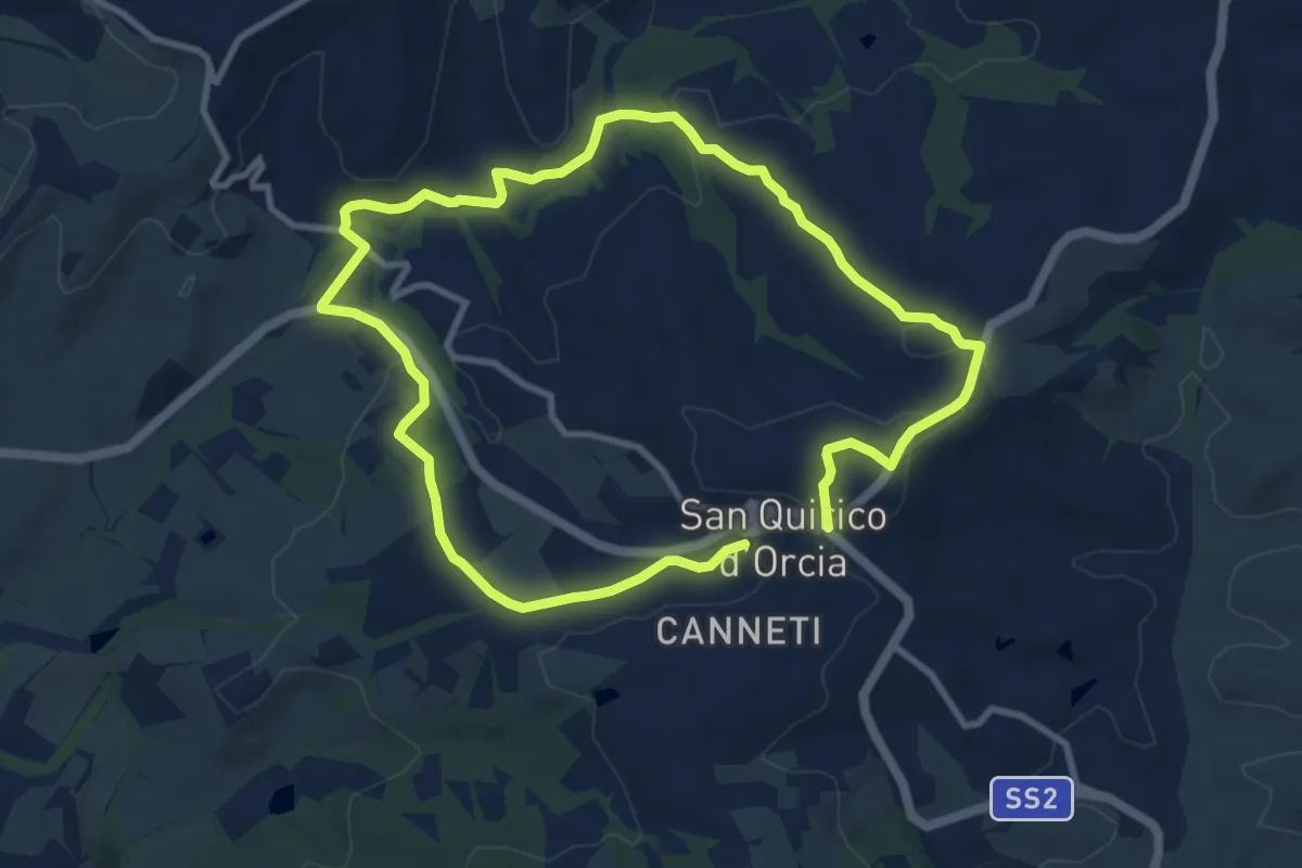
Demanding · Trail
San Quirico d'Orcia
18.1 km · ↑ 379 m · 5 h 5 min
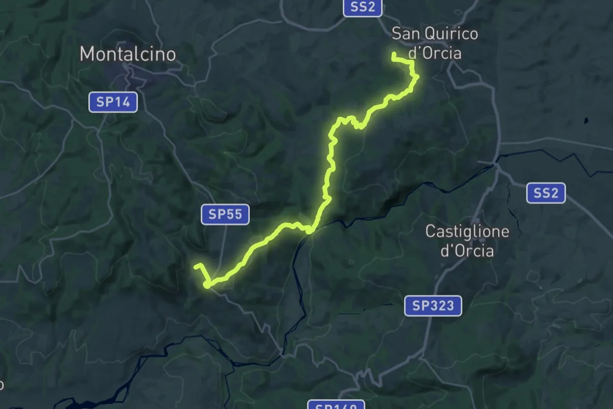
Medium · Trail
San Quirico - Sant'Antimo
14.3 km · ↑ 485 m · 4 h 35 min
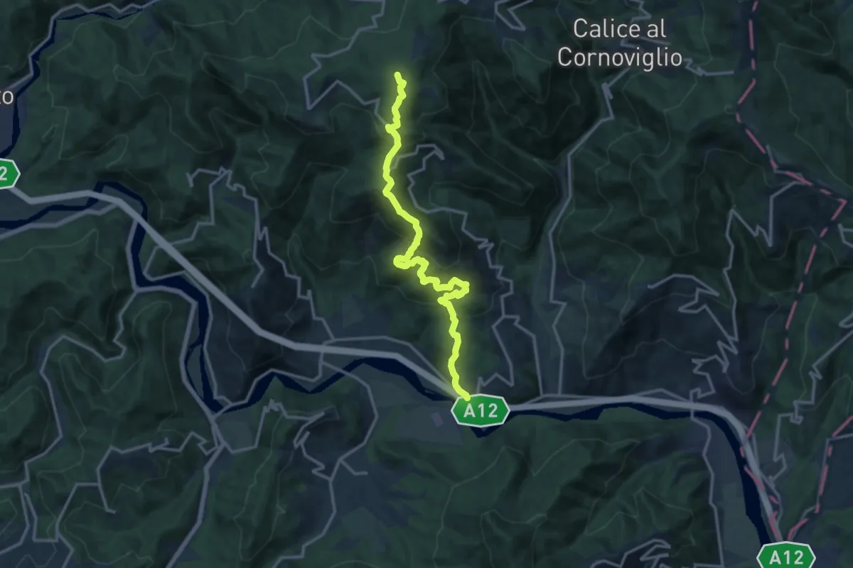
Demanding · Summit
San Remigio – Case Andreotti – Carme di Garbugliaga (Bivio 152)
14.1 km · ↑ 865 m · 5 h 12 min
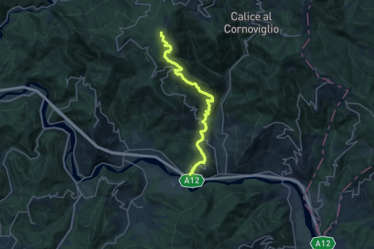
Medium · Trail
San Remigio – Castiglione Vara – Garbugliaga – Forno (Bivio 152)
14.9 km · ↑ 760 m · 5 h 10 min
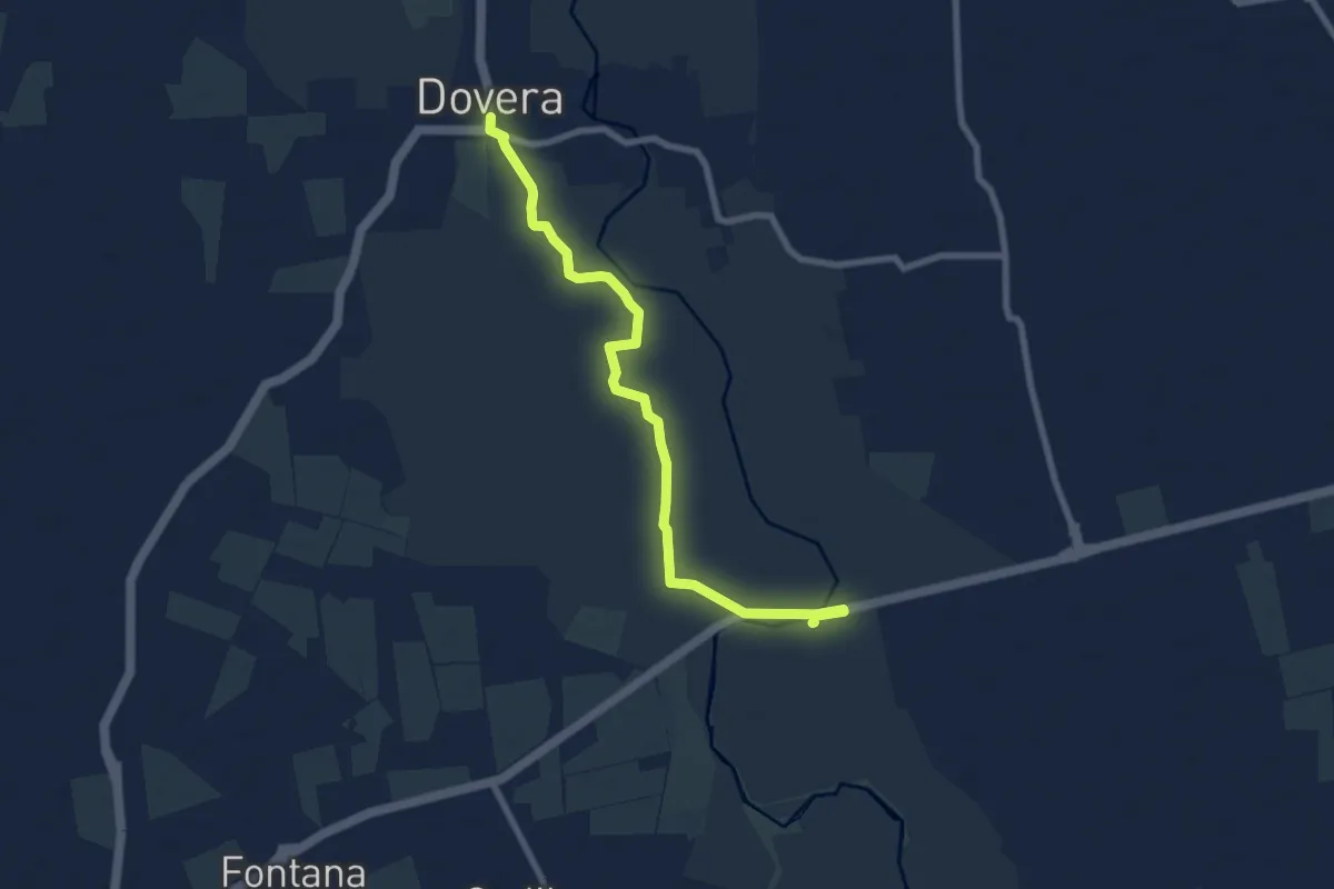
Medium · Trail
San Rocco
8.3 km · ↑ 4 m · 1 h 59 min
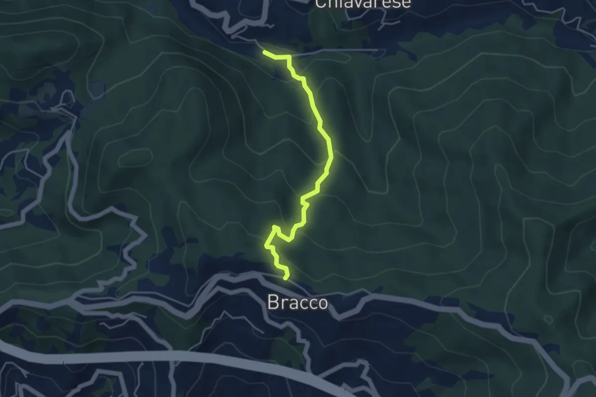
Medium · Trail
San Rocco - Bracco
3.9 km · ↑ 294 m · 1 h 34 min
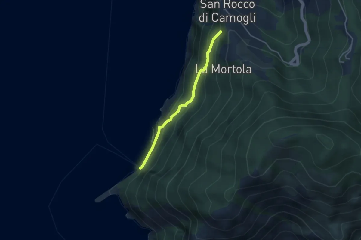
Easy · Trail
San Rocco - San Nicolò di Capodimonte - La Foce (Porto Pidocchio)
2.8 km · ↑ 189 m · 1 h 4 min
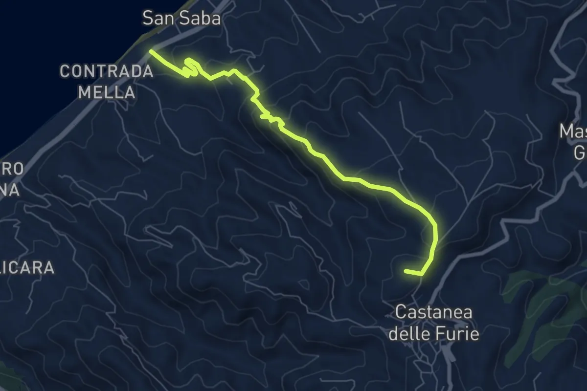
Medium · Summit
San Saba Castanea
7.7 km · ↑ 431 m · 2 h 45 min
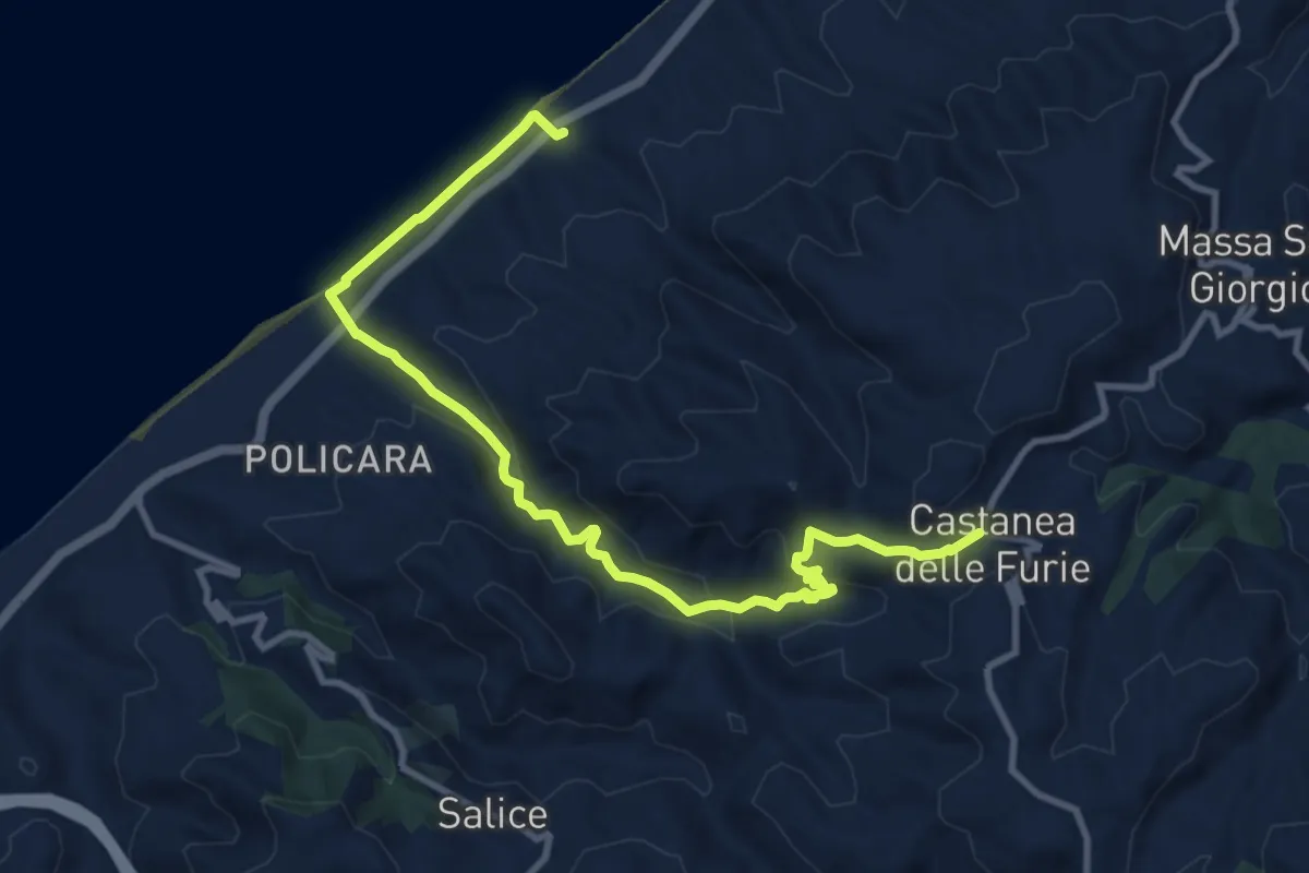
Medium · Trail
San Saba Castanea Variante via Fiumara Rodia
13.3 km · ↑ 479 m · 4 h 10 min
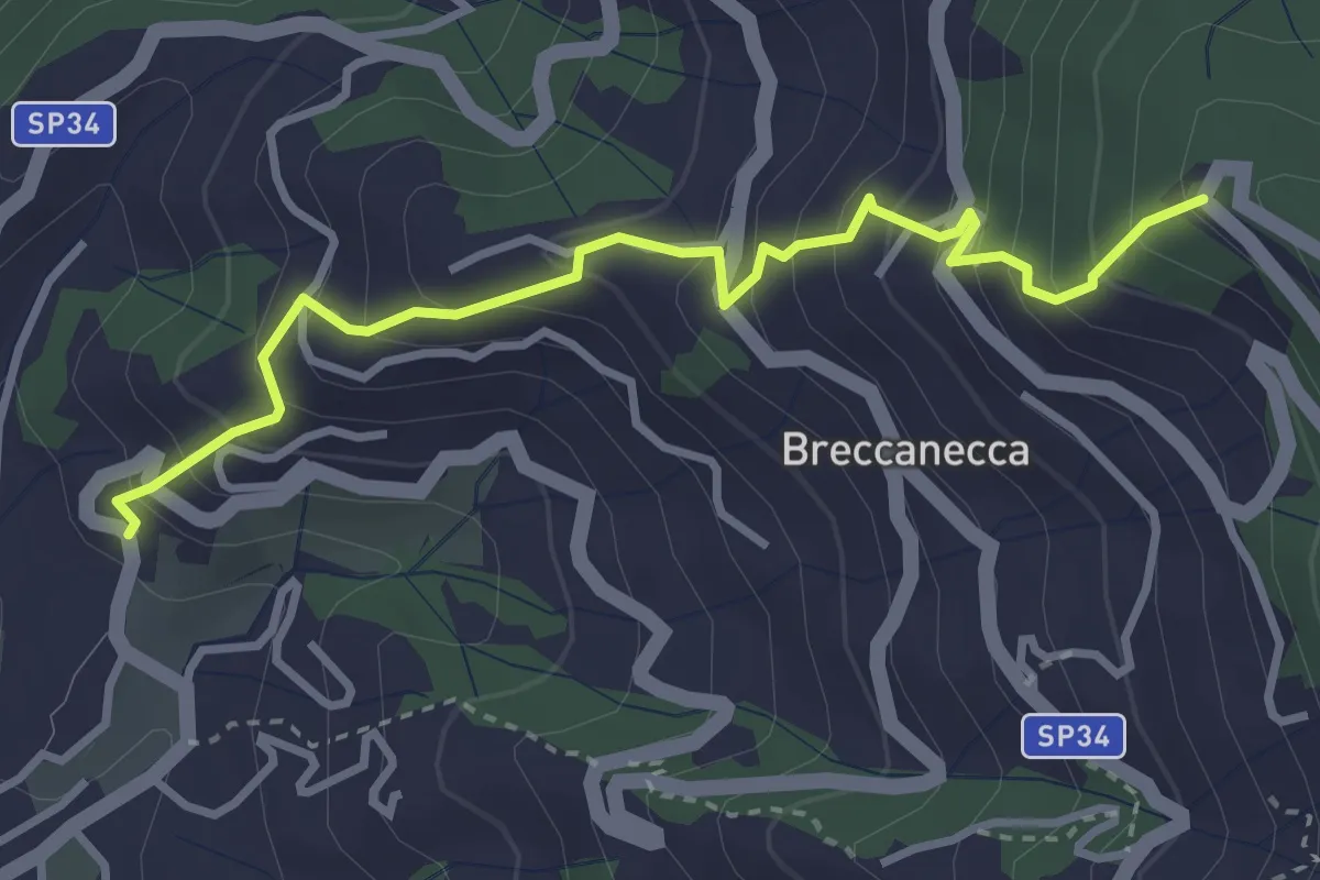
Medium · Trail
San Salvatore - San Giacomo
3.6 km · ↑ 395 m · 1 h 42 min
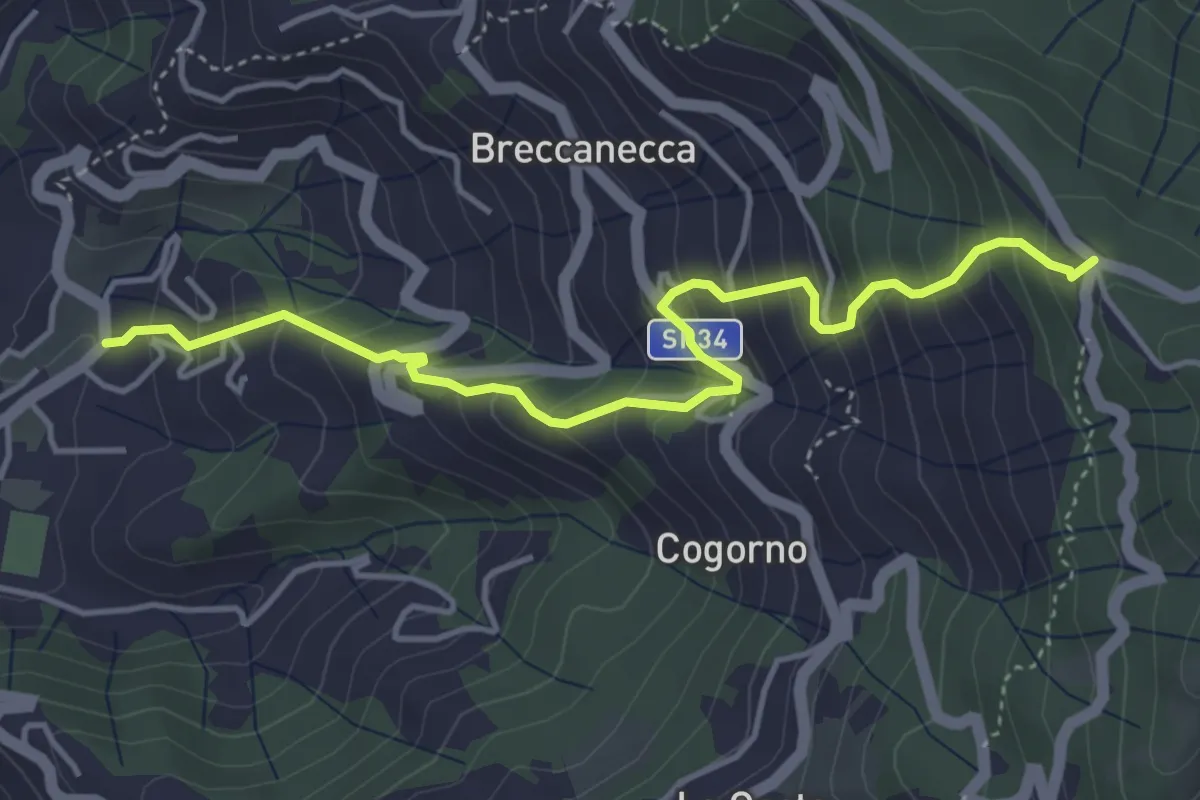
Medium · Trail
San Salvatore - San Giacomo
4.7 km · ↑ 542 m · 2 h 18 min
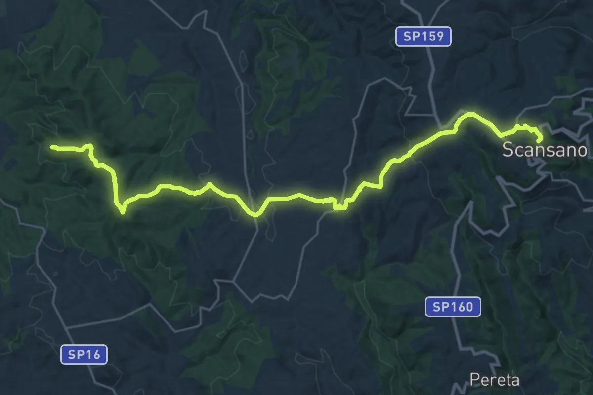
Demanding · Summit
Sansano - Marina di Alberese
27.9 km · ↑ 869 m · 8 h 28 min
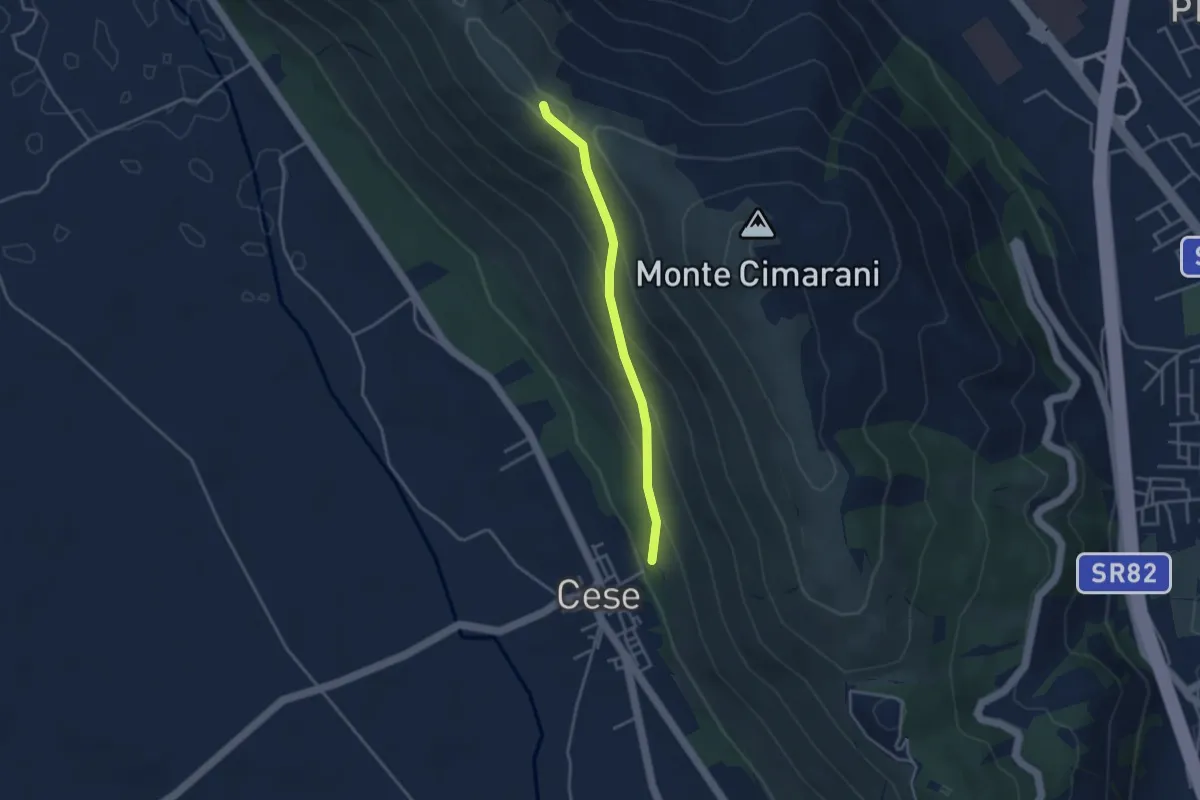
Easy · Trail
Santa Barbara
3.5 km · ↑ 240 m · 1 h 21 min
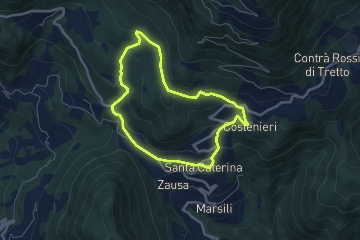
Easy · Trail
Santa Caterinella
4.4 km · ↑ 218 m · 1 h 35 min
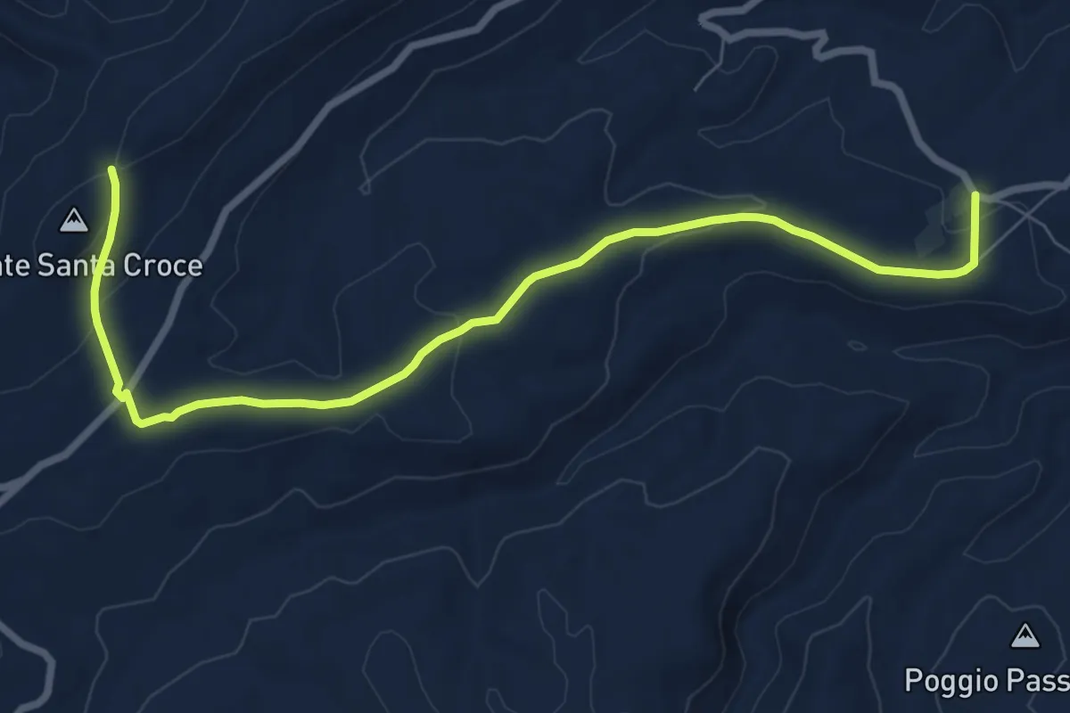
Medium · Trail
Santa Croce C.da Via Grande
9.8 km · ↑ 203 m · 2 h 46 min
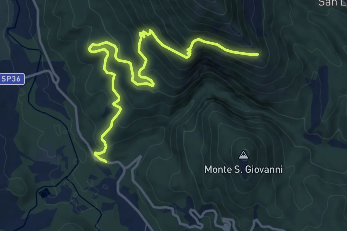
Medium · Trail
Santa Croce - Malpasso
10.8 km · ↑ 604 m · 3 h 51 min
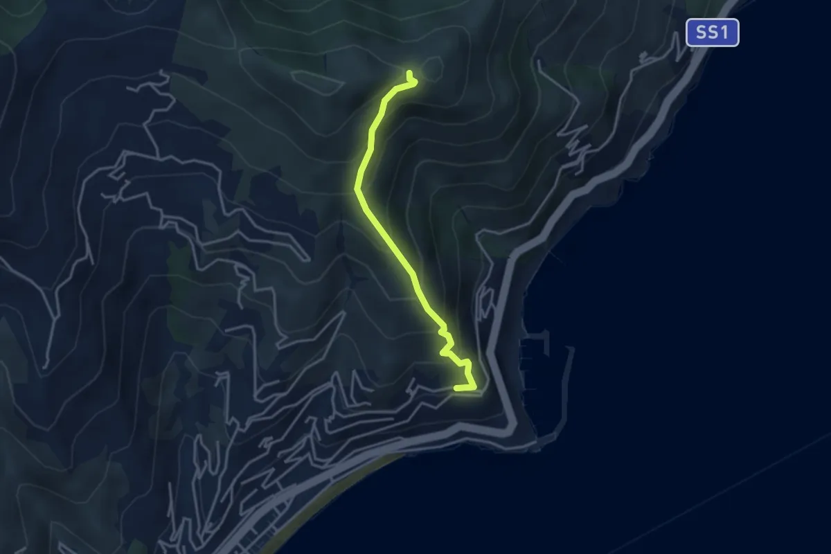
Medium · Trail
Santa Croce - Monte Bignone
3.2 km · ↑ 334 m · 1 h 29 min
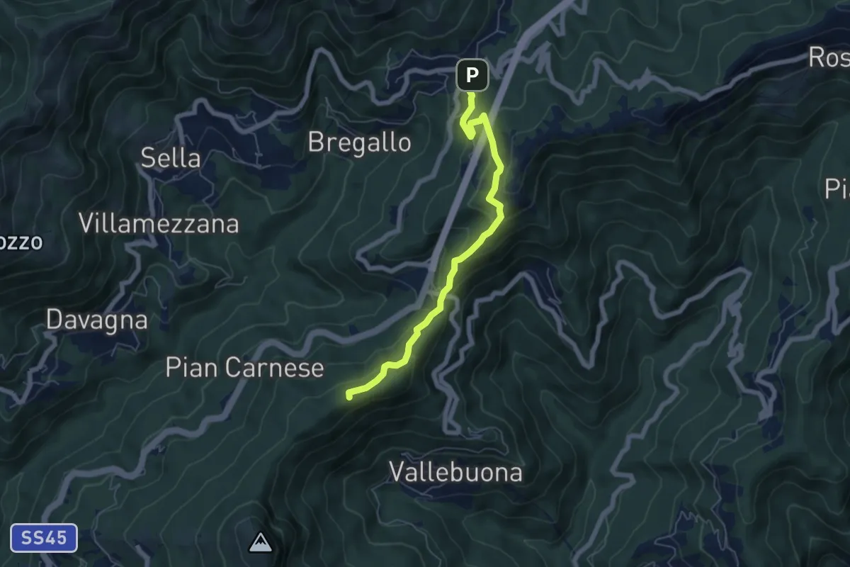
Medium · Summit
Sant'Alberto-Crocetta-Pendici Sud M. Castelluzzo (AVML)-Passo Scoffera
5.8 km · ↑ 362 m · 2 h 9 min
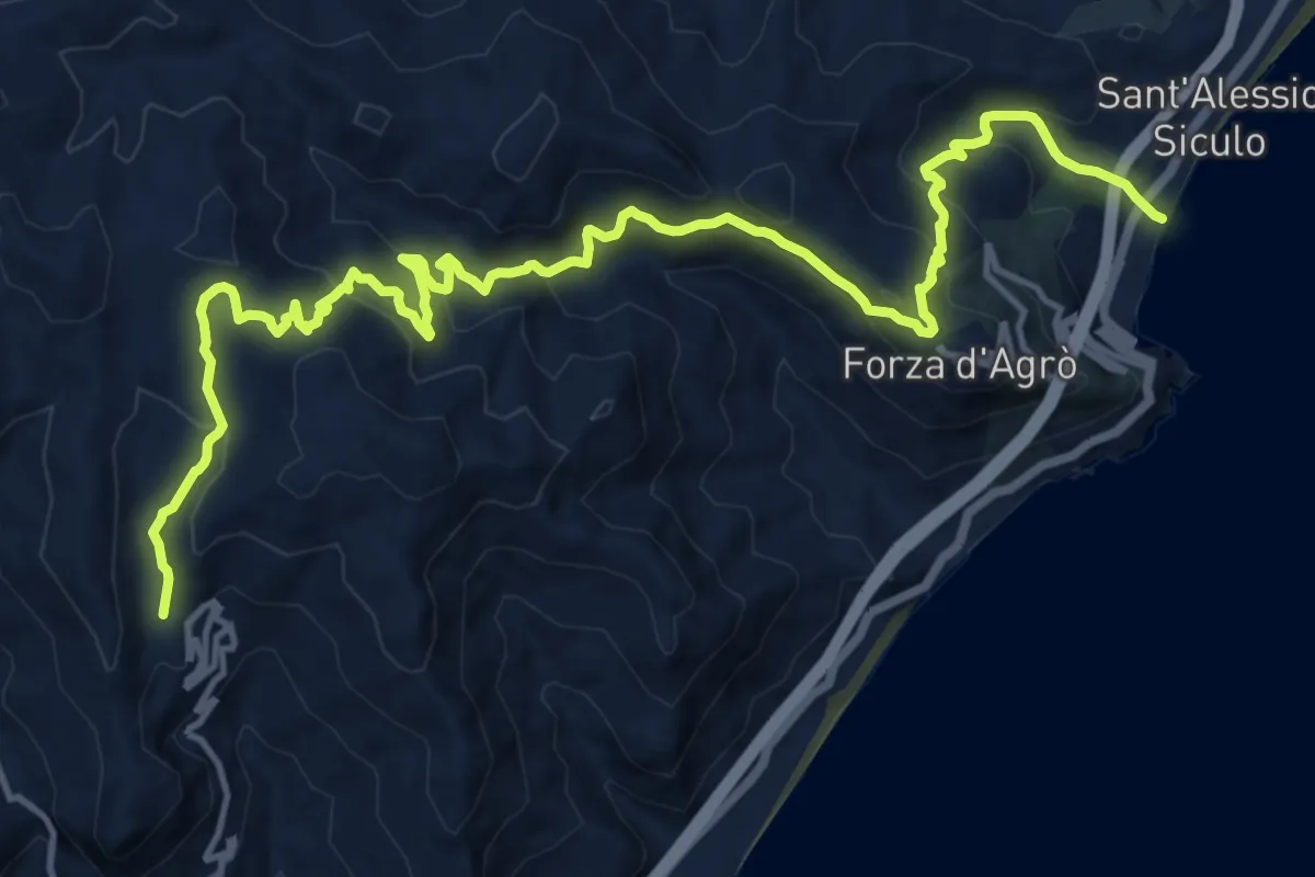
Demanding · Trail
Sant'Alessio Gallodoro
20.3 km · ↑ 1159 m · 7 h 19 min
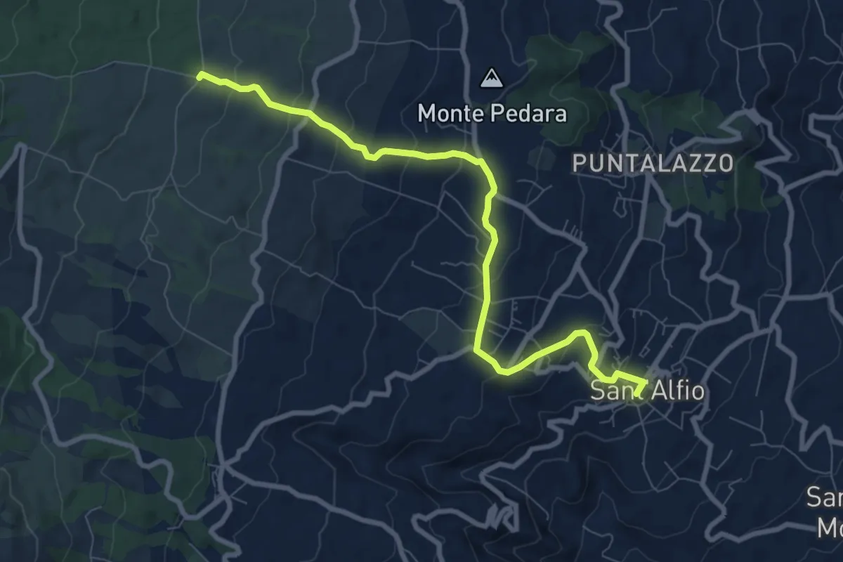
Medium · Trail
Sant'Alfio - Sentiero 731
9.6 km · ↑ 433 m · 3 h 12 min
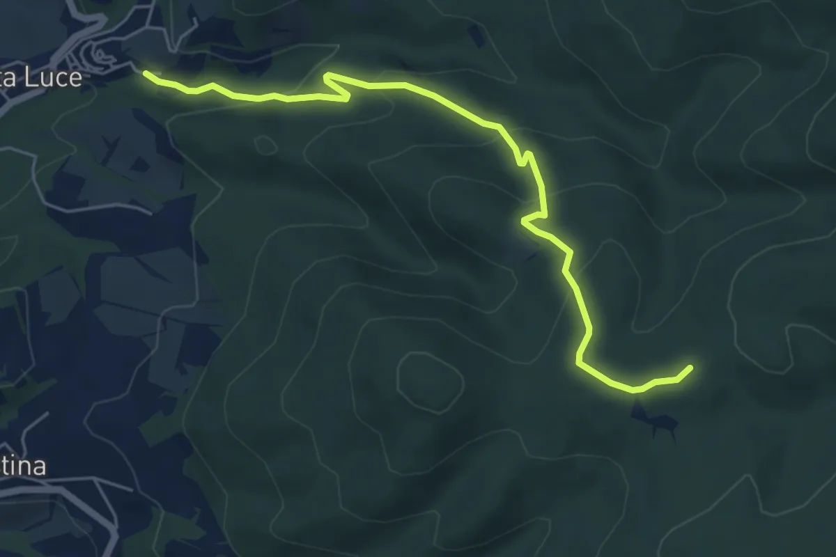
Easy · Trail
Santa Luce – Il Cerrino
5.9 km · ↑ 301 m · 2 h 3 min
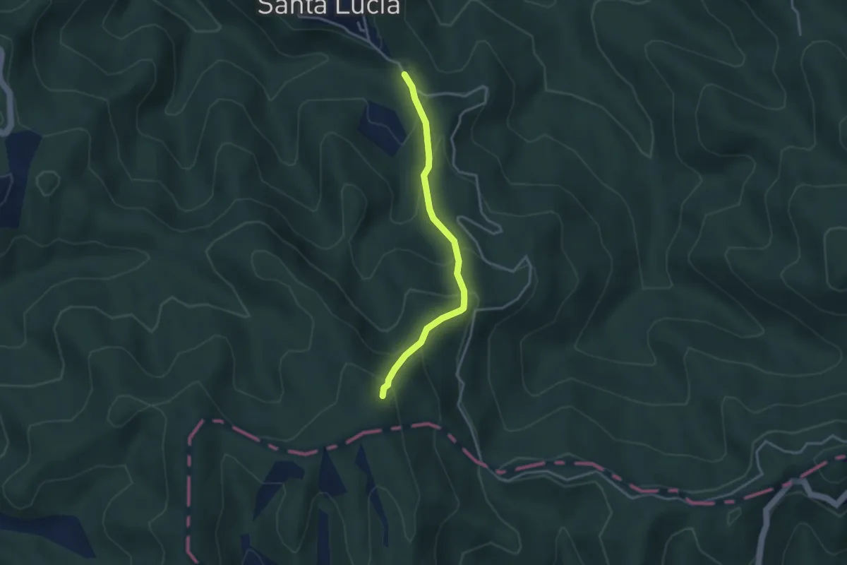
Easy · Trail
Santa Lucia Giove Rotondo - Colle Staglino
3.2 km · ↑ 282 m · 1 h 22 min
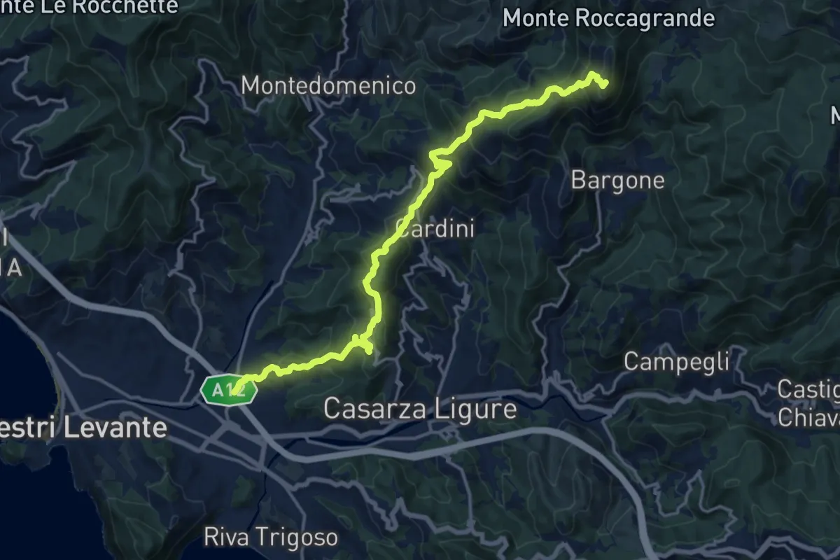
Demanding · Summit
Santa Margherita di Fossa Lupara - Colle Incisa - Monte Treggin
17.1 km · ↑ 1128 m · 6 h 29 min
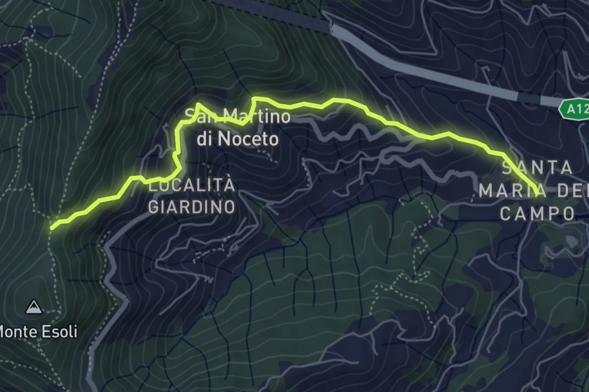
Medium · Trail
Santa Maria del Campo - Colle Esoli Nord
5.8 km · ↑ 456 m · 2 h 21 min
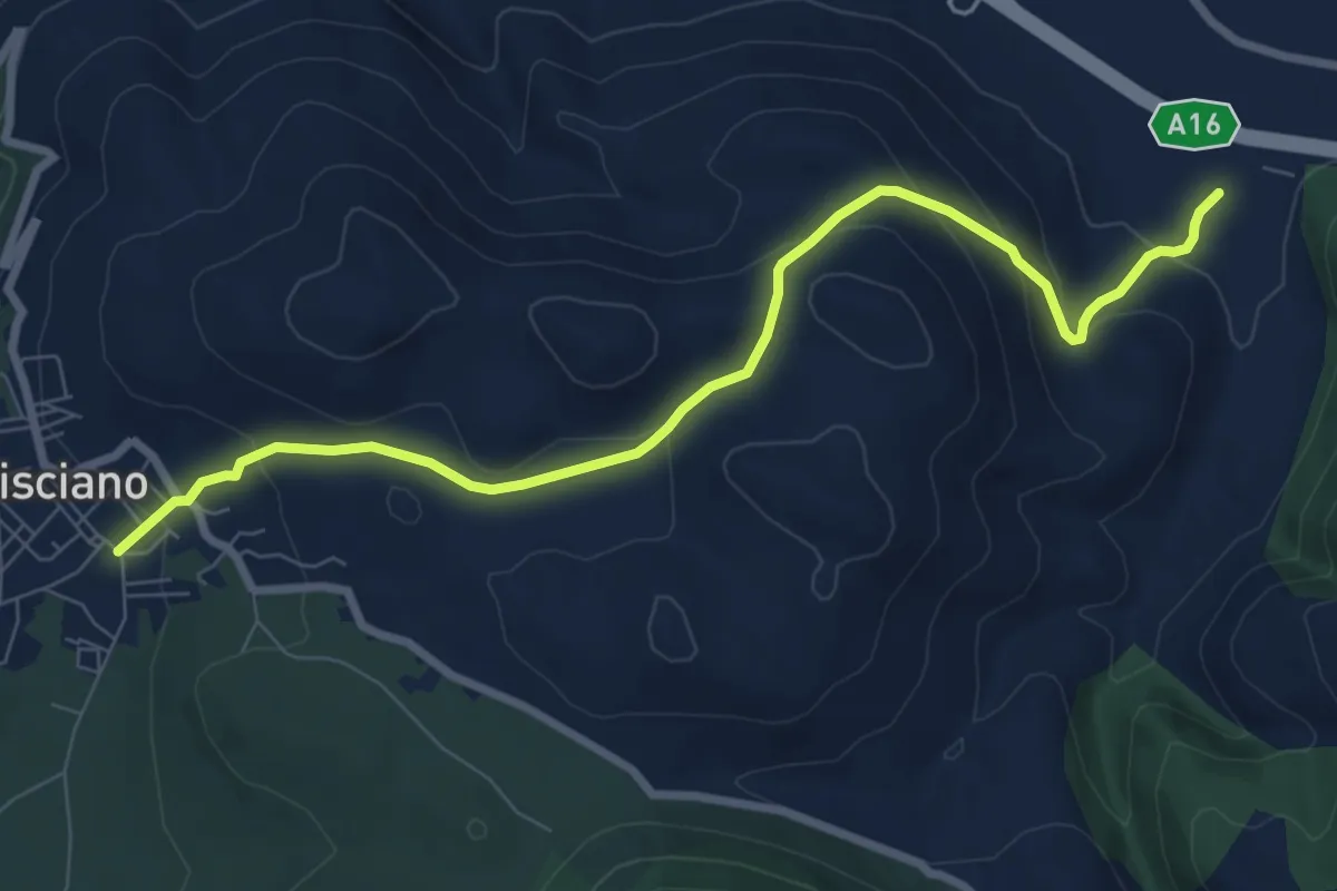
Medium · Trail
Santa Maria del Carpinello
9.4 km · ↑ 388 m · 3 h 3 min
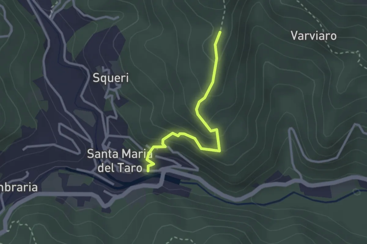
Easy · Trail
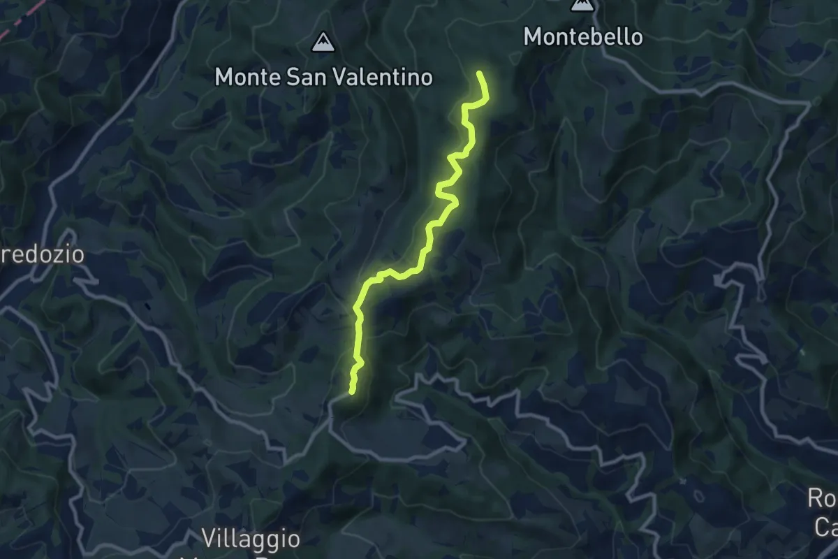
Santa Maria del Taro Monumento - Costa dell'8
2.4 km · ↑ 203 m · 1 h
Easy · Trail
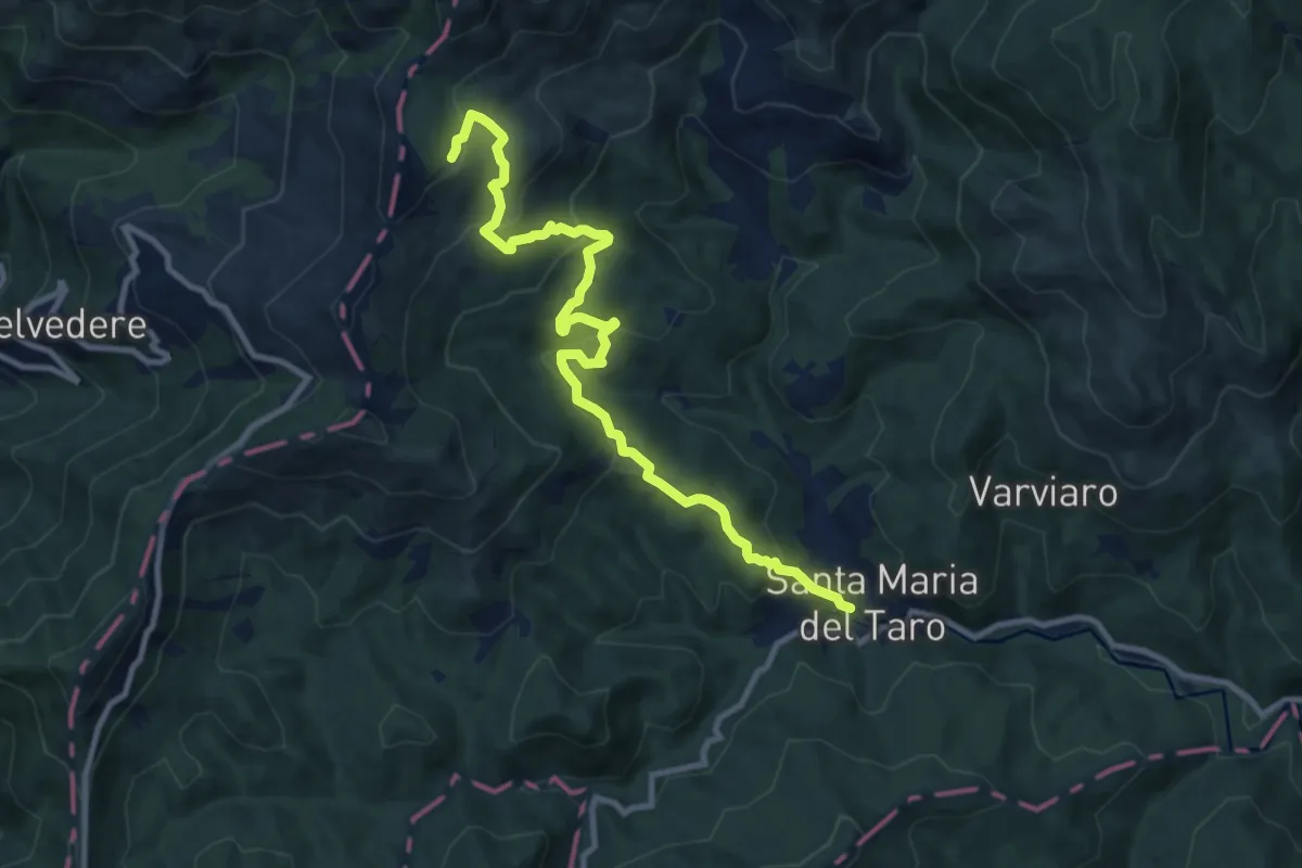
Santa Maria in Castello
4.3 km · ↑ 158 m · 1 h 24 min
Medium · Trail
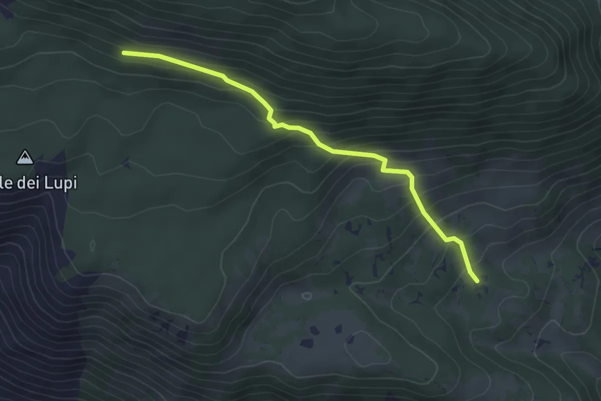
Santa Maria Mezzano - Campeggi - La Rocchetta (Alta Via dei Monti Liguri)
11.1 km · ↑ 619 m · 3 h 58 min
Easy · Trail
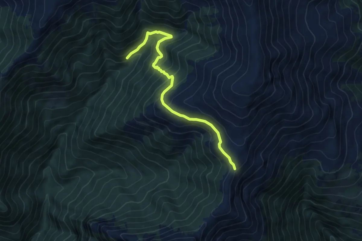
Santa Maria - Rifugio Faito - Macchia Faito
4.0 km · ↑ 292 m · 1 h 34 min
Medium · Trail
Sant'Amate - Sentiero Quattro Valli
6.9 km · ↑ 485 m · 2 h 41 min
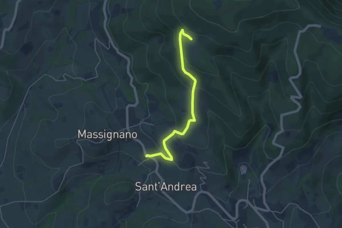
Easy · Trail
Sant'Andrea
4.2 km · ↑ 217 m · 1 h 27 min
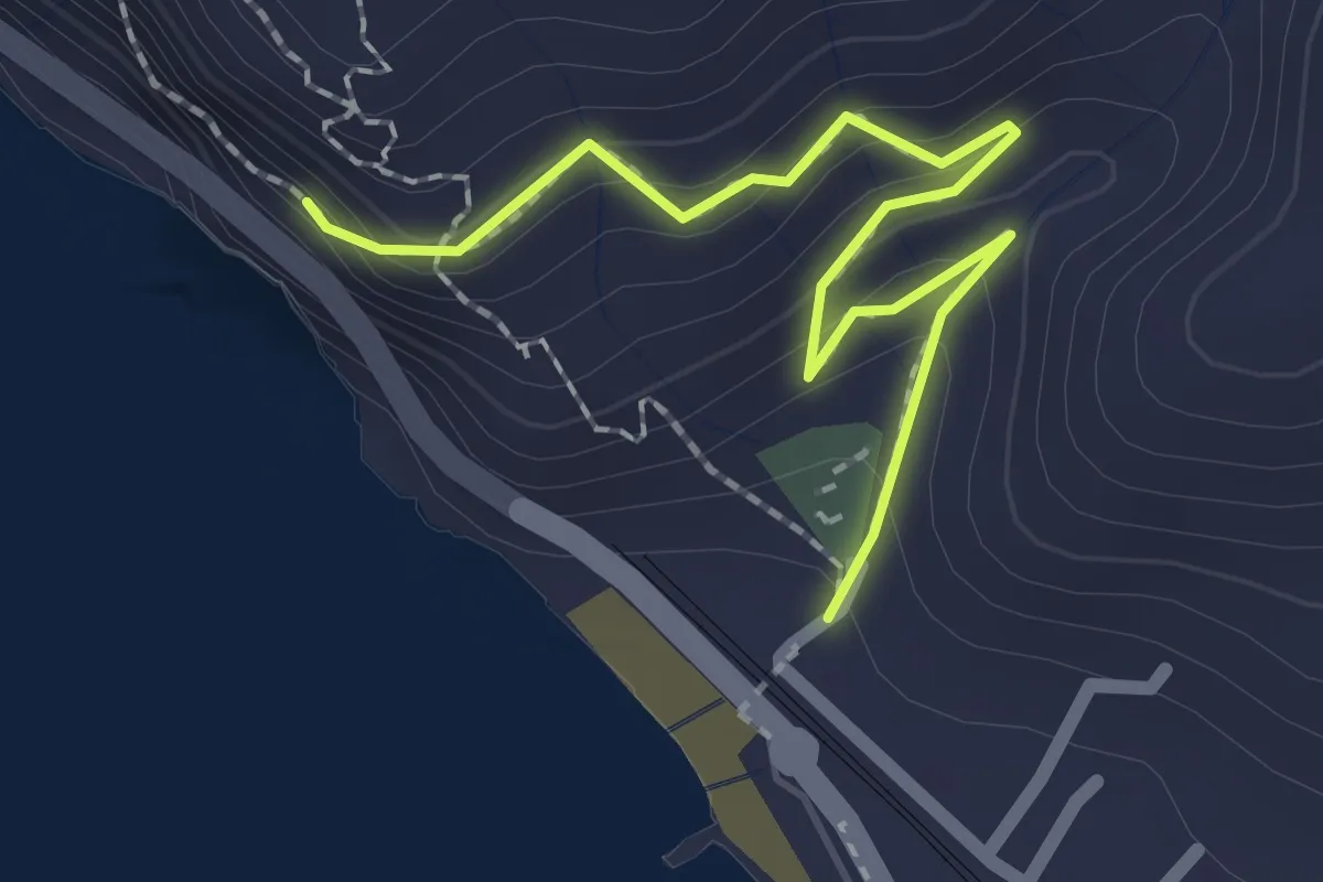
Medium · Trail
Sant'Anna
2.3 km · ↑ 164 m · 54 min
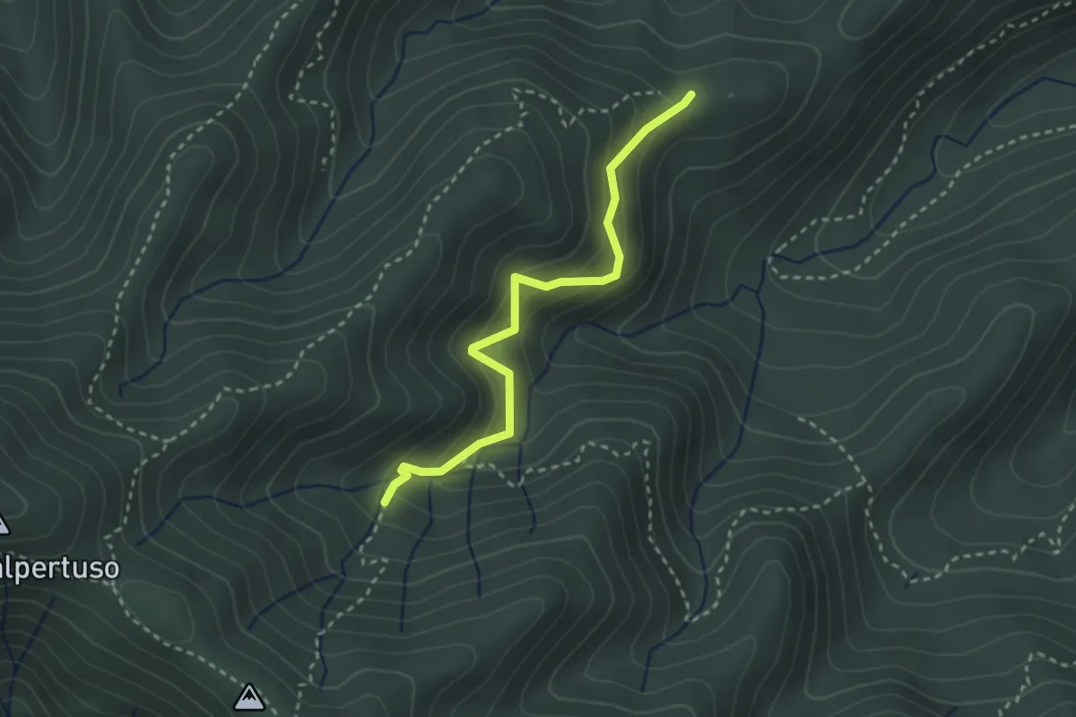
Easy · Trail
Sant'Anna – Baccadore – Monte Castello – Bivio AV5T
2.9 km · ↑ 272 m · 1 h 16 min
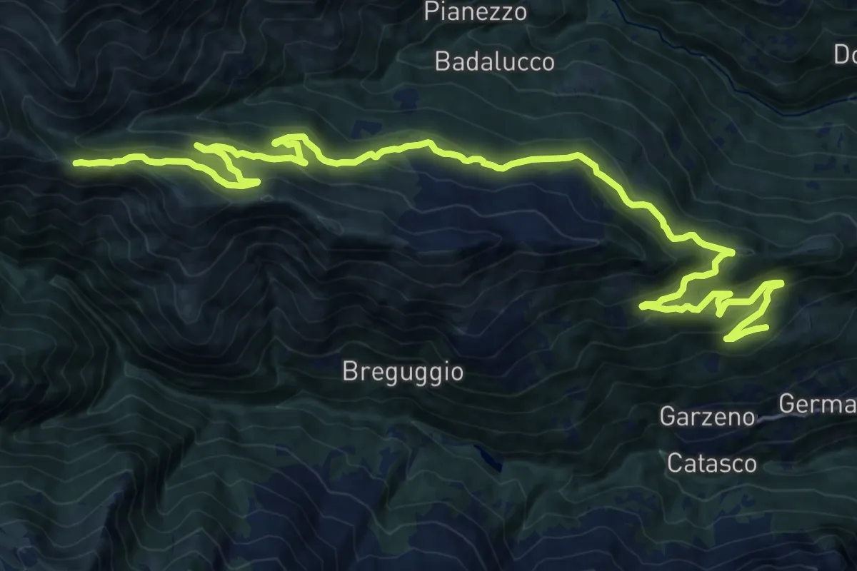
Demanding · Cabin
Sant' Anna-Rifugio Giovo
12.9 km · ↑ 933 m · 4 h 52 min
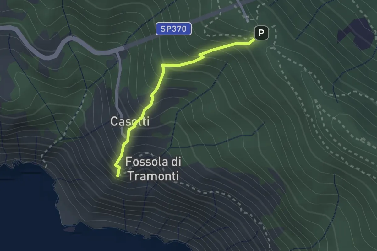
Easy · Trail
Sant'Antonio – Fossola
2.0 km · ↑ 315 m · 1 h 9 min
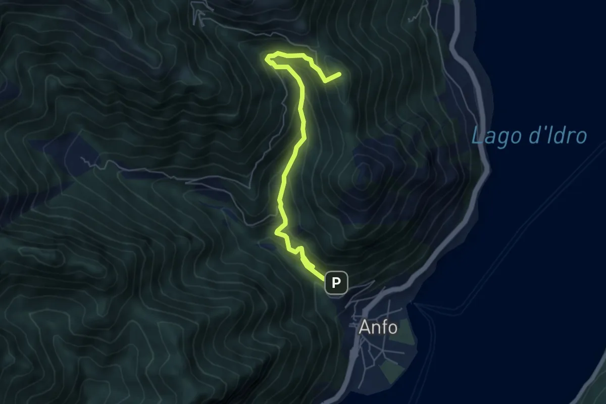
Medium · Summit
Santa Petronilla - Coca Chetoi
5.9 km · ↑ 474 m · 2 h 25 min
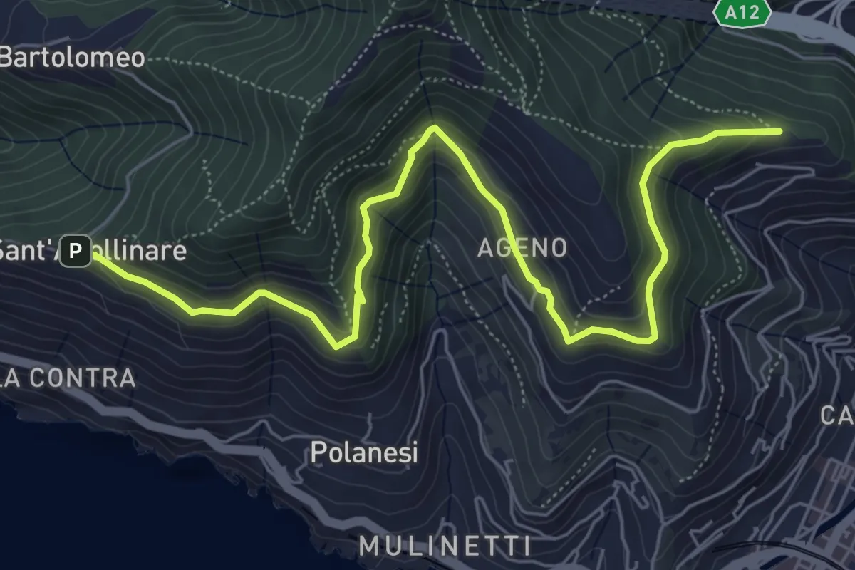
Medium · Trail
Sant'Apollinare - Ageno - Chiesa dell'Ascensione
7.7 km · ↑ 483 m · 2 h 51 min
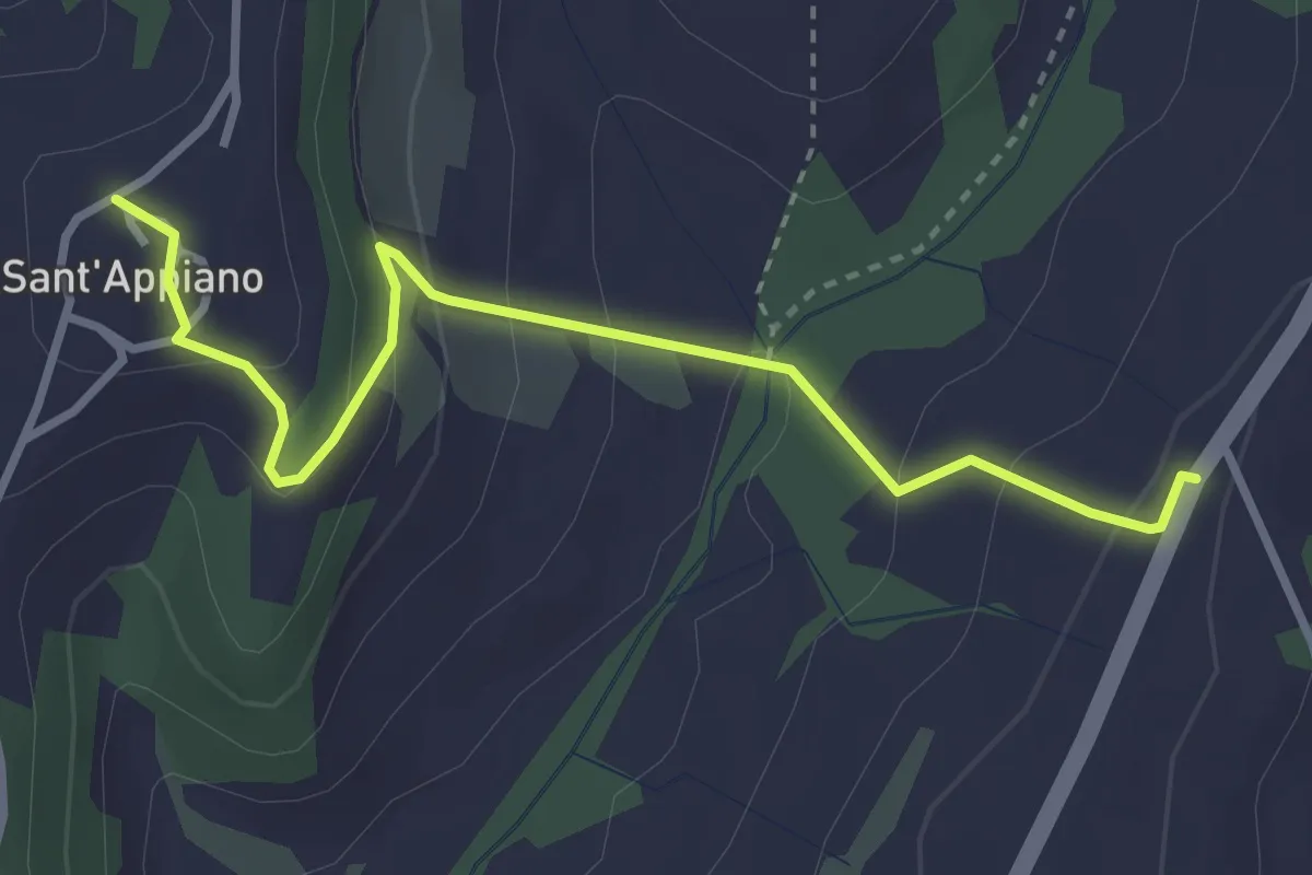
Easy · Trail
Sant'Appiano - Sosta del Papa
3.6 km · ↑ 192 m · 1 h 16 min
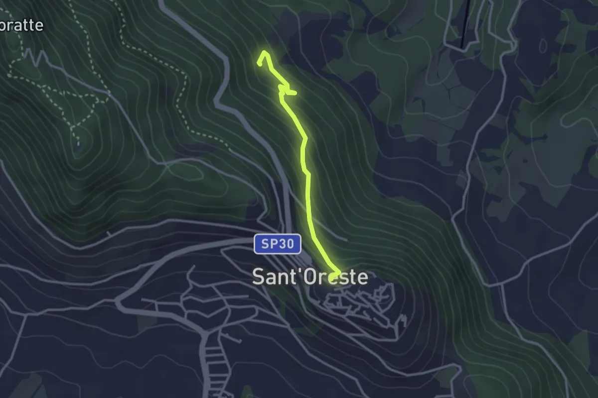
Easy · Trail
Santa Romana e dei Meri
2.6 km · ↑ 193 m · 1 h 2 min
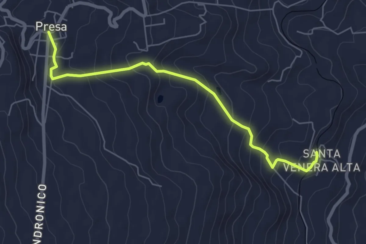
Easy · Trail
Santa Venera - Presa
6.0 km · ↑ 316 m · 2 h 6 min
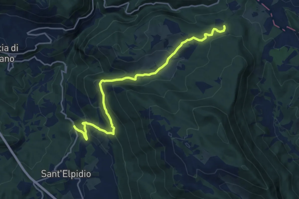
Medium · Trail
Sant'Elpidio-Prati San Lorenzo
12.7 km · ↑ 567 m · 4 h 14 min
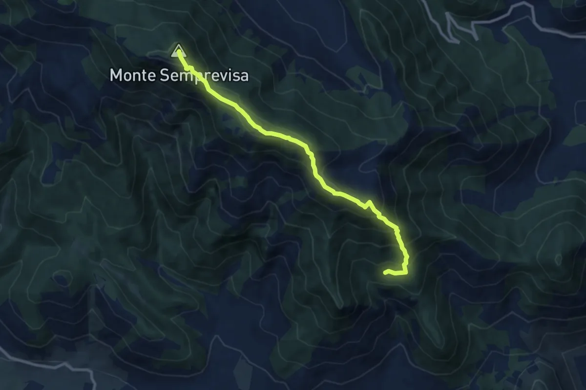
Medium · Summit
Sant'Erasmo-Semprevisa
9.5 km · ↑ 759 m · 3 h 53 min