Trails in Italy
25,221 hiking trails, each with its route, climb, walking time and grade.
All trails, page 139 of 526
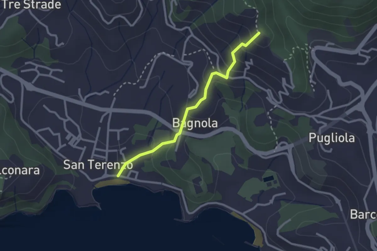
Medium · Trail
San Terenzo - Bagnola – Solaro – P.so della Cisterna
2.4 km · ↑ 156 m · 54 min
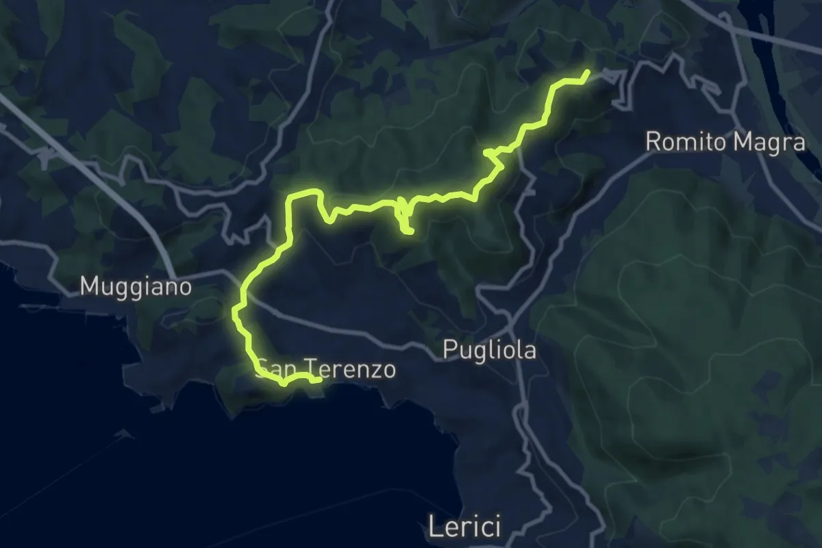
Medium · Summit
San Terenzo - Pozzuolo – sella Pin Bon – Trebiano
11.8 km · ↑ 598 m · 4 h 5 min
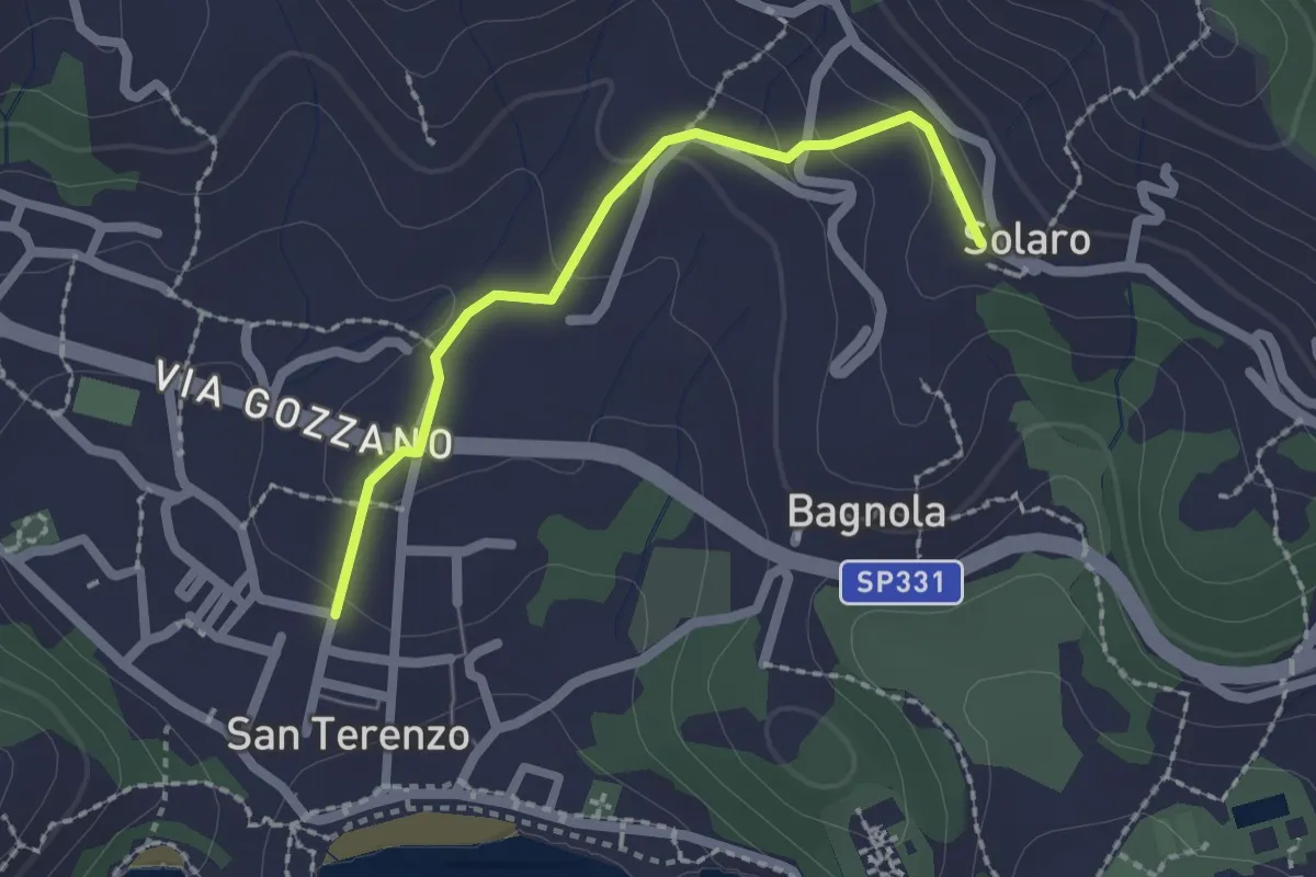
Medium · Trail
San Terenzo – Solaro
2.0 km · ↑ 77 m · 38 min
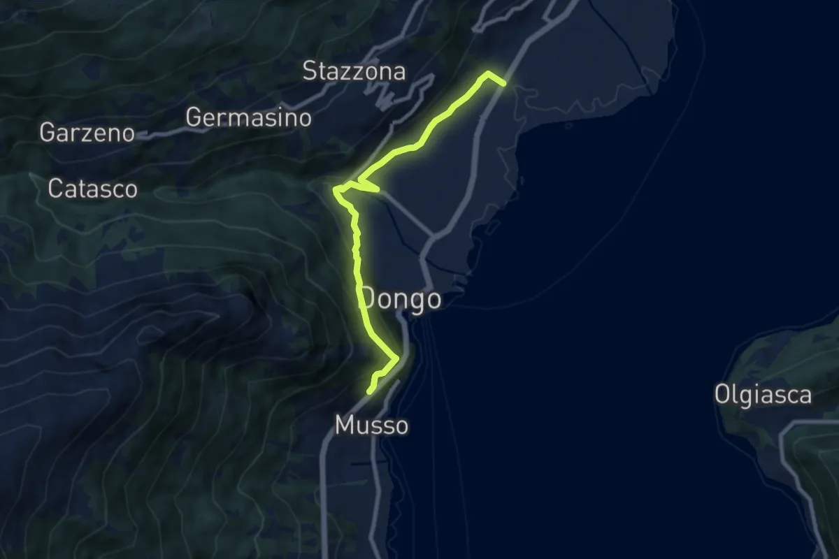
Medium · Trail
Sant' Eufemia-Dongo (Barbignano)
7.5 km · ↑ 495 m · 2 h 50 min
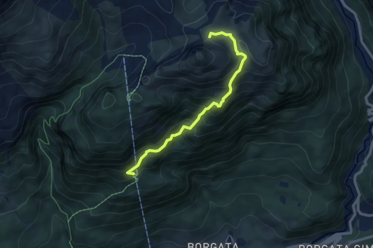
Demanding · Trail
Santiero Naturale M. della Pianta
4.7 km · ↑ 482 m · 2 h 9 min
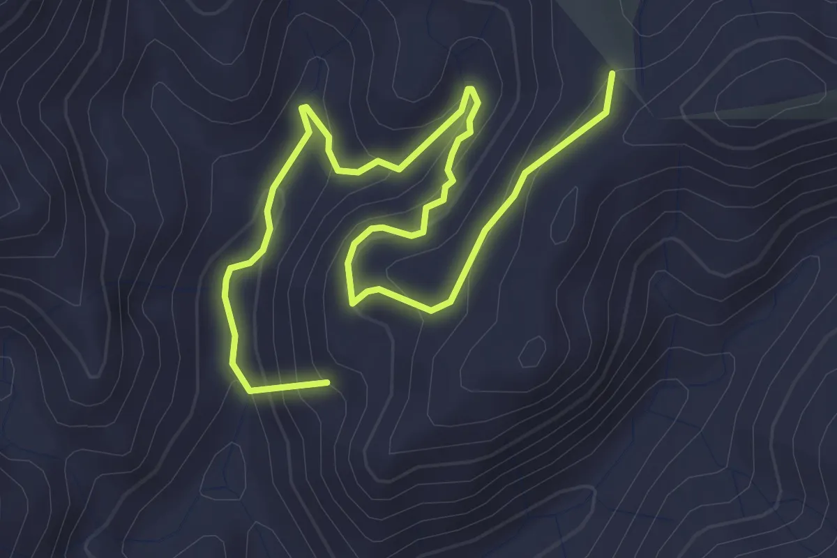
Easy · Summit
Santissima Sentiero Italia
5.1 km · ↑ 310 m · 1 h 52 min
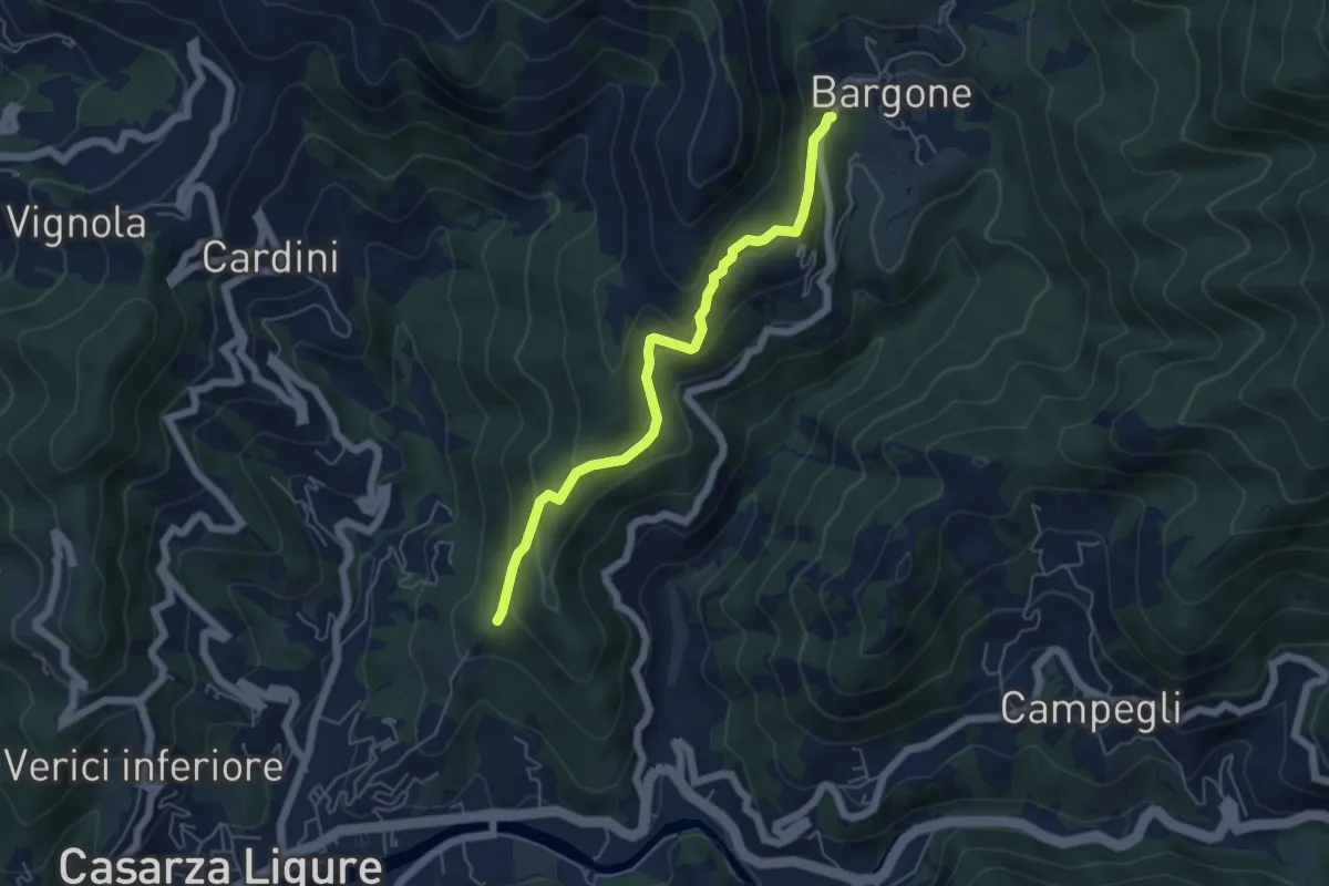
Medium · Trail
S. Antonio - Bargone
5.3 km · ↑ 358 m · 2 h 1 min
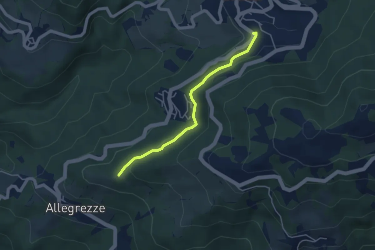
Easy · Trail
Santo Stefano d'Aveto - Cappelletta di Allegrezze
3.4 km · ↑ 134 m · 1 h 5 min
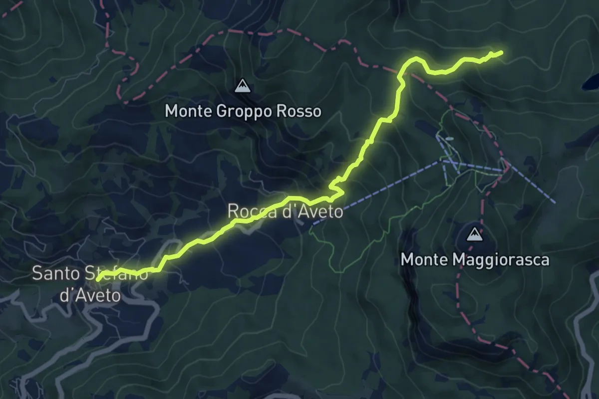
Medium · Trail
Santo Stefano D'Aveto - Lago Nero
9.5 km · ↑ 717 m · 3 h 47 min
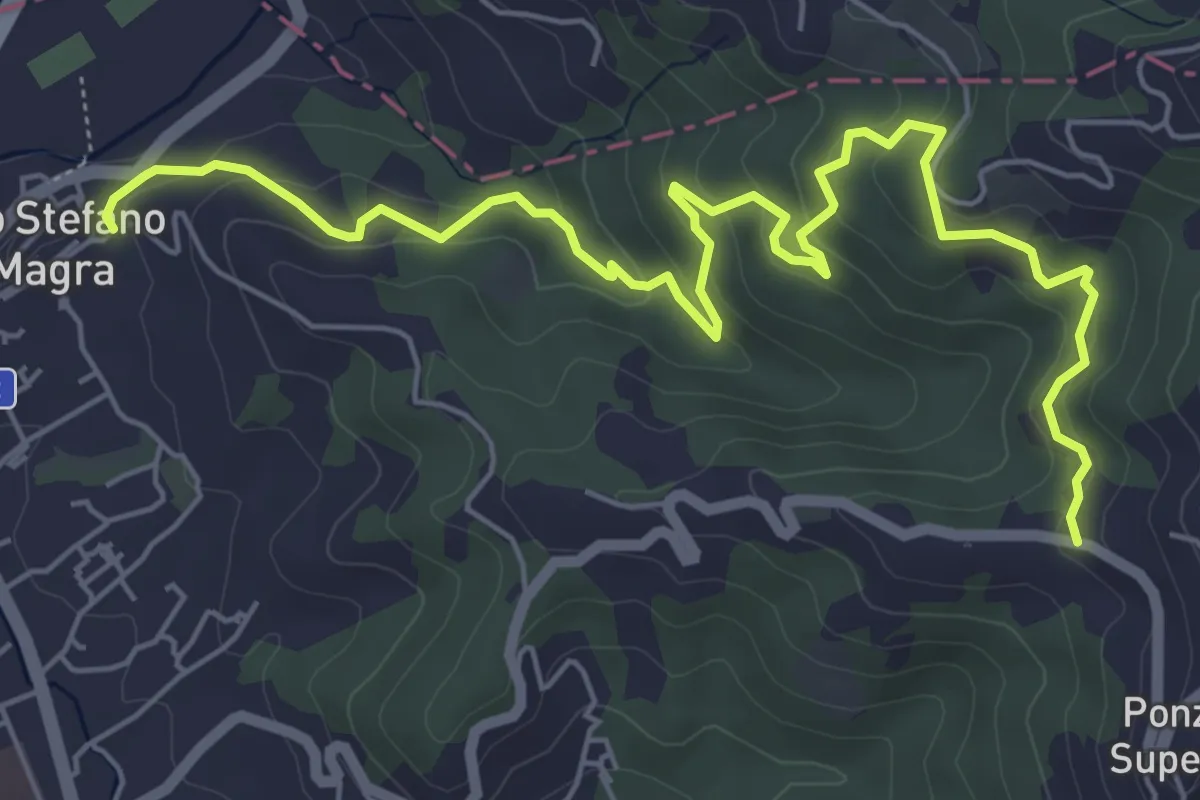
Medium · Trail
Santo Stefano di Magra – C. Volpara – C. Piazza
7.9 km · ↑ 378 m · 2 h 42 min
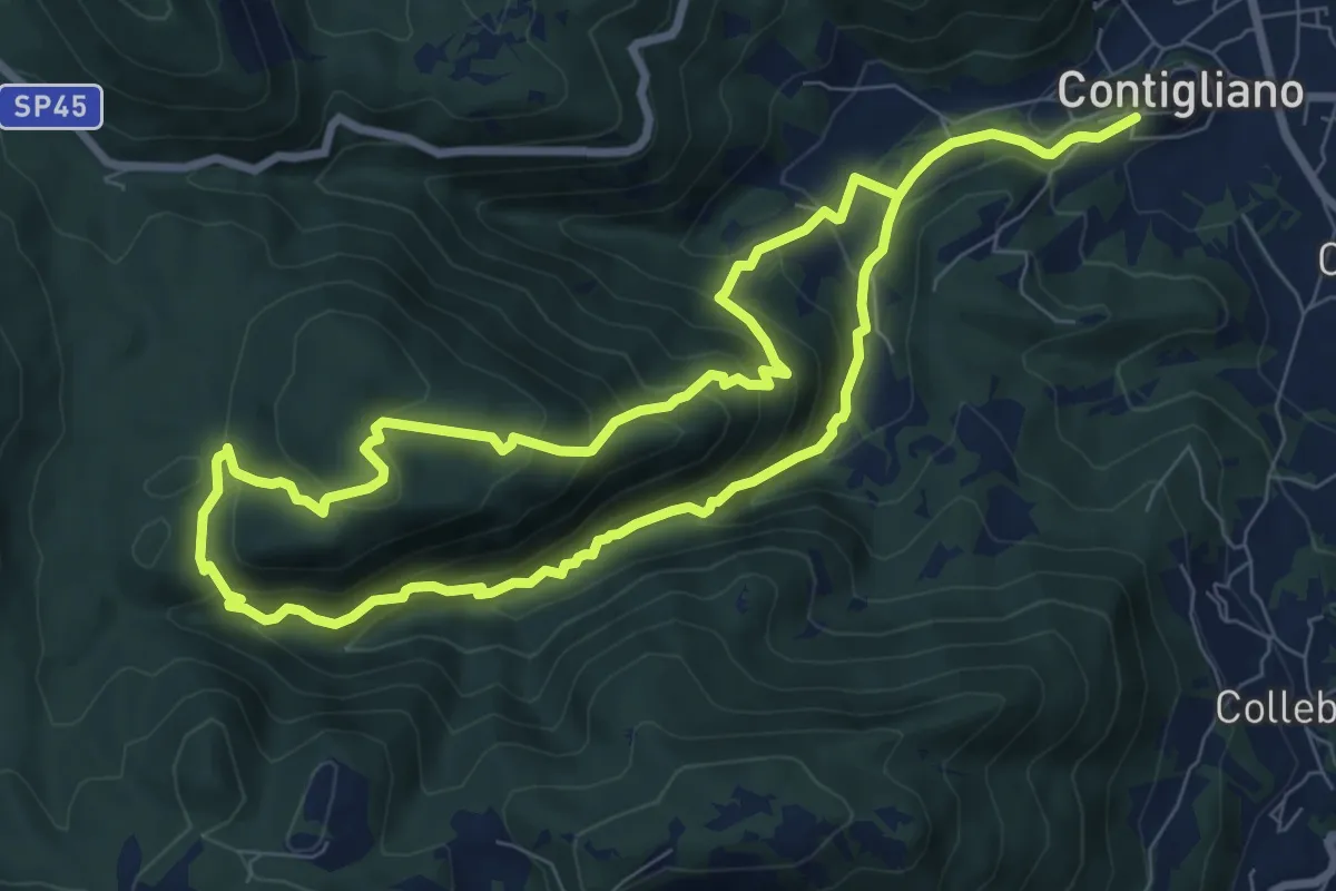
Demanding · Trail
Santo Tomeo
15.9 km · ↑ 1102 m · 6 h 9 min
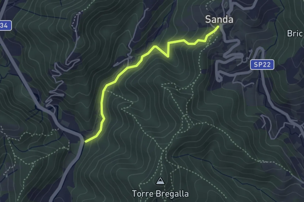
Easy · Trail
Santuario della Pace - Remenone - Sanda
3.6 km · ↑ 192 m · 1 h 16 min
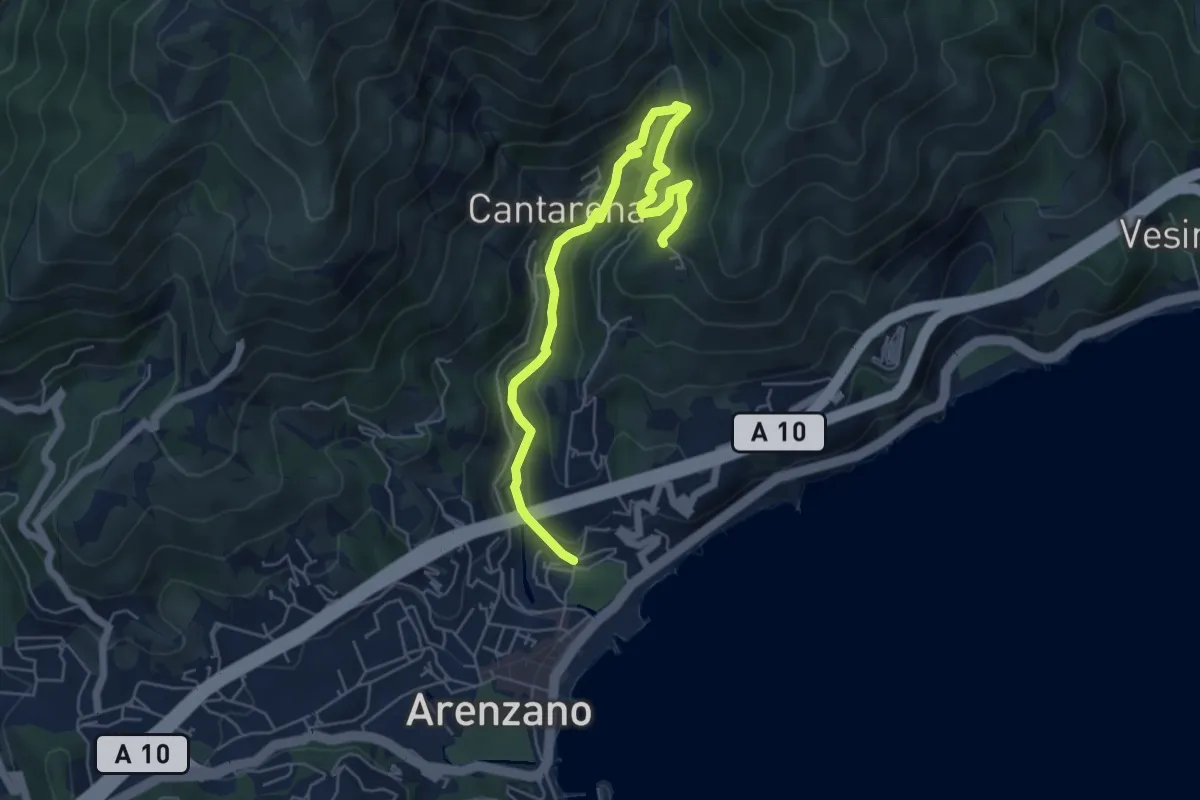
Medium · Trail
Santuario delle Olivete - Case Casuin
6.3 km · ↑ 412 m · 2 h 23 min
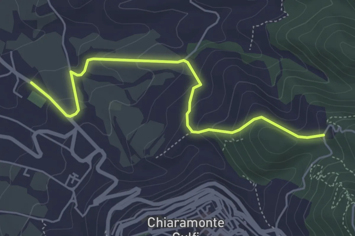
Easy · Trail
Santuario di Gulfi - S. Lucia
5.5 km · ↑ 288 m · 1 h 56 min
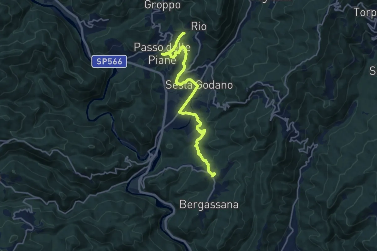
Medium · Trail
Santuario di San Rocco - Sesta Godano - Rio
13.6 km · ↑ 402 m · 4 h 5 min
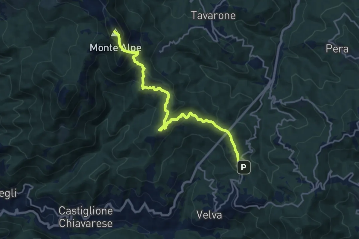
Medium · Summit
Santuario di Velva - Monte Alpe
12.6 km · ↑ 768 m · 4 h 38 min
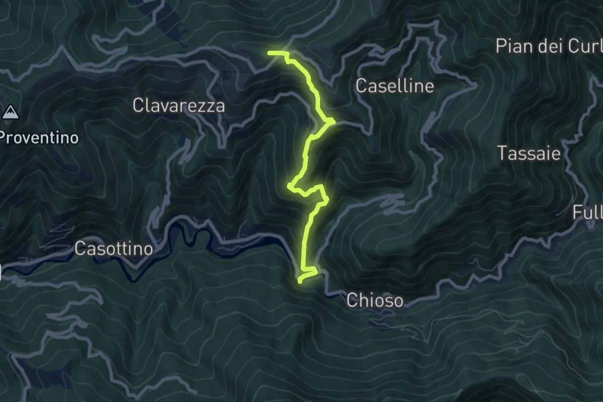
Medium · Summit
Santuario Madonna Dell'Acqua - Passo Dell'Incisa
6.4 km · ↑ 579 m · 2 h 46 min
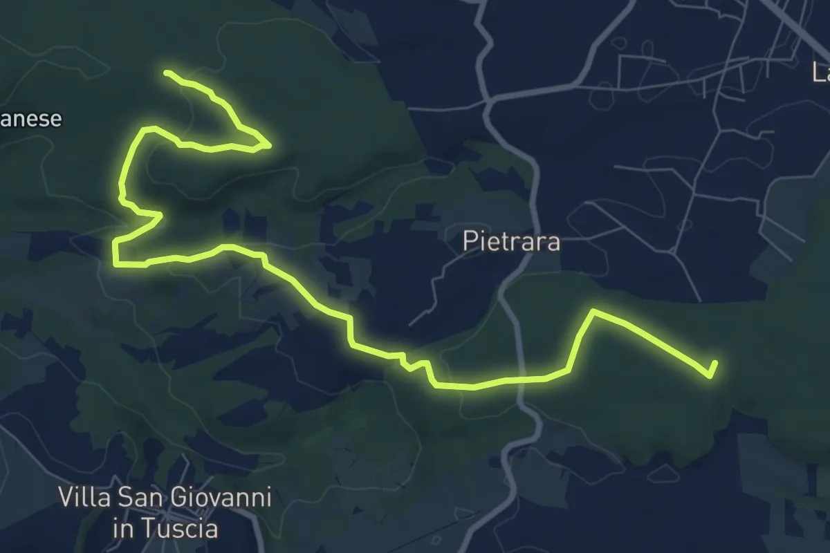
Medium · Trail
Santuario rupestre Demetra
11.2 km · ↑ 214 m · 3 h 6 min
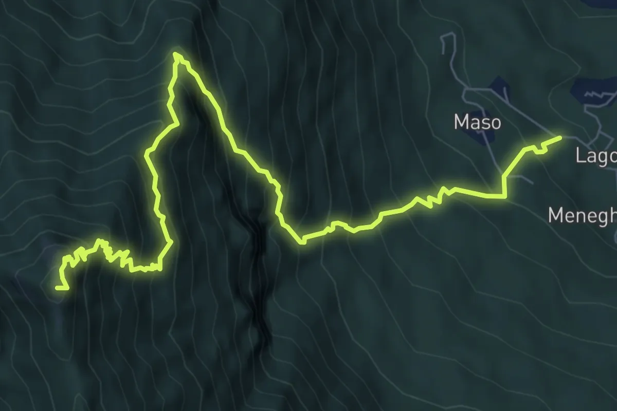
Demanding · Summit
San Ubaldo - Monte Priaforà
9.9 km · ↑ 1247 m · 5 h 3 min
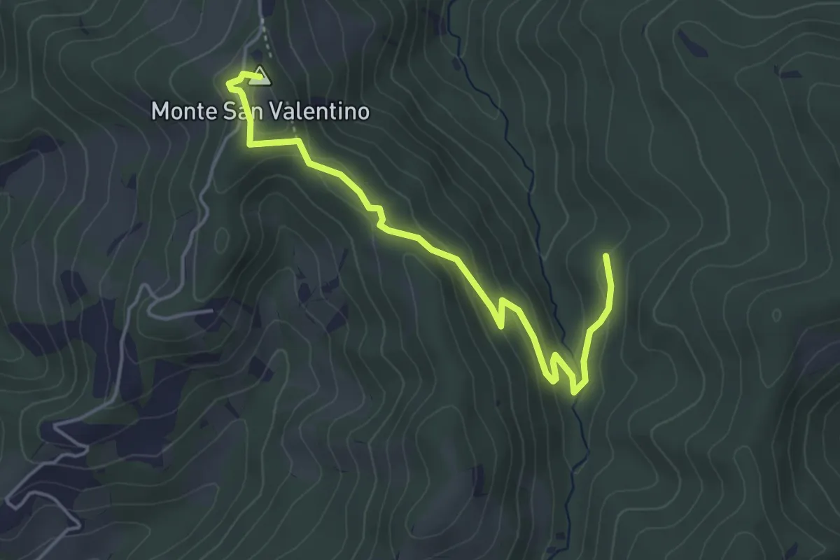
Easy · Summit
San Valentino
4.7 km · ↑ 182 m · 1 h 30 min
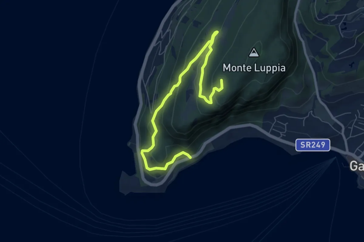
Medium · Summit
San Vigilio - Sengie - Graffitti
8.0 km · ↑ 356 m · 2 h 40 min
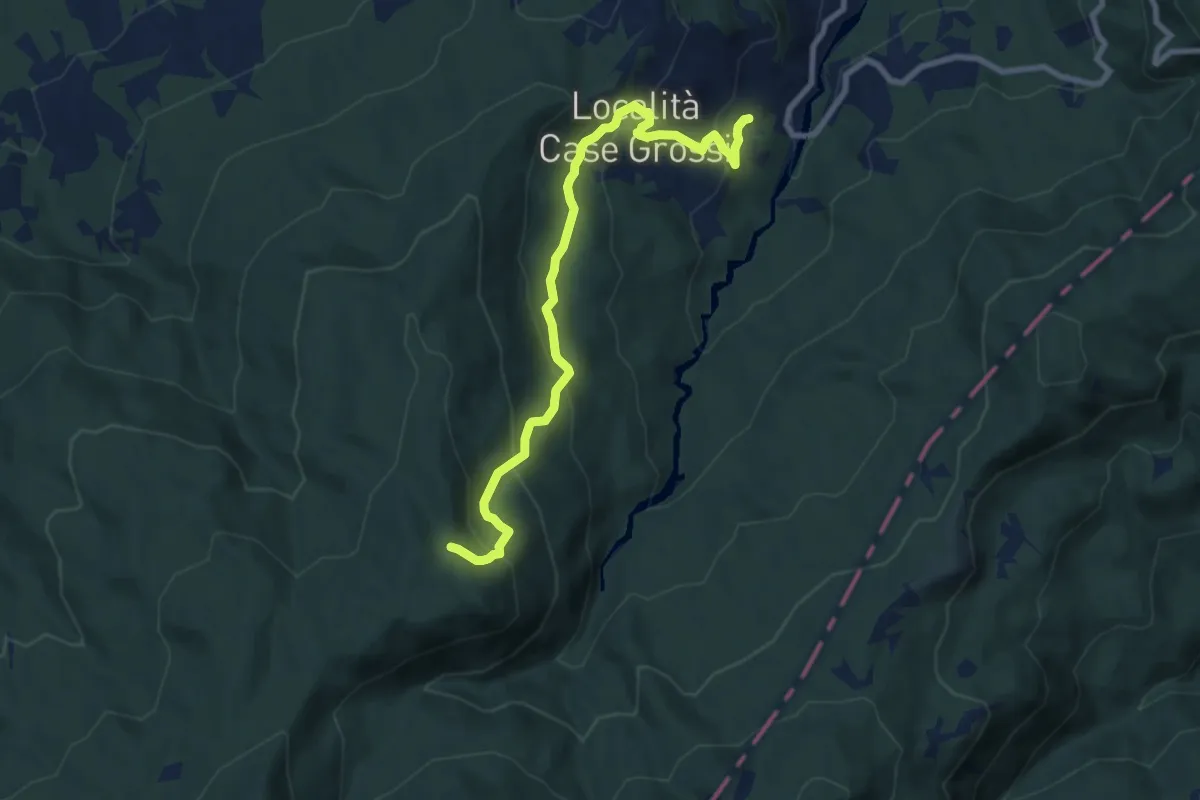
Medium · Trail
San Vincenzo - Rovinaglia - Capanne dei Martelletti - Madonnina del Moro
9.0 km · ↑ 507 m · 3 h 14 min
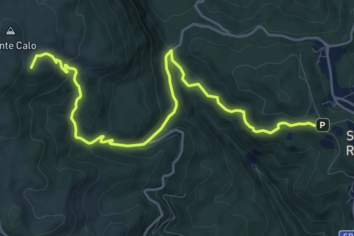
Medium · Summit
San Vito-Monte Calo
12.1 km · ↑ 661 m · 4 h 17 min
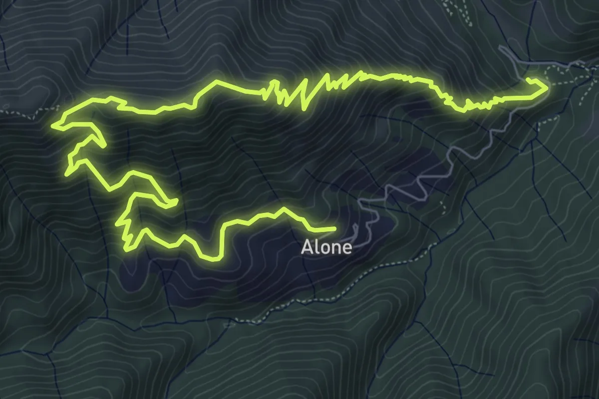
Medium · Trail
Sapei - Santa Caterina - Fo del Gal - San Rocco
6.4 km · ↑ 705 m · 3 h 4 min
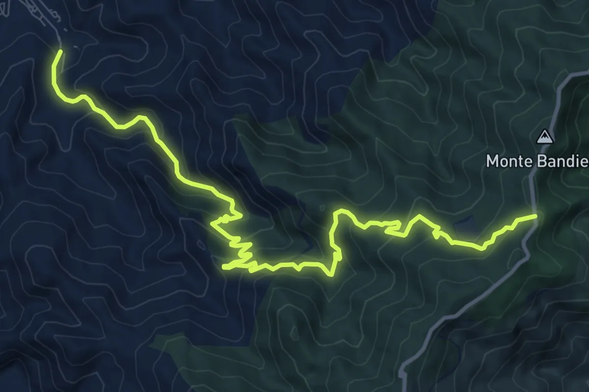
Medium · Trail
Saponara SI
14.0 km · ↑ 771 m · 4 h 58 min
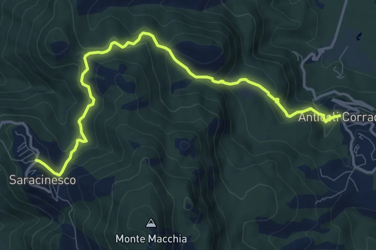
Medium · Trail
Saracinesco-Anticoli Corrado
10.1 km · ↑ 568 m · 3 h 37 min
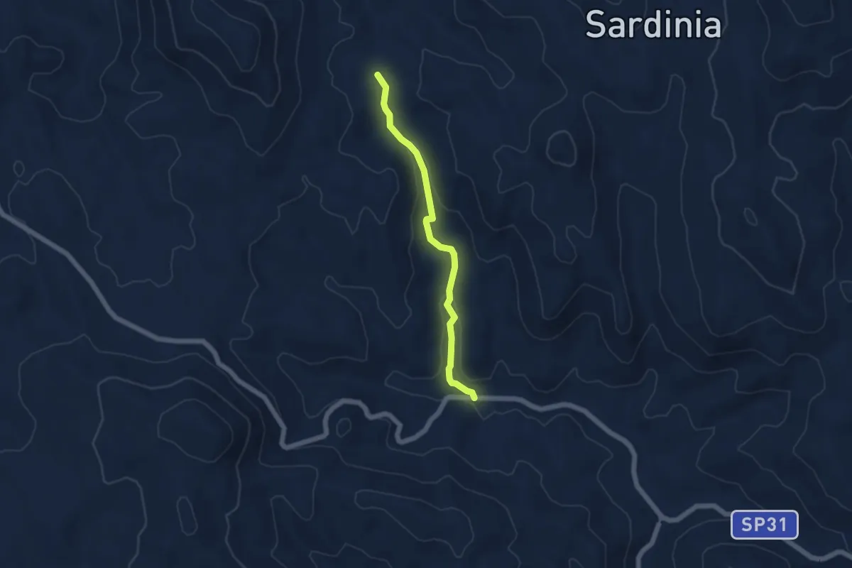
Easy · Trail
S'Araighinos
4.9 km · ↑ 89 m · 1 h 21 min
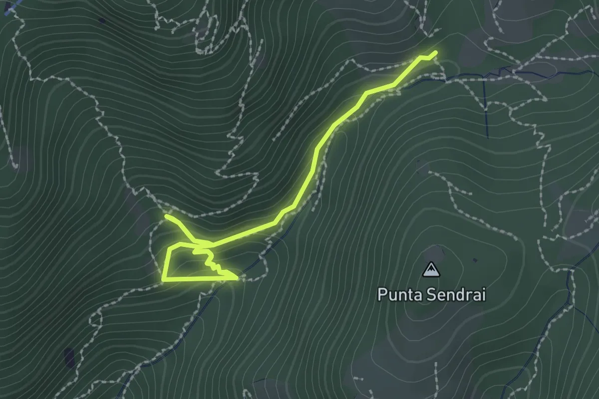
Medium · Trail
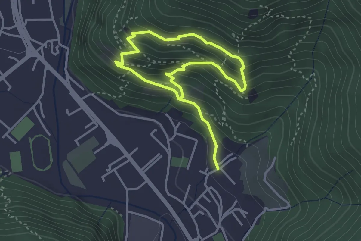
Sarezzo - Collegamento sentiero 362 - 359
2.4 km · ↑ 212 m · 1 h 2 min
Medium · Trail
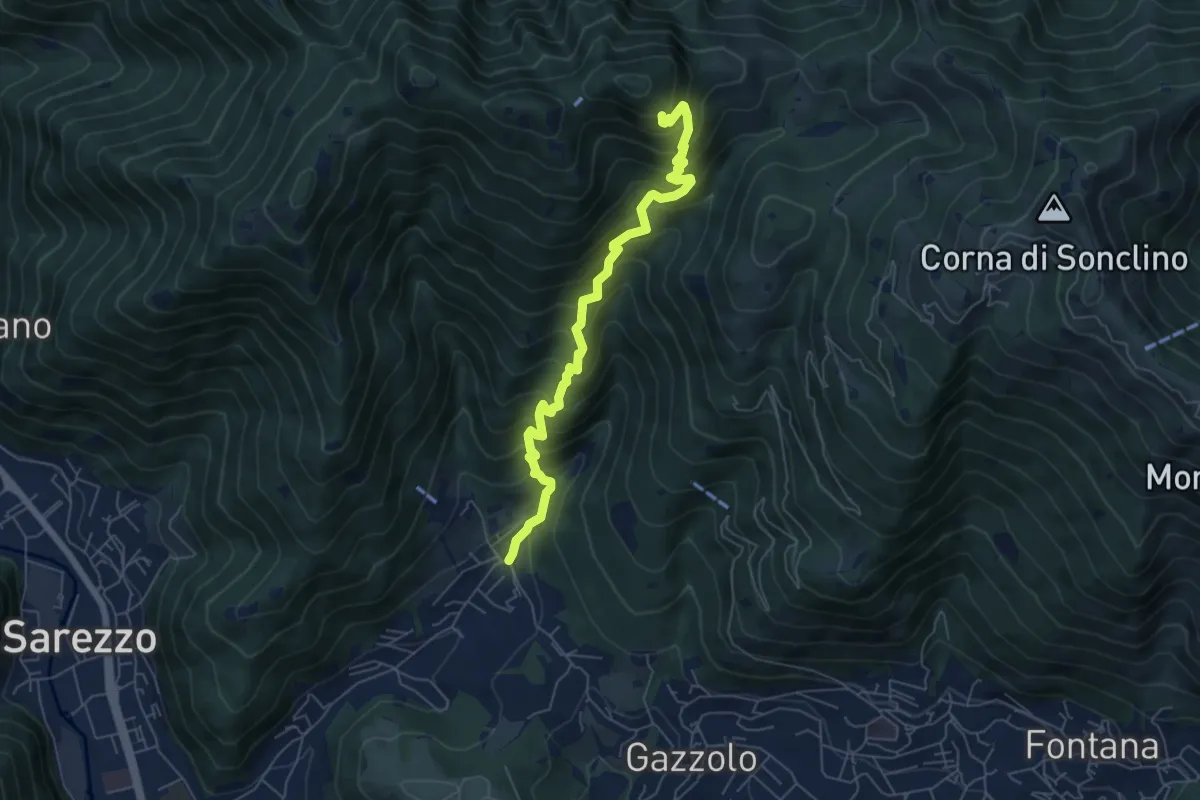
Sarezzo (Irle) - Stalla delle Secade - Sarezzo (Irle)
2.3 km · ↑ 269 m · 1 h 9 min
Medium · Cabin
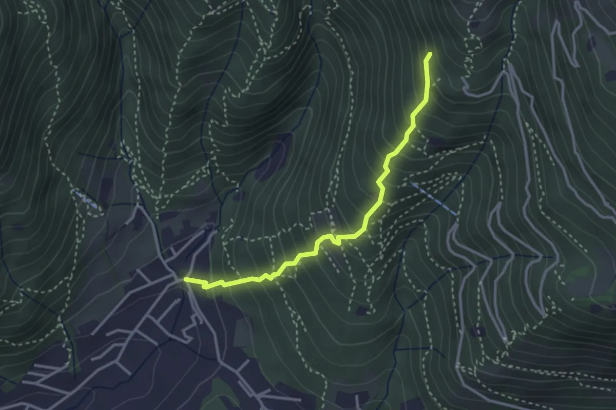
Sarezzo (La Cava) - Sant'Emiliano
6.3 km · ↑ 758 m · 3 h 8 min
Medium · Trail
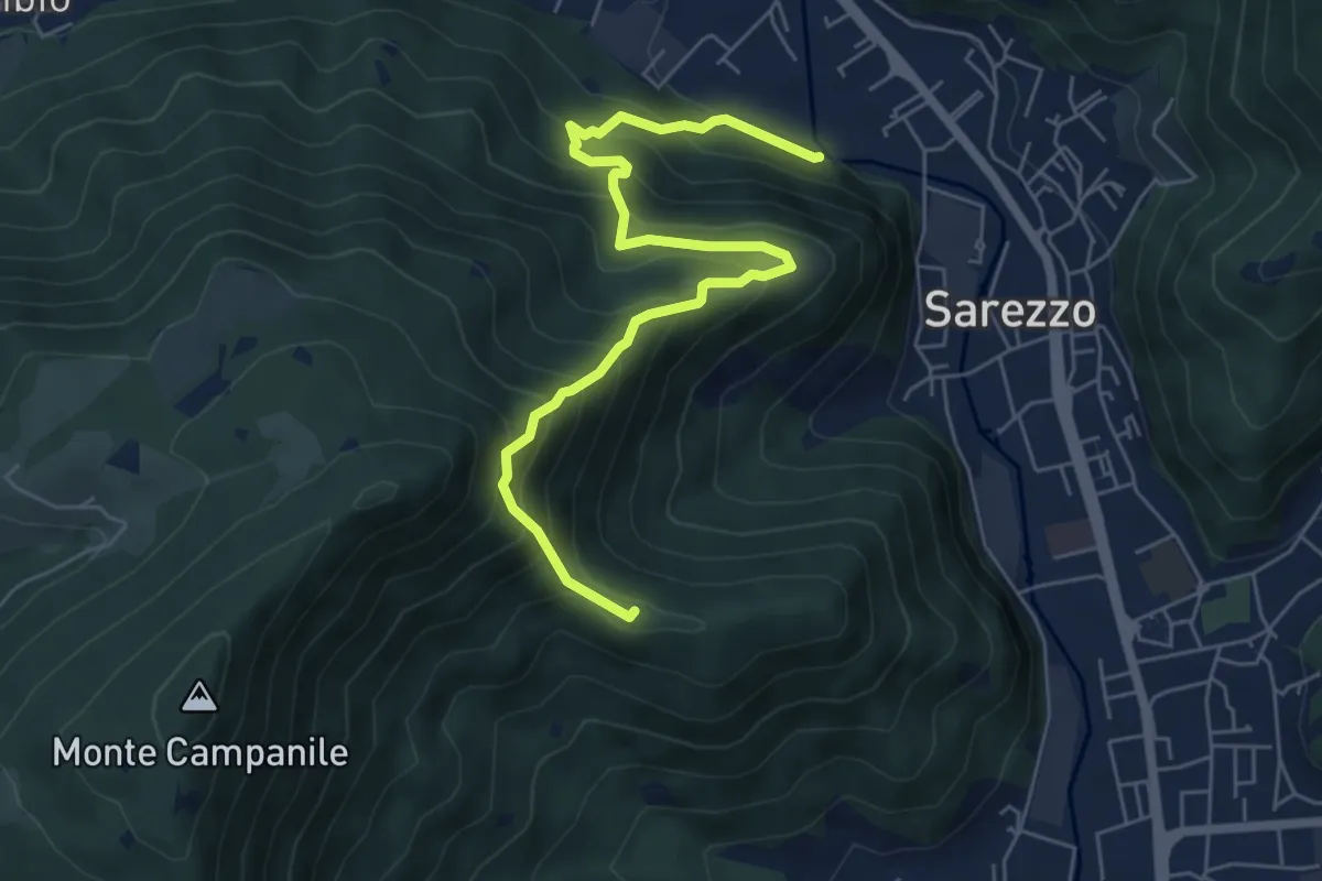
Sarezzo (La Santella) - Via Antica
3.0 km · ↑ 421 m · 1 h 38 min
Medium · Summit
Sarezzo (Noboli) - Gelè
6.7 km · ↑ 703 m · 3 h 7 min
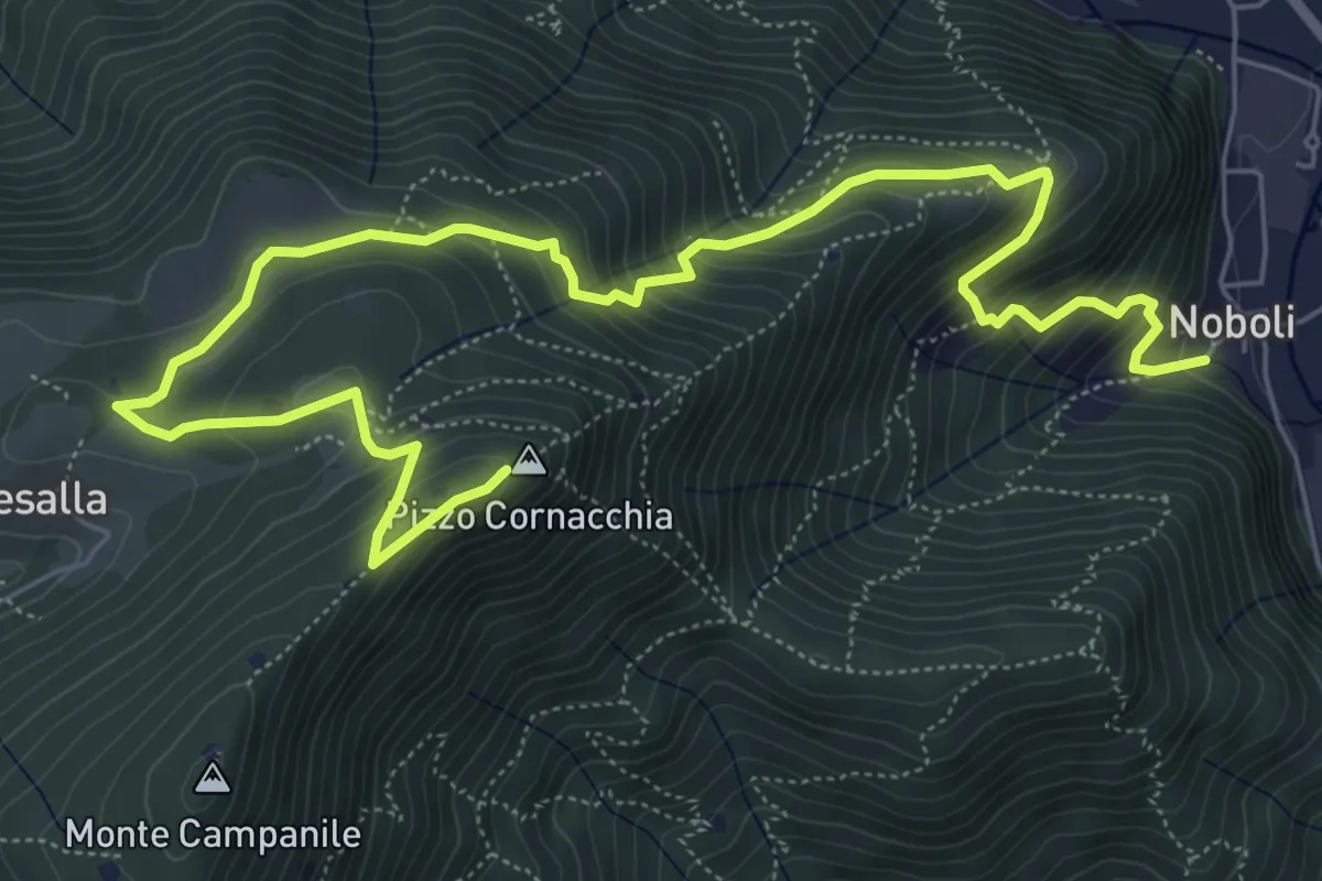
Medium · Summit
Sarezzo (Noboli) - Pizzo Cornacchia
9.1 km · ↑ 682 m · 3 h 37 min
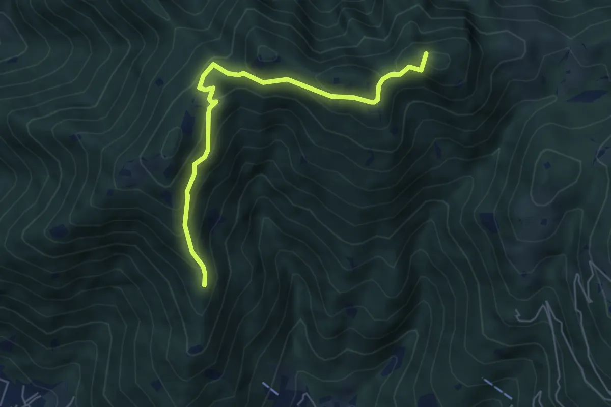
Medium · Summit
Sarezzo (Passata) - Sant'Emiliano
5.6 km · ↑ 377 m · 2 h 9 min
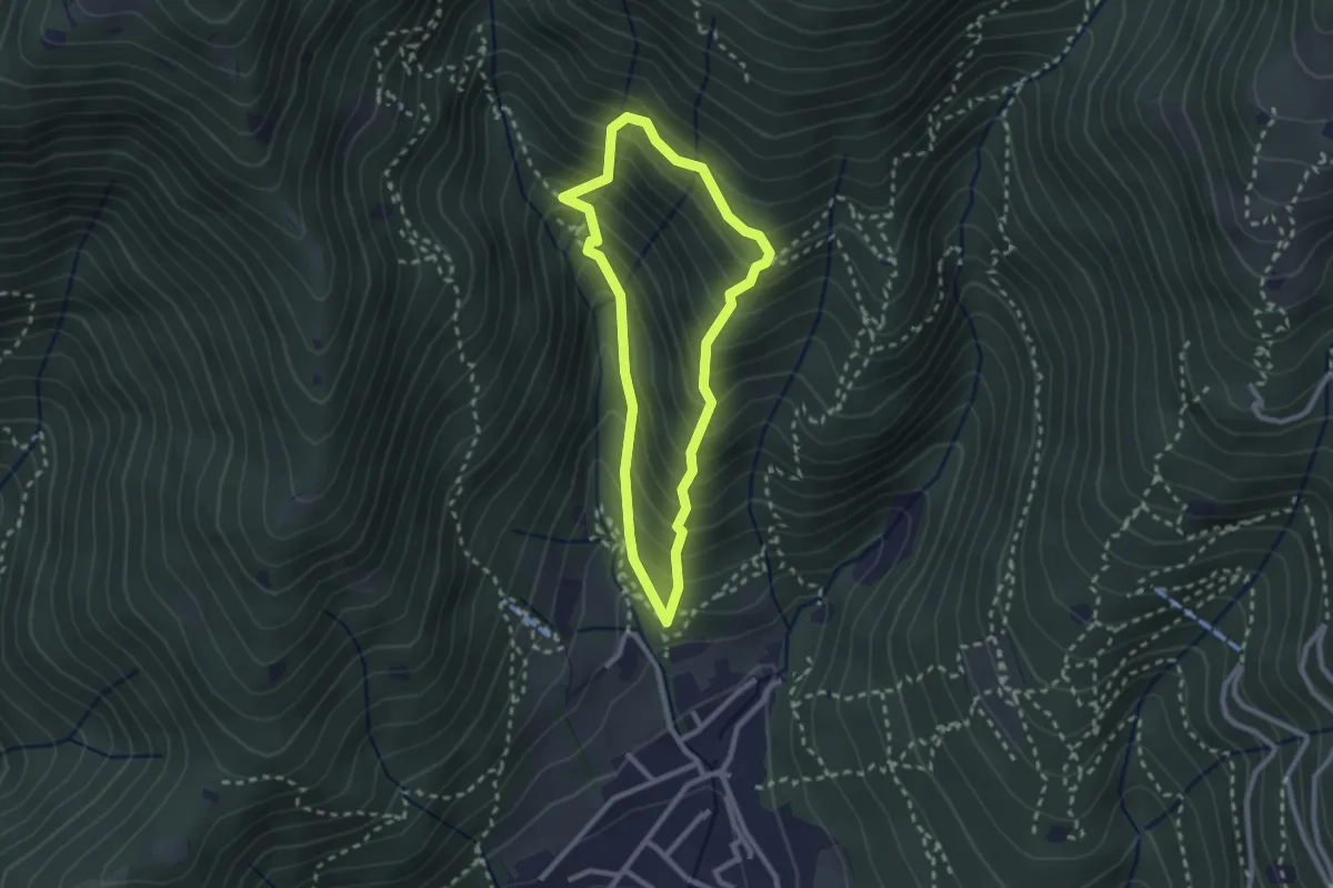
Medium · Trail
Sarezzo (Ponte dei Gromi) - Gromi Bassi
2.2 km · ↑ 307 m · 1 h 13 min
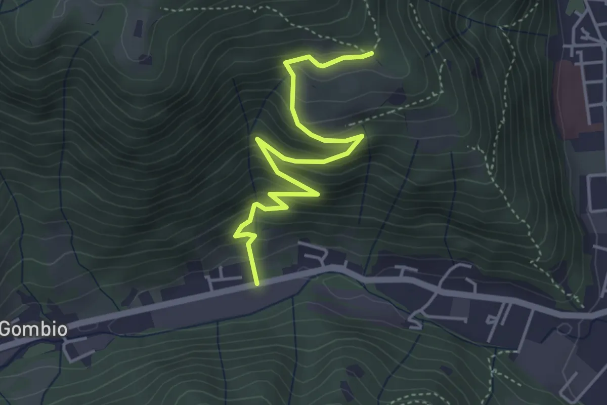
Medium · Trail
Sarezzo (San Martino) - Paule di Sopra
4.3 km · ↑ 349 m · 1 h 46 min
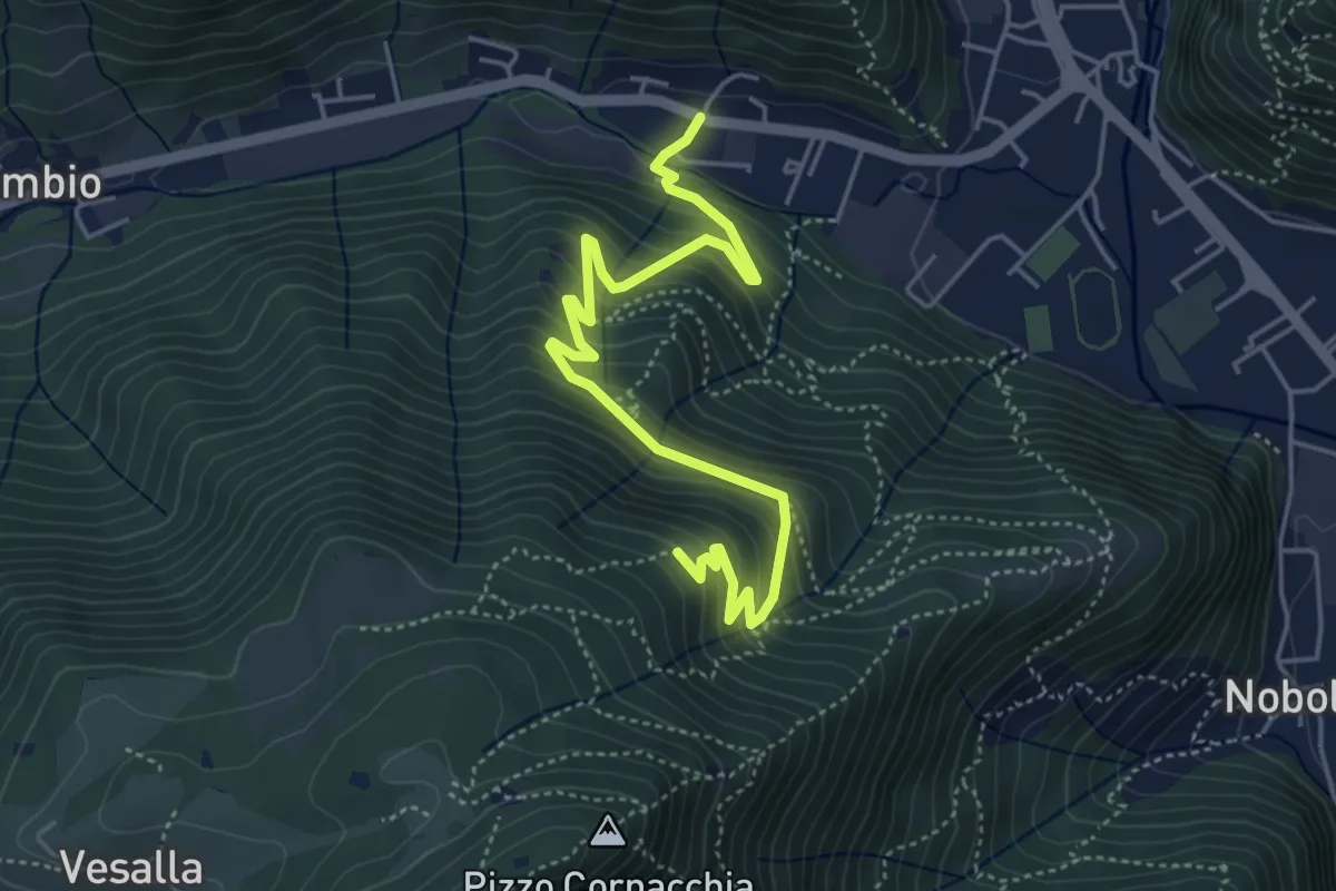
Medium · Trail
Sarezzo (Seradello) - La Baita
5.4 km · ↑ 549 m · 2 h 29 min
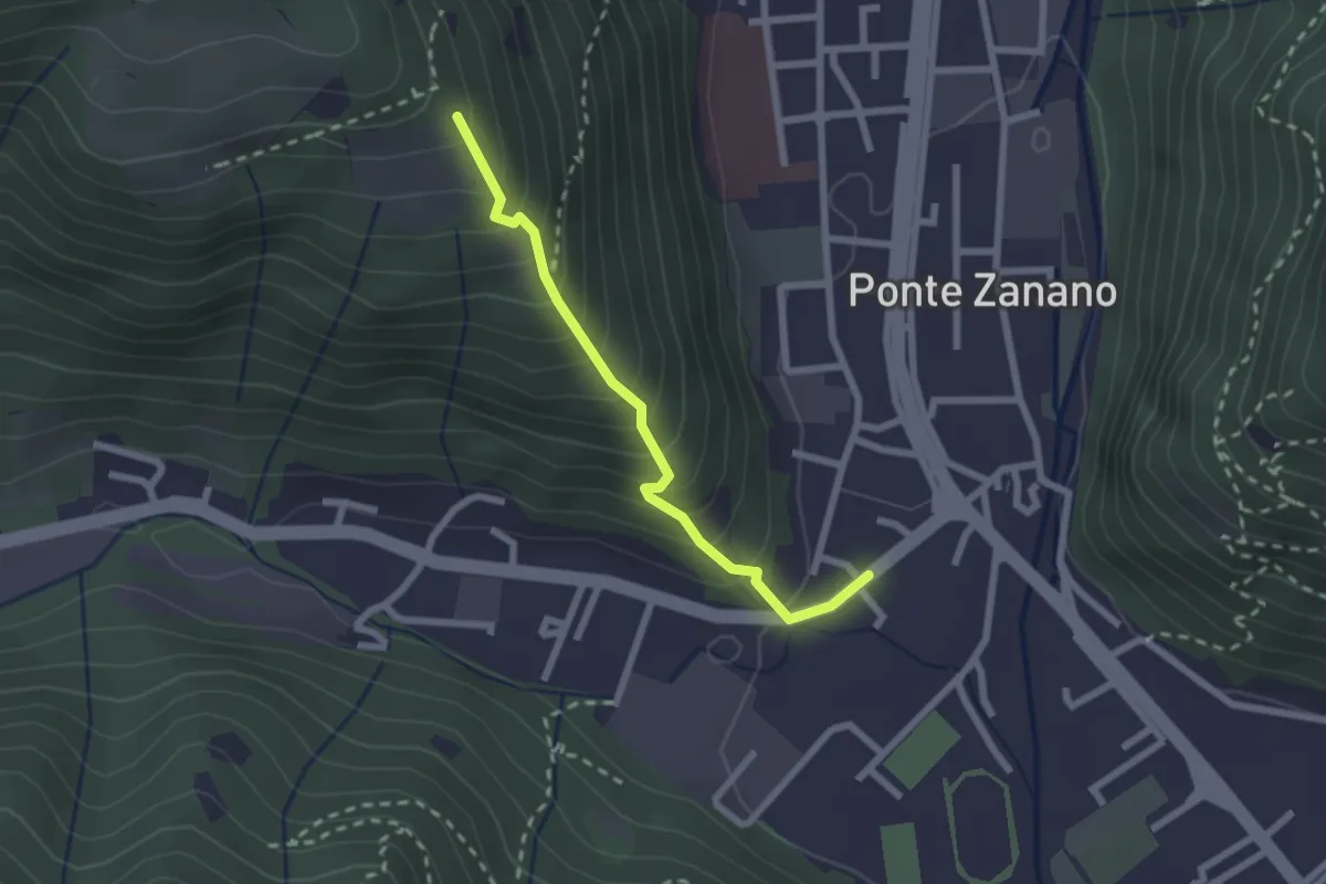
Medium · Trail
Sarezzo (Seradello) - Paule di Sotto
2.2 km · ↑ 283 m · 1 h 8 min
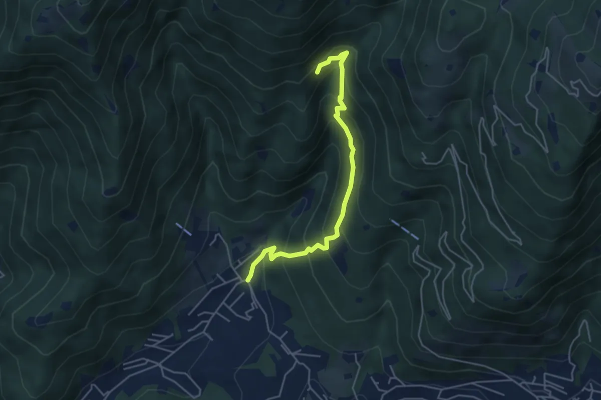
Medium · Trail
Sarezzo - Val Redocla
4.3 km · ↑ 393 m · 1 h 52 min
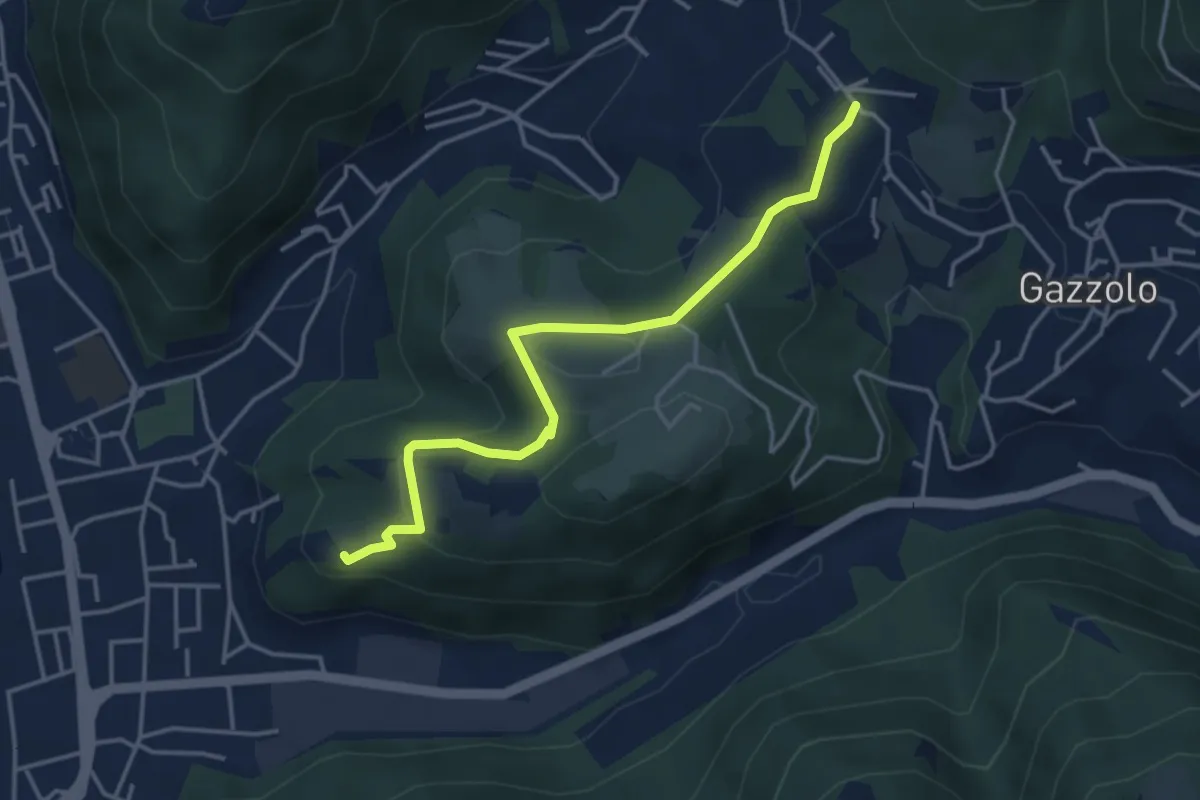
Medium · Trail
Sarezzo (Via Cagnaghe) - Castello
4.1 km · ↑ 134 m · 1 h 15 min
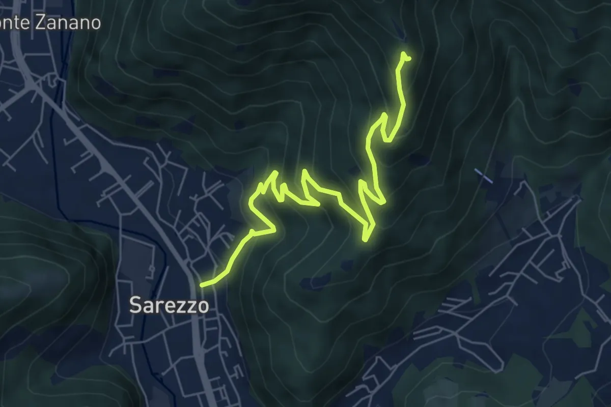
Medium · Trail
Sarezzo (Zanano) - Passata
7.2 km · ↑ 615 m · 3 h 1 min
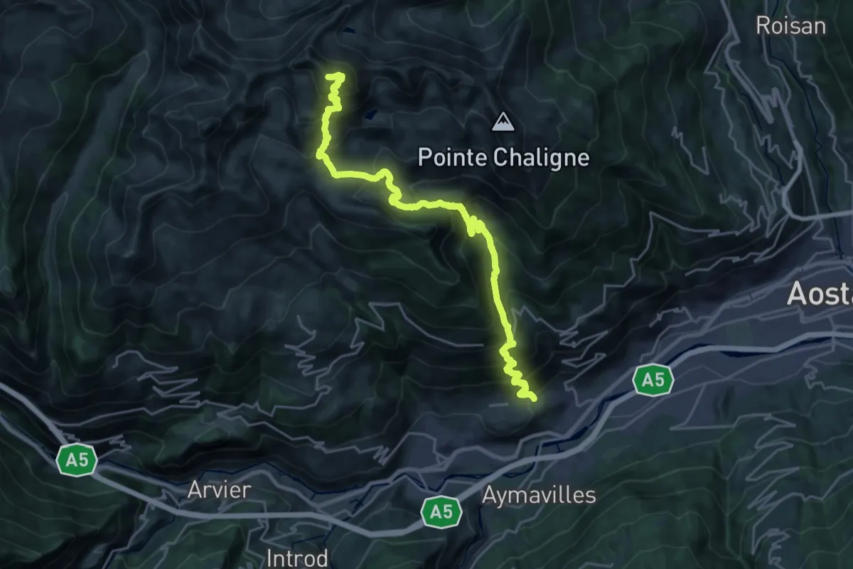
Expert · Summit
Sarre - Mont Fallère
25.7 km · ↑ 2327 m · 11 h 6 min
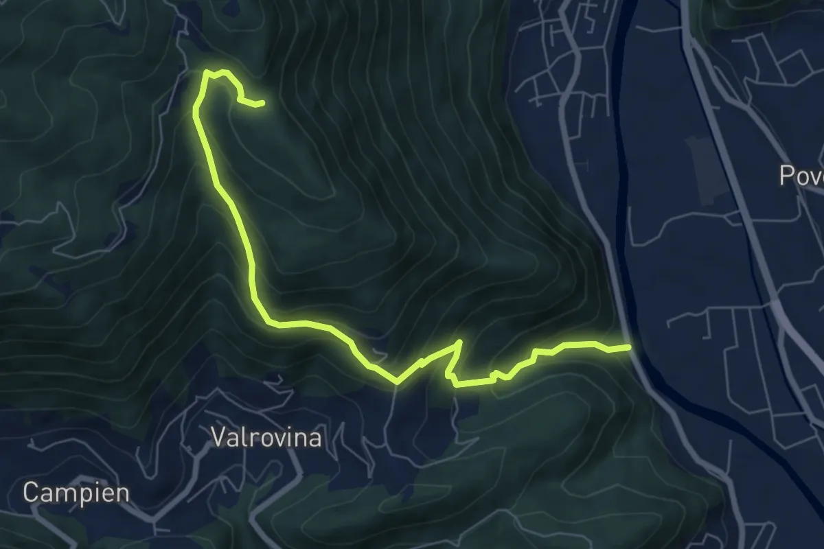
Medium · Trail
Sarson - Caluga - Bocchetta Campesana
7.3 km · ↑ 668 m · 3 h 11 min
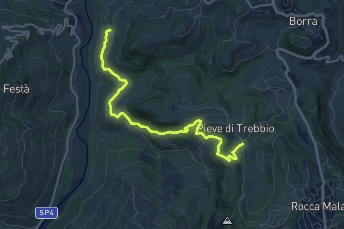
Medium · Trail
SAS1A
9.5 km · ↑ 437 m · 3 h 11 min
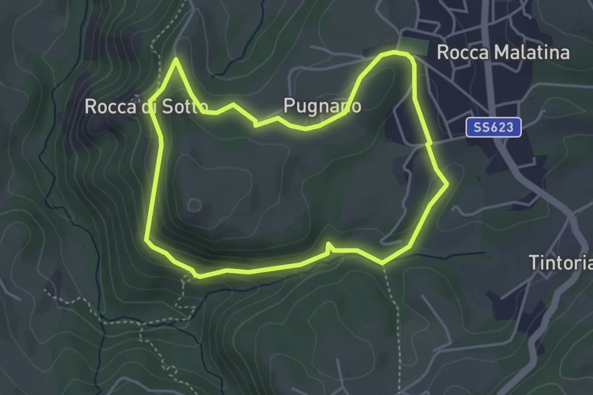
Medium · Summit
SAS2
4.0 km · ↑ 149 m · 1 h 19 min
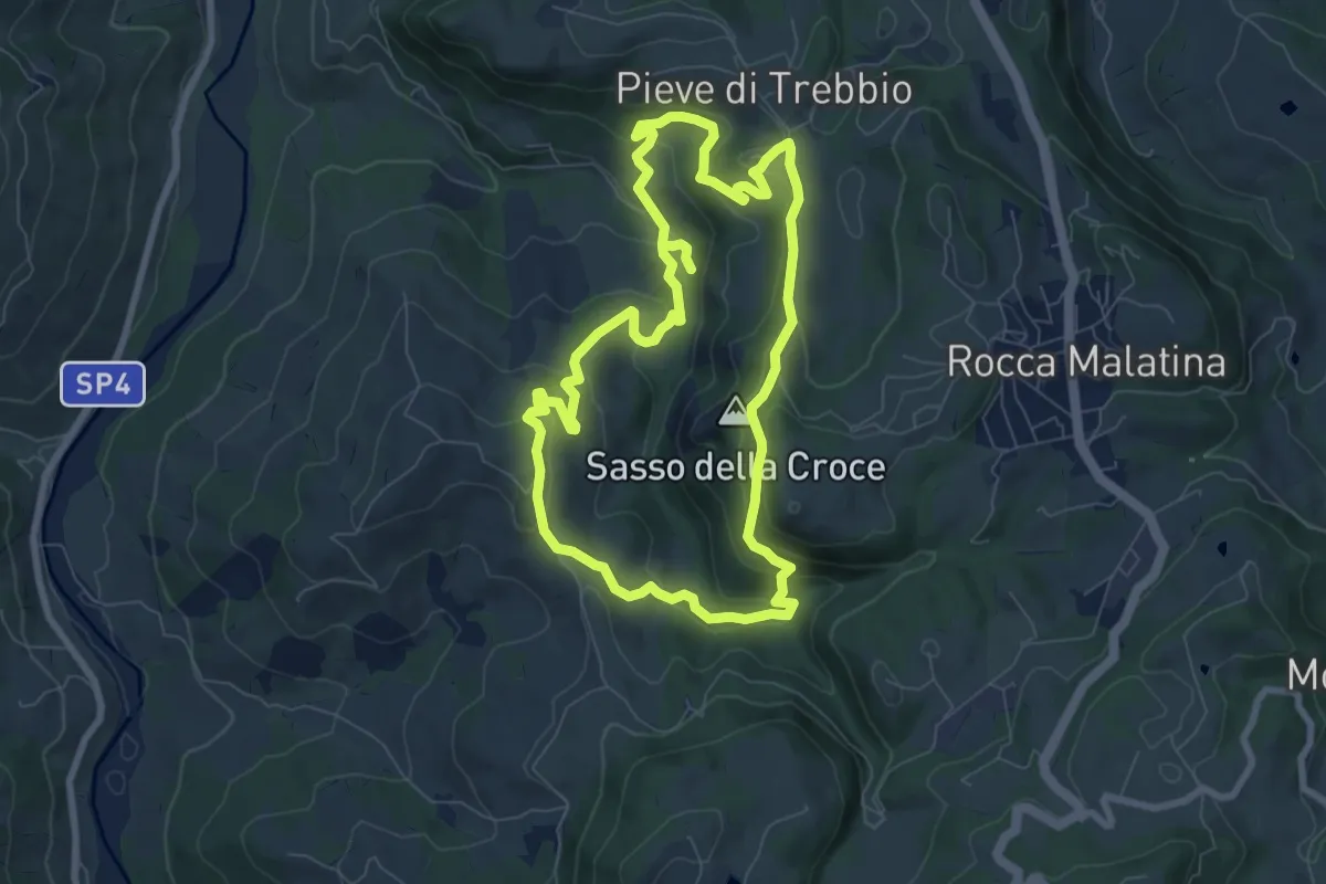
Medium · Summit
SAS3
7.8 km · ↑ 346 m · 2 h 43 min
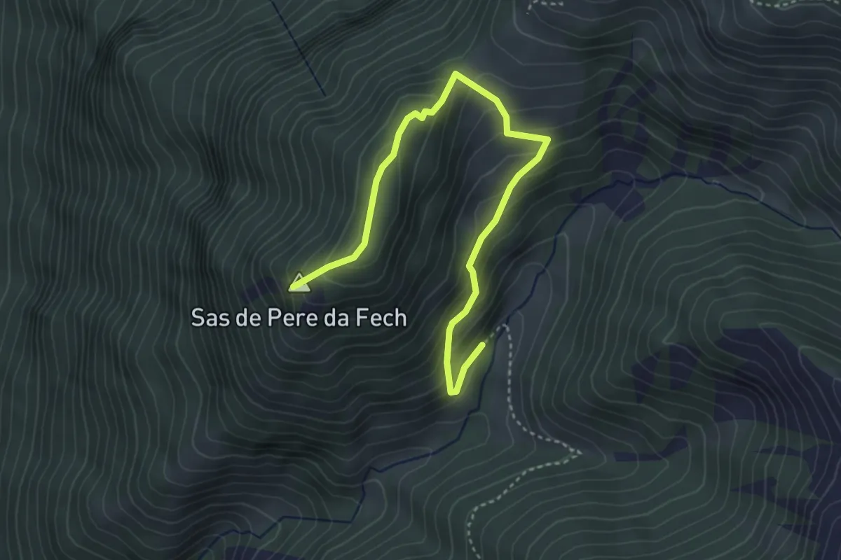
Medium · Summit
Sas de Pere da Fech
4.4 km · ↑ 361 m · 1 h 50 min
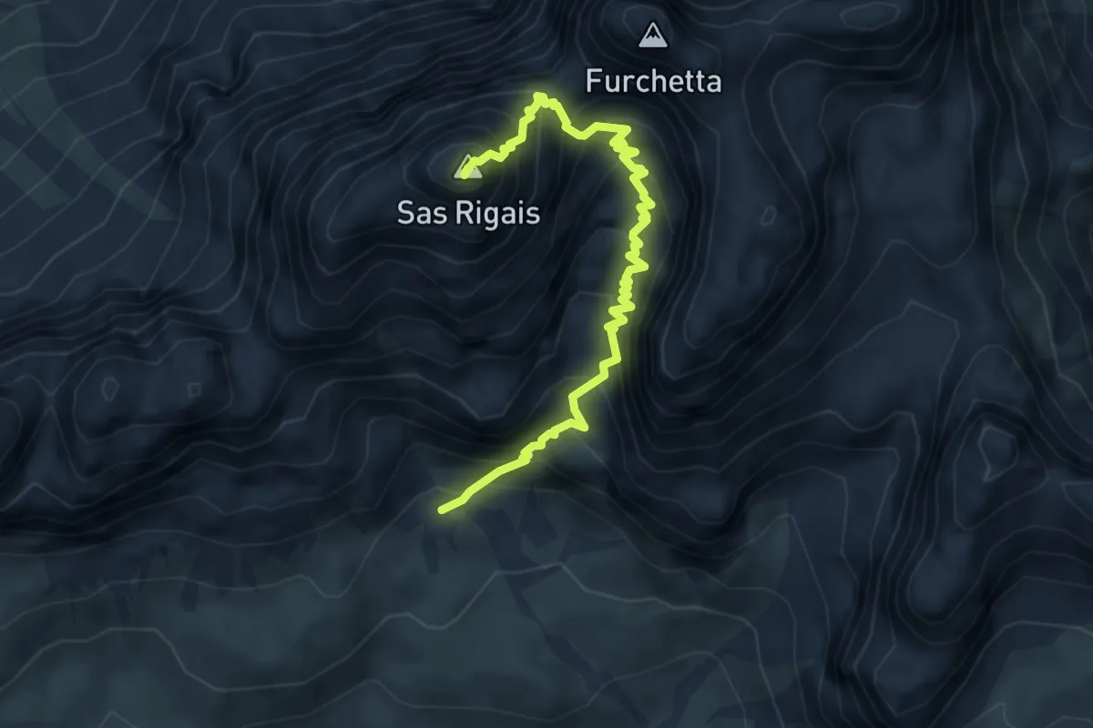
Expert · Summit
Sas Rigais
5.2 km · ↑ 952 m · 3 h 17 min