Trails in Italy
25,221 hiking trails, each with its route, climb, walking time and grade.
All trails, page 140 of 526
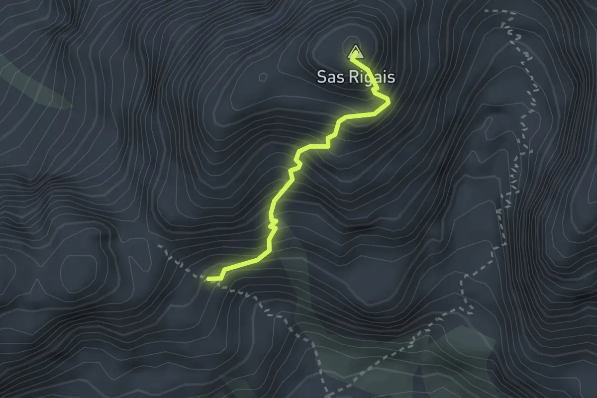
Expert · Summit
Sas Rigais Südwestanstieg - Sas Rigais Sud-Ovest
2.0 km · ↑ 538 m · 1 h 39 min
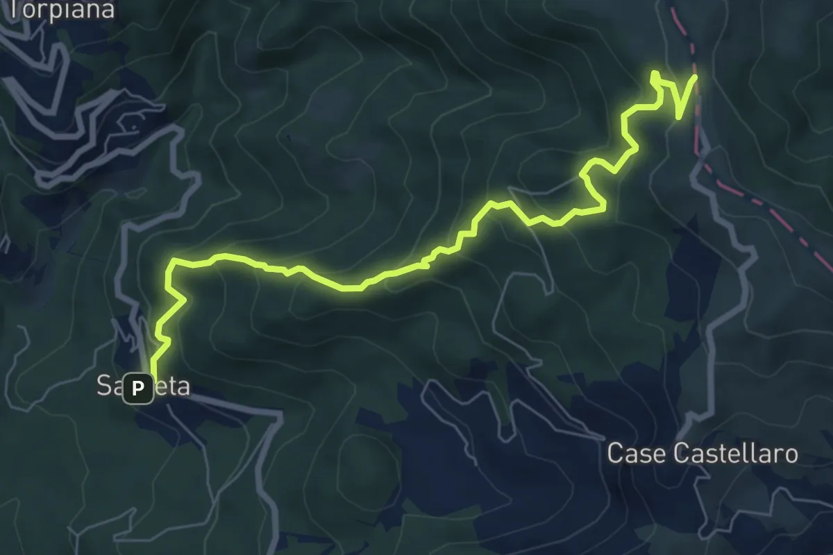
Medium · Trail
Sasseta – Castagnolo - Foce di Colle Fiorito (Bivio AVML)
8.1 km · ↑ 654 m · 3 h 19 min
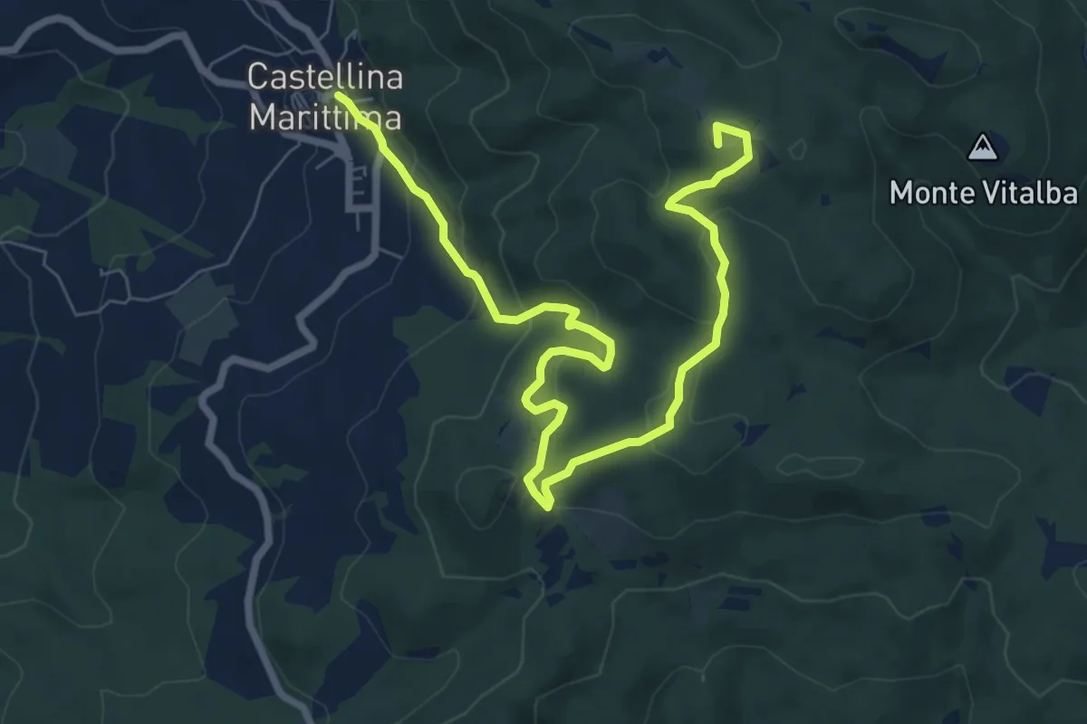
Medium · Summit
Sassi Bianchi Trekking
9.7 km · ↑ 410 m · 3 h 11 min
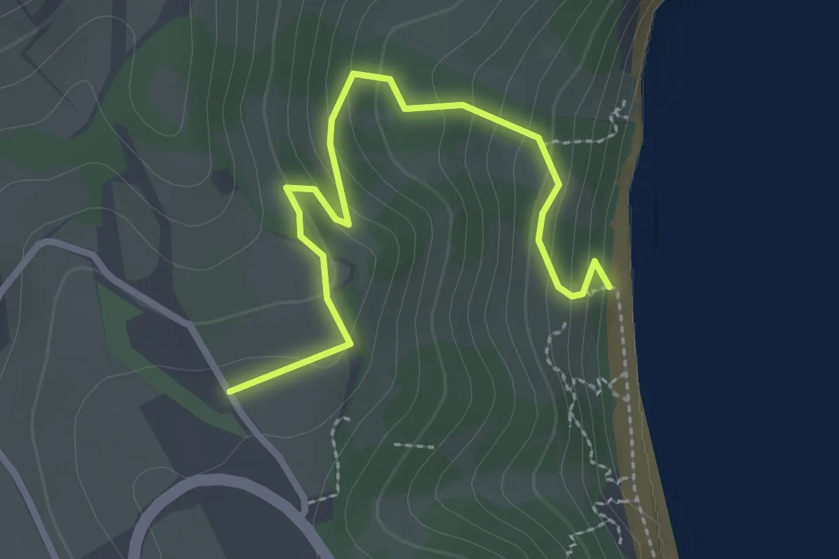
Easy · Trail
Sassi Neri
2.9 km · ↑ 155 m · 1 h 1 min
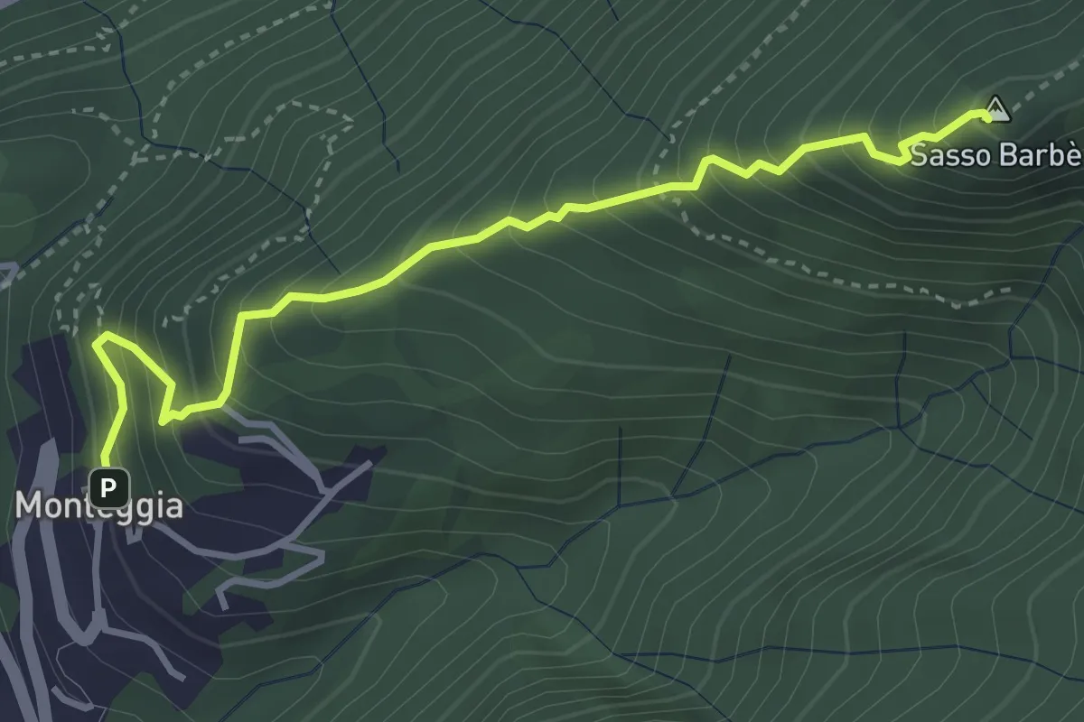
Demanding · Summit
Sasso Barbè
3.7 km · ↑ 558 m · 2 h 5 min
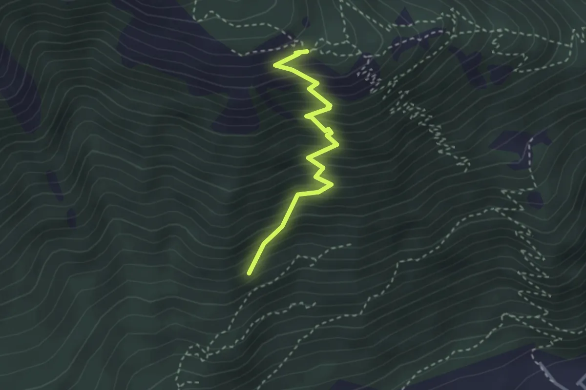
Medium · Trail
Sasso de la Poia
2.7 km · ↑ 413 m · 1 h 31 min
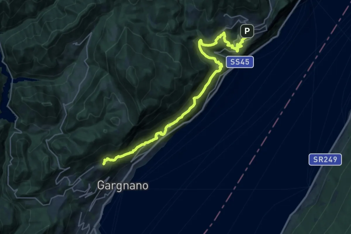
Demanding · Trail
Sasso (Gargnano) - Oldesio (Tignale)
11.6 km · ↑ 862 m · 4 h 48 min
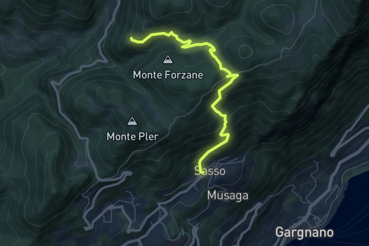
Medium · Trail
Sasso, Monte Caminala
6.7 km · ↑ 557 m · 2 h 48 min
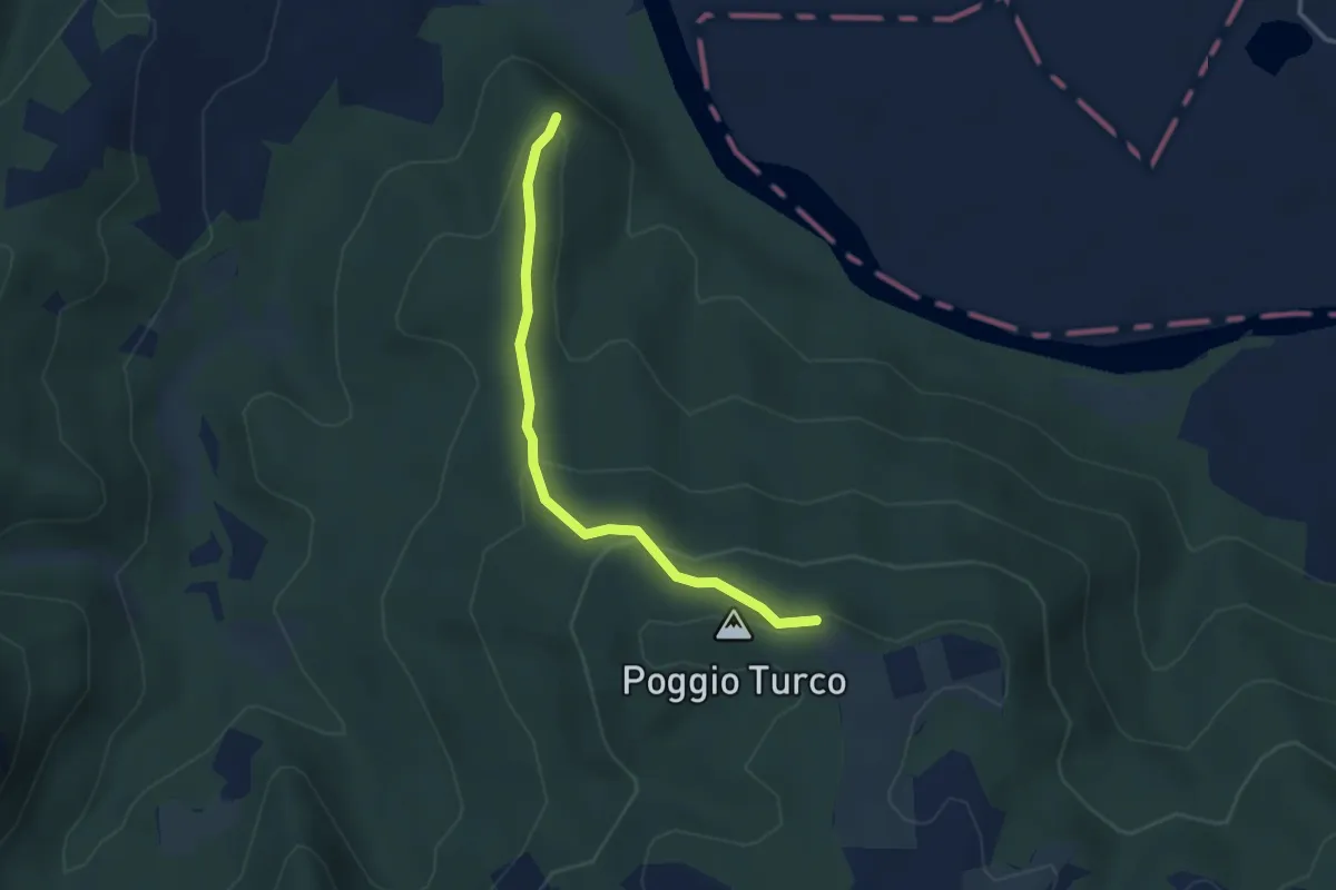
Easy · Summit
Sasso Quadro
3.6 km · ↑ 179 m · 1 h 14 min
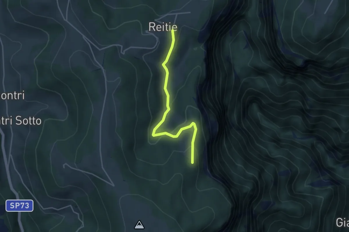
Easy · Trail
Sasso Stefani - Sasso Rosso
3.5 km · ↑ 186 m · 1 h 14 min
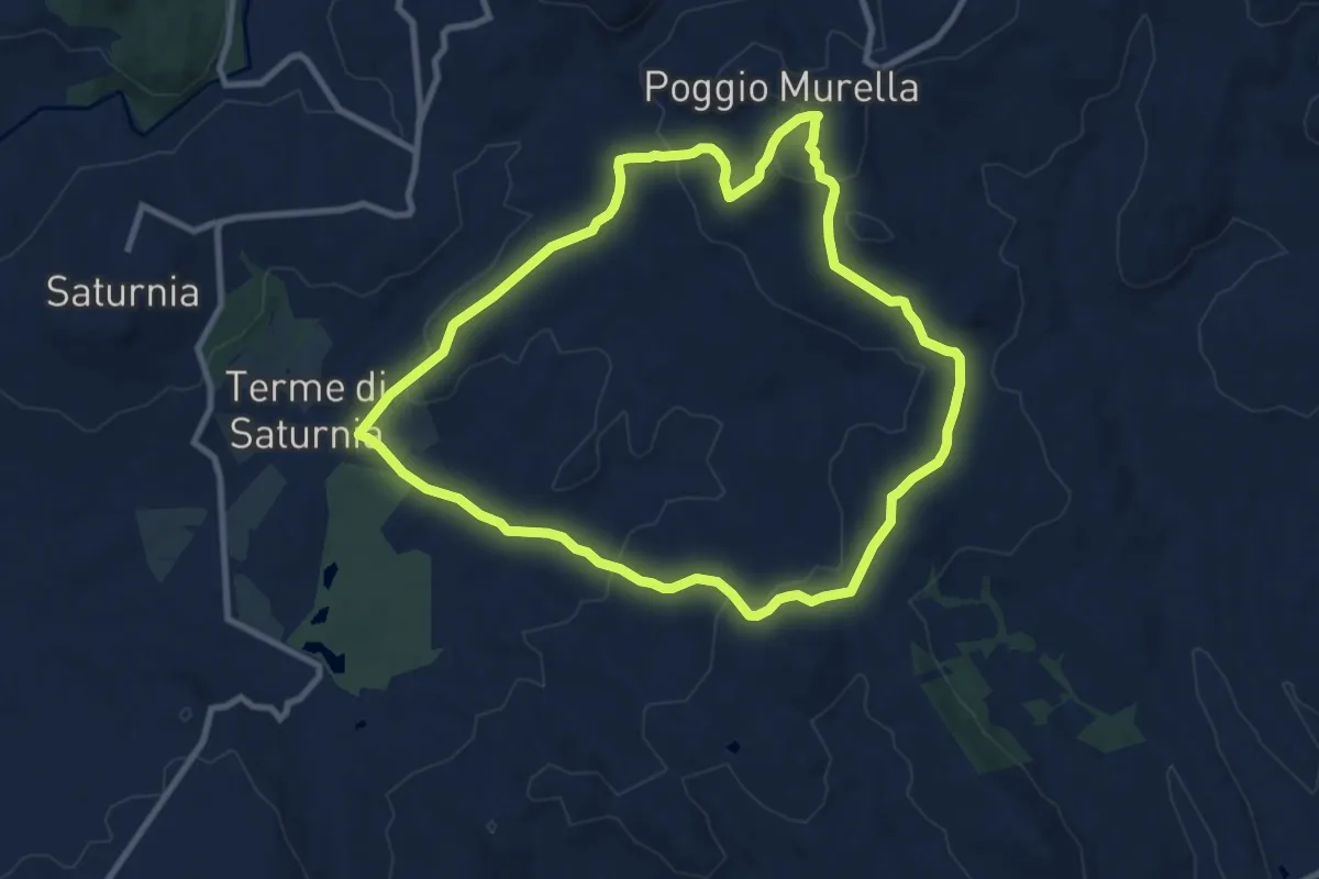
Medium · Trail
Saturnia-Poggio Murella
9.9 km · ↑ 306 m · 3 h 9 min
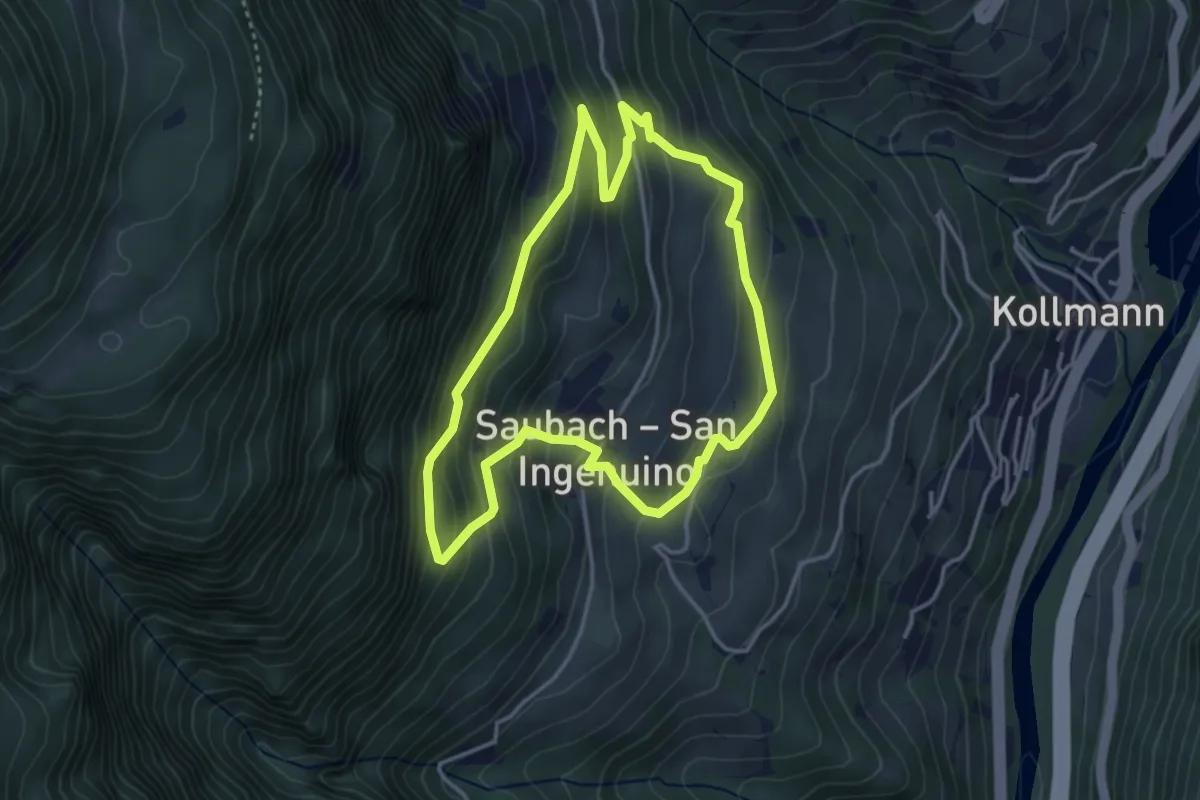
Easy · Trail
Saubach-Rundweg
3.5 km · ↑ 250 m · 1 h 26 min
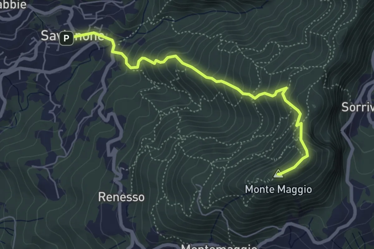
Demanding · Summit
Savignone - Monte Maggio
5.4 km · ↑ 526 m · 2 h 24 min
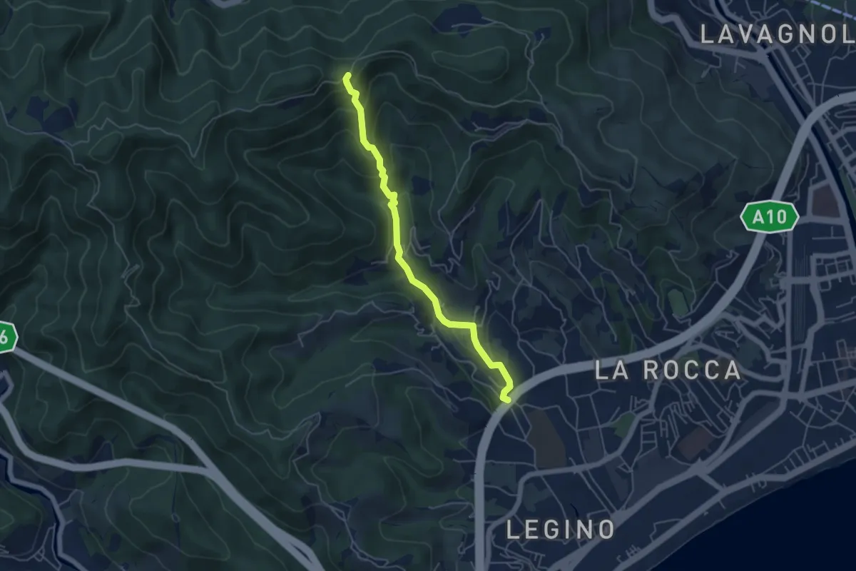
Medium · Trail
SAVONA (LOCALITÁ POLO NORD) - PASSO PAOLINO EST
5.0 km · ↑ 298 m · 1 h 49 min
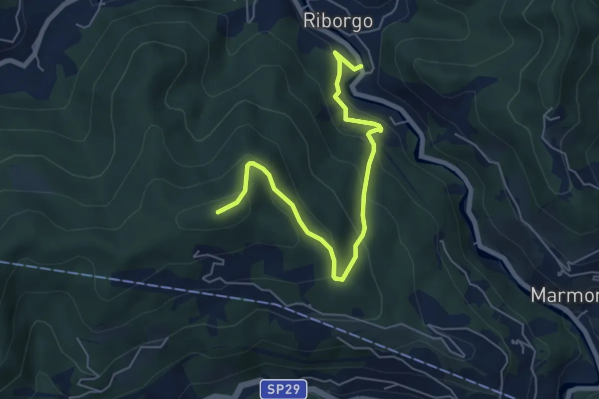
Medium · Summit
Savona Loc. Ponte Livè - Passo Perdoni
5.4 km · ↑ 381 m · 2 h 5 min
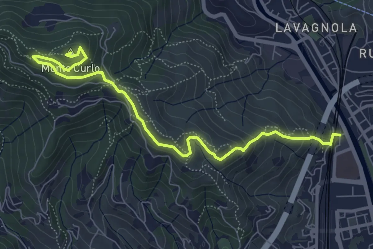
Medium · Summit
Savona - Monte Curlo
7.3 km · ↑ 377 m · 2 h 32 min
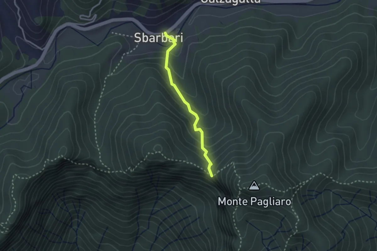
Easy · Trail
Sbarbari - Sella Pertuso
2.3 km · ↑ 185 m · 57 min
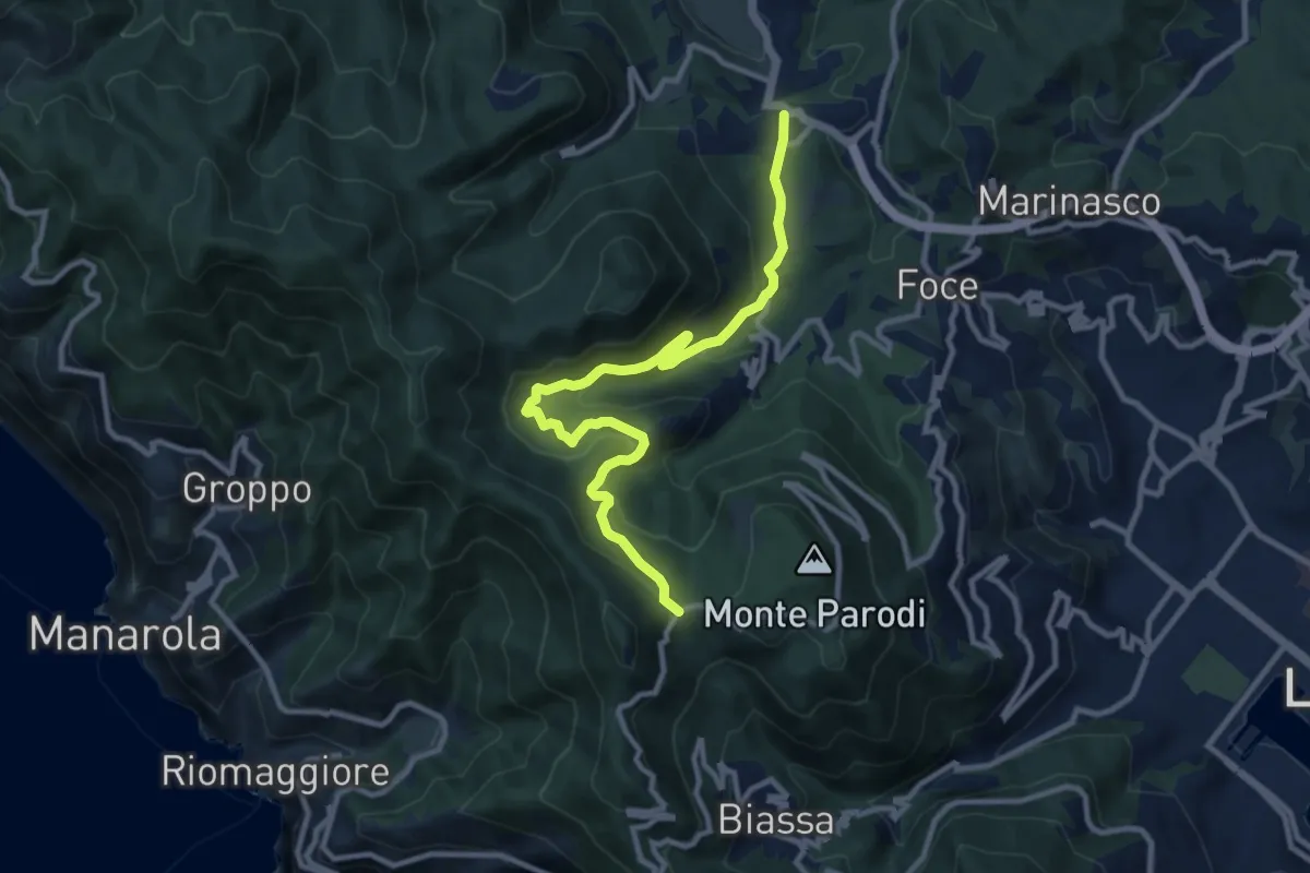
Medium · Trail
S.Benedetto – Porcale -Codeglia – Carpena – Sella di Carpena
11.4 km · ↑ 523 m · 3 h 50 min
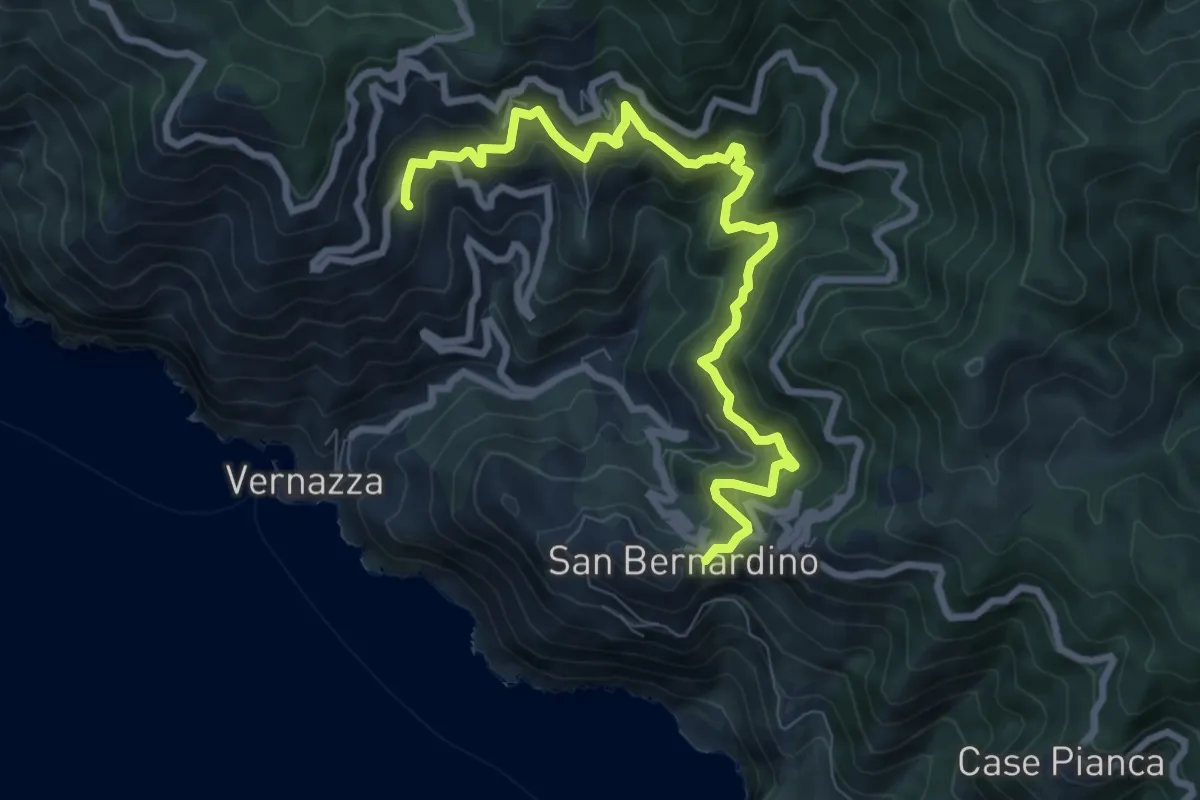
Demanding · Trail
S.Bernardino – Murro sup. - Mad.di Reggio
9.5 km · ↑ 836 m · 4 h 3 min
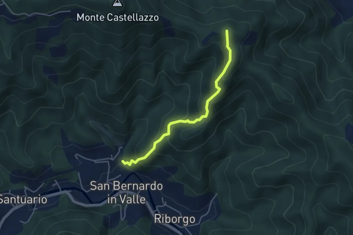
Medium · Summit
S. Bernardo in Valle - Bric del Crovaro
3.5 km · ↑ 331 m · 1 h 33 min
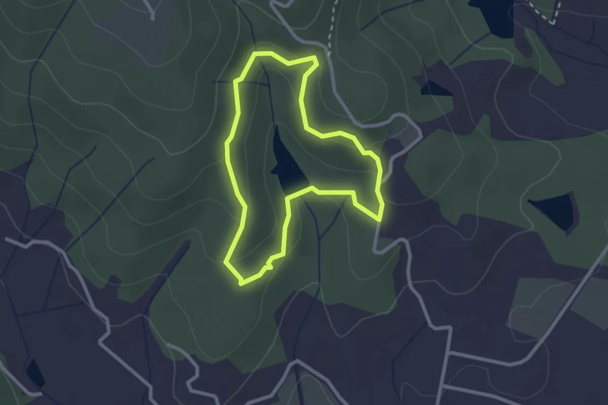
Easy · Trail
SB Sentiero del boscarone
2.2 km · ↑ 74 m · 43 min
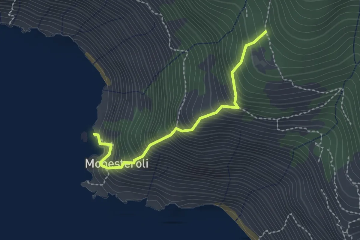
Medium · Trail
Scalinata Monesteroli
2.1 km · ↑ 434 m · 1 h 27 min
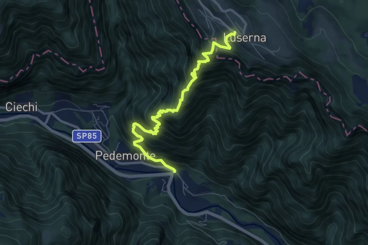
Demanding · Trail
Scalzeri di Pedemonte - Luserna
7.4 km · ↑ 939 m · 3 h 47 min
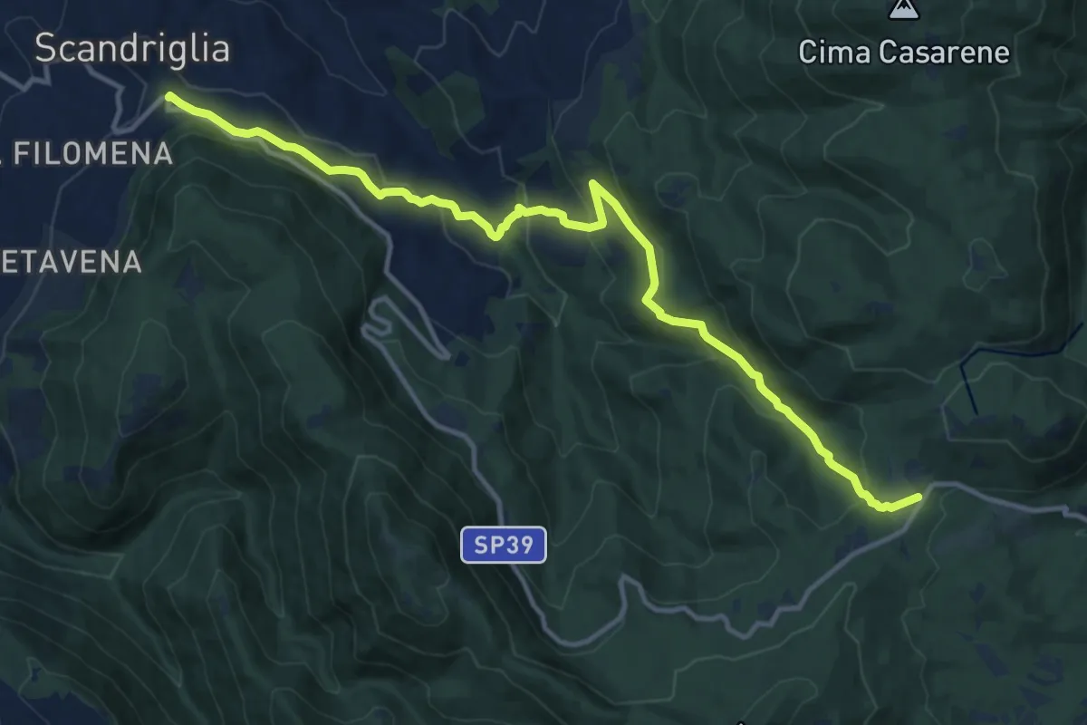
Medium · Trail
Scandriglia-Le Pratarelle
14.7 km · ↑ 634 m · 4 h 51 min
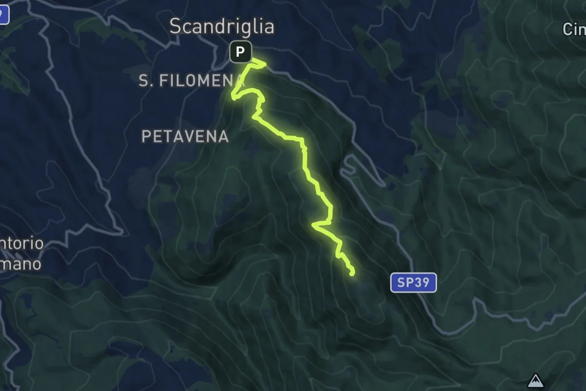
Medium · Summit
Scandriglia-M. Serrapopolo
10.4 km · ↑ 714 m · 4 h
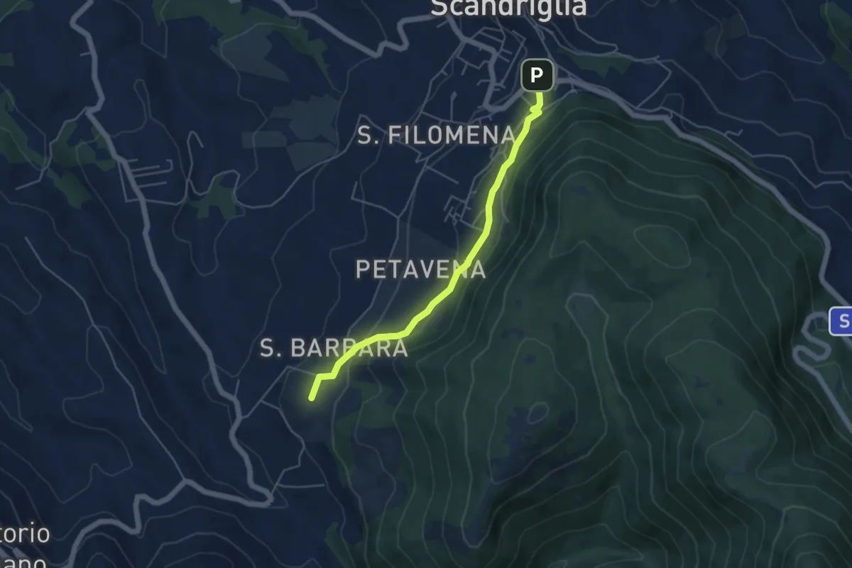
Easy · Summit
Scandriglia-Sorg. Capore
4.9 km · ↑ 198 m · 1 h 35 min
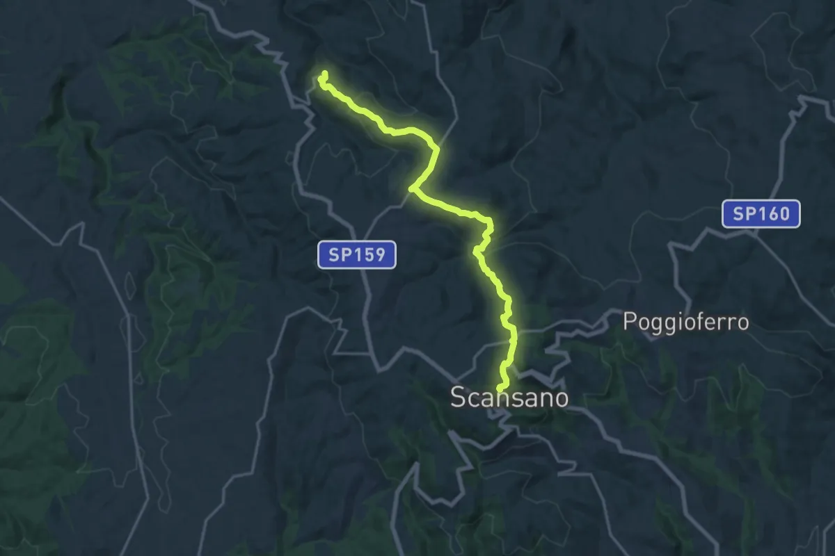
Medium · Trail
Scansano - Montorgiali
16.9 km · ↑ 509 m · 5 h 6 min
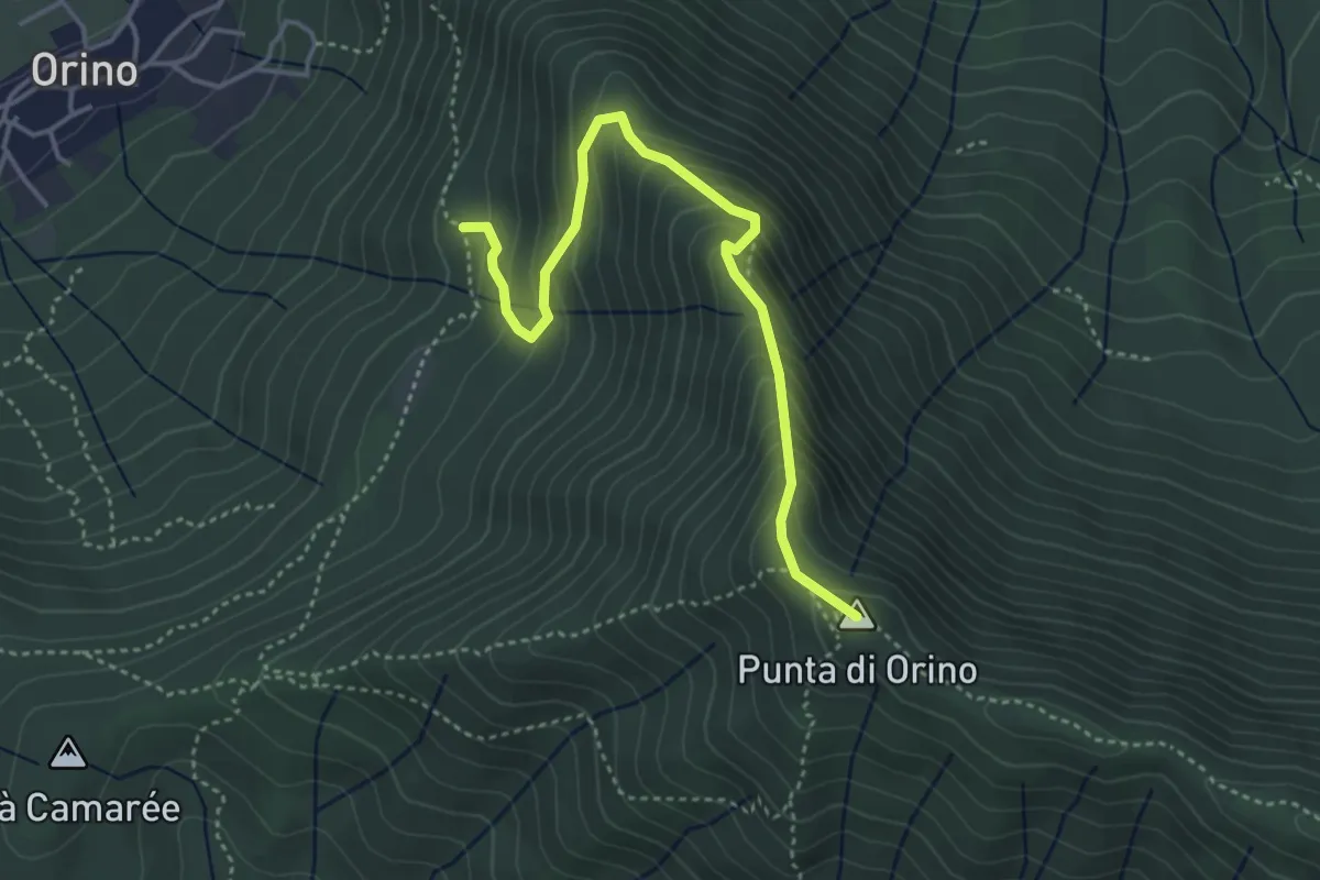
Demanding · Summit
Scarett
4.1 km · ↑ 393 m · 1 h 50 min
Medium · Trail
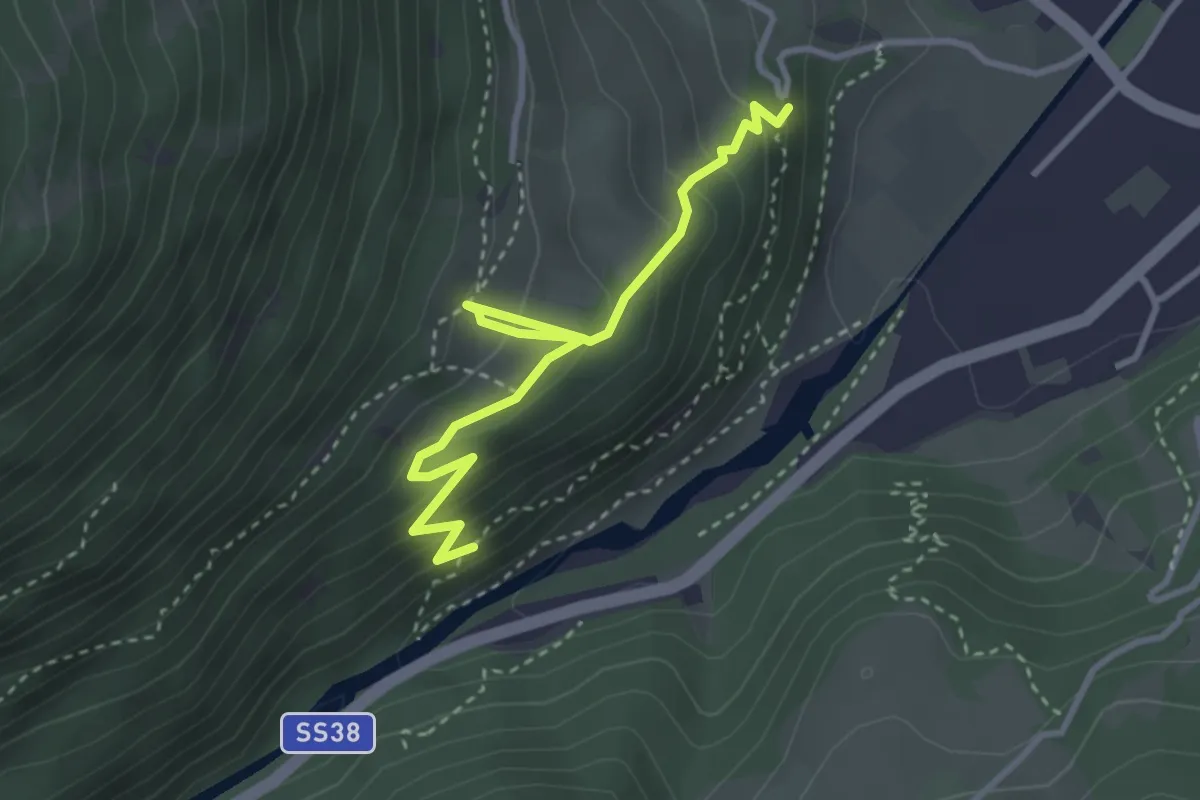
Schafgangel
3.4 km · ↑ 287 m · 1 h 26 min
Medium · Summit
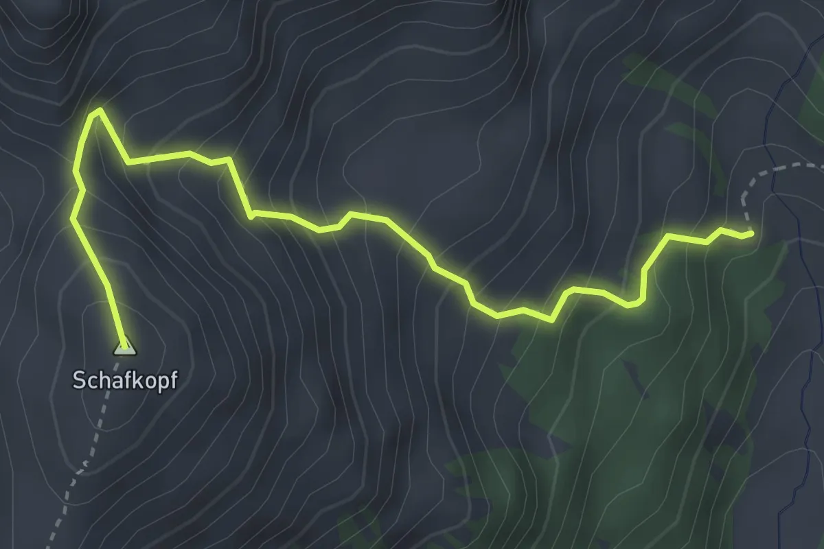
Schafkopf
3.7 km · ↑ 519 m · 2 h
Demanding · Cabin
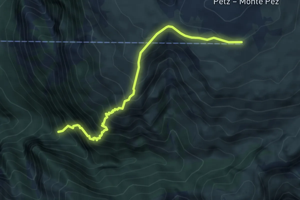
Schäufelesteig
5.6 km · ↑ 858 m · 3 h 11 min
Medium · Trail
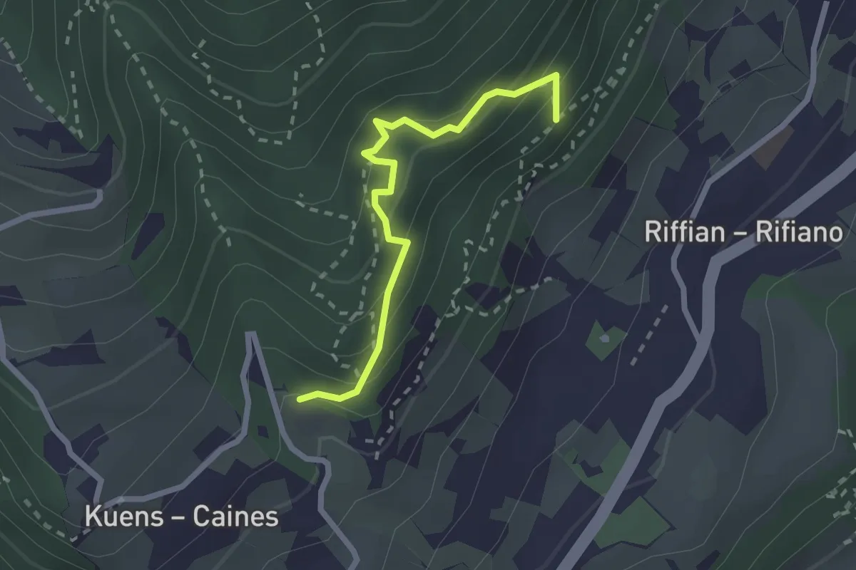
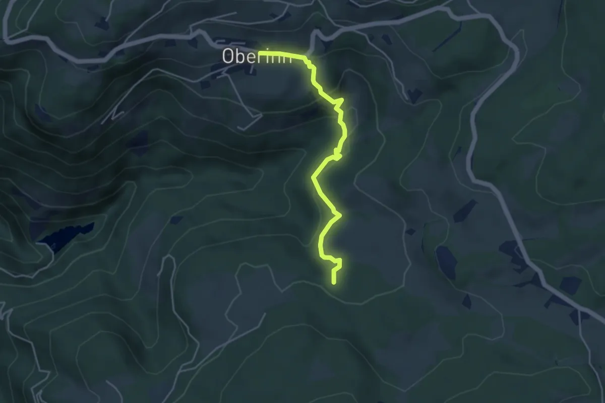
Scheibenweg
2.2 km · ↑ 244 m · 1 h 2 min
Medium · Trail
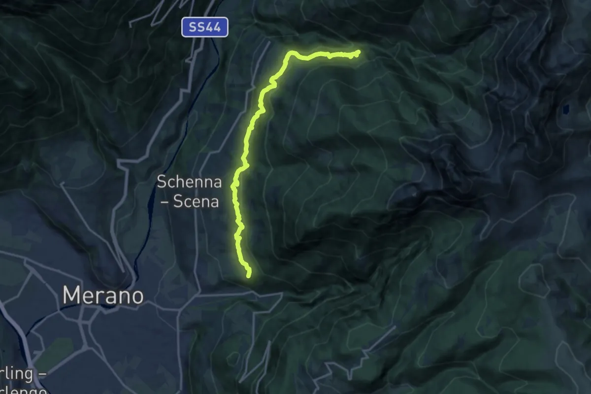
Schelmsteig
3.9 km · ↑ 199 m · 1 h 21 min
Demanding · Trail
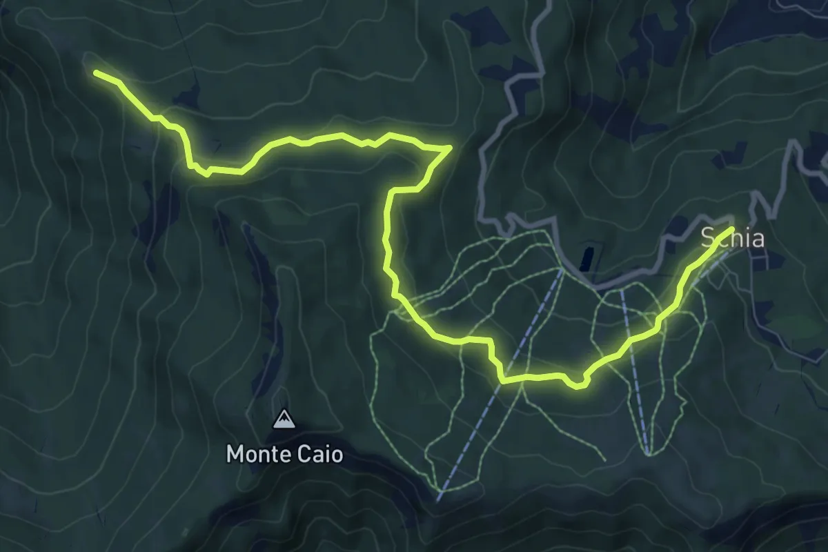
Schenner Waalweg
14.4 km · ↑ 871 m · 5 h 17 min
Medium · Summit
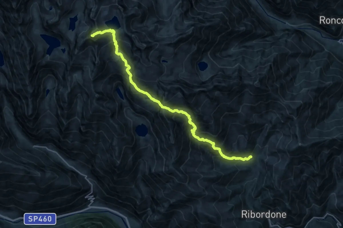
Schia - Monte Nocellara - Groppo D'Agna
11.3 km · ↑ 473 m · 3 h 42 min
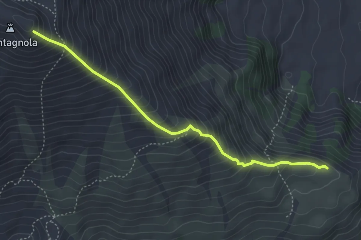
Expert · Summit
Schiaroglio-Moncimur
21.1 km · ↑ 2357 m · 10 h 5 min
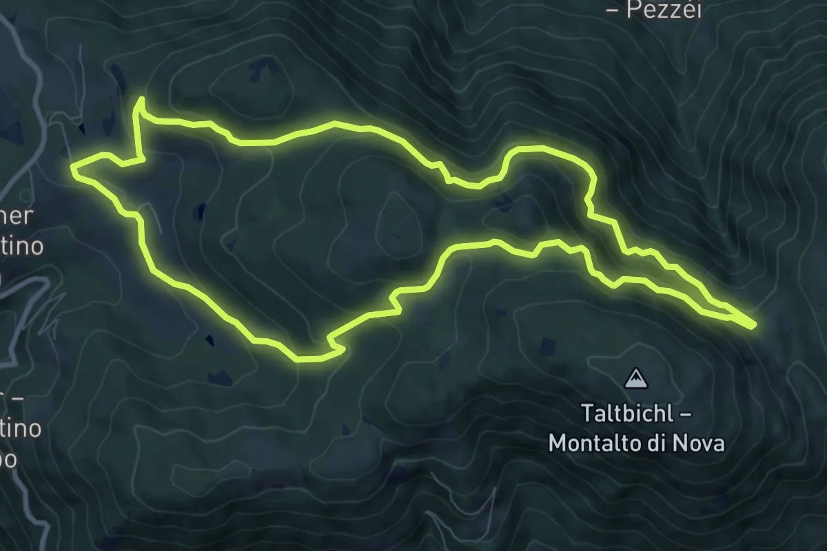
Demanding · Trail
Schiena dell'Asino
4.8 km · ↑ 602 m · 2 h 26 min
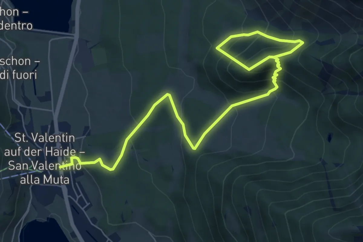
Medium · Trail
Schillerhof - Totmoos
9.8 km · ↑ 555 m · 3 h 39 min
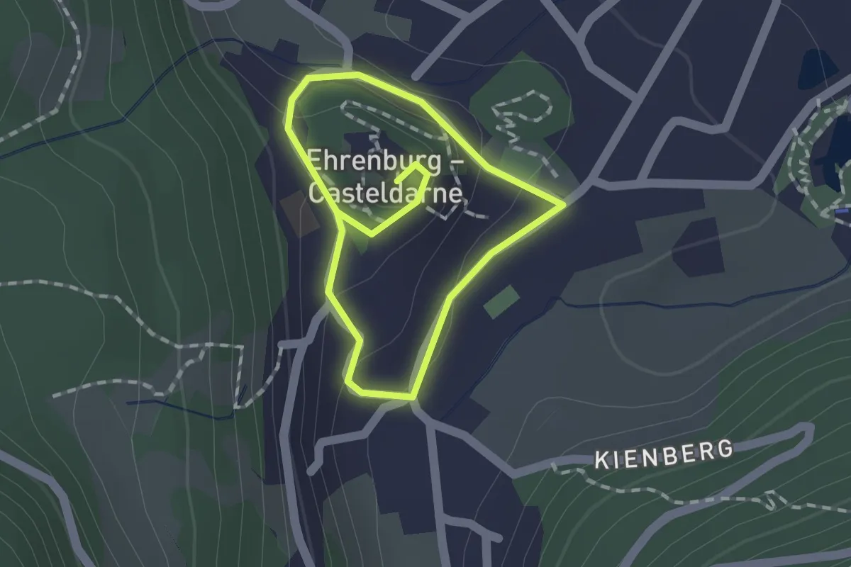
Medium · Trail
Schlossbergrunde
8.3 km · ↑ 652 m · 3 h 22 min
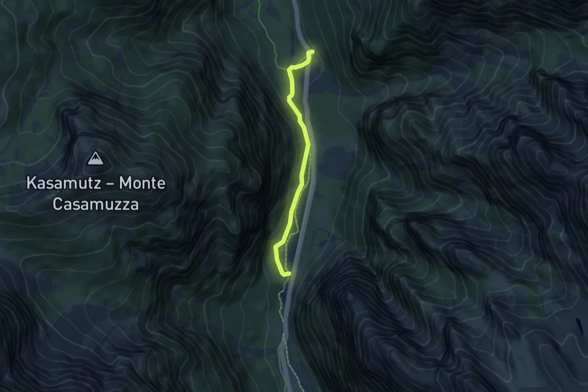
Easy · Trail
Schlossweg
1.1 km · ↑ 49 m · 23 min
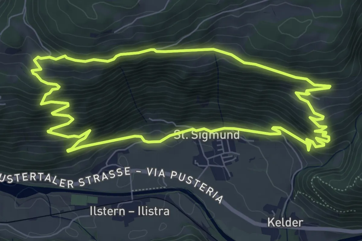
Easy · Trail
Schmelzöfen
4.2 km · ↑ 139 m · 1 h 18 min
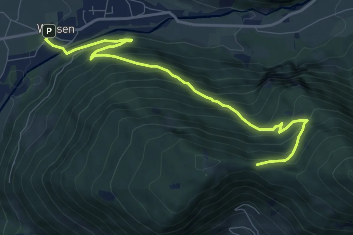
Medium · Trail
Schmetterlingweg
7.3 km · ↑ 467 m · 2 h 51 min
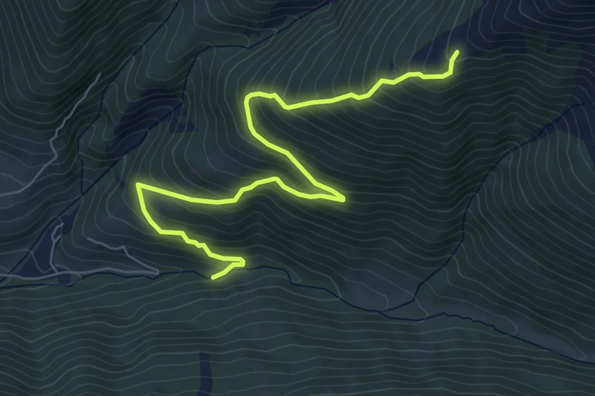
Medium · Trail
Schnaggenweg
8.3 km · ↑ 686 m · 3 h 27 min
Medium · Trail
Schnegga Säge - Hühnerspiel
7.0 km · ↑ 577 m · 2 h 54 min
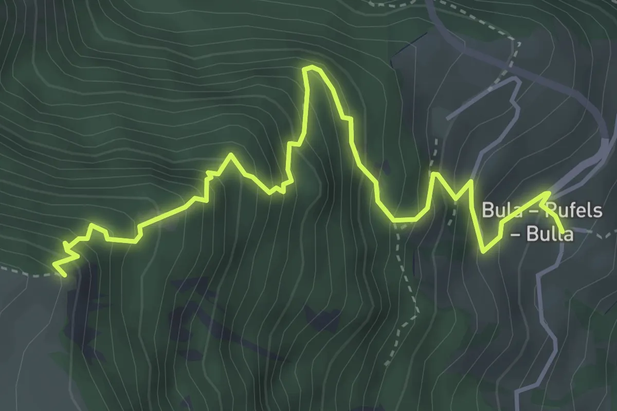
Demanding · Trail
Schnürlsteig
4.8 km · ↑ 659 m · 2 h 33 min
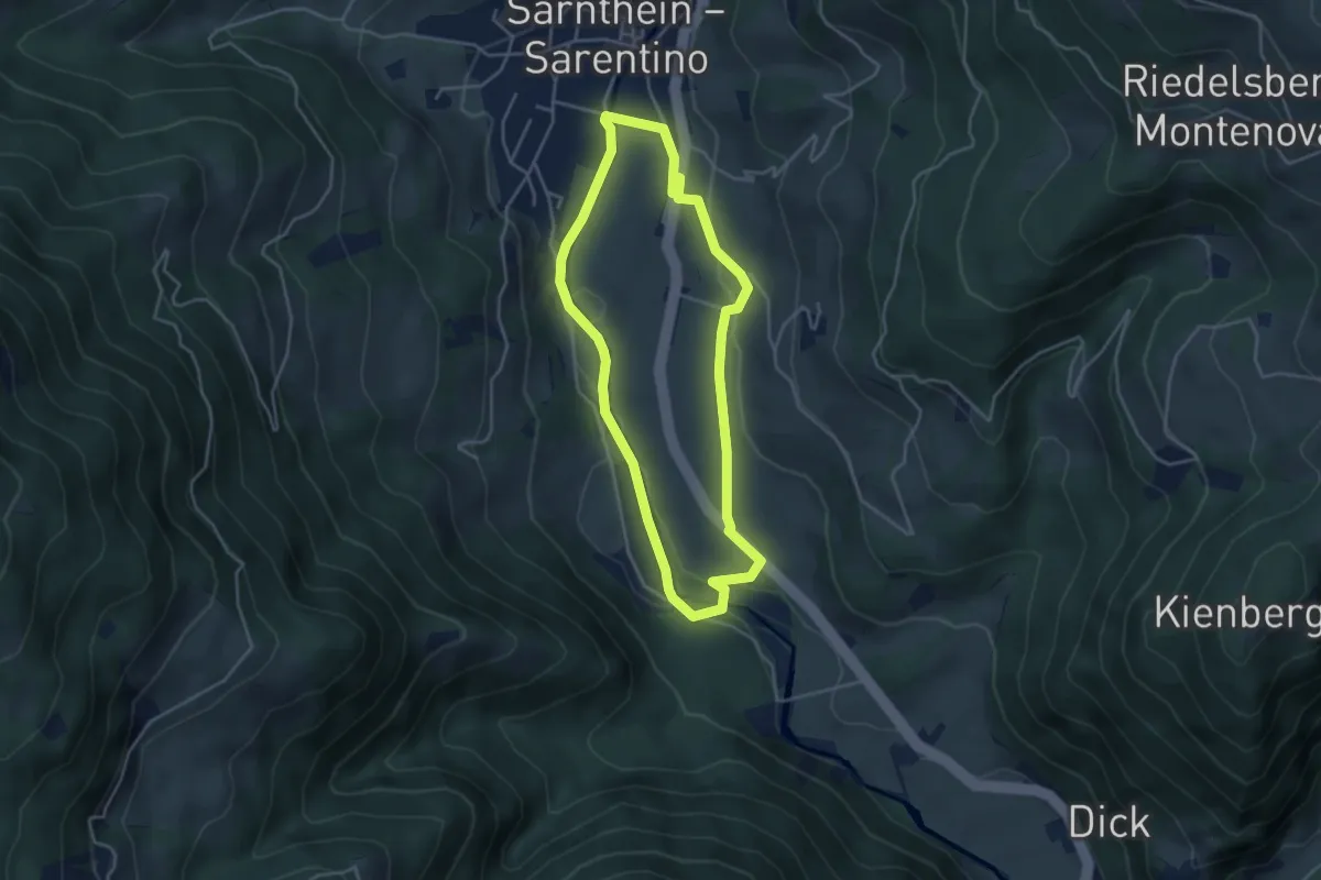
Easy · Trail
Schörgaurunde
3.9 km · ↑ 90 m · 1 h 10 min
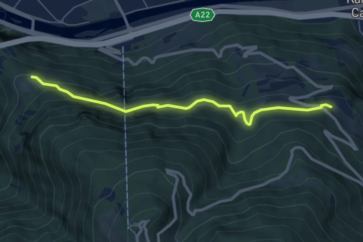
Medium · Trail
Schulsteig
5.2 km · ↑ 379 m · 2 h 3 min
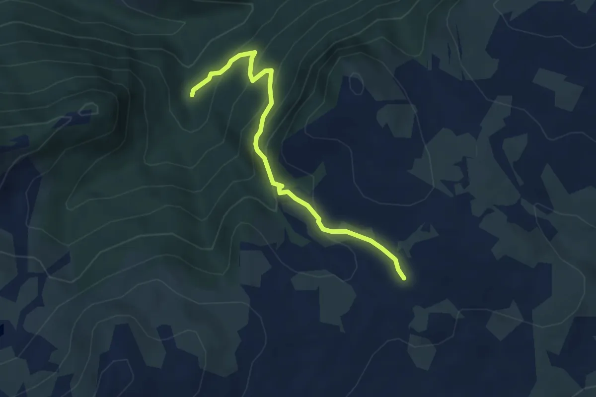
Medium · Trail
Schustersteig
4.3 km · ↑ 321 m · 1 h 43 min