Trails in Italy
25,221 hiking trails, each with its route, climb, walking time and grade.
All trails, page 141 of 526
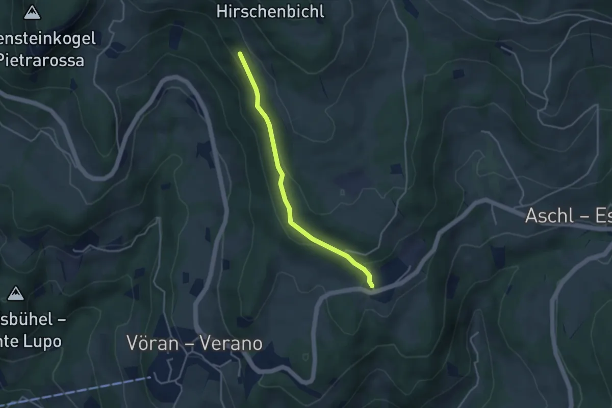
Easy · Trail
Schützenbrünnlweg
3.2 km · ↑ 132 m · 1 h 2 min
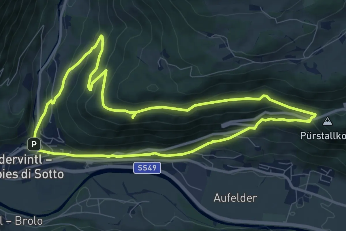
Medium · Trail
Schwalbenwandrunde
7.7 km · ↑ 386 m · 2 h 45 min
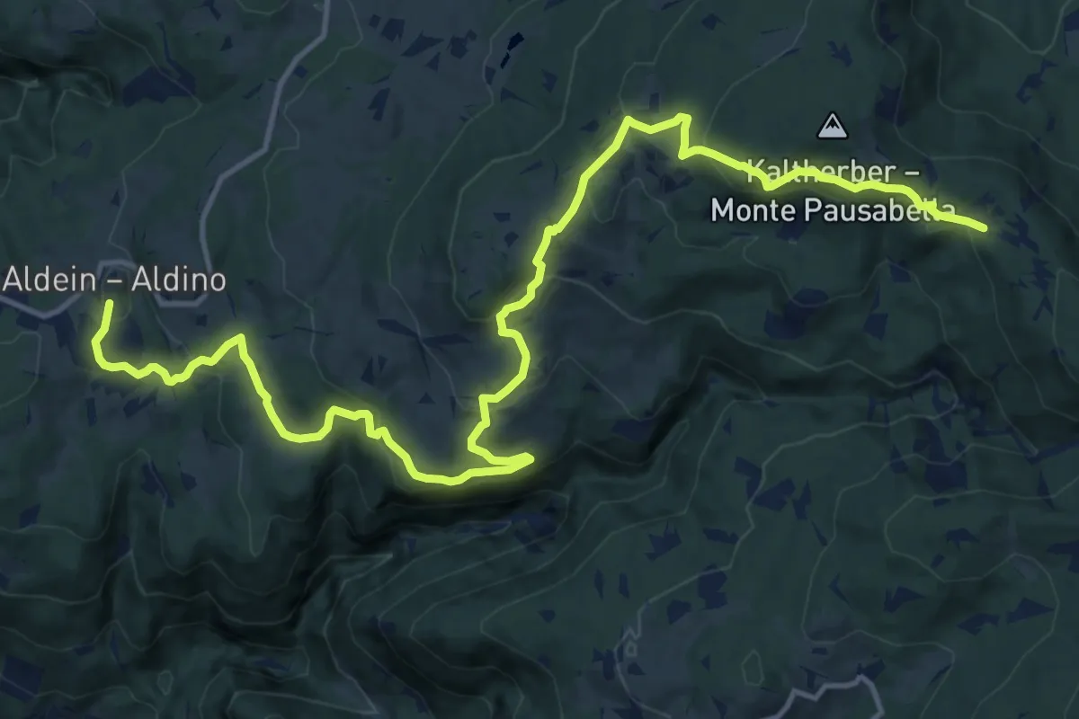
Medium · Trail
Schwarz-Weiss-Weg/Cammino/Trail schwarz a
17.8 km · ↑ 736 m · 5 h 48 min
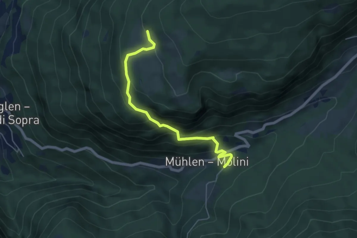
Medium · Trail
Schwarz-Weiss-Weg/Cammino/Trail schwarz b1
4.5 km · ↑ 392 m · 1 h 54 min
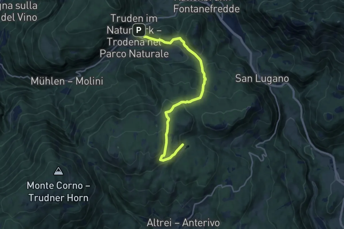
Medium · Trail
Schwarz-Weiss-Weg/Cammino/Trail schwarz e
12.9 km · ↑ 566 m · 4 h 17 min
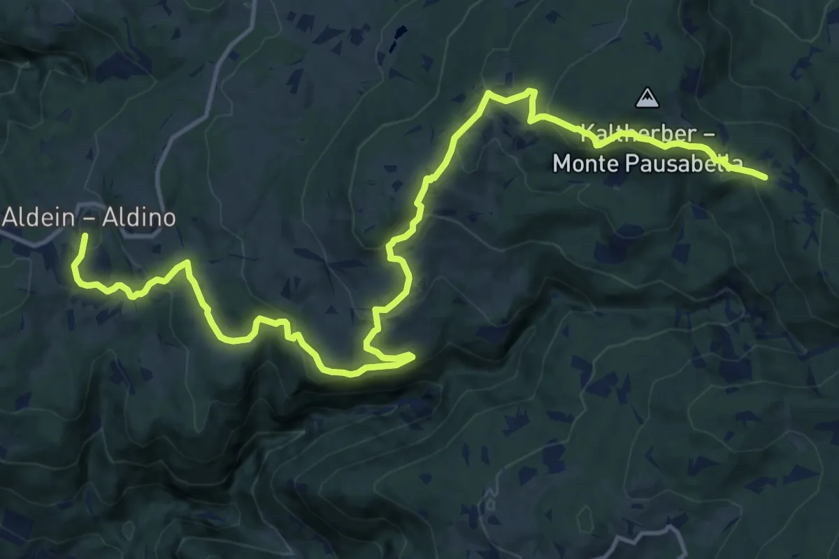
Medium · Trail
Schwarz-Weiss-Weg/Cammino/Trail weiß a
17.8 km · ↑ 736 m · 5 h 48 min
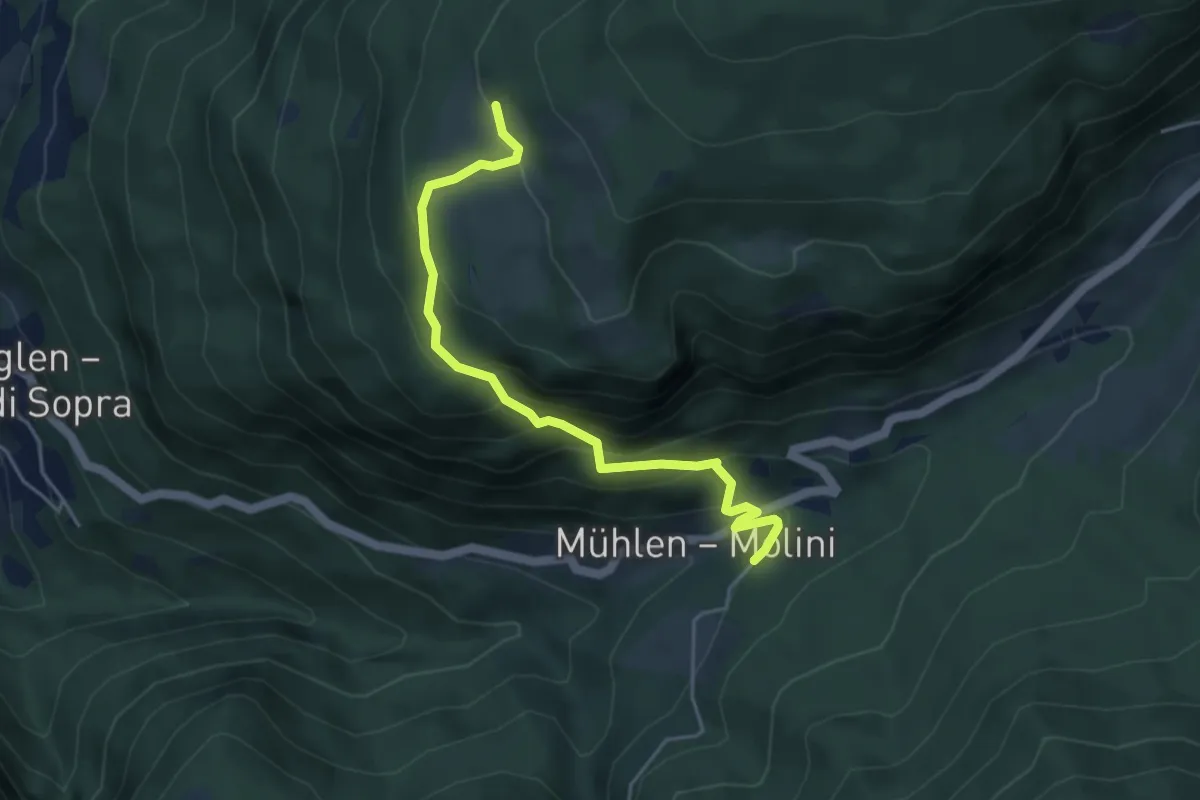
Medium · Trail
Schwarz-Weiss-Weg/Cammino/Trail weiß b1
4.5 km · ↑ 392 m · 1 h 54 min
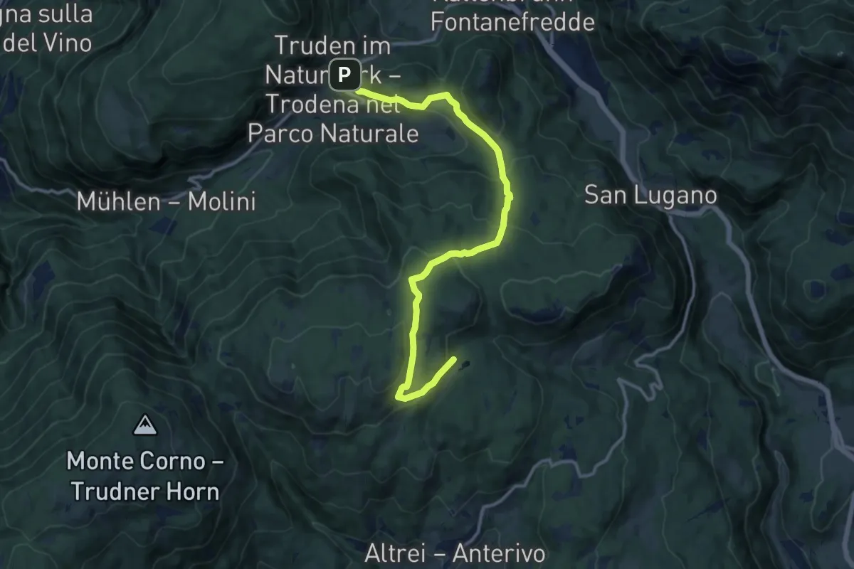
Medium · Trail
Schwarz-Weiss-Weg/Cammino/Trail weiß e
12.9 km · ↑ 566 m · 4 h 17 min
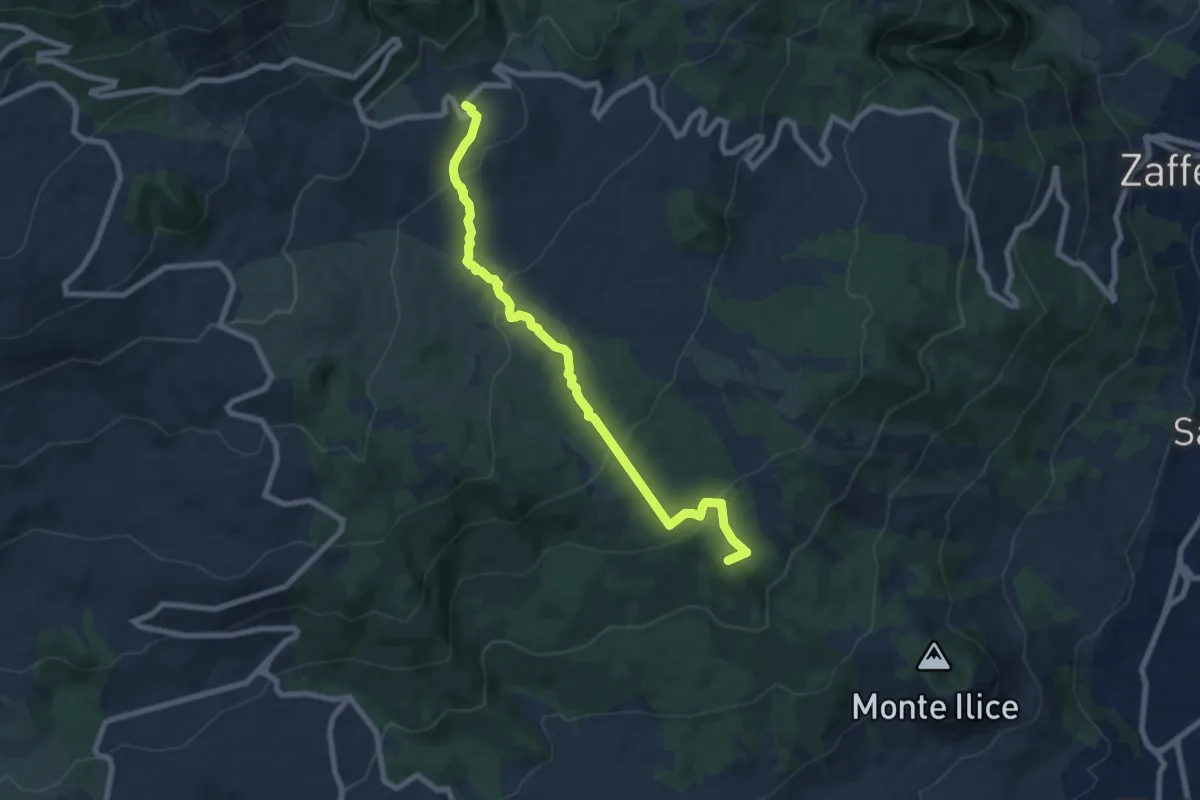
Medium · Summit
Sciammoru del Lupo
9.0 km · ↑ 381 m · 2 h 56 min
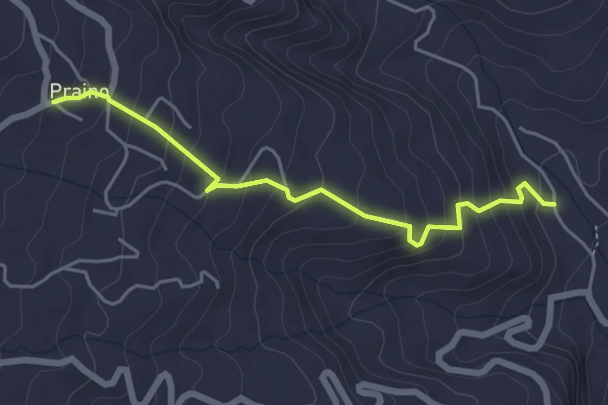
Medium · Trail
Sciara Praino
4.4 km · ↑ 360 m · 1 h 50 min
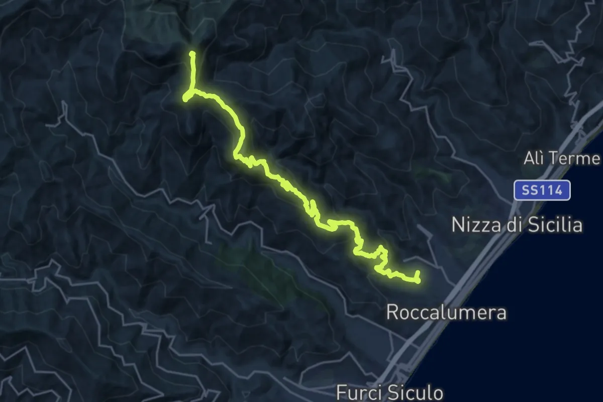
Expert · Summit
Sciglio Puntale Murtareddu (SI)
24.1 km · ↑ 1332 m · 8 h 35 min
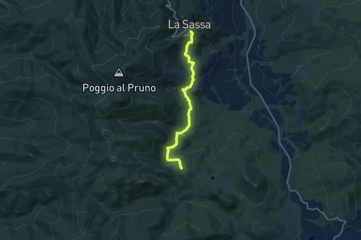
Medium · Trail
Scrigni
8.2 km · ↑ 362 m · 2 h 44 min
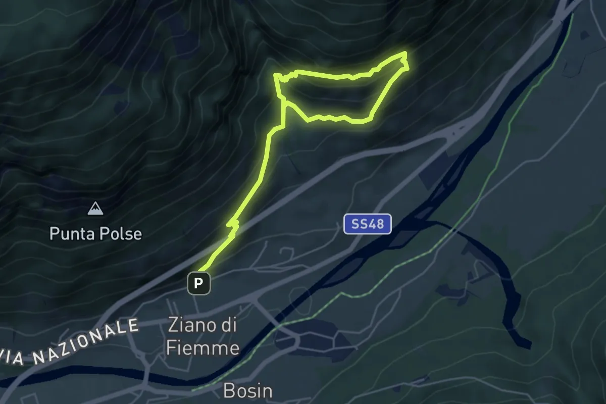
Medium · Trail
Scritte dei Pastori
6.2 km · ↑ 643 m · 2 h 51 min
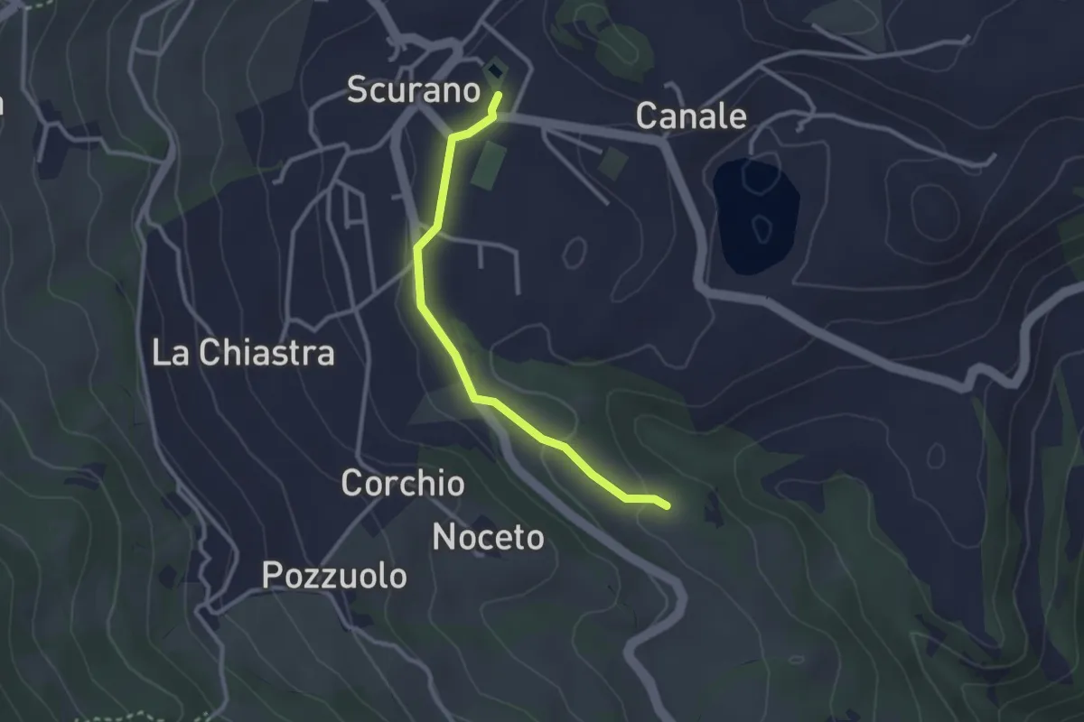
Easy · Trail
Scurano Pieve Cascata della Grondara
2.7 km · ↑ 39 m · 43 min
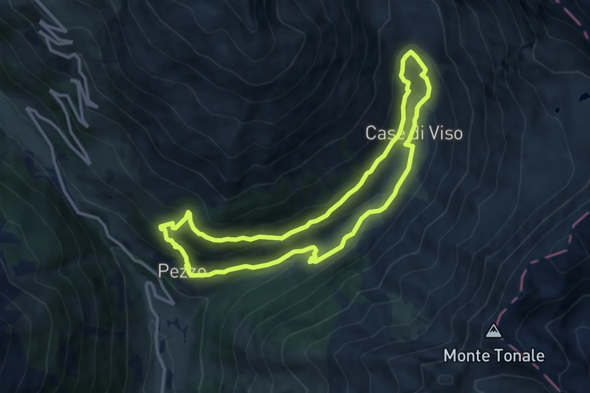
Medium · Trail
Scursài
8.5 km · ↑ 436 m · 3 h 4 min
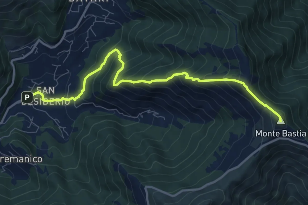
Medium · Summit
S. Desiderio - Monte Bastia
8.7 km · ↑ 791 m · 3 h 46 min
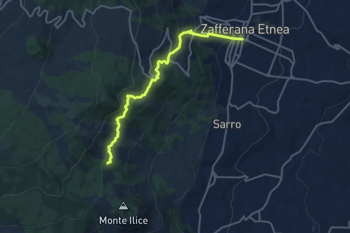
Demanding · Trail
SdG 1 Variante Nord
9.5 km · ↑ 538 m · 3 h 25 min
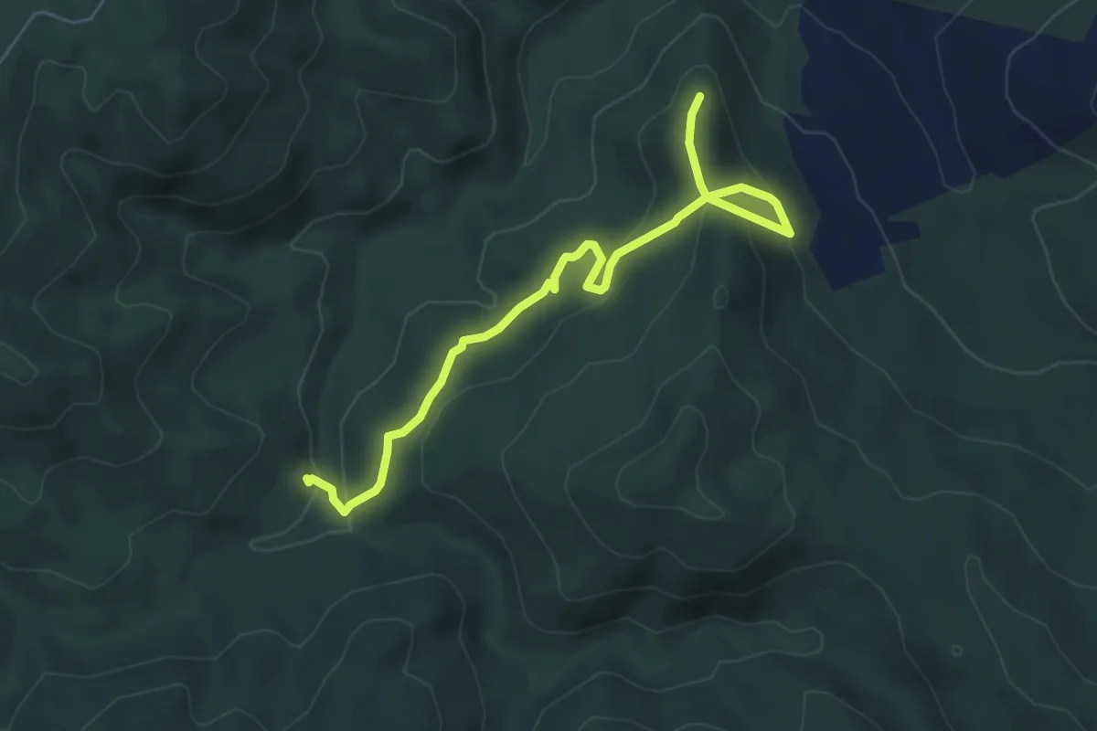
Easy · Trail
Secolo
6.4 km · ↑ 273 m · 2 h 7 min
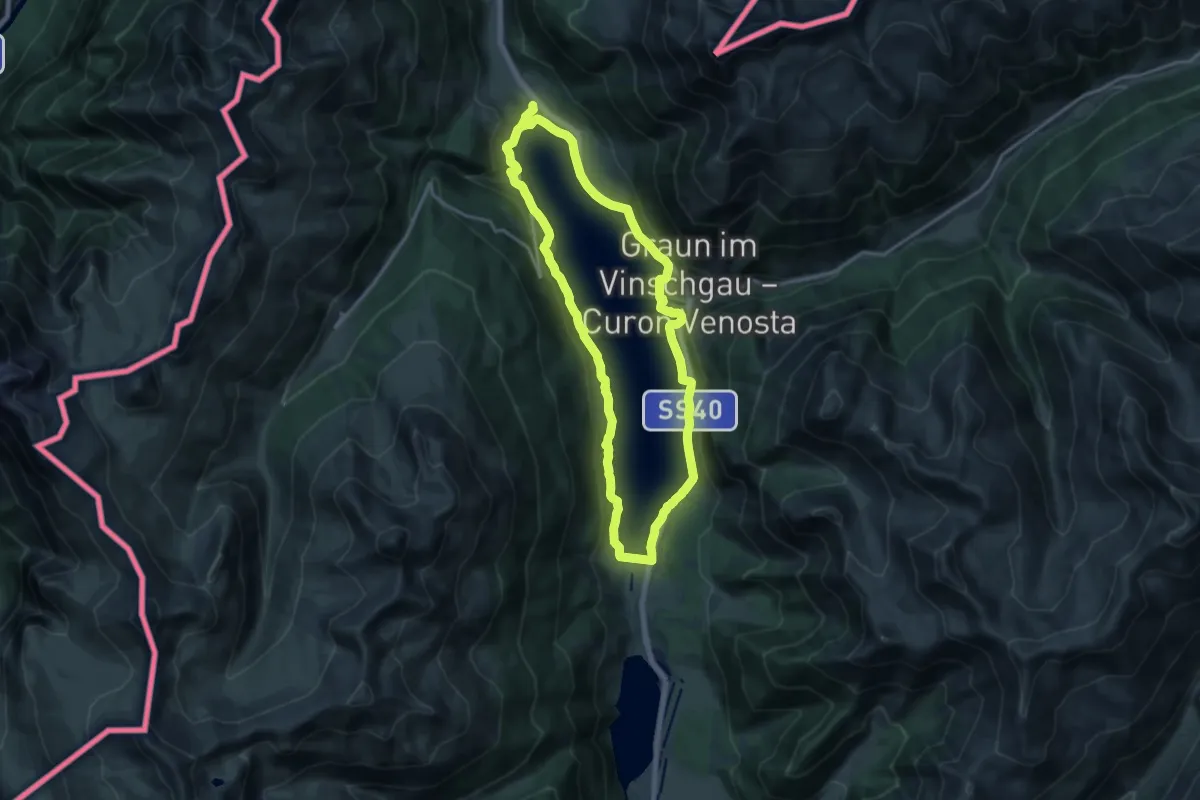
Medium · Trail
Seepromenade
15.7 km · ↑ 331 m · 4 h 39 min
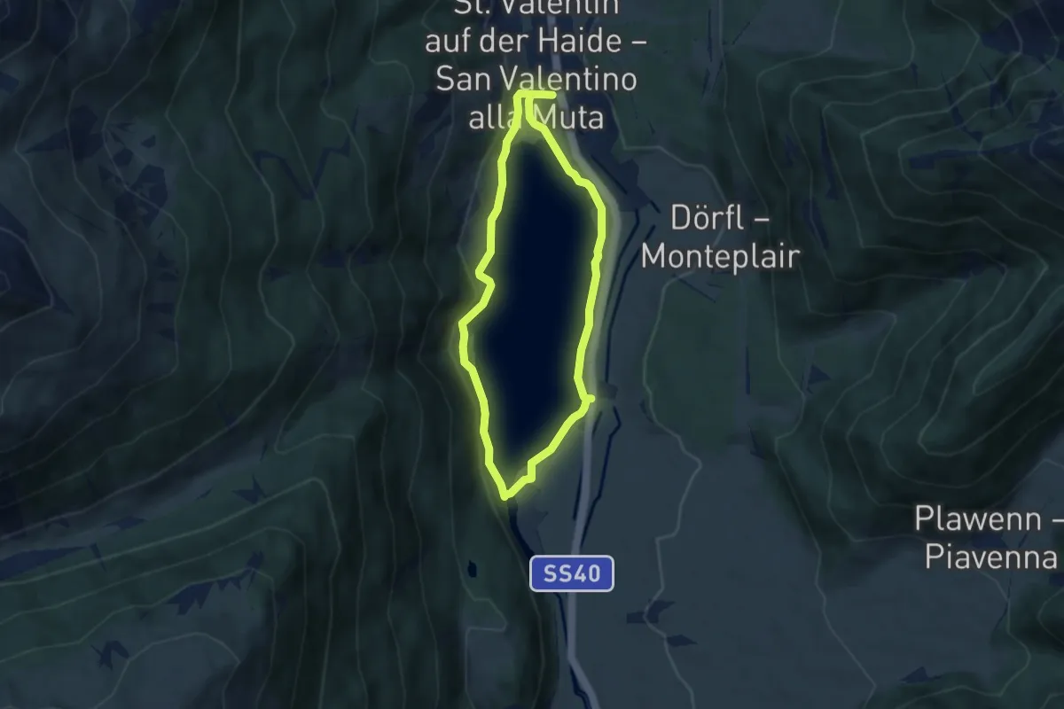
Easy · Trail
Seerundgang
5.1 km · ↑ 133 m · 1 h 34 min
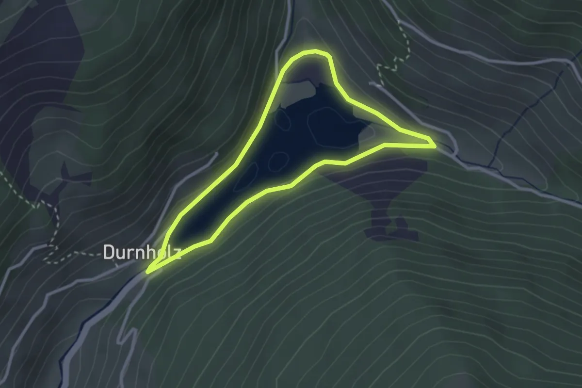
Easy · Trail
Seerundweg
2.5 km · ↑ 70 m · 46 min
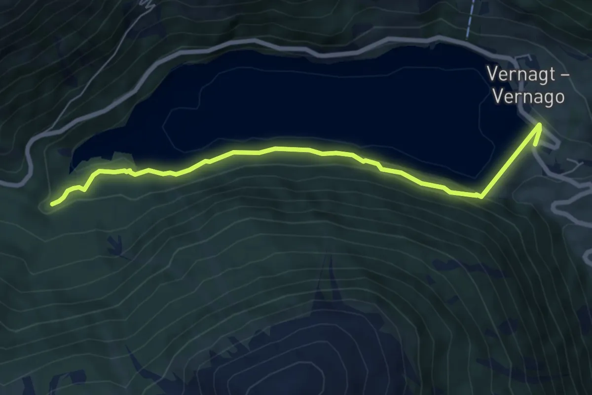
Medium · Trail
Seerundweg
3.1 km · ↑ 136 m · 1 h 2 min
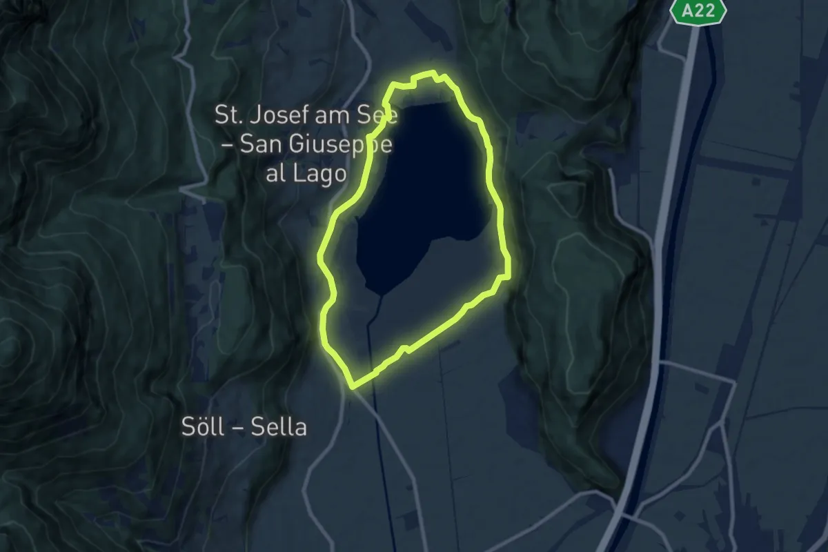
Easy · Trail
Seerundweg
7.4 km · ↑ 61 m · 1 h 59 min
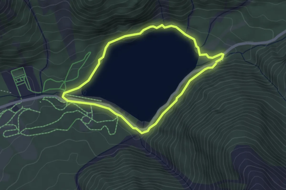
Easy · Trail
Seerundweg
3.4 km · ↑ 98 m · 1 h 3 min
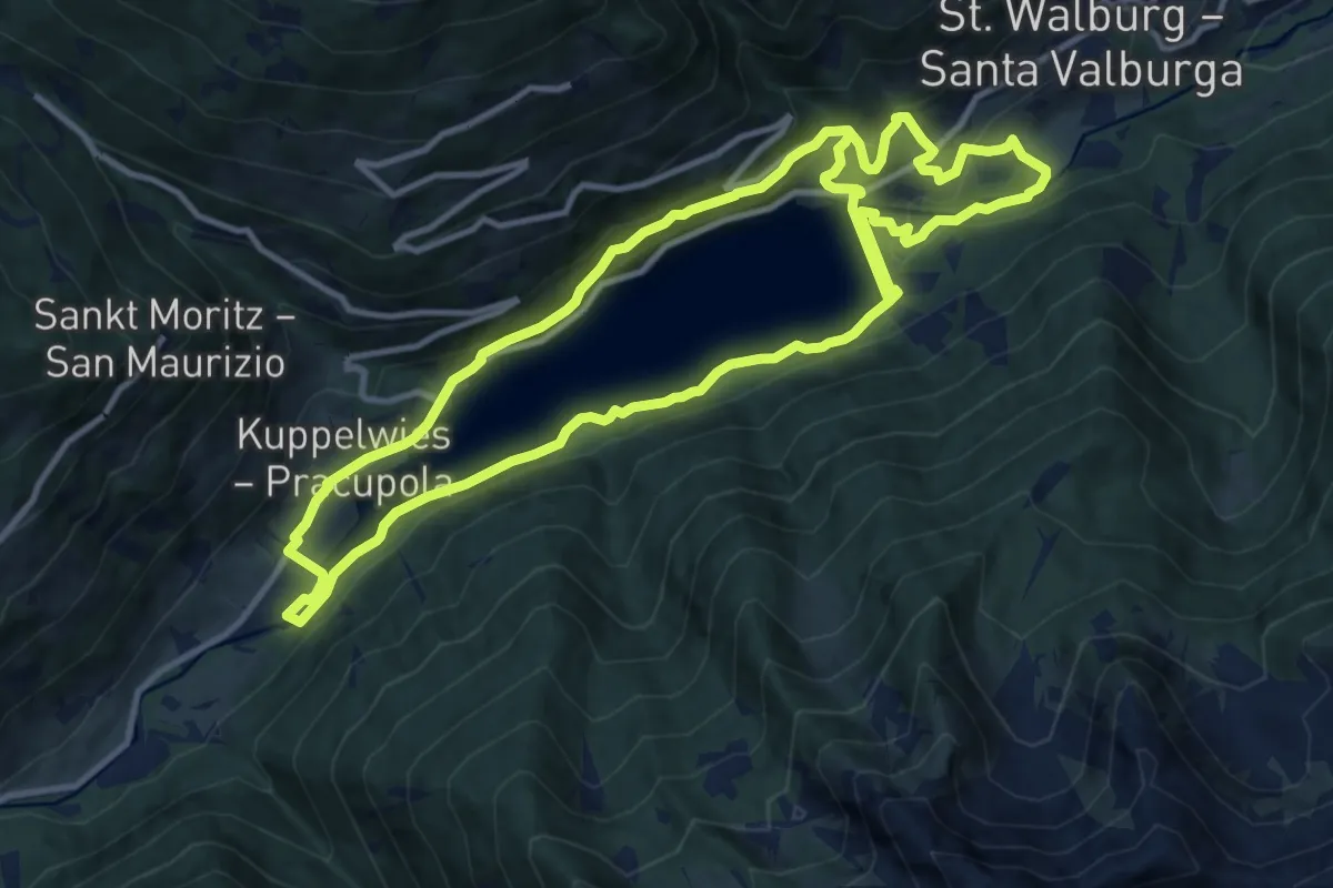
Medium · Trail
Seeweg
11.7 km · ↑ 338 m · 3 h 41 min
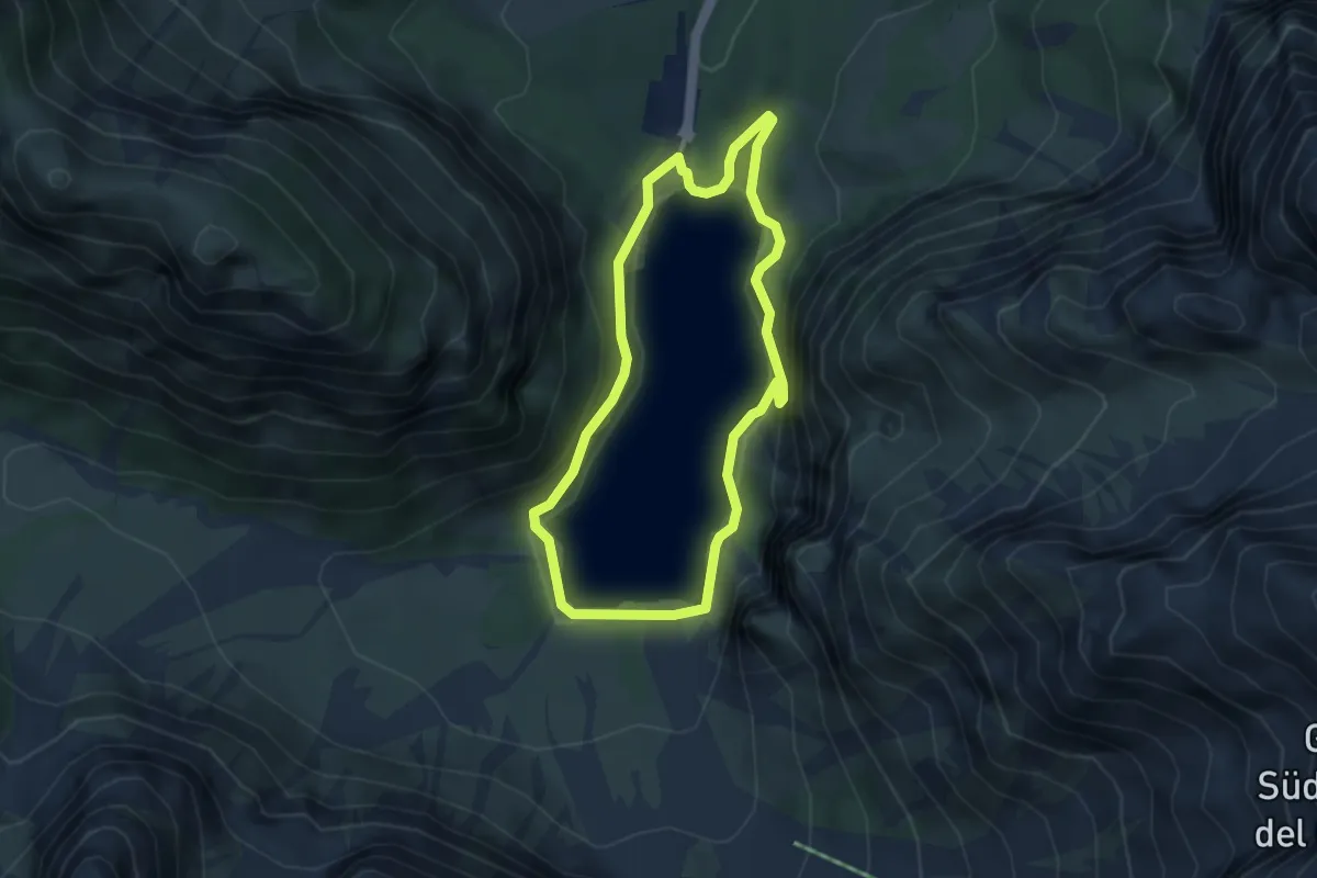
Easy · Summit
Seeweg
3.5 km · ↑ 185 m · 1 h 17 min
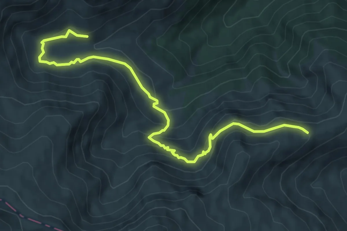
Medium · Trail
Segnavia La Storna - Segnavia Stazzi della Morricana
8.7 km · ↑ 436 m · 3 h 1 min
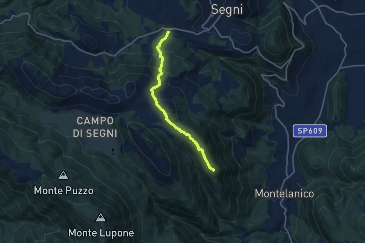
Medium · Summit
Segni-Monte La Croce-Montelanico
9.0 km · ↑ 529 m · 3 h 16 min
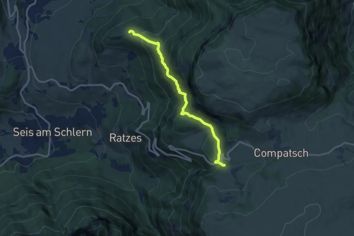
Medium · Trail
Seiser-Alm-Steig - Sentiero Alpe di Siusi
7.6 km · ↑ 572 m · 3 h 2 min
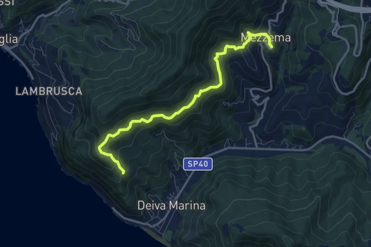
Medium · Trail
Sella Crocetta (Bivio SVA) - Bosco Bianchi - Mezzema
8.4 km · ↑ 557 m · 3 h 12 min
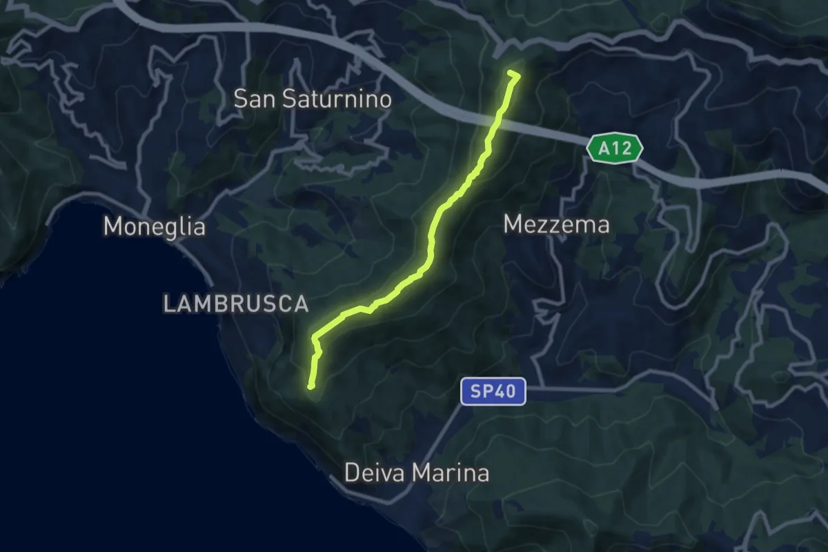
Medium · Summit
Sella Crocetta (Bivio SVA) – Salto del Cavallo – Baracchino – Monte San Nicolao
7.8 km · ↑ 407 m · 2 h 43 min
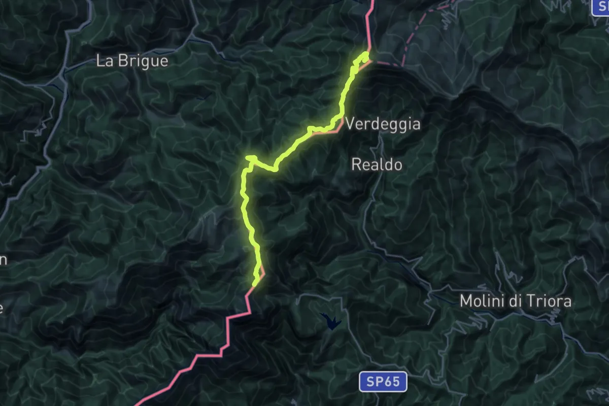
Demanding · Summit
Sella d'Agnaira - Sella della Valletta
24.7 km · ↑ 1490 m · 9 h 4 min
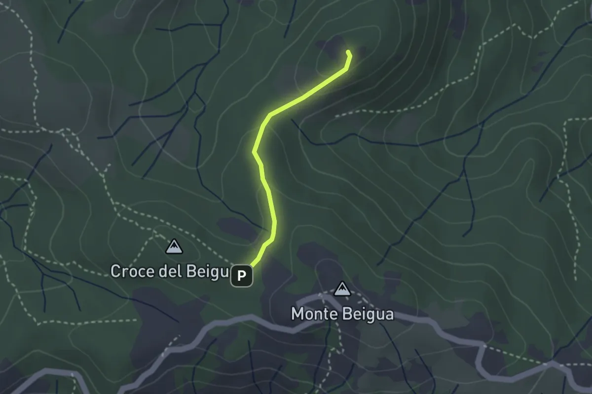
Medium · Summit
Sella del Beigua - Monte Grosso
2.1 km · ↑ 81 m · 41 min
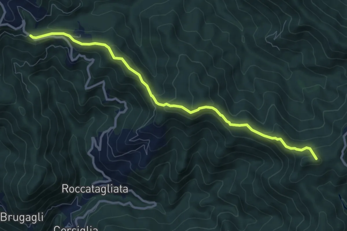
Medium · Summit
Sella della Giassina - Barbagelata
8.6 km · ↑ 392 m · 2 h 53 min
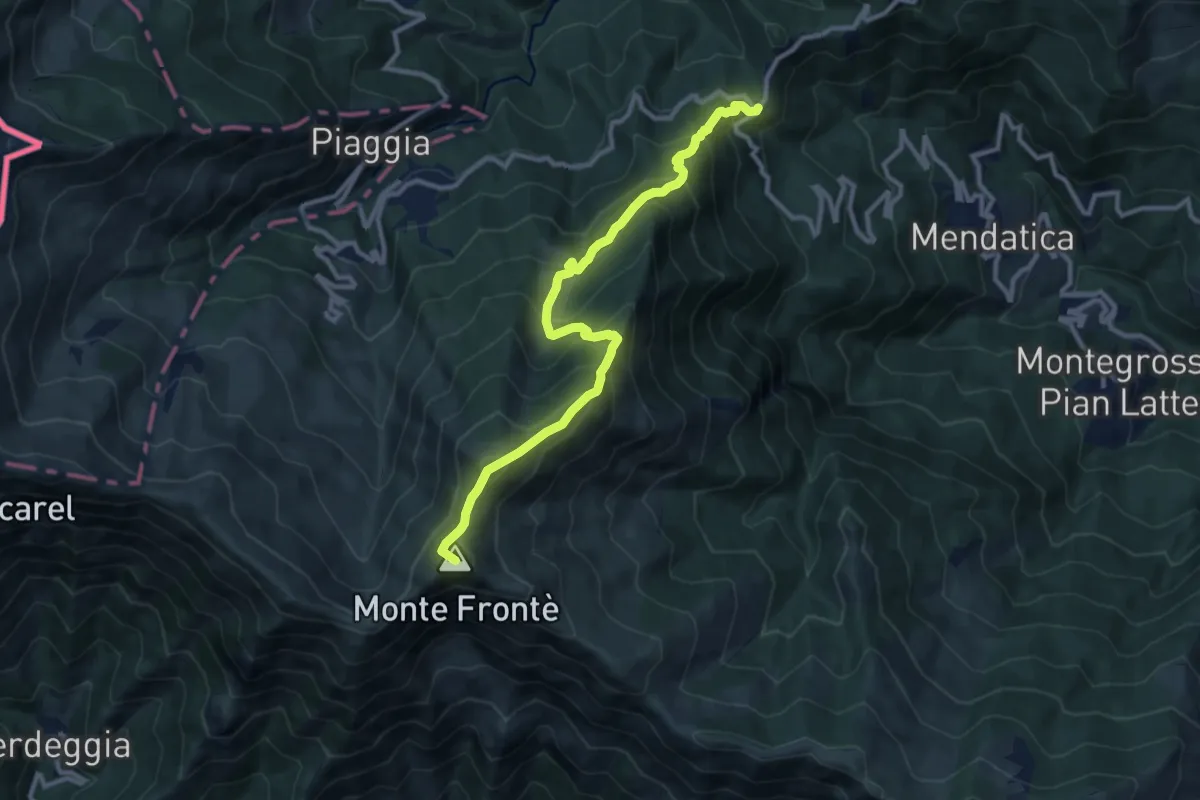
Demanding · Summit
Sella della Valletta - San Bernardo di Mendatica
11.3 km · ↑ 1034 m · 4 h 54 min
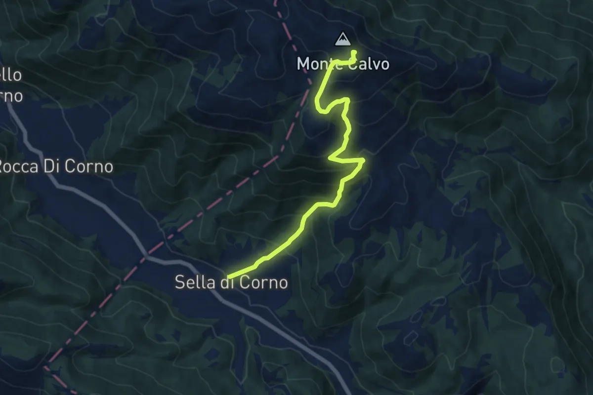
Demanding · Summit
Sella di Corno-Monte Calvo
10.4 km · ↑ 908 m · 4 h 25 min
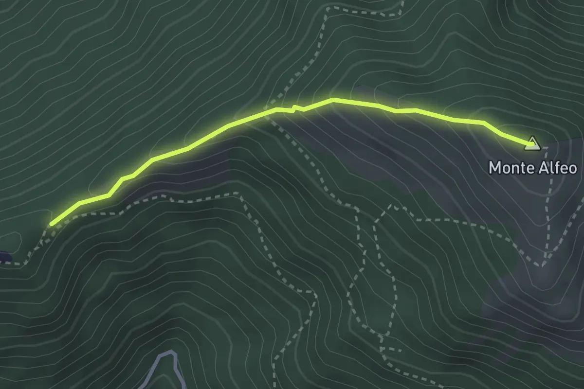
Medium · Summit
Sella Ovest Monte Alfeo-Monte Alfeo
2.9 km · ↑ 295 m · 1 h 19 min
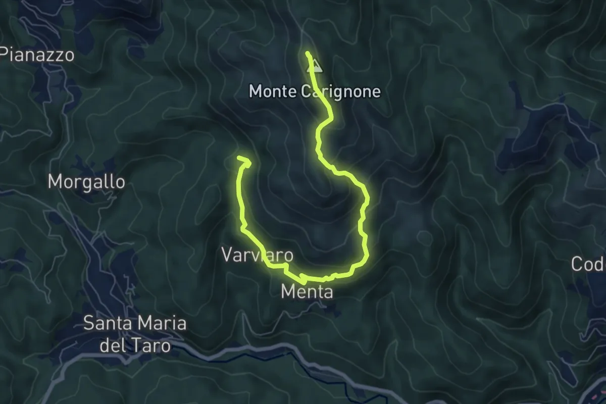
Medium · Summit
Sella Palo - Menta - Sella Cavallino - Monte Carignone
7.5 km · ↑ 565 m · 3 h
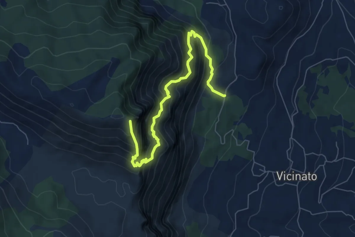
Demanding · Summit
Selvacava-Monte Fammera
7.7 km · ↑ 1032 m · 4 h 3 min
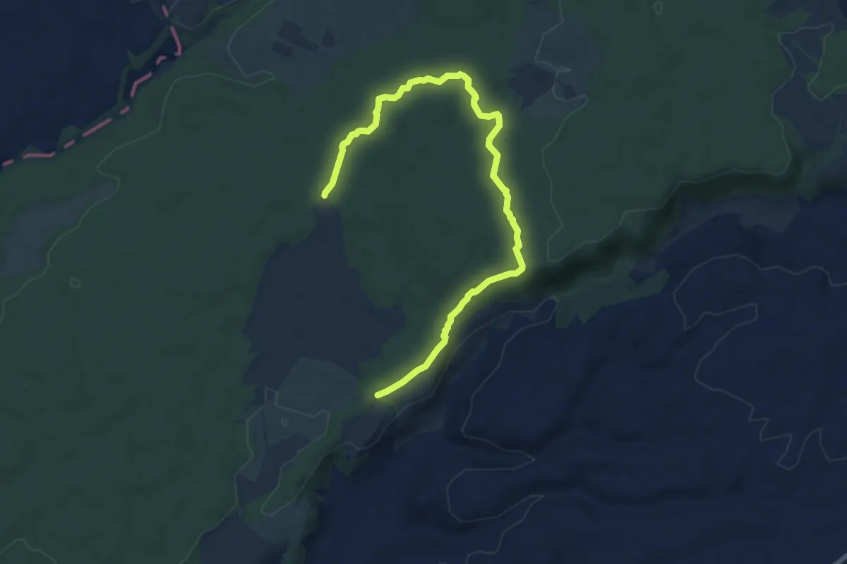
Medium · Trail
Selva del Lamone
9.4 km · ↑ 128 m · 2 h 30 min
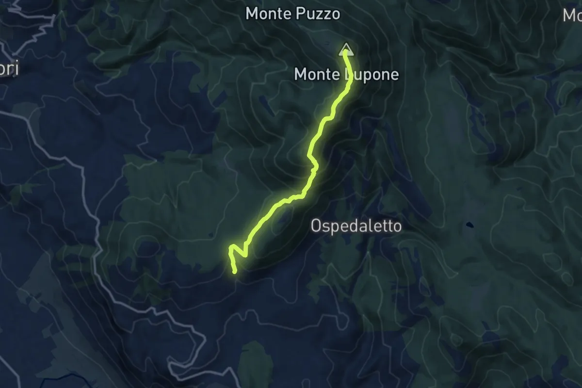
Medium · Summit
Selva di Cori- Monte Lupone
10.4 km · ↑ 789 m · 4 h 9 min
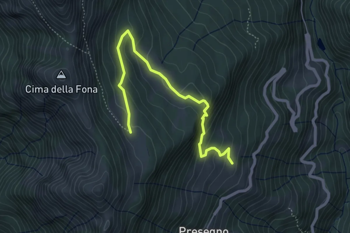
Demanding · Trail
Selva-Gardo - Grusem
5.2 km · ↑ 325 m · 1 h 56 min
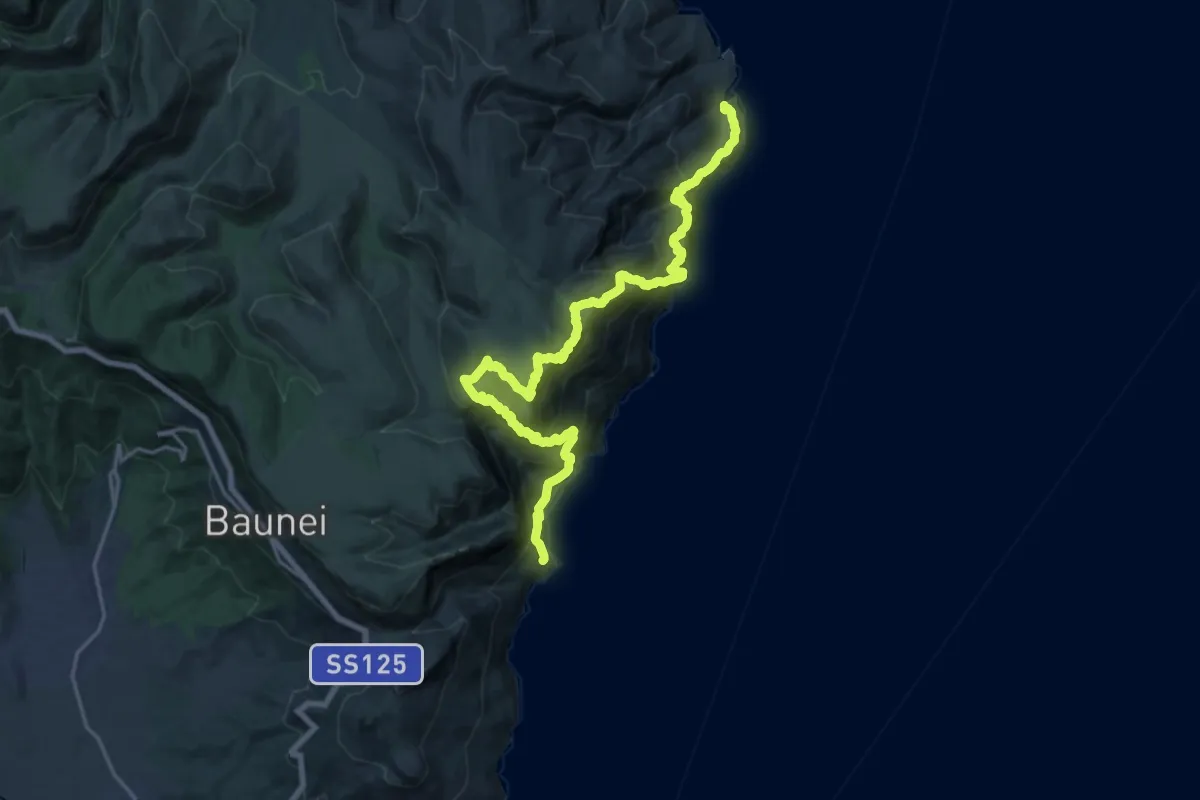
Expert · Trail
Selvaggio Blu - 1° Tappa
12.4 km · ↑ 1597 m · 6 h 33 min
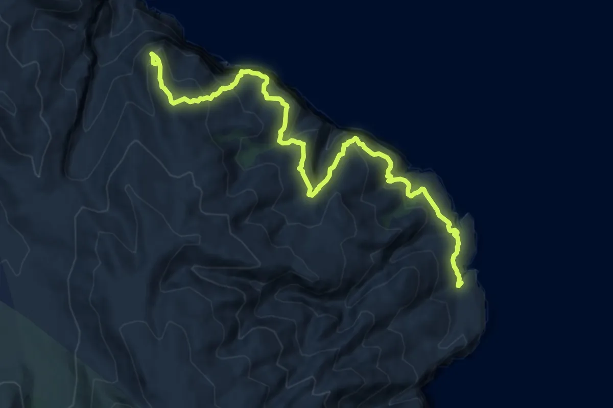
Demanding · Summit
Selvaggio Blu - 2° Tappa
14.5 km · ↑ 1734 m · 7 h 11 min
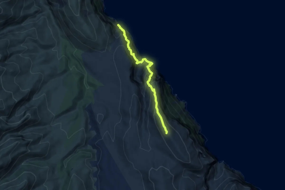
Expert · Summit
Selvaggio Blu - 3° Tappa
8.1 km · ↑ 1475 m · 5 h 7 min
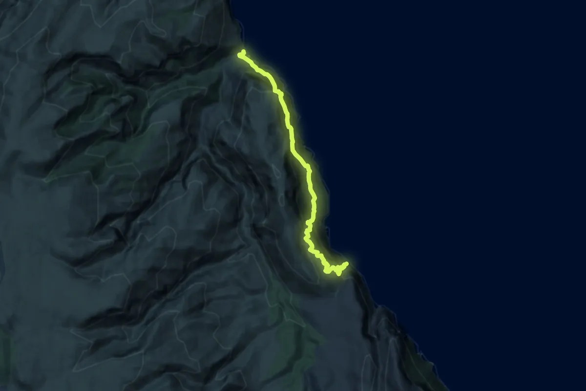
Demanding · Trail
Selvaggio Blu - 4° Tappa
6.7 km · ↑ 1453 m · 4 h 50 min
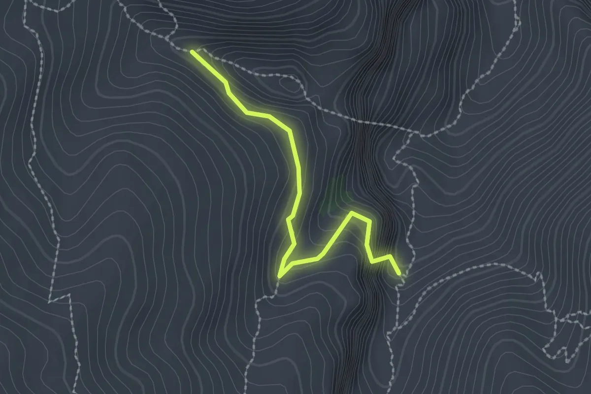
Expert · Trail
Selvaggio Blu - variante Boladina
2.3 km · ↑ 232 m · 1 h 3 min
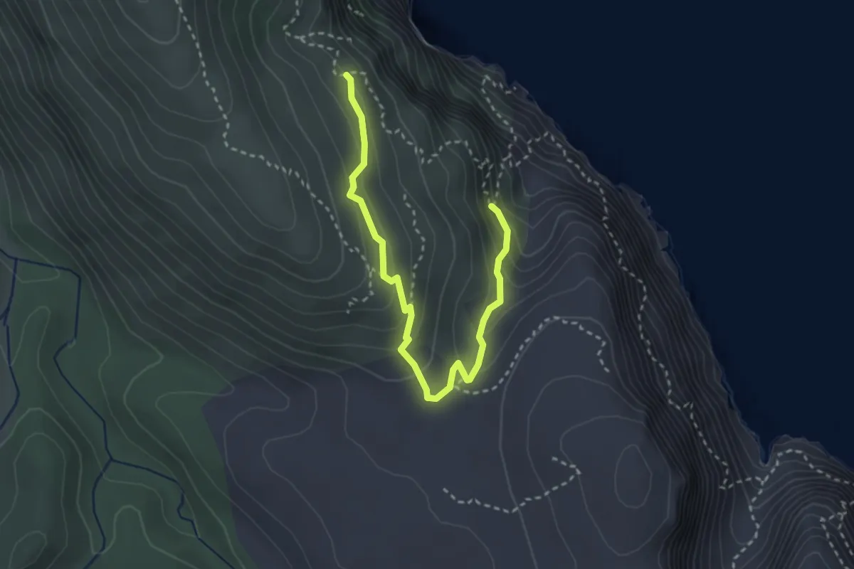
Demanding · Trail
Selvaggio Blu - variante Ololbizzi
3.7 km · ↑ 210 m · 1 h 19 min