Trails in Italy
25,219 hiking trails, each with its route, climb, walking time and grade.
All trails, page 143 of 526
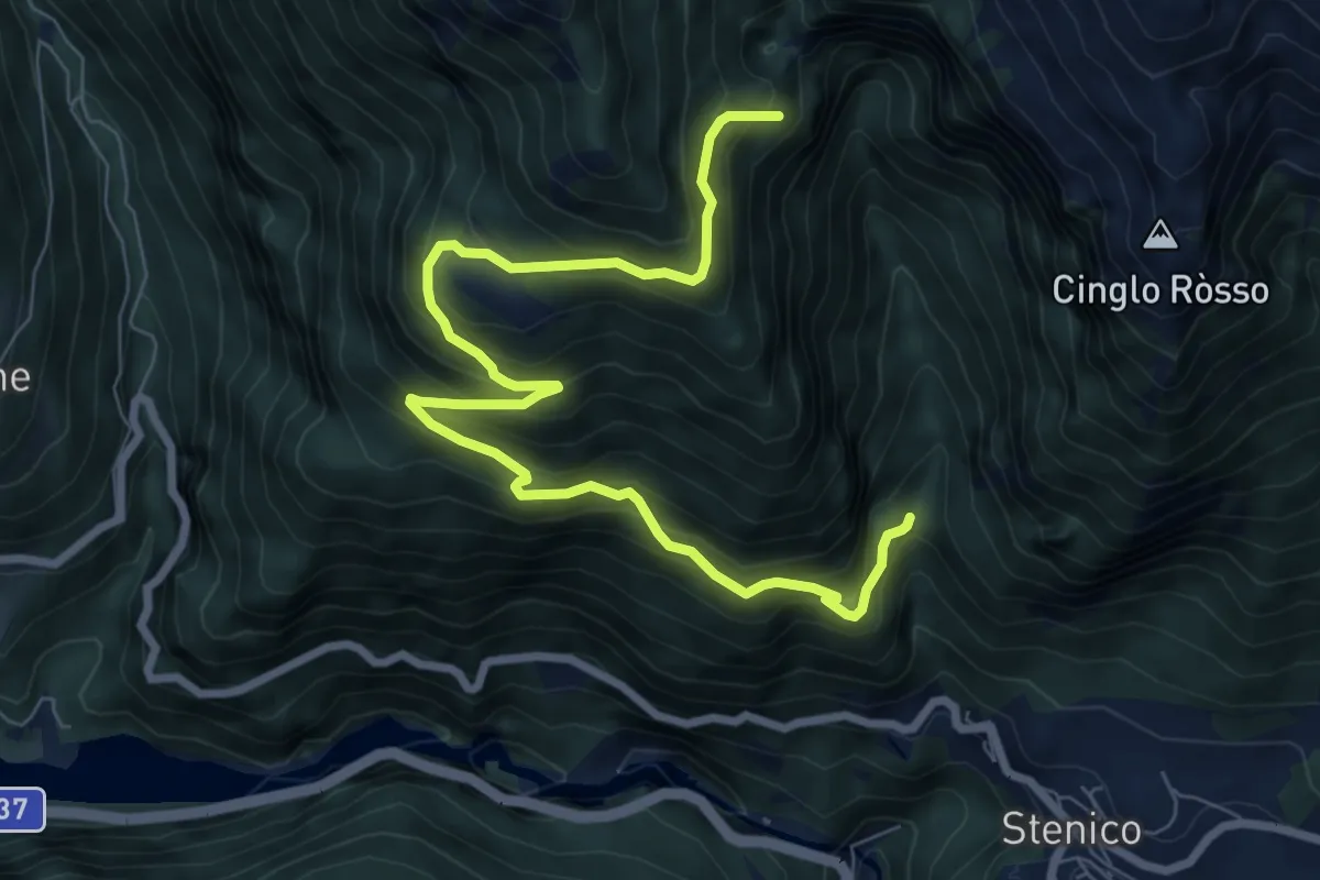
Expert · Trail
Senter dell'aquila
9.2 km · ↑ 802 m · 3 h 55 min
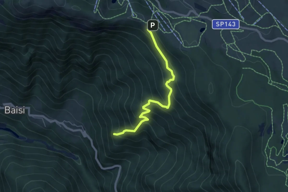
Medium · Summit
Senter della Val delle Calchere
5.0 km · ↑ 475 m · 2 h 12 min
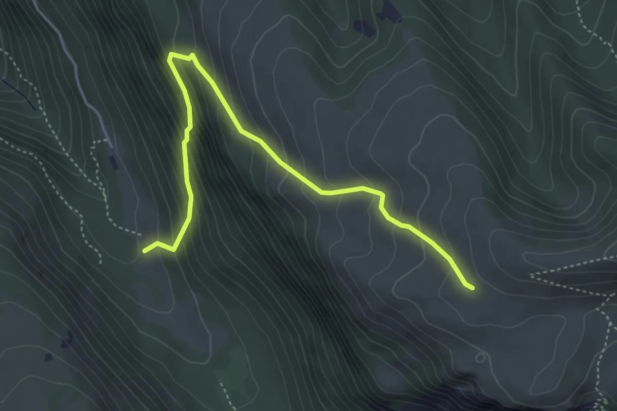
Demanding · Trail
Senter delle Pale
4.9 km · ↑ 467 m · 2 h 10 min
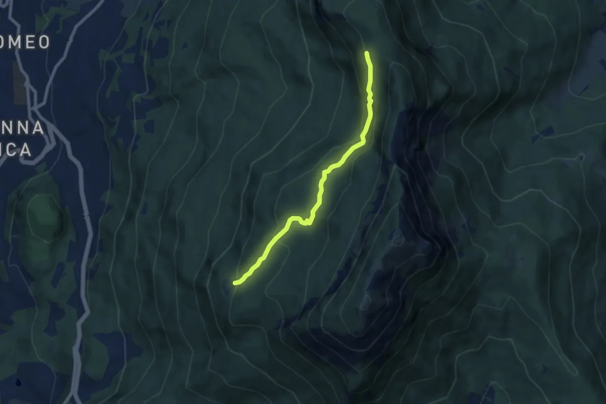
Medium · Cabin
Senter delle Pegore
6.3 km · ↑ 370 m · 2 h 18 min
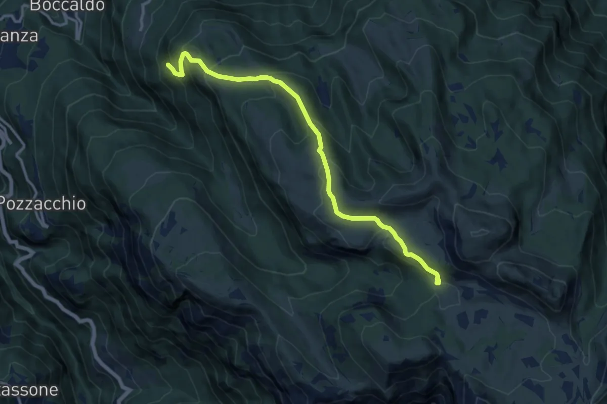
Medium · Cabin
Senter delle Ull
10.6 km · ↑ 676 m · 3 h 58 min
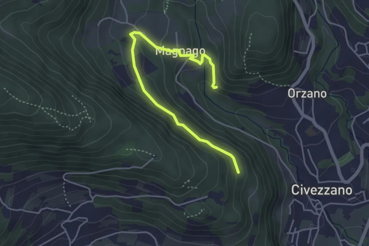
Easy · Trail
Senter del Lof
4.1 km · ↑ 165 m · 1 h 20 min
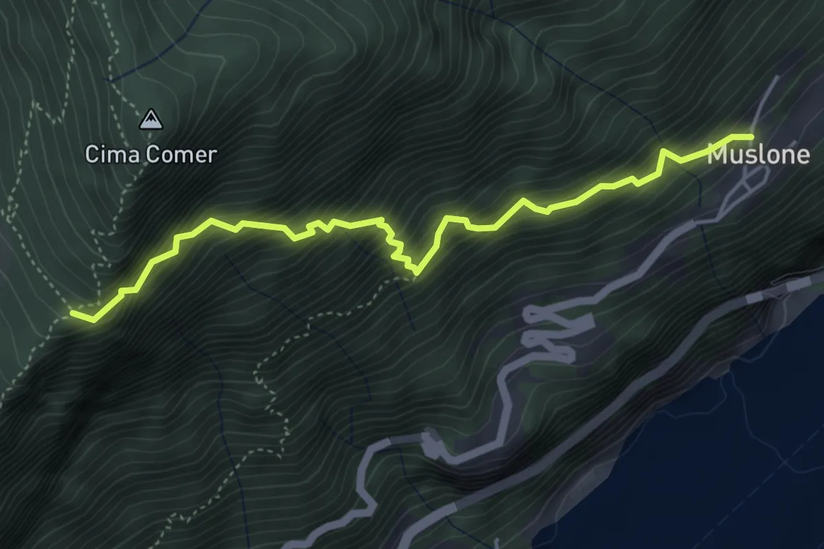
Demanding · Trail
Senter del Luf
4.7 km · ↑ 779 m · 2 h 47 min
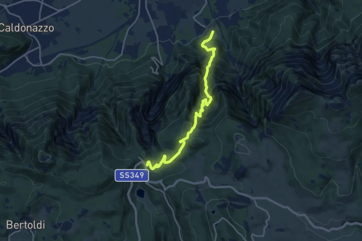
Demanding · Trail
Senter del Menador
11.1 km · ↑ 1159 m · 5 h 8 min
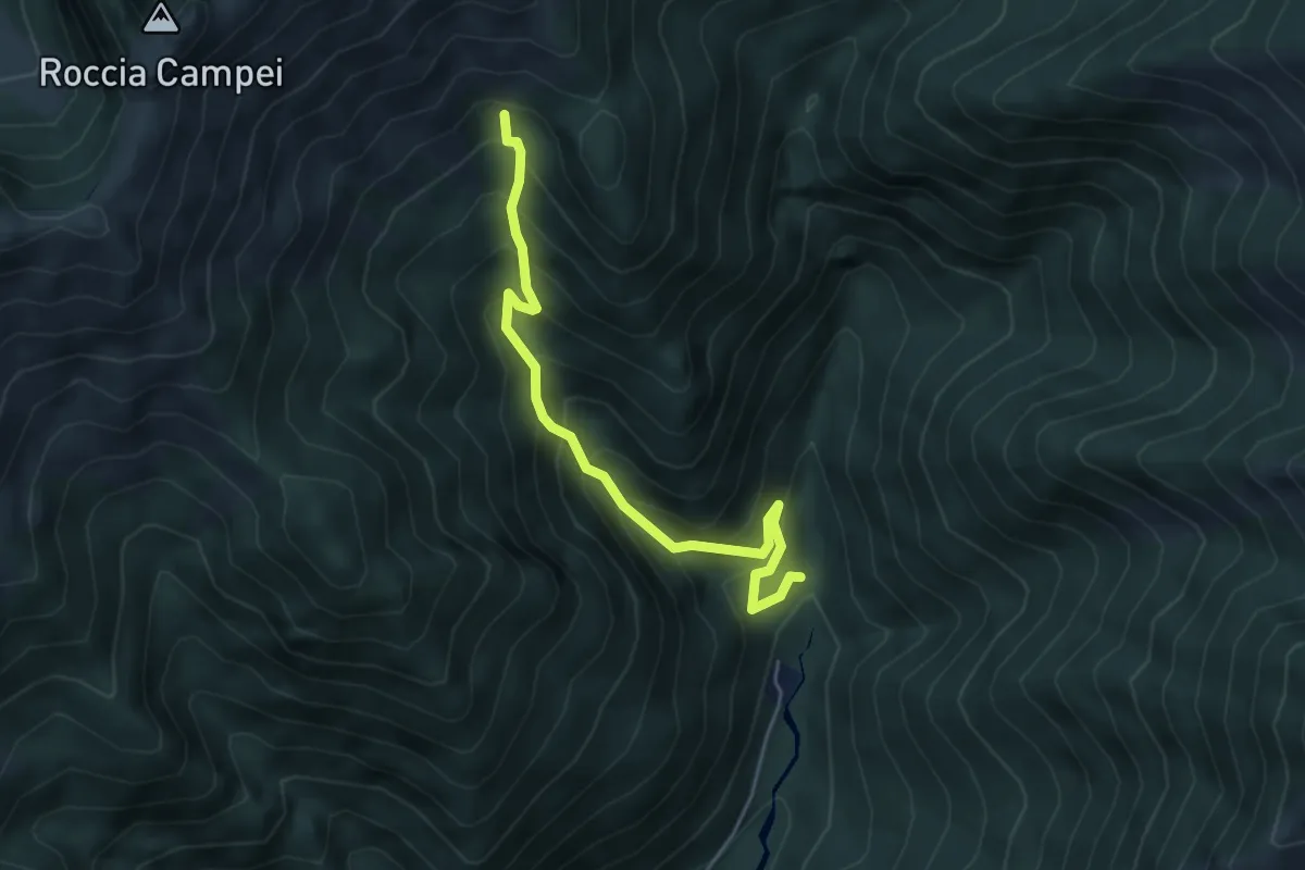
Medium · Trail
Sentér de Lomar
4.7 km · ↑ 591 m · 2 h 24 min
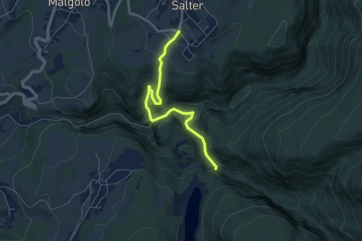
Medium · Trail
Senter de l'Ors
5.3 km · ↑ 438 m · 2 h 11 min
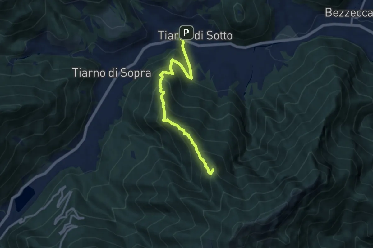
Medium · Summit
Sentér del Pià
7.7 km · ↑ 664 m · 3 h 15 min
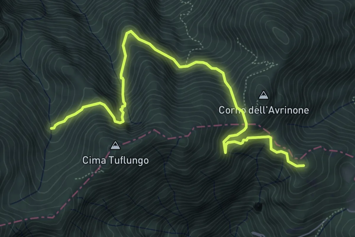
Medium · Summit
Sentér del Prà della Rosa
7.2 km · ↑ 701 m · 3 h 13 min
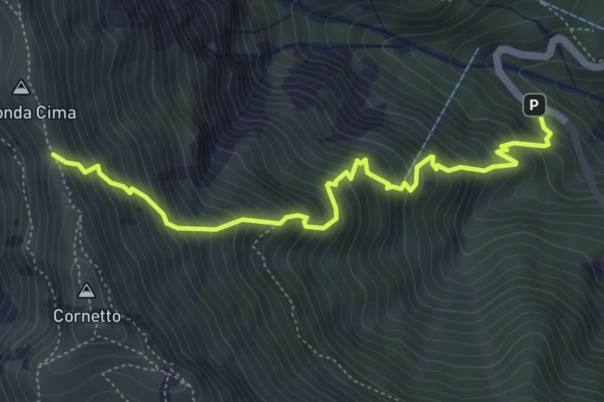
Demanding · Trail
Senter del Pralongo
5.3 km · ↑ 862 m · 3 h 8 min
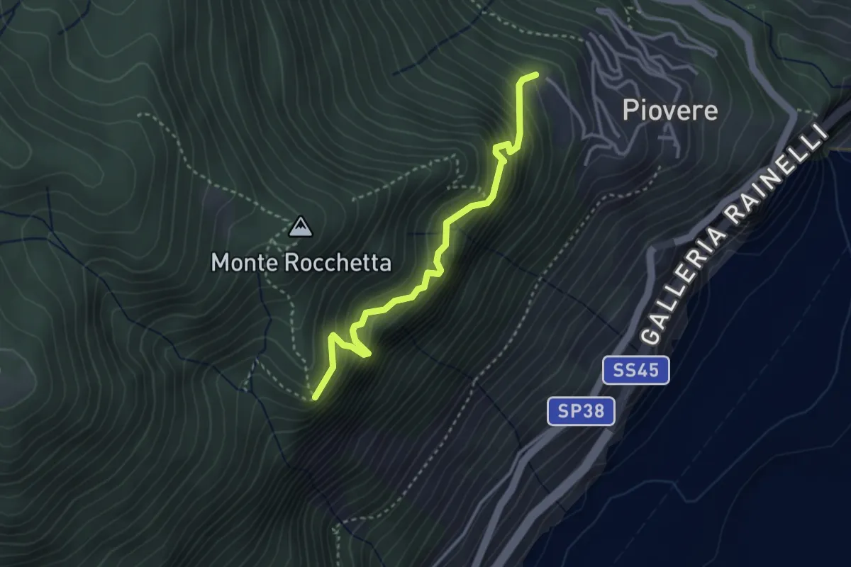
Medium · Trail
Senter del Tampa
3.1 km · ↑ 388 m · 1 h 35 min
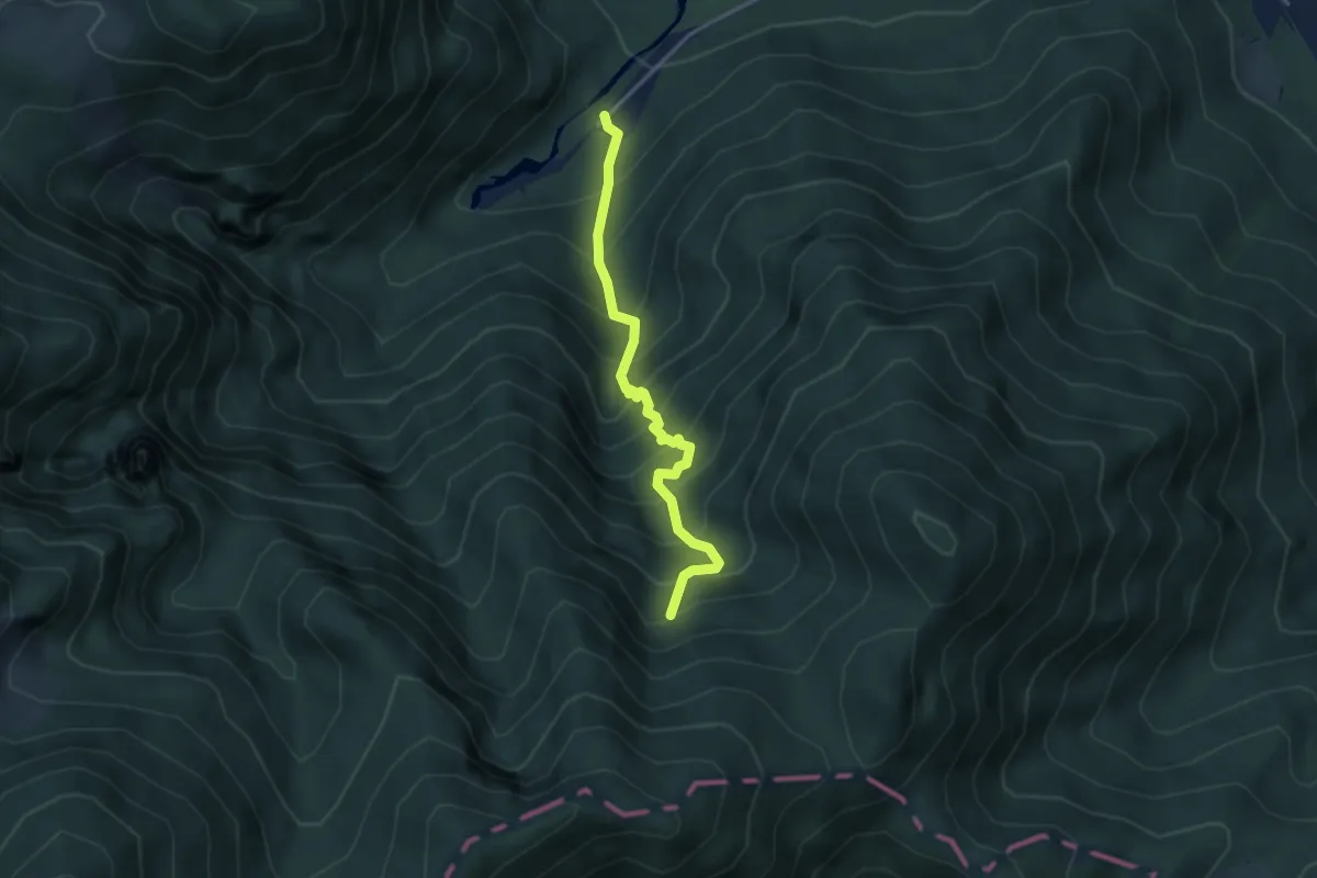
Medium · Trail
Sentér de Malga Cor
3.5 km · ↑ 560 m · 2 h 2 min
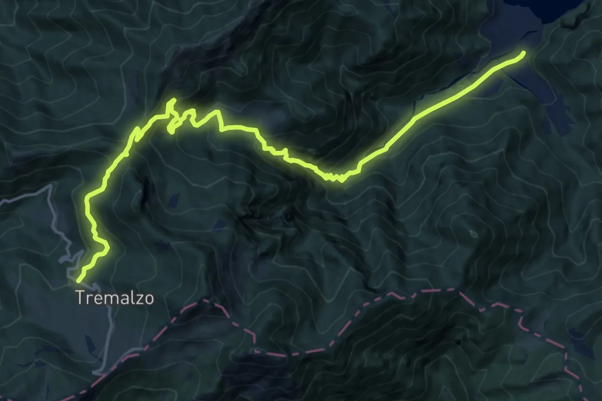
Demanding · Cabin
Senter de Malga Giù
17.9 km · ↑ 1206 m · 6 h 51 min
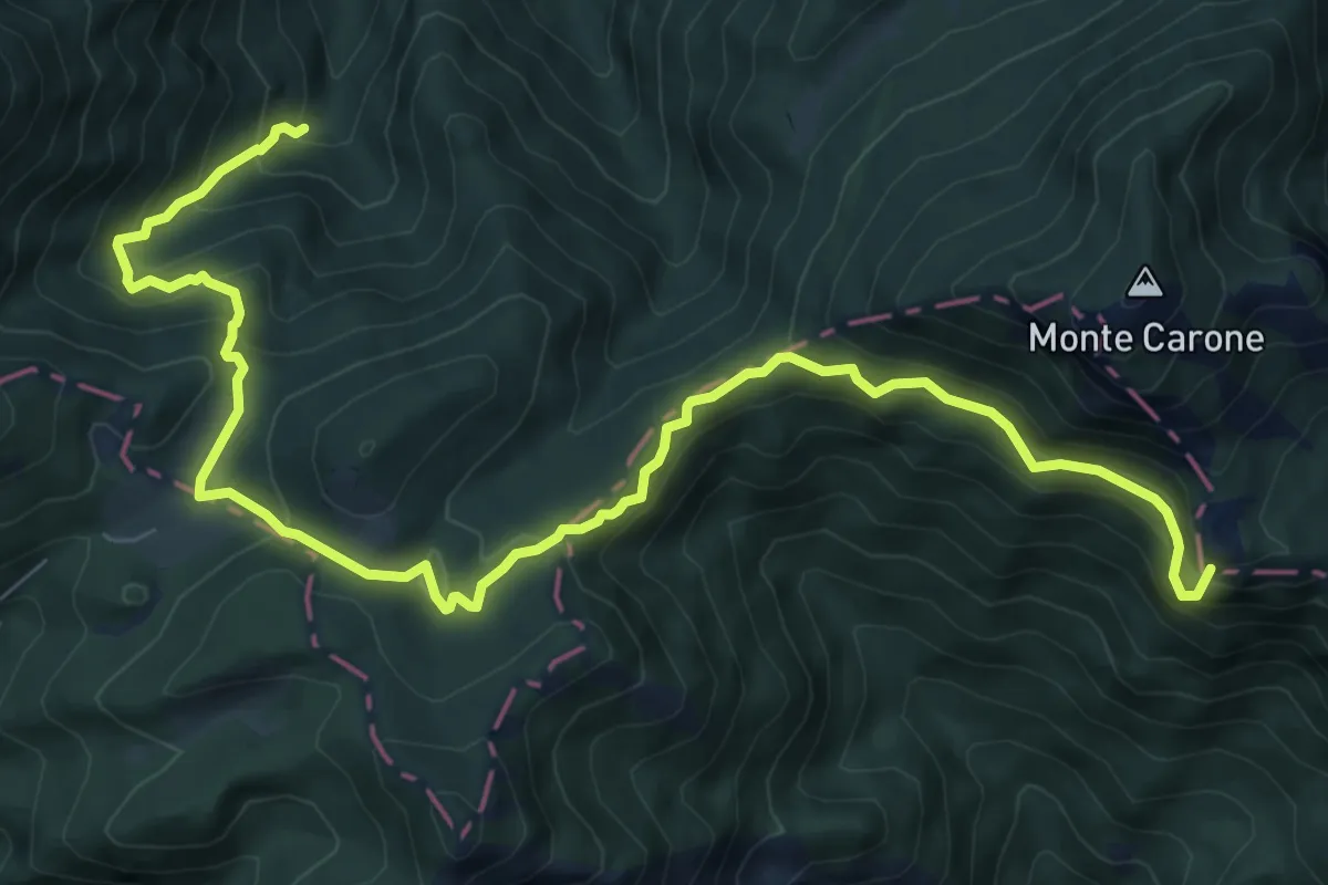
Demanding · Summit
Sentér de Malga Vil
10.7 km · ↑ 806 m · 4 h 17 min
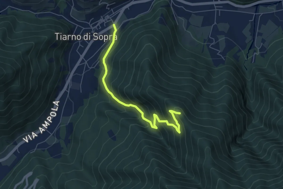
Medium · Summit
Sentér de Masoliv
5.8 km · ↑ 537 m · 2 h 32 min
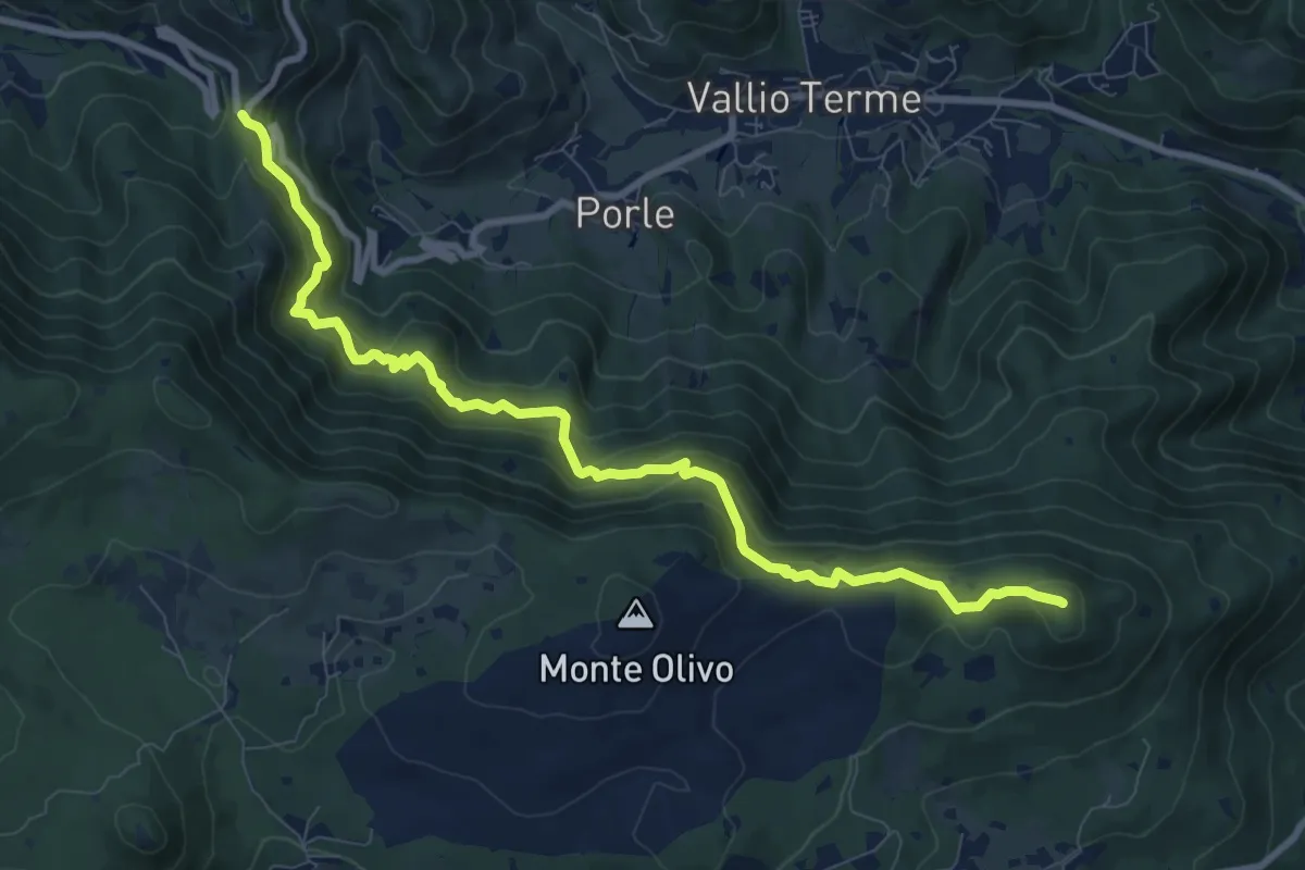
Medium · Summit
Sentér de mès
10.1 km · ↑ 629 m · 3 h 45 min
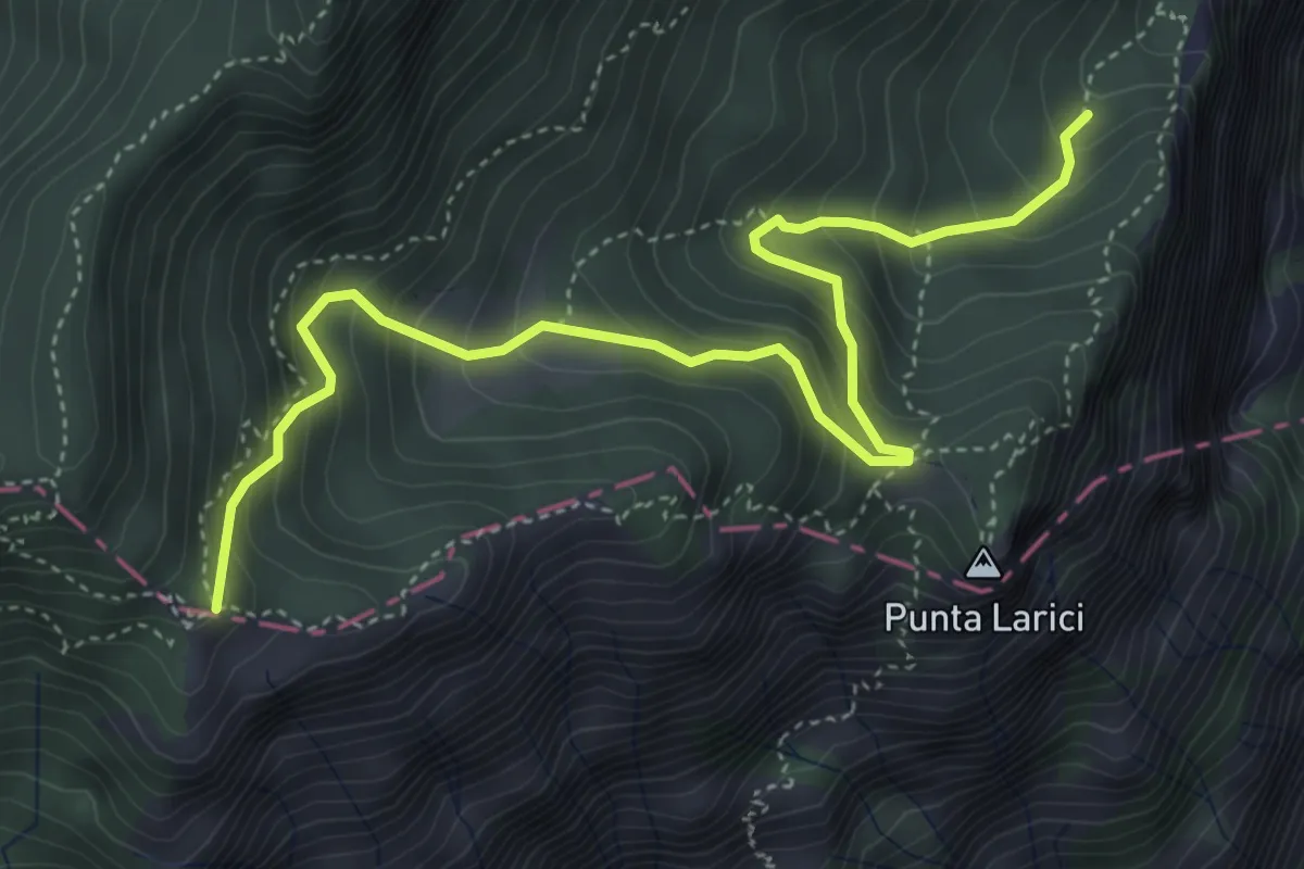
Medium · Trail
Sentér de Palaer
5.3 km · ↑ 522 m · 2 h 22 min
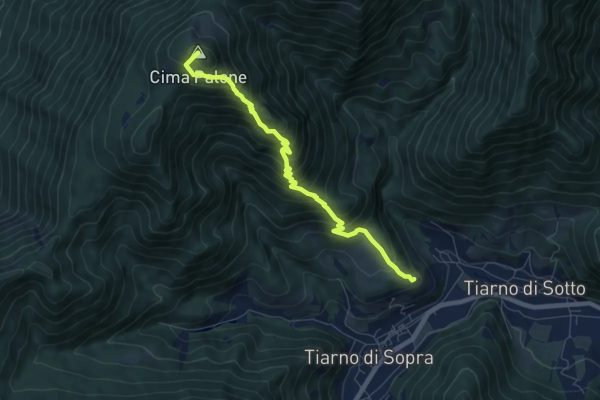
Medium · Summit
Senter de Paló
7.5 km · ↑ 771 m · 3 h 27 min
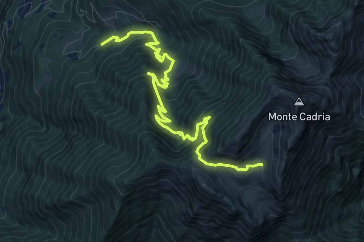
Demanding · Trail
Senter de Ringia
12.8 km · ↑ 1023 m · 5 h 14 min
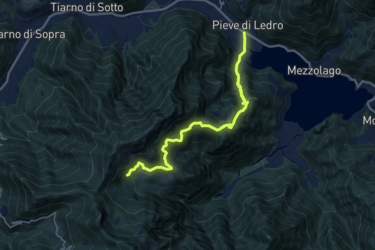
Demanding · Trail
Sentér de San Martin
13.1 km · ↑ 1245 m · 5 h 47 min
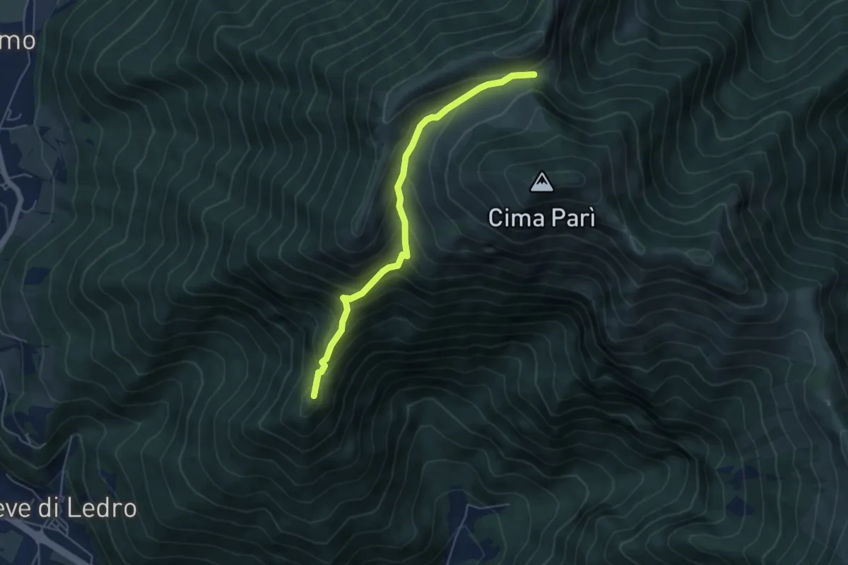
Medium · Summit
Sentér de Saval
5.0 km · ↑ 437 m · 2 h 7 min
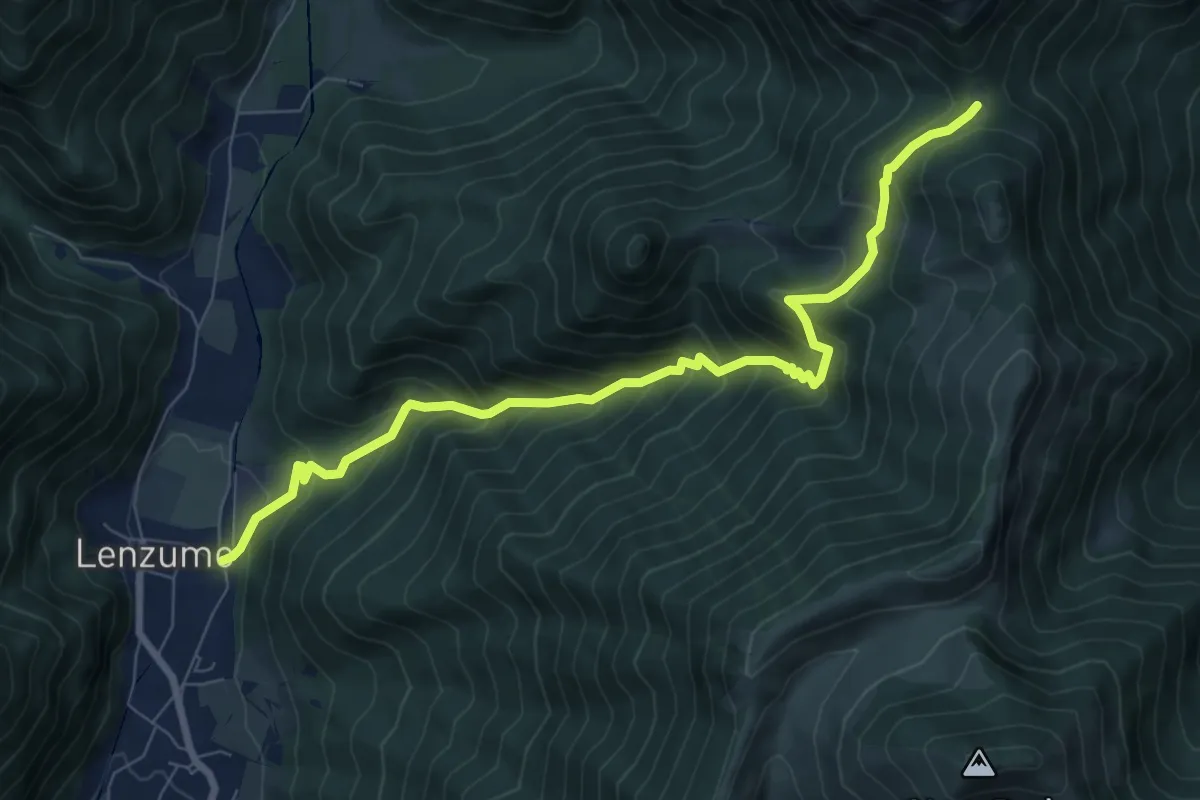
Demanding · Trail
Sentér de Val da Vai
8.6 km · ↑ 802 m · 3 h 46 min
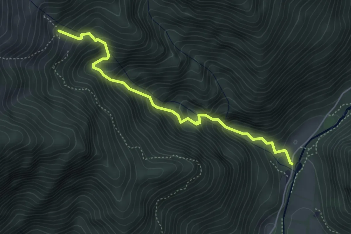
Medium · Trail
Sentér de Vesì
4.7 km · ↑ 600 m · 2 h 25 min
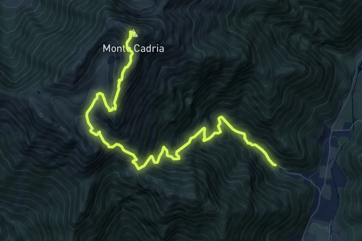
Demanding · Summit
Senter de Vies
12.4 km · ↑ 1276 m · 5 h 42 min
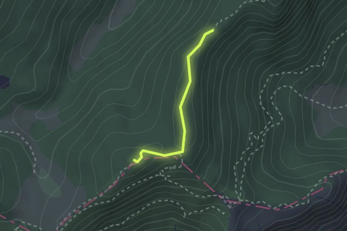
Medium · Summit
Sentér di Cima Nara
1.6 km · ↑ 47 m · 28 min
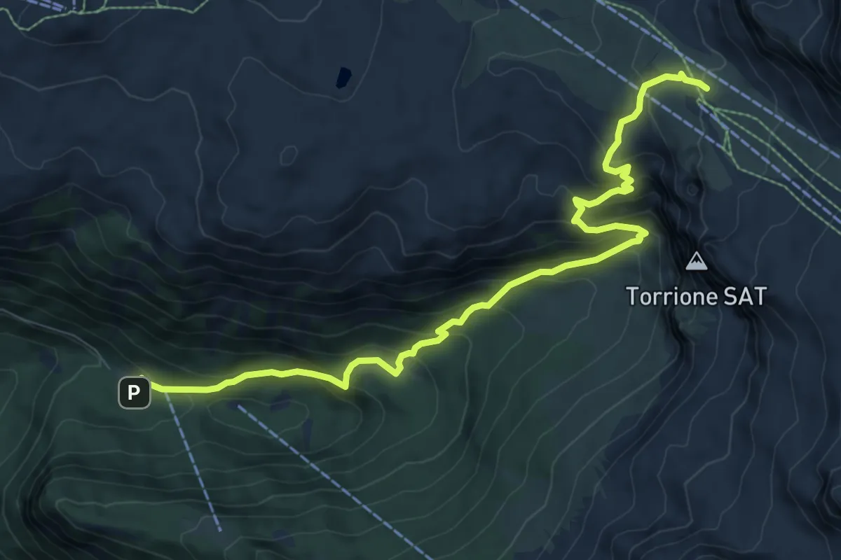
Medium · Cabin
Sentero della Corna Rosa
10.1 km · ↑ 724 m · 3 h 57 min
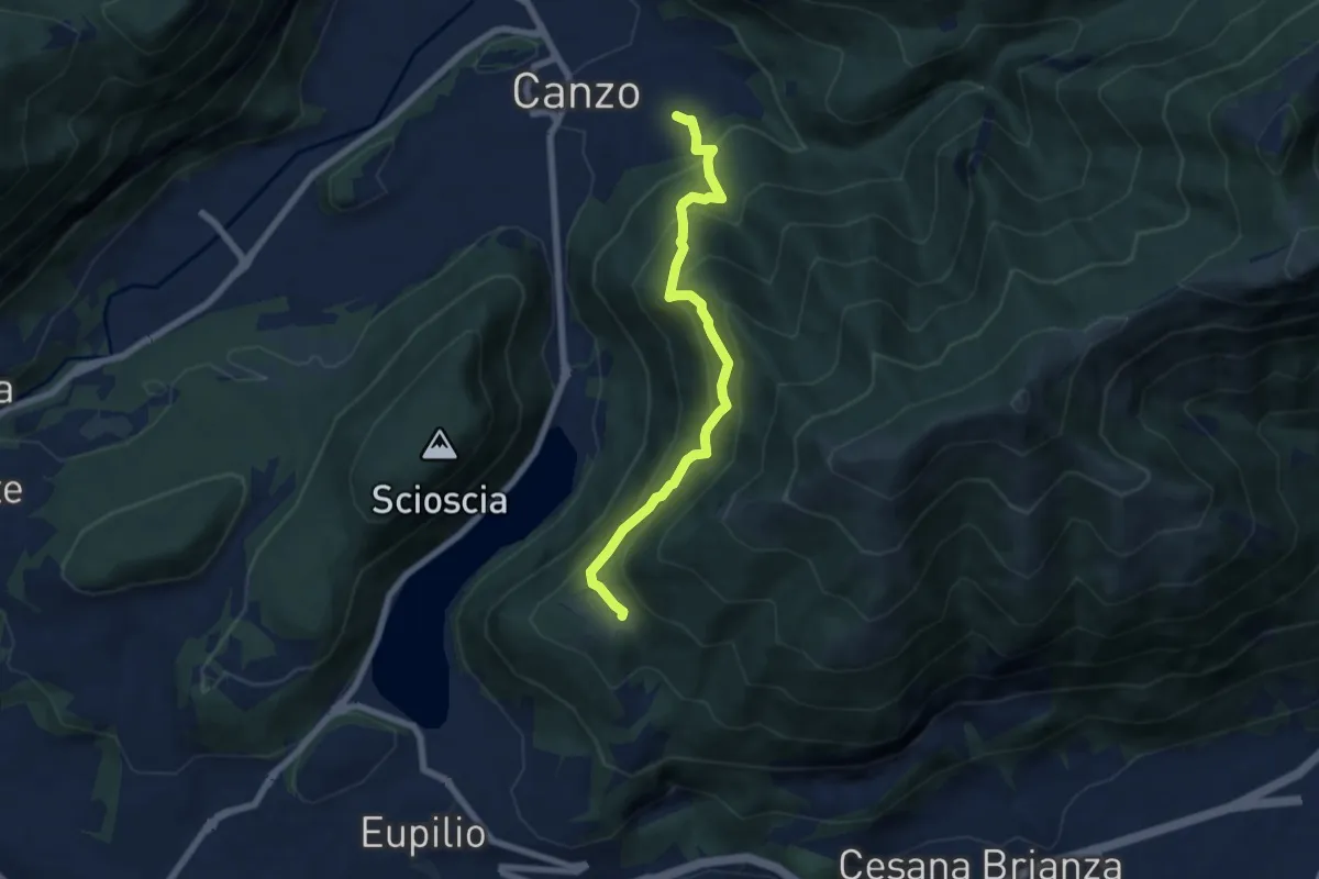
Medium · Trail
Senterun
6.7 km · ↑ 648 m · 2 h 59 min
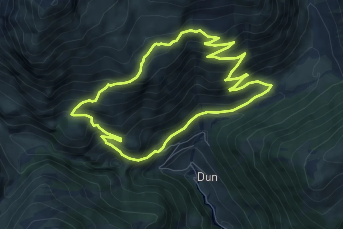
Medium · Trail
Sente Rundweg
6.3 km · ↑ 558 m · 2 h 47 min
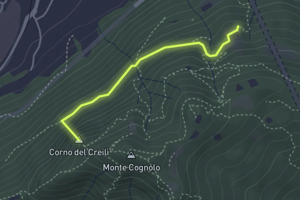
Easy · Summit
Senterù - Sentiero delle Terre Rosse
2.9 km · ↑ 284 m · 1 h 18 min
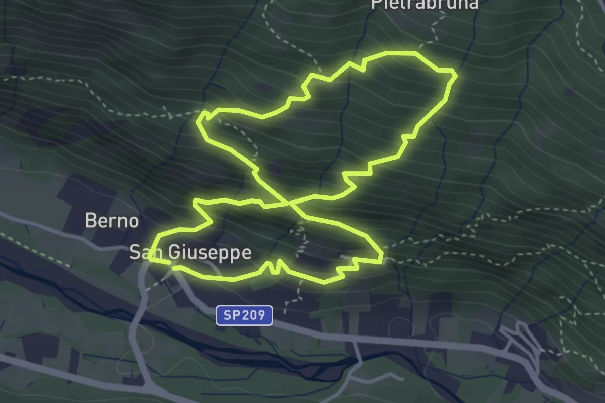
Medium · Trail
Sentier8
3.7 km · ↑ 443 m · 1 h 53 min
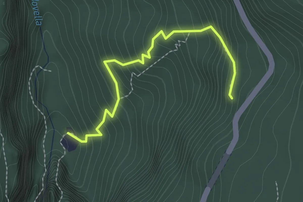
Medium · Trail
Sentier dal Verm
2.3 km · ↑ 237 m · 1 h 4 min
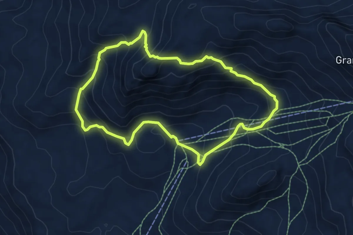
Demanding · Summit
Sentier de l'Abbé Gorret
6.0 km · ↑ 493 m · 2 h 34 min
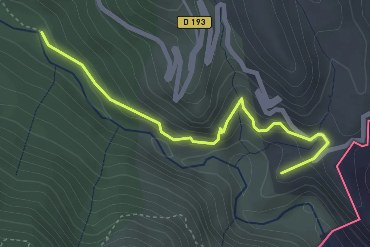
Medium · Summit
Sentier des Huit Vallées
3.5 km · ↑ 330 m · 1 h 33 min
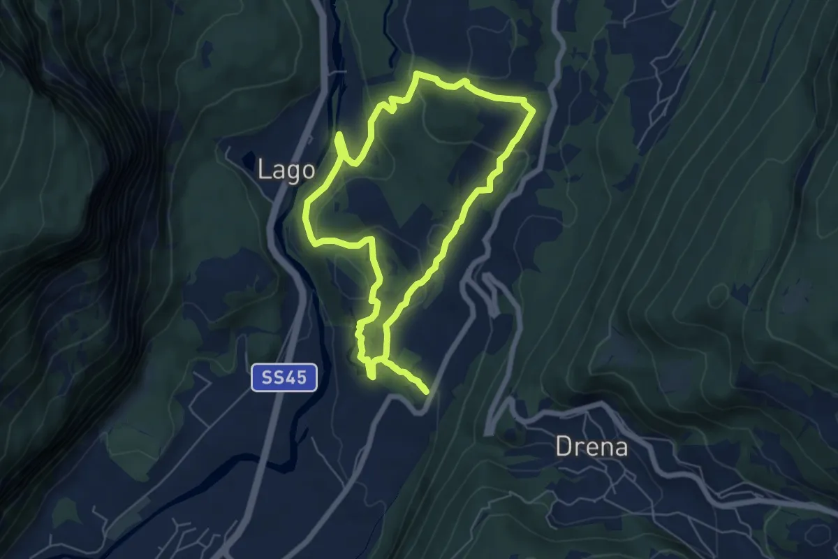
Medium · Trail
Sentiere delle Marocche
5.6 km · ↑ 188 m · 1 h 49 min
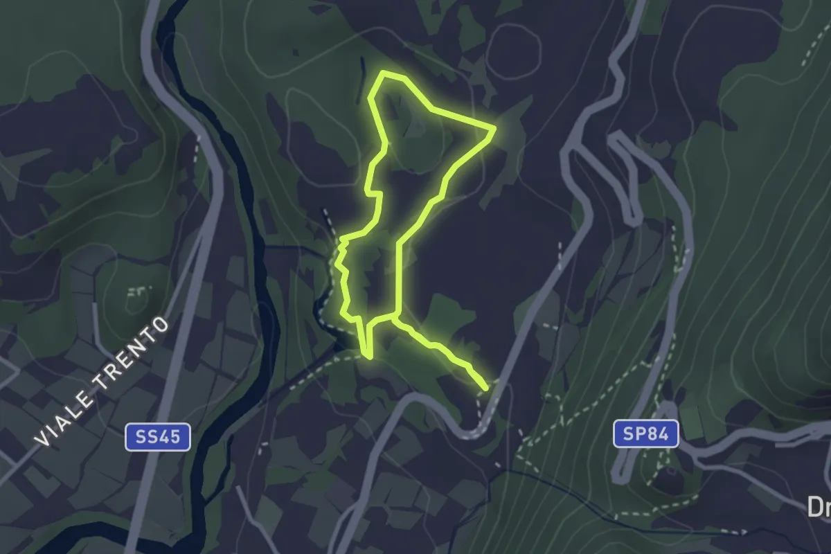
Easy · Trail
Sentiere delle Marocche corto
2.4 km · ↑ 60 m · 44 min
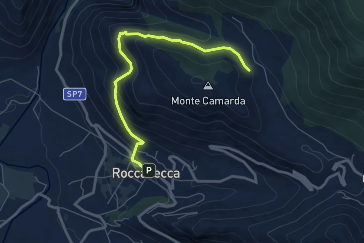
Medium · Trail
Sentieri del Brigante - SB1
6.1 km · ↑ 390 m · 2 h 17 min
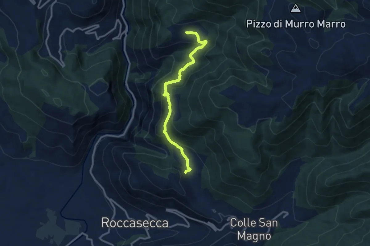
Medium · Trail
Sentieri del Brigante - SB7
8.1 km · ↑ 482 m · 2 h 57 min
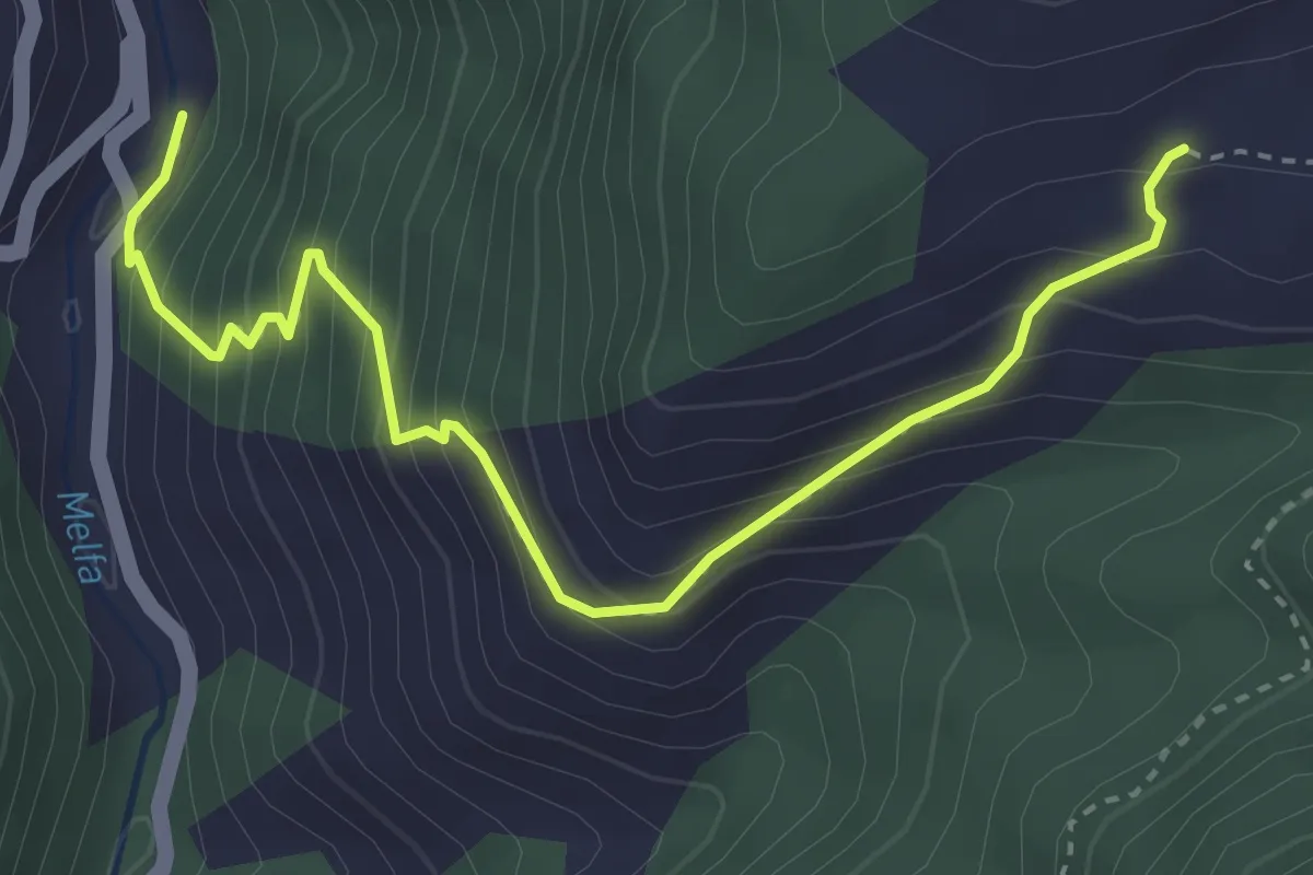
Medium · Trail
Sentieri del Brigante - SB8
4.1 km · ↑ 434 m · 1 h 55 min
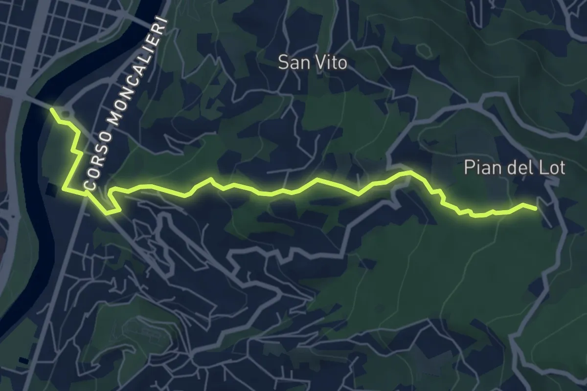
Medium · Trail
Sentieri della Collina Torinese 14
7.0 km · ↑ 335 m · 2 h 22 min
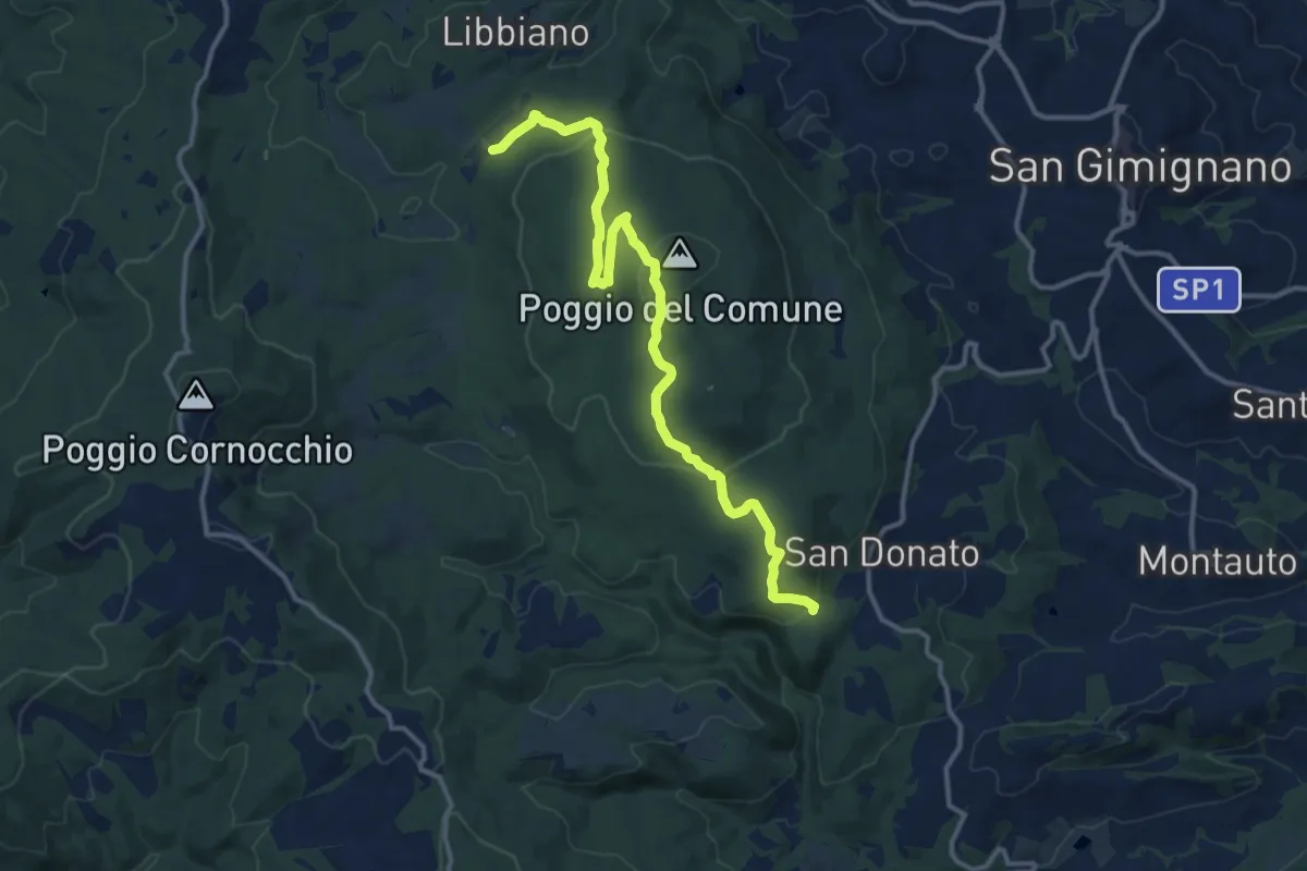
Medium · Trail
Sentieri della Memoria
14.5 km · ↑ 462 m · 4 h 26 min
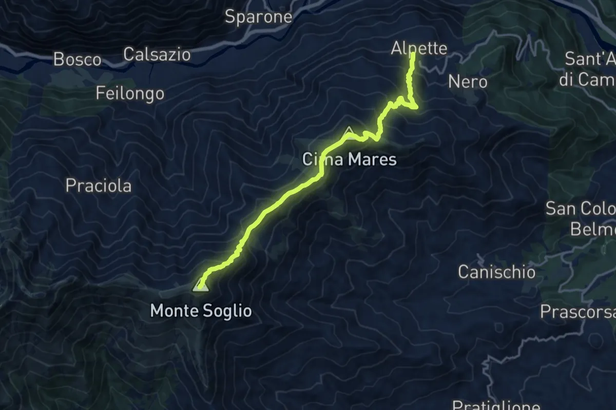
Demanding · Summit
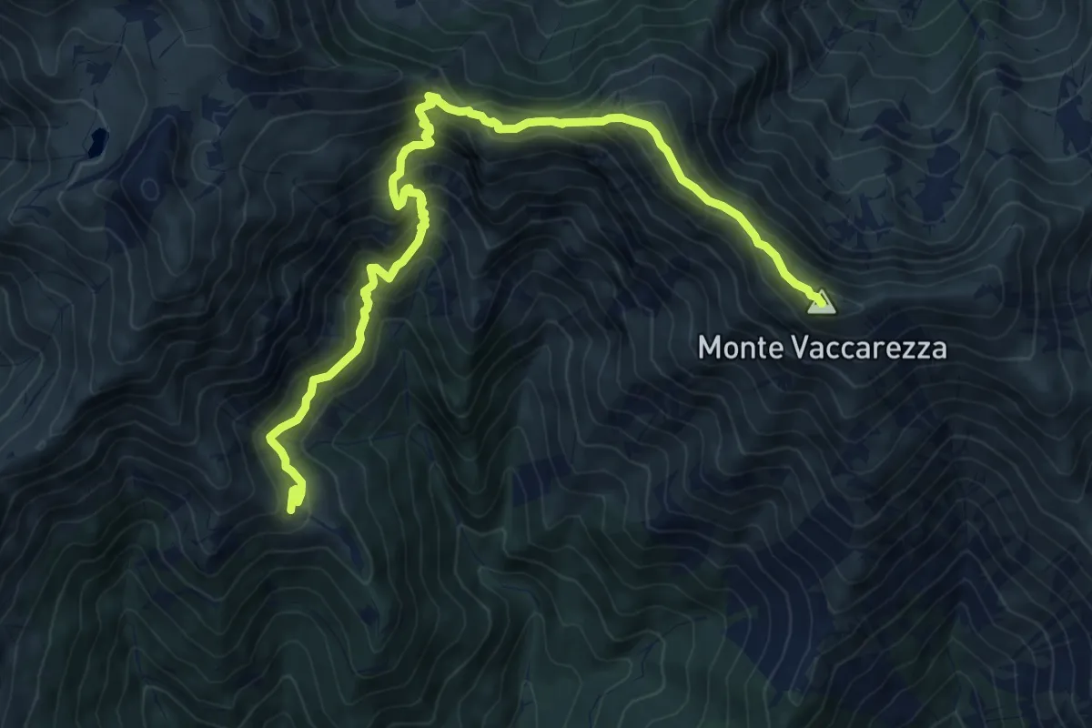
Sentieri della Resistenza - Tappa 01
14.3 km · ↑ 1246 m · 6 h 5 min
Demanding · Summit
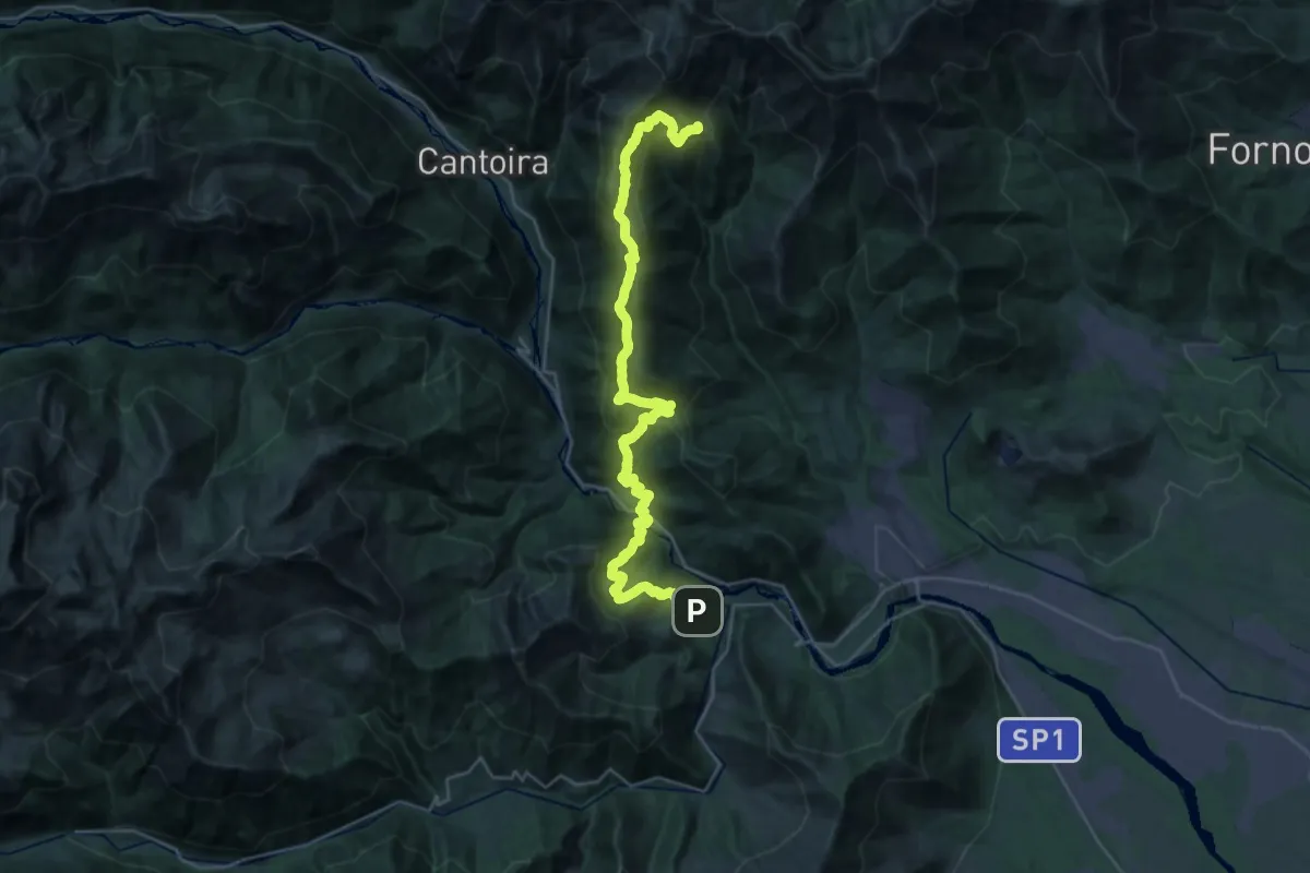
Sentieri della Resistenza - Tappa 02
10.5 km · ↑ 908 m · 4 h 27 min
Demanding · Cabin
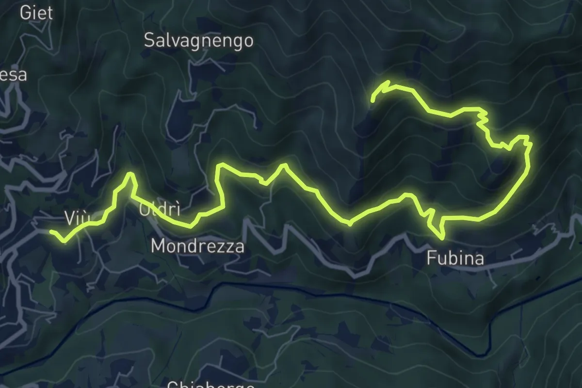
Sentieri della Resistenza - Tappa 03
16.9 km · ↑ 1625 m · 7 h 17 min
Medium · Summit
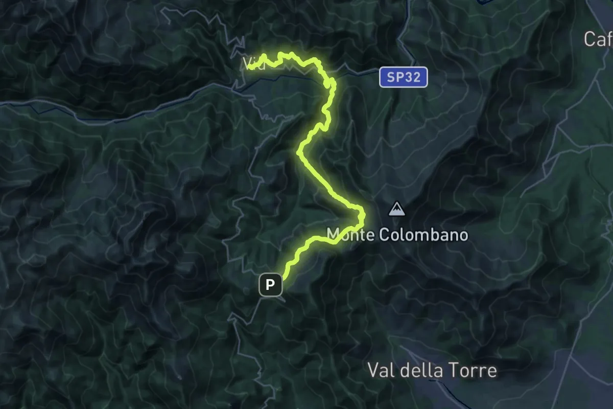
Sentieri della Resistenza - Tappa 04
11.2 km · ↑ 724 m · 4 h 13 min
Demanding · Trail
Sentieri della Resistenza - Tappa 05
15.1 km · ↑ 1055 m · 5 h 49 min