Trails in Italy
25,219 hiking trails, each with its route, climb, walking time and grade.
All trails, page 144 of 526
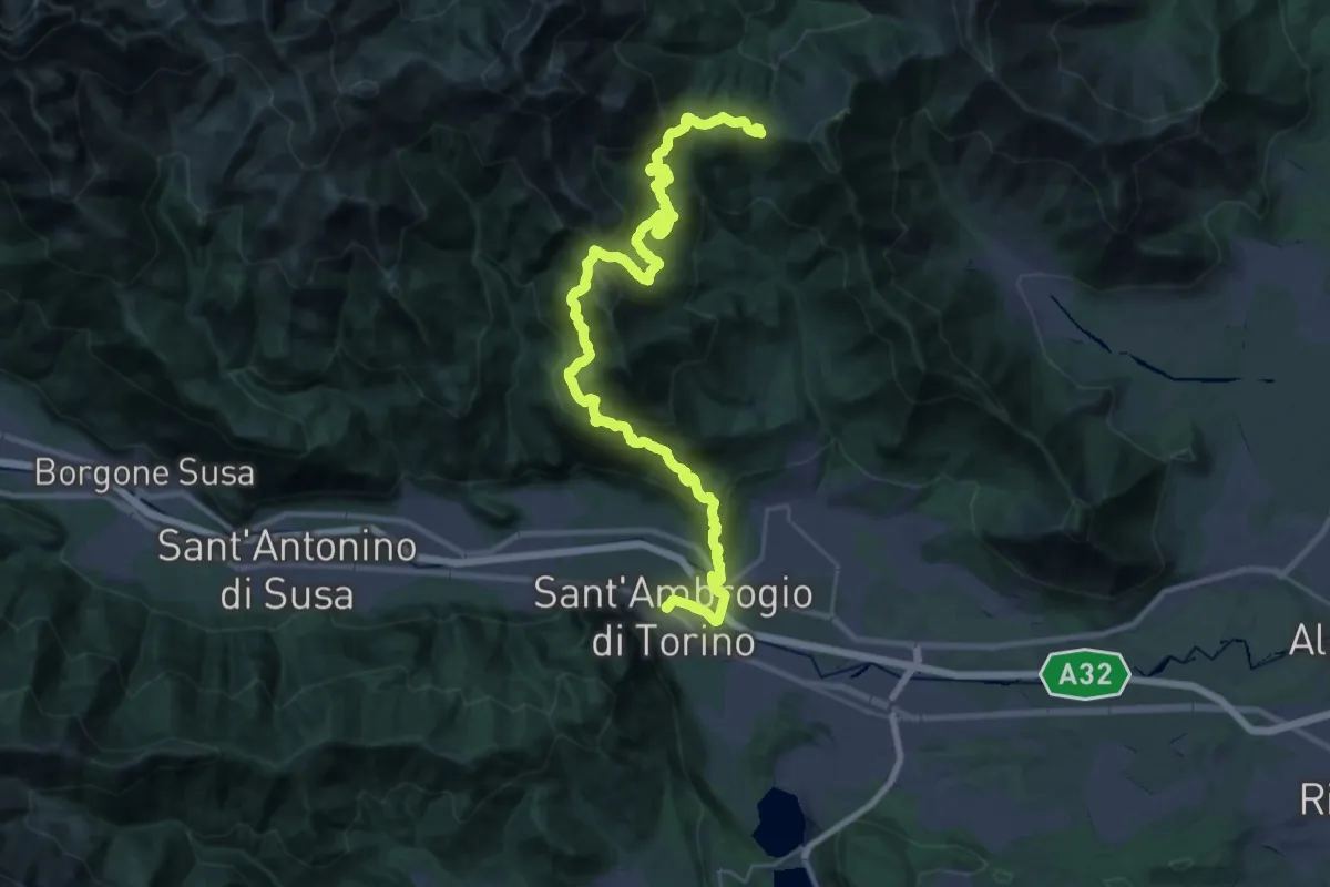
Demanding · Trail
Sentieri della Resistenza - Tappa 06
20.3 km · ↑ 1606 m · 8 h 4 min
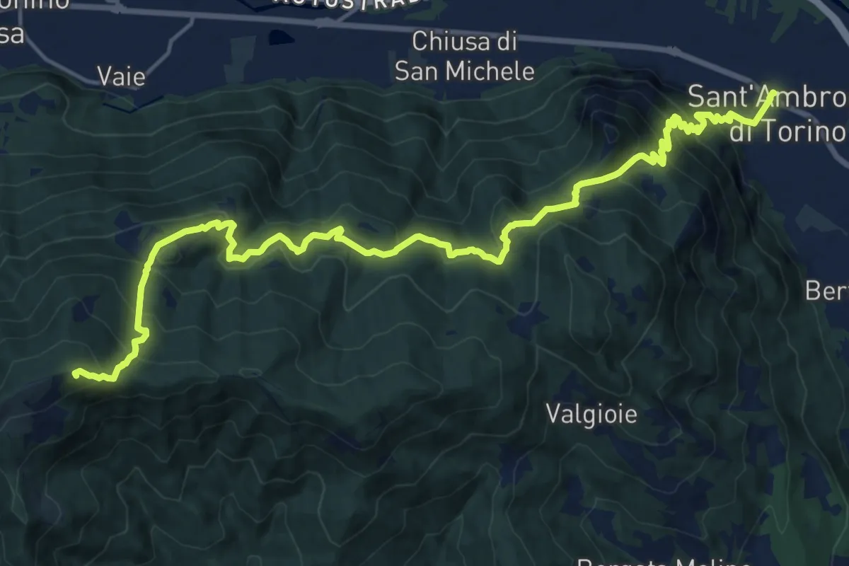
Demanding · Summit
Sentieri della Resistenza - Tappa 07
20.3 km · ↑ 1446 m · 7 h 55 min
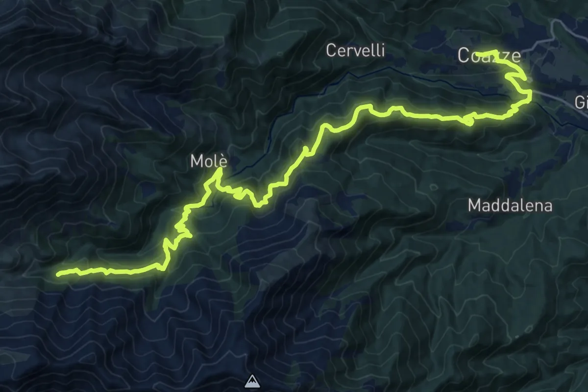
Demanding · Cabin
Sentieri della Resistenza - Tappa 08
15.6 km · ↑ 1222 m · 6 h 12 min
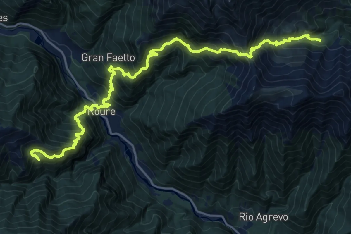
Demanding · Cabin
Sentieri della Resistenza - Tappa 09
14.5 km · ↑ 1435 m · 6 h 43 min
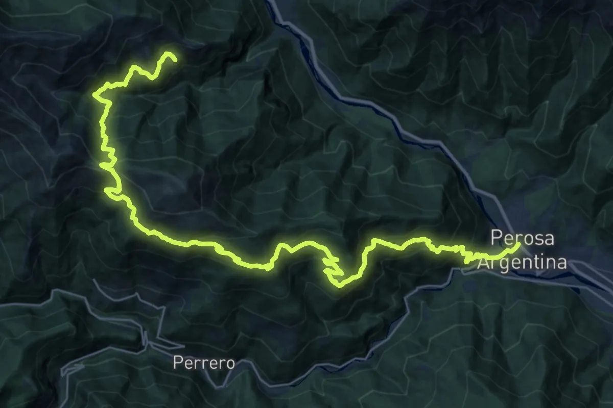
Demanding · Cabin
Sentieri della Resistenza - Tappa 10
17.9 km · ↑ 1822 m · 8 h
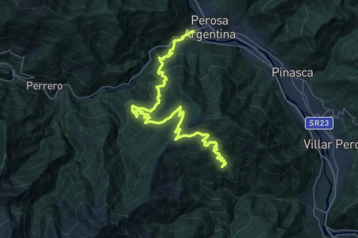
Demanding · Trail
Sentieri della Resistenza - Tappa 11
15.6 km · ↑ 1166 m · 6 h 10 min
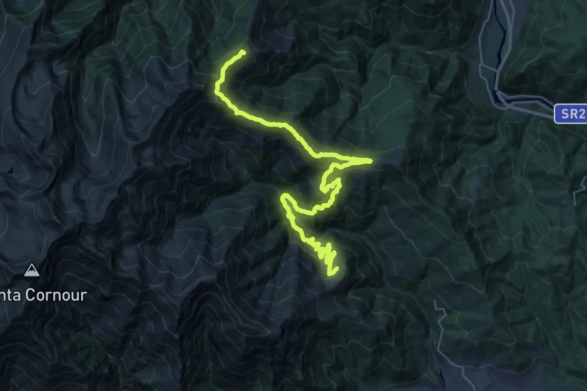
Demanding · Summit
Sentieri della Resistenza - Tappa 12
32.0 km · ↑ 2095 m · 12 h 6 min
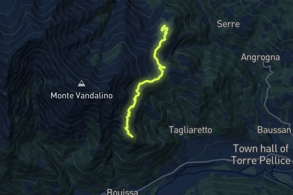
Demanding · Summit
Sentieri della Resistenza - Tappa 13
9.2 km · ↑ 674 m · 3 h 38 min
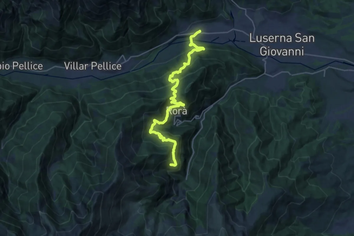
Demanding · Trail
Sentieri della Resistenza - Tappa 14
10.8 km · ↑ 953 m · 4 h 30 min
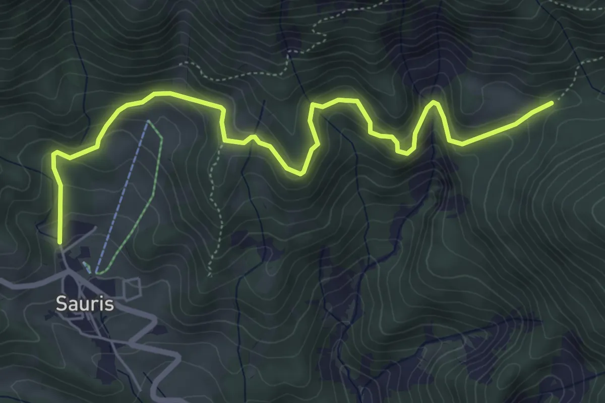
Medium · Trail
Sentieri e passeggiate a Sauris - 2A
6.5 km · ↑ 459 m · 2 h 31 min
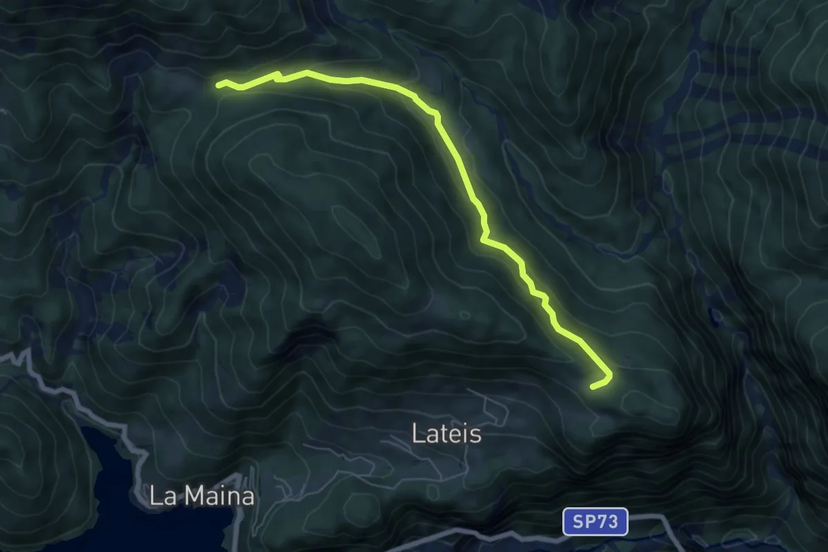
Medium · Trail
Sentieri e passeggiate a Sauris - 2B
6.4 km · ↑ 321 m · 2 h 12 min
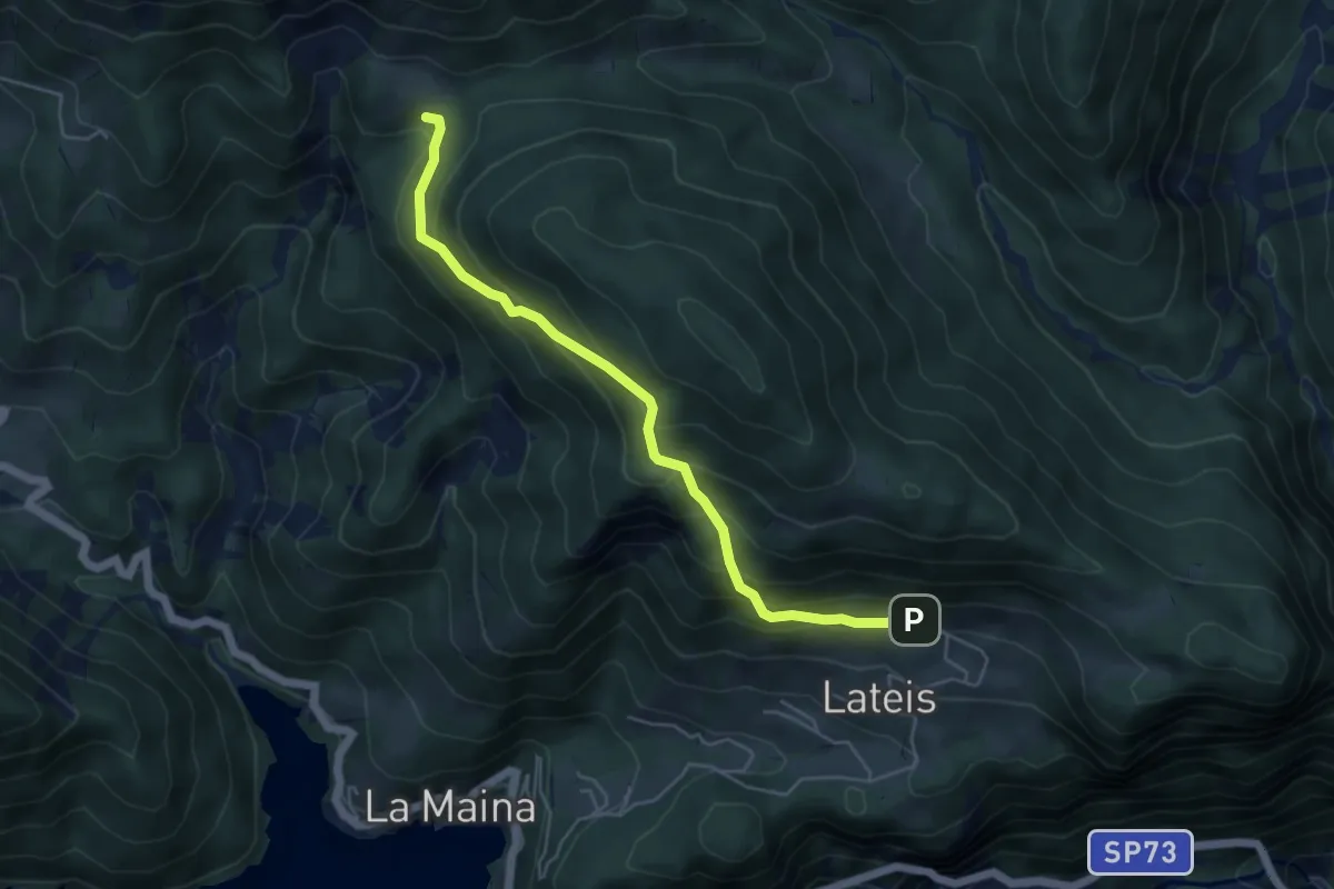
Medium · Cabin
Sentieri e passeggiate a Sauris - 2C
5.1 km · ↑ 417 m · 2 h 6 min
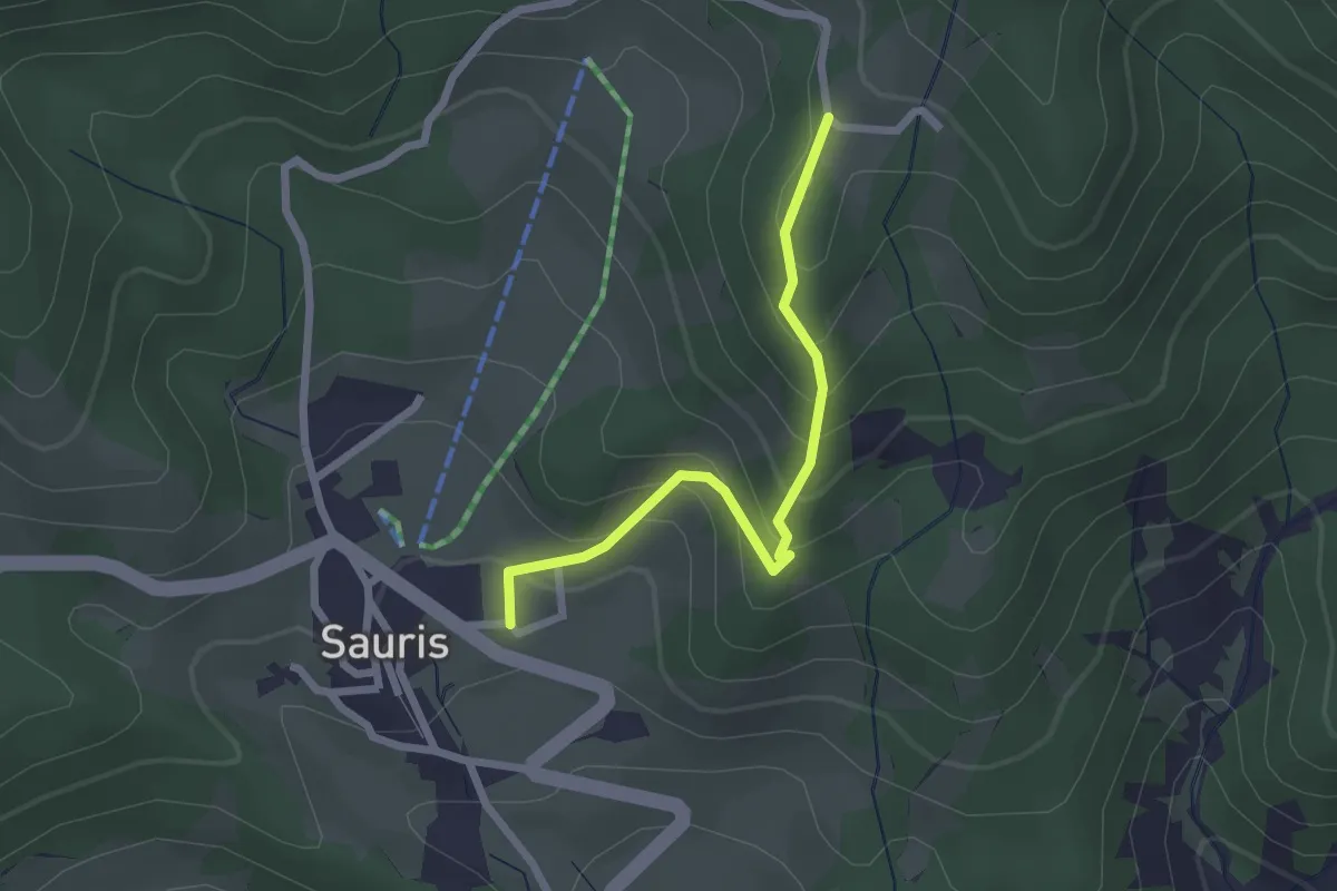
Medium · Trail
Sentieri e passeggiate a Sauris - 2H
2.2 km · ↑ 208 m · 58 min
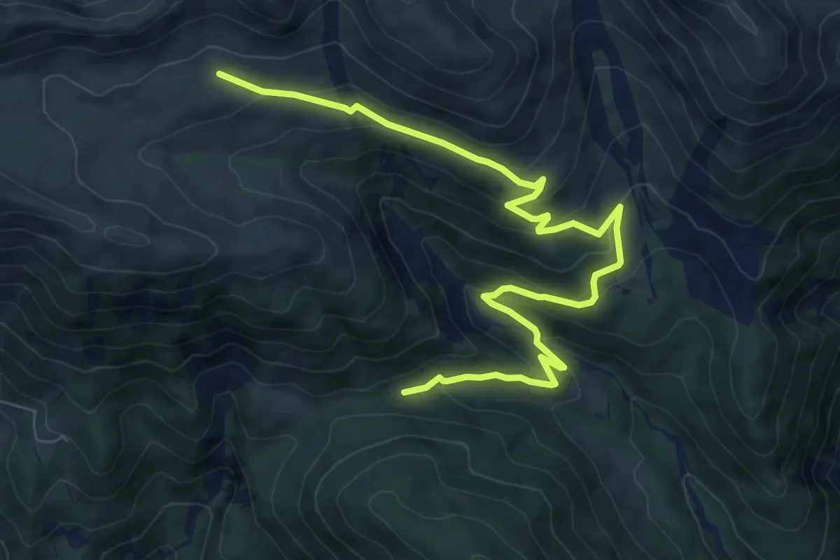
Medium · Trail
Sentieri e passeggiate a Sauris - 3A
9.5 km · ↑ 450 m · 3 h 14 min
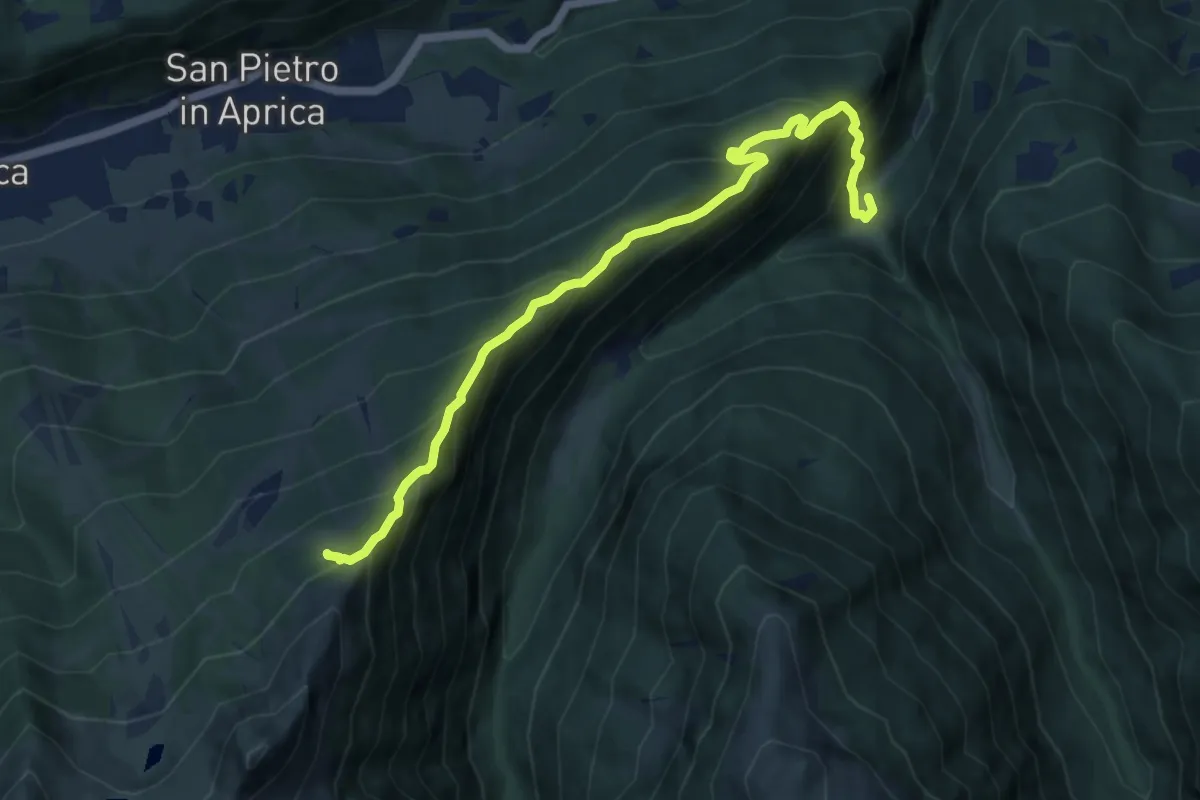
Demanding · Trail
Sentieri Frassati
9.9 km · ↑ 961 m · 4 h 25 min
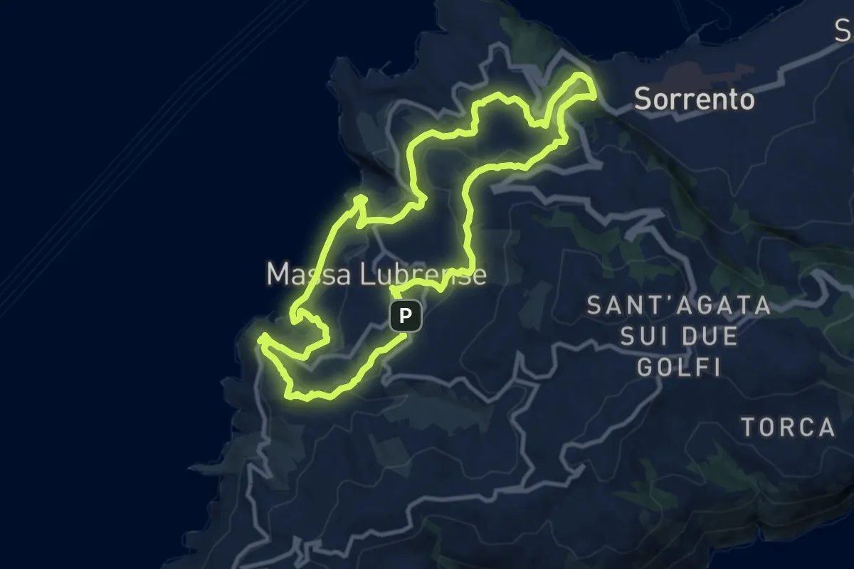
Medium · Trail
Sentieri lubrensi
12.1 km · ↑ 484 m · 4 h 5 min
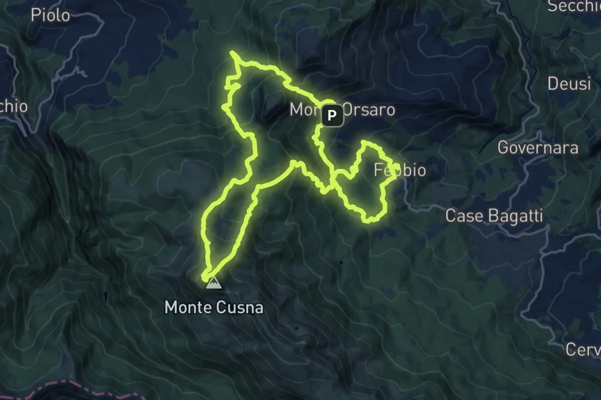
Demanding · Summit
Sentieri Partigiani 12 - sentiero degli alleati
19.4 km · ↑ 1414 m · 7 h 55 min
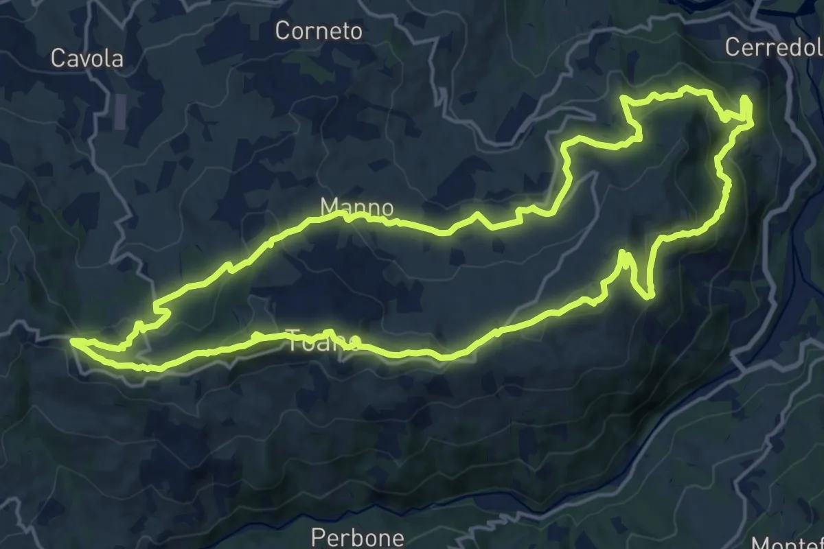
Demanding · Trail
Sentieri Partigiani 13 - sentiero della Pasqua di sangue
20.1 km · ↑ 732 m · 6 h 36 min
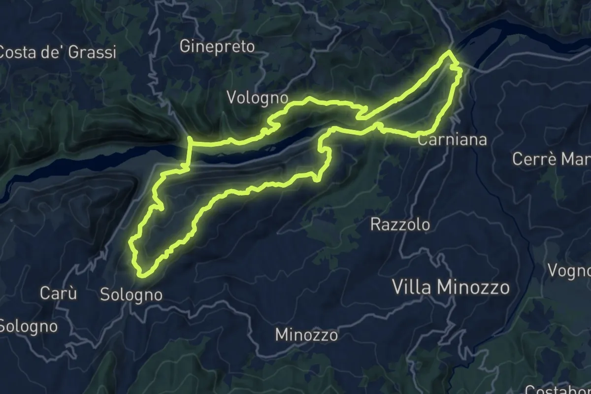
Demanding · Trail
Sentieri Partigiani 6 - sentiero di Carlo
20.0 km · ↑ 1021 m · 7 h 13 min
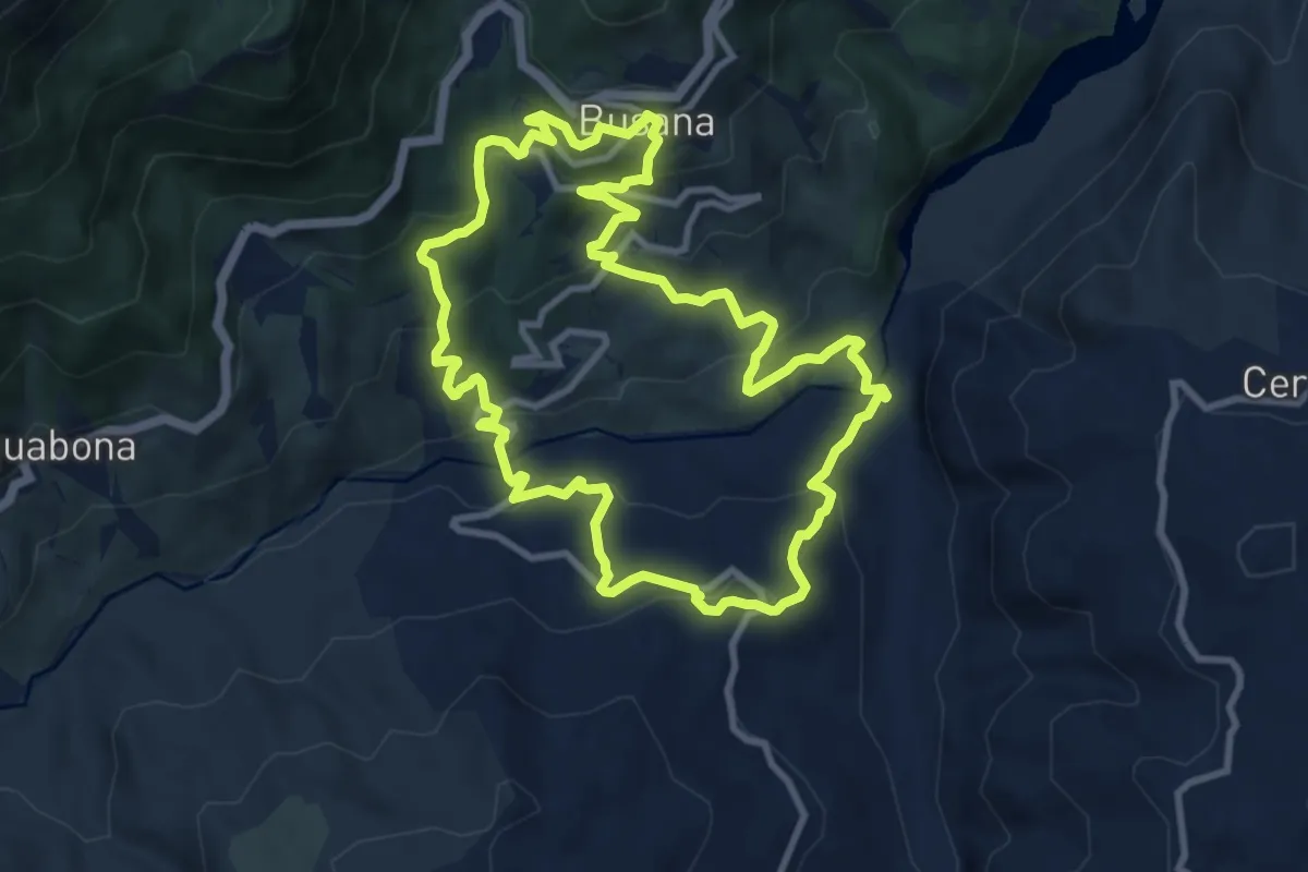
Medium · Trail
Sentieri Partigiani 8B - sentiero dei disertori (variante)
10.1 km · ↑ 488 m · 3 h 35 min
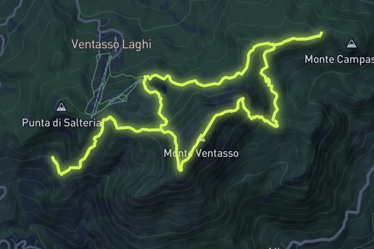
Demanding · Summit
Sentieri Partigiani 9 - sentiero dei rastrellamenti
12.4 km · ↑ 811 m · 4 h 51 min
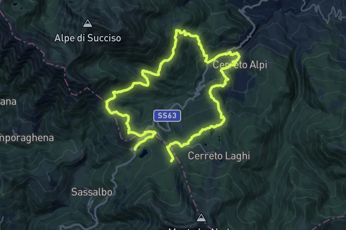
Medium · Trail
Sentieri Partigiani SP10 - sentiero del passo
16.2 km · ↑ 659 m · 5 h 32 min
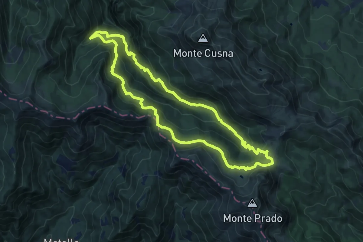
Medium · Trail
Sentieri Partigiani SP11 - sentiero del Cane Azzurro
14.8 km · ↑ 768 m · 5 h 22 min
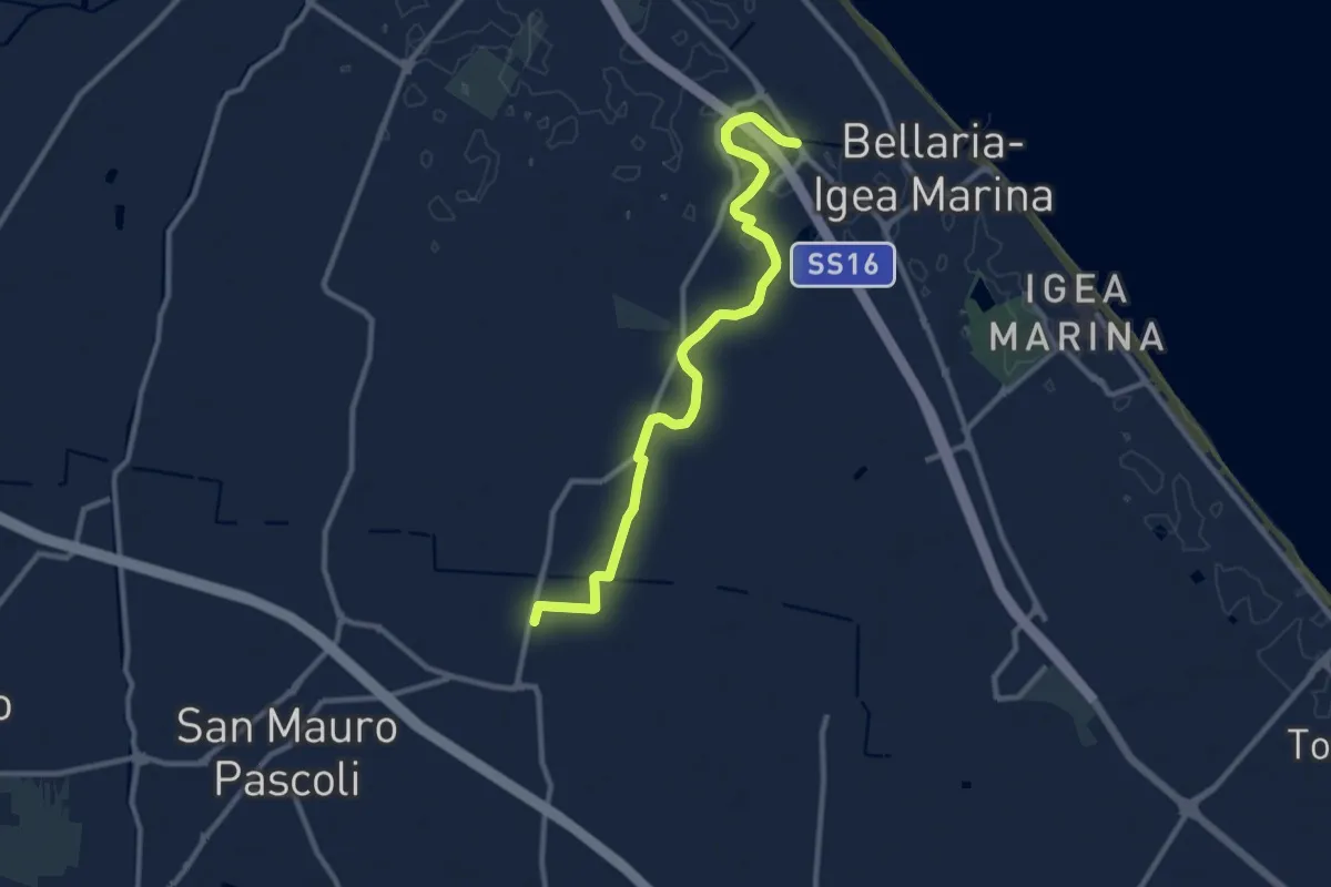
Medium · Trail
Sentieri per l'Uso
11.1 km · ↑ 8 m · 2 h 38 min
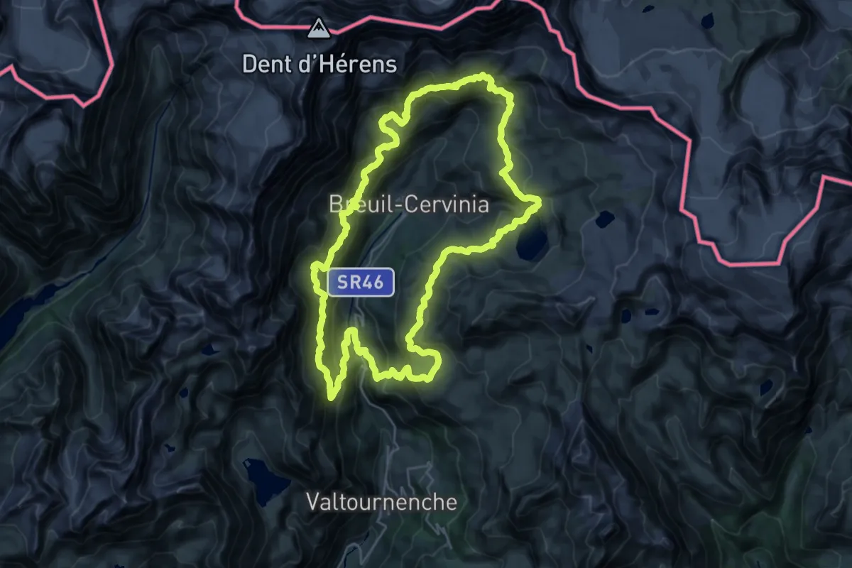
Demanding · Trail
Sentier Jean Antoine Carrel
26.8 km · ↑ 1474 m · 9 h 54 min
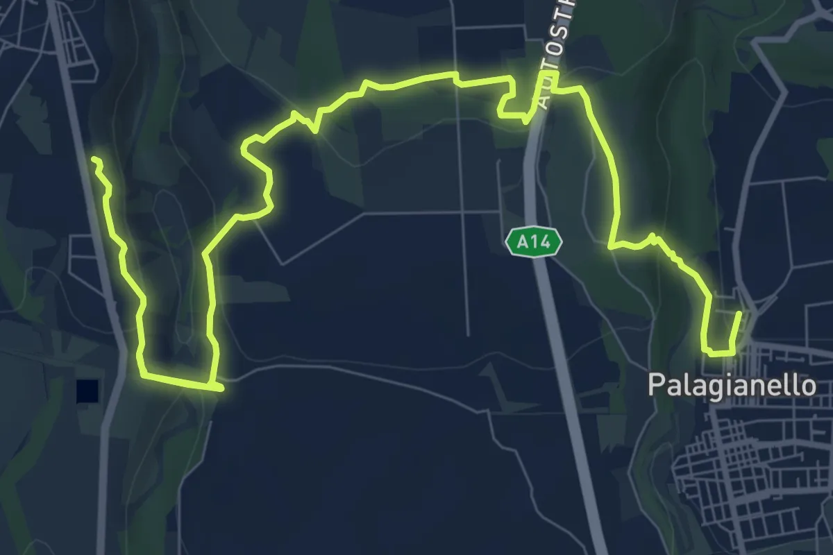
Medium · Trail
Sentiero
15.4 km · ↑ 594 m · 4 h 56 min
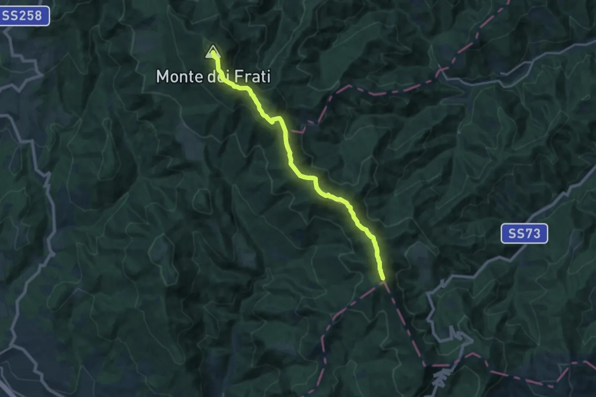
Medium · Summit
Sentiero 00
15.0 km · ↑ 753 m · 5 h 10 min
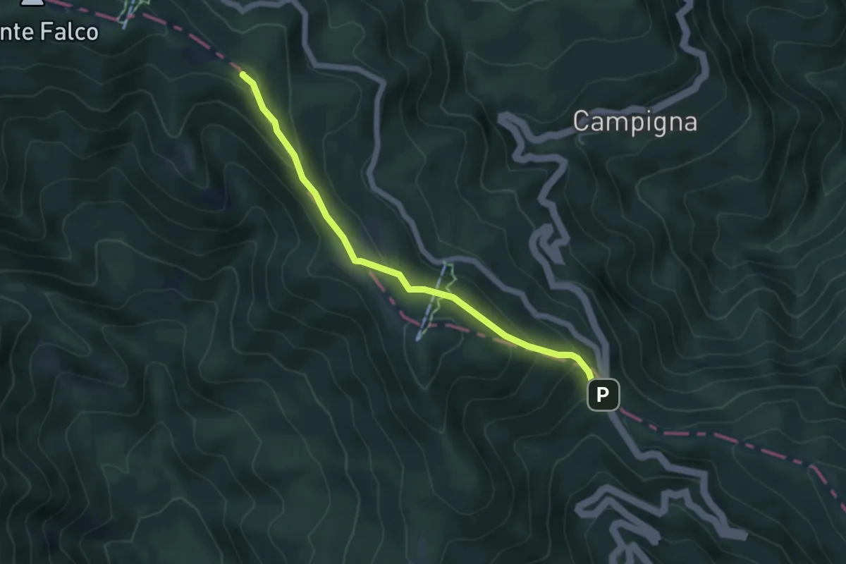
Medium · Summit
Sentiero 00 – da Monte Falco a Passo della Calla
5.1 km · ↑ 297 m · 1 h 51 min
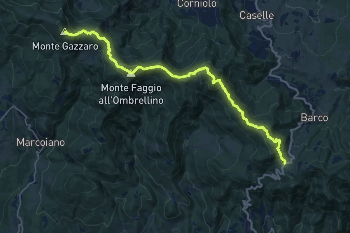
Demanding · Summit
Sentiero 0 – da Passo della Futa a Passo del Giogo
18.4 km · ↑ 898 m · 6 h 17 min
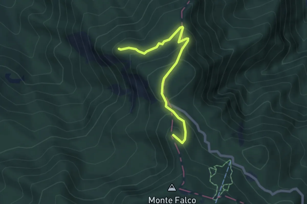
Demanding · Summit
Sentiero 0 – da Passo del Muraglione a Monte Falco
4.9 km · ↑ 287 m · 1 h 46 min
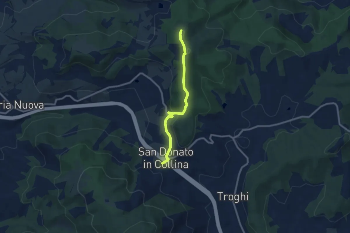
Easy · Summit
Sentiero 0 – da Poggio a Luco a San Donato in Collina
6.1 km · ↑ 172 m · 1 h 48 min
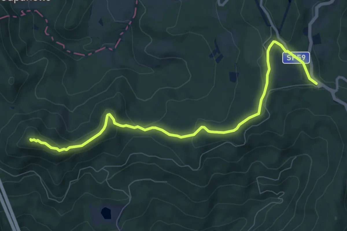
Medium · Summit
Sentiero 0 – da Valico Citerna a Passo della Futa
9.0 km · ↑ 312 m · 2 h 48 min
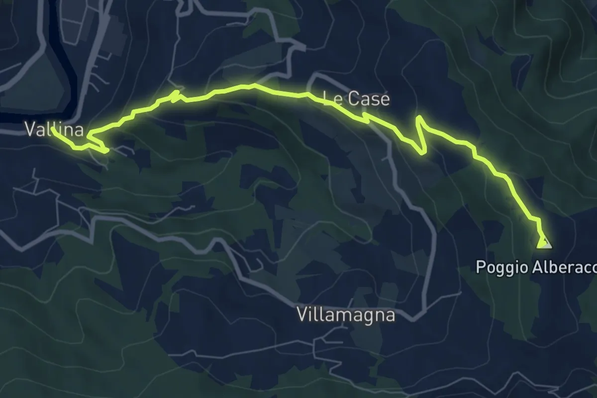
Medium · Summit
Sentiero 0–da Vallina a Poggio a Luco
8.9 km · ↑ 442 m · 3 h 4 min
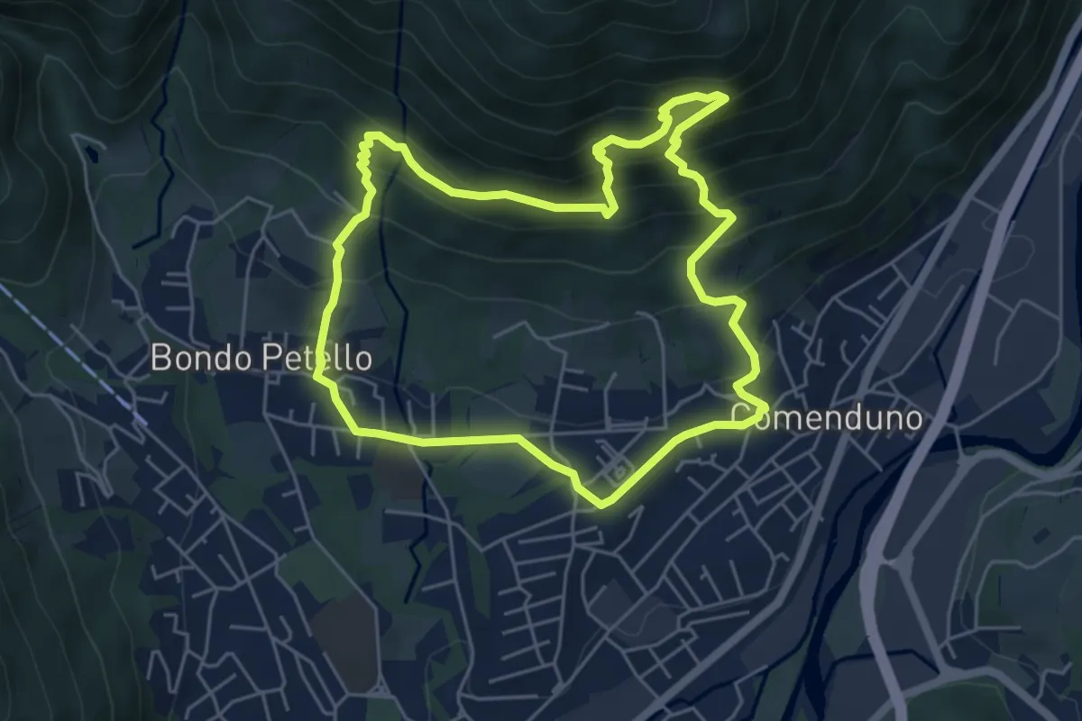
Demanding · Trail
Sentiero 1
5.2 km · ↑ 485 m · 2 h 21 min
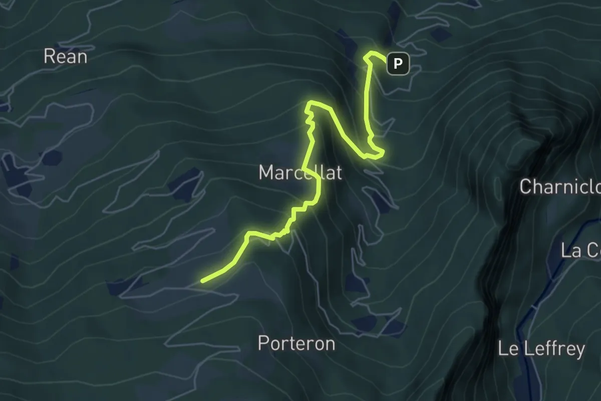
Medium · Trail
Sentiero 10A - Croix de Ban-Champremier - E
5.7 km · ↑ 562 m · 2 h 33 min
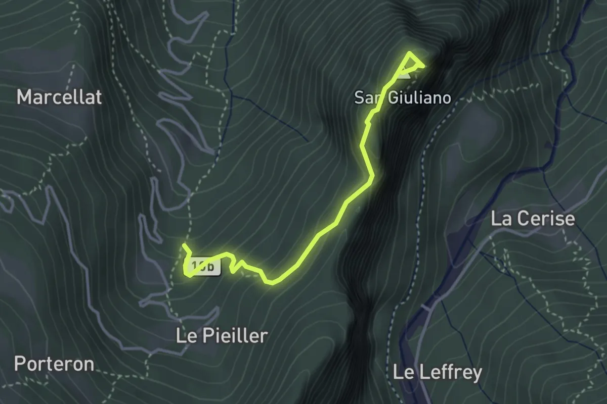
Medium · Summit
Sentiero 10B
3.3 km · ↑ 315 m · 1 h 27 min
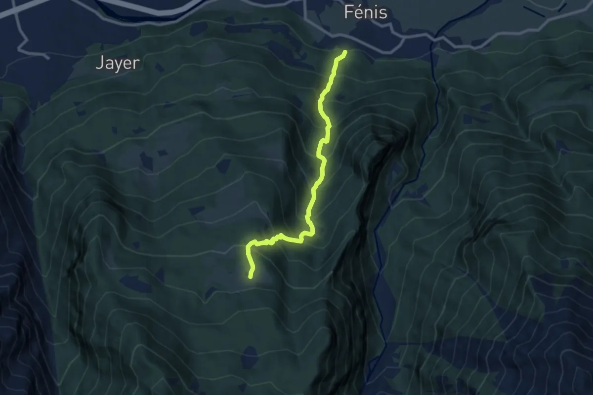
Demanding · Trail
Sentiero 10 - Perron-druges Basse - E - 2,55 ore
7.6 km · ↑ 962 m · 3 h 53 min
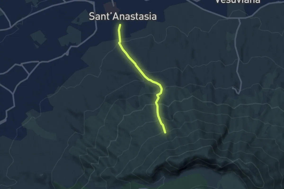
Medium · Trail
Sentiero 10: Sorgenti dell'Olivella
6.0 km · ↑ 542 m · 2 h 36 min
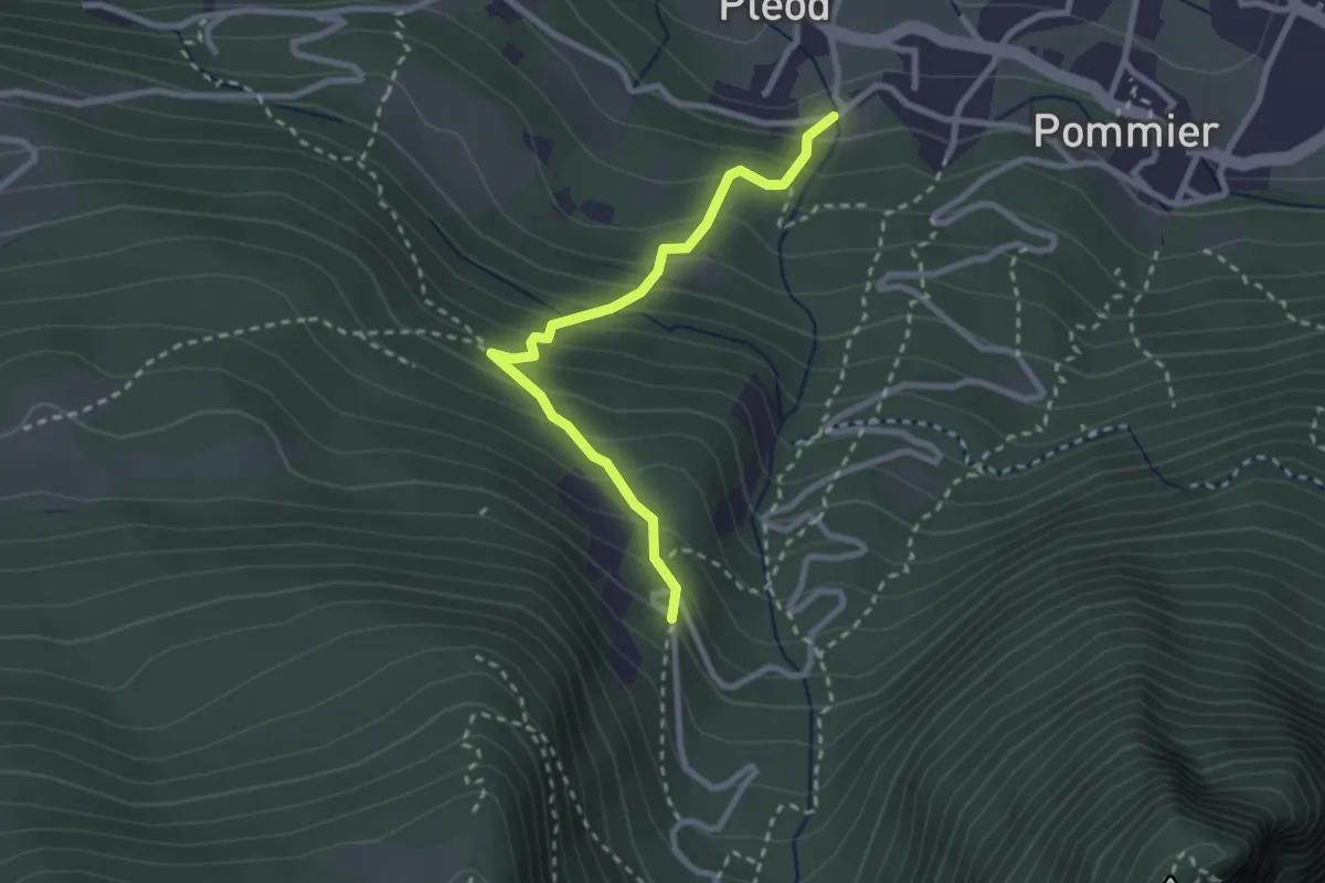
Medium · Trail
Sentiero 11A - Pleod-Croix de Ban - E
2.7 km · ↑ 307 m · 1 h 17 min
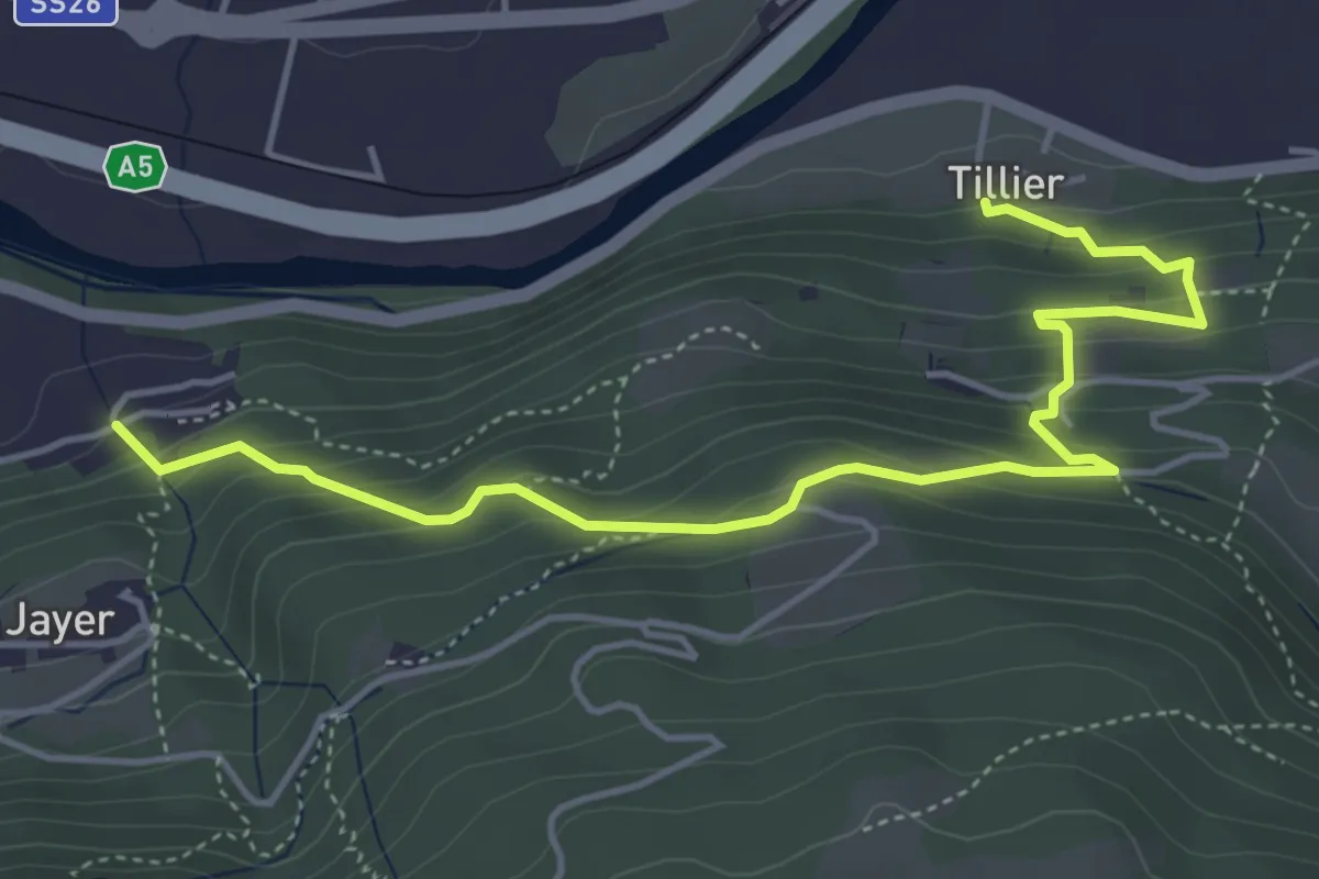
Medium · Trail
Sentiero 11D - Tillier-Valmeanaz (alto) - E - 1,13 ore
5.3 km · ↑ 405 m · 2 h 8 min
Medium · Trail
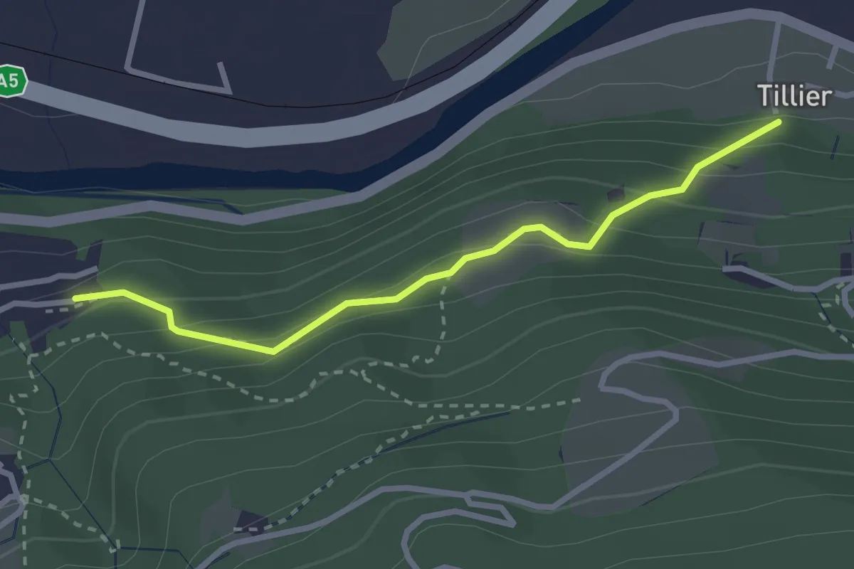
Sentiero 11E - Tillier-Valmeanaz (basso) - E - 0,50 ore
2.6 km · ↑ 203 m · 1 h 4 min
Easy · Trail
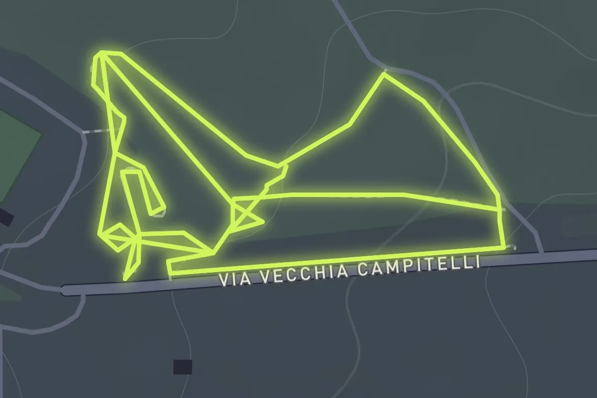
Sentiero 11: La Pineta Di Terzigno
2.1 km · ↑ 31 m · 36 min
Medium · Trail
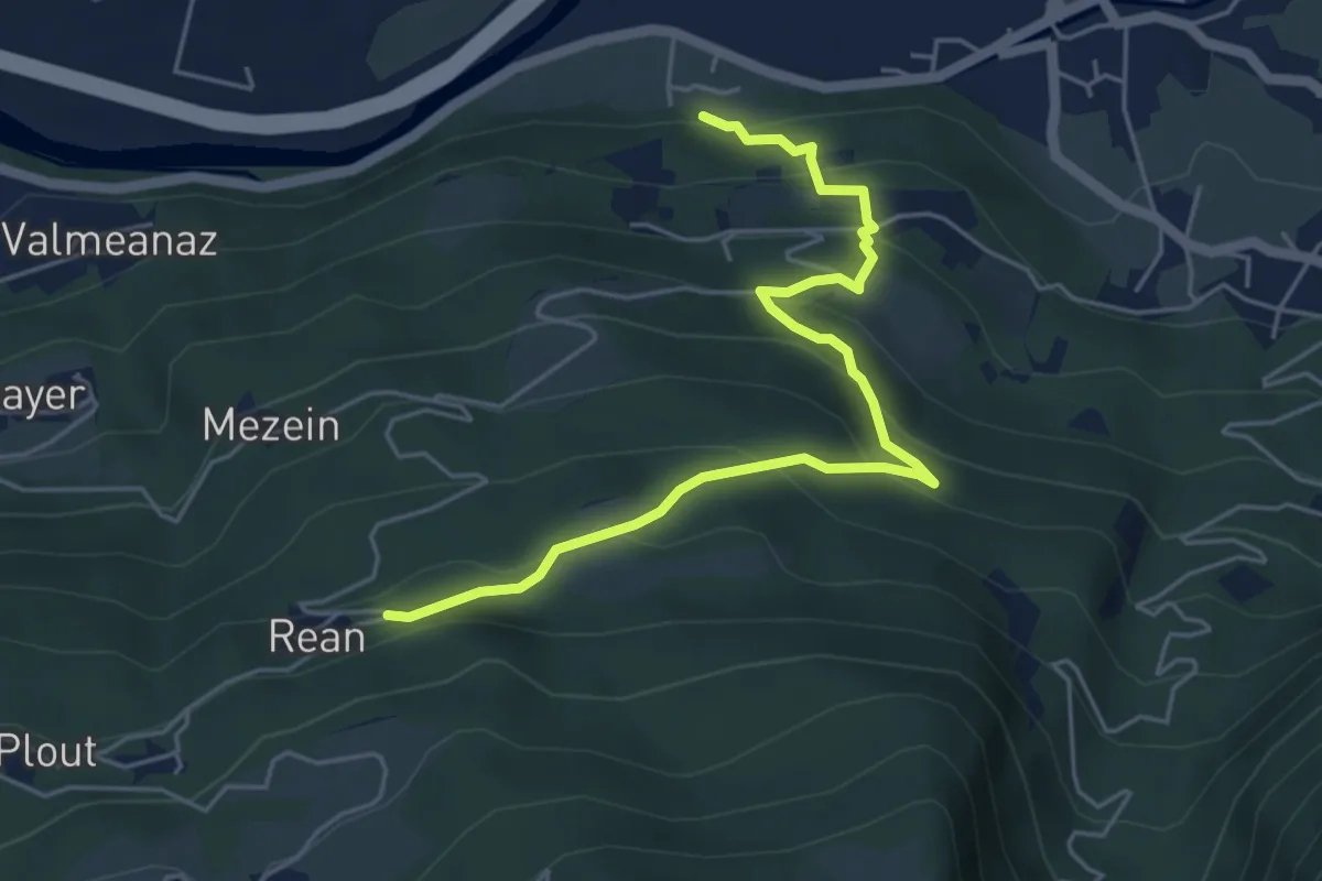
Sentiero 11 - Tillier-Réan - E
5.6 km · ↑ 398 m · 2 h 11 min
Demanding · Summit
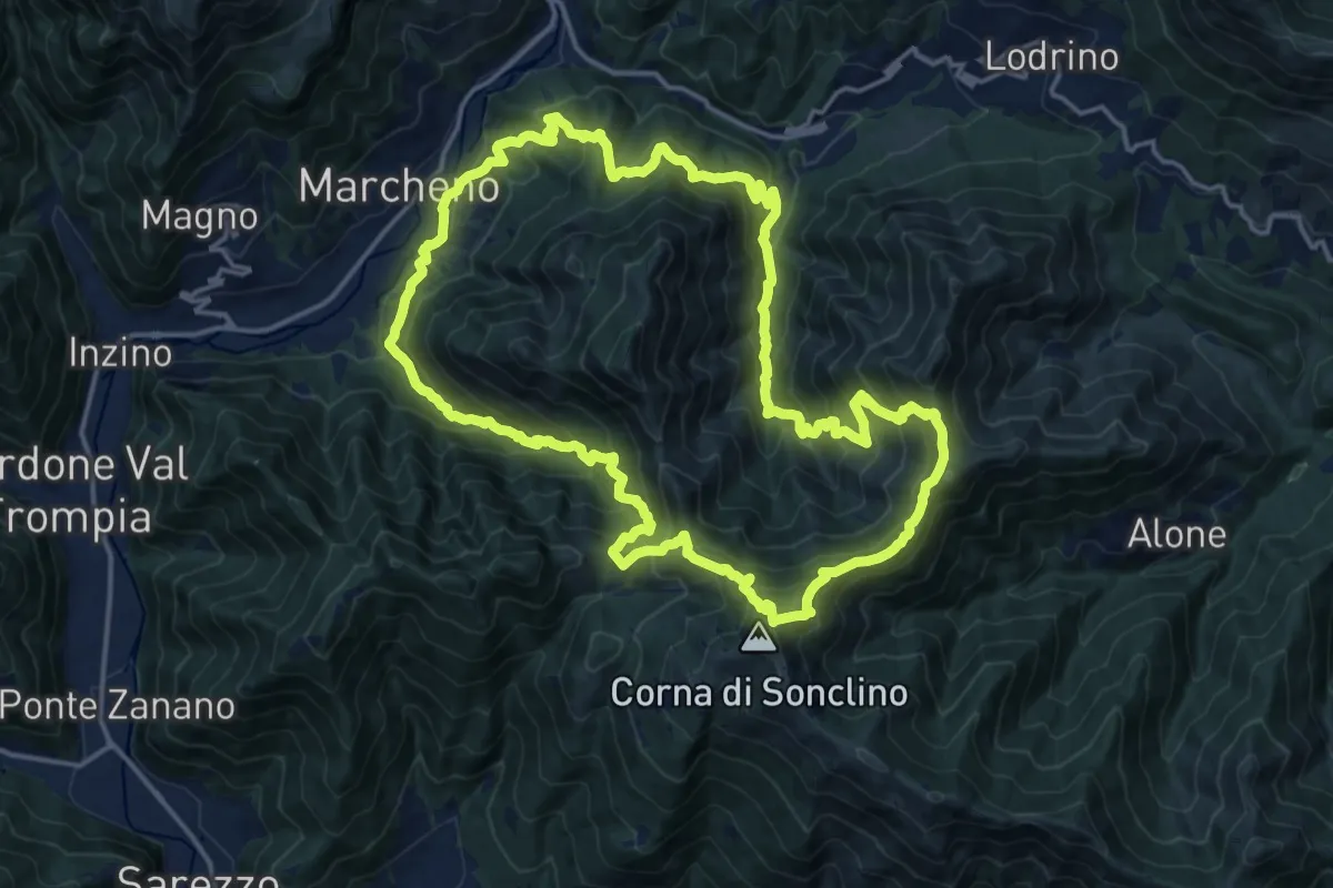
Sentiero 122ª Brigata Garibaldi
17.5 km · ↑ 1345 m · 7 h 17 min
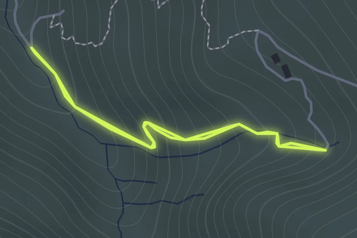
Easy · Trail
Sentiero 122ª Brigata Garibaldi - Variante 3
1.1 km · ↑ 138 m · 34 min
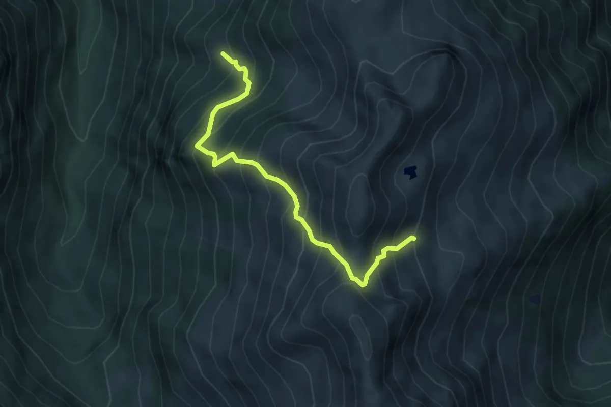
Medium · Trail
Sentiero 128B
4.6 km · ↑ 685 m · 2 h 35 min
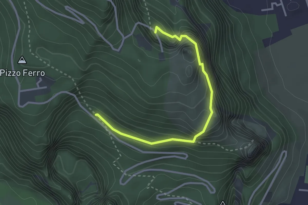
Medium · Trail
Sentiero 12 - Volo d'Aquila
3.2 km · ↑ 753 m · 2 h 23 min
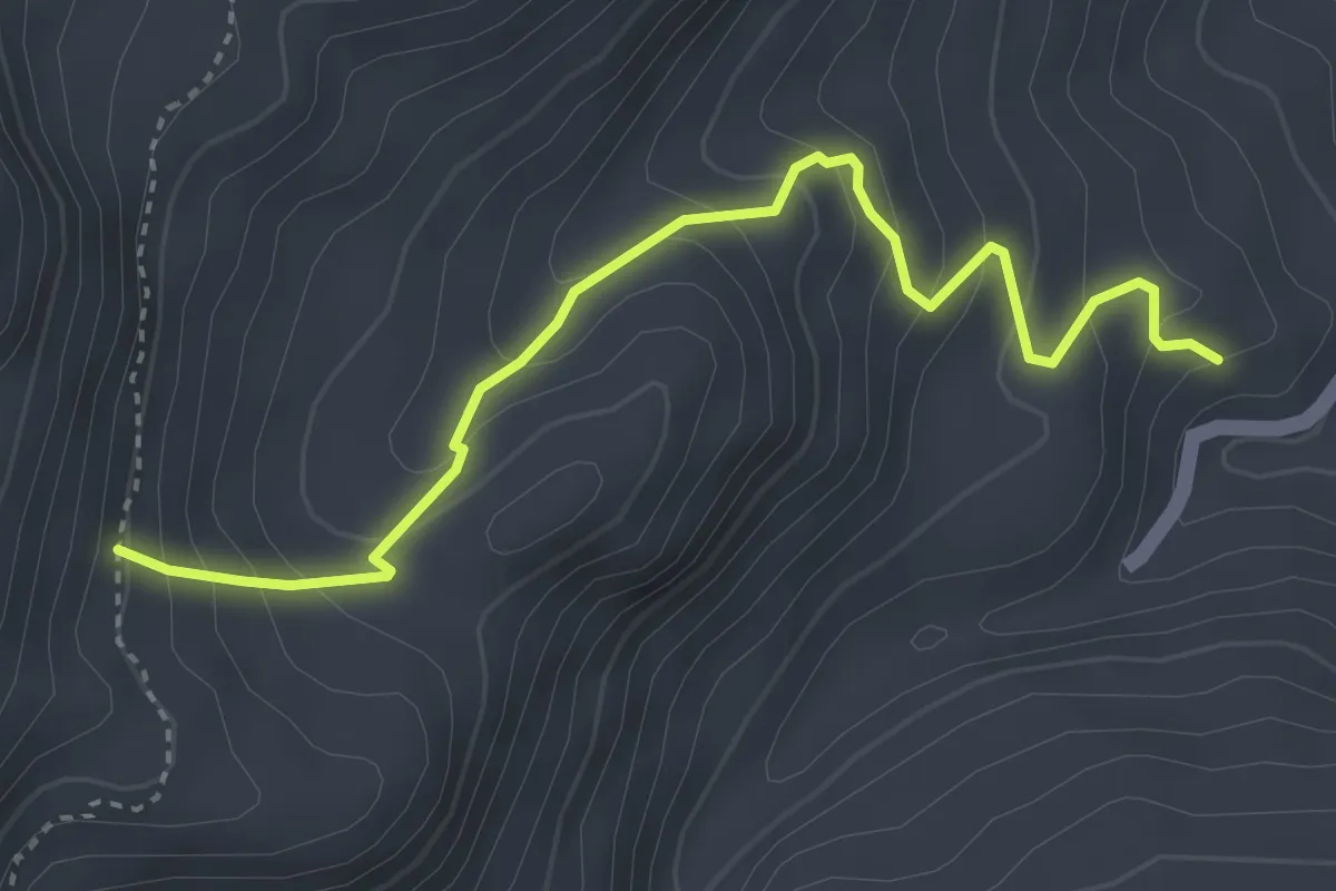
Medium · Trail
Sentiero 14
4.3 km · ↑ 368 m · 1 h 49 min