Trails in Italy
25,219 hiking trails, each with its route, climb, walking time and grade.
All trails, page 145 of 526
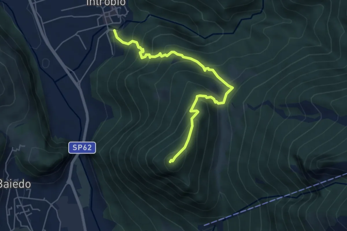
Medium · Summit
Sentiero 14A: Introbio - Zucco Angelone
5.2 km · ↑ 554 m · 2 h 26 min
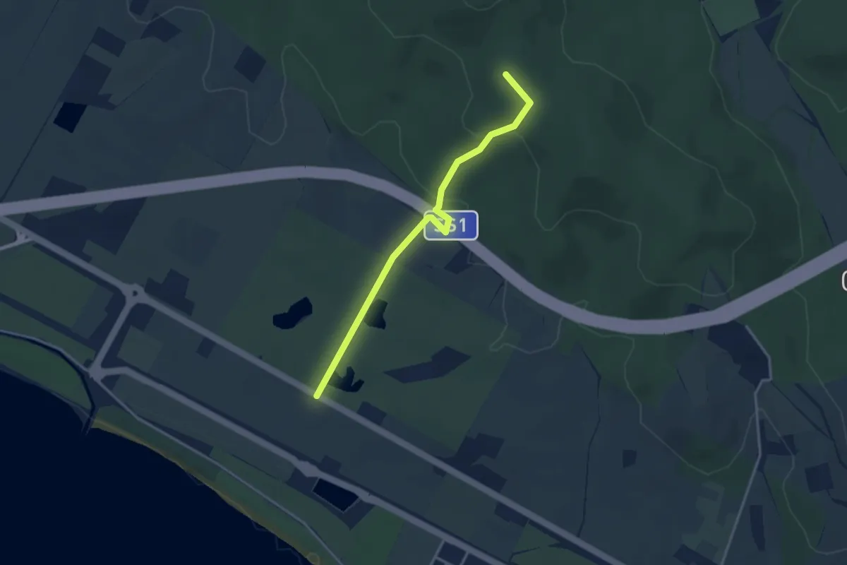
Easy · Summit
Sentiero 14B "Maurizio Stella"
3.5 km · ↑ 122 m · 1 h 5 min
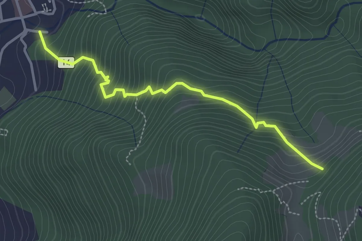
Medium · Trail
Sentiero 14: Introbio - Passo di Nava
2.9 km · ↑ 356 m · 1 h 27 min
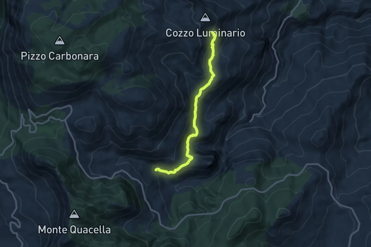
Medium · Cabin
Sentiero 15
9.3 km · ↑ 412 m · 3 h 5 min
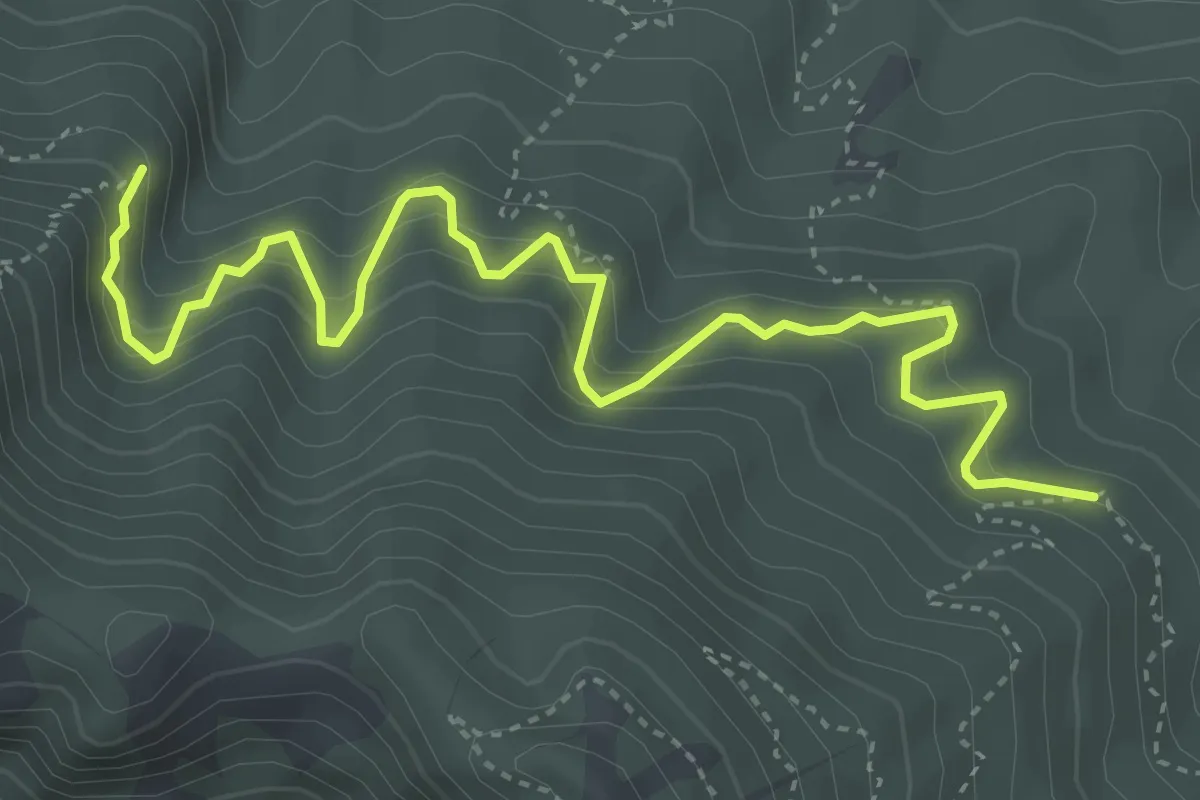
Demanding · Trail
Sentiero 15
5.4 km · ↑ 563 m · 2 h 30 min
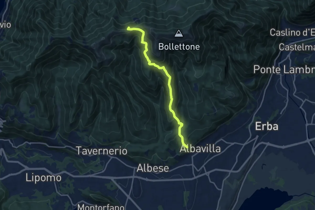
Medium · Trail
Sentiero 18: Albavilla (Via ai Monti) - Baita Patrizi - Bocchetta di Molina
10.9 km · ↑ 640 m · 3 h 58 min
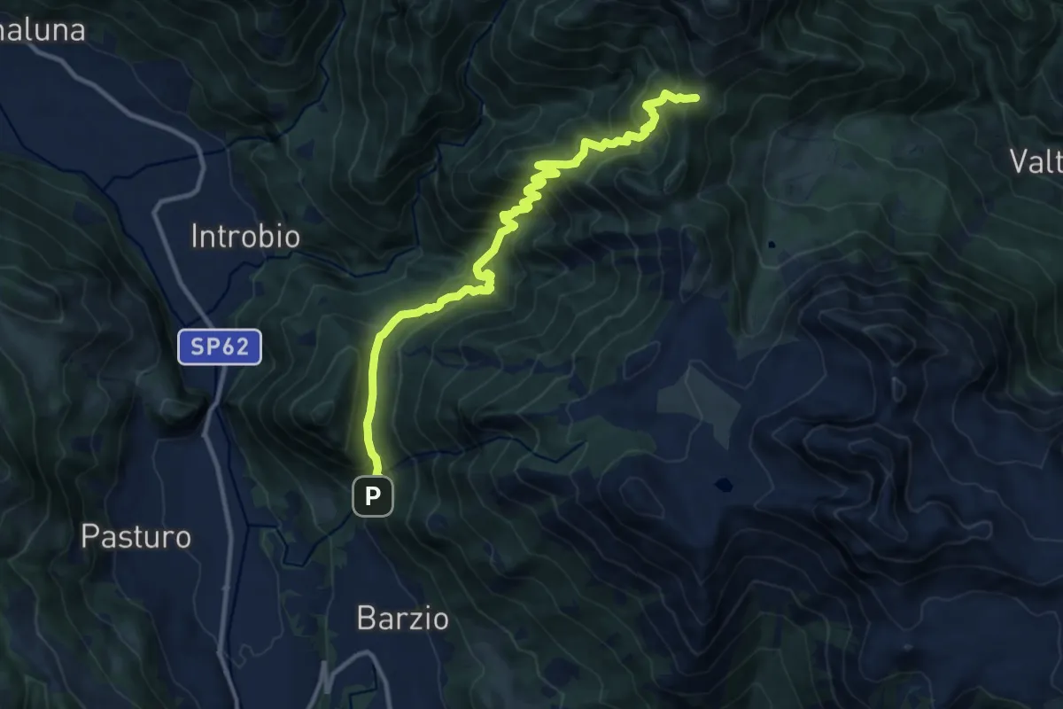
Demanding · Trail
Sentiero 19: Barzio - Passo del Gandazzo
12.2 km · ↑ 1197 m · 5 h 29 min
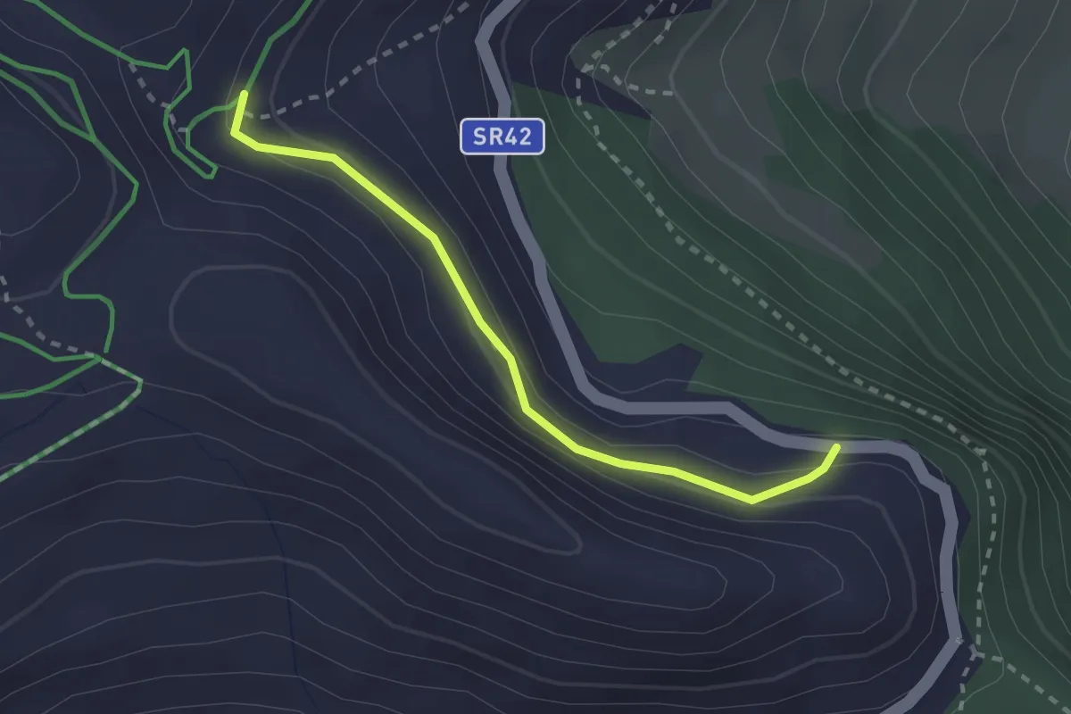
Medium · Trail
Sentiero 1A Area Attrezzata Chantorné Colle di San Pantaleone
2.3 km · ↑ 124 m · 49 min
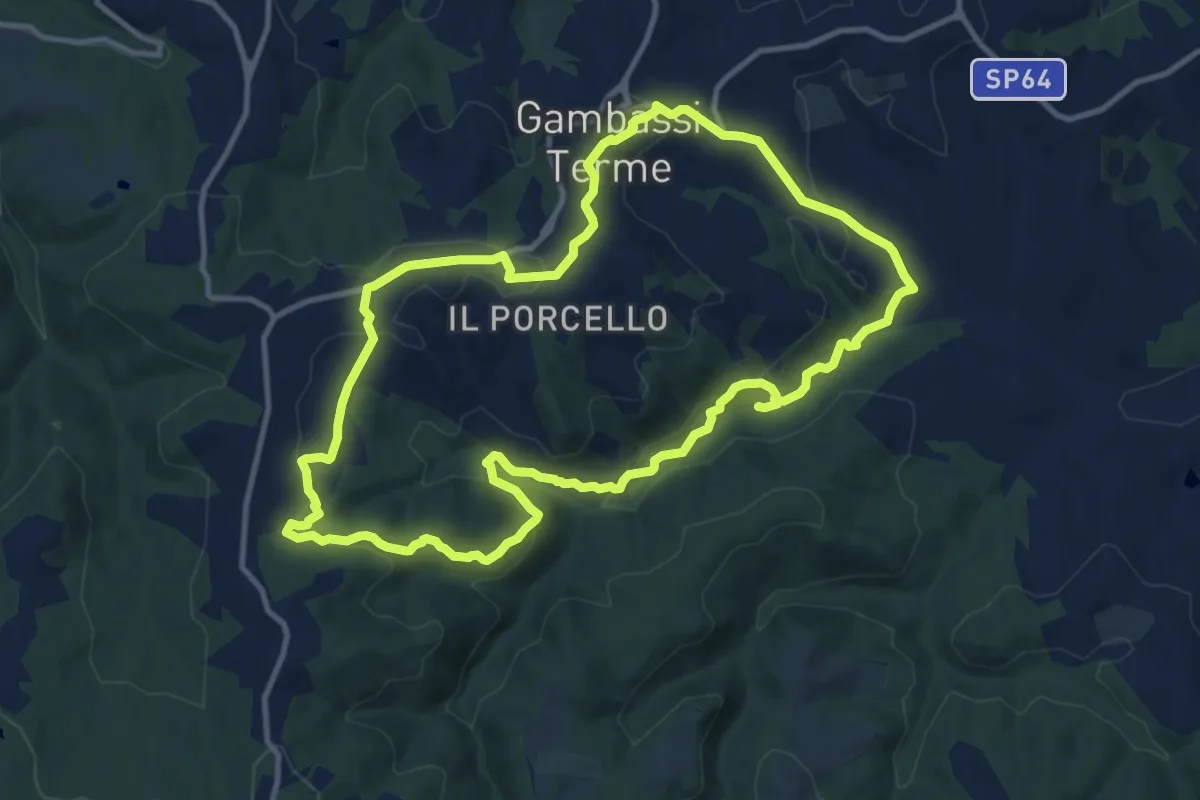
Medium · Summit
Sentiero 1 - Anello dei Casciani
12.4 km · ↑ 362 m · 3 h 53 min
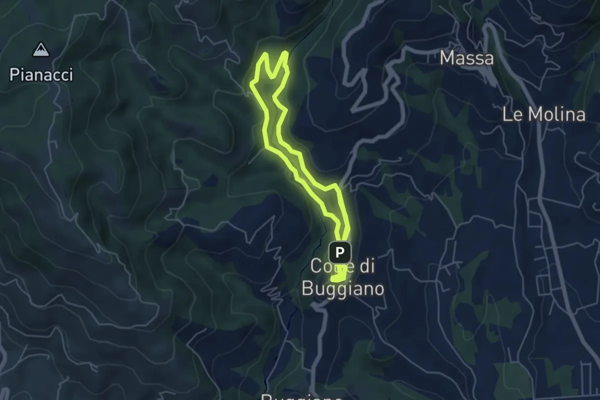
Easy · Trail
Sentiero 1 "Colle e dintorni"
4.6 km · ↑ 141 m · 1 h 27 min
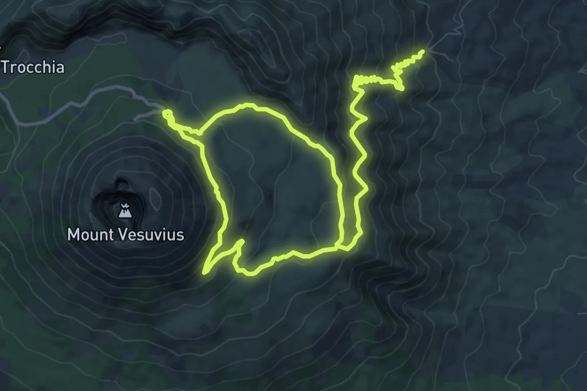
Medium · Summit
Sentiero 1: La Valle dell'Inferno
9.5 km · ↑ 399 m · 3 h 22 min
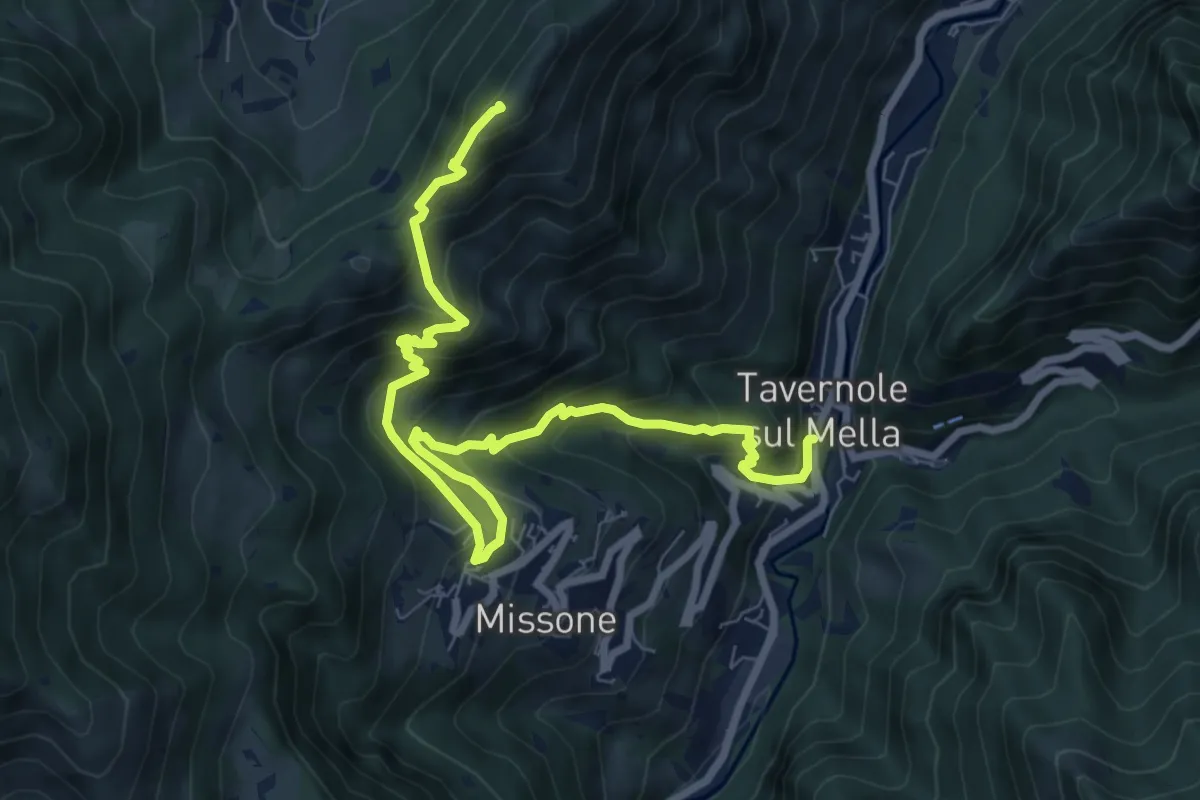
Demanding · Summit
Sentiero 1 (Monte Pergua)
9.5 km · ↑ 818 m · 4 h 1 min
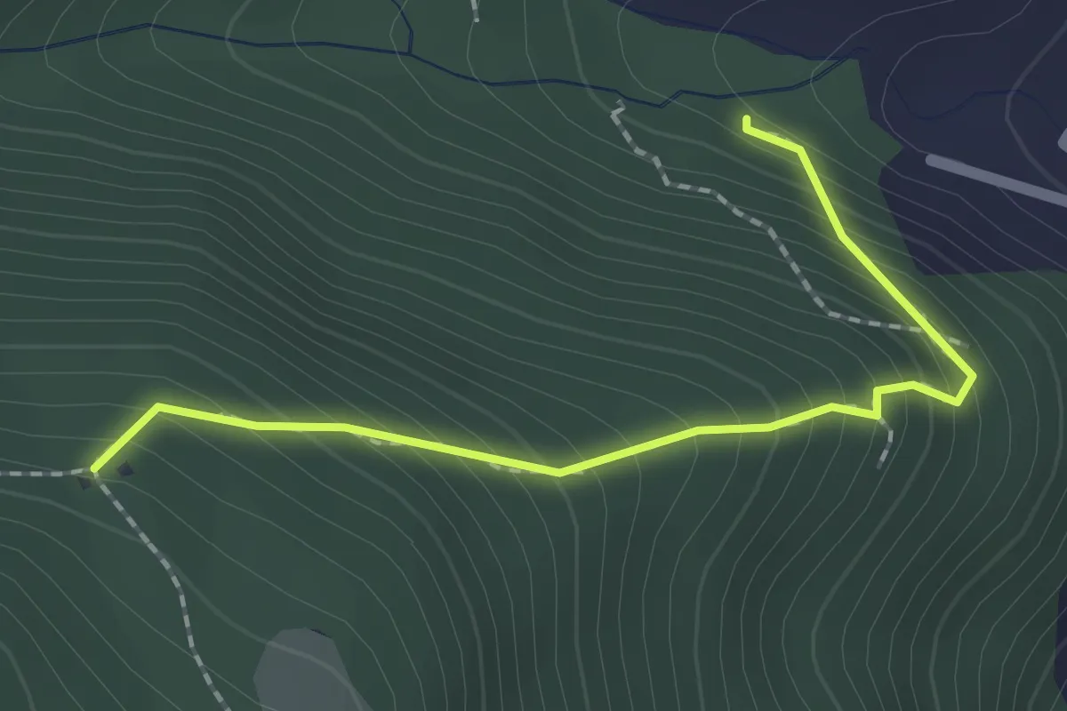
Medium · Trail
Sentiero 1 - Variante 1D
2.0 km · ↑ 239 m · 59 min
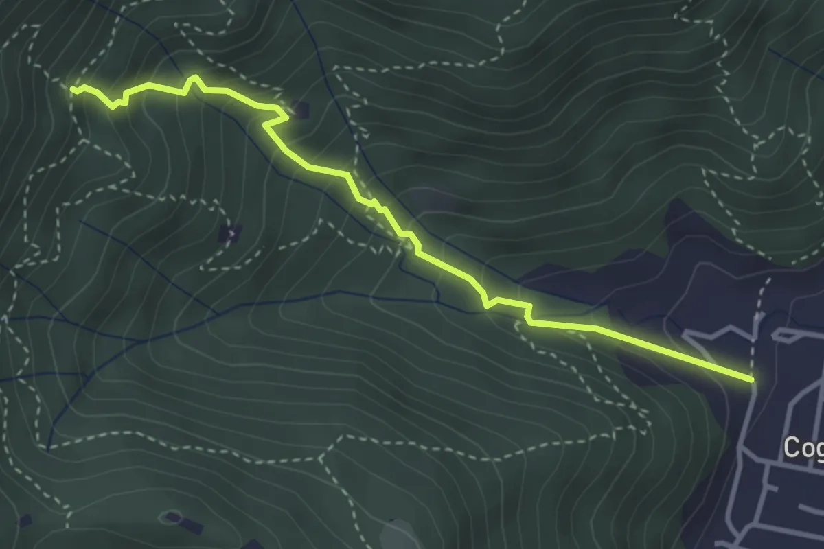
Medium · Trail
Sentiero 1 - Variante 1F
3.5 km · ↑ 394 m · 1 h 42 min
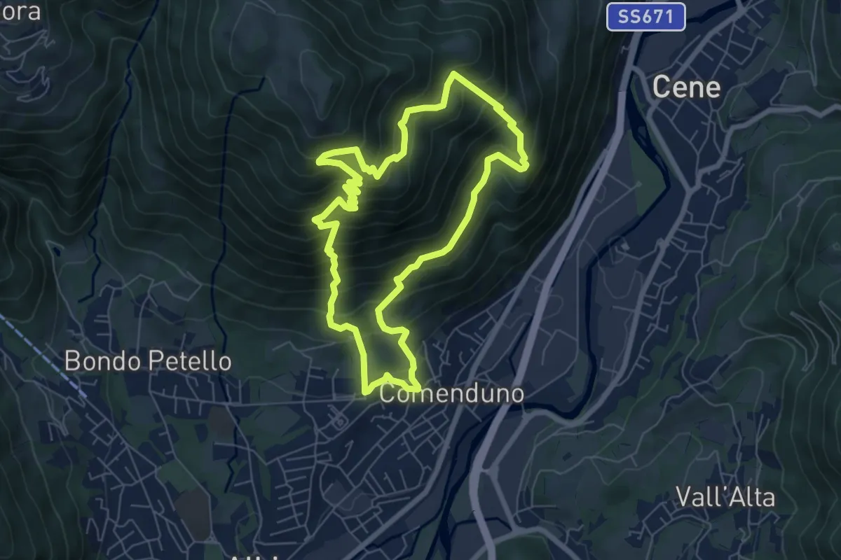
Demanding · Trail
Sentiero 2
6.4 km · ↑ 687 m · 3 h 5 min
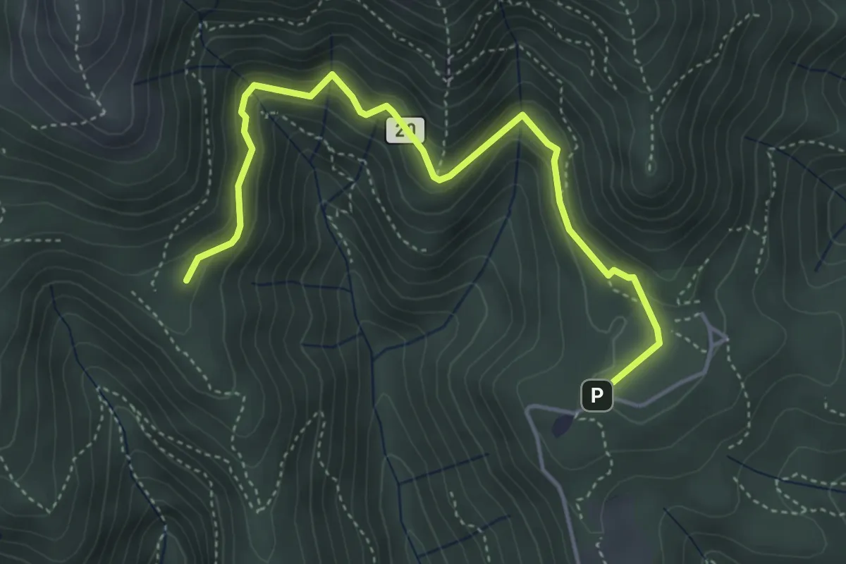
Medium · Trail
Sentiero 20: Alpe del Viceré - Baita Patrizi
4.8 km · ↑ 275 m · 1 h 44 min
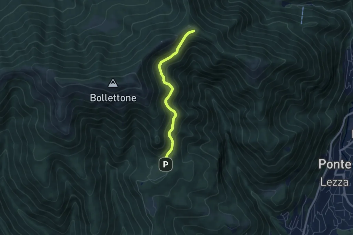
Easy · Cabin
Sentiero 23: Alpe del Vicerè - Rifugio Cacciatori - Capanna Mara
4.9 km · ↑ 303 m · 1 h 48 min
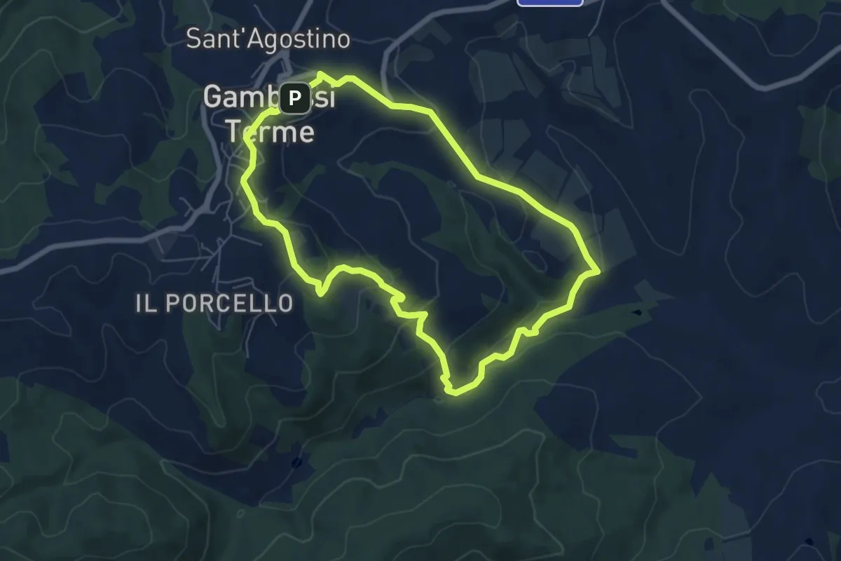
Easy · Summit
Sentiero 2 - Anello dei Bollori
6.3 km · ↑ 224 m · 2 h 4 min
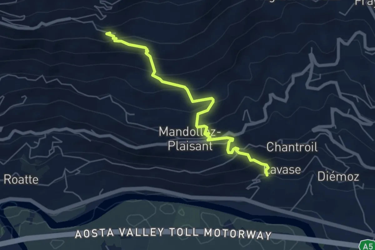
Expert · Trail
Sentiero 2B - Chevancé - Lavanche
5.1 km · ↑ 474 m · 2 h 14 min
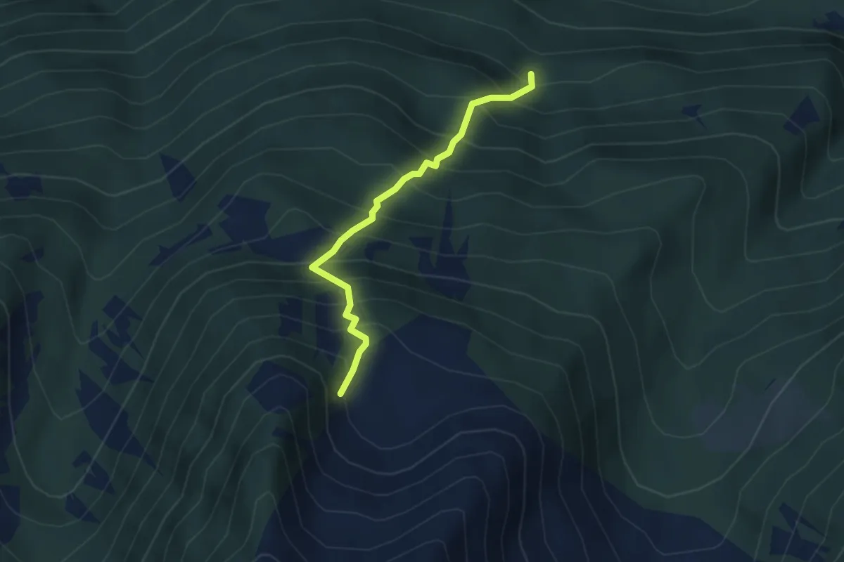
Medium · Trail
Sentiero 2 Clapey Ghiabou
3.4 km · ↑ 639 m · 2 h 12 min
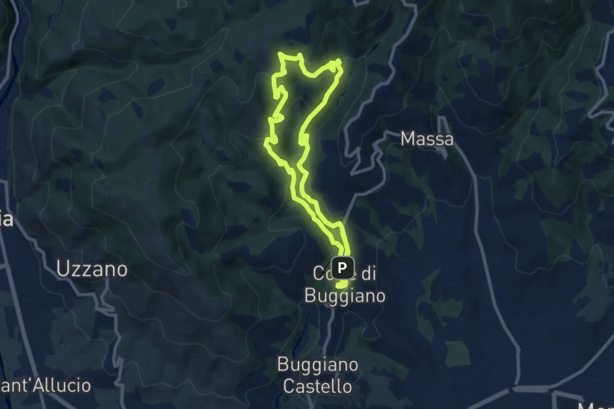
Medium · Trail
Sentiero 2 "Colle e dintorni"
7.9 km · ↑ 396 m · 2 h 50 min
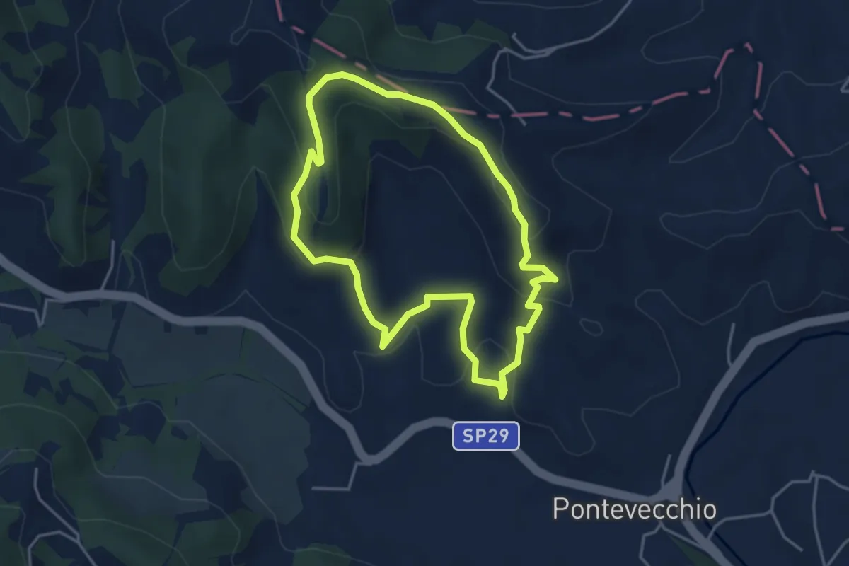
Easy · Summit
Sentiero 2 del Parco Naturale di Piana Crixia
3.8 km · ↑ 164 m · 1 h 19 min
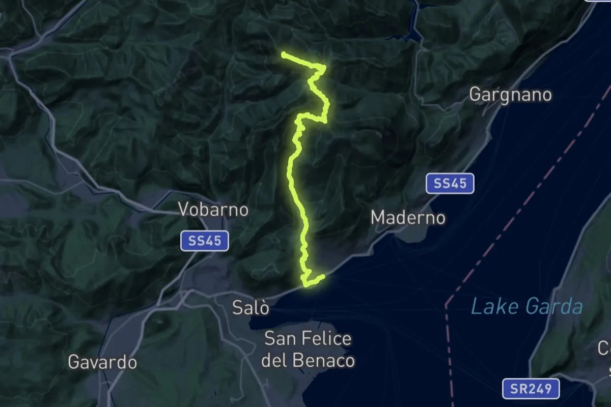
Demanding · Summit
Sentiero 2 Laghi
34.6 km · ↑ 2456 m · 13 h 30 min
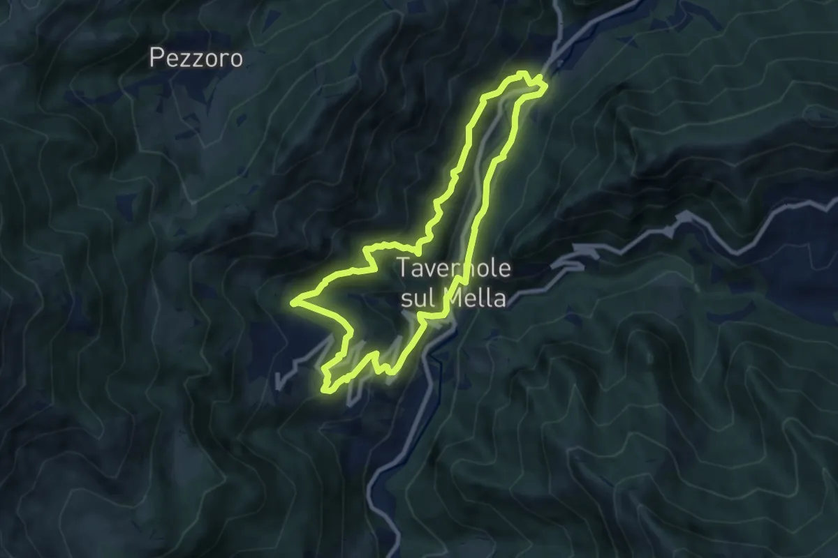
Medium · Trail
Sentiero 2 (La Pergua)
7.4 km · ↑ 437 m · 2 h 47 min
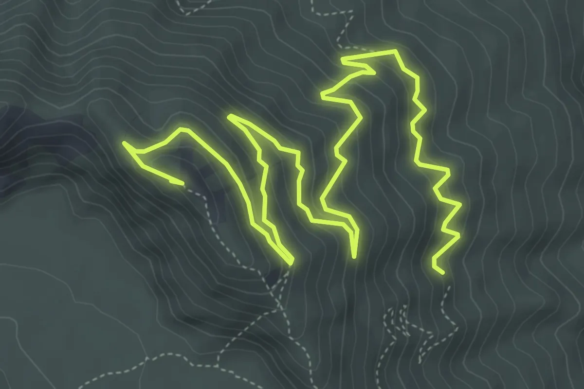
Medium · Summit
Sentiero 2: Lungo i Cognoli
9.4 km · ↑ 657 m · 3 h 38 min
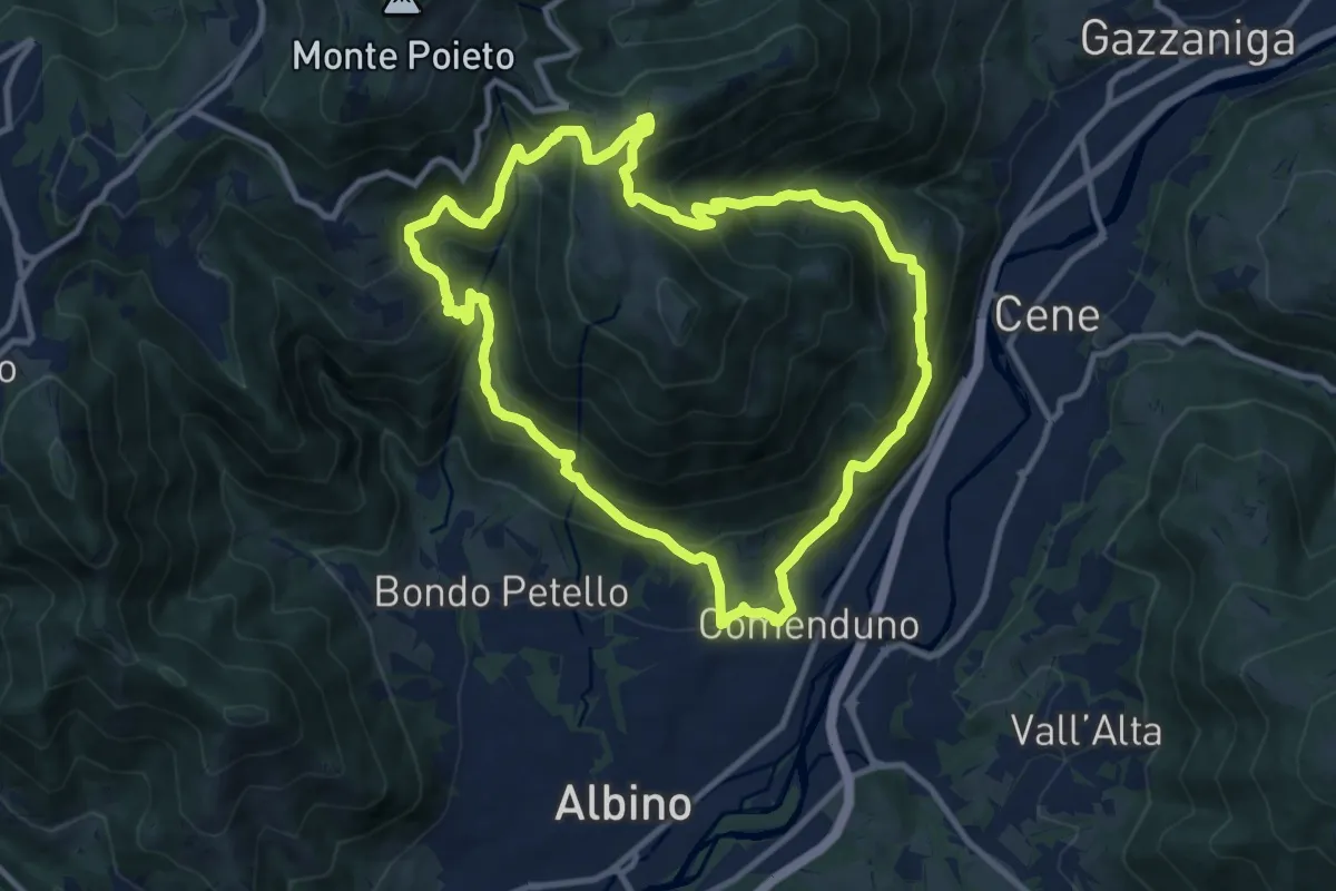
Demanding · Trail
Sentiero 3
10.6 km · ↑ 804 m · 4 h 23 min
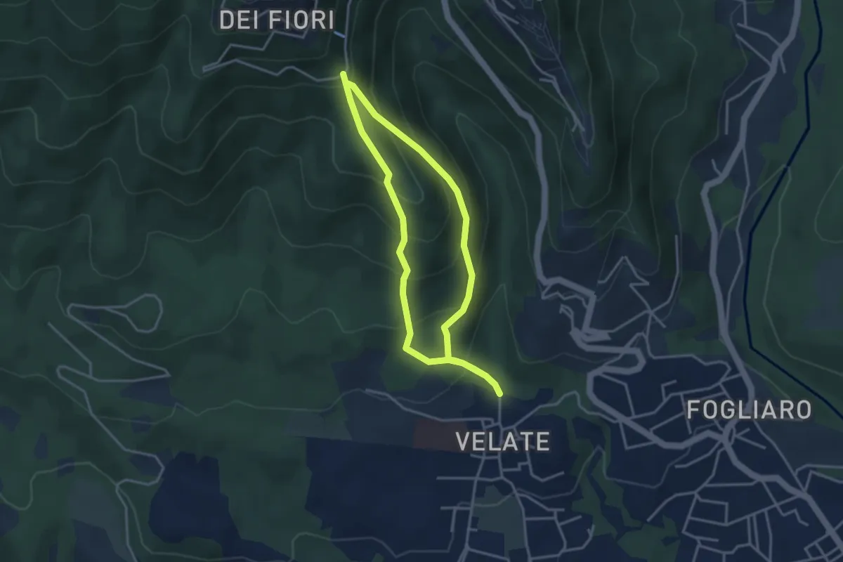
Medium · Summit
Sentiero 309: Velate - Monte San Francesco - Velate
3.1 km · ↑ 281 m · 1 h 22 min
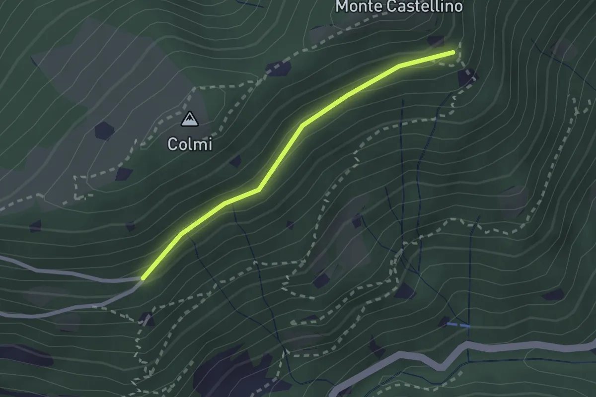
Easy · Trail
Sentiero 310 - Variante 310A
2.0 km · ↑ 104 m · 42 min
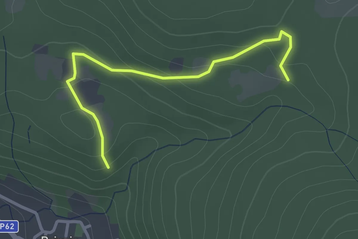
Easy · Trail
Sentiero 315B collegamento
2.6 km · ↑ 83 m · 47 min
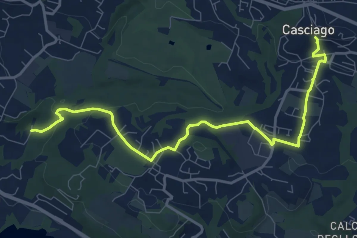
Medium · Trail
Sentiero 321
8.6 km · ↑ 237 m · 2 h 33 min
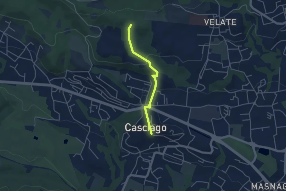
Easy · Trail
Sentiero 321C
3.0 km · ↑ 95 m · 54 min
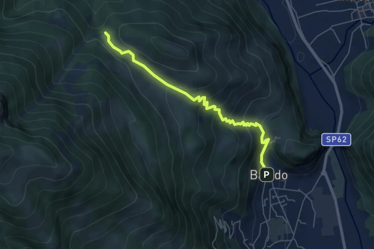
Medium · Trail
Sentiero 34: Baiedo - Rifugio Riva
5.2 km · ↑ 383 m · 2 h 4 min
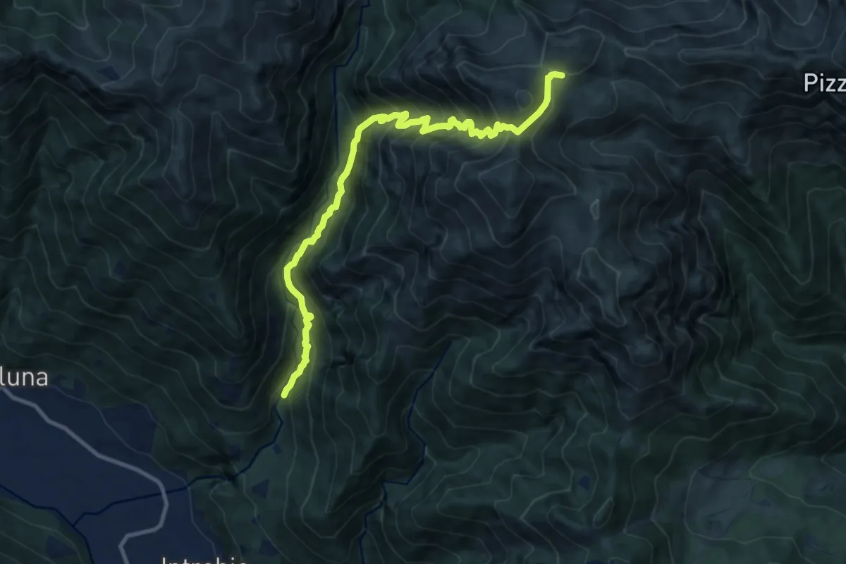
Demanding · Cabin
Sentiero 34 della Val Bona
11.1 km · ↑ 1365 m · 5 h 35 min
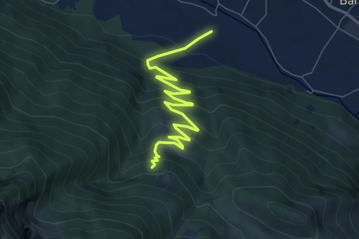
Medium · Trail
Sentiero 35: Primaluna - Rifugio Riva
7.2 km · ↑ 476 m · 2 h 44 min
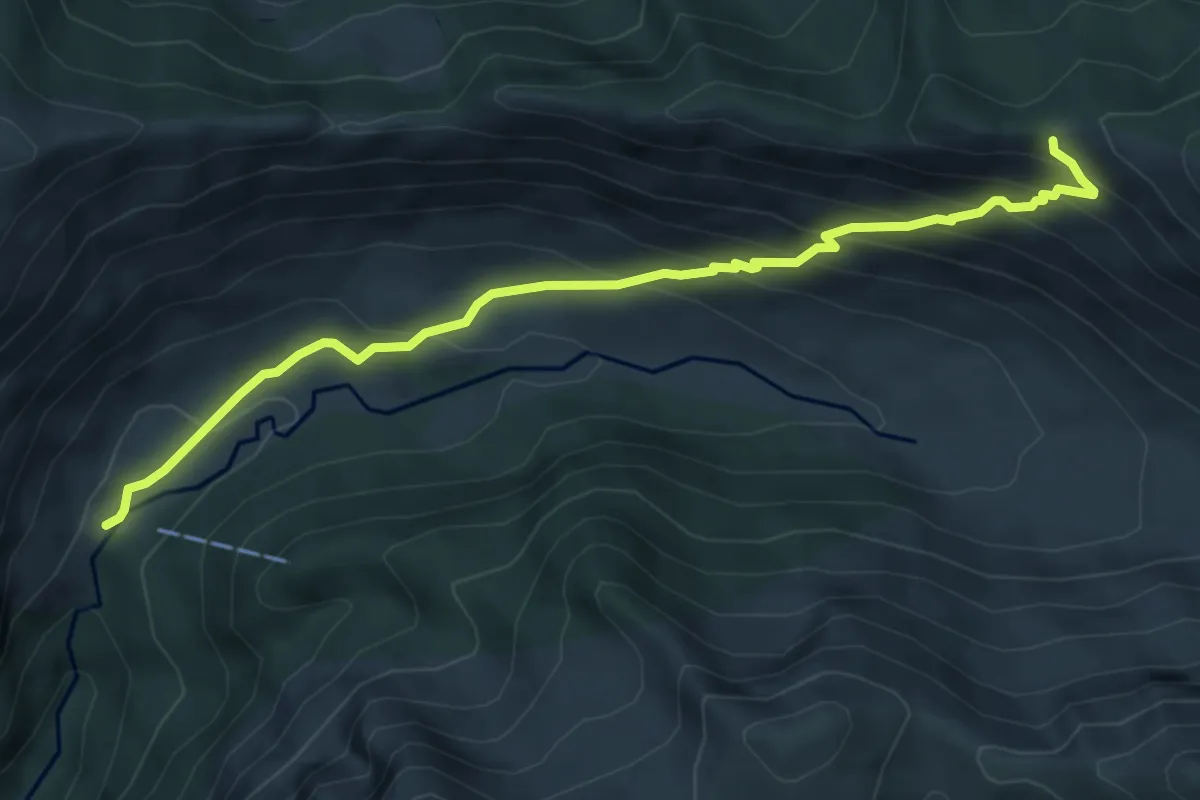
Medium · Cabin
Sentiero 38
6.0 km · ↑ 495 m · 2 h 29 min
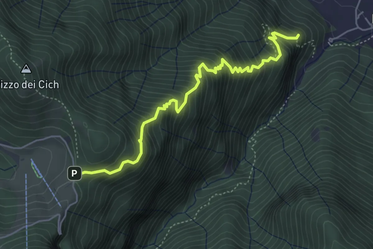
Medium · Summit
Sentiero 38: Sentiero della Scaletta
5.0 km · ↑ 721 m · 2 h 45 min
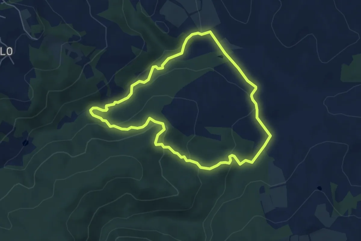
Easy · Trail
Sentiero 3 - Anello delle due Vie
5.4 km · ↑ 191 m · 1 h 46 min
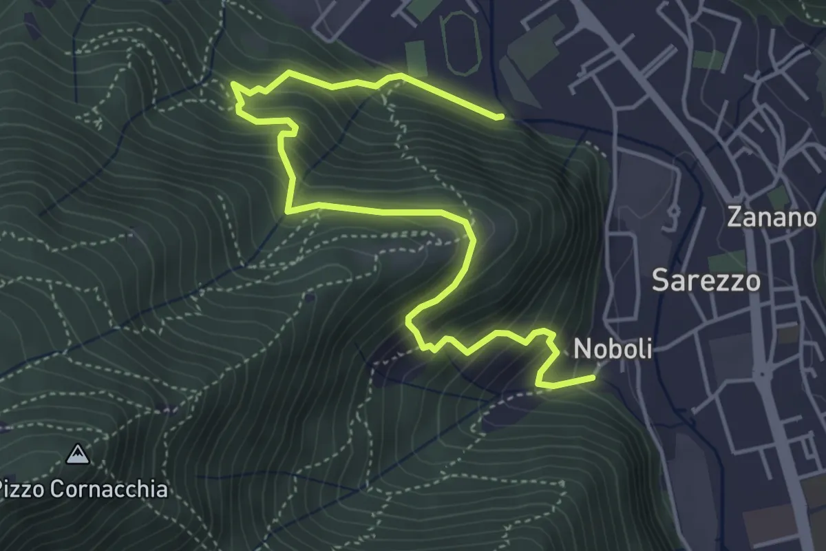
Medium · Trail
Sentiero 3 BIS - Variante C
5.6 km · ↑ 517 m · 2 h 26 min
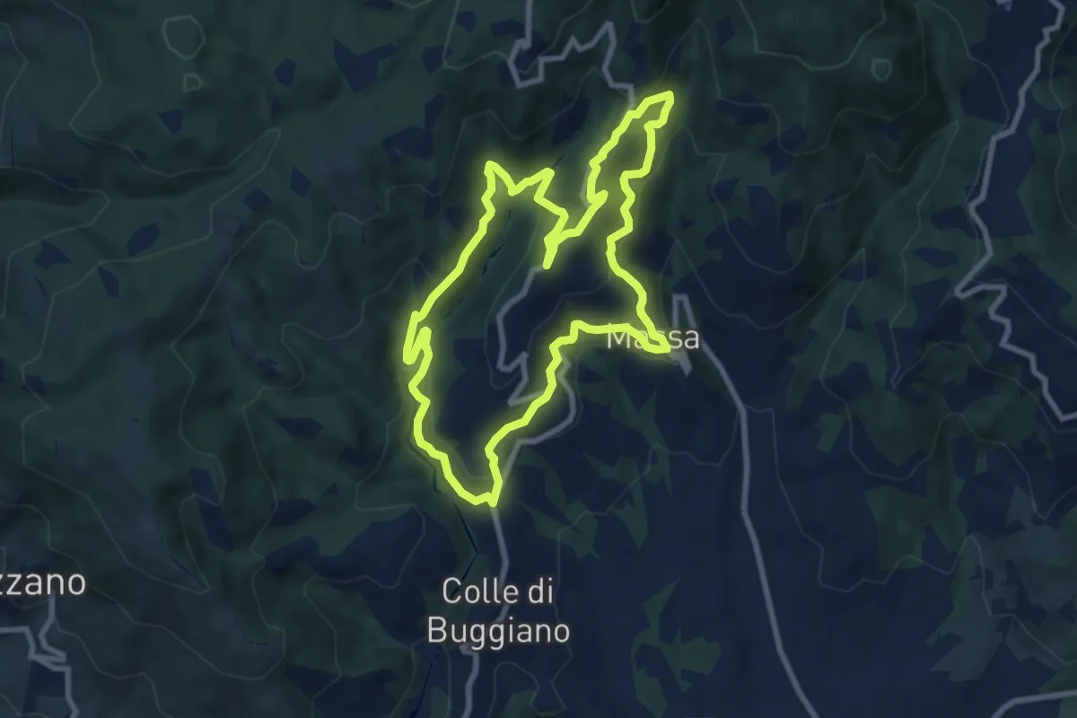
Medium · Trail
Sentiero 3 "Colle e dintorni"
8.6 km · ↑ 448 m · 3 h 8 min
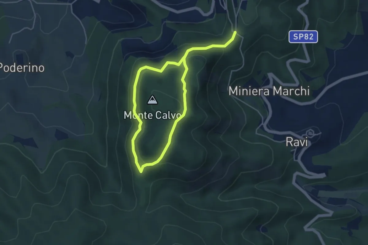
Medium · Trail
sentiero 3 Comune di Gavorrano
6.5 km · ↑ 333 m · 2 h 15 min
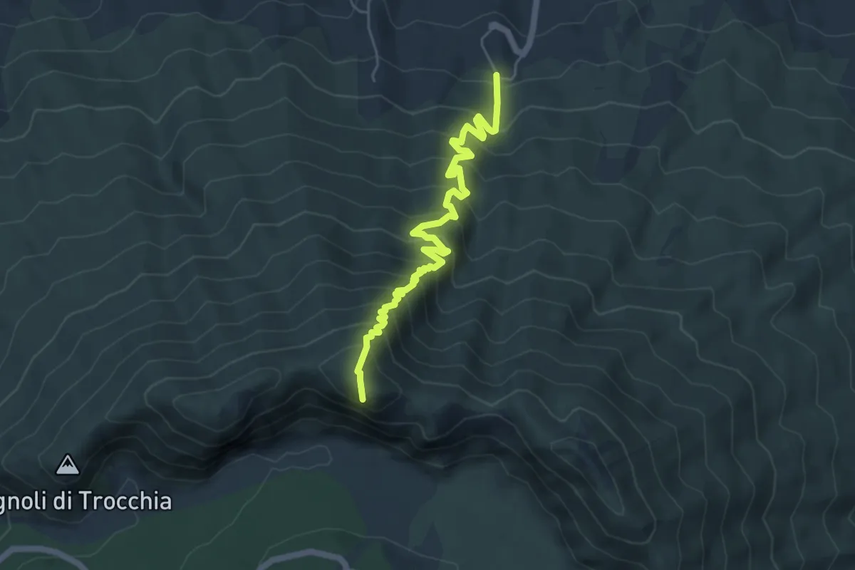
Demanding · Summit
Sentiero 3: Il Monte Somma
5.9 km · ↑ 672 m · 2 h 51 min
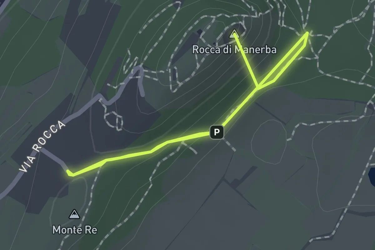
Easy · Summit
Sentiero 3 - Rocca di Manerba del Garda
2.2 km · ↑ 69 m · 40 min
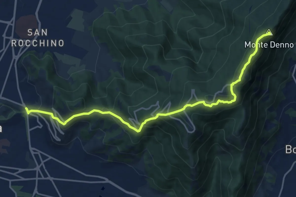
Medium · Summit
Sentiero 3V - Tappa 1a
13.1 km · ↑ 743 m · 4 h 42 min
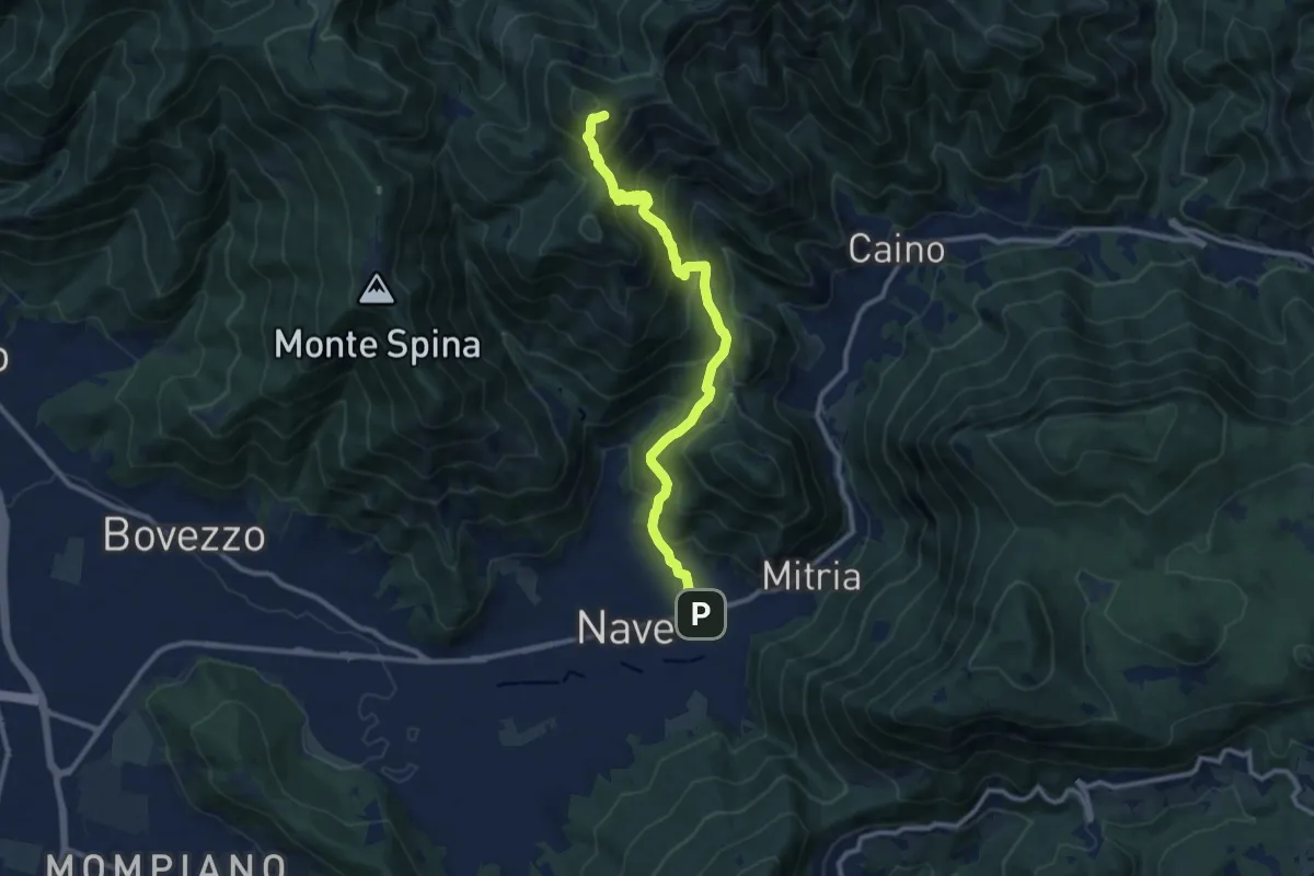
Demanding · Summit
Sentiero 3V - Tappa 1b
11.1 km · ↑ 932 m · 4 h 39 min
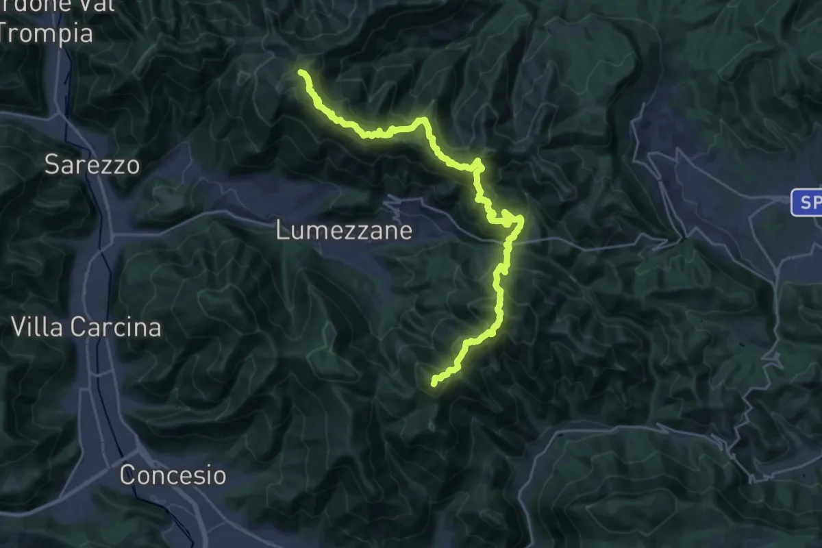
Demanding · Summit
Sentiero 3V - Tappa 2
27.2 km · ↑ 2052 m · 10 h 52 min
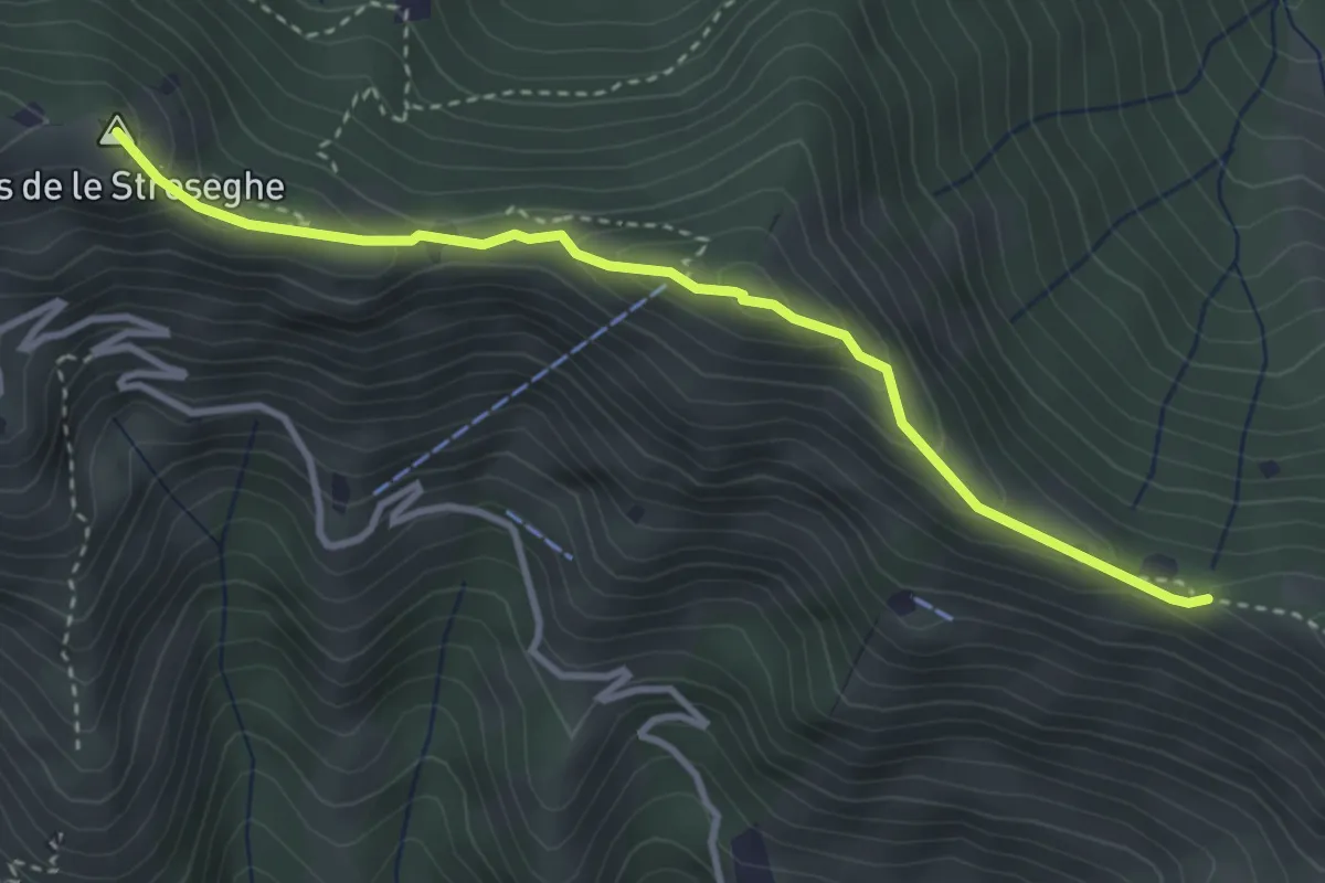
Expert · Summit
Sentiero 3V - Tappa 2 (Variante alta)
3.5 km · ↑ 313 m · 1 h 30 min
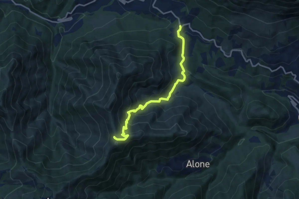
Medium · Trail
Sentiero 3V - Tappa 2 (Variante bassa)
8.4 km · ↑ 653 m · 3 h 24 min
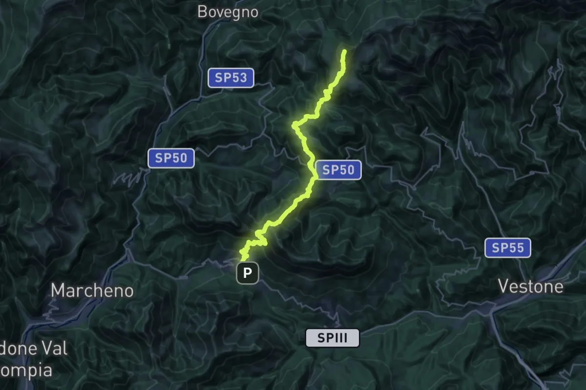
Demanding · Summit
Sentiero 3V - Tappa 3
25.5 km · ↑ 1895 m · 10 h 8 min