Trails in Italy
25,219 hiking trails, each with its route, climb, walking time and grade.
All trails, page 146 of 526
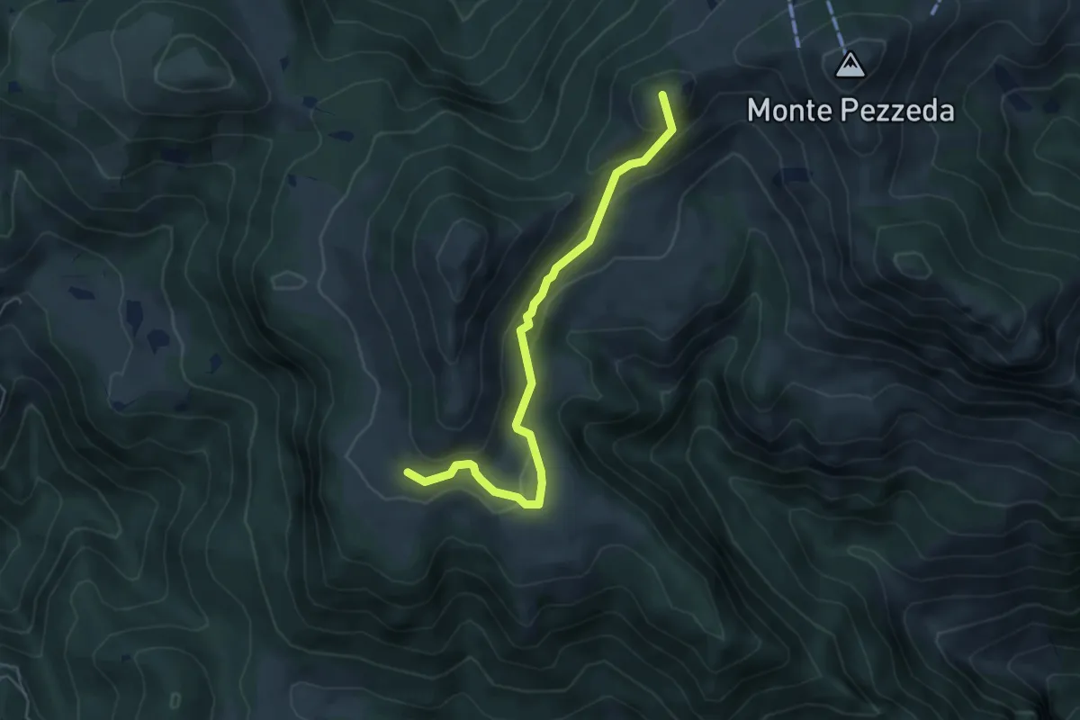
Easy · Summit
Sentiero 3V - Tappa 3 (Variante bassa)
5.1 km · ↑ 298 m · 1 h 51 min
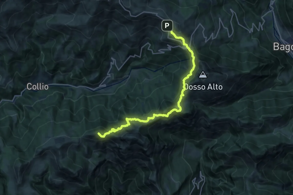
Demanding · Summit
Sentiero 3V - Tappa 4
17.8 km · ↑ 1306 m · 7 h 3 min
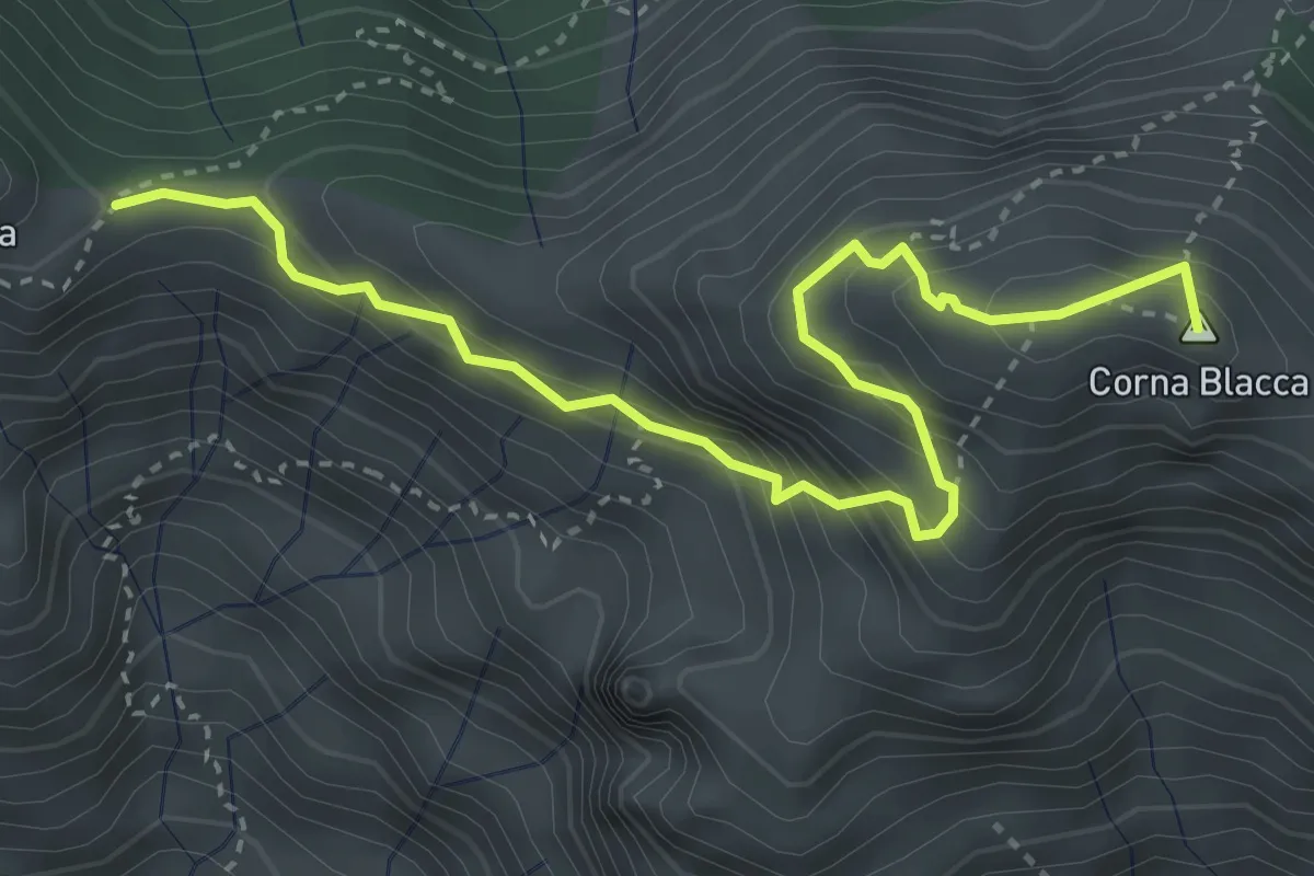
Expert · Summit
Sentiero 3V - Tappa 4 (Variante alta 1)
4.2 km · ↑ 469 m · 2 h
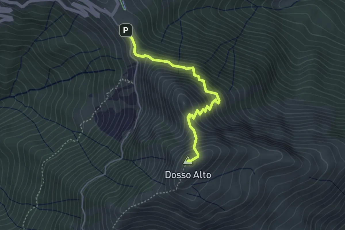
Expert · Summit
Sentiero 3V - Tappa 4 (Variante alta 2)
3.6 km · ↑ 466 m · 1 h 52 min
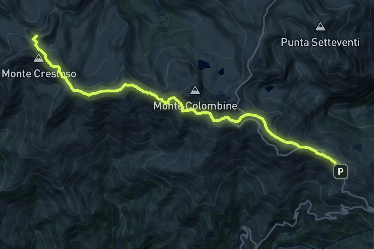
Demanding · Summit
Sentiero 3V - Tappa 5
18.3 km · ↑ 1097 m · 6 h 42 min
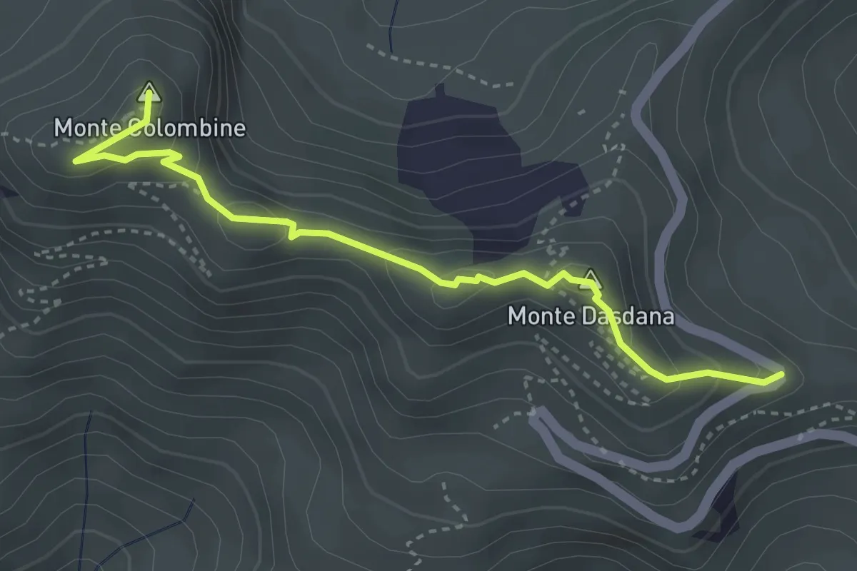
Medium · Summit
Sentiero 3V - Tappa 5 (Variante alta 1)
3.7 km · ↑ 206 m · 1 h 19 min
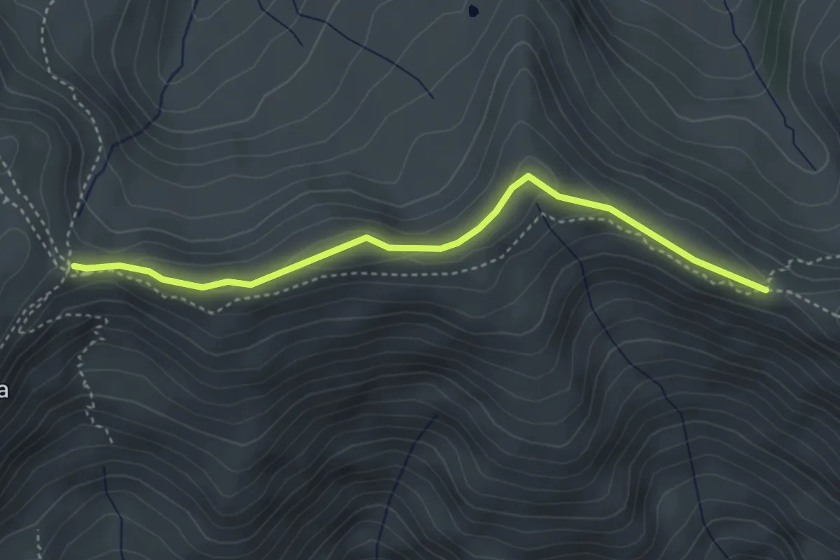
Medium · Trail
Sentiero 3V - Tappa 5 (Variante alta 2)
3.8 km · ↑ 119 m · 1 h 10 min
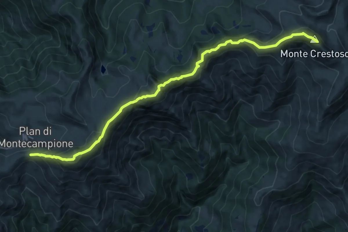
Demanding · Summit
Sentiero 3V - Tappa 5 (Variante alta 3)
14.5 km · ↑ 1110 m · 5 h 50 min
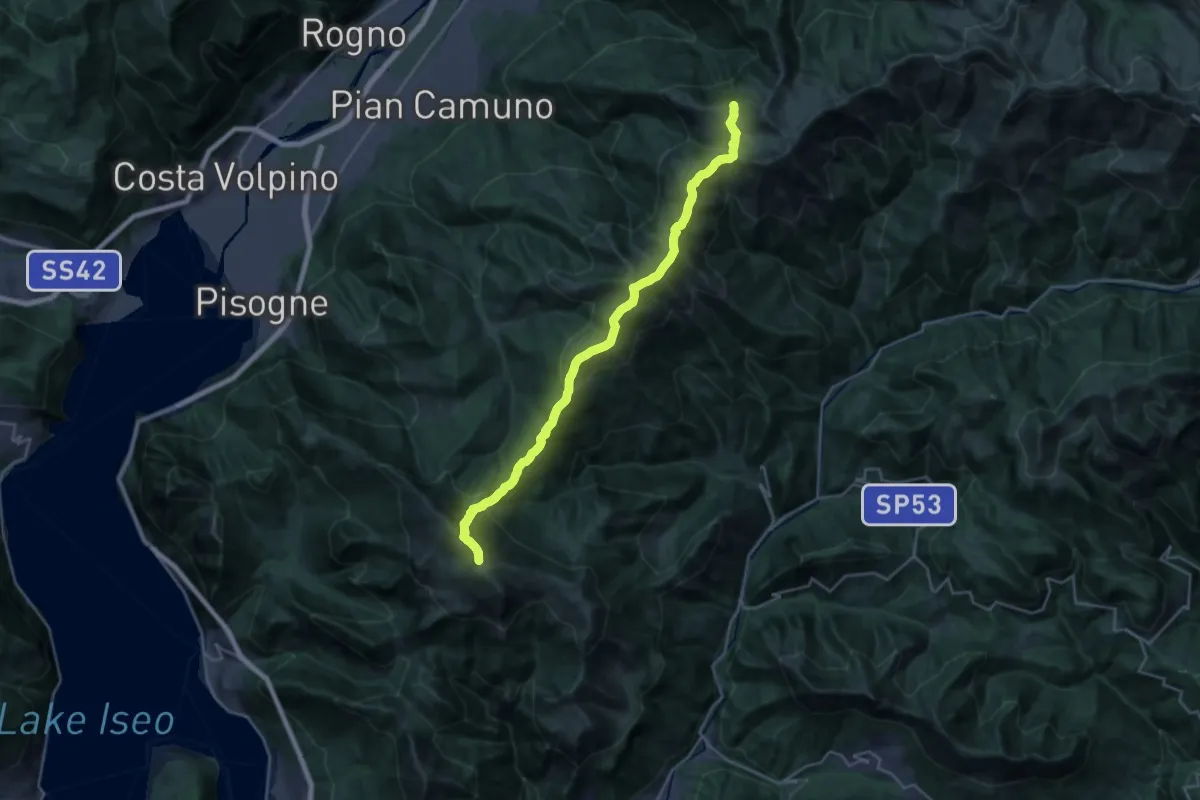
Demanding · Summit
Sentiero 3V - Tappa 6
26.0 km · ↑ 1485 m · 9 h 22 min
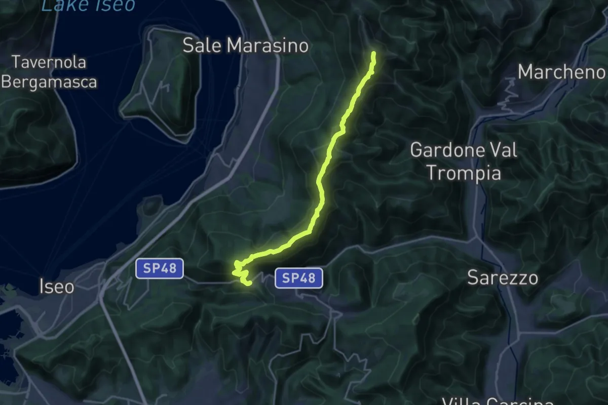
Demanding · Summit
Sentiero 3V - Tappa 7
17.5 km · ↑ 1361 m · 7 h 5 min
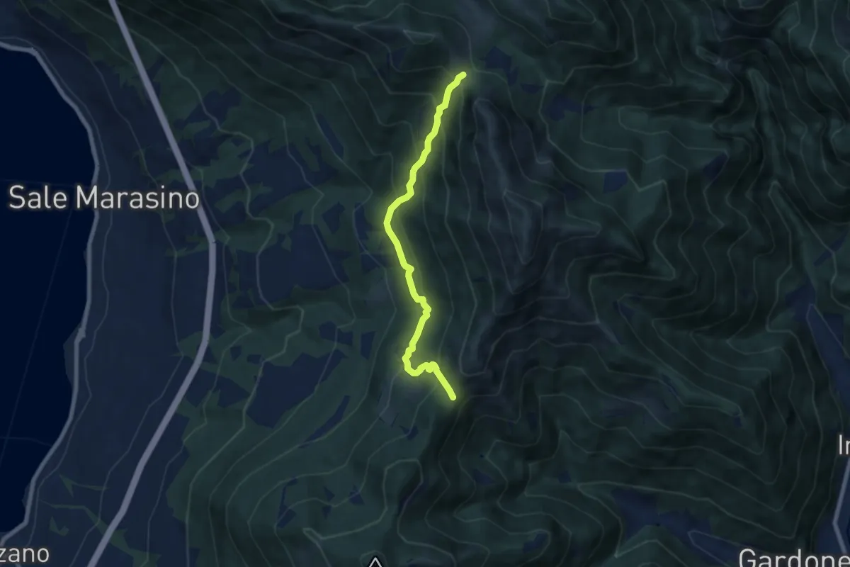
Medium · Trail
Sentiero 3V - Tappa 7 (Variante bassa)
6.7 km · ↑ 568 m · 2 h 48 min
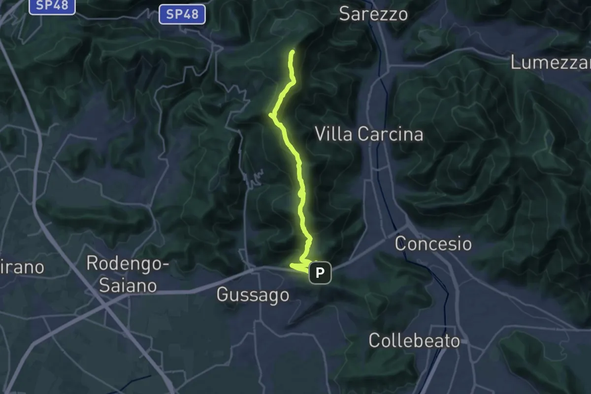
Demanding · Summit
Sentiero 3V - Tappa 8a
18.2 km · ↑ 1158 m · 6 h 48 min
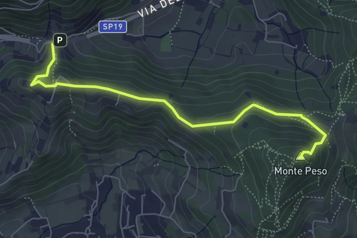
Medium · Summit
Sentiero 3V - Tappa 8b
6.0 km · ↑ 266 m · 1 h 59 min
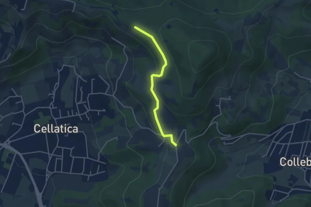
Easy · Trail
Sentiero 3V - Tappa 8 (Variante bassa)
2.9 km · ↑ 95 m · 54 min
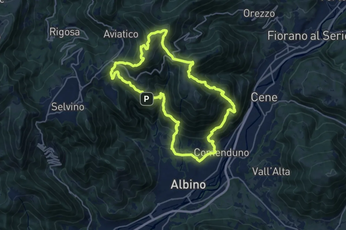
Demanding · Summit
Sentiero 4
15.2 km · ↑ 1092 m · 6 h 9 min
Medium · Trail
Sentiero 404A Variante
3.2 km · ↑ 332 m · 1 h 28 min
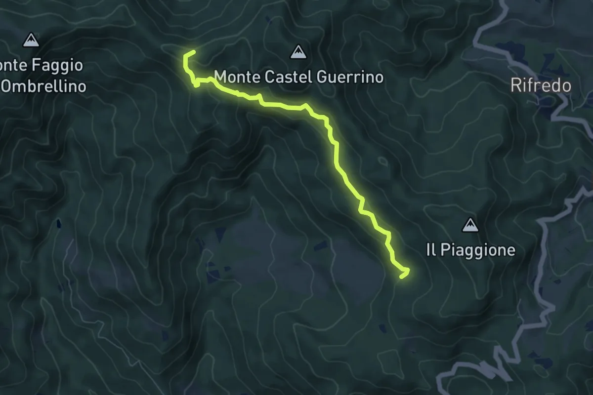
Easy · Trail
Sentiero 42 - Passo della Vecchia
6.8 km · ↑ 319 m · 2 h 18 min
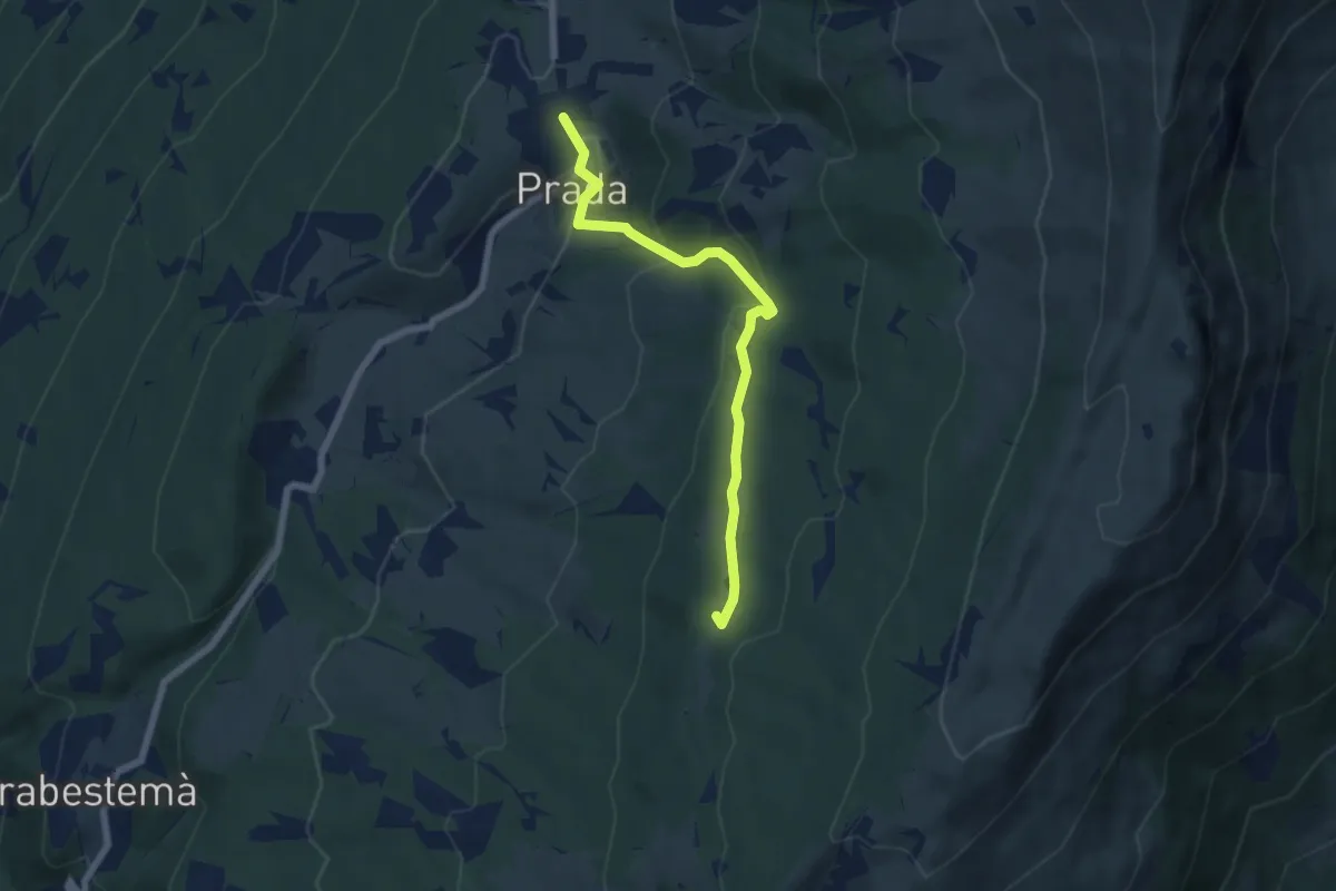
Easy · Summit
Sentiero 43
6.2 km · ↑ 312 m · 2 h 9 min
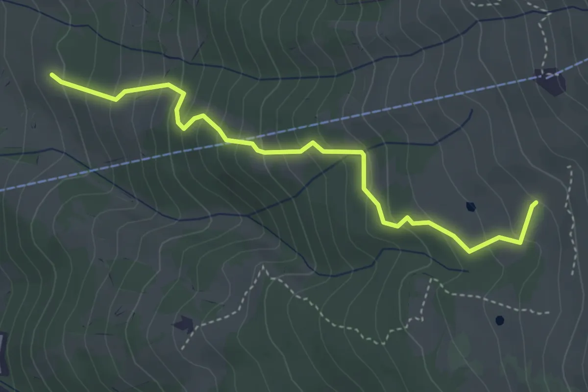
Medium · Trail
Sentiero 44
4.2 km · ↑ 411 m · 1 h 52 min
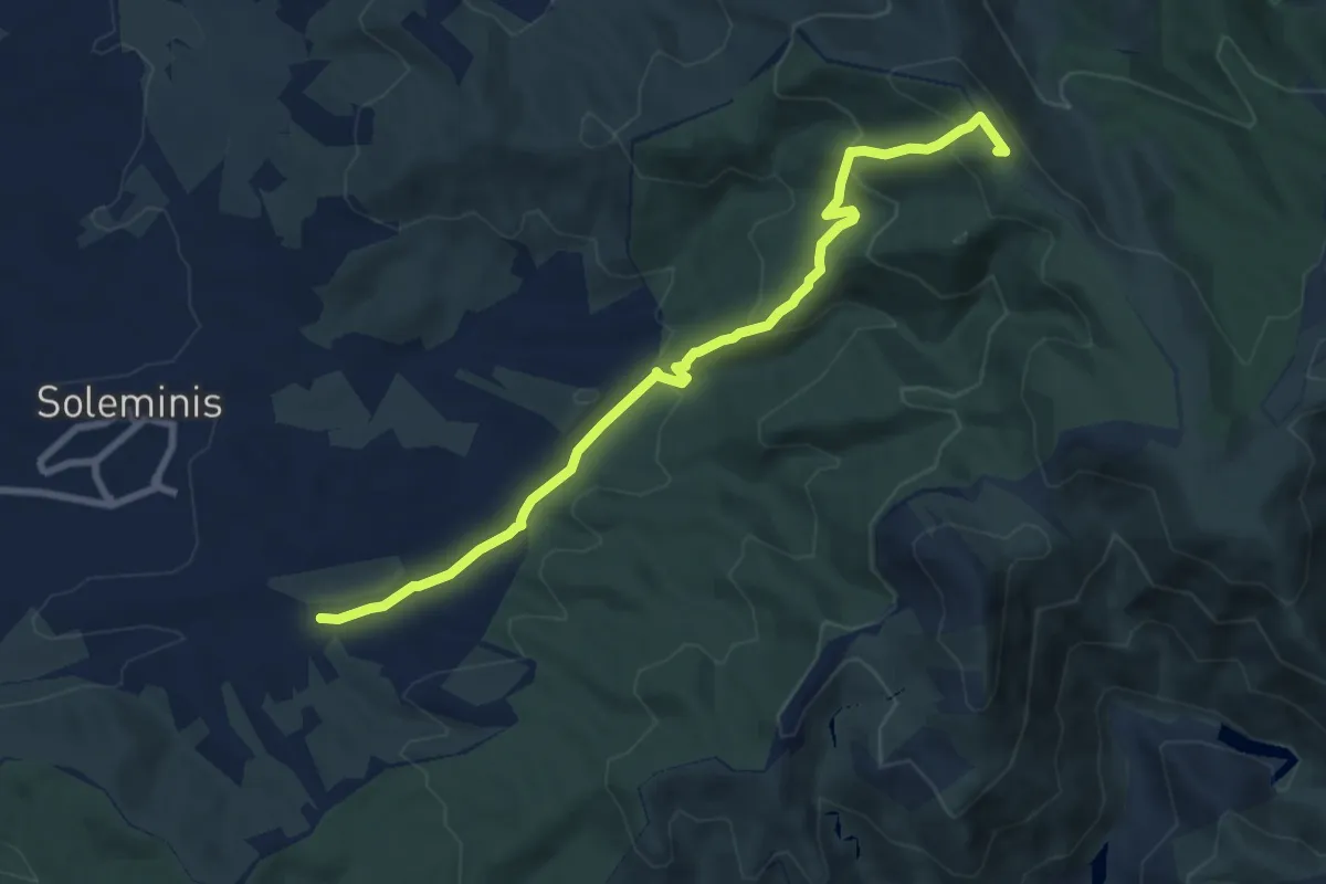
Medium · Trail
Sentiero 451
9.6 km · ↑ 451 m · 3 h 15 min
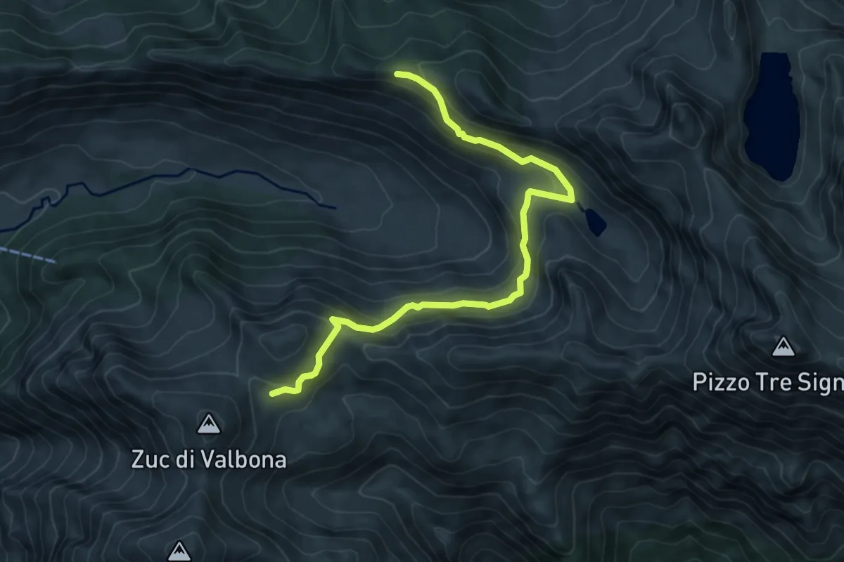
Demanding · Cabin
Sentiero 48
7.6 km · ↑ 450 m · 2 h 46 min
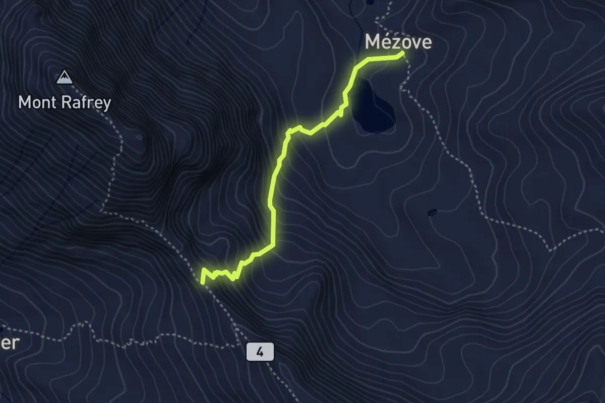
Medium · Trail
Sentiero 4A - Col d'Etzely-Lago Mezove
3.5 km · ↑ 383 m · 1 h 40 min
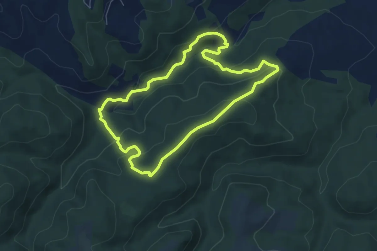
Medium · Trail
Sentiero 4 - Anello delle Carbonaie
5.6 km · ↑ 249 m · 1 h 56 min
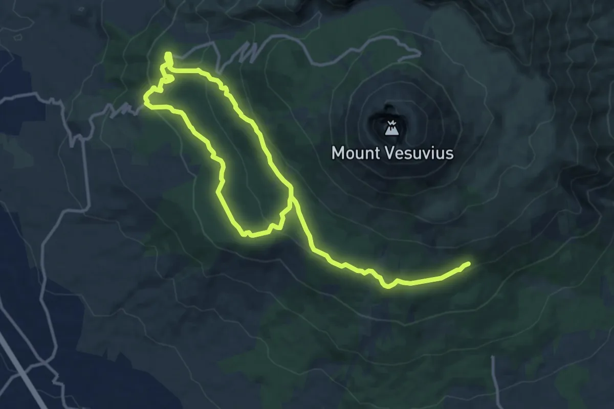
Demanding · Trail
Sentiero 4: Attraverso la Riserva Tirone
19.0 km · ↑ 534 m · 5 h 39 min
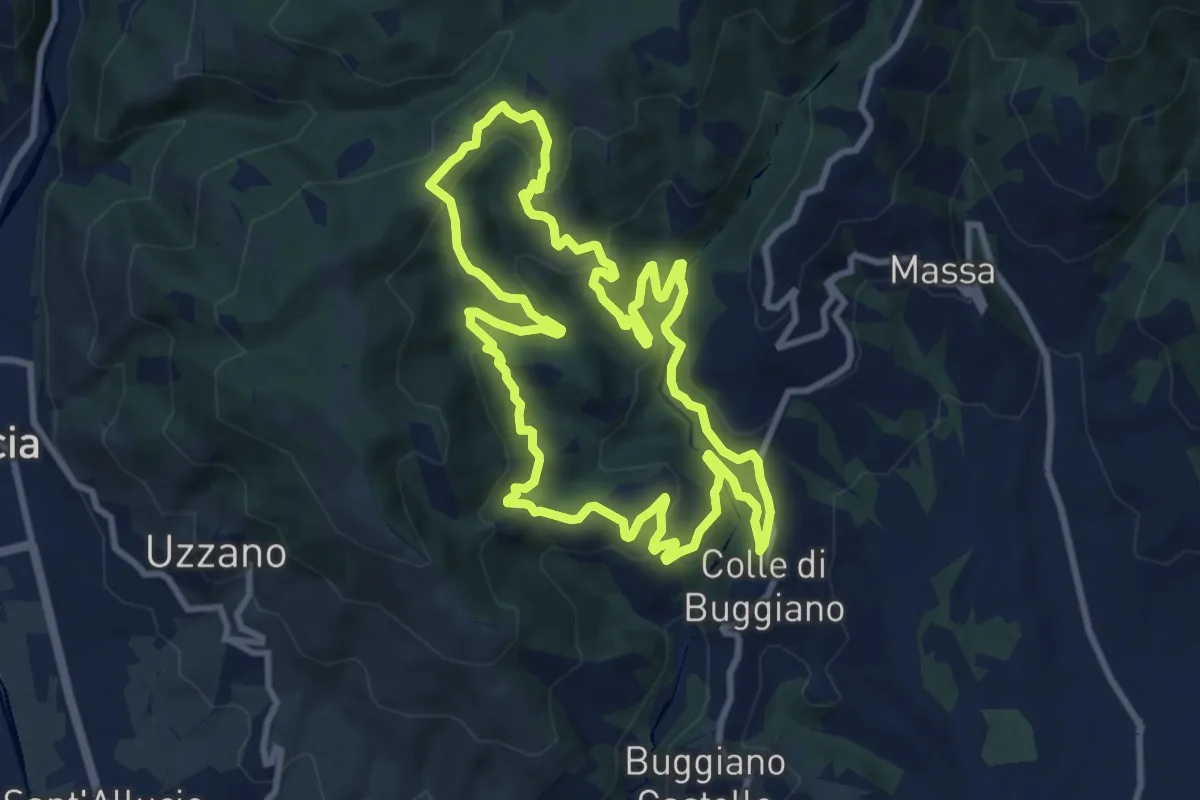
Medium · Trail
Sentiero 4 "Colle e dintorni"
10.2 km · ↑ 468 m · 3 h 34 min
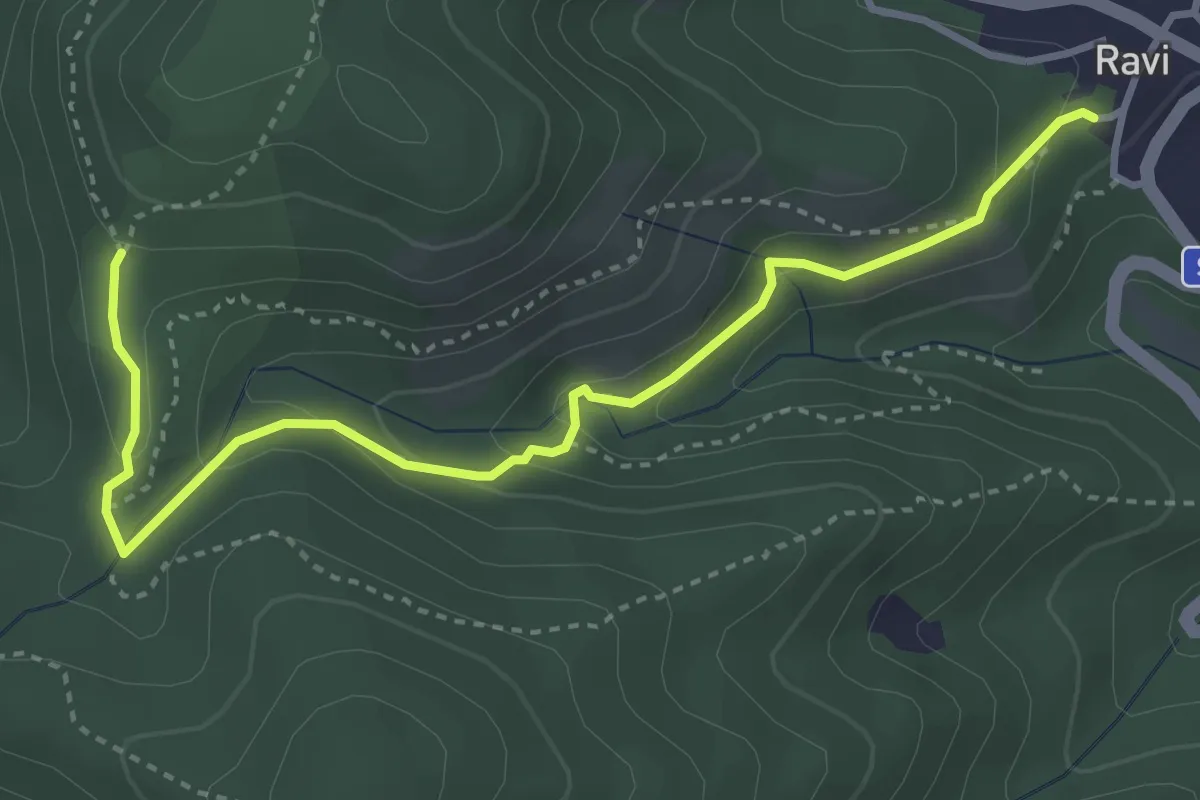
Easy · Trail
sentiero 4 Comune di Gavorrano
4.3 km · ↑ 205 m · 1 h 27 min
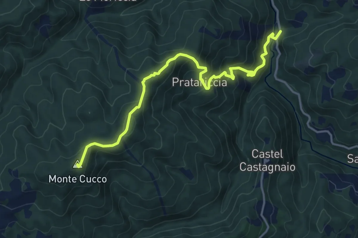
Medium · Summit
Sentiero 4 – da Molino di Bucchio a La Giuncaia
11.3 km · ↑ 733 m · 4 h 15 min
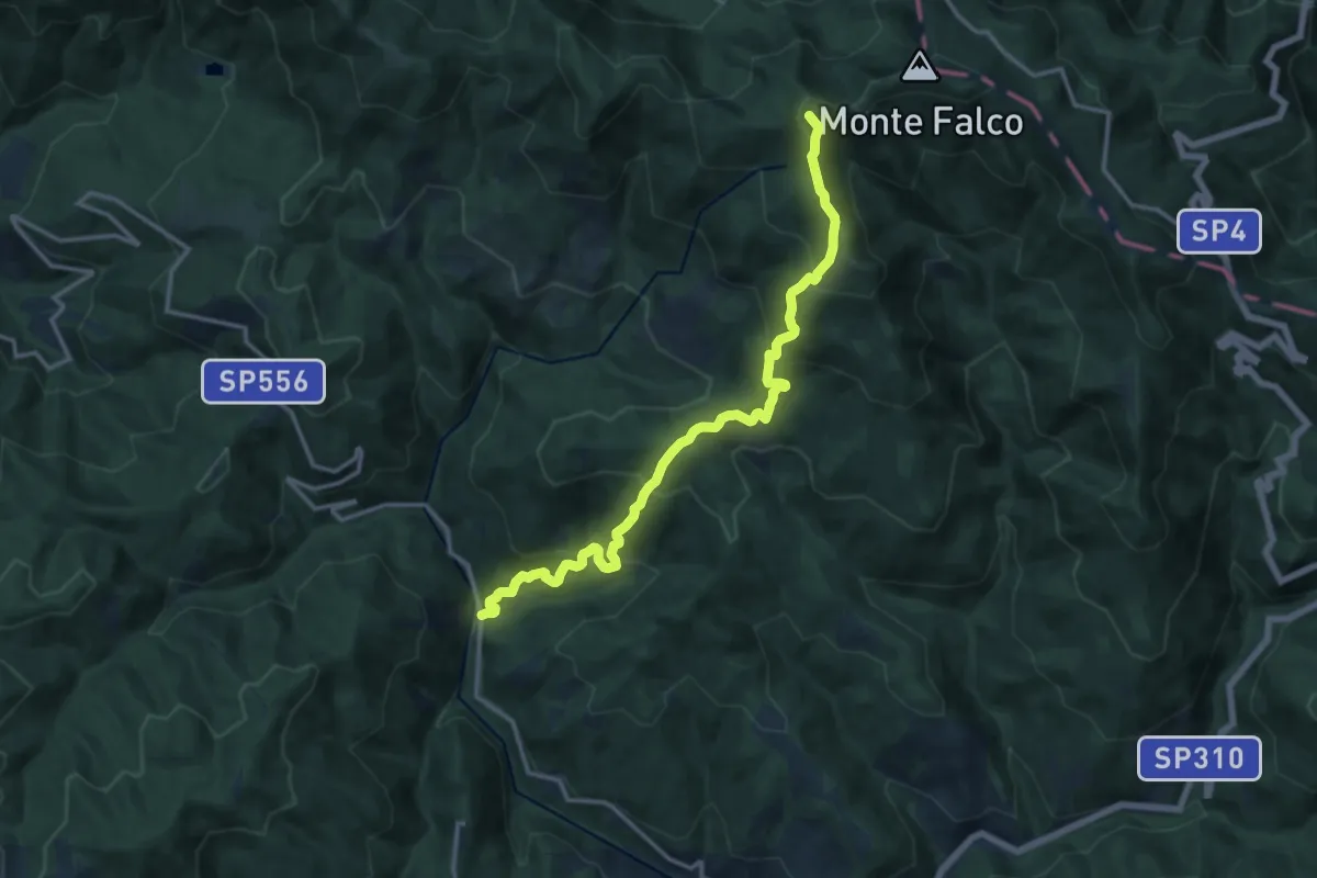
Demanding · Summit
Sentiero 4 – da Molino di Bucchio a Monte Falterona
15.4 km · ↑ 1148 m · 6 h 8 min
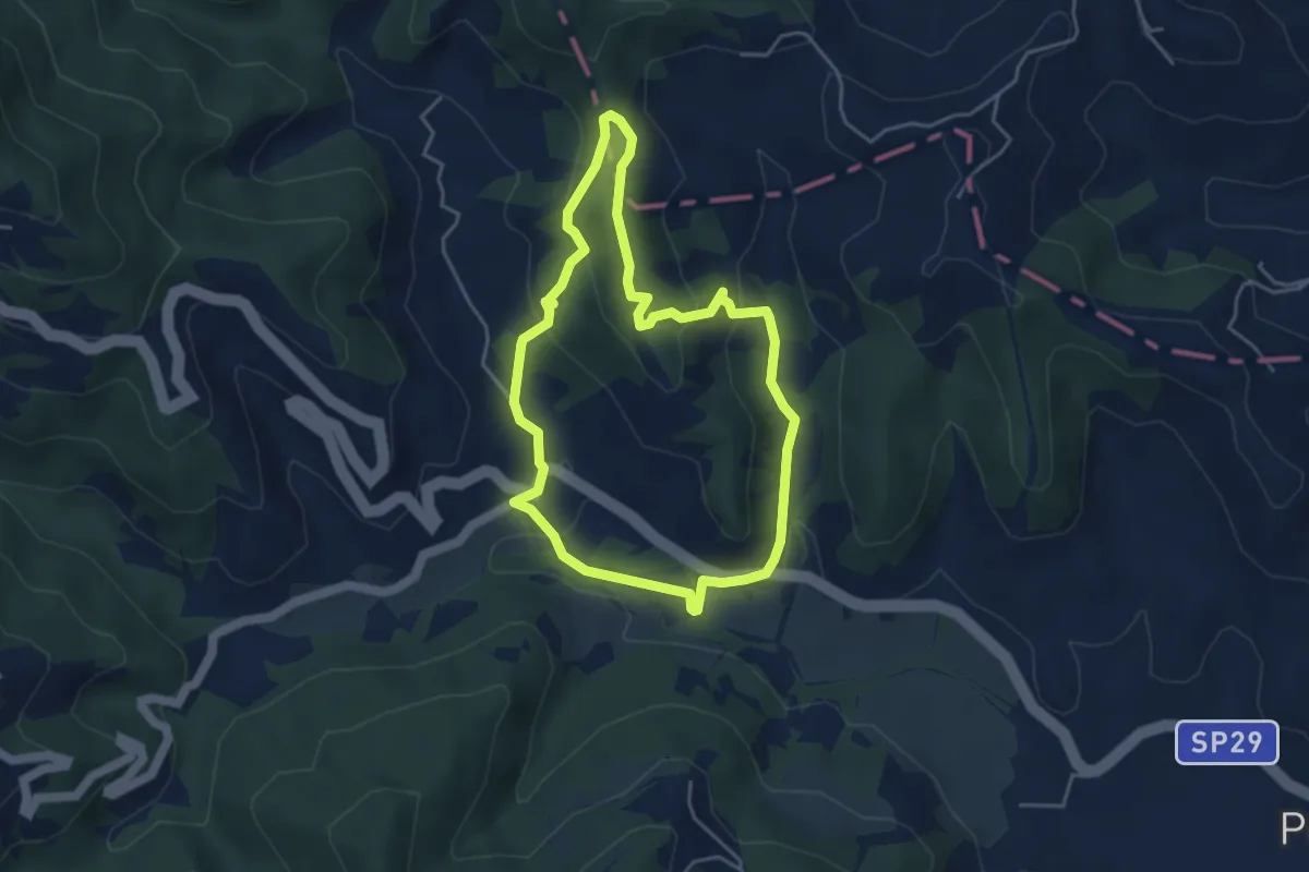
Easy · Summit
Sentiero 4 del Parco Naturale di Piana Crixia
4.2 km · ↑ 155 m · 1 h 23 min
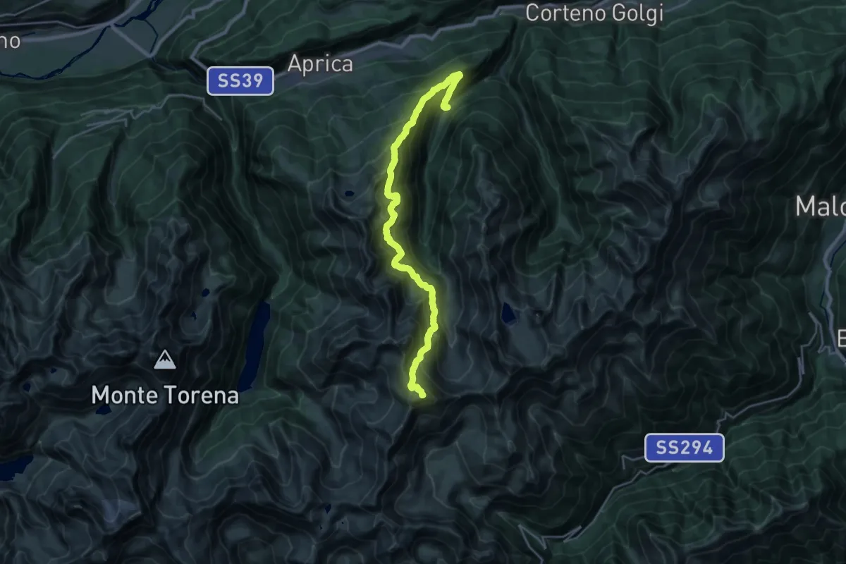
Expert · Summit
Sentiero 4 Luglio
23.2 km · ↑ 2295 m · 10 h 27 min
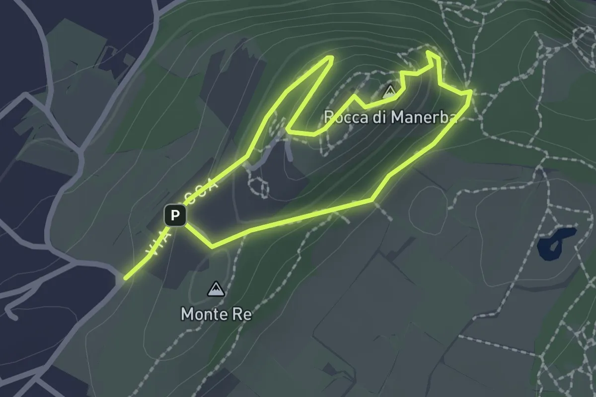
Expert · Summit
Sentiero 4 - Rocca di Manerba del Garda
1.8 km · ↑ 79 m · 37 min
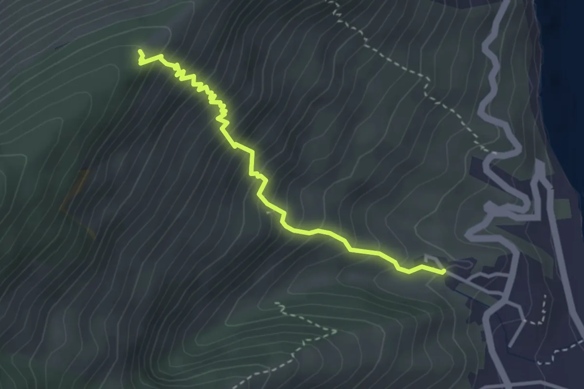
Medium · Cabin
Sentiero 5
3.5 km · ↑ 508 m · 1 h 55 min
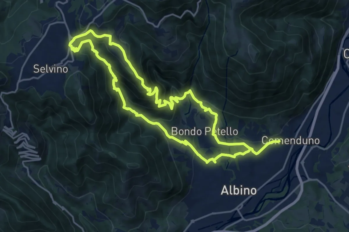
Medium · Summit
Sentiero 5
12.7 km · ↑ 702 m · 4 h 42 min
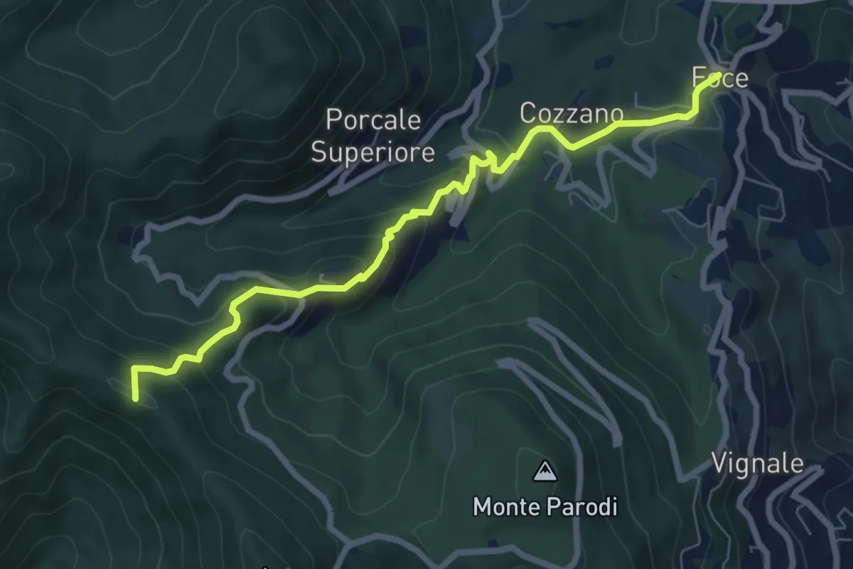
Medium · Summit
Sentiero 501 - Riomaggiore – Sella La Croce – Carpena – La Foce
7.1 km · ↑ 457 m · 2 h 40 min
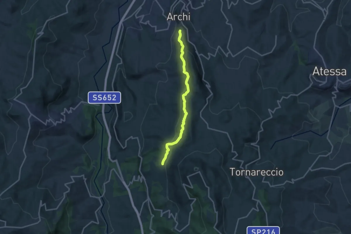
Medium · Trail
Sentiero 502
11.7 km · ↑ 393 m · 3 h 37 min
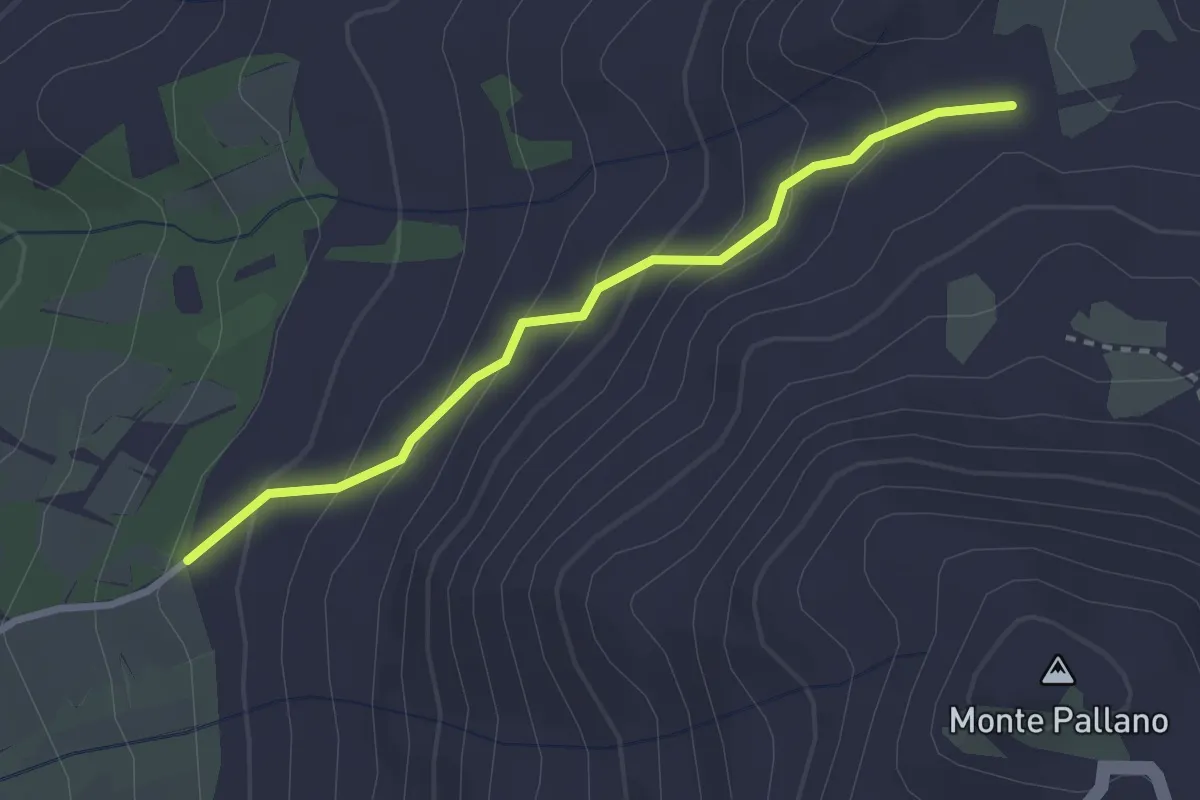
Easy · Trail
Sentiero 502A
2.9 km · ↑ 189 m · 1 h 5 min
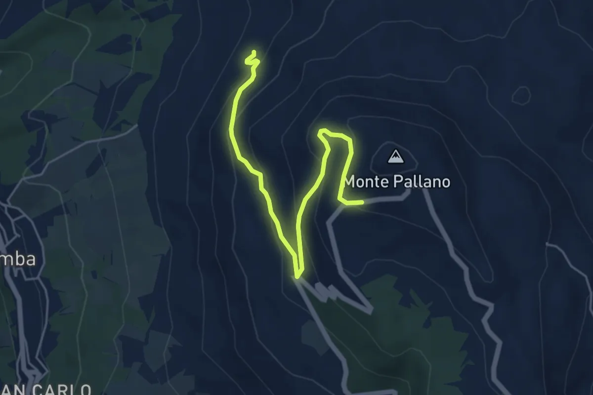
Easy · Trail
Sentiero 502B
5.2 km · ↑ 300 m · 1 h 53 min
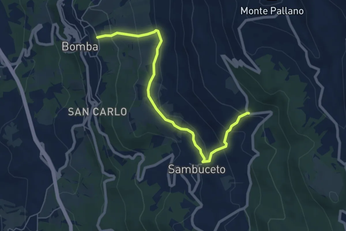
Medium · Trail
Sentiero 506
5.9 km · ↑ 375 m · 2 h 13 min
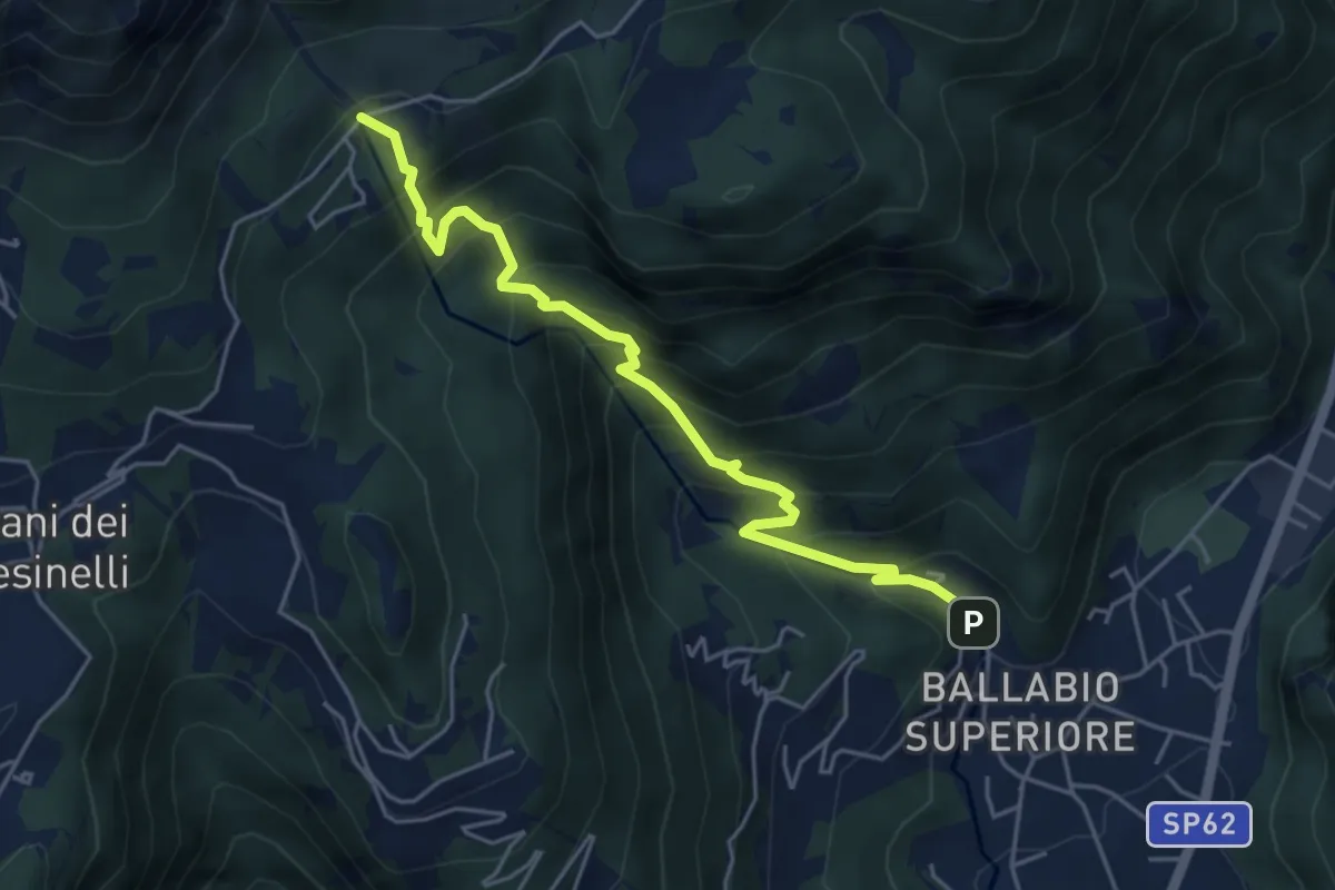
Medium · Trail
Sentiero 50: Ballabio - Piani Resinelli
5.1 km · ↑ 623 m · 2 h 33 min
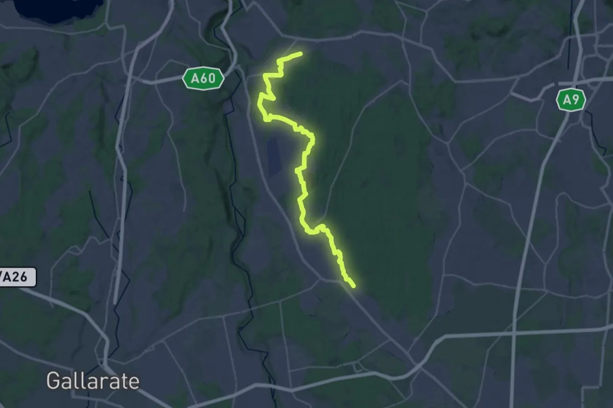
Medium · Trail
Sentiero 540LP
16.5 km · ↑ 81 m · 4 h 21 min
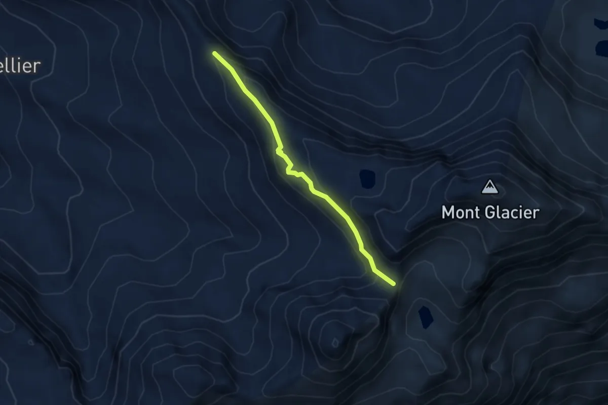
Demanding · Trail
Sentiero 5A - Colle dell'Etzety-Col Fussy
3.3 km · ↑ 191 m · 1 h 11 min
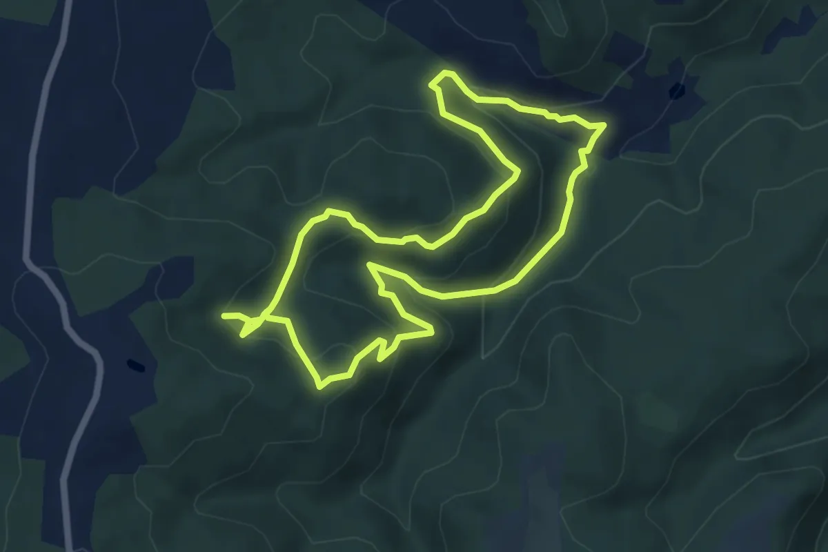
Medium · Summit
Sentiero 5 - Anello di Maurizio
5.4 km · ↑ 277 m · 1 h 57 min
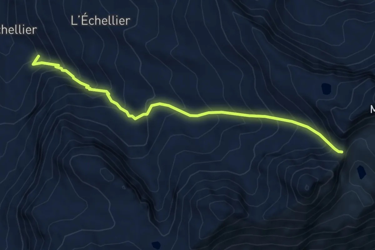
Medium · Cabin
Sentiero 5C - Cuneu-Col Fussy
6.4 km · ↑ 738 m · 3 h 7 min
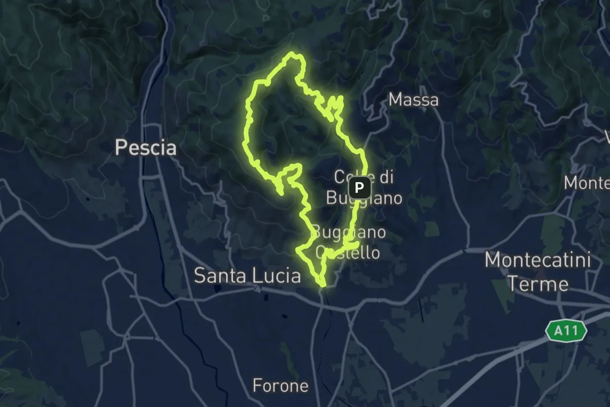
Medium · Summit
Sentiero 5 "Colle e dintorni"
14.6 km · ↑ 659 m · 5 h 5 min
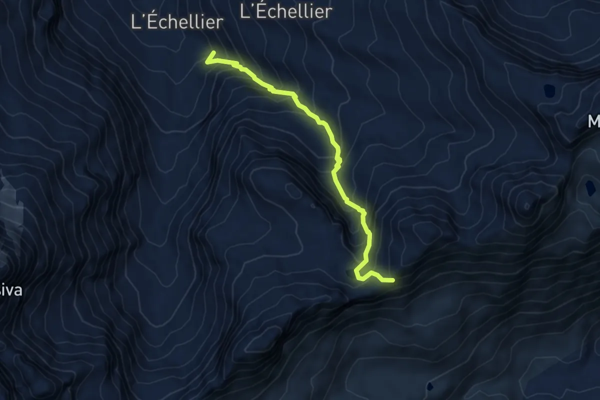
Demanding · Cabin
Sentiero 5D - Cuneu-Col Moutzaillon
5.9 km · ↑ 677 m · 2 h 51 min
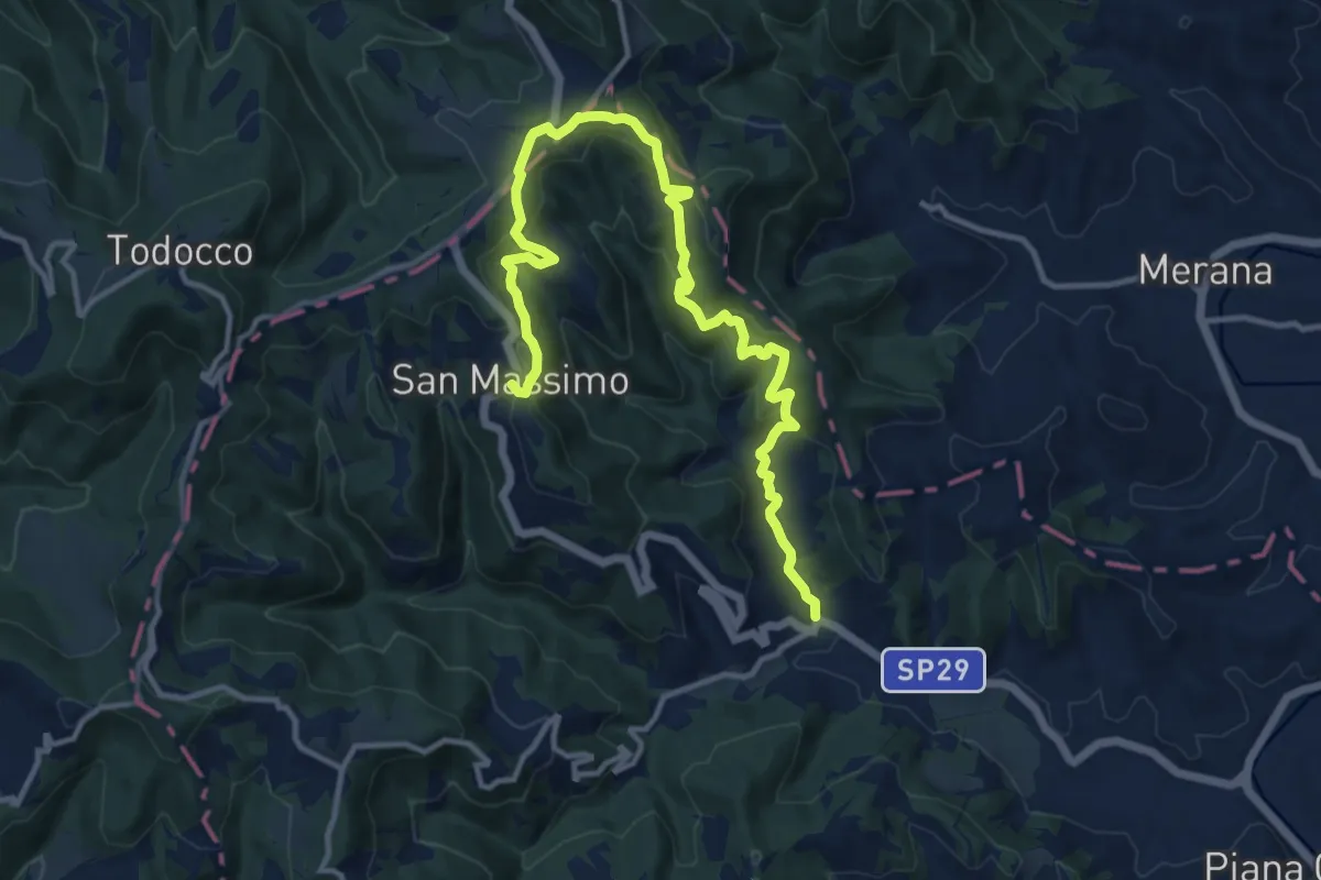
Medium · Trail
Sentiero 5 del Parco Naturale di Piana Crixia
15.1 km · ↑ 562 m · 4 h 47 min
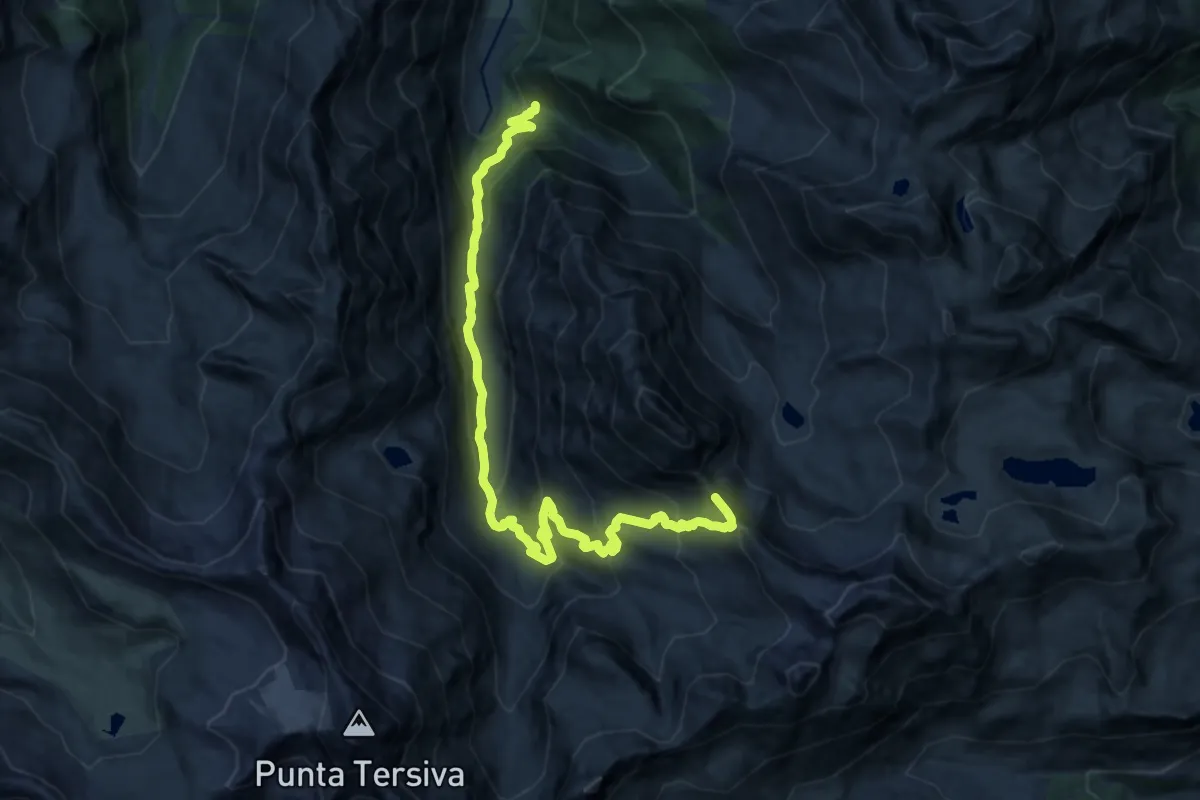
Demanding · Trail
Sentiero 5 - Etzely-Col de LìEtzely
18.8 km · ↑ 1273 m · 7 h 11 min
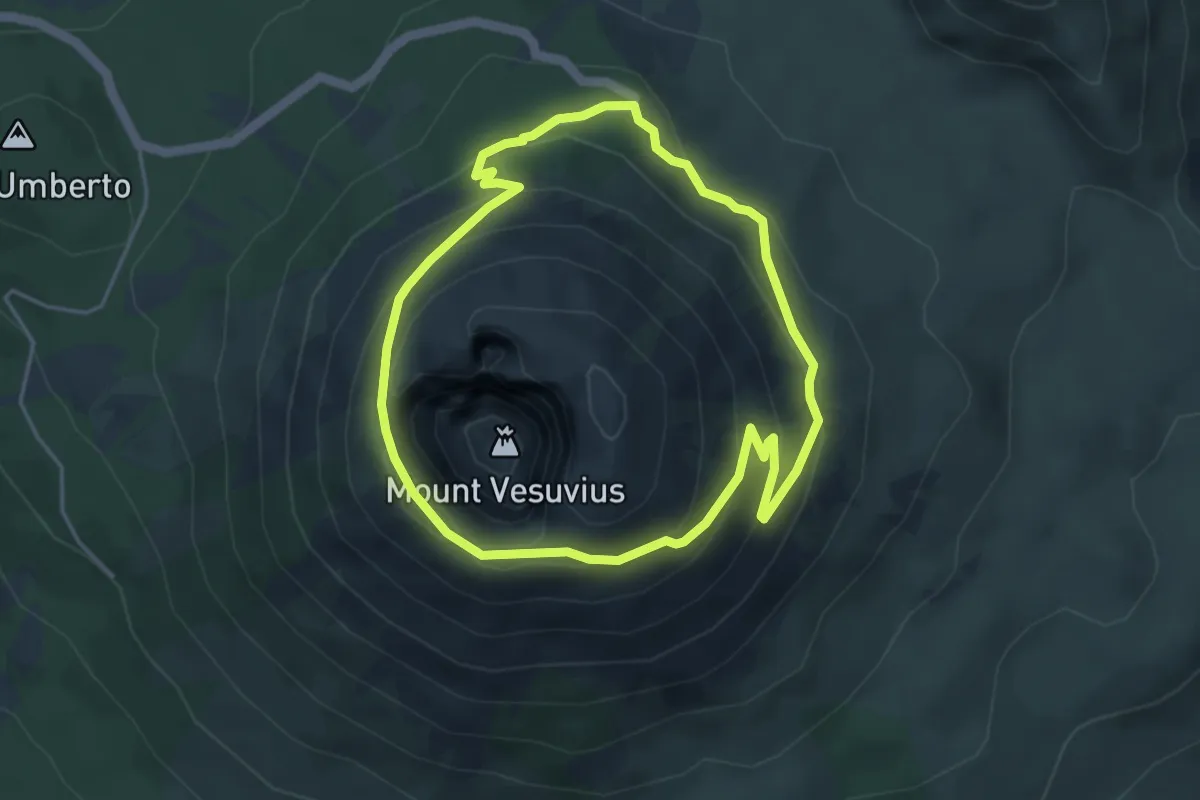
Demanding · Trail
Sentiero 5: Il Gran Cono
4.4 km · ↑ 243 m · 1 h 38 min