Trails in Italy
25,219 hiking trails, each with its route, climb, walking time and grade.
All trails, page 147 of 526
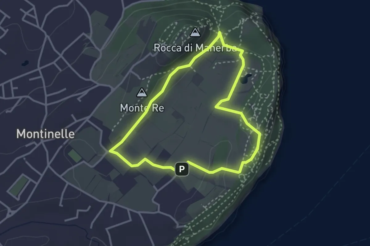
Easy · Summit
Sentiero 5 - Rocca di Manerba del Garda
2.9 km · ↑ 50 m · 50 min
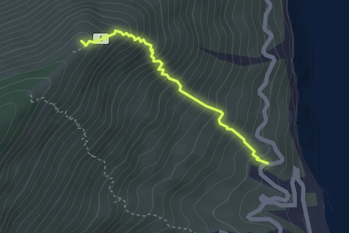
Medium · Summit
Sentiero 6
2.8 km · ↑ 475 m · 1 h 42 min
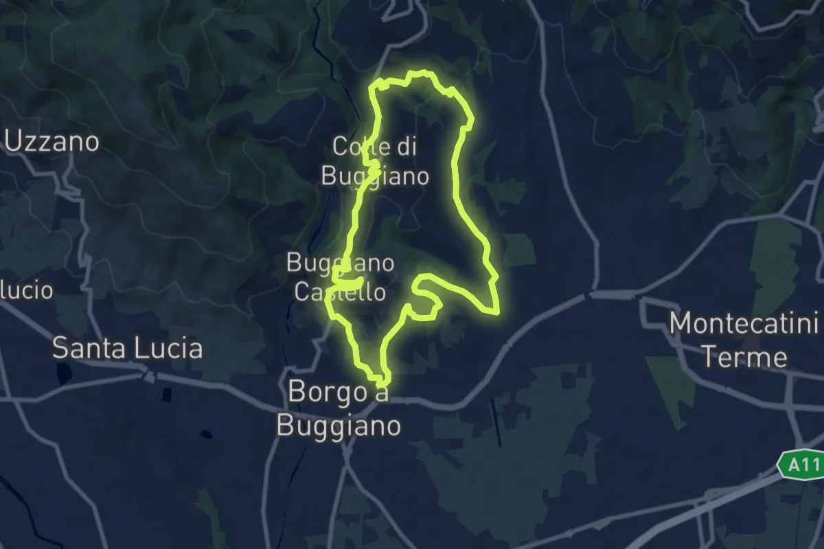
Medium · Summit
Sentiero 6 "Colle e dintorni"
8.5 km · ↑ 236 m · 2 h 37 min
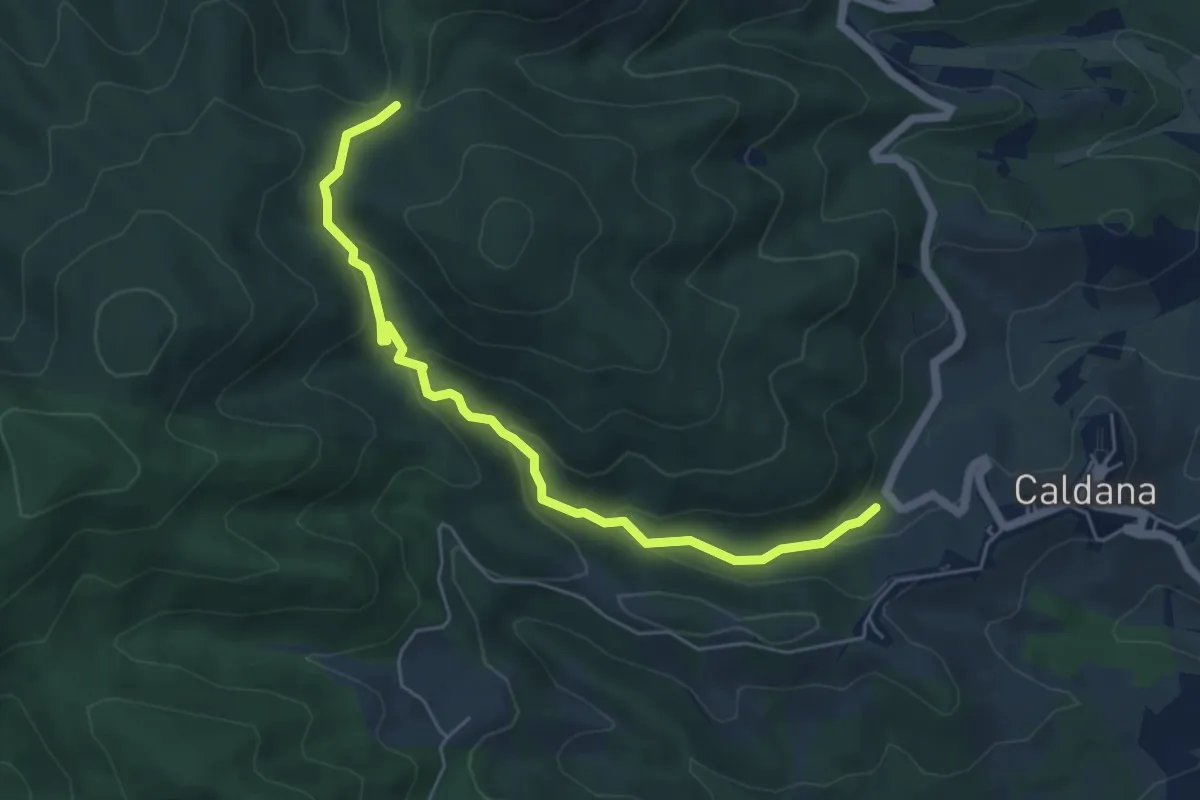
Easy · Trail
sentiero 6 Comune di Gavorrano
5.9 km · ↑ 276 m · 2 h
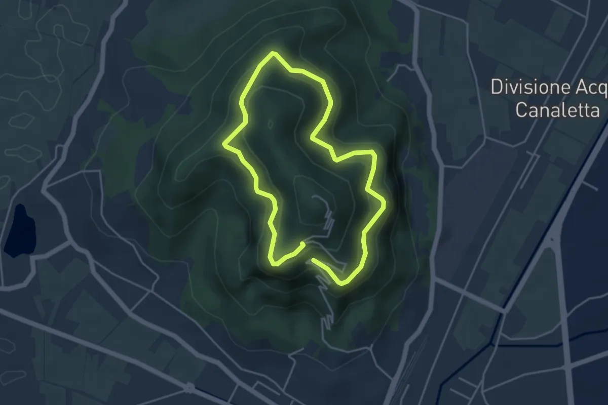
Easy · Summit
Sentiero 6 del Monte Ricco e del Monte Castello
3.5 km · ↑ 256 m · 1 h 27 min
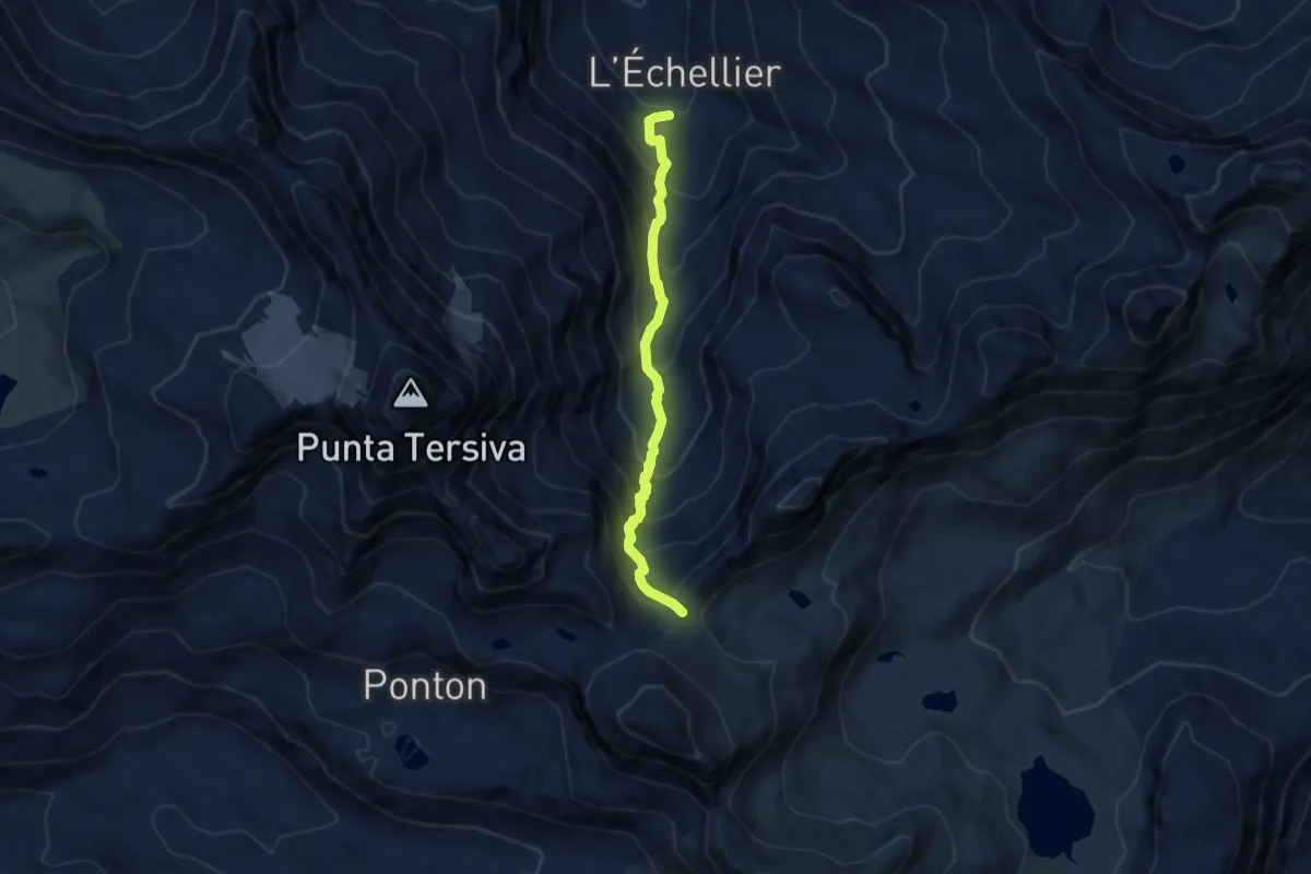
Expert · Trail
Sentiero 6 - GrandAlpe-Col Fenis
6.8 km · ↑ 729 m · 3 h 10 min
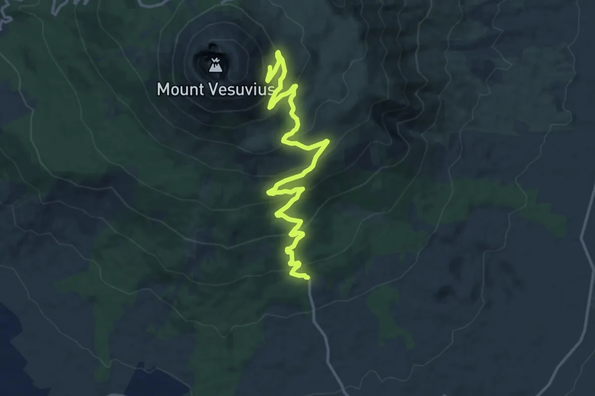
Medium · Trail
Sentiero 6: La Strada Matrone
14.0 km · ↑ 721 m · 4 h 52 min
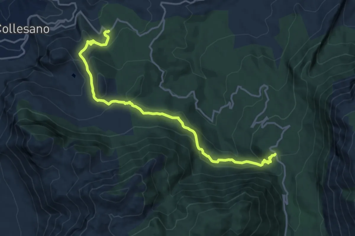
Medium · Trail
Sentiero 7
14.2 km · ↑ 576 m · 4 h 36 min
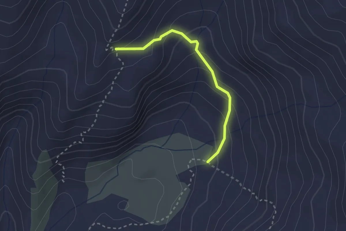
Medium · Trail
Sentiero 7A
2.1 km · ↑ 193 m · 55 min
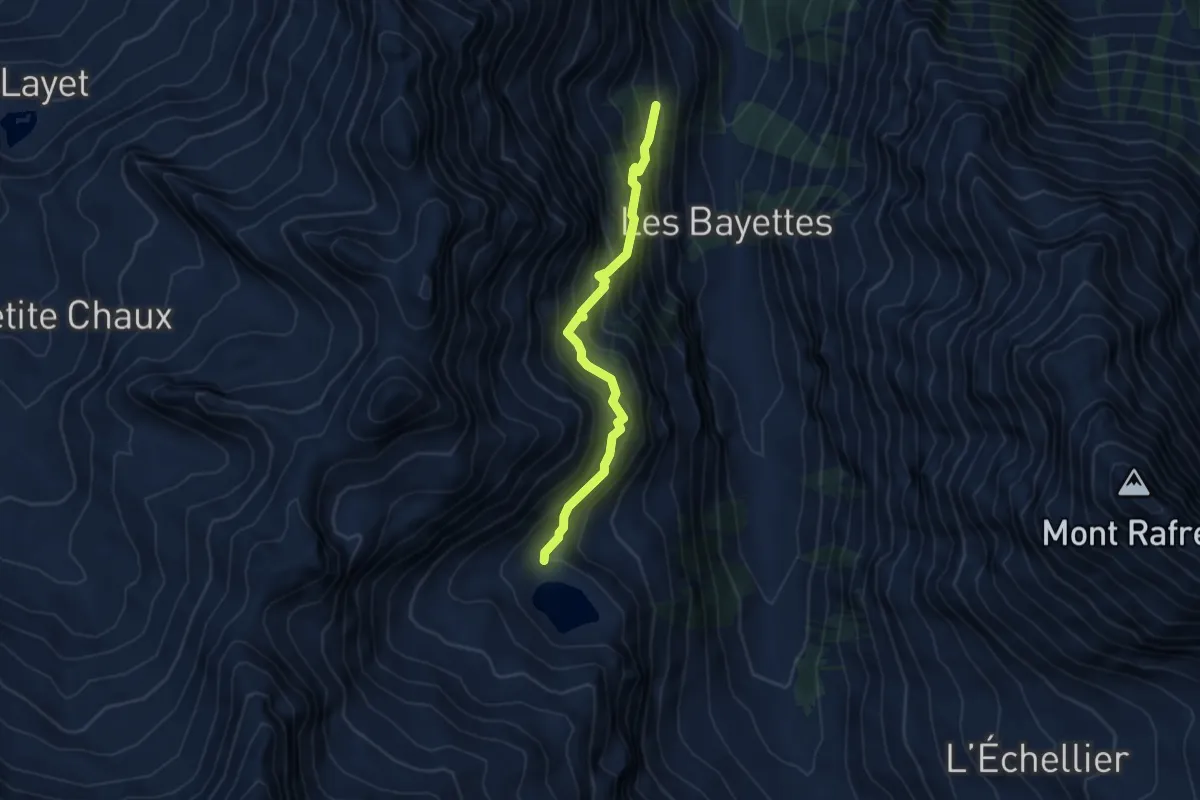
Medium · Trail
Sentiero 7C - Arcolo-Lago Lavodilec
4.7 km · ↑ 637 m · 2 h 30 min
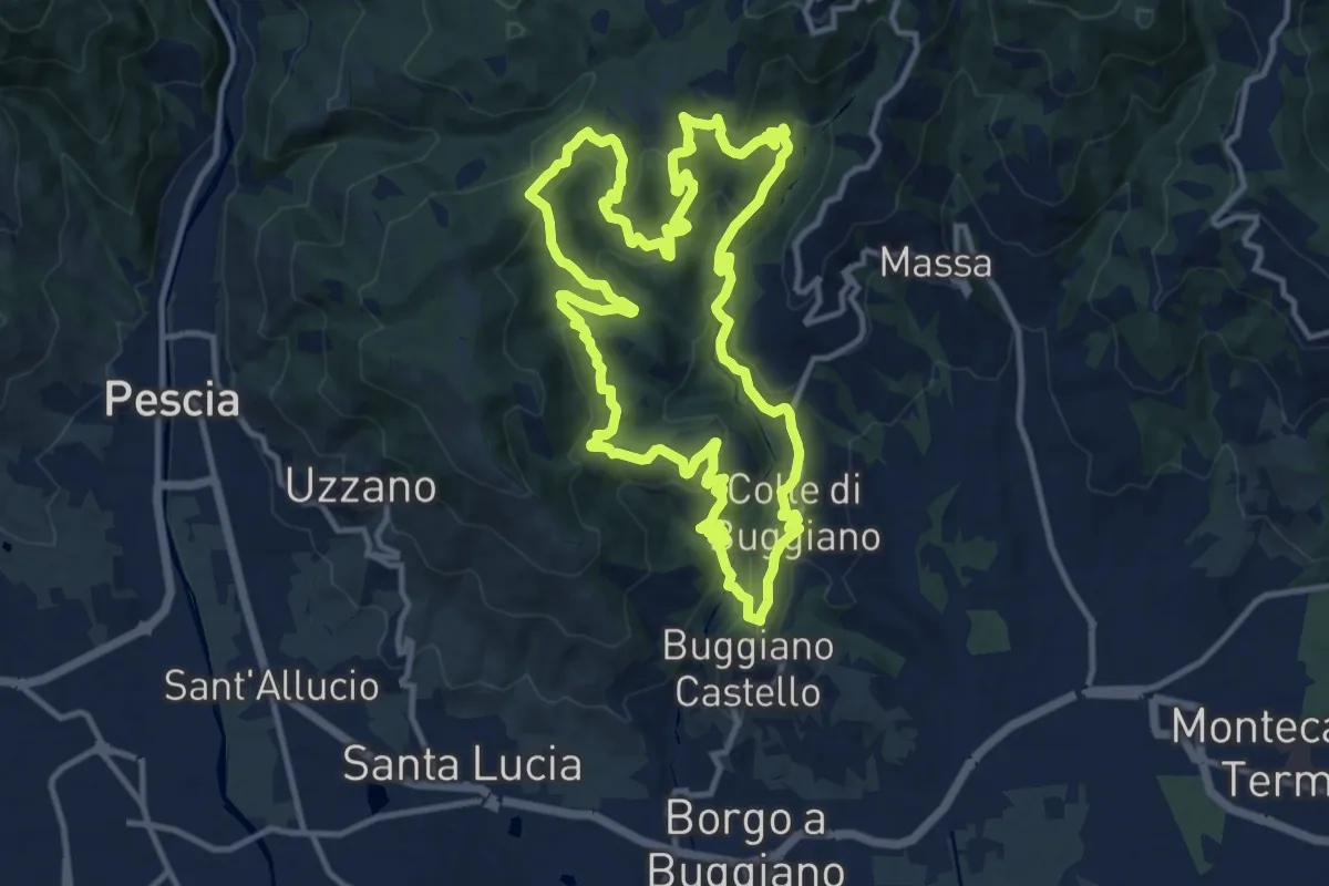
Medium · Trail
Sentiero 7 "Colle e dintorni"
13.4 km · ↑ 675 m · 4 h 49 min
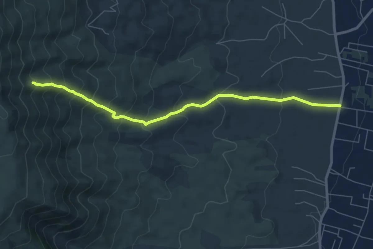
Medium · Trail
Sentiero 7: Il Vallone della Profica
6.8 km · ↑ 549 m · 2 h 48 min
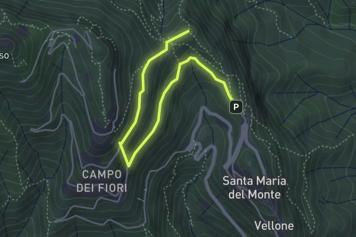
Medium · Summit
Sentiero 8/308: Santa Maria del Monte - Valico Pizzelle
4.5 km · ↑ 301 m · 1 h 43 min
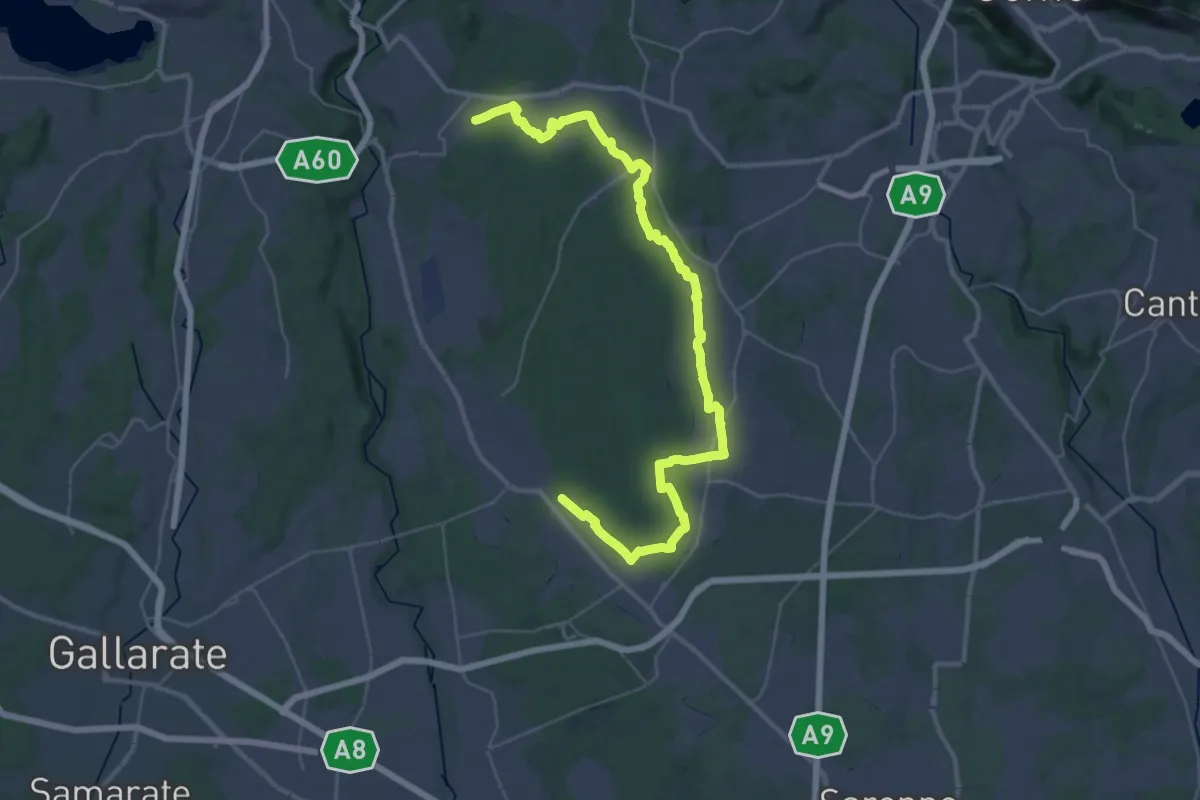
Demanding · Trail
Sentiero 840 LP
23.0 km · ↑ 244 m · 6 h 15 min
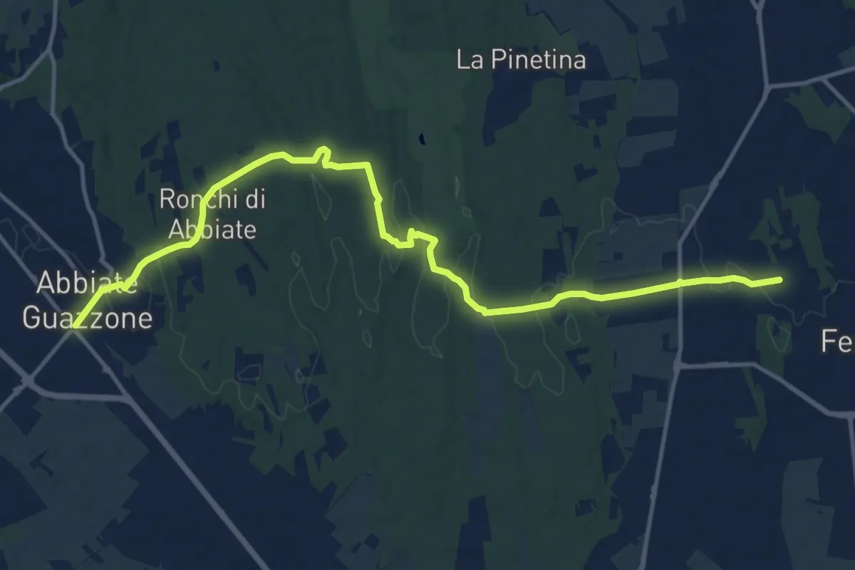
Medium · Trail
Sentiero 844
14.8 km · ↑ 205 m · 3 h 57 min
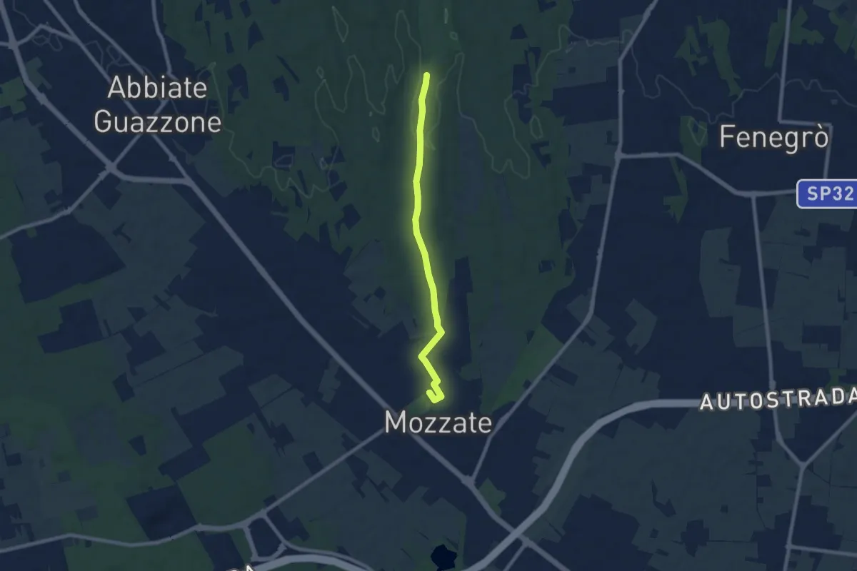
Easy · Trail
Sentiero 844B
7.1 km · ↑ 43 m · 1 h 47 min
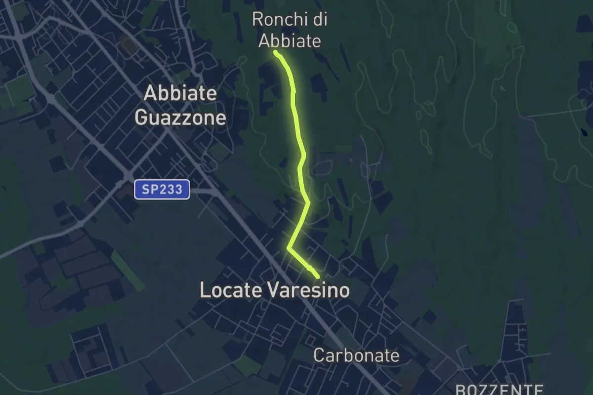
Easy · Trail
Sentiero 844C
4.5 km · ↑ 42 m · 1 h 9 min
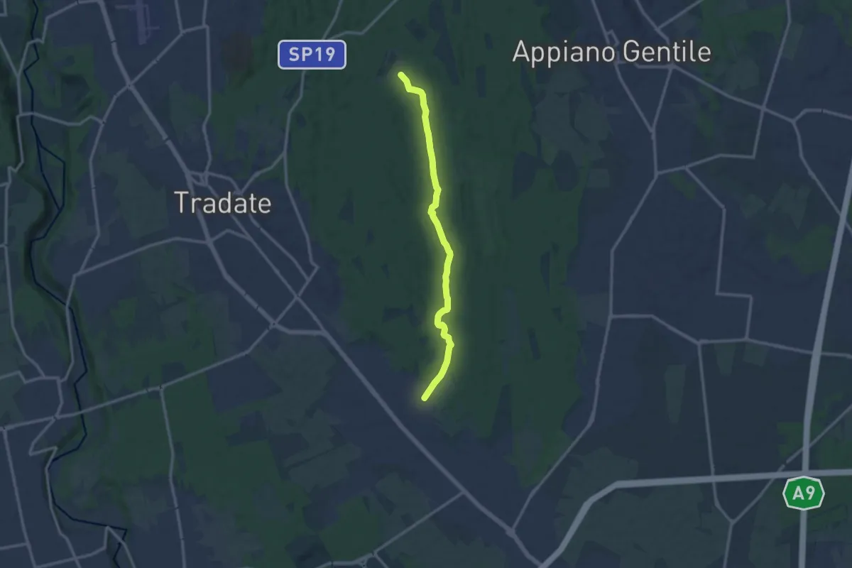
Medium · Trail
Sentiero 845
11.0 km · ↑ 92 m · 2 h 47 min
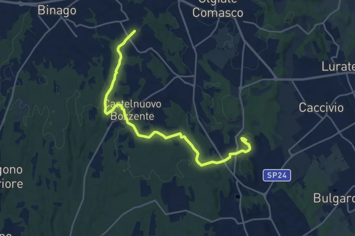
Medium · Trail
Sentiero 846
13.8 km · ↑ 196 m · 3 h 41 min
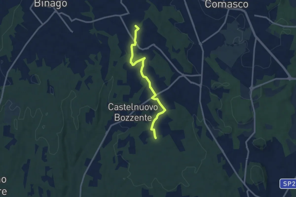
Easy · Trail
Sentiero 846B
6.5 km · ↑ 44 m · 1 h 38 min
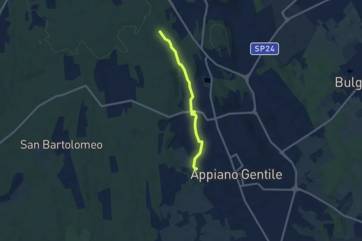
Easy · Trail
Sentiero 846C
4.9 km · ↑ 81 m · 1 h 20 min
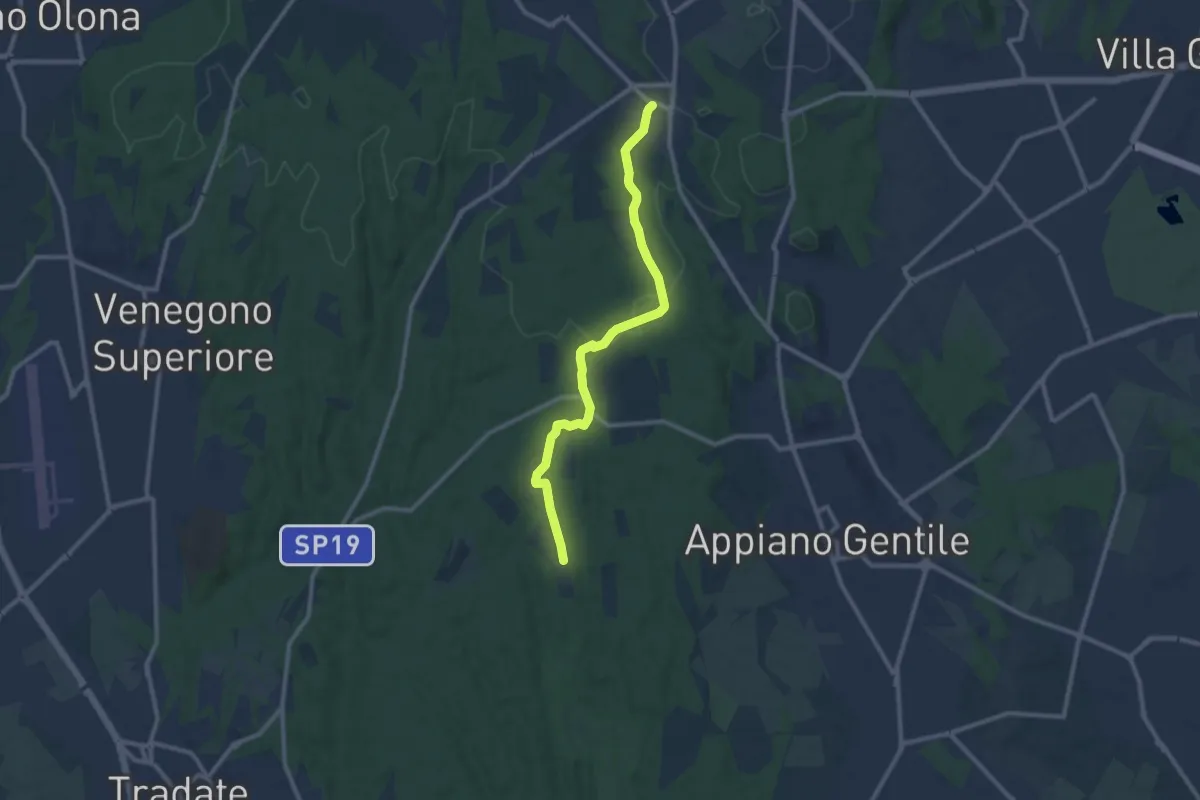
Medium · Trail
Sentiero 847
10.4 km · ↑ 81 m · 2 h 38 min
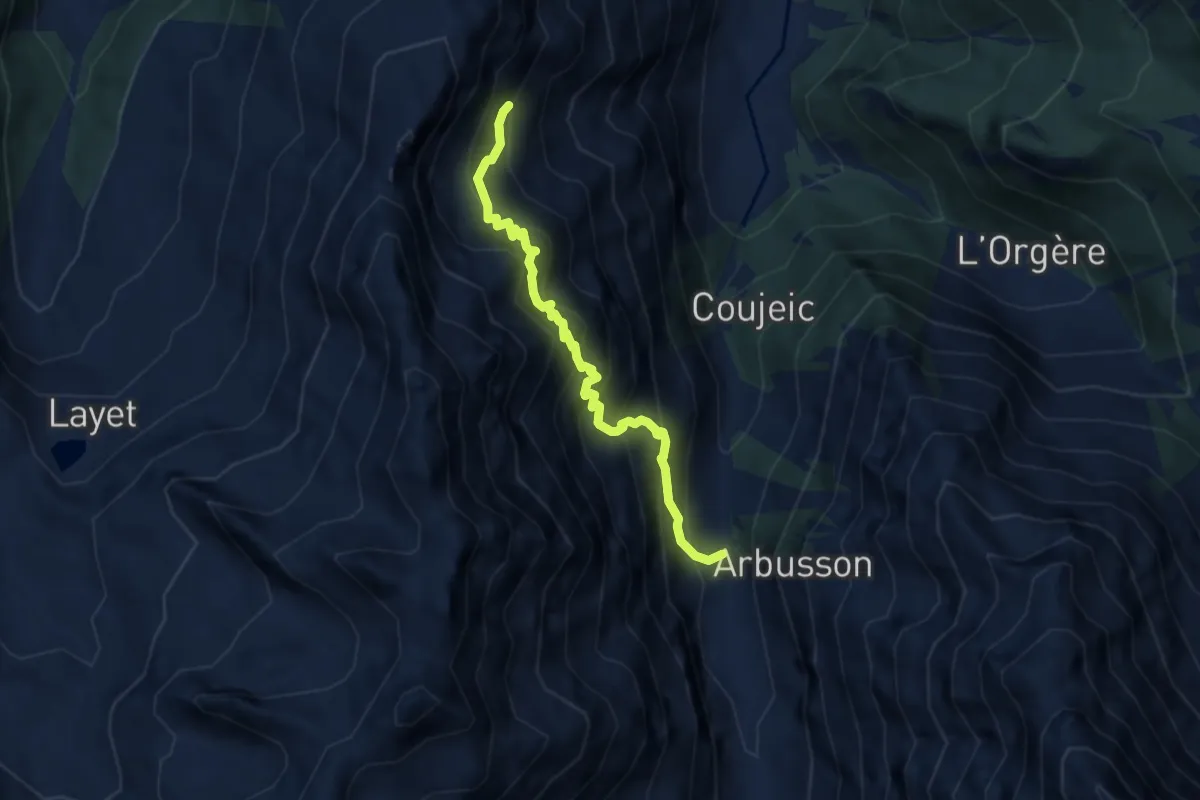
Demanding · Trail
Sentiero 8C - Bayet Superiore(1.842)-La Rossa Superiore (2.295) - E - 1h40' - disl. 417
6.6 km · ↑ 884 m · 3 h 28 min
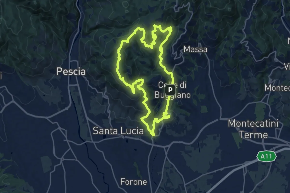
Demanding · Summit
Sentiero 8 "Colle e dintorni"
16.5 km · ↑ 807 m · 5 h 52 min
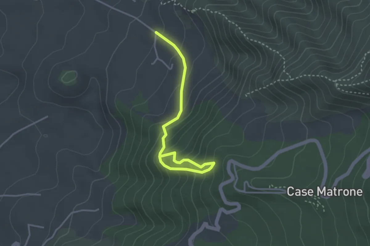
Medium · Trail
Sentiero 8: Il Trenino a Cremagliera
3.6 km · ↑ 340 m · 1 h 35 min
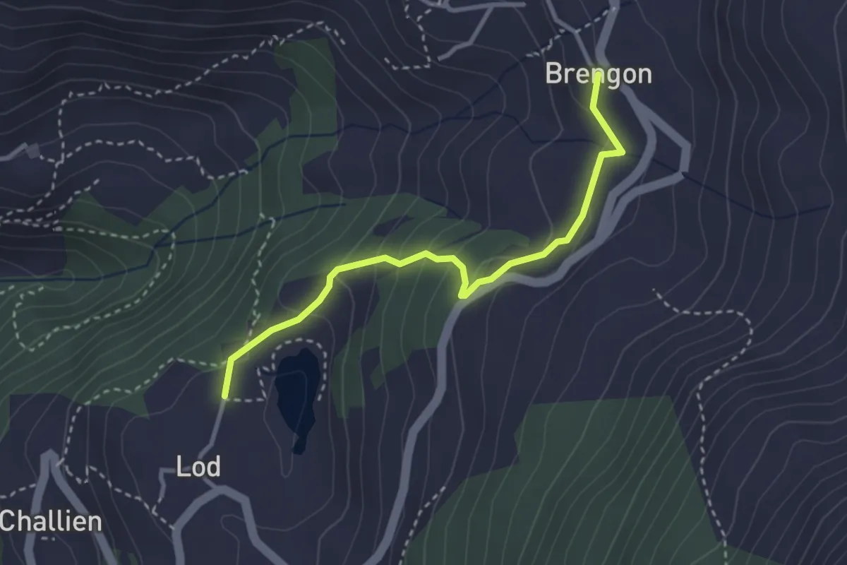
Medium · Trail
Sentiero 8 La Magdeleine Lago Lod
3.1 km · ↑ 173 m · 1 h 6 min
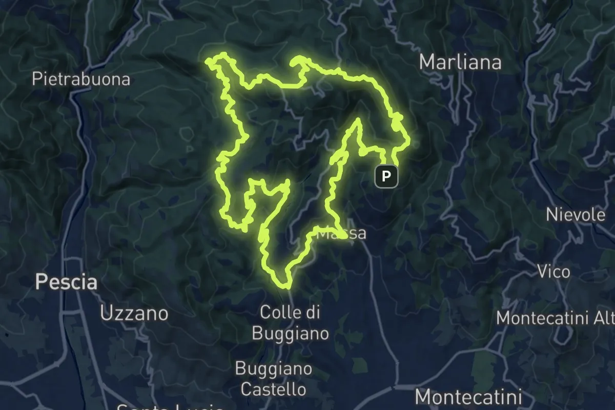
Demanding · Summit
Sentiero 9 "Colle e dintorni"
23.0 km · ↑ 1293 m · 8 h 33 min
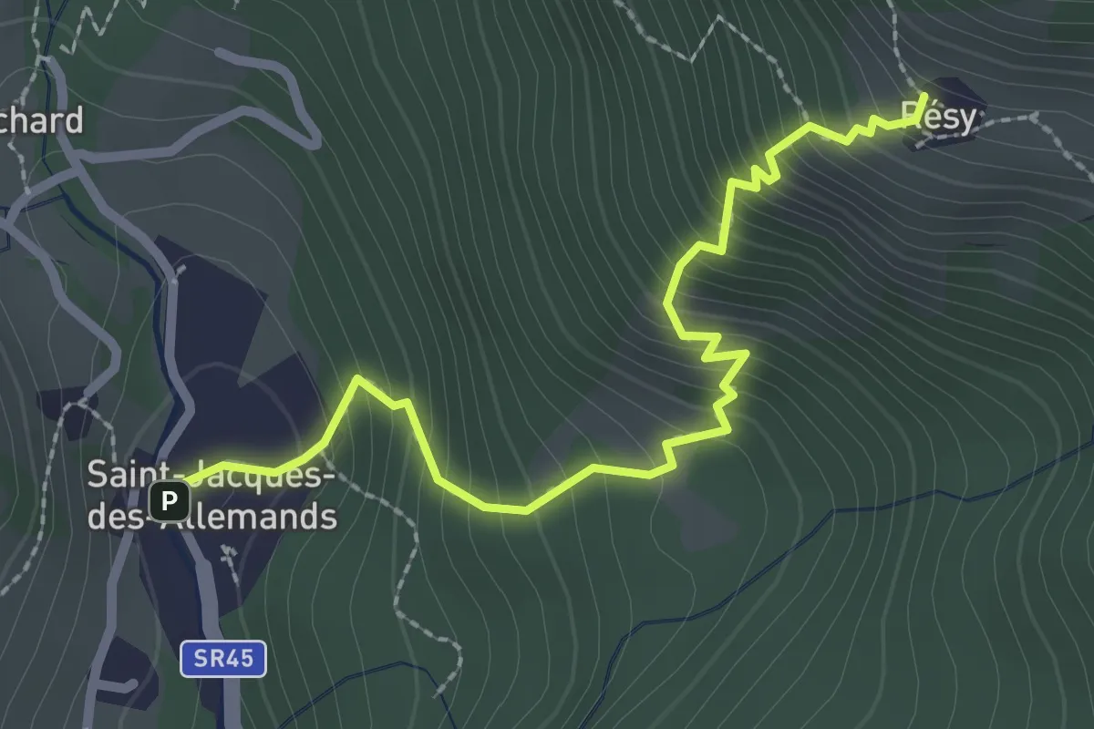
Medium · Cabin
Sentiero 9 da Saint-Jacques a Résy
2.7 km · ↑ 404 m · 1 h 30 min
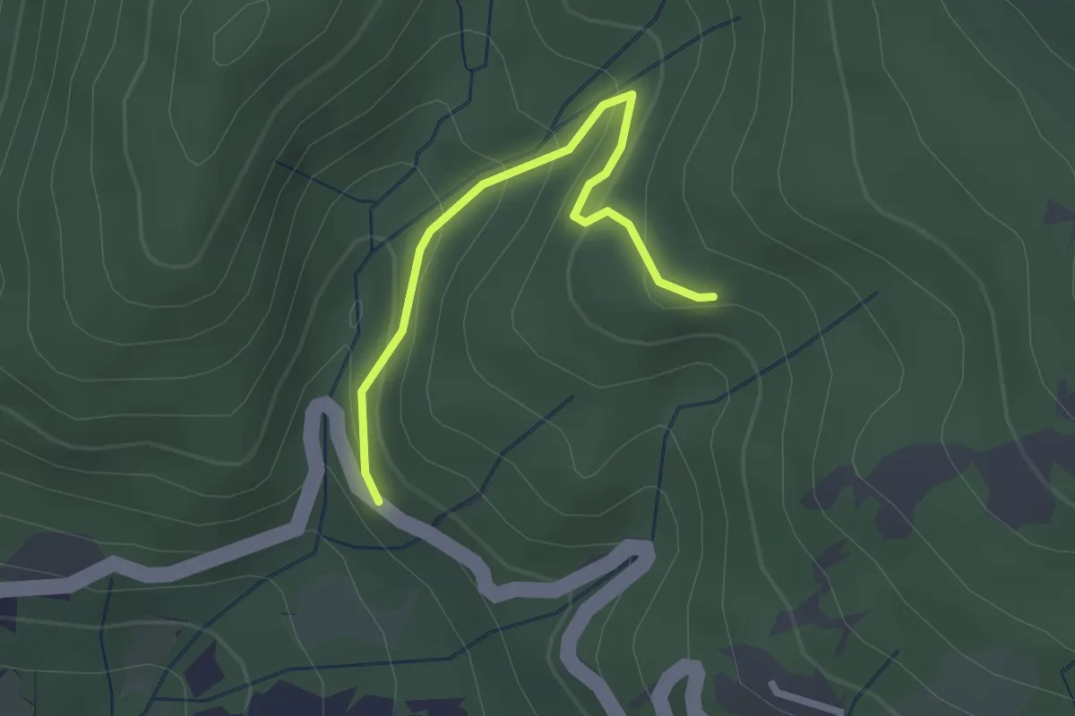
Easy · Trail
Sentiero A4 di Monte Alpe
2.3 km · ↑ 157 m · 53 min
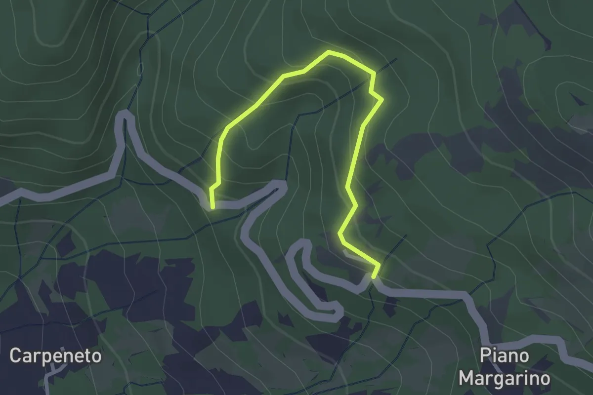
Easy · Trail
Sentiero A5 di Monte Alpe
2.8 km · ↑ 230 m · 1 h 9 min
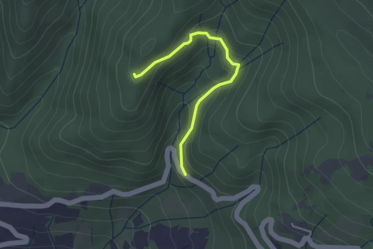
Easy · Trail
Sentiero A6 di Monte Alpe
2.7 km · ↑ 151 m · 58 min
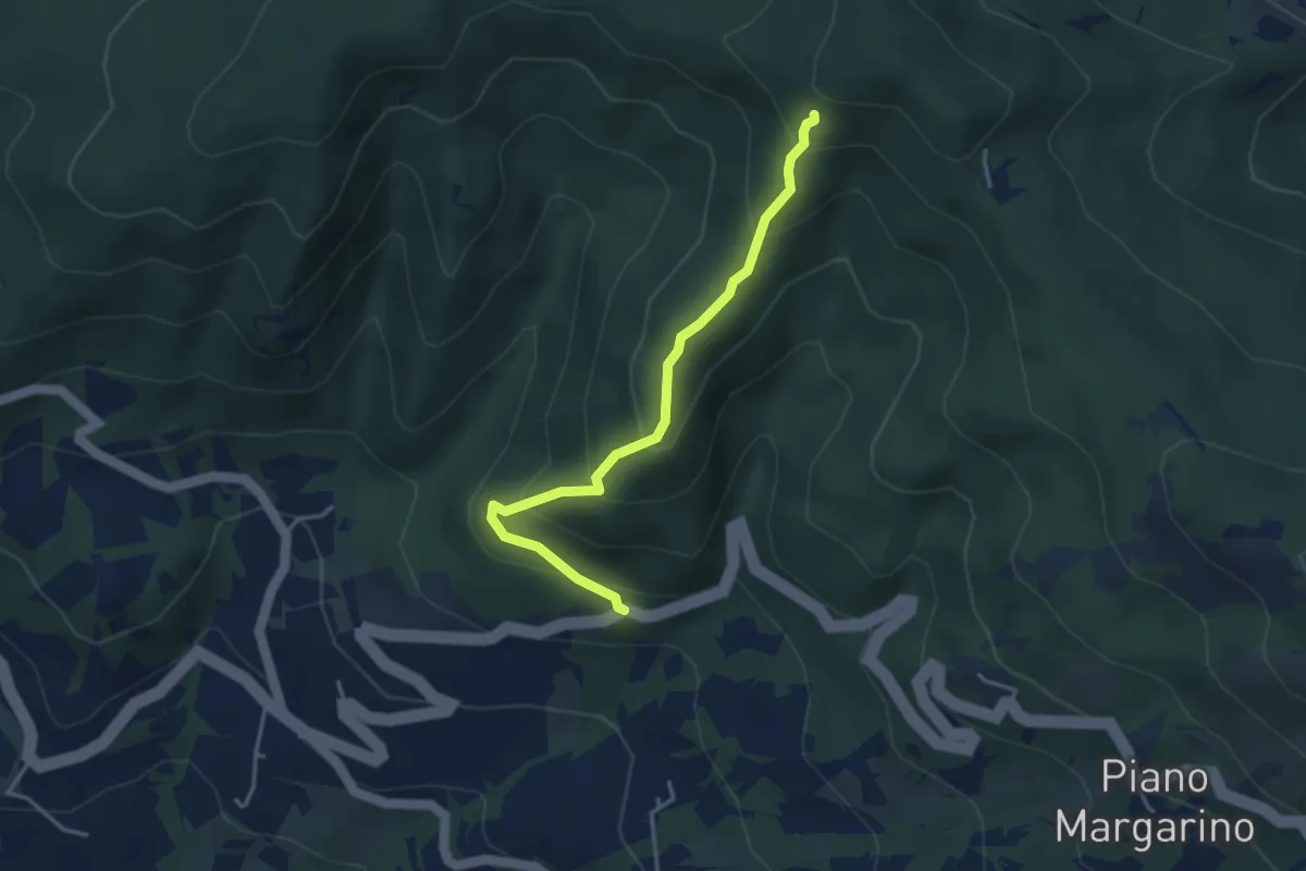
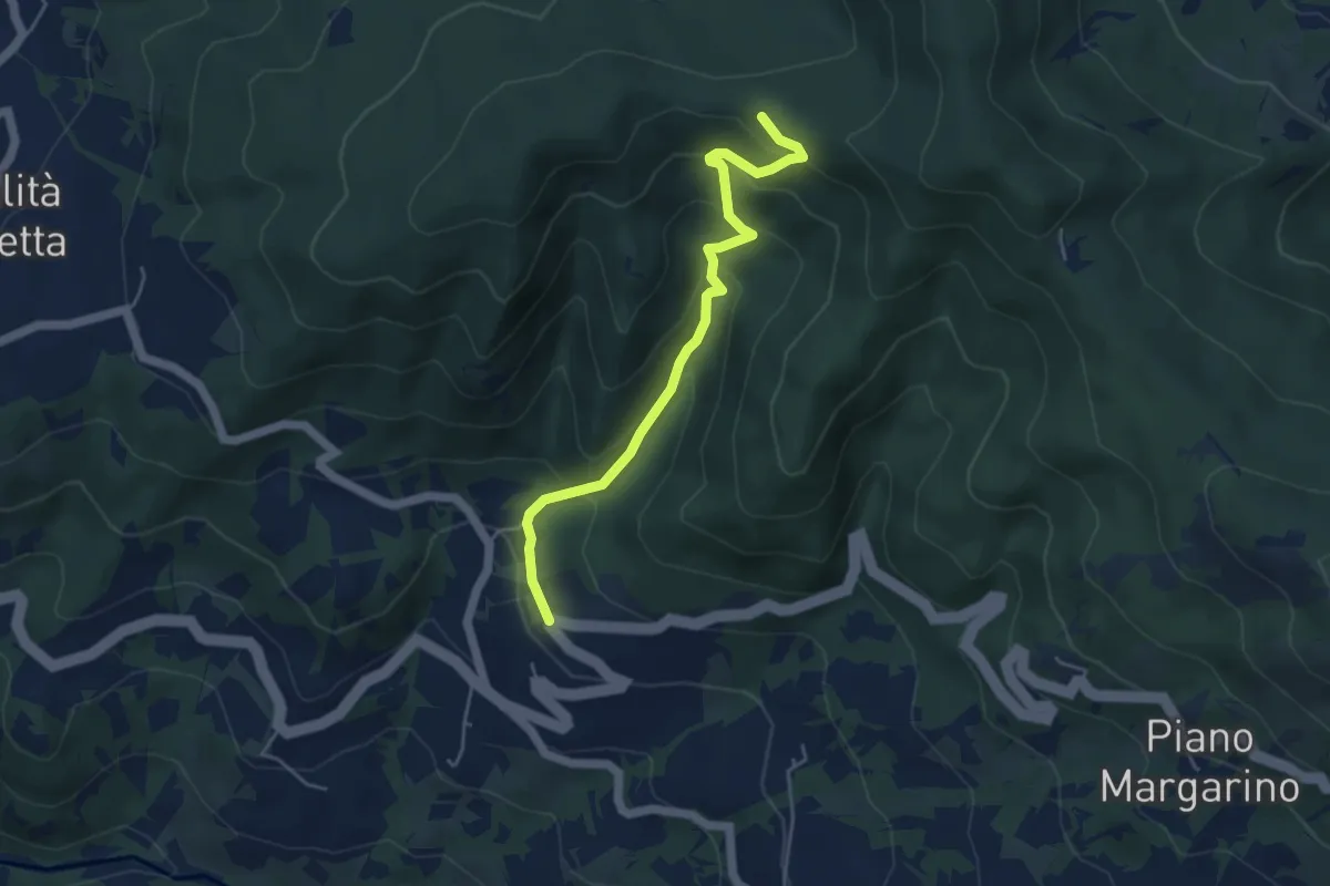
Medium · Trail
Sentiero A7 di Monte Alpe ( Sentiero del Bricchetto)
3.8 km · ↑ 328 m · 1 h 36 min
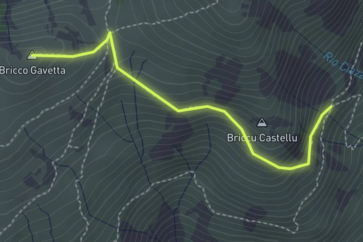
Easy · Trail
Sentiero A8 di Monte Alpe
4.8 km · ↑ 304 m · 1 h 47 min
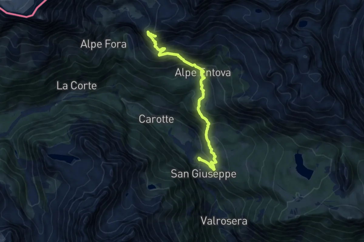
Medium · Summit
Sentiero A - Bric Gavetta
2.2 km · ↑ 163 m · 53 min
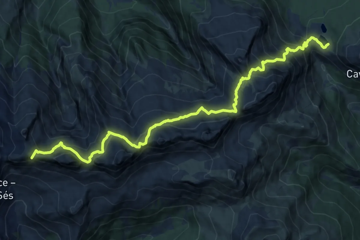
Demanding · Cabin
Sentiero accesso Rifugio Antonio ed Elia Longoni
12.7 km · ↑ 1013 m · 5 h 11 min
Expert · Summit
Sentiero Achille Gadler
16.6 km · ↑ 1481 m · 7 h 8 min
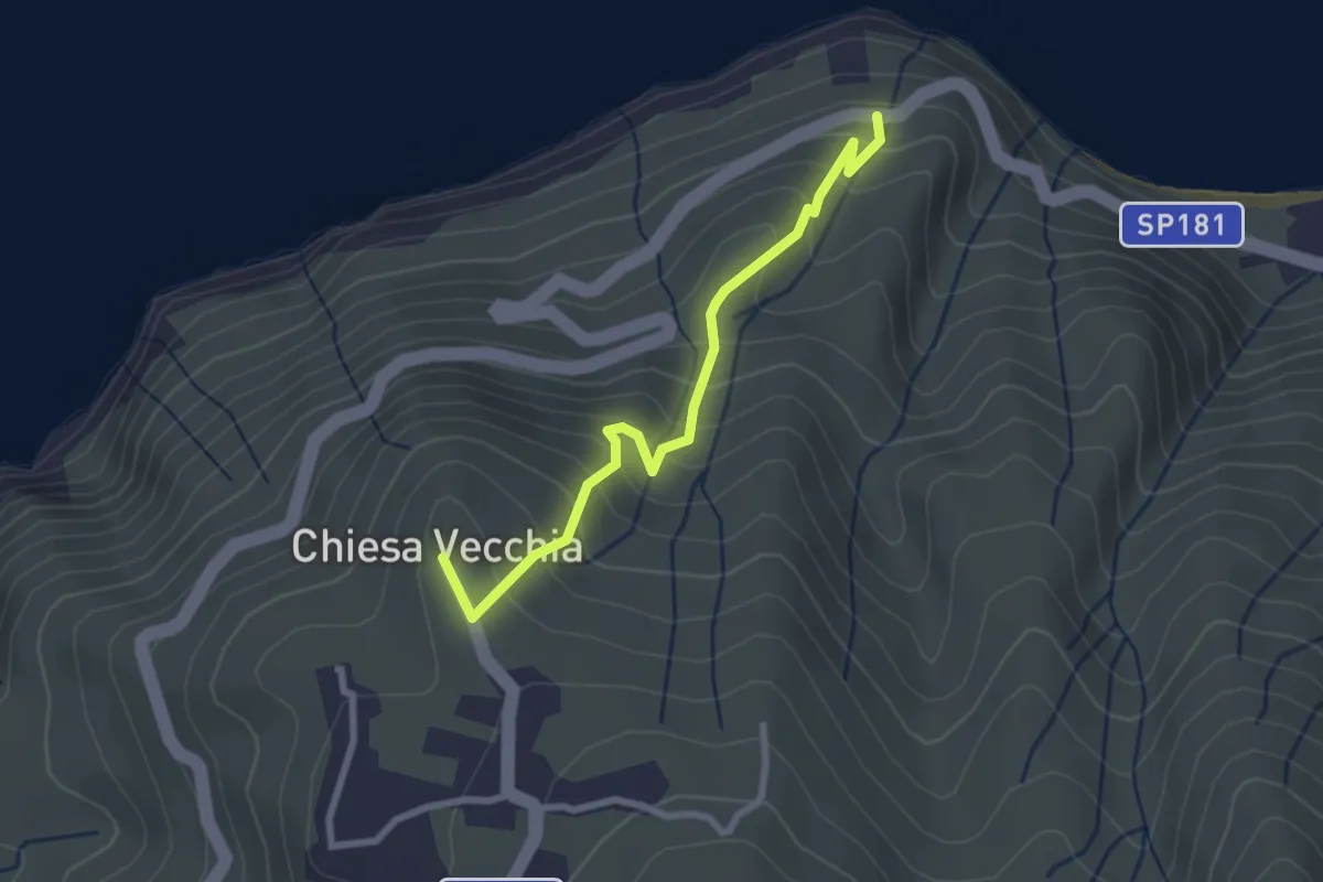
Medium · Trail
Sentiero Acquacalda - Chiesa Vecchia
3.0 km · ↑ 323 m · 1 h 24 min
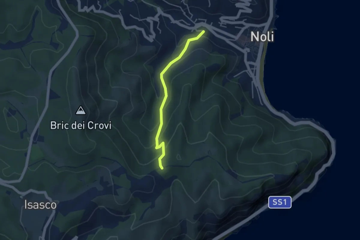
Easy · Trail
Sentiero Acquaviva
3.3 km · ↑ 242 m · 1 h 19 min
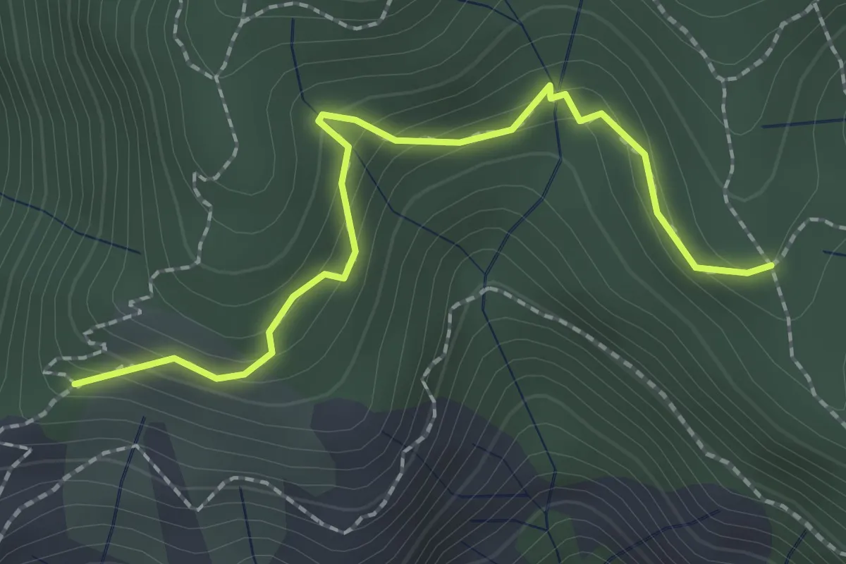
Easy · Trail
Sentiero acquedotto Copelli
2.3 km · ↑ 149 m · 52 min
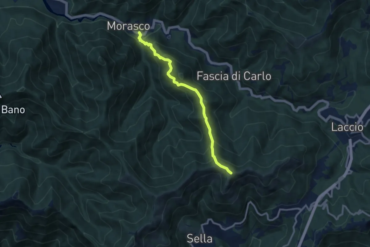
Medium · Summit
Sentiero Adelina Zandrino
7.3 km · ↑ 637 m · 3 h 7 min
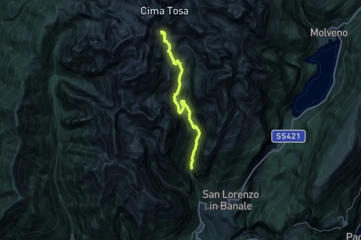
Demanding · Cabin
Sentiero "Adriano Dallago"
18.5 km · ↑ 1653 m · 7 h 56 min
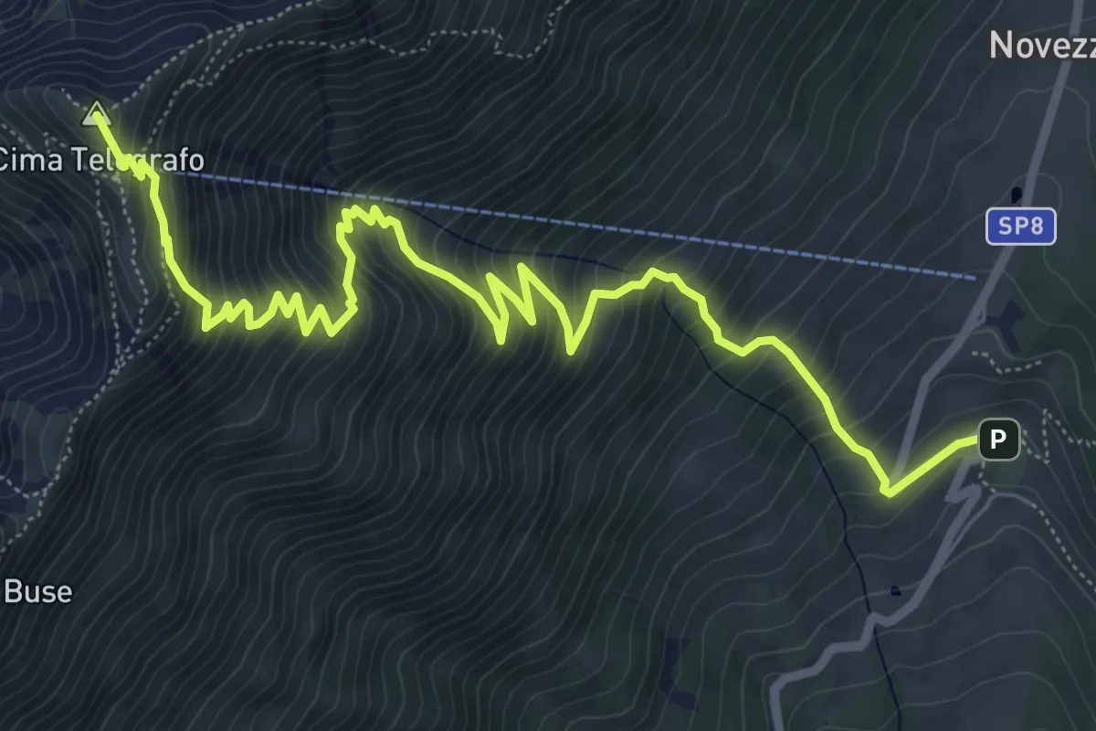
Demanding · Summit
Sentiero Agostino Goiran
8.9 km · ↑ 919 m · 4 h 5 min
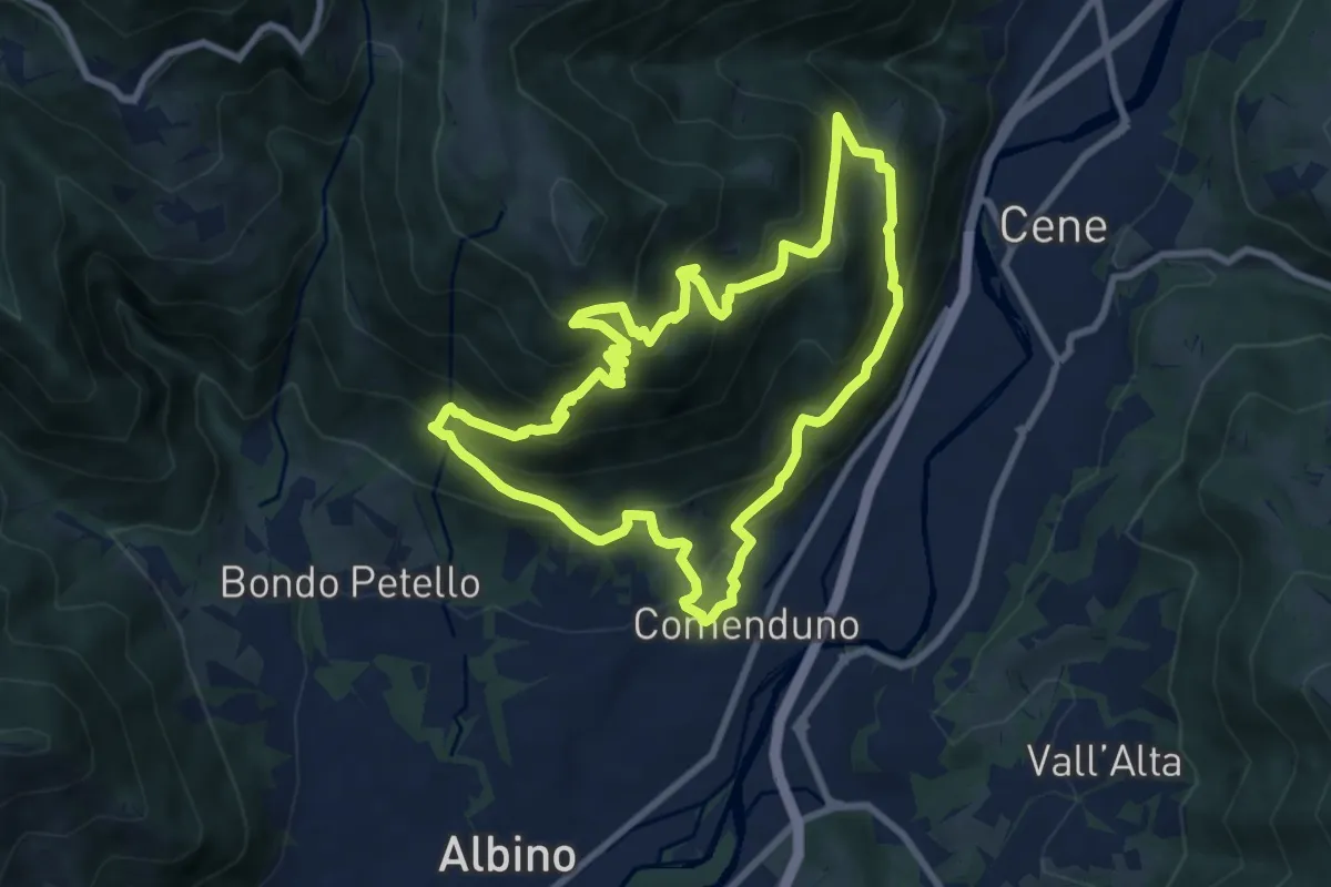
Demanding · Trail
Sentiero Agostino Noris
8.5 km · ↑ 767 m · 3 h 46 min
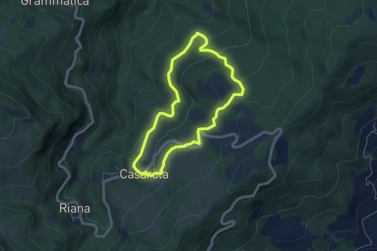
Easy · Trail
Sentiero Agricoltura
4.2 km · ↑ 181 m · 1 h 27 min
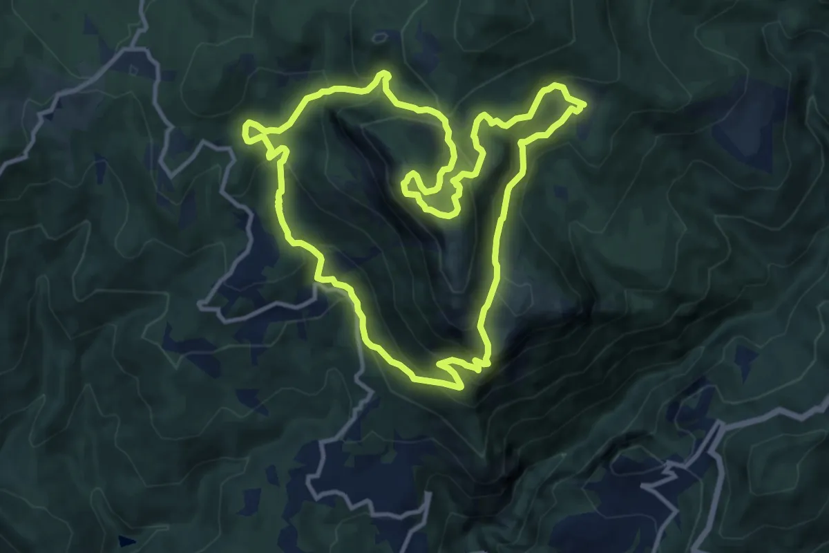
Medium · Summit
Sentiero Airone 1
11.5 km · ↑ 736 m · 4 h 28 min
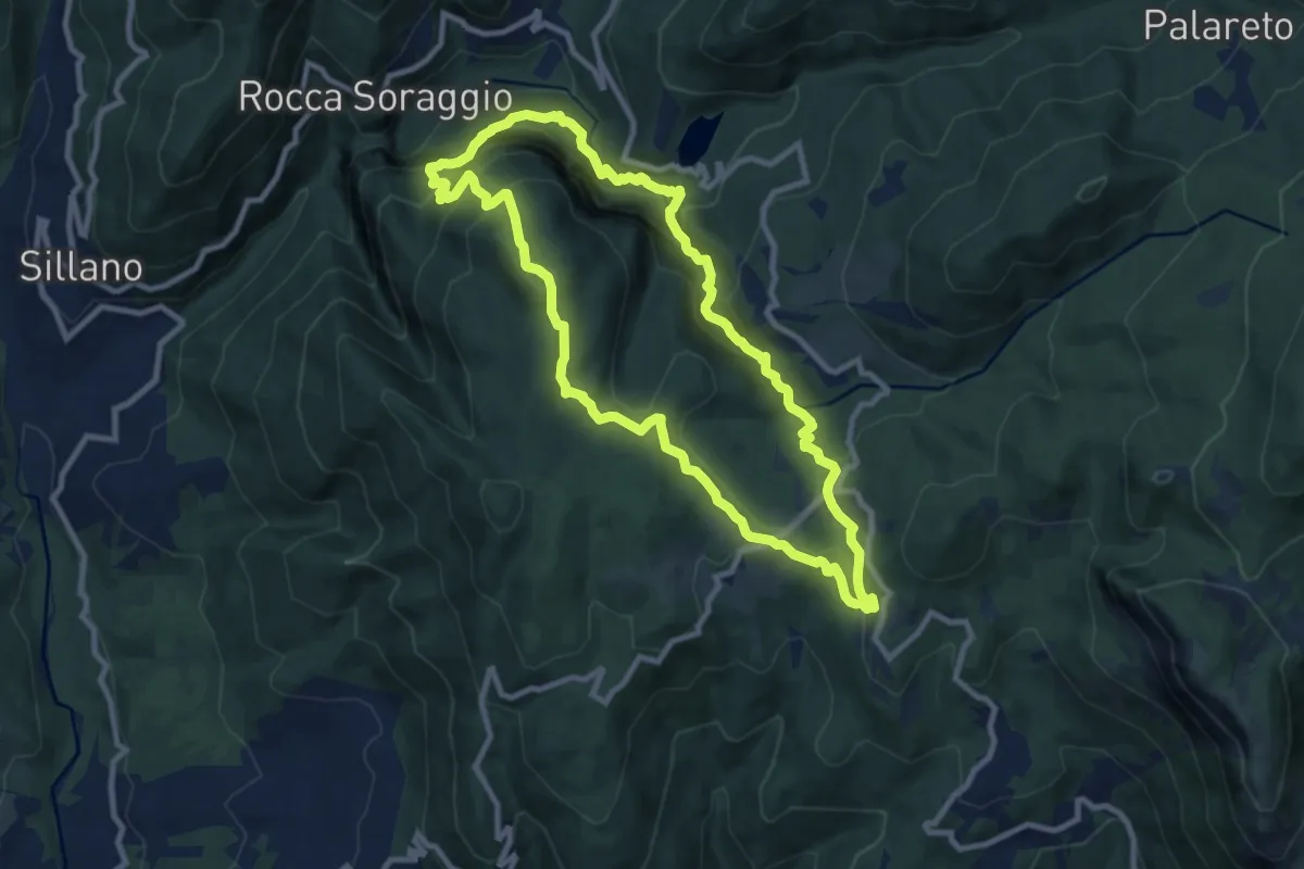
Medium · Summit
Sentiero Airone 2
9.6 km · ↑ 651 m · 3 h 48 min
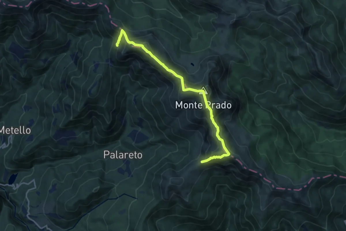
Demanding · Summit
Sentiero Airone 3
6.0 km · ↑ 365 m · 2 h 21 min
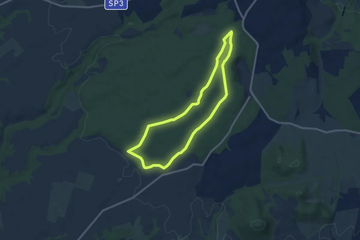
Easy · Trail
Sentiero alberi monumentali
6.3 km · ↑ 61 m · 1 h 43 min