Trails in Italy
25,219 hiking trails, each with its route, climb, walking time and grade.
All trails, page 148 of 526
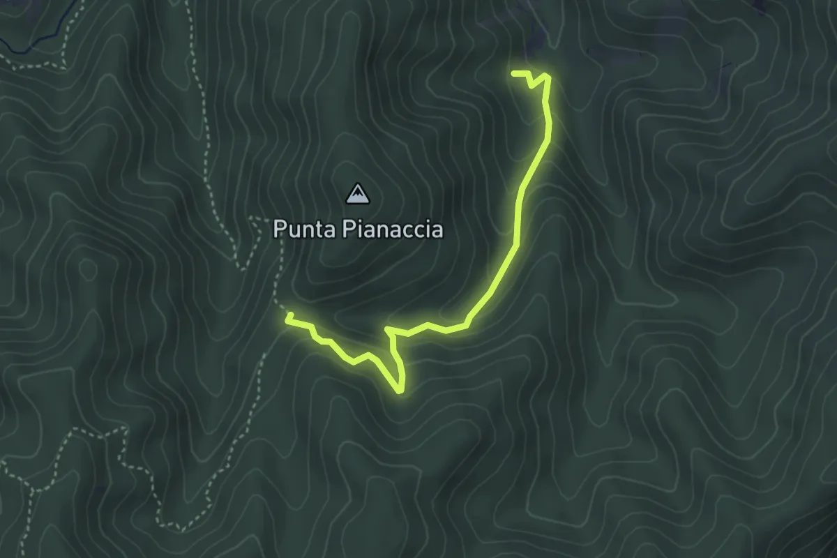
Medium · Trail
Sentiero Alberi Vetusti
3.7 km · ↑ 284 m · 1 h 30 min
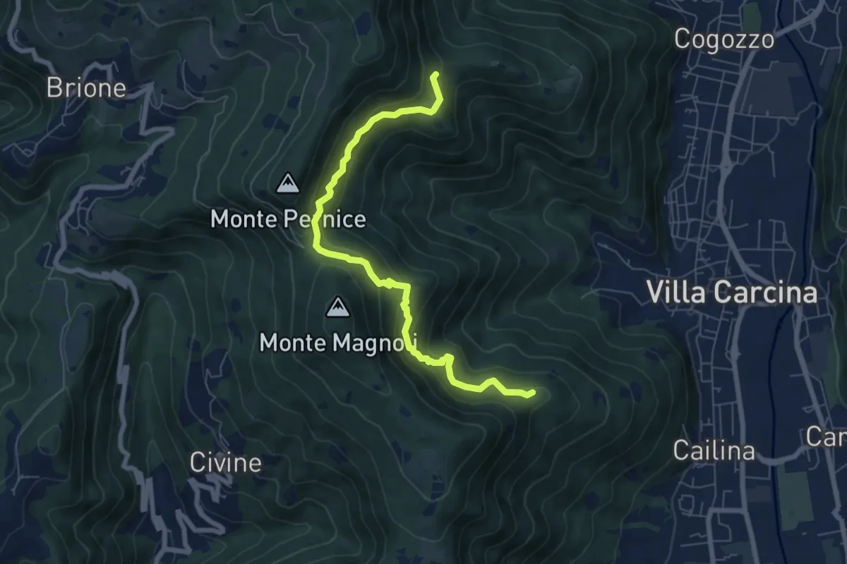
Medium · Summit
Sentiero Alberto Antonelli
7.0 km · ↑ 463 m · 2 h 40 min
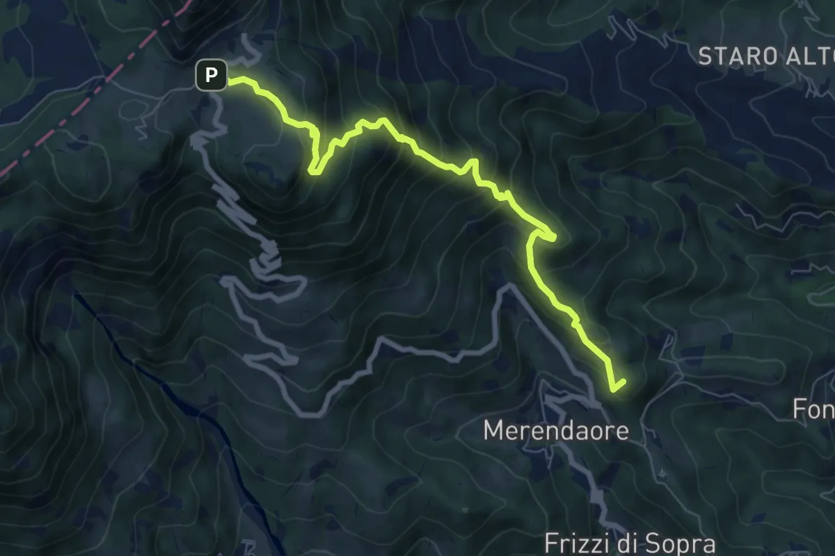
Medium · Summit
Sentiero "Alberto Gresele"
7.7 km · ↑ 683 m · 3 h 18 min
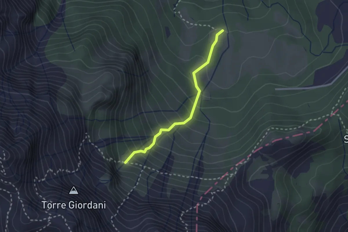
Easy · Trail
Sentiero "Alberto Gresele"
2.1 km · ↑ 277 m · 1 h 6 min
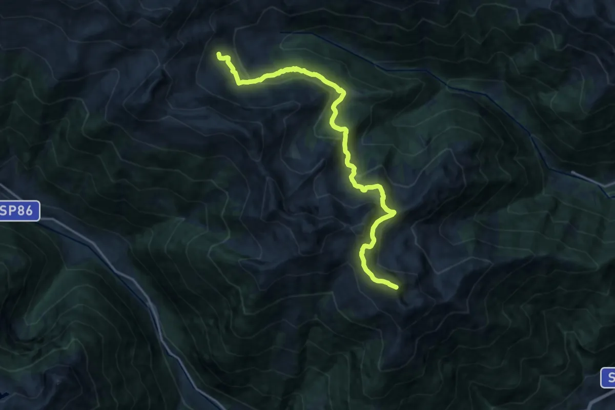
Demanding · Summit
Sentiero Aldo Bonacossa - Traversata Maddalene Sud
16.0 km · ↑ 1017 m · 5 h 59 min
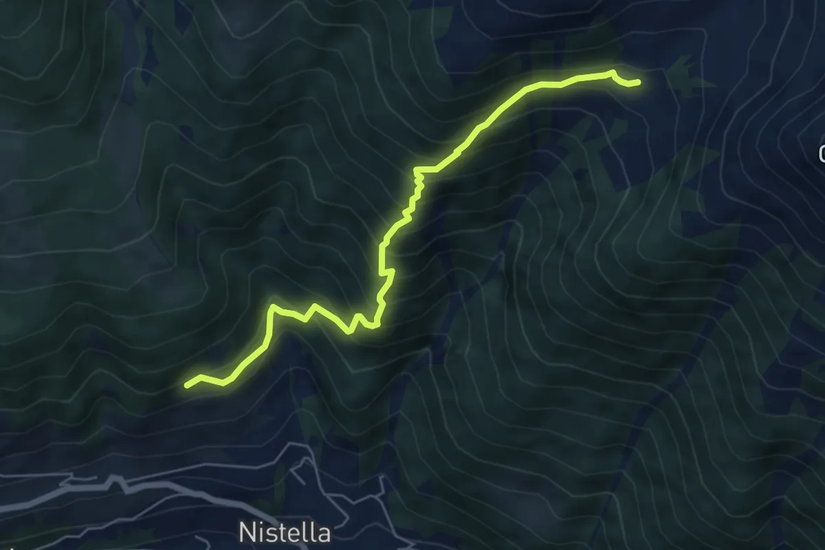
Medium · Trail
Sentiero "Aldo Bonacossa" (variante)
5.7 km · ↑ 702 m · 2 h 52 min
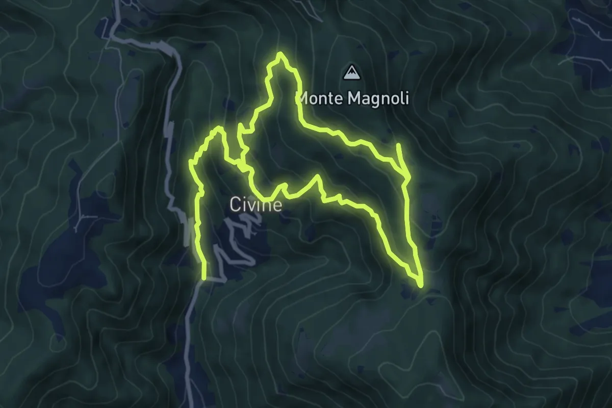
Medium · Trail
Sentiero Aldo Giacomini
7.5 km · ↑ 375 m · 2 h 49 min
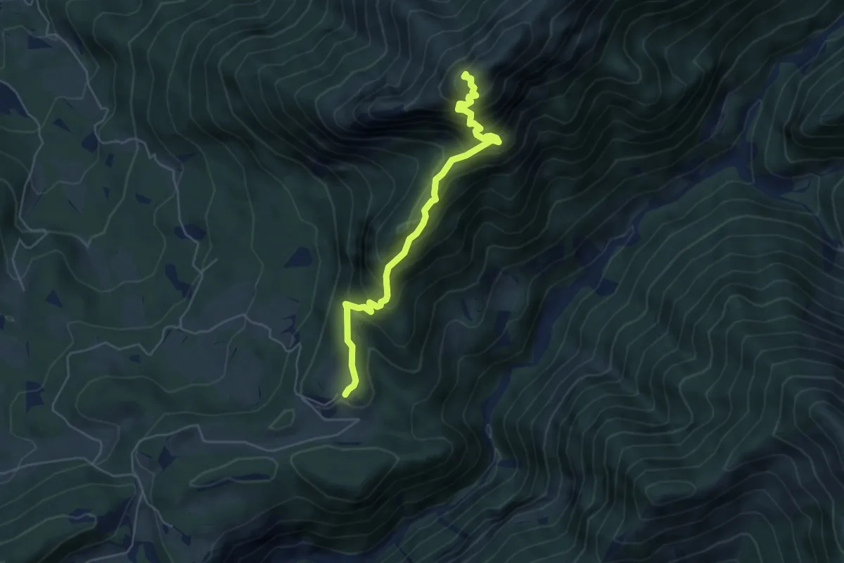
Demanding · Summit
Sentiero "Alessandro Miola"
5.1 km · ↑ 599 m · 2 h 30 min
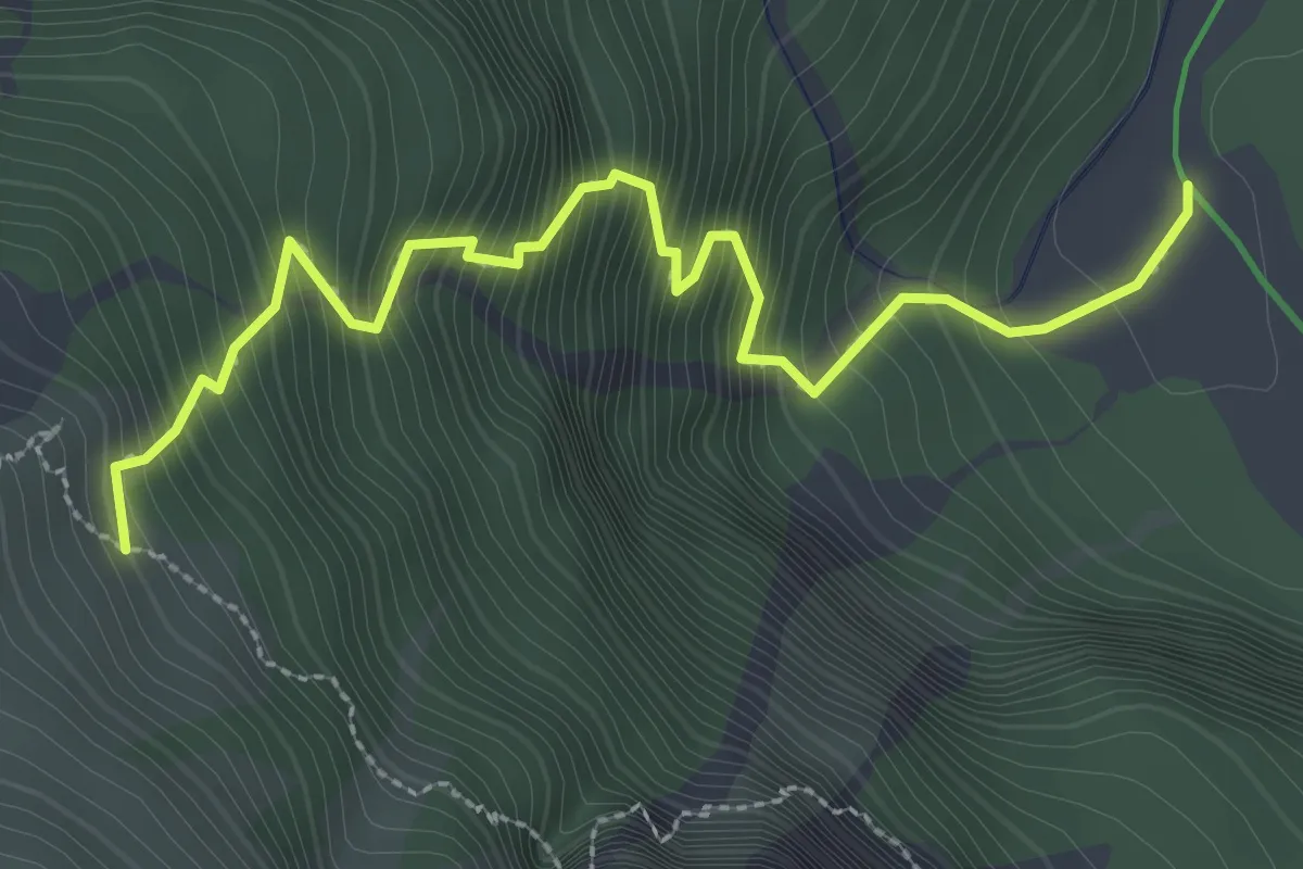
Demanding · Cabin
Sentiero Alfonso Della Mea
3.2 km · ↑ 563 m · 1 h 59 min
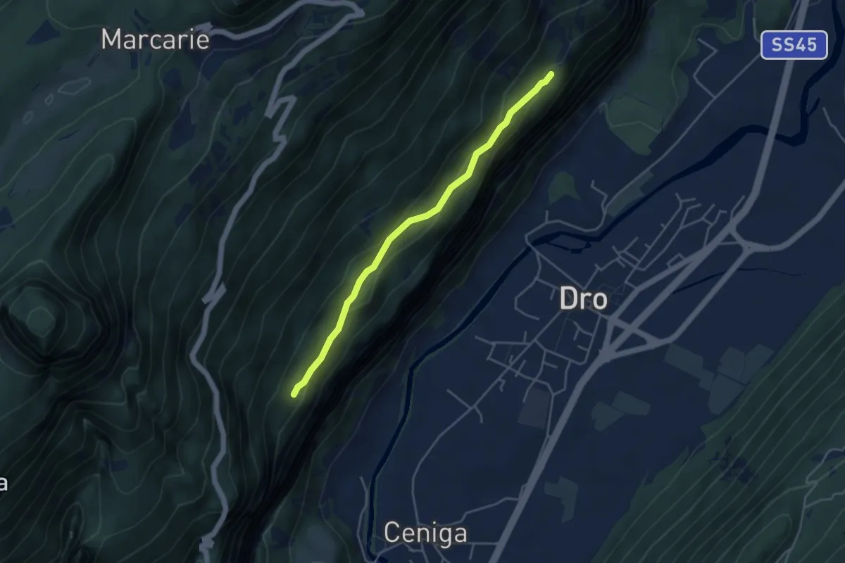
Medium · Trail
Sentiero alle Cavre
4.1 km · ↑ 172 m · 1 h 20 min
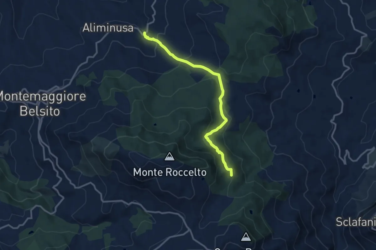
Medium · Summit
Sentiero Alminusa (Favara e Granza)
10.7 km · ↑ 558 m · 3 h 45 min
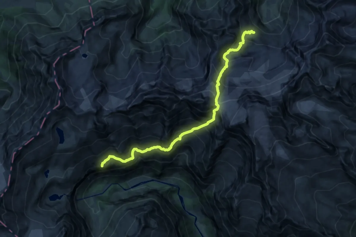
Expert · Summit
Sentiero alpinistico attrezzato "Adolfo Migotti"
18.1 km · ↑ 2173 m · 8 h 59 min
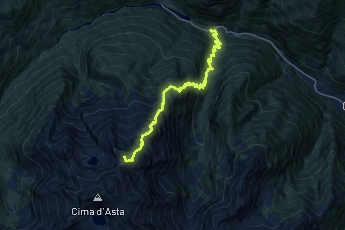
Demanding · Summit
Sentiero alpinistico attrezzato del Col del Vento
13.2 km · ↑ 1542 m · 6 h 27 min
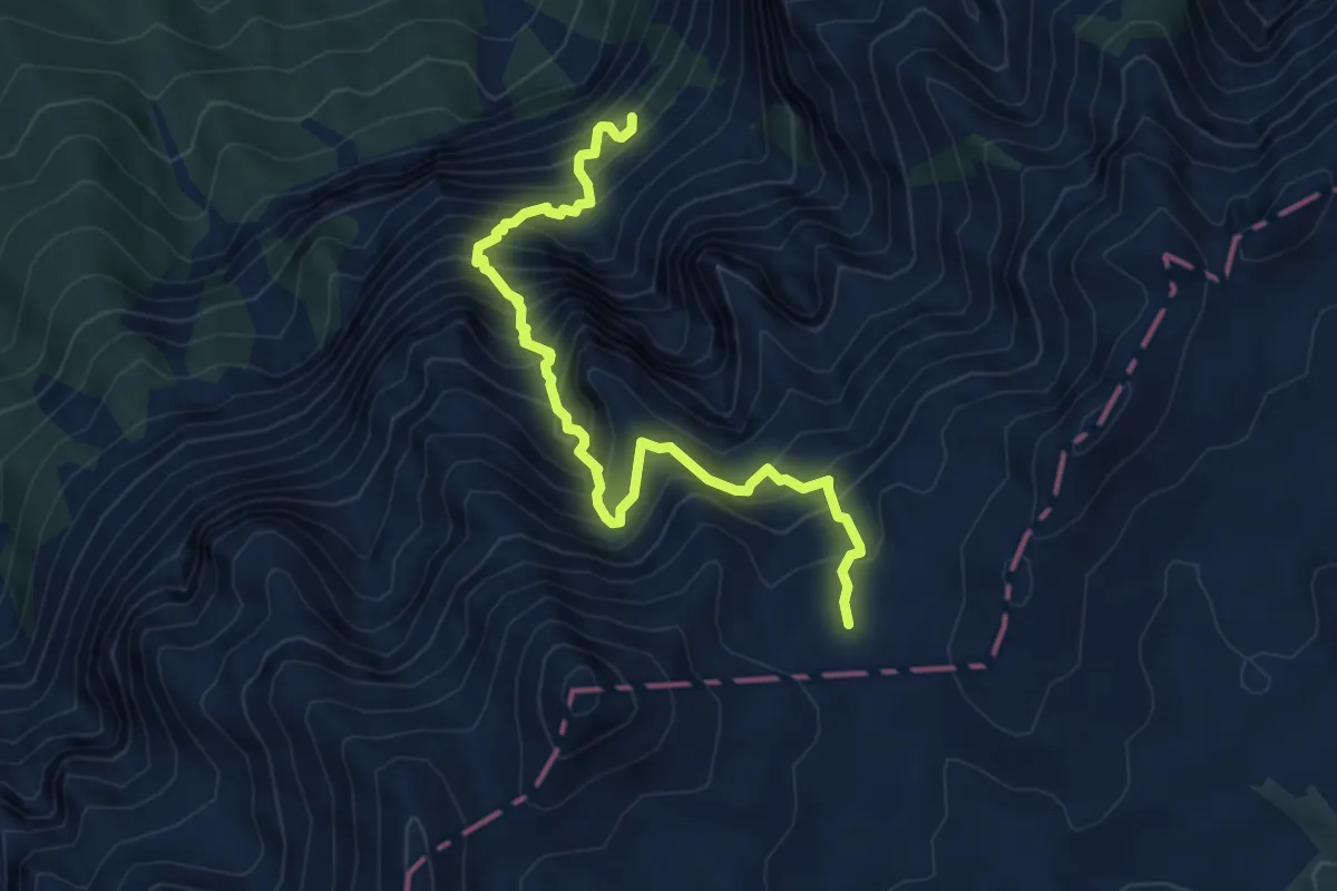
Demanding · Trail
Sentiero alpinistico attrezzato del Vallon delle Dodici
6.2 km · ↑ 1110 m · 3 h 52 min
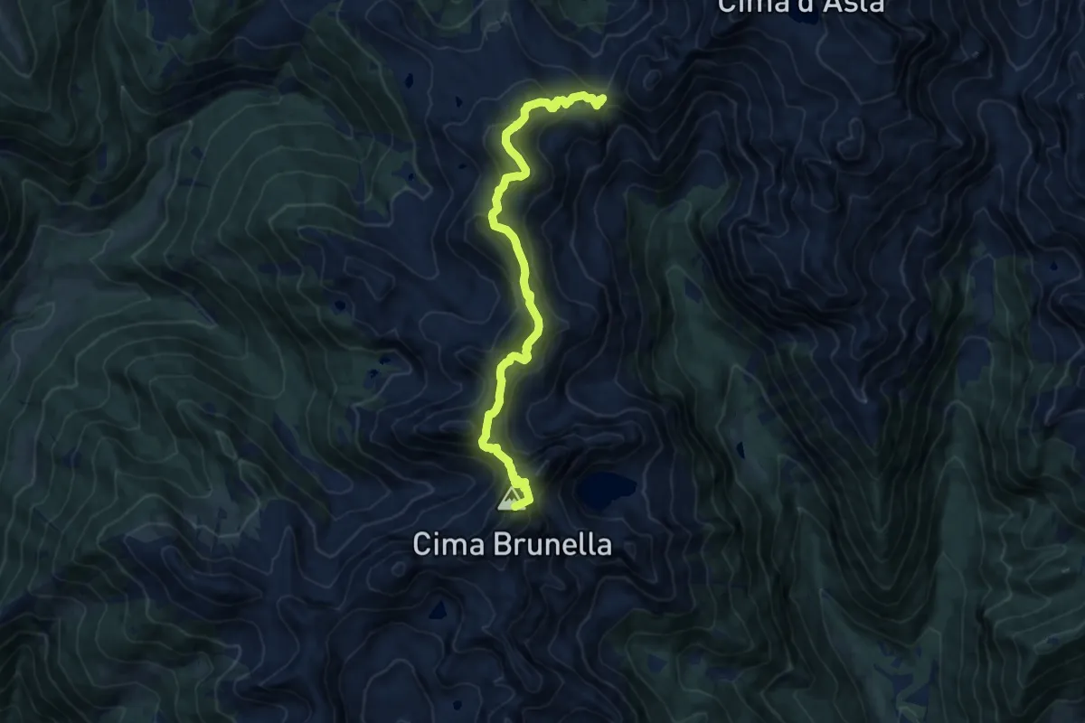
Demanding · Summit
Sentiero alpinistico attrezzato di Forcella Segura
12.3 km · ↑ 872 m · 4 h 48 min
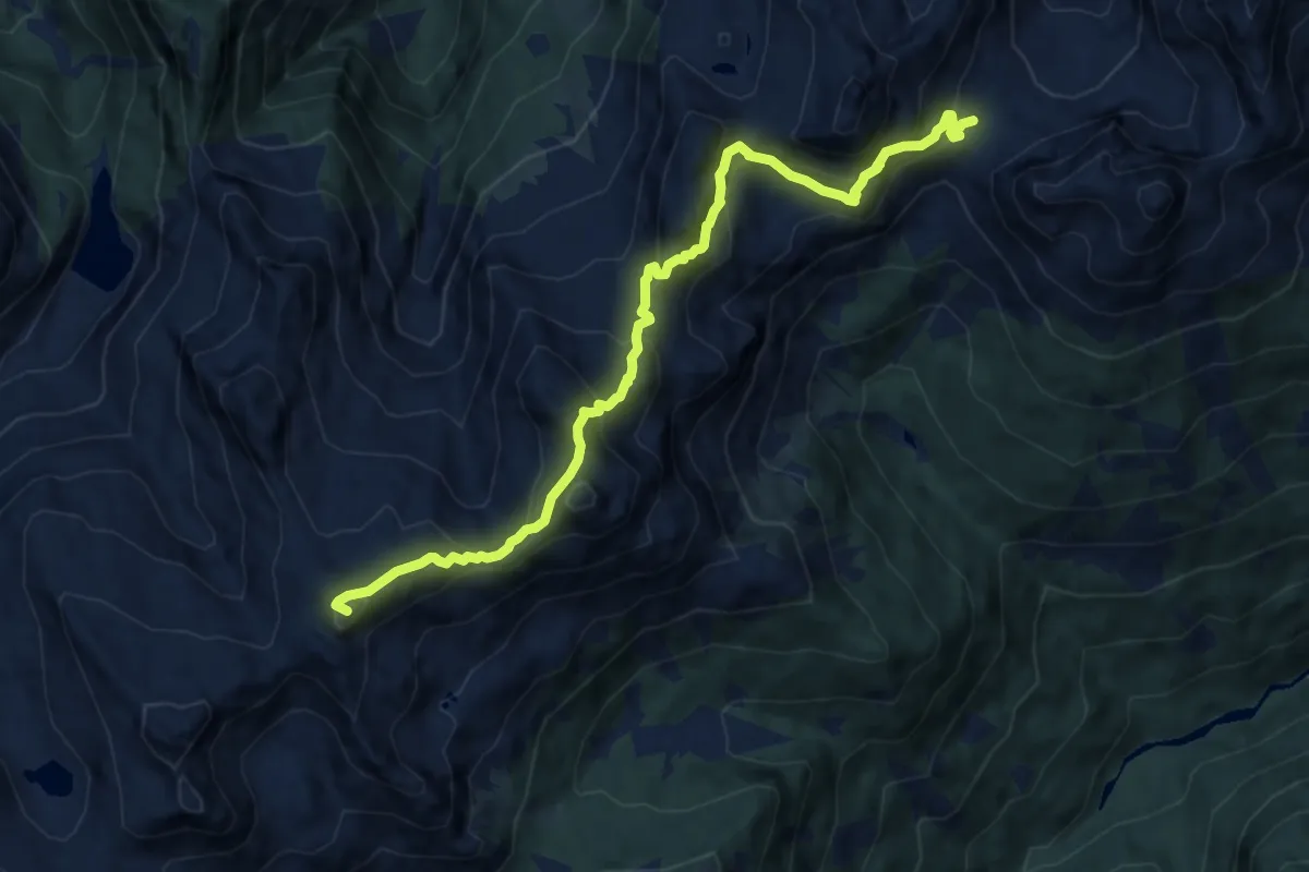
Demanding · Summit
Sentiero alpinistico attrezzato "Don Martino Delugan"
10.9 km · ↑ 840 m · 4 h 24 min
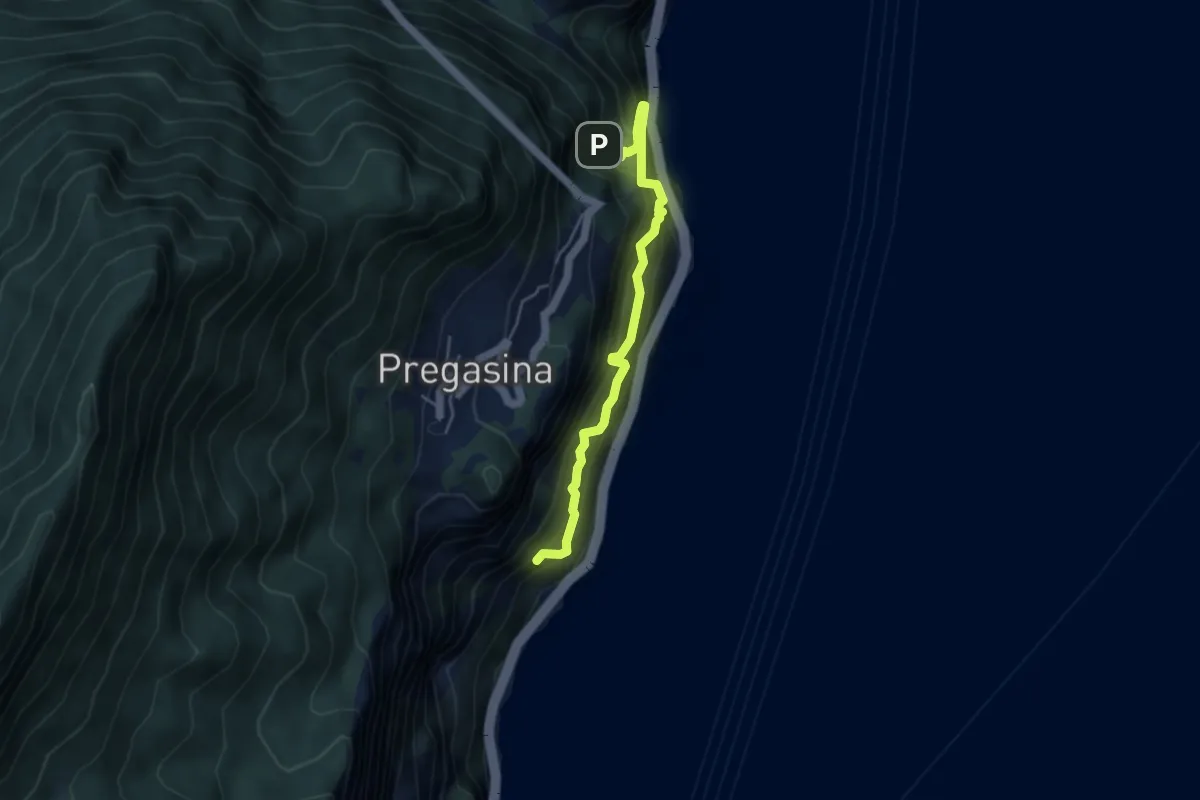
Expert · Trail
Sentiero Alpinistico dei Contrabbandieri "Massimiliano Torti"
4.2 km · ↑ 1054 m · 3 h 17 min
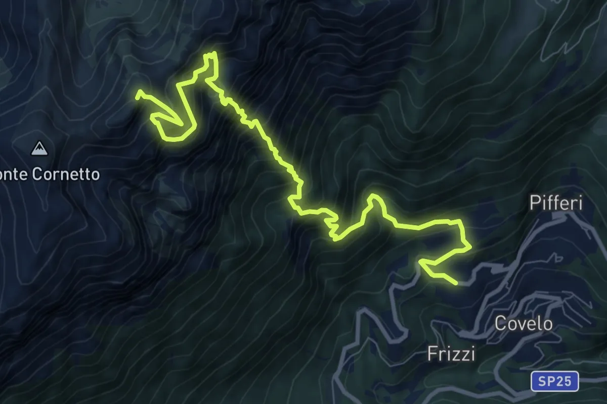
Expert · Summit
Sentiero alpinistico del Coraza
10.9 km · ↑ 2150 m · 7 h 14 min
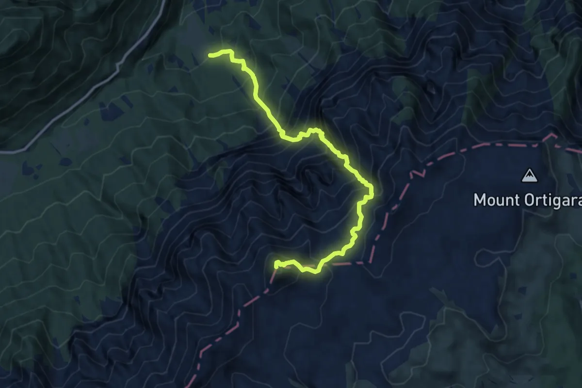
Demanding · Summit
Sentiero alpinistico del Vallon delle Trappole
10.7 km · ↑ 1639 m · 6 h 5 min
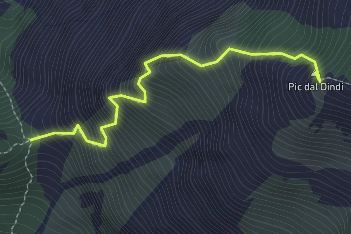
Expert · Summit
Sentiero alpinistico Mario Dalla Marta
2.2 km · ↑ 672 m · 1 h 58 min
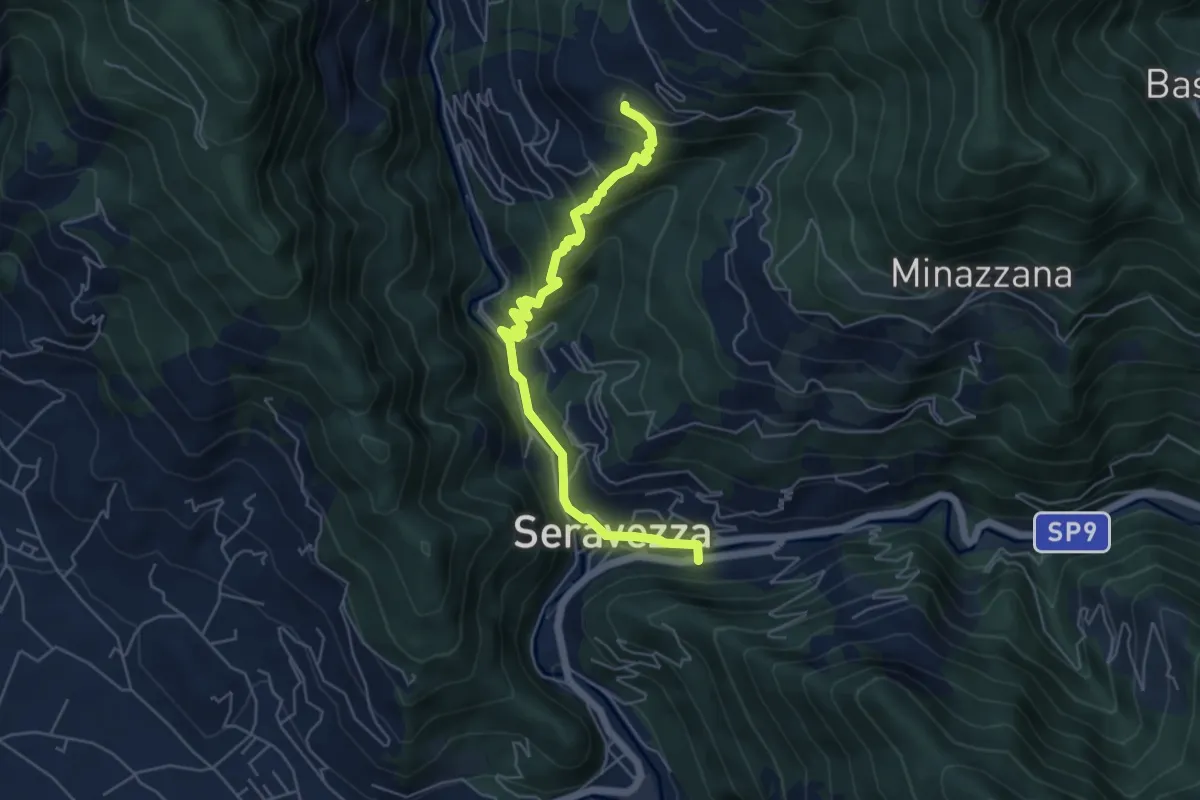
Medium · Trail
Sentiero Alta Versilia - Tappa 01
6.0 km · ↑ 344 m · 2 h 10 min
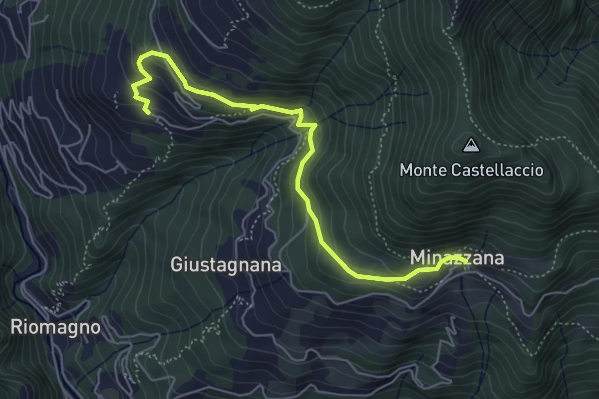
Easy · Trail
Sentiero Alta Versilia - Tappa 02
5.2 km · ↑ 291 m · 1 h 52 min
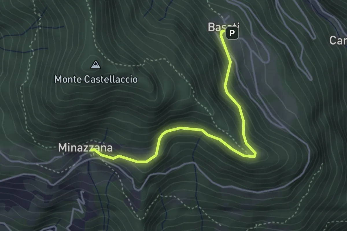
Easy · Trail
Sentiero Alta Versilia - Tappa 03
4.0 km · ↑ 217 m · 1 h 25 min
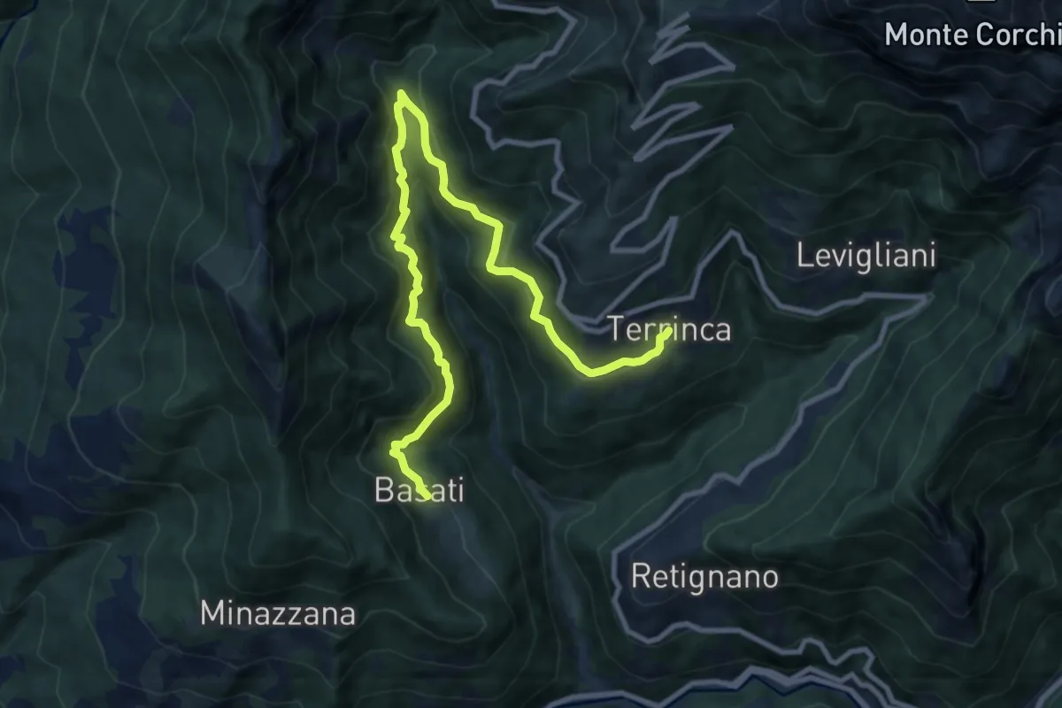
Medium · Trail
Sentiero Alta Versilia - Tappa 04
11.4 km · ↑ 730 m · 4 h 16 min
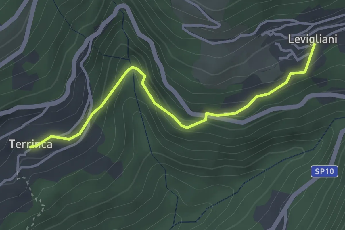
Easy · Trail
Sentiero Alta Versilia - Tappa 05
3.2 km · ↑ 205 m · 1 h 12 min
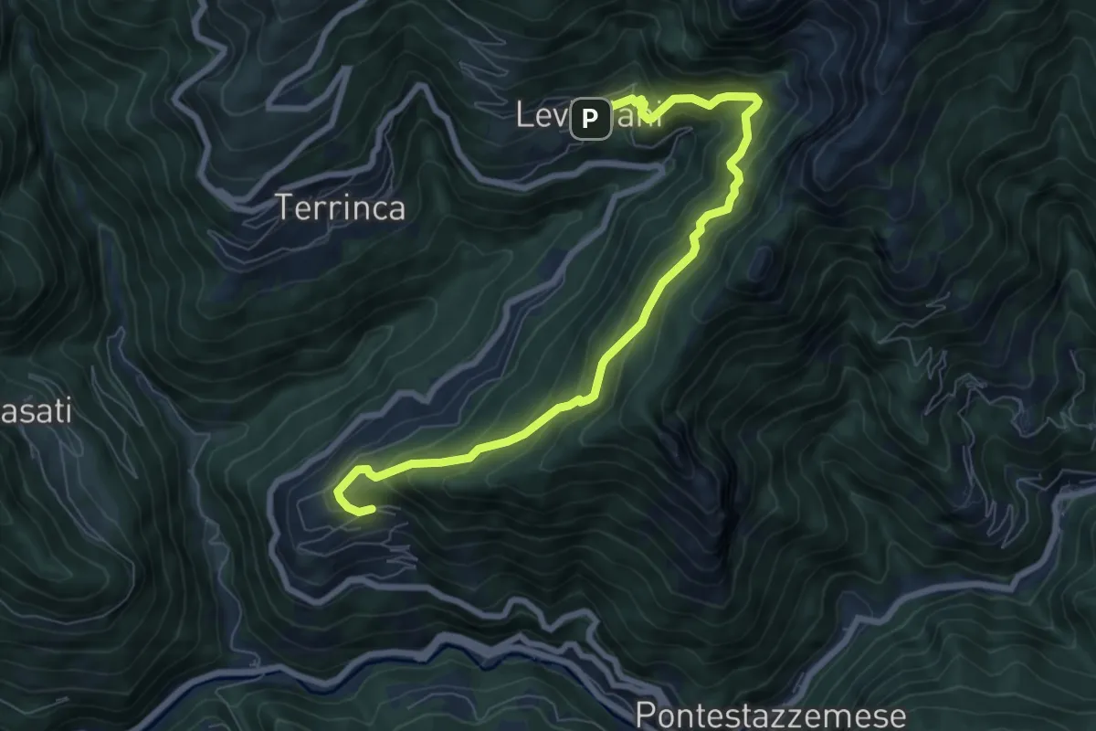
Demanding · Trail
Sentiero Alta Versilia - Tappa 06
8.4 km · ↑ 831 m · 3 h 47 min
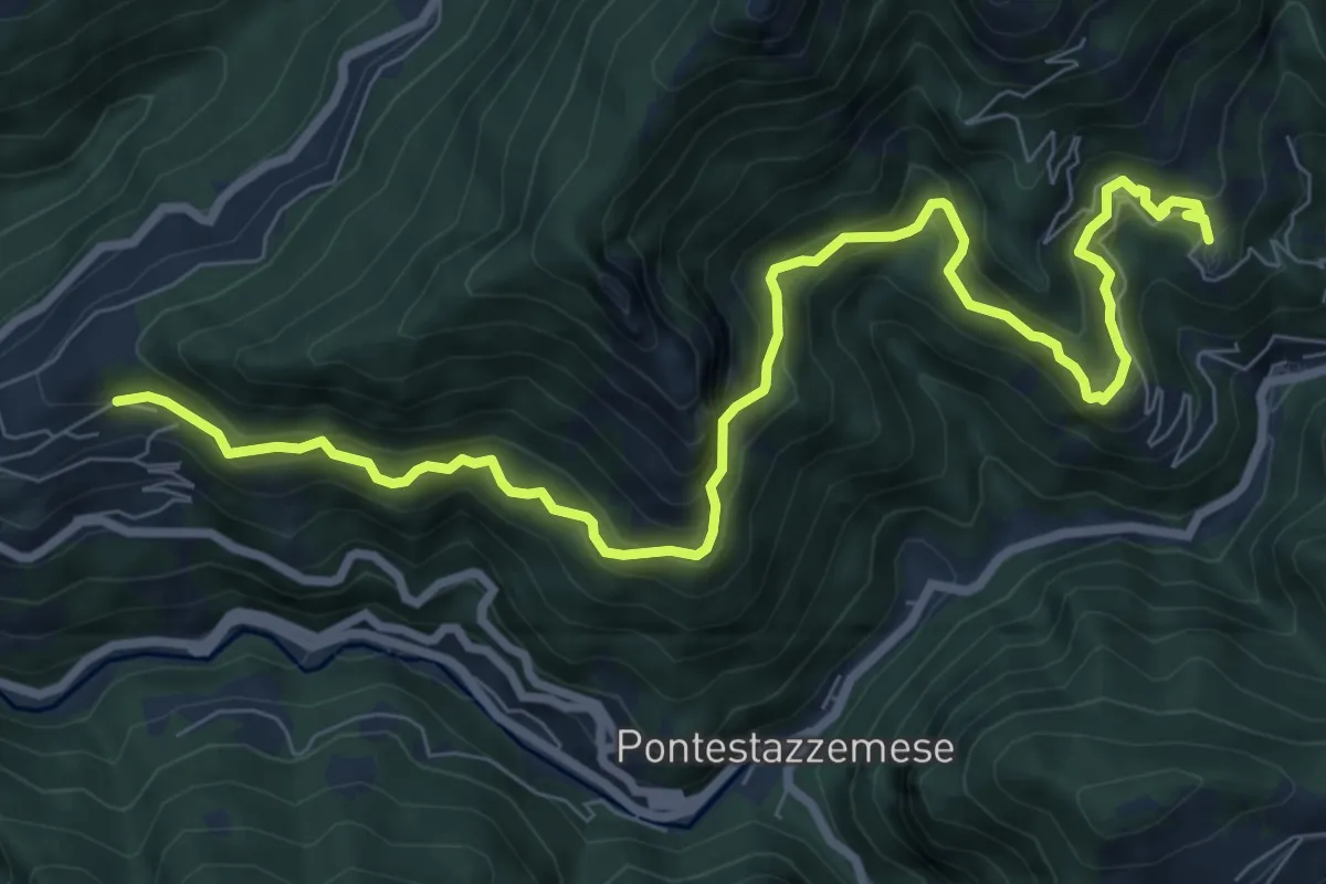
Demanding · Trail
Sentiero Alta Versilia - Tappa 07
10.5 km · ↑ 950 m · 4 h 32 min
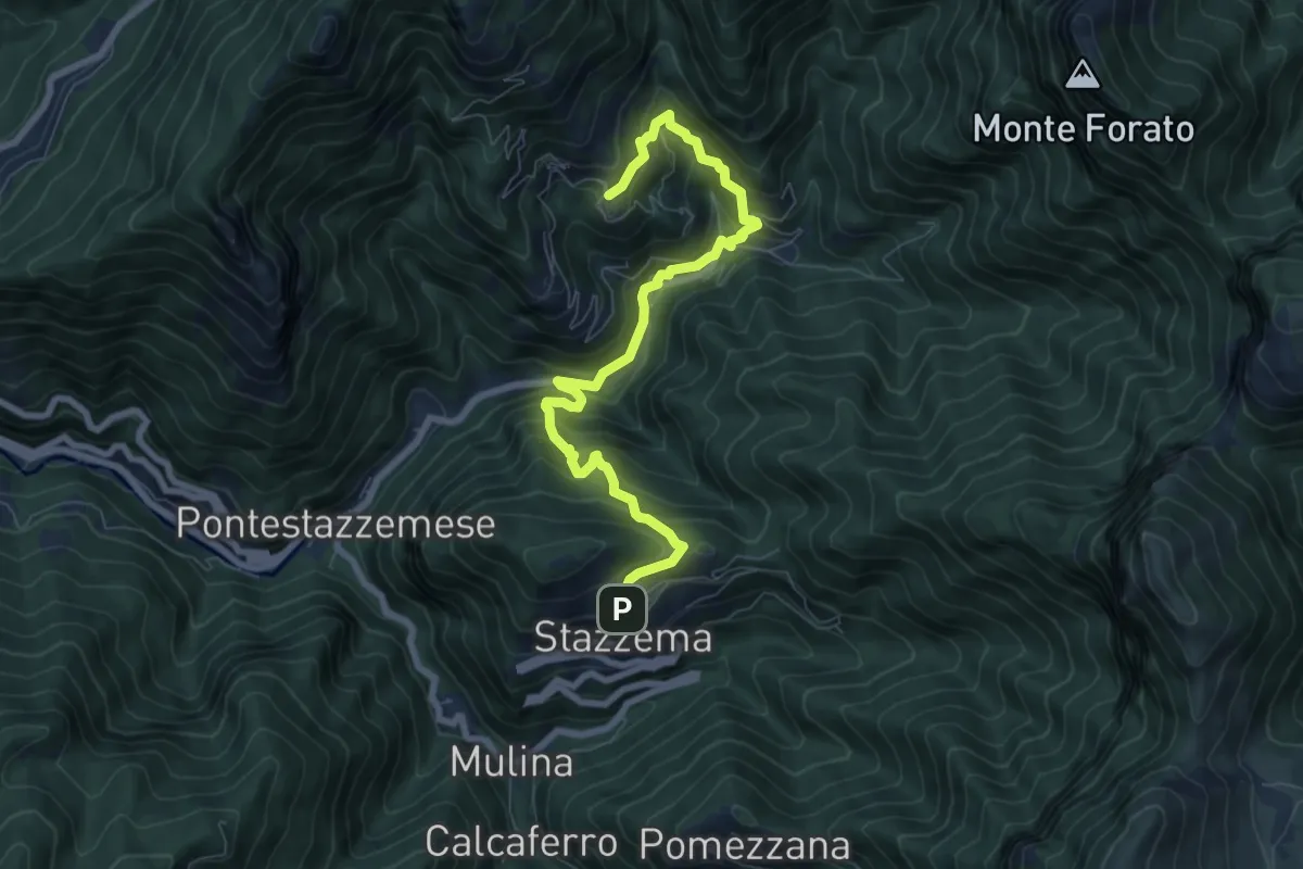
Medium · Trail
Sentiero Alta Versilia - Tappa 08
8.5 km · ↑ 670 m · 3 h 28 min
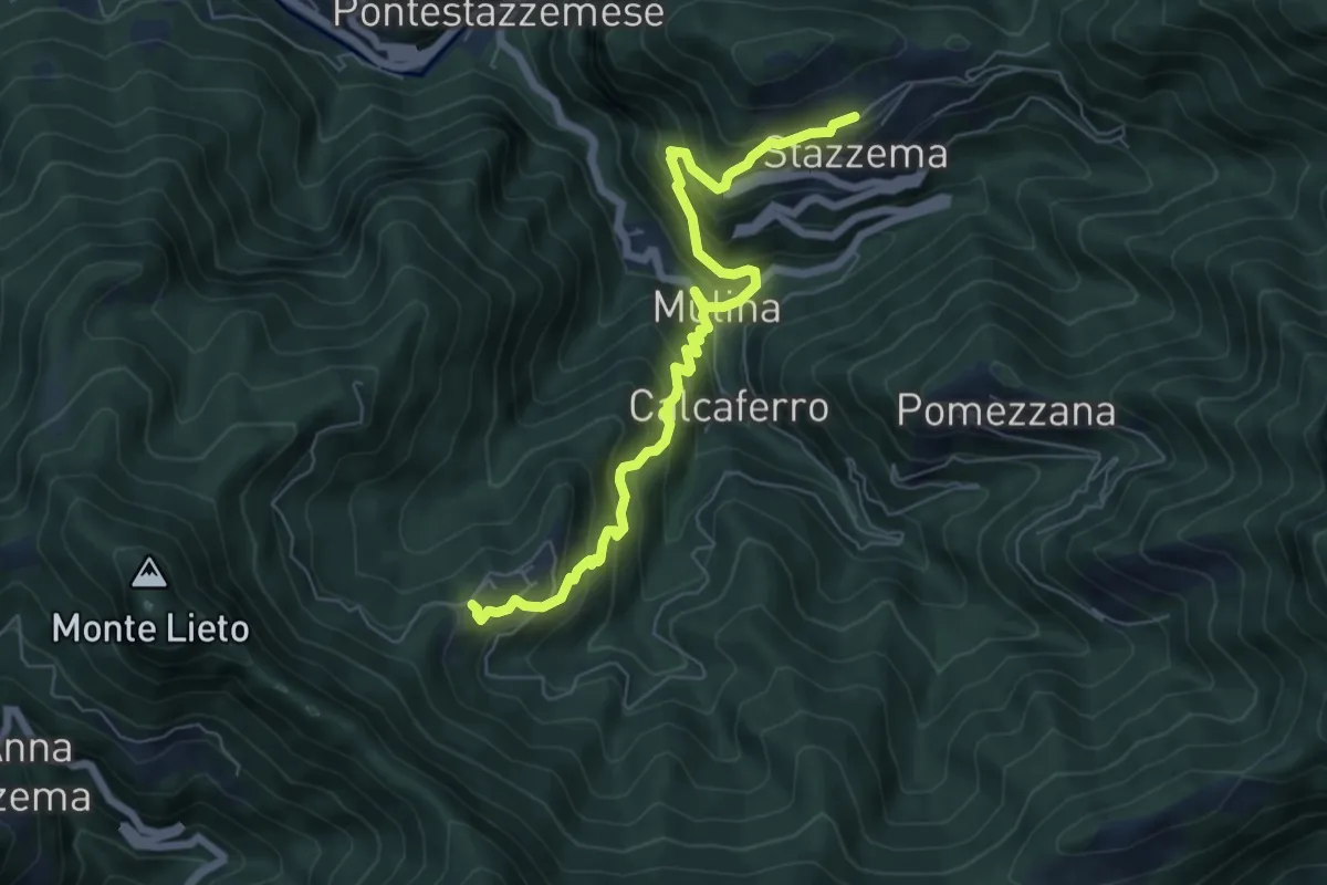
Medium · Trail
Sentiero Alta Versilia - Tappa 09
7.3 km · ↑ 671 m · 3 h 11 min
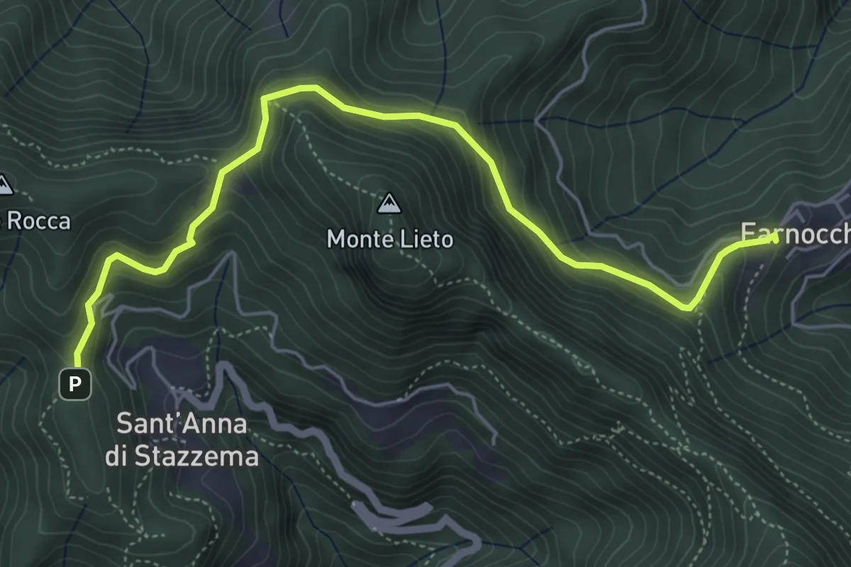
Medium · Trail
Sentiero Alta Versilia - Tappa 10
6.0 km · ↑ 473 m · 2 h 26 min
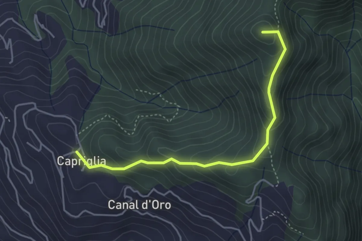
Easy · Summit
Sentiero Alta Versilia - Tappa 11
4.0 km · ↑ 314 m · 1 h 38 min
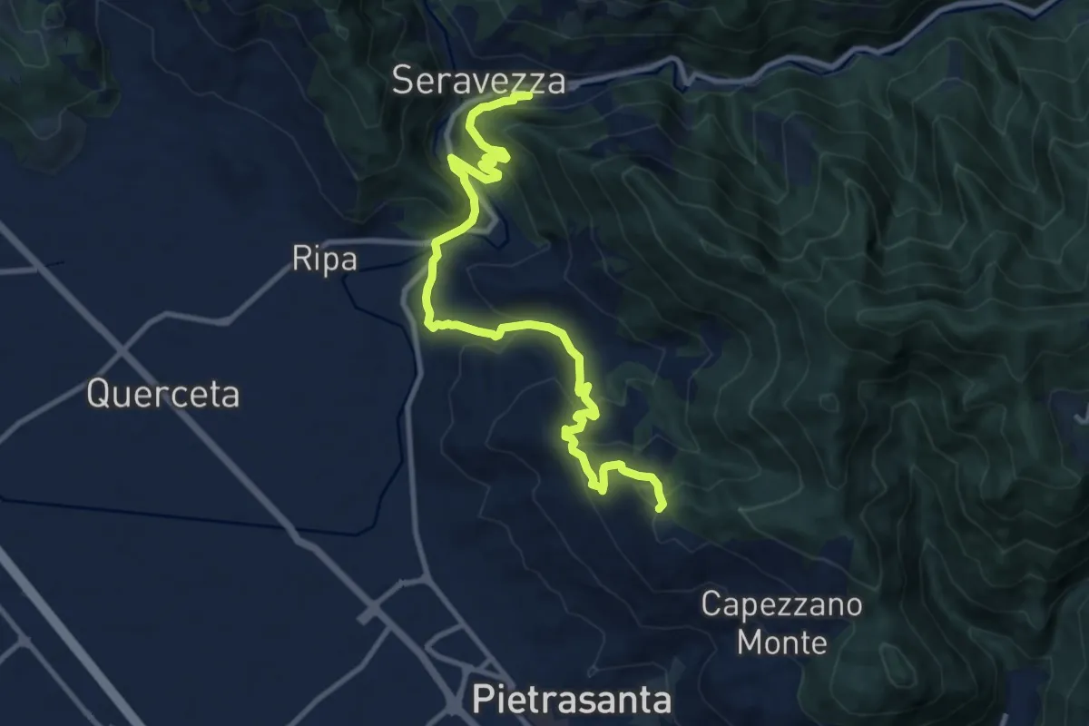
Medium · Trail
Sentiero Alta Versilia - Tappa 12
12.2 km · ↑ 646 m · 4 h 17 min
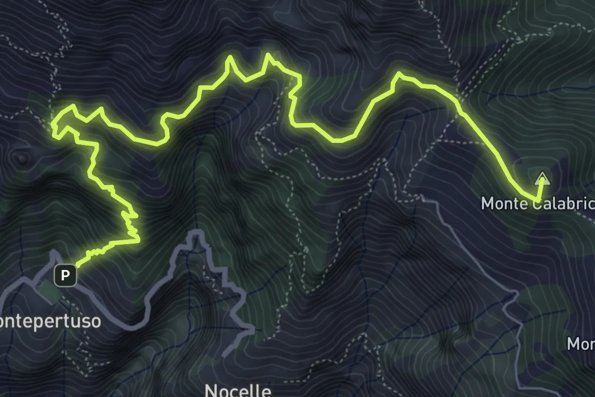
Expert · Summit
Sentiero alto degli dei
10.0 km · ↑ 1226 m · 5 h 1 min
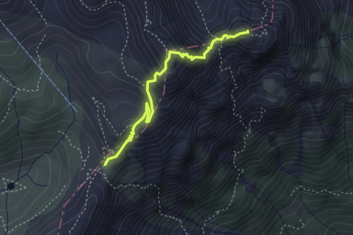
Demanding · Summit
Sentiero alto del Fumante
3.3 km · ↑ 376 m · 1 h 36 min
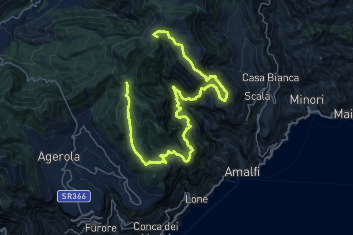
Demanding · Summit
Sentiero alto della Valle delle Ferriere
27.7 km · ↑ 2378 m · 11 h 42 min
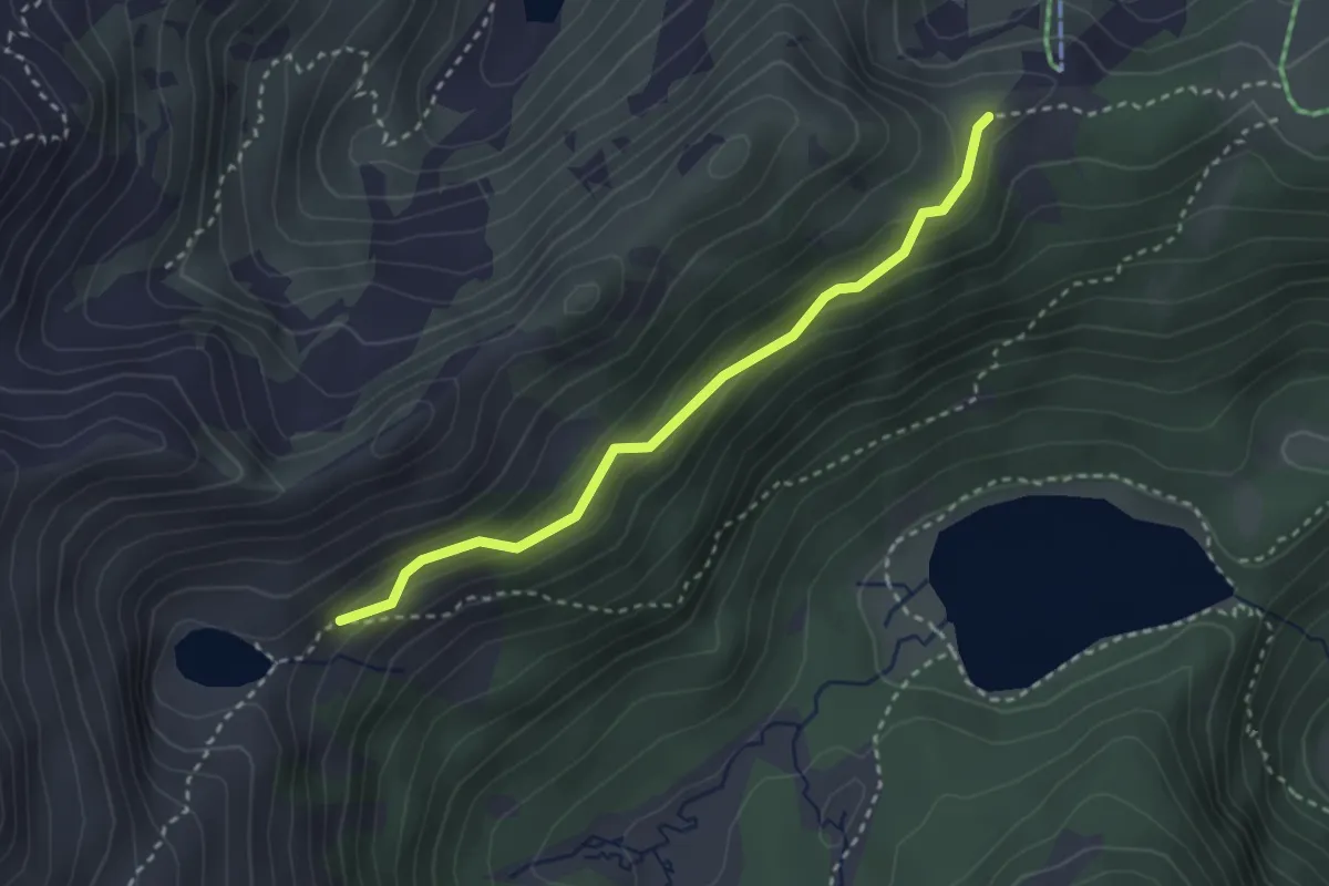
Easy · Trail
Sentiero "Amedeo Catturani"
2.8 km · ↑ 174 m · 1 h 3 min
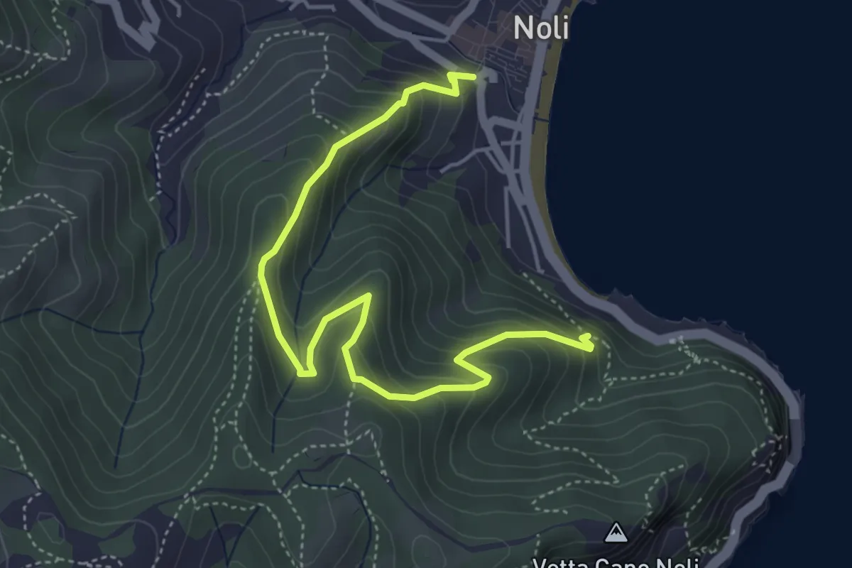
Medium · Trail
Sentiero Amico
5.4 km · ↑ 450 m · 2 h 15 min
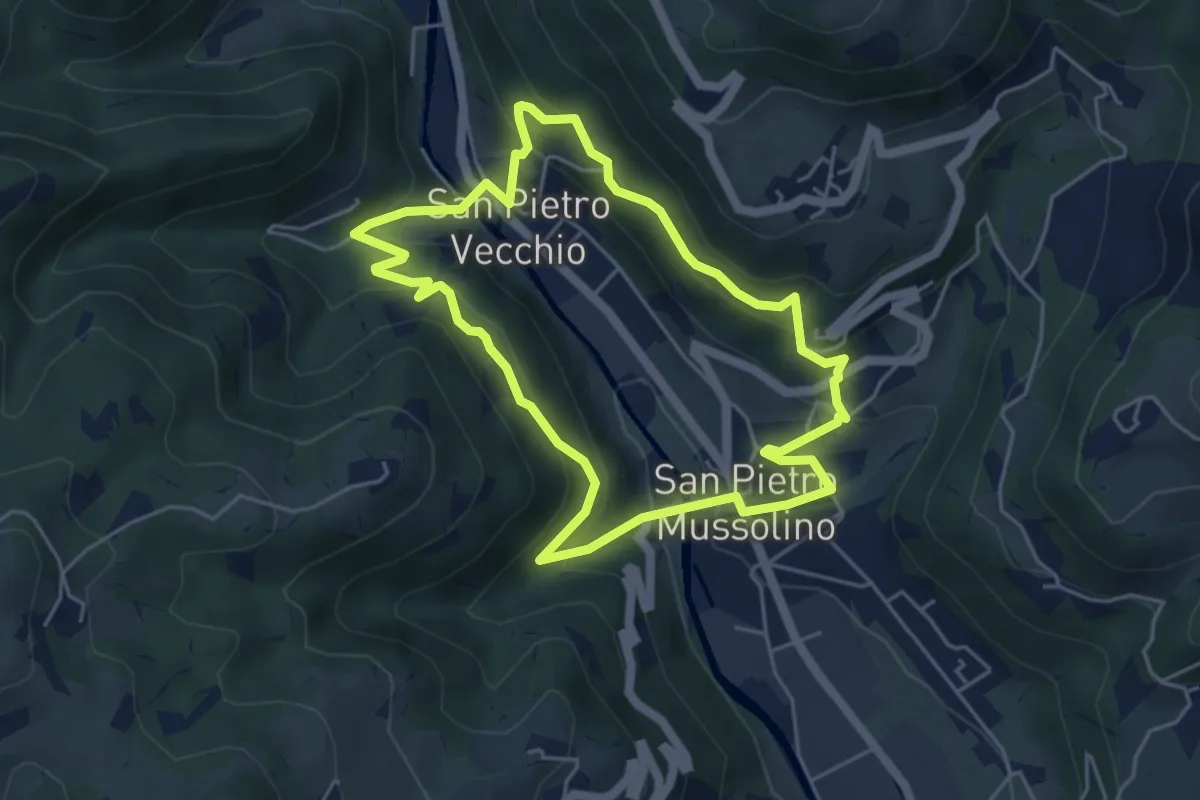
Medium · Trail
Sentiero Amico
4.8 km · ↑ 323 m · 1 h 54 min
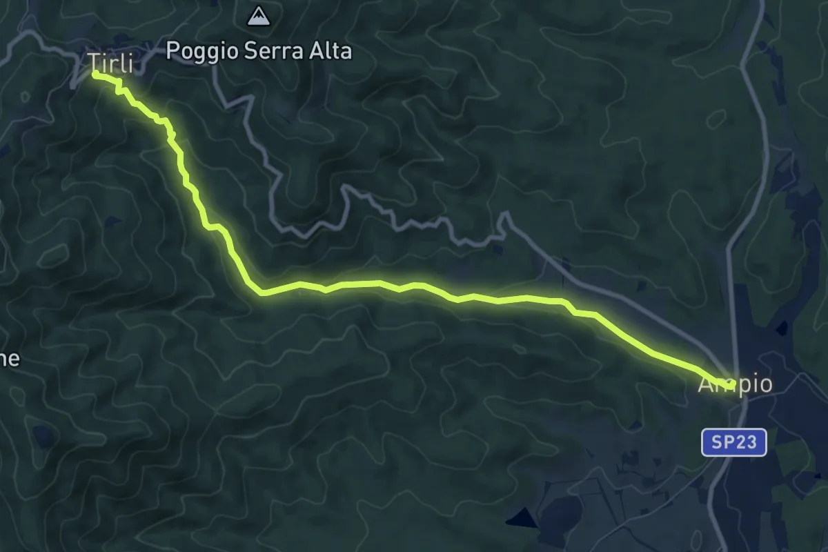
Medium · Trail
Sentiero Ampio
11.1 km · ↑ 339 m · 3 h 21 min
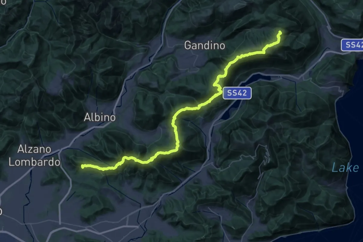
Demanding · Summit
Sentiero Andrea Caslini "Rocco"
53.0 km · ↑ 3005 m · 19 h 2 min
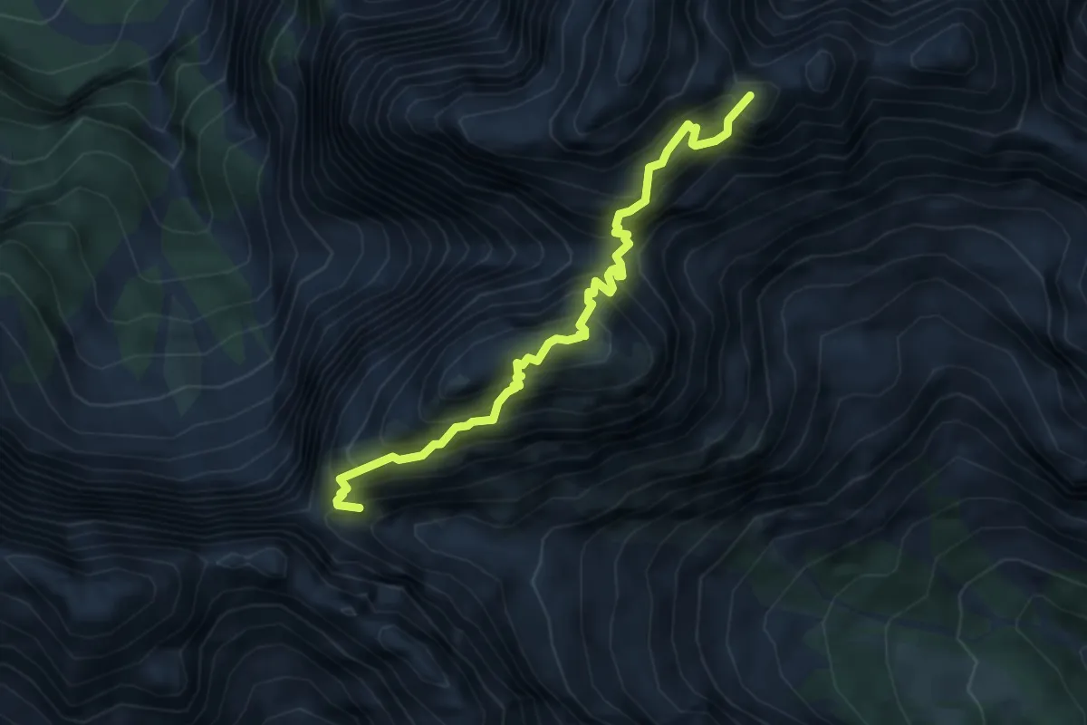
Expert · Summit
Sentiero Anita Goitan
4.7 km · ↑ 900 m · 3 h 4 min
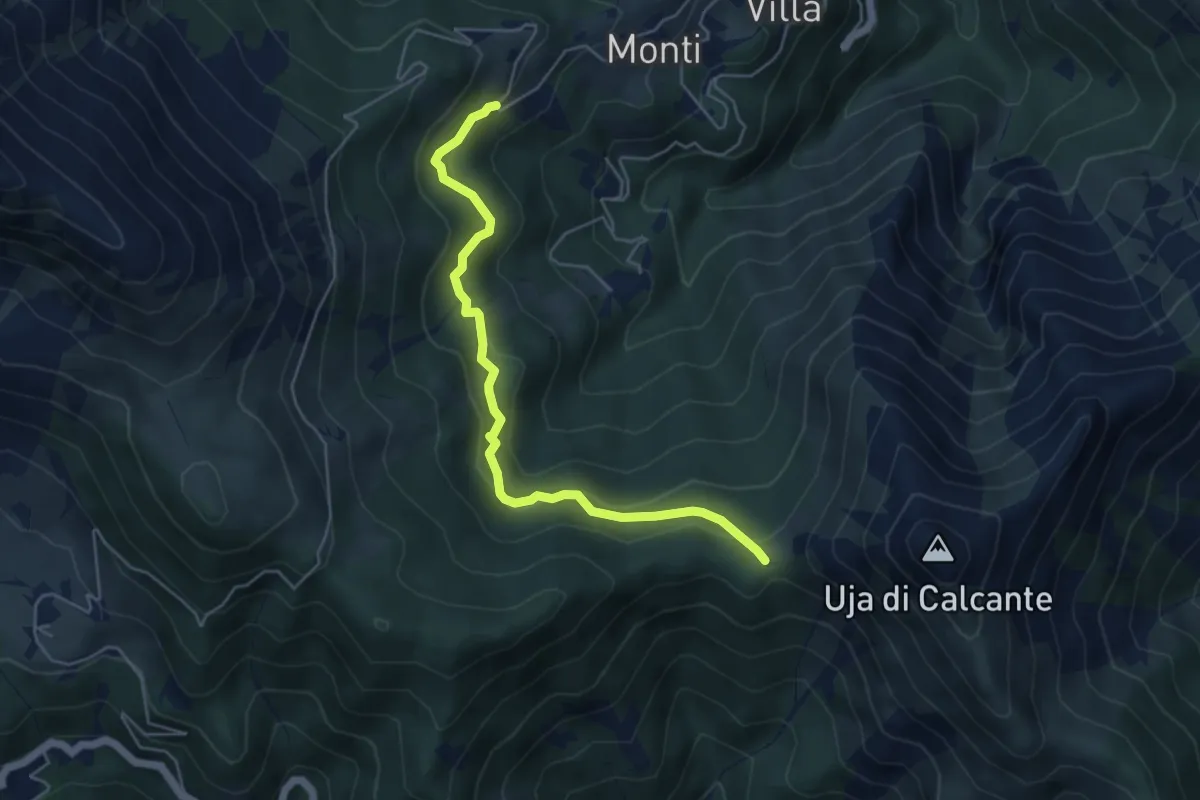
Easy · Trail
Sentiero Anna Bordon
5.2 km · ↑ 246 m · 1 h 45 min
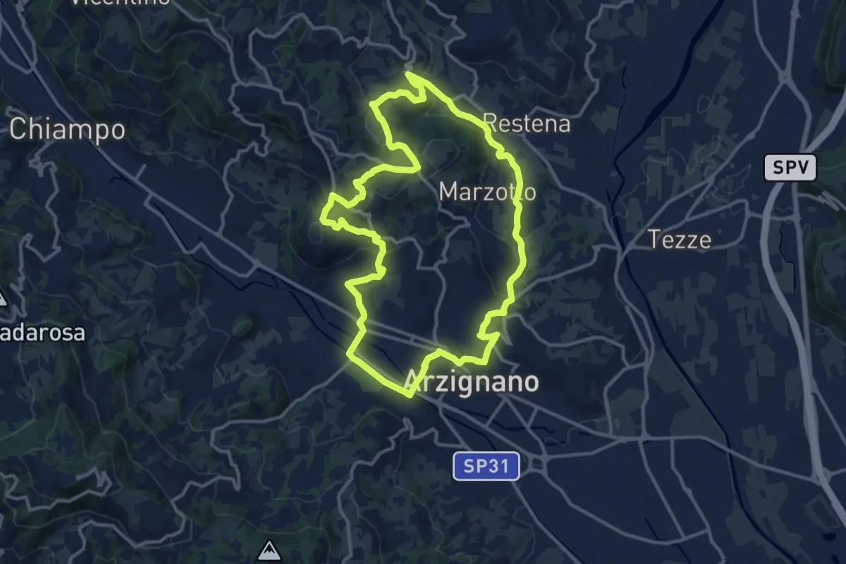
Medium · Trail
Sentiero Arancio
12.8 km · ↑ 382 m · 4 h 2 min
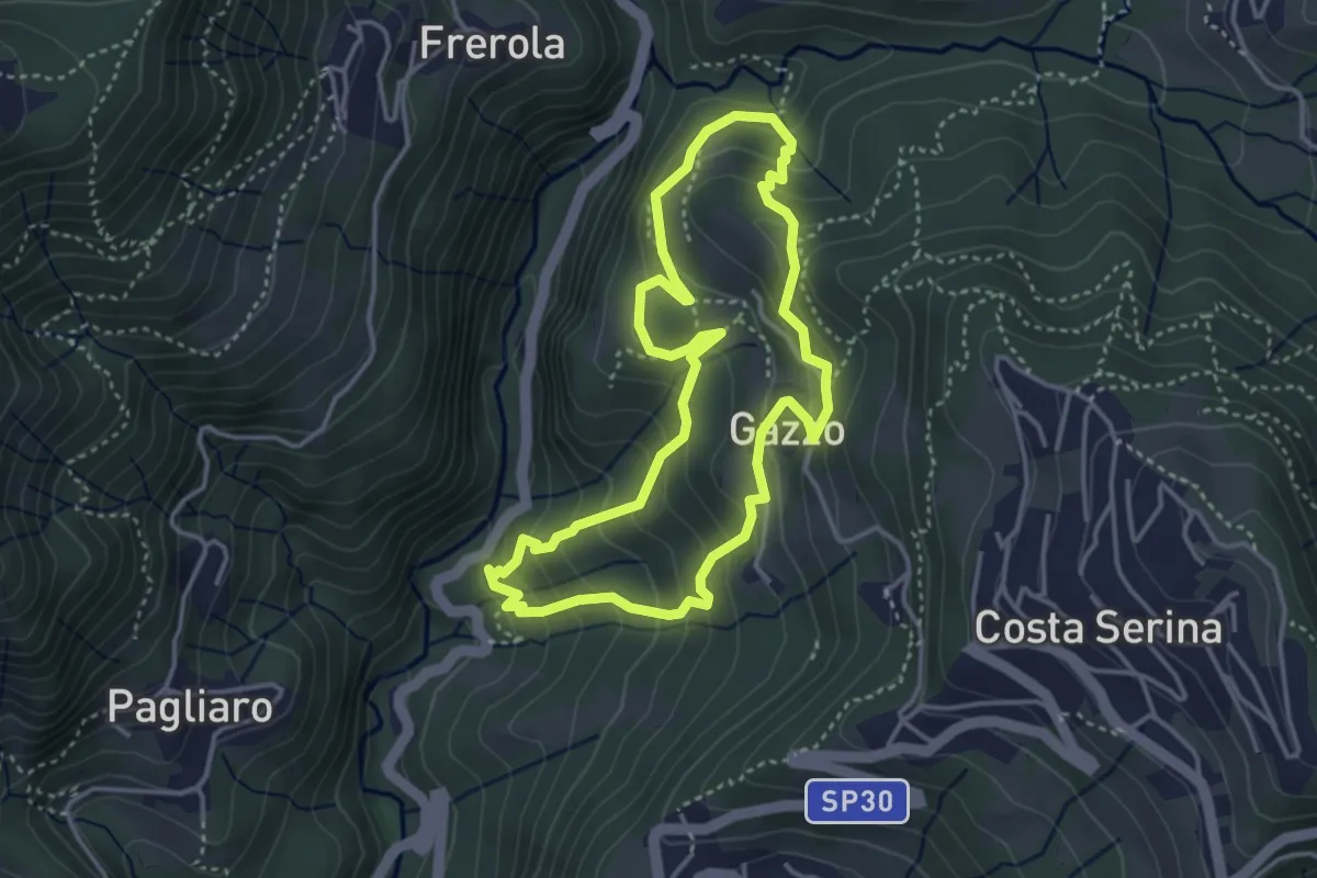
Medium · Trail
Sentiero Arancio
3.7 km · ↑ 280 m · 1 h 31 min
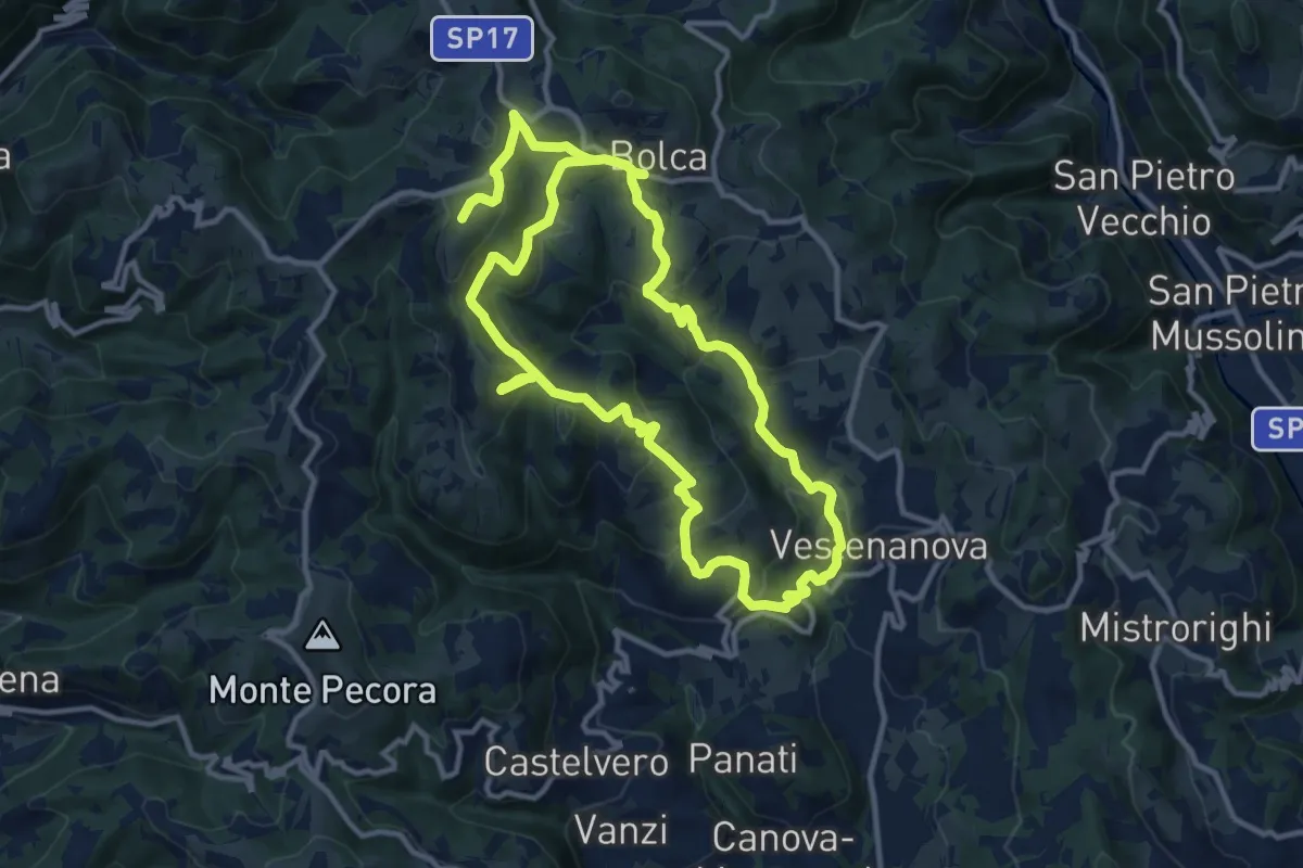
Demanding · Summit
Sentiero Arancione - Le 3 croci di Celestino Baldo
22.9 km · ↑ 1103 m · 7 h 48 min
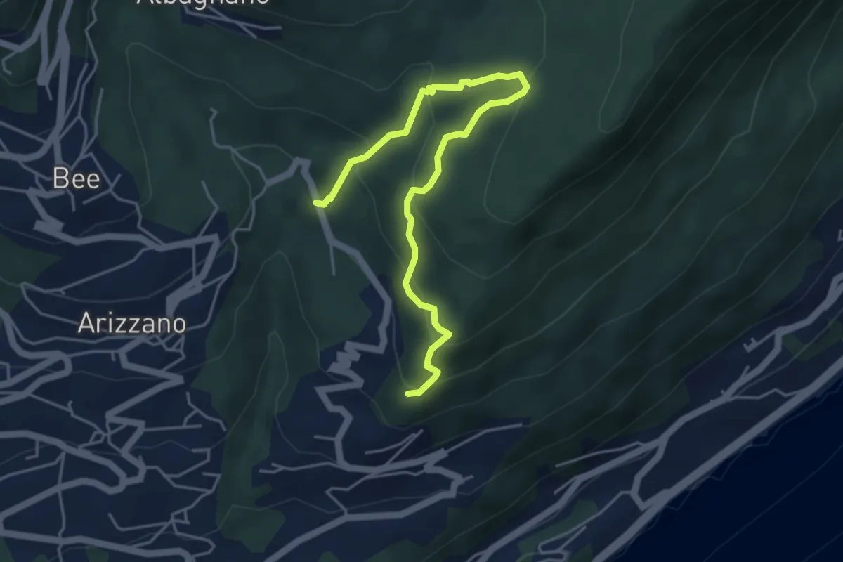
Medium · Trail
Sentiero Archeologico
5.0 km · ↑ 359 m · 1 h 58 min
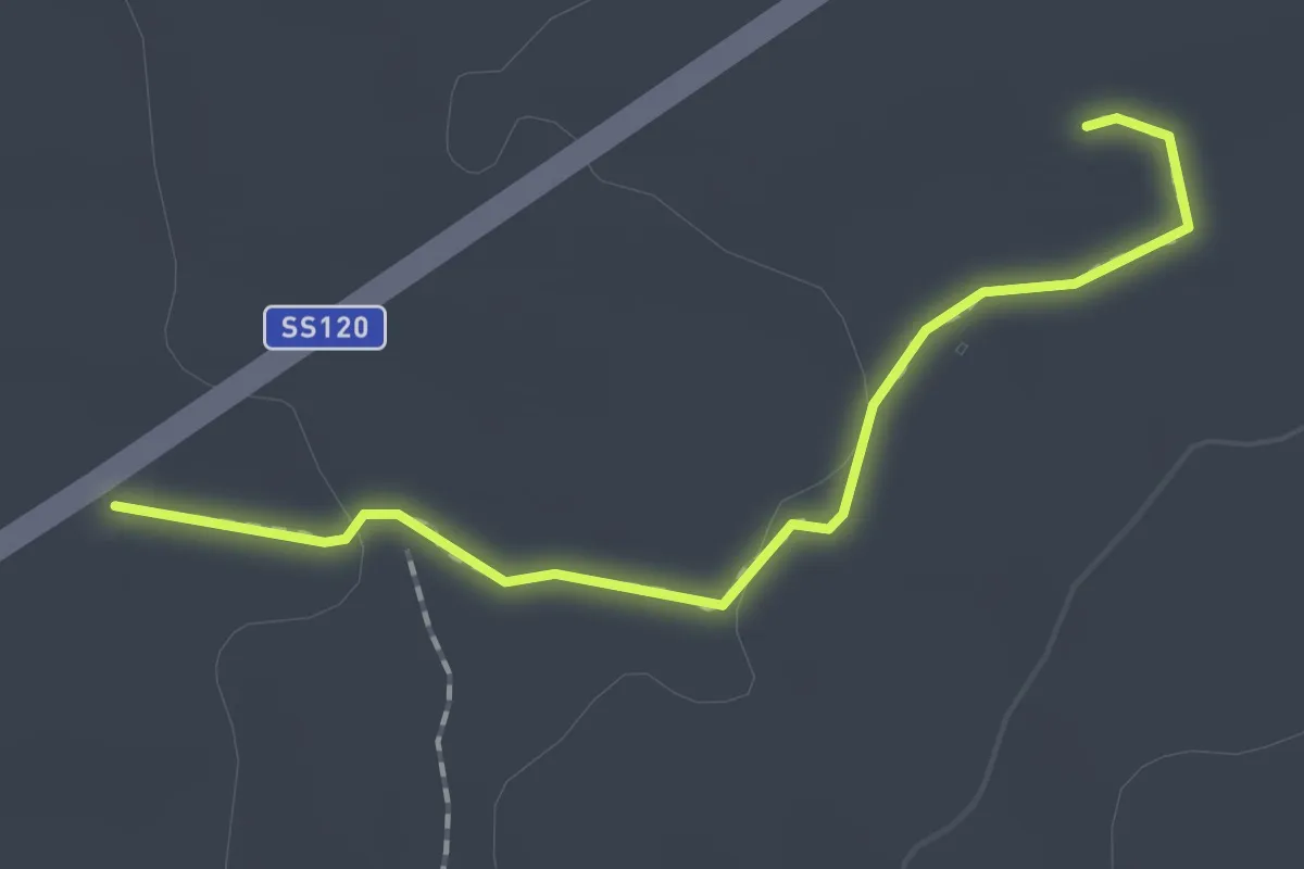
Easy · Trail
Sentiero Archeologico e Naturalistico
2.0 km · ↑ 17 m · 30 min
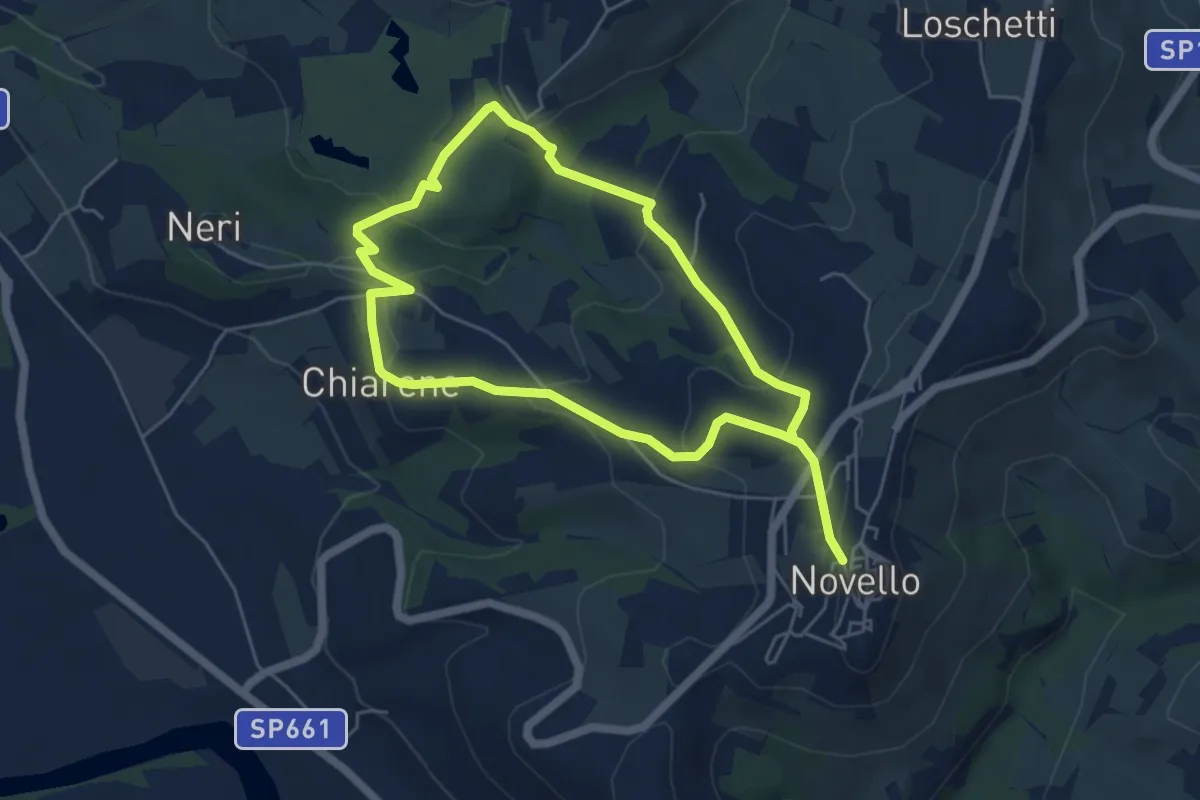
Medium · Trail
Sentiero Arco del Monviso
9.7 km · ↑ 336 m · 3 h 1 min