Trails in Italy
25,219 hiking trails, each with its route, climb, walking time and grade.
All trails, page 149 of 526
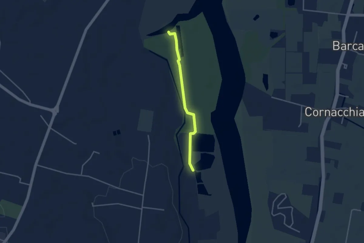
Easy · Trail
Sentiero Area Naturalistica Cronovilla
2.8 km · ↑ 9 m · 41 min
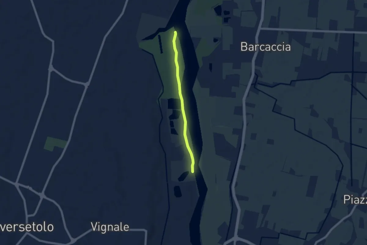
Easy · Trail
Sentiero Area Naturalistica Cronovilla
4.4 km · ↑ 12 m · 1 h 3 min
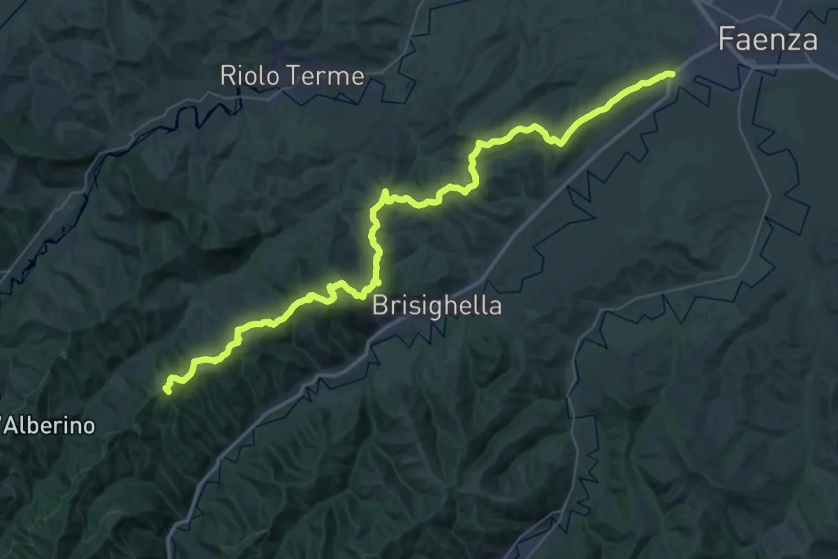
Demanding · Summit
Sentiero Ariano Bentivoglio
43.9 km · ↑ 1342 m · 13 h 16 min
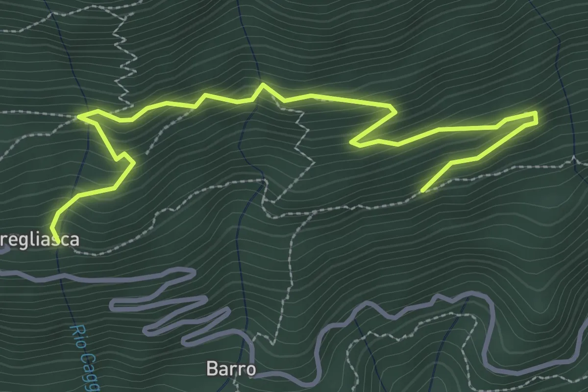
Medium · Trail
Sentiero Arlo
3.7 km · ↑ 346 m · 1 h 37 min
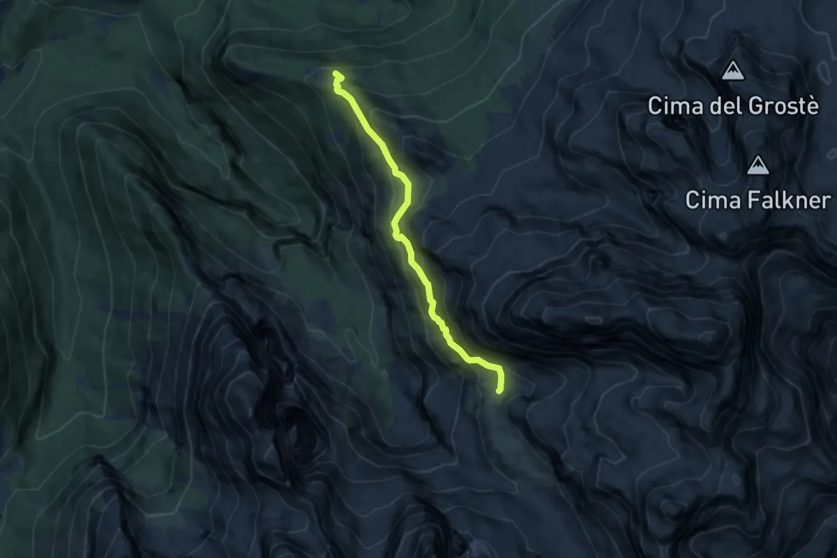
Demanding · Cabin
Sentiero "Arnaldo Bogani"
7.0 km · ↑ 664 m · 3 h 6 min
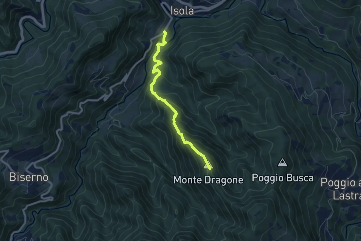
Demanding · Summit
Sentiero Arnaldo Vestrucci
6.2 km · ↑ 438 m · 2 h 24 min
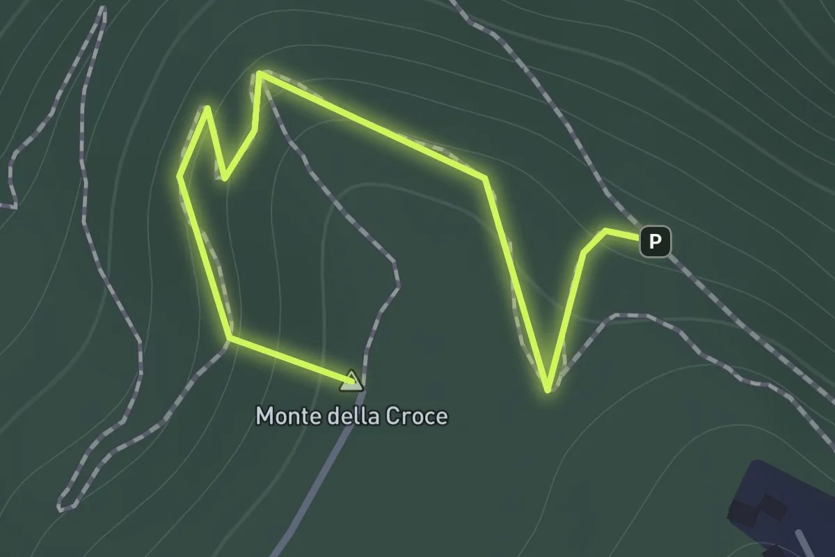
Medium · Summit
Sentiero Arrigo Carboni del Monte della Croce
1.3 km · ↑ 143 m · 37 min
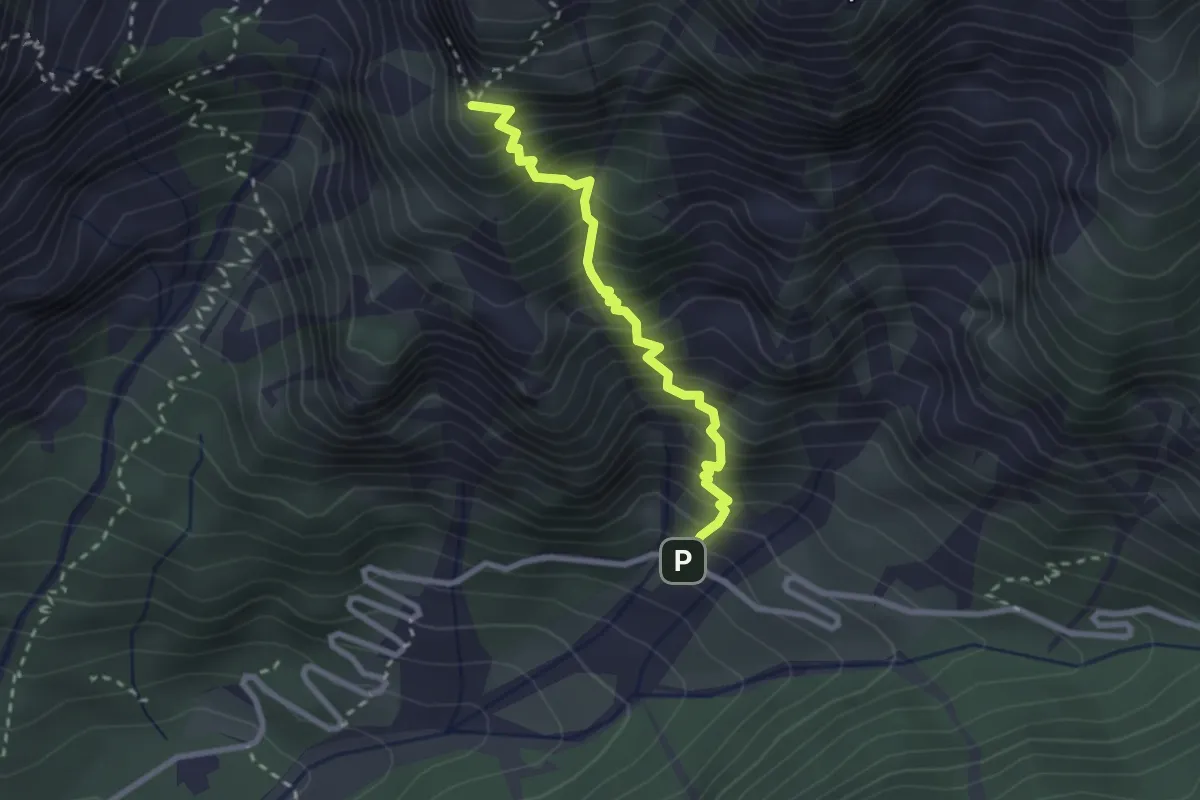
Demanding · Trail
Sentiero Arturo Ziffer
2.5 km · ↑ 476 m · 1 h 37 min
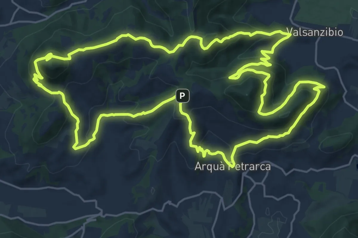
Demanding · Summit
Sentiero Atestino
18.6 km · ↑ 986 m · 6 h 47 min
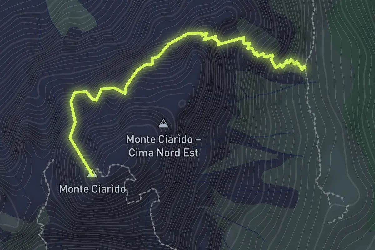
Medium · Summit
Sentiero attrezzato Amalio Da Pra
2.8 km · ↑ 671 m · 2 h 7 min
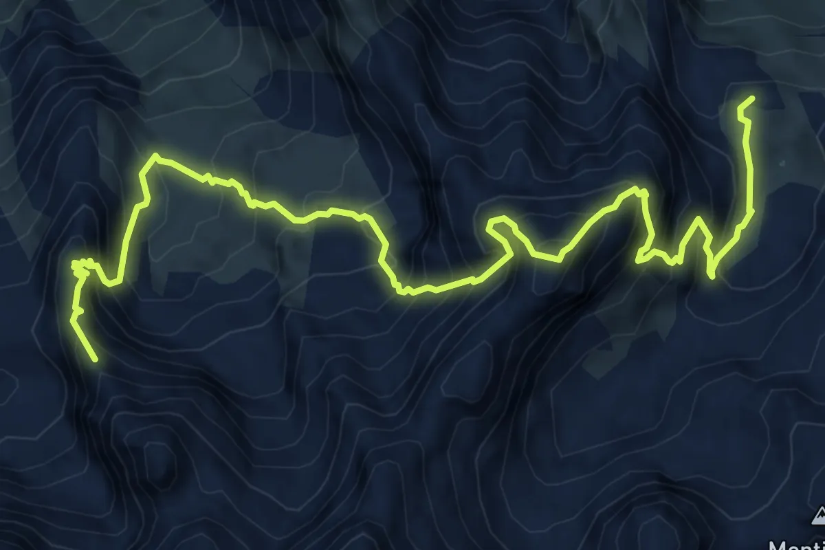
Expert · Summit
Sentiero attrezzato Antonio Sanmarchi
9.8 km · ↑ 1316 m · 5 h 10 min
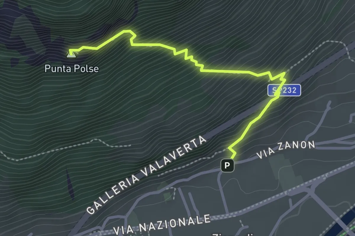
Medium · Summit
Sentiero attrezzato Attilio Sieff
2.8 km · ↑ 463 m · 1 h 40 min
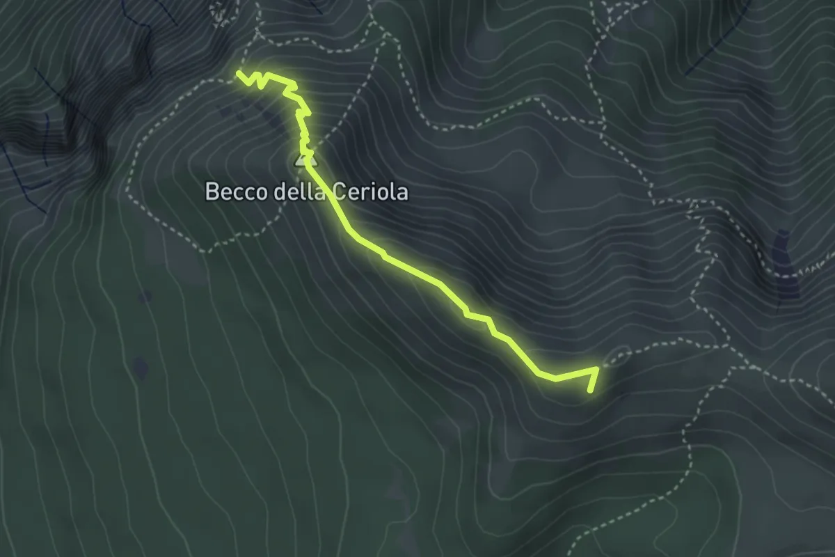
Expert · Summit
Sentiero attrezzato Caduti della Montagna
3.4 km · ↑ 363 m · 1 h 35 min
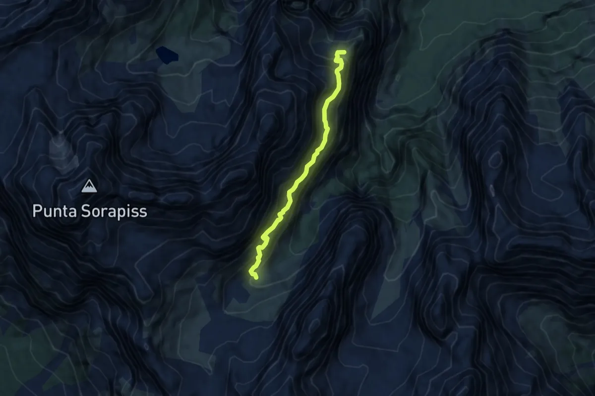
Expert · Summit
Sentiero attrezzato "Carlo MInazio"
6.7 km · ↑ 1038 m · 3 h 49 min
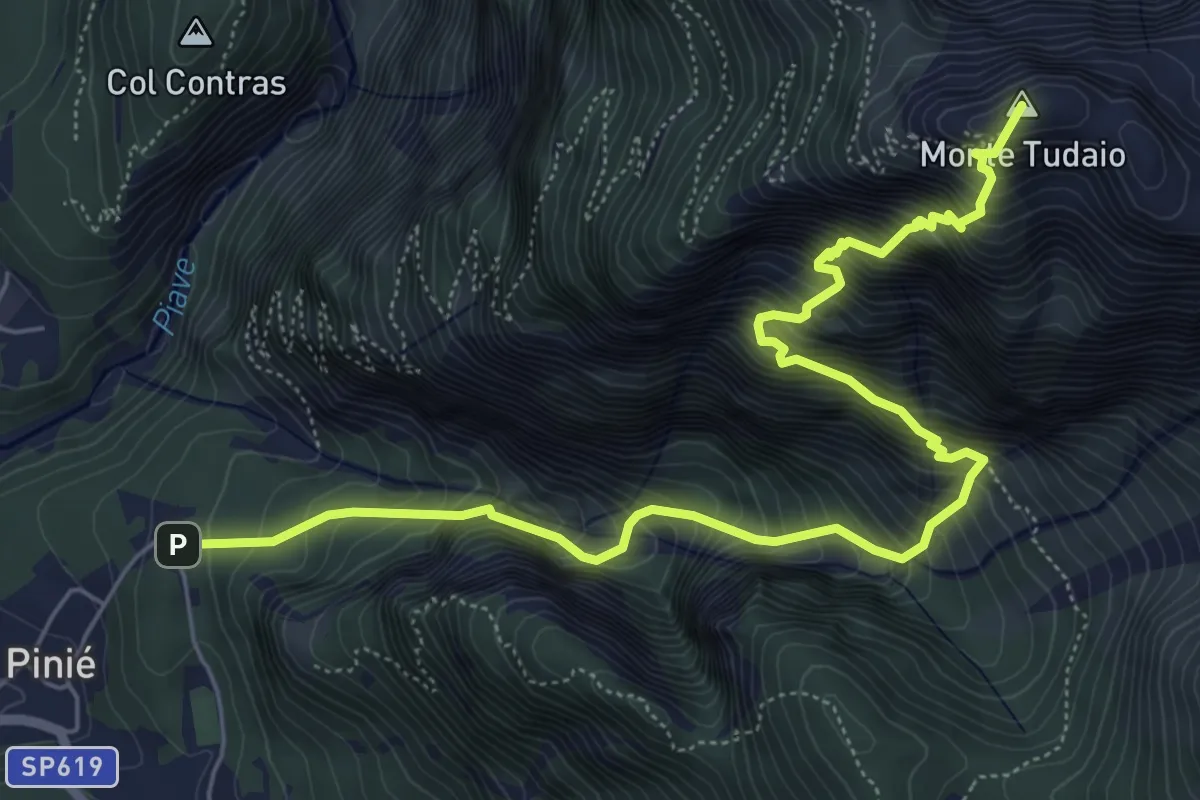
Demanding · Summit
Sentiero attrezzato dei Mède
7.5 km · ↑ 1326 m · 4 h 39 min
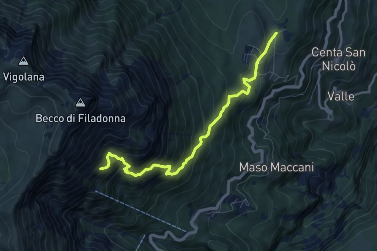
Demanding · Cabin
Sentiero attrezzato dei pastori
7.7 km · ↑ 716 m · 3 h 22 min
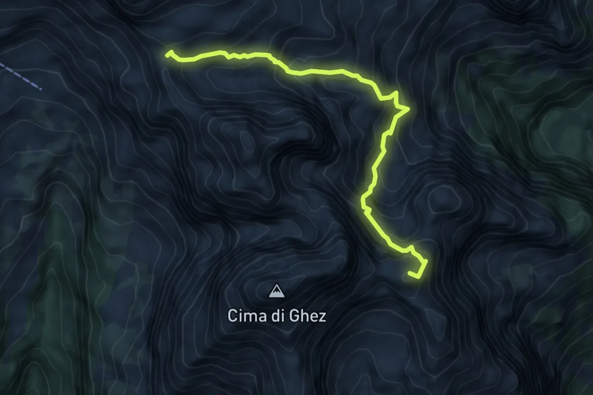
Demanding · Summit
Sentiero attrezzato "dei Sborzi"
7.1 km · ↑ 945 m · 3 h 43 min
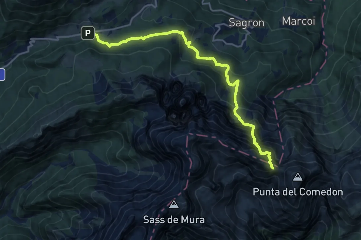
Demanding · Trail
Sentiero attrezzato del Comedon - Intaiada
12.3 km · ↑ 1624 m · 6 h 26 min
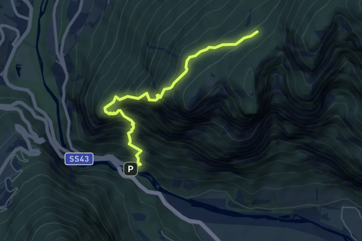
Demanding · Trail
Sentiero attrezzato del Cronello
5.3 km · ↑ 878 m · 3 h 10 min
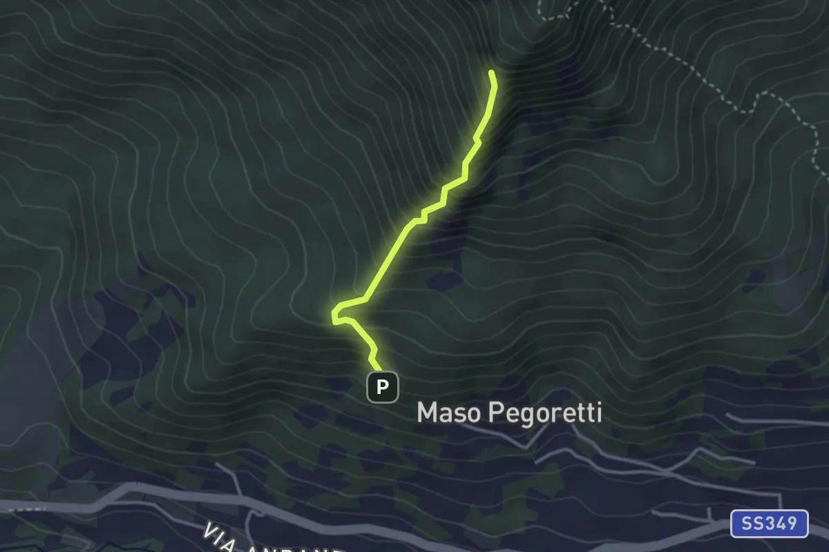
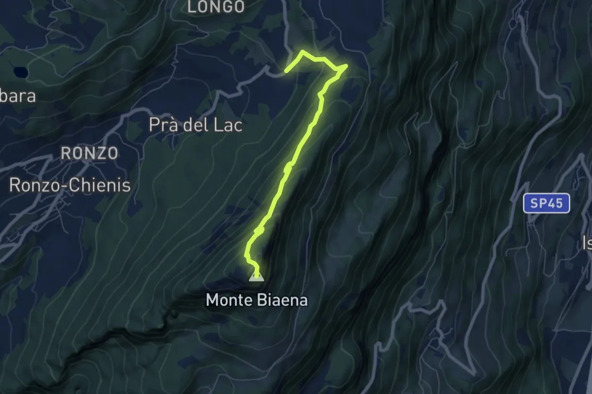
Demanding · Summit
Sentiero attrezzato del Croz de le Ore
2.4 km · ↑ 461 m · 1 h 34 min
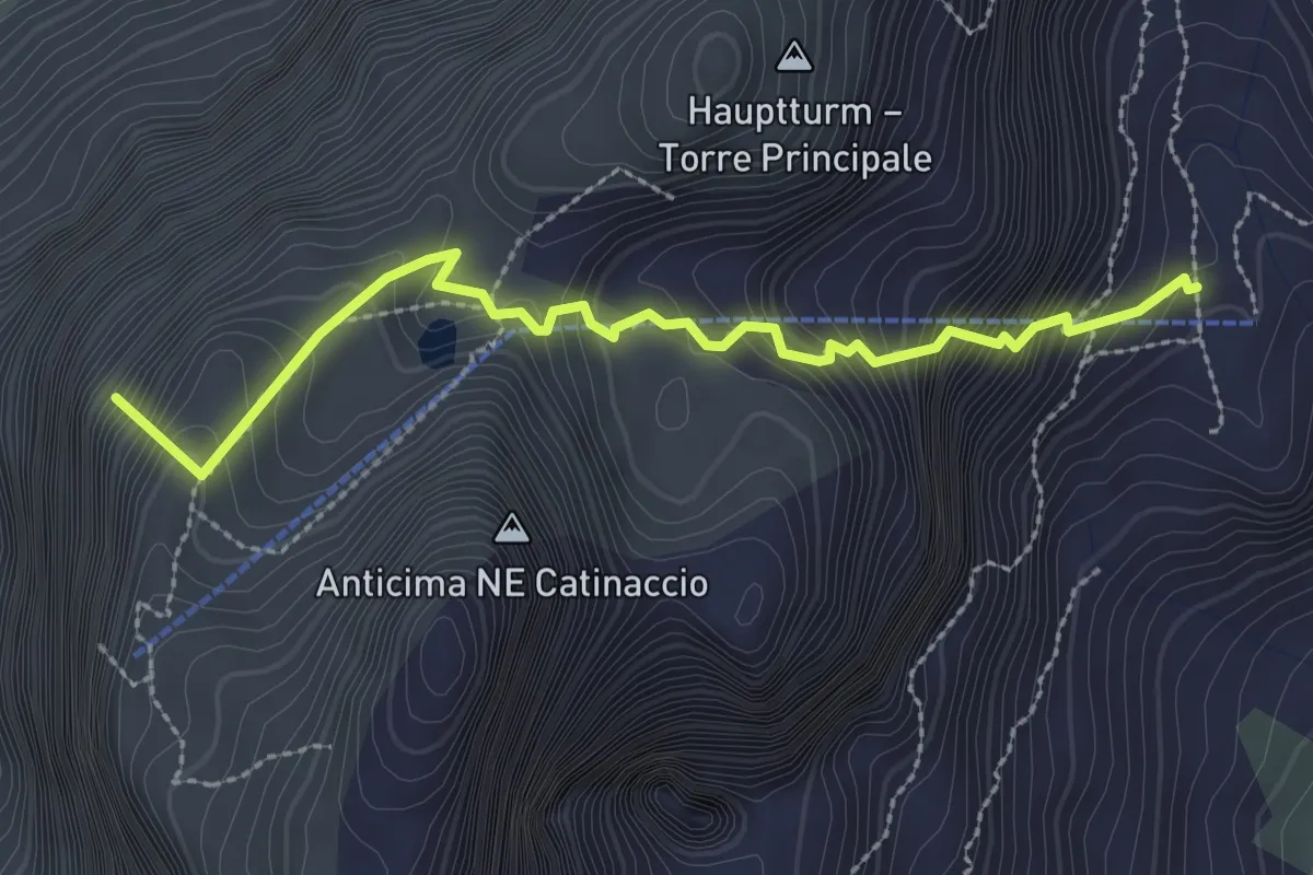
Demanding · Summit
Sentiero attrezzato de le Laste
6.0 km · ↑ 439 m · 2 h 22 min
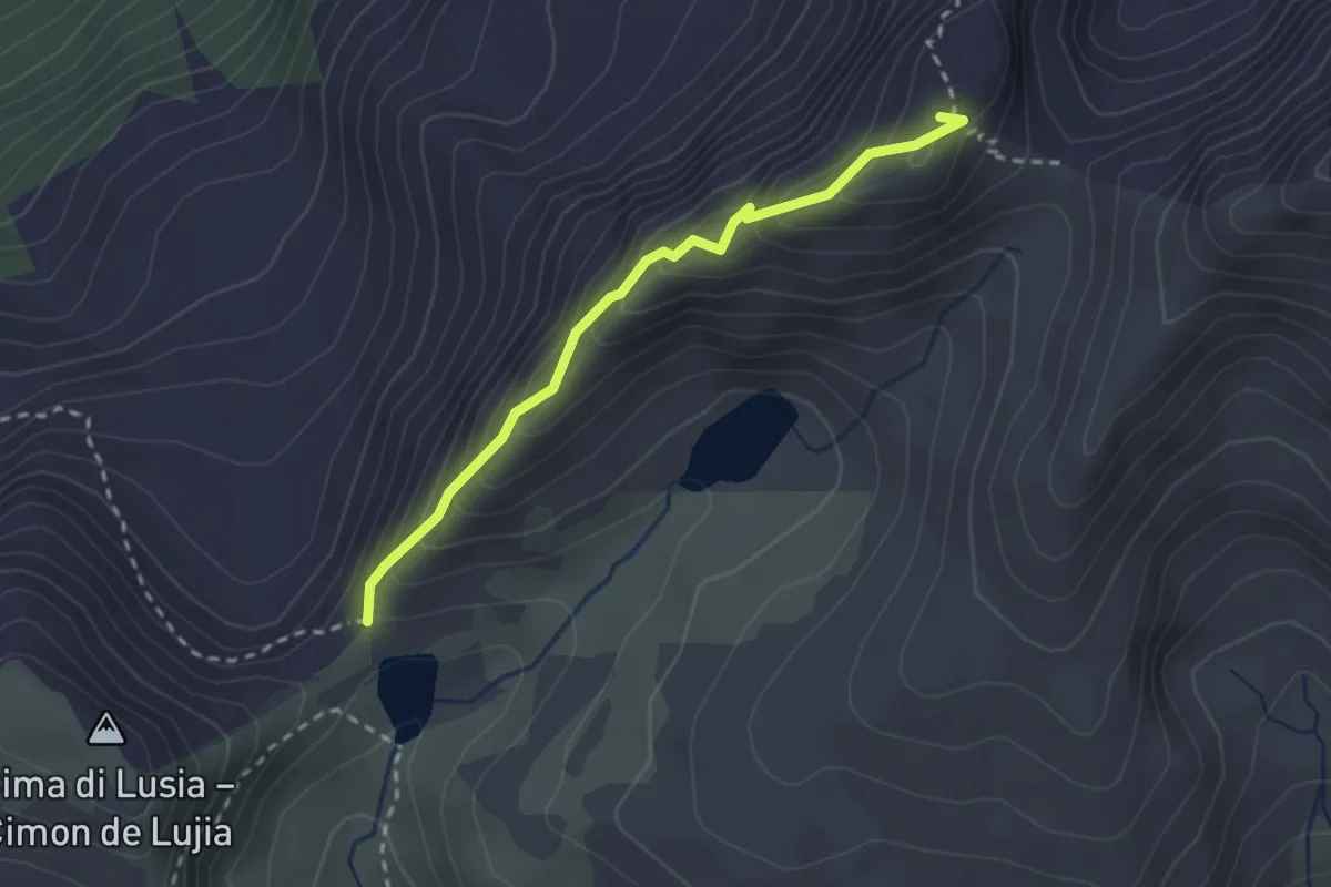
Demanding · Summit
Sentiero attrezzato del Gartl
2.8 km · ↑ 568 m · 1 h 54 min
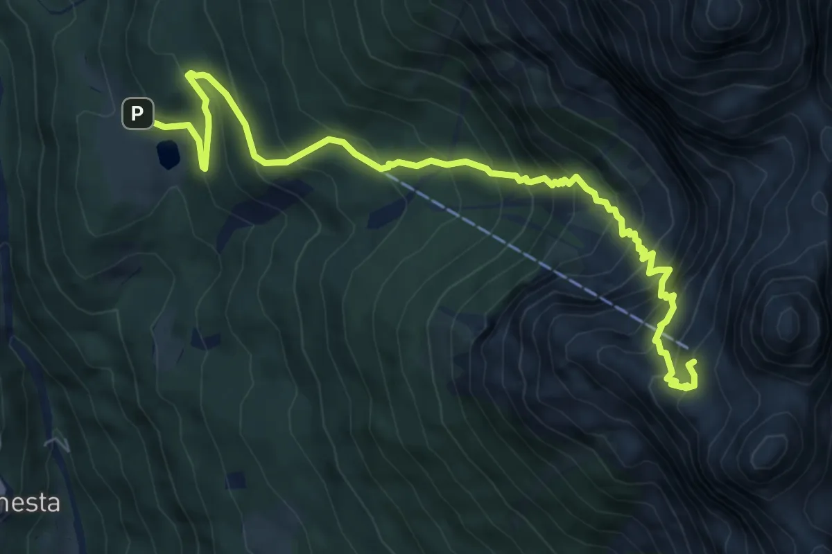
Demanding · Summit
Sentiero attrezzato del Gronton
2.4 km · ↑ 257 m · 1 h 7 min
Expert · Cabin
Sentiero attrezzato della Lasta moia
8.2 km · ↑ 1028 m · 4 h 10 min
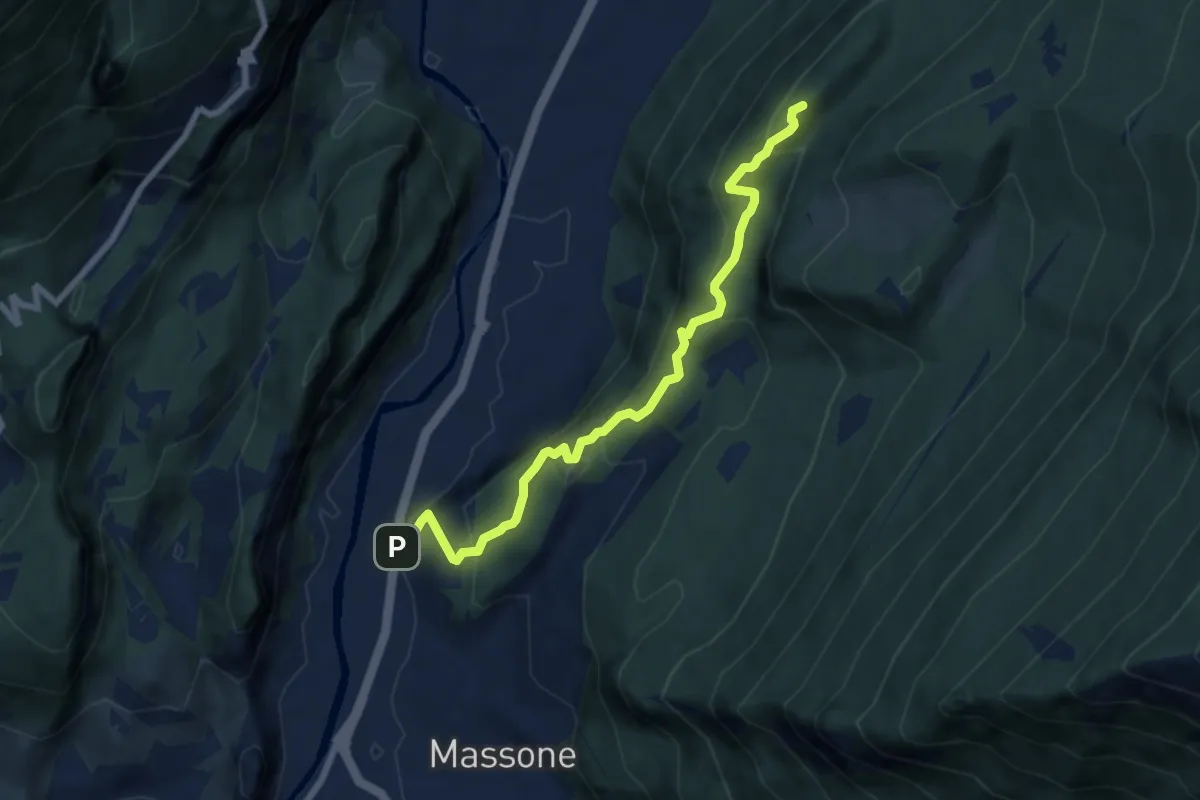
Medium · Summit
Sentiero attrezzato della Maestra "Caterina Tantardini Bombardelli"
7.4 km · ↑ 530 m · 2 h 54 min
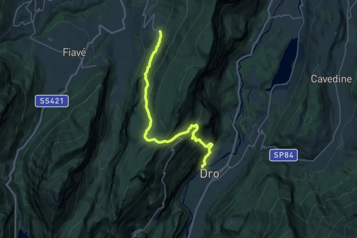
Demanding · Trail
Sentiero attrezzato dell'Angiom
19.8 km · ↑ 1529 m · 8 h
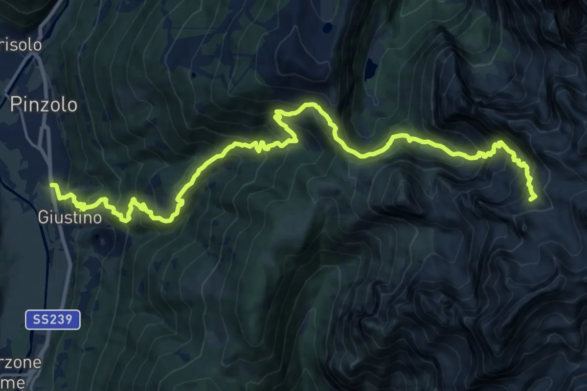
Demanding · Cabin
Sentiero attrezzato della Scala Santa
10.8 km · ↑ 1768 m · 5 h 41 min
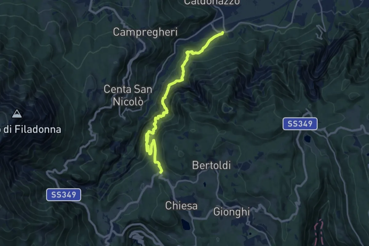
Expert · Trail
Sentiero attrezzato della strada della Val Careta
14.4 km · ↑ 1323 m · 6 h 16 min
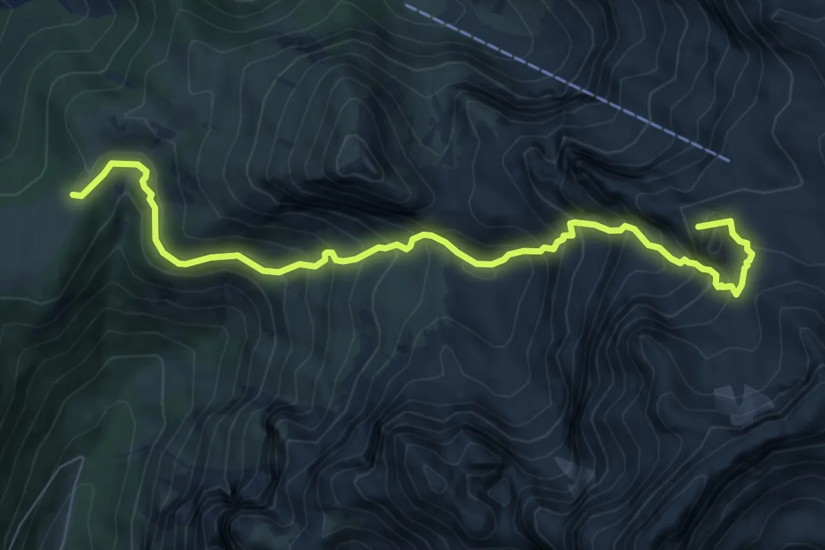
Demanding · Summit
Sentiero attrezzato della Val di Sacco
8.6 km · ↑ 907 m · 4 h
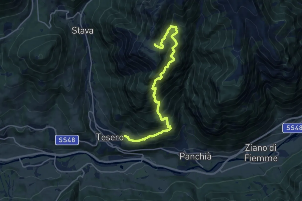
Demanding · Trail
Sentiero attrezzato delle Dolae
13.2 km · ↑ 1494 m · 6 h 22 min
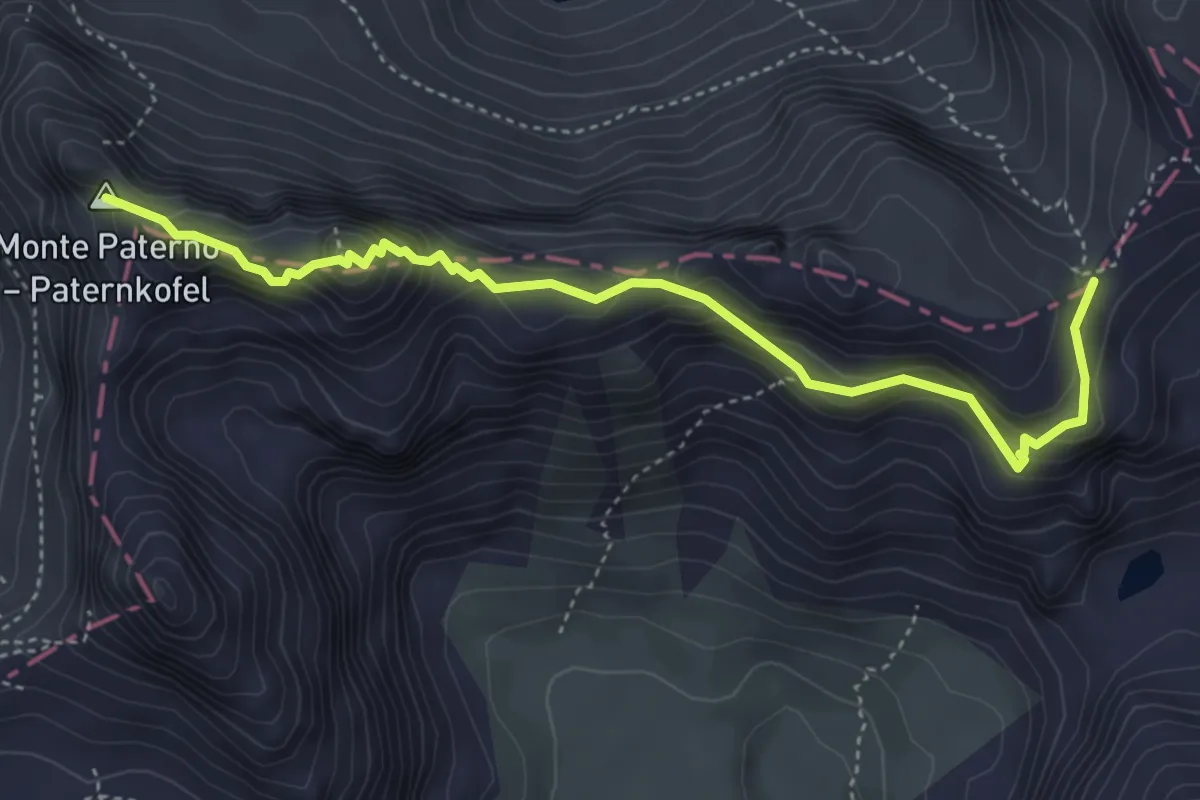
Expert · Summit
Sentiero attrezzato "delle Forcelle" al Paterno - Gamsschartensteig
4.6 km · ↑ 607 m · 2 h 24 min
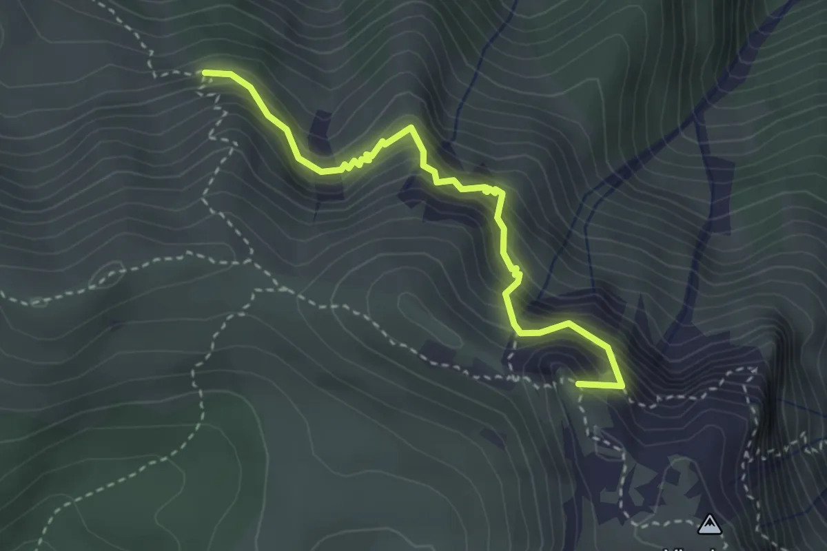
Demanding · Summit
Sentiero Attrezzato delle Grattarole
3.3 km · ↑ 500 m · 1 h 52 min
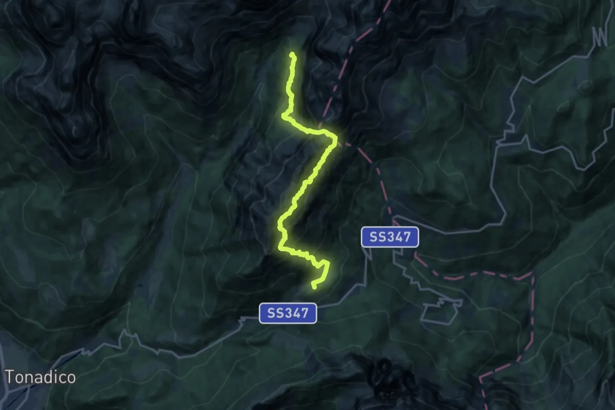
Demanding · Summit
Sentiero attrezzato delle Regade
14.3 km · ↑ 2077 m · 7 h 53 min
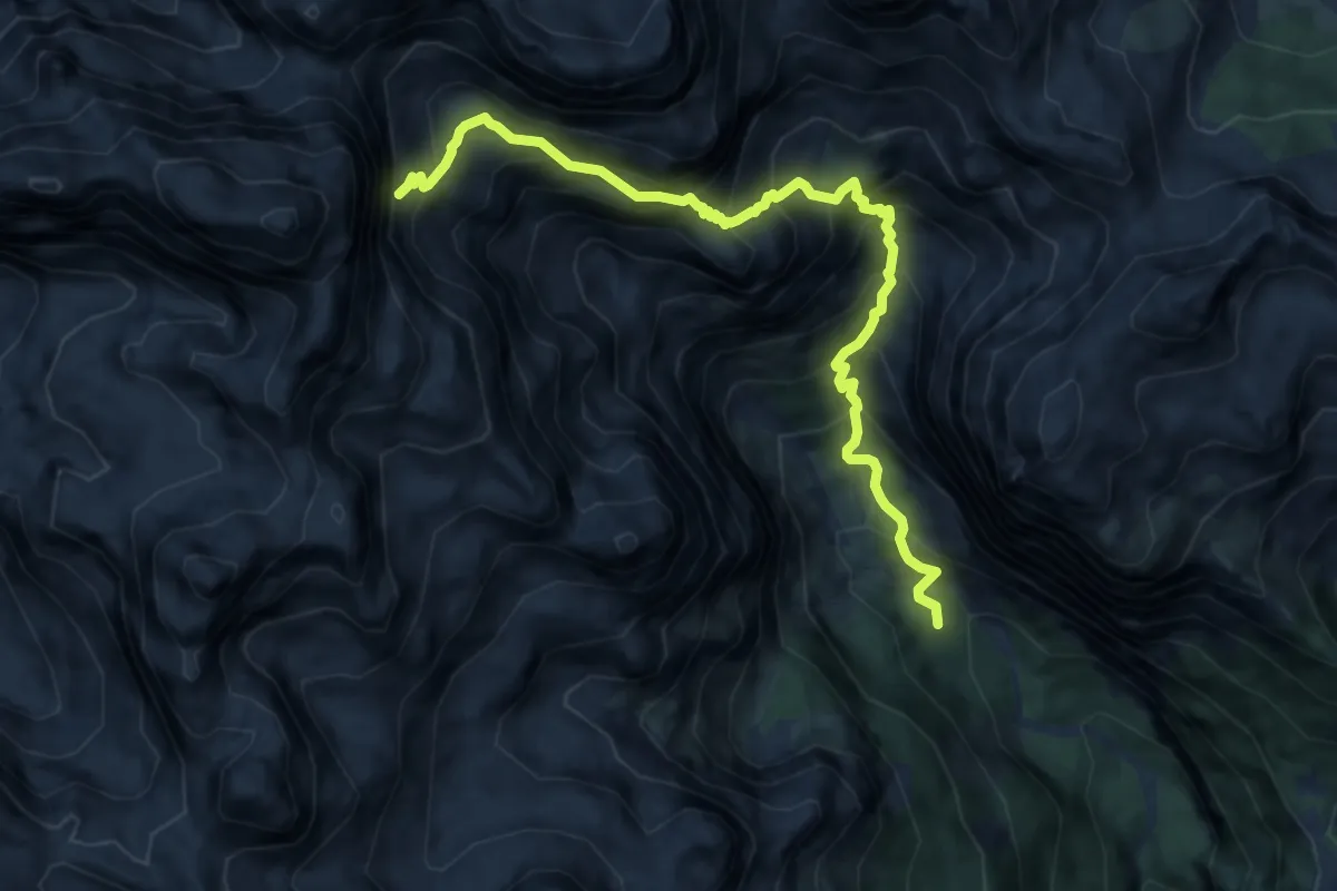
Demanding · Trail
Sentiero attrezzato delle Val Perse
10.0 km · ↑ 1317 m · 5 h 13 min
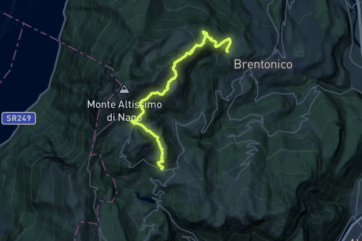
Expert · Trail
Sentiero attrezzato delle Vipere
10.6 km · ↑ 531 m · 4 h 2 min
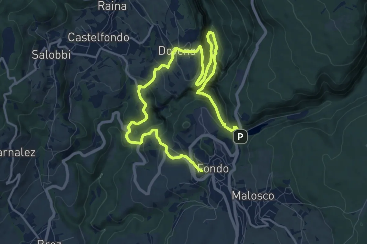
Demanding · Trail
Sentiero attrezzato del Mondino "Edmondo Janes"
14.0 km · ↑ 1328 m · 6 h 11 min
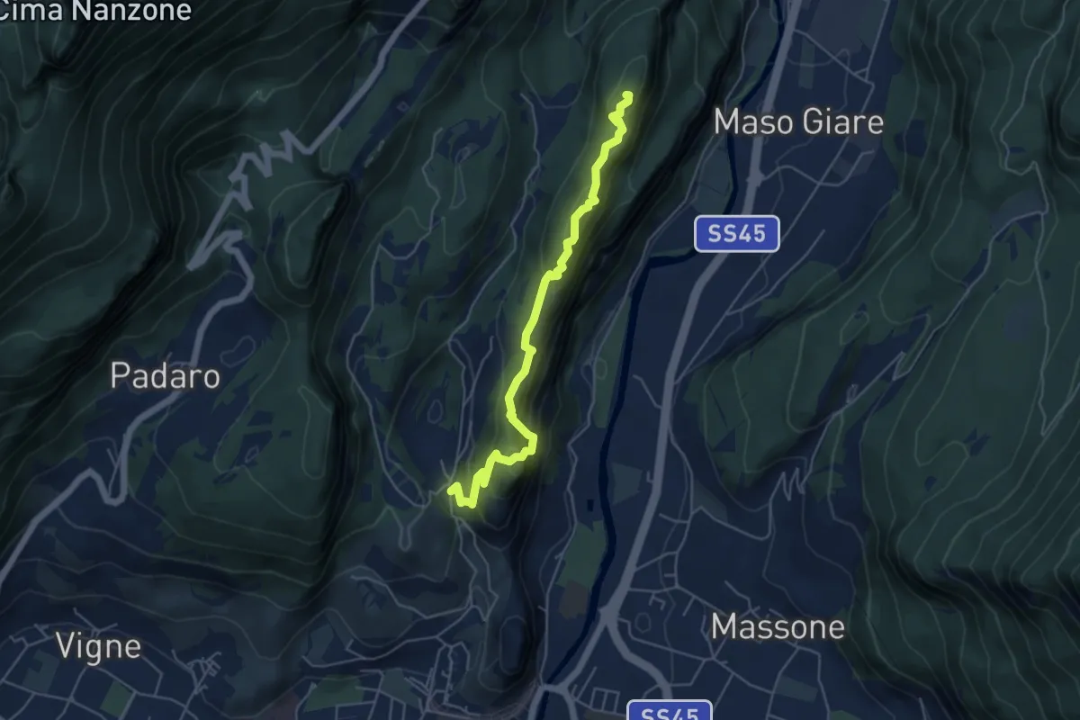
Medium · Summit
Sentiero attrezzato del Monte Colt
5.1 km · ↑ 376 m · 2 h 2 min
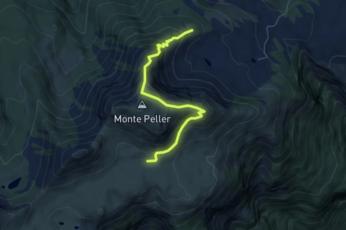
Expert · Cabin
Sentiero attrezzato del Monte Peller
5.5 km · ↑ 460 m · 2 h 18 min
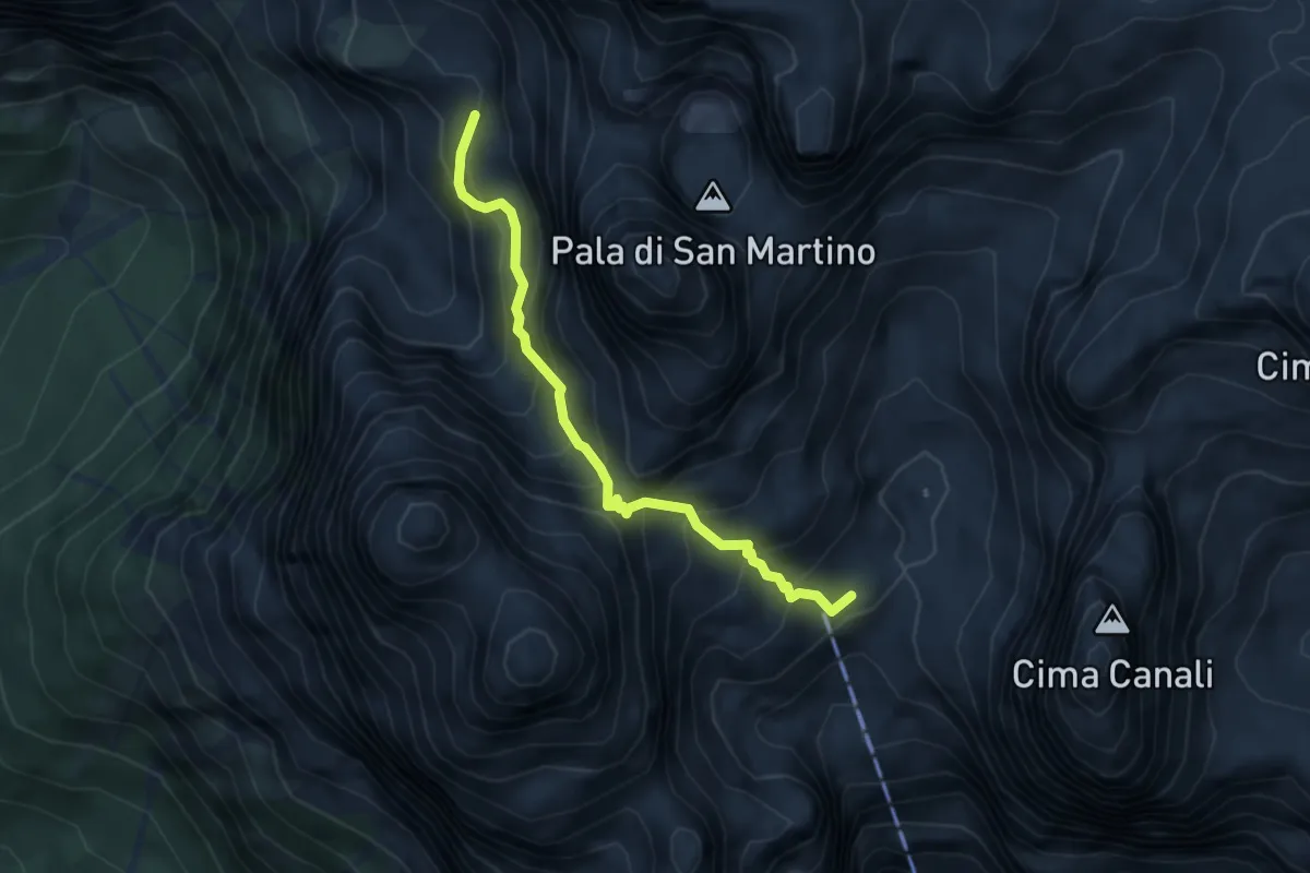
Demanding · Cabin
Sentiero attrezzato del Passo di Ball
4.1 km · ↑ 652 m · 2 h 24 min
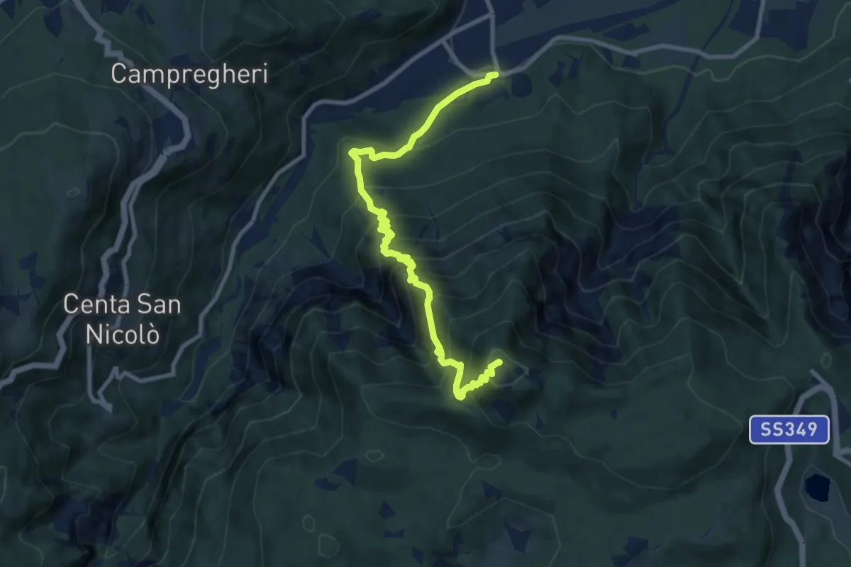
Demanding · Summit
Sentiero Attrezzato del Tamazol
9.1 km · ↑ 1023 m · 4 h 22 min
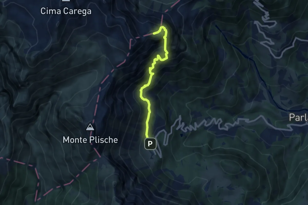
Expert · Summit
Sentiero Attrezzato del Vajo Scuro
6.5 km · ↑ 1031 m · 3 h 46 min
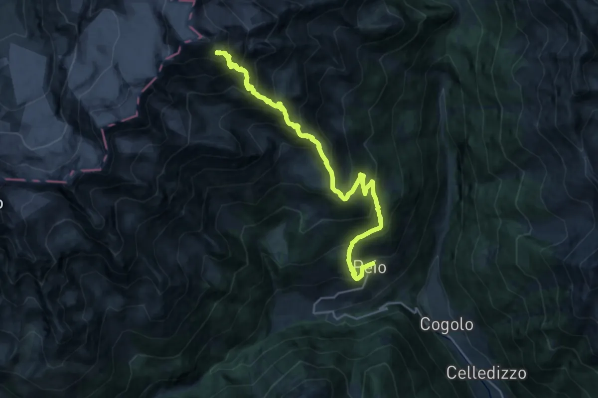
Demanding · Cabin
Sentiero attrezzato del Vioz "Matteo Croaz"
9.6 km · ↑ 1981 m · 5 h 43 min
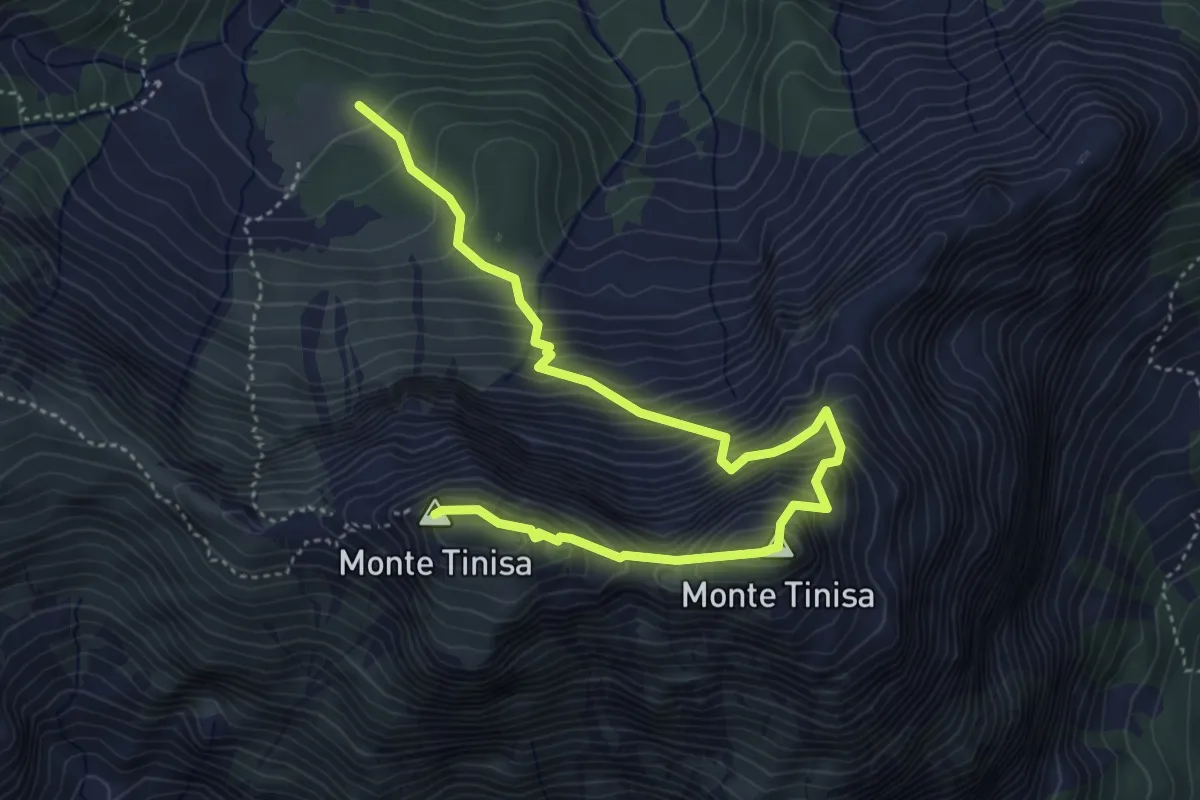
Expert · Summit
Sentiero attrezzato "De Monte Pascul"
5.5 km · ↑ 833 m · 3 h 6 min
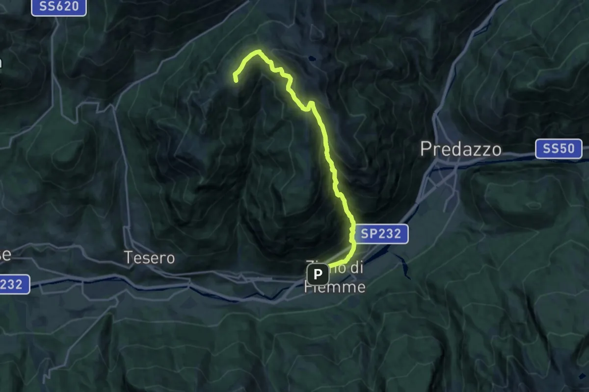
Demanding · Summit
Sentiero attrezzato di Val Averta
15.7 km · ↑ 1454 m · 6 h 52 min
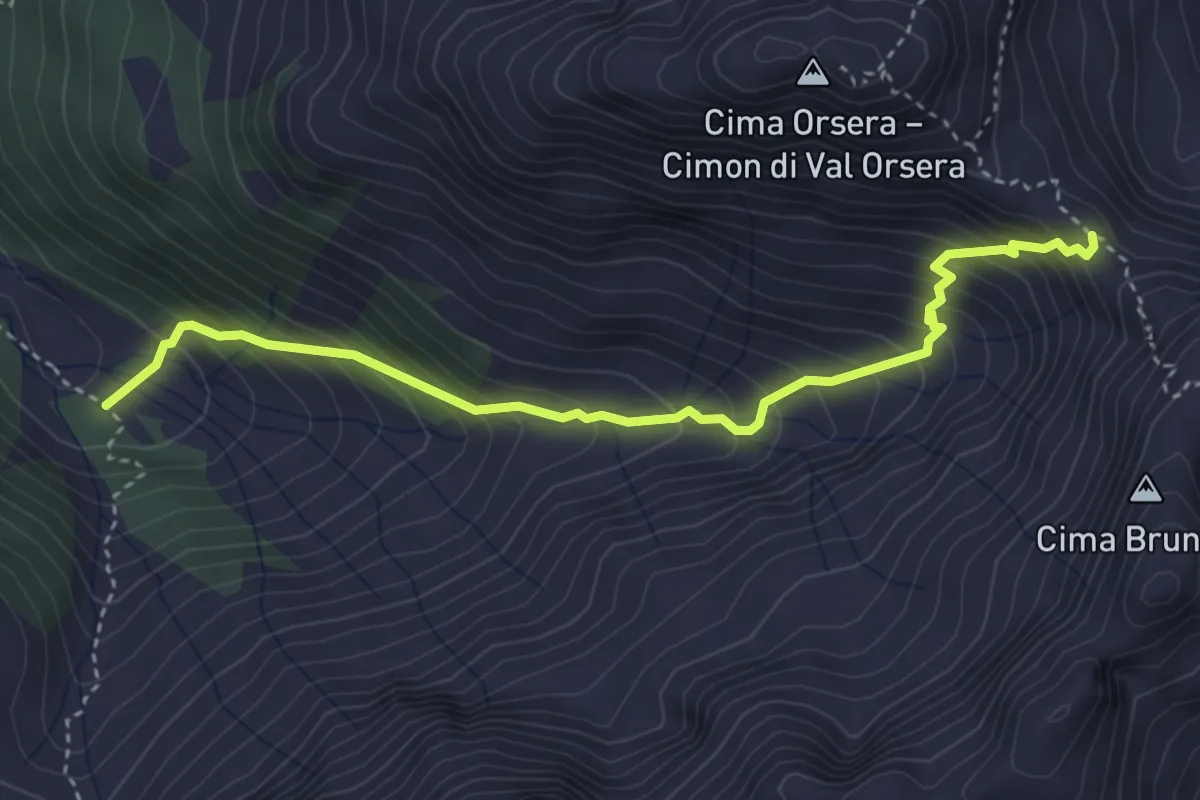
Demanding · Trail
Sentiero attrezzato di Val Orsera
4.0 km · ↑ 481 m · 1 h 59 min
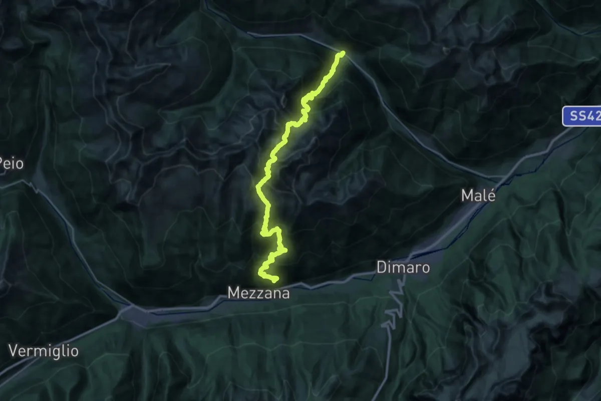
Demanding · Trail
Sentiero attrezzato di Valorz
16.1 km · ↑ 1658 m · 7 h 37 min
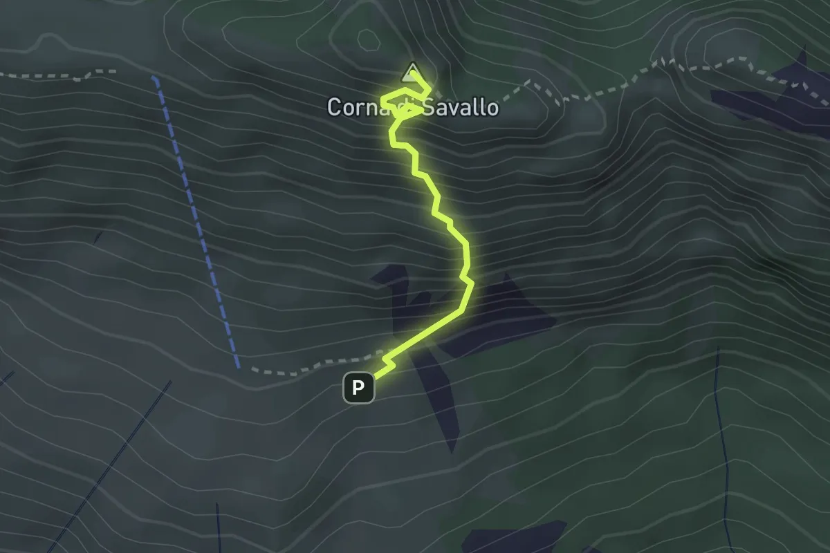
Medium · Summit
Sentiero Attrezzato Ferrata Nasego
2.1 km · ↑ 412 m · 1 h 23 min
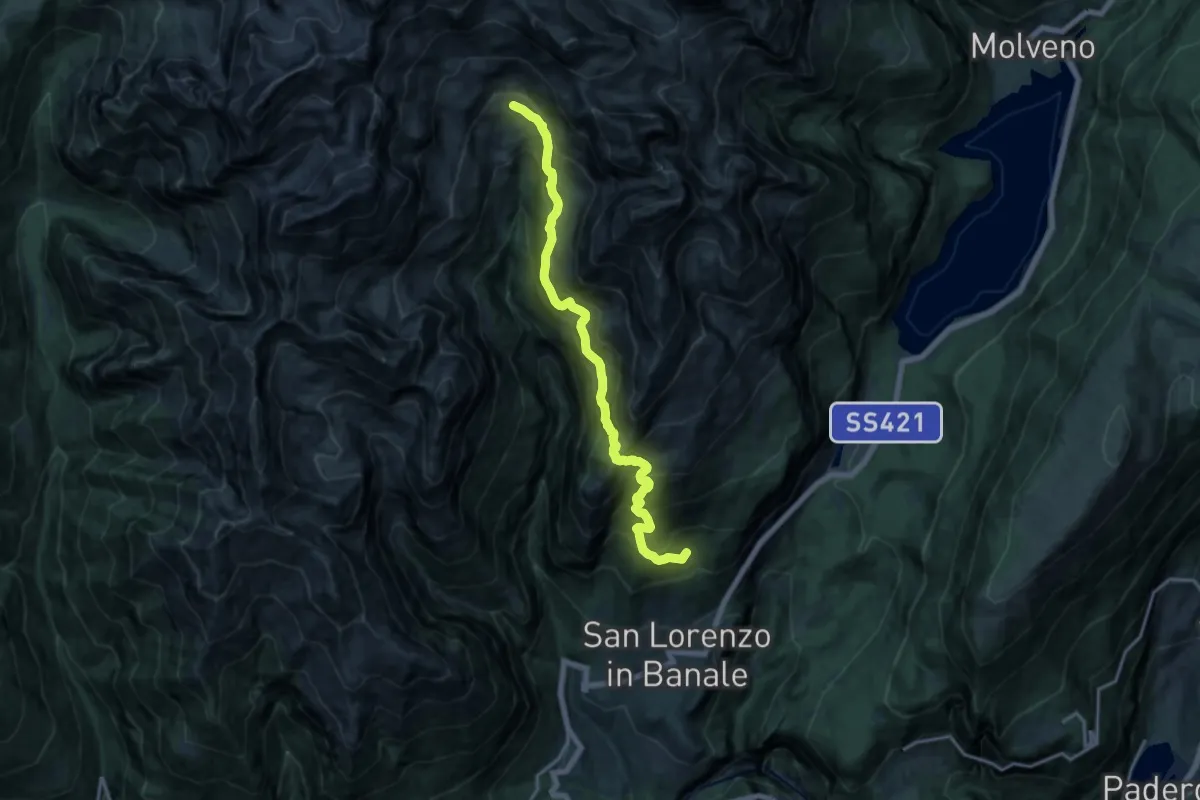
Demanding · Cabin
Sentiero attrezzato Forcella Bregain
15.3 km · ↑ 1392 m · 6 h 38 min