Trails in Italy
25,219 hiking trails, each with its route, climb, walking time and grade.
All trails, page 175 of 526
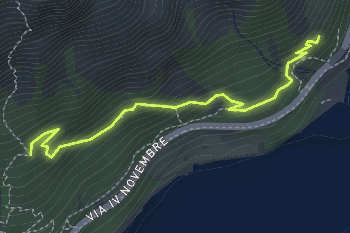
Medium · Trail
Sentiero del Sole - Nord
2.3 km · ↑ 194 m · 58 min
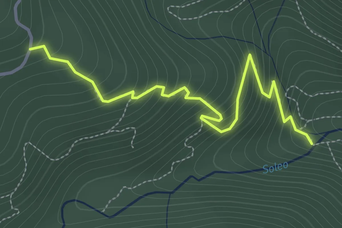
Medium · Trail
Sentiero del Soleo
3.5 km · ↑ 336 m · 1 h 33 min
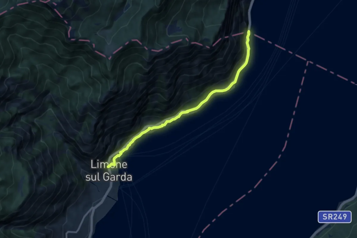
Medium · Trail
Sentiero del Sole - sud
8.5 km · ↑ 560 m · 3 h 13 min
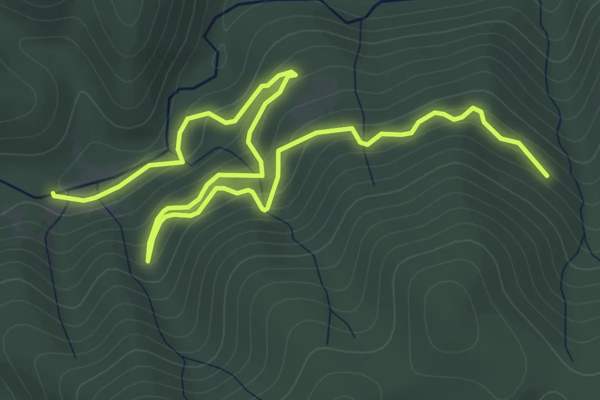
Medium · Trail
Sentiero del Tacina
9.0 km · ↑ 384 m · 2 h 58 min
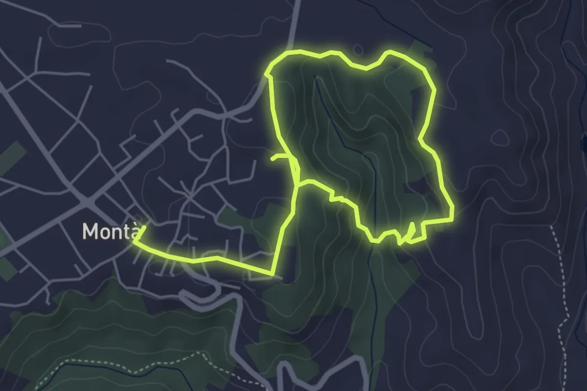
Medium · Trail
Sentiero del Tartufo
8.2 km · ↑ 285 m · 2 h 33 min
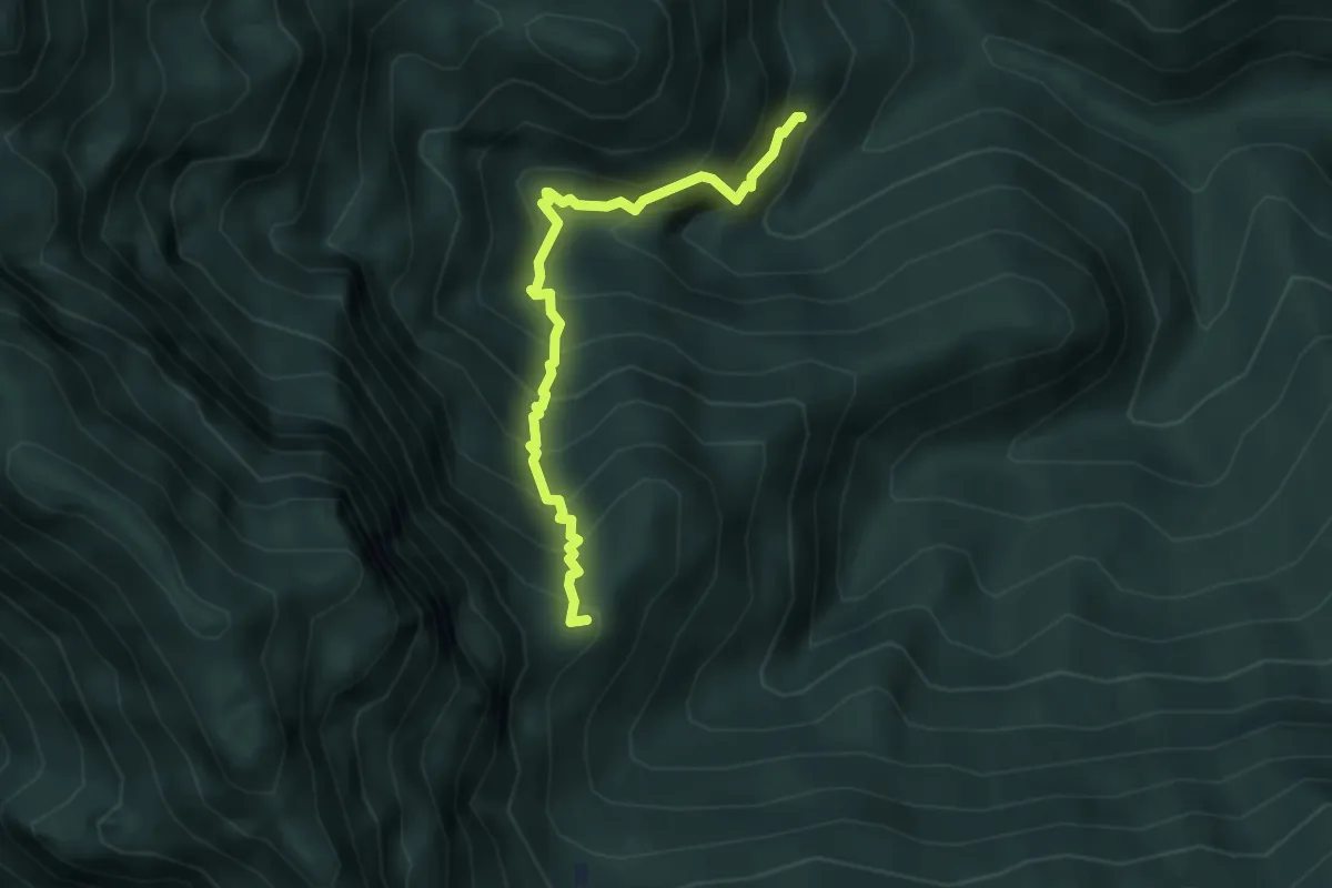
Medium · Summit
Sentiero del Tascè
3.6 km · ↑ 488 m · 1 h 55 min
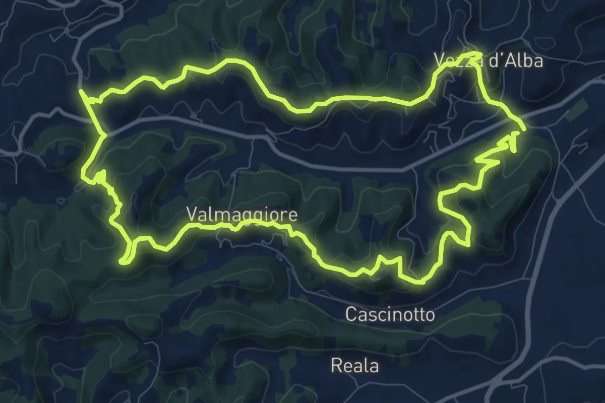
Medium · Trail
Sentiero del Tasso
11.4 km · ↑ 501 m · 3 h 56 min
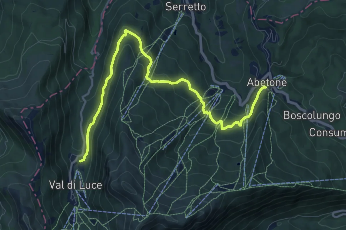
Medium · Trail
Sentiero del Tedesco
11.1 km · ↑ 527 m · 3 h 46 min
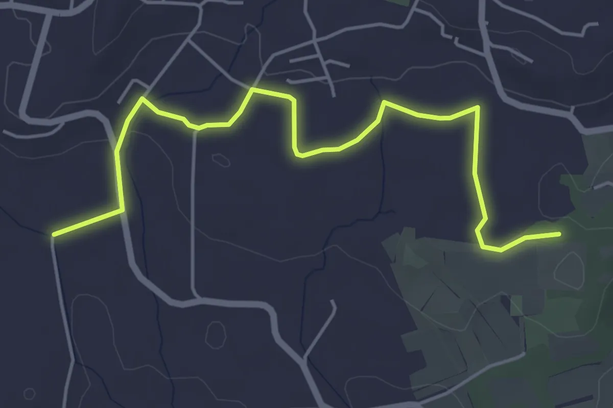
Easy · Trail
Sentiero del Tempo
5.3 km · ↑ 61 m · 1 h 22 min
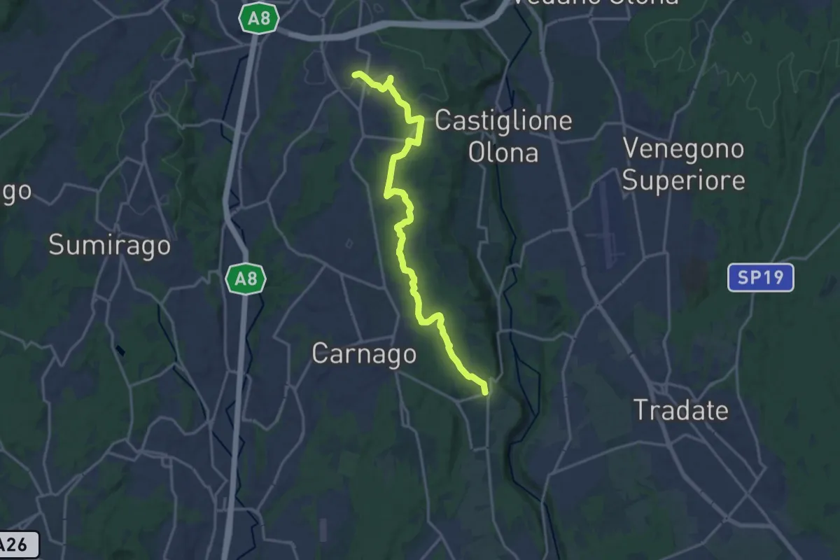
Medium · Trail
Sentiero del Tenore
16.7 km · ↑ 149 m · 4 h 16 min
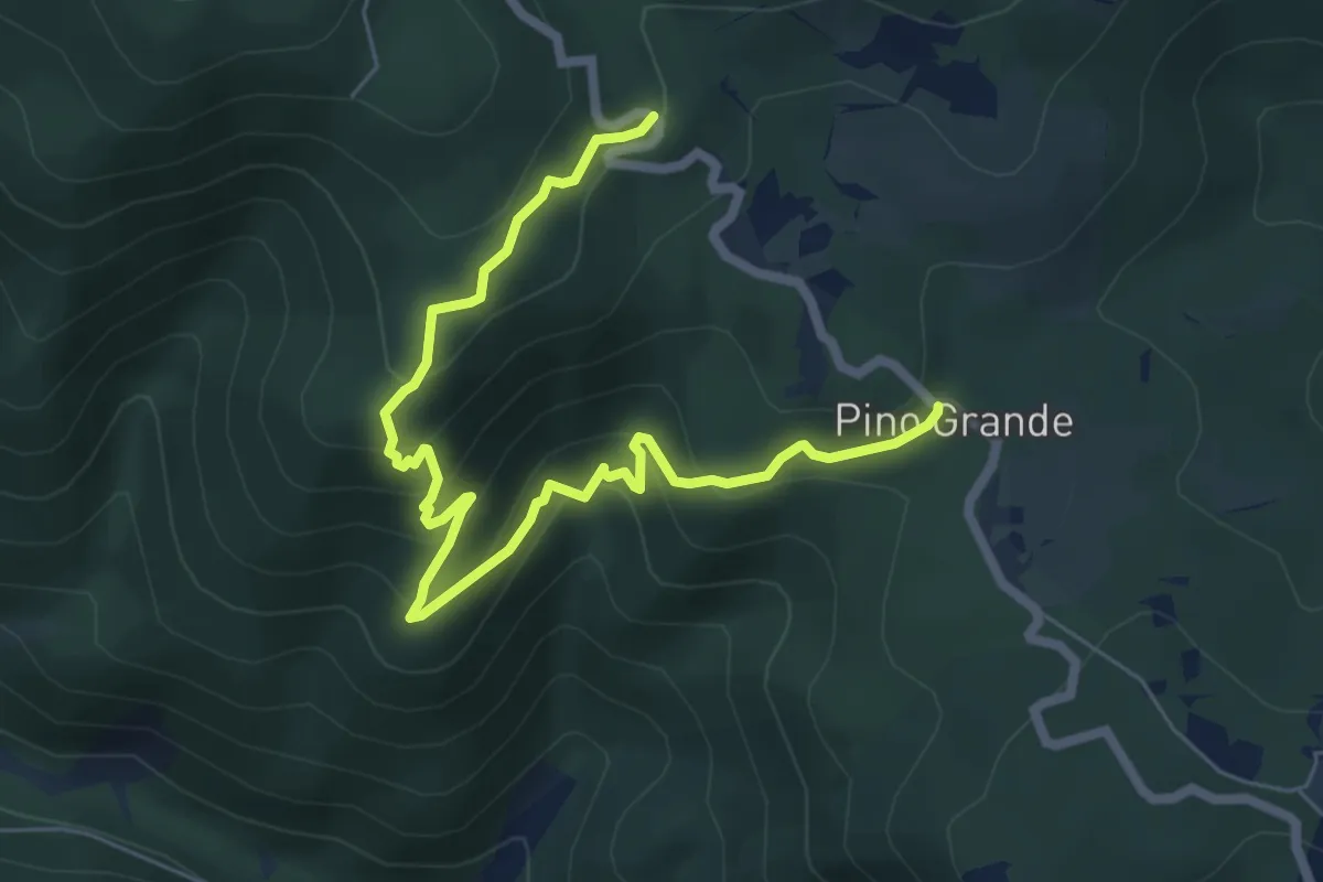
Medium · Trail
Sentiero del Timpone di Gazzera
8.4 km · ↑ 476 m · 3 h 1 min
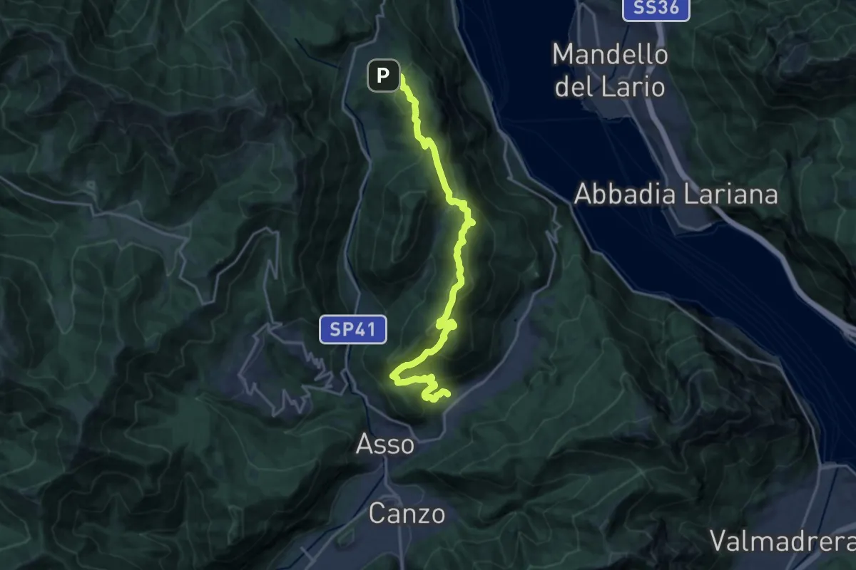
Demanding · Trail
Sentiero del Tivano
18.9 km · ↑ 1104 m · 6 h 52 min
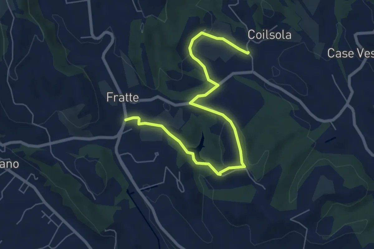
Easy · Trail
Sentiero del Torchiato
6.6 km · ↑ 221 m · 2 h 2 min
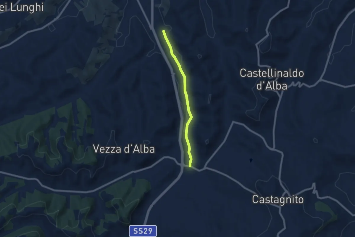
Easy · Trail
Sentiero del Torion
5.2 km · ↑ 22 m · 1 h 16 min
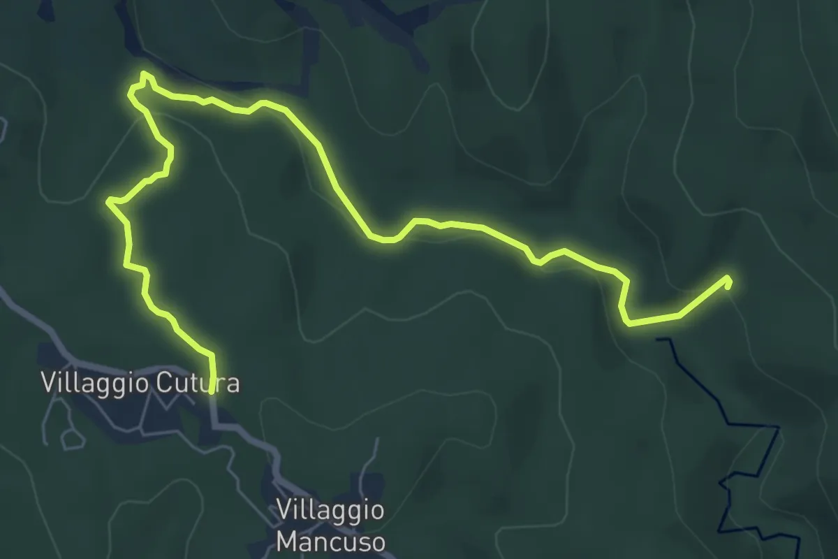
Medium · Trail
Sentiero del Torrente Simmerino
8.9 km · ↑ 255 m · 2 h 39 min
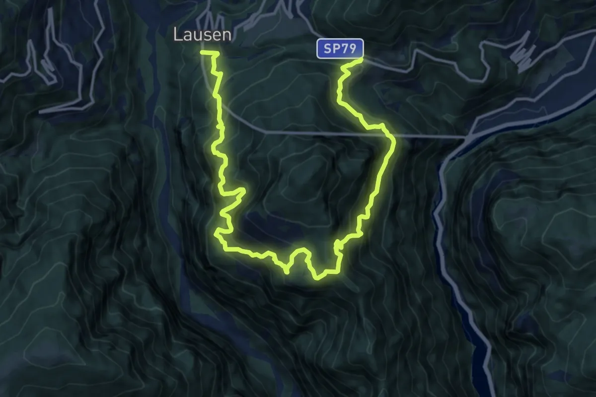
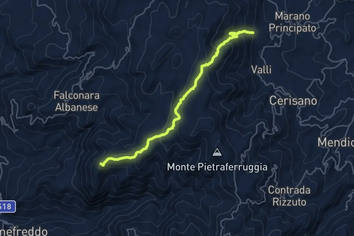
Demanding · Trail
Sentiero del Totoga
8.8 km · ↑ 1014 m · 4 h 31 min
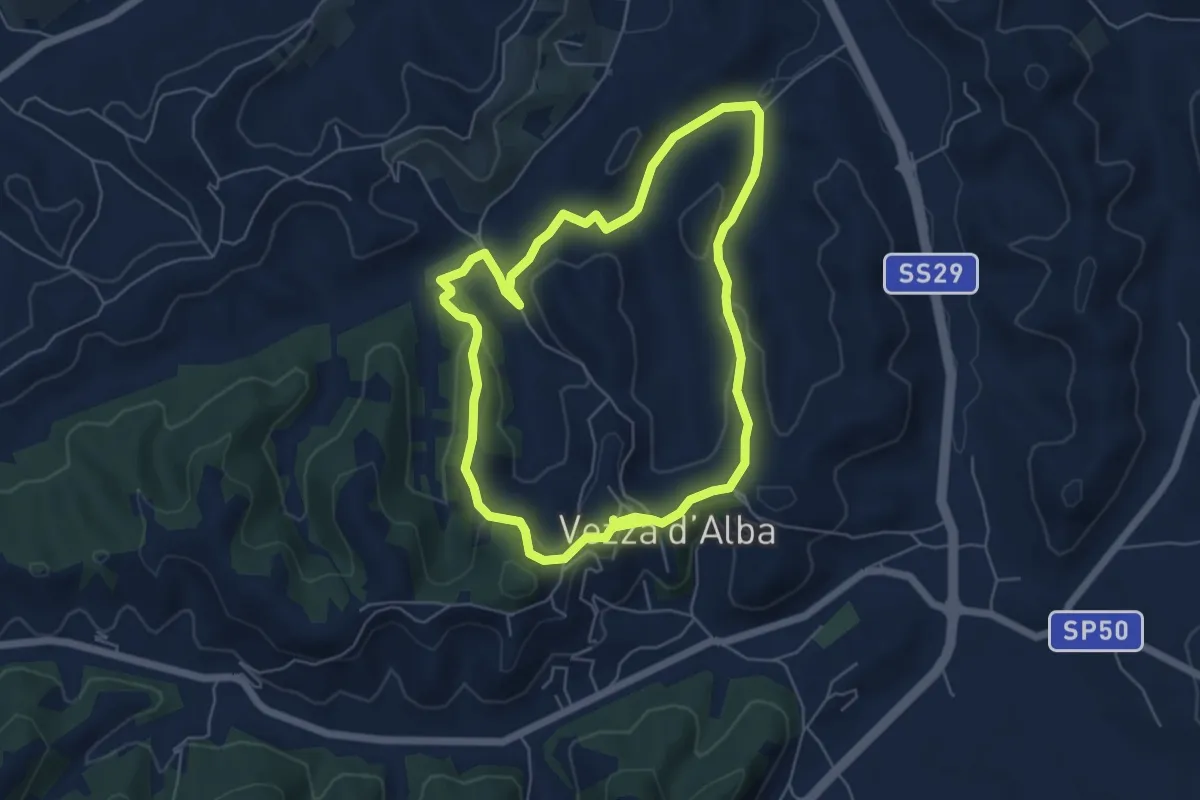
Demanding · Summit
Sentiero del Trentennale
16.9 km · ↑ 876 m · 5 h 54 min
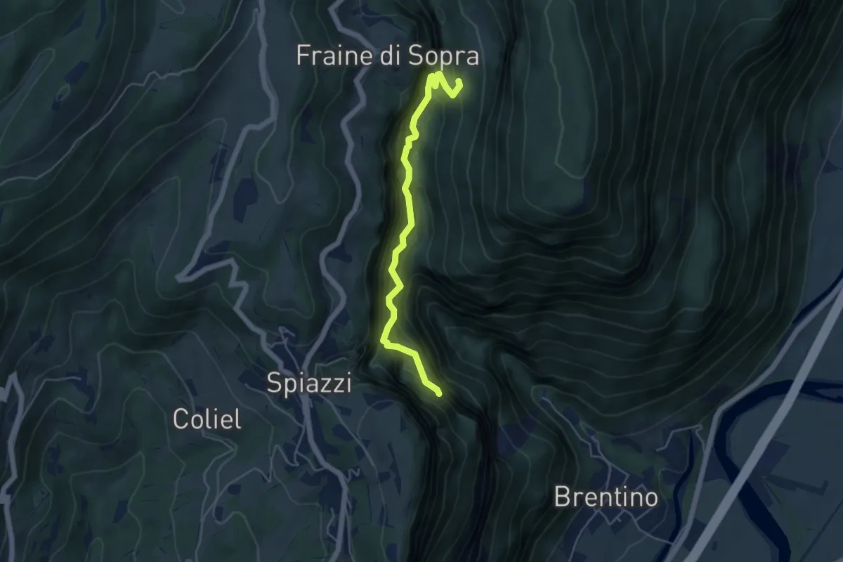
Easy · Trail
Sentiero del Trifolao
5.6 km · ↑ 190 m · 1 h 48 min
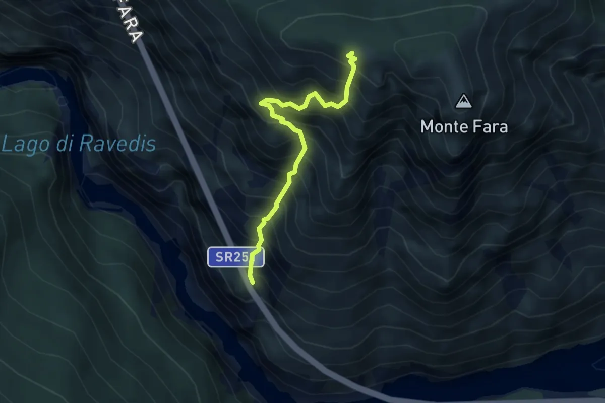
Demanding · Trail
Sentiero del Vajo dell'Orsa
4.6 km · ↑ 1054 m · 3 h 23 min
Expert · Trail
Sentiero del Vallon
3.6 km · ↑ 813 m · 2 h 36 min
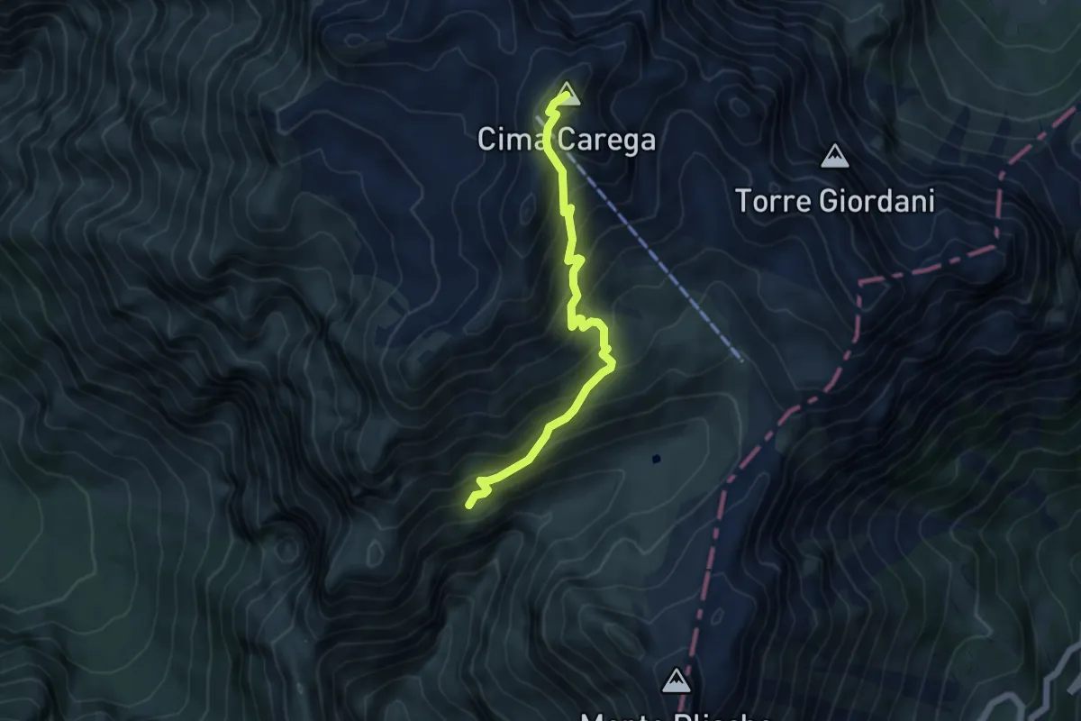
Medium · Summit
Sentiero del Vallon della Teleferica
5.0 km · ↑ 527 m · 2 h 19 min
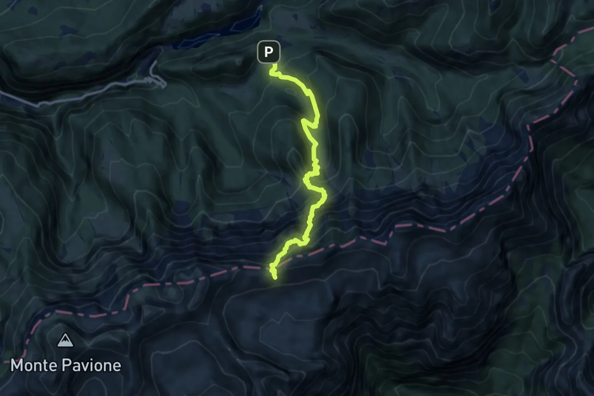
Demanding · Trail
Sentiero del Valon
9.7 km · ↑ 1140 m · 4 h 45 min
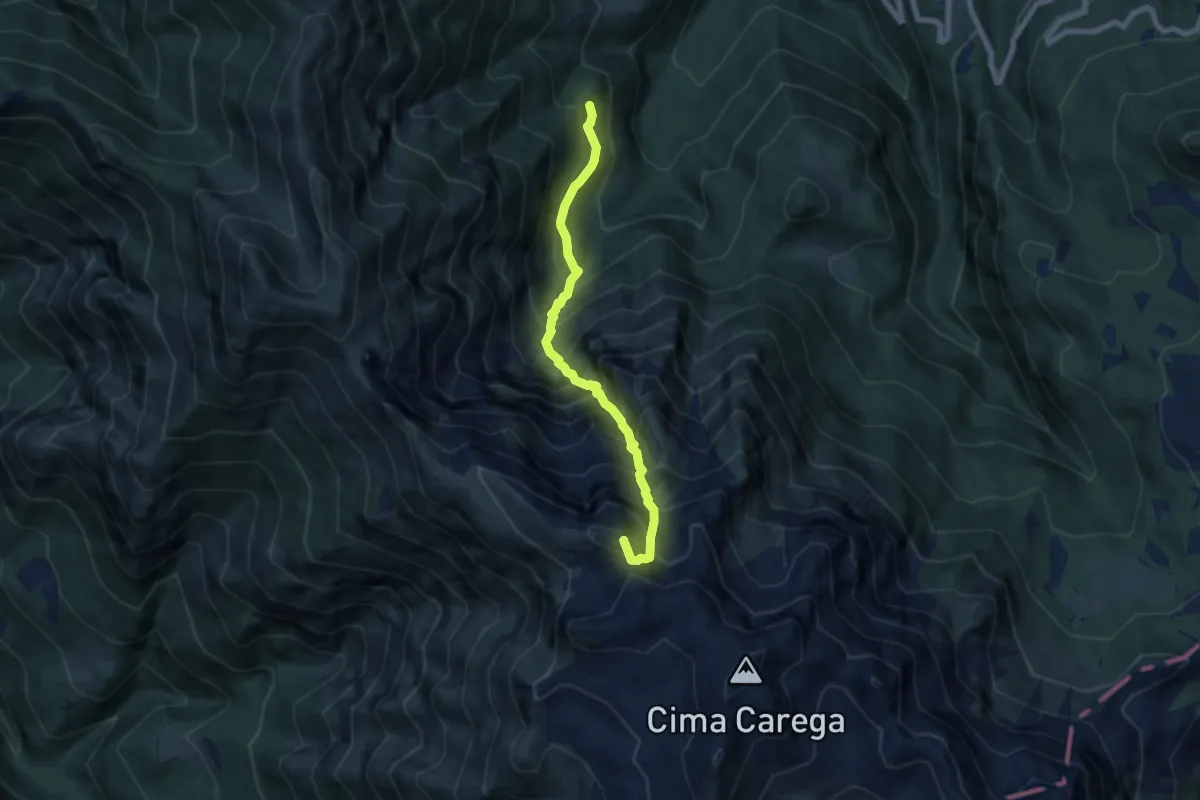
Expert · Summit
Sentiero del Valon dei cavai
6.6 km · ↑ 1121 m · 3 h 59 min
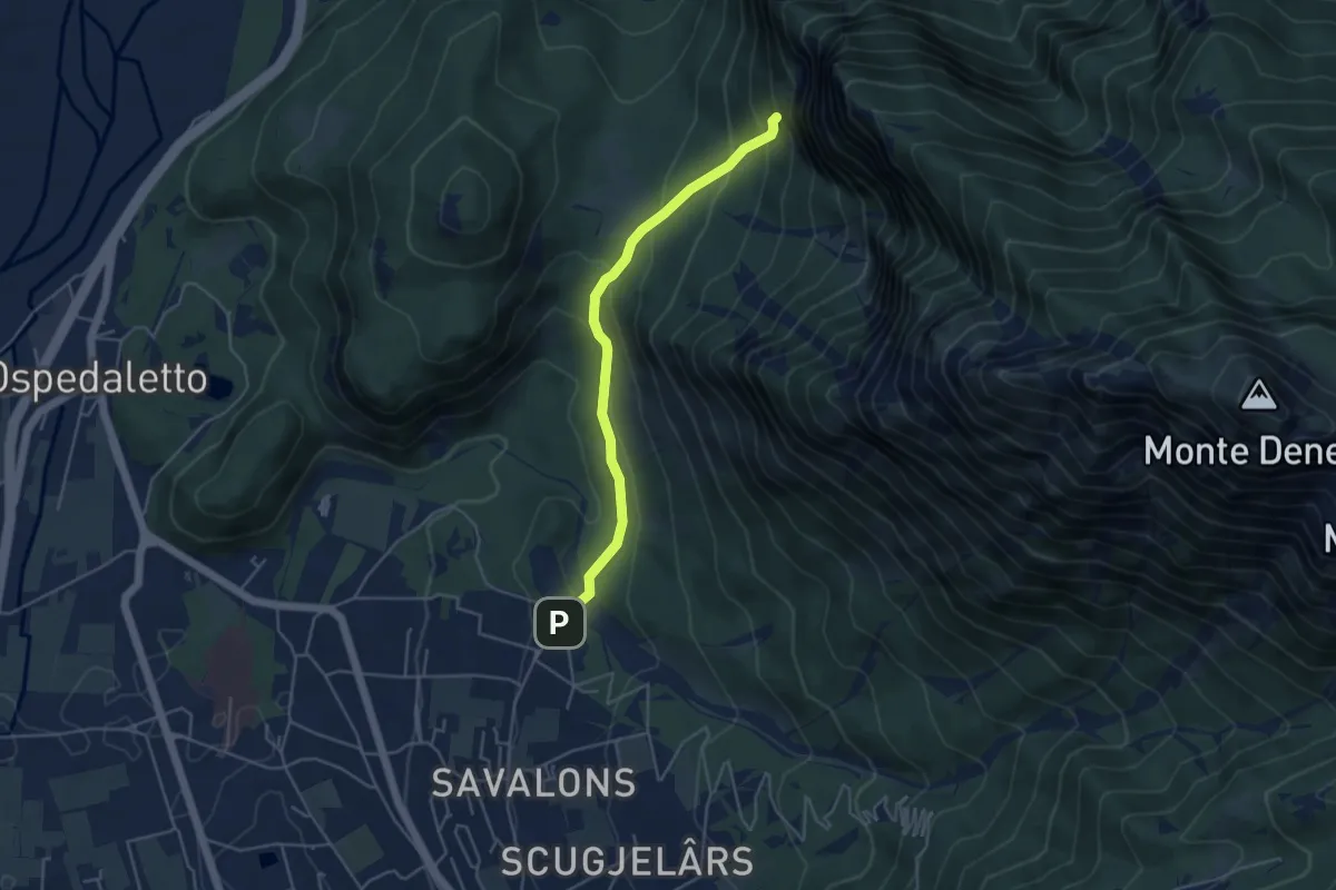
Easy · Trail
Sentiero del Ventaglio
4.3 km · ↑ 275 m · 1 h 37 min
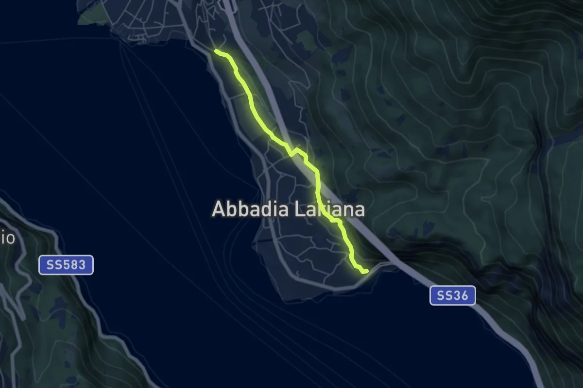
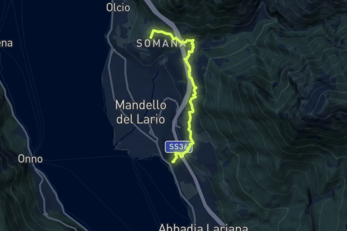
Easy · Trail
Sentiero del Viandante (Abbadia Lariana - Mandello del Lario)
4.6 km · ↑ 134 m · 1 h 23 min
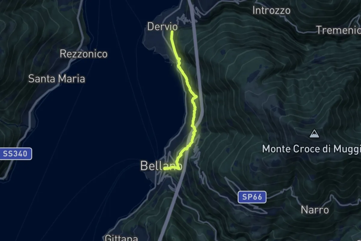
Medium · Trail
Sentiero del Viandante (Bellano - Dervio)
9.6 km · ↑ 668 m · 3 h 42 min
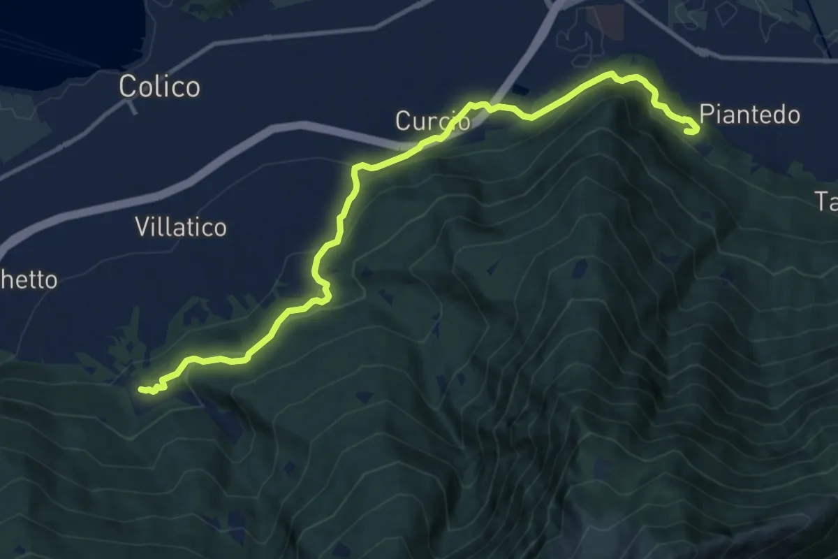
Medium · Trail
Sentiero del Viandante (Colico - Piantedo)
12.0 km · ↑ 558 m · 4 h 3 min
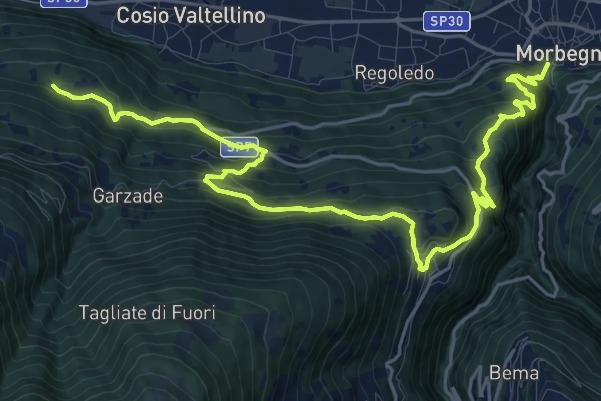
Demanding · Trail
Sentiero del Viandante (Cosio Valtellino - Morbegno)
16.7 km · ↑ 1056 m · 6 h 14 min
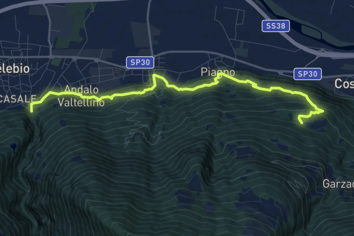
Demanding · Trail
Sentiero del Viandante (Delebio - Cosio Valtellino)
11.6 km · ↑ 683 m · 4 h 13 min
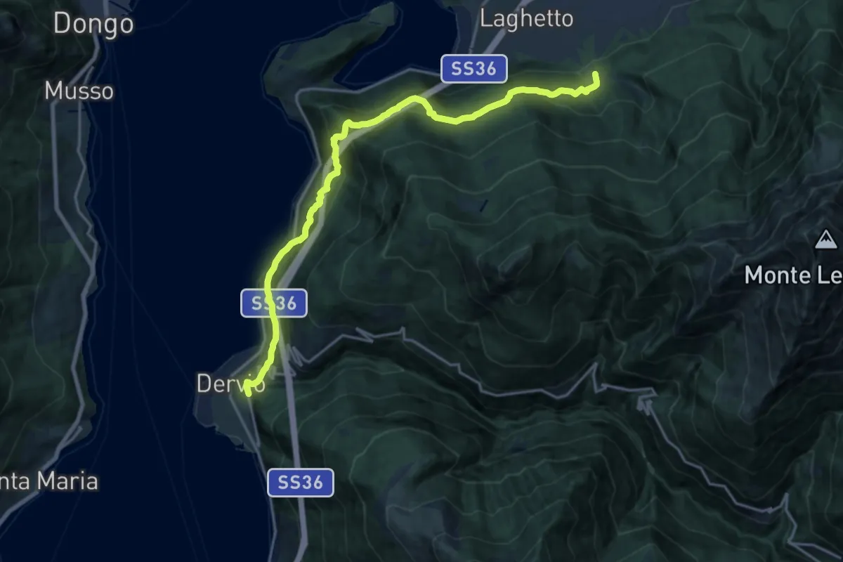
Demanding · Trail
Sentiero del Viandante (Dervio - Colico)
18.1 km · ↑ 1049 m · 6 h 32 min
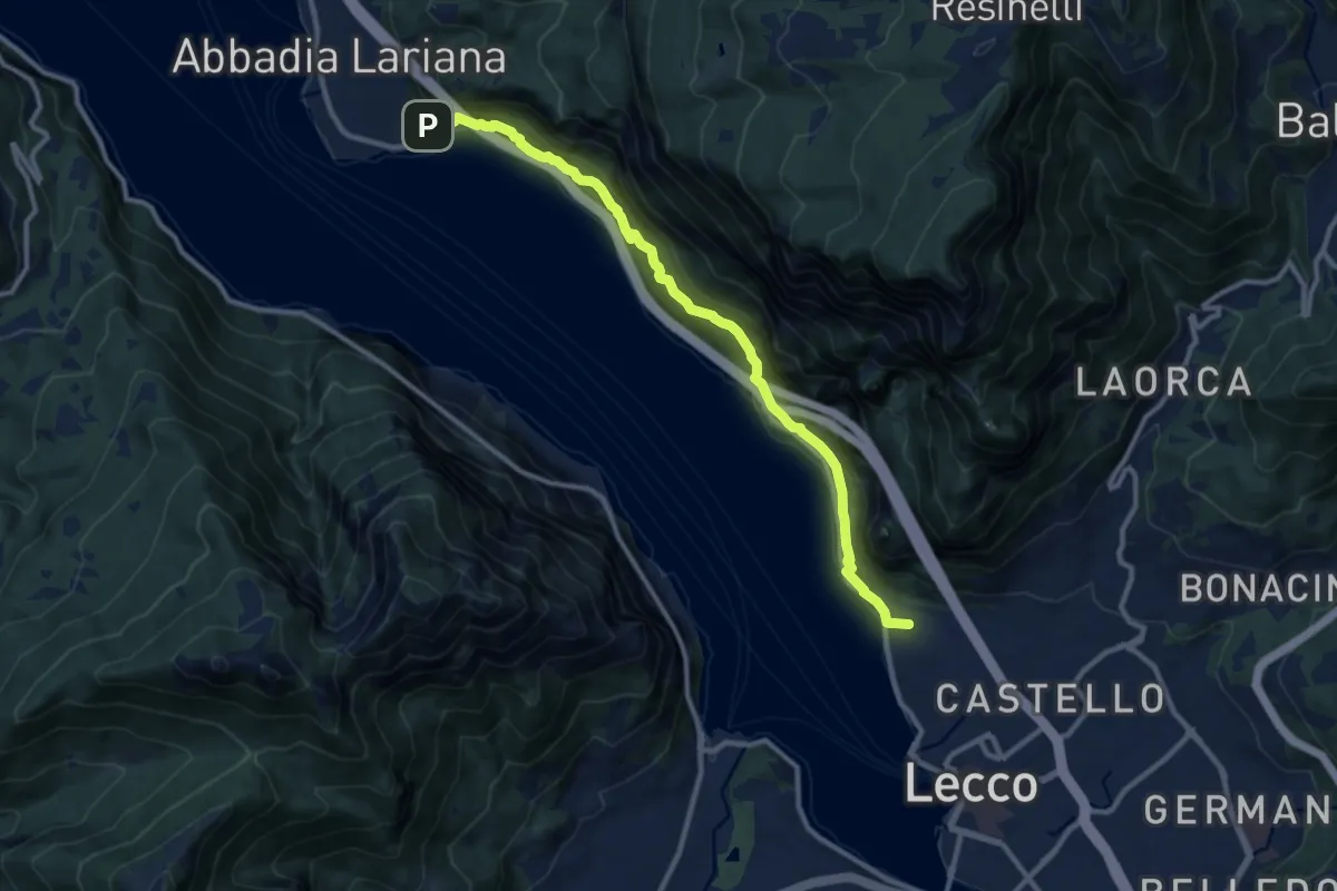
Medium · Summit
Sentiero del Viandante (Lecco - Abbadia Lariana)
11.1 km · ↑ 640 m · 4 h
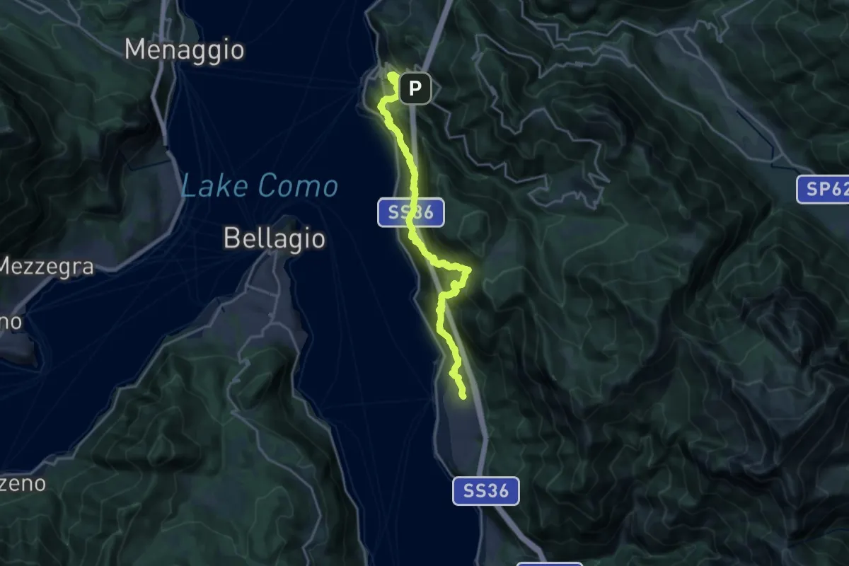
Demanding · Trail
Sentiero del Viandante (Lierna - Perledo) (variante bassa)
10.2 km · ↑ 1076 m · 4 h 50 min
Medium · Summit
Sentiero del Viandante (Mandello del Lario - Lierna)
8.0 km · ↑ 430 m · 2 h 50 min
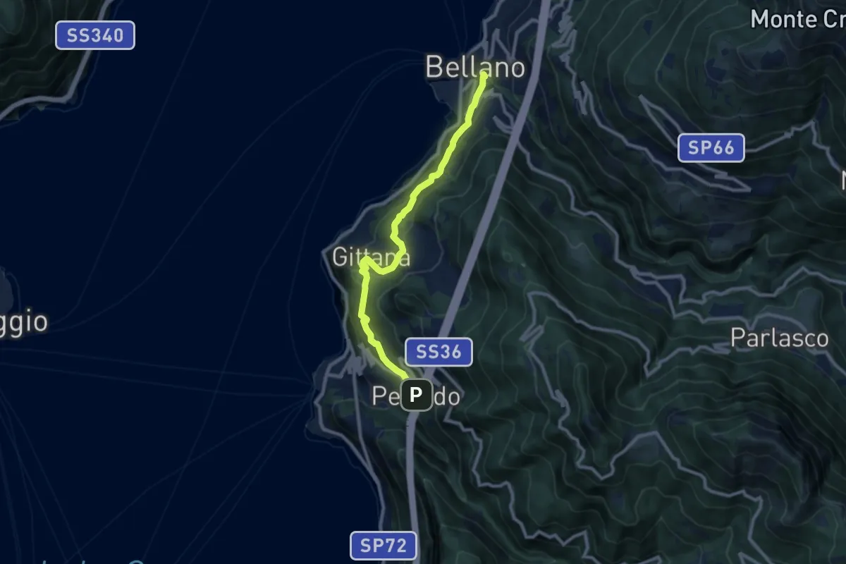
Medium · Trail
Sentiero del Viandante (Perledo - Bellano)
9.1 km · ↑ 516 m · 3 h 15 min
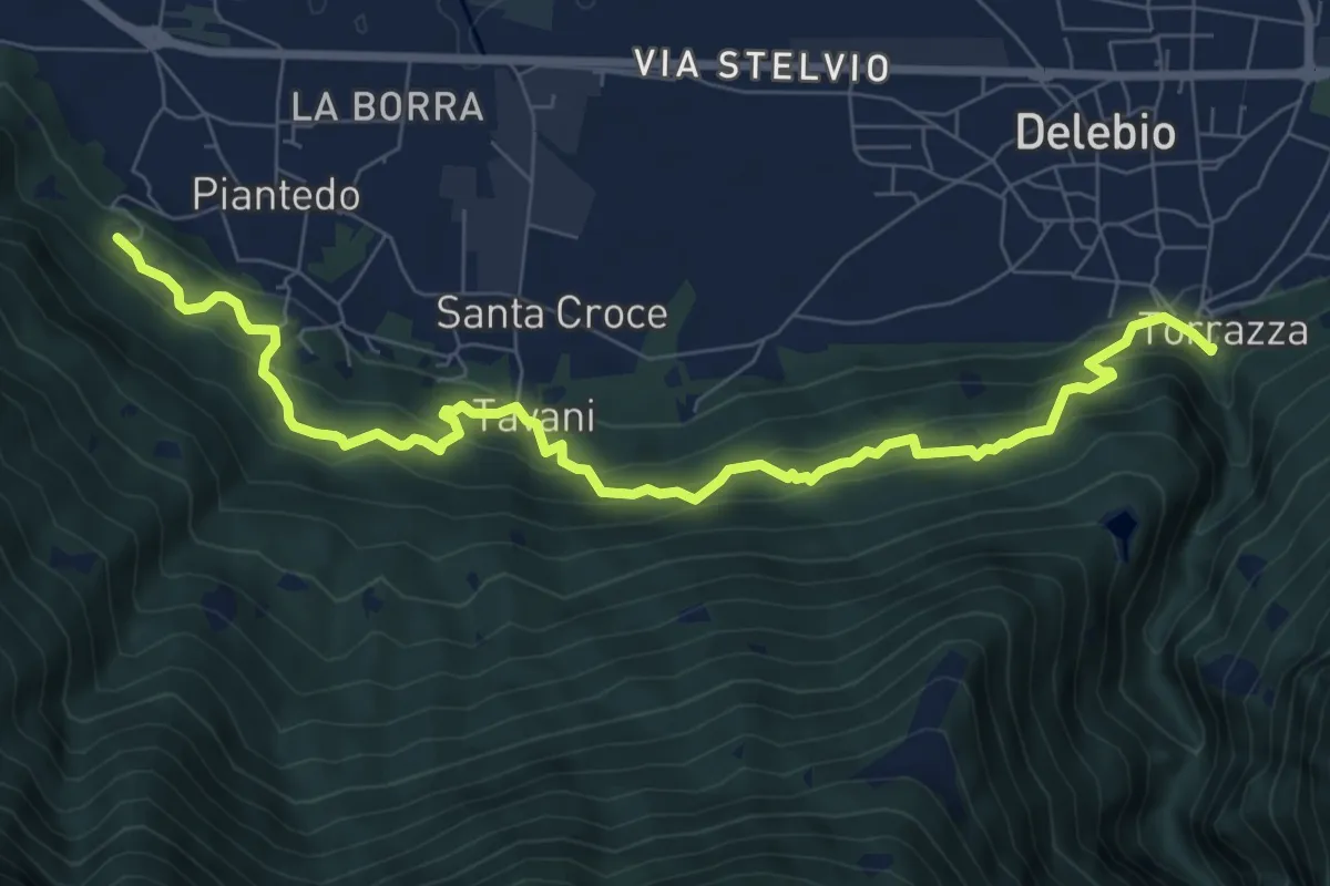
Medium · Trail
Sentiero del Viandante (Piantedo - Delebio)
9.0 km · ↑ 621 m · 3 h 28 min
Medium · Trail
Sentiero del Vinsanto
11.6 km · ↑ 367 m · 3 h 32 min
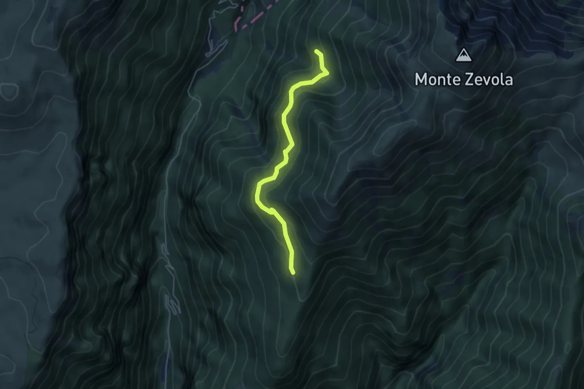
Medium · Cabin
Sentiero del Vinter
4.3 km · ↑ 284 m · 1 h 37 min
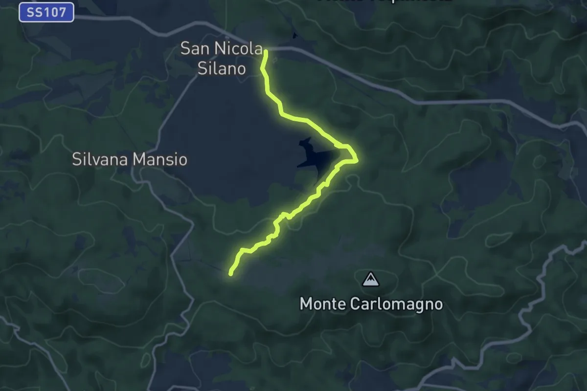
Medium · Trail
Sentiero del Votturino
13.3 km · ↑ 254 m · 3 h 42 min
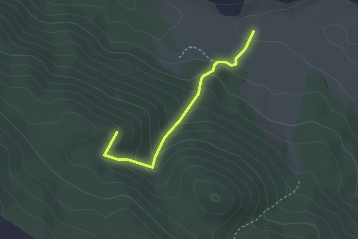
Easy · Summit
Sentiero De Paolis
2.7 km · ↑ 207 m · 1 h 5 min
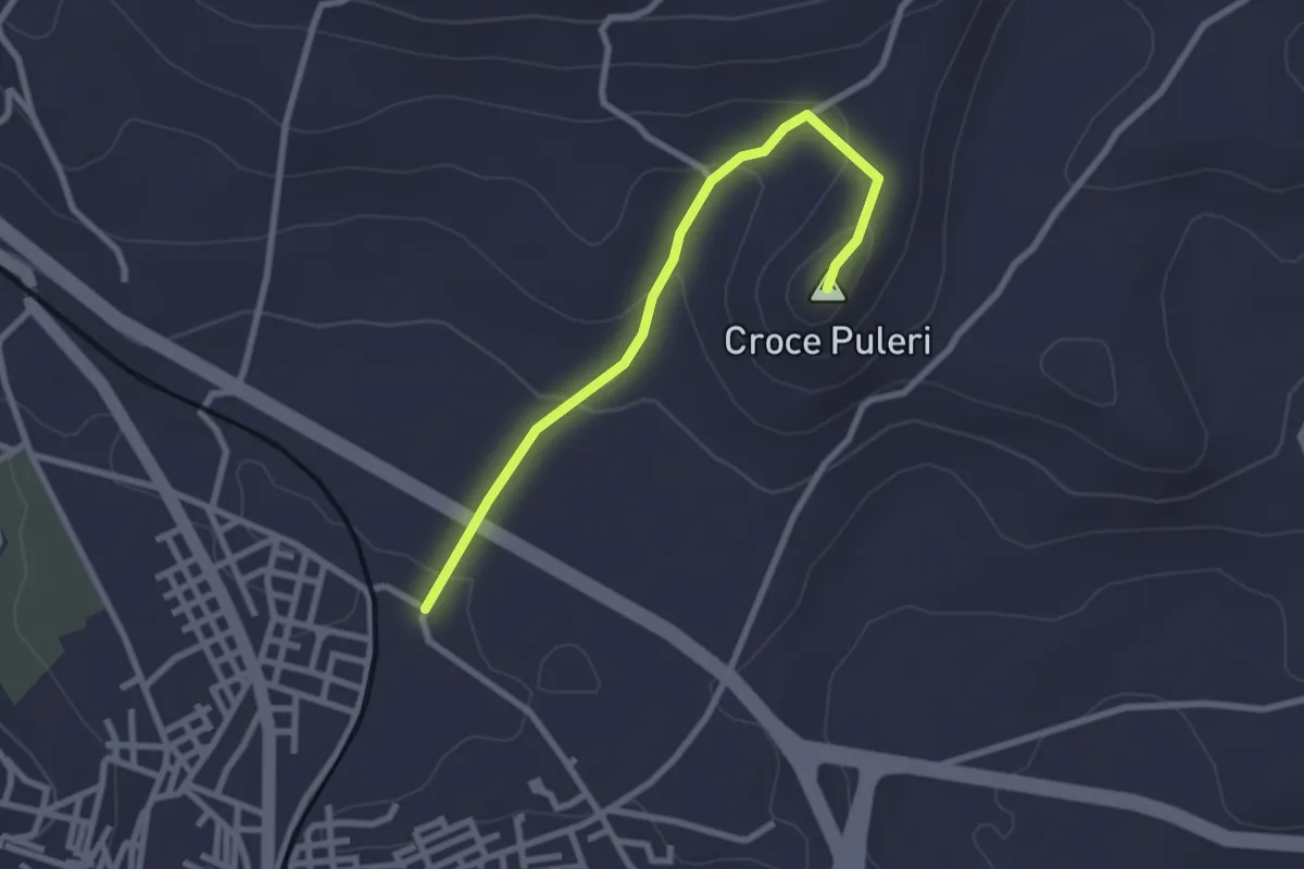
Easy · Summit
Sentiero Devozionale Croce Puleri
3.0 km · ↑ 103 m · 56 min
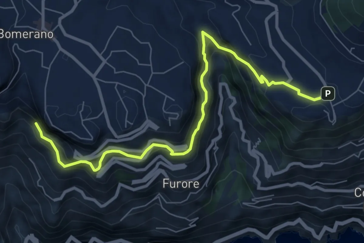
Medium · Trail
Sentiero di Abu Tabela
8.2 km · ↑ 718 m · 3 h 29 min
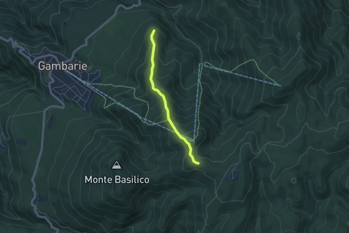
Easy · Trail
Sentiero di Acqua Vace
4.5 km · ↑ 303 m · 1 h 43 min
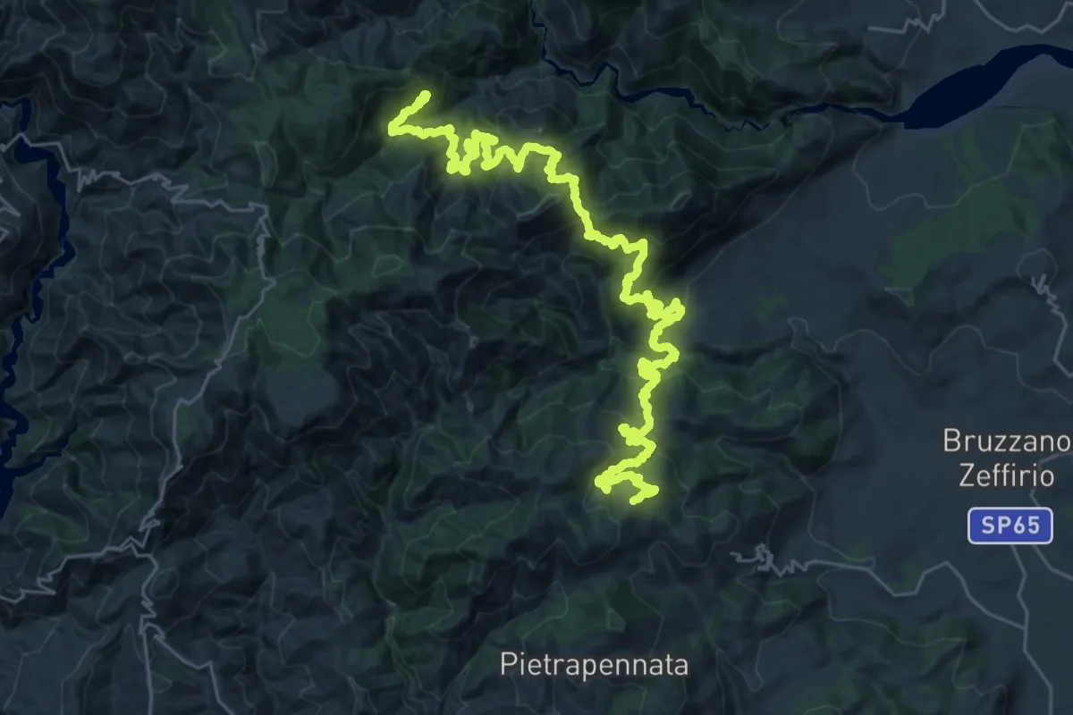
Demanding · Trail
Sentiero di Africo Vecchio
21.4 km · ↑ 1591 m · 8 h 51 min
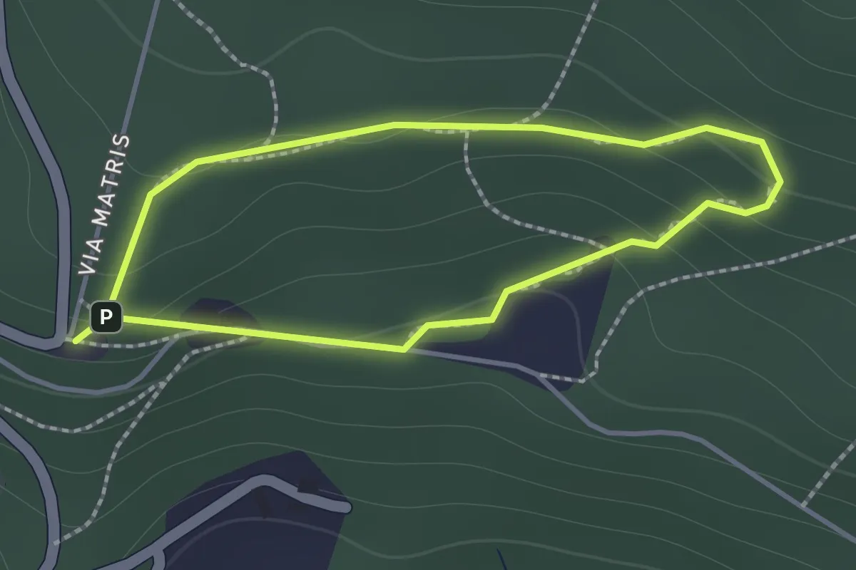
Easy · Trail
Sentiero di Andrea
1.2 km · ↑ 57 m · 26 min
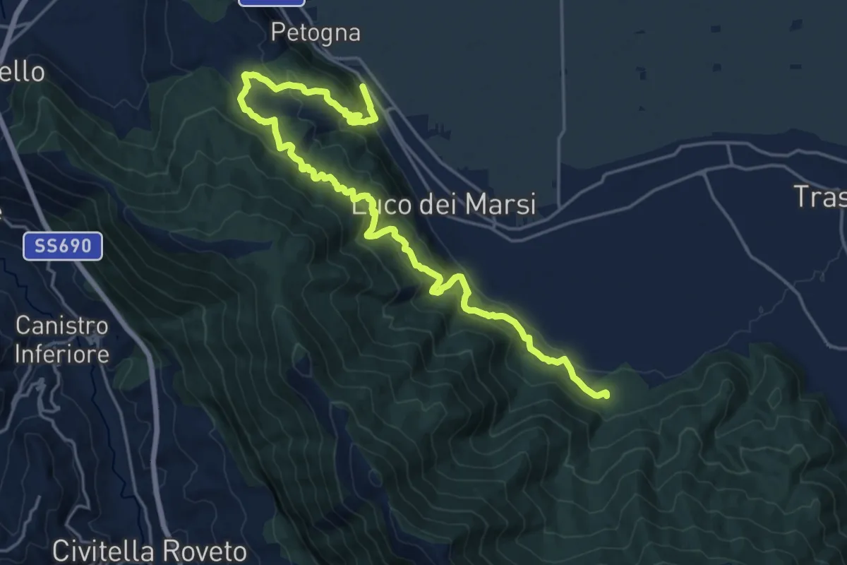
Demanding · Trail
Sentiero di Angizia
23.4 km · ↑ 1004 m · 7 h 43 min
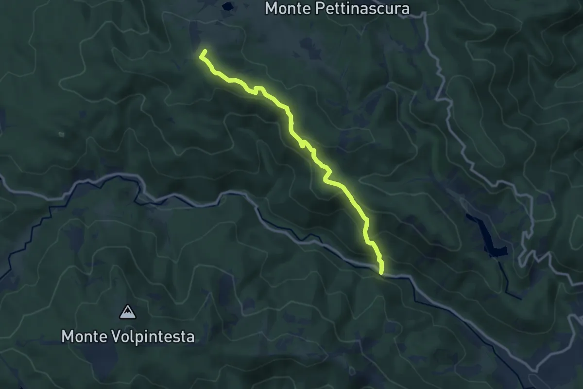
Medium · Summit
Sentiero di Arnocampo
10.3 km · ↑ 498 m · 3 h 31 min
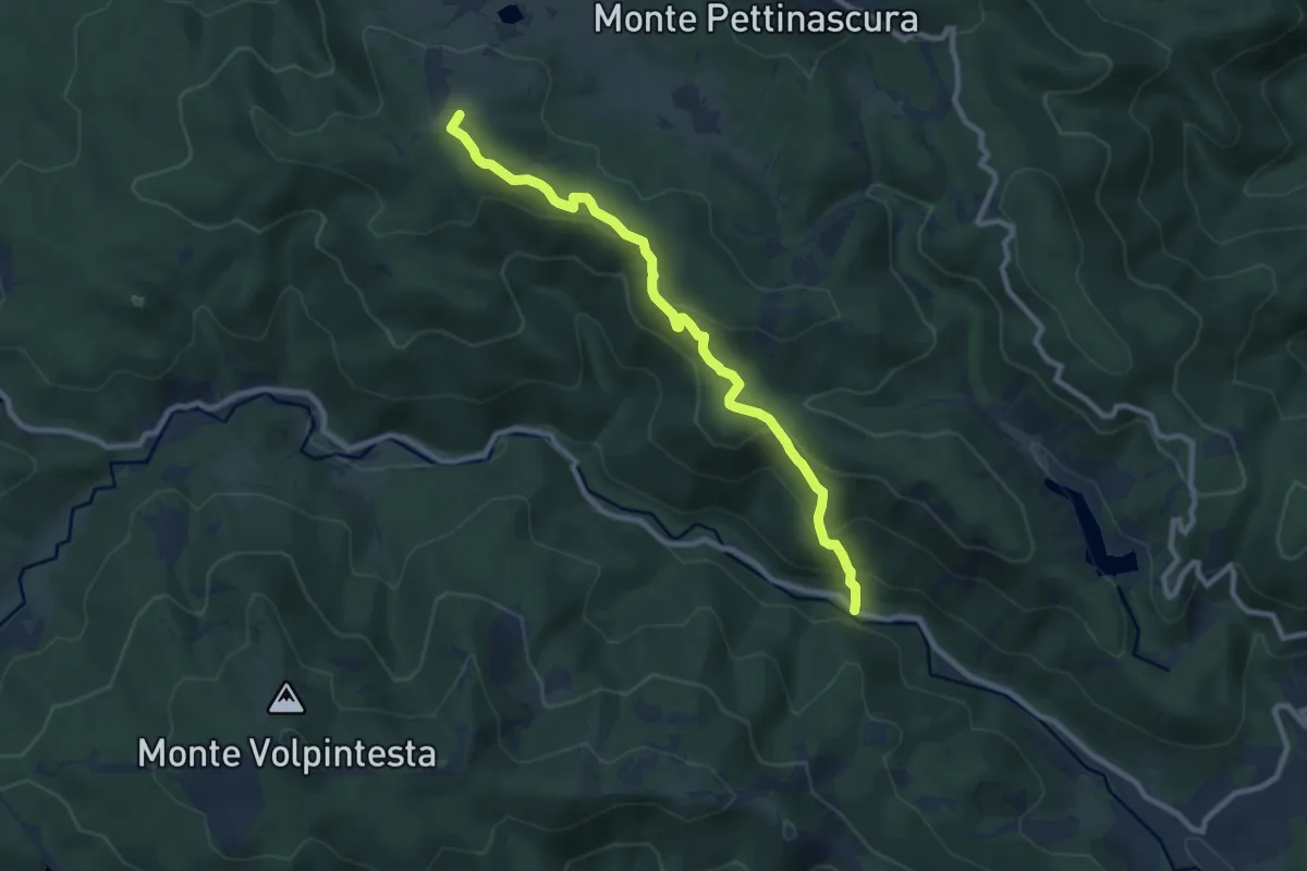
Medium · Summit
Sentiero di Arnocampo
10.3 km · ↑ 498 m · 3 h 31 min
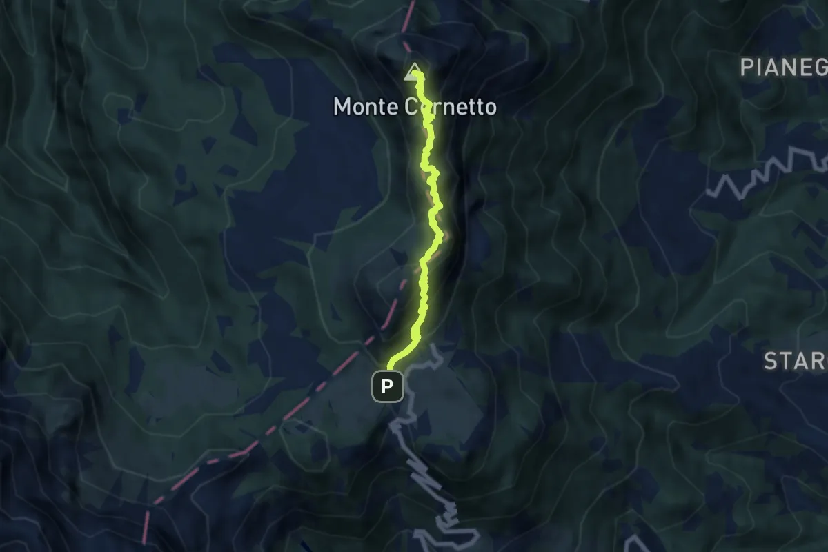
Demanding · Summit
Sentiero di arroccamento del Sengio Alto
5.9 km · ↑ 585 m · 2 h 39 min