Trails in Italy
25,219 hiking trails, each with its route, climb, walking time and grade.
All trails, page 176 of 526
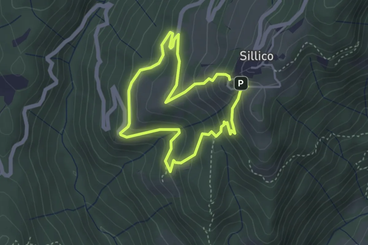
Easy · Trail
Sentiero di Bargecchia
3.1 km · ↑ 217 m · 1 h 16 min
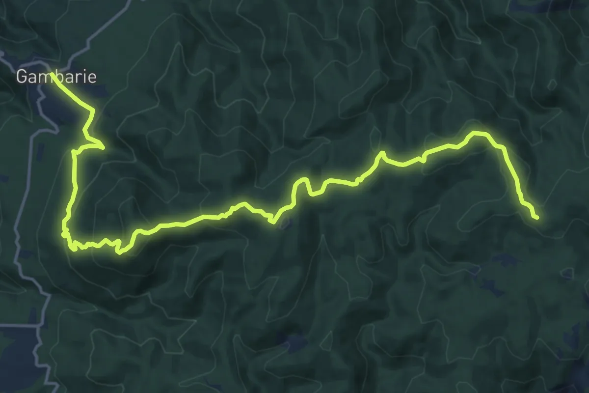
Demanding · Trail
Sentiero di Basilicò
20.1 km · ↑ 886 m · 6 h 40 min
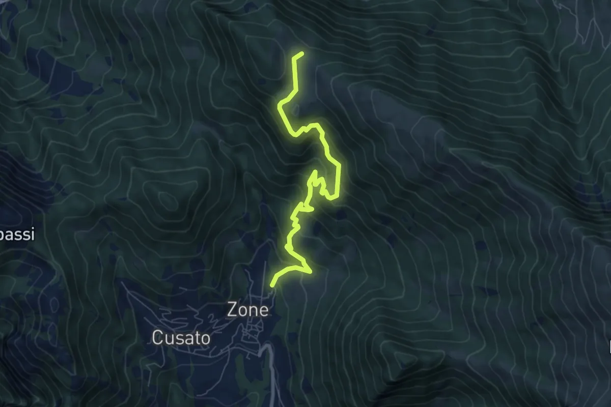
Medium · Trail
Sentiero di Bombolone - Aguina
7.7 km · ↑ 617 m · 3 h 9 min
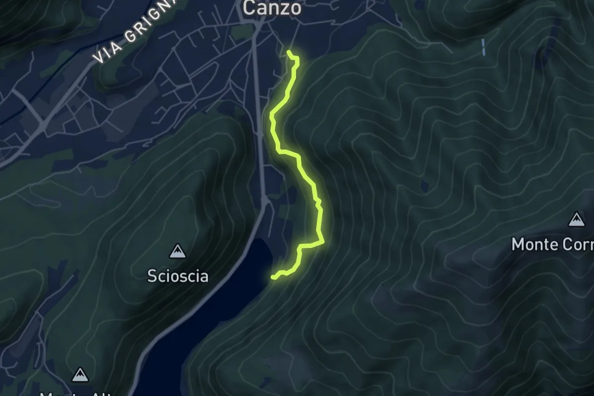
Medium · Trail
Sentiero di Budracch
4.2 km · ↑ 399 m · 1 h 52 min
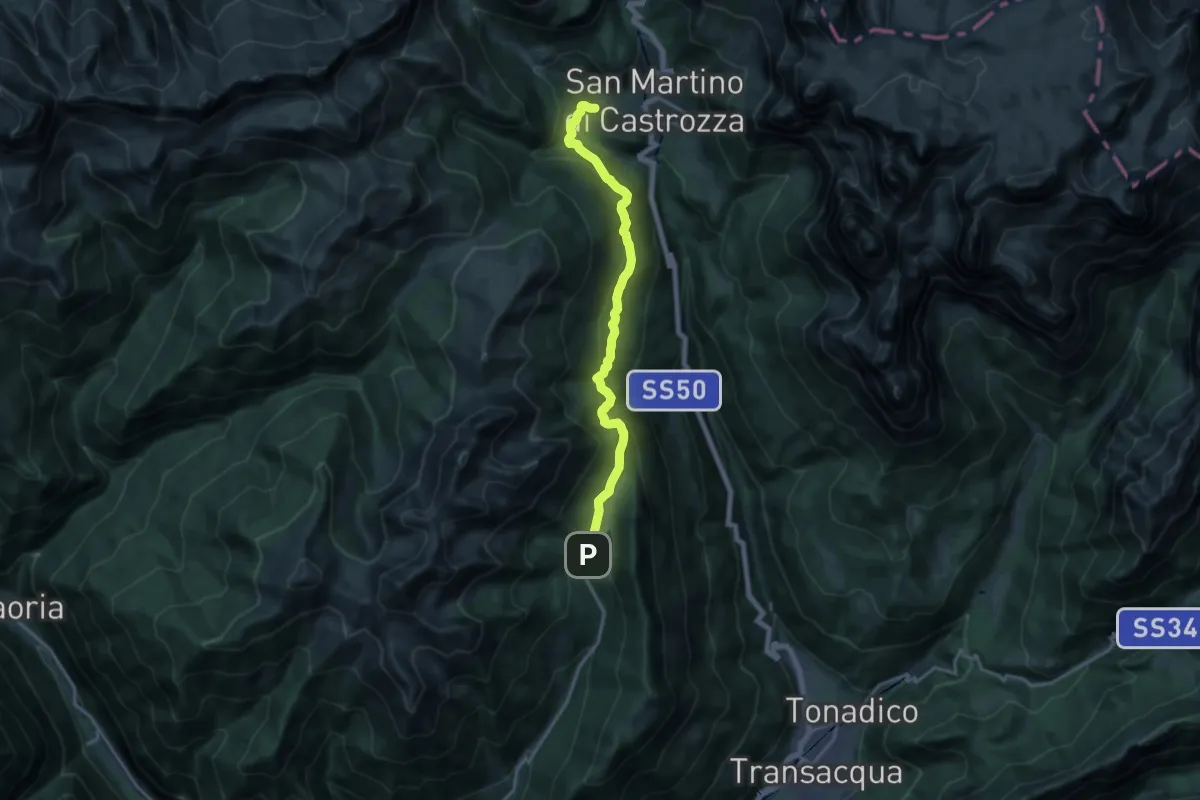
Medium · Trail
Sentiero di Calaita
16.8 km · ↑ 707 m · 5 h 29 min
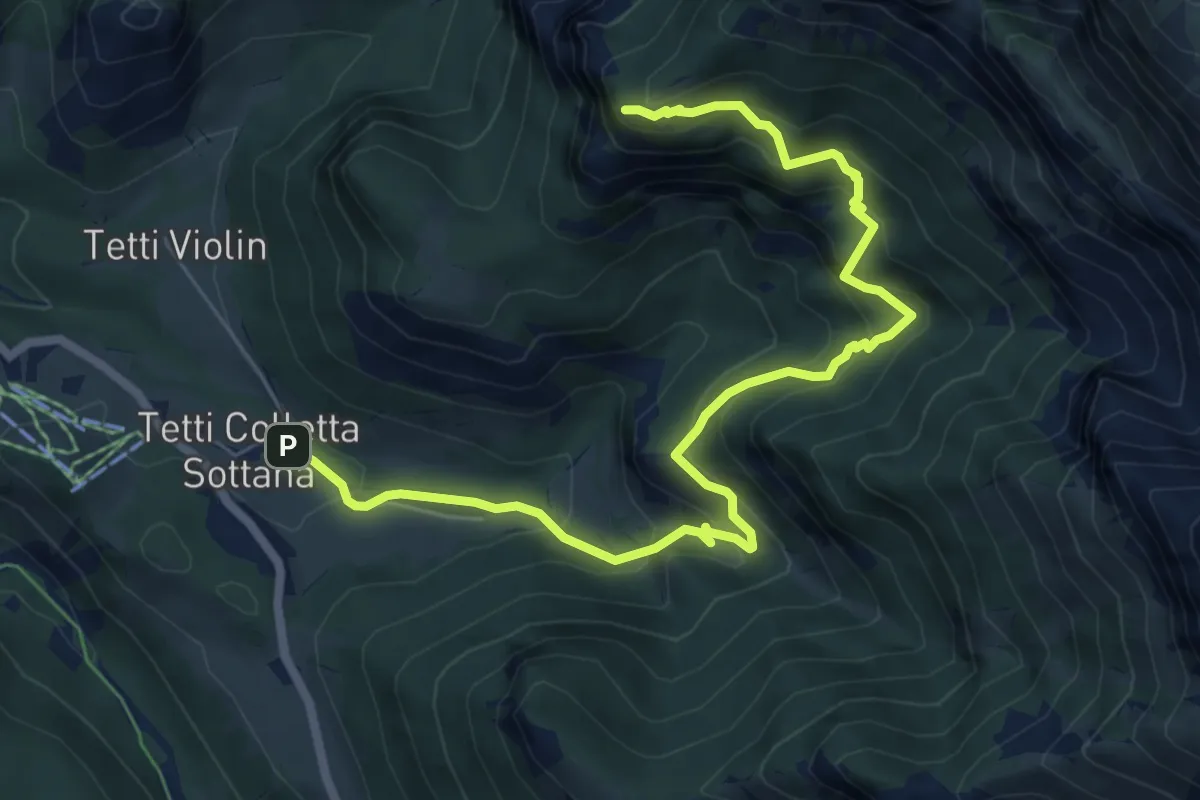
Medium · Trail
Sentiero di Camilla
8.2 km · ↑ 710 m · 3 h 29 min
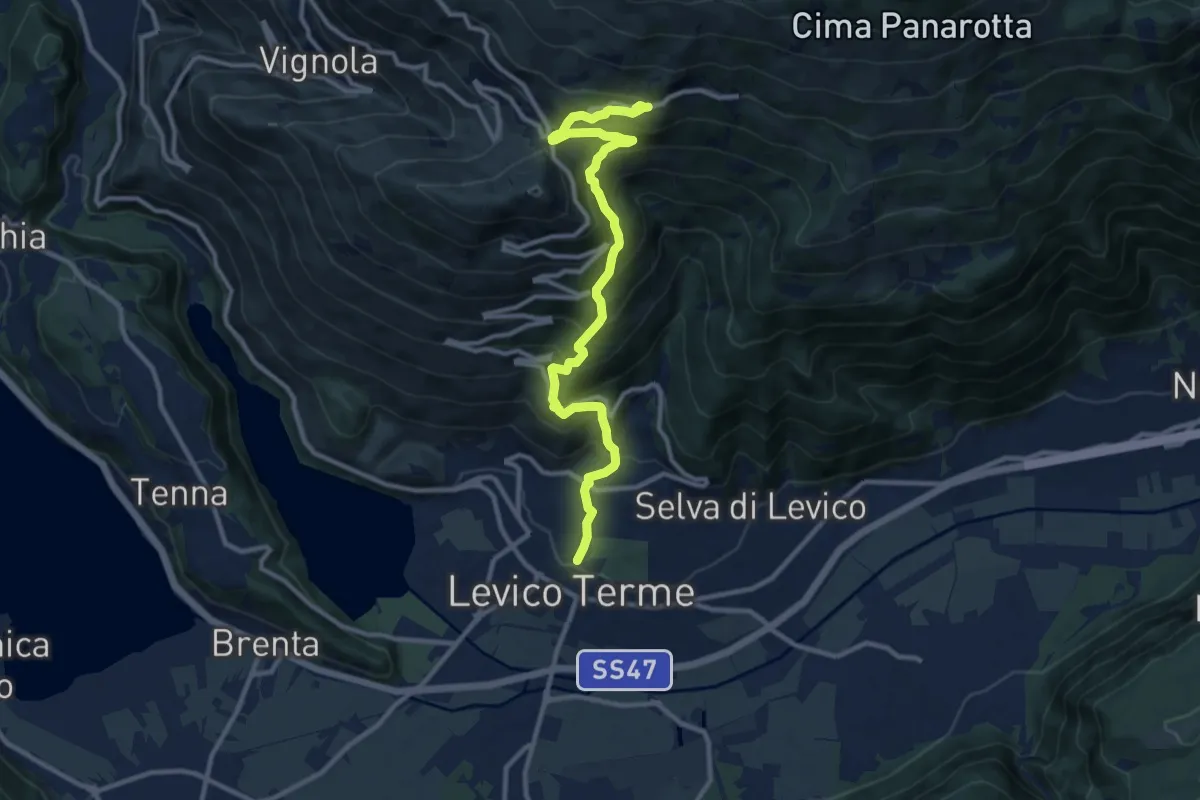
Demanding · Trail
Sentiero di Campo
11.8 km · ↑ 1005 m · 4 h 58 min
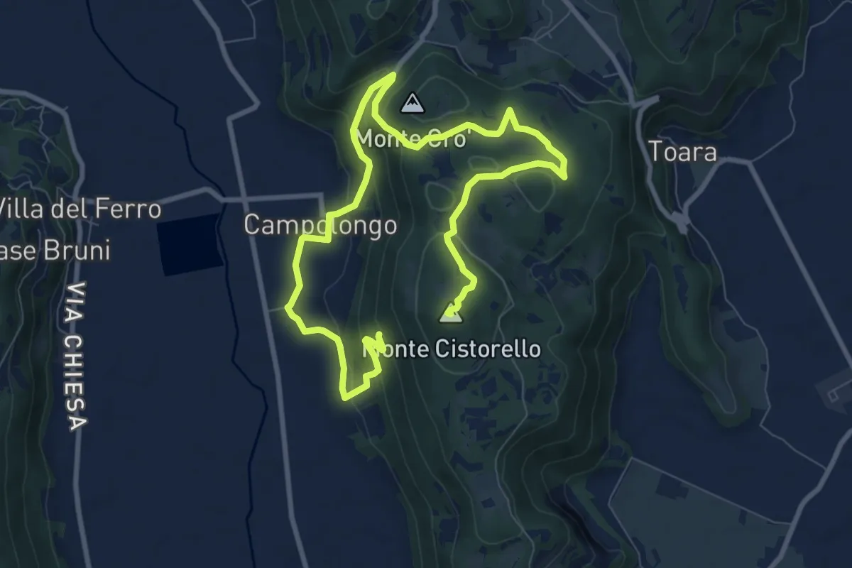
Medium · Summit
Sentiero di Campolongo
12.7 km · ↑ 424 m · 3 h 55 min
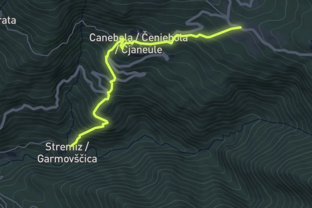
Medium · Trail
Sentiero di Canebola
5.1 km · ↑ 477 m · 2 h 14 min
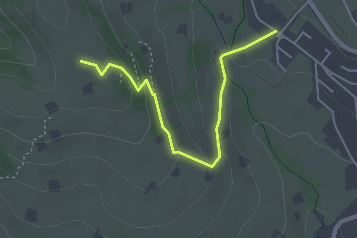
Easy · Trail
Sentiero di Capo d'Acqua
3.3 km · ↑ 131 m · 1 h 4 min
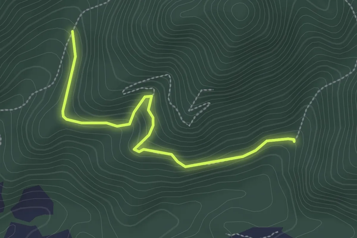
Easy · Trail
Sentiero di Cardìa
3.2 km · ↑ 174 m · 1 h 8 min
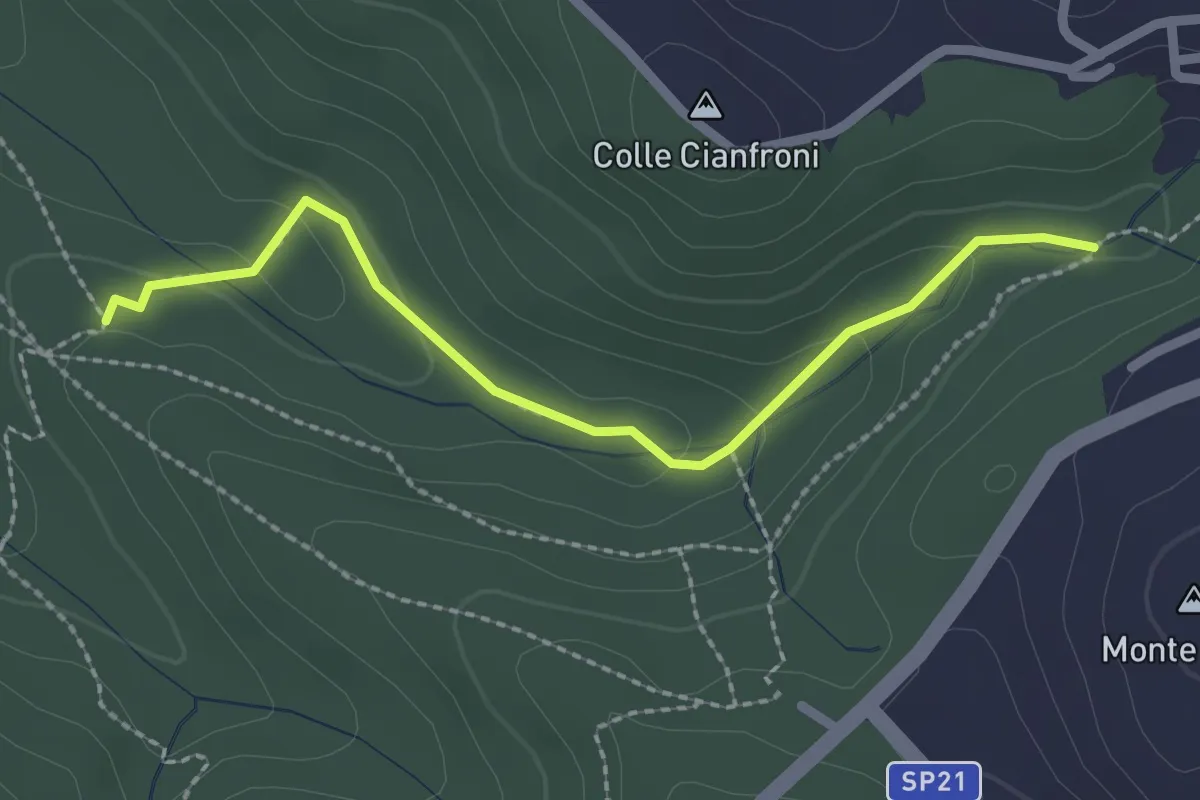
Easy · Trail
Sentiero di Casali variante 491C
2.5 km · ↑ 72 m · 45 min
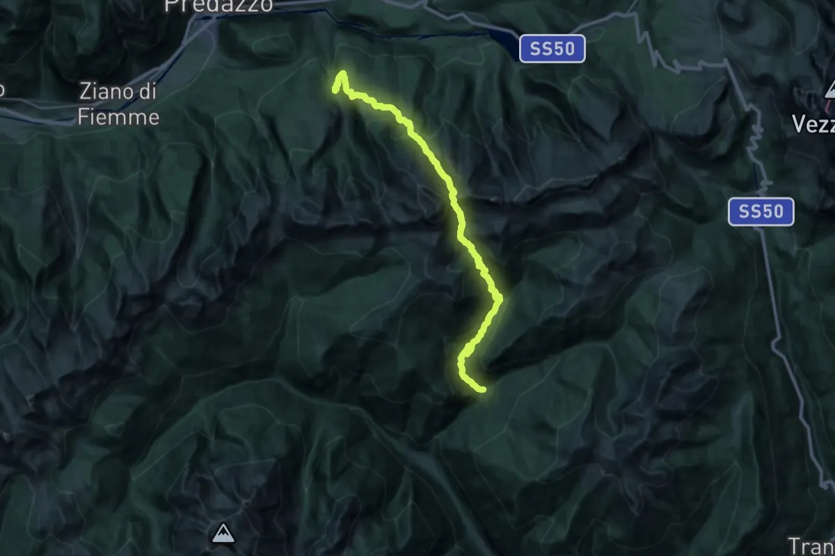
Demanding · Trail
Sentiero di Cece e di Miesnotta
14.2 km · ↑ 864 m · 5 h 39 min
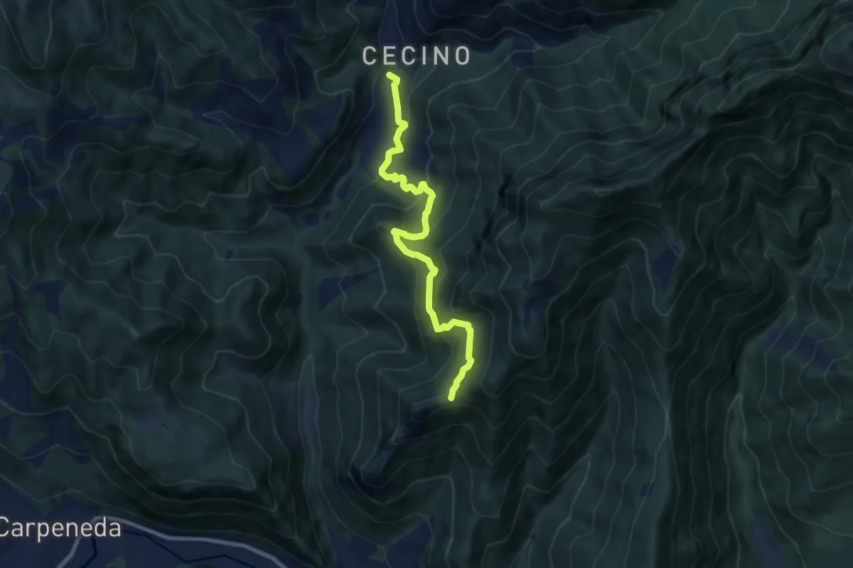
Medium · Trail
Sentiero di Ceresola
8.1 km · ↑ 507 m · 3 h 1 min
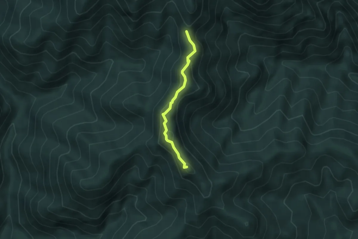
Easy · Summit
Sentiero di Cima Mughera
3.2 km · ↑ 112 m · 1 h
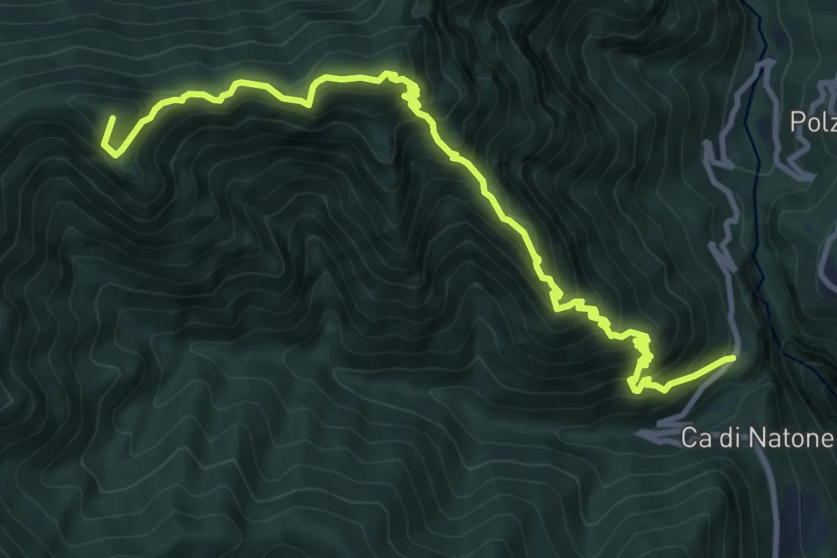
Demanding · Summit
Sentiero di Cima Tignalga
10.8 km · ↑ 1145 m · 5 h 1 min
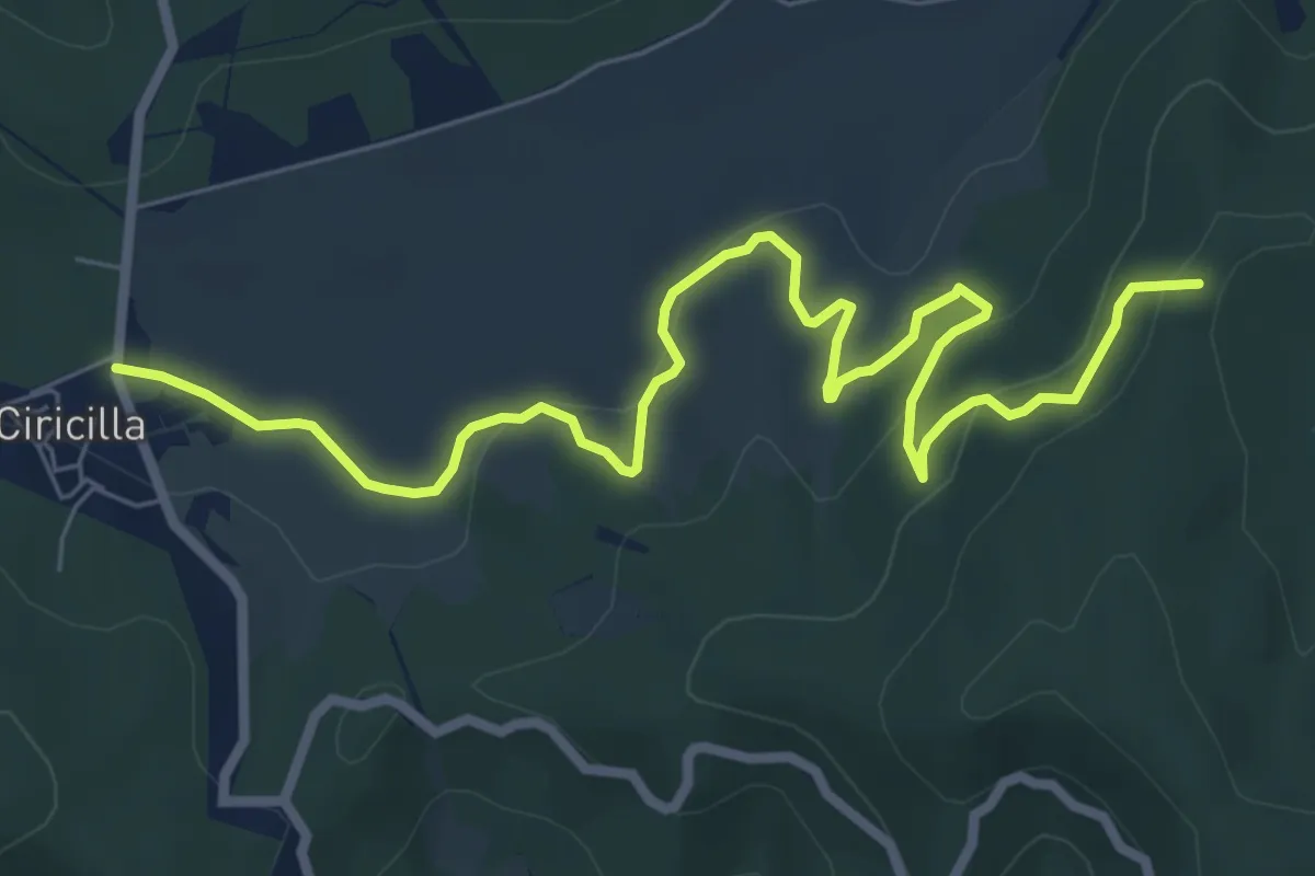
Medium · Trail
Sentiero di Ciricilla
9.9 km · ↑ 251 m · 2 h 52 min
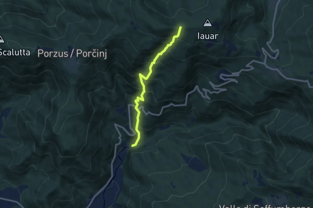
Medium · Trail
Sentiero di Clap
6.0 km · ↑ 722 m · 2 h 58 min
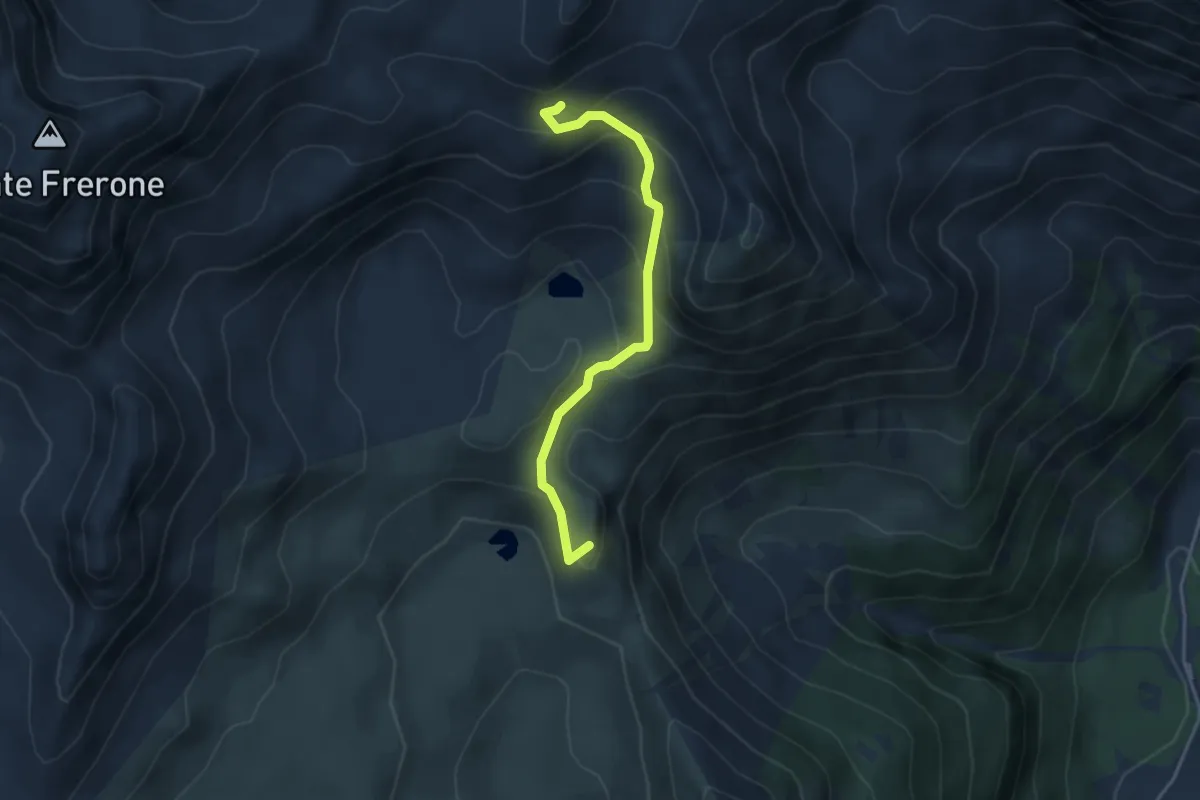
Easy · Summit
Sentiero di Corna Blacca
3.8 km · ↑ 306 m · 1 h 34 min
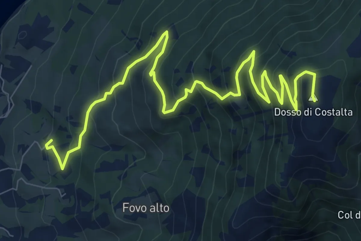
Demanding · Summit
Sentiero di Costalta
11.2 km · ↑ 881 m · 4 h 33 min
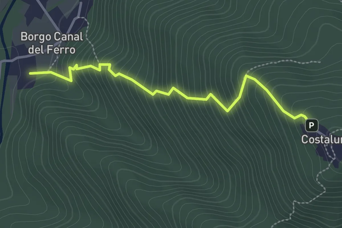
Medium · Trail
Sentiero di Costalunga
2.9 km · ↑ 386 m · 1 h 31 min
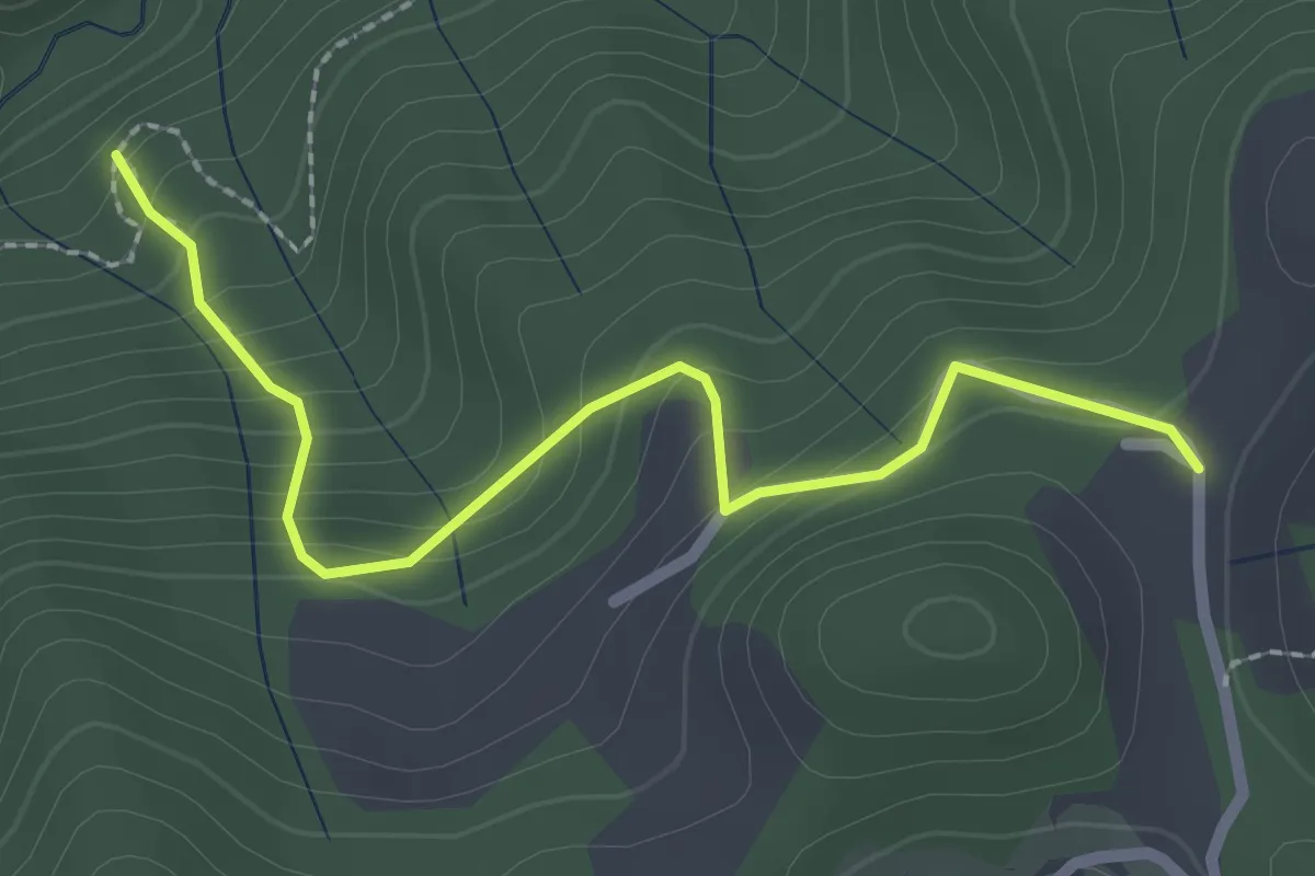
Easy · Trail
Sentiero di Costa Lunga
2.5 km · ↑ 235 m · 1 h 5 min
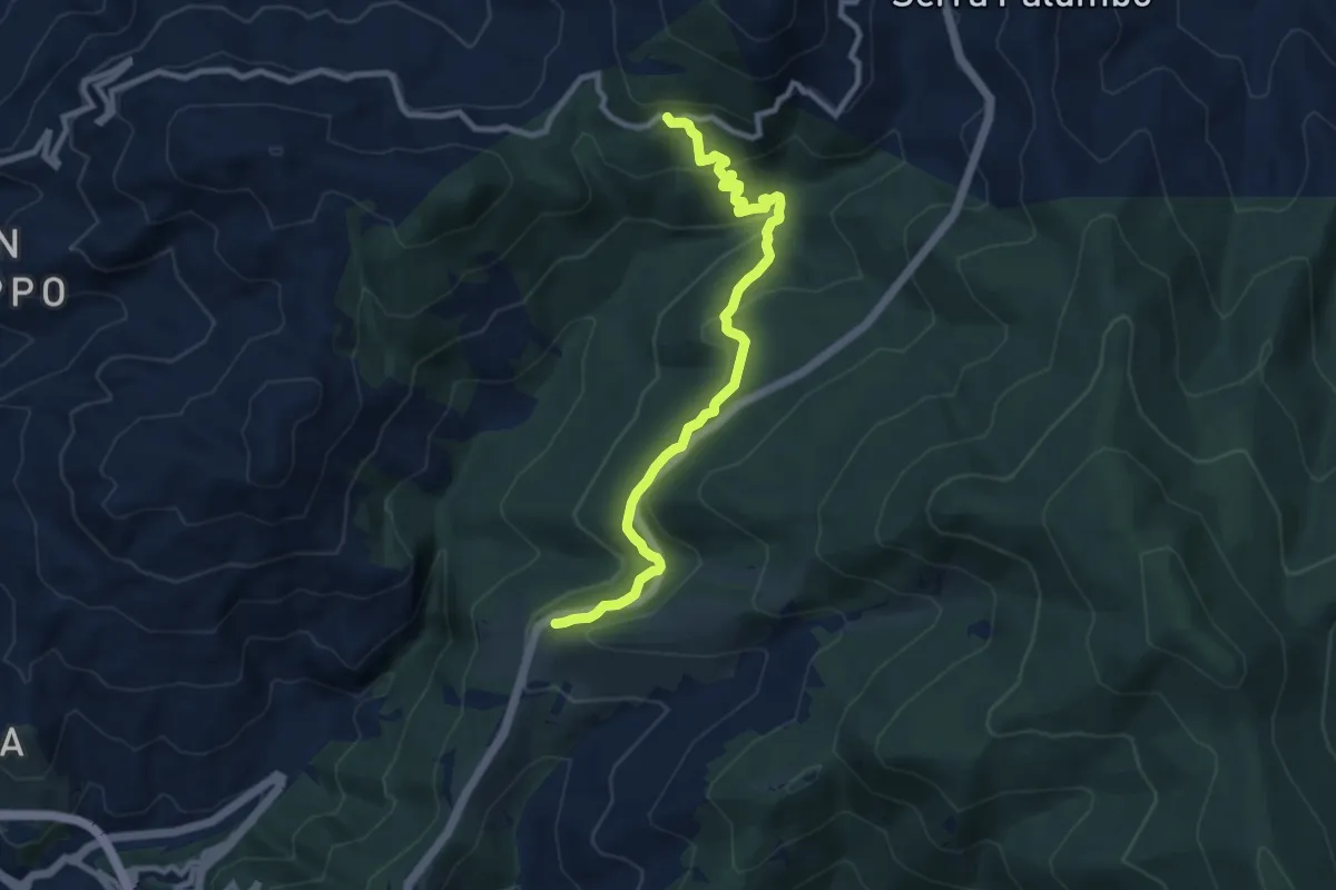
Medium · Trail
Sentiero di Cozzo Sentinella
10.8 km · ↑ 485 m · 3 h 36 min
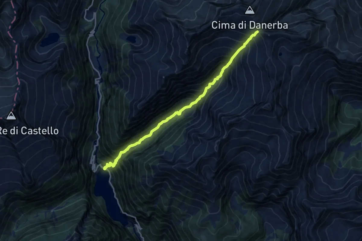
Demanding · Trail
Sentiero di Danerba
12.5 km · ↑ 1497 m · 6 h 12 min
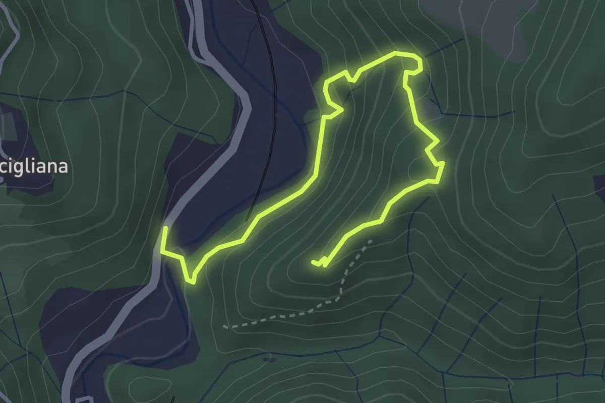
Medium · Trail
Sentiero di Dante
4.2 km · ↑ 343 m · 1 h 45 min
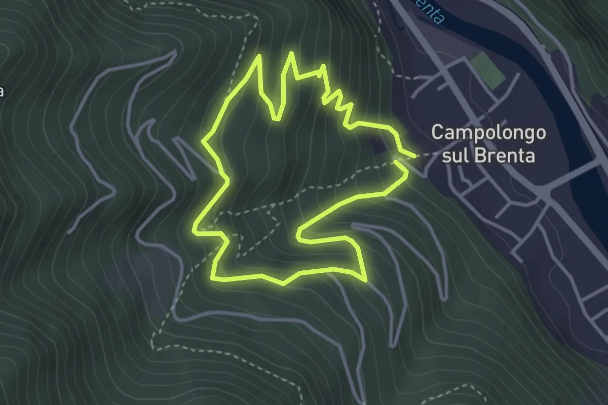
Easy · Trail
Sentiero Didattico Antonia Dal Sasso
3.1 km · ↑ 307 m · 1 h 26 min
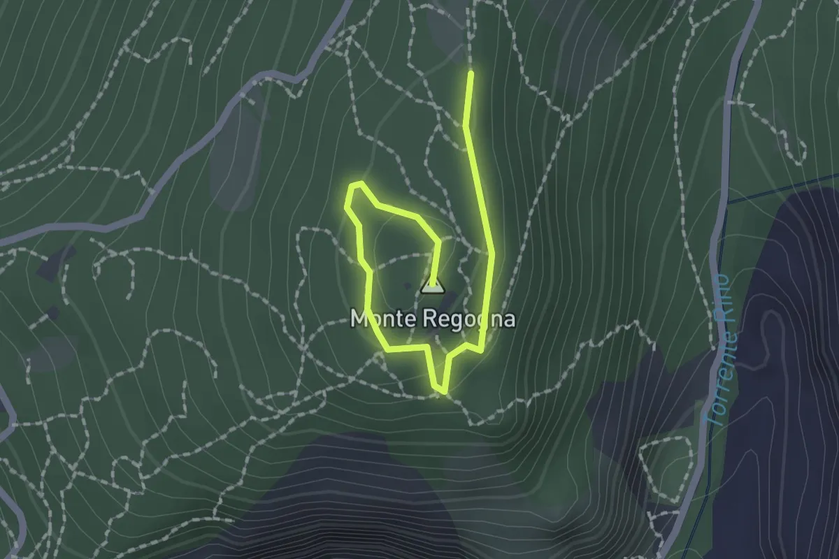
Easy · Summit
Sentiero didattico (Monte Regogna)
2.0 km · ↑ 54 m · 35 min
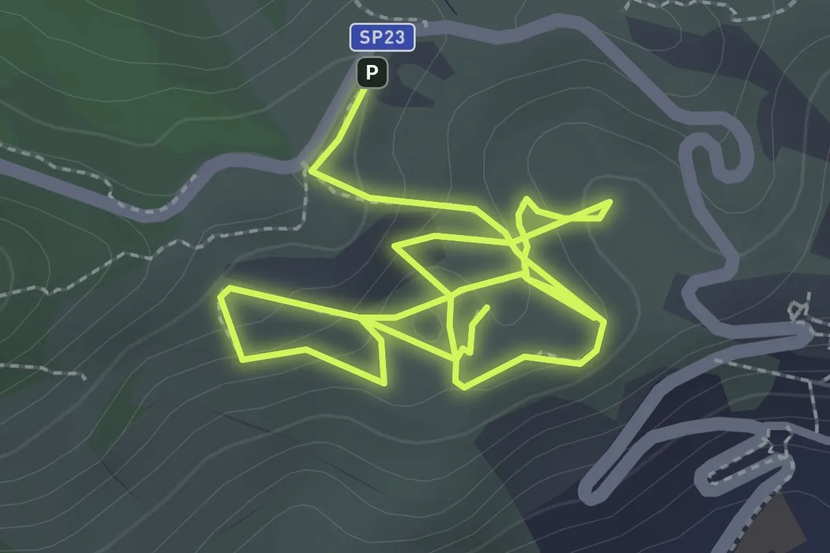
Medium · Trail
Sentiero Didattico Parco Museo Geologico del Monticino
4.8 km · ↑ 192 m · 1 h 33 min
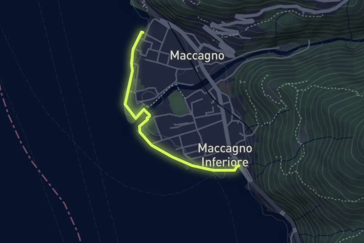
Easy · Trail
Sentiero didattico Uccelli Acquatici
3.5 km · ↑ 18 m · 51 min
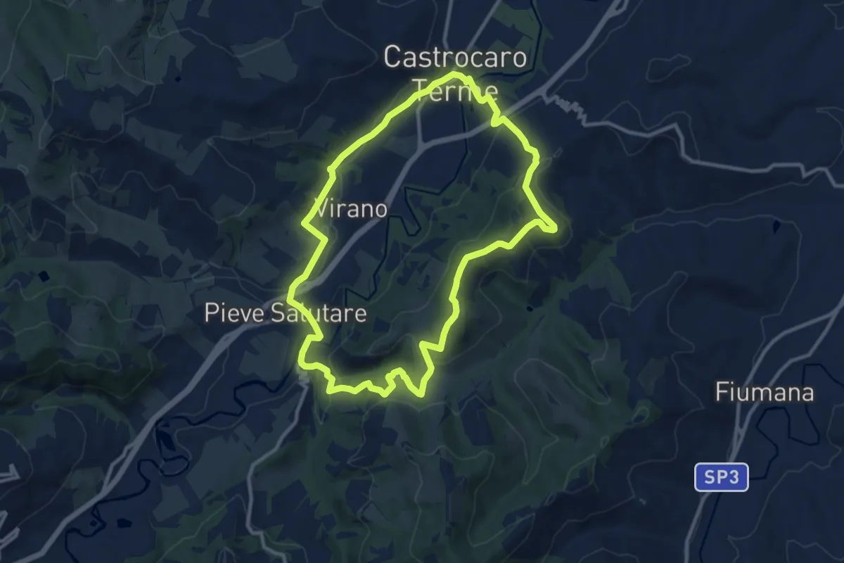
Medium · Summit
Sentiero di Don Dario
10.7 km · ↑ 303 m · 3 h 20 min
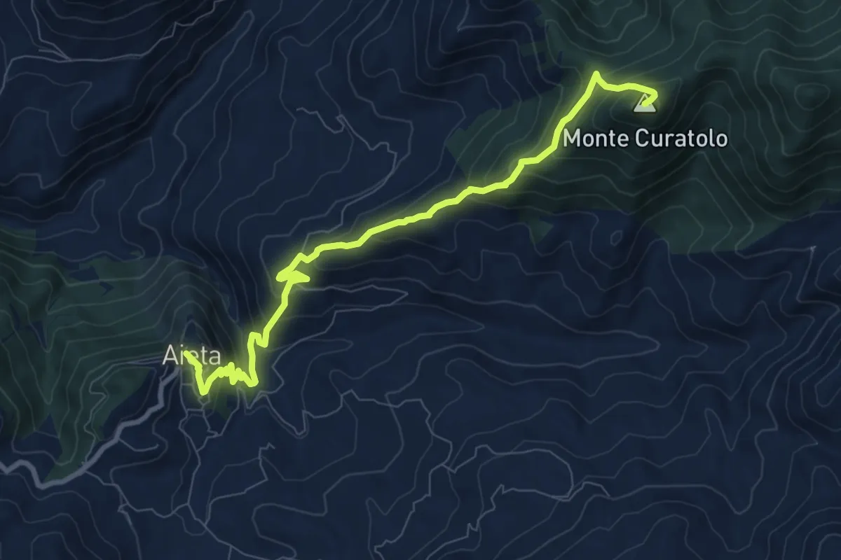
Medium · Summit
Sentiero di Don Silvio
10.2 km · ↑ 792 m · 4 h 7 min
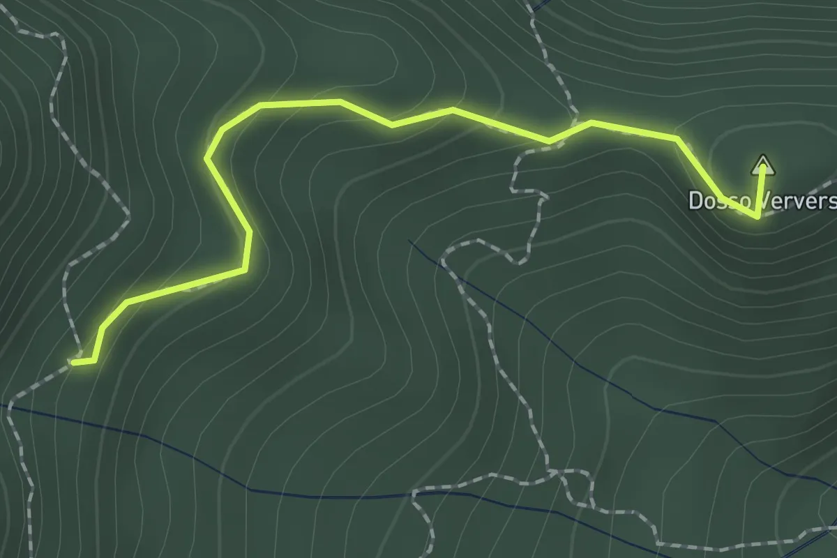
Medium · Summit
Sentiero di Dosso Verver
1.9 km · ↑ 176 m · 50 min
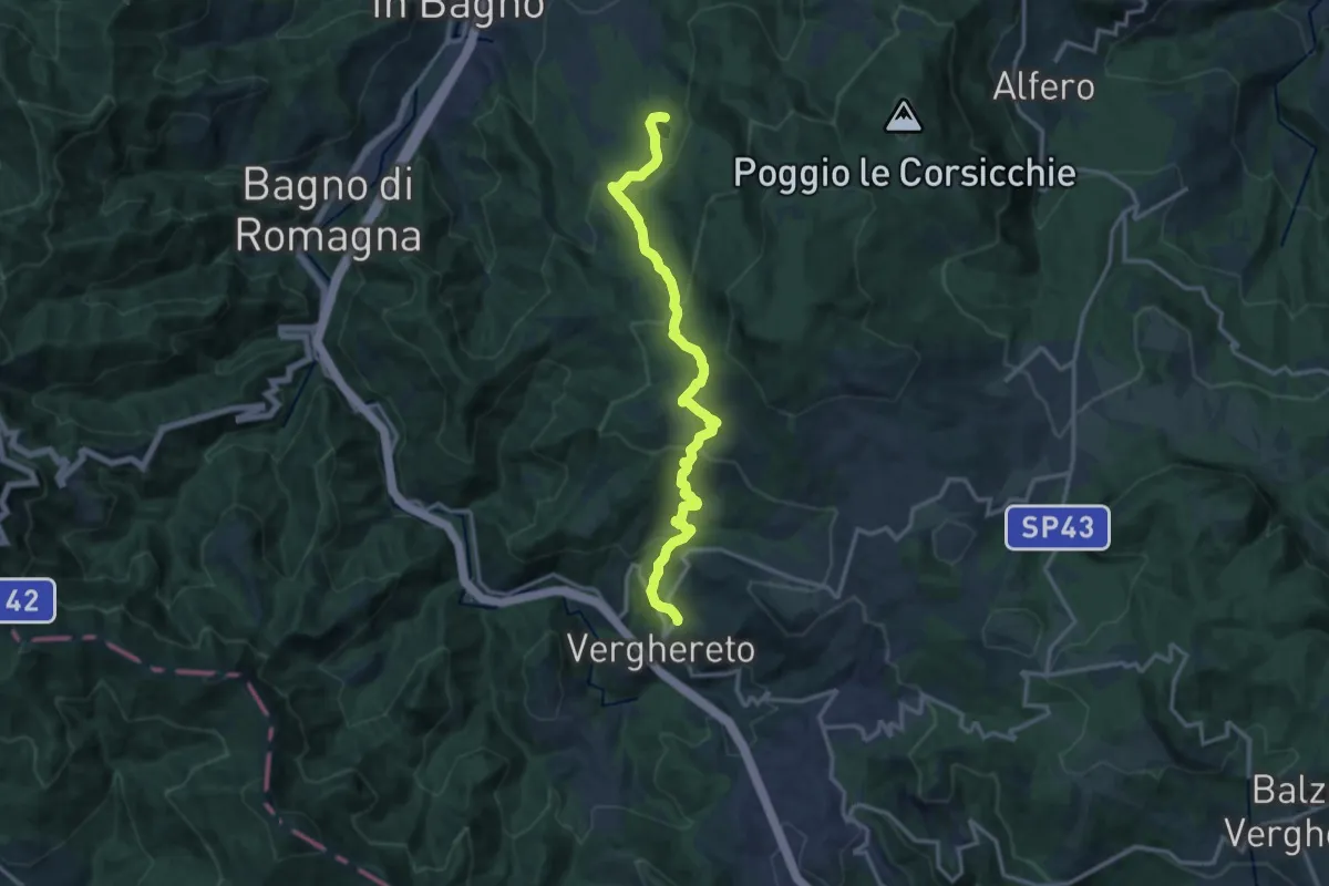
Medium · Trail
Sentiero Diego Brighi
15.2 km · ↑ 737 m · 5 h 11 min
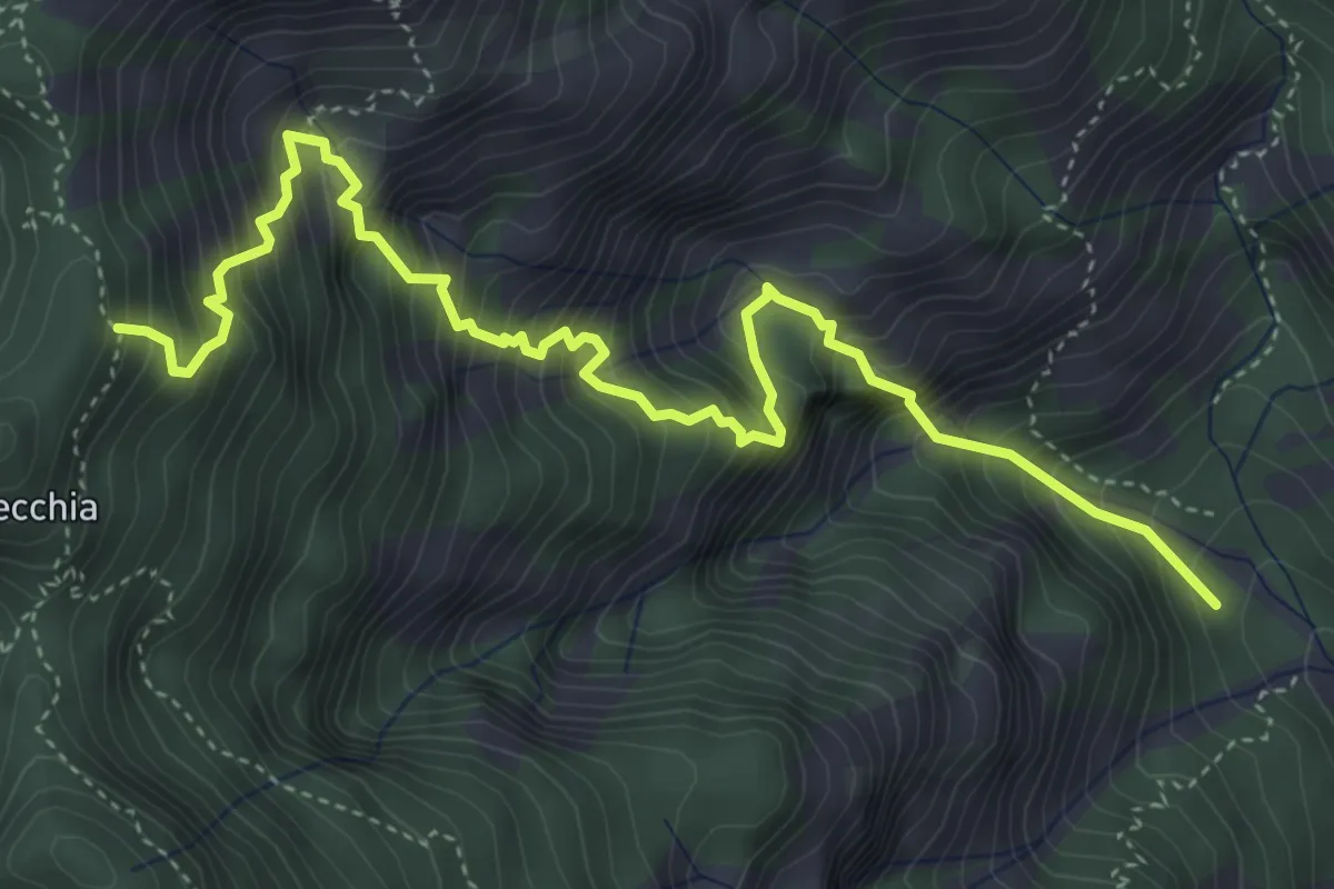
Expert · Trail
Sentiero di Faigole
5.5 km · ↑ 967 m · 3 h 24 min
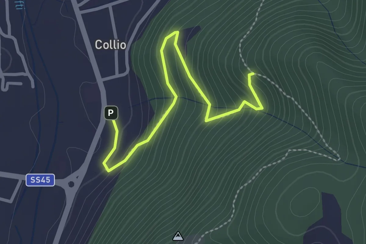
Medium · Trail
Sentiero di Festola
2.7 km · ↑ 202 m · 1 h 4 min
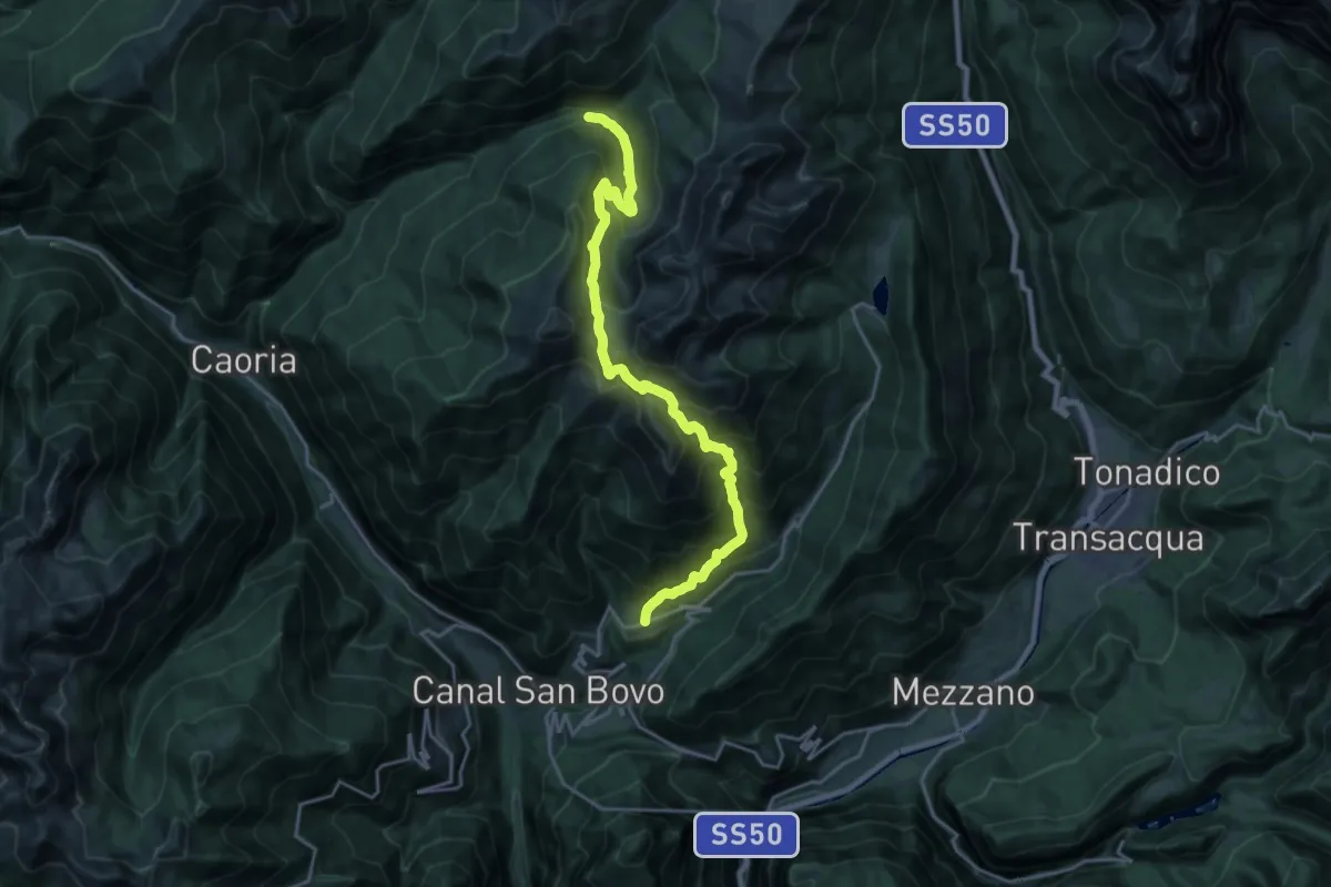
Demanding · Trail
Sentiero di Folga e di Valsorda
11.0 km · ↑ 1162 m · 4 h 59 min
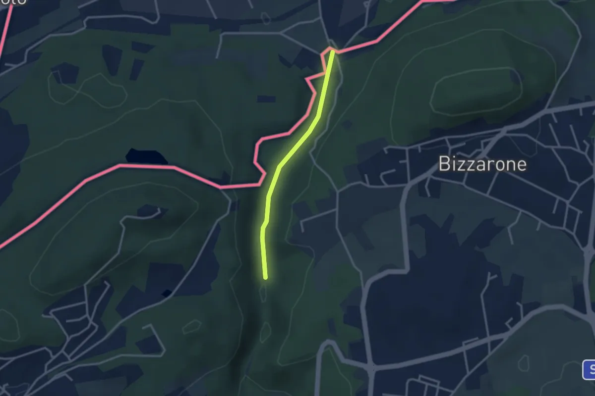
Easy · Trail
Sentiero di Fondovalle
2.3 km · ↑ 30 m · 37 min
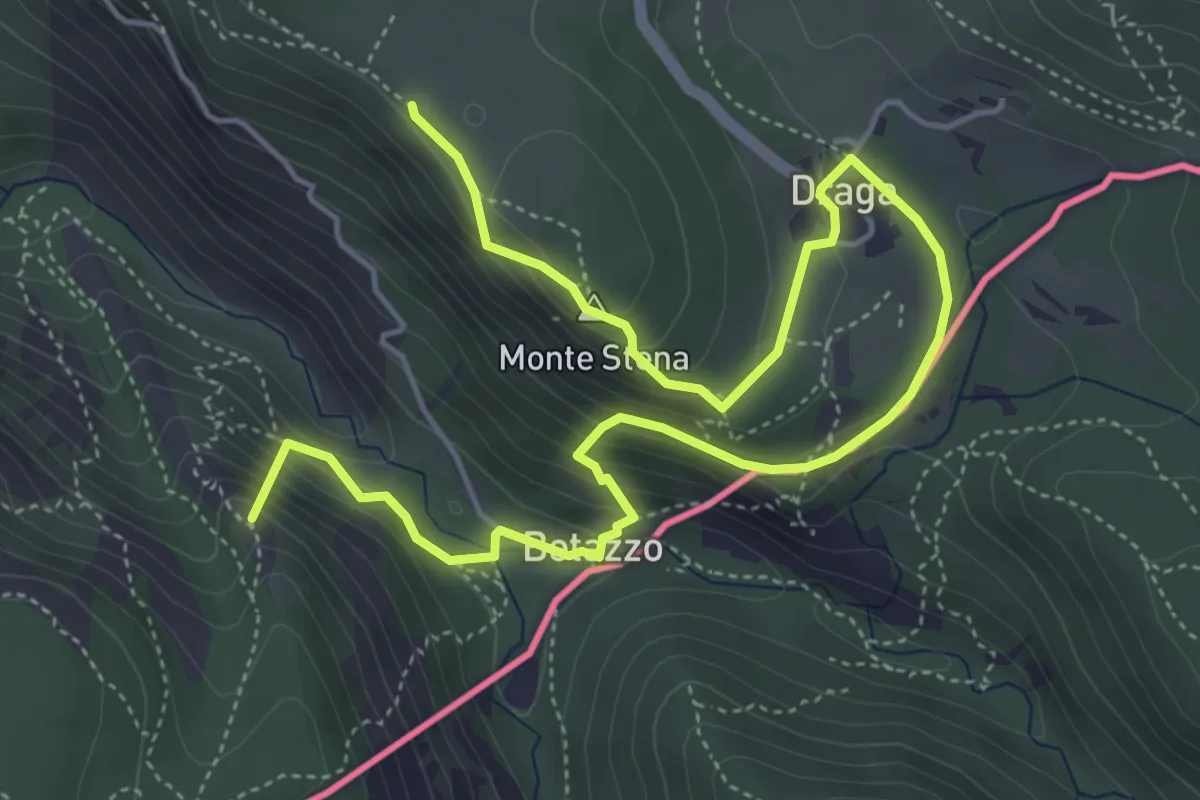
Medium · Summit
Sentiero di forma circolare de Val Rosandra
7.0 km · ↑ 378 m · 2 h 28 min
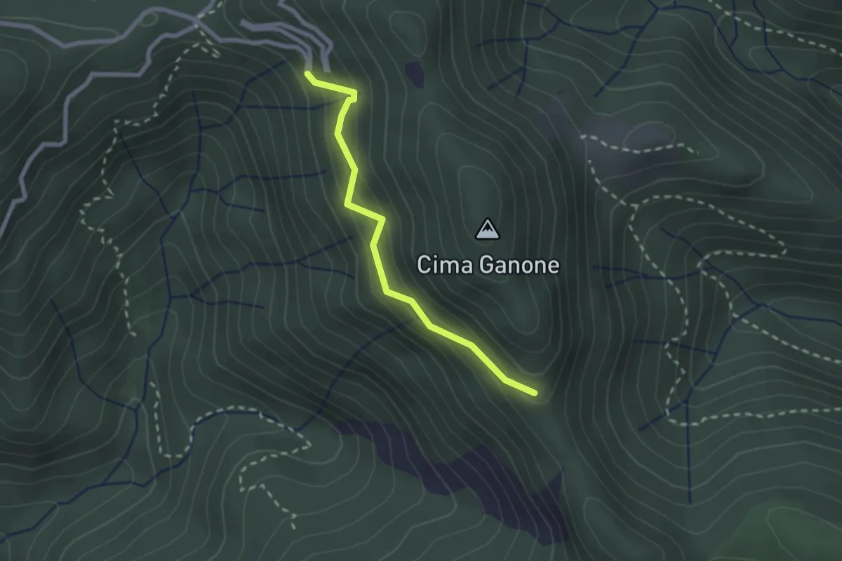
Medium · Trail
Sentiero di Ganone
2.1 km · ↑ 182 m · 53 min
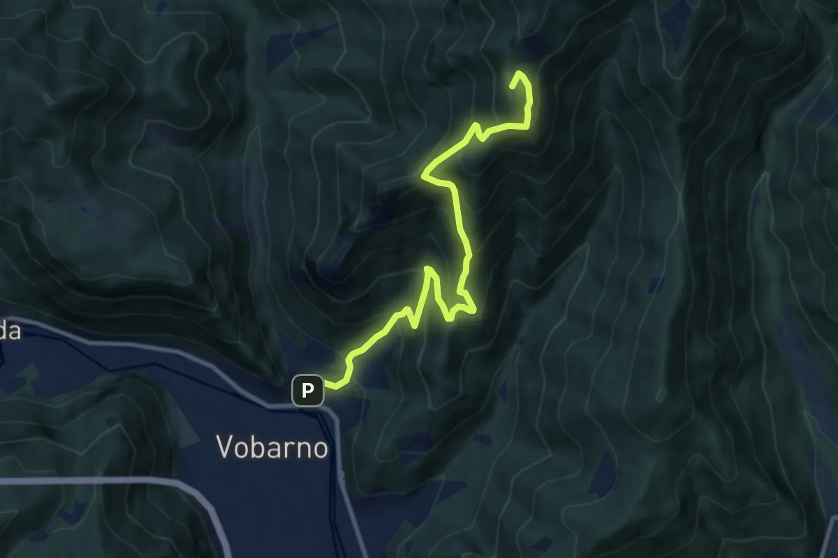
Demanding · Summit
Sentiero di Gardoncello e Spino
9.1 km · ↑ 889 m · 4 h 5 min
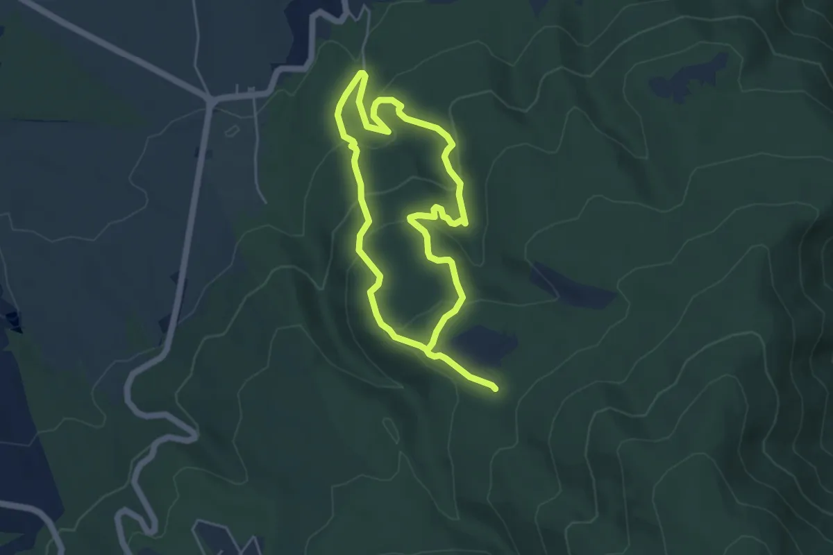
Medium · Trail
Sentiero di Garibaldi
9.0 km · ↑ 420 m · 3 h 3 min
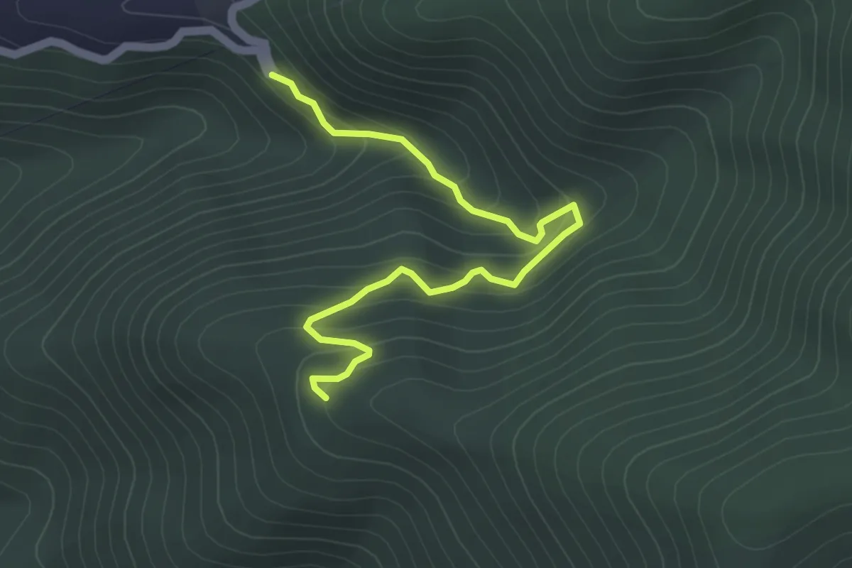
Medium · Trail
Sentiero di Gianchi
5.0 km · ↑ 372 m · 1 h 59 min
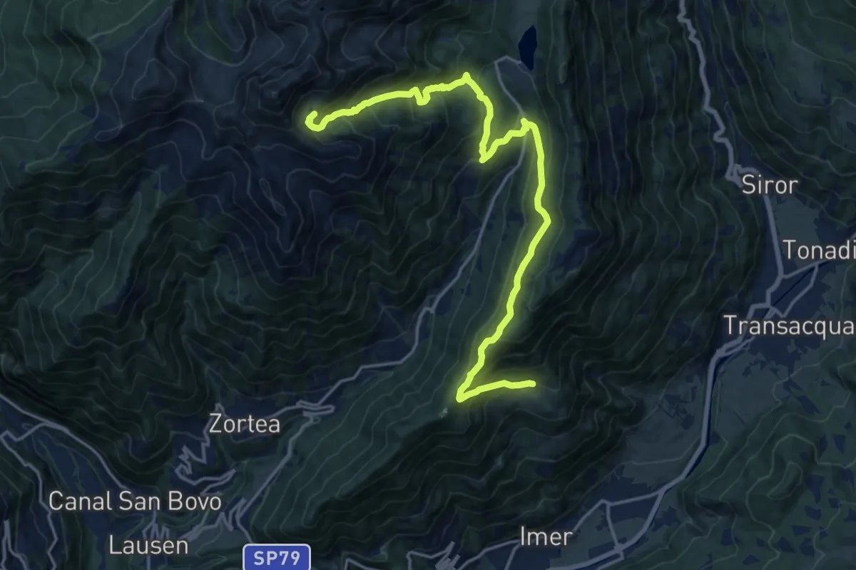
Demanding · Summit
Sentiero di Grugola
18.5 km · ↑ 1213 m · 7 h
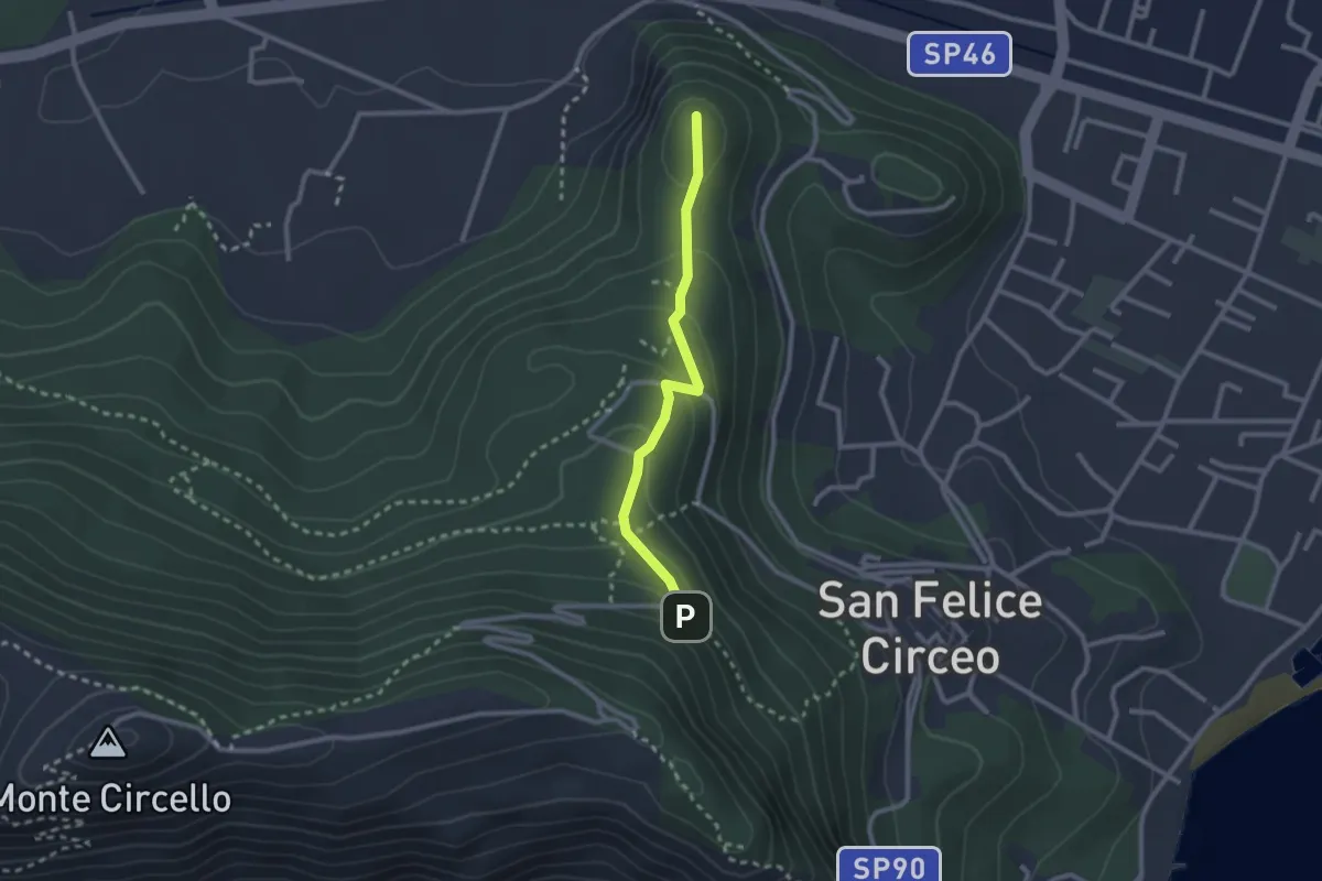
Easy · Trail
Sentiero di Guardia Orlando
2.5 km · ↑ 124 m · 51 min
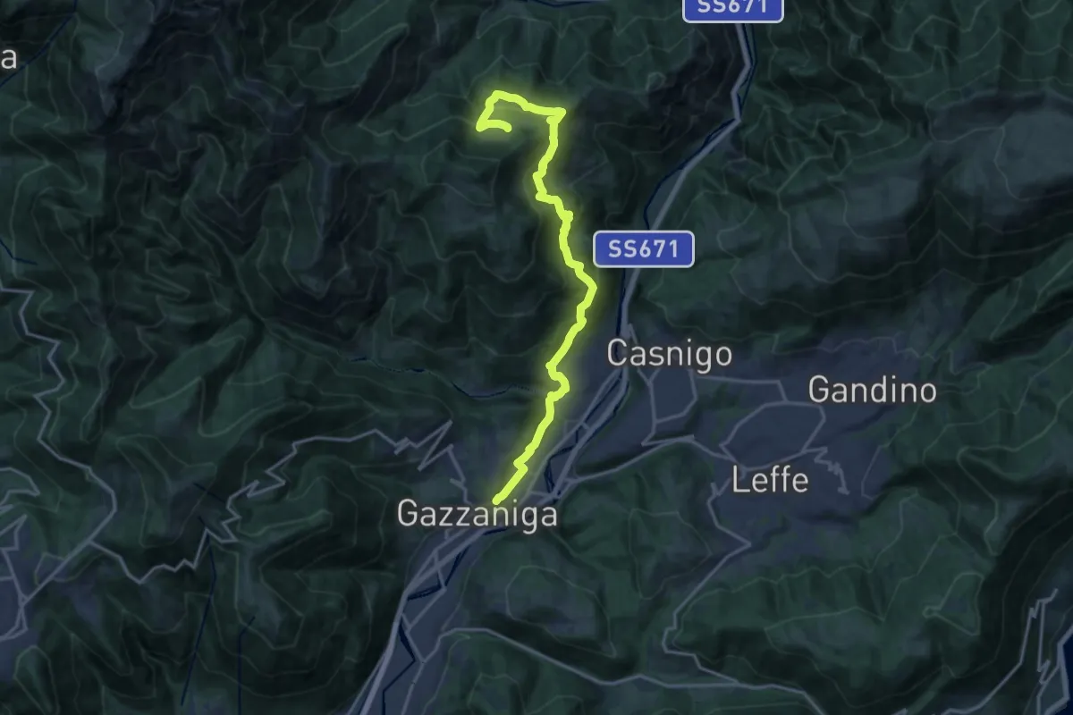
Demanding · Trail
Sentiero di Honio
17.7 km · ↑ 940 m · 6 h 13 min
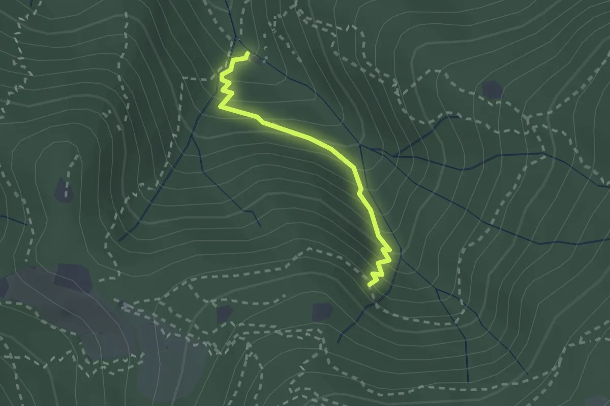
Medium · Cabin
Sentiero di Jago
1.9 km · ↑ 249 m · 59 min
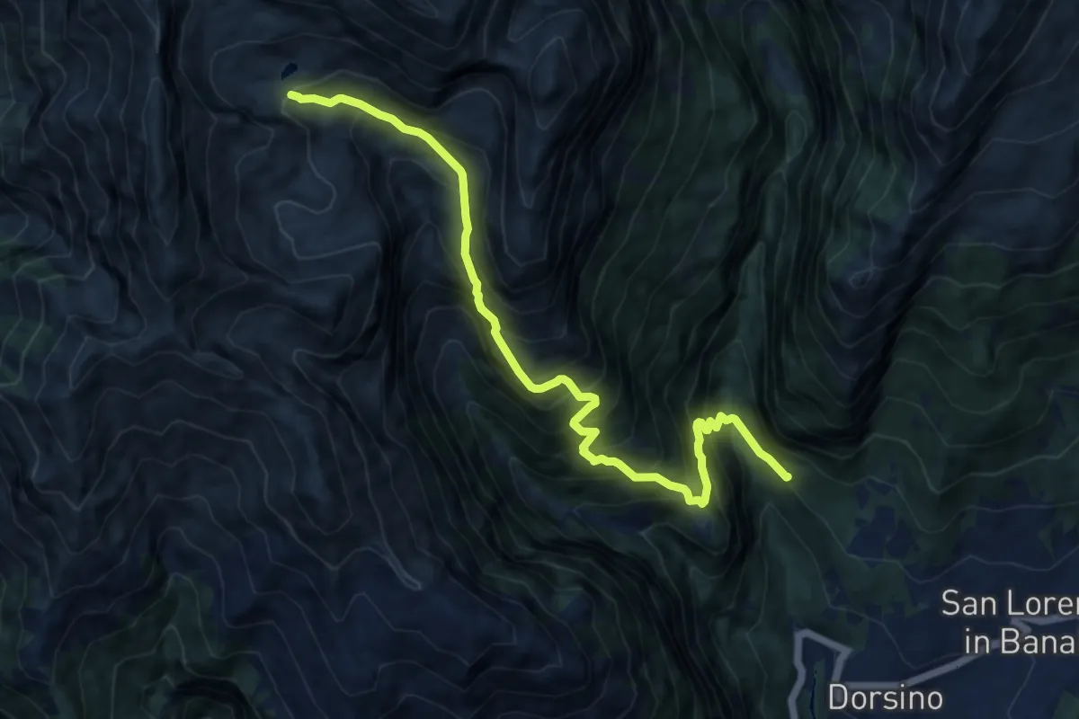
Demanding · Trail
Sentiero di Jon
11.2 km · ↑ 1338 m · 5 h 32 min
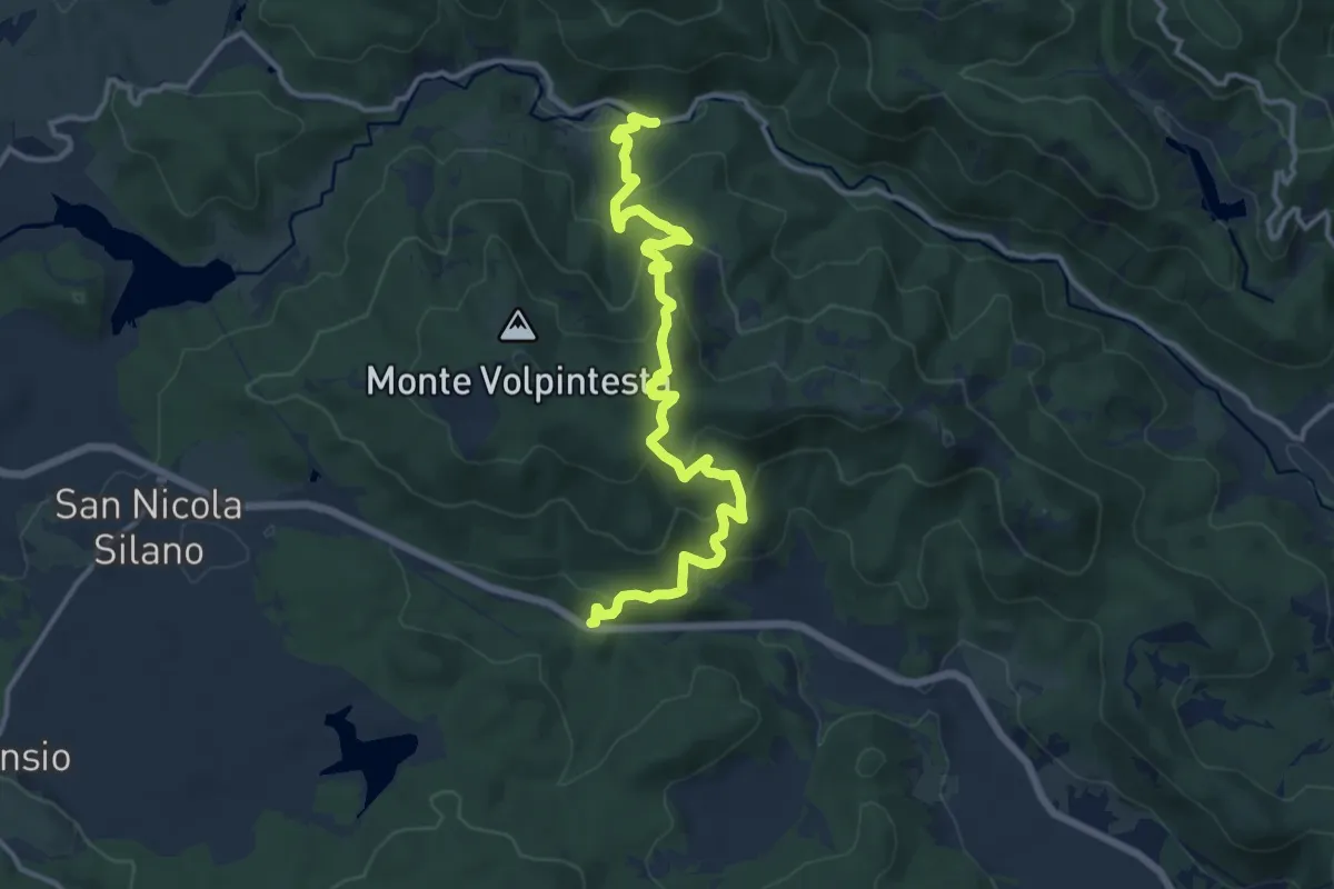
Demanding · Trail
Sentiero di Macchia di Pietro
16.5 km · ↑ 805 m · 5 h 38 min