Trails in Italy
25,219 hiking trails, each with its route, climb, walking time and grade.
All trails, page 185 of 526
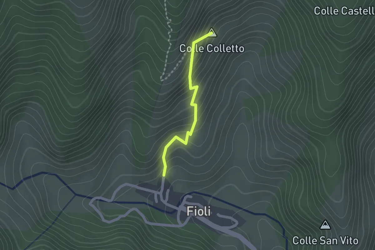
Easy · Summit
Sentiero N331-Ceppo
1.5 km · ↑ 162 m · 42 min
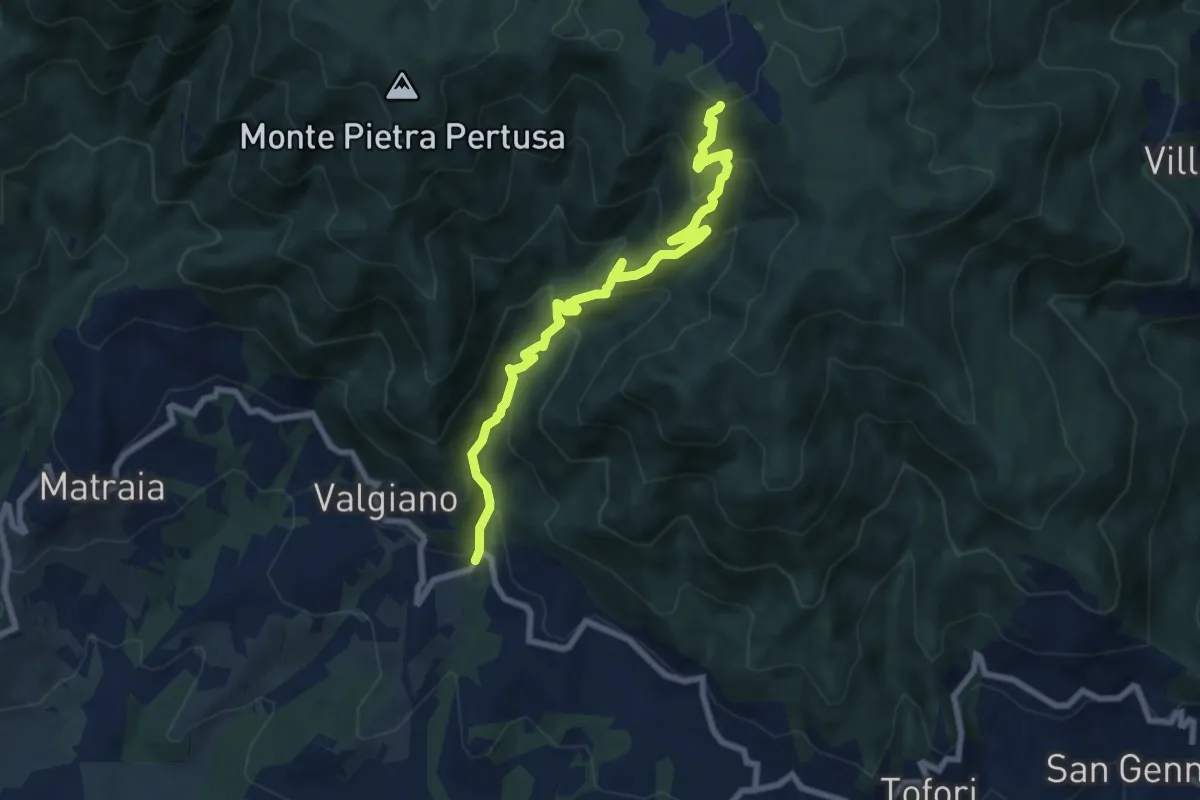
Medium · Trail
Sentiero n.3 "La Cartiera"
8.5 km · ↑ 647 m · 3 h 25 min
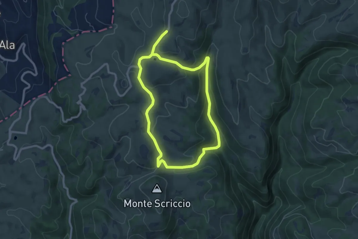
Easy · Cabin
Sentiero n. 3 - Malga Lessinia
5.6 km · ↑ 236 m · 1 h 54 min
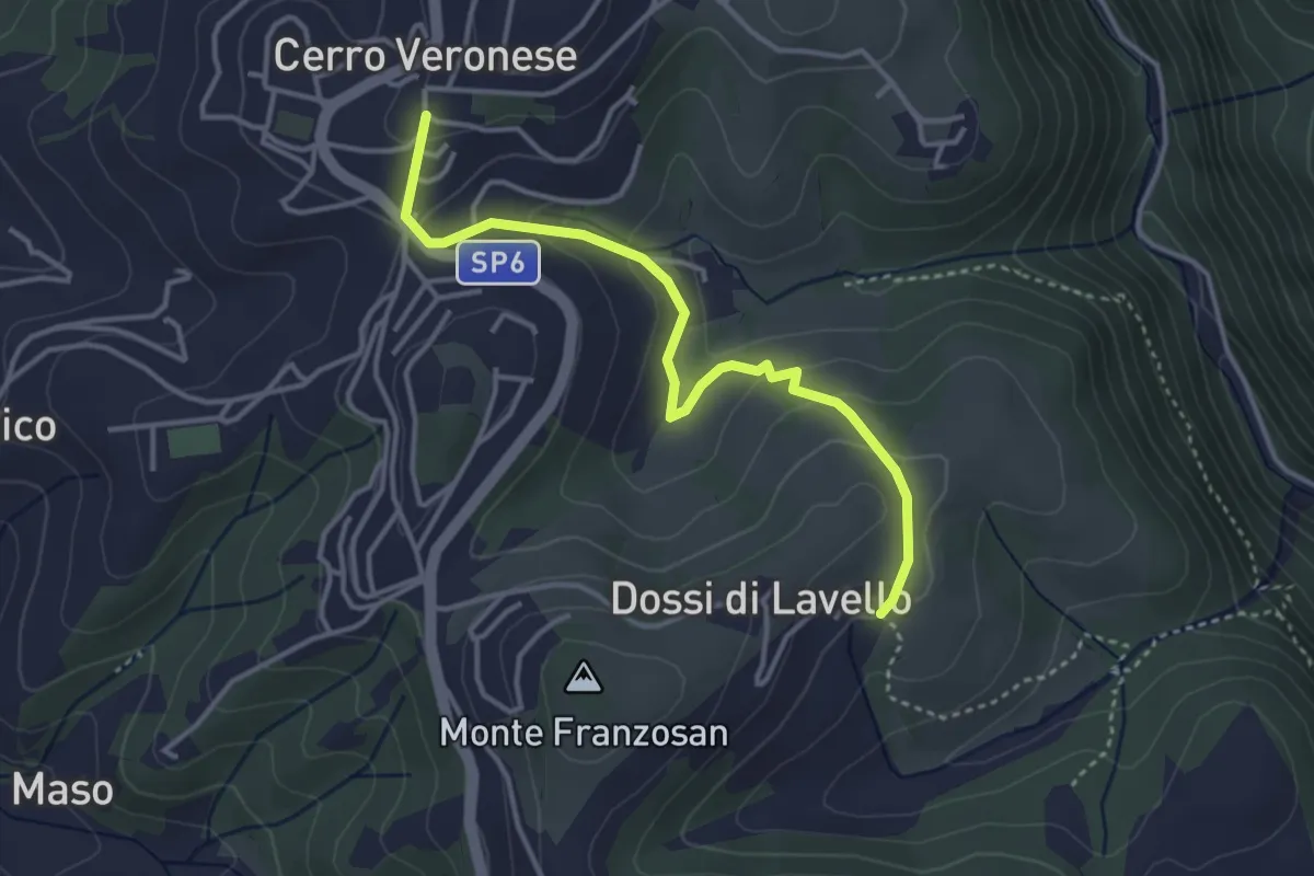
Easy · Trail
Sentiero n. 4
3.8 km · ↑ 149 m · 1 h 13 min
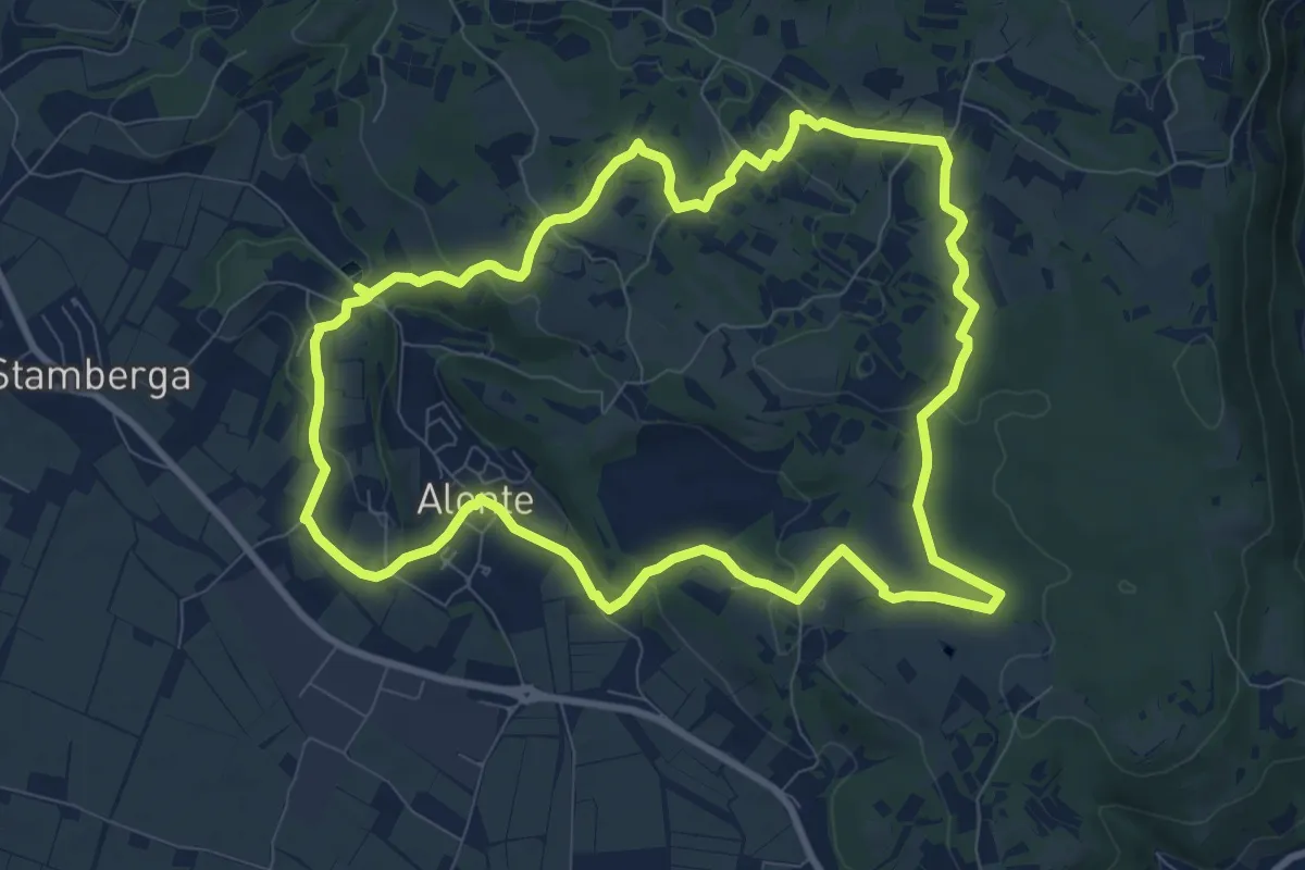
Medium · Trail
Sentiero n. 45 di Alonte
9.7 km · ↑ 165 m · 2 h 47 min
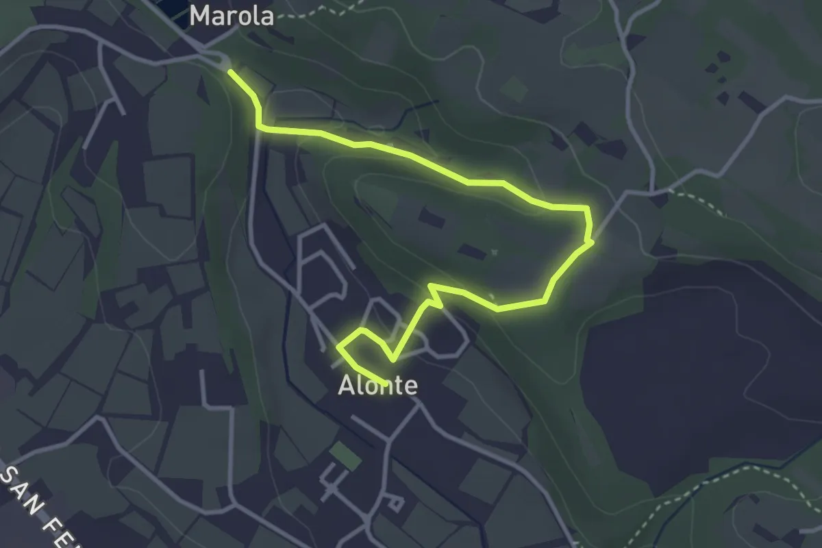
Easy · Trail
Sentiero n. 45 Variante Bosco dei Molini
4.1 km · ↑ 120 m · 1 h 14 min
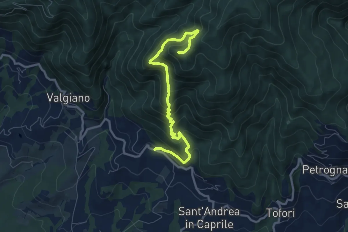
Medium · Summit
Sentiero n.4 "Monte Scarpiglione"
7.7 km · ↑ 632 m · 3 h 11 min
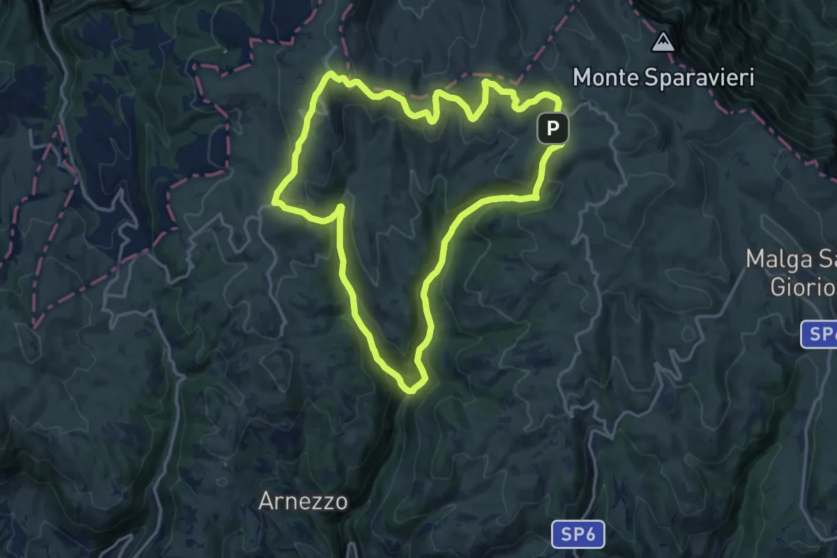
Medium · Cabin
Sentiero n. 4 - Podestaria
14.0 km · ↑ 597 m · 4 h 47 min
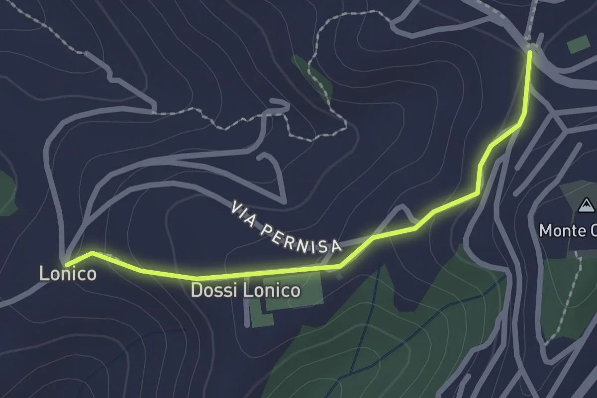
Easy · Trail
Sentiero n. 5
2.0 km · ↑ 81 m · 39 min
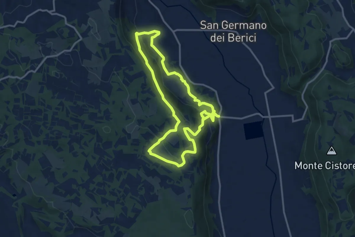
Medium · Trail
Sentiero n. 51 di Villa del Ferro o del Donatore
8.9 km · ↑ 359 m · 2 h 59 min
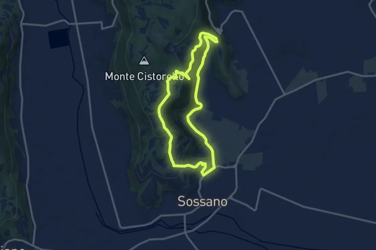
Easy · Summit
Sentiero n. 52 del Grumale
7.4 km · ↑ 280 m · 2 h 27 min
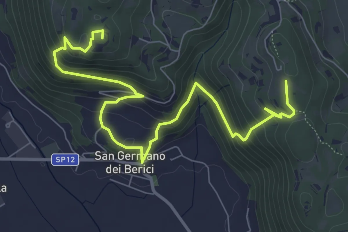
Medium · Summit
Sentiero n. 53 dei Curì e della Lupia (o di San Germano)
7.3 km · ↑ 329 m · 2 h 32 min
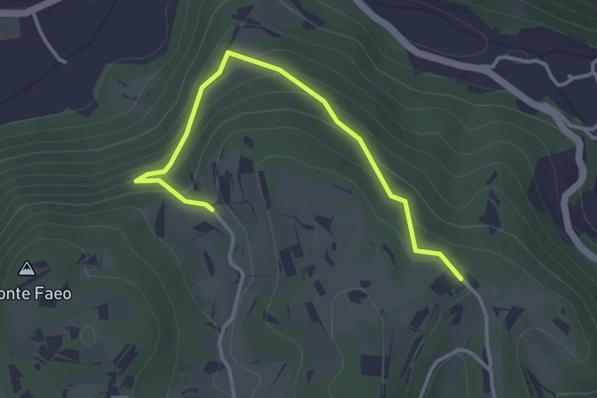
Easy · Trail
Sentiero n. 53 variante della Fontana dei Casalini
3.3 km · ↑ 194 m · 1 h 12 min
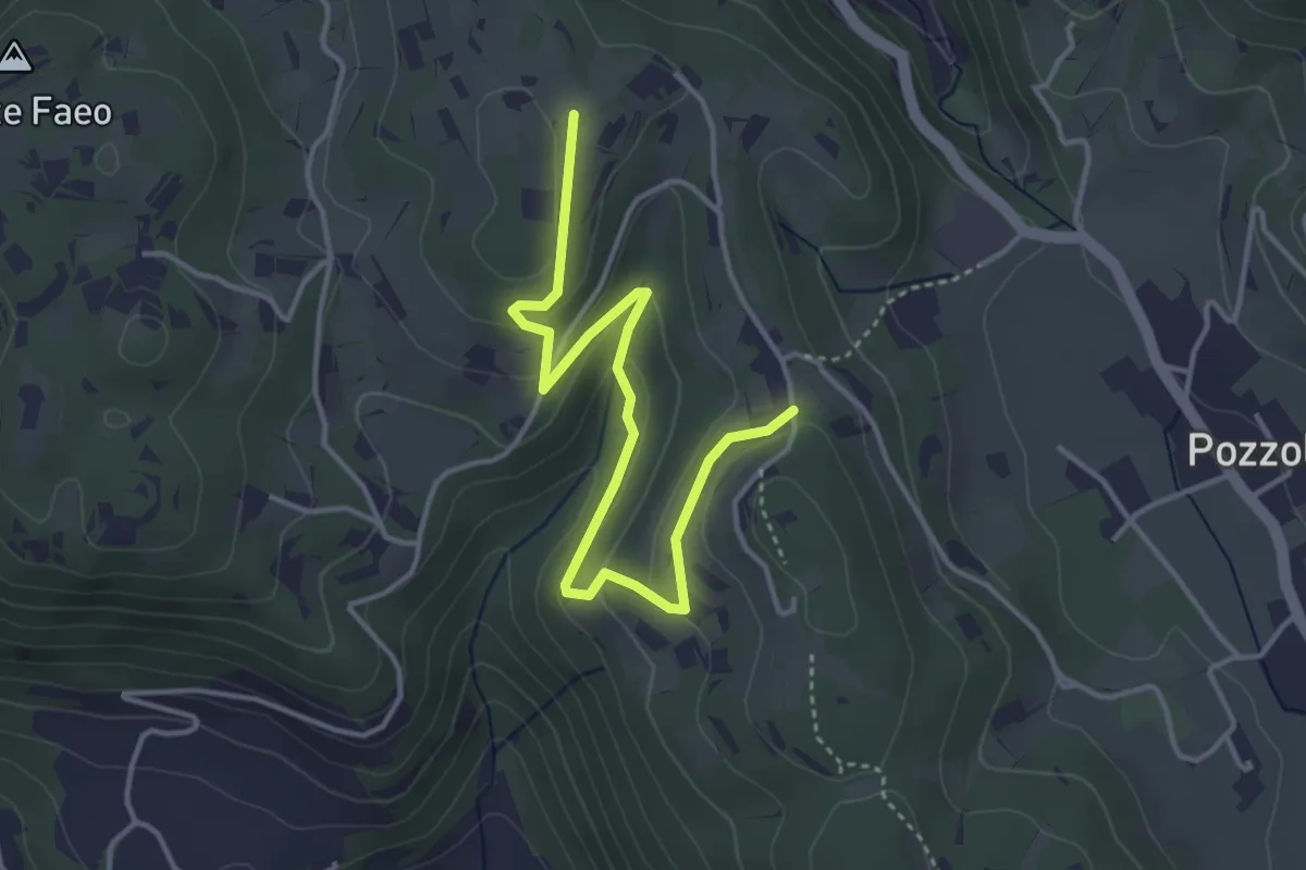
Easy · Trail
Sentiero n. 53 variante delle Vaccarette o della Fontana del Marcolin
4.4 km · ↑ 145 m · 1 h 21 min
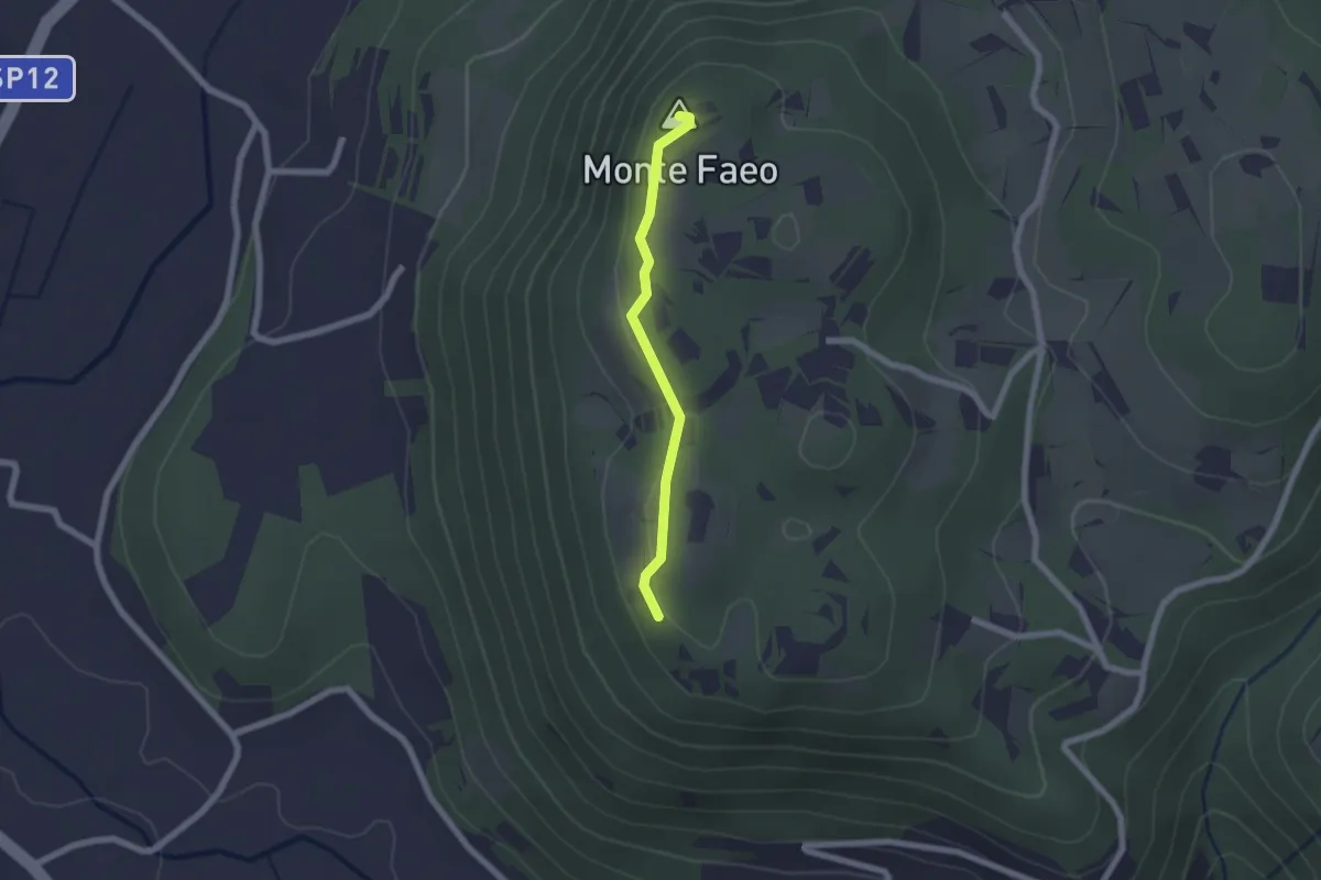
Easy · Summit
Sentiero n. 53 Variante del Monte Faeo
1.8 km · ↑ 29 m · 29 min
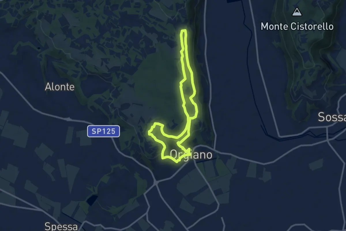
Medium · Summit
Sentiero n. 55 di Orgiano
8.8 km · ↑ 221 m · 2 h 40 min
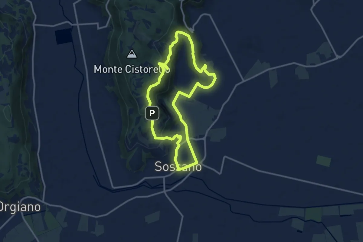
Medium · Trail
Sentiero n. 56 delle Fontane
9.3 km · ↑ 295 m · 2 h 57 min
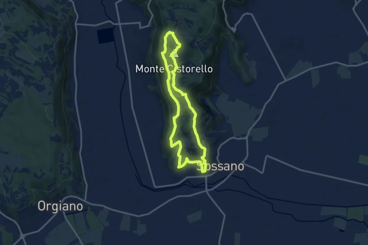
Medium · Summit
Sentiero n. 57 del Monte Cistorello
8.1 km · ↑ 308 m · 2 h 41 min
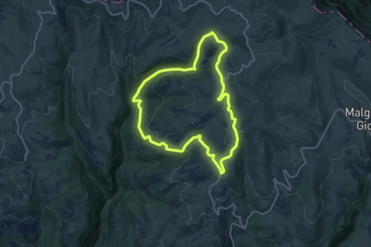
Medium · Trail
Sentiero n. 5 - Malghe Folignano
8.4 km · ↑ 377 m · 2 h 56 min
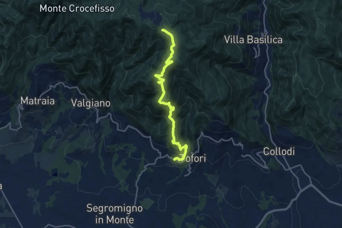
Medium · Trail
Sentiero n.5 "Prato di Rimogno"
11.8 km · ↑ 756 m · 4 h 25 min
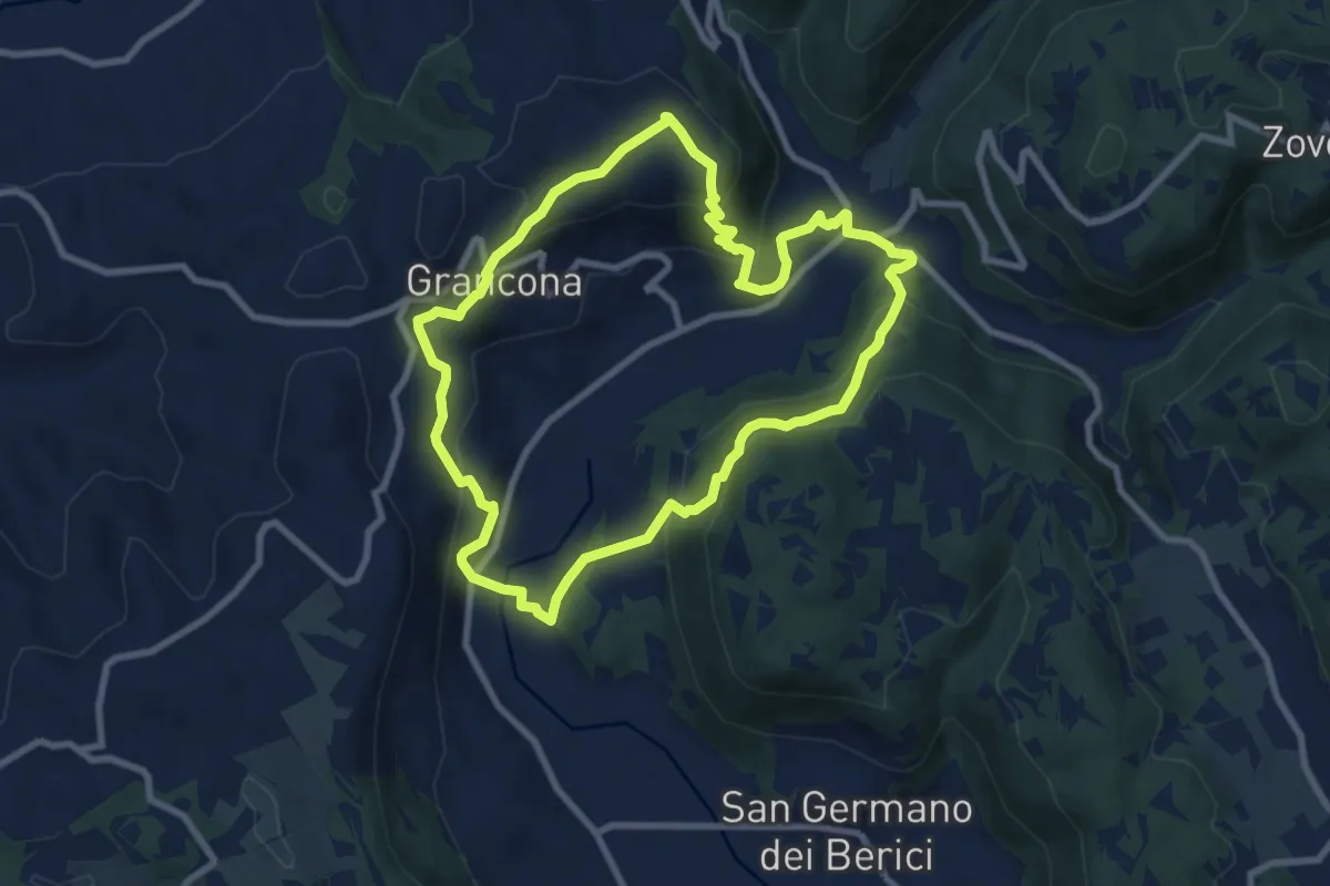
Medium · Summit
Sentiero n. 61 panoramico Pederiva - Spiazzo o di Val Liona
8.5 km · ↑ 432 m · 3 h 3 min
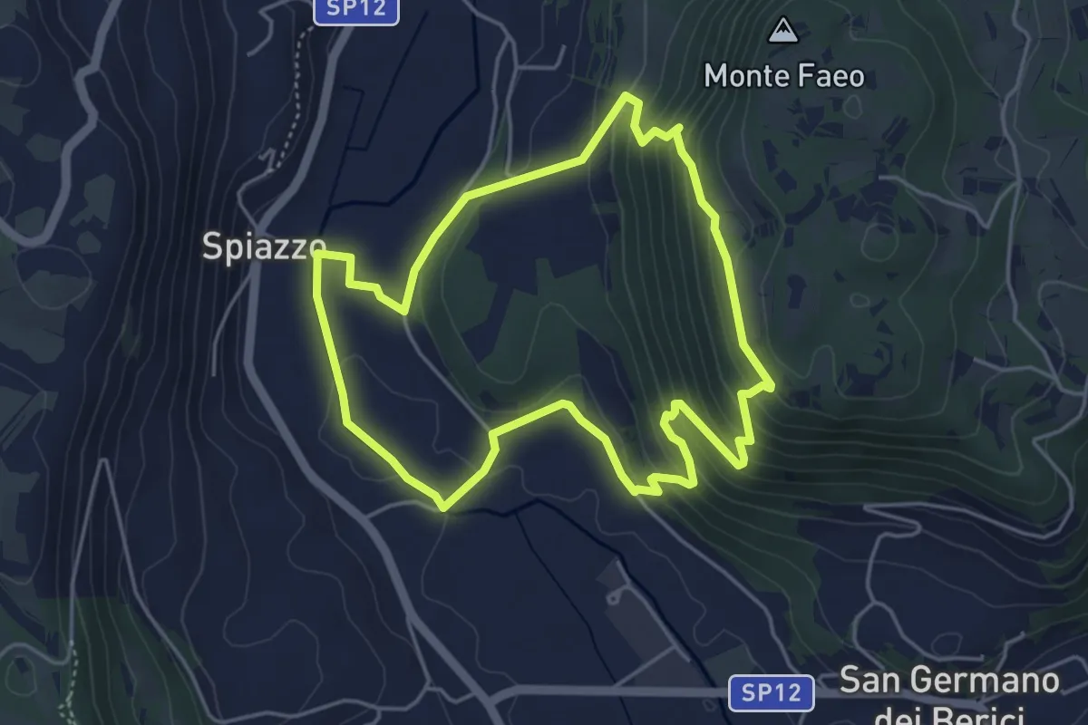
Easy · Trail
Sentiero n. 65 della Madonnetta o dei Frati
4.5 km · ↑ 229 m · 1 h 37 min
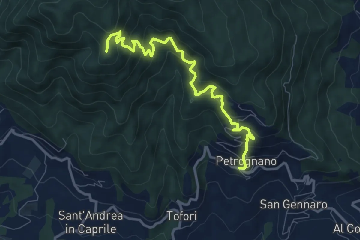
Demanding · Trail
Sentiero n.6 "Querce del Papa"
8.2 km · ↑ 820 m · 3 h 42 min
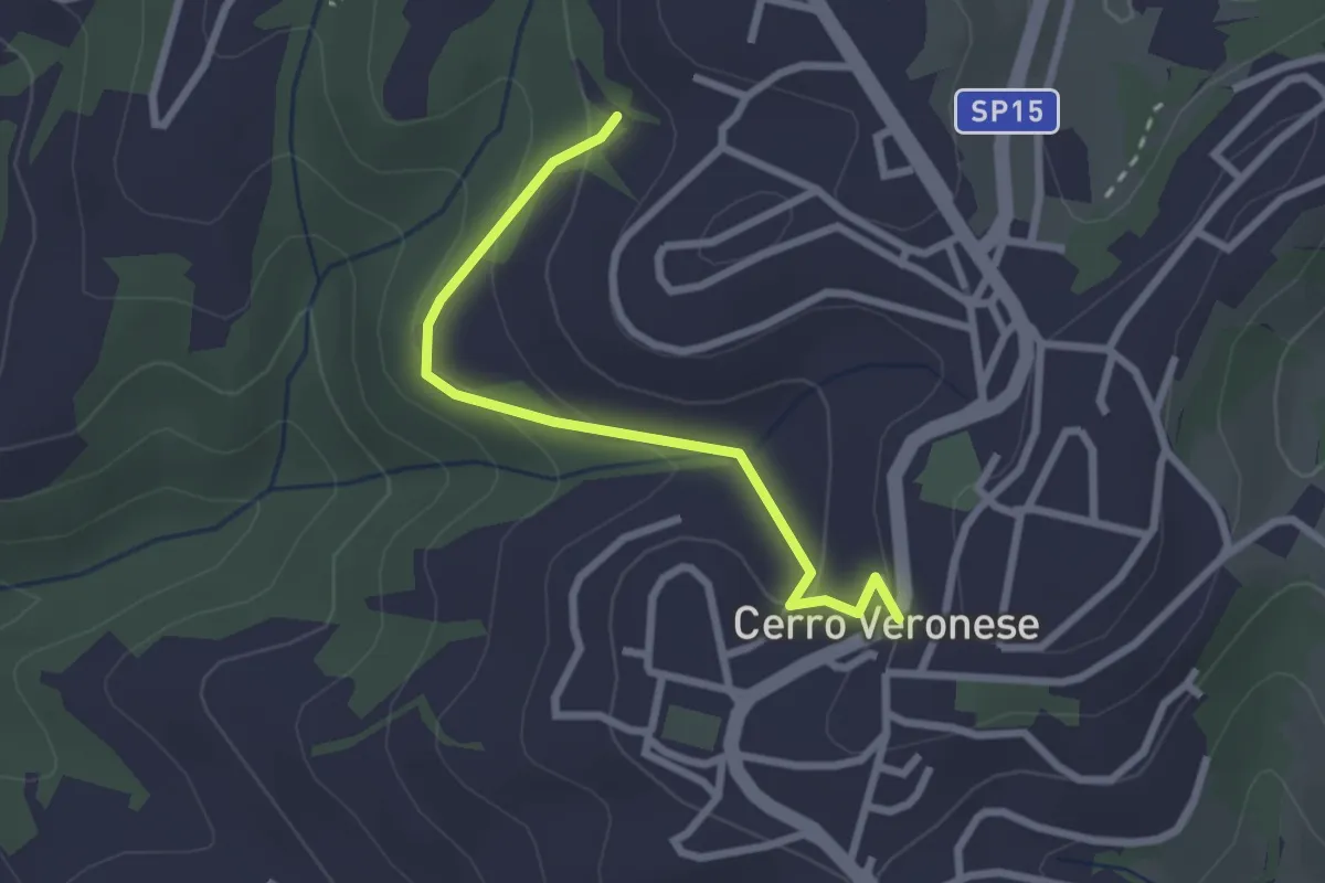
Easy · Trail
Sentiero n. 7
2.5 km · ↑ 121 m · 51 min
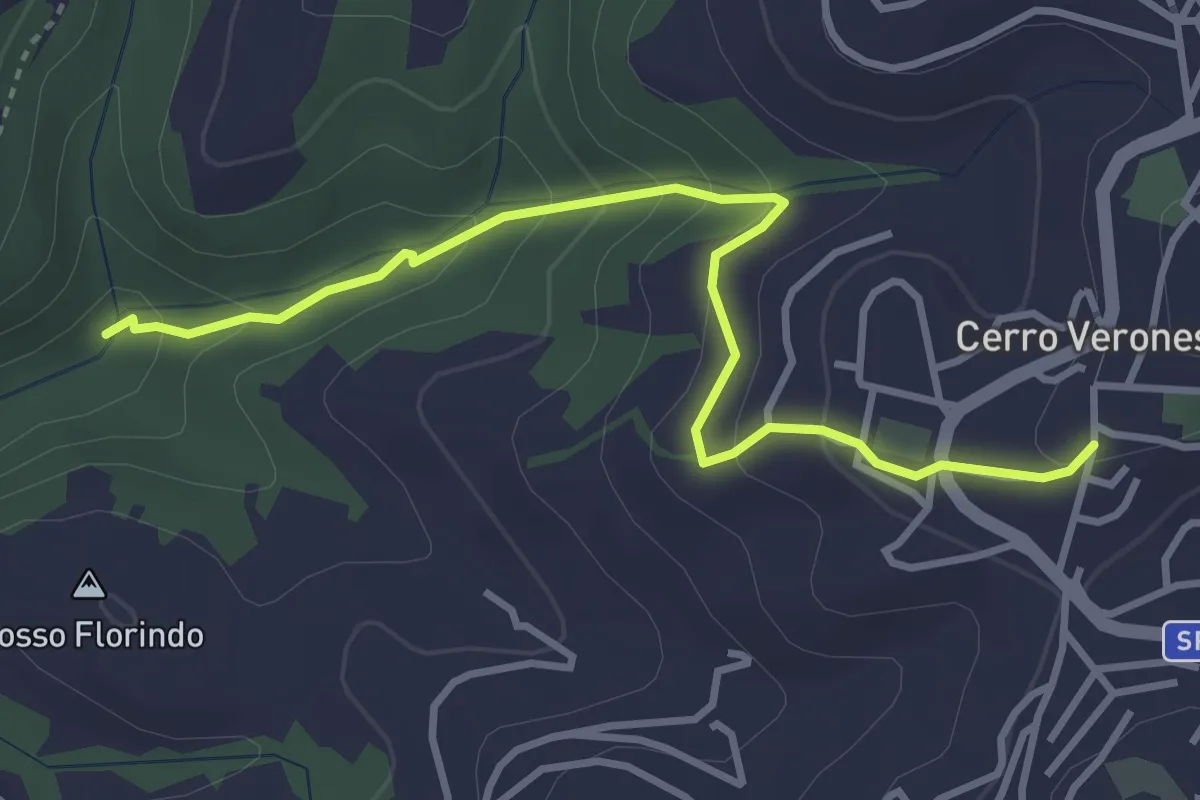
Easy · Trail
Sentiero n. 9
3.8 km · ↑ 224 m · 1 h 23 min
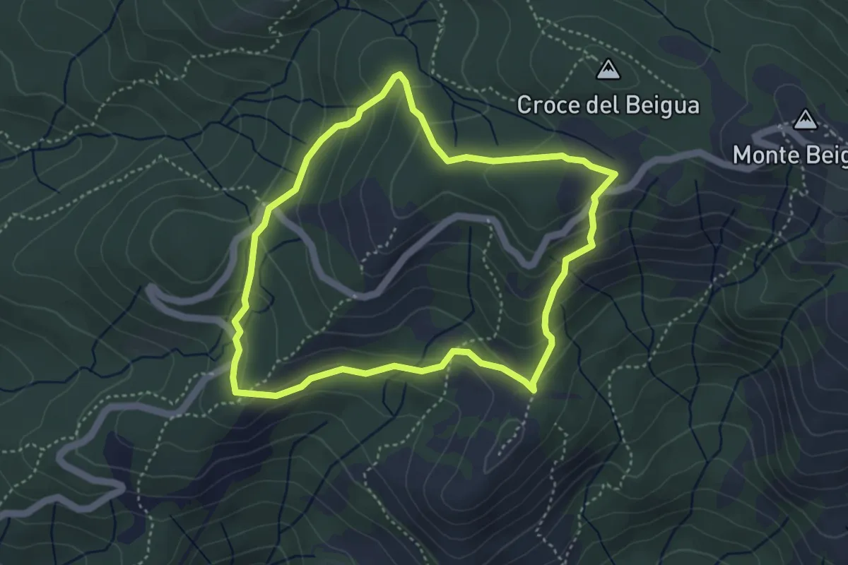
Medium · Summit
Sentiero Napoleonico del Beigua "rosso"
3.9 km · ↑ 177 m · 1 h 22 min
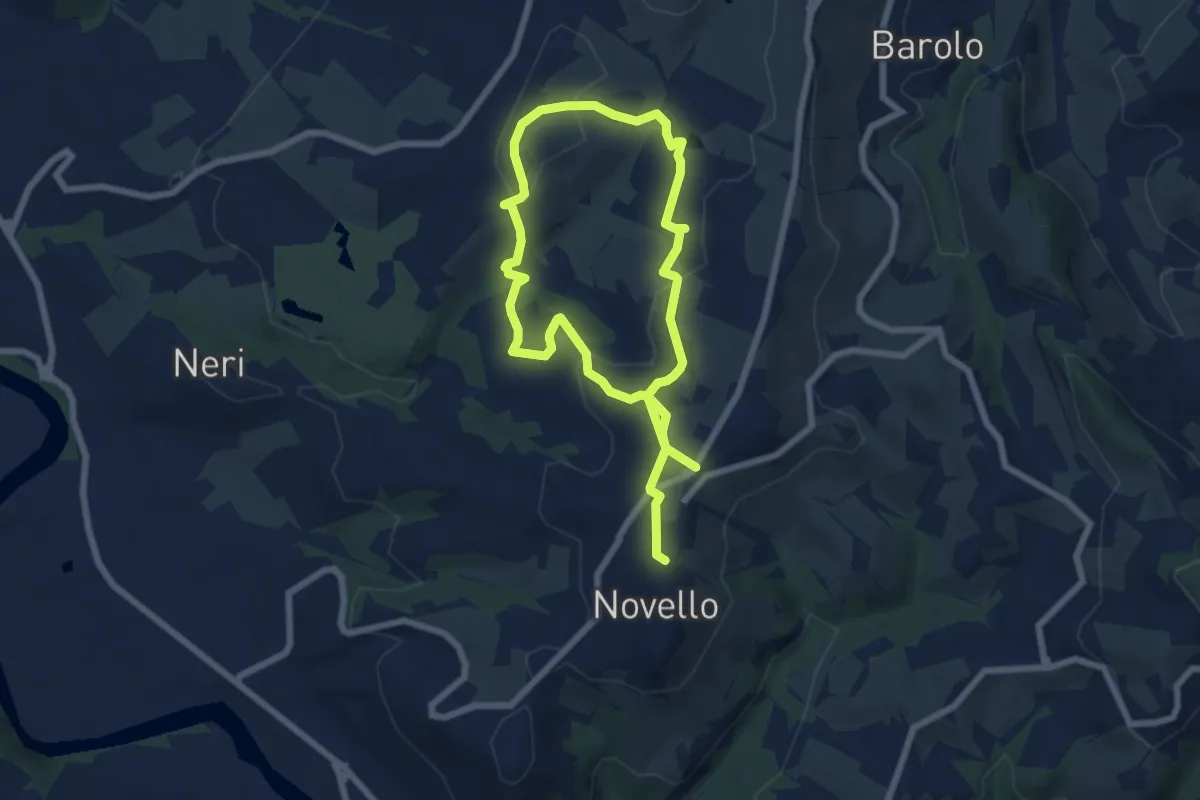
Medium · Trail
Sentiero Nas-cëtta di Novello
11.7 km · ↑ 380 m · 3 h 35 min
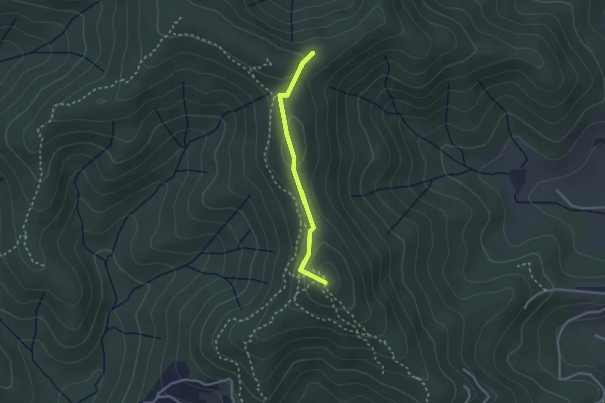
Easy · Summit
Sentiero Natalino
2.3 km · ↑ 91 m · 44 min
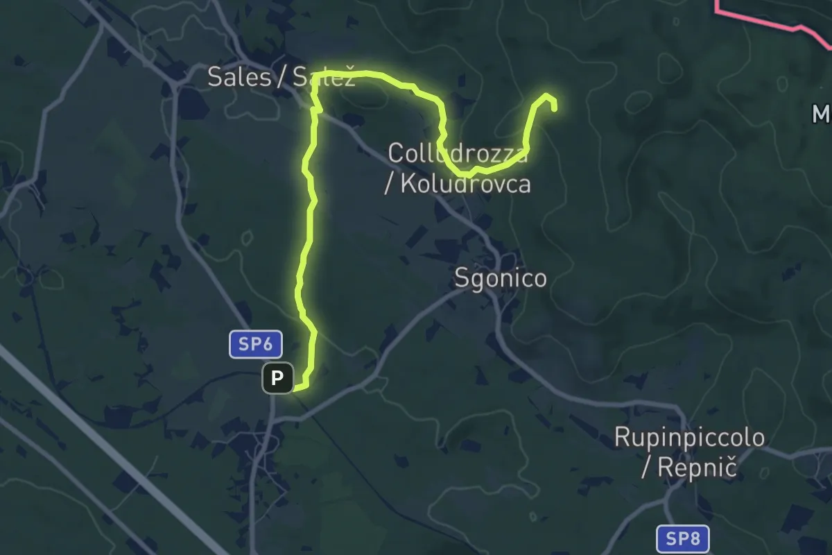
Medium · Summit
Sentiero natura
9.1 km · ↑ 158 m · 2 h 30 min
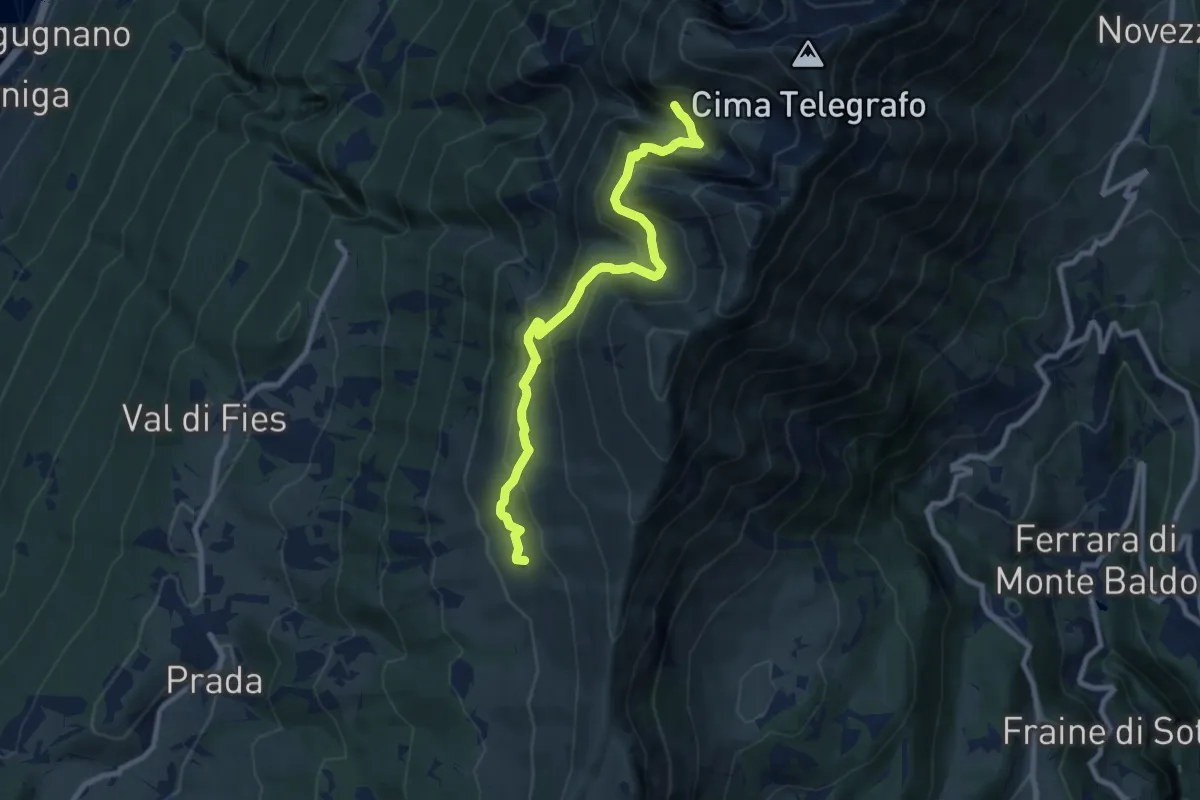
Medium · Trail
Sentiero Natura
9.2 km · ↑ 617 m · 3 h 31 min
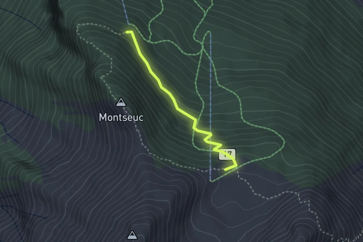
Medium · Trail
Sentiero Natura
2.5 km · ↑ 201 m · 1 h 2 min
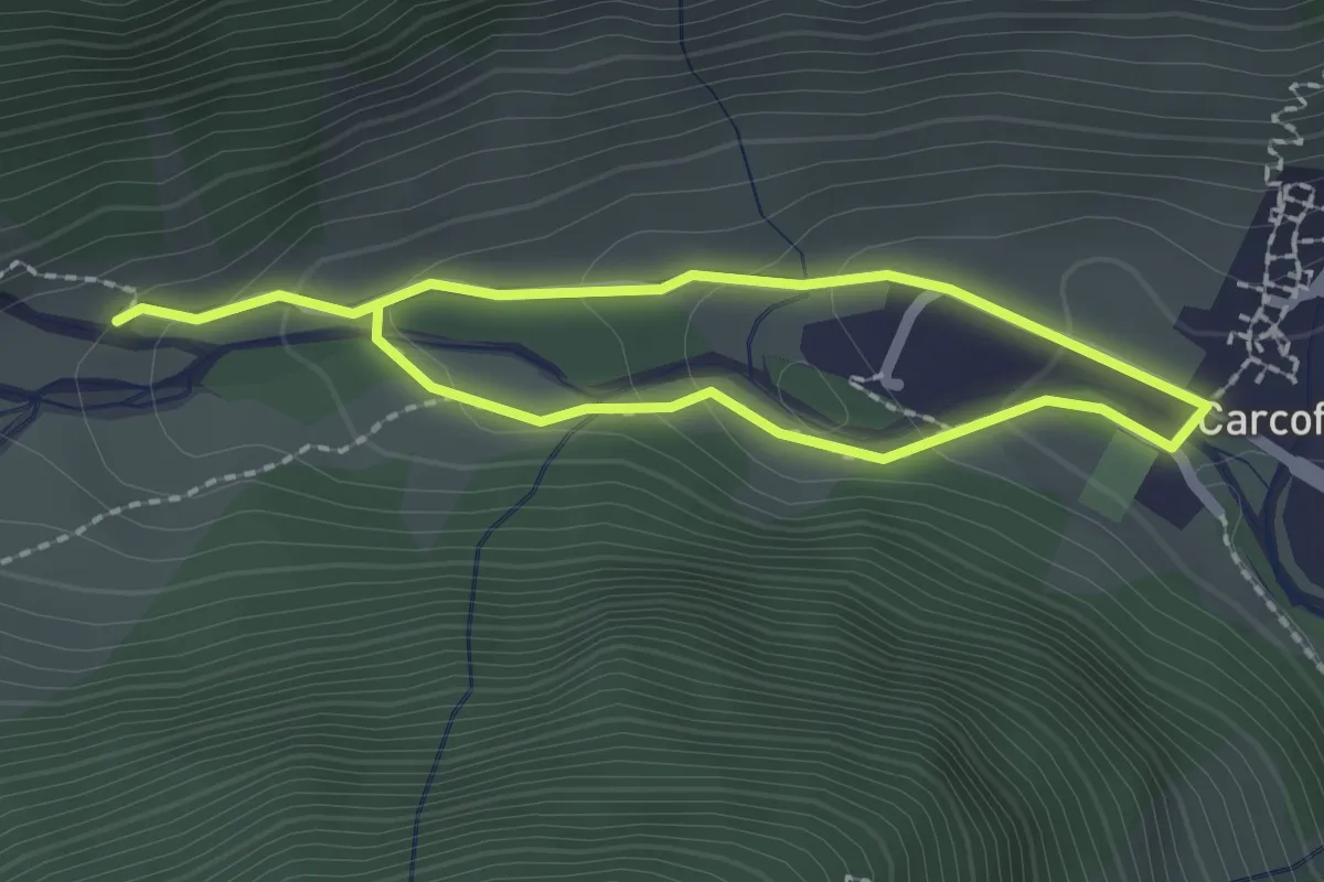
Easy · Trail
Sentiero Natura
3.2 km · ↑ 131 m · 1 h 3 min
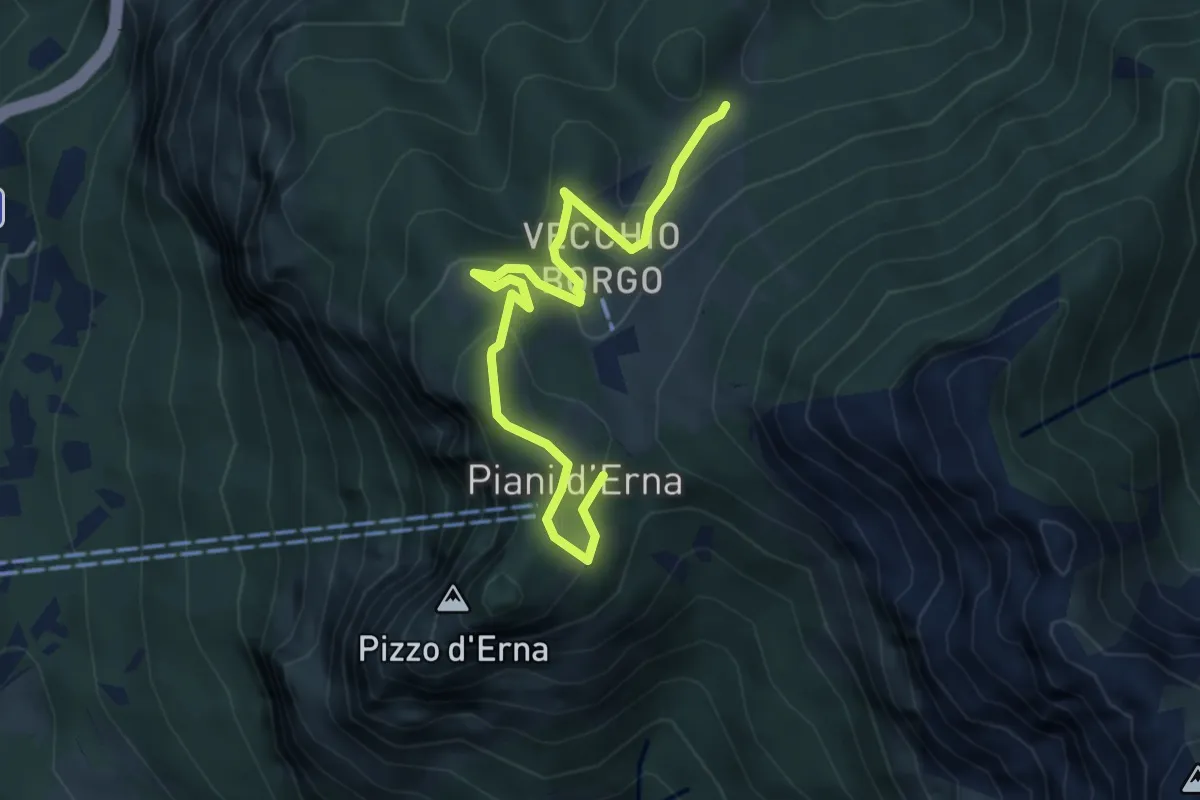
Easy · Trail
Sentiero Natura
5.3 km · ↑ 246 m · 1 h 47 min
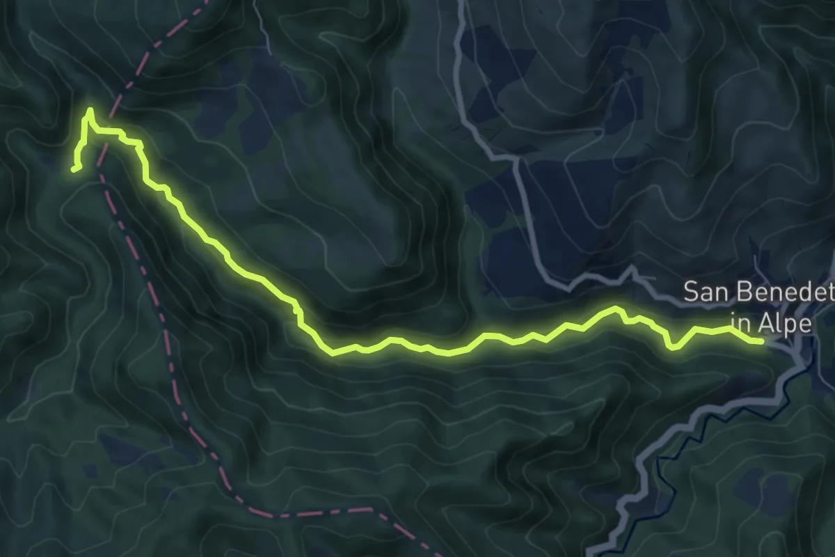
Medium · Trail
Sentiero Natura Acquacheta
4.6 km · ↑ 47 m · 1 h 21 min
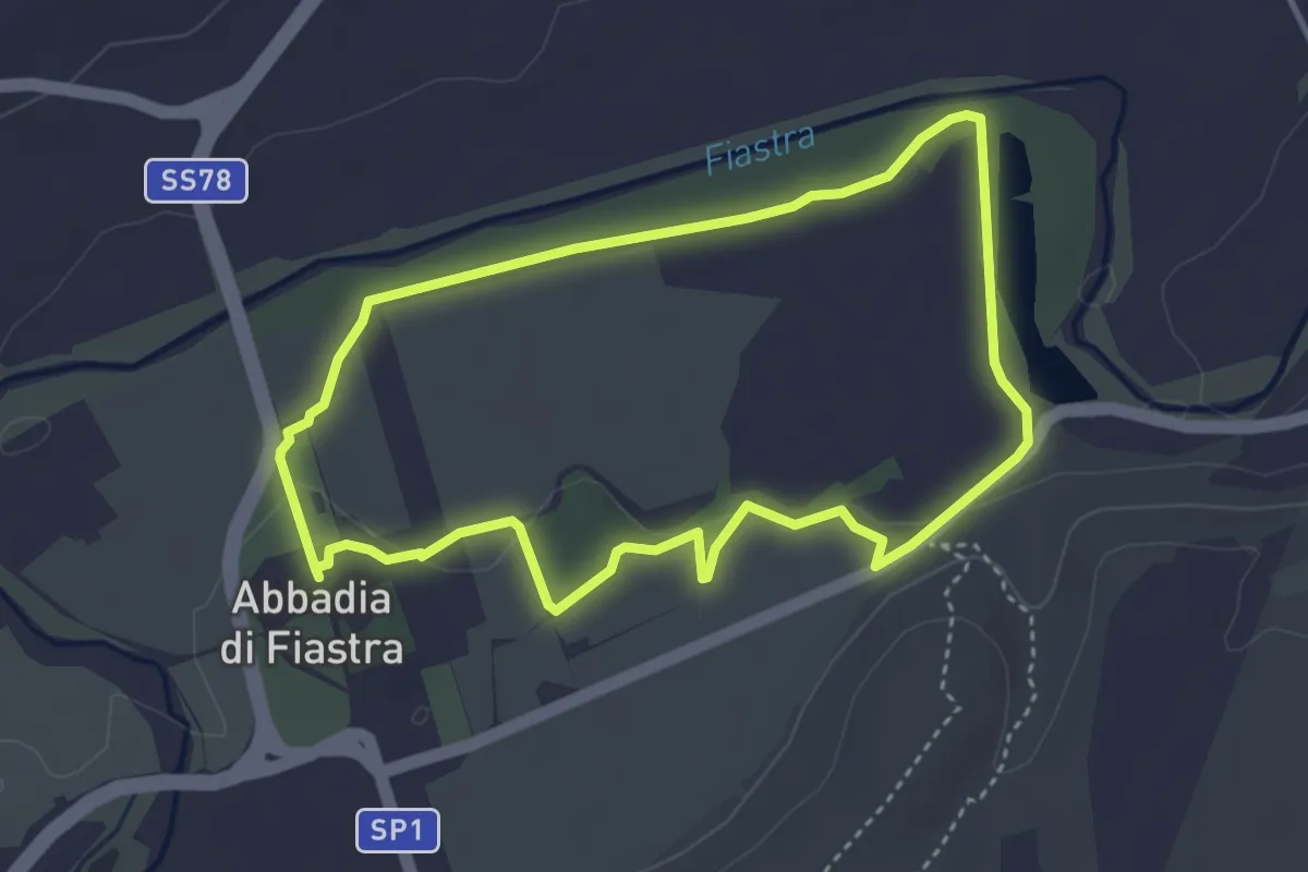
Easy · Trail
Sentiero natura B "Il lago Le Vene"
3.8 km · ↑ 37 m · 1 h 2 min
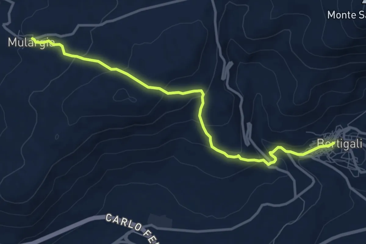
Medium · Trail
Sentiero Natura Bortigali-Mulargia
9.4 km · ↑ 448 m · 3 h 11 min
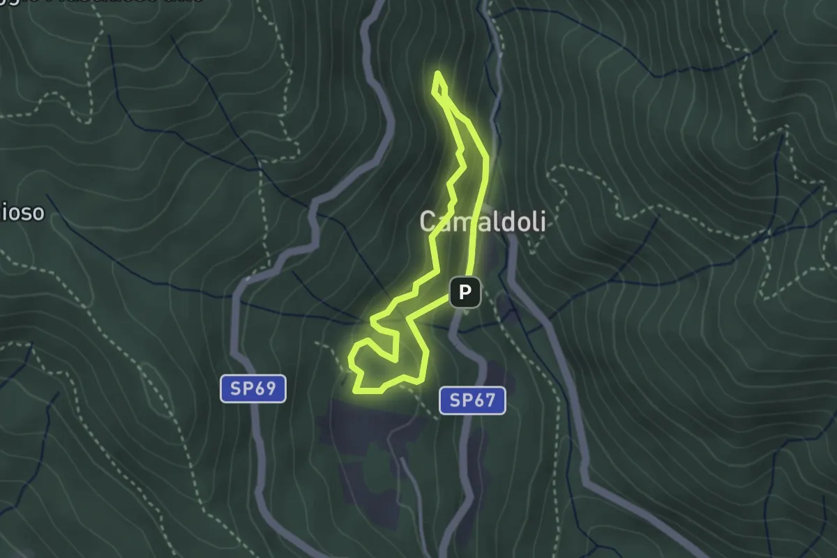
Demanding · Trail
Sentiero Natura Camaldoli
2.5 km · ↑ 166 m · 1 h
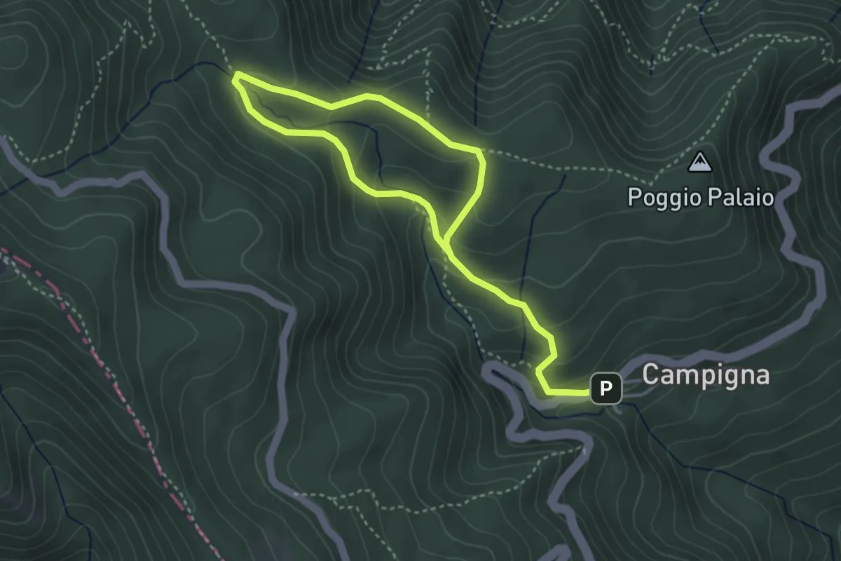
Medium · Trail
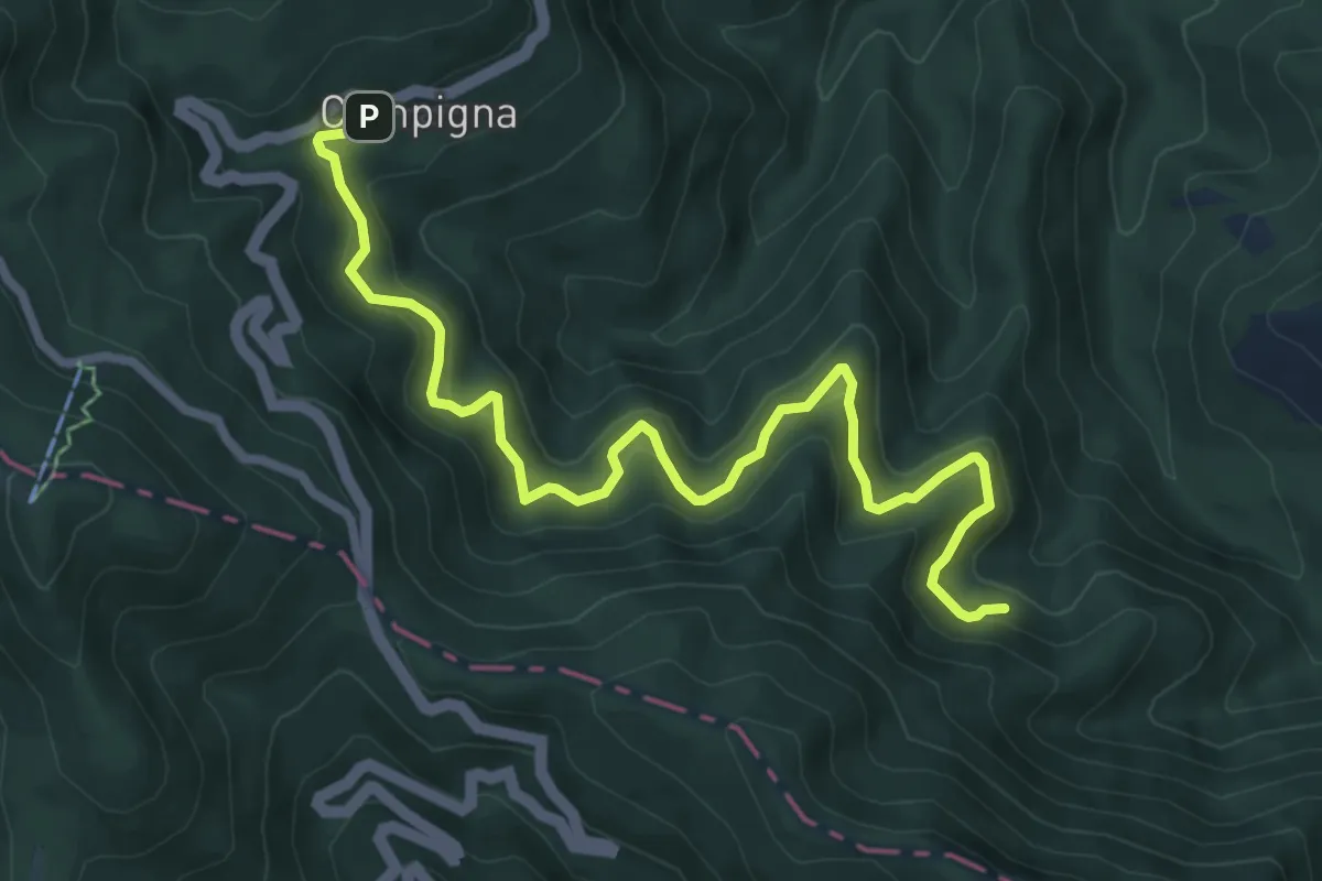
Sentiero Natura Campigna
2.8 km · ↑ 199 m · 1 h 6 min
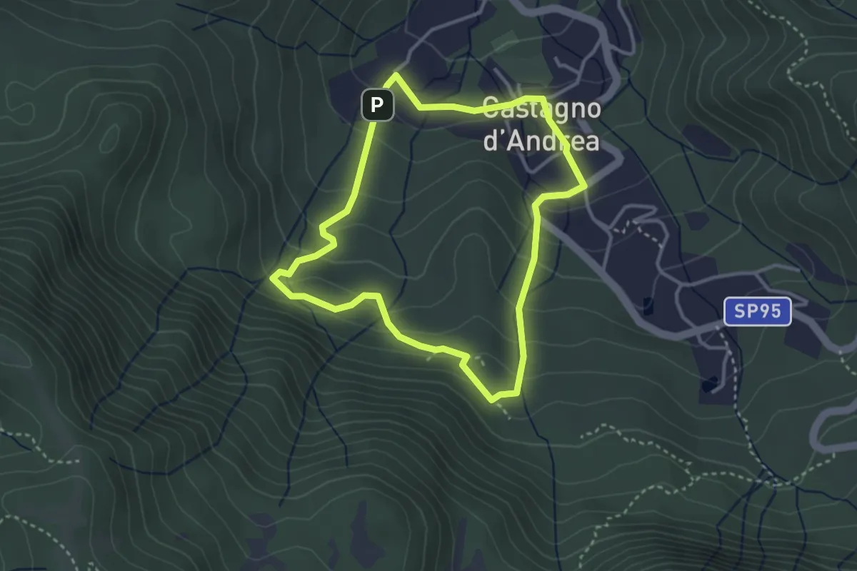
Easy · Trail
Sentiero Natura Castagno d'Andrea
3.2 km · ↑ 184 m · 1 h 12 min
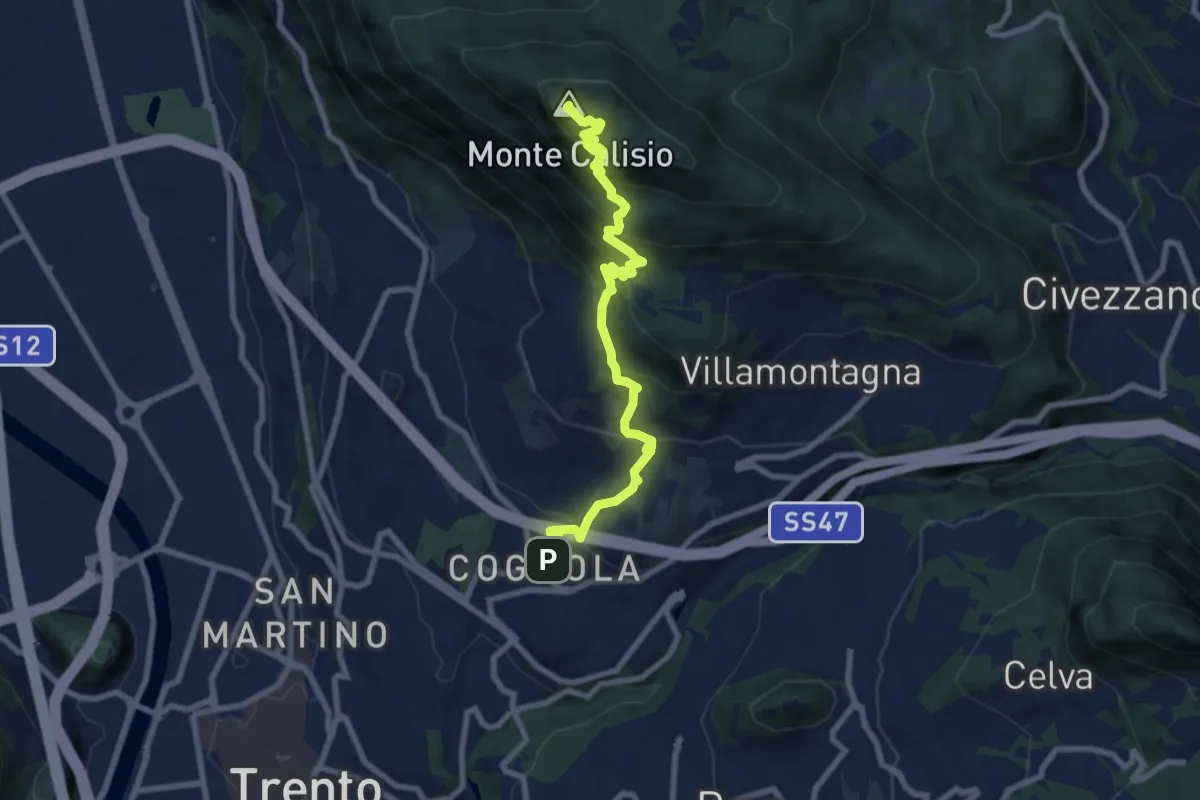
Medium · Summit
Sentiero Natura Cognola - Monte Calisio
8.3 km · ↑ 707 m · 3 h 30 min
Medium · Trail
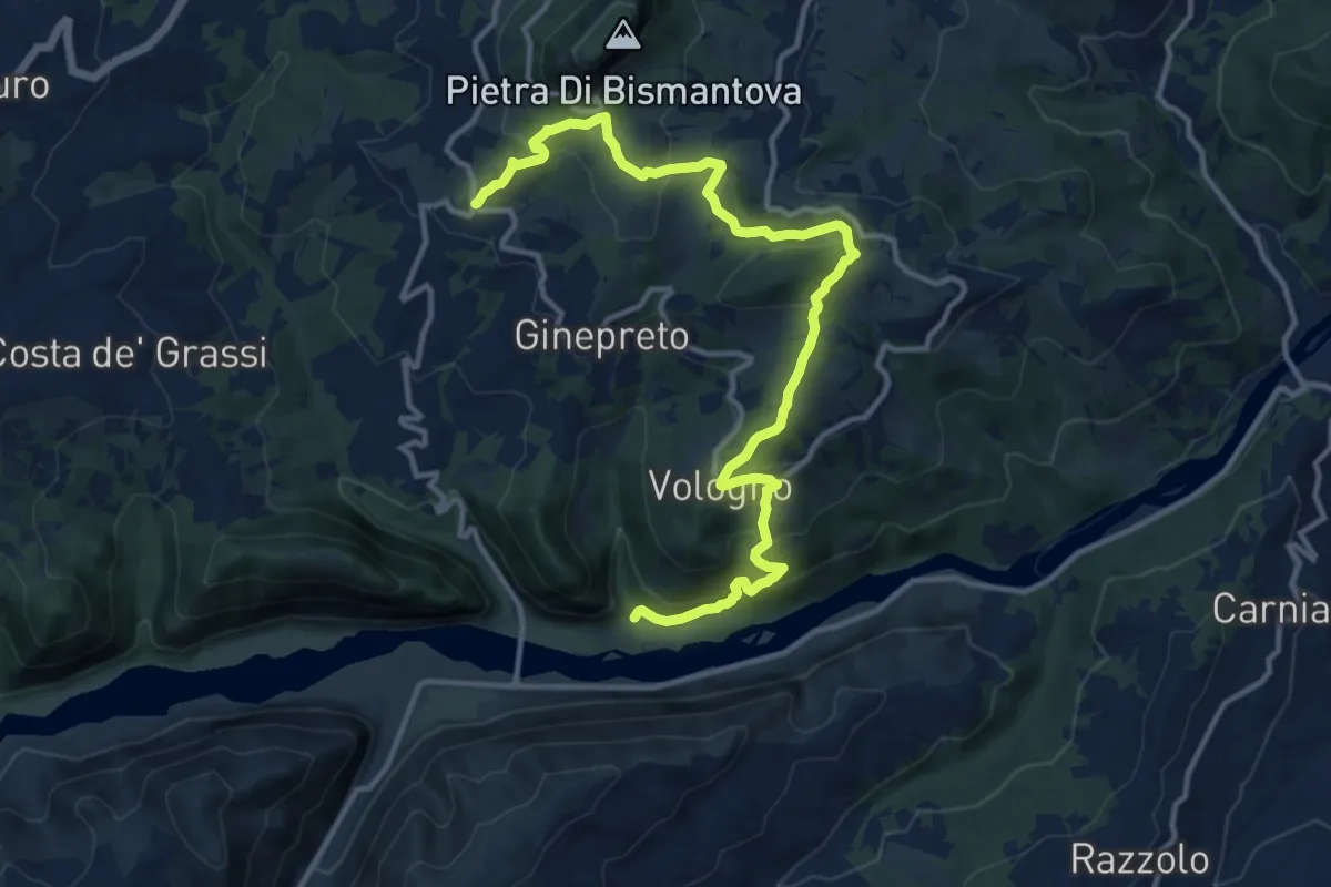
Sentiero Natura Cullacce
8.7 km · ↑ 705 m · 3 h 35 min
Medium · Trail
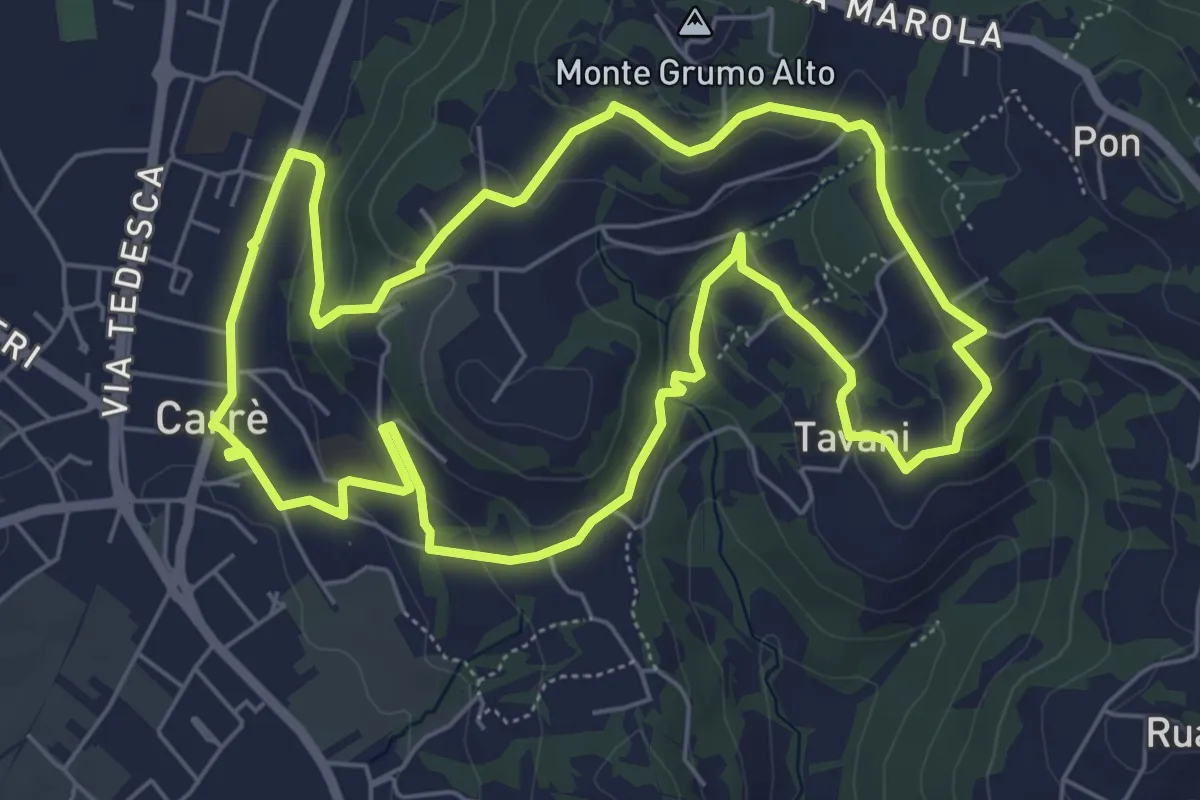
Sentiero Natura dei Gessi Triassici
15.2 km · ↑ 706 m · 5 h 7 min
Easy · Trail
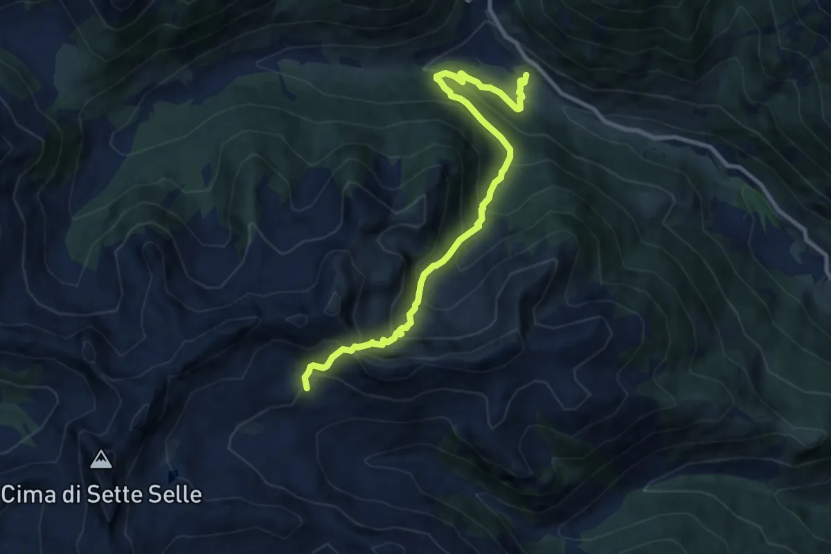
Sentiero Natura del Castello
6.6 km · ↑ 181 m · 2 h 2 min
Medium · Trail
Sentiero natura dell'Oasi di Valtrigona
9.3 km · ↑ 798 m · 3 h 56 min
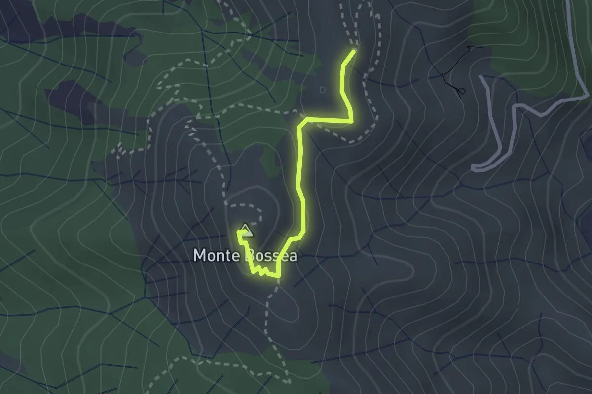
Medium · Summit
Sentiero Natura del Monte Bossea
2.1 km · ↑ 84 m · 41 min
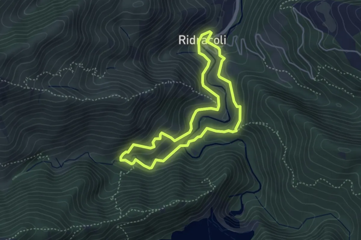
Medium · Trail
Sentiero Natura di Ridracoli
3.8 km · ↑ 207 m · 1 h 24 min
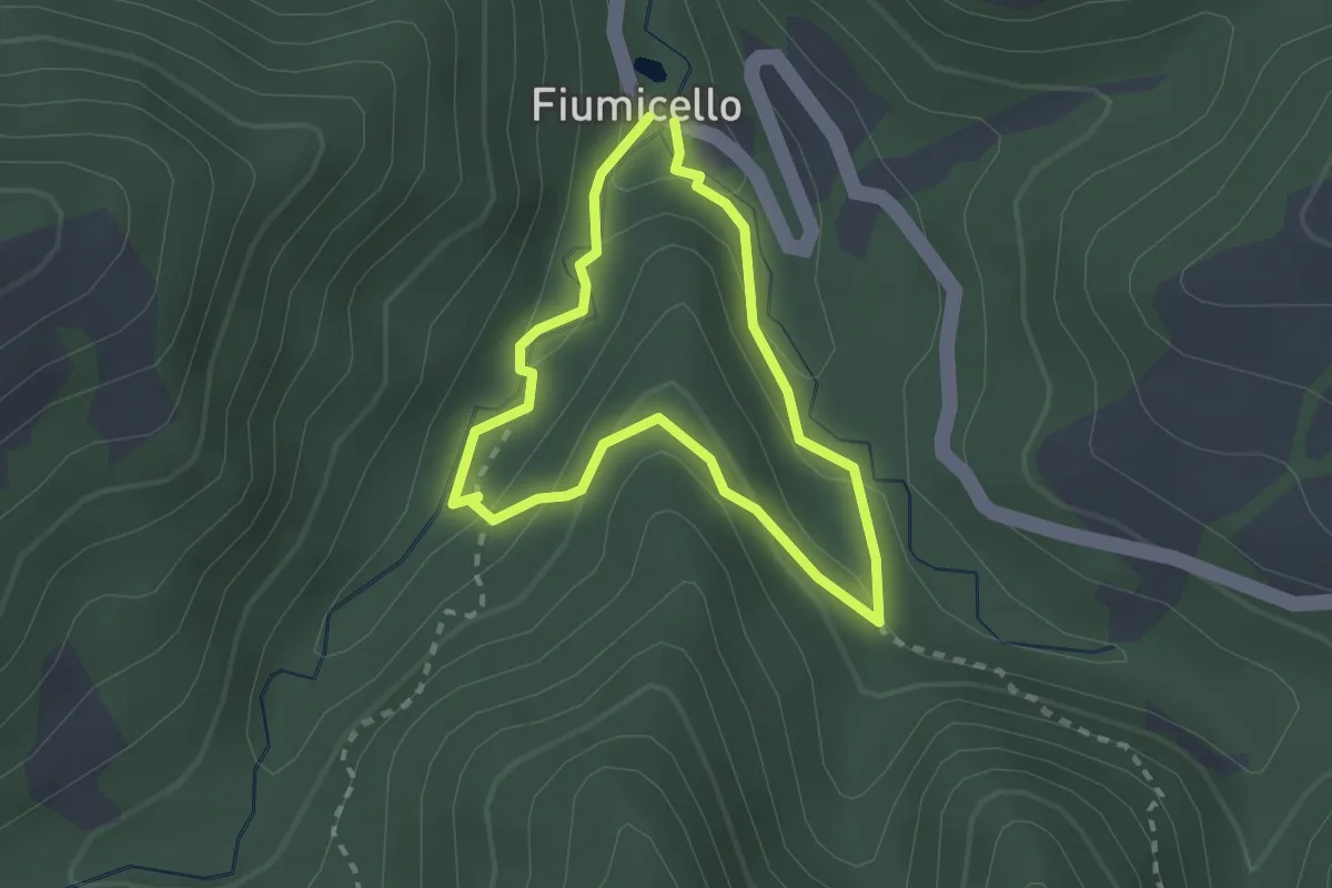
Medium · Trail
Sentiero Natura Fiumicello
2.0 km · ↑ 114 m · 45 min
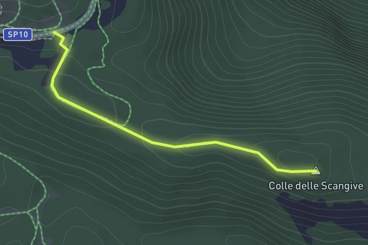
Easy · Summit
Sentiero Natura L'Acerone
2.1 km · ↑ 36 m · 35 min