Trails in Italy
25,219 hiking trails, each with its route, climb, walking time and grade.
All trails, page 186 of 526
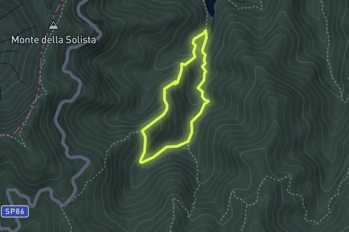
Medium · Trail
Sentiero Natura Lago di Ponte
2.3 km · ↑ 151 m · 55 min
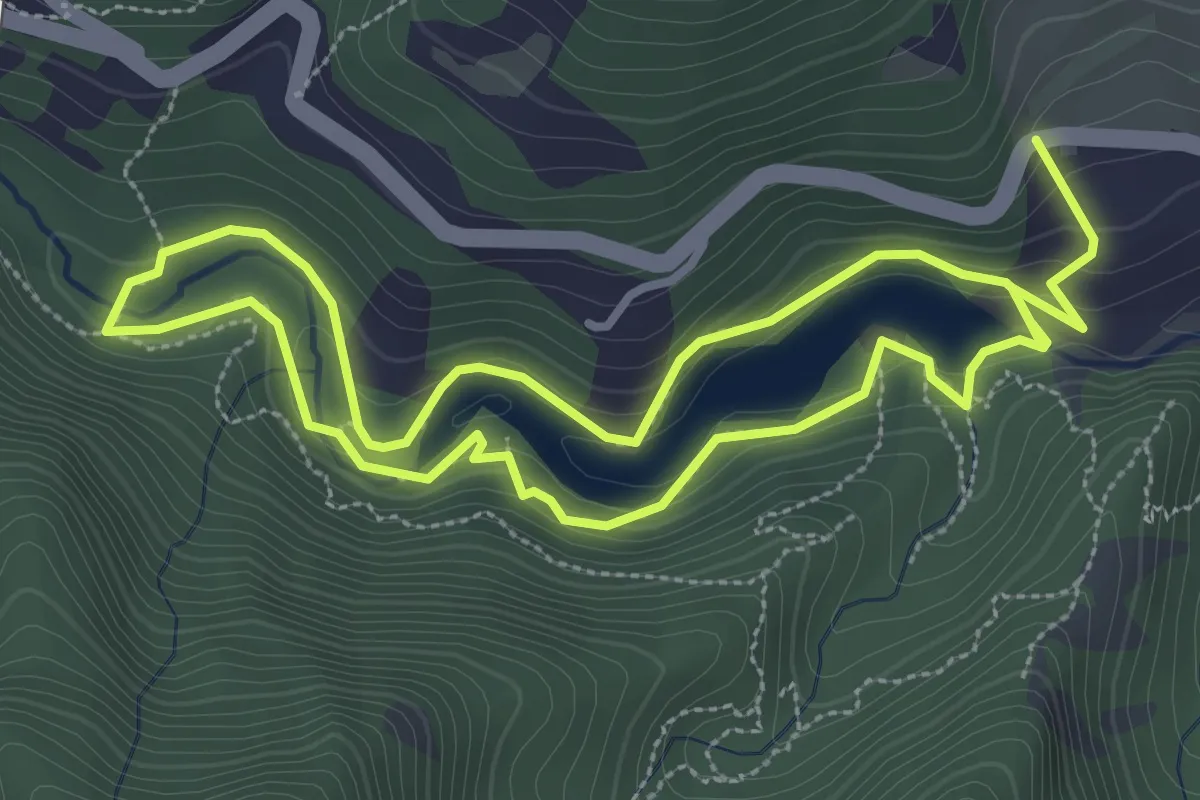
Medium · Trail
Sentiero Natura Lago Poggio Baldi
3.3 km · ↑ 78 m · 1 h 1 min
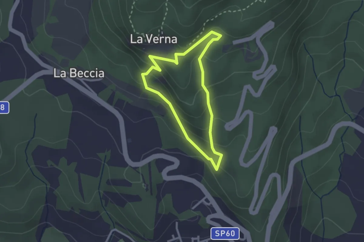
Easy · Trail
Sentiero Natura la Verna
2.2 km · ↑ 138 m · 50 min
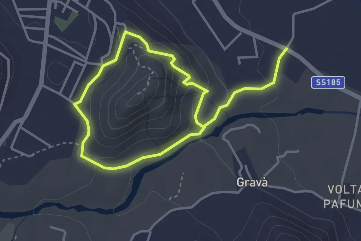
Medium · Trail
Sentiero natura Le Gurne dell'Alcantara
2.6 km · ↑ 112 m · 54 min
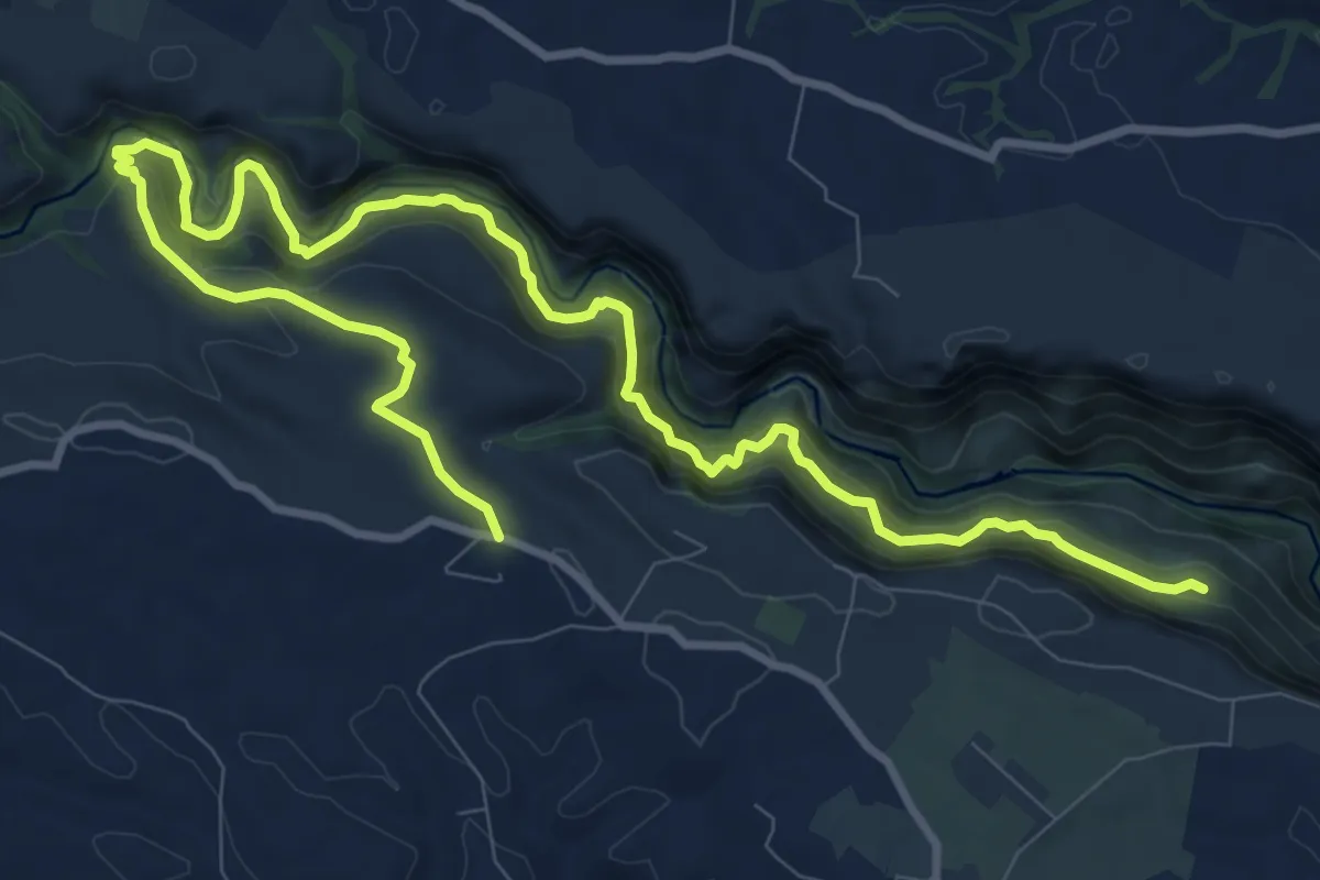
Demanding · Trail
Sentiero Naturalistico
16.4 km · ↑ 904 m · 5 h 50 min
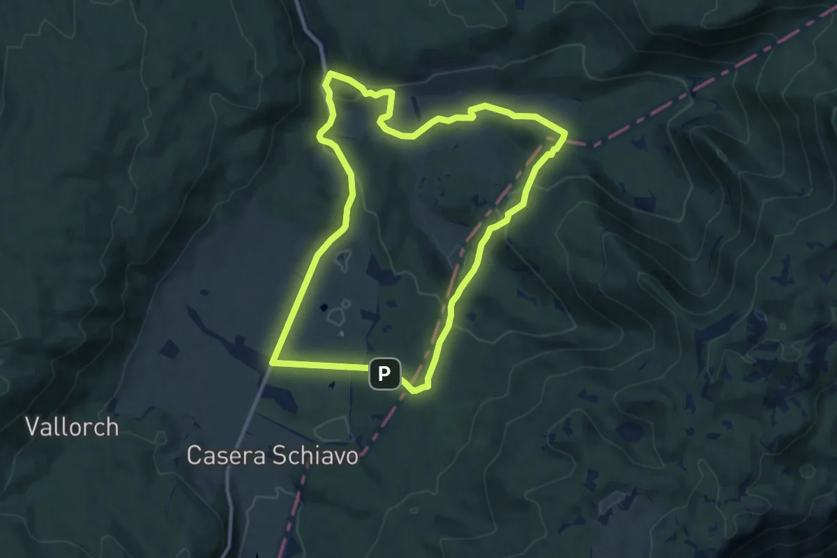
Medium · Summit
Sentiero naturalistico A
10.0 km · ↑ 287 m · 3 h 7 min
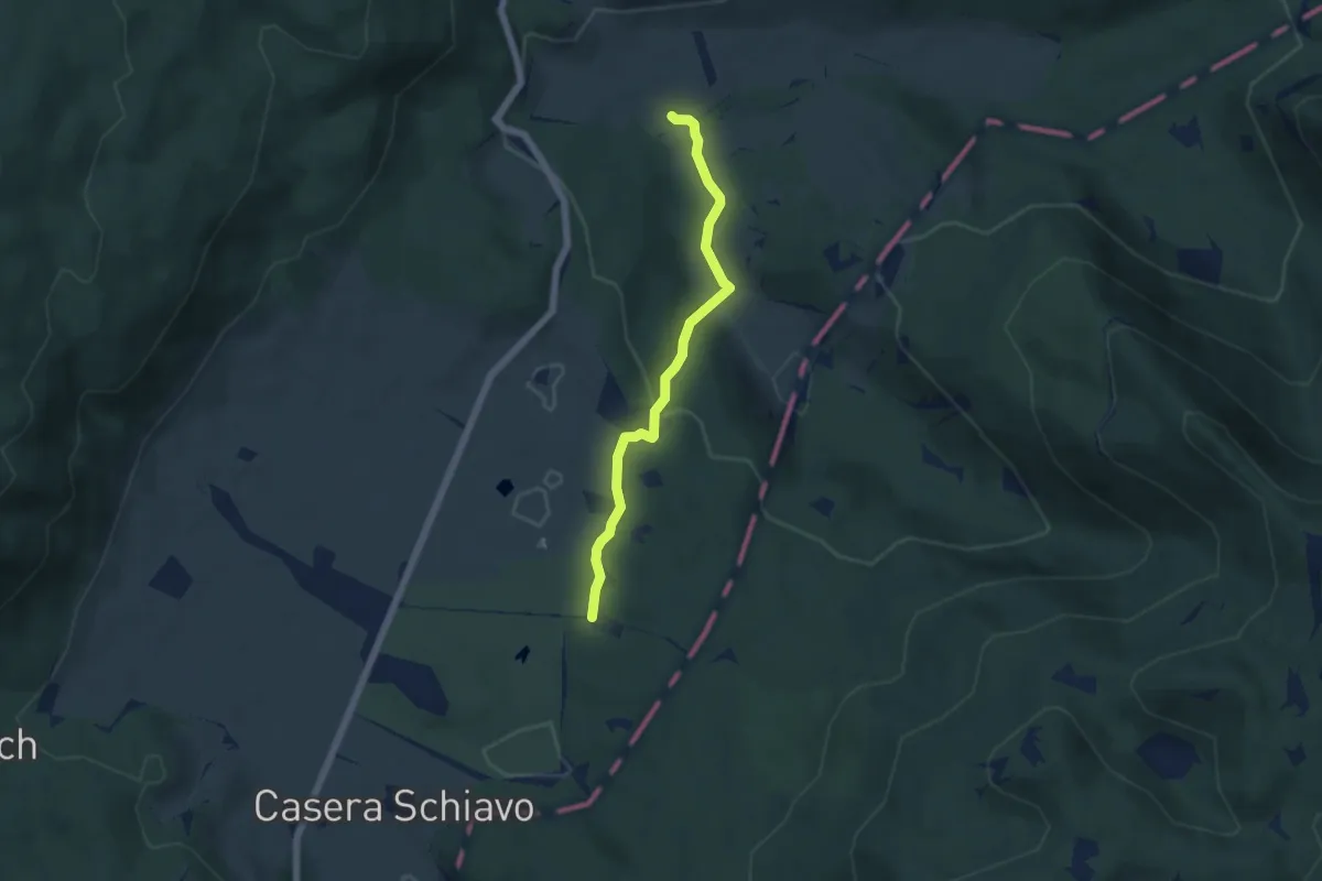
Medium · Trail
Sentiero naturalistico A1
5.0 km · ↑ 132 m · 1 h 28 min
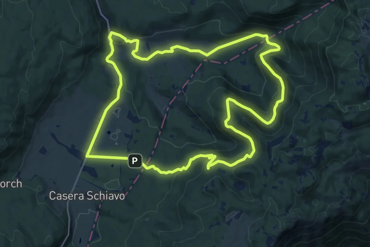
Medium · Summit
Sentiero naturalistico B
16.6 km · ↑ 475 m · 5 h 11 min
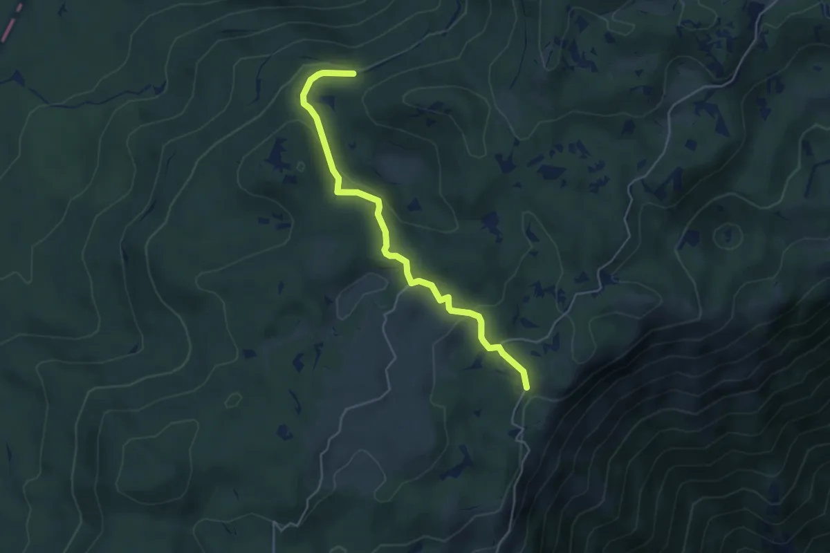
Medium · Trail
Sentiero naturalistico B1
4.7 km · ↑ 183 m · 1 h 31 min
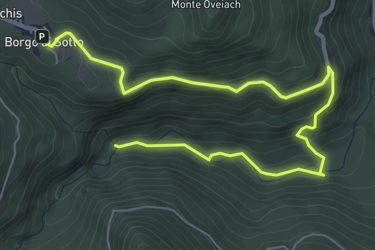
Medium · Trail
Sentiero Naturalistico "Cascate Cukula"
6.9 km · ↑ 324 m · 2 h 19 min
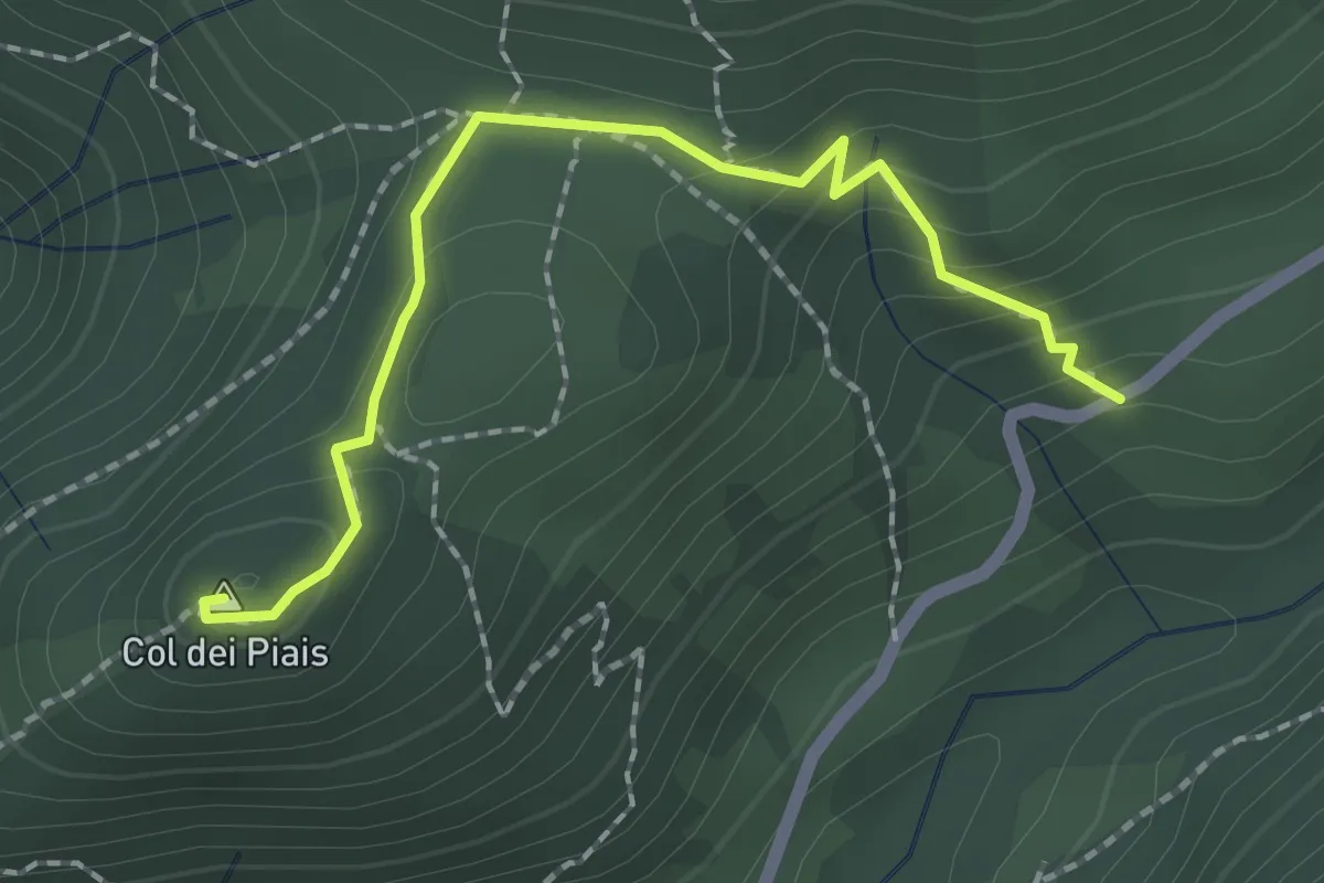
Medium · Summit
Sentiero naturalistico Col dei Piais
2.1 km · ↑ 160 m · 50 min
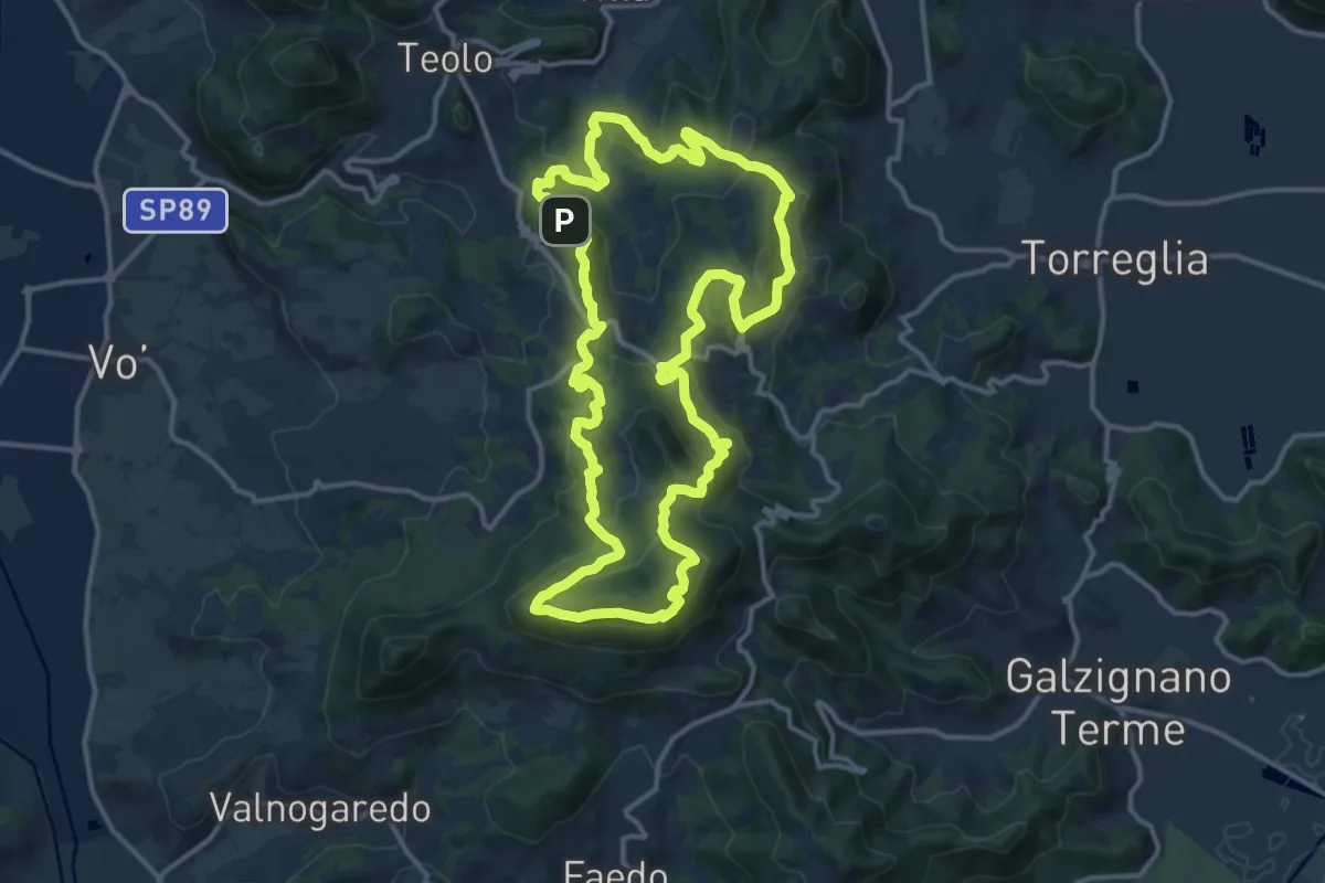
Demanding · Summit
Sentiero Naturalistico dei Colli Euganei Centrali
14.5 km · ↑ 776 m · 5 h 19 min
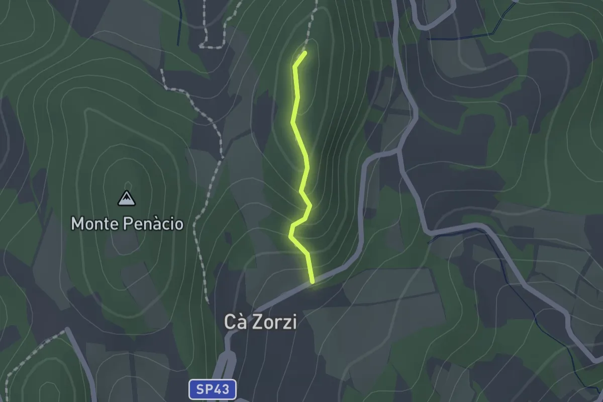
Medium · Summit
Sentiero Naturalistico dei Colli Euganei Centrali - variante 2A
0.9 km · ↑ 74 m · 23 min
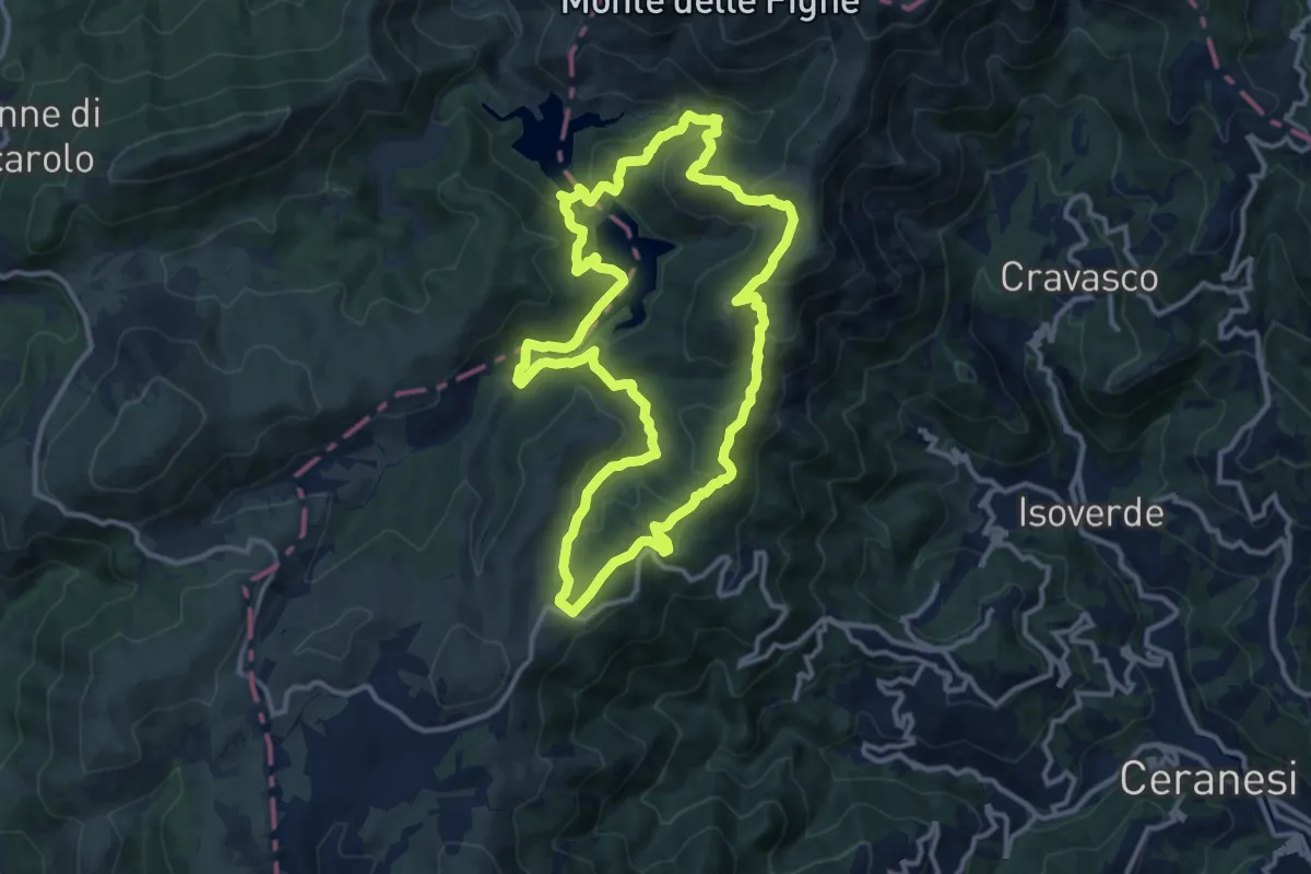
Medium · Summit
Sentiero naturalistico dei Laghi del Gorzente
12.4 km · ↑ 516 m · 4 h 14 min
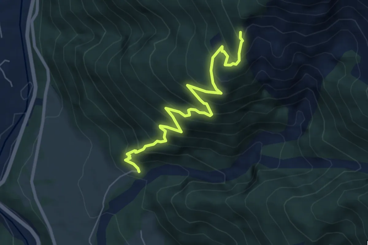
Medium · Trail
Sentiero naturalistico dei "Lander"
5.9 km · ↑ 602 m · 2 h 42 min
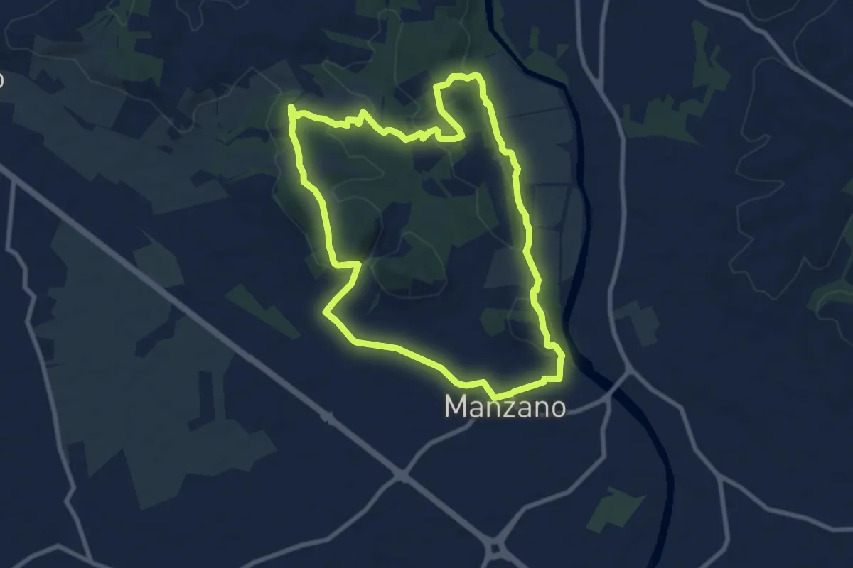
Medium · Trail
Sentiero Naturalistico della Sdricca
8.0 km · ↑ 132 m · 2 h 18 min
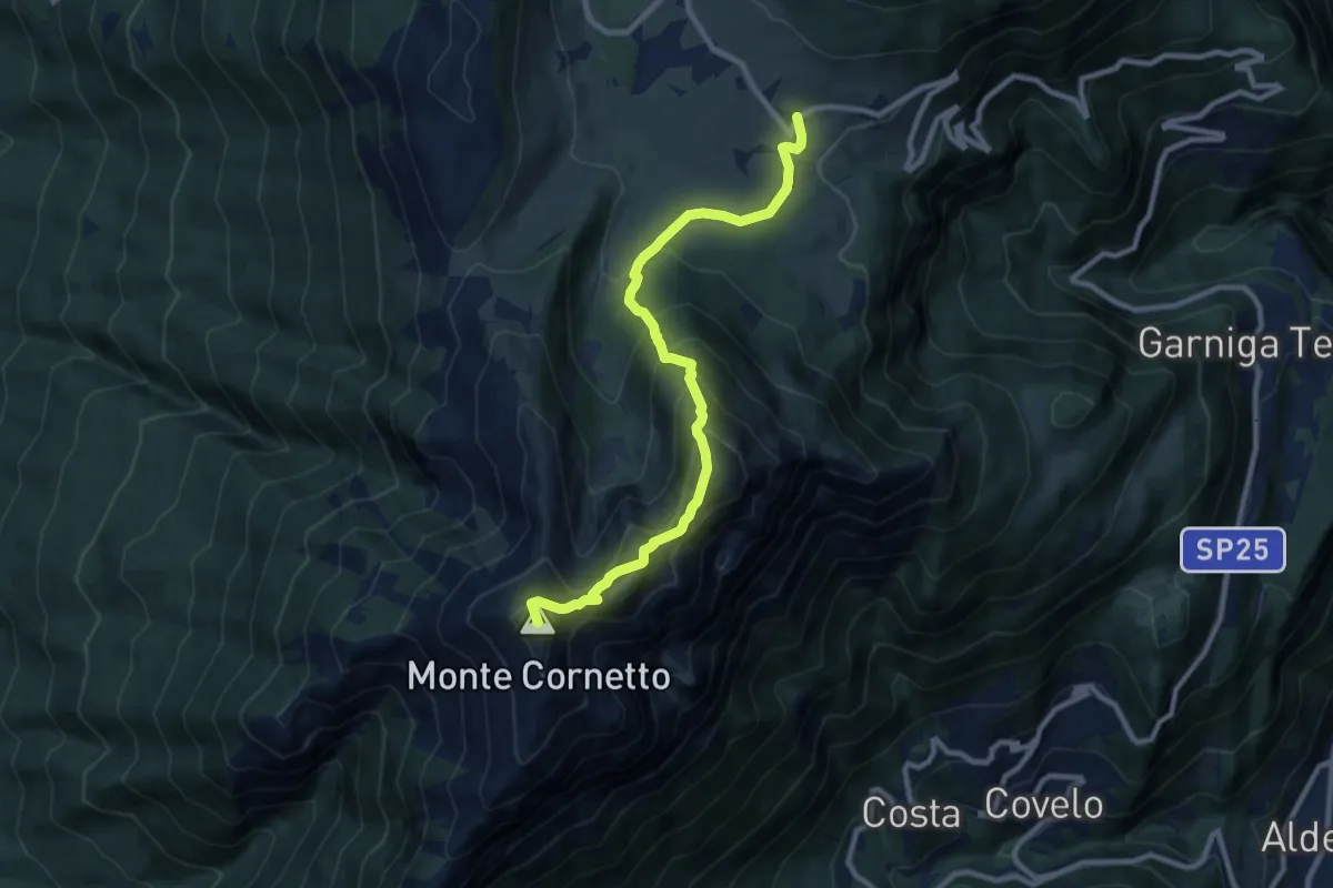
Demanding · Summit
Sentiero naturalistico delle Tre Cime
9.4 km · ↑ 794 m · 3 h 57 min
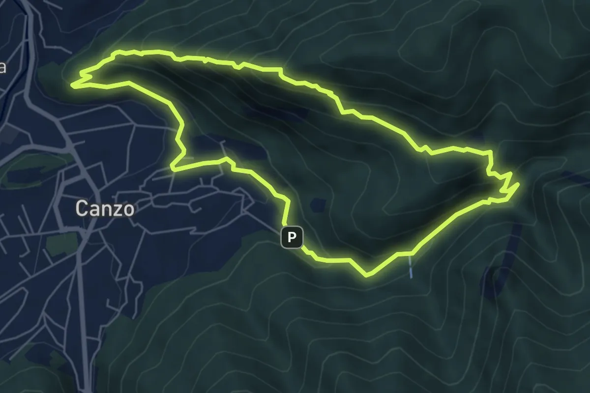
Medium · Trail
Sentiero Naturalistico dello Spaccasassi
5.9 km · ↑ 462 m · 2 h 29 min
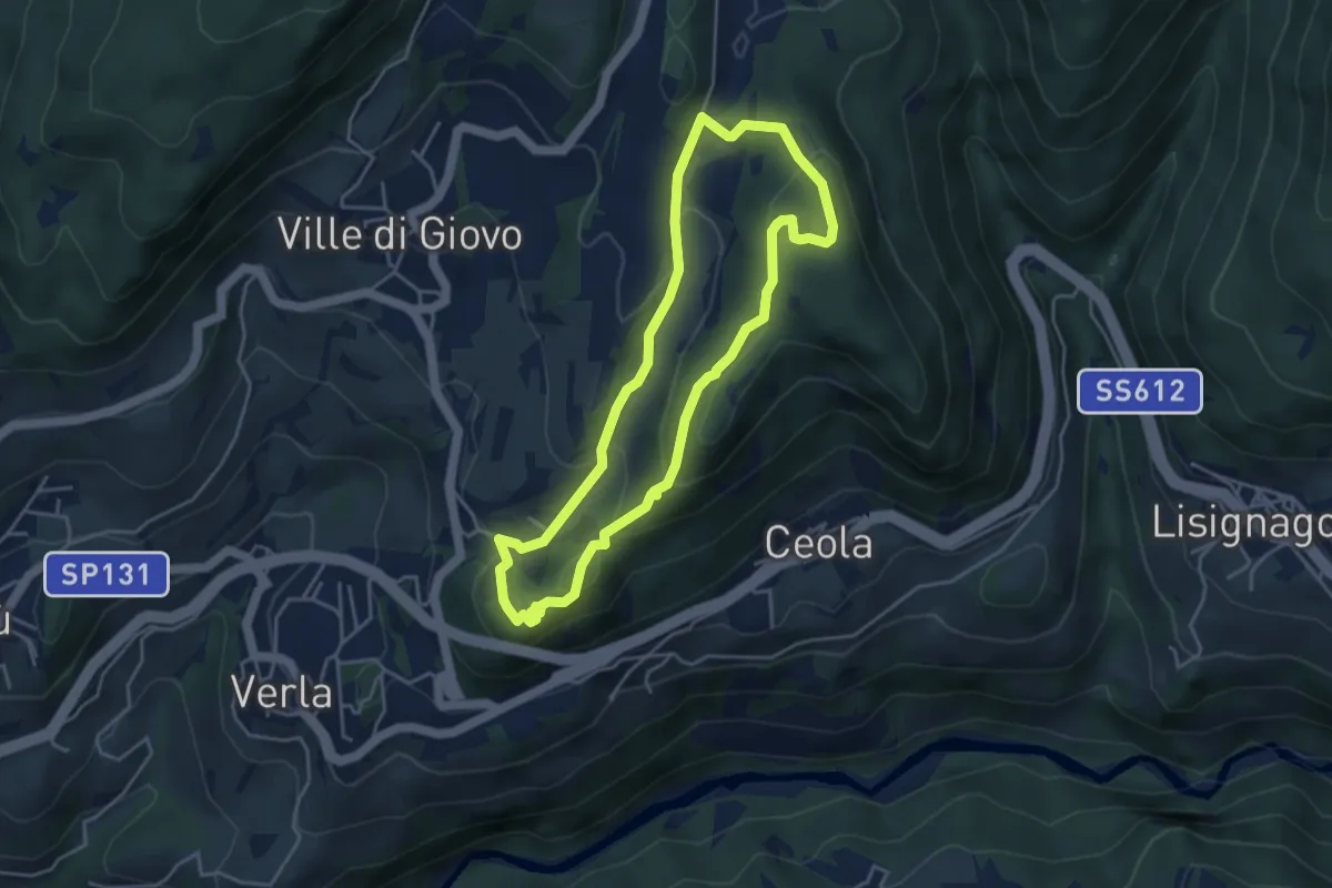
Easy · Trail
Sentiero naturalistico del Mancabrot
4.0 km · ↑ 186 m · 1 h 25 min
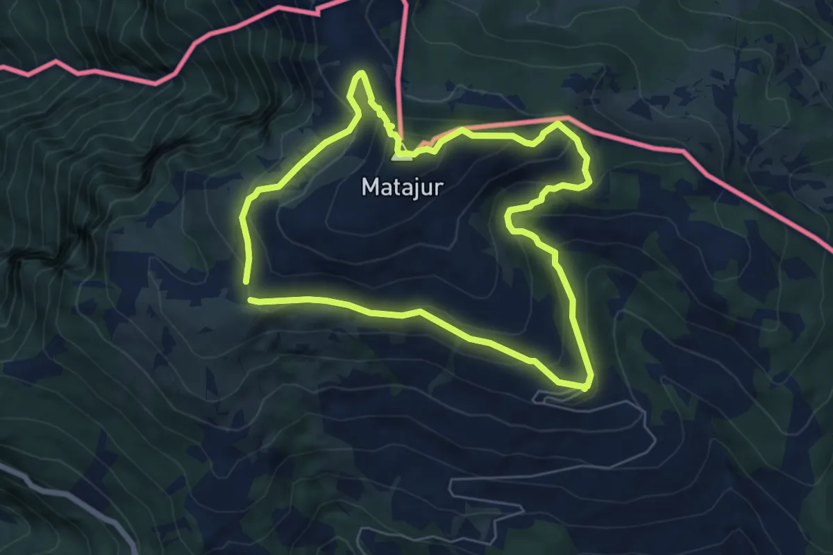
Medium · Summit
Sentiero Naturalistico del Matajur
5.7 km · ↑ 347 m · 2 h 10 min
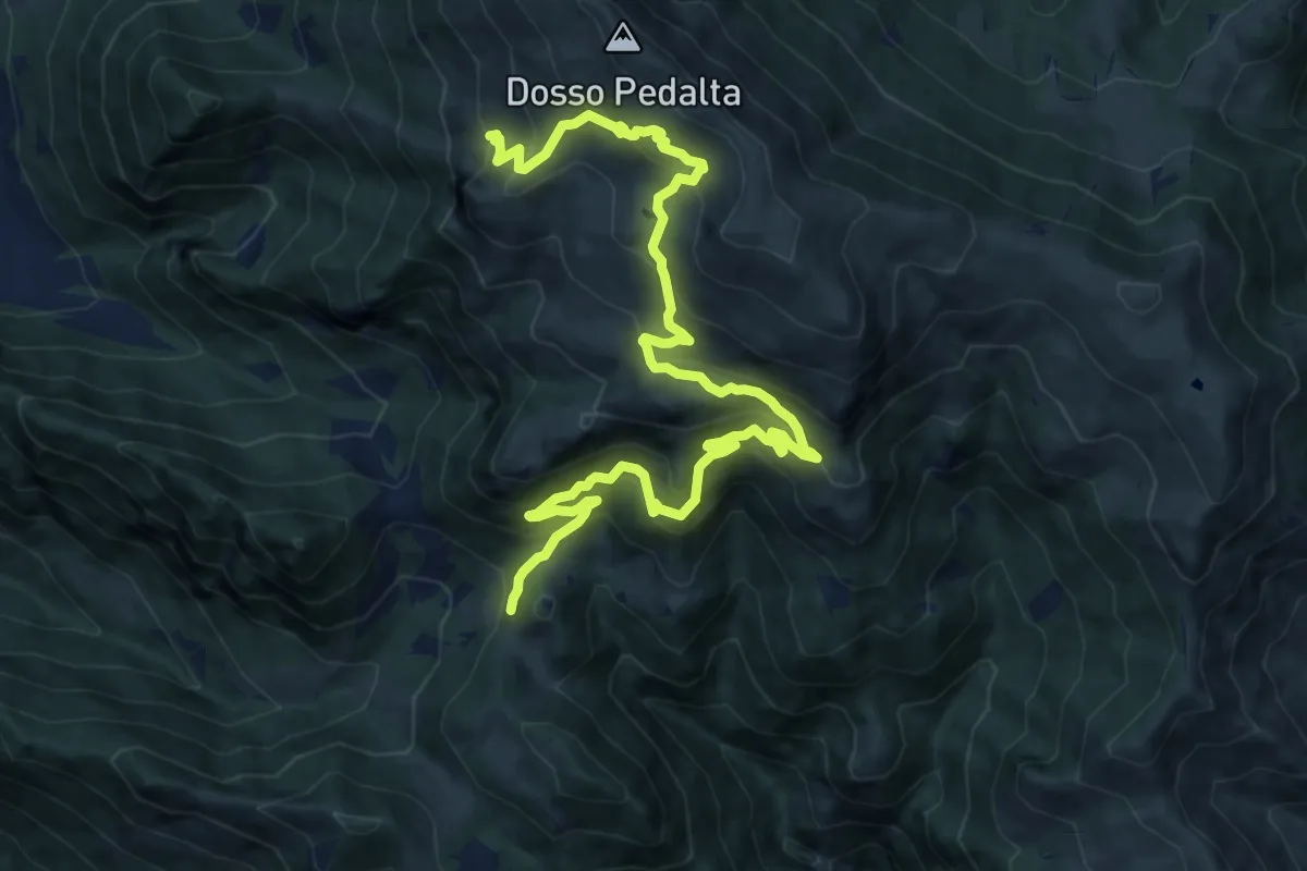
Medium · Summit
Sentiero naturalistico del Sebino
8.0 km · ↑ 356 m · 3 h 1 min
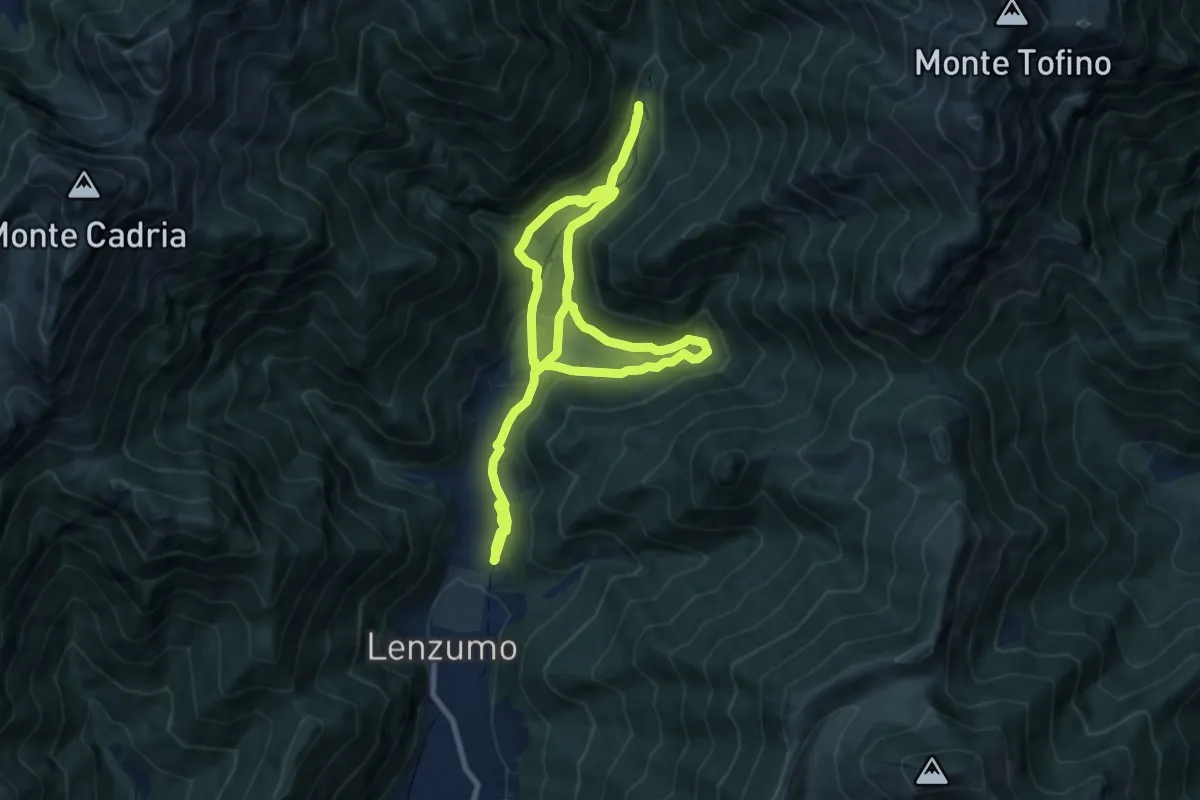
Medium · Trail
Sentiero naturalistico di fondovalle
8.4 km · ↑ 229 m · 2 h 37 min
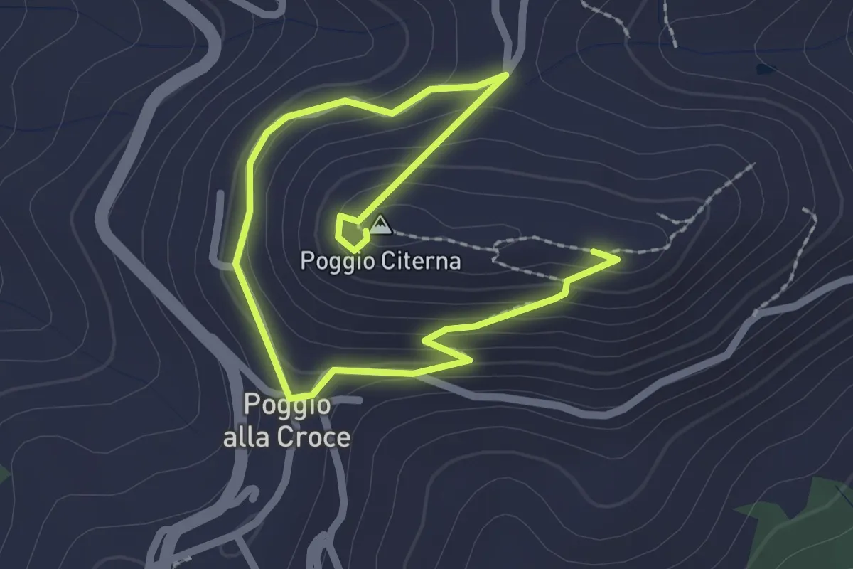
Medium · Summit
Sentiero naturalistico di Poggio Citerna
1.6 km · ↑ 73 m · 34 min
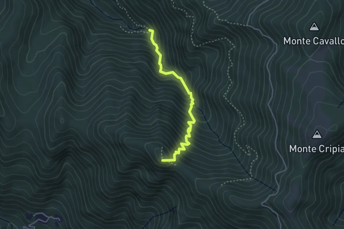
Demanding · Summit
Sentiero naturalistico dl Rio Gorgons
3.2 km · ↑ 411 m · 1 h 39 min
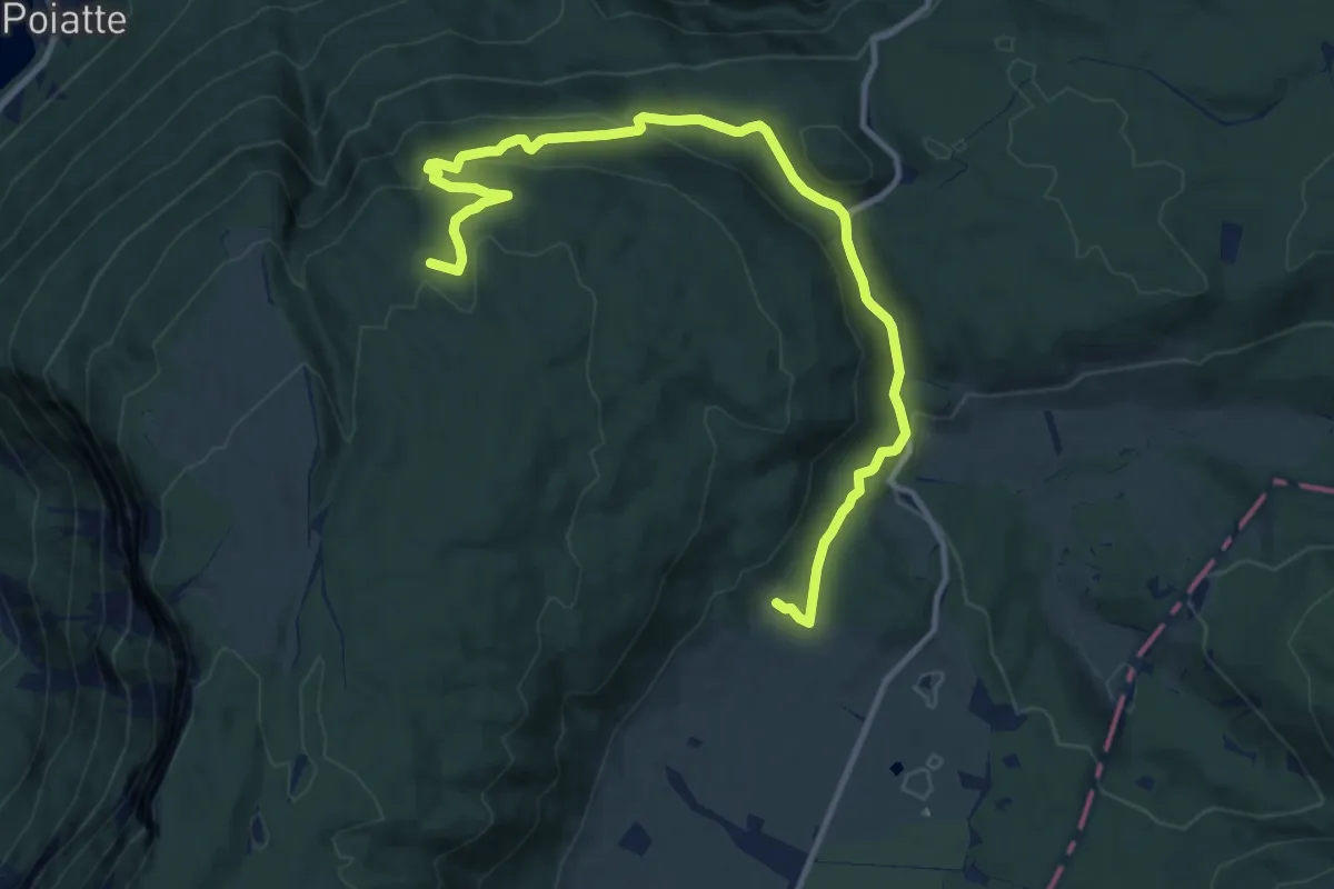
Medium · Trail
Sentiero naturalistico E
13.1 km · ↑ 437 m · 4 h 2 min
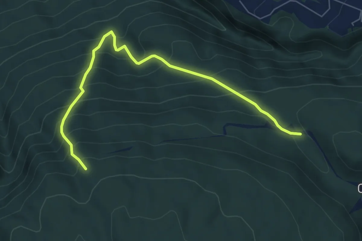
Medium · Trail
Sentiero naturalistico E1
6.2 km · ↑ 676 m · 2 h 56 min
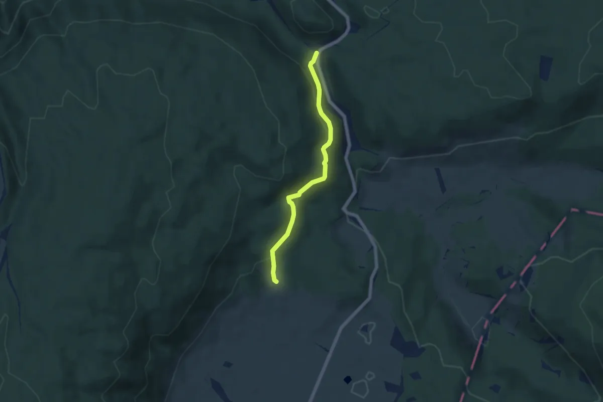
Easy · Trail
Sentiero naturalistico E2
4.8 km · ↑ 205 m · 1 h 35 min
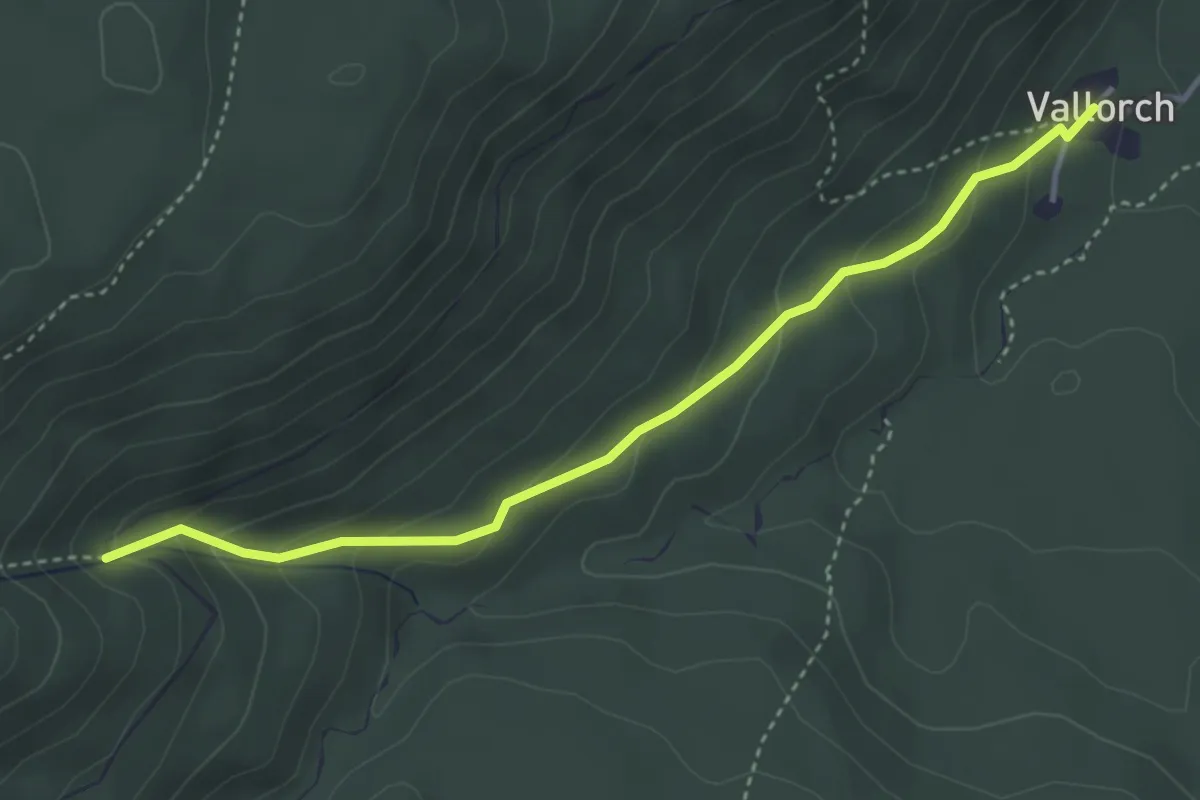
Medium · Trail
Sentiero naturalistico F1
3.9 km · ↑ 219 m · 1 h 23 min
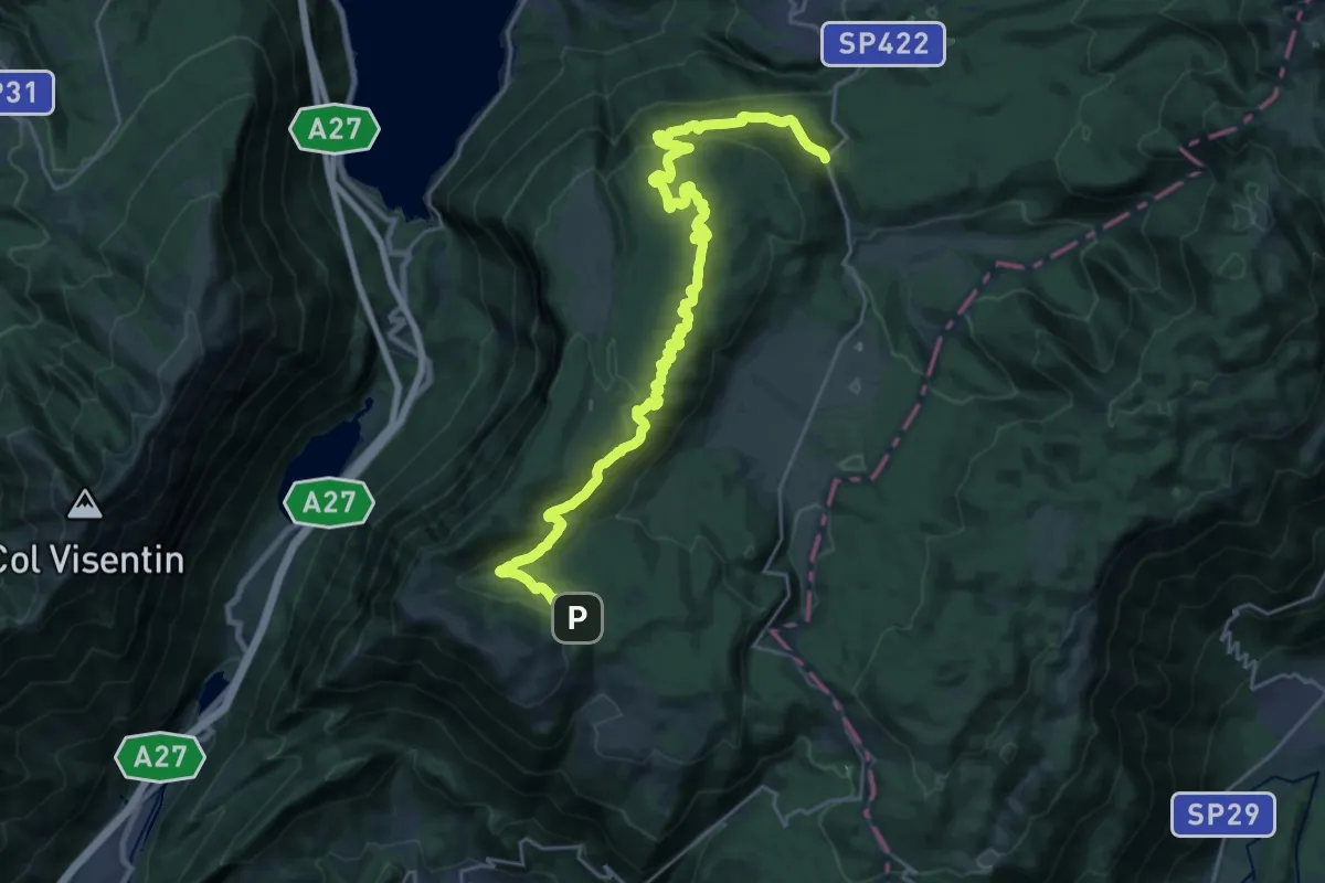
Medium · Trail
Sentiero naturalistico F - Strada del Taffarel
14.3 km · ↑ 255 m · 4 h 17 min
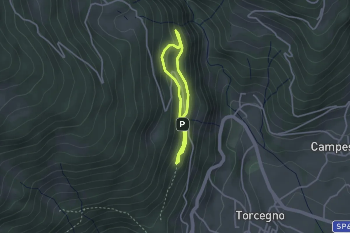
Easy · Trail
Sentiero naturalistico guardia caccia Franco Furlan
1.8 km · ↑ 107 m · 41 min
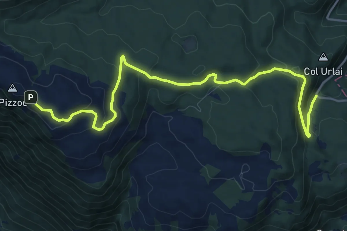
Medium · Trail
Sentiero Naturalistico H
12.6 km · ↑ 435 m · 3 h 55 min
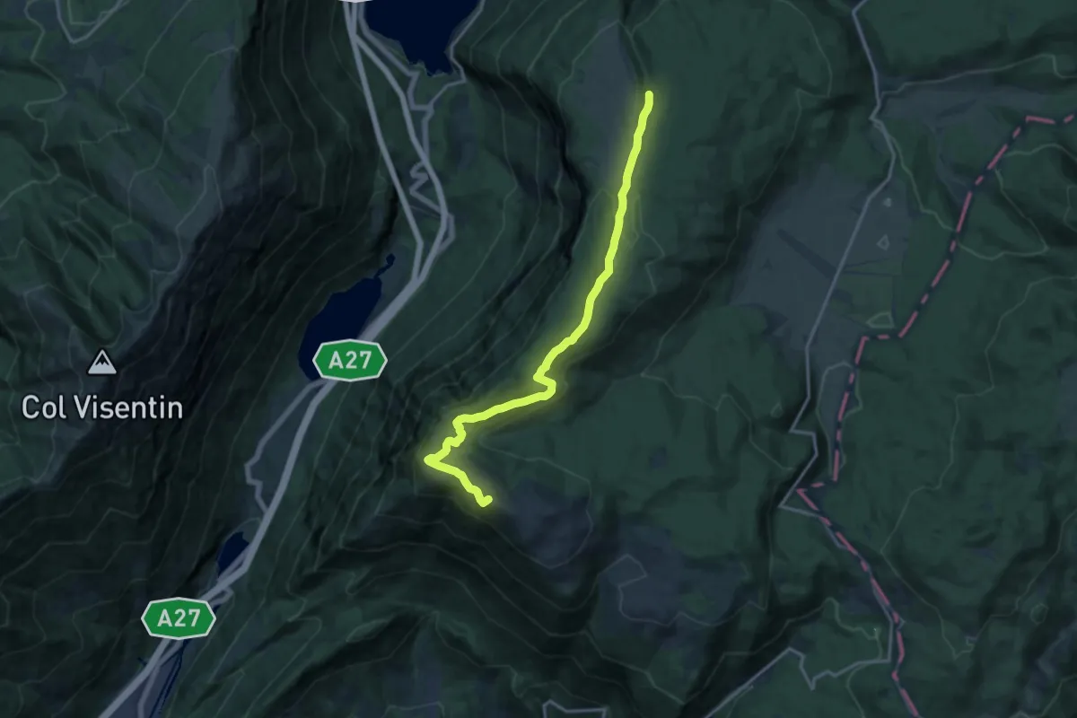
Medium · Summit
Sentiero Naturalistico H3
15.2 km · ↑ 516 m · 4 h 43 min
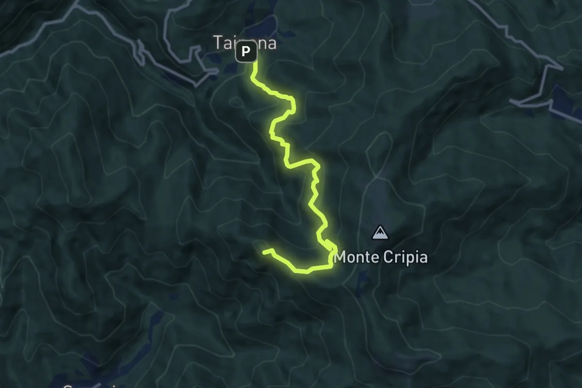
Demanding · Summit
Sentiero naturalistico Holuje - Kladja
8.6 km · ↑ 677 m · 3 h 30 min
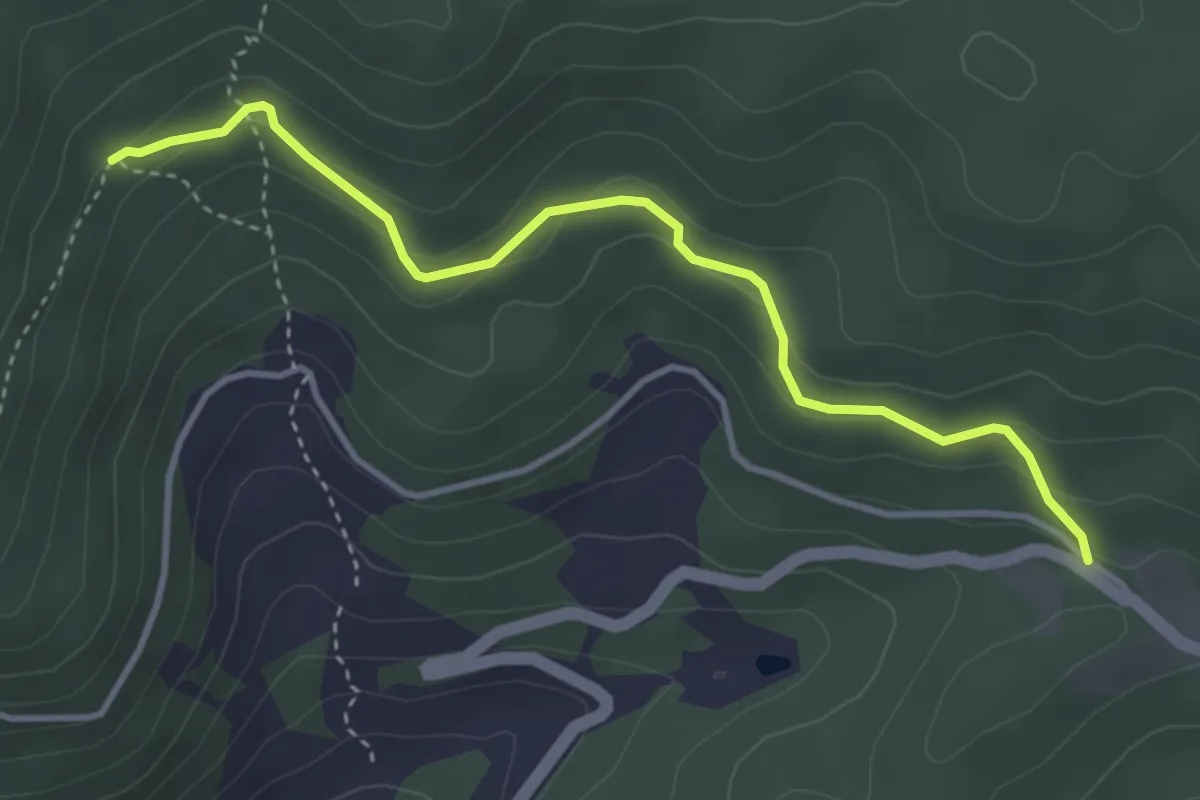
Medium · Trail
Sentiero Naturalistico "La Rocca"
3.9 km · ↑ 185 m · 1 h 19 min
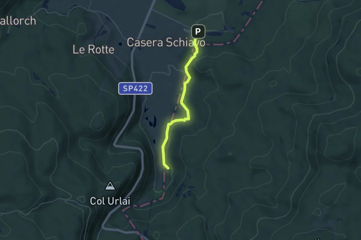
Medium · Trail
Sentiero naturalistico M
4.0 km · ↑ 90 m · 1 h 8 min
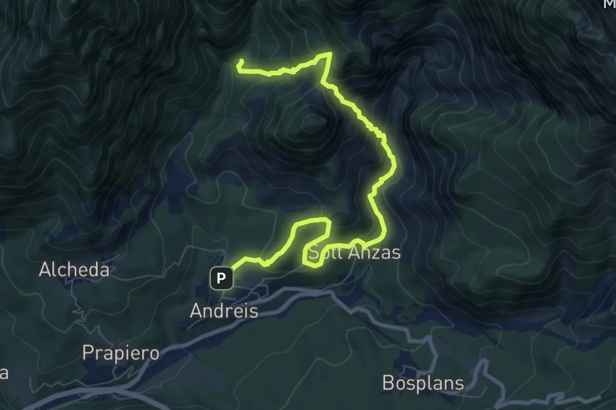
Medium · Trail
Sentiero naturalistico Monte Ciavac
9.1 km · ↑ 791 m · 3 h 52 min
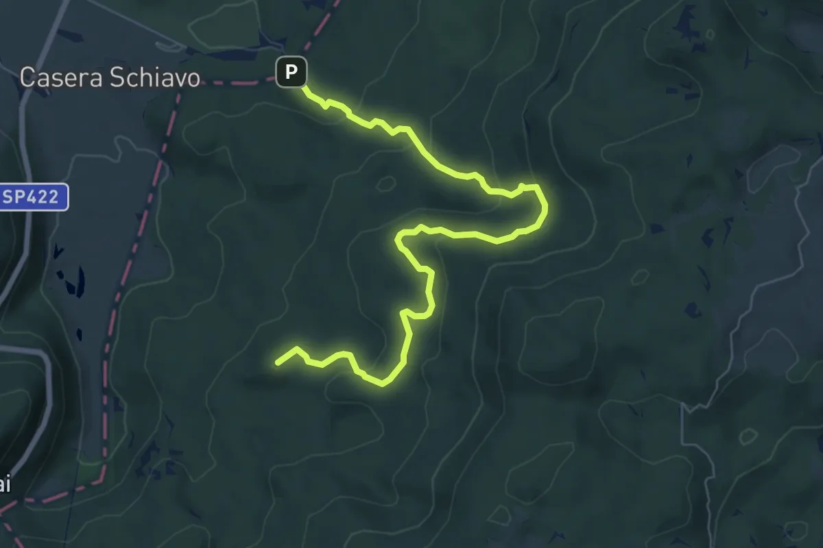
Medium · Summit
Sentiero naturalistico O
7.7 km · ↑ 323 m · 2 h 31 min
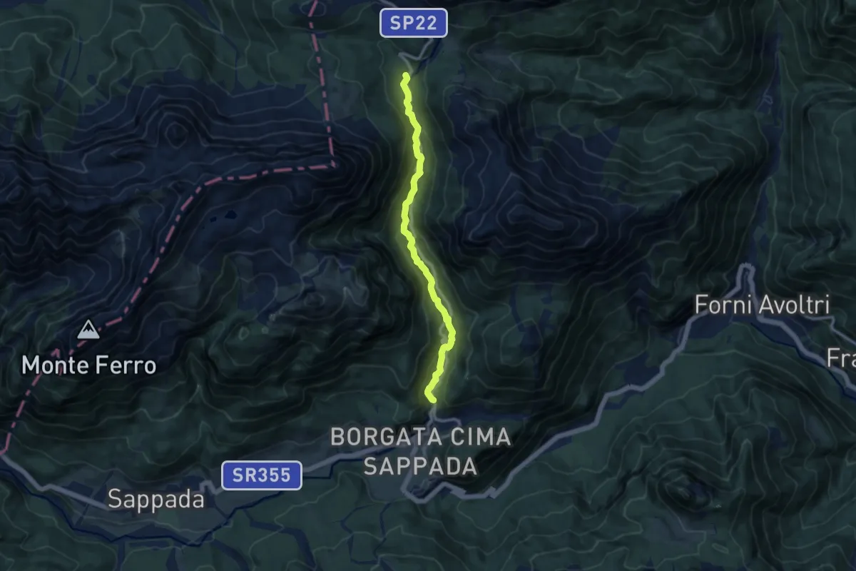
Medium · Trail
Sentiero Naturalistico Piave
9.2 km · ↑ 374 m · 2 h 59 min
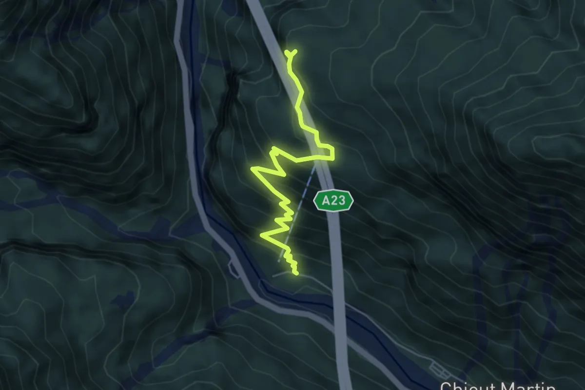
Medium · Trail
Sentiero naturalistico Prerit-Mincigos-Morosine
5.0 km · ↑ 504 m · 2 h 17 min
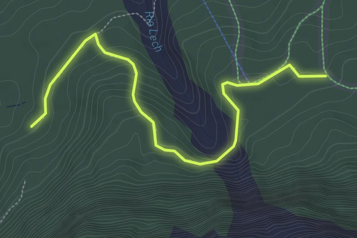
Medium · Trail
Sentiero Naturalistico Rio Lech
3.5 km · ↑ 197 m · 1 h 15 min
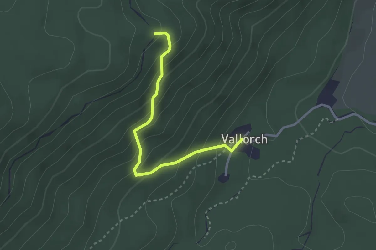
Medium · Trail
Sentiero naturalistico S
2.5 km · ↑ 233 m · 1 h 5 min
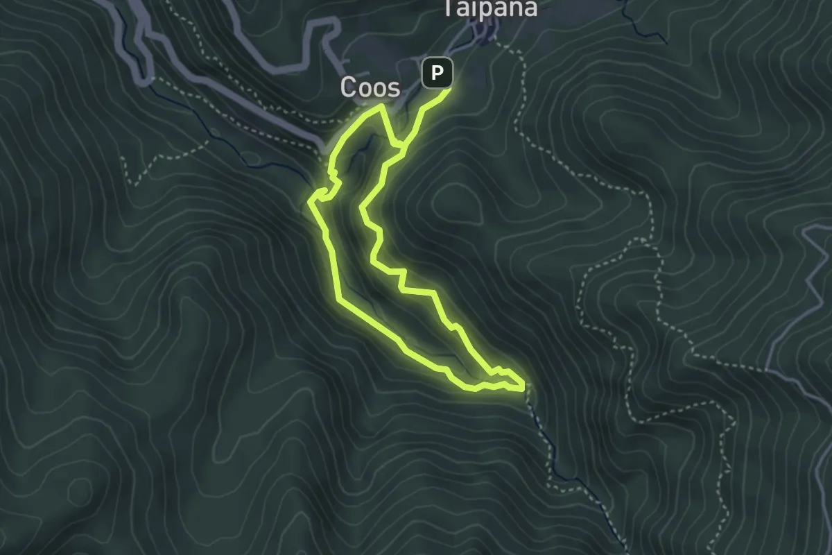
Demanding · Trail
Sentiero naturalistico Šeroka Dolina - Pod Malen
3.1 km · ↑ 206 m · 1 h 13 min
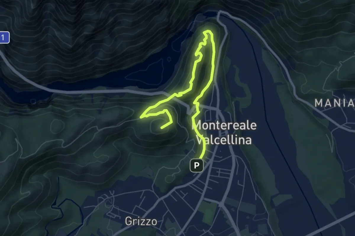
Medium · Summit
Sentiero Naturalistico Storico Castello di Montereale
8.6 km · ↑ 457 m · 3 h 1 min
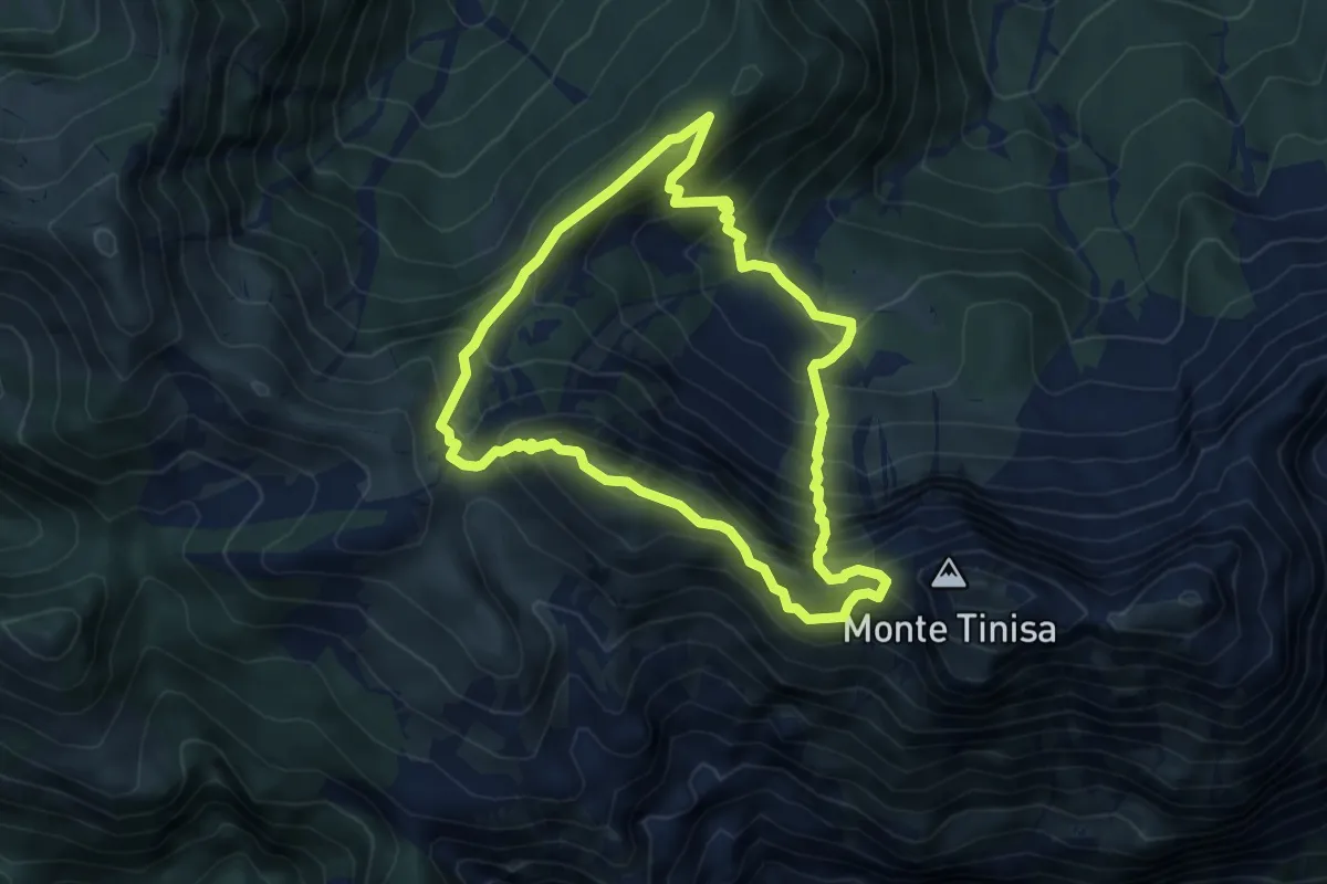
Demanding · Summit
Sentiero naturalistico "Tiziana Weiss"
5.2 km · ↑ 540 m · 2 h 29 min
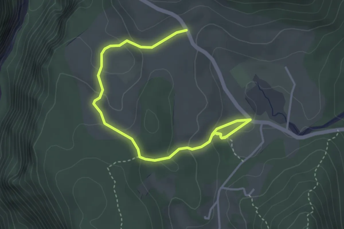
Easy · Trail
Sentiero naturalistico "Torbiere di Curiedi"
4.2 km · ↑ 176 m · 1 h 23 min
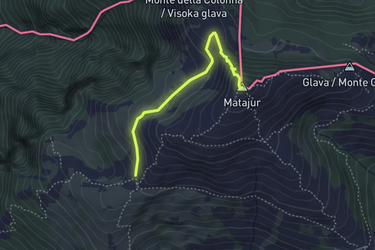
Medium · Summit
Sentiero Natura Mersino Alto Matajur
3.4 km · ↑ 241 m · 1 h 19 min
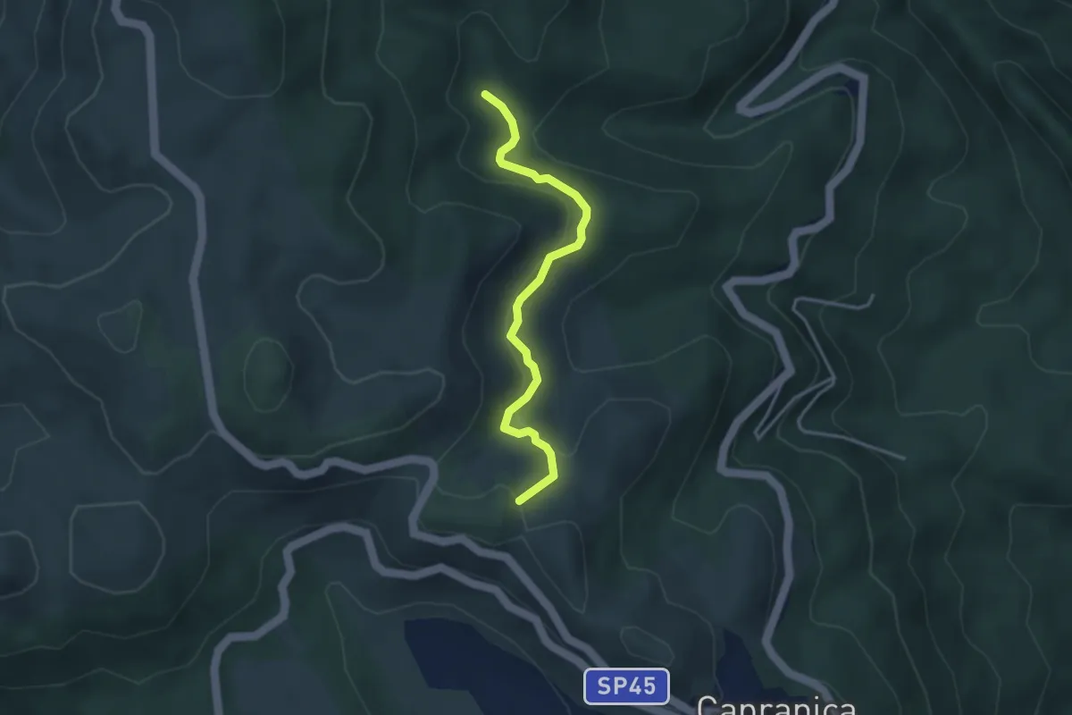
Easy · Summit
Sentiero Natura Mola Bossi
3.6 km · ↑ 169 m · 1 h 13 min
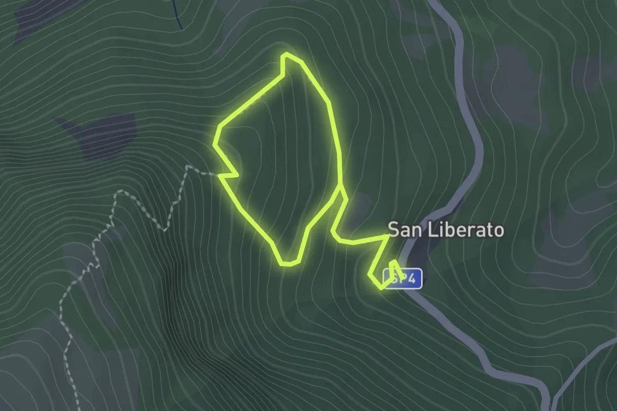
Easy · Trail
Sentiero Natura N15
1.6 km · ↑ 131 m · 40 min