Trails in Italy
25,219 hiking trails, each with its route, climb, walking time and grade.
All trails, page 188 of 526
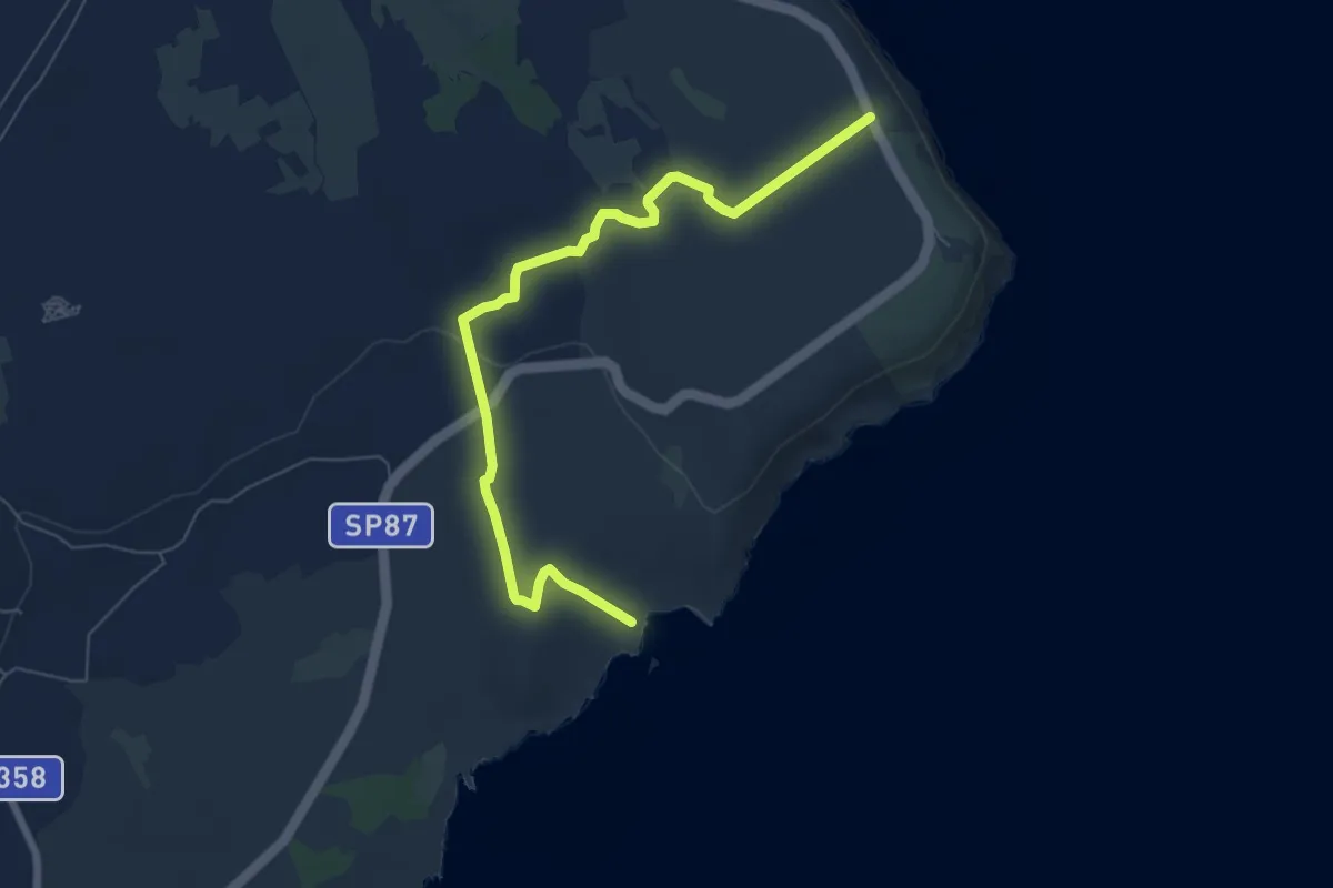
Medium · Trail
Sentiero Palascia Isola - SantEmiliano
8.2 km · ↑ 90 m · 2 h 8 min
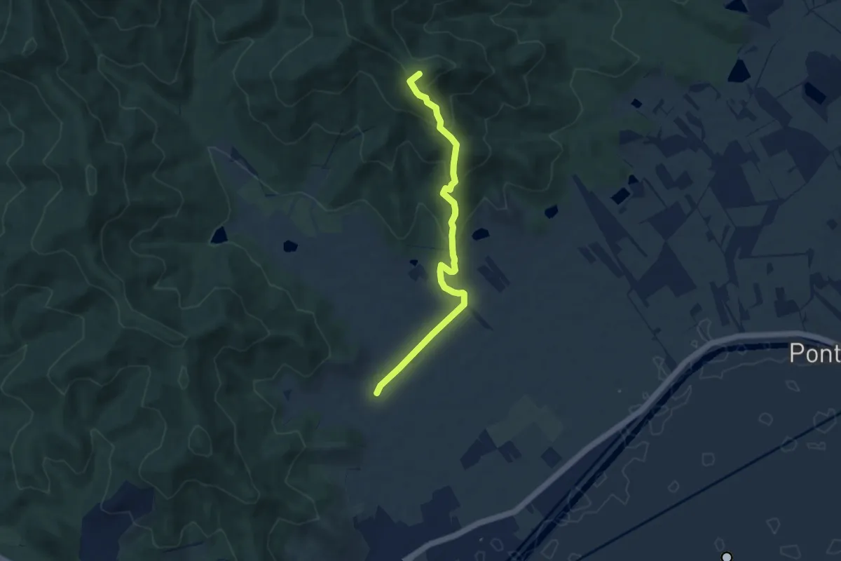
Medium · Summit
Sentiero Palazzo Prile
7.8 km · ↑ 396 m · 2 h 42 min
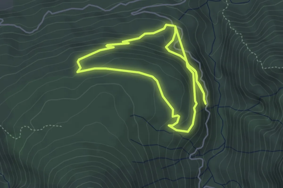
Medium · Trail
Sentiero Paleontologico “Stavoli Lunas”
4.0 km · ↑ 194 m · 1 h 27 min
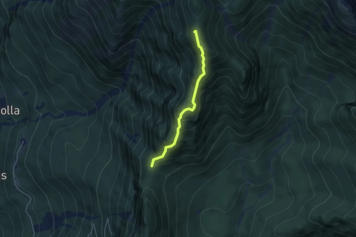
Medium · Summit
Sentiero Palis d'Arint
3.3 km · ↑ 434 m · 1 h 43 min
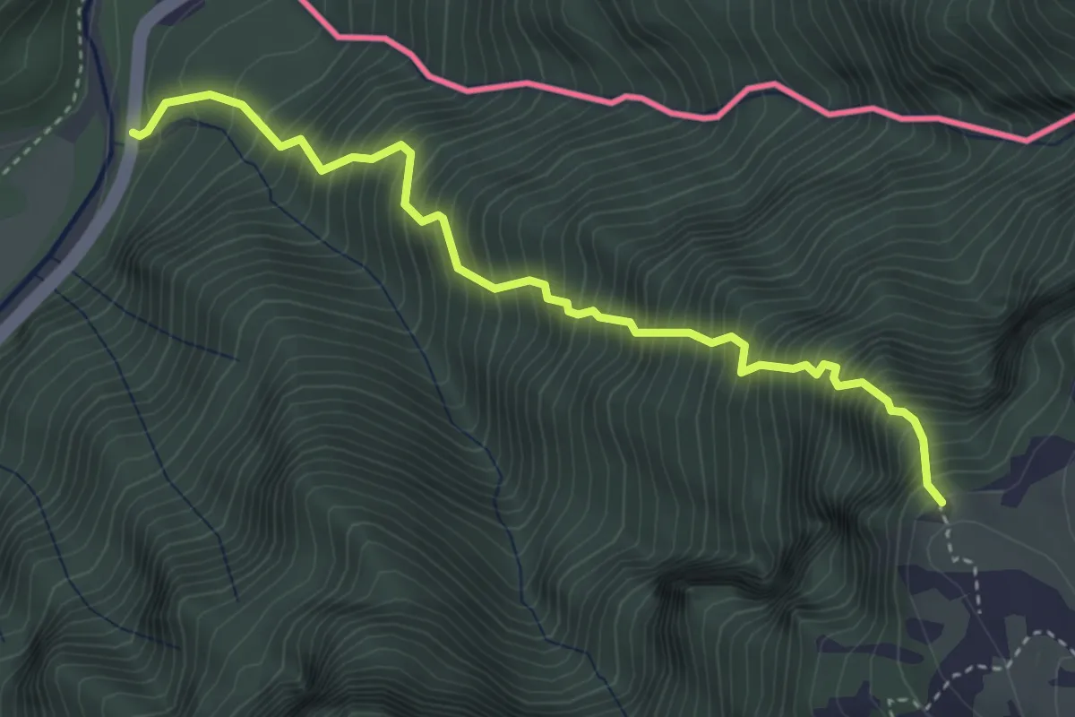
Expert · Trail
Sentiero Palma
4.0 km · ↑ 1068 m · 3 h 16 min
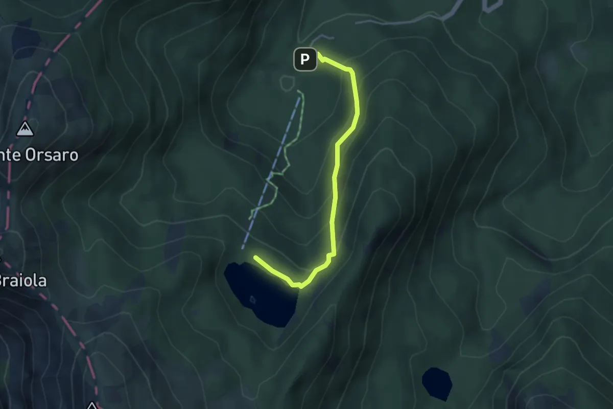
Medium · Cabin
Sentiero Panoramico
3.7 km · ↑ 262 m · 1 h 26 min
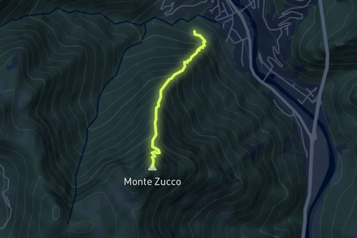
Expert · Summit
Sentiero Panoramico
3.2 km · ↑ 749 m · 2 h 23 min
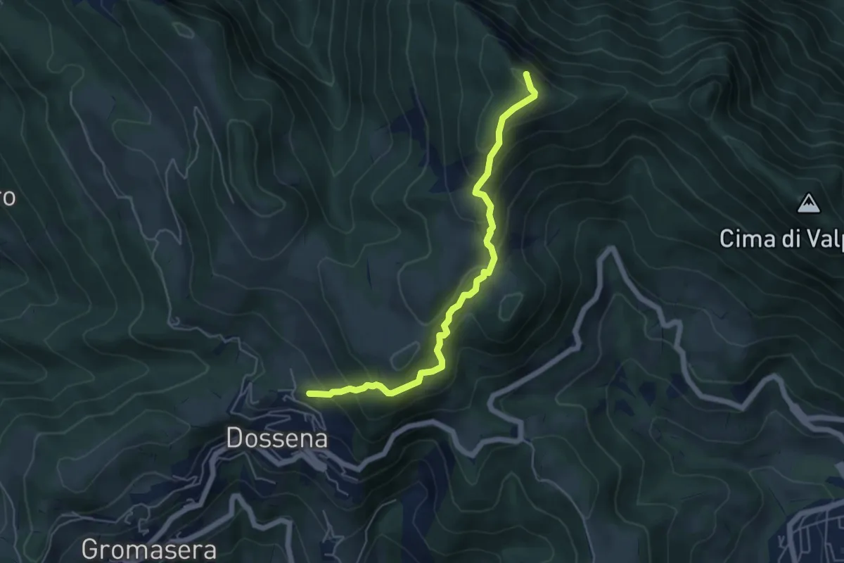
Medium · Summit
Sentiero Panoramico
5.2 km · ↑ 472 m · 2 h 15 min
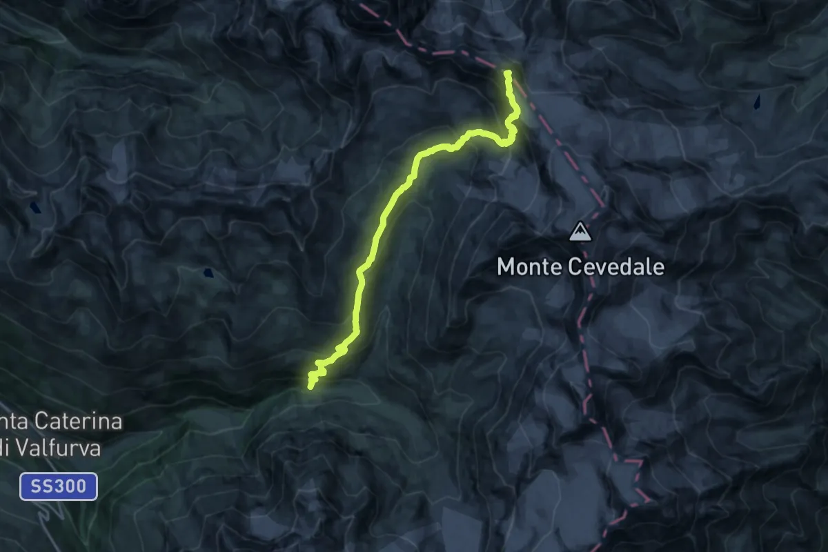
Expert · Summit
Sentiero Panoramico
18.1 km · ↑ 1251 m · 6 h 58 min
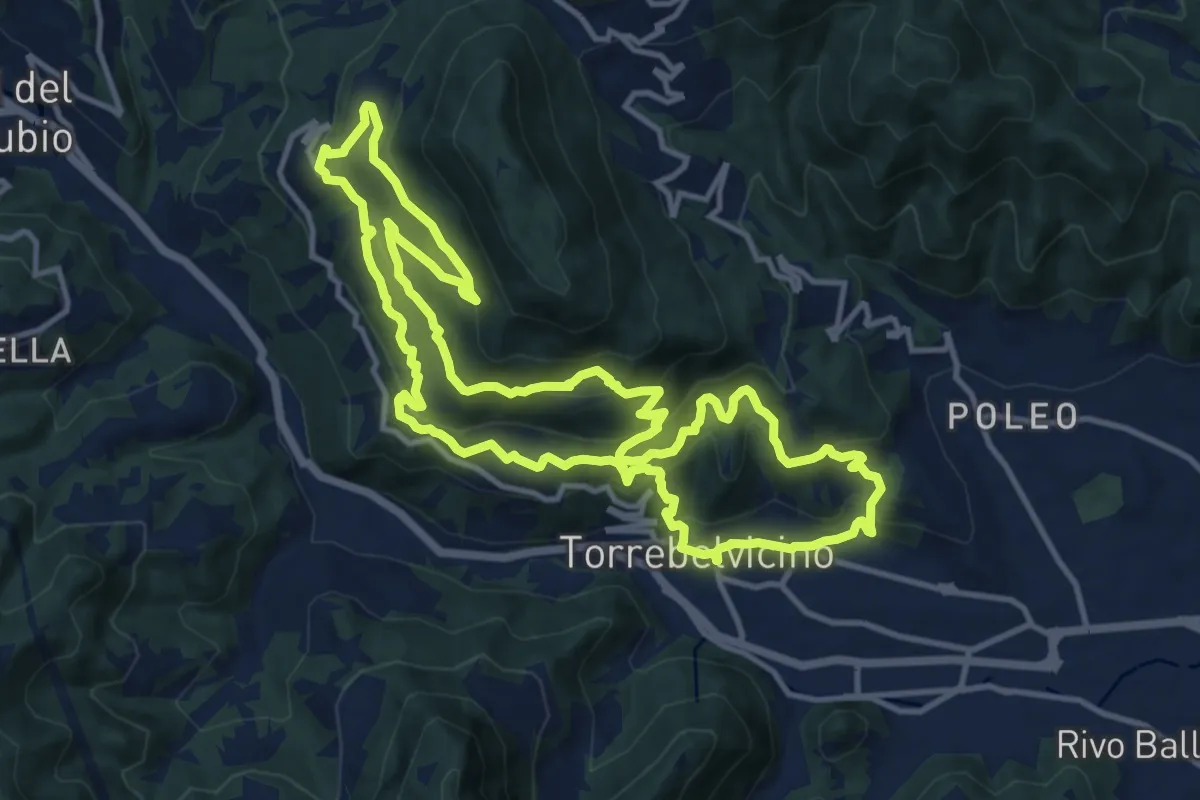
Demanding · Trail
Sentiero Panoramico della Val Leogra
13.3 km · ↑ 655 m · 4 h 45 min
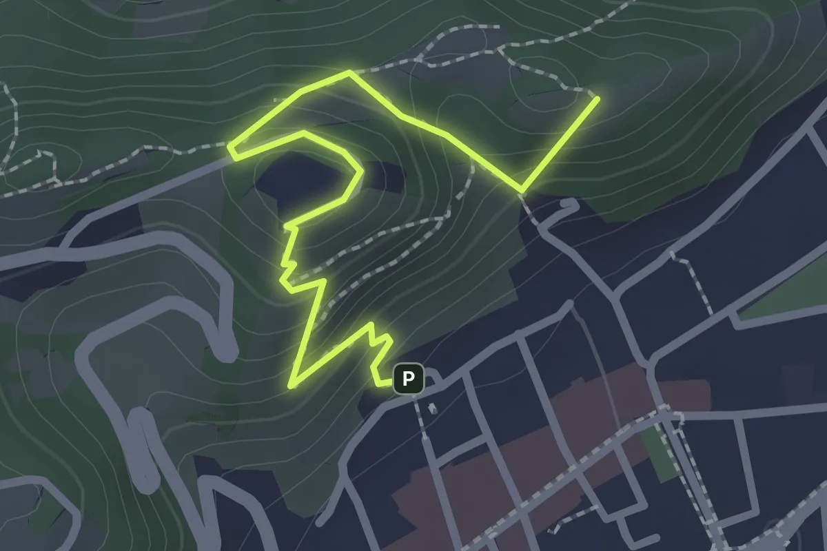
Easy · Summit
Sentiero panoramico e naturalistico
2.5 km · ↑ 165 m · 57 min
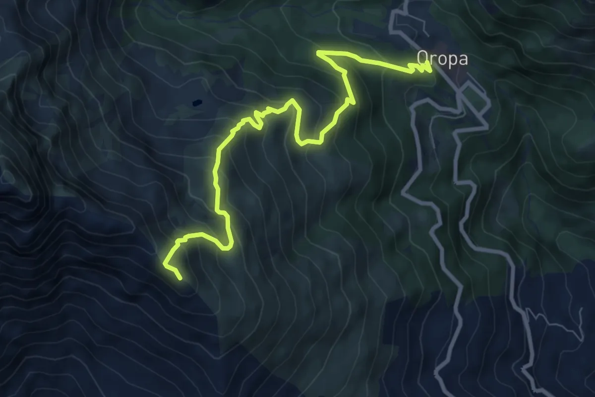
Medium · Summit
Sentiero Papa Giovanni Paolo II
8.6 km · ↑ 783 m · 3 h 44 min
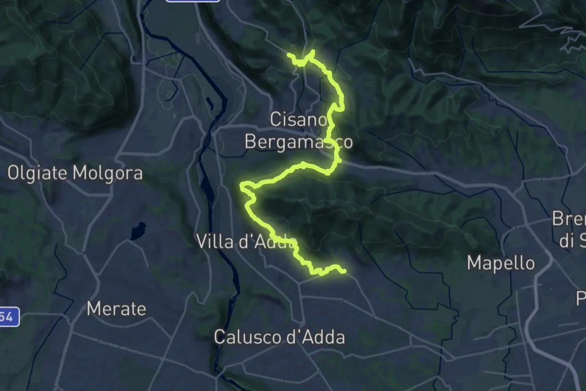
Medium · Trail
Sentiero Papa Giovanni XXIII
13.8 km · ↑ 571 m · 4 h 36 min
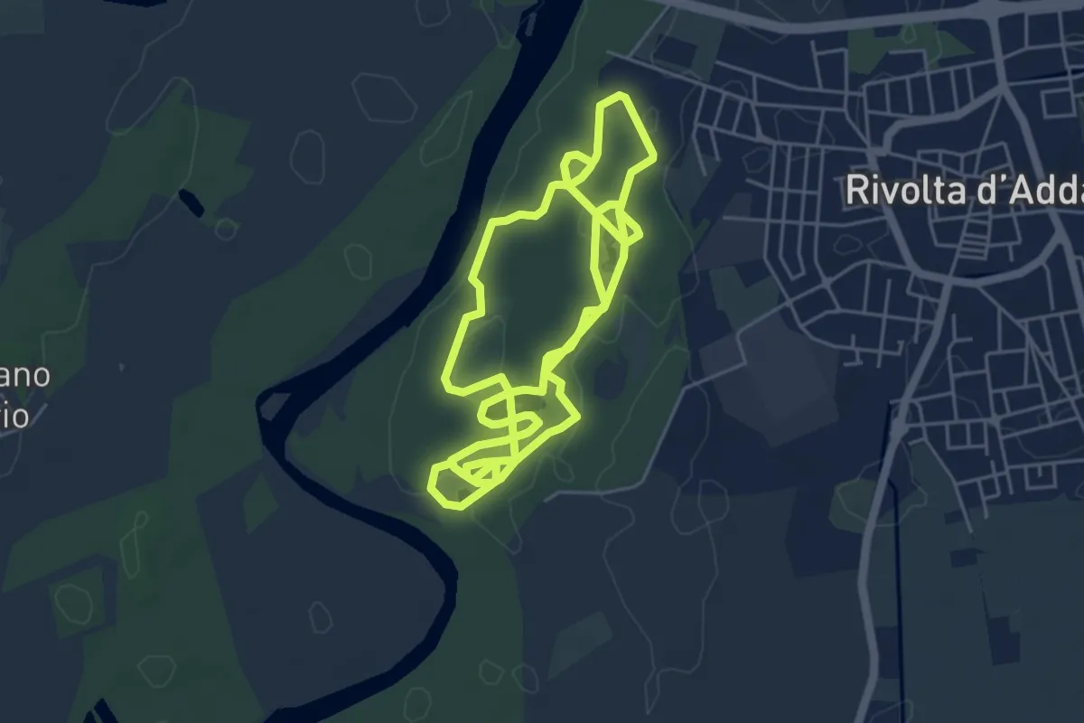
Medium · Trail
Sentiero Parco della Preistoria
11.6 km · ↑ 25 m · 2 h 47 min
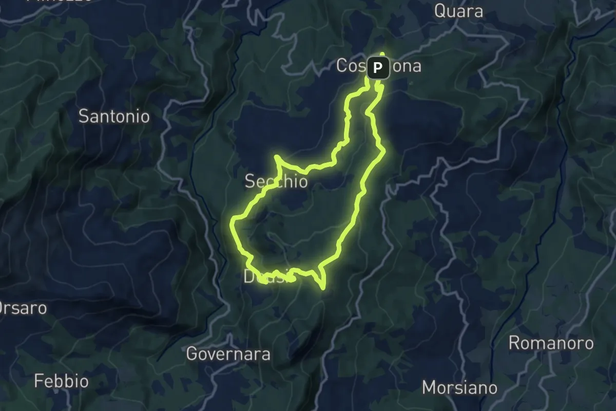
Medium · Summit
Sentiero Partigiani 14 - sentiero di Enrico l'anarchico
11.2 km · ↑ 443 m · 3 h 47 min
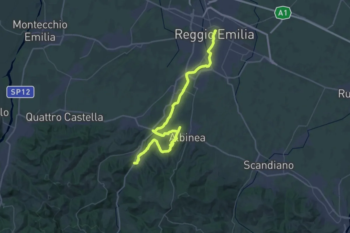
Demanding · Trail
Sentiero Partigiani 16 - sentiero della liberazione
22.5 km · ↑ 160 m · 6 h 2 min
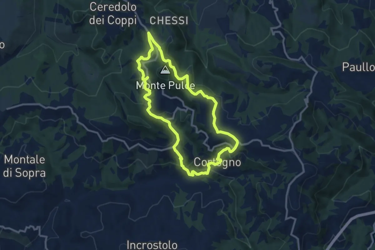
Medium · Trail
Sentiero Partigiani 1B - sentiero della scelta (variante)
8.2 km · ↑ 395 m · 2 h 55 min
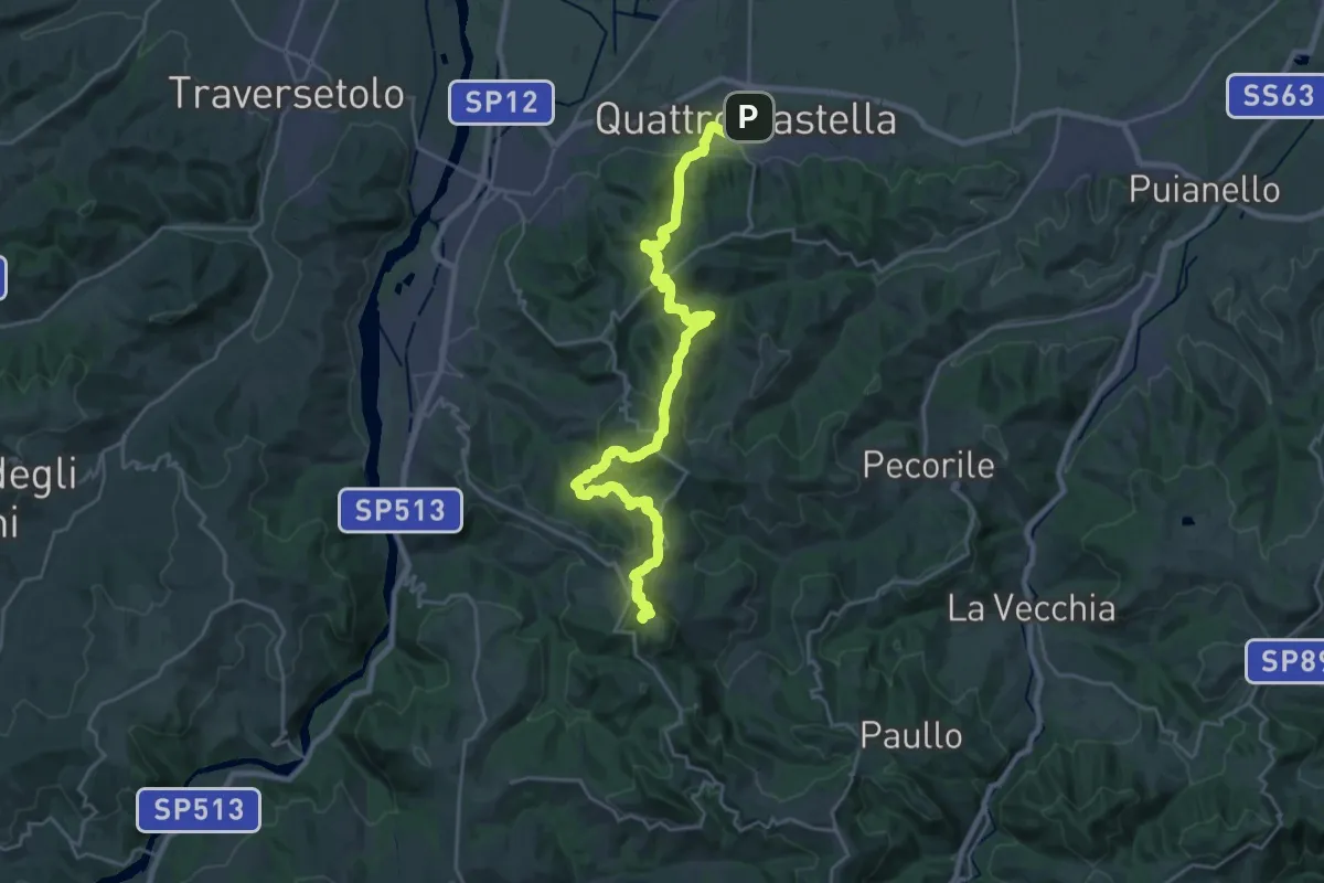
Demanding · Summit
Sentiero Partigiani 1 - sentiero della scelta
27.8 km · ↑ 1313 m · 9 h 24 min
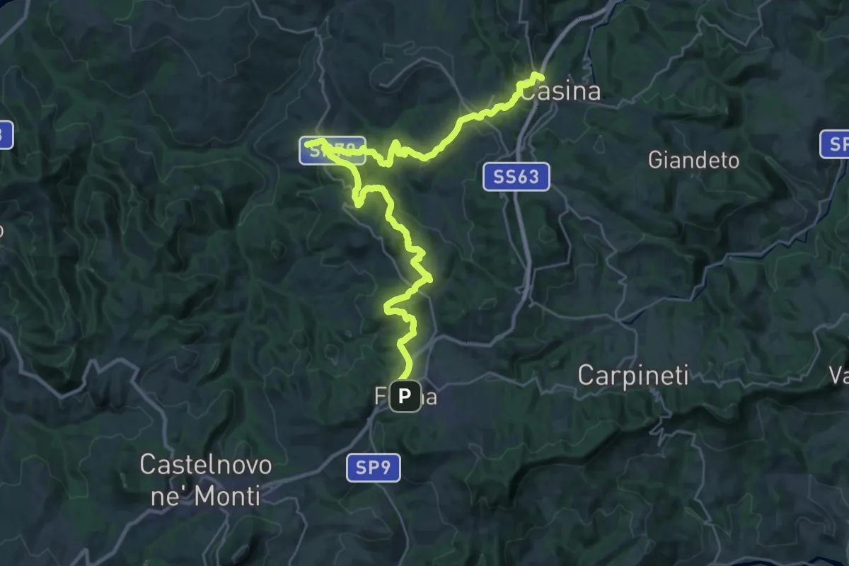
Medium · Trail
Sentiero Partigiani 3 -sentiero della resistenza civile
17.1 km · ↑ 655 m · 5 h 39 min
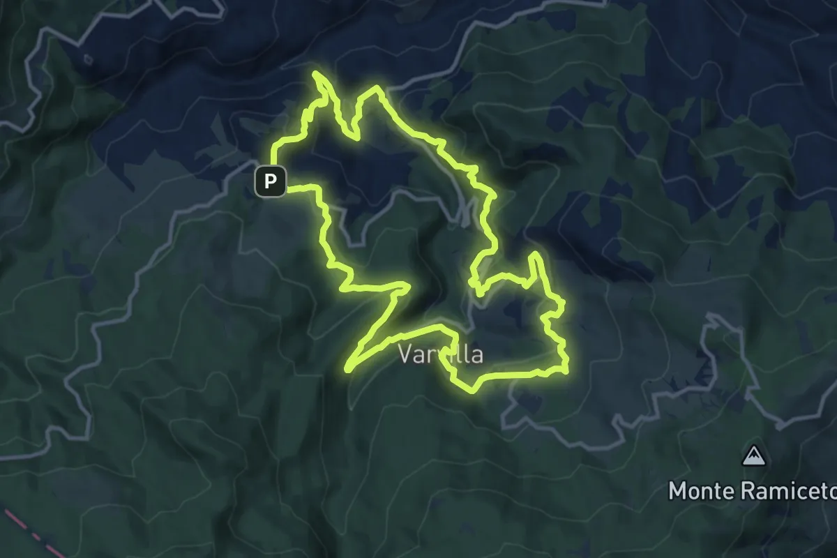
Medium · Summit
Sentiero Partigiani 4 - sentiero del rifugio sotto l'Alpe
13.0 km · ↑ 611 m · 4 h 34 min
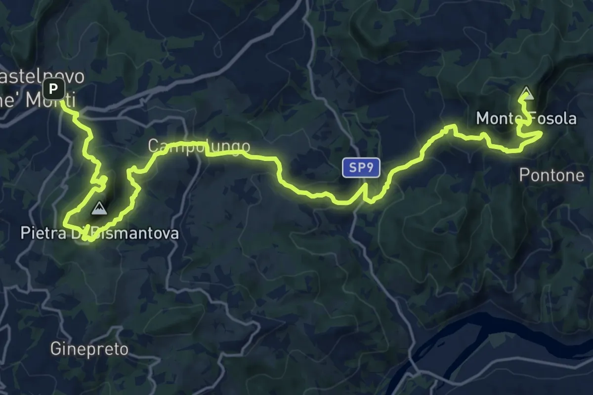
Demanding · Summit
Sentiero Partigiani 7 - sentiero delle donne
26.7 km · ↑ 1663 m · 9 h 55 min
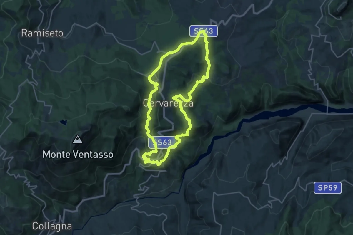
Medium · Summit
Sentiero Partigiani 8 - sentiero dei disertori
16.2 km · ↑ 684 m · 5 h 31 min
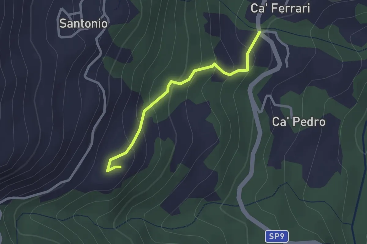
Easy · Trail
Sentiero Partigiani SP12B - SENTIERO DEGLI ALLEATI (variante)
2.2 km · ↑ 168 m · 53 min
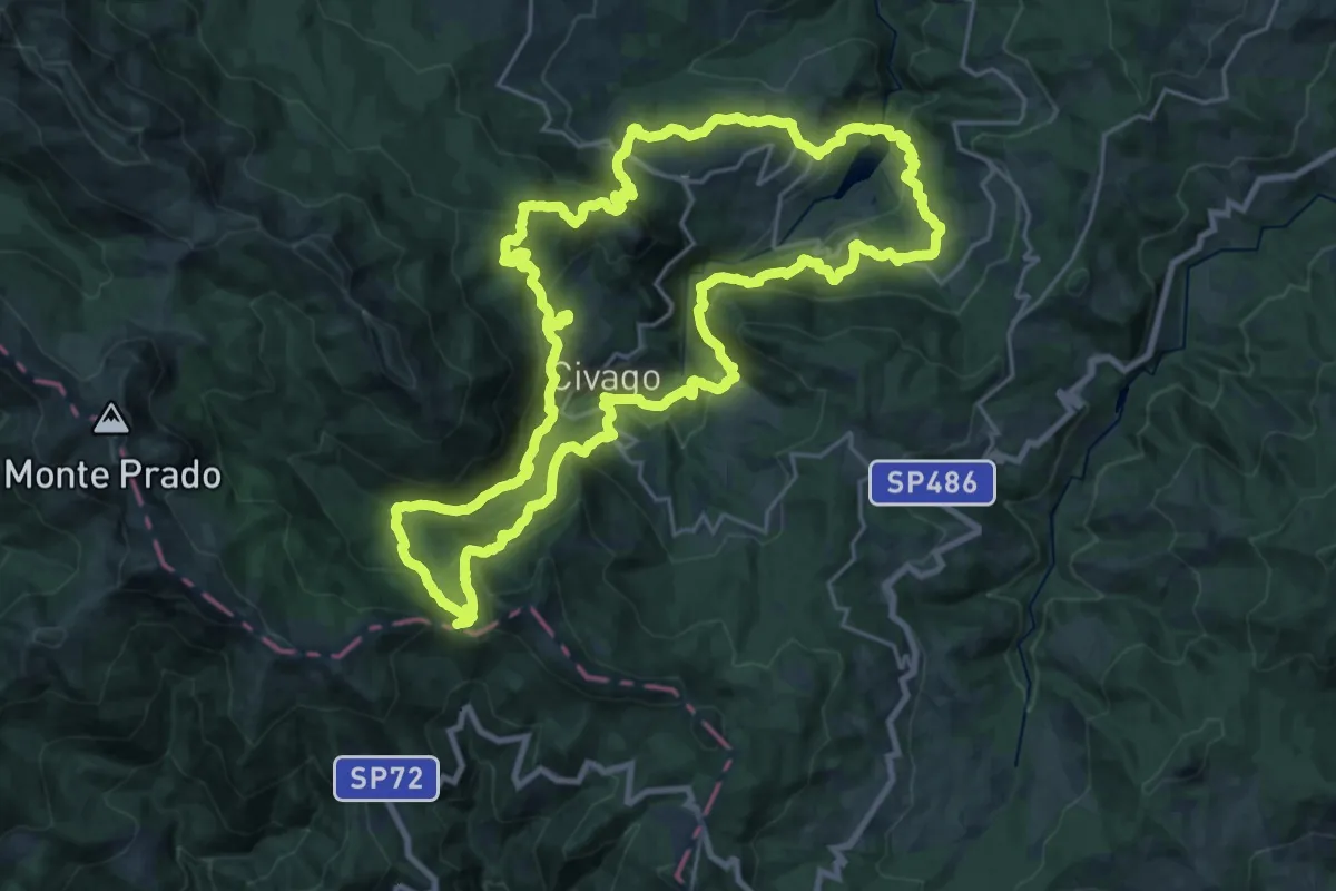
Demanding · Summit
Sentiero Partigiani SP15 - Sentiero della solidarieta' montana
26.6 km · ↑ 1640 m · 10 h 12 min
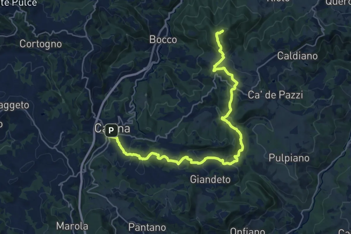
Demanding · Summit
Sentiero Partigiani SP5 -sentiero della notte di San Giovanni
21.4 km · ↑ 980 m · 7 h 11 min
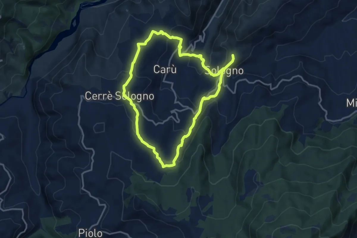
Medium · Trail
Sentiero Partigiani SP6B - sentiero di Carlo (variante)
9.8 km · ↑ 447 m · 3 h 24 min
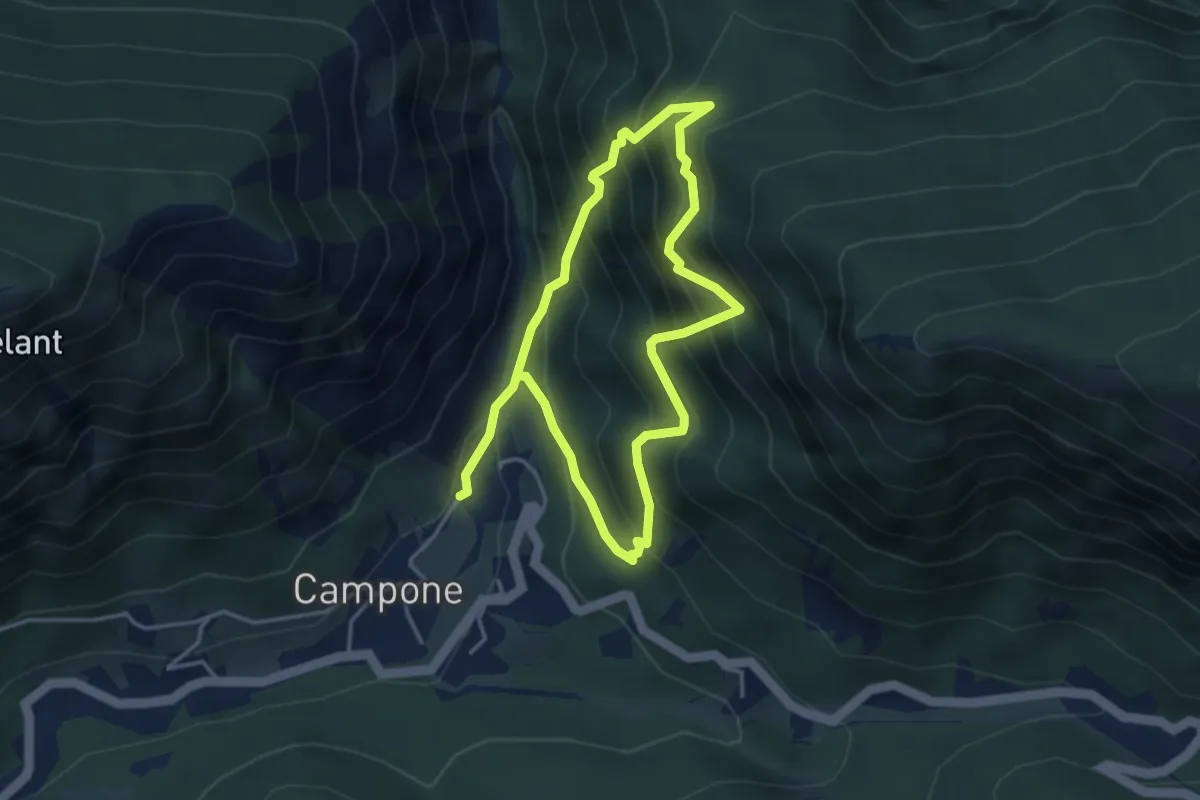
Demanding · Trail
Sentiero partigiano delle Stalle di Cor
6.7 km · ↑ 806 m · 3 h 19 min
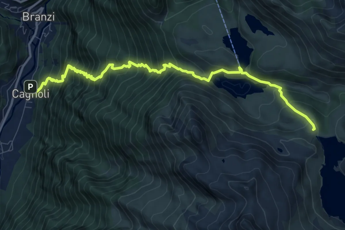
Demanding · Cabin
Sentiero Partigiano Ercole Pedretti
10.5 km · ↑ 1173 m · 5 h 2 min
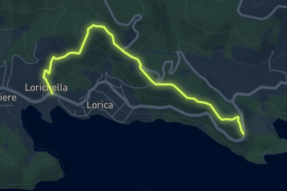
Medium · Trail
Sentiero Pasquale Celestino
7.1 km · ↑ 291 m · 2 h 18 min
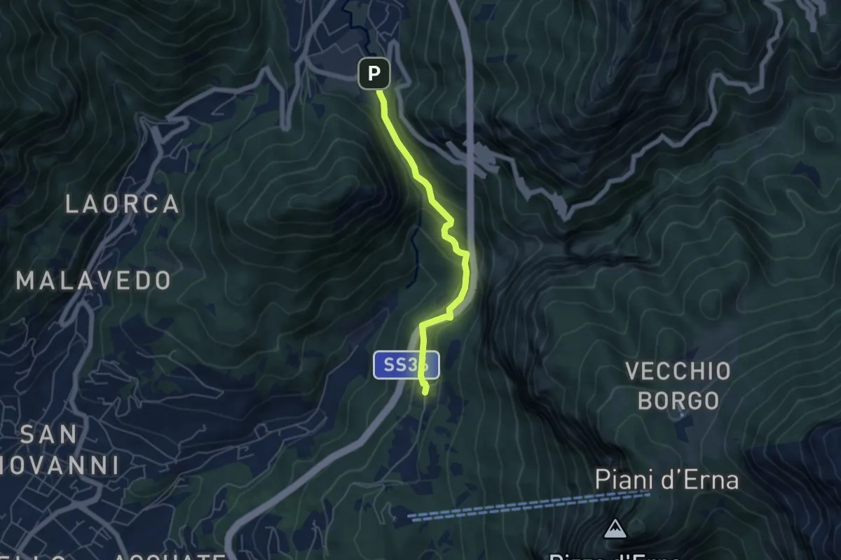
Medium · Trail
Sentiero Passo del Lupo
4.7 km · ↑ 225 m · 1 h 35 min
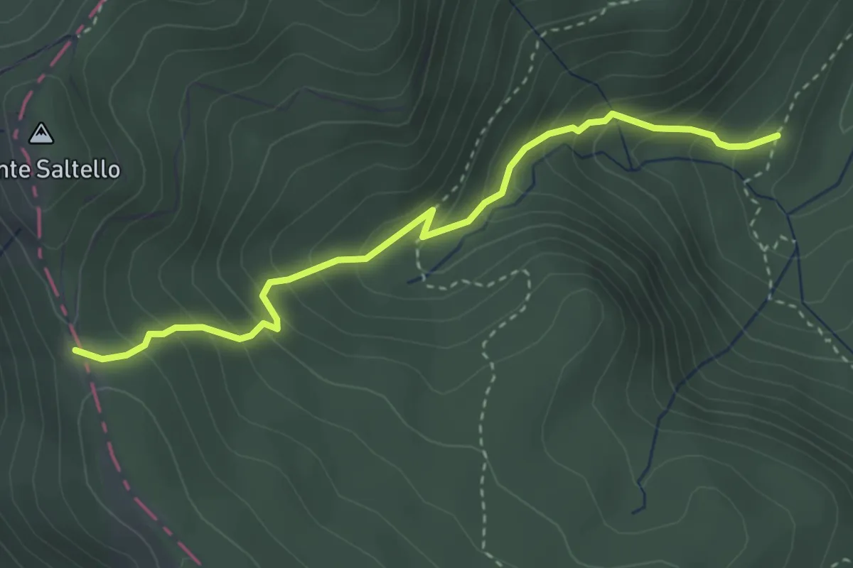
Medium · Trail
Sentiero Passo del Saltello
3.6 km · ↑ 354 m · 1 h 37 min
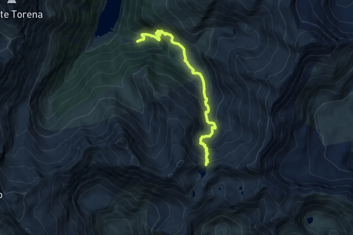
Demanding · Trail
Sentiero Passo del Venerocolo
10.7 km · ↑ 814 m · 4 h 17 min
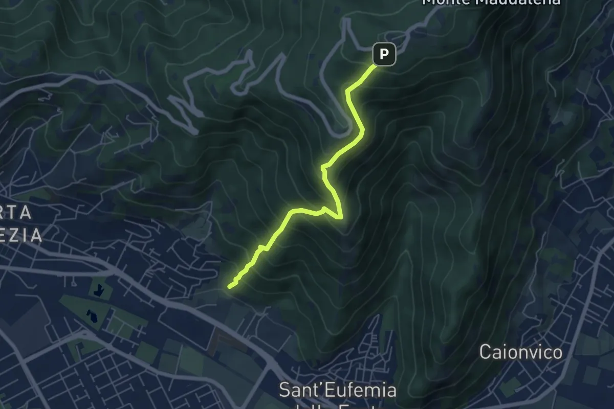
Medium · Trail
Sentiero Pastori 2
5.2 km · ↑ 623 m · 2 h 34 min
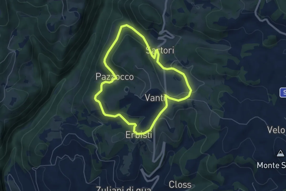
Easy · Trail
Sentiero Pazzocco Sartori
5.1 km · ↑ 149 m · 1 h 36 min
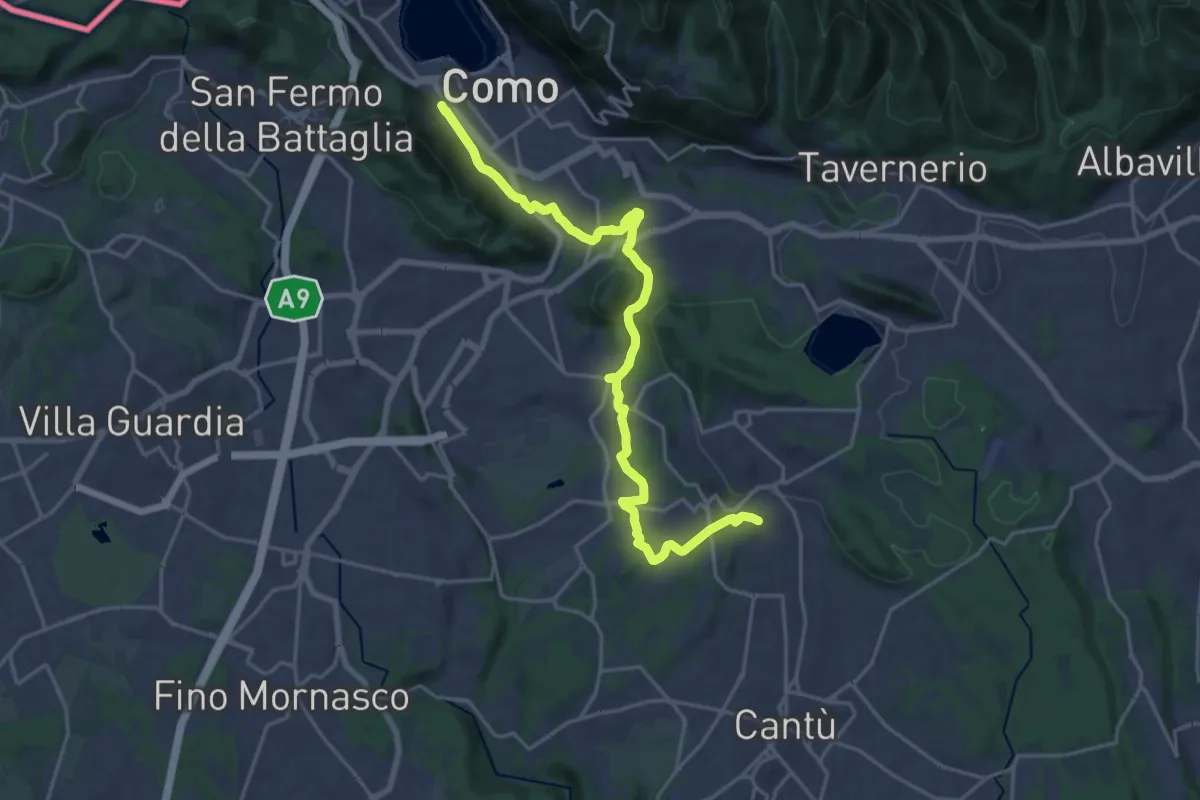
Demanding · Trail
Sentiero Pedemonte - Tappa 1
21.5 km · ↑ 417 m · 5 h 59 min
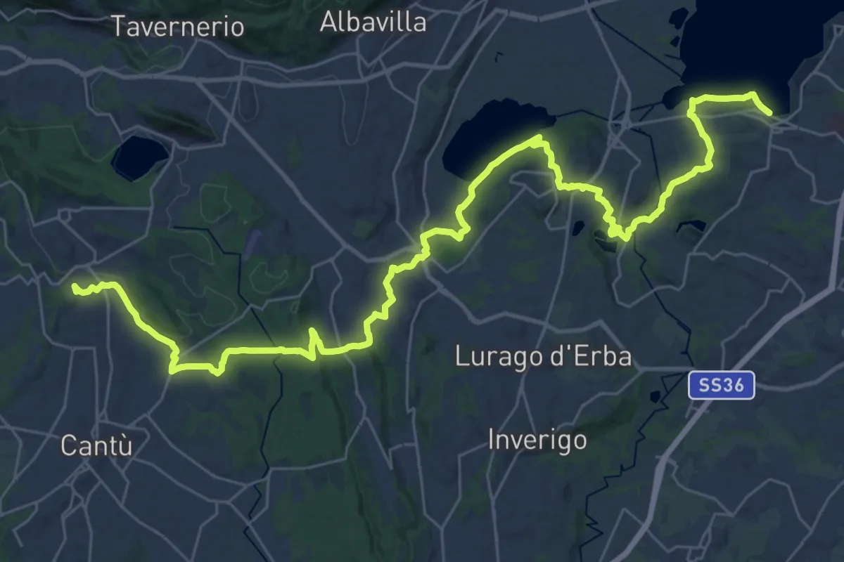
Demanding · Trail
Sentiero Pedemonte - Tappa 2
21.4 km · ↑ 257 m · 5 h 58 min
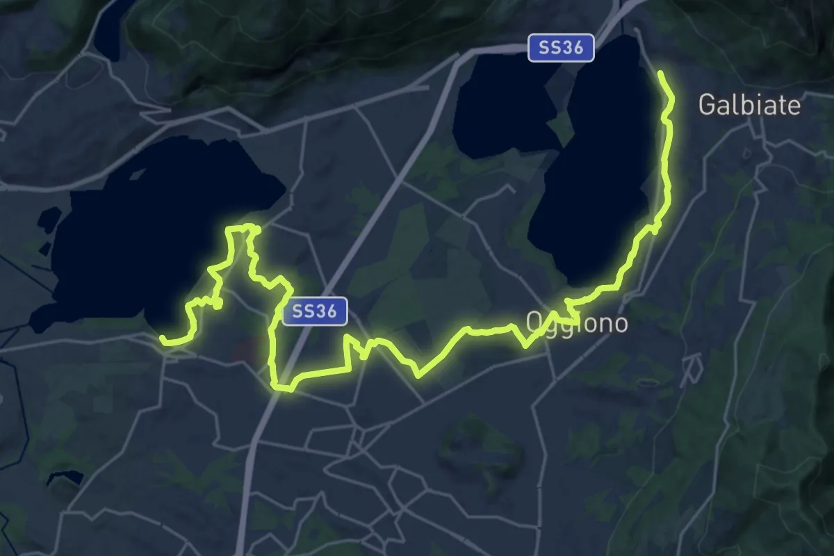
Medium · Trail
Sentiero Pedemonte - Tappa 3
16.6 km · ↑ 121 m · 4 h 26 min
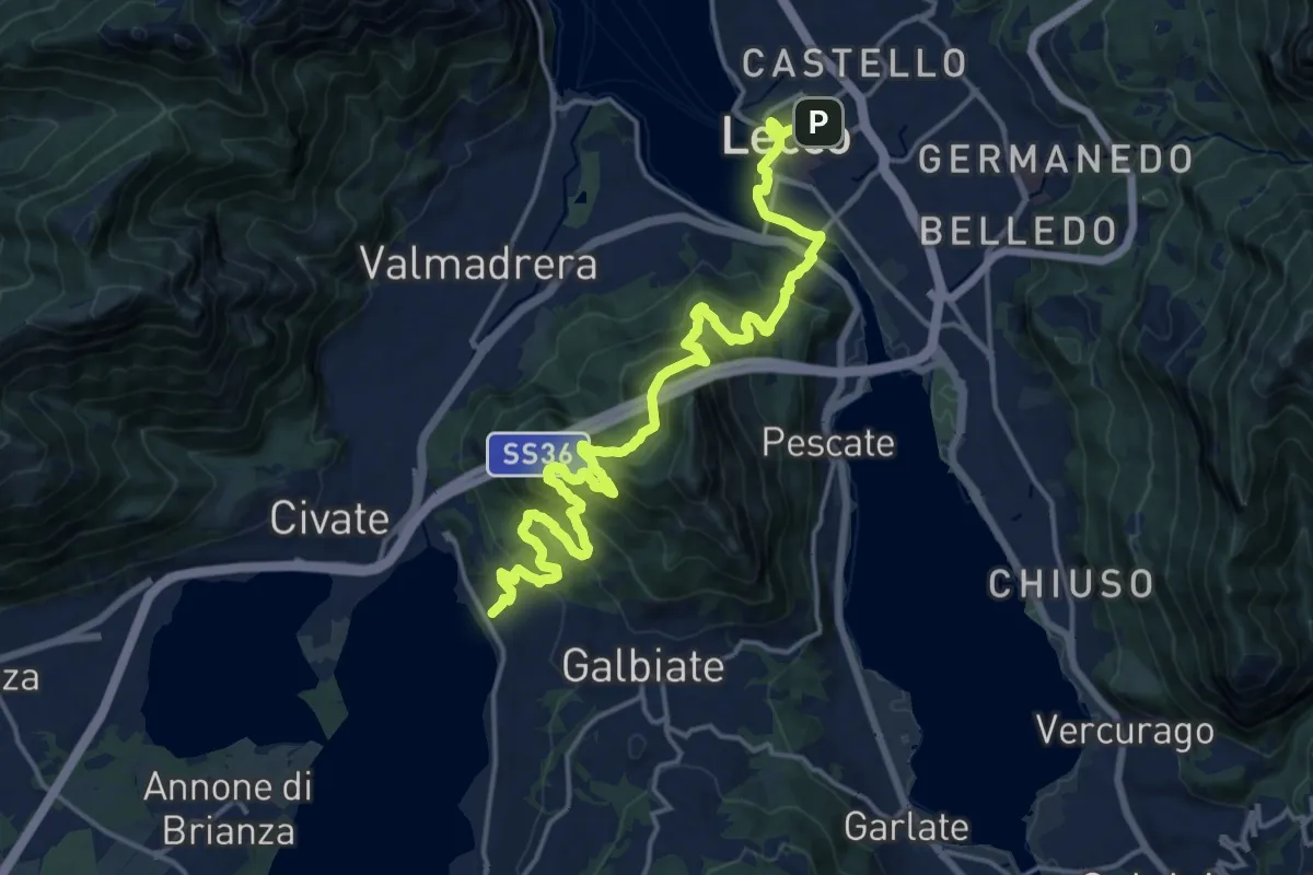
Demanding · Trail
Sentiero Pedemonte - Tappa 4
20.8 km · ↑ 1328 m · 7 h 47 min
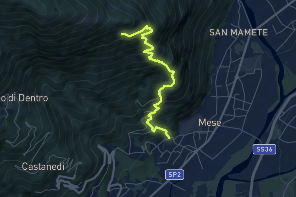
Demanding · Trail
Sentiero per Cigolino
5.7 km · ↑ 826 m · 3 h 8 min
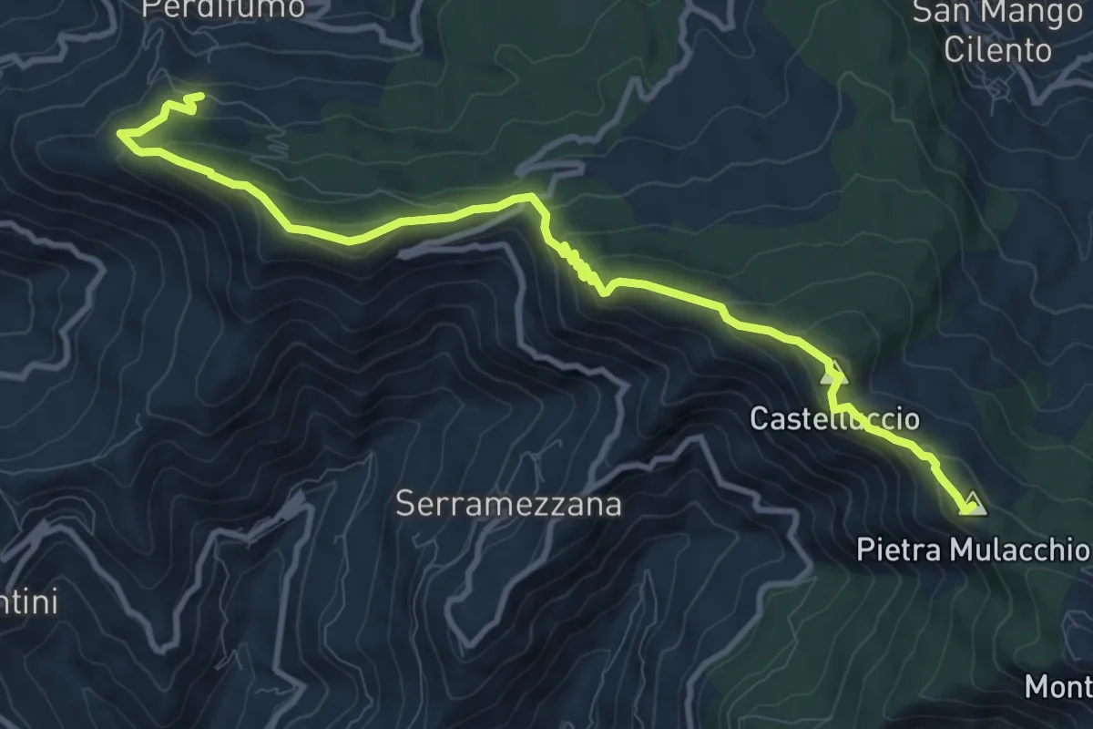
Medium · Summit
Sentiero Perdifumo - Monte Stella
12.3 km · ↑ 735 m · 4 h 31 min
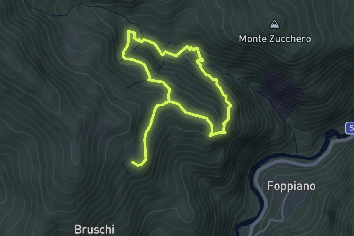
Medium · Trail
Sentiero pericoloso Val Gorotta
6.2 km · ↑ 409 m · 2 h 20 min
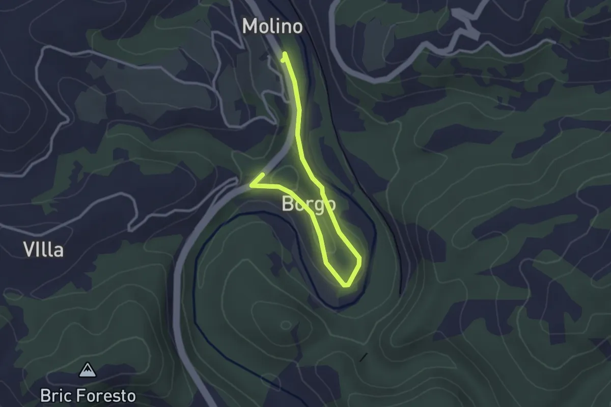
Easy · Trail
Sentiero per il Fungo
3.4 km · ↑ 37 m · 52 min
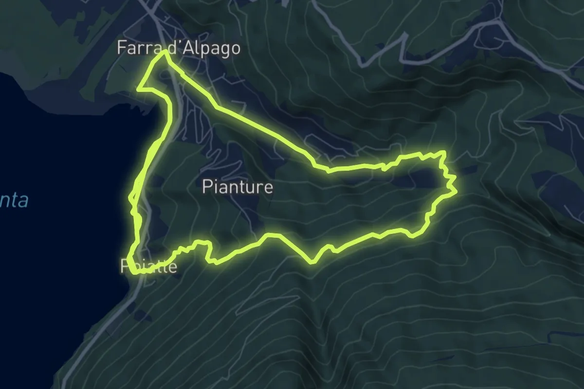
Demanding · Trail
sentiero per il Nordic Walking
21.8 km · ↑ 906 m · 7 h 7 min
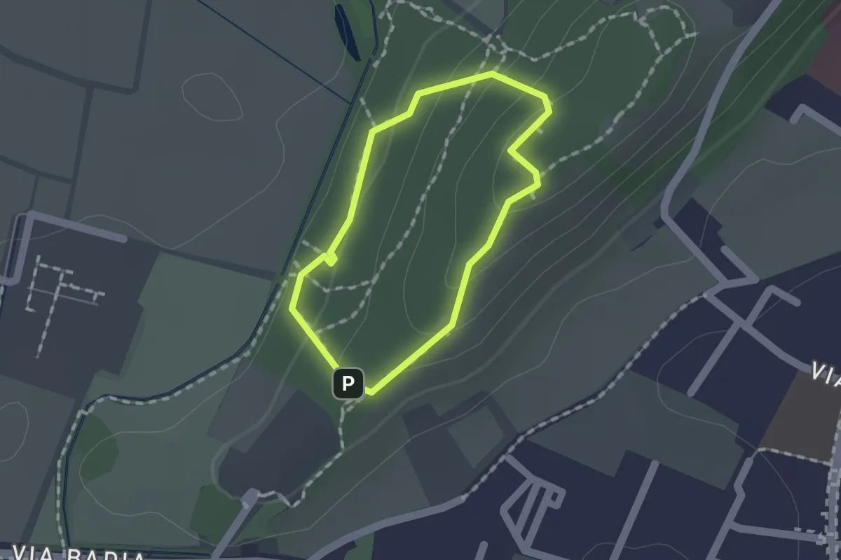
Easy · Trail
Sentiero per non vedenti (Colle di Sant'Anna)
1.1 km · ↑ 55 m · 23 min
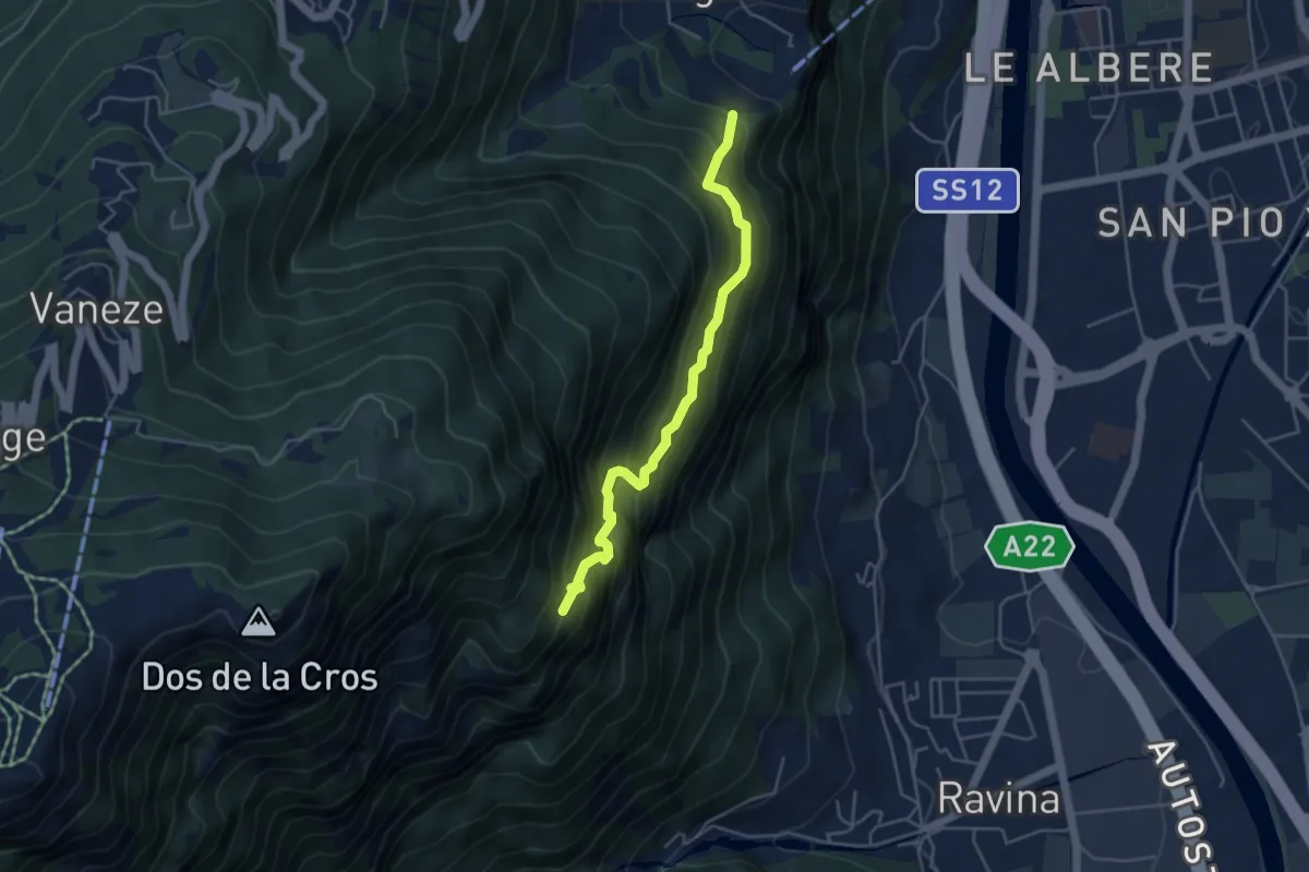
Medium · Trail
Sentiero "Pero Degasperi"
4.4 km · ↑ 662 m · 2 h 28 min
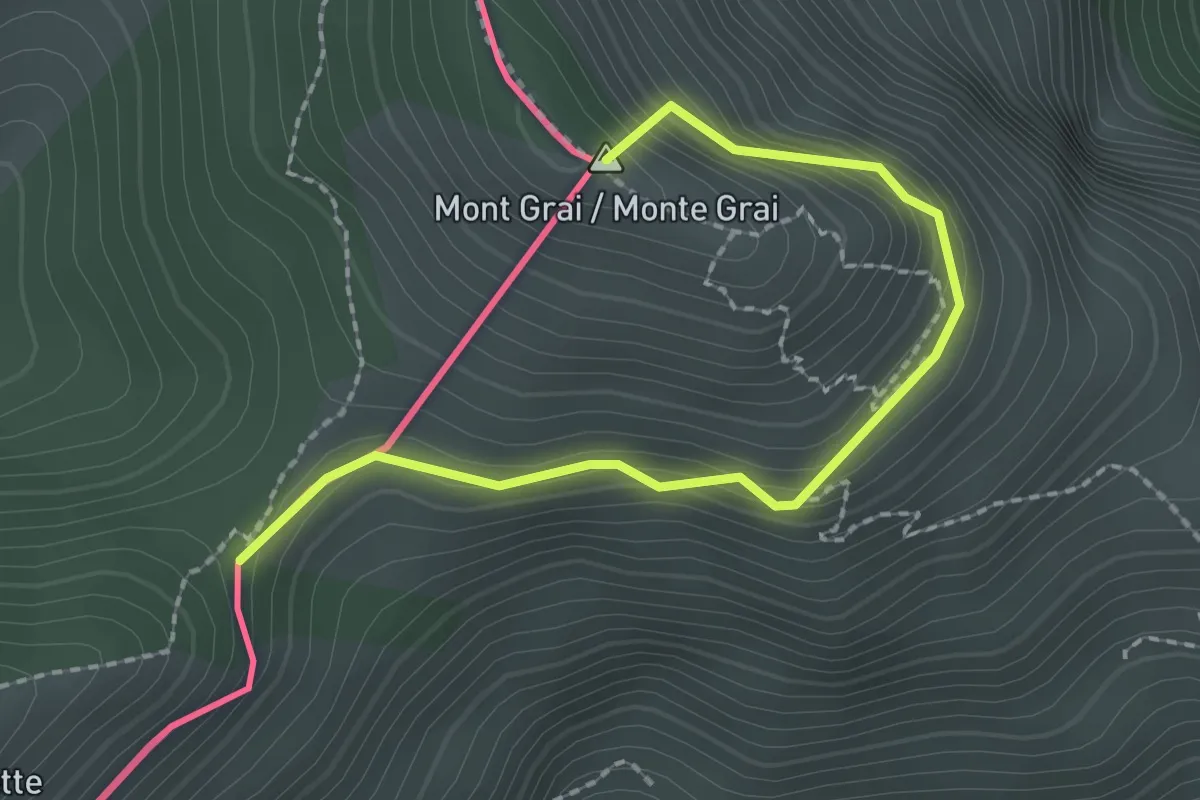
Easy · Summit
Sentiero per Rifugio Allavena, Colla Melosa
2.4 km · ↑ 198 m · 1 h
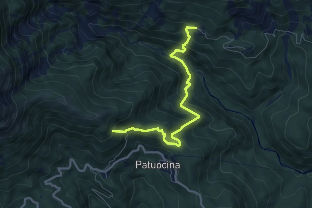
Medium · Summit
Sentiero Pers Ponte Romano
6.3 km · ↑ 584 m · 2 h 45 min
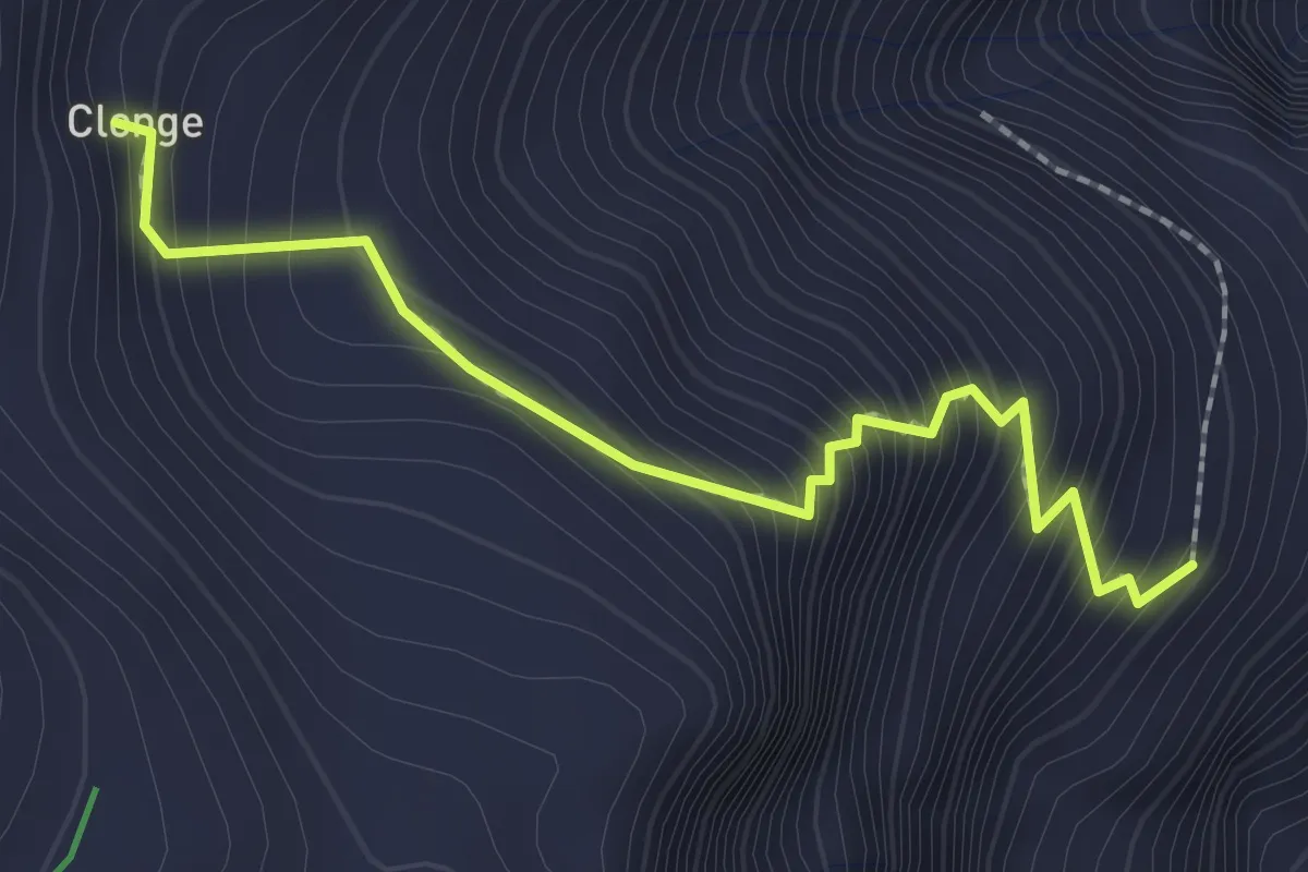
Medium · Trail
Sentiero Perteille Clonge
2.2 km · ↑ 305 m · 1 h 11 min