Trails in Italy
25,219 hiking trails, each with its route, climb, walking time and grade.
All trails, page 189 of 526
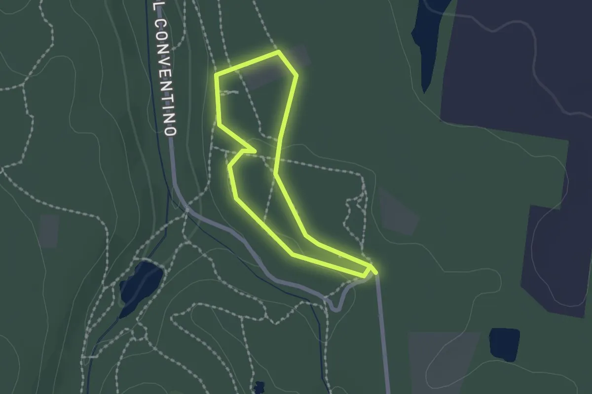
Easy · Trail
Sentiero per tutti - Anello Blu
1.5 km · ↑ 18 m · 25 min
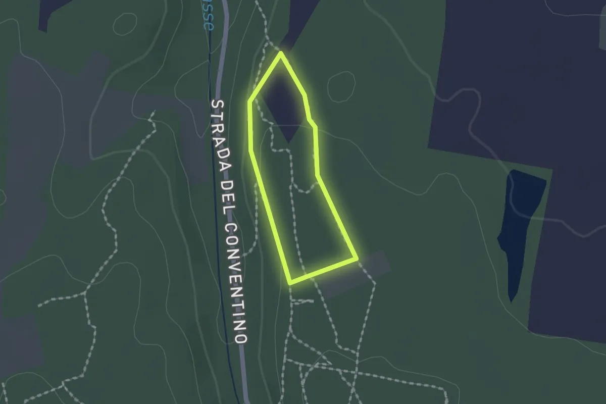
Easy · Trail
Sentiero per tutti - Anello Rosso
1.1 km · ↑ 10 m · 19 min
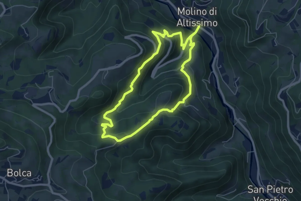
Medium · Trail
Sentiero Pesciaia
5.3 km · ↑ 362 m · 2 h 6 min
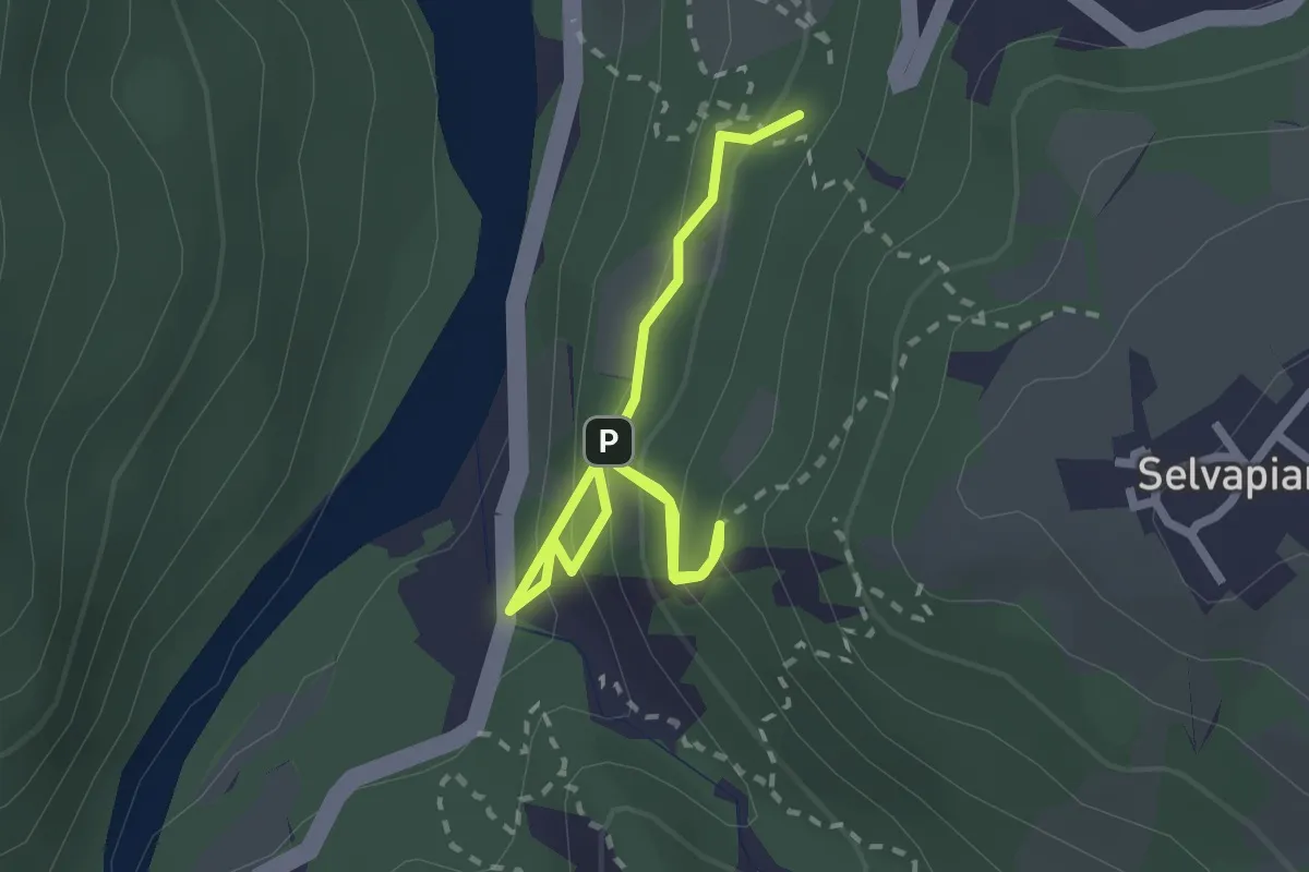
Easy · Trail
Sentiero Petrarca
3.0 km · ↑ 217 m · 1 h 11 min
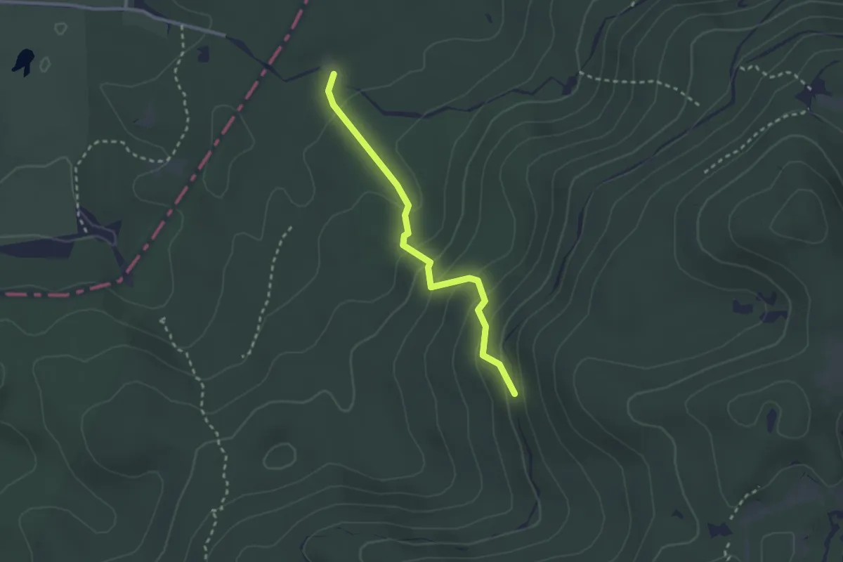
Medium · Trail
Sentiero Pian De le Stele
2.5 km · ↑ 177 m · 58 min
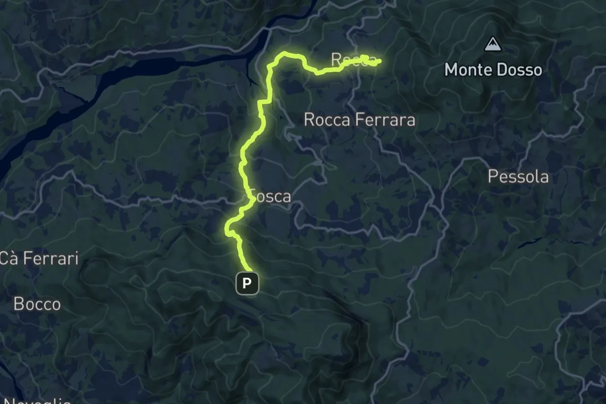
Medium · Summit
Sentiero Piastra di Varsi-Rocca-Tosca-Città d'Umbrìa
7.6 km · ↑ 351 m · 2 h 47 min
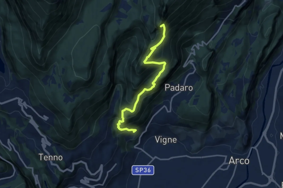
Demanding · Summit
Sentiero Piazzole
8.7 km · ↑ 1139 m · 4 h 31 min
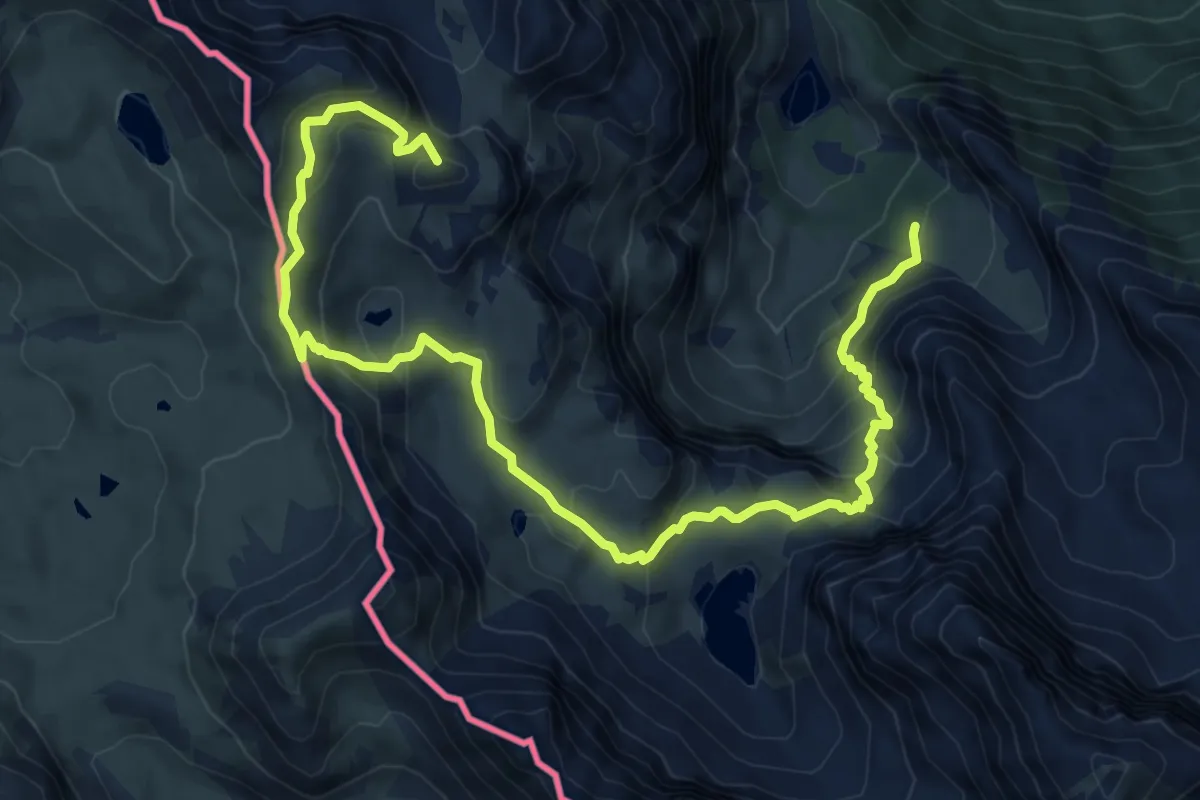
Medium · Summit
Sentiero Pier Giorgio Frassati
10.6 km · ↑ 661 m · 3 h 56 min
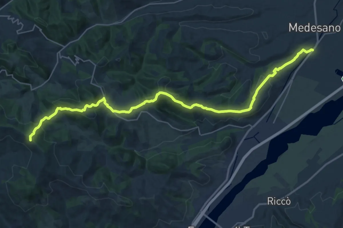
Demanding · Summit
Sentiero Pier Luigi Bacchini
26.3 km · ↑ 861 m · 8 h 5 min
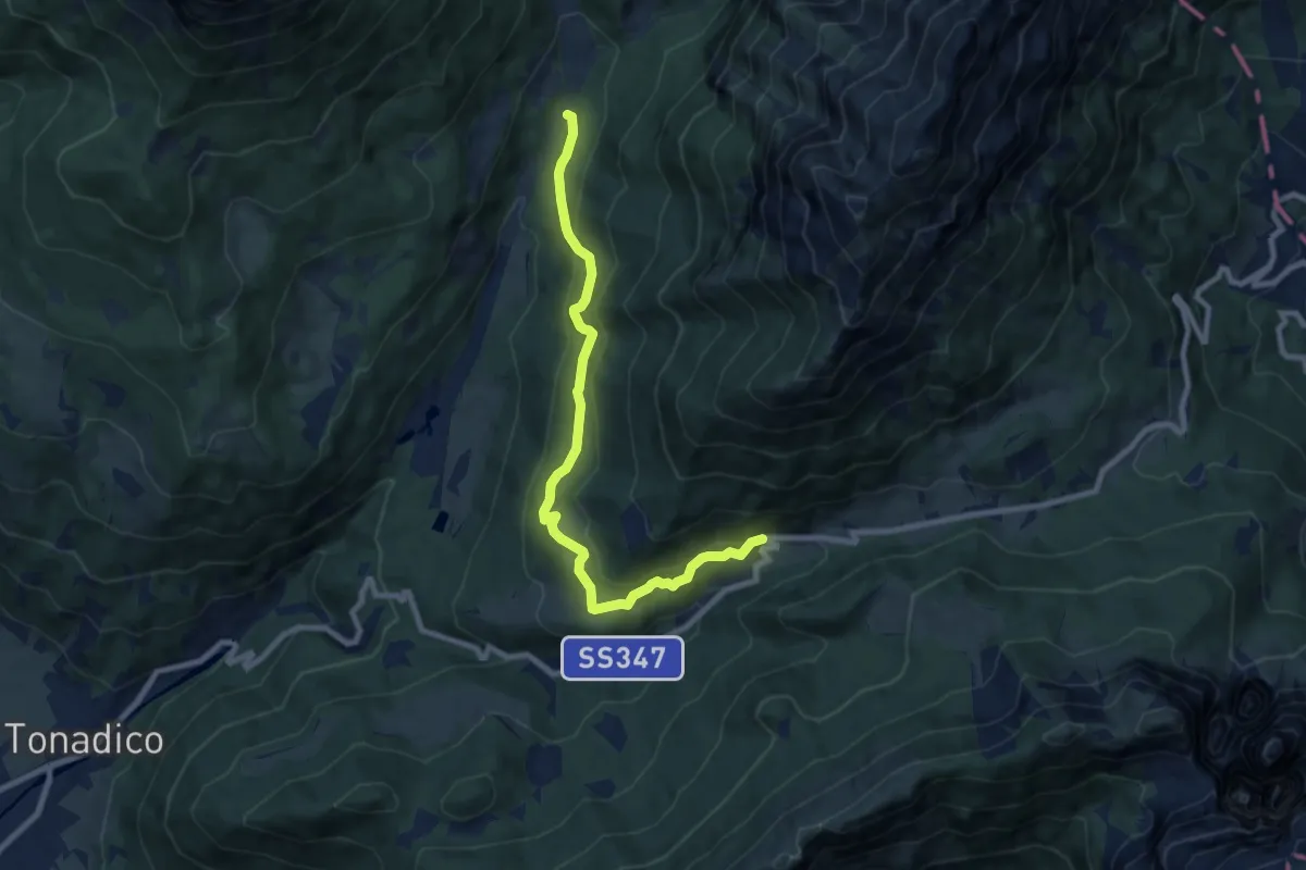
Medium · Trail
Sentiero "Piero Agostini"
8.8 km · ↑ 391 m · 2 h 56 min
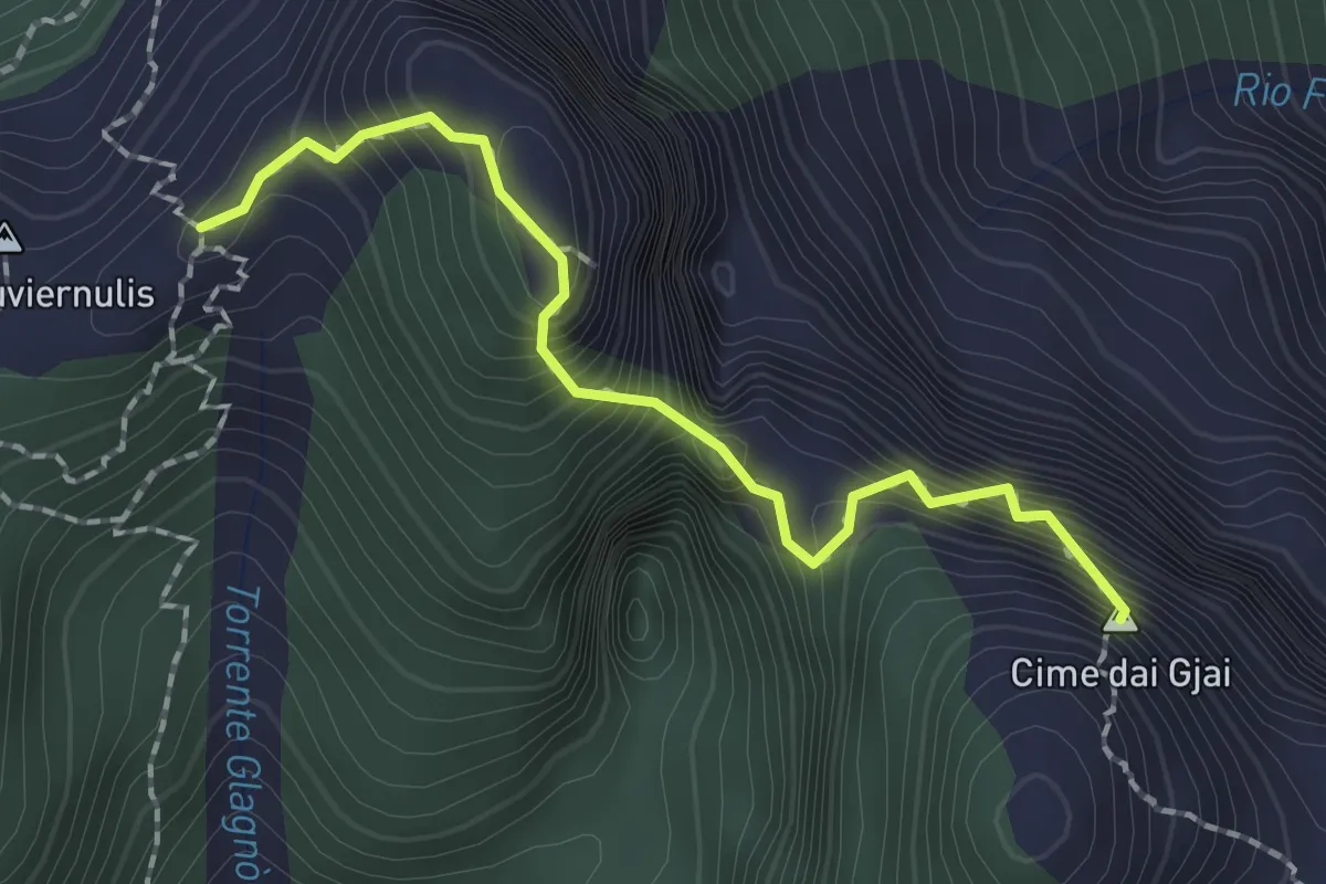
Expert · Summit
Sentiero Piero Nobile
1.9 km · ↑ 342 m · 1 h 11 min
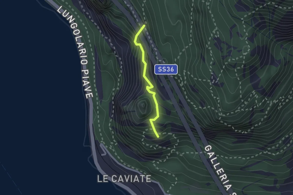
Expert · Summit
Sentiero Piero Pensa
1.6 km · ↑ 311 m · 1 h 2 min
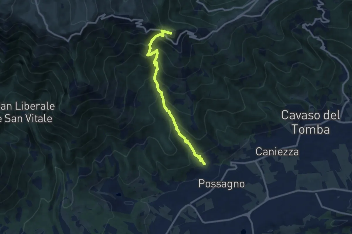
Medium · Summit
Sentiero Pietro Dal Broi
7.8 km · ↑ 764 m · 3 h 30 min
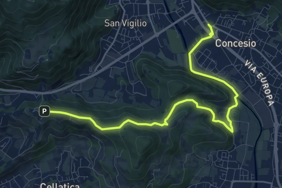
Medium · Trail
Sentiero Pietro Ottaviani
12.8 km · ↑ 333 m · 3 h 44 min
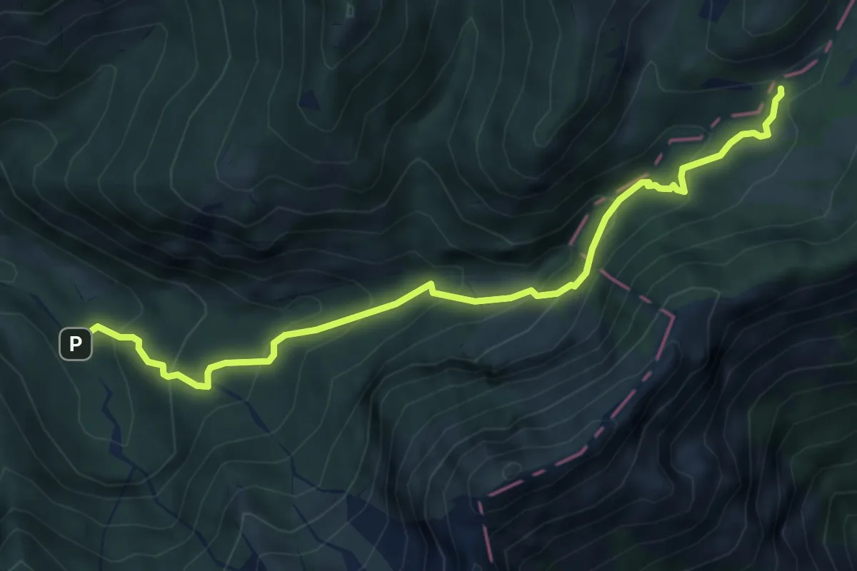
Medium · Trail
Sentiero Pinteri
6.1 km · ↑ 443 m · 2 h 25 min
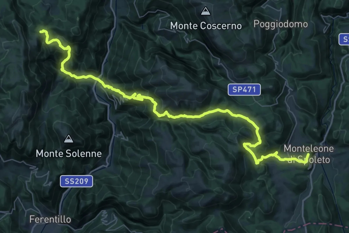
Demanding · Summit
Sentiero Pio IX Spoleto - Monteleone di Spoleto
48.1 km · ↑ 2721 m · 17 h 15 min
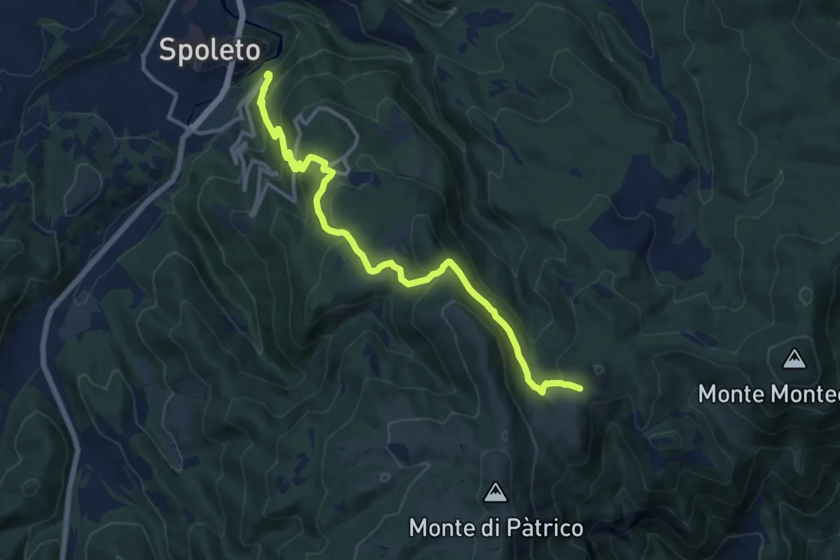
Medium · Trail
Sentiero Pio IX Spoleto - Monteleone di Spoleto
12.3 km · ↑ 778 m · 4 h 35 min
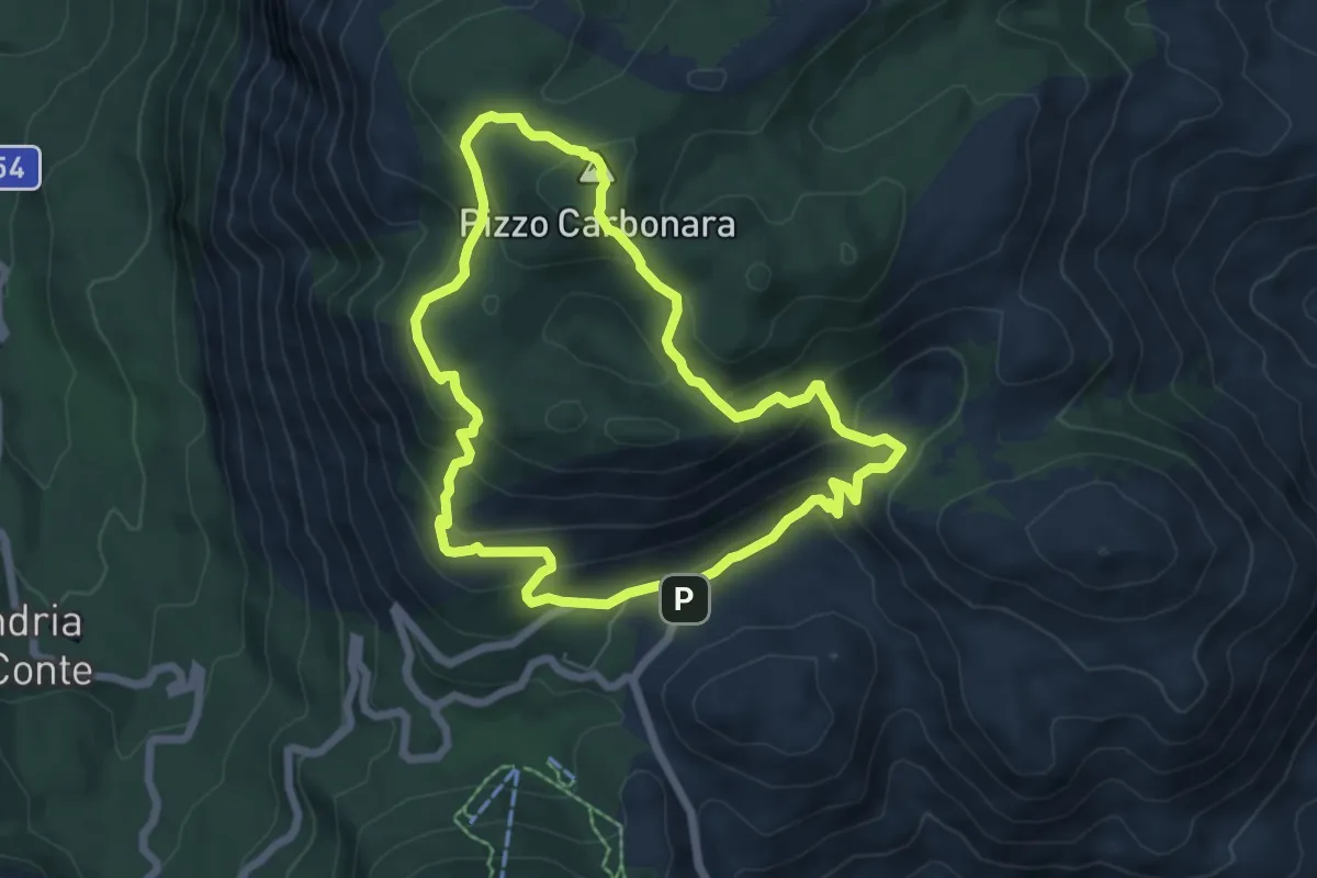
Medium · Summit
Sentiero Pizzo Carbonara
7.1 km · ↑ 374 m · 2 h 35 min
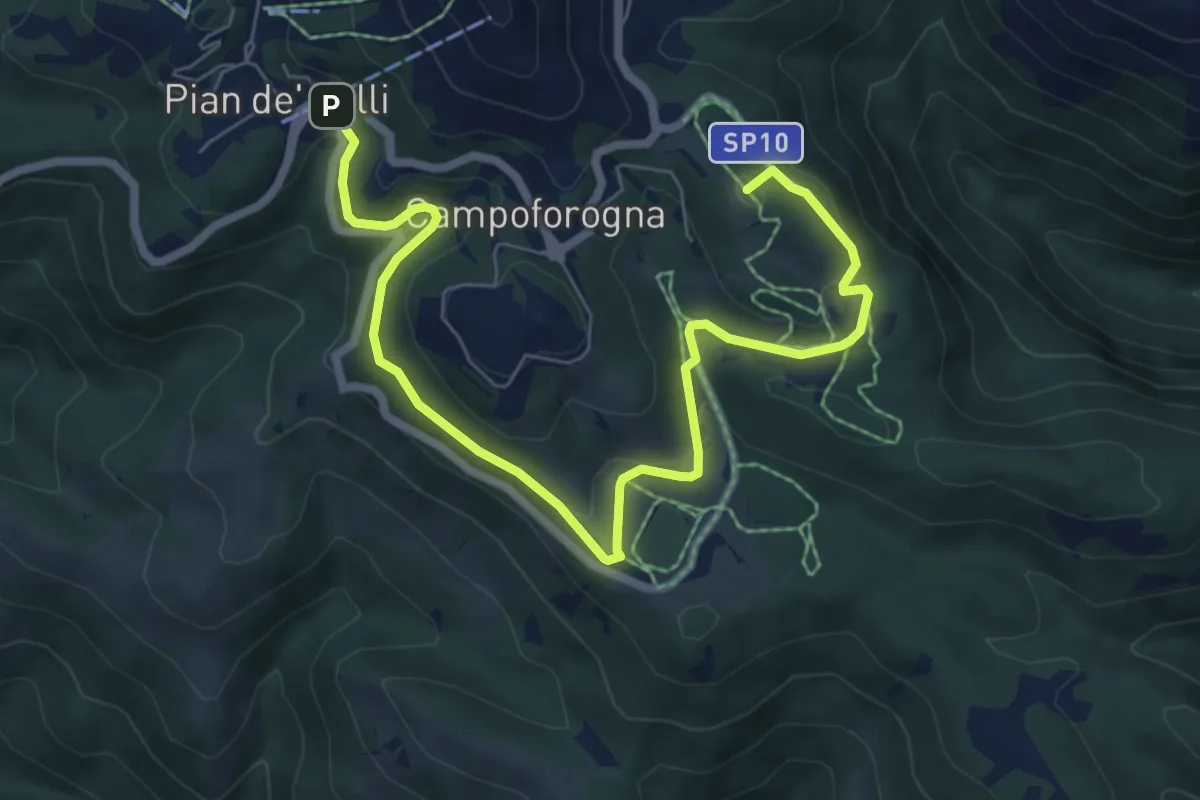
Medium · Summit
Sentiero Planetario
8.9 km · ↑ 261 m · 2 h 41 min
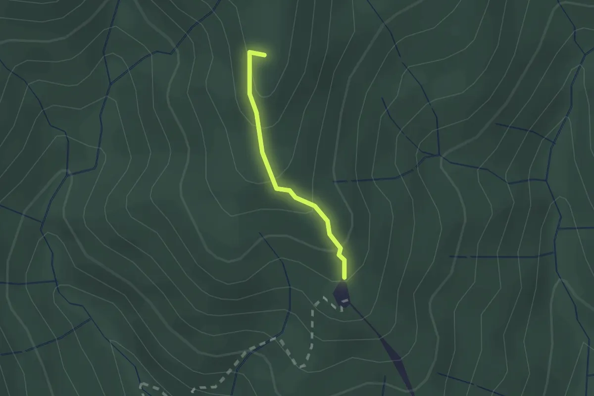
Easy · Summit
Sentiero Poggio Ballone
1.3 km · ↑ 106 m · 33 min
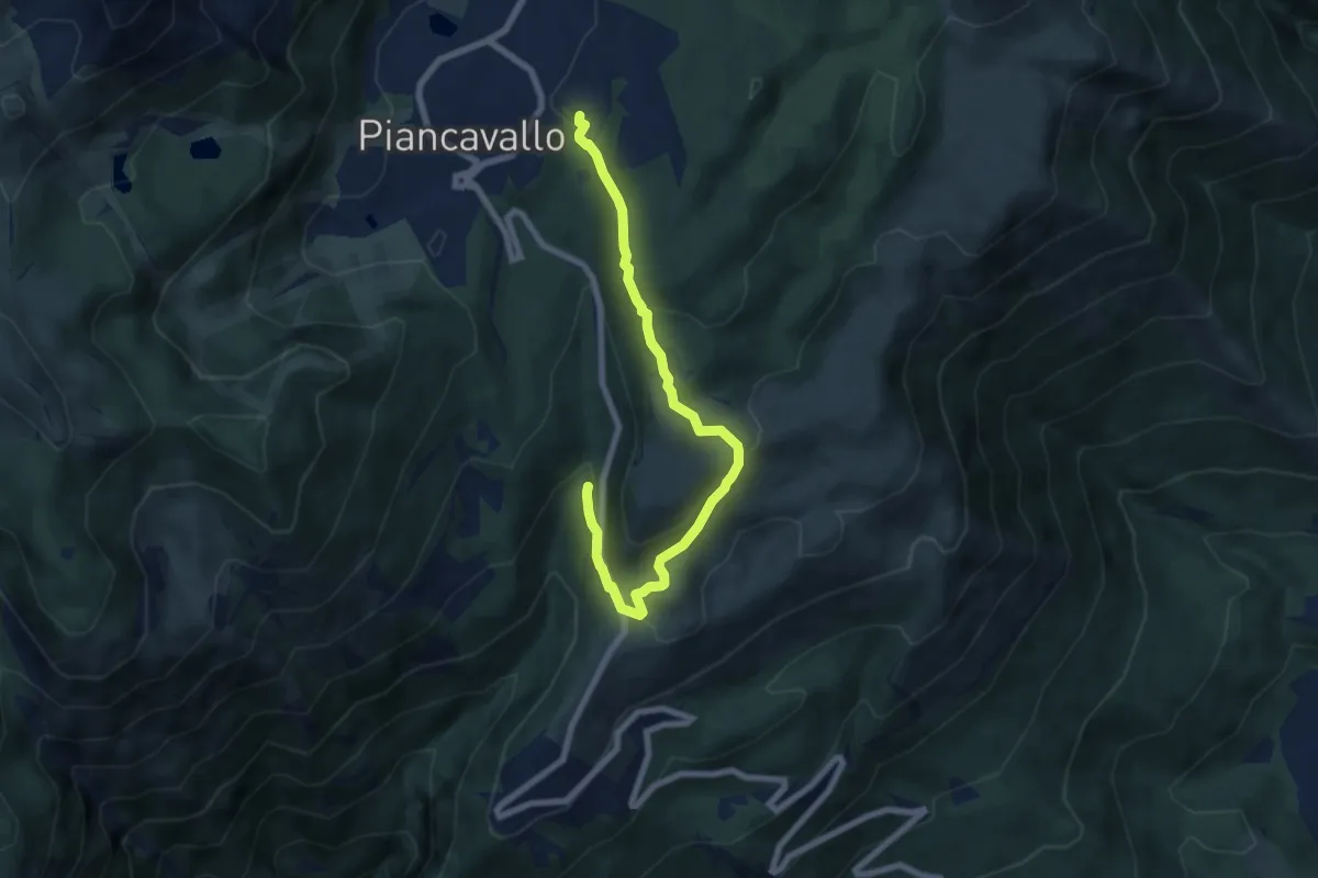
Easy · Trail
Sentiero Policreti
7.5 km · ↑ 311 m · 2 h 27 min
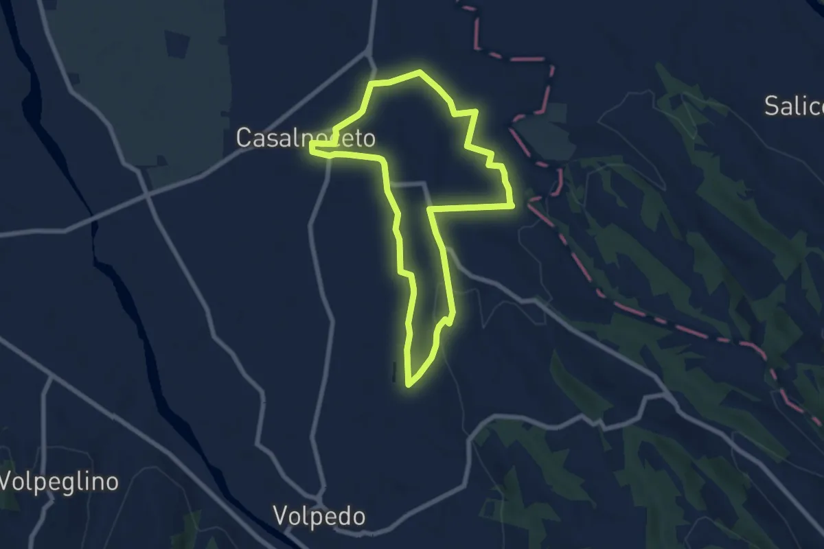
Easy · Trail
Sentiero Pom a Moj
6.4 km · ↑ 73 m · 1 h 45 min
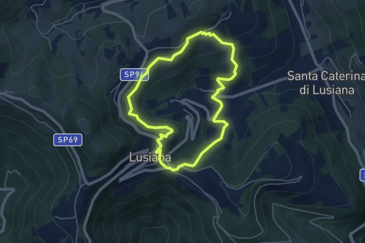
Easy · Trail
Sentiero Pomo Pero
3.9 km · ↑ 200 m · 1 h 25 min
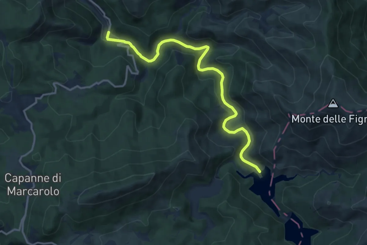
Medium · Trail
Sentiero Ponte Nespolo - Lago Bruno
10.6 km · ↑ 271 m · 3 h 5 min
Easy · Trail
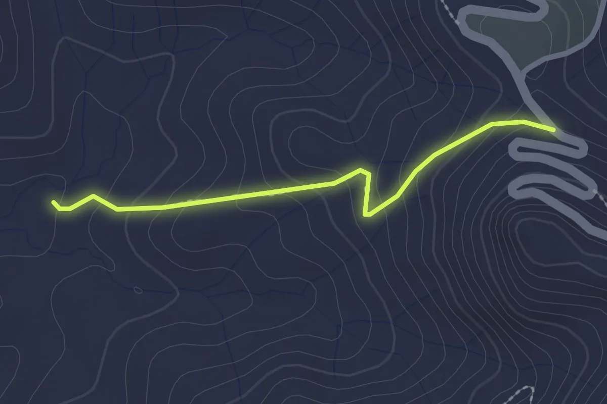
Sentiero Ponticello
2.3 km · ↑ 136 m · 50 min
Medium · Trail
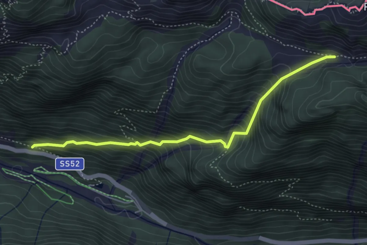
Sentiero portatrici carniche
4.5 km · ↑ 558 m · 2 h 16 min
Demanding · Trail
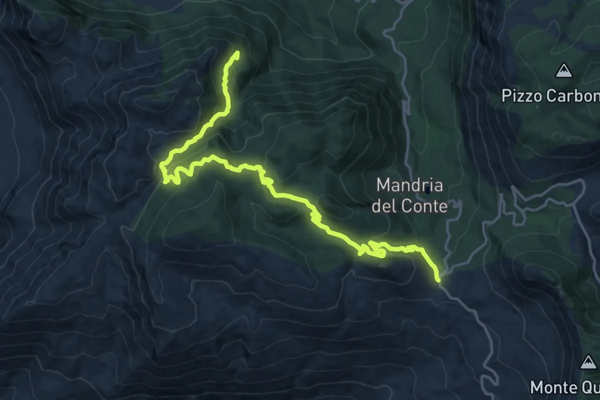
Sentiero Portella Colla – Case Disiceddi (Piano Cervi)
18.8 km · ↑ 868 m · 6 h 19 min
Medium · Summit
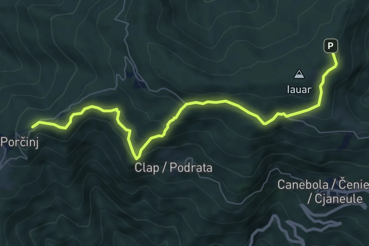
Sentiero Porzûs - Malghe di Porzûs
7.2 km · ↑ 457 m · 2 h 42 min
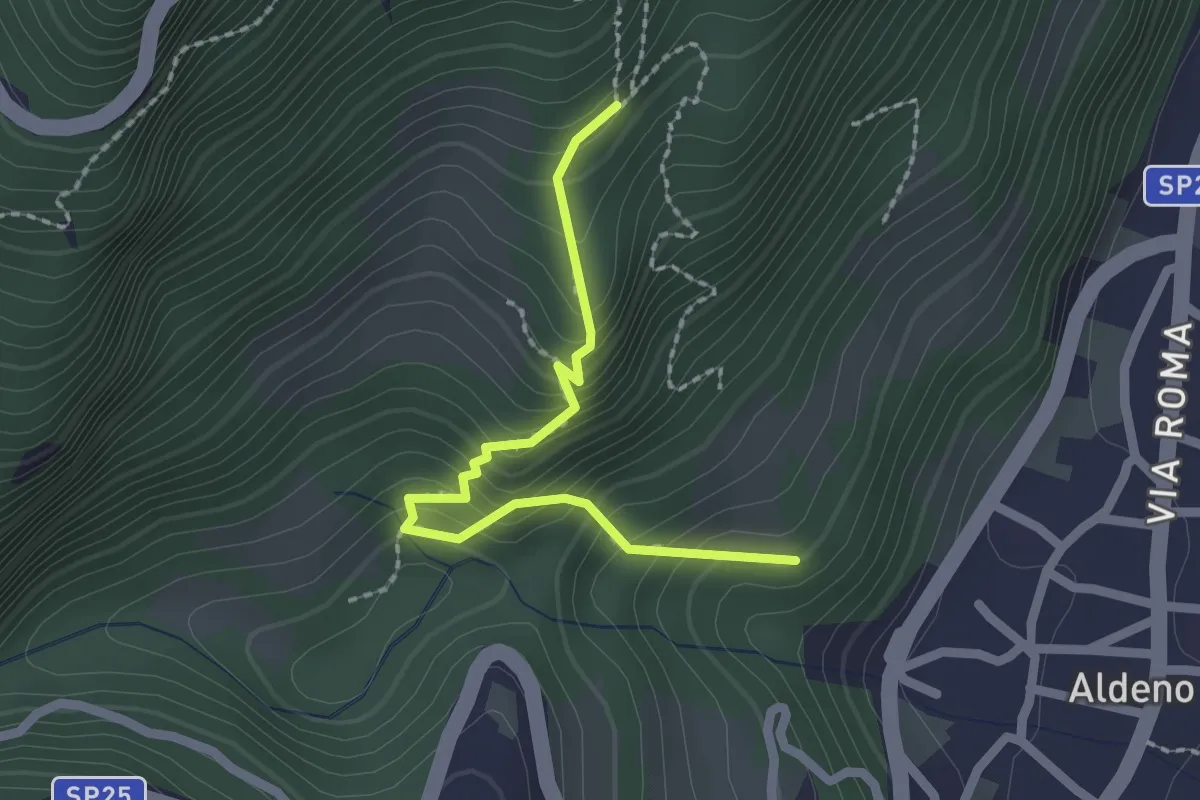
Medium · Trail
Sentiero Postal
2.1 km · ↑ 238 m · 1 h 1 min
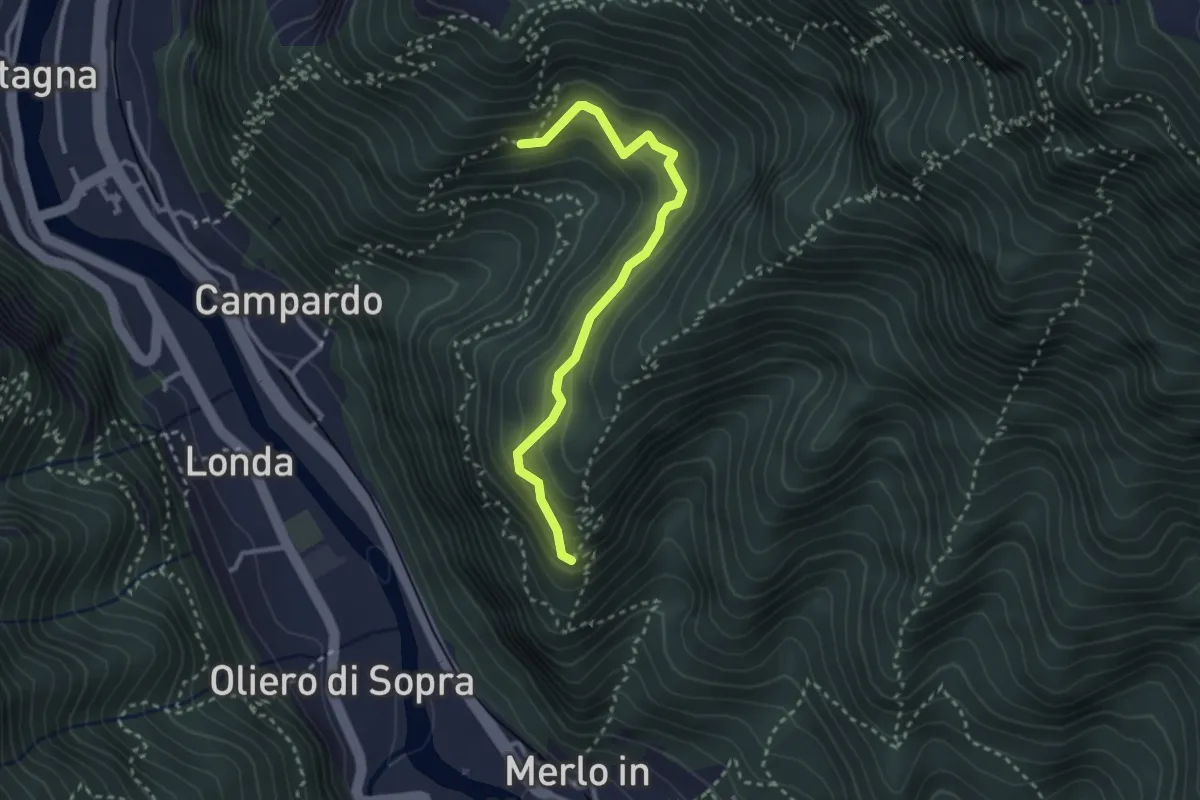
Medium · Trail
Sentiero Praventore
2.9 km · ↑ 299 m · 1 h 20 min
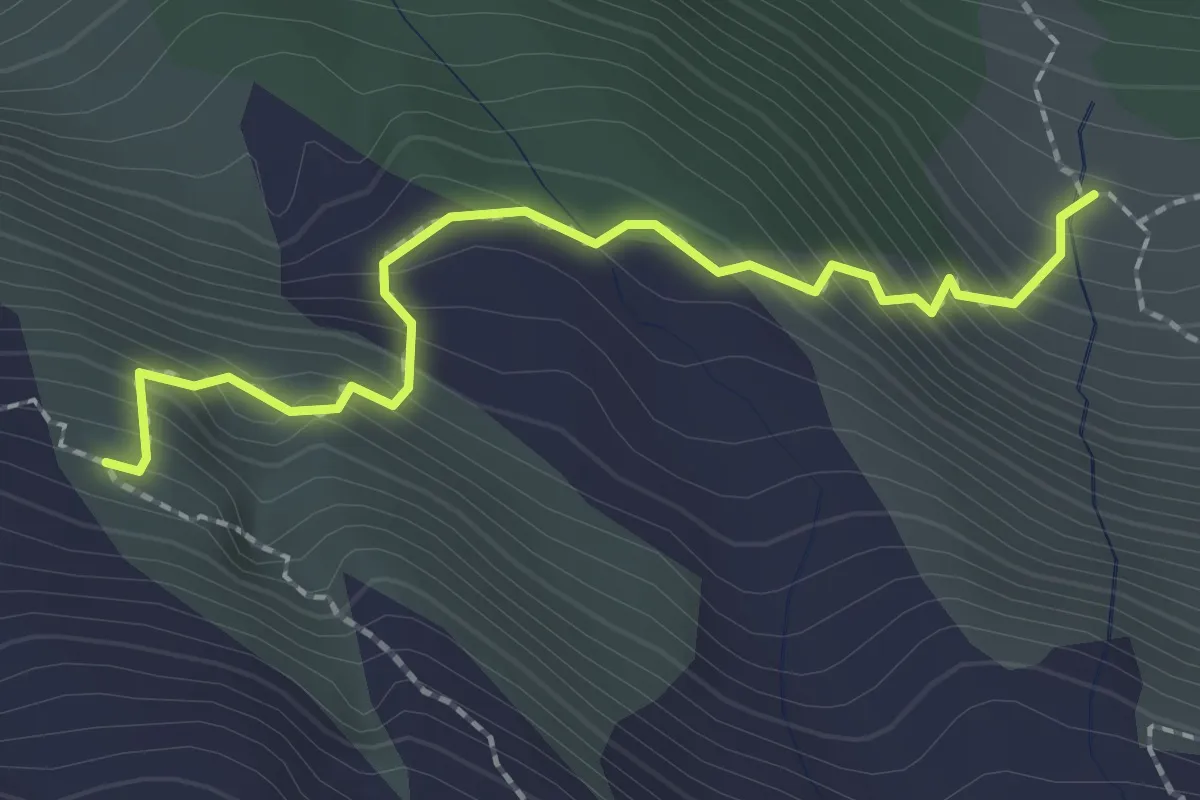
Medium · Trail
Sentiero Priani
2.2 km · ↑ 257 m · 1 h 4 min
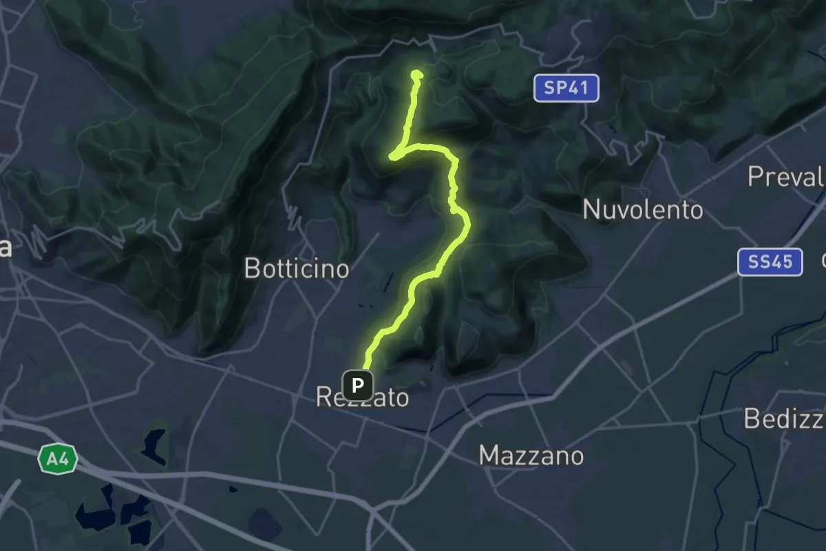
Demanding · Summit
Sentiero principale Valverde
17.5 km · ↑ 748 m · 5 h 45 min
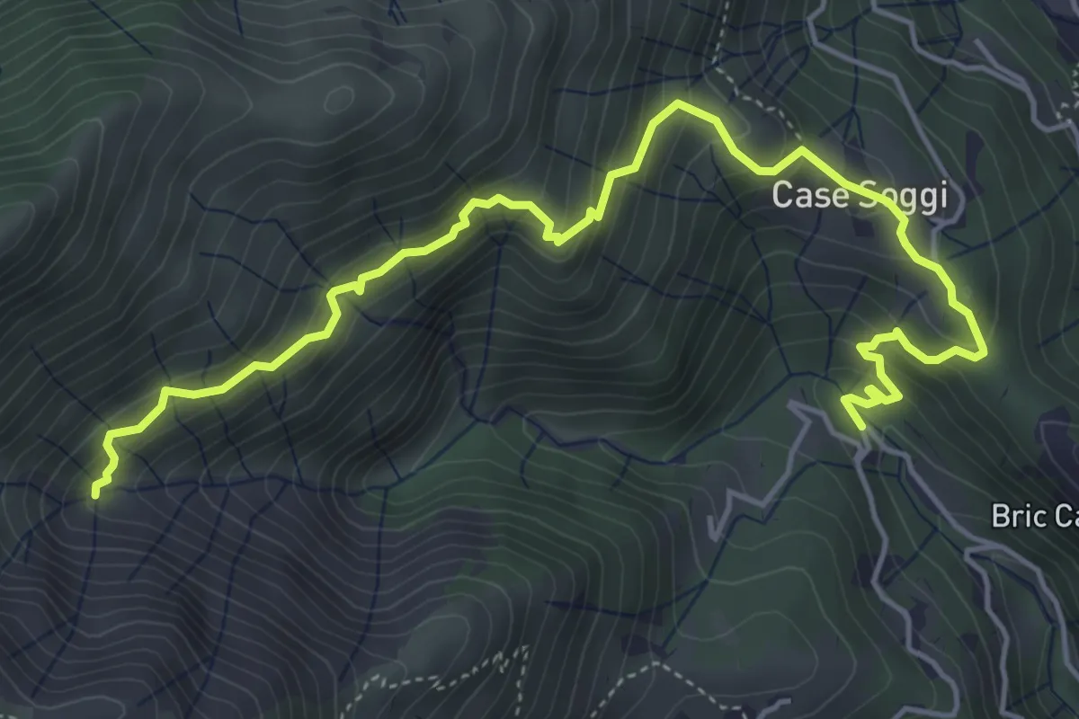
Medium · Trail
Sentiero Pro Canyon - Rio Secco
6.3 km · ↑ 504 m · 2 h 34 min
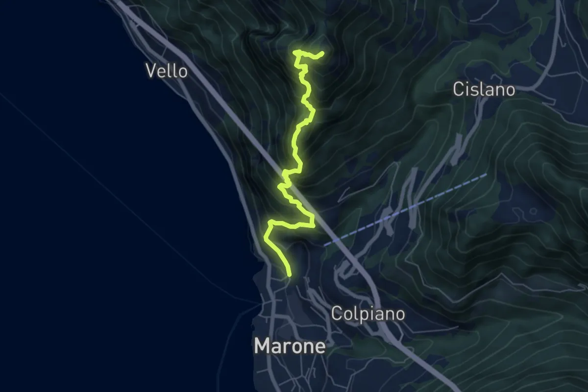
Expert · Summit
Sentiero Punta Cunicolo
5.8 km · ↑ 919 m · 3 h 22 min
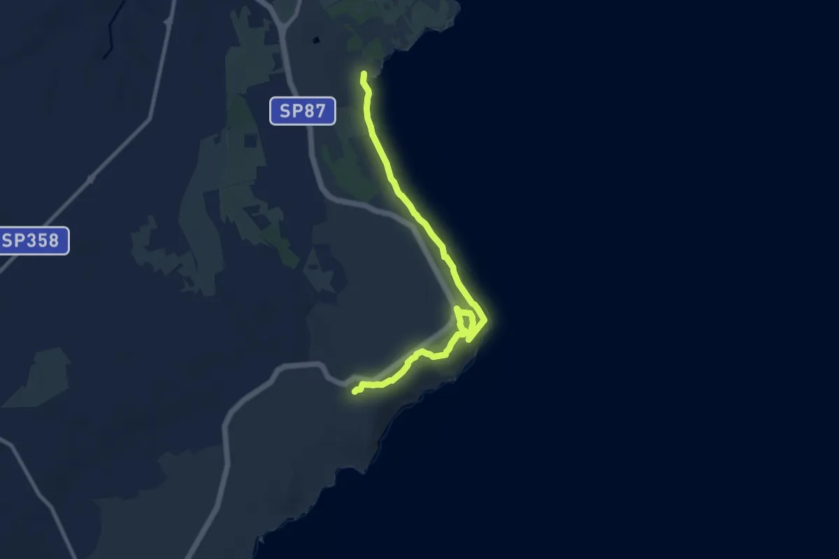
Expert · Trail
Sentiero Punta Palascia
10.2 km · ↑ 196 m · 2 h 50 min
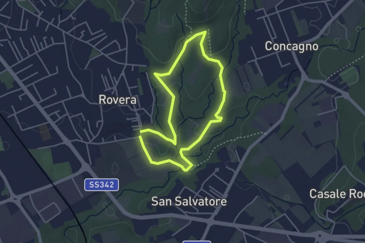
Easy · Trail
Sentiero Quadronna
3.1 km · ↑ 58 m · 54 min
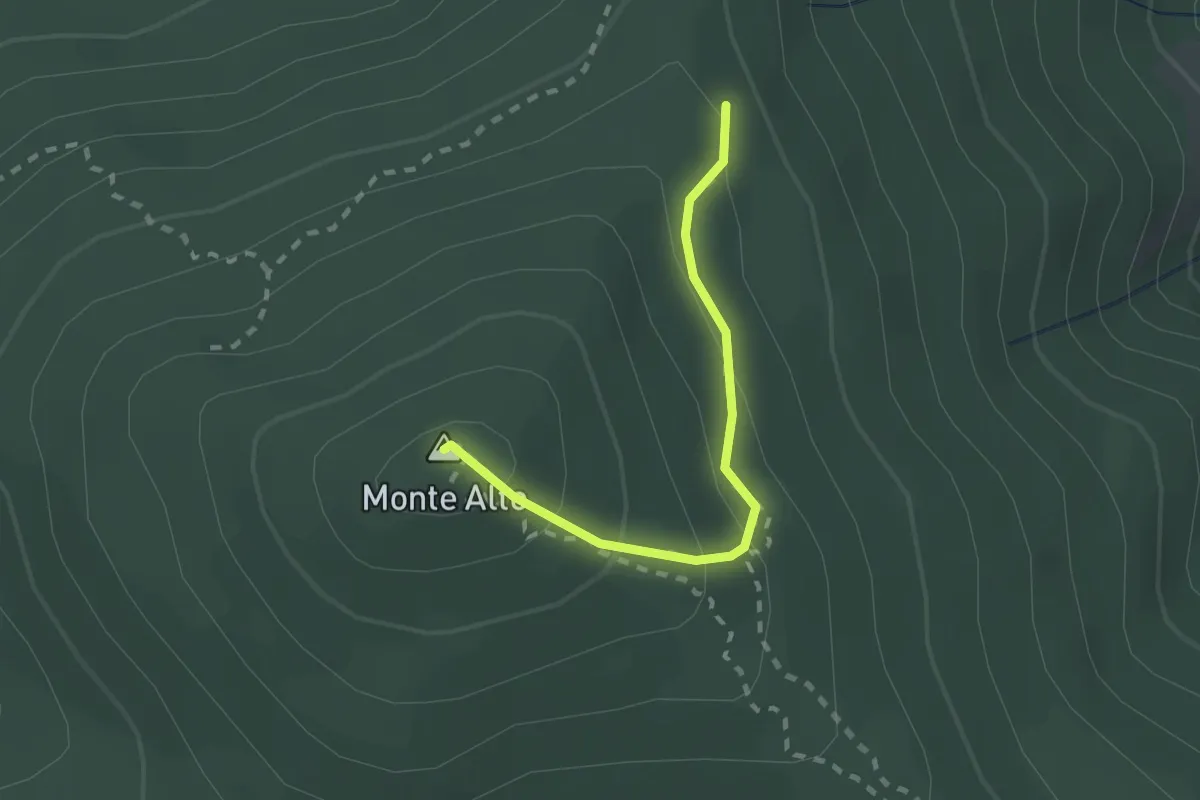
Medium · Summit
Sentiero R
2.0 km · ↑ 135 m · 46 min
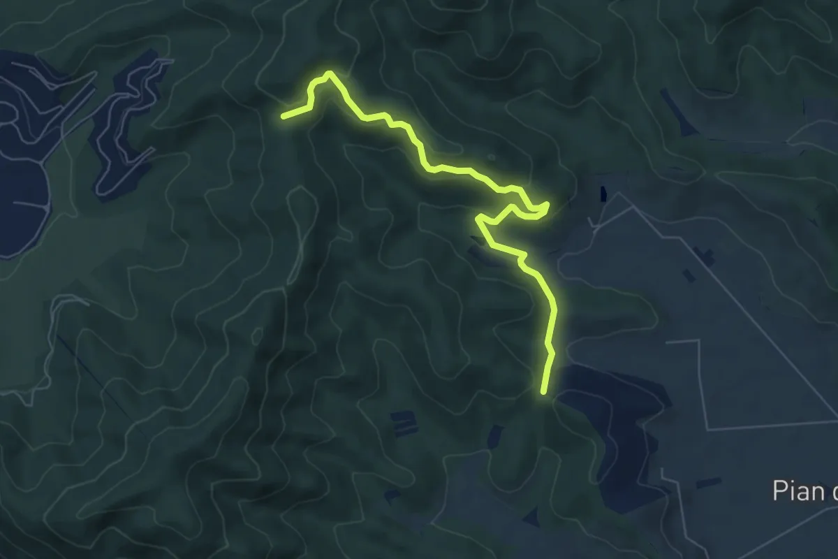
Easy · Trail
Sentiero R4
7.2 km · ↑ 310 m · 2 h 22 min
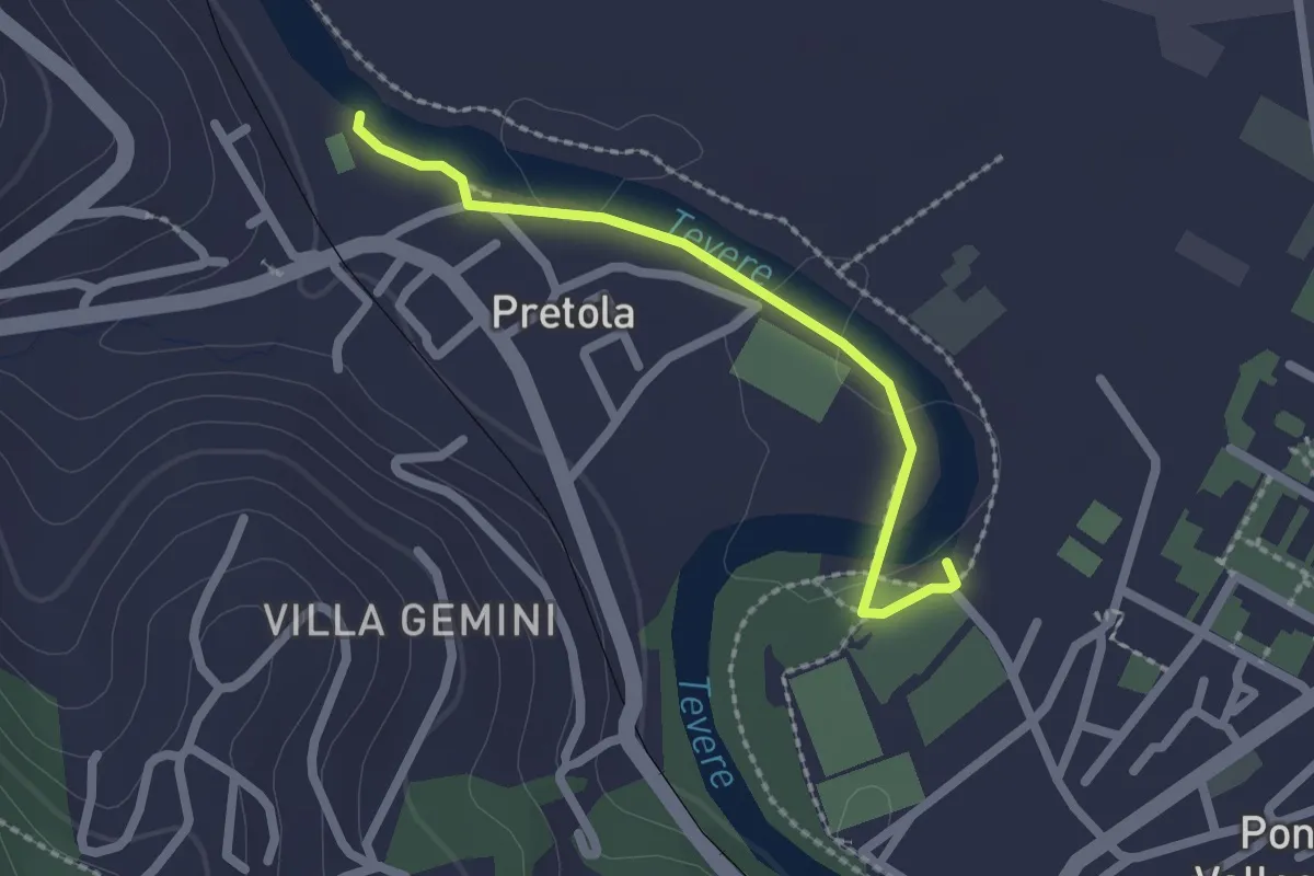
Easy · Trail
Sentiero raccoglitori di legna
2.1 km · ↑ 4 m · 30 min
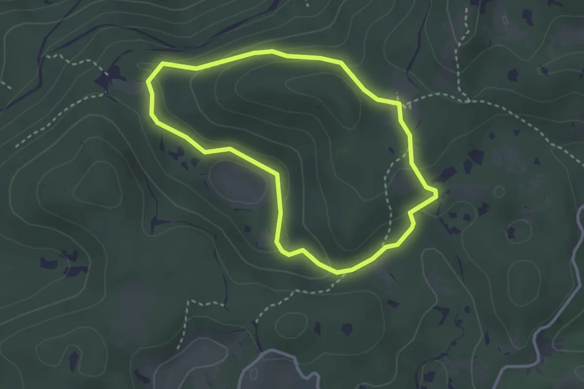
Medium · Summit
Sentiero Raimondo Lacchin "Chirurgo"
2.8 km · ↑ 86 m · 53 min
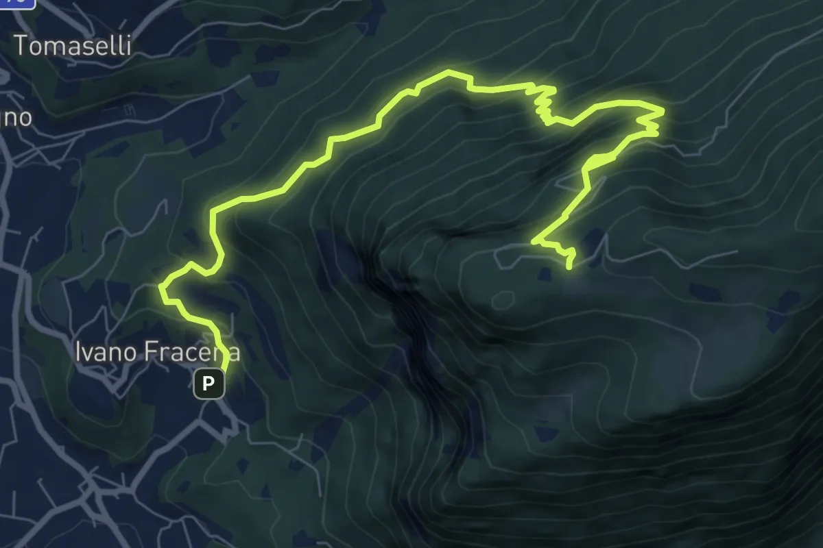
Demanding · Cabin
Sentiero Ravacene - Sorgente Acqua schiava
10.2 km · ↑ 955 m · 4 h 29 min
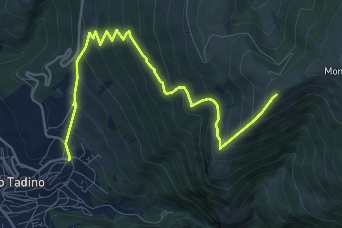
Medium · Cabin
Sentiero Razzipante
9.9 km · ↑ 786 m · 4 h 2 min
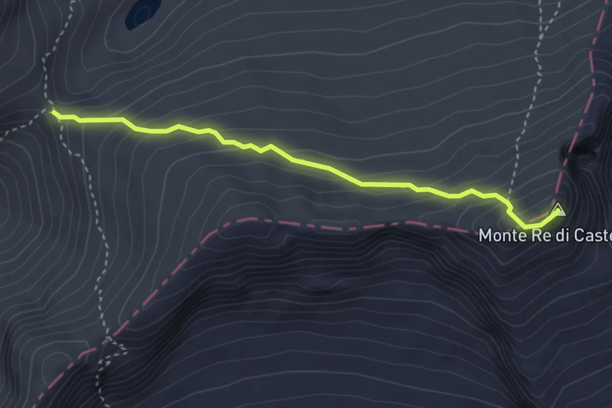
Demanding · Summit
Sentiero Re di Castello
3.1 km · ↑ 294 m · 1 h 23 min
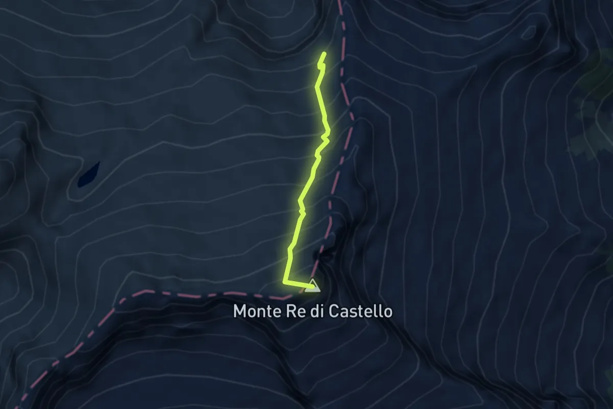
Demanding · Summit
Sentiero Re di Castello
2.9 km · ↑ 522 m · 1 h 49 min
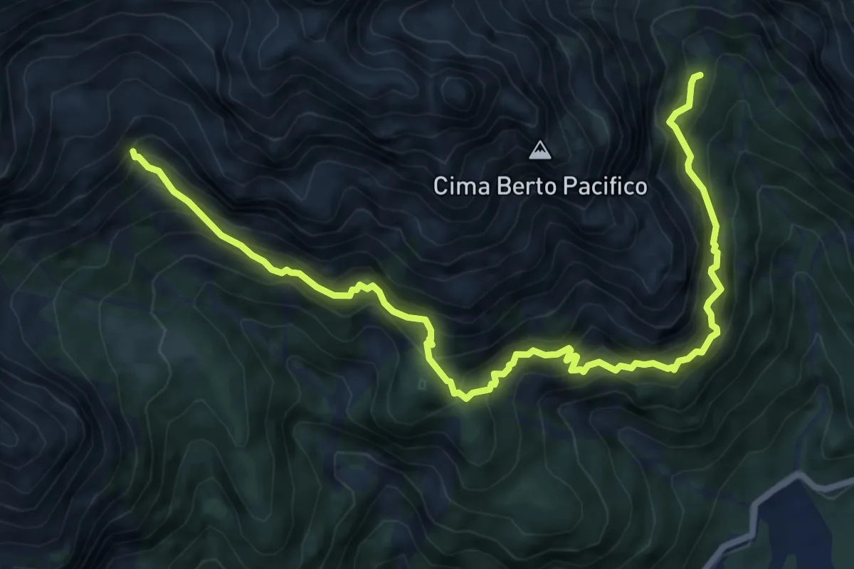
Expert · Cabin
Sentiero Re di Sassonia
8.8 km · ↑ 1224 m · 4 h 44 min
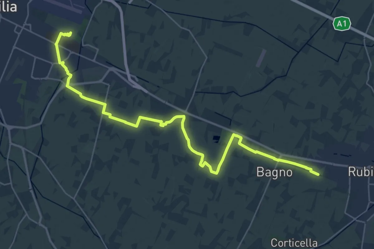
Demanding · Trail
Sentiero Reggio Emilia-Rubiera
27.7 km · ↑ 21 m · 6 h 35 min
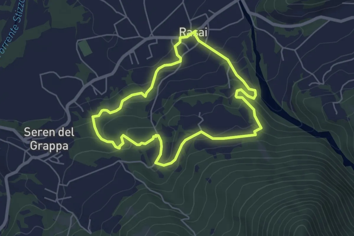
Easy · Trail
Sentiero Regina Amalassunta
4.3 km · ↑ 151 m · 1 h 24 min
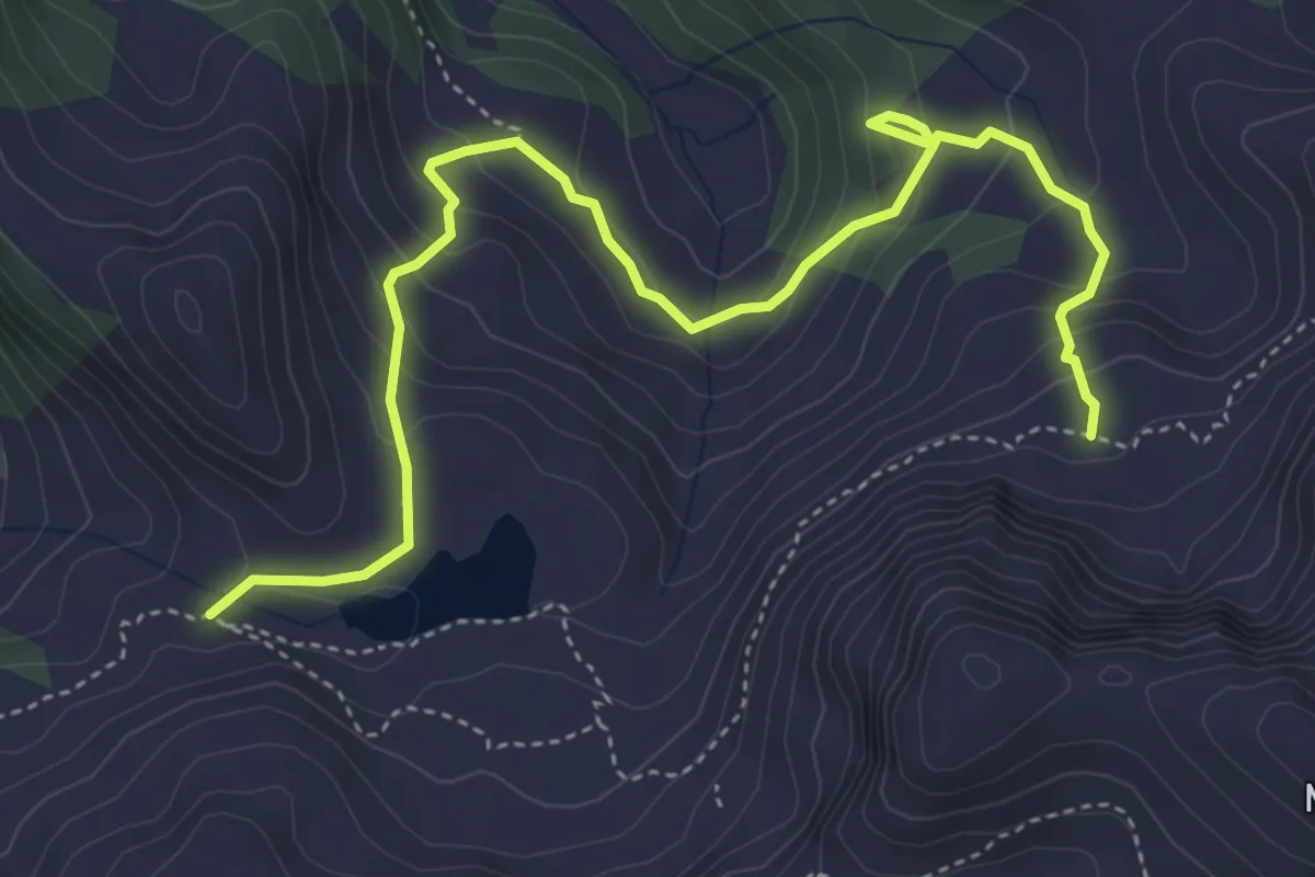
Medium · Trail
Sentiero Re Leone
5.5 km · ↑ 384 m · 2 h 7 min